Minnesota

5,913 photos · 2008–2026

5,913 photographs tagged Minnesota, 2008–2026.
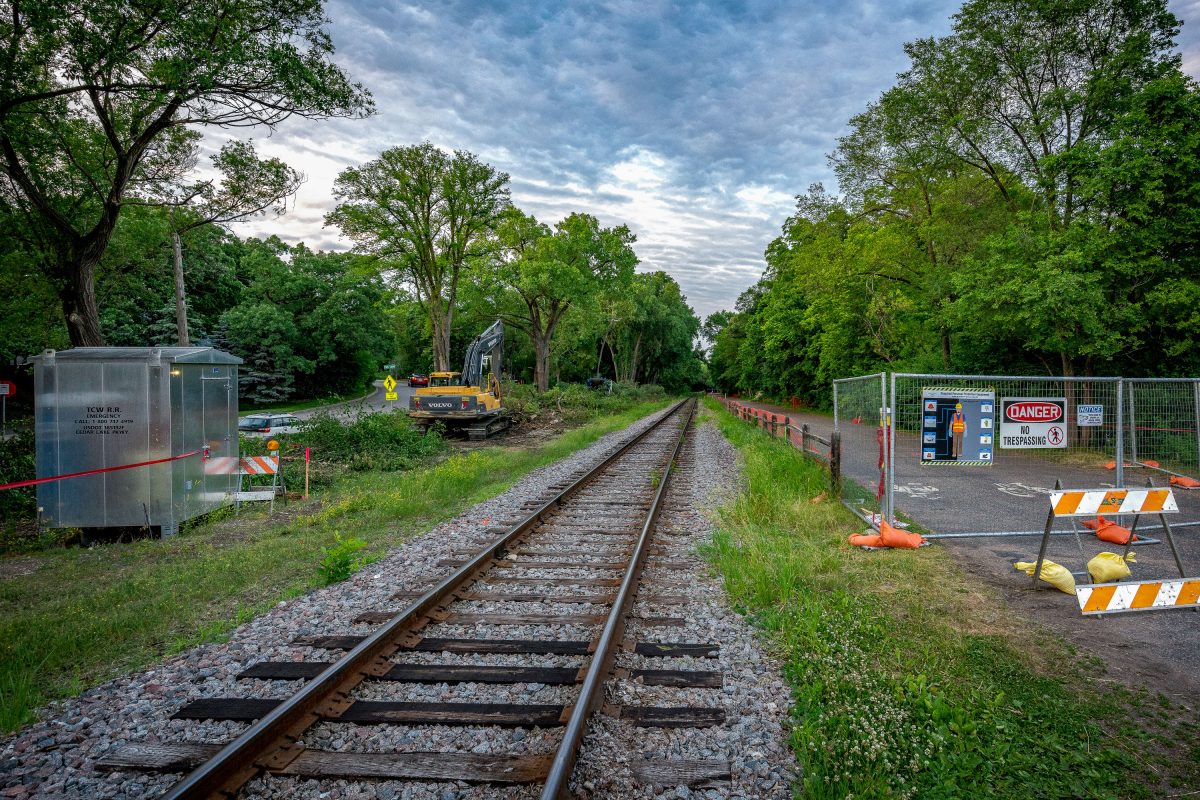
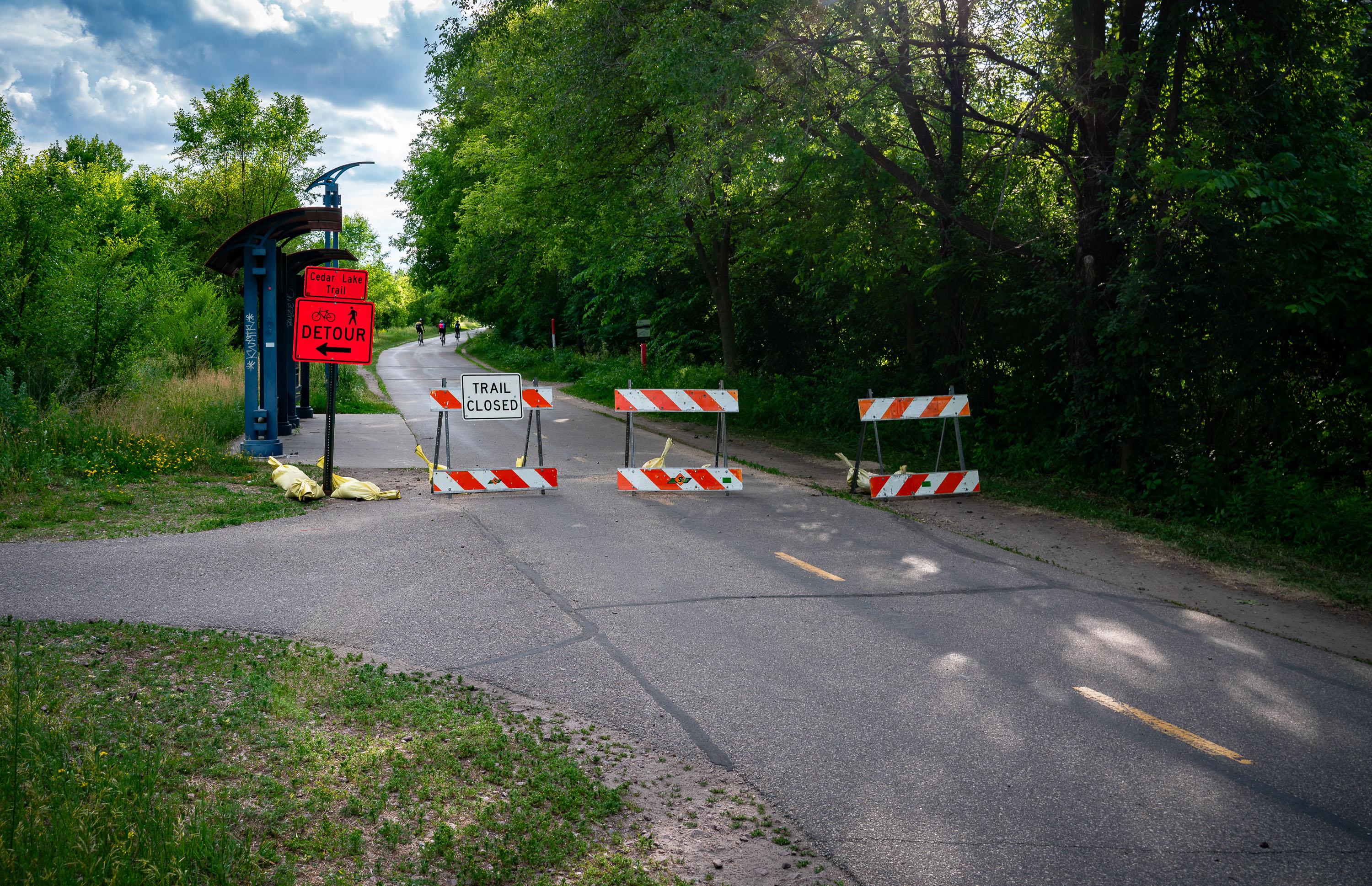
Cedar Lake Trail Closes at Cedar Lake Parkway
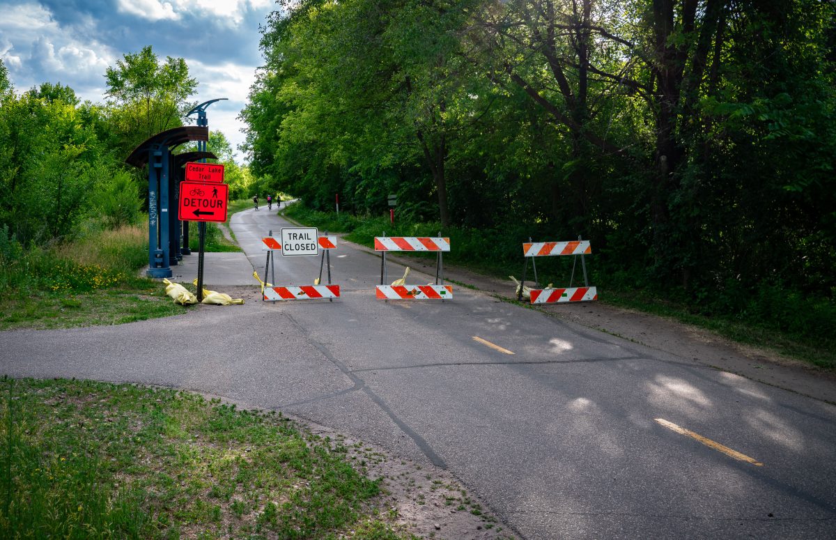
Closure of Cedar Lake Trail at Cedar Lake Parkway as part of the Metro Transit Green Line Extension construction.

Cedar Lake Trail Closes at Cedar Lake Parkway

Cedar Lake Trail Closes in June 2019
Kenilworth Trail n Minneapolis prior to major light rail construction.

Kenilworth Trail Closes in June 2019

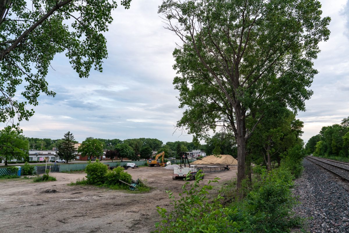
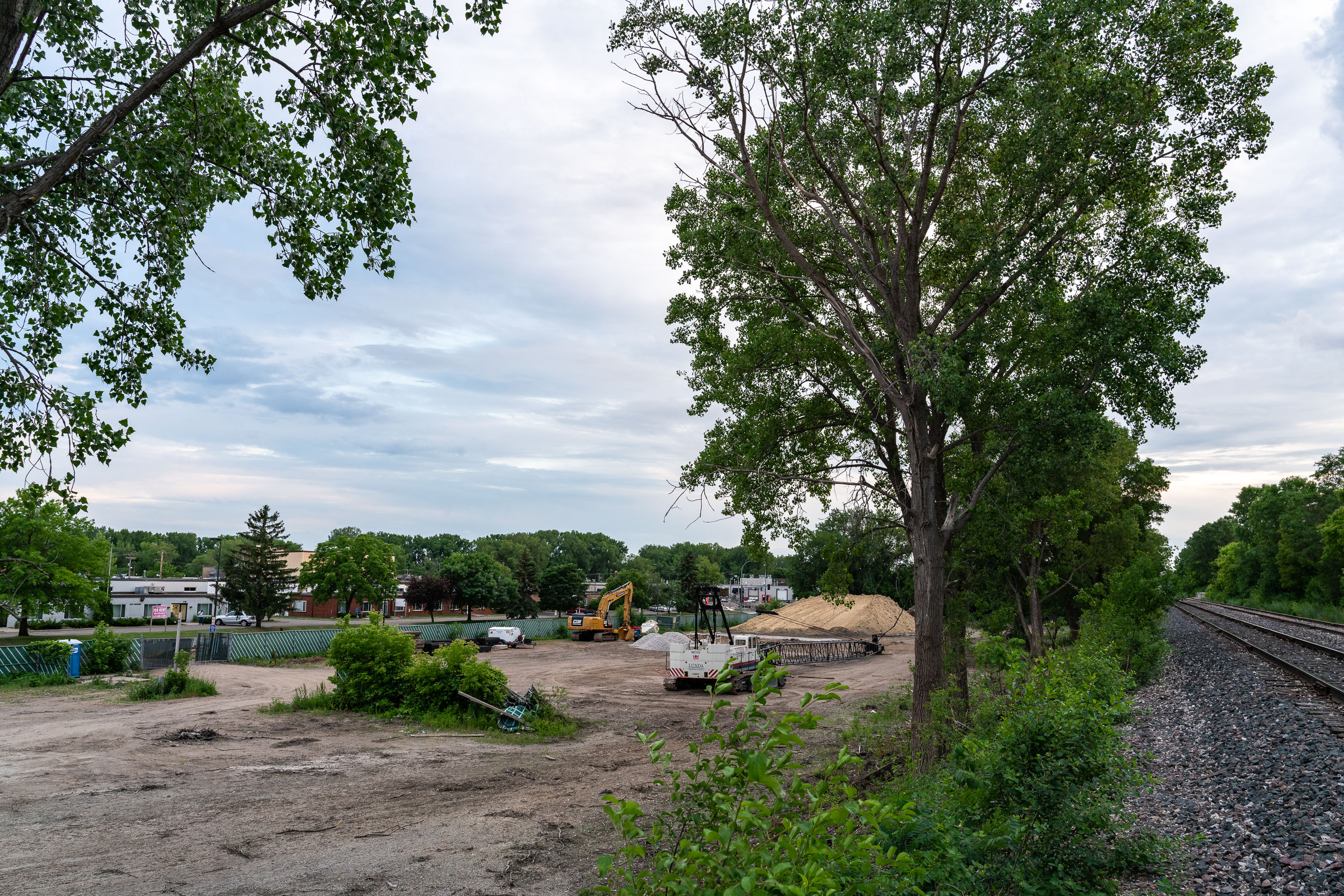
Construction equipment and excavation site at Louisiana Avenue light rail station in St. Louis Park, Minnesota.
Metro Transit Louisiana Avenue Green Line Light Rail station prior to construction.

Future Louisiana Station Site Before Green Line Extension Construction

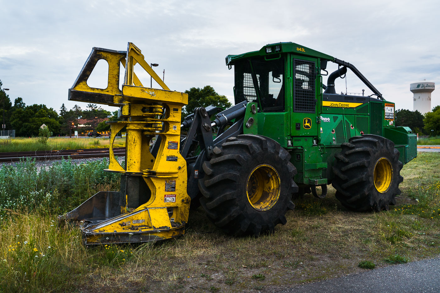
John Deere 843L feller buncher clearing vegetation for Southwest Light Rail Transit construction in St. Louis Park, Minnesota.
A John Deere 843L feller buncher sits parked near the railway tracks in St. Louis Park, Minnesota, during the early stages of construction for the Southwest Light Rail Transit (LRT) project. Designed primarily for forestry work, this heavy-duty machine—with its massive front grapple and thick treaded tires—was adapted for clearing brush and trees along the rail corridor.

John Deere 843L Feller Buncher Near the Rail Corridor in St. Louis Park
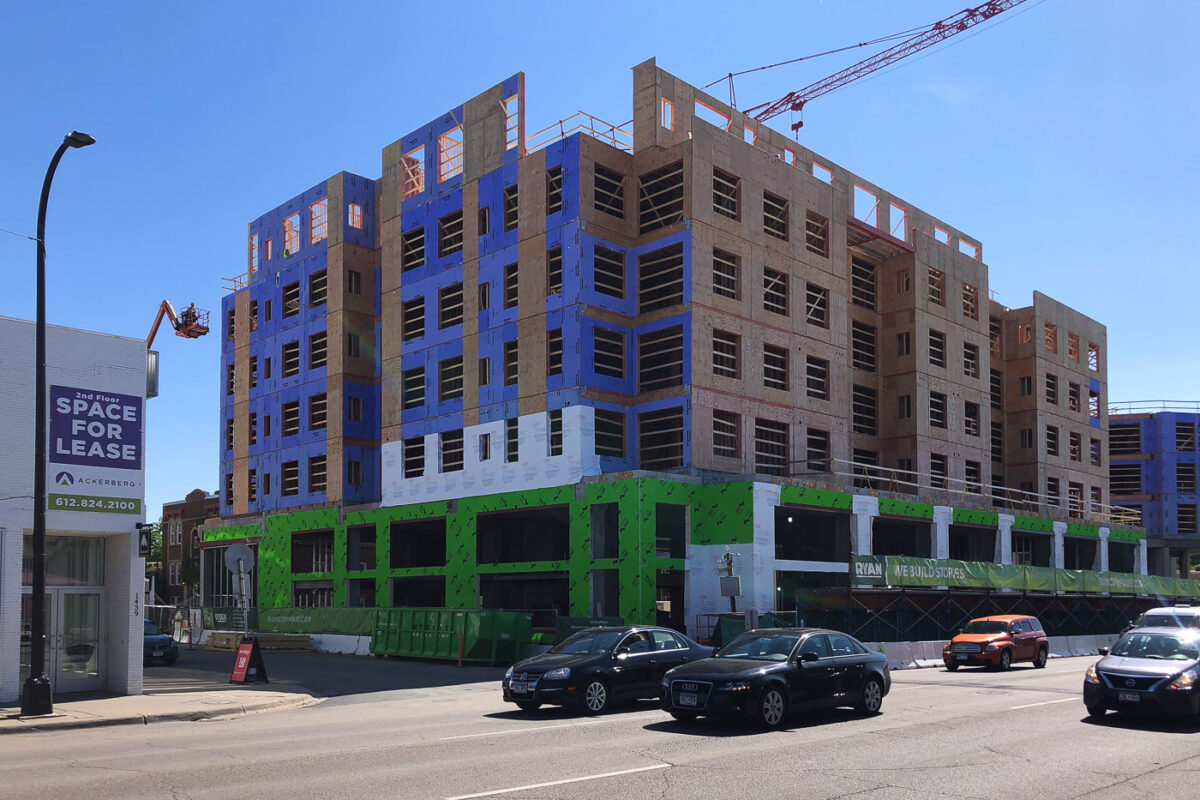
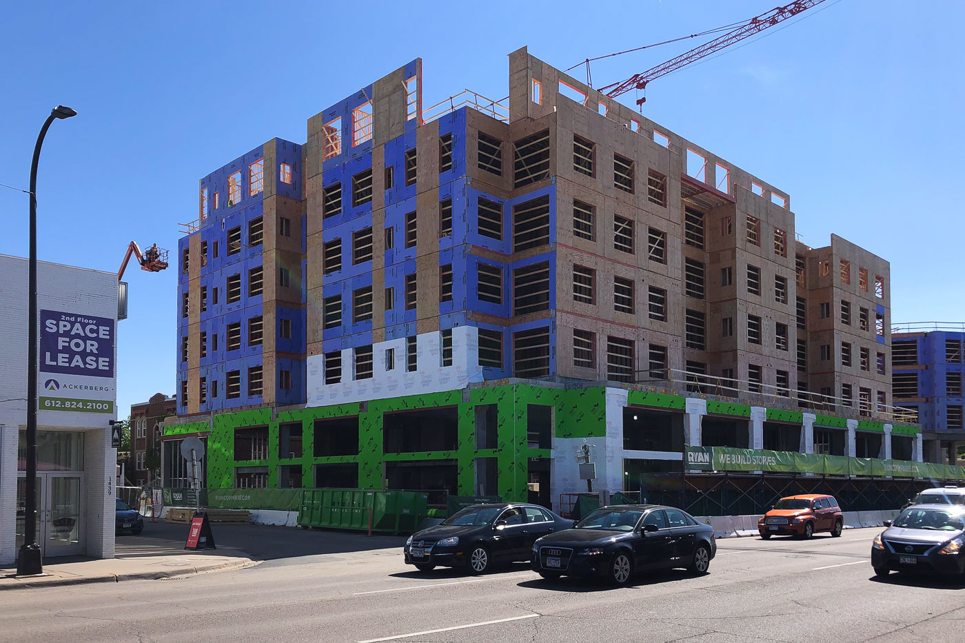
Daymark Apartments under construction in Uptown Minneapolis, with a crane and cars passing in front.
Daymark Apartments is under construction in Uptown Minneapolis in June 2019. The multi-story wood-frame apartment building rises above a podium level wrapped in green sheathing, with a tower crane and an aerial lift visible over the site.

Daymark Apartments Under Construction, Uptown Minneapolis
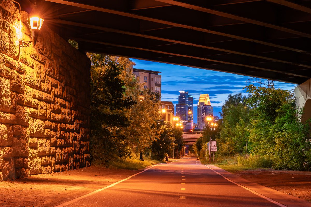
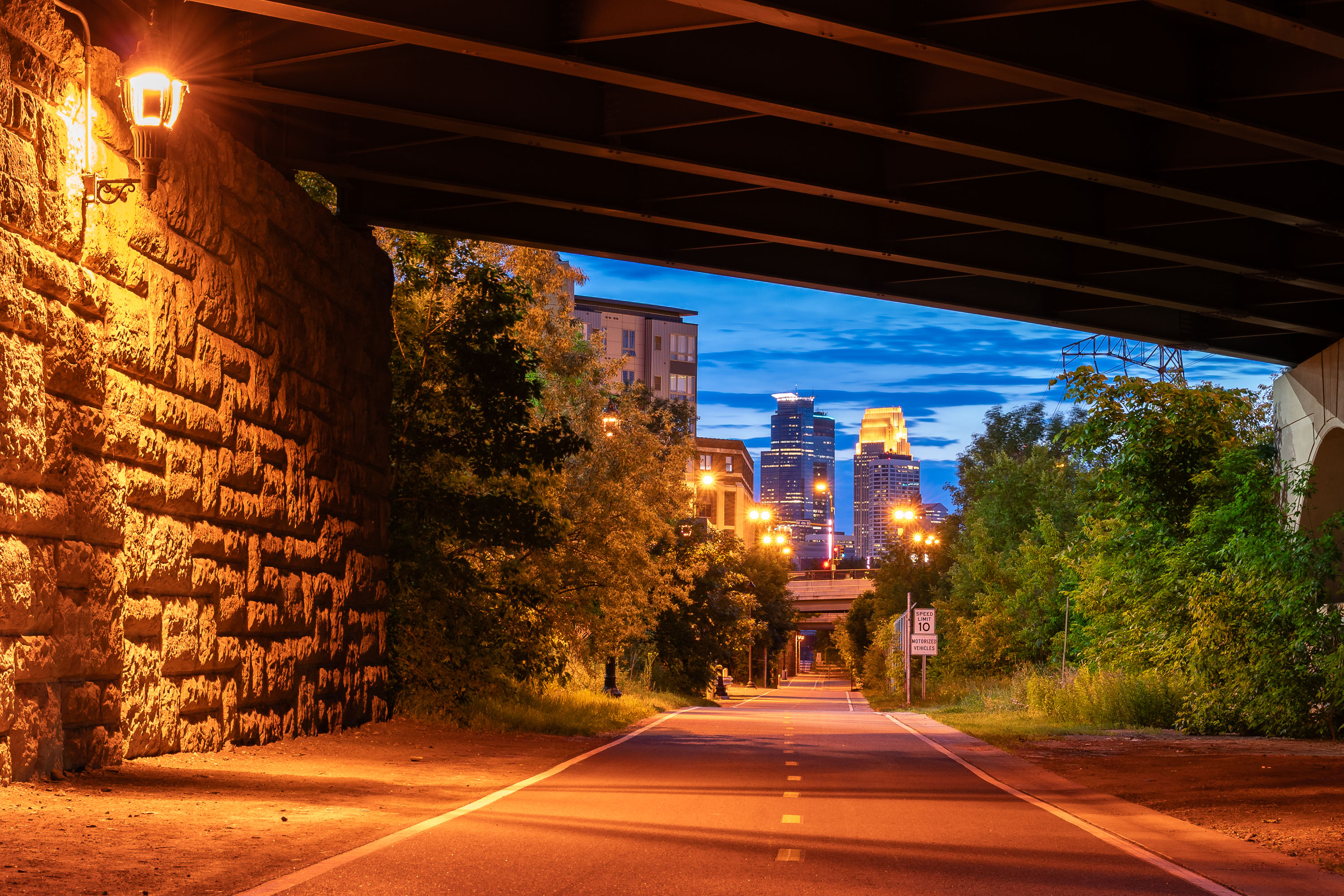
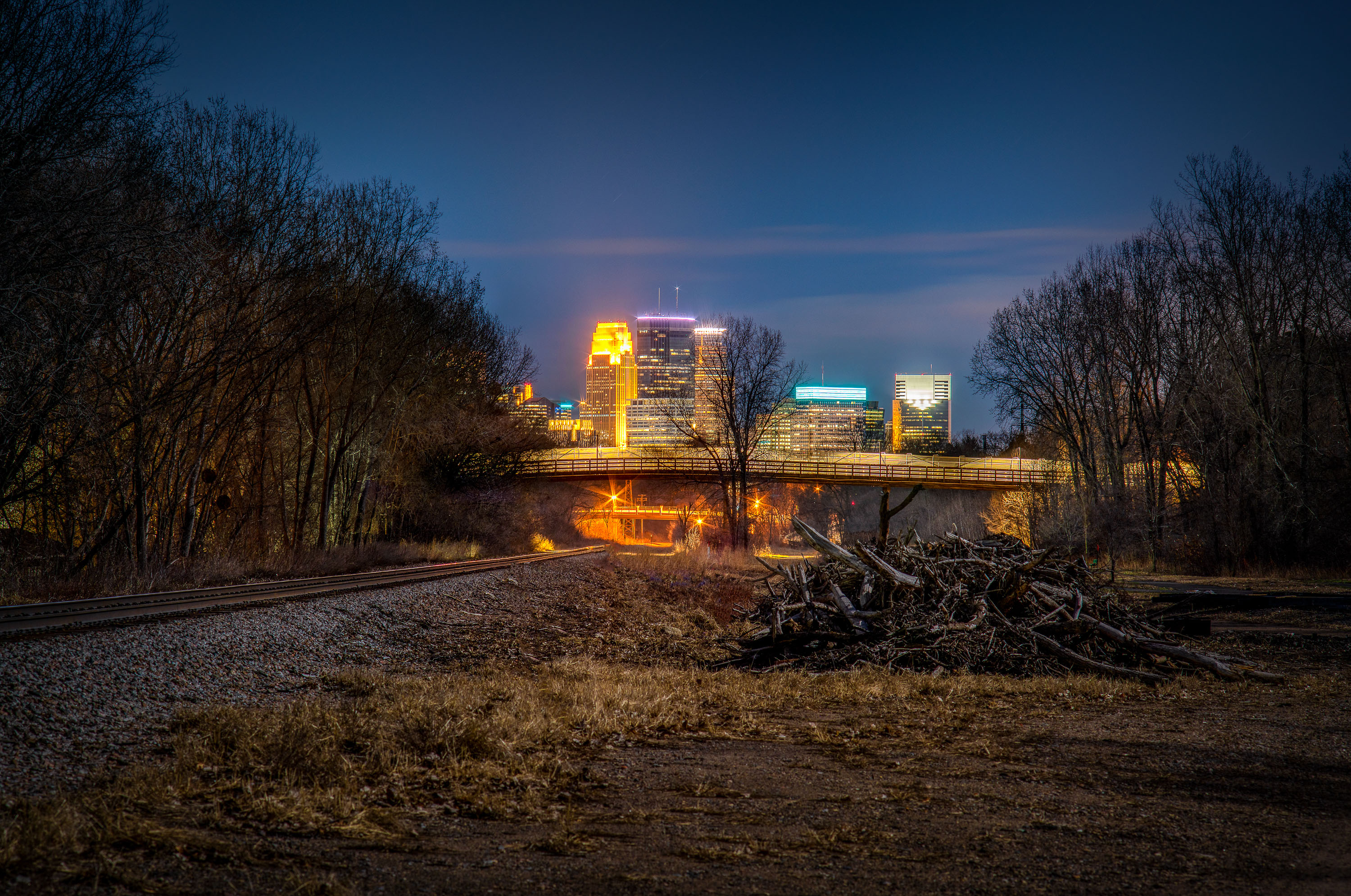
Dinkytown Greenway bike trail in Minneapolis at dusk, with downtown skyline illuminated in the background.
The Dinkytown Greenway is a paved bike and pedestrian trail built along a former Burlington Northern rail line, running beneath historic stone railroad bridges near the University of Minnesota.

Downtown Minneapolis Skyline from the Dinkytown Greenway
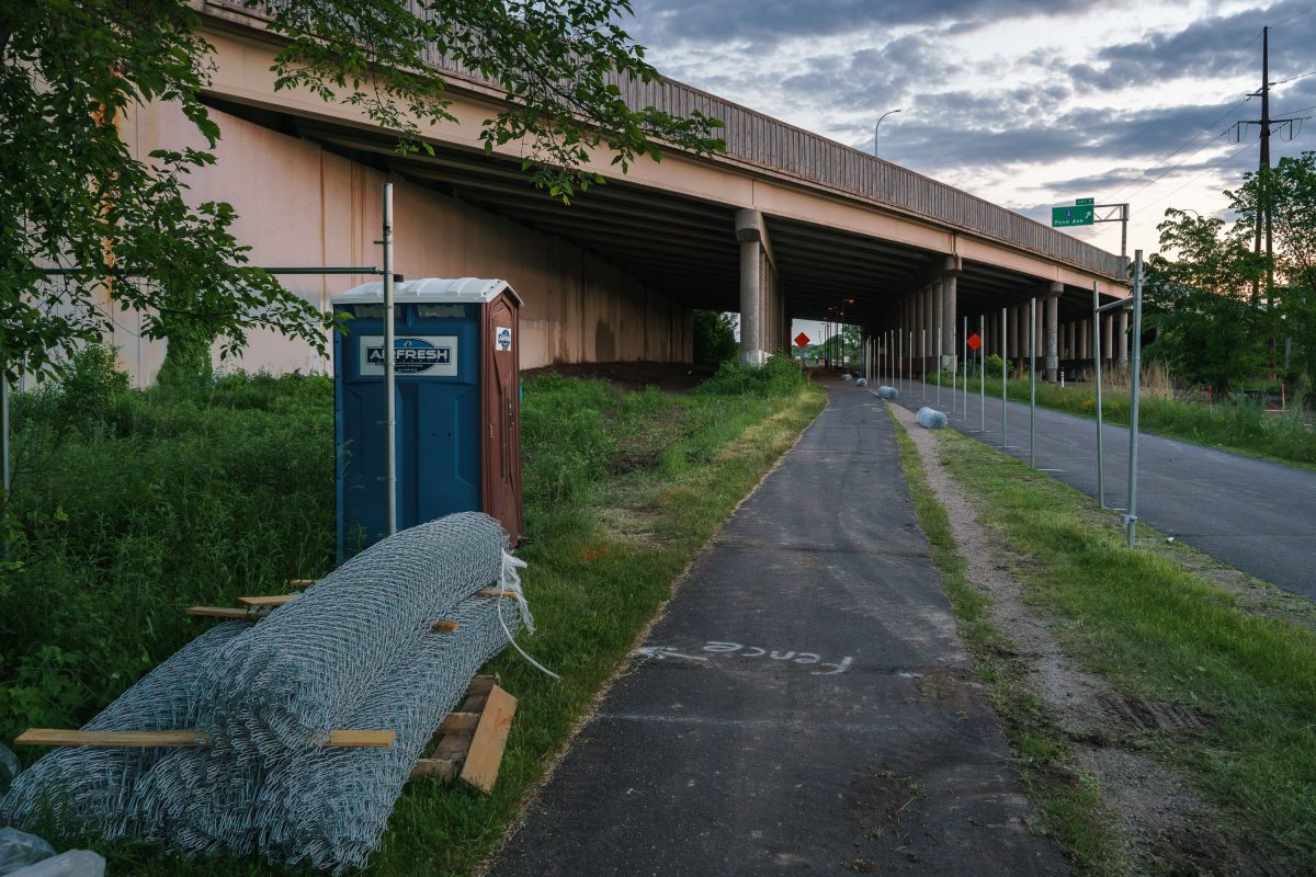
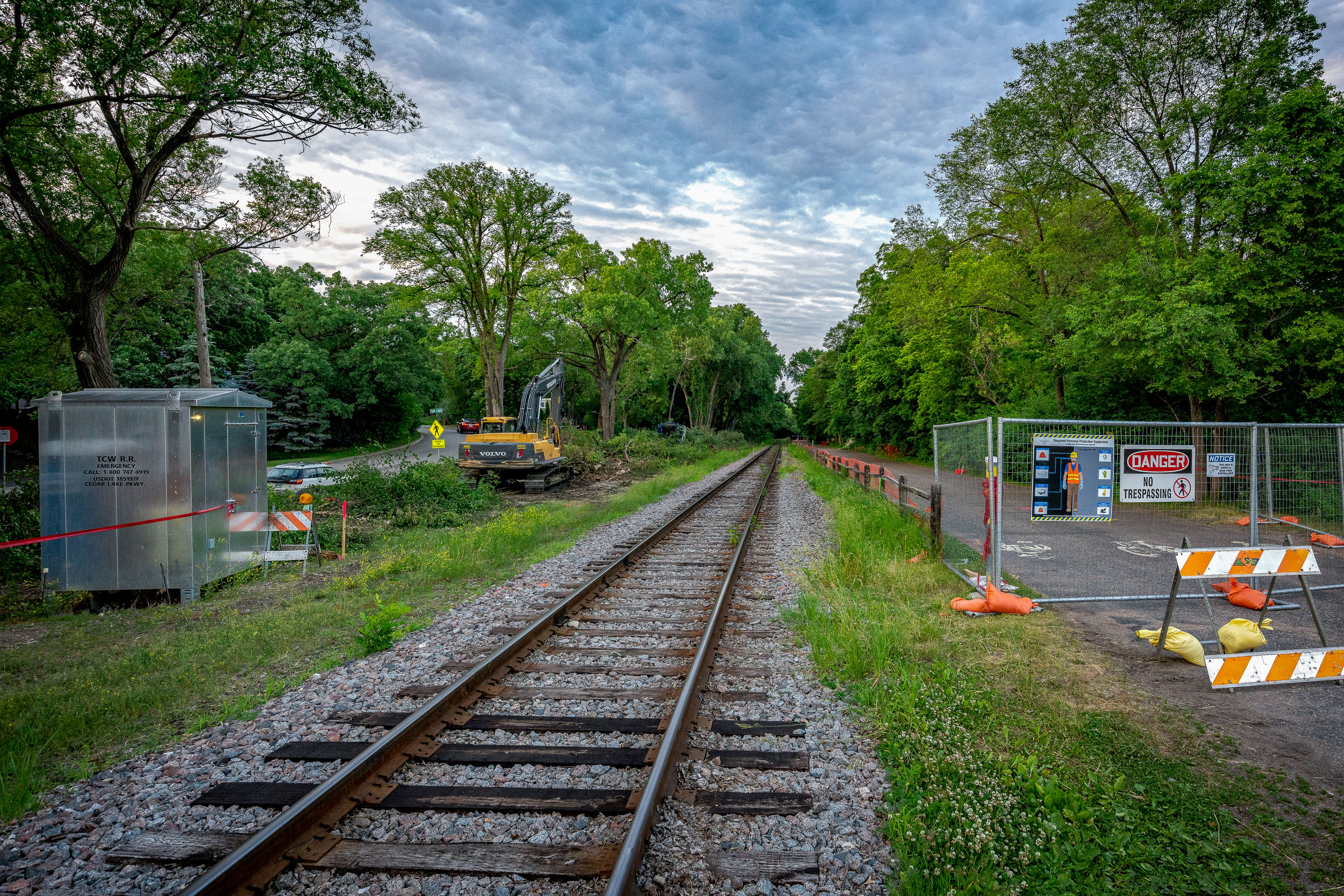
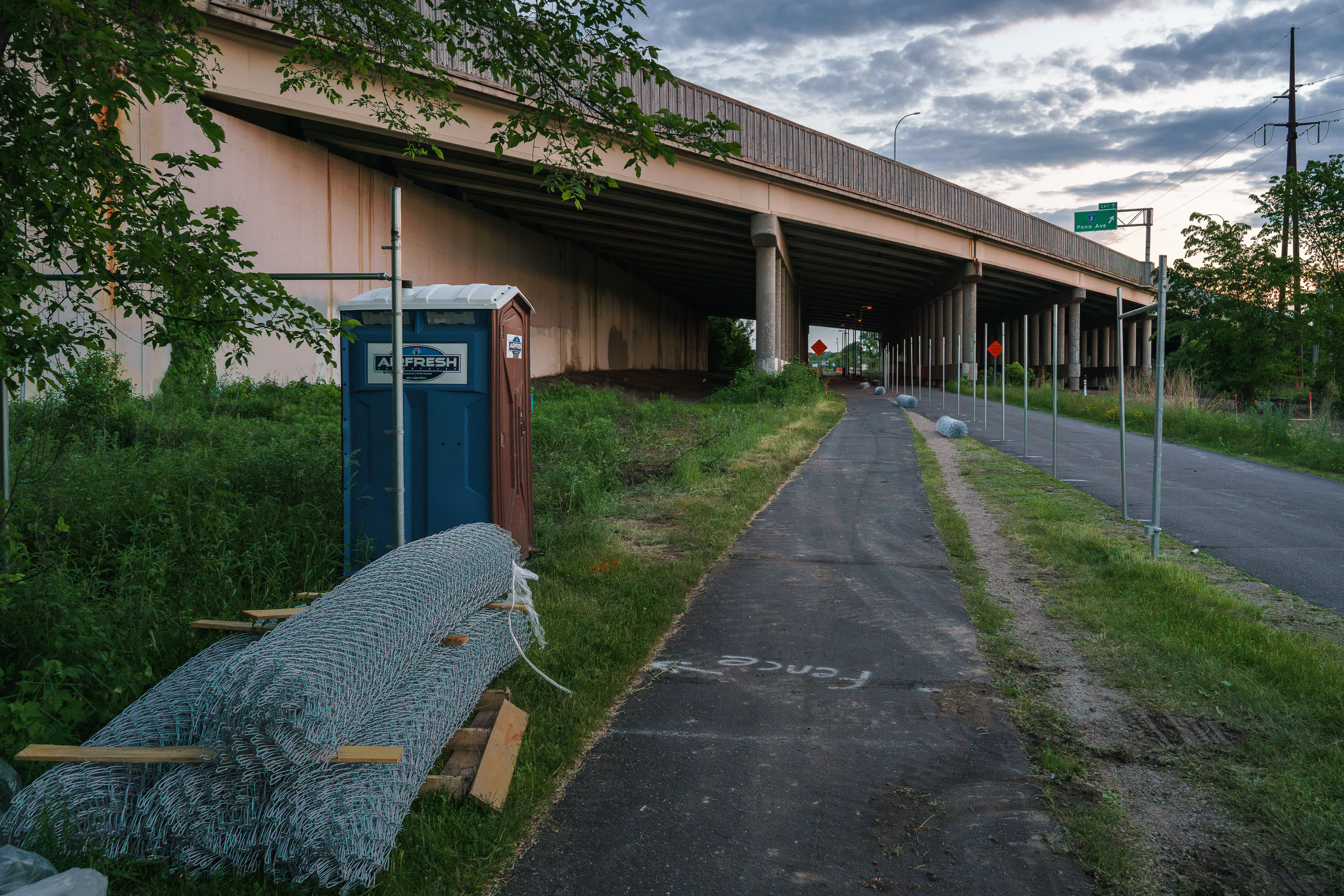
New Fencing On Cedar Lake Trail
New fencing going up on the Cedar Lake Trail in Minneapolis. The fencing is part of the beginning of construction on the new Metro Green Line Extension light rail project.

New Fencing On Cedar Lake Trail

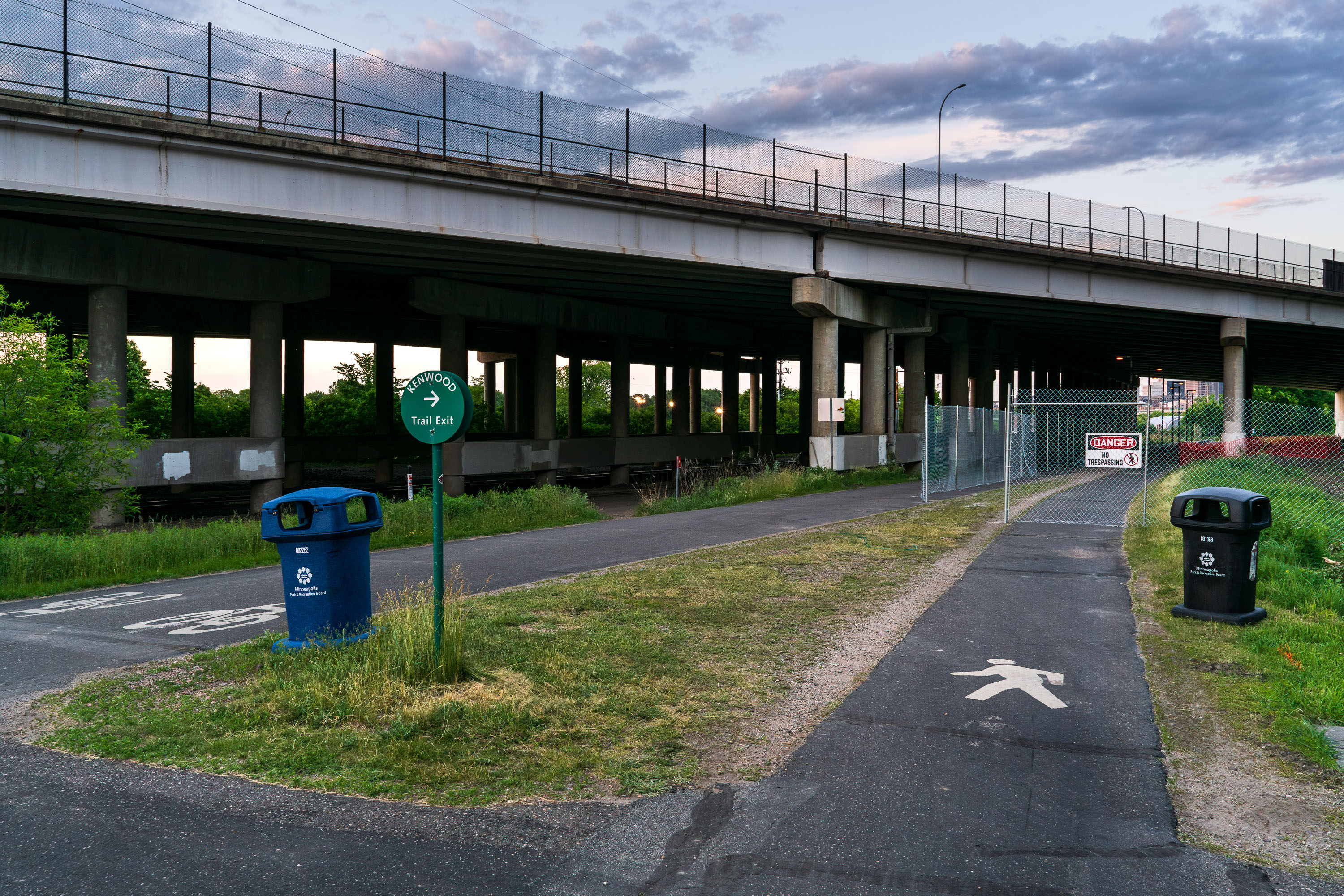
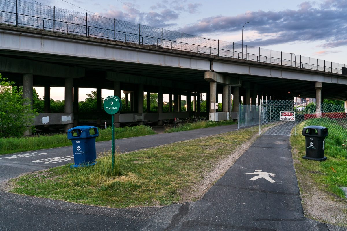
Cedar Lake Trail at Kenwood Trail
Kenwood Trail exit sign on the Cedar Lake Trail in the early days of the Metro Transit Green Line Extension construction.

Cedar Lake Trail at Kenwood Trail

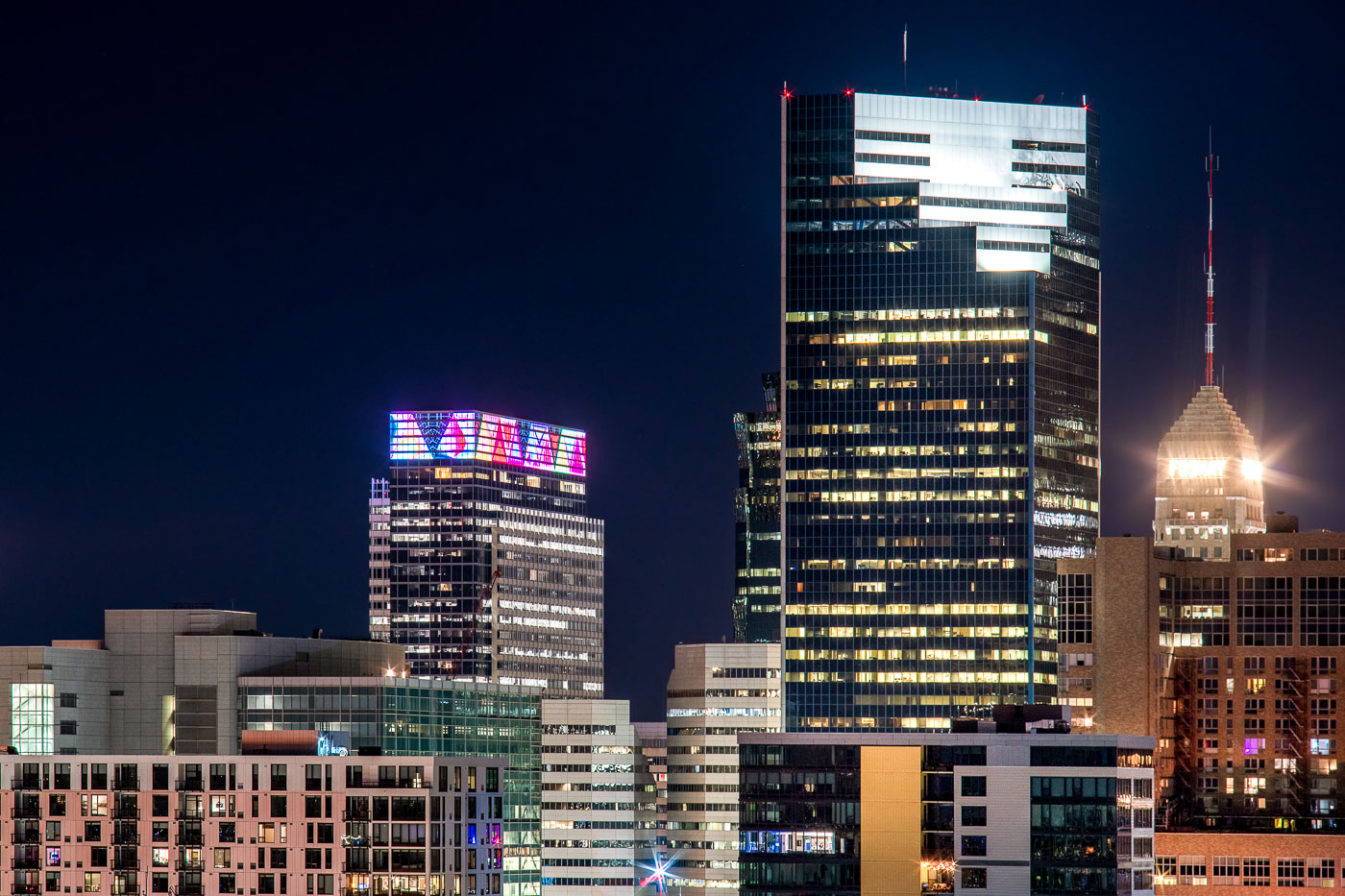
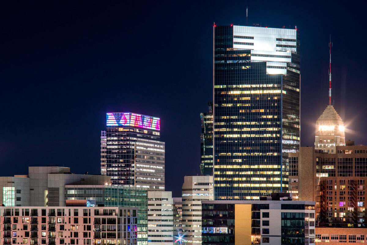
Downtown Minneapolis skyline at night with Target Plaza South, Campbell Mithun Tower, and Foshay Tower.
Downtown Minneapolis skyline at night includes Target Plaza South, the Campbell Mithun Tower, and the Foshay Tower. Target Plaza South houses Target’s corporate headquarters, while the Foshay Tower is a 1929 Art Deco skyscraper that was once the city’s tallest building. The Campbell Mithun Tower stands nearby in the city’s central business district.

Minneapolis Skyline: Target HQ, Campbell Mithun Tower, Foshay Tower
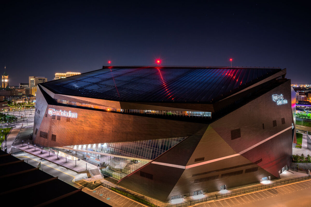
US Bank Stadium at Night Minneapolis Minnesota
U.S. Bank Stadium, home to the NFL's Minnesota Vikings, is a multi-purpose arena in downtown Minneapolis that opened in 2016. Designed by HKS Architects, its distinctive angular exterior is clad in brick and glass, with a translucent ETFE roof that allows natural light during the day and reflects ambient city light at night. The stadium's design, inspired by the prow of a Viking ship, replaced the former Metrodome and serves as a significant venue for sporting events, concerts, and conventions, anchoring the eastern edge of the Minneapolis skyline.

U.S. Bank Stadium in Downtown Minneapolis at Night
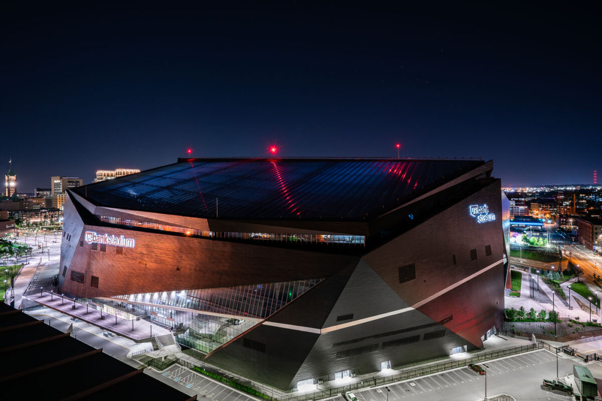
US Bank Stadium in Downtown East Minneapolis
US Bank Stadium, located in the Downtown East neighborhood of Minneapolis, Minnesota, is a multi-purpose indoor stadium that opened in 2016. It serves as the home venue for the National Football League's Minnesota Vikings and also hosts concerts, conventions, and other sporting events. Its construction replaced the Metrodome, providing a modern facility for professional sports and large-scale public gatherings in the Twin Cities.

US Bank Stadium at Night, Downtown East Minneapolis
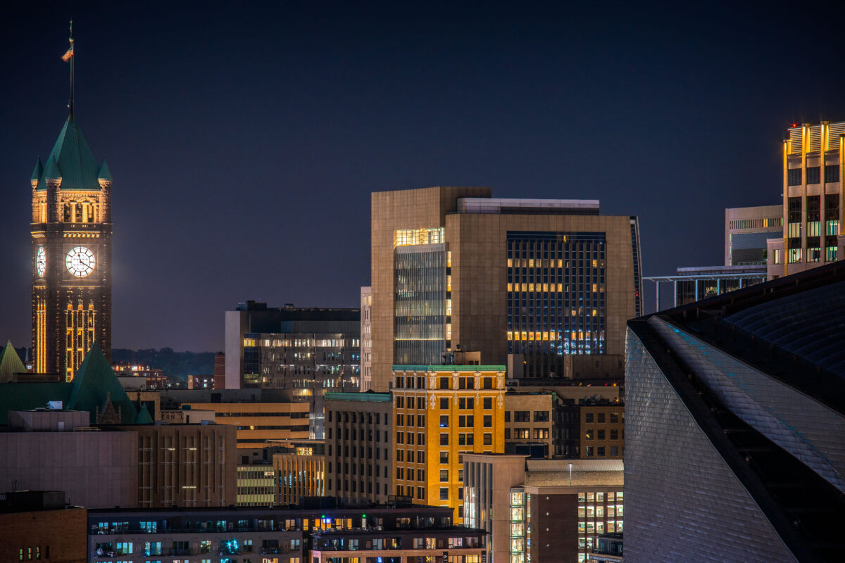
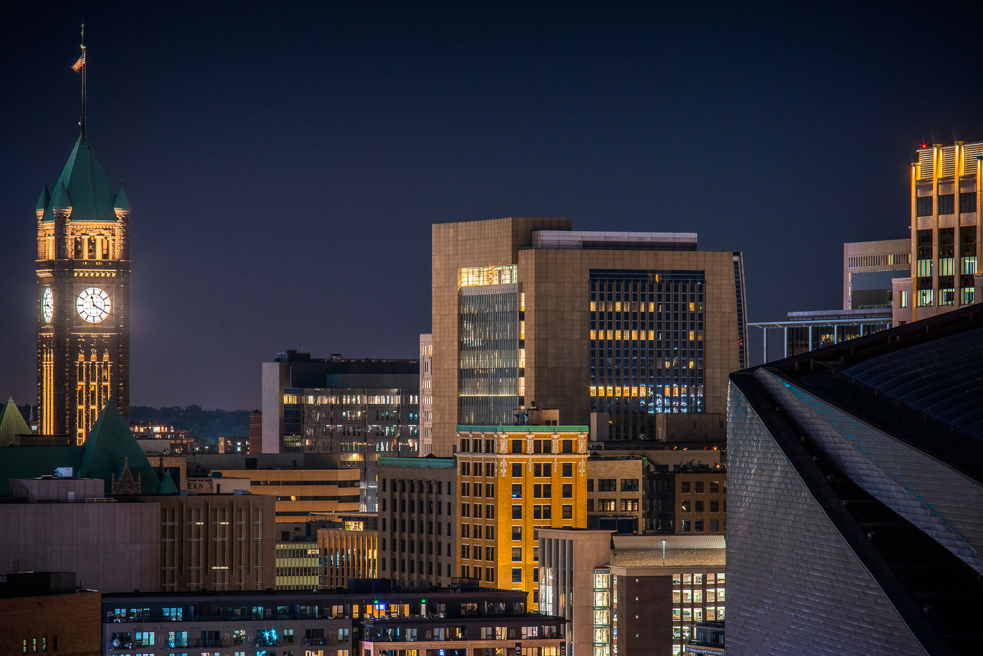
Minneapolis City Hall's illuminated clock tower and green copper roof rise above the downtown skyline at night.
Minneapolis City Hall’s clock tower rises above downtown Minneapolis at night. The historic building was completed in 1909.

Downtown Minneapolis Skyline with City Hall’s Clock Tower
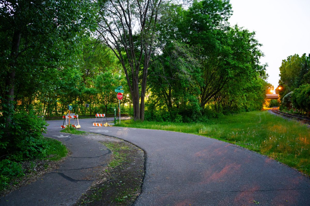
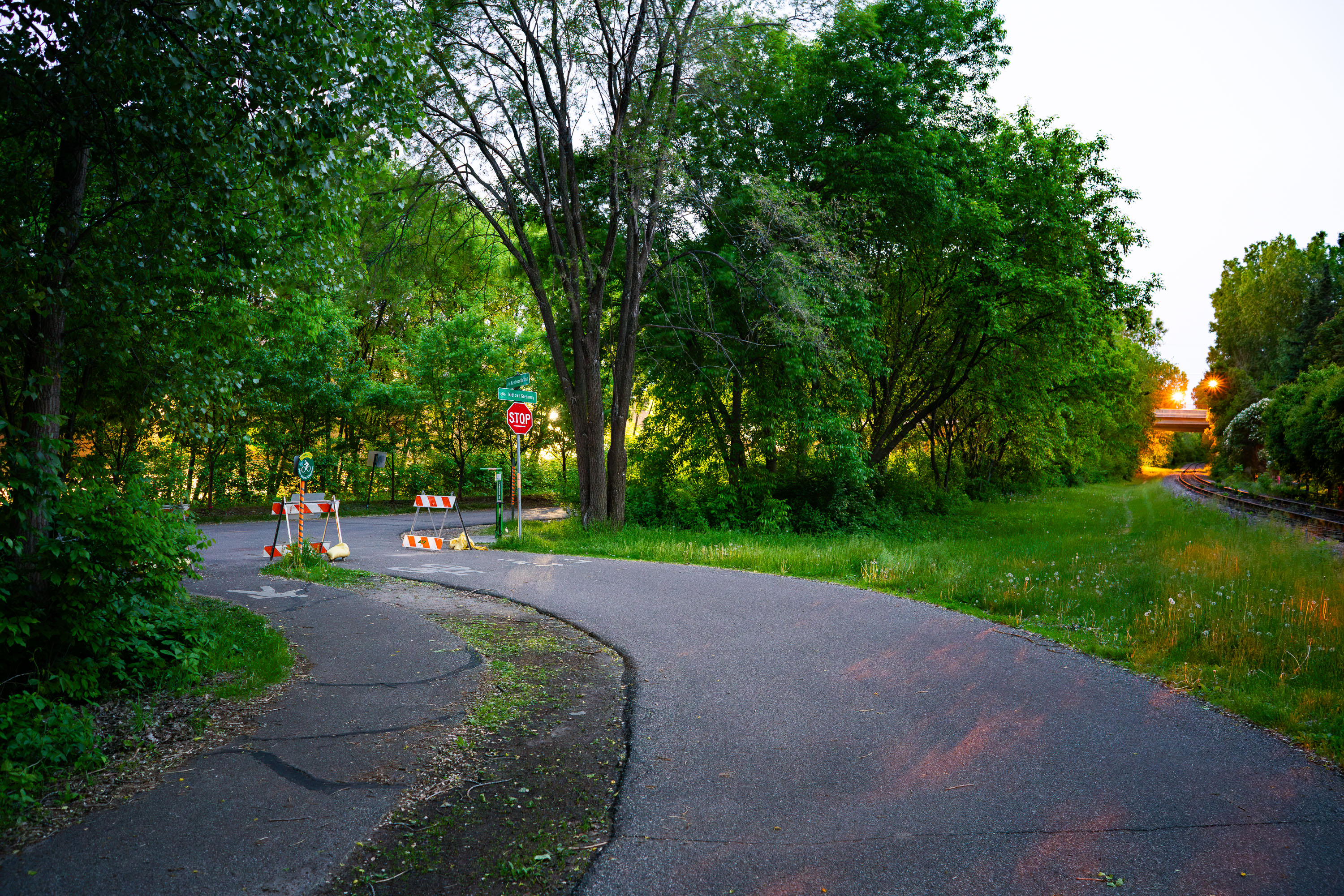
Kenilworth Trail detour with stop sign and construction barriers during Southwest Light Rail construction in Minneapolis.
The Kenilworth Trail at the Midtoiwn Greeenway pictured in June 2019.

Trail Detour Near the Kenilworth and Midtown Greenway Junction
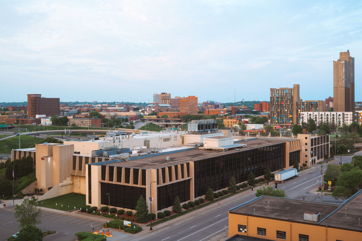
511 Building, the Minnesota Technology Center in Downtown Minneapolis
The 511 Building, also known as the Minnesota Technology Center, stands on the eastern edge of downtown Minneapolis near Interstate 94. Constructed in the 1980s, the low-rise complex was designed for large-scale telecommunications and data operations. The building has been renovated and updated over time and remains in use as a data center and colocation facility.

511 Building – Minnesota Technology Center – Downtown Minneapolis
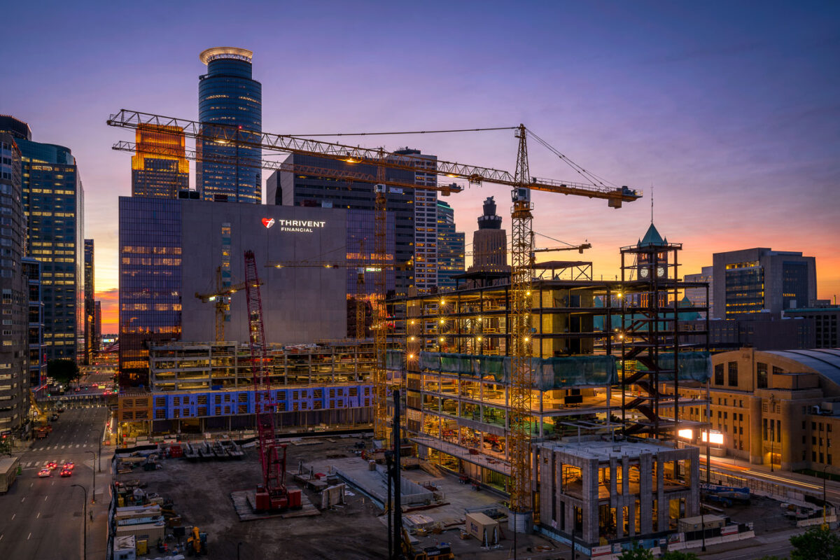
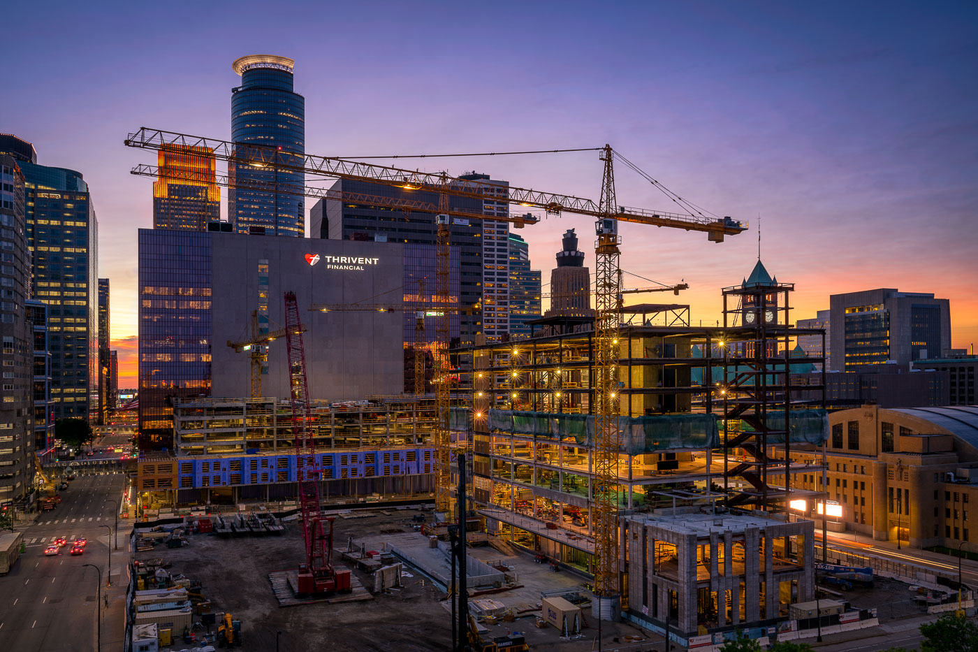
Construction of the Thrivent Financial campus in downtown Minneapolis
Construction of the Thrivent Financial campus in downtown Minneapolis is underway, with the company's existing building visible alongside the new structure. The project, which began in 2018, is designed to consolidate Thrivent's operations into a single, modern facility. The new building features a distinctive glass facade and is situated adjacent to the historic Milwaukee Road Depot, a landmark of Minneapolis's transportation history.

Thrivent Financial Construction Downtown Minneapolis at Sunset
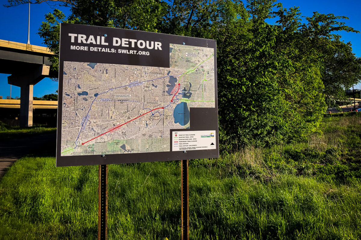
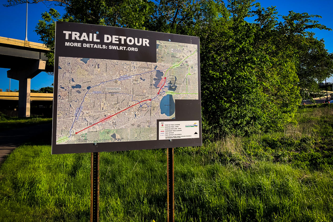
A trail detour sign in Minneapolis directs cyclists and pedestrians around Southwest LRT construction. The sign shows rerouted paths for the Cedar Lake Trail and Kenilworth Corridor.
A "Trail Detour" sign provides navigation for cyclists and pedestrians around construction for the Southwest Light Rail Transit (SWLRT) project in Minneapolis. The map details rerouted paths, indicating temporary closures along popular routes like the Cedar Lake Trail and the Kenilworth Corridor.

Southwest LRT Trail Detour Sign, Minneapolis
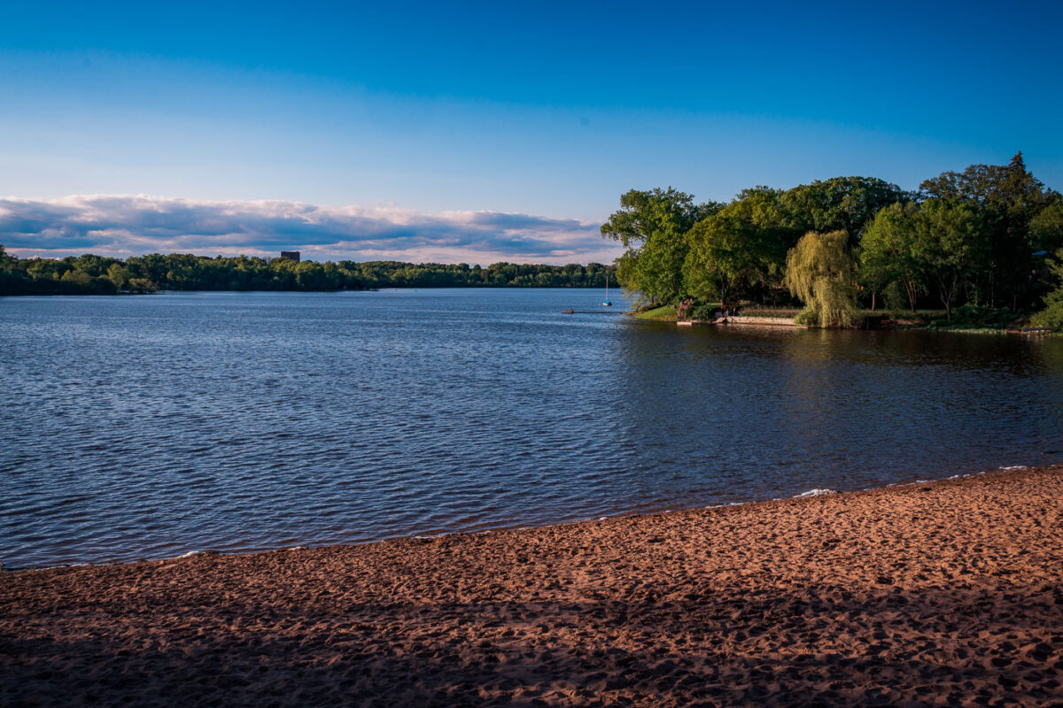
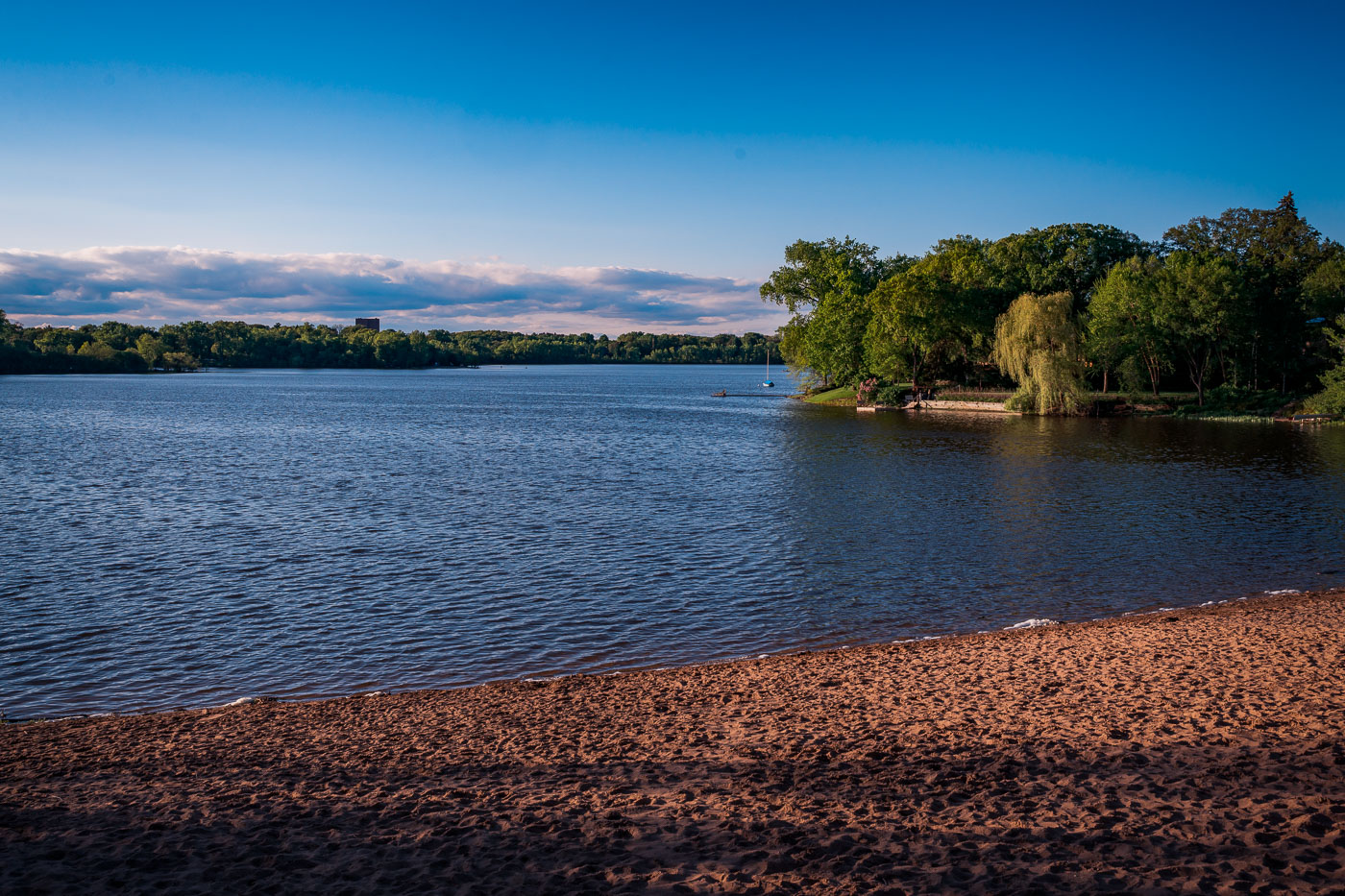
Cedar Lake South Beach in Minneapolis offers a sandy shoreline with trees and calm water under evening light.
Cedar Lake South Beach sits on the south shore of Cedar Lake in Minneapolis, one of the city's Chain of Lakes. The lake covers about 170 acres and reaches 51 feet at its deepest point, with a sandy swimming beach on this side and a mostly wooded shoreline elsewhere around it.

Sandy Shoreline at Cedar Lake South Beach
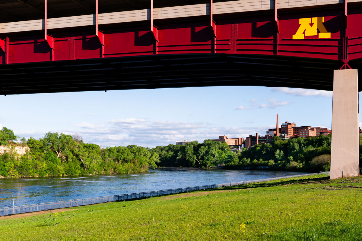
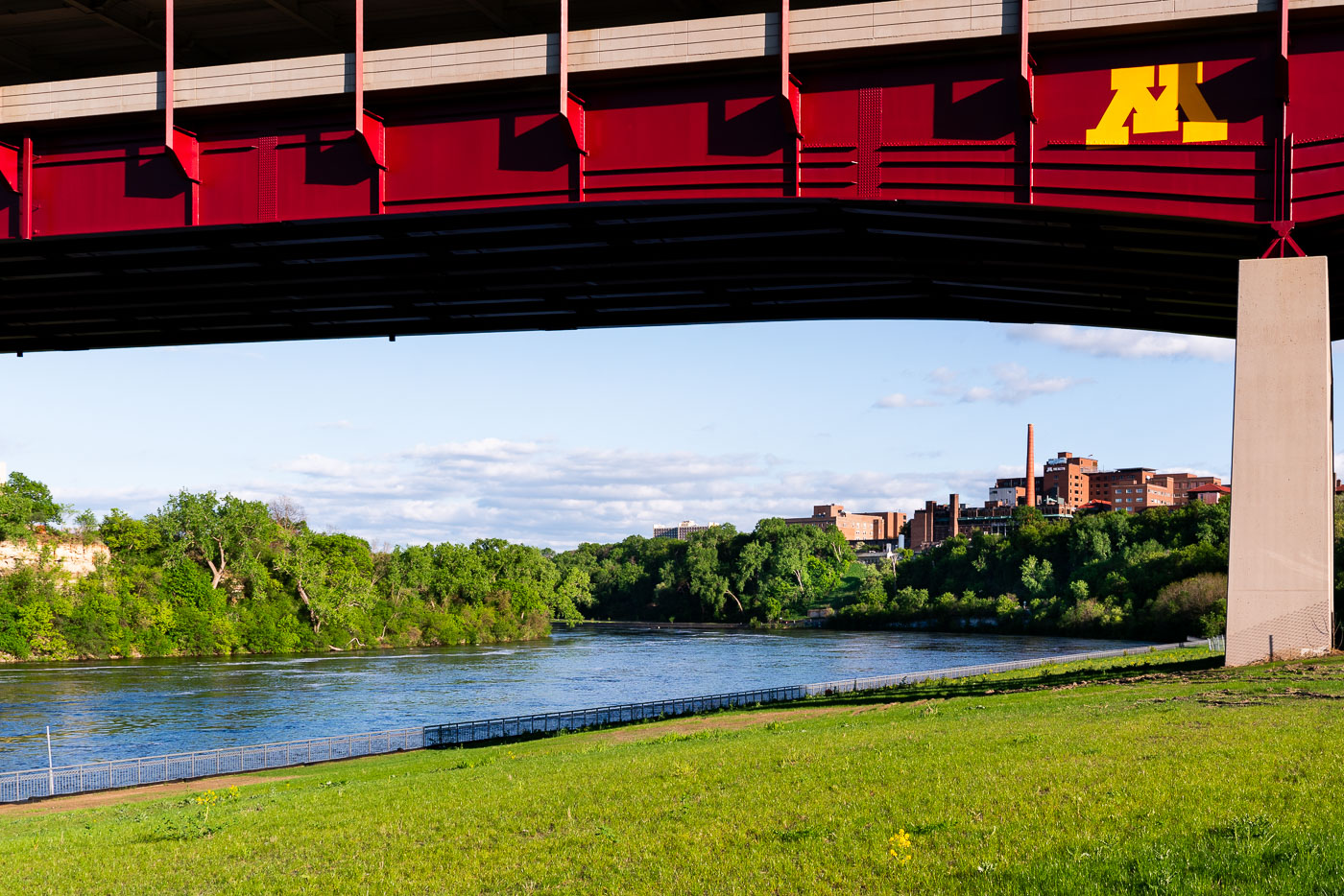
Washington Avenue Bridge spans the Mississippi River with the University of Minnesota campus visible beyond.
The Washington Avenue Bridge spans the Mississippi River, linking the University of Minnesota's East and West Bank campuses. Completed in 1965, it carries vehicles, pedestrians, and light rail on two levels, with the enclosed upper deck reserved for foot traffic between classes.

Mississippi River Gorge Beneath the Washington Avenue Bridge
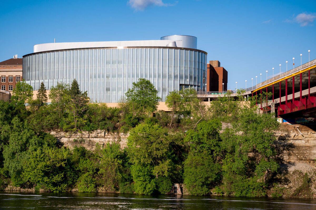
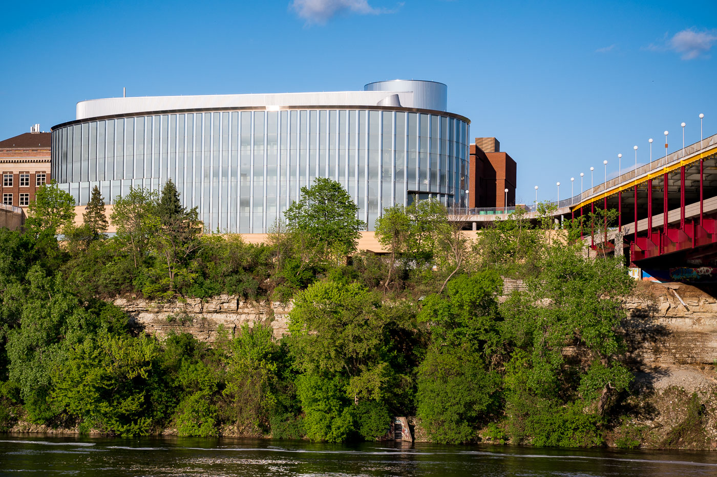
Bruininks Hall, a modern glass building with cylindrical tower, overlooks the Mississippi River gorge on the University of Minnesota campus near the Washington Avenue Bridge.
Bruininks Hall sits on the University of Minnesota's East Bank campus, perched at the edge of the Mississippi River gorge near the Washington Avenue Bridge. The building opened in 2000 as the University Gateway Center and was renamed in 2017 to honor Robert Bruininks, who served as university president from 2002 to 2011. It houses several student-facing offices, including admissions, financial aid, and academic advising, consolidating services once scattered across campus.

Bruininks Hall Above the River Gorge Near Washington Avenue Bridge
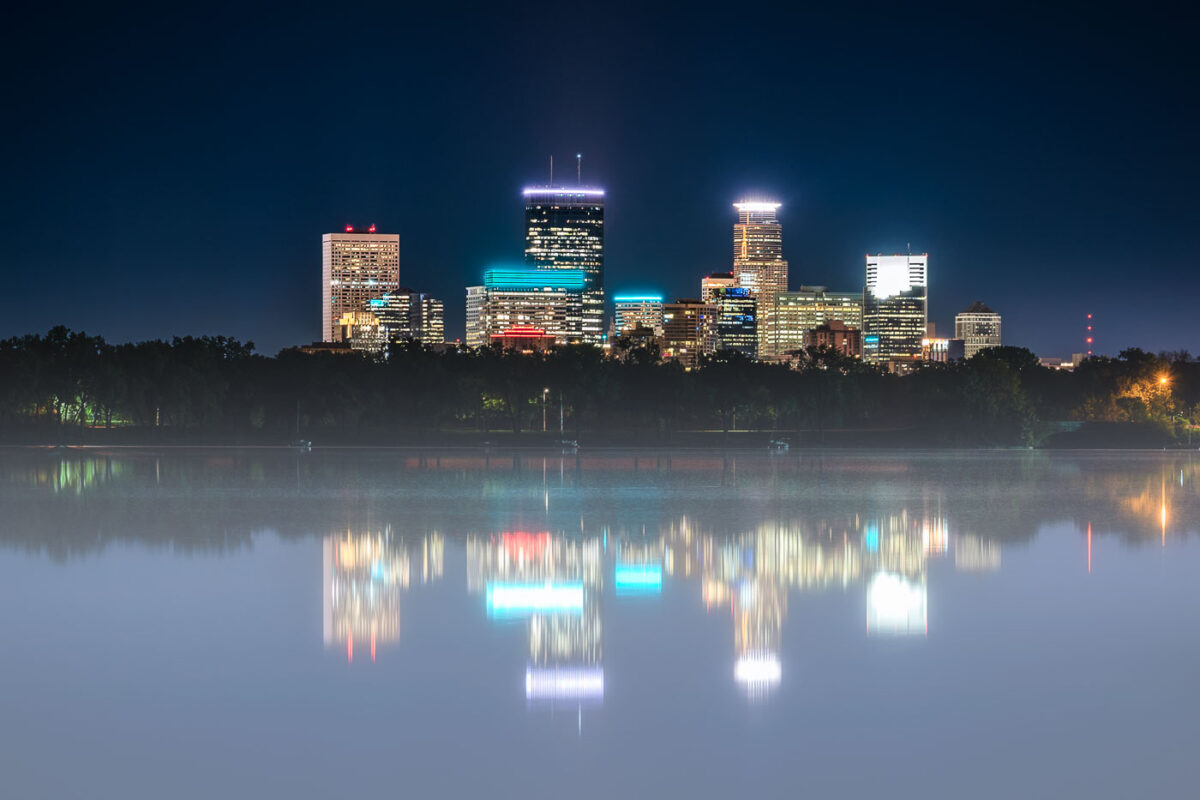
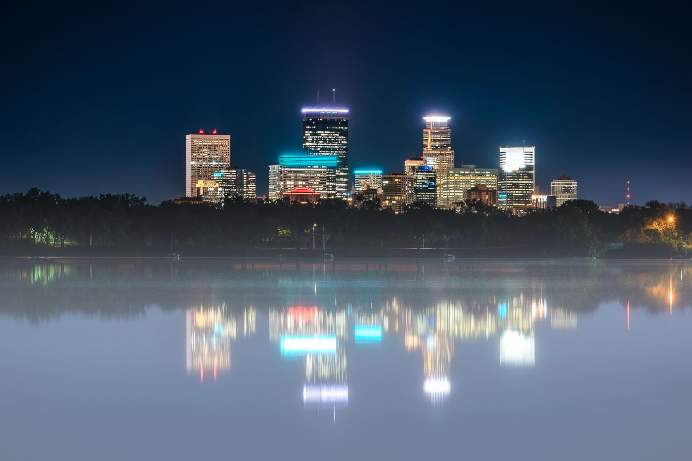
Minneapolis skyline with IDS Center and surrounding buildings mirrored in foggy Bde Maka Ska at night.
The Minneapolis skyline, including prominent structures such as the IDS Center, Capella Tower, and Wells Fargo Center, is reflected in the calm waters of Bde Maka Ska on a foggy night.

Foggy Night Reflection of the Minneapolis Skyline on Bde Maka Ska
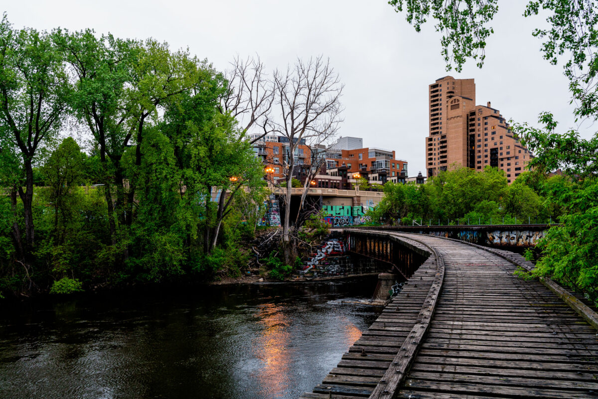
Abandoned railroad bridge on Nicollet Island crosses the Mississippi River in Minneapolis.
The abandoned railroad bridge on Nicollet Island in Minneapolis crosses the Mississippi River on a former freight spur. Built to connect industrial facilities near the river, it now stands as a remnant of the city’s rail and milling era.

Abandoned Railroad Bridge on Nicollet Island, Minneapolis

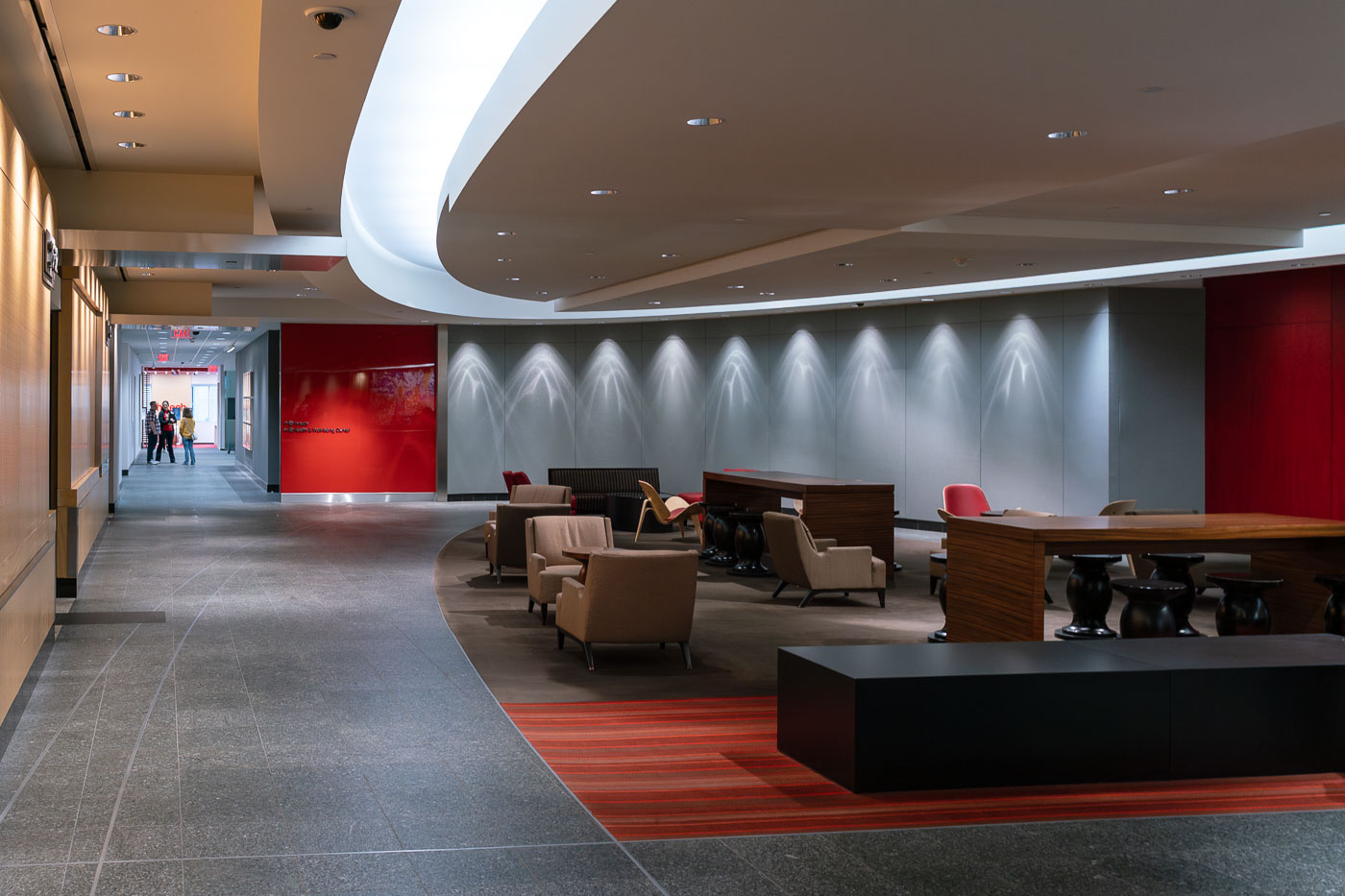
Target headquarters collaborative lounge and corridor in Minneapolis.
Target Corporation headquarters in Minneapolis includes this collaborative lounge and corridor designed for informal meetings and shared work. The interior uses open seating areas, long communal tables, and a curved ceiling treatment to create a flexible workplace setting. It is part of Target’s headquarters campus in the city.

Target Headquarters collaborative lounge, Minneapolis
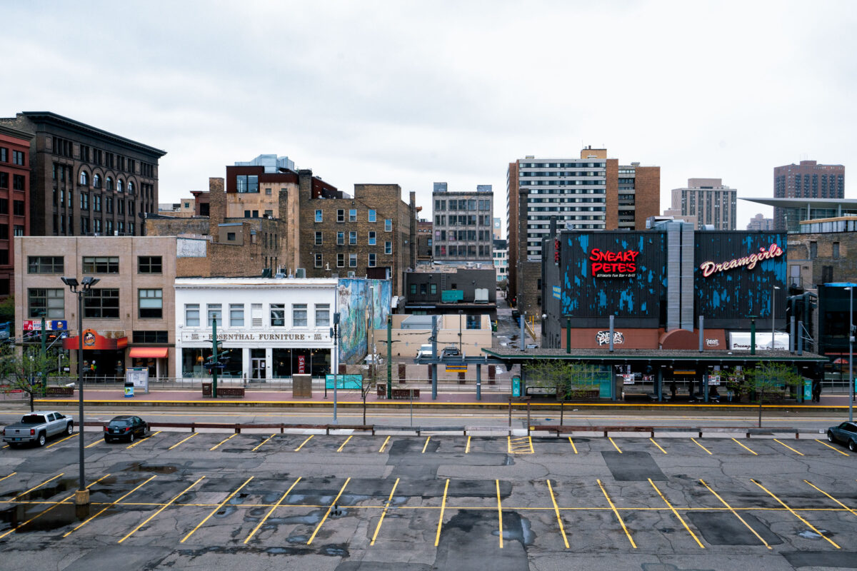
The "Sneaky Pete's" bar and "Dreamgirls" nightclub are visible on N 5th Street in downtown Minneapolis, part of the city's entertainment district.
The "Sneaky Pete's" bar and "Dreamgirls" nightclub are visible on N 5th Street in downtown Minneapolis. Sneaky Pete's, advertised as an "Ultimate Fun Bar + Grill," and Dreamgirls, a nightclub, are part of the entertainment district in this area of the city. The surrounding buildings showcase a mix of architectural styles, reflecting the development of Minneapolis over time. This block of N 5th Street has historically been a hub for nightlife and entertainment.

Sneaky Pete’s and Dreamgirls, Downtown Minneapolis
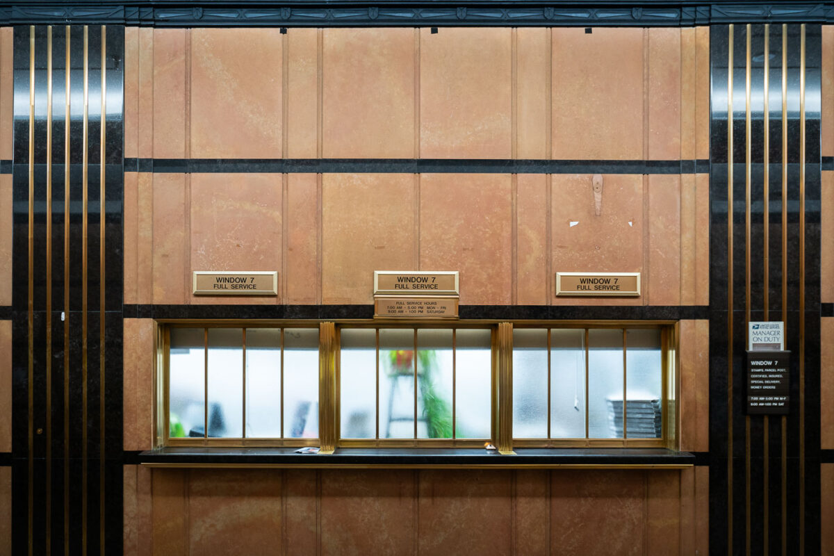
Minneapolis Main Post Office service window in downtown Minneapolis.
Minneapolis Main Post Office in downtown Minneapolis features an Art Deco service window installed in the building’s 1933 lobby. The federal post office was designed by Léon Eugene Arnal and serves the city’s central business district.

Minneapolis Main Post Office Service Window, Downtown Minneapolis
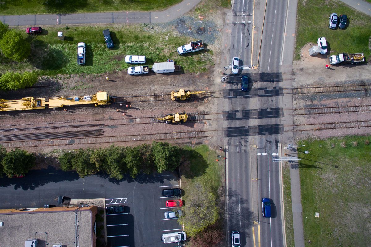
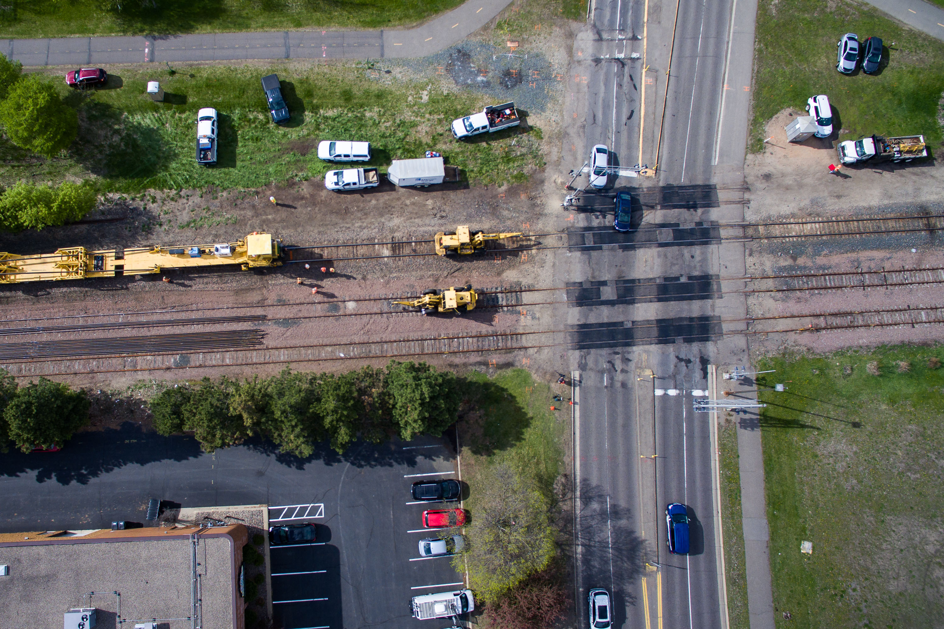
Aerial view of light rail construction equipment crossing railroad tracks at Green Line and Beltline Boulevard in St. Louis Park.
Beltline Boulevard crosses a freight rail corridor in St. Louis Park, Minnesota, just west of Minneapolis. The tracks here run through the Southwest LRT corridor, part of the route being rebuilt for the METRO Green Line Extension connecting downtown Minneapolis to Eden Prairie.

Rail Crew Works the Beltline Boulevard Crossing in St. Louis Park
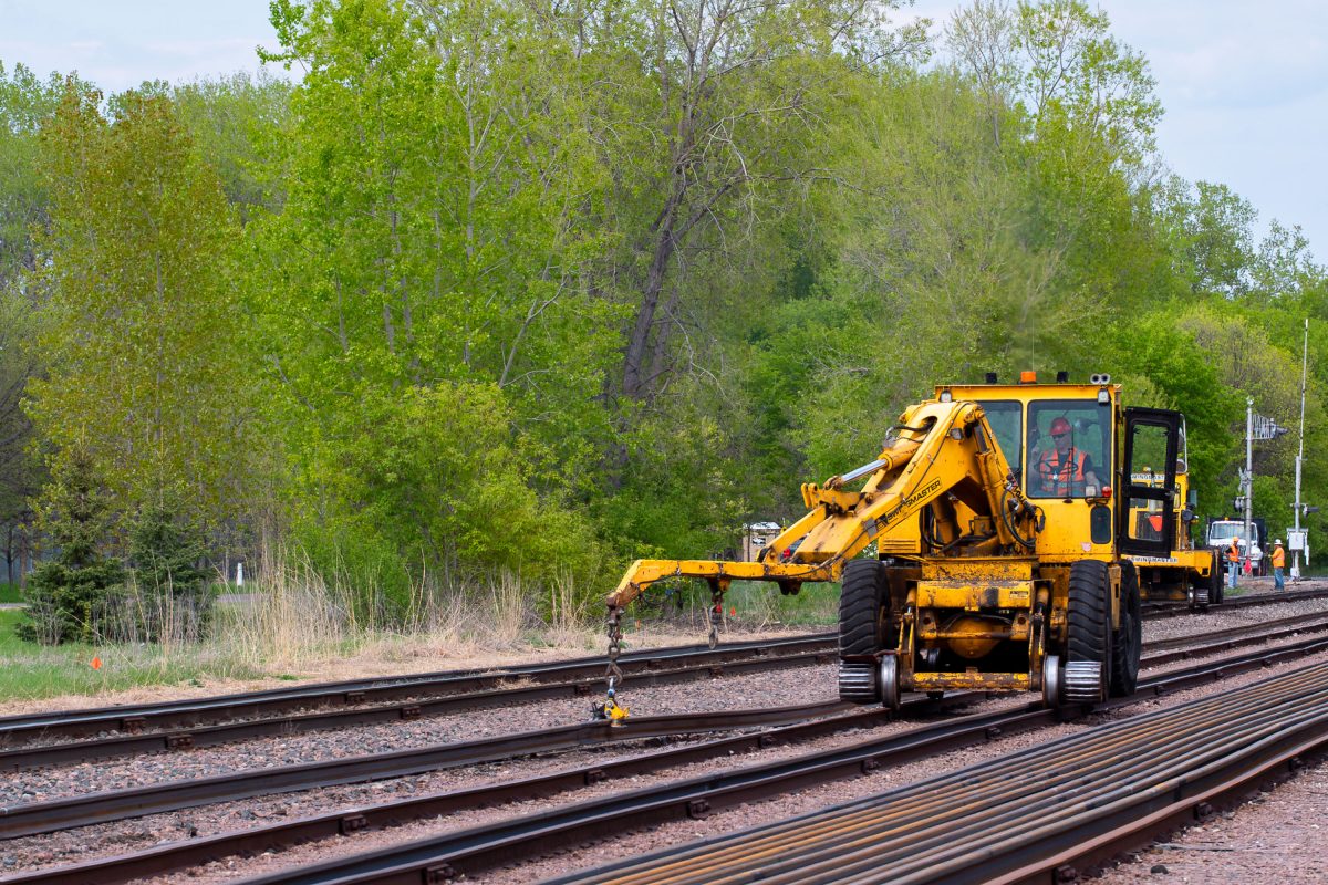
Yellow railroad maintenance vehicle operates on light rail tracks during Southwest LRT construction in St. Louis Park.
The Southwest LRT, also known as the Green Line Extension, is a light rail project extending Metro Transit's existing Green Line roughly 14.5 miles from Minneapolis through St. Louis Park, Hopkins, Minnetonka, and Eden Prairie. Construction has required extensive work on existing freight rail corridors, including track realignment and maintenance to accommodate shared and adjacent rail lines. The project is being built and overseen by the Metropolitan Council, with completion delayed multiple times past its original targeted opening.

Rail Maintenance Equipment Along the Southwest LRT Corridor in St. Louis Park
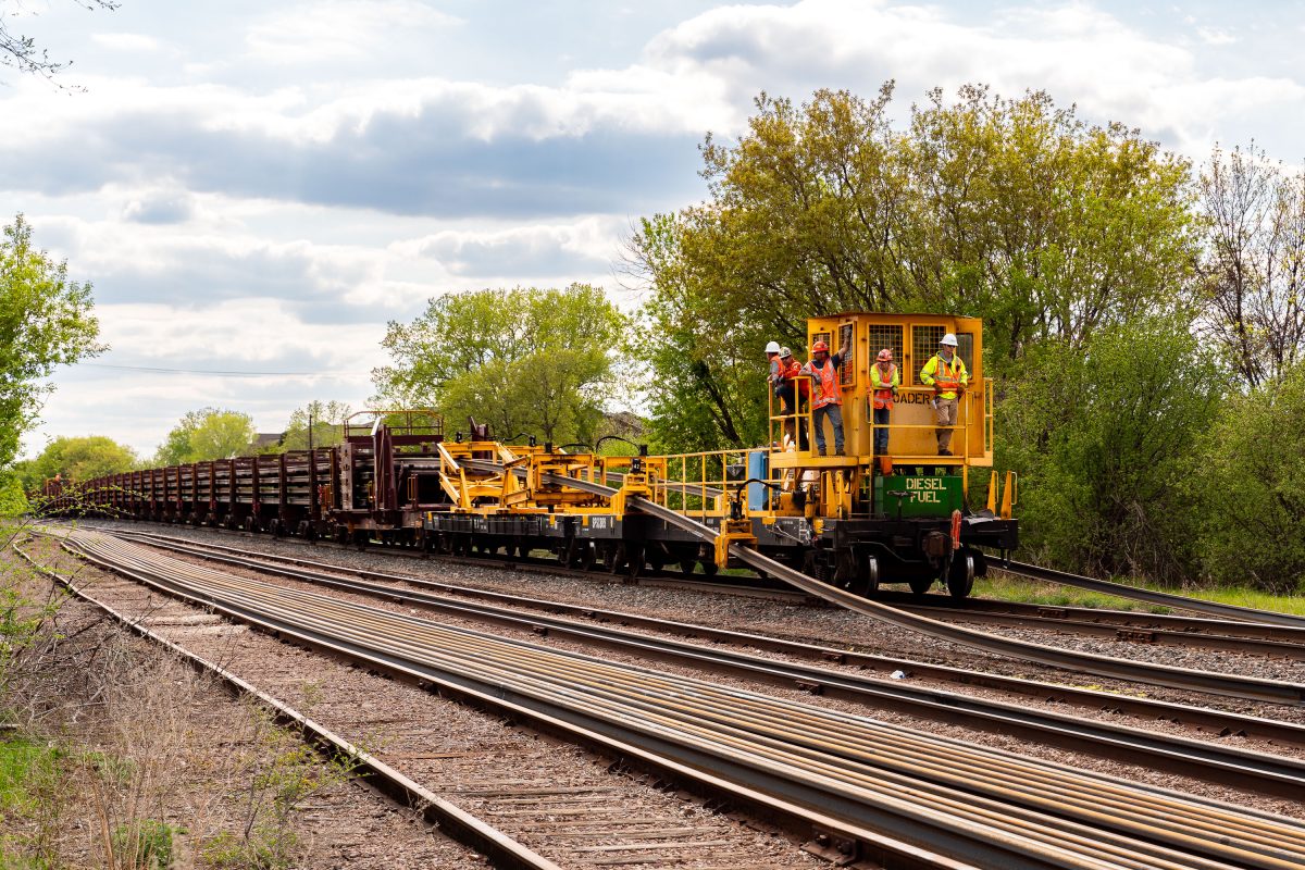
Workers install new rail tracks for the Metro Transit Green Line Extension in St. Louis Park.
Crews working the Southwest LRT line in St. Louis Park use a rail loader car, a flatbed-mounted machine that threads long steel rails off a train and positions them along the roadbed for installation. The Southwest LRT, known operationally as the Green Line Extension, is a Metropolitan Council project extending light rail service roughly 14.5 miles from Minneapolis through St. Louis Park, Hopkins, Minnetonka, and Eden Prairie. The line runs largely along former freight corridors, requiring extensive new track construction rather than simple conversion of existing rail. Rail-loading equipment like this allows crews to deliver continuous welded rail sections directly to the grade, reducing the need for separate hauling and placement steps during construction.

Rail Loader Crew Works on the Southwest LRT Line in St. Louis Park
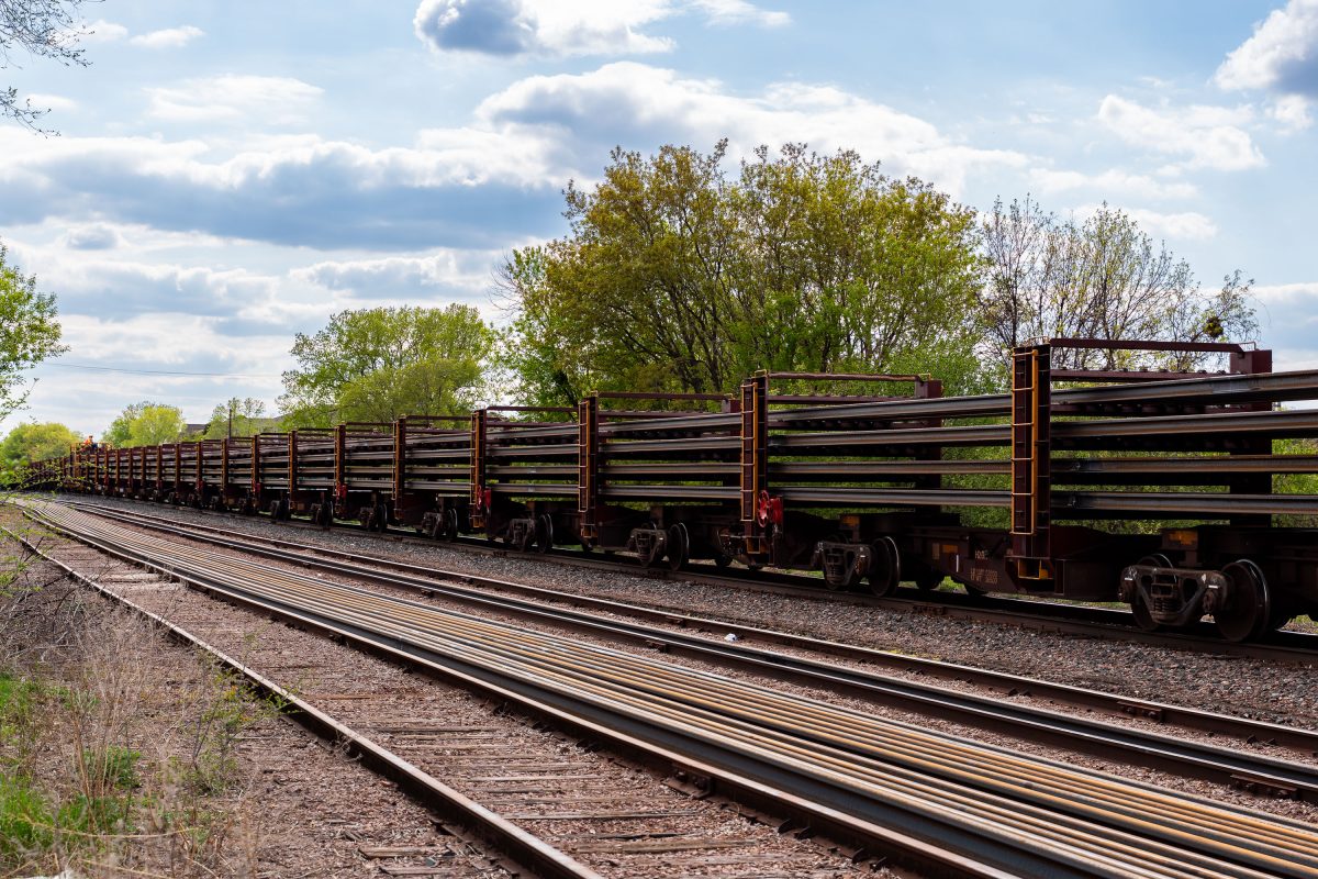
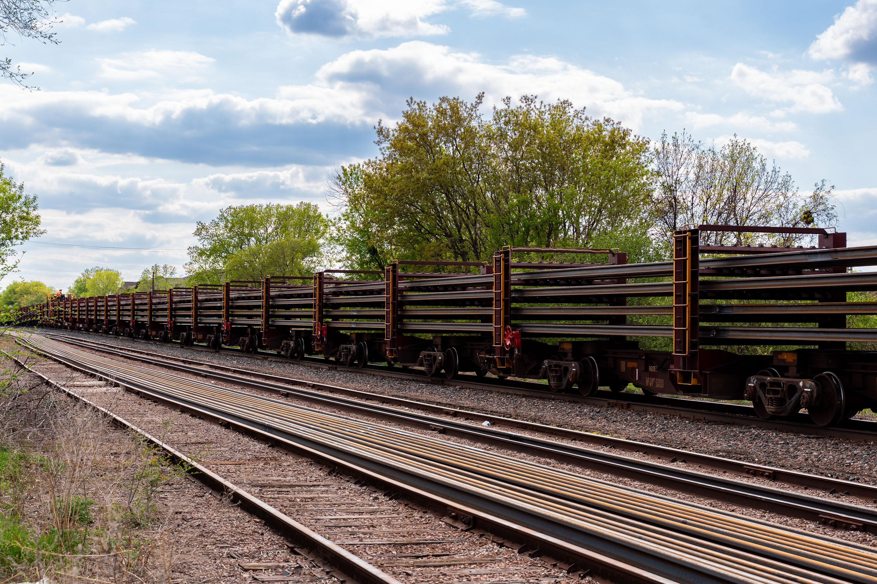
Long train of empty freight cars lined up on railroad tracks beside green spring vegetation.
The Metro Transit Green Line Extension, also known as the Southwest Light Rail Transit project, is a roughly 14.5-mile light rail line under construction between Minneapolis and Eden Prairie, Minnesota. It extends the existing Green Line, which opened in 2014 and links downtown Minneapolis with downtown St. Paul. Building the line requires delivering continuous welded rail in long sections, typically hauled on specialized flatcars like the ones pictured here. Metro Transit, the regional transit authority for the Twin Cities, is overseeing construction and will operate the completed extension.

Rail Cars Hauling New Track for the Green Line Extension
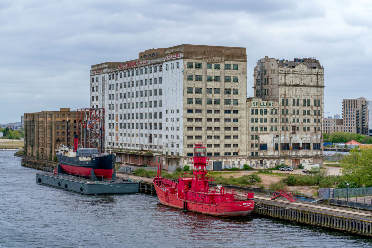
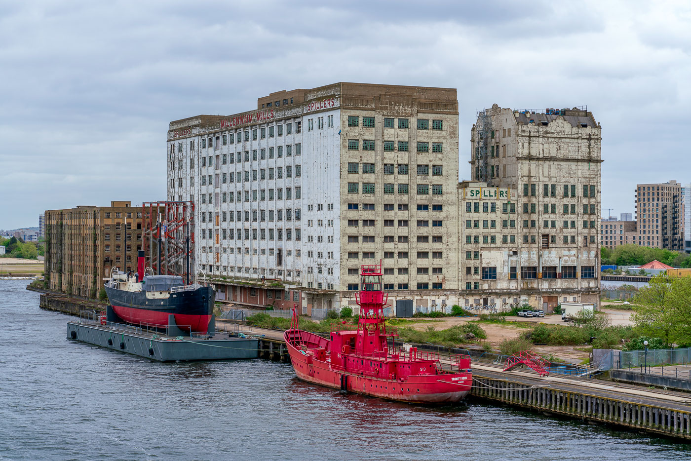
Millennium Mills and Trinity House Lightship 93 at Royal Victoria Dock, London
Millennium Mills stands on the south side of the Royal Victoria Dock in Silvertown, London, beside Trinity House Lightship 93. The former Spillers flour mill was built in 1905 and later closed in the 1980s. The lightship is moored at the dock edge in front of the derelict mill buildings.

Millennium Mills and Trinity House Lightship 93, Royal Docks
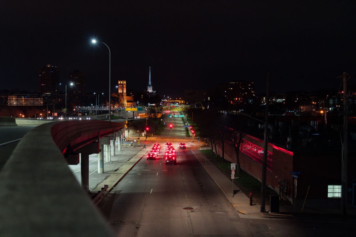
Lyndale Avenue at night in Minneapolis, viewed from I-94, showing traffic and distant church spires.
Lyndale Avenue in Minneapolis is a significant thoroughfare that connects the city's downtown core with its western neighborhoods. The avenue, seen here from Interstate 94, is shown heading South.

Lyndale Avenue at Night, Minneapolis

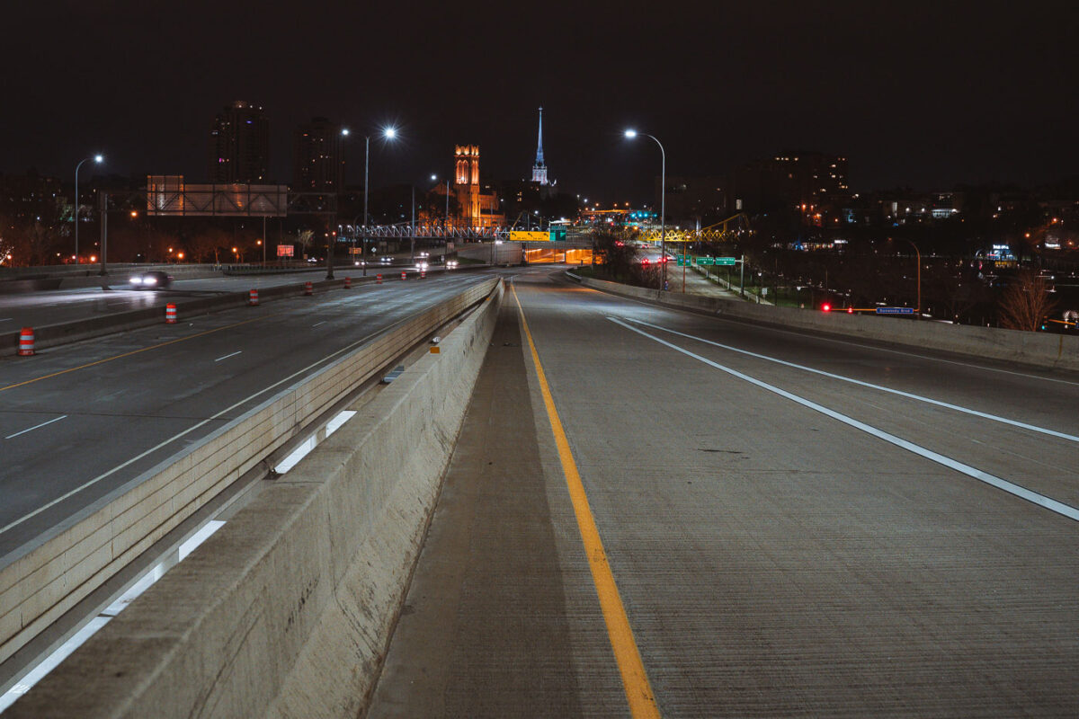
Interstate 94 at night, cutting through downtown Minneapolis. The highway connects the city core with suburbs and facilitates regional commerce.
Interstate 94 cuts through downtown Minneapolis at night. This major artery, completed in stages from the 1960s through the 1980s, was designed to connect the city's core with surrounding suburbs and facilitate regional commerce. The highway's construction significantly altered the urban fabric of Minneapolis, influencing development patterns and transportation habits. Today, I-94 remains a critical component of the Twin Cities' transportation network, serving millions of vehicles annually and shaping the city's economic and social geography.

Interstate 94 at Night, Downtown Minneapolis
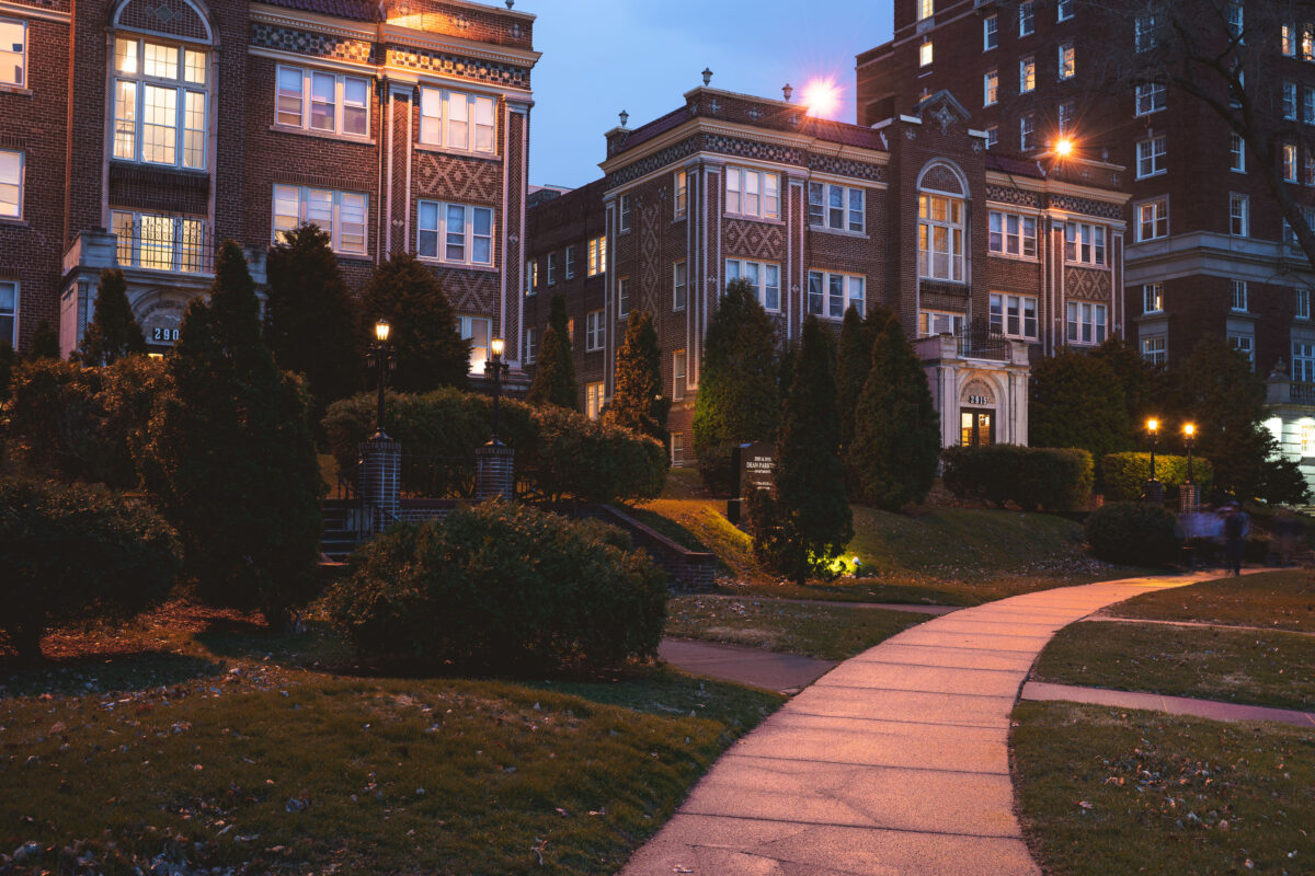
Dean Parkway Apartments, early 20th-century brick buildings in South Minneapolis, at dusk.
The Dean Parkway Apartments, located in South Minneapolis, are a collection of multi-story brick buildings constructed in the early 20th century. These apartment buildings represent a common architectural style of the era, designed to provide housing in a growing urban environment. The complex continues to serve as residential housing, offering apartments to residents of the city. The photograph was taken in April 2019, showcasing the buildings at dusk.

Dean Parkway Apartments, South Minneapolis
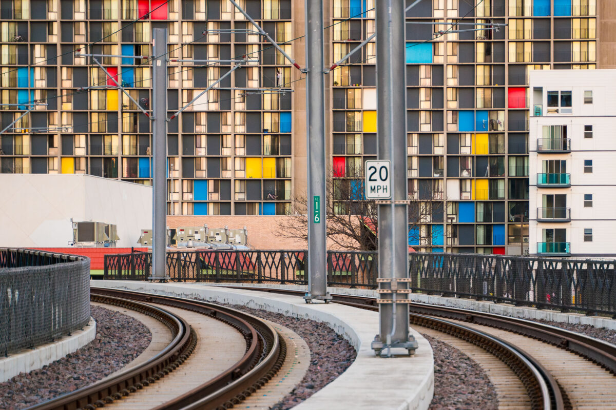
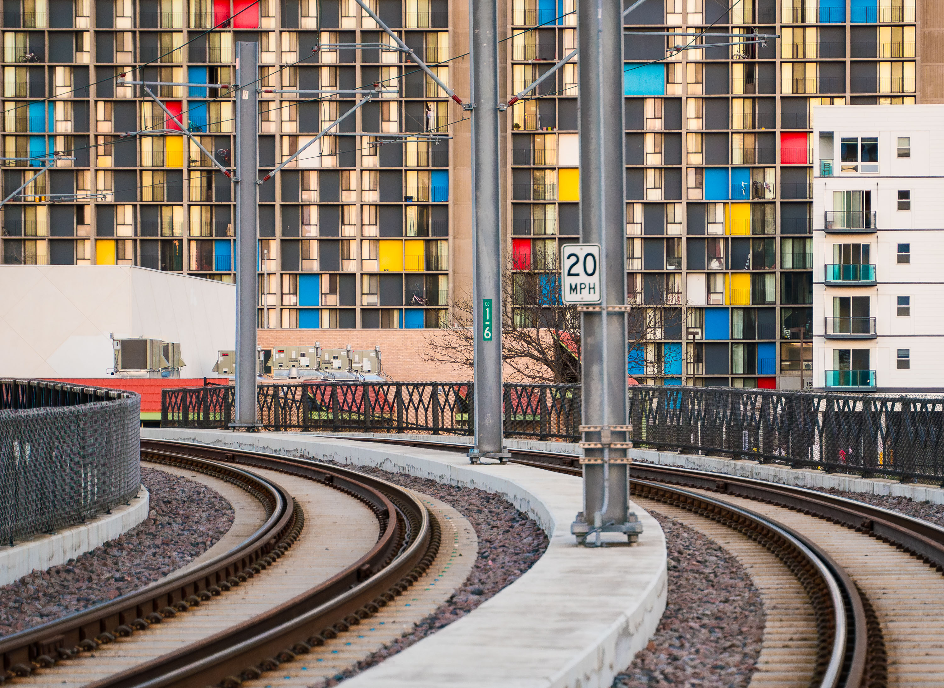
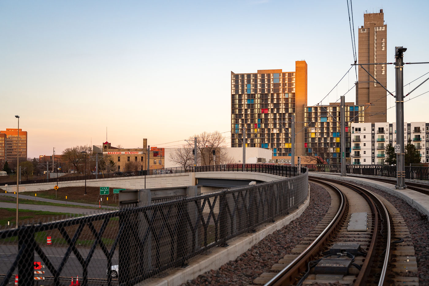
Metro Transit light rail tracks curve past Riverside Plaza in Minneapolis’s Cedar-Riverside neighborhood.
Metro Transit light rail tracks by Riverside Plaza in Minneapolis’s Cedar-Riverside neighborhood. Riverside Plaza is a large housing complex along the light rail corridor near Interstate 35W. The tracks curve through the area south of downtown Minneapolis.

Metro Transit light rail tracks by Riverside Plaza, Minneapolis
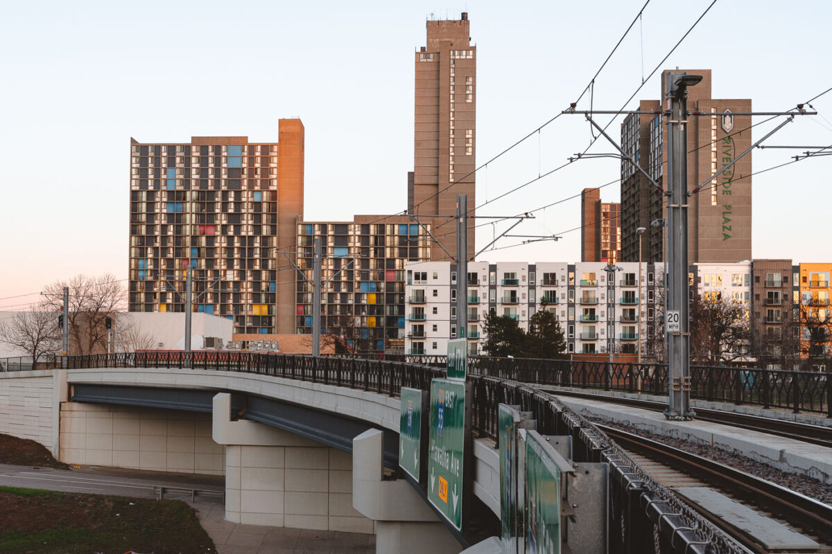
Riverside Plaza and the Light Rail Tracks
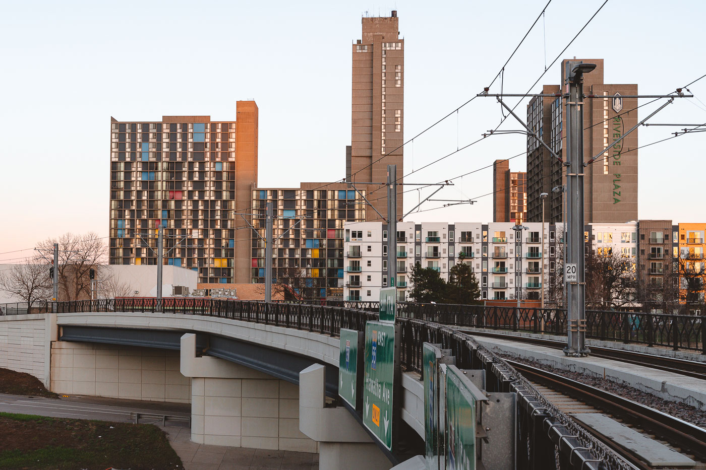
Riverside Plaza stands tall beyond the METRO Blue Line overpass in the Cedar–Riverside district of Minneapolis. The colorful panels of the 1970s residential towers contrast with the new mid-rise apartments and light rail infrastructure built decades later.

Riverside Plaza from the Light Rail Overpass, Minneapolis
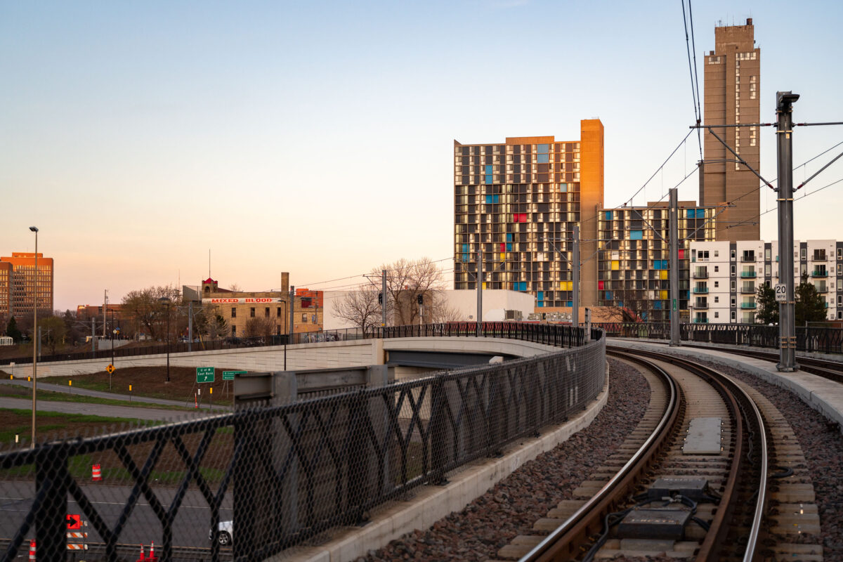
Riverside Plaza and Light Rail tracks April 2019
The METRO Blue Line curves toward downtown Minneapolis near the Cedar–Riverside neighborhood, passing below the colorful concrete towers of Riverside Plaza at sunset. The complex, designed by architect Ralph Rapson and completed in 1973, is one of the city’s most distinctive examples of Brutalist modernism.

Light Rail Curve at Cedar–Riverside, Minneapolis
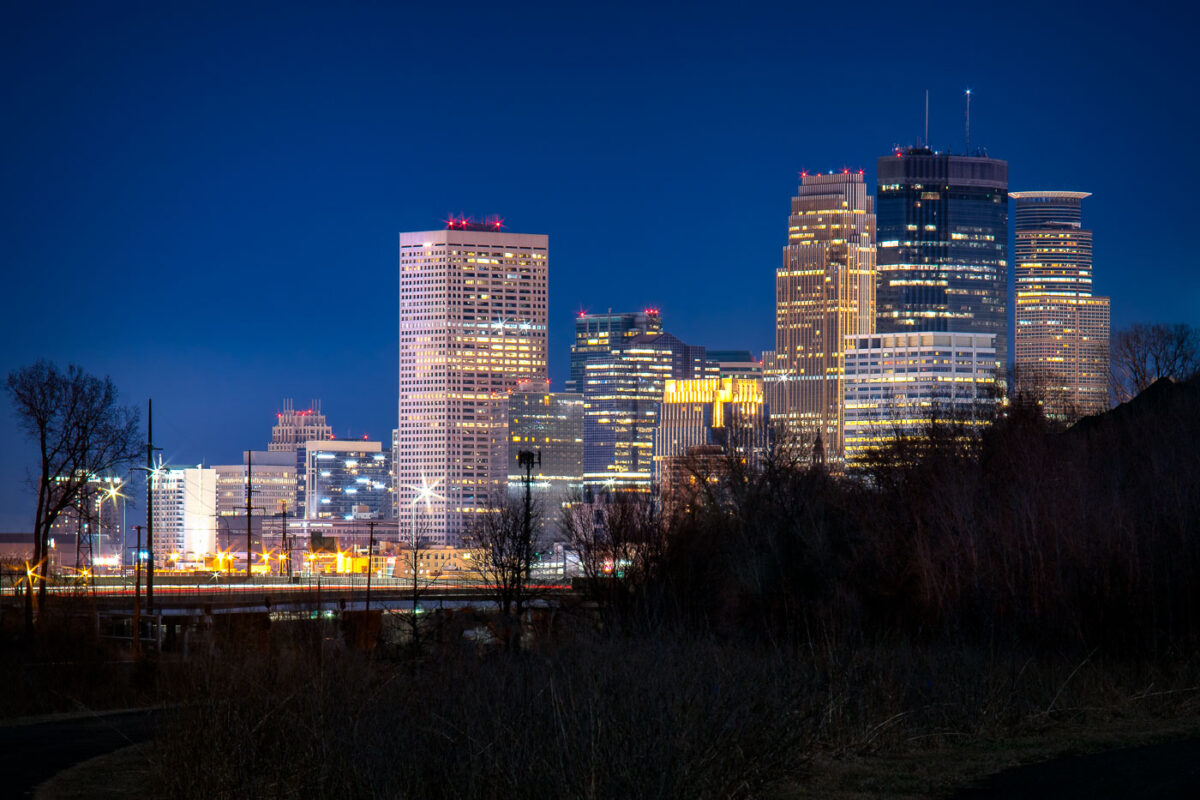
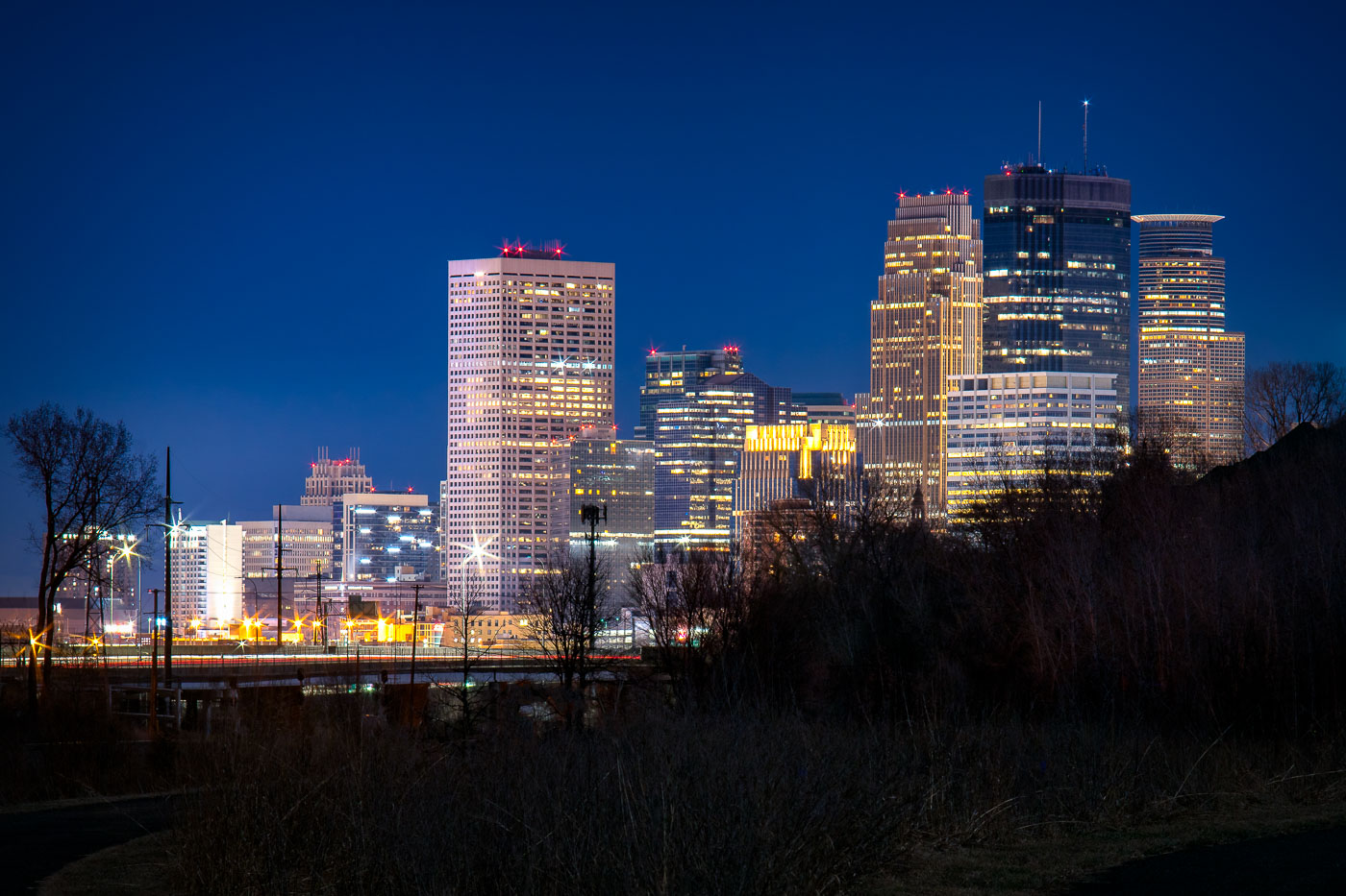
Minneapolis downtown skyline at twilight, viewed from Cedar Lake Trail with illuminated office towers against a deep blue sky.
Downtown Minneapolis's skyscrapers stand along the Cedar Lake Trail, including the IDS Center and Capella Tower. The IDS Center, completed in 1972, is Minnesota's tallest building at 792 feet.

Downtown Minneapolis Skyline Seen from the Cedar Lake Trail
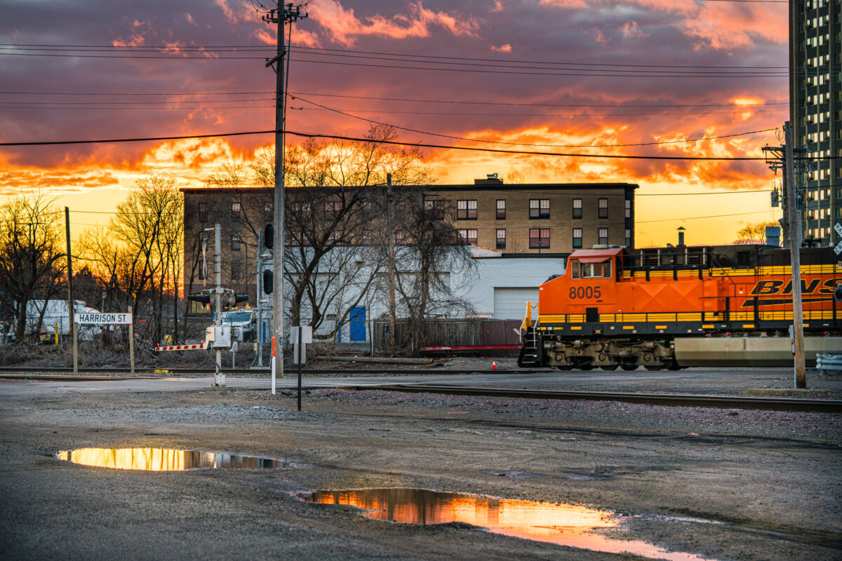
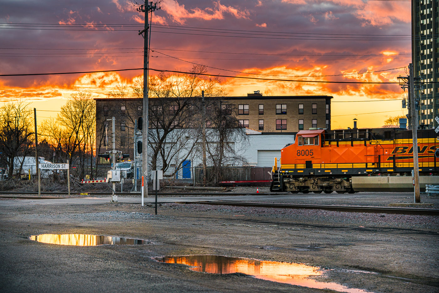
BNSF Railway locomotive number 8005 passes Harrison Street crossing in Northeast Minneapolis at sunset.
A BNSF Railway locomotive passes the Harrison Street crossing in Northeast Minneapolis. The crossing is part of the rail corridor that runs through the neighborhood near the Mississippi River.

Sunset Over the BNSF Crossing on Harrison Street
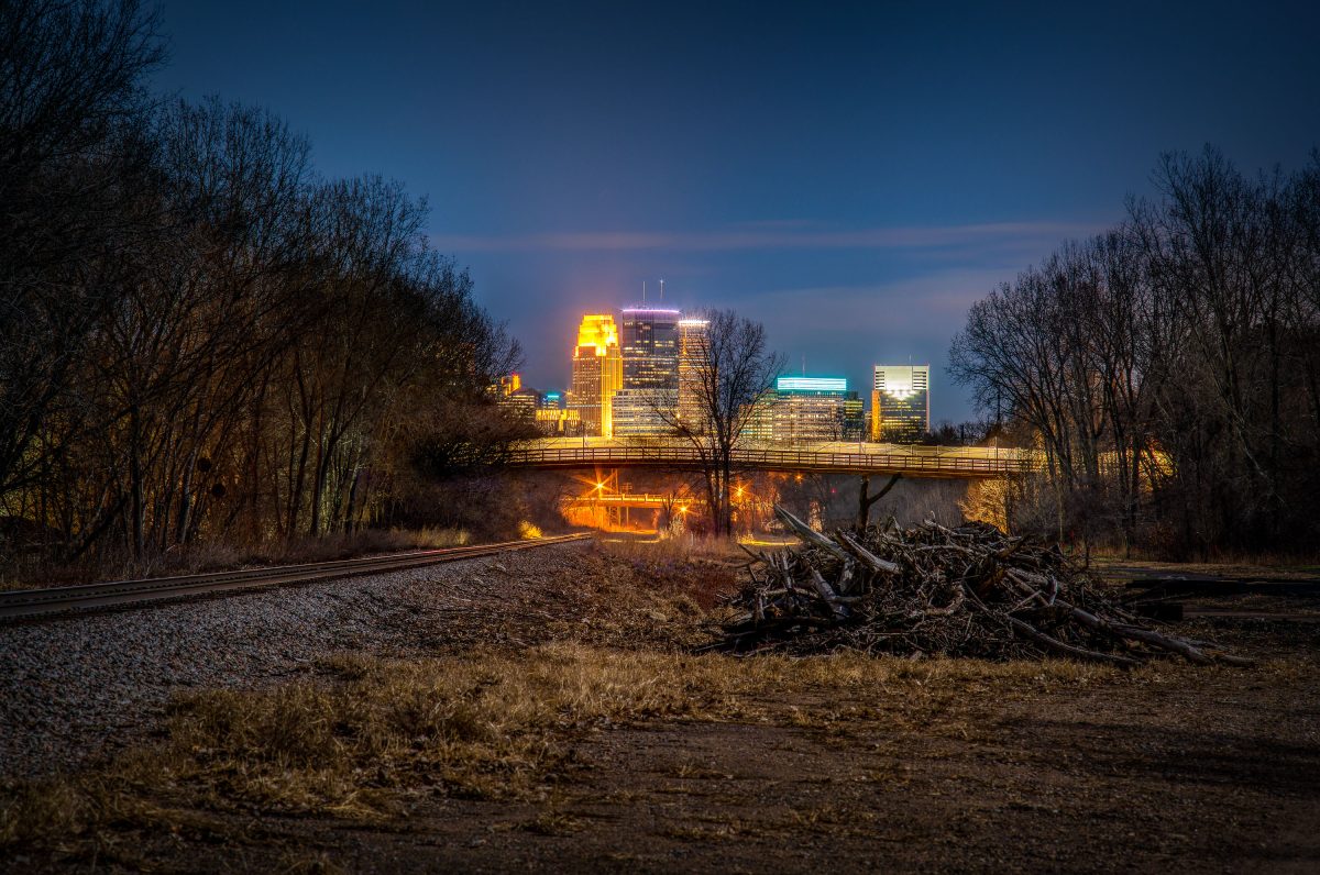
North Cedar Lake Trail, St. Louis Park, MN.
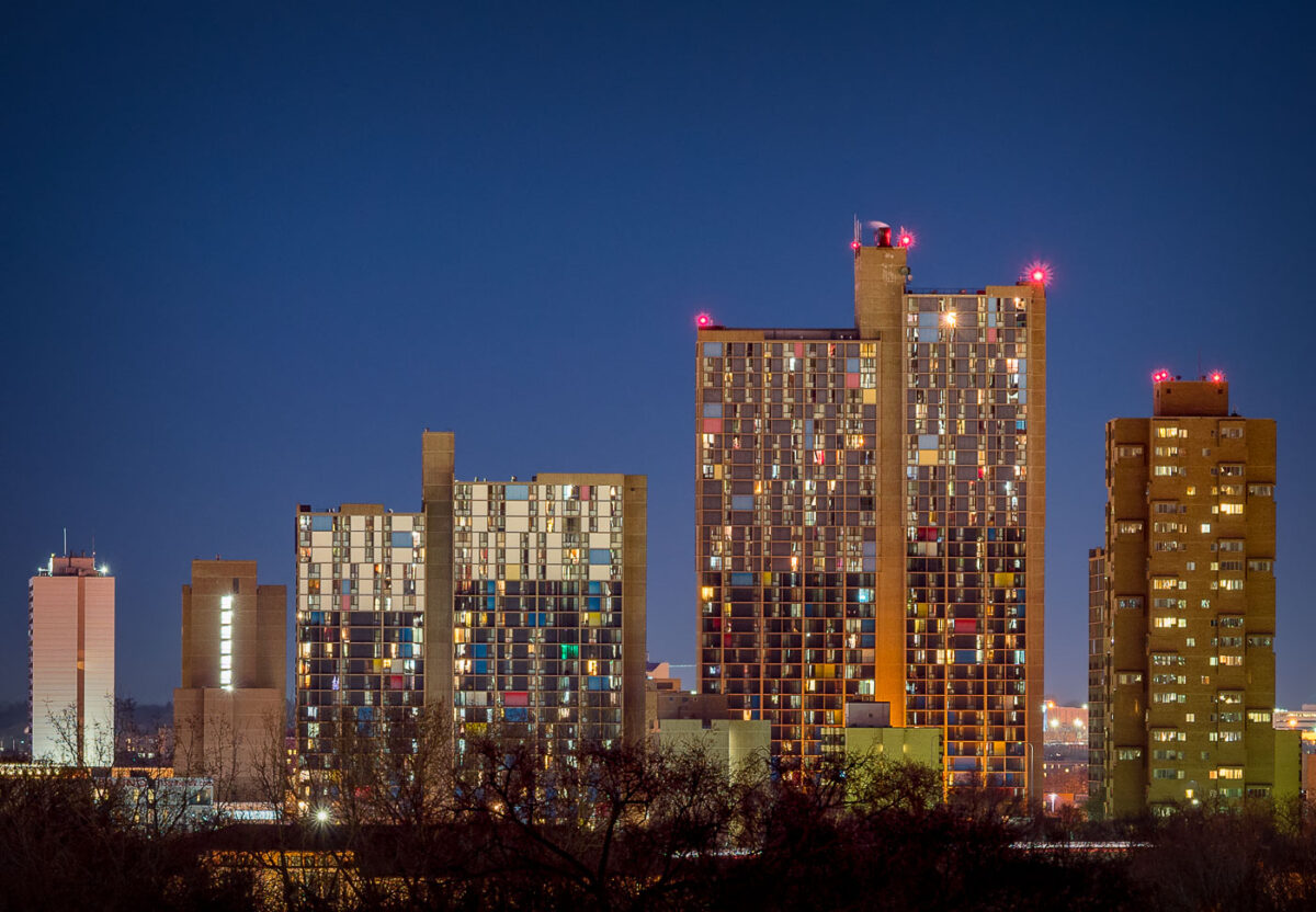
North Cedar Lake trail in St. Louis Park, Minnesota.

North Cedar Lake Trail, St. Louis Park, MN.

Riverside Plaza Cedar HIgh Apartments Minneapolis
Riverside Plaza and Cedar High Apartments stand illuminated against the twilight sky in Minneapolis’ Cedar-Riverside neighborhood. Completed in the 1970s and designed by architect Ralph Rapson, the complex is one of the city’s most distinctive examples of modernist architecture. Its colorful paneling and Brutalist concrete forms house one of the most diverse communities in the region, symbolizing both urban renewal and the evolution of affordable housing in the Twin Cities.

Riverside Plaza at Dusk

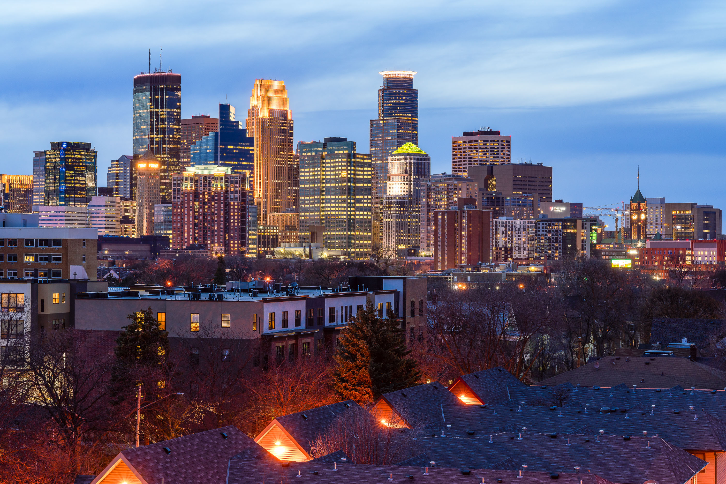
Minneapolis downtown skyline at dusk, viewed from South Minneapolis with illuminated buildings and residential rooflines in foreground.
Downtown Minneapolis's skyline stands beyond the rooftops of South Minneapolis.

Downtown Minneapolis Skyline Beyond South Minneapolis Rooftops
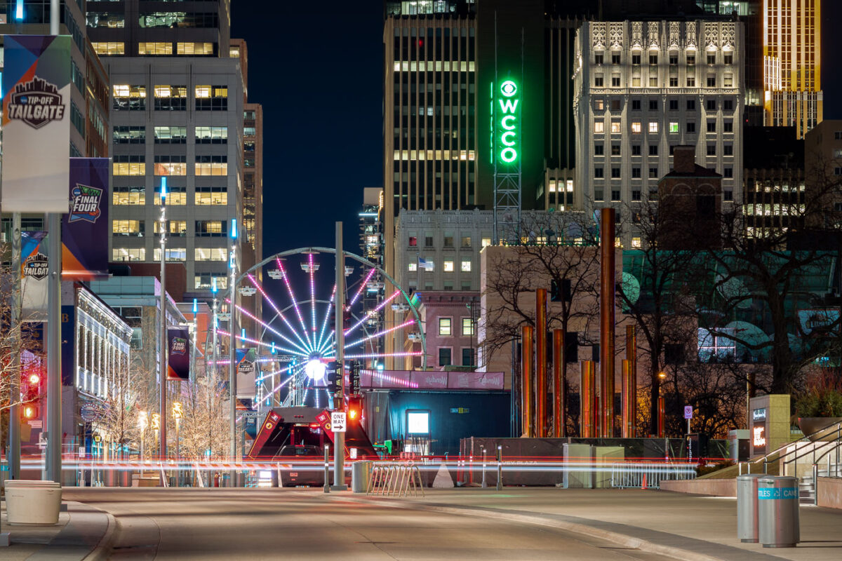
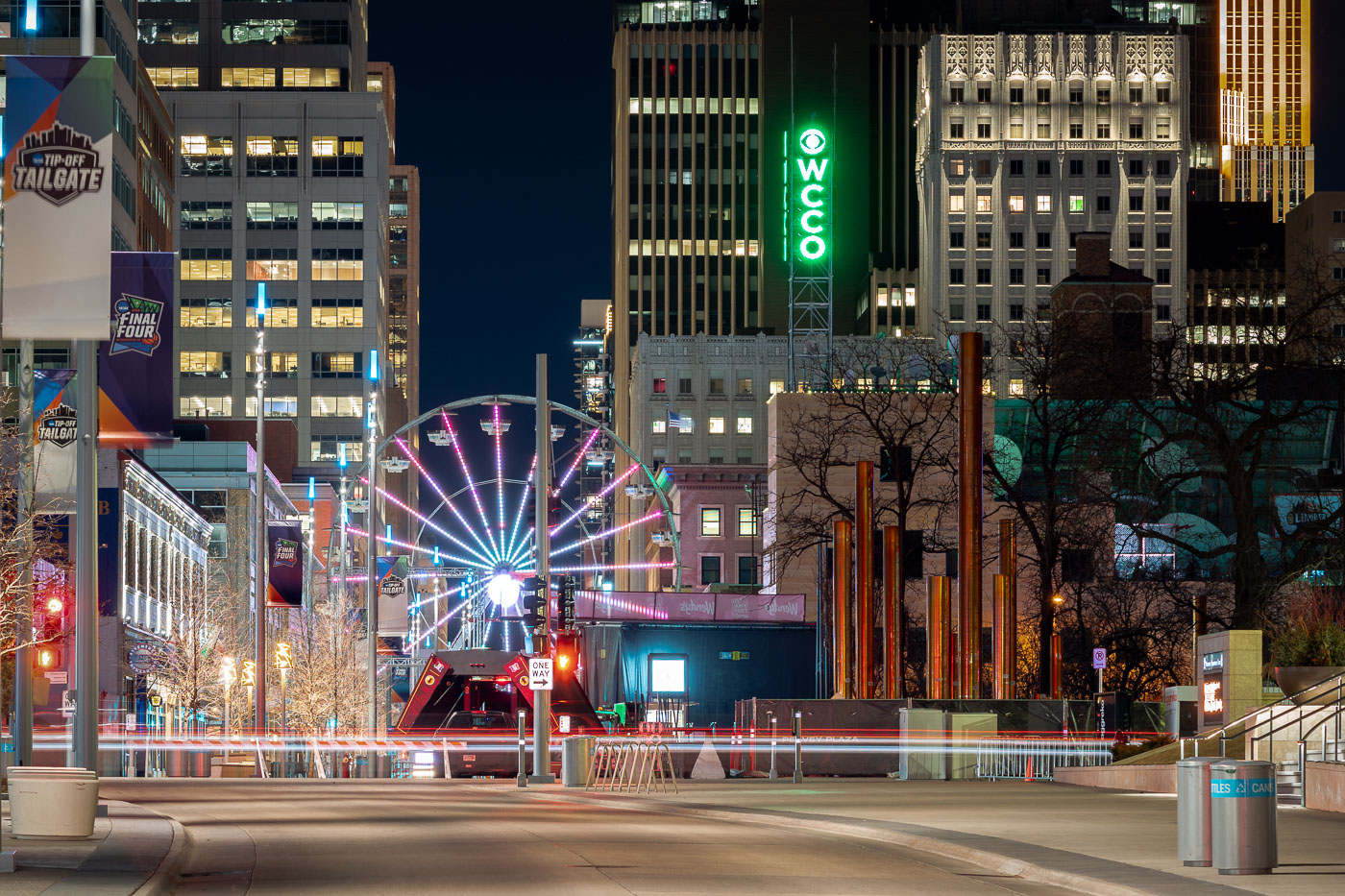
A temporary Ferris wheel illuminates Nicollet Mall in downtown Minneapolis during the 2019 NCAA Final Four fan festival.
Nicollet Mall is downtown Minneapolis's main shopping street, a pedestrian and transit mall that opened in 1967 and was rebuilt in 2015–2017. A temporary Ferris wheel stands on the mall in April 2019 as part of the Tip-Off Tailgate, a fan festival tied to the NCAA Men's Final Four at U.S. Bank Stadium.

Tip-Off Tailgate Ferris Wheel Near the WCCO Sign
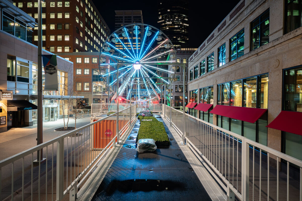
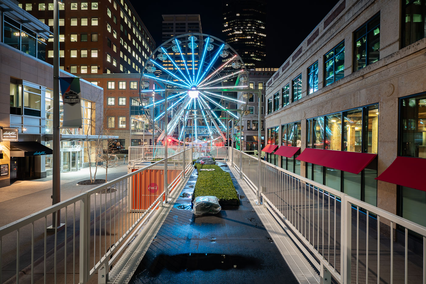
Illuminated Ferris wheel installed on Nicollet Mall in downtown Minneapolis during the 2019 NCAA Final Four.
Nicollet Mall is downtown Minneapolis's main shopping street, a pedestrian mall that opened in 1967 and was rebuilt in 2015–2017. A temporary Ferris wheel stands on the mall in April 2019 for the NCAA Final Four.

A Ferris Wheel Lights Up Nicollet Mall for the Final Four
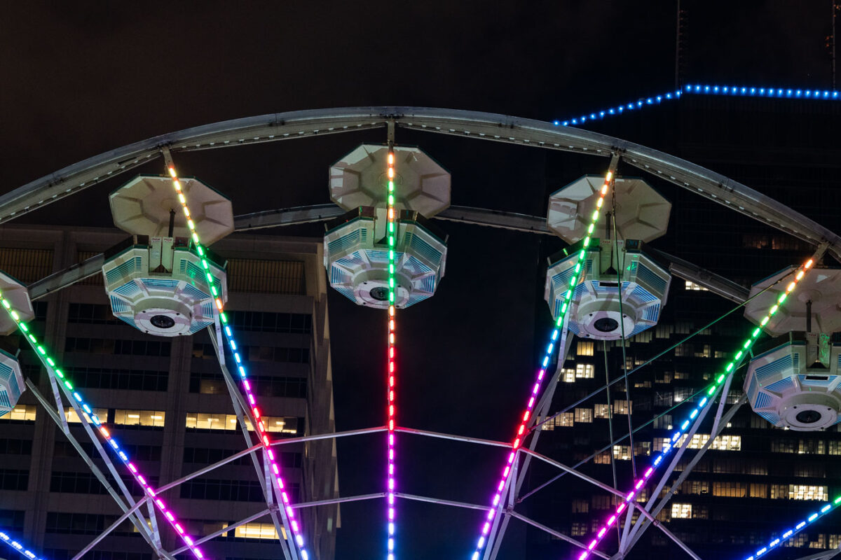
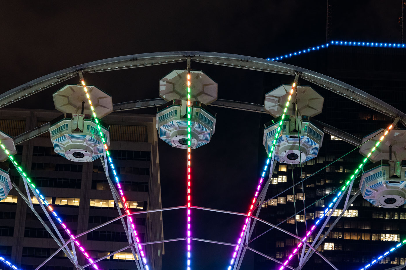
A colorful illuminated Ferris wheel stands on Nicollet Mall in downtown Minneapolis during the 2019 NCAA Final Four.
A Ferris wheel was set up on Nicollet Mall in downtown Minneapolis for the 2019 NCAA Final Four, part of the fan festivities held around the men's basketball championship that April.

A Ferris Wheel Lights Up Nicollet Mall for the 2019 Final Four
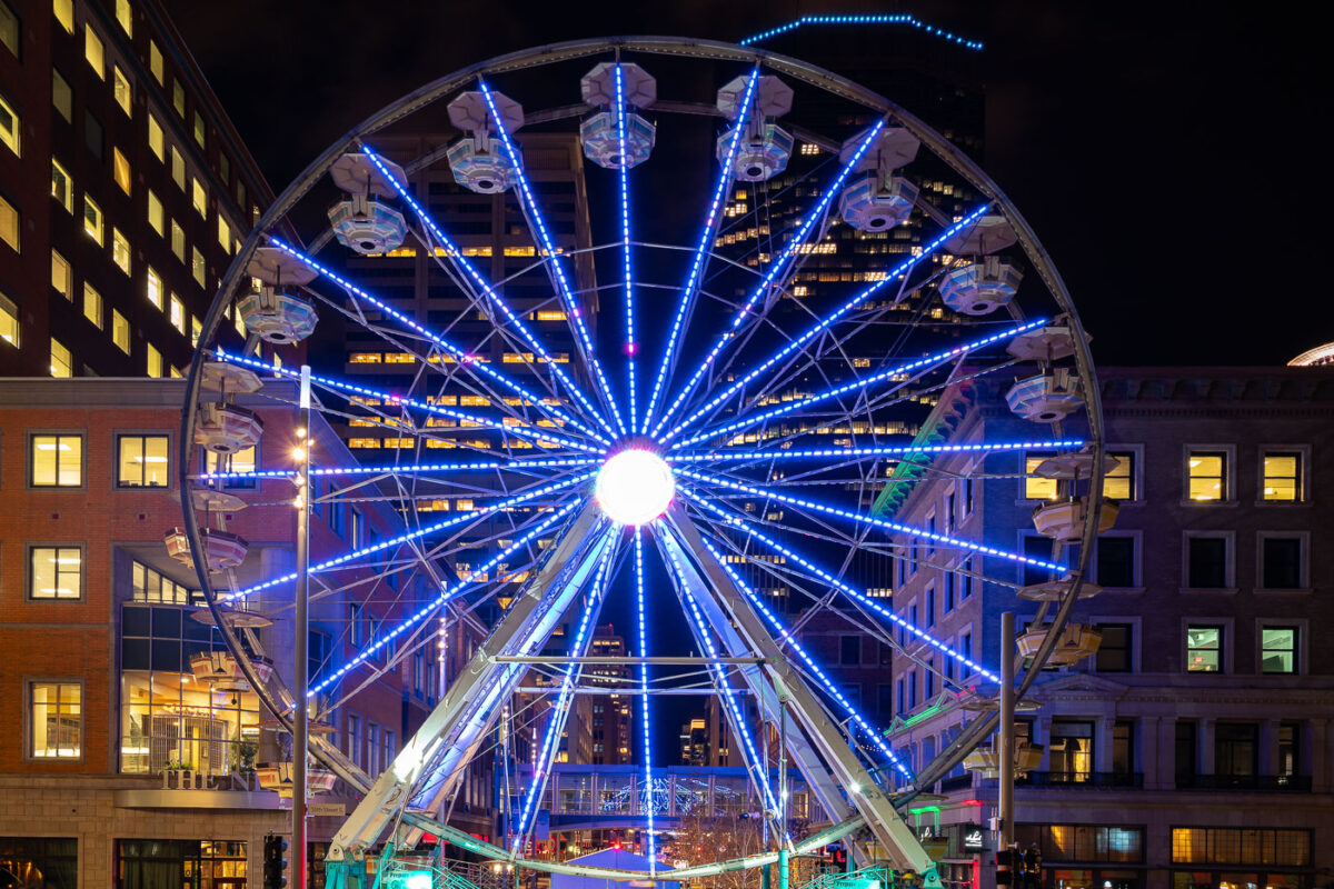
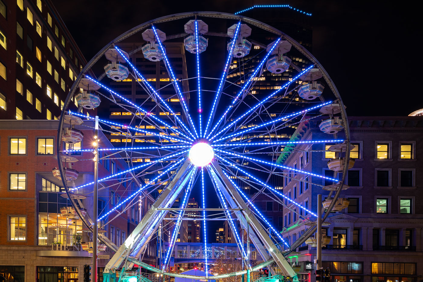
Illuminated Ferris wheel with blue neon spokes installed downtown Minneapolis for the 2019 NCAA Final Four tournament.
A temporary Ferris wheel was set up on Nicollet Mall in downtown Minneapolis for Final Four Fan Fest events tied to the 2019 NCAA Men's Final Four. The tournament's championship games were played at U.S. Bank Stadium that April, with related fan activities held throughout downtown.

Ferris Wheel on Nicollet Mall During Final Four Weekend
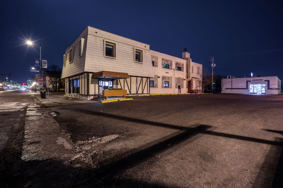
Pho Tau Bay and the Laundromat on Nicollet Avenue in South Minneapolis.
Pho Tau Bay and the Laundromat on Nicollet Avenue in South Minneapolis. The businesses occupy adjoining storefronts along the commercial corridor.

Pho Tau Bay and Laundromat on Nicollet Ave
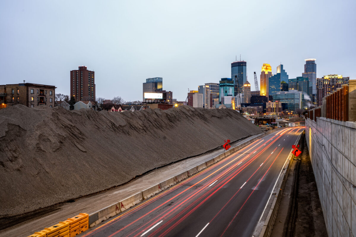
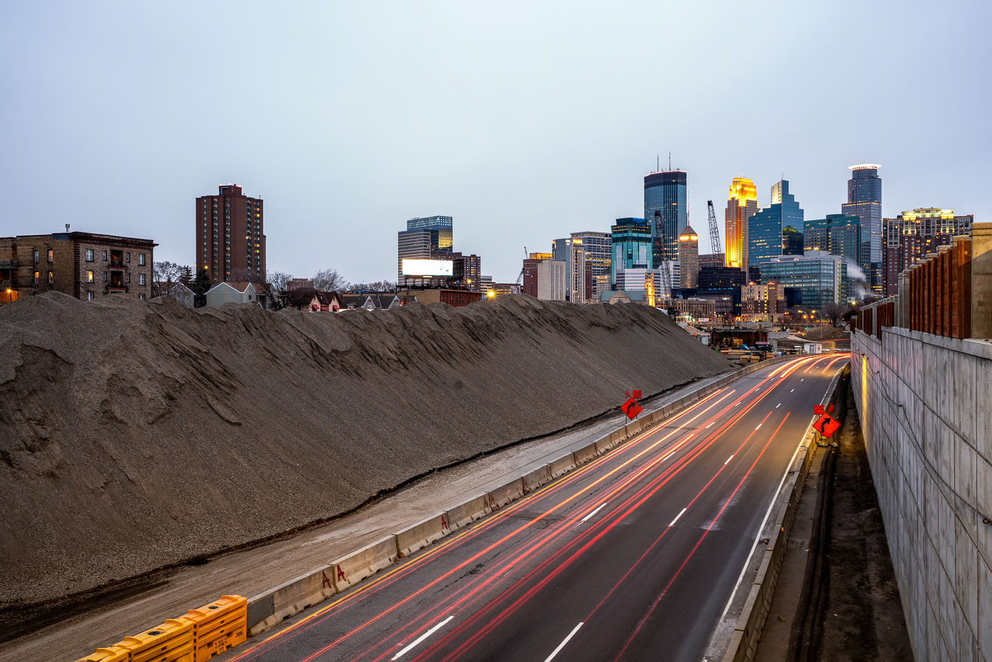
Excavated earth and traffic on Interstate 35W construction site near downtown Minneapolis skyline.
Interstate 35W underwent major reconstruction near downtown Minneapolis during this period. The project involved extensive earthwork and roadway modifications, with excavated material staged alongside the highway corridor. The construction activity was visible from multiple vantage points throughout the downtown area, marking a significant infrastructure undertaking in the city's transportation network.

Interstate 35W Construction Site, Minneapolis
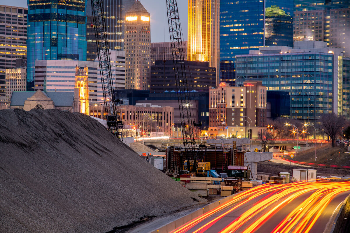
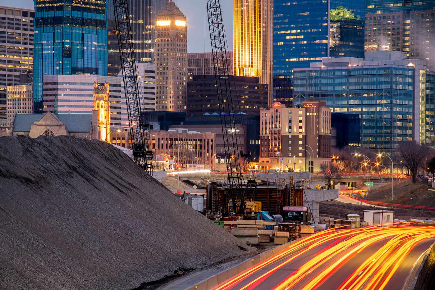
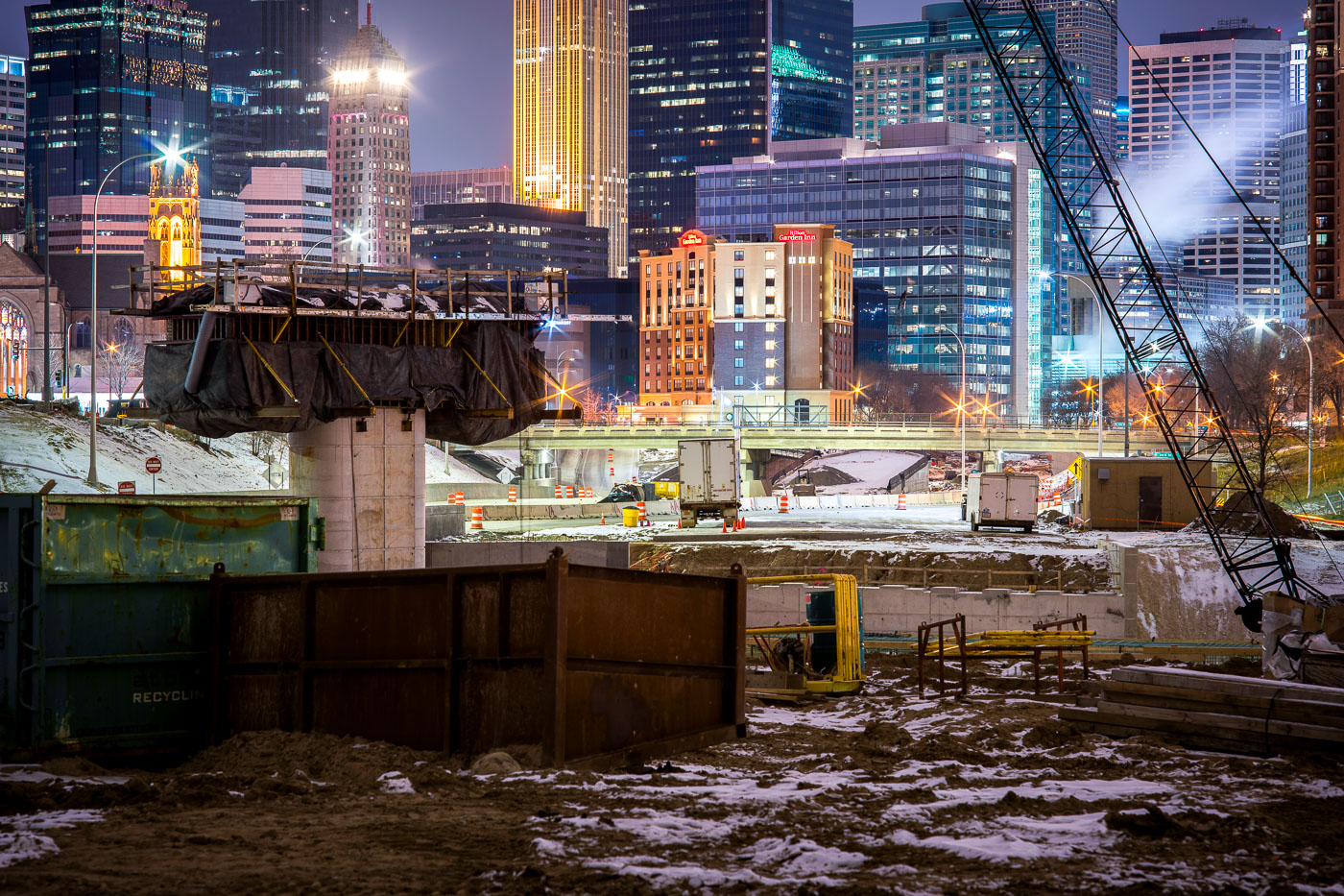
Interstate 35W construction site in downtown Minneapolis at dusk, with the Foshay Tower and illuminated skyline in the background.
Interstate 35W construction on the south edge of downtown Minneapolis is framed by the central business district, including the Foshay Tower and the Hilton Garden Inn.

I-35W Construction Below the Foshay Tower at Dusk
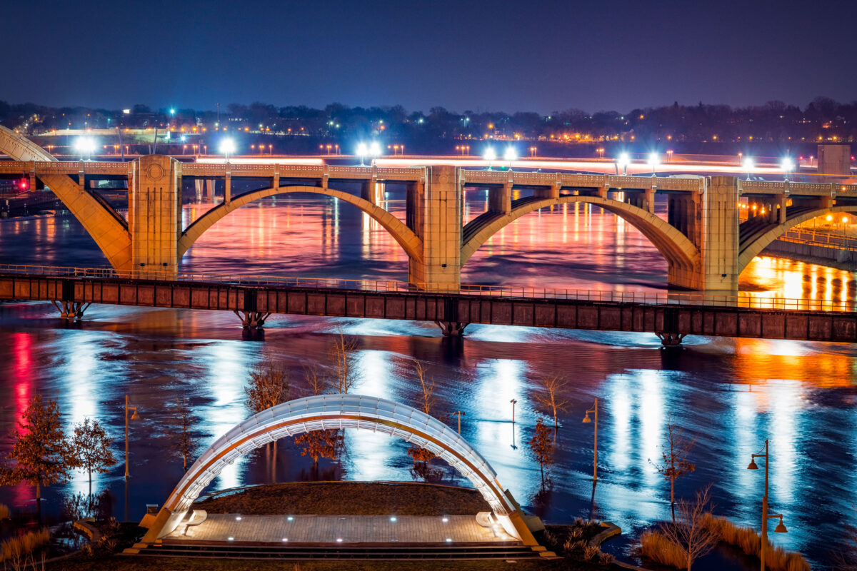
Raspberry Island Bandshell and Wabasha Street Bridge at Night
The Schubert Club Bandshell on Raspberry Island, illuminated along the Mississippi River in Saint Paul, Minnesota. Completed in 2002, the modern arched performance structure serves as an outdoor music venue with views toward the historic Wabasha Street Bridge, visible in the background. The bridge, originally built in 1859 and reconstructed in 1998, is known as the only true vertical align arch bridge over the Mississippi. Its decorative architectural lighting reflects across the water alongside the flooded riverbank, highlighting how the river’s seasonal water levels shape the island landscape. Raspberry Island has long served as a gathering space and riverfront access point, evolving from a railroad landing to a cultural park and performance venue.

Raspberry Island Bandshell and Wabasha Street Bridge at Night

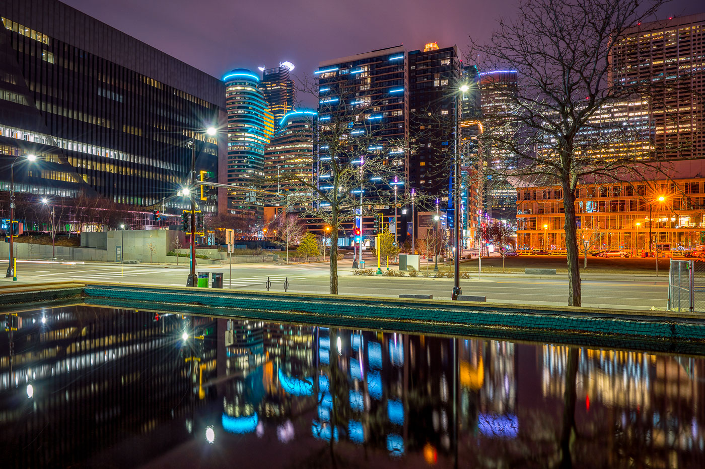
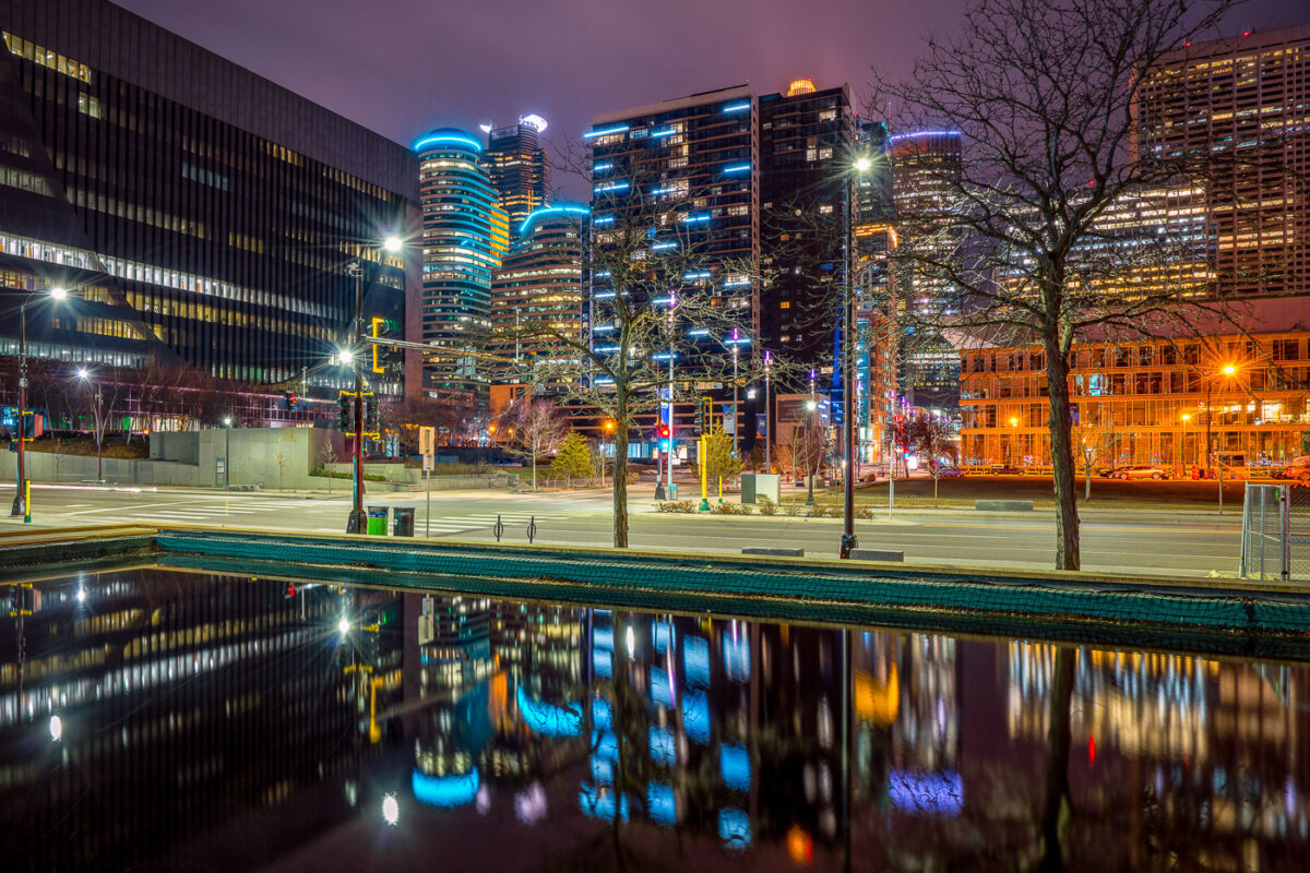
Illuminated downtown Minneapolis office and residential towers rise above a still water feature near Nicollet Mall at night.
Downtown Minneapolis's towers rise near Nicollet Mall, including Capella Tower and the Fifth Street Towers, among office buildings and residential high-rises built up in the 2000s and 2010s.

Minneapolis Skyline Reflected in a Water Feature Near Nicollet Mall
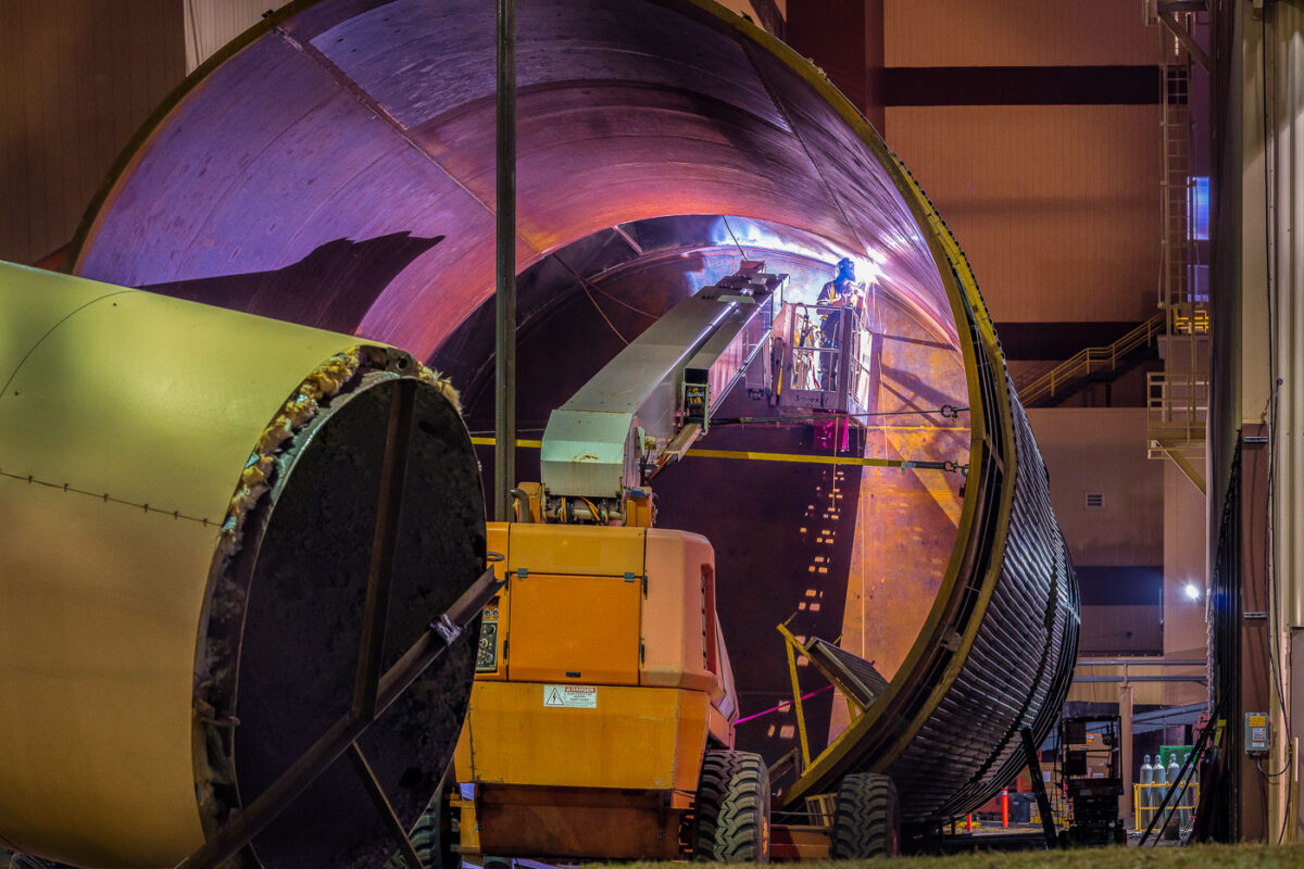
A welder works inside a large cylindrical structure during the replacement of a water tank at the Hennepin Energy Recovery Center in Minneapolis, Minnesota.
A welder works inside a large cylindrical structure at the Hennepin Energy Recovery Center (HERC) in Minneapolis, Minnesota. This facility, which began operation in 1989, processes waste to generate electricity for the local grid. The ongoing work involves the replacement of a water tank, a critical component for the plant's cooling and operational systems. The HERC plays a significant role in waste management and energy production for the Twin Cities metropolitan area.

Welder at Hennepin Energy Recovery Center Water Tank Replacement
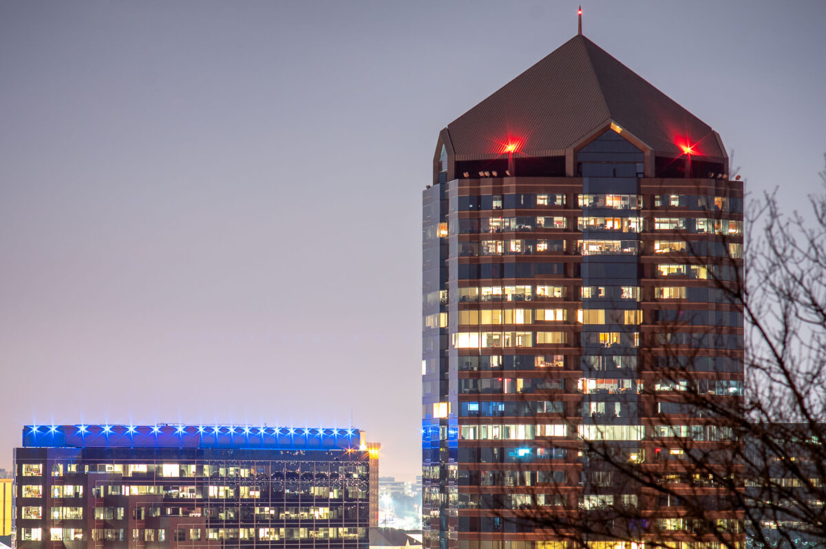
8500 Tower in Bloomington, Minnesota, rises above the Normandale Lake area at night.
8500 Tower in Bloomington, Minnesota, stands at 8500 Normandale Lake and is the city’s tallest building. The office tower is a prominent high-rise in the Normandale Lake area.

8500 Tower, Bloomington, Minnesota

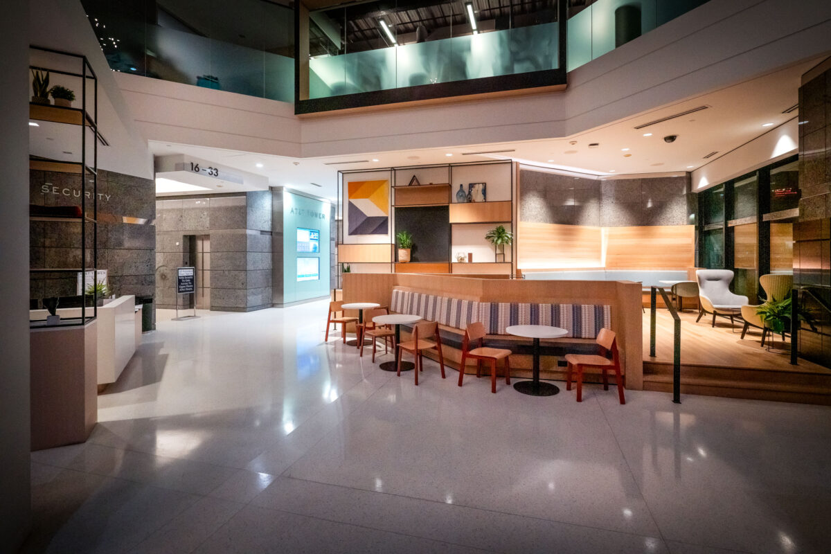
AT&T Tower lobby at 901 Marquette Avenue in downtown Minneapolis.
AT&T Tower at 901 Marquette Avenue in downtown Minneapolis. The renovated lobby includes a security desk and seating area for office tenants and visitors.

AT&T Tower Lobby, 901 Marquette Avenue, Minneapolis
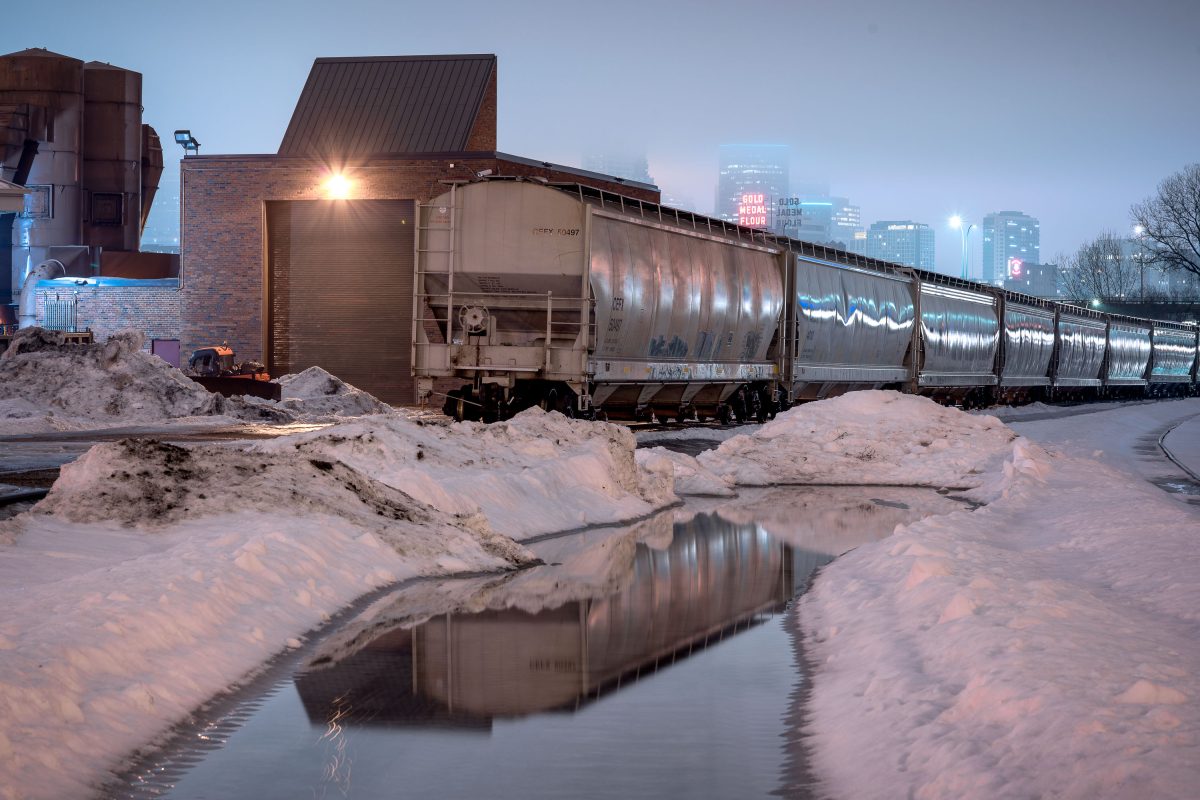
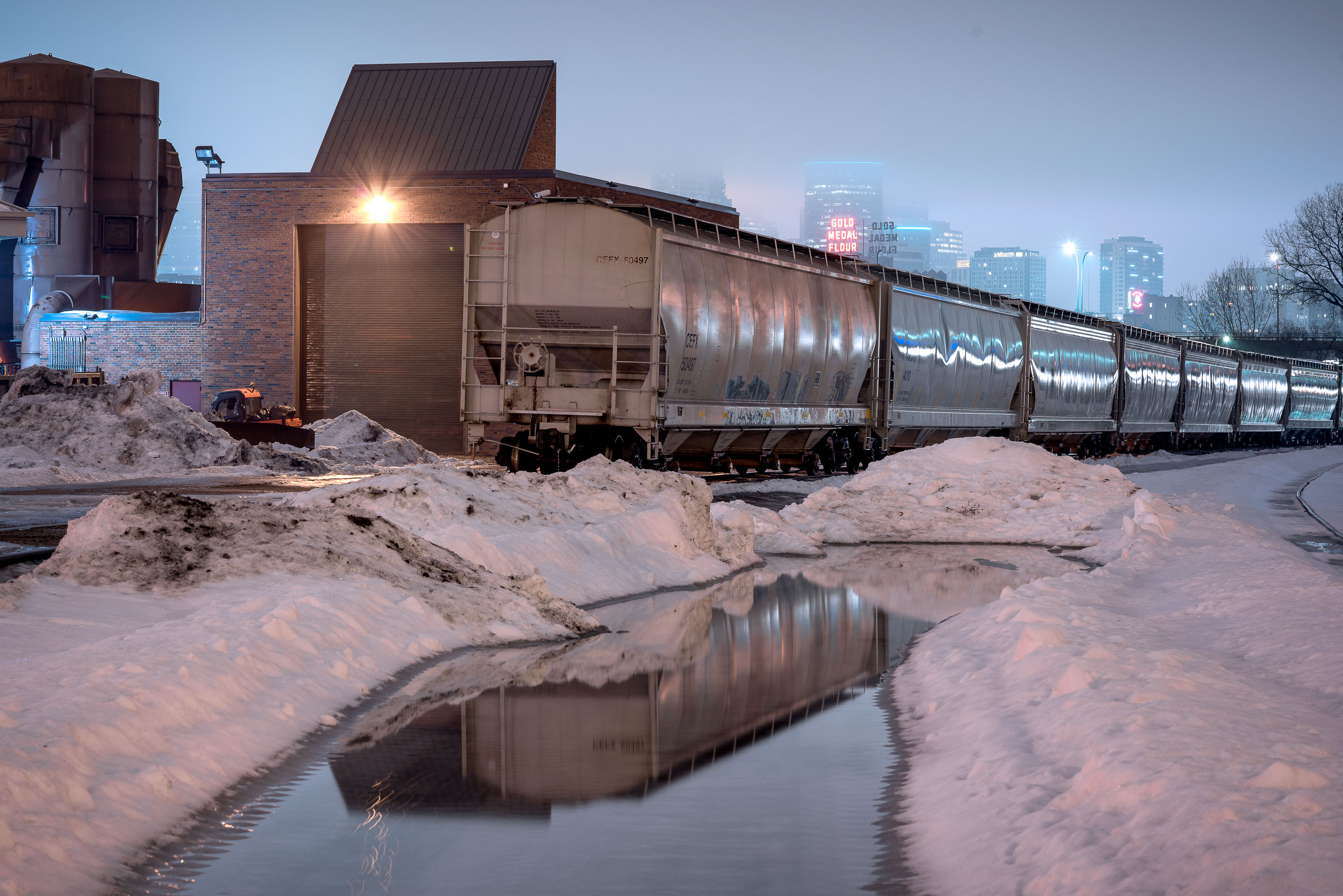
Freight train with graffiti parked beside Old Main Heating Plant in Minneapolis during winter.
These hopper cars sit on tracks running past the University of Minnesota's Old Main Heating Plant, which has long supplied steam heat to the East Bank campus through a network of underground tunnels. Across the Mississippi River, the Gold Medal Flour sign marks the site of the former Washburn-Crosby mill complex, once among the largest flour-milling operations in the world and the namesake of General Mills. The rail corridor along this stretch of river served Minneapolis's milling district for more than a century, moving grain in and flour out to markets across the country.

Freight Train Reflections, Gold Medal Flour Sign, Minneapolis

Bench in Father Hennepin Bluff Park beside snow and open water in Northeast Minneapolis.
Father Hennepin Bluff Park in Northeast Minneapolis, with a bench beside a snow-covered area near open water. The park sits along the Mississippi River and offers views toward downtown Minneapolis.

Bench in Father Hennepin Bluff Park, Northeast Minneapolis
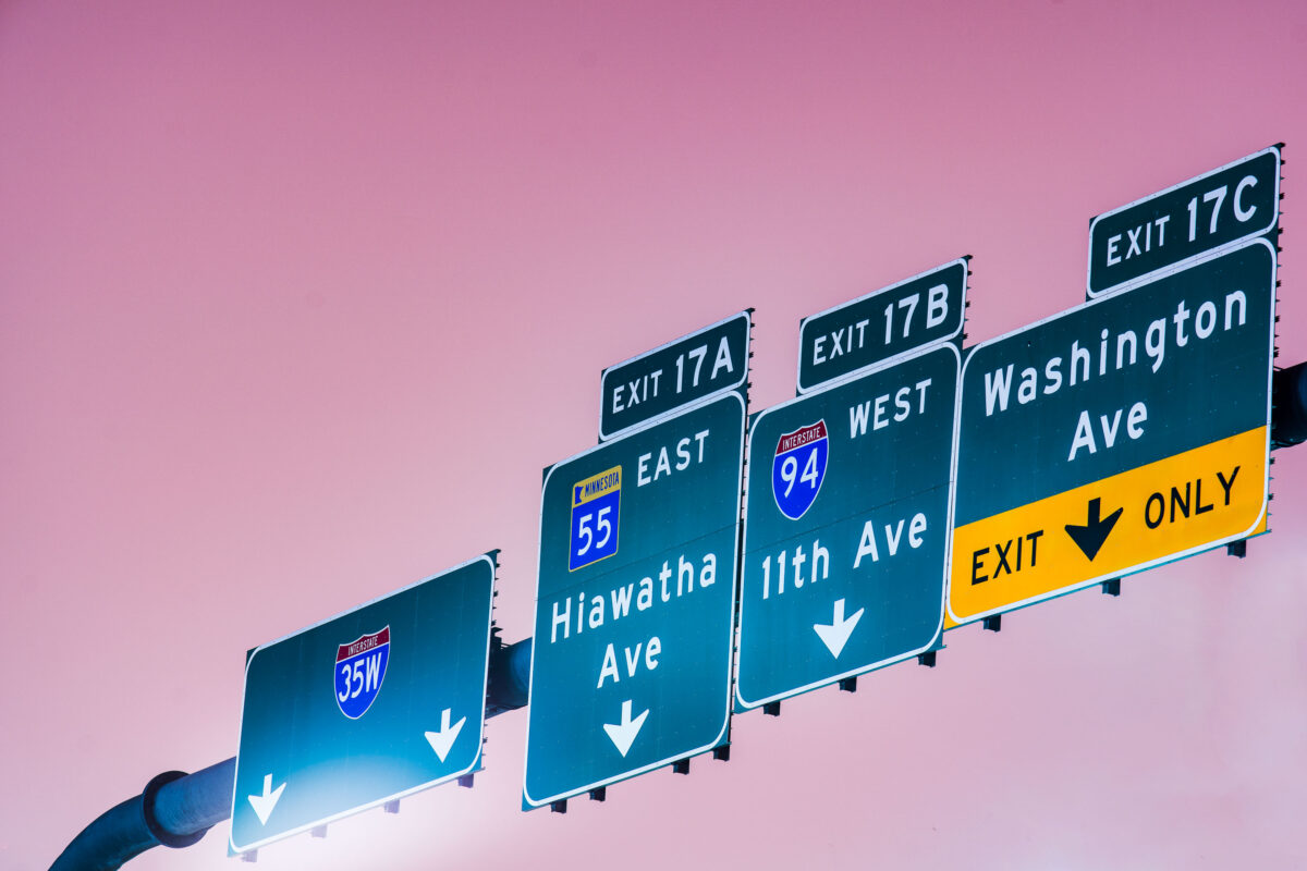
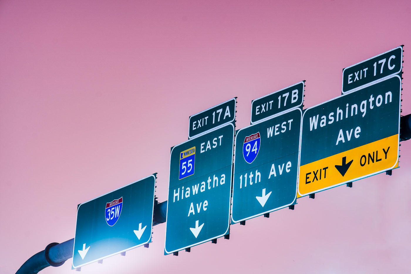
Interstate 35W exit signs for Hiawatha Ave, 11th Ave, and Washington Ave in Minneapolis.
Interstate 35W exit signs in Minneapolis direct traffic to Hiawatha Avenue, 11th Avenue, and Washington Avenue. The guide signs also reference Interstate 94 and Minnesota State Highway 55 at Exit 17.

Interstate 35W exit signs at Hiawatha Ave, Minneapolis
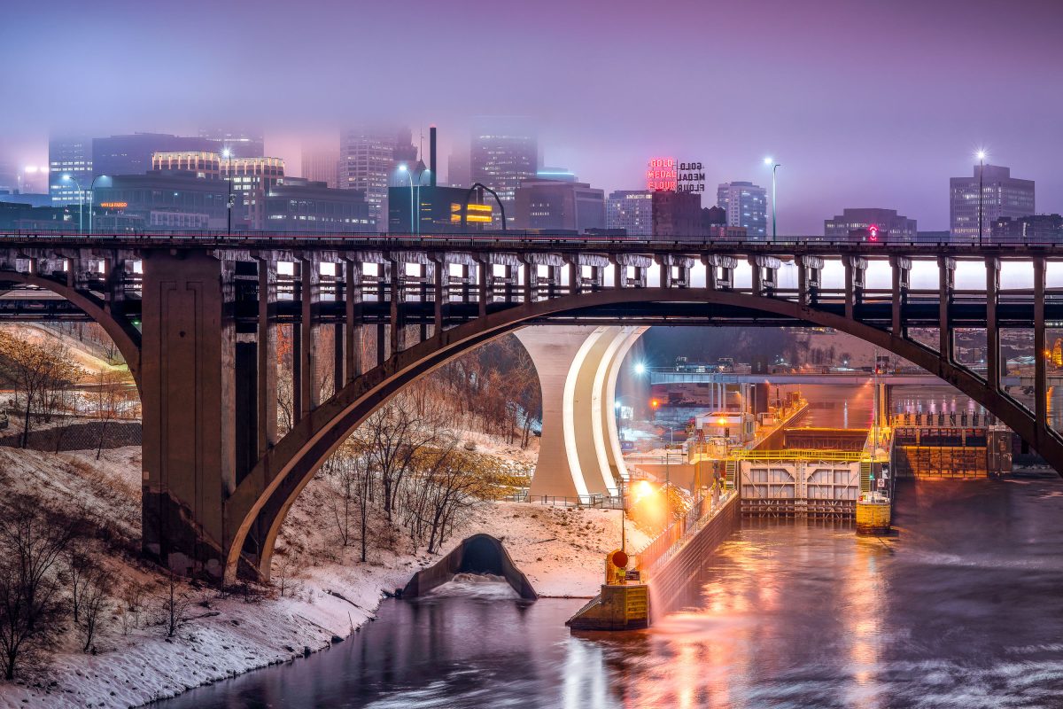
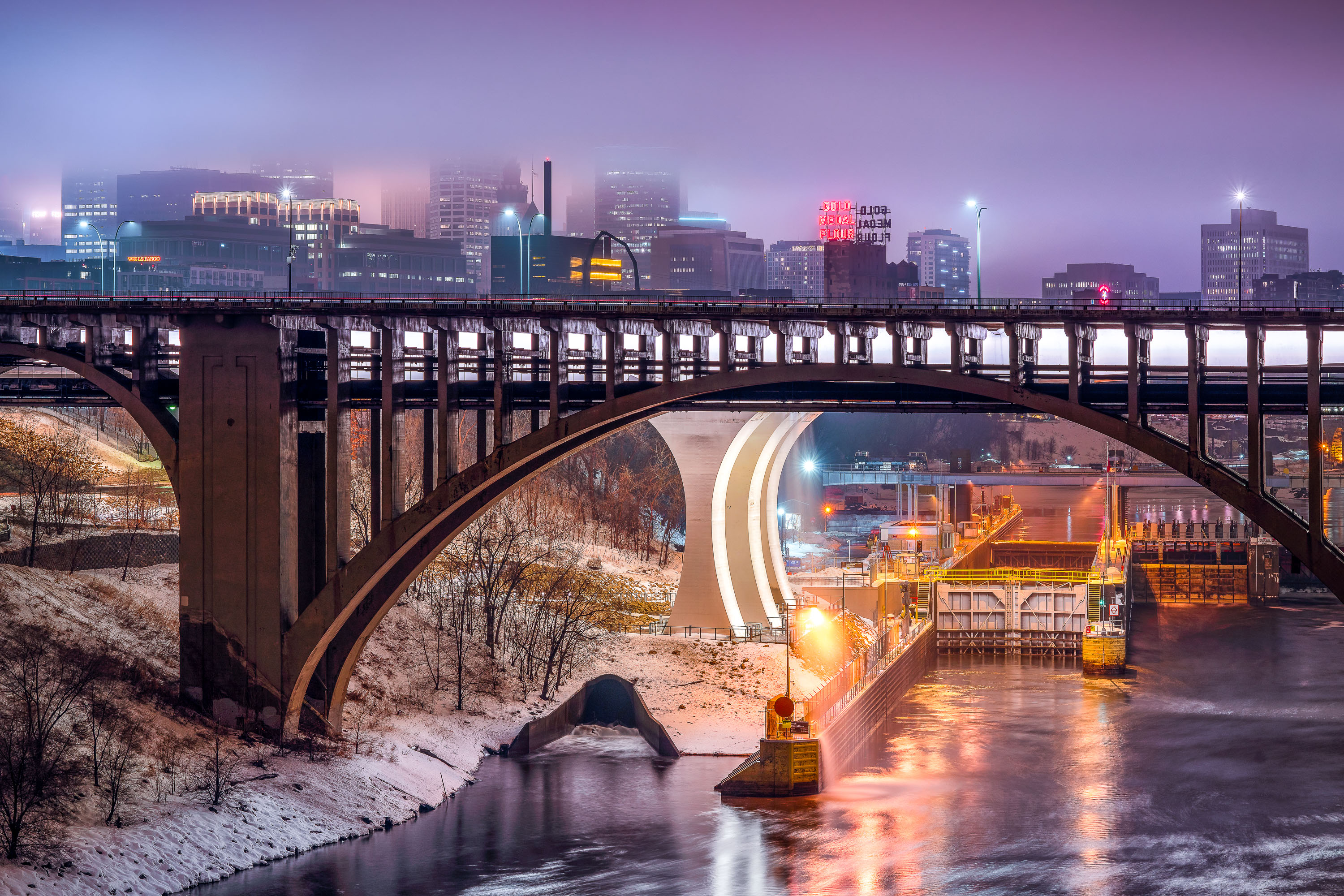
Third Avenue Bridge crosses the Mississippi River with the Gold Medal Flour sign and downtown Minneapolis skyline illuminated at dusk.
The Third Avenue Bridge crosses the Mississippi River just downstream from Saint Anthony Falls, linking downtown Minneapolis to the university area to the east. Completed in 1918, it's a concrete arch span designed by engineer Kristoffer Olsen Oustad with a slight curve to fit the site's geology. Below it, the Lower St. Anthony Falls Lock and Dam helps vessels pass the falls, while the Gold Medal Flour sign, raised above the old Washburn-Crosby mill site in 1908, still marks the skyline behind it.

Foggy Dusk at Third Avenue Bridge and St. Anthony Falls
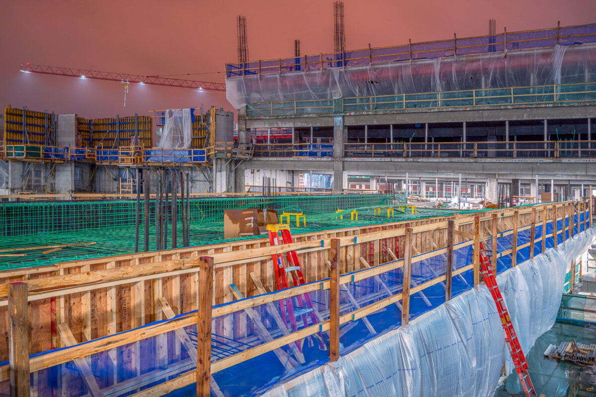
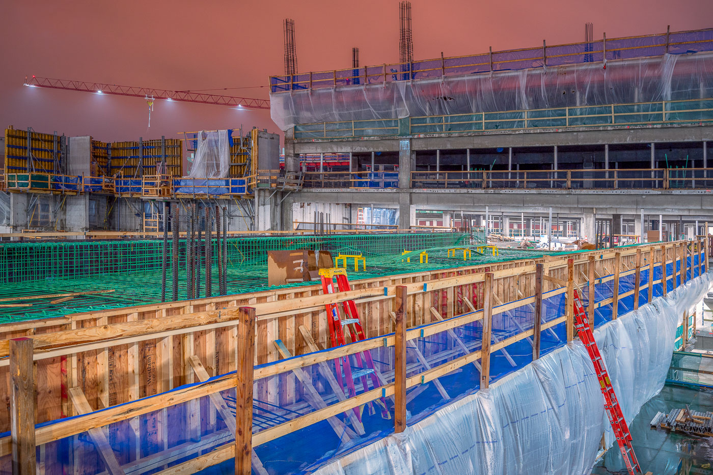
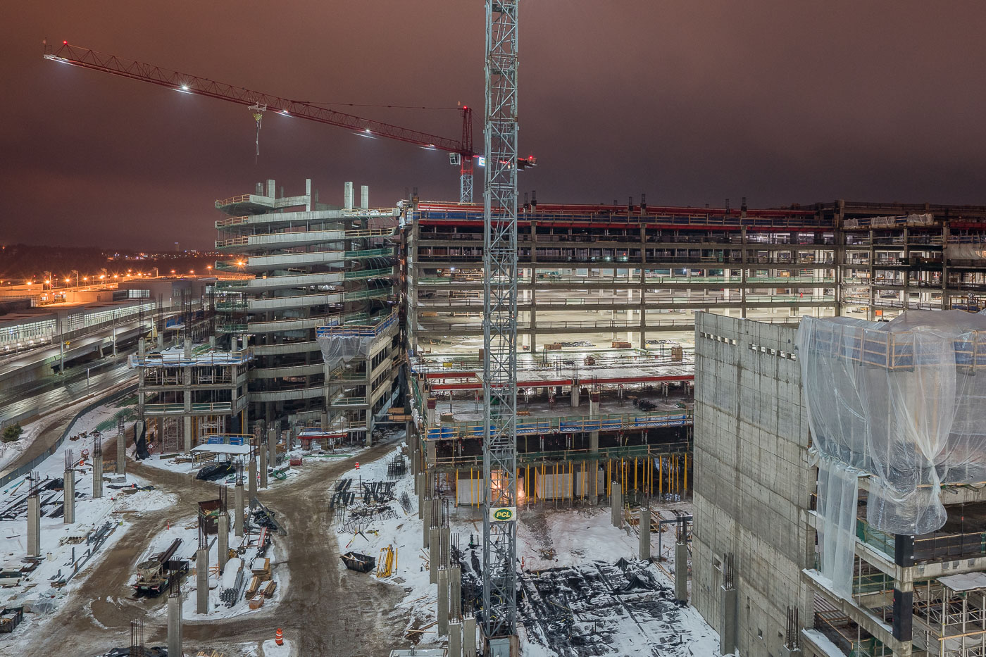
Construction of new parking ramps at MSP Airport in Bloomington, MN
Parking ramp construction at Minneapolis–Saint Paul International Airport in Bloomington, Minnesota, shows a multi-level concrete structure under active assembly with formwork, rebar, temporary weather protection, and a tower crane on site. The project expands airport parking capacity near the terminal area.

Rebar and Formwork at Night During MSP Parking Ramp Construction
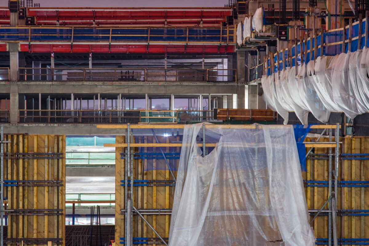
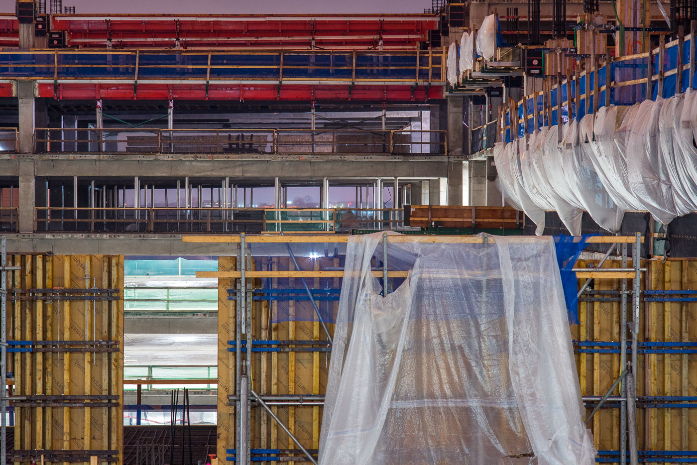
MSP Airport 2019 Construction of Parking Garage
A parking ramp under construction at Minneapolis–Saint Paul International Airport in Bloomington, Minnesota, in March 2019.

Scaffolding and Formwork at MSP Airport’s Parking Ramp Construction
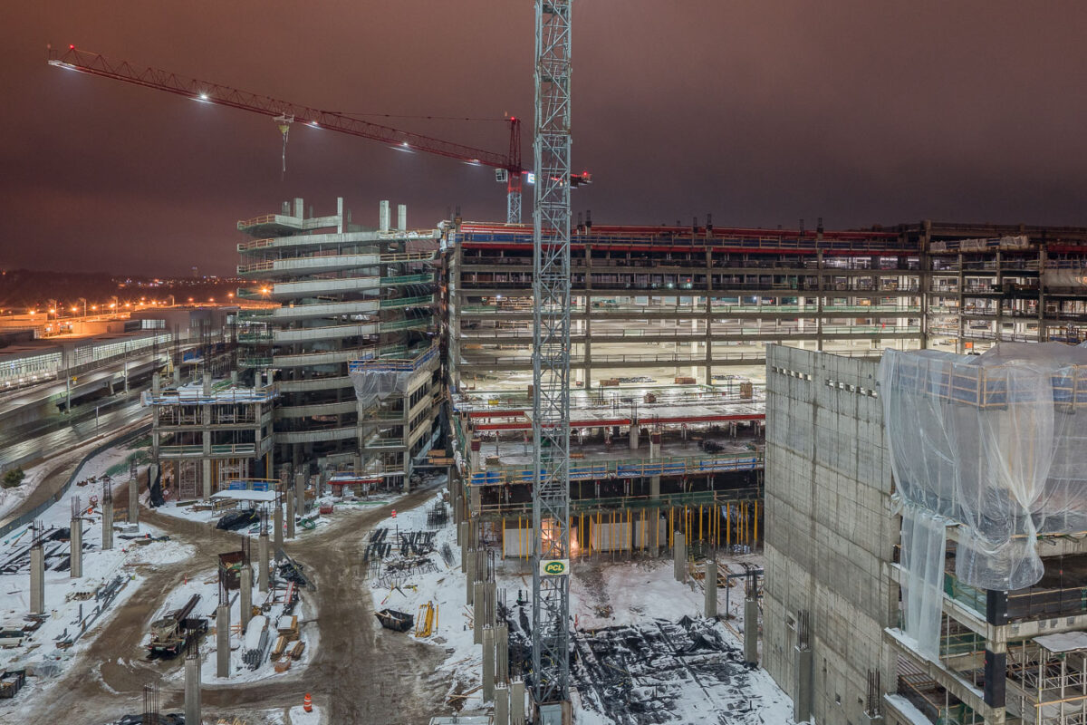
Construction of a new parking garage at MSP Airport in Bloomington, Minnesota, proceeds at night with cranes and concrete framework visible amidst snow.
Construction of a new parking garage at Minneapolis-St. Paul International Airport (MSP) is underway.

Winter Night Construction at MSP’s New Parking Ramp
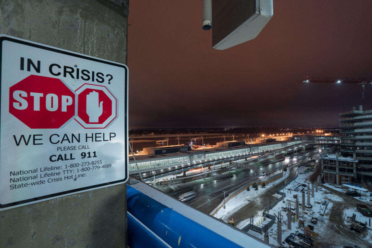
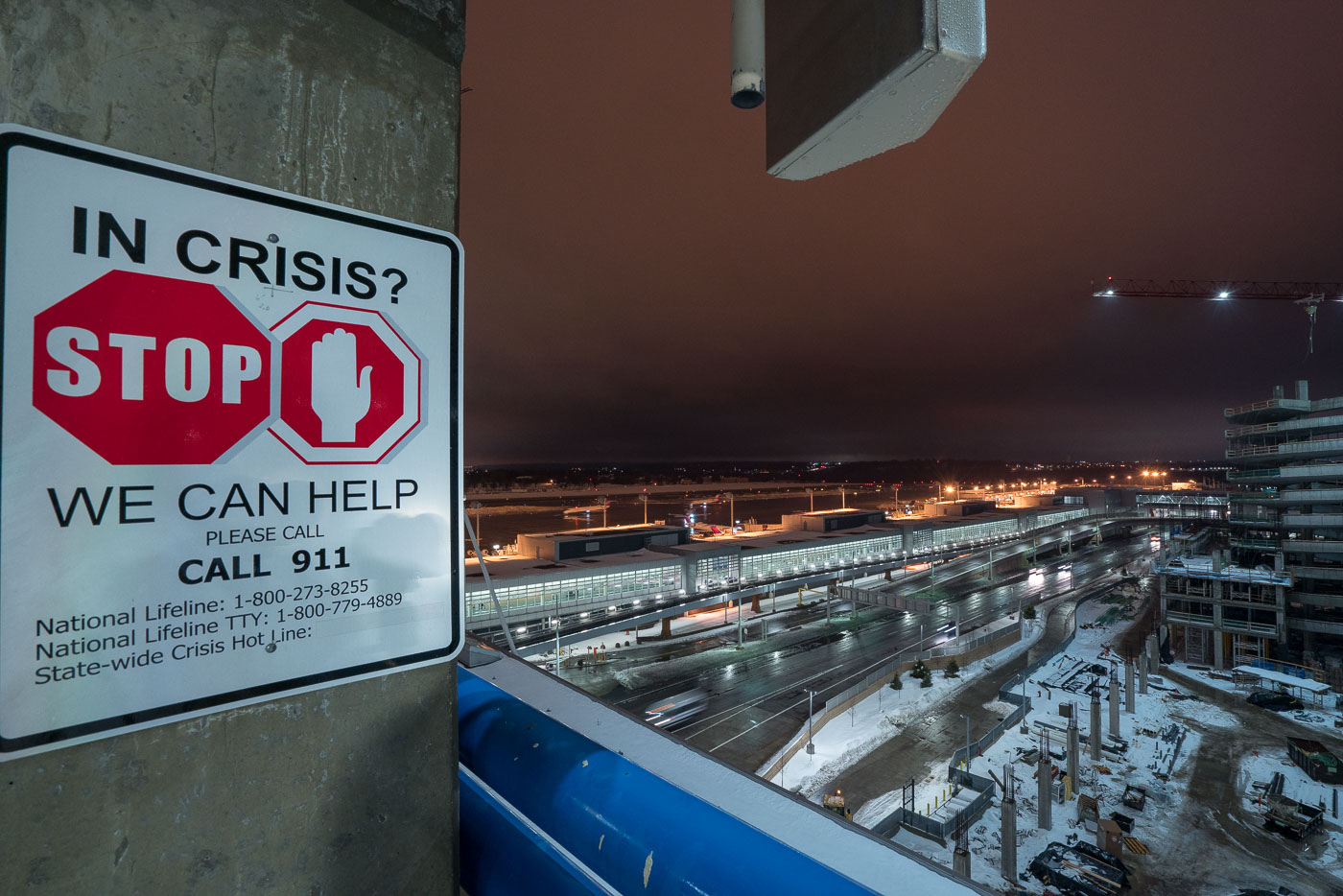
A sign offering crisis hotline information is posted on a parking ramp at MSP Airport in Bloomington, Minnesota, with airport construction visible in the background.
A crisis hotline sign is posted on the upper level of a parking ramp at Minneapolis–Saint Paul International Airport in Bloomington, Minnesota. The sign directs people in crisis to call 911 and lists the National Lifeline, a TTY number, and a statewide crisis hotline.

“In Crisis?” Hotline Sign Overlooking MSP Airport Construction
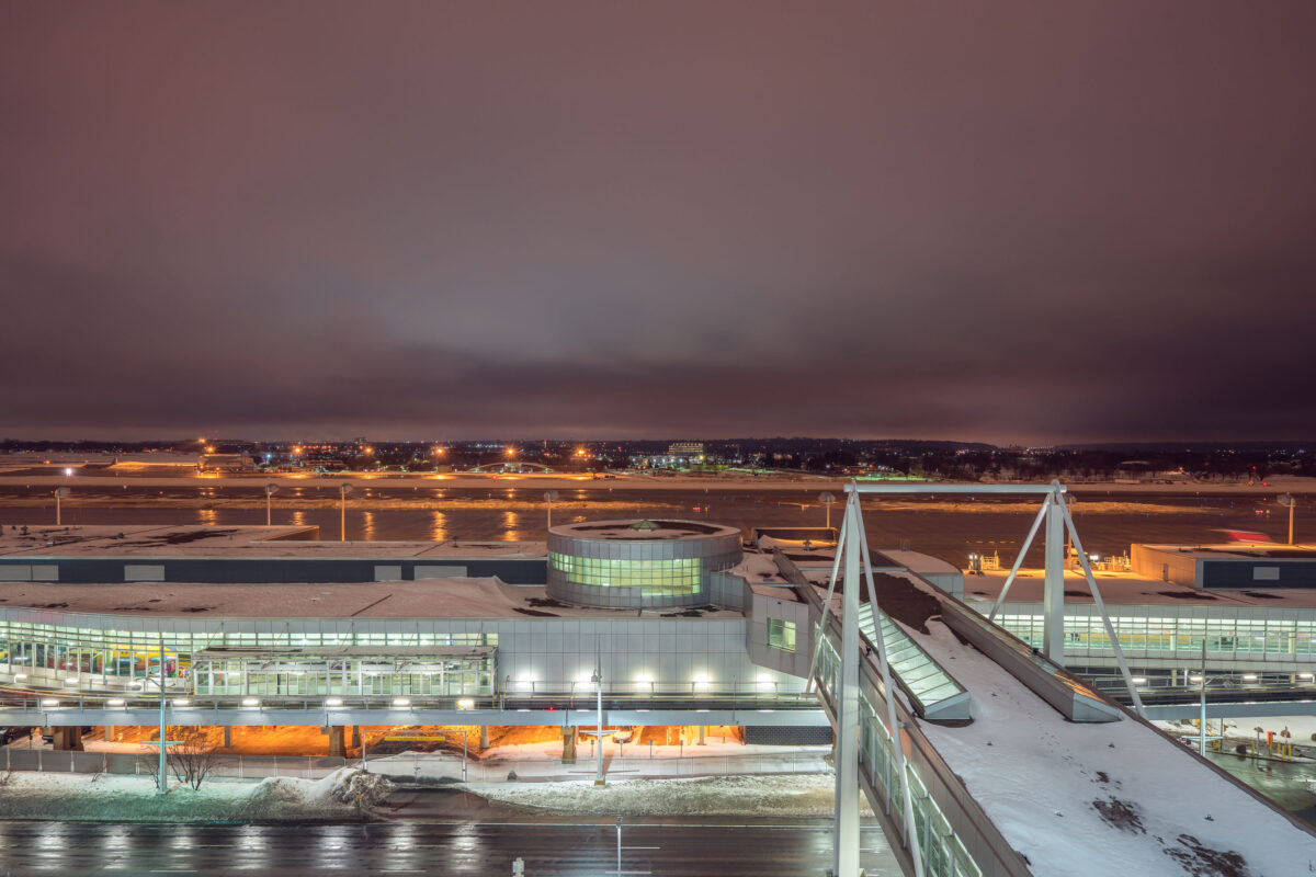
Minneapolis St Paul Airport in March 2019
Minneapolis–Saint Paul International Airport in Bloomington, Minnesota, is shown at night in March 2019, with terminal structures in the foreground and airfield lighting extending across the snow-covered apron and runways.

Snowy Night at MSP Airport’s Tram Bridge
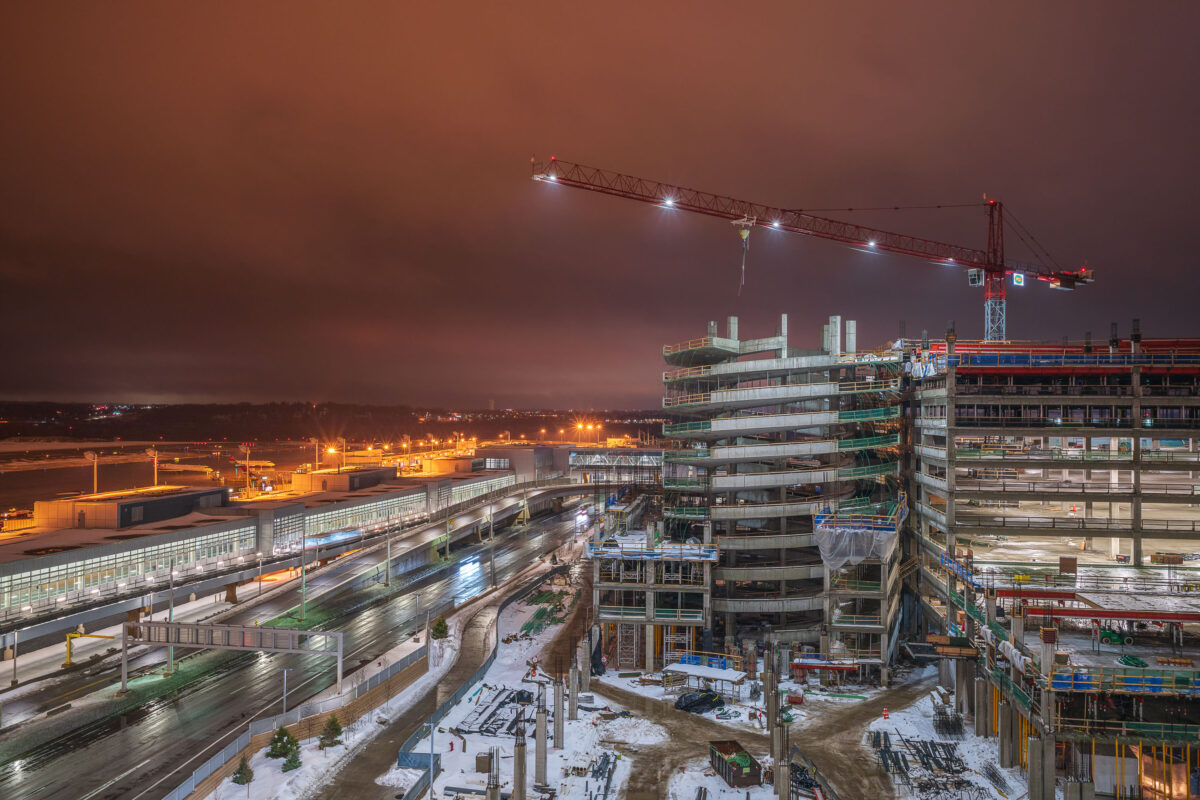
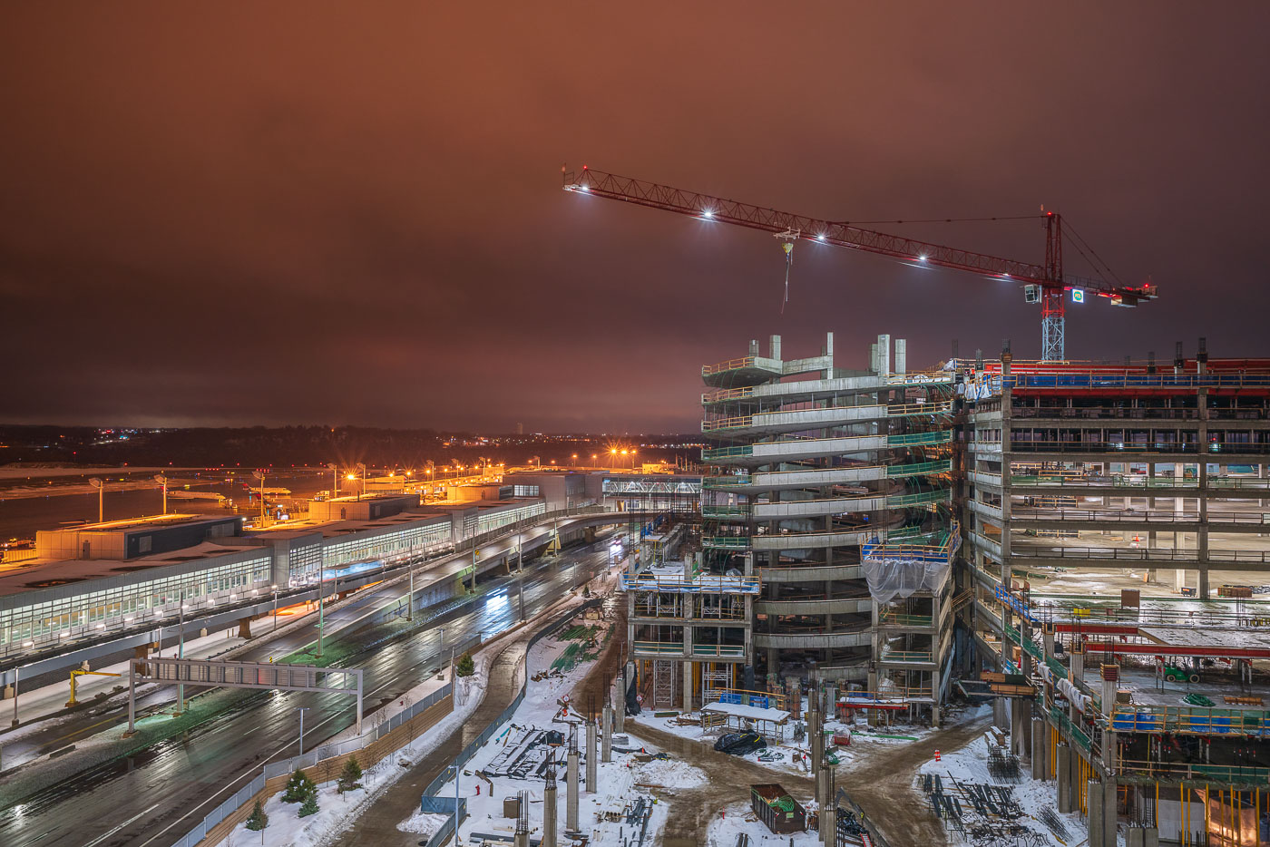
MSP Airport Construction in Winter 2019 St Paul
Parking ramp construction at Minneapolis–Saint Paul International Airport in Bloomington, Minnesota, is shown beside a terminal roadway in March 2019. The project expanded airport parking capacity with a multi-level concrete structure under active construction, including a spiral vehicle ramp and tower crane operating above the site.

Tower Crane Over Night Construction at MSP Airport
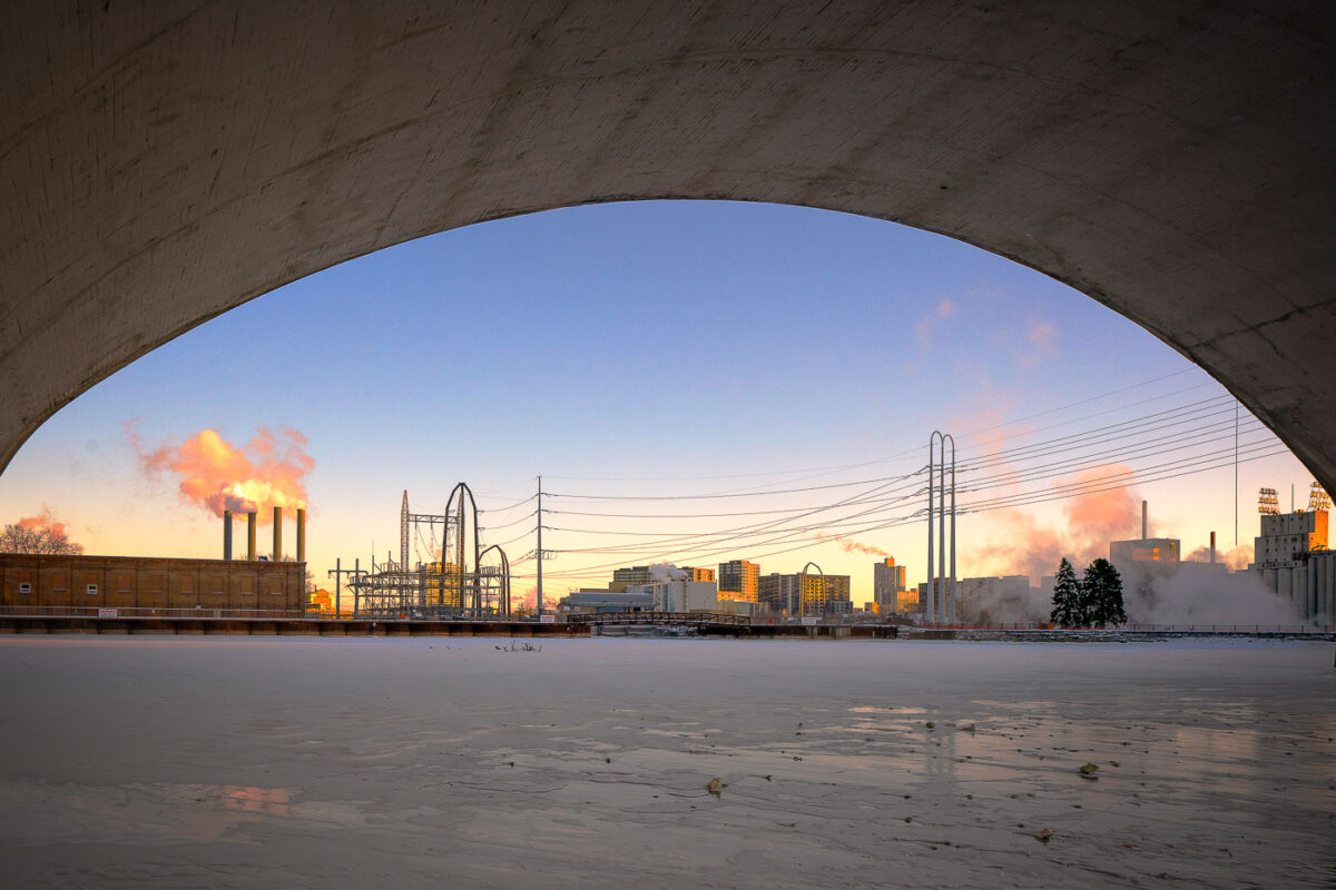
Third Avenue Bridge in Minneapolis spans the frozen Mississippi River near downtown.
Third Avenue Bridge in Minneapolis spans the Mississippi River near downtown. The bridge connects the city’s riverfront with the downtown area over the river. In winter, the river below is often covered with ice during periods of extreme cold.

Third Avenue Bridge Overlook, Minneapolis
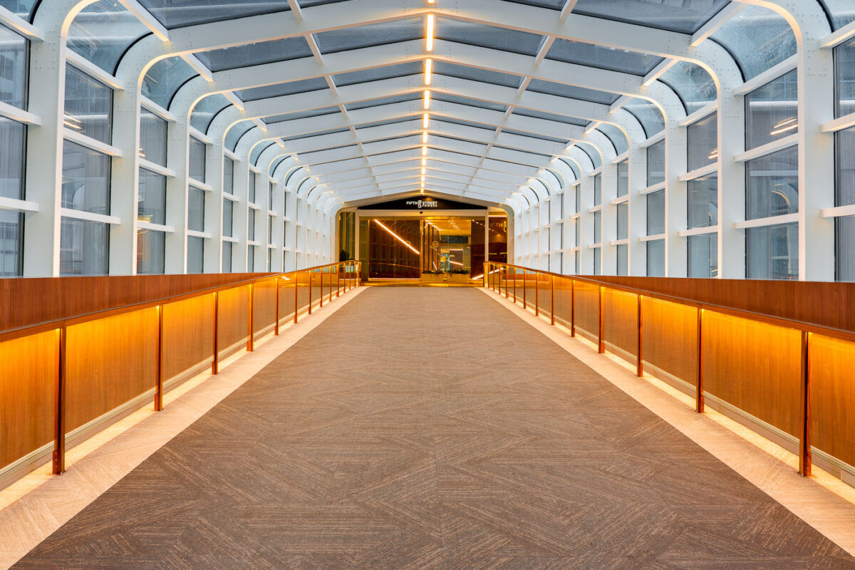
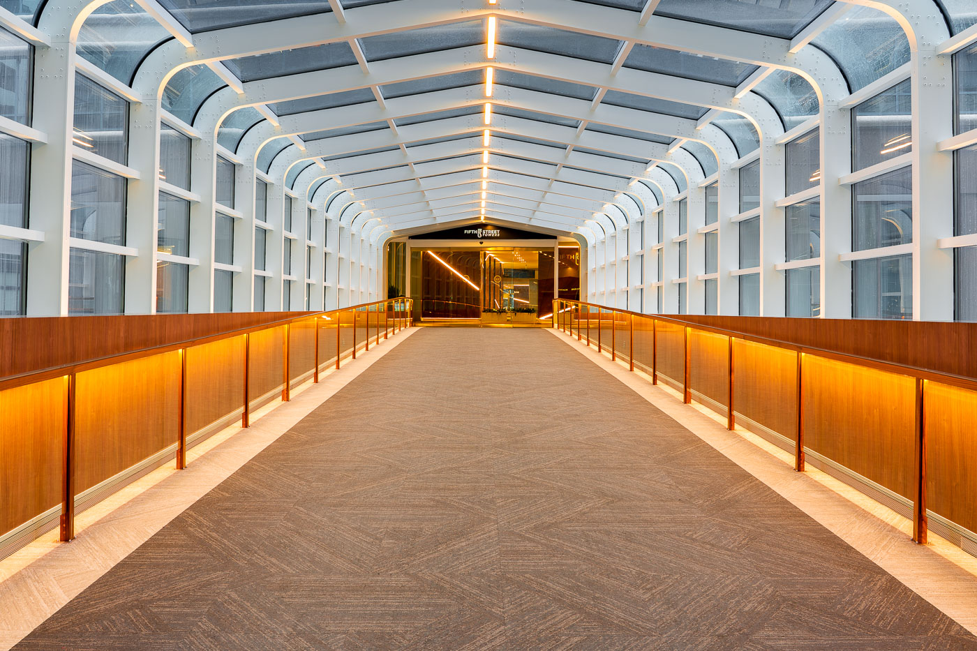
Inside the Fifth Street Towers skyway
The skyway connecting the Soo Line Apartments to the Fifth Street Towers. The skyway is part of the large Minneapolis Skyway System.

Inside the Fifth Street Towers skyway

Inside the Canadian Pacific Plaza Skyway Minneapolis
Located at 120 South 6th St, the 28 story Canadian Pacific Plaza was the tallest building in Minneapolis built in the 1960s.

Inside the Canadian Pacific Plaza

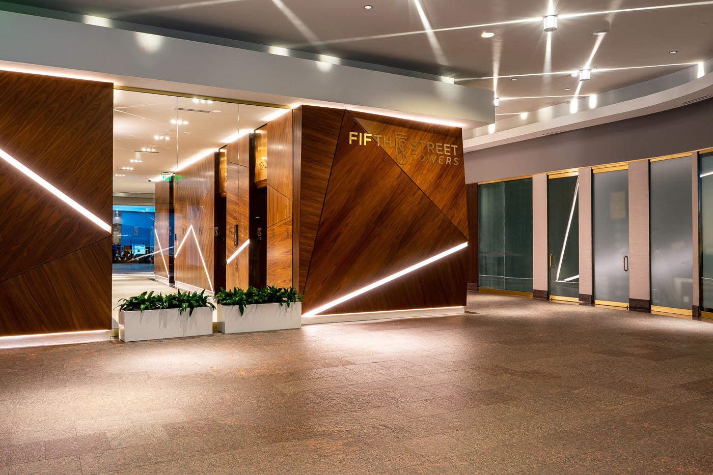
Fifth Street Towers skyway entrance in downtown Minneapolis with wood-paneled walls and lit planters.
Inside the Fifth Street Towers in Downtown Minneapolis.

Fifth Street Towers Skyway Entrance, Minneapolis

Roof of the Hennepin Energy Recovery Center
Inside the Hennepin Energy Recovery Center (HERC) in downtown Minneapolis. Operated by Hennepin County, the facility began service in 1989 and processes hundreds of thousands of tons of trash each year, burning refuse to generate steam and electricity for the local grid.

Steam Pipes on the HERC Rooftop in Minneapolis

HERC Control Room Monitoring, Minneapolis
Operators monitor facility systems from a control room inside the Hennepin Energy Recovery Center (HERC) in Minneapolis. Wall-mounted screens display live camera feeds from across the plant, including the waste bunker and combustion areas, allowing staff to track material flow and equipment conditions in real time. Control panels and logs are used to manage burn rates, steam production, and electrical output, ensuring stable operation of the waste-to-energy process. Operated by Hennepin County since 1989, the facility relies on centralized monitoring like this to coordinate daily operations and maintain safety across the plant.

Security Camera Feeds Outside the HERC Control Room

HERC Turbine Hall Operations Floor
The turbine hall at the Hennepin Energy Recovery Center (HERC) in Minneapolis houses control panels, steam piping, and generator equipment that convert heat from burned municipal waste into electricity. High-pressure steam is routed from the boilers through insulated lines into turbines, with control systems monitoring output and maintaining stable operation. Overhead cranes and access platforms support maintenance of large components within the hall. In operation since 1989 and run by Hennepin County, the facility integrates waste processing with power generation and district energy service for downtown Minneapolis.

Overhead Crane Hook Inside HERC’s Turbine Hall

HERC Turbine Generator Hall
A turbine generator housing and connected high-pressure steam line are seen inside the Hennepin Energy Recovery Center (HERC) in Minneapolis. Steam produced from burning municipal solid waste is directed through insulated piping into turbines like this, where it is converted into electricity for the local grid. The enclosed generator units help reduce noise and protect critical components, while adjacent piping and supports manage the flow and pressure of steam across the system. Operating since 1989 under Hennepin County, the facility integrates waste processing with energy production to serve downtown Minneapolis.

Steam Piping and Turbine Housing at HERC in Minneapolis

HERC High-Pressure Steam Lines
Inside the Hennepin Energy Recovery Center (HERC) in downtown Minneapolis. Operated by Hennepin County, the facility began service in 1989 and processes hundreds of thousands of tons of trash each year, burning refuse to generate steam and electricity for the local grid.

Piping and Catwalks Inside the HERC Boiler Building

HERC Boiler Floor Equipment, Hennepin Minneapolis
Pumps, valves, and piping systems operate on the boiler floor inside the Hennepin Energy Recovery Center (HERC) in Minneapolis. These systems circulate water and steam through the facility’s boilers, where heat from burning municipal solid waste is captured and converted into usable energy. The resulting steam is distributed to downtown buildings and also used to generate electricity. In service since 1989 and operated by Hennepin County, the plant relies on a network of motors, gauges, and control valves like these to regulate pressure, flow, and temperature across its waste-to-energy process.

Pump Motors and Piping on the HERC Boiler Floor

HERC Combustion Unit Access Doors, Minneapolis
Maintenance access doors line a combustion unit inside the Hennepin Energy Recovery Center (HERC) in downtown Minneapolis. These sealed panels provide entry points for inspection and servicing of the high-temperature chambers where municipal solid waste is burned. Operated by Hennepin County since 1989, the facility uses controlled combustion to convert trash into energy, producing steam that is distributed to nearby buildings and used to generate electricity.

Catwalk Beside the Combustion Chamber at HERC in Minneapolis

Inside the Hennepin Energy Recovery Center (HERC), Minneapolis
Inside the Hennepin Energy Recovery Center (HERC) in downtown Minneapolis. Operated by Hennepin County, the facility began service in 1989 and processes hundreds of thousands of tons of trash each year, burning refuse to generate steam and electricity for the local grid.

Westinghouse Steam Turbine at HERC in Minneapolis

Crane inside the Hennepin Energy Recovery Center (HERC), Minneapolis
A crane-mounted grapple lifts mixed municipal waste inside the Hennepin Energy Recovery Center (HERC) in downtown Minneapolis. Operated by Hennepin County, the facility began service in 1989 and processes hundreds of thousands of tons of trash each year, burning refuse to generate steam and electricity for the local grid.

Crane Claw Lifts Waste at the HERC Tipping Floor, Minneapolis

Waste Processing Floor, HERC Minneapolis
A crane-mounted grapple lifts mixed municipal waste inside the Hennepin Energy Recovery Center (HERC) in downtown Minneapolis. Operated by Hennepin County, the facility began service in 1989 and processes hundreds of thousands of tons of trash each year, burning refuse to generate steam and electricity for the local grid.

Claw Crane Over Trash Piles at HERC Minneapolis

Crane on the HERC Waste Processing Floor, Minneapolis
A crane-mounted grapple lifts mixed municipal waste inside the Hennepin Energy Recovery Center (HERC) in downtown Minneapolis. Operated by Hennepin County, the facility began service in 1989 and processes hundreds of thousands of tons of trash each year, burning refuse to generate steam and electricity for the local grid.

Claw Grabs Trash at the HERC Waste Pit, Minneapolis

HERC Waste Processing Floor, Minneapolis
A crane-mounted grapple lifts mixed municipal waste inside the Hennepin Energy Recovery Center (HERC) in downtown Minneapolis. Operated by Hennepin County, the facility began service in 1989 and processes hundreds of thousands of tons of trash each year, burning refuse to generate steam and electricity for the local grid.

Trash Pile Awaits the Claw at HERC in Minneapolis
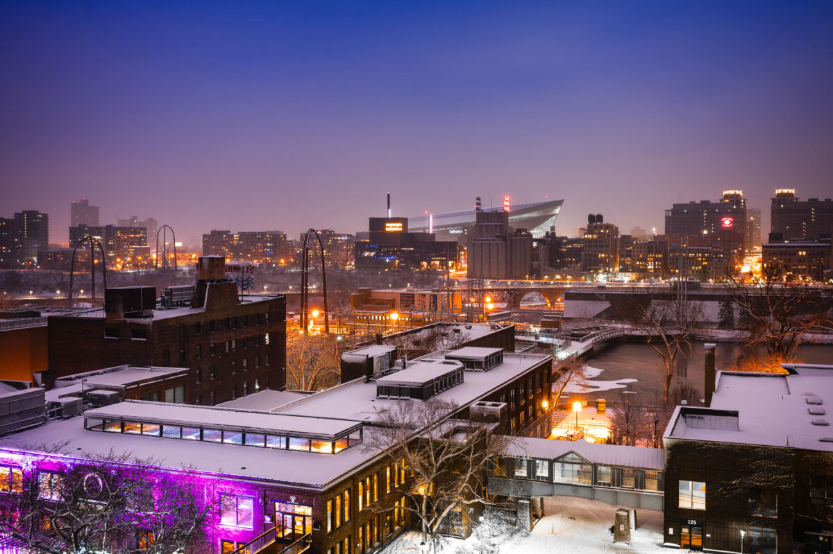
Downtown Minneapolis from St. Anthony Main
The Minneapolis skyline is visible in the distance, with US Bank Stadium prominently featured. In the foreground, the historic Stone Arch Bridge spans the Mississippi River, connecting the St. Anthony Main district to the city's core. Originally built in 1883 for the Great Northern Railway, the bridge is now a pedestrian and bicycle path, offering views of the river and the former industrial buildings that once defined this area.

Minneapolis Skyline and Stone Arch Bridge in Winter

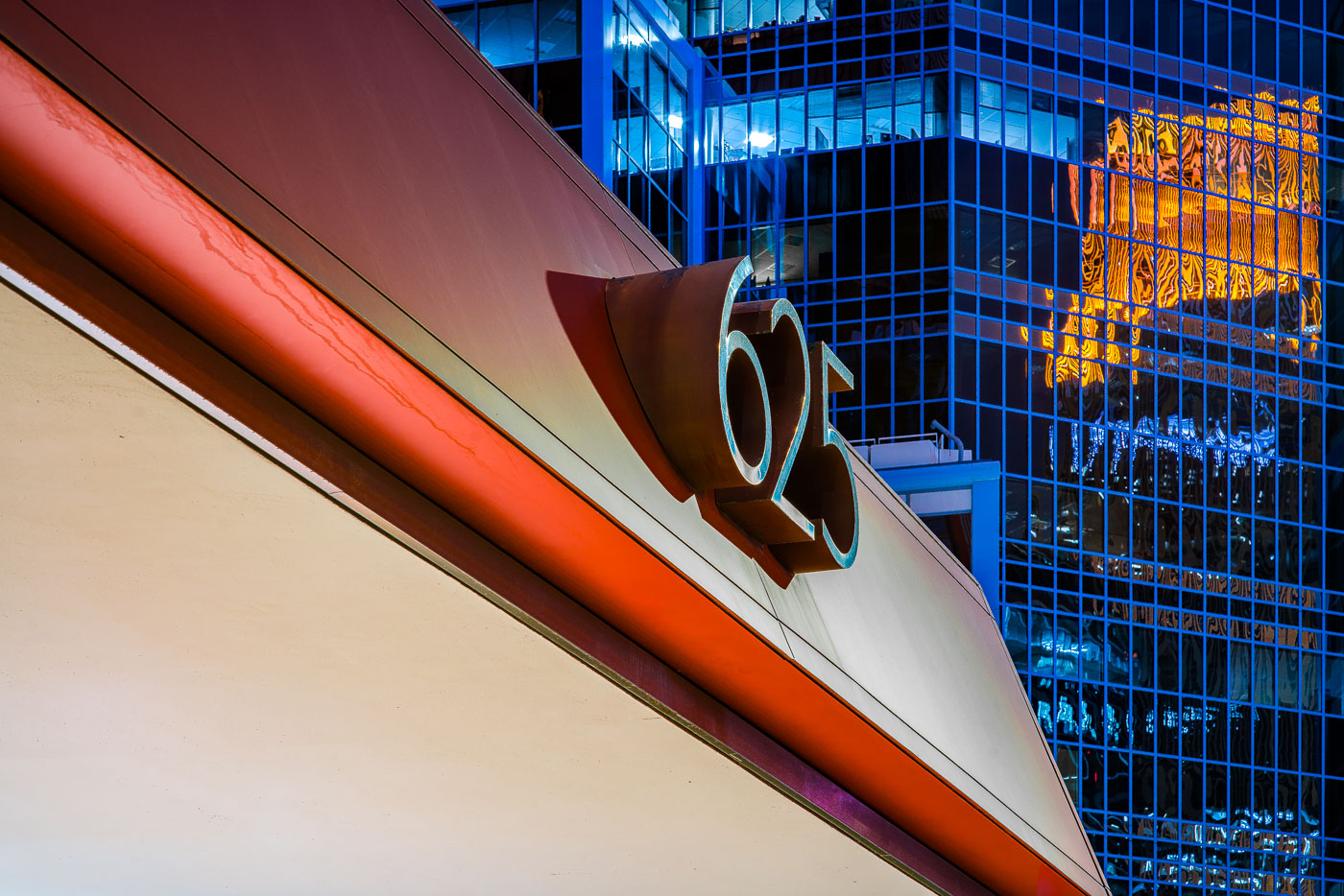
625 Building sign on a downtown Minneapolis facade beside a blue glass office tower
The 625 Building rises in downtown Minneapolis with a red and white facade in the foreground and a glass office tower behind it. A large “625” address sign is mounted on the building’s exterior near the corner.

625 Building, Downtown Minneapolis

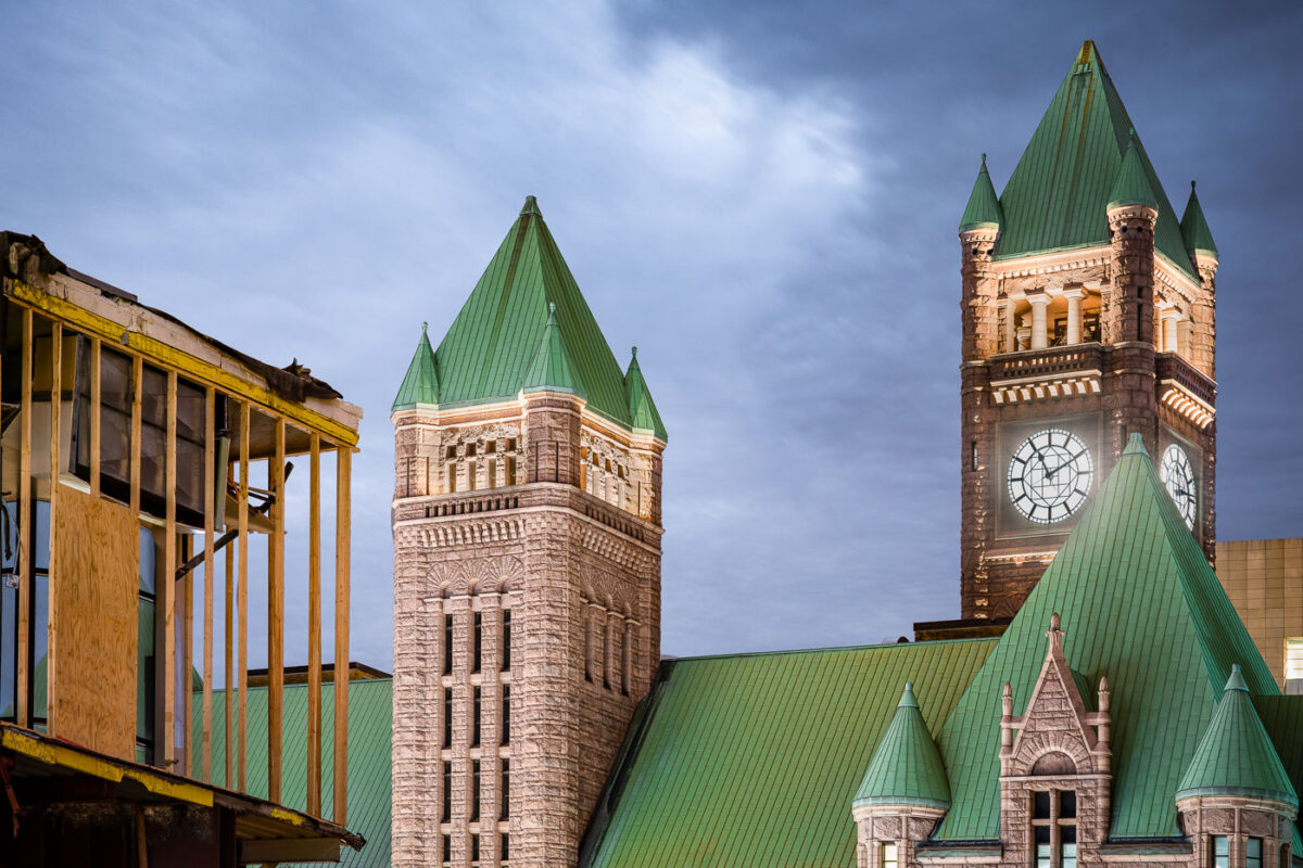
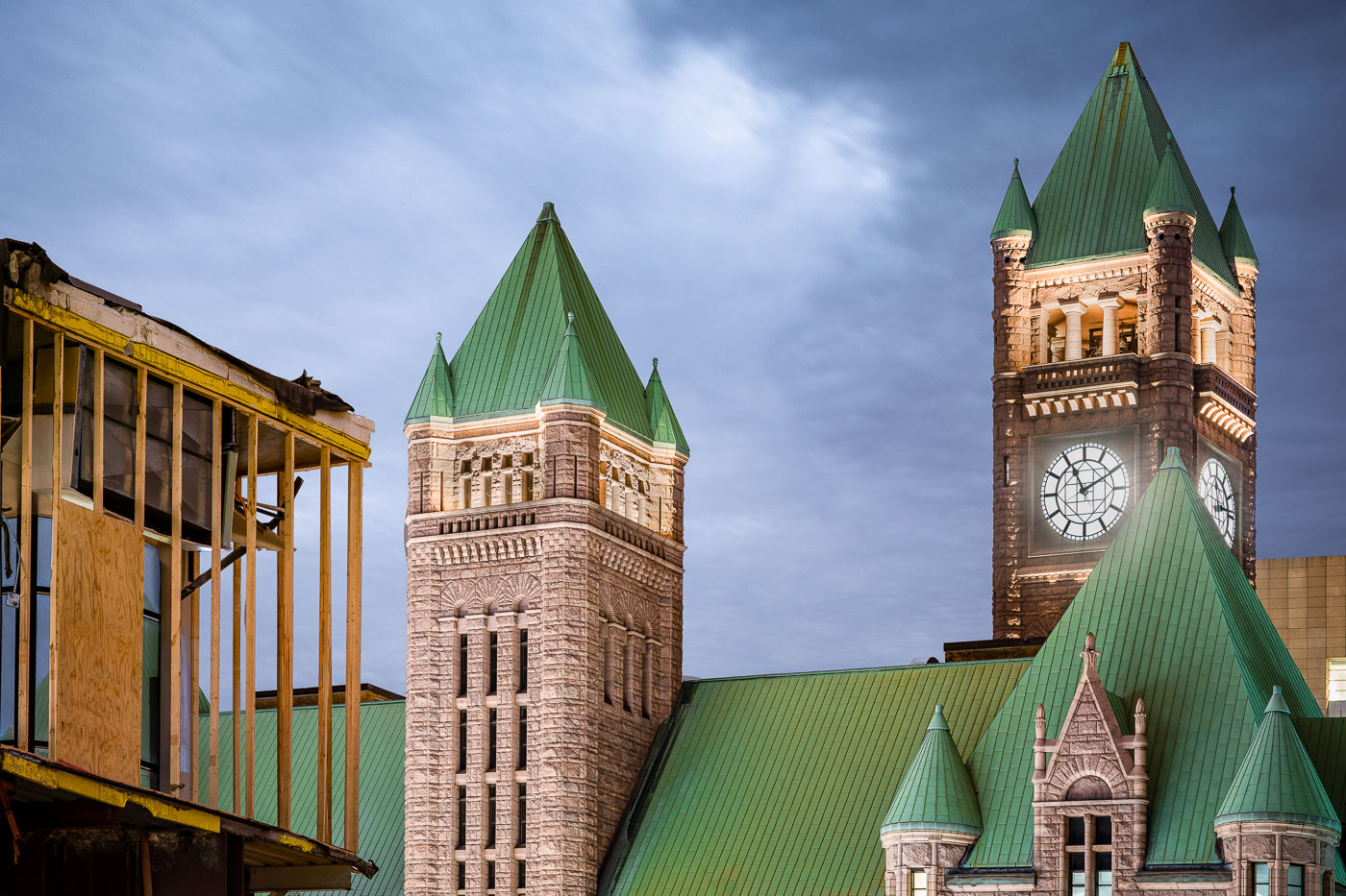
Minneapolis City Hall's Romanesque Revival towers with green copper roofs and large clock faces stand beside construction scaffolding.
Minneapolis City Hall, at 350 South Fifth Street, was built between 1888 and 1906 to a design by architects Franklin B. Long and Frederick Kees in the Romanesque Revival style. Its tower rises 345 feet and carries four clock faces, each about 24 feet in diameter, driven by a weight-powered mechanism installed when the building opened. The clock has long been cited as one of the largest four-faced, chiming clocks in the country. The building is listed on the National Register of Historic Places and still houses Minneapolis municipal offices along with Hennepin County government functions.

Minneapolis City Hall Towers Beside a Construction Site at Dusk
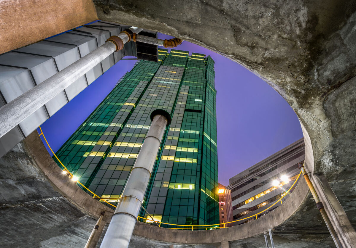
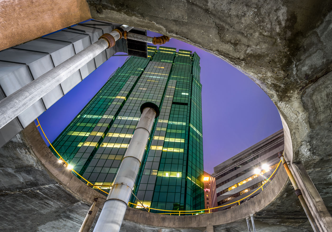
AT&T Tower in downtown Minneapolis rises above a parking ramp.
AT&T Tower, Minneapolis, rises above a downtown parking ramp. The building is a prominent office tower in the city’s central business district.

AT&T Tower, Minneapolis

Target Corporation headquarters tower in downtown Minneapolis, Minnesota.
Target Corporation headquarters in downtown Minneapolis, Minnesota. The tower is part of Target Center’s corporate campus and the company’s main office complex in the city.

Target Headquarters Tower, Minneapolis

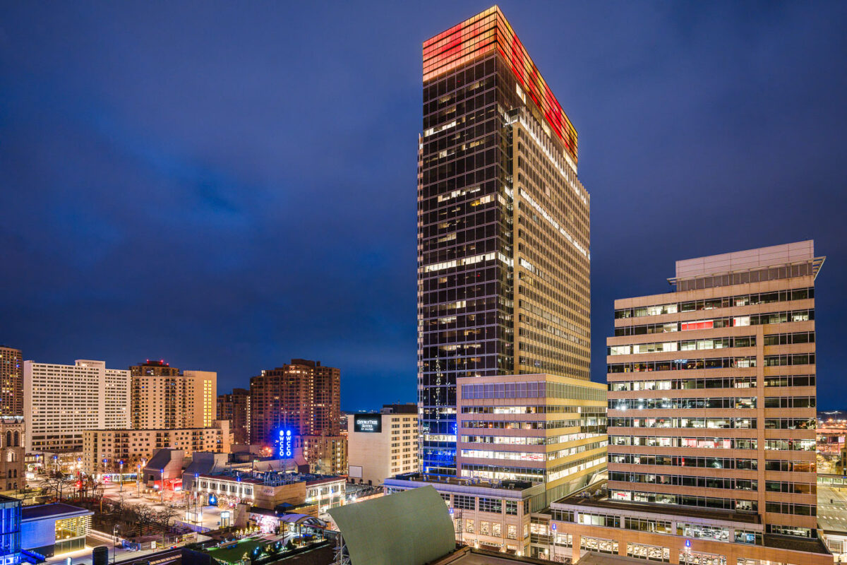
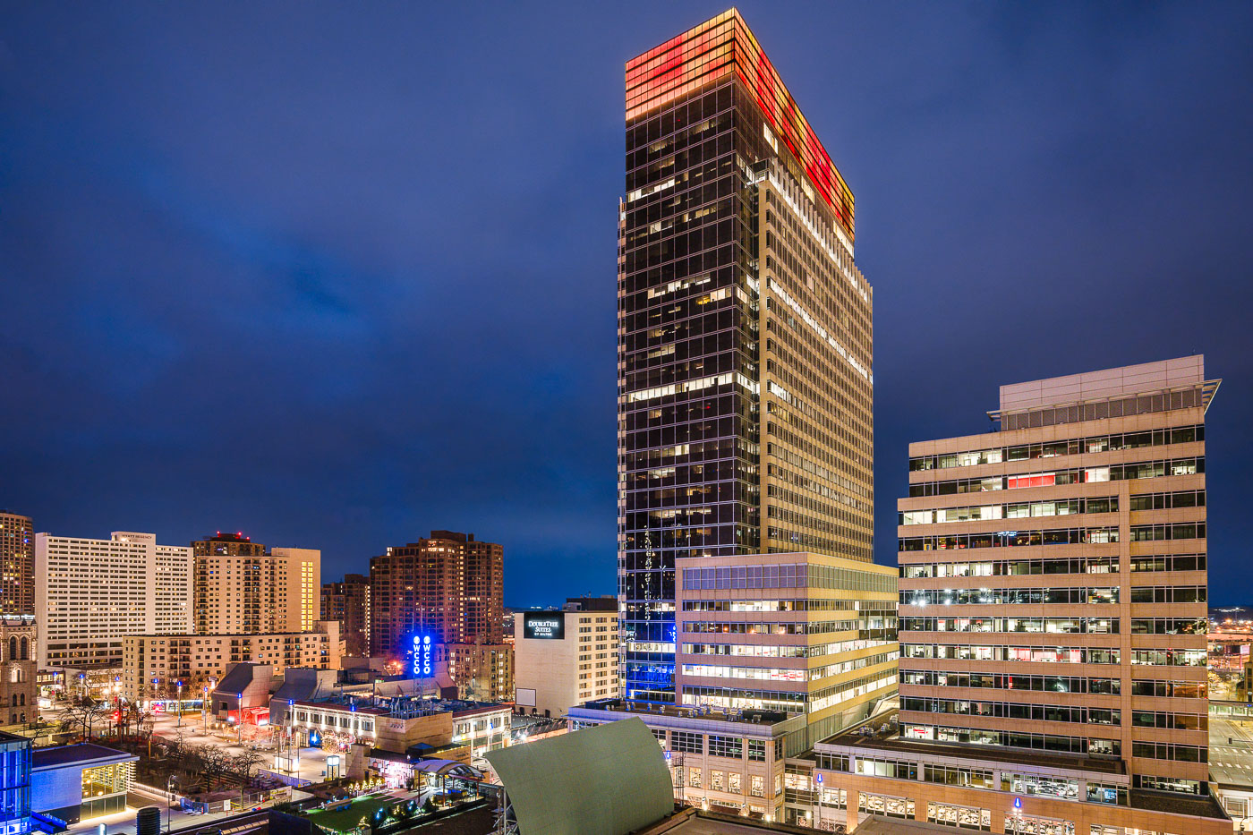
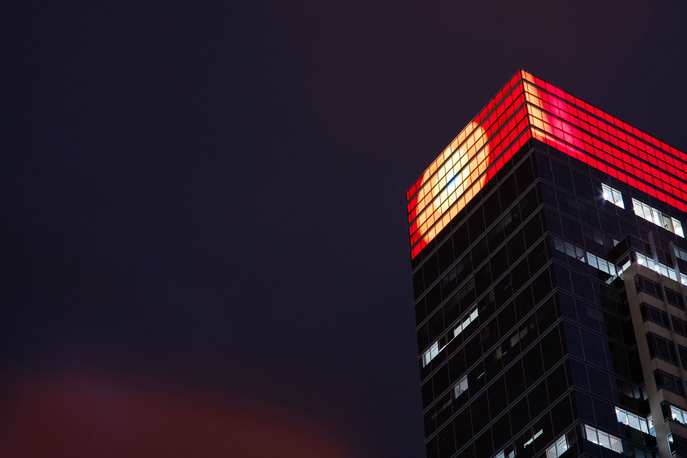
Target headquarters in downtown Minneapolis lit red and yellow at dusk.
The Target Corporation headquarters building in downtown Minneapolis is illuminated at dusk. Completed in 2001, the structure serves as the central hub for the retail giant's operations. Its modern architecture features a dark glass facade, contrasted by a vibrant red and yellow lighting system on its upper levels. The building is a significant presence in the Minneapolis business district, reflecting the company's prominence in the retail industry.

Target Headquarters, Downtown Minneapolis at Dusk
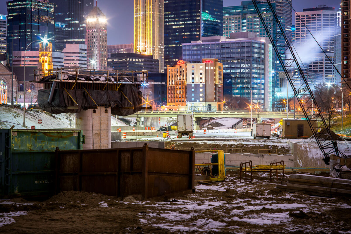
I-35W highway construction site in downtown Minneapolis with illuminated office towers and buildings visible beyond the freeway trench.
I-35W construction in downtown Minneapolis continues in the freeway trench south of the central business district.

Night Construction Along I-35W Beneath the Minneapolis Skyline
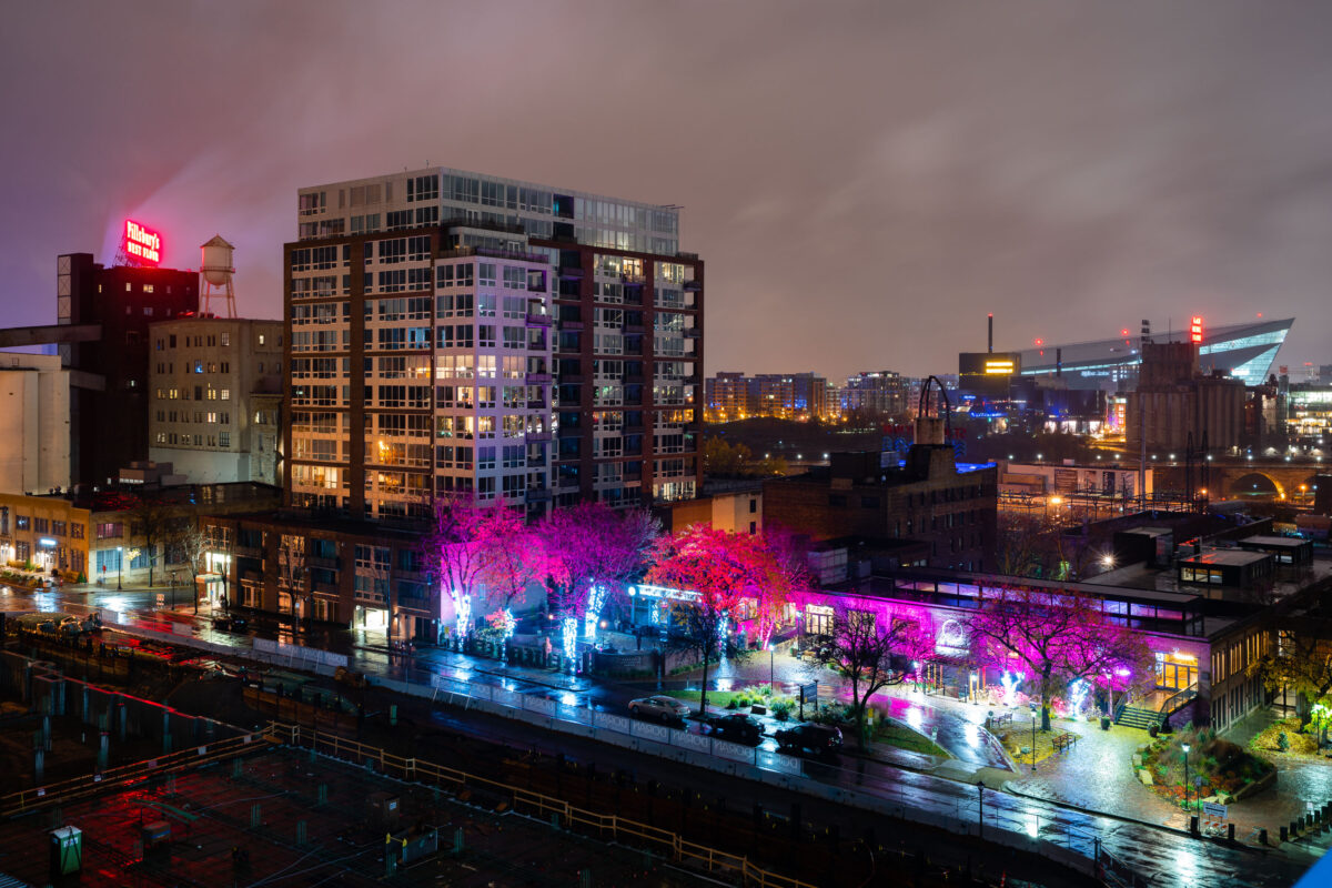
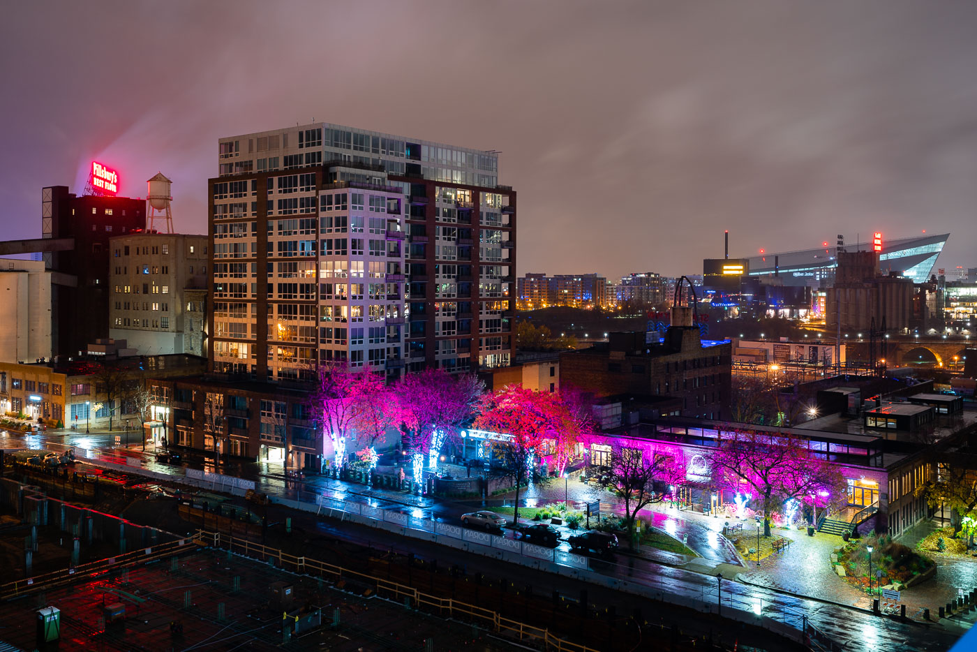
Northeast Minneapolis riverfront at night with illuminated Pillsbury A Mill and US Bank Stadium visible across the Mississippi River.
US Bank Stadium, a multi-purpose venue completed in 2016, is visible across the Mississippi River from Northeast Minneapolis. In the foreground, the historic Pillsbury A Mill, once the largest flour mill in the world, stands as a reminder of the area's industrial past.

Pink-Lit Trees on St. Anthony Main Near US Bank Stadium

Stone Arch Bridge in Minneapolis beyond trees at Gold Medal Park.
The Stone Arch Bridge spans the Mississippi River in Minneapolis. Built in 1883 for the Great Northern Railway, it now carries pedestrians and cyclists across the river.

Stone Arch Bridge, Minneapolis

The Mill City Museum, housed in the former Washburn "A" Grain Elevator in Minneapolis, preserves the history of the city's flour milling industry.
The Mill City Museum in Minneapolis is housed in the former Washburn "A" Grain Elevator, a structure that was once the largest flour mill in the world. The museum preserves and interprets the history of the mill and the city's flour milling industry, which was central to Minneapolis's development. The grain elevator, built in 1880, is a prominent example of industrial architecture from the era. Today, the museum offers exhibits on the milling process, the lives of mill workers, and the impact of the industry on the city's growth and identity.

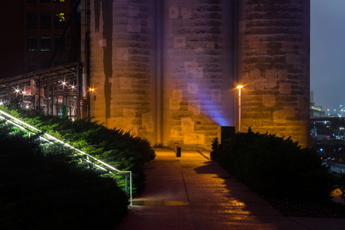
Gold Medal Flour Grain Elevator, Mill City Museum, Minneapolis
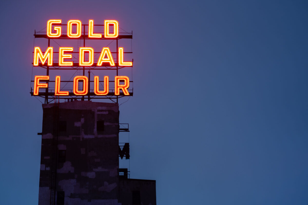
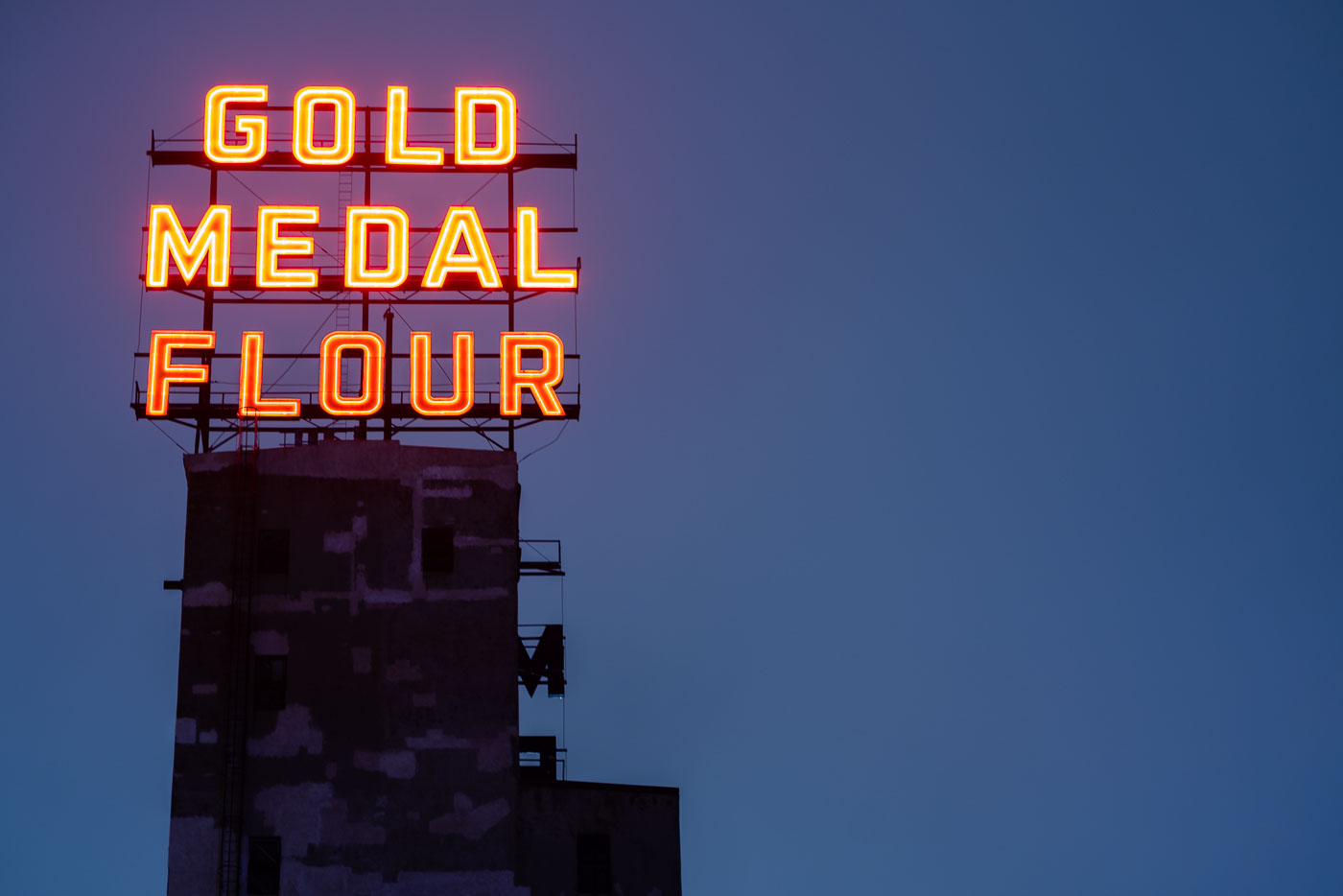
The Gold Medal Flour neon sign illuminates a historic grain elevator in downtown Minneapolis, a reminder of the city's industrial past.
The "Gold Medal Flour" neon sign stands atop a historic grain elevator in downtown Minneapolis.

Gold Medal Flour Neon Sign, Downtown Minneapolis
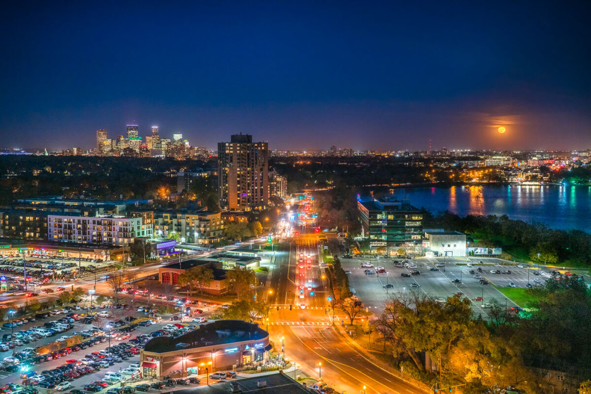
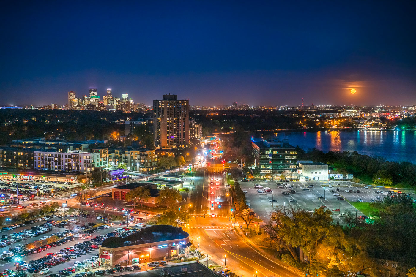
Minneapolis skyline and Bde Maka Ska under a full moon, viewed from the West Calhoun neighborhood.
The Minneapolis skyline is visible in the distance as a full moon rises over Bde Maka Ska. Bde Maka Ska the largest lake in Minneapolis and is part of the Chain of Lakes.

Minneapolis skyline and Bde Maka Ska under full moon

Aerial view of the former Dayton's department store rooftop and surrounding downtown Minneapolis buildings at night.
The former Dayton's department store building occupies a full block along Nicollet Mall in downtown Minneapolis, between Seventh and Eighth streets. Dayton's opened the flagship store in 1902 and operated there for decades before the chain became Macy's, which closed the location in 2017. The complex has since been redeveloped for offices and retail under new ownership.

Rooftops of the Former Dayton’s Building Above Nicollet Mall
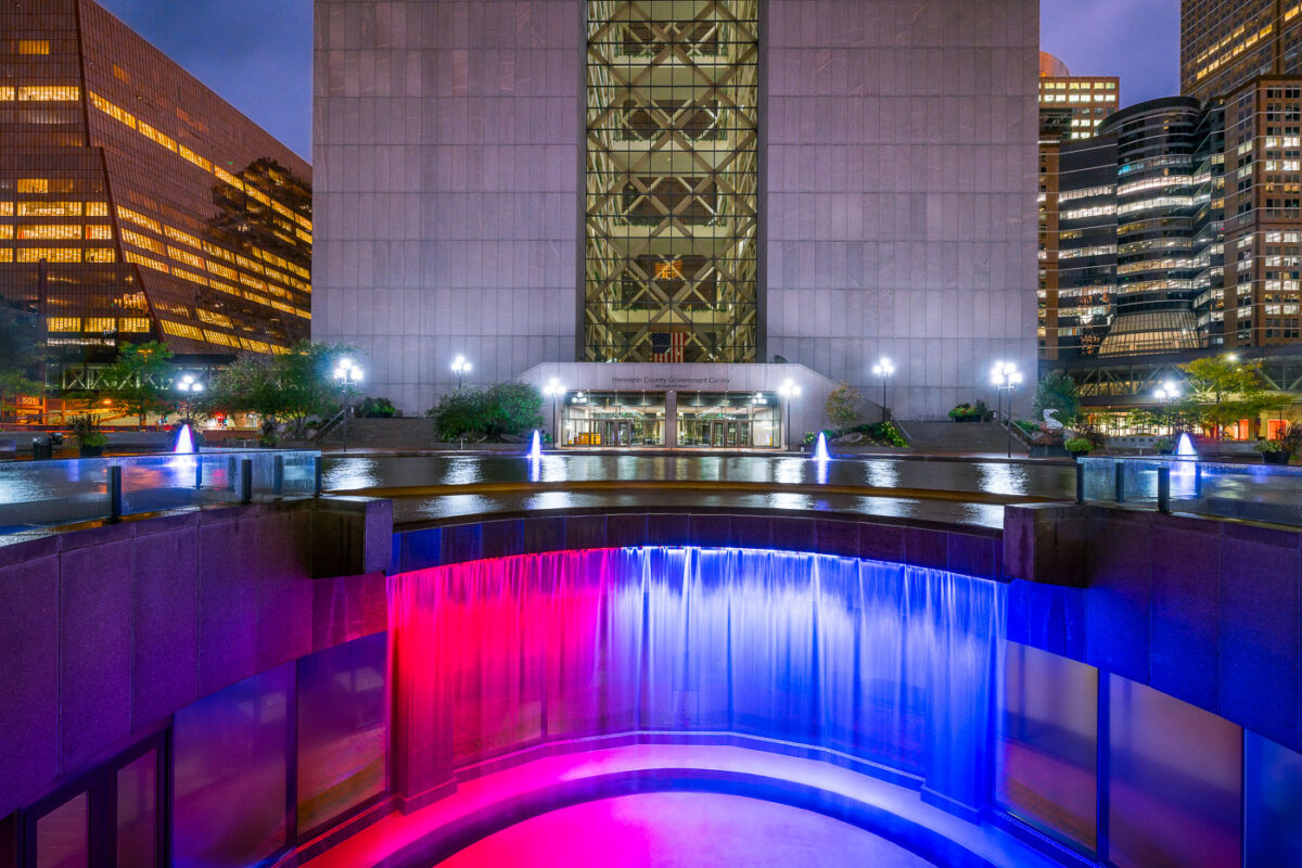
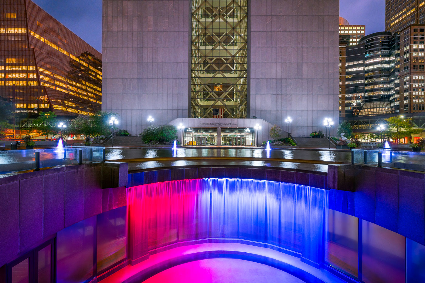
Colorful waterfall outside Hennepin County GC
Hennepin County Government Center, construction was completed in 1977. While often looked at as a single building, it’s actually 2 different towers with glass in between them. When viewed from the northeast or southeast(such as this photo), the building gives the appearance of the letter H for Hennepin. The towers are accessible from each other via catwalks on each floor. Glass walls were added after multiple suicides.

Hennepin County Government Center, Minneapolis MN

General Mills Research Center building in Minneapolis at night before demolition.
The General Mills Research Center building in Minneapolis appears during nighttime operations shortly before its demolition. General Mills used the facility for food and product research and development. The site was part of the company's long-standing presence in Minneapolis.

General Mills Research Center Building, Minneapolis

Bail Bonds Doctor and Minneapolis Public Service Building banners on fencing in downtown Minneapolis.
Bail Bonds Doctor and City of Minneapolis New Public Service Building banners line fencing around a construction site in downtown Minneapolis. The project appears to be associated with the Minneapolis Public Service Center area.

Bail Bonds Doctor Banner, Minneapolis Public Service Building
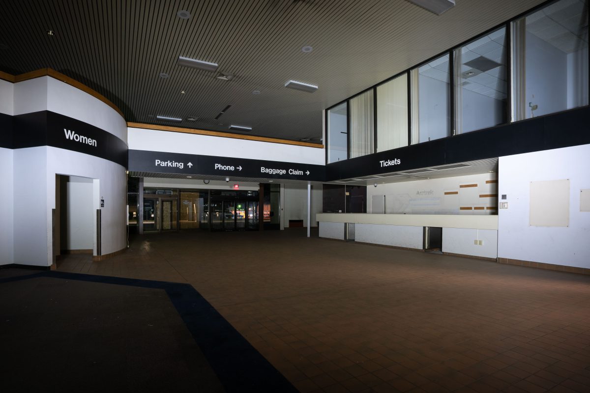
Former Midway Amtrak Station in St. Paul
Former Amtrak Midway Station in St. Paul, Minnesota.

Former Midway Amtrak Station in St. Paul

Winter Park training facility in Eden Prairie, Minnesota, with lit practice fields at night.
Winter Park in Eden Prairie, Minnesota, was the Minnesota Vikings’ headquarters and training facility from 1981 to 2018. The complex included offices, locker rooms, weight rooms, and an indoor practice field under a domed roof. It remained one of the team’s primary operational sites until the opening of the Twin Cities Orthopedics Performance Center.

Winter Park Training Facility, Eden Prairie, Minnesota
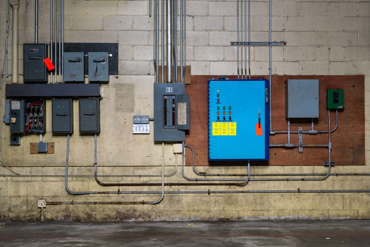
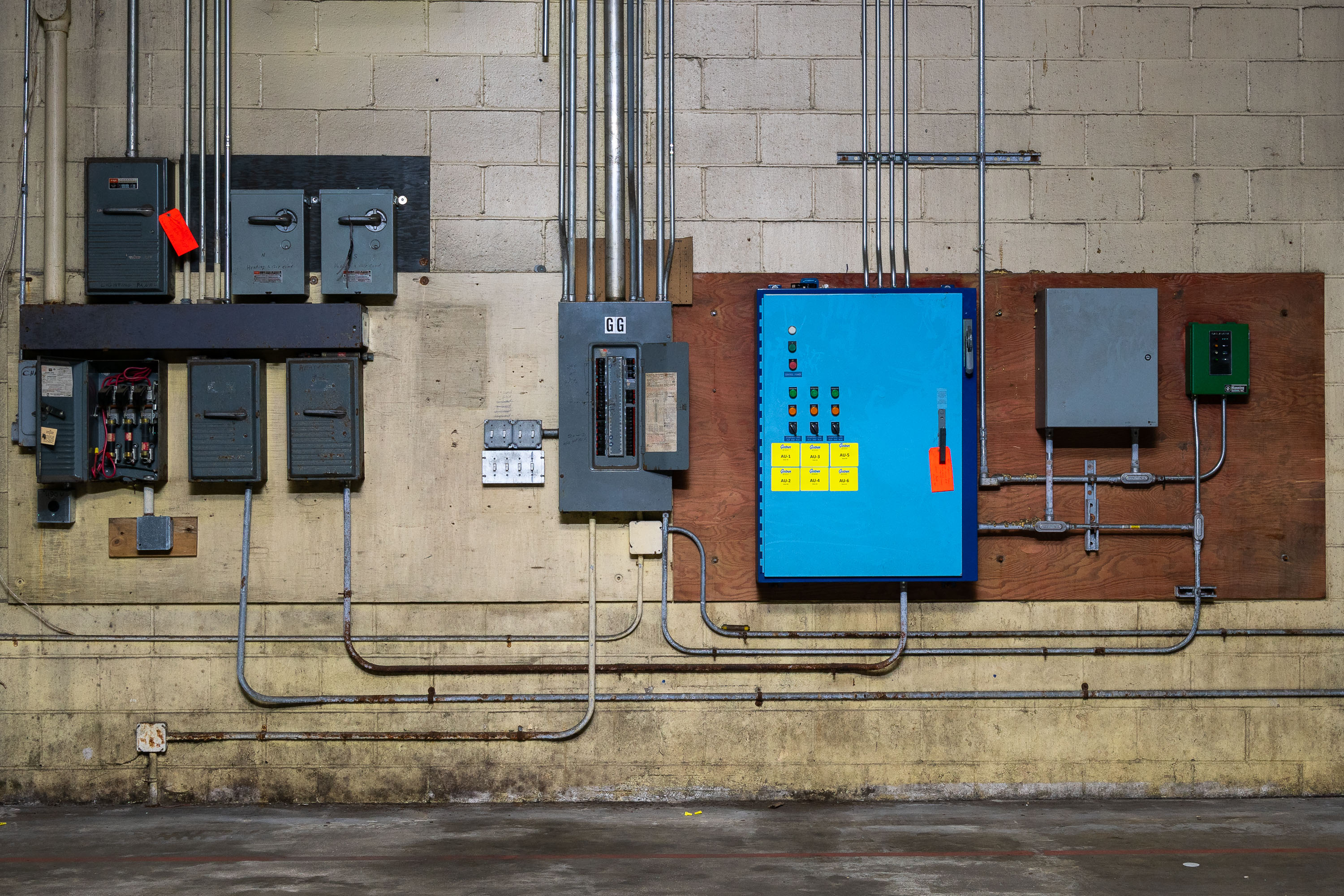
Electrical panel bank from a former cold storage plant in Minnesota controls refrigeration and power systems.
The switchgear and breaker panels on this wall once distributed power for refrigeration equipment inside a cold storage plant, a facility type built to hold perishable goods like meat, dairy, or produce at controlled low temperatures before modern refrigerated trucking made large centralized cold-storage warehouses less necessary. Ammonia-based compressors were standard in plants of this era, and the switchgear supplying them had to run continuously, since even brief power interruptions could bring storage rooms above safe temperatures and spoil inventory. Plants like this were commonly sited near rail spurs or waterfronts, allowing perishable shipments to move quickly between cold storage and market. The mix of panel styles and added conduit runs on this wall the electrical system was expanded and patched over multiple decades of operation rather than installed all at once.

Electrical Switchgear Wall, Former Cold Storage Plant, Minnesota
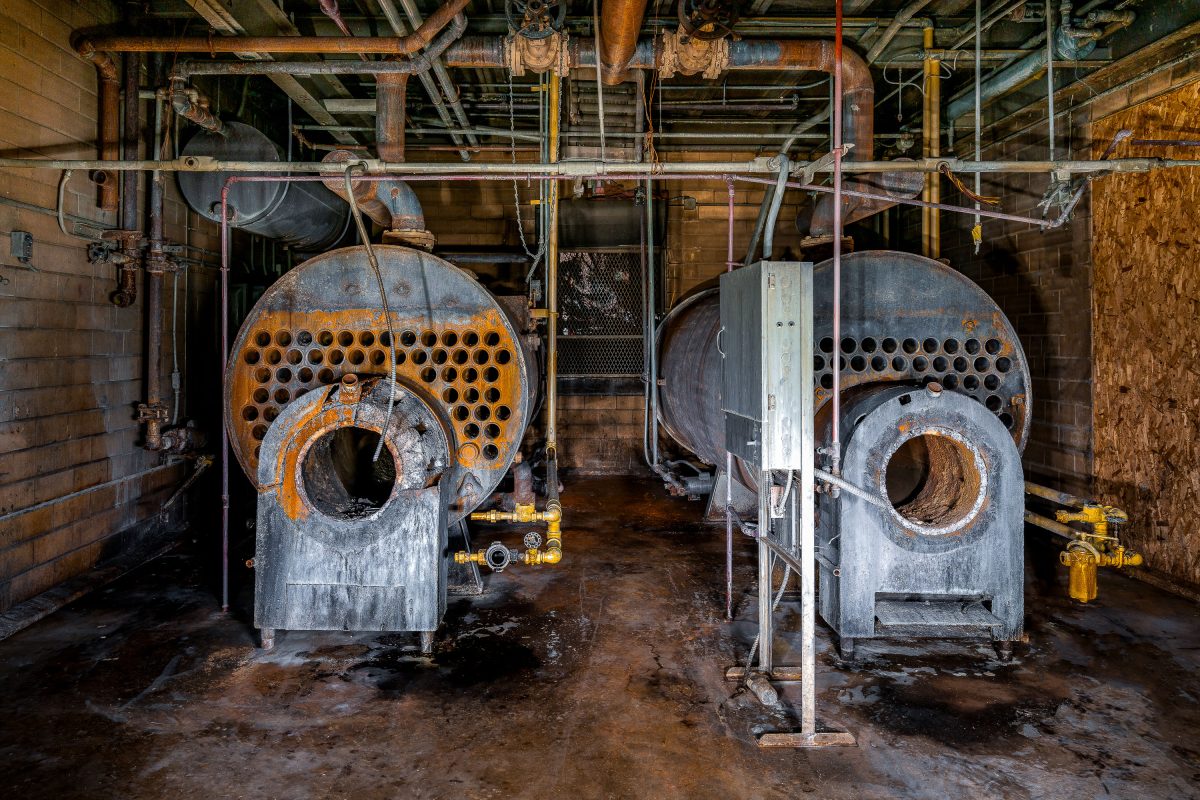
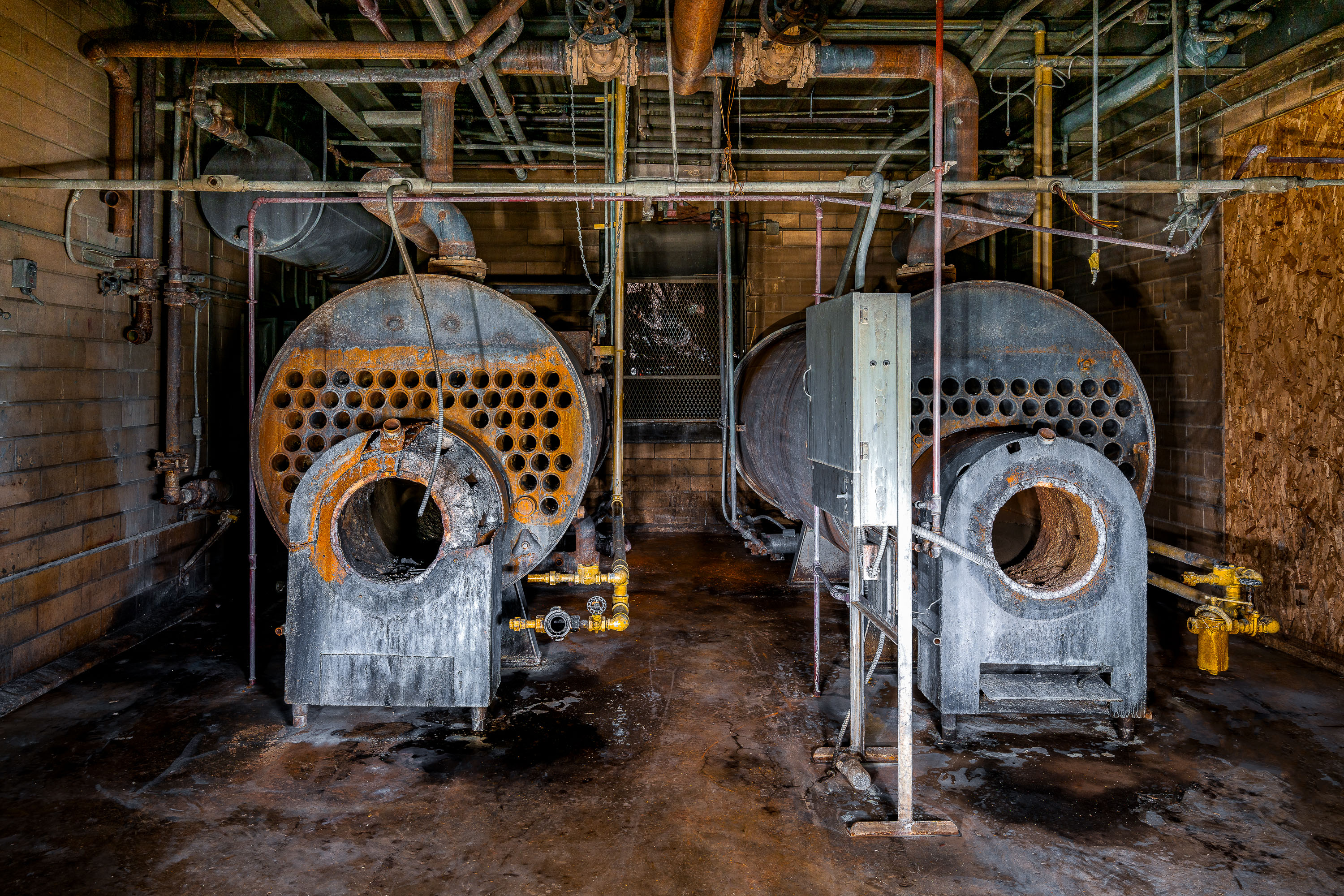
Two industrial boilers with perforated steel drums in an abandoned cold storage facility.
Fire-tube boilers like these once generated the steam that powered refrigeration equipment in cold storage warehouses, a common setup through the mid-20th century. Running two units side by side gave plant engineers redundancy, letting one boiler operate while the other underwent maintenance or repair. Many such plants used ammonia-based refrigeration systems driven by boiler-generated steam, technology that was largely phased out as electric compressors became the industry standard by the 1970s and 1980s.

Twin Fire-Tube Boilers, Abandoned Cold Storage Plant, Minnesota

Hopkins Cold Storage warehouse interior with tall storage racks in Hopkins, Minnesota.
Hopkins Cold Storage in Hopkins, Minnesota, is an industrial cold storage warehouse facility. The building was later demolished after the period documented here. Interior storage rack systems and insulated utility lines reflect its use for refrigerated freight handling.

Hopkins Cold Storage warehouse interior, Hopkins, Minnesota

Bde Maka Ska Boulevard in Minneapolis with fog over parkland and nearby apartments.
Bde Maka Ska Boulevard in Minneapolis is bordered by parkland and nearby apartment buildings along the city’s lake district. The area is part of the Minneapolis park and parkway system connected to the Grand Rounds National Scenic Byway.

Bde Maka Ska Boulevard Fog, Minneapolis

Lake Harriet Bandshell, an illuminated open-air performance venue in Minneapolis, stands at dusk with symmetrical towers and a curved stage.
Lake Harriet Bandshell in Minneapolis, Minnesota, is an open-air performance venue in Lake Harriet Park. The bandshell was originally built in 1905 and reconstructed in 1986.

Benches at the Lake Harriet Bandshell After Dark
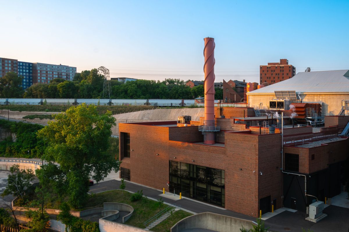
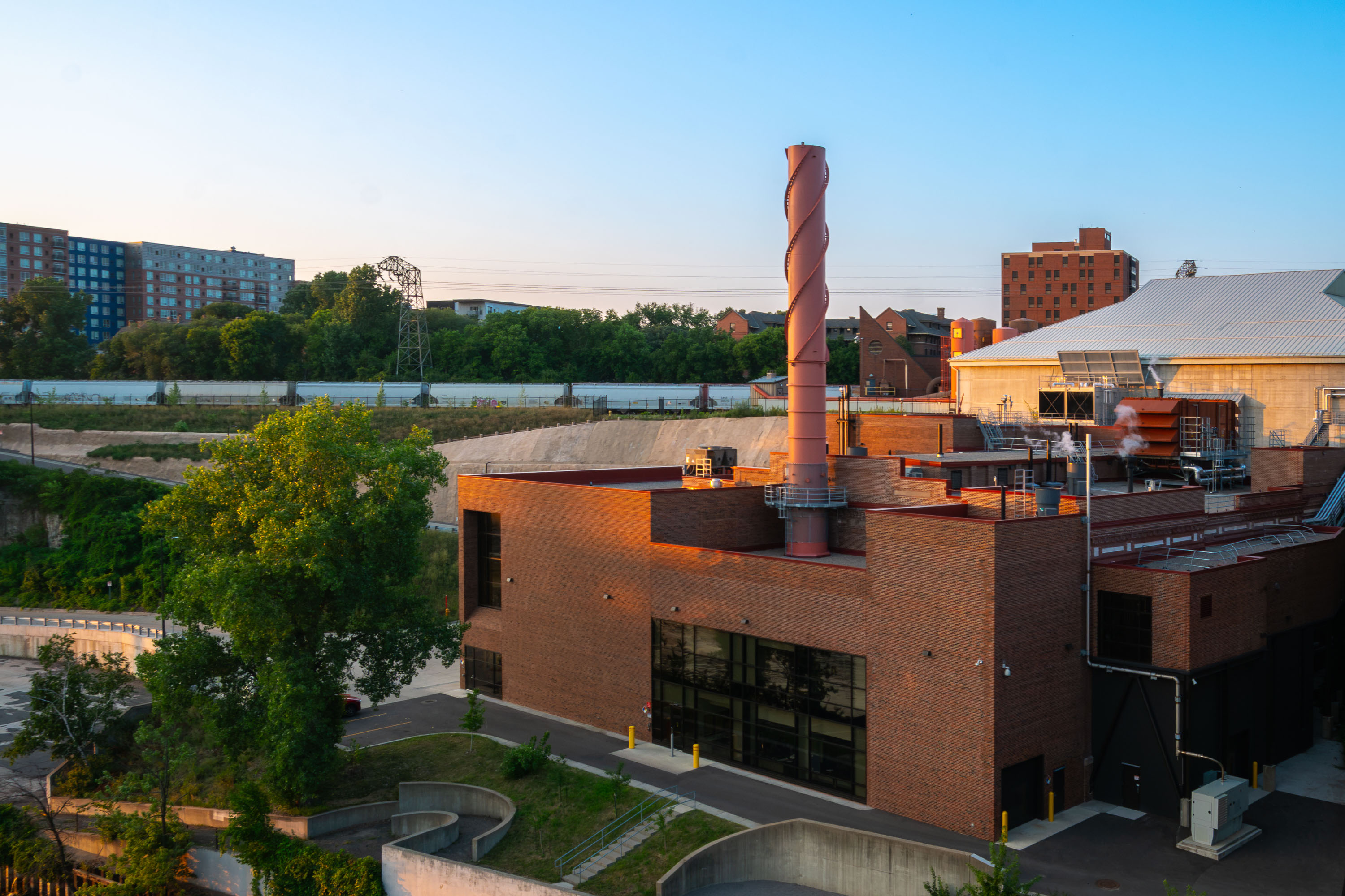
Brick steam plant with a tall spiral-patterned smokestack near the University of Minnesota campus in Minneapolis.
The Southeast Steam Plant sits along the Mississippi River near the University of Minnesota's East Bank campus in Minneapolis. It is operated by the university to provide steam heat and electricity to campus buildings.

Southeast Steam Plant, University of Minnesota
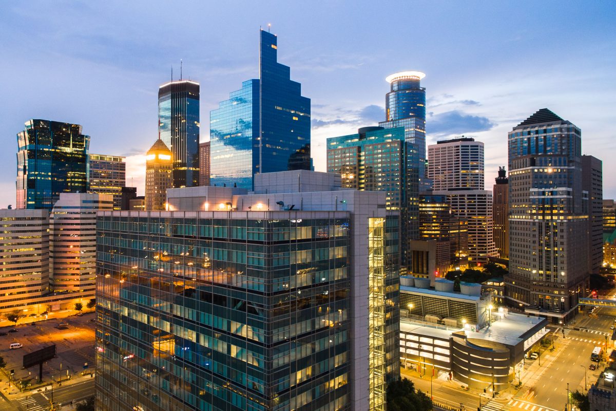
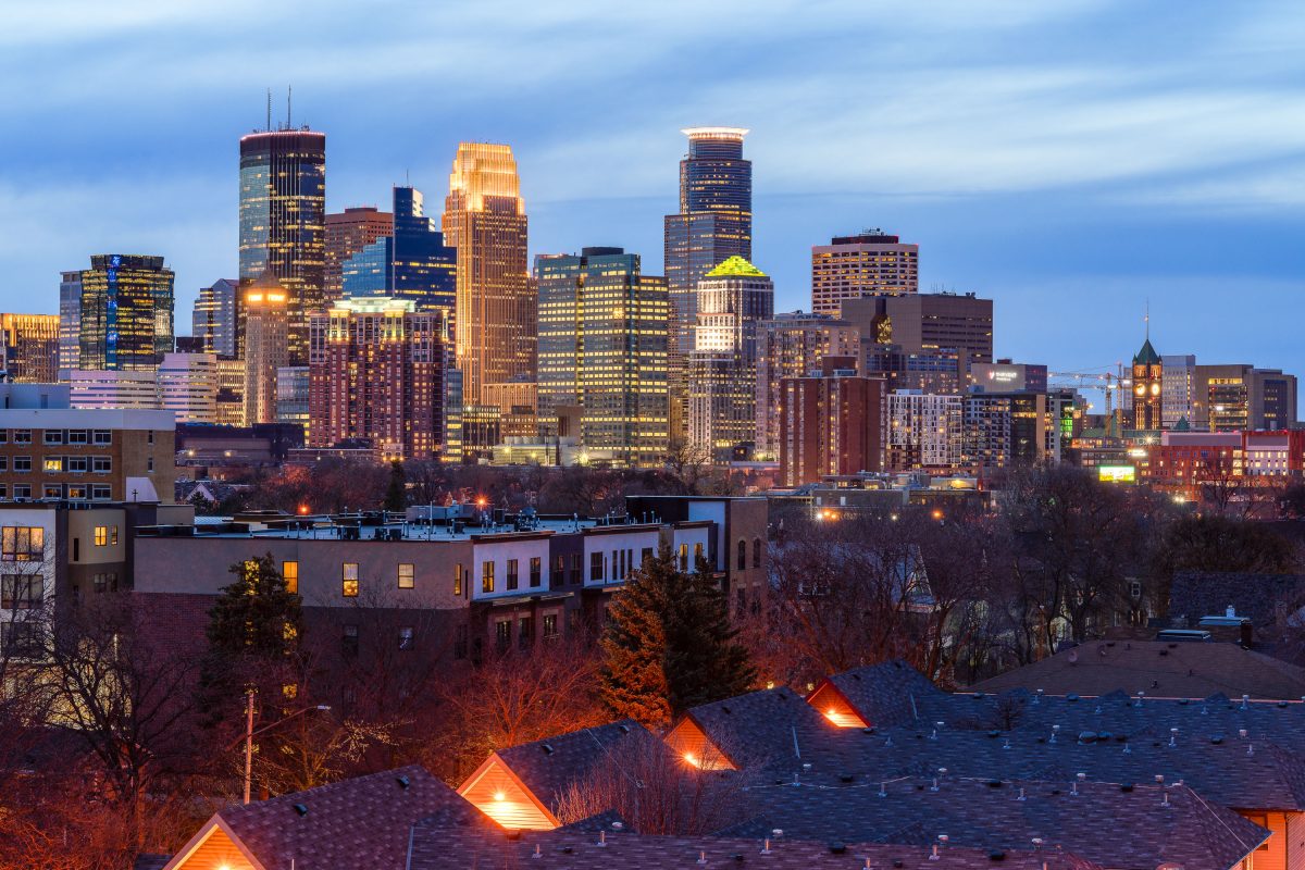
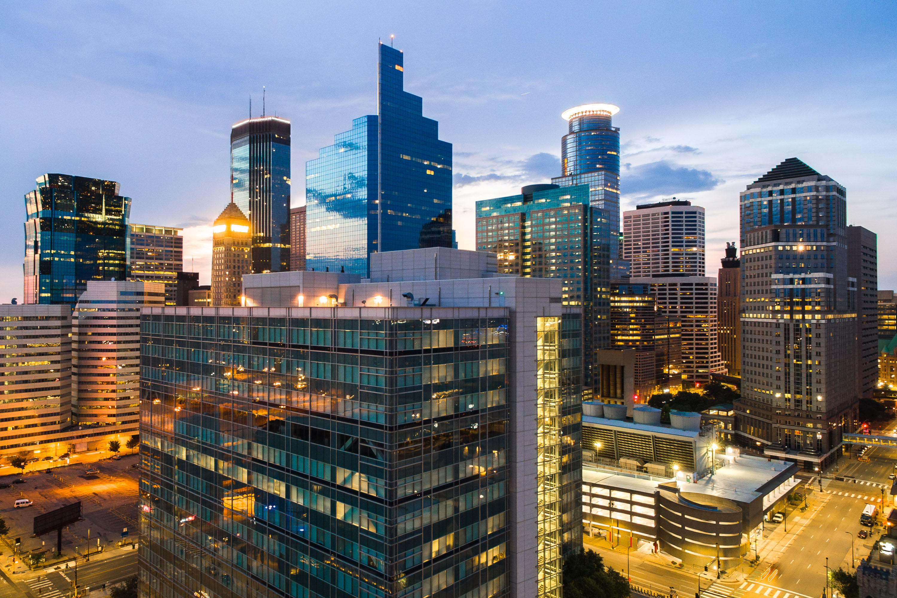
Downtown Minneapolis skyline at dusk with illuminated office towers and streets below.
The tallest buildings in Minnesota seen at dusk on July 29, 2018.

Tallest buildings in Minnesota at Dusk

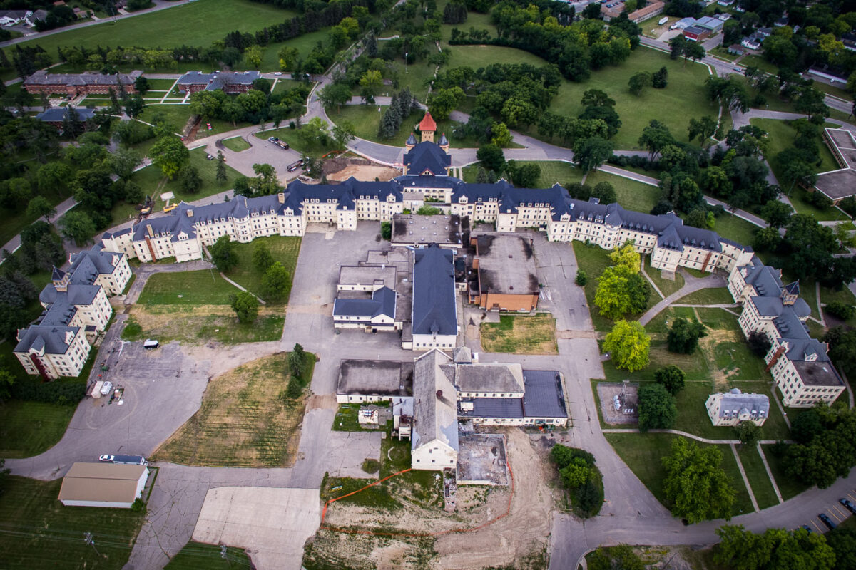
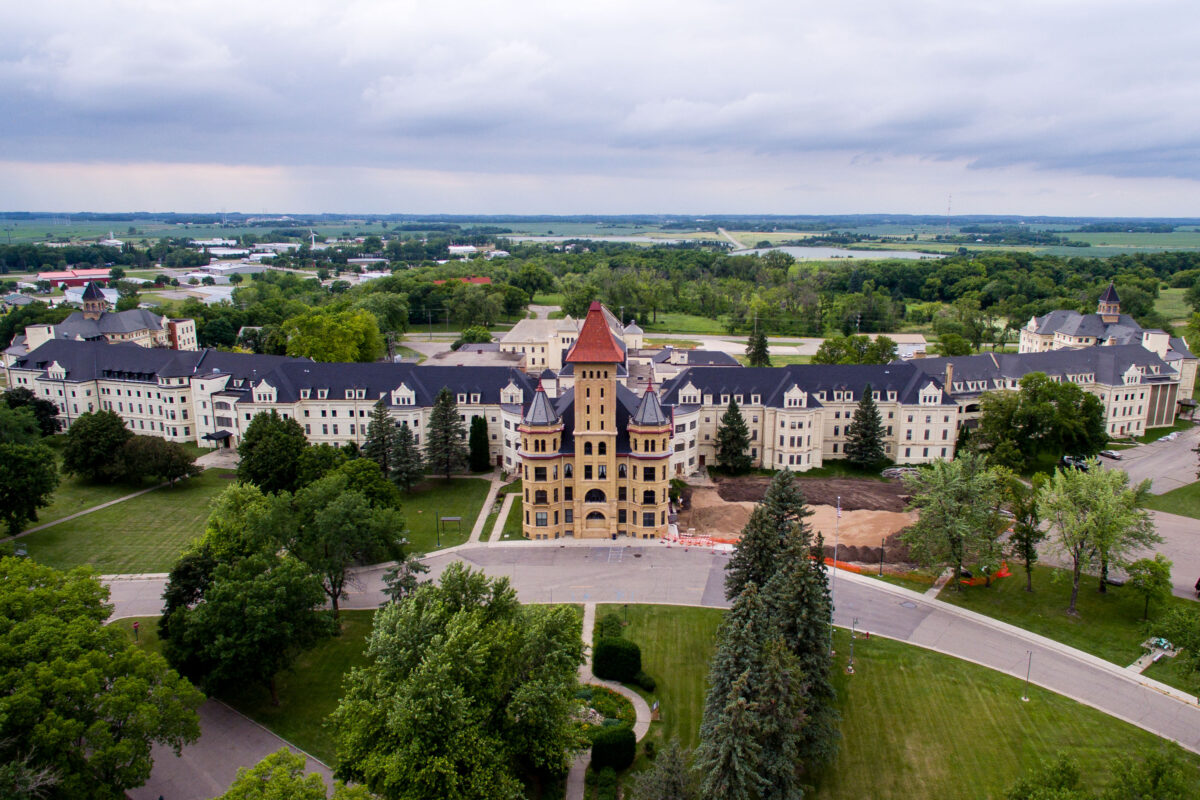
Aerial view of Fergus Falls Regional Treatment Center's Kirkbride Building, a cream-brick psychiatric hospital with central tower
The Kirkbride Building anchors the former Fergus Falls Regional Treatment Center, a state hospital campus that opened in 1890 on Minnesota's western prairie. Architect Warren H. Hayes designed the structure following the Kirkbride Plan, a 19th-century model for psychiatric care that arranged patient wards in stepped wings radiating from a central administrative core. Builders used granite quarried near Fergus Falls, trimmed with sandstone, to raise the sprawling complex, which stretches several hundred feet across the campus grounds. The hospital treated Minnesota's mentally ill population for more than a century before the state closed the facility in 2005. The building is listed on the National Register of Historic Places and ranks among the largest Kirkbride-style structures ever built in the United States.

Aerial View of the Fergus Falls Kirkbride Building and Grounds

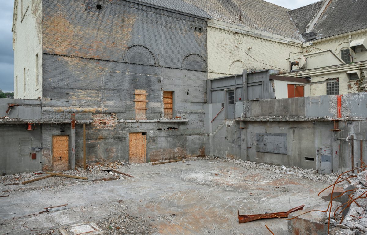
Demolished rear courtyard of the Fergus Falls Kirkbride Building showing exposed brick walls and boarded windows.
The Fergus Falls Kirkbride Building, part of the former Fergus Falls State Hospital, was designed by architect Warren B. Dunnell and completed in 1890 using the Kirkbride Plan, a 19th-century model for asylum design that emphasized light, ventilation, and separation of patient wards. The hospital operated under state control for over a century before closing in the early 2000s, after which sections of the sprawling brick complex fell into disrepair. Partial demolition efforts in later years removed portions of the rear service wings, exposing interior brick walls, arched window openings, and structural framing once concealed by adjoining sections. The building remains listed on the National Register of Historic Places, and preservation groups have continued to advocate for adaptive reuse of the surviving structure.

Rear Wing Demolition Exposes Brick Walls at Fergus Falls Kirkbride

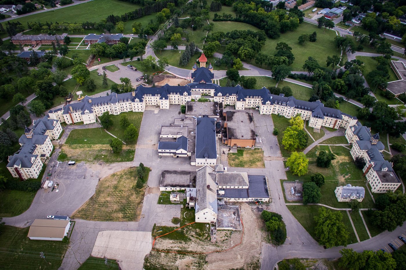
Aerial view of the Fergus Falls Kirkbride Building's cream-colored central tower with mansard roof and symmetrical wings in
The Kirkbride Building at the former Fergus Falls State Hospital opened in 1890, designed by architect Warren B. Dunnell following the Kirkbride Plan championed by psychiatrist Thomas Story Kirkbride. That model called for a central administration building flanked by stepped-back wings, a layout meant to give patients access to light and air while separating wards by sex and severity of illness. The complex operated as a state psychiatric hospital into the 20th century before continuing as the Fergus Falls Regional Treatment Center, serving the region's mental health needs until state operations wound down in the early 2000s. Built largely of local granite and brick, the building stretches roughly a third of a mile end to end, making it one of the longest Kirkbride structures ever constructed. It's listed on the National Register of Historic Places.

Aerial View of the Fergus Falls Kirkbride Building’s Stepped Wings

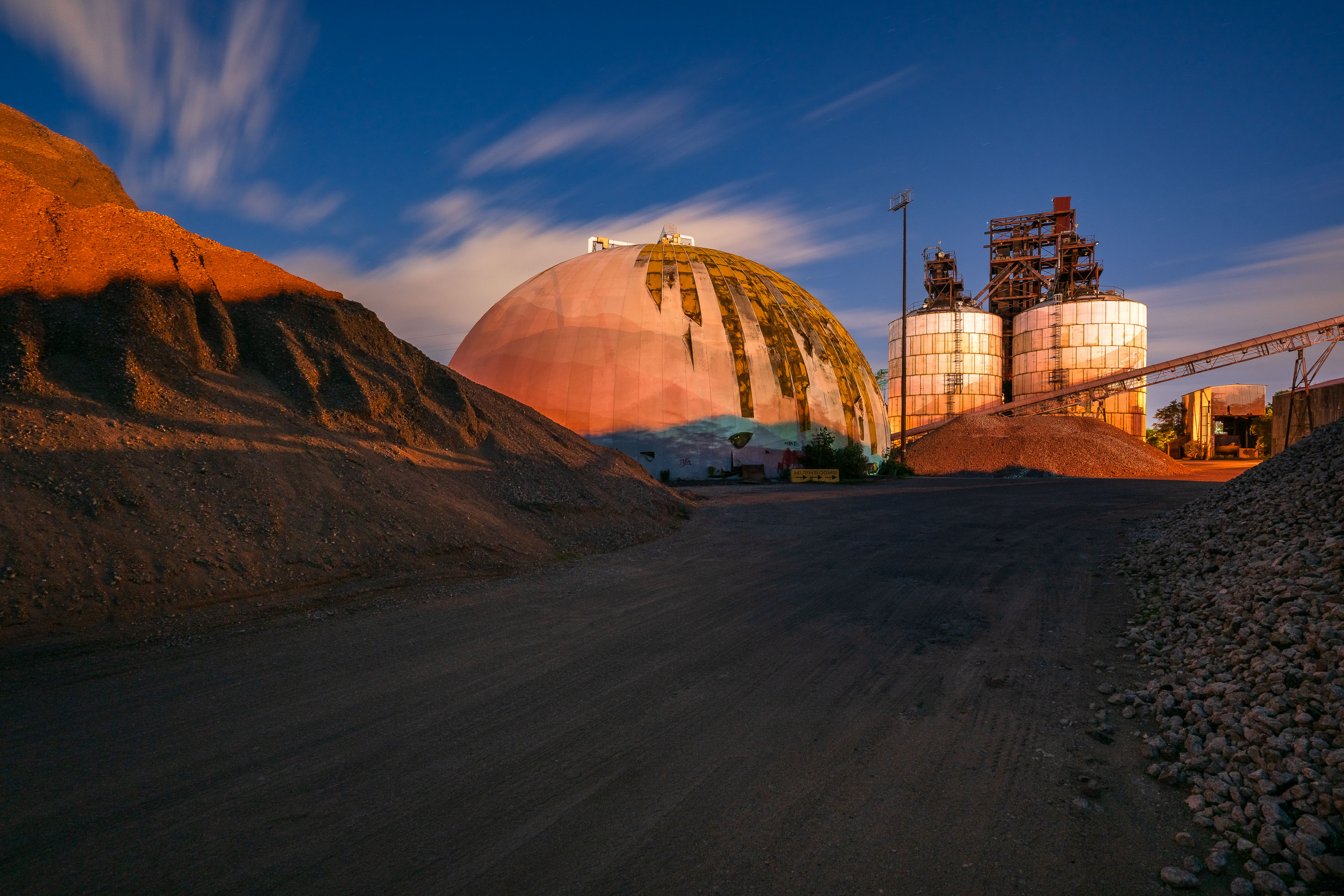
A large geodesic dome and grain storage silos stand illuminated at sunset at Upper Harbor Terminal on the Mississippi River in Minneapolis.
Upper Harbor Terminal is a former city-owned barge terminal on the Mississippi River in north Minneapolis, upstream of the Upper St. Anthony Falls Lock and Dam. Opened in 1968, five years after the lock made the upper river accessible to commercial barges, it handled bulk freight for decades, including road salt, coal, and gravel. Barge operations ended in 2014, ahead of the lock’s closure to navigation in June 2015 to help prevent the upstream spread of invasive carp

Dome and Silos at Upper Harbor Terminal at Dusk

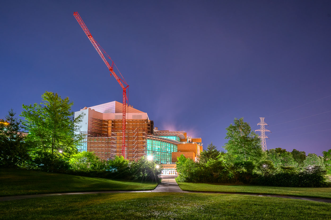
Science Museum of Minnesota under construction in St. Paul, Minnesota, with a tower crane at night.
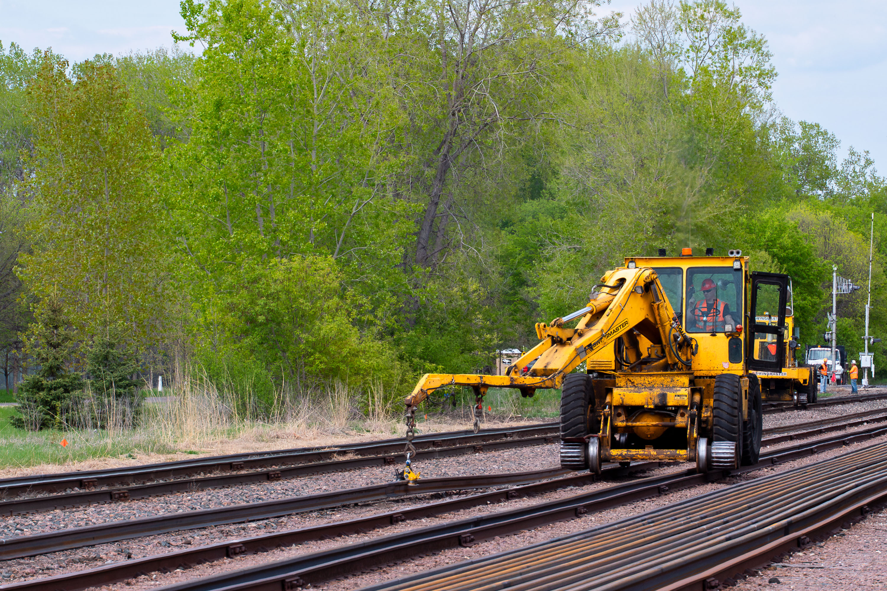
Science Museum of Minnesota, St. Paul, Minnesota, under construction at night. The museum sits on the Mississippi riverfront in downtown St. Paul and underwent major expansion and renovation in the early 2000s. A tower crane and scaffolding are in place around the building during the work.

Science Museum of Minnesota Under Construction, St. Paul
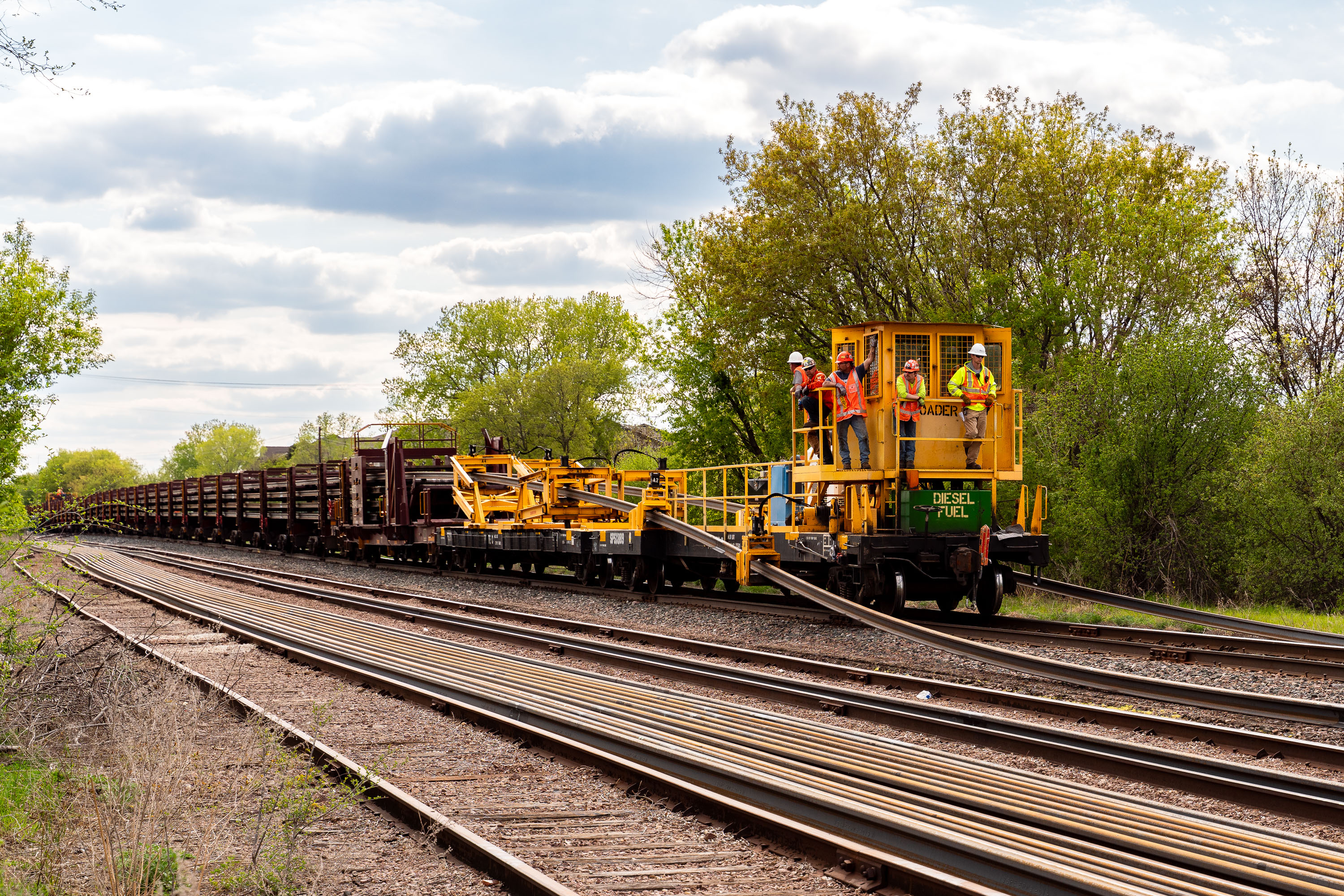
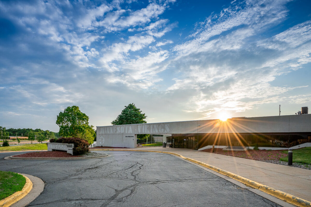
The Minnesota Vikings' Winter Park practice facility at 9520 Viking Drive, Eden Prairie, Minnesota, served as the team's headquarters and training ground.
The Minnesota Vikings' Winter Park practice facility in Eden Prairie, Minnesota, served as the team's corporate headquarters and training ground for decades. Opened in 1985, the facility was designed to provide a comprehensive environment for player development and team operations. The building, located at 9520 Viking Drive, housed administrative offices, training rooms, and indoor practice fields. This image captures the facility during its final days before the team relocated to their new headquarters in Eagan, Minnesota.

Winter Park: Minnesota Vikings Practice Facility, Eden Prairie

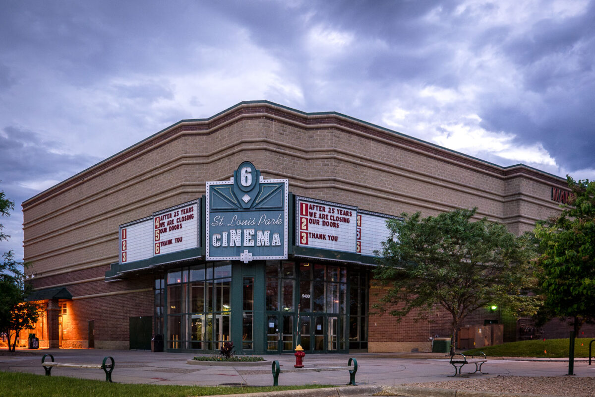
The Mann St. Louis Park Cinema, a former movie theater, stands closed with a marquee reading "After 25 Years We Are Closing Our Doors" and "Thank You."
The Mann St. Louis Park Cinema, a fixture in the St. Louis Park community, ceased operations in 2018 after 25 years of service. The building, constructed to house multiple screens, served as a primary entertainment venue for residents. Its closure marked the end of an era for local moviegoers. The marquee prominently displays "After 25 Years We Are Closing Our Doors" and "Thank You," reflecting the establishment's farewell to its patrons.

Mann’s St. Louis Park Cinema Exterior, Closed 2018

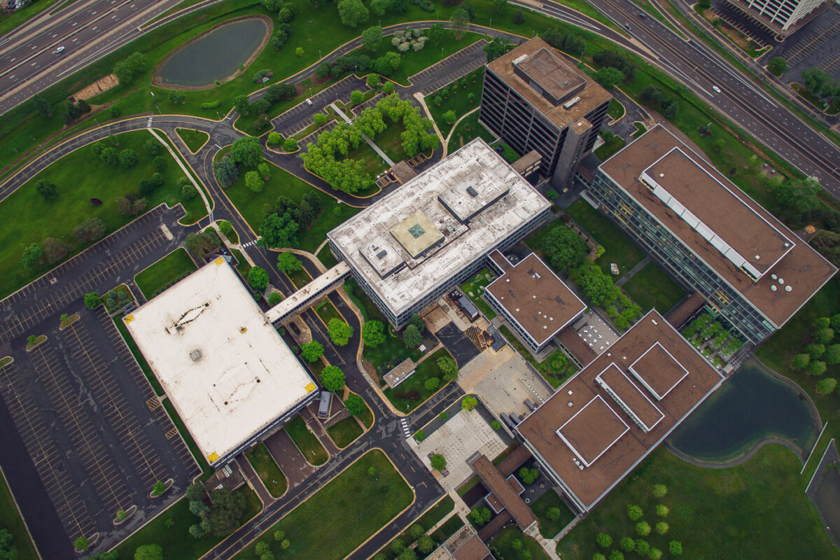
General Mills corporate headquarters campus in Golden Valley, Minnesota, with office buildings, parking, and landscaped grounds.
General Mills headquarters in Golden Valley, Minnesota. General Mills, one of the largest U.S. food manufacturers, has long based its corporate operations in the Minneapolis area.

Aerial View of General Mills Corporate Campus, Golden Valley

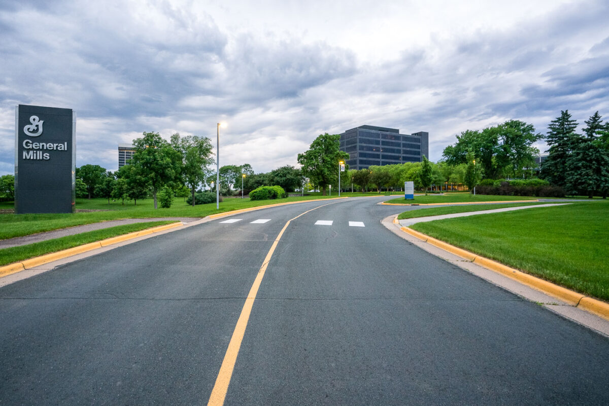
General Mills World Headquarters entrance sign and driveway in Golden Valley, Minnesota.
The entrance to General Mills World Headquarters in Golden Valley, Minnesota, leads to the food company's corporate campus and office complex. General Mills, founded in Minneapolis in 1928, maintains its principal executive offices in this suburban headquarters west of downtown Minneapolis.

Entrance Road to General Mills Headquarters in Golden Valley

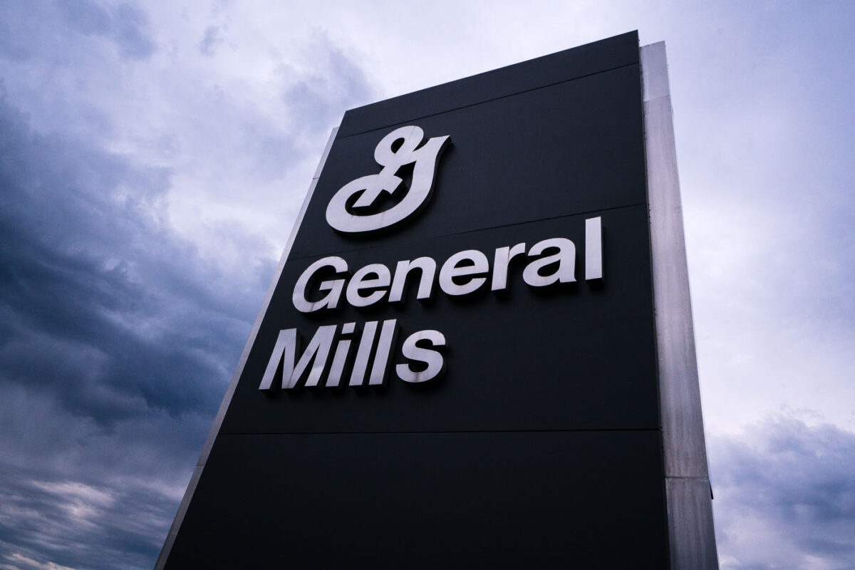
General Mills corporate headquarters sign at the company's Plymouth, Minnesota campus.
The General Mills headquarters sign stands at the company’s corporate campus in Plymouth, Minnesota. General Mills, founded in Minneapolis in 1928 through the merger of several regional flour-milling companies, remains one of Minnesota’s largest publicly traded food manufacturers.

General Mills Sign Under Storm Clouds in Golden Valley

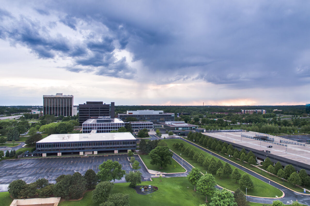
General Mills corporate headquarters campus in Golden Valley, Minnesota, with office buildings, landscaped grounds, and parking facilities.
General Mills headquarters in Golden Valley, Minnesota. The is corporate campus west of Minneapolis is composed of low-rise office buildings, landscaped grounds, and large parking facilities. The complex houses the food company's principal administrative offices and was developed in the late 20th century as part of the office concentration along the Interstate 394 corridor.

Storm Clouds Over General Mills Headquarters in Golden Valley

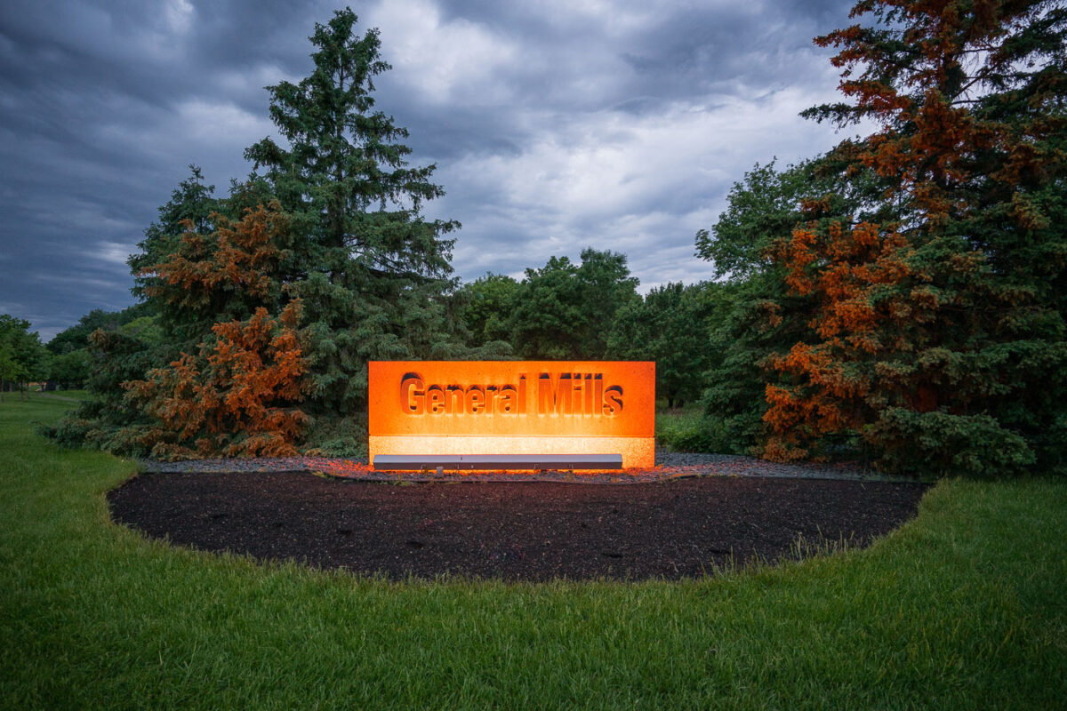
Illuminated General Mills sign at the entrance to the company's corporate headquarters campus in Golden Valley, Minnesota.
The illuminated General Mills headquarters sign stands at the entrance to the company’s corporate campus in Golden Valley, Minnesota. General Mills has maintained its main headquarters in Golden Valley since the 1970s, while the company’s Minnesota roots extend to the flour-milling businesses that preceded its 1928 formation.

General Mills Sign Illuminated at Dusk in Golden Valley

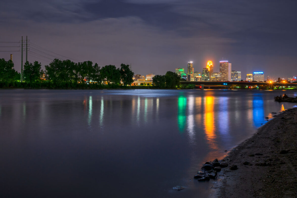
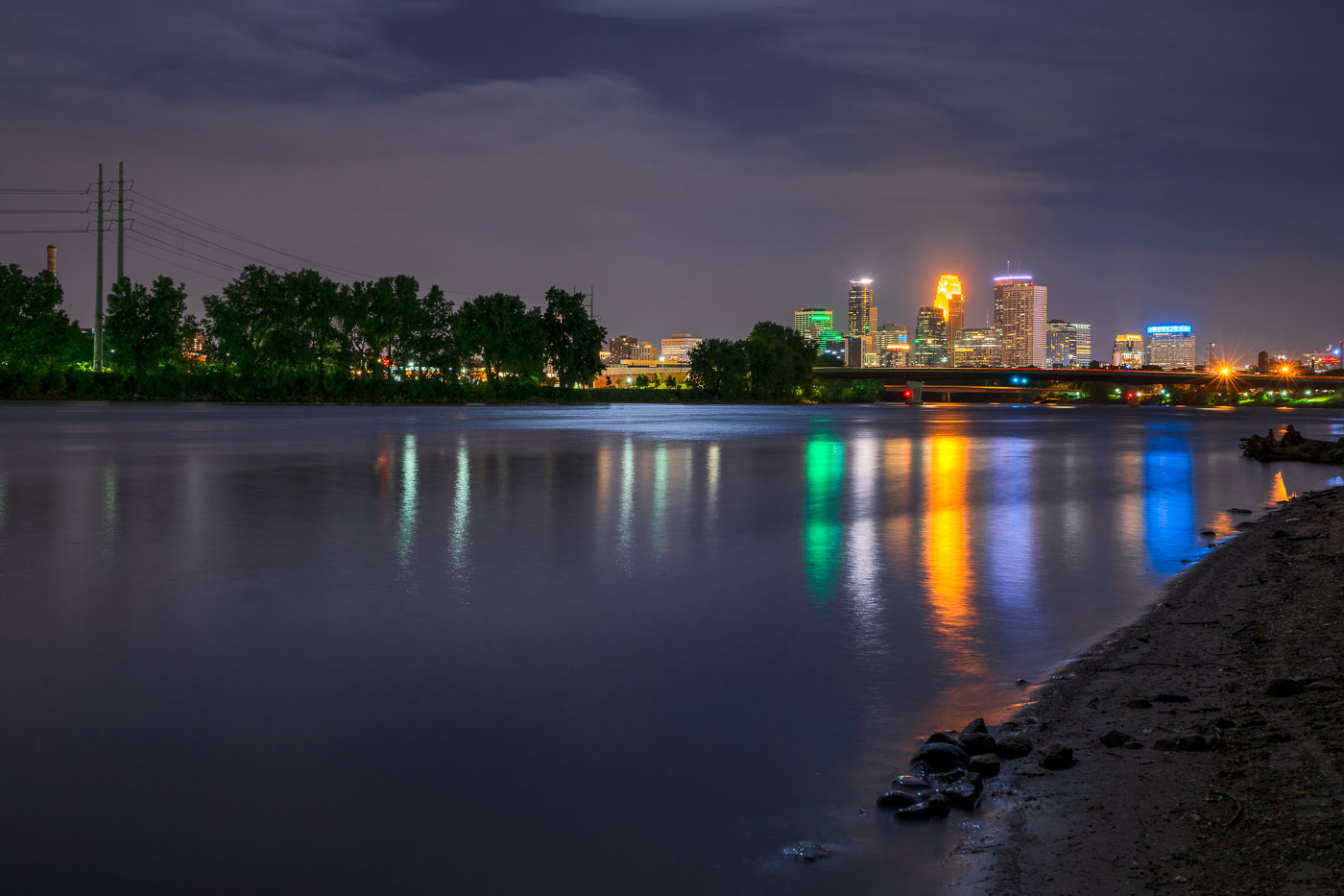
Minneapolis downtown skyline illuminated at night, viewed across the Mississippi River at dusk.
The Mississippi River flows past downtown Minneapolis on its way from Lake Itasca to the Gulf of Mexico, a course of about 2,340 miles.

Downtown Minneapolis Skyline Across the Mississippi River at Night

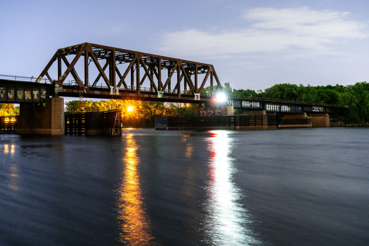
Northern Pacific BNSF Rail Bridge crosses the Mississippi River in Minneapolis.
Northern Pacific BNSF Rail Bridge spans the Mississippi River in Minneapolis between downtown and Northeast Minneapolis. Originally built in 1884 for the Northern Pacific Railway, it provided rail access to yards north of downtown. The bridge has been altered and repaired over time and remains part of BNSF Railway operations in the city.

Northern Pacific BNSF Rail Bridge, Minneapolis

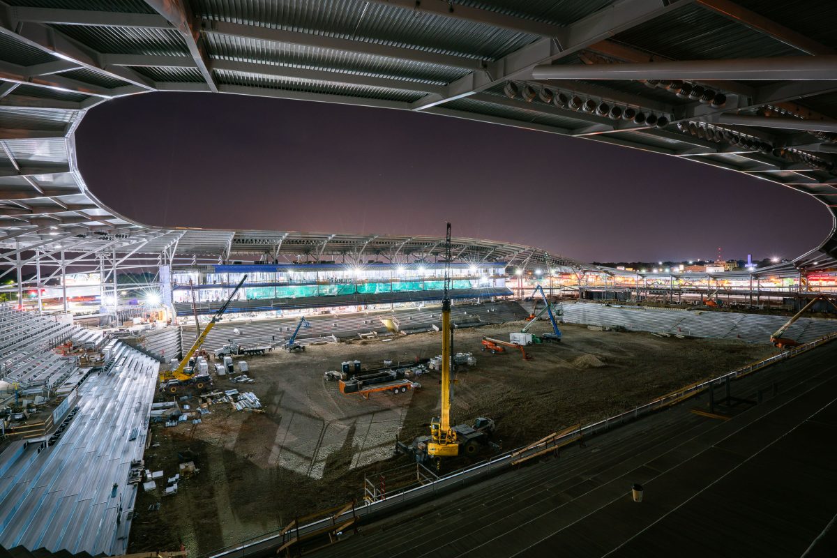
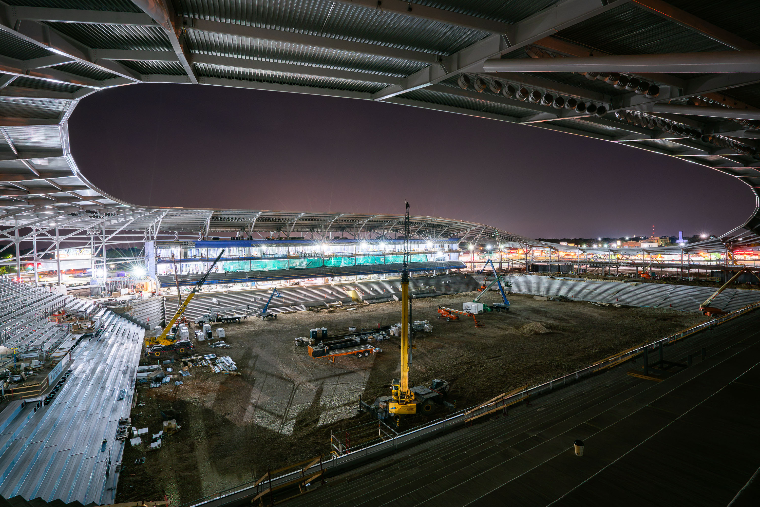
Allianz Field stadium construction site in St. Paul at night with excavated ground and steel framework.
Allianz Field opened in 2019 as the home stadium of Minnesota United FC, the city's Major League Soccer franchise. Built in St. Paul's Midway neighborhood on the former Metro Transit bus barn site, the stadium was designed by the architecture firm Populous and cost roughly $150 million to complete. It holds about 19,400 seats and includes a translucent canopy roof engineered to shield fans from wind while keeping the natural grass field exposed to sunlight. The project broke ground in 2017, and construction proceeded through Minnesota's winter months to meet the club's 2019 season opener.
Field Excavation at Allianz Field Construction, St. Paul

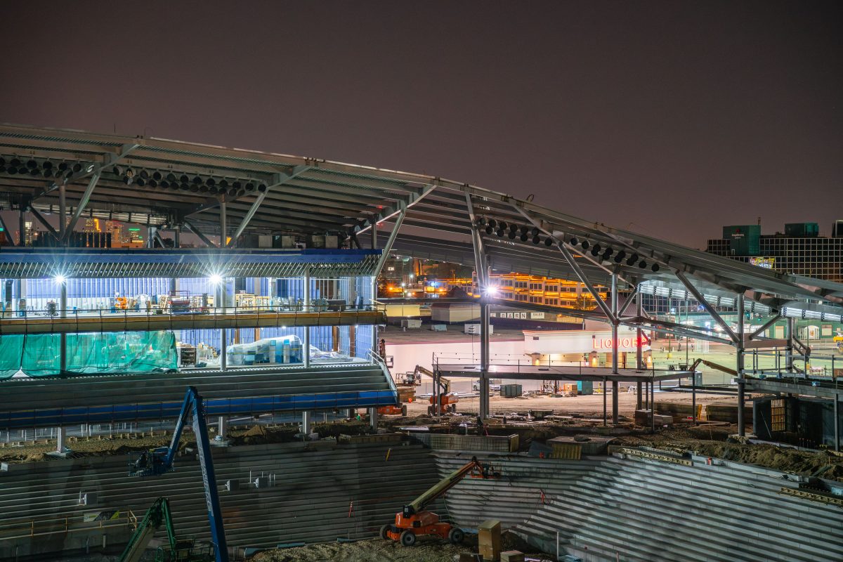
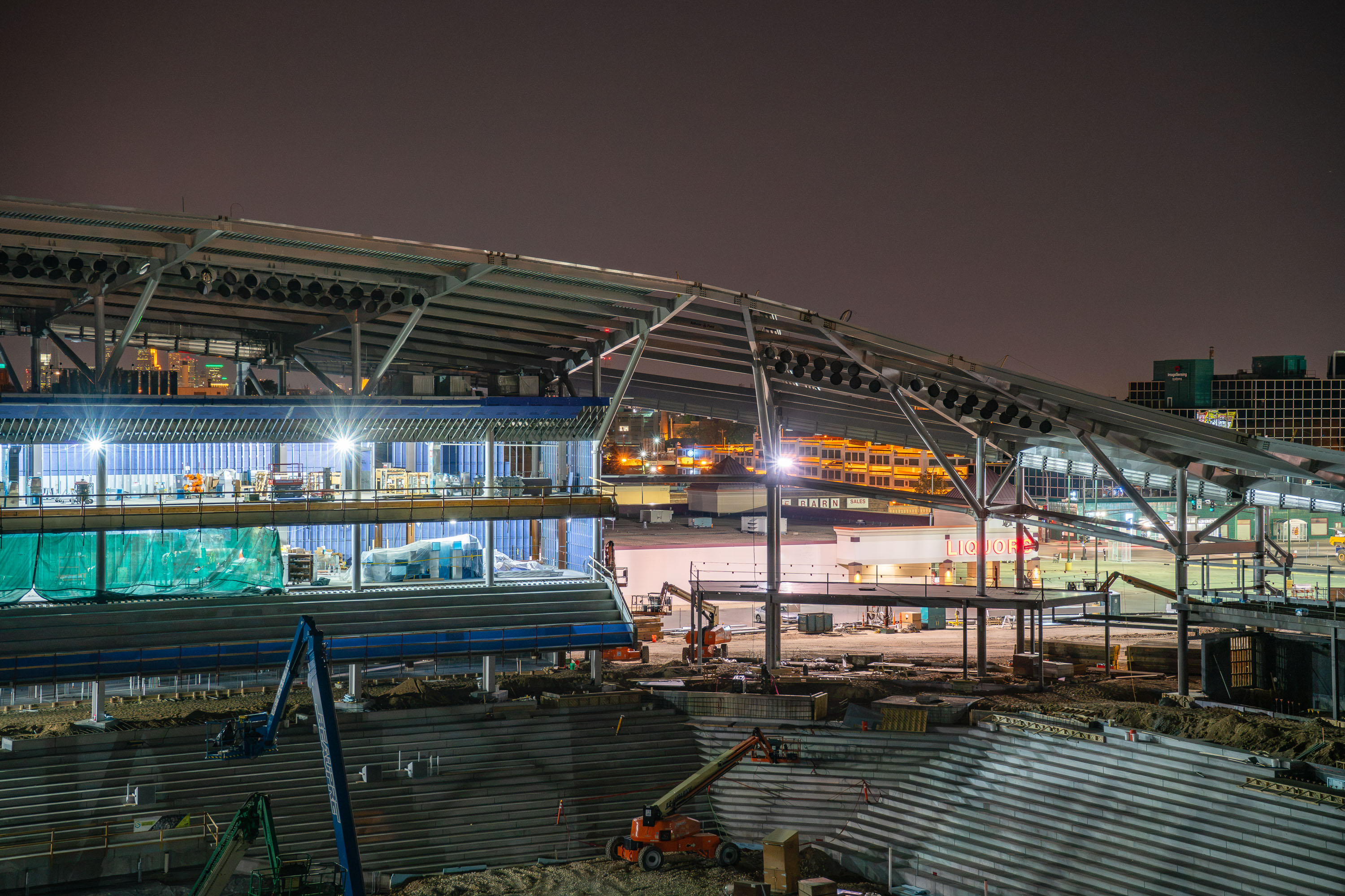
Allianz Field stadium under construction at night in St. Paul with excavated ground and illuminated steel framework.
Allianz Field is the home of Minnesota United FC, a Major League Soccer franchise that began play at this Snelling Avenue site in April 2019. Populous designed the 19,400-seat stadium, and its steel canopy roof — the structure taking shape here — was engineered to wrap the seating bowl and support a perforated tension-fabric skin unique among MLS venues. The project broke ground in 2016 on the former Metro Transit bus barn site along Snelling Avenue, part of the Midway neighborhood between downtown St. Paul and Minneapolis. Construction costs for the stadium totaled roughly $250 million, funded privately by the team's ownership group. The surrounding Snelling Avenue commercial strip, including longtime retailers like the liquor store seen beyond the site, predates the stadium by decades and has remained active throughout the build.
Night Construction Overlooking Snelling Avenue, Allianz Field, St. Paul

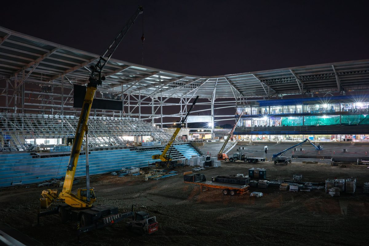
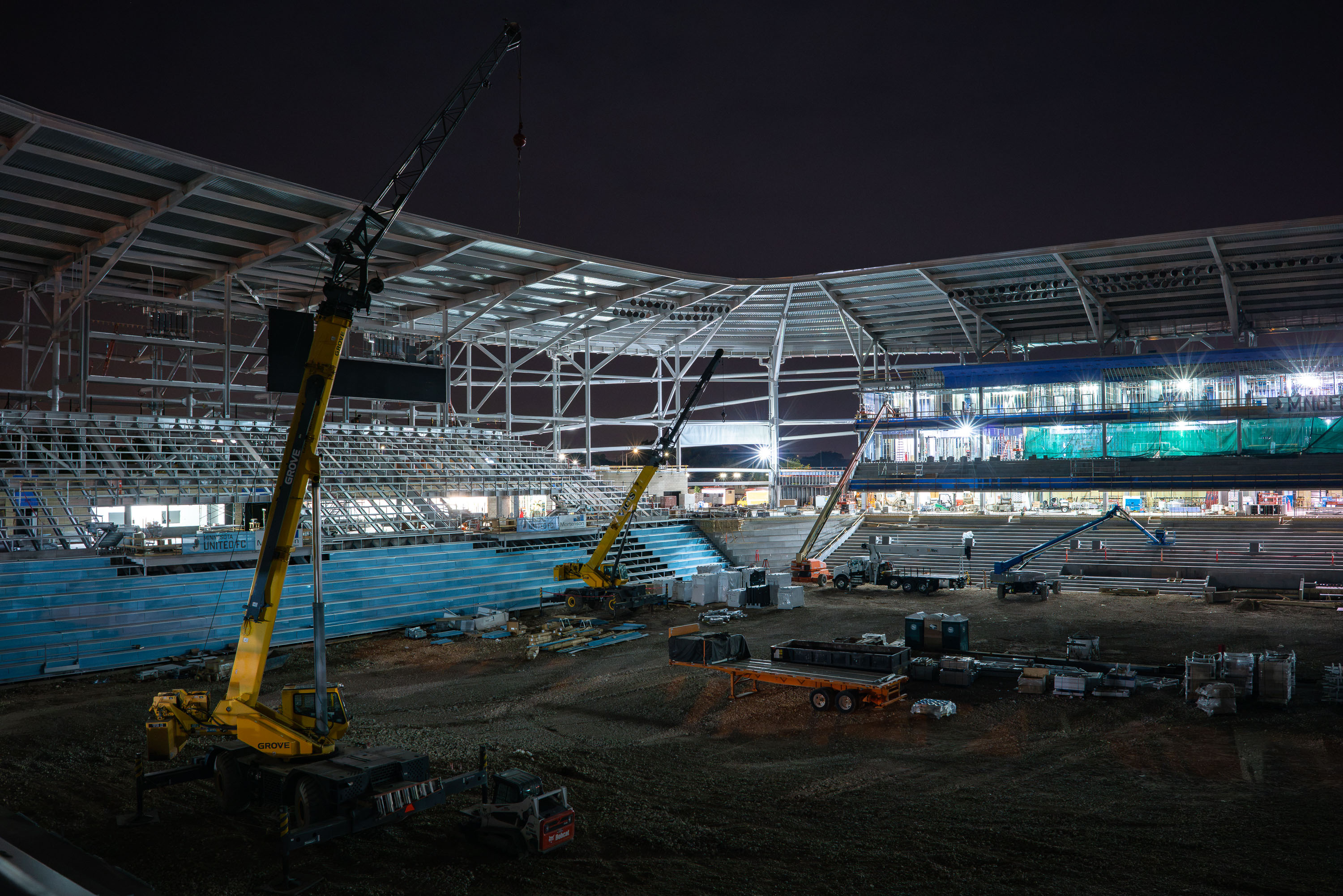
Yellow mobile crane operates inside Allianz Field stadium under construction at night in St. Paul.
Allianz Field opened in April 2019 as the home of Minnesota United FC, the city's Major League Soccer club. The stadium seats about 19,400 and was designed by Populous, the firm behind numerous professional sports venues across the country. Its seating bowl and roof canopy were built with steel trusswork erected before the concourses and suites were enclosed. Boom lifts and mobile cranes were used throughout construction to position steel and finish overhead work at height. The stadium sits on a site near the intersection of Snelling and University Avenues, previously home to a bus barn.
Boom Lifts Working Seating Bowl at Night, Allianz Field, St. Paul

© 1996–2026 Chad Davis