Place Archive

Utah

Utah’s landscape reflects rapid metropolitan expansion, such as the Saratoga Springs housing developments along Utah Lake’s western shore and the growth of tech hubs like Adobe’s Lehi campus and the University of Utah Research Park. Significant state infrastructure changes include the demolition of the Olympus Correctional Facility in Draper and the operational NSA Utah Data Center in Bluffdale, signaling shifts in public security and industry sectors.

26 photos

Cities

Photo Sets

Photos from Utah
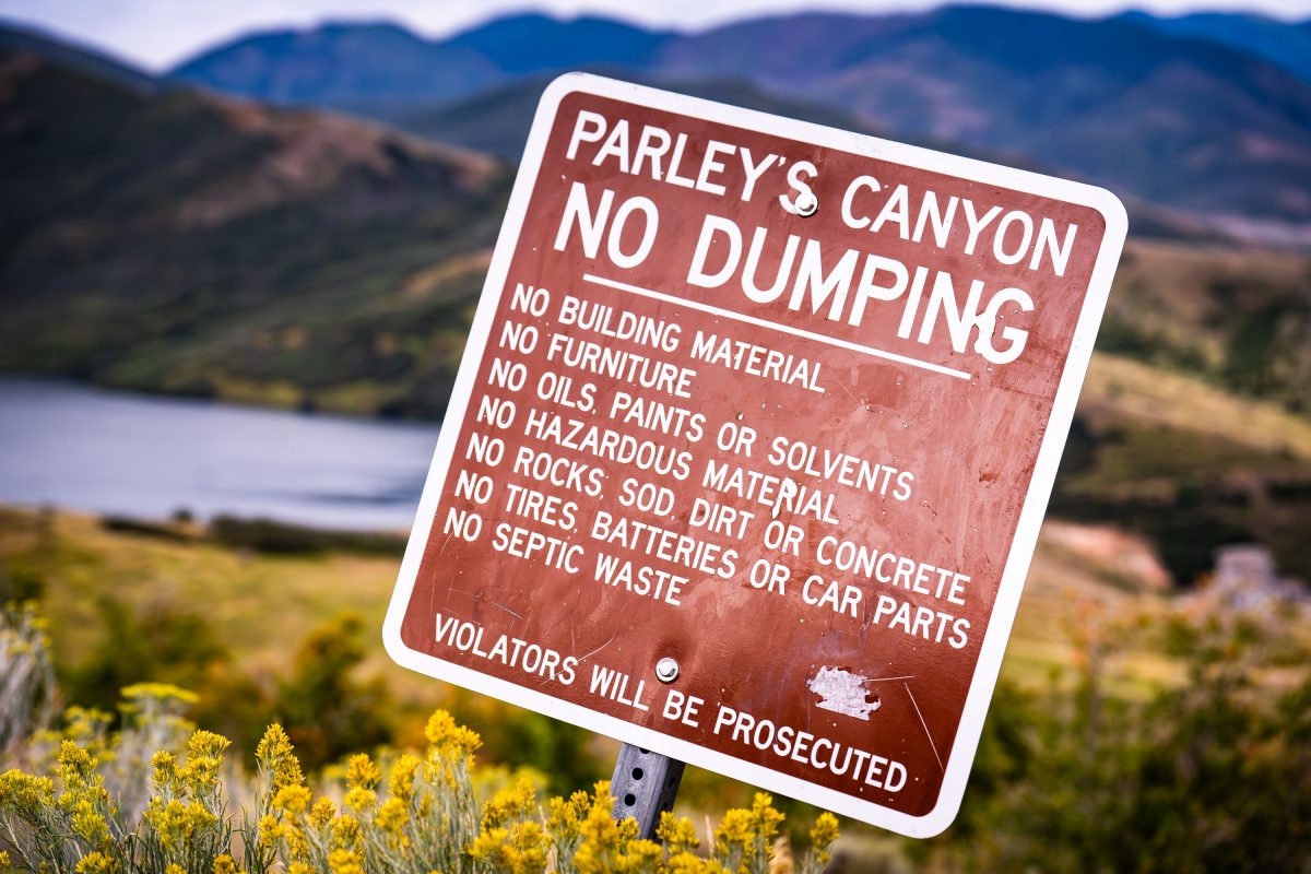
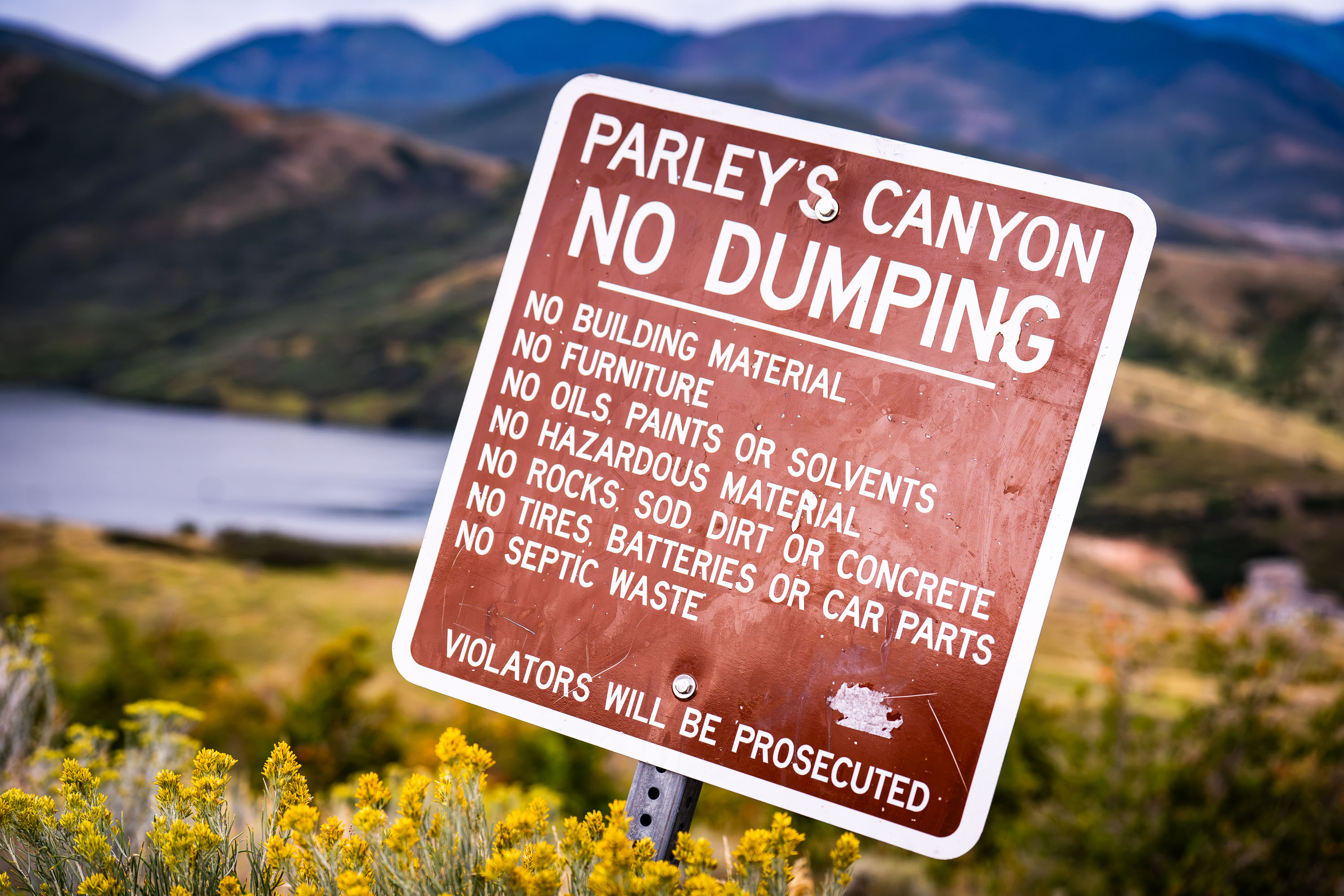
A "No Dumping" sign at Parley's Canyon with mountains and a lake visible in the background.
Parley's Canyon carries Interstate 80 through the Wasatch Range between Salt Lake City and Park City, following a route first developed as a toll road in the 1860s by Parley P. Pratt, an early Mormon leader for whom the canyon is named. Mountain Dell Reservoir sits within the canyon, supplying drinking water to Salt Lake City and drawing from the surrounding watershed lands that the city has protected since the early 1900s. Dumping ordinances here bar building materials, tires, hazardous chemicals, and septic waste, restrictions meant to keep contaminants out of the water supply. Salt Lake City's watershed protection code treats violations as criminal offenses, giving the posted warnings legal weight beyond a simple courtesy notice.
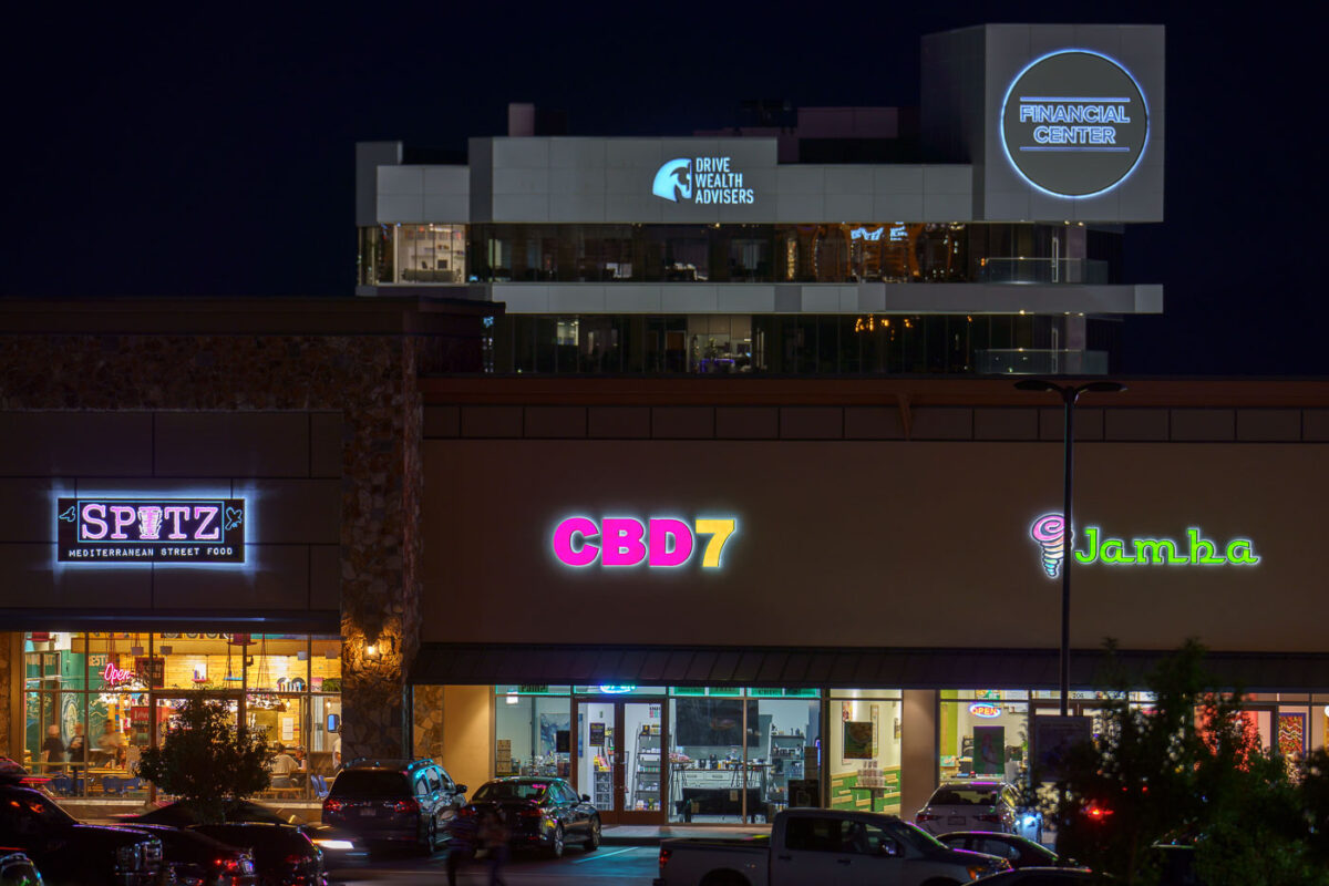
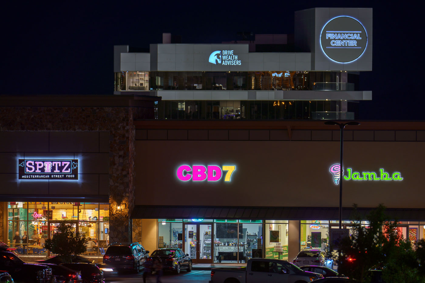
Neon-lit storefronts including Spitz, CBD7, and Jamba line a strip mall in Lehi, Utah at night.
Spitz Mediterranean Street Food, CBD7, and Jamba share a retail strip in Lehi, Utah, a fast-growing Salt Lake City suburb that has seen heavy commercial development along its Traverse Mountain and Thanksgiving Point corridors over the past two decades. Jamba, the smoothie chain formerly known as Jamba Juice, operates several locations across Utah County. Spitz, founded in Southern California, specializes in Mediterranean street food such as shawarma and döner-style wraps. The office tower above the storefronts houses Drive Wealth Advisers within space marketed as a financial center, reflecting Lehi's parallel growth as a hub for finance and technology firms drawn to the nearby Silicon Slopes business corridor.
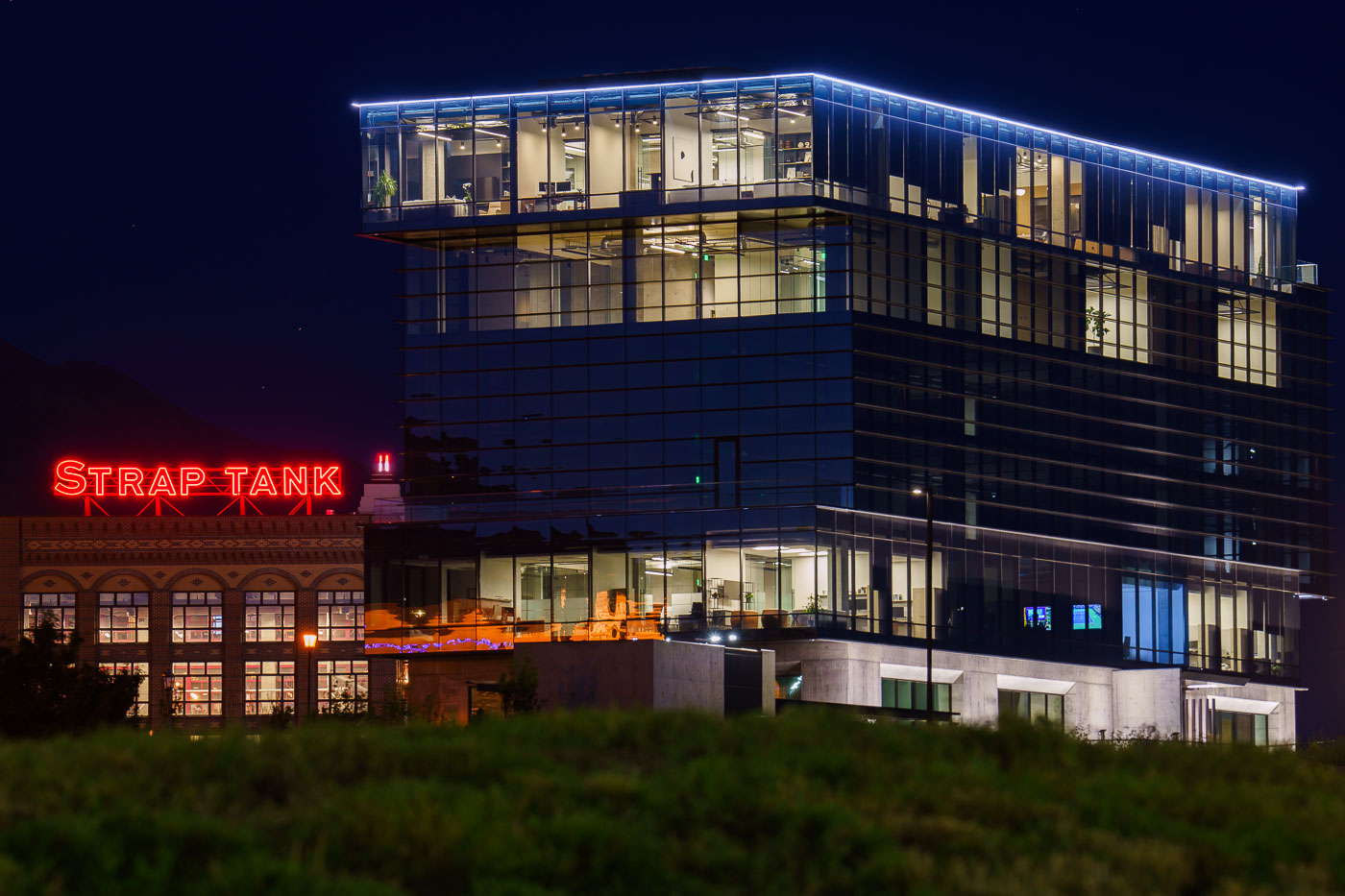
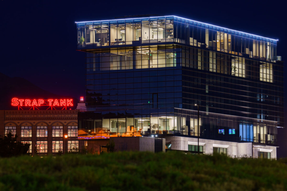
Strap Tank Brewery's neon sign glows beneath a modern glass office tower in Lehi, Utah at night.
Strap Tank Brewery operates in Lehi, Utah, a city in Utah County roughly 30 miles south of Salt Lake City. The brewery occupies a building that pairs its original low-rise structure with newer office floors built above it. Lehi sits at the center of the tech corridor known as Silicon Slopes, home to companies including Adobe, Ancestry, and Qualtrics. Much of the city's glass-and-steel office construction dates to the years after 2000, added alongside older commercial buildings tied to Lehi's agricultural history.
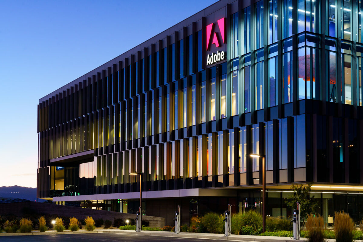
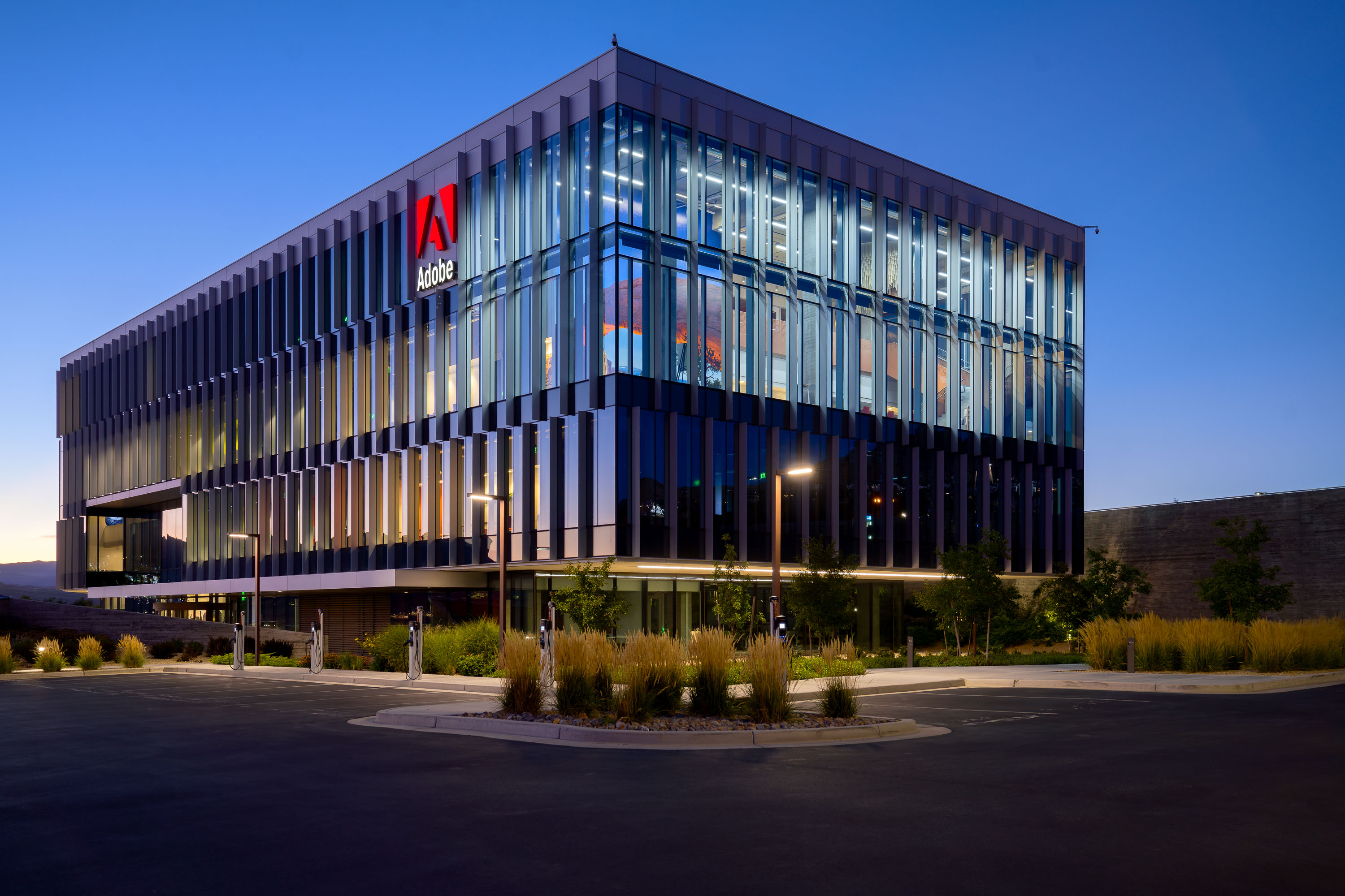
Adobe's Lehi campus building at dusk with illuminated red logo and vertical louver facade.
Adobe's Lehi campus sits along the Silicon Slopes corridor in Utah County, a stretch of tech development anchored by companies like Adobe, Qualtrics, and Ancestry. Adobe opened the site as a major office hub after acquiring Omniture, a Utah-based web analytics firm, in 2009, and has since expanded its presence there to support thousands of employees. The campus supplements Adobe's headquarters in San Jose, California, serving as one of the company's largest offices outside its home base.
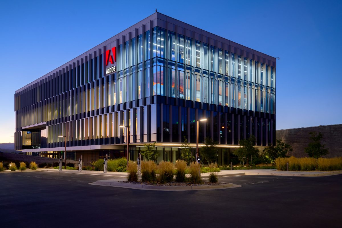
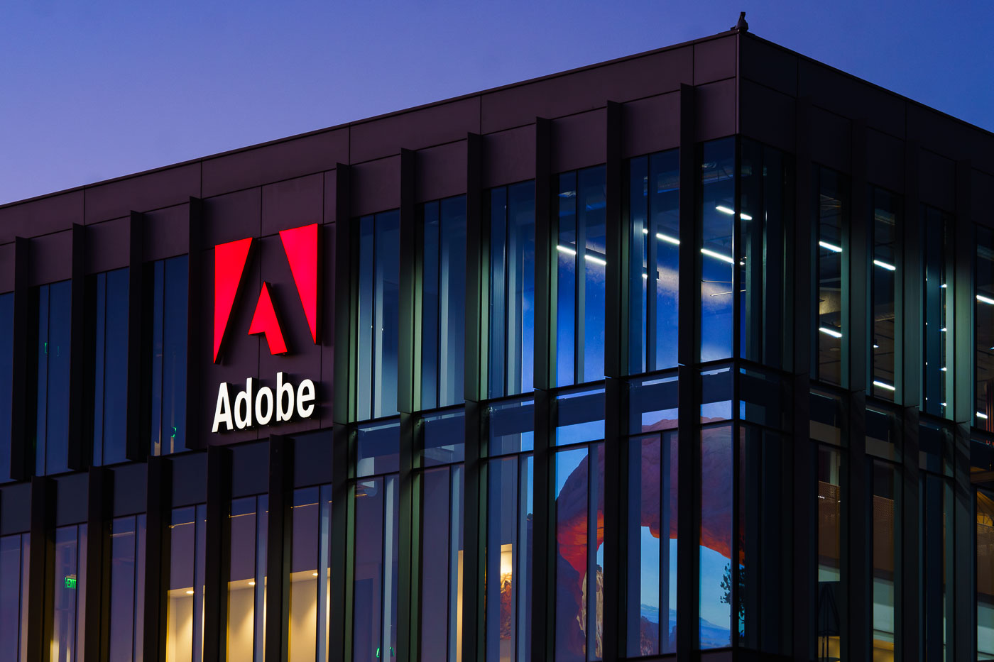
Adobe's modern office building in Lehi, Utah illuminated at dusk with vertical metal louvers and landscaping.
Adobe's Lehi campus opened in 2013 as the company expanded its footprint beyond its San Jose headquarters. The site has grown into one of Adobe's largest offices, housing teams in software engineering, customer support, and sales. Lehi lies within Utah County's tech corridor, often called "Silicon Slopes," which has attracted a number of major technology employers over the past decade. Proximity to graduates from Brigham Young University and Utah Valley University has been part of the draw for companies setting up operations in the area.
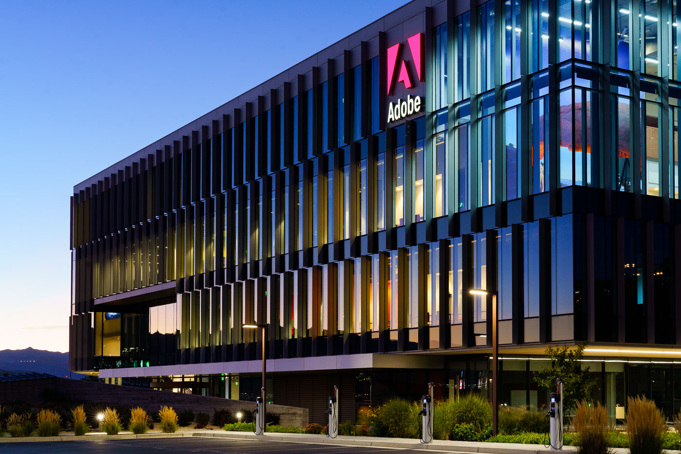
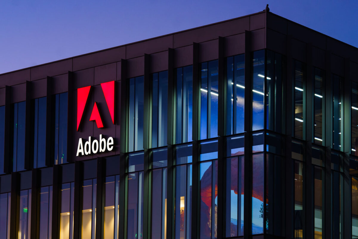
Adobe's illuminated red logo sign on a modern office building in Lehi, Utah at dusk.
Adobe operates a major campus in Lehi, Utah, part of the tech corridor known locally as "Silicon Slopes." The company opened its first Lehi office in 2013 and has since expanded the site into one of its largest operations outside its San Jose headquarters, housing thousands of employees who work on Adobe's Creative Cloud and Document Cloud software. Lehi's location along the Interstate 15 corridor made it an attractive base for tech firms recruiting from Utah's university systems, including Brigham Young University and the University of Utah. The campus adds to a growing cluster of technology employers in Utah County that has reshaped the local economy over the past decade.
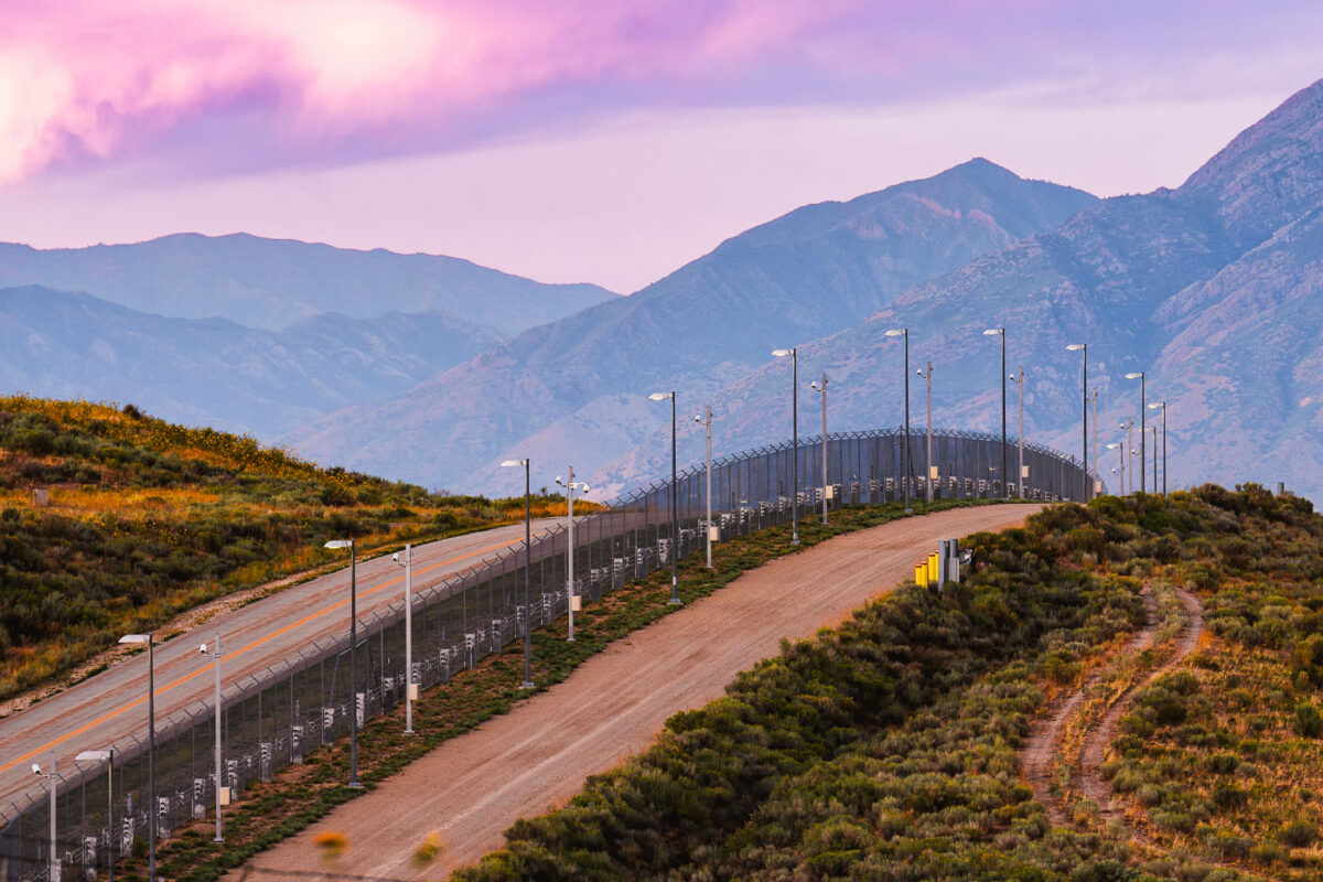
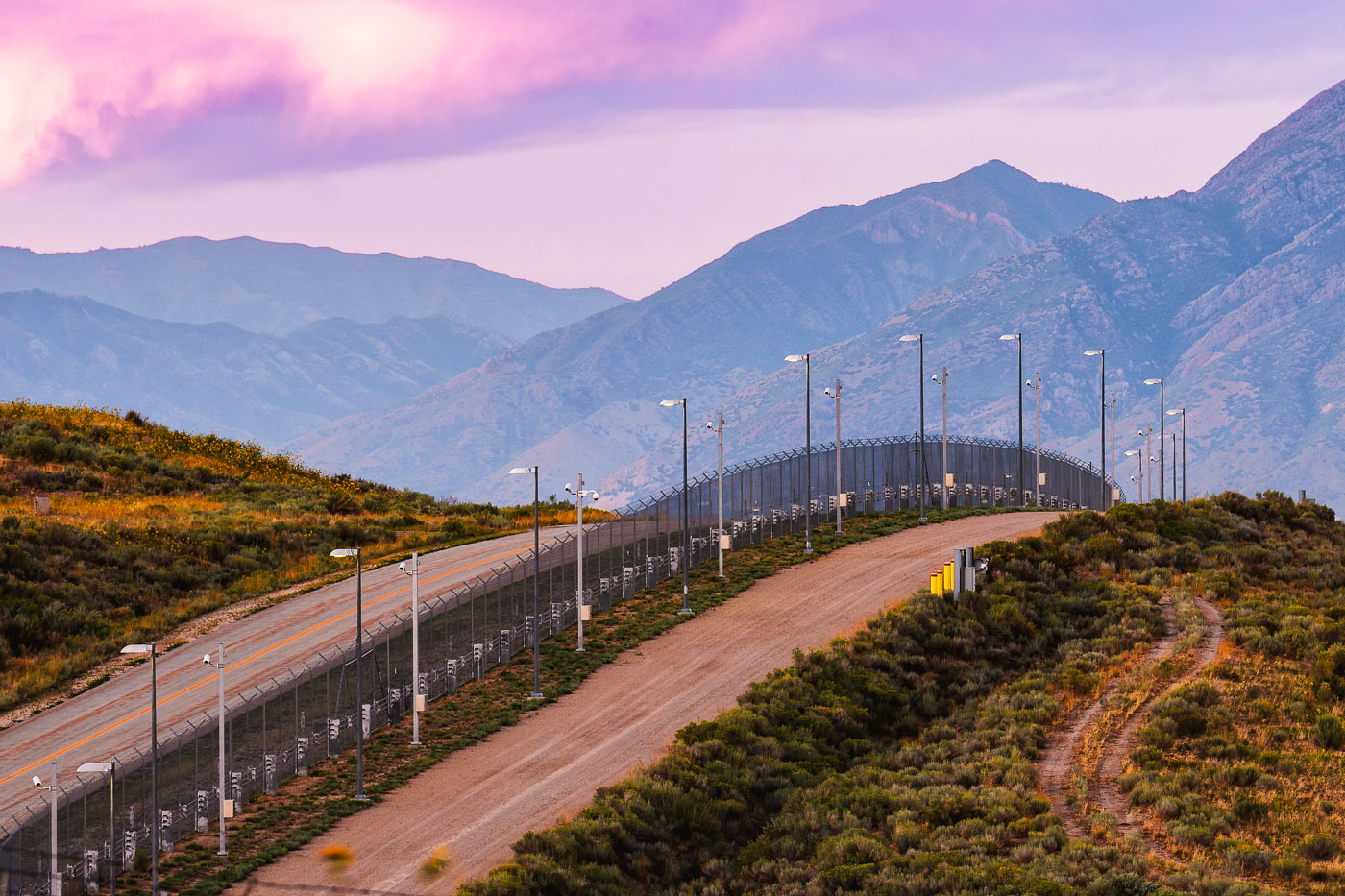
Perimeter fence with security cameras and lighting surrounds the NSA Utah Data Center in Bluffdale, with mountains beyond.
The NSA's Utah Data Center sits in Bluffdale, south of Salt Lake City, along the base of the Wasatch Range. Officially titled the Intelligence Community Comprehensive National Cybersecurity Initiative Data Center, the complex opened in 2013 and covers roughly 1.5 million square feet. Analysts have nicknamed it "Bumblehive," and estimates of its storage capacity have ranged from three to twelve exabytes. The perimeter is secured with fencing and camera systems, part of a broader security setup that also includes checkpoints and patrols not open to public access.
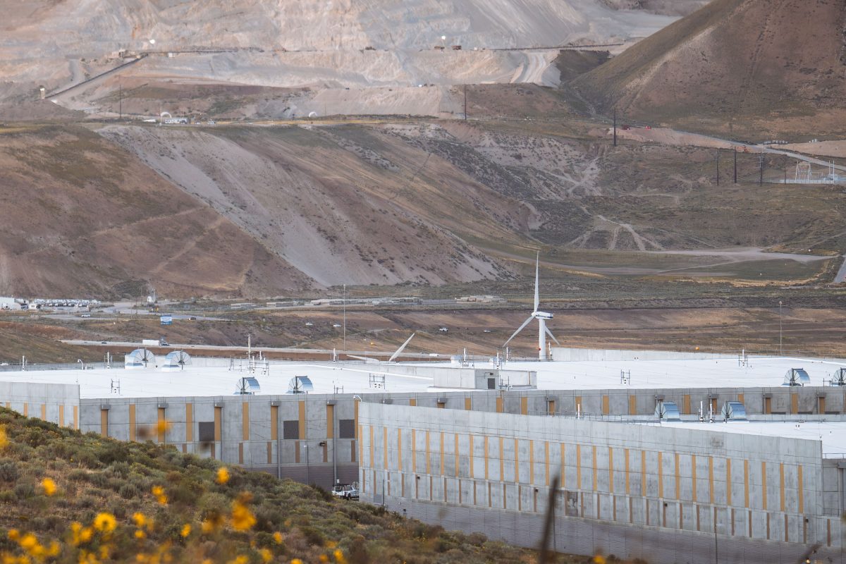
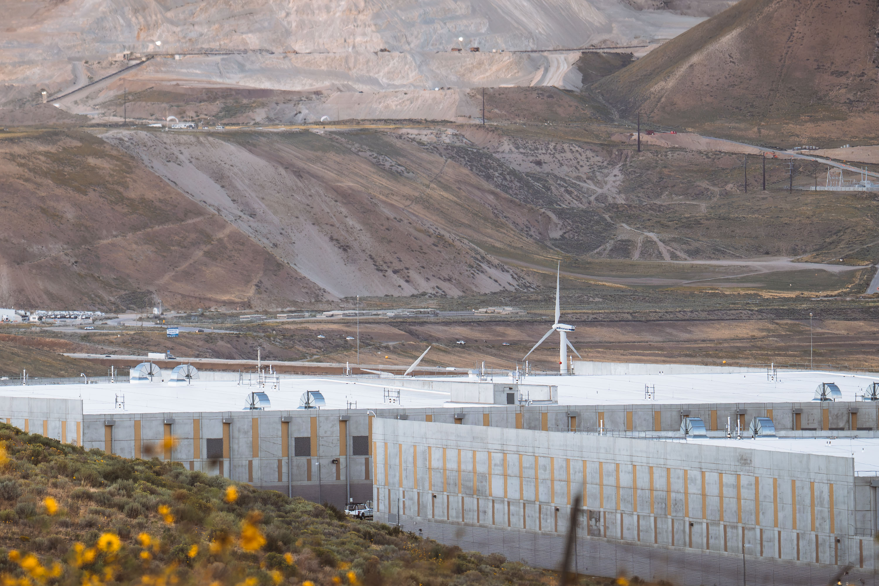
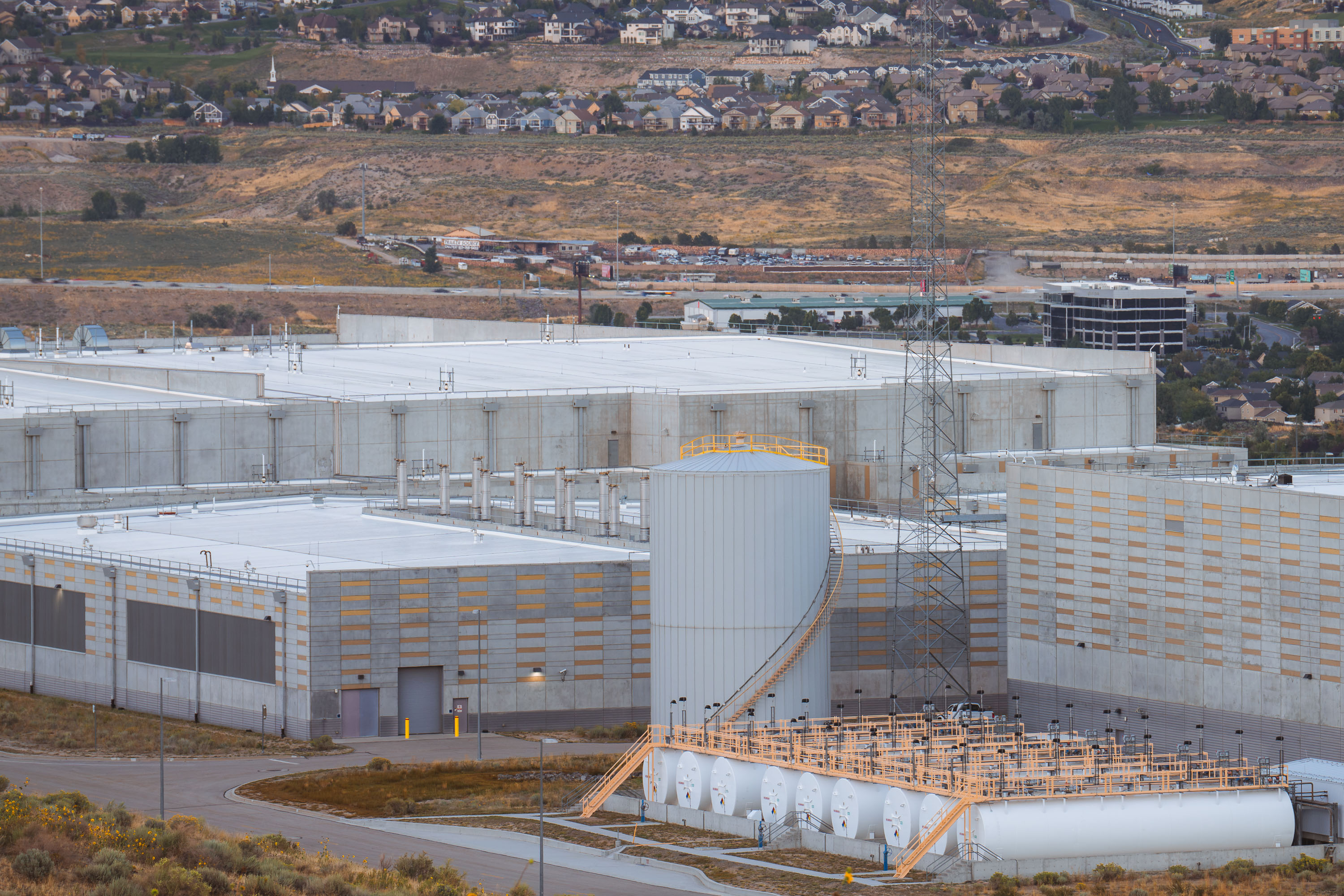
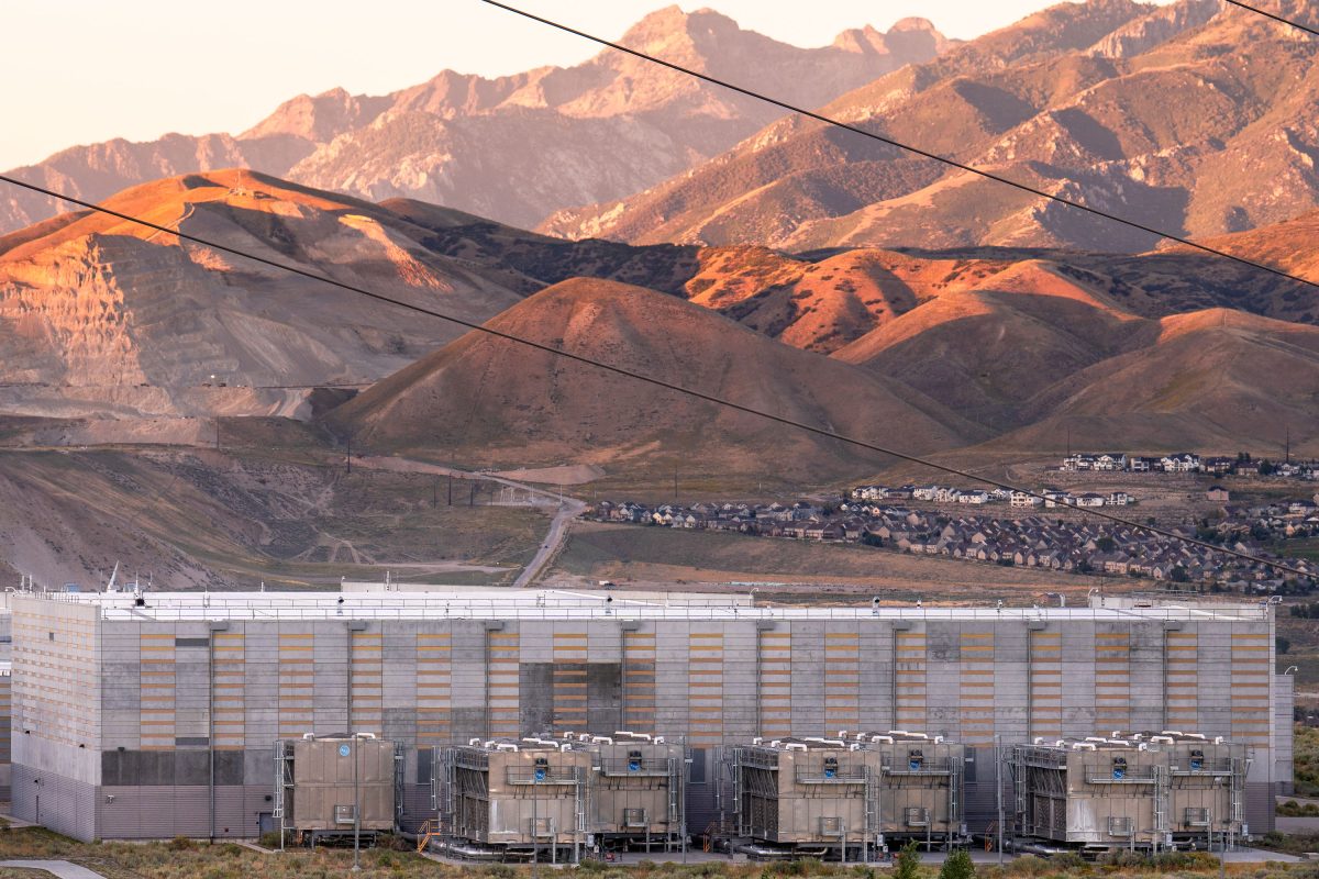
NSA Data Center facility in Bluffdale, Utah, with wind turbine and mine tailings visible on surrounding hillsides.
The NSA's Utah Data Center in Bluffdale carries the formal name Intelligence Community Comprehensive National Cybersecurity Initiative Data Center, along with the nickname "Bumblehive." Built between 2011 and 2013 at a cost of roughly $1.5 billion, the complex totals about 1.5 million square feet, though only a portion of that is actual server space. Outside analysts have estimated its potential data storage capacity at anywhere from 3 to 12 exabytes. The facility sits near Camp Williams, a Utah National Guard training post that supplied land and infrastructure support for its construction, in the valley south of Salt Lake City near the Jordan Narrows.
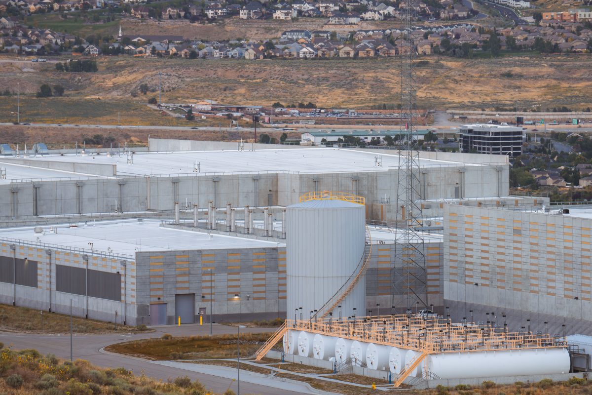
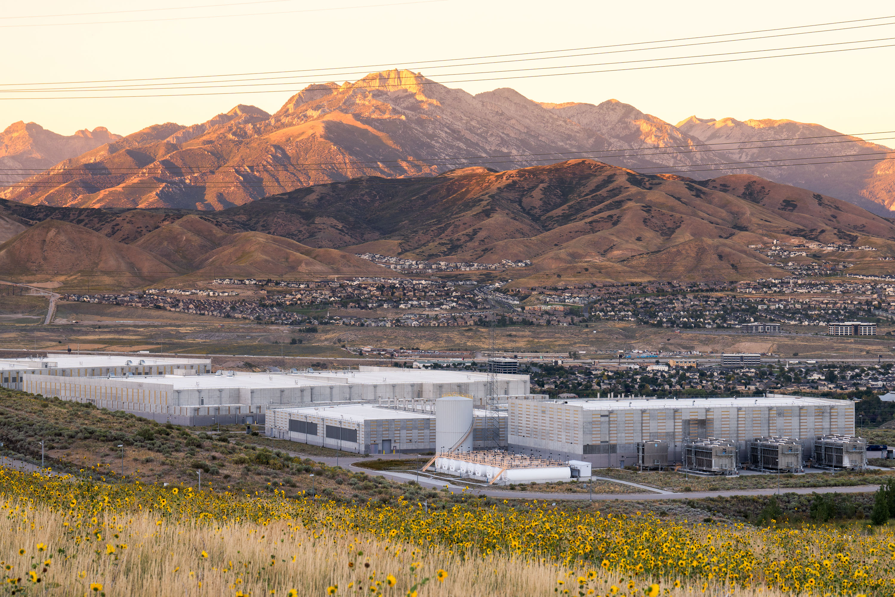
NSA's Utah Data Center in Bluffdale features server halls, cooling systems, and fuel storage tanks on hillside overlooking
The Utah Data Center in Bluffdale, nicknamed "Bumblehive," is the National Security Agency's primary facility for storing and processing intercepted communications and signals intelligence. Formally titled the Intelligence Community Comprehensive National Cybersecurity Initiative Data Center, it opened in 2014 after roughly $1.5 billion in construction costs. The complex covers about 1.5 million square feet, though only a fraction of that space houses actual server halls, with the rest given over to power substations, cooling infrastructure, and security operations. Independent estimates of its storage capacity have ranged from several exabytes to over a yottabyte, though the NSA has never confirmed exact figures. The site sits near Camp Williams, a Utah National Guard training facility, on land the state provided in part to help meet the project's water and power needs.
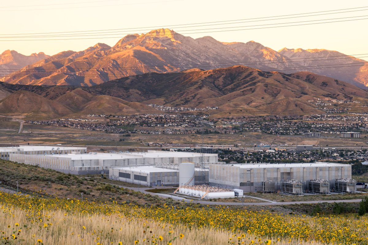
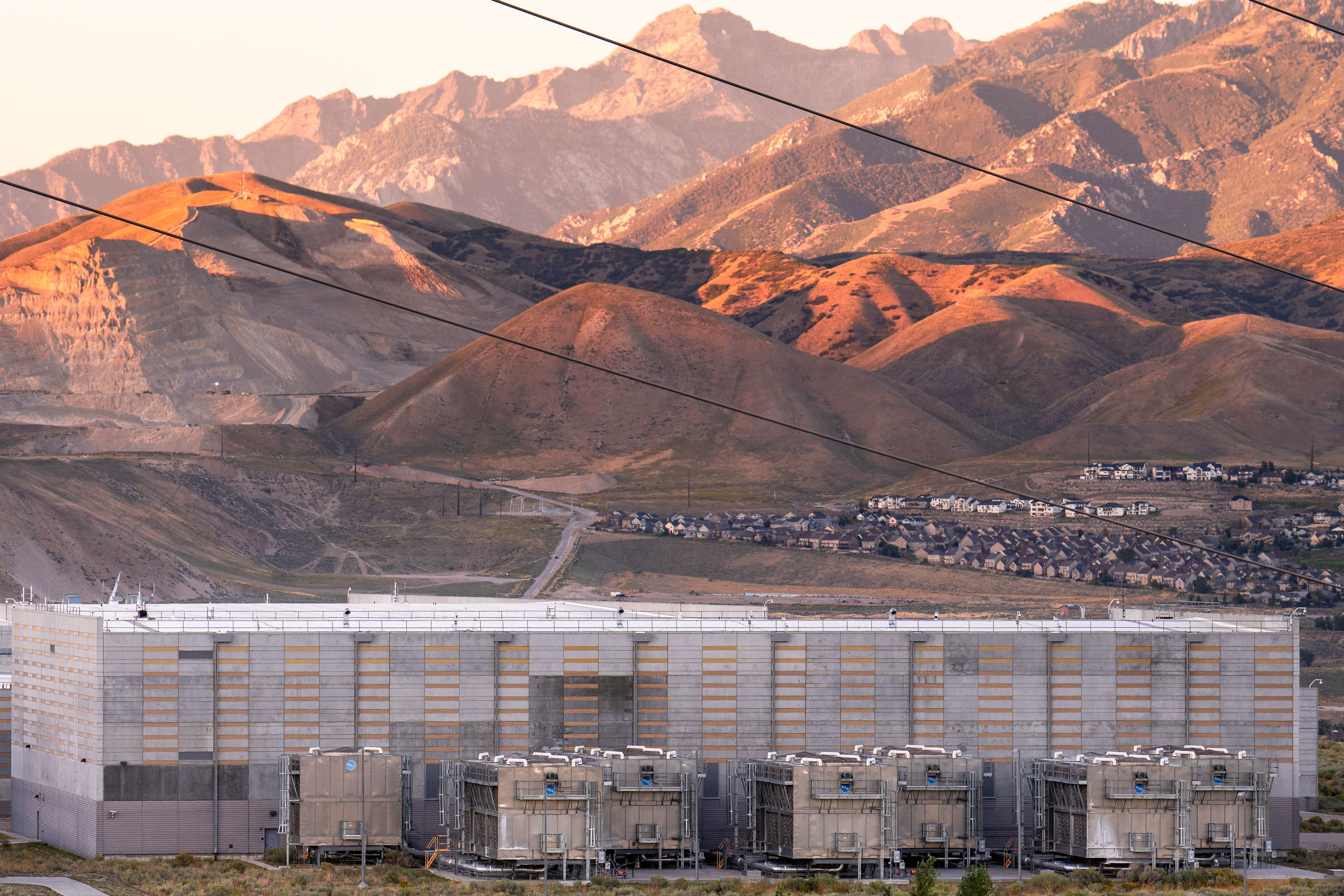
NSA Utah Data Center facility in Bluffdale with Wasatch Range mountains at sunset.
The NSA's Utah Data Center occupies a site in Bluffdale, at the base of the Wasatch Range, under the formal name Intelligence Community Comprehensive National Cybersecurity Initiative Data Center. Built between 2011 and 2013 at a reported cost near $1.5 billion, the complex totals roughly 1.5 million square feet, though server halls make up only a portion of that space. Independent estimates of its data storage capacity have ranged from 3 to 12 exabytes, figures the agency has never officially confirmed. Cooling the servers requires a large water system drawing millions of gallons annually from regional supplies. The site sits west of Point of the Mountain, close enough for a commute from Salt Lake City yet set apart from the valley's denser development.
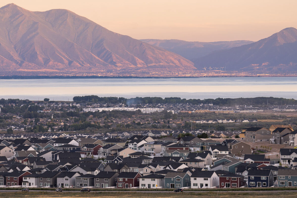
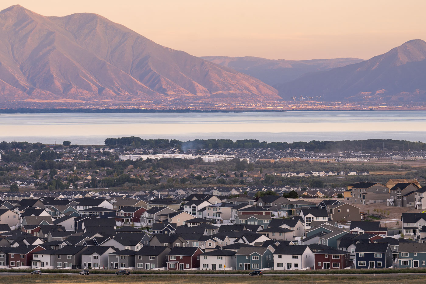
Saratoga Springs residential neighborhood overlooks Utah Lake with Wasatch Range mountains at sunset.
Saratoga Springs sits on the western shore of Utah Lake, roughly 30 miles south of Salt Lake City in Utah County. Incorporated in 1997, the city was one of the fastest-growing municipalities in the country through the 2010s and 2020s as new subdivisions spread across former farmland and desert terrain. Utah Lake itself is the largest freshwater lake in Utah, covering about 148 square miles, and has long served as an irrigation source for the valley's agriculture. Across the water, the Wasatch Range rises along the eastern edge of the valley, with the Provo-Orem area visible at its base.
NSA Utah Data Center in Bluffdale with Wasatch Range mountains at sunset.
The NSA Utah Data Center in Bluffdale operates under the formal name Intelligence Community Comprehensive National Cybersecurity Initiative Data Center, though it's widely known by its nickname, "Bumblehive." Built for roughly $1.5 billion and completed in 2014, the complex covers about 1.5 million square feet, with estimates of its data storage capacity ranging from 3 to 12 exabytes. It sits south of Salt Lake City at the base of the Wasatch Range, near Camp Williams, on land the National Security Agency acquired from the Utah National Guard. Residential subdivisions have since spread closer to the site, filling in land that was largely open when construction began.
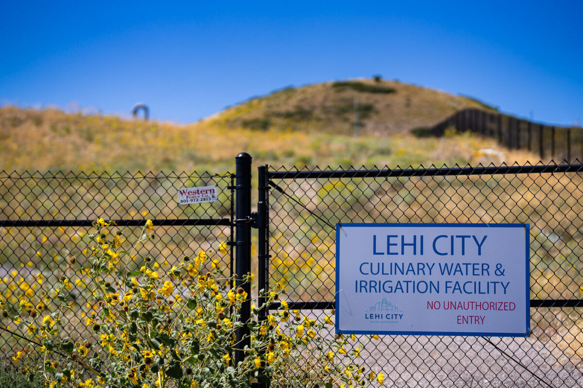
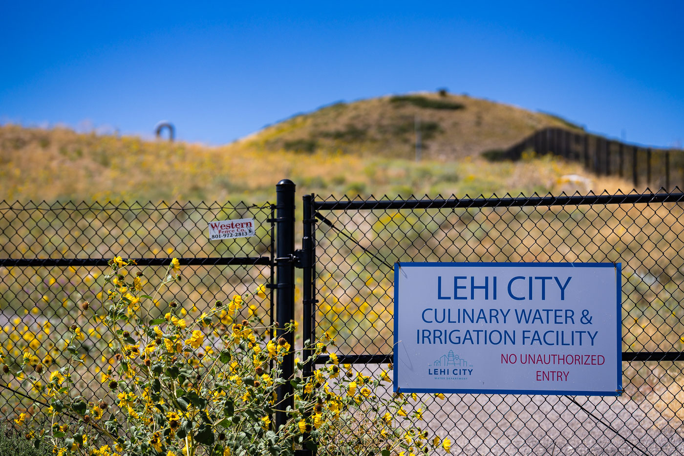
Sign at Lehi City Culinary Water & Irrigation Facility entrance in Lehi, Utah.
Lehi City's Culinary Water & Irrigation Facility sits along the city's northern bench, part of the municipal system that delivers both drinking water and irrigation supply to residents and farmland. Lehi's water department traces its roots to 1852, not long after Mormon pioneers settled the area and began diverting water from nearby creeks and the Jordan River for crops. The city has grown considerably since Utah County's early agricultural days, and its water infrastructure has expanded accordingly to serve both older irrigation shares and newer residential subdivisions. Fencing and posted entry restrictions are standard at municipal water sites like this one, where equipment and water quality require controlled access.
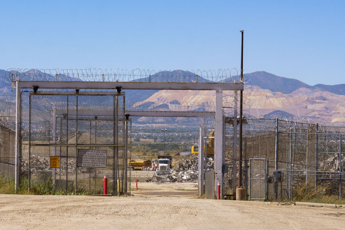
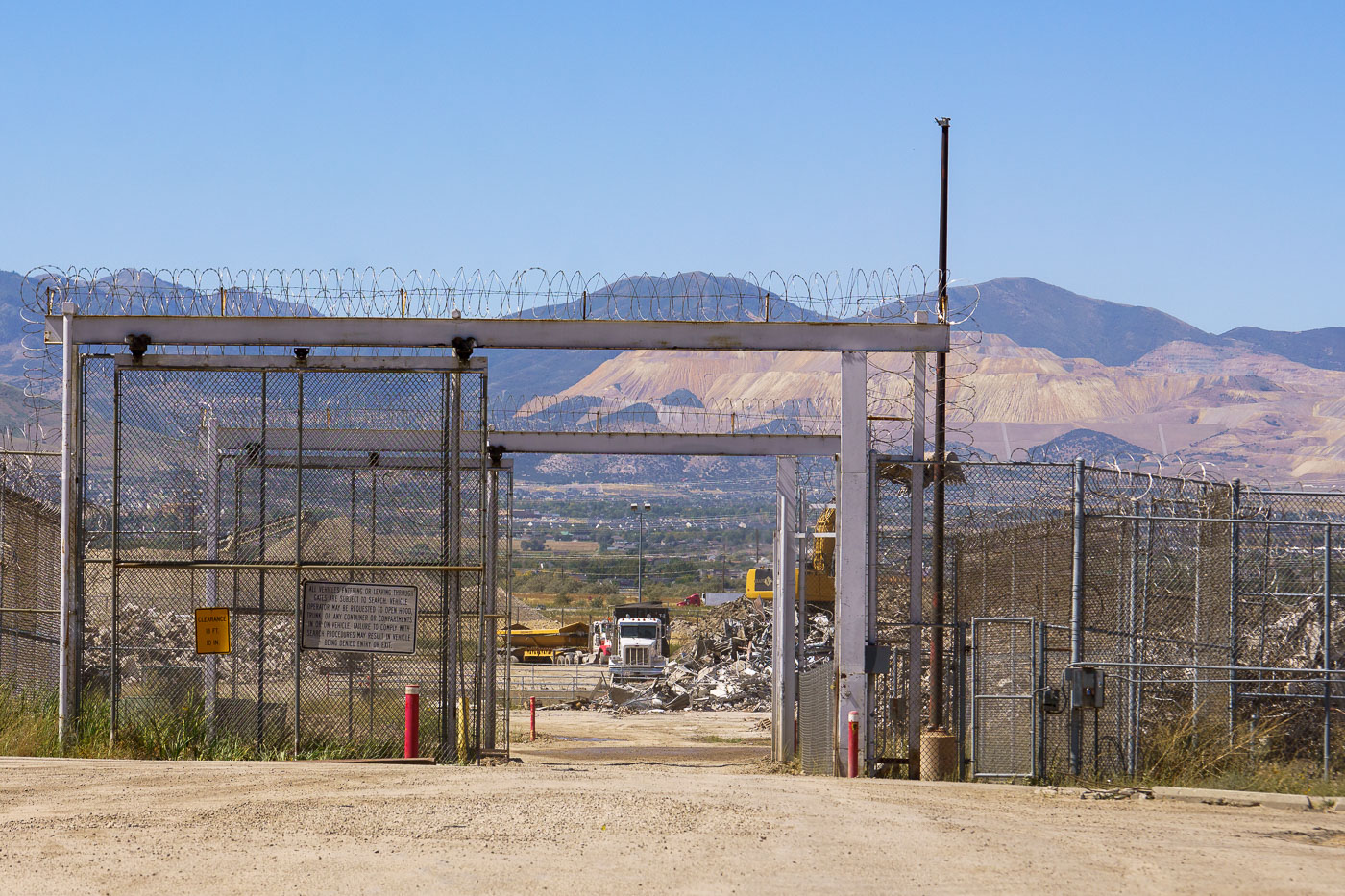
Security gate at the Olympus Correctional Facility in Draper, Utah, during demolition in September 2023.
The Olympus Correctional Facility in Draper, Utah, operated as part of the Utah State Prison complex before the state consolidated operations at the new Utah State Correctional Facility in Salt Lake City. Corrections officials closed the Draper site in 2022 after decades of use, clearing the way for redevelopment of the land near the Point of the Mountain. Demolition crews began dismantling the facility's structures in 2023, work that continued into the fall of that year. The surrounding property, long eyed for mixed-use development under the state's "Point of the Mountain" planning initiative, sits along the Salt Lake and Utah county line.
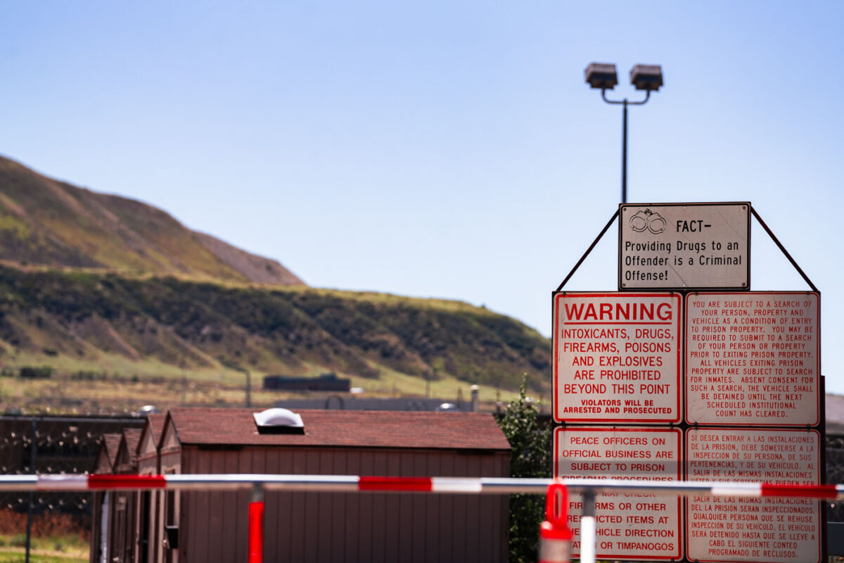
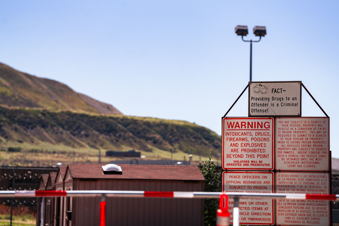
Warning signs at the entrance to the Utah State Prison in Draper, Utah, prohibiting drugs and weapons.
The Utah State Prison in Draper operated from 1951 until its closure in 2022, when inmates were transferred to the new Utah State Correctional Facility in Salt Lake City. Warning signs at the entrance barred intoxicants, drugs, firearms, poisons, and explosives, with violators subject to arrest and prosecution, and notified visitors and vehicles that they were subject to search as a condition of entry or exit. The Draper site once held thousands of inmates across multiple housing units before the property was cleared for redevelopment, including plans for a technology and research campus known as The Point.
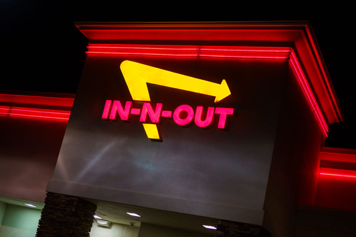
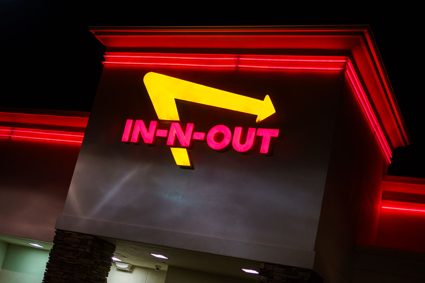
In-N-Out Burger's neon sign with yellow arrow and pink lettering illuminates at night in Salt Lake City.
In-N-Out Burger traces its roots to 1948, when Harry and Esther Snyder opened the chain's first location in Baldwin Park, California, using a two-way speaker box that let customers place orders from their cars. The company has stayed privately held ever since, resisting franchising and keeping its menu limited to burgers, fries, and shakes. Its yellow arrow logo, paired with red block lettering, has marked locations since the chain's earliest years and remains unchanged even as the company expanded beyond California into Utah, Nevada, Arizona, Texas, and other Western states. Utah's first In-N-Out opened in 2001, part of a gradual eastward push that has kept the chain's footprint concentrated in the Southwest and West.
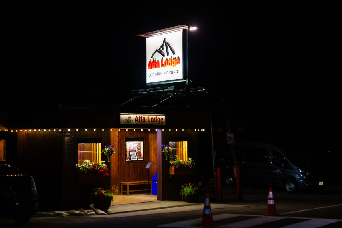
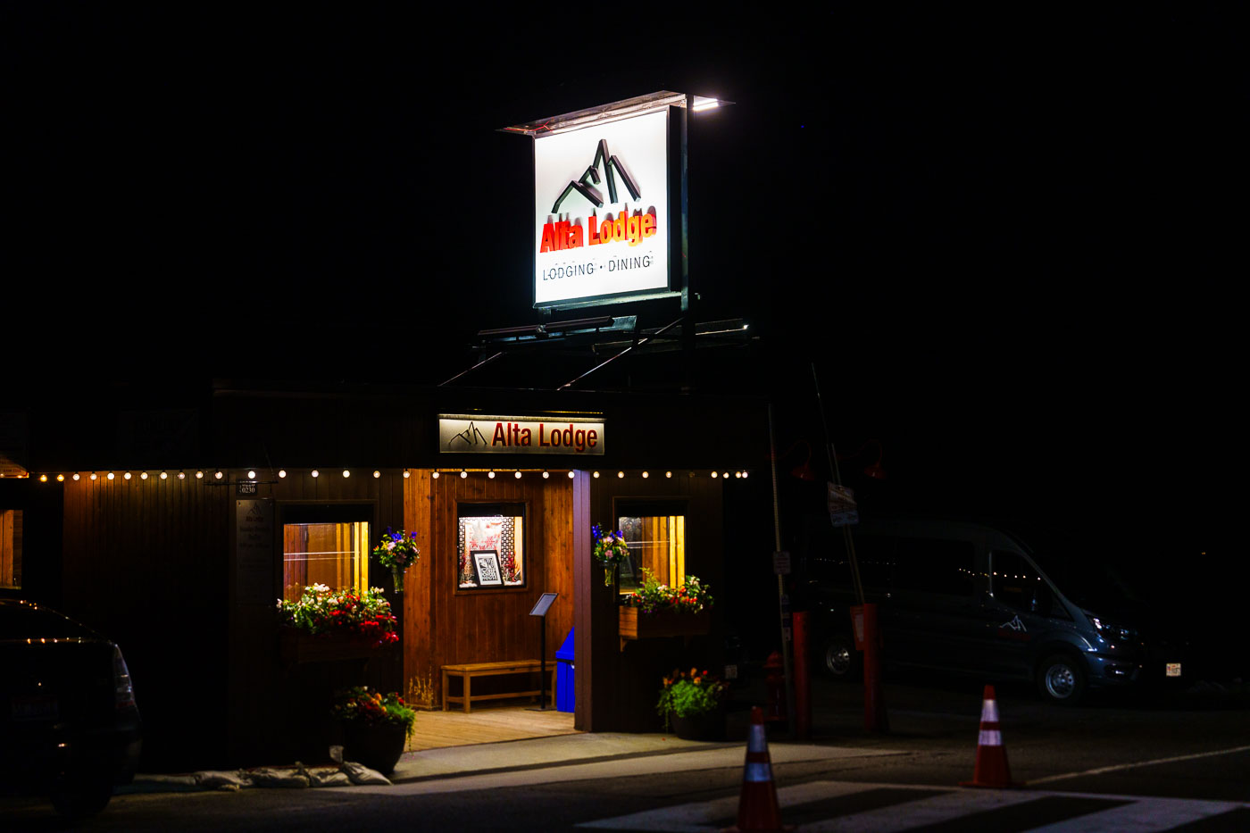
Illuminated Alta Lodge sign and entrance at night in Alta, Utah.
Alta Lodge opened in 1939 as one of the first ski lodges built in Alta, Utah, not long after the town's mining-era past gave way to a new identity as a ski destination. The lodge sits at the base of Alta Ski Area, one of the oldest operating ski resorts in the country, established the same year. Alta Lodge has long been known for an all-inclusive approach that bundles lodging, meals, and access to the slopes, a model common among the area's early ski lodges. It remains family-run and operates seasonally, catering mainly to skiers drawn to Alta's reputation for dry, powdery snow.
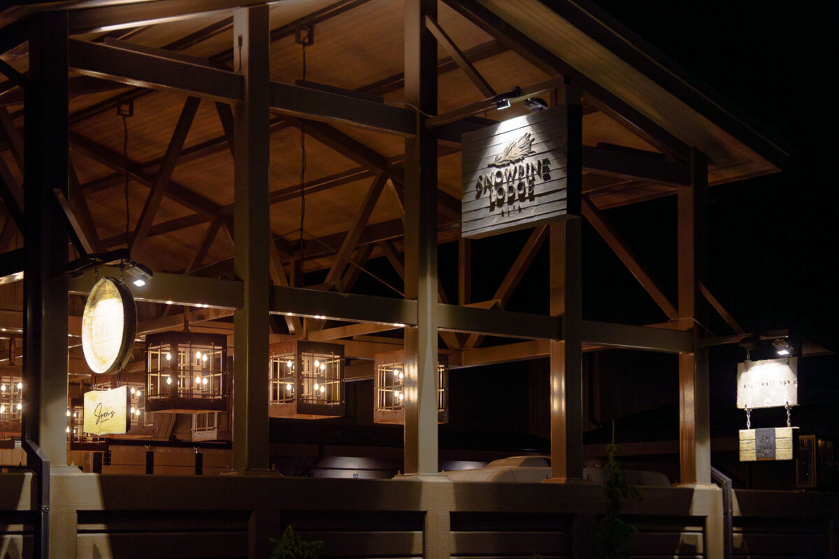
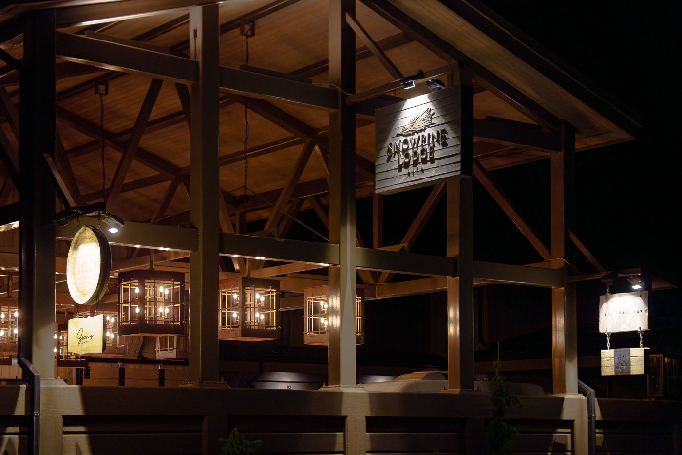
Snowpine Lodge's illuminated sign and wooden beam structure at night in Alta, Utah.
Snowpine Lodge sits at the base of Alta Ski Area in Little Cottonwood Canyon, about 25 miles southeast of Salt Lake City. The property reopened in 2021 after a rebuild that replaced the original 1938 structure, one of the oldest lodges in the canyon's ski history. Alta itself dates to 1938 as one of the first developed ski areas in the Intermountain West, and Snowpine has operated as a base lodge for skiers since. The lodge offers rooms, dining, and a spa, functioning as one of the few private accommodations directly on Alta's slopes.
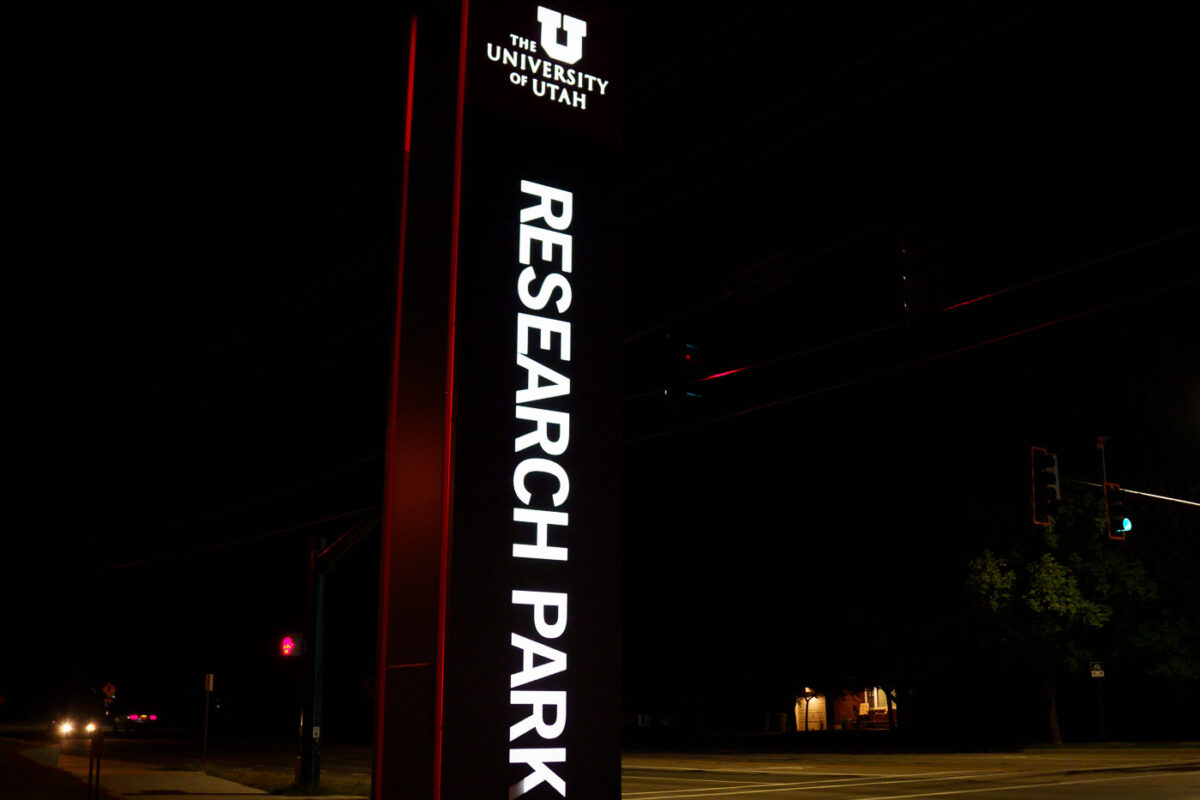
University of Utah Research Park illuminated sign at night in Salt Lake City.
The University of Utah's Research Park sits on the east bench of Salt Lake City, established in 1968 on land once used by Fort Douglas. The park spans roughly 300 acres and hosts more than 40 companies and organizations working in biotech, software, and other research-driven fields. It operates as a partnership between the university and private industry, with leases generating revenue that supports the school's academic programs. Myriad Genetics and Evans & Sutherland both trace early roots to tenancy here.
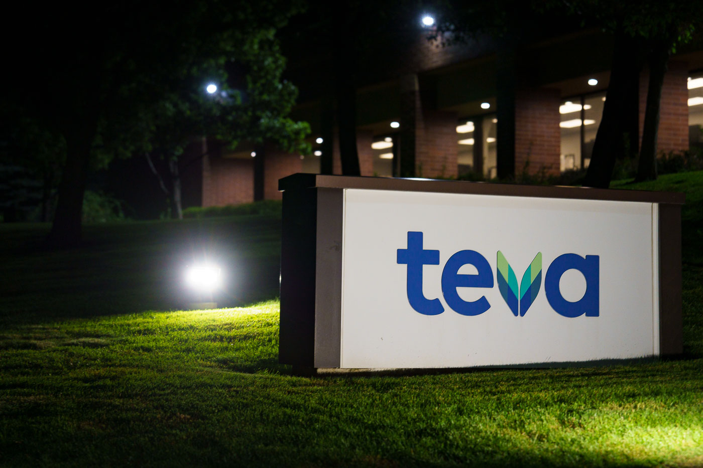
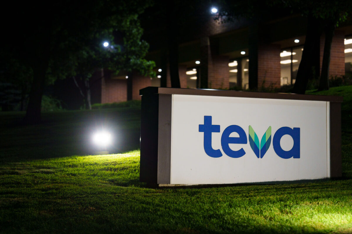
Teva Pharmaceuticals illuminated sign on grass at night in Salt Lake City.
Teva Pharmaceuticals operates a manufacturing and distribution site in Salt Lake City, one of several U.S. facilities the Israel-based company runs as part of its generic drug production network. Teva is among the world's largest producers of generic medicines, supplying pharmacies and health systems across North America. The Salt Lake City location has long served as a production hub for the company's Utah operations, which date back decades under earlier ownership before Teva's acquisitions consolidated the site under its current name.
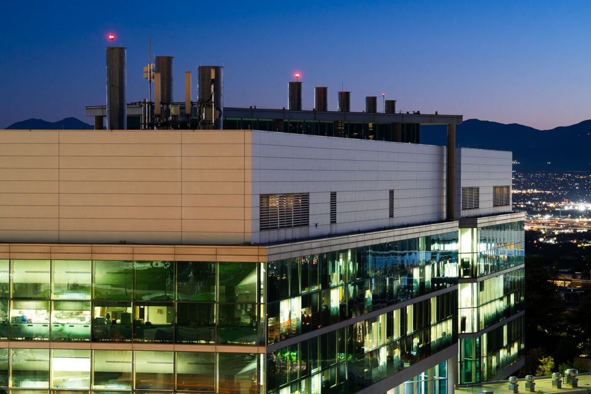
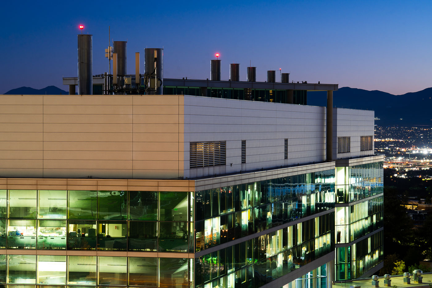
University of Utah's Biomedical Engineering Building illuminated at dusk with mountains beyond.
The University of Utah's Biomedical Engineering Building sits on the school's upper campus, overlooking Salt Lake City and the Salt Lake Valley below. The department was established in 1966 as one of the first biomedical engineering programs in the country, and it continues to combine research space with classrooms and labs for students studying medical devices, biomaterials, and related fields. The building's position along the city's eastern bench gives it views that stretch across the valley toward the Oquirrh Mountains.
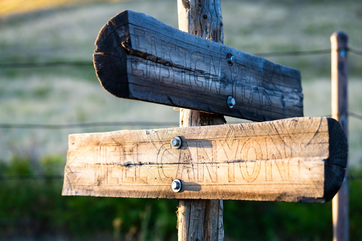
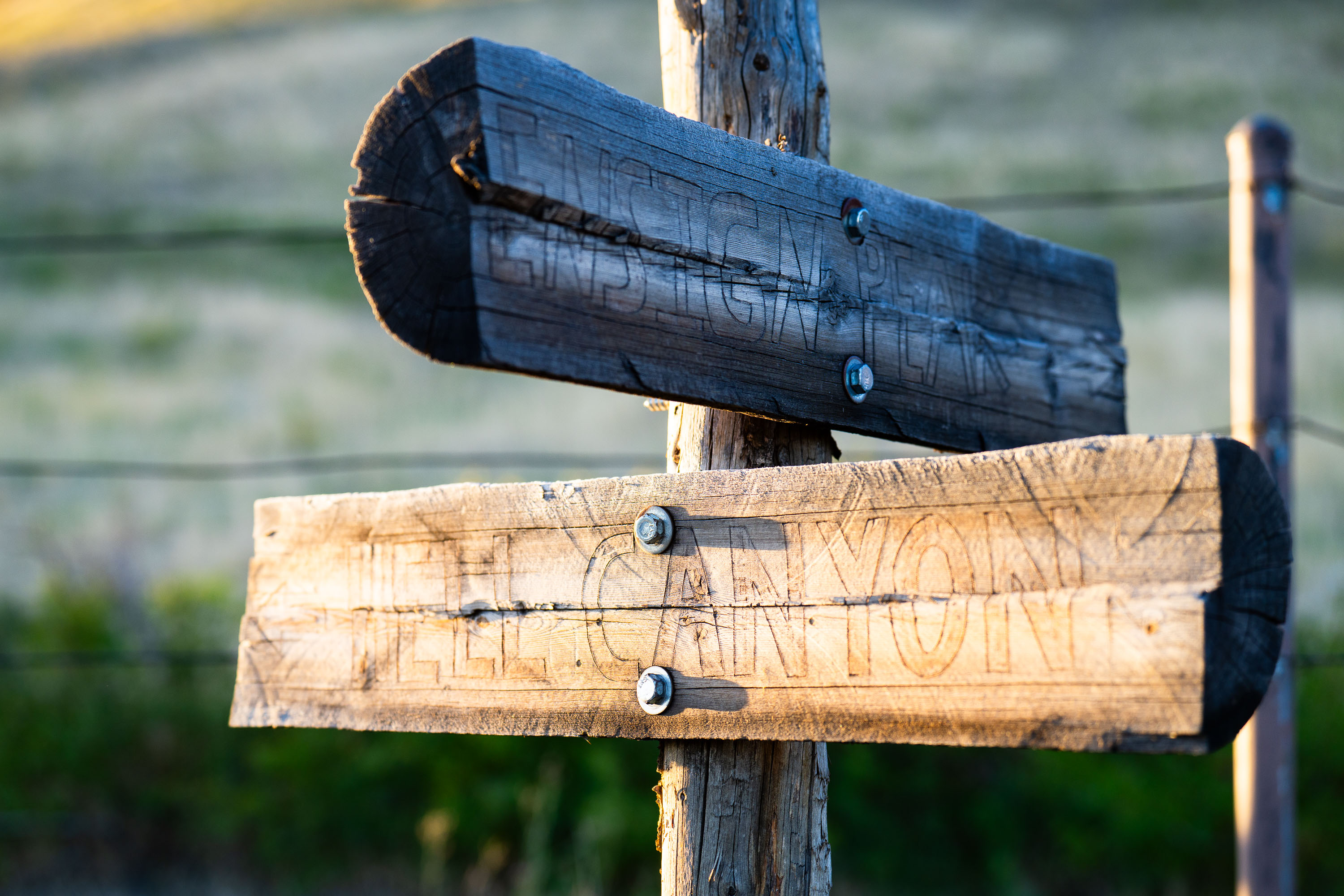
Wooden directional signs mounted on a post near Ensign Peak in Salt Lake City, Utah.
Ensign Peak rises 5,414 feet above the Salt Lake Valley on the northern edge of Salt Lake City, near the Utah State Capitol. Latter-day Saint pioneers climbed it in July 1847, just days after entering the valley, to survey the land Brigham Young had selected for settlement; the peak's name comes from that founding association with the Mormon "ensign," or standard, that Young envisioned raising there. The site is now preserved as Ensign Peak Nature Park, managed by Salt Lake City, with a trail climbing to the summit from Ensign Vista Drive. City Creek Canyon, noted on the lower trail marker, lies just east of the peak and has supplied the city with drinking water since the 19th century, its watershed still protected as a source for the municipal system.
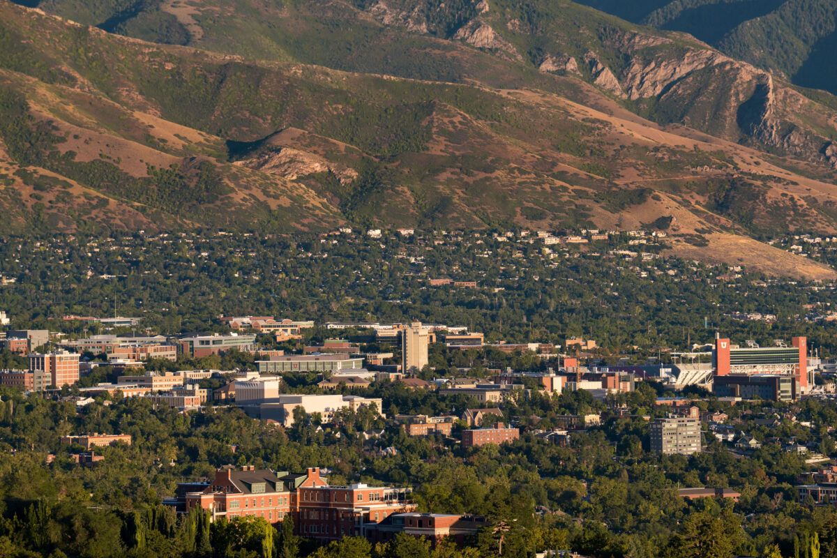
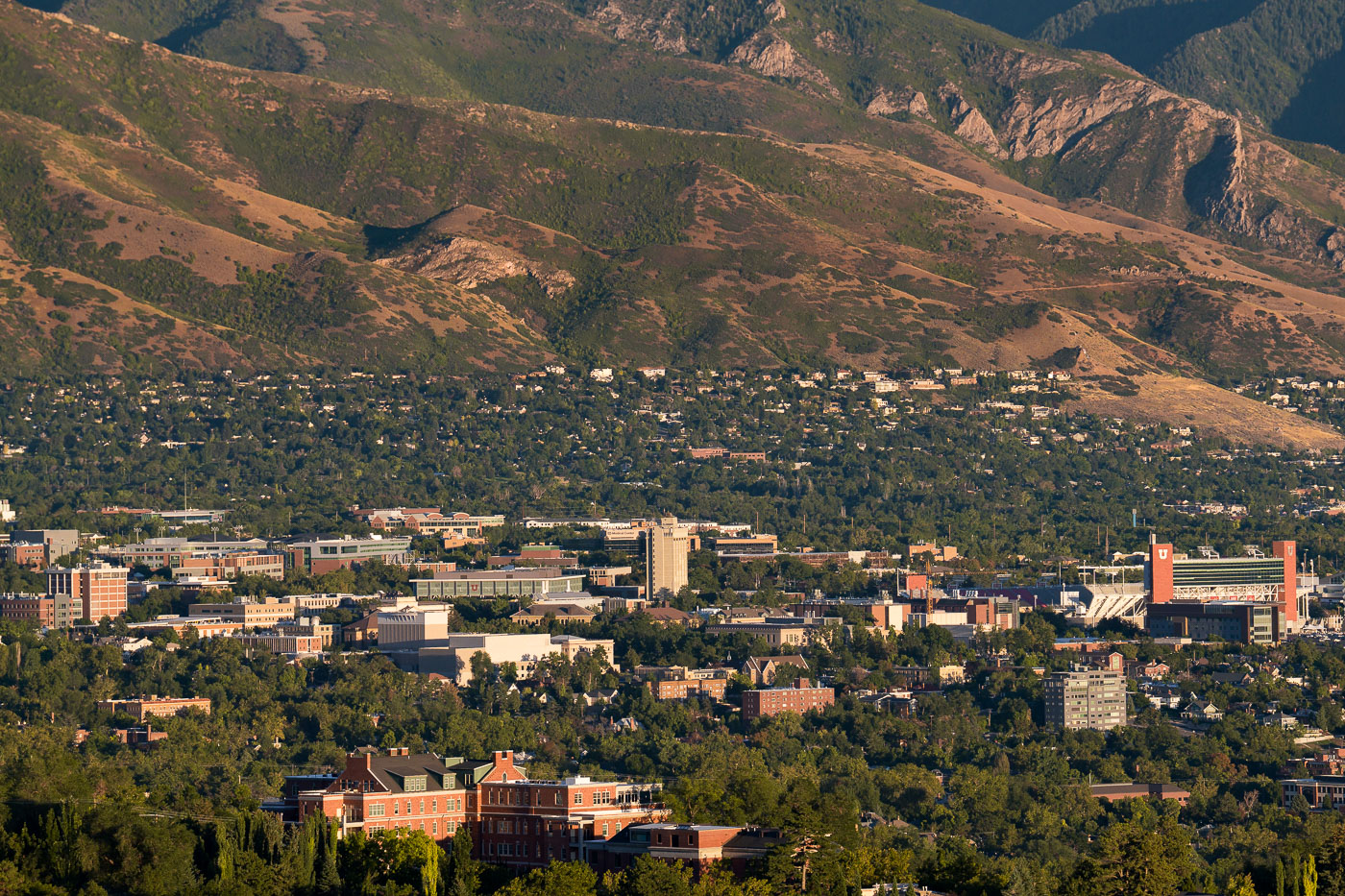
University of Utah campus nestled against Wasatch Mountains foothills in Salt Lake City.
The University of Utah sits at the base of the Wasatch Range in Salt Lake City, its campus spreading across the foothills east of downtown. Rice-Eccles Stadium, home to the school's football team, hosted the opening and closing ceremonies of the 2002 Winter Olympics and holds more than 45,000 fans. The Huntsman Cancer Institute, part of the university's health sciences complex, conducts cancer research and treatment for patients across the Mountain West. Founded in 1850, the university is the oldest institution of higher education in Utah and serves as the flagship of the state's public university system.
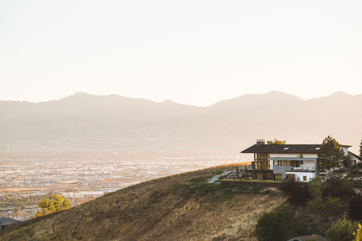
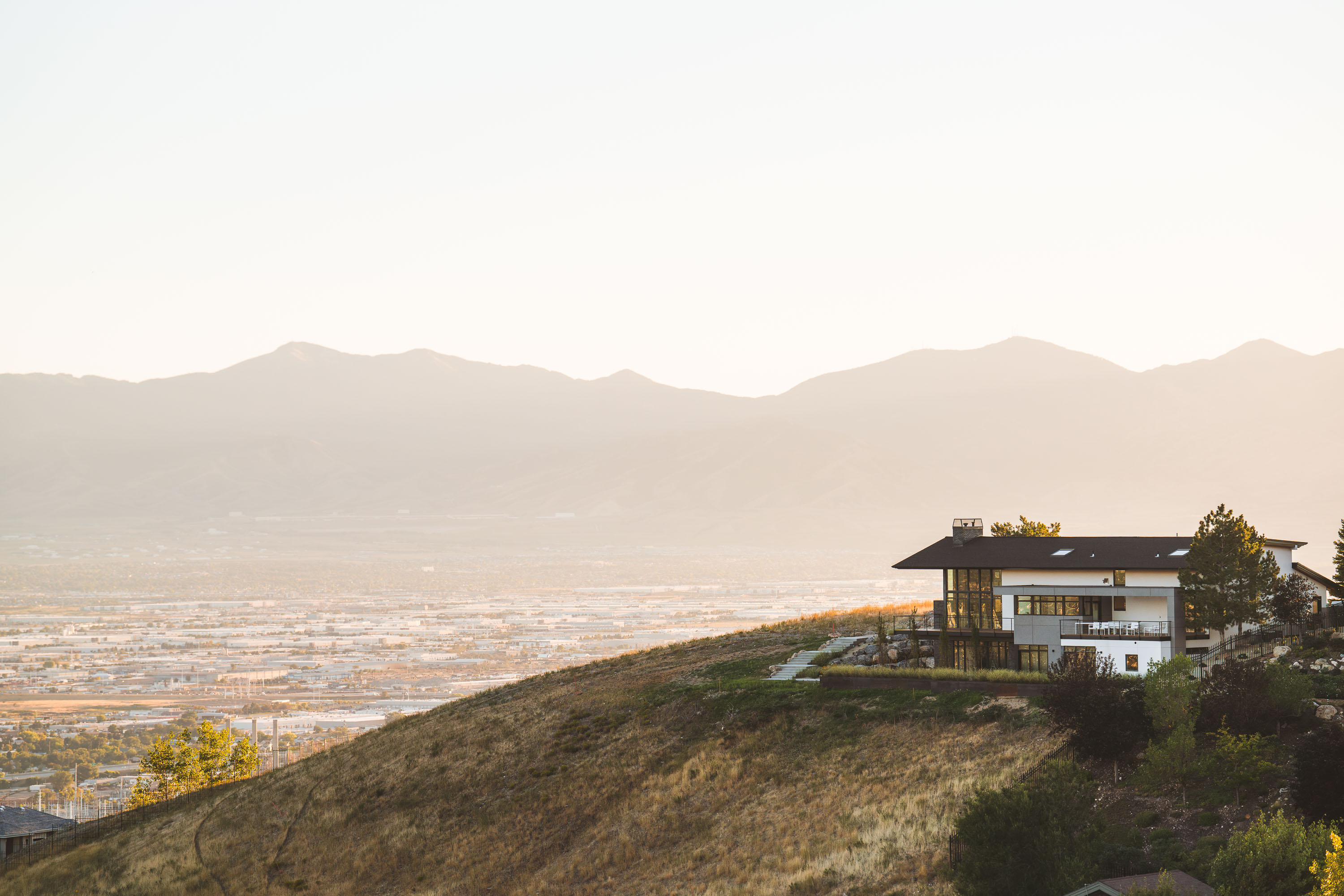
Modern home perched on a hillside overlooks Salt Lake City and surrounding mountains.
Ensign Peak rises on the northern edge of Salt Lake City, part of the Wasatch Range foothills separating the city from City Creek Canyon. At an elevation of about 5,414 feet, the peak takes its name from an 1847 tradition in which Mormon pioneers raised a flag from its summit soon after entering the valley. Homes built into its lower slopes overlook the Salt Lake Valley, which holds the bulk of the metropolitan area's population and stretches west to the Oquirrh Mountains roughly 20 miles across the basin. The Great Salt Lake lies further northwest, beyond the valley floor visible from these hillside elevations.

Built in Minneapolis

Minneapolis Photographer

Browse by location, move through long-running series, or start with recent work.