Place Archive

United States

Browse photography from around the United States organized by state and city. From Los Angeles to New York to the national parks.

826 photos

Location

United States Locations

Photos from United States
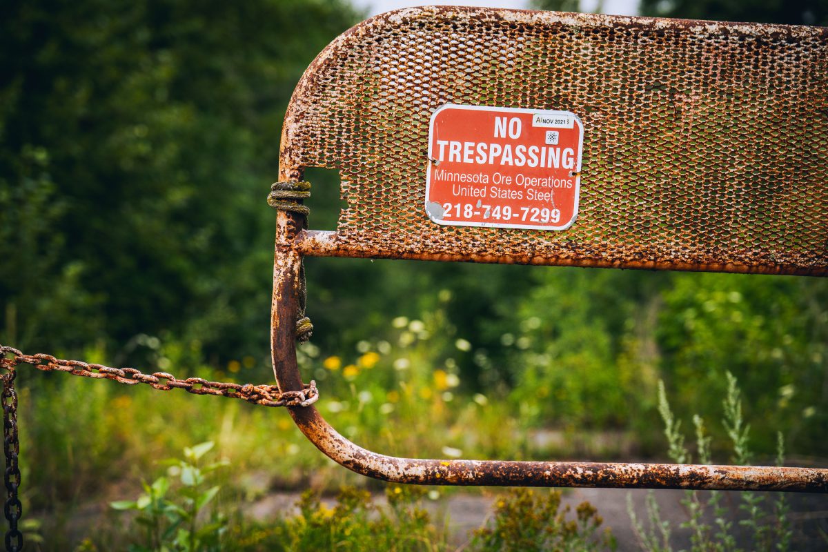
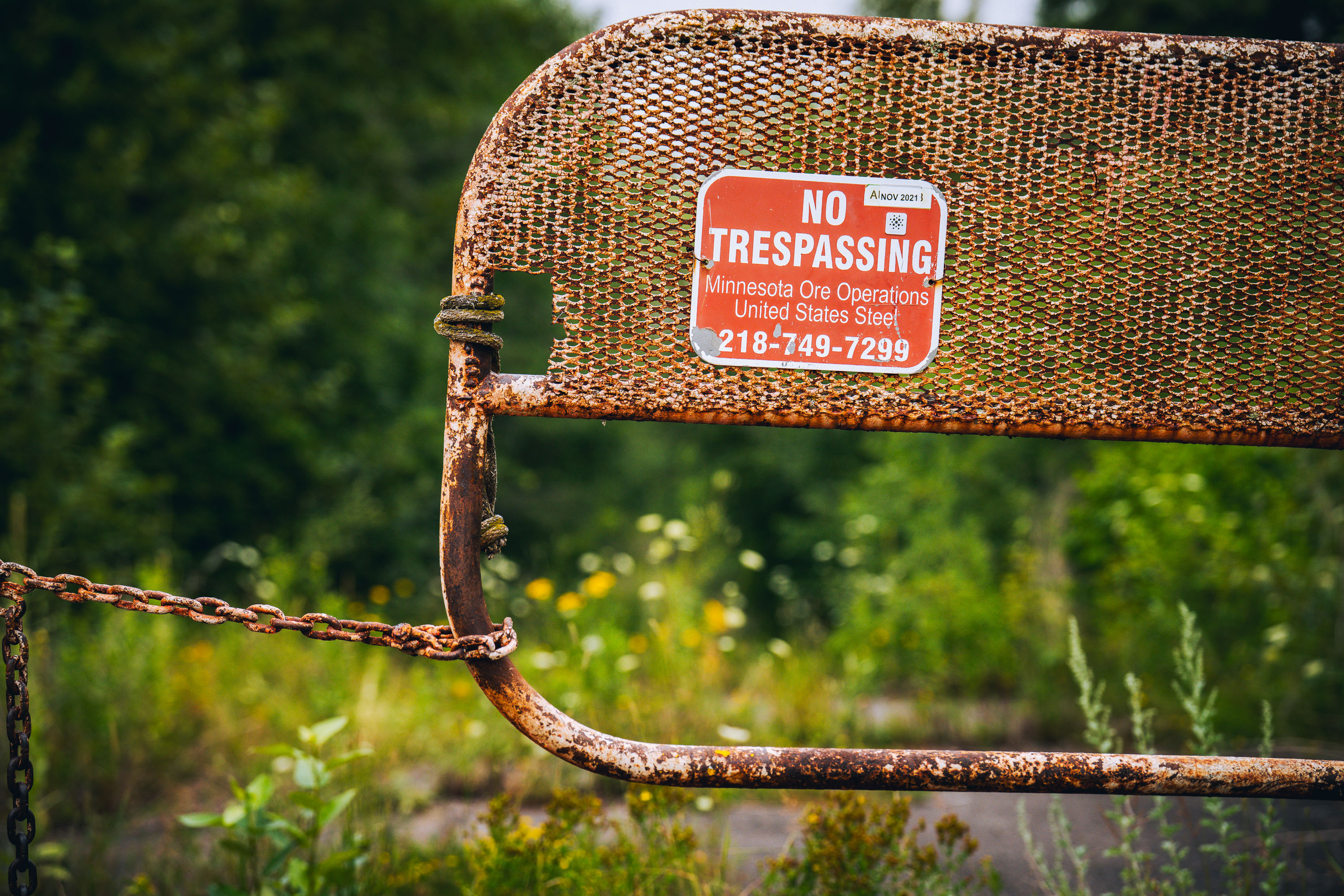
No Trespassing Sign by United States Steel
A No Trespassing sign by United States Steel sign on a fence in Minnesota's Iron Range.
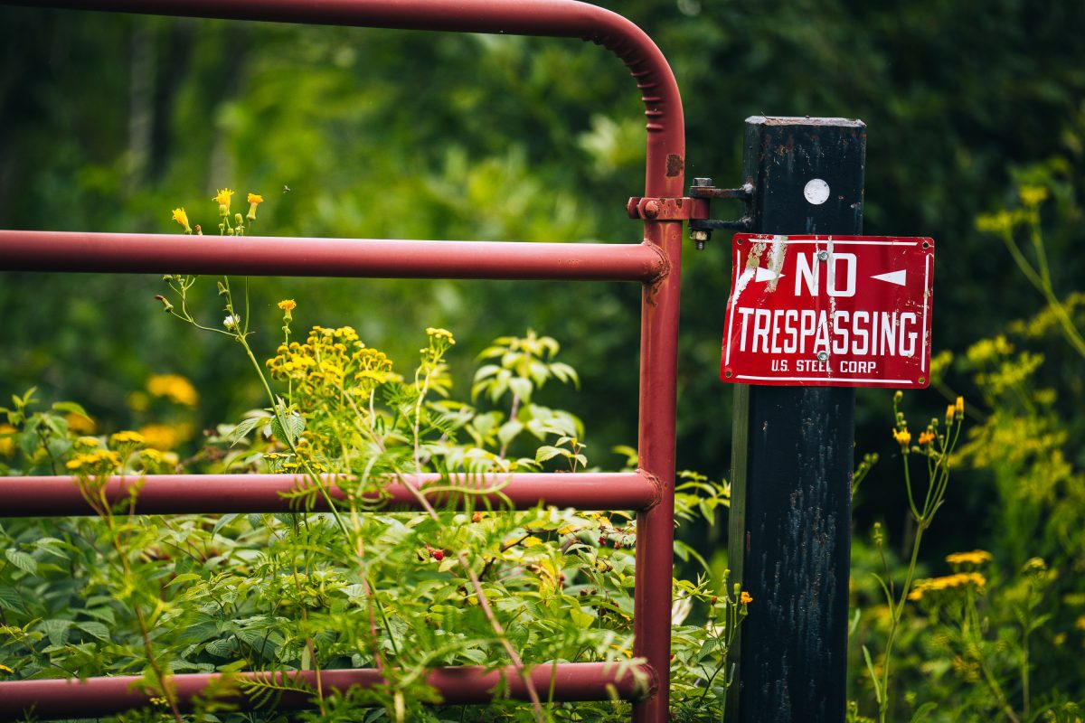
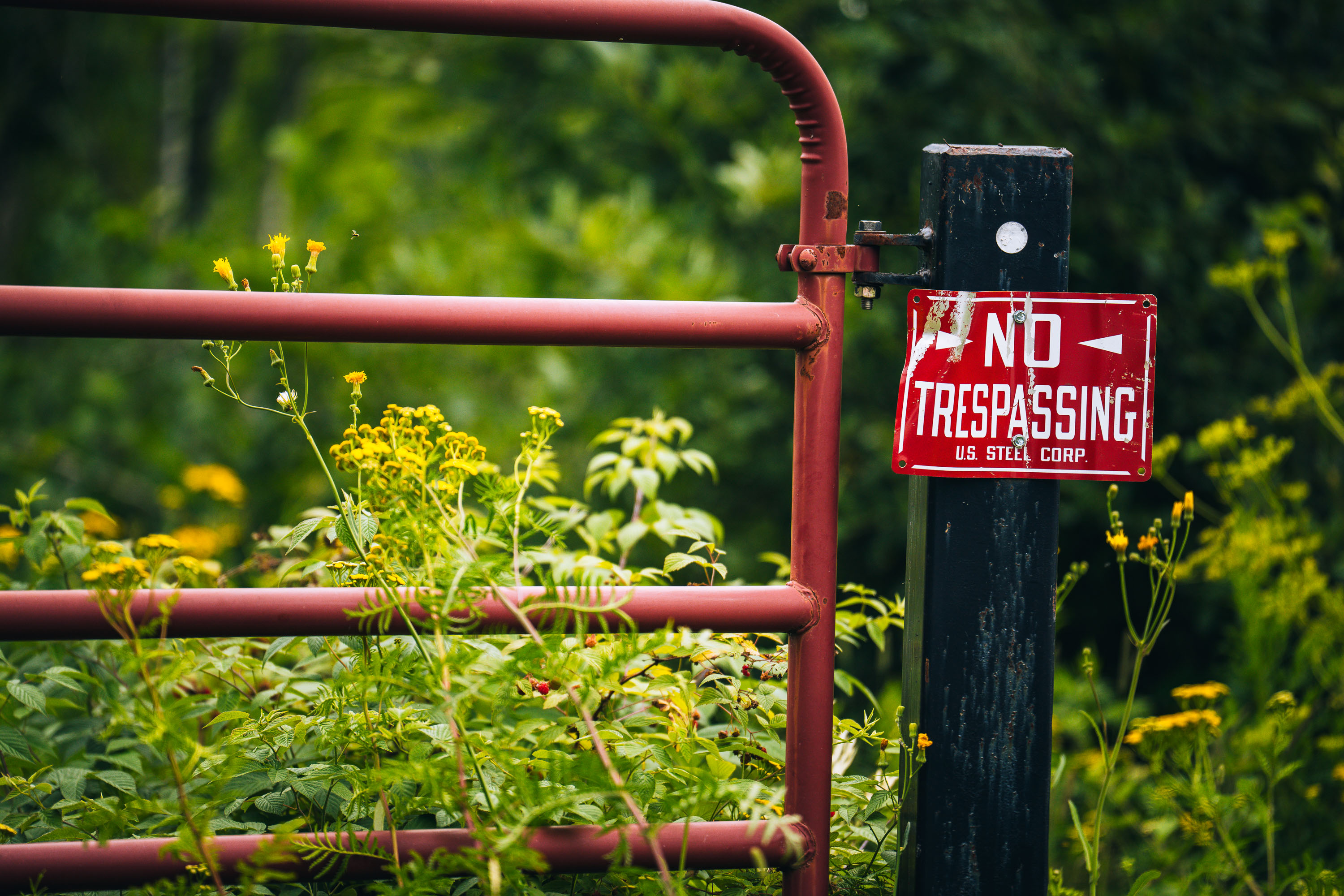
US Steel Corporation, No Trespassing Sign
A No Trespassing sign from US Steel Corporation seen in the Iron Range in Northern Minnesota.
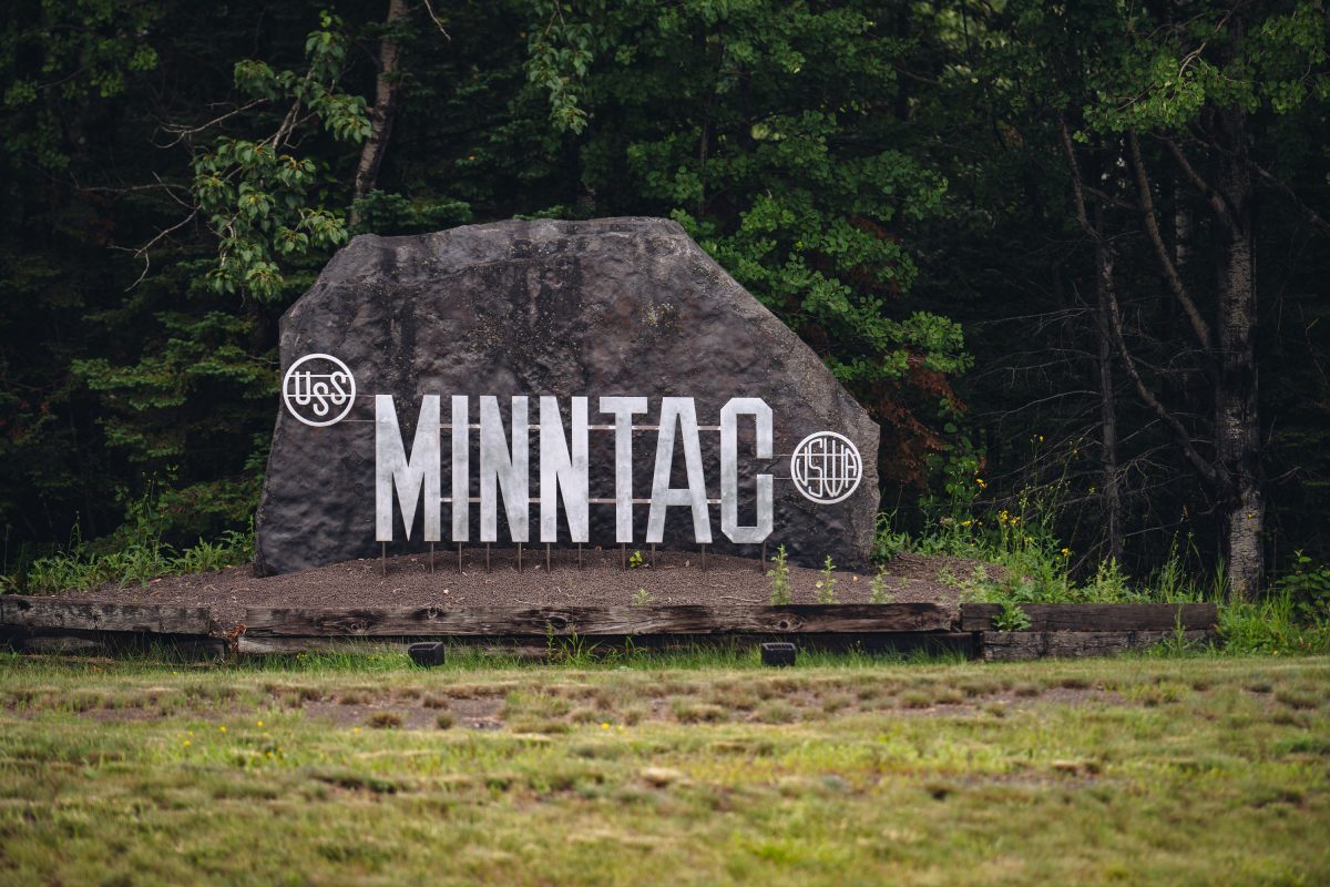
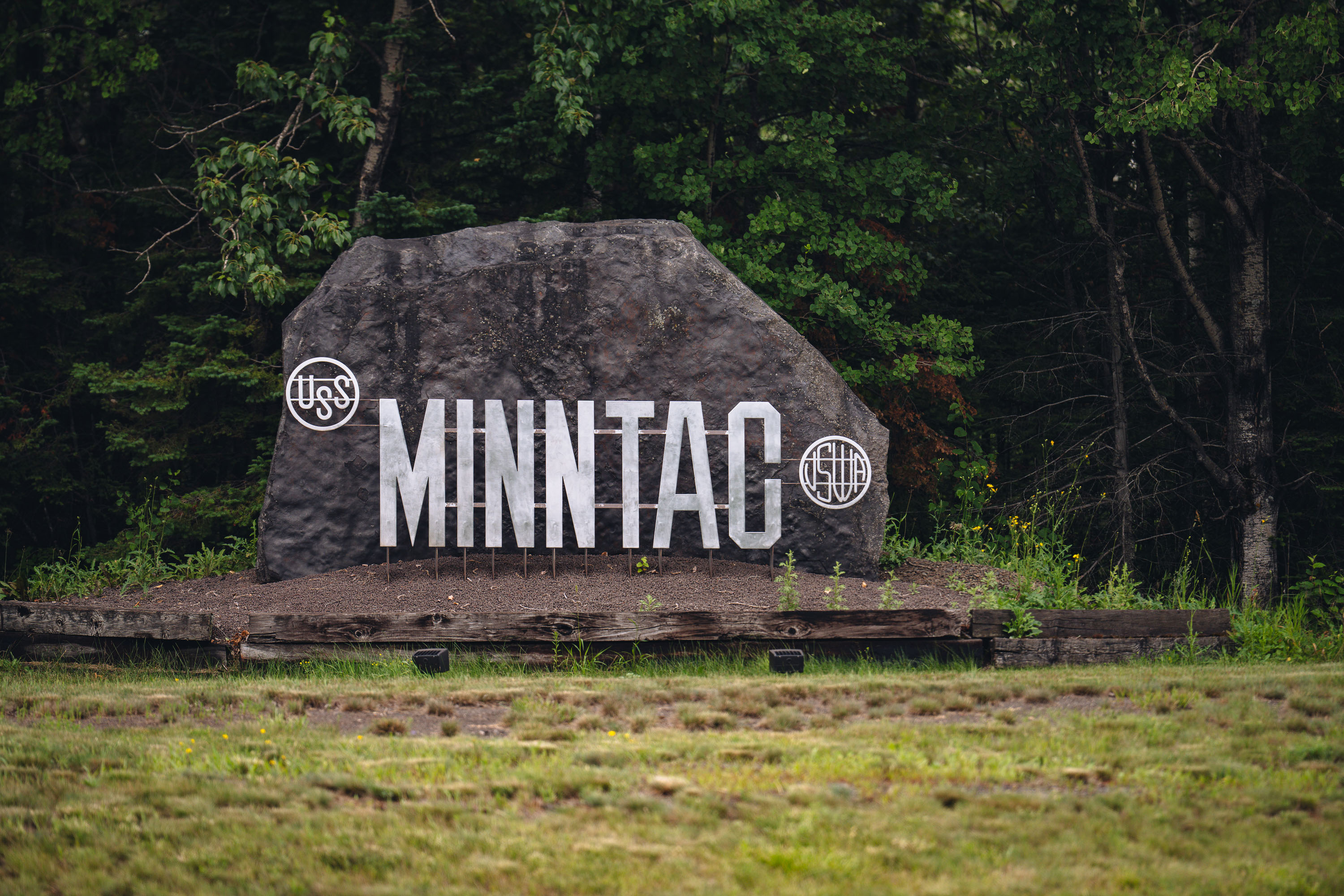
Minnesota Taconite MINNTAC sign in Mountain Iron
Entrance sign at Minnesota Taconite (MINNTAC) in Mountain Iron, Minnesota.
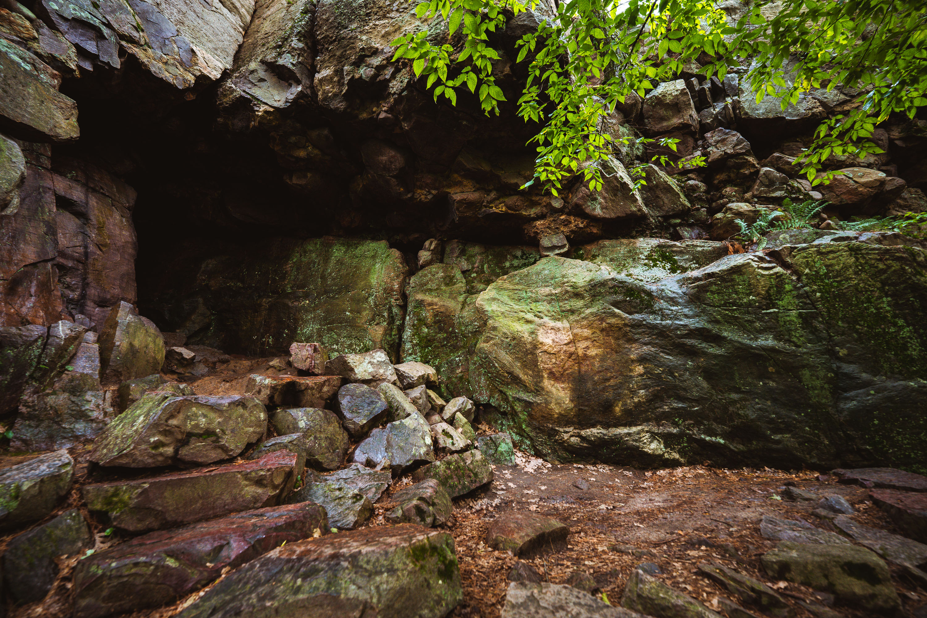
Elephant Cave entrance nestled in moss-covered quartzite rocks at Devil's Lake State Park, Wisconsin.
Elephant Cave sits along the East Bluff at Devil's Lake State Park, near Baraboo, Wisconsin. The bluff's quartzite boulders formed roughly 1.5 billion years ago and were later shaped by glacial meltwater during the last Ice Age, when the ancient Wisconsin River was dammed and diverted around the area. Devil's Lake is the most-visited state park in Wisconsin's system, drawing over two million visitors a year to its bluffs, talus slopes, and lake below. The park lies within the Baraboo Range, one of the oldest exposed rock formations in North America.
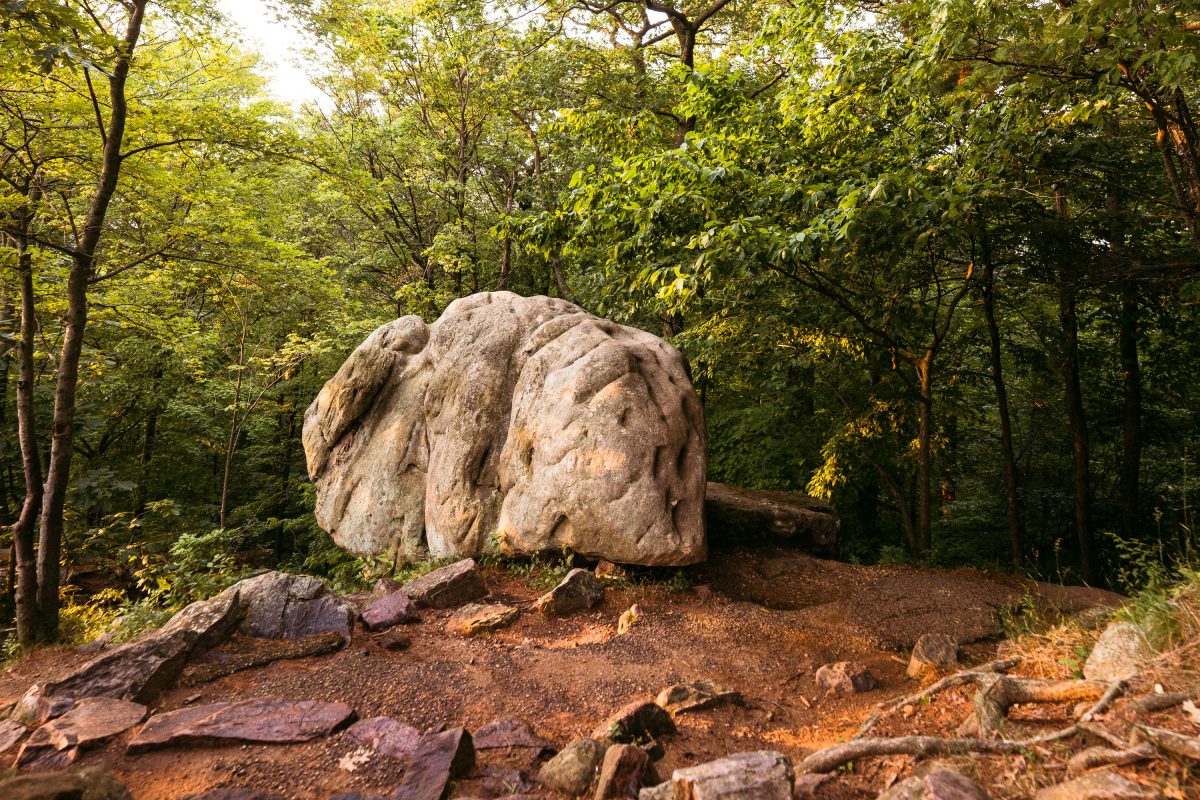
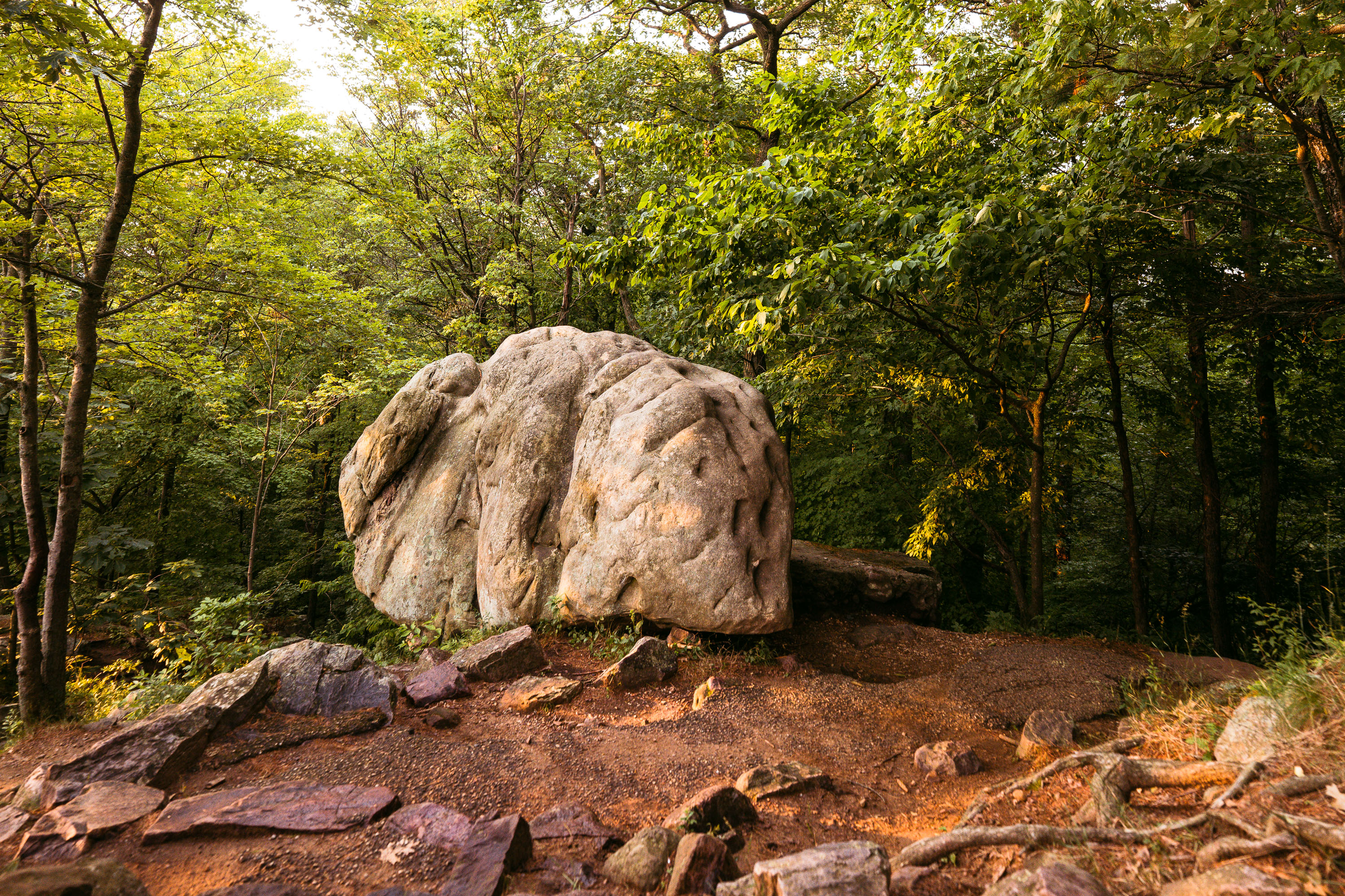
Elephant Rock, a large quartzite boulder, sits among forest trails at Devil's Lake State Park in Baraboo, Wisconsin.
Elephant Rock is a large quartzite boulder along the bluff trails at Devil's Lake State Park near Baraboo. The park's quartzite formed roughly 1.6 billion years ago, making it among the oldest exposed rock in North America, and boulders like this one resulted from ancient rock layers weathering and splitting apart over time. Devil's Lake State Park covers more than 9,000 acres and draws more annual visitors than any other park in the Wisconsin state system. The Ice Age Trail, a National Scenic Trail, runs through the park's bluffs near formations such as this one.
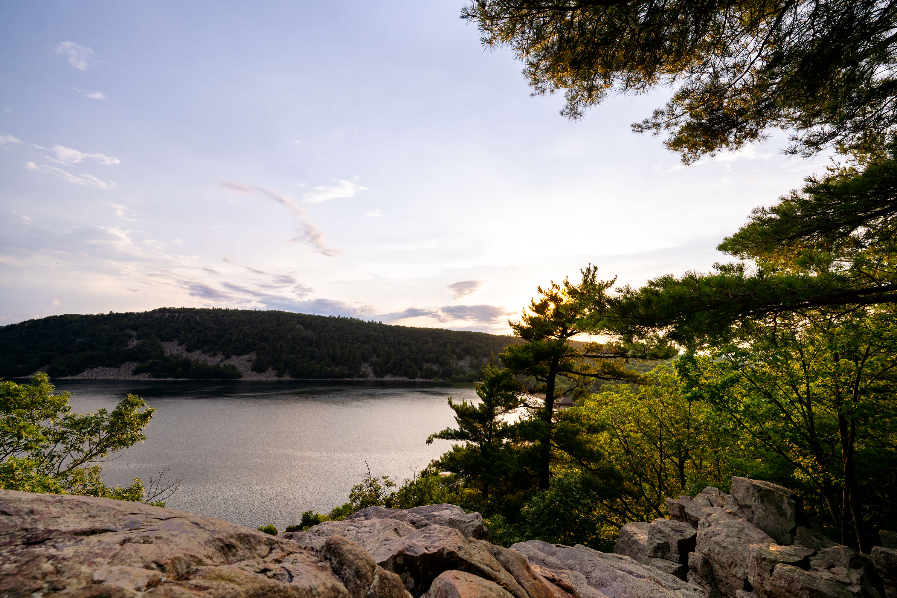
Forested shoreline and quartzite bluffs frame Devil's Lake at sunset in Wisconsin.
Devil's Lake State Park draws more visitors than any other state park in Wisconsin, with over three million arriving each year. The 360-acre lake at its center formed roughly 15,000 years ago when glacial debris blocked both ends of an ancient river gorge, leaving quartzite bluffs rising several hundred feet on either side. Those bluffs rank among the oldest exposed rock formations in North America, dating back nearly 1.6 billion years. The park sits within Wisconsin's Driftless Area, a region bypassed by glaciers during the last ice age, which left its river valleys and rock outcrops largely unaltered. Trails along the East Bluff and West Bluff give hikers elevated views of the lake below.
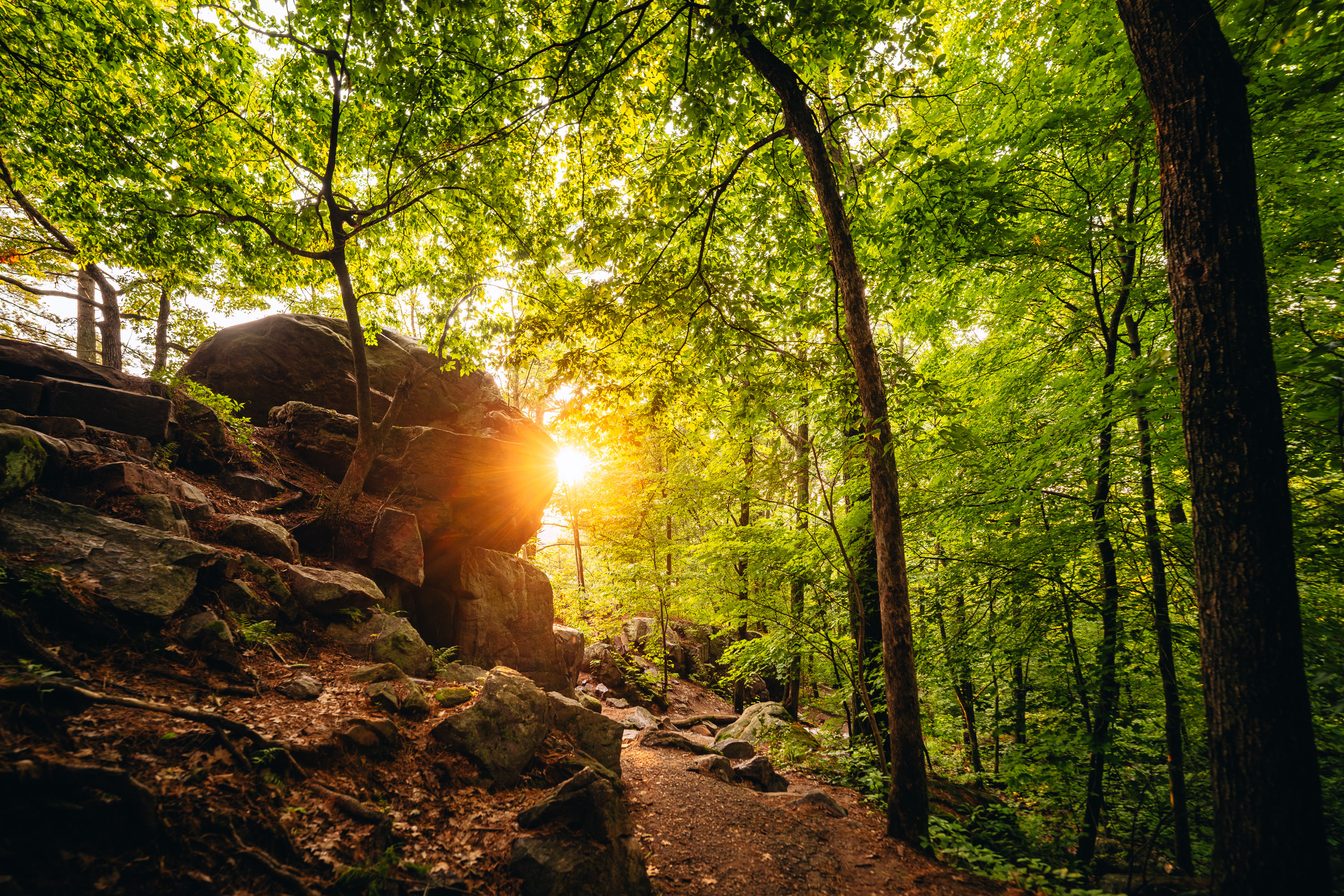
Sunlight filters through dense forest canopy above a rocky hiking trail at Devil's Lake State Park in Wisconsin.
Devil's Lake State Park sits within Wisconsin's Baraboo Range, among the oldest exposed rock formations in North America, with quartzite dating back some 1.6 billion years. The East Bluff Trail climbs along a talus slope of massive quartzite boulders left behind as ancient cliff faces broke apart over time. At more than 9,000 acres, Devil's Lake is the largest property in the Wisconsin State Park System and consistently draws more visitors than any other park in the state. The lake itself formed when glacial debris dammed an ancient river channel, sealing off the valley at both ends and creating the basin seen today.
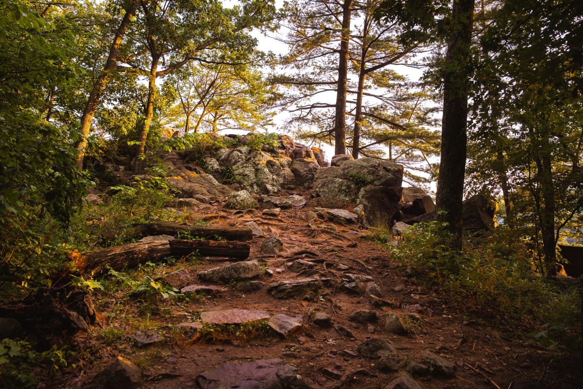
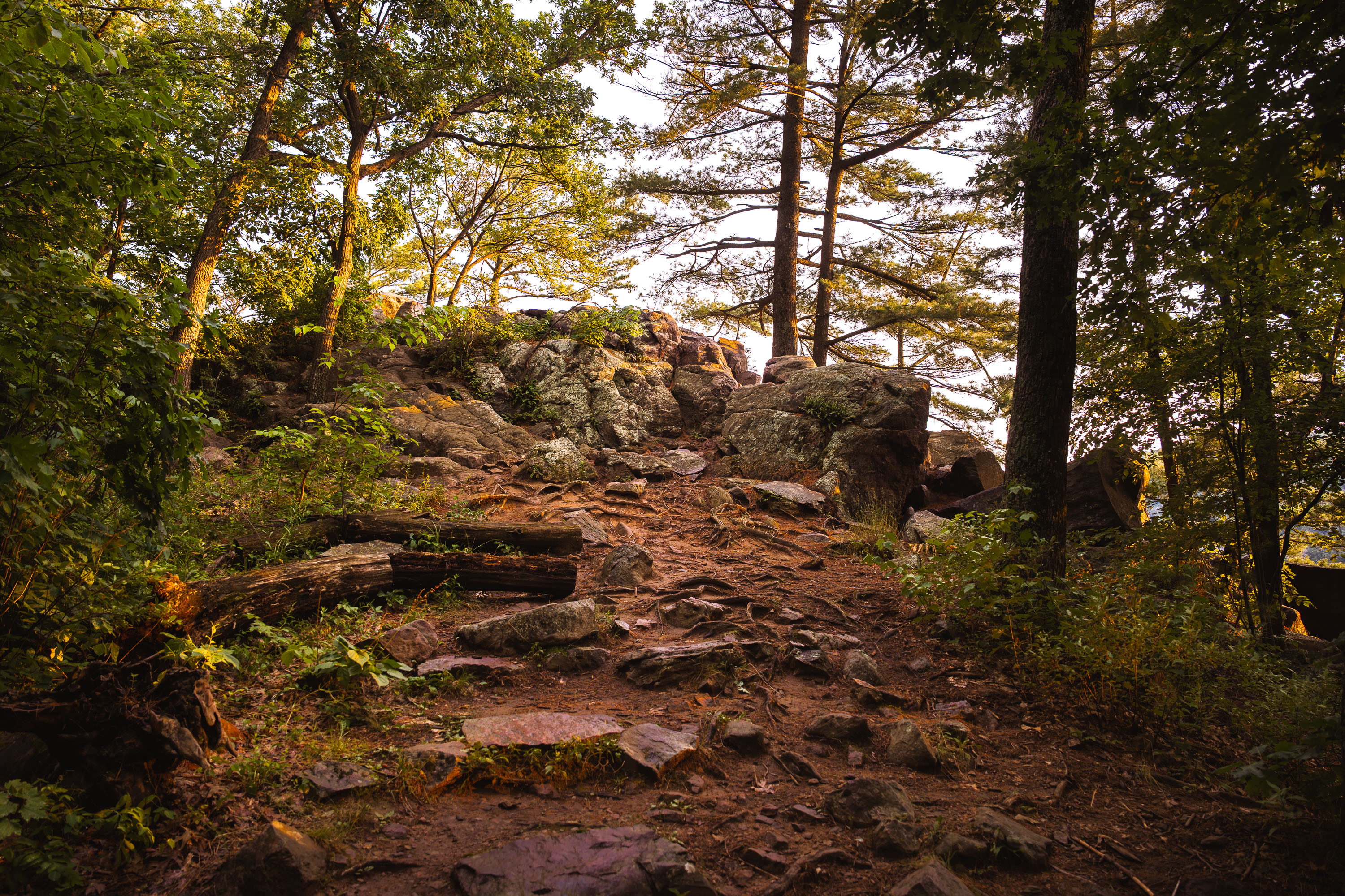
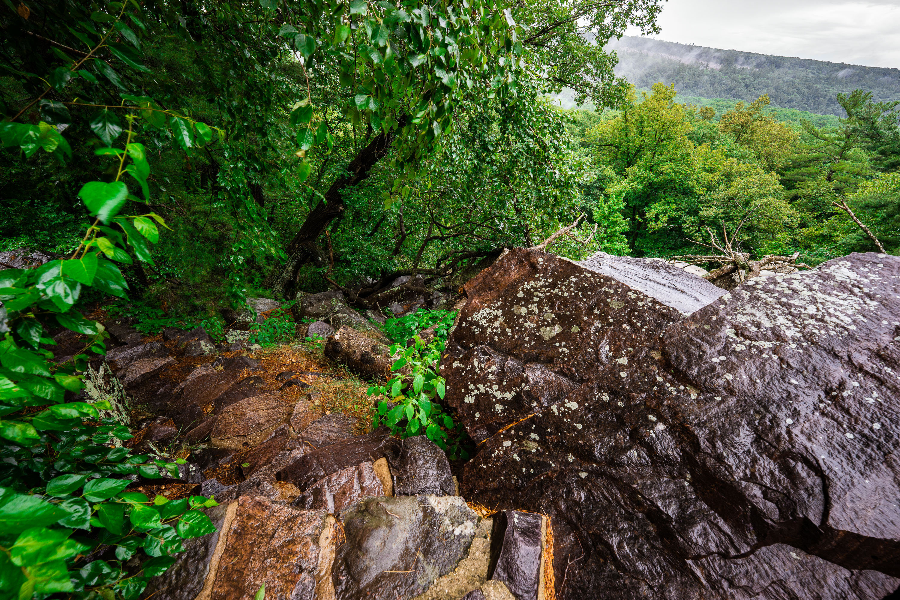
Rocky trail with boulders and trees on East Bluff at Devil's Lake State Park in Baraboo, Wisconsin.
Devil's Lake State Park sits in the Baraboo Range, a band of quartzite hills formed roughly 1.6 billion years ago among the oldest exposed rock in North America. The East Bluff trail climbs about 500 feet above the lake, crossing talus fields of quartzite boulders left behind as the surrounding cliffs eroded over millions of years. Glacial ice sheets stopped just short of this valley during the last ice age, damming the ancient Wisconsin River and creating the lake that gives the park its name. At roughly 9,200 acres, Devil's Lake draws more visitors annually than any other property in the Wisconsin state park system.
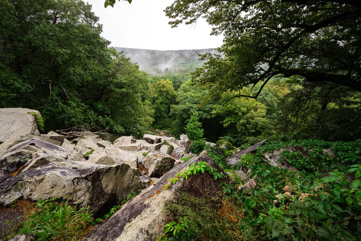
Quartzite boulders and talus rock line the East Bluff Trail at Devil's Lake State Park, Wisconsin.
Devil's Lake State Park sits near Baraboo, Wisconsin, within the Baraboo Range, a set of quartzite hills formed roughly 1.6 billion years ago. The East Bluff Trail traces the rim above the lake, passing over quartzite talus fields left by centuries of freeze-thaw fracturing along the bluff. The park itself spans over 9,000 acres and draws more than three million visitors a year, making it one of the most heavily used state parks in Wisconsin. Its bluffs and lake basin were carved by glacial activity that dammed an ancient river channel during the last Ice Age.
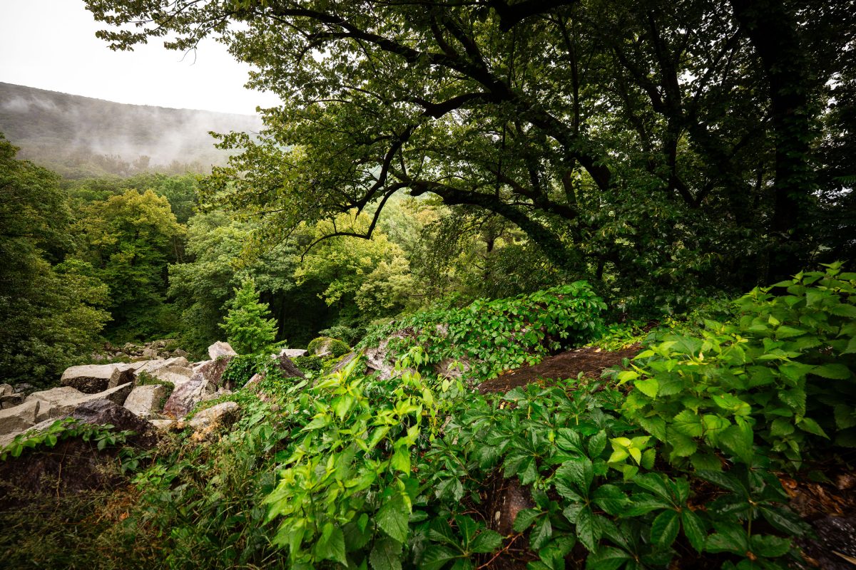
Rocky talus slope and dense forest along the East Bluff Trail at Devil's Lake State Park, Wisconsin.
Devil's Lake State Park covers roughly 9,200 acres in Baraboo, Wisconsin, and sits within the Baraboo Range, among the oldest exposed rock formations in North America. The East Bluff Trail climbs sections of quartzite talus, remnants of ancient bedrock broken apart by glacial and freeze-thaw activity over thousands of years. Dense stands of oak, maple, and basswood cover much of the bluff, part of the park's mixed hardwood forest. The park is Wisconsin's most visited state park, drawing more than three million visitors annually.
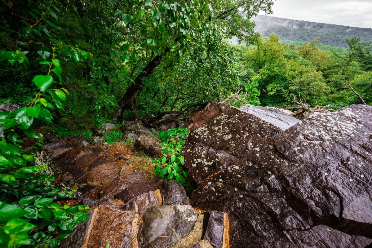
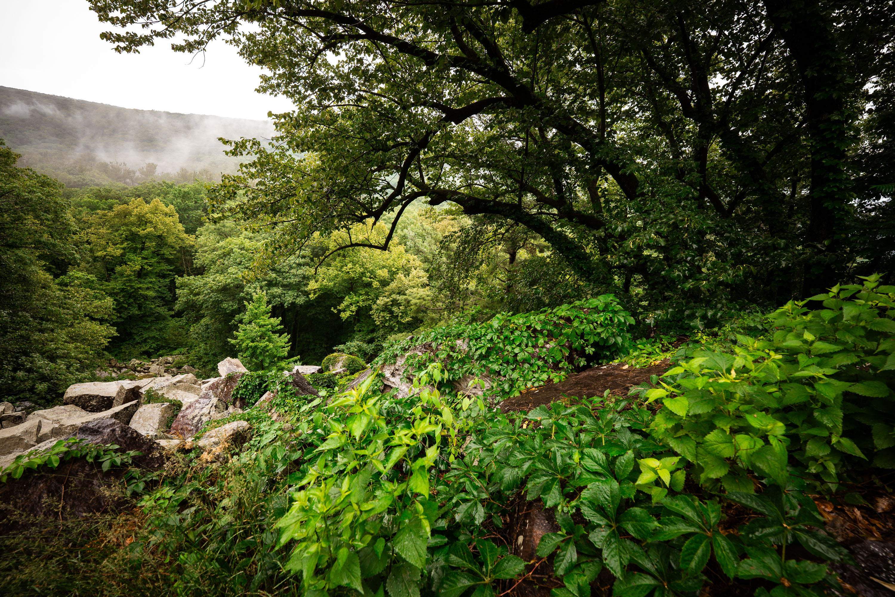
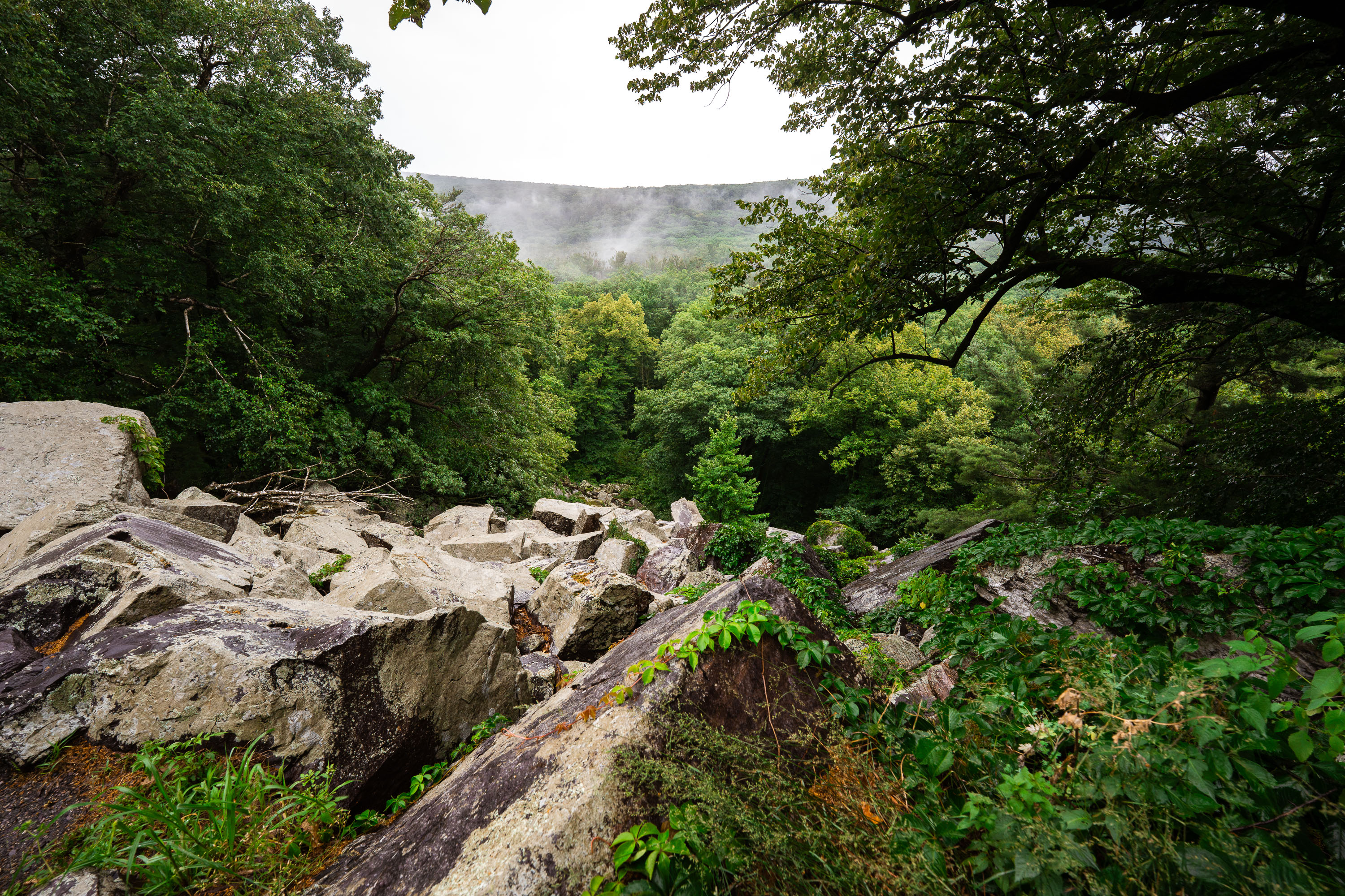
Boulder-strewn talus slope on the East Bluff at Devil's Lake State Park, Wisconsin, surrounded by forest.
Devil's Lake State Park sits within the Baraboo Hills, a range of quartzite bluffs formed roughly 1.6 billion years ago and later carved by glacial meltwater during the last ice age. The East Bluff rises about 500 feet above the lake and is lined with talus slopes—fields of broken quartzite boulders left behind as the cliff face eroded over millennia. Devil's Lake itself formed when glacial debris dammed both ends of an ancient river gorge, creating the enclosed lake seen today. Covering more than 9,000 acres, the park draws over three million visitors a year, making it the most visited state park in Wisconsin.
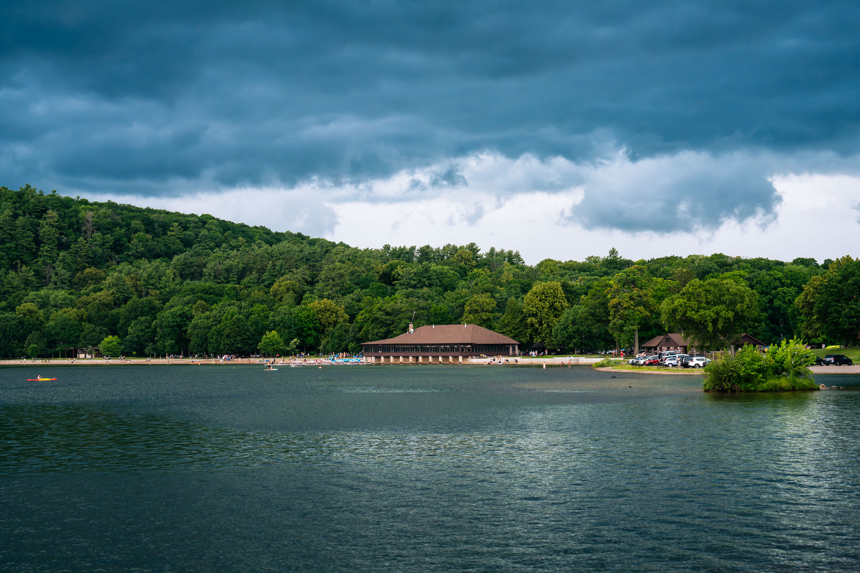
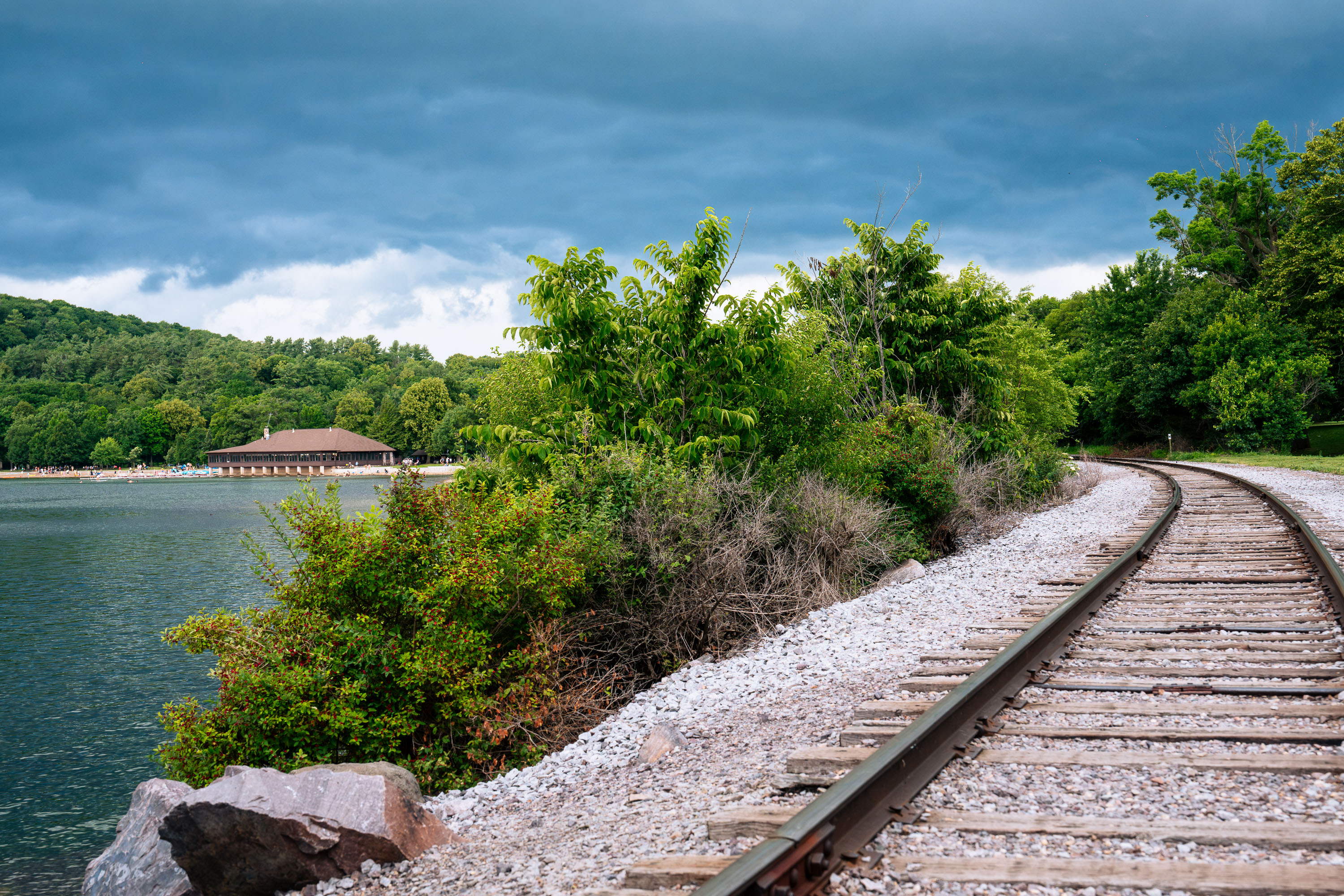
Devil's Lake at Devil's Lake State Park
Devil's Lake at Devil's Lake State Park as a thunderstorm rolls in. The pictured Chateau on the North Shore of the lake was built in 1925.
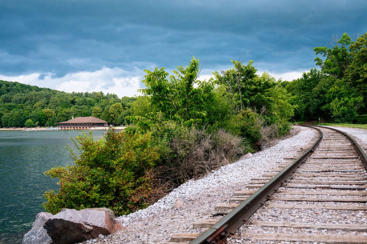
Railroad tracks at Devil's Lake State Park in Wisconsin
The railroad tracks around Devil's Lake at Devil's Lake State Park. The Chateau pictured on the north shore of the lake was built in 1925.
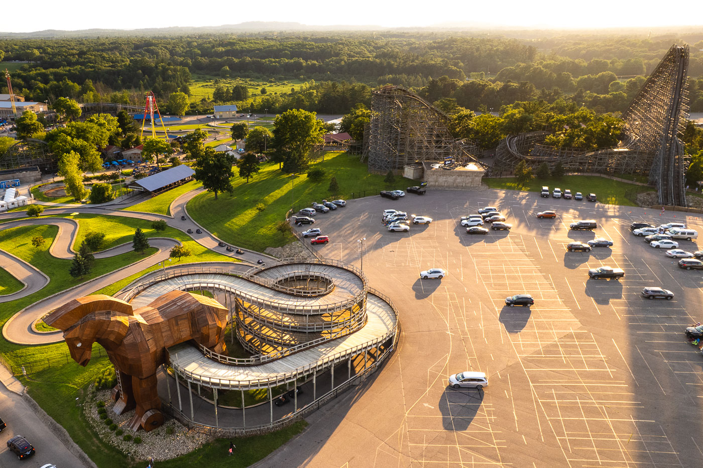
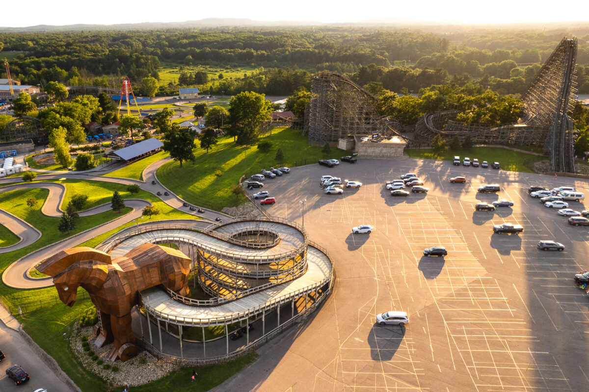
Wooden horse sculpture at Mt. Olympus Water and Theme Park in Wisconsin Dells with parking lot and roller coaster visible.
Mt. Olympus Water & Theme Park built its Trojan horse structure as the centerpiece of a spiral roller coaster near the park's entrance in Wisconsin Dells. The horse anchors the track for the Cyclops-themed coaster, one of several rides at the park designed around Greek mythology, alongside attractions like Zeus and Hades. Mt. Olympus sits along the Wisconsin Dells Parkway, part of a stretch of the city known for its concentration of theme parks and waterparks.
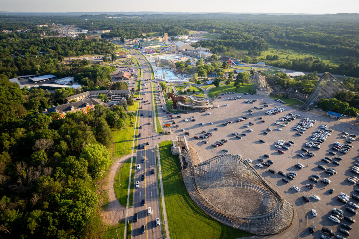
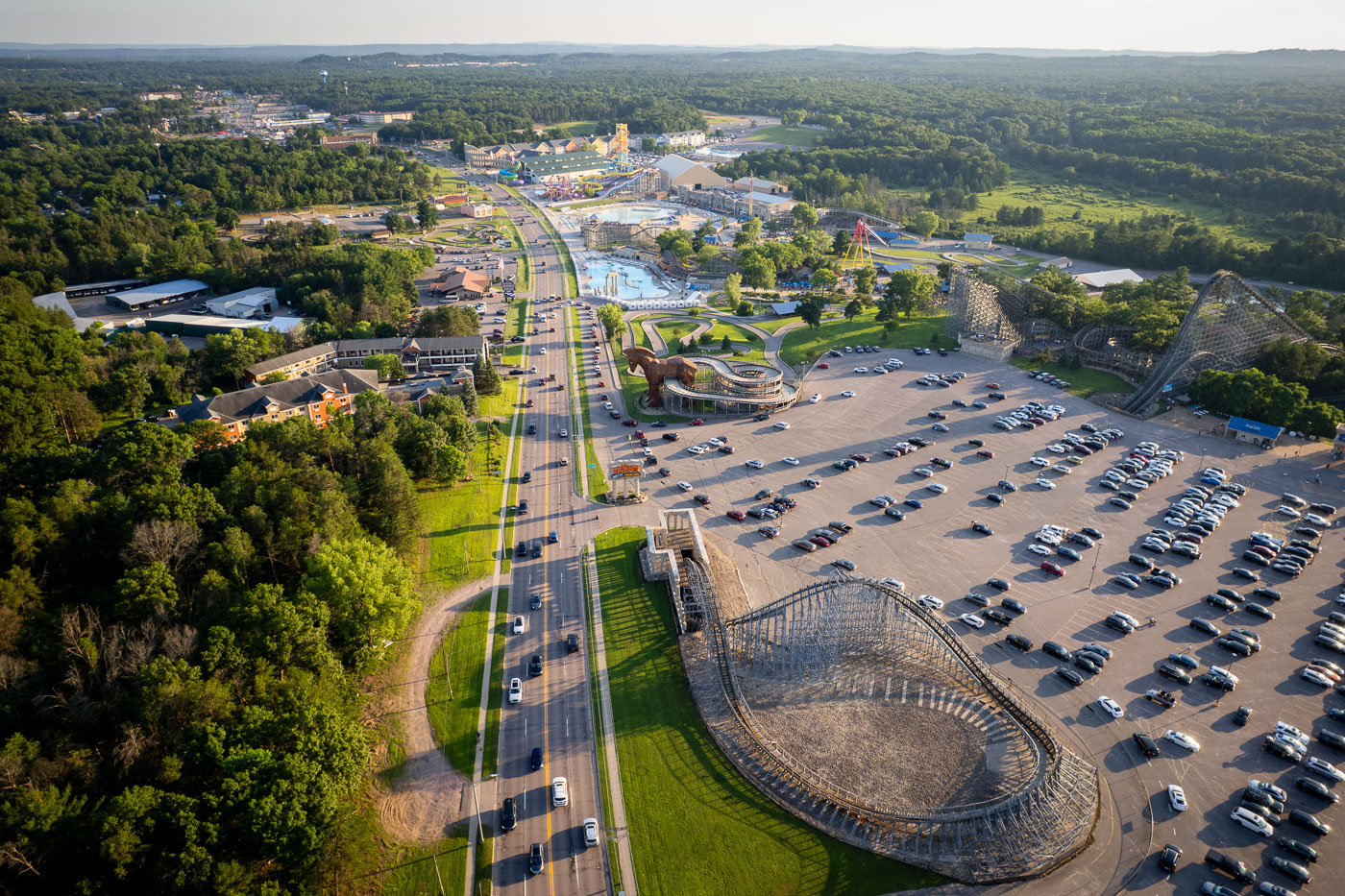
Aerial view of Mt. Olympus Water and Theme Park along Wisconsin Dells Parkway with parking lot and surrounding forest.
Mt. Olympus Water & Theme Park sits along U.S. Highway 12, known locally as the Wisconsin Dells Parkway, in Wisconsin Dells, Wisconsin. The complex opened in the late 1990s as a Greek mythology-themed water park and has since grown to include an outdoor water park and a lineup of wooden and steel roller coasters, among them Cyclops and Hades 360. A large wooden horse modeled after the Trojan horse marks the park's entrance along the parkway. The same stretch of road carries the Wisconsin Ducks, amphibious tour vehicles that shuttle visitors between area attractions and the Wisconsin River.
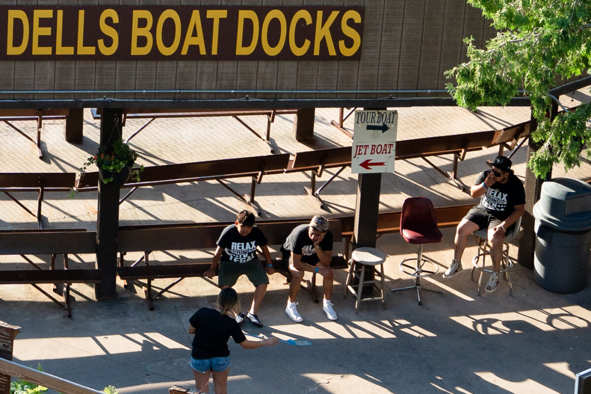
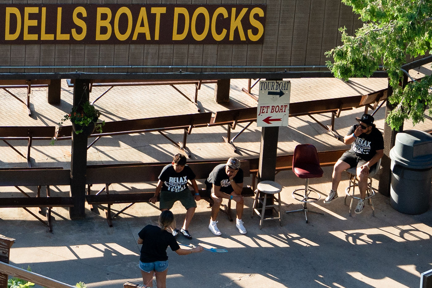
Family members wearing matching "Relax gringo, I'm legal" shirts at Dells Boat Docks in Wisconsin Dells.
Dells Boat Docks operates jet boat and tour boat rides on the Wisconsin River in Wisconsin Dells, one of the area's longest-running attractions. The company's tour boats follow routes along the Upper Dells rock formations, a scenic stretch shaped by glacial meltwater thousands of years ago. Riders typically check in at a dockside queue before boarding, with separate lines for jet boats and narrated tour boats.
Protest flyer on a pole near Harvard Square calling for a rally against tyrants at Cambridge Common on April 12.
A flyer taped to a utility pole on Massachusetts Avenue announces a "Stand Up Harvard" rally set for Saturday, April 12, at noon on the Cambridge Common. The text urges Harvard University leadership to "not bow to tyrants" and carries the university's Veritas shield alongside caricatures of Donald Trump and Elon Musk. Logos for the American Association of University Professors, UNITE HERE Local 26, and the Cambridge City Council appear at the bottom, joint sponsorship of the event.
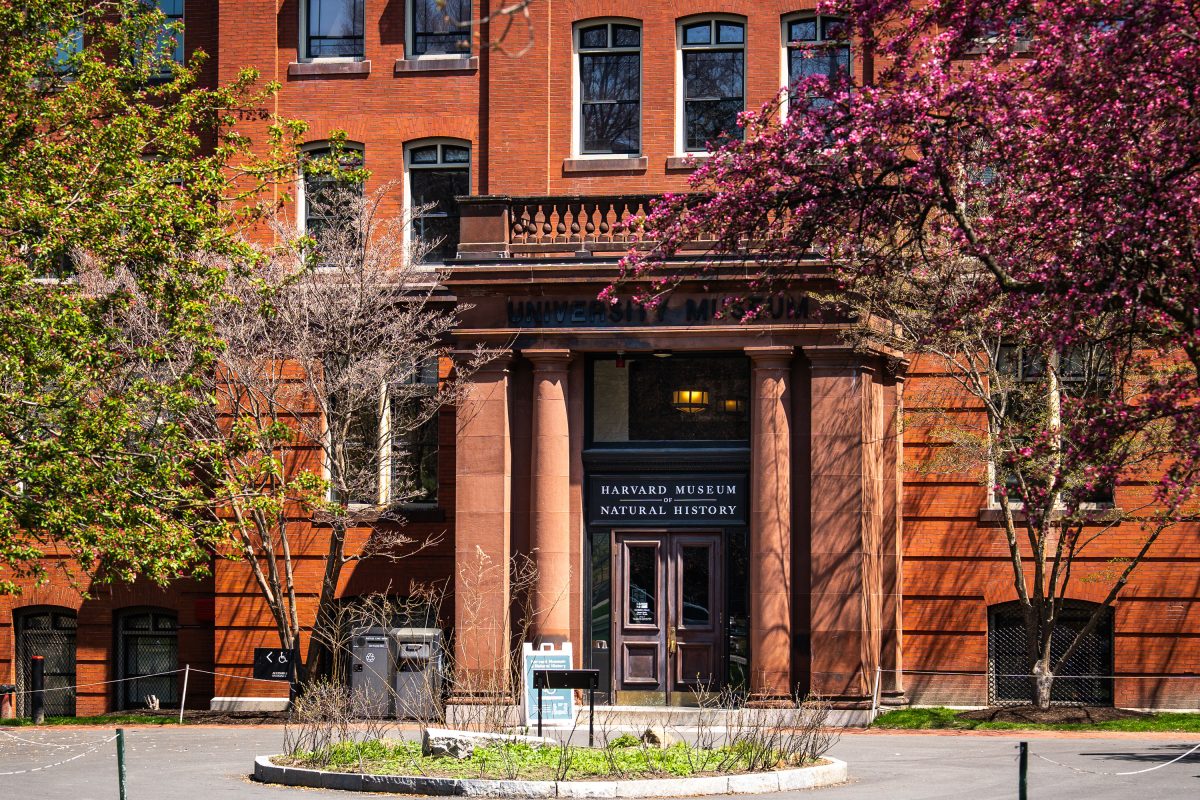
Harvard Museum of Natural History entrance with red brick facade and spring flowering vines in Cambridge.
The Harvard Museum of Natural History occupies the north wing of a brick building erected in 1859 for Harvard's Museum of Comparative Zoology on Oxford Street in Cambridge, Massachusetts. It opened to the public under its current name in 1998, bringing together collections from the university's zoology, botany, and mineralogy museums under one roof. The museum is best known for the Blaschka Glass Flowers, more than 4,000 glass models of plants crafted between 1887 and 1936 by the German father-and-son artisans Leopold and Rudolf Blaschka. Its collections also include the zoological specimens and mineral holdings inherited from Harvard's 19th-century natural history museums.
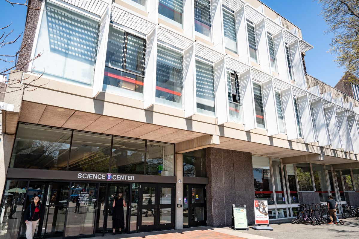
Harvard Science Center entrance in Cambridge, Massachusetts, featuring modernist architecture with white-framed windows.
The Harvard Science Center opened in 1973 at 1 Oxford Street in Cambridge, Massachusetts, designed by architect Josep Lluís Sert, former dean of the Harvard Graduate School of Design. Funding came partly from a gift by Edwin Land, founder of Polaroid, and the building's stepped massing is often described as referencing a camera. The center houses the Cabot Science Library, lecture halls, and departments including mathematics and the history of science, along with the Collection of Historical Scientific Instruments. It remains one of the largest buildings on Harvard's campus and serves as a hub for undergraduate science education.
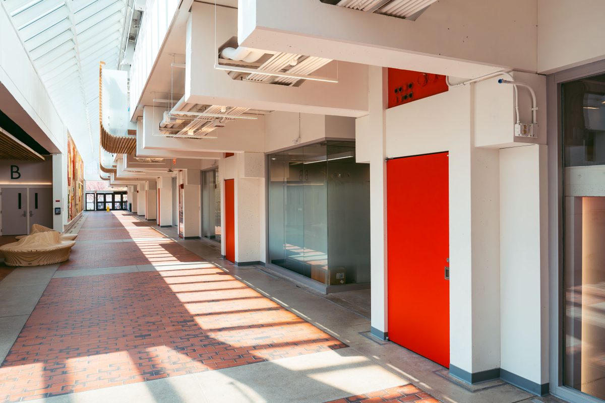
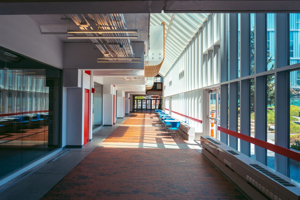
Harvard Science Center corridor in Cambridge with red doors, skylights, and modernist white-framed windows.
The Harvard Science Center, completed in 1973, was designed by architect José Luis Sert and funded largely through a gift from Polaroid founder Edwin Land. At more than 300,000 square feet, it ranks among the largest buildings on Harvard's Cambridge campus. The complex houses lecture halls, the Cabot Science Library, and the Putnam Gallery, which displays historical scientific instruments from Harvard's collections. Sert designed the building's tiered massing to evoke a stack of cameras, part of his broader effort to reshape Harvard's campus during the postwar era.
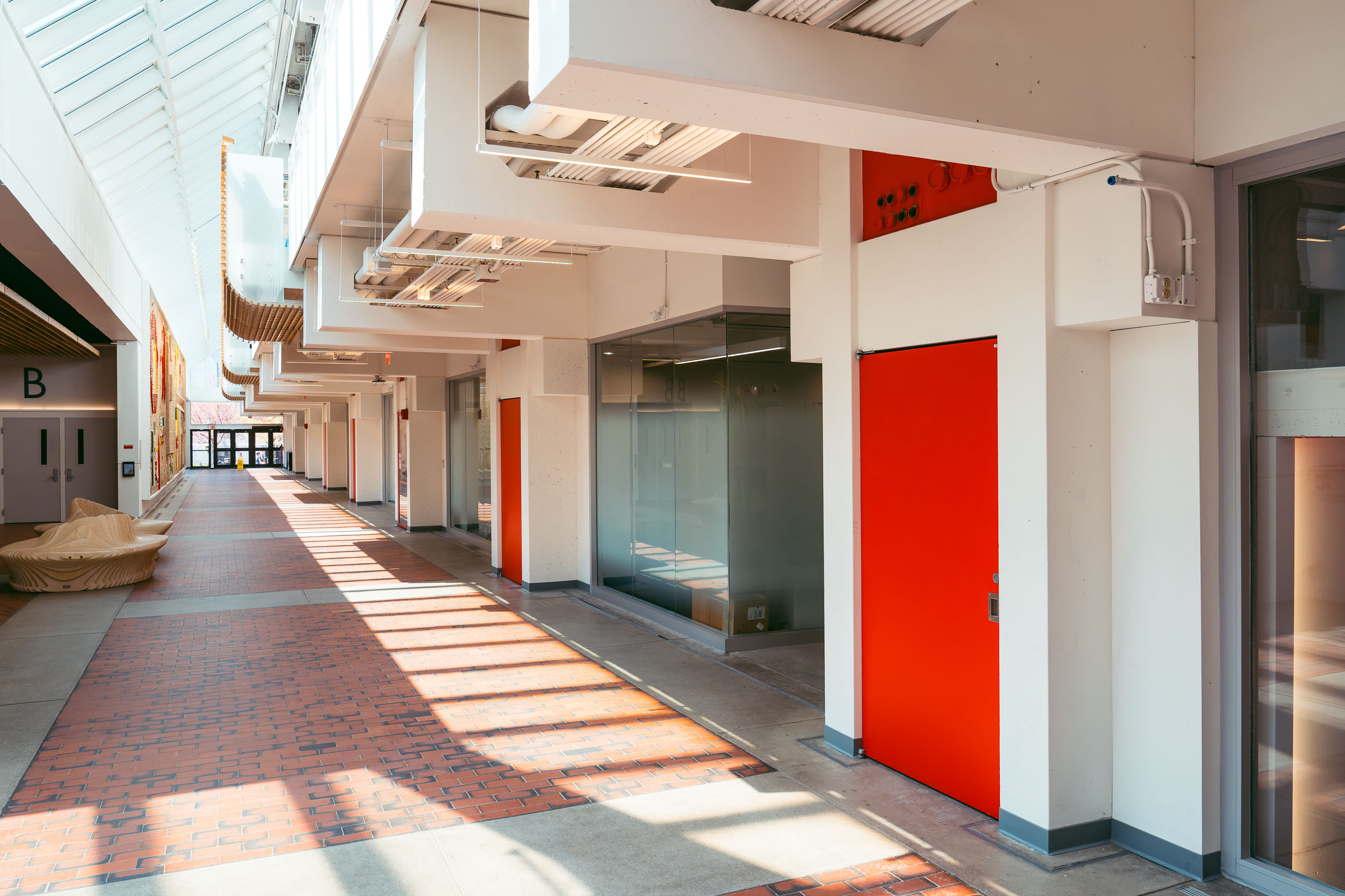
Interior hallway of Harvard Science Center in Cambridge with red doors and skylights.
The Harvard Science Center opened in 1972 on Oxford Street, designed by Catalan architect Josep Lluís Sert, who also served as dean of the Harvard Graduate School of Design. Funding came in part from Polaroid founder Edwin Land, and the building's tiered massing is often said to echo a camera resting on a tripod. It houses Harvard's Mathematics and Statistics departments along with the Collection of Historical Scientific Instruments and a public cafe. At roughly 300,000 square feet, it remains one of the largest classroom and laboratory buildings on Harvard's Cambridge campus.
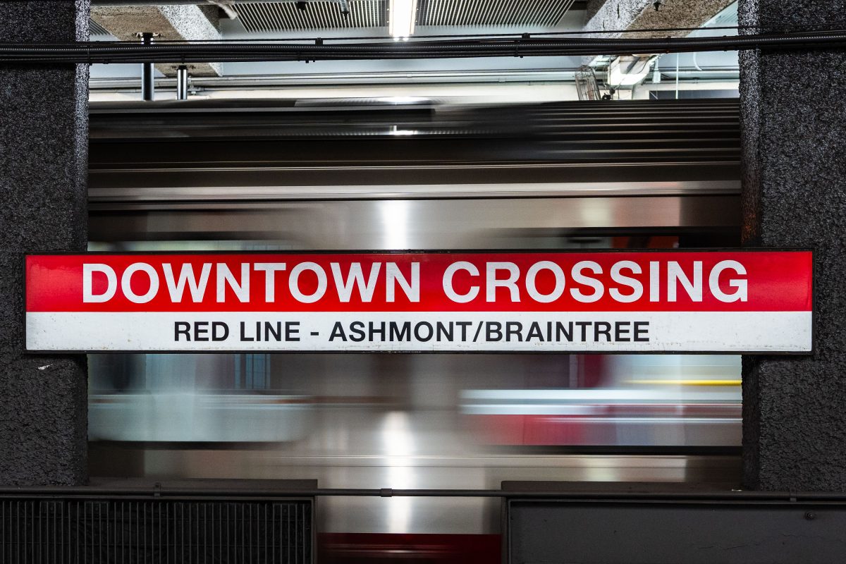
Downtown Crossing Red Line platform sign for Ashmont/Braintree branch at Boston's MBTA station.
Downtown Crossing is a key transfer point on the MBTA's Red Line, linking Ashmont and Braintree branch trains to destinations south of the city. The station opened in 1908 as Winter Street on the old Tremont Street subway, then took its current name in 1975 to reflect the shopping district above, once anchored by Filene's and Jordan Marsh. It also connects to the Orange Line, making it one of the busiest interchange points in the MBTA system.
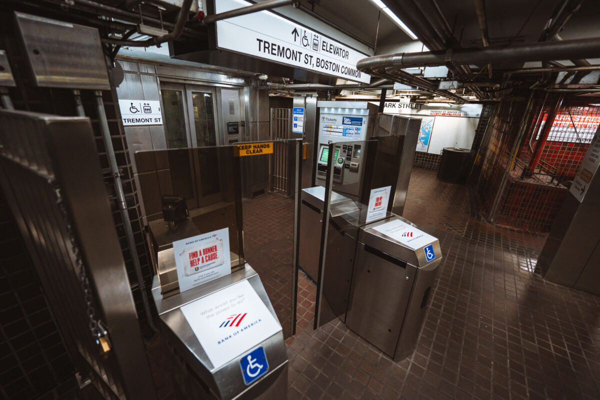
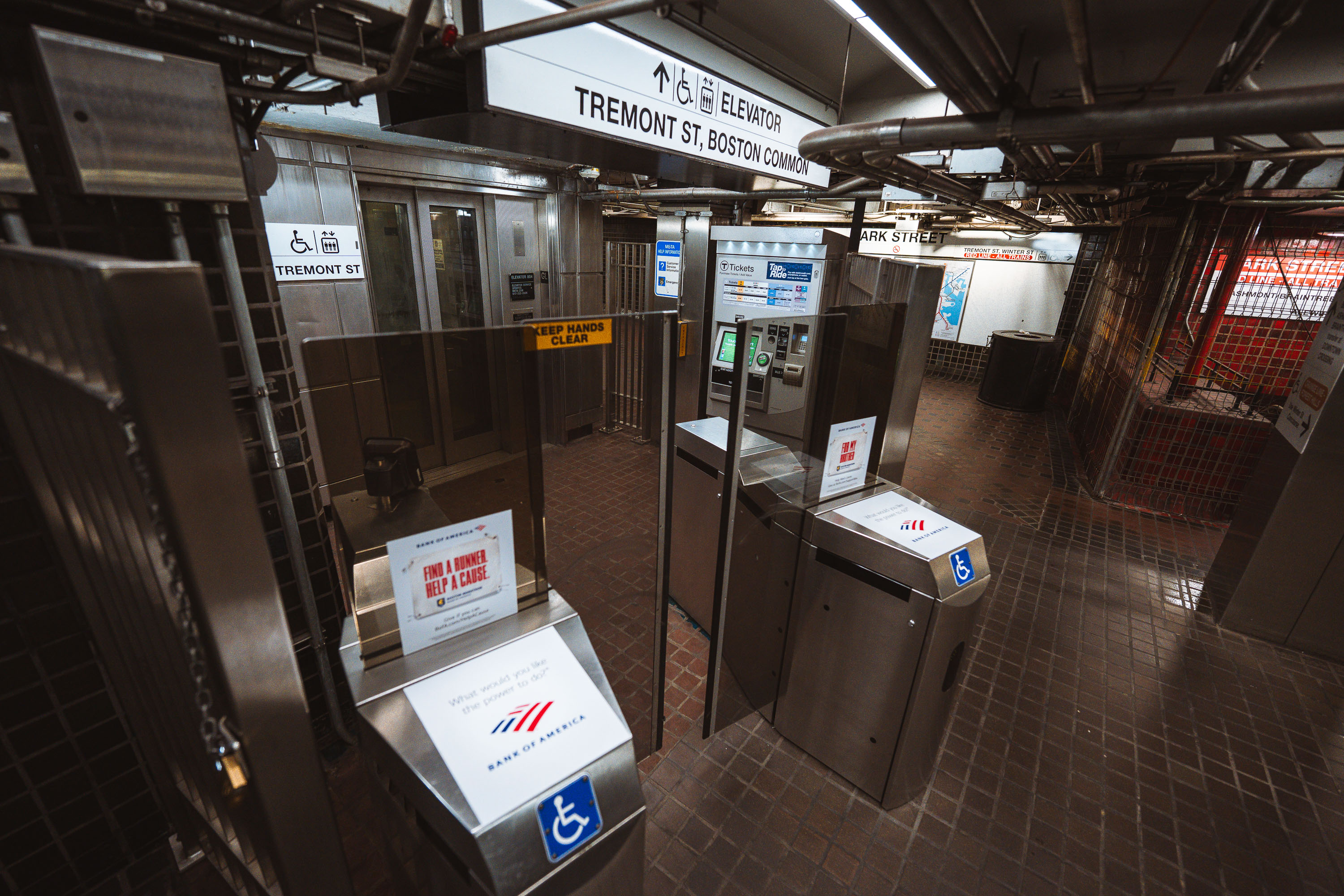
Fare gates and ticket machines at Park Street Station on Boston's MBTA Red and Green Lines.
Park Street opened in September 1897 as part of the Tremont Street Subway, the first subway tunnel built in the United States. The station sits beneath Boston Common and serves as a transfer point between the Green Line and Red Line, making it one of the busiest stops in the MBTA system. Its Tremont Street entrance leads directly to the Common and connects to nearby Park Street Church and the Massachusetts State House. The station is listed on the National Register of Historic Places as part of the Tremont Street Subway's original tunnel system.
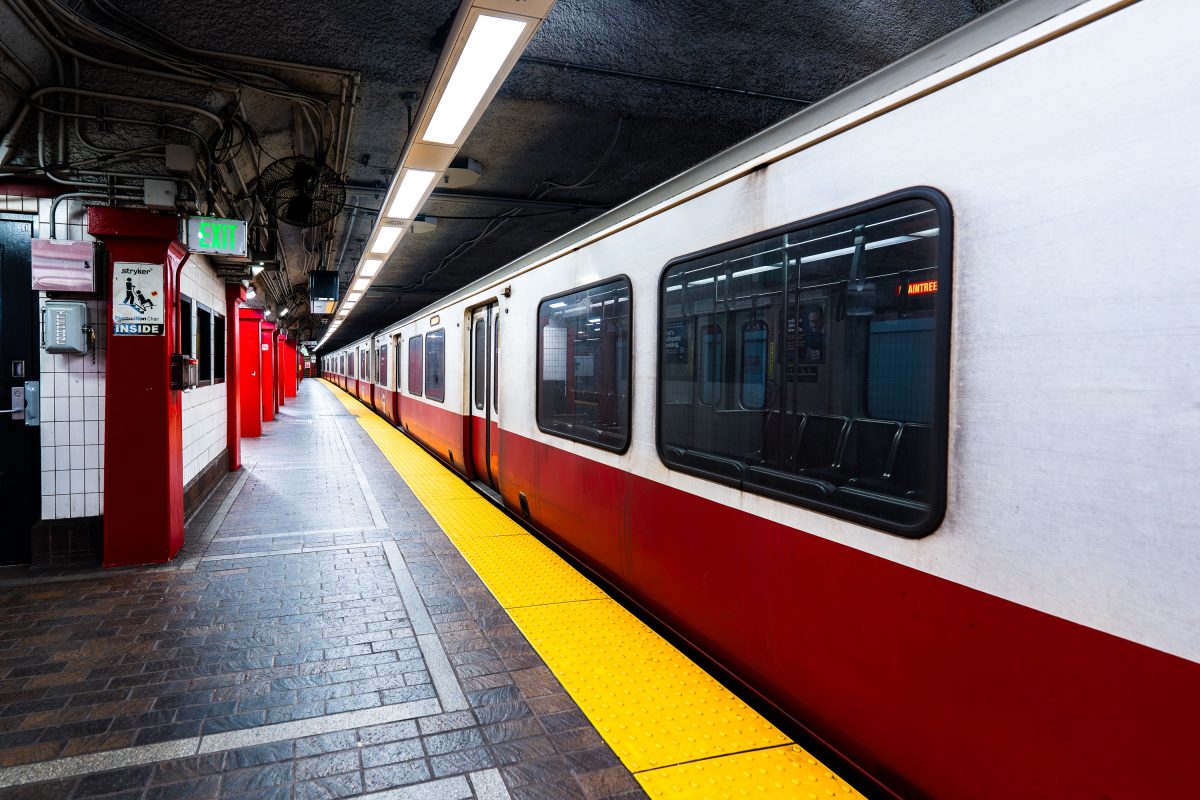
MBTA Red Line train stopped at Park Street Station platform in Boston.
Park Street Station opened in 1897 as part of the Tremont Street Subway, the first subway system built in the United States. It sits beneath Boston Common and serves as the transfer point between the MBTA's Red and Green Lines. The station's twin platforms handle tens of thousands of riders daily, linking downtown Boston to Cambridge, Dorchester, and points south. The Tremont Street Subway, including Park Street Station, is listed on the National Register of Historic Places and designated a National Historic Civil .

Built in Minneapolis

Minneapolis Photographer

Browse by location, move through long-running series, or start with recent work.