Place Archive

Minnesota

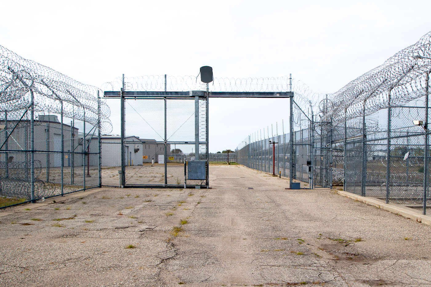
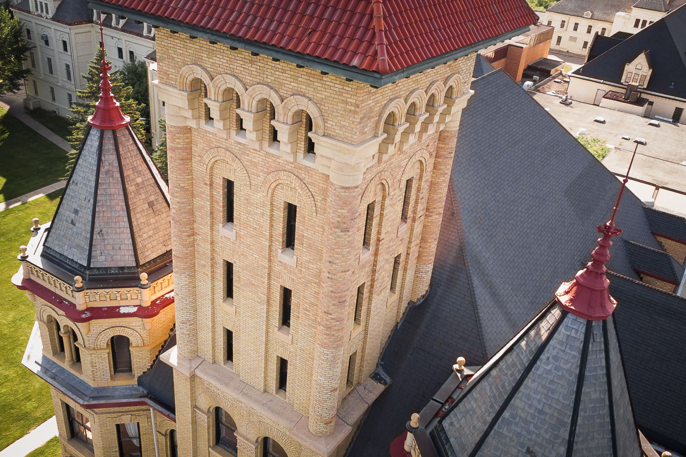
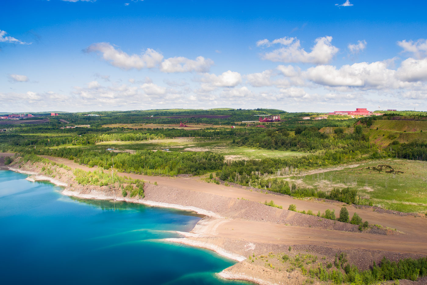
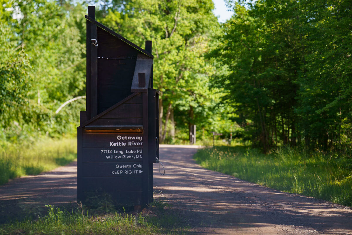
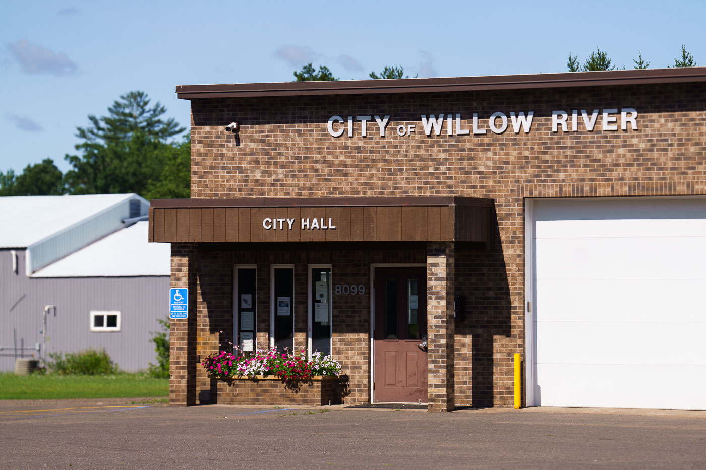
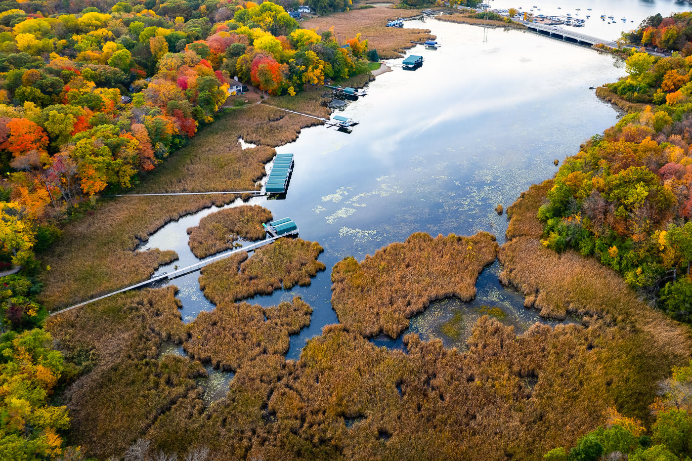
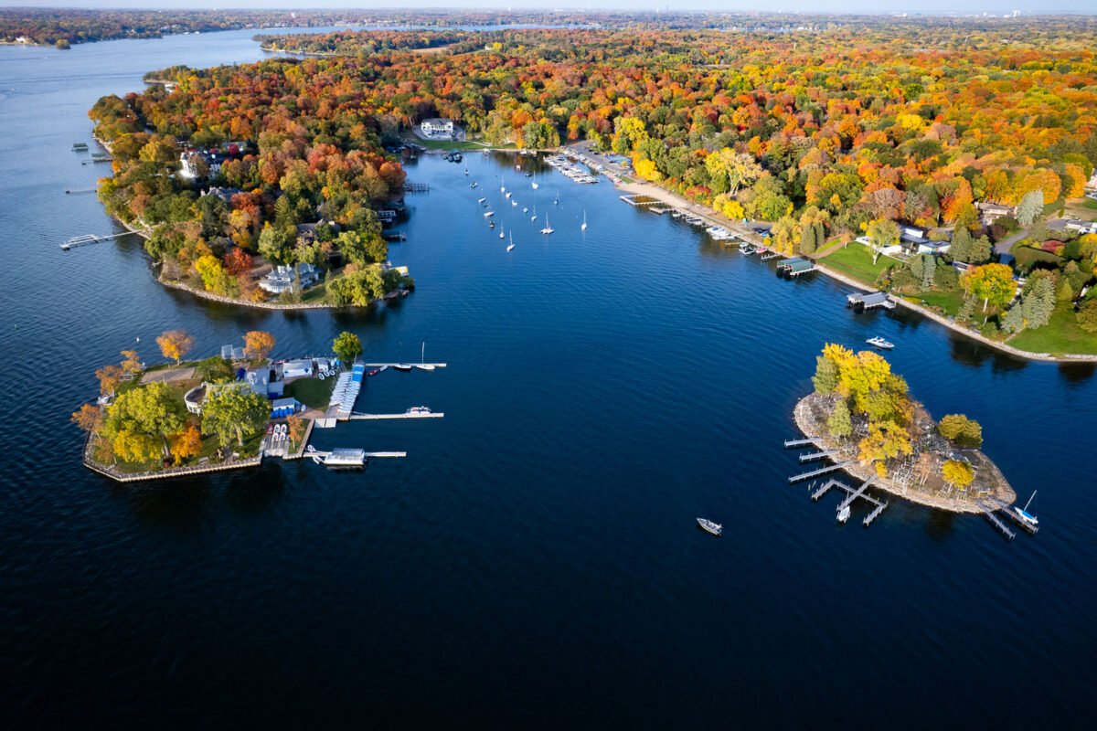
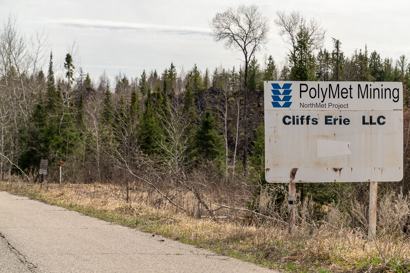
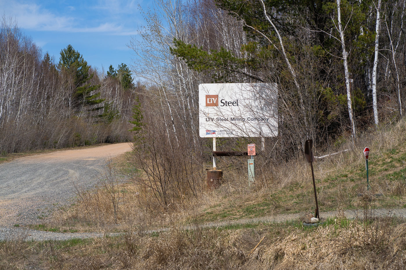
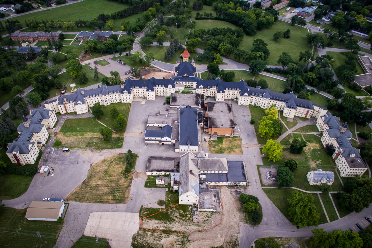
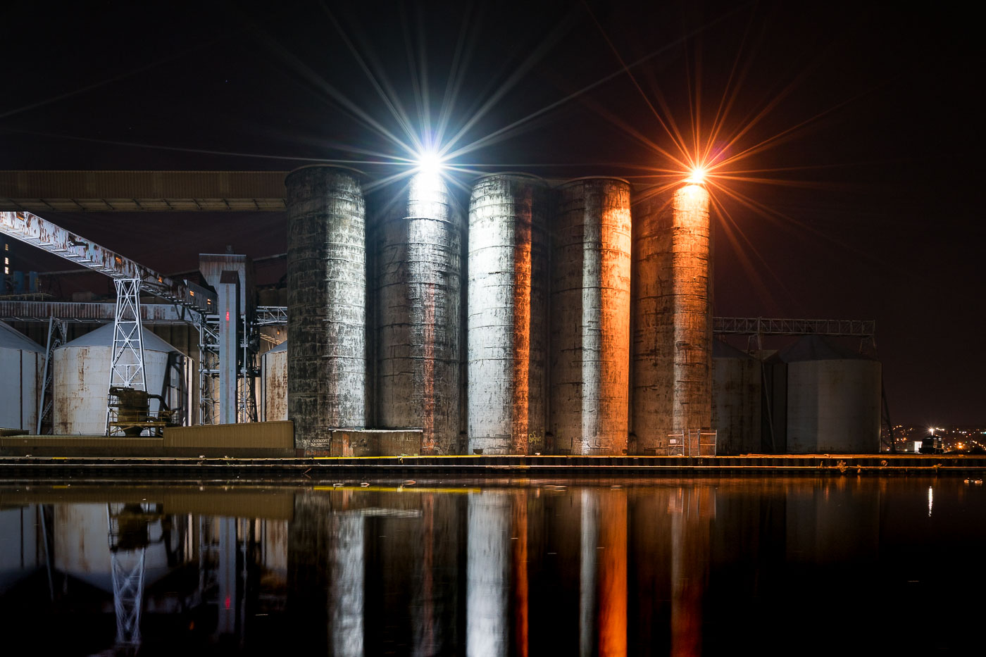
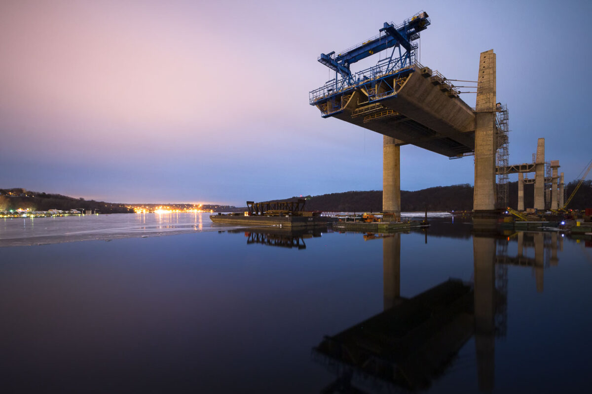
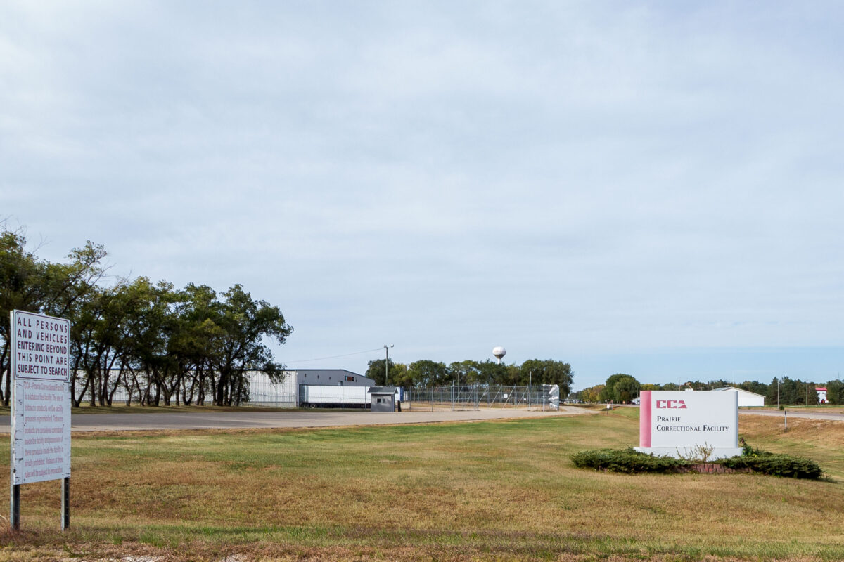
Photographs document industrial sites on the Iron Range, including Polymet Mining’s operations in Hoyt Lakes and signage from LTV Steel in Babbitt. Additional imagery features civic buildings in Willow River and historic waterfront structures like Fitger’s in Duluth.

35 photos

City

Photos from Minnesota

Entrance sign for Getaway Kettle River on Long Lake Road in Willow River, Minnesota
The entrance sign for Getaway Kettle River stands along Long Lake Road in Willow River, Minnesota. The black wooden sign marks a guest-only driveway leading into the property. Trees and gravel roadway frame the rural roadside setting.
Willow River City Hall in Willow River, Minnesota, with brick facade and front entrance
Willow River City Hall in Willow River, Minnesota, is shown from the front on a sunny day. The brick municipal building has signage for the city and a covered entry marked City Hall.
T&M Athletics sign in Willow River, Minnesota, with sports graphics.
The T&M Athletics sign stands in Willow River, Minnesota. The sign features stylized sports equipment, including a skate, basketballs, and a baseball.
Squirrel Cage bar signs in Willow River, Minnesota, with Schmidt Beer and Pabst Blue Ribbon logos
Signs for the Squirrel Cage bar stand outside the building in Willow River, Minnesota. One sign advertises Schmidt Beer and another shows Pabst Blue Ribbon.
Wetlands and Boat Slips at the Eastern Edge of Lake Minnetonka
This aerial view looks over one of Lake Minnetonka’s shallow eastern bays, where a broad wetland of cattails and floating vegetation meets a line of private docks and covered boat slips. These marshy inlets are among the lake’s most ecologically important areas, filtering runoff, supporting migratory birds, and preserving habitat that once covered far more of the shoreline before 20th-century dredging and residential development. The fall canopy surrounding the bay shows the mix of hardwoods common in the Deephaven and Greenwood areas, with red maples, oaks, and ash trees creating a dense belt of color around the water. Farther in the distance, the channel and bridge leading toward Carson’s Bay hint at the lake’s extensive network of connected basins, many of which were linked by canals built in the late 1800s to support early resort traffic.
Deephaven Shoreline Homes in Peak Autumn Color
This aerial view follows the wooded shoreline of Deephaven, a small lakeside community on the southeast edge of Lake Minnetonka. The neighborhood developed around a combination of 19th-century summer cottages and later year-round homes, many of which were built on large forested lots that still preserve much of the area’s original tree cover. In autumn, the mix of maple, oak, and basswood trees creates a dense canopy of reds, yellows, and orange tones that nearly conceals the homes and winding shoreline roads below. Deephaven’s bay-front docks, protected inlets, and narrow peninsulas are distinctive features of this part of Minnetonka, reflecting the lake’s long history as a regional retreat and residential enclave.
Deephaven Neighborhood Canopy in Peak Fall Color
An aerial view over Deephaven captures the dense hardwood canopy that defines the residential areas near Lake Minnetonka each autumn. The neighborhood’s winding roads and homes sit almost entirely beneath mature maple, oak, and basswood trees, which turn a concentrated mix of red, orange, and gold during peak color change. This part of the Minnetonka shoreline developed slowly through the mid-20th century, preserving large wooded lots and green corridors that create the nearly continuous tree cover seen from above. The forested character of these communities—rare for a metropolitan area—remains a major feature of Deephaven’s identity and contributes to its secluded, park-like landscape.
Autumn Wetland Basin Near Lake Minnetonka
An overhead view of a small wetland basin in Deephaven shows the transition into late fall around Lake Minnetonka. Seasonal drawdown has exposed the cracked mudflats around the pond’s edge, while a layer of duckweed or algae collects in the remaining water at the center — a common pattern in shallow basins fed by spring runoff and intermittent groundwater. Surrounding hardwoods and pines move through peak color, forming the dense forest cover typical of the Minnetonka shoreline communities, where preserved ravines, lowlands, and wooded parcels give the area its distinctive mix of lakefront development and natural habitat.
Autumn Canopy Along Deephaven’s Lakeside Roads
An aerial view captures the dense fall canopy around Lake Minnetonka in Deephaven, where mature hardwoods and pines create a patchwork of orange, yellow, and deep red. Many of the winding roads in this part of the Lake Minnetonka shoreline were laid out in the early 20th century as the area transitioned from summer cottages to year-round neighborhoods. Today the tree cover remains one of Deephaven’s defining features, with protected woodland corridors and long-established residential plots preserving the character of this lakeside community.
Lake Minnetonka Fall Colors
Fall colors around Lake Minnetonka in Deephaven, Minnesota.
Autumn Shorelines on Lake Minnetonka
A high-elevation view over Lake Minnetonka captures several of the lake’s narrow peninsulas and sheltered bays at peak autumn color. The lake’s fragmented shoreline—shaped by glacial meltwater during the last Ice Age—creates dozens of protected inlets that became ideal sites for marinas, sailing clubs, and early resort development in the late 19th and early 20th centuries. In this part of the lake, the docks and clustered sailboats reflect the area’s long-standing boating culture, while the densely wooded neighborhoods show how residential development was built around access to quiet coves rather than wide-open water. The surrounding canopy, shifting from green to deep red and gold, highlights why Lake Minnetonka remains one of the most photographed fall landscapes in the Twin Cities region.
Hibbing power plant smokestacks in Hibbing, Minnesota, against a clear blue sky
The Hibbing power plant stands in Hibbing, Minnesota, with multiple smokestacks rising above the low industrial buildings. The facility serves the Iron Range area and is part of the region’s long-running energy and industrial network. Weathering and paint on the stacks and structures are visible under clear daylight.
Graffiti reading “Summer 2012” on a rusted metal wall beside a sidewalk and road
Graffiti reading “Summer 2012” is painted on a rust-streaked metal wall beside a sidewalk and roadway. The wall is heavily weathered, with peeling paint and corrosion visible across the surface. Additional faded markings appear on the right side of the panel.
Extreme Fire Danger warning sign in dense vegetation in northern Minnesota
An “Extreme Fire Danger” warning sign stands in dense roadside vegetation in northern Minnesota. The sign urges visitors to use caution in dry conditions.
PolyMet Mining NorthMet Project sign along a road in the Iron Range, with forest behind it
A roadside sign for the PolyMet Mining NorthMet Project stands along a paved road in the Iron Range of northern Minnesota. The weathered sign also names Cliffs Erie LLC, with forest and rocky terrain visible behind it. A small speed limit sign appears farther down the road.
LTV Steel Mining Company sign beside a gravel road in Babbitt, Minnesota
The LTV Steel Mining Company sign stands beside a gravel road in Babbitt, Minnesota, within the Iron Range. The roadside marker sits amid trees and brush near the former mining complex.
Aerial view of the Fergus Falls Regional Treatment Center, a former Kirkbride-style psychiatric hospital in Fergus Falls, Minnesota.
The Fergus Falls Regional Treatment Center, located in Fergus Falls, Minnesota, is a former psychiatric hospital complex. Designed in the Kirkbride architectural style, the main building was constructed in the late 19th century to provide care and treatment for individuals with mental illness. The expansive campus includes multiple buildings and grounds that were integral to the hospital's therapeutic environment. Although no longer operating as a hospital, the site's historical significance as a major institution in the state's mental healthcare history remains.
The CHS grain elevators, a key part of Superior, Wisconsin's agricultural trade infrastructure, are illuminated at night along the waterfront.
The CHS grain elevators stand as a testament to Superior, Wisconsin's historical role as a major hub for agricultural trade. These massive concrete silos were constructed to store and process grain, facilitating its transport via the Great Lakes and rail networks. Their presence highlights the industrial infrastructure that supported the region's agricultural economy, enabling the efficient movement of commodities from the Midwest to markets worldwide. The facility continues to be an active part of the port's operations, processing and storing grain for distribution.
St. Croix Crossing Bridge over the St. Croix River between Oak Park Heights, Minnesota, and St. Joseph, Wisconsin
The St. Croix Crossing, an extradosed bridge, connects Oak Park Heights, Minnesota, and St. Joseph, Wisconsin, across the St. Croix River. Completed in 2017, it replaced an aging bridge and significantly improved traffic flow by carrying Minnesota State Highway 36 and Wisconsin State Highway 64. The structure features four lanes of traffic and a dedicated bike and pedestrian path on its north side, enhancing connectivity and accessibility between the two states.
St. Croix Crossing Bridge under construction over the St. Croix River at dusk
Construction of the St. Croix Crossing bridge, a vital transportation link between Minnesota and Wisconsin, is underway over the St. Croix River. The bridge is designed to replace the aging Stillwater Bridge and alleviate traffic congestion in the region. Its construction, which began in 2013, involves significant engineering challenges due to the river's width and depth. The project aims to improve cross-river travel and enhance regional connectivity.
Polymet Mine in Hoyt Lakes, Minnesota, with water-filled pits and haul roads
The Polymet Mine is shown in Hoyt Lakes, Minnesota. The open-pit site includes water-filled excavation areas, haul roads, and surrounding spoil piles in the Erie Basin. Red industrial buildings and equipment are visible on the horizon across the reclaimed and active mining landscape.
The Fergus Falls Regional Treatment Center, a former psychiatric hospital in Fergus Falls, Minnesota, is an example of late 19th-century Kirkbride architecture.
The Fergus Falls Regional Treatment Center, located in Fergus Falls, Minnesota, is a former state-run psychiatric hospital. Designed in the Kirkbride architectural style, the building was constructed in the late 19th century to provide care and treatment for individuals with mental illness. The Kirkbride plan emphasized natural light, ventilation, and a structured environment, reflecting the prevailing therapeutic philosophies of the era. The facility operated for over a century before its closure, and its imposing structure remains a significant example of institutional architecture from that period.
The Kirkbride Building, part of the Fergus Falls Regional Treatment Center in Fergus Falls, Minnesota, is a 19th-century institutional architecture example.
The Kirkbride Building, part of the Fergus Falls Regional Treatment Center in Fergus Falls, Minnesota, stands as a significant example of 19th-century institutional architecture. Designed by architect Thomas J. Mitchell, construction began in 1890 and it opened in 1895 as the Third Hospital for the Insane. The building's Kirkbride plan design was intended to provide a therapeutic environment for patients, with long corridors and ample natural light. Over its operational history, the facility evolved to treat a range of mental health conditions before its eventual closure in 2005.
The Fergus Falls Regional Treatment Center, a historic Kirkbride-style psychiatric hospital in Fergus Falls, Minnesota, built in 1895 and closed in 2005.
The Fergus Falls Regional Treatment Center, located in Fergus Falls, Minnesota, is a historic psychiatric hospital designed in the Kirkbride architectural style. Construction began in 1890 and it opened in 1895, intended to provide humane care for the mentally ill. The building's distinctive Romanesque Revival architecture, characterized by its imposing brick structure and prominent towers, reflects the prevailing design principles for such institutions during that era. Although the hospital ceased operations in 2005, the site continues to be a significant landmark in the region, with ongoing discussions about its future preservation and adaptive reuse.

Built in Minneapolis

Photographs showcasing change over time

Browse by location, move through long-running series, or start with recent work.