Place Archive

Iron Range

The Iron Range encompasses active mining operations like Polymet’s NorthMet Project in Hoyt Lakes and relics of LTV Steel in Babbitt. Industrial features such as the Hibbing power plant and warning signs about fire danger highlight the region’s enduring industrial infrastructure and environmental concerns.

Map

Photo Map

Markers

Iron Range Photo Locations

8 geotagged photos

Photos
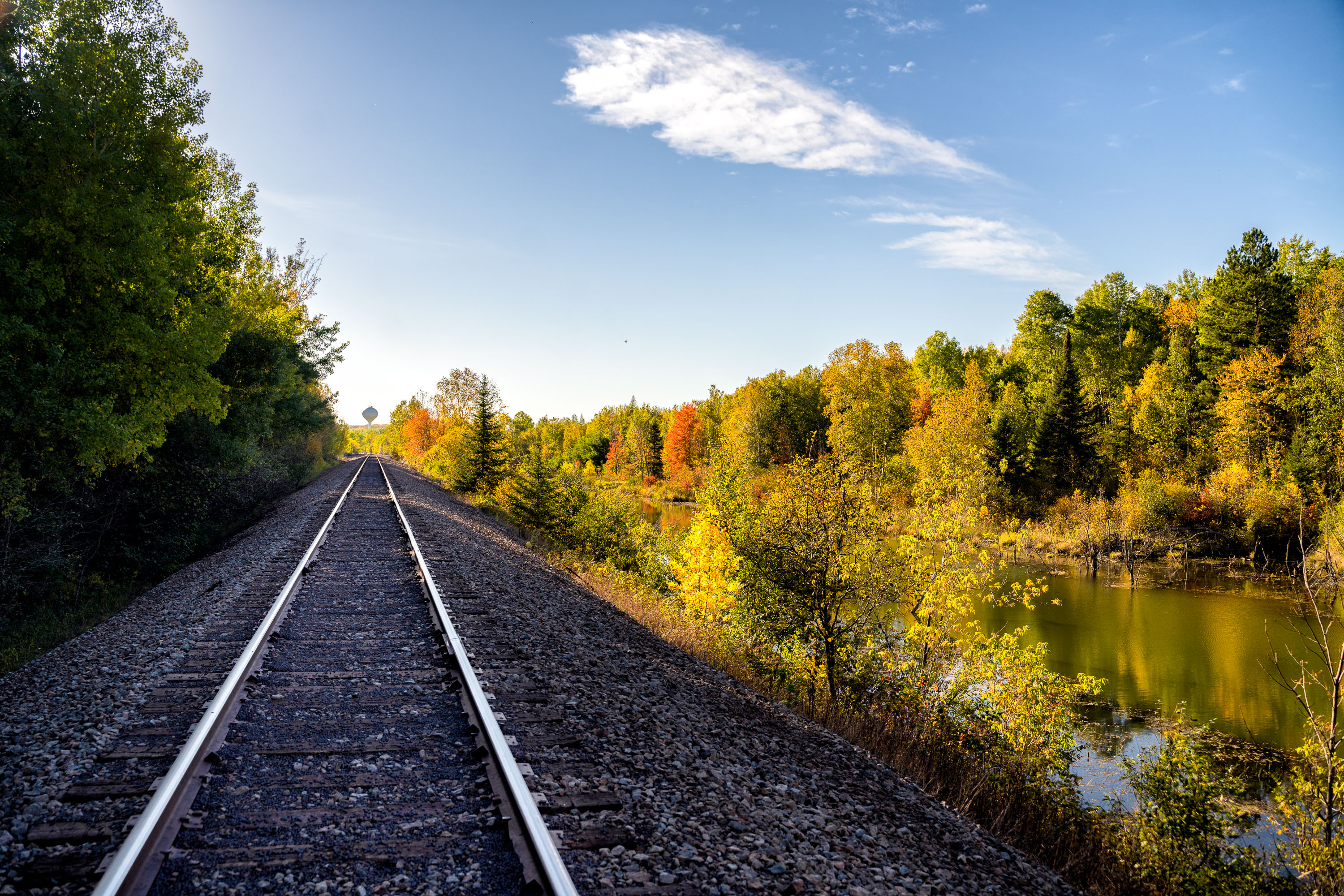
Railroad tracks curve past autumn trees and a wetland pond near Hibbing, Minnesota.
Hibbing sits atop one of the richest iron ore deposits in the Mesabi Range, and rail lines like this one have long served the mining industry that built the town. The Hibbing Taconite Company operates nearby, processing taconite pellets for shipment to steel mills around the Great Lakes. Much of Hibbing itself was relocated in the 1920s to allow mining to expand beneath the original townsite. The surrounding wetlands and second-growth forest reflect decades of land reclamation following open-pit mining in the region.
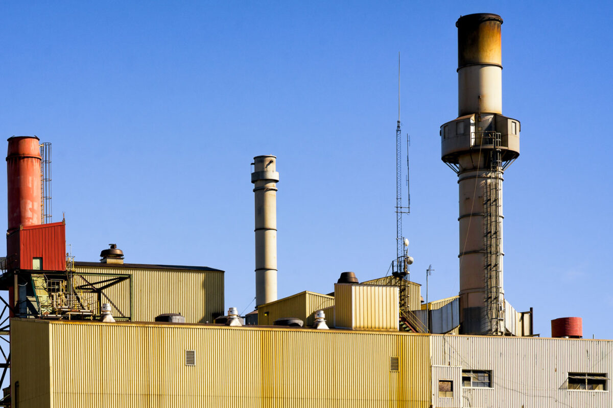
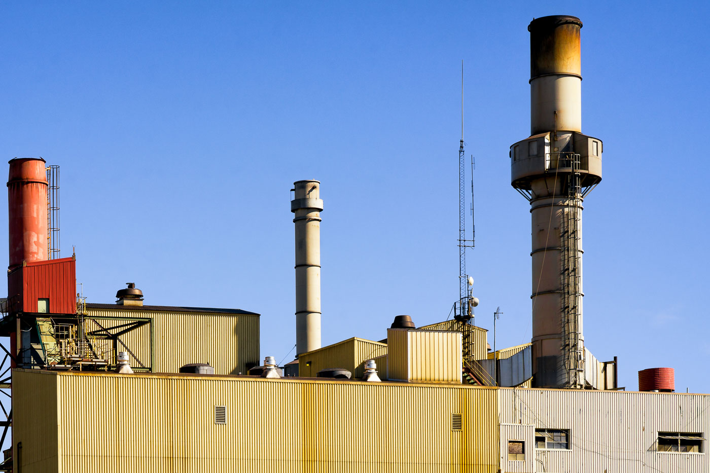
Hibbing power plant smokestacks in Hibbing, Minnesota, with low industrial buildings below.
The Hibbing power plant is located in Hibbing, Minnesota, with several smokestacks rising above the facility’s low industrial buildings. The plant is part of the city’s long-standing energy and industrial infrastructure in the Iron Range region. Rust and weathering are visible on the tallest stacks and surrounding metal structures.
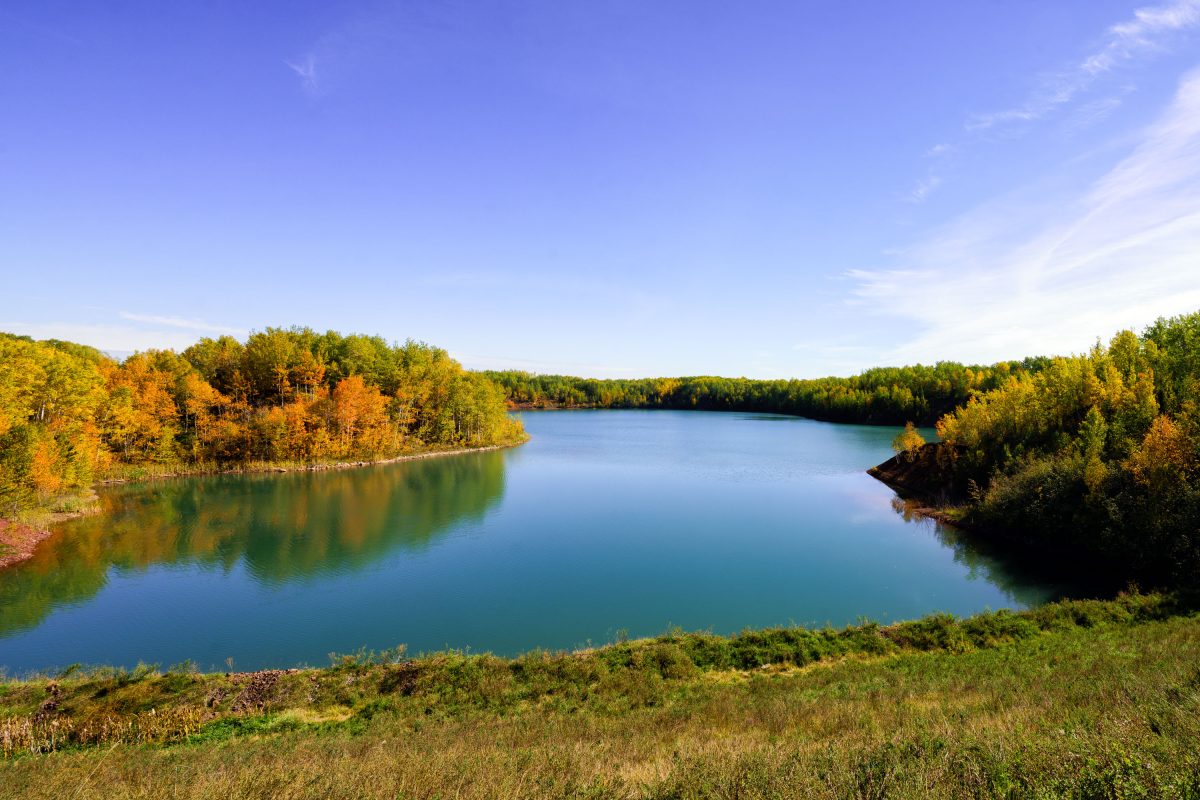
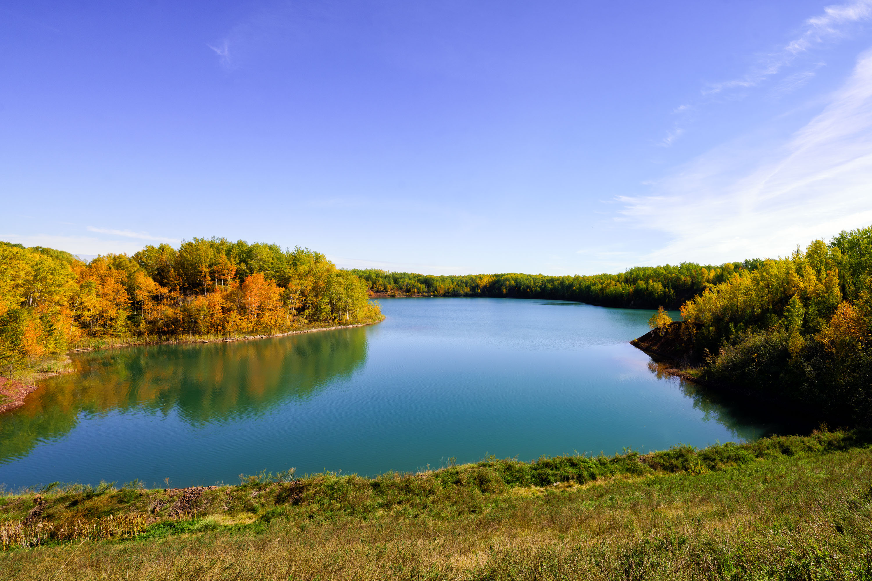
Water-filled Wacootah Mine pit surrounded by autumn forest near Mountain Iron, Minnesota.
The Wacootah Mine was an iron ore pit on Minnesota's Mesabi Range, near Mountain Iron in St. Louis County. Mining operations in the area date to the late 1800s, part of the broader Mesabi Range district that once supplied a large share of the nation's iron ore. Like many exhausted pits on the Range, the former excavation has filled with groundwater, forming a lake within the surrounding second-growth forest. The site sits within the same mining district as the nearby Minntac operation, one of Minnesota's largest active taconite processing plants.
Graffiti reading “Summer 2012” on a rusted metal wall beside a sidewalk.
Graffiti reading “Summer 2012” is painted on a rust-streaked metal wall beside a sidewalk and roadway. The wall’s paint is peeling, and corrosion covers much of the surface. Faded markings remain visible on the right side of the panel.
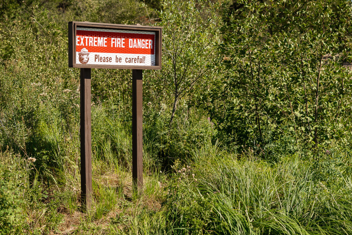
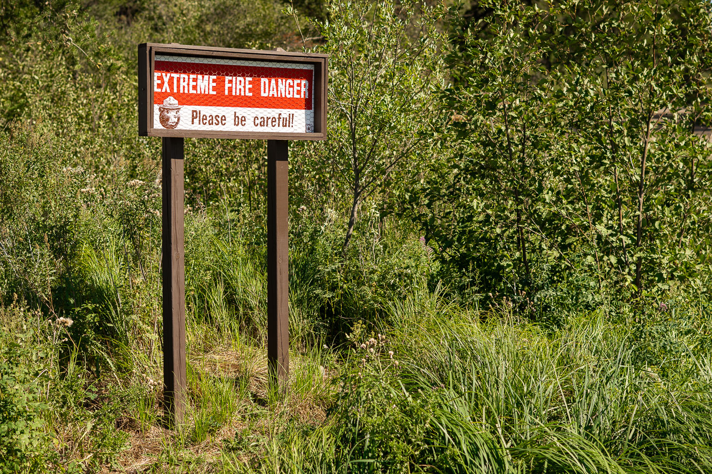
Extreme fire danger sign with Smokey Bear graphic posted along a roadside in Minnesota's Iron Range.
Smokey Bear has appeared on fire danger warning signs since the U.S. Forest Service launched the prevention campaign in 1944, later adopting the "Only you can prevent forest fires." Signs like this one use an adjustable gauge to alert travelers to current wildfire risk levels, ranging from low to extreme. Minnesota's Iron Range, a region of dense forest and dry underbrush north of Babbitt, sees these postings along roadsides during periods of low rainfall.
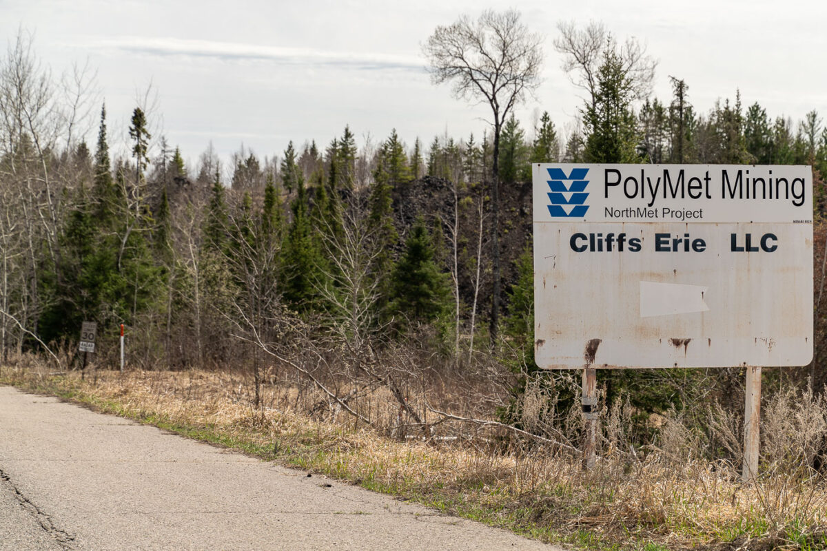
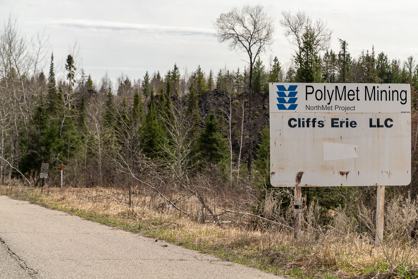
PolyMet Mining NorthMet Project sign beside a road in the Iron Range, Minnesota
A roadside sign for the PolyMet Mining NorthMet Project stands along a paved road in the Iron Range of northern Minnesota. The weathered sign also names Cliffs Erie LLC, and a small speed limit sign is posted farther down the road.
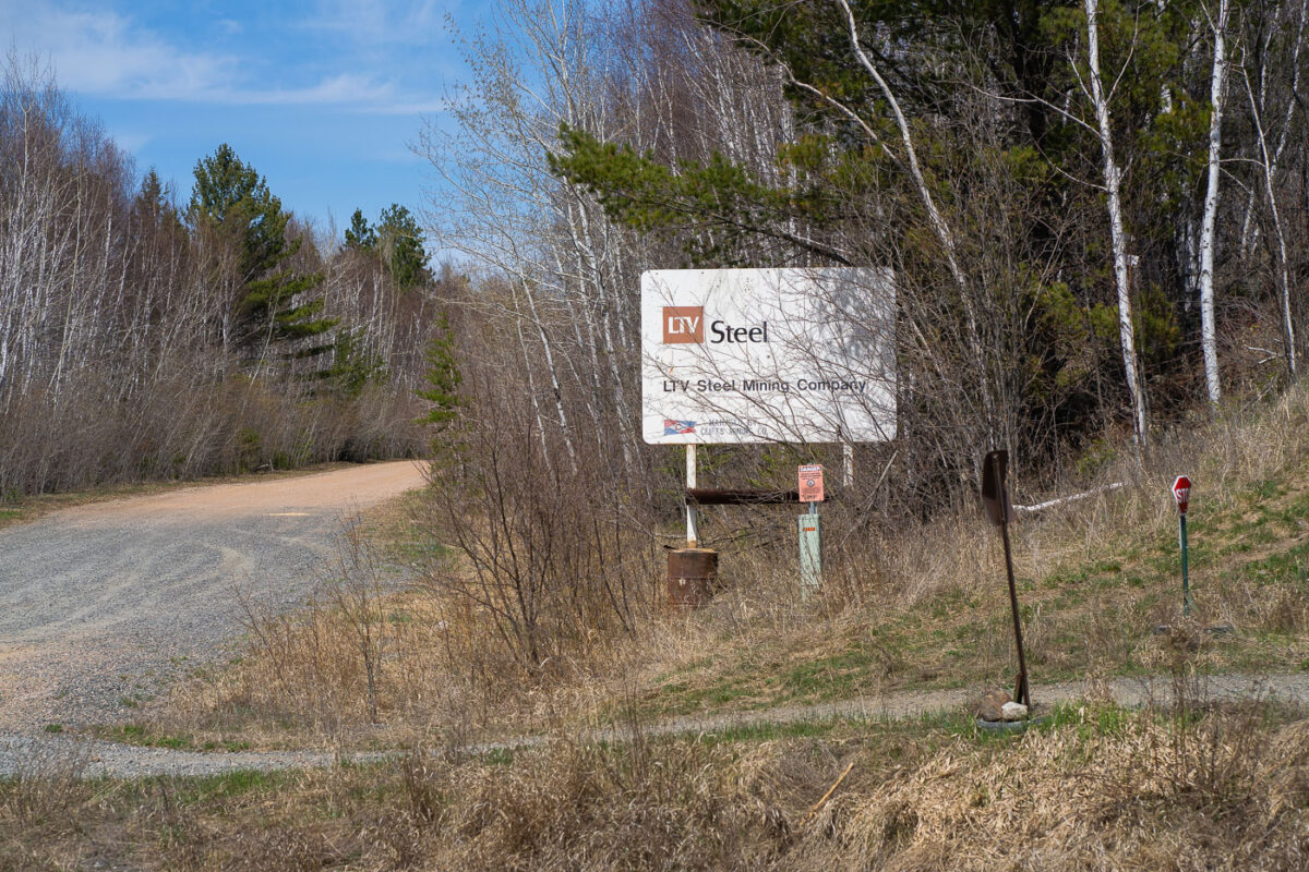
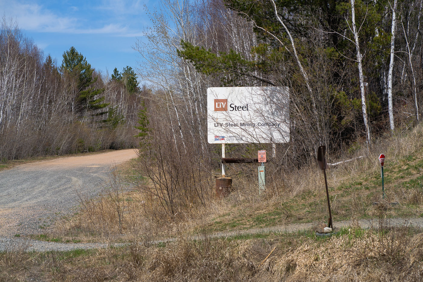
LTV Steel Mining Company sign beside a gravel road in Babbitt, Minnesota.
The LTV Steel Mining Company sign stands along a gravel road in Babbitt, Minnesota. The sign marks the entrance to the former mining complex on the Iron Range.
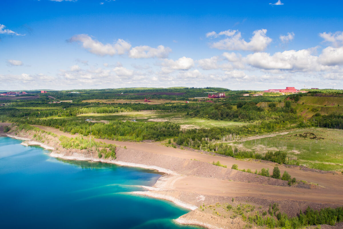
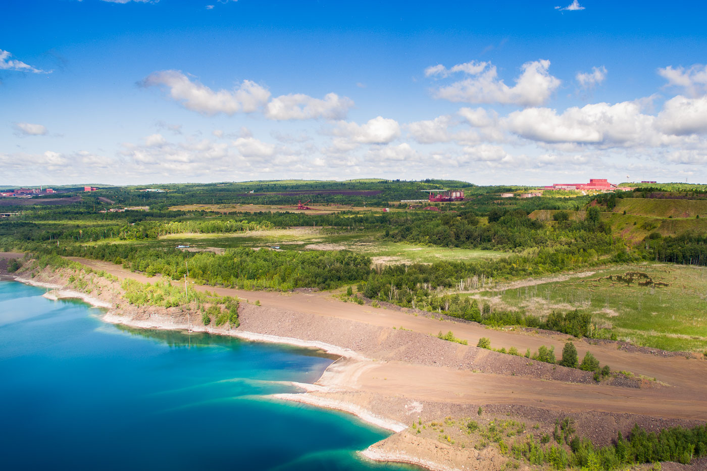
PolyMet mine in Hoyt Lakes, Minnesota, with open pits, haul roads, and water-filled excavations.
The PolyMet mine site in Hoyt Lakes, Minnesota, includes open pits, haul roads, spoil piles, and water-filled excavations in the Erie Basin area. Red industrial buildings and equipment are visible across the reclaimed and active mining property.

Built in Minneapolis

Minneapolis Photographer

Browse by location, move through long-running series, or start with recent work.