Place Archive

North Dakota

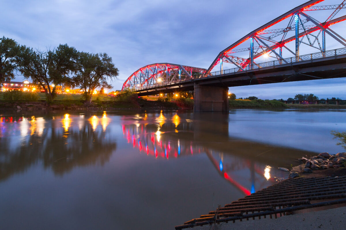
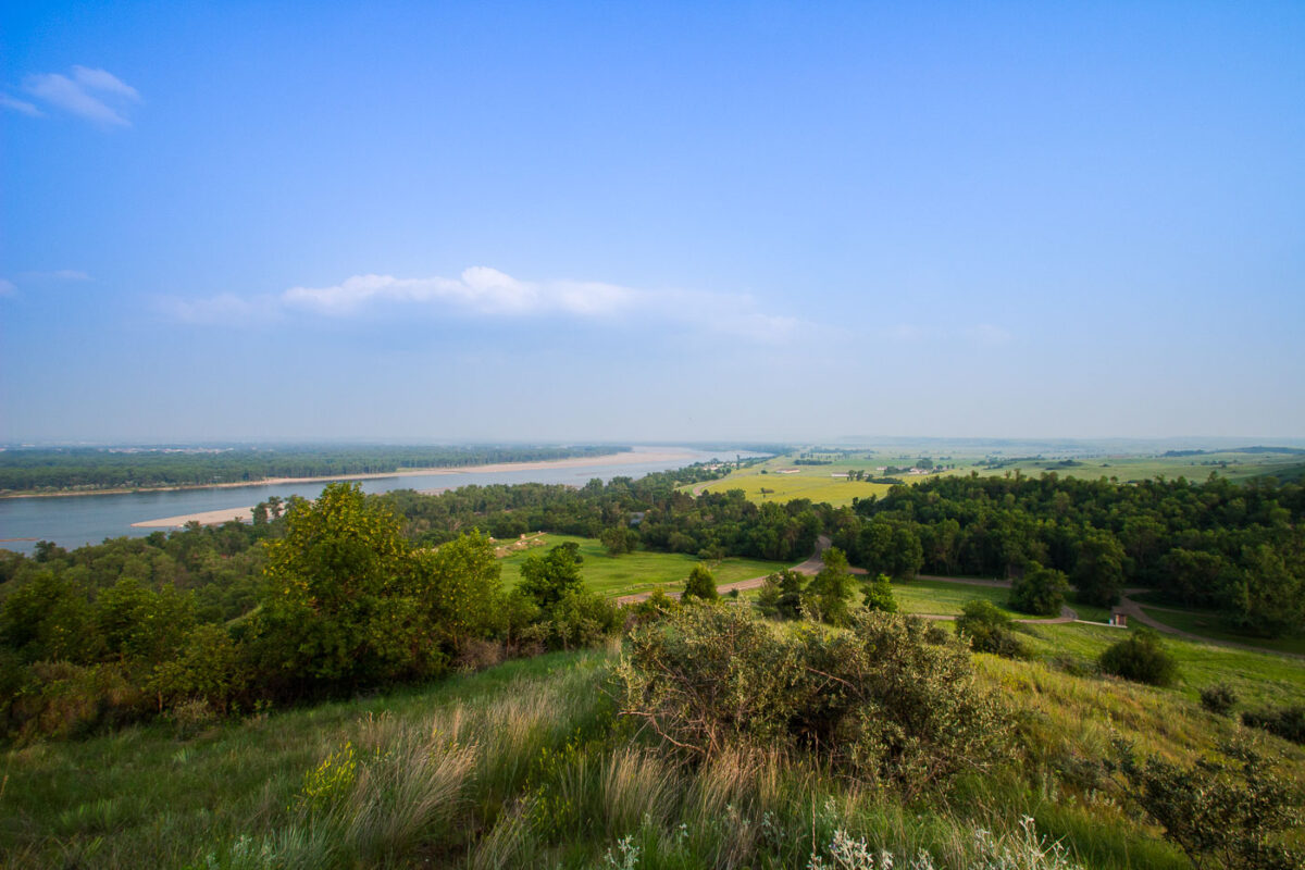
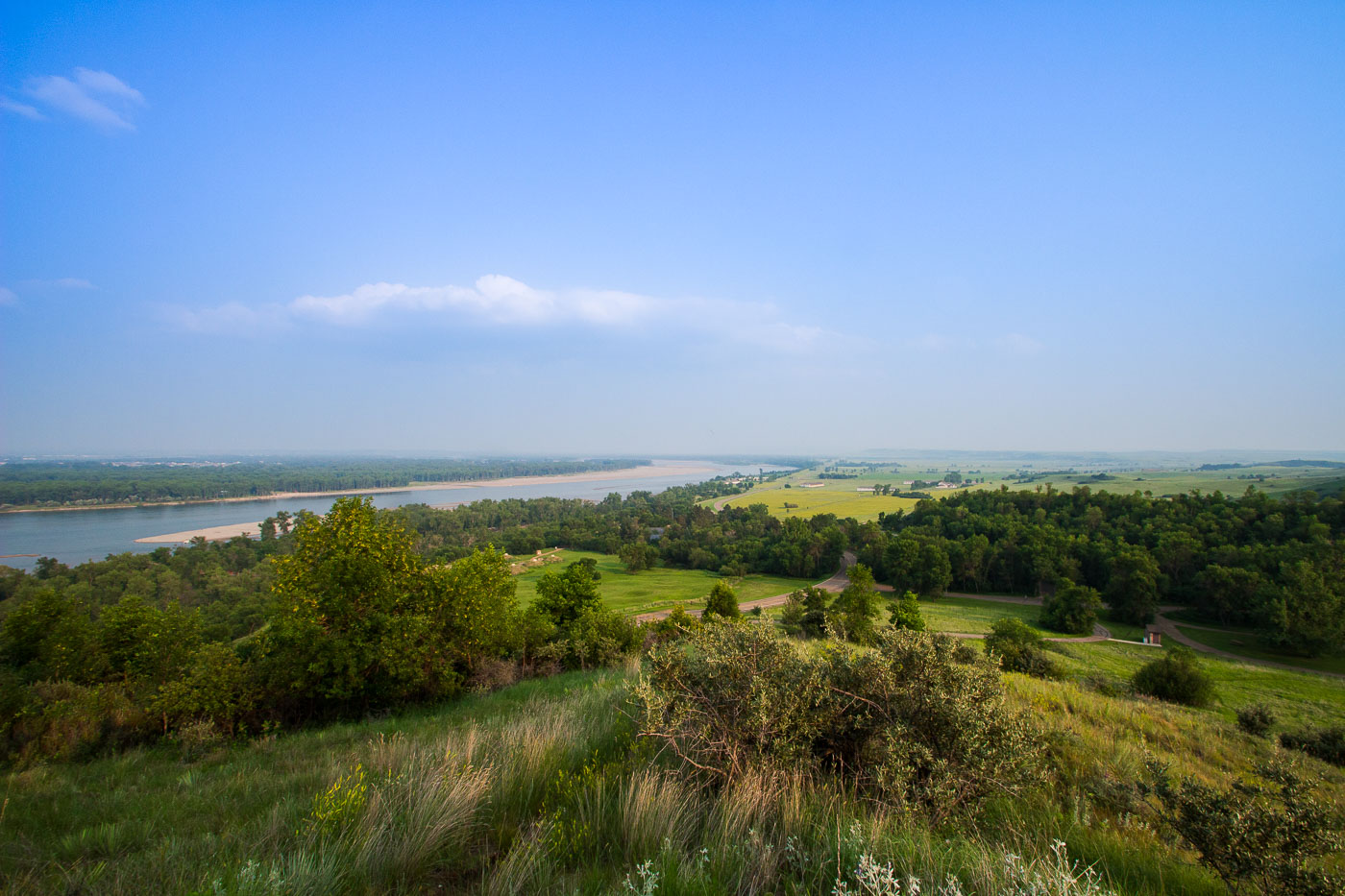
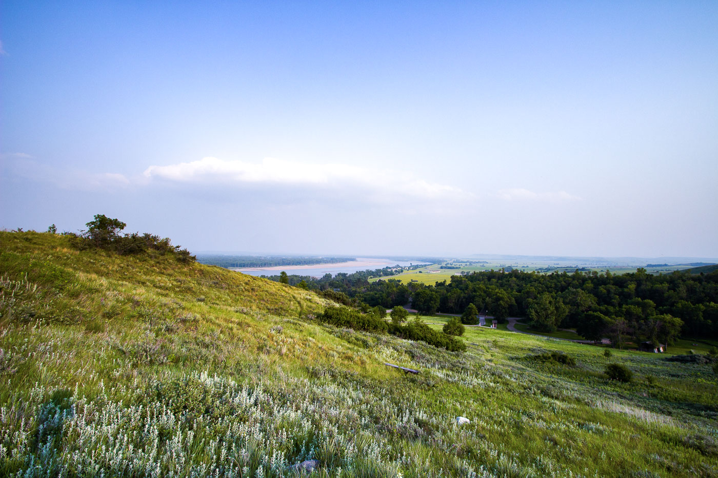
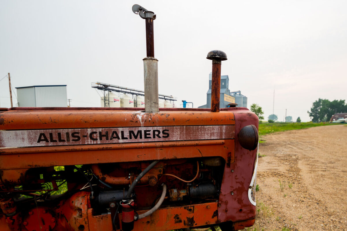
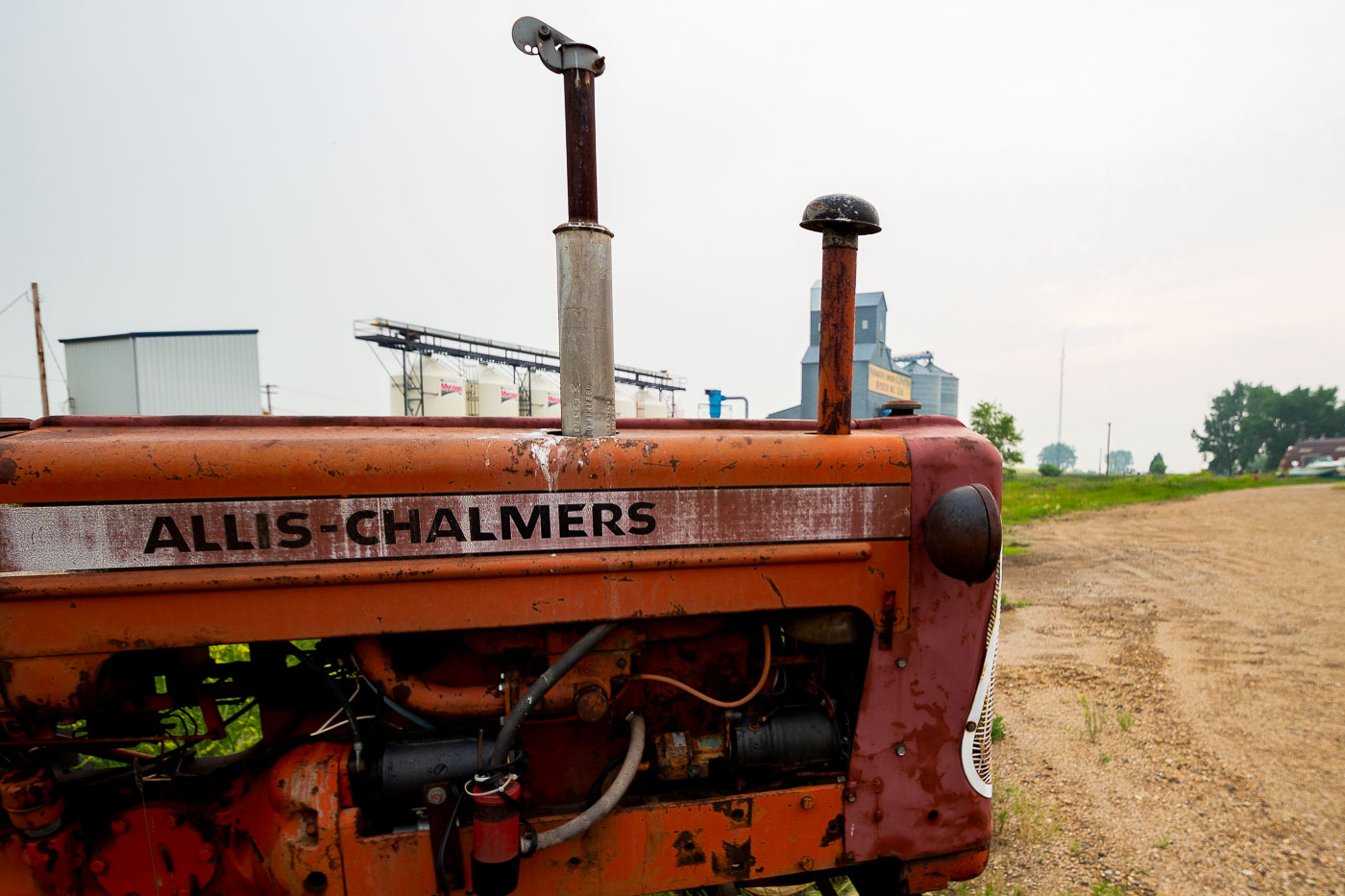
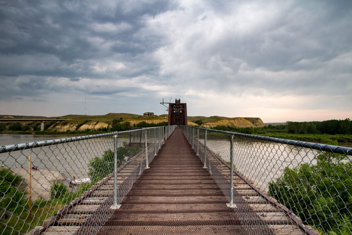
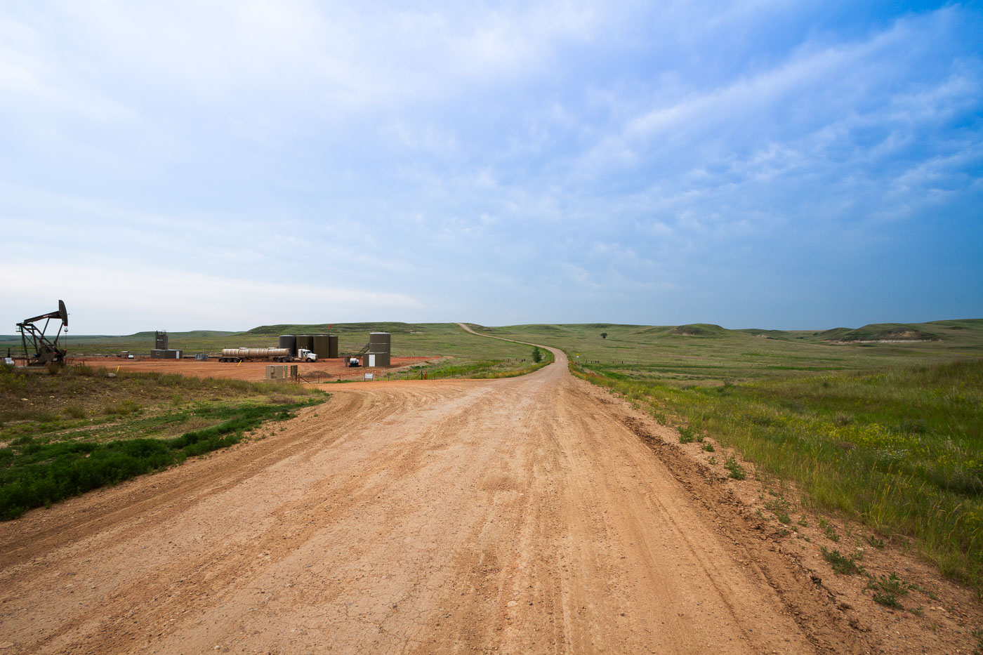
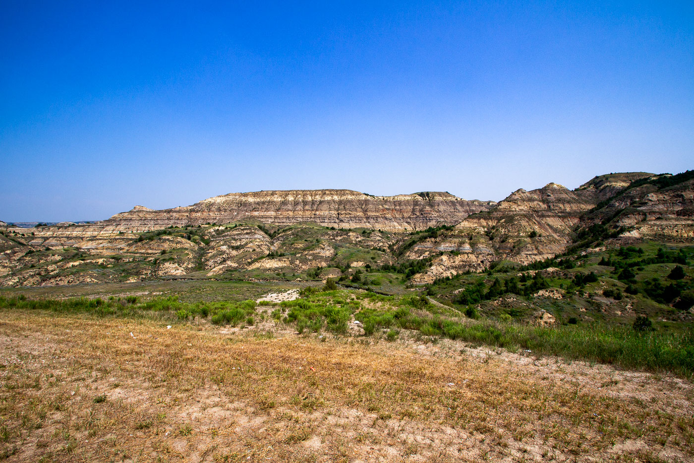
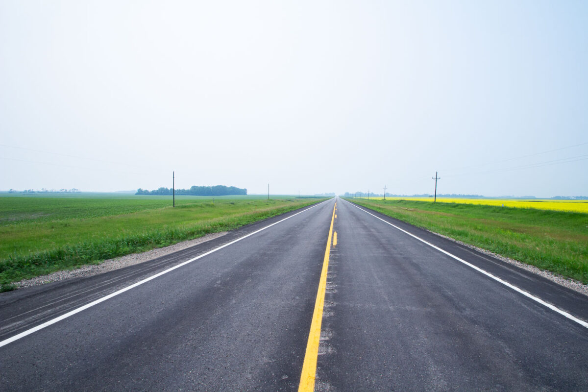
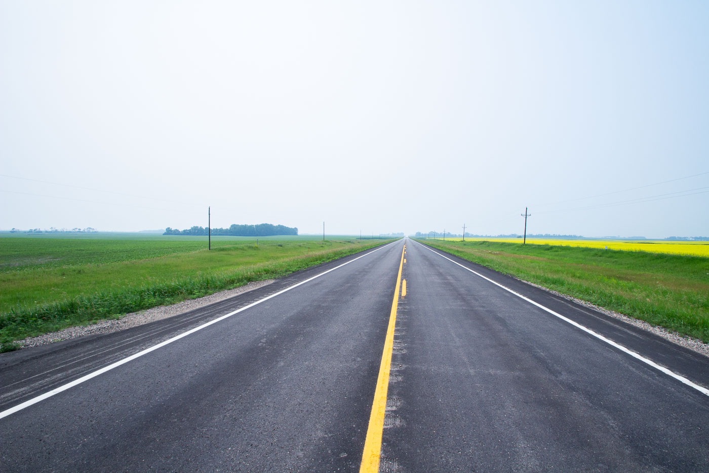
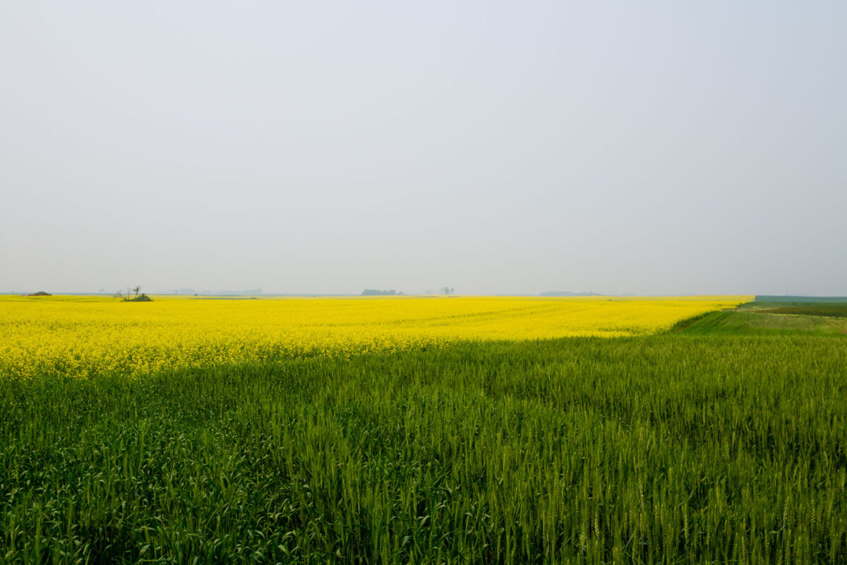
The Sorlie Memorial Bridge in Grand Forks spans the Red River, connecting North Dakota to Minnesota since 1974 and supporting daily transportation. Agricultural landscapes near Starkweather feature extensive wheat and canola fields alongside Highway 17, underscoring the region’s farming economy.

20 photos

Photos from North Dakota

A pumpjack operates in the rugged badlands of North Dakota, an area known for its oil production and proximity to Theodore Roosevelt National Park.
A pumpjack, a common sight in oil-producing regions, stands over the rugged terrain of North Dakota's badlands. These structures are essential for extracting crude oil, operating through a reciprocating piston driven by a motor. The surrounding landscape, characterized by its eroded geological formations and sparse vegetation, is indicative of the Theodore Roosevelt National Park area, which also contains significant oil reserves. The presence of such industrial equipment highlights the ongoing tension between resource extraction and the preservation of natural and historical environments in the region.
A pumpjack extracts oil in North Dakota, a key machine in the state's energy sector. The industrial equipment operates under a clear blue sky.
A pumpjack operates in a North Dakota oil field under a clear blue sky. These machines are essential for extracting crude oil from underground reservoirs, a process that has significantly shaped the economy and landscape of regions like North Dakota. The rhythmic movement of the pumpjack is a characteristic feature of oil extraction operations, symbolizing the ongoing industrial activity in the state's energy sector.
A pumpjack operates in Dunn County, North Dakota, a region known for its significant oil production.
A pumpjack operates in Dunn County, North Dakota, a region known for its significant oil production. These structures, often referred to as "nodding donkeys," are essential for extracting crude oil from underground reservoirs. The presence of this pumpjack highlights the area's role in the energy sector and the ongoing extraction activities that shape the landscape and economy of the North Plains.
The Sorlie Memorial Bridge, a truss bridge spanning the Red River in Grand Forks, North Dakota, is illuminated at dusk. It connects Grand Forks with East Grand Forks, Minnesota.
The Sorlie Memorial Bridge, spanning the Red River in Grand Forks, North Dakota, is illuminated at dusk. This truss bridge, a significant piece of local transportation infrastructure, connects Grand Forks with East Grand Forks, Minnesota. It was constructed in 1974, replacing an earlier bridge that had served the community. The bridge continues to facilitate daily commutes and commerce across the state line.
The abandoned Crystal Springs School in North Dakota, a brick building with decorative stonework, stands as a relic of rural education.
The former Crystal Springs School, located in Crystal Springs, North Dakota, stands as a relic of a bygone era of rural education. Constructed with brick and featuring decorative stonework, the building likely served as a central educational facility for the surrounding agricultural community. Its abandonment signifies the demographic shifts and consolidation of school districts common in the Great Plains throughout the 20th century. The structure's current state of disrepair highlights the challenges of maintaining historical buildings in sparsely populated areas.
Fort Abraham Lincoln State Park overlook in North Dakota offers a view of the Missouri River valley, a historic transportation corridor.
Fort Abraham Lincoln State Park overlook offers a panoramic view of the Missouri River in North Dakota. Established in 1878, the park preserves the site of a U.S. Army fort that served as the last post of Lieutenant Colonel George Armstrong Custer. The overlook provides a vantage point to appreciate the vastness of the river valley, which was a crucial transportation and settlement corridor during westward expansion. Today, the park is a popular destination for visitors interested in history and the natural beauty of the Great Plains.
Fort Abraham Lincoln State Park, North Dakota, overlooks the Missouri River. Established in 1878, it was a key military post during westward expansion.
Fort Abraham Lincoln State Park, located near Bismarck, North Dakota, overlooks the confluence of the Missouri and Heart Rivers. Established in 1878, the fort served as a key military post during the westward expansion, notably housing Lieutenant Colonel George Custer and his 7th Cavalry. The park preserves historical structures and offers a glimpse into the region's military past and the lives of those stationed there. Today, it functions as a state park, providing visitors with opportunities to explore its historical significance and the natural beauty of the surrounding landscape.
An Allis-Chalmers tractor sits by a grain elevator in Ryder, North Dakota, representing the region's agricultural heritage and ongoing farming industry.
An Allis-Chalmers tractor, a common sight in American agriculture, sits near a grain elevator in Ryder, North Dakota. Grain elevators were essential to the agricultural economy, facilitating the storage and transport of grain from farms to markets. This particular elevator appears to be a modern facility, indicating the continued importance of agriculture in the region. The presence of the vintage tractor suggests a connection to the area's farming heritage, possibly representing a bygone era of agricultural machinery.
Juniper Campground Road winds through Theodore Roosevelt National Park in North Dakota, providing access to camping and scenic drives within the park's badlands.
Juniper Campground Road winds through Theodore Roosevelt National Park in North Dakota. The park preserves the rugged badlands landscape that shaped the life of President Theodore Roosevelt. Established in 1947, the park protects over 70,000 acres of this unique environment. The campground road provides access to camping facilities and scenic drives, allowing visitors to experience the natural beauty and historical significance of the area.
North Dakota oil fields at night, July 2015. Lights indicate active drilling sites and infrastructure during a boom period for the Bakken Formation.
Illuminated by artificial lights, the North Dakota oil fields are visible at night in July 2015. This period marked a significant boom in oil production for the state, driven by the Bakken Formation. The lights represent active drilling sites, processing facilities, and associated infrastructure that operate around the clock to extract and transport crude oil. The expansion of oil extraction in North Dakota has had substantial economic and environmental impacts on the region.
The Fairview Lift Bridge, a historic railroad bridge over the Yellowstone River in North Dakota, is listed on the National Register of Historic Places.
The Fairview Lift Bridge, a historic railroad bridge spanning the Yellowstone River in North Dakota, was added to the National Register of Historic Places in 1997. Originally constructed to facilitate rail transport, the bridge's design allowed for the passage of river traffic. While no longer in active rail service, the bridge remains a significant piece of regional transportation history and a notable example of early 20th-century engineering.
An oil pumpjack operates at the Charbonneau oil drilling site in North Dakota, part of the Bakken Formation, a major oil and gas production area.
An oil pumpjack operates at the Charbonneau oil drilling site in North Dakota. This site is part of the Bakken Formation, a significant geological area that has been a major source of oil and natural gas production for the state since the mid-2000s. The infrastructure, including storage tanks and transport trucks visible in the background, supports the extraction and movement of crude oil. The presence of such facilities highlights North Dakota's role as a key energy producer in the United States.
The abandoned wooden grain elevator in Charbonneau, North Dakota, stands as a relic of the region's agricultural past, surrounded by tall grass and distant grain bins.
The abandoned grain elevator in Charbonneau, North Dakota, is a testament to the region's agricultural heritage. These structures were once central to prairie towns, facilitating the storage and shipment of grain, which was the backbone of the local economy. As agricultural practices and transportation methods advanced, many elevators like this one were decommissioned, leaving behind silent reminders of a past era. The weathered wood and surrounding tall grass of this elevator in Charbonneau symbolize the decline of small-town farming and the eventual abandonment of communities.
A weathered wooden grain elevator and outbuilding stand in the ghost town of Charbonneau, North Dakota, a reminder of the region's agricultural past.
This wooden grain elevator and adjacent outbuilding stand in Charbonneau, North Dakota, a community that has largely faded into a ghost town. Grain elevators were essential to the agricultural economy of the Great Plains, serving as vital points for storing and shipping harvested crops. Their presence often marked the establishment and growth of rural communities, facilitating the transport of grain to larger markets.
Theodore Roosevelt Expressway cuts through the rugged, eroded badlands of North Dakota, part of the Little Missouri National Grassland.
Theodore Roosevelt Expressway offers a route through the rugged North Dakota badlands, a landscape shaped by millions of years of erosion. These geological formations, characterized by colorful strata and steep slopes, are part of the Little Missouri National Grassland. The expressway, completed in stages, provides access to this remote region, allowing travelers to witness its unique topography. The area is also historically significant as it was once home to Theodore Roosevelt, who ranched here in the late 19th century.
A highway stretches into the distance near Wolford, North Dakota, obscured by haze. The road leads through agricultural fields under a hazy sky, likely caused by wildfire smoke or fog.
A highway stretches into the distance near Wolford, North Dakota, obscured by haze. This atmospheric condition, likely caused by wildfire smoke or fog, significantly reduces visibility on the roadway.
Highway 17 near Starkweather, North Dakota, passes through agricultural fields, including bright yellow canola blooms, highlighting the state's farming economy.
Highway 17, a state highway in North Dakota, traverses agricultural landscapes near Starkweather. The road serves as a vital artery for transporting goods and connecting rural communities to larger centers. The surrounding fields, likely planted with crops such as canola given the yellow bloom visible, highlight the region's agricultural significance. This stretch of highway is representative of the transportation network that supports North Dakota's economy, facilitating the movement of agricultural products from farms to markets.
Vast fields of wheat and bright yellow canola flowers near Starkweather, North Dakota, showcase the region's agricultural productivity.
Vast fields of wheat and canola stretch across the North Dakota landscape near Starkweather. The bright yellow canola flowers contrast with the deep green of the developing wheat crop, showcasing the agricultural productivity of the region. North Dakota is a leading producer of both wheat and canola, with these crops forming the backbone of the state's economy and rural identity. The cultivation of these grains has been central to the area's development since settlement, supporting farming communities and contributing to national food supplies.
Remnants of the Woodland Resort stand in Devils Lake, North Dakota, silhouetted against the twilight sky. The resort was submerged by rising lake levels in the early 2000s.
Remnants of the Woodland Resort stand in Devils Lake, North Dakota, silhouetted against the twilight sky. The resort, once a popular destination, was submerged by rising lake levels in the early 2000s. These pilings and submerged structures serve as a stark reminder of the lake's fluctuating water levels and the impact on the surrounding community and its infrastructure. The lights in the distance indicate the continued presence of development along the lake's shores, contrasting with the submerged past.
Devils Lake State Park, North Dakota, features a shoreline reinforced with riprap to prevent erosion, adjacent to a wetland area with trees.
Devils Lake State Park in North Dakota features a shoreline reinforced with riprap, a protective layer of large stones designed to prevent erosion. This area also encompasses a wetland, a vital habitat for diverse flora and fauna. The park's landscape is shaped by the fluctuating water levels of Devils Lake, a phenomenon that has historically impacted the surrounding environment and infrastructure.

Built in Minneapolis

Photographs showcasing change over time

Browse by location, move through long-running series, or start with recent work.