
Map
More from North Dakota

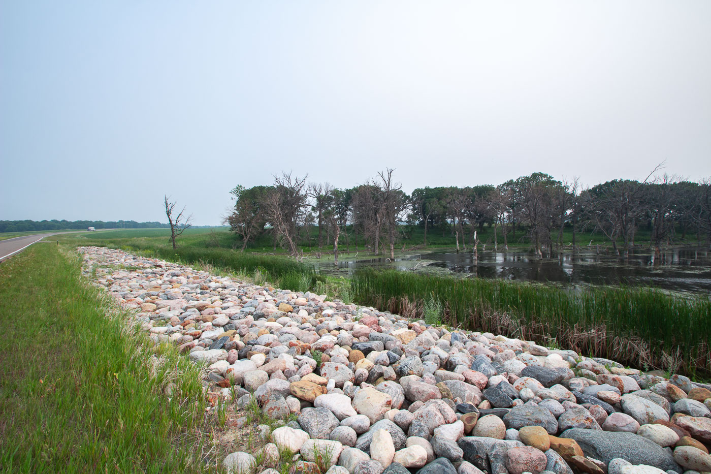
Highway near Wolford, North Dakota in Haze
A highway stretches into the distance near Wolford, North Dakota, obscured by haze. This atmospheric condition, likely caused by wildfire…

Charbonneau Oil Drilling Site, North Dakota
An oil pumpjack operates at the Charbonneau oil drilling site in North Dakota. This site is part of the Bakken…

Charbonneau, North Dakota Grain Elevator and Outbuilding
This wooden grain elevator and adjacent outbuilding stand in Charbonneau, North Dakota, a community that has largely faded into a…

Fairview Lift Bridge over Yellowstone River, North Dakota
The Fairview Lift Bridge, a historic railroad bridge spanning the Yellowstone River in North Dakota, was added to the National…

North Dakota Pumpjack Overlooking Badlands
A pumpjack, a common sight in oil-producing regions, stands over the rugged terrain of North Dakota's badlands. These structures are…

Charbonneau, North Dakota Abandoned Grain Elevator
The abandoned grain elevator in Charbonneau, North Dakota, is a testament to the region's agricultural heritage. These structures were once…