Place Archive

North Dakota

The Sorlie Memorial Bridge in Grand Forks spans the Red River, connecting North Dakota to Minnesota since 1974 and supporting daily transportation. Agricultural landscapes near Starkweather feature extensive wheat and canola fields alongside Highway 17, underscoring the region’s farming economy.

20 photos

Photos from North Dakota
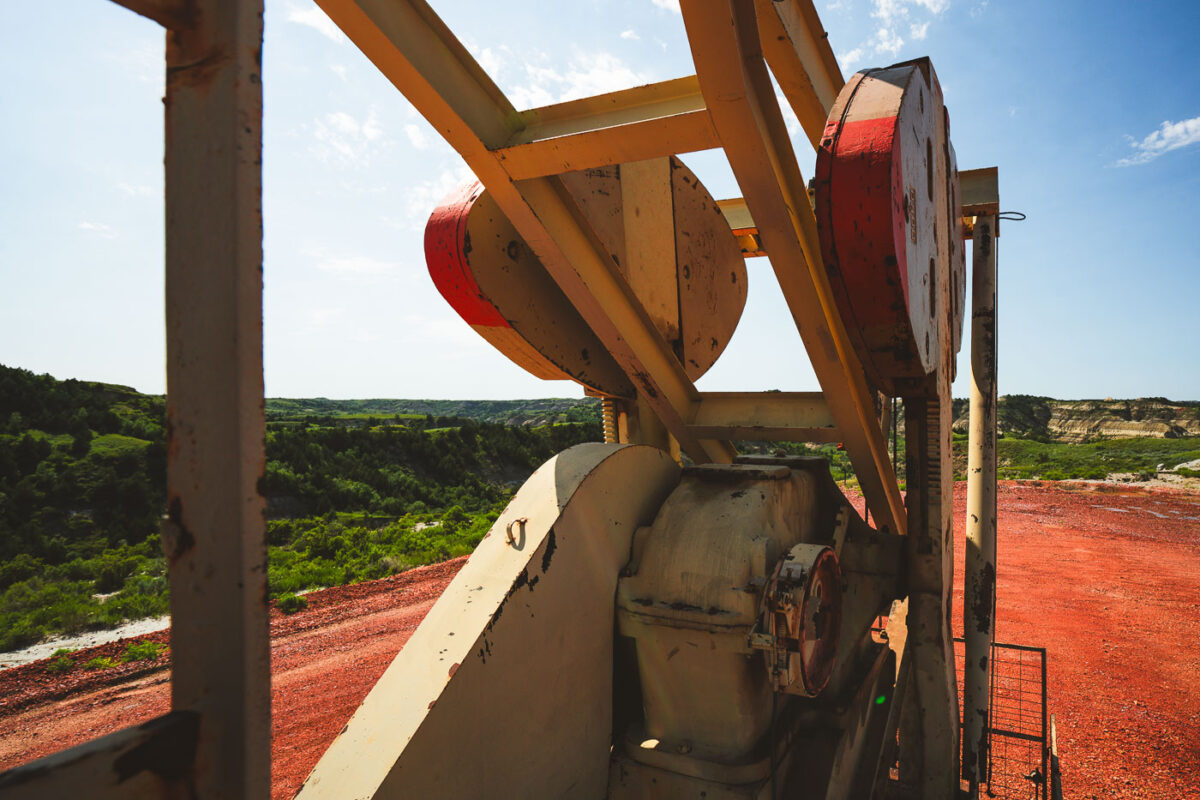
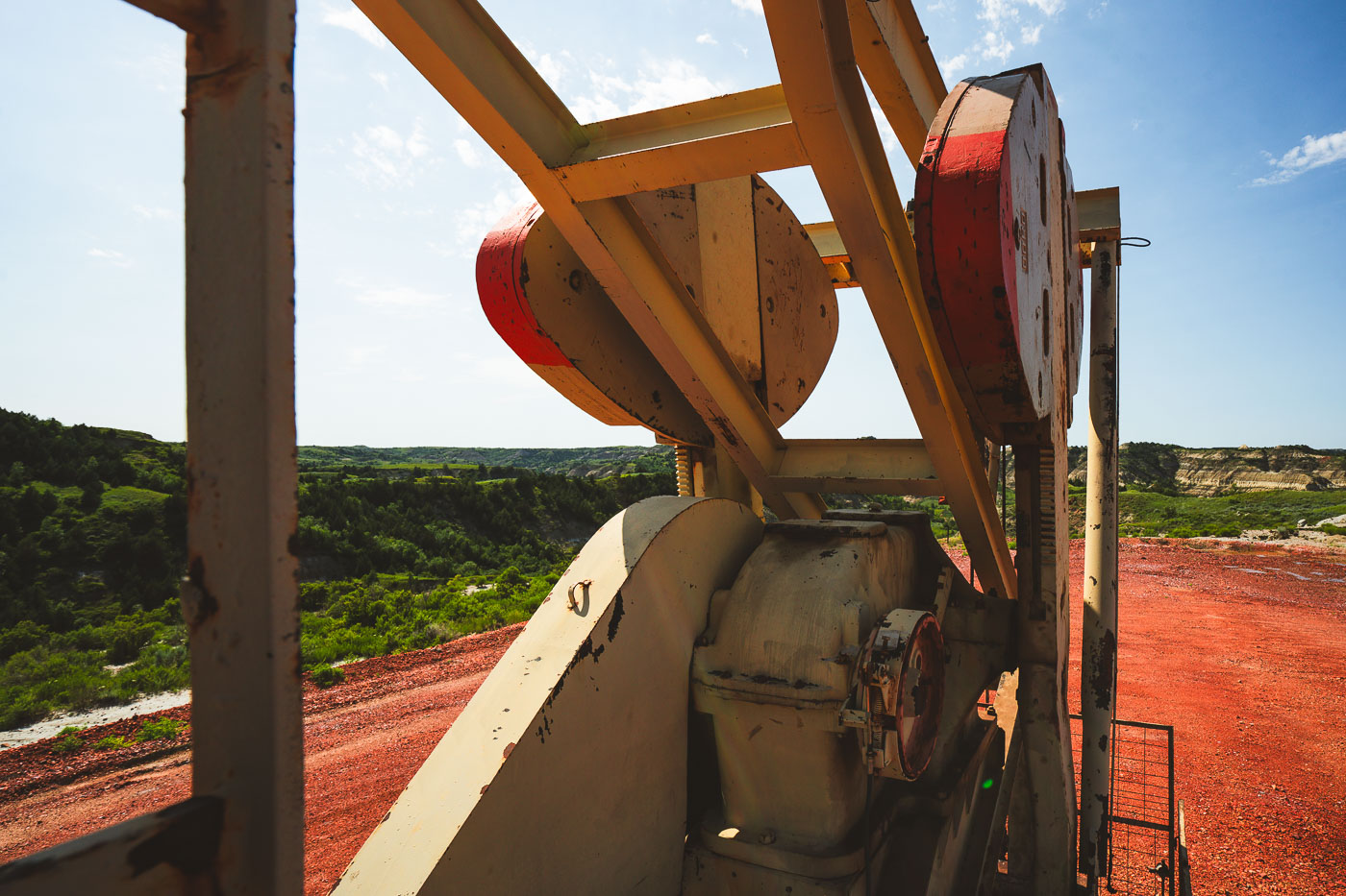
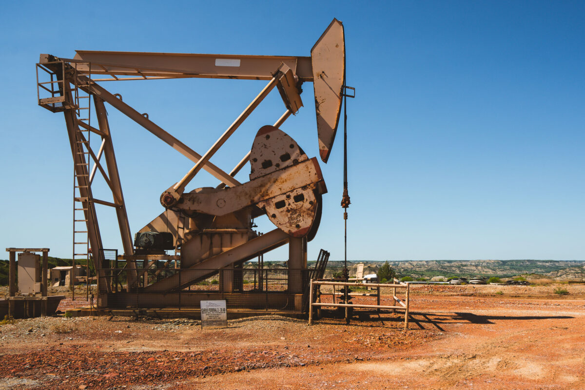
A pumpjack operates in the rugged badlands of North Dakota, an area known for its oil production and proximity to Theodore Roosevelt National Park.
Pumpjacks like this one dot the Bakken Formation, the shale oil region beneath western North Dakota that fueled one of the largest U.S. oil booms of the 21st century. A gearbox and counterweight system converts the rotation of an electric motor into the up-and-down stroke of a sucker rod, which drives a pump thousands of feet underground. Many Bakken wells reach the oil-bearing shale by drilling vertically more than two miles before turning horizontal to follow the rock layer for another mile or more. The badlands terrain surrounding Theodore Roosevelt National Park sits atop some of the same formation, placing working oil sites directly adjacent to protected parkland.
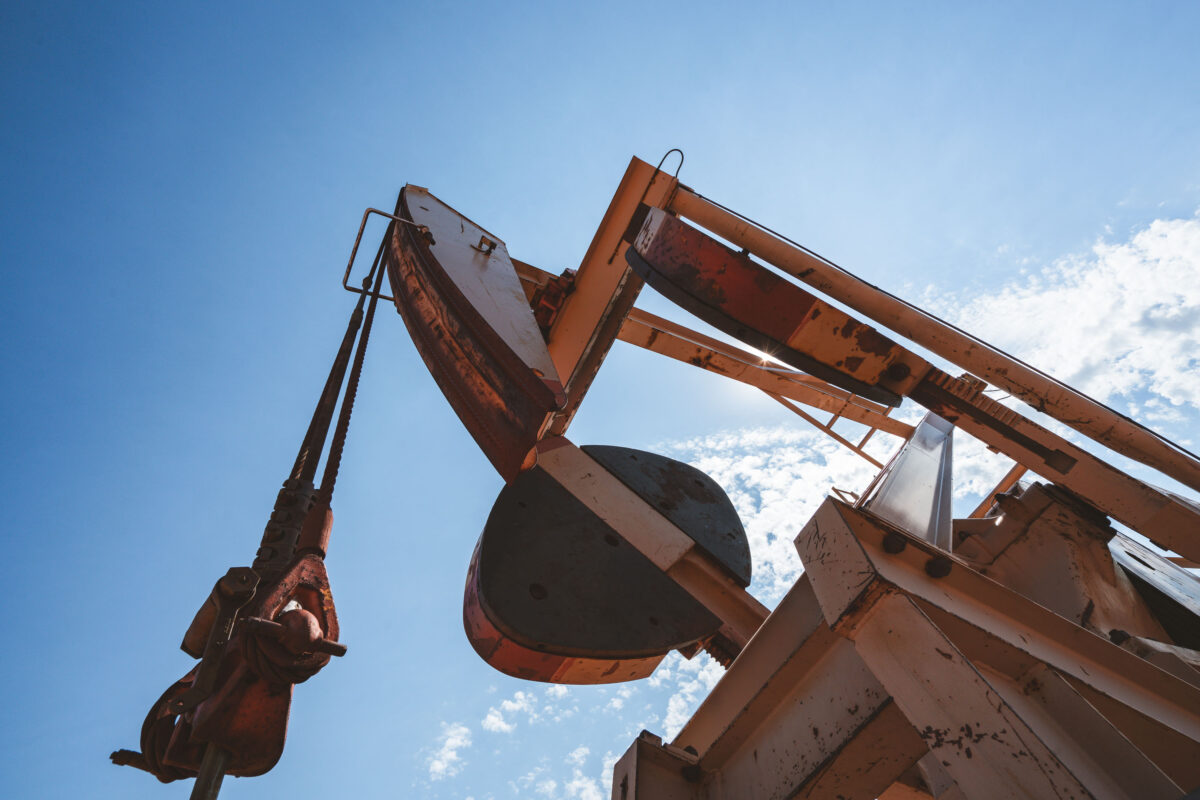
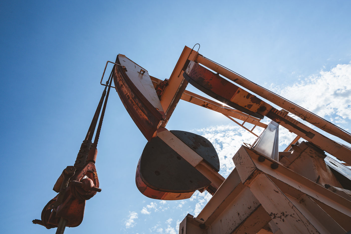
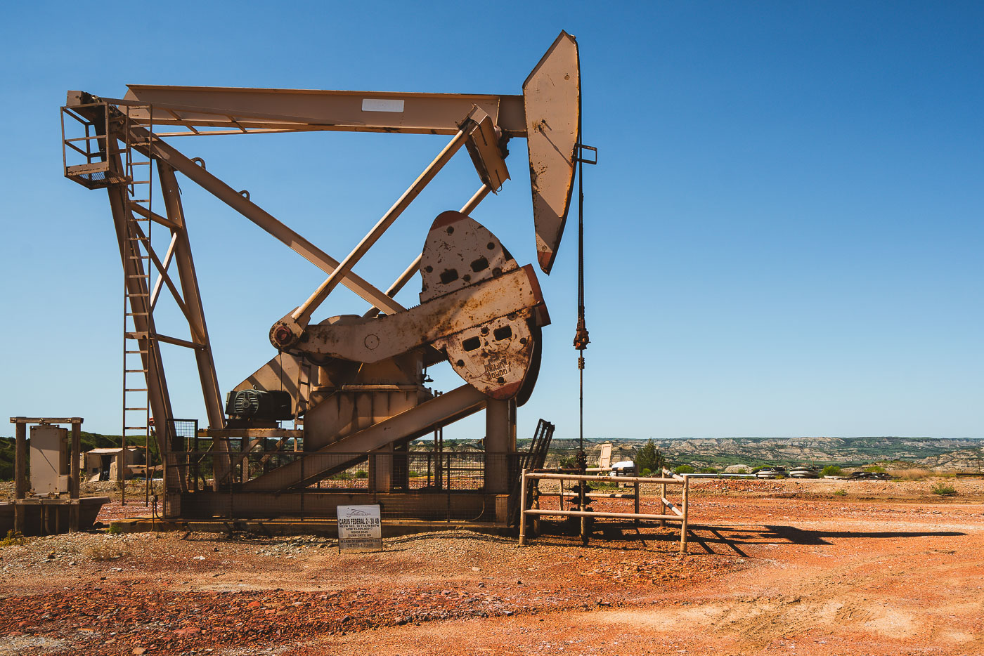
A pumpjack extracts oil in North Dakota, a key machine in the state's energy sector. The industrial equipment operates under a clear blue sky.
The horsehead and walking beam shown here are part of a beam pump, the standard mechanism used to bring crude oil to the surface across North Dakota's Bakken formation. A motor turns a crank below, which rocks the walking beam up and down; this motion pulls a polished rod and attached sucker rods inside the wellbore, drawing oil upward with each stroke. The counterweight opposite the horsehead offsets the load of the rod string, reducing the energy needed to lift fluid from depths that in the Bakken often exceed two miles. The Bakken shale, spanning parts of North Dakota, Montana, and southern Saskatchewan, became one of the largest U.S. oil-producing formations after horizontal drilling and hydraulic fracturing made its tight shale layers commercially viable starting in the mid-2000s. North Dakota's oil output, driven largely by Bakken wells, made it the second-largest oil-producing state in the country during the following decade.
A pumpjack operates in Dunn County, North Dakota, a region known for its significant oil production.
Dunn County sits atop the Bakken formation, one of the largest contiguous oil deposits in the United States, spanning parts of western North Dakota and eastern Montana. The pumpjack converts rotational motion from an electric or gas motor into the vertical pumping action needed to lift crude oil from wells that can run thousands of feet deep. Horizontal drilling and hydraulic fracturing, widely adopted across the Bakken starting in the mid-2000s, turned this stretch of the state into one of the fastest-growing oil-producing regions in the country. Dunn County borders Theodore Roosevelt National Park's badlands terrain, placing active drilling operations near some of North Dakota's most rugged protected land.
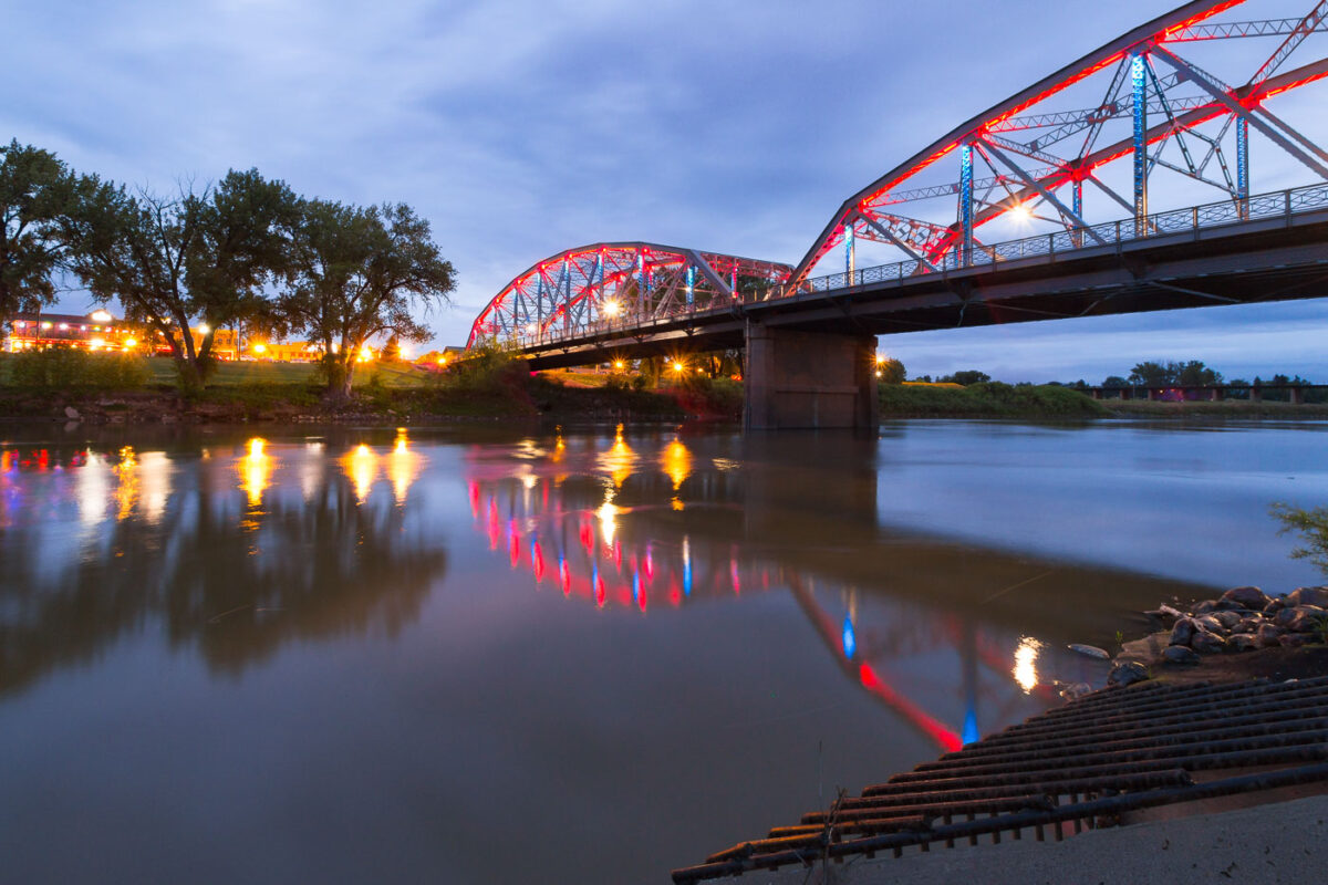
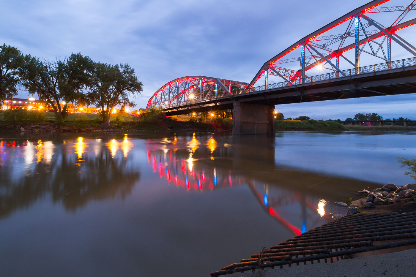
The Sorlie Memorial Bridge, a truss bridge spanning the Red River in Grand Forks, North Dakota, is illuminated at dusk. It connects Grand Forks with East Grand Forks, Minnesota.
The Sorlie Memorial Bridge carries traffic across the Red River of the North, linking Grand Forks, North Dakota, with East Grand Forks, Minnesota. Built in 1929, the steel tied-arch span replaced an earlier bridge from 1891 that had connected the two cities. It's named for Martin Sorlie, who served as North Dakota's governor from 1925 until his death in office in 1928. The bridge was added to the National Register of Historic Places in 2003 in recognition of its engineering design and role in the region's transportation history.
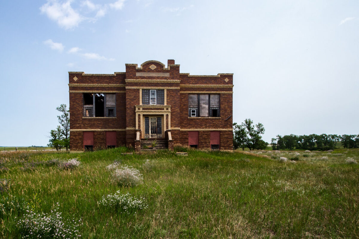
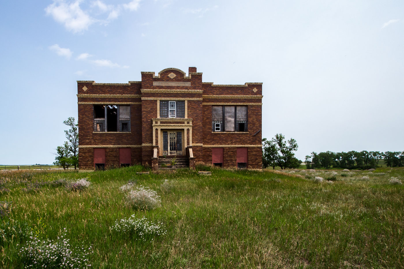
The abandoned Crystal Springs School in North Dakota, a brick building with decorative stonework, stands as a relic of rural education.
The old Crystal Springs School sits on a rise of grassland in Kidder County, North Dakota, its brick facade and parapet detailing typical of early 1900s rural school construction on the Great Plains. Schools like this one served small farming communities before state-driven consolidation efforts, which accelerated after the 1947 passage of North Dakota's school reorganization laws, closed hundreds of one- and two-room schoolhouses across the state. Crystal Springs itself was platted along the Northern Pacific Railway line and never grew beyond a small unincorporated community, leaving buildings like this school without a local population to sustain them once district boundaries were redrawn.
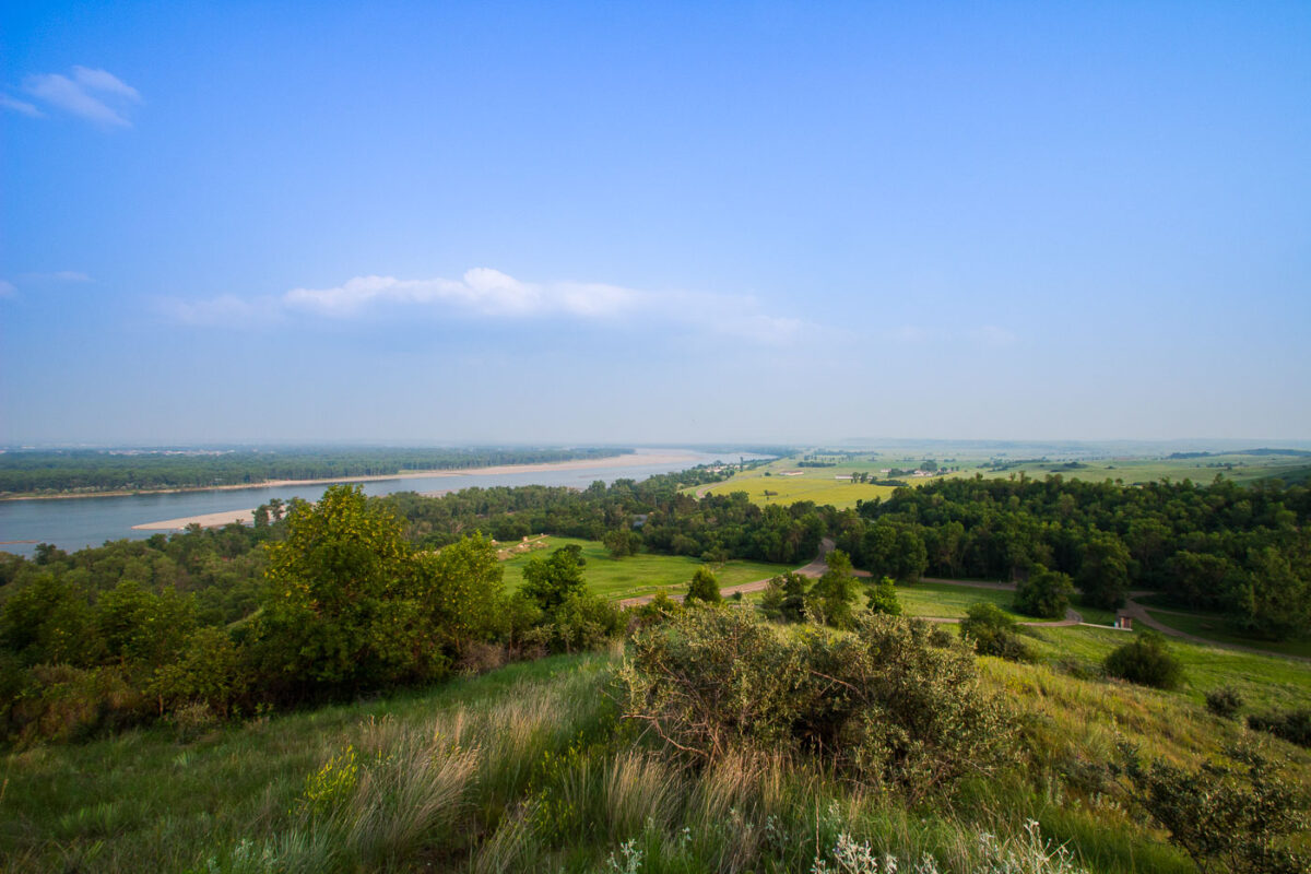
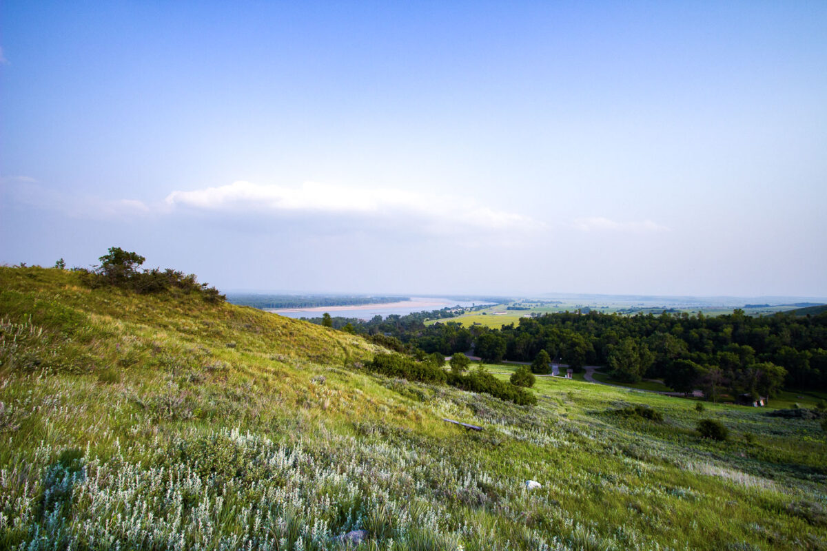
Fort Abraham Lincoln State Park overlook in North Dakota offers a view of the Missouri River valley, a historic transportation corridor.
Fort Abraham Lincoln State Park sits along the Missouri River south of Mandan, North Dakota, preserving the grounds of a military post established in 1872. The fort served as headquarters for the 7th Cavalry under Lieutenant Colonel George Armstrong Custer before his final campaign in 1876. The park also contains reconstructed earthlodges from On-A-Slant Village, a Mandan settlement occupied from roughly 1575 to 1781. North Dakota's state parks system acquired the site in 1907, making it one of the state's oldest parks. The Missouri River below has long marked a key route for trade and travel across the northern Plains.
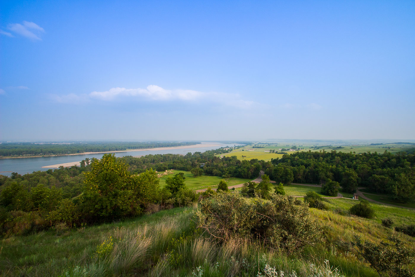
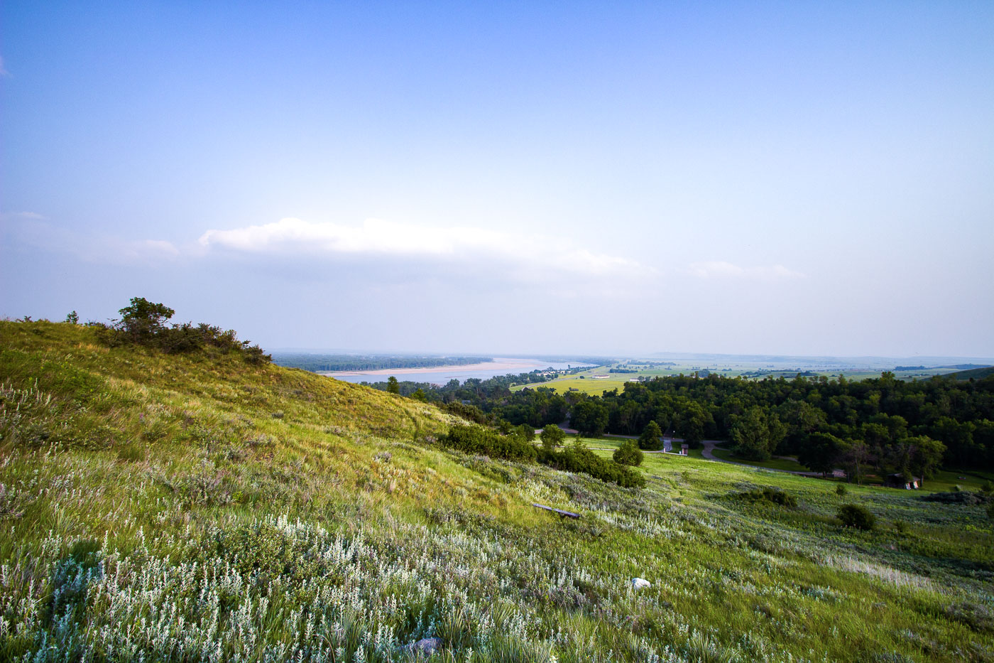
Fort Abraham Lincoln State Park, North Dakota, overlooks the Missouri River. Established in 1878, it was a key military post during westward expansion.
Fort Abraham Lincoln State Park sits along the Missouri River just south of Mandan, North Dakota, on bluffs overlooking the river's confluence with the Heart River. The park occupies the site of a military post established in 1872, built to protect railroad survey crews and later home to Lieutenant Colonel George Custer and the 7th Cavalry before their departure for the Little Bighorn campaign in 1876. The grounds also preserve the remains of On-A-Slant Village, a Mandan earthlodge settlement occupied from roughly 1575 to 1781. North Dakota's state park system has maintained the site since the 1930s, when the Civilian Conservation Corps reconstructed several of the fort's original buildings.
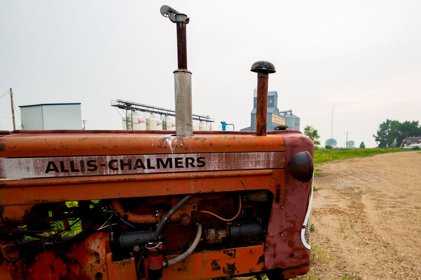
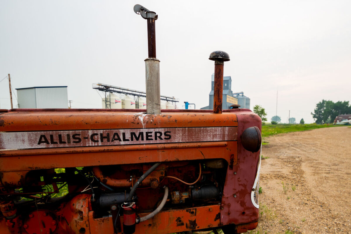
An Allis-Chalmers tractor sits by a grain elevator in Ryder, North Dakota, representing the region's agricultural heritage and ongoing farming industry.
Allis-Chalmers built tractors and farm equipment in Milwaukee from 1914 until the company's agricultural division was sold off in the 1980s, and its orange paint and badge lettering became a familiar sight across the Midwest. This model, with its exposed engine block and twin exhaust-style stacks, the mid-20th-century design common to the company's small grain-farm tractors. Ryder, North Dakota, sits in Ward County, an area built around grain farming since the early homestead era, and elevators like the one behind the tractor remain the local points where area farmers deliver wheat, barley, and canola for storage and rail shipment.
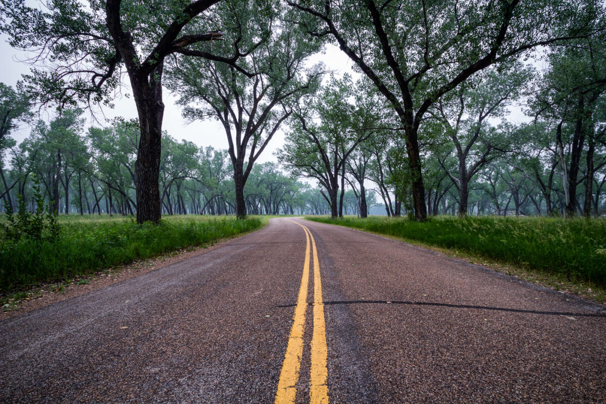
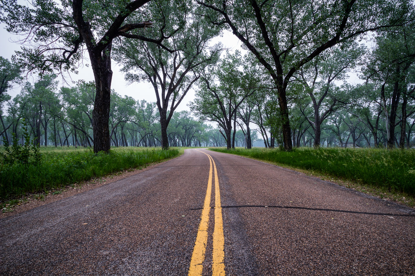
Juniper Campground Road winds through Theodore Roosevelt National Park in North Dakota, providing access to camping and scenic drives within the park's badlands.
Juniper Campground sits in the North Unit of Theodore Roosevelt National Park, along the Little Missouri River in western North Dakota. The cottonwood trees lining its access road grow in the river bottomland, where they find enough groundwater to survive in an otherwise arid badlands climate. Congress first protected this land in 1947 as Theodore Roosevelt National Memorial Park, redesignating it a national park in 1978. The North Unit covers roughly 24,000 acres and sees far fewer visitors than the park's South Unit near Medora.
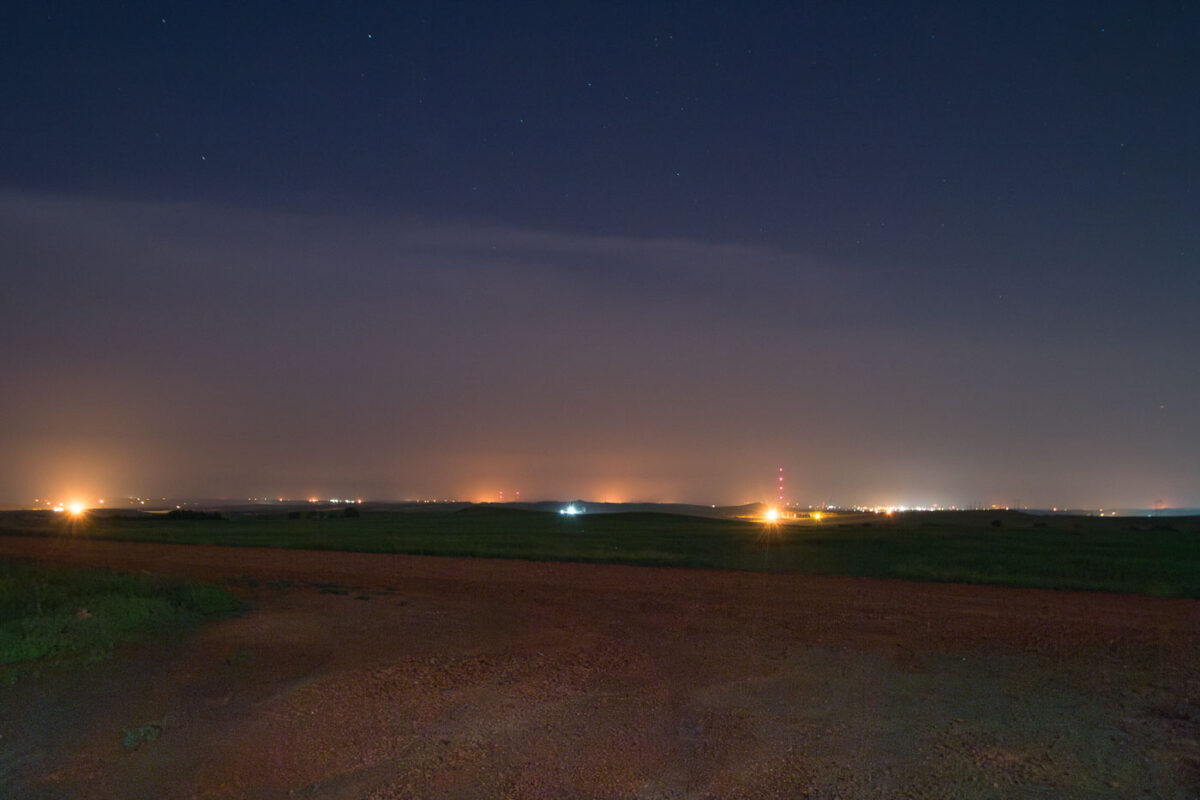
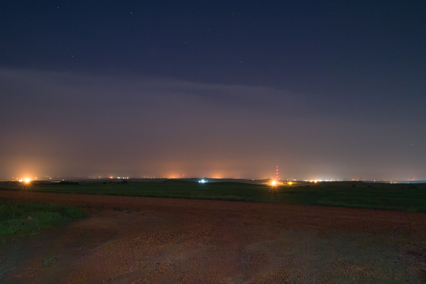
North Dakota oil fields at night, July 2015. Lights indicate active drilling sites and infrastructure during a boom period for the Bakken Formation.
The Bakken Formation underlies much of western North Dakota and became the center of a major U.S. oil boom beginning around 2008, driven by advances in horizontal drilling and hydraulic fracturing. Scattered flares and site lighting across the prairie here mark well pads, pumpjacks, and gas-processing equipment that typically run continuously rather than on daytime schedules. By the mid-2010s, the formation had pushed North Dakota past California to become the second-largest oil-producing state in the country, behind only Texas. Many wells in the region also burn off natural gas through flaring when pipeline capacity isn't available to capture it, a practice that accounts for much of the glow visible on the horizon in oil-producing counties like Dunn and McKenzie.
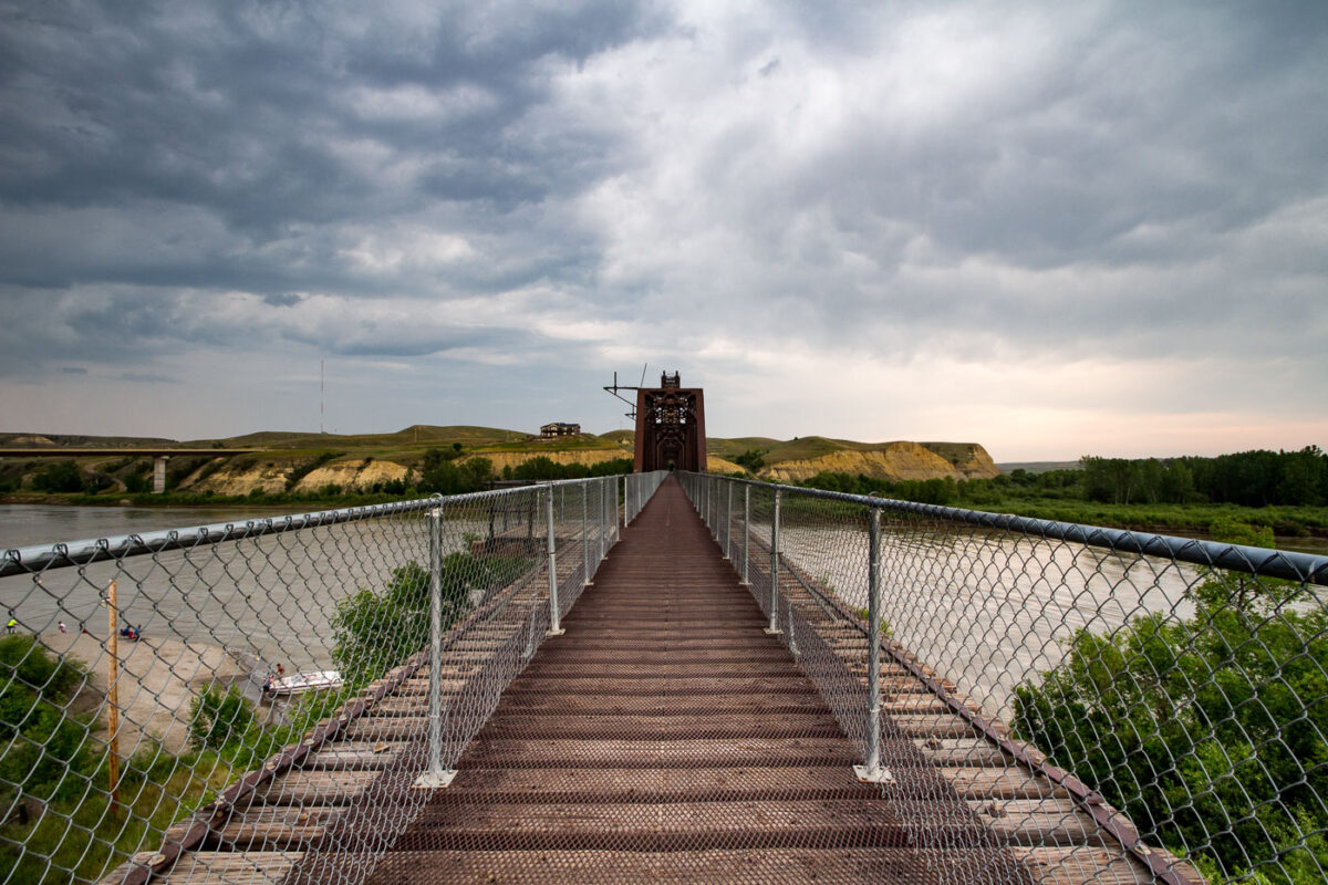
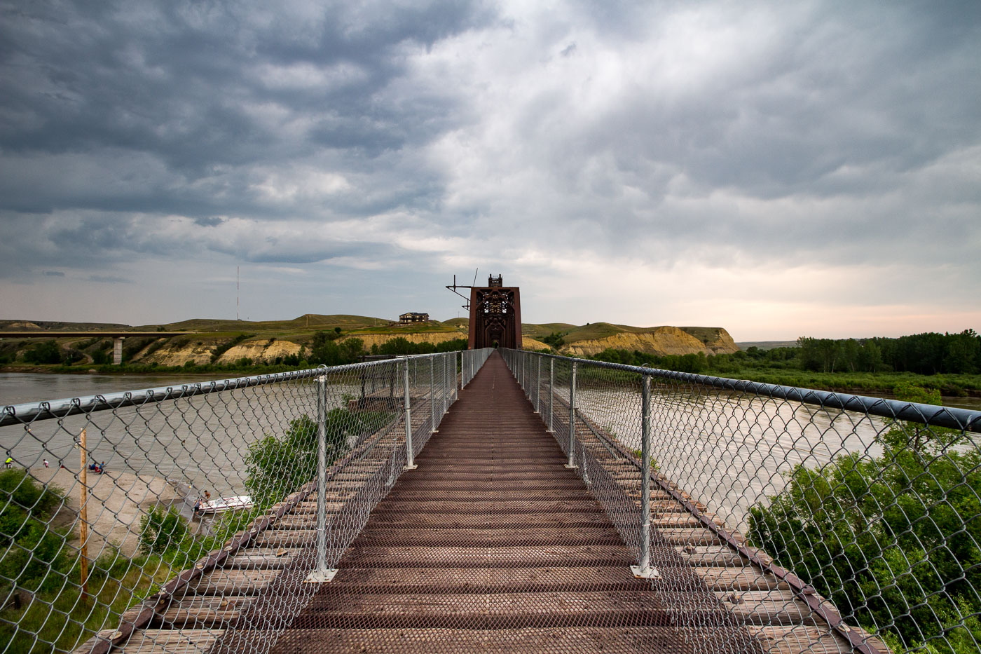
The Fairview Lift Bridge, a historic railroad bridge over the Yellowstone River in North Dakota, is listed on the National Register of Historic Places.
The Fairview Lift Bridge spans the Yellowstone River near the Montana–North Dakota border, close to the town of Fairview, Montana. Built in 1913 for the Great Northern Railway, it originally carried rail traffic and featured a vertical lift span that could be raised to let river traffic pass underneath. The lift mechanism was permanently retired in 1986, and the span has since been fixed in place. Listed on the National Register of Historic Places in 1997, the bridge was later converted to a pedestrian and bicycle crossing, allowing visitors to walk its original steel deck across the river.
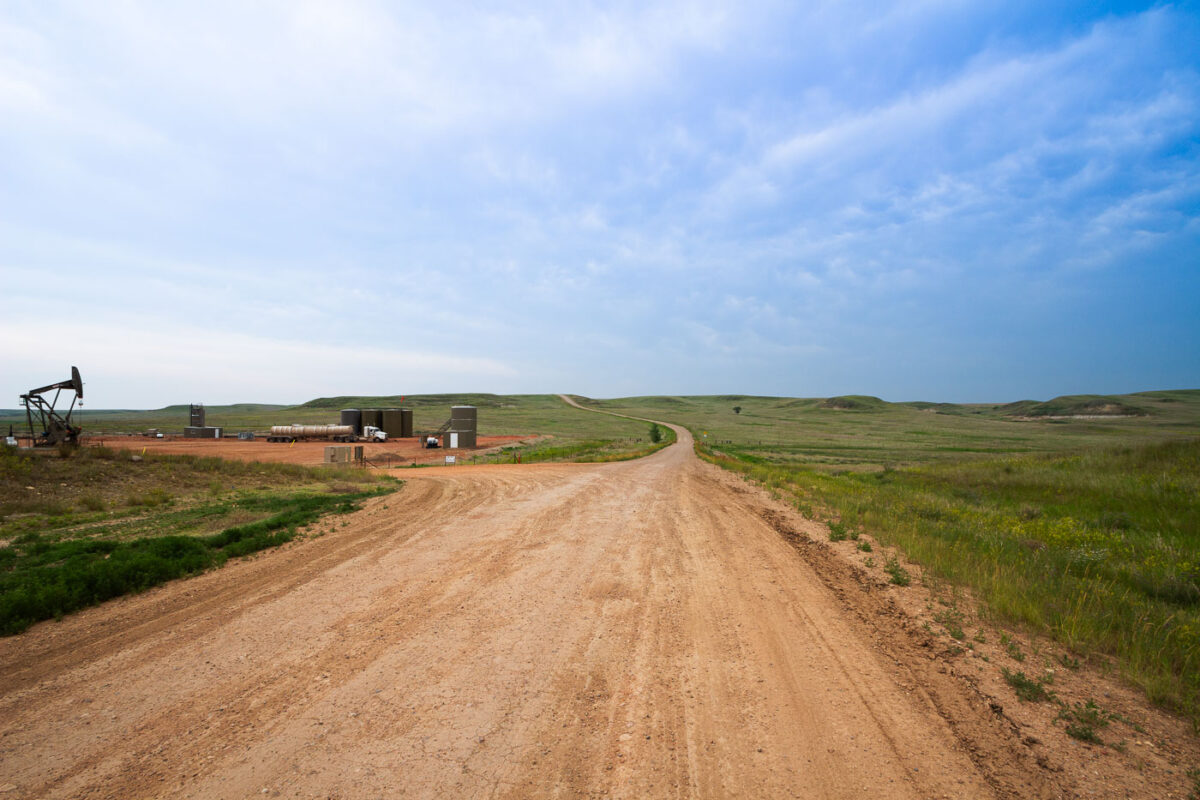
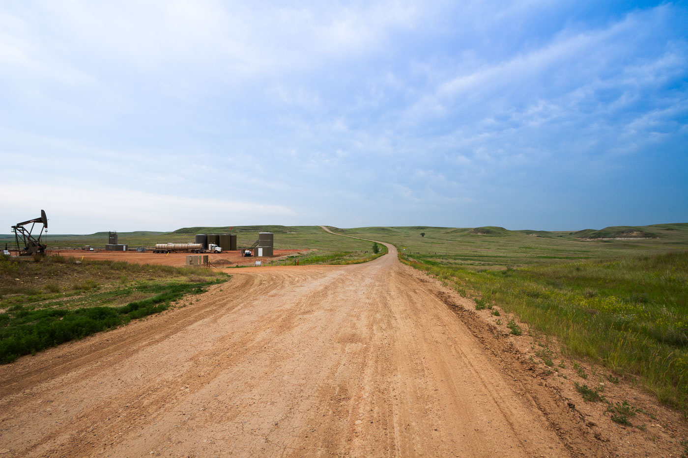
An oil pumpjack operates at the Charbonneau oil drilling site in North Dakota, part of the Bakken Formation, a major oil and gas production area.
Charbonneau sits in McKenzie County, North Dakota, within the Bakken Formation, the shale oil play that drove the state's drilling boom starting in the mid-2000s. The pumpjack and tank battery here are typical of Bakken wellsites, where crude oil is separated and held in steel storage tanks before being trucked to pipeline or rail terminals. McKenzie County has long ranked among North Dakota's top oil-producing counties. Many access roads to wellsites like this one remain unpaved, built and maintained by operators to reach wells scattered across the rural grasslands.
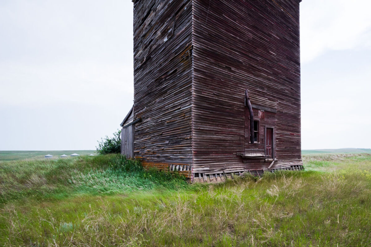
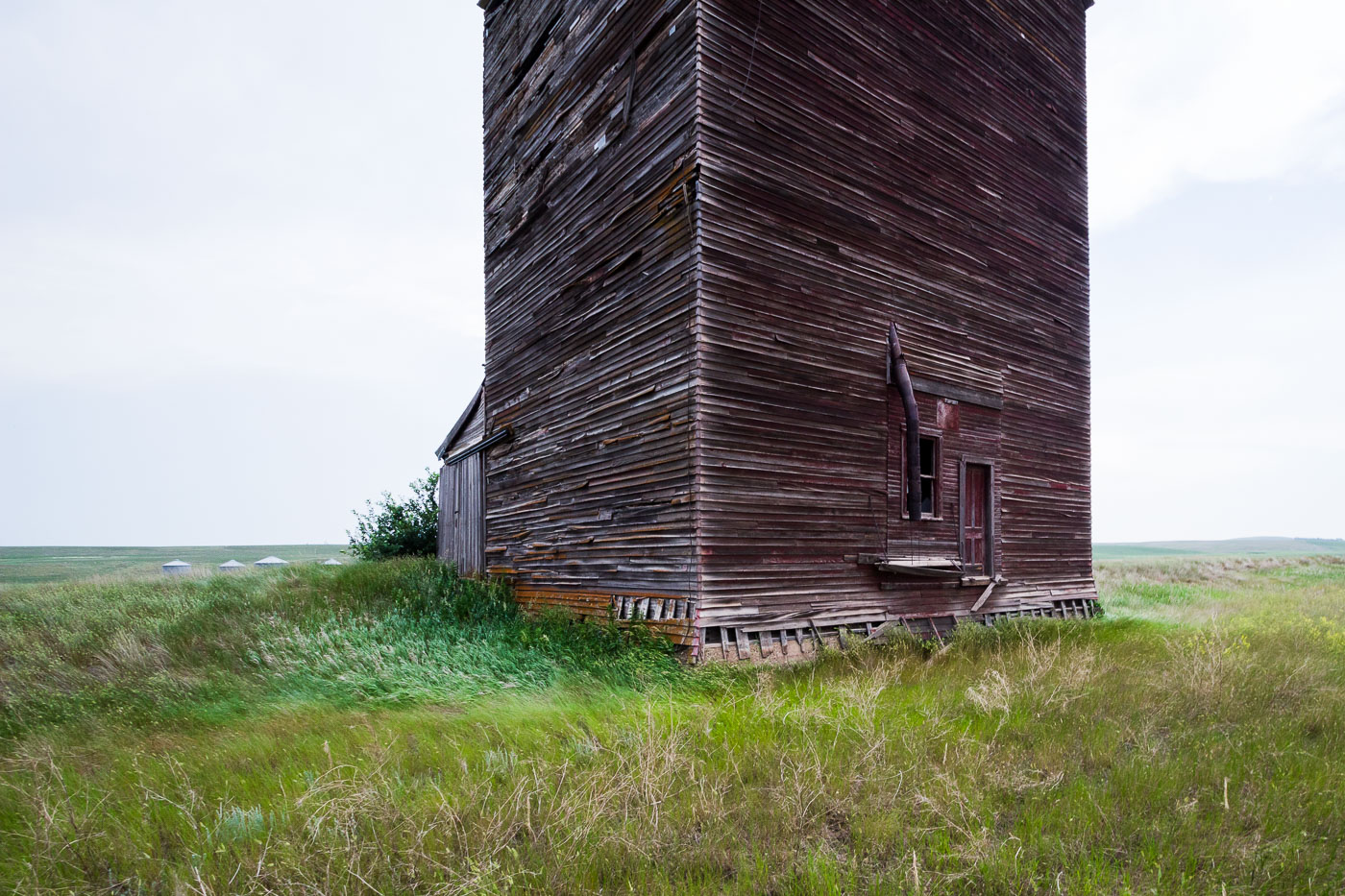
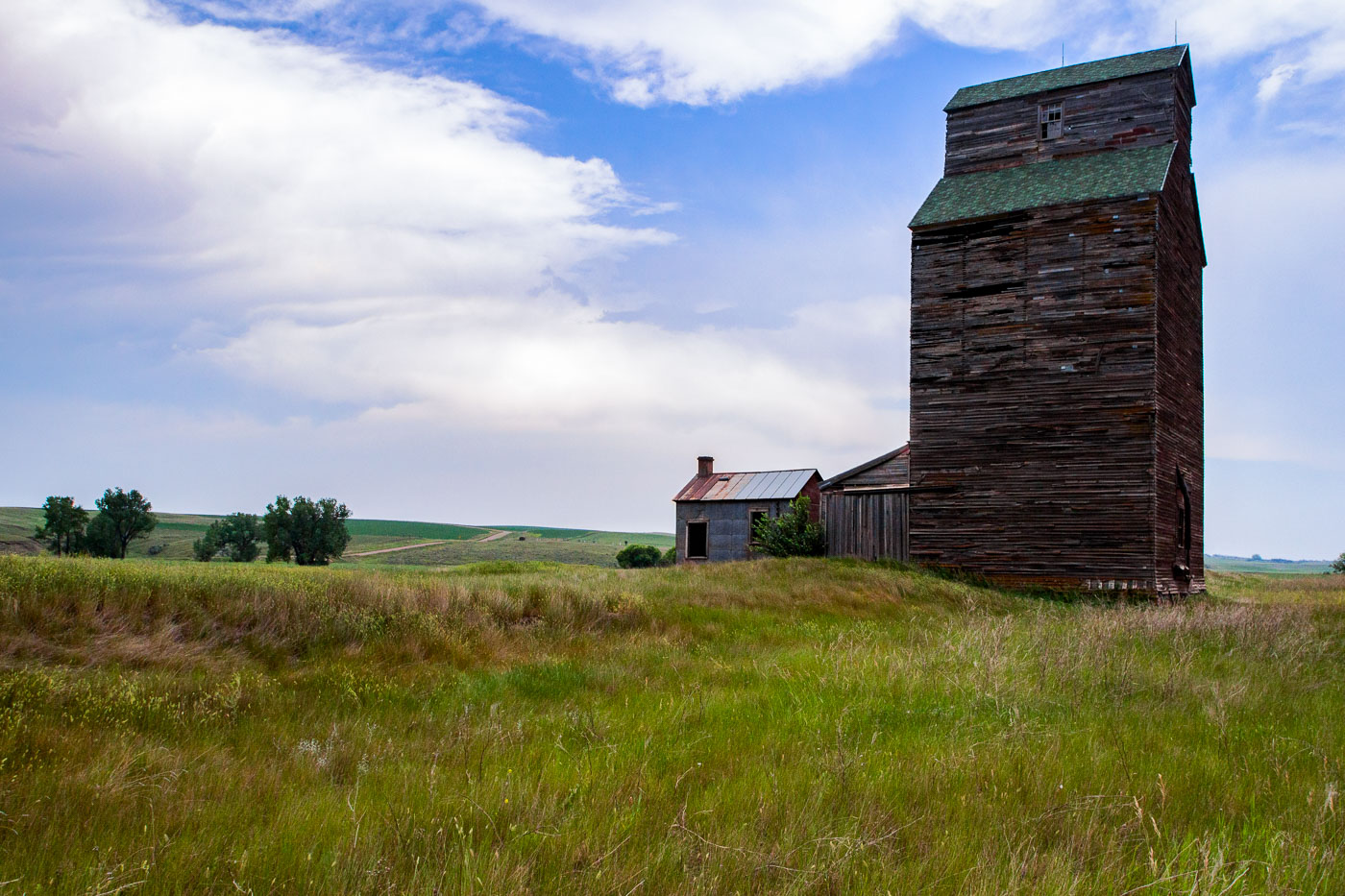
The abandoned wooden grain elevator in Charbonneau, North Dakota, stands as a relic of the region's agricultural past, surrounded by tall grass and distant grain bins.
Wood-crib grain elevators like this one were built by farm cooperatives and independent grain companies across North Dakota from the early 1900s through the mid-20th century. Grain cribbing construction stacked dimensional lumber horizontally, plank by plank, to form the walls, a method chosen for its strength in holding the outward pressure of stored grain. Elevators of this type typically stood two to three stories tall with a peaked cupola or headhouse above for the conveying machinery, though many, including this one, have lost those upper features over time. Small-town elevators like this served as the local collection point where farmers hauled wheat and other grain to be weighed, stored, and loaded onto rail cars. Rail line closures and the consolidation of grain handling into larger regional facilities left many of these small-town elevators obsolete by the late 20th century.
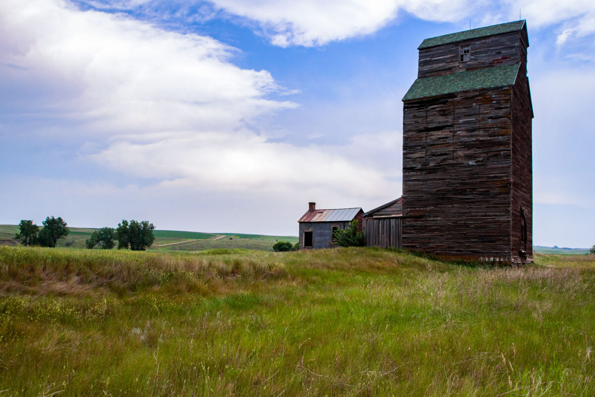
A weathered wooden grain elevator and outbuilding stand in the ghost town of Charbonneau, North Dakota, a reminder of the region's agricultural past.
Charbonneau is one of the many small farming communities scattered across western North Dakota that lost its population base as agriculture consolidated through the 20th century. The wooden grain elevator here follows a crib-style design common to the region before concrete slip-form elevators became standard, with vertical boards stacked to form bins that held wheat and other crops until rail cars arrived for loading. Elevators like this one were typically built alongside branch rail lines, and their closure often followed the abandonment of those lines as larger, centralized terminals took over grain handling. The adjacent outbuilding would have served as a scale house or office for weighing and recording incoming loads from local farms.
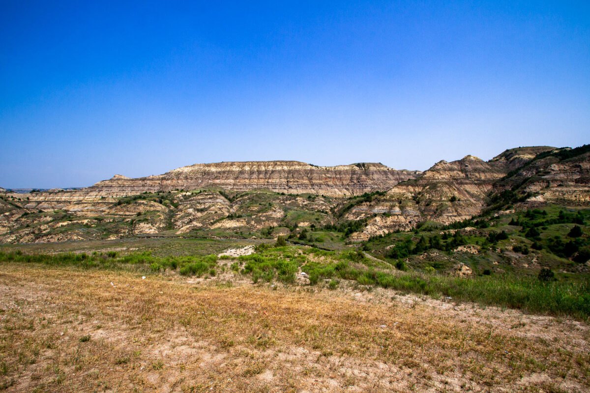
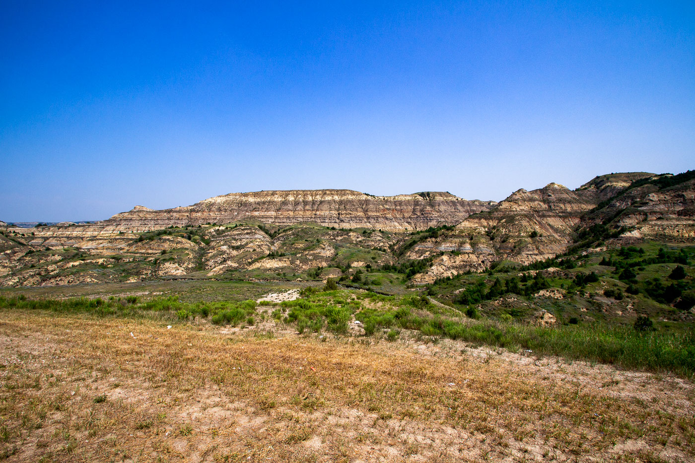
Theodore Roosevelt Expressway cuts through the rugged, eroded badlands of North Dakota, part of the Little Missouri National Grassland.
These layered buttes sit within the Little Missouri Badlands, part of the Little Missouri National Grassland in western North Dakota. The banded rock exposed here records roughly 60 million years of sediment deposited by ancient rivers and swamps during the Paleocene epoch, including beds of lignite coal, clay, and sandstone. Erosion from wind and the Little Missouri River has carved the soft rock into the buttes and ridges typical of this terrain. Theodore Roosevelt ranched in this region during the 1880s, an experience that later shaped his views on conservation, and much of the surrounding land is now preserved within Theodore Roosevelt National Park.
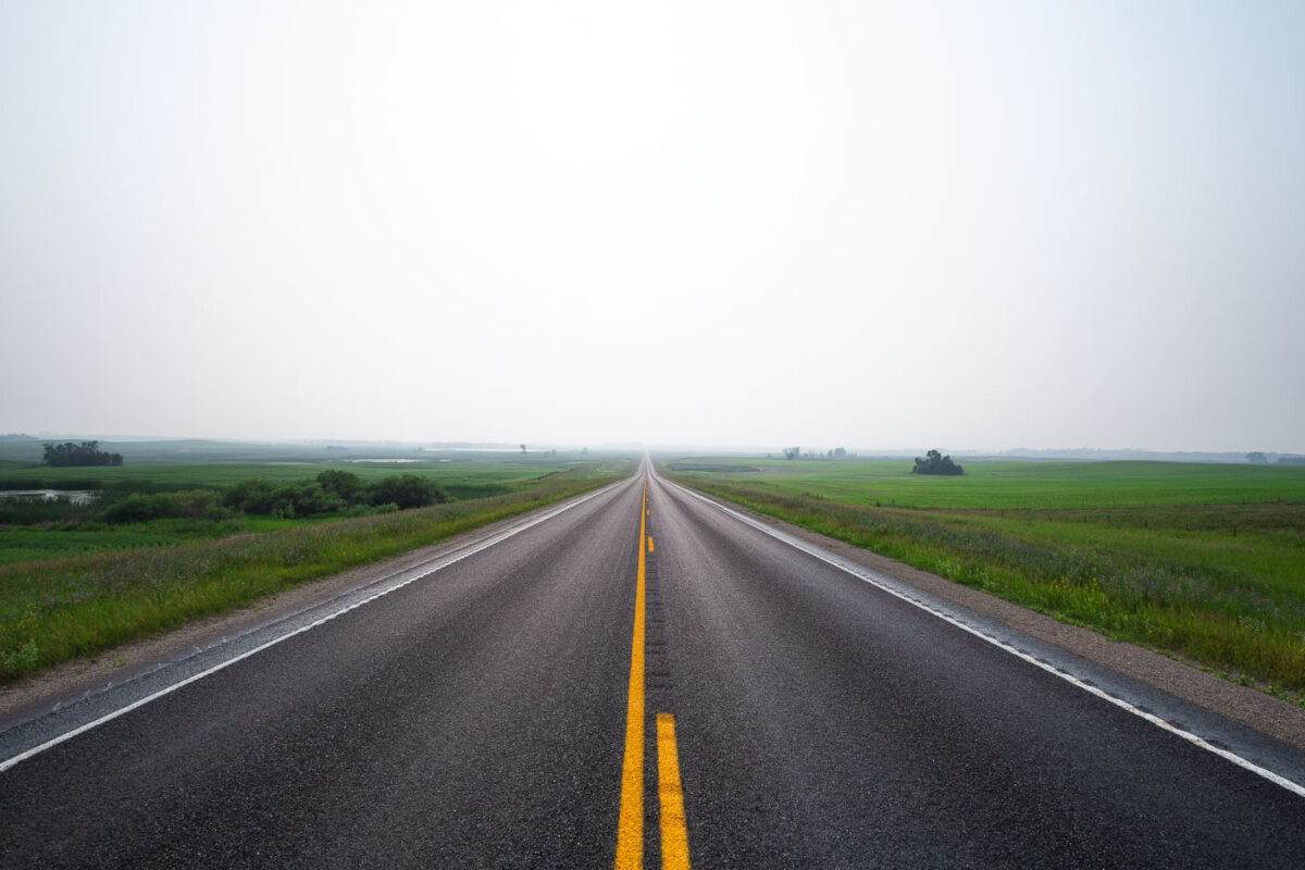
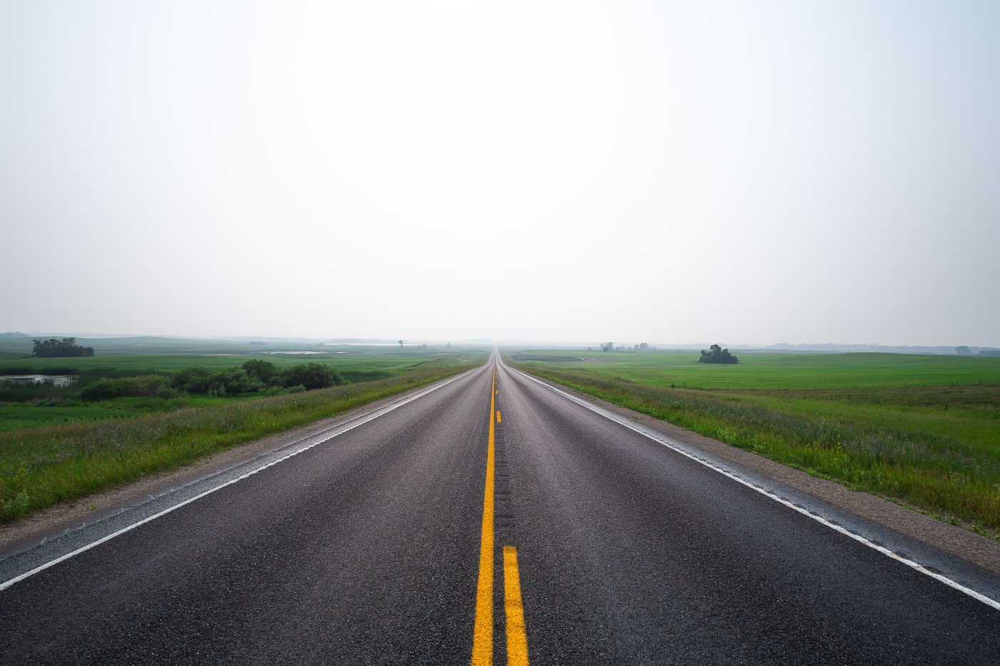
A highway stretches into the distance near Wolford, North Dakota, obscured by haze. The road leads through agricultural fields under a hazy sky, likely caused by wildfire smoke or fog.
Wolford is a small city in Pierce County, North Dakota, in the north-central part of the state along Highway 17. The surrounding countryside is flat to gently rolling prairie, given over mostly to wheat, canola, and soybean farming, with scattered wetlands typical of the Prairie Pothole Region. Haze events like this one are common in the area during summer months, often tied to smoke drifting south from wildfires in Canada's boreal forest. Pierce County's population has declined steadily since peaking in the mid-20th century, leaving long stretches of two-lane highway like this one with little traffic.
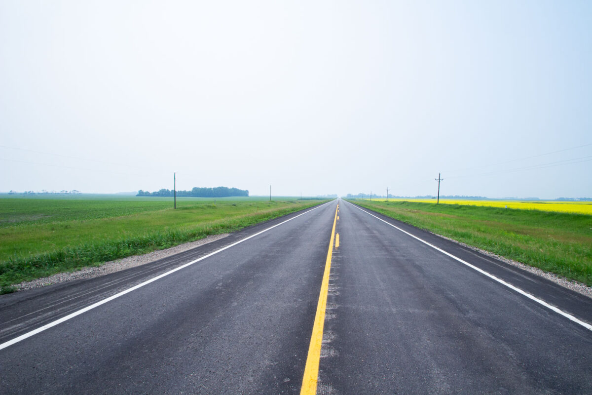
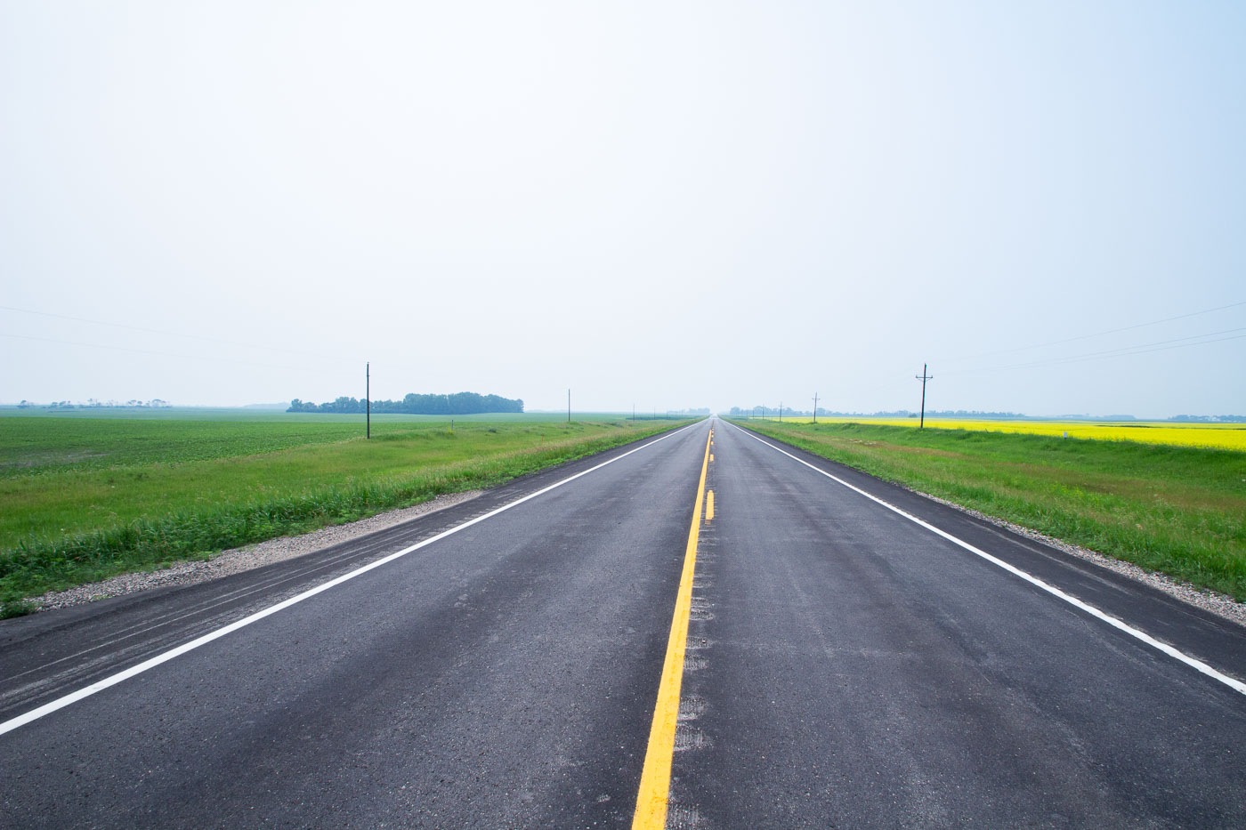
Highway 17 near Starkweather, North Dakota, passes through agricultural fields, including bright yellow canola blooms, highlighting the state's farming economy.
Highway 17 runs north-south through Ramsey County in northeastern North Dakota, passing near the small community of Starkweather. The route cuts through land farmed primarily for wheat, canola, and soybeans, part of the broader Drift Prairie region shaped by glacial deposits. Canola became a significant rotation crop in North Dakota starting in the 1990s, and the state now leads the nation in canola production. Rural highways like this one remain the primary link for area farms to grain elevators and regional markets.
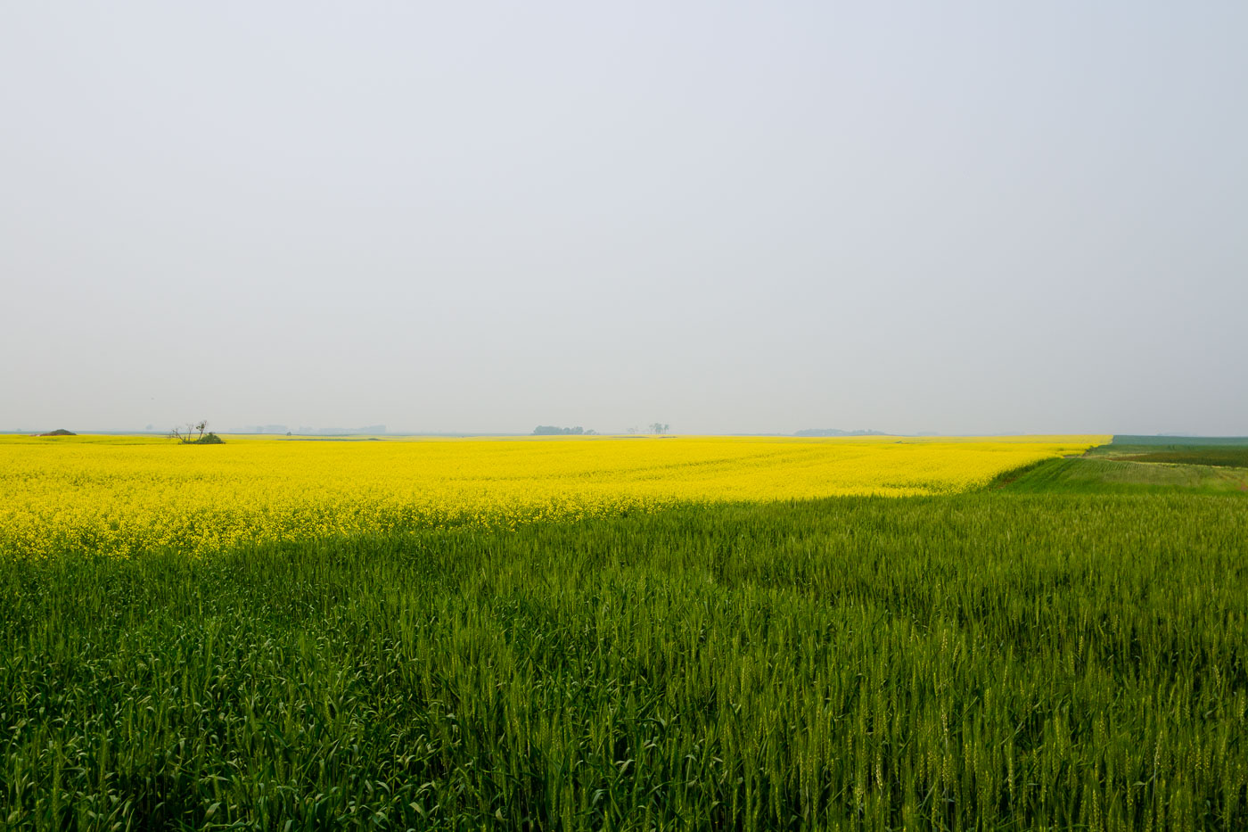
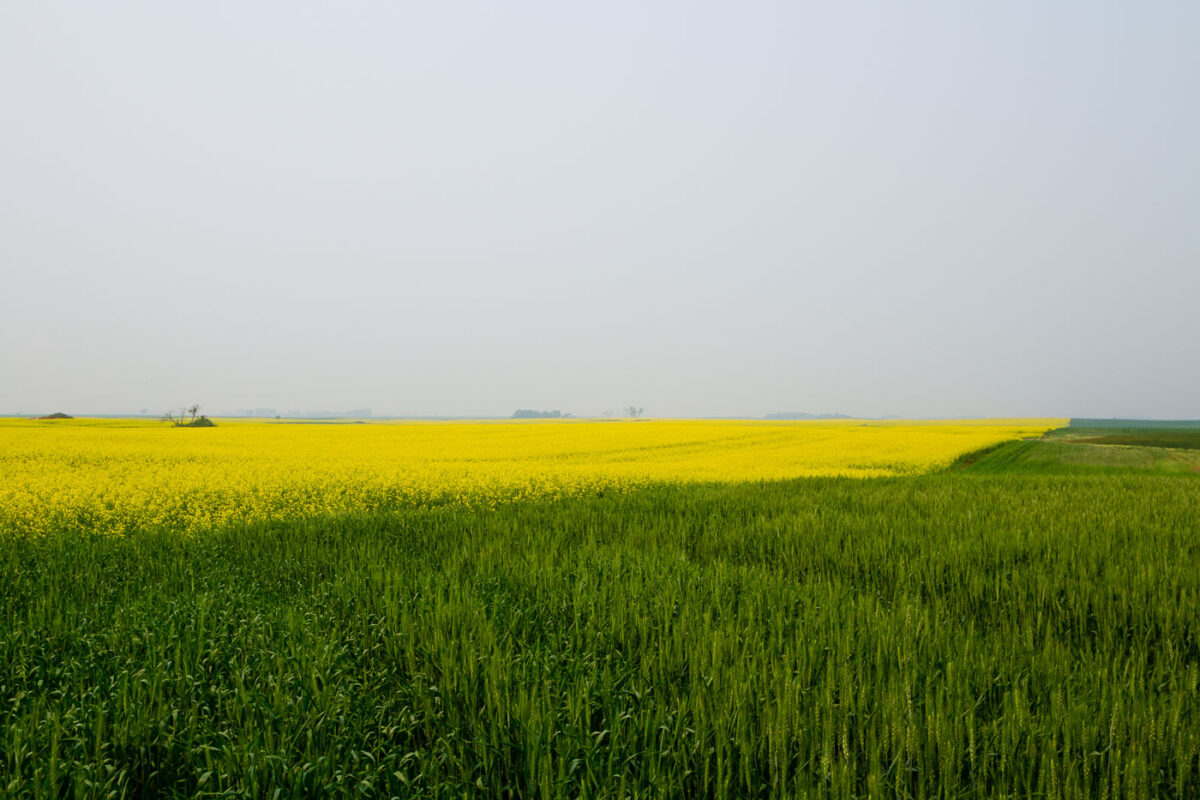
Vast fields of wheat and bright yellow canola flowers near Starkweather, North Dakota, showcase the region's agricultural productivity.
North Dakota leads the nation in canola production, growing roughly 90 percent of the U.S. crop, much of it across the Devils Lake and Langdon Plain regions near Starkweather. Canola planted here in May typically reaches full bloom by early July, the stage captured in fields like this one. The crop is crushed for vegetable oil and animal meal, with canola processing plants in Velva and other North Dakota towns anchoring the state's supply chain. Wheat remains the state's other dominant crop, and spring wheat varieties planted alongside canola are usually still green and unheaded at the same point in the growing season.
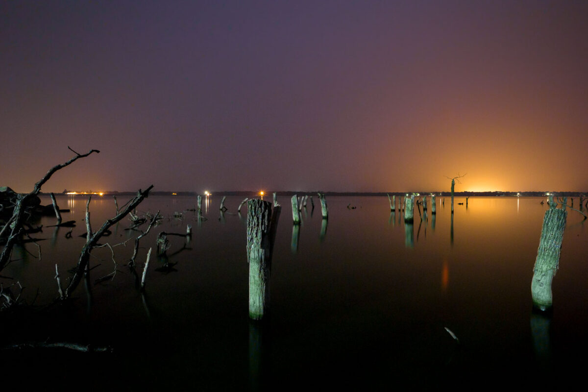
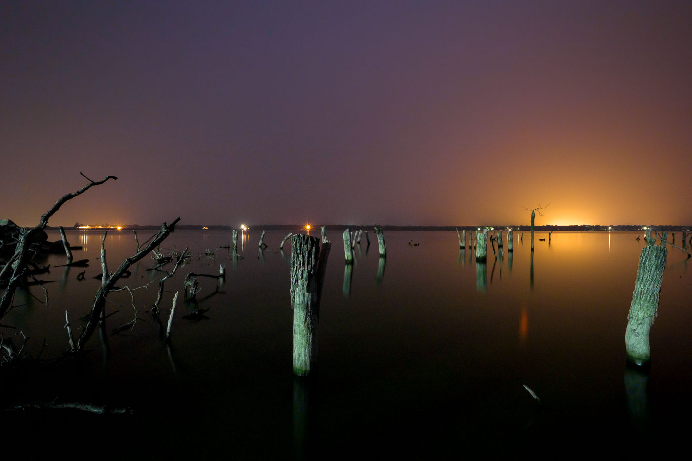
Remnants of the Woodland Resort stand in Devils Lake, North Dakota, silhouetted against the twilight sky. The resort was submerged by rising lake levels in the early 2000s.
Devils Lake has risen more than 25 feet since the early 1990s, flooding thousands of acres of farmland, roads, and shoreline development across Ramsey and Benson counties. The Woodland Resort, once a lakeside destination with cabins and a public beach, was among the properties lost to the rising water. What remains are rows of dead trees and wooden pilings standing in water that now covers the former resort grounds. Devils Lake is a closed-basin lake with no natural outlet, meaning its water level depends entirely on precipitation and runoff rather than drainage to a river system, which has made its flooding especially difficult to predict or control.
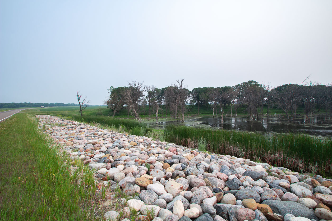
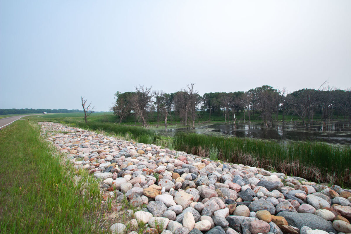
Devils Lake State Park, North Dakota, features a shoreline reinforced with riprap to prevent erosion, adjacent to a wetland area with trees.
Devils Lake has no natural outlet, so its water levels rise and fall based on precipitation and runoff rather than draining to a river system. Over the past three decades the lake has expanded dramatically, flooding farmland, roads, and stands of trees that once stood on dry ground — visible here as the bare, dead trunks standing in standing water. Riprap like this is placed along roadbeds and embankments around the lake to slow erosion from wave action as the shoreline continues to shift. Devils Lake State Park sits along the lake's edge in Ramsey County and includes wetland habitat used by migratory waterfowl.

Built in Minneapolis

Minneapolis Photographer

Browse by location, move through long-running series, or start with recent work.