A Straight Stretch of Highway 17 Through Canola Country
Taken July 2015
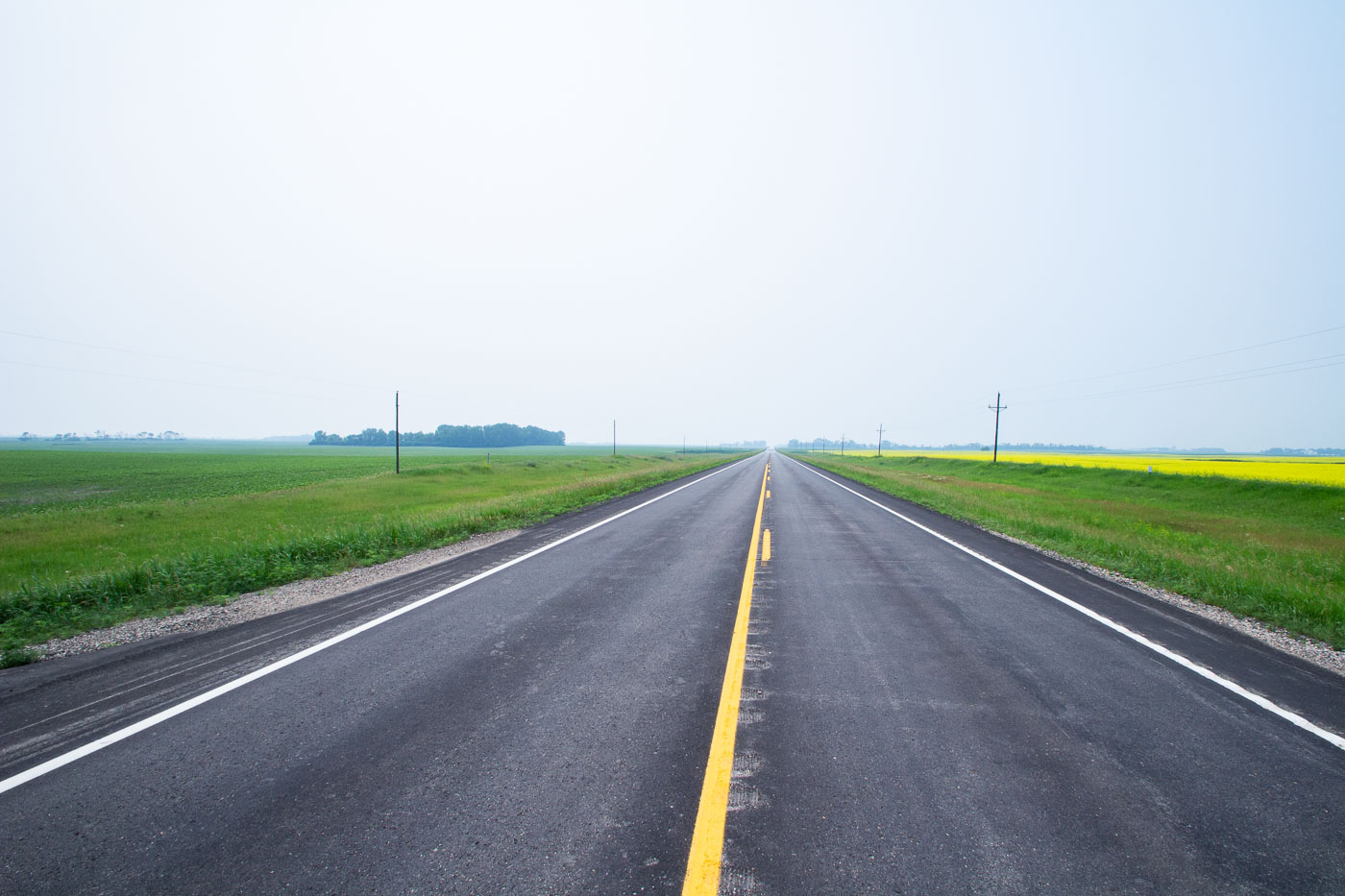
Highway 17 runs north-south through Ramsey County in northeastern North Dakota, passing near the small community of Starkweather. The route cuts through land farmed primarily for wheat, canola, and soybeans, part of the broader Drift Prairie region shaped by glacial deposits. Canola became a significant rotation crop in North Dakota starting in the 1990s, and the state now leads the nation in canola production. Rural highways like this one remain the primary link for area farms to grain elevators and regional markets.
Taken July 2015
More from
North Dakota
 Pumpjack Machinery Above the Badlands Near Medora
Pumpjacks like this one dot the Bakken Formation, the shale oil region beneath western North Dakota that fueled one of…
 Weathered Wood-Crib Grain Elevator Near Charbonneau
Wood-crib grain elevators like this one were built by farm cooperatives and independent grain companies across North Dakota from the…
 Missouri River Valley From Fort Abraham Lincoln State Park
Fort Abraham Lincoln State Park sits along the Missouri River south of Mandan, North Dakota, preserving the grounds of a…
 Crystal Springs School Standing Empty on the North Dakota Prairie
The old Crystal Springs School sits on a rise of grassland in Kidder County, North Dakota, its brick facade and…
 Hazy Two-Lane Highway Near Wolford, North Dakota
Wolford is a small city in Pierce County, North Dakota, in the north-central part of the state along Highway 17.…
 Walking Beam and Horsehead of a Pumpjack in the Bakken
The horsehead and walking beam shown here are part of a beam pump, the standard mechanism used to bring crude…
