Highway

12 photos · 2015–2024

12 photographs tagged Highway, 2015–2024.
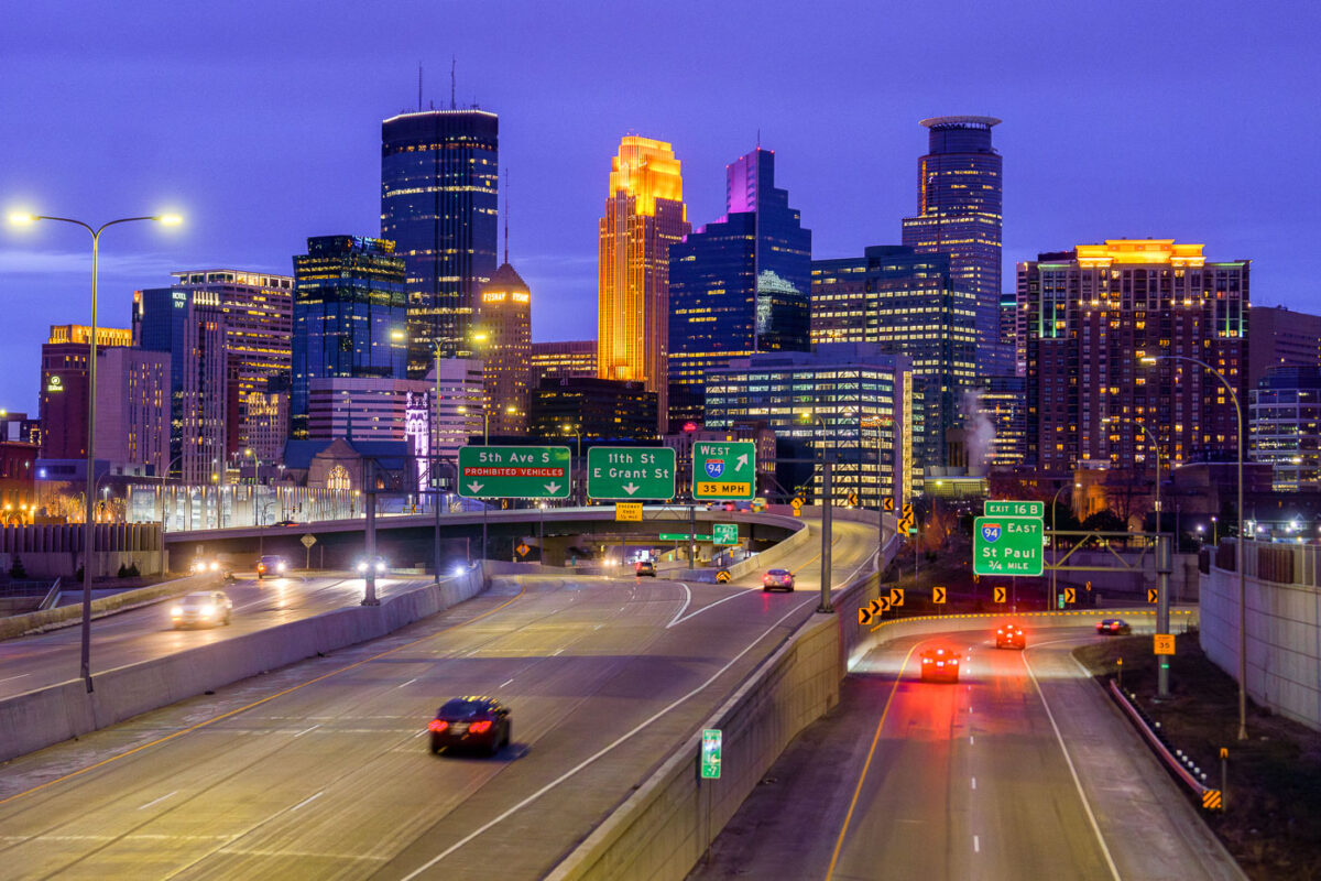
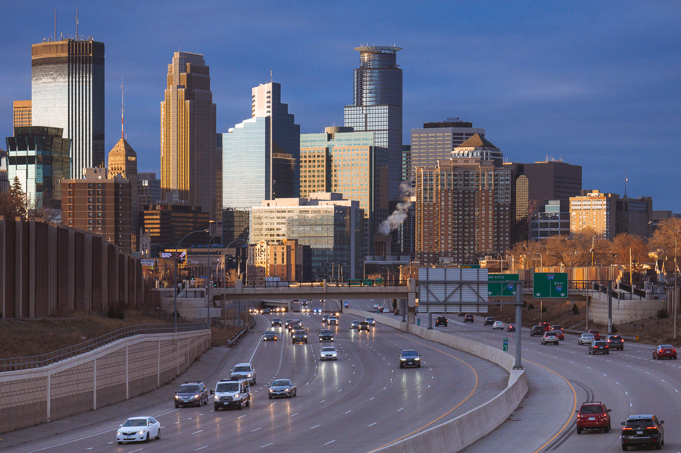
Minneapolis skyline from I35W in April 2024
The Downtown Minneapolis skyline rises above Interstate 35W, a vital north-south freeway corridor, as seen in April 2024.

Downtown Minneapolis Skyline from I-35W Bridge, April 2024
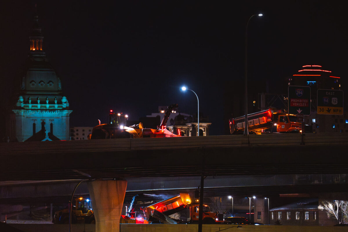
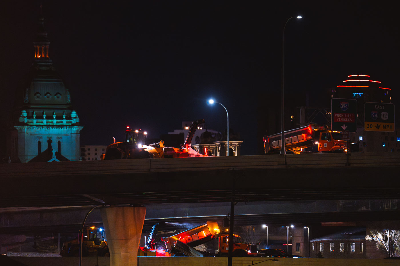
Snow removal trucks work on Interstate 394 in downtown Minneapolis at night
Snow removal operations are underway on Interstate 394 near downtown Minneapolis. Crews from the Minnesota Department of Transportation (MNDOT) work through the night to clear accumulated snow.

Snow removal trucks on Interstate 394, Minneapolis
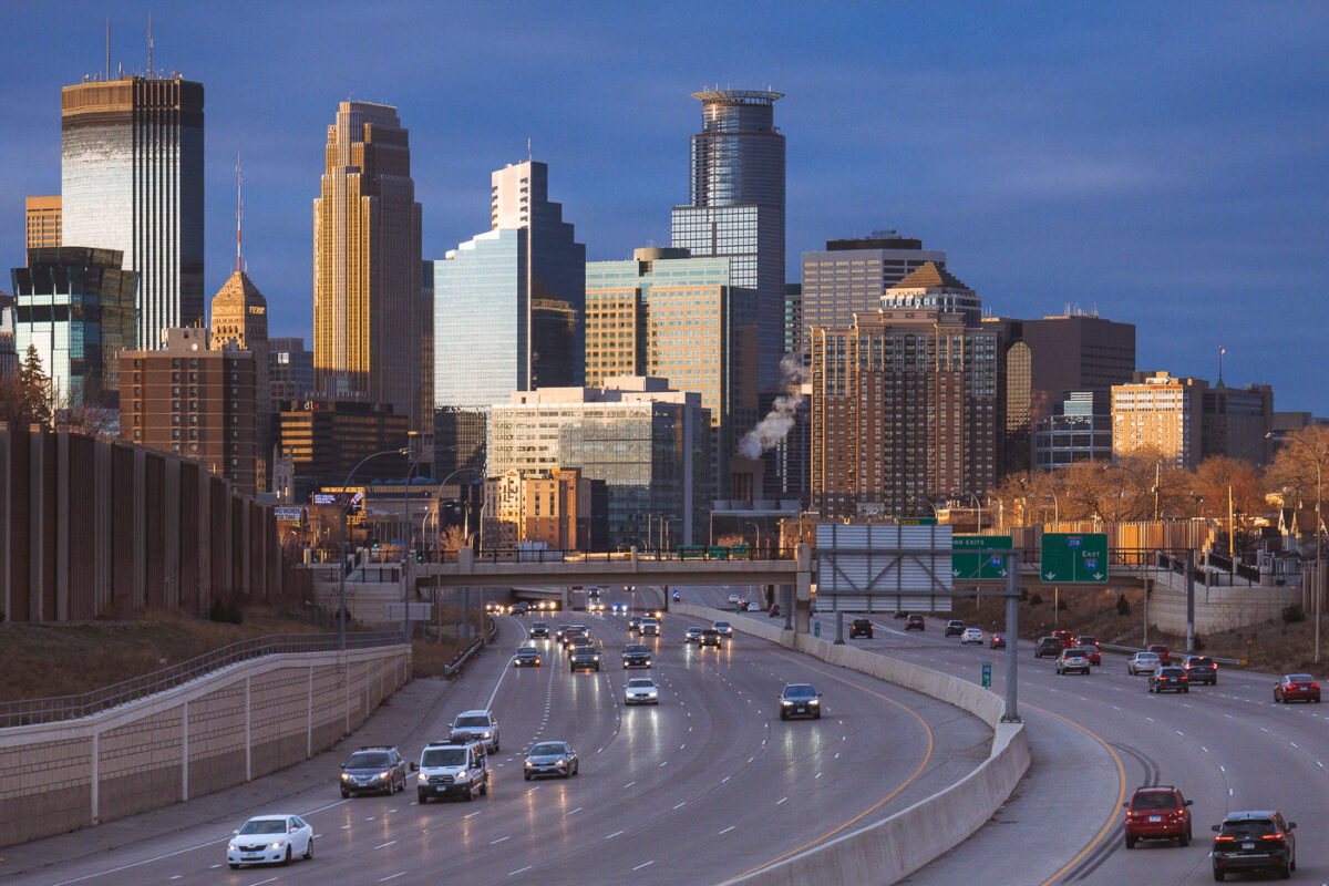
Cars on the interstate and downtown Minneapoplis skyline
Downtown Minneapolis, viewed from Interstate 35W in South Minneapolis in March 2024.

Downtown Minneapolis from I-35W, March 2024

Yellow toll booth covered with stickers and graffiti at Westpoint Toll Plaza on Interstate 90 in Indiana.
The Indiana Toll Road carries Interstate 90 for 157 miles across the northern part of the state, connecting the Chicago Skyway to the Ohio Turnpike. Westpoint Toll Plaza is one of several stations along the route where drivers pay to use the roadway, a system in place since the highway opened in 1956. Electronic tolling equipment has since been added alongside traditional payment booths, and many of the plaza's structures carry decades of stickers and graffiti left by travelers passing through.

Sticker-Covered Toll Booth, Indiana Toll Road (I-90)
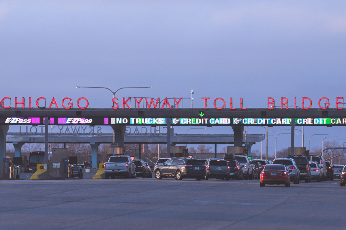
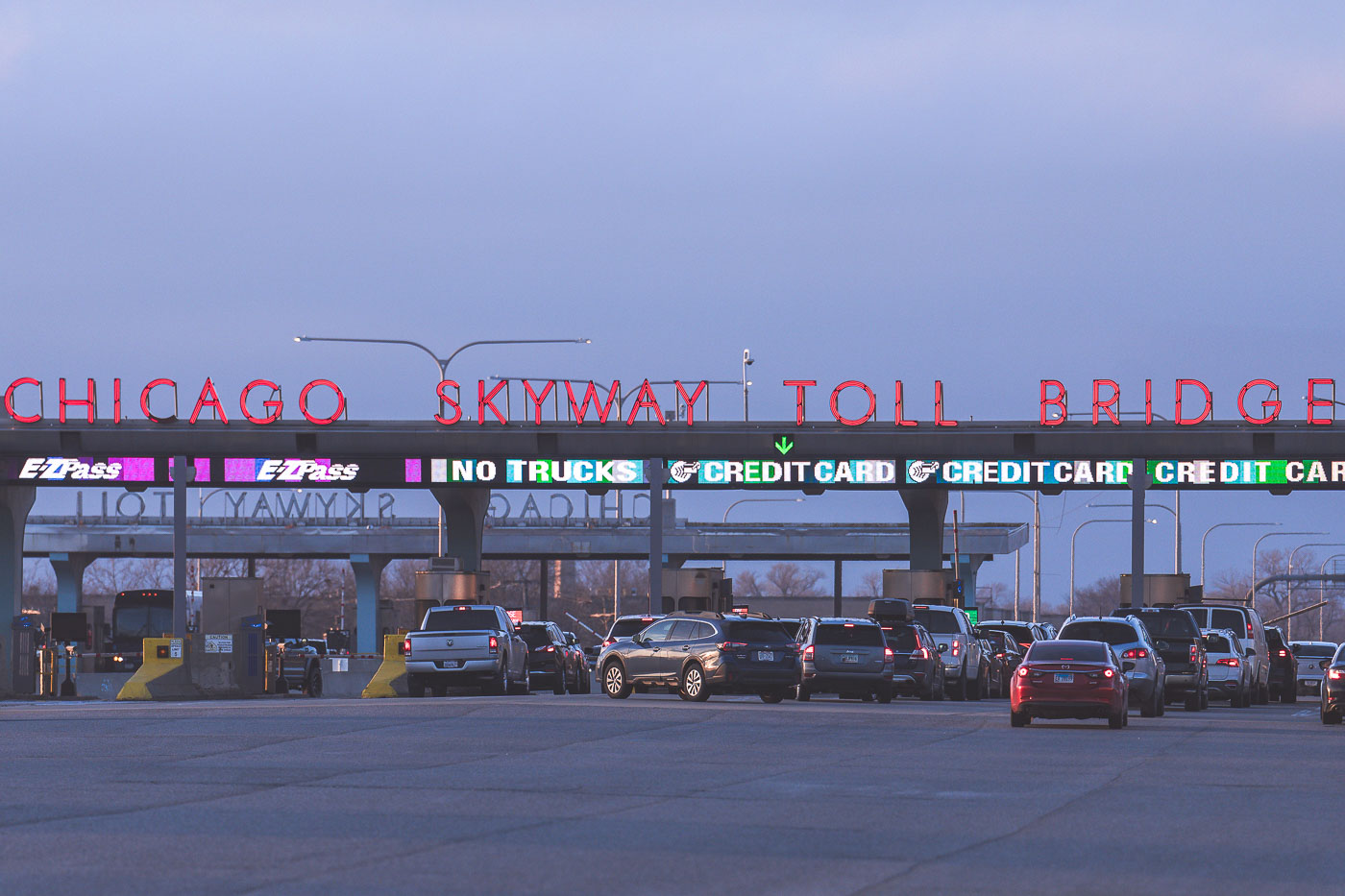
Chicago Skyway Toll Bridge toll plaza in Chicago, Illinois, with lanes and electronic toll signs.
The Chicago Skyway Toll Bridge toll plaza on Interstate 90 in Chicago, Illinois. The facility collects tolls for traffic using the Chicago Skyway, a toll road connecting the city with northwest Indiana.

Chicago Skyway Toll Bridge Toll Plaza
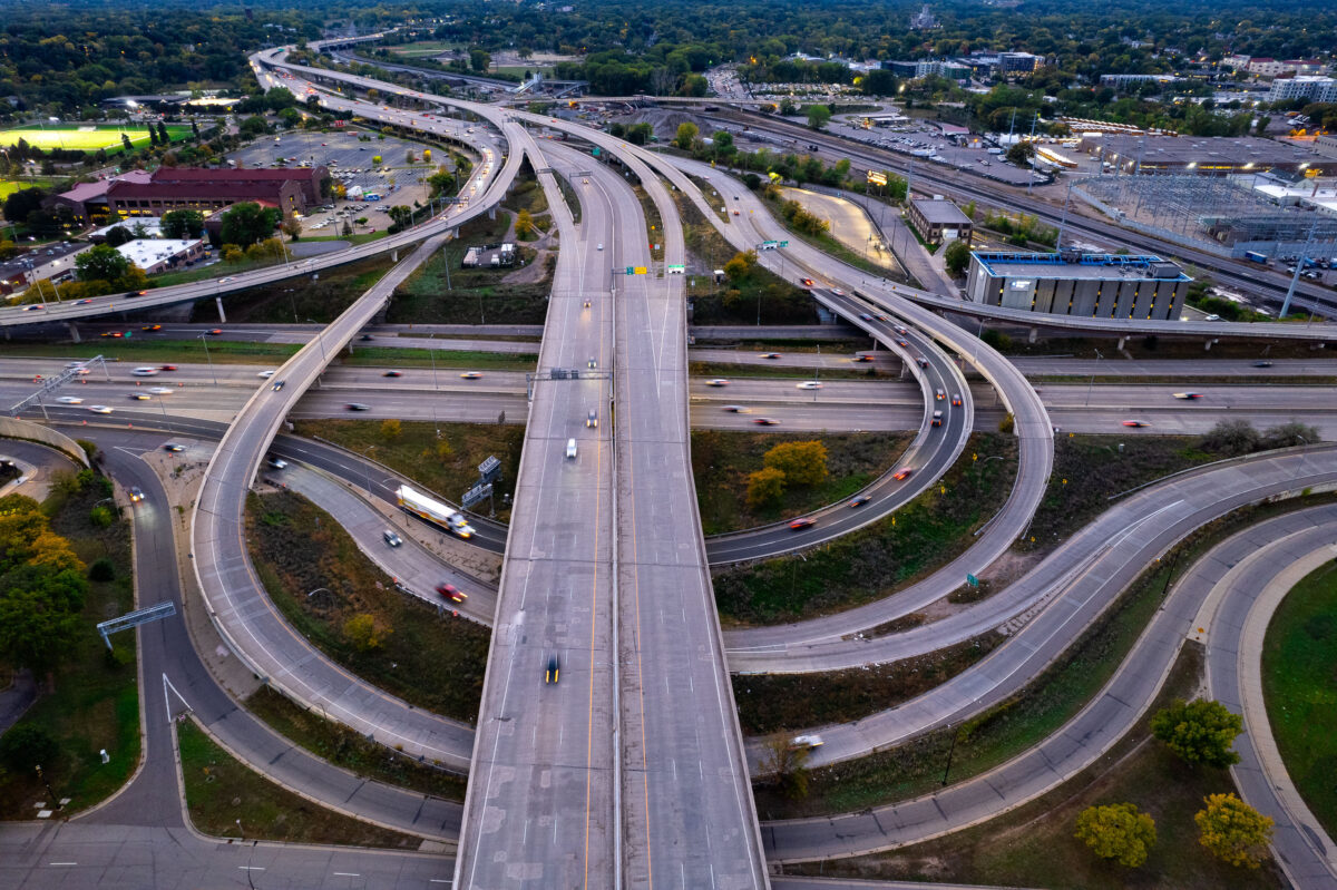
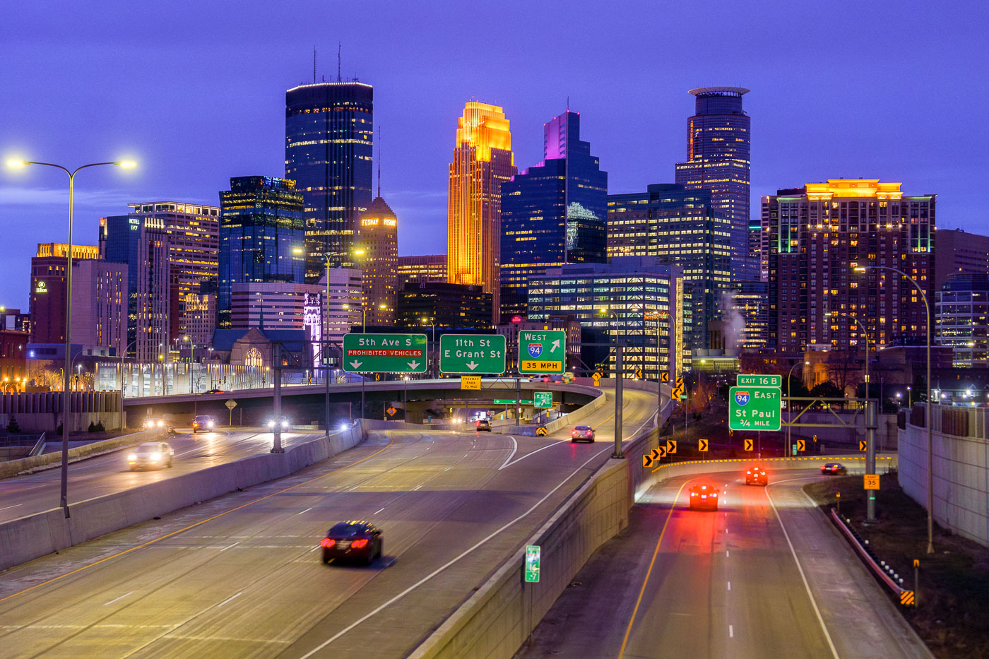
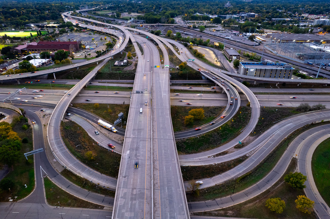
I-35W and I-94 interchange in Minneapolis with multiple freeway ramps.
I-35W and I-94 near downtown Minneapolis. The interchange connects two of the Twin Cities’ major freeways and carries traffic through the western edge of the city.

I-35W and I-94 interchange, Minneapolis
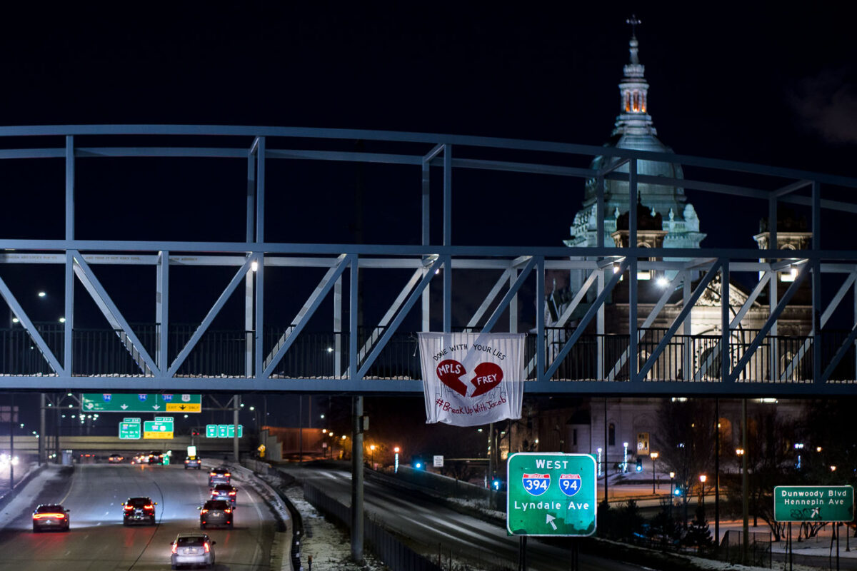
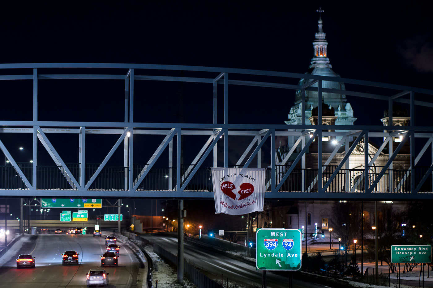
Protest banner over I-94 in Minneapolis criticizing Mayor Jacob Frey on Valentine's Day.
A banner protesting Minneapolis Mayor Jacob Frey hangs from a pedestrian bridge over Interstate 94 on Valentine's Day. The banner reads "DONE WITH YOUR LIES" and "#BreakUpWithJacob," featuring a broken heart symbol and "MPLS" and "FREY."

Minneapolis: Banner on I-94 Bridge Protests Mayor Frey
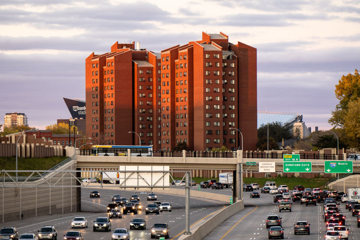
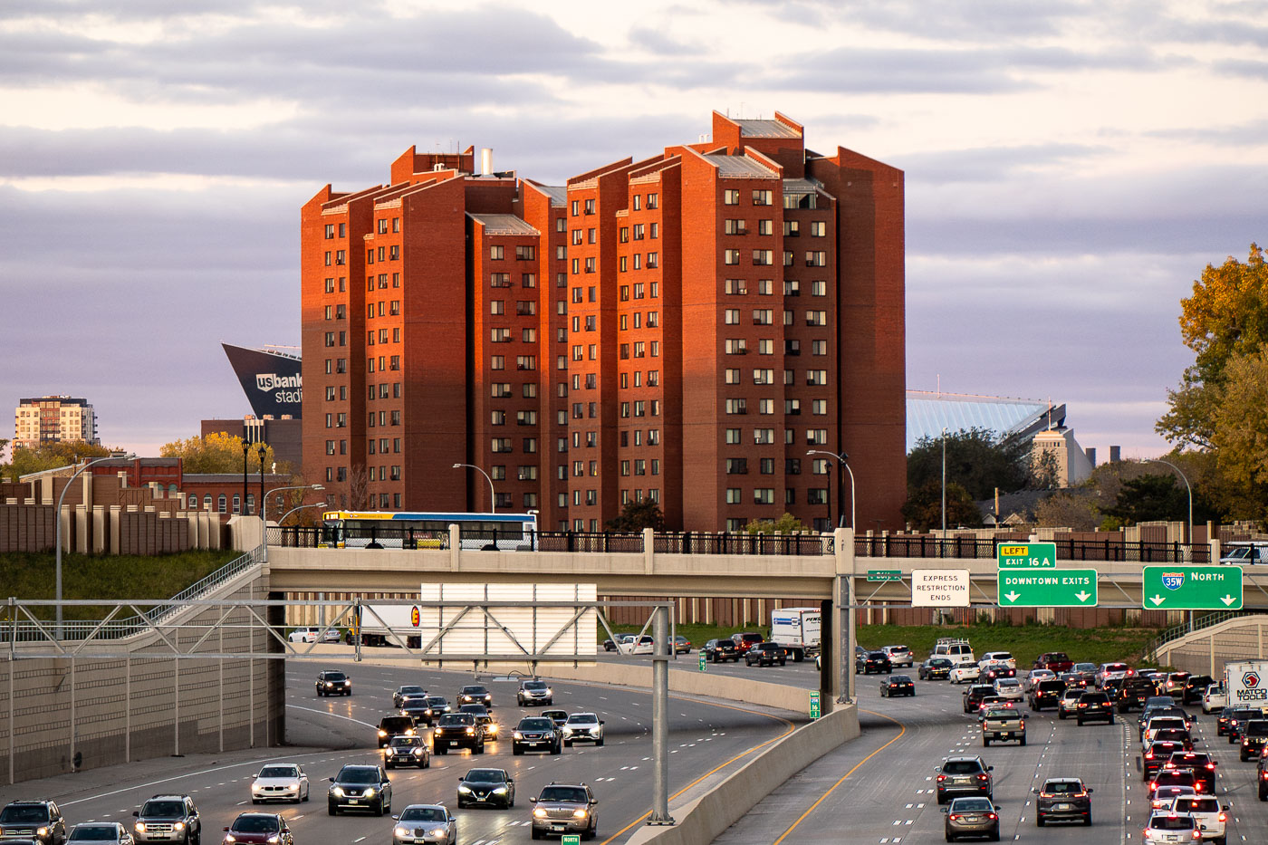
Fifth Avenue High-Rise public housing tower stands near Interstate 35W in Minneapolis, with U.S. Bank Stadium nearby.
The Fifth Avenue High-Rise is a Minneapolis Public Housing Authority property completed in the early 1970s, built to provide affordable apartments for seniors and residents with disabilities. It stands near Interstate 35W, just east of downtown Minneapolis, within a cluster of similar residential towers built during the same period of public housing construction. U.S. Bank Stadium, home of the Minnesota Vikings since 2016, sits nearby along the eastern edge of downtown.

Fifth Avenue High-Rise Public Housing Tower, Minneapolis
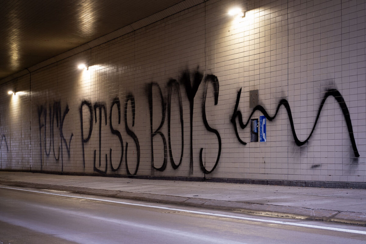
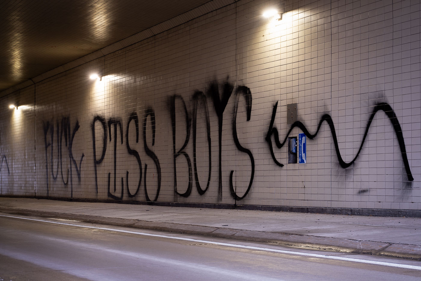
Fuck Piss Boys graffiti
The phrase "Fuck Piss Boys" is spray-painted on the tiled wall of a highway tunnel in St. Paul. This graffiti emerged around December 19, 2020, a date that coincided with a "Stop The Steal" rally organized by the Proud Boys in the Minneapolis-St. Paul metropolitan area.

Graffiti ‘Fuck Piss Boys’ St. Paul Highway Tunnel
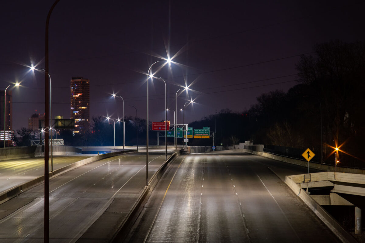
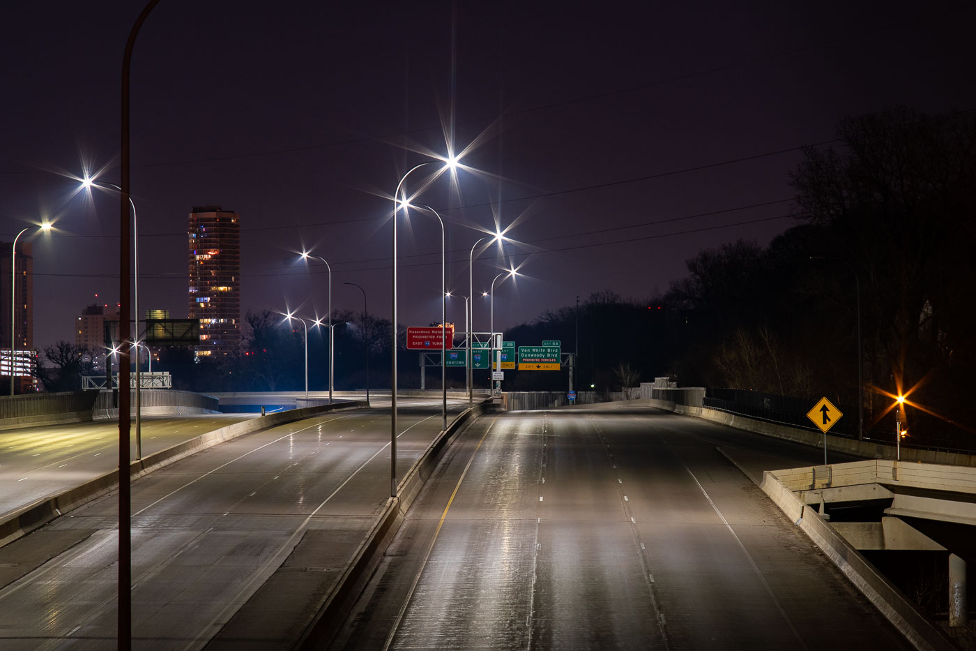
Interstate 394 in Minneapolis nearly empty at night during COVID-19 lockdown in April 2020.
Interstate 394 connects downtown Minneapolis to the western suburbs, running past the Cedar-Riverside neighborhood and merging with Interstate 94 near the Lowry Hill Tunnel. The freeway opened in stages during the late 1980s and early 1990s, replacing what had long been planned as an inner-city extension of Highway 12. Minnesota's stay-at-home order, in effect from late March through mid-May 2020, cut traffic across the Twin Cities metro to a fraction of normal volumes. Overnight counts on routes like I-394 dropped by more than half compared to pre-pandemic averages during that period.

Interstate 394 Empty During Minneapolis COVID-19 Shutdown
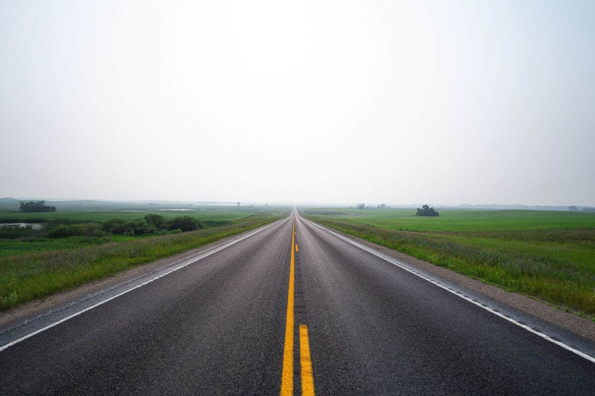
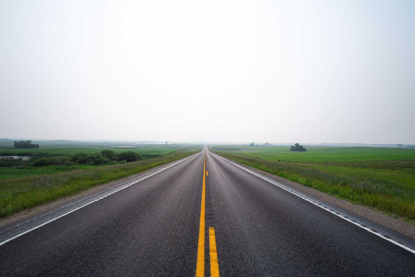
Straight highway with yellow center line stretches through flat green fields near Wolford, North Dakota under hazy sky.
Wolford is a small city in Pierce County, North Dakota, in the north-central part of the state along Highway 17. The surrounding countryside is flat to gently rolling prairie, given over mostly to wheat, canola, and soybean farming, with scattered wetlands typical of the Prairie Pothole Region. Haze events like this one are common in the area during summer months, often tied to smoke drifting south from wildfires in Canada's boreal forest. Pierce County's population has declined steadily since peaking in the mid-20th century, leaving long stretches of two-lane highway like this one with little traffic.

Hazy Two-Lane Highway Near Wolford, North Dakota
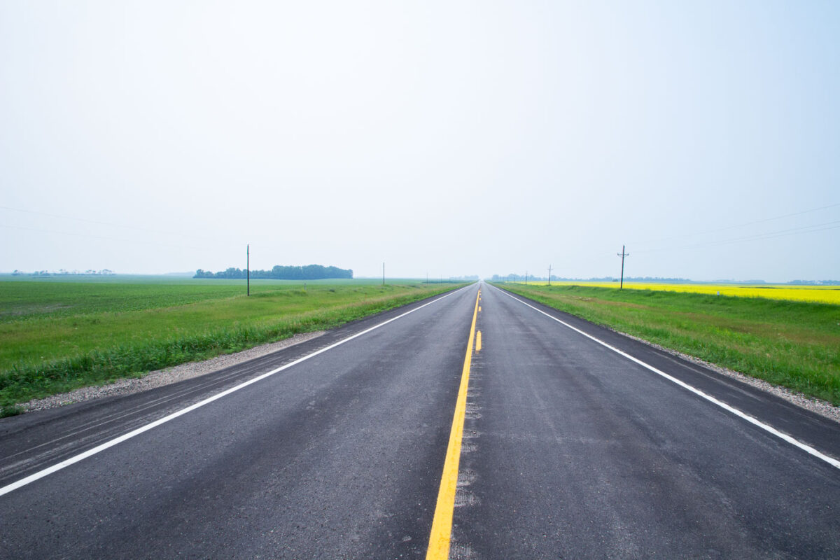
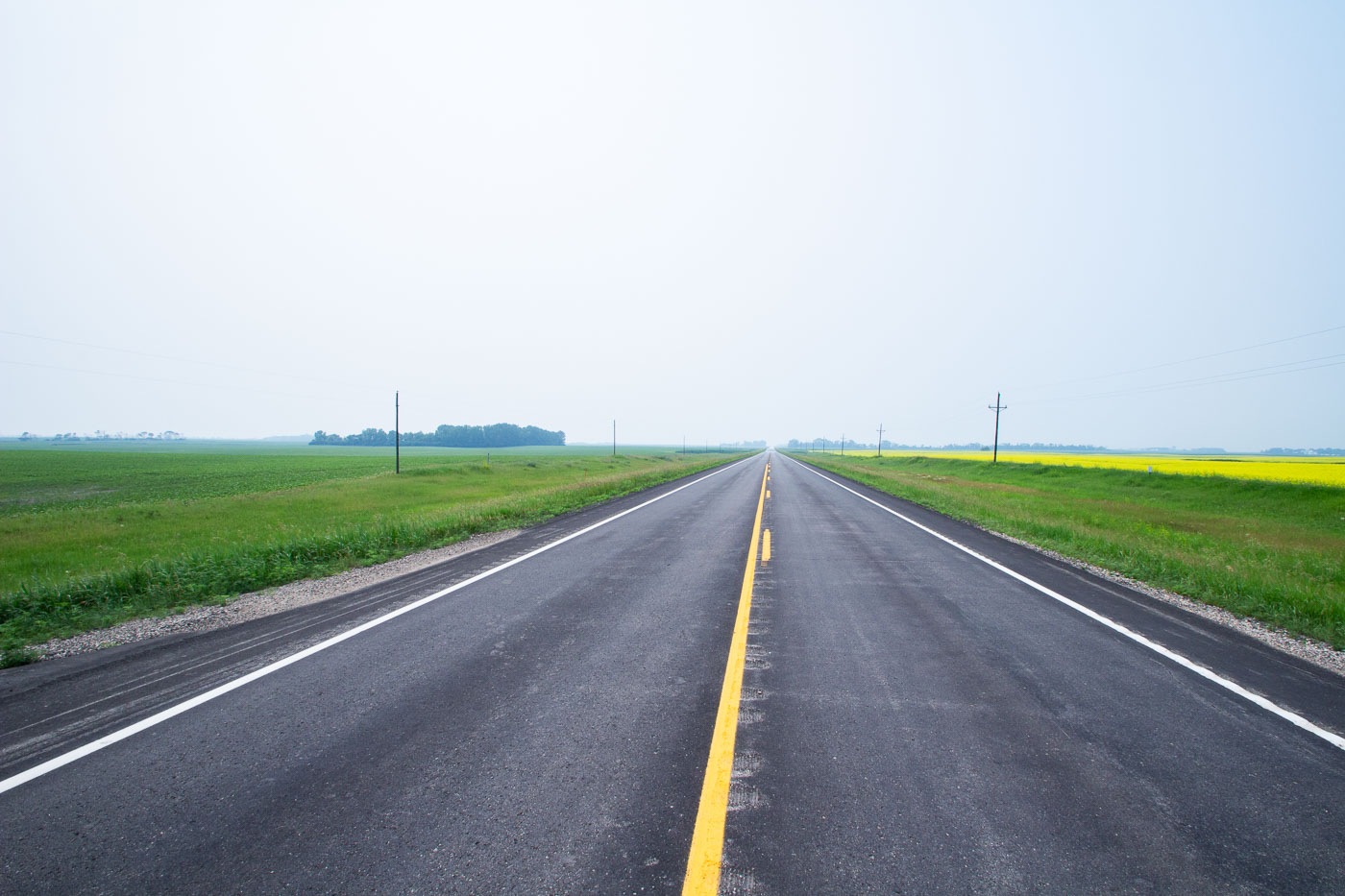
Straight highway with yellow center line crossing flat agricultural fields in North Dakota.
Highway 17 runs north-south through Ramsey County in northeastern North Dakota, passing near the small community of Starkweather. The route cuts through land farmed primarily for wheat, canola, and soybeans, part of the broader Drift Prairie region shaped by glacial deposits. Canola became a significant rotation crop in North Dakota starting in the 1990s, and the state now leads the nation in canola production. Rural highways like this one remain the primary link for area farms to grain elevators and regional markets.

A Straight Stretch of Highway 17 Through Canola Country

Built in Minneapolis

Minneapolis Photographer

Browse by location, move through long-running series, or start with recent work.