Map
More from North Dakota

Submerged Pilings of the Woodland Resort, Devils Lake
Devils Lake has risen more than 25 feet since the early 1990s, flooding thousands of acres of farmland, roads, and…

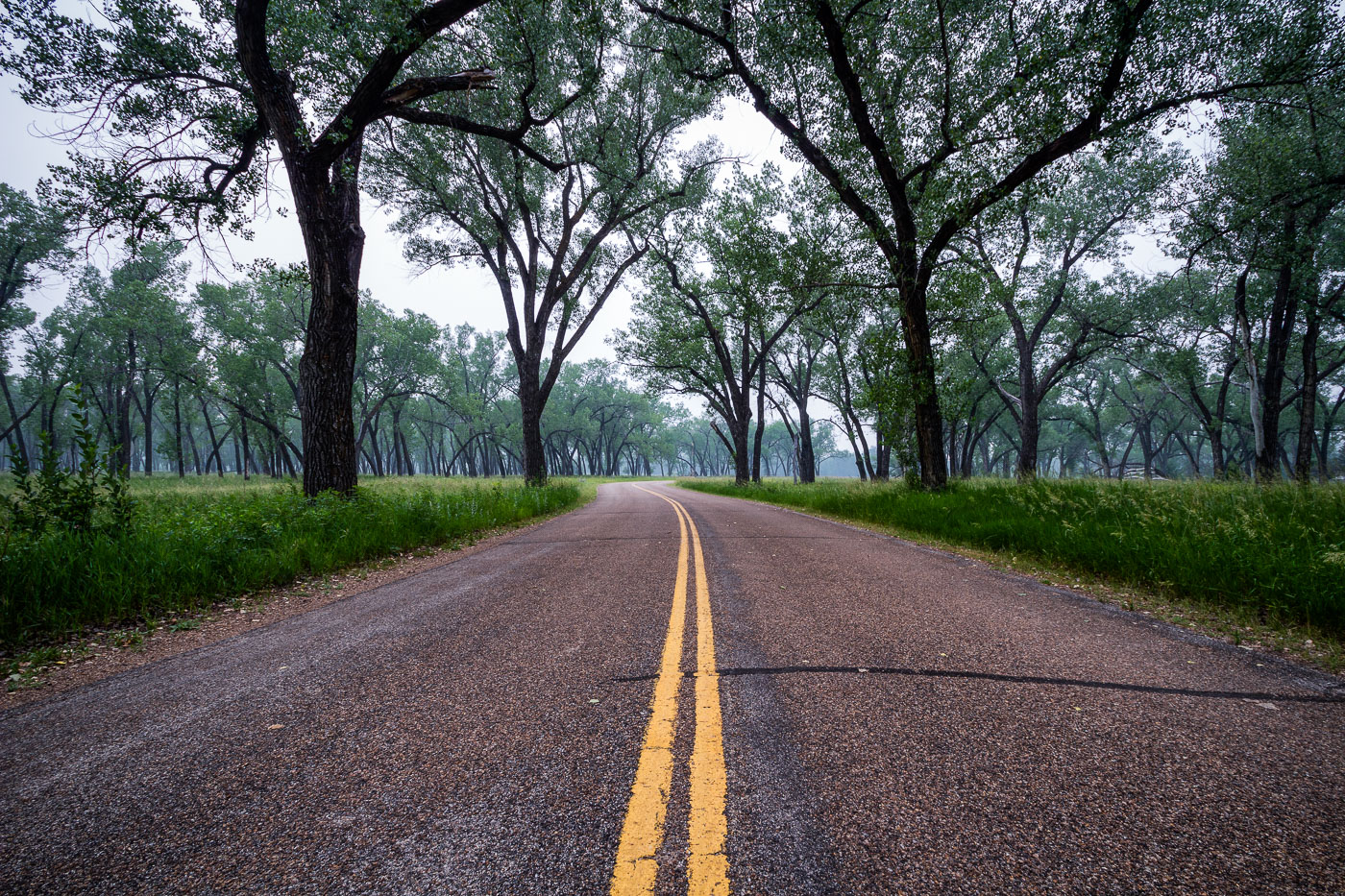
Hazy Two-Lane Highway Near Wolford, North Dakota
Wolford is a small city in Pierce County, North Dakota, in the north-central part of the state along Highway 17.…

Dirt Road to a Pumpjack Site Near Charbonneau, North Dakota
Charbonneau sits in McKenzie County, North Dakota, within the Bakken Formation, the shale oil play that drove the state's drilling…

Weathered Wood-Crib Grain Elevator Near Charbonneau
Wood-crib grain elevators like this one were built by farm cooperatives and independent grain companies across North Dakota from the…

Crossing the Fairview Lift Bridge on the Yellowstone River
The Fairview Lift Bridge spans the Yellowstone River near the Montana–North Dakota border, close to the town of Fairview, Montana.…

Missouri River Valley From Fort Abraham Lincoln State Park
Fort Abraham Lincoln State Park sits along the Missouri River south of Mandan, North Dakota, preserving the grounds of a…