Camping

24 photos · 2011–2023

24 photographs tagged Camping, 2011–2023.
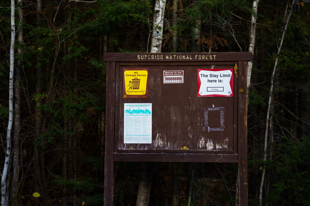
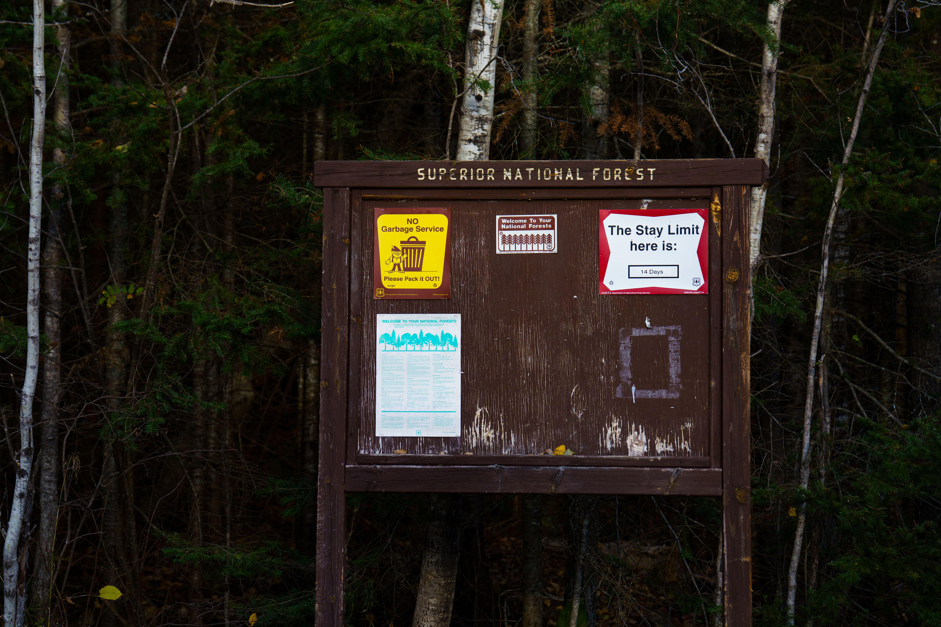
Superior National Forest sign at Whitefish Lake Campground, MN, displays regulations including 'NO Garbage Service Please Pack it OUT!' and a 14-day stay limit.
A weathered wooden signpost at Whitefish Lake Campground in Superior National Forest, Minnesota, displays regulations including 'NO Garbage Service Please Pack it OUT!' and 'The Stay Limit here is: 14 Days'. The sign also includes information about welcoming visitors to the national forests and general rules for their use. The photograph was taken in October 2023, amidst the dense boreal forest characteristic of Northern Minnesota. This sign serves as a directive for campers and visitors, emphasizing self-sufficiency and adherence to the U.S. Forest Service's guidelines for managing public lands. The presence of the stay limit indicates a regulated approach to resource management and visitor access within the campground. Campground, Minnesota, Sign, Superior National Forest, Whitefish Lake, Camping Regulations, Public Lands

Superior National Forest Sign, Whitefish Lake Campground, MN
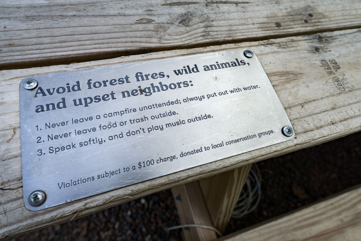
Sign near Kettle River, Minnesota, advises campers to avoid forest fires
A metal sign attached to a wooden surface reads, "Avoid forest fires, wild animals, and upset neighbors: 1. Never leave a campfire unattended; always put out with water. 2. Never leave food or trash outside. 3. Speak softly, and don't play music outside. Violations subject to a $100 charge, donated to local conservation groups." The sign is located near the Kettle River in Minnesota, a popular area for camping and outdoor activities.

Kettle River: Avoid Forest Fires, Wild Animals, Upset Neighbors Sign

A brass sign reading "Getaway JAUNITA" is mounted on a dark wooden wall
A weathered wooden wall displays a brass sign reading "Getaway JAUNITA." A modern, dark metal light fixture with a gold interior illuminates the sign from above.

Getaway Jaunita Sign on Dark Wood Wall

Wooden cellphone lockbox engraved with "Cellphone Lockbox"
A wooden cellphone lockbox is engraved with the text "Cellphone Lockbox" and "For a true escape, forget your phone inside."

Wooden Cellphone Lockbox with Engraved Text

A cabin labeled "JAUNITA" is lit at night beside a campfire near the Kettle River
A small cabin labeled “Jaunita” stands in a wooded campsite near the Kettle River in Minnesota. The site includes a gravel pad, picnic table, Adirondack-style chairs, and a metal fire ring with an active campfire, consistent with a short-term recreational lodging setup. The exterior light and late-night setting place the cabin within an occupied campground or cabin rental environment in early July 2023.

Kettle River Cabin and Campfire at Night

A modern cabin and campfire are lit at dusk near the Kettle River
A modern cabin and campfire are visible at dusk near the Kettle River. The cabin's interior is illuminated, revealing wooden walls and furnishings, while Adirondack chairs surround a crackling fire pit outside.

Kettle River Cabin and Campfire at Dusk
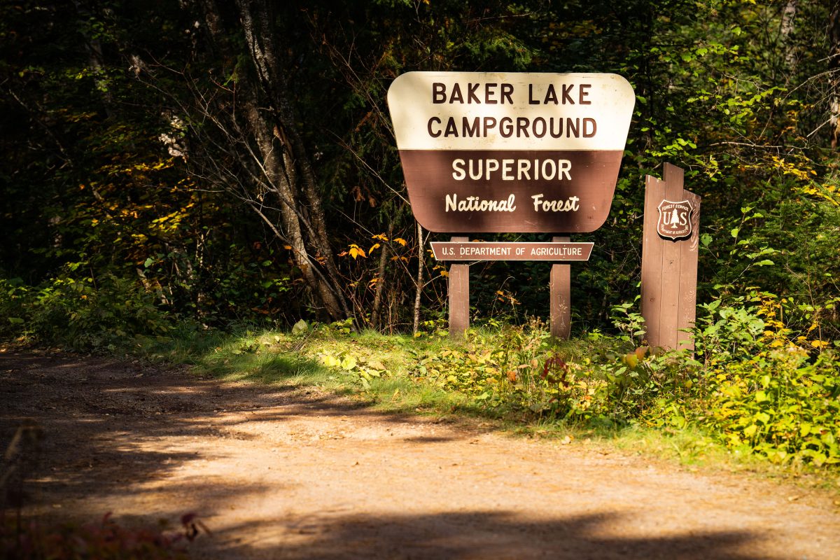
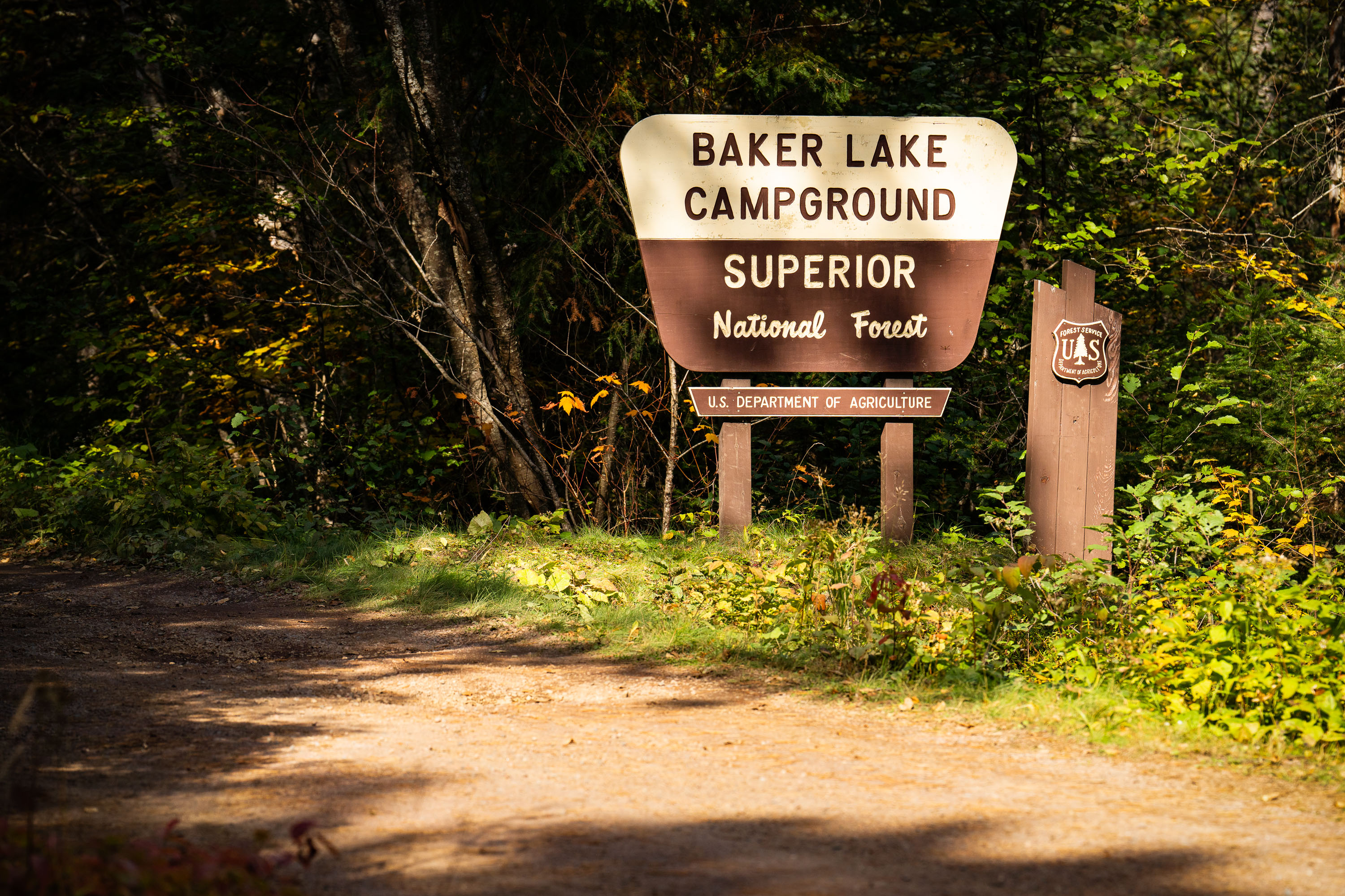
Baker Lake Campground sign in Superior National Forest, Minnesota, surrounded by forest.
Baker Lake Campground sits off the Sawbill Trail in Cook County, part of the Tofte Ranger District within the Superior National Forest. The U.S. Forest Service, an agency of the Department of Agriculture, maintains the site as a small, rustic campground with vault toilets and no electrical hookups. Its boat landing on Baker Lake serves as one of the entry points into the Boundary Waters Canoe Area Wilderness, giving paddlers direct access to the interior lake system. The surrounding forest is managed for multiple use, including timber, recreation, and wildlife habitat, under the Superior National Forest's broader stewardship of more than three million acres in northeastern Minnesota.

Baker Lake Campground Sign, Superior National Forest
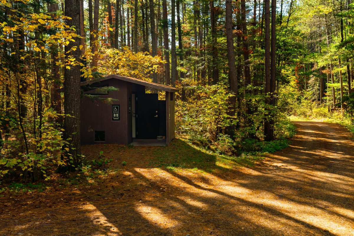
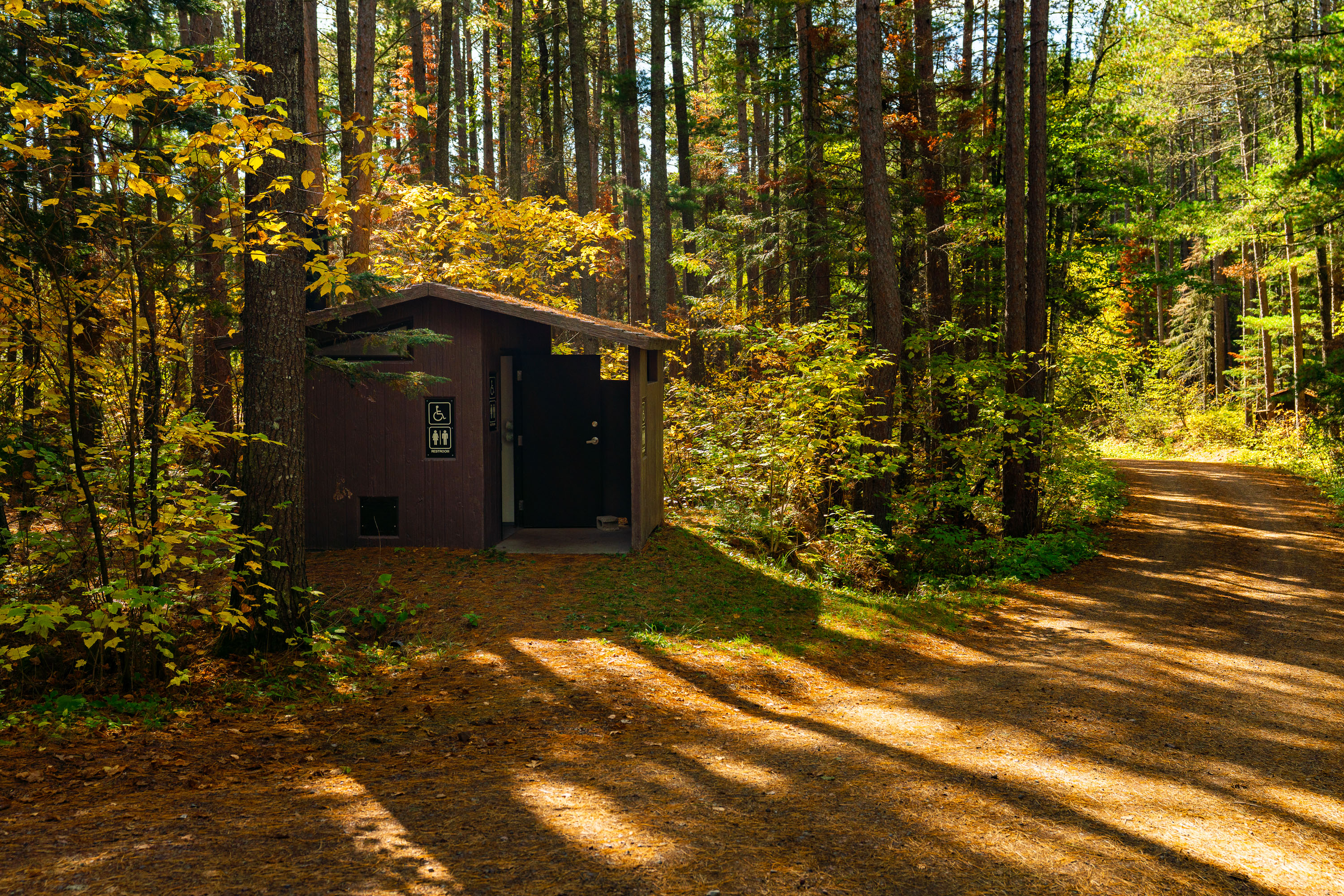
Baker Lake Campground Restrooms in Superior National Foresst
Outhouse at the Baker Lake Campground in the Superior National Forest.

Baker Lake Campground Restrooms in Superior National Foresst

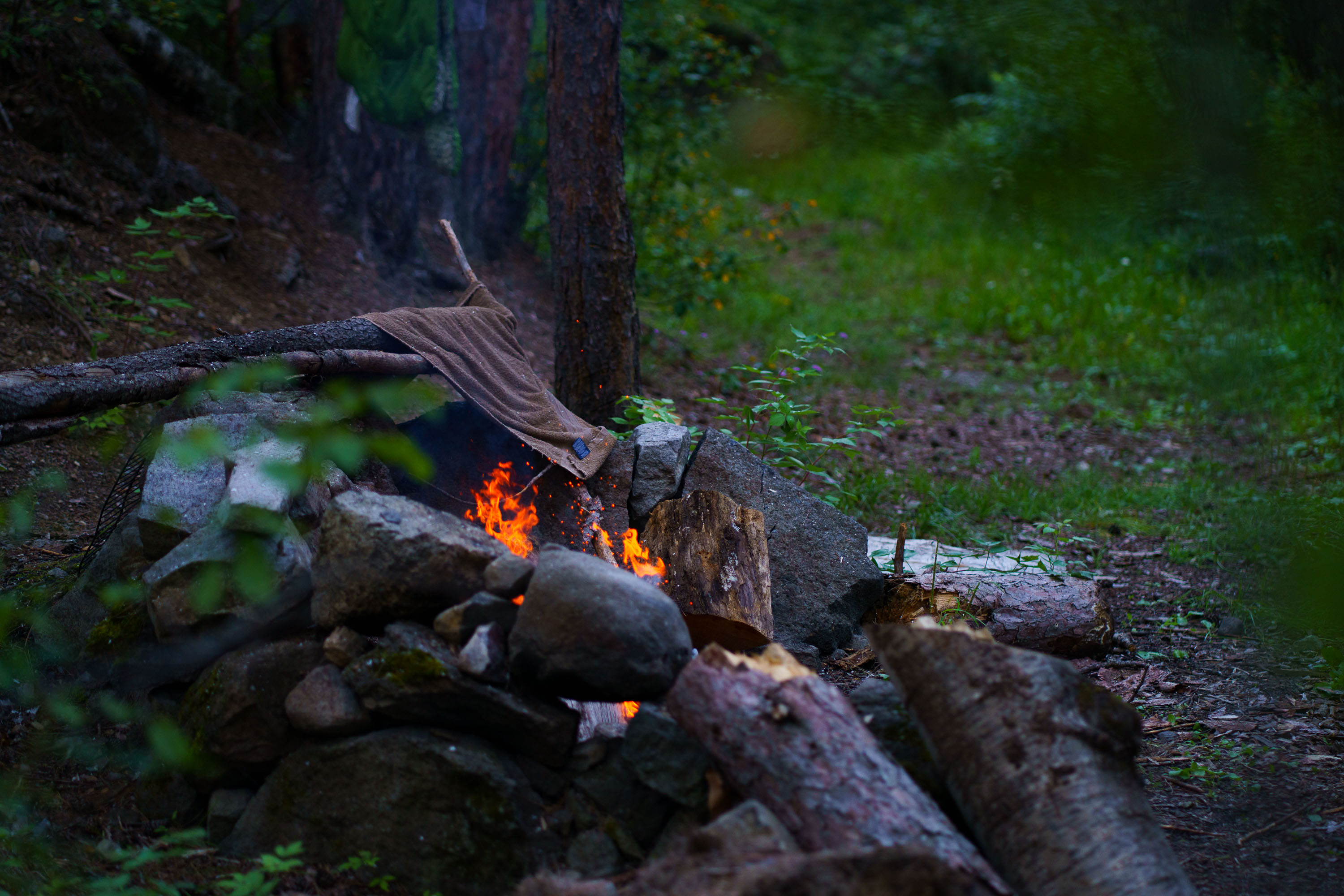
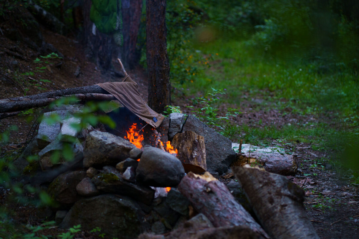
A campfire burns in a stone pit in Superior National Forest, Minnesota, with a towel draped over a log nearby. Smoke rises into the surrounding trees.
A campfire burns within a stone fire pit in Superior National Forest, Minnesota. A brown towel is draped over a log near the flames, and smoke rises into the surrounding trees. The photograph was taken in August 2022. Superior National Forest is a protected wilderness area in northeastern Minnesota, known for its vast forests, lakes, and recreational opportunities. Campfires are a common feature of camping and outdoor activities within the forest, providing warmth and a focal point for gatherings. This image documents a typical camping experience in the region during the summer season.

Superior National Forest Campfire, Minnesota

Campfire at George Floyd Square December 2021
A campfire burns at George Floyd Square in Minneapolis in December 2021, providing a gathering space for community members. The square, established at the intersection of Chicago Avenue and 38th Street, became a significant site for protests and community organizing following the murder of George Floyd in May 2020. The mural "Peoples' Way" and other artwork adorn the adjacent building, symbolizing the ongoing activism and community presence. This space served as a hub for residents to connect and share resources during a period of social unrest.

George Floyd Square Campfire, Minneapolis, December 2021
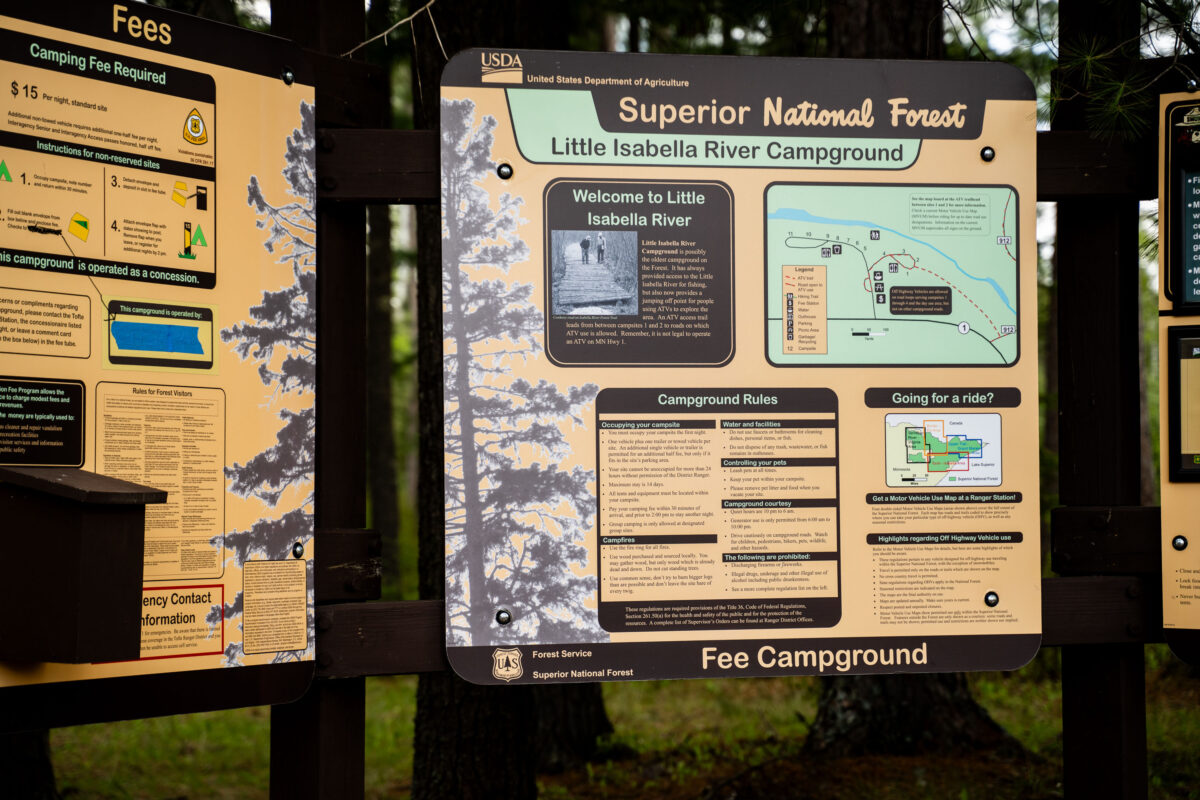
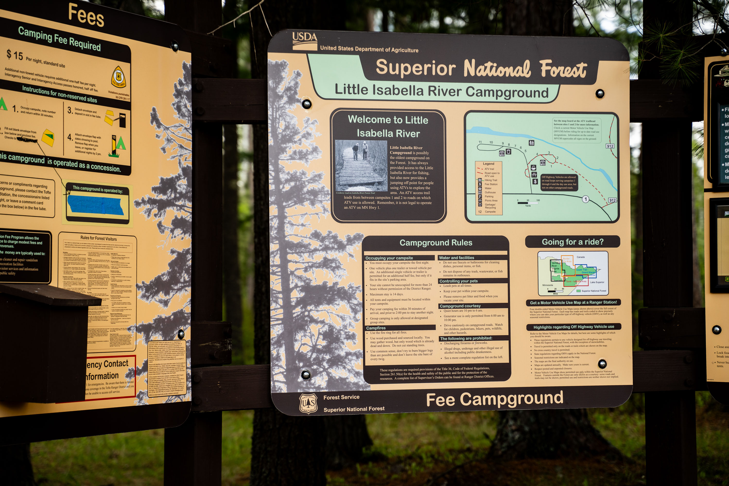
Little Isabella River Campground sign in Superior National Forest with rules and a site map
Little Isabella River Campground in Superior National Forest is shown on a Forest Service information board. The sign lists campground rules, fees, and a map of the site near Lake Isabella River.

Little Isabella River Campground, Superior National Forest
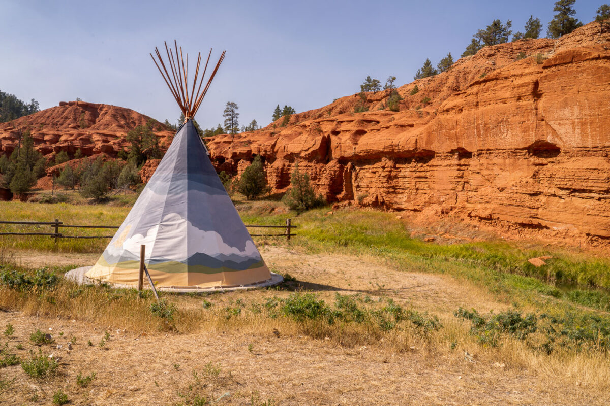
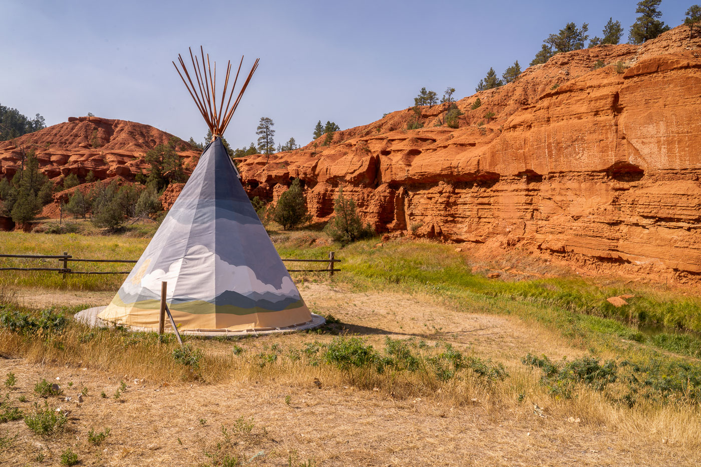
White teepee tent at KOA campground with red rock formations of Devil's Tower National Monument in background, Wyoming.
A teepee tent is situated at the KOA campground near Devil's Tower National Monument in Wyoming. The teepee, a traditional dwelling of many Indigenous Plains tribes, is a modern accommodation offered at the campground. Devil's Tower, a prominent geological formation, was designated the United States' first national monument in 1906. The surrounding landscape features striking red rock formations and sparse vegetation, characteristic of the semi-arid climate of the region.

Painted Teepee Beneath Red Cliffs at Devils Tower KOA
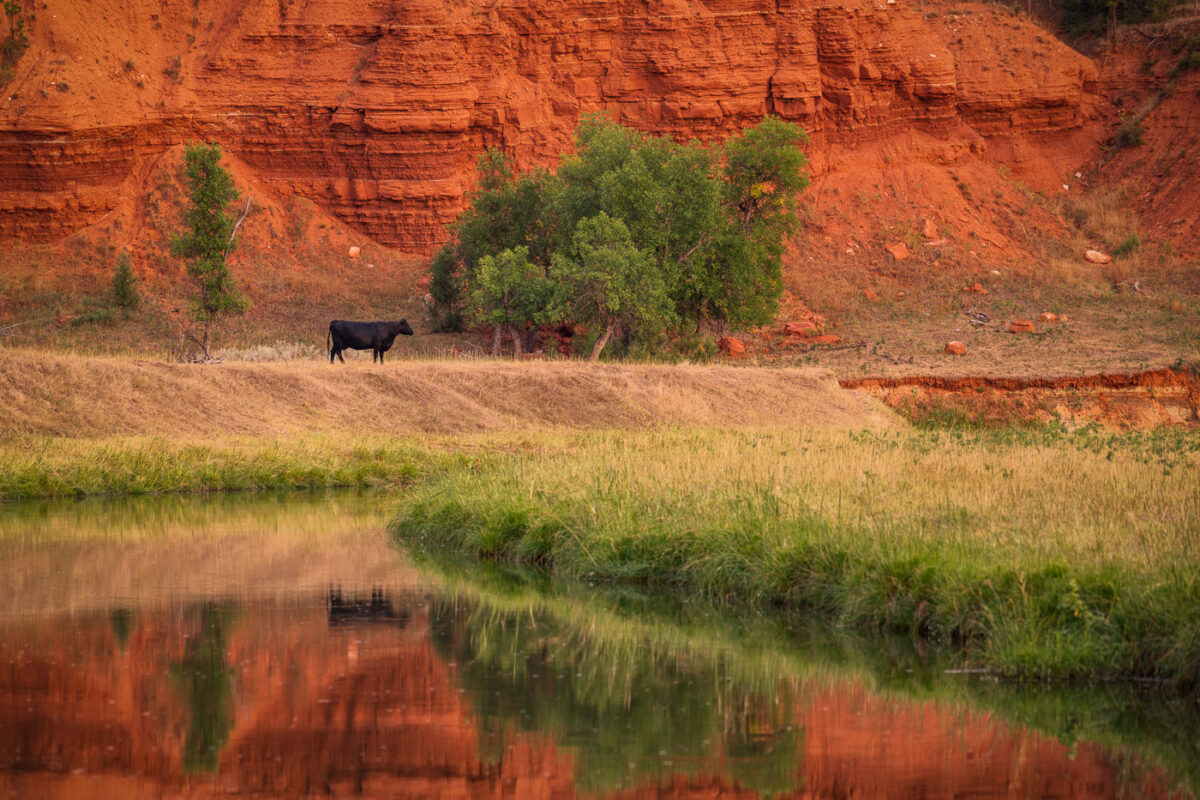
Black cow grazing beside Belle Fourche River with red rock formations of Devil's Tower National Monument behind.
A lone cow grazes near the Belle Fourche River, with the distinctive red rock formations of Devil's Tower National Monument in the background. The Belle Fourche River, the longest river in South Dakota, flows through Wyoming and is a vital water source for the region's agriculture and wildlife. Devil's Tower, a laccolithic butte composed of igneous rock, was designated the first national monument in the United States in 1906. Cattle ranching has been a significant part of the economic and cultural landscape of this area for over a century, with the river providing essential grazing land.

Grazing Cow Beside Red Rock Bluffs Near Devil’s Tower
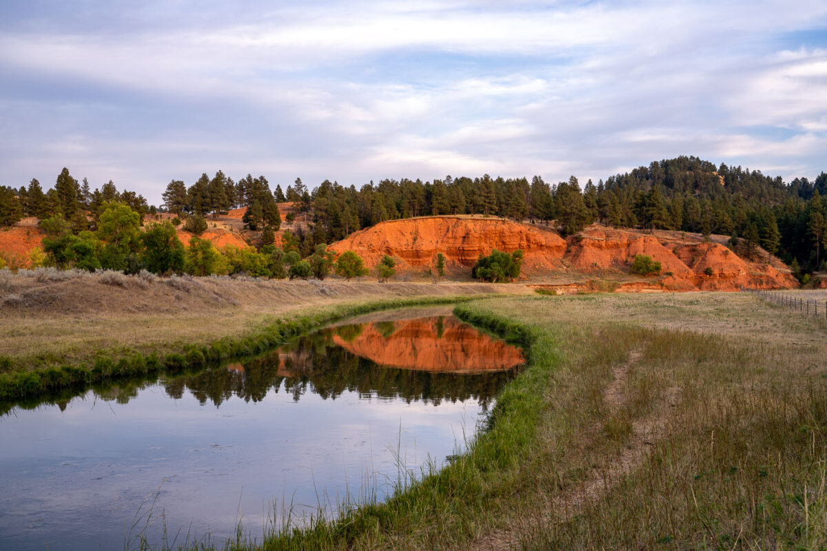
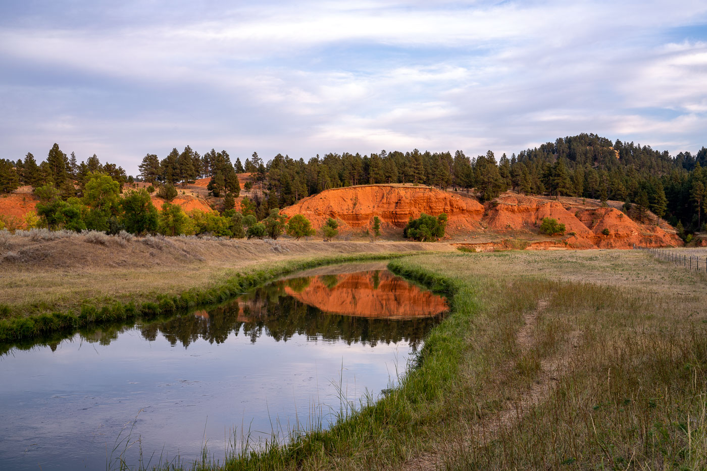
Belle Fourche River winds through grassland with red rock formations and pine forest near Devil's Tower, Wyoming.
The Belle Fourche River flows through a landscape of red rock formations and pine forests in eastern Wyoming, near Devil's Tower National Monument. This river is the longest "all-water" river in the United States, meaning it is a river that flows entirely within the U.S. and is not a tributary to any other river. The Belle Fourche River has historically been important for agriculture and ranching in the region, with irrigation projects utilizing its waters since the early 20th century. Today, the area surrounding the river, including the nearby national monument, is a popular destination for camping and outdoor activities.

Red Bluffs Reflected in the Belle Fourche River at Dusk
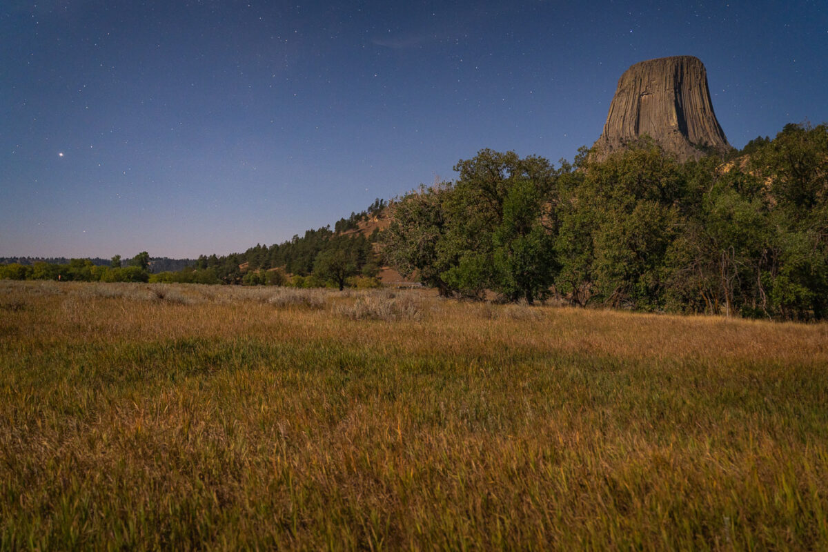
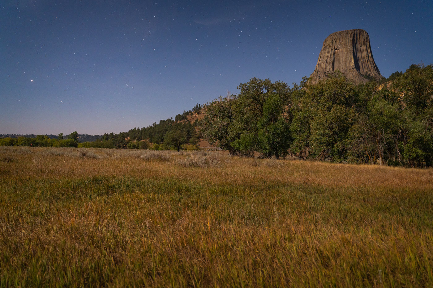
Devil's Tower rises above grasslands and ponderosa pine forest under a starry sky in northeastern Wyoming.
Devil's Tower rises 867 feet above the surrounding grasslands of northeastern Wyoming, formed from an igneous intrusion that eroded into its columnar shape over millions of years. President Theodore Roosevelt designated it the first national monument in the United States in 1906. The Lakota, Cheyenne, and Kiowa hold the formation sacred and know it by names such as Bear Lodge, tied to origin stories about its fluted sides. Ponderosa pine forests and mixed-grass prairie surround the tower's base, habitat that supports deer, prairie dogs, and a range of raptors. Climbers have summited the rock since 1893, and it remains a popular technical climbing destination today.

Moonlit Prairie Grass Below Devils Tower
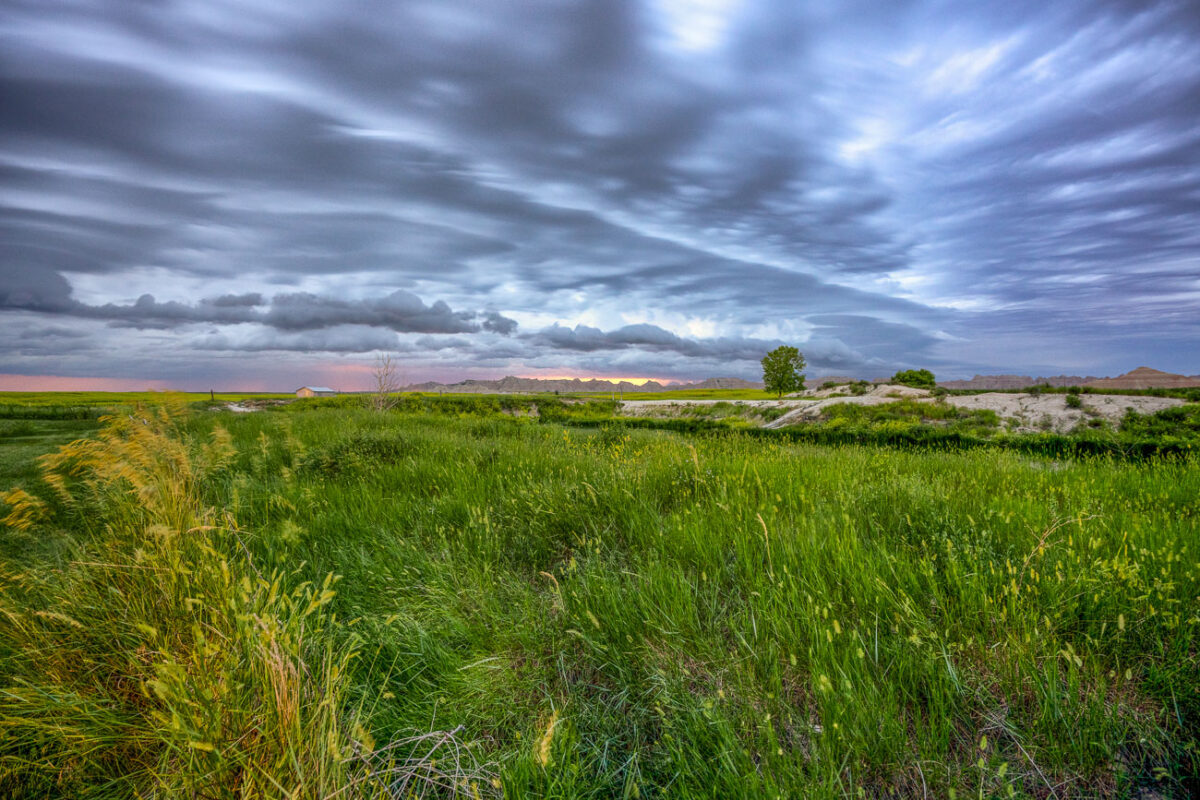
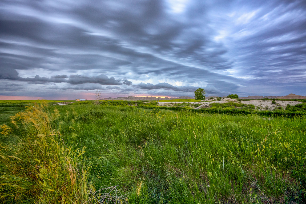
Green grasslands stretch beneath storm clouds near Badlands National Park, South Dakota.
Badlands National Park sits at the edge of a mixed-grass prairie ecosystem, one of the largest protected tracts of this habitat remaining in the United States. The park's 244,000 acres include roughly 64,000 acres of designated wilderness, where grasslands like these transition into the eroded buttes and spires the park is known for. These prairies support bison, bighorn sheep, and the black-footed ferret, reintroduced here in 1994 after near-extinction. The grasses and wetland pockets also help anchor the fragile, fast-eroding sedimentary rock that defines the surrounding badlands terrain.

Mixed-Grass Prairie Along Badlands National Park’s Northern Boundary
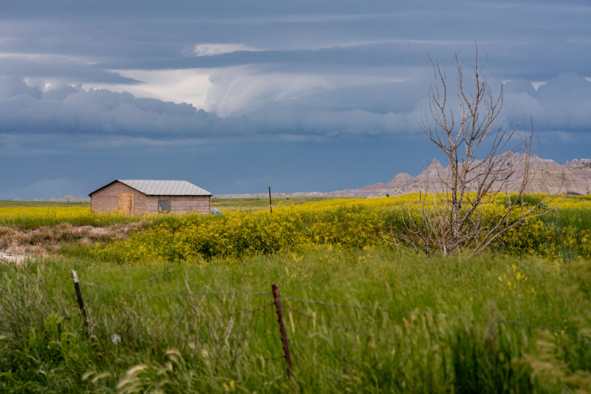
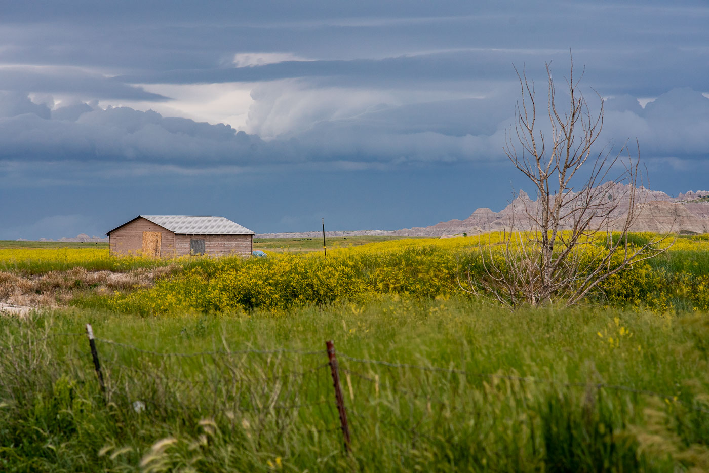
Abandoned wooden shed in yellow wildflower prairie with Badlands buttes and storm clouds, South Dakota.
This weathered wooden shed sits on private land along the edge of Badlands National Park, near the town of Interior, South Dakota. Homestead-era structures like this one are common remnants of the ranching and farming operations that once worked this edge of the prairie before much of the land was absorbed into the park and surrounding grasslands. The Badlands' mixed-grass prairie supports wildflowers such as yellow sweet clover, which spreads quickly through disturbed soil and roadside margins each summer. Thunderstorms building over the nearby buttes and formations are frequent in the region during the warmer months, as moist air from the plains collides with the elevated terrain of the Badlands Wall.

Old Homestead Shed Near Interior, South Dakota
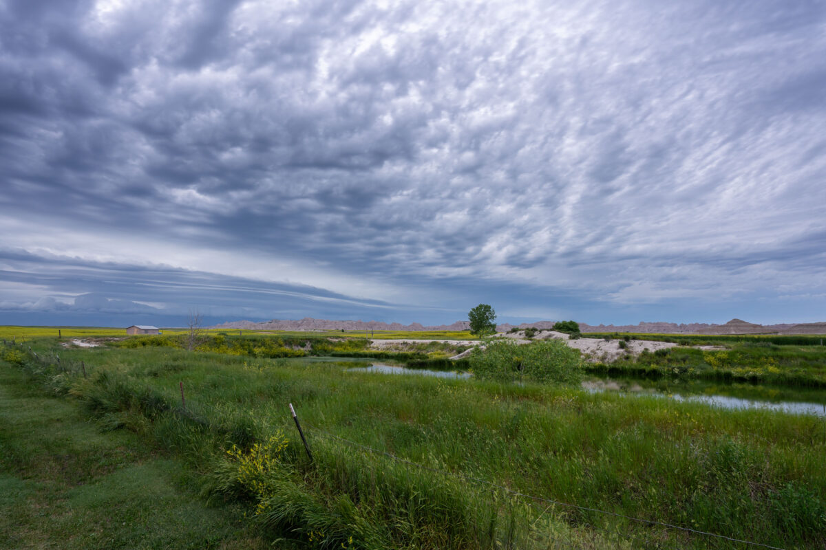
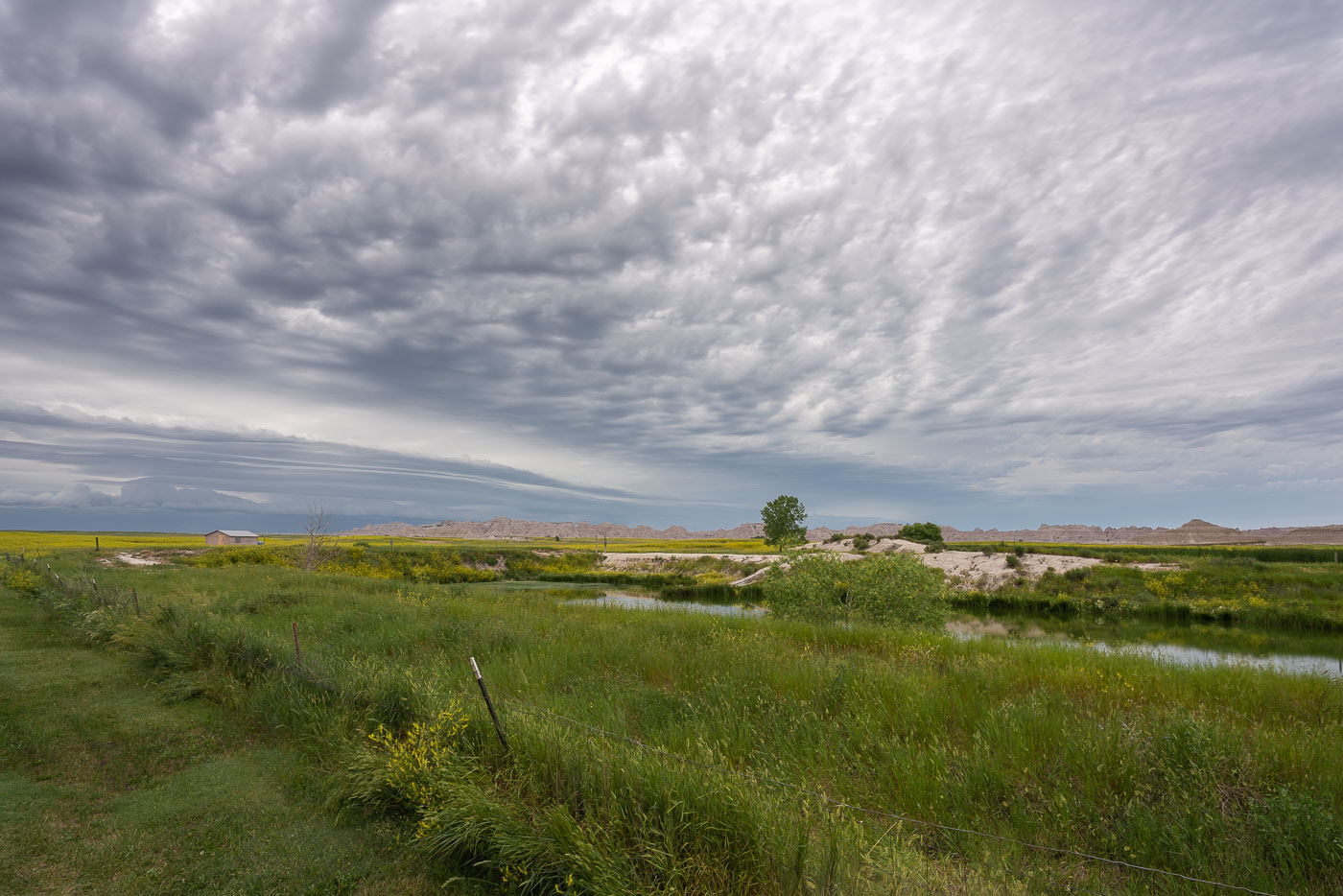
Mixed-grass prairie with water channels and cloudy sky near Badlands National Park, South Dakota.
Badlands National Park spans more than 242,000 acres of mixed-grass prairie and eroded rock formations in southwestern South Dakota. The park was established in 1939, originally as a national monument, before gaining national park status in 1978. Much of the surrounding land outside the park boundary remains in private ranching use, a legacy of homesteading that followed the Homestead Act of 1862. The mixed-grass prairie ecosystem here is considered one of the few large intact examples remaining in North America, supporting native grasses alongside wetland pockets fed by seasonal runoff.

Wetland and Ranchland Near Badlands National Park
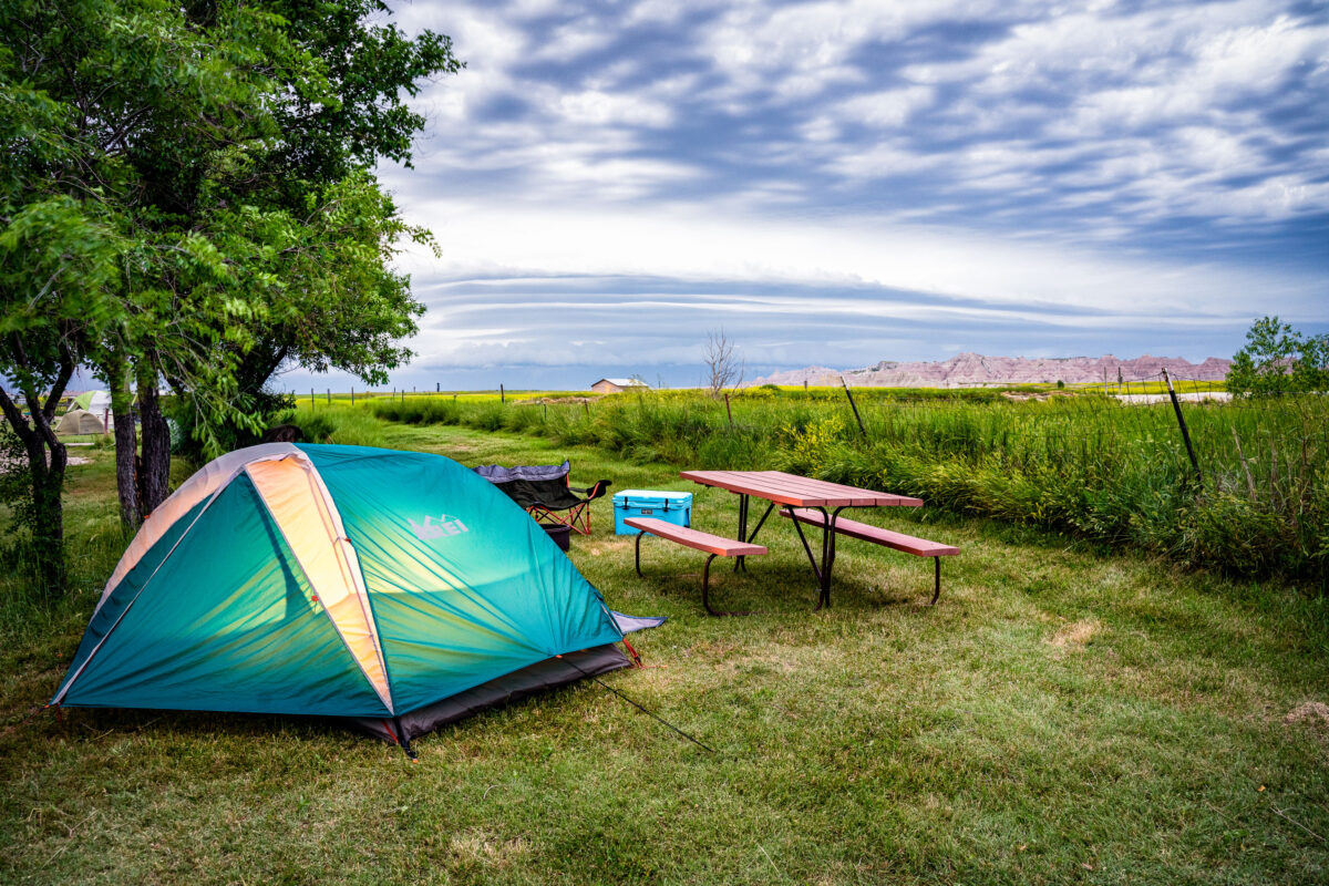
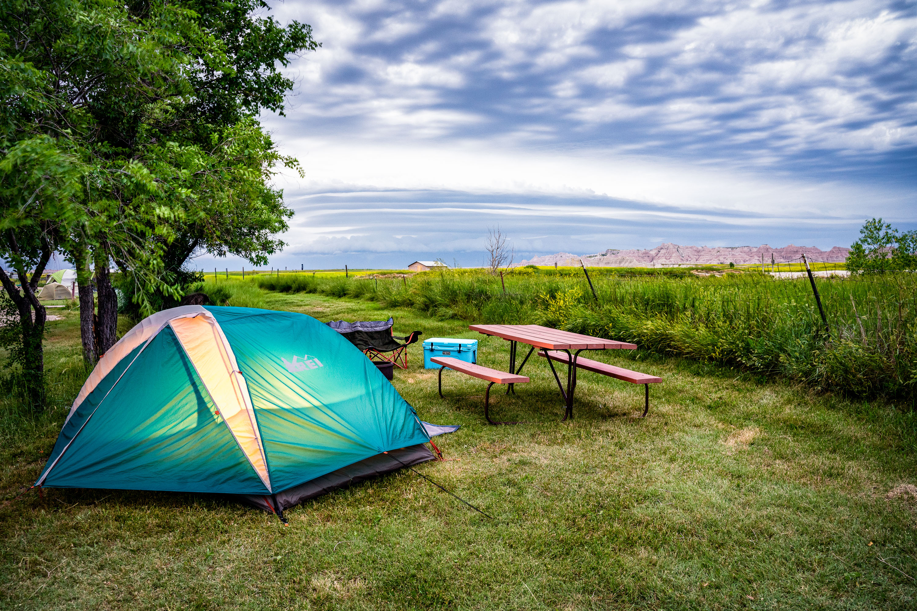
Turquoise tent pitched at Badlands Hotel & Campground in Interior, South Dakota, with picnic table and distant badlands
Interior, South Dakota sits just outside the southeast entrance to Badlands National Park, and campgrounds here cater to visitors drawn to the park's rock formations and hiking trails. Badlands Hotel & Campground is one of the few nearby sites that allows campfires in fire pits, a feature tent campers often seek out. Each site comes with a picnic table set on open grass, with the park's eroded buttes visible along the horizon to the south.

Tent Camping Near Badlands National Park in Interior
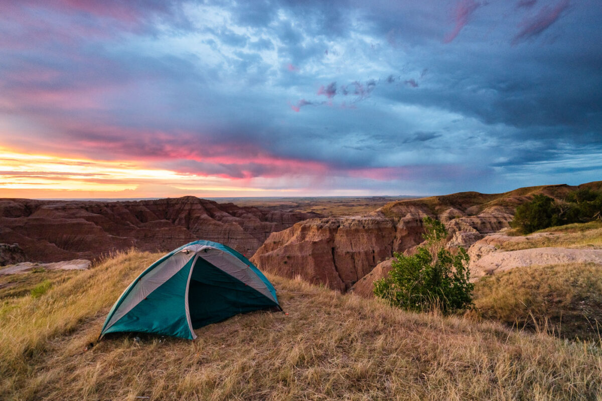
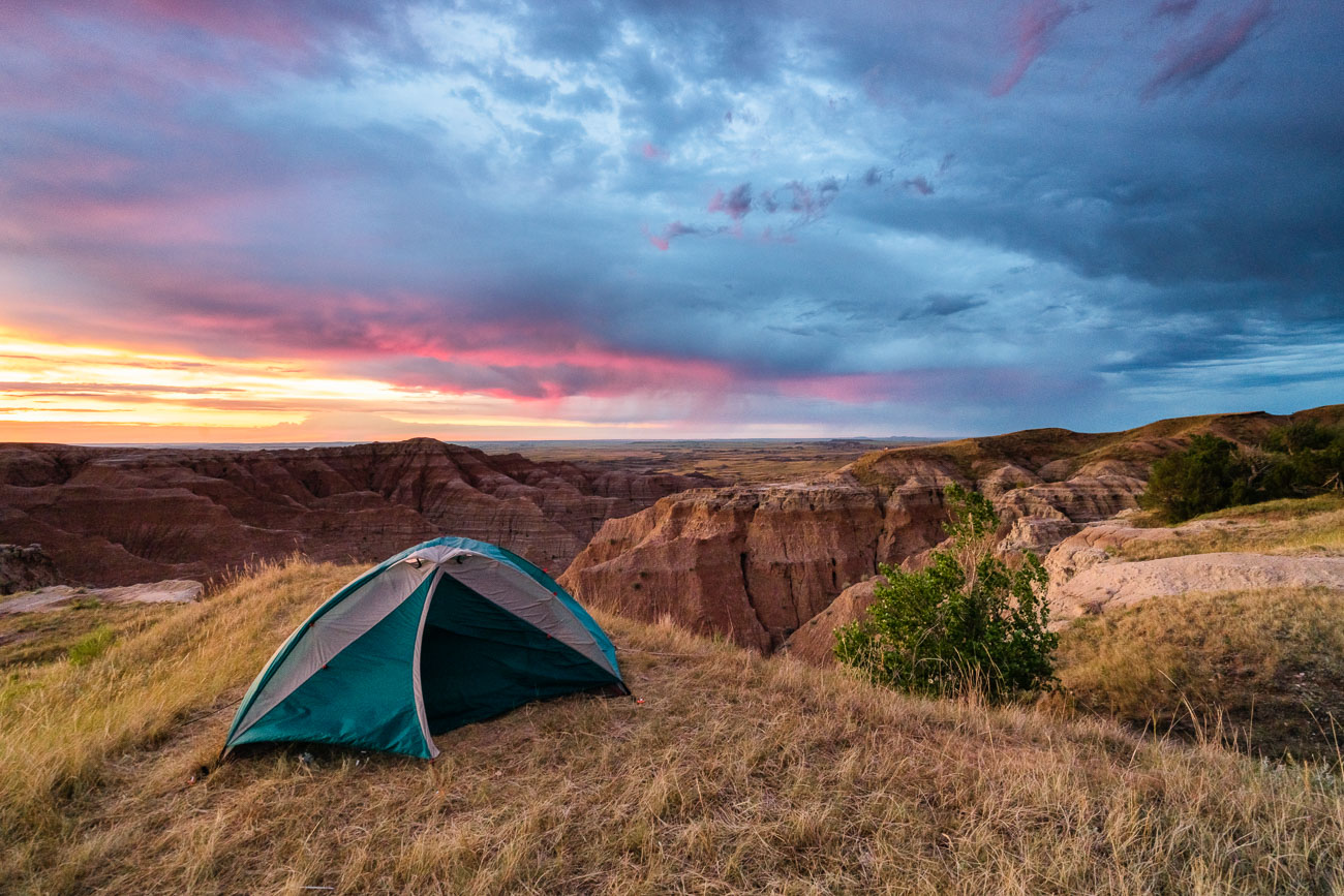
Tent pitched on grassland overlook at Buffalo Gap National Grasslands, South Dakota, at sunrise.
A tent is pitched on a grassy overlook within the Buffalo Gap National Grasslands in South Dakota, as a dramatic sunrise paints the sky with vibrant colors. This area, managed by the Bureau of Land Management, is known for its rugged badlands topography and expansive prairie landscapes. The grasslands were established in 1960 to conserve and manage the natural grasslands and associated wildlife habitats. Today, it remains a significant area for grazing, conservation, and public enjoyment of its natural beauty.

Tent Camping Above the Badlands at Sunrise
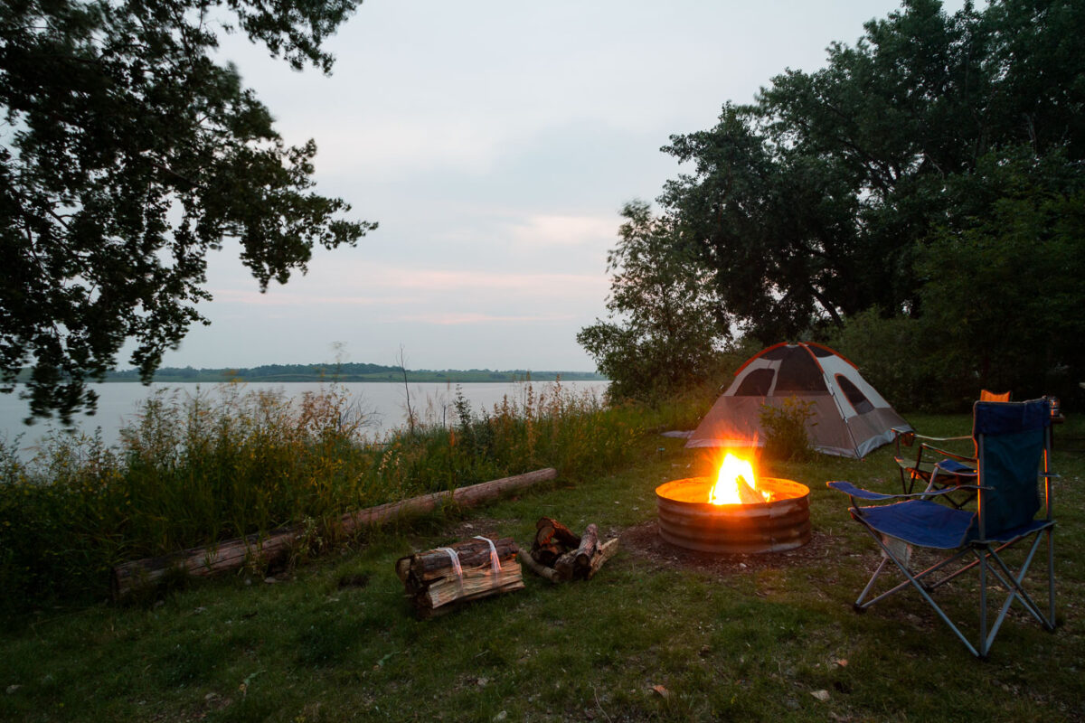
A tent campsite at Sportsman's Centennial Park in Garrison, North Dakota, sits beside Lake Sakakawea.
A tent campsite at Sportsman's Centennial Park in Garrison, North Dakota, is set along the shore near Lake Sakakawea. The campsite includes a tent area, fire ring, camp chairs, and firewood beside the water. The park provides overnight camping facilities for visitors using the lakefront area.

Tent Campsite at Sportsman’s Centennial Park, Garrison
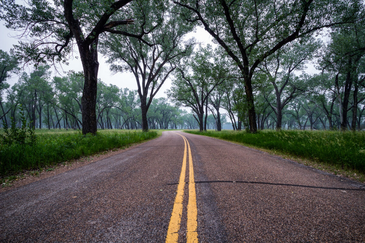
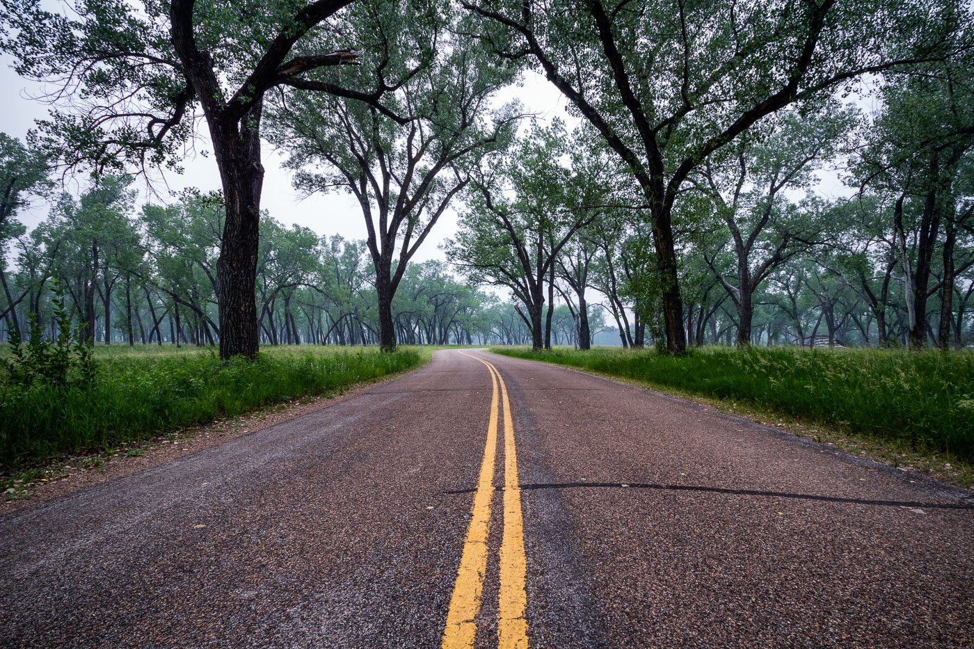
Juniper Campground Road winds through Theodore Roosevelt National Park in North Dakota, lined with tall trees.
Juniper Campground sits in the North Unit of Theodore Roosevelt National Park, along the Little Missouri River in western North Dakota. The cottonwood trees lining its access road grow in the river bottomland, where they find enough groundwater to survive in an otherwise arid badlands climate. Congress first protected this land in 1947 as Theodore Roosevelt National Memorial Park, redesignating it a national park in 1978. The North Unit covers roughly 24,000 acres and sees far fewer visitors than the park's South Unit near Medora.

Cottonwood Canopy Along Juniper Campground Road
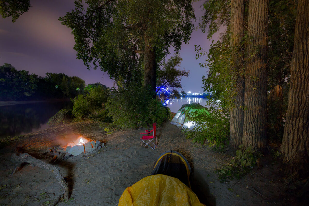
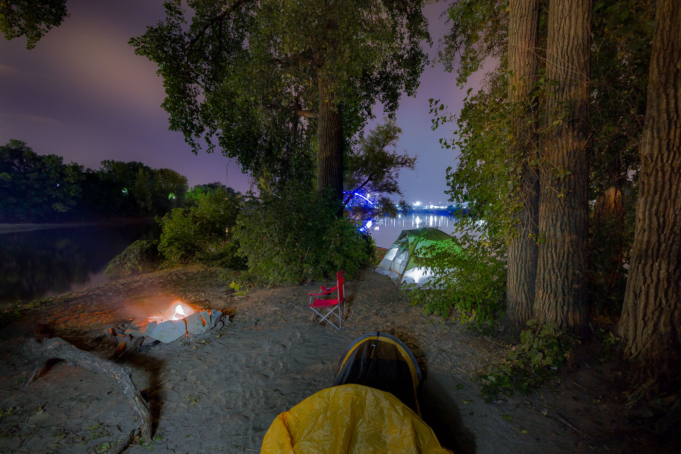
Mississippi River island campsite in Minneapolis with tents and a campfire at night.
Mississippi River island campsite, Minneapolis. An overnight camping area on a sandy island in the Mississippi River includes tents and a campfire near the north side of the city.

Mississippi River Island Campsite at Night, Minneapolis

A squirrel approaches a cupcake wrapper and cupcake near a tent at an unidentified campsite, highlighting wildlife interaction with human food waste.
A squirrel investigates a discarded cupcake wrapper near a tent at a campsite.

Squirrel Investigates a Cupcake Wrapper at a Campsite