Map
More from South Dakota

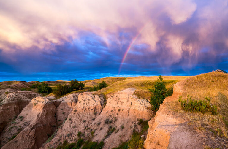
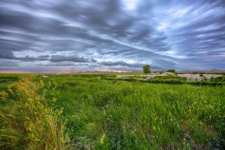
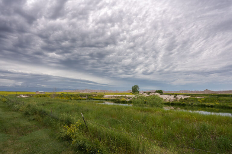
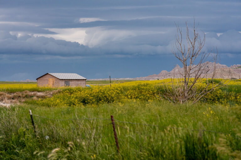
Mixed-Grass Prairie Along Badlands National Park's Northern Boundary
Badlands National Park sits at the edge of a mixed-grass prairie ecosystem, one of the largest protected tracts of this…
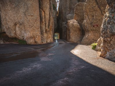
Needles Eye Tunnel Along Needles Highway, Custer State Park
The Needles Eye Tunnel carries South Dakota Highway 87 through a granite spire along the Needles Highway in Custer State…

Foggy Summit of Black Elk Peak, Black Hills National Forest
Black Elk Peak reaches 7,242 feet, making it the highest point in South Dakota and the highest peak in the…

Eroded Spires of the Badlands Wall, South Dakota
The Badlands Wall formation stretches roughly 60 miles through Badlands National Park, separating the upper prairie from the lower prairie…

Black Elk Peak Trail Descent at Dusk, Black Hills, South Dakota
A hiker descends the trail from Black Elk Peak, the highest point in South Dakota, within Custer State Park. The…
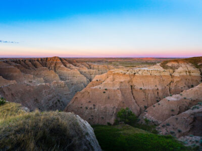
Twilight Over the Badlands at Buffalo Gap National Grassland
Buffalo Gap National Grasslands, South Dakota. The grasslands include rugged badlands terrain along the southern edge of the Black Hills…
Nearby Photos