Map
More from Badlands National Park

Yellow Centerline on Badlands Loop Road
Badlands Loop Road, designated South Dakota Highway 240, winds roughly 31 miles between Interstate 90 near Wall and the town…

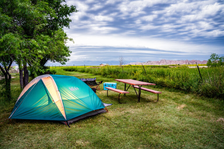
Tent Camping Near Badlands National Park in Interior
Interior, South Dakota sits just outside the southeast entrance to Badlands National Park, and campgrounds here cater to visitors drawn…

Eroded Spires of the Badlands Wall, South Dakota
The Badlands Wall formation stretches roughly 60 miles through Badlands National Park, separating the upper prairie from the lower prairie…
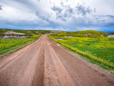
Dirt Road Through Grasslands Near Sheep Mountain, Badlands National Park
Badlands National Park's south unit is laced with unpaved roads like this one, which wind through mixed-grass prairie between the…

A Lonely Stretch of Highway 44 in Badlands National Park
Highway 44 runs along the southern edge of Badlands National Park, linking the town of Interior to Rapid City and…

Trailhead Marker for Sheep Mountain Table, South Unit of Badlands National Park
Sheep Mountain Table lies in the South Unit of Badlands National Park, a section co-managed with the Oglala Sioux Tribe…
Nearby Photos