Badlands

14 photos · 2015–2019

14 photographs tagged Badlands, 2015–2019.

Yellow center line marks a highway stretching through Badlands National Park's eroded buttes and grasslands in South Dakota.
Badlands Loop Road, designated South Dakota Highway 240, winds roughly 31 miles between Interstate 90 near Wall and the town of Interior. The two-lane route passes directly through the park's eroded buttes and pinnacles, formations built from layers of sediment deposited over about 75 million years and shaped by erosion over the last half-million years. Badlands National Park covers 244,000 acres, including the 64,000-acre Badlands Wilderness Area, one of the largest mixed-grass prairie wildernesses in the United States. The National Park Service built the road to provide access to overlooks such as Pinnacles and Yellow Mounds without requiring visitors to leave their vehicles.

Yellow Centerline on Badlands Loop Road

Yellow center line marks Highway 44 stretching through Badlands National Park's eroded buttes and grasslands, South Dakota.
Highway 44 runs along the southern edge of Badlands National Park, linking the town of Interior to Rapid City and serving as an alternate route to the more heavily traveled Badlands Loop Road (Highway 240). The park itself was designated in 1978, though the area had been protected as a national monument since 1939. Badlands National Park spans roughly 244,000 acres of mixed-grass prairie and eroded buttes, pinnacles, and spires formed by deposits laid down between 69 and 75 million years ago. Erosion continues to reshape the formations at a rate of about an inch per year, among the fastest in the world.

A Lonely Stretch of Highway 44 in Badlands National Park
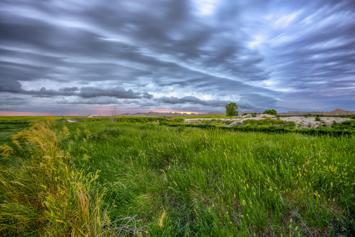
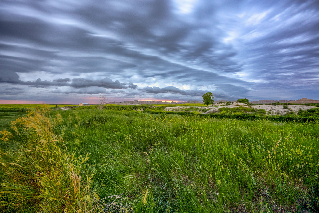
Green grasslands stretch beneath storm clouds near Badlands National Park, South Dakota.
Badlands National Park sits at the edge of a mixed-grass prairie ecosystem, one of the largest protected tracts of this habitat remaining in the United States. The park's 244,000 acres include roughly 64,000 acres of designated wilderness, where grasslands like these transition into the eroded buttes and spires the park is known for. These prairies support bison, bighorn sheep, and the black-footed ferret, reintroduced here in 1994 after near-extinction. The grasses and wetland pockets also help anchor the fragile, fast-eroding sedimentary rock that defines the surrounding badlands terrain.

Mixed-Grass Prairie Along Badlands National Park’s Northern Boundary
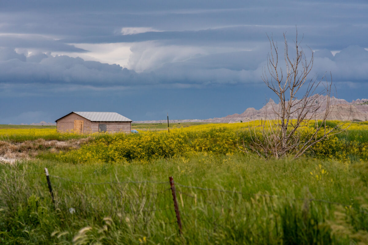
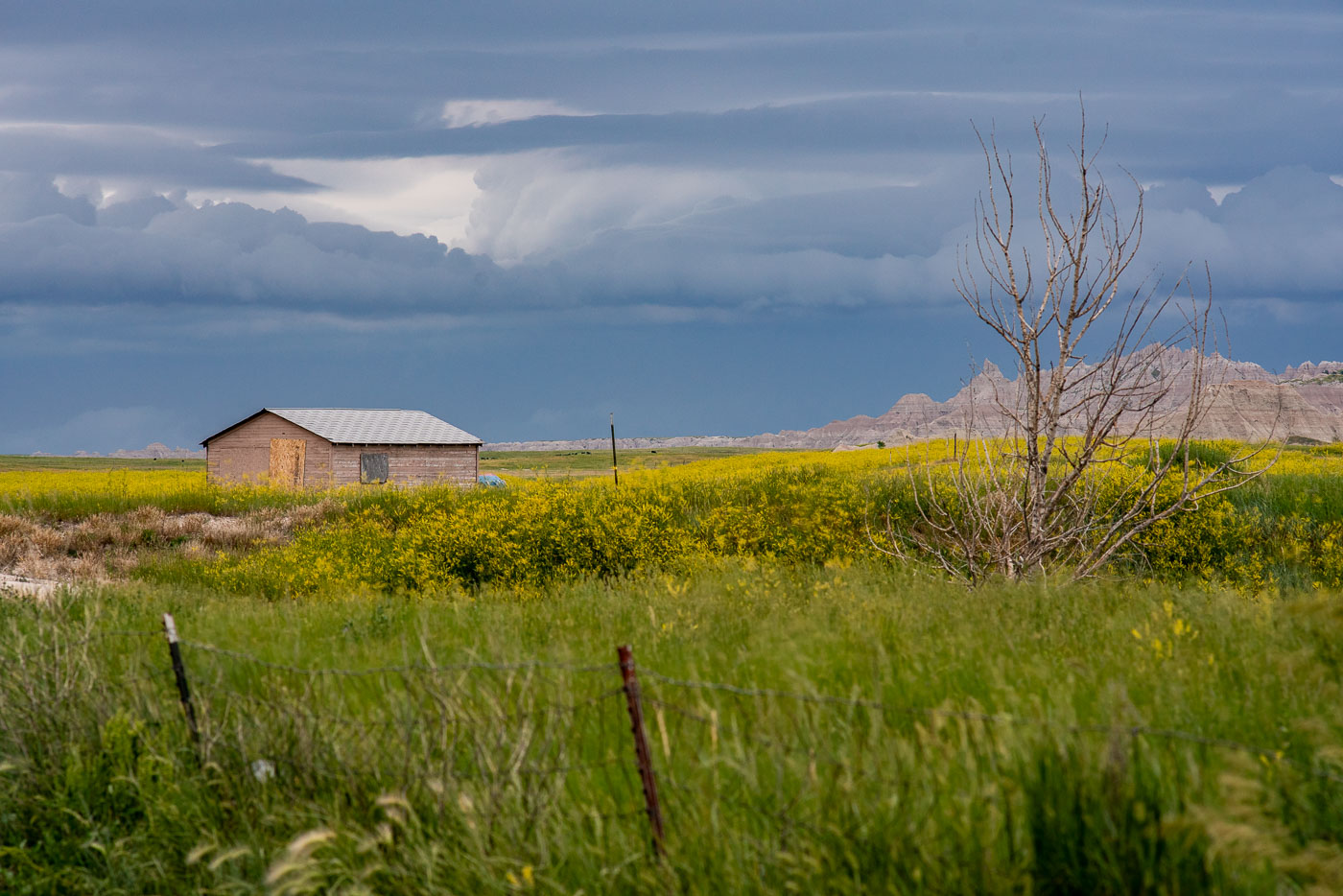
Abandoned wooden shed in yellow wildflower prairie with Badlands buttes and storm clouds, South Dakota.
This weathered wooden shed sits on private land along the edge of Badlands National Park, near the town of Interior, South Dakota. Homestead-era structures like this one are common remnants of the ranching and farming operations that once worked this edge of the prairie before much of the land was absorbed into the park and surrounding grasslands. The Badlands' mixed-grass prairie supports wildflowers such as yellow sweet clover, which spreads quickly through disturbed soil and roadside margins each summer. Thunderstorms building over the nearby buttes and formations are frequent in the region during the warmer months, as moist air from the plains collides with the elevated terrain of the Badlands Wall.

Old Homestead Shed Near Interior, South Dakota
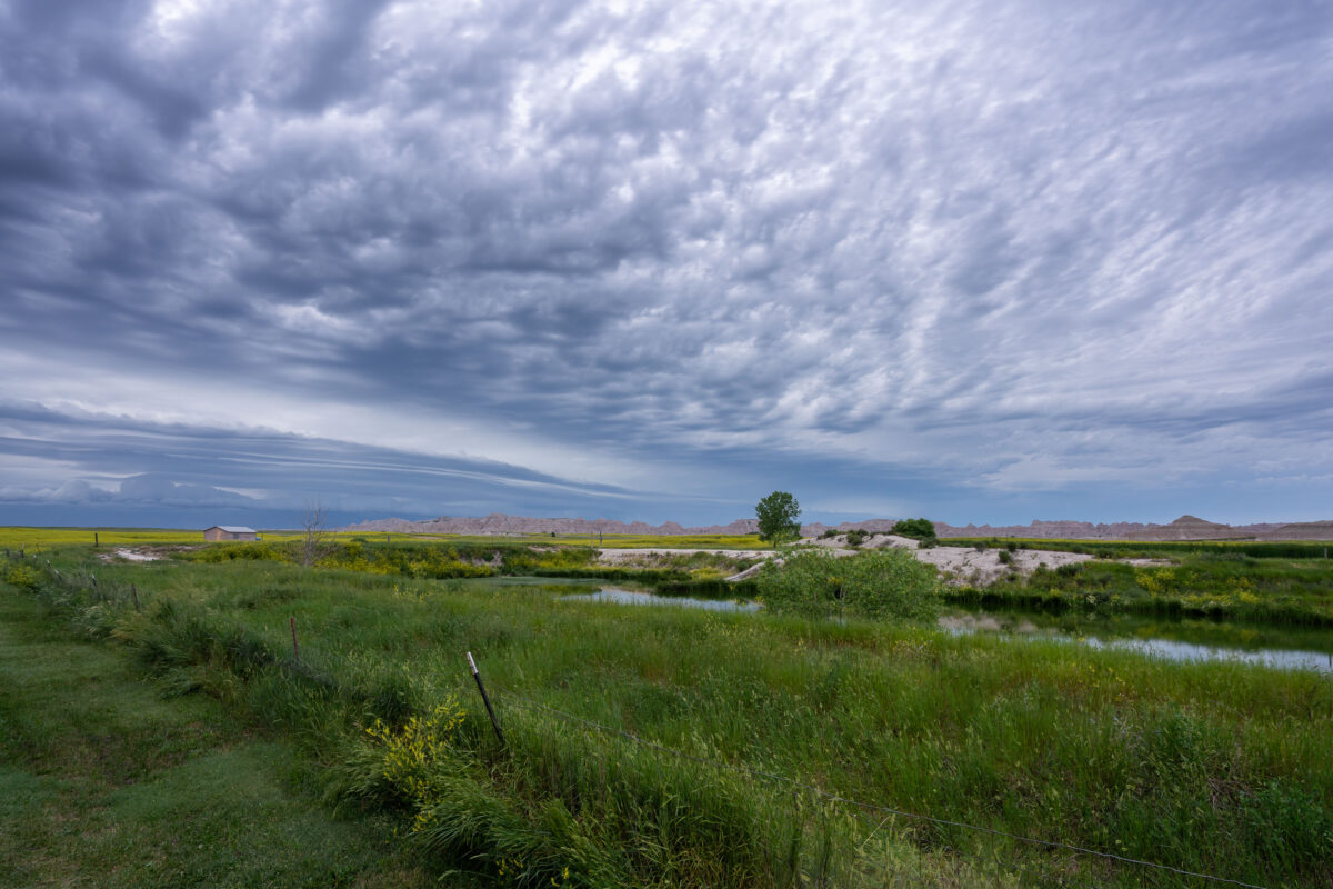
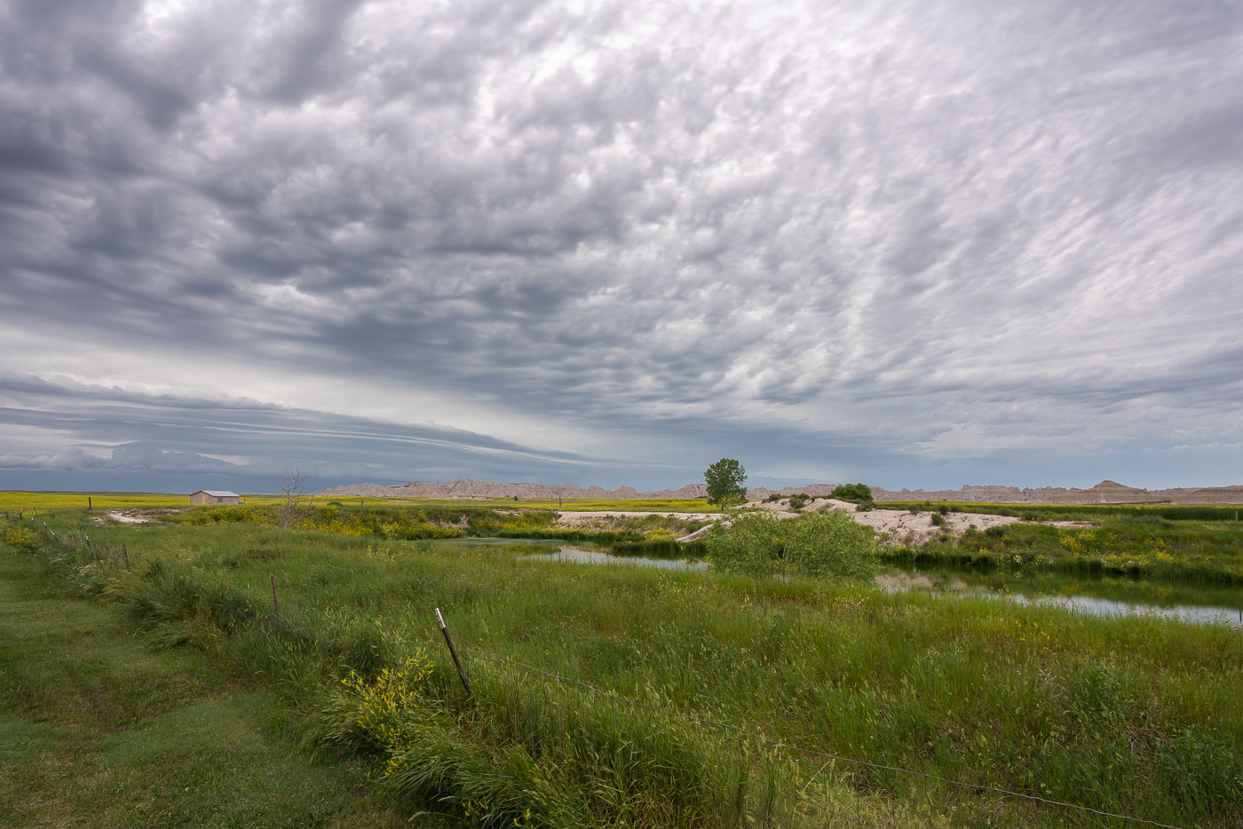
Mixed-grass prairie with water channels and cloudy sky near Badlands National Park, South Dakota.
Badlands National Park spans more than 242,000 acres of mixed-grass prairie and eroded rock formations in southwestern South Dakota. The park was established in 1939, originally as a national monument, before gaining national park status in 1978. Much of the surrounding land outside the park boundary remains in private ranching use, a legacy of homesteading that followed the Homestead Act of 1862. The mixed-grass prairie ecosystem here is considered one of the few large intact examples remaining in North America, supporting native grasses alongside wetland pockets fed by seasonal runoff.

Wetland and Ranchland Near Badlands National Park
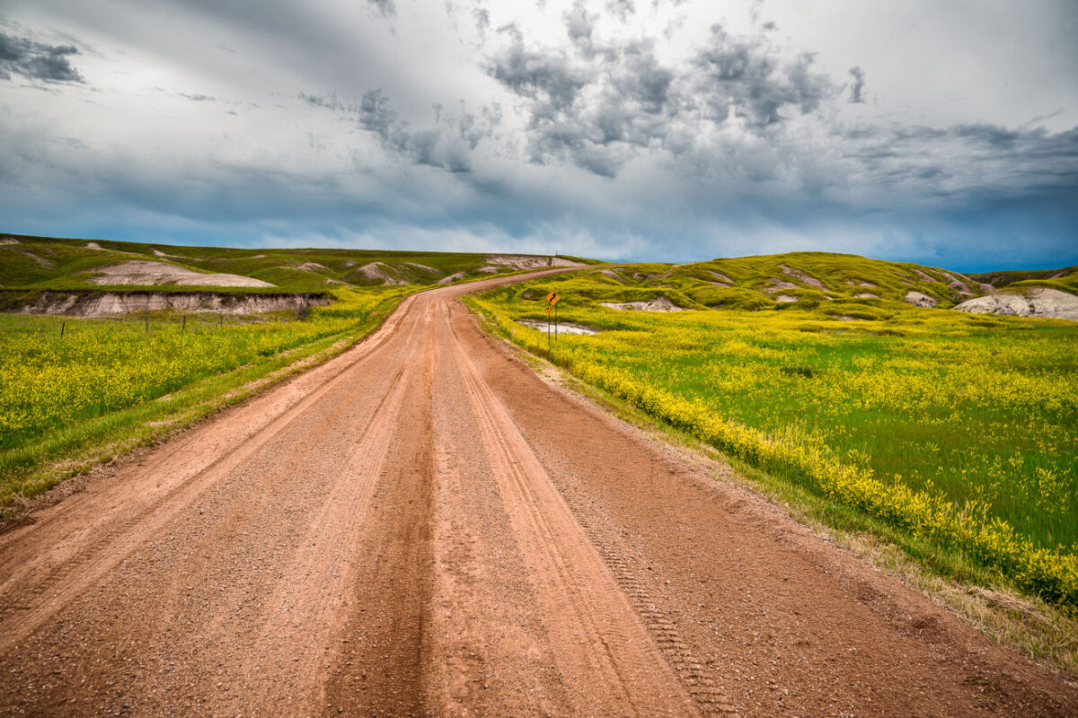
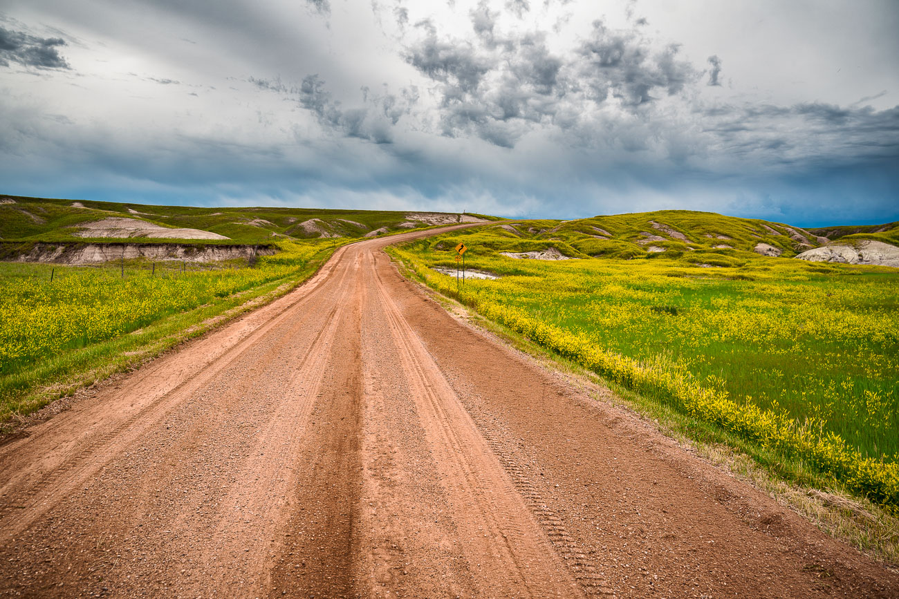
Unpaved road stretches through mixed-grass prairie with eroded buttes in Badlands National Park, South Dakota.
Badlands National Park's south unit is laced with unpaved roads like this one, which wind through mixed-grass prairie between the park's eroded buttes. The park covers roughly 244,000 acres and was established in 1978, though the striated hills visible along routes near Sheep Mountain have been taking shape for nearly half a million years as wind and water strip away layers of Oligocene-era sediment. This part of the park overlaps the Pine Ridge Reservation and is co-managed with the Oglala Sioux Tribe, whose ancestral homeland extends across the surrounding grasslands. Bighorn sheep and bison range through this section of prairie, and black-footed ferrets were reintroduced to the area in the 1990s after the species was once thought extinct in the wild.

Dirt Road Through Grasslands Near Sheep Mountain, Badlands National Park
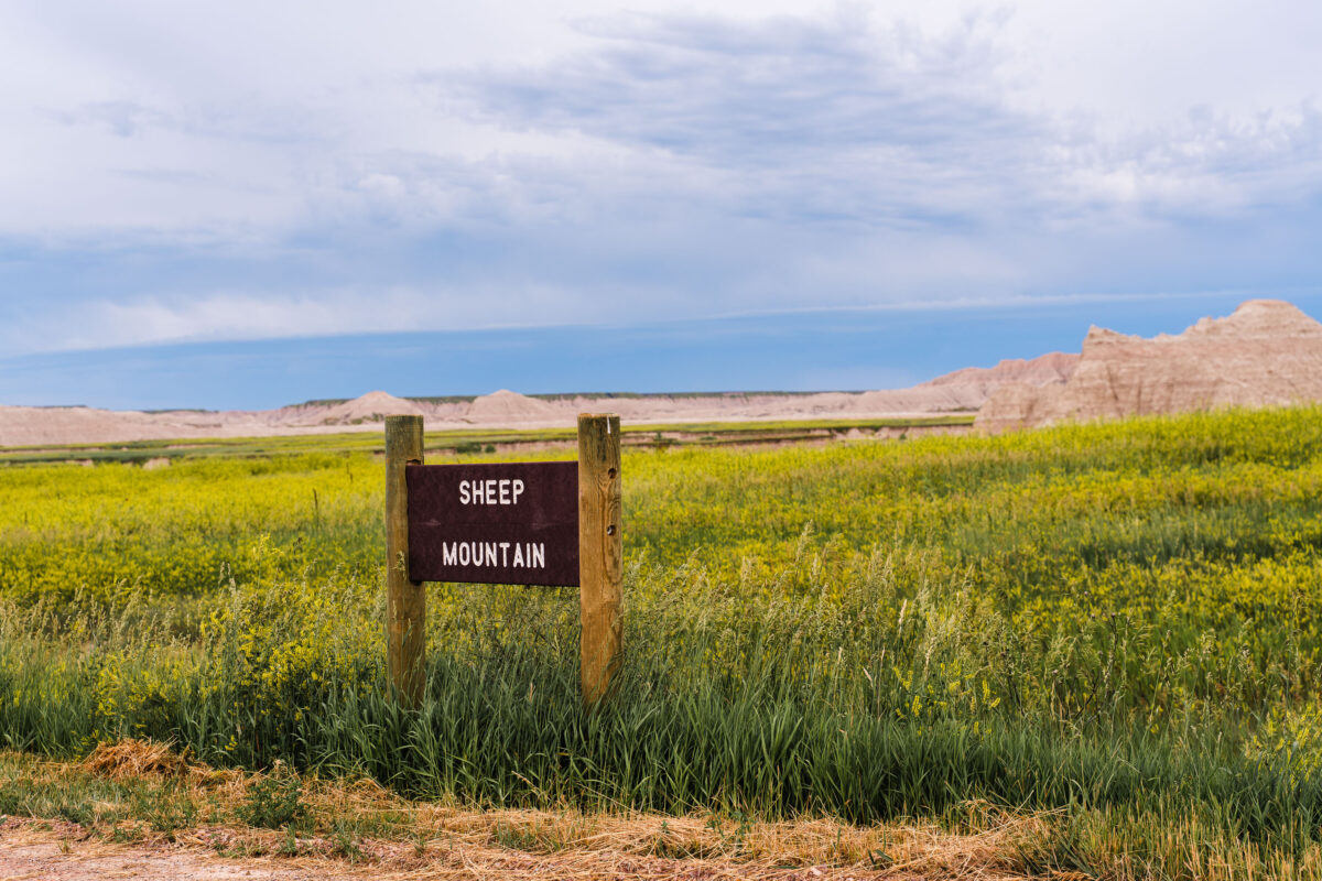
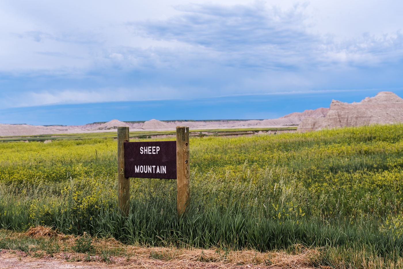
Sheep Mountain Table sign in Badlands National Park's South Unit grasslands, South Dakota.
Sheep Mountain Table lies in the South Unit of Badlands National Park, a section co-managed with the Oglala Sioux Tribe on land within the Pine Ridge Reservation. The unpaved road to the table climbs through prairie grassland and can become impassable after rain, which limits access to drier months. In early summer, the surrounding grassland fills with wild sunflowers and other blooming plants. Unlike the paved loop road through the park's North Unit, this route remains undeveloped, reflecting the South Unit's more remote management and limited infrastructure.

Trailhead Marker for Sheep Mountain Table, South Unit of Badlands National Park
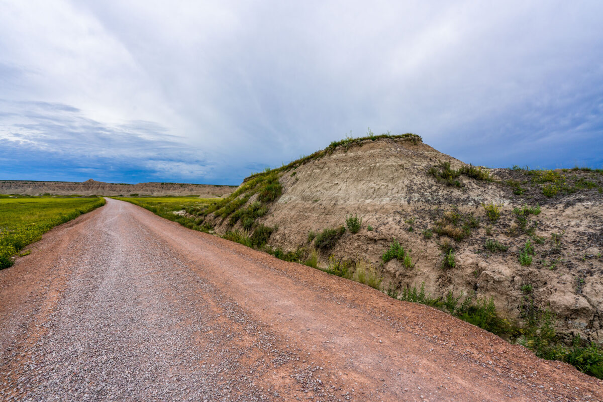
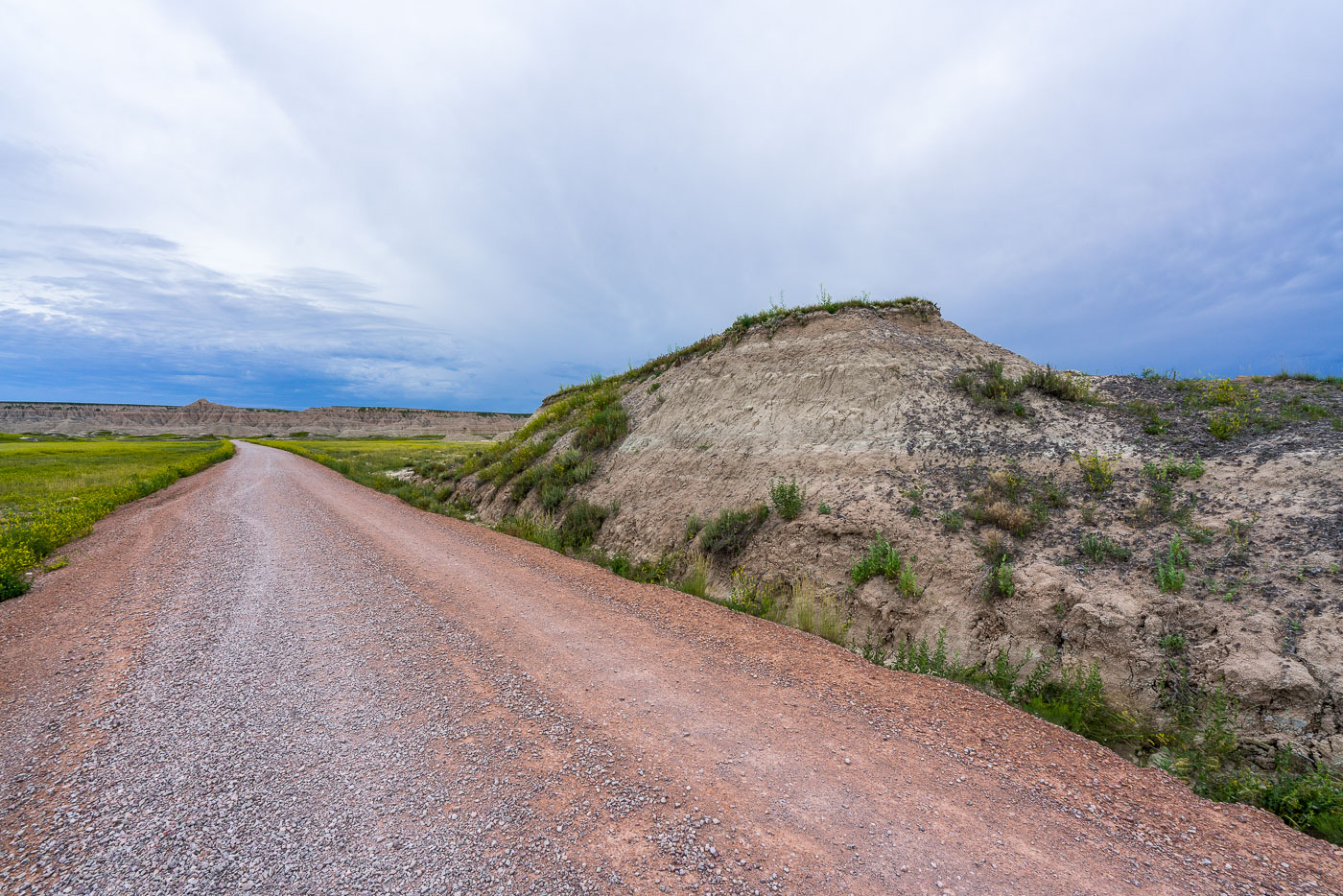
Gravel road ascending toward eroded butte formations in Badlands National Park's South Unit, South Dakota.
Sheep Mountain Table Road climbs through the South Unit of Badlands National Park, a section co-managed with the Oglala Sioux Tribe under a cooperative agreement reached in 1976. The unpaved route becomes impassable when wet and is closed to vehicles beyond certain points during rain. This part of the park lies within the Pine Ridge Reservation and the Buffalo Gap National Grassland, land of long-standing significance to the Oglala Lakota. Unlike the paved loop road through the park's North Unit, this gravel route draws far fewer visitors, largely due to its remoteness and lack of pavement.

Gravel Road Climbing Toward Sheep Mountain Table

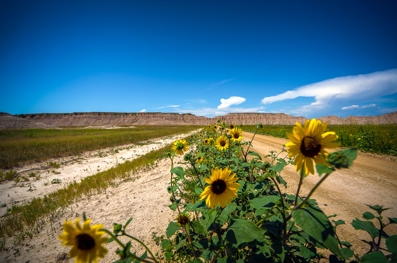
Yellow sunflowers bloom along Sheep Mountain Road in Badlands National Park, South Dakota.
Sheep Mountain Road climbs through the South Unit of Badlands National Park, also known as the Stronghold Unit, which the National Park Service co-manages with the Oglala Sioux Tribe on land within the Pine Ridge Reservation. The park itself spans roughly 244,000 acres of eroded buttes, pinnacles, and prairie grassland, much of it protected since 1978. Common sunflowers, native to the Great Plains, spread along roadsides and disturbed ground throughout the park each summer, their bloom typically peaking from July into early fall. The gravel route here provides access to some of the more remote overlooks in the South Unit, away from the paved Badlands Loop Road that draws most park visitors.

Wild Sunflowers Along Sheep Mountain Road in the Badlands
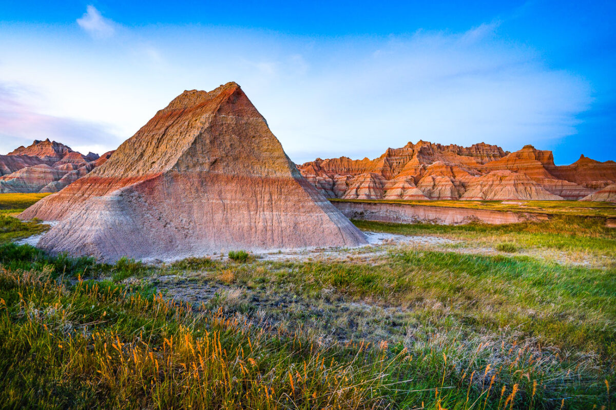
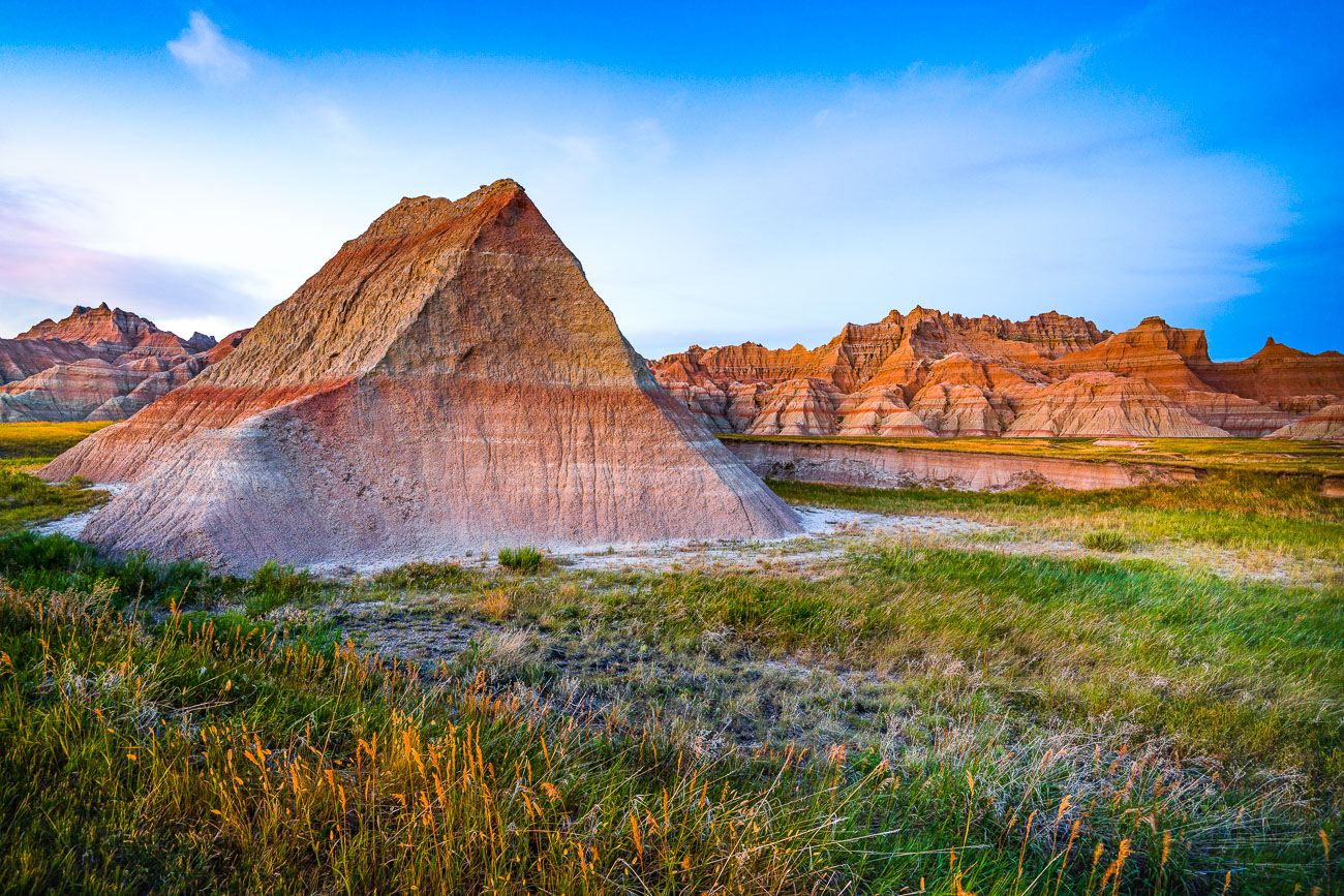
Eroded badlands formations with layered sedimentary rock at Badlands National Park, South Dakota.
The Badlands Wall formation stretches roughly 60 miles through Badlands National Park, separating the upper prairie from the lower prairie along the White River Valley. These sedimentary layers—bands of volcanic ash, claystone, and sandstone—were deposited between 75 and 28 million years ago and have been eroding at a rate of about an inch per year since the process began roughly 500,000 years ago. The park protects more than 244,000 acres, much of it co-managed with the Oglala Sioux Tribe as part of the adjacent Pine Ridge Reservation's South Unit. Fossil beds within these formations have yielded remains of ancient horses, rhinoceroses, and saber-toothed cats, making the area one of the richest Oligocene fossil deposits in the world.

Eroded Spires of the Badlands Wall, South Dakota
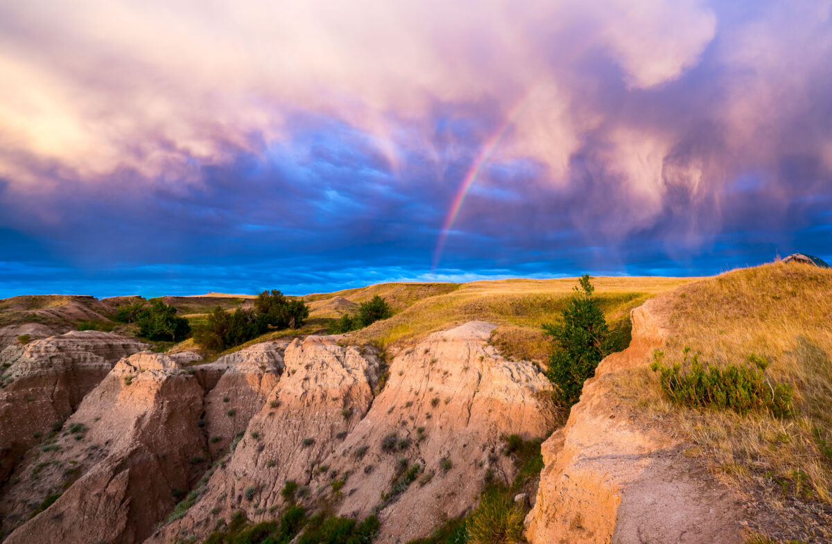
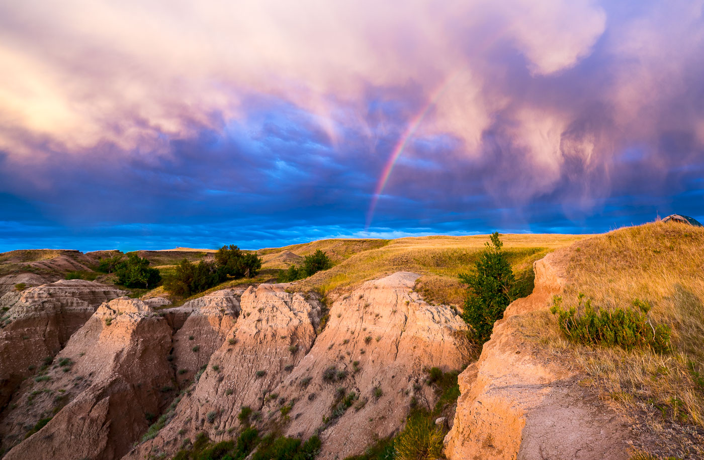
Rainbow arcs over eroded badlands formations and grasslands in Buffalo Gap National Grasslands, South Dakota.
A rainbow arcs across a dramatic sky over the Buffalo Gap National Grasslands in South Dakota. This area, managed by the U.S. Forest Service, preserves a vast expanse of mixed-grass prairie and badlands topography. Established in 1960, the grasslands are a remnant of the Great Plains' natural landscape, supporting diverse wildlife and offering opportunities for dispersed recreation. The unique geological formations visible are the result of millions of years of erosion, creating a rugged and visually striking environment.

Rainbow Over Badlands National Park at Sunrise
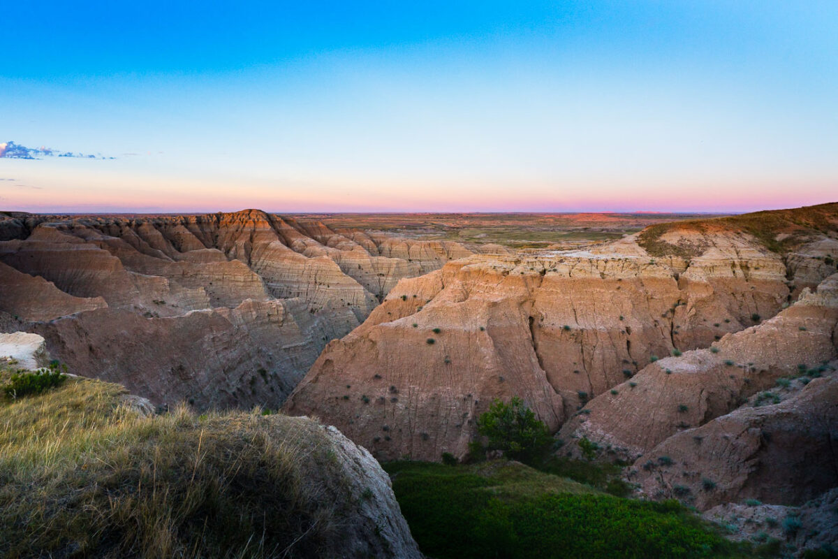
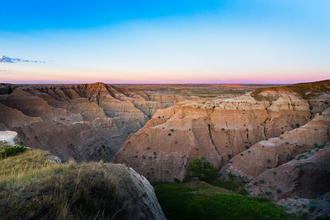
Eroded badlands formations at Buffalo Gap National Grasslands, South Dakota, at sunset.
Buffalo Gap National Grasslands, South Dakota. The grasslands include rugged badlands terrain along the southern edge of the Black Hills region. Much of the area is managed for grazing, wildlife habitat, and dispersed recreation.

Twilight Over the Badlands at Buffalo Gap National Grassland
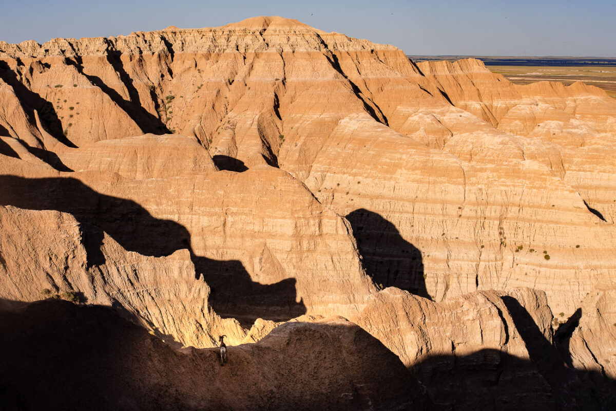
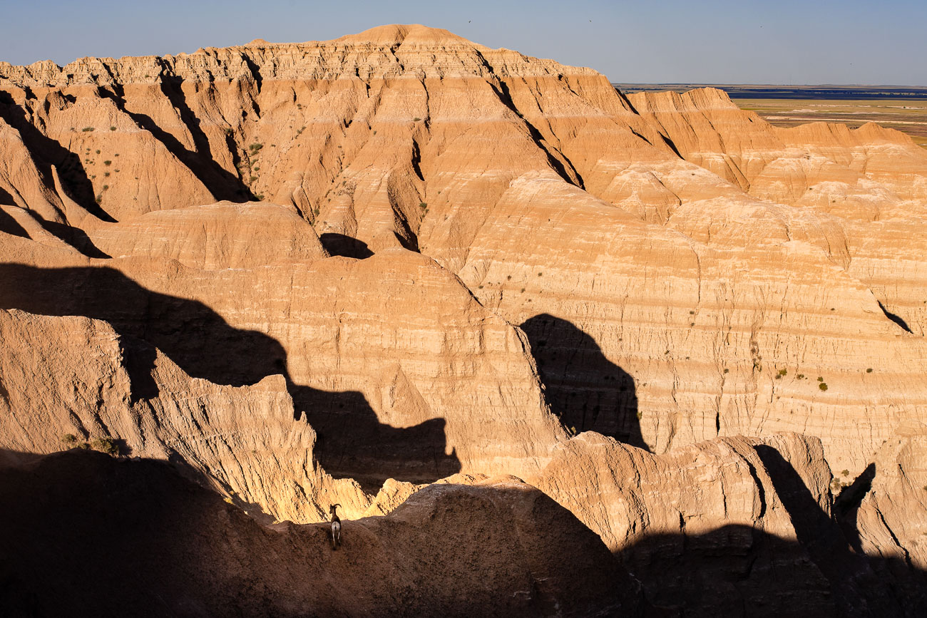
A bighorn sheep stands on a ridge below towering tan badlands formations in South Dakota.
Bighorn sheep inhabit the eroded cliffs and buttes of Buffalo Gap National Grassland in South Dakota. The grassland surrounds much of Badlands National Park and provides habitat for wildlife adapted to the rugged terrain.

A Lone Bighorn Sheep Among Badlands Shadows
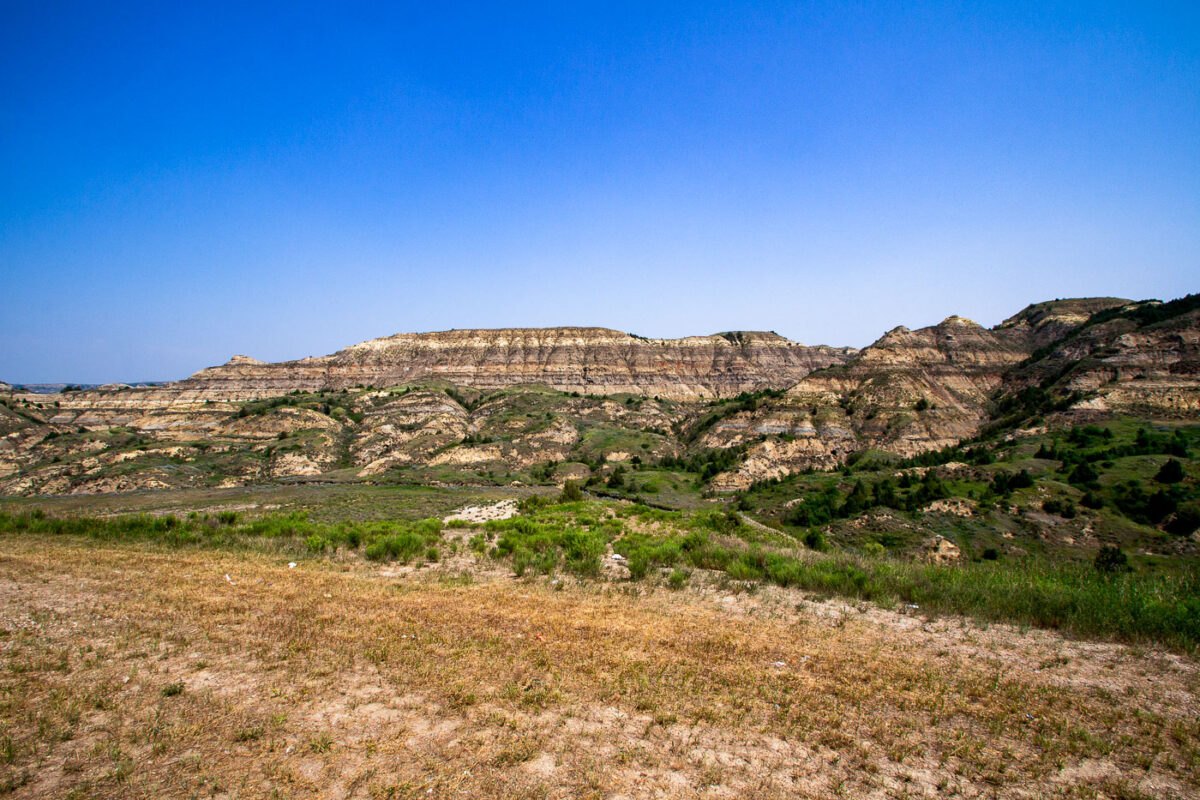
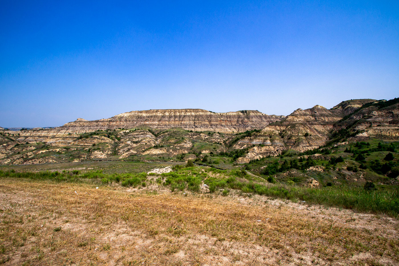
Stratified badlands formations rise above grassland along Theodore Roosevelt Expressway in North Dakota.
These layered buttes sit within the Little Missouri Badlands, part of the Little Missouri National Grassland in western North Dakota. The banded rock exposed here records roughly 60 million years of sediment deposited by ancient rivers and swamps during the Paleocene epoch, including beds of lignite coal, clay, and sandstone. Erosion from wind and the Little Missouri River has carved the soft rock into the buttes and ridges typical of this terrain. Theodore Roosevelt ranched in this region during the 1880s, an experience that later shaped his views on conservation, and much of the surrounding land is now preserved within Theodore Roosevelt National Park.

Eroded Buttes of the North Dakota Badlands Near Medora

Built in Minneapolis

Minneapolis Photographer

Browse by location, move through long-running series, or start with recent work.