Map
More from South Dakota

Foggy Trail to Black Elk Peak, Black Hills, South Dakota
Black Elk Peak, in the Black Hills of South Dakota, rises to 7,244 feet, making it the highest point in…
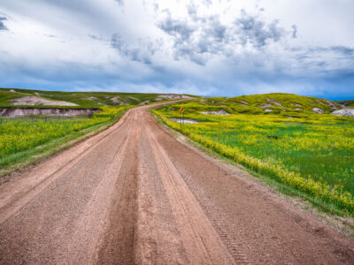
Gravel Road Along Indian Creek, Badlands National Park
Indian Creek Drive is one of several unpaved routes that cut through the mixed-grass prairie of Badlands National Park in…

Highway 44 Through Badlands National Park, South Dakota
Highway 44, a key east-west route in South Dakota, traverses the dramatic geological formations of Badlands National Park. This paved…
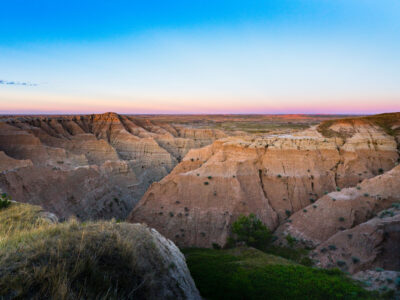
Buffalo Gap National Grasslands Badlands, South Dakota
Buffalo Gap National Grasslands, South Dakota. The grasslands include rugged badlands terrain along the southern edge of the Black Hills…

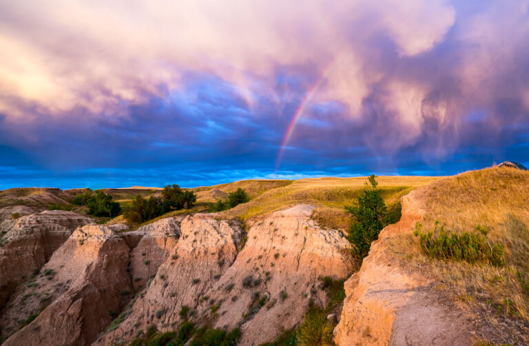
Rainbow Sunrise Over Buffalo Gap National Grasslands, South Dakota
A rainbow arcs across a dramatic sky over the Buffalo Gap National Grasslands in South Dakota. This area, managed by…

Sylvan Lake Fog, Black Hills, South Dakota
Early morning fog blankets Sylvan Lake in South Dakota's Black Hills, obscuring the surrounding granite formations. Created in 1891 by…
Nearby Photos