Place Archive

Badlands National Park

Sheep Mountain Road and Indian Creek Drive cut through Badlands National Park’s eroded buttes and grasslands, revealing sedimentary layers shaped over millions of years. The Saddle Pass Trailhead on Highway 240 offers views of the Badlands Wall and White River Valley, highlighting the park’s paleontological sites and prairie ecosystem.

Map

Photo Map

Markers

Badlands National Park Photo Locations

11 geotagged photos

Photos

Blacktop in Scenic South Dakota
Highway 44, a key east-west route in South Dakota, traverses the dramatic geological formations of Badlands National Park. This paved road, completed in stages over decades, provides essential access through the park's southern region, connecting communities and facilitating tourism. The highway's construction through this rugged terrain highlights the human effort to navigate and utilize the natural landscape. Its presence allows visitors to experience the unique erosional features of the badlands, which have been shaped by wind and water over millions of years.
Yellow center line stretches down an asphalt road through desert badlands with eroded hills.
Badlands Loop Road, also known as South Dakota Highway 240, runs about 31 miles through Badlands National Park, connecting Interstate 90 near Wall to the town of Interior. The route cuts through the park's namesake formations — layered buttes, pinnacles, and spires of sediment deposited over roughly 75 million years and carved by erosion over the last half-million years. The National Park Service maintains several overlooks along the road, including Pinnacles and Yellow Mounds, giving travelers close access to the eroded terrain without leaving the pavement. Badlands National Park itself covers 244,000 acres, including the 64,000-acre Badlands Wilderness Area, one of the largest prairie wildernesses in the country.
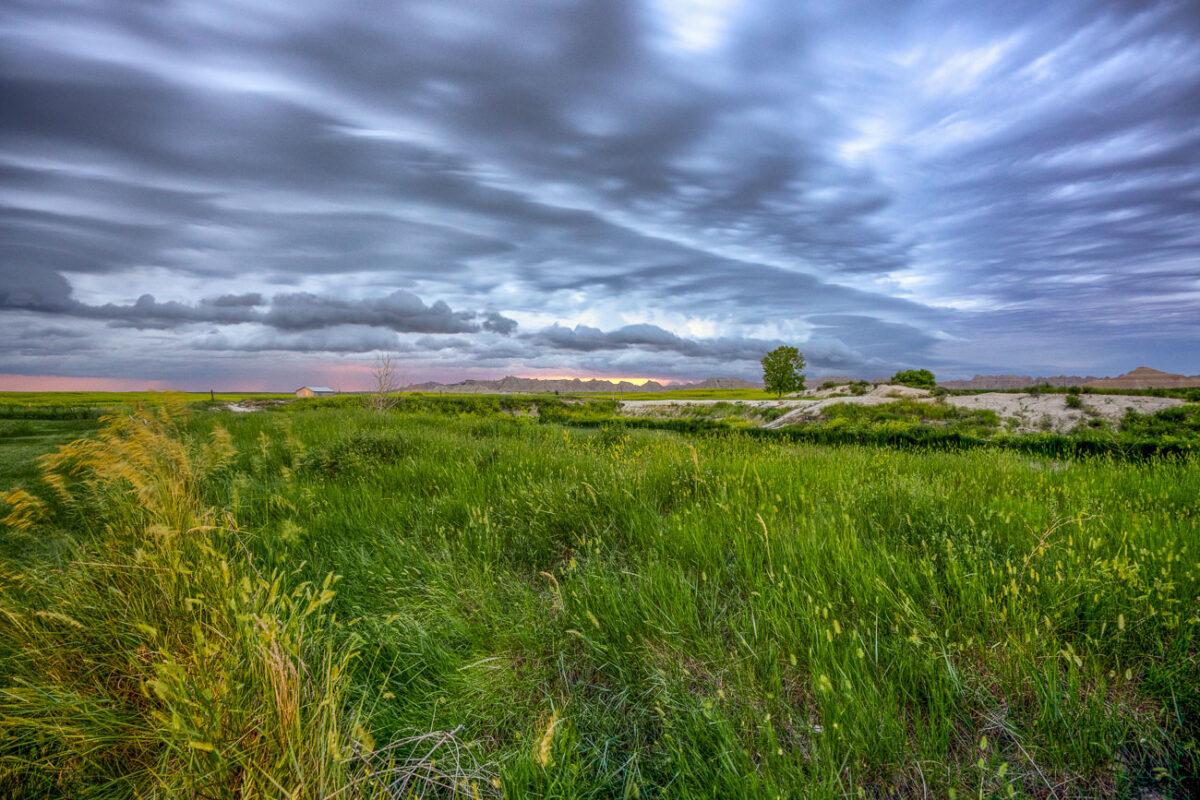
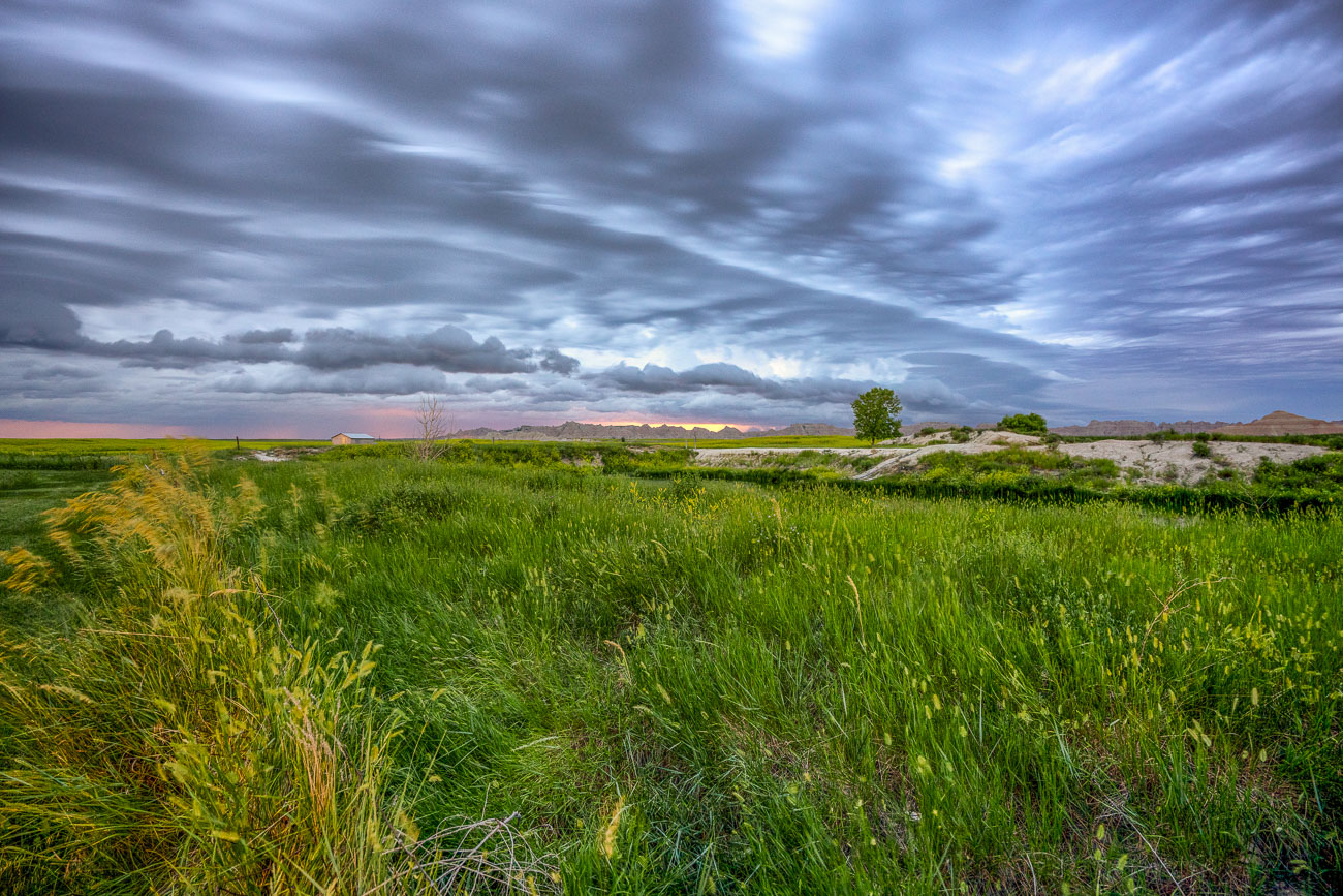
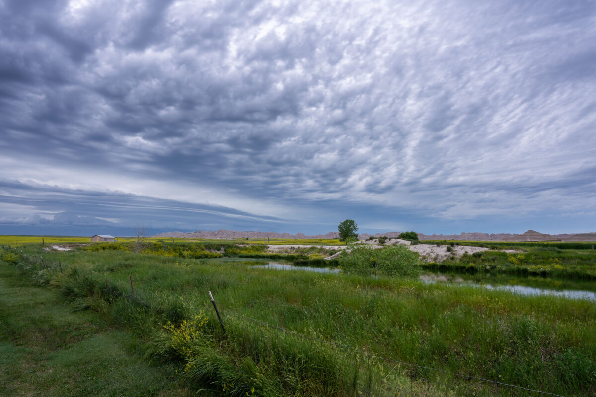
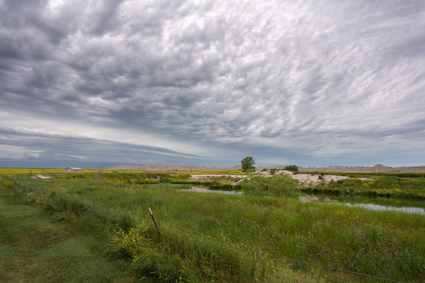
Storm clouds over a South Dakota ghost town
Storm clouds gather over the grasslands near Badlands National Park in South Dakota. The park, established in 1978, preserves a vast area of eroded buttes, pinnacles, and spires formed by sedimentary rock. These geological formations represent millions of years of Earth's history, offering insights into ancient environments and fossil records. The surrounding grasslands are a vital ecosystem, supporting diverse wildlife and maintaining the unique landscape.
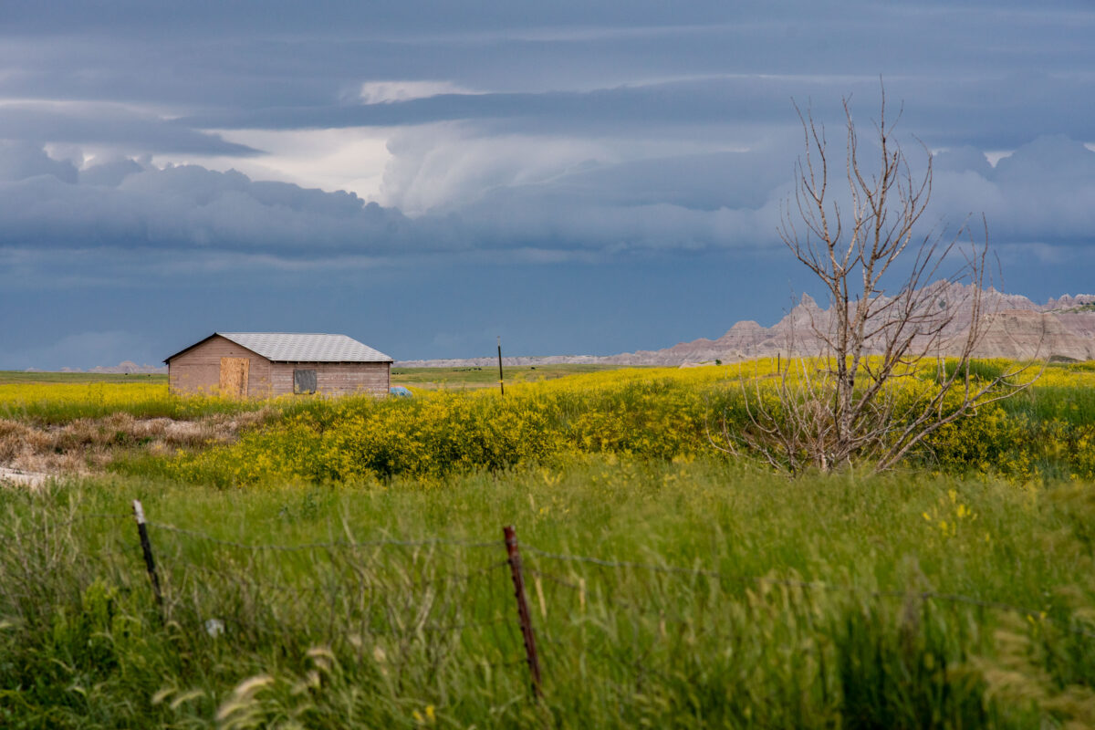
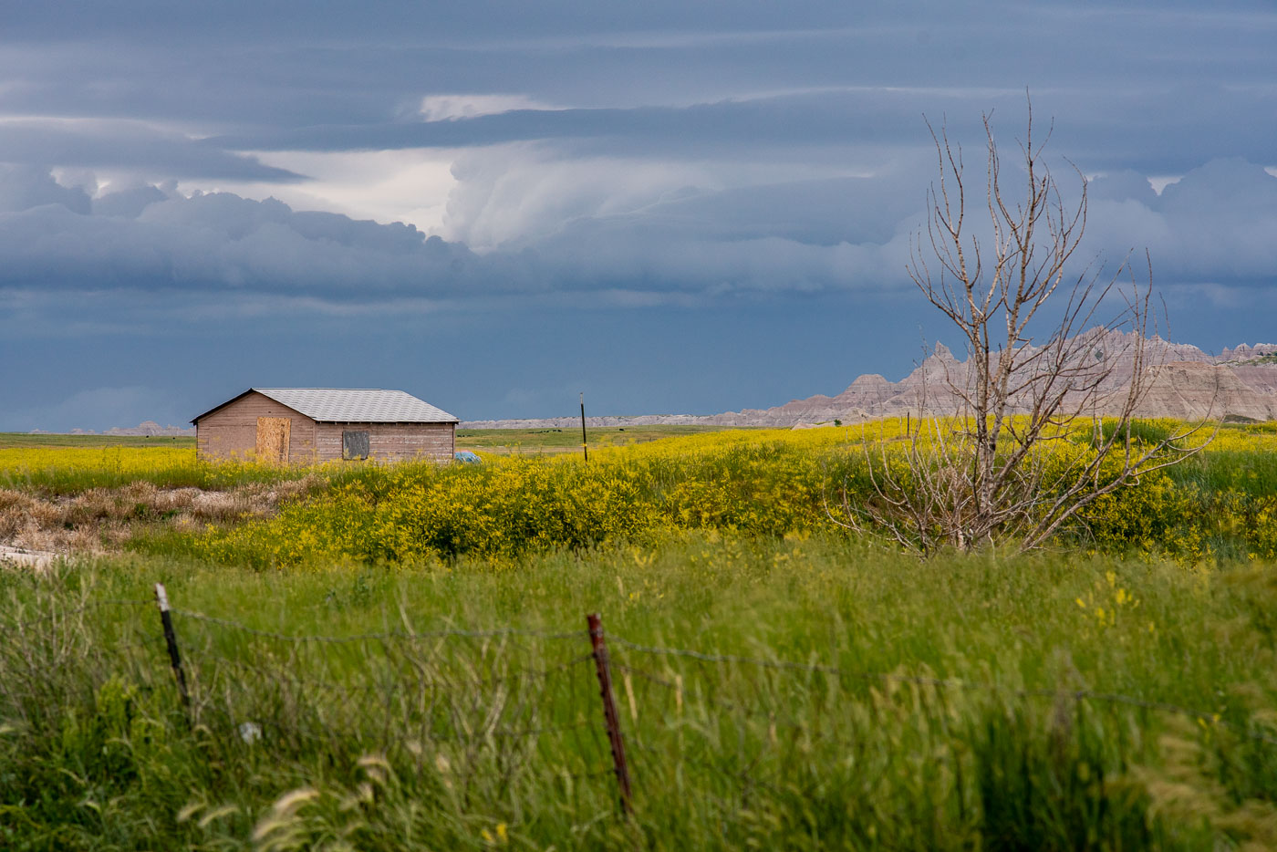
A wooden shed stands in a field of yellow wildflowers near Badlands National Park, South Dakota, under approaching storm clouds.
A wooden shed, likely a remnant of early homesteading or ranching in the area, stands in a field of yellow wildflowers near Interior, South Dakota, on the edge of Badlands National Park. The structure, with its boarded windows, suggests a history of human presence in this rugged landscape. The approaching storm clouds over the distinctive geological formations of the Badlands indicate the region's unpredictable weather patterns. This image reflects the enduring relationship between human endeavors and the vast, untamed prairie environment of the American West.
Storm clouds gather over the Badlands National Park, South Dakota, a landscape of eroded buttes and prairie with a small structure and fence in the foreground.
Storm clouds gather over the Badlands National Park near Interior, South Dakota. The park, established in 1939, preserves a unique geological landscape characterized by eroded buttes, pinnacles, and spires formed over millions of years. This area, once home to Native American tribes and later settled by ranchers, now protects a significant portion of the mixed-grass prairie ecosystem. The presence of a small structure and fence line in the foreground indicates the historical and ongoing human interaction with this rugged environment.
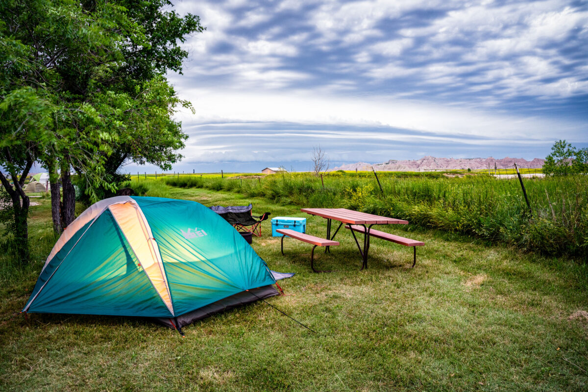
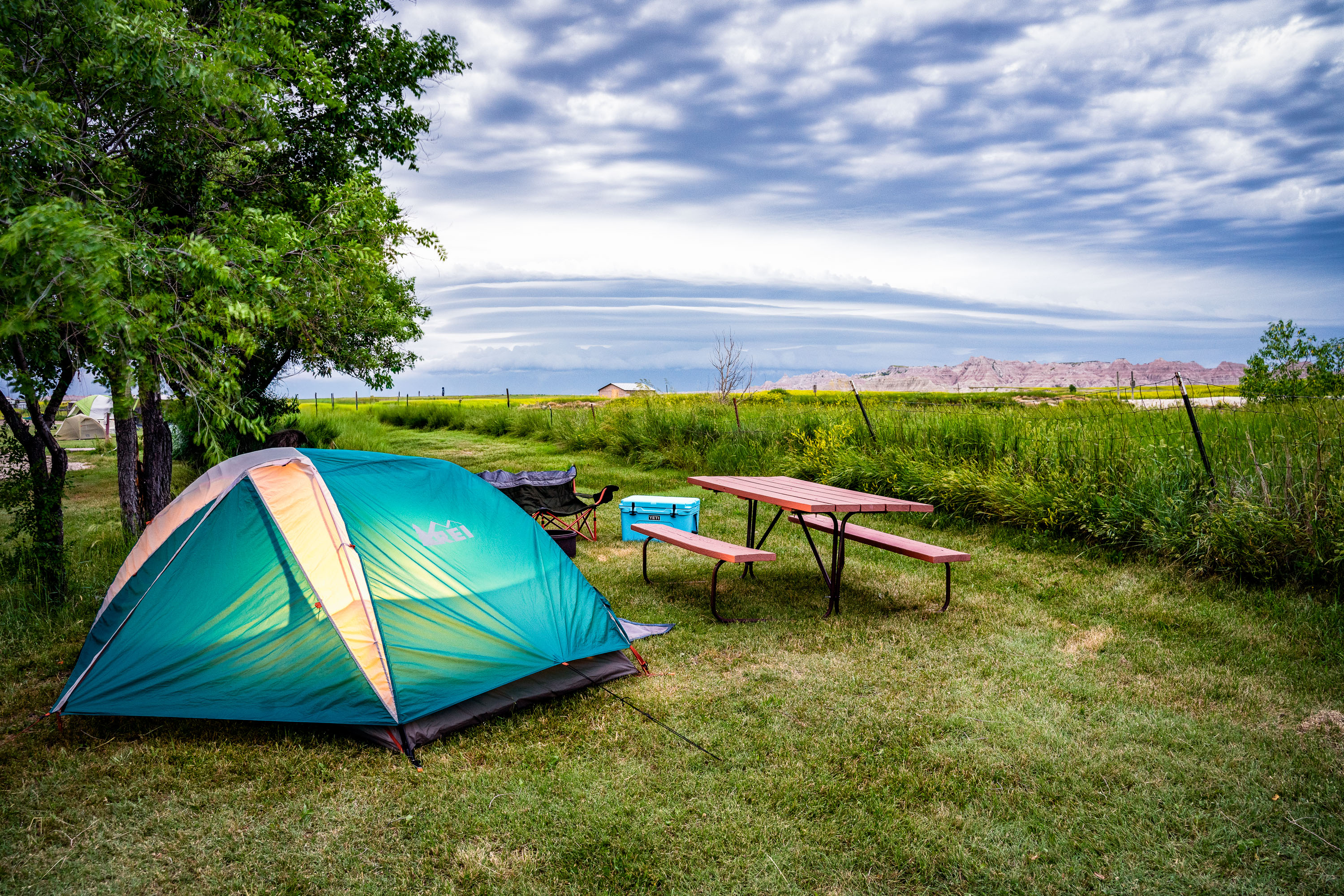
Tent, picnic table, and cooler at a campsite near Badlands National Park in Interior, South Dakota.
Badlands Hotel & Campground sits in Interior, South Dakota, a small town just south of Badlands National Park. It's known among visitors as the closest campground to the park that permits campfires in fire pits, a draw for tent campers who want that option. Sites include picnic tables and open grassy areas with views toward the park's rock formations in the distance.
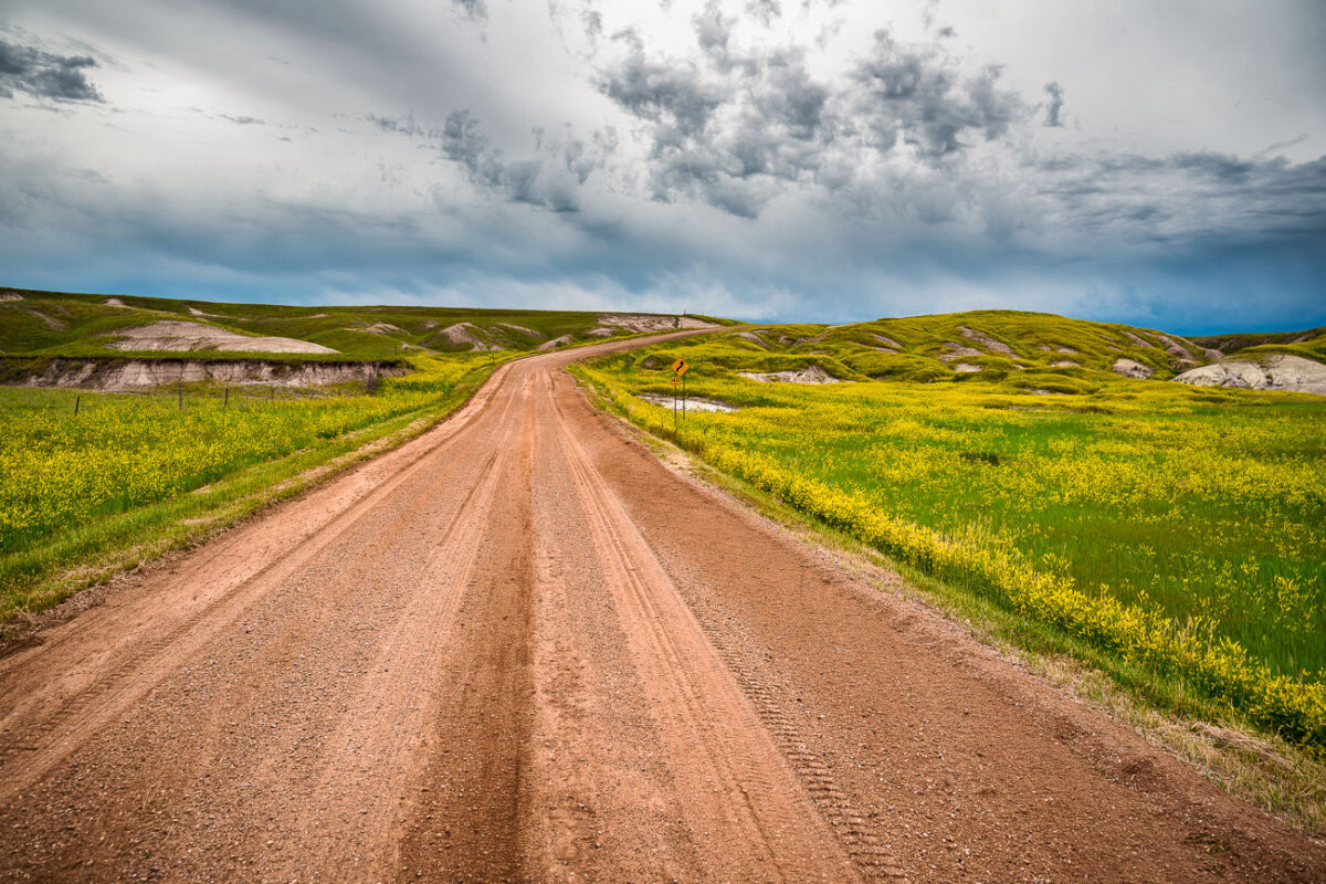
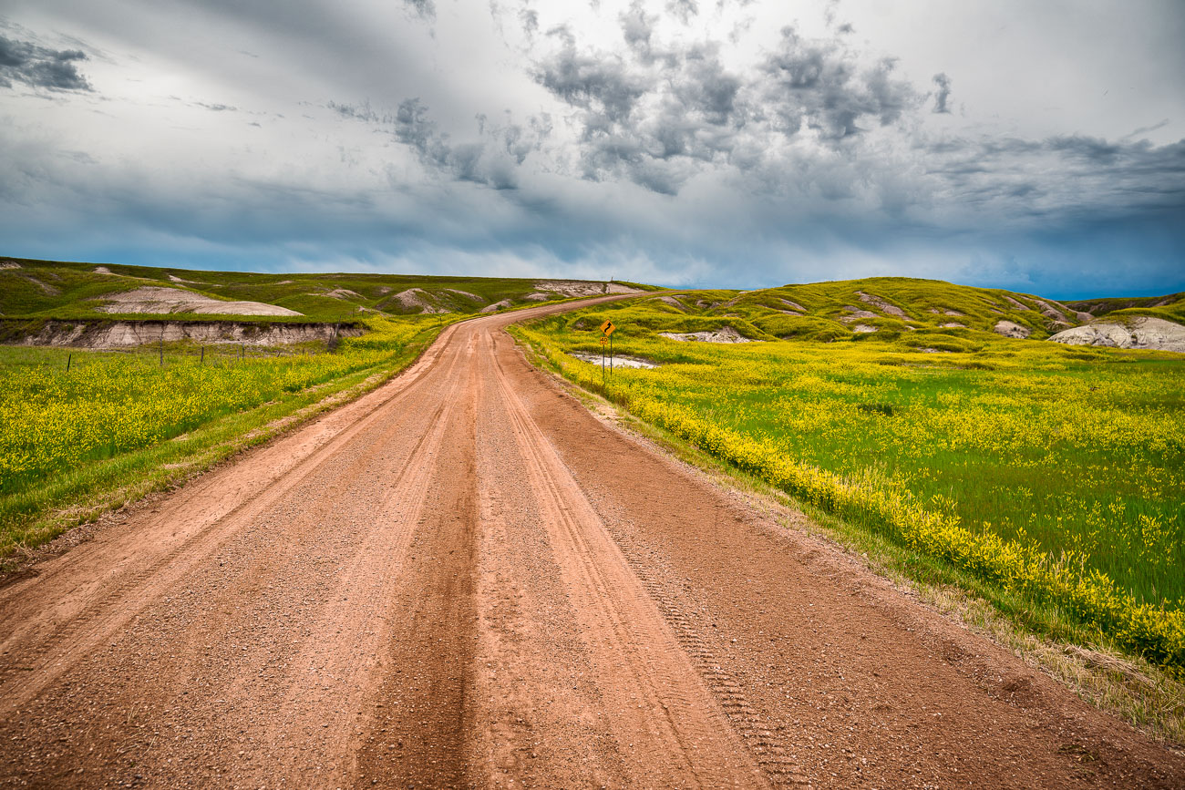
Gravel road stretching through grasslands and badlands formations in Badlands National Park, South Dakota.
Indian Creek Drive is one of several unpaved routes that cut through the mixed-grass prairie of Badlands National Park in southwestern South Dakota. The park itself covers roughly 244,000 acres and was established in 1978, though the eroded buttes and spires along routes like this one have been forming for the better part of half a million years as wind and water wear away layers of Oligocene-era sediment. Roads such as this provide access to the park's more remote grassland sections, where bison, bighorn sheep, and black-footed ferrets — reintroduced here in the 1990s after being considered extinct in the wild — still range. The surrounding terrain sits within the traditional homeland of the Oglala Lakota, and much of the park's south unit remains co-managed with the Oglala Sioux Tribe.
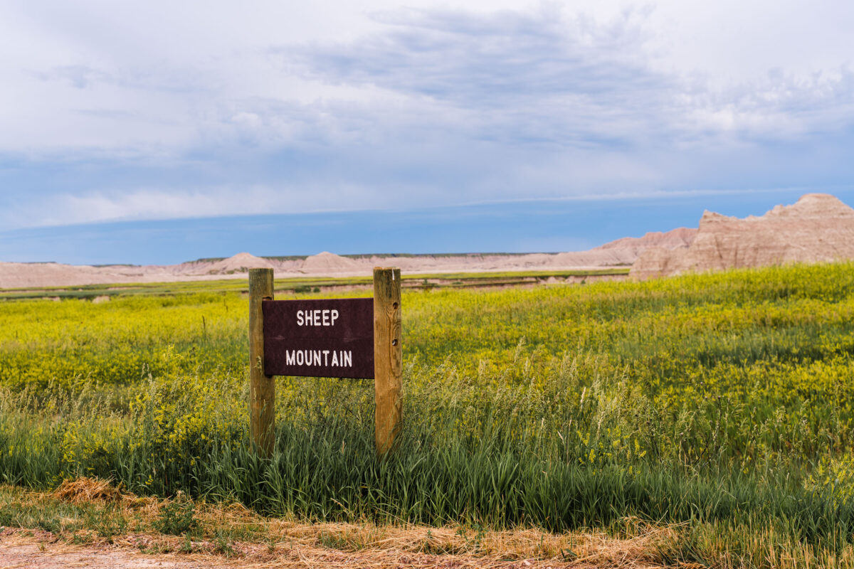
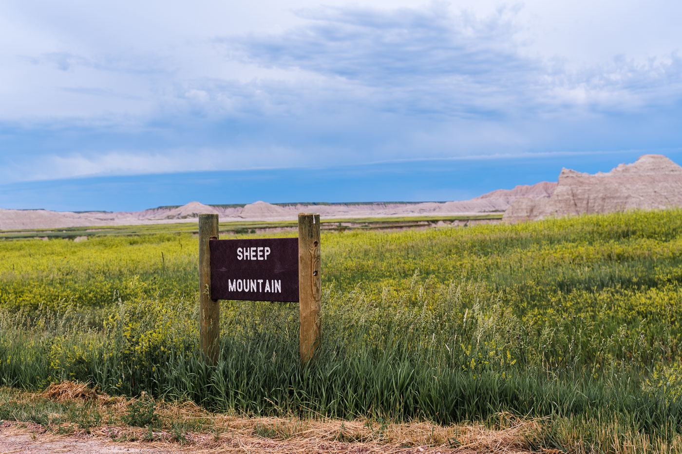
Sheep Mountain sign in grassland with badlands formations visible in Badlands National Park, South Dakota.
Sheep Mountain Table sits in the South Unit of Badlands National Park, a section jointly managed with the Oglala Sioux Tribe on land within the Pine Ridge Reservation. A gravel and dirt road leads to the table, climbing to prairie grasslands that overlook the eroded spires and buttes of the Badlands Wall below. The route is popular for viewing sunsets and, in early summer, fields of wild sunflowers and other blooming prairie plants along its length. Unlike the paved loop road through the park's North Unit, the Sheep Mountain Table road is unpaved and can become impassable after rain, limiting access to drier months.
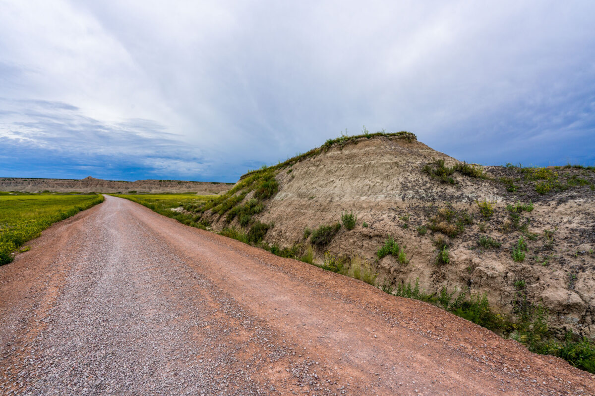
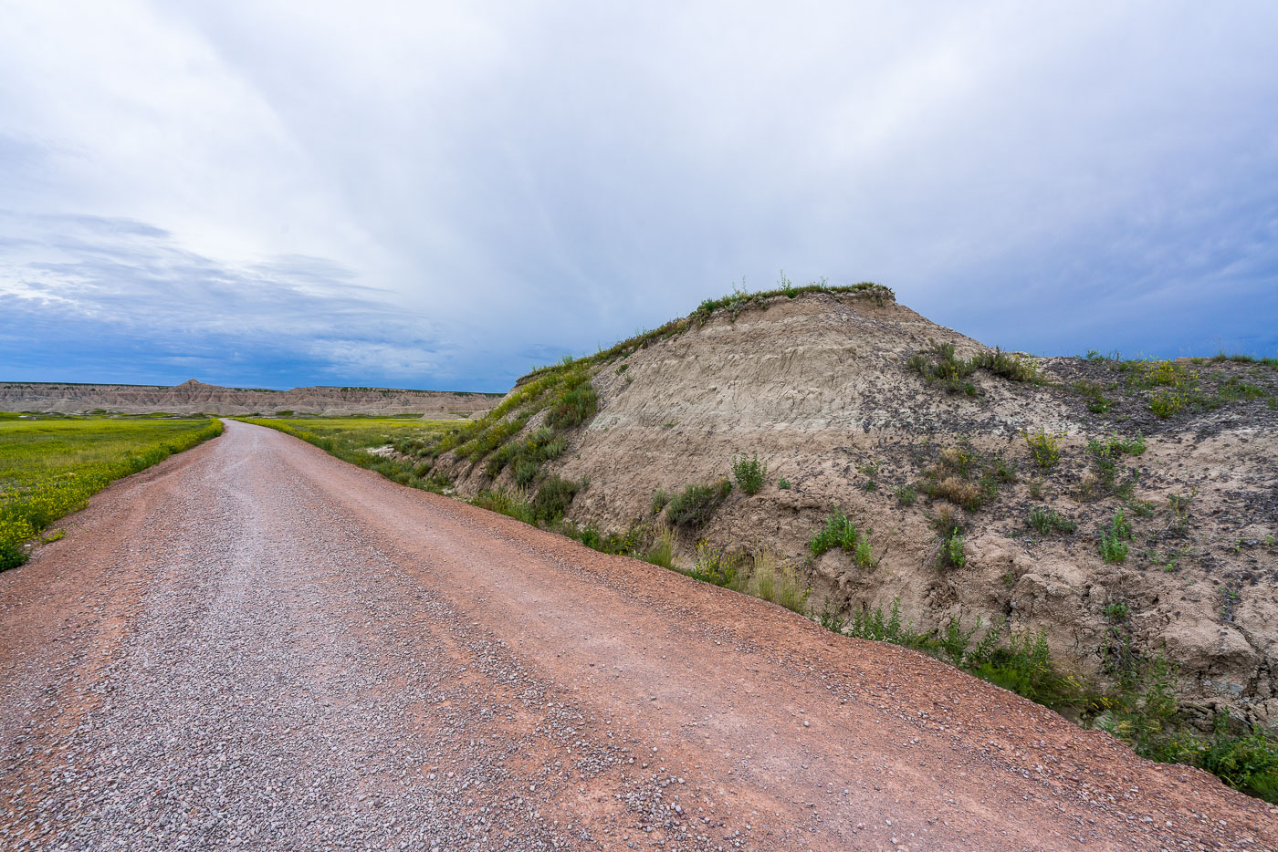
Unpaved Sheep Mountain Road stretches across grassland beside eroded butte in Badlands National Park, South Dakota.
Sheep Mountain Table Road runs through the South Unit of Badlands National Park, a section managed jointly with the Oglala Sioux Tribe and closed to vehicles beyond a certain point when wet. The gravel route climbs onto Sheep Mountain Table, a grass-topped formation rising above the surrounding mixed-grass prairie, and ends near an overlook popular for sunset views. This part of the park sits within the Pine Ridge Reservation and the Buffalo Gap National Grassland, land that carries deep significance for the Oglala Lakota. Unlike the paved loop road through the park's North Unit, Sheep Mountain Table Road sees relatively few visitors, in part because of its remote location and unpaved surface.
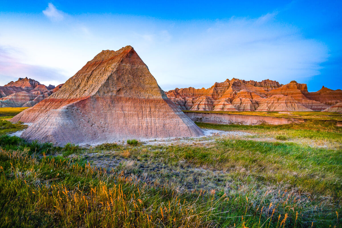
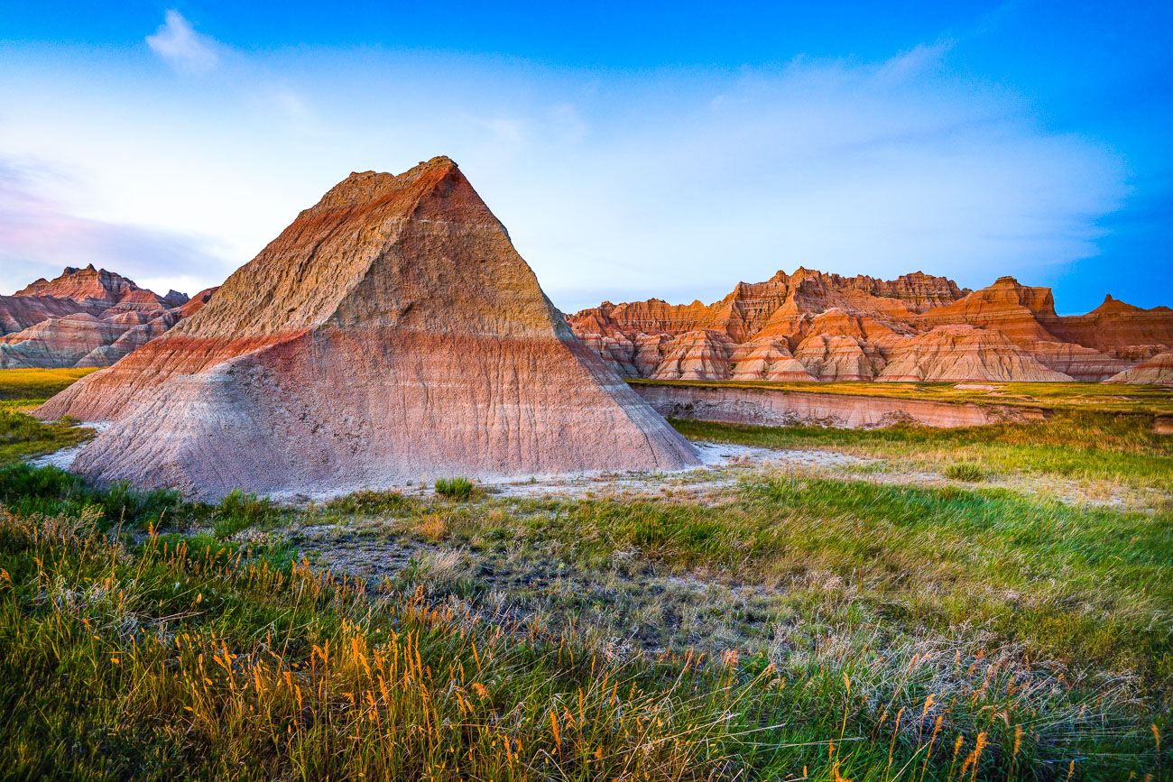
Blue skies and badland formations
Badlands National Park, South Dakota, is characterized by its rugged, eroded landscape of sedimentary rock formations. The Saddle Pass Trailhead area, accessible via Highway 240, provides access to the Badlands Wall. This geological region, formed over millions of years by erosion, offers a glimpse into the area's paleontological history, with numerous fossil beds discovered within the park. The short hike from Saddle Pass leads to panoramic views of the White River Valley, showcasing the park's unique geological features and vast prairie ecosystems.
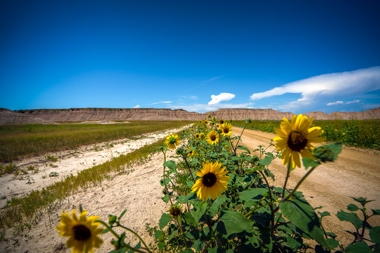
Sunflowers on Sheep Mountain Road
Sunflowers bloom along Sheep Mountain Road in Badlands National Park, South Dakota. This area, known for its unique geological formations, is a popular destination for visitors seeking to experience the natural beauty of the Northern Plains. The road itself provides access to various overlooks and trails within the park, allowing for exploration of the rugged landscape. The presence of wildflowers like sunflowers adds a vibrant contrast to the arid environment, highlighting the resilience of plant life in this challenging ecosystem.

Built in Minneapolis

Minneapolis Photographer

Browse by location, move through long-running series, or start with recent work.