Map
More from Badlands National Park

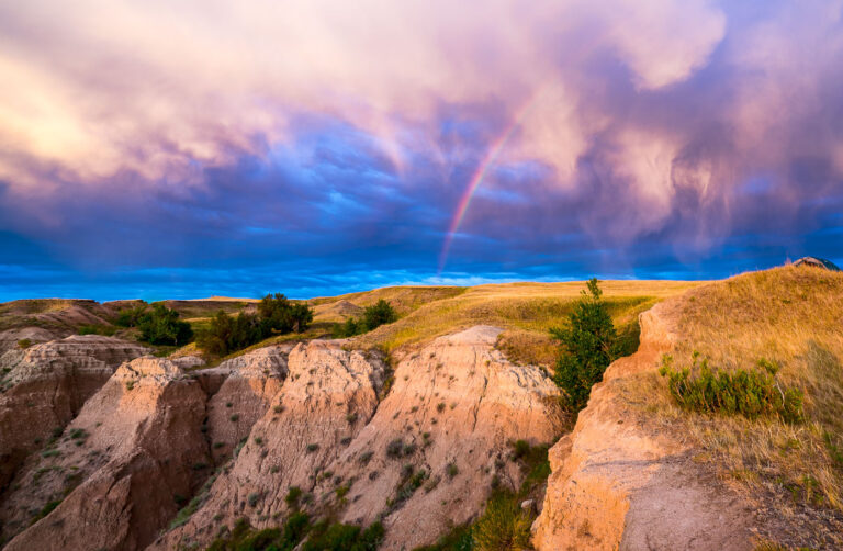
Eroded Spires of the Badlands Wall, South Dakota
The Badlands Wall formation stretches roughly 60 miles through Badlands National Park, separating the upper prairie from the lower prairie…

Wild Sunflowers Along Sheep Mountain Road in the Badlands
Sheep Mountain Road climbs through the South Unit of Badlands National Park, also known as the Stronghold Unit, which the…

Gravel Road Climbing Toward Sheep Mountain Table
Sheep Mountain Table Road climbs through the South Unit of Badlands National Park, a section co-managed with the Oglala Sioux…

Trailhead Marker for Sheep Mountain Table, South Unit of Badlands National Park
Sheep Mountain Table lies in the South Unit of Badlands National Park, a section co-managed with the Oglala Sioux Tribe…

Mixed-Grass Prairie Along Badlands National Park's Northern Boundary
Badlands National Park sits at the edge of a mixed-grass prairie ecosystem, one of the largest protected tracts of this…

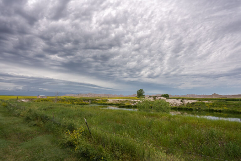
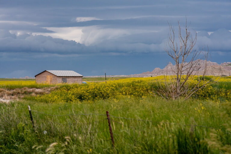
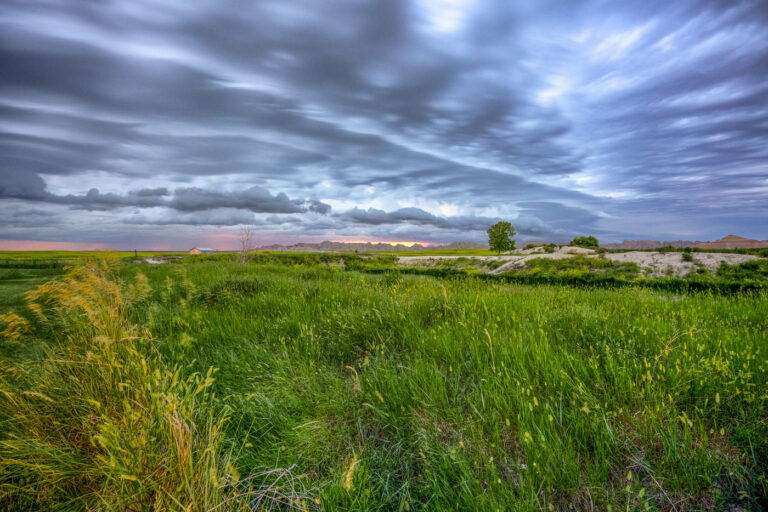
Wetland and Ranchland Near Badlands National Park
Badlands National Park spans more than 242,000 acres of mixed-grass prairie and eroded rock formations in southwestern South Dakota. The…
Nearby Photos