Cloud

27 photos · 2016–2025

27 photographs tagged Cloud, 2016–2025.
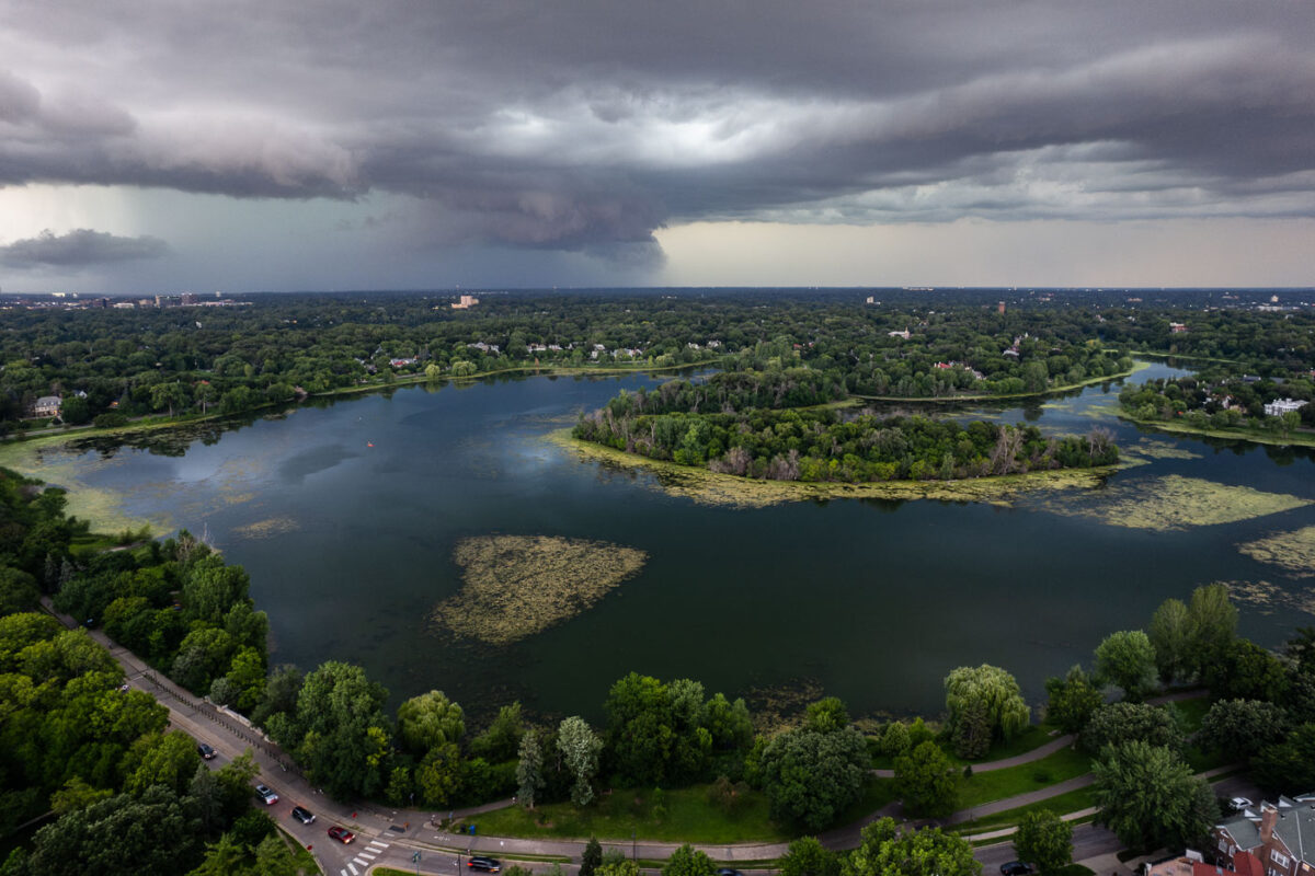
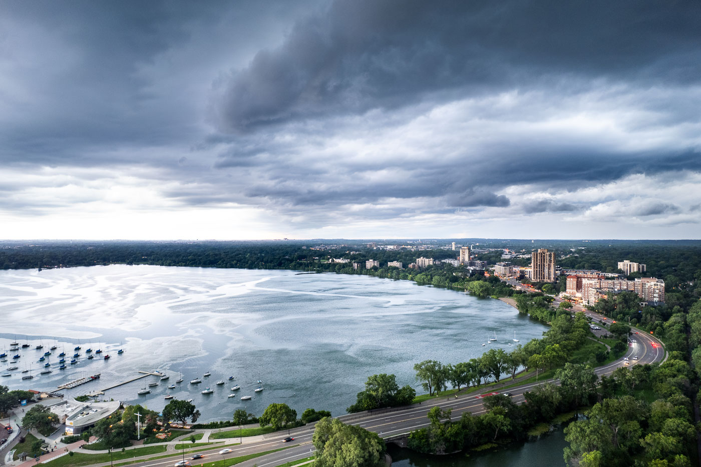
Summer thunderstorm clouds gathering over Lake of the Isles in Minneapolis surrounded by residential neighborhoods.
A summer thunderstorm approaches Lake of the Isles in Minneapolis, a significant feature of the city's park system.

Storm Clouds Roll Over Lake of the Isles in Minneapolis
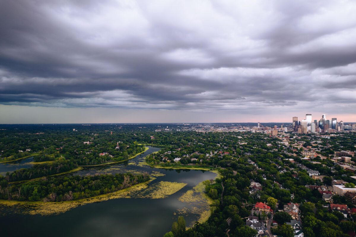
Aerial view of Lake of the Isles with downtown Minneapolis skyline under stormy clouds.
A thunderstorm builds over Lake of the Isles, one of Minneapolis's Chain of Lakes. Downtown Minneapolis visible in the background.

Storm Clouds Building Over Lake of the Isles Toward Downtown Minneapolis
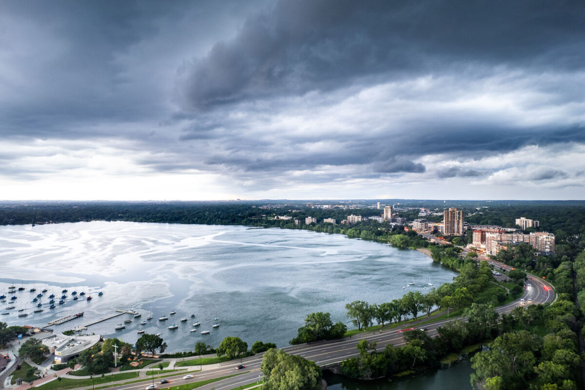
Thunderstorm clouds gather above Bde Maka Ska lake with Minneapolis skyline and moored boats visible beneath.
A thunderstorm approaches Bde Maka Ska in Minneapolis on July 27, 2025. Bde Maka Ska, meaning 'Lake White Earth' in Dakota, is the largest lake in Minneapolis and a central feature of the city's Chain of Lakes.

Thunderstorm over Bde Maka Ska, Minneapolis, July 2025
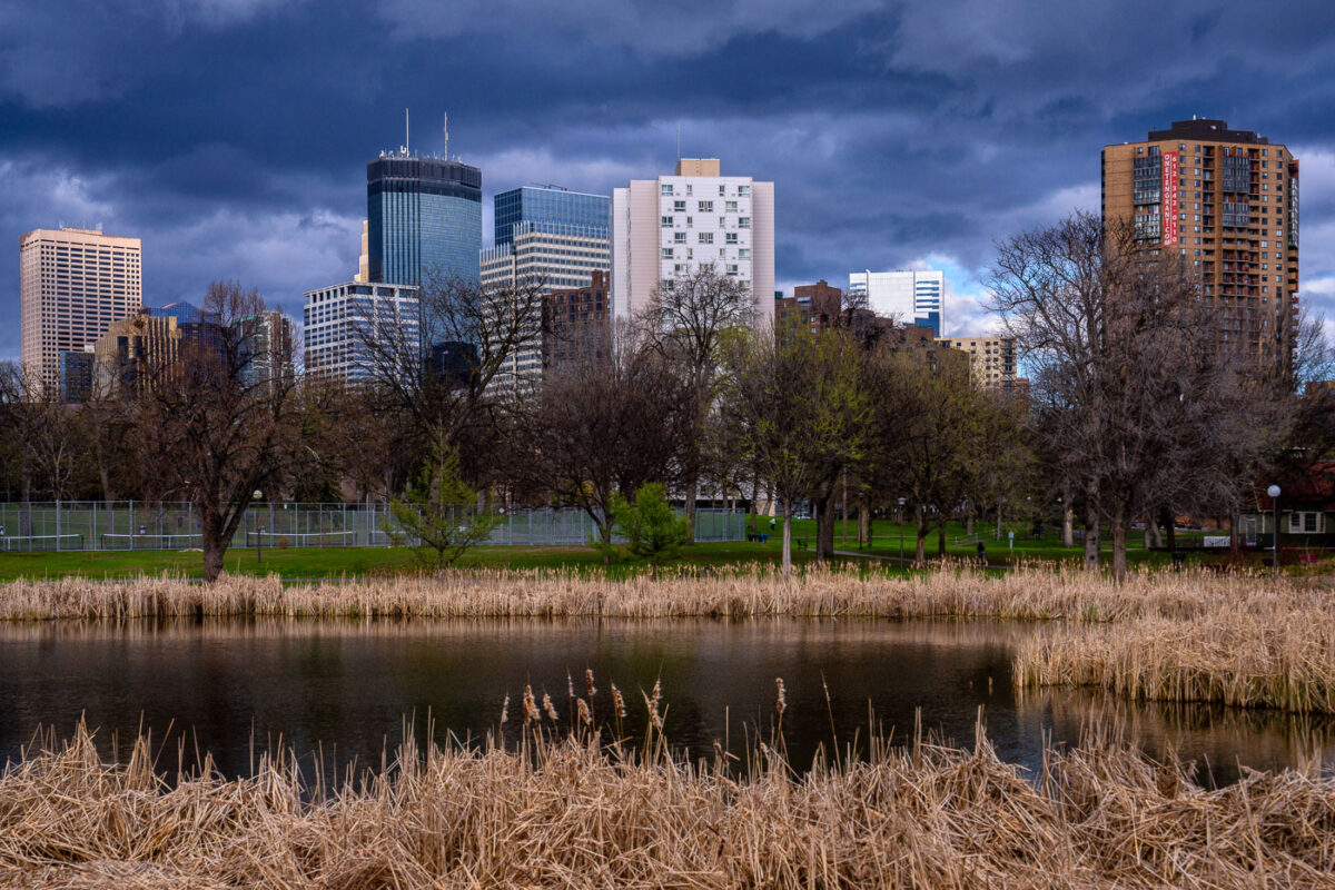
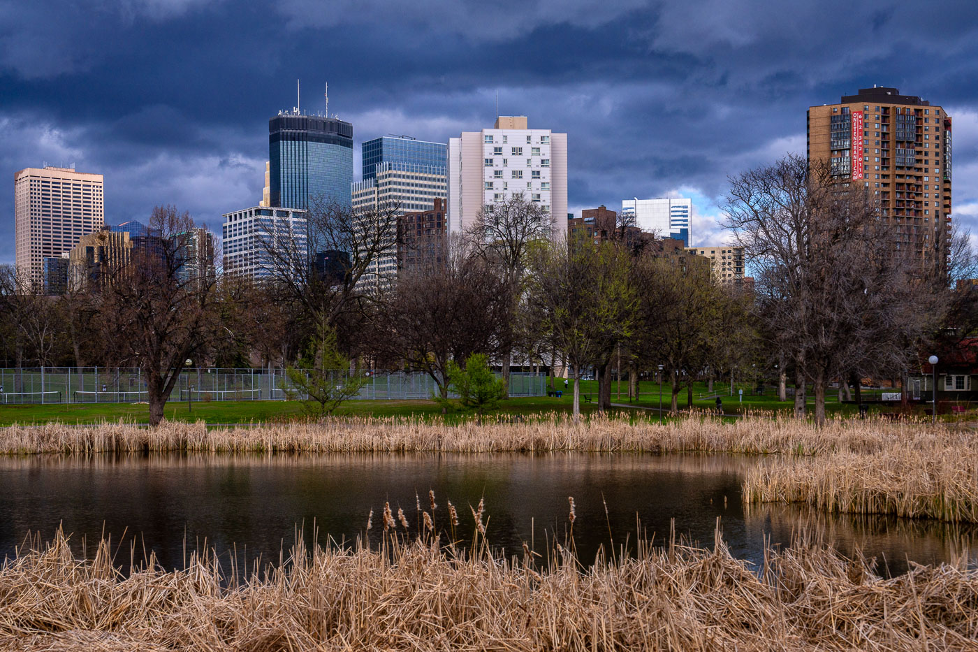
Storm clouds and Loring Pond
The downtown Minneapolis skyline rises beyond Loring Park, a significant urban green space established in the late 19th century. From Loring Pond, the city's commercial core is visible, featuring prominent structures like the IDS Center and Capella Tower, which represent a blend of modern glass high-rises and historic brick architecture. As one of Minneapolis's oldest parks, Loring Park provides a natural respite for residents and visitors.

Minneapolis Skyline from Loring Park, Early Spring Storm Clouds
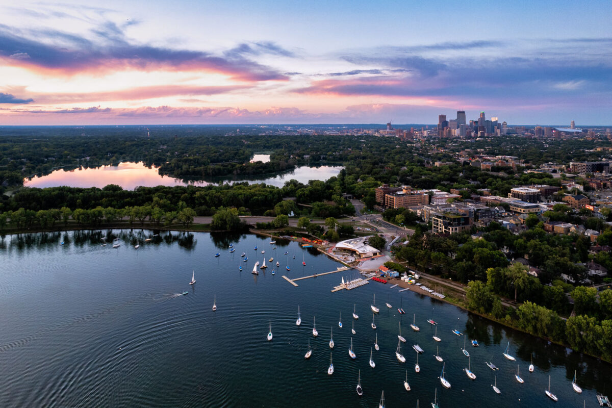
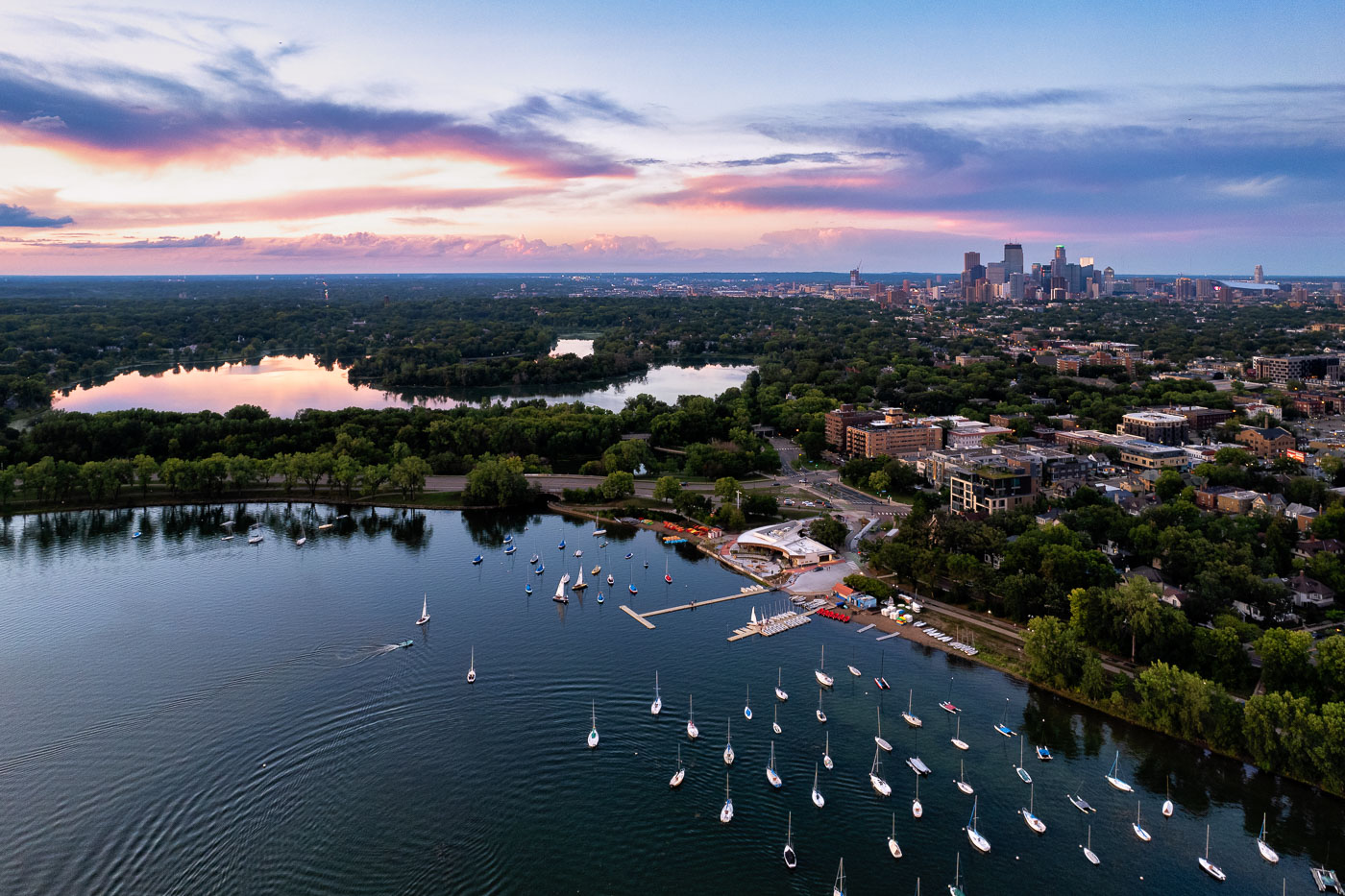
Sailboats on lake with city skyline
Sailboats on Bde Maka Ska in Minneapolis during sunset. Lake of the Isles seen in the distance.

Sailboats and a colorful sunset

Downtown Minneapolis skyline with Capella Tower, IDS Center, and Wells Fargo Center under blue sky with white clouds.
Caught some real funky clouds behind downtown Minneapolis. Capella Tower, Wells Fargo Center, IDS Center are some of the large buildings shown on this day in August 2023.

Capella Tower and Wells Fargo Center Under Storm Clouds
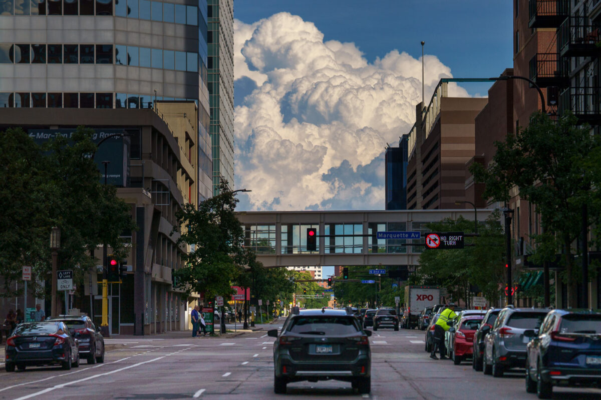
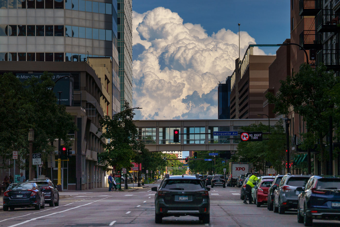
Dramatic cumulus clouds tower above South 10th Street in downtown Minneapolis, framed by buildings and a skyway bridge.
Large clouds above 10th Street in Downtown Minneapolis on August 3, 2023.

Storm Clouds Building Over Marquette Avenue in Downtown Minneapolis
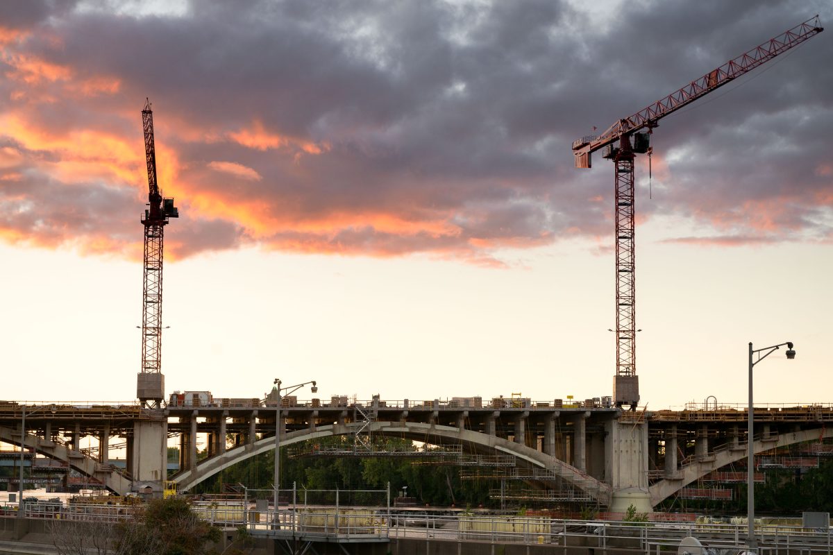
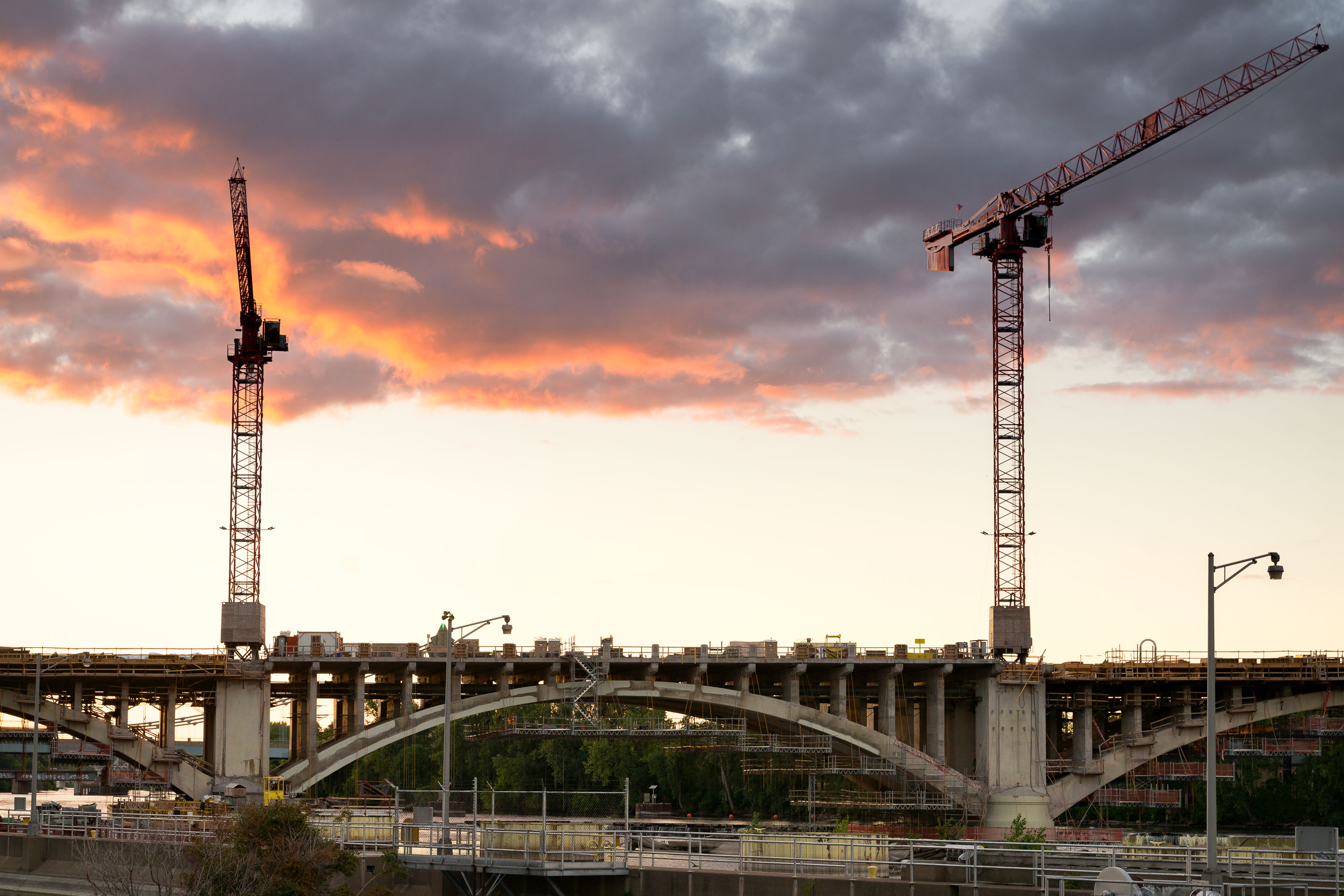
Third Avenue Bridge under construction in Minneapolis at sunset with two cranes.
Construction cranes are visible over the Third Avenue Bridge in Minneapolis during a sunset. This bridge is a critical link between downtown Minneapolis and the Northeast community, spanning the Mississippi River. The ongoing reconstruction project aims to modernize the structure, which was originally built in the early 20th century and has served as a key piece of the city's transportation network.

Third Avenue Bridge Construction, Minneapolis Sunset
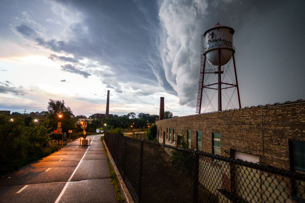
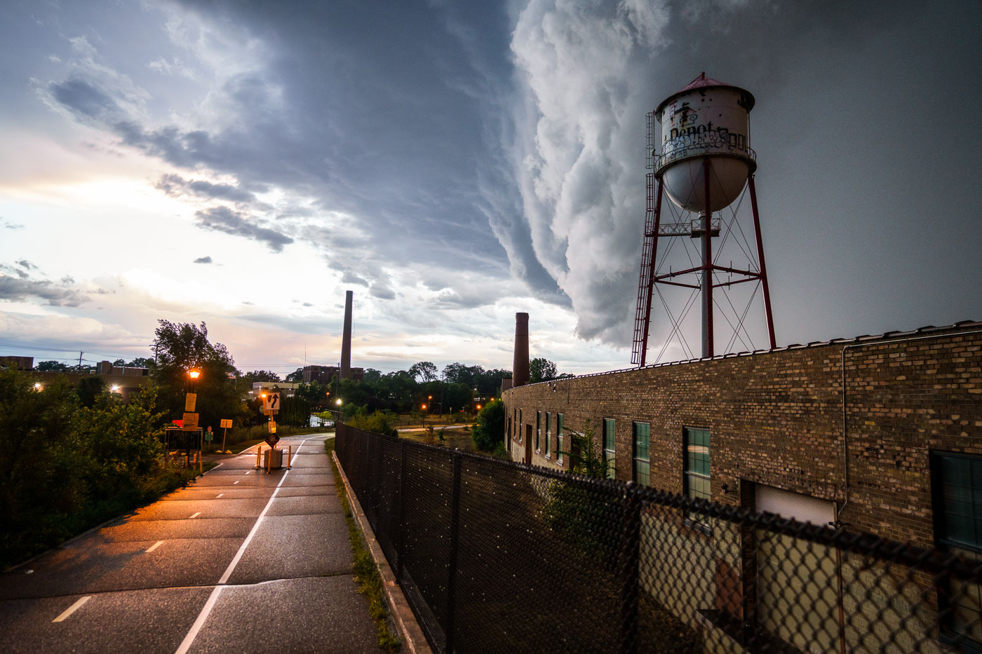
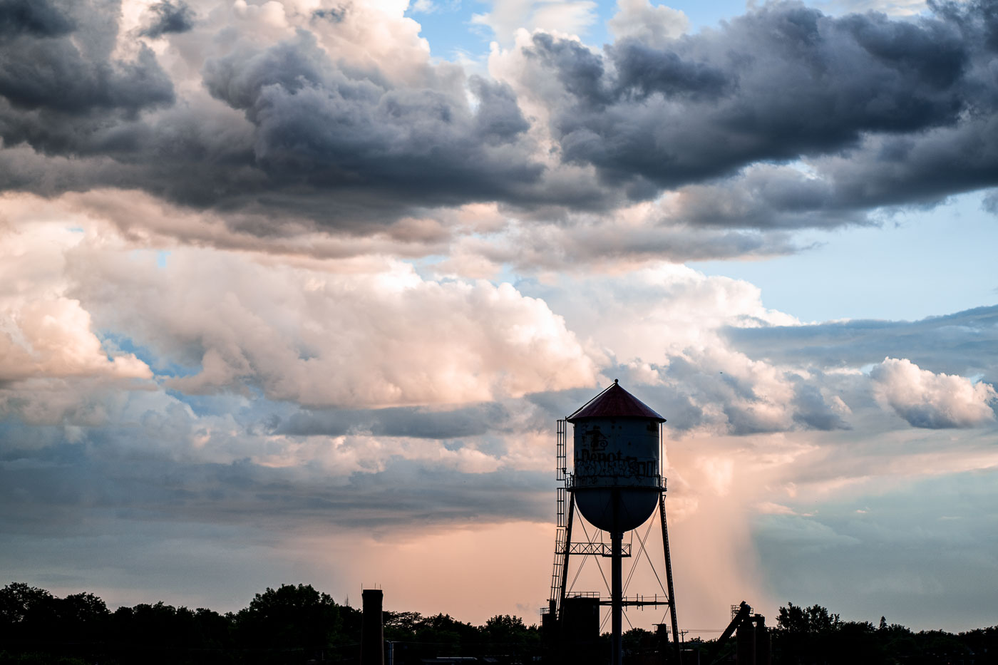
Depot water tower in Minneapolis beneath a thunderstorm over the Roof Depot site.
A massive storm front approaches Minneapolis on July 12, 2022, casting dark clouds over the city's industrial landscape. The photograph features a prominent water tower, labeled "Depot," and a brick industrial building, likely part of a former manufacturing or processing facility given the presence of smokestacks in the background. Water towers like this were essential for providing water pressure for industrial processes and fire suppression in urban and industrial areas. This particular tower, with its distinctive "Depot" marking, may have served a specific industrial complex or transportation hub within Minneapolis.

Minneapolis Depot Water Tower Under Storm Clouds
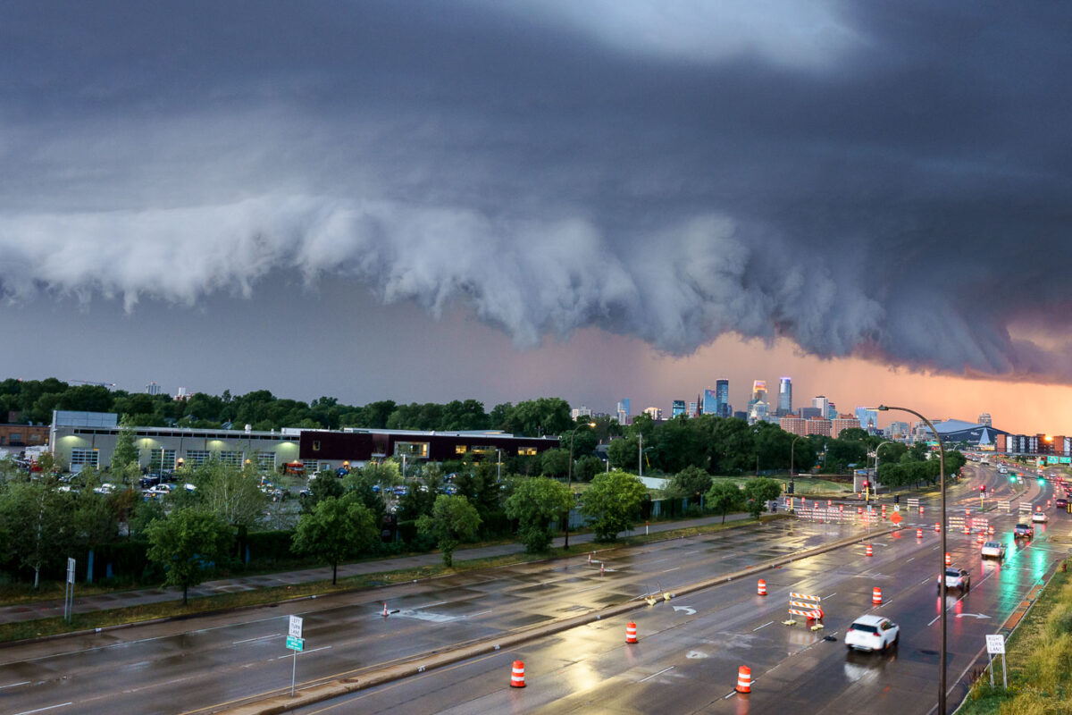
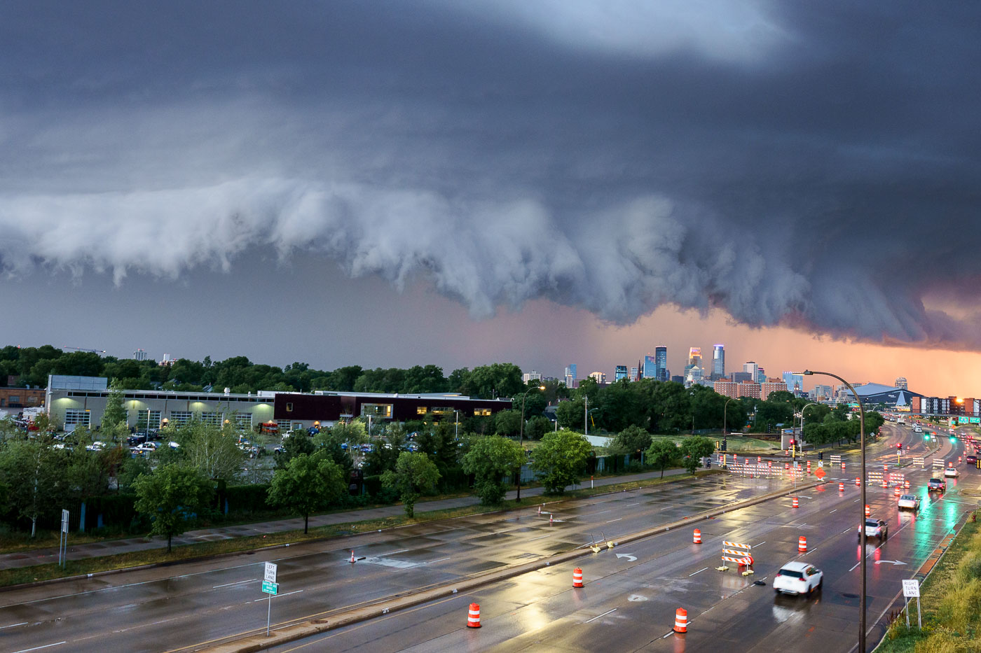
Storm clouds over downtown Minneapolis above a wet roadway after rain.
A severe thunderstorm approaches the Minneapolis skyline on July 12, 2022. The city's downtown core, with its characteristic modern architecture, is visible in the distance under a dramatic, dark cloud formation. The foreground shows a wet roadway, indicating recent rainfall, with traffic continuing despite the approaching weather. This image captures a moment of atmospheric intensity over a major Midwestern urban center, highlighting the dynamic relationship between weather and the built environment.

Minneapolis Thunderstorm Approaching Downtown July 12 2022
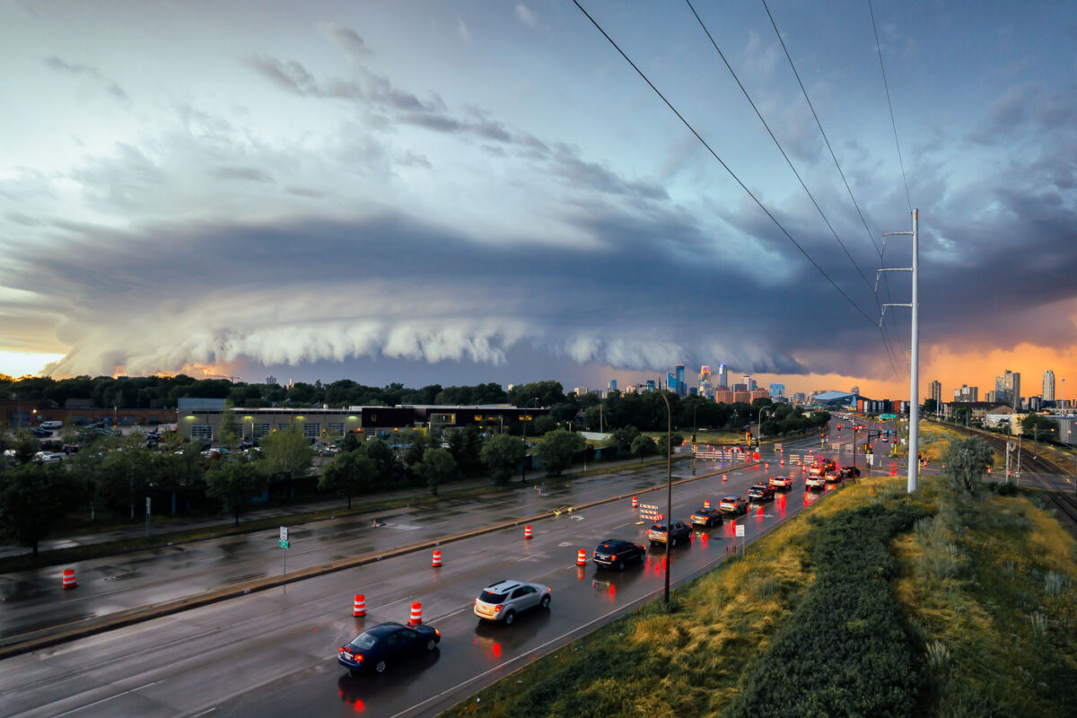
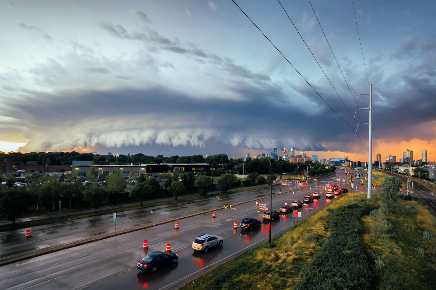
Storm clouds over Minneapolis, Minnesota, above wet traffic lanes and the downtown skyline.
A powerful storm front approaches Minneapolis, Minnesota, on July 12, 2022. The image captures the city's skyline under a dramatic sky, with traffic moving along a wet highway. The presence of construction barrels suggests ongoing infrastructure work, a common characteristic of urban environments. This type of weather event is typical for the region during the summer months, impacting daily life and transportation.

Minneapolis Storm Clouds Over Highway and Skyline
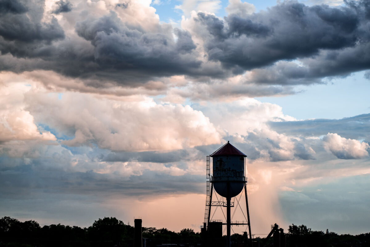
Roof Depot water tower in Minneapolis beneath dark clouds and distant rain.
The Roof Depot water tower stands silhouetted against a dramatic sky in Minneapolis. Water towers like this one were essential for providing consistent water pressure to industrial and residential areas, particularly before the widespread adoption of modern pumping systems. This structure, likely built in the early to mid-20th century, served the needs of the surrounding industrial district. Its presence signifies a period of significant urban and industrial development in Minneapolis.

Roof Depot Water Tower Under Stormy Skies, Minneapolis
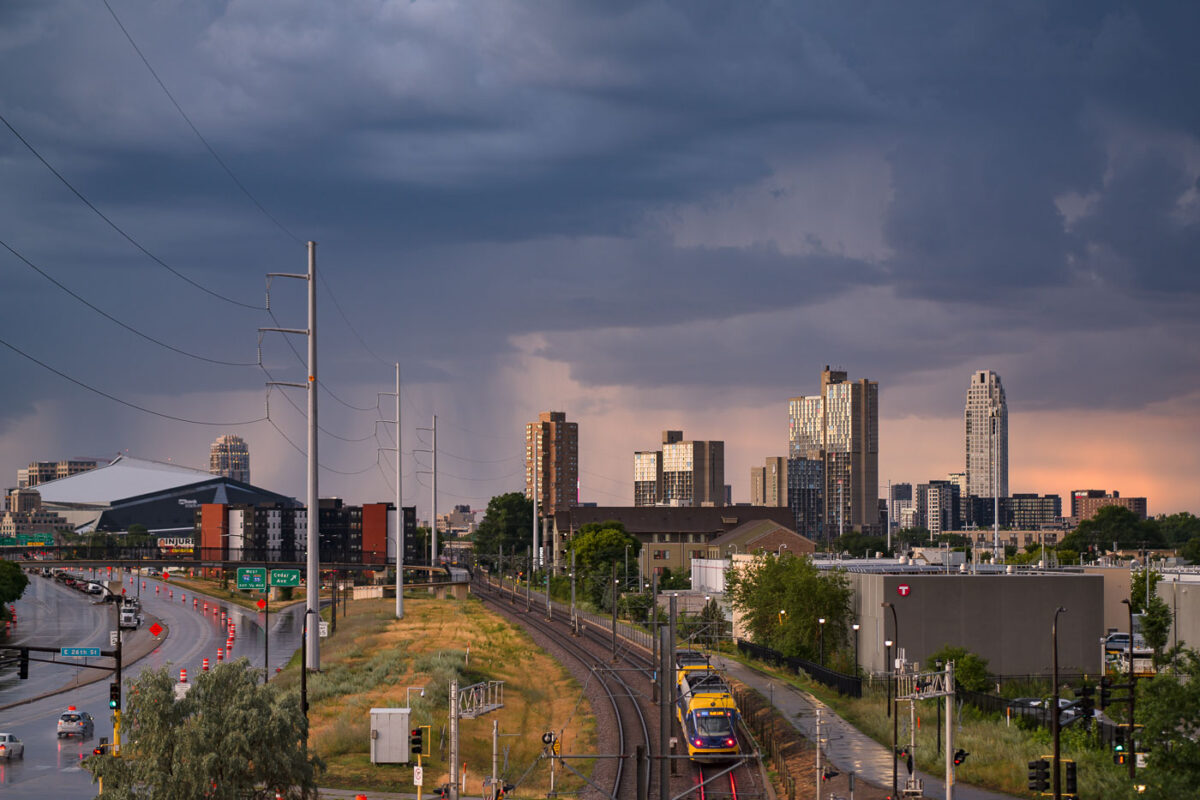
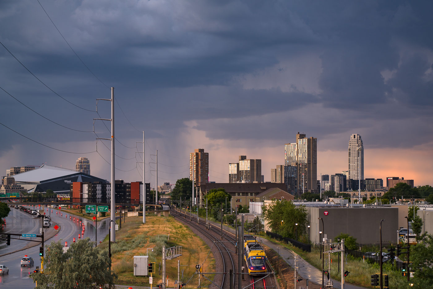
Metro Blue Line train near U.S. Bank Stadium in Minneapolis under storm clouds.
Storm clouds loom over the Minneapolis skyline on July 12, 2022, with the U.S. Bank Stadium visible on the left. The image also features the Metro Blue Line light rail, a key component of public transit in the Twin Cities. Opened in 2004, the Blue Line connects Minneapolis-Saint Paul International Airport and the Mall of America to downtown Minneapolis, serving as a vital link for commuters and visitors. The infrastructure facilitates access to the city's core employment centers and cultural attractions.

Minneapolis: Light Rail Under Storm Clouds Near US Bank Stadium
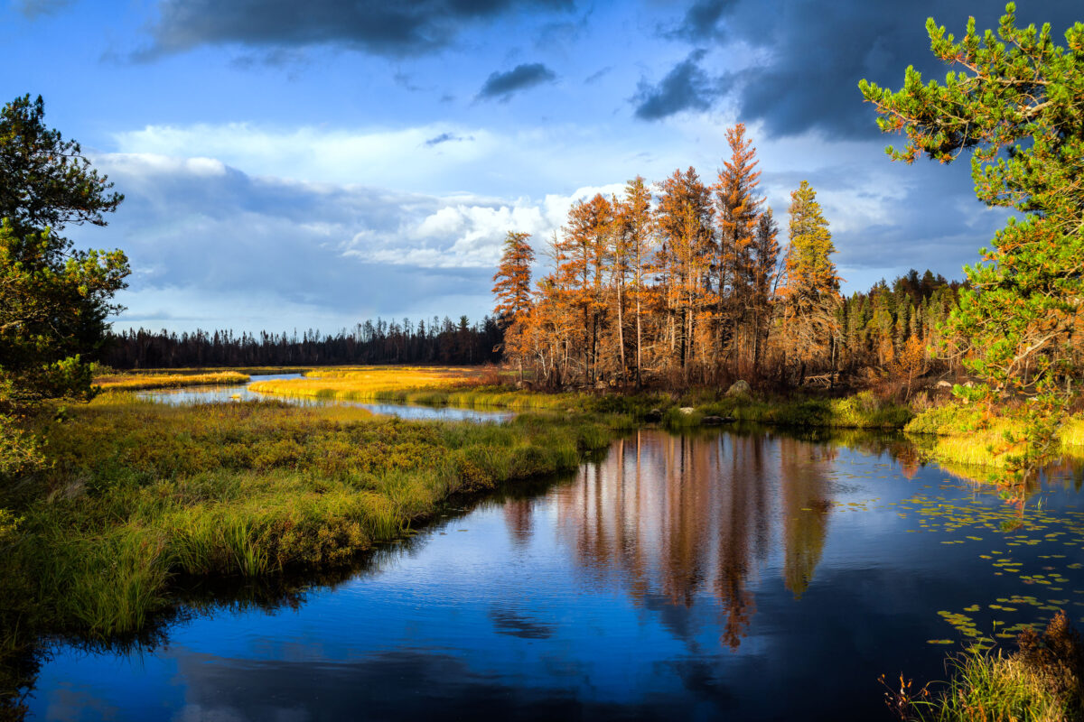
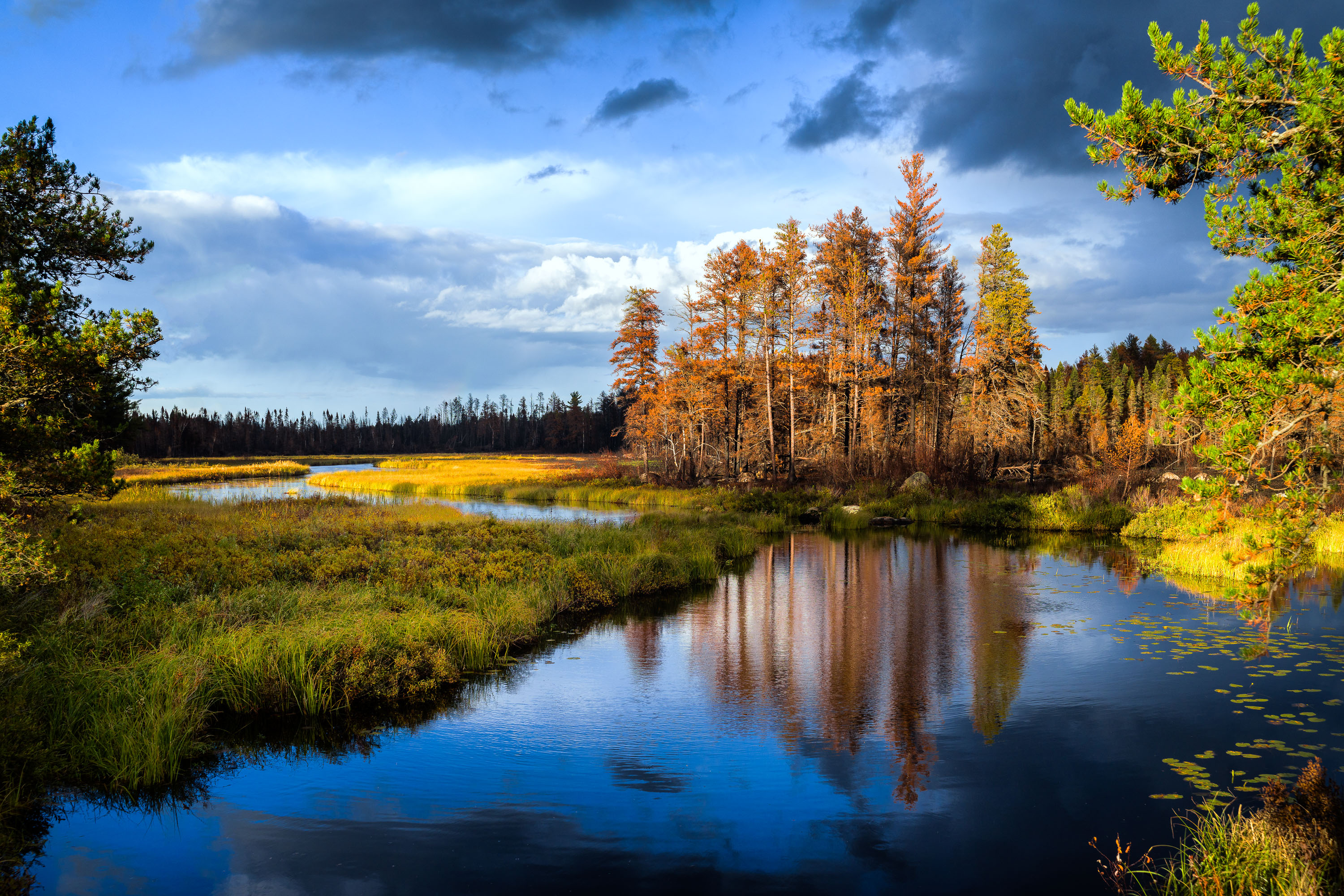
Sand River in Superior National Forest near Isabella, Minnesota, with autumn trees and reflections in calm water
Sand River in Superior National Forest near Isabella, Minnesota. Autumn light illuminates the river bends, wetland grasses, and mixed conifer and hardwood forest under a partly cloudy sky.

Sand River in Superior National Forest, Minnesota
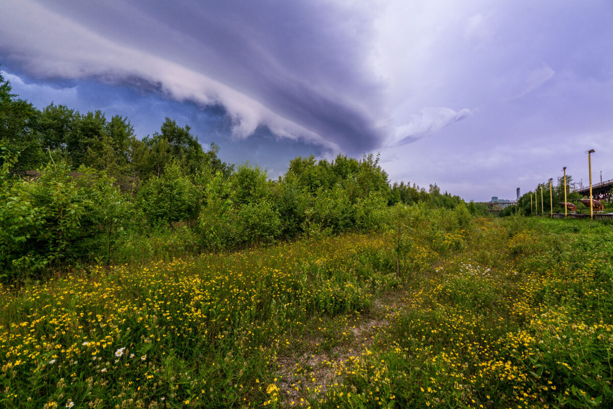
Storm clouds over Taconite Harbor, Minnesota, above Lake Superior shoreline vegetation
Storm clouds over Taconite Harbor, Minnesota, on the Lake Superior North Shore. The sky forms a broad shelf cloud above shoreline vegetation and the industrial waterfront.

Storm Clouds Over Taconite Harbor, Minnesota
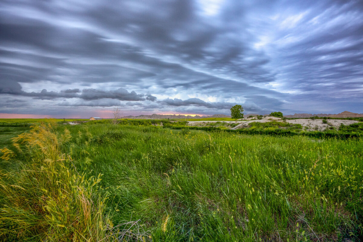
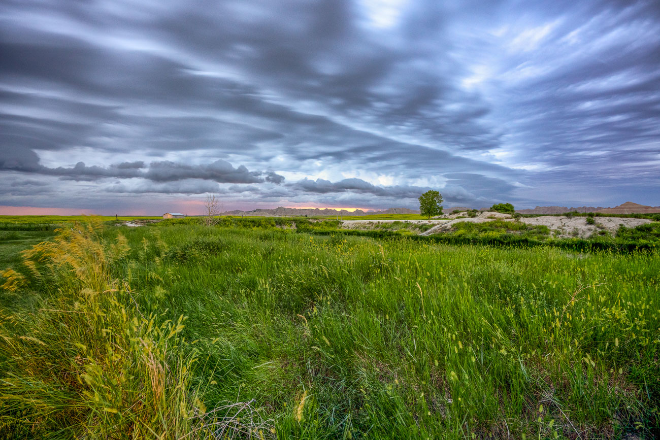
Green grasslands stretch beneath storm clouds near Badlands National Park, South Dakota.
Badlands National Park sits at the edge of a mixed-grass prairie ecosystem, one of the largest protected tracts of this habitat remaining in the United States. The park's 244,000 acres include roughly 64,000 acres of designated wilderness, where grasslands like these transition into the eroded buttes and spires the park is known for. These prairies support bison, bighorn sheep, and the black-footed ferret, reintroduced here in 1994 after near-extinction. The grasses and wetland pockets also help anchor the fragile, fast-eroding sedimentary rock that defines the surrounding badlands terrain.

Mixed-Grass Prairie Along Badlands National Park’s Northern Boundary
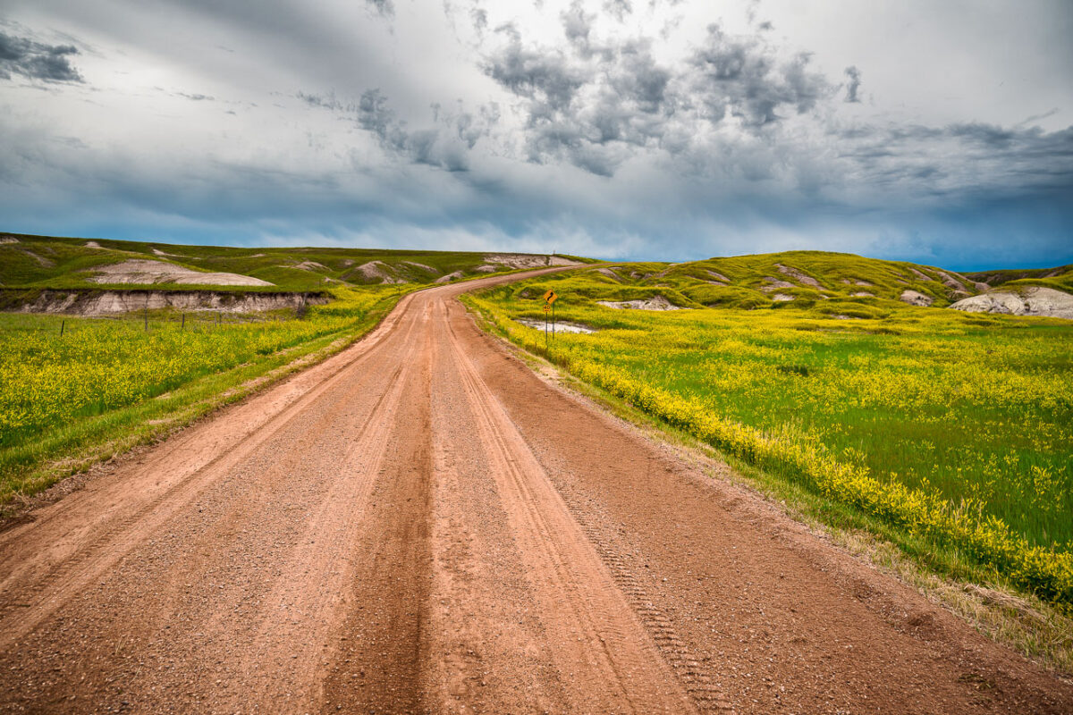
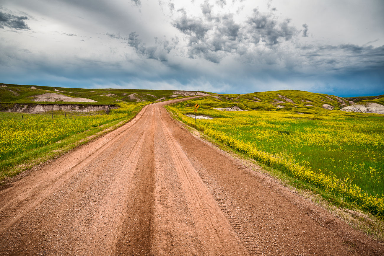
Unpaved road stretches through mixed-grass prairie with eroded buttes in Badlands National Park, South Dakota.
Badlands National Park's south unit is laced with unpaved roads like this one, which wind through mixed-grass prairie between the park's eroded buttes. The park covers roughly 244,000 acres and was established in 1978, though the striated hills visible along routes near Sheep Mountain have been taking shape for nearly half a million years as wind and water strip away layers of Oligocene-era sediment. This part of the park overlaps the Pine Ridge Reservation and is co-managed with the Oglala Sioux Tribe, whose ancestral homeland extends across the surrounding grasslands. Bighorn sheep and bison range through this section of prairie, and black-footed ferrets were reintroduced to the area in the 1990s after the species was once thought extinct in the wild.

Dirt Road Through Grasslands Near Sheep Mountain, Badlands National Park
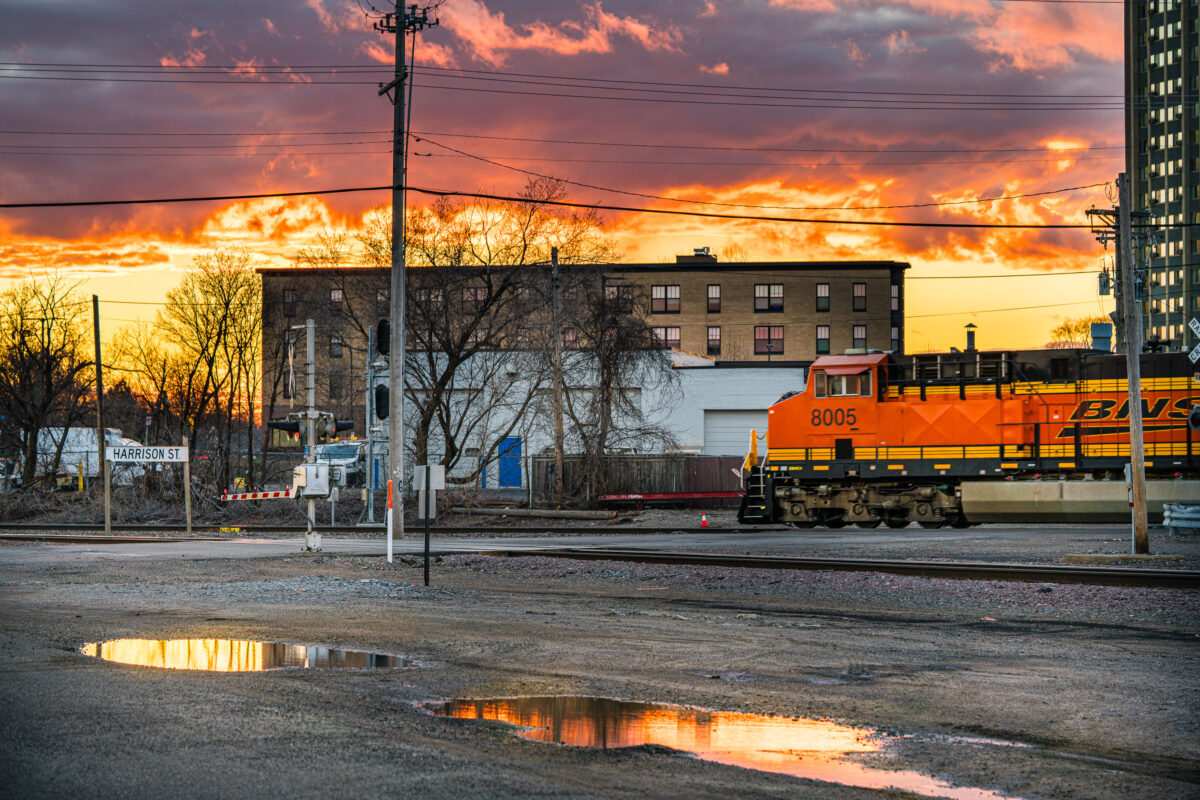
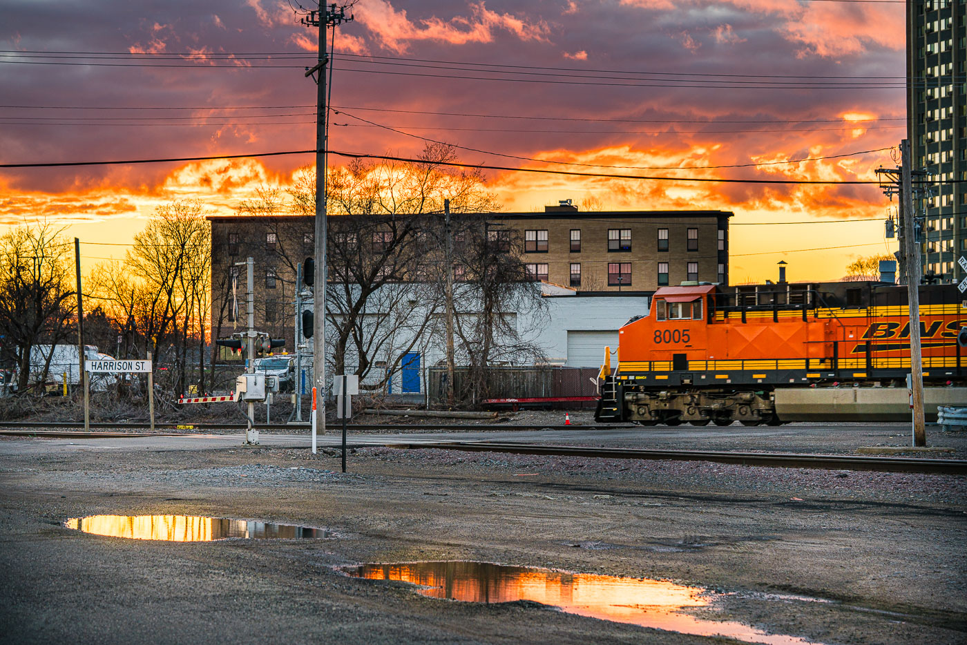
BNSF Railway locomotive number 8005 passes Harrison Street crossing in Northeast Minneapolis at sunset.
A BNSF Railway locomotive passes the Harrison Street crossing in Northeast Minneapolis. The crossing is part of the rail corridor that runs through the neighborhood near the Mississippi River.

Sunset Over the BNSF Crossing on Harrison Street
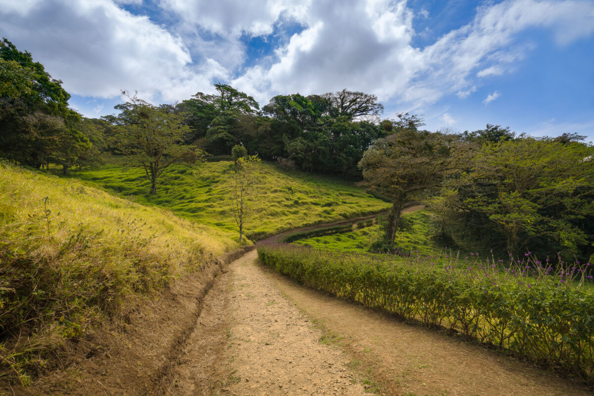
A dirt trail winds through the Monteverde Cloud Forest Biological Preserve in Costa Rica, bordered by lush green vegetation and scattered trees.
The Monteverde Cloud Forest Biological Reserve sits along the Cordillera de Tilarán in Costa Rica's Puntarenas Province, straddling the Continental Divide at elevations between about 1,440 and 1,800 meters. The Tropical Science Center, a Costa Rican nonprofit, has managed the reserve since its founding in 1972, when it was established to protect one of the region's last large tracts of primary cloud forest. The reserve spans roughly 10,500 hectares and supports more than 2,500 plant species, including over 400 types of orchids. Trails like this one allow hikers to move between the reserve's open pasture edges and its denser forest interior while keeping foot traffic confined to a defined route.

A Hillside Trail Through Monteverde’s Cloud Forest Reserve
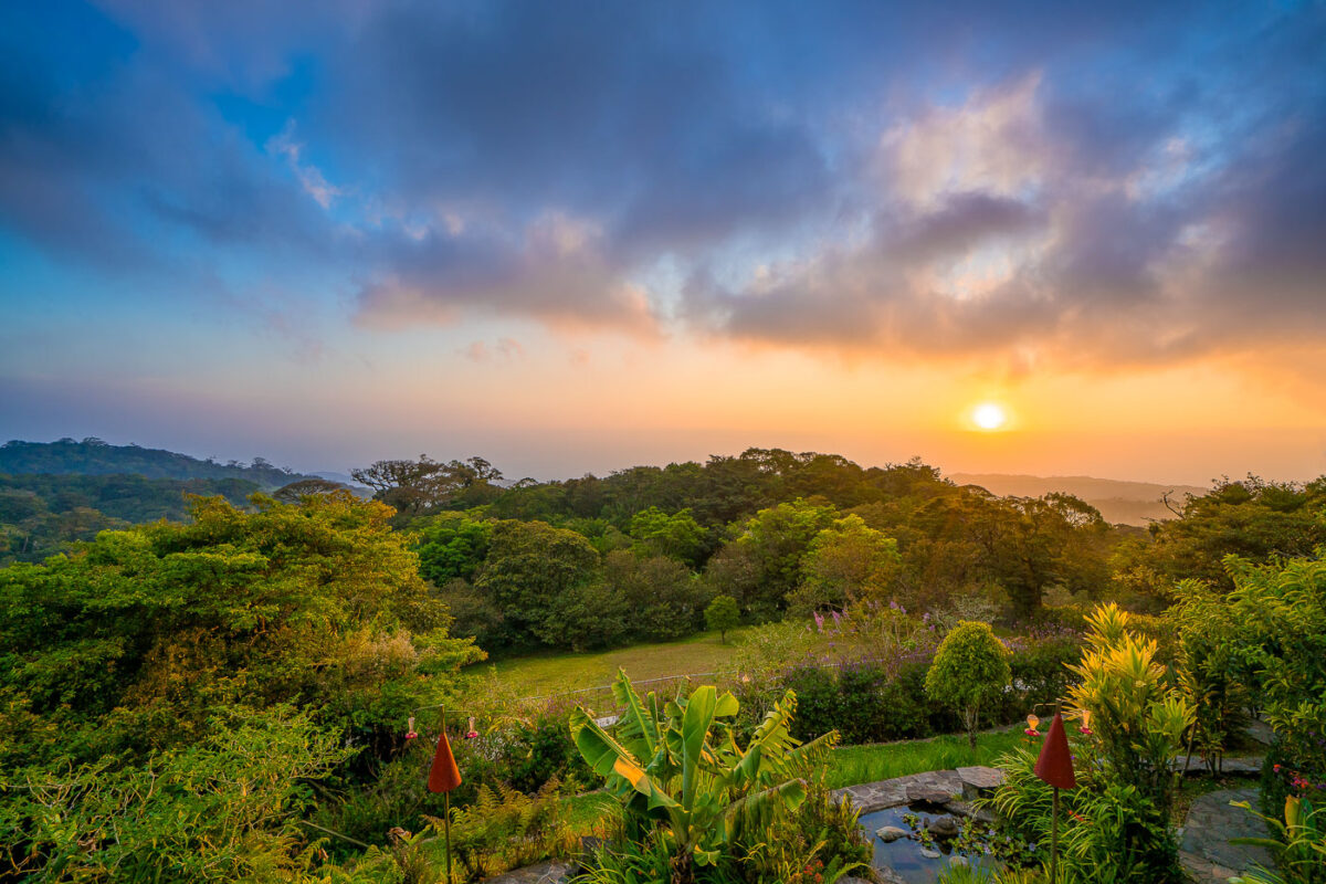
Monteverde Cloud Forest in Costa Rica at sunset, with flowering plants in foreground and forested hills beneath golden sky.
Monteverde sits along Costa Rica's Tilarán Cordillera, where trade winds off the Caribbean push moisture up the slopes and condense into the near-constant mist that gives the cloud forest its name. The Monteverde Cloud Forest Reserve, established in 1972, protects roughly 10,500 hectares and spans six distinct ecological zones across an elevation range of about 1,440 to 1,800 meters. That shift in elevation and moisture supports more than 2,500 plant species, including over 400 types of orchids, along with some 100 mammal species and 400 bird species, among them the resplendent quetzal. Quaker settlers and conservationists who arrived in the 1950s helped set aside the original forest tract, a decision credited with starting the region's long-running ecotourism economy.

Sunset Over the Treetops at Monteverde
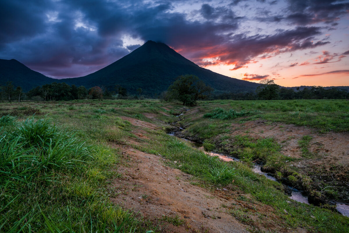
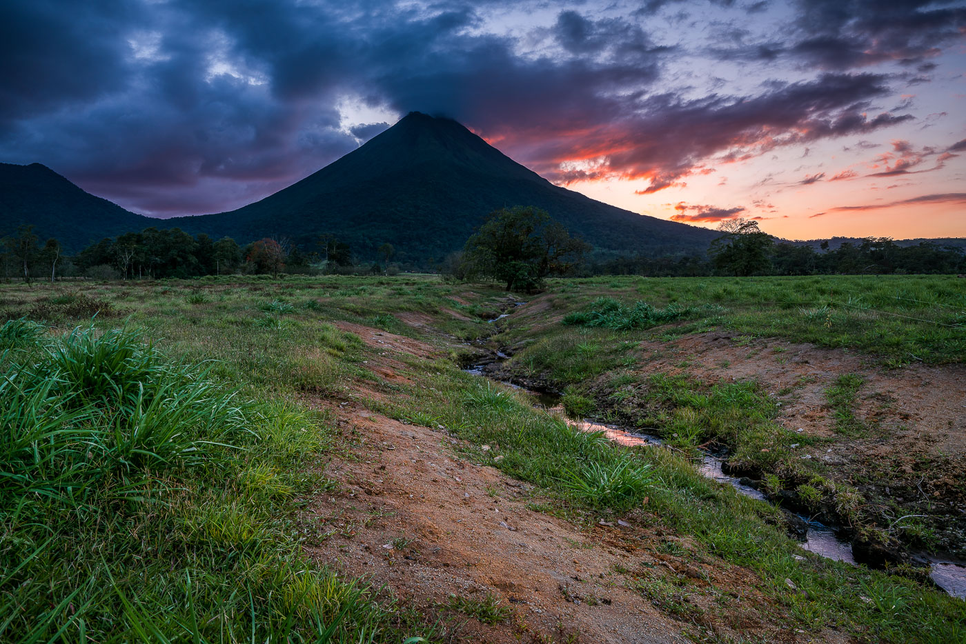
Arenal Volcano rises above grassy plains with a stream running through the foreground at sunset near La Fortuna, Costa Rica.
Arenal Volcano stands 1,633 meters tall near La Fortuna in Costa Rica's Alajuela province. Its symmetrical cone formed through repeated eruptions that began in 1968, when a sudden blast destroyed the nearby villages of Tabacón and Pueblo Nuevo and killed 87 people. The eruption marked the start of continuous activity that lasted until 2010, when the volcano entered its current dormant phase. The surrounding lowlands, drained by small streams like this one, are part of Arenal Volcano National Park, established in 1991 to protect the area's forests and wildlife.

Twilight Creek Below Arenal Volcano, Costa Rica
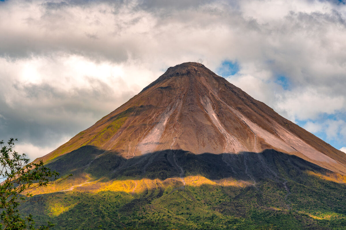
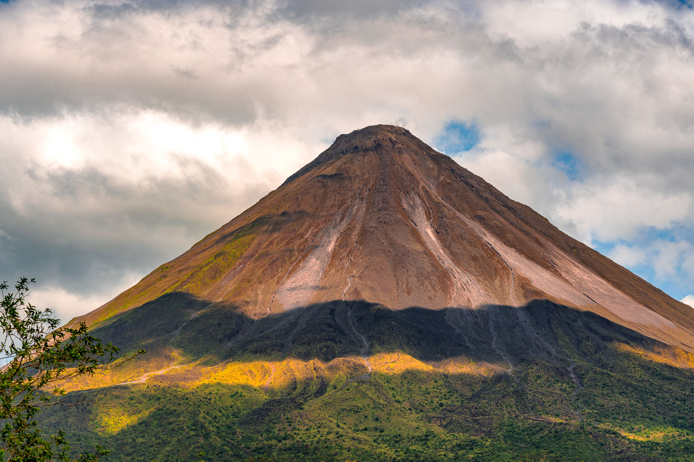
Arenal Volcano's symmetrical cone rises above forested foothills under partly cloudy skies in northwestern Costa Rica.
Arenal Volcano stands 1,633 meters high near La Fortuna in Costa Rica's Alajuela Province. The stratovolcano entered a major eruptive phase in 1968 after lying dormant for centuries, an event that destroyed the villages of Tabacón, Pueblo Nuevo, and San Luis. Eruptive activity continued almost without pause until 2010, placing Arenal among the most closely studied volcanoes in Central America during that period. Costa Rica established Arenal Volcano National Park in 1991 to protect the surrounding forest, which supports tapirs, pumas, and hundreds of recorded bird species. The volcano's symmetrical shape comes from repeated layers of ash and lava deposited during its decades of activity.

Arenal Volcano’s Cone Beneath a Shifting Sky
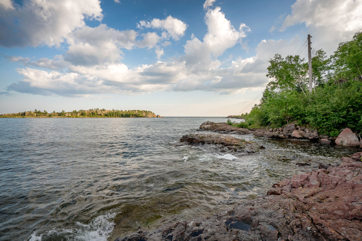
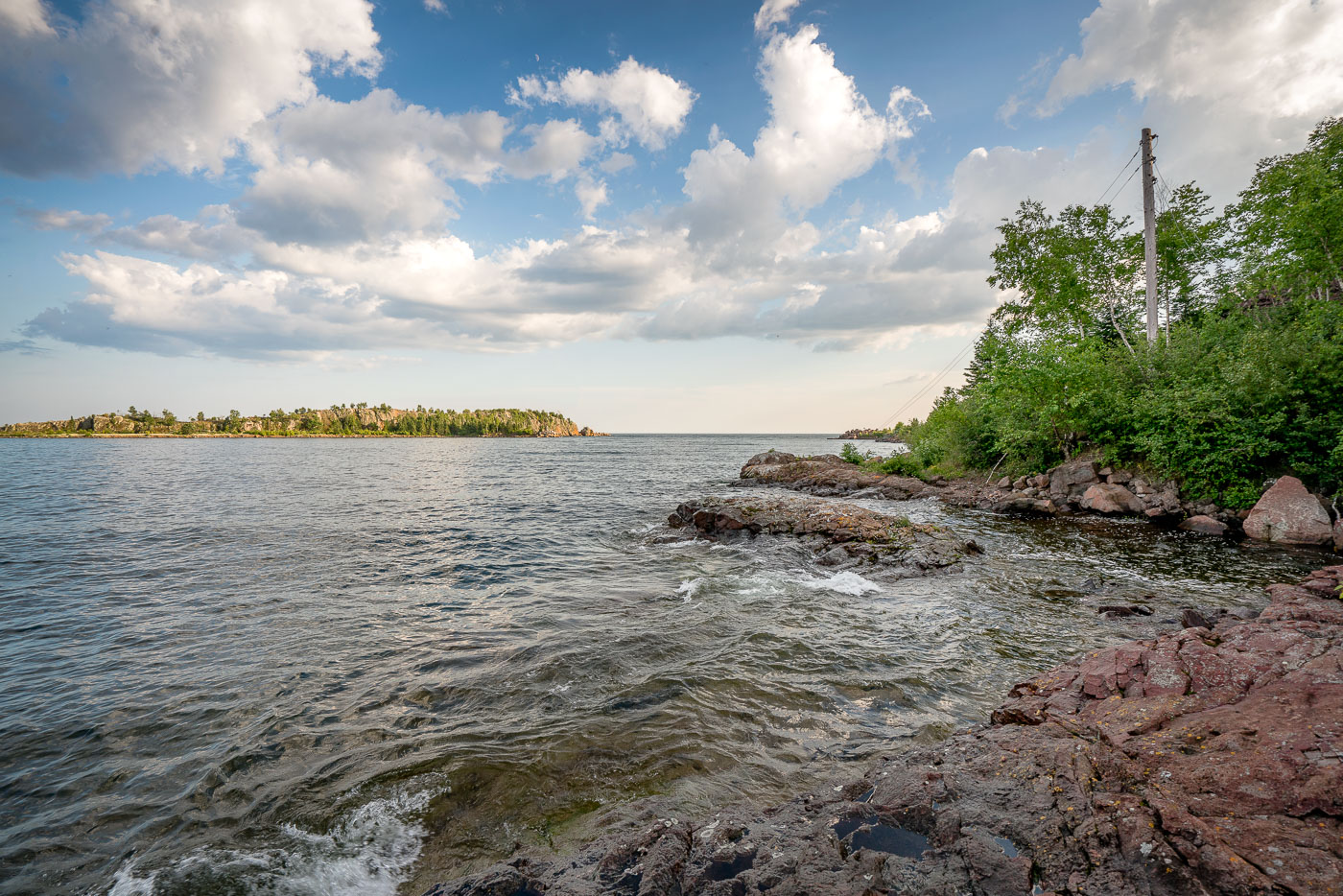
The rocky shoreline of Taconite Harbor, Lake Superior, Minnesota, a former industrial port constructed in the 1950s for taconite export.
The rocky shoreline of Taconite Harbor on Lake Superior, Minnesota, was constructed in the early 1950s by the Erie Mining Company to facilitate the export of taconite pellets from the Mesabi Iron Range. This industrial harbor, connected by a private rail line, served as a critical hub for Minnesota's iron mining industry throughout the latter half of the 20th century. Although operations ceased in the early 2000s due to global market shifts, the remaining infrastructure and the rugged natural landscape serve as a testament to the region's historical reliance on heavy industry.

Taconite Harbor Shoreline, Lake Superior, Minnesota
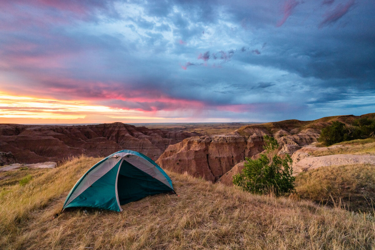
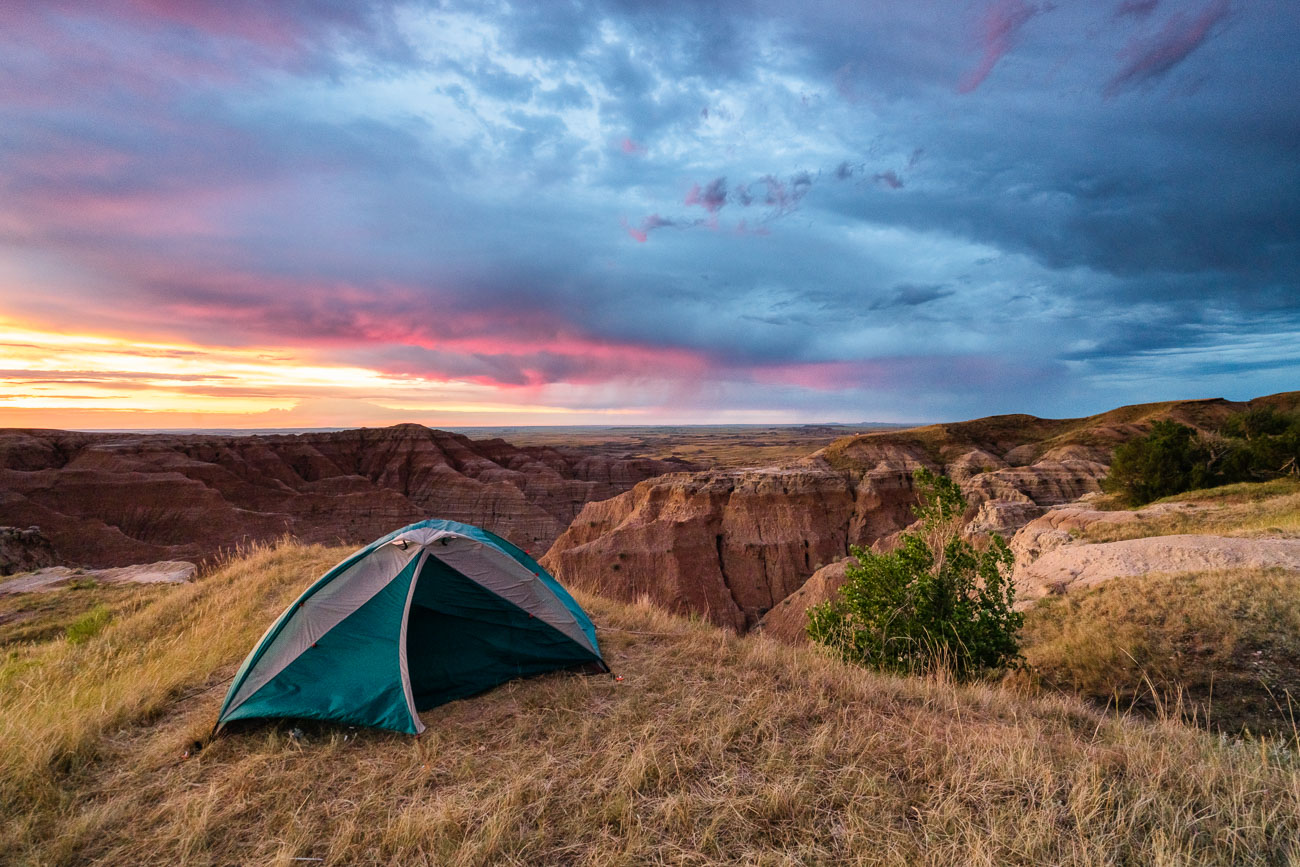
Tent pitched on grassland overlook at Buffalo Gap National Grasslands, South Dakota, at sunrise.
A tent is pitched on a grassy overlook within the Buffalo Gap National Grasslands in South Dakota, as a dramatic sunrise paints the sky with vibrant colors. This area, managed by the Bureau of Land Management, is known for its rugged badlands topography and expansive prairie landscapes. The grasslands were established in 1960 to conserve and manage the natural grasslands and associated wildlife habitats. Today, it remains a significant area for grazing, conservation, and public enjoyment of its natural beauty.

Tent Camping Above the Badlands at Sunrise
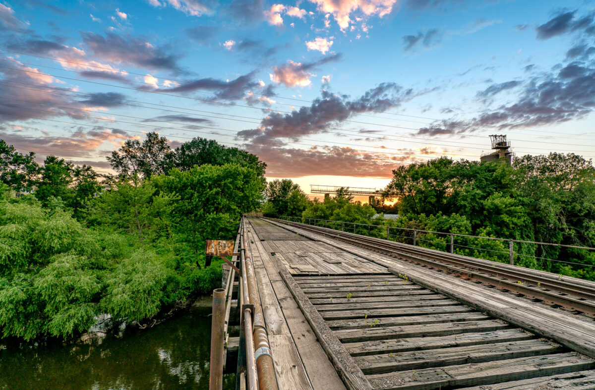
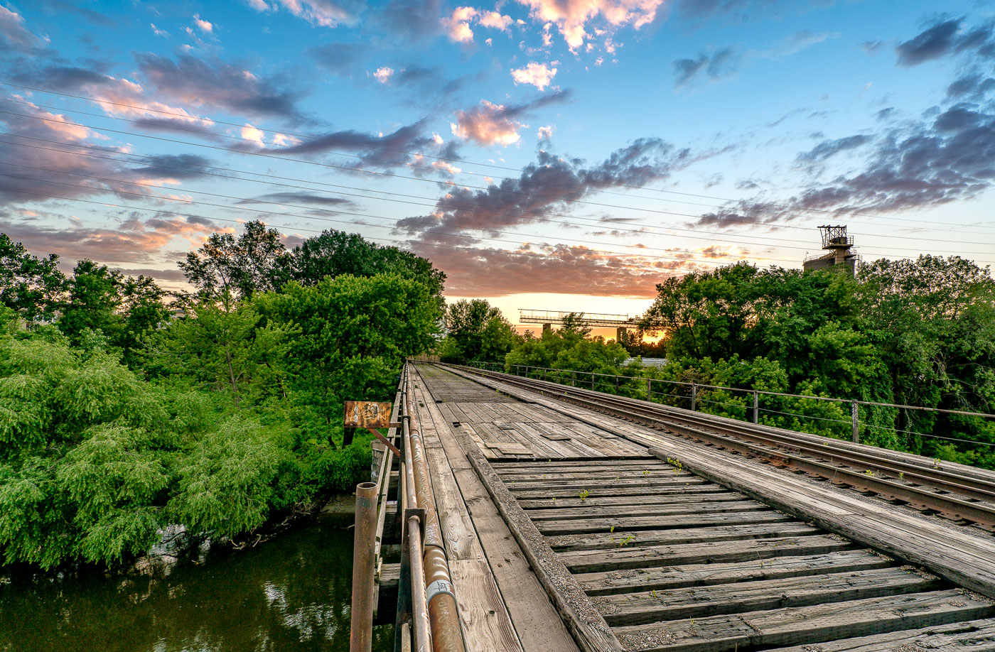
A wooden train bridge spans the Mississippi River in Minneapolis, Minnesota, at sunset, highlighting the historical importance of rail infrastructure.
A wooden train bridge spans the Mississippi River in Minneapolis, Minnesota. This structure, likely built to facilitate freight transport, highlights the historical importance of rail infrastructure in the region's development. The weathered timbers and visible tracks suggest a long operational history, while the surrounding greenery and sunset clouds offer a contrast between industrial utility and natural beauty. Such bridges were vital arteries for commerce and industry, connecting communities and enabling the movement of goods.

Wooden Train Bridge Over Mississippi River, Minneapolis
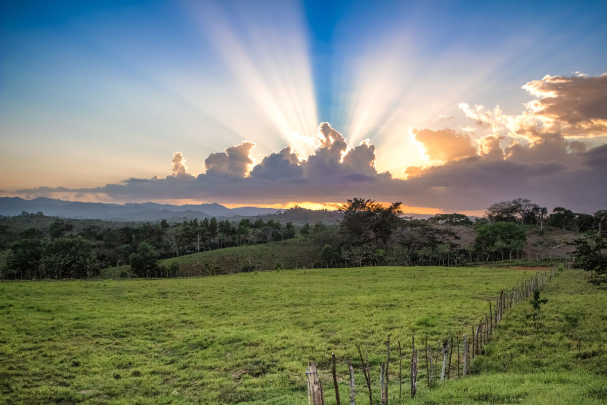
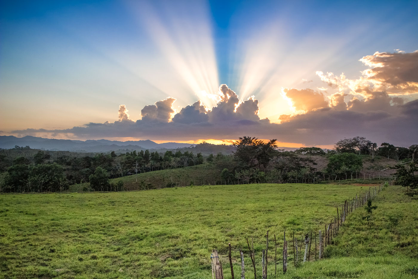
Sunset over farmland in El Seibo, Dominican Republic, with crepuscular rays behind clouds.
Farmland in El Seibo Province, Dominican Republic, extends across rolling pasture at sunset. El Seibo is one of the country’s principal agricultural provinces, with land used for cattle ranching as well as cacao and coffee production.

El Seibo, Dominican Republic: Sunset Over Farmland
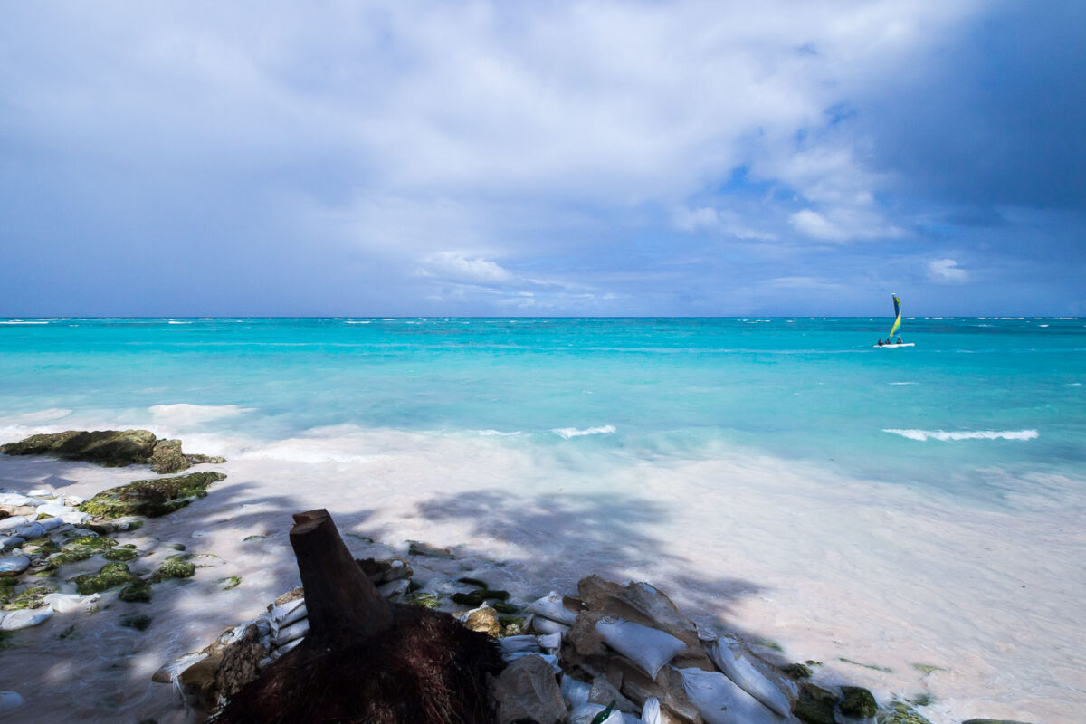
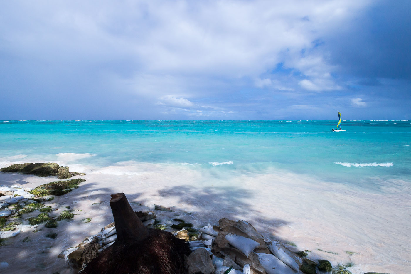
A sailboat anchors offshore while sandbags and rocks line the eroding shore at Punta Cana, Dominican Republic.
A small catamaran sails off the beach at Punta Cana, Dominican Republic. In the foreground, sandbags and rock revetment line the shore as erosion-control measures along the Caribbean coast.

Catamaran Sailing Past Sandbag Revetment at Punta Cana