Minnesota

5,913 photos · 2008–2026

5,913 photographs tagged Minnesota, 2008–2026.
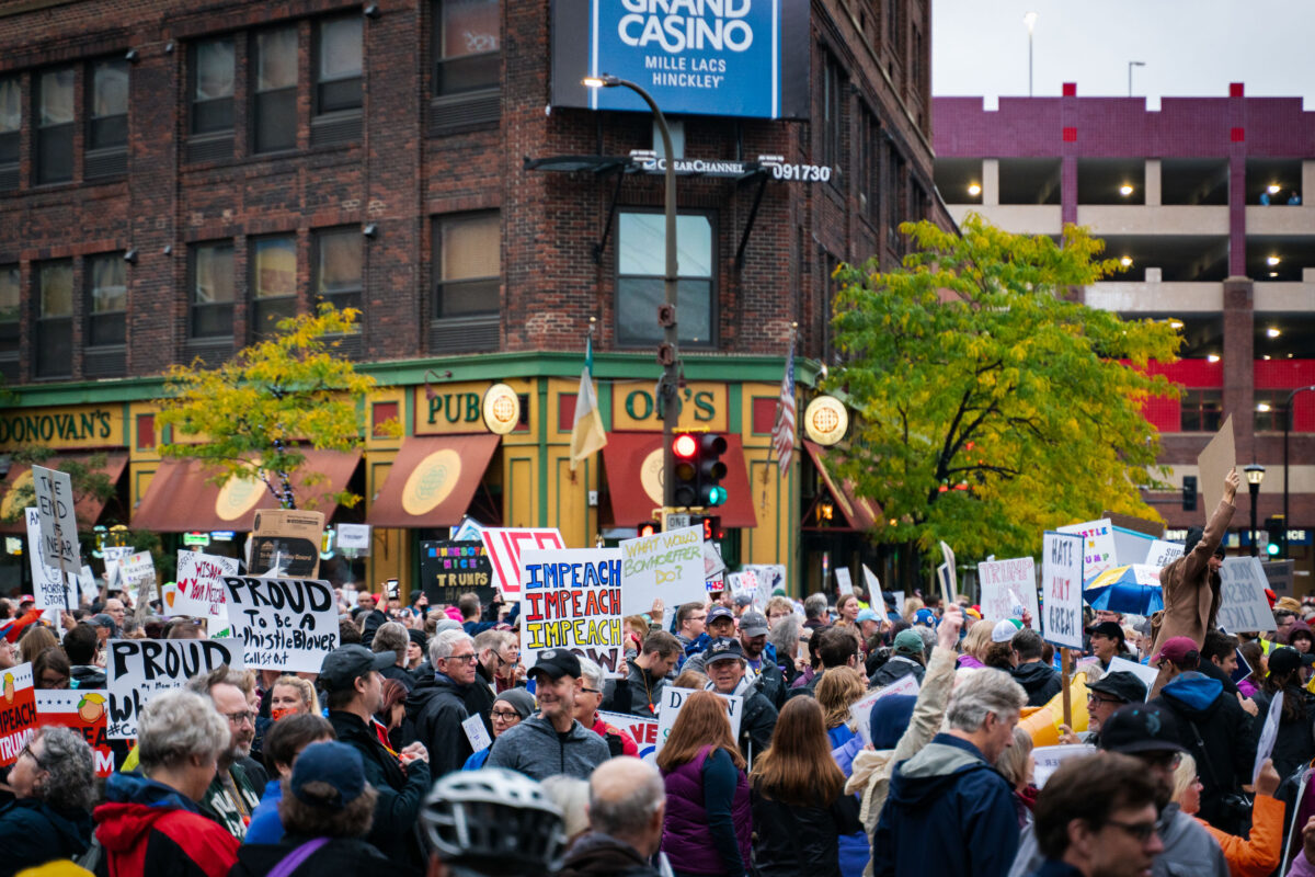
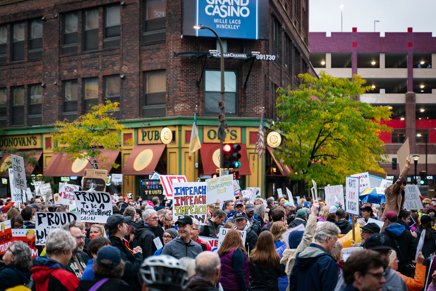
Protesters with impeachment signs outside O'Donovan's Pub in downtown Minneapolis.
Protesters gathered in downtown Minneapolis on October 10, 2019, holding signs calling for the impeachment of President Donald Trump. The protest took place outside the Target Center, a major indoor arena in the city. This event occurred during a period of significant political division and ongoing impeachment inquiries related to the Trump administration. The signs reflect the strong sentiments of opposition and calls for accountability among a segment of the public during that time.

Minneapolis Protestors Hold Impeach Trump Signs Oct 10 2019
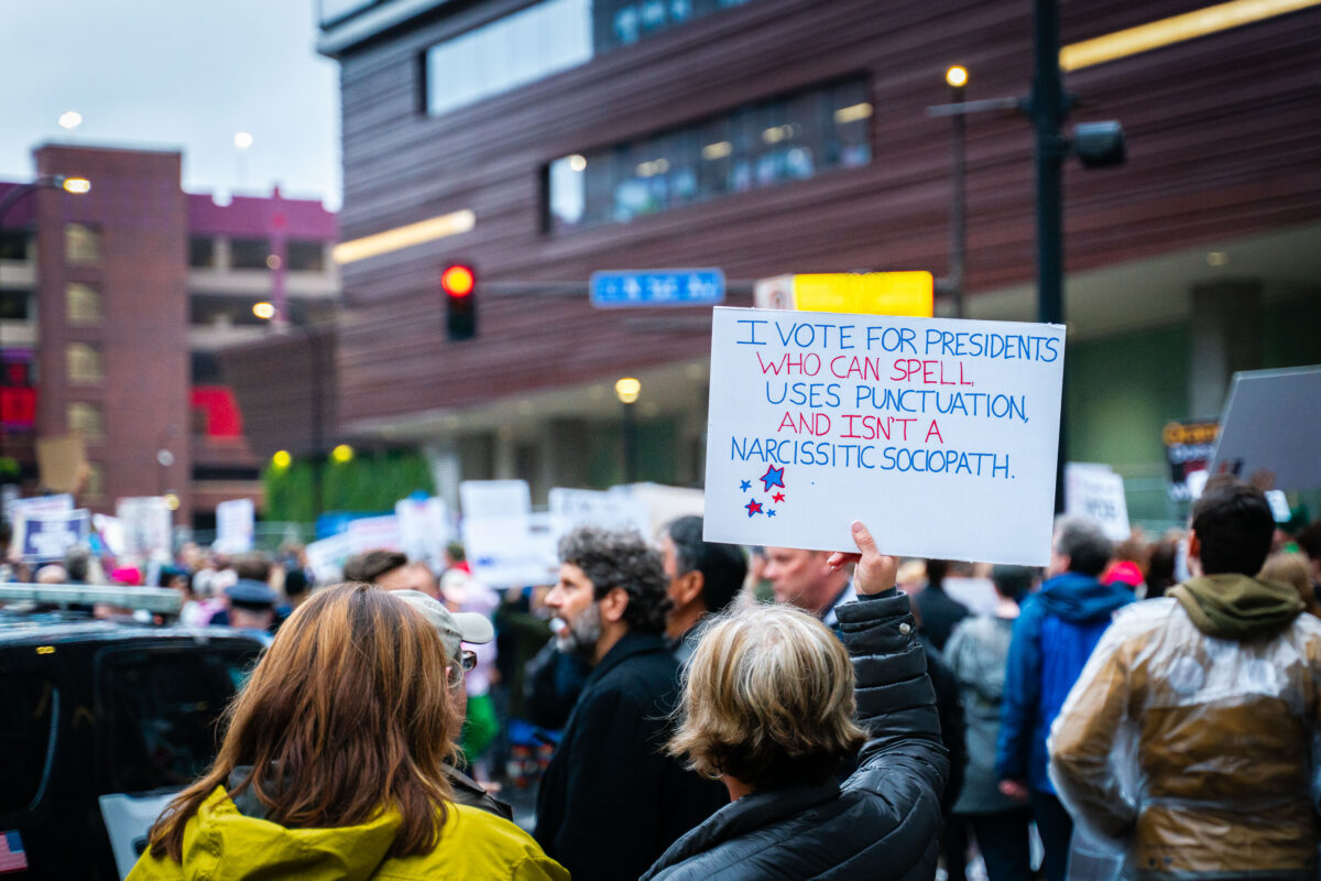
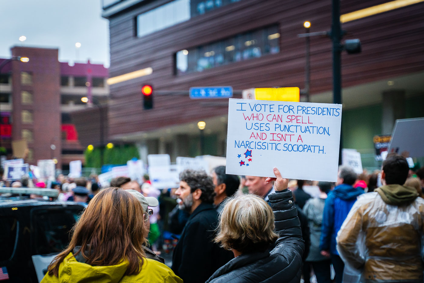
Protester holds a sign outside Target Center in Minneapolis during a Trump rally.
A protestor holds a sign reading "I VOTE FOR PRESIDENTS WHO CAN SPELL, USES PUNCTUATION AND ISN'T A NARCISSISTIC SOCIOPATH" outside the Target Center in Minneapolis on October 10, 2019. The sign reflects critical sentiment towards then-President Donald Trump during a rally held in the city. The Target Center, a multi-purpose arena, frequently hosts political events and public gatherings, making it a common site for both support and opposition rallies. This protest occurred during the 2020 presidential election cycle, a period marked by significant political polarization and public engagement.

Minneapolis Protest Sign at Trump Rally, Oct 10, 2019
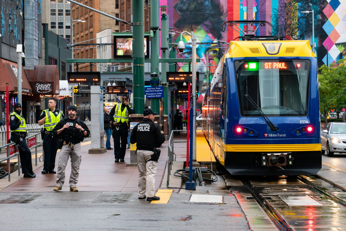
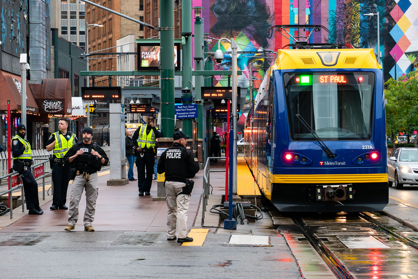
Homeland Security officers stand by a Metro Transit train at Minneapolis Warehouse District LRT station.
Department of Homeland Security officers were present at the Warehouse District LRT station in Minneapolis on October 10, 2019. Their deployment coincided with a rally held by then-President Donald Trump at the nearby Target Center. The light rail system serves as a vital transportation artery for the city, connecting residents and visitors to various districts. The presence of federal law enforcement at a public transit hub during a political event highlights the security considerations surrounding such gatherings.

Homeland Security at Minneapolis Warehouse District LRT during Trump Rally
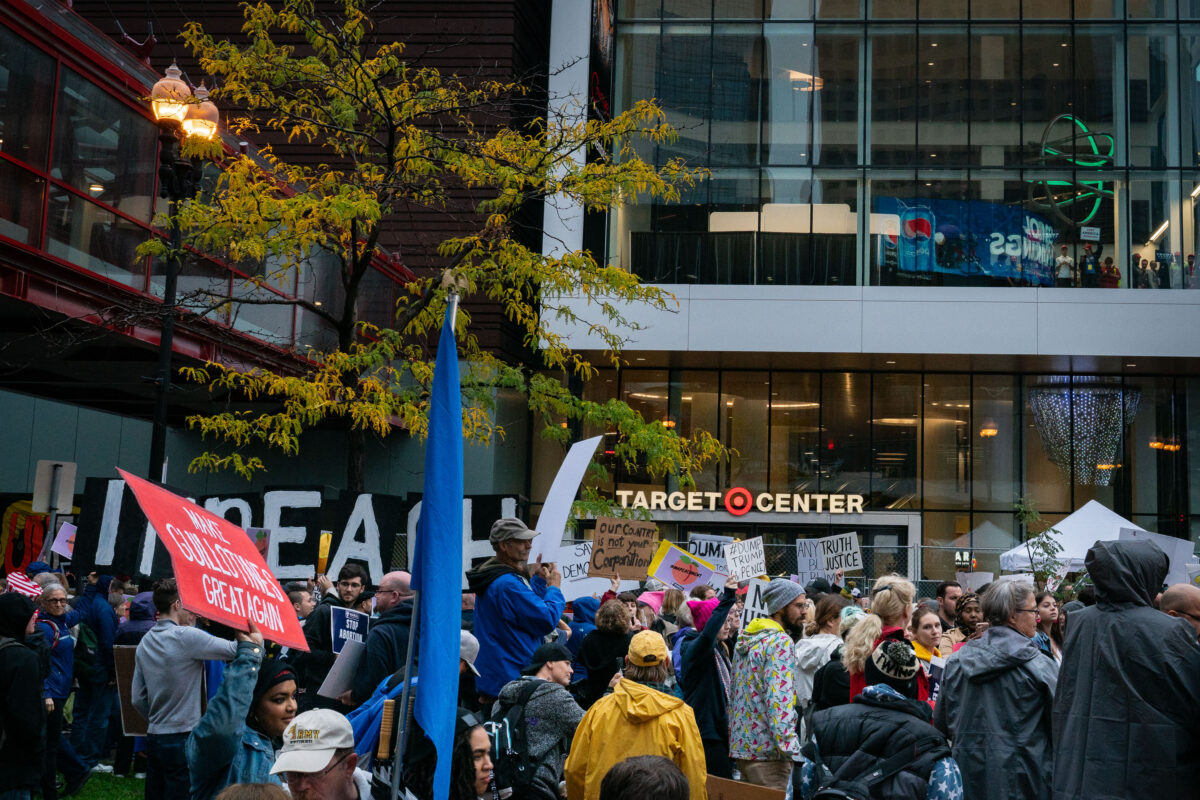
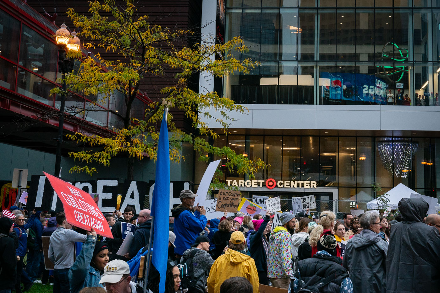
Protesters outside Target Center in Minneapolis during a Trump rally.
Protesters gathered outside the Target Center in Minneapolis on October 10, 2019, during a Trump rally. The Target Center, a multi-purpose arena, hosts sporting events, concerts, and political gatherings. The protest occurred amidst the 2020 presidential election cycle, reflecting the polarized political climate of the time. Signs held by protesters expressed opposition to the rally and the Trump administration, with some referencing impeachment proceedings.

Protesters at Trump Rally, Target Center, Minneapolis, 2019
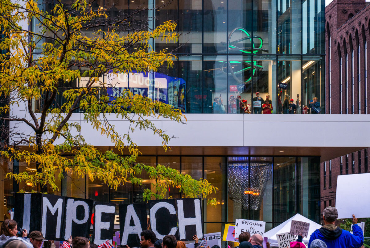
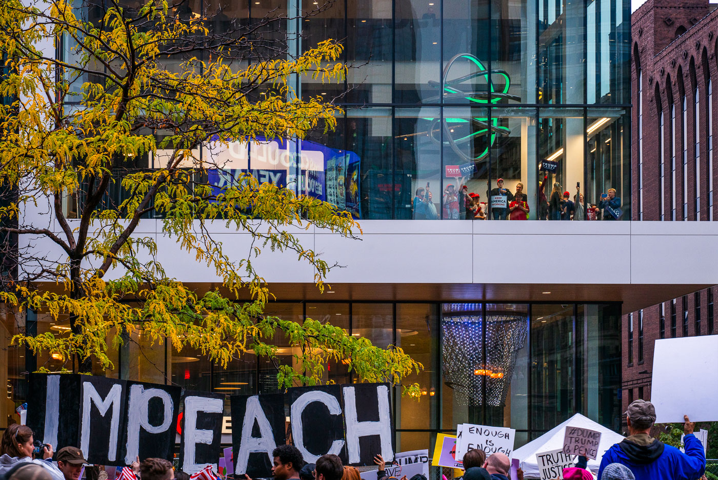
Protesters with IMPEACH signs outside Target Center in Minneapolis during Trump rally, 2019
Protesters gathered outside the Target Center in downtown Minneapolis on October 10, 2019, to rally against then-President Donald Trump's campaign event. The "IMPEACH" sign prominently displayed reflects the political climate of the time, as the House of Representatives was initiating impeachment proceedings against Trump. Inside the venue, supporters of the President could be seen, highlighting the division surrounding the event. The Target Center, a multi-purpose arena, regularly hosts sporting events, concerts, and political rallies, serving as a significant public gathering space in the city.

Minneapolis Protestors Rally Against Trump at Target Center, Oct 2019

Woman holds a protest sign reading “Trump: Read My Sign” in downtown Minneapolis.
A protestor holds a sign reading "TRUMP: READ MY SIGN" during a rally in Minneapolis on October 10, 2019. The event coincided with a campaign rally for then-President Donald Trump. Such protests often occur during presidential election cycles, reflecting public engagement with political discourse and policy debates. The sign's message directly addresses the president, suggesting a desire for engagement or a critique of his administration's policies or communication.

Minneapolis Trump Rally Protestor Holds Sign

Protester holds a sign at the Target Center in Minneapolis reading “Trump is giving children PTSD.”
Protesters gathered outside the Target Center in Downtown Minneapolis on October 10, 2019, to voice their opposition to a rally held by then-President Donald Trump. The sign prominently displayed reads, "TRUMP is giving CHILDREN PTSD" and "REPUBLICANS: WHERE ARE YOUR FAMILY VALUES? RELEASE THE FAMILIES REUNITE NOW!!" This protest occurred during Trump's 2020 presidential campaign, reflecting significant public dissent regarding his administration's policies, particularly those concerning immigration and family separations at the U.S.-Mexico border.

Minneapolis Protest Sign: Trump is Giving Children PTSD

Protesters holding anti-Trump signs on Nicollet Mall in Minneapolis during the MNPEACHMENT march
Thousands of Minnesotans gathered on Nicollet Mall in downtown Minneapolis on October 10, 2019, for a protest against then-President Donald Trump. The event, known online as #MNPEACHMENT, was organized in opposition to Trump's policies and to call for his impeachment. The march originated near the Target Center, where Trump was holding a campaign rally, and proceeded through downtown under a significant police presence. This demonstration highlighted public dissent and political engagement in the city.

MNPEACHMENT Protest on Nicollet Mall, Minneapolis
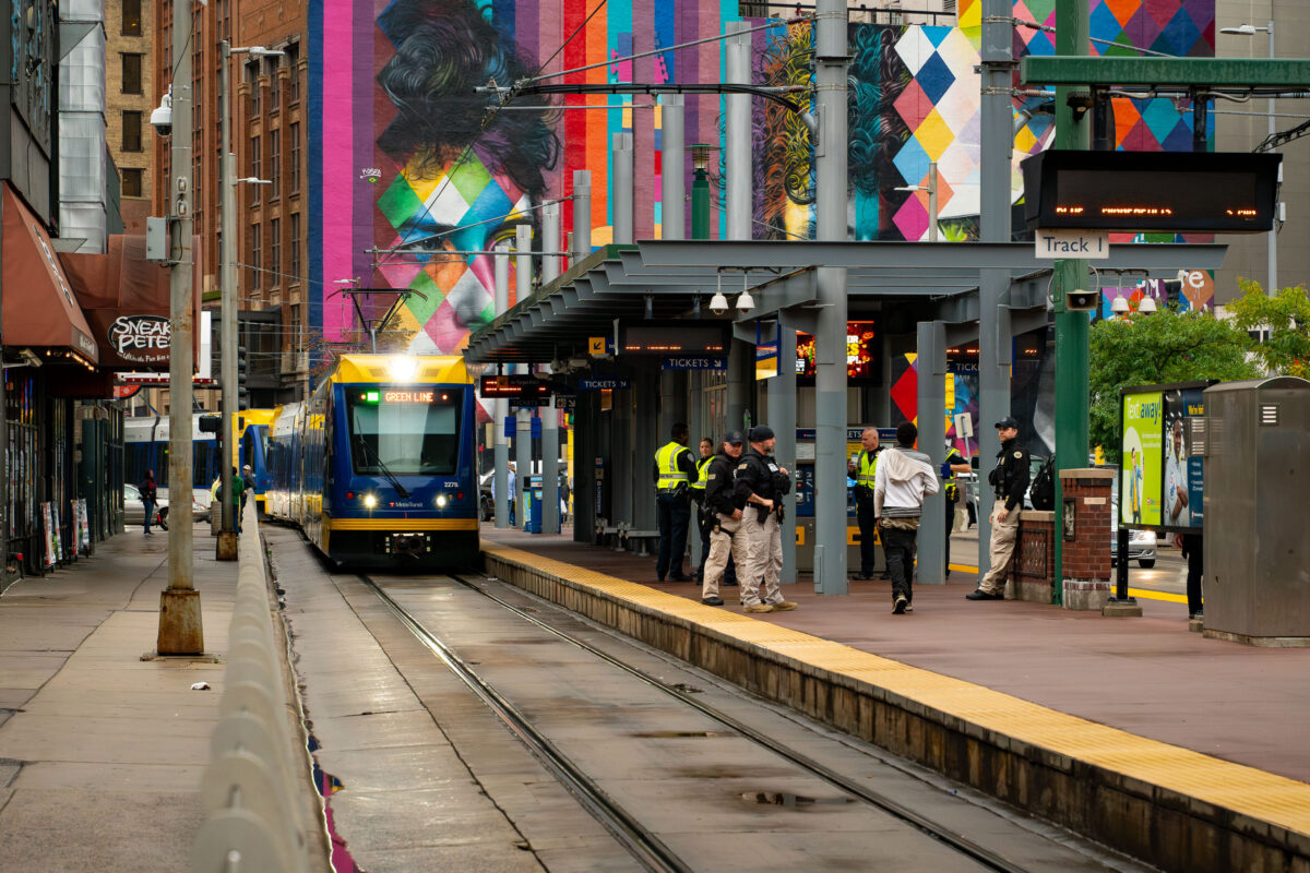
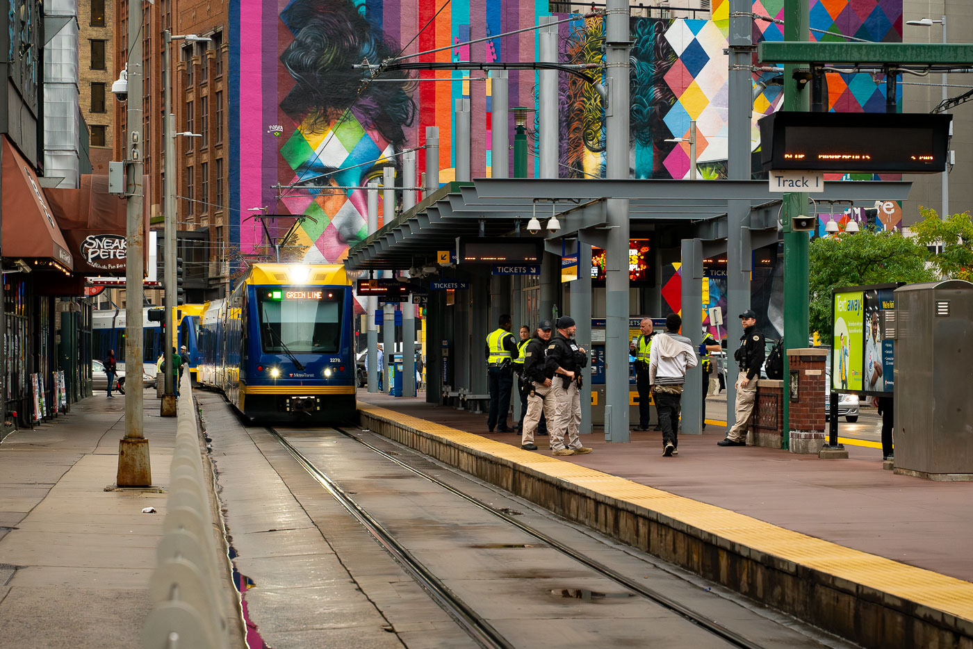
Minneapolis Target Field Station with officers on the platform beside a Green Line train and Prince mural.
Minneapolis Target Field Station with Prince Mural and Security. On October 10, 2019, Homeland Security officers were present at the Target Field light rail station in downtown Minneapolis. This increased security presence was in response to a major political rally held at the nearby arena, which prompted heightened security measures throughout the Warehouse District transit corridor. The station serves as a key transit hub, connecting light rail lines to the downtown area and surrounding neighborhoods.

Minneapolis Target Field Station with Prince Mural and Security

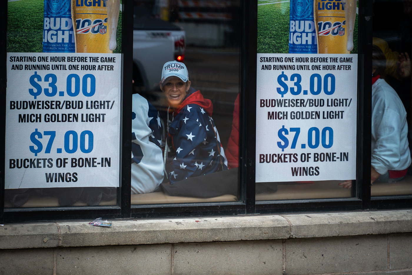
Woman in a Trump 2020 hat sits in a downtown Minneapolis bar window during a 2019 rally.
A woman wearing a “Trump 2020” hat smiles from inside a downtown Minneapolis bar near the Target Center on October 10, 2019. The establishment, decorated with promotional posters for discounted beer and wings, became a temporary gathering spot for attendees arriving early to the president’s evening campaign rally. The 2019 visit marked a rare appearance by a sitting U.S. president in Minneapolis and drew both supporters and demonstrators into the city’s entertainment district, where security and anticipation heightened throughout the afternoon.

Minneapolis Bar Patron Before Trump Rally, Oct 10, 2019

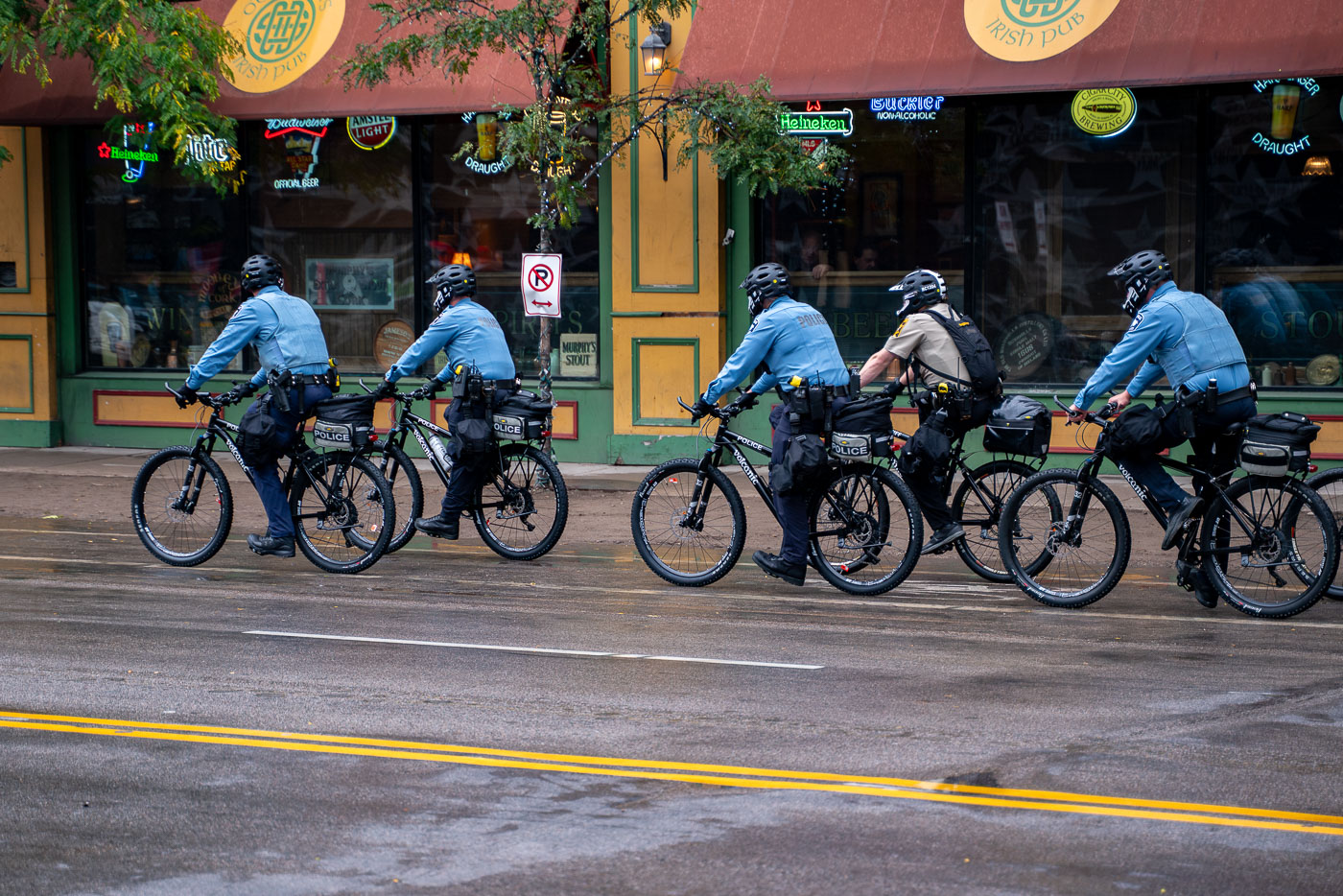
Minneapolis police officers on bicycles patrol near a downtown pub on a wet street.
Minneapolis police officers on bicycles patrol the downtown area near the Target Center on October 10, 2019. This patrol occurred as supporters and protesters gathered for a campaign event hosted by then-President Donald Trump. The Target Center is a multi-purpose arena that hosts sporting events, concerts, and other public gatherings, and its surrounding streets often become focal points for political rallies and demonstrations.

Minneapolis Bike Police Patrol Near Target Center

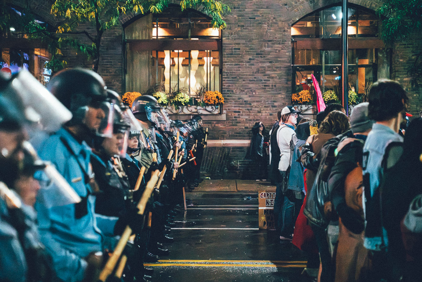
Minneapolis police in riot gear face protesters outside Target Center during a Trump rally in downtown Minneapolis.
Minneapolis police officers in riot gear formed a barricade on First Avenue outside the Target Center on October 10, 2019. They confronted protesters gathered for a campaign rally held by then-President Donald Trump. The rally drew thousands to downtown Minneapolis, prompting a significant law enforcement response. The police line separated demonstrators from attendees as tensions escalated.

Minneapolis Police Confront Protesters Outside Target Center, 2019
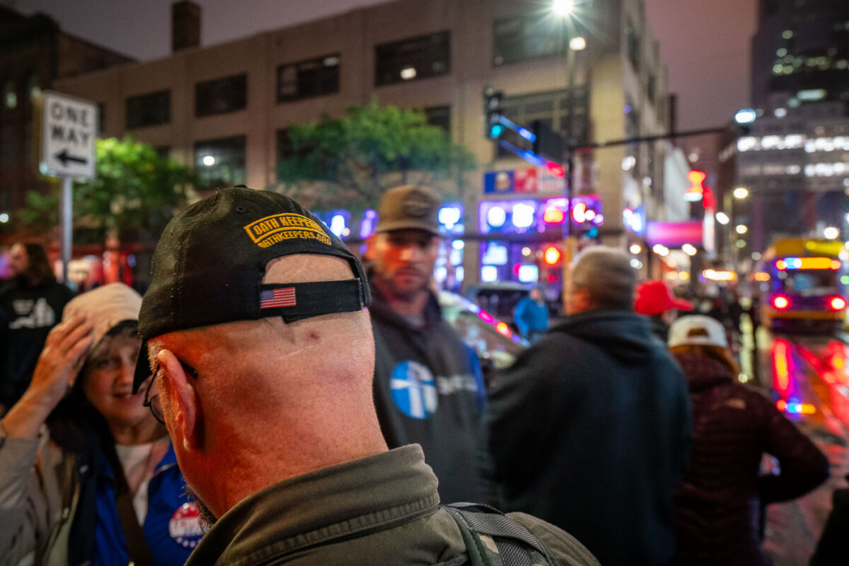
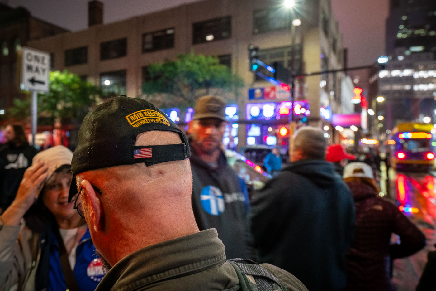
Man wearing an Oath Keepers hat stands in downtown Minneapolis during a Trump rally protest.
A man wearing an Oath Keepers hat is seen amidst a crowd during a protest outside President Donald Trump’s campaign rally at the Target Center in downtown Minneapolis on October 10, 2019. The rally, which drew thousands of supporters and counter-protesters, filled Hennepin Avenue and was met with a significant police presence. The Oath Keepers, a far-right militia founded in 2009, is known for its anti-government stance and has been associated with armed protests, including the January 6, 2021, U.S. Capitol attack.

Oath Keepers Hat at Minneapolis Trump Rally Protest, 2019

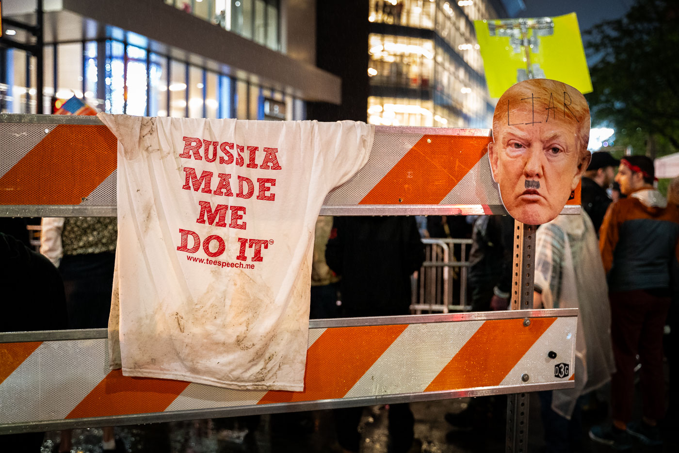
Protest sign reading "Russia Made Me Do It" and Trump cutout on a barricade outside Target Center in Minneapolis.
A protest sign reading "Russia Made Me Do It" and a cutout of Donald Trump's face, defaced with a Hitler-esque mustache, are displayed on a barricade outside the Target Center in Minneapolis. This display was part of protests on October 10, 2019, coinciding with Trump's campaign rally, his first visit to Minnesota since the Mueller report's release. Thousands gathered in the Warehouse District to voice opposition to the president's policies and rhetoric, under heavy police presence and national media attention.

Minneapolis Trump Rally Protest Sign: “Russia Made Me Do It”

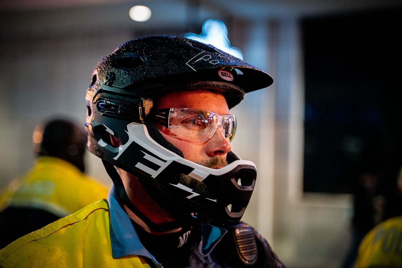
Helmeted Minneapolis police officer wearing goggles at a Trump rally.
A Minneapolis Police officer, equipped with protective gear including a helmet and goggles, stands on duty during a Donald Trump rally held in Minneapolis on October 10, 2019. Such events often require a significant police presence to manage crowds and ensure public safety. The presence of law enforcement in riot gear highlights the potential for civil unrest or the need for crowd control during politically charged gatherings.

Minneapolis Police Officer at Trump Rally, October 10, 2019

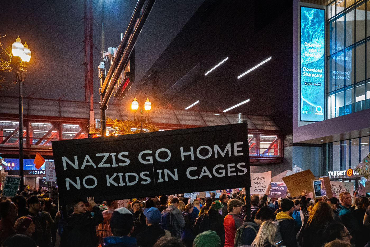
Protesters outside Target Center in Minneapolis hold signs opposing a Trump rally.
Thousands of protesters gathered outside the Target Center in downtown Minneapolis on October 10, 2019, to oppose a Donald Trump campaign rally. Demonstrators voiced opposition to the administration's immigration policies and far-right extremism, with signs reading "Nazis Go Home – No Kids in Cages" and "Impeach Trump." This event represented a significant public display of dissent in the city during Trump's presidency.

Minneapolis Protest Against Trump Rally, Target Center, 2019

Protesters in downtown Minneapolis hold a Free Hugs sign outside Target Center at night.
A "Free Hugs" sign is visible amidst a protest outside the Target Center in Minneapolis on October 10, 2019. The demonstration occurred concurrently with a Donald Trump campaign rally, drawing thousands of attendees who gathered to express opposition to the administration's policies. Despite the charged political climate, the presence of signs like "Free Hugs" and "Hate Has No Home Here" highlighted a desire for connection and solidarity among some participants.

Free Hugs Sign at Minneapolis Trump Protest, Oct 2019

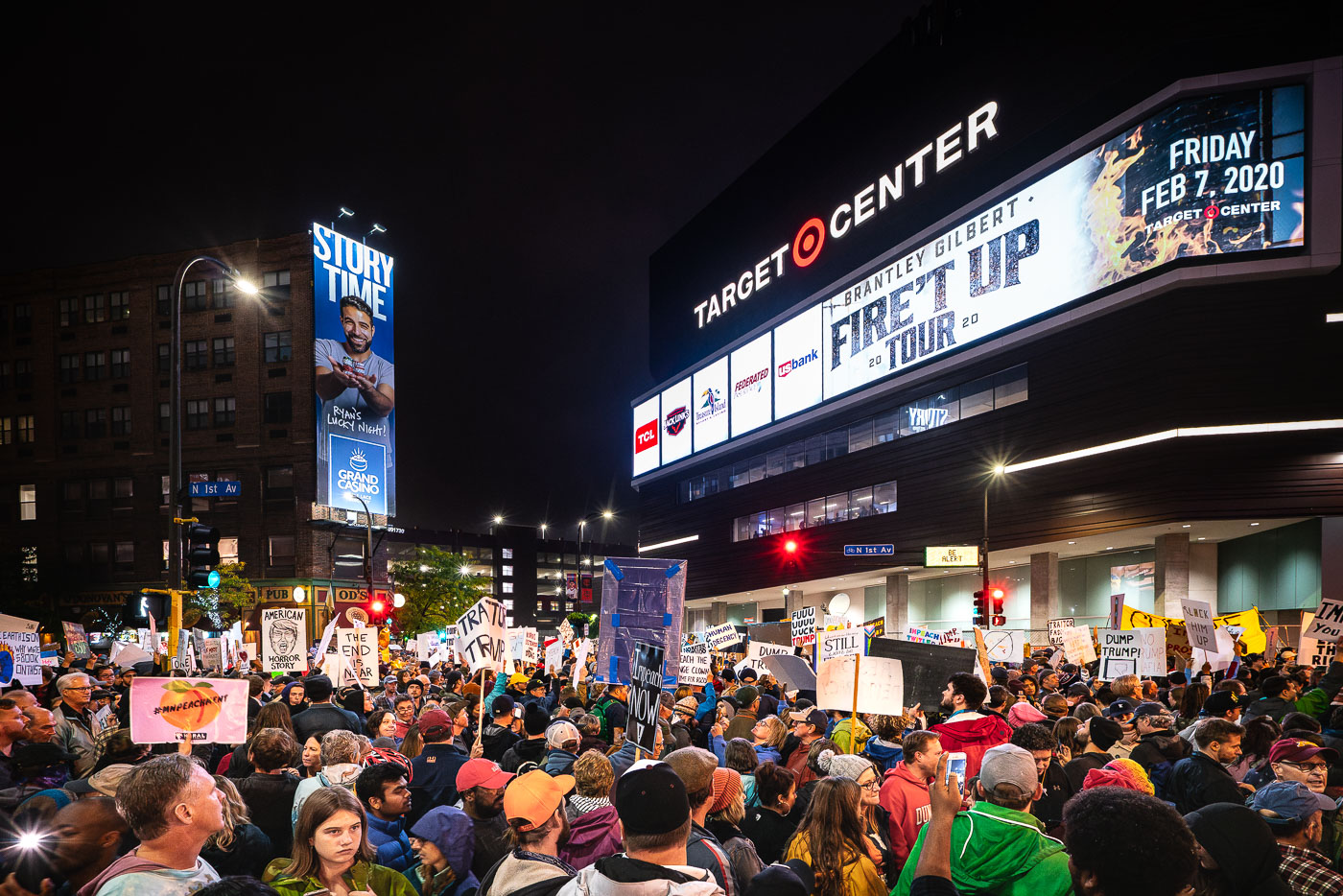
Protesters outside Target Center in downtown Minneapolis during a Trump rally.
Protesters gathered outside the Target Center in downtown Minneapolis on October 10, 2019, to voice their opposition to a Trump campaign rally being held inside. The Target Center, a multi-purpose arena, hosts a variety of events including sports, concerts, and political rallies. This protest occurred during the 2020 presidential election cycle, reflecting the political divisions of the time. The signs held by the crowd express a range of sentiments, from direct criticism of the president to broader political statements.

Protesters Outside Target Center, Minneapolis, October 10, 2019

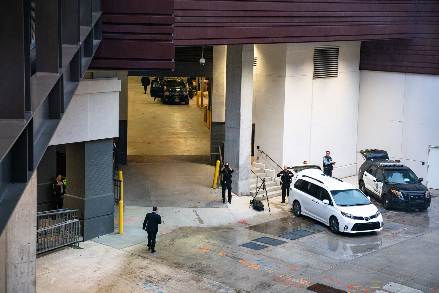
Secret Service agents and police outside Target Center in Minneapolis, with vehicles parked at a loading dock.
Secret Service agents and police officers are visible outside the Target Center in Minneapolis on October 10, 2019. The presence of these security personnel indicates preparations for a high-profile event, likely the arrival of a presidential motorcade, as suggested by the agent using binoculars. The Target Center, a multi-purpose arena, frequently hosts major sporting events, concerts, and political rallies, necessitating robust security measures for such occasions.

Secret Service and Police Outside Target Center, Minneapolis

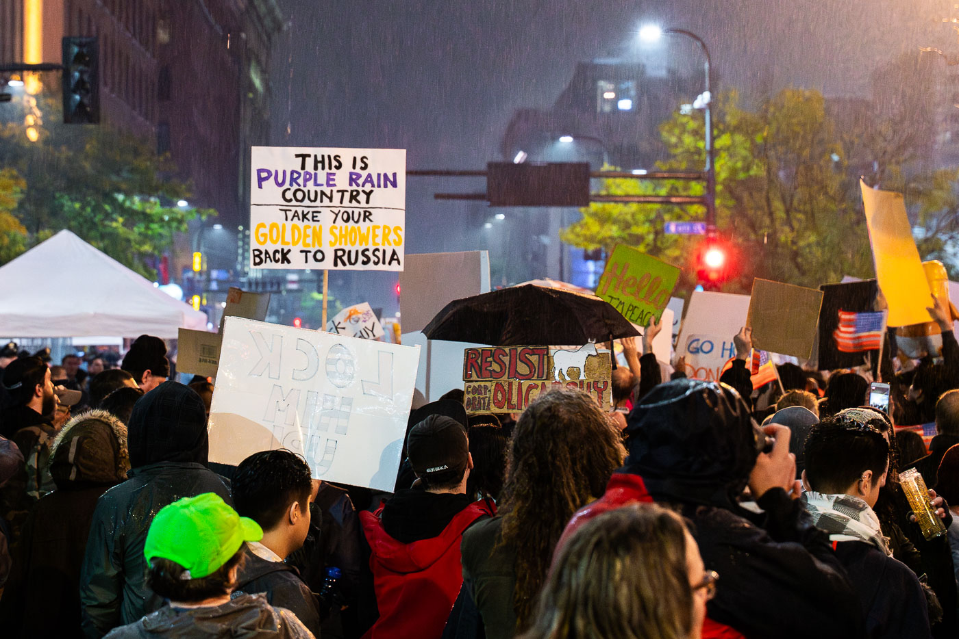
Protesters holding signs gather in heavy rain during a Trump rally demonstration in downtown Minneapolis on October 10, 2019.
Protesters gathered near the Target Center in downtown Minneapolis on October 10, 2019, during a campaign rally for then-President Donald Trump.

“Purple Rain Country” Sign at Trump Rally Protest in Minneapolis
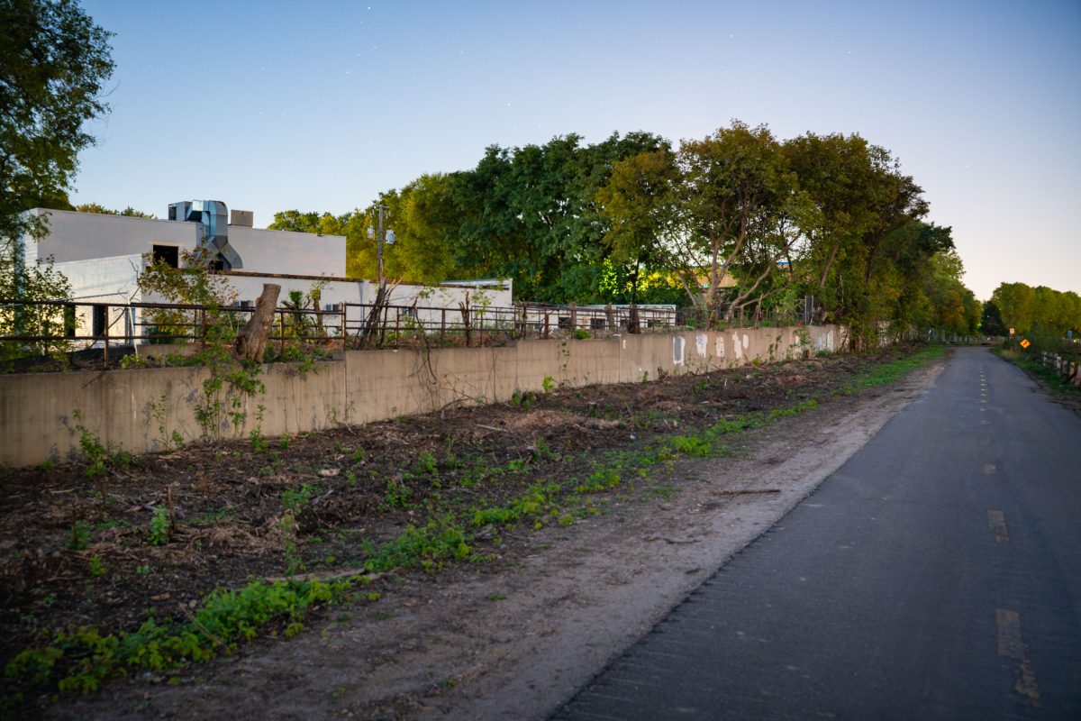
Concrete retaining wall along Cedar Lake Trail in St. Louis Park with industrial building and mature trees.
Cedar Lake Trail runs along a former rail corridor connecting the Kenilworth area of Minneapolis to St. Louis Park, used today by cyclists and pedestrians. The trail parallels the alignment of the Metro Green Line Extension, a light rail project linking downtown Minneapolis to Eden Prairie. Construction along this corridor required new retaining walls and the clearing of vegetation to accommodate the rail line. St. Louis Park station is one of several planned stops along this western stretch of the route.

Cedar Lake Trail Near the Green Line Extension in St. Louis Park
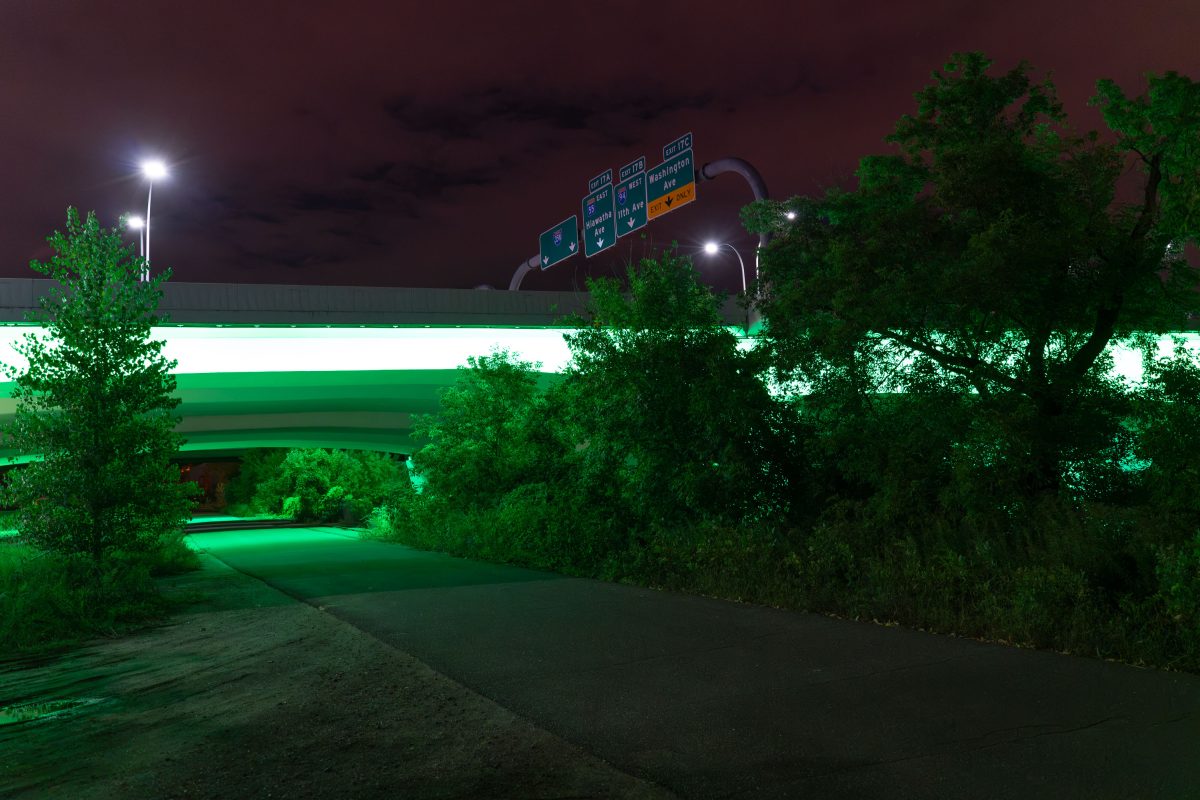
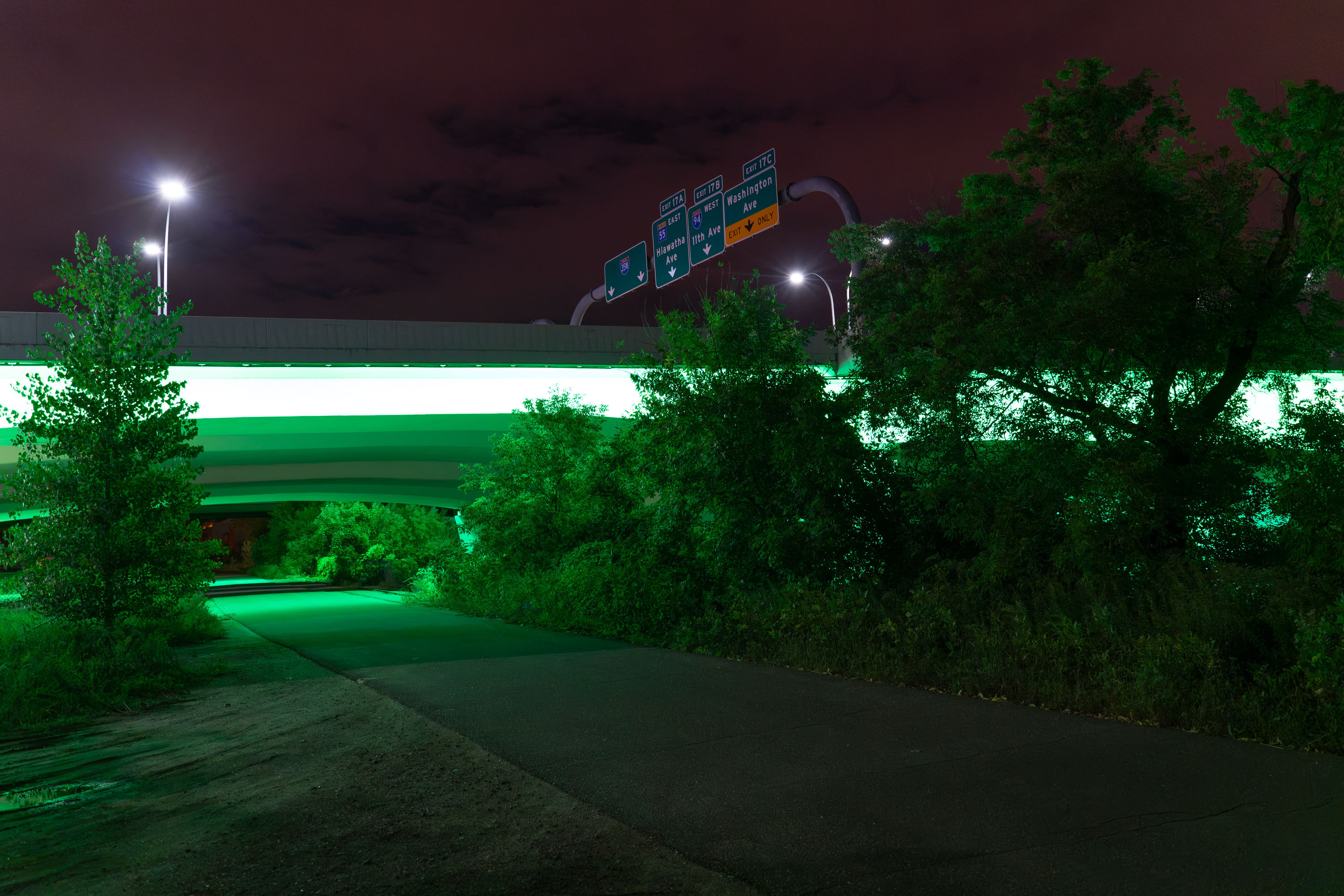
Green lights on 35W, Minneapolis, MN
The lights of Interstate 35W lit green for National Cerebral Palsy Awareness.

Green lights on 35W, Minneapolis, MN

Minneapolis' Midtown Greenway at night
The Midtown Greenway walking and biking trail as seen late night. The trails runs through Minneapolis from the river to St. Louis Park

Minneapolis’ Midtown Greenway at night

Entrance of The Grand Hotel at 615 2nd Ave S in downtown Minneapolis, Minnesota.
The Grand Hotel stands at 615 2nd Ave S in downtown Minneapolis. The building operates as a hotel property within the city's downtown core, near the Mississippi riverfront district.

Entrance of The Grand Hotel, Downtown Minneapolis

Cedar Lake East Beach, Minneapolis, with a shoreline, trees, and calm water.
Cedar Lake East Beach, commonly known as Hidden Beach, is on the east side of Cedar Lake in Minneapolis. It is a small public beach and shoreline access area in the city’s lake district.

September at Hidden Beach Minneapolis, MN

Cedar Lake East Beach, Minneapolis, a small sand shoreline with picnic tables by the lake under autumn trees.
Cedar Lake East Beach is a public shoreline on the east side of Cedar Lake in Minneapolis. Locally known as “Hidden Beach,” it functions as a small beach and picnic area within Minneapolis parklands. The swimming and recreation area is equipped for seasonal lake use, including a lifeguard stand.

Hidden Beach, Cedar Lake East Beach, Minneapolis

Arcola High Bridge near Stillwater
Located near Stillwater, the Soo Line High Bridge was built in 1910 and is on the National Register of Historic Places.

Arcola High Bridge – Stillwater, MN

Arcola High Bridge spanning forested valley with graffiti-covered steel structure and railing.
The Arcola High Bridge carries rail traffic across the St. Croix River near Marine on St. Croix, Minnesota. Built in 1911 by the Wisconsin Central Railway, the steel trestle rises about 185 feet above the river and runs roughly 2,682 feet across the valley. It was added to the National Register of Historic Places in 1980 for its engineering significance. The line later passed to the Soo Line Railroad and remains part of the Canadian National Railway network today.

Arcola High Bridge Trestle, St. Croix River, Minnesota

St. Paul Skyline from across the river
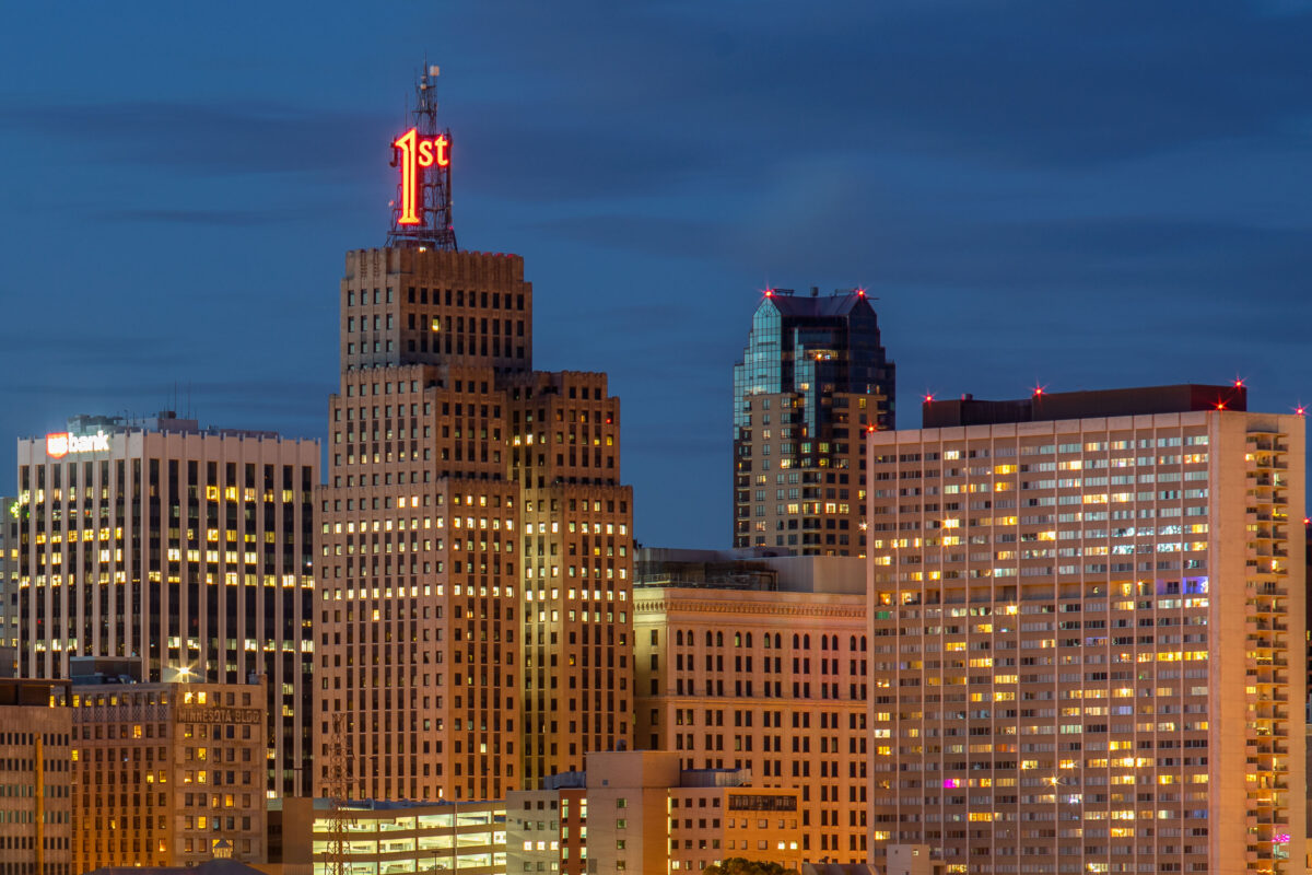
The view of Downtown St. Paul as seen from across the Mississippi River.

St. Paul Skyline from across the river

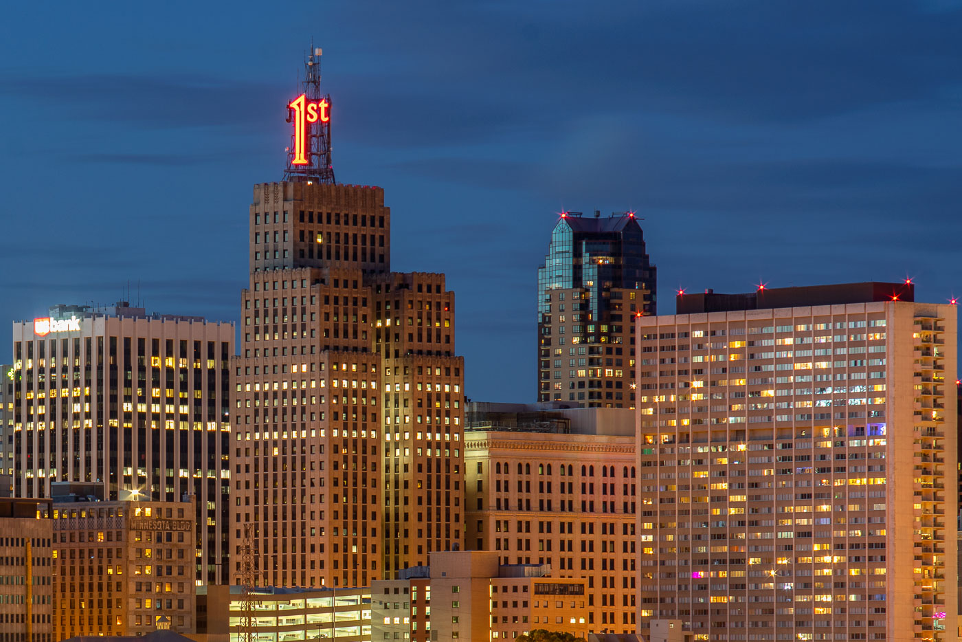
First National Bank Building with illuminated neon sign at dusk in downtown St. Paul.
The First National Bank Building dominates the St. Paul skyline at dusk. The Art Deco structure, completed in 1929, is identifiable by its distinctive "1st" neon sign atop the tower. Located on Bellows Street in downtown St. Paul, the building remains a prominent landmark in the city's commercial district.

First National Bank Building, St. Paul
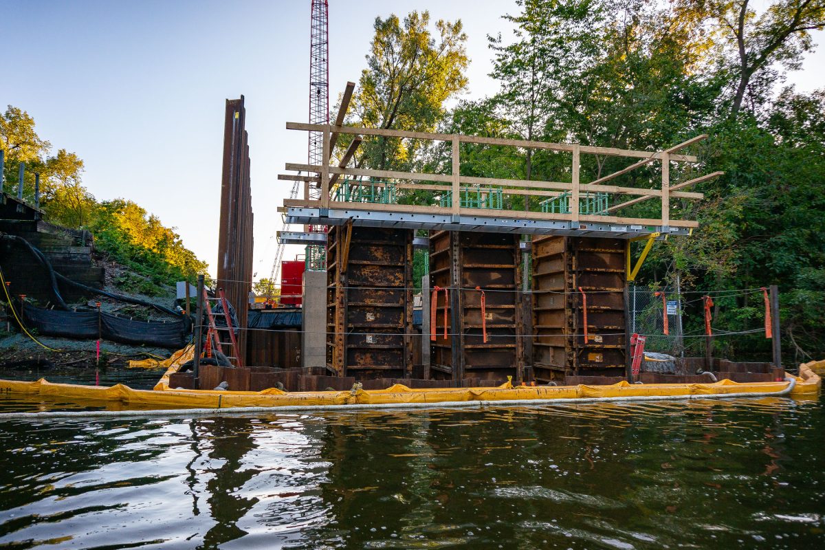
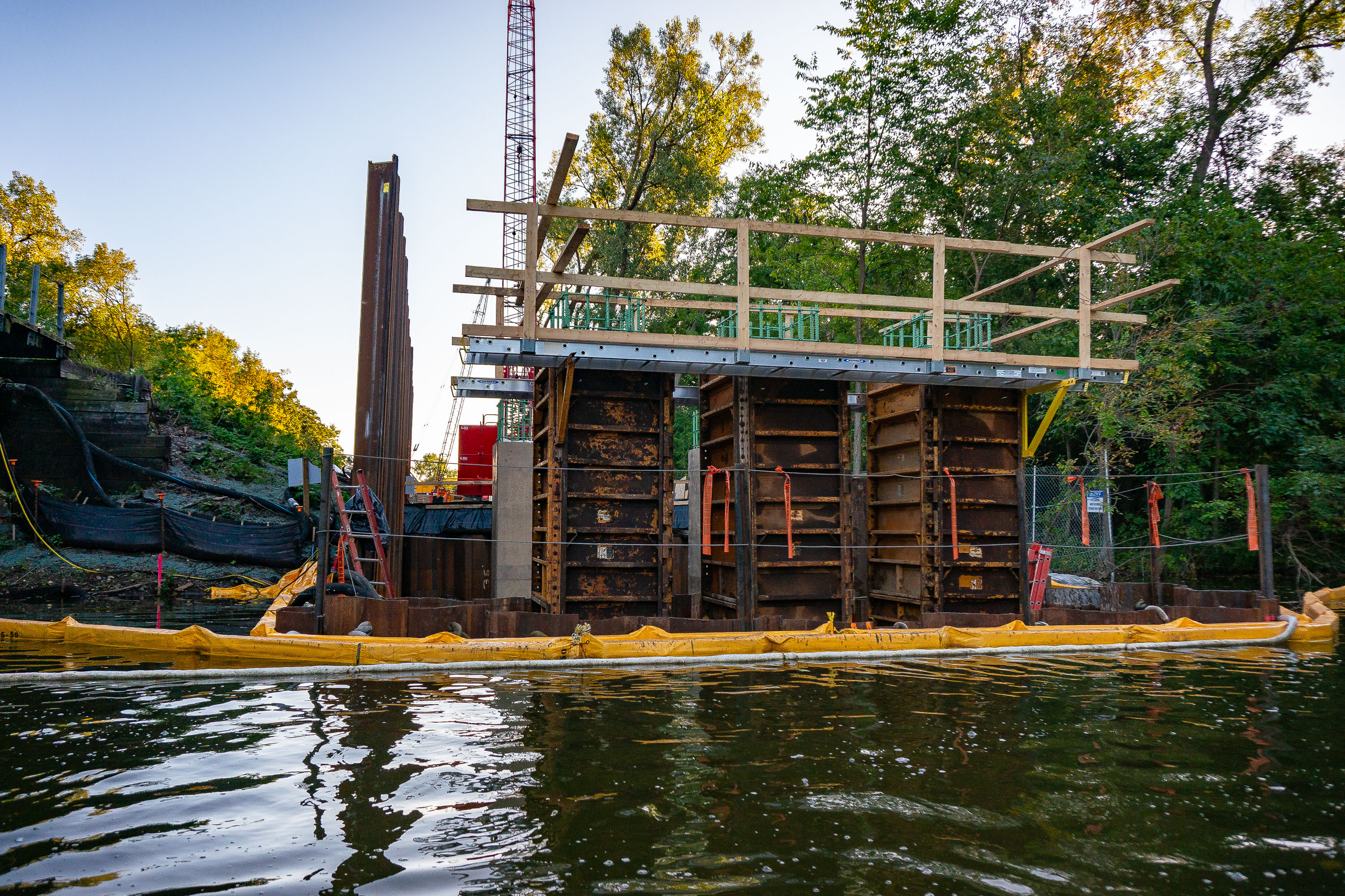
Construction equipment and containment barriers along Cedar Lake during Metro Green Line Extension work in Minneapolis.
The Kenilworth Channel connects Cedar Lake and Lake of the Isles in Minneapolis, carrying both water traffic and the Kenilworth Trail along its banks. Construction here is tied to the Metro Green Line Extension, a light-rail project that runs through the Kenilworth corridor en route to Eden Prairie.

Bridge Construction Along the Kenilworth Channel
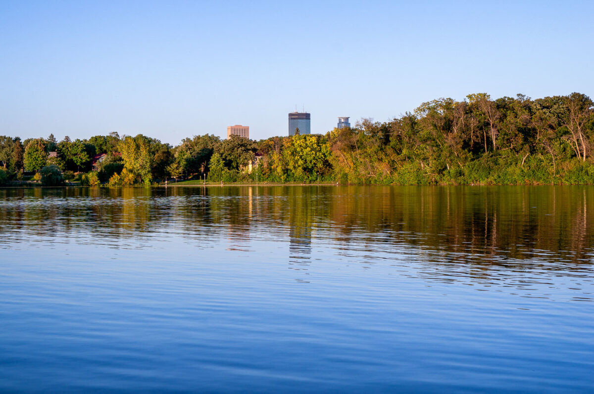
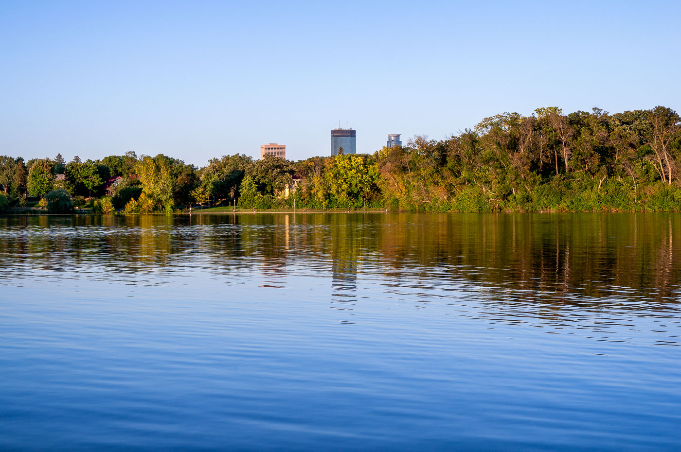
Minneapolis skyline from Lake of the Isles with IDS Center and Capella Tower.

Minneapolis skyline from Lake of the Isles in Minneapolis, Minnesota. The IDS Center and Capella Tower rise above the trees on the far shore.

Minneapolis skyline from Lake of the Isles

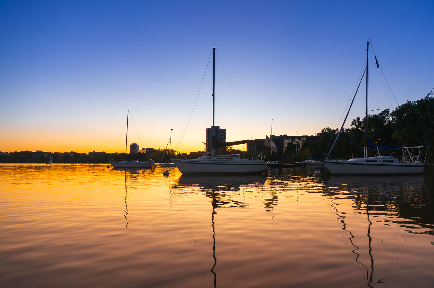
Sailboats moored at Bde Maka Ska lake at sunset in Minneapolis, Minnesota.
Sailboats are moored on Bde Maka Ska, Minneapolis, Minnesota, as the sun sets. The lake, formerly known as Lake Calhoun, is one of the city's Chain of Lakes, a system of lakes and parkland that provides significant recreational opportunities. Bde Maka Ska is a popular destination for sailing, kayaking, and other water activities, and its shores are lined with parks and trails used by residents and visitors.

Sailboats Moored on Bde Maka Ska at Golden Hour
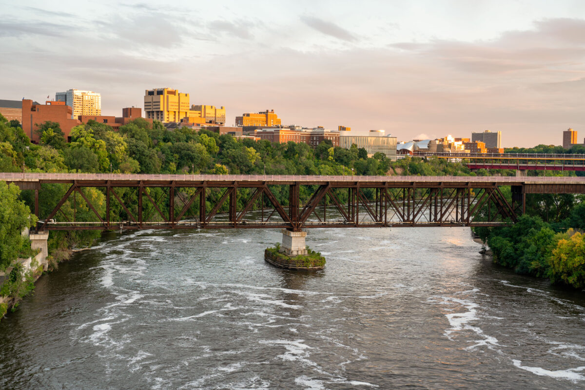
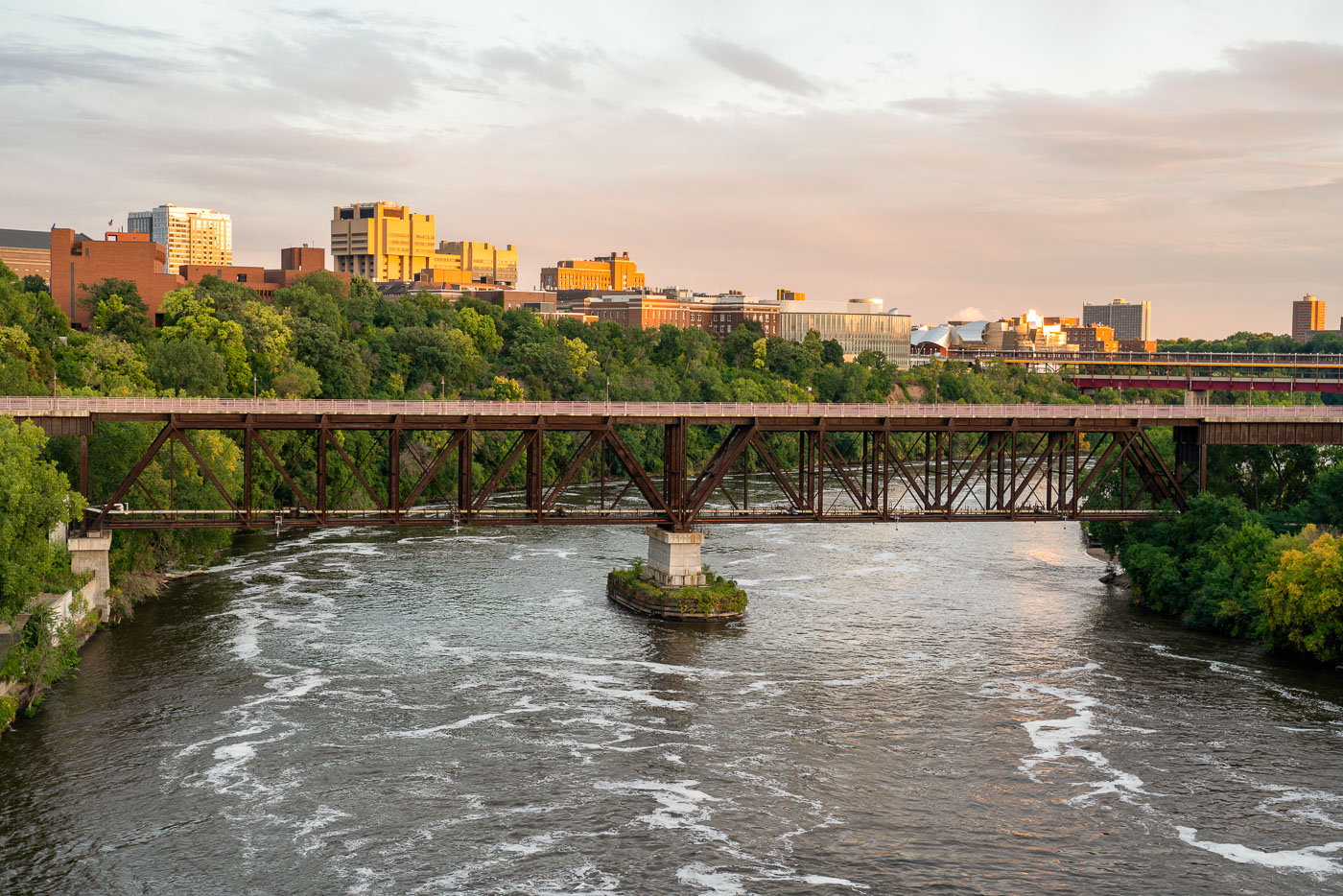
The University Avenue Bridge, a 1960 truss bridge, spans the Mississippi River in Minneapolis, connecting the University of Minnesota's East and West Bank campuses.
The University Avenue Bridge spans the Mississippi River, connecting the East and West Bank campuses of the University of Minnesota in Minneapolis. Constructed in 1960, this truss bridge facilitates pedestrian and vehicular traffic, essential for the university's operations. The surrounding area includes notable campus buildings such as the Weisman Art Museum and the Phillips-Wangensteen Building, visible in the background during evening light.

University of Minnesota Bridges, Mississippi River, Minneapolis

St. Anthony Main in Minneapolis, Neon Signs
Looking down Main Street in Minneapolis. St. Anthony Main and Pillsbury's Best Flour signs visible in the background.

St. Anthony Main in Minneapolis, Neon Signs

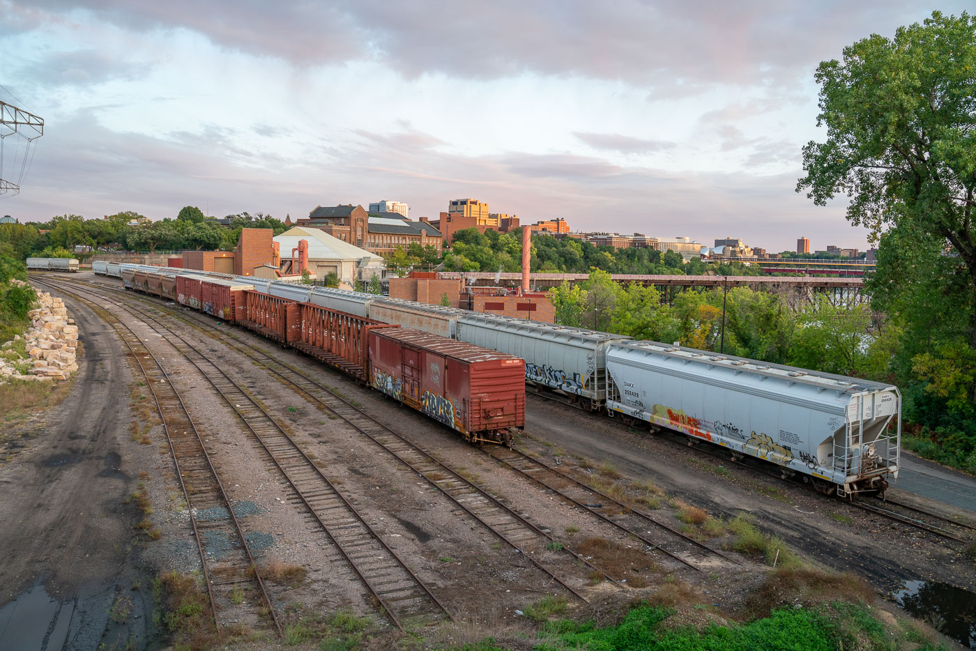
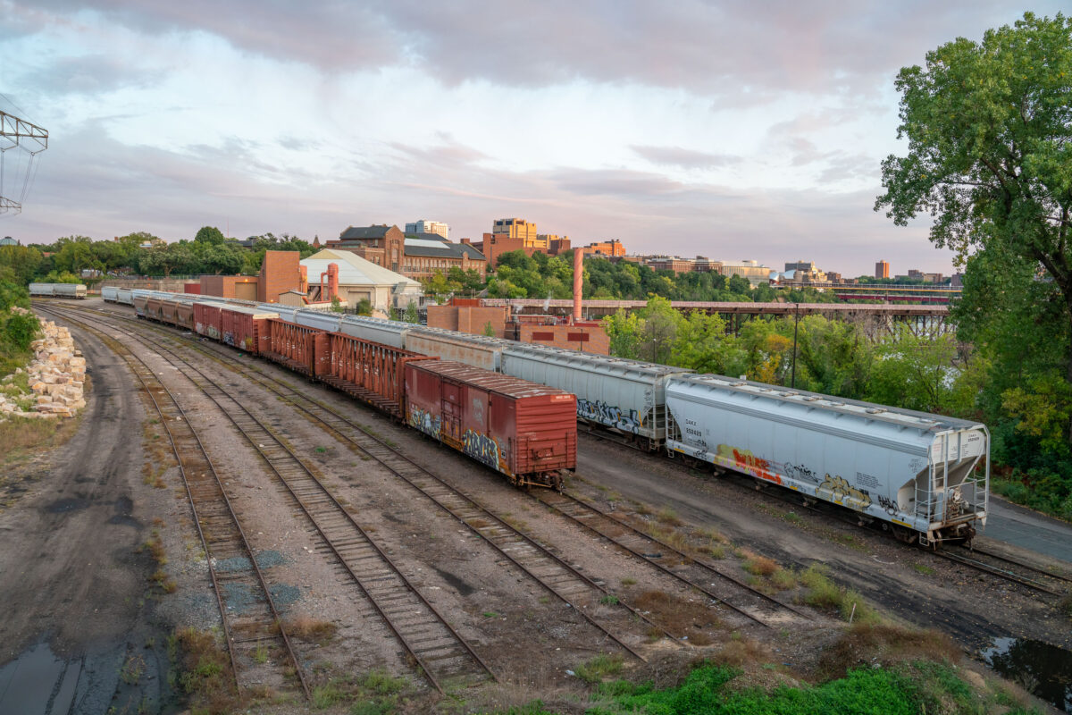
Freight trains and University Southeast Steam Plant
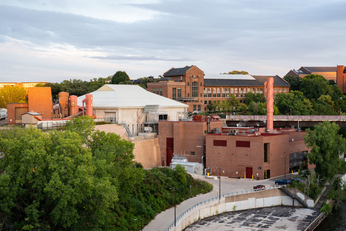
Freight cars sit on rail tracks near the Mississippi River in Minneapolis, with the University of Minnesota campus in the background. The Southeast Steam Plant and its red exhaust stacks rise behind the trains, and the Washington Avenue Bridge crosses the river farther upstream. The scene highlights the mix of industry, infrastructure, and campus development along the riverfront.

Freight trains and University Southeast Steam Plant

University of Minnesota’s Southeast Steam Plant 2019
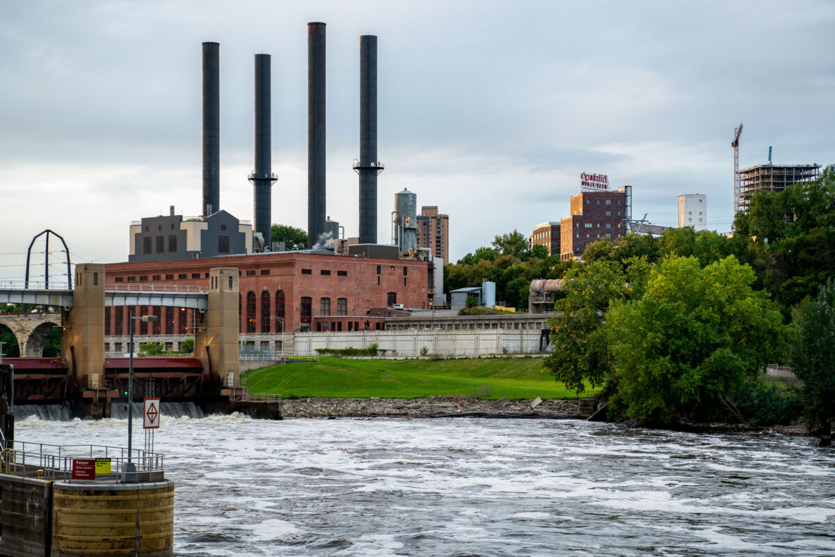
The University of Minnesota's Southeast Steam Plant sits along the Mississippi River near the East Bank campus in Minneapolis. Built in the early twentieth century to supply heat and power to the growing university, the plant originally ran on coal before converting to natural gas.

University of Minnesota’s Southeast Steam Plant

University of Minnesota Southeast Steam Plant
The University of Minnesota Southeast Steam Plant stands on the east bank of the Mississippi River in Minneapolis, adjacent to the St. Anthony Falls hydroelectric facilities near the university’s East Bank campus. Identified by its four tall smokestacks, the plant supplies district steam and other utility services for the university and is part of the institutional infrastructure concentrated along the riverfront. Originally developed as a coal-fired heating plant, the facility was later converted to burn natural gas while remaining in operation as a major campus energy source.

University of Minnesota Southeast Steam Plant

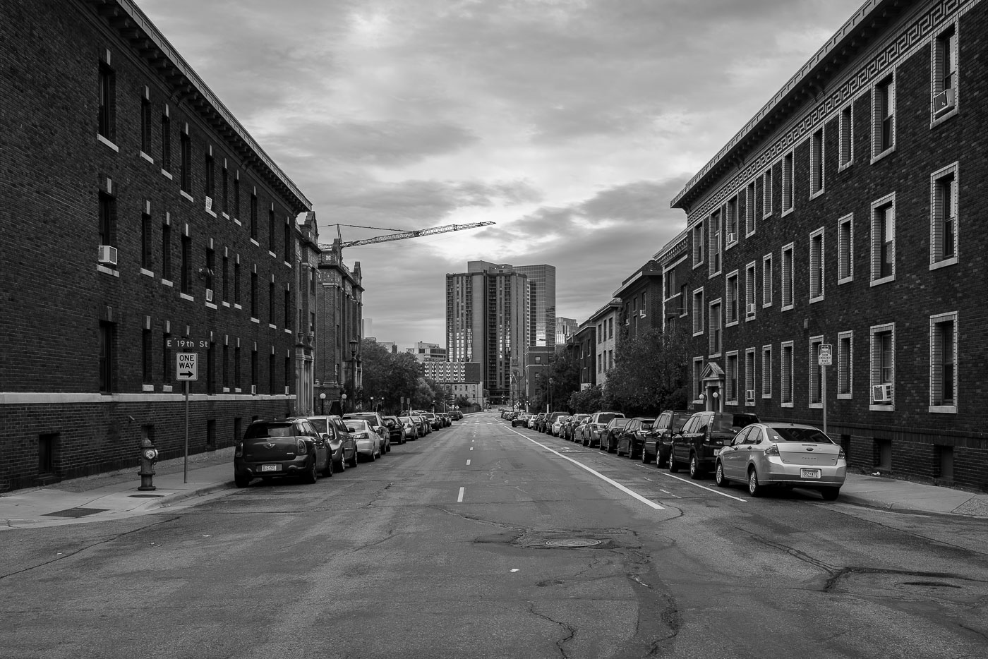
East 19th Street in Stevens Square, Minneapolis, lined with brick apartment buildings and parked cars.
East 19th Street in Stevens Square, Minneapolis, running between brick residential buildings toward downtown. The street served as a residential neighborhood corridor in South Minneapolis, with early 20th-century apartment buildings lining both sides. A construction crane visible in the distance s ongoing development activity in the downtown area beyond the neighborhood.

East 19th Street, Stevens Square Minneapolis
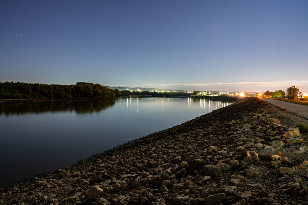
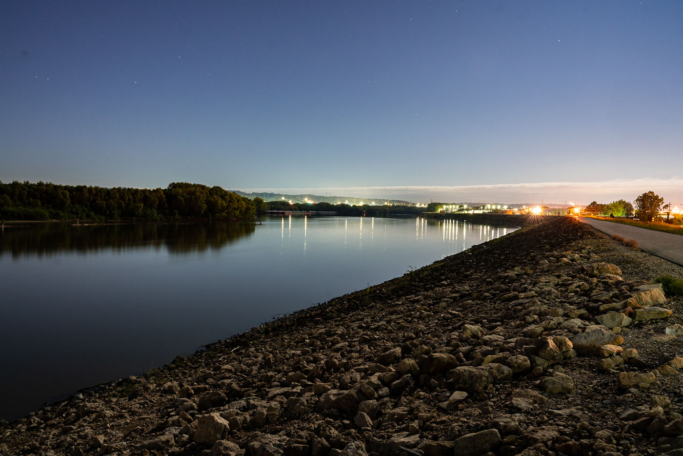
Minnesota River at Savage, Minnesota, at dusk with industrial lights along the shoreline.
The Minnesota River near Savage, Minnesota, flows past an industrial area along its banks. The river serves as a transportation corridor and water resource for the region's industrial operations. Lighting from nearby facilities illuminates the water at dusk, marking the presence of manufacturing and processing infrastructure along the waterway.

Minnesota River at Savage, dusk

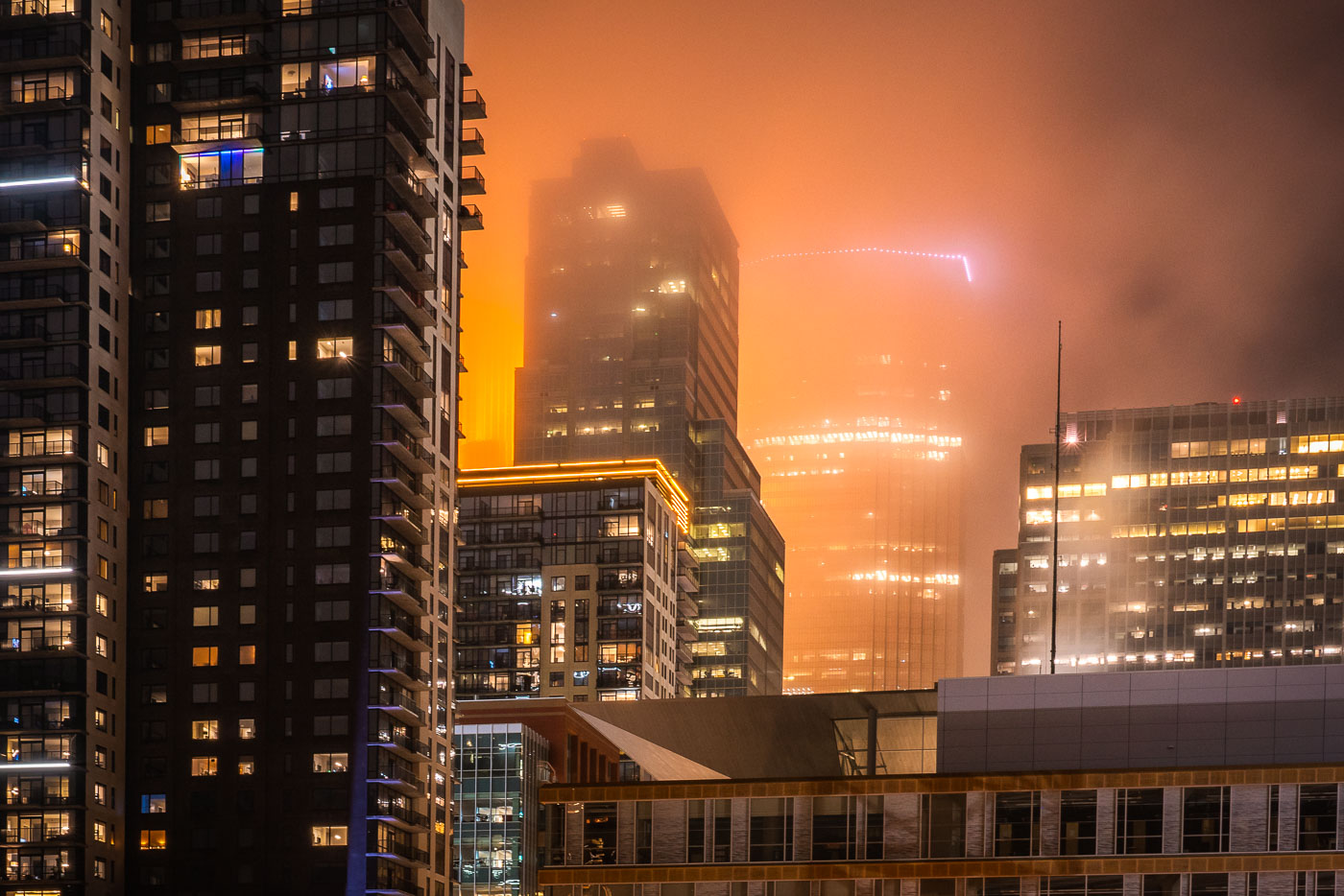
Wells Fargo Tower Lights Up Downtown With Fog
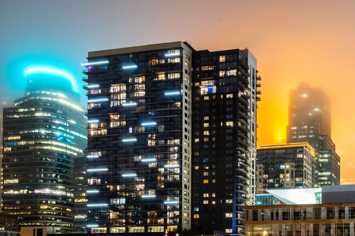
A foggy night in downtown Minneapolis with IDS Center in the background with Xcel Energy Headquarters in the foreground.

Wells Fargo Tower Lights Up Downtown With Fog

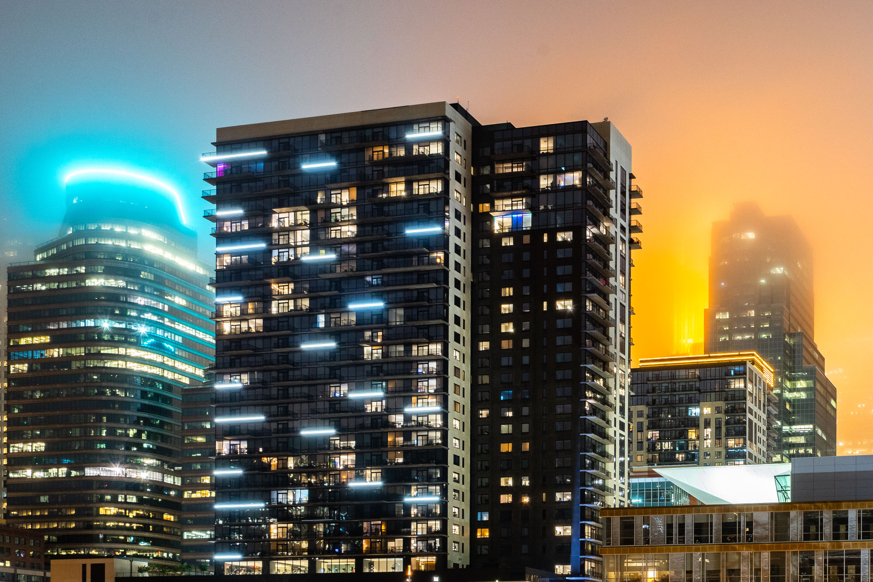
365 Nicollet Apartments illuminated at dusk in downtown Minneapolis skyline.
365 Nicollet rises along Nicollet Mall in downtown Minneapolis, part of a wave of residential towers built in the city's Mill District during the mid-2010s. Developed by Alatus LLC and completed in 2017, the tower stands roughly 40 stories tall and holds luxury rental apartments with views of the Mississippi River and the downtown skyline.

365 Nicollet Apartment Tower, Downtown Minneapolis
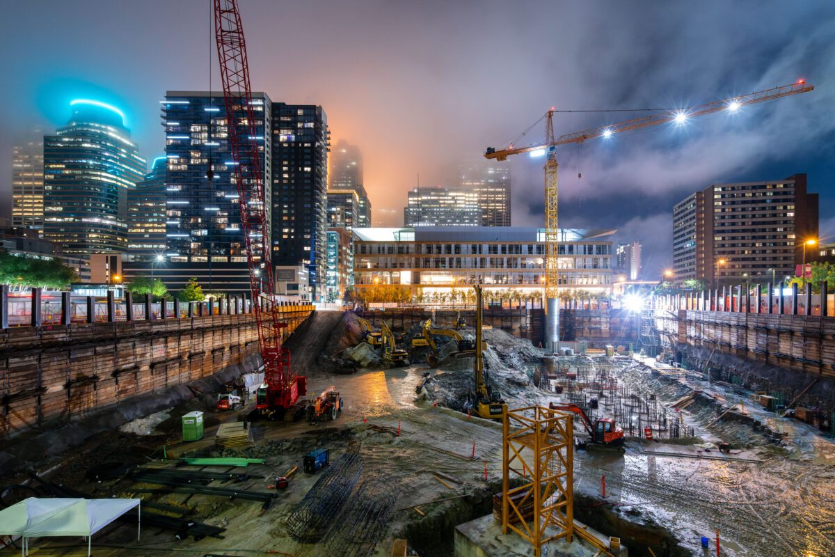
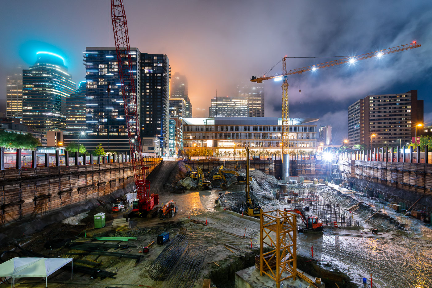
Tower cranes and construction equipment operate at the RBC Gateway site in downtown Minneapolis at dusk.
A tower crane at the site of the new RBC Gateway development in Downtown Minneapolis.

Night Excavation at the RBC Gateway Construction Site
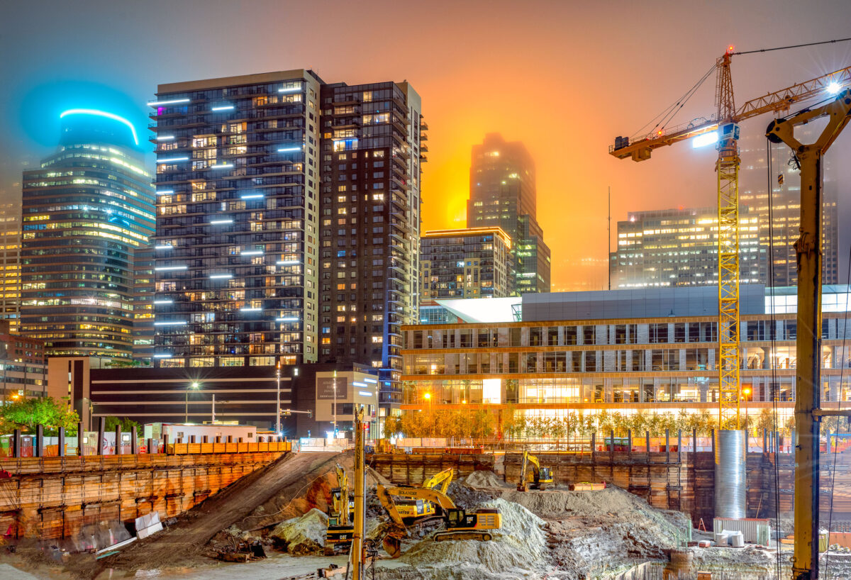
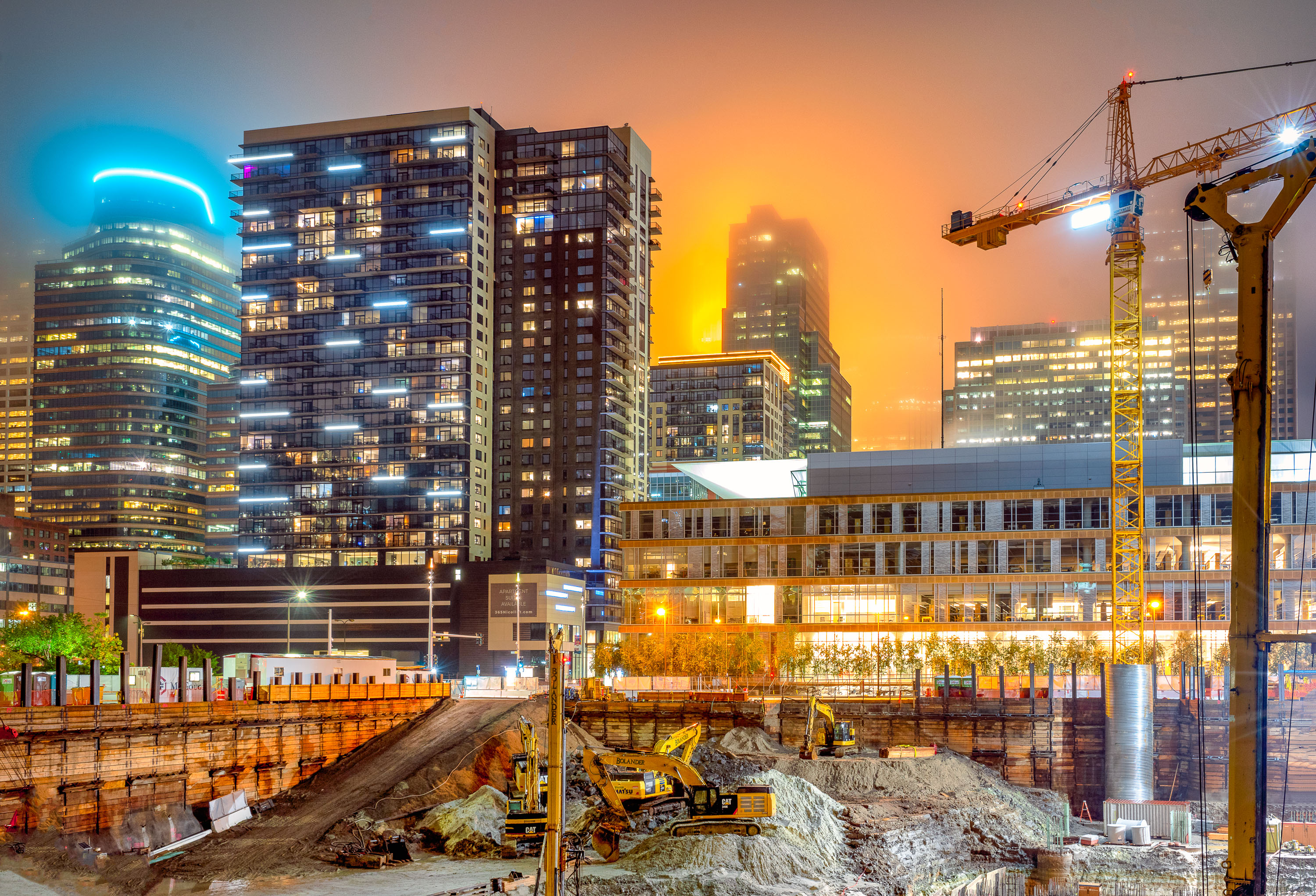
Construction cranes and excavators work at the RBC Gateway site in downtown Minneapolis during twilight with illuminated office towers in the background.
A foggy evening in Downtown Minneapolis with the RBC Gateway tower under construction on September 12, 2019.

Night Construction Site Beneath a Fog-Lit Minneapolis Skyline

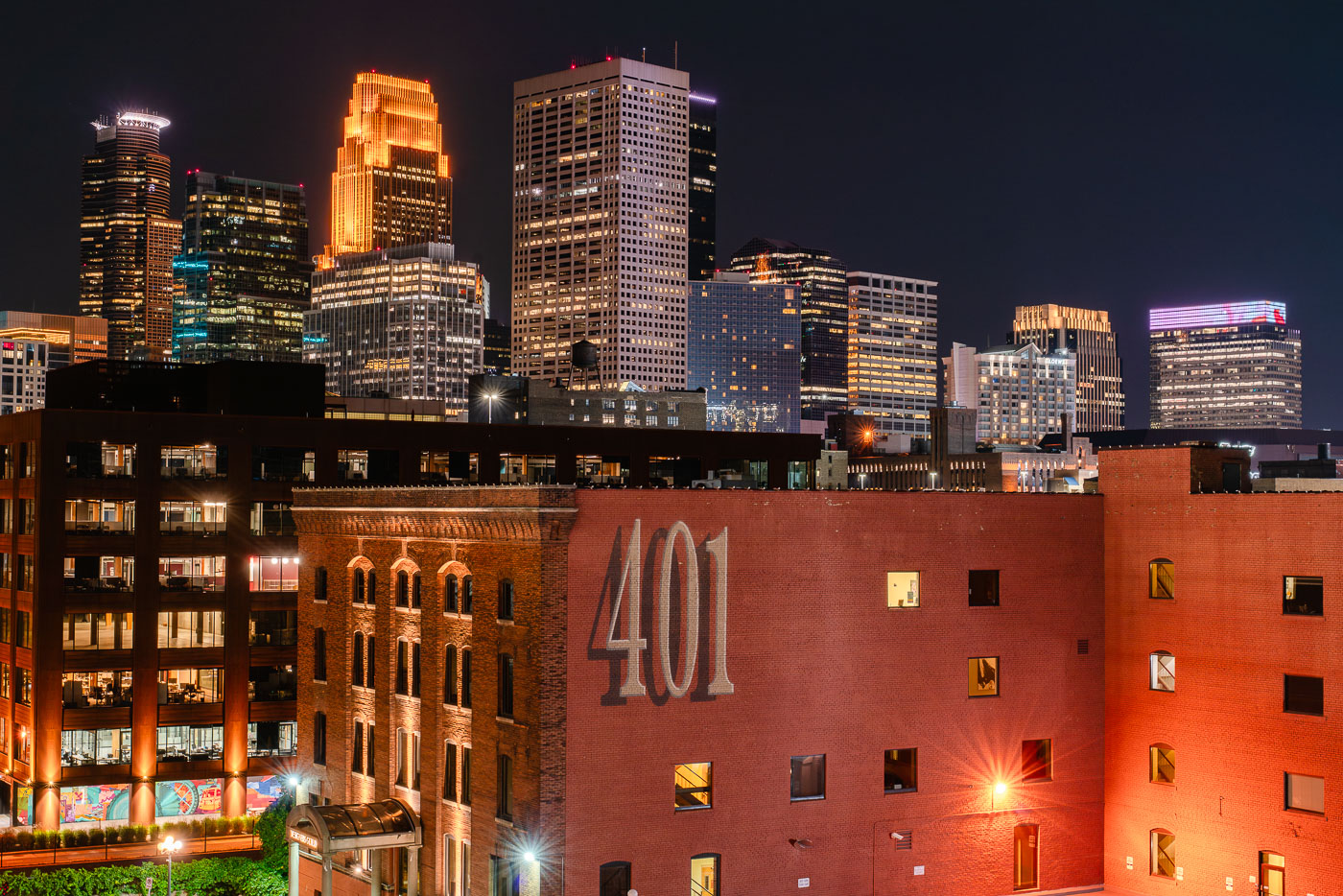
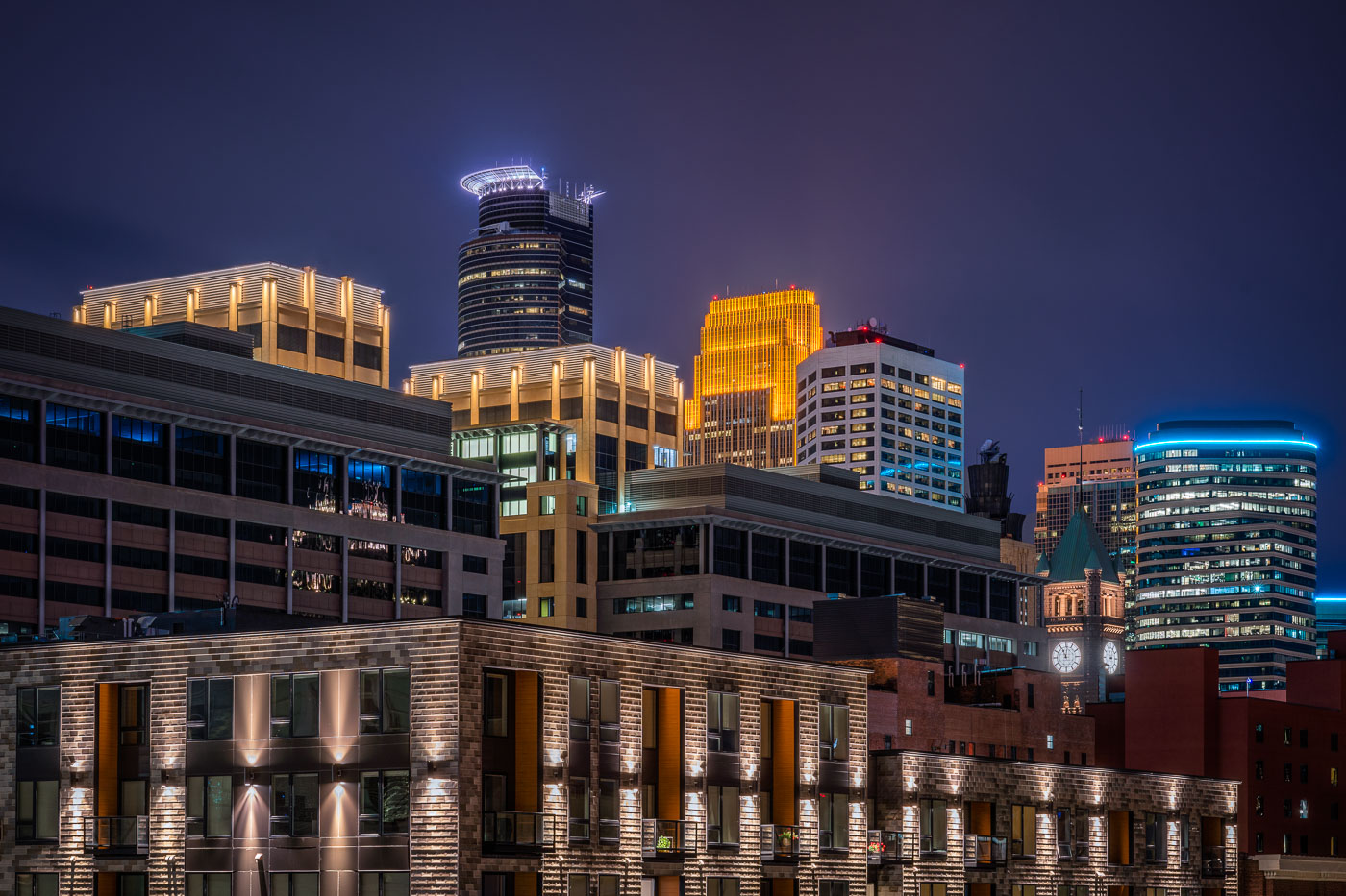
Downtown Minneapolis skyline at night from the North Loop, with the 401 North First Avenue building in front.
Downtown Minneapolis skyline at night from the North Loop. The North Loop area combines former warehouse buildings with newer residential and commercial development.

Minneapolis Skyline from the North Loop at night
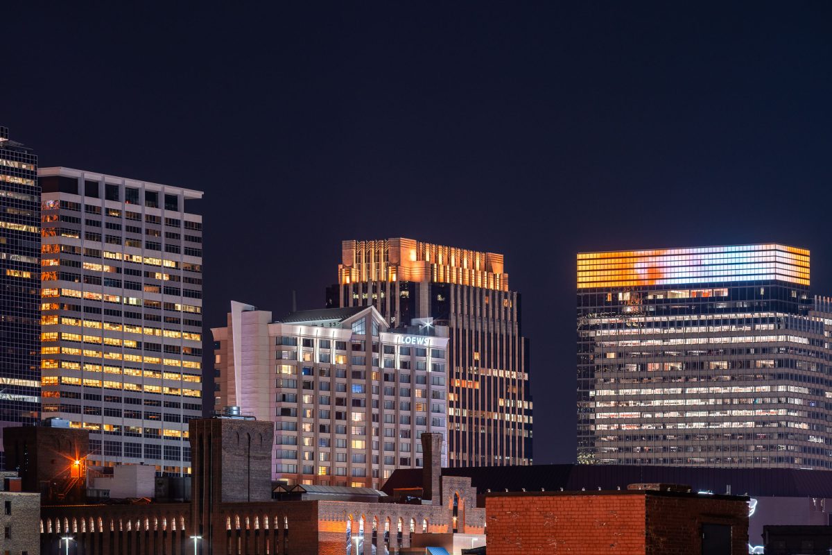
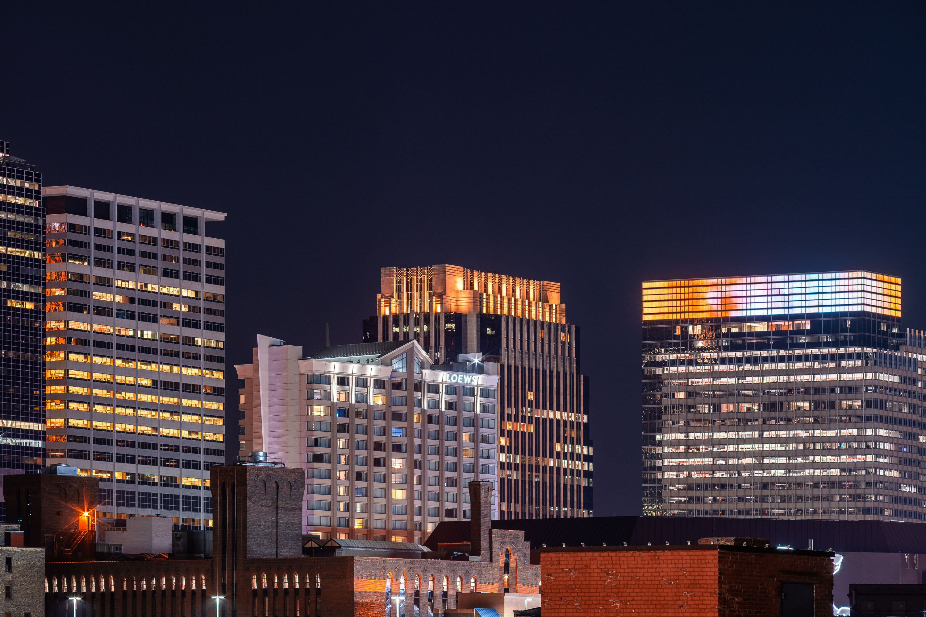
The Lofton Hotel in Downtown Minneapolis at night
Loews Hotel in Downtown Minneapolis, now called The Lofton Hotel

The Lofton Hotel in Downtown Minneapolis at night

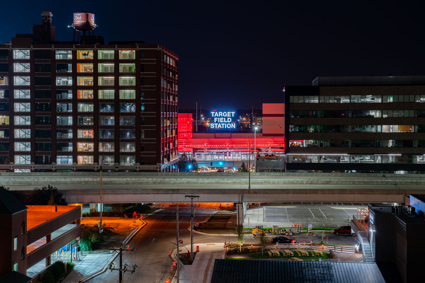
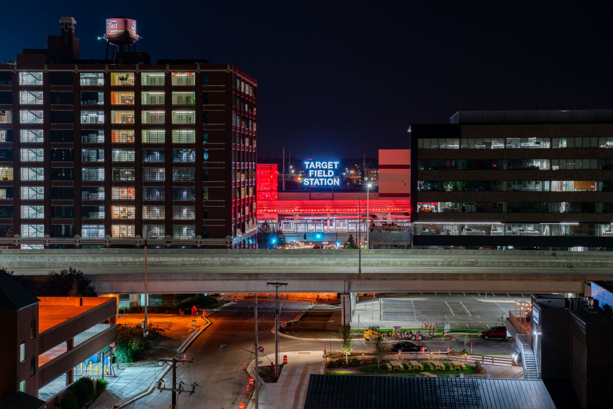
Target Field Station illuminated at night in Minneapolis's North Loop, surrounded by historic and modern buildings.
Target Field Station is a transit hub in the North Loop next to Target Field, home of the Minnesota Twins. It opened in 2014 and brings together the METRO Blue and Green light rail lines, Northstar Commuter Rail, and Metro Transit buses under one roof.

Target Field Station Sign Above the North Loop

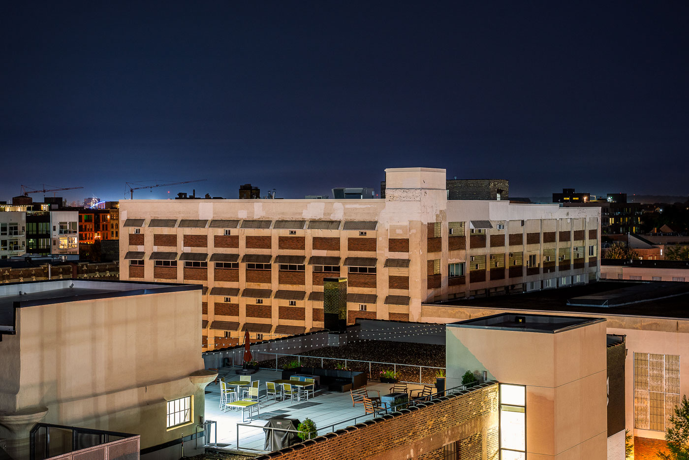
Rooftop patio with seating and black canopy at CJ Duffey Paper Co in North Loop Minneapolis.
The rooftop patio at CJ Duffey Paper Co in Minneapolis's North Loop neighborhood serves as an outdoor gathering space adjacent to the historic brick warehouse. The patio is sheltered by a black canopy and furnished with blue and wood seating. The surrounding North Loop area features mixed-use industrial and residential architecture, with modern apartment buildings and converted warehouses characteristic of the neighborhood's development.

CJ Duffey Paper Co Rooftop Patio, North Loop Minneapolis

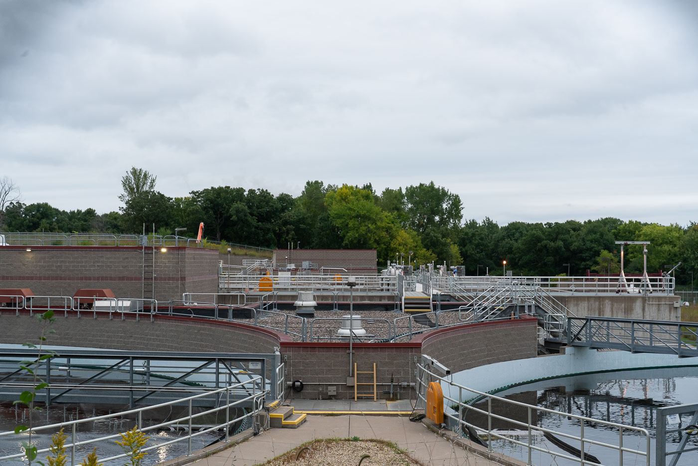
Circular clarifier tanks and metal catwalks at Cottage Grove wastewater treatment plant in Minnesota.
Wastewater treatment facilities in Cottage Grove, Minnesota, with clarifier basins, catwalks, and control structures used in the municipal sewage-treatment process. Such plants are part of local public works systems that remove solids and contaminants from wastewater before treated effluent is discharged. The visible circular tanks and connecting walkways are typical components of modern treatment operations designed for continuous monitoring and maintenance.

Clarifier Basins at the Cottage Grove Wastewater Treatment Plant

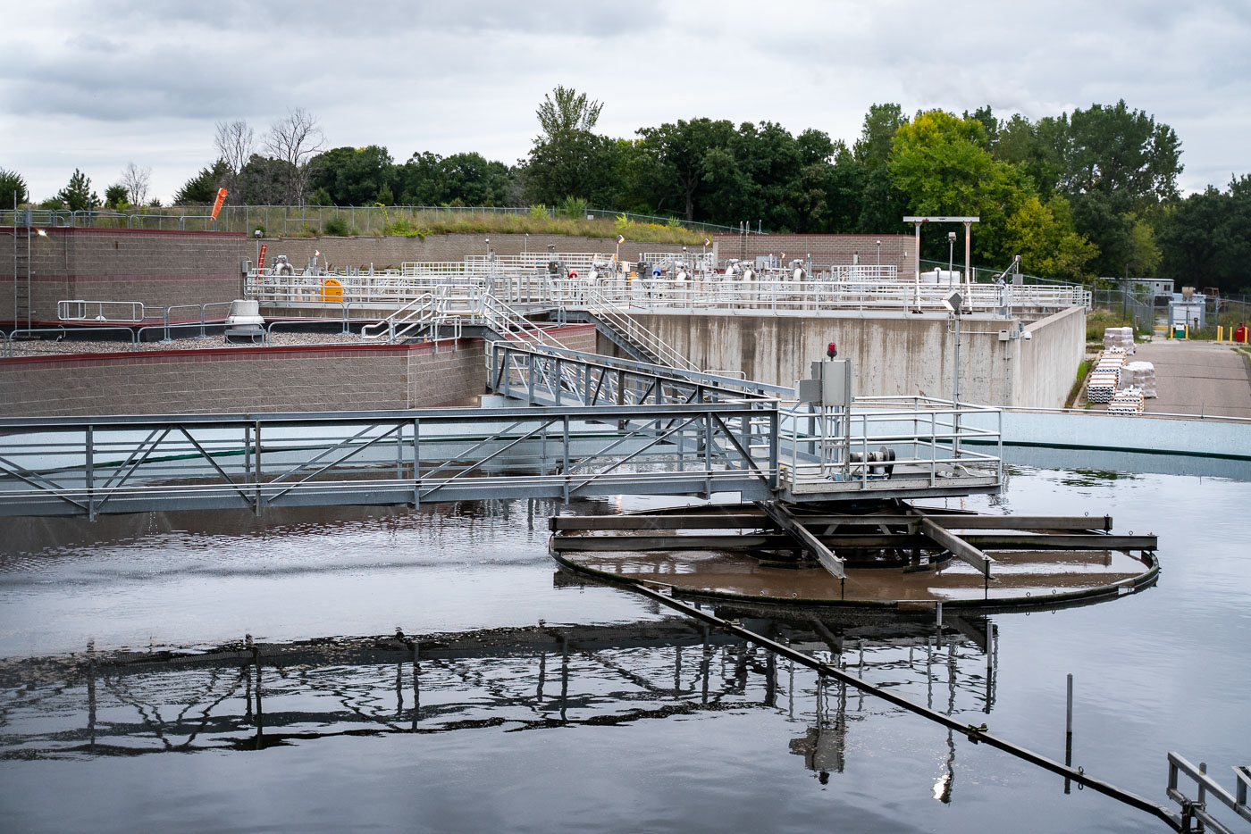
Circular sedimentation basins with rotating collector mechanisms at Cottage Grove Wastewater Treatment Plant in Minnesota.
Sedimentation basins at the Cottage Grove Wastewater Treatment Plant in Cottage Grove, Minnesota, are equipped with rotating collector mechanisms that remove settled solids during primary treatment. Elevated metal walkways and railings provide access to pumps, valves, and mechanical equipment used to operate and maintain the tanks. The facility is part of the municipal wastewater system that treats sewage before discharge, with additional treatment structures and service areas visible beyond the basins.

Clarifier Basin at Cottage Grove’s Wastewater Treatment Plant

Linden Yard, Cedar Lake Trail September 2019
Linden Yard on the Cedar Lake Trail during Metro Transit light rail construction.

Linden Yard, Cedar Lake Trail September 2019

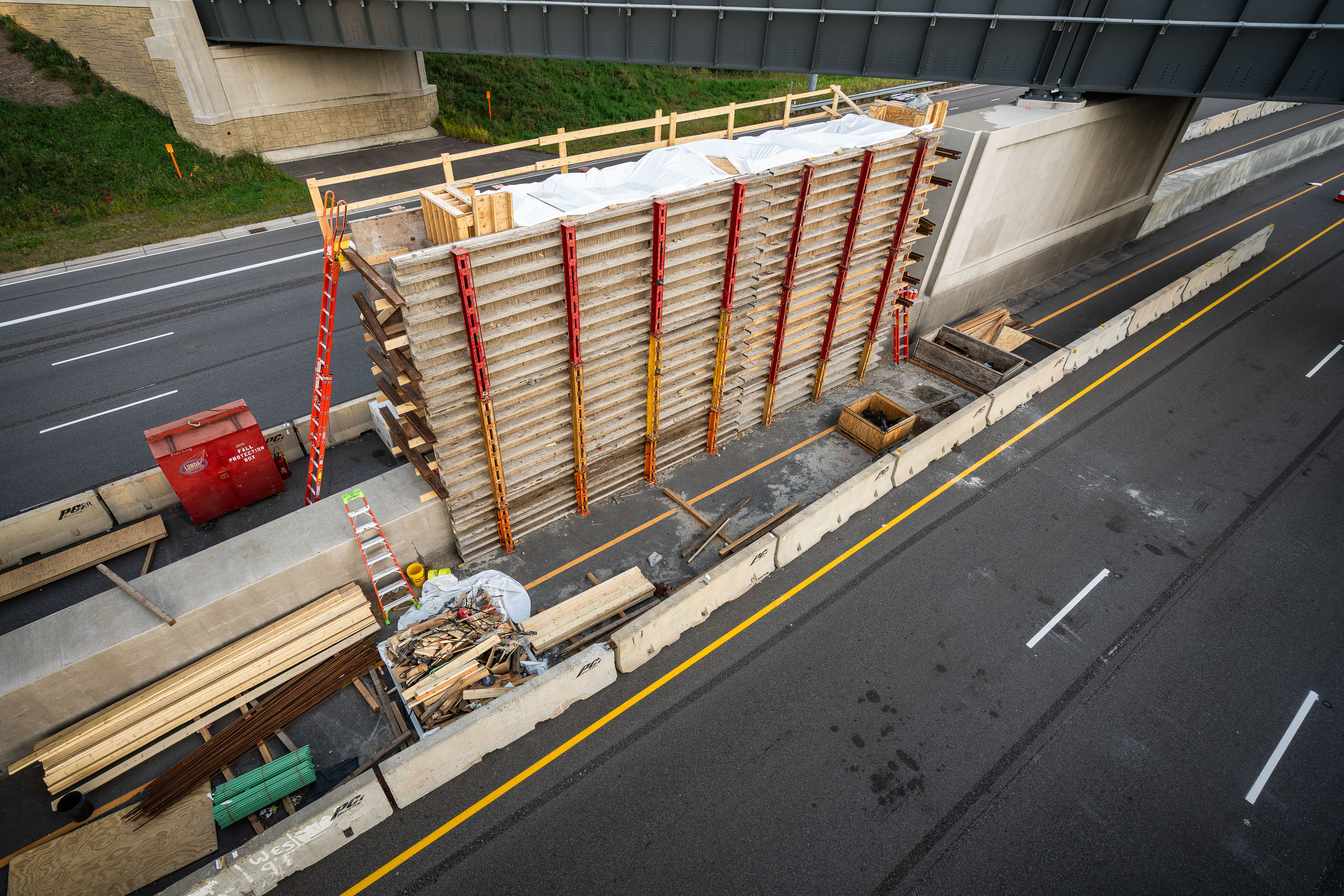
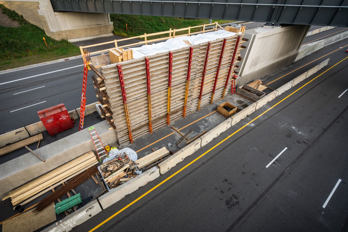
Wooden formwork and steel shoring towers support bridge deck construction over Highway 100 during Green Line Extension light rail
The Green Line Extension is a light rail project adding 14.5 miles of track between Minneapolis and Eatan Prairie, with a bridge crossing over Highway 100 in St. Louis Park as one of its structures. Metro Transit and the Metropolitan Council oversee the project, which extends the existing Green Line that currently runs between Minneapolis and Saint Paul. Formwork and shoring towers built from wood and steel supports are standard methods for pouring concrete bridge decks and piers during highway-spanning construction like this.

Formwork Tower for the Green Line Extension Bridge over Highway 100
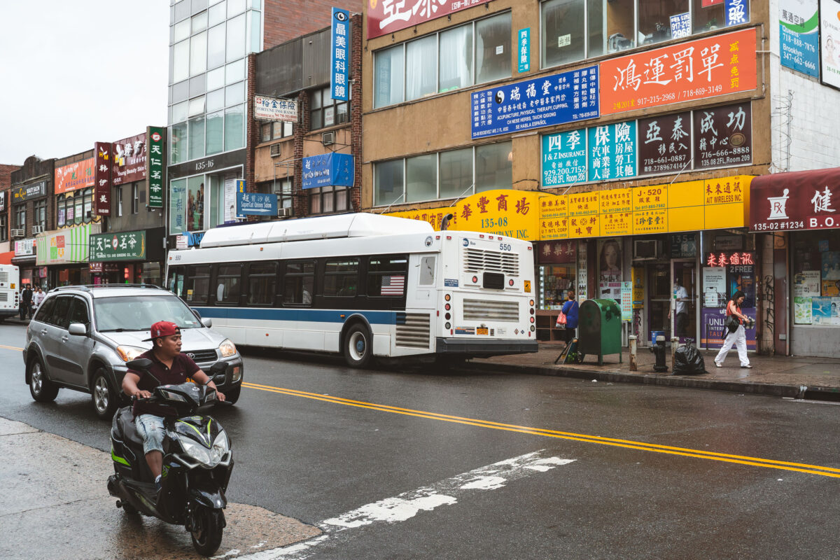
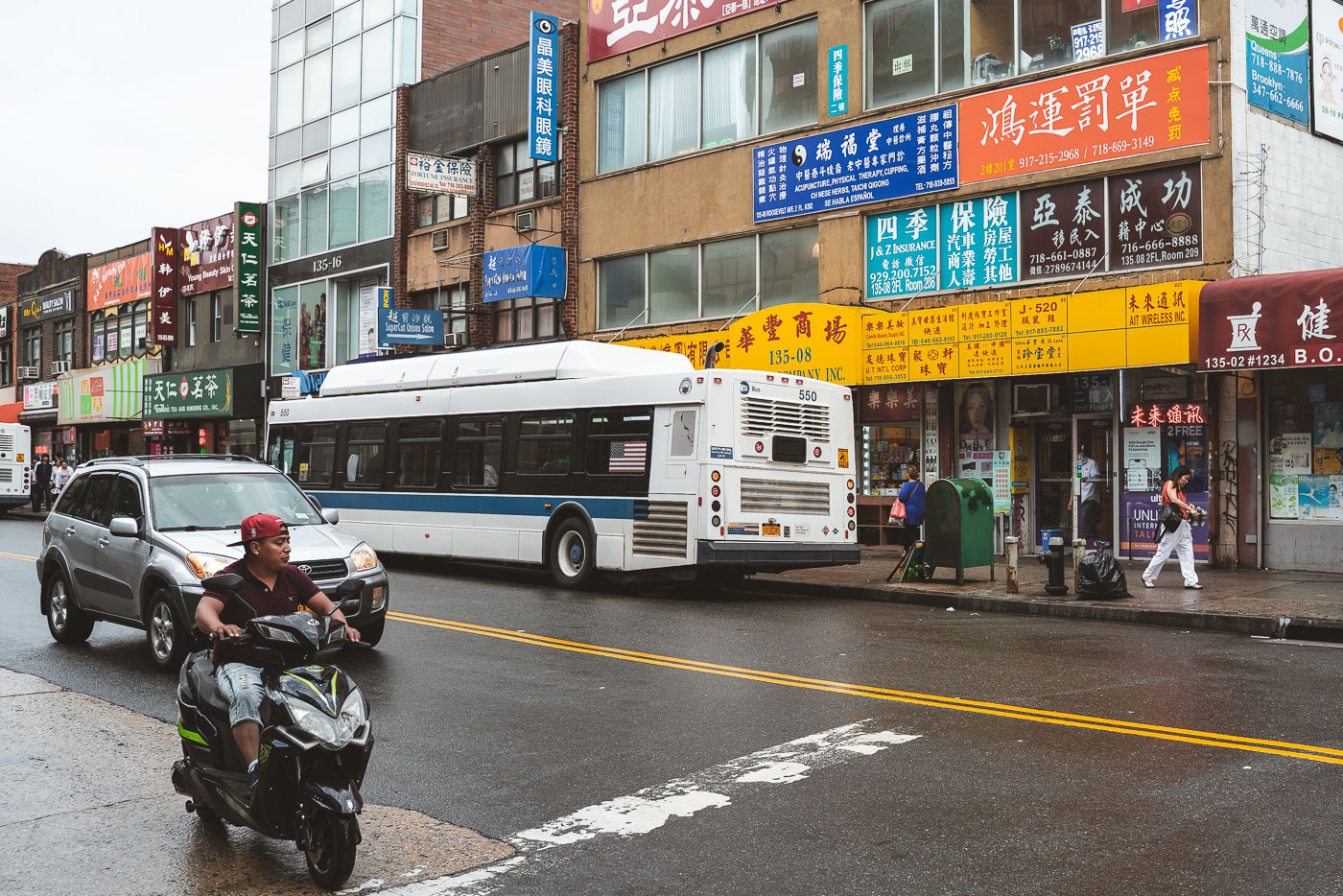
Scooter rider and MTA bus on Roosevelt Avenue in Flushing, Queens, with storefronts displaying Chinese and Korean signage.
Roosevelt Avenue in Flushing, Queens, is a major commercial thoroughfare serving a large Asian immigrant population. The street is lined with numerous businesses, many displaying signage in Chinese and Korean, reflecting the area's demographic makeup. An MTA bus, part of the public transportation system that serves millions of New Yorkers daily, is stopped along the avenue.

Scooter Rider Weaves Past an MTA Bus on Roosevelt Avenue
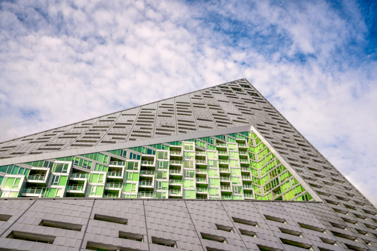
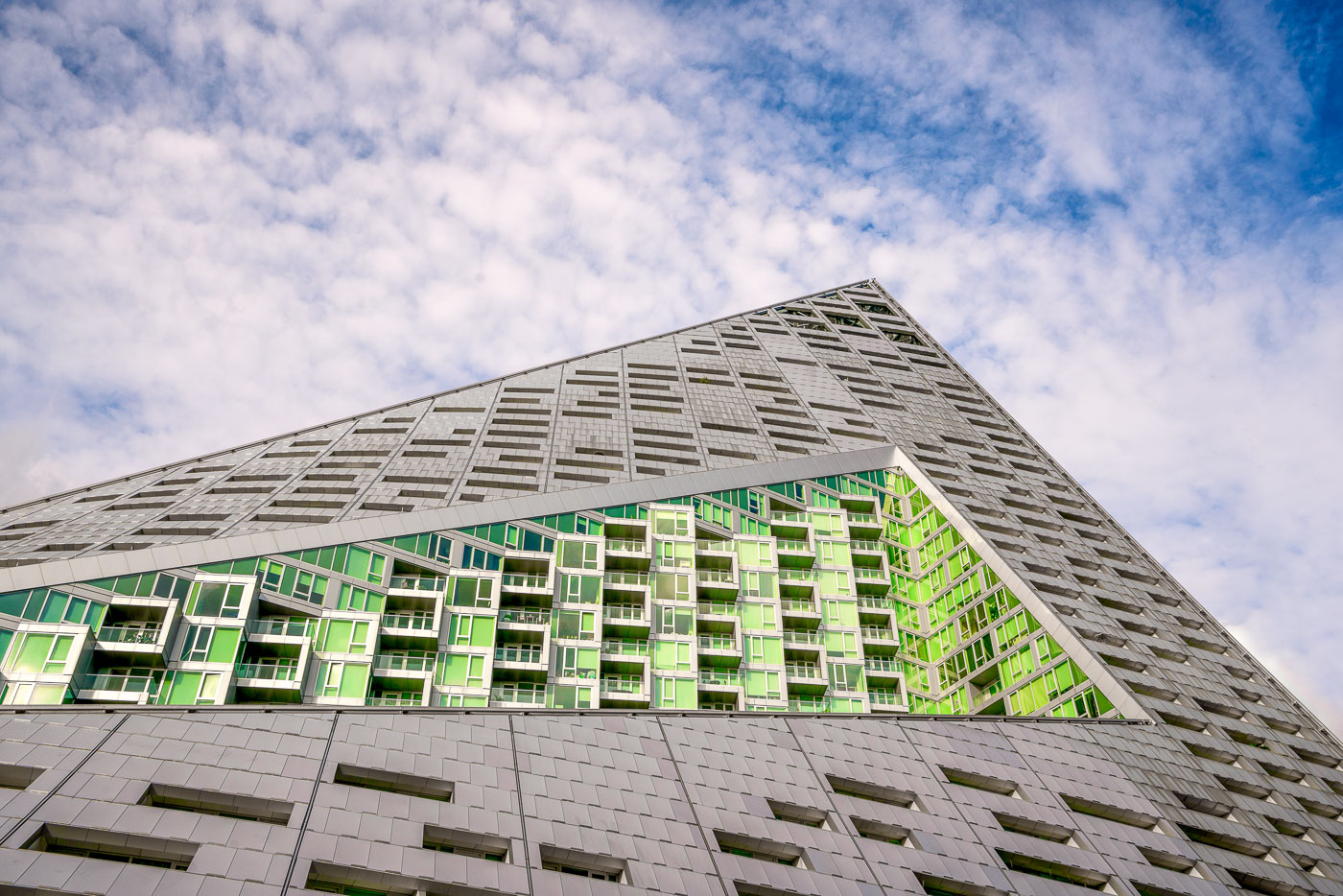
VIA 57 West residential building with green-windowed facade and geometric gray roof in Manhattan's Hell's Kitchen.
VIA 57 West at 625 West 57th Street in Manhattan is a residential building in the Hell's Kitchen neighborhood. Designed by Bjarke Ingels Group and completed in 2016, the project combines a high-rise tower with a courtyard block in a distinctive tetrahedron form. The design was developed to bring light and views into the apartments while enclosing a shared interior courtyard.

VIA 57 West’s Pyramid Facade in Hell’s Kitchen
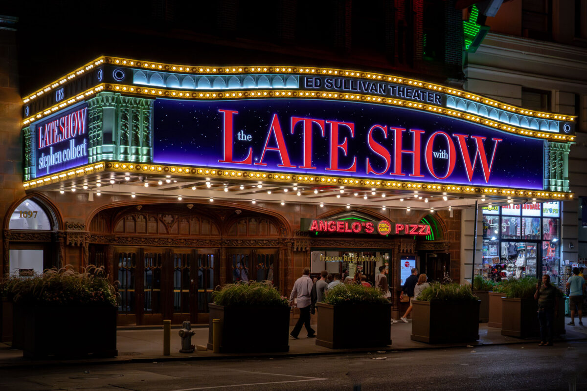
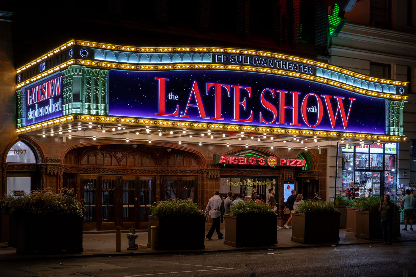
Ed Sullivan Theater marquee advertising The Late Show with Stephen Colbert in Midtown Manhattan at night.
The Ed Sullivan Theater in Midtown Manhattan carries the marquee for The Late Show with Stephen Colbert. The Broadway theater opened in 1927 and was later renamed for television host Ed Sullivan. It is best known as the home of The Ed Sullivan Show from 1948 to 1971 and has remained a major late-night television venue for CBS.

Marquee Lights Outside the Ed Sullivan Theater at Night
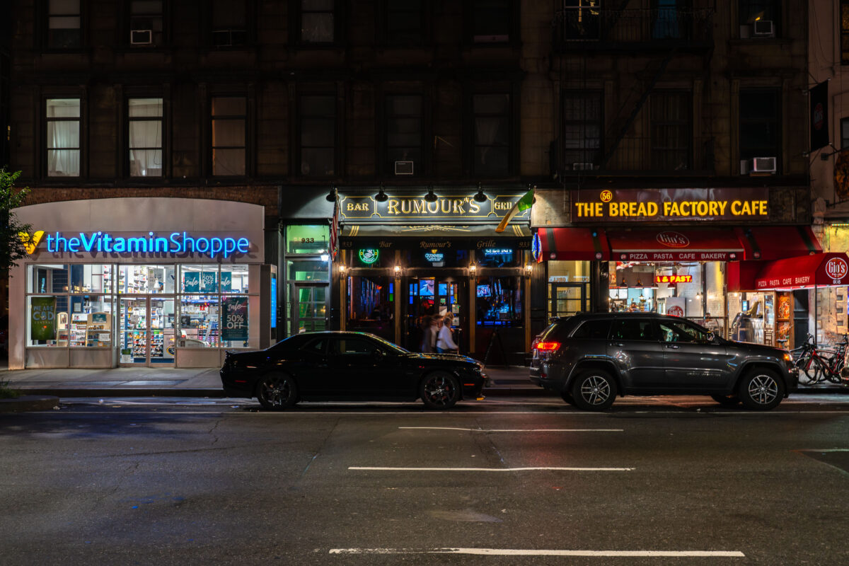
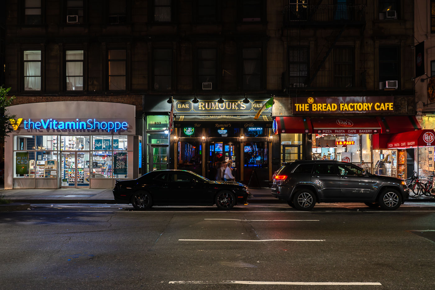
Storefronts including The Vitamin Shoppe, Rumour's Bar, and The Bread Factory Cafe line a Manhattan street at night.
Rumour's Bar and Grille sits between a Vitamin Shoppe and The Bread Factory Cafe on a Midtown Manhattan street.

Rumour’s Bar and Grille on a Midtown Manhattan Street at Night
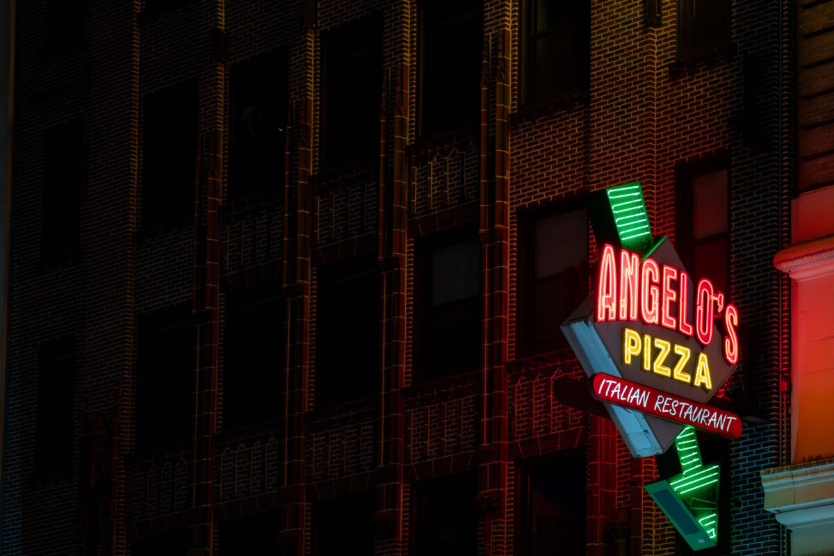
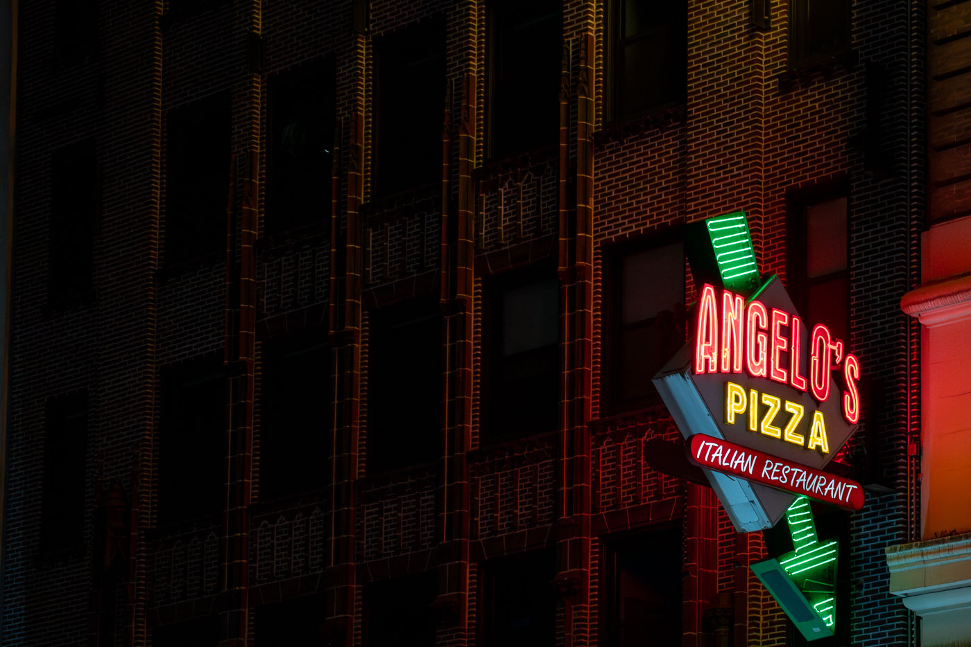
Illuminated neon sign for Angelo's Pizza Italian restaurant on a brick building facade in Midtown Manhattan.
Angelo's Pizza sign in Midtown Manhattan marks an Italian restaurant on a commercial block near the Ed Sullivan Theater. Its illuminated vertical sign projects from the building facade, a common form of streetside identification in New York City's dense entertainment and dining districts.

Angelo’s Pizza Neon Sign Glowing After Dark
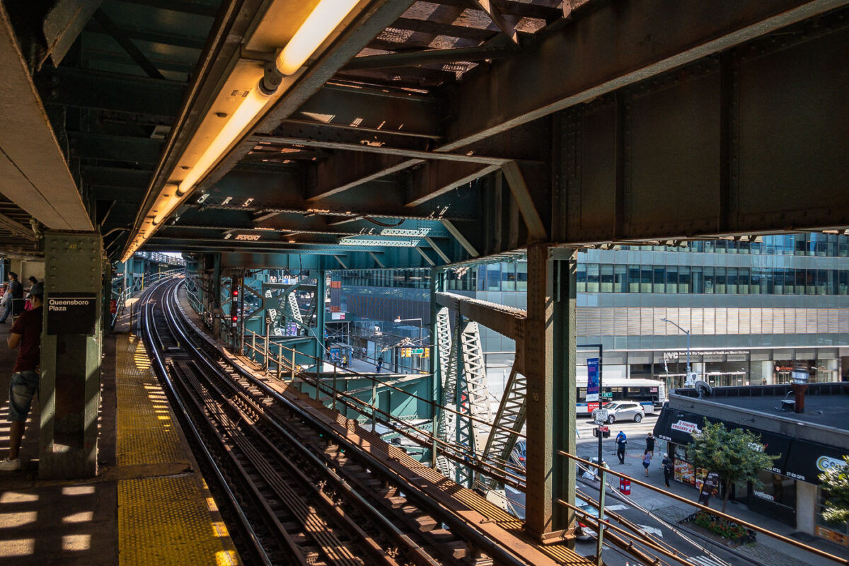
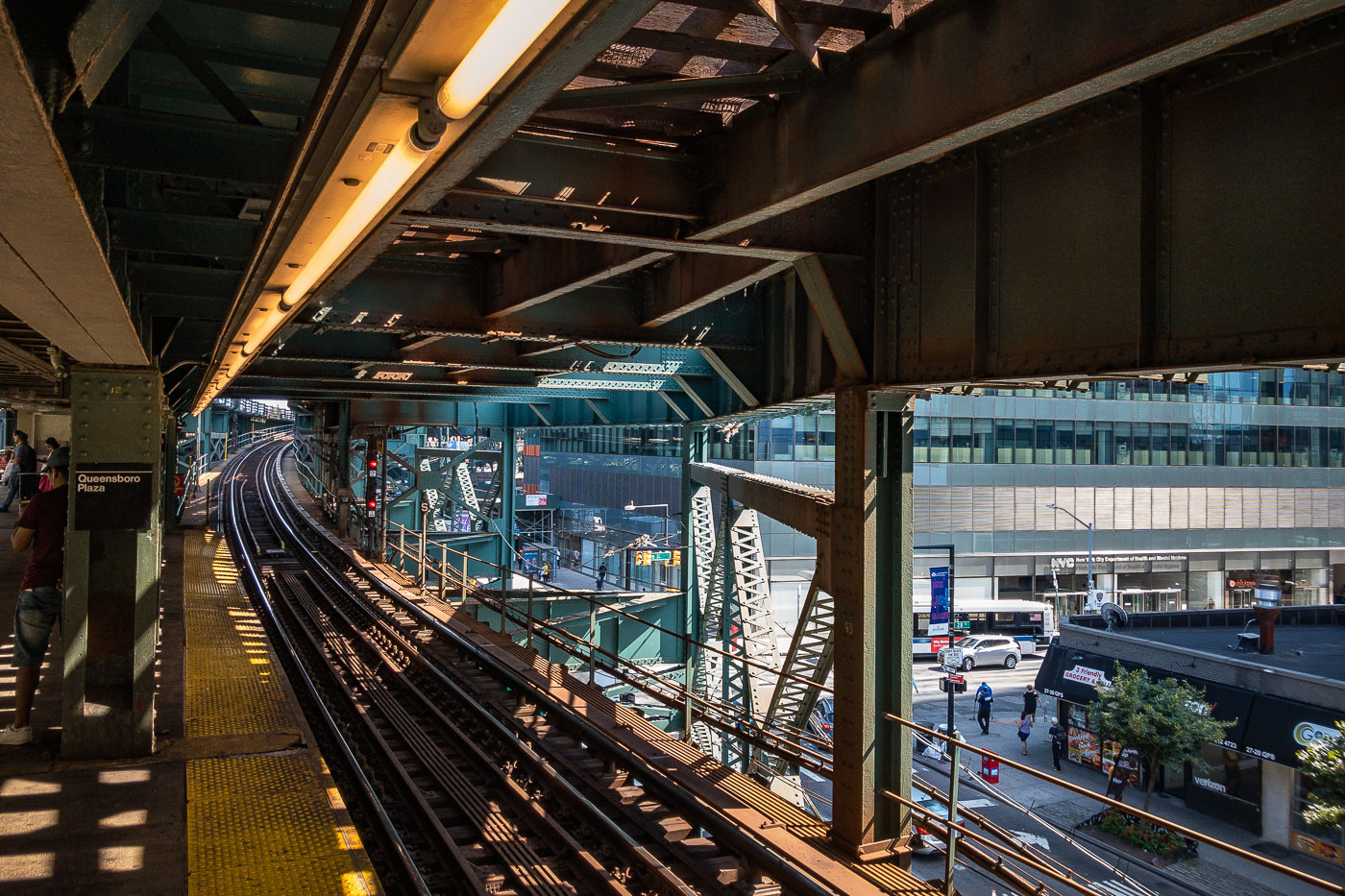
Queensboro Plaza elevated train station platform with steel trusswork, tracks, and Manhattan skyline visible beyond.
Queensboro Plaza elevated train station in Long Island City, Queens, New York City. The station features multiple tracks and platforms, with the distinctive green and steel structure of the elevated railway overhead. This station is a key transit hub, serving as a transfer point for the 7 train and formerly for the Long Island Rail Road. Its construction and ongoing operation are integral to the connectivity of Queens with Manhattan and the rest of the city's transit network.

Elevated Tracks Curve Toward Long Island City at Queensboro Plaza

Sweet Martha Cookie Jar at MN State Fair
A brightly painted cookie shop features bold signage advertising chocolate chip cookies, ice cold milk, and hot coffee. The storefront, with its yellow siding, red-and-white awnings, and whimsical design, captures the festive atmosphere typical of fairgrounds and boardwalk-style concessions.

Sweet Martha Cookie Jar at State Fair
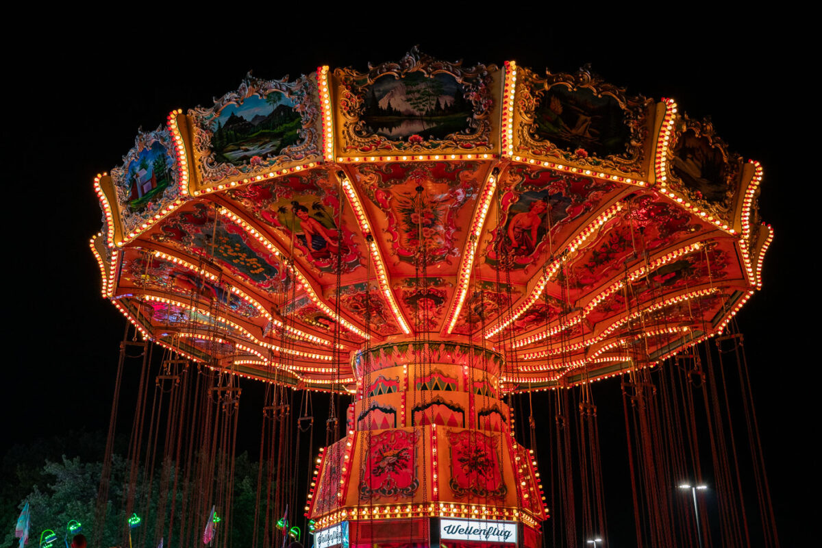
Illuminated vintage swing carousel with ornate red panels and golden lights at Minnesota State Fair.
The "Wellenflug" chair swing ride is a recurring attraction at the Minnesota State Fair, its name German for "wave flight." Rides of this type, known as chair swings or wave swings, first appeared at European fairs in the early 20th century and remain a staple of traveling carnivals across the United States. The canopy on this model is decorated with painted alpine s, a common design choice among German- and Dutch-built swing rides imported for the American fair circuit. The Minnesota State Fair, held annually in Falcon Heights, draws more than two million visitors each August and September and ranks among the largest state fairs in the country by daily attendance.

Wellenflug Swing Ride, Minnesota State Fair

White llama wearing a red halter and lead line at the Minnesota State Fair in St. Paul.
Llamas appear each year in the Minnesota State Fair's livestock and fiber competitions, judged alongside sheep, alpacas and goats in the fair's Animal Barns. The fair itself dates to 1859 and now draws more than two million visitors to St. Paul over its 12-day run in late August and early September. Show llamas like this one are typically fitted with a halter and lead line, standard equipment for handlers in showmanship and fiber-quality judging.

Show Llama in Red Halter, Minnesota State Fair
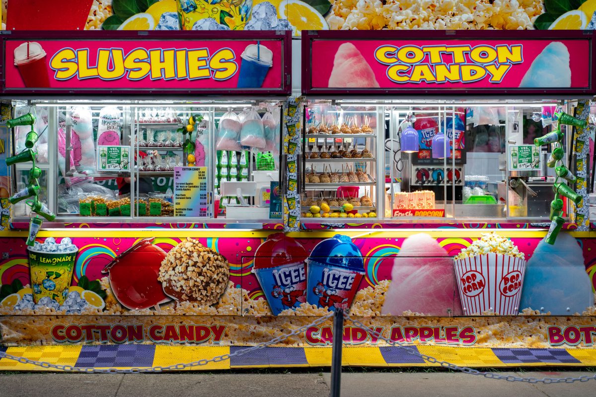
Slushies and Cotton Candy concession booth with candy apples and popcorn at the Minnesota State Fair.
The Minnesota State Fair takes place each year in Falcon Heights, drawing crowds of more than a million visitors over its twelve-day run. Food vendors line the fairgrounds' concourses, selling fair staples like slushies, cotton candy, candy apples, and popcorn alongside novelty treats. ICEE frozen drinks and hand-dipped caramel apples are among the standard offerings at these concession stands. The fair, first held in 1859, is one of the largest state fairs in the country by average daily attendance.

Slushies and Cotton Candy Booth, Minnesota State Fair

Three white llamas wearing colored halters stand together at the Minnesota State Fair.
Llamas at the Minnesota State Fair compete each year in the fairgrounds' livestock barns, part of a schedule that includes 4-H and open-class camelid judging alongside cattle, sheep, and poultry shows. The fair, held annually in Falcon Heights since 1859, draws more than two million visitors over its twelve-day run, making it one of the largest state fairs in the country. Llama classes are judged on conformation, fiber quality, and handling, with owners leading their animals through obstacle courses and showmanship rounds.

Haltered Llamas at the Minnesota State Fair
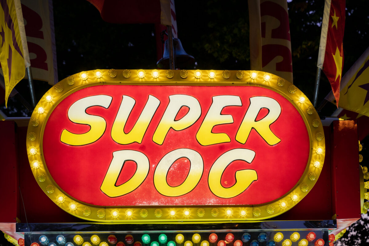
Super Dog stand at Minnesota State Fair
A brightly lit “Super Dog” food stand sign glows with yellow bulbs at a carnival or fairground. Surrounded by flags and festive colors, the concession stand evokes the classic atmosphere of American fairs where hot dogs and snacks are a staple of the midway.

Super Dog State Fair Vendor Sign

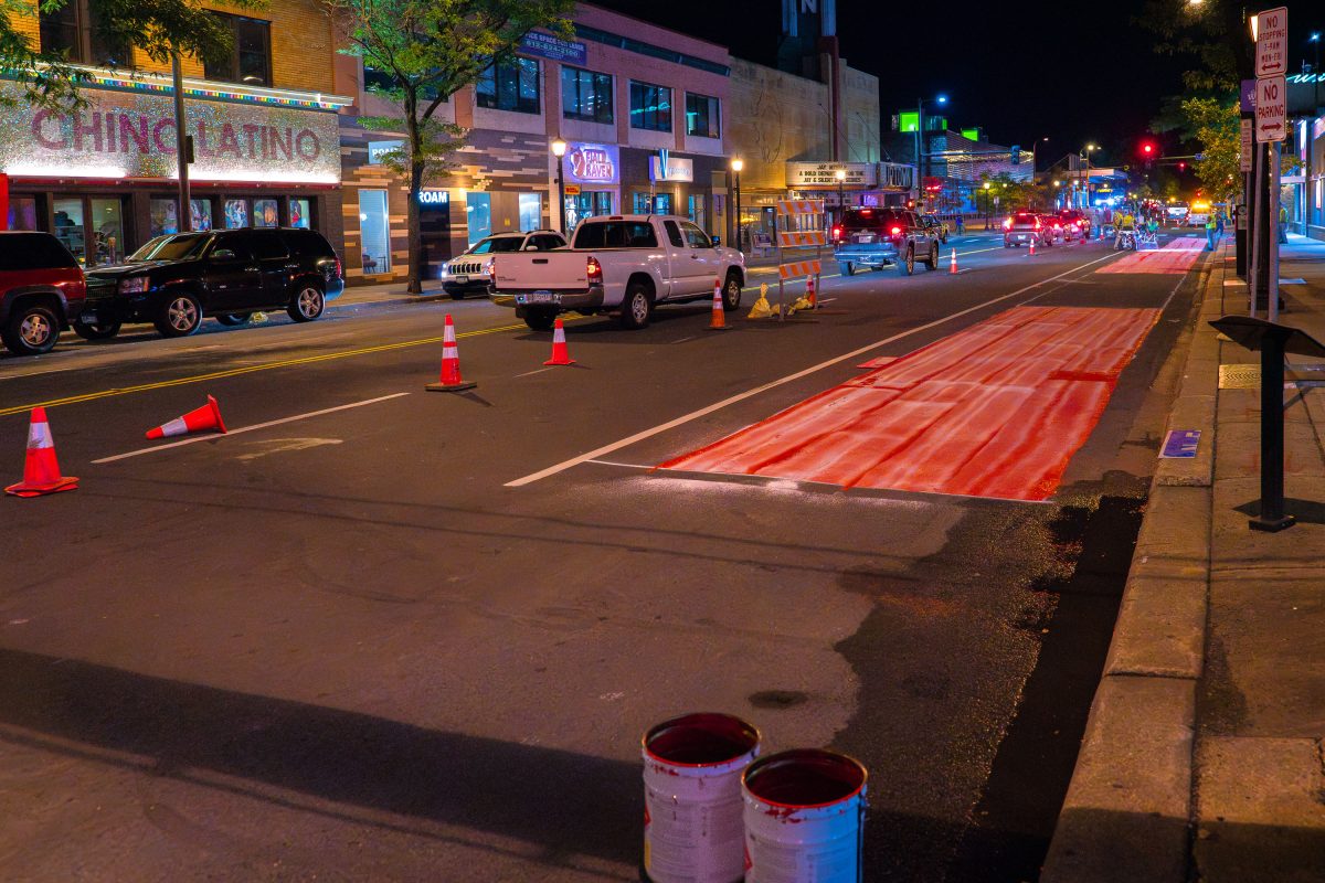
Bus Lane Paint on Hennepin Avenue
Paint being put down for a new bus lane on Hennepin Ave in Uptown Minneapolis.

Bus Lane Paint on Hennepin Avenue

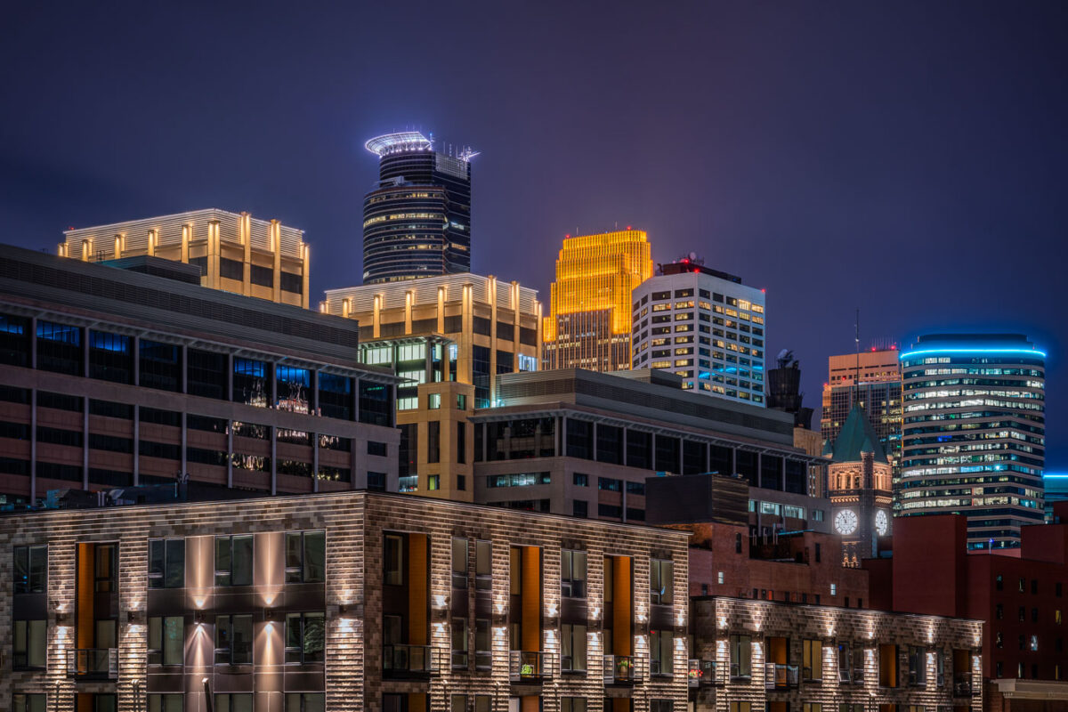
Illuminated downtown Minneapolis skyline at night featuring the IDS Center and Wells Fargo Tower among modern high-rises.
Capella Tower, completed in 1992, stands 776 feet tall and is known for the ring of lights around its crown. Minneapolis City Hall, built from 1888 to 1909, stands nearby with a clock tower whose four faces each measure about eleven and a half feet across.

Minneapolis City Hall Clock Tower and Capella Tower at Night
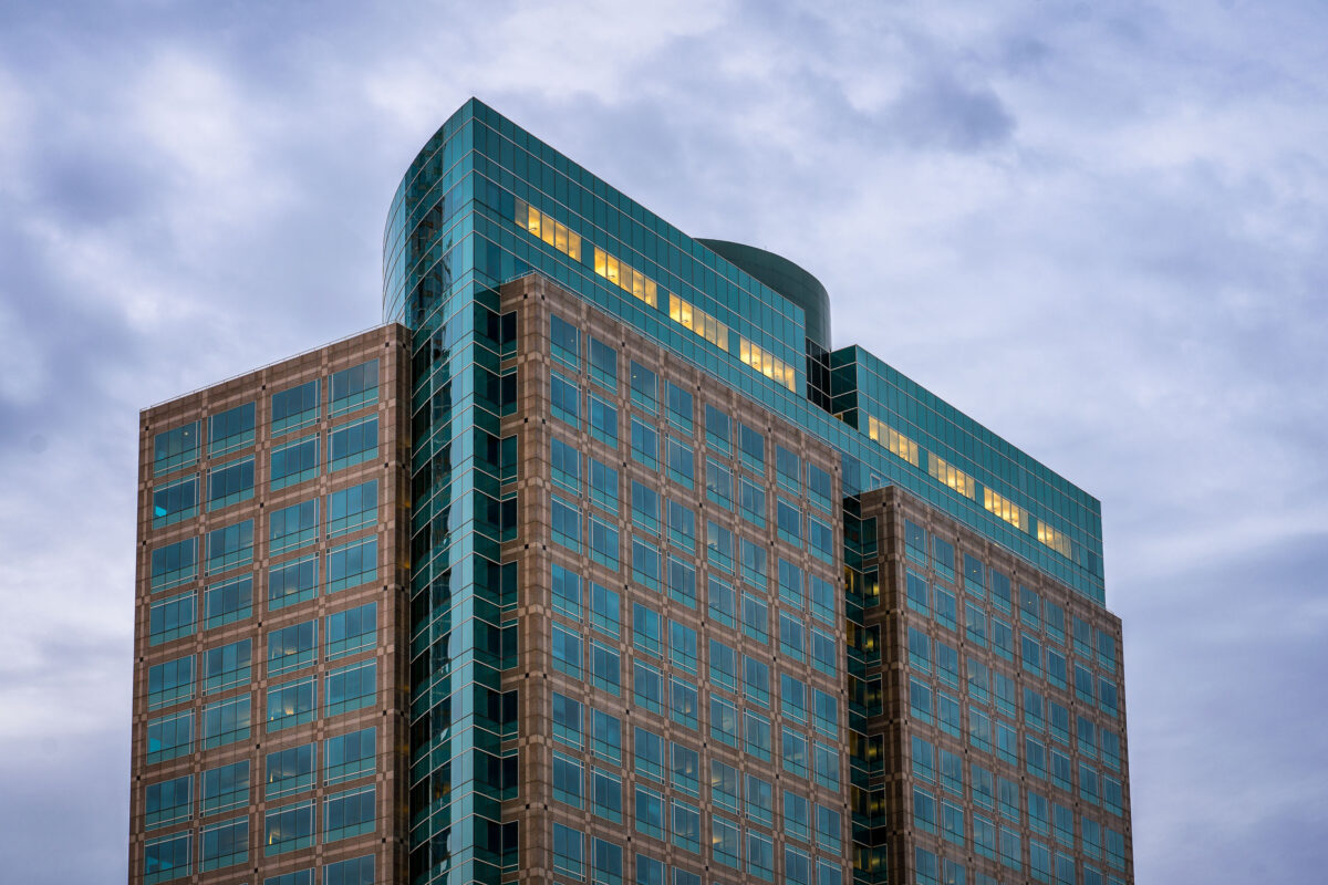
Ameriprise Financial Center in Downtown Minneapolis, a 498-foot office tower.
The Ameriprise Financial Center is a 498-foot office tower at 707 2nd Avenue South in Downtown Minneapolis. Completed in 2001, the building serves as the headquarters for Ameriprise Financial.

Ameriprise Financial Center, Downtown Minneapolis
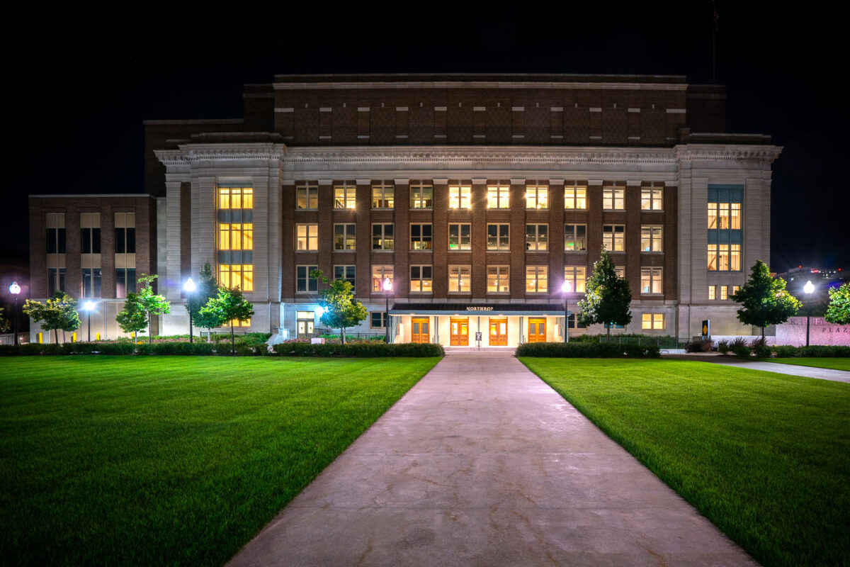
Cyrus Northrop Memorial Auditorium in Minneapolis
Located on the University of Minnesota campus at 84 Church Street SE, the Cyrus Northrop Memorial Auditorium is a performing arts venue. It is named after the Universities second president.

Cyrus Northrop Memorial Auditorium, Minneapolis, MN

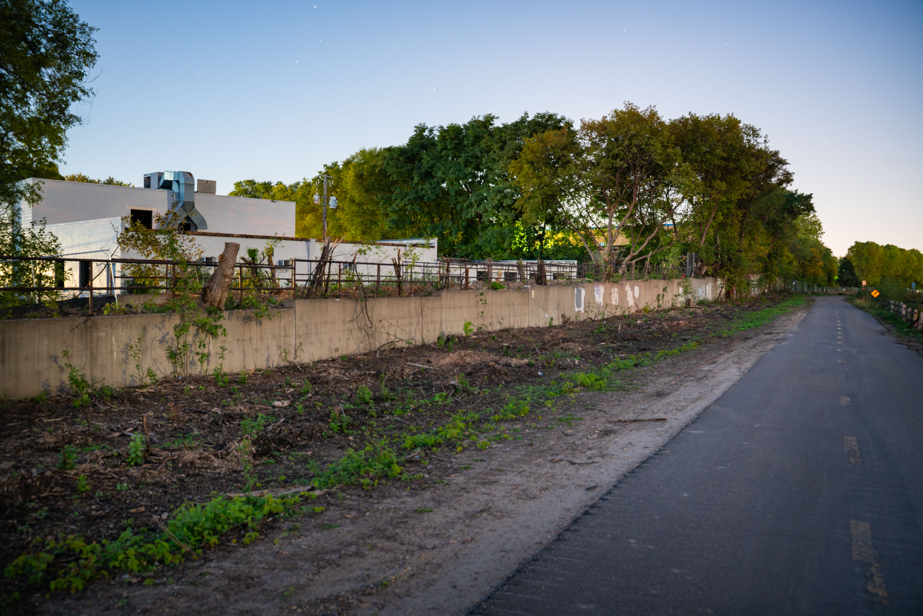
Tree Removal on Cedar Lake Trail in St. Louis Park
Trees being removed on the Cedar Lake Trail in St. Louis Park during the Metro Green Line Extension Construction.

Tree Removal on Cedar Lake Trail in St. Louis Park

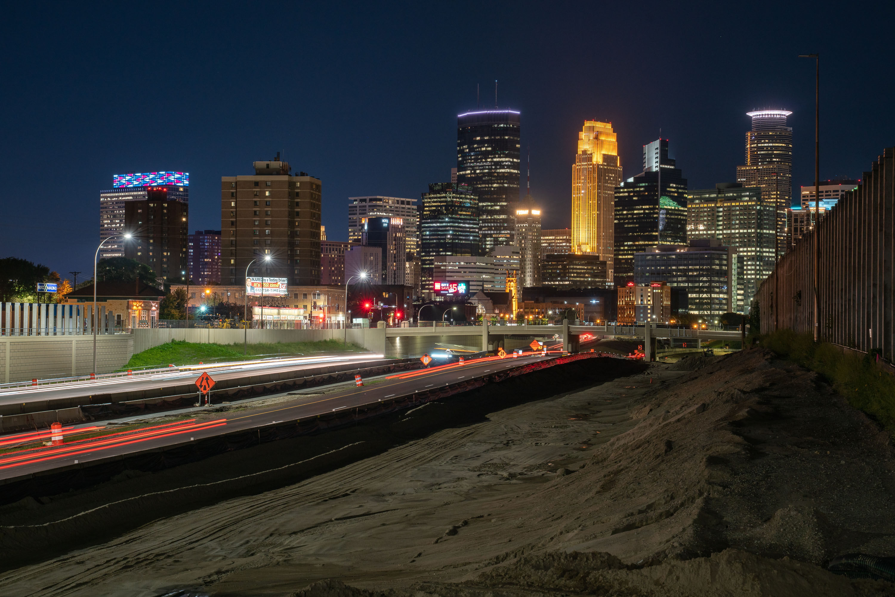
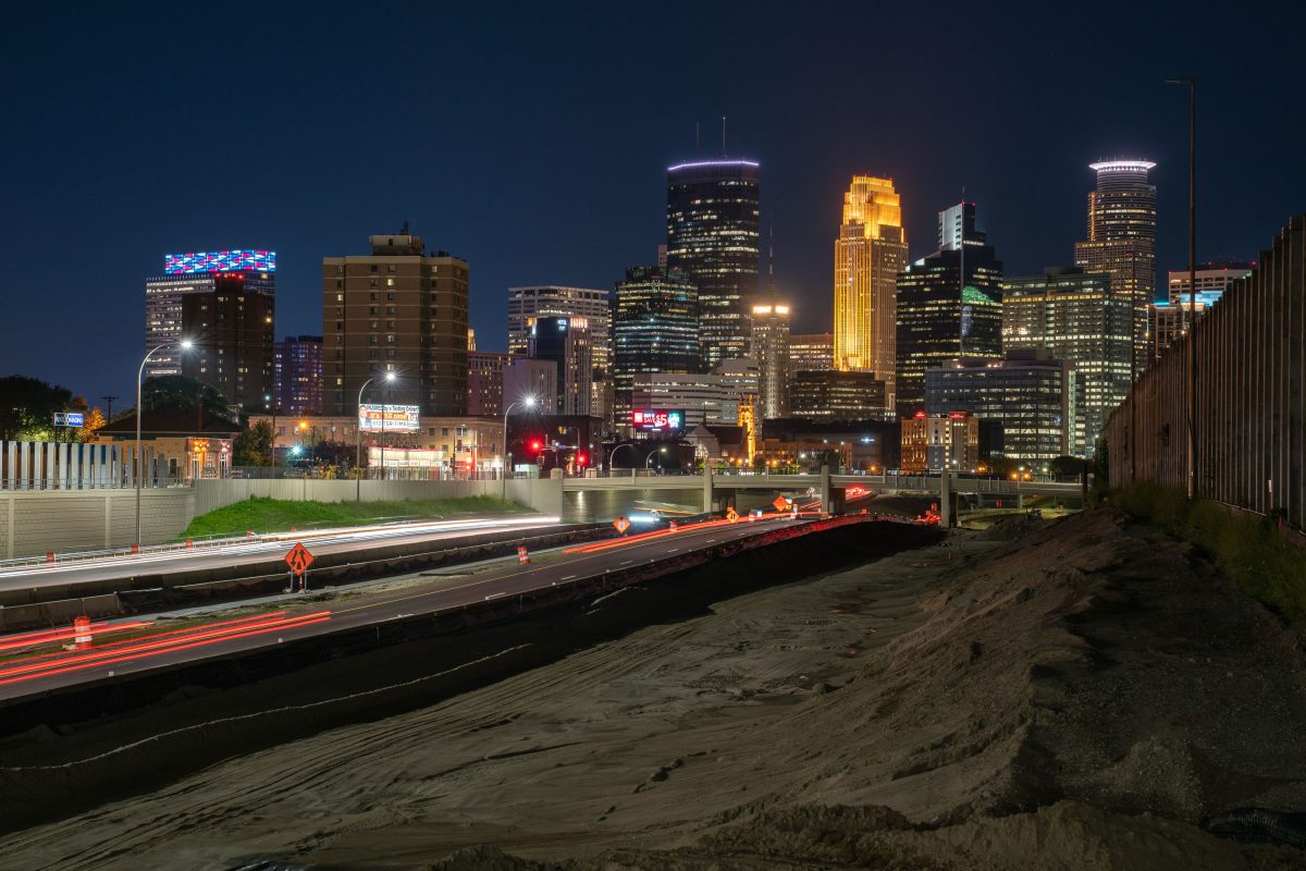
35W leading to downtown Minneapolis during construction
Highway 35W heading into downtown Minneapolis. The Minneapolis skyline in the background. Photo taken during 2019 highway construction.

35W leading to downtown Minneapolis during construction

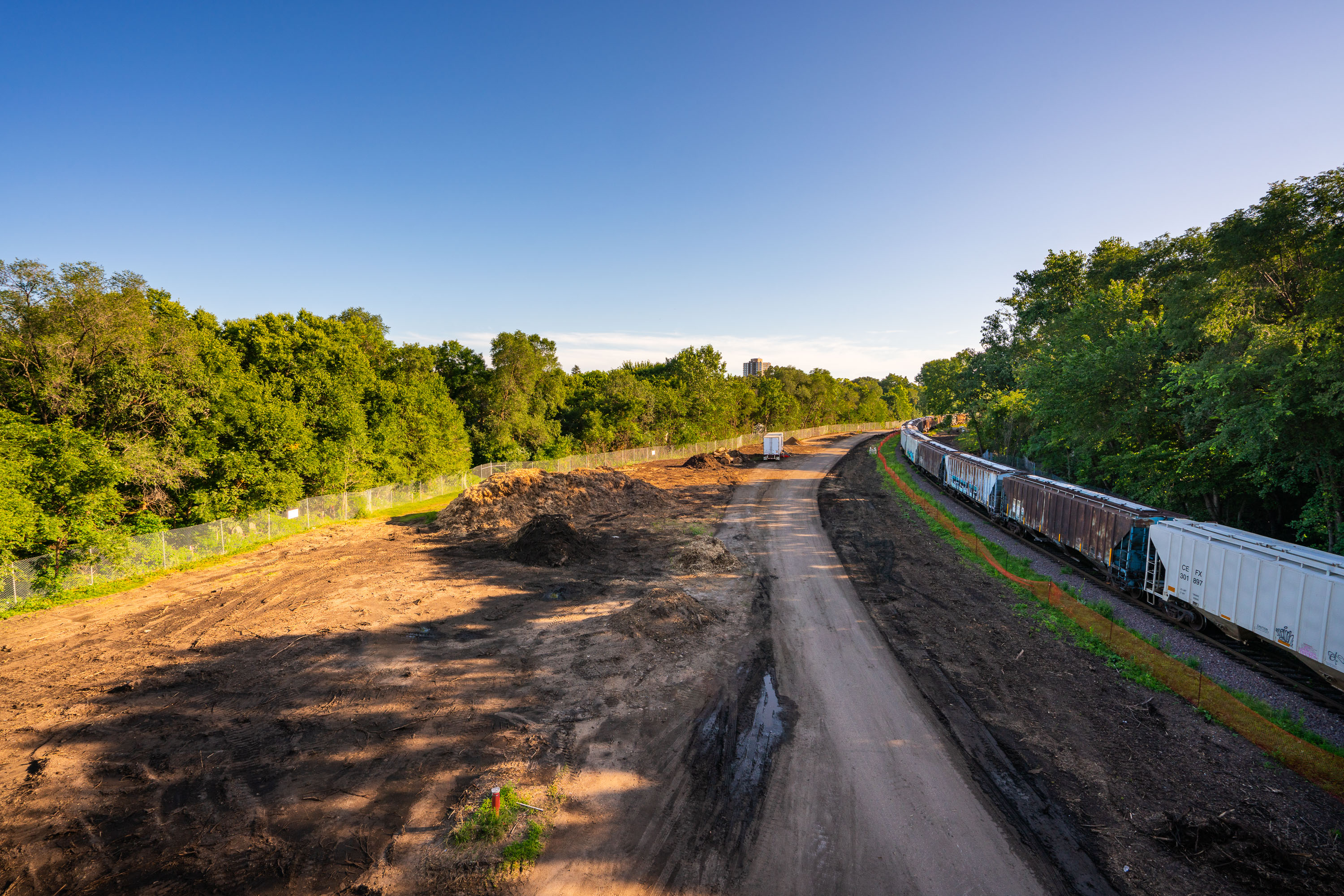
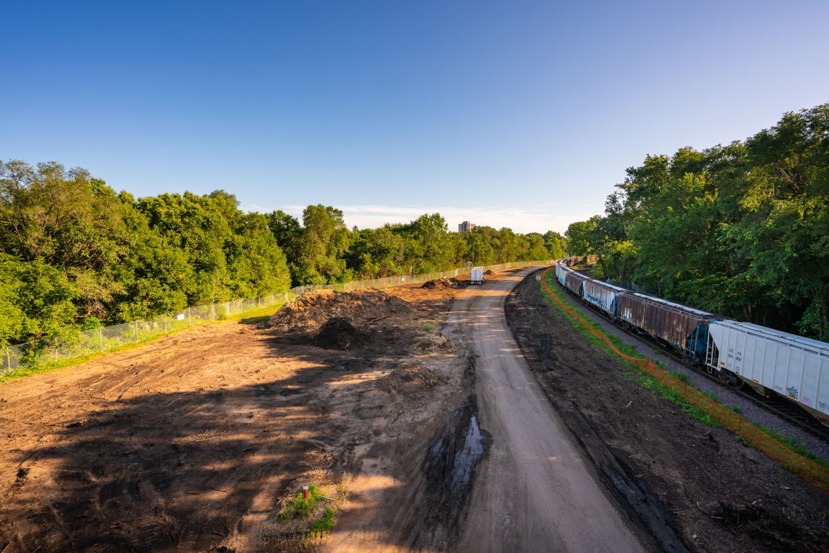
Freight train alongside excavated Cedar Lake Trail during Southwest Light Rail construction in Minneapolis, August 2019.
The view of what was the Cedar Lake Trail seen from Burnham Road. The trail was ripped up during light rail construction that will bring a train from Eden Prairie to Minneapolis to St. Paul.

Freight Train Passes Cedar Lake Trail Construction at Burnham Road
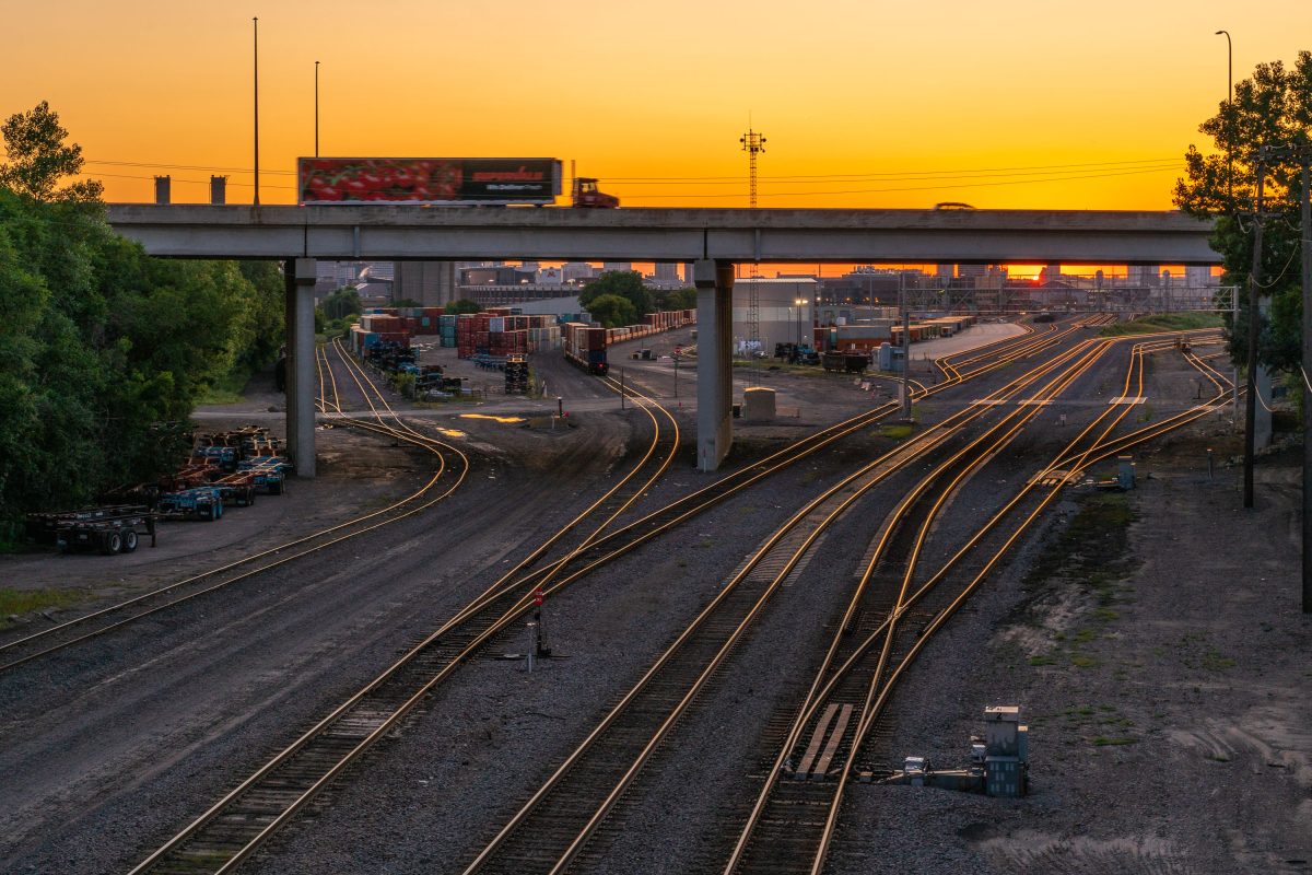
Rail yard with illuminated tracks beneath a highway overpass at sunset in Minneapolis, Minnesota.
This rail yard sits along Minnesota Highway 280, a short freeway connecting Interstate 94 to Interstate 35W between St. Paul and Minneapolis. The tracks below a switching area for freight traffic moving through the Twin Cities, with intermodal containers stored trackside for transfer between rail and truck.

Truck Crossing Highway 280 Over the Rail Yard at Sunset
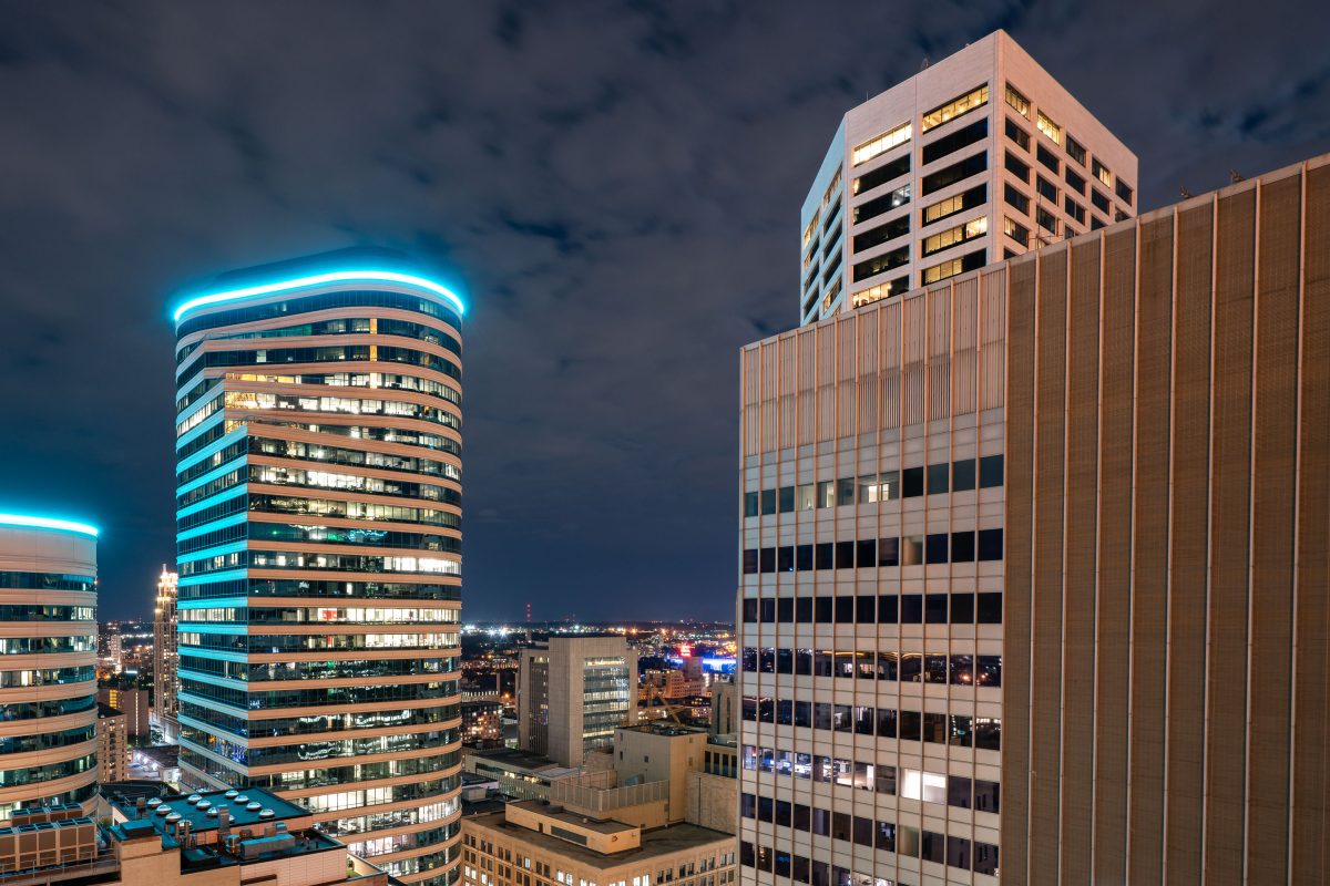
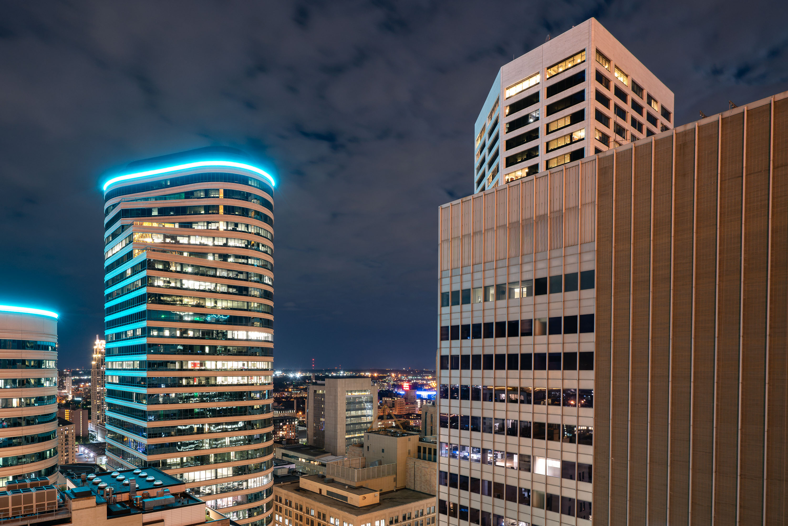
Fifth Street Towers in downtown Minneapolis at night, with blue neon lighting on the cylindrical building.
Fifth Street Towers is a twin office tower complex at 100 and 150 South Fifth Street in downtown Minneapolis. Completed in 1982 and designed by the Minneapolis office of Skidmore, Owings & Merrill, the complex includes a 38-story south tower and a 30-story north tower connected by a shared base and the city's enclosed skyway system.

Fifth Street Tower in Downtown Minneapolis At NIght
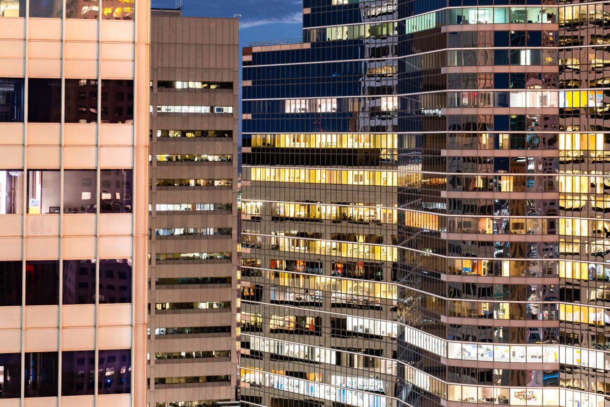
Illuminated office buildings in downtown Minneapolis at dusk with lit windows across multiple facades.
The buildings of Downtown Minneapolis at night.

Glass and Glow of Downtown Minneapolis Office Towers
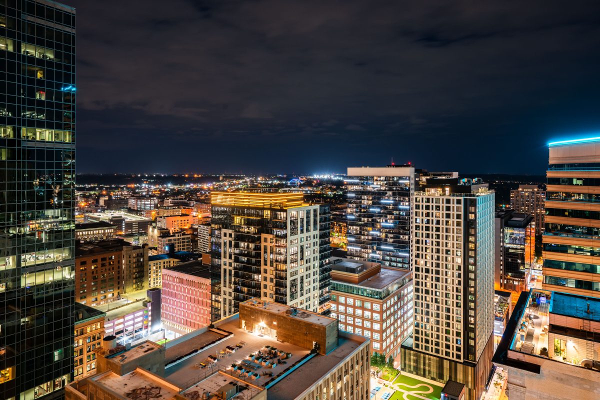
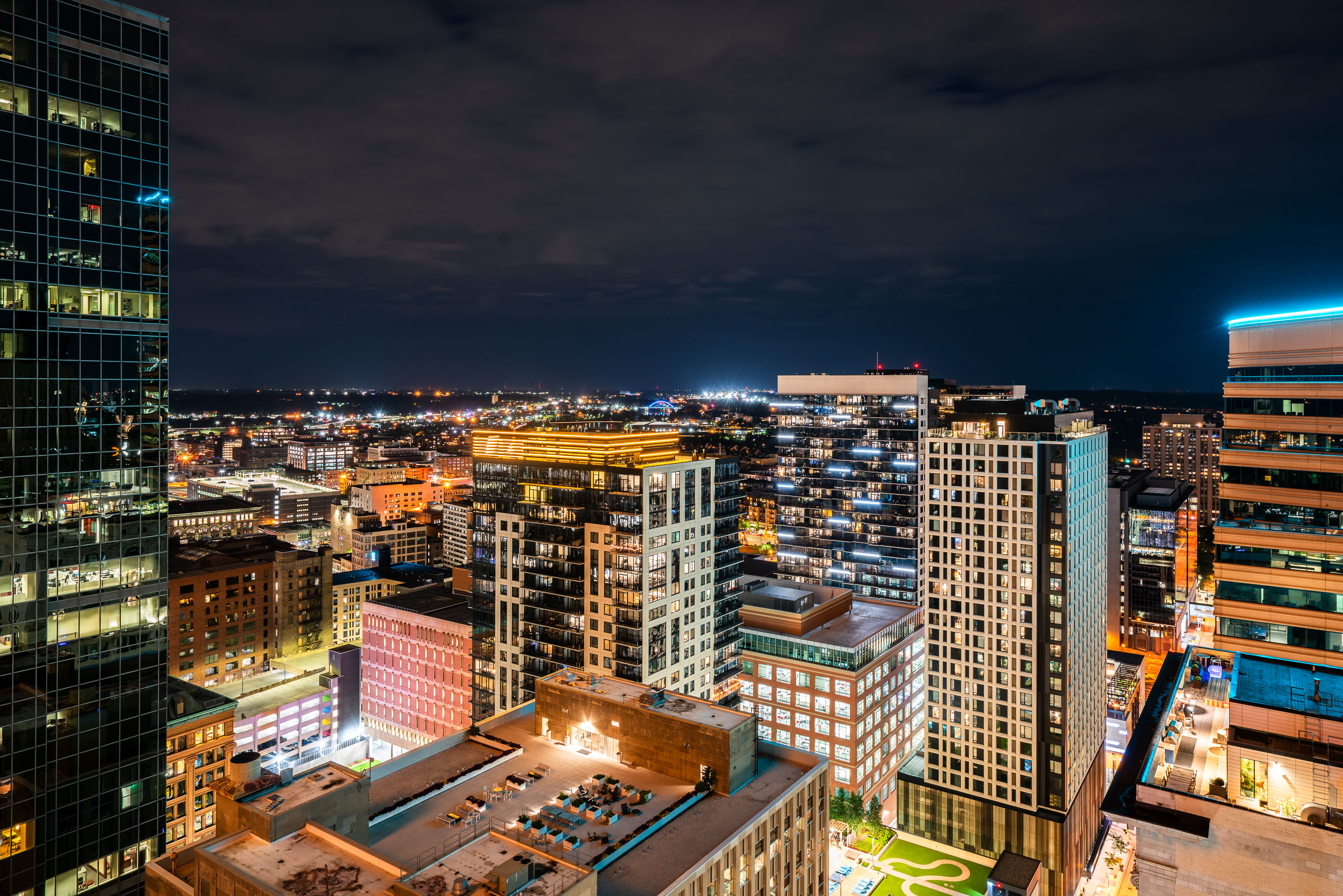
Nic on Fifth residential tower and downtown Minneapolis skyline at night with illuminated buildings.
Nic on Fifth is a residential high-rise at 40 South Ninth Street in downtown Minneapolis, completed in 2015 with 40 stories of apartments. It stands among the towers near Nicollet Mall, with downtown's office and residential buildings spreading out toward the horizon.

Nic on Fifth Rises Over the Downtown Minneapolis Skyline
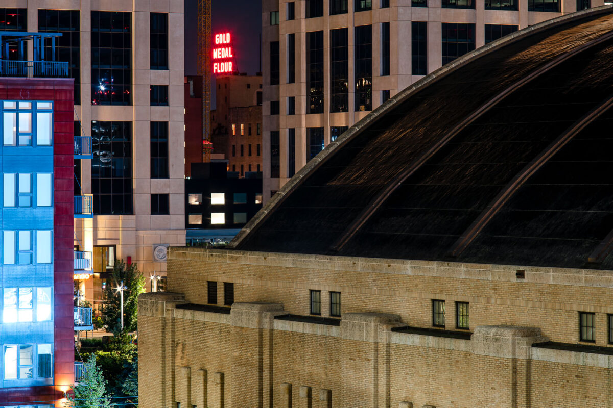
The Armory and Gold Medal Flour sign in Downtown Minneapolis
The Gold Medal Flour seen in the distance with the Minneapolis Armory in the foreground. The Armory is noiw a concert venue after being a parking garage for a long time.

The Armory and Gold Medal Flour sign in Downtown Minneapolis

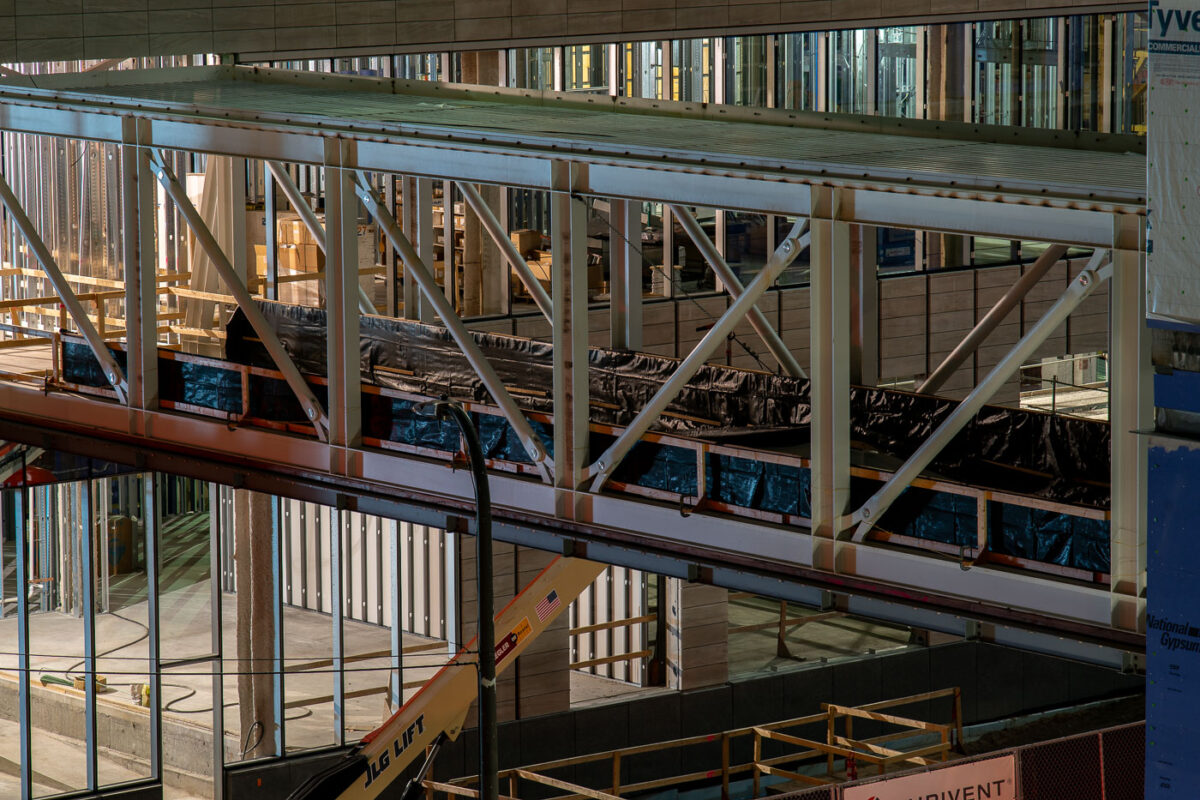
Minneapolis skyway under construction between downtown buildings.
A Minneapolis skyway is under construction in downtown Minneapolis. The elevated pedestrian walkway connects buildings in the city’s enclosed skyway system, which links offices, shops, and transit access across the downtown core.

Downtown Minneapolis Skyway Construction in 2019
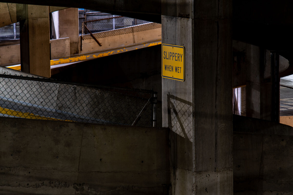
“Slippery When Wet” sign in a downtown Minneapolis parking garage.
A “Slippery When Wet” sign in a downtown Minneapolis parking garage.

Slippery When Wet Sign in Downtown Minneapolis Parking Garage
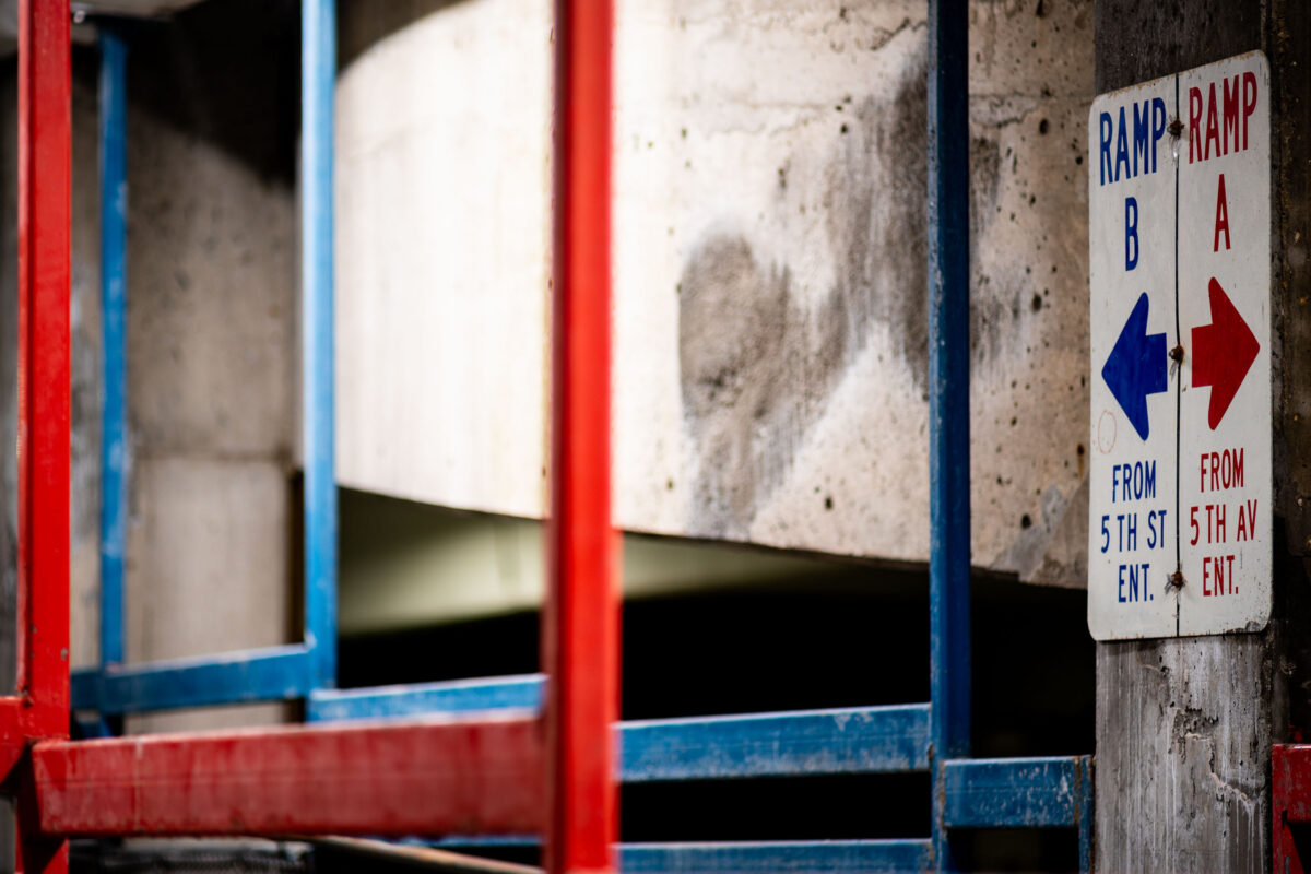
Blue and red directional signs for Ramp B and Ramp A in a Minneapolis parking garage.
Directional signs for Ramp B and Ramp A mark entrances in a downtown Minneapolis parking garage. The signs access points from 5th Street and 5th Avenue, guiding vehicles to different levels of the structure. Painted in blue and red with directional arrows, the signage is typical of urban parking facilities designed to manage traffic flow and vehicle circulation.

Parking Ramp Directional Signs, Downtown Minneapolis
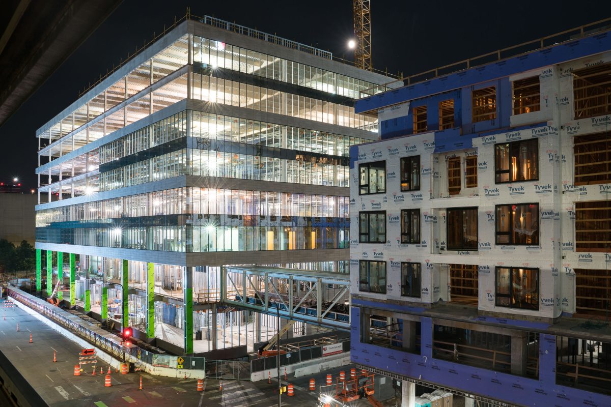
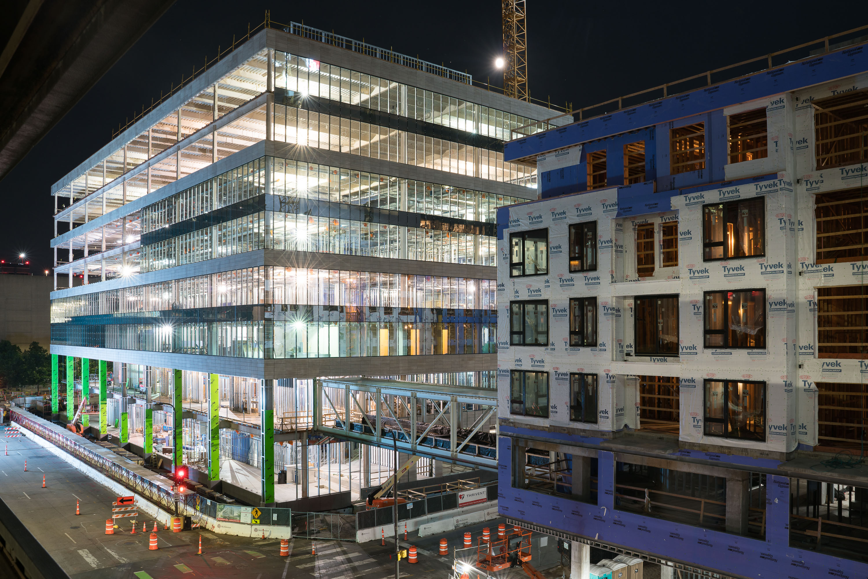
Multi-story building under construction at South 6th and Fifth Street South in downtown Minneapolis at night.
Buildings under construction in downtown Minneapolis at South 6th Street and Fifth Street South.

Nighttime Construction at 6th and 5th in Downtown Minneapolis
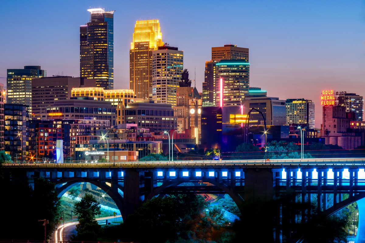
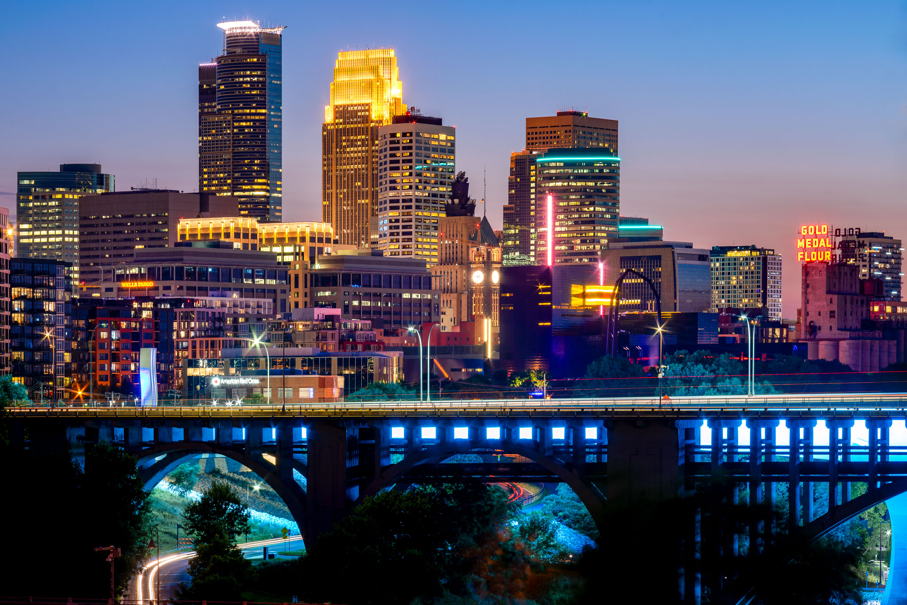
Downtown Minneapolis skyline at dusk with the 10th Avenue Bridge spanning the Mississippi River below.
Built in 1929, the concrete arch bridge spans the river just downstream from Saint Anthony Falls. The Gold Medal Flour sign marks the old Washburn-Crosby mill complex, now home to the Mill City Museum.

Minneapolis Skyline Above the 10th Avenue Bridge
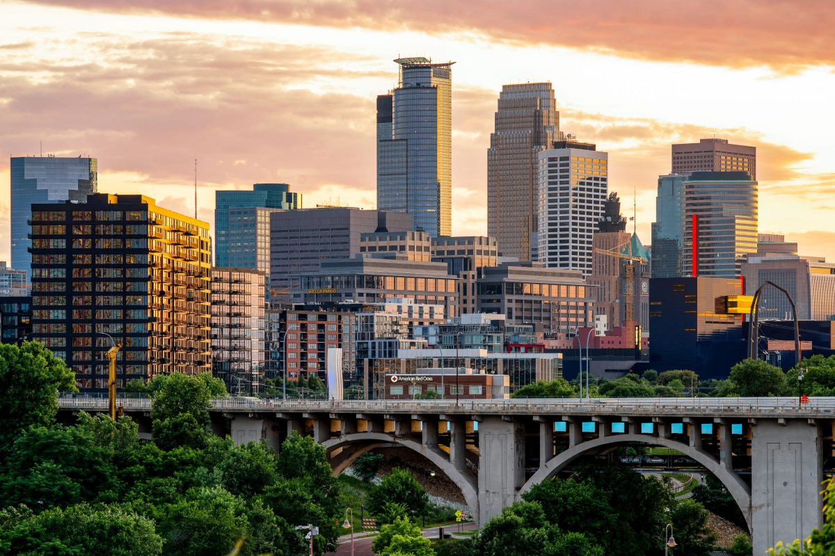
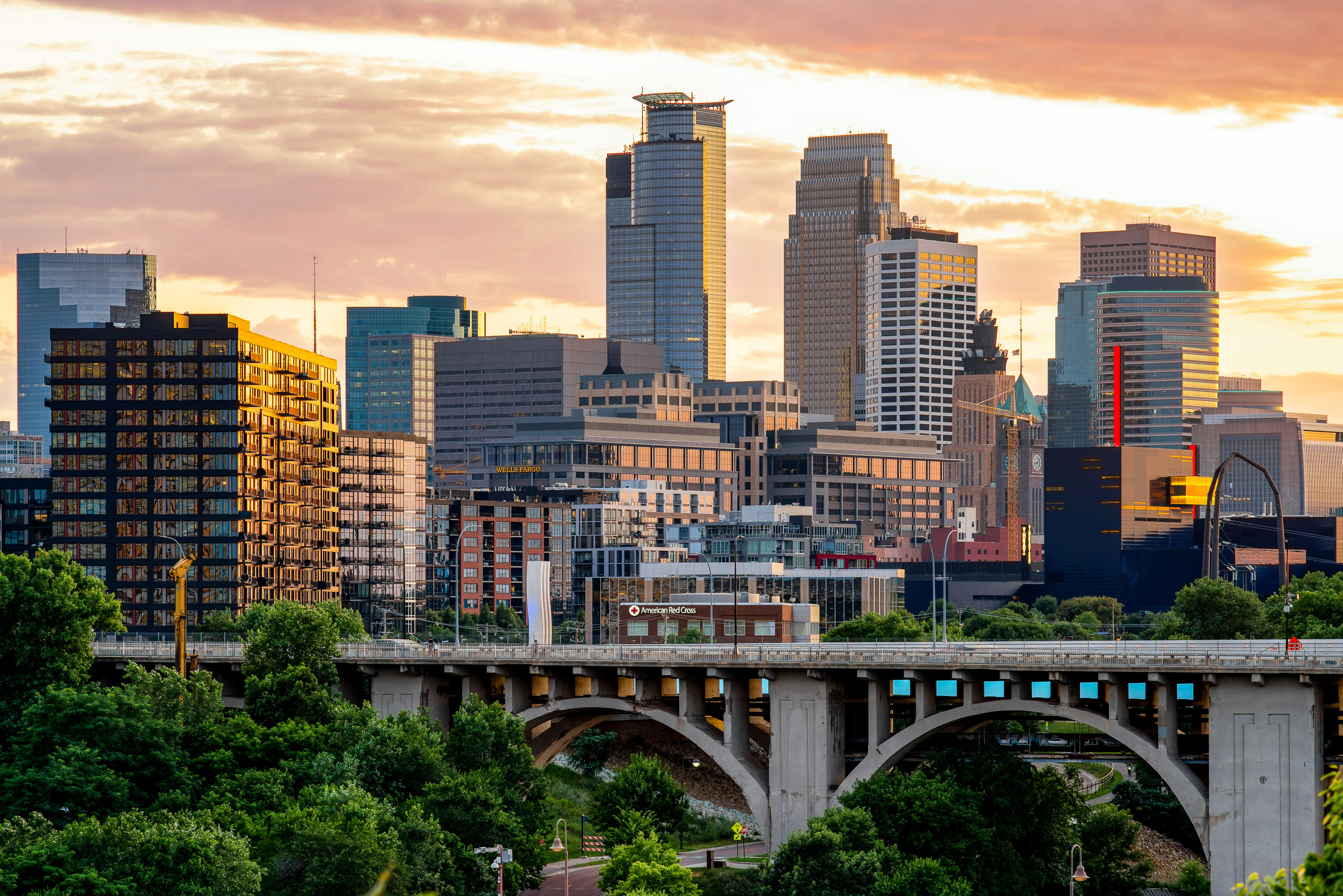
The 10th Avenue Bridge spans the Mississippi River with downtown Minneapolis skyline and Capella Tower at sunset.
The 10th Avenue Bridge crosses the Mississippi River between the West Bank and the University of Minnesota's East Bank campus. Built in 1929, it's a concrete arch bridge carrying Tenth Avenue Southeast into downtown Minneapolis.

Downtown Minneapolis Skyline Above the 10th Avenue Bridge
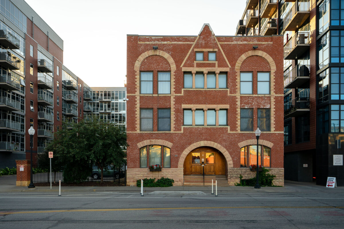
The Sporting House in downtown Minneapolis, a late 19th-century brick building.
The Sporting House in downtown Minneapolis was built circa 1889 on 11th Avenue. Historical records identify the brick building as a former brothel.

The Sporting House, Minneapolis

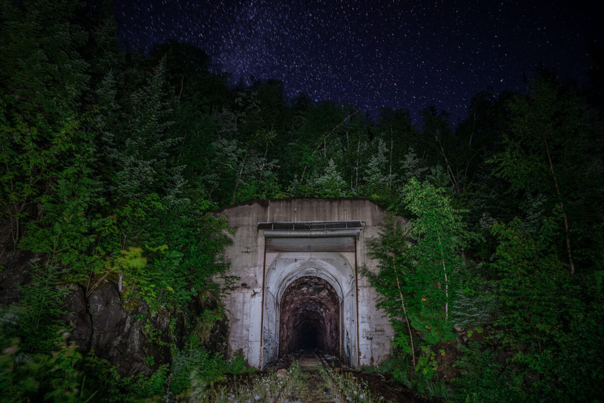
Cramer Tunnel entrance in Cramer, Minnesota, beneath a starry night sky.
Cramer Tunnel in Cramer, Minnesota, was an industrial railroad tunnel that operated from 1957 to 2001. It connected the LTV Steel taconite plant in Hoyt Lakes with the ore dock at Taconite Harbor.

Cramer Tunnel Entrance, Cramer Minnesota
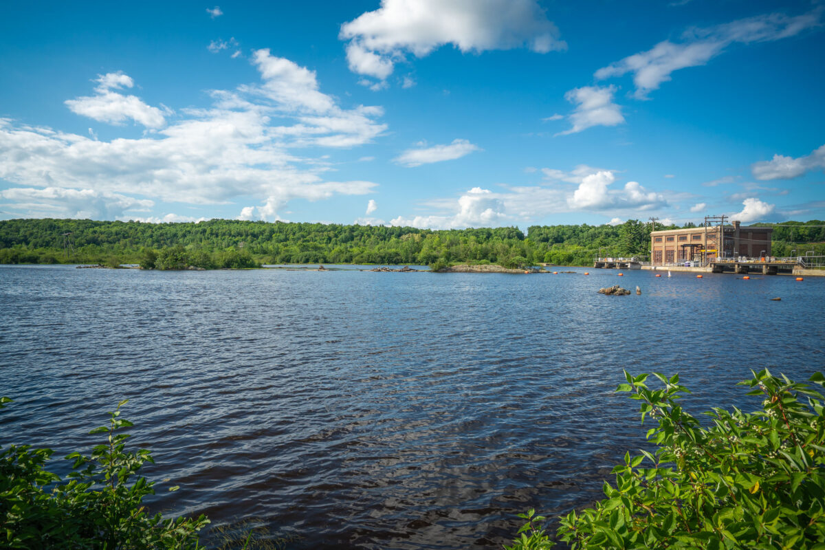
Knife Falls Dam hydroelectric plant on the St. Louis River in Cloquet, Minnesota.
Knife Falls Dam in Cloquet, Minnesota. The hydroelectric plant at the dam generates 2.4 megawatts of power.

The Reservoir Above Knife Falls Dam in Cloquet
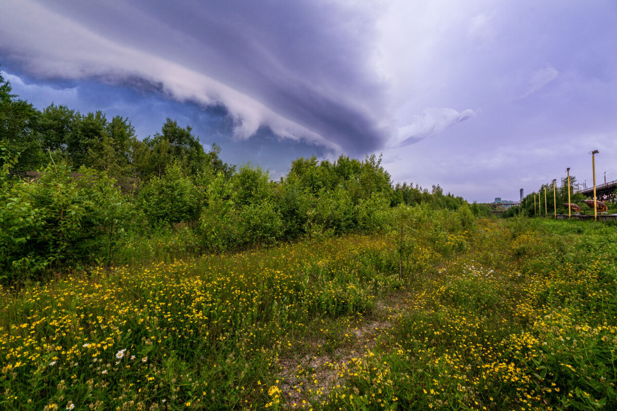
Storm clouds over Taconite Harbor, Minnesota, above Lake Superior shoreline vegetation
Storm clouds over Taconite Harbor, Minnesota, on the Lake Superior North Shore. The sky forms a broad shelf cloud above shoreline vegetation and the industrial waterfront.

Storm Clouds Over Taconite Harbor, Minnesota
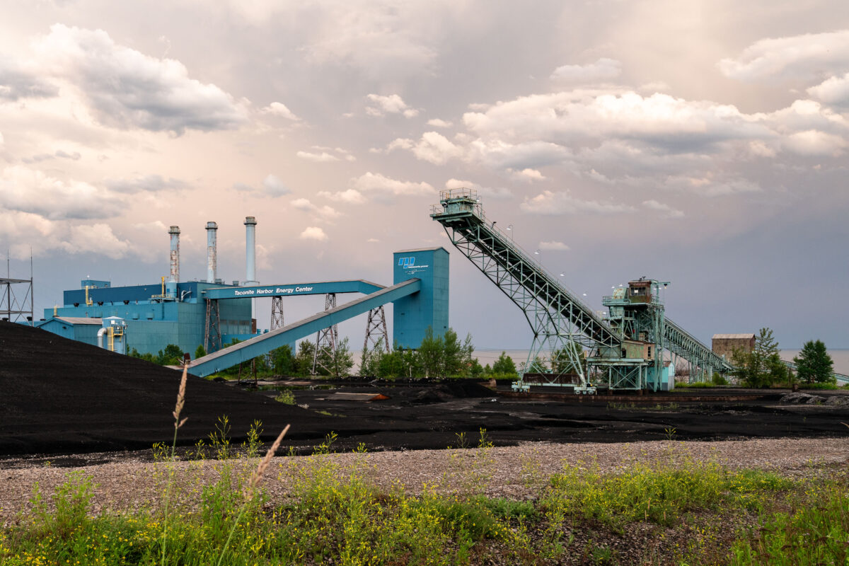
Industrial power plant with coal storage, conveyor systems, and loading structures along Minnesota waterway.
The Taconite Harbor Energy Center is a power generation facility in Schroeder, Minnesota, located along a shipping waterway used for transporting bulk materials. The complex includes coal storage areas, conveyor systems, and elevated structures for loading operations. The facility serves the regional energy grid and industrial operations in northeastern Minnesota.

Taconite Harbor Energy Center, Schroeder, Minnesota
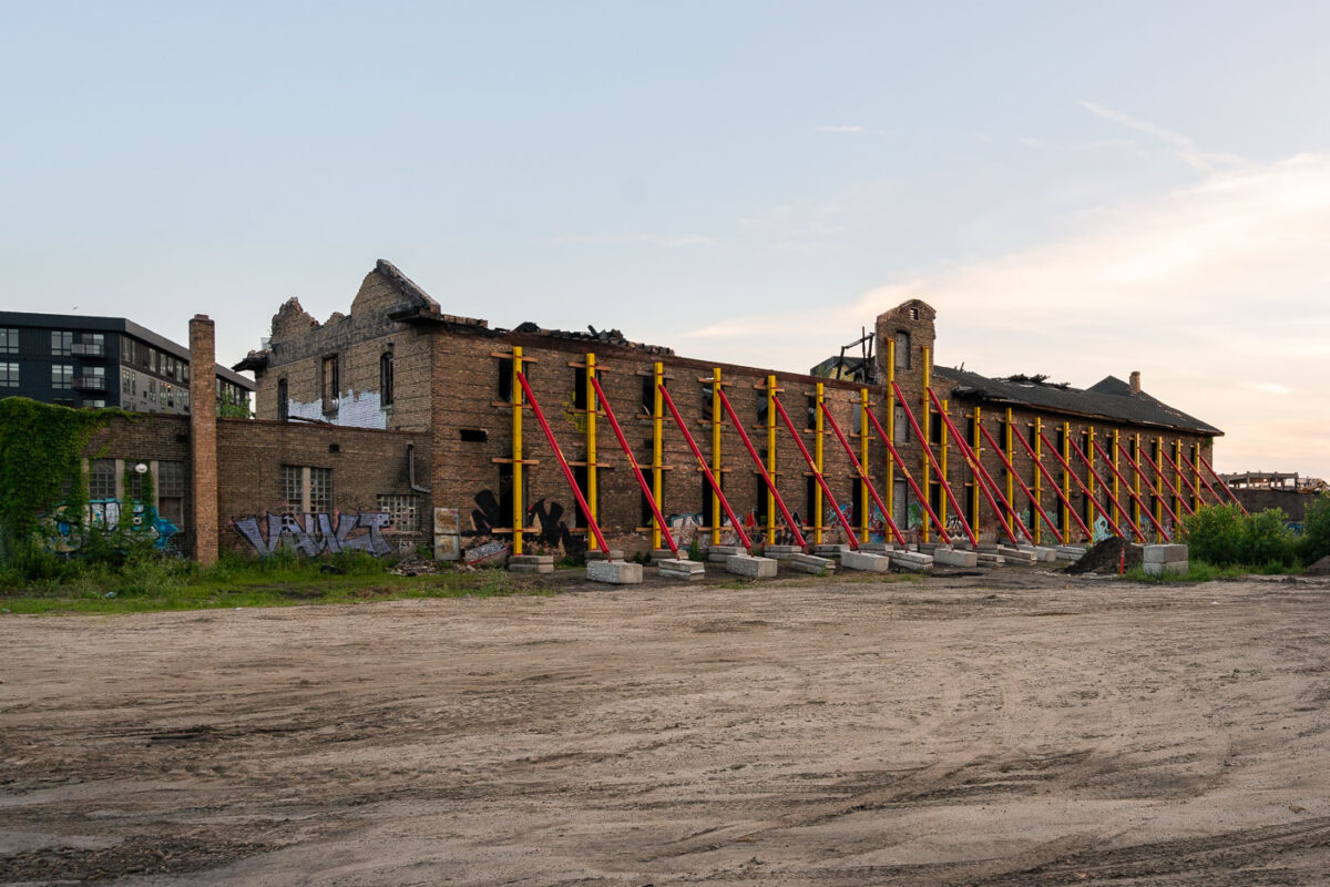
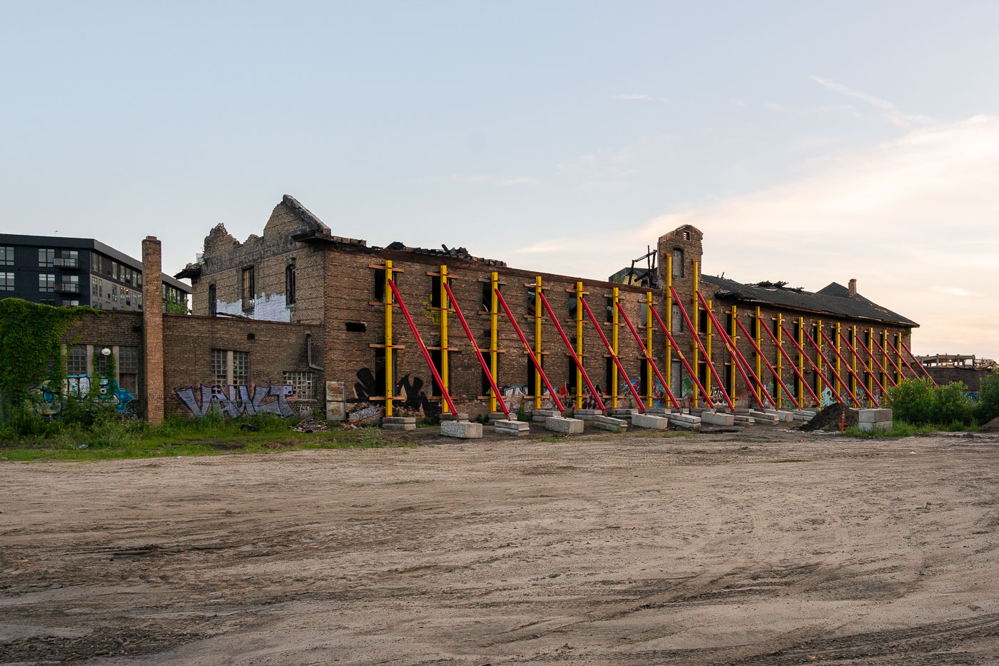
Harris Machinery Building in Minneapolis is braced with temporary steel supports during redevelopment.
The former Harris Machinery Building in Minneapolis's Prospect Park neighborhood is being stabilized during redevelopment for The Market at Malcolm Yards. Temporary steel bracing supports the brick structure while work continues on the site.

Harris Machinery Building Stabilization, Minneapolis
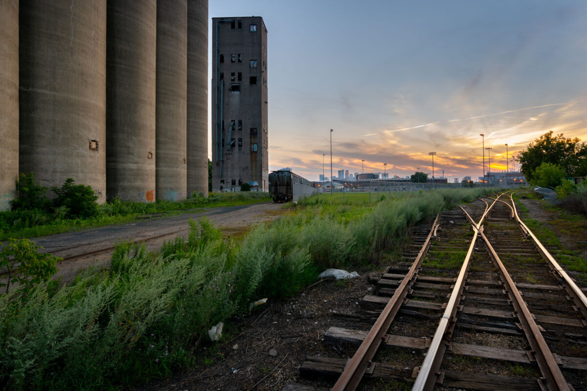
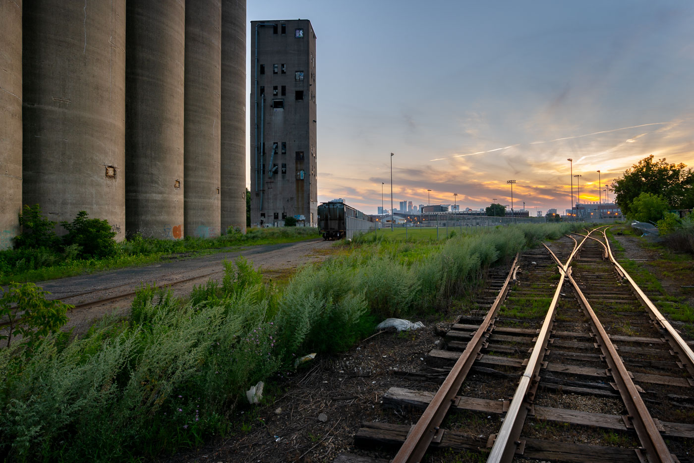
Tracks at Archer Daniels Midland Elevator
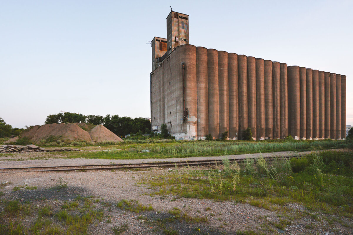
Train tracks outside the long abandoned massive concrete Archer-Daniels-Midland Delmar Elevator No. 7 in Minneapolis. Known locally as the "United Crushers" mill after the large tag visible from miles away.

Tracks at Archer Daniels Midland Elevator

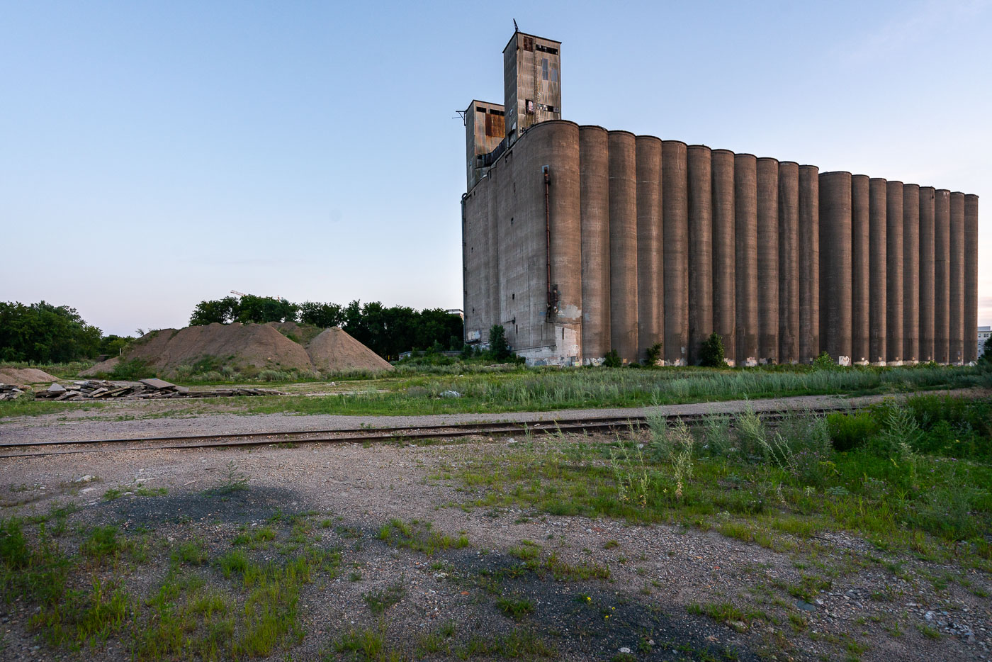
Archer Daniels Midland Delmar Elevator No 7
The long abandoned massive concrete Archer-Daniels-Midland Delmar Elevator No. 7 in Minneapolis. Known locally as the "United Crushers" mill after the large tag visible from miles away.

Archer Daniels-Midland Delmar Elevator No 7
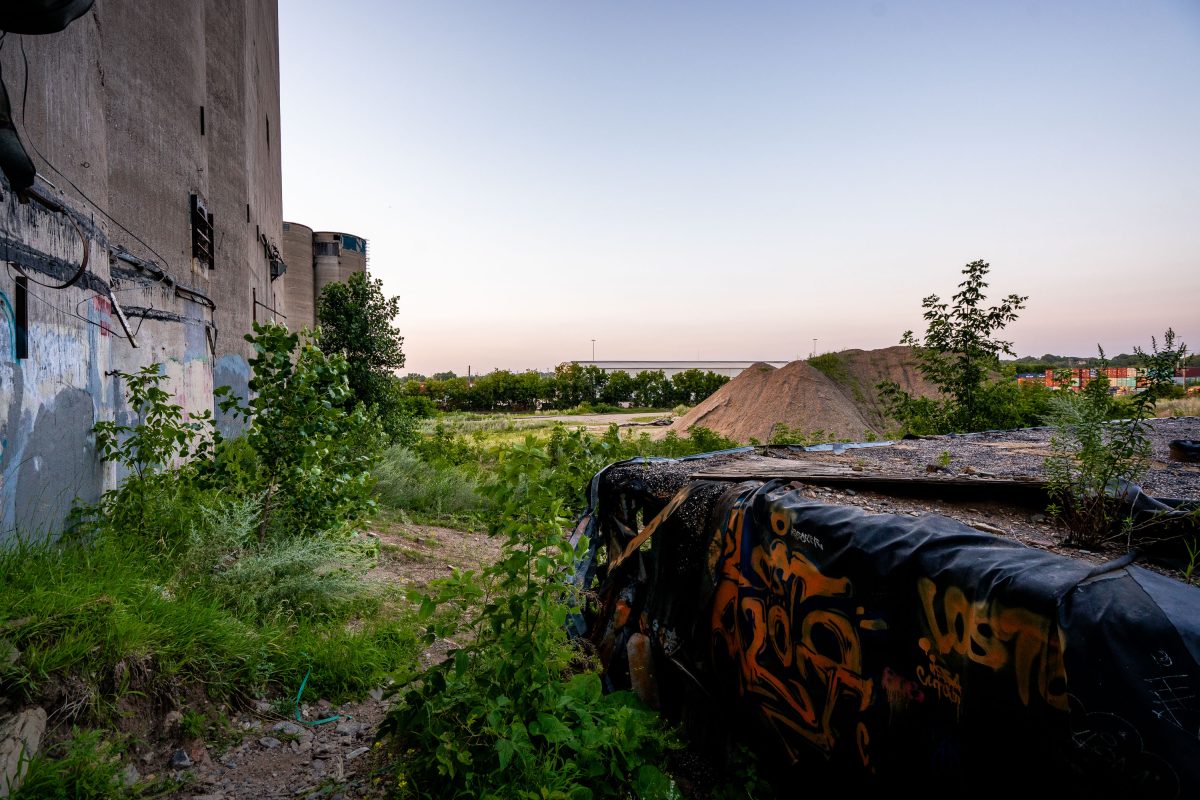
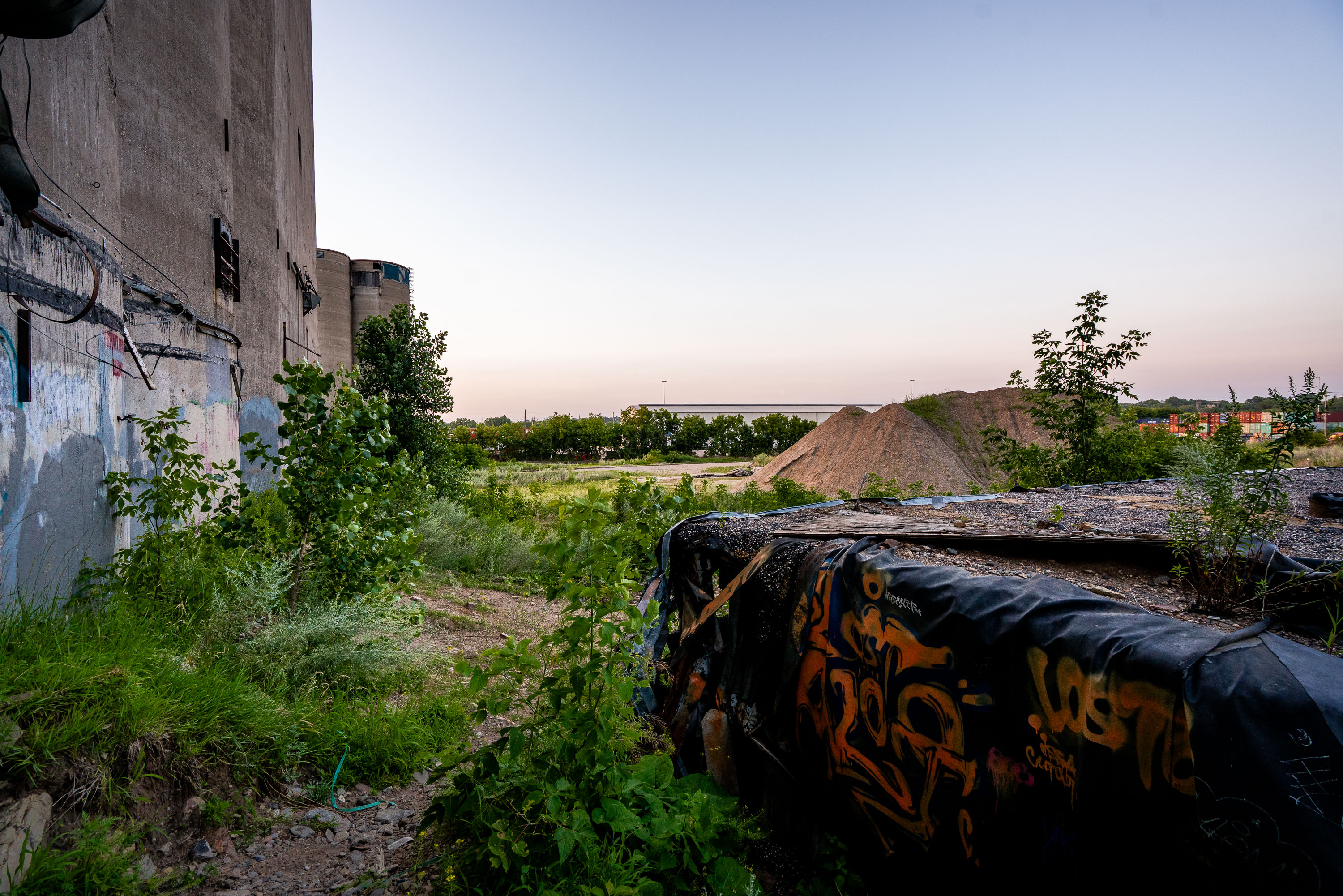
Overgrown lot with graffiti-covered container beside concrete grain silos at the former ADM elevator in Minneapolis
This site is part of the former Archer Daniels Midland grain elevator complex in the Prospect Park area near Dinkytown, Minneapolis. The concrete silo structures visible here were used for grain storage before the facility was decommissioned. Vegetation has grown into the surrounding lot, and a graffiti-covered shipping container and stockpiled fill material now occupy the adjacent grounds.

Overgrown Lot Beside ADM Grain Elevator, Minneapolis
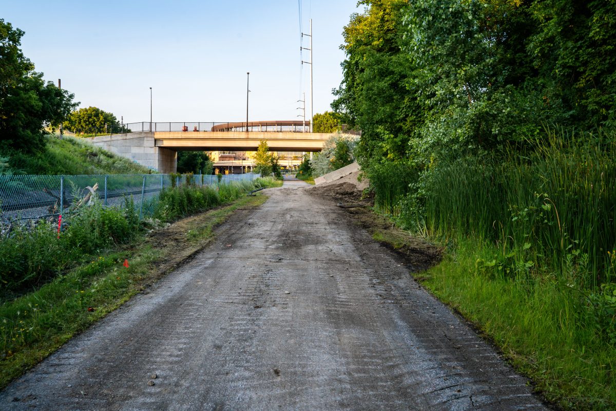
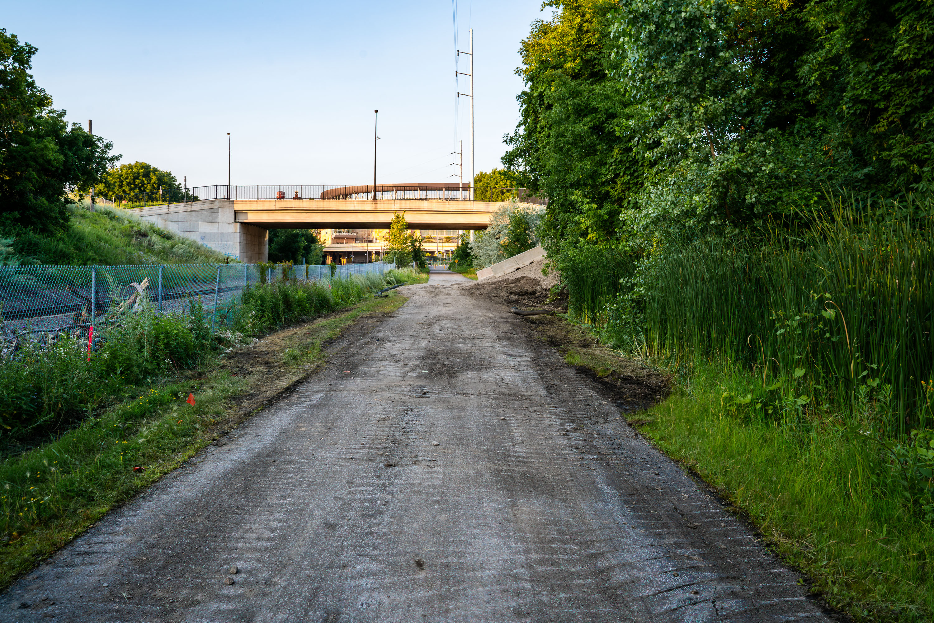
Unpaved construction path beneath highway overpass along Cedar Lake Trail during Metro Transit Green Line Extension project in
The Cedar Lake Trail shortly after it was ripped up during the Metro Transit Green Line Extension light rail project. The trail re-opened in 2025.

Cedar Lake Trail Torn Up Near a Bridge During LRT Construction
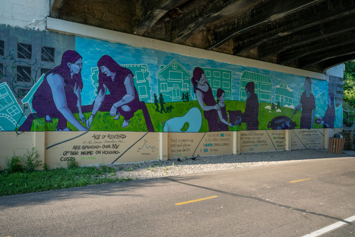
Mural by Cori Nakamura Lin and Tori Hong on Minneapolis's Midtown Greenway addressing housing affordability and renter statistics.
This mural, created by Cori Nakamura Lin and Tori Hong, is located on the Midtown Greenway in Minneapolis. The artwork addresses the issue of housing affordability, highlighting statistics about renters spending a significant portion of their income on housing and the disproportionate impact of evictions on low-income communities and communities of color. The Midtown Greenway is a 5.7-mile paved rail trail that runs through the city, serving as a vital corridor for cyclists and pedestrians.

Cori Nakamura Lin & Tori Hong Mural on Midtown Greenway, Minneapolis
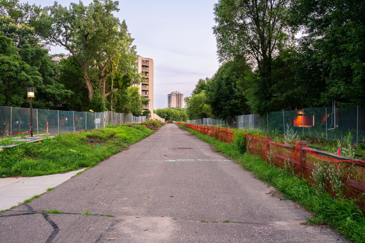
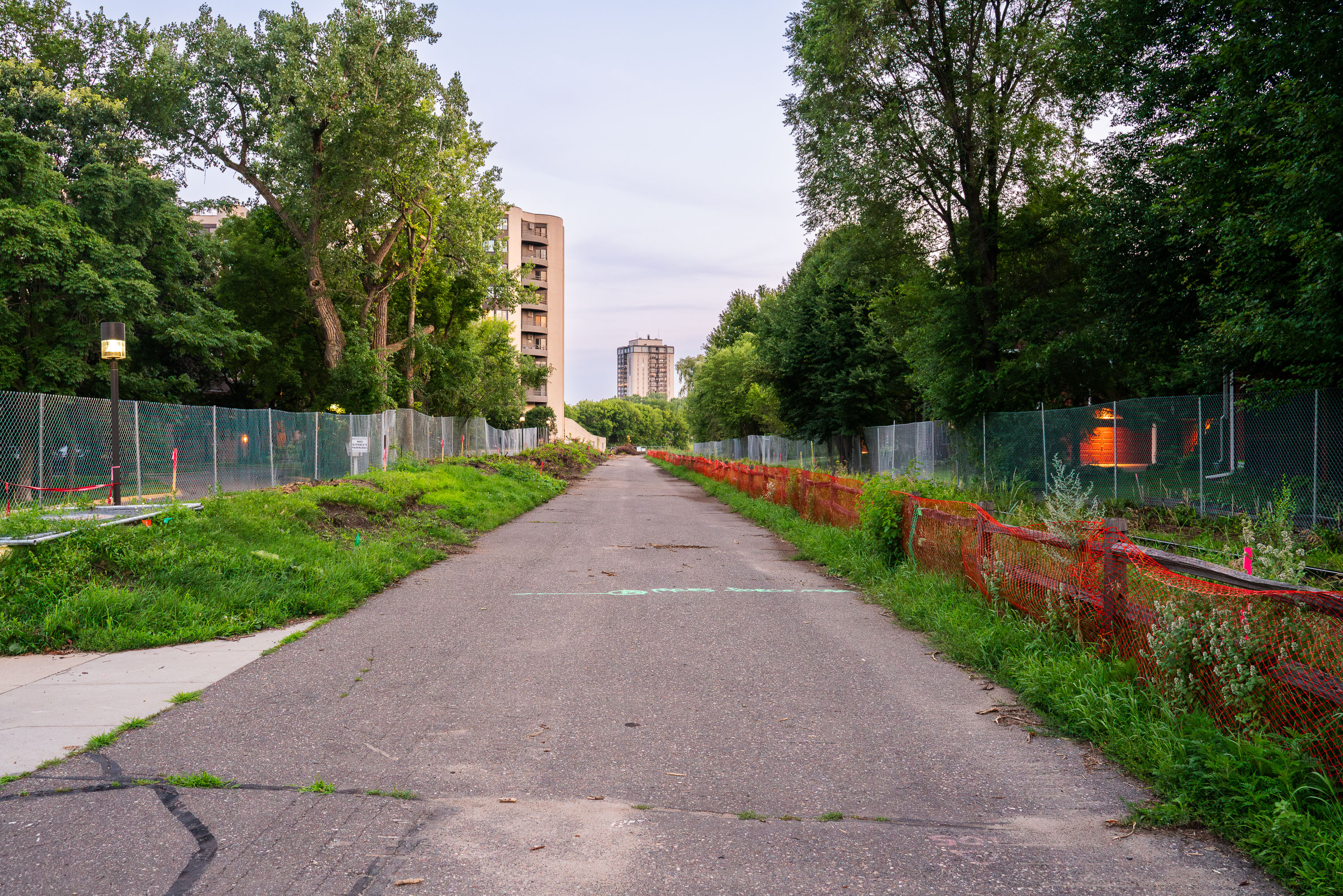
Fenced pathway along Kenilworth Trail in Minneapolis during Southwest Light Rail construction in 2019.
The Kenilworth Trail construction seen on July 23, 2019. The trail was closed for years

Fenced-Off Kenilworth Trail Corridor Awaiting LRT Construction
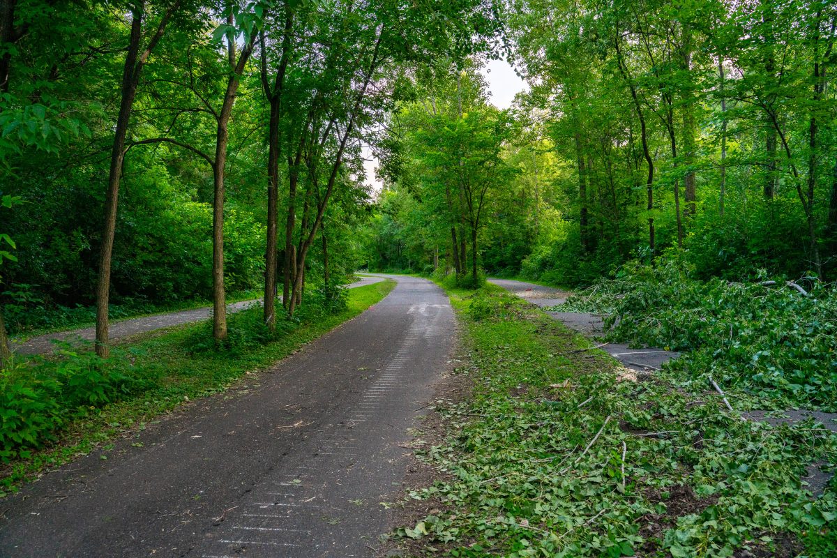
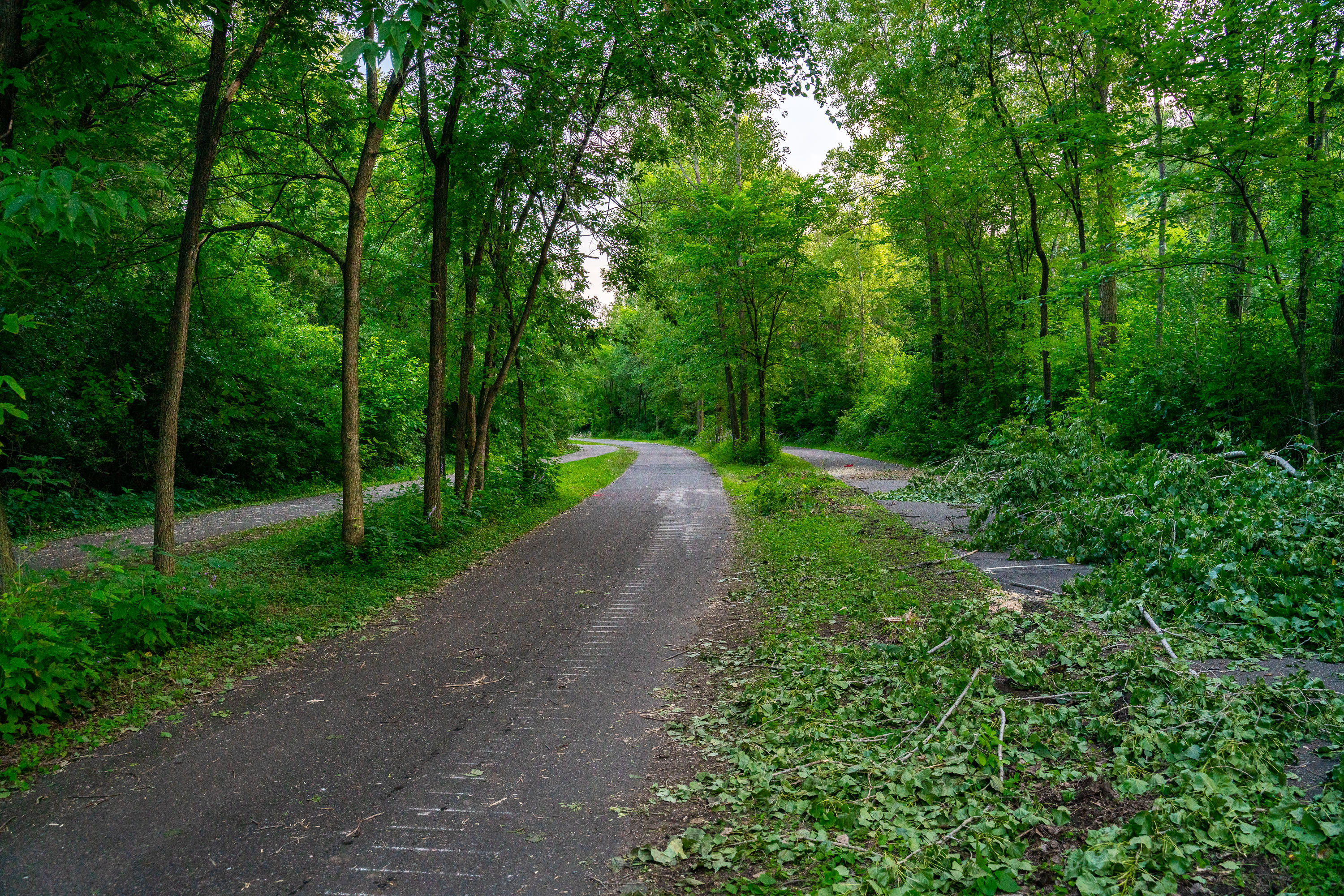
Tree-lined path on Kenilworth Trail in Minneapolis during Southwest light rail construction in July 2019.
Trees being cleared out on the Kenilworth Trail in Minneapolis during Metro Transit Green Line light rail construction.

Trail Debris Piled Along the Kenilworth Trail in Minneapolis
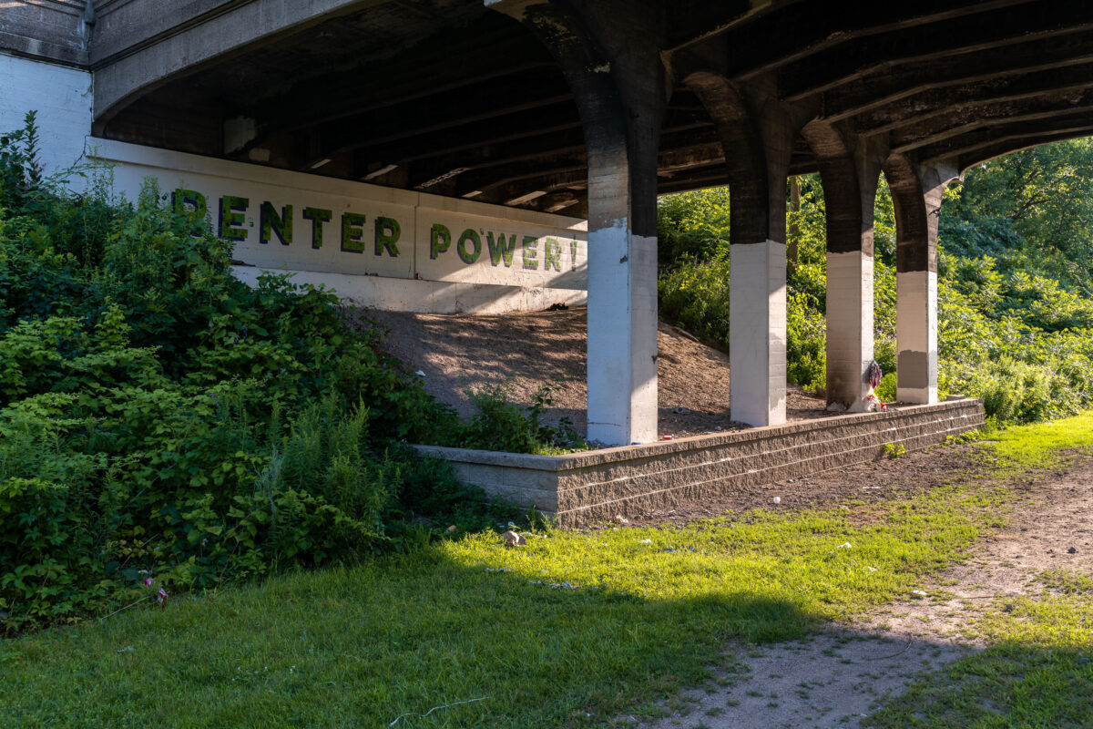
"Renter Power!" mural on a concrete retaining wall beneath the Midtown Greenway bridge in Minneapolis.
A mural proclaiming "Renter Power!" is visible on a concrete retaining wall beneath a bridge along the Midtown Greenway in Minneapolis. The Midtown Greenway is a 5.7-mile-long multi-use trail built on a former railroad corridor, popular with cyclists and pedestrians. The mural's message reflects advocacy for tenant rights and affordable housing.

“Renter Power” Mural Under a Bridge on the Midtown Greenway
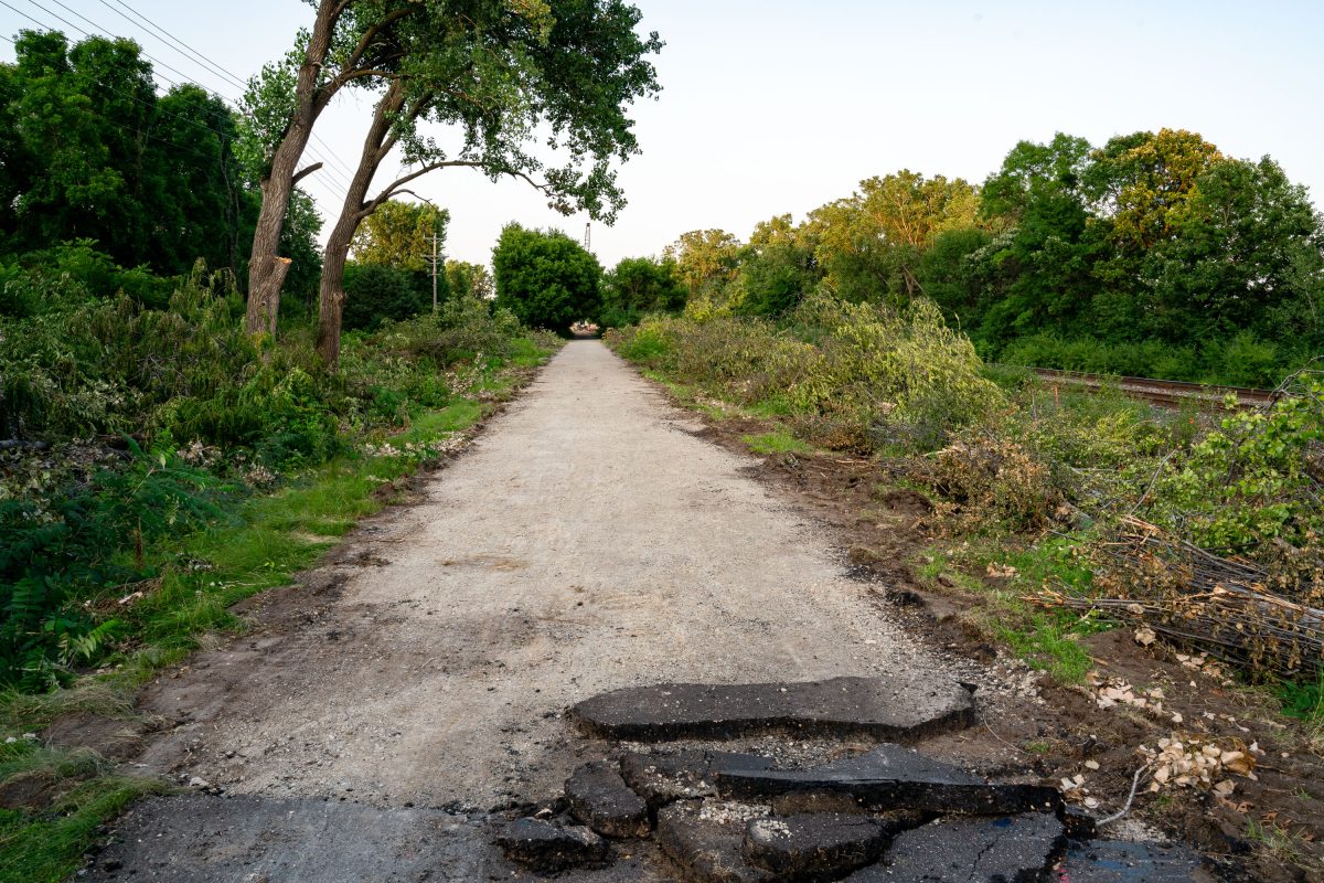
Cedar Lake Trail ripped up during train construction
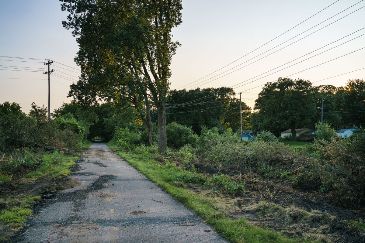
The Cedar Lake Trail in the early days of the METRO Green Line Extension light rail project. The new line will connect Eden Prairie to St Paul.

Cedar Lake Trail ripped up during train construction

Cedar Lake Regional Trail Light Rail Construction
Ripped up Cedar Lake Trail during the METRO Green Line Extension construction. Seen in Juily 2019.

Cedar Lake Regional Trail Light Rail Construction

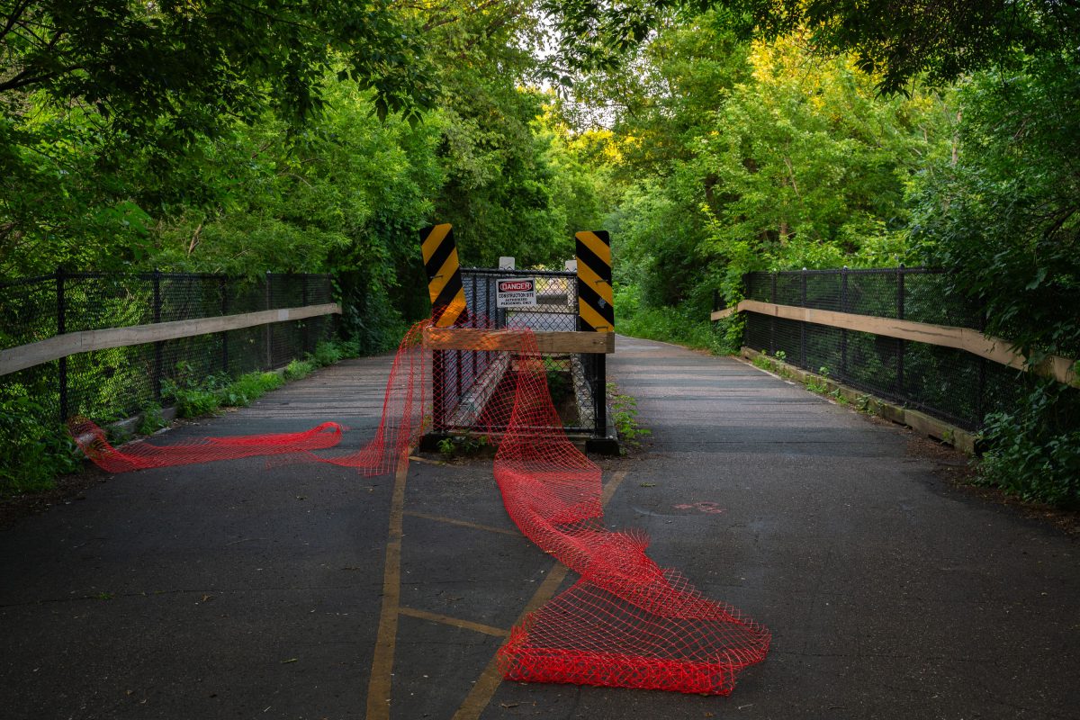
Cedar Lake Trail closing over Minehaha Creek
The bridge over Minnehaha Creek on the Cedar Lake Trail during Metro Green Line Extension construction.

Cedar Lake Trail closing over Minnehaha Creek

Bde Maka Ska Baseball Field in Minneapolis, an overgrown baseball field with a flooded infield.
Bde Maka Ska Baseball Field in Minneapolis is overgrown and waterlogged, with the infield partially submerged. The field sits beside trees and park benches near the edge of Bde Maka Ska parkland.

Bde Maka Ska Baseball Field, Minneapolis
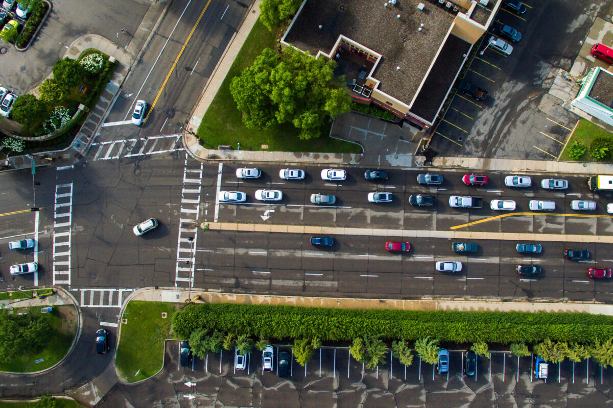
Aerial view of multi-lane traffic on Excelsior Boulevard near Lake Street, Minneapolis.
Excelsior Boulevard carries multiple lanes of traffic near the Lake Street intersection in Minneapolis. The aerial view shows the street's configuration with parking areas and green space adjacent to the roadway.

Traffic on Excelsior Boulevard, Minneapolis
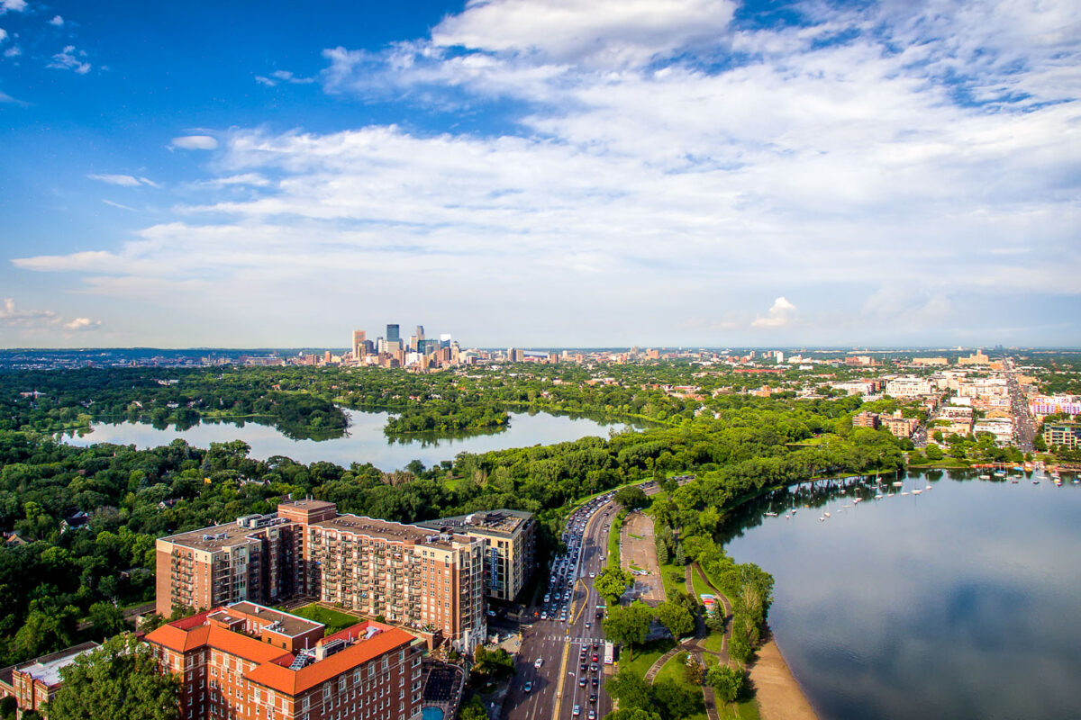
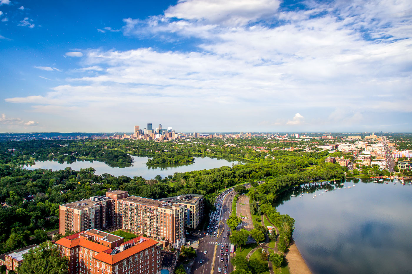
Minneapolis downtown skyline rises beyond Bde Maka Ska and Lake of the Isles in the Chain of Lakes park system.
Bde Maka Ska and Lake of the Isles are two of the Minneapolis Chain of Lakes, joined by a channel. Bde Maka Ska is the largest lake in Minneapolis at about 401 acres, while Lake of the Isles covers about 108 acres.

Downtown Minneapolis Skyline Beyond Bde Maka Ska and Lake of the Isles

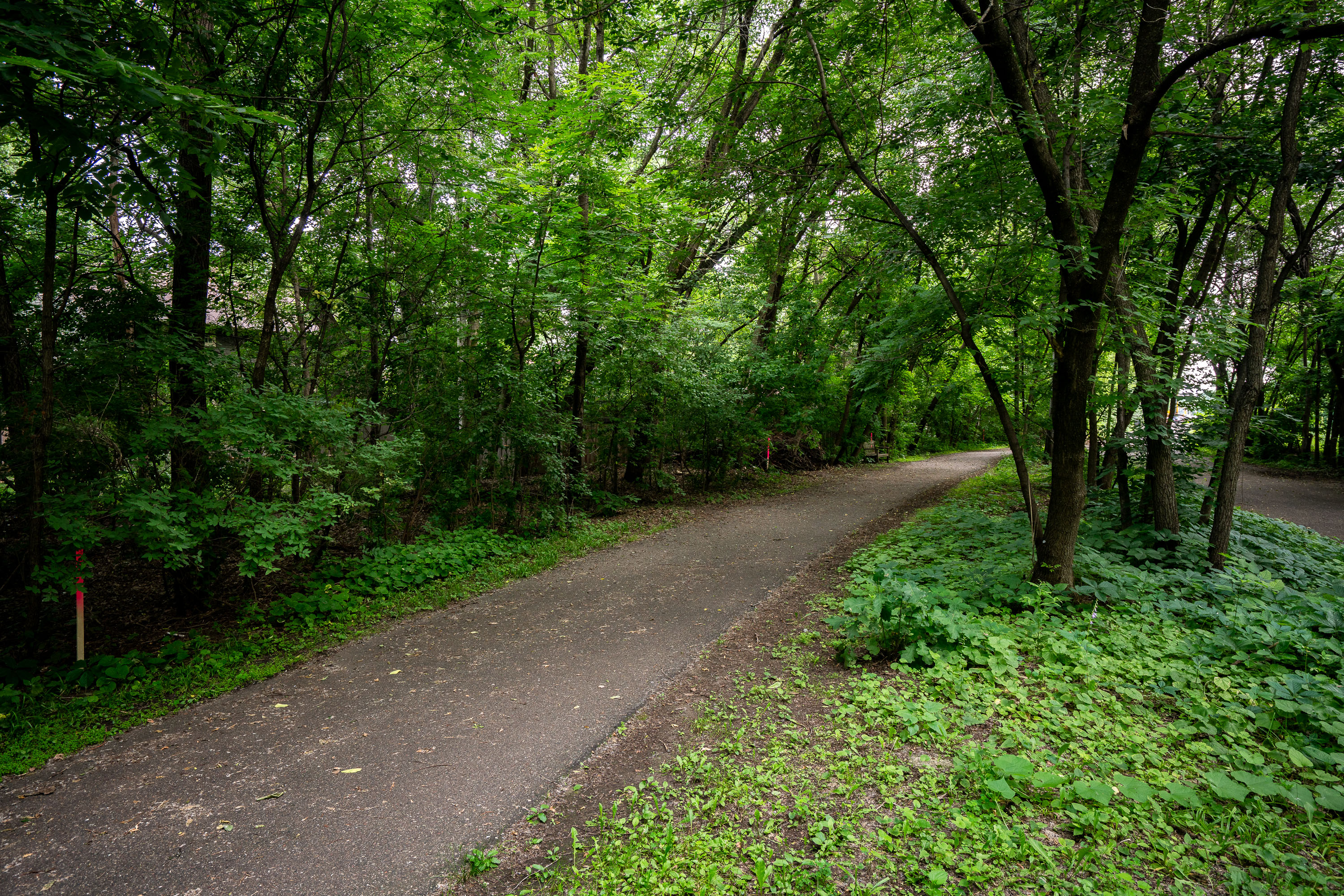
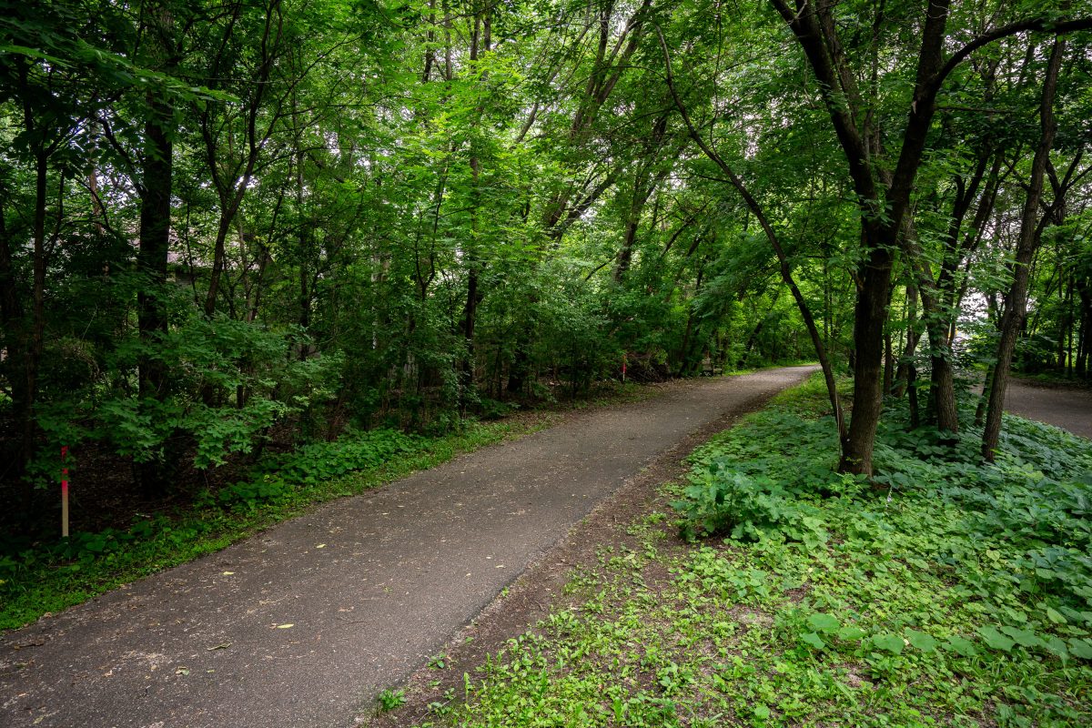
Paved trail winds through dense deciduous forest with mature trees lining both sides.
The Kenilworth Trail runs through the Kenilworth corridor connecting the Chain of Lakes area with downtown Minneapolis, following a former rail right-of-way once used by freight lines. The paved path is shared by pedestrians and cyclists and links to the regional Grand Rounds trail network. The corridor has long been the subject of planning debate as the proposed route for the Southwest Light Rail Transit extension of the Metro Green Line, with construction requiring the trail to be rerouted and rebuilt in sections alongside the new rail line.

A Wooded Stretch of the Kenilworth Trail
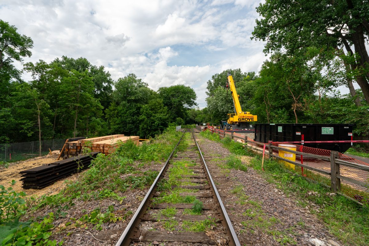
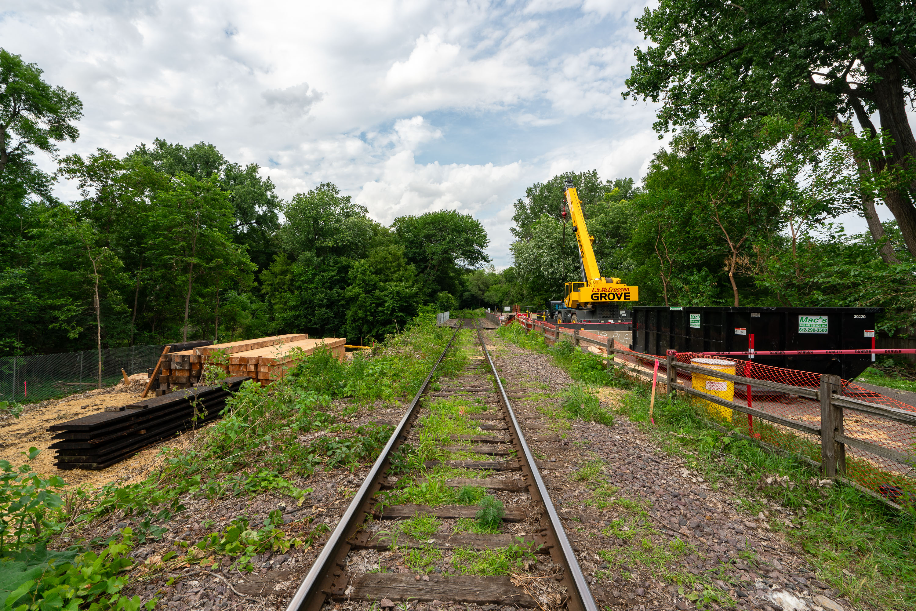
Grove construction crane and equipment on railroad tracks along the Kenilworth Trail in Minneapolis.
The Kenilworth Trail follows a former Milwaukee Road rail corridor connecting Minneapolis's Cedar Lake and Lake of the Isles areas to Hopkins. The corridor has been used for freight rail, bike and pedestrian paths, and is the planned route for the Metro Green Line Extension light rail. Construction crews have used the rail line for staging materials, including ties and ballast, during the extension's preliminary work. A Grove mobile crane, commonly used for lifting rail and bridge components, appears among the equipment staged along the tracks.

Rail Tie Replacement Along the Kenilworth Trail Corridor
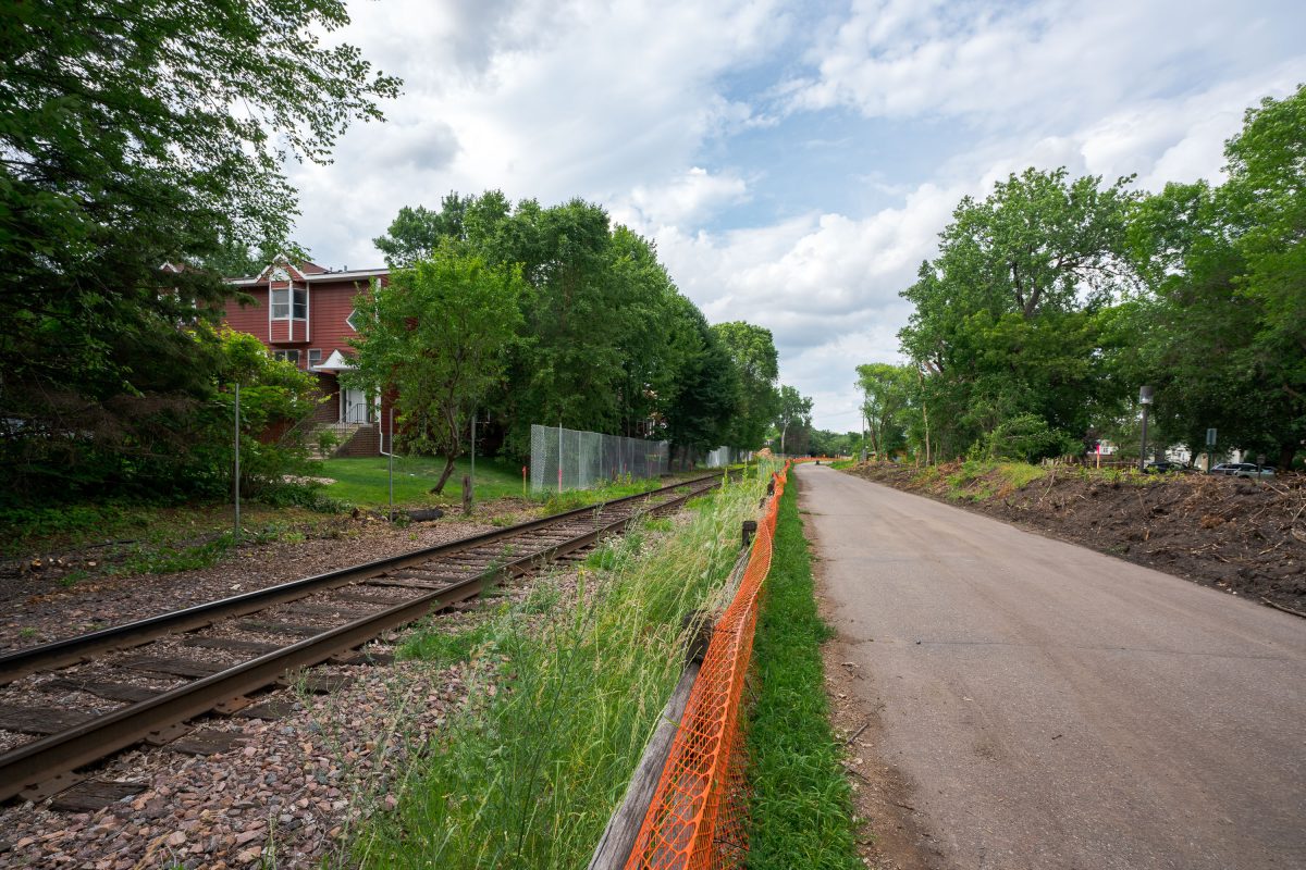
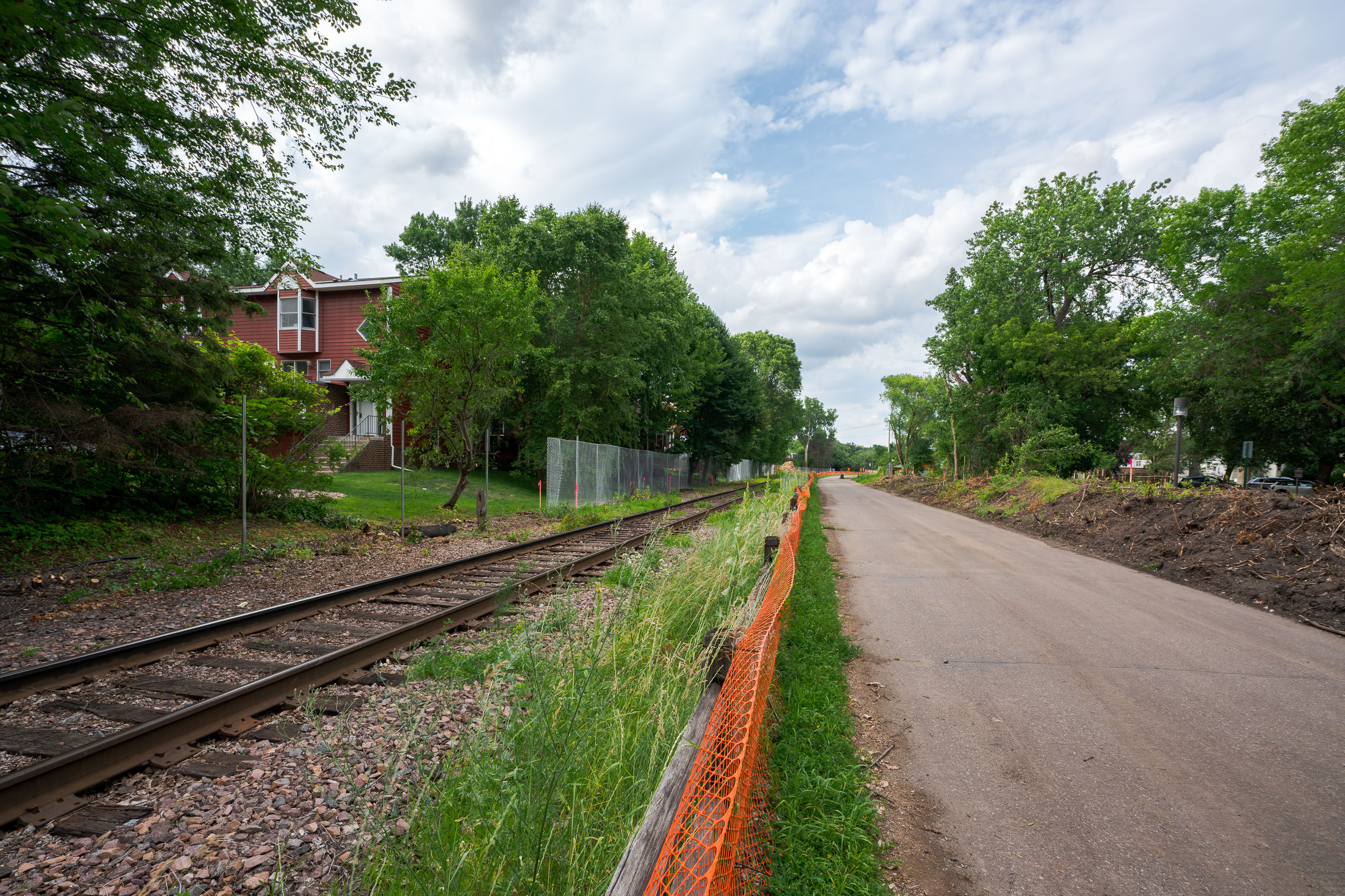
Orange safety fencing installed along Kenilworth Trail during Metro Green Line Extension construction in Minneapolis.
The Kenilworth Trail runs alongside active freight and light-rail tracks through the Kenilworth Corridor, a narrow strip of land connecting the Chain of Lakes to downtown Minneapolis. The corridor has long carried both recreational trail traffic and rail lines, a dual use that predates the current Green Line Extension project. Construction fencing here marks work tied to that extension, which is adding light-rail tracks through the same shared right-of-way used by the trail and freight rail. The project has required temporary trail reroutes and vegetation clearing along sections of the corridor during construction.

Safety Fencing Along the Kenilworth Trail Rail Corridor
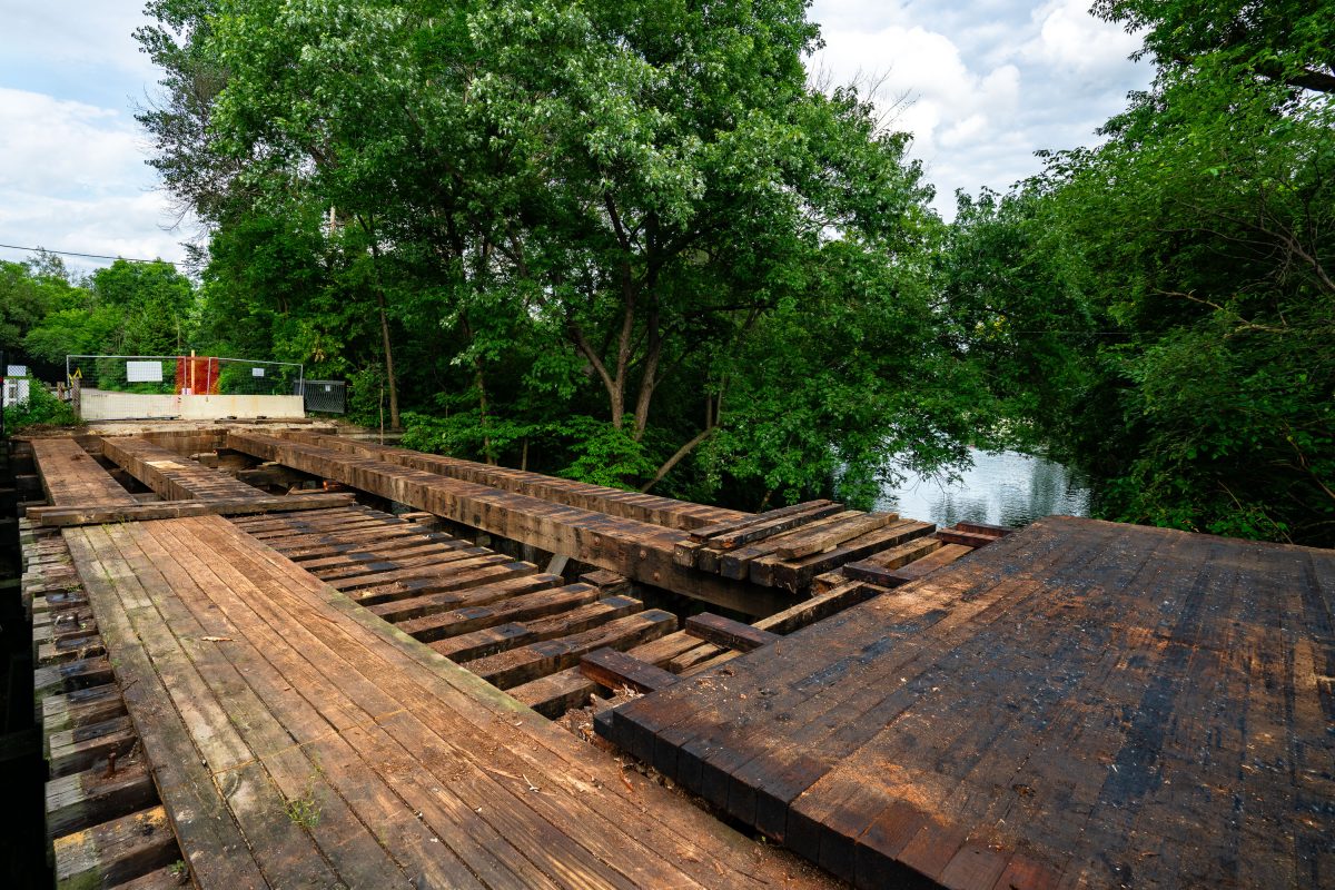
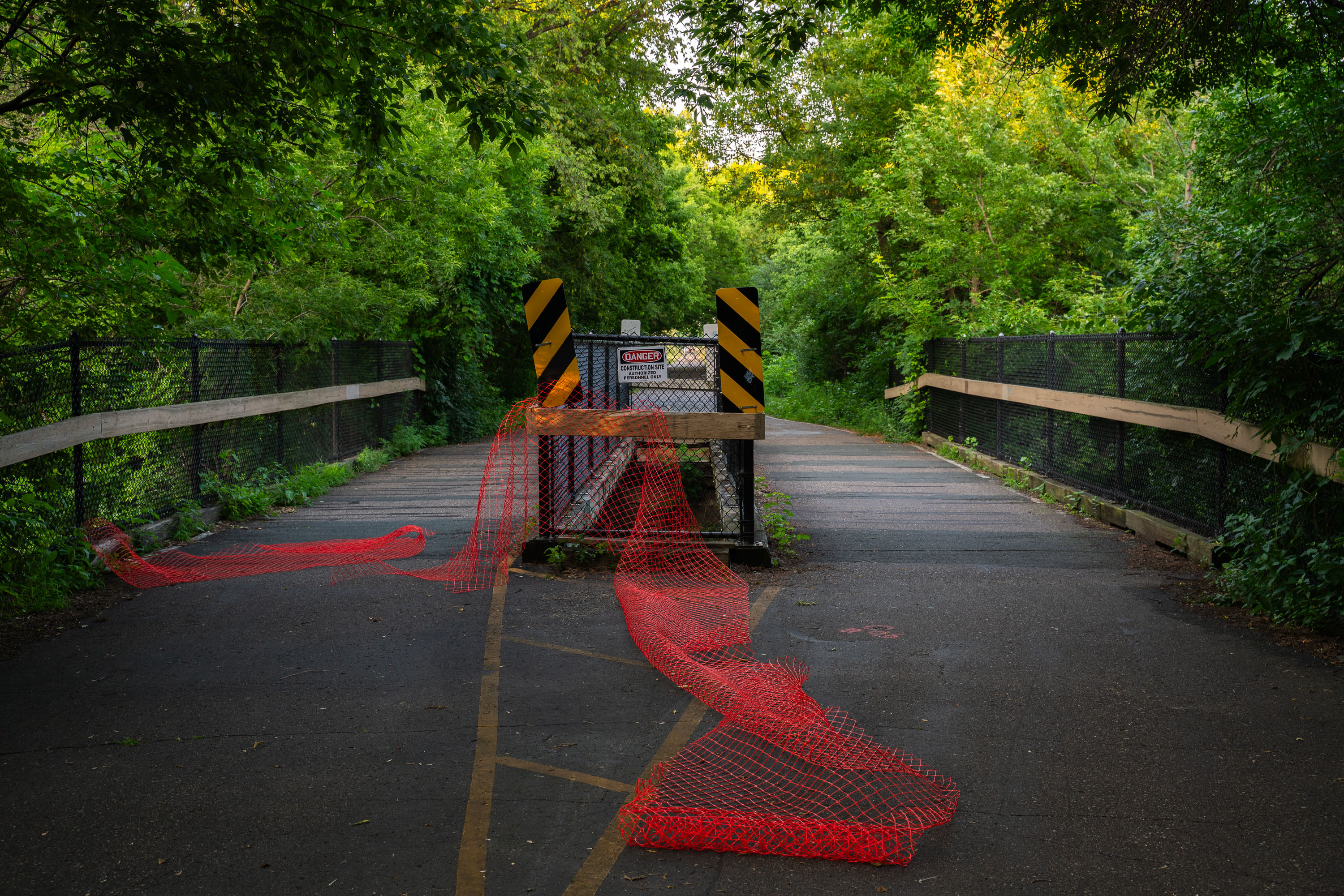
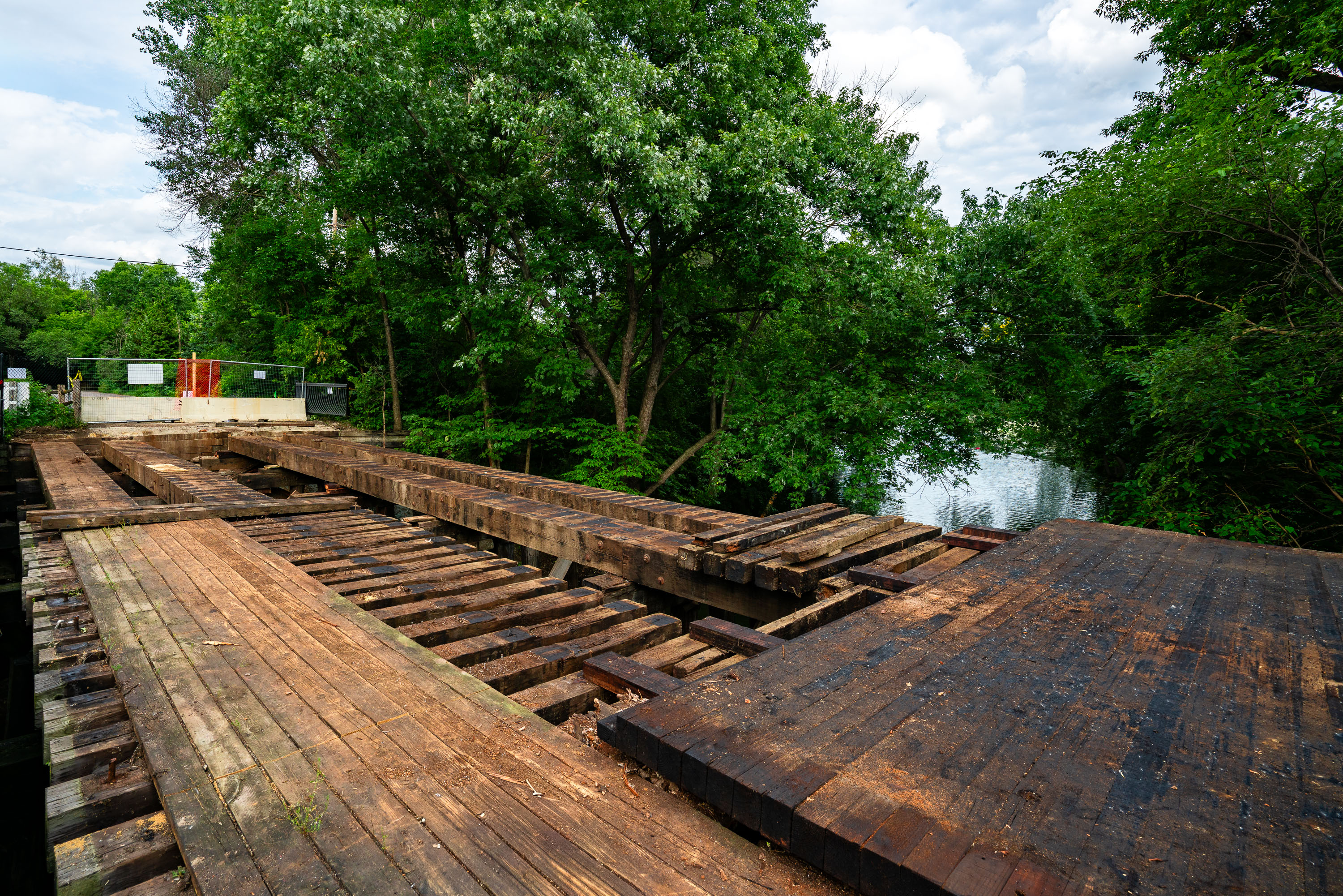
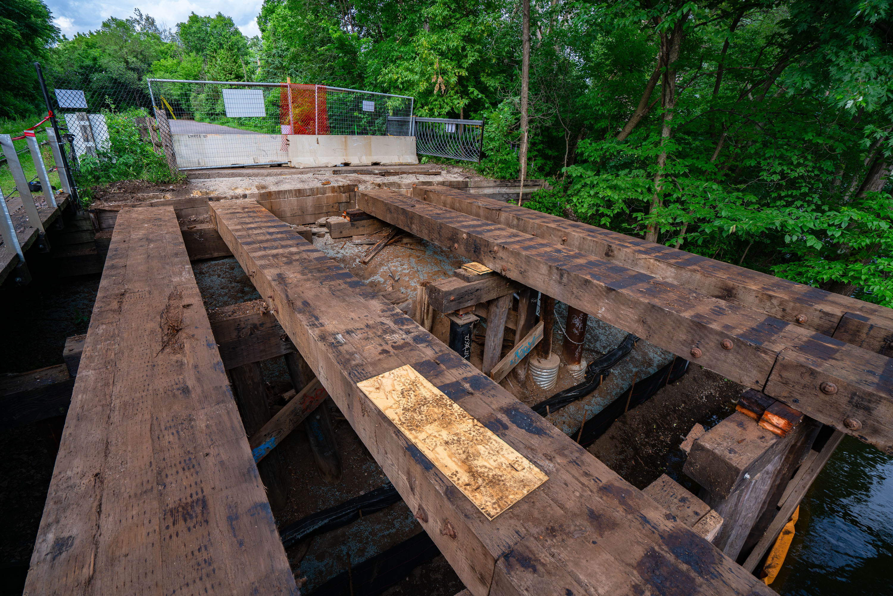
Deteriorated wooden bridge spanning Cedar Lake channel alongside Burnham Trail in Minneapolis during Green Line Extension
The bridge over the Cedar Lake/Lake of the Isles channel in Minneapolis. The bridge was removed and replaced during construction of the Metro Transit Green Line Extension.

Decking Removed from the Cedar Lake Channel Bridge on the Burnham Trail
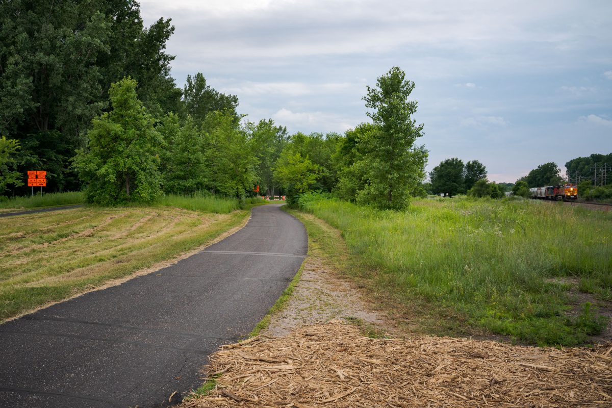
The trail just after closure
A freight train travels down the freight rails during the early days of the Metro Green Line Extension project.

Cedar Lake Trail Closing and a Freight Train
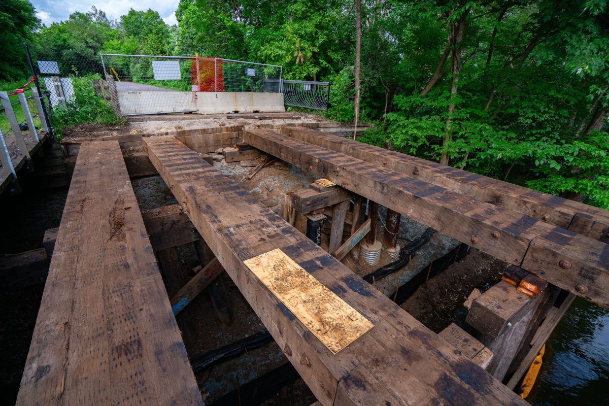
Kenilworth Trail Bridge Deconstruction
Kenilworth trail bridge over the Cedar Lake to Lake of the Isles channel being dismantled during Metro Green Line Extension construction.

Kenilworth Trail Bridge Deconstruction

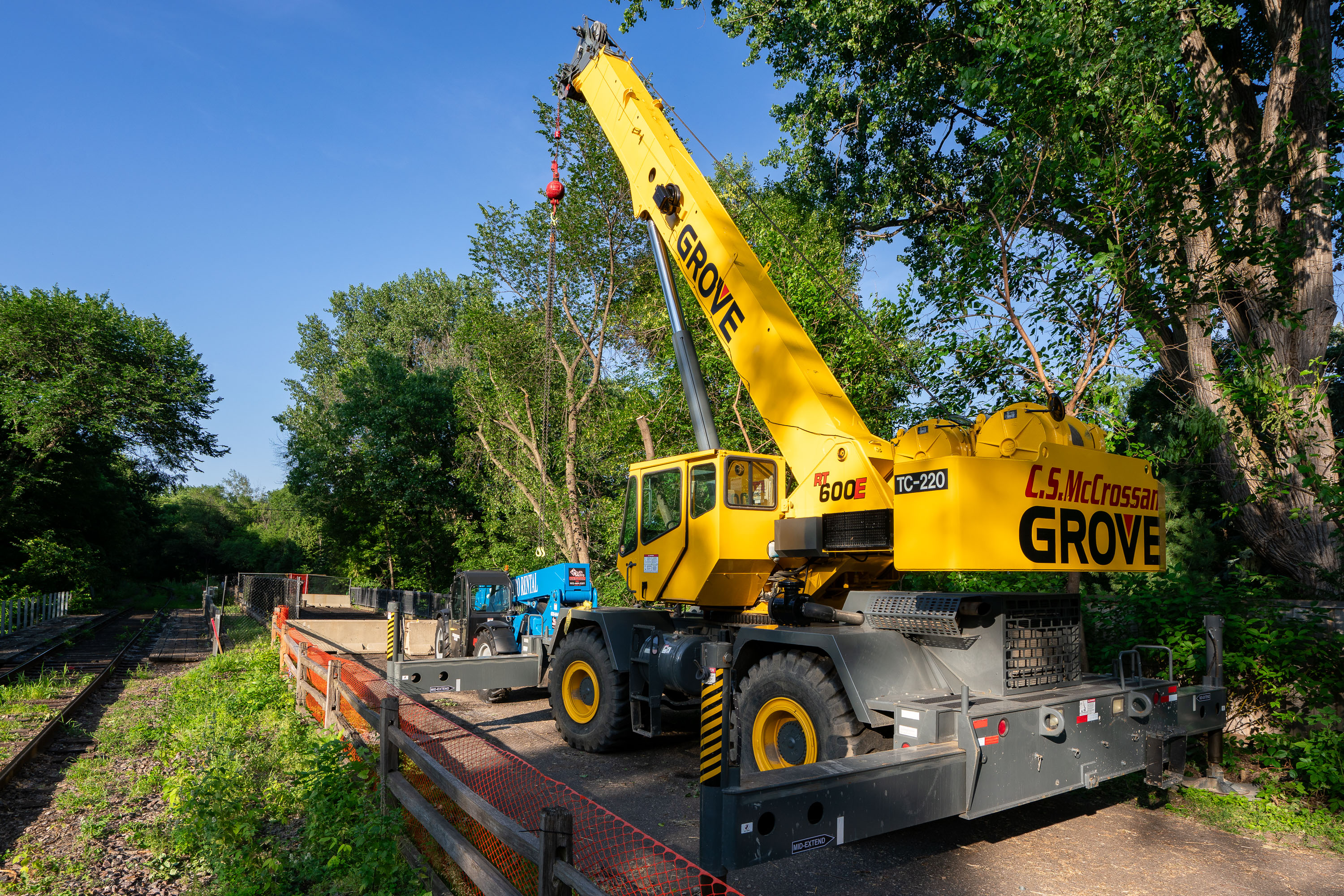
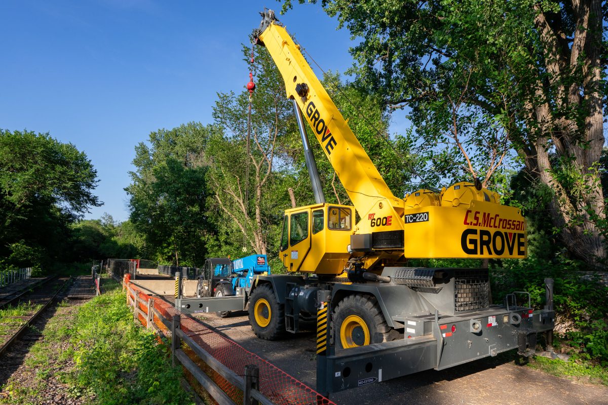
Yellow Grove mobile crane on Kenilworth Trail in Minneapolis during Southwest LRT construction.
This Grove RT600E rough-terrain crane, operated by C.S. McCrossan, was staged along the Kenilworth Trail during construction of Metro Transit's Southwest LRT Green Line Extension. The crane can lift up to 60 tons and extend a boom beyond 100 feet, making it suited for setting bridge and tunnel components along the corridor. The Kenilworth corridor carries freight rail and a recreational trail between the Chain of Lakes and downtown Minneapolis, and became a major staging area for the light-rail line's tunnel and bridge work. C.S. McCrossan, a Minnesota-based heavy civil contractor, has worked on multiple segments of the Southwest LRT project.

Grove Crane Staged on the Kenilworth Trail for Southwest LRT Work
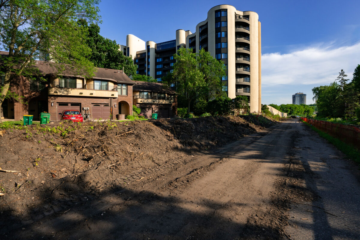
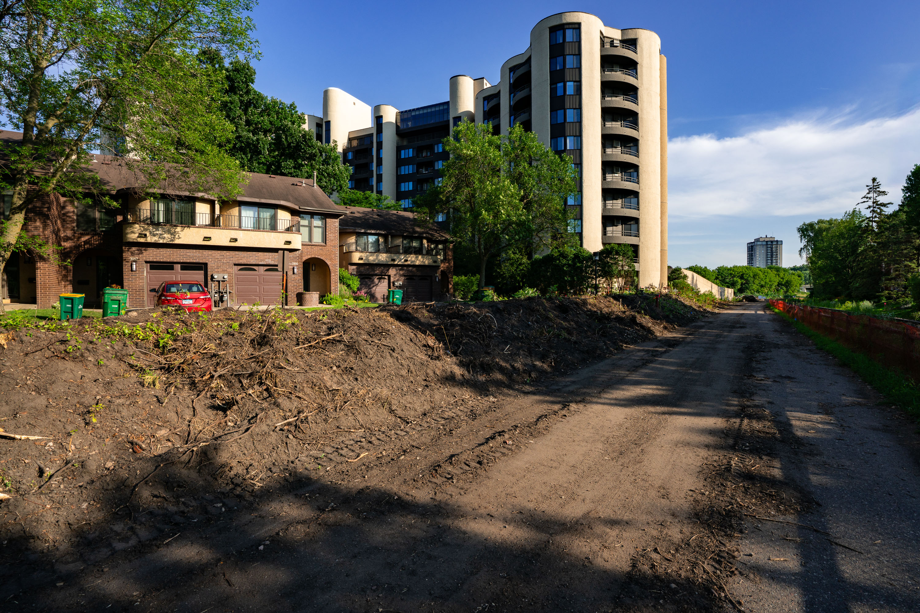
Excavated construction site along Kenilworth Trail with brick building and modern apartment tower in Minneapolis.
Construction on the area that was the Kenilworth Trail that connected the Midtown Greenway with the Cedar Lake Trail. The trail was closed for years for construction of the new Metro Transit Green Line Light Rail line.

Cleared Kenilworth Trail Corridor Near Condo Towers in Minneapolis
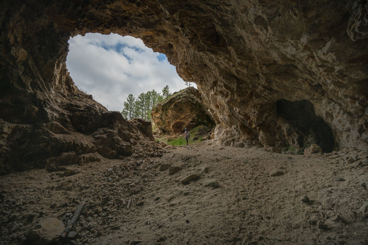
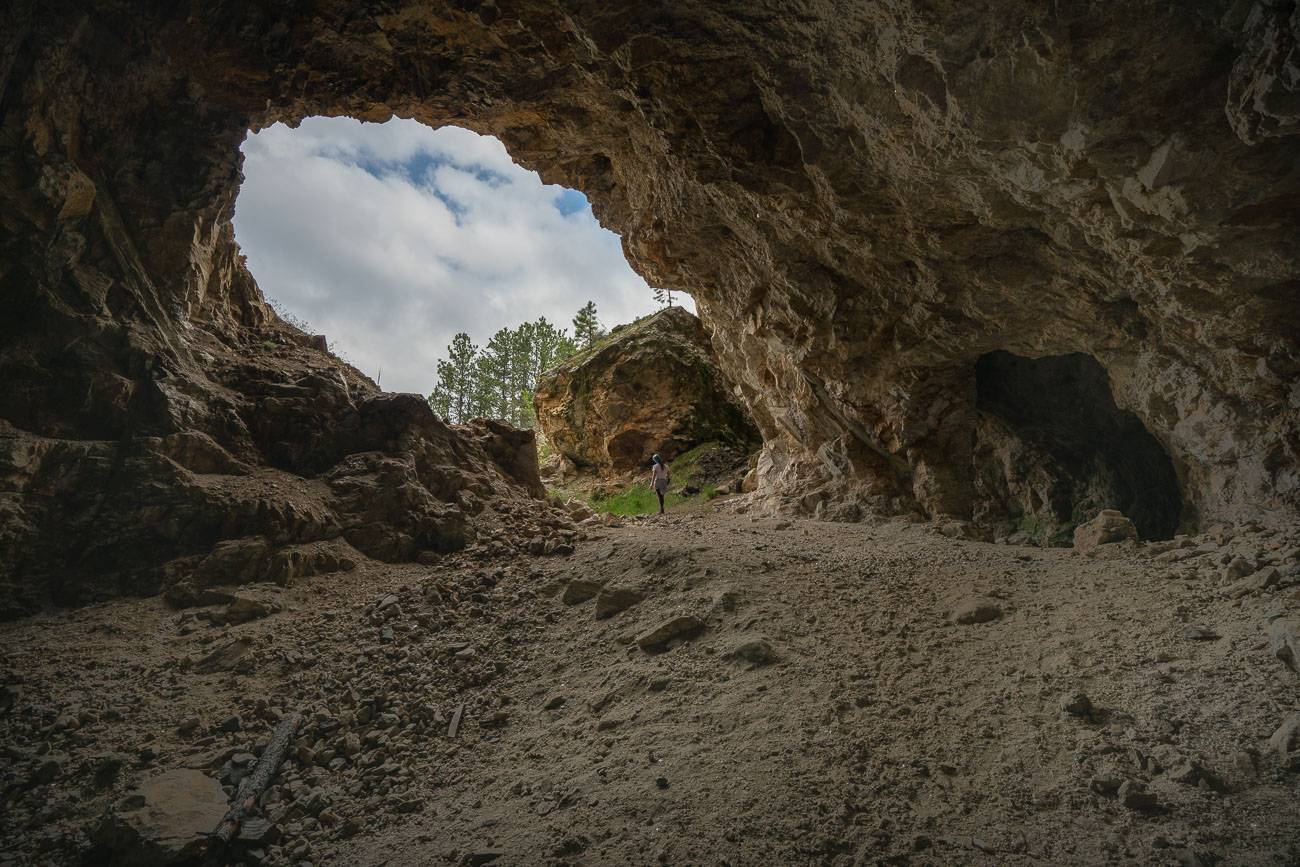
Girl in an abandoned mine shaft opening
This natural rock formation, resembling an abandoned mine entrance, is located in the Black Hills region of South Dakota. The area has a rich history of mining, particularly for gold and other precious metals, which began in the late 19th century. While this specific opening may not have been a functional mine shaft, its geological structure and the surrounding landscape are indicative of the mineral-rich environment that attracted prospectors. Today, such formations are often explored for their natural beauty and geological interest, offering a glimpse into the region's past and its enduring appeal.

Abandoned Mine Entrance, Black Hills, South Dakota
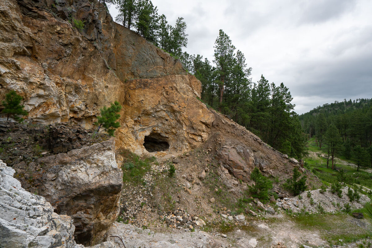
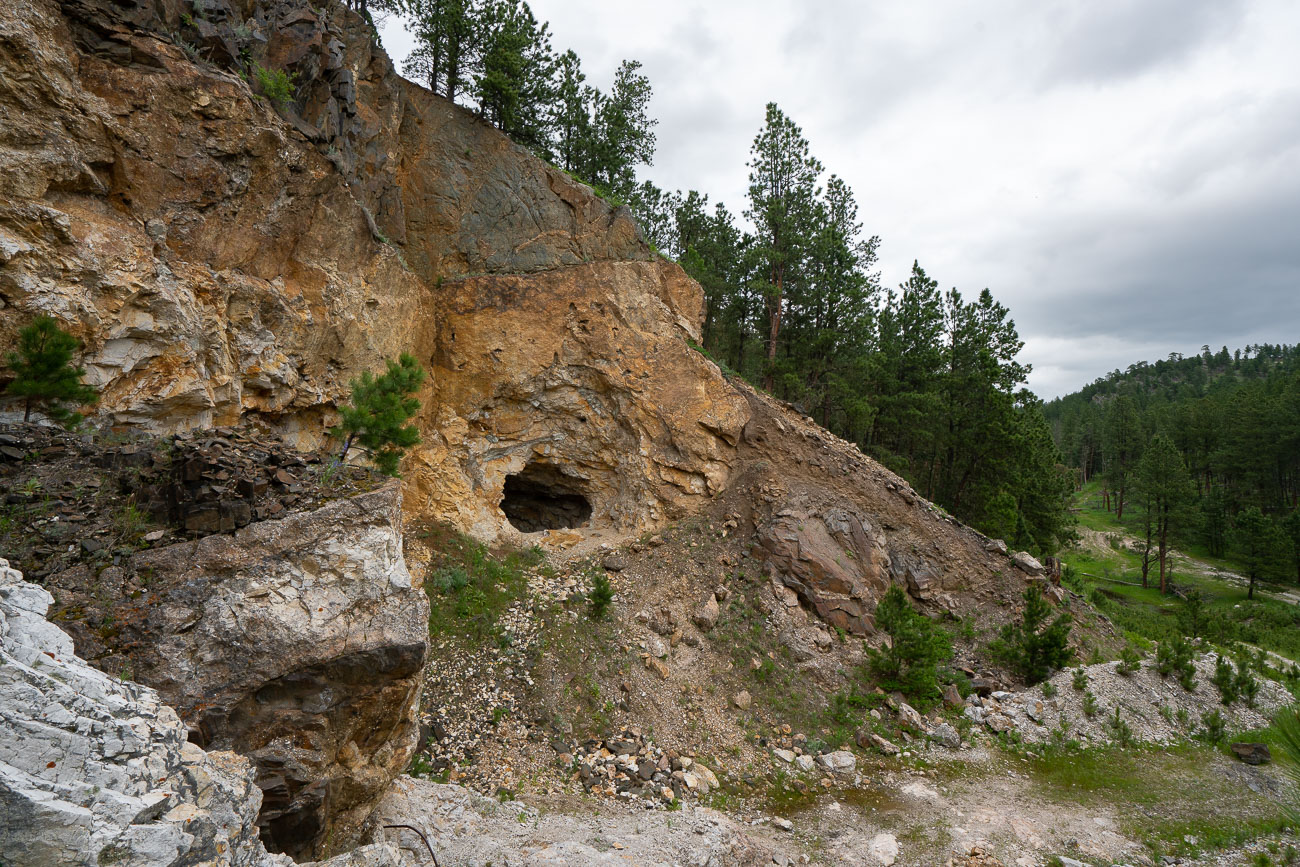
Abandoned gold mine entrance carved into a rocky hillside in the Black Hills, South Dakota.
This abandoned mine entrance in the Black Hills of South Dakota is a relic of the region's 19th-century gold rush. Carved into the hillside, likely by hand or with early blasting techniques, the opening once led to mineral-rich veins sought for gold, silver, and iron sulfides.

Old Mine Tunnel Carved Into a Black Hills Hillside
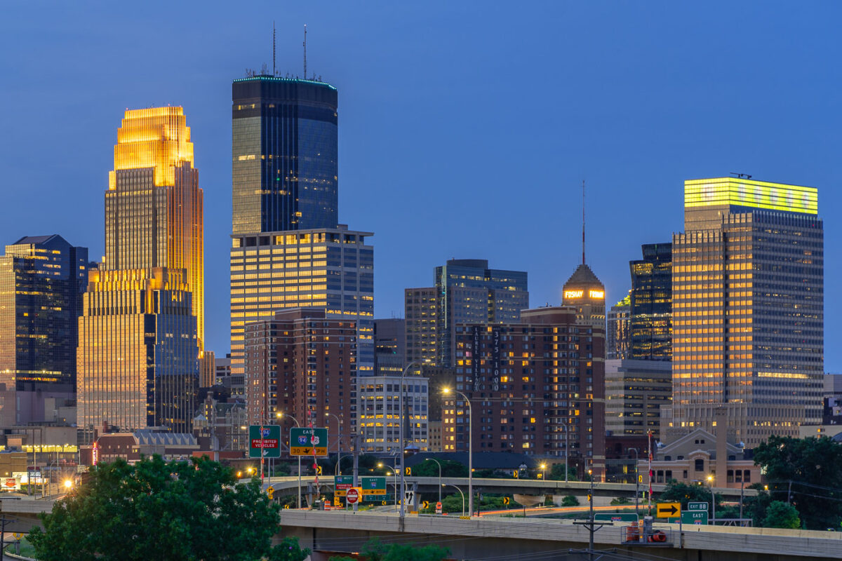
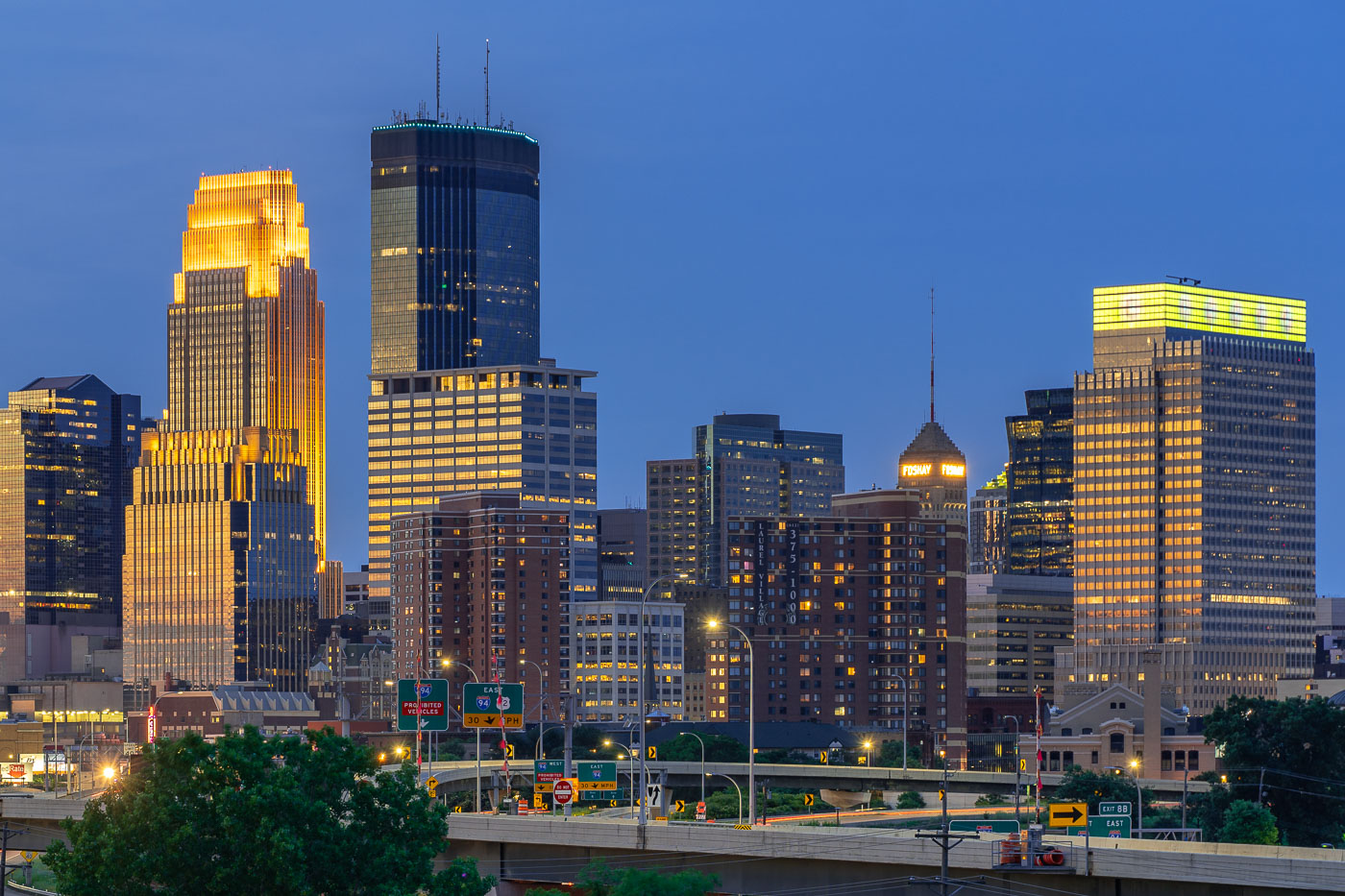
Downtown Minneapolis skyline at dusk with the IDS Center and Foshay Tower illuminated above Interstate 94.
The IDS Center and Foshay Tower stand above Interstate 94 in downtown Minneapolis. The IDS Center, completed in 1972, is 792 feet tall, the tallest building in Minnesota. The Foshay Tower, finished in 1929 and modeled after the Washington Monument, held that title until the IDS Center surpassed it.

IDS Center and Foshay Tower Above Interstate 94 in Minneapolis

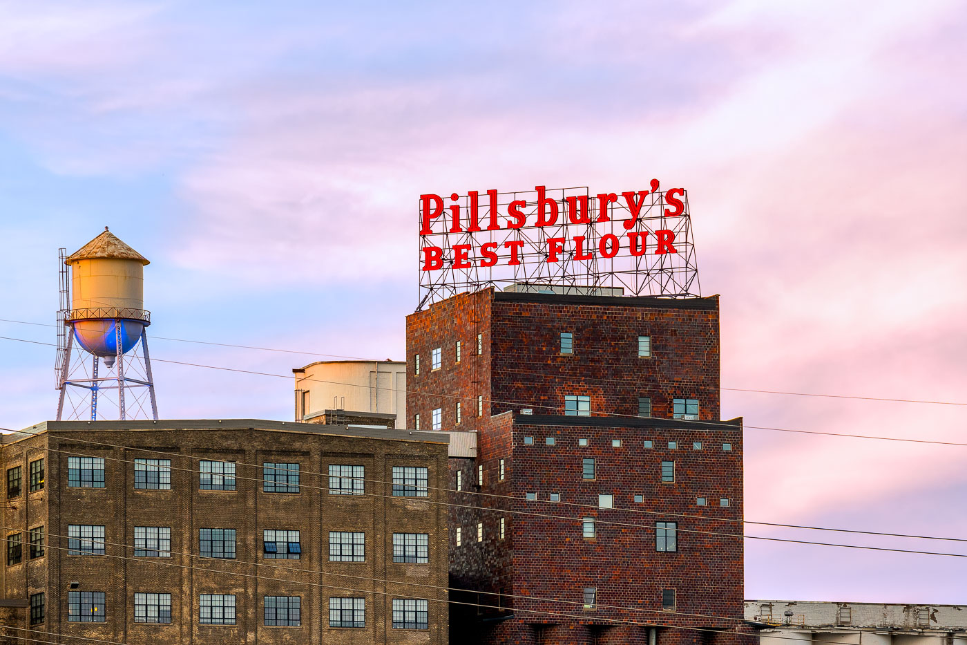
The Pillsbury's Best flour mill sign glows red atop a historic brick mill building in Minneapolis at sunset.
The Pillsbury A-Mill, a former flour mill on the Mississippi River in Minneapolis, Minnesota, was once the world's largest flour mill for four decades. Completed in 1881, it utilized two powerful 1,200-horsepower waterwheels. Recognized as a National Historic Landmark in 1966, the structure has since been repurposed into resident artist lofts.

Pillsbury’s Best Flour Sign and Water Tower at Dusk
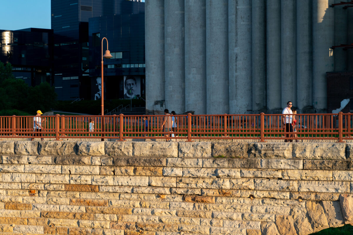
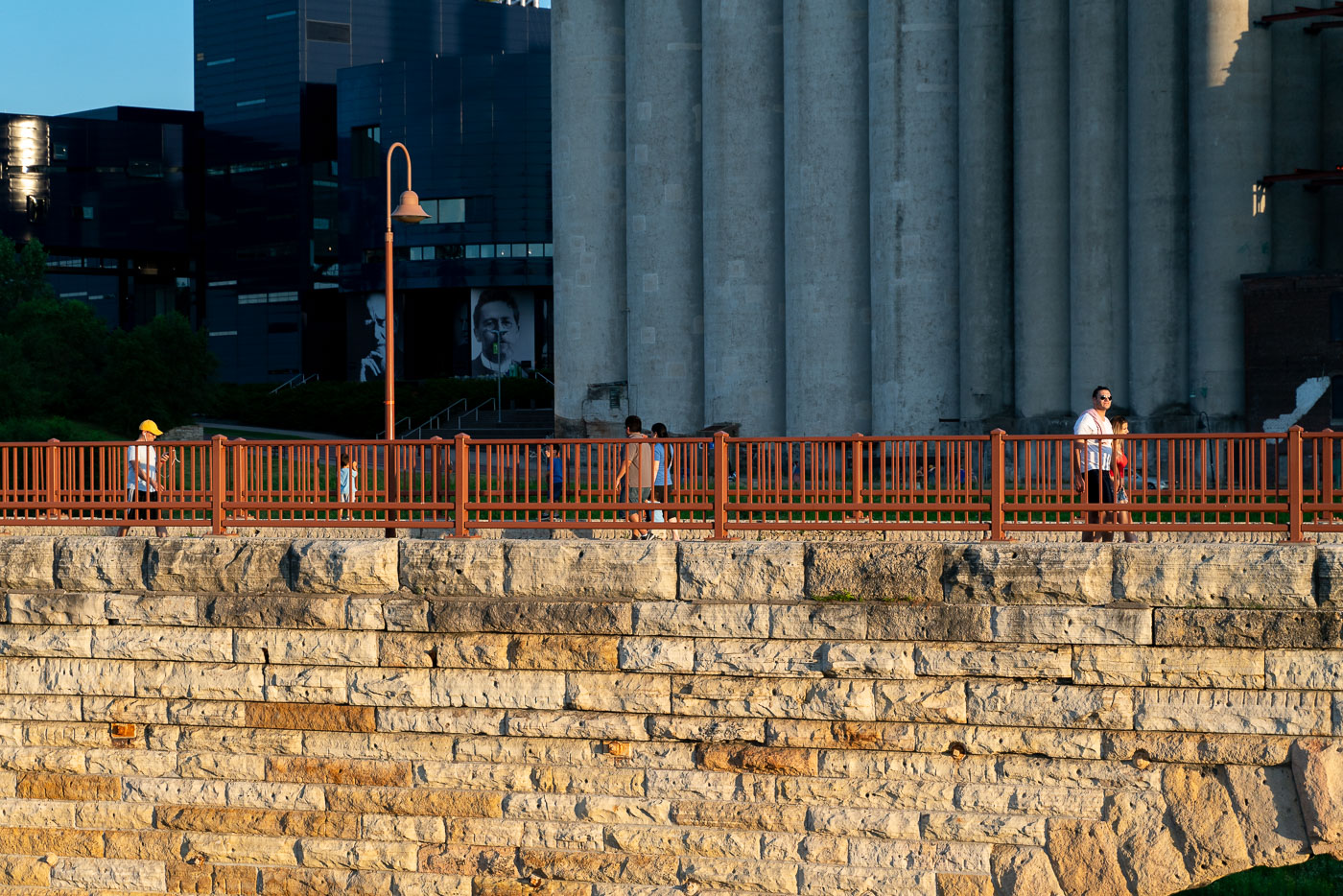
Pedestrians walk on the Stone Arch Bridge with an orange railing, overlooking stone foundation and Minneapolis grain silos.
The Stone Arch Bridge in Minneapolis, Minnesota, spans the Mississippi River. Originally constructed in 1883 by the St. Paul & Minneapolis Railroad. Today it's a pedestrian walkway and bicycle path.

Evening Walkers on Stone Arch Bridge Near the Grain Silos
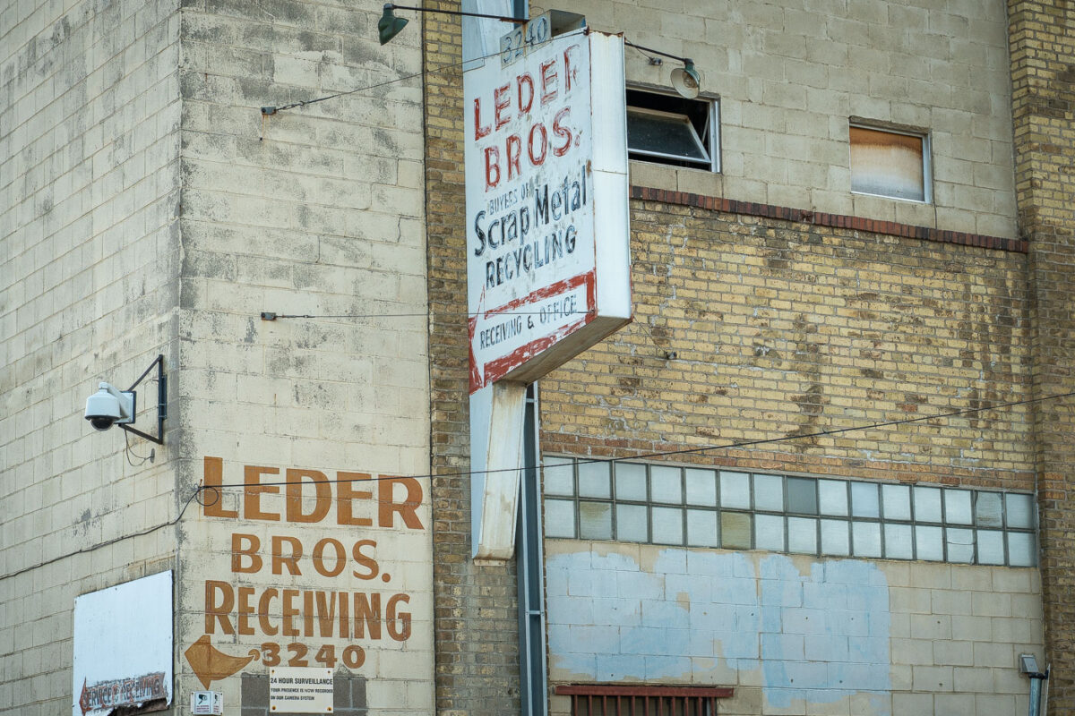
Leder Bros. Scrap Metal Recycling building in Minneapolis with exterior signs and security cameras
Leder Bros. Scrap Metal Recycling is located at 3240 in Minneapolis. The building has painted and mounted signs for the receiving office and scrap metal recycling operation, along with surveillance cameras on the exterior. Its brick and block construction is typical of utilitarian industrial buildings from the mid-20th century.

Leder Bros. Scrap Metal Recycling, Minneapolis
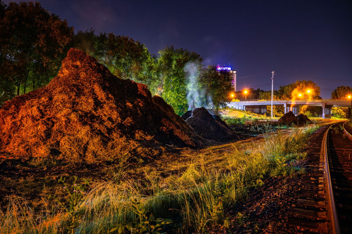
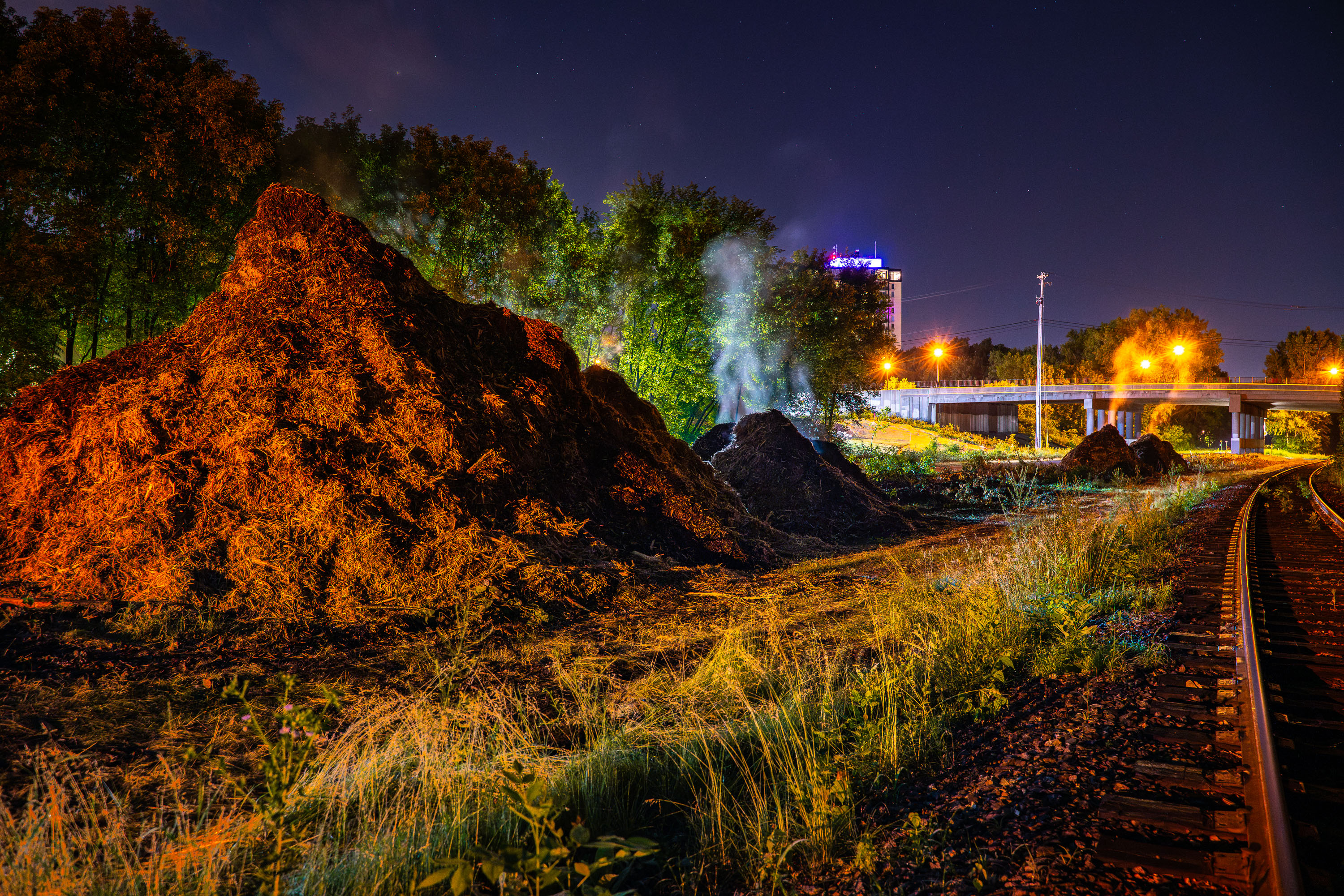
Illuminated mulch piles steam on the Midtown Greenway during Metro Transit light rail construction in Minneapolis.
Steaming mulch seen on the Midtown Greenway during Metro Transit's light rail construction work.

Steaming Mulch Piles Along the Midtown Greenway at Night

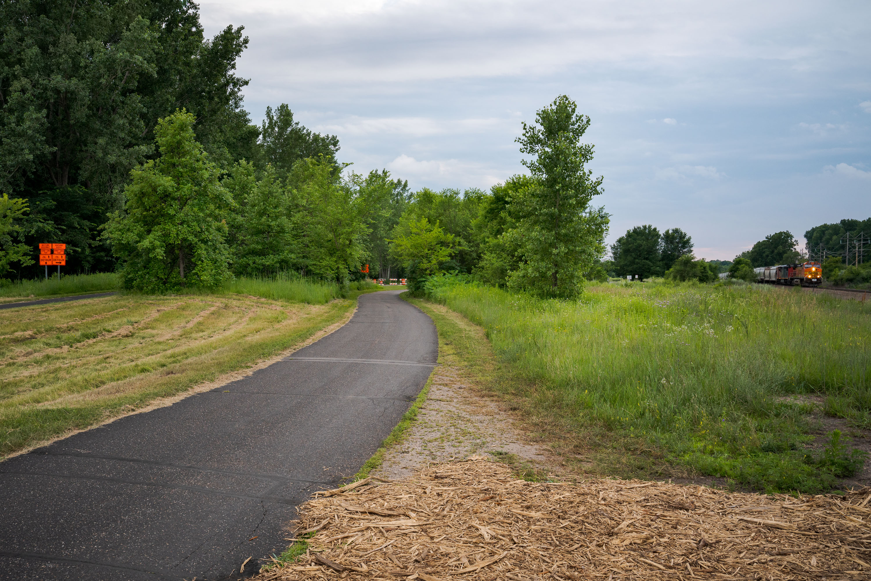
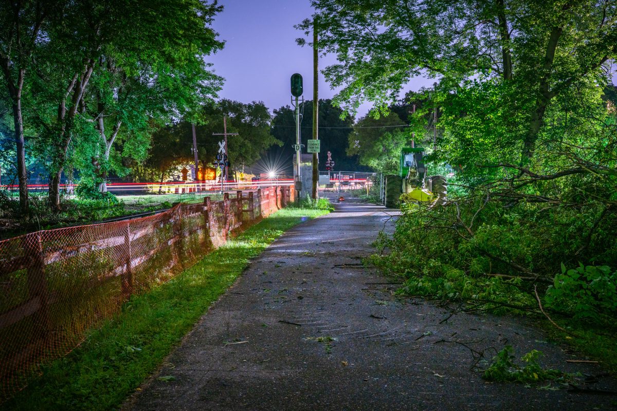
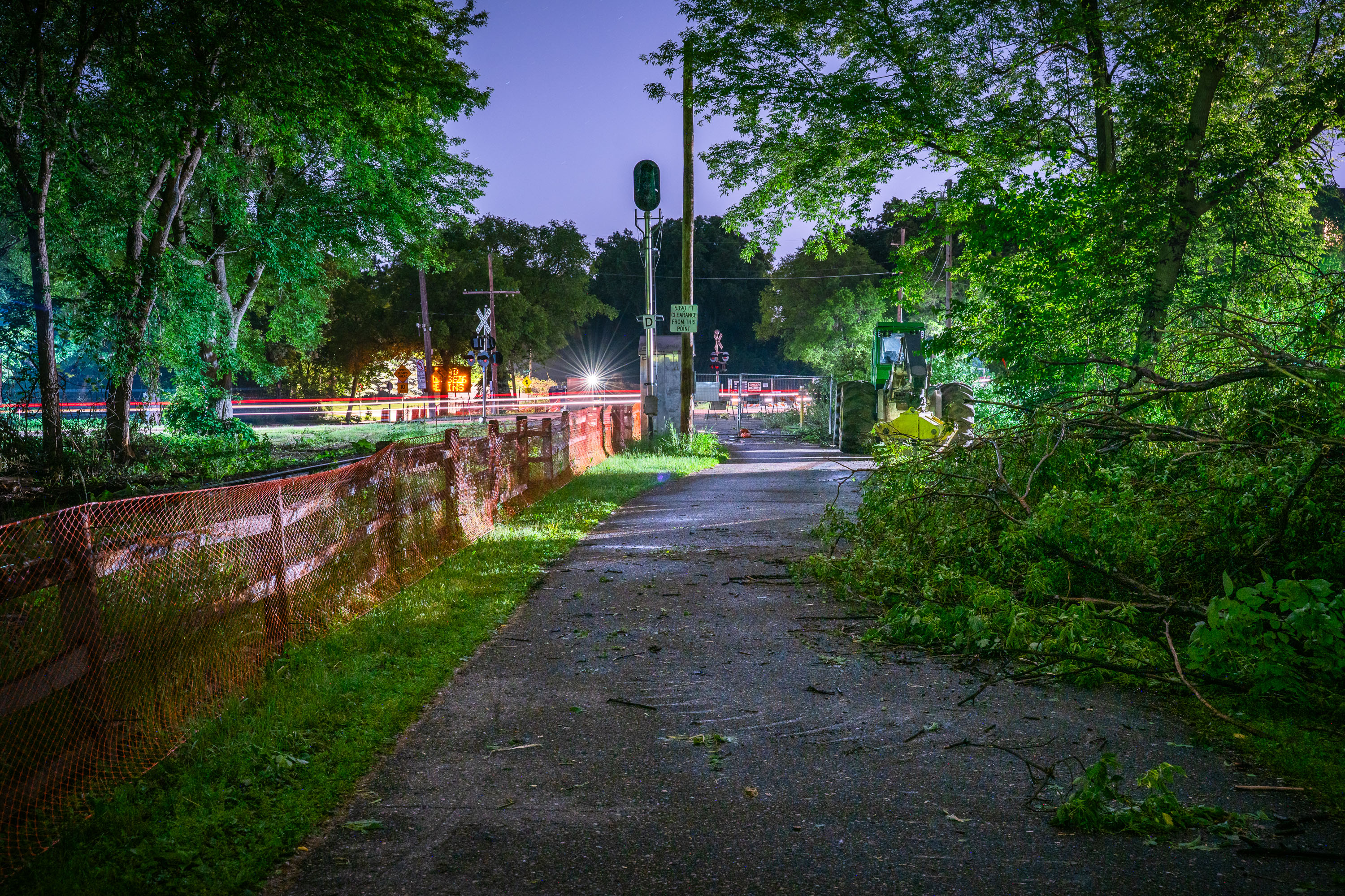
Burnham Trail in Minneapolis closed for Southwest LRT light rail construction, June 2019.
The Burnham Trail portion of the Kenilworth Trail in Minneapolis. Photo taken in June 2019 after the trail closed in preparation for the Southwest LRT light rail construction.

Night Clearing on the Burnham Trail Ahead of Southwest LRT Work

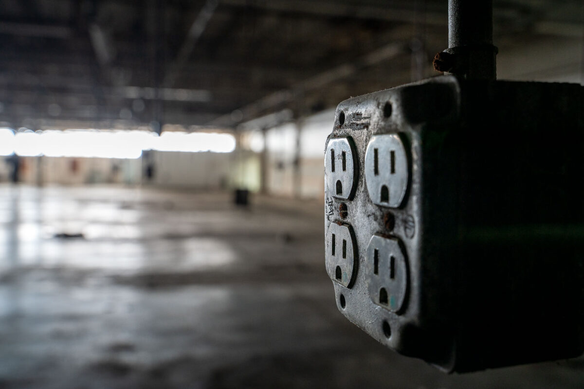
An electrical outlet in an abandoned warehouse in Hopkins, Minnesota, a remnant of its industrial past.
An electrical outlet is visible in the foreground of an abandoned warehouse in Hopkins, Minnesota. Warehouses like this were once vital centers for industry and commerce, supporting manufacturing, storage, and distribution operations. The presence of such infrastructure highlights the area's past economic activity and the subsequent changes that have led to the abandonment of these large industrial spaces. This particular outlet, though now disused, represents the essential services that powered the building's original purpose.
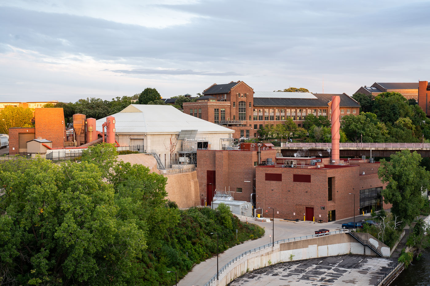
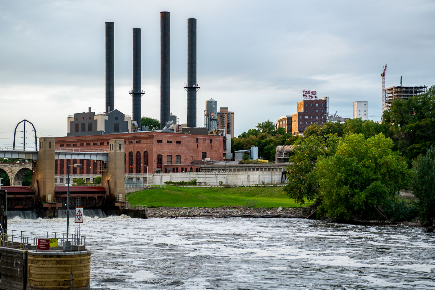
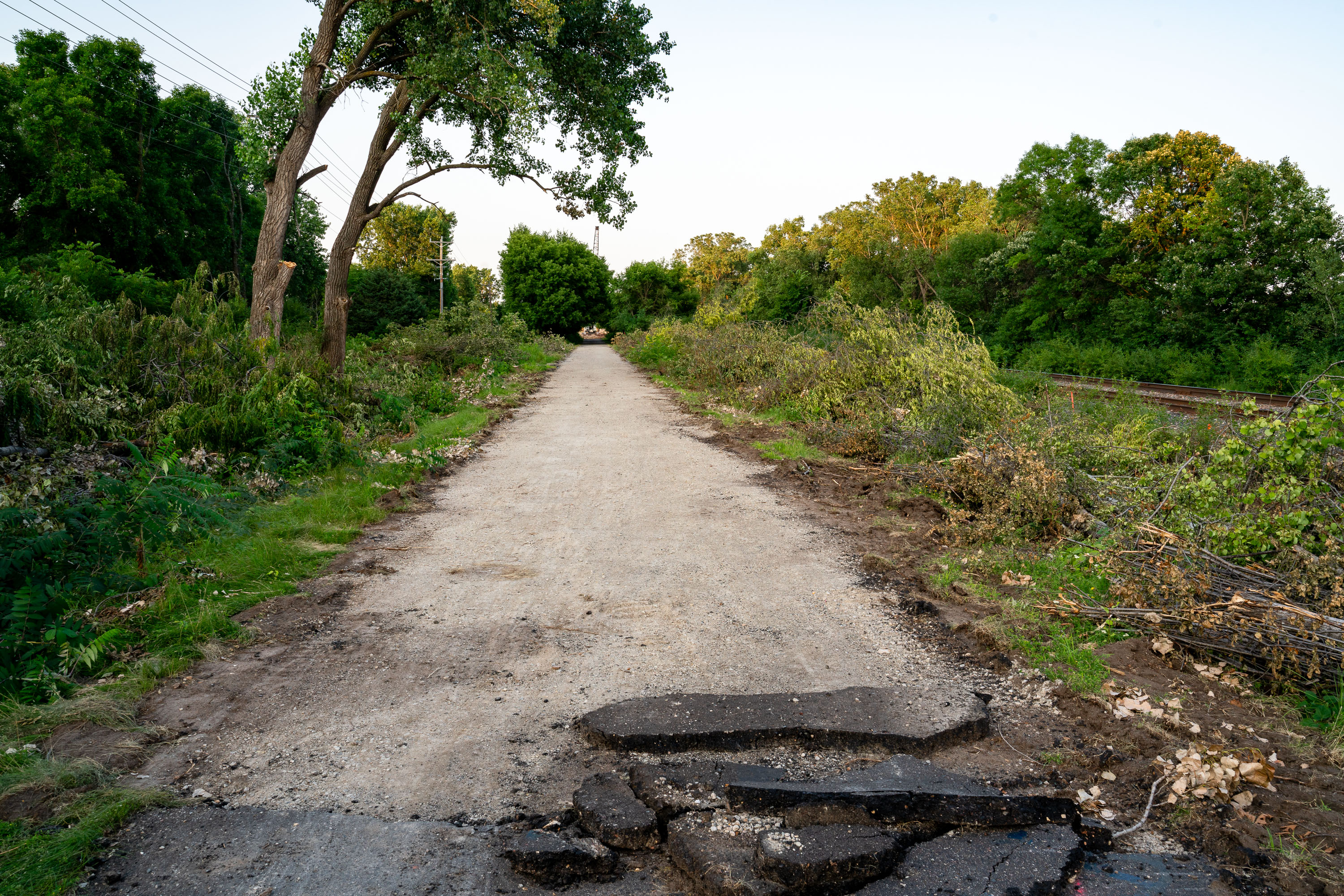
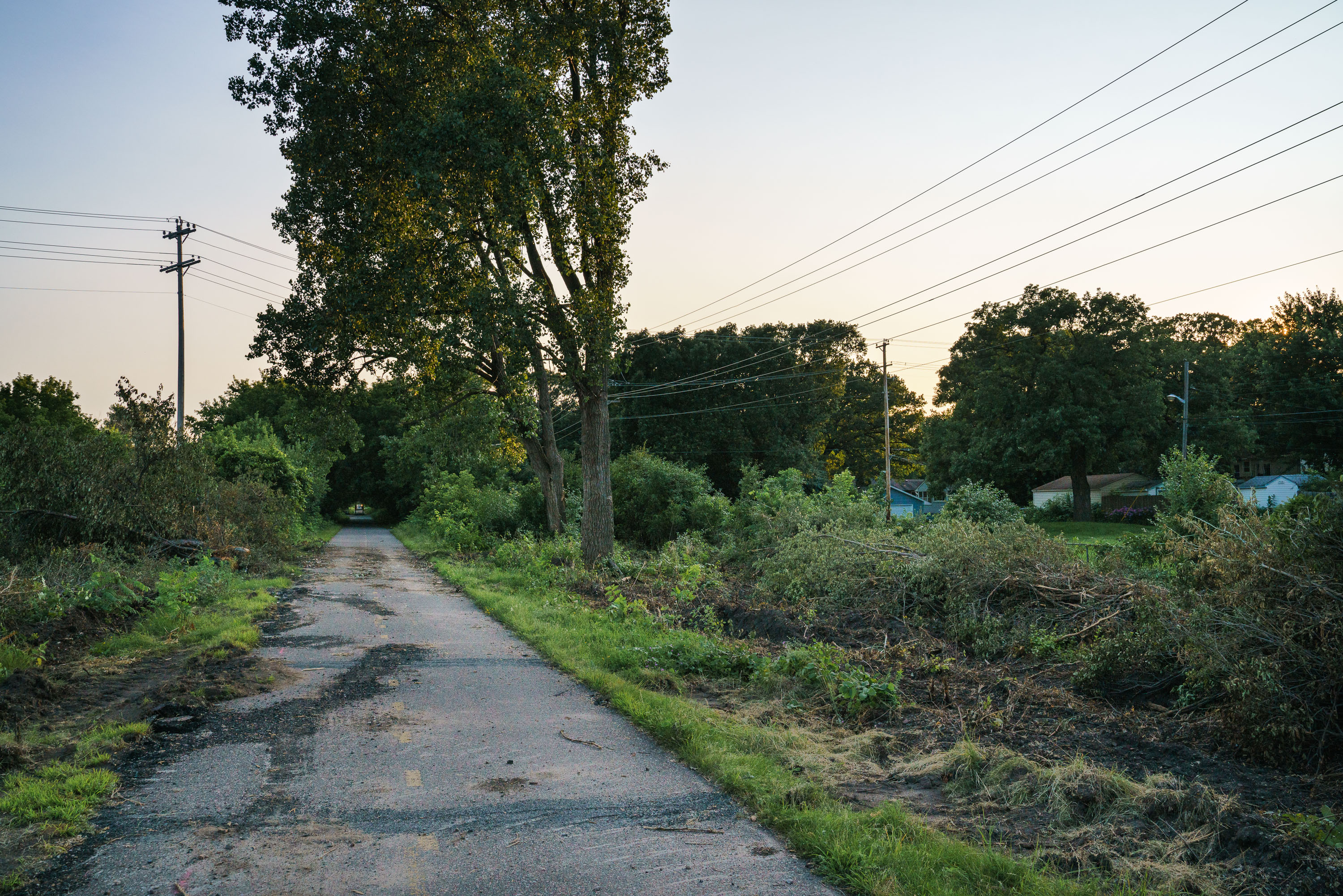
Hopkins, MN: Electrical Outlet in Abandoned Warehouse
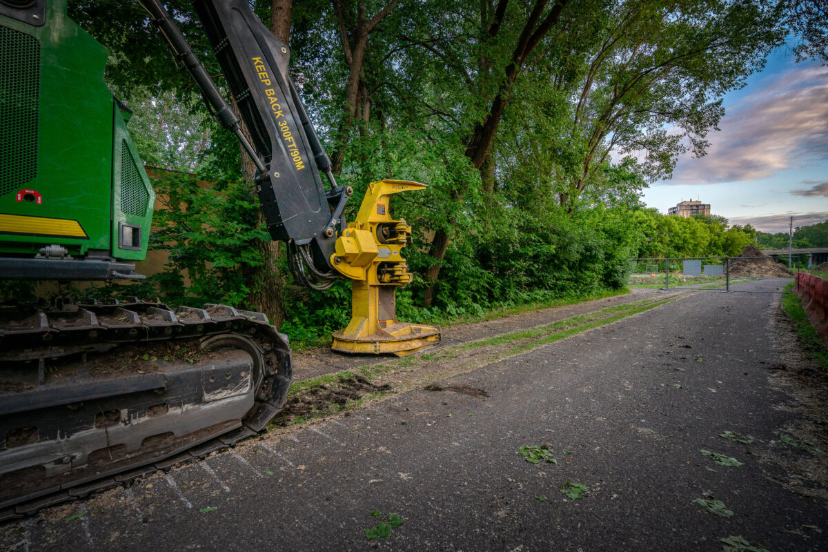
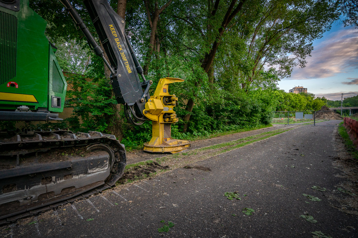
A John Deere feller buncher sits at the Southwest LRT construction site in St. Louis Park, Minnesota, used for clearing trees for the new transit line.
A John Deere feller buncher, a heavy-duty forestry machine, is parked at the Southwest Light Rail Transit (LRT) construction site in St. Louis Park, Minnesota.

John Deere Feller Buncher at Southwest LRT Construction, St. Louis Park

© 1996–2026 Chad Davis