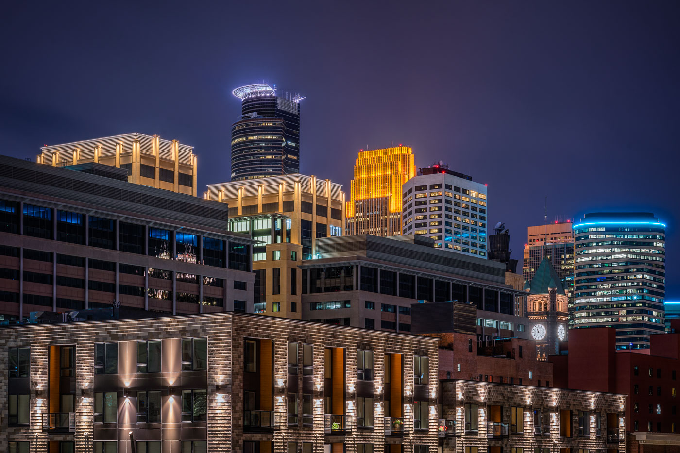
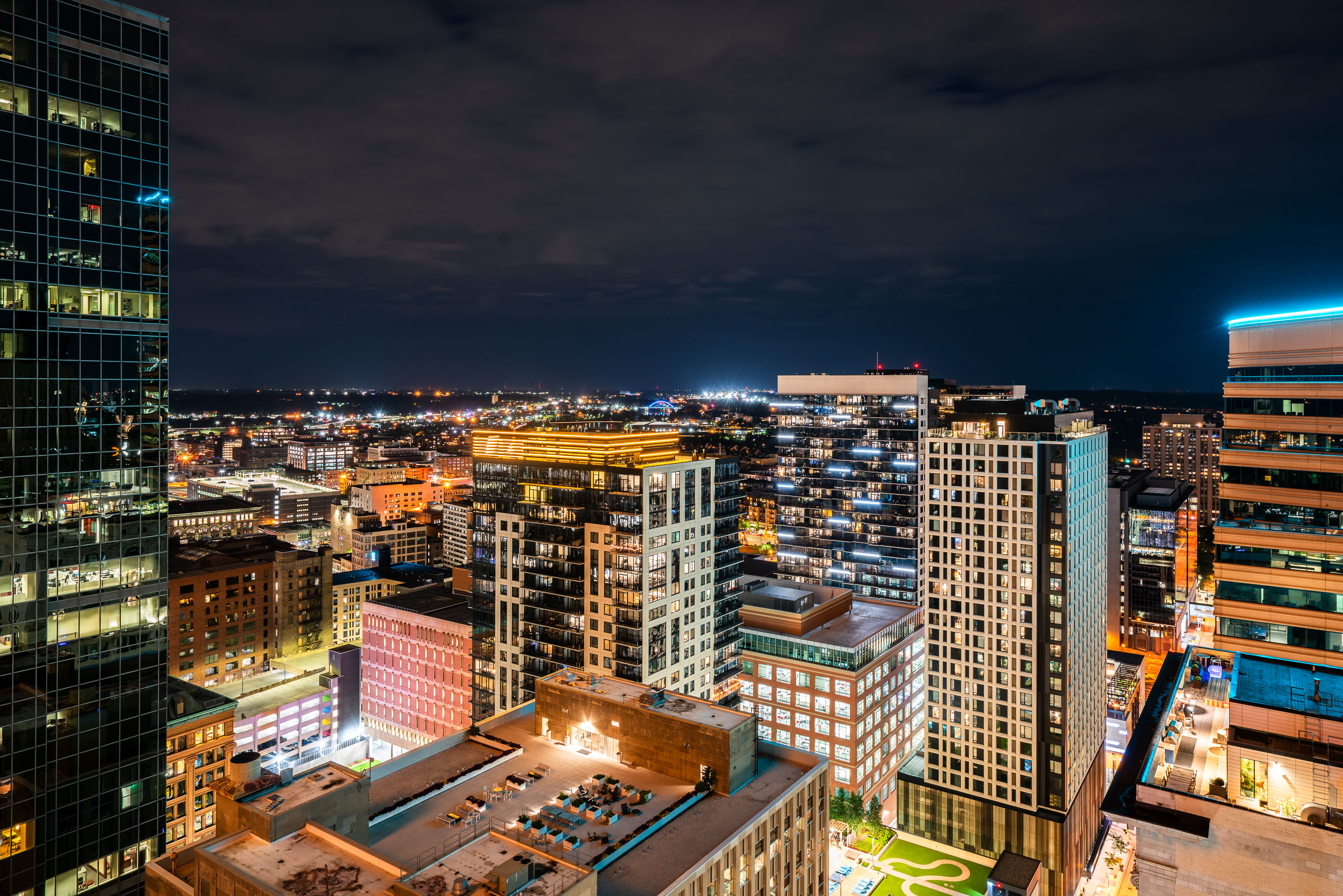
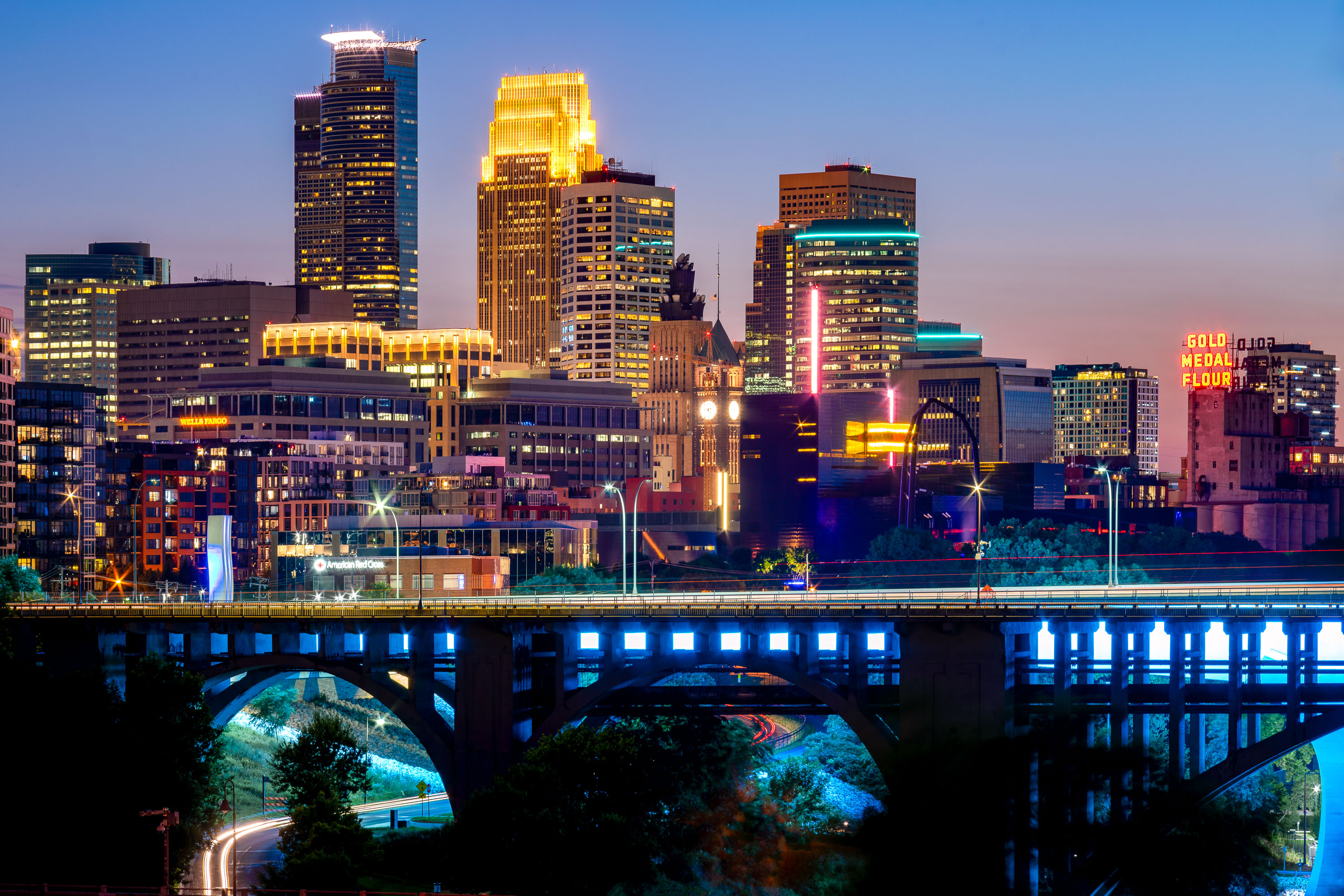
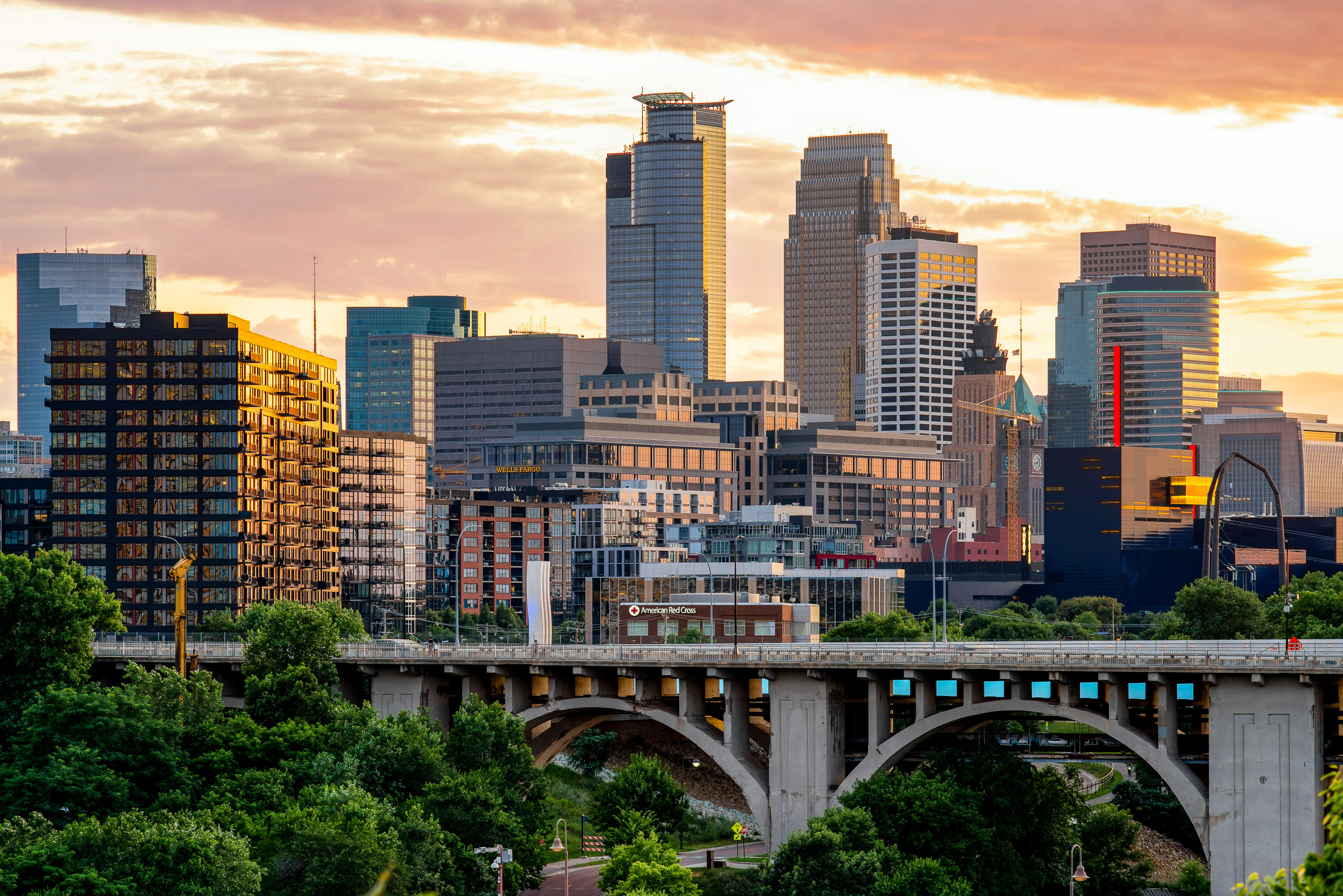
Minneapolis Skyline

94 photos · 2013–2026

94 photographs tagged Minneapolis Skyline, 2013–2026.
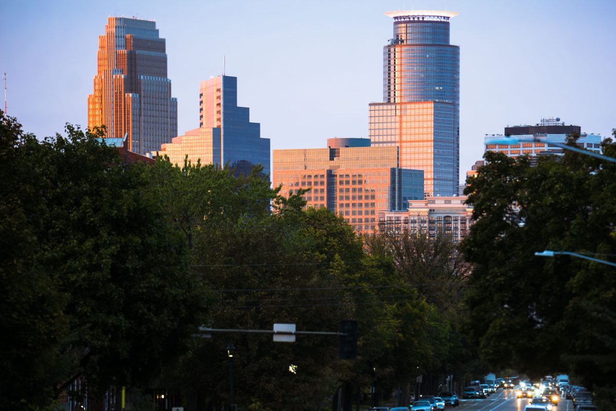
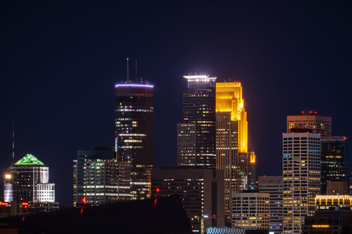
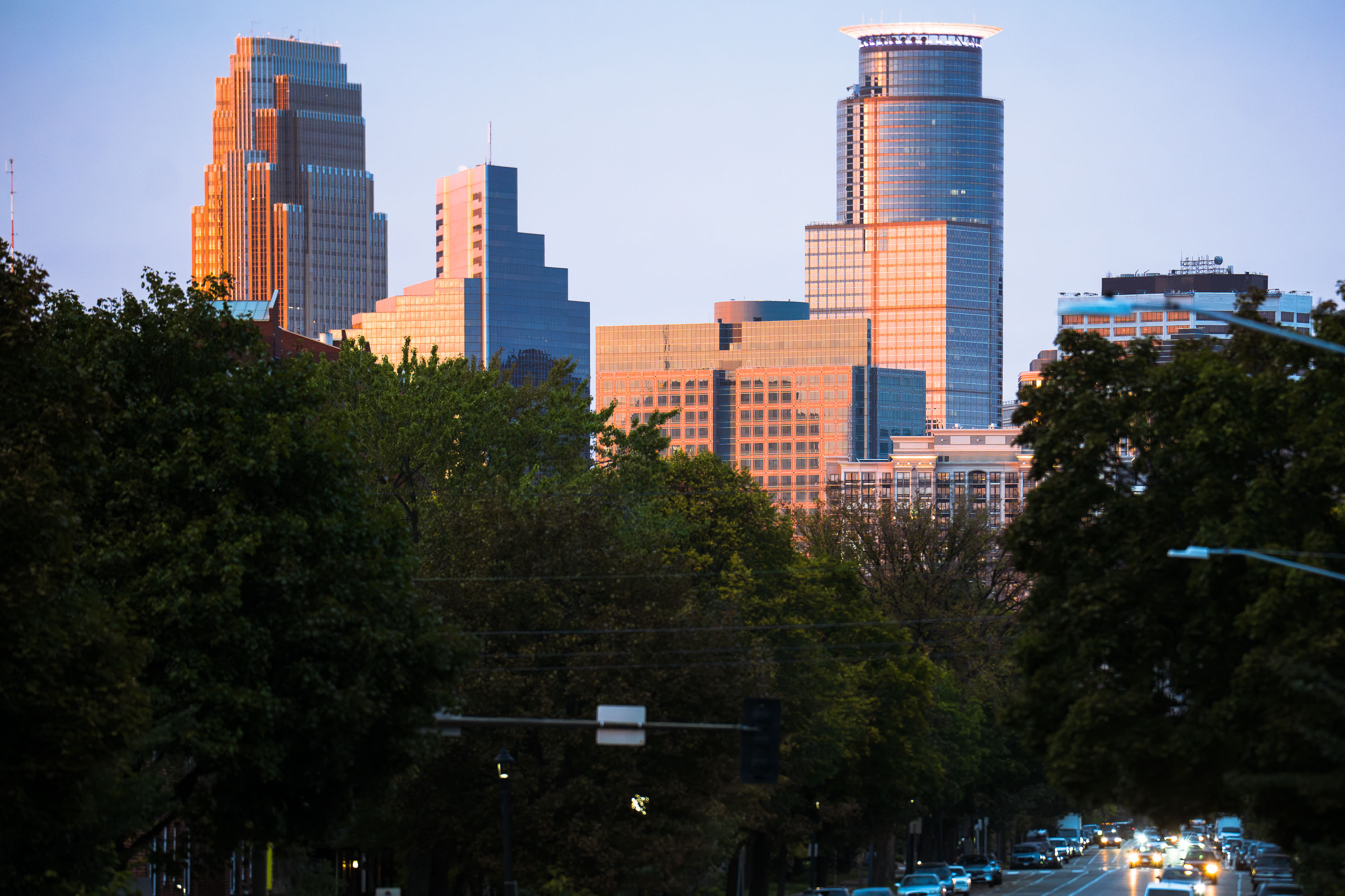
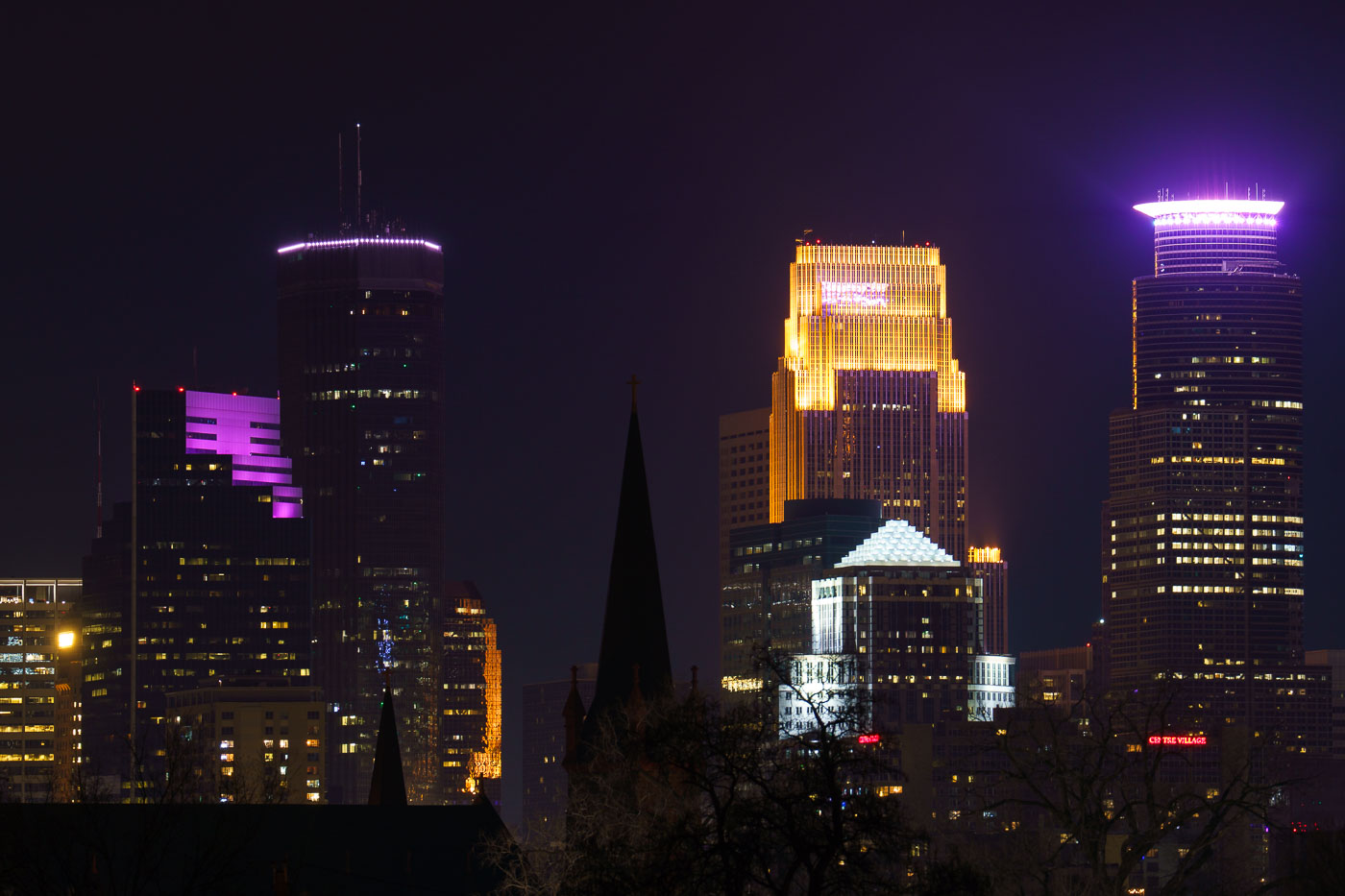
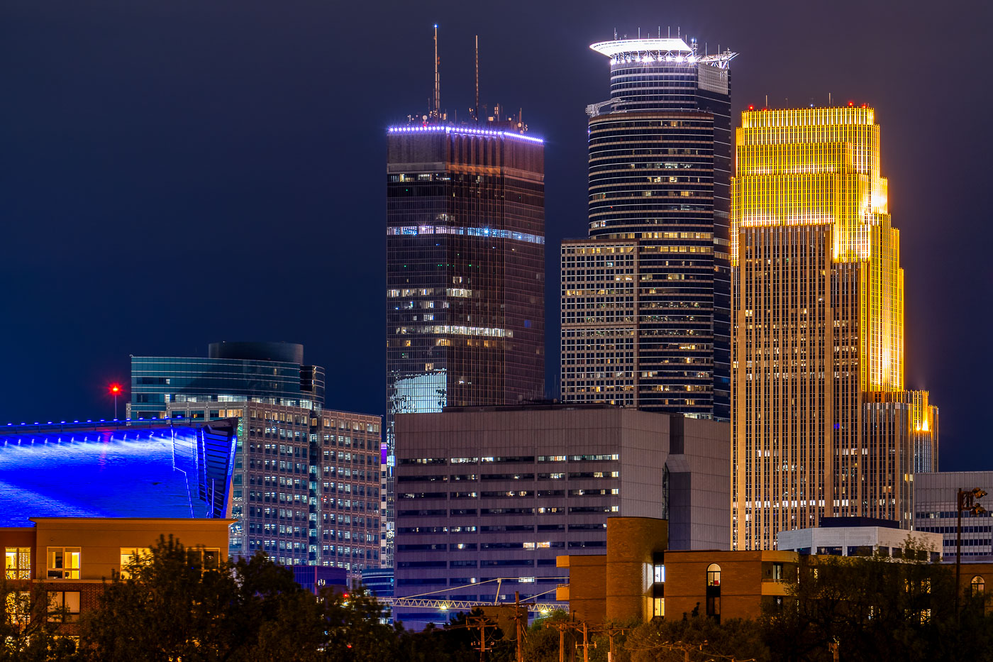
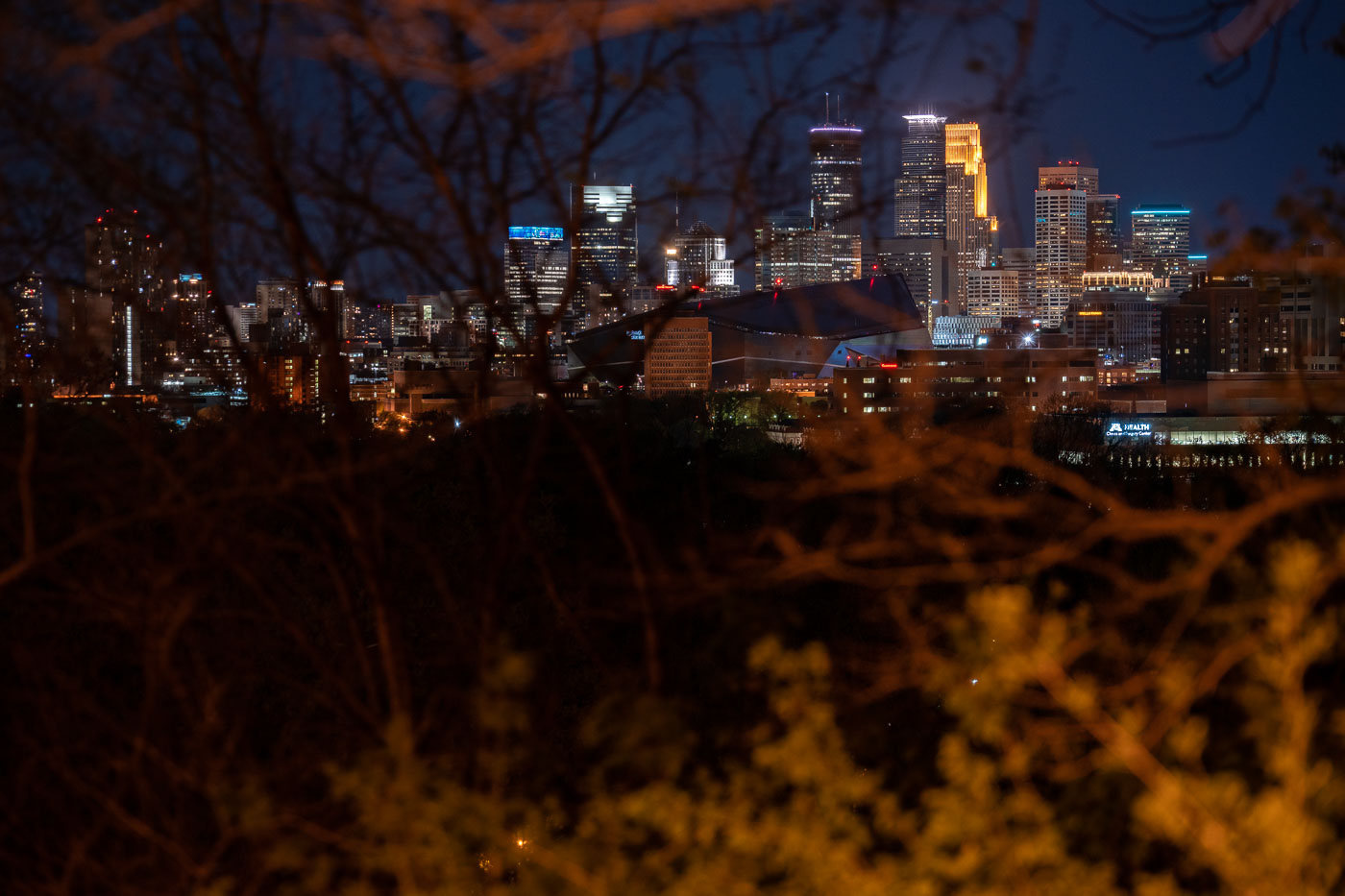
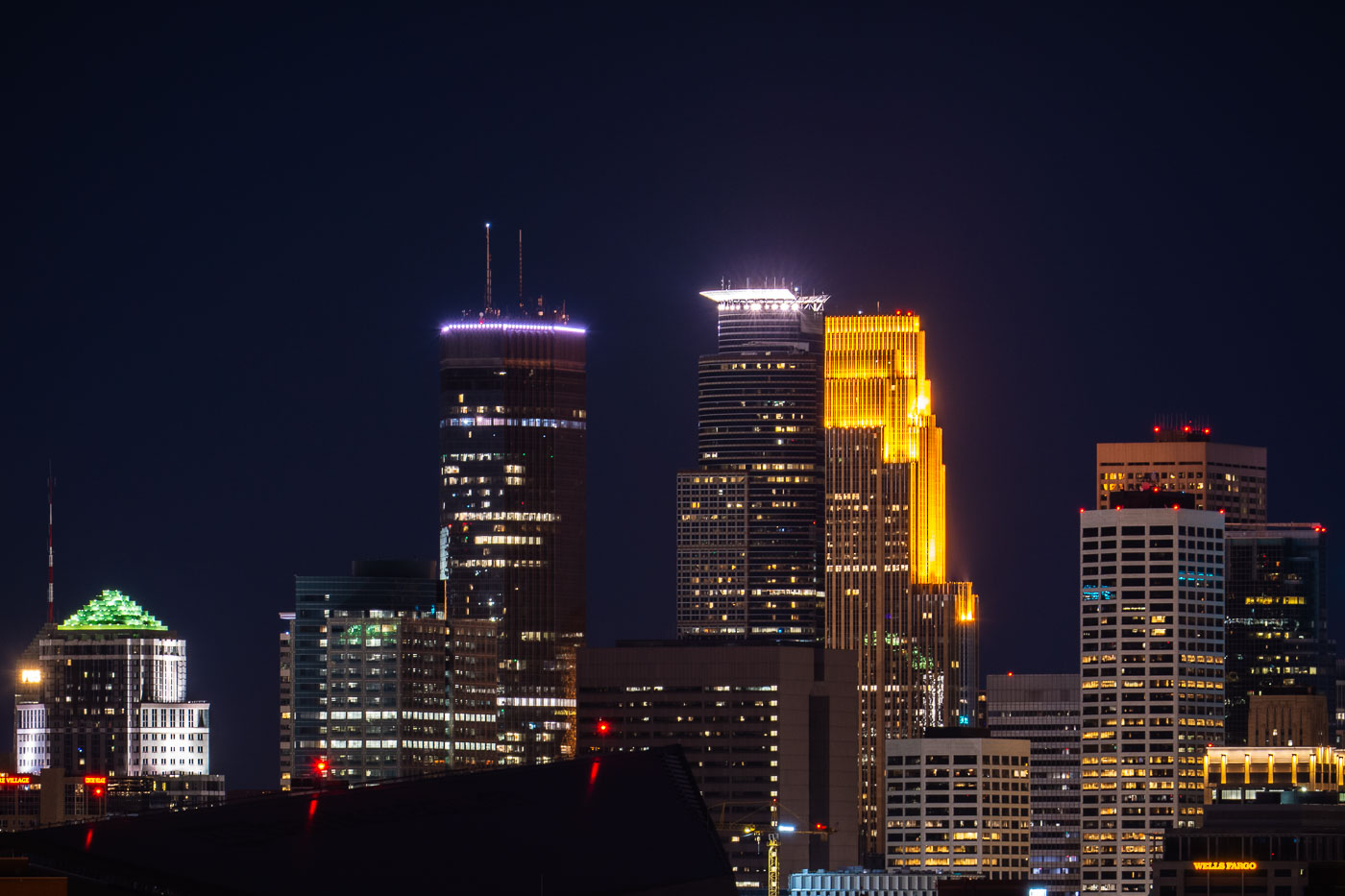
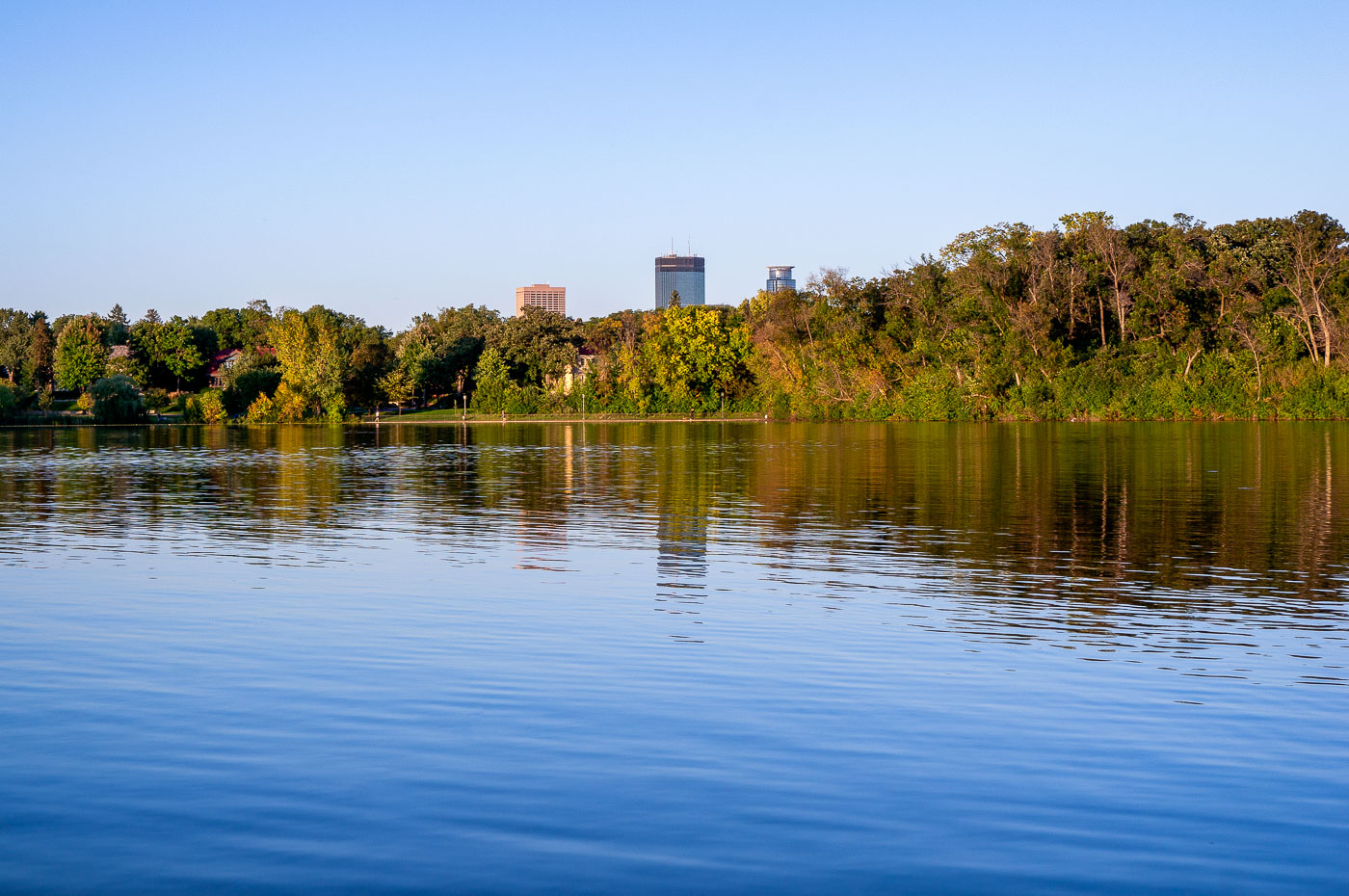
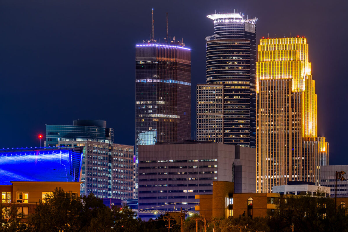
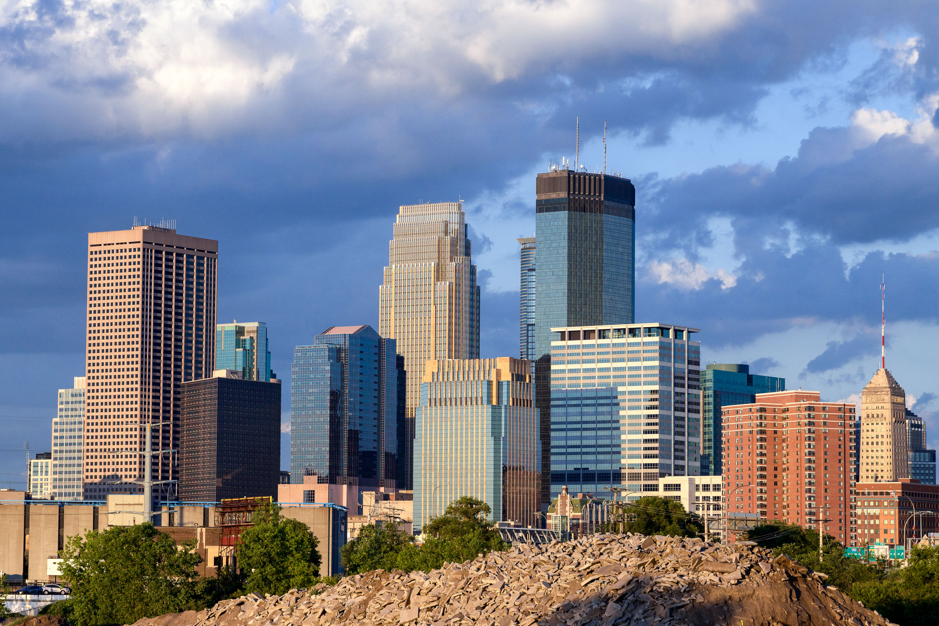
Minneapolis downtown skyline with Wells Fargo Center, Two22, and US Bank Plaza visible beyond trees along Portland Avenue.
Wells Fargo Center, Two22, 707 2nd Avenue South, Capella Tower, and US Bank Plaza in Downtown Minneapolis as seen from Portland Avenue in South Minneapolis.

Downtown Minneapolis Skyline Seen from Portland Avenue
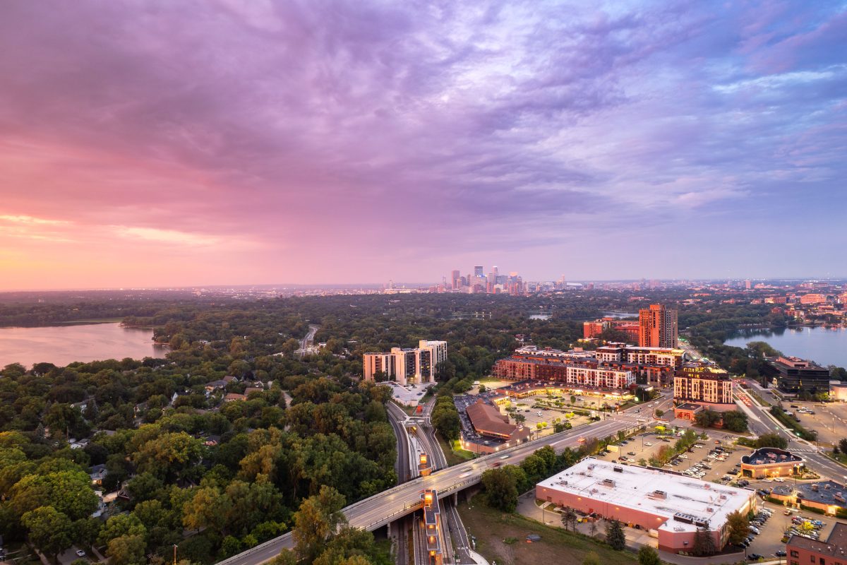
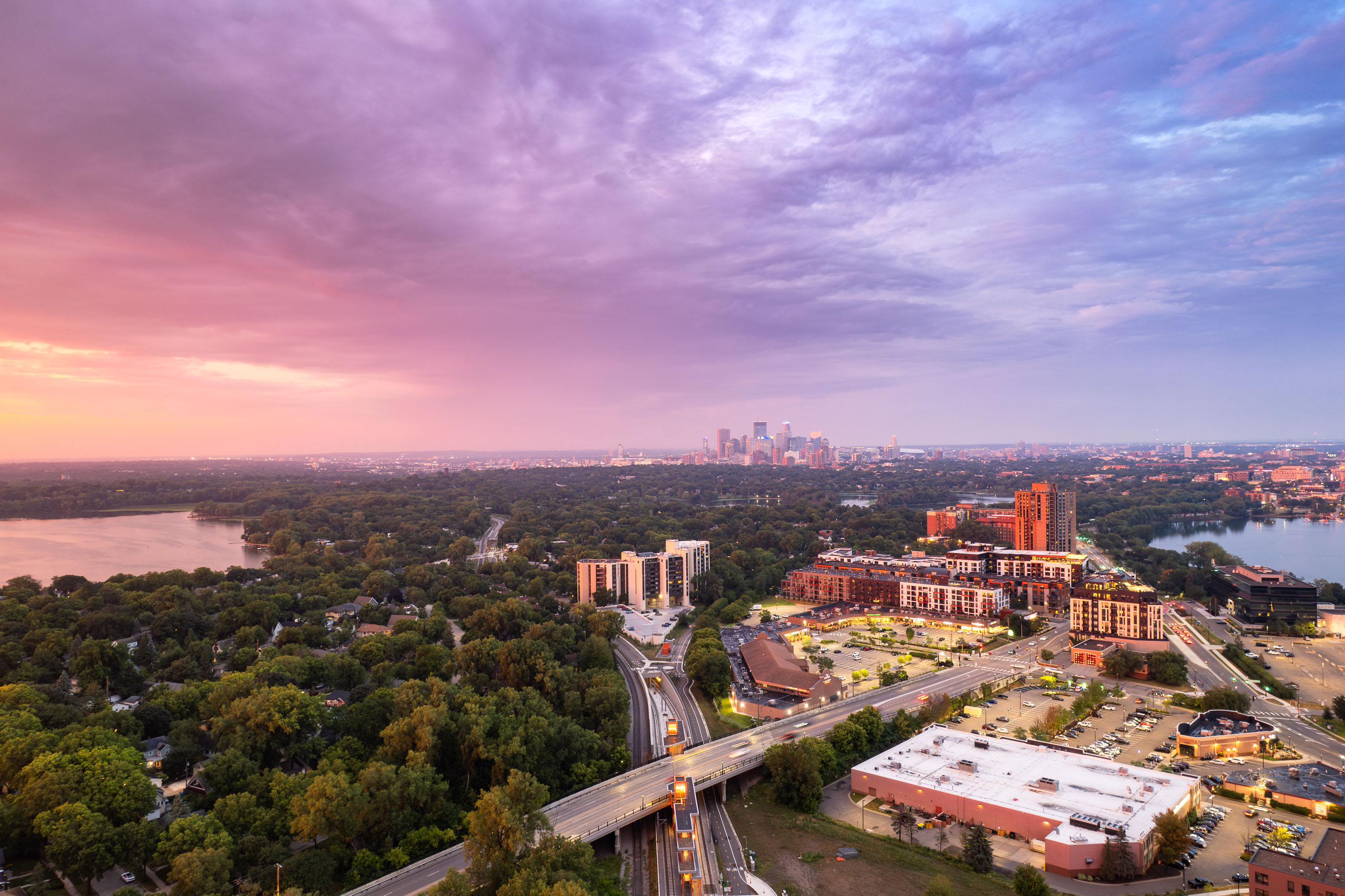
Minneapolis Sunset Over Cedar Lake and Bde Maka Ska
Sunset in Minneapolis with Cedar Lake and Bde Maka Ska visible. The new West Lake Street station light rail stop in the middle.

Minneapolis Sunset Over Cedar Lake and Bde Maka Ska

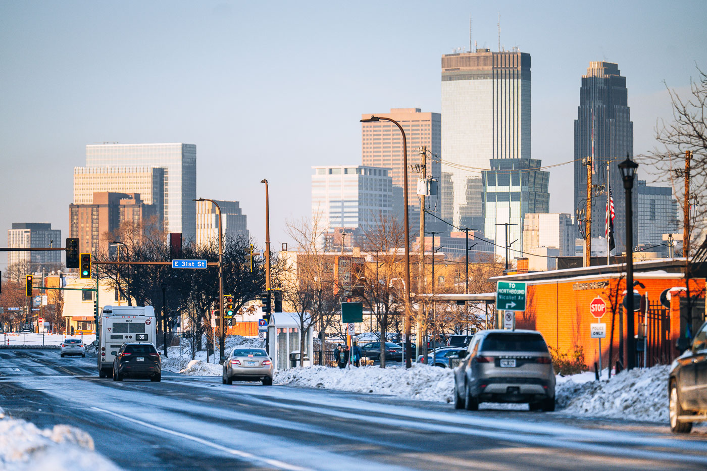
Snowy Nicollet Avenue at East 31st Street with Minneapolis downtown skyline in background.
Nicollet Avenue runs north through south Minneapolis toward the downtown skyline, crossing East 31st Street along the way. Snow covers the roadway and boulevard as traffic moves toward downtown, where the IDS Center and Wells Fargo Center stand among the taller buildings.

Snowy Nicollet Avenue at East 31st Street Toward Downtown Minneapolis

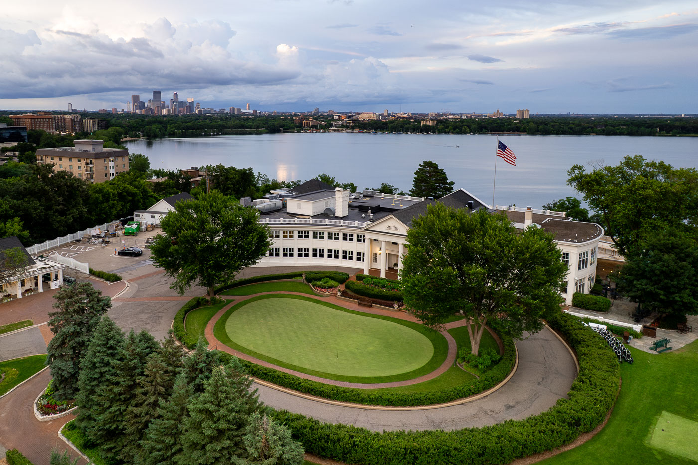
The Minikahda Club on Bde Maka Ska 2025
The Minikahda Club, a private golf club established in 1898, is situated on the western shore of Bde Maka Ska in Minneapolis. Its historic clubhouse and golf course provide a prominent recreational and social center overlooking the lake. From this vantage point, the club offers views across Bde Maka Ska to the distant Minneapolis skyline.

Minikahda Club Golf Course, Bde Maka Ska, Minneapolis Skyline

Couple kisses on a Minneapolis Lake in front of the downtown skyline
A couple enjoys Bde Maka Ska, one of Minneapolis's Chain of Lakes, with the city skyline visible in the distance. Bde Maka Ska, meaning 'White Earth Lake' in Dakota, is the largest lake in Minneapolis.

Couple Floating on Bde Maka Ska, Minneapolis Skyline

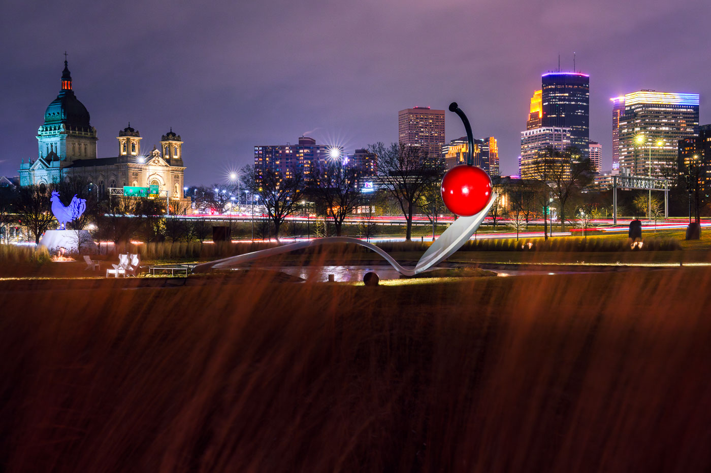
Snow covers the Spoonbridge and Cherry sculpture at Walker Art Center with downtown Minneapolis skyline behind.
Spoonbridge and Cherry is a sculpture by Claes Oldenburg and Coosje van Bruggen in the Minneapolis Sculpture Garden, next to the Walker Art Center. Completed in 1988, the spoon and cherry stand over a pond and together measure about 52 feet long. Downtown Minneapolis buildings stand beyond the garden to the east.

Spoonbridge and Cherry in the Snow at Minneapolis Sculpture Garden

Spoonbridge and Cherry in Minneapolis
Spoonbridge and Cherry, a prominent sculpture by Claes Oldenburg and Coosje van Bruggen, is situated in the Minneapolis Sculpture Garden. Completed in 1988, the artwork is a whimsical representation of a cherry balanced on a giant spoon, inviting interaction and contemplation. The sculpture garden itself, part of the Walker Art Center's grounds, showcases a diverse collection of contemporary art in an outdoor setting.

Spoonbridge and Cherry Sculpture, Minneapolis Sculpture Garden

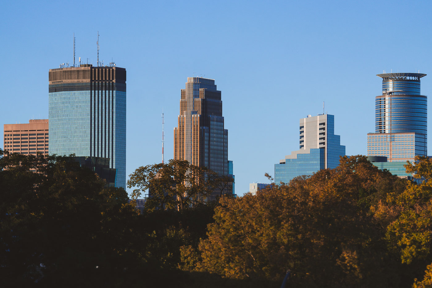
Minneapolis downtown skyline with high-rise office and residential towers above autumn trees under clear sky.
Downtown Minneapolis office towers stand above autumn foliage in October 2024. The skyline includes the IDS Center, at 792 feet the tallest building in Minnesota.

Downtown Minneapolis High-Rises Above Autumn Foliage
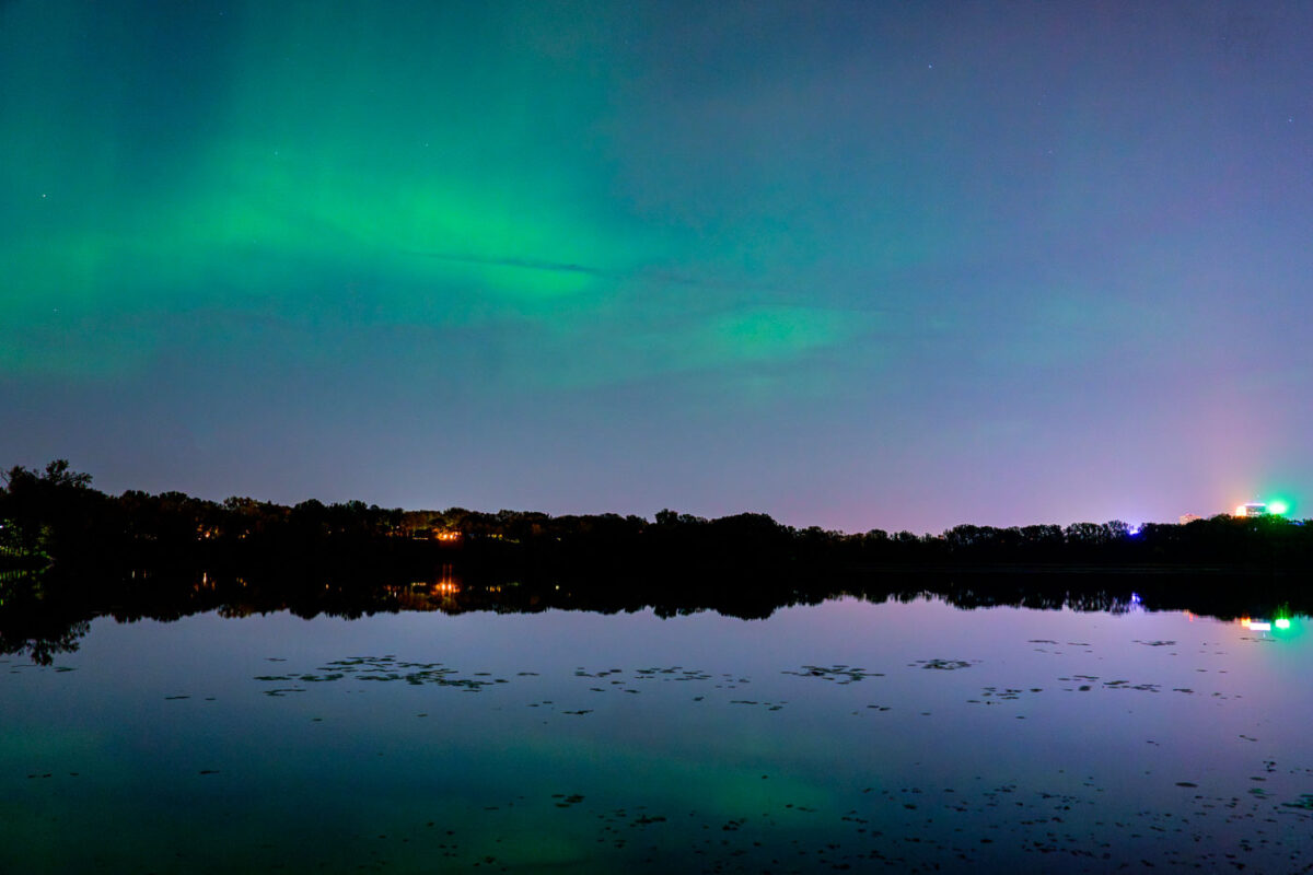
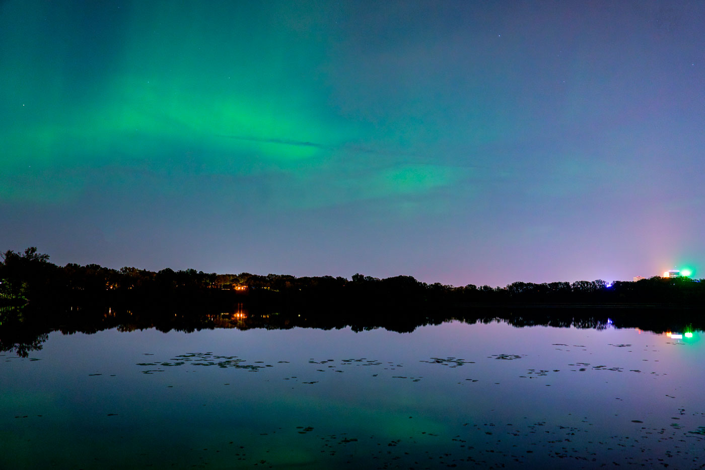
Aurora borealis illuminates the sky above Cedar Lake with downtown Minneapolis skyline lights mirrored in the still water below.
The Aurora Borealis is visible above Cedar Lake in Minneapolis. The lights of the downtown Minneapolis skyline are reflected in the water.

Northern Lights Glow Above Cedar Lake in Minneapolis

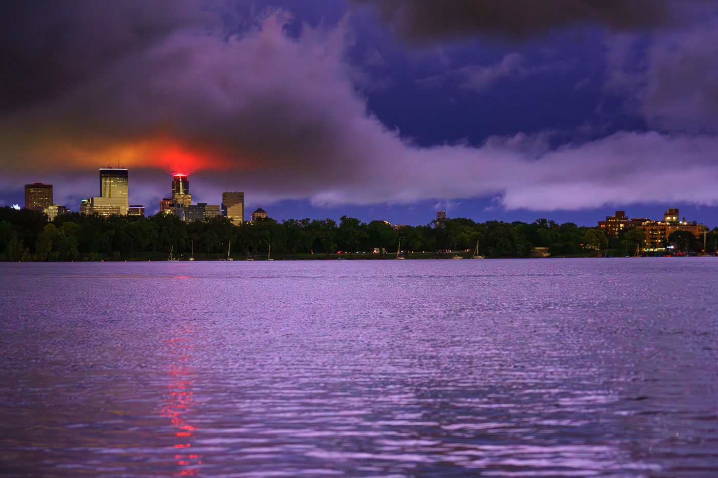
Minneapolis skyline illuminated at dusk across Bde Maka Ska lake after a thunderstorm.
The Minneapolis skyline is visible across Bde Maka Ska following a severe thunderstorm on August 26, 2024.

Minneapolis Skyline After Thunderstorm, August 26, 2024

Waterbury House Apartments and surrounding residential towers on Lake Street in Minneapolis at dusk with downtown skyline visible in distance.
Waterbury House Apartments, located on Lake Street in Minneapolis, is a modern residential building situated near the intersection of Lake Street and Excelsior Boulevard.

Waterbury House Apartments, Lake Street, Minneapolis Sunset

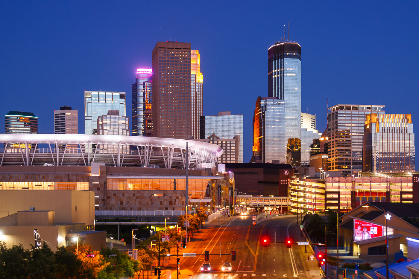
Downtown Minneapolis from new Green Line Train Extension
The Minneapolis skyline is illuminated at dusk, with Target Field, home of the Minnesota Twins, prominently visible in the foreground. The stadium, completed in 2010, is a central feature of the North Loop neighborhood.

Downtown Minneapolis Skyline and Stadium at Dusk
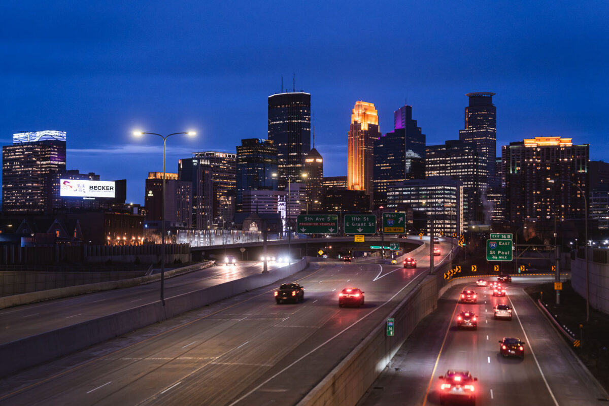
Minneapolis Downtown Skyline from 35W in April 2024
The Minneapolis downtown skyline is seen from Interstate 35W at dusk in April 2024. Interstate 35W functions as a critical north-south transportation artery, connecting the city's core with its surrounding metropolitan area and facilitating regional travel.

Minneapolis Downtown Skyline from I-35W at Dusk, April 2024
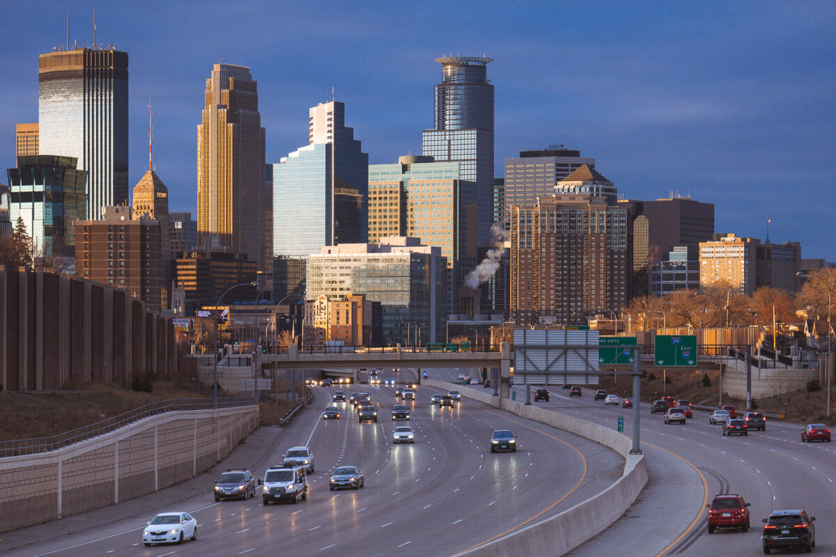
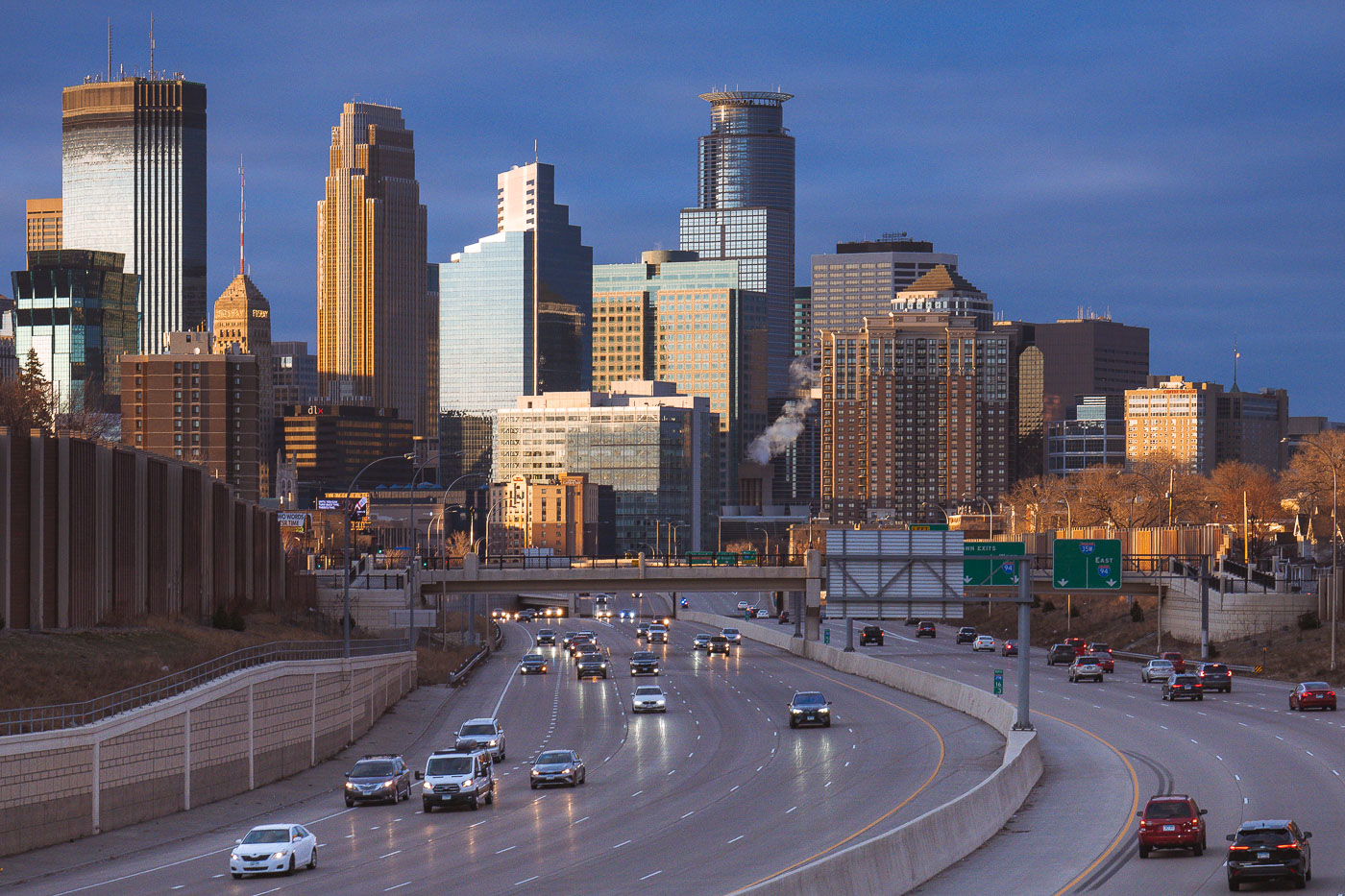
Cars on the interstate and downtown Minneapoplis skyline
Downtown Minneapolis, viewed from Interstate 35W in South Minneapolis in March 2024.

Downtown Minneapolis from I-35W, March 2024
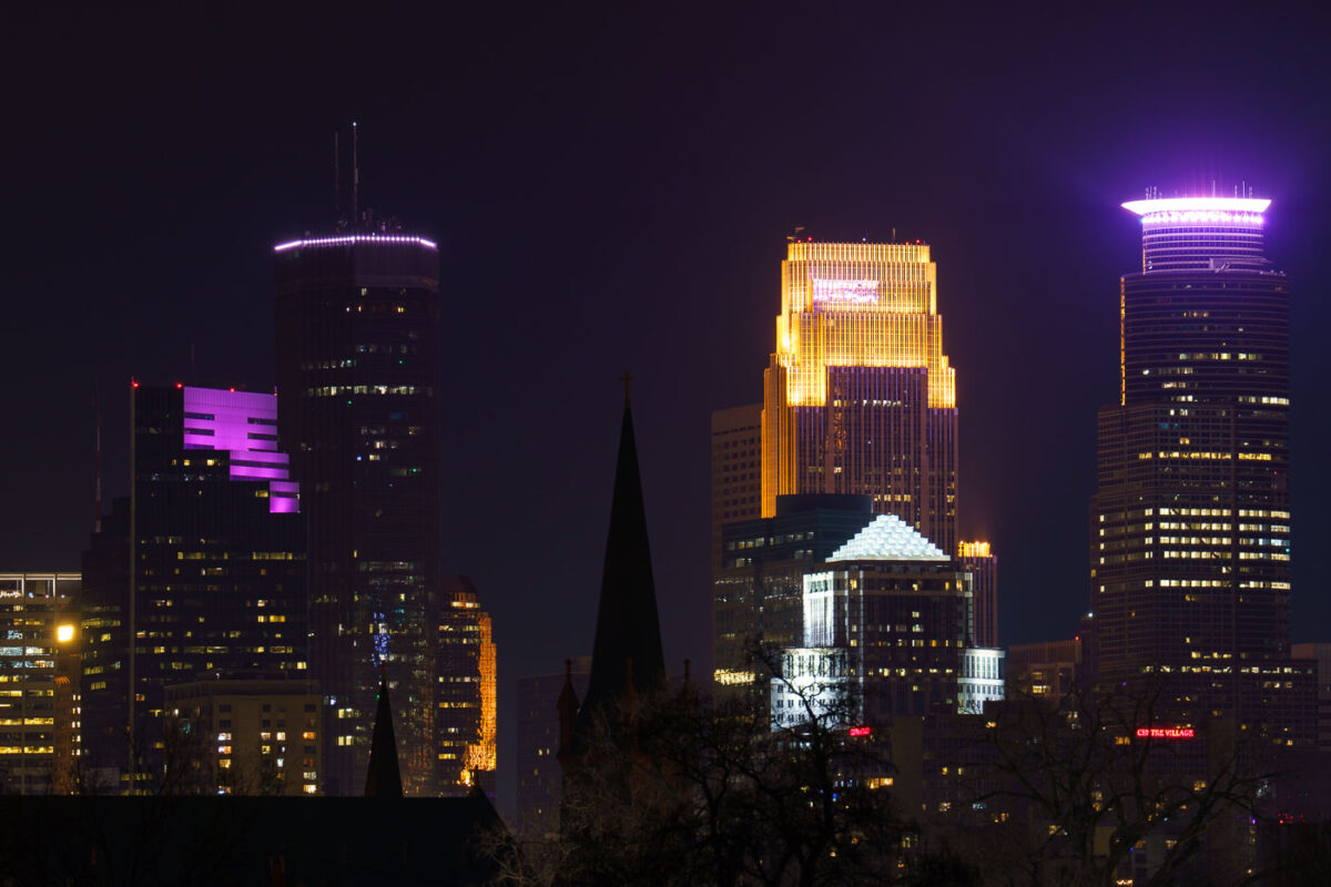
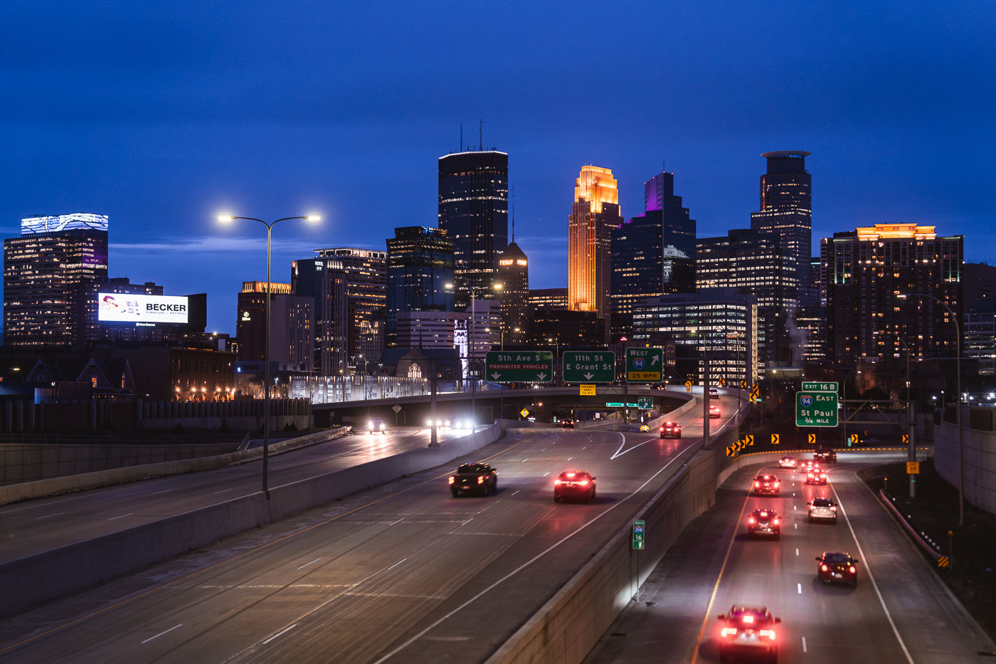
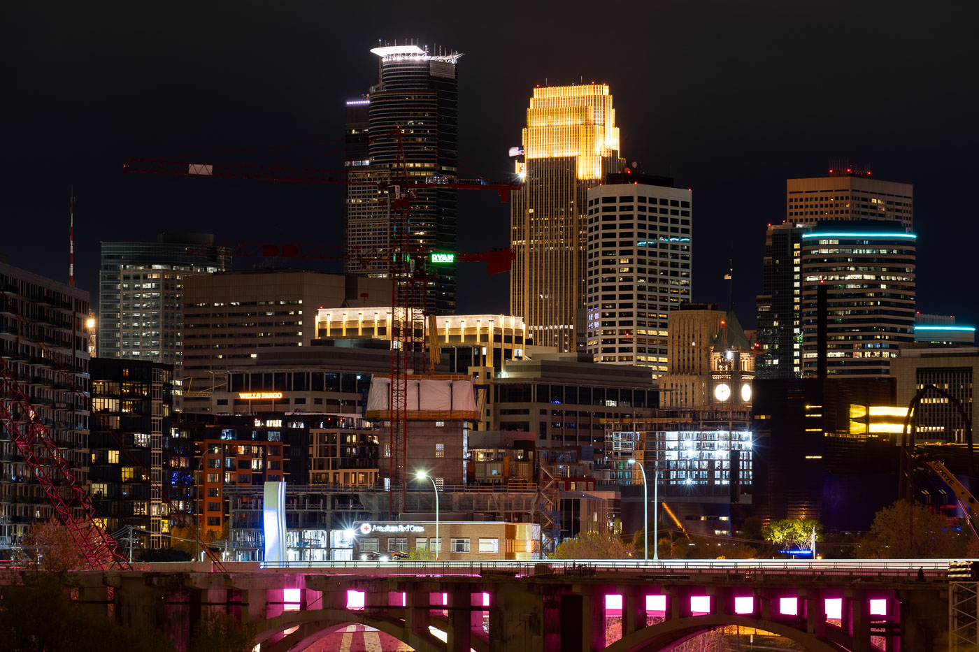
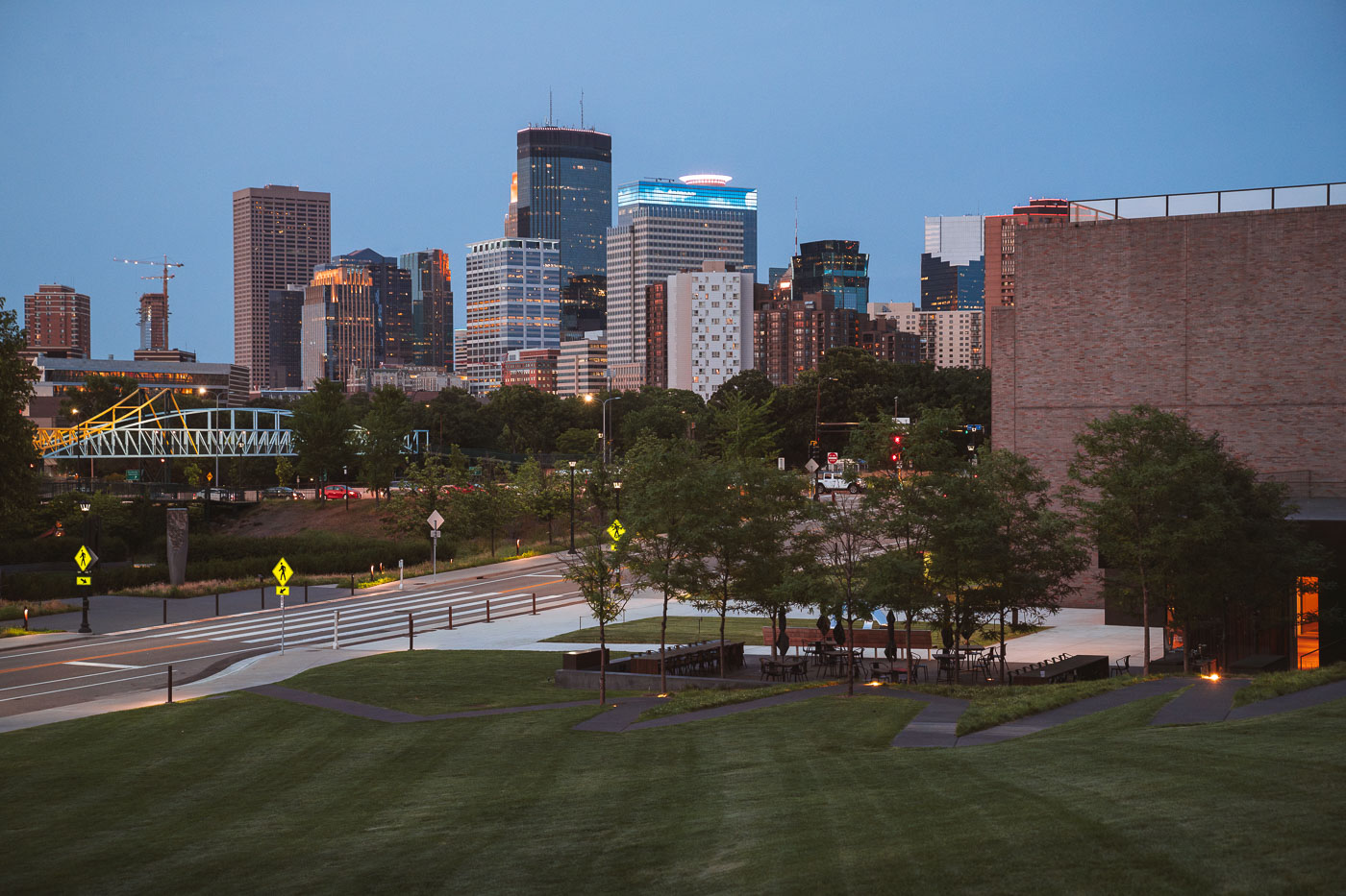
Minneapolis Skyscraper seen from South
The downtown Minneapolis skyline, featuring prominent structures such as the IDS Center and Capella Tower, is illuminated at night, as viewed from the Martin Olav Sabo Bridge in February 2024. Completed in 1972, the IDS Center was the tallest building in Minneapolis for decades, serving as a key commercial hub. The Capella Tower, finished in 1992, further defines the city's financial district. The Martin Olav Sabo Bridge, opened in 2007, is a pedestrian and bicycle bridge that forms a crucial link in the Midtown Greenway, an important urban trail system.

Minneapolis Skyline at Night from Martin Olav Sabo Bridge
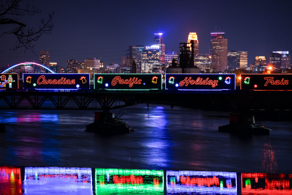
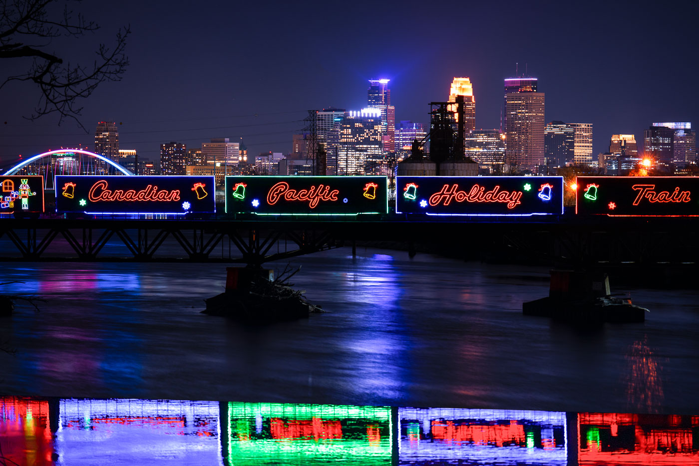
Canadian Pacific Holiday Train with neon signage crosses Lowry Avenue Bridge over Mississippi River in Minneapolis.
The Canadian Pacific Kansas City Holiday Train crosses the Mississippi River on the Lowry Avenue Bridge in Minneapolis on December 11, 2023. The annual train raises money and collects food donations for local food banks as it travels across North America during the holiday season. The decorated cars are part of a long-running program that has generated millions of dollars and millions of pounds of food donations since it began in 1999.
Holiday Train Crossing the Lowry Avenue Bridge in Minneapolis

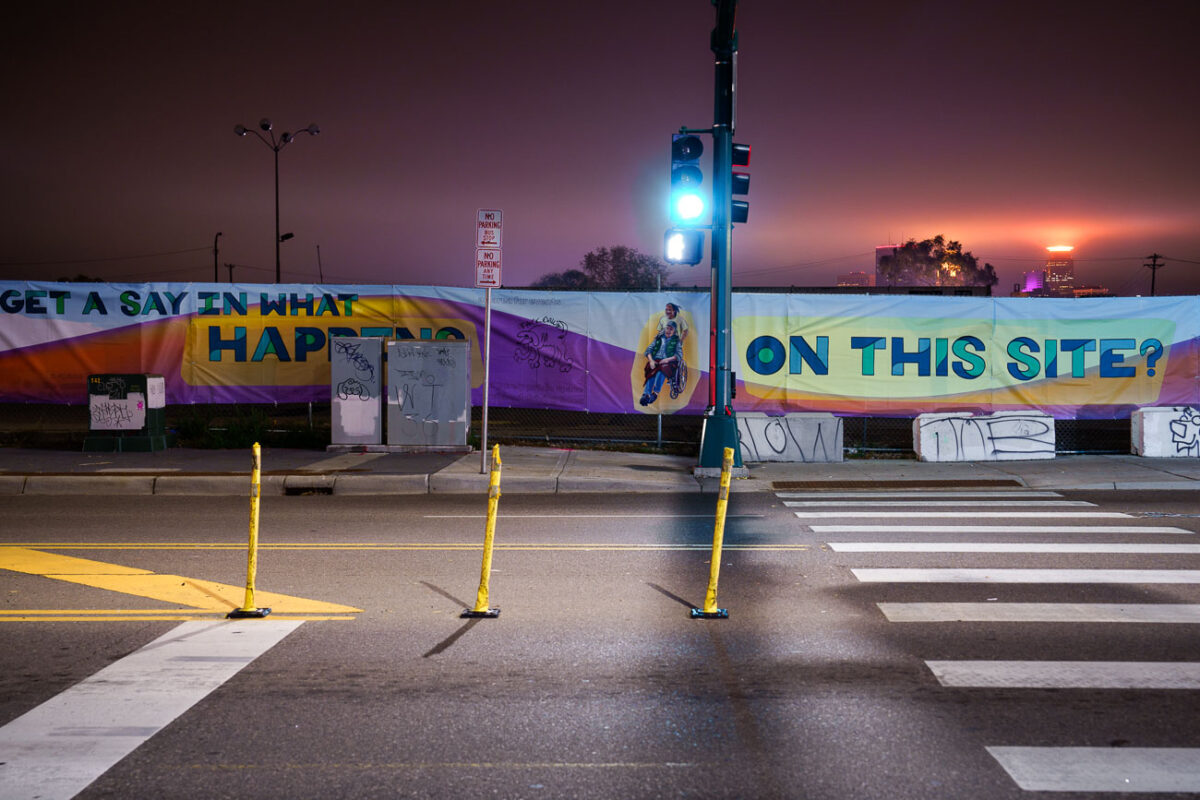
Signage asking for community input at night
The K-Mart site in South Minneapolis, located on Lake Street, served as a temporary post office from November 2020 to late summer 2023. The site, which previously housed a K-Mart, is now a vacant lot marked by a banner asking "GET A SAY IN WHAT HAPPENS ON THIS SITE?". The K-Mart property has been a long hated property as it sat right in the middle of Nicollet Avenue. The demolition of the property brings hopes to open the road back up to through traffic.

K-Mart site on Nicollet Avenue in Minneapolis
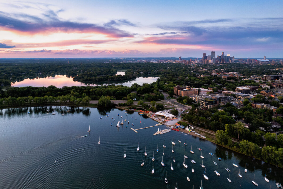
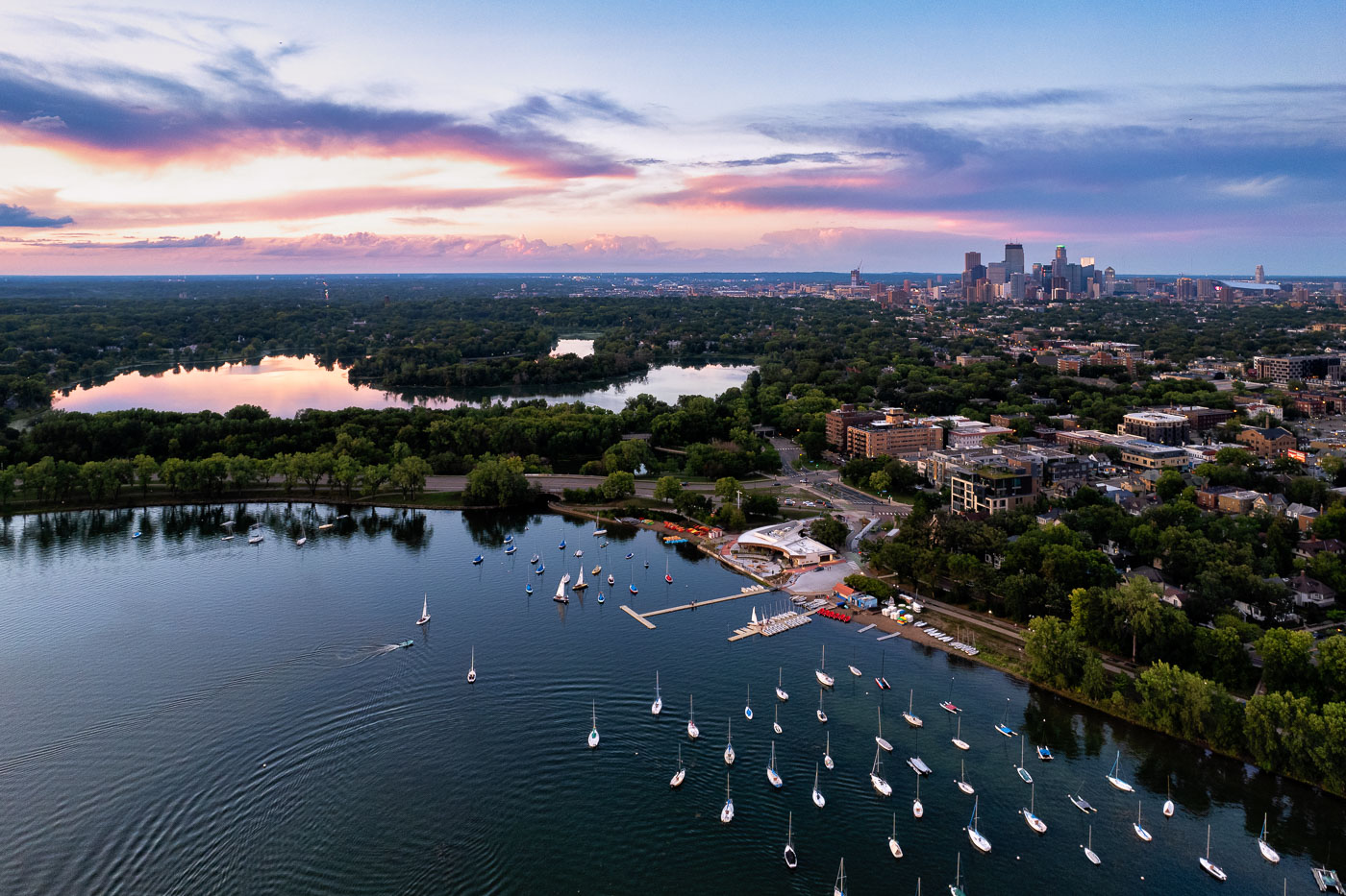
Sailboats on lake with city skyline
Sailboats on Bde Maka Ska in Minneapolis during sunset. Lake of the Isles seen in the distance.

Sailboats and a colorful sunset

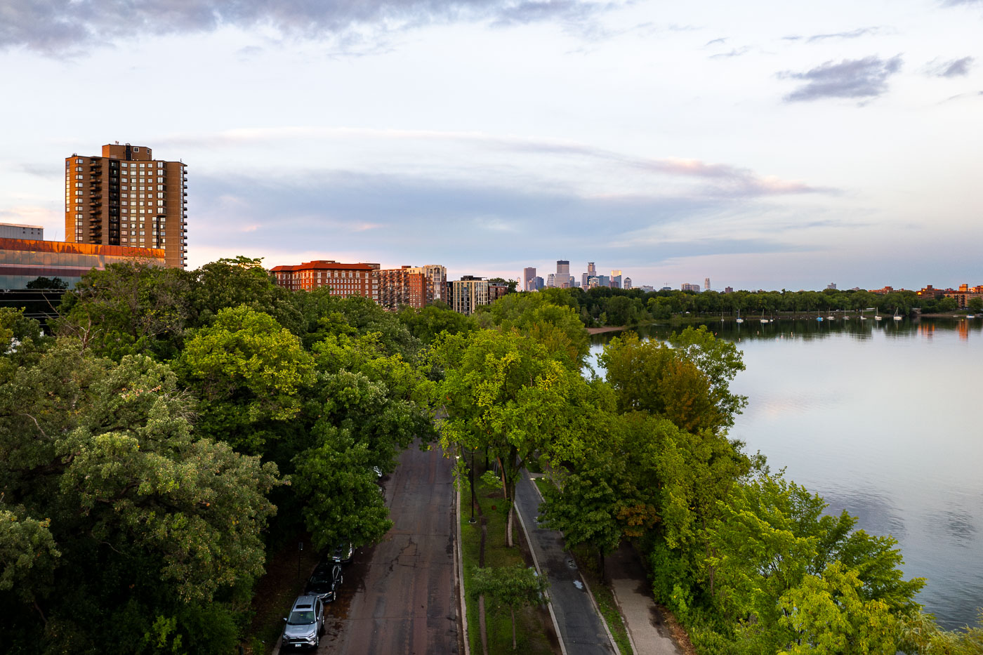
Grand Rounds Scenic Byway in Minneapolis

Bde Maka Ska Parkway on Bde Maka Ska, the largest lake in Minneapolis.

Grand Rounds Scenic Byway in Minneapolis

Downtown Minneapolis skyline with Capella Tower, IDS Center, and Wells Fargo Center under blue sky with white clouds.
Caught some real funky clouds behind downtown Minneapolis. Capella Tower, Wells Fargo Center, IDS Center are some of the large buildings shown on this day in August 2023.

Capella Tower and Wells Fargo Center Under Storm Clouds
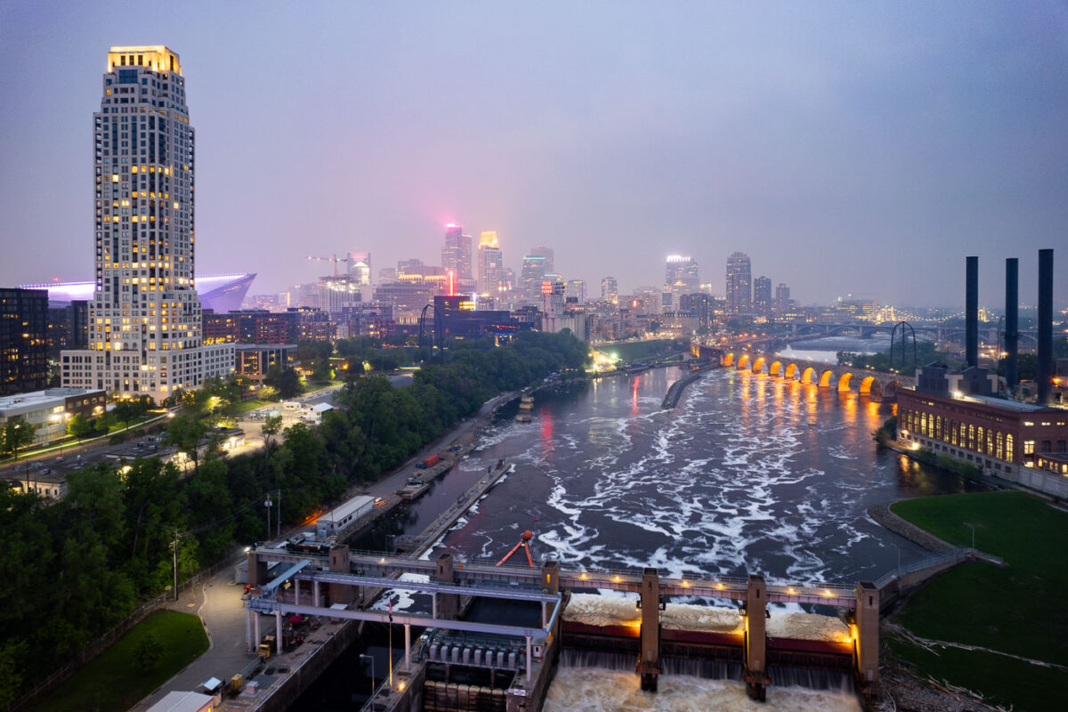
Night photo of river and city skyline with a haze in Minneapolis
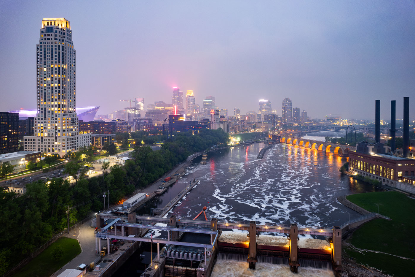
The Minneapolis skyline is veiled by smoke from Canadian wildfires, impacting regional air quality. The Mississippi River flows past the historic Stone Arch Bridge, a former railway bridge completed in 1883, now a pedestrian walkway. Adjacent to the bridge is the Upper St. Anthony Falls Lock and Dam, a 20th-century engineering project that regulates the river's flow and supports navigation, a function critical to Minneapolis since its establishment.

Minneapolis Skyline and Mississippi River in Wildfire Smoke
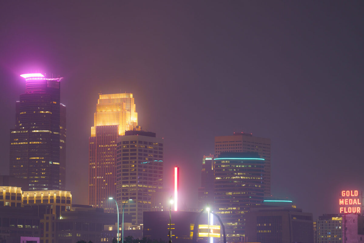
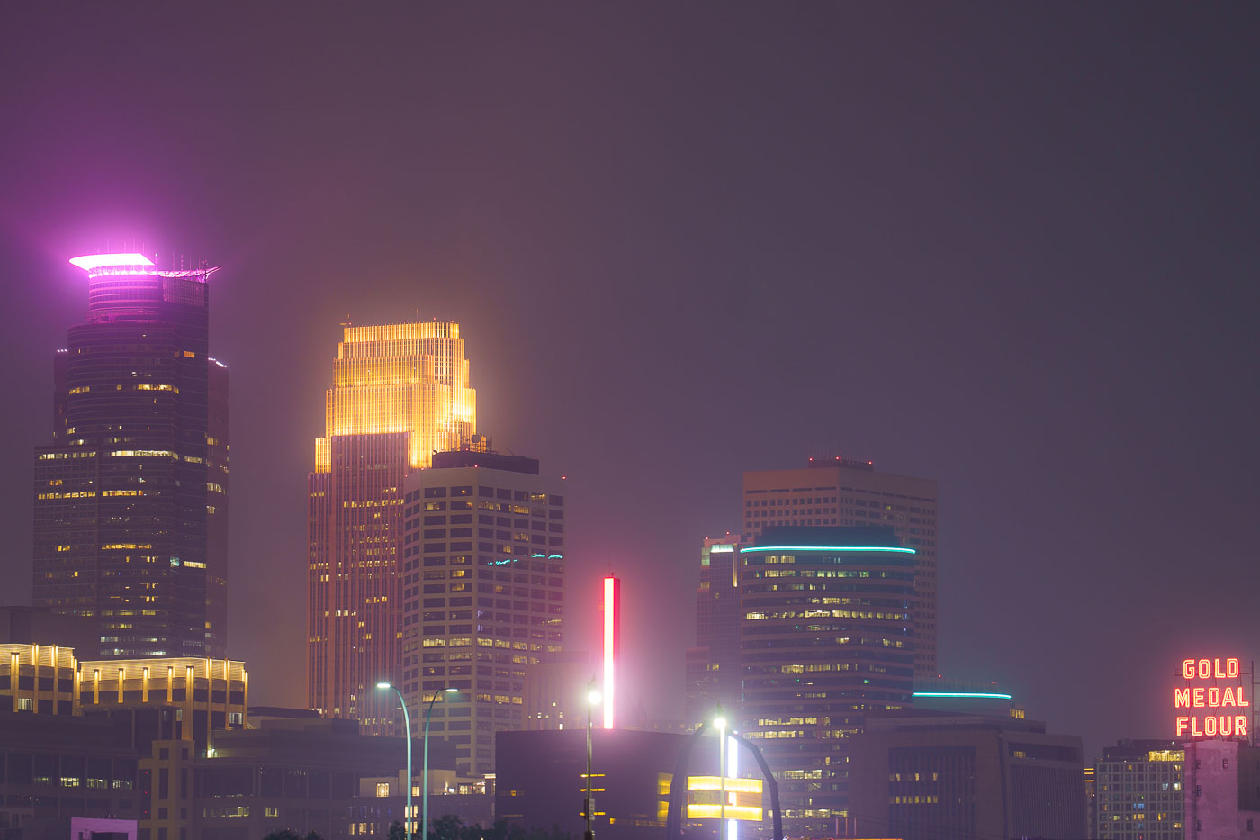
Night photo of Minneapolis skyline during air quality alerts
The Minneapolis city skyline is obscured by haze from Canadian wildfires, impacting air quality across the region. The "Gold Medal Flour" sign, a historic landmark dating back to the early 20th century, is visible through the atmospheric conditions. This event highlights the increasing frequency of such air quality alerts due to climate change and widespread wildfires. The city's downtown core, with its mix of modern skyscrapers and older structures, serves as the economic and cultural hub of Minnesota.

Minneapolis Skyline Under Wildfire Smoke Haze
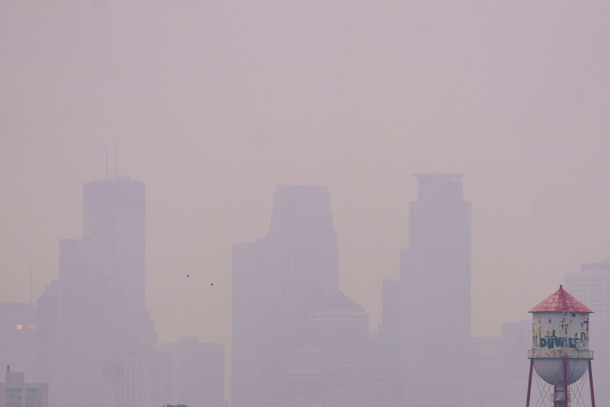
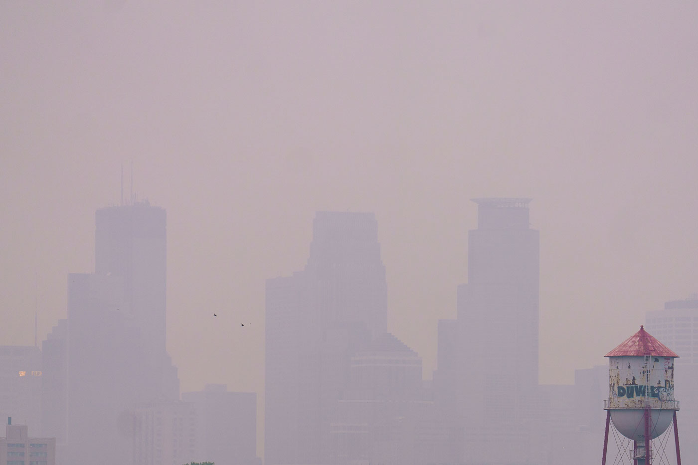
Barely visible downtown skyline due to wildfire
Wildfire smoke from Canada drifts into Minneapolis, significantly reducing visibility of the downtown skyline. The smoke, a result of widespread wildfires, impacted air quality across the region. The image also shows a water tower, a common feature in urban environments providing essential water storage and pressure for municipal systems.

Minneapolis Skyline Obscured by Wildfire Smoke
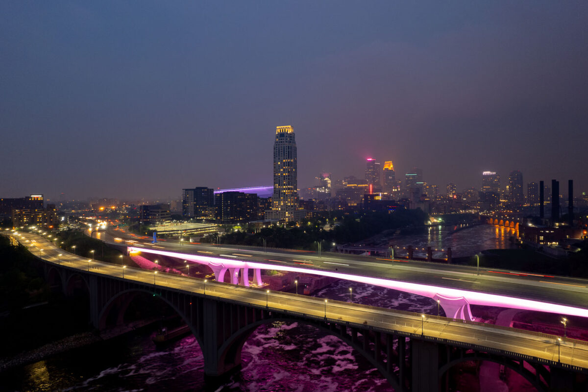
2 bridges over the Mississippi River and city skyline
The I-35W Bridge and the 10th Avenue Bridge cross the Mississippi River in Minneapolis, Minnesota, under a sky obscured by smoke from Canadian wildfires. This atmospheric condition, which led to air quality advisories, significantly reduced visibility across the city. The I-35W Bridge serves as a major north-south transportation route, while the 10th Avenue Bridge, with its distinctive arches, is a notable element of the city's infrastructure.

Minneapolis I-35W Bridge in Wildfire Smoke

Mississippi River in front of Downtown Minneapolis Skyline
The Minneapolis Lock and Dam on the Mississippi River is obscured by haze from Canadian wildfire smoke, impacting air quality in the downtown area. Constructed in the early 20th century, the lock and dam system was designed to improve navigation on the river, facilitating the transport of goods and materials. Today, it continues to play a role in managing water levels and supporting barge traffic, though its visual presence is altered by atmospheric conditions. The Stone Arch Bridge, a historic landmark, is visible in the background, further contextualizing the industrial and infrastructural history of Minneapolis.

Minneapolis Lock and Dam Under Canadian Wildfire Smoke
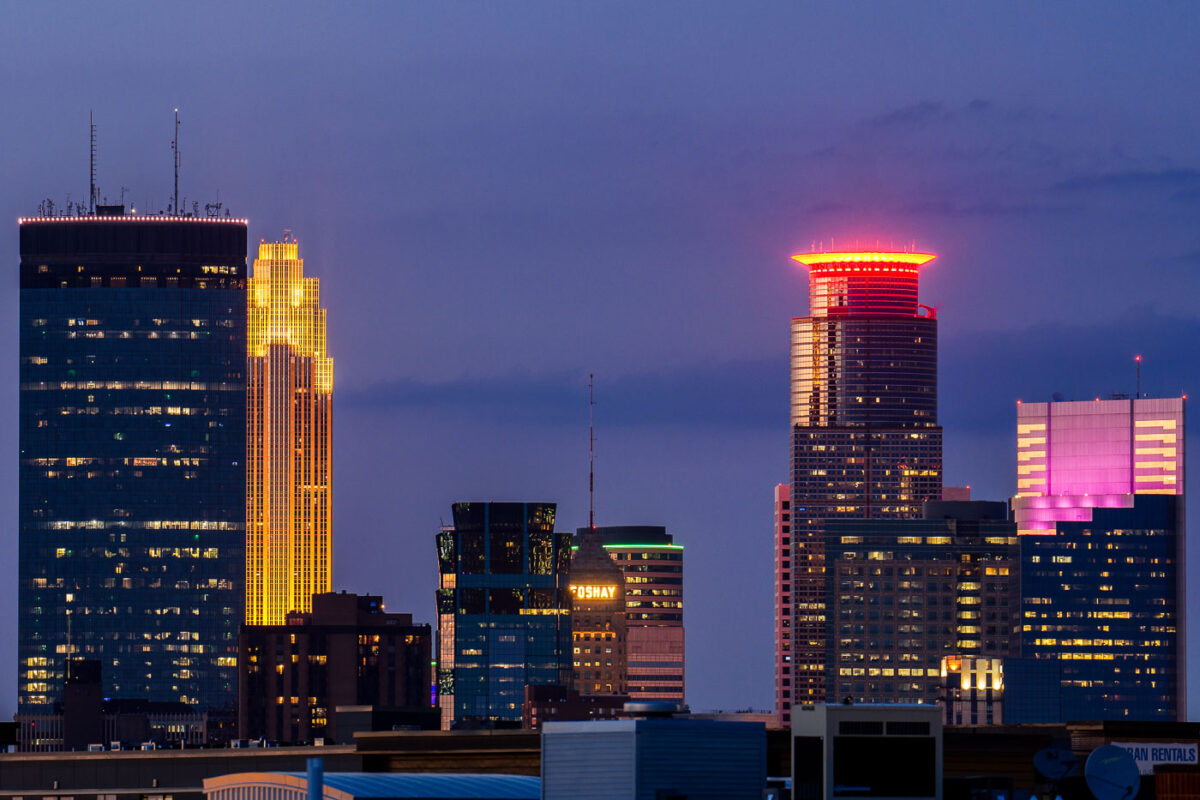
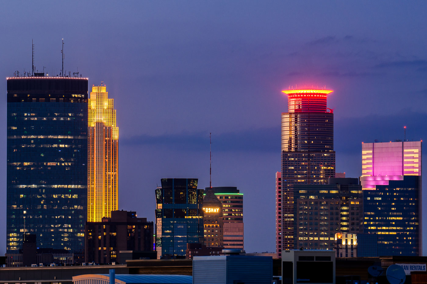
Colorful downtown skyline colors Foshay IDS
The Minneapolis skyline is illuminated at dusk, viewed from the Uptown neighborhood. Prominent structures include the IDS Center, recognizable by its golden illumination, and the Foshay Tower, a historic Art Deco skyscraper that was Minneapolis's first.

Minneapolis Skyline at Dusk, Uptown View
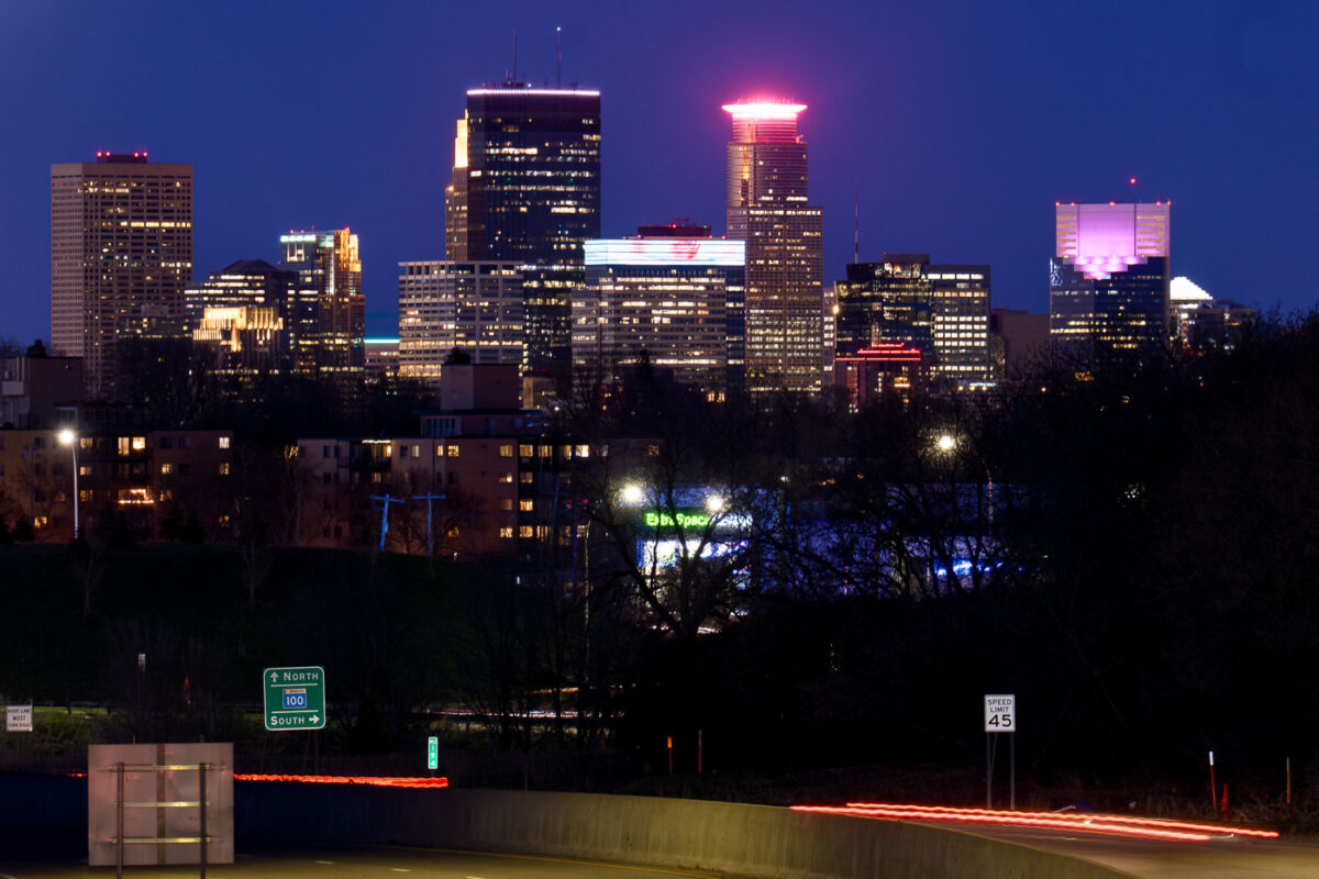
Minneapolis skyline viewed from St. Louis Park at night, with Highway 100 in the foreground. The highway, built in stages from the 1950s-1970s, connects western suburbs to the city.
The Minneapolis skyline is visible from Woodale Avenue in St. Louis Park, with Highway 100 in the foreground. Highway 100, officially known as the Crosstown Highway, was constructed in stages from the 1950s through the 1970s to alleviate traffic congestion in the western suburbs and connect them to Minneapolis. The highway serves as a vital artery for commuters and commerce, facilitating access to the downtown business district and other key areas of the Twin Cities metropolitan area.

Minneapolis Skyline from St. Louis Park with Highway 100
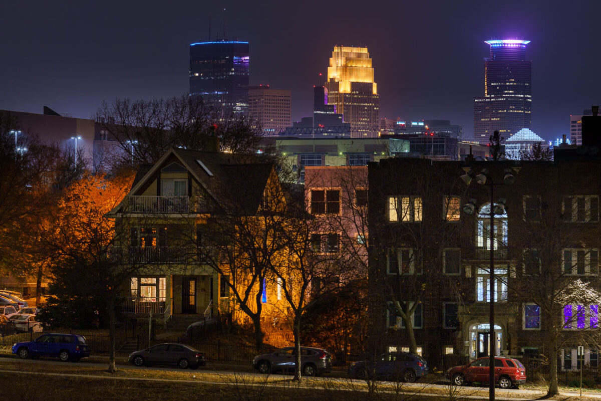
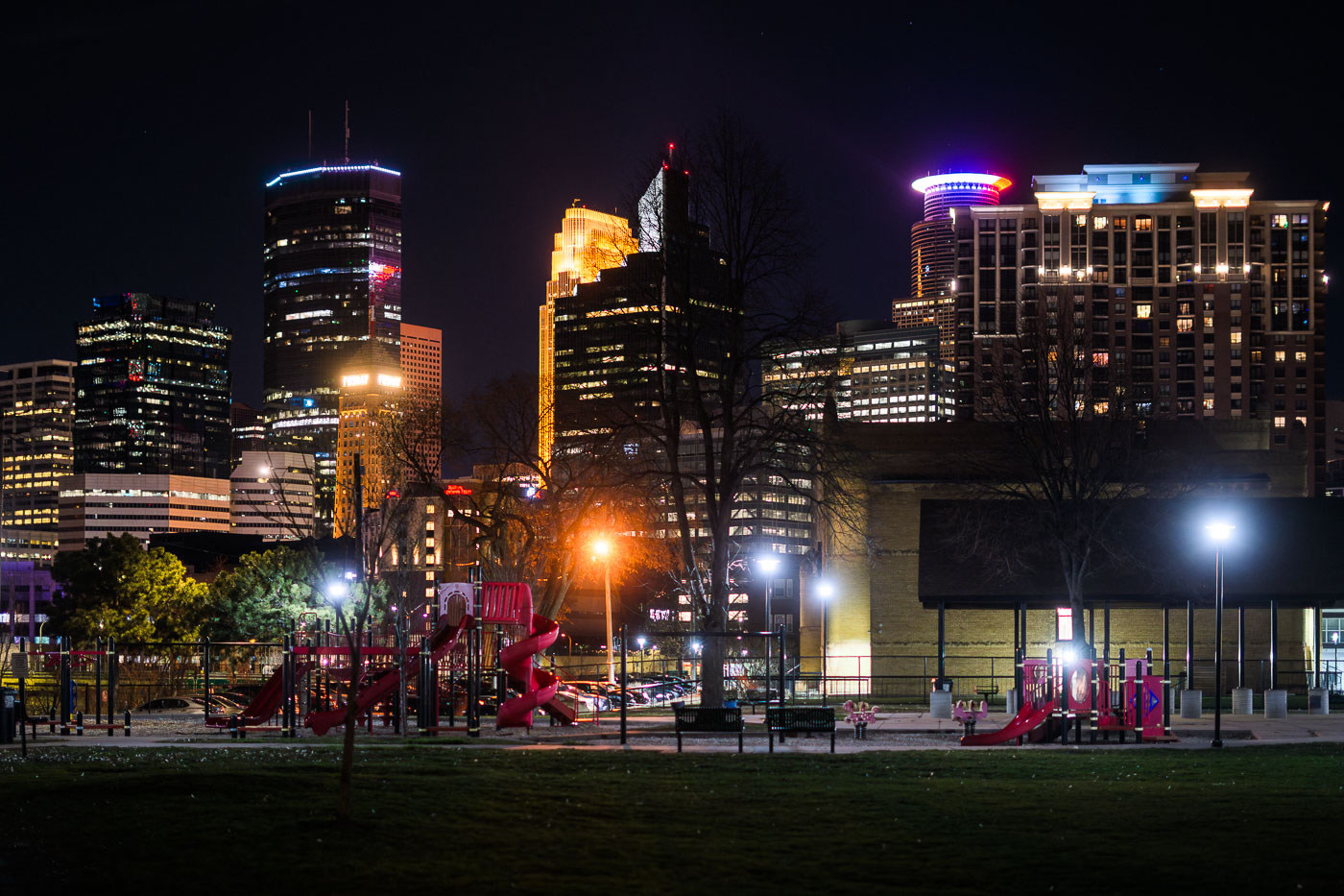
Minneapolis Skyline at night from Powderhorn Park 2022
The Minneapolis skyline is visible from Powderhorn Park, a public space in South Minneapolis. The park, established in 1889, is named for its central lake and has been a gathering place for the community for over a century.

Minneapolis Skyline from Powderhorn Park at Night 2022
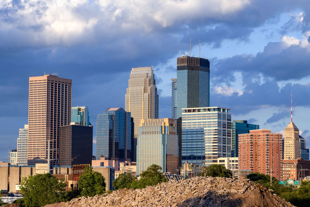
Minneapolis downtown skyline viewed from Van White Memorial Boulevard, showing the IDS Center and surrounding high-rise towers.
The view of Downtown Minneapolis from Van White Memorial Blvd near the Cedar Lake Trail.

Minneapolis Skyline As Seen Near Cedar Lake Trail

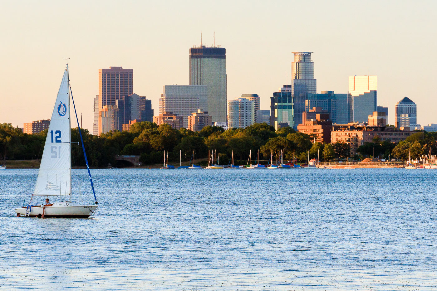
Sailboat on Bde Maka Ska in Minneapolis with the downtown skyline behind it
A sailboat is on Bde Maka Ska in Minneapolis with the downtown skyline in the background. The late-day light warms the buildings along the lakefront while other boats are moored near shore.

Sailboat on Bde Maka Ska, Minneapolis

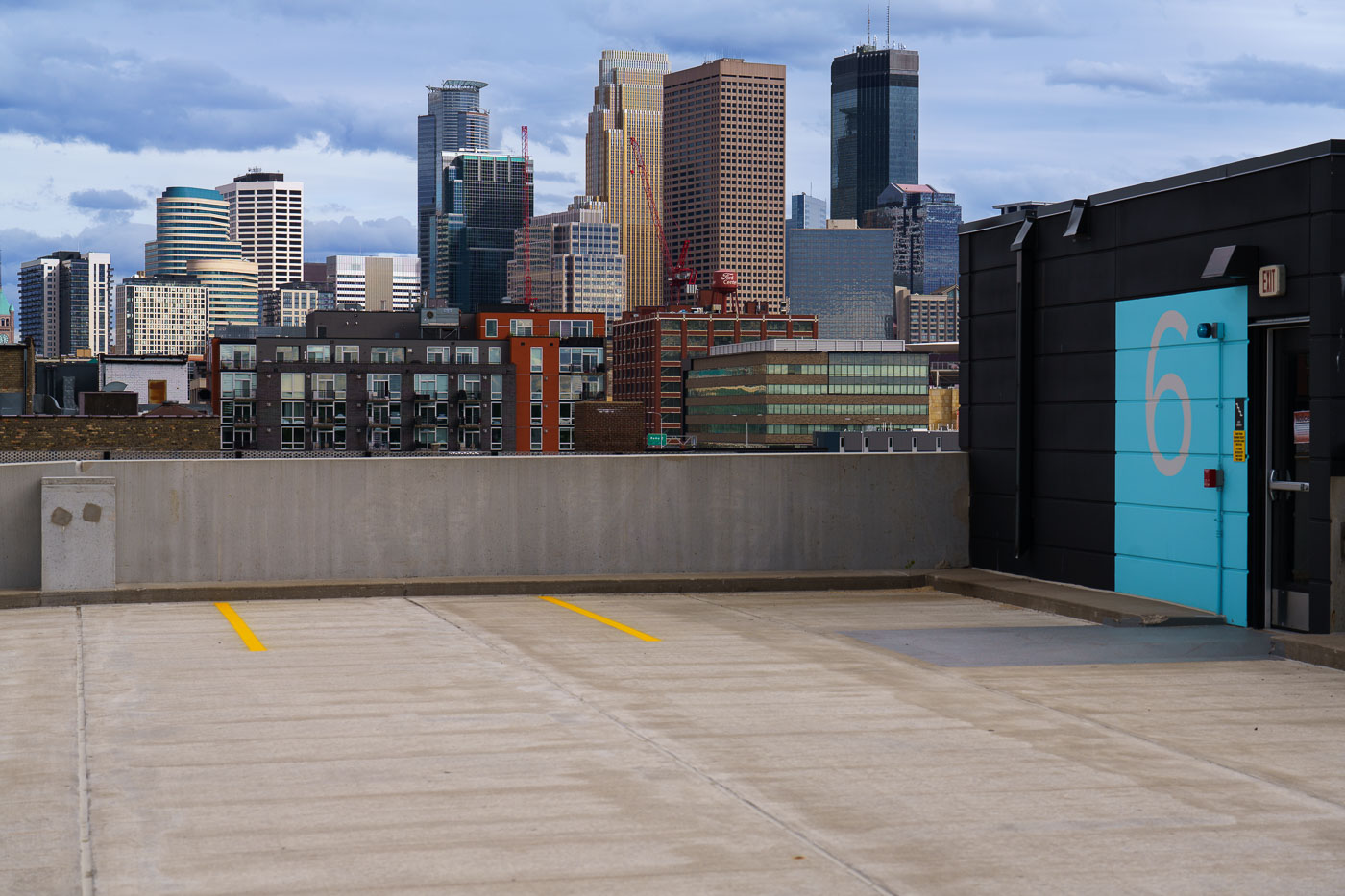
Minneapolis skyline viewed from a rooftop parking area in the North Loop neighborhood.
The Minneapolis skyline is visible from the North Loop neighborhood, a district that has undergone significant redevelopment in recent decades.

Downtown Minneapolis Skyline from a North Loop Rooftop Deck
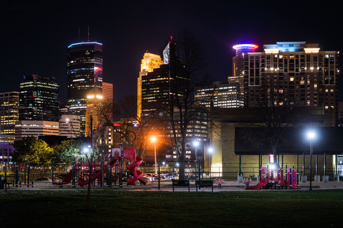
Franklin Steele Square park in Minneapolis
Downtown Minneapolis as seen from Franklin Steele Square park in South Minneapolis.

Franklin Steele Square park in Minneapolis

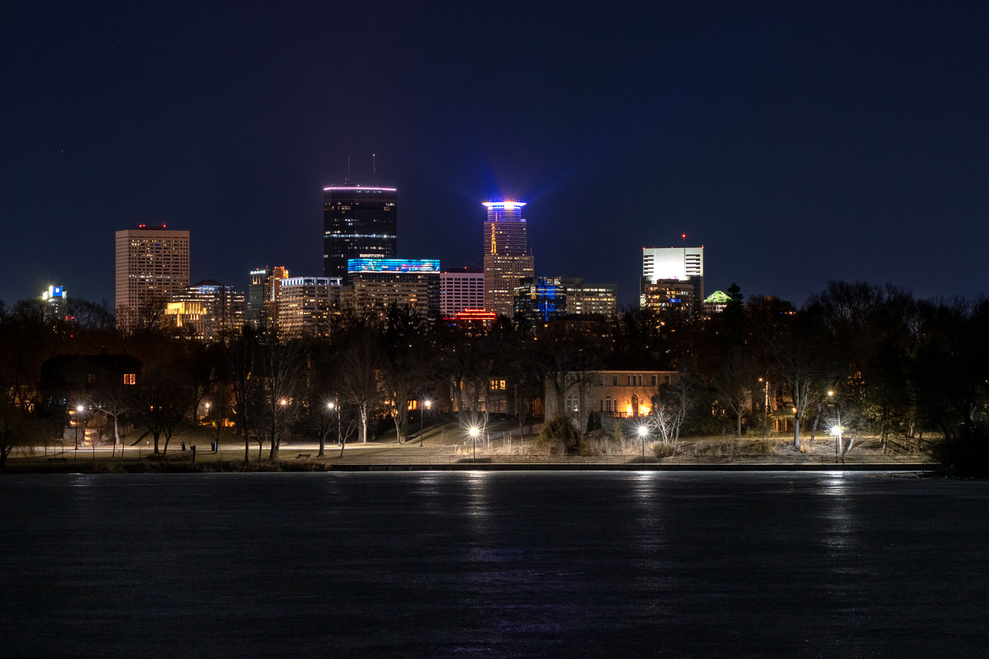
Minneapolis skyline across Lake of the Isles at night.
The Minneapolis skyline is visible at night from the frozen surface of Lake of the Isles, a prominent feature of the city's Chain of Lakes park system. This vantage point offers a view of the downtown commercial district, showcasing the development of its architecture and economic activity. Lake of the Isles, established in the late 19th century, serves as a vital green space within the urban environment, providing areas for public use and contributing to the city's character.

Minneapolis Skyline from Lake of the Isles at Night
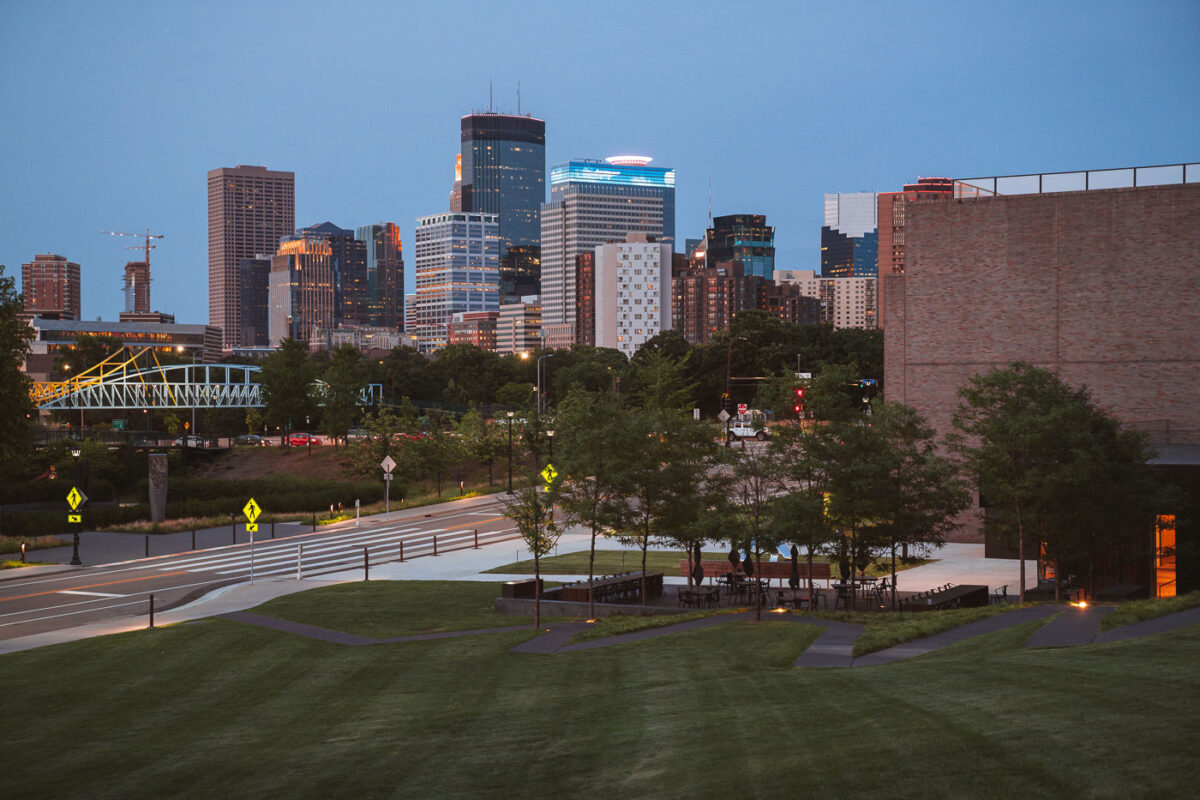
Downtown Minneapolis business district April 2024
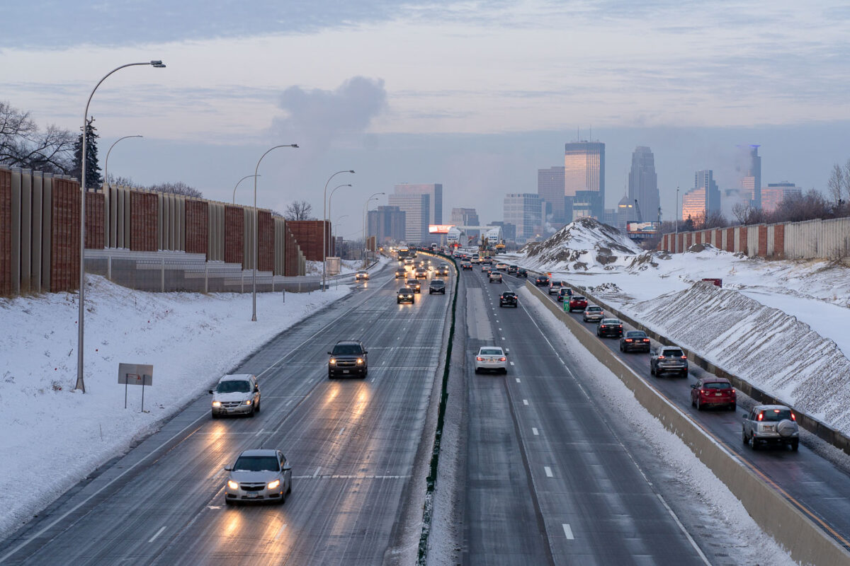
The downtown Minneapolis business district as seen from the Walker Art Center,.

Downtown Minneapolis business district

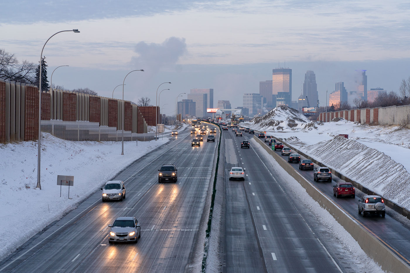
Interstate 35W in South Minneapolis with winter traffic and downtown Minneapolis beyond.
Interstate 35W runs through South Minneapolis with downtown Minneapolis in the distance. Snowbanks, sound walls, and winter traffic line this stretch of the freeway corridor. The route is one of the Twin Cities' main north-south highways, linking South Minneapolis with downtown and the wider regional interstate system.

Interstate 35W in South Minneapolis

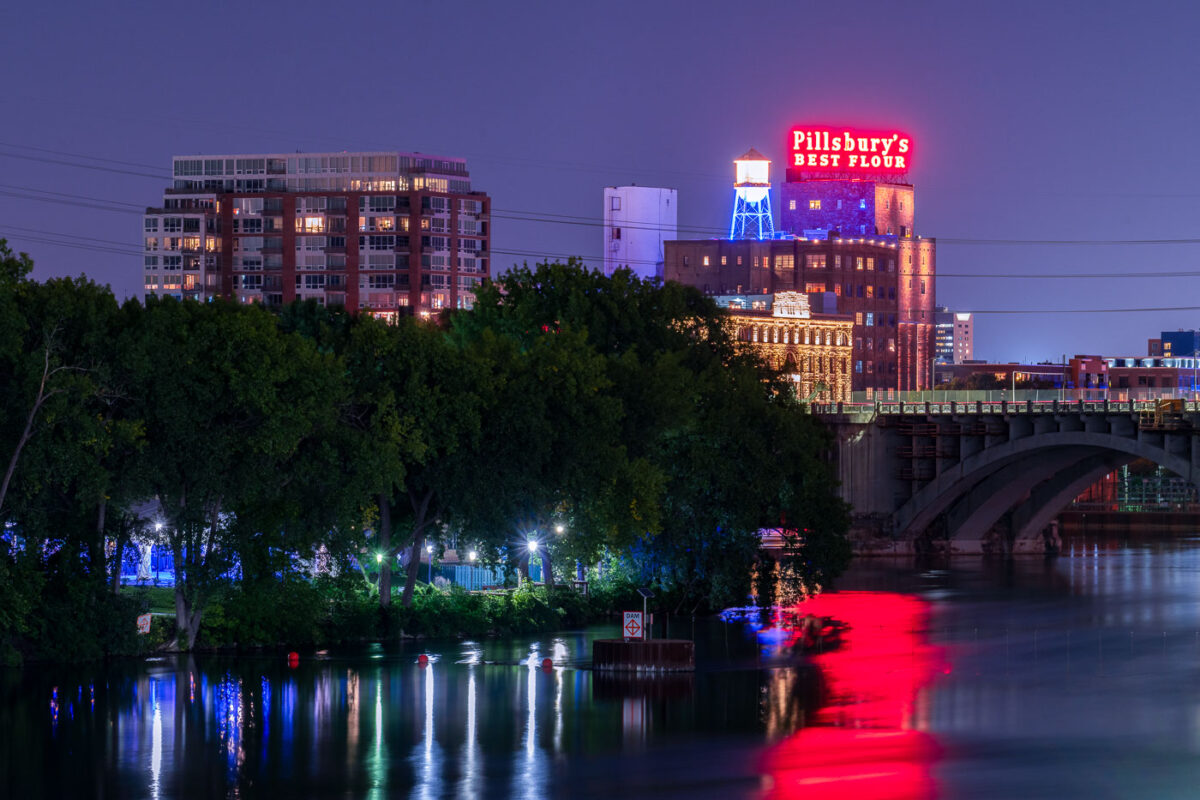
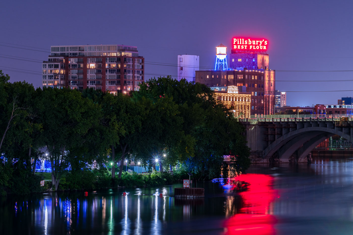
Pillsbury A Mill's illuminated neon sign glows red above the Mississippi River at night in Minneapolis.
The historic Pillsbury A Mill stands illuminated on the Mississippi River near downtown Minneapolis. Once the world's largest flour mill, this National Historic Landmark played a crucial role in Minneapolis's development as a milling center.

Pillsbury’s Best Flour Sign Above the Mississippi River at Night
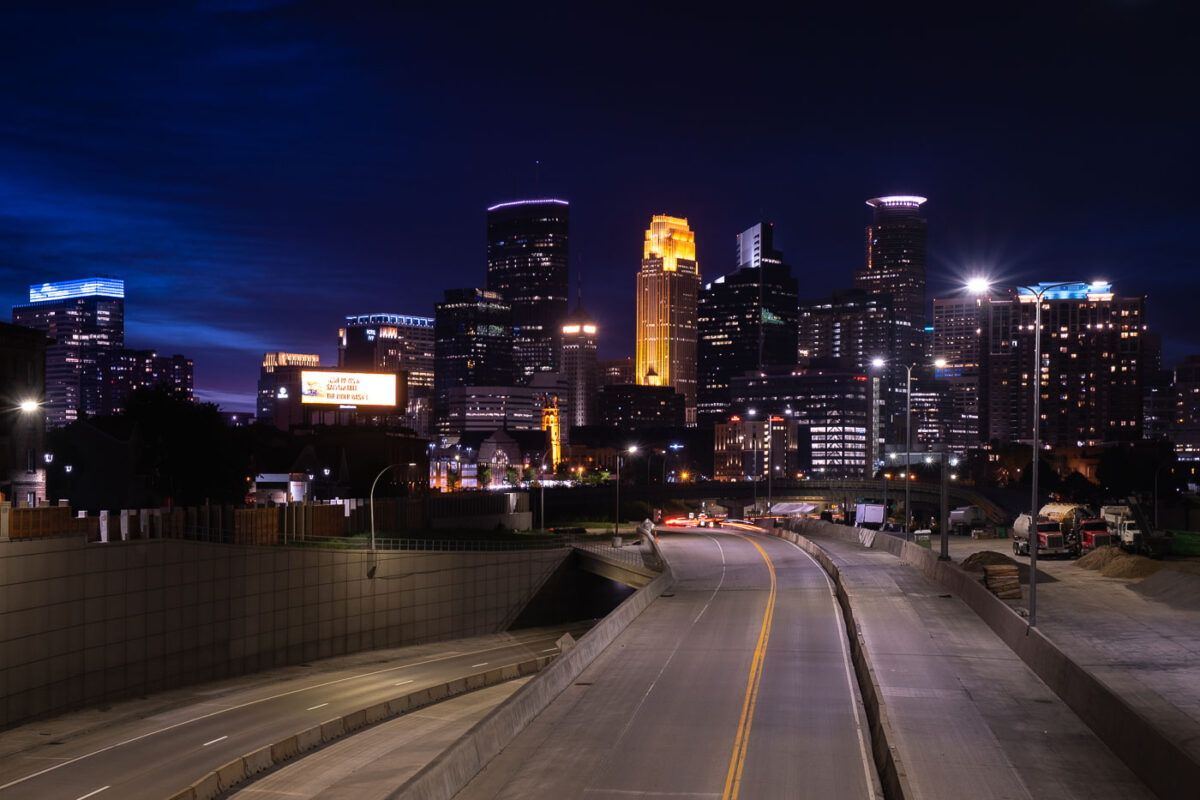
Interstate 35W construction approaching downtown Minneapolis at night with the skyline beyond.
Interstate 35W approaches downtown Minneapolis during overnight construction in July 2020. The freeway corridor curves toward the central business district, with lane shifts, barriers, and active work areas visible along the roadway. The Minneapolis skyline rises beyond the construction zone.

Interstate 35W construction approaching downtown Minneapolis

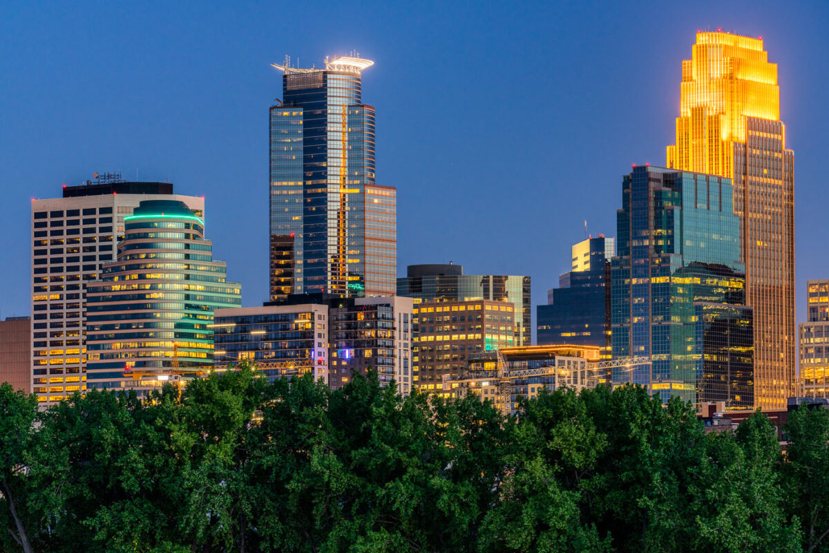
Downtown Minneapolis at dusk from Boom Island Park, with Wells Fargo Center and U.S. Bank Tower above treetops
Downtown Minneapolis is seen from Boom Island Park at dusk. The Wells Fargo Center and U.S. Bank Tower rise above the riverfront, with treetops in the foreground.

Downtown Minneapolis at dusk from Boom Island Park

Woman looks over the Stone Arch Bridge in Minneapolis
Woman looks over the railing on the Stone Arch Bridge in downtown Minneapolis.

Downtown Minneapolis Skyline and Stoen Arch Bridge
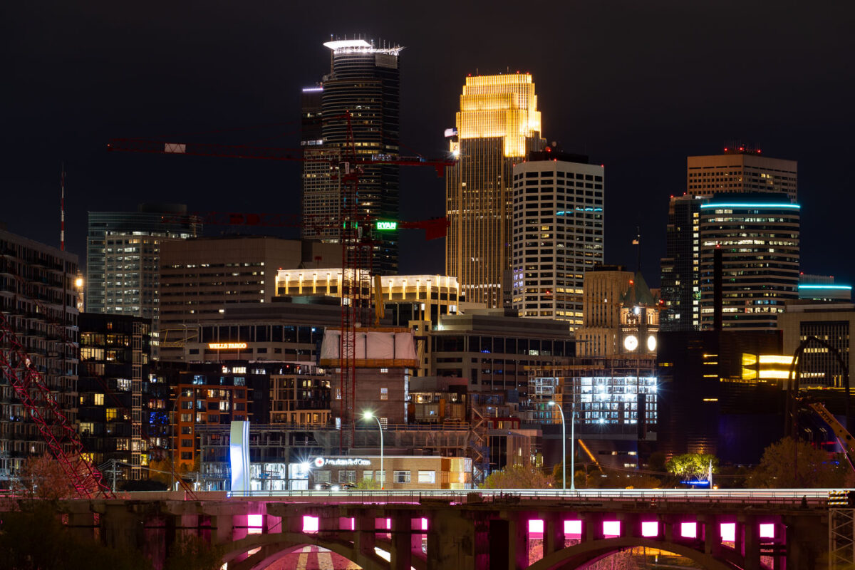
Minneapolis in Development
Tower cranes in downtown Minneapolis during constructon work on the 10th avenue bridge.

Minneapolis in Development

Skyscrapers in downtown Minneapolis on clear night
The Capella Tower, IDS Center, and Wells Fargo Center in Downtown Minneapolis at night.

Capella, IDS and Wells Fargo Center in Minneapolis

Wooden bench on grass overlooking Bde Maka Ska lake with Minneapolis skyline illuminated at dusk.
A bench at Bde Maka Ska in South Minneapolis. The Minneapolis skyline seen across the lake.

A bench at Bde Maka Ska and the city skyline
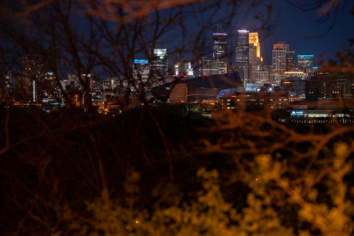
Minneapolis skyline at night from Witches Hat
Downtown Minneapolis as seen from the Prospect Park and Witches Hat. In my opinion, this is a very underrated view of the downtown skyline!

Minneapolis skyline from Witches Hat

Downtown Minneapolis skyline with IDS Center, Wells Fargo Center, and Capella Tower at night.
Downtown Minneapolis skyline, Minnesota, includes IDS Center, Wells Fargo Center, and Capella Tower on May 6, 2020. The office towers are part of the city’s central business district, clustered around Nicollet Mall and the downtown core. IDS Center has long been Minnesota’s tallest building, while Wells Fargo Center is one of the city’s most recognizable high-rise office towers.

IDS Center and Wells Fargo Center, Minneapolis

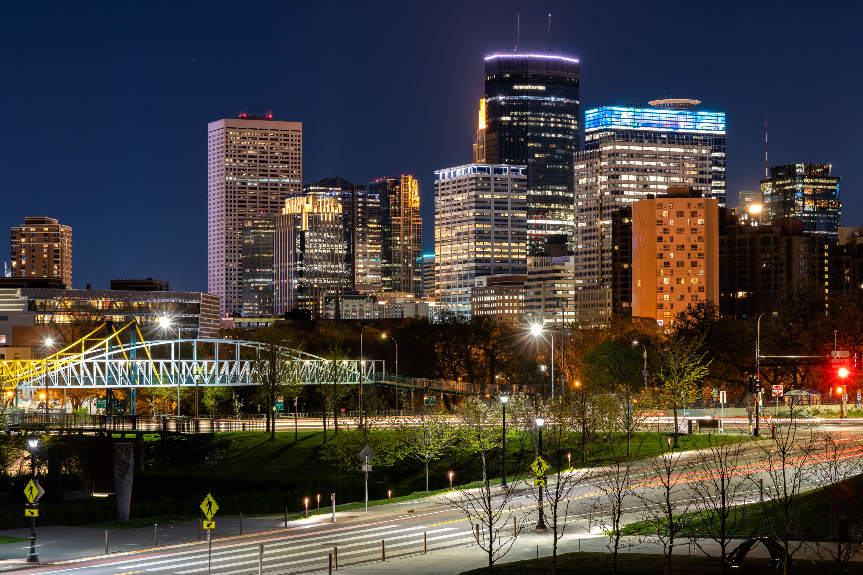
Minneapolis skyline at night with illuminated downtown towers and a lit pedestrian bridge in foreground.
The Irene Hixon Whitney Bridge links Loring Park to the Minneapolis Sculpture Garden at the Walker Art Center, carrying pedestrians and cyclists over Interstate 94. Minneapolis artist and MIT design professor Siah Armajani designed the bridge, which opened in 1988 and stretches roughly 375 feet in a bowstring-arch form of steel and wood. The skyline behind it is anchored by Capella Tower, completed in 1992 and capped with a lattice crown that once displayed a rotating color scheme, and the IDS Center, Minnesota's tallest building at 792 feet since 1972. Both towers stand within the city's central business district, a short walk from Loring Park.

Irene Hixon Whitney Bridge and Minneapolis Skyline at Night
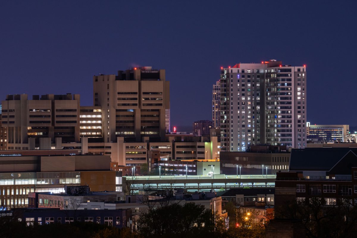
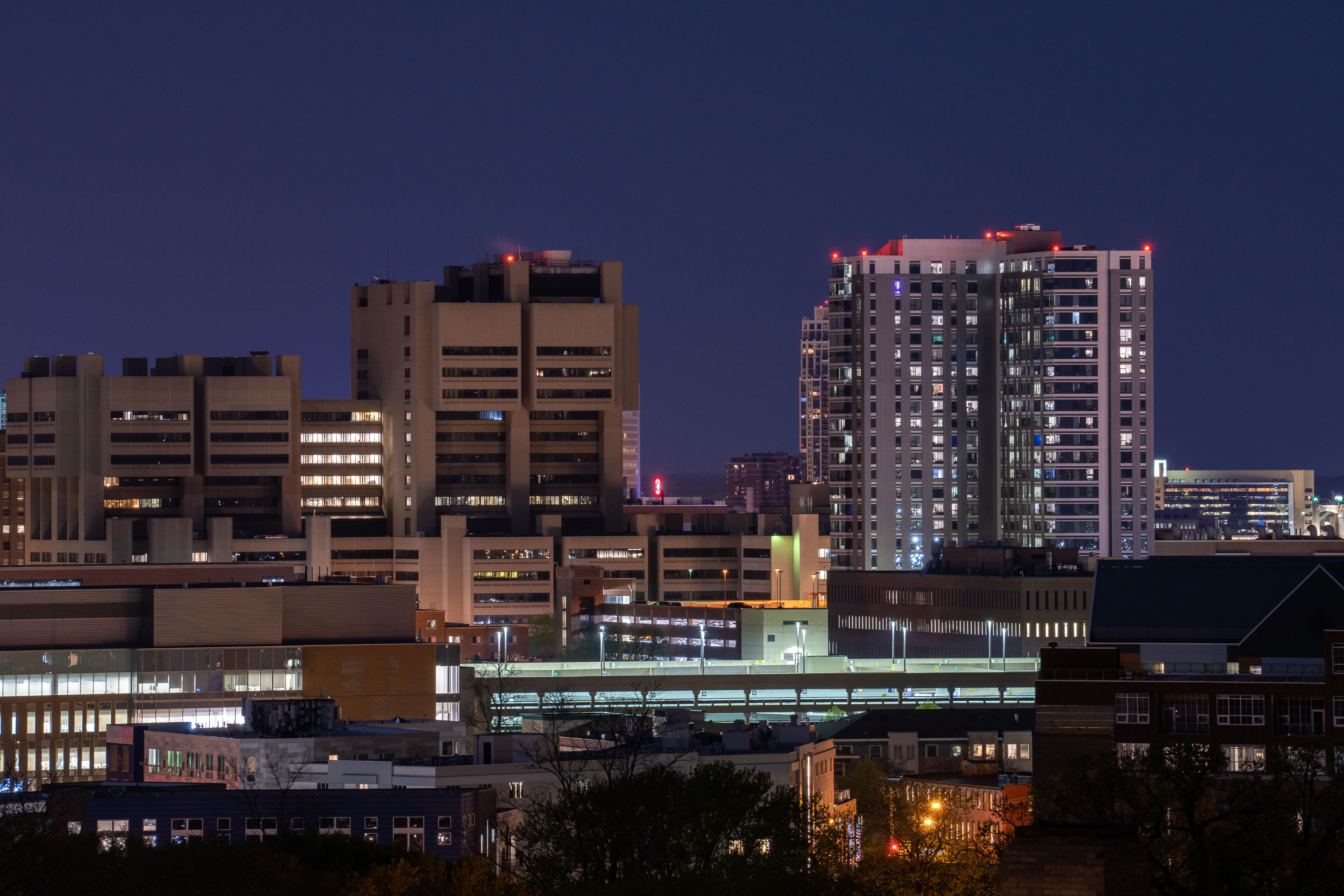
University of Minnesota Medical Center and East Bank campus buildings illuminated at dusk in Minneapolis.
The University of Minnesota's East Bank campus includes its academic health center, home to M Health Fairview University of Minnesota Medical Center and the university's medical school.

East Bank Medical Center Towers at Night from Prospect Park
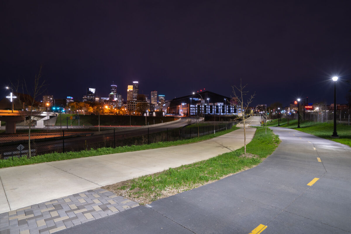
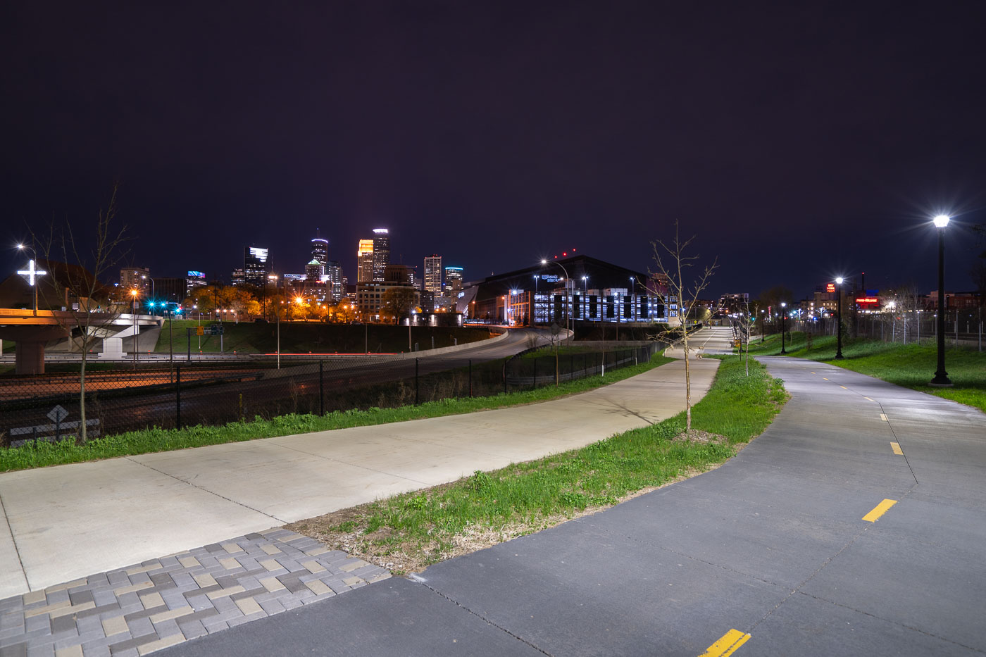
Samatar Crossing near Downtown Minneapolis
The Samatar Crossing shared use path near downtown Minneapolis. The path leads from Cedar Riverside to near US Bank Stadium.

Samatar Crossing near Downtown Minneapolis

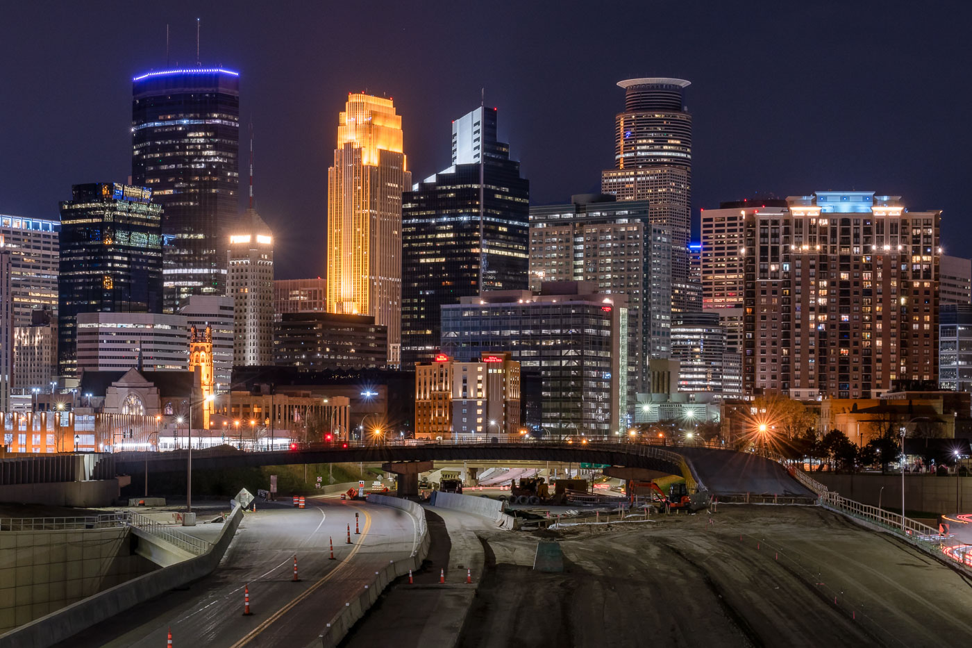
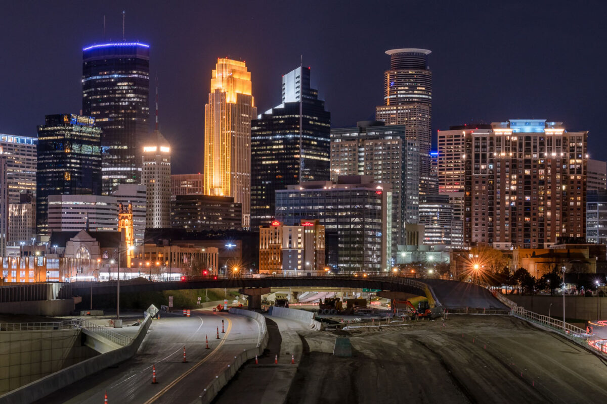
Interstate 35W construction site at night with downtown Minneapolis skyline and illuminated office towers beyond.
Interstate 35W cuts through downtown Minneapolis on its way between the northern and southern suburbs, carrying more than 100,000 vehicles a day under normal conditions. The tallest building on the skyline, the IDS Center, rises 792 feet and has held the title of Minnesota's tallest structure since its completion in 1972, designed by architect Philip Johnson. Capella Tower, completed in 1992 as the Norwest Center, stands 776 feet tall and is topped by a lattice crown that's lit gold for much of the year. This stretch of freeway saw major nighttime lane closures and repaving work in spring 2020, part of ongoing maintenance on one of the Twin Cities' primary north-south corridors.

I-35W Overnight Construction Beneath the Minneapolis Skyline
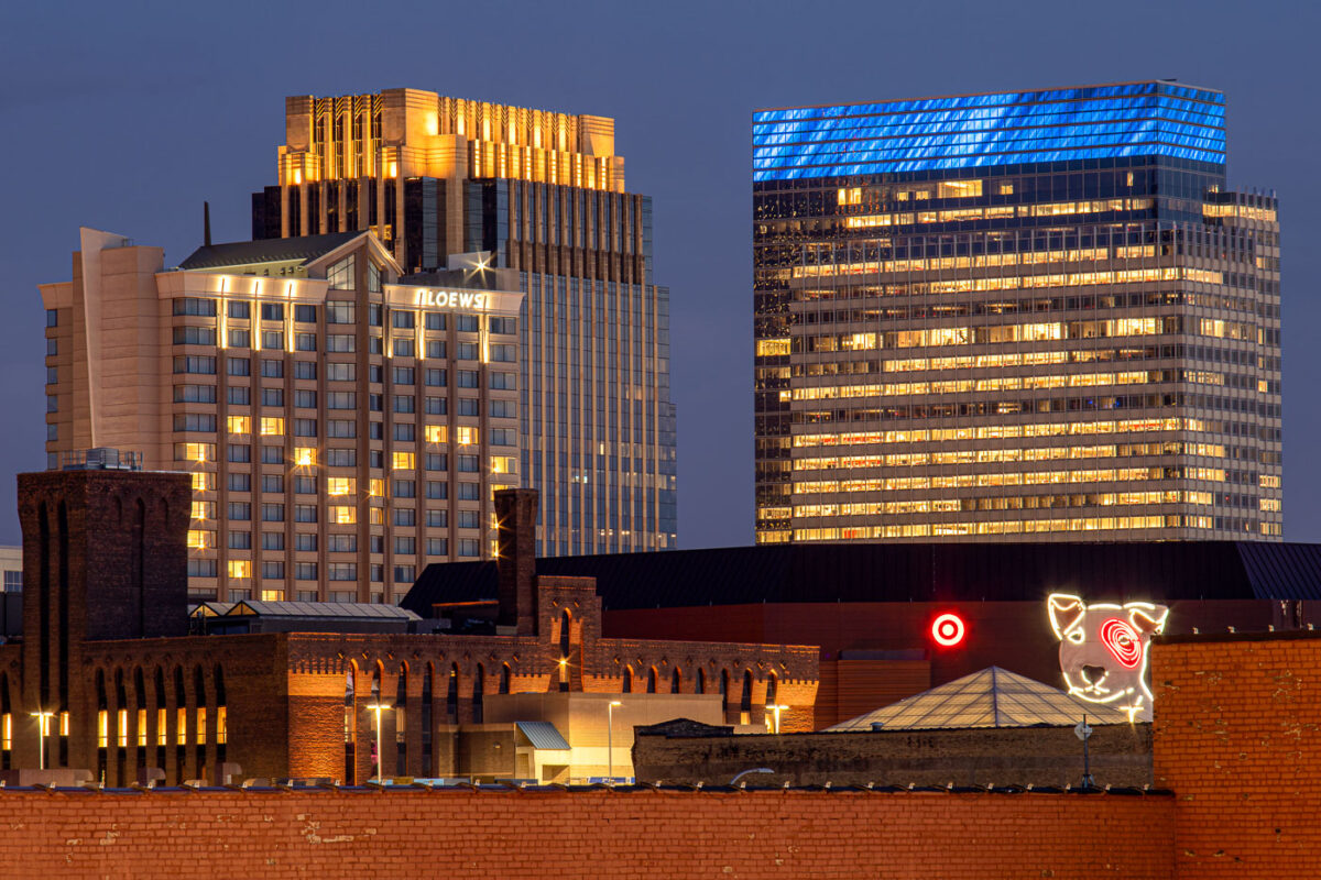
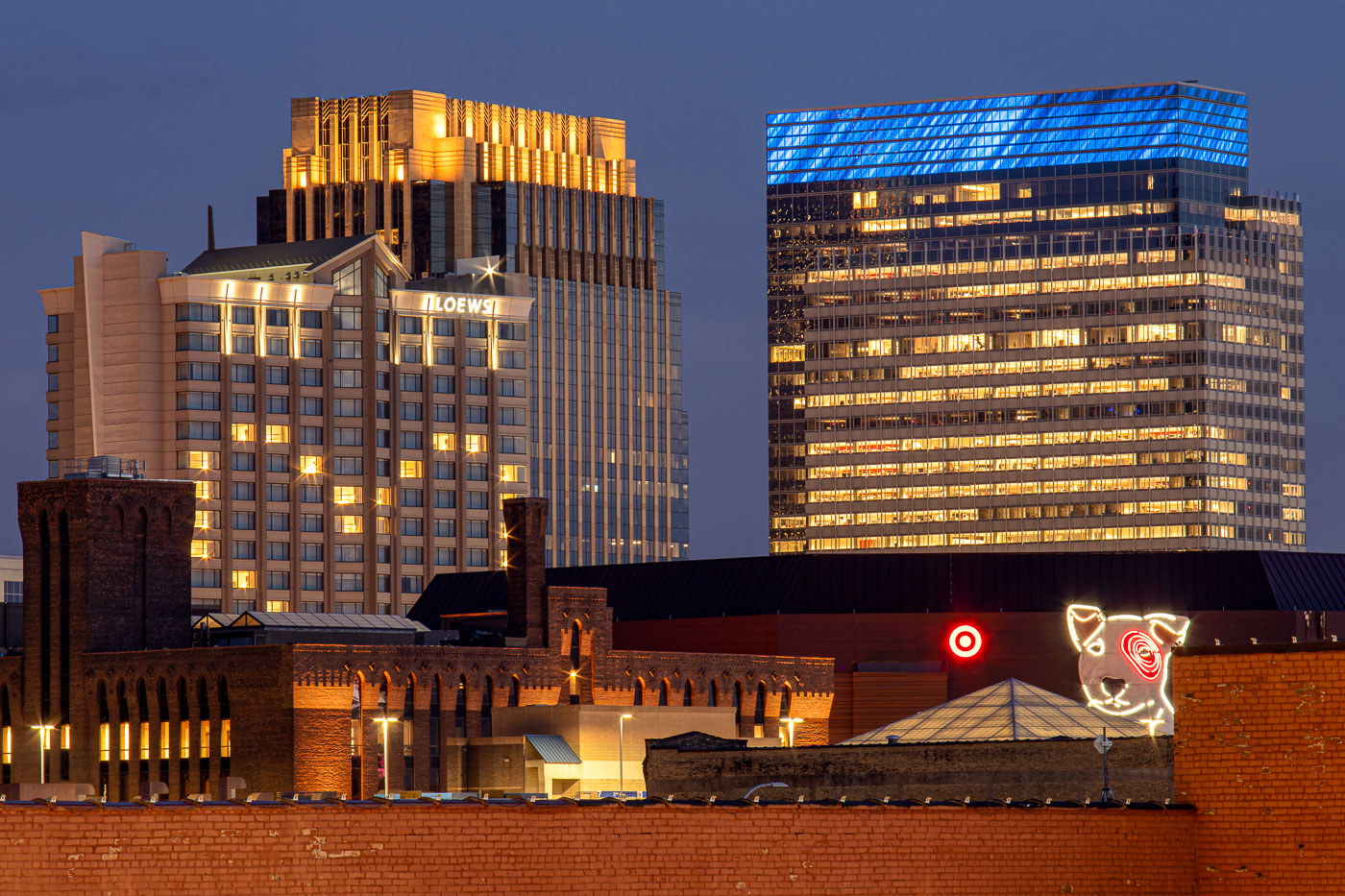
Loews Minneapolis Hotel and Target headquarters in downtown Minneapolis with Bullseye sign at dusk.
The Loews Minneapolis Hotel and the Target corporate headquarters are illuminated in downtown Minneapolis, Minnesota. The hotel occupies part of the LaSalle Plaza complex, while the office tower at right houses Target’s headquarters in the city where the retailer is based. In the foreground, the Bullseye dog sign and Target logo rise above lower commercial buildings, marking the company’s presence in the central business district.

Loews Hotel, Target Headquarters, and Target Dog in Minneapolis
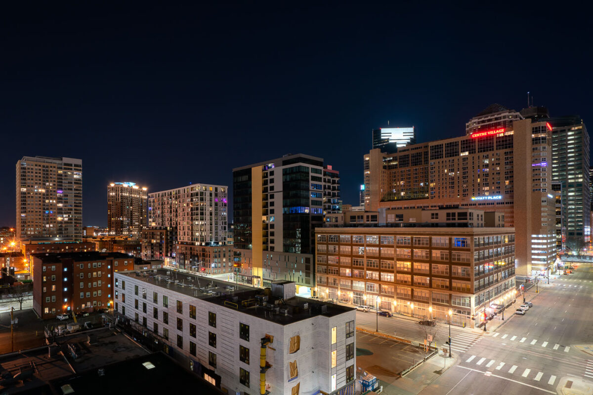
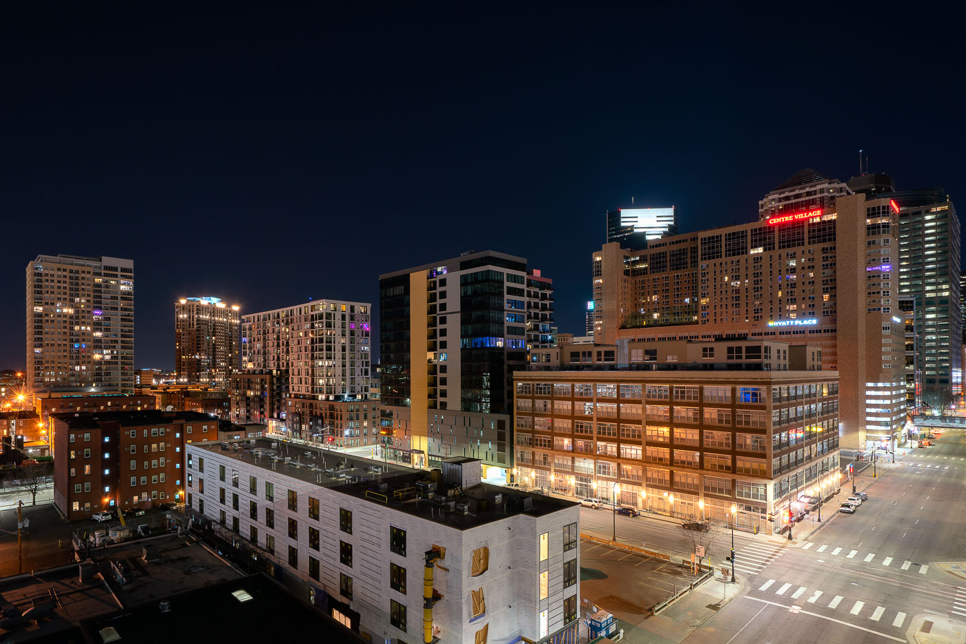
Centre Village and Hyatt Place in downtown Minneapolis at night during reduced Covid-19 activity in April 2020.
Centre Village and the Hyatt Place hotel in downtown Minneapolis, Minnesota, are shown at night in April 2020. The Centre Village complex, completed in 1984, combines residential and commercial uses, while Hyatt Place serves visitors and business travelers in the city center.

Centre Village and Hyatt Place, Downtown Minneapolis, Covid Era

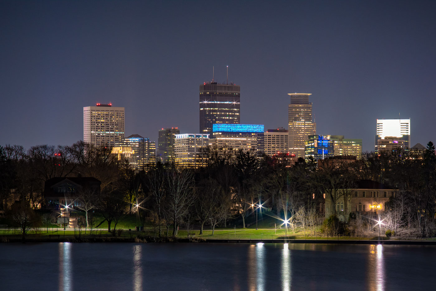
Downtown Minneapolis beyond Lake of the Isles at night.
Downtown Minneapolis rises beyond Lake of the Isles in Minneapolis, Minnesota, in a nighttime view from the city’s Chain of Lakes park system.

Minneapolis Skyline from Lake of the Isles at Night
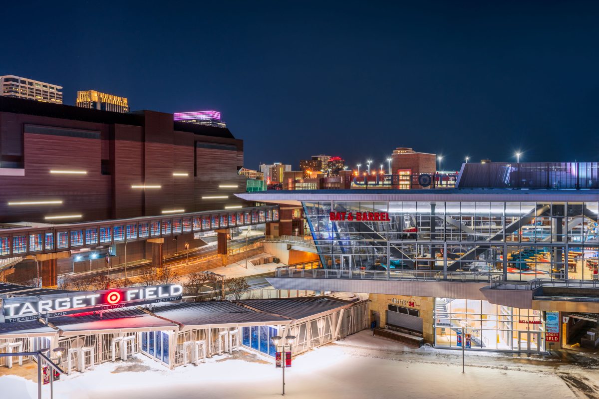
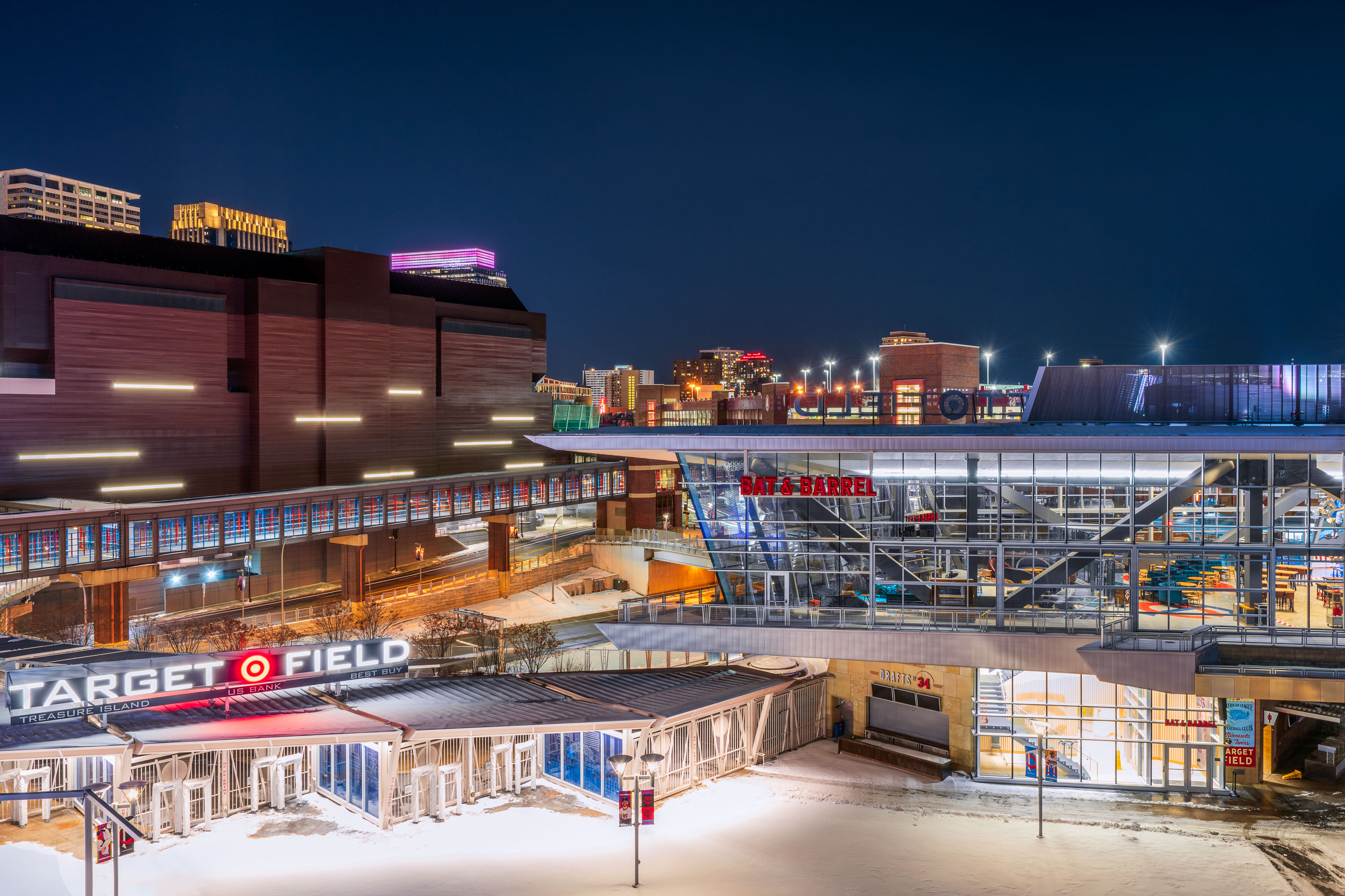
Target Field stadium and surrounding downtown Minneapolis buildings illuminated at night with snow on the ground.
Target Field, the home of the MLB Minnesota Twins. Located near the North Loop and Downtown Minneapolis.

Target Field and Bat & Barrel on a Snowy Night in Minneapolis
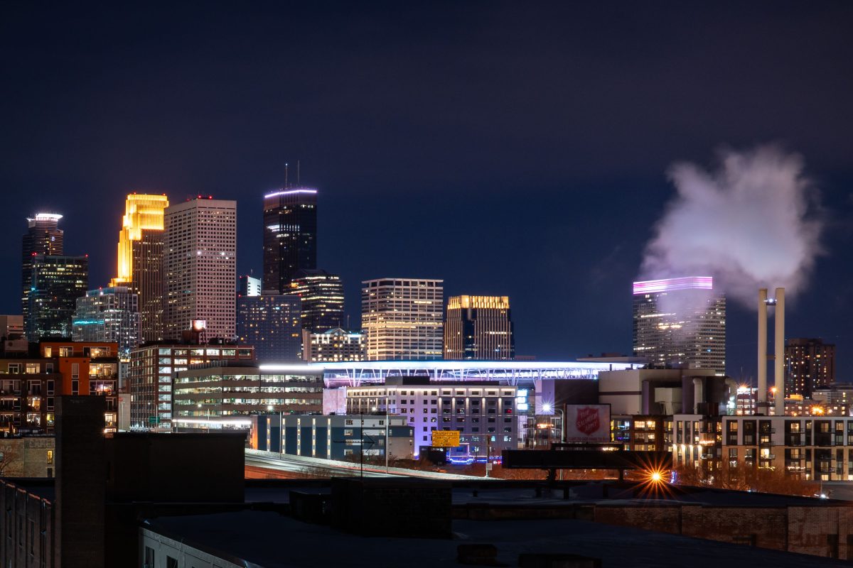
Target Field and downtown Minneapolis skyline at night, viewed from North Loop.
Target Field opened in 2010 as the home of the Minnesota Twins, ending the team's 28-year run at the Metrodome. The ballpark seats about 38,800 and was built from Minnesota-quarried limestone at a cost of roughly $545 million. Beyond the outfield, downtown Minneapolis rises with the 57-story Wells Fargo Center and the 775-foot IDS Center, the tallest building in the state since its 1972 completion. The twin smokestacks near the ballpark belong to a district energy plant that supplies steam heat to much of downtown.

Target Field Skyline at Night, Minneapolis

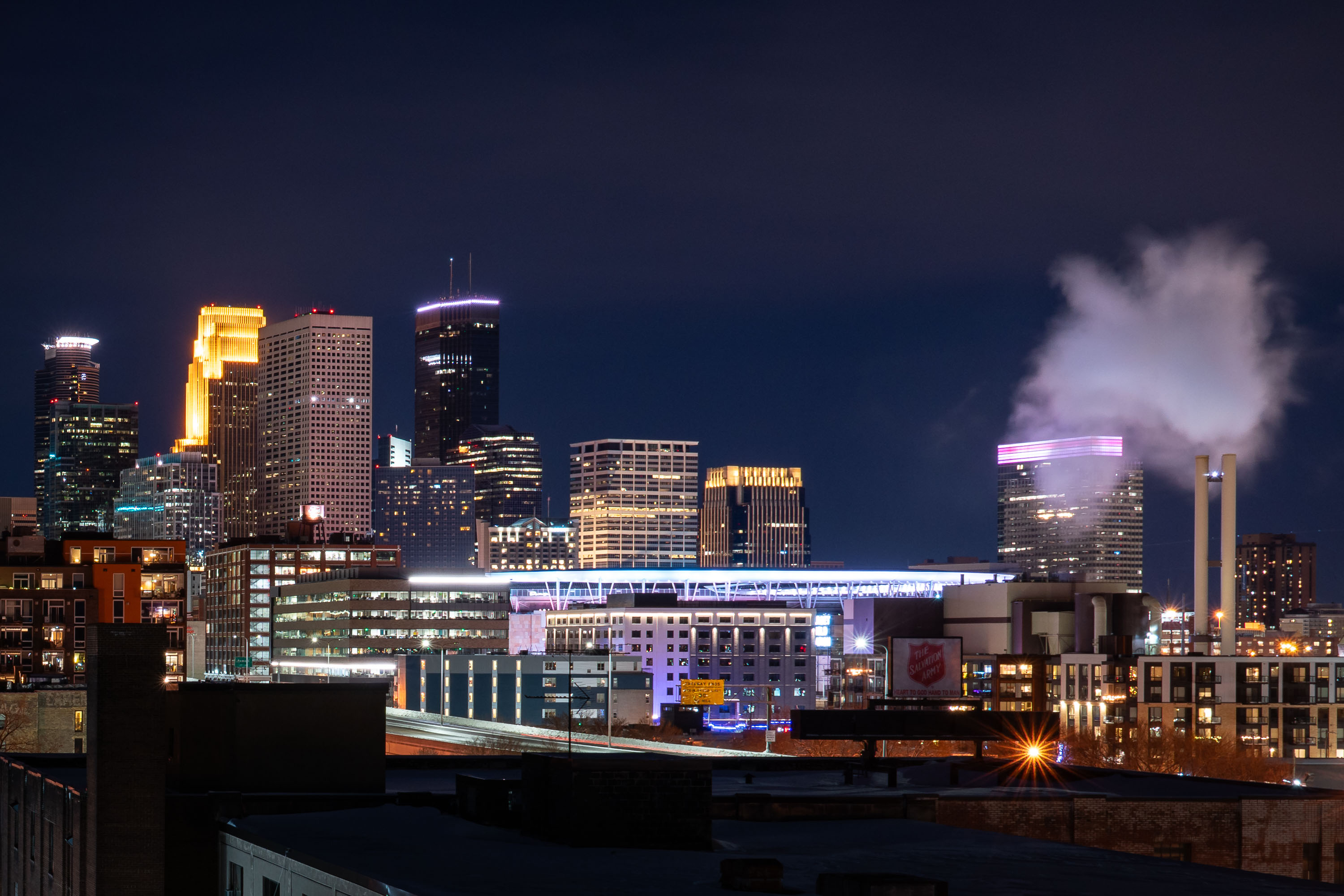
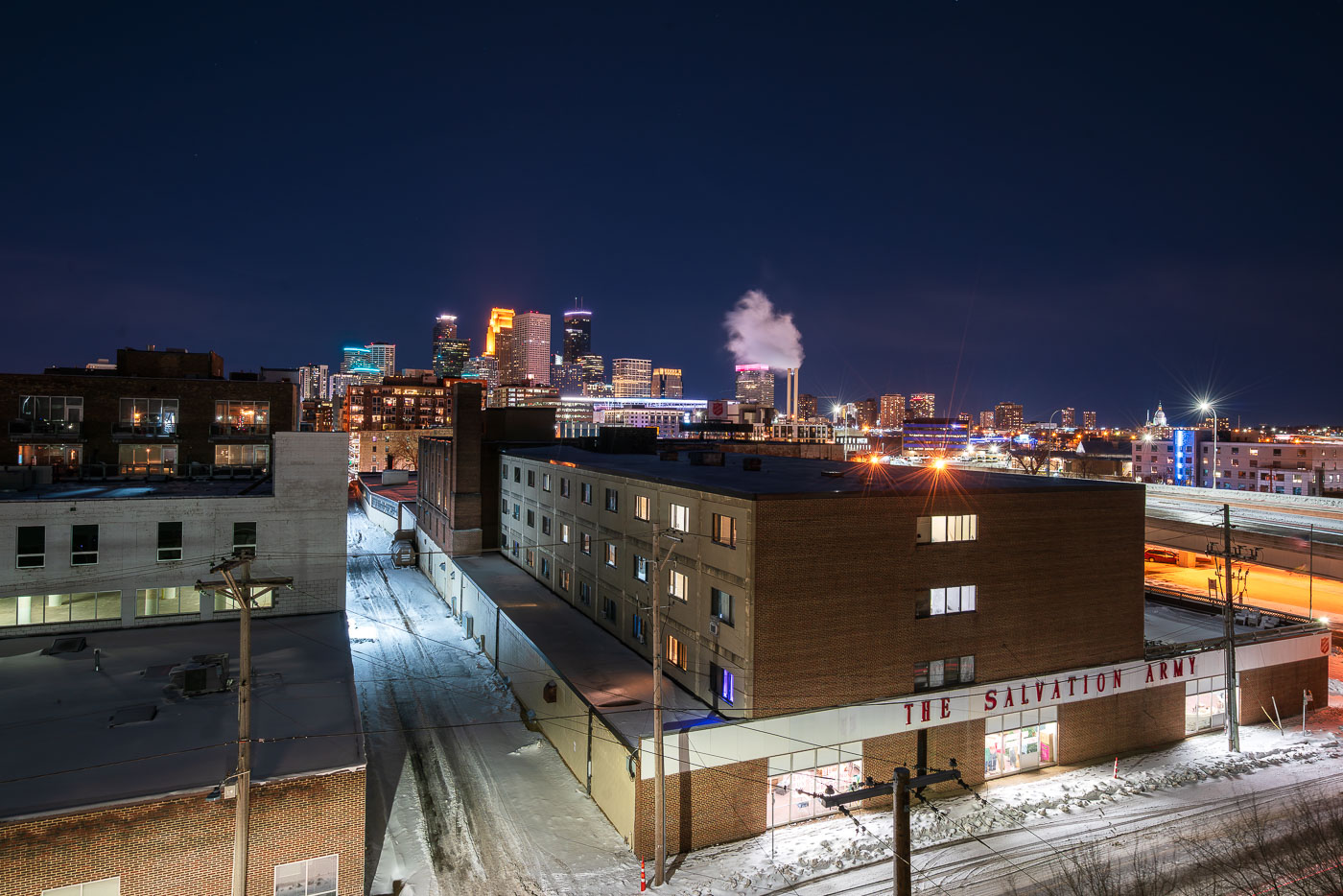
The Salvation Army facility in Minneapolis stands near downtown with the skyline behind it at night.
The Salvation Army facility in Minneapolis stands near downtown with the city skyline in the background. The organization provides social services and humanitarian aid in the city through local programs and emergency support. Its Minneapolis presence dates to the late 19th century.

The Salvation Army, Minneapolis at Night
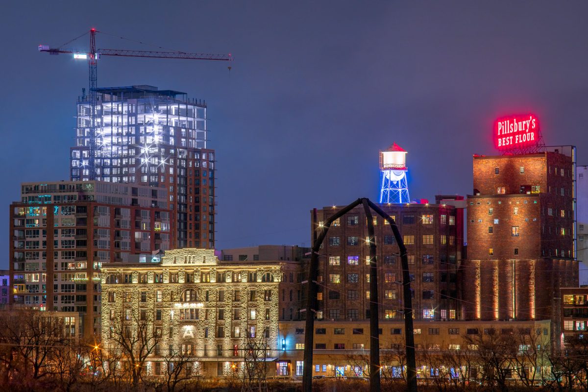
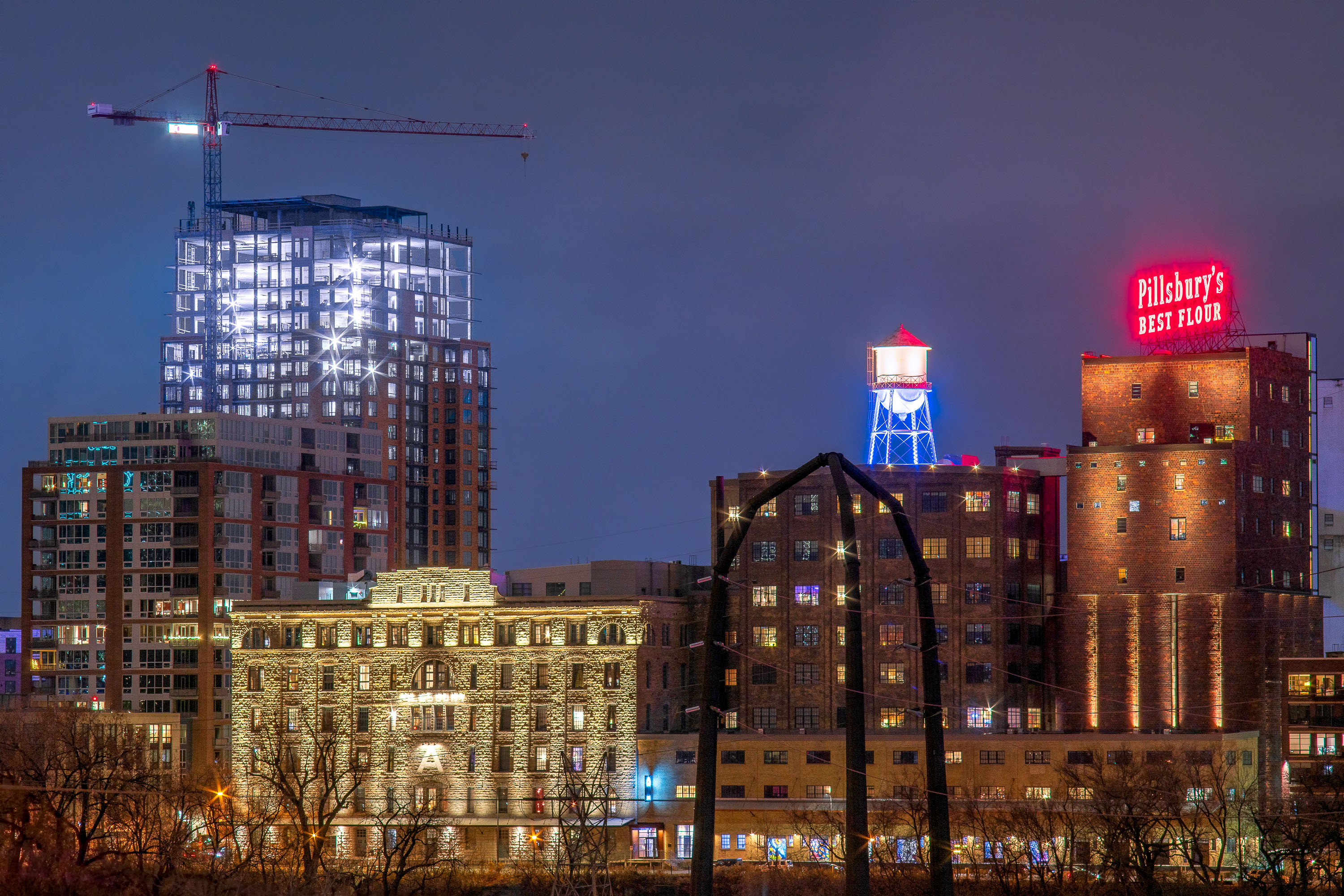
Pillsbury "A" Mill and water tower illuminated at night along Minneapolis's Main Street with the Expo building under construction.
The Pillsbury A Mill sits on the Mississippi riverfront at 415 Main Street SE, built in 1881 by Charles Pillsbury on the site of an earlier mill destroyed by an explosion. At the time of its construction, it was the largest flour mill in the world, producing wheat flour under the "Pillsbury's Best" name that still glows in neon atop the building. The mill operated until 2003 and was later designated a National Historic Landmark; it now houses the A-Mill Artist Lofts, an affordable housing complex for working artists completed in 2015. The water tower beside it, part of the historic milling complex, has been restored as a lighted architectural feature rather than a working tank. The Expo, the glass tower rising behind the mill, is part of the Mill & Main development along Main Street SE, adding market-rate apartments to the former industrial riverfront district.

Pillsbury A Mill and The Expo Tower, Minneapolis, MN
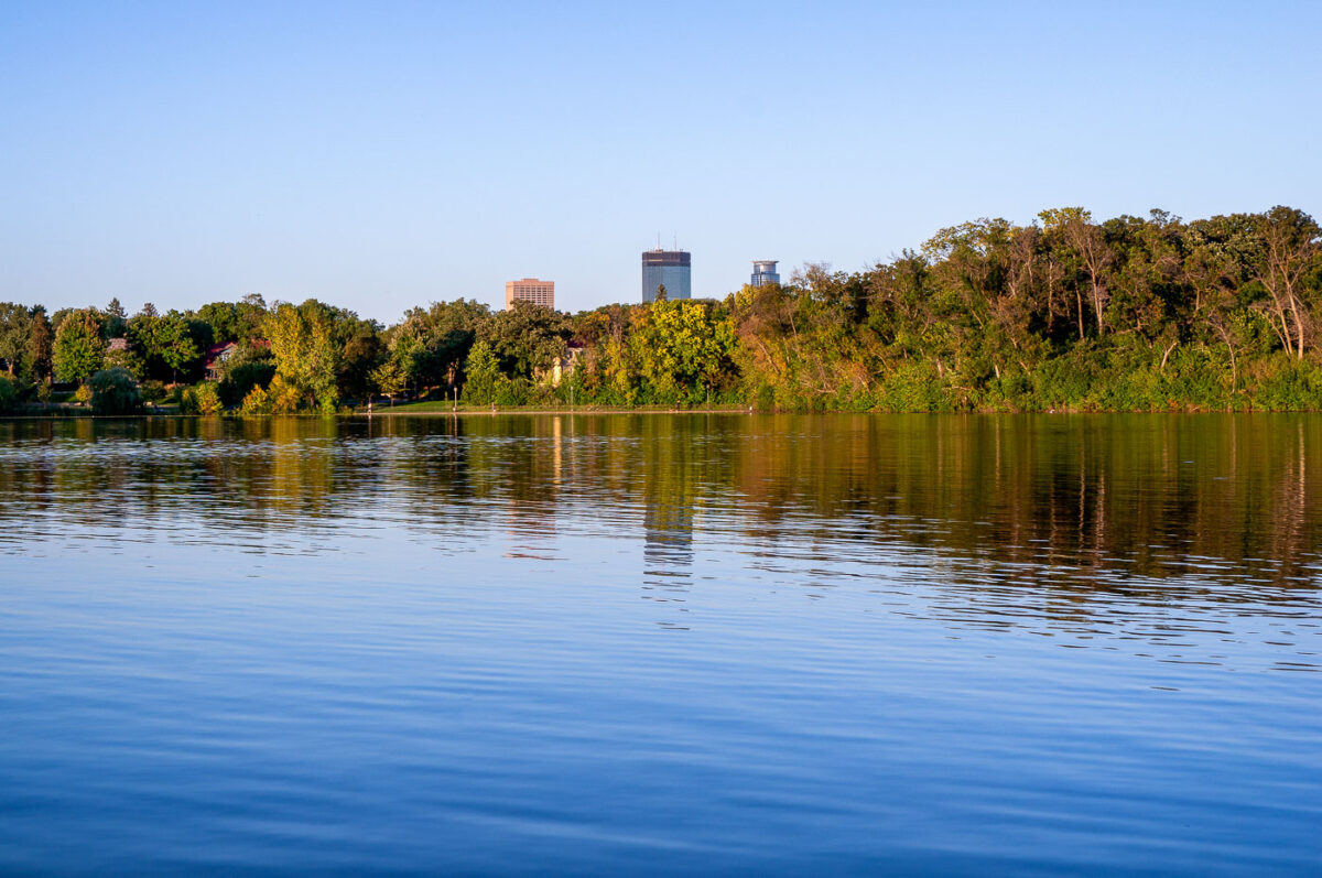
Minneapolis skyline from Lake of the Isles with IDS Center and Capella Tower.
Minneapolis skyline from Lake of the Isles in Minneapolis, Minnesota. The IDS Center and Capella Tower rise above the trees on the far shore.

Minneapolis skyline from Lake of the Isles

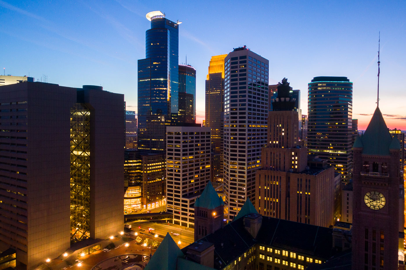
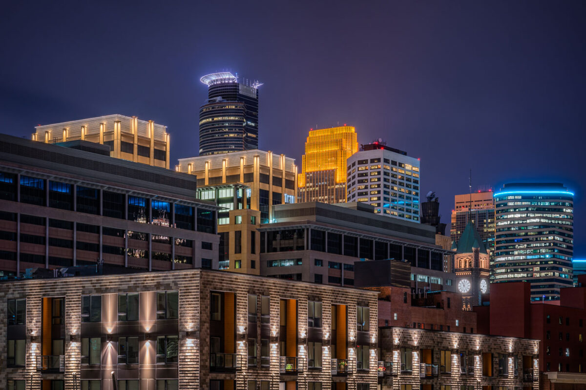
Illuminated downtown Minneapolis skyline at night featuring the IDS Center and Wells Fargo Tower among modern high-rises.
Capella Tower, completed in 1992, stands 776 feet tall and is known for the ring of lights around its crown. Minneapolis City Hall, built from 1888 to 1909, stands nearby with a clock tower whose four faces each measure about eleven and a half feet across.

Minneapolis City Hall Clock Tower and Capella Tower at Night
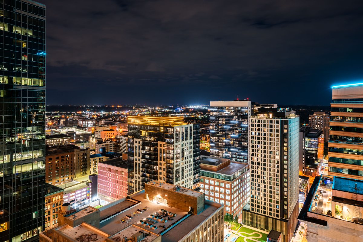
Nic on Fifth residential tower and downtown Minneapolis skyline at night with illuminated buildings.
Nic on Fifth is a residential high-rise at 40 South Ninth Street in downtown Minneapolis, completed in 2015 with 40 stories of apartments. It stands among the towers near Nicollet Mall, with downtown's office and residential buildings spreading out toward the horizon.

Nic on Fifth Rises Over the Downtown Minneapolis Skyline
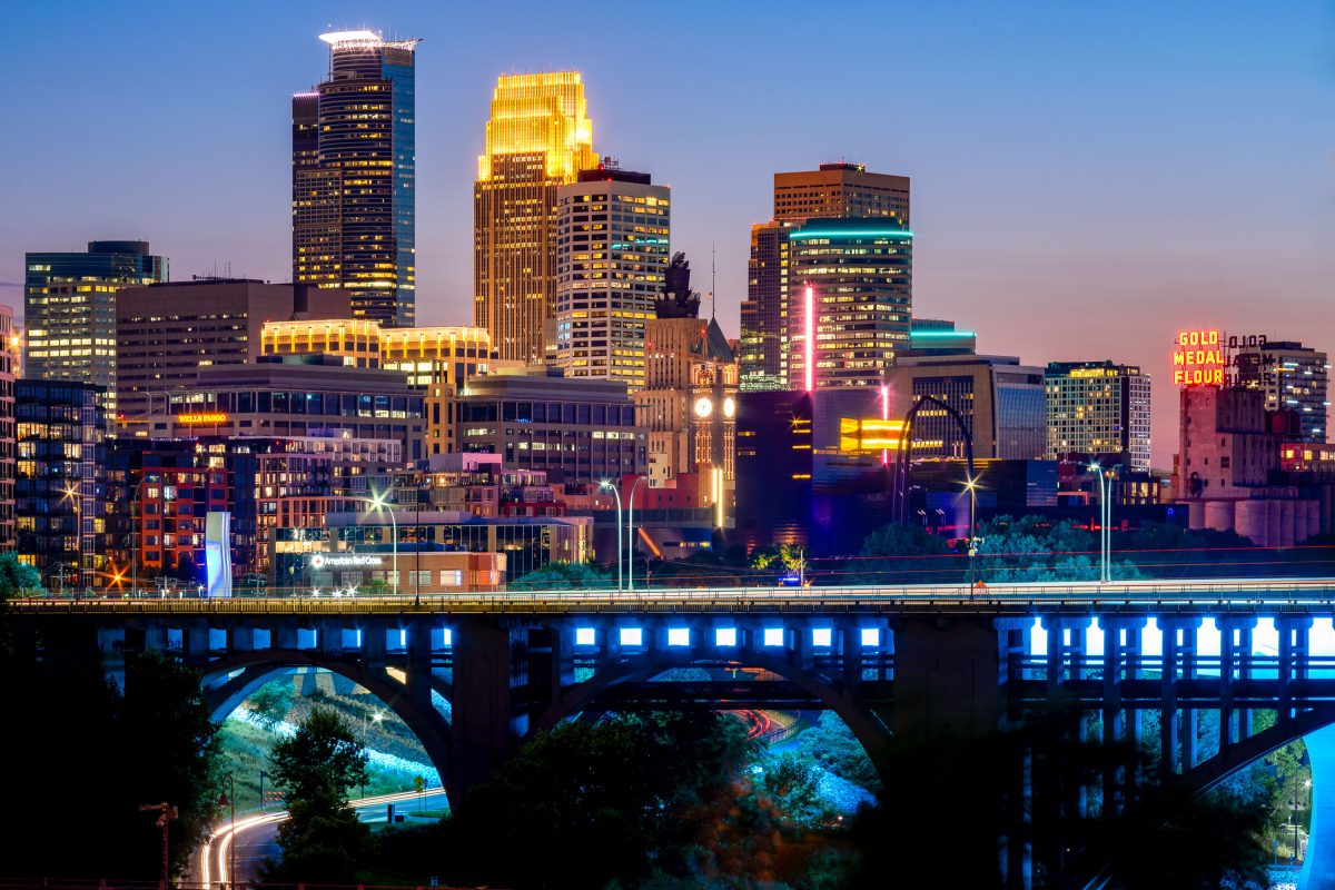
Downtown Minneapolis skyline at dusk with the 10th Avenue Bridge spanning the Mississippi River below.
Built in 1929, the concrete arch bridge spans the river just downstream from Saint Anthony Falls. The Gold Medal Flour sign marks the old Washburn-Crosby mill complex, now home to the Mill City Museum.

Minneapolis Skyline Above the 10th Avenue Bridge
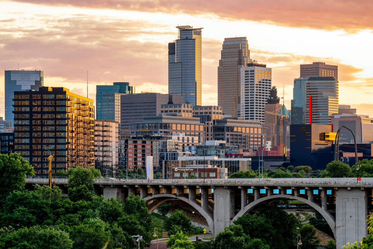
The 10th Avenue Bridge spans the Mississippi River with downtown Minneapolis skyline and Capella Tower at sunset.
The 10th Avenue Bridge crosses the Mississippi River between the West Bank and the University of Minnesota's East Bank campus. Built in 1929, it's a concrete arch bridge carrying Tenth Avenue Southeast into downtown Minneapolis.

Downtown Minneapolis Skyline Above the 10th Avenue Bridge
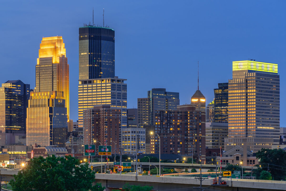
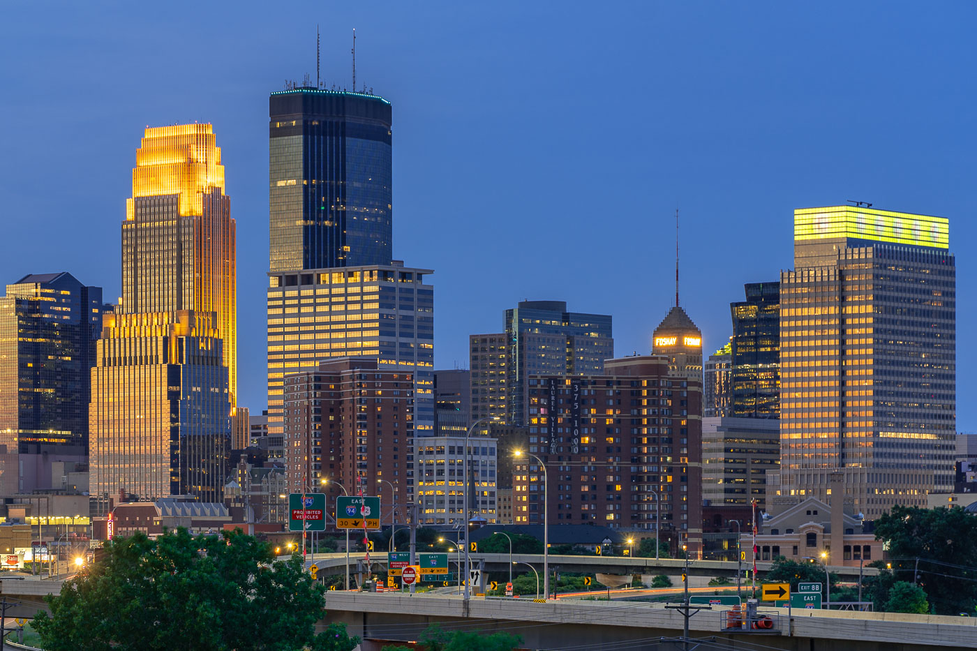
Downtown Minneapolis skyline at dusk with the IDS Center and Foshay Tower illuminated above Interstate 94.
The IDS Center and Foshay Tower stand above Interstate 94 in downtown Minneapolis. The IDS Center, completed in 1972, is 792 feet tall, the tallest building in Minnesota. The Foshay Tower, finished in 1929 and modeled after the Washington Monument, held that title until the IDS Center surpassed it.

IDS Center and Foshay Tower Above Interstate 94 in Minneapolis
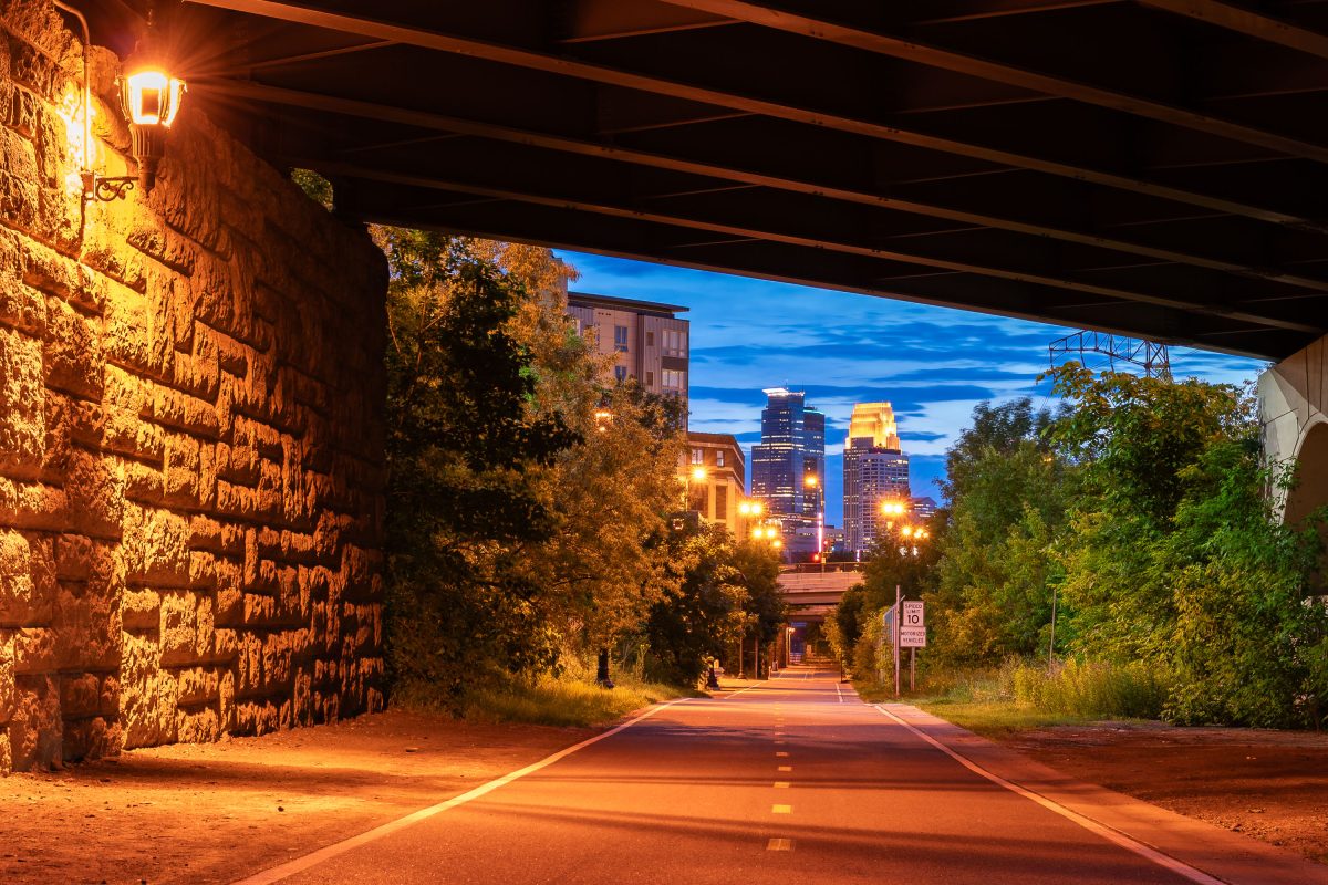
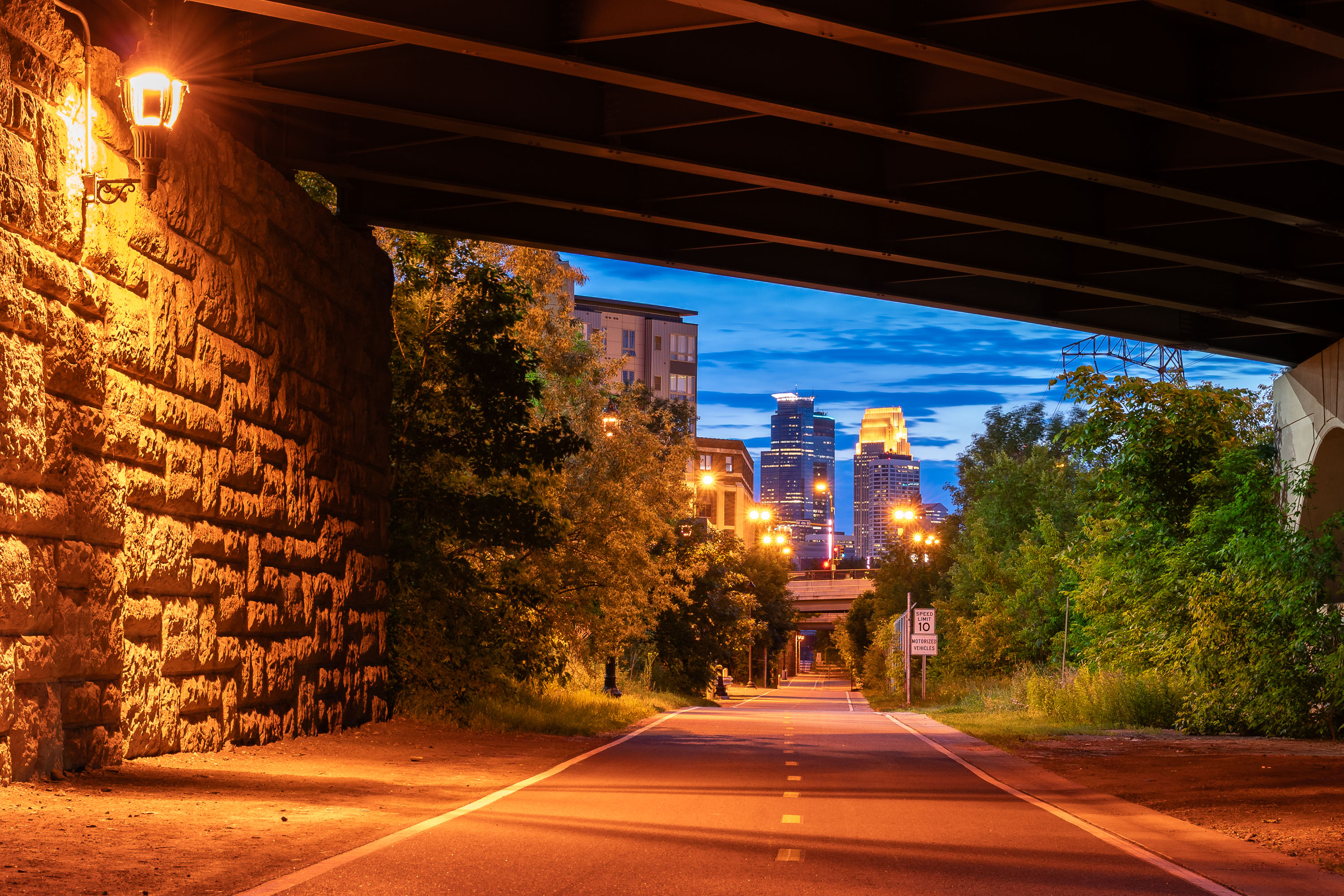
Dinkytown Greenway bike trail in Minneapolis at dusk, with downtown skyline illuminated in the background.
The Dinkytown Greenway is a paved bike and pedestrian trail built along a former Burlington Northern rail line, running beneath historic stone railroad bridges near the University of Minnesota.

Downtown Minneapolis Skyline from the Dinkytown Greenway
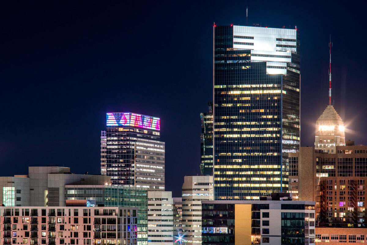
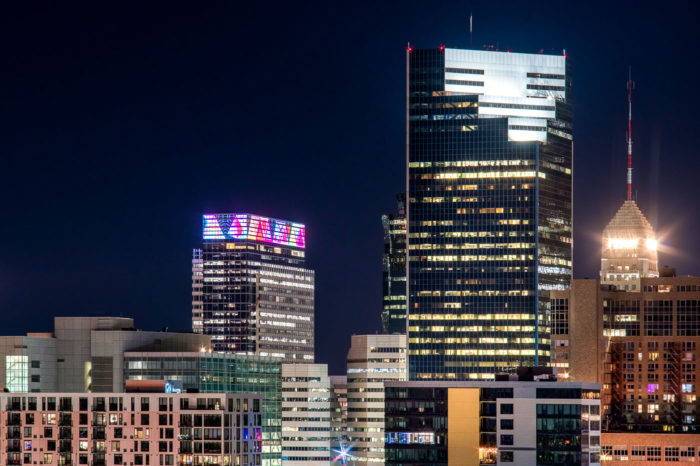
Downtown Minneapolis skyline at night with Target Plaza South, Campbell Mithun Tower, and Foshay Tower.
Downtown Minneapolis skyline at night includes Target Plaza South, the Campbell Mithun Tower, and the Foshay Tower. Target Plaza South houses Target’s corporate headquarters, while the Foshay Tower is a 1929 Art Deco skyscraper that was once the city’s tallest building. The Campbell Mithun Tower stands nearby in the city’s central business district.

Minneapolis Skyline: Target HQ, Campbell Mithun Tower, Foshay Tower
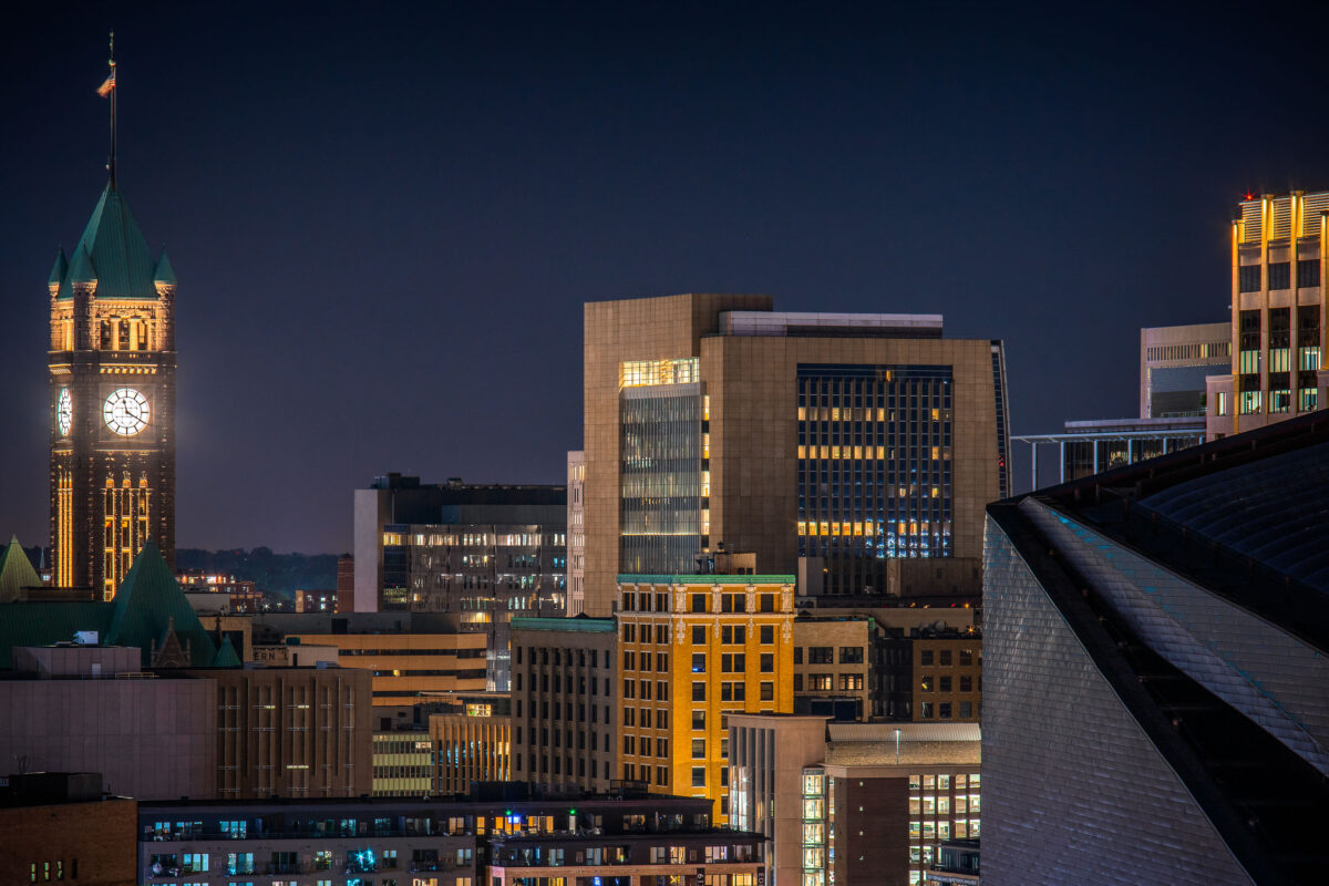
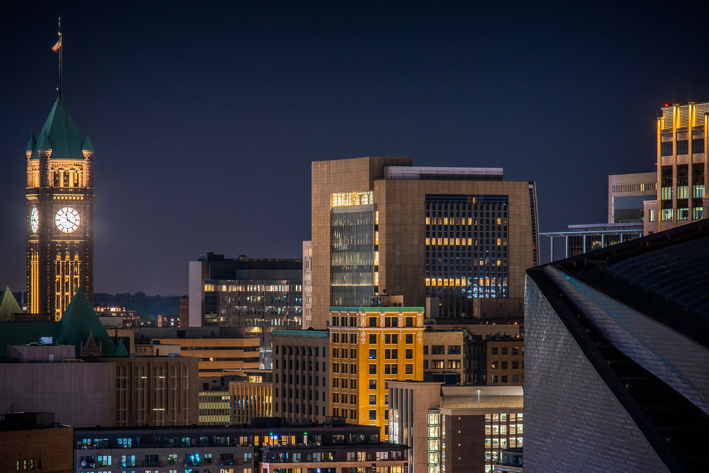
Minneapolis City Hall's illuminated clock tower and green copper roof rise above the downtown skyline at night.
Minneapolis City Hall’s clock tower rises above downtown Minneapolis at night. The historic building was completed in 1909.

Downtown Minneapolis Skyline with City Hall’s Clock Tower
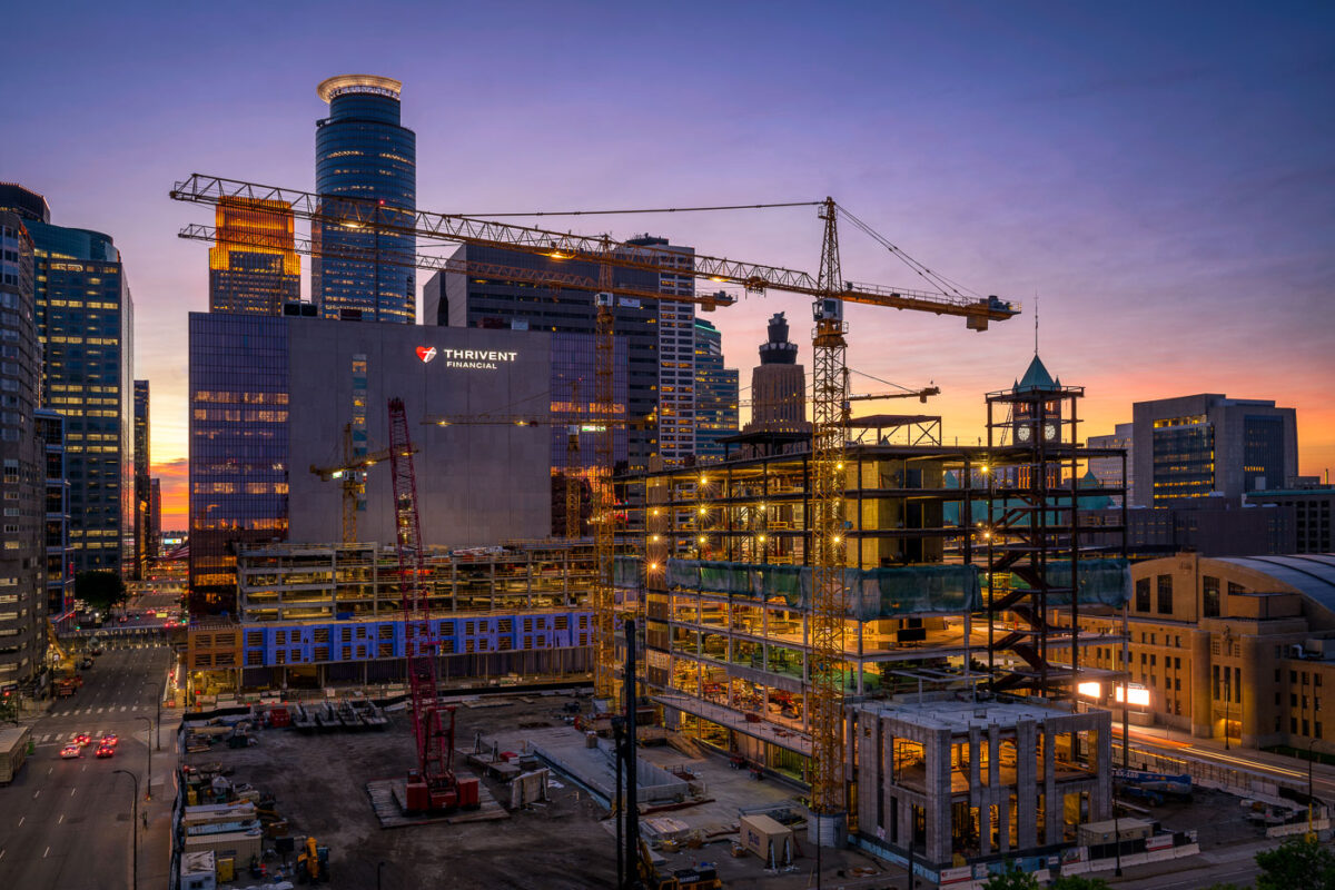
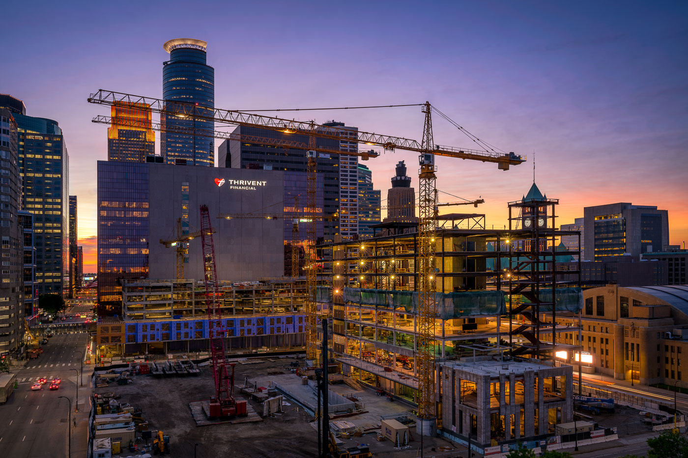
Construction of the Thrivent Financial campus in downtown Minneapolis
Construction of the Thrivent Financial campus in downtown Minneapolis is underway, with the company's existing building visible alongside the new structure. The project, which began in 2018, is designed to consolidate Thrivent's operations into a single, modern facility. The new building features a distinctive glass facade and is situated adjacent to the historic Milwaukee Road Depot, a landmark of Minneapolis's transportation history.

Thrivent Financial Construction Downtown Minneapolis at Sunset
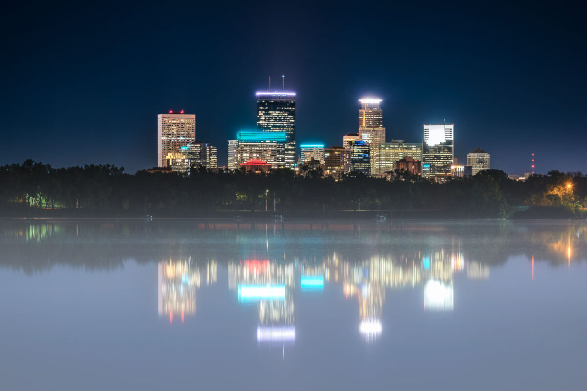
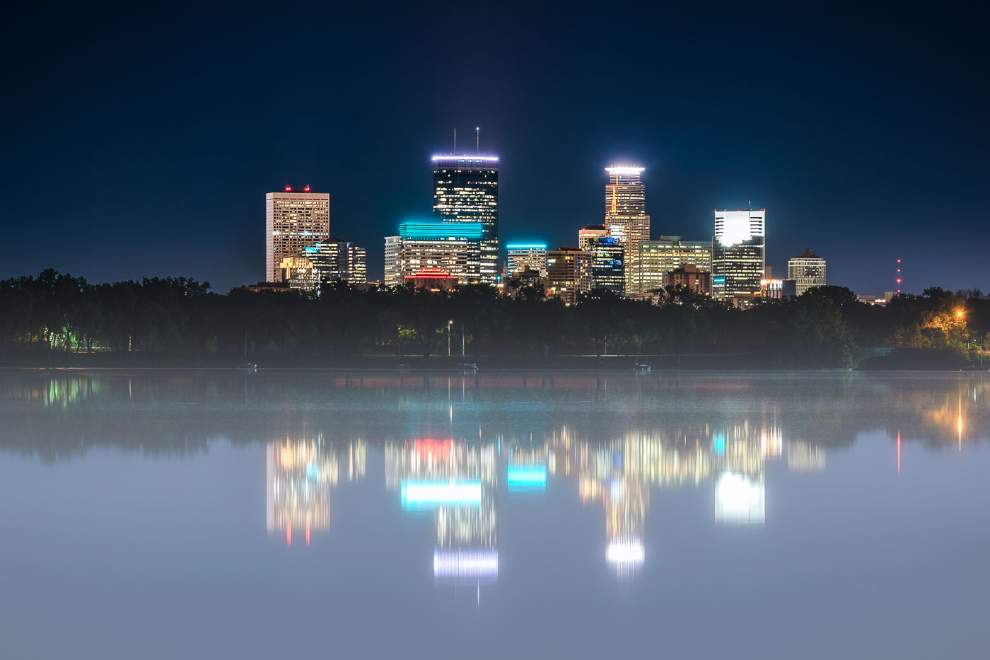
Minneapolis skyline with IDS Center and surrounding buildings mirrored in foggy Bde Maka Ska at night.
The Minneapolis skyline, including prominent structures such as the IDS Center, Capella Tower, and Wells Fargo Center, is reflected in the calm waters of Bde Maka Ska on a foggy night. Bde Maka Ska, the city's largest lake, is part of the Minneapolis Chain of Lakes, a system of lakes and parkland that has been central to the city's identity and development since the late 19th century.

Foggy Night Reflection of the Minneapolis Skyline on Bde Maka Ska
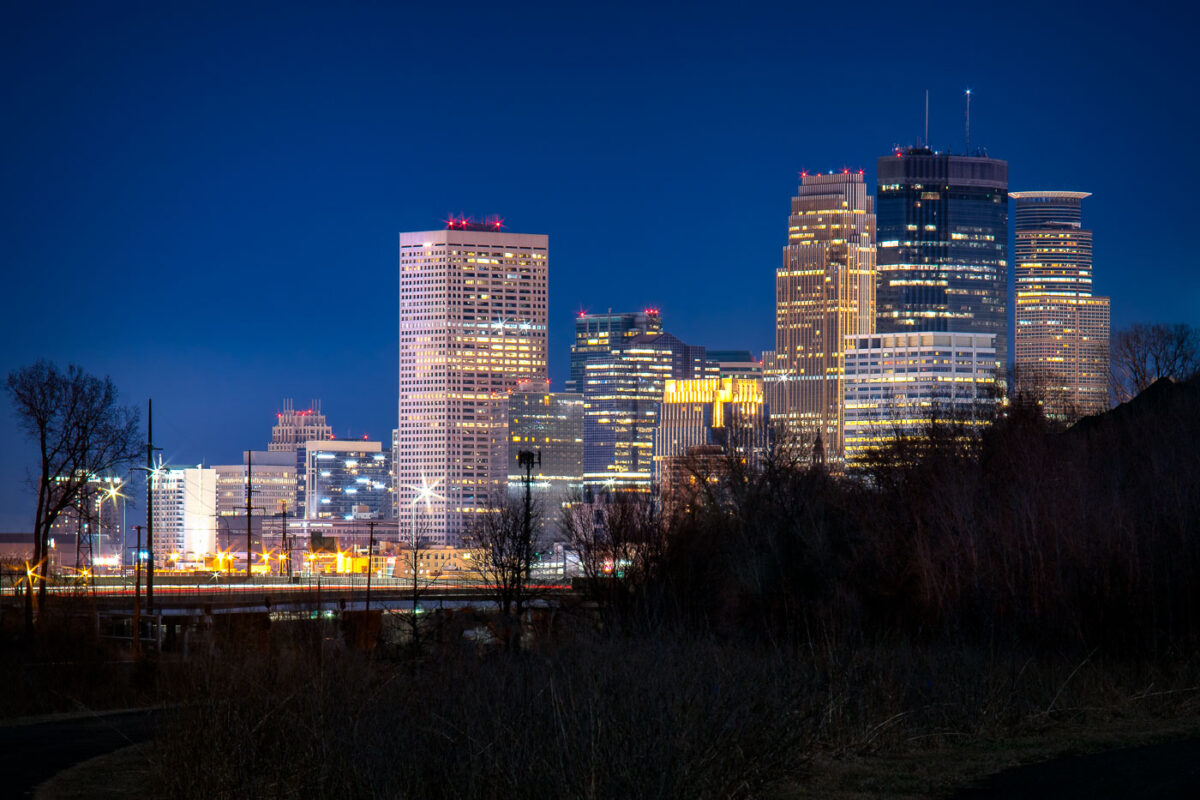
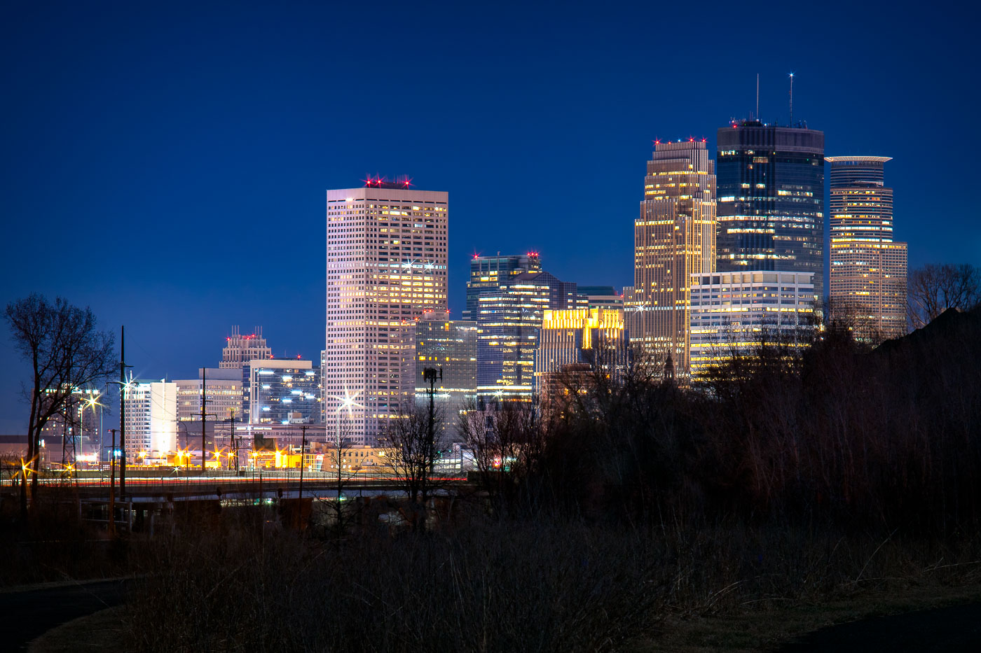
Minneapolis downtown skyline at twilight, viewed from Cedar Lake Trail with illuminated office towers against a deep blue sky.
Downtown Minneapolis's skyscrapers stand along the Cedar Lake Trail, including the IDS Center and Capella Tower. The IDS Center, completed in 1972, is Minnesota's tallest building at 792 feet.

Downtown Minneapolis Skyline Seen from the Cedar Lake Trail
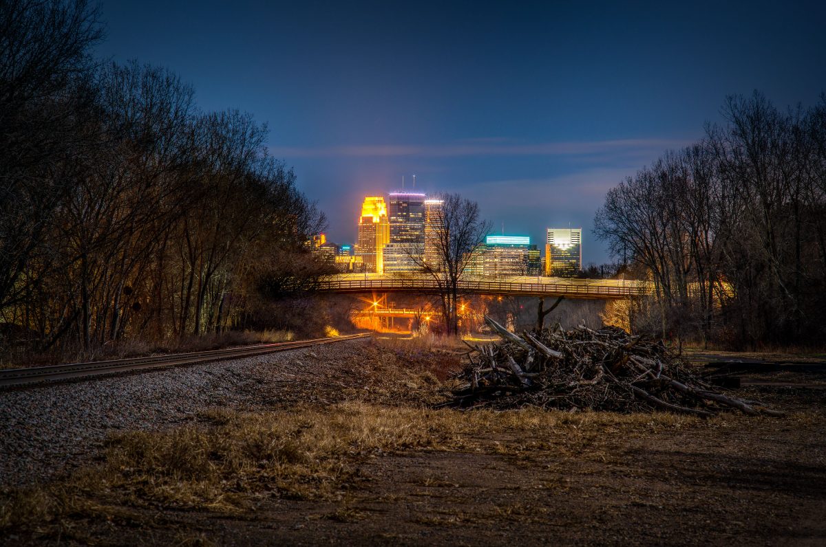
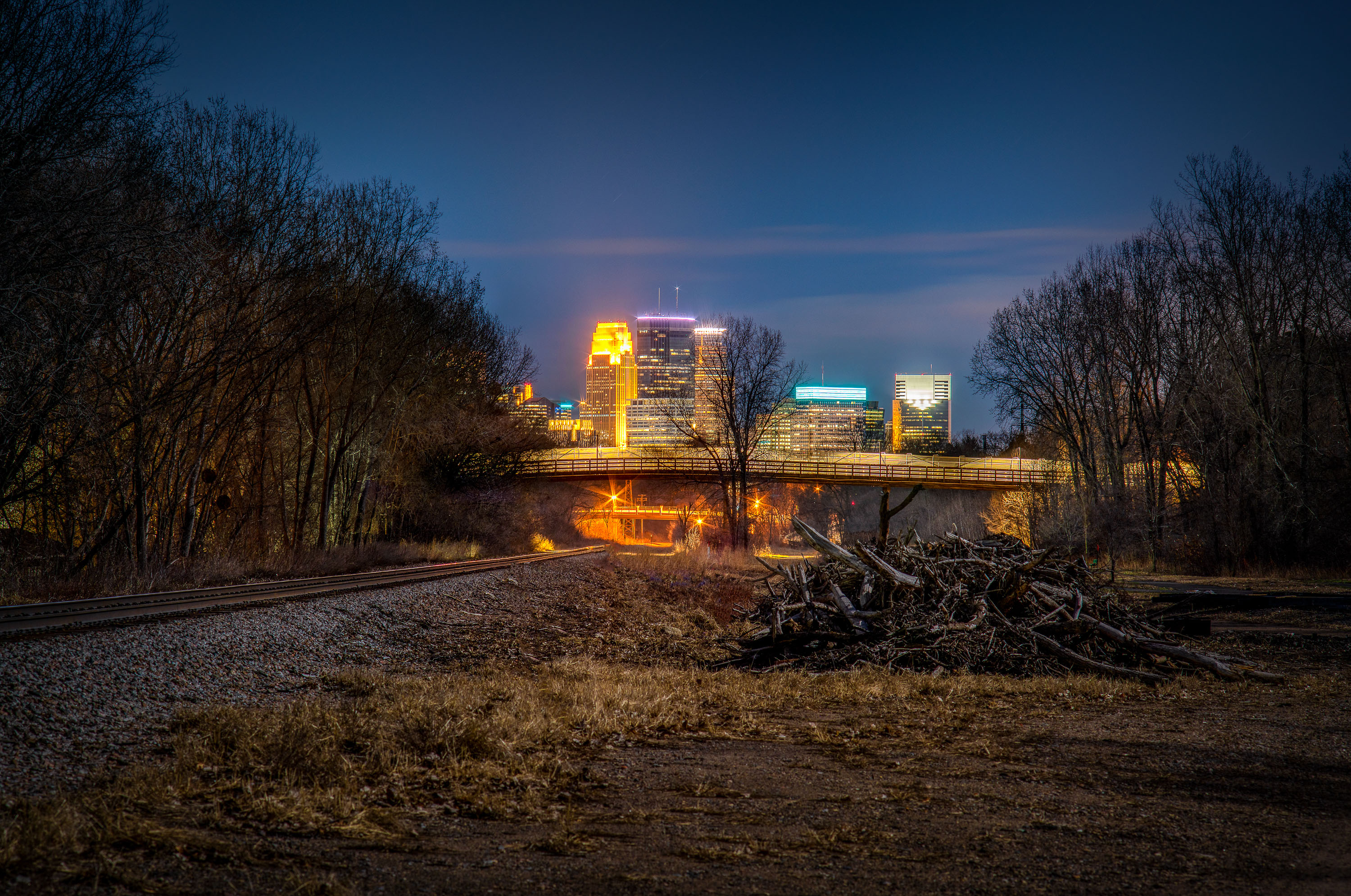
North Cedar Lake Trail, St. Louis Park, MN.
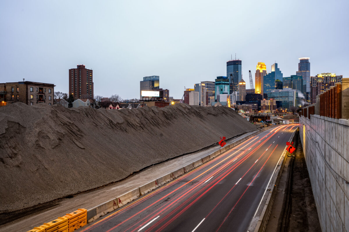
North Cedar Lake trail in St. Louis Park, Minnesota

North Cedar Lake Trail, St. Louis Park, MN.

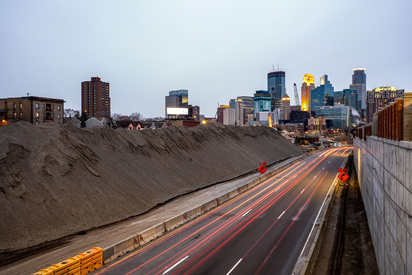
Excavated earth and traffic on Interstate 35W construction site near downtown Minneapolis skyline.
Interstate 35W underwent major reconstruction near downtown Minneapolis during this period. The project involved extensive earthwork and roadway modifications, with excavated material staged alongside the highway corridor. The construction activity was visible from multiple vantage points throughout the downtown area, marking a significant infrastructure undertaking in the city's transportation network.

Interstate 35W Construction Site, Minneapolis
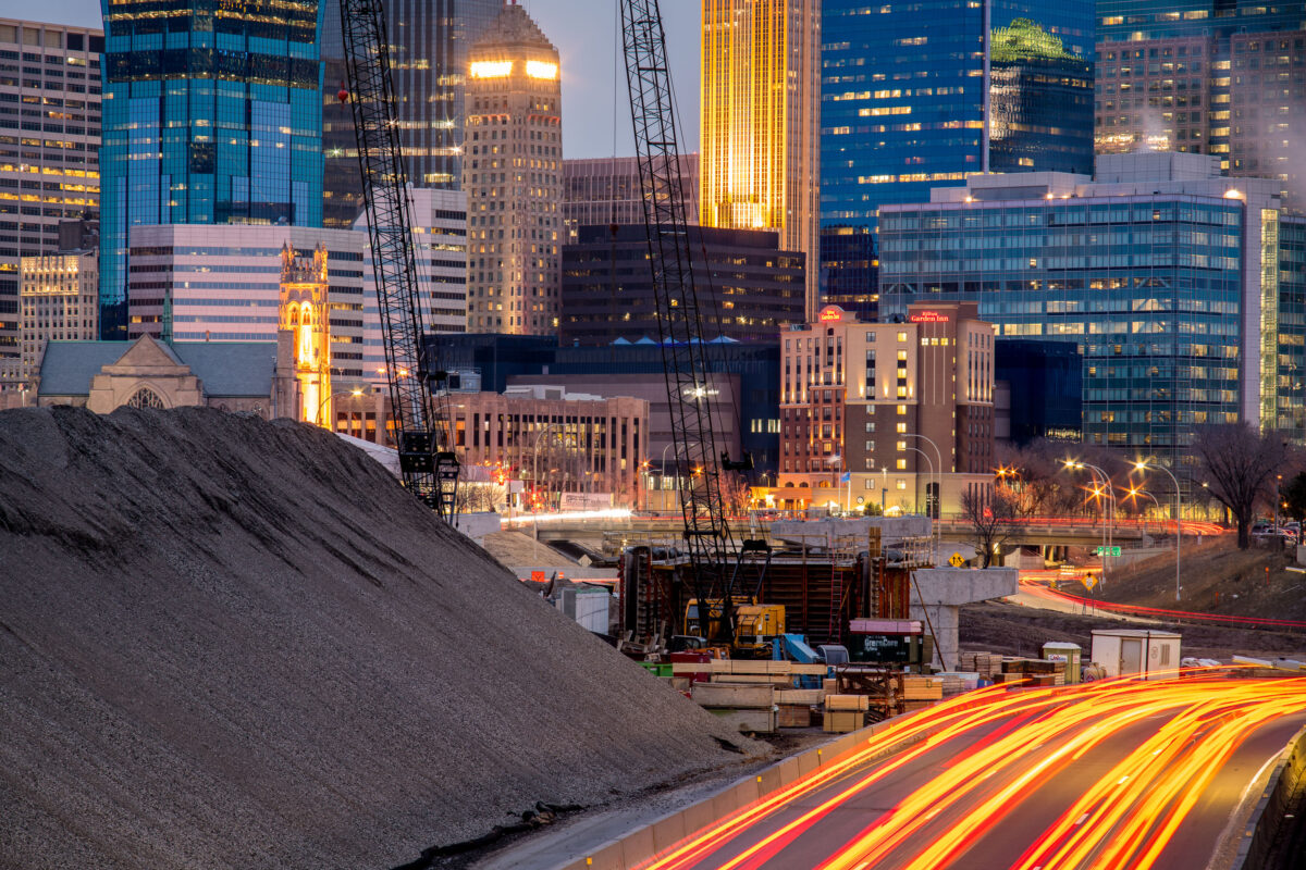
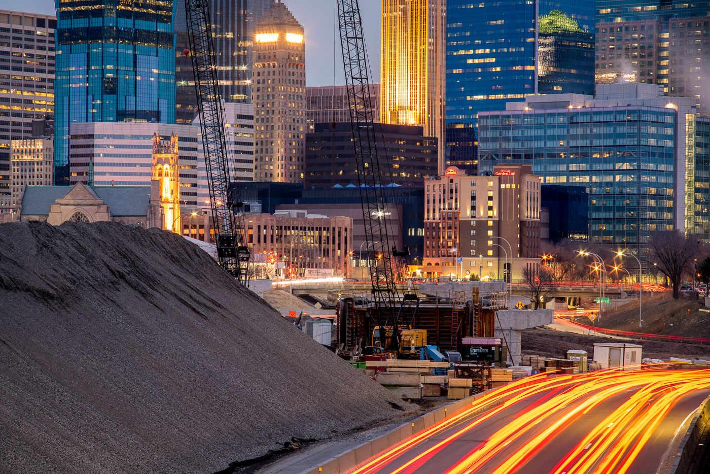
Interstate 35W construction site in downtown Minneapolis at dusk, with the Foshay Tower and illuminated skyline in the background.
Interstate 35W construction on the south edge of downtown Minneapolis is framed by the central business district, including the Foshay Tower and the Hilton Garden Inn.

I-35W Construction Below the Foshay Tower at Dusk
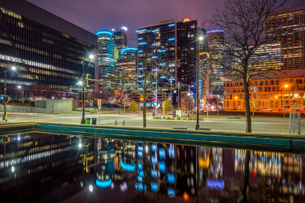
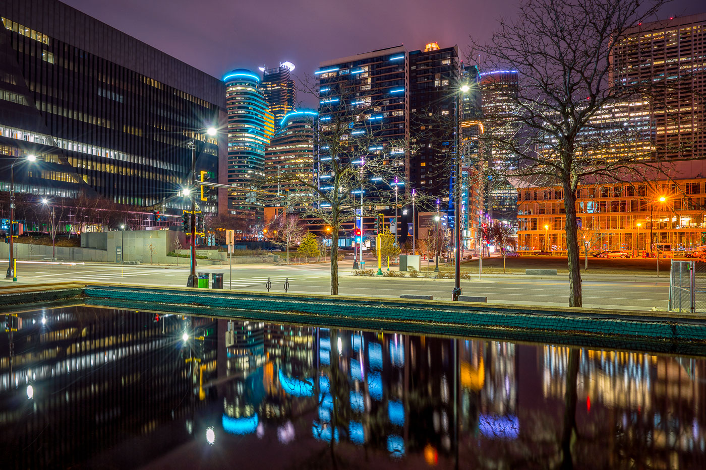
Illuminated downtown Minneapolis office and residential towers rise above a still water feature near Nicollet Mall at night.
Downtown Minneapolis's towers rise near Nicollet Mall, including Capella Tower and the Fifth Street Towers, among office buildings and residential high-rises built up in the 2000s and 2010s.

Minneapolis Skyline Reflected in a Water Feature Near Nicollet Mall
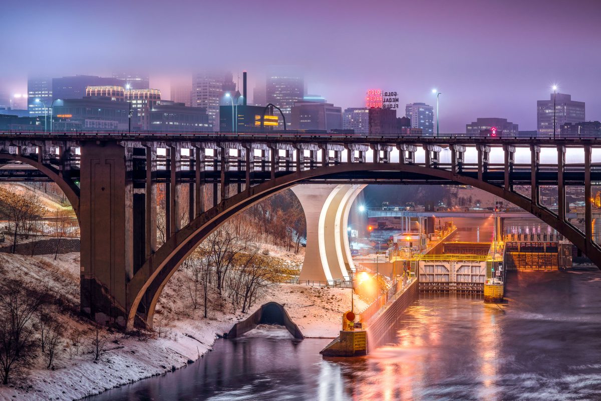
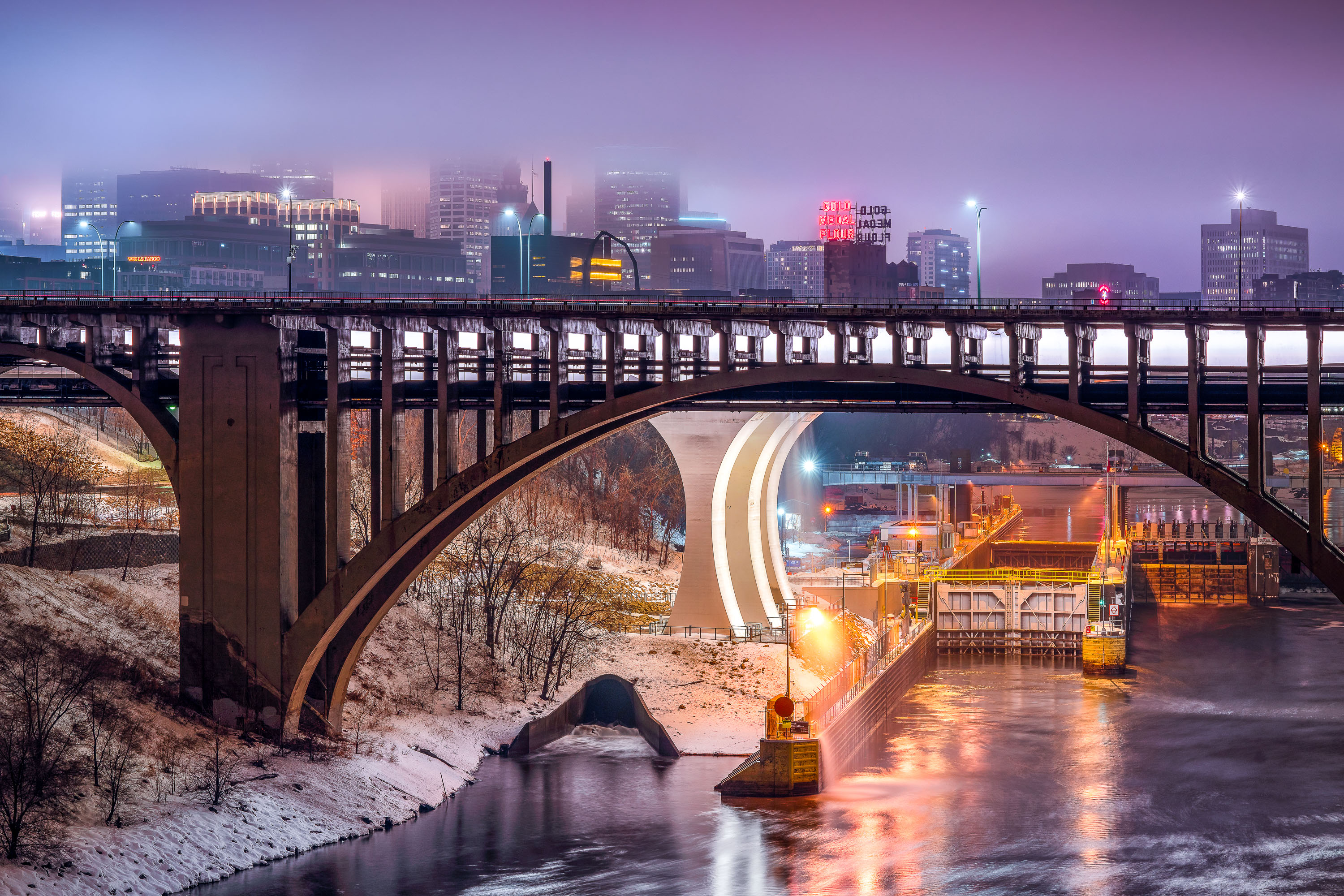
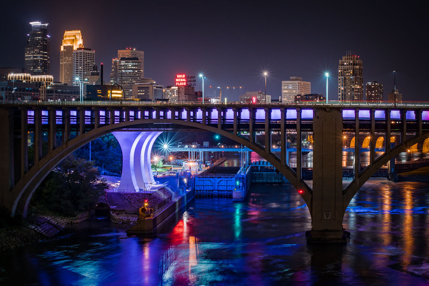
Third Avenue Bridge crosses the Mississippi River with the Gold Medal Flour sign and downtown Minneapolis skyline illuminated at dusk.
The Third Avenue Bridge crosses the Mississippi River just downstream from Saint Anthony Falls, linking downtown Minneapolis to the university area to the east. Completed in 1918, it's a concrete arch span designed by engineer Kristoffer Olsen Oustad with a slight curve to fit the site's geology. Below it, the Lower St. Anthony Falls Lock and Dam helps vessels pass the falls, while the Gold Medal Flour sign, raised above the old Washburn-Crosby mill site in 1908, still marks the skyline behind it.

Foggy Dusk at Third Avenue Bridge and St. Anthony Falls
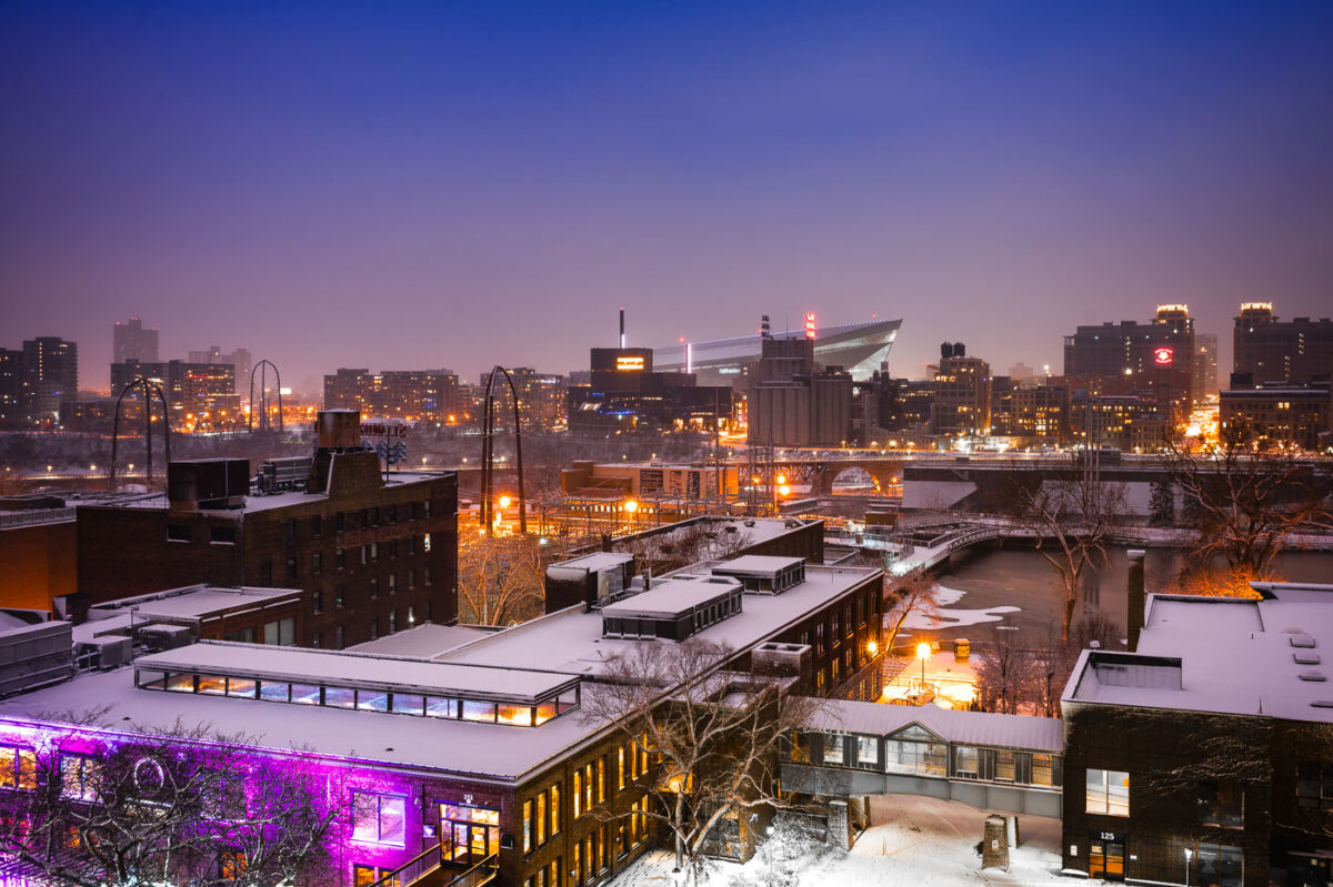
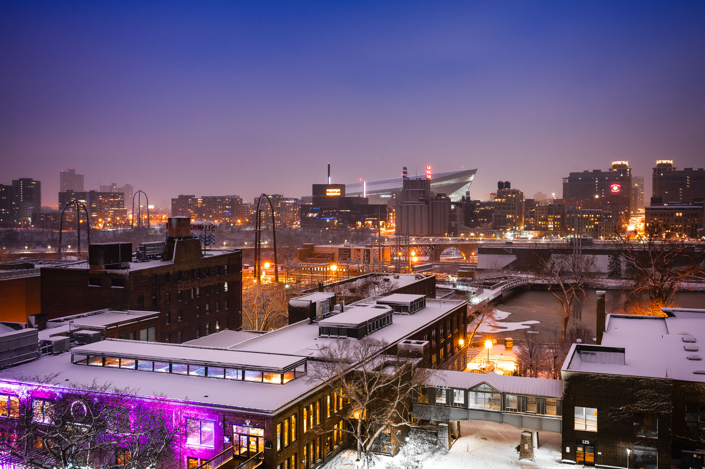
Downtown Minneapolis from St. Anthony Main
The Minneapolis skyline is visible in the distance, with US Bank Stadium prominently featured. In the foreground, the historic Stone Arch Bridge spans the Mississippi River, connecting the St. Anthony Main district to the city's core. Originally built in 1883 for the Great Northern Railway, the bridge is now a pedestrian and bicycle path, offering views of the river and the former industrial buildings that once defined this area.

Minneapolis Skyline and Stone Arch Bridge in Winter
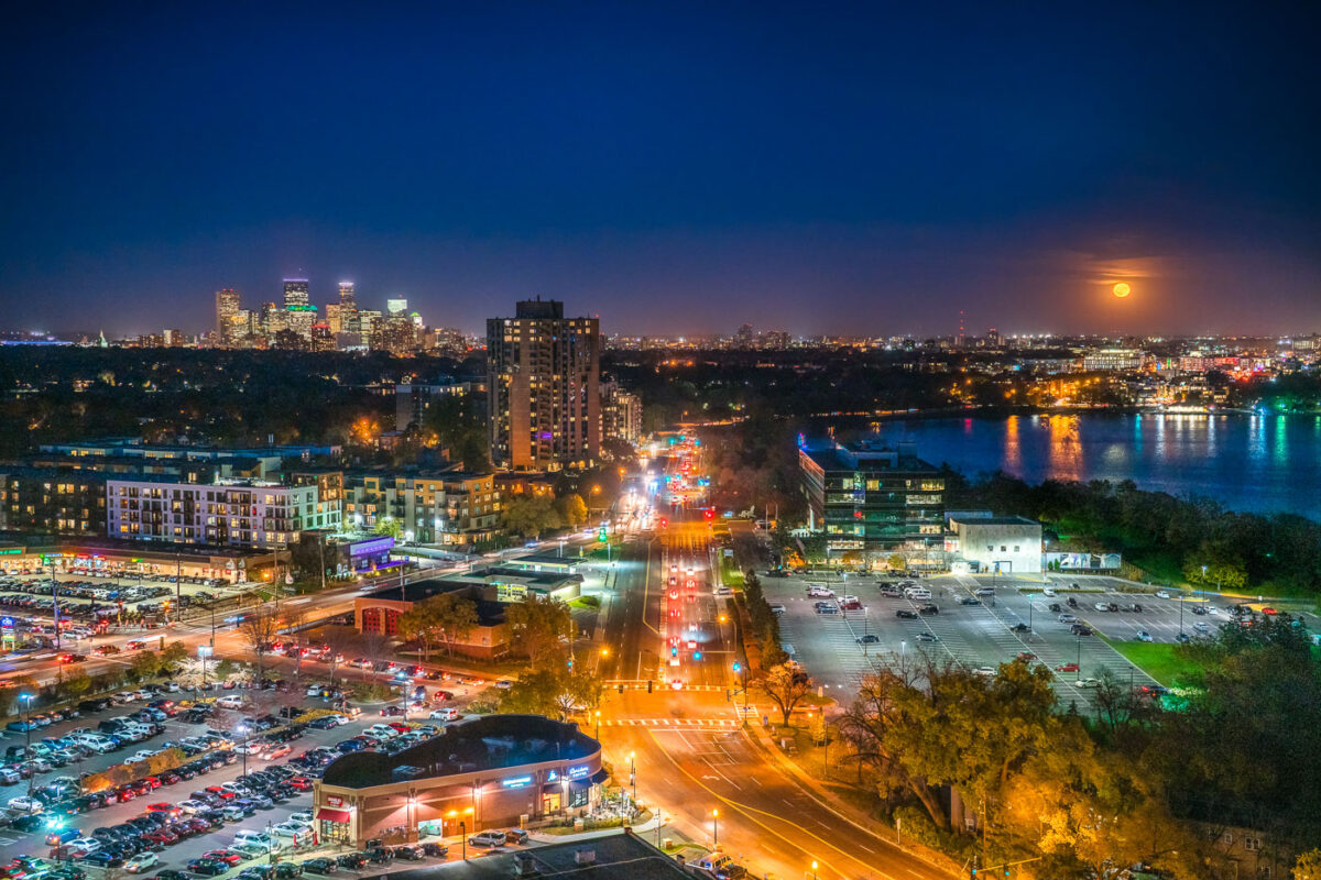
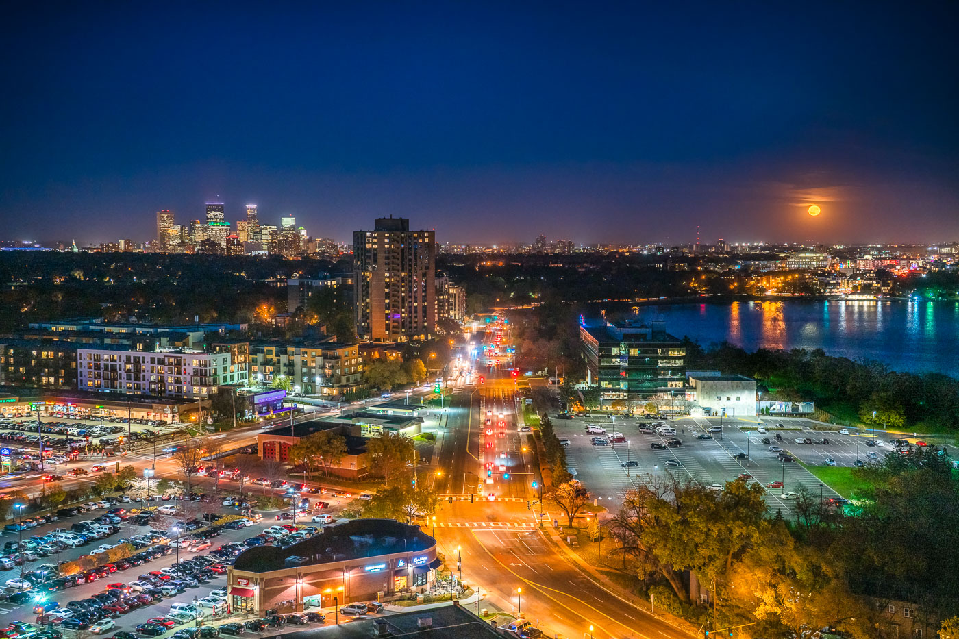
Minneapolis skyline and Bde Maka Ska under a full moon, viewed from the West Calhoun neighborhood.
The Minneapolis skyline is visible in the distance as a full moon rises over Bde Maka Ska. Bde Maka Ska the largest lake in Minneapolis and is part of the Chain of Lakes.

Minneapolis skyline and Bde Maka Ska under full moon
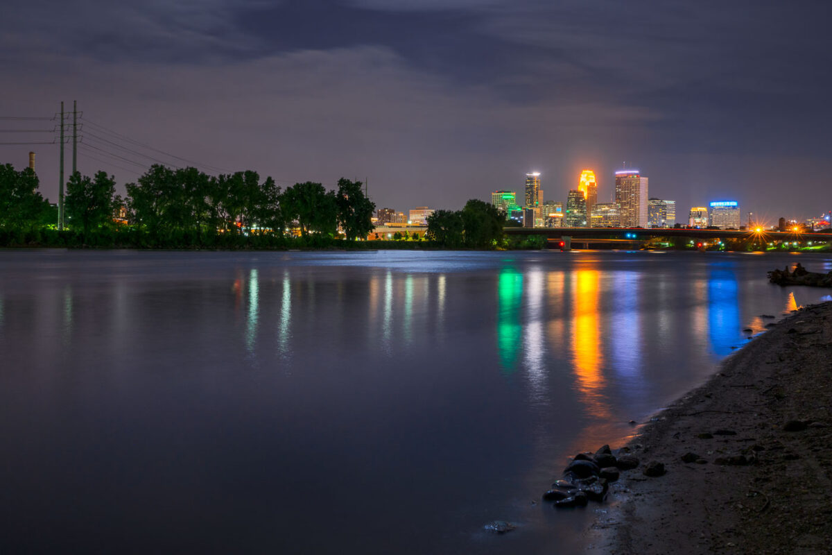
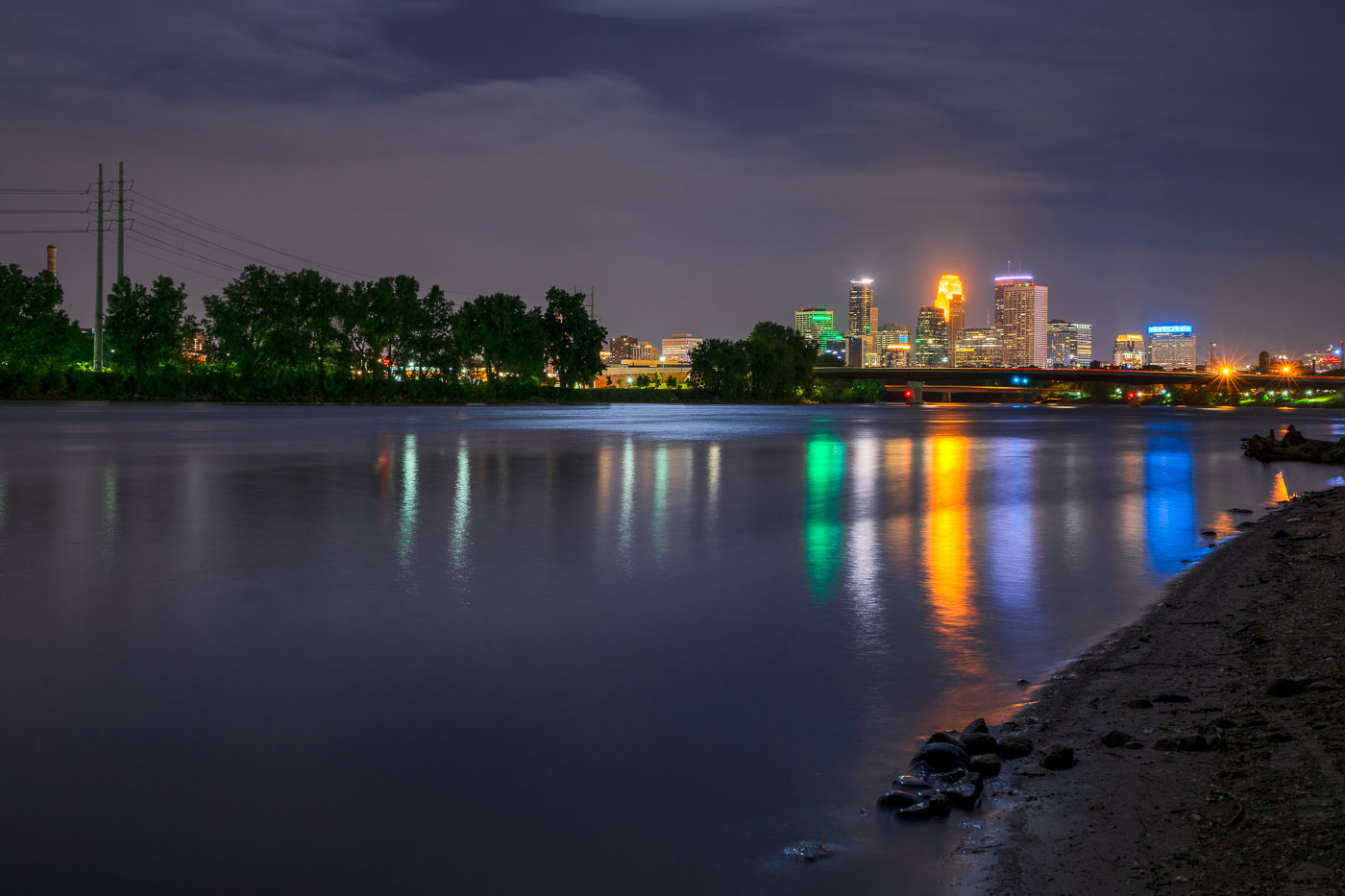
Minneapolis downtown skyline illuminated at night, viewed across the Mississippi River at dusk.
The Mississippi River flows past downtown Minneapolis on its way from Lake Itasca to the Gulf of Mexico, a course of about 2,340 miles.

Downtown Minneapolis Skyline Across the Mississippi River at Night
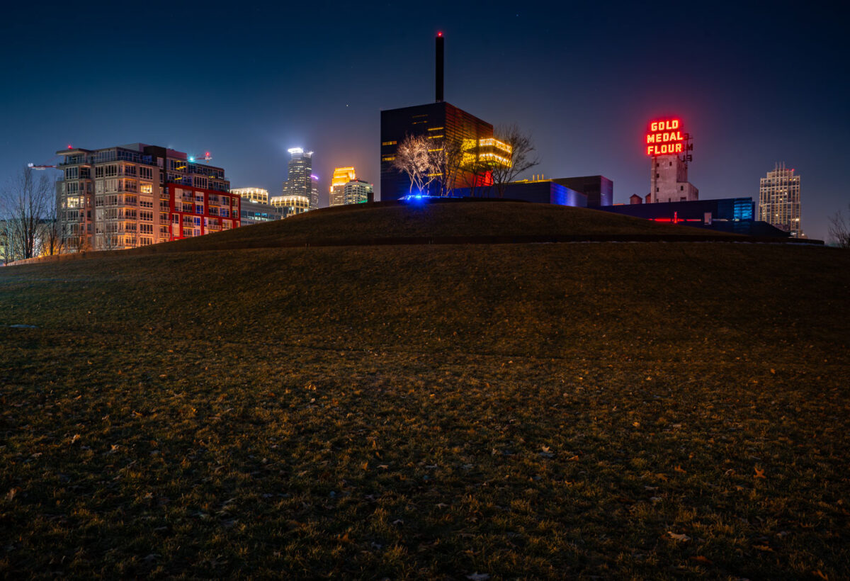
Gold Medal Park in Minneapolis with the Guthrie Theater and Gold Medal Flour sign at night.
Gold Medal Park in Minneapolis's Mill District sits beside the Guthrie Theater near the Mississippi riverfront. The park opened in 2007 on land tied to the area's former flour-milling district. The Gold Medal Flour sign marks the historic Washburn-Crosby milling complex near Mill City Museum.

Gold Medal Park and Guthrie Theater, Minneapolis
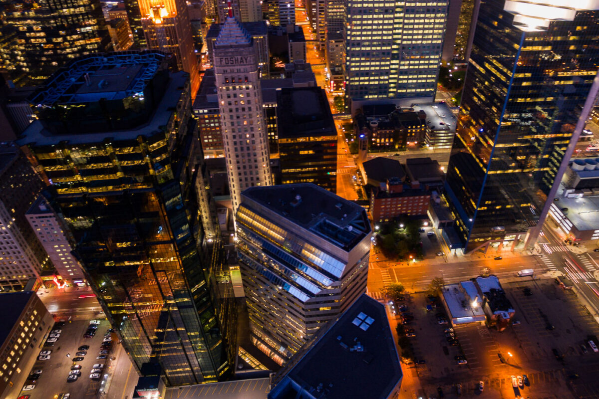
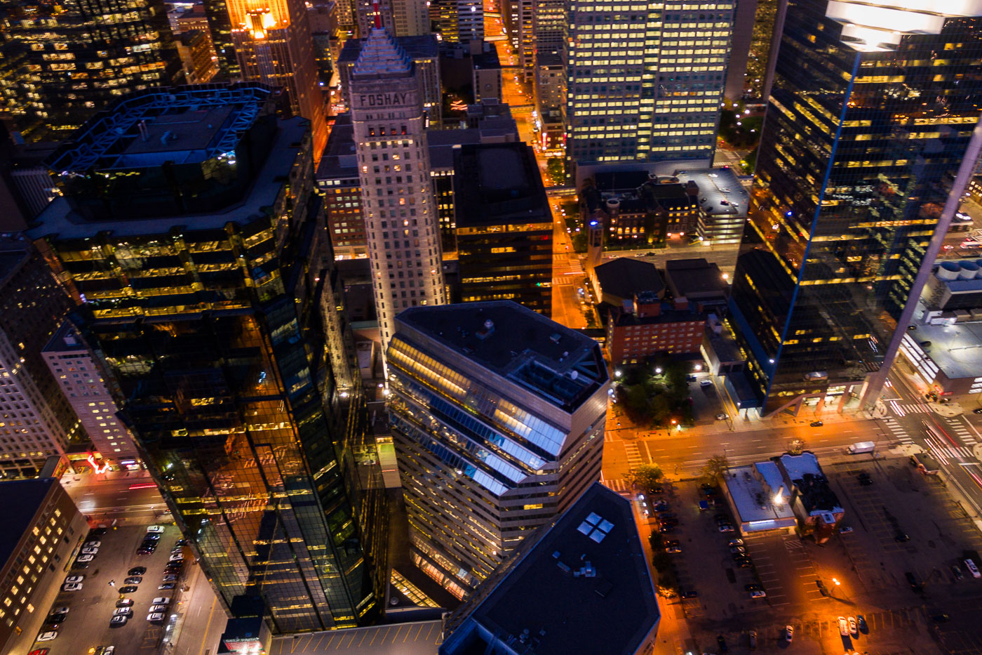
Aerial view of the Foshay Tower and AT&T Tower at night in Downtown Minneapolis, highlighting illuminated windows and ongoing development.
The Foshay Tower, completed in 1929, was Minneapolis's first skyscraper and served as a symbol of the city's burgeoning prosperity. Adjacent to it is the AT&T Tower.

Downtown Minneapolis: Foshay and AT&T Towers at Night
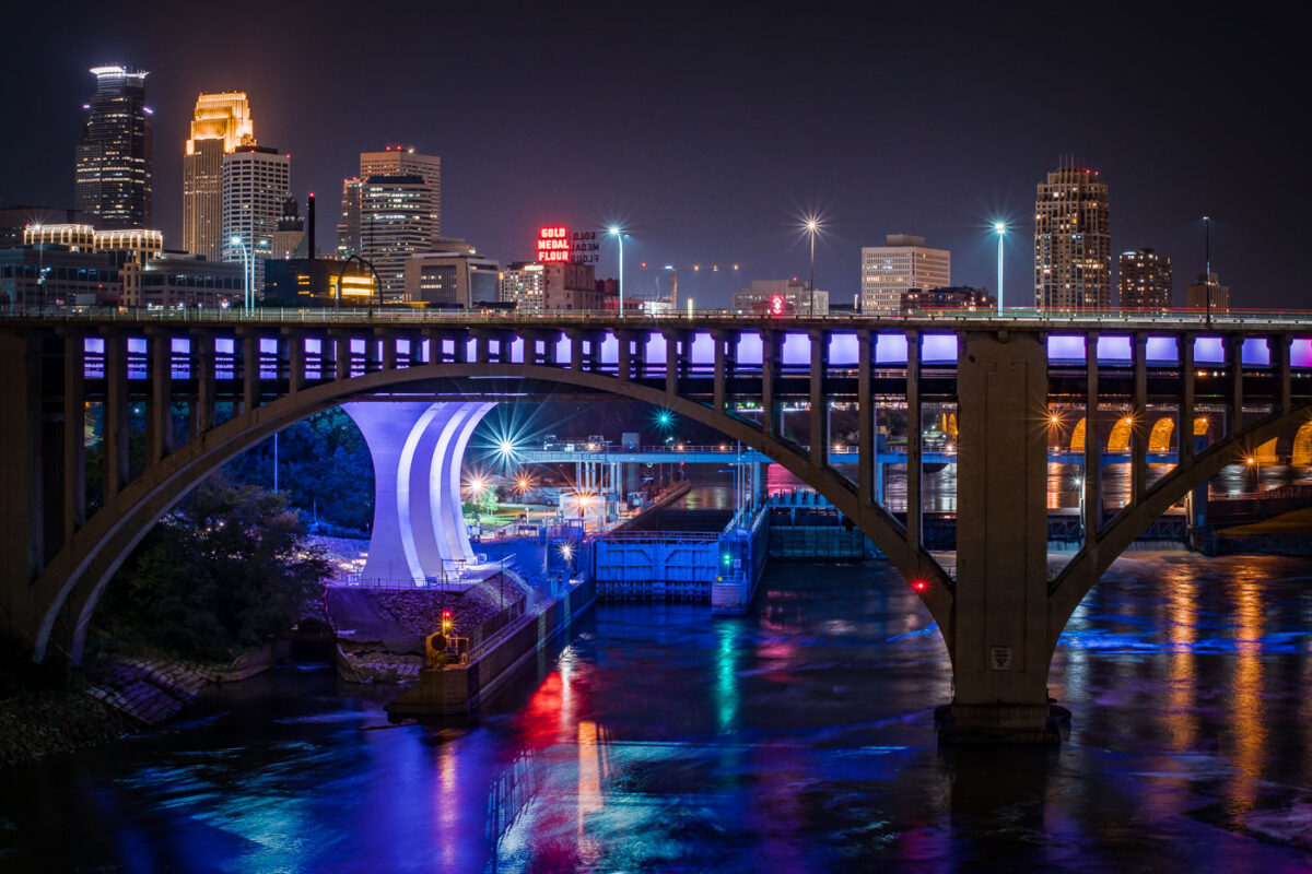
The I-35W Mississippi River Bridge at night, with the Minneapolis skyline in the background.
The I-35W Mississippi River Bridge over the Mississippi River in downtown Minneapolis. The bridge collapsed in 2007 and was replaced in 2008.

Minneapolis I-35W Bridge and Downtown Skyline at Night
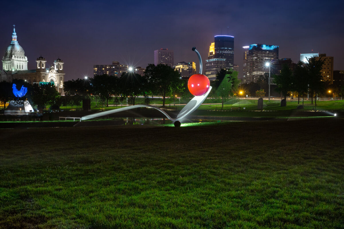
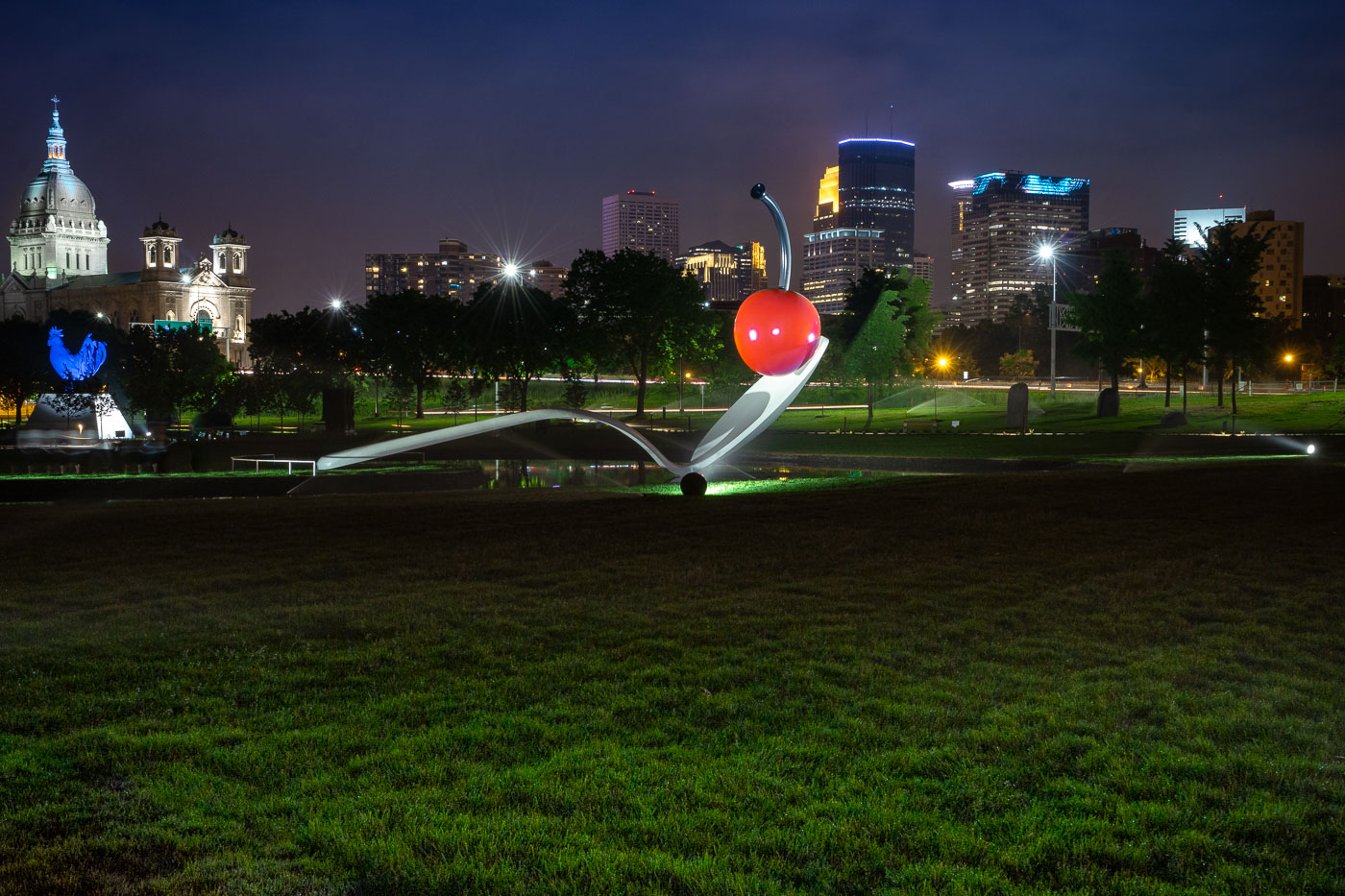
Spoonbridge and Cherry in the Minneapolis Sculpture Garden with the downtown skyline behind it.
Spoonbridge and Cherry is located in the Minneapolis Sculpture Garden near the Walker Art Center in Minneapolis. Designed by Claes Oldenburg and Coosje van Bruggen, the sculpture was installed in 1988 as part of the garden’s opening.

Spoonbridge and Cherry with Minneapolis Skyline

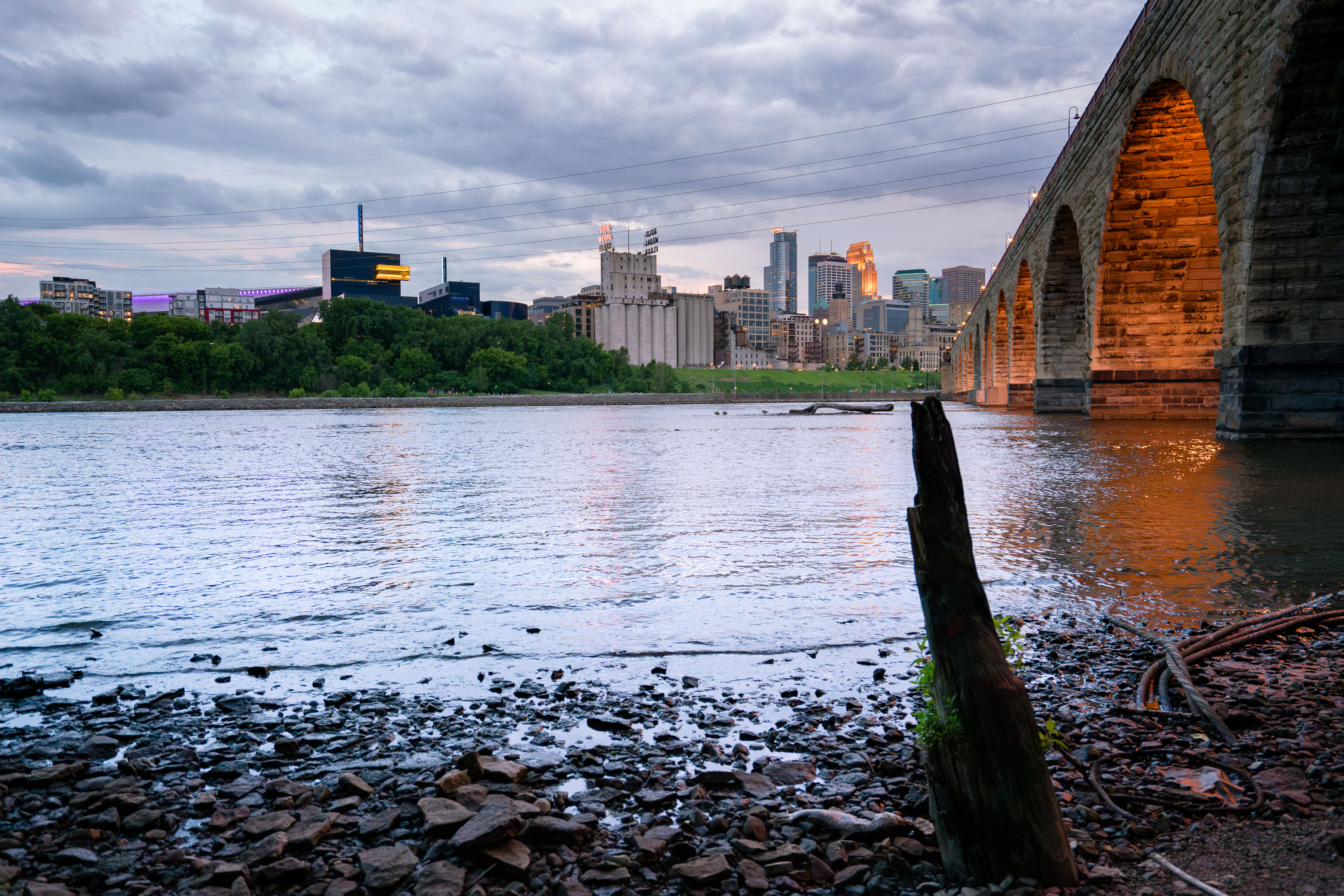
Minneapolis skyline and the Stone Arch Bridge over the Mississippi River.
Minneapolis skyline and the Stone Arch Bridge over the Mississippi River in Minneapolis, Minnesota. The former railroad bridge spans St. Anthony Falls and is part of the Mill Ruins Park area.

Minneapolis skyline from the Stone Arch Bridge
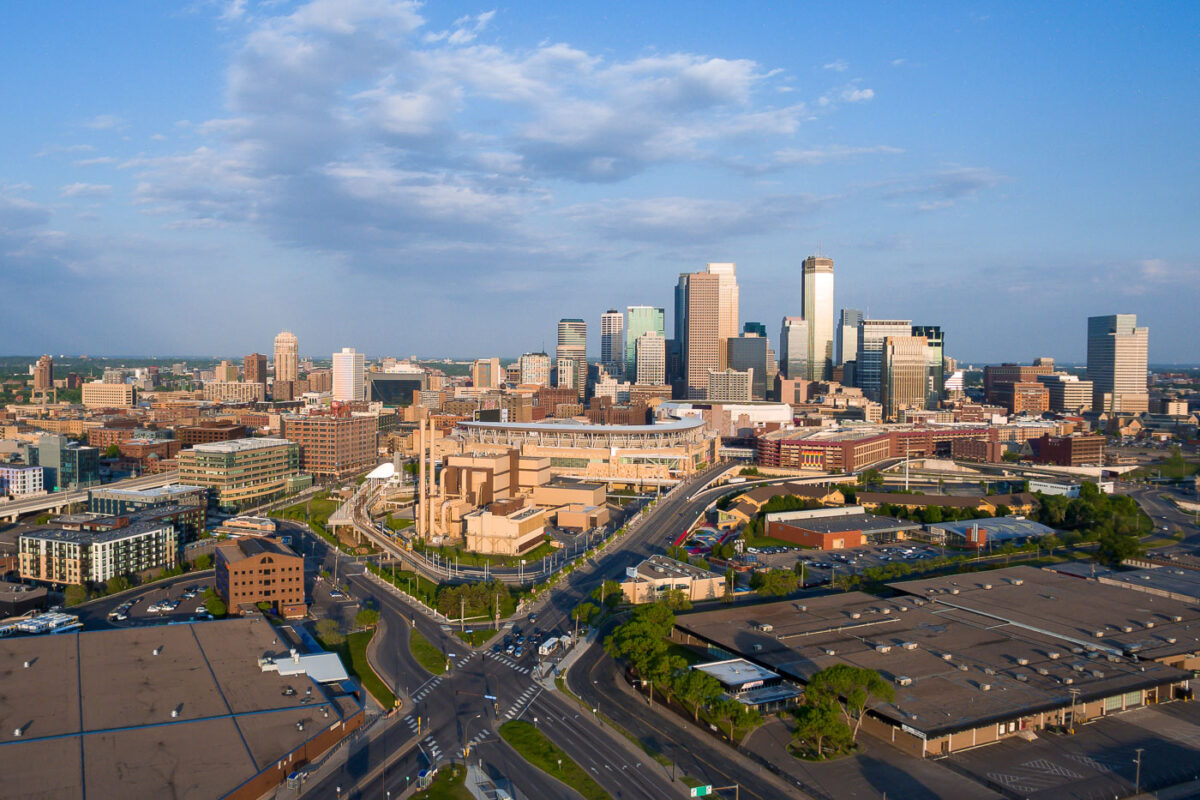
Downtown Minneapolis Skyline from the North
Downtown Minneapolis, Minnesota, is shown from the north with the central business district rising beyond Target Field and the warehouse district. Target Field, home of Major League Baseball’s Minnesota Twins since 2010, anchors the foreground near Interstate 394 and the rail corridors that connect the North Loop to downtown. The skyline includes IDS Center, long the city’s tallest building, along with newer office and residential towers that have expanded westward around the ballpark area.

Downtown Minneapolis Skyline Target Field
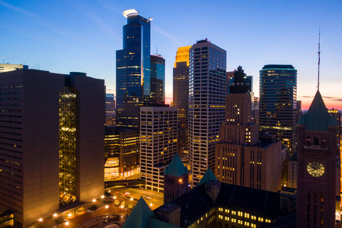
Minneapolis City Hall and downtown skyline at dusk with illuminated office and residential towers.
Minneapolis City Hall is a Romanesque Revival building completed in 1909. Its clock tower stands 345 feet tall and holds one of the world's largest handcarved marble statues, the Father of Waters, in its rotunda.

Minneapolis City Hall’s Clock Tower Beneath the Downtown Skyline
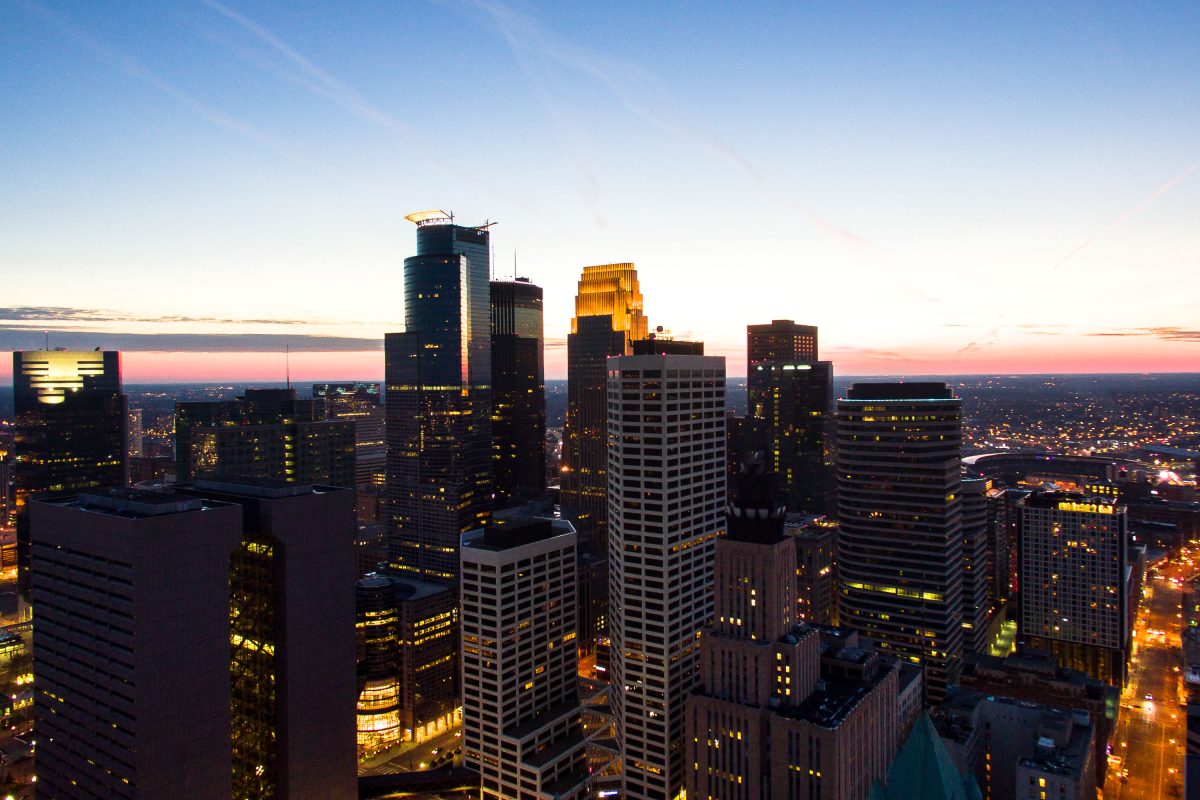
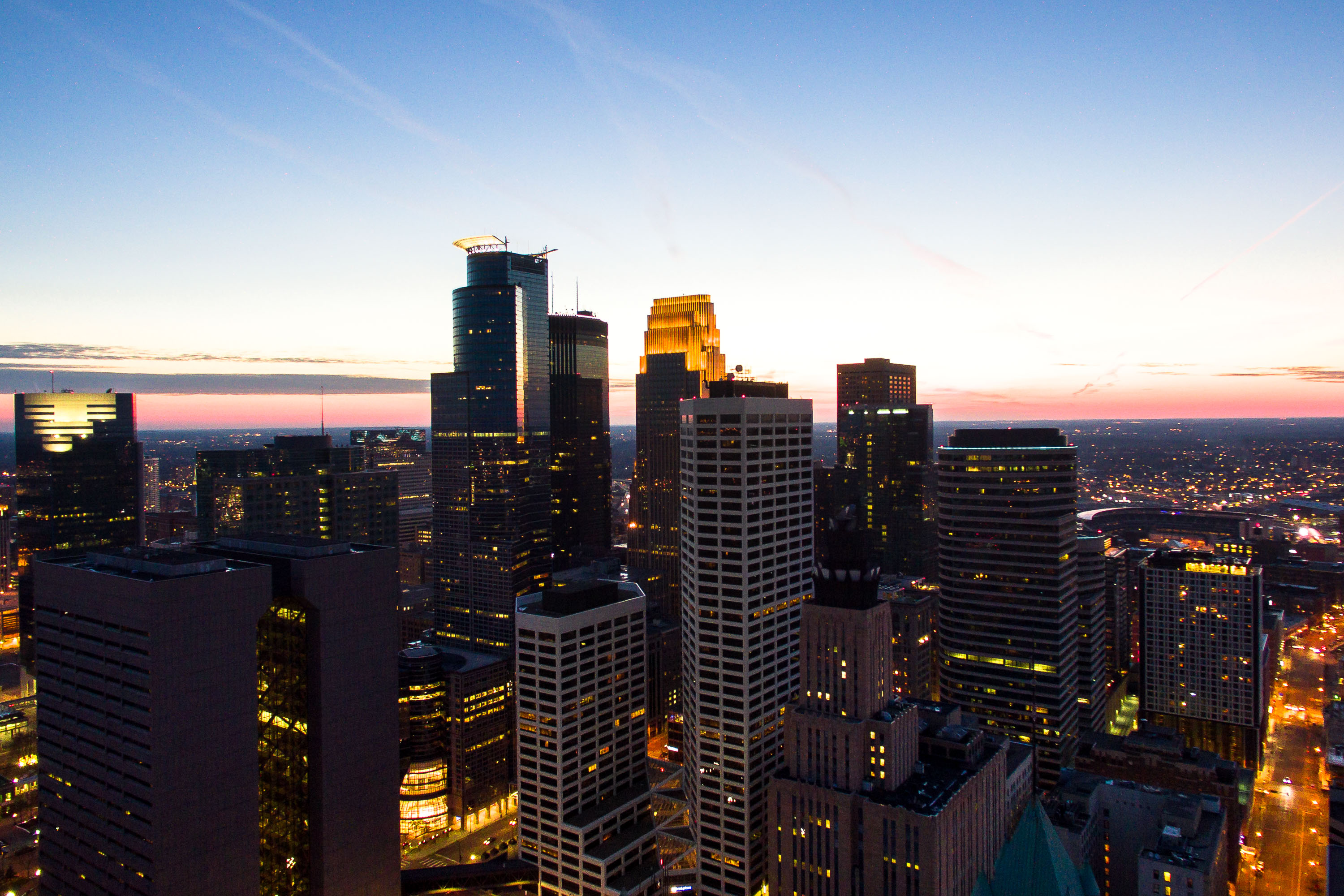
Downtown Minneapolis skyline at dusk with illuminated buildings against a blue and pink sky.
Downtown Minneapolis's skyline includes the IDS Center, at 792 feet the tallest building in Minnesota, completed in 1972. The Capella Tower stands nearby at 776 feet, built in 1992 and topped by a stepped crown.

IDS Center and Capella Tower at Dusk Over Minneapolis
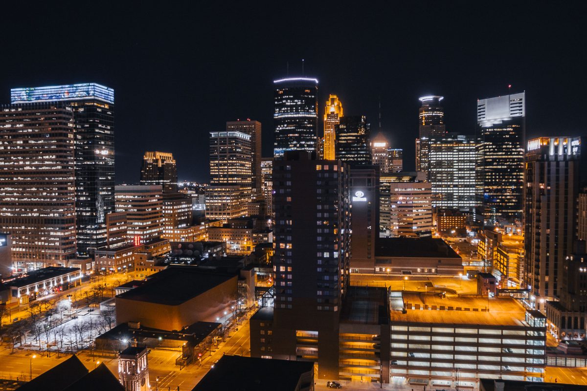
Minneapolis Skyline at night in February 2017
February 2017 view of Downtown Minneapolis.

Minneapolis Skyline at night in February 2017
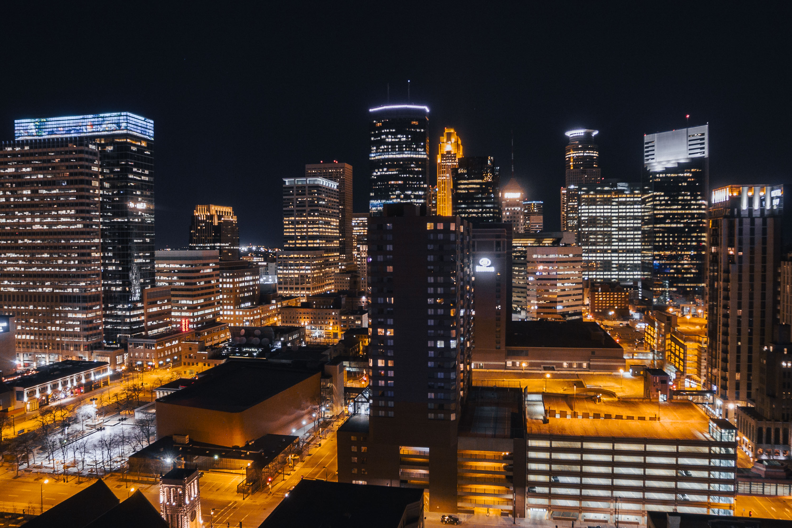
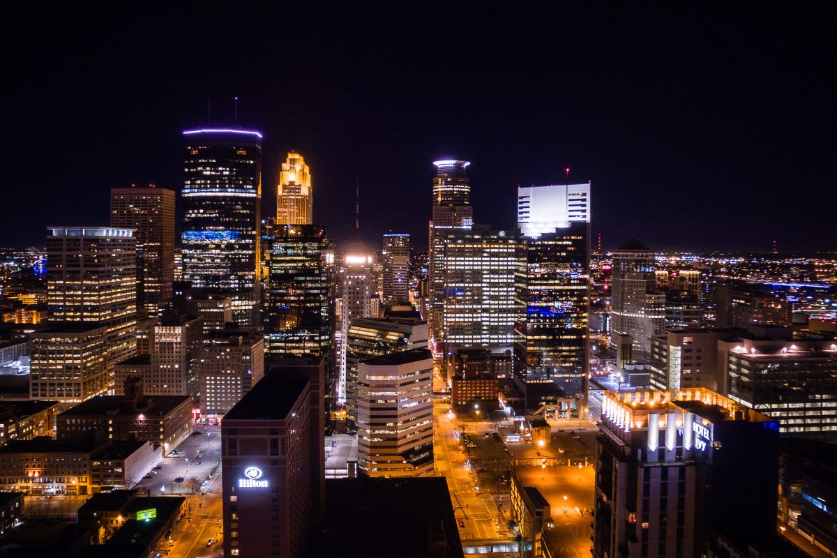
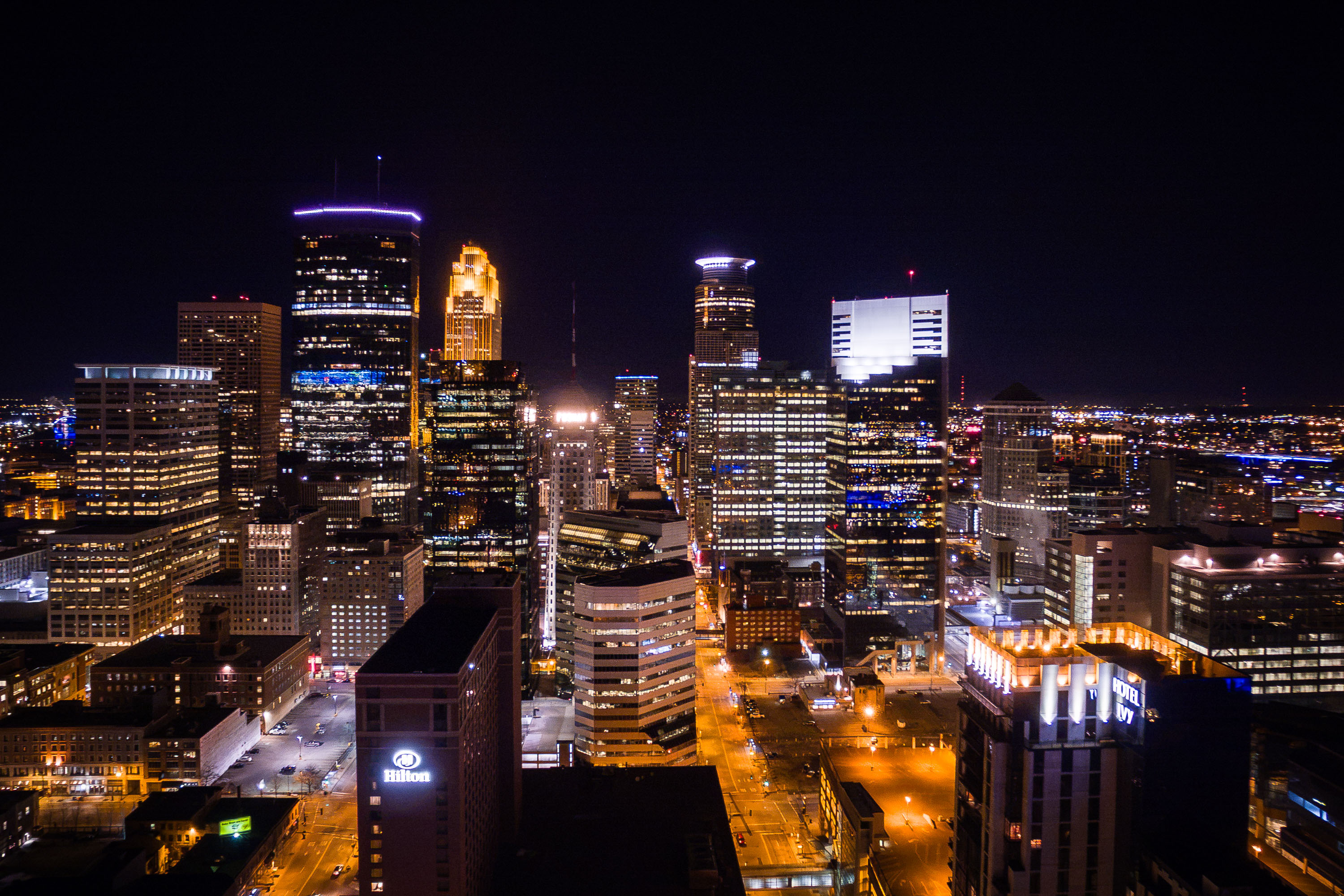
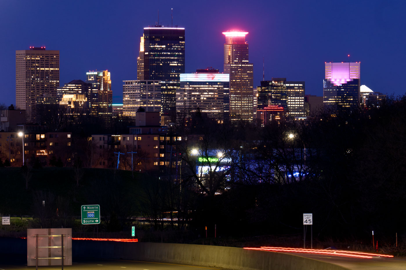
Downtown Minneapolis skyline at night featuring illuminated office and hotel towers including the Hilton and Hotel Ivy.
The Hilton Minneapolis is a 25-story hotel at 1001 Marquette Avenue South that opened in 1992 with more than 800 rooms, making it one of the largest hotels in the Twin Cities. Hotel Ivy occupies a 19-story tower built in 1930 as the Northwestern National Life Insurance Building, later converted into a hotel in 2008.
Hotels in Downtown Minneapolis
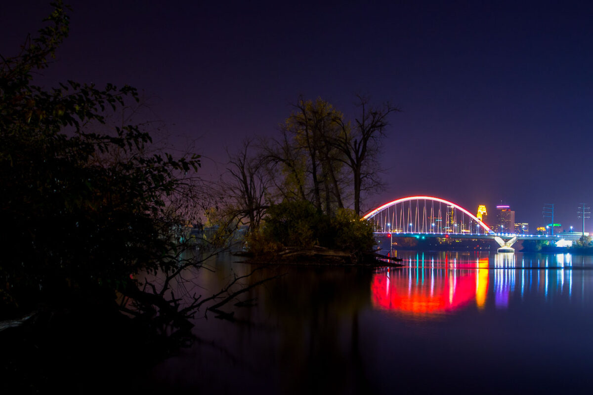
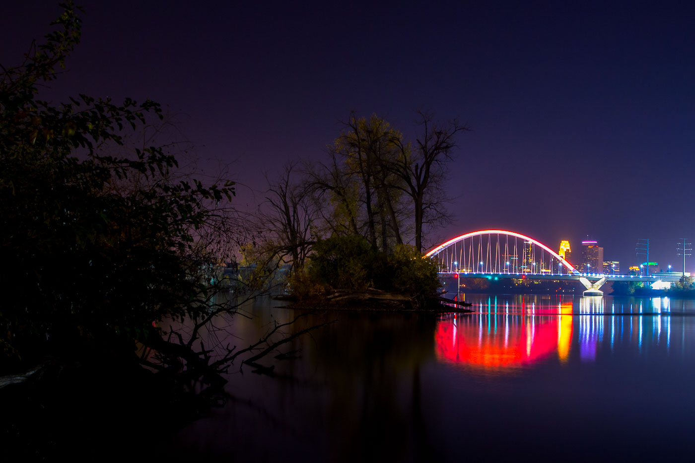
The Lowry Bridge and Minneapolis skyline are illuminated at night over the Mississippi River, with reflections of the city lights on the water.
The Lowry Bridge, a tied-arch bridge spanning the Mississippi River in Minneapolis. Opened in 1929, it was originally named the "Great Northern Railway Bridge" and served as a vital rail crossing. The bridge was reconstructed and renamed in 1987.

Lowry Bridge and Minneapolis Skyline at Night from Mississippi River
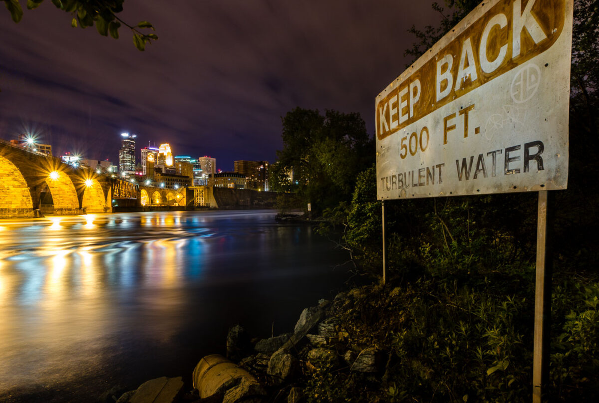
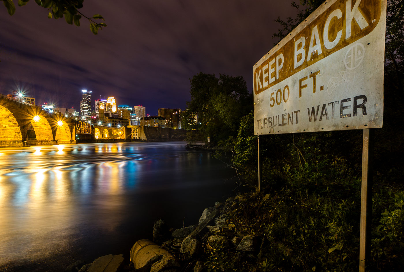
A "Keep Back 500 FT Turbulent Water" warning sign on the Mississippi River bank in Minneapolis, with the illuminated Stone Arch
This "Keep Back 500 Ft. Turbulent Water" sign warns boaters of the current below St. Anthony Falls, the only natural waterfall on the Mississippi River. The falls drop about 50 feet and once powered the flour and lumber mills that built Minneapolis into a milling capital in the late 1800s. The Stone Arch Bridge, visible upstream, was built in 1883 by railroad magnate James J. Hill to carry trains across the river just below the falls.
“Turbulent Water” Sign Near St. Anthony Falls on the Mississippi

Minneapolis downtown skyline illuminated at dusk, with high-rise office and residential buildings lit against a twilight sky.
Downtown Minneapolis rises along the Mississippi River, with the IDS Center, at 792 feet the tallest building in Minnesota, among its towers. The nearby Wells Fargo Center was built as the Norwest Center in 1988. Target Field, home of the Minnesota Twins since 2010, sits beyond downtown to the east.
Target Field Lights Up Beyond Downtown Minneapolis
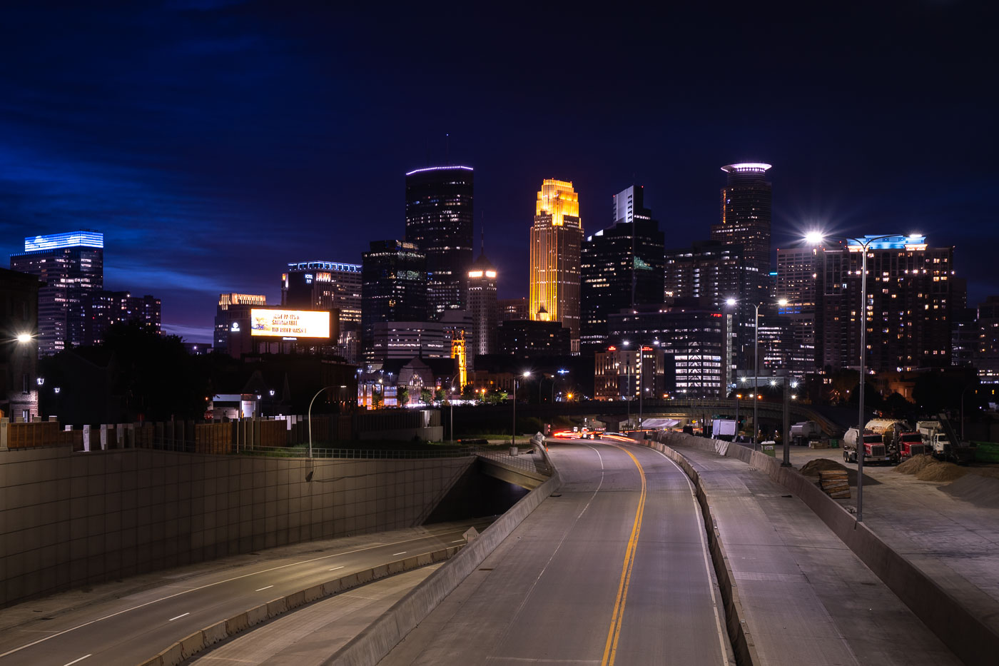
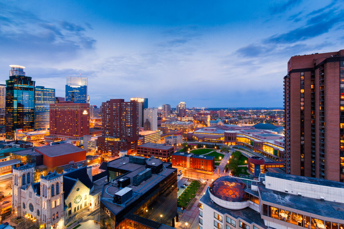
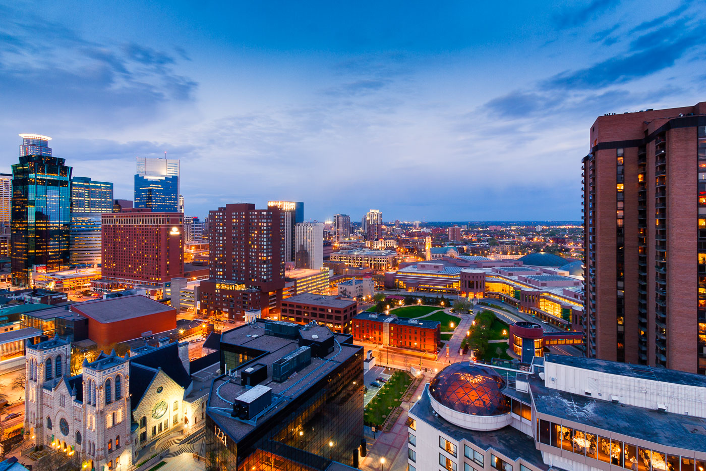
Downtown Minneapolis skyline at dusk with the illuminated Millennium Hotel dome in the foreground.
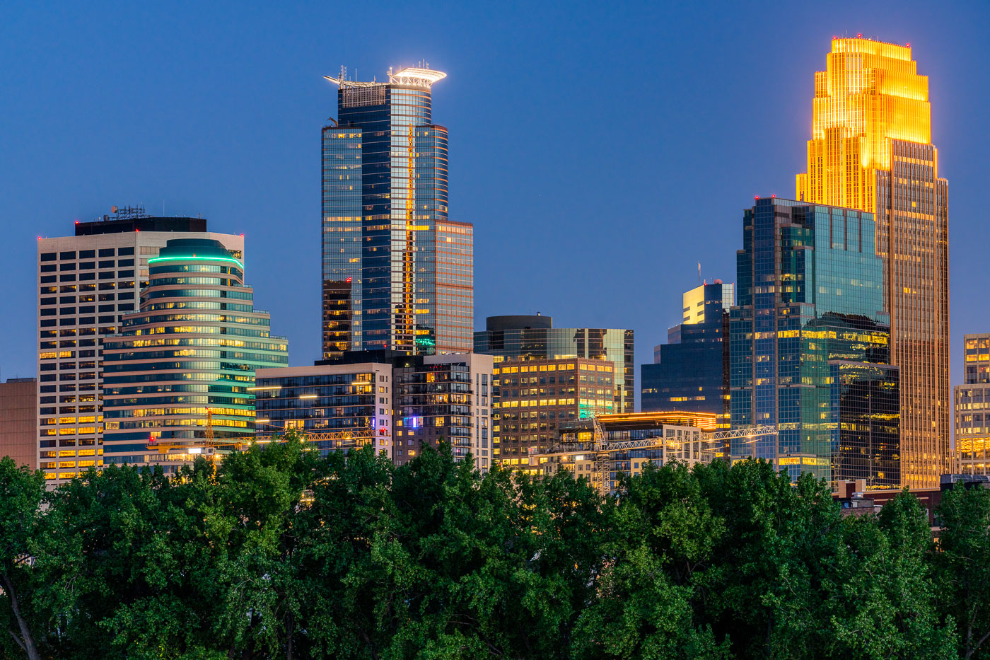
The glass dome atop the Millennium Hotel in downtown Minneapolis holds a rooftop restaurant and event space with views across the skyline.

Millennium Hotel’s Glass Dome Above Downtown Minneapolis
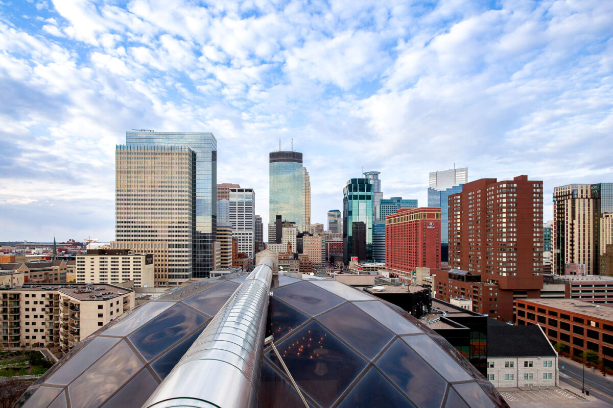
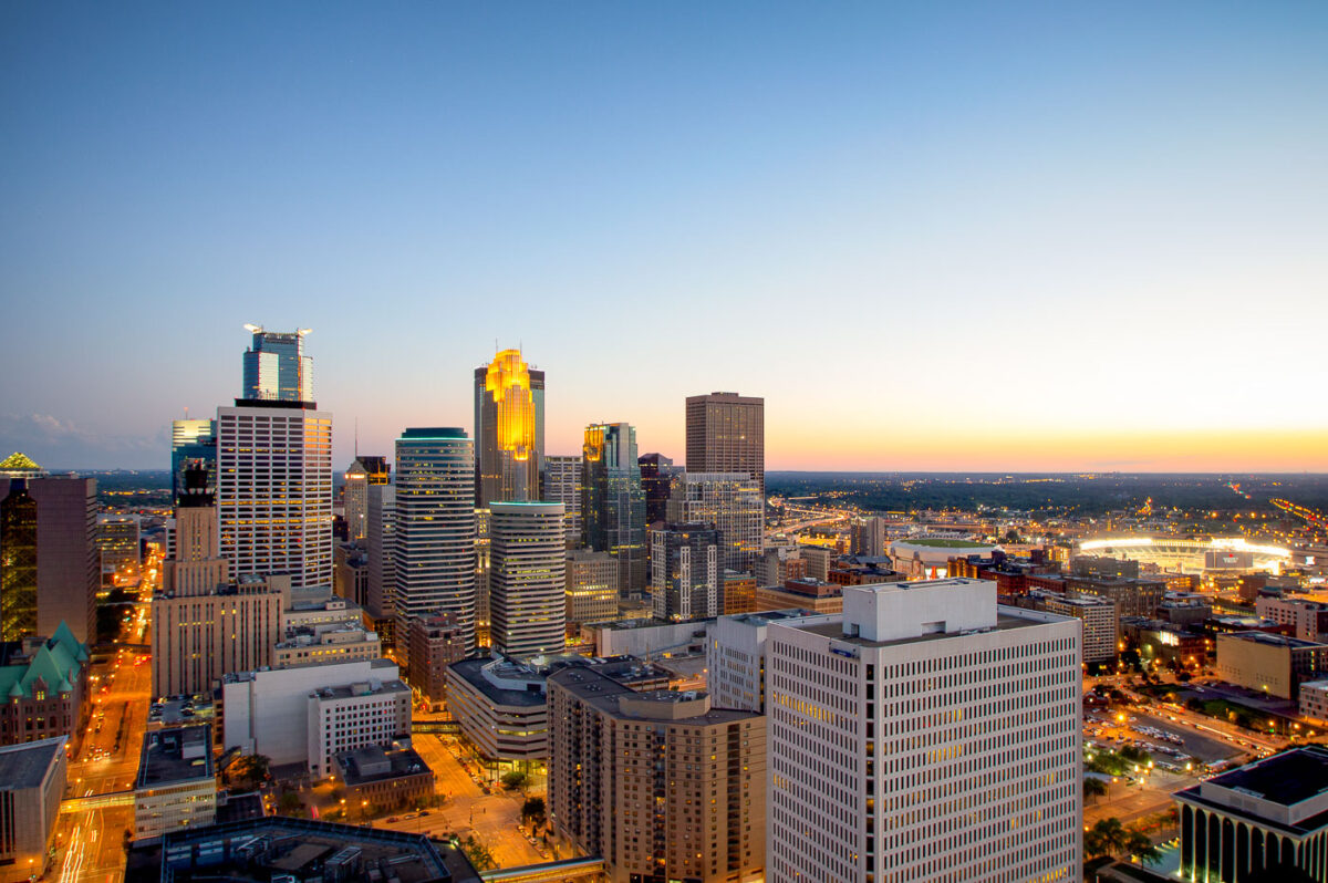
Downtown Minneapolis skyline with modern and historic skyscrapers, viewed from the Millennium Hotel on Nicollet Mall.
The Millennium Hotel stands at 1313 Nicollet Mall in downtown Minneapolis, its rooftop geodesic dome enclosing an indoor pool. The hotel opened in 1982, originally operating under the Hilton name before later becoming the Millennium and now the Sheraton.

Downtown Minneapolis Skyline from Millennium Hotel
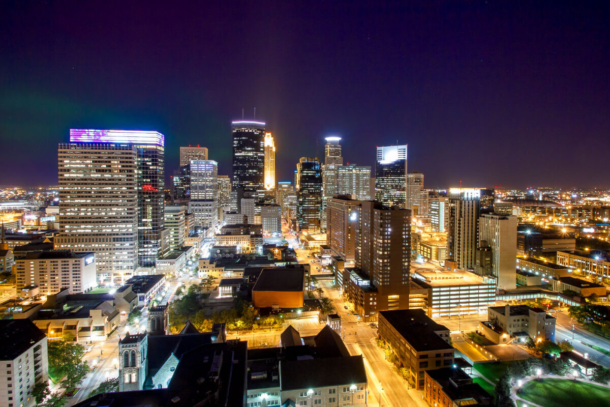
Northern Lights are visible over the Minneapolis skyline at night, illuminating the downtown area with city lights and natural aurora.
The Northern Lights are visible above the Minneapolis skyline on a clear night. The city's downtown area is illuminated by streetlights and the lights from office buildings and residences.

Northern Lights Over Downtown Minneapolis Skyline
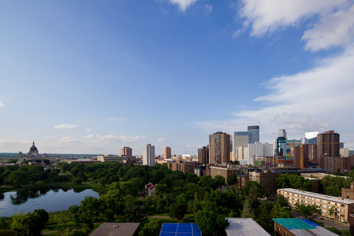
Downtown Minneapolis skyline with the Basilica of Saint Mary viewed from Loring Park.
Loring Park sits just southwest of downtown Minneapolis, its pond and tree canopy giving way to the city's skyline. The Basilica of Saint Mary, completed in 1926 as the first basilica in the United States, stands at the park's edge near Hennepin Avenue.

Downtown Minneapolis and Basilica from Loring Park

Downtown Minneapolis skyline from Loring Park with a construction crane marking the LPM Apartments building site in June 2013.
The Minneapolis skyline rises beyond Loring Park, where a construction crane marks the site of the LPM Apartments, a 36-story tower completed in 2015 along the park's edge. The Wells Fargo Center, the city's second-tallest building at 774 feet, stands nearby, completed in 1988.

LPM Apartments Rising Above Loring Park in Minneapolis
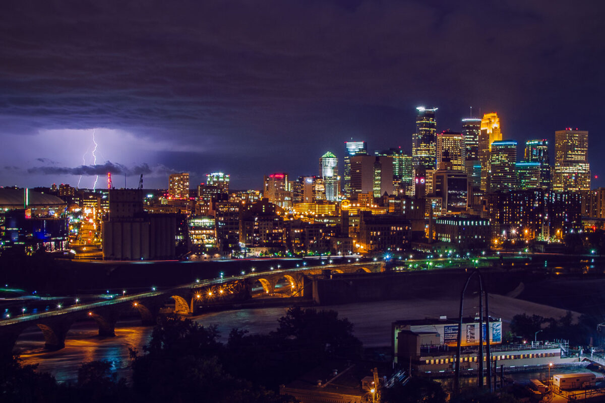
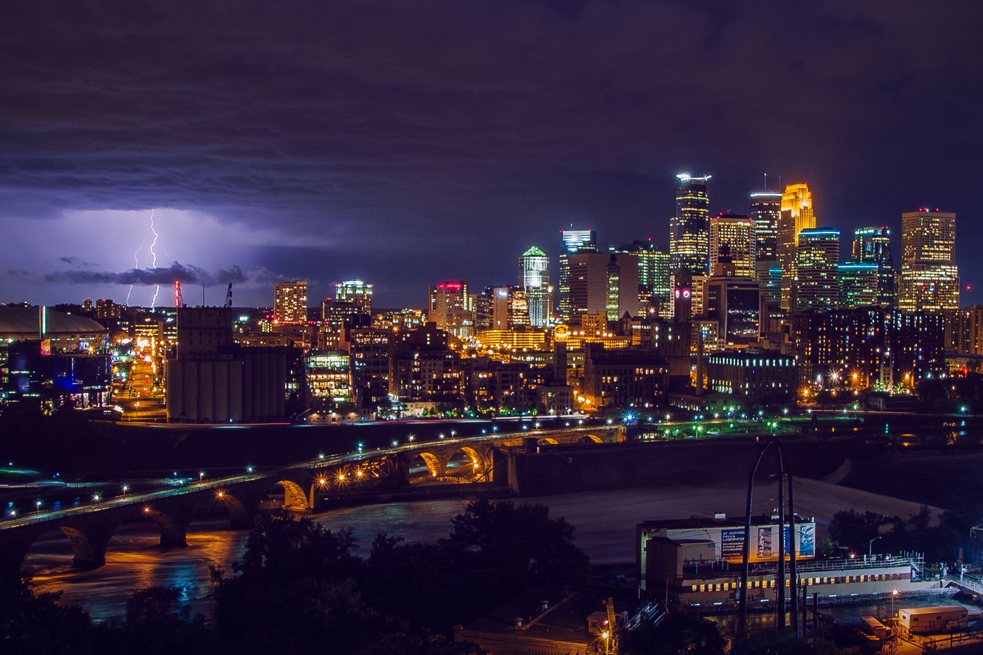
Lightning strikes over downtown Minneapolis skyline at night, with the Stone Arch Bridge spanning the Mississippi River.
The Stone Arch Bridge crosses the Mississippi River below Saint Anthony Falls in downtown Minneapolis. Railroad magnate James J. Hill built it in 1883 for the Great Northern Railway, and it now carries pedestrians and cyclists between the river's east and west banks. Lightning flashes over the downtown skyline beyond it.

Lightning Over Downtown Minneapolis and the Stone Arch Bridge

Built in Minneapolis

Minneapolis Photographer

Browse by location, move through long-running series, or start with recent work.