Minnesota

5,913 photos · 2008–2026

5,913 photographs tagged Minnesota, 2008–2026.
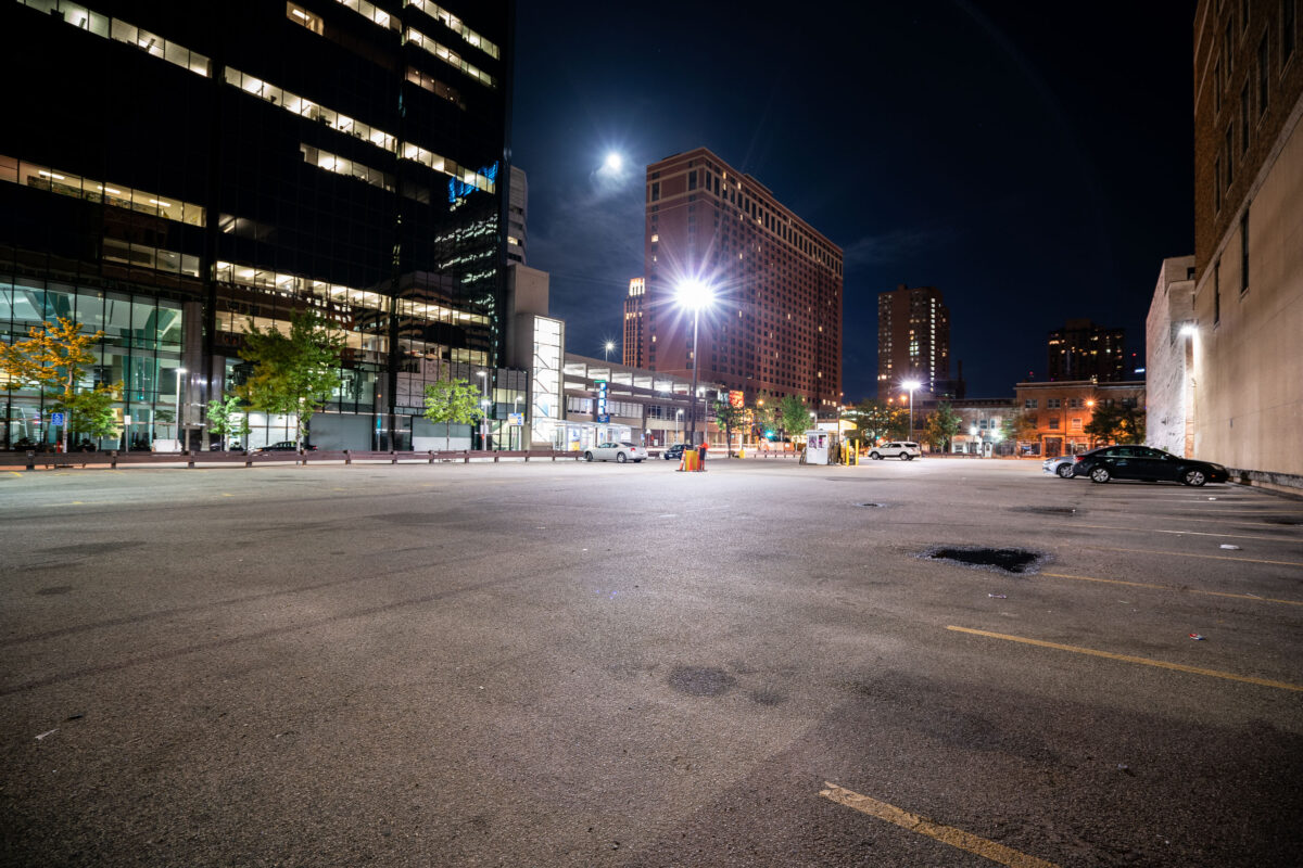
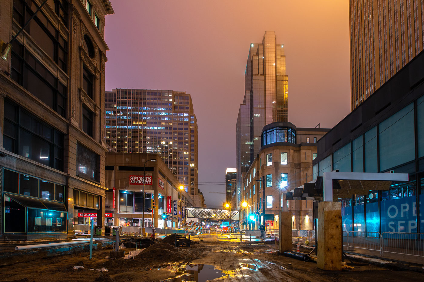
Marquette Avenue in downtown Minneapolis at night, with office towers and an open parking lot.
Marquette Avenue in downtown Minneapolis, a major north-south street in the city’s central business district.

Marquette Avenue Parking Lot at 9th, Minneapolis
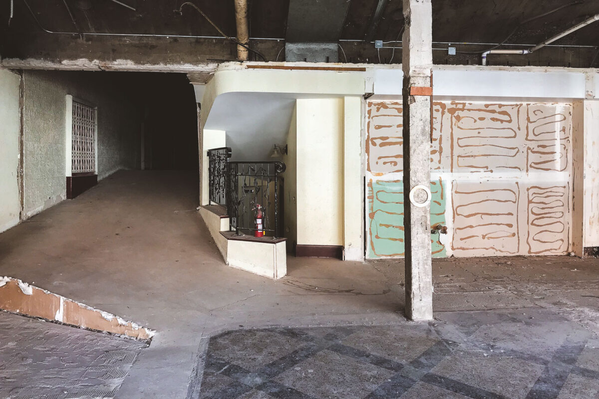
Suburban World Theatre interior renovation on Hennepin Avenue in Uptown Minneapolis.
Suburban World Theatre on Hennepin Avenue in Uptown Minneapolis was undergoing interior renovation in 2017. The building was a former movie theater in the Hennepin-Lake commercial district. Renovation work had opened lobby and circulation areas inside the former theater.

Suburban World Theatre Interior, Uptown Minneapolis
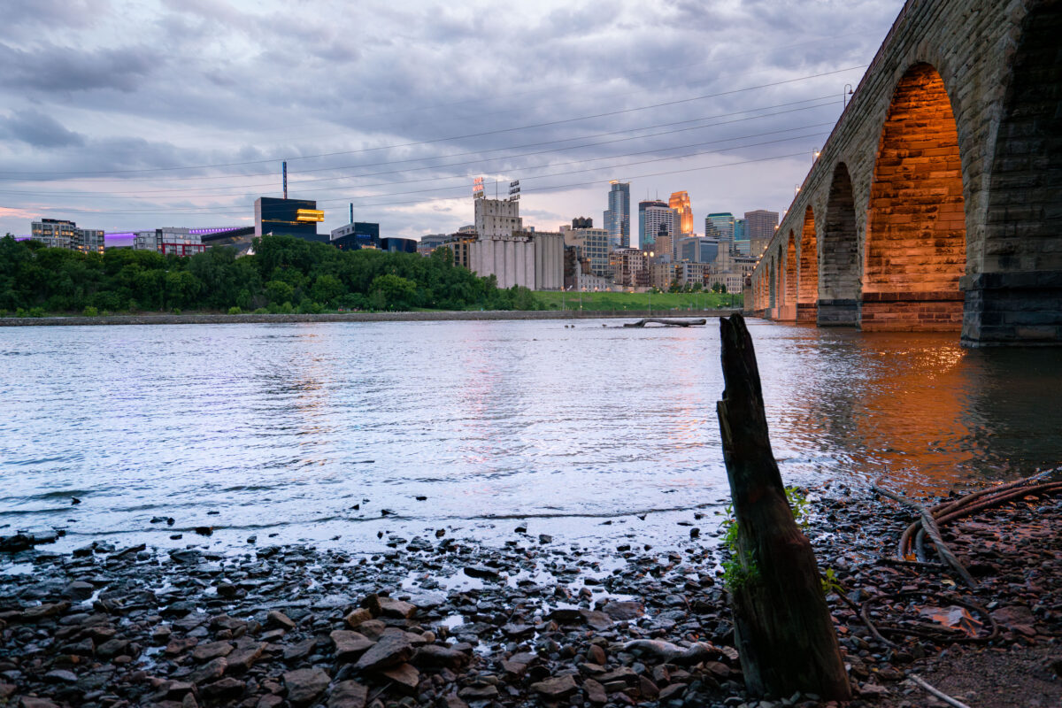
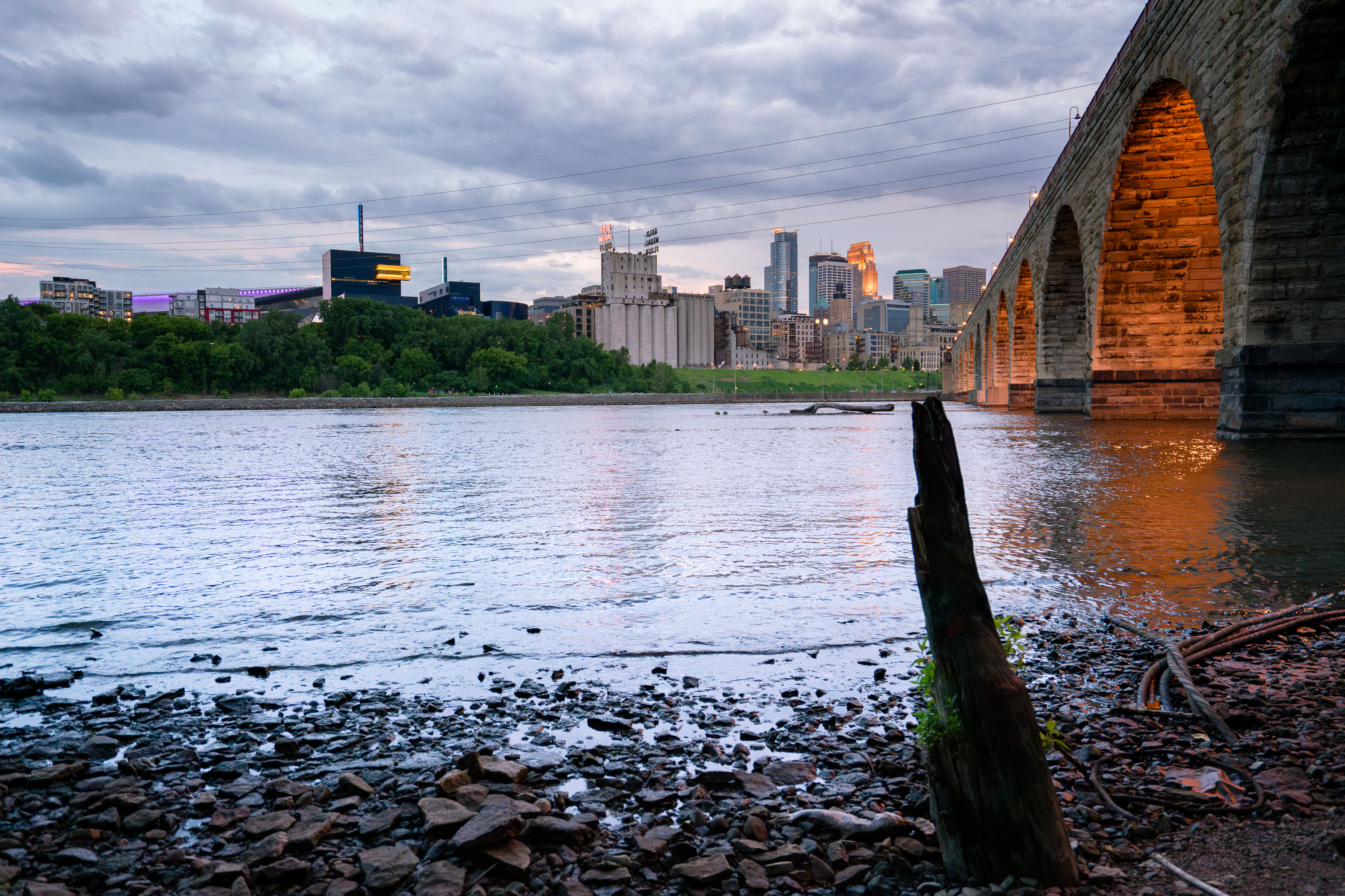
Minneapolis skyline and the Stone Arch Bridge over the Mississippi River.
Minneapolis skyline and the Stone Arch Bridge over the Mississippi River in Minneapolis, Minnesota. The former railroad bridge spans St. Anthony Falls and is part of the Mill Ruins Park area.

Minneapolis skyline from the Stone Arch Bridge
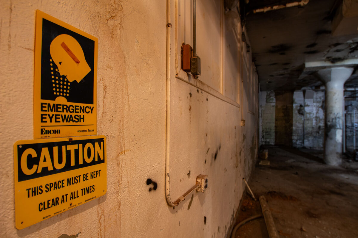
Emergency eyewash and caution signs on a wall in an abandoned basement.
An emergency eyewash station sign and caution placard in an abandoned basement. The signage marks a safety fixture meant for immediate eye flushing in case of chemical exposure. The surrounding space appears unused and deteriorated.

Emergency Eyewash Sign in an Abandoned Basement
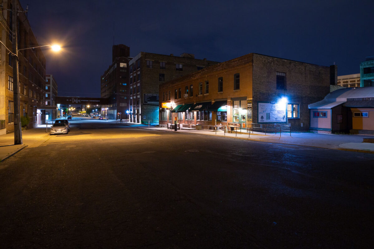
North 3rd Street in Minneapolis's North Loop neighborhood at night, lined with illuminated historic buildings and storefronts.
North 3rd Street in Minneapolis's North Loop neighborhood is illuminated at night.

North 3rd Street Under the C.J. Duffey Paper Co. Skyway at Night
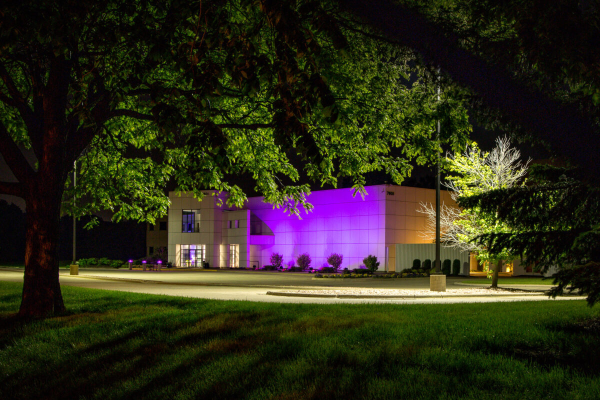
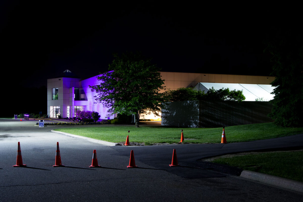
Paisley Park in Chanhassen, Minnesota, illuminated at night with purple light.
Paisley Park in Chanhassen, Minnesota, is the studio complex and former home of Prince. The facility opened in 1987 with recording studios, rehearsal spaces, offices, and a soundstage.

Paisley Park at Night, Chanhassen

Paisley Park in Chanhassen, Minnesota, the former Prince recording complex.
Paisley Park in Chanhassen, Minnesota, is the former studio, rehearsal, and performance complex of musician Prince. Opened in 1987, it later became a museum and tour site dedicated to his life and work.

Paisley Park, Chanhassen, Minnesota

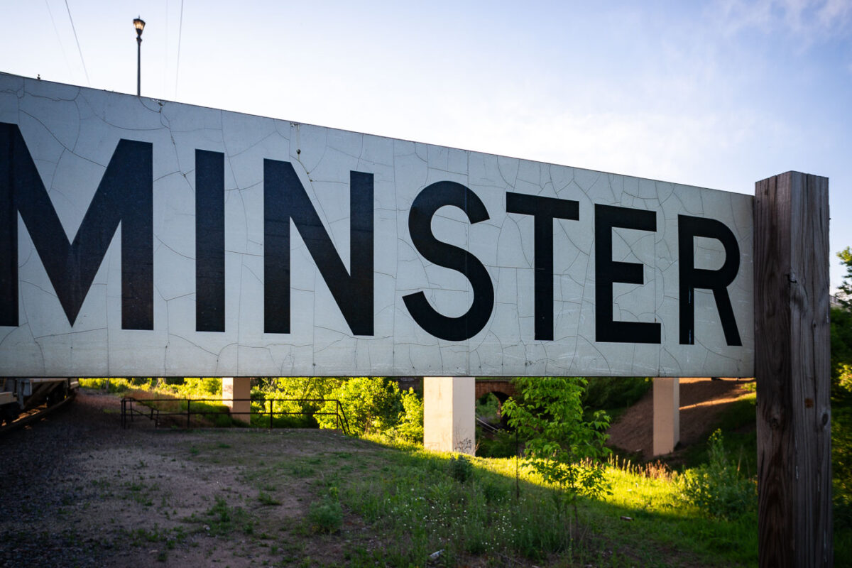
Weathered sign for Westminster Junction, a historic St. Paul, Minnesota rail yard significant to regional transportation and industry.
A weathered sign marks Westminster Junction in St. Paul, Minnesota, a historic rail yard that played a significant role in the region's transportation and industrial development. The junction served as a critical hub for freight and passenger services, connecting various parts of the city and beyond. Its infrastructure, including the rail lines and supporting structures, facilitated the movement of goods and people, contributing to St. Paul's growth as a major economic center. The sign itself, with its bold lettering, stands as a testament to the area's past as a vital component of the American railway system.

Westminster Junction Sign, St. Paul, Minnesota
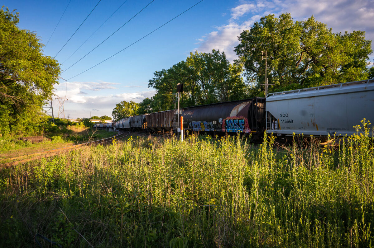
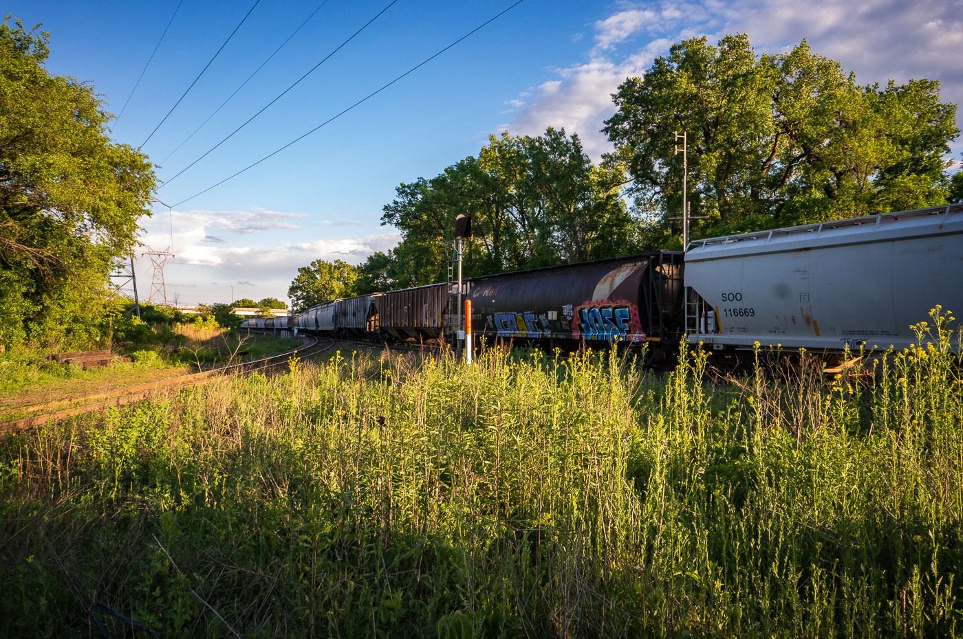
A graffiti-covered freight train travels on tracks in St. Paul, Minnesota, highlighting the city's vital rail transport for commerce and industry.
A long freight train, adorned with graffiti, travels along tracks in St. Paul, Minnesota. The train cars, a mix of covered hoppers and tank cars, are part of the extensive rail network that has historically served as a vital artery for commerce and industry in the Twin Cities region. Rail transport remains a significant component of the local and national economy, facilitating the movement of goods and materials.

Summer Freight Train with Graffiti in St. Paul
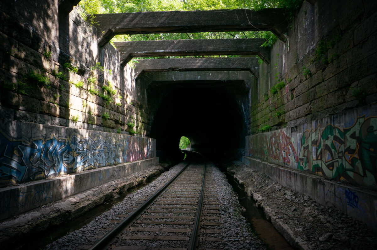
Bridal Veil Railway Tunnel in St. Paul, constructed in the late 19th century, shows graffiti and overgrowth along its stone block walls and concrete beams.
Constructed in the late 19th century, the Bridal Veil Railway Tunnel, located between Minneapolis and St. Paul, was built to support freight and passenger services for the Great Northern and Northern Pacific rail systems. Its robust stone block walls and concrete beams demonstrate early railroad engineering designed for the area's ravines. The tunnel served as a critical link for industrial shipments, connecting Minneapolis rail yards to the Midway district. Although still in use, it now carries less traffic and is noted for its weathered appearance, natural overgrowth, and graffiti.

Bridal Veil Railway Tunnel, Minneapolis–St. Paul: Graffiti and Overgrowth
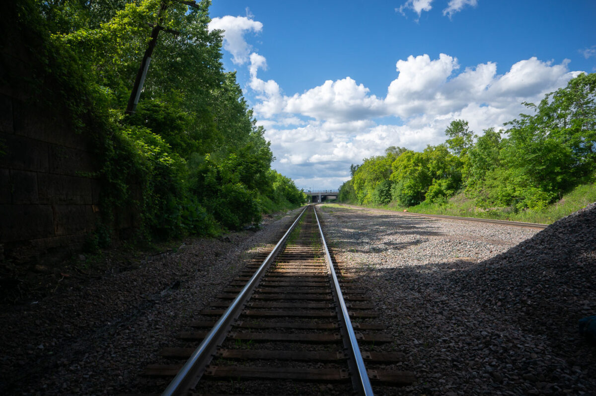
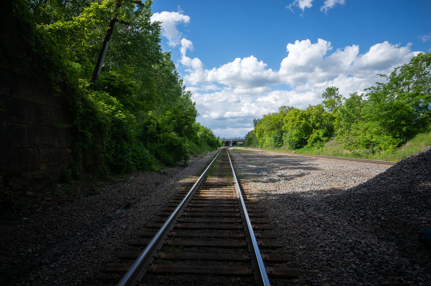
Freight rail corridor near Westminster Junction, St. Paul, a vital transportation hub for the Upper Midwest, with a bridge in the distance leading to downtown.
This freight rail corridor near Westminster Junction in St. Paul highlights the city's historical importance as a transportation hub for the Upper Midwest. The junction, which has facilitated connections for multiple rail carriers over decades, remains a vital artery for freight and passenger traffic. The image shows a single track alongside a wider right-of-way, indicative of the heavy rail usage for hauling commodities like grain and intermodal freight. The presence of dense vegetation along the tracks suggests how these corridors can also serve as green spaces within the urban environment. In the distance, a bridge marks the approach to downtown St. Paul, a city historically central to river, road, and rail transport management.

Freight Rail Corridor, Westminster Junction, St. Paul
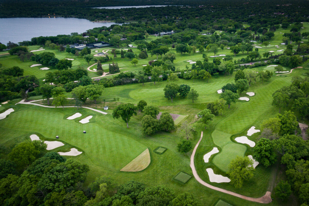
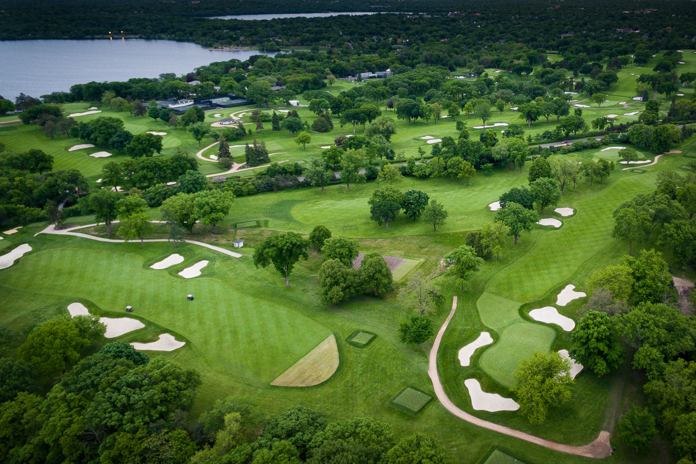
Aerial view of Minikahda Club golf course along Bde Maka Ska lake in Minneapolis, Minnesota.
The Minikahda Club golf course in Minneapolis, Minnesota, is situated along the shores of Bde Maka Ska lake. Established in 1901, the club features a championship golf course designed by William Watson and Robert F. Grant. The course is known for its challenging layout and mature trees, which have been a defining characteristic since its early development.

Fairways and Bunkers at the Minikahda Club Near Bde Maka Ska
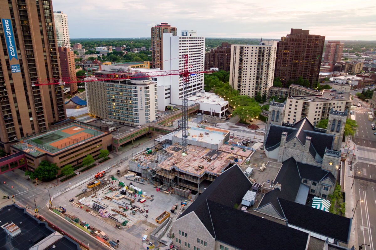
Westminster Presbyterian Church expansion under construction on Nicollet Mall in downtown Minneapolis, with tower crane and surrounding high-rise buildings.
Westminster Presbyterian Church stands at 12th Street and Nicollet Mall in downtown Minneapolis, a stone sanctuary dating to 1897. In 2017 the church built an underground addition and garden next to the historic building, with a tower crane rising over the construction site.

Westminster Presbyterian Church Addition Under Construction in Downtown Minneapolis
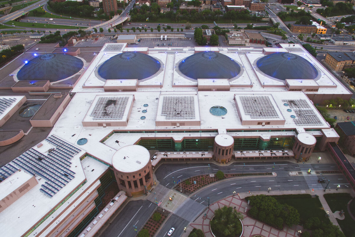
The Minneapolis Convention Center, featuring geodesic domes, is located in downtown Minneapolis, Minnesota.
The Minneapolis Convention Center, a large-scale public facility, is situated in downtown Minneapolis. Its distinctive architecture features multiple geodesic domes that cap its exhibition halls, providing expansive, column-free interior spaces. Opened in 1990, the center was designed to accommodate major trade shows, conventions, and public events, significantly boosting the city's capacity for hosting large gatherings.

Minneapolis Convention Center Domes and Surrounding Streets
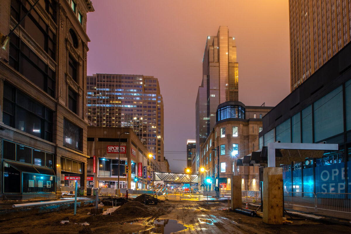
Nicollet Mall under construction at dusk in downtown Minneapolis, with the IDS Center tower illuminated in the background.
Nicollet Mall in Downtown Minneapolis during the COVID-19 shutdowns.

Construction Along Nicollet Mall Near the IDS Center
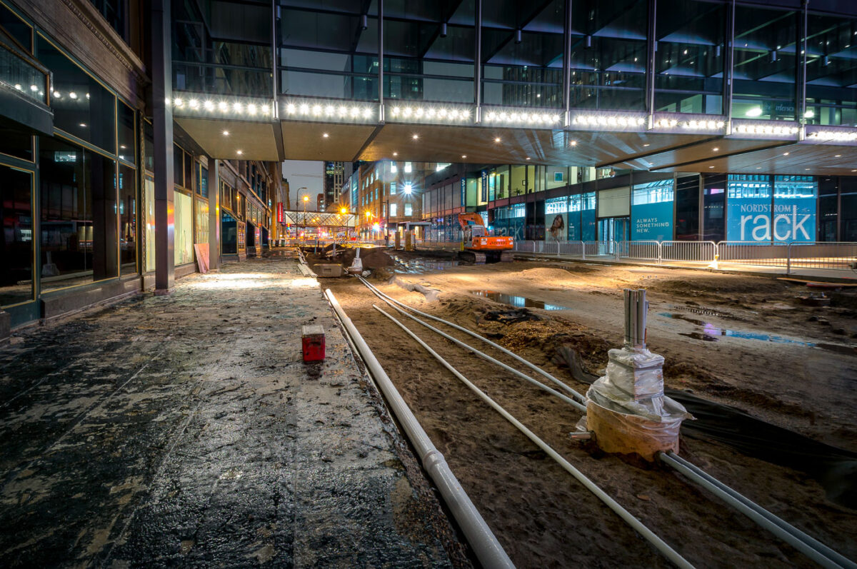
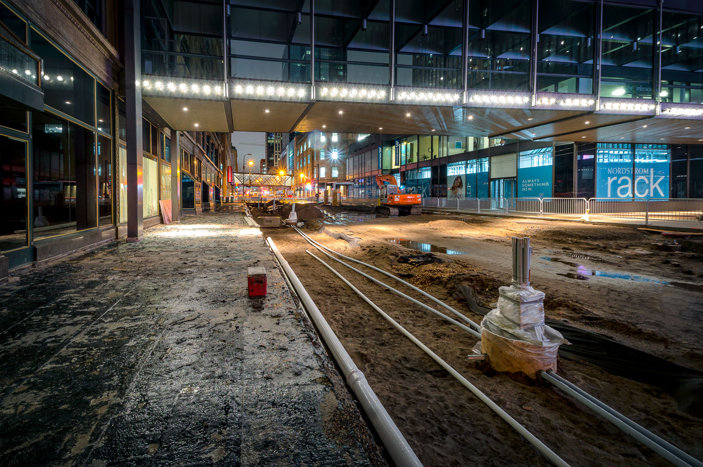
Construction on Nicollet Mall in downtown Minneapolis between the IDS Center and Nordstrom Rack involves infrastructure work and paving.
Construction on Nicollet Mall in downtown Minneapolis is underway, impacting the area between the IDS Center and Nordstrom Rack. This multi-year project aims to revitalize the pedestrian mall, a key thoroughfare in the city's business district. The construction involves significant infrastructure work, including the installation of new utilities and paving. Nicollet Mall, originally developed in the 1960s and redesigned in the 1990s, serves as a central hub for retail, dining, and public life in Minneapolis.

Nicollet Mall Construction, Minneapolis: Nordstrom Rack and IDS Center
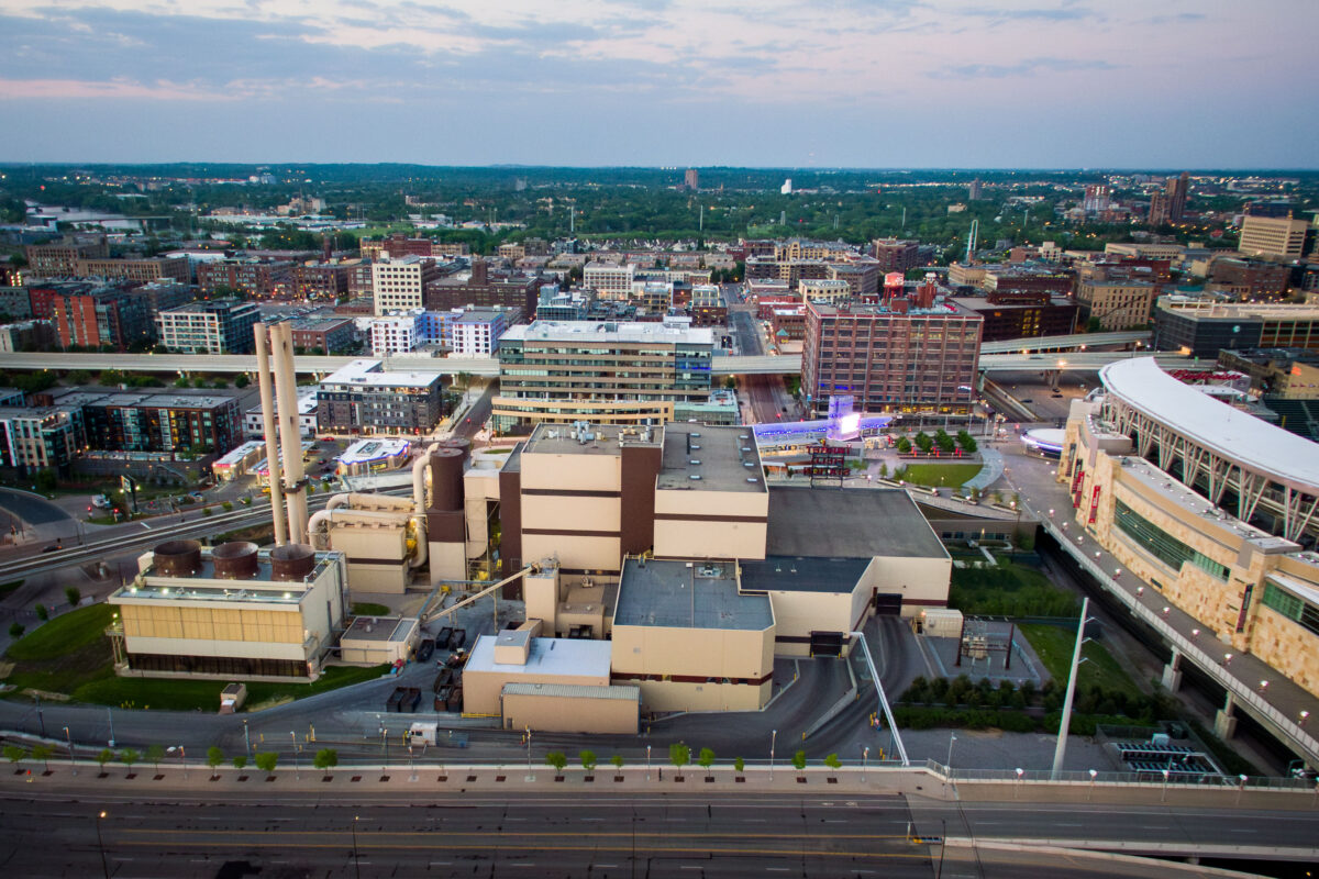
HERC Facility and Downtown Minneapolis
The Hennepin Energy Recovery Center (HERC) sits along 6th Avenue North on the edge of downtown Minneapolis, converting municipal solid waste into electricity and district steam.

Aerial View of HERC Near Target Field in Minneapolis
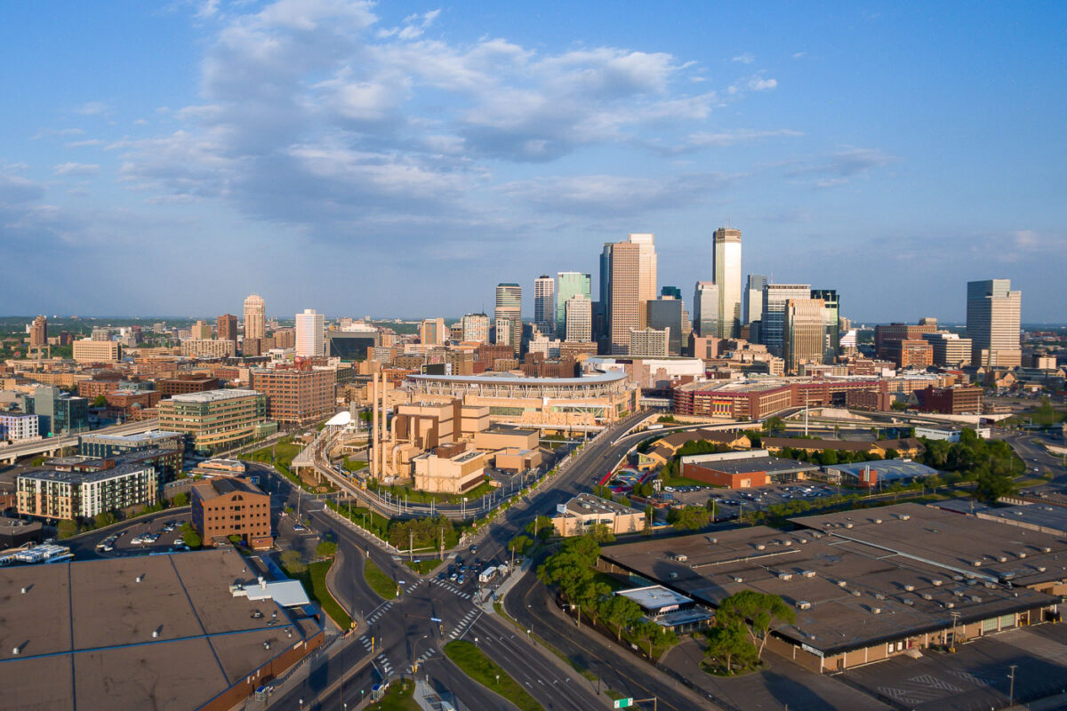
Downtown Minneapolis Skyline from the North
Downtown Minneapolis, is shown from the north with the central business district rising beyond Target Field and the warehouse district. Target Field, home of Major League Baseball’s Minnesota Twins since 2010, anchors the foreground near Interstate 394.

Downtown Minneapolis Skyline Target Field
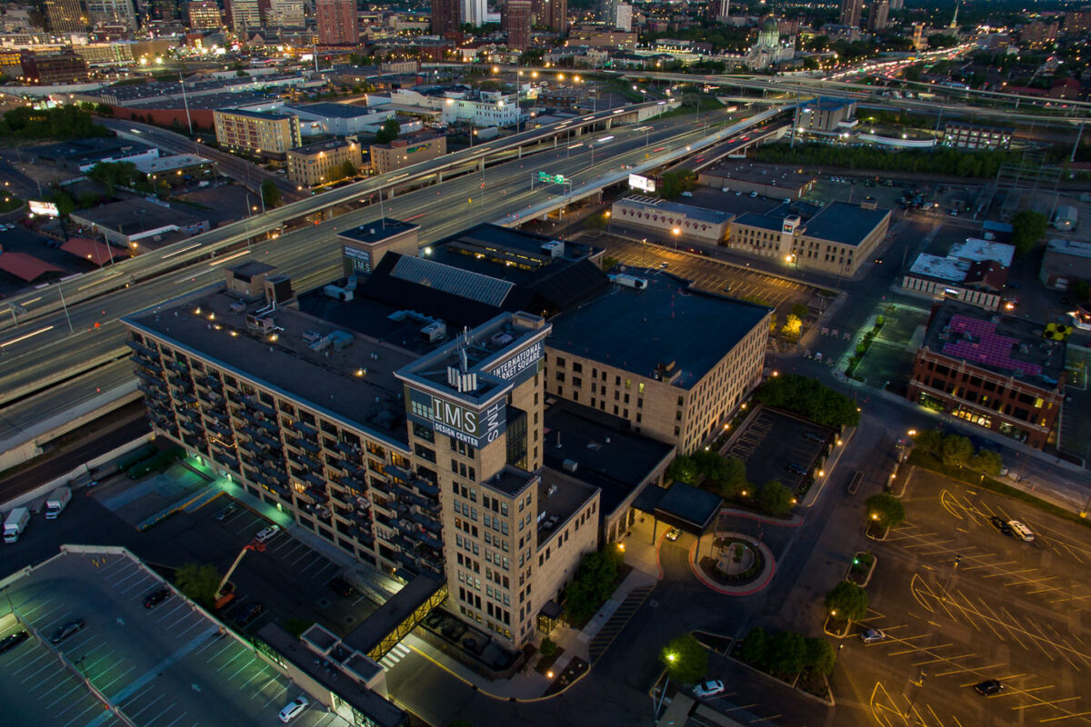
International Market Square, a mixed-use development in North Minneapolis, originally built in 1907 as a factory, now houses design spaces and residences.
International Market Square, Minneapolis Design Center, is a mixed-use development located in North Minneapolis. Originally constructed in 1907 as a factory for the Minneapolis Woolen Mills, the building has undergone significant redevelopment. It now houses a design center, event spaces, and residential units. The structure's industrial architecture is a notable feature, reflecting its manufacturing past.

International Market Square, Minneapolis Design Center
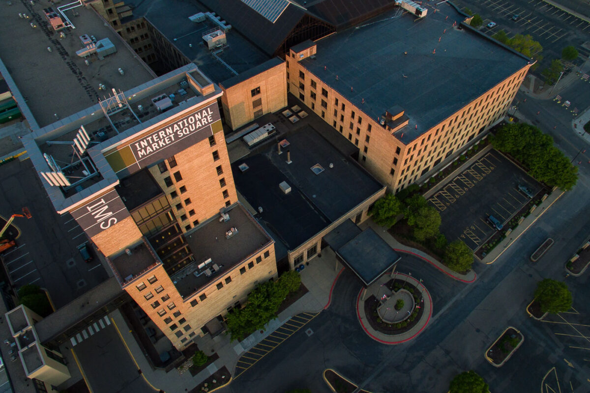
International Market Square, a historic building complex in Minneapolis, Minnesota, originally built in 1883 as a flour milling facility, now houses businesses and event spaces.
International Market Square, located in North Minneapolis, Minnesota, is a historic building complex originally constructed in 1883 as the headquarters for the Washburn Crosby Company, a predecessor to General Mills. The building served as a flour milling facility for decades before being repurposed in the late 20th century. Today, it houses a variety of businesses, showrooms, and event spaces, continuing its legacy as a significant commercial hub within the city.

International Market Square, Minneapolis, Minnesota
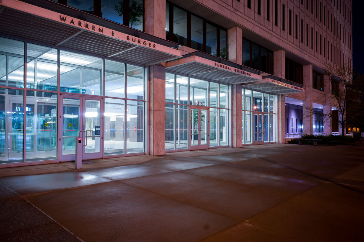
The Warren E. Burger Federal Building and United States Courthouse in downtown St. Paul, Minnesota, serves as a hub for federal judicial proceedings and government offices.
The Warren E. Burger Federal Building and United States Courthouse is located in downtown St. Paul, Minnesota. This structure serves as a vital hub for federal judicial proceedings and government offices in the region. Named in honor of the former Chief Justice of the United States, the building's construction and purpose reflect the ongoing need for federal administrative and legal facilities. It continues to house federal courts and agencies, playing a significant role in the city's governmental and legal infrastructure.

Warren E. Burger Federal Building and Courthouse, St. Paul
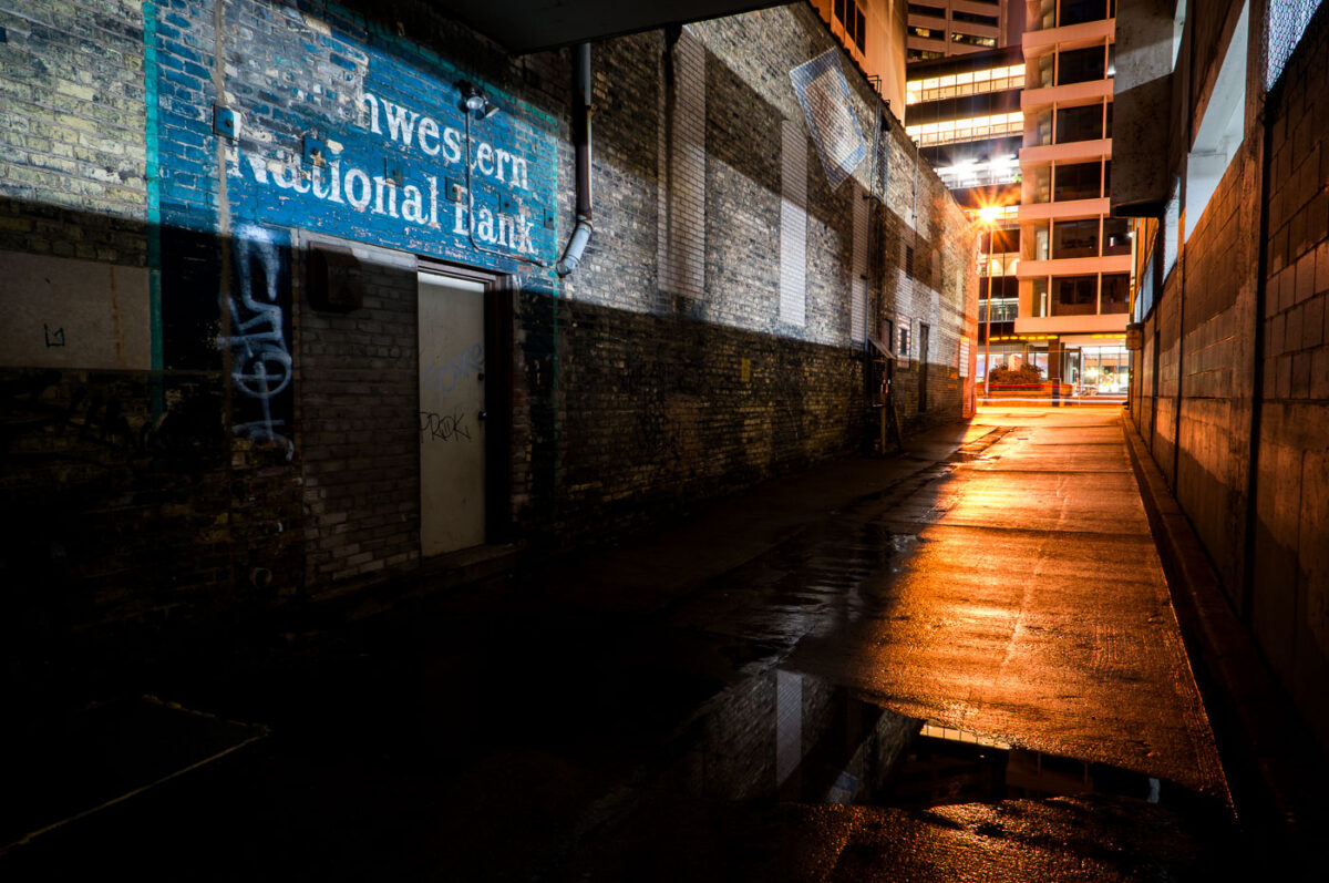
A ghost sign for Northwestern National Bank is visible on a brick building in Downtown St. Paul, a remnant of the city's commercial history.
A ghost sign for Northwestern National Bank is visible on a brick building in Downtown St. Paul. Ghost signs, which are remnants of old advertisements painted on buildings, offer a glimpse into the commercial history of a city. Northwestern National Bank was a prominent financial institution in the region, and its signage serves as a historical marker of its past presence and operations in St. Paul.

Northwestern National Bank Ghost Sign, Downtown St. Paul

Concrete pillars supporting the St. Paul Bridge in downtown Saint Paul, Minnesota, during a rainstorm. The bridge is a vital transportation artery for the city.
Concrete pillars support the St. Paul Bridge in downtown Saint Paul, Minnesota, during a rainstorm. These massive columns are part of the bridge's substructure, designed to bear the weight of traffic and ensure the stability of the crossing. The bridge, a vital artery for the city, facilitates transportation and connects different parts of the downtown area. The rain-slicked ground and reflections of red light highlight the utilitarian nature of this urban infrastructure.

Concrete Pillars Under St. Paul Bridge During Rainstorm
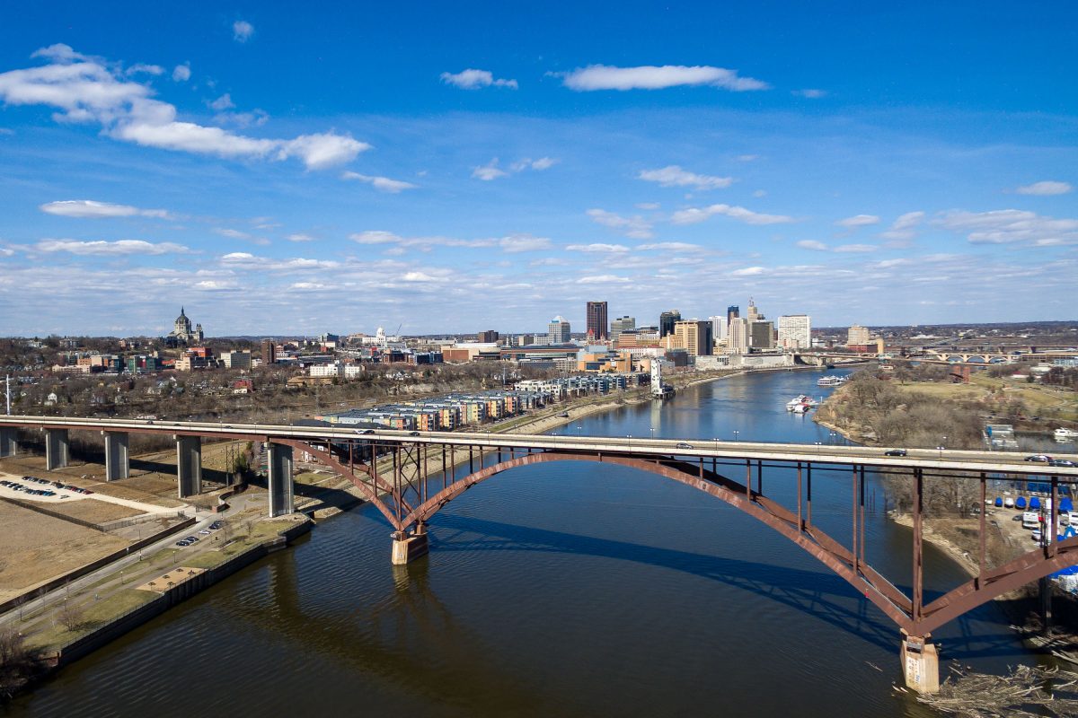
Smith Avenue High Bridge and Downtown St. Paul
The Smith Avenue High Bridge spans the Mississippi River south of downtown St. Paul, Minnesota. The bridge connects the West Side neighborhood with the Cathedral Hill area and frames a skyline that includes the Cathedral of Saint Paul and the State Capitol area.

Smith Avenue High Bridge and Downtown St. Paul

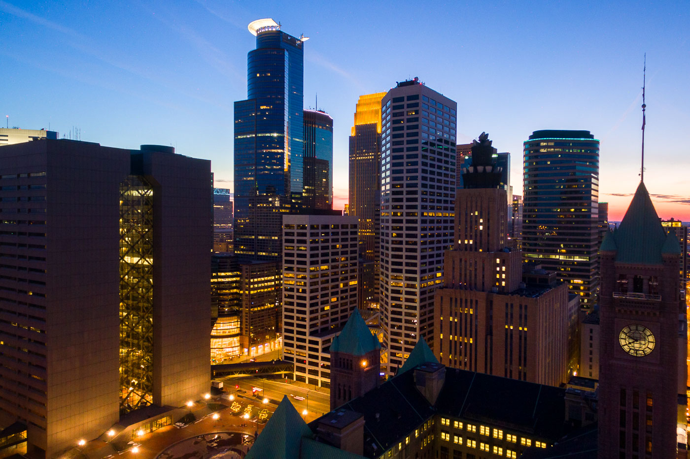
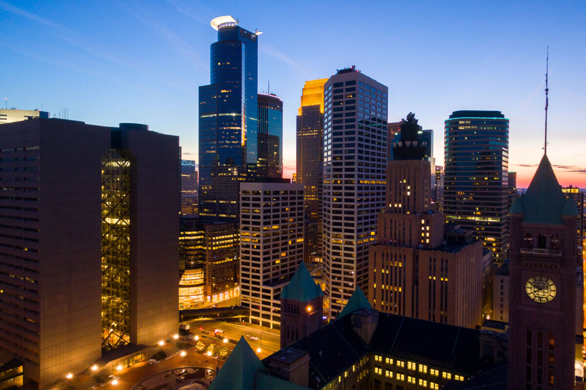
Minneapolis City Hall and downtown skyline at dusk with illuminated office and residential towers.
Minneapolis City Hall is a Romanesque Revival building completed in 1909. Its clock tower stands 345 feet tall and holds one of the world's largest handcarved marble statues, the Father of Waters, in its rotunda.

Minneapolis City Hall’s Clock Tower Beneath the Downtown Skyline
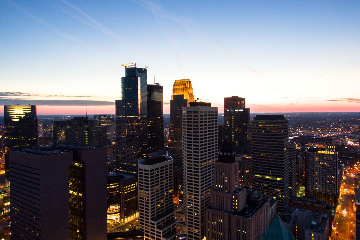
Downtown Minneapolis skyline at dusk with illuminated buildings against a blue and pink sky.
Downtown Minneapolis's skyline includes the IDS Center, at 792 feet the tallest building in Minnesota, completed in 1972. The Capella Tower stands nearby at 776 feet, built in 1992 and topped by a stepped crown.

IDS Center and Capella Tower at Dusk Over Minneapolis
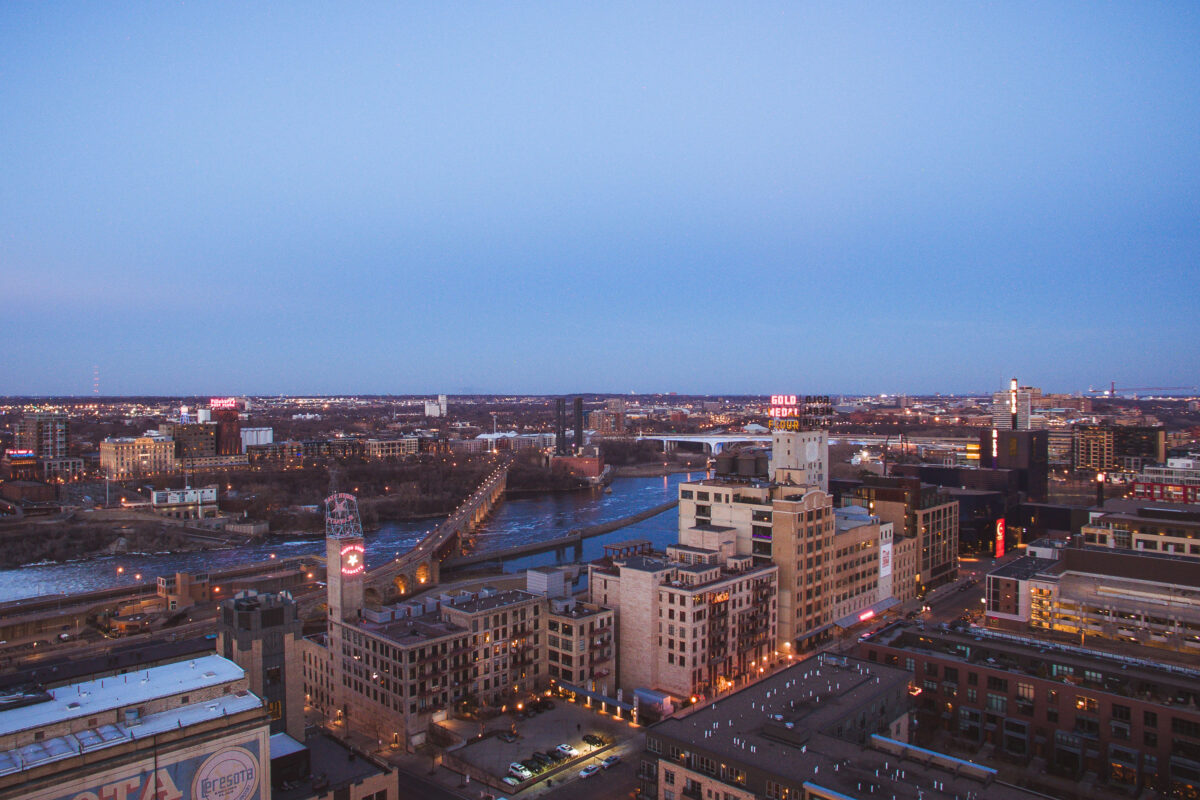
Downtown Minneapolis and the Mississippi River at dusk.
Downtown Minneapolis and the Mississippi River, Minneapolis, Minnesota. The view includes several downtown buildings, bridges crossing the river, and the riverfront area near the central business district.

Downtown Minneapolis and the Mississippi River

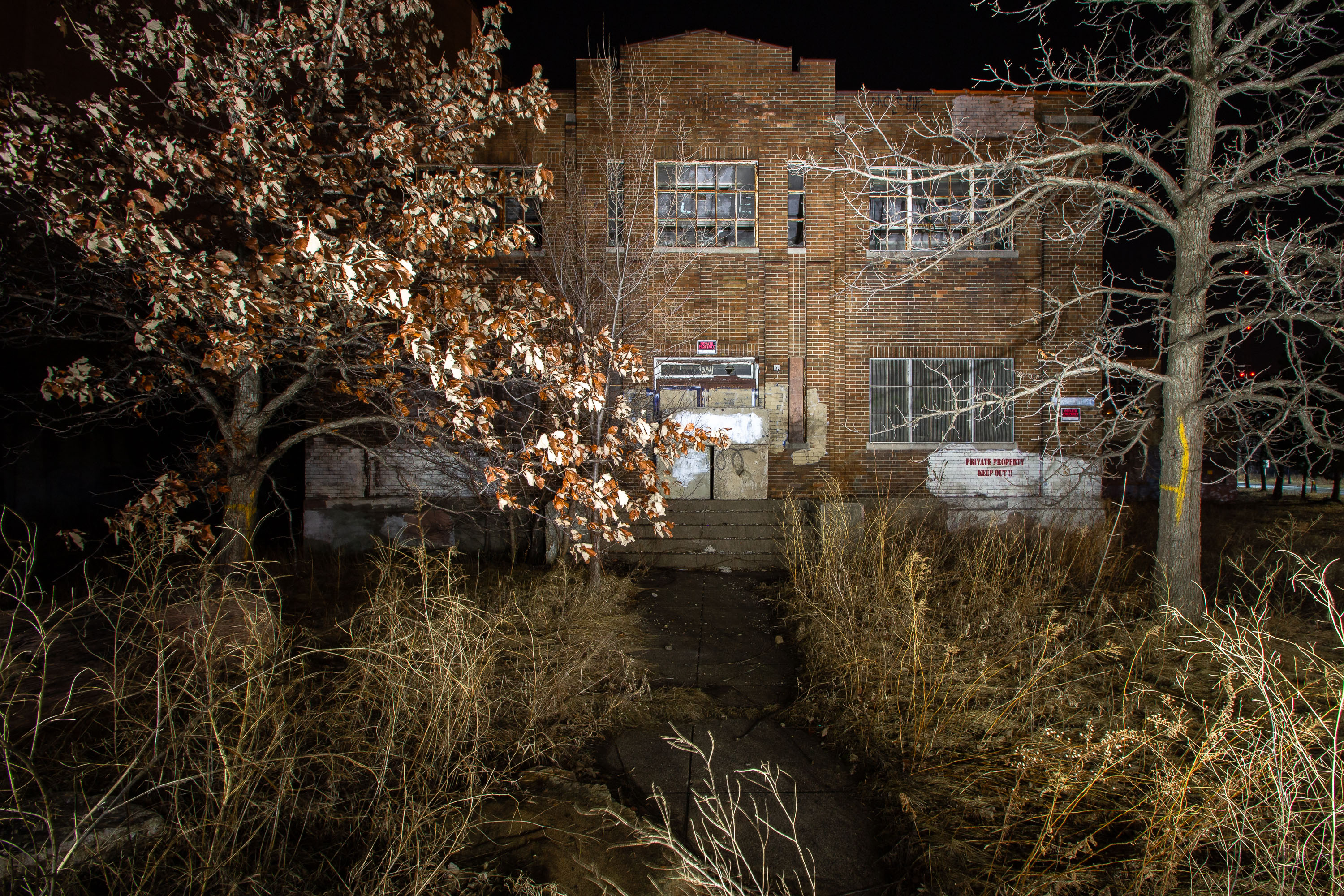
Abandoned brick laboratory building of the former Archer Daniels Midland grain elevator complex in Minneapolis.
The Stone Lab building at 421 29th Ave SE was once used by the University of Minnesota for environmental health research.

Stone Lab building in Minneapolis

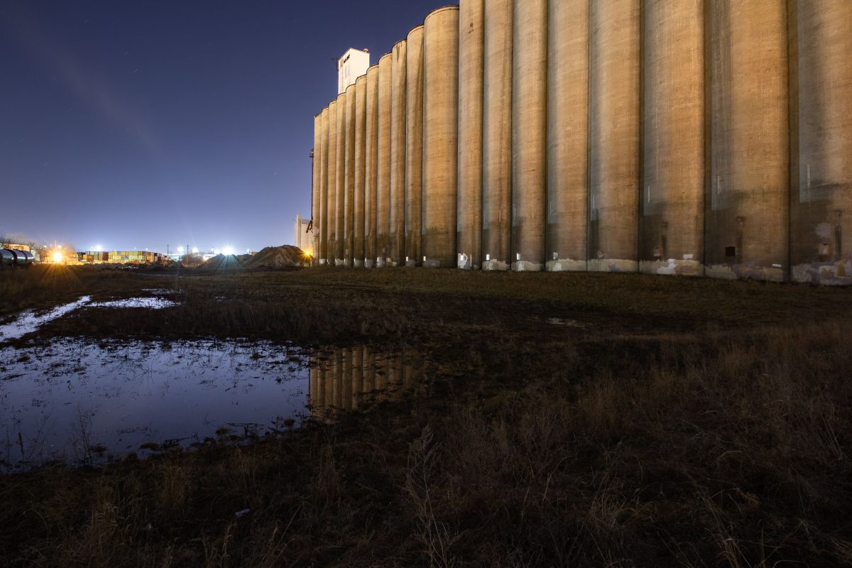
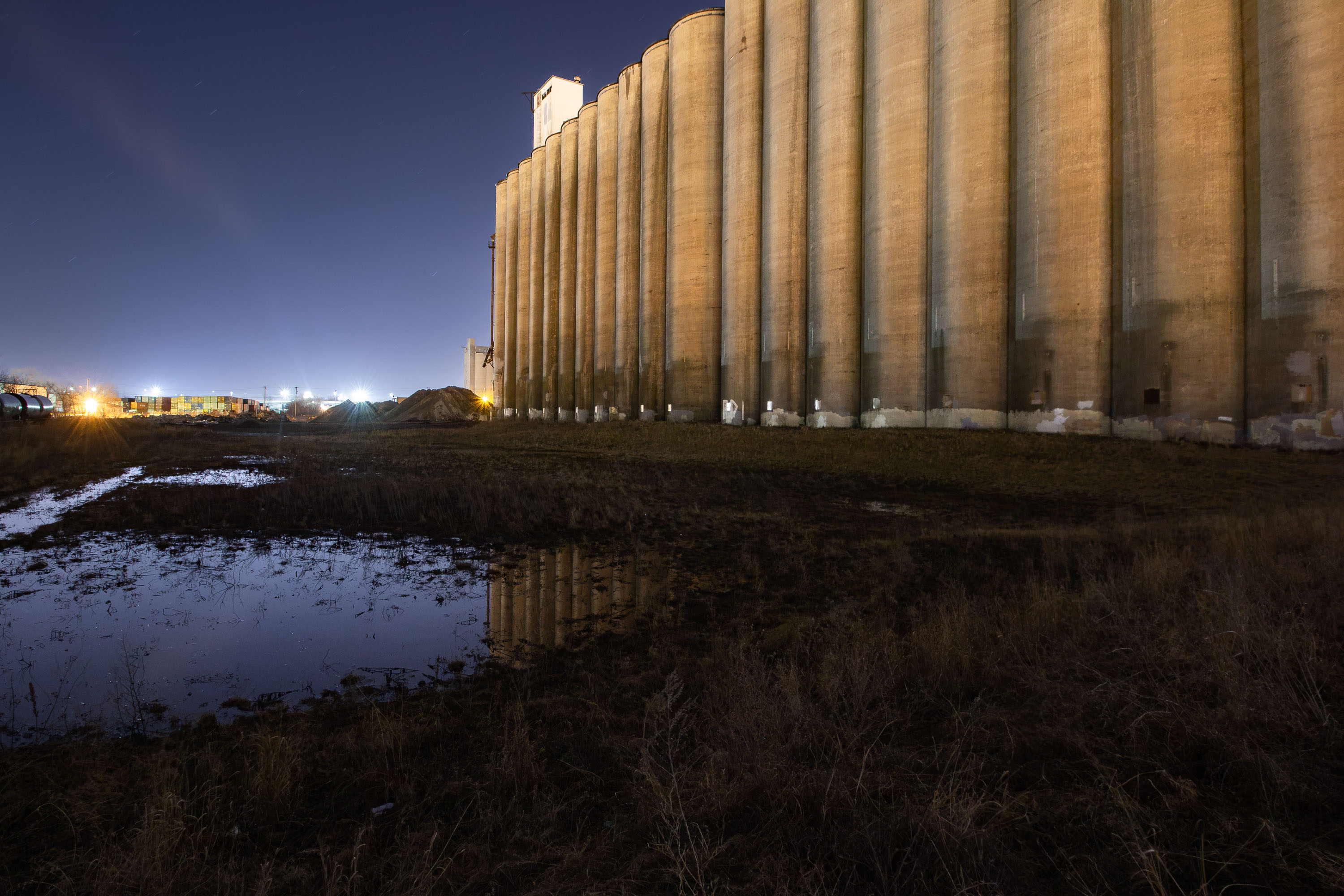
Concrete grain silos of the Archer Daniels Midland elevator in Southeast Minneapolis at night.
The Archer Daniels Midland grain elevator stands in Southeast Minneapolis near the Mississippi River. Its concrete silos are built in a cylindrical design common to grain elevators raised in the mid twentieth century to hold large volumes of grain for milling and export.

The ADM Grain Elevator in Southeast Minneapolis
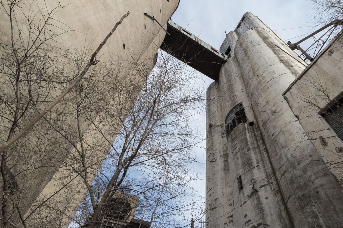
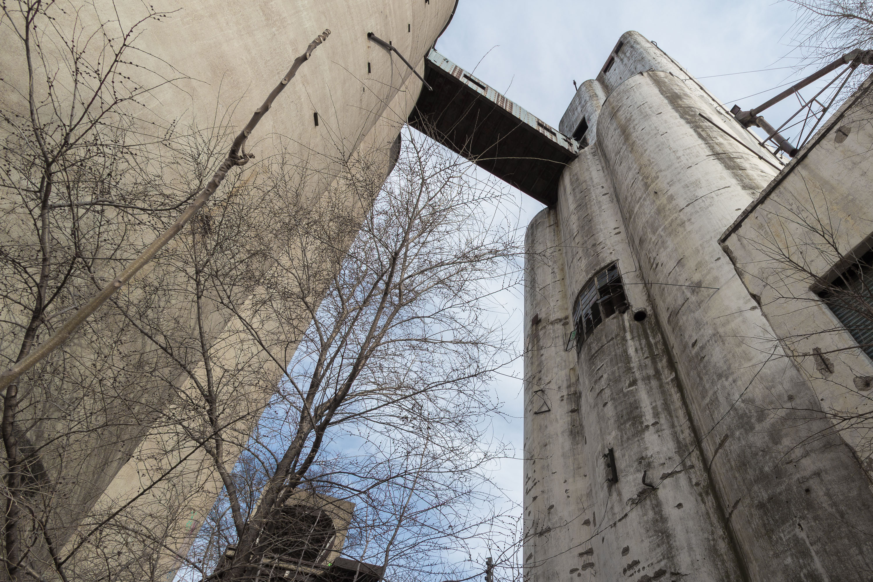
Concrete grain silos connected by an elevated enclosed walkway at a grain elevator complex in Omaha, Nebraska.
This grain elevator complex is located in Omaha, Nebraska. The structure consists of multiple reinforced concrete silos connected by an elevated enclosed walkway.

Concrete Grain Silos and Elevated Walkway, Omaha, Nebraska
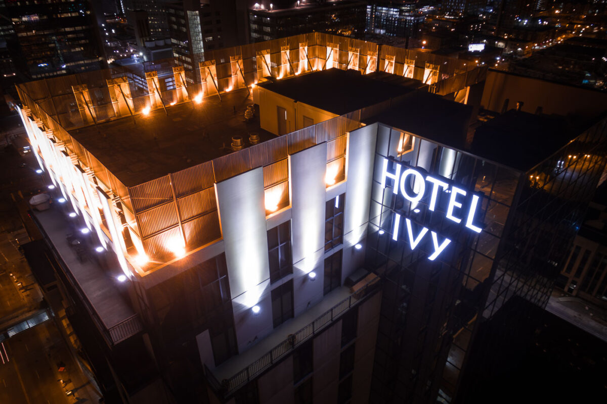
Hotel Ivy, a luxury hotel in downtown Minneapolis, is illuminated at night.
Hotel Ivy, a luxury hotel in downtown Minneapolis, is illuminated at night. The building, which opened in 2019, is part of the city's modern architectural development. Its rooftop area offers views of the surrounding urban environment, reflecting the ongoing growth and activity within the Minneapolis central business district.

Hotel Ivy Rooftop and Downtown Minneapolis at Night
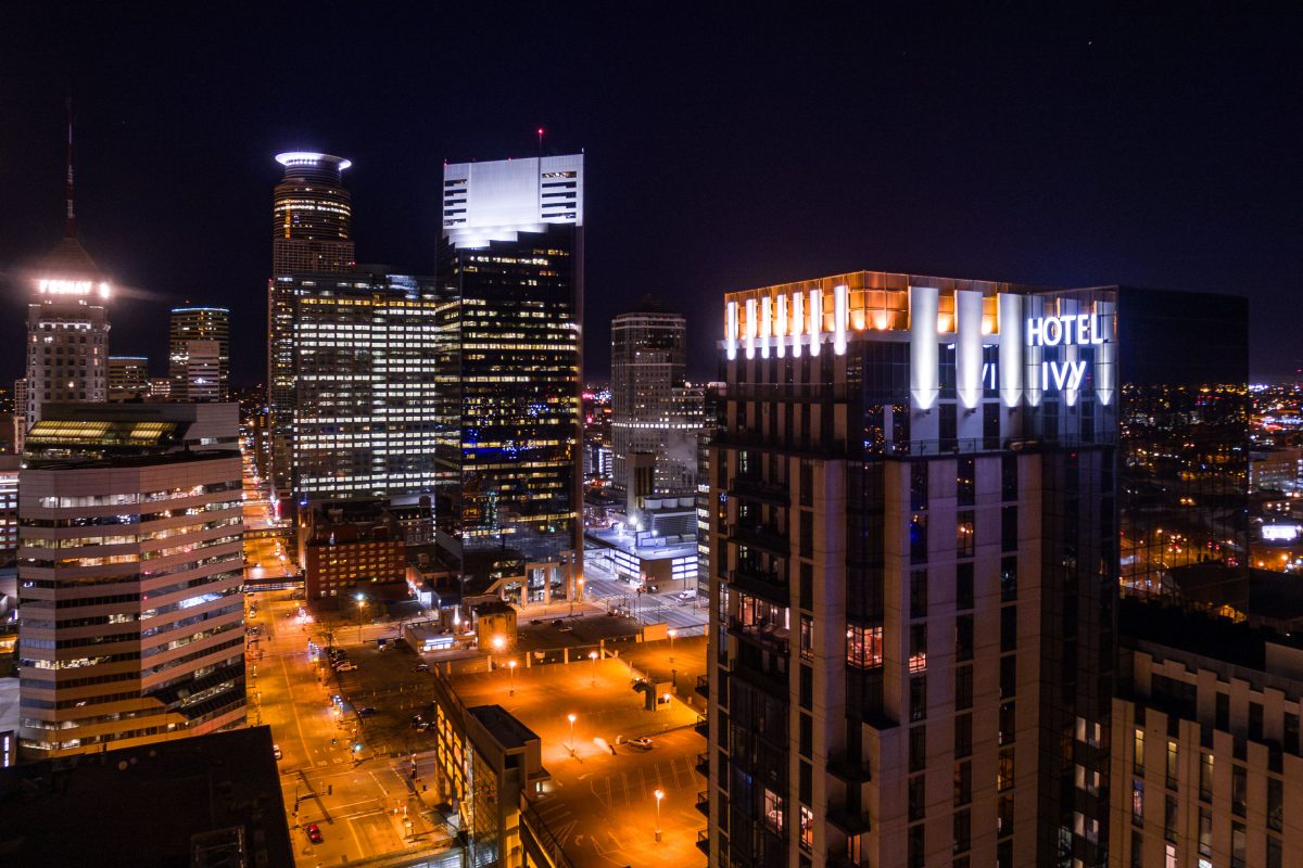
Hotel Ivy on Marquette Ave at night
Hotel Ivy on Marquette Avenue in Downtown Minneapolis lit up at night.

Hotel Ivy on Marquette Ave in Downtown Minneapolis
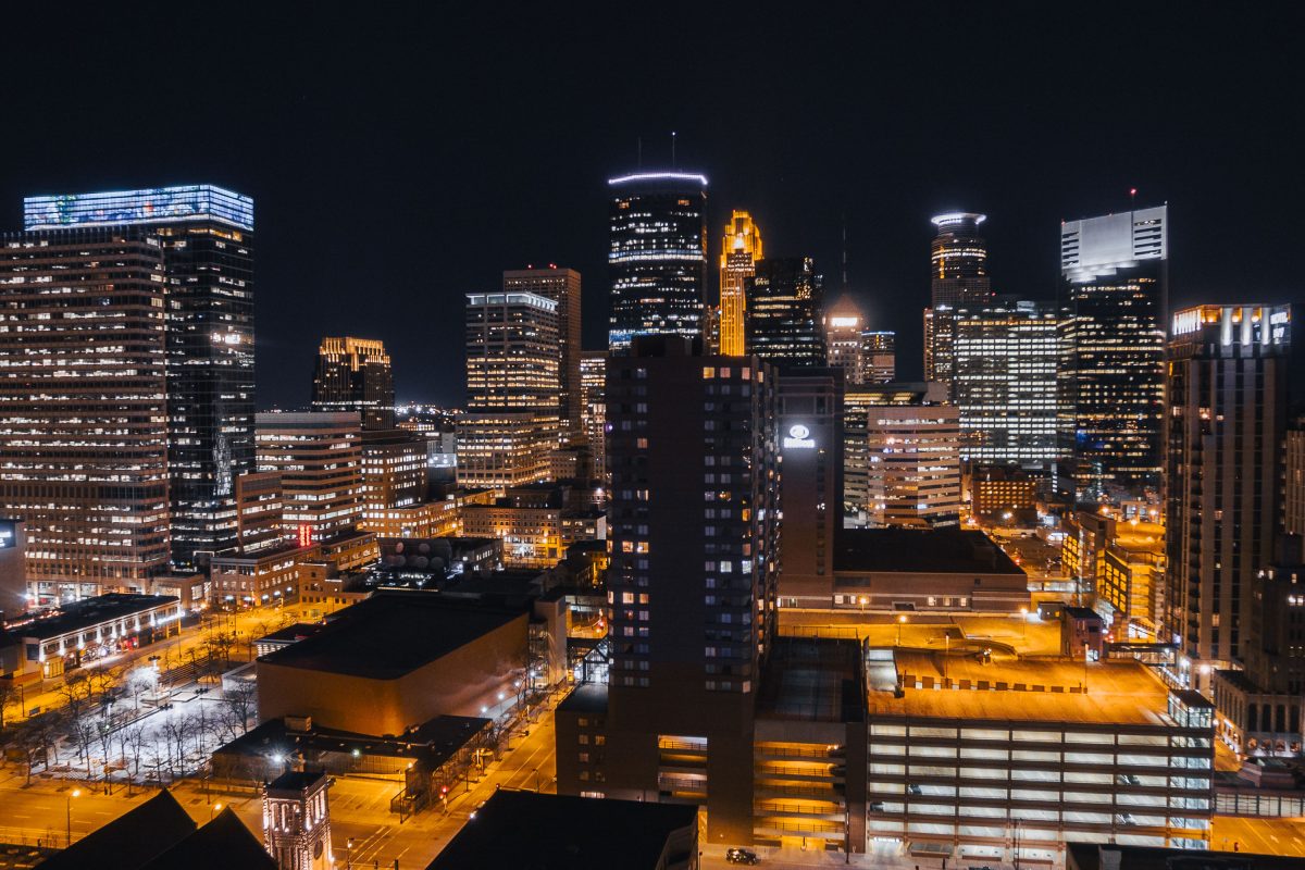
Downtown Minneapolis skyline at night with illuminated buildings and streets.
Downtown Minneapolis's skyline is anchored by the IDS Center, at 792 feet the tallest building in Minnesota, completed in 1972. Capella Tower, finished in 1992, and the Wells Fargo Center, built in 1988, stand nearby along Nicollet Mall and Marquette Avenue.

Downtown Minneapolis Towers After Dark in February 2017
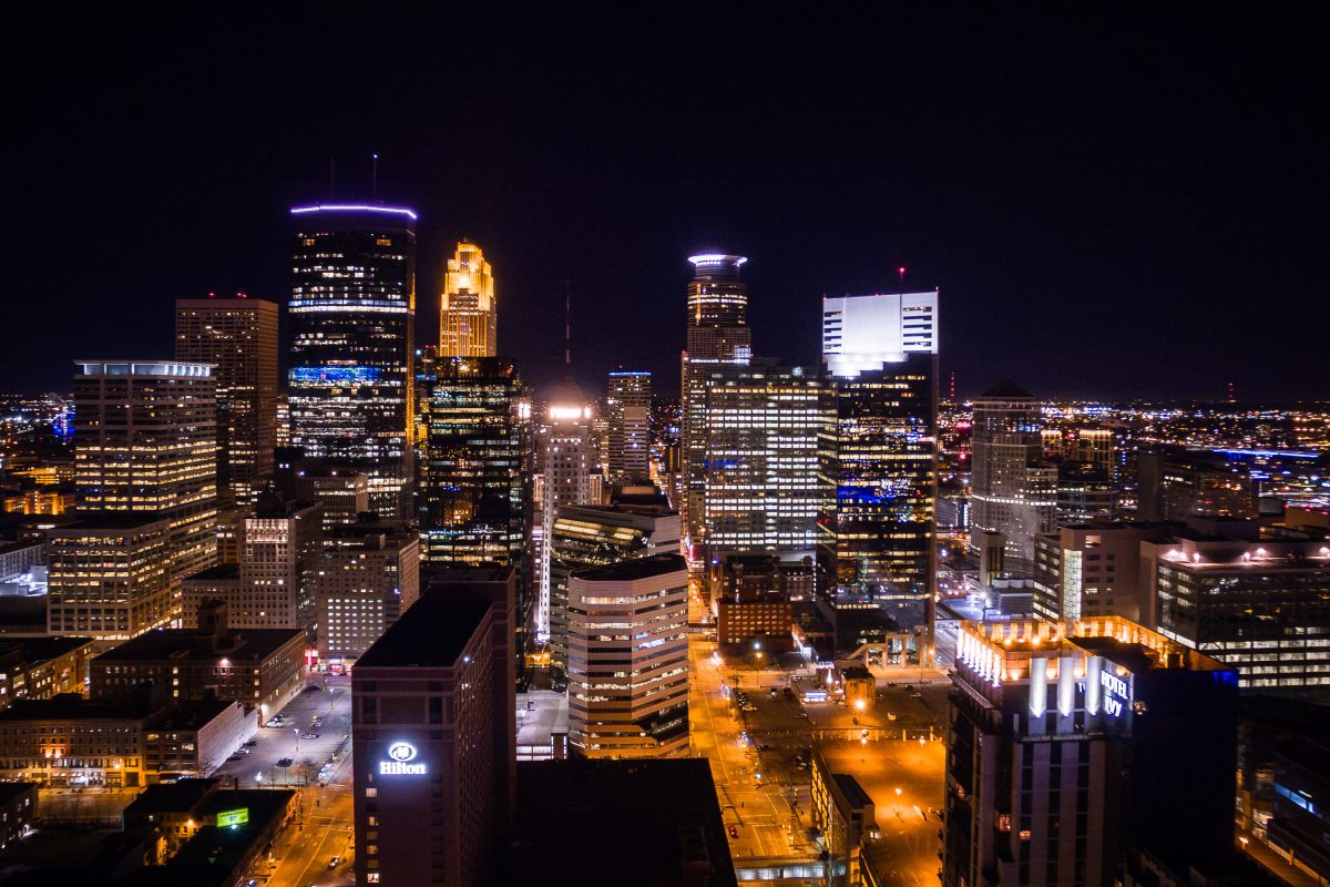
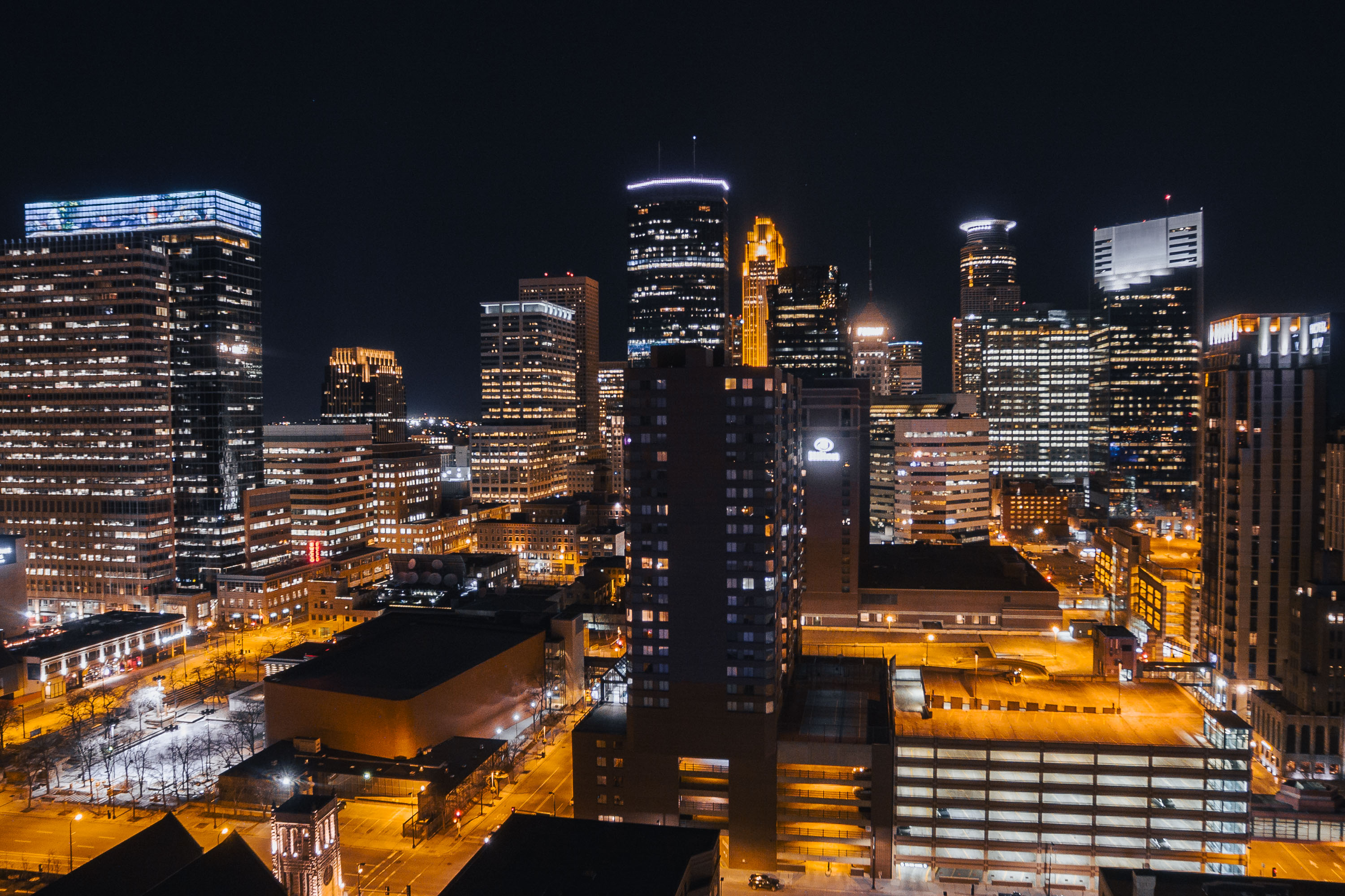
Downtown Minneapolis skyline at night featuring illuminated office and hotel towers including the Hilton and Hotel Ivy.
The Hilton Minneapolis is a 25-story hotel at 1001 Marquette Avenue South that opened in 1992 with more than 800 rooms, making it one of the largest hotels in the Twin Cities. Hotel Ivy occupies a 19-story tower built in 1930 as the Northwestern National Life Insurance Building, later converted into a hotel in 2008.

Downtown Minneapolis Skyline Above the Hilton and Hotel Ivy
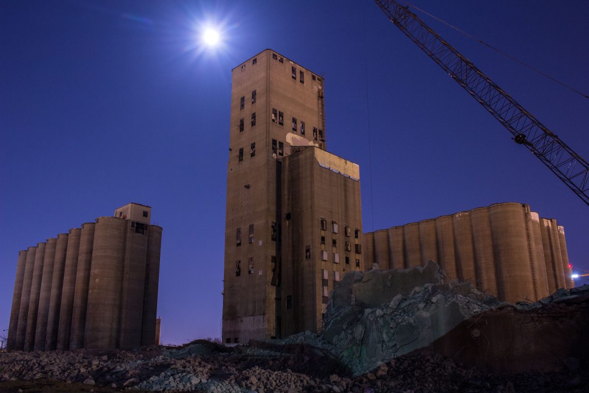
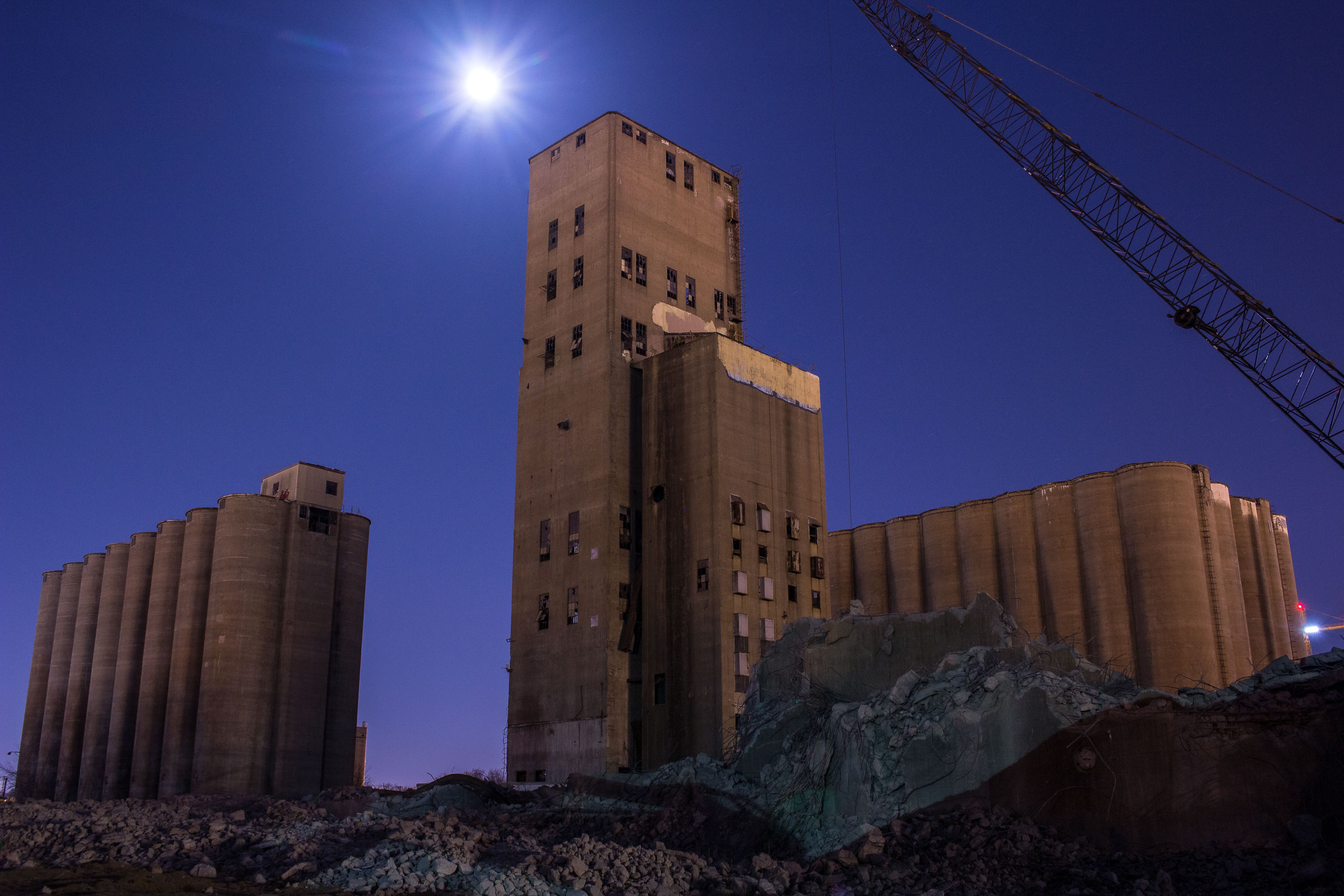
Concrete grain elevator complex with silos and headhouse during demolition in Dinkytown, Minneapolis.
Demolition of grain elevators in Minneapolis taking place in February 2017.

Dinkytown Grain Elevator Complex Under Demolition, Minneapolis
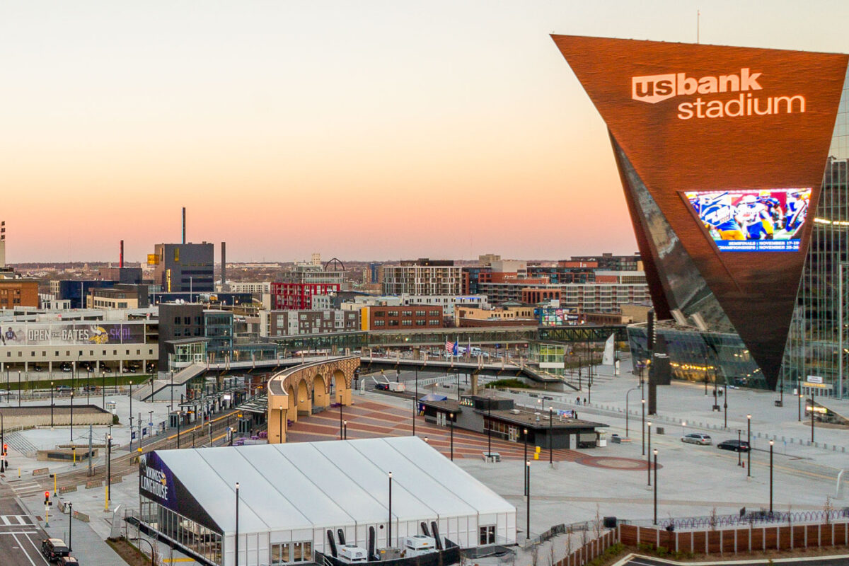
US Bank Stadium in Downtown East Minneapolis, Minnesota, at sunset. The stadium is home to the Minnesota Vikings and features a distinctive angular design.
US Bank Stadium, a multi-purpose indoor stadium in Minneapolis, Minnesota, serves as the home for the Minnesota Vikings. Opened in 2016, the stadium was built on the former site of the Metrodome and is a prominent feature of the Downtown East development. The surrounding area includes public plazas and transit connections designed to integrate the stadium into the urban fabric. The stadium's distinctive angular design and transparent facade are notable architectural elements.

US Bank Stadium and Downtown East Minneapolis at Sunset
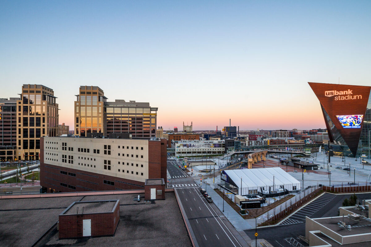
US Bank Stadium, home of the Minnesota Vikings, in Downtown East Minneapolis, completed in 2016, with surrounding urban development.
US Bank Stadium, a multi-purpose venue in Downtown East Minneapolis, was completed in 2016. The stadium serves as the home for the Minnesota Vikings of the National Football League and hosts major sporting events, concerts, and other public gatherings. Its distinctive angular design and brick facade are intended to complement the surrounding urban environment. The development of the stadium spurred significant redevelopment in the surrounding Downtown East neighborhood, transforming a former industrial area into a vibrant mixed-use district.

Downtown East Minneapolis: US Bank Stadium and Development
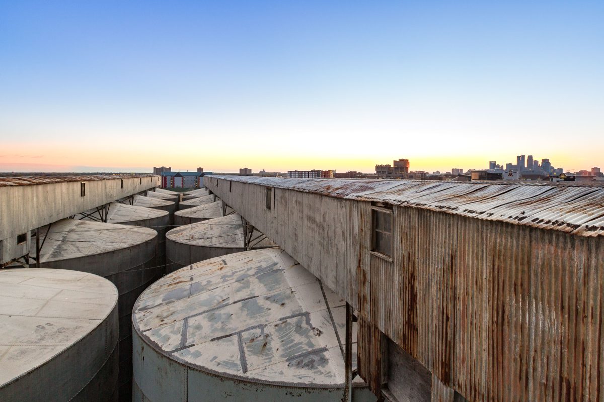
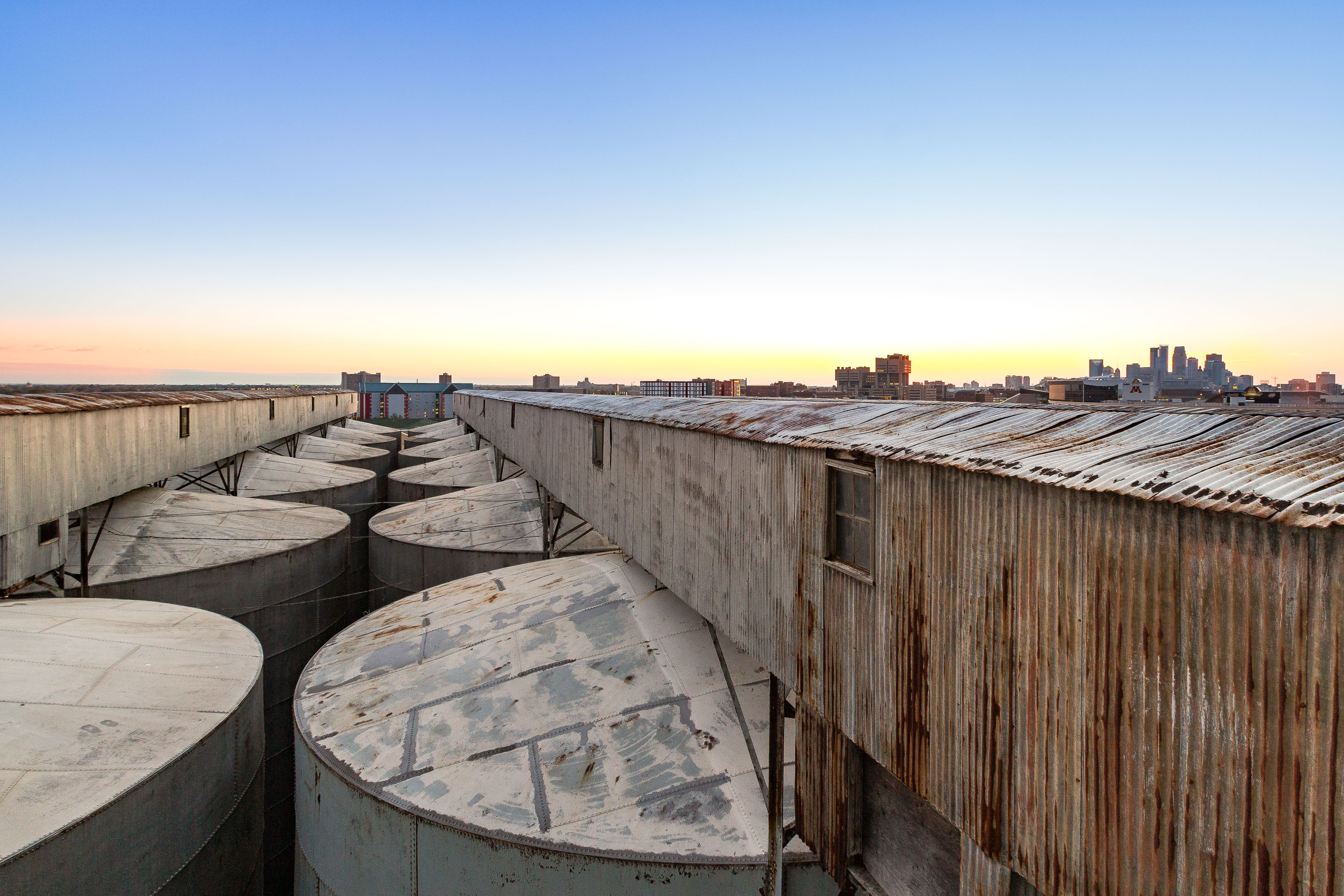
Abandoned Electric Steel grain elevator rooftop in Minneapolis with large storage tanks and downtown skyline at sunset.
The Electric Steel Elevator is a grain storage complex in Minneapolis, with rows of round steel bins topped by a corrugated metal shed.

Grain Bins at the Electric Steel Elevator With Downtown Minneapolis Beyond
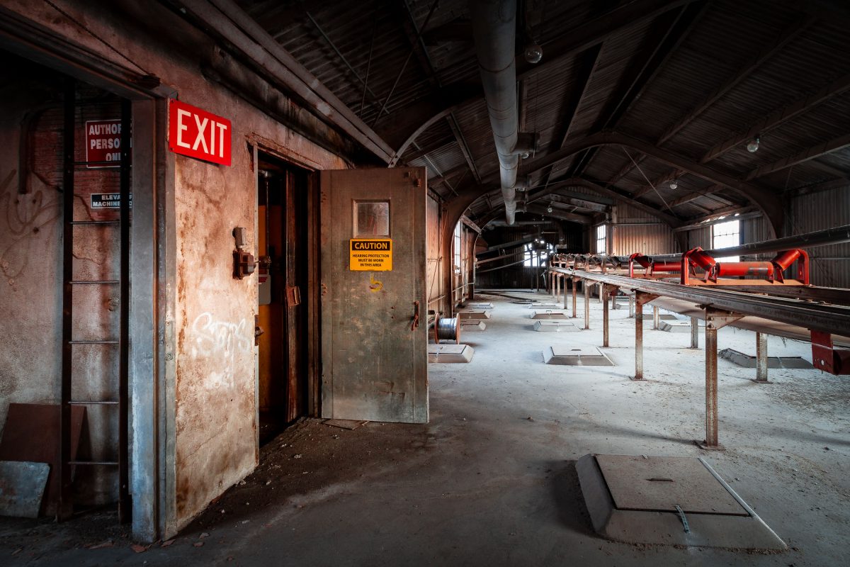
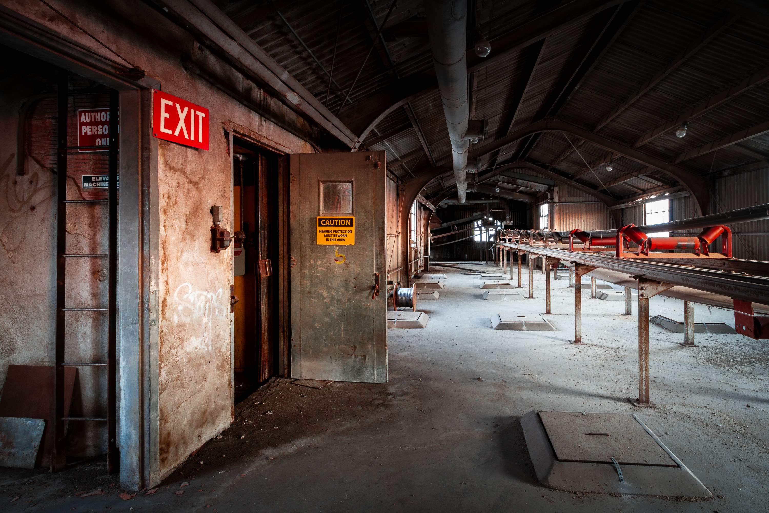
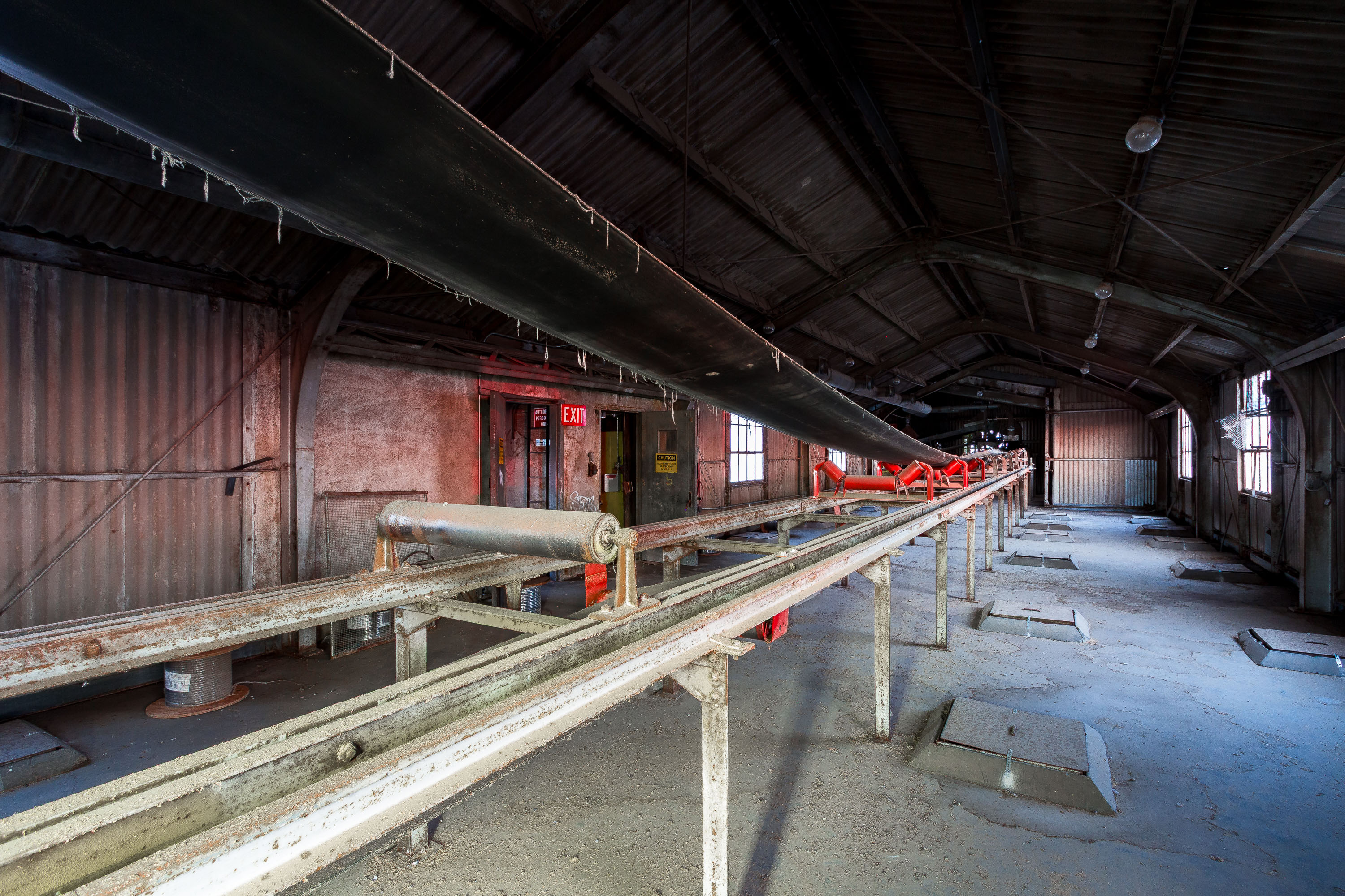
Abandoned Electric Steel grain elevator interior in Minneapolis with rusted machinery, conveyor systems, and red exit sign.
The Electric Steel Elevator is a grain elevator complex in Minneapolis, with a long conveyor gallery once used to move grain between storage and processing points. Steel doors, ladders, and warning signs like "Hearing Protection Must Be Worn in This Area" remain from its working days along the elevator's interior walkways.

Exit Door and Conveyor Gallery at Electric Steel Elevator
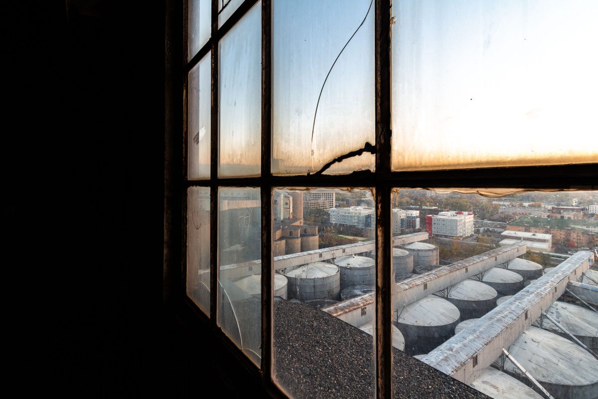
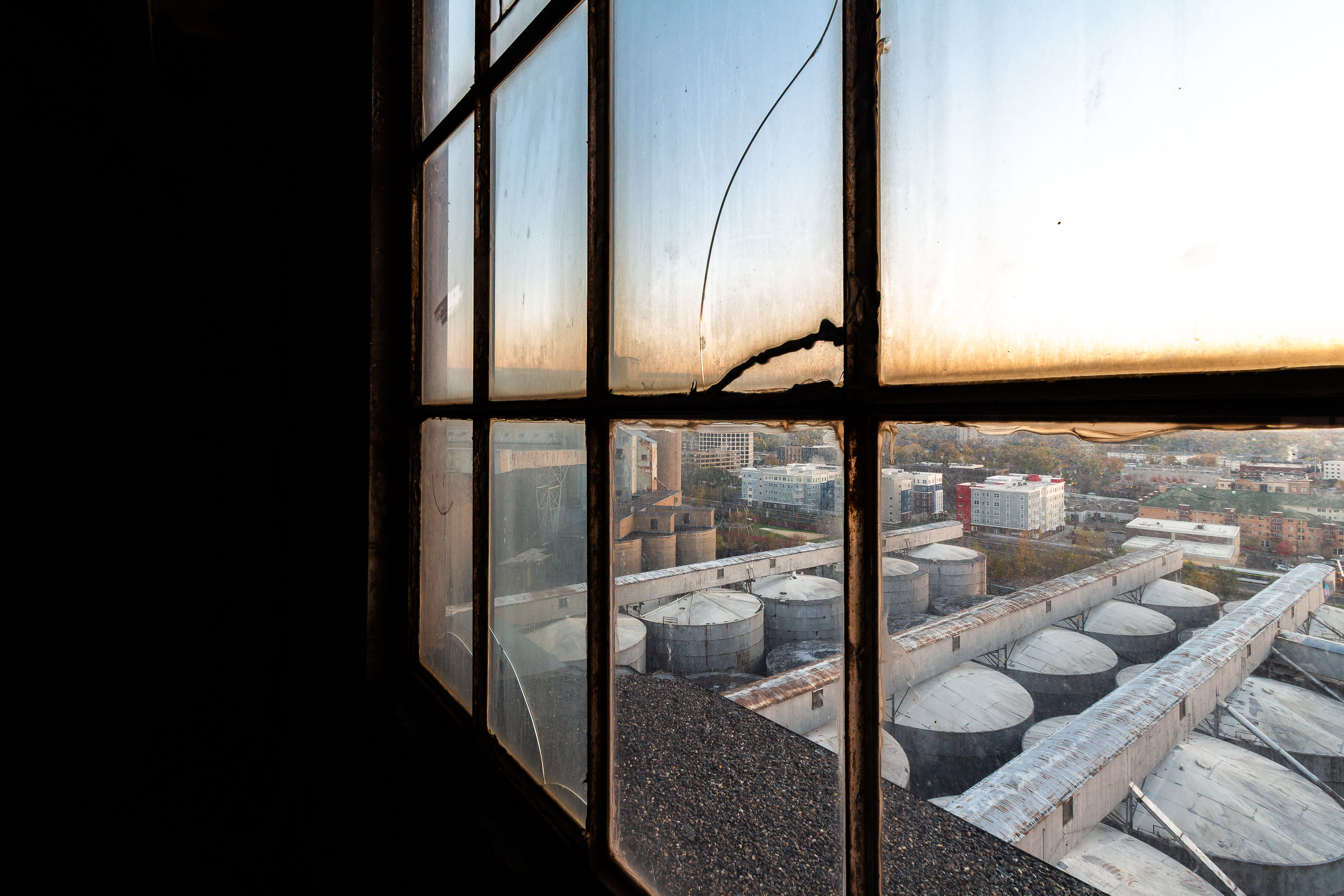
View from inside an abandoned Minneapolis grain elevator looking out at storage tanks and the city skyline at sunset.
The downtown Minneapolis skyline and surrounding neighborhoods lie beyond the tanks.

View of Grain Tanks Through a Broken Window at Electric Steel Elevator
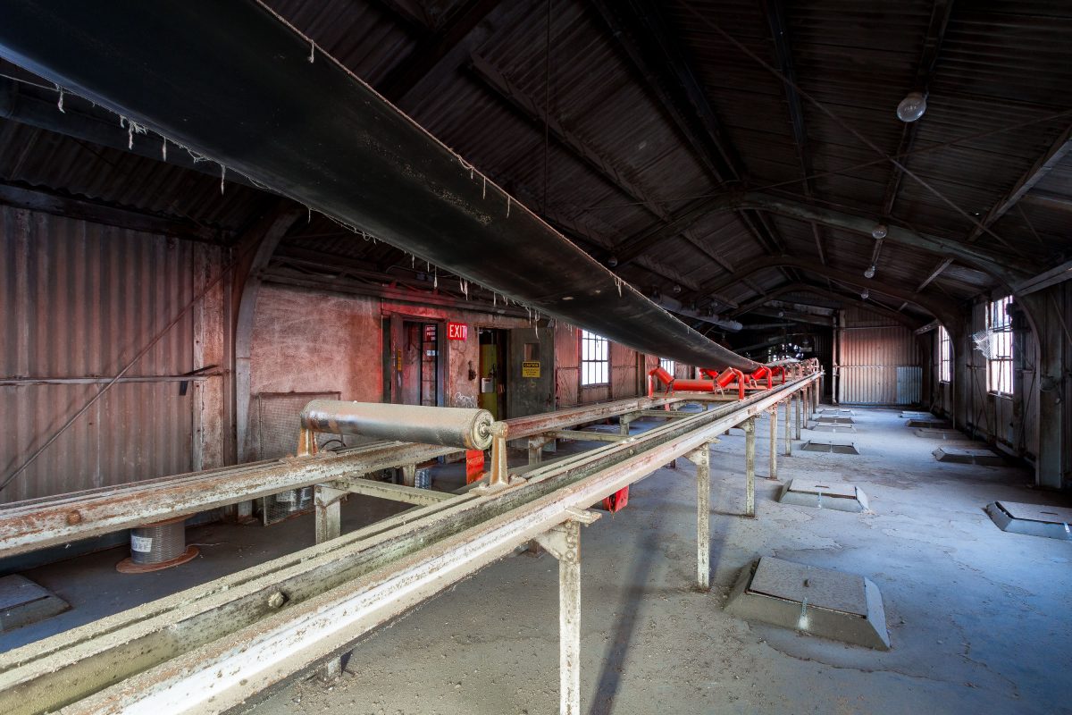
Interior of the Electric Steel Grain Elevator in Minneapolis showing weathered conveyor systems and industrial machinery beneath a metal-beam ceiling.
The Electric Steel Elevator is a former grain elevator in Minneapolis, built to store and load grain for shipment by rail. Inside, a long conveyor belt runs above a line of steel rollers that once moved grain through the building to waiting railcars.

Conveyor Belt and Rollers Inside Electric Steel Elevator in Minneapolis
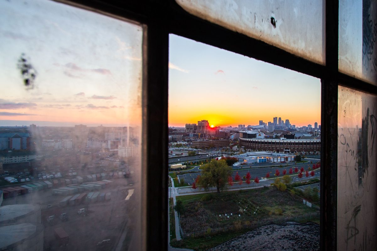
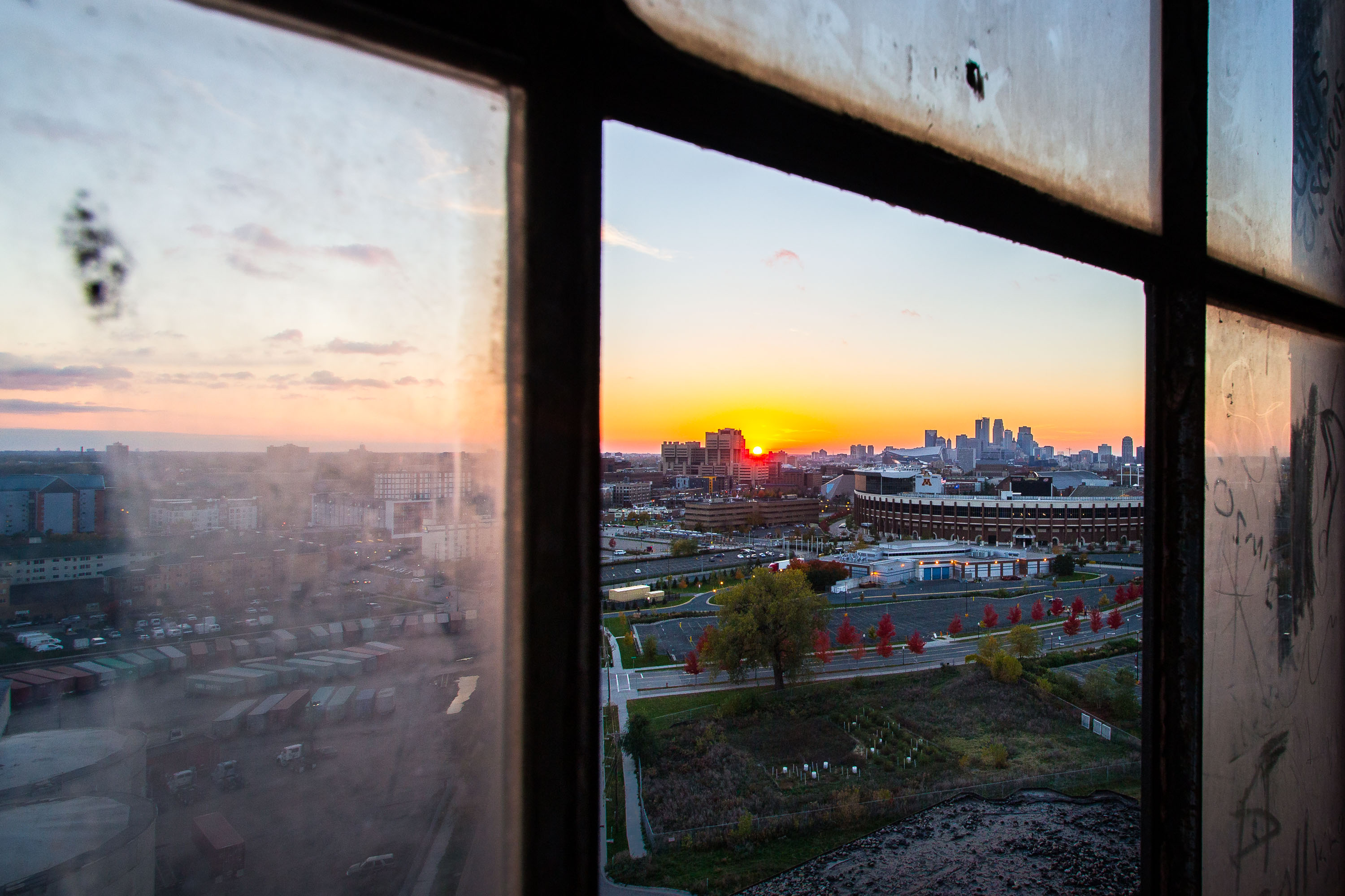
Minneapolis skyline at sunset viewed through an abandoned industrial building's window frame.
The downtown Minneapolis skyline from the Electric Steel Elevator, a decommissioned grain elevator in the Prospect Park neighborhood near the University of Minnesota. TCF Bank Stadium, home to University of Minnesota football since 2009, sits between the elevator and downtown.

Downtown Minneapolis Skyline at Sunset from the Electric Steel Elevator
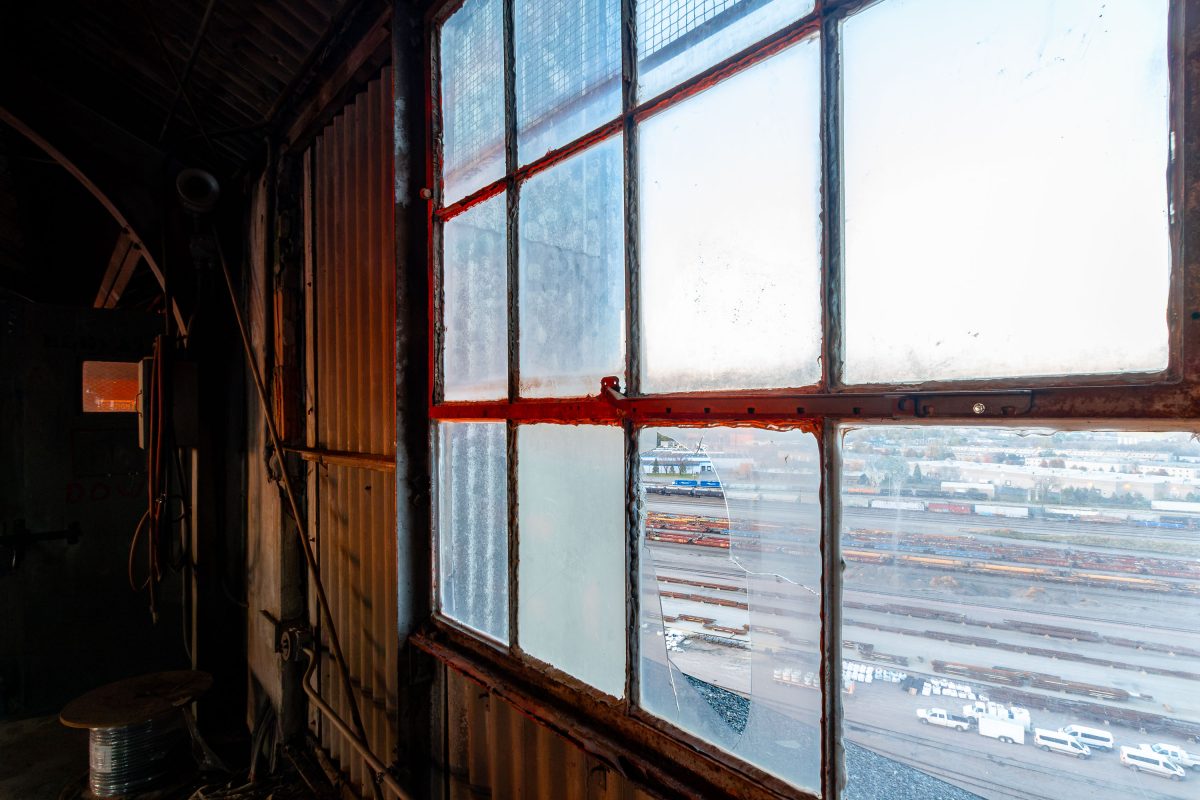
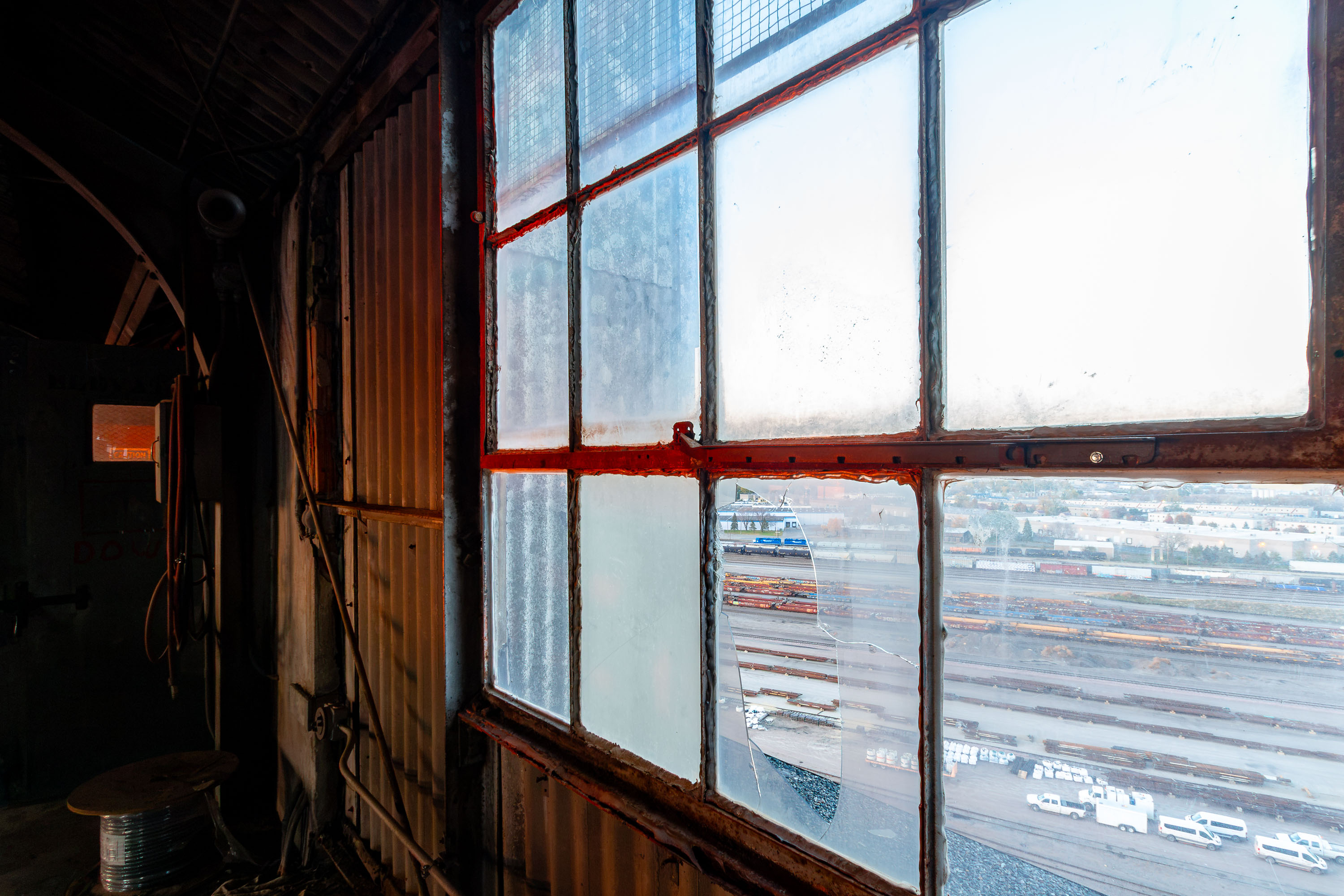
View from inside the abandoned Electric Steel Grain Elevator in Minneapolis looking out over railroad yards.
The Electric Steel Elevator is a former grain elevator in Minneapolis, built for storing and loading grain before shipment by rail.

Rail Yard View Through a Window at Electric Steel Elevator
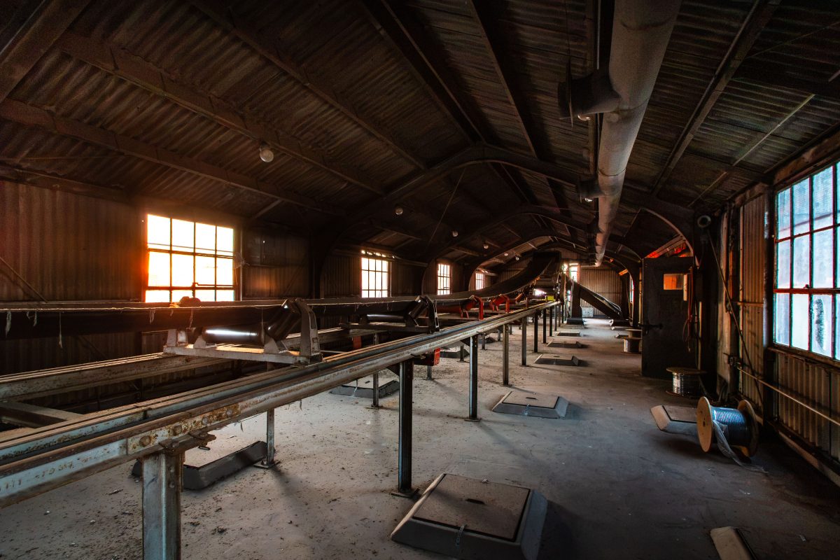
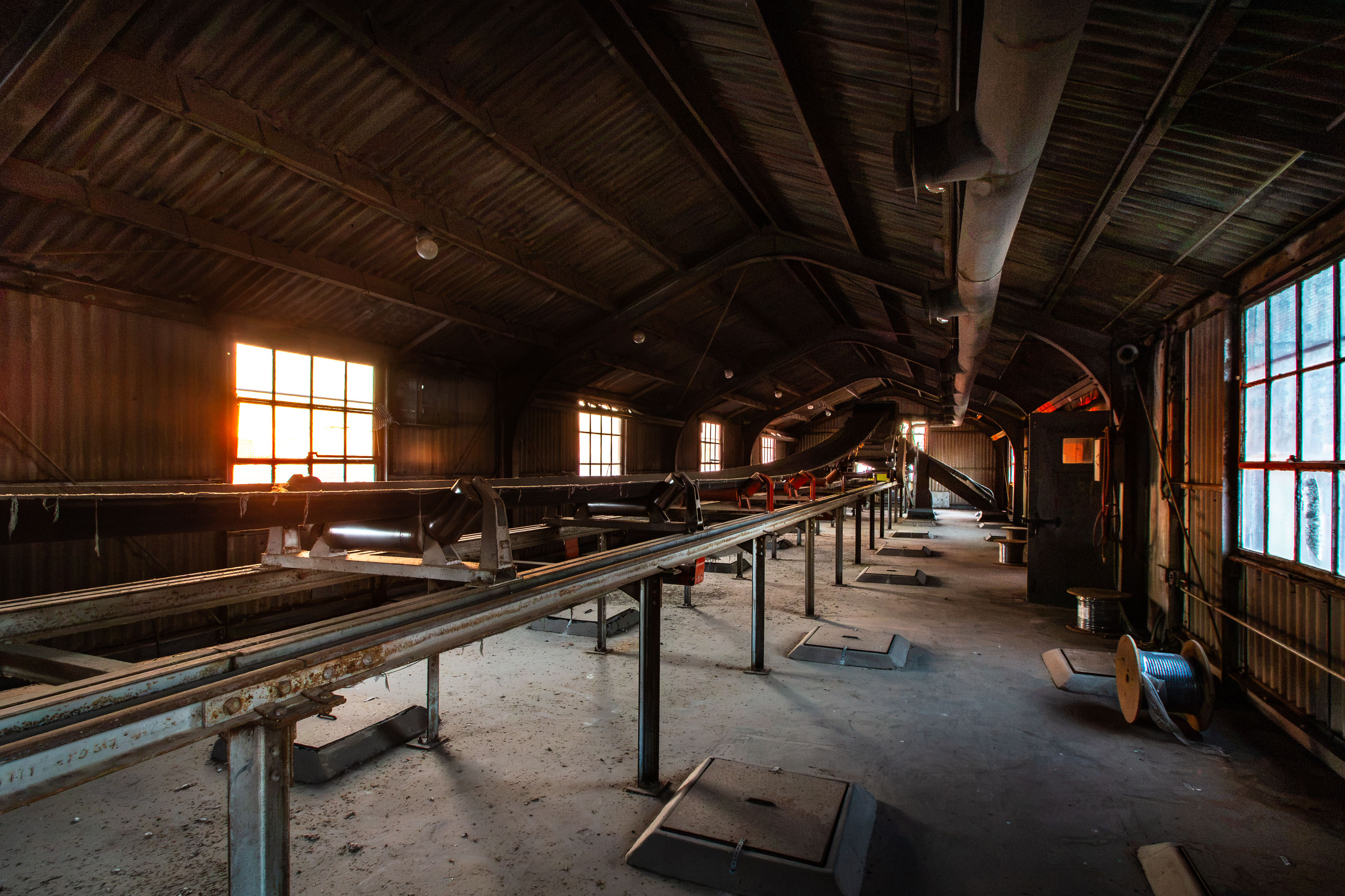
Abandoned warehouse interior with steel conveyor systems and industrial machinery lit by windows.
The Electric Steel Elevator is a grain elevator in Minneapolis along the Mississippi River. A long conveyor runs the length of the interior on a steel frame, once used to move grain through the structure.

Conveyor Belt Inside the Electric Steel Elevator in Minneapolis
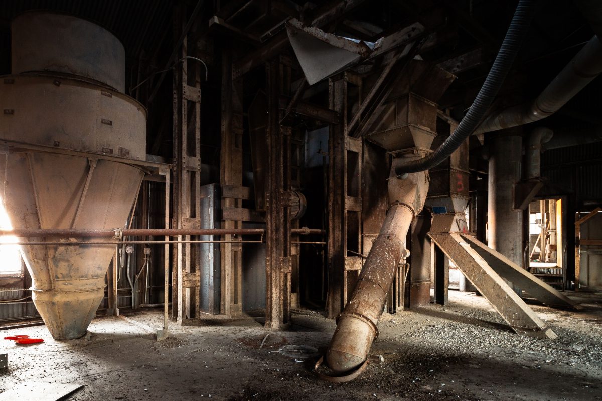
Interior of the abandoned Electric Steel grain elevator in Minneapolis, showing rusted industrial machinery and equipment.
The Electric Steel Elevator is a disused grain elevator in Minneapolis. Inside, rusted steel framing supports hoppers, chutes, and ductwork once used to move and clean grain before storage.

Inside the Electric Steel Elevator in Minneapolis
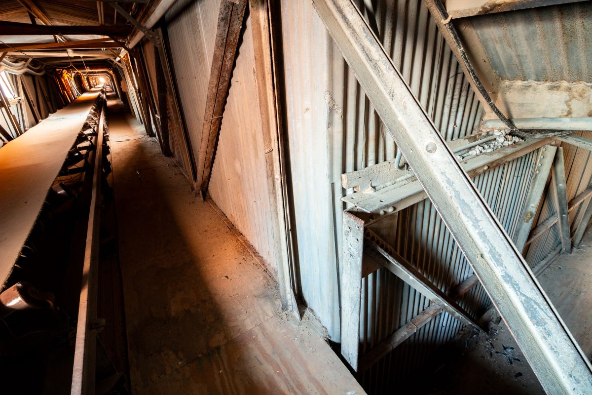
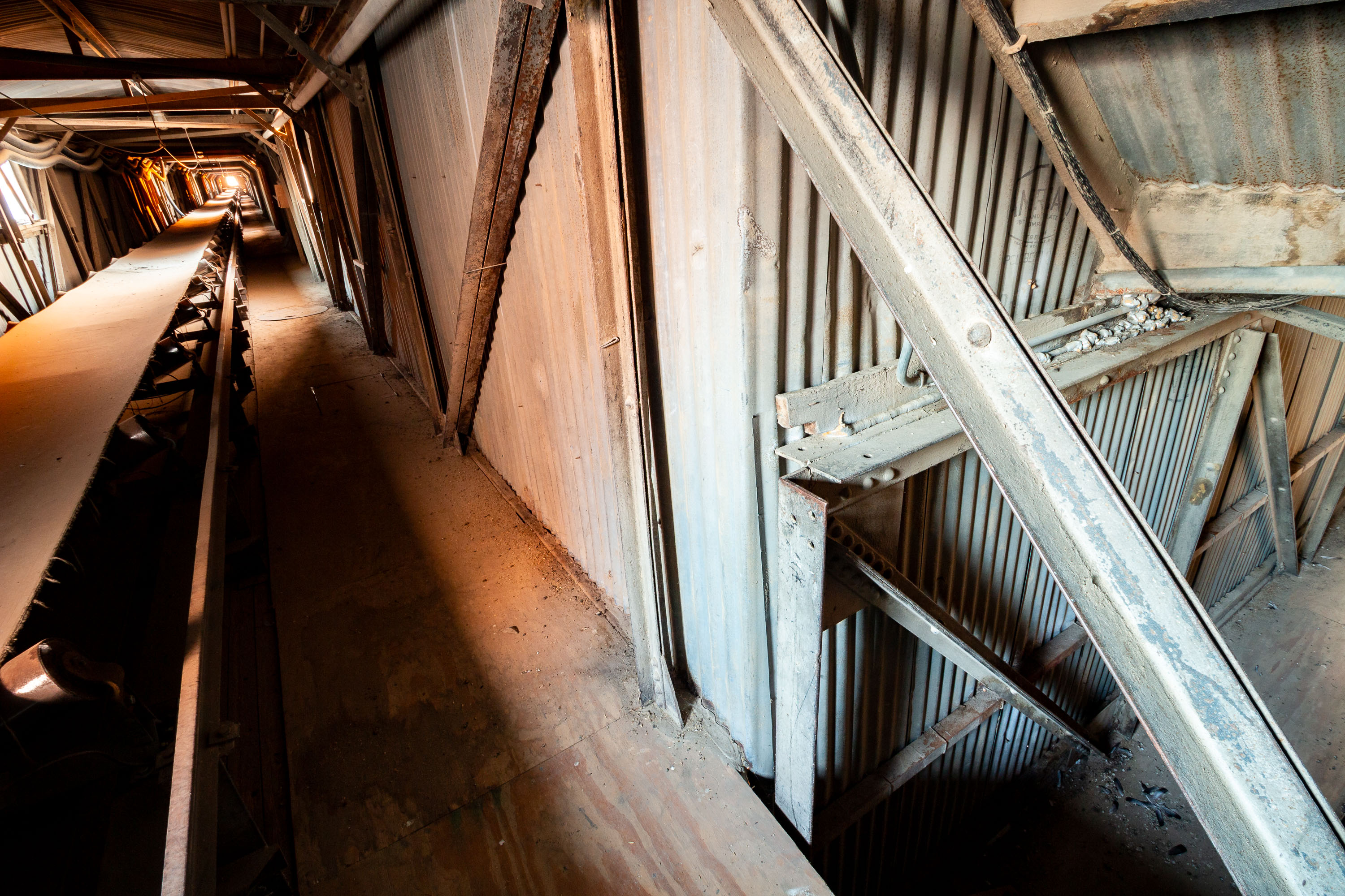
Interior of the Electric Steel grain elevator in Minneapolis showing a rusted conveyor belt and corrugated metal structural framework.
The Electric Steel Elevator is a grain elevator complex in Minneapolis. This enclosed gallery carries a conveyor belt between sections of the structure.

Conveyor Gallery Inside the Electric Steel Elevator in Minneapolis
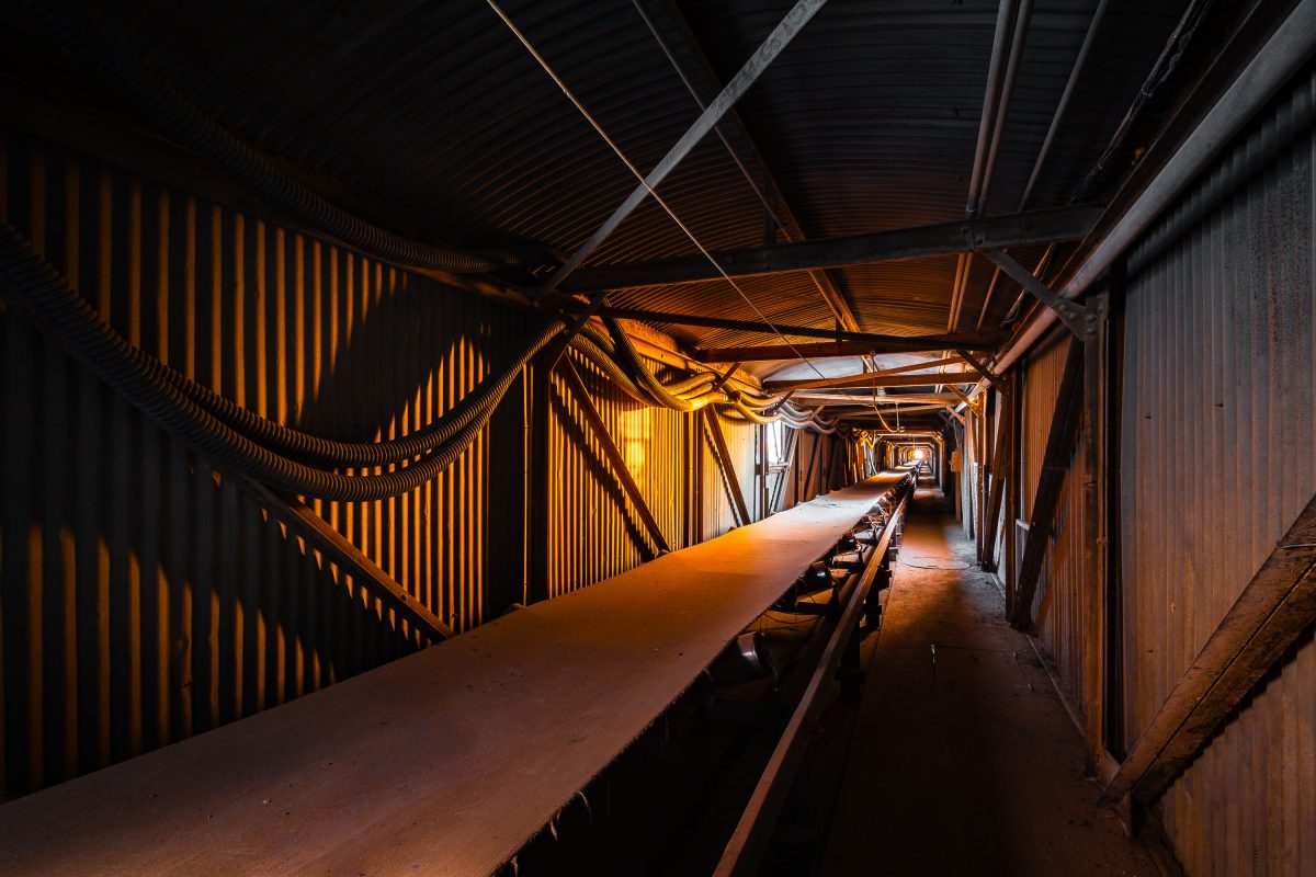
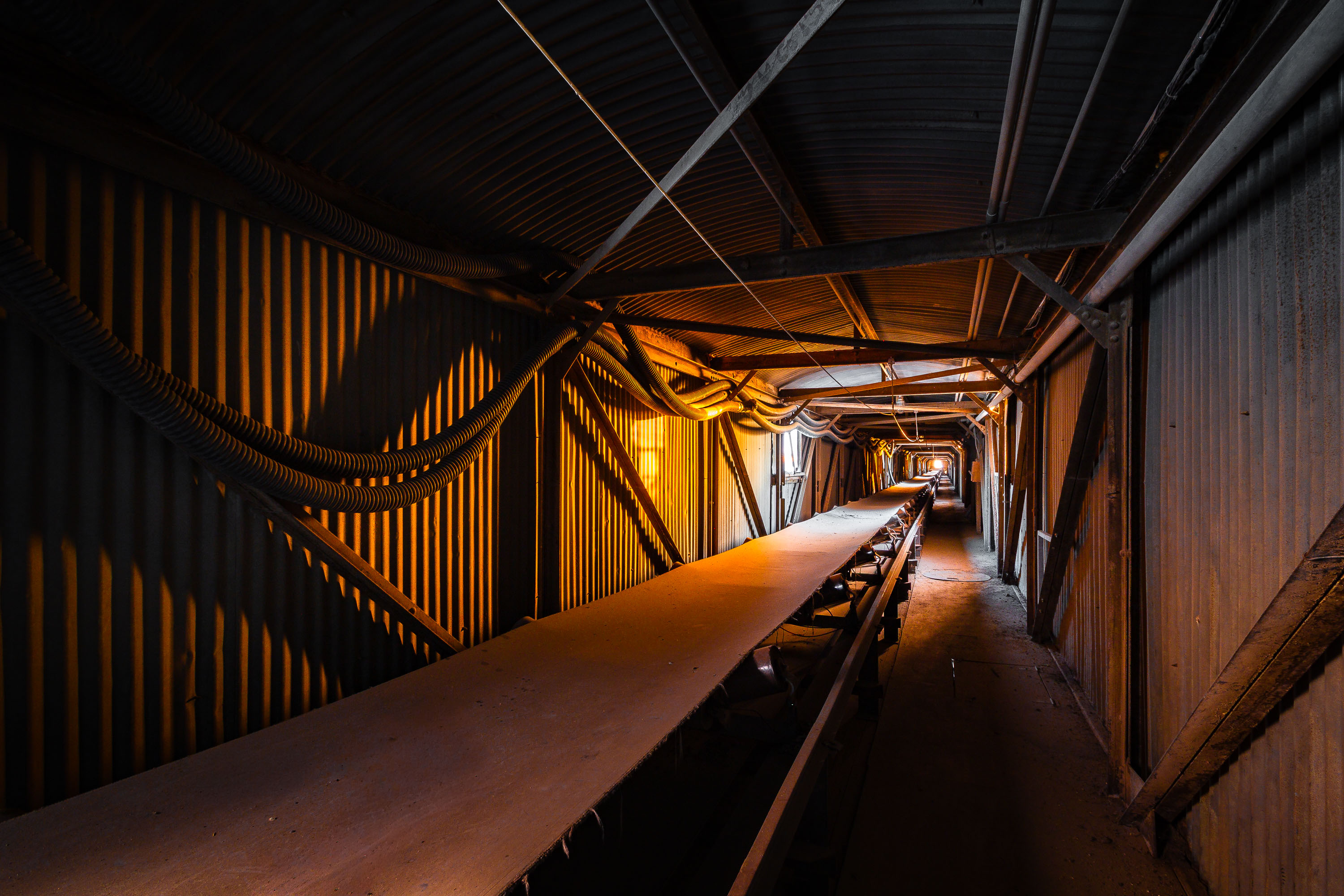
Interior of Electric Steel grain elevator in Minneapolis showing a long conveyor belt beneath industrial metal framework and corrugated walls.
The Electric Steel Elevator is a grain elevator in Minneapolis. A conveyor belt runs through an enclosed tunnel that carries grain between the storage bins and the head house.

Conveyor Tunnel Inside the Electric Steel Elevator in Minneapolis
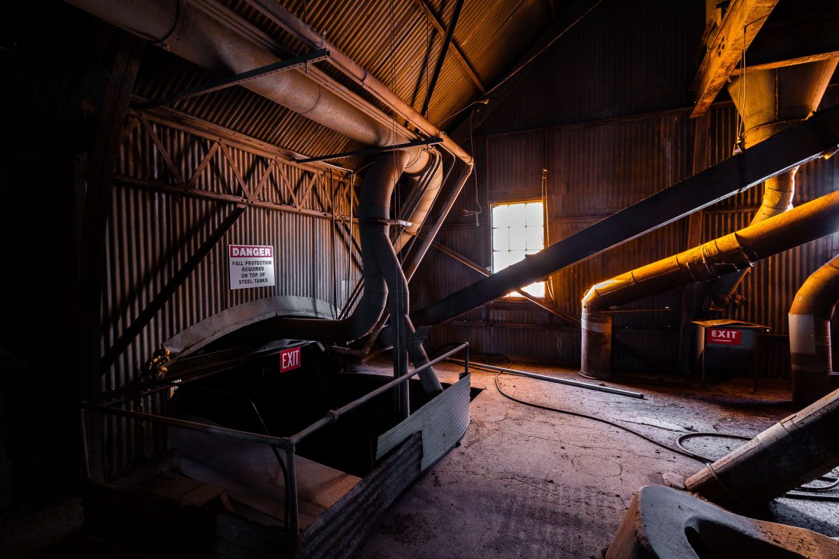
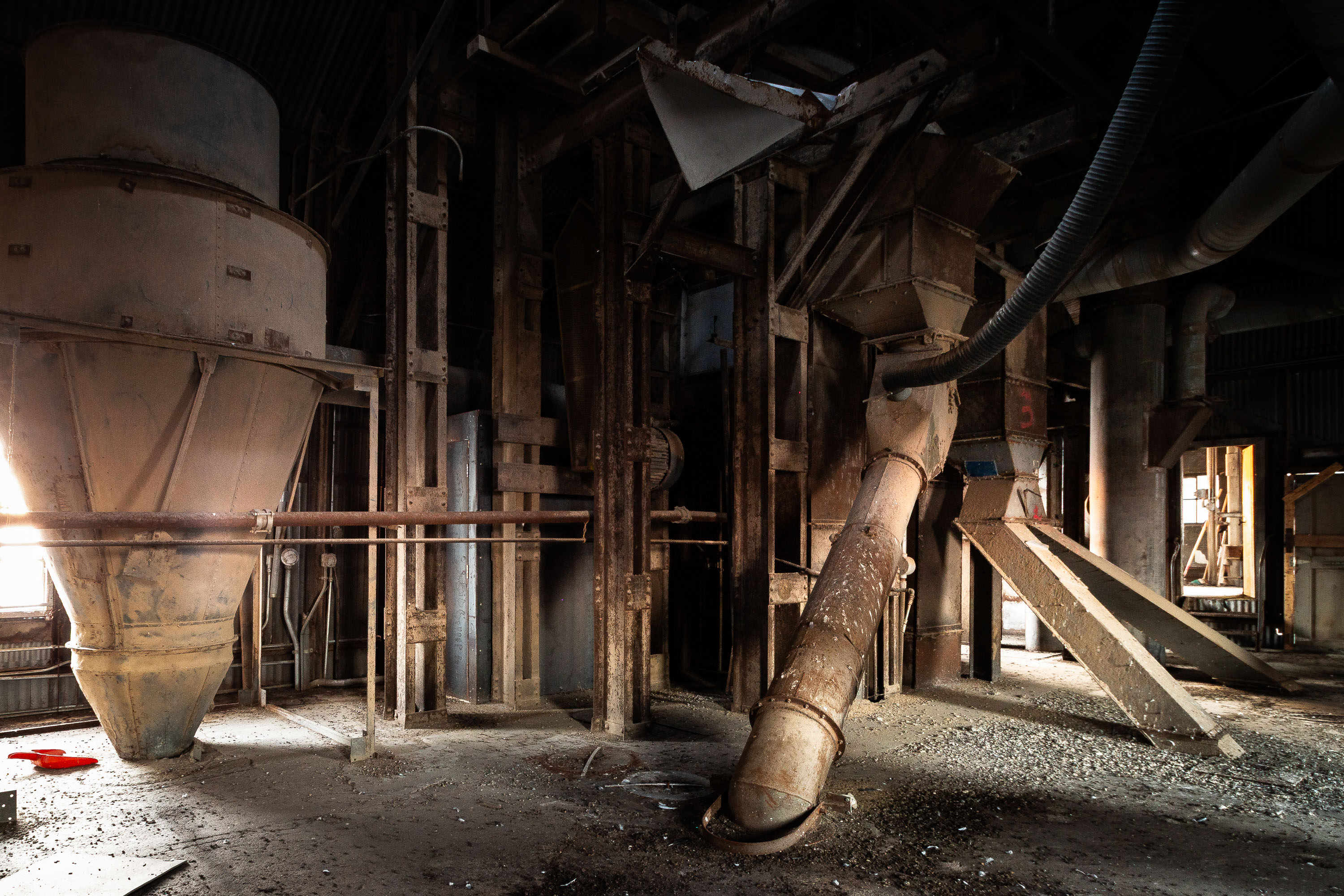
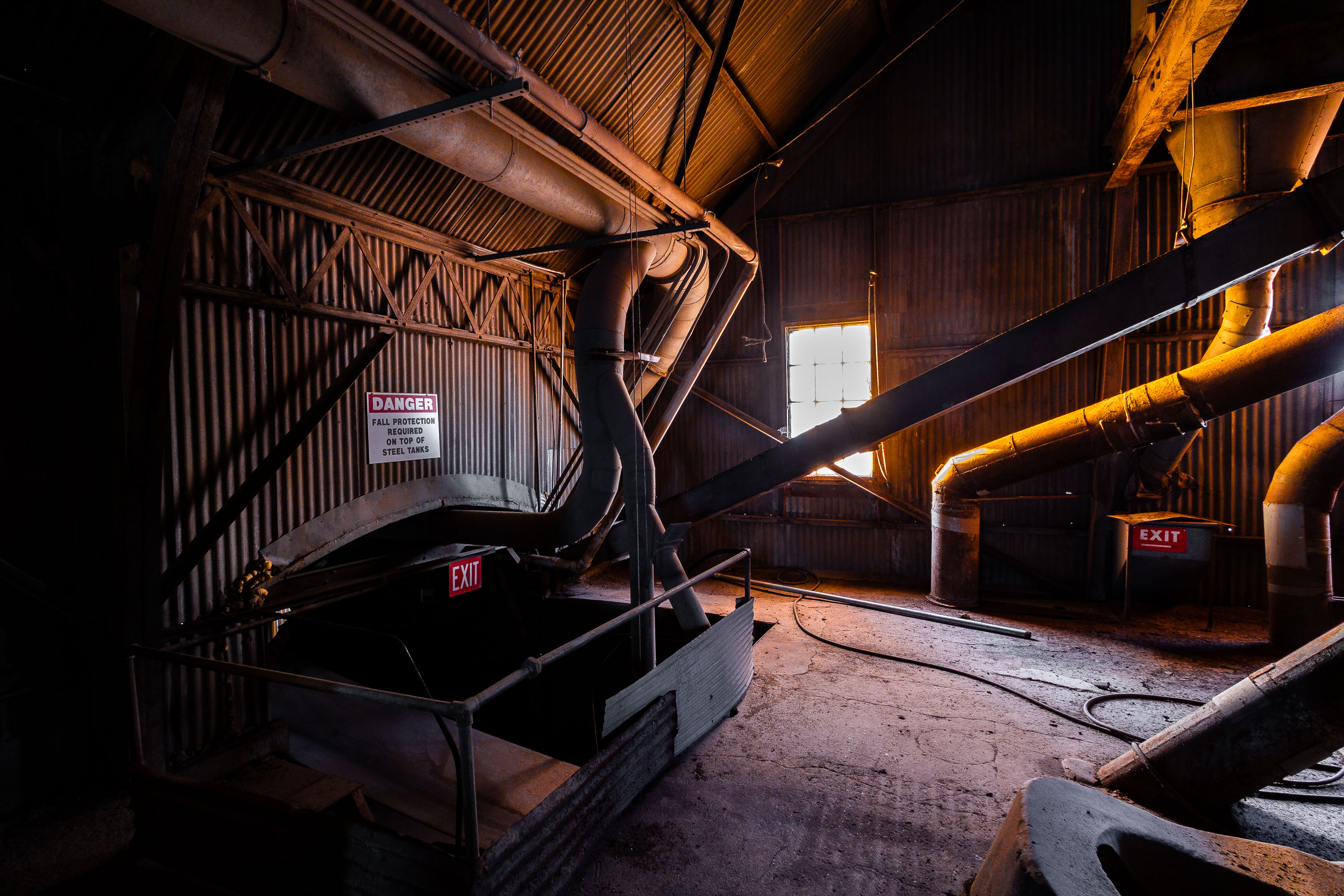
Interior of Electric Steel grain elevator in Minneapolis showing industrial pipes, metal infrastructure, and exit signage.
The Electric Steel Elevator is a former grain elevator complex in Minneapolis, built along the rail lines that once served the city's milling district. Inside, steel storage tanks connect to a network of conveyor pipes and chutes that moved grain between the bins and the head house.

Danger Sign Near the Steel Tanks at Electric Steel Elevator
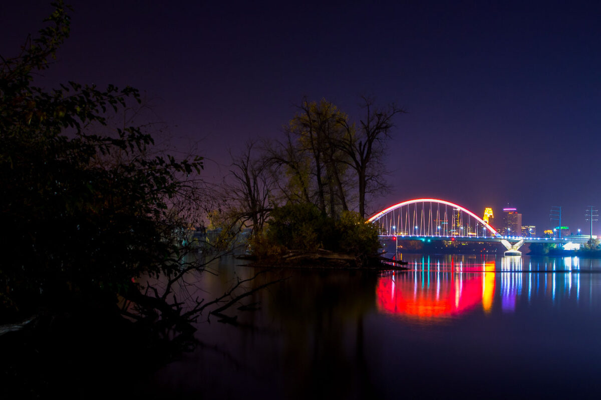
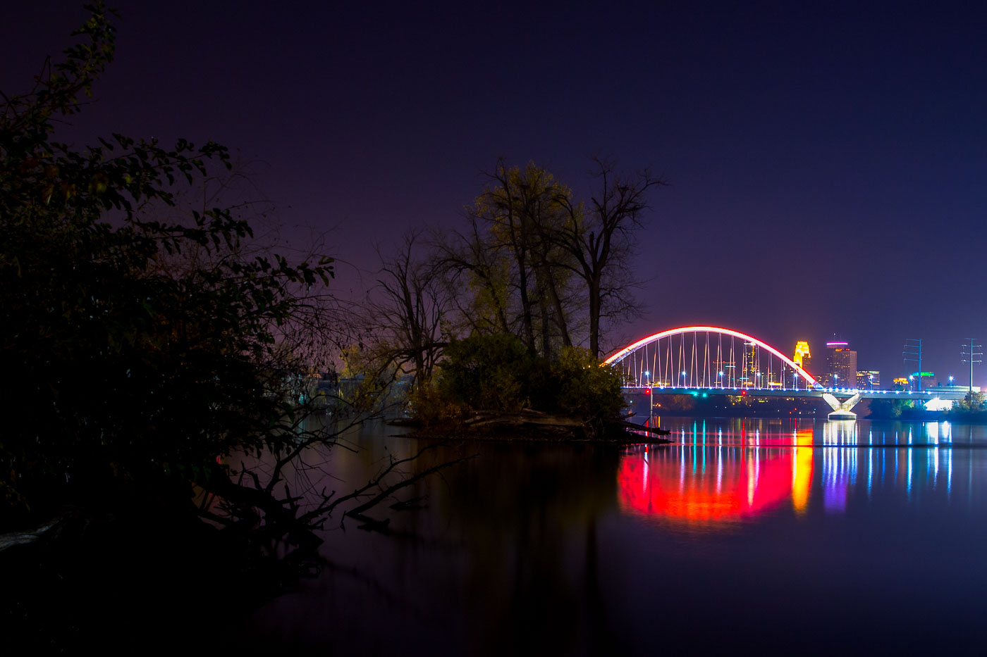
The Lowry Bridge and Minneapolis skyline are illuminated at night over the Mississippi River, with reflections of the city lights on the water.
The Lowry Bridge, a tied-arch bridge spanning the Mississippi River in Minneapolis. Opened in 1929, it was originally named the "Great Northern Railway Bridge" and served as a vital rail crossing. The bridge was reconstructed and renamed in 1987.

Lowry Bridge and Minneapolis Skyline at Night from Mississippi River
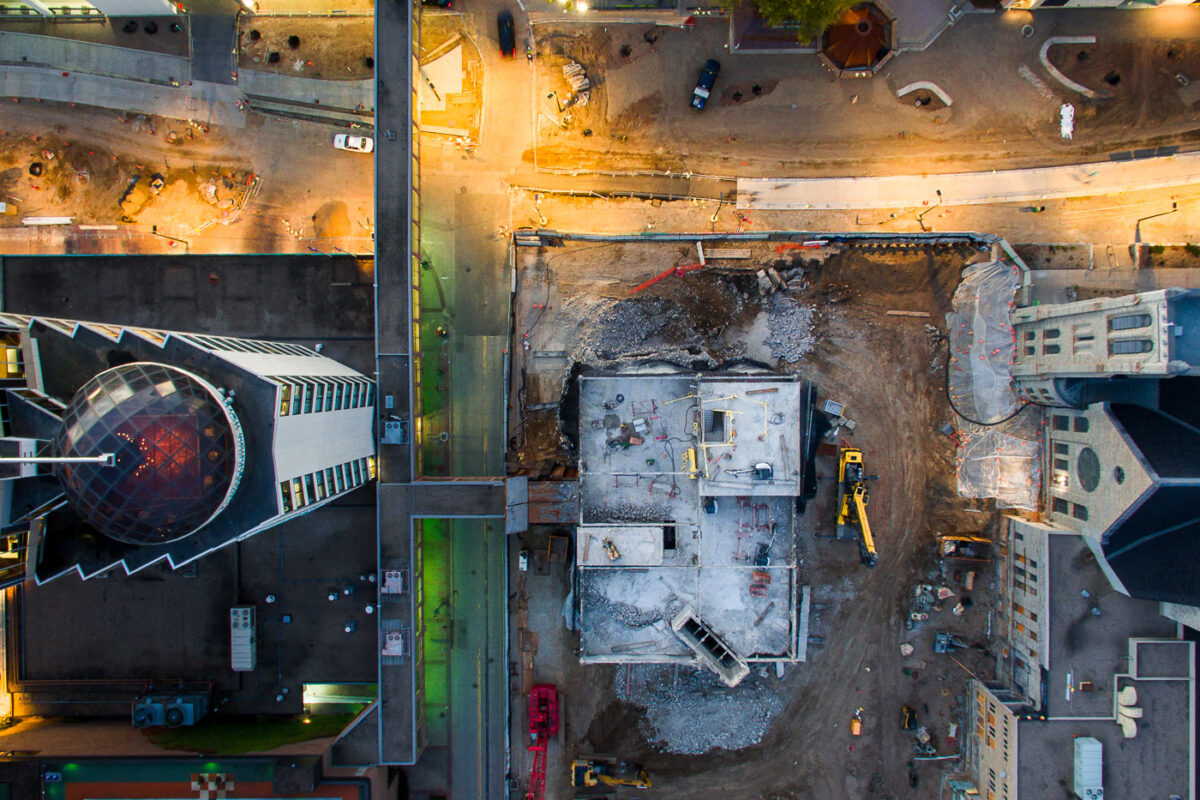
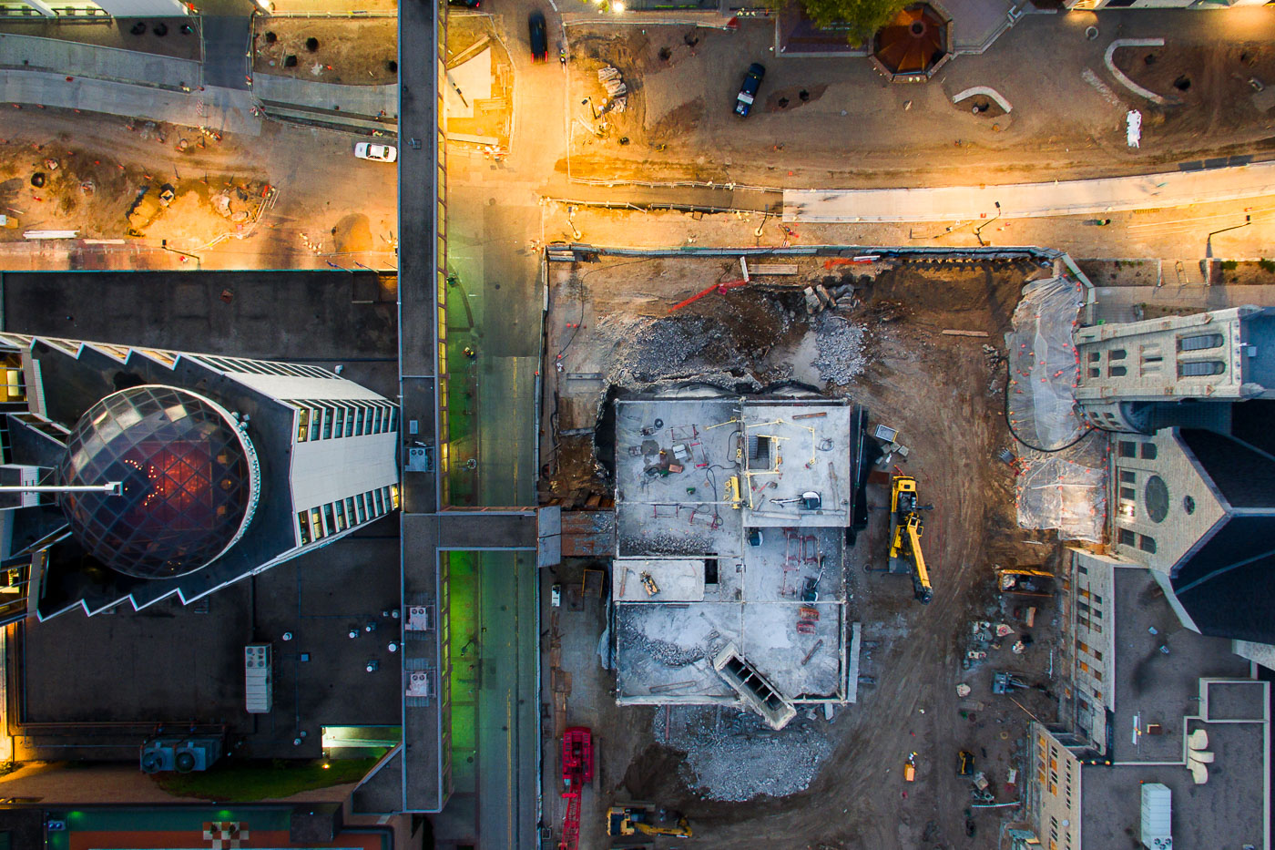
Demolition of an office building on Nicollet Mall in Minneapolis for the expansion of Westminster Presbyterian Church. The Millennium Hotel is visible.
Demolition work is underway on Nicollet Mall in downtown Minneapolis, clearing an eight-story office building to make way for an expansion of Westminster Presbyterian Church. The church, a prominent fixture in the city's core, is undertaking this project to increase its capacity and services. The adjacent Millennium Hotel is visible in the background, highlighting the ongoing development in this central business district.

Westminster Presbyterian Church Expansion, Minneapolis
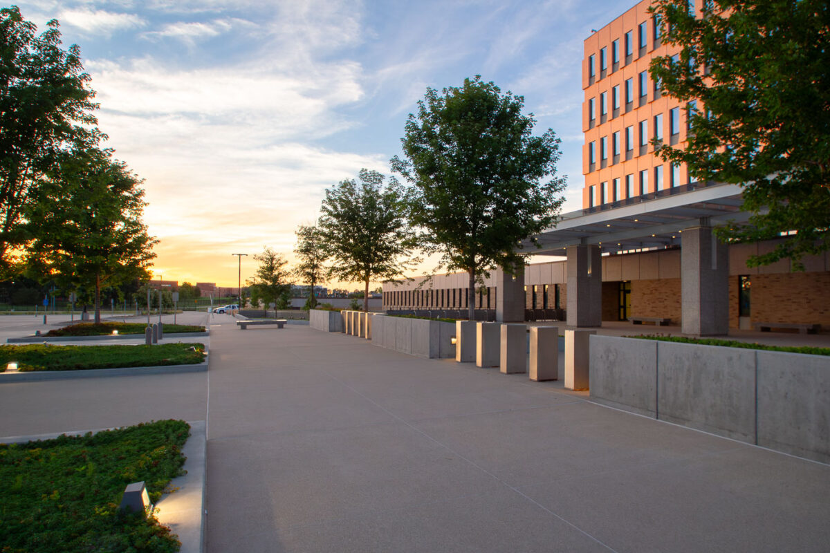
Bishop Henry Whipple Federal Building in Minneapolis at sunset.
The Bishop Henry Whipple Federal Building in Minneapolis houses the Immigration Court and other federal offices. The complex is a U.S. General Services Administration property used for administrative and judicial functions.

Bishop Henry Whipple Federal Building, Minneapolis
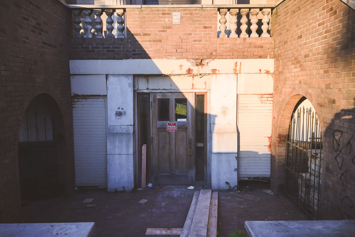
Boarded former Uptown Minneapolis Library on Hennepin Avenue with a locked entrance and graffiti-covered brick walls
The original Uptown Library on Hennepin. It's since been a fitness center and is currently a nightclub. A new library was built aross the street. Pictured here in 2016.

Former Uptown Minneapolis Library on Hennepin Avenue

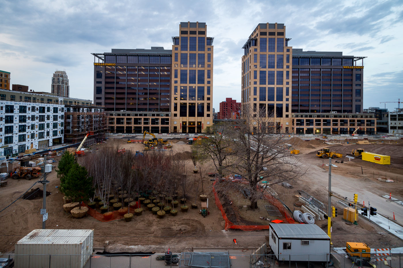
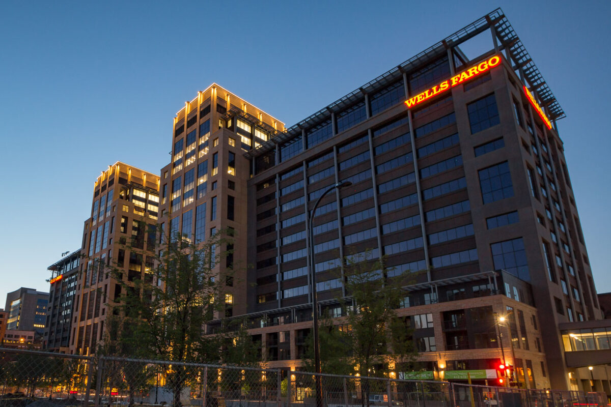
The Wells Fargo buildings in Minneapolis's Downtown East district are illuminated at dusk.
The Wells Fargo Towers in downtown Minneapolis shortly after construction. The towers were built as part of the Downtown East redevelopment along with US Bank Stadium.

Wells Fargo Buildings, Downtown East, Minneapolis
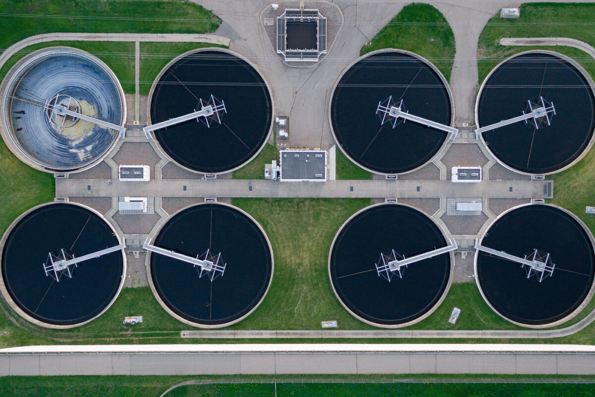
Aerial view of eight circular clarifier tanks at Blue Lake Wastewater Treatment Plant in Savage, Minnesota.
Blue Lake Wastewater Treatment Plant in Savage, Minnesota, is shown from above with a series of circular clarifiers used in the treatment process. Operated by the Metropolitan Council Environmental Services, the facility handles sewage from communities in the Minneapolis-Saint Paul metropolitan area, including Shakopee. These settling basins are part of the plant’s primary and secondary treatment system, where solids are separated from wastewater before further processing and discharge.

Aerial View of Clarifiers at Blue Lake Wastewater Treatment Plant

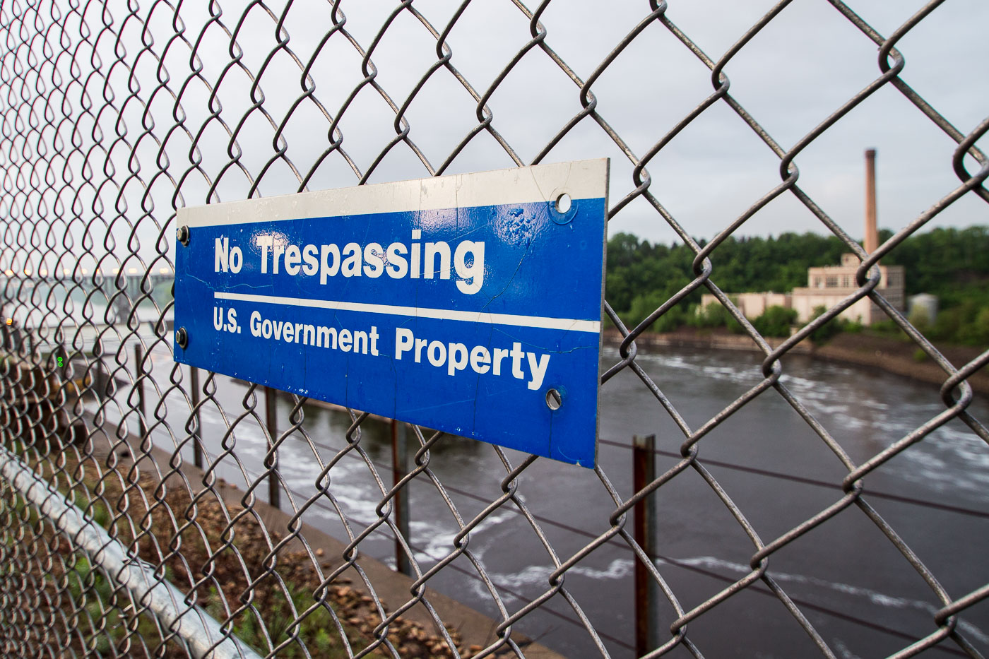
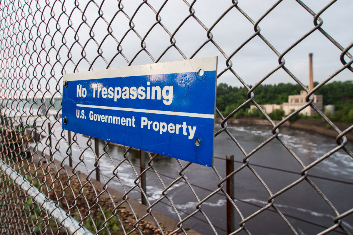
A "No Trespassing, U.S. Government Property" sign on a chain-link fence overlooking the Mississippi River in St. Paul, Minnesota.
A "No Trespassing, U.S. Government Property" sign is visible on a chain-link fence overlooking the Mississippi River in St. Paul, Minnesota.

No Trespassing Sign, Mississippi River, St. Paul
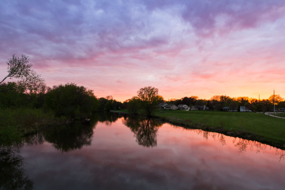
Sunset over the Straight River in Owatonna, Minnesota, with residential homes visible on the far bank.
A sunset casts vibrant hues of pink and purple across the sky over the Straight River in Owatonna, Minnesota. The tranquil water reflects the colorful clouds and the surrounding trees, with residential homes visible on the far bank. This photograph, taken in May 2016, captures a moment of natural beauty in a developed area, highlighting the coexistence of residential life and the natural environment within the city. The Straight River is a significant waterway in Steele County, providing a scenic backdrop to the community.

Owatonna, Minnesota: Sunset Over the Straight River
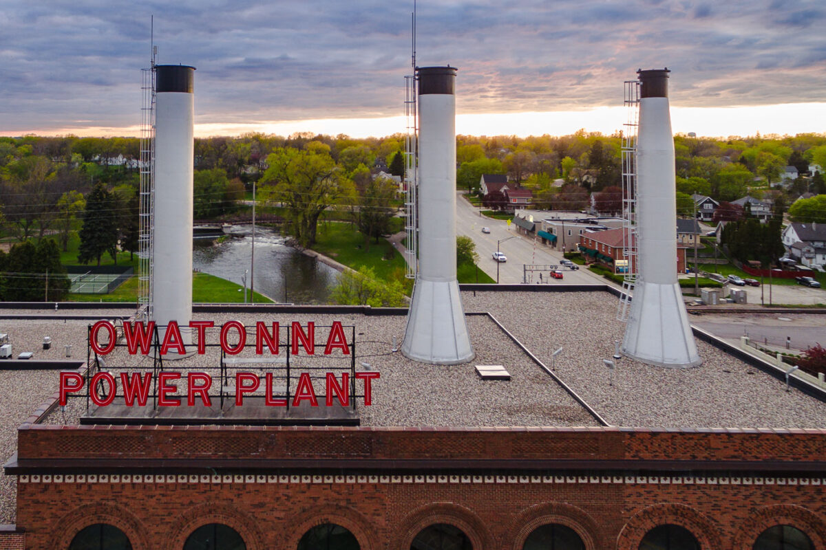
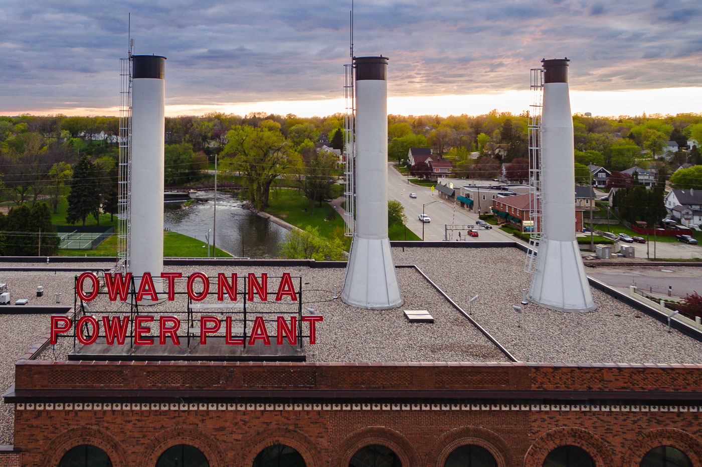
The Owatonna Power Plant in Owatonna, Minnesota, is illuminated by a neon sign at dusk.
The Owatonna Power Plant in Owatonna, Minnesota.

Owatonna Power Plant Neon Sign at Dusk
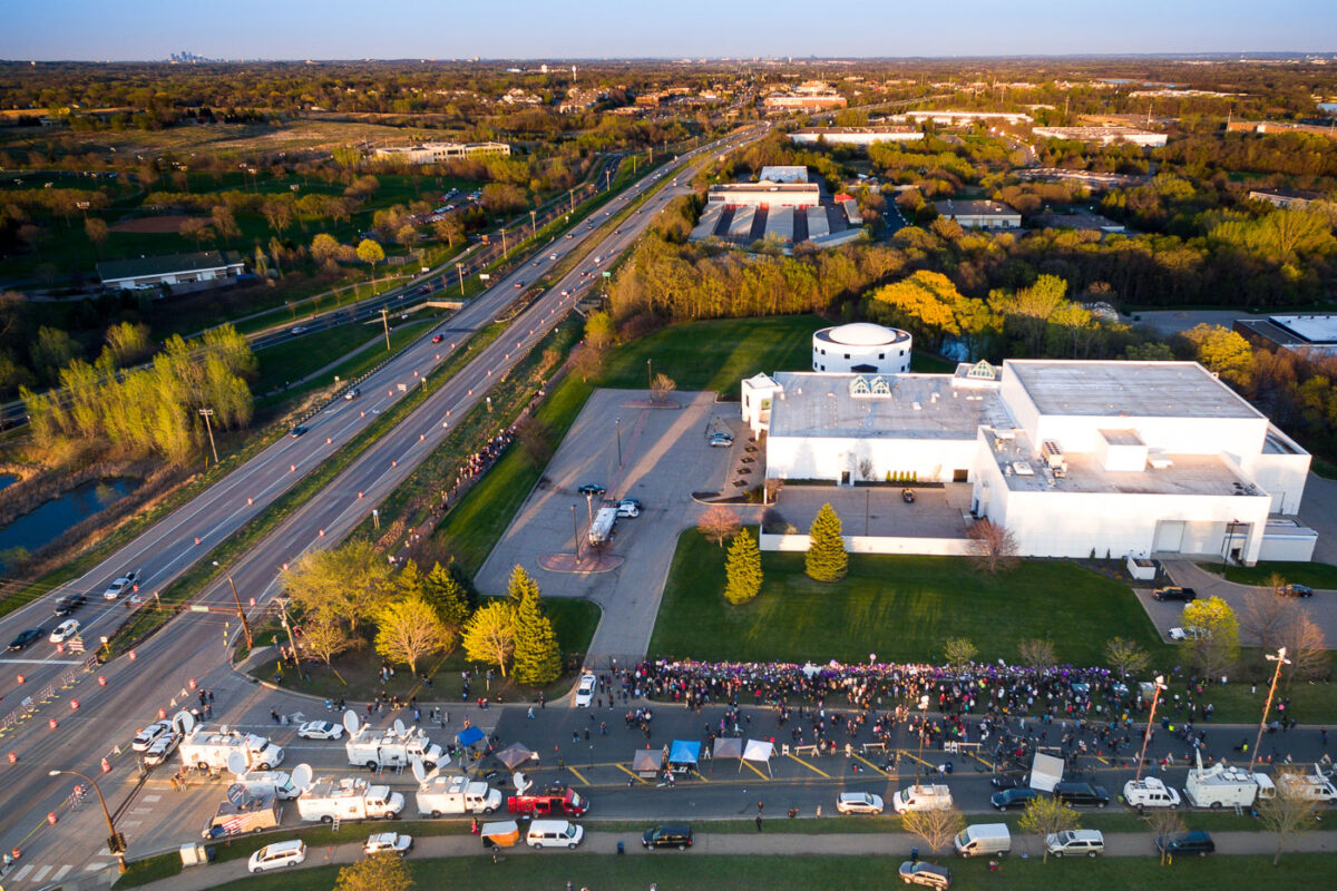
Paisley Park in Chanhassen, MN, Prince's former residence and studio, is surrounded by media and mourners on the anniversary of his death.
Paisley Park in Chanhassen, Minnesota, the recording studio and residence of the musician Prince, is shown here on April 22, 2016, seven years after his death. The area was filled with media trucks and mourners gathered to commemorate the anniversary. On this day, Minnesota lawmakers were considering a bill to rename a section of Highway 5 in honor of Prince Rogers Nelson.

Paisley Park, Chanhassen, MN: Media and Mourners After Prince’s Death
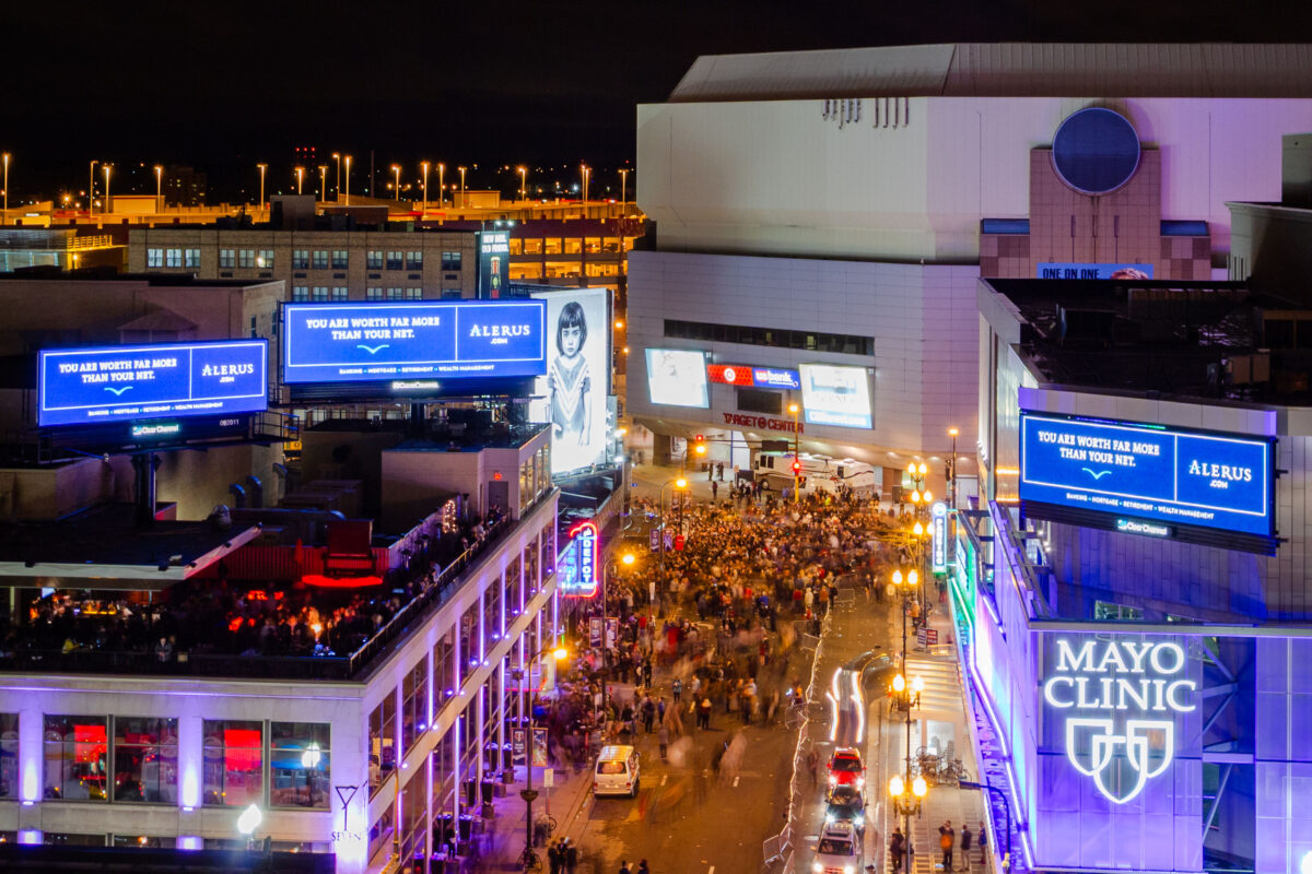
Crowd of mourners gathers outside First Avenue nightclub in downtown Minneapolis on April 22, 2016, following Prince's death.
A crowd gathers outside First Avenue in downtown Minneapolis after Prince's death on April 21, 2016. First Avenue, the nightclub associated with Prince and the film Purple Rain, became a public gathering place for fans that night.

Crowds Fill Seventh Street Near Target Center After Prince’s Death
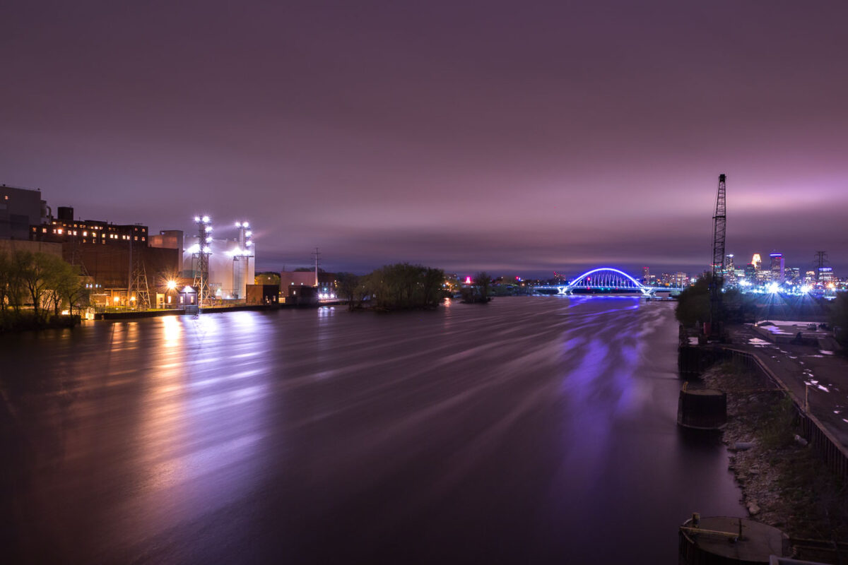
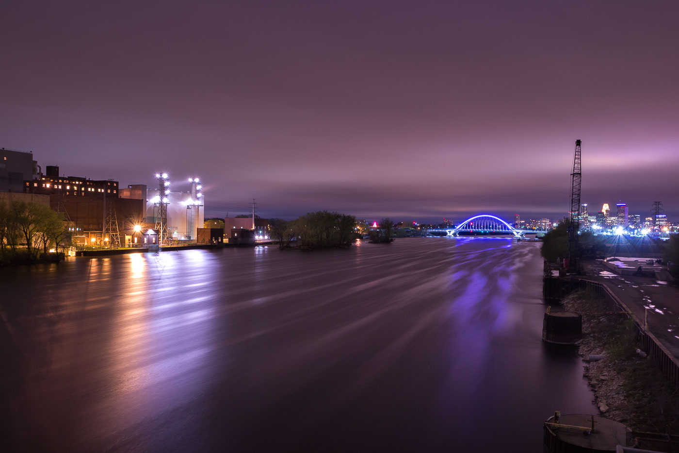
The Lowry Bridge's blue arch glows across the Mississippi River at dusk in Minneapolis, with the Riverside Generating Station visible on the left shore.
The Lowry Bridge and the Riverside Generating Station are visible across the Mississippi River in Minneapolis. The Riverside Generating Station, a coal-fired power plant, has been a significant source of electricity for the city since its construction in the early 20th century. The Lowry Bridge, a steel arch bridge, was completed in 2012, replacing an earlier structure and improving traffic flow across the river. The photograph captures the industrial and infrastructural elements of the city at night, with the illuminated bridge and power plant contrasting against the dark sky.

Lowry Bridge Glowing Blue Over the Mississippi River at Night
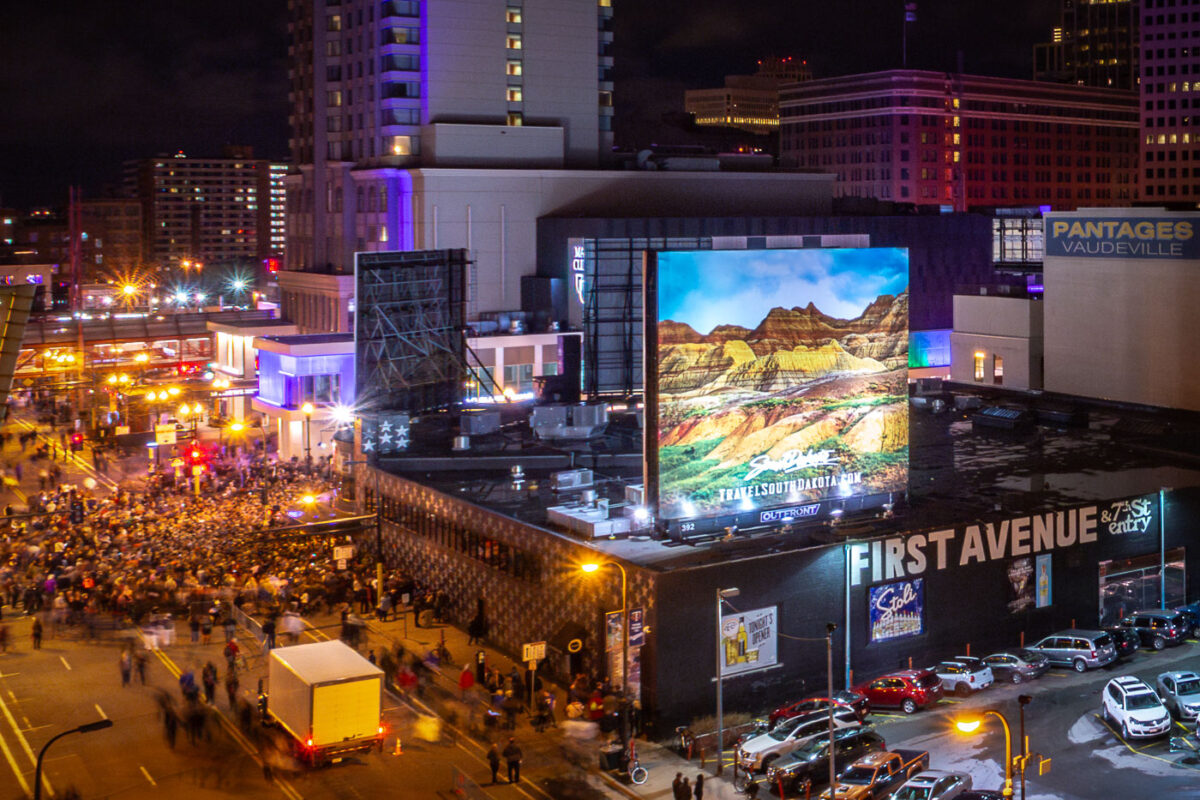
Crowds fill the street outside First Avenue music venue in downtown Minneapolis on April 21, 2016.
Thousands of mourners gathered outside First Avenue, a renowned Minneapolis music venue, on the evening of April 21, 2016, following the death of the artist Prince.

Mourners Fill the Street Outside First Avenue After Prince’s Death
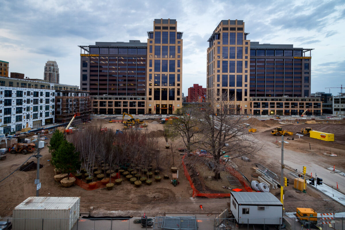
Construction in Minneapolis's Downtown East neighborhood in April 2016
Construction in Minneapolis's Downtown East neighborhood in April 2016, surrounding the development of the new US Bank Stadium. The project included the construction of the stadium itself, as well as surrounding infrastructure and commercial buildings, such as the Wells Fargo towers visible in the background.

Minneapolis Downtown East Construction April 2016
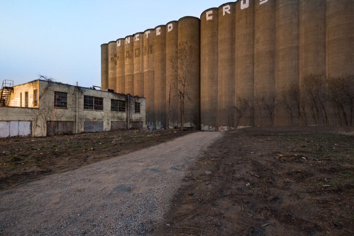
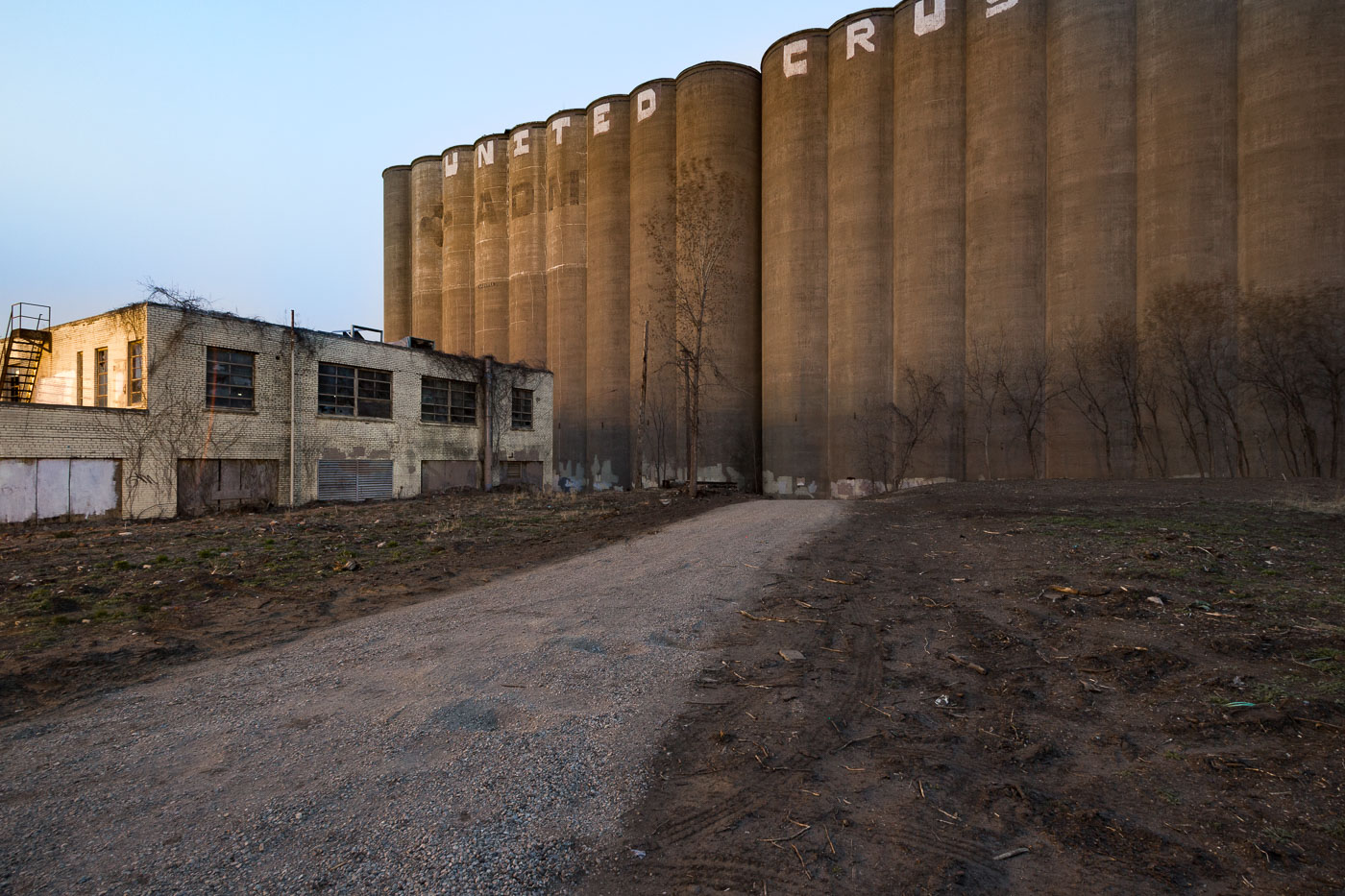
Abandoned ADM grain elevator complex in Dinkytown, Minneapolis, with "UNITED CRUSHERS" branding on silos.
The abandoned ADM grain elevator complex in Dinkytown, Minneapolis, stands as a relic of the city's industrial past. Originally part of the Pillsbury Company's operations, these concrete silos were constructed to store and process grain.

Abandoned ADM Grain Elevator, Dinkytown, Minneapolis
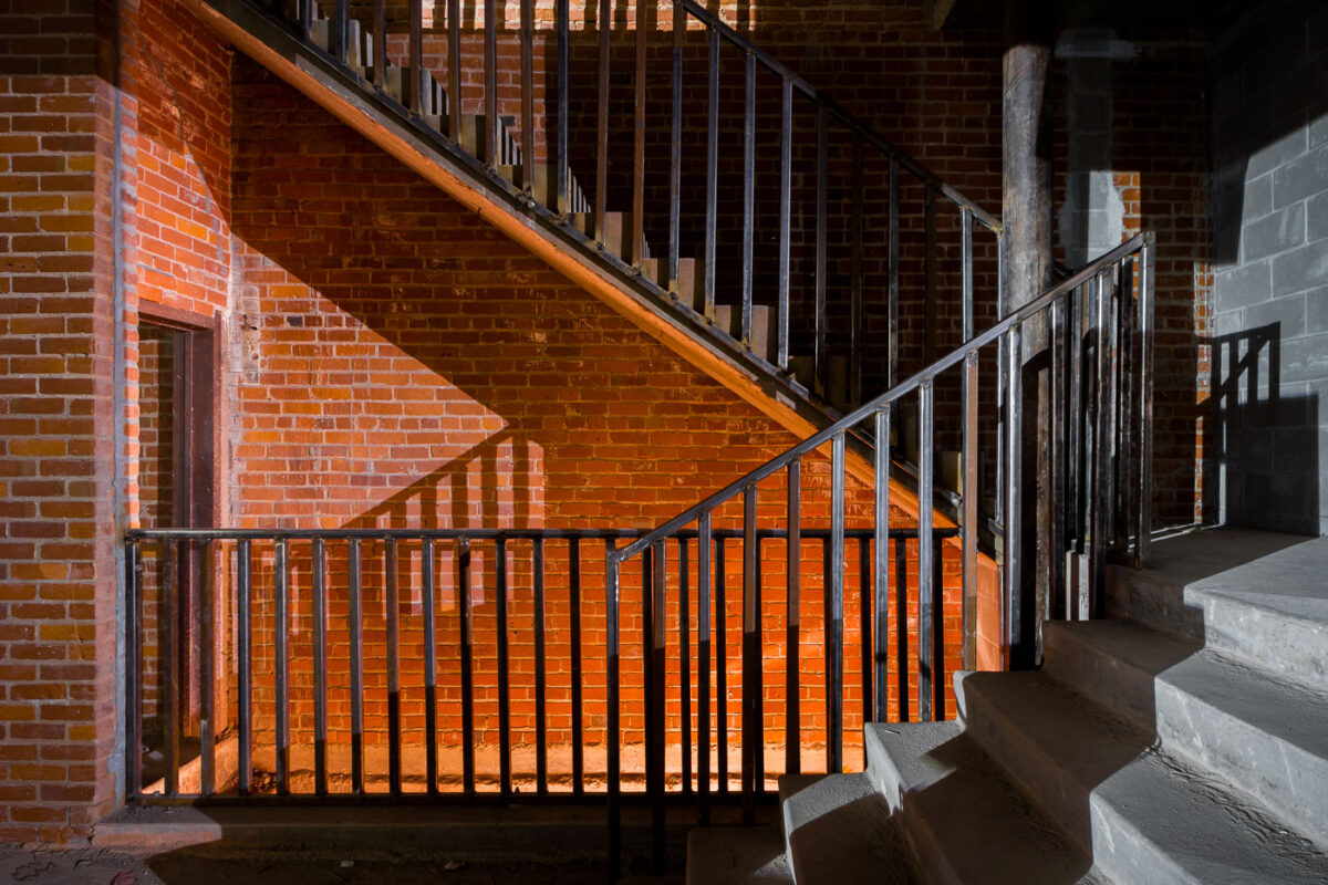
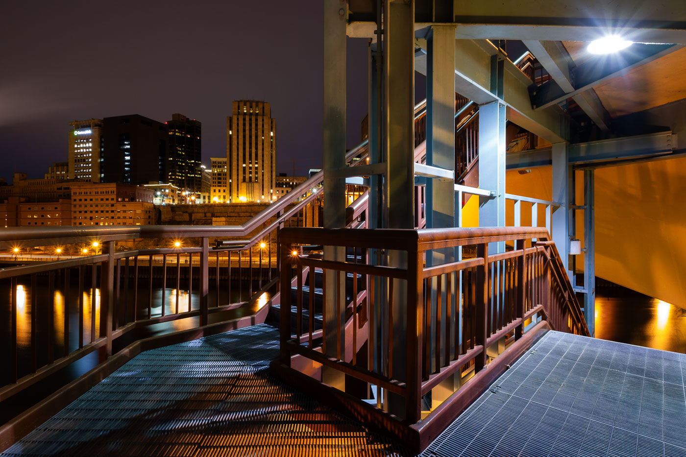
Renovated stairwell inside the former Western Containers building, Minneapolis, part of the Warehouse District's industrial heritage.
The former Western Containers building, located in Minneapolis's North Loop neighborhood, underwent renovation. This structure, part of the Warehouse District's industrial heritage, was originally built to serve commercial and industrial purposes. The renovation project included updates to its internal infrastructure, such as this stairwell, preserving the building's historical character while adapting it for contemporary use. The North Loop has seen significant redevelopment, transforming former industrial spaces into mixed-use properties.

Western Containers Building Stairwell Renovation, Minneapolis
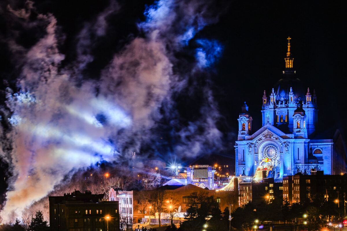
The Cathedral of Saint Paul in Minnesota is illuminated during the 2016 Red Bull Crashed Ice World Championship, a temporary ice cross downhill course.
The Cathedral of Saint Paul is illuminated during the Red Bull Crashed Ice World Championship in February 2016. This event, a high-speed ice cross downhill competition, transformed the area around the cathedral into a temporary course. The Cathedral of Saint Paul, a prominent landmark in St. Paul, Minnesota, was completed in 1907 and serves as the mother church of the Roman Catholic Archdiocese of Saint Paul and Minneapolis. Its Beaux-Arts architecture and imposing dome make it a significant cultural and religious site in the city.

Cathedral of Saint Paul during Red Bull Crashed Ice 2016
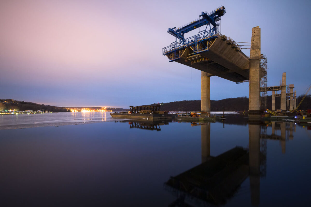
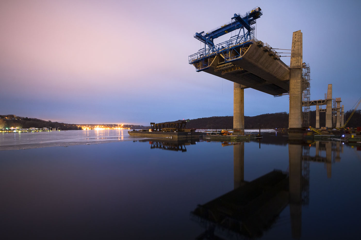
St. Croix Crossing bridge under construction over the St. Croix River in Stillwater, Minnesota.
St. Croix Crossing bridge construction in Stillwater, Minnesota, continues over the St. Croix River. The new span is being built to replace the older Stillwater Lift Bridge as a cross-river transportation link between Minnesota and Wisconsin.

St. Croix Crossing Bridge Under Construction, Stillwater
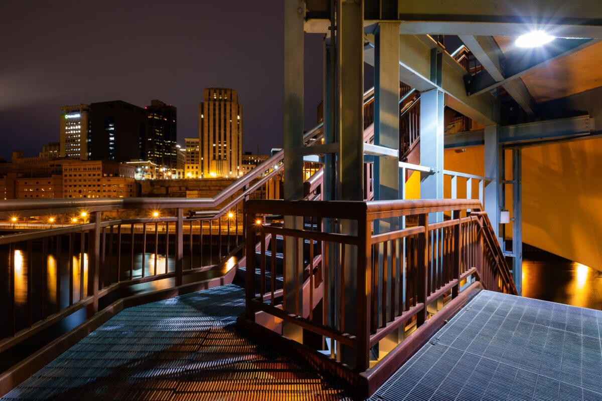
The Wabasha Street Bridge in St. Paul, Minnesota, spans the Mississippi River at night, connecting downtown to the West Side.
The Wabasha Street Bridge in St. Paul, Minnesota, spans the Mississippi River, connecting downtown to the West Side. Originally constructed in 1904, the bridge has undergone several reconstructions and renovations, with the current structure reflecting modern engineering and urban planning. It serves as a vital transportation artery for vehicles and pedestrians, offering views of the city's riverfront and skyline.

Wabasha Street Bridge, St. Paul, Minnesota at Night
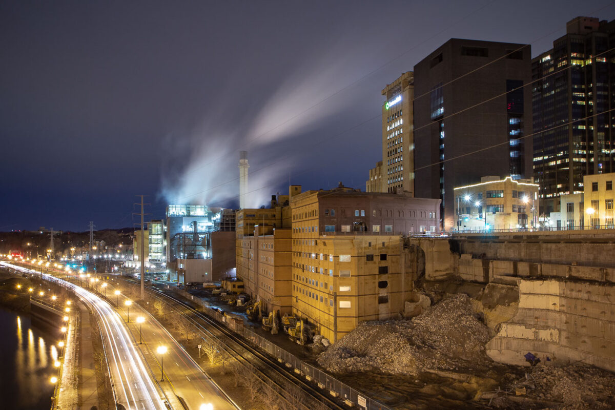
Demolition of Ramsey County Jail at night in St. Paul, Minnesota, with Wabasha Bridge and roadways visible.
The demolition of the Ramsey County Jail in St. Paul, Minnesota, is shown at night. The jail, a prominent structure in the city's downtown, was a key part of the county's justice system for decades. Its demolition marks a significant change in the urban fabric of St. Paul, making way for future development. The surrounding infrastructure, including the Wabasha Bridge and nearby roadways, remains operational during the demolition process.

Ramsey County Jail Demolition, St. Paul
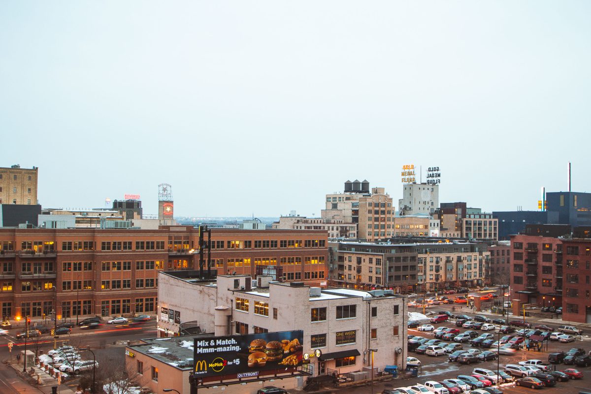
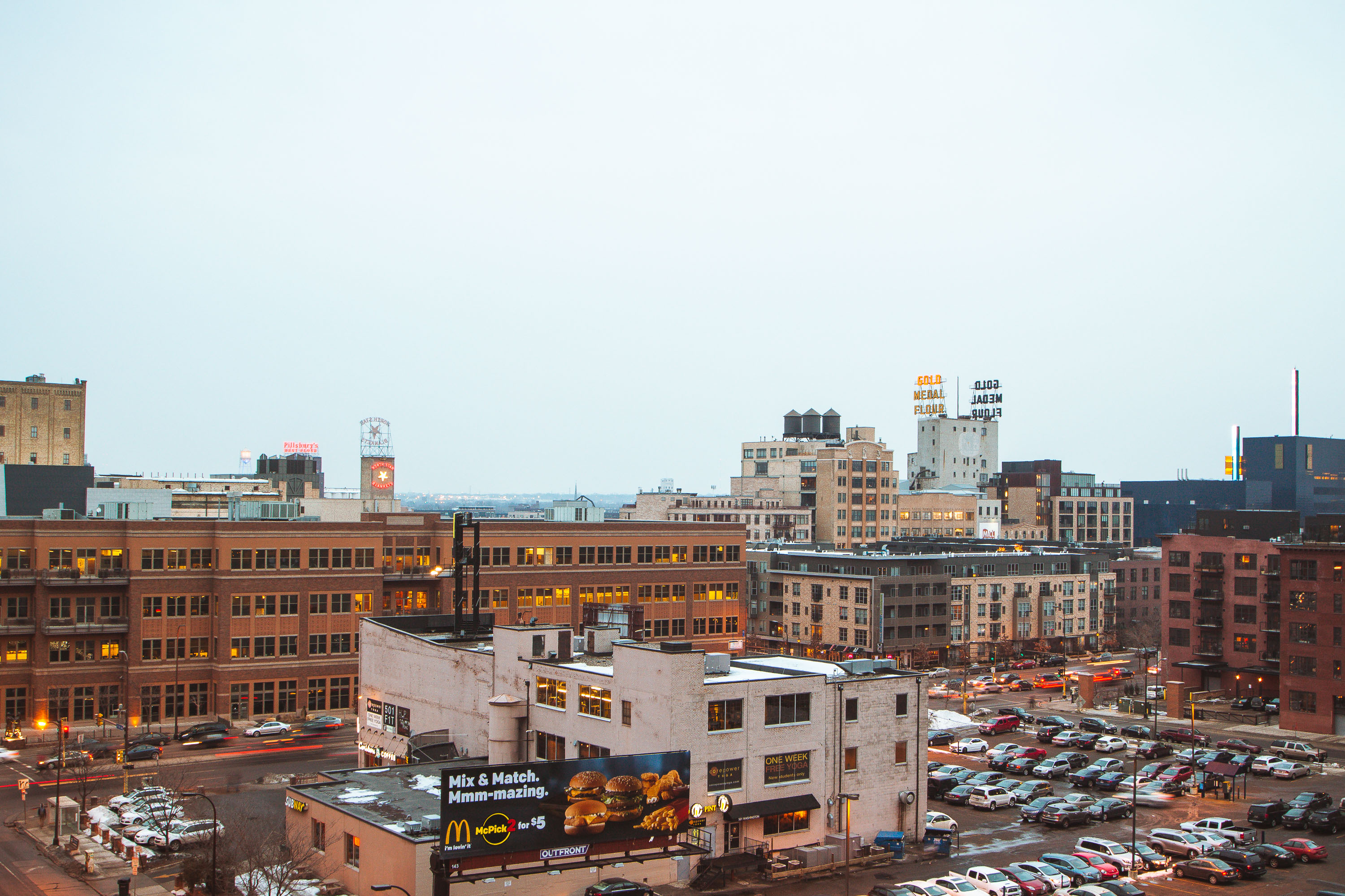
Downtown Minneapolis skyline with historic brick buildings and parking lot along Washington Avenue.
A look at Washington Avenue in Downtown Minneapolis with the old flour mills in the background.

Gold Medal Flour Sign Above Downtown Minneapolis at Dusk
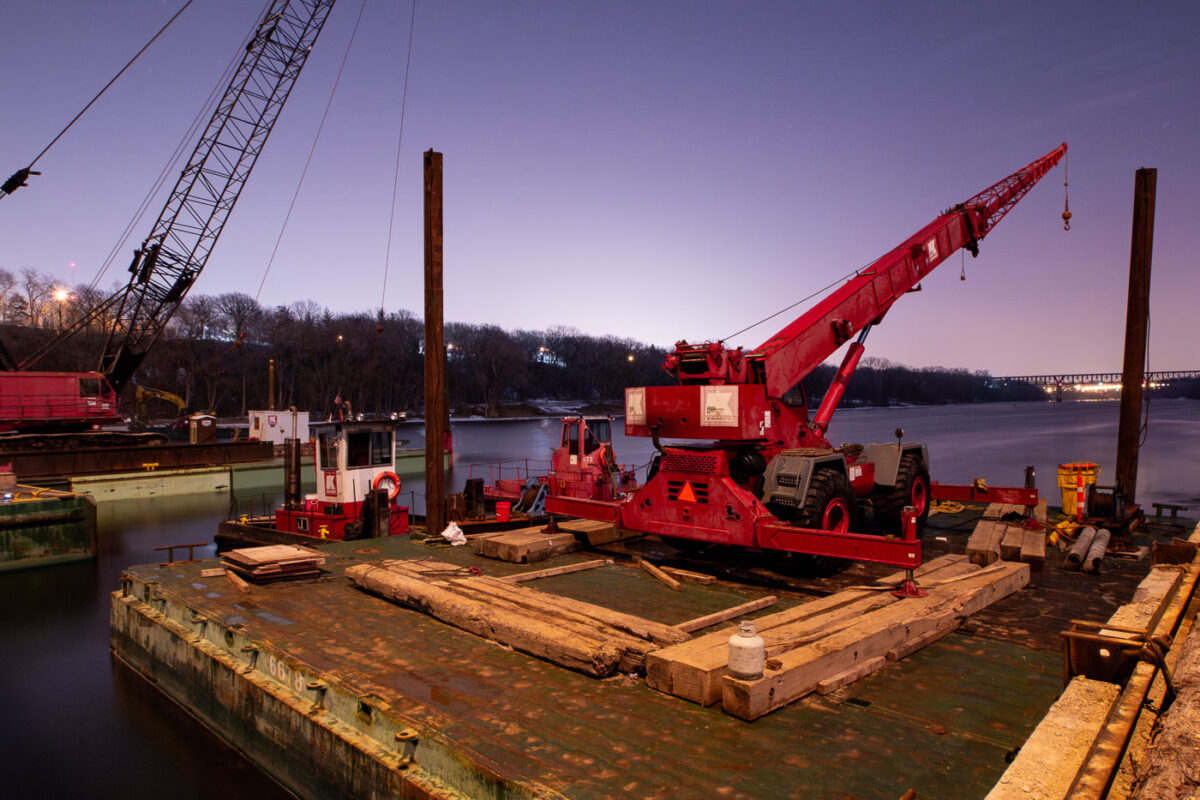
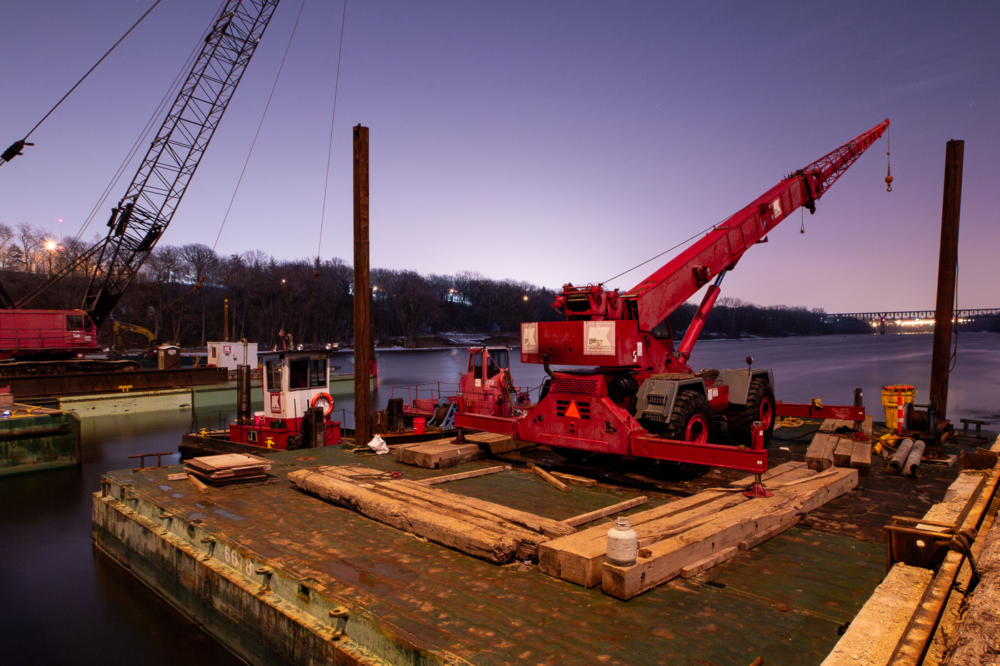
Cranes and barges on the Mississippi River in Minneapolis for repairs to the Franklin Avenue Bridge, a vital transportation link.
Construction barges and cranes are positioned on the Mississippi River for repairs to the Franklin Avenue Bridge in Minneapolis. The Franklin Avenue Bridge, originally constructed in 1923, is a vital artery connecting the city's south and north sides. Its ongoing maintenance and repair are essential for maintaining transportation flow and ensuring the structural integrity of this significant piece of Minneapolis infrastructure.

Franklin Ave Bridge Construction, Minneapolis
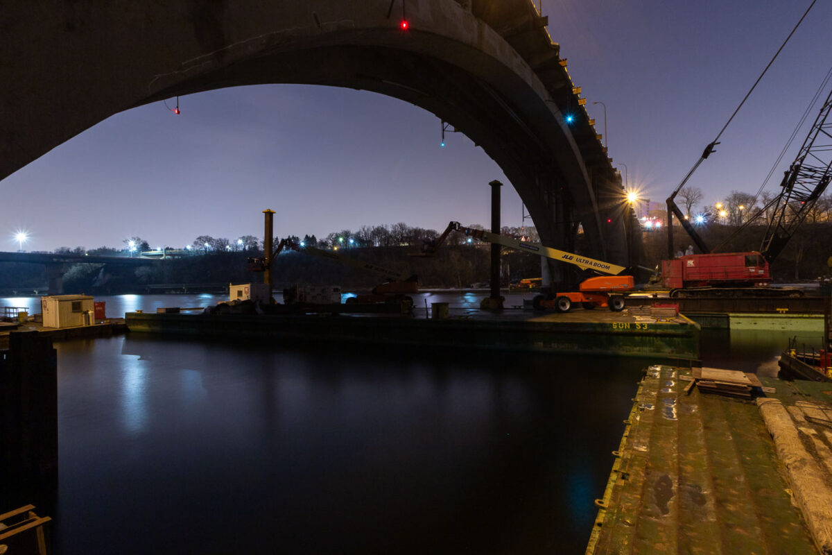
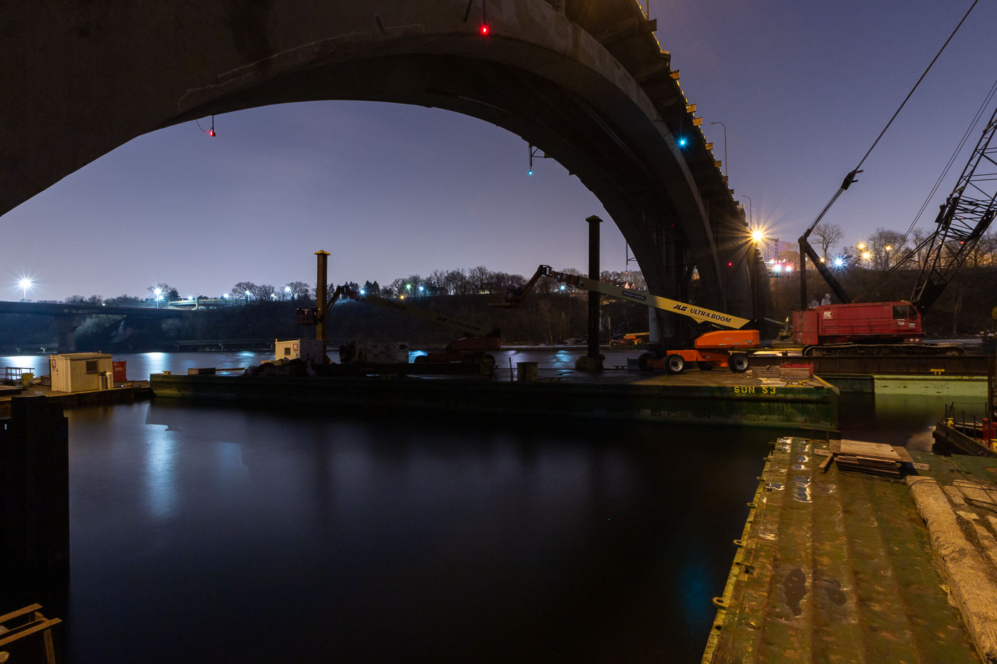
Nighttime construction work on the Franklin Avenue Bridge over the Mississippi River in Minneapolis, with cranes and equipment on barges.
Construction work is underway at night on the Franklin Avenue Bridge in Minneapolis, spanning the Mississippi River. The bridge, originally constructed in the 1920s, has undergone numerous repairs and upgrades throughout its history to maintain its structural integrity and capacity for traffic. This nighttime operation highlights the ongoing efforts to preserve this vital piece of Minneapolis infrastructure, ensuring its continued service to the city.

Franklin Avenue Bridge Construction Work at Night, Minneapolis
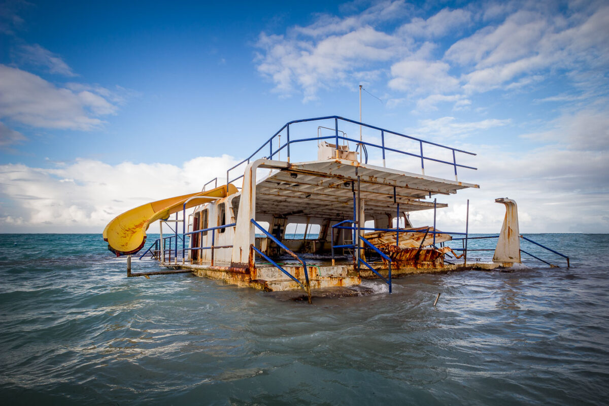
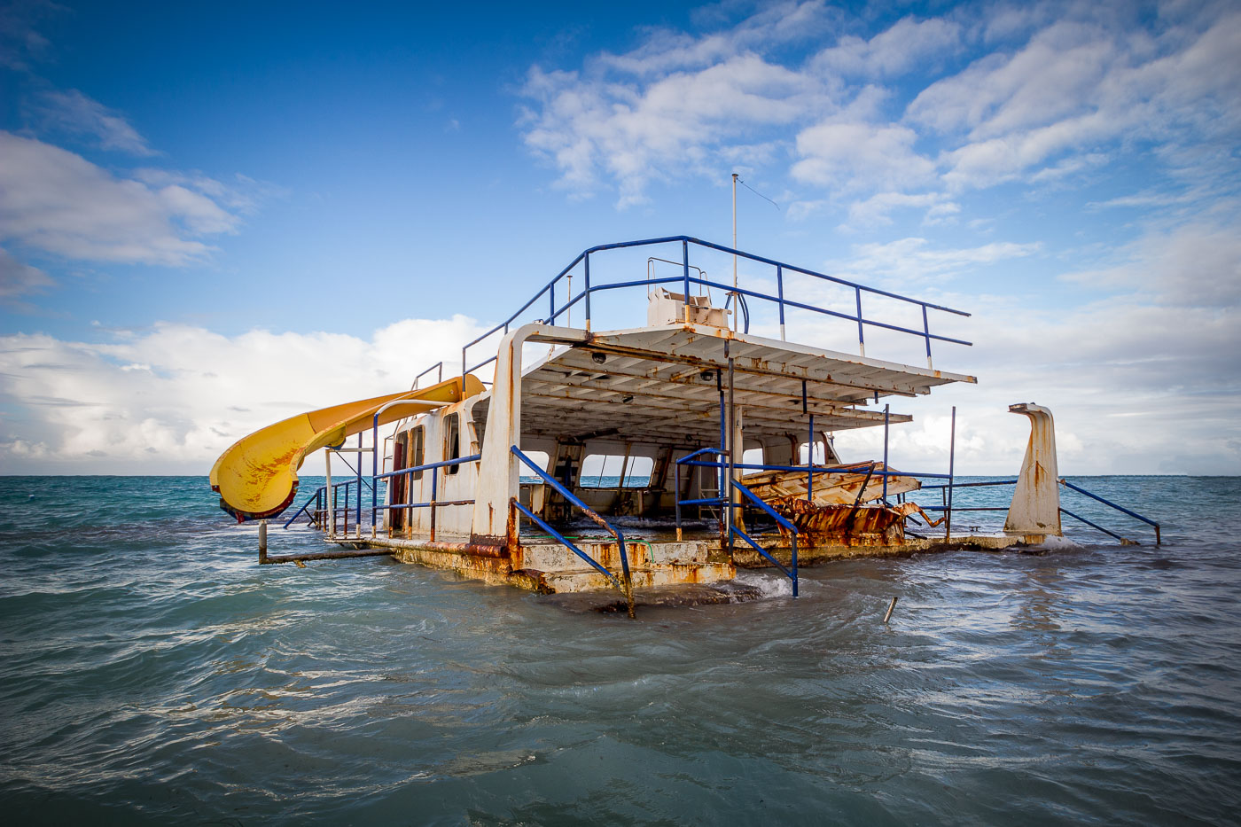
Abandoned ferry boat with yellow slide moored in shallow water off Punta Cana, Dominican Republic.
An abandoned ferry boat sits partially submerged off Punta Cana, La Altagracia Province, Dominican Republic. The vessel’s stripped upper deck, rusting frame, and attached yellow slide suggest it was adapted for excursion or leisure use before being left offshore.

Shipwrecked Party Boat With Yellow Slide, Punta Cana
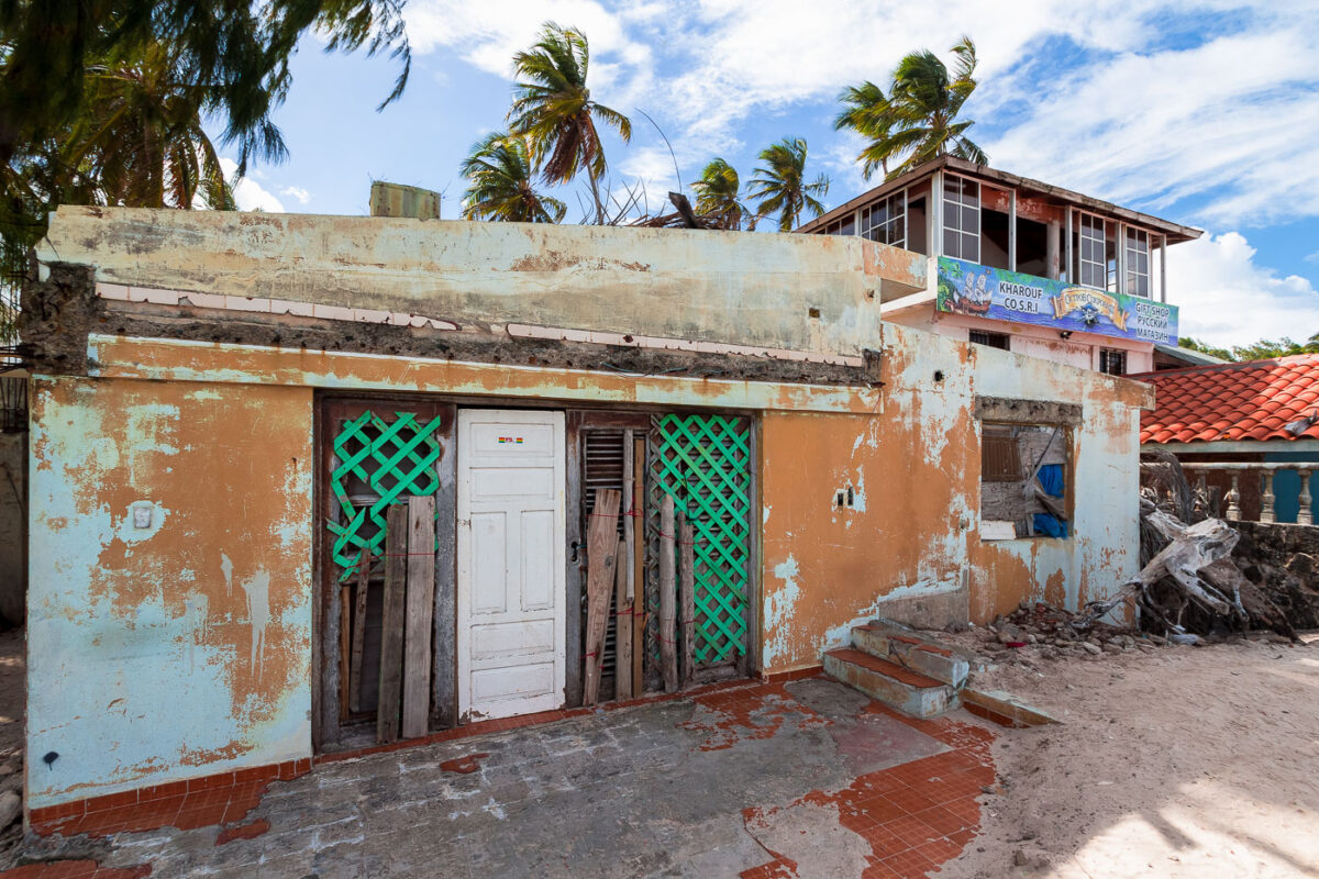
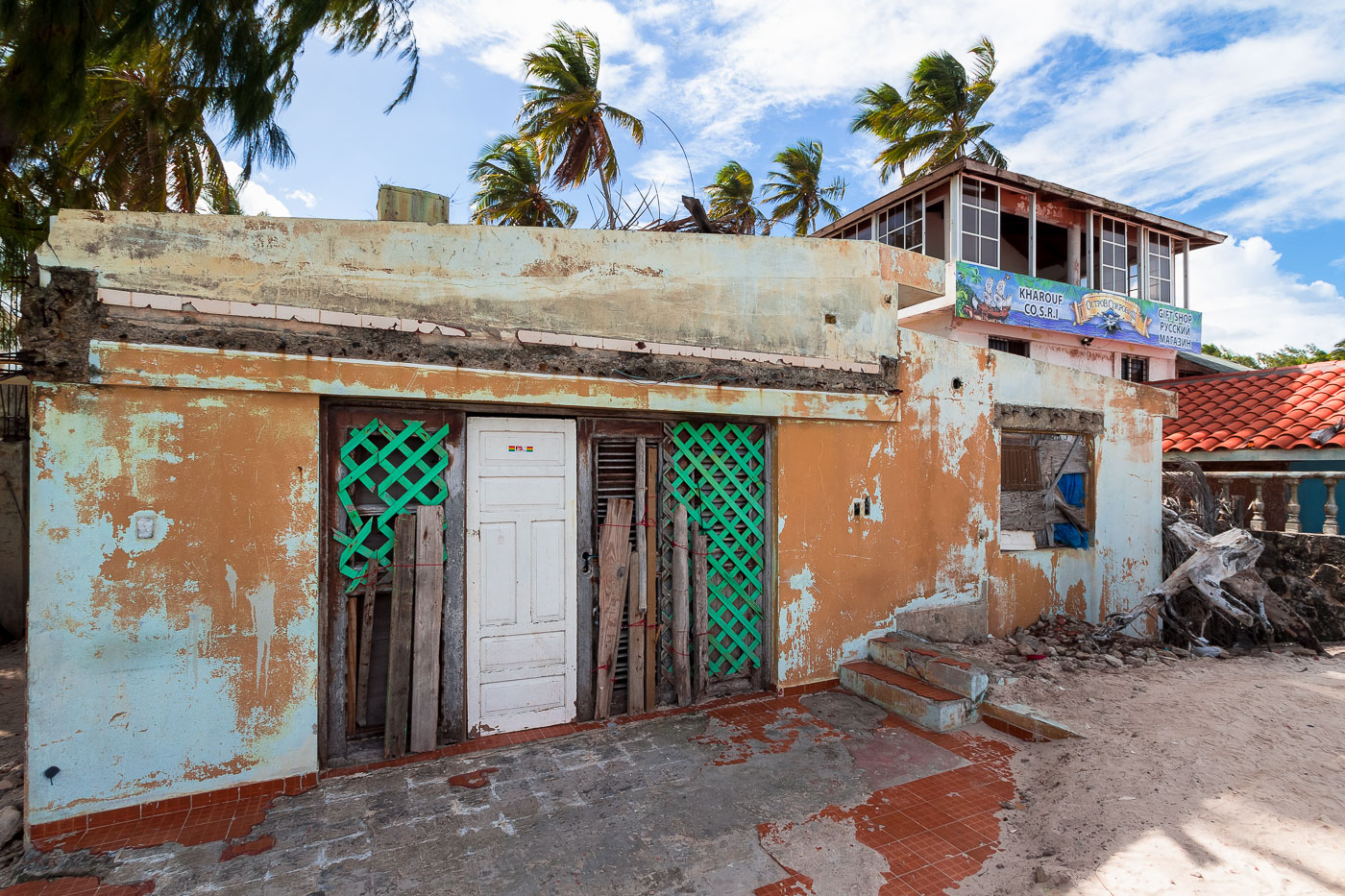
Weathered storefront with Russian-language signage and green lattice window covers in Punta Cana, Dominican Republic.
Abandoned gift shop building in Punta Cana, Dominican Republic, with Russian-language signage still mounted on the upper facade. The structure is boarded and partially stripped, with visible storm or long-term weather damage along the roofline and exterior walls. The multilingual storefront banner identifies the site as a business that once catered to Russian-speaking visitors in the resort area.

Weathered Storefront Near a Former Russian Gift Shop in Punta Cana
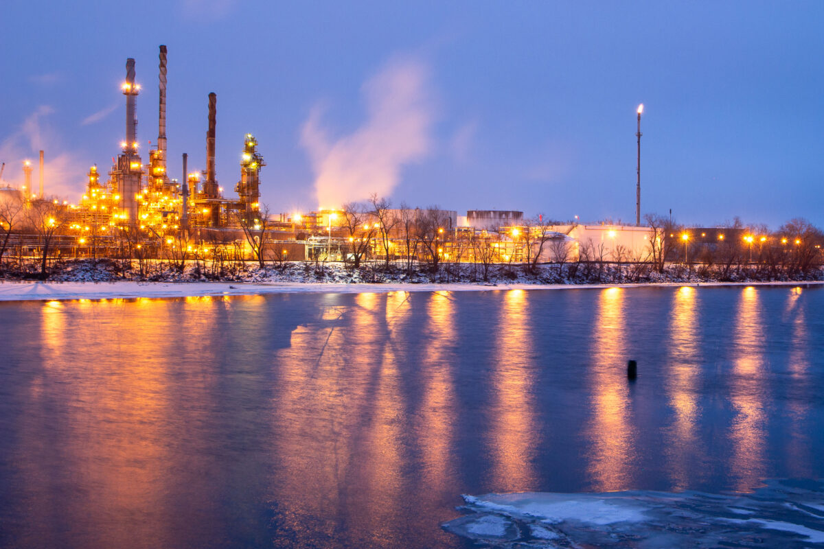
Marathon Petroleum Refinery in St. Paul Park illuminates the frozen Mississippi River at dusk.
Marathon Petroleum's St. Paul Park refinery sits along the Mississippi River southeast of downtown St. Paul. Built in 1939, the plant processes roughly 90,000 barrels of crude oil per day into gasoline, diesel, and asphalt products for the regional market. It's one of only two refineries operating in Minnesota, the other being Flint Hills Resources in Rosemount. Marathon Petroleum acquired the facility in 2010 as part of its purchase of the Minnesota refining business from Marathon Oil's corporate predecessor.

Marathon Refinery Reflected on the Mississippi at St. Paul Park
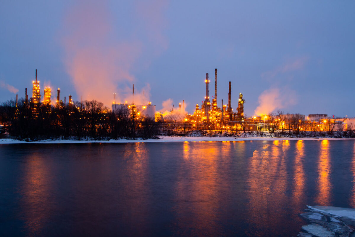
Marathon Petroleum Refinery in St. Paul Park, Minnesota, glows along the Mississippi River at dusk.
Marathon Petroleum Refinery in St. Paul Park, Minnesota, operates along the Mississippi River. The refinery processes crude oil into gasoline, diesel fuel, and other petroleum products. It has been an important industrial facility in the Twin Cities region since 1942.

Marathon Petroleum Refinery, St. Paul Park, Minnesota
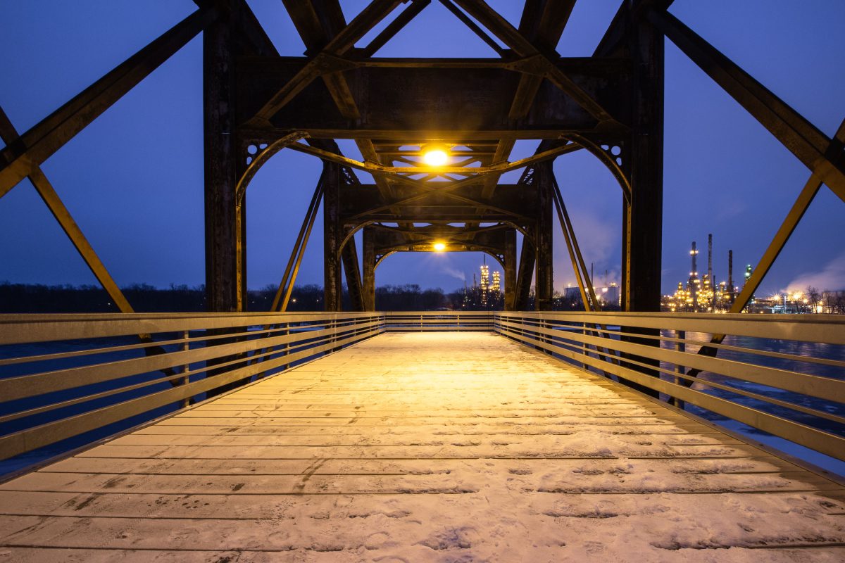
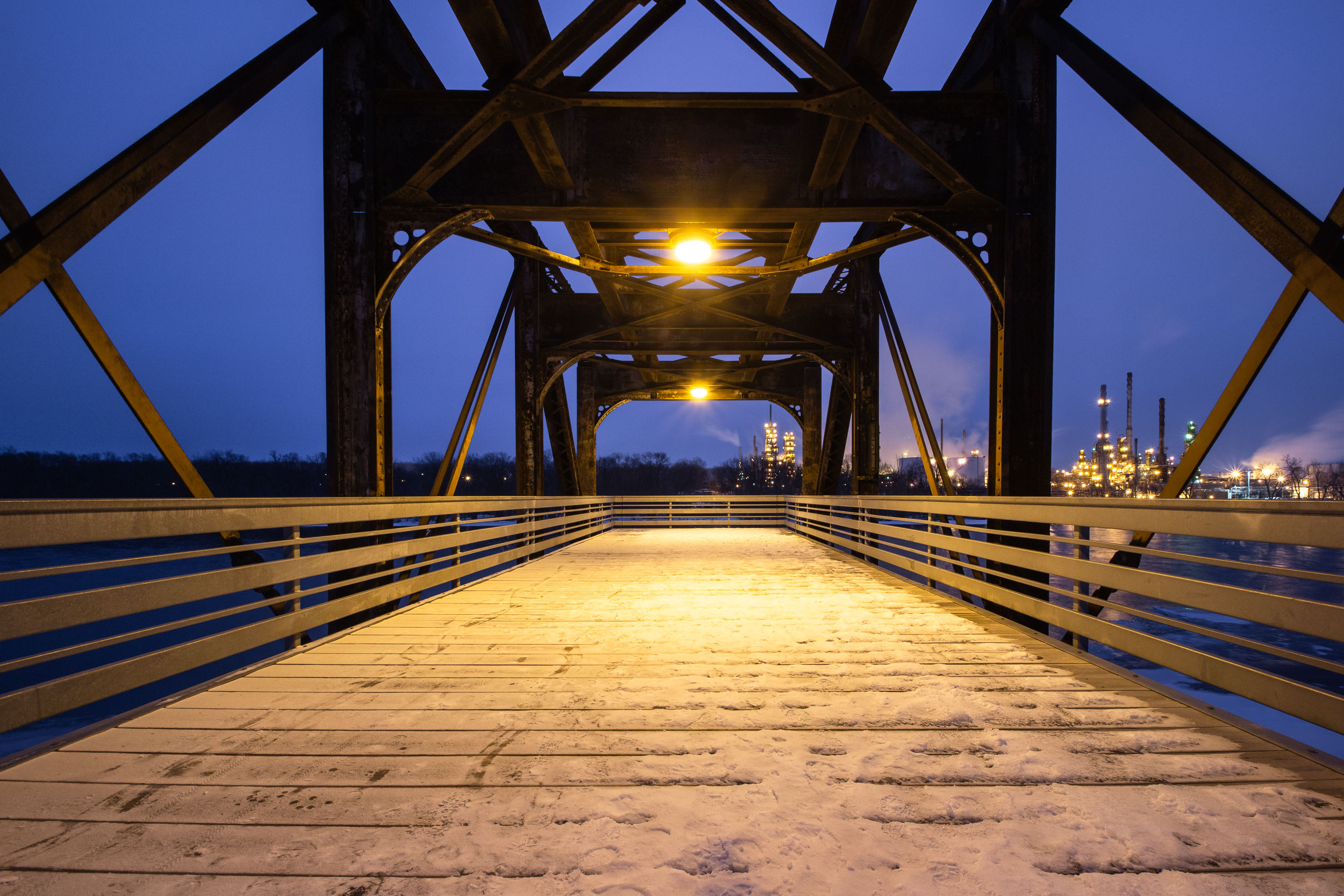
Rock Island Swing Bridge in Inver Grove Heights with Marathon Petroleum refinery lit at dusk.
The Rock Island Swing Bridge crosses the Mississippi River between Inver Grove Heights and St. Paul Park, Minnesota. Built in 1895 for the Chicago, Rock Island and Pacific Railroad, it originally carried freight trains and included a rotating swing span to let river traffic pass. Rail traffic ended in the 1980s, and the span was later converted into a pedestrian and bicycle crossing linking regional trail systems on both sides of the river. Across the water in St. Paul Park stands the Marathon Petroleum refinery, one of Minnesota's major oil processing facilities, which has operated on the site since 1939.

Rock Island Swing Bridge Walkway, Inver Grove Heights
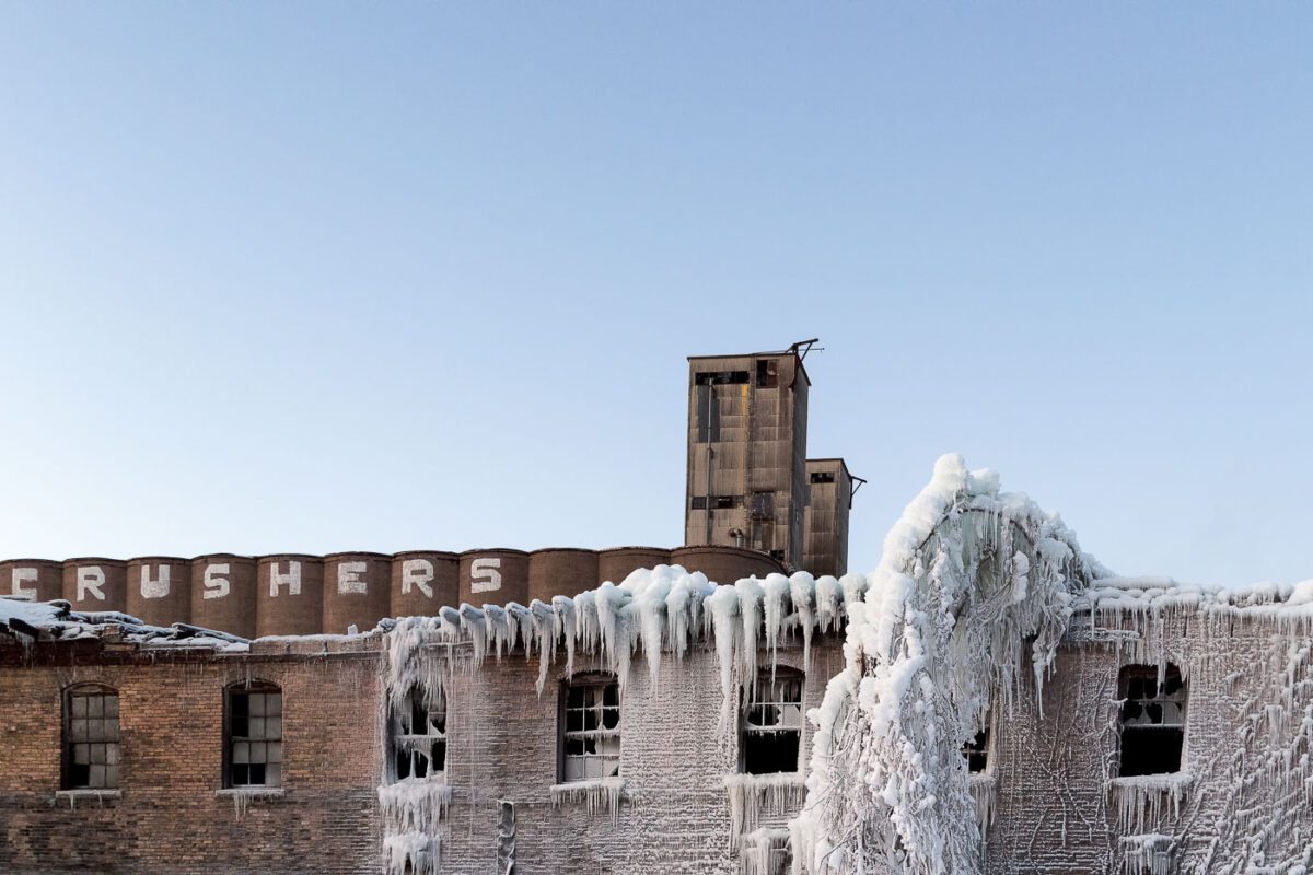
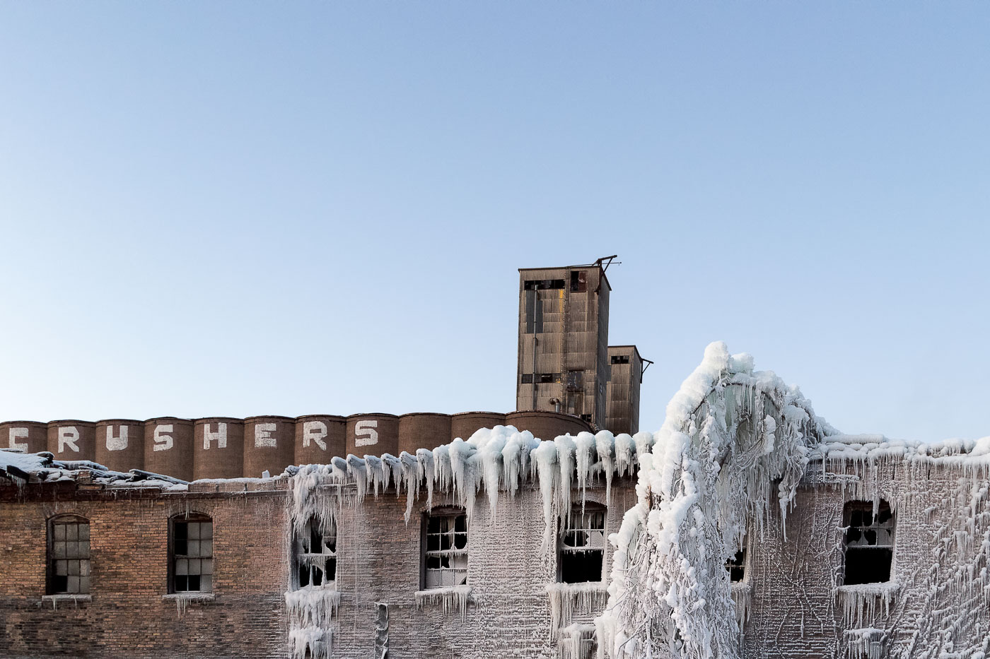
The ADM Grain Elevator and Harris Machinery buildings in Minneapolis's Prospect Park show fire damage and ice accumulation. The ADM silos are marked "CRUSHERS".
The ADM Grain Elevator and Harris Machinery buildings in Prospect Park, Minneapolis, show extensive ice and snow accumulation following a significant fire. The fire gutted the interior of the Harris Machinery structure, leaving its exterior heavily damaged and encased in ice.

ADM Grain Elevator and Harris Machinery Fire Damage, Prospect Park, Minneapolis
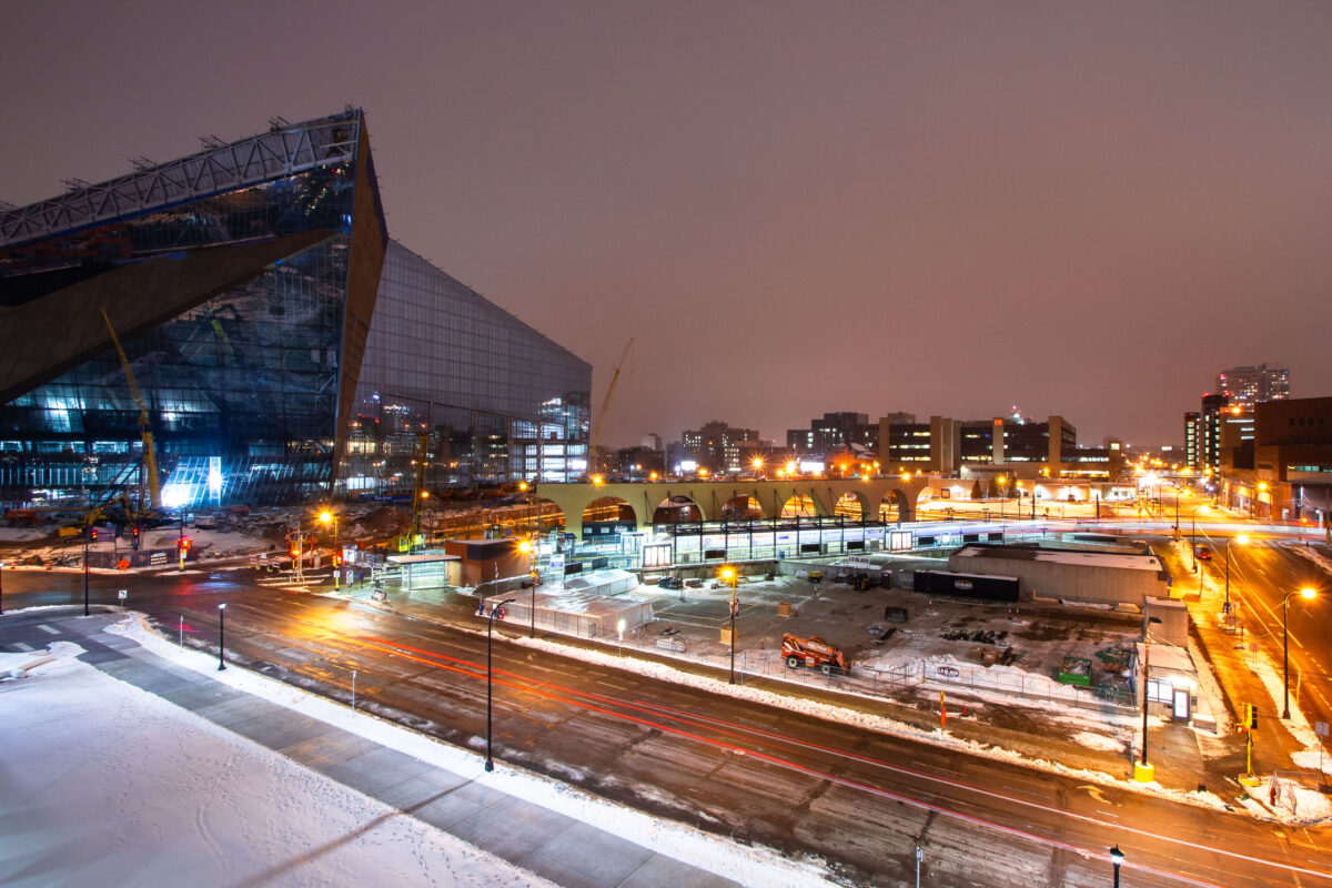
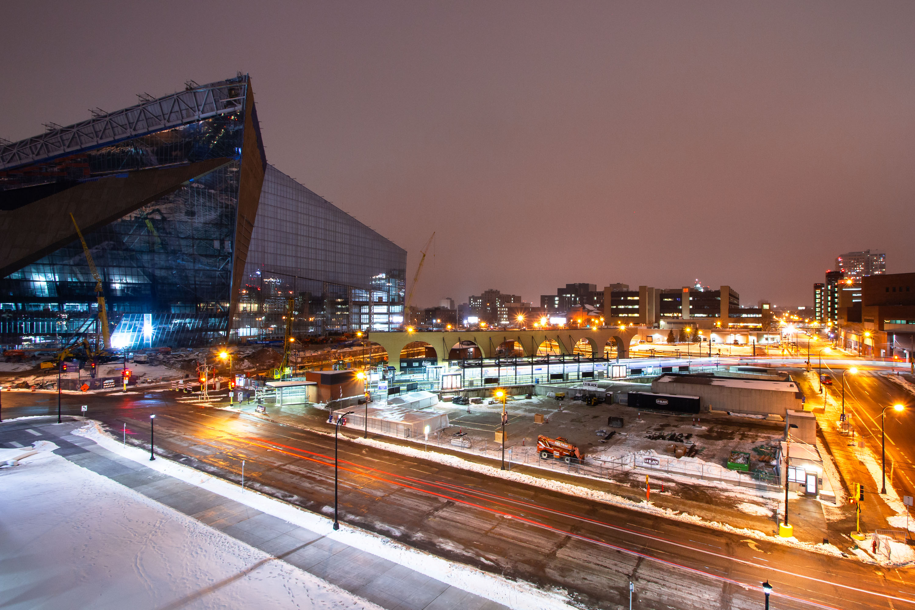
US Bank Stadium construction site in downtown Minneapolis at dusk with illuminated cranes, surrounding buildings, and active roadways.
US Bank Stadium under construction in Downtown Minneapolis in January 2016.

Snowy Night Over US Bank Stadium and Downtown East

Wabasha Street Bridge spans the Mississippi River in downtown St. Paul, Minnesota.
Wabasha Street Bridge spans the Mississippi River in downtown St. Paul, Minnesota. Opened in 1999, it connects downtown with West Side neighborhoods and carries heavy traffic across the river. The bridge replaced older river crossings at this location.

Wabasha Street Bridge over the Mississippi River, St. Paul

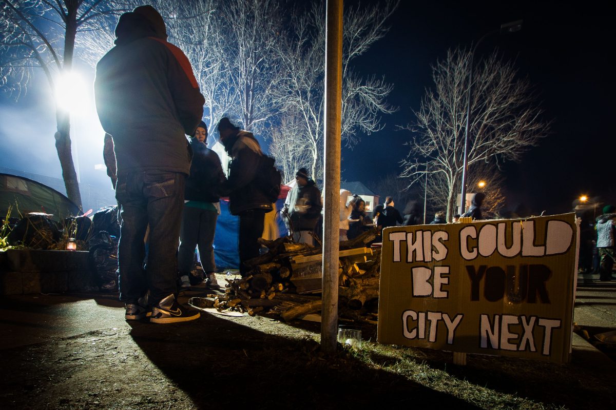
Protesters gather at night outside Minneapolis Police 4th Precinct station during Jamar Clark demonstration.
Protest at the Minneapolis Police 4th Precinct Police Station following the Minneapolis Police killing of Jamar Clark.

“This Could Be Your City Next” Sign at the Jamar Clark Vigil

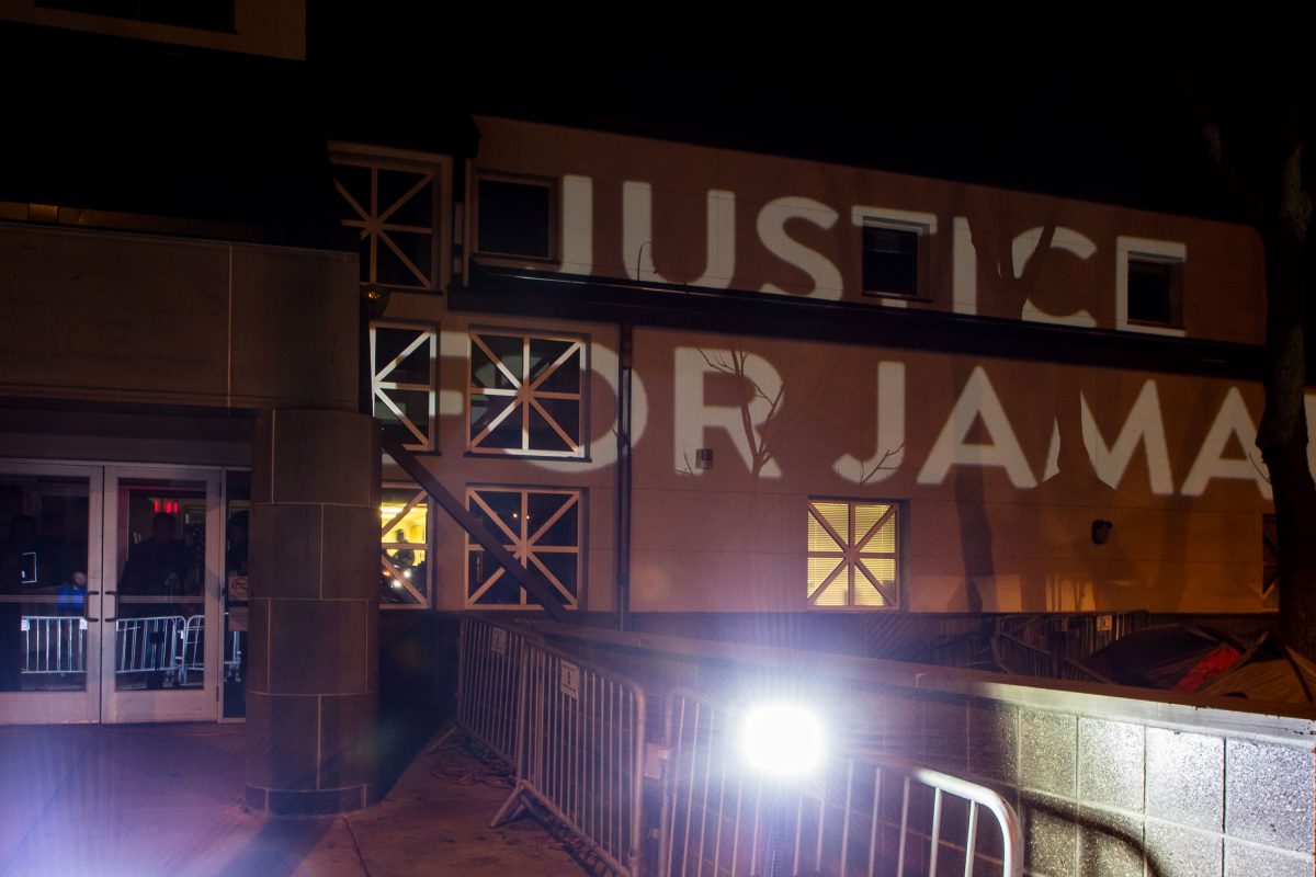
"Justice for Jamar" text projected onto the Minneapolis Police 4th Precinct building at night.
Protest at the Minneapolis Police 4th Precinct Police Station following the Minneapolis Police killing of Jamar Clark.

“Justice for Jamar” Projected on the 4th Precinct at Night

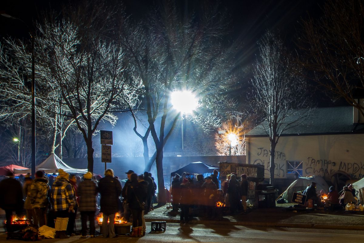
Protesters gather around fires at night outside the Minneapolis Police 4th Precinct station.
Protest at the Minneapolis Police 4th Precinct Police Station following the Minneapolis Police killing of Jamar Clark.

Night Vigil Outside the 4th Precinct During the Jamar Clark Protests

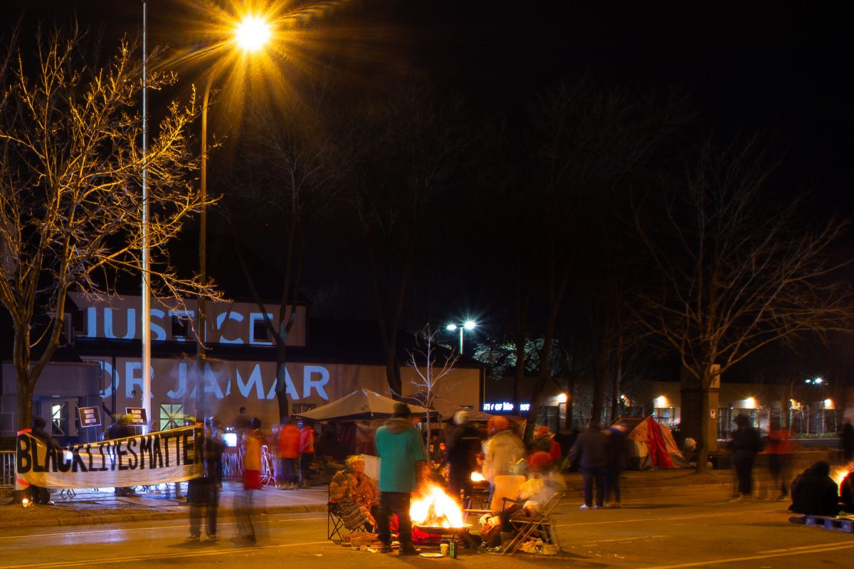
Nighttime protest at Minneapolis Police 4th Precinct with demonstrators gathered around a bonfire and Black Lives Matter signage.
Protest at the Minneapolis Police 4th Precinct Police Station following the Minneapolis Police killing of Jamar Clark.

Night Encampment at the Jamar Clark Protest Site

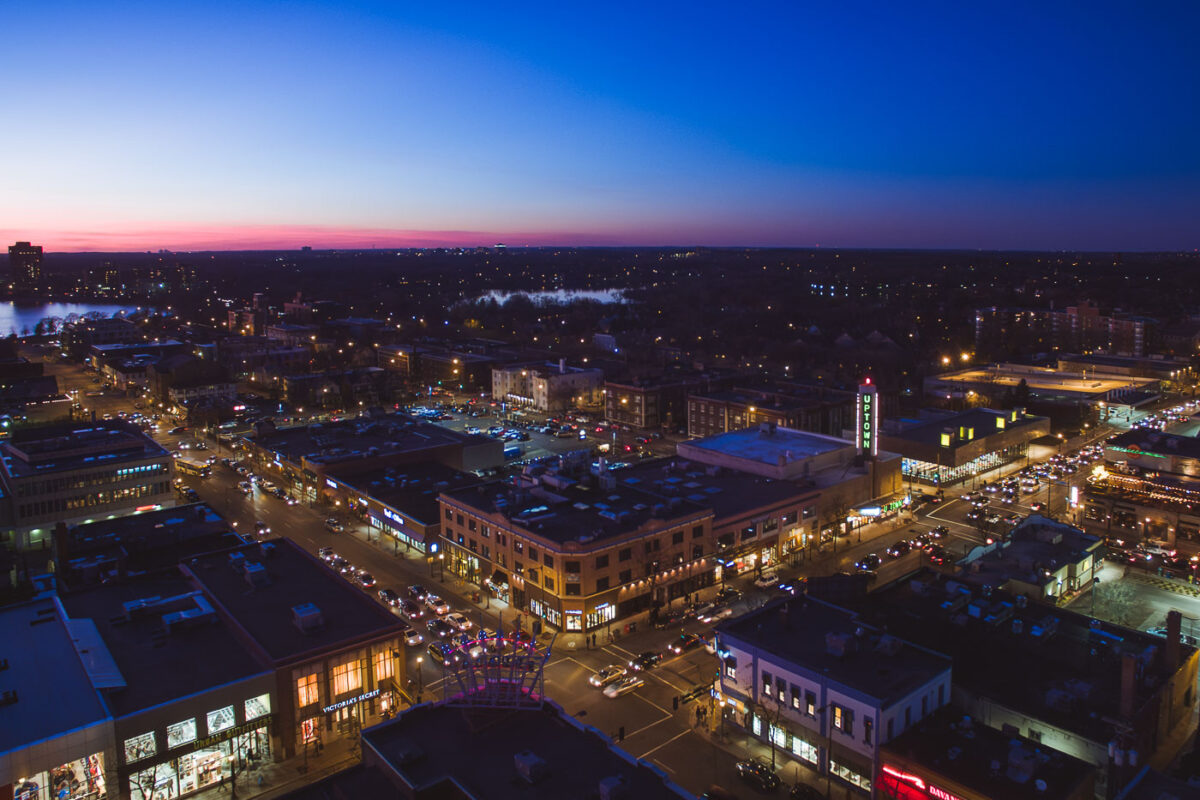
Aerial view of the Hennepin Avenue and Lake Street intersection in Uptown Minneapolis at dusk, with the illuminated Uptown Theater visible.
An aerial photo of the intersection of Hennepin Avenue and Lake Street in Uptown Minneapolis as seen in 2015.

Aerial View of Uptown Minneapolis at Twilight

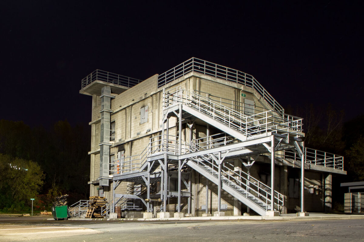
Burnsville Fire Department Training Facility in Burnsville, Minnesota, with exterior stairways and platforms.
Burnsville Fire Department Training Facility in Burnsville, Minnesota, is a purpose-built structure used to train firefighters in search and rescue, ventilation, and ladder operations. Its multi-story design includes exterior stairways, platforms, and access points for repeated hands-on drills.

Burnsville Fire Department Training Facility, Burnsville, Minnesota

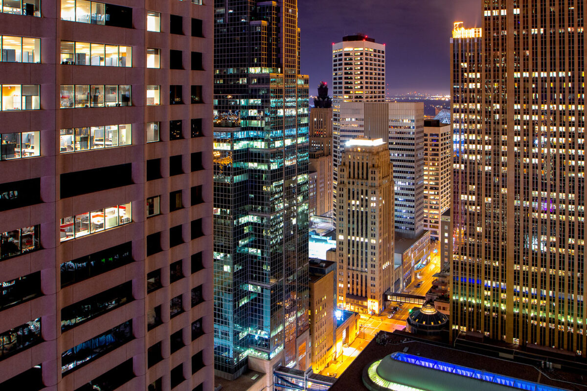
Downtown Minneapolis skyscrapers lit at night.
The core of Downtown Minneapolis is illuminated at night, showcasing a collection of office buildings and architectural styles. These structures represent the city's commercial and financial hub, with many dating back to the mid-20th century and later. The lights indicate ongoing activity within these business centers, reflecting their continued use for commerce and employment. This view highlights the density and verticality of the urban environment, characteristic of major American cities.

Downtown Minneapolis Buildings at Night

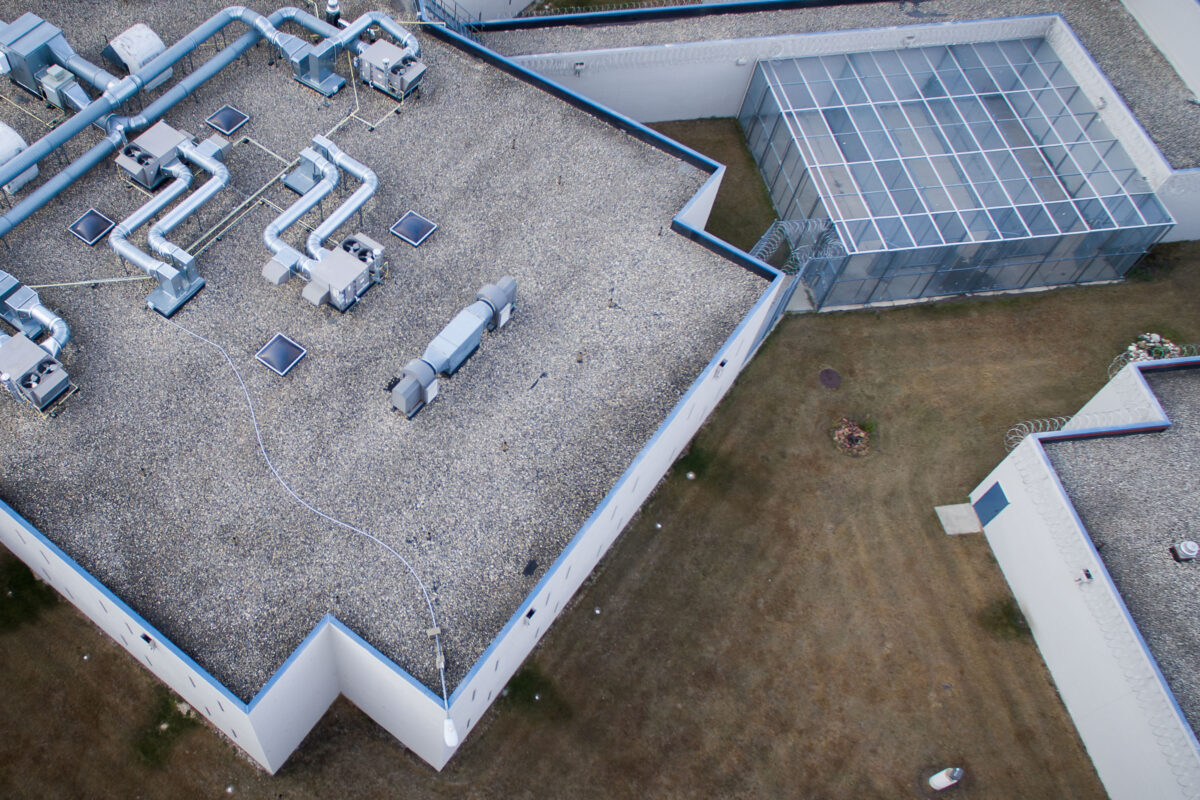
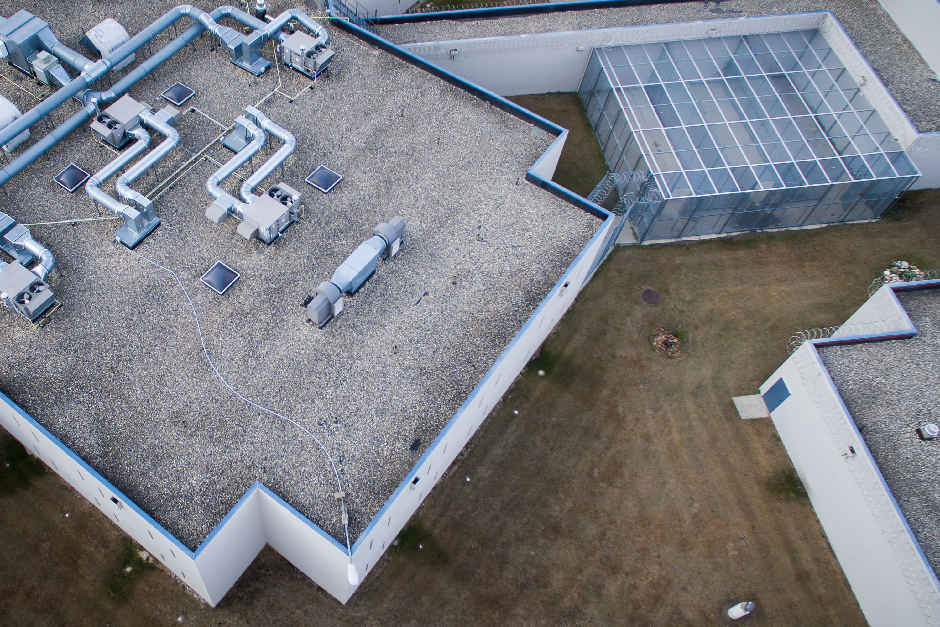
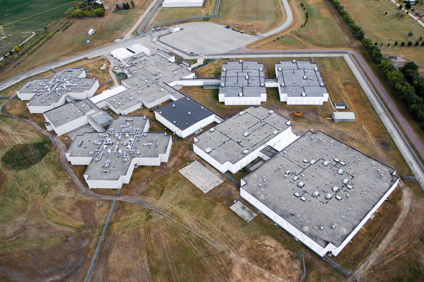
Aerial view of recreation yard at CoreCivic Prairie Correctional Facility in Appleton, Minnesota, showing HVAC equipment, solar
The CoreCivic Prairie Correctional Facility in Appleton, Minnesota. The 1,600-bed facility has been closed since 2010. It's being considered by the federal government for use as an Immigration and Customs Enforcement (ICE) detention center.

Aerial View of Rooftop HVAC Units at the Prairie Correctional Facility

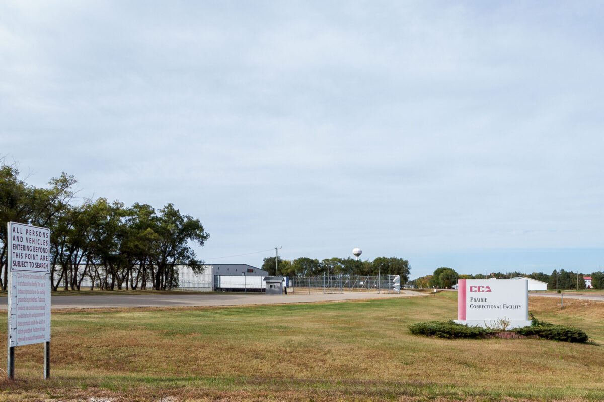
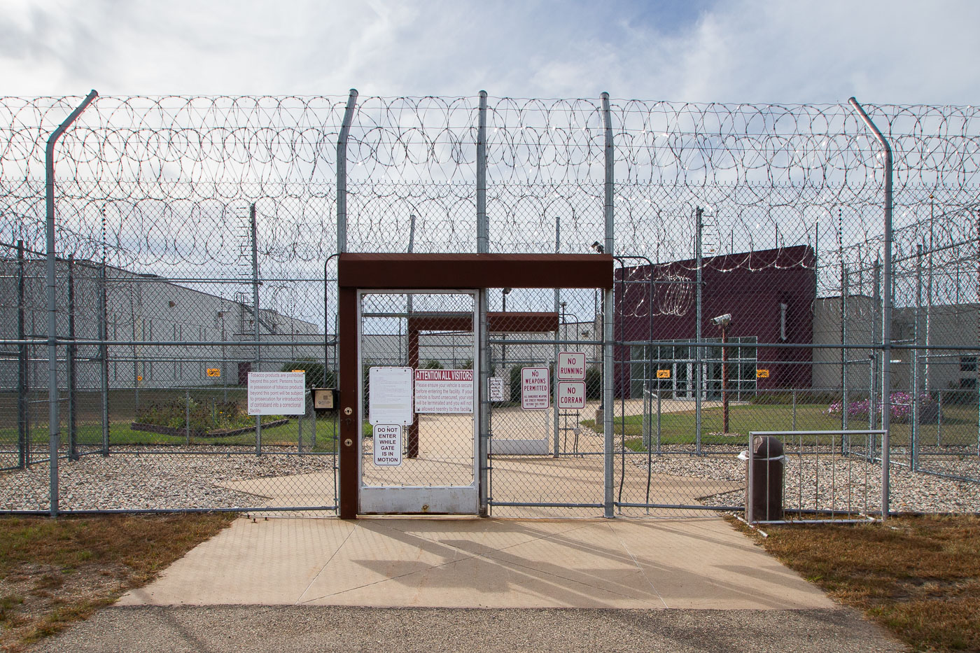
Prairie Correctional Facility entrance sign and grounds in Appleton, Minnesota.
The CoreCivic Prairie Correctional Facility in Appleton, Minnesota. The 1,600-bed facility has been closed since 2010. It's being considered by the federal government for use as an Immigration and Customs Enforcement (ICE) detention center.

Warning Sign Near the Prairie Correctional Facility Entrance

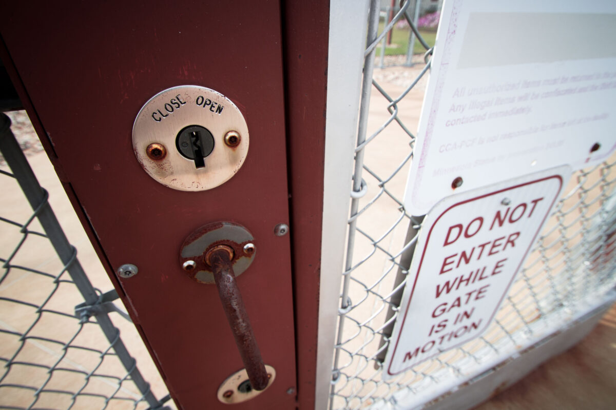
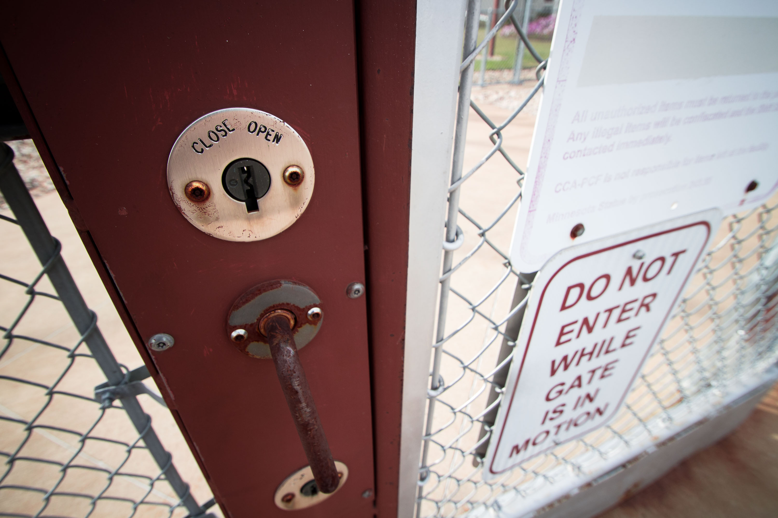
Close and open switch on burgundy metal gate at Prairie Correctional Facility in Appleton, Minnesota.
Razor wire and security fencing surround the Prairie Correctional Facility in Appleton, Minnesota. The 1,600-bed facility has been closed since 2010. It's being considered by the federal government for use as an Immigration and Customs Enforcement (ICE) detention center.

“Do Not Enter While Gate Is in Motion” Sign at Prairie Correctional Facility

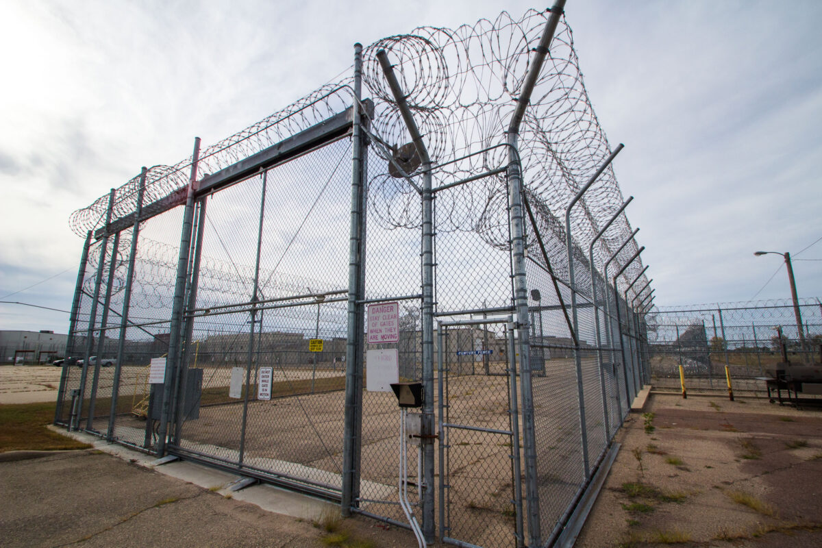
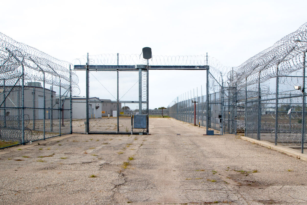
Razor wire and chain-link security fencing enclose the Prairie Correctional Facility in Appleton, Minnesota.
Razor wire and security fencing surround the Prairie Correctional Facility in Appleton, Minnesota. The 1,600-bed facility has been closed since 2010. It's being considered by the federal government for use as an Immigration and Customs Enforcement (ICE) detention center.

Razor Wire Fencing at the Prairie Correctional Facility in Appleton

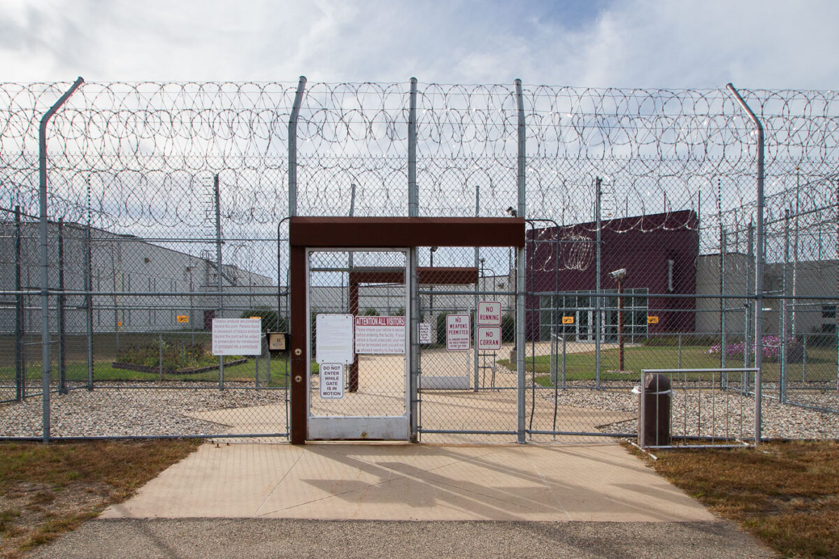
Entrance gate with razor wire fencing at Prairie Correctional Facility in Appleton, Minnesota.
The entrance to the Prairie Correctional Facility in Appleton, Minnesota, a 1,600-bed correctional institution that ceased operations in 2010. The facility may re-open as a Immigration and Customs Enforcement (ICE) detention center.

Security Gate at Prairie Correctional Facility in Appleton

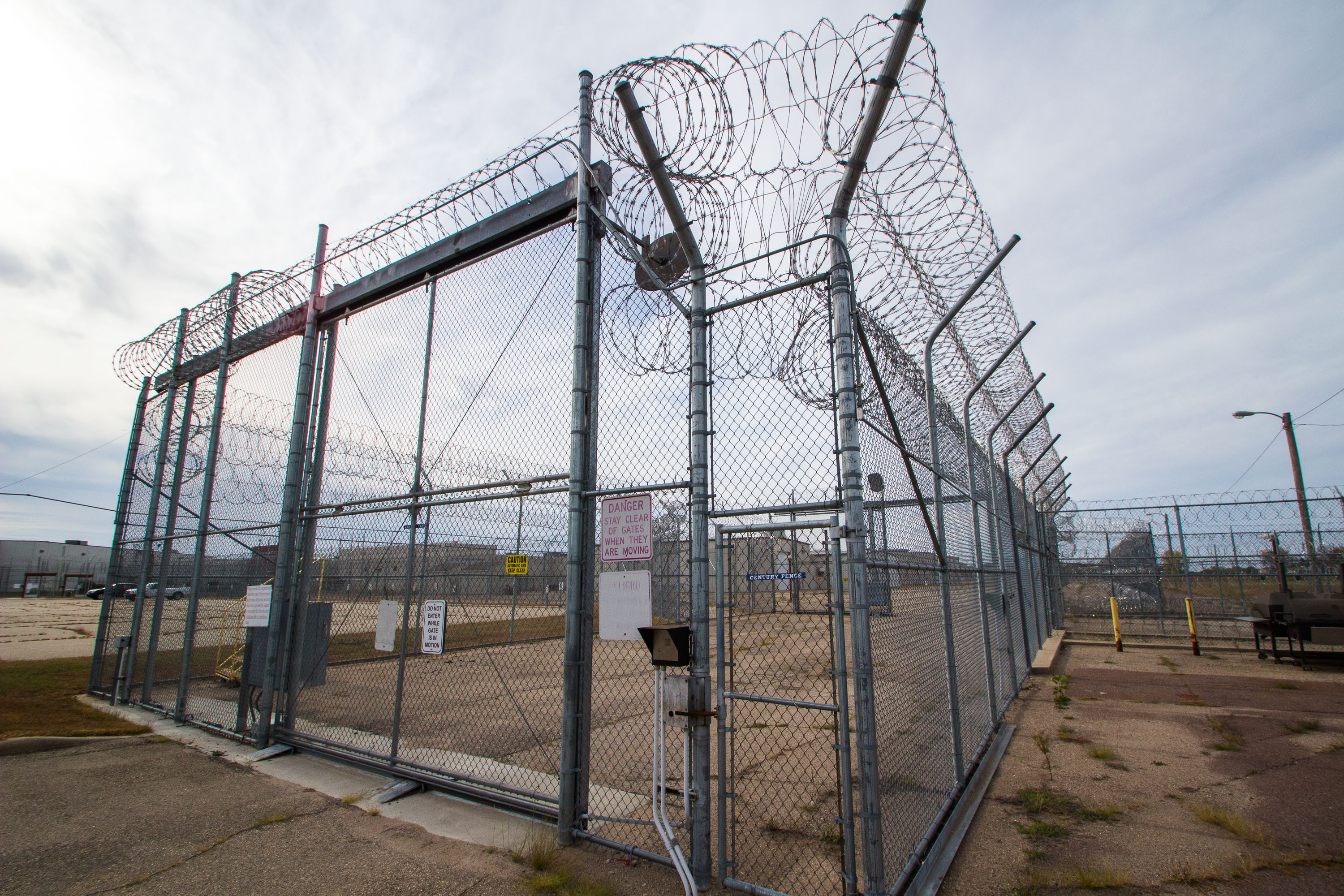
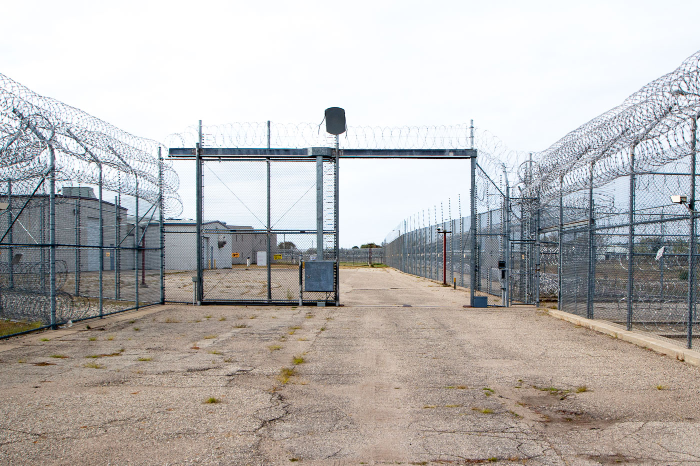
Prairie Correctional Facility entrance gate with razor wire fencing in Appleton, Minnesota.
Razor wire and security fencing surround the Prairie Correctional Facility in Appleton, Minnesota. The 1,600-bed facility has been closed since 2010. It's being considered by the federal government for use as an Immigration and Customs Enforcement (ICE) detention center.

Security Gate at the Prairie Correctional Facility in Appleton

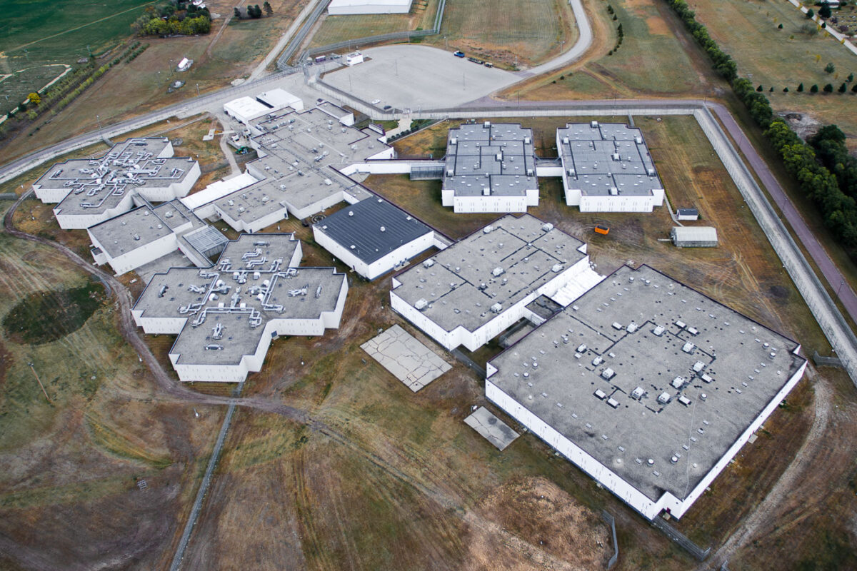
Aerial view of Prairie Correctional Facility, a closed private prison complex in Appleton, Minnesota, showing multiple buildings
The CoreCivic Prairie Correctional Facility in Appleton, Minnesota. The 1,600-bed facility has been closed since 2010. It's being considered by the federal government for use as an Immigration and Customs Enforcement (ICE) detention center.

Aerial View of the Prairie Correctional Facility in Appleton

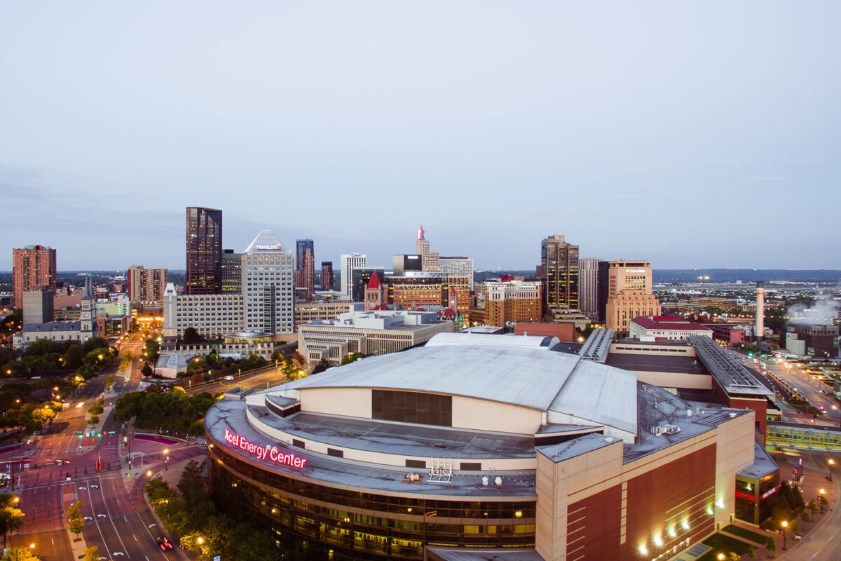
Xcel Energy Center in downtown St. Paul, Minnesota, home of the Minnesota Wild.
Xcel Energy Center in downtown St. Paul, Minnesota, opened in 2000 as a multi-purpose arena. It is the home arena of the NHL’s Minnesota Wild. The venue is also used for concerts, basketball, and other large events.

Xcel Energy Center, Downtown St. Paul

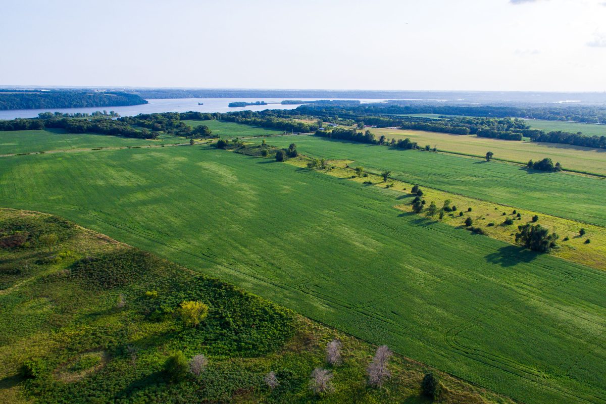
Mississippi River farmland in Cottage Grove, Minnesota, with crop fields beside wetlands and the river.
Mississippi River farmland in Cottage Grove, Minnesota. This aerial view looks across cultivated fields and wetland edges toward a broad reach of the Mississippi River on the city's eastern side. The area includes agricultural land and river-bottom habitat along the Mississippi corridor in Washington County.

Mississippi River Farmland, Cottage Grove, Minnesota

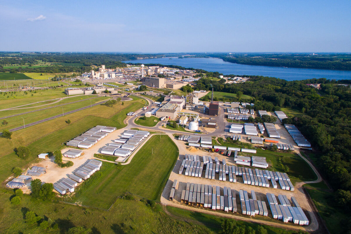
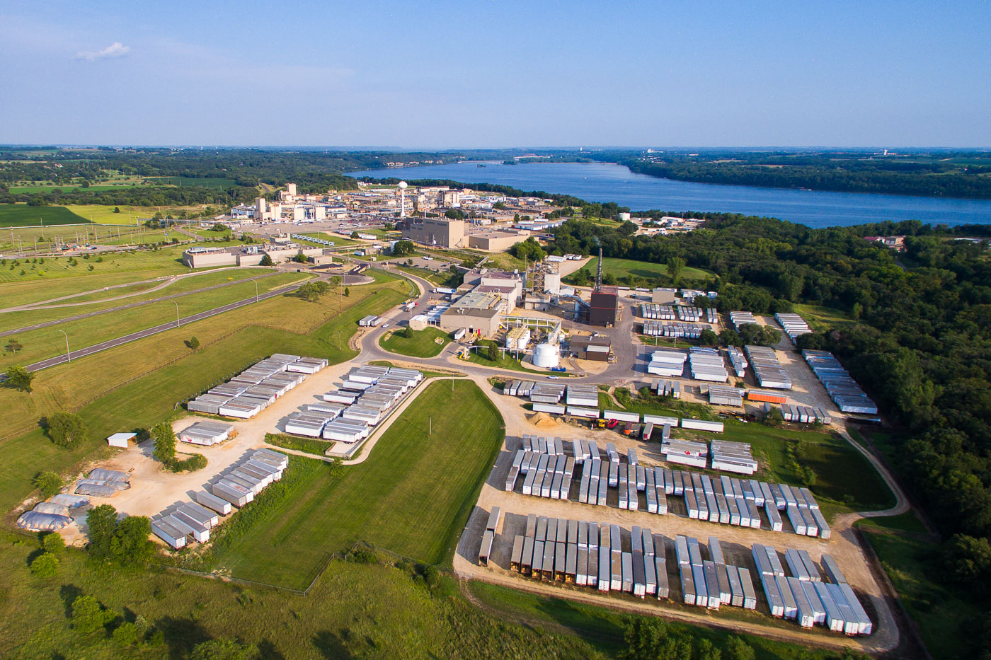
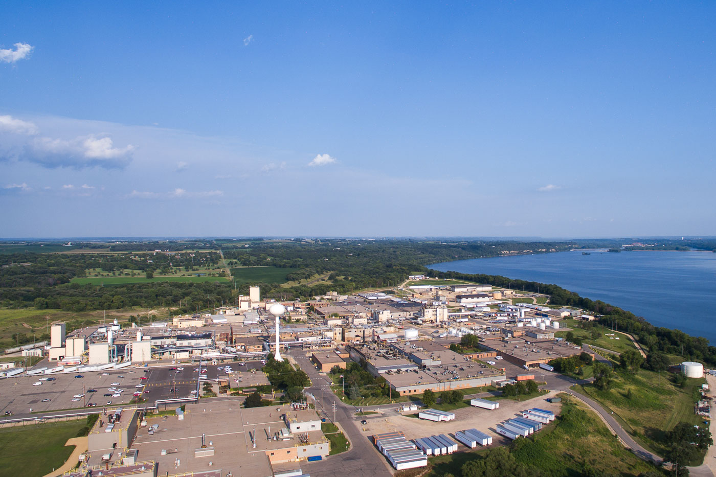
3M manufacturing plant in Cottage Grove, Minnesota, beside the Mississippi River
3M’s manufacturing plant in Cottage Grove, Minnesota, sits beside the Mississippi River. The facility occupies a large industrial campus with processing buildings, storage areas, and access roads spread across the riverfront site.

3M Plant on the Mississippi River, Cottage Grove

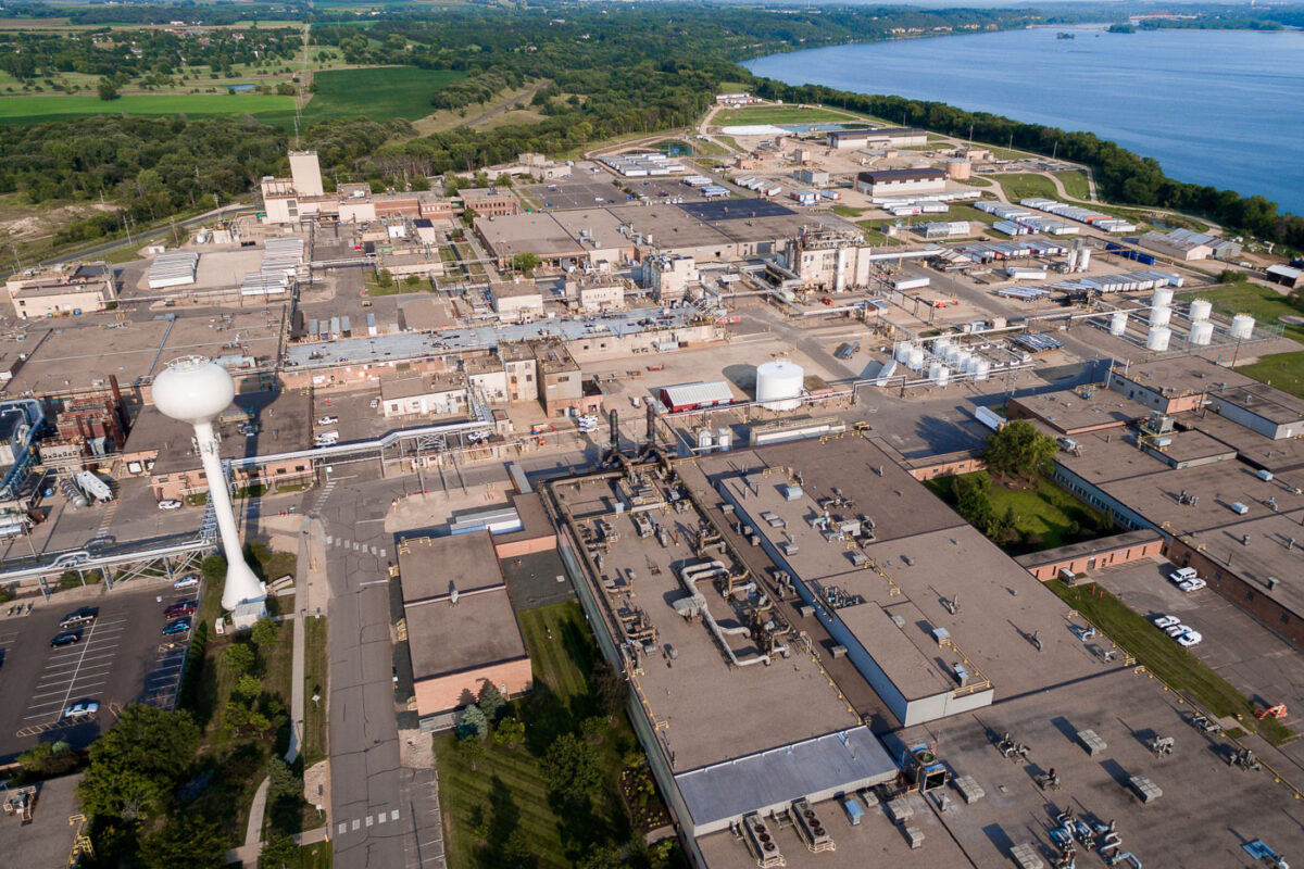
Aerial view of 3M’s manufacturing plant in Cottage Grove, Minnesota, beside the Mississippi River.
3M’s manufacturing plant in Cottage Grove, Minnesota, fills a large site along the Mississippi River. The aerial view shows multiple factory buildings, storage areas, service roads, and a water tower within the industrial complex.

3M Manufacturing Plant, Cottage Grove

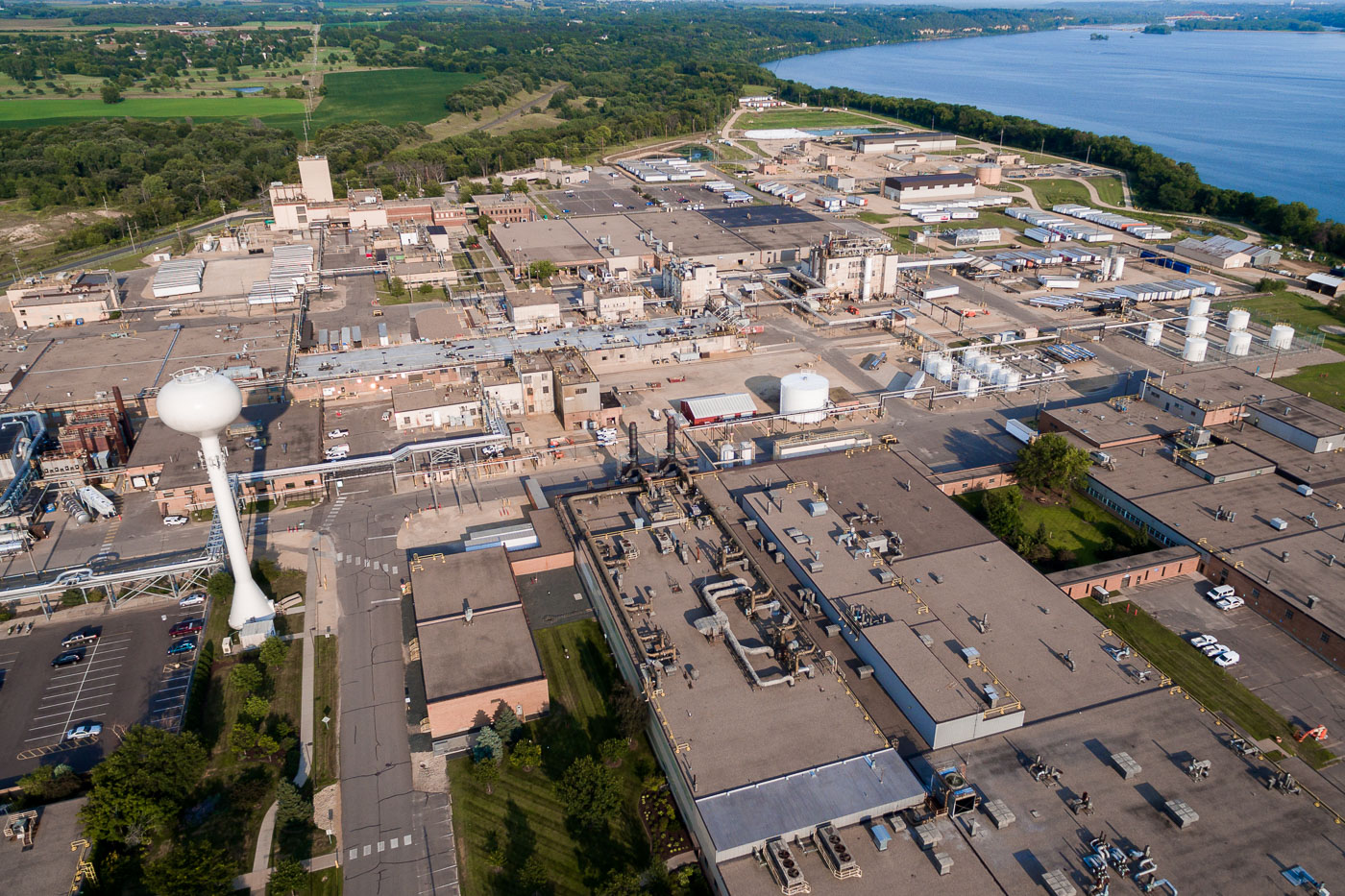
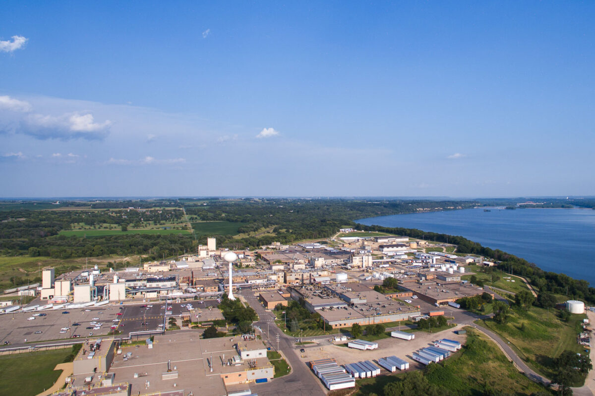
3M Manufacturing Plant in Cottage Grove, Minnesota, along the Mississippi River.
The 3M Manufacturing Plant in Cottage Grove, Minnesota, is an industrial complex along the Mississippi River. The facility has long supported 3M production and logistics in the Twin Cities area. Its riverfront location has provided access for transport and large-scale operations.

3M manufacturing plant on the Mississippi River, Cottage Grove

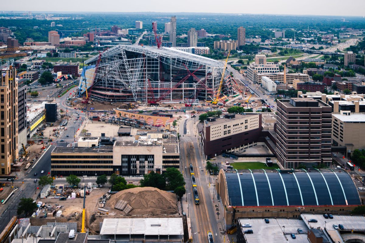
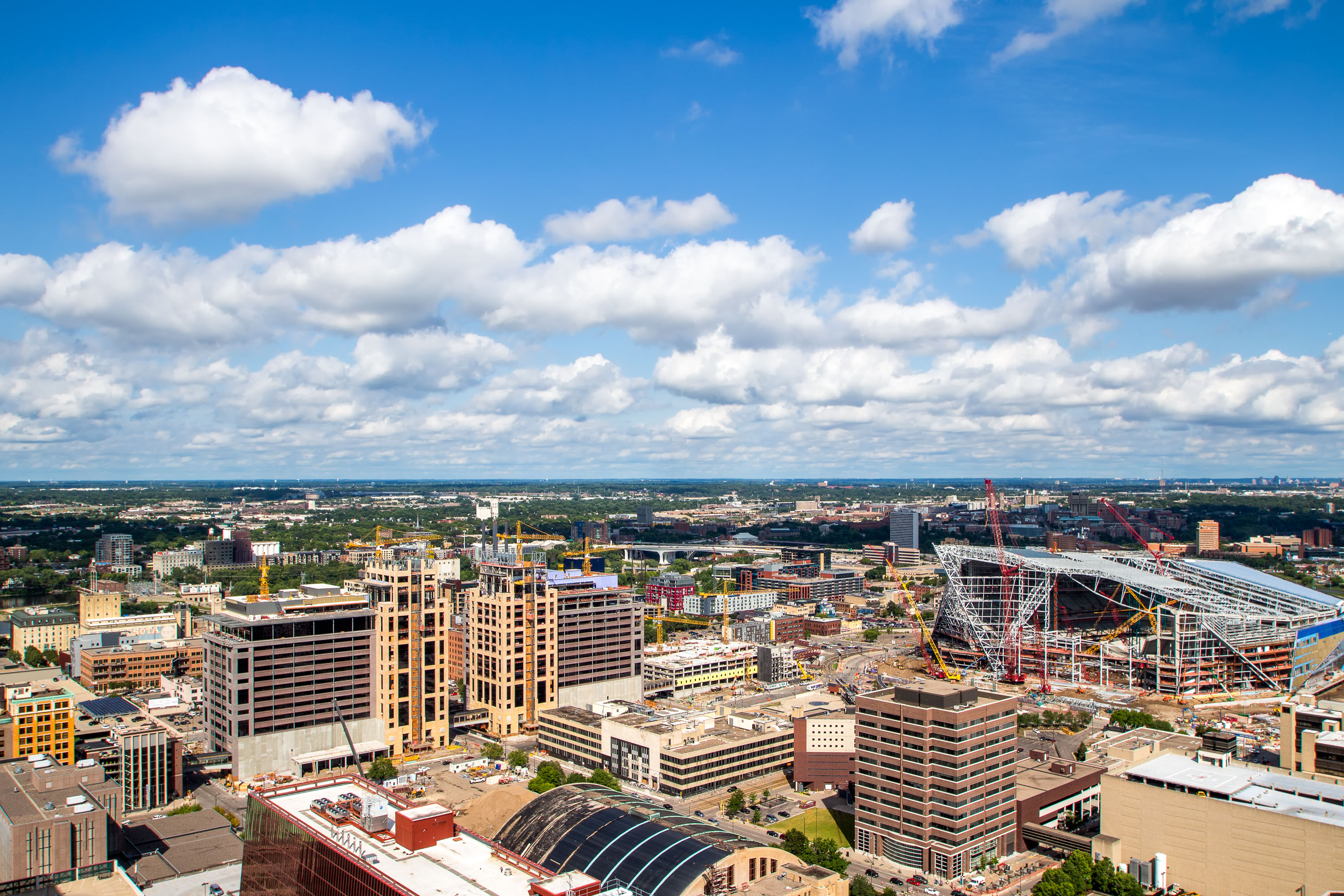
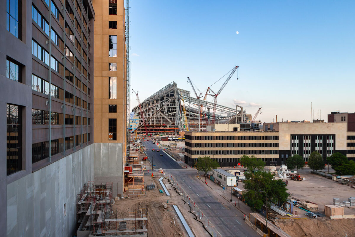
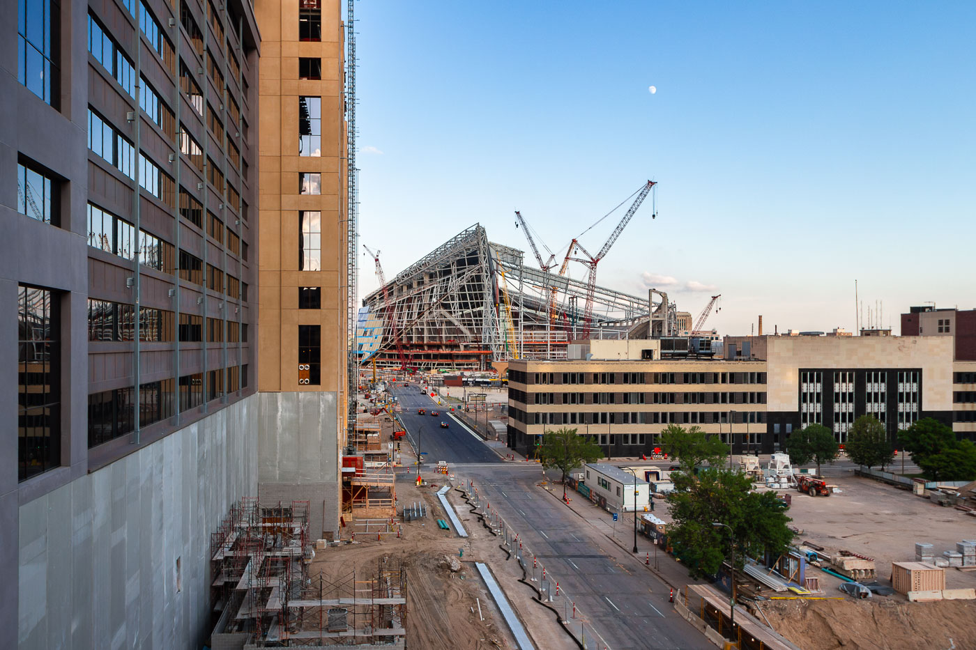
US Bank Stadium's white steel framework and red construction cranes rise above downtown Minneapolis during daytime construction.
US Bank Stadium replaced the Hubert H. Humphrey Metrodome on the same downtown Minneapolis site, opening in 2016 as the home of the Minnesota Vikings. The $1.1 billion project, designed by HKS Inc. and built by Mortenson Construction, seats about 66,000 for football and can expand to roughly 73,000 for events like the Super Bowl, which it hosted in 2018.

Aerial View of US Bank Stadium Taking Shape Above Downtown East

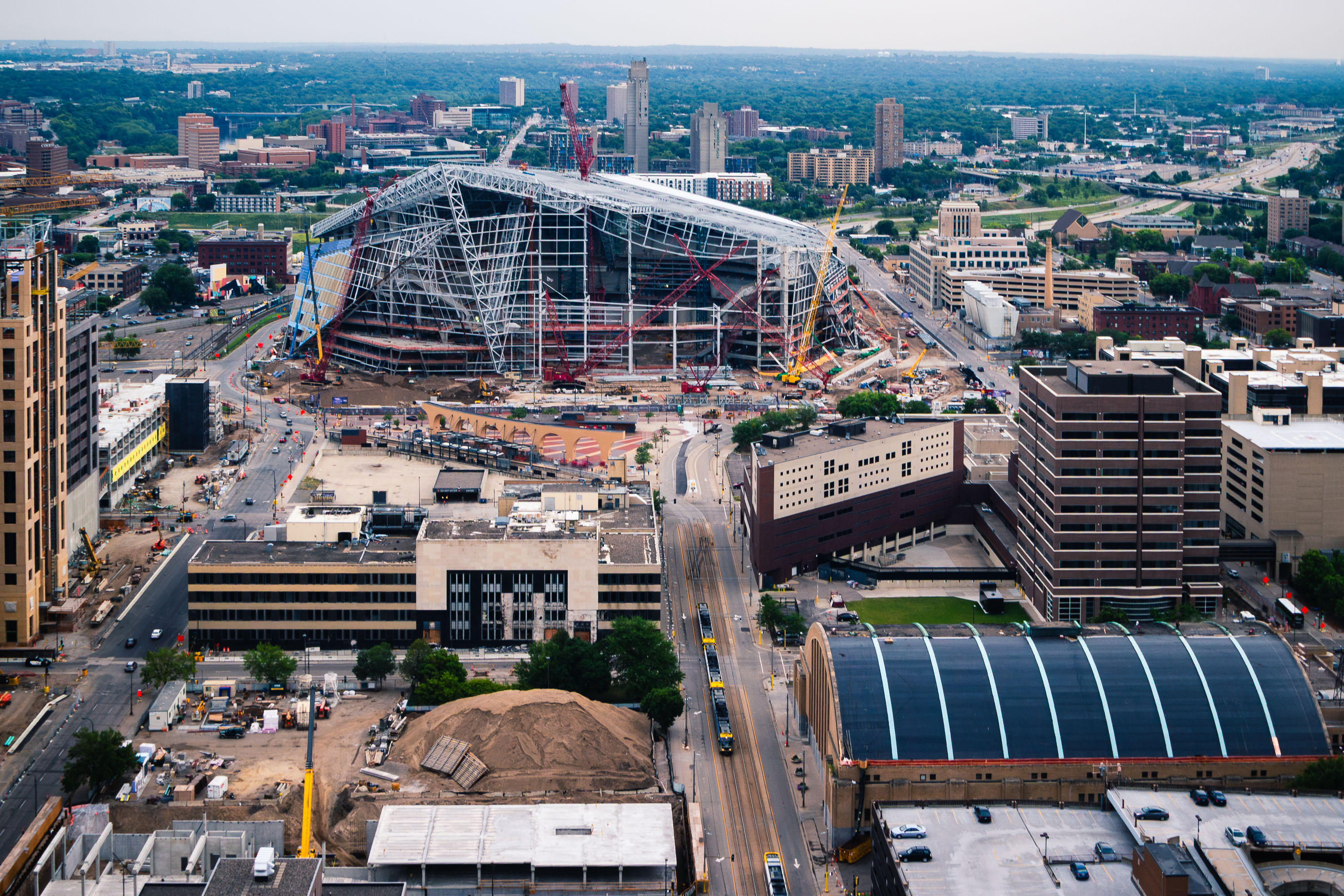
US Bank Stadium under construction in downtown Minneapolis with yellow cranes and steel framework visible among surrounding office buildings.
US Bank Stadium replaced the Hubert H. Humphrey Metrodome as the home of the Minnesota Vikings, rising on the same Downtown East site the Metrodome had occupied since 1982. Construction ran from 2013 to 2016 at a cost of roughly $1.1 billion, funded through a mix of state, city, and team contributions.

Aerial View of US Bank Stadium Rising Over Downtown East

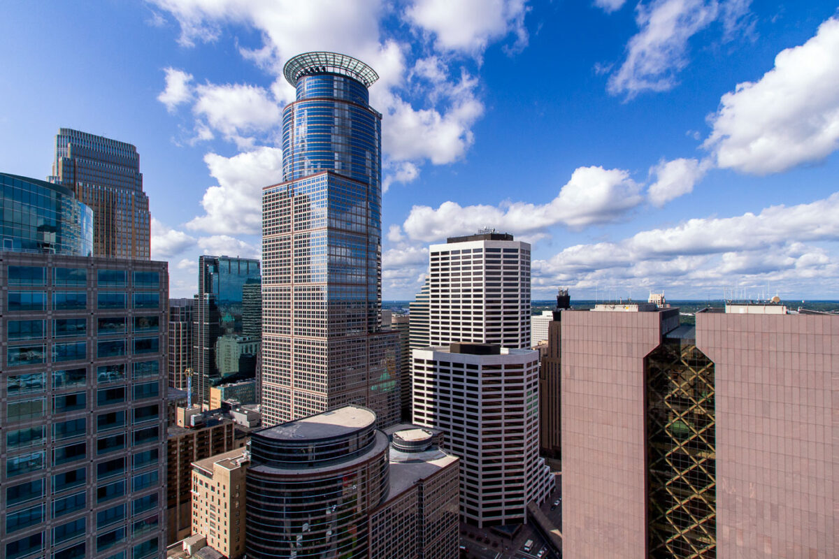
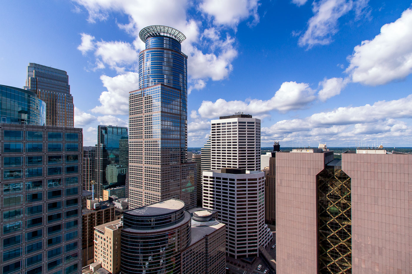
Capella Tower in downtown Minneapolis with surrounding skyscrapers under a blue sky
The Capella Tower, completed in 1992, stands as a prominent skyscraper in downtown Minneapolis. Adjacent to it is the Hennepin County Government Center, a Brutalist structure designed by architect Gunnar Birkerts and completed in 1974. The Government Center houses various county administrative offices and courtrooms, serving as a central hub for local governance. Capella Tower, formerly known as First Bank Place, is a mixed-use building containing office spaces and retail establishments, contributing to the commercial vitality of the city's central business district.

Capella Tower and Hennepin County Government Center, Minneapolis
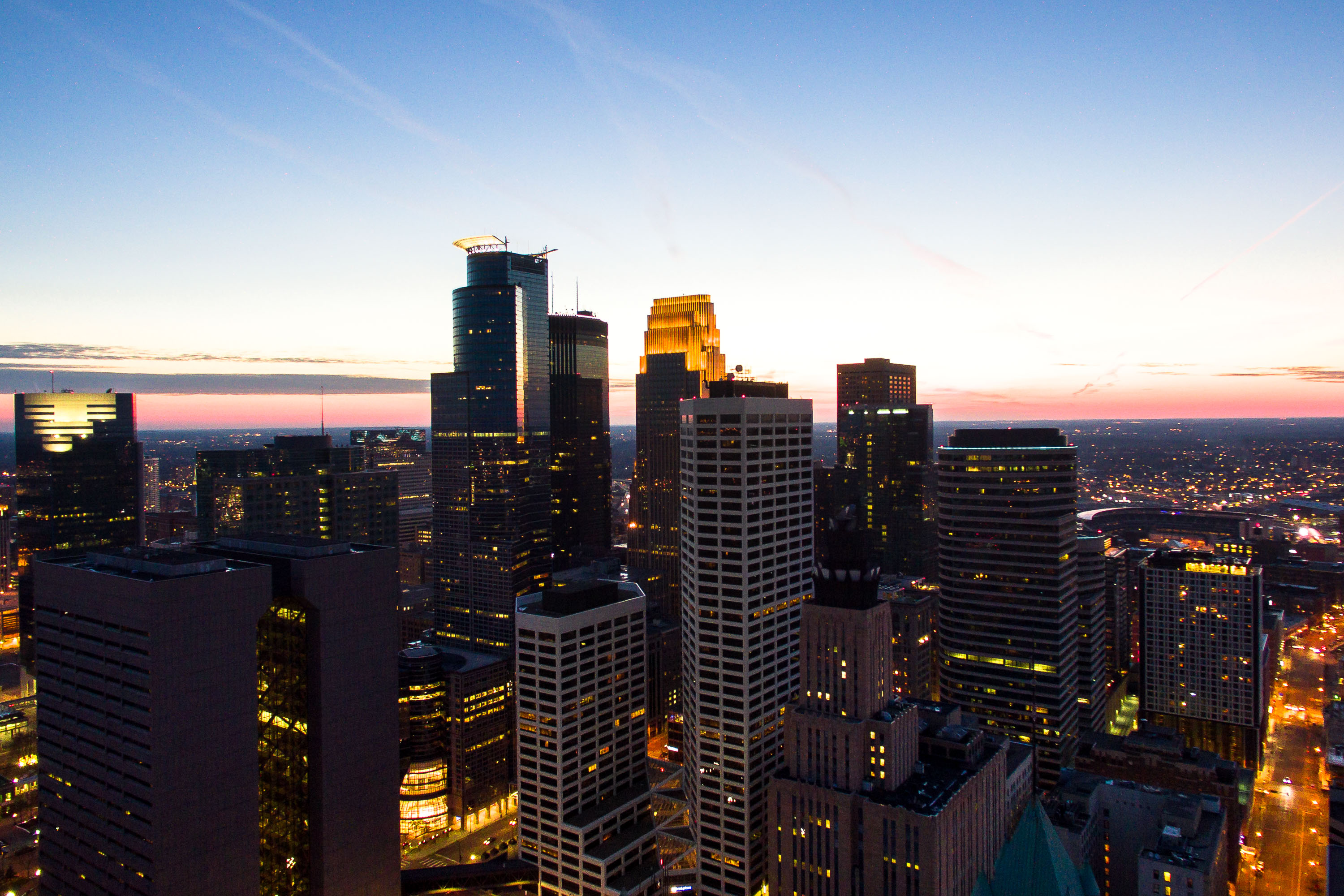
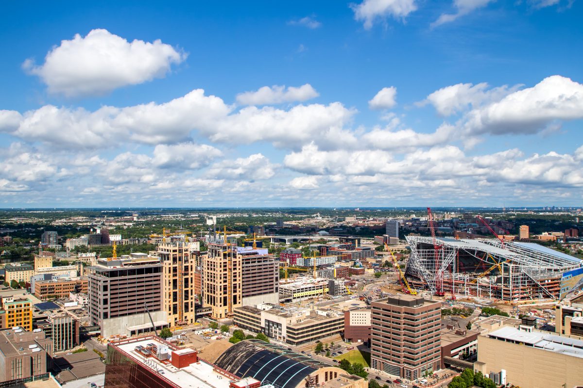
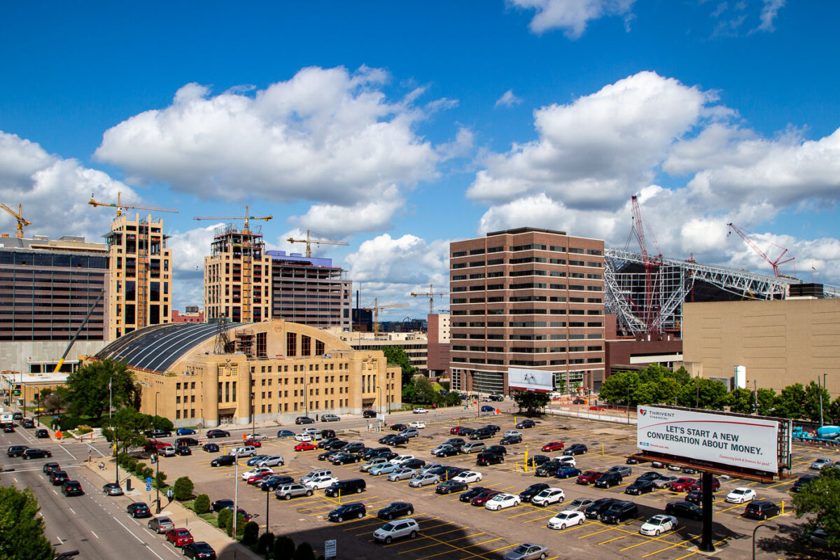
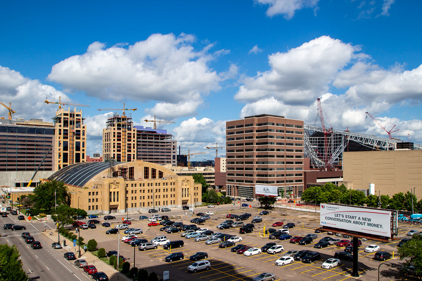
US Bank Stadium construction site in downtown Minneapolis with active cranes and surrounding office buildings during 2015.
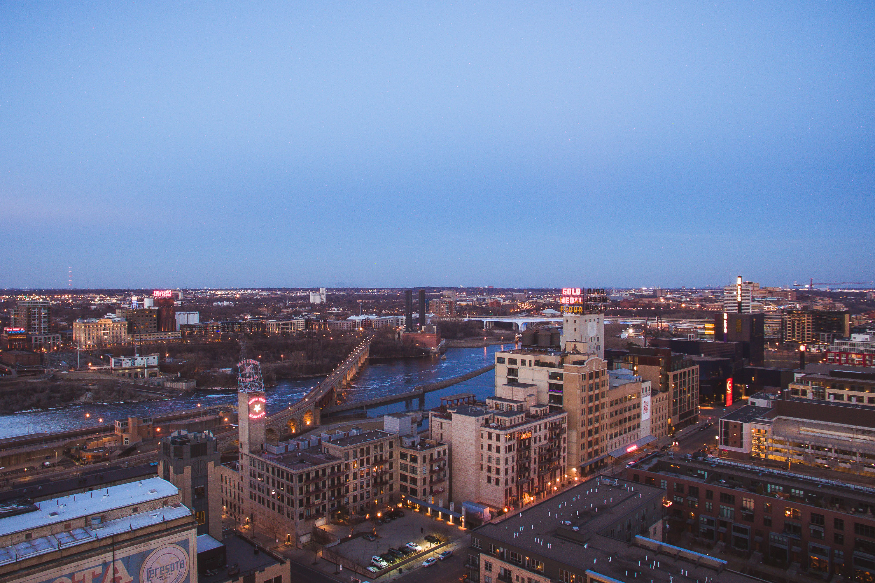
Construction cranes dominate the Minneapolis skyline in the Downtown East neighborhood during 2015. With construction occurring on the 1.1 billion dollar US Bank Stadium, replacing the Metrodome.
The Armory and Parking Lots Beneath Rising Downtown East Towers

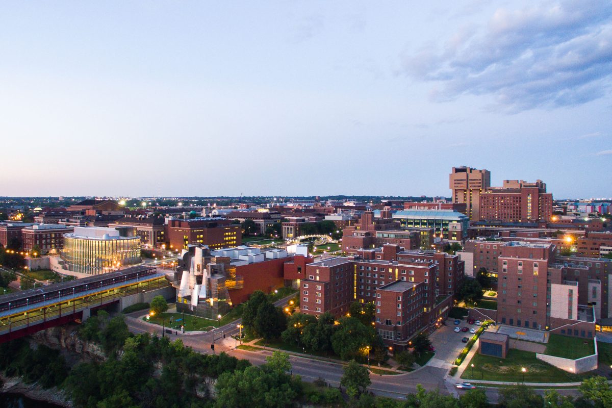
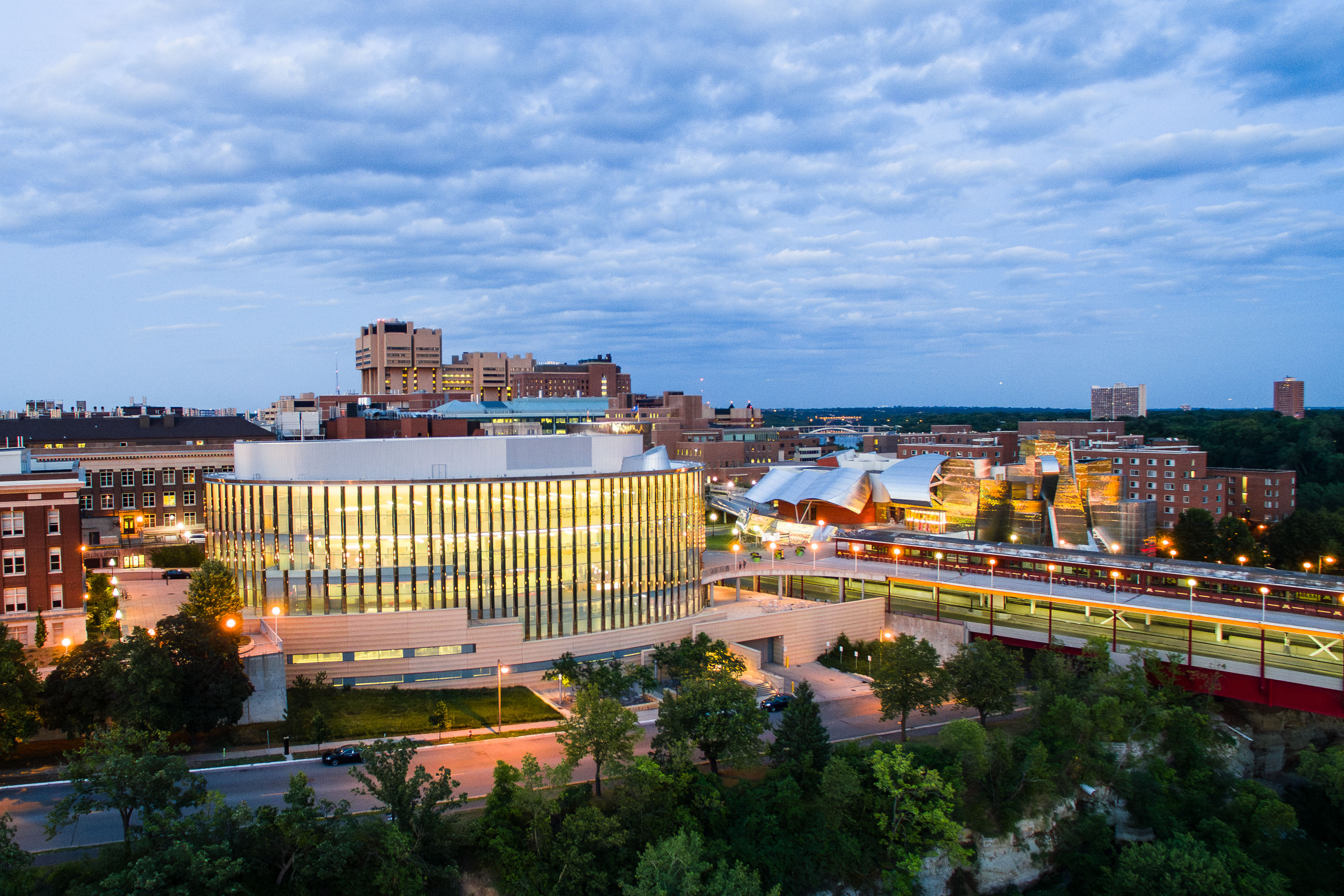
The Weisman Art Museum's stainless-steel building designed by Frank Gehry anchors the University of Minnesota's East Bank campus in Minneapolis at dusk.
The Weisman Art Museum anchors the foreground of the University of Minnesota's East Bank campus, its curving stainless-steel form designed by architect Frank Gehry and completed in 1993. The museum holds more than 25,000 objects, including strong collections of early twentieth-century American art, ceramics, and Mimbres pottery.

East Bank Campus Skyline at Twilight

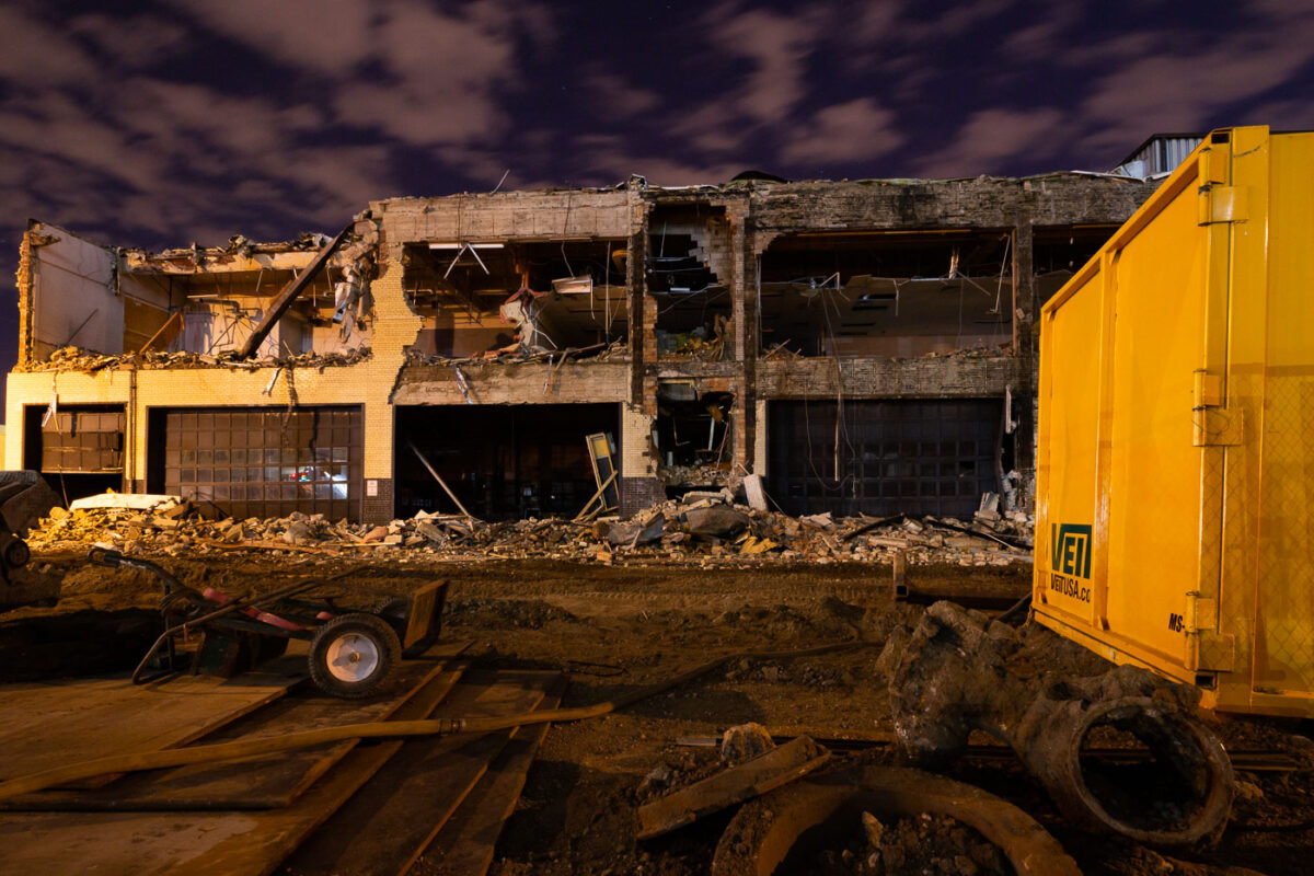
Demolished Star Tribune building in downtown Minneapolis with construction equipment and debris during 2015 demolition for U.S
Demolition of the former Star Tribune building in downtown Minneapolis in 2015. The building was removed to clear the site for U.S. Bank Stadium and surrounding redevelopment.

Star Tribune Building Demolition, Downtown Minneapolis

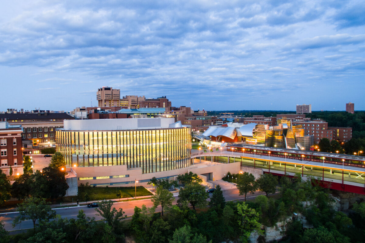
Bruininks Hall at the University of Minnesota in Minneapolis, with nearby campus buildings and an elevated walkway.
Bruininks Hall at the University of Minnesota in Minneapolis near the East Bank. It is part of the Twin Cities campus and sits among other university facilities in the Dinkytown area.
Bruininks Hall, University of Minnesota, Minneapolis
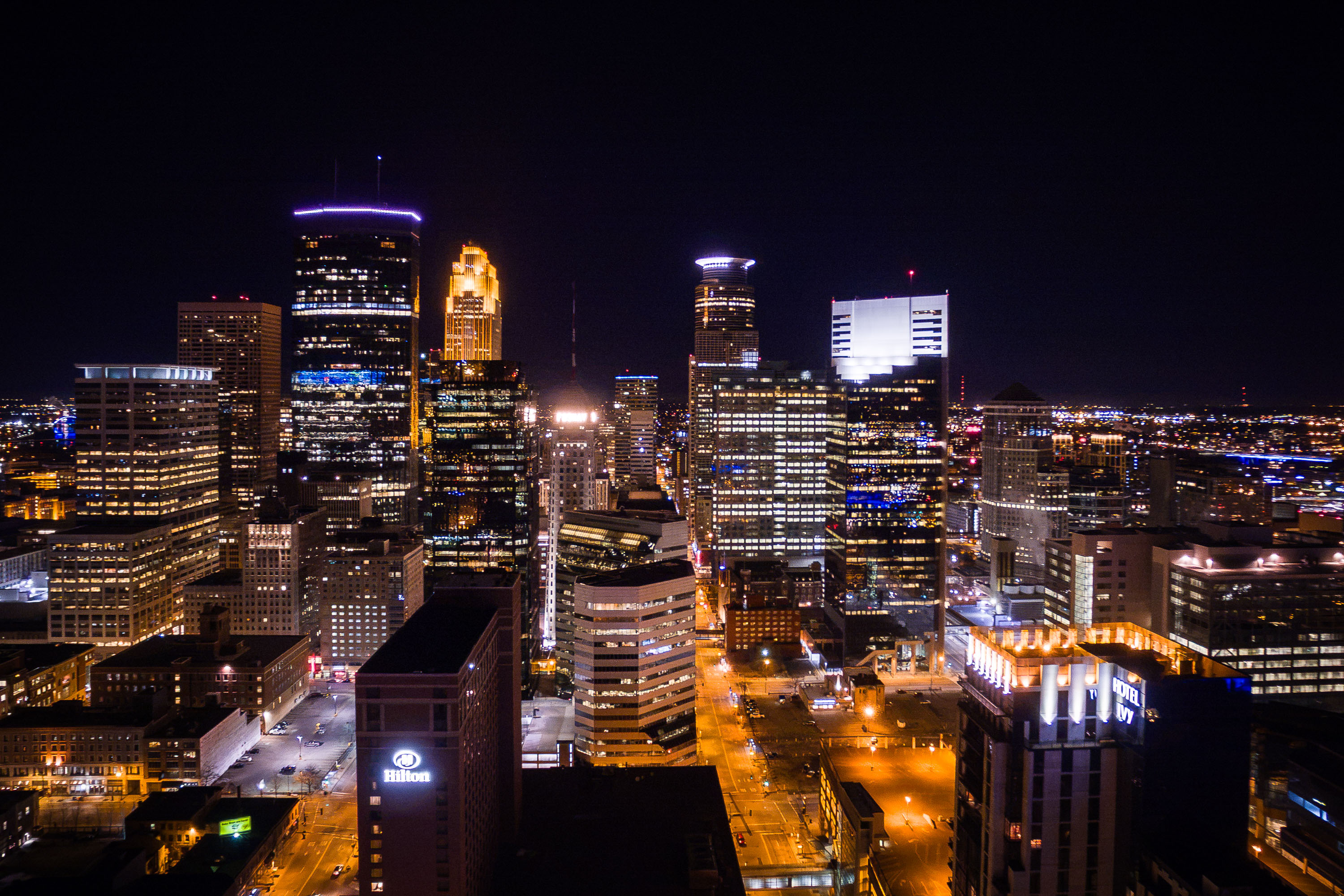
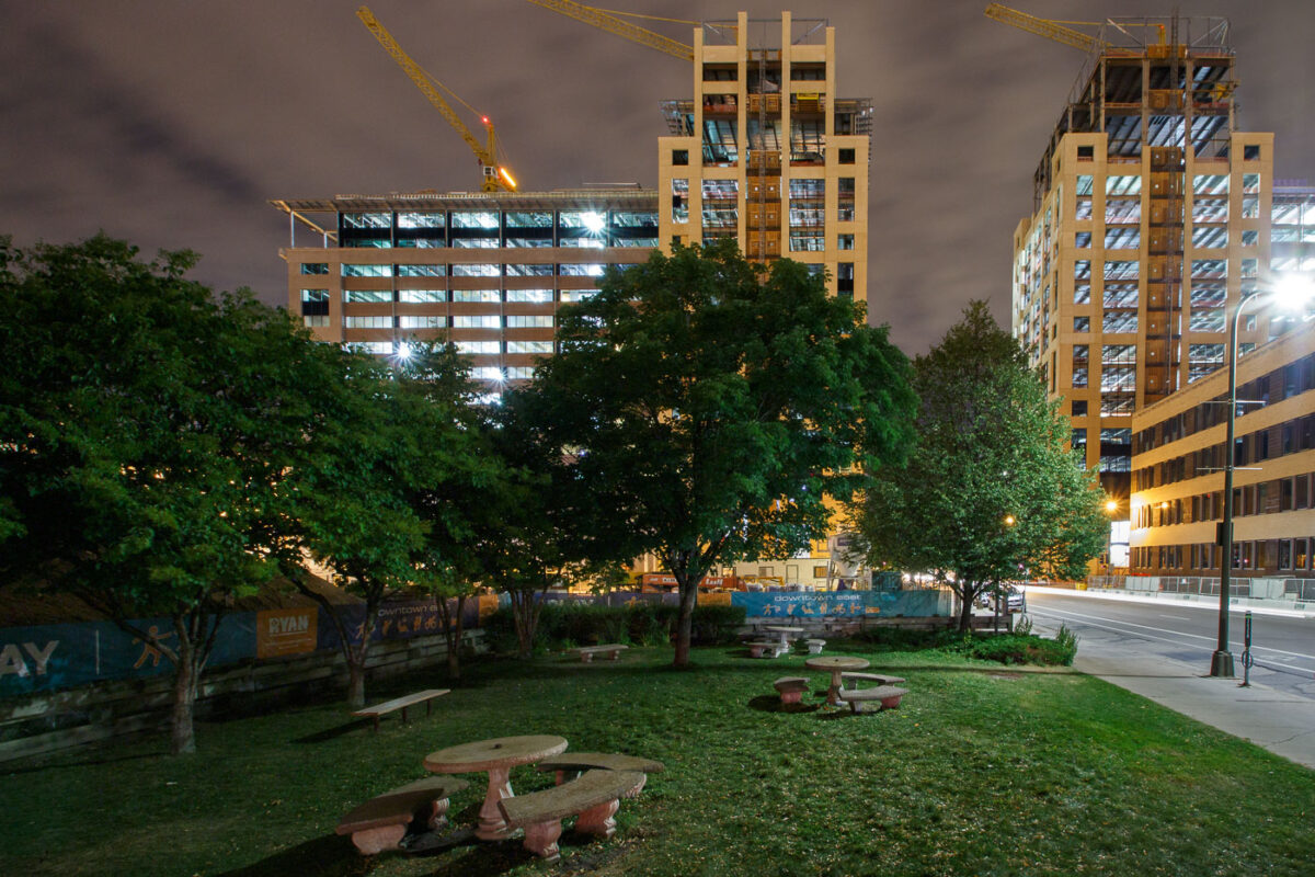
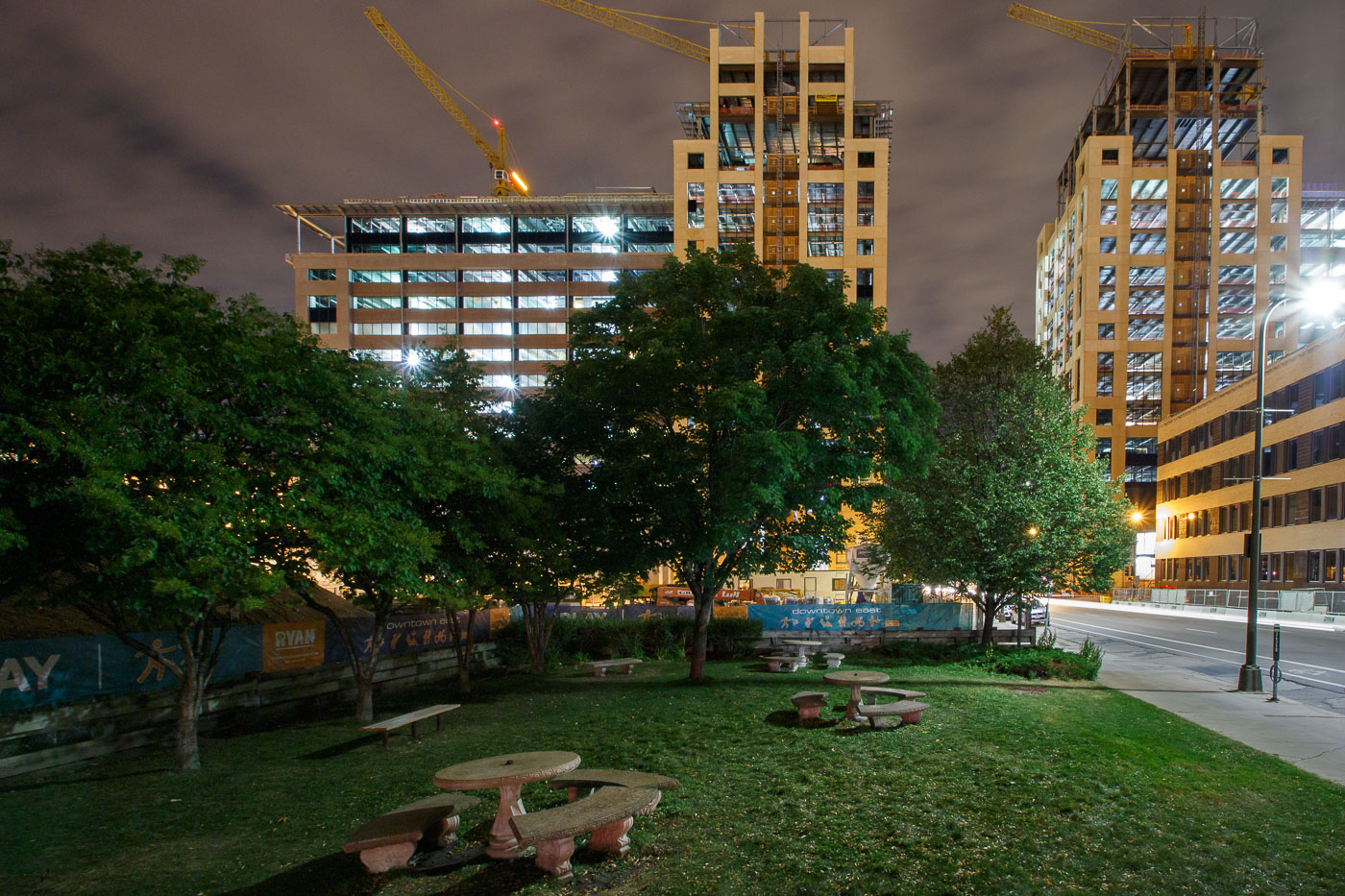
Two Wells Fargo office towers under construction at night in Downtown East Minneapolis, with illuminated floors and cranes.
The two Wells Fargo office towers in Downtown East Minneapolis were under construction in 2015 as part of a larger redevelopment built on the former Star Tribune printing plant site. Ryan Companies led the project, which paired the twin towers with a public park and retail space adjacent to U.S. Bank Stadium, home of the Minnesota Vikings.
Downtown East Park at Night Beneath the Wells Fargo Towers

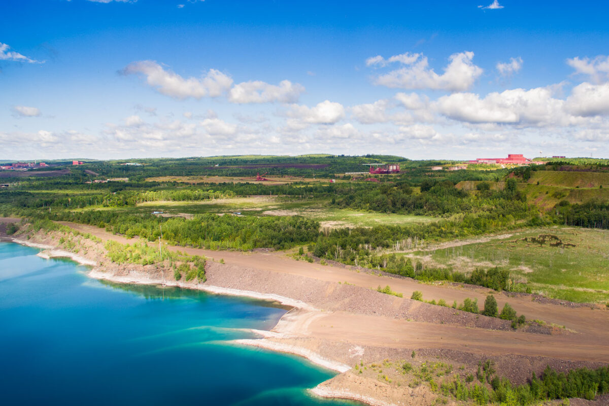
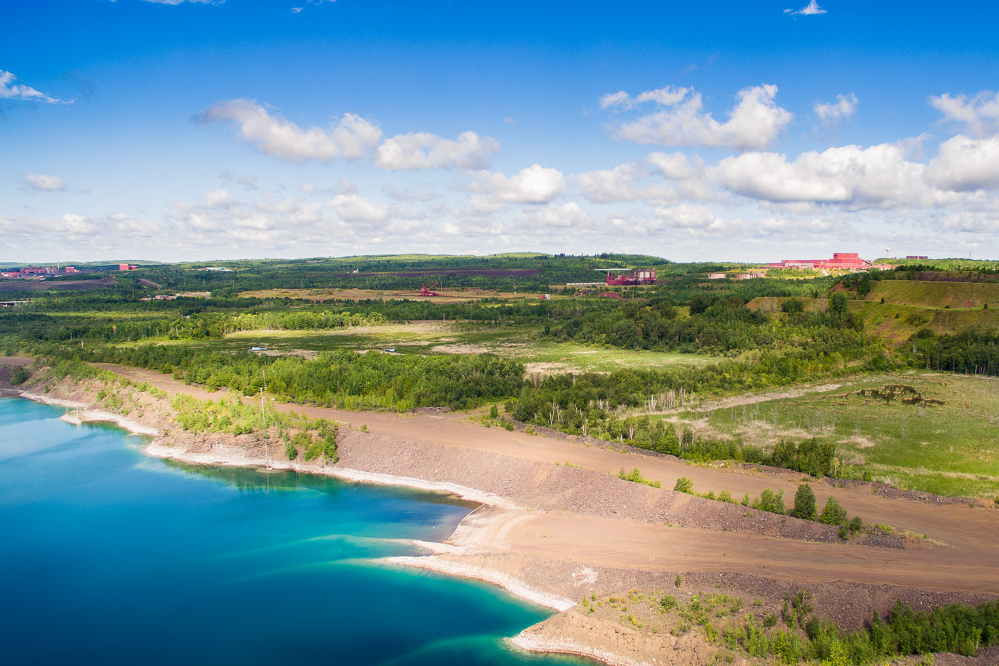
Aerial view of PolyMet mine in Hoyt Lakes, Minnesota, showing open water-filled pits, mining infrastructure, and industrial
The PolyMet mine site in Hoyt Lakes, Minnesota, includes open pits, haul roads, spoil piles, and water-filled excavations in the Erie Basin area. Red industrial buildings and equipment are visible across the reclaimed and active mining property.

Aerial View of PolyMet’s Erie Basin Mine Site Near Hoyt Lakes

Construction cranes and steel framework dominate the downtown Minneapolis site of US Bank Stadium under development in July 2015.
Construction of US Bank Stadium in Minneapolis's Downtown East neighborhood was underway in July 2015. This stadium was built to replace the Metrodome and serve as the home for the Minnesota Vikings.
Evening Light Over US Bank Stadium’s Rising Steel Frame
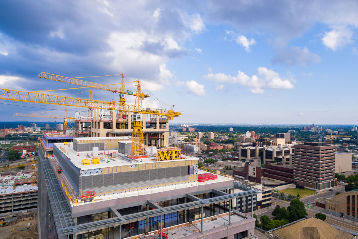
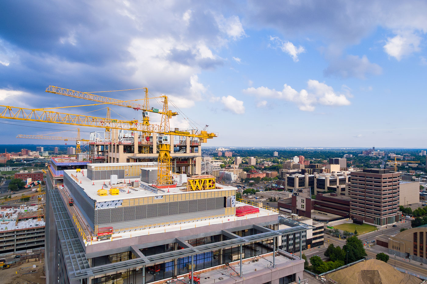
Yellow tower cranes operate above the Wells Fargo Towers construction site in downtown Minneapolis.
Construction of the Wells Fargo Towers in Downtown East, Minneapolis, in July 2015. These two skyscrapers, completed in 2019, house offices for Wells Fargo and other businesses.

Cranes Above the Wells Fargo Towers Construction Site, Minneapolis
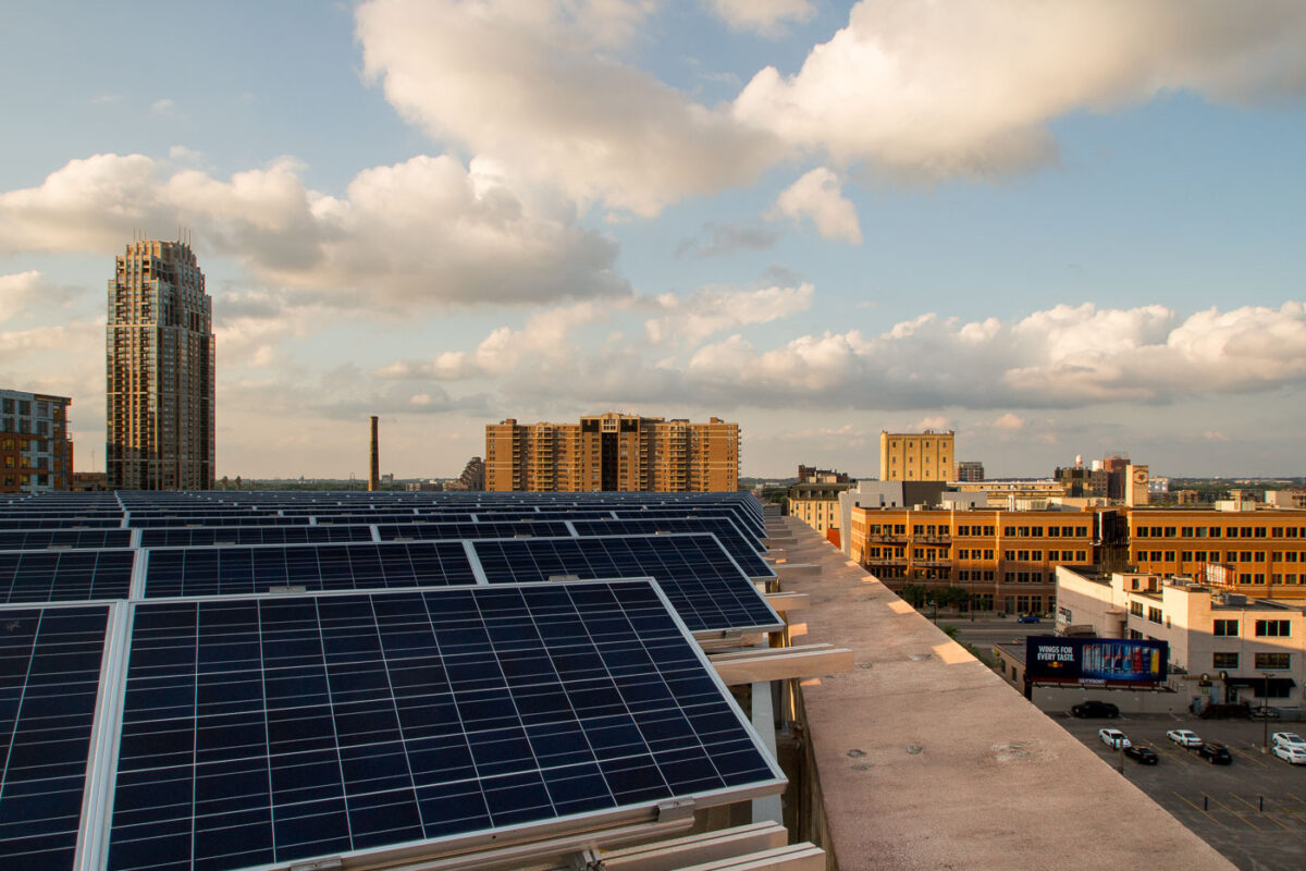
Jerry Haef Ramp solar panels in Downtown Minneapolis with city buildings beyond.
Jerry Haef Ramp in Downtown Minneapolis has solar panels installed across its rooftop. The parking structure combines vehicle storage with on-site power generation in the city center. Nearby high-rise and commercial buildings surround the ramp along the Minneapolis skyline.

Jerry Haef Ramp Solar Panels, Downtown Minneapolis
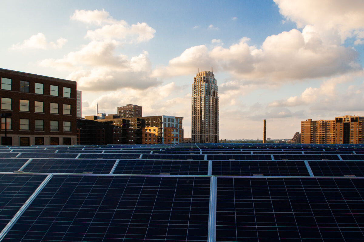
Downtown East in Minneapolis with rooftop solar panels on a downtown building.
Downtown East in Minneapolis has rooftop solar panels on a building in the East Town district. The installation adds electricity generation capacity to a dense downtown block.

Downtown East Rooftop Solar Array, Minneapolis
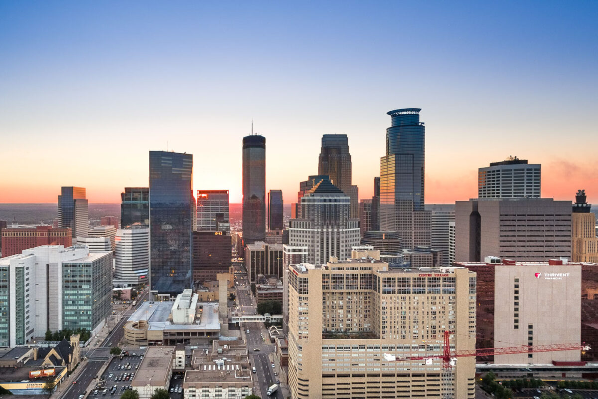
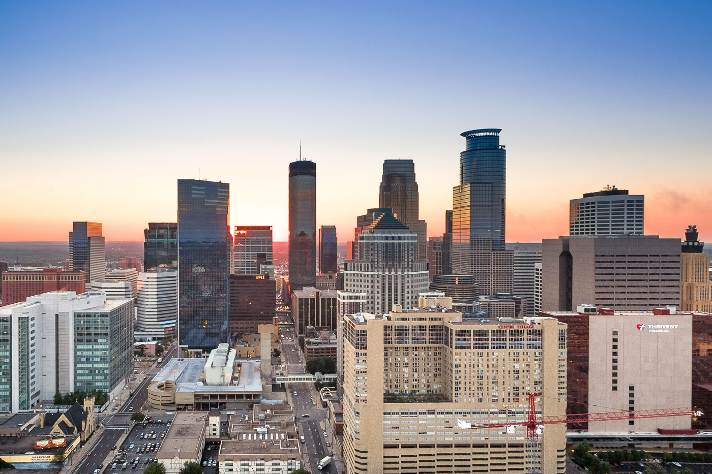
Minneapolis downtown skyline at sunset, showing the IDS Center, Capella Tower, and surrounding buildings.
Downtown Minneapolis is the city's business center, anchored by the IDS Center and Capella Tower. The IDS Center, completed in 1972, stands 792 feet tall and is the tallest building in Minnesota, while Capella Tower, finished in 1992, rises 775 feet with its signature crown of steel arches.

Capella Tower and the IDS Center Rise Above Downtown Minneapolis
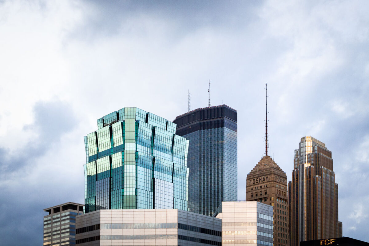
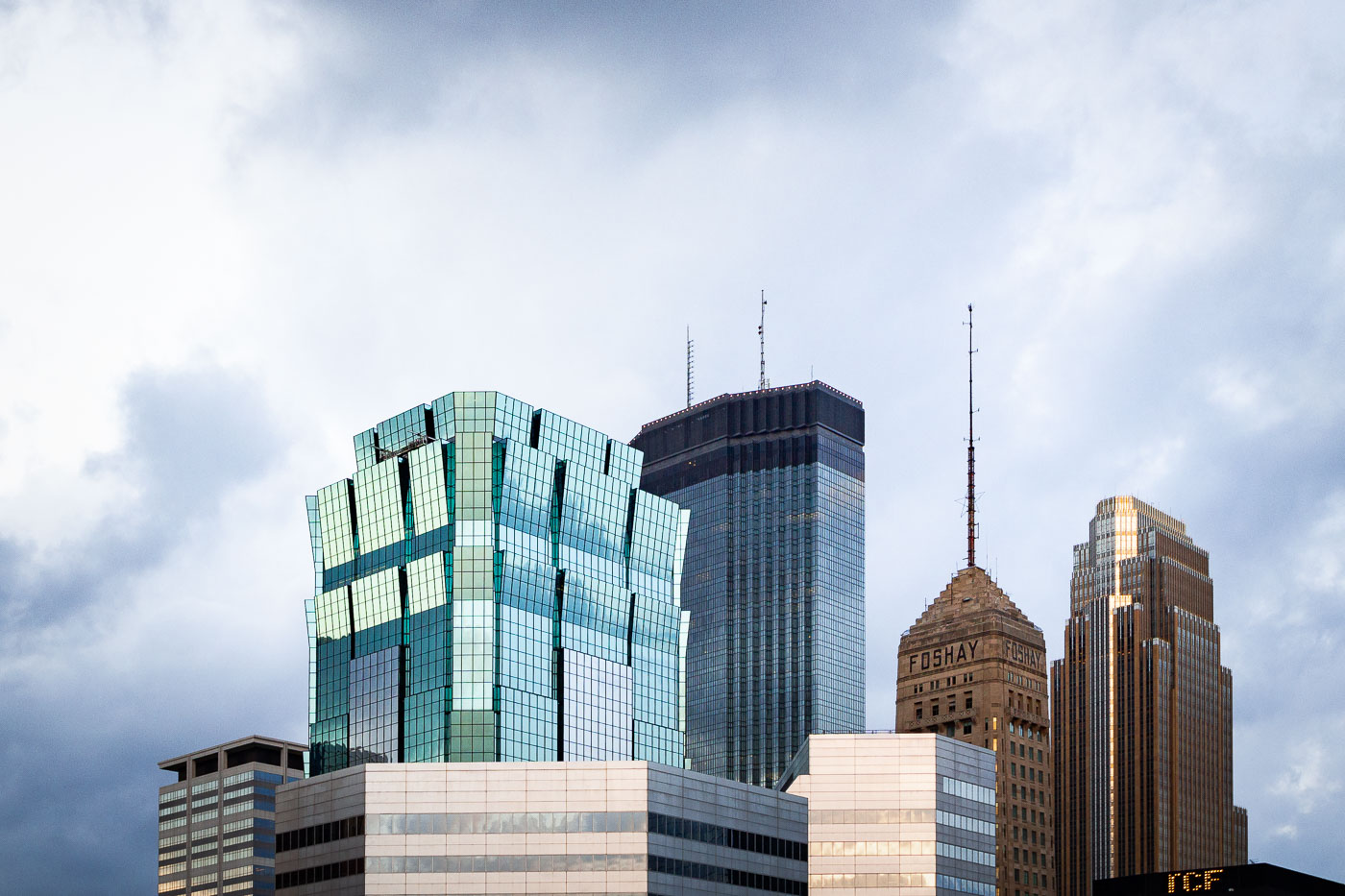
Minneapolis skyline featuring the 901 Marquette building, IDS Center, and Foshay Tower, with TCF Tower visible.
The Minneapolis skyline features several notable buildings, including the 901 Marquette building, the IDS Center, and the historic Foshay Tower. The Foshay Tower, completed in 1929, was once the tallest building in Minneapolis and served as a landmark for decades. The IDS Center, designed by Philip Johnson and John Burgee, was completed in 1973 and became the city's tallest building. The 901 Marquette building, a more recent addition, showcases modern architectural design with its distinctive glass facade.

901 Marquette, IDS Center, Foshay Tower, Minneapolis
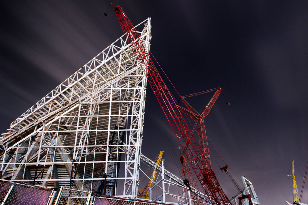
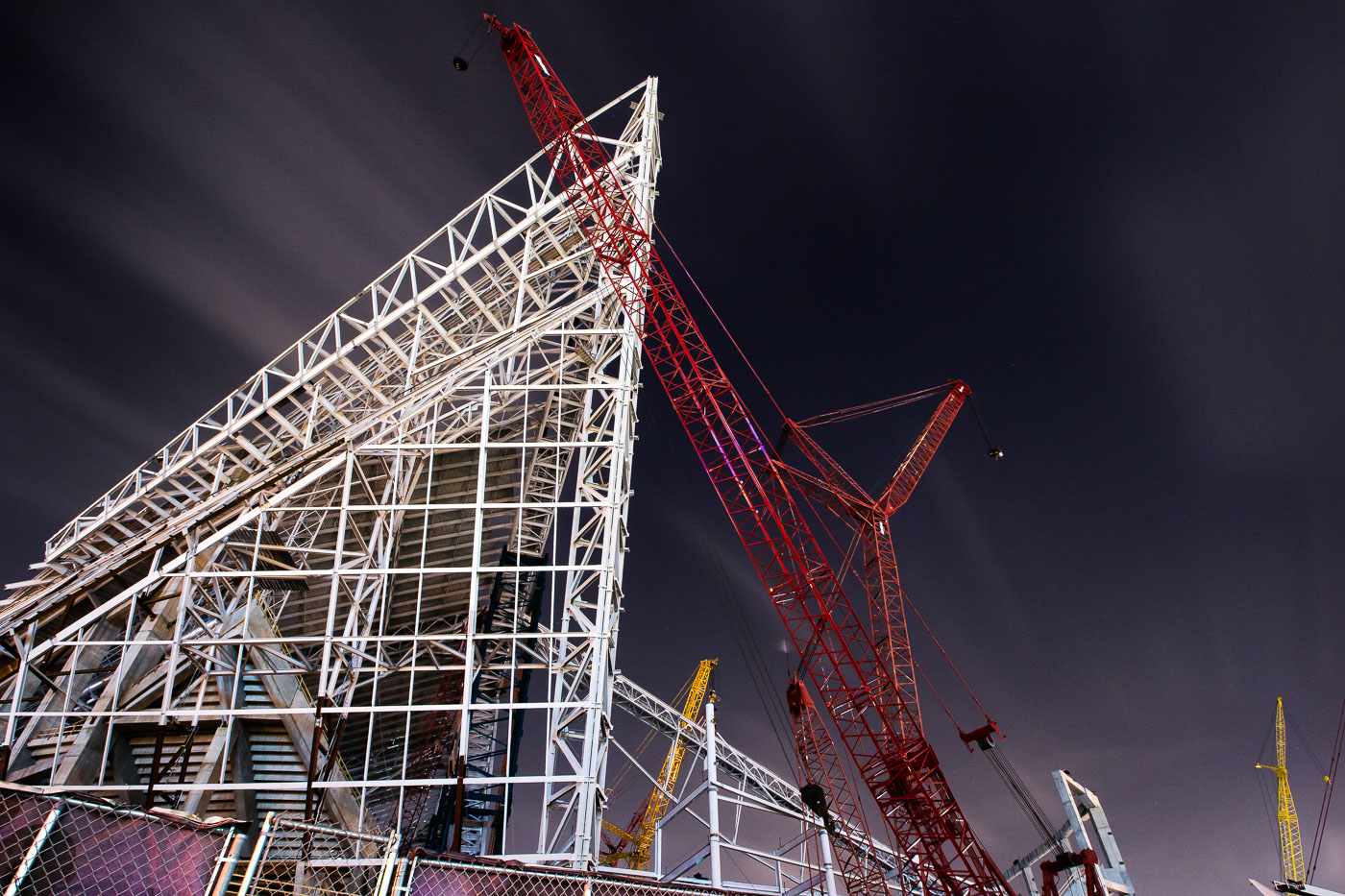
White steel framework and red construction cranes rise at night during U.S. Bank Stadium construction in Minneapolis.
Construction of U.S. Bank Stadium in Minneapolis, Minnesota, highlights the complex steel framework and towering cranes that defined its assembly. The project, initiated in December 2013 on the former site of the Hubert H. Humphrey Metrodome, was designed by HKS Architects and constructed by Mortenson.

Cranes Over US Bank Stadium’s Steel Frame at Night
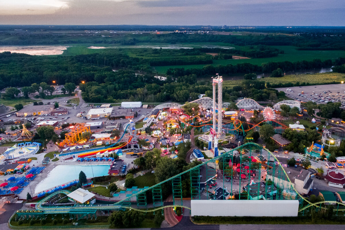
Valleyfair amusement park in Shakopee, Minnesota, with roller coasters and a water park.
Valleyfair amusement park in Shakopee, Minnesota, opened in 1976 and is owned by Cedar Fair. The park includes roller coasters, a water park, and family rides across its amusement complex. It is one of the major entertainment destinations in the Twin Cities area.

Valleyfair Amusement Park, Shakopee, Minnesota
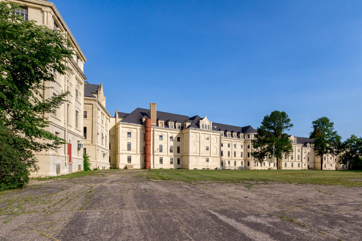
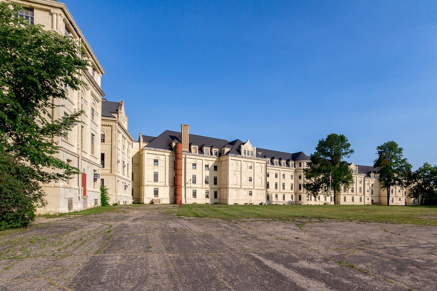
Cream-colored brick Kirkbride-style psychiatric hospital with mansard roof and central chimney stack in Fergus Falls, Minnesota.
The Fergus Falls Kirkbride Building was designed by architect Warren B. Dunnell and built in stages between 1888 and 1902 as the main structure of the Fergus Falls State Hospital. Its stepped, wing-and-connector layout follows the Kirkbride Plan, a 19th-century model for psychiatric hospitals that arranged patient wards in a staggered line to maximize sunlight and airflow. The building was constructed of cream-colored brick with a slate roof and once housed thousands of patients across its many wards. The hospital operated under several names, including the Fergus Falls Regional Treatment Center, before closing in 2005. It was listed on the National Register of Historic Places in 1979 and remains one of the largest Kirkbride-style structures still standing in the United States.

Morning Light on the Fergus Falls Kirkbride Building’s Staggered Wings
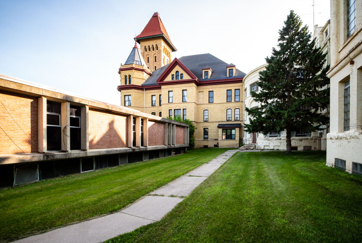
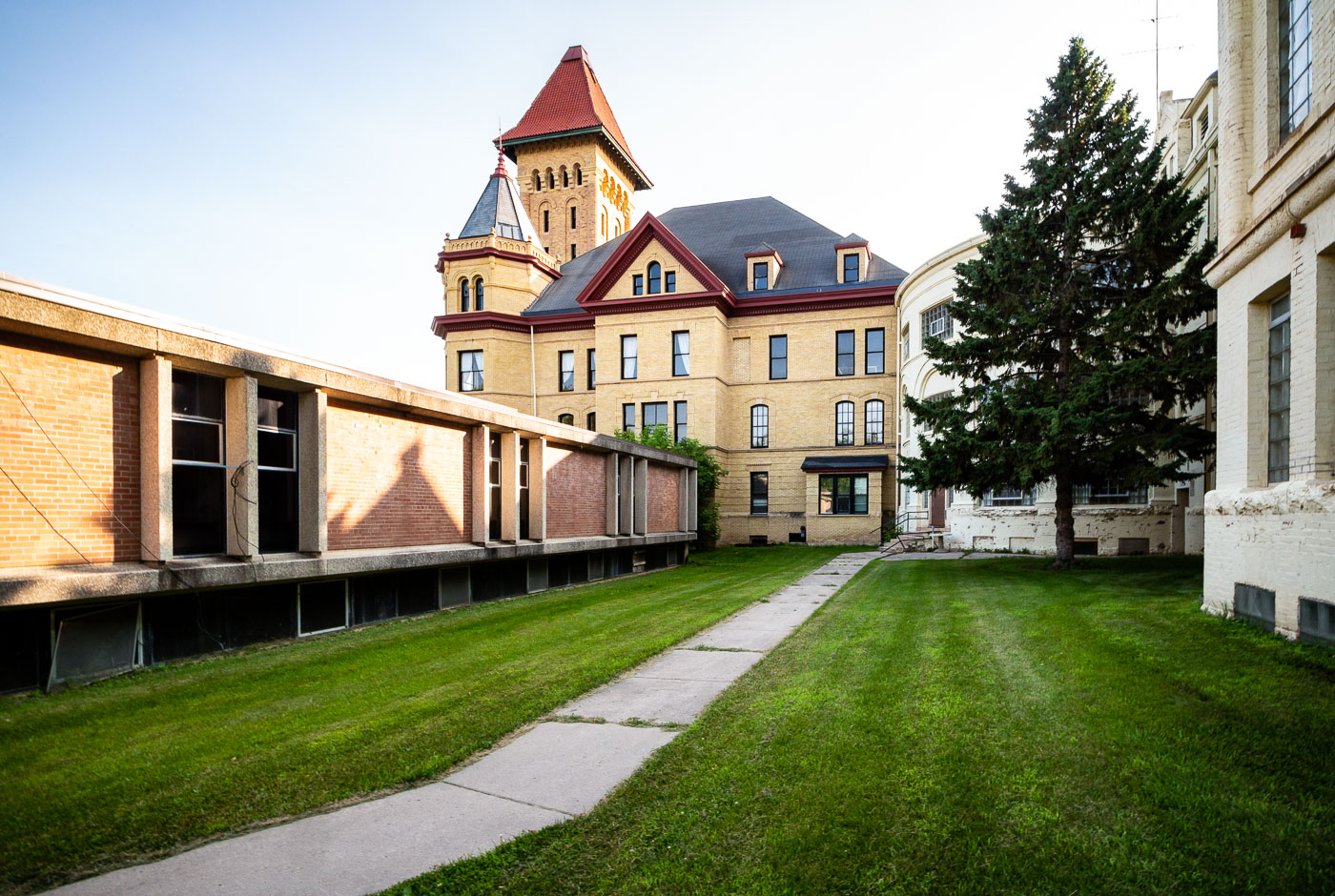
Fergus Falls Kirkbride Building with cream-colored tower and modern brick wing adjacent to manicured lawn and pathway.
The Fergus Falls Kirkbride Building anchors the former Fergus Falls Regional Treatment Center, known in its early years as the Third Hospital for the Insane. It opened in 1895, designed by architect Warren B. Dunnell using the Kirkbride plan, a 19th-century model that arranged wards in a stepped, linear layout to give patients access to light and air. The state operated the hospital for over a century before closing the complex in 2005. Fergus Falls added a newer clinical wing to the campus in the 20th century as treatment methods shifted away from the original Kirkbride model.

Courtyard Path Leading to the Fergus Falls Kirkbride Tower
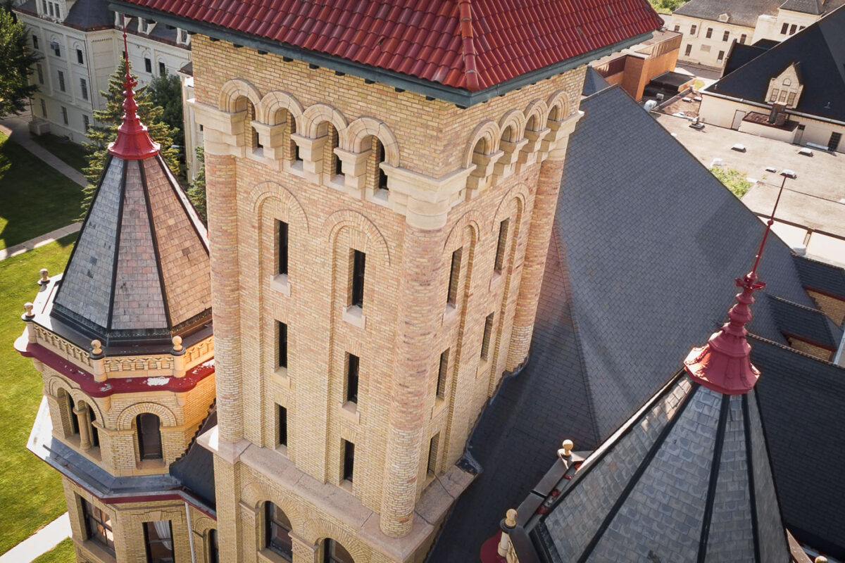
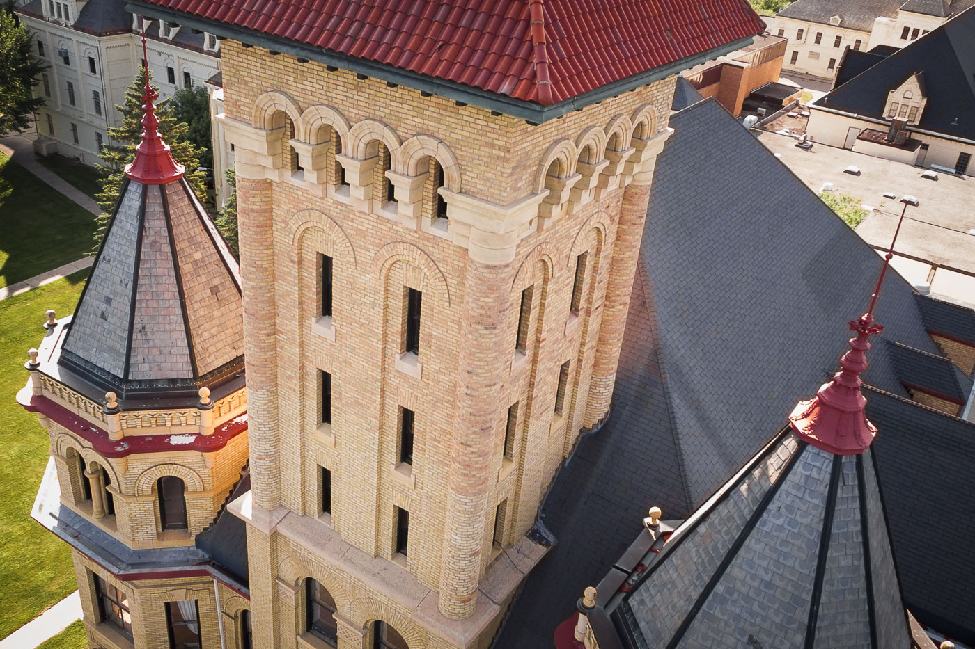
Aerial view of the Fergus Falls Kirkbride Building's cream brick central tower with burgundy mansard roofs and ornamental cupolas.
The Fergus Falls Kirkbride Building was designed by Minneapolis architect Warren B. Dunnell in the Richardsonian Romanesque style, following the Kirkbride Plan popular for asylum construction in the late 19th century. Built of cream-colored brick with red clay tile roofing, the structure was completed in stages between 1890 and 1902 as the main building of the Fergus Falls State Hospital. Its central tower and flanking turrets, capped with iron cresting and finials, were designed to provide ventilation and natural light to patient wards, a hallmark of the Kirkbride model of therapeutic institutional design. The building was added to the National Register of Historic Places in 1975. It closed as a treatment facility in 2005 and has since undergone partial restoration for redevelopment.

Arched Brickwork Tower Above the Fergus Falls Kirkbride Rooftops
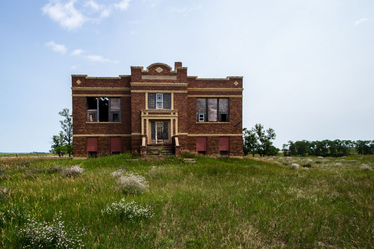
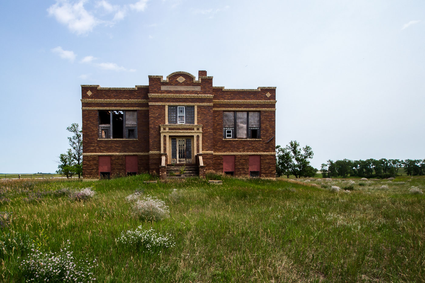
Abandoned brick schoolhouse with red shutters stands isolated in grassland near Crystal Springs, North Dakota.
The old Crystal Springs School sits on a rise of grassland in Kidder County, North Dakota, its brick facade and parapet detailing typical of early 1900s rural school construction on the Great Plains. Schools like this one served small farming communities before state-driven consolidation efforts, which accelerated after the 1947 passage of North Dakota's school reorganization laws, closed hundreds of one- and two-room schoolhouses across the state. Crystal Springs itself was platted along the Northern Pacific Railway line and never grew beyond a small unincorporated community, leaving buildings like this school without a local population to sustain them once district boundaries were redrawn.

Crystal Springs School Standing Empty on the North Dakota Prairie
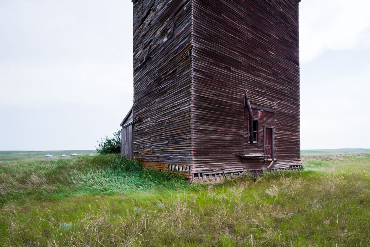
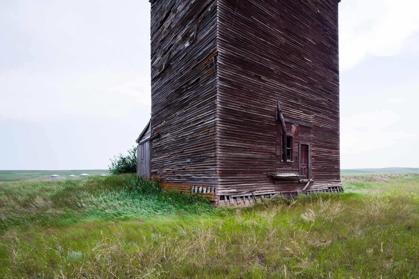
Abandoned wooden grain elevator stands in overgrown grassland near Charbonneau, North Dakota.
Wood-crib grain elevators like this one were built by farm cooperatives and independent grain companies across North Dakota from the early 1900s through the mid-20th century. Grain cribbing construction stacked dimensional lumber horizontally, plank by plank, to form the walls, a method chosen for its strength in holding the outward pressure of stored grain. Elevators of this type typically stood two to three stories tall with a peaked cupola or headhouse above for the conveying machinery, though many, including this one, have lost those upper features over time. Small-town elevators like this served as the local collection point where farmers hauled wheat and other grain to be weighed, stored, and loaded onto rail cars. Rail line closures and the consolidation of grain handling into larger regional facilities left many of these small-town elevators obsolete by the late 20th century.

Weathered Wood-Crib Grain Elevator Near Charbonneau

© 1996–2026 Chad Davis