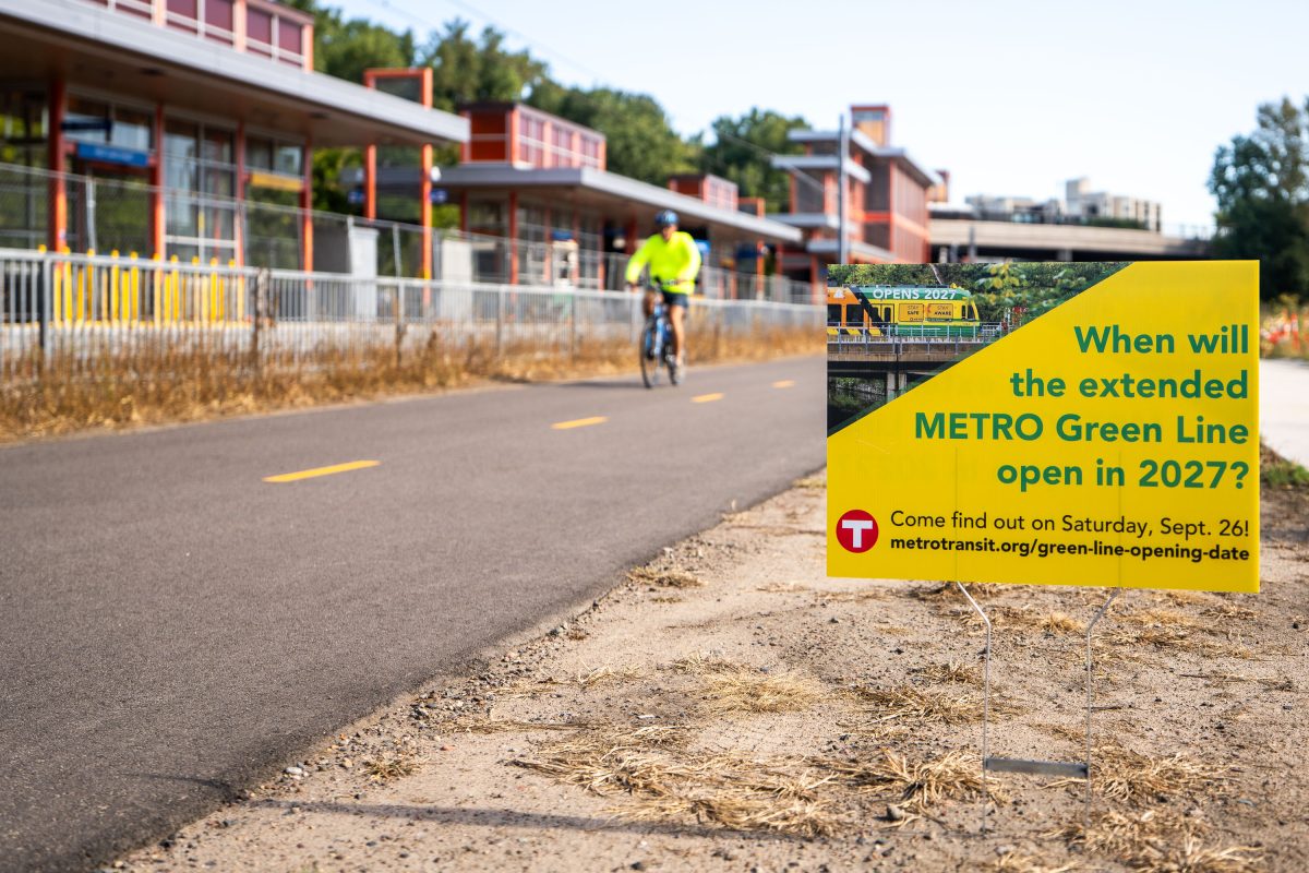
Yard Sign Teases METRO Green Line Extension Opening Date
September 2026 —
Explore photos tagged Train Station.
September 2026 —
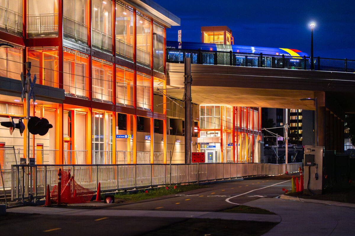
June 2026 —
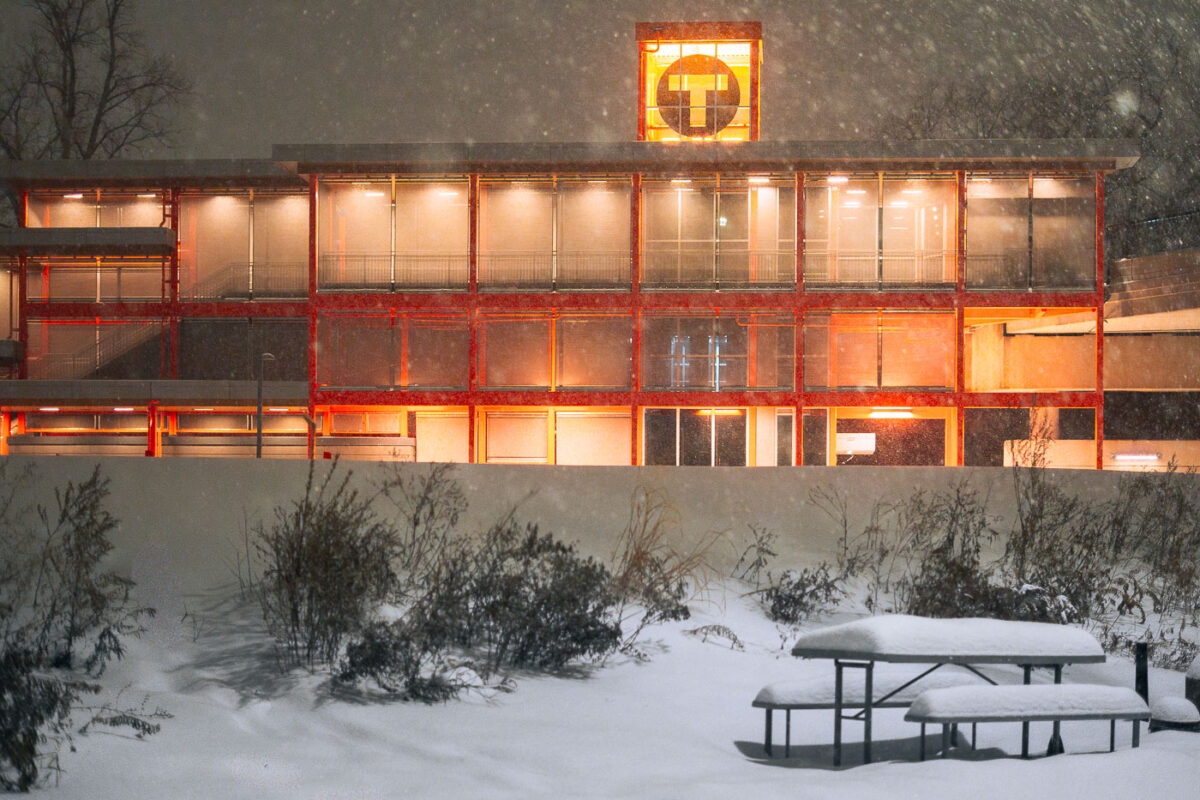
December 2025 — Really pretty snow tonight in Minneapolis. Here's the new West Lake Street train station, with the orange still continuing to grow on me. I'm not there yet.. but getting closer.
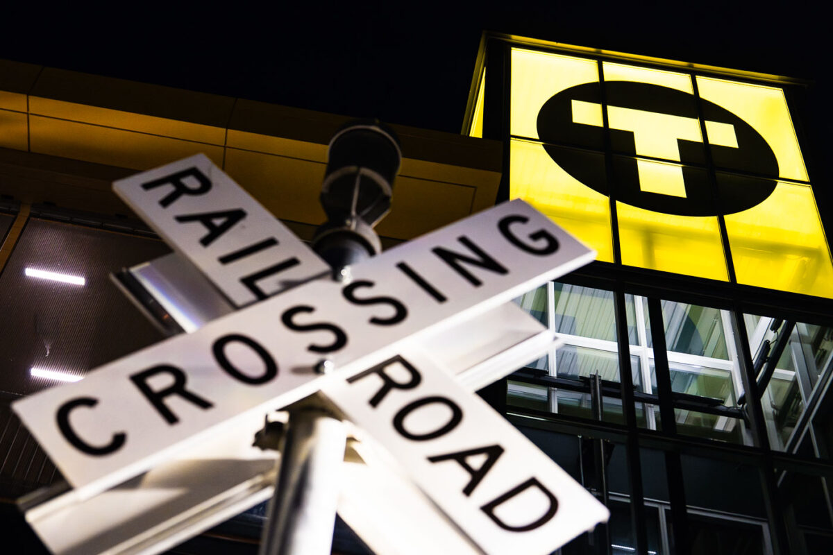
November 2025 — Lit up Bassett Creek Valley Station in Minneapolis. The new train station is part of the Southwest LRT Green Line extension operated by Metro Transit.
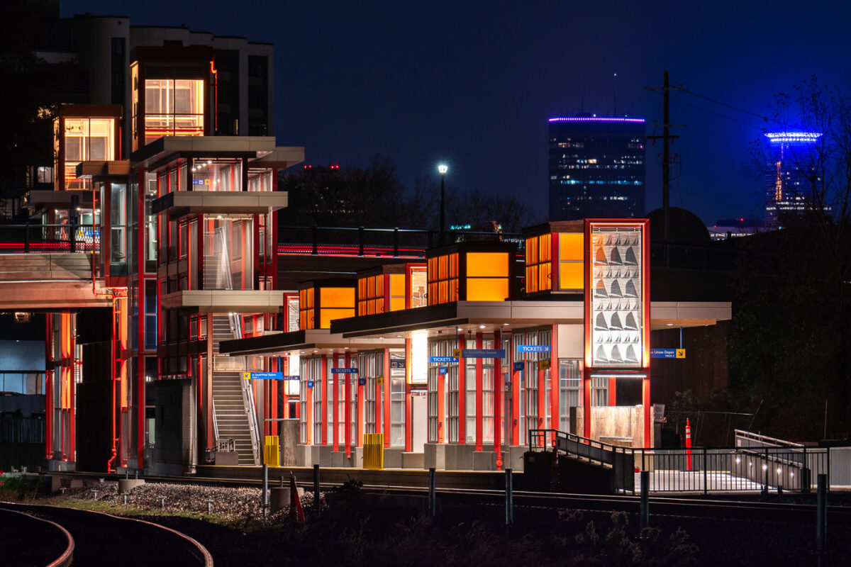
November 2025 — West Lake Street Station is part of the Southwest Light Rail Transit (Green Line Extension), an extension of Meto Transit's Green Line LRT.

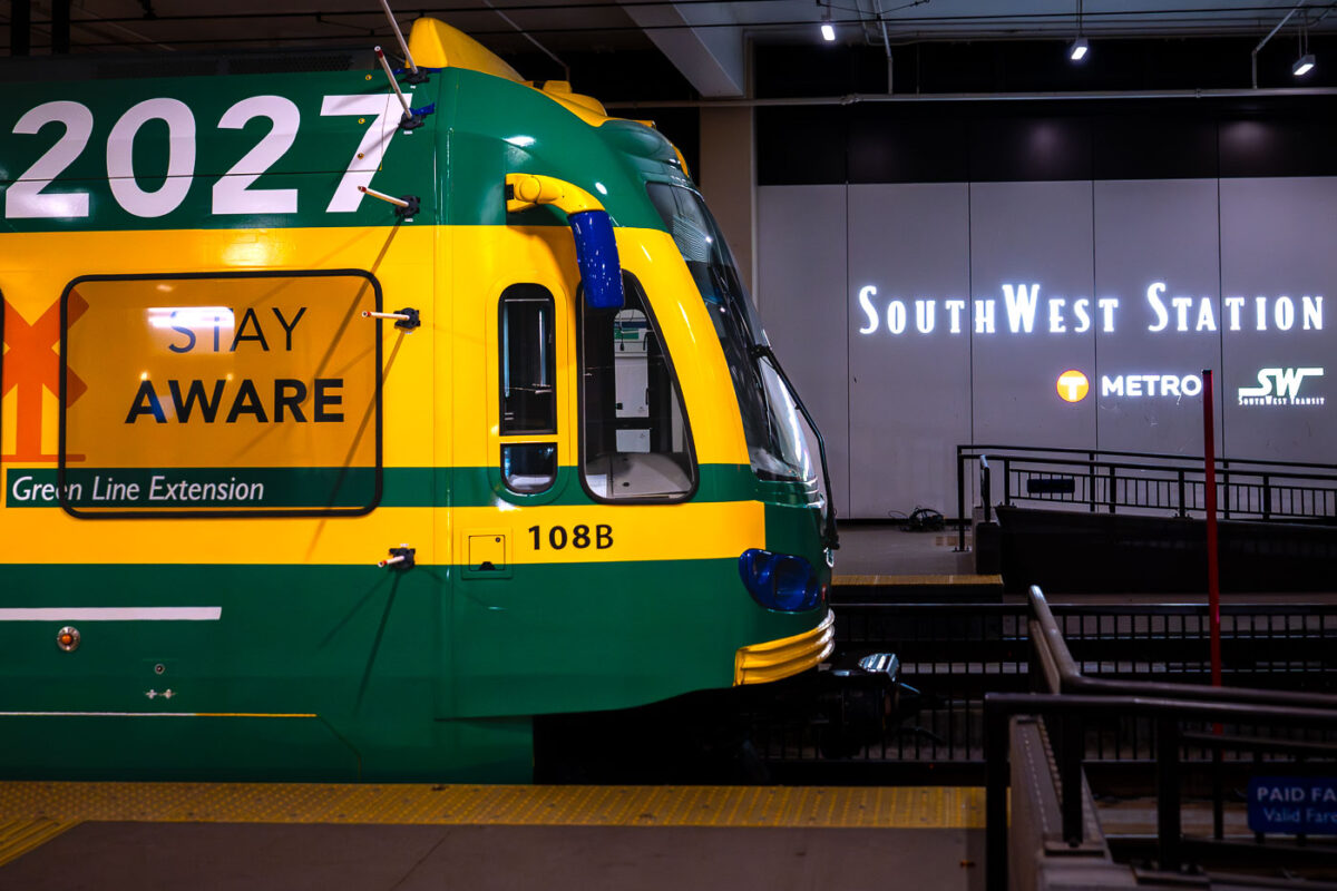
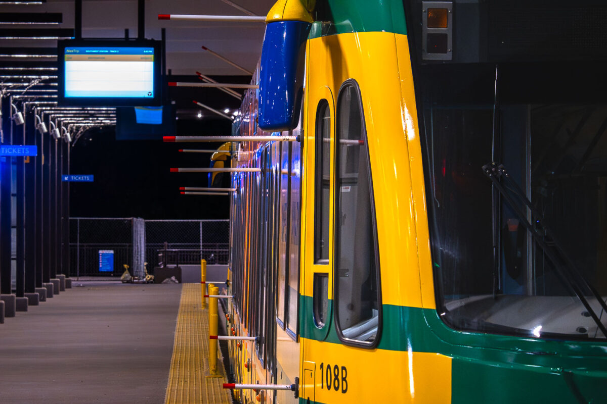
October 2025 — Light rail vehicle leaves the West Lake Street Station for the first time. This morning Metro Transit towed a light rail vehicle through the line for the first time doing basic clearance testing. Construction on the green line extension began in 2018 and is set to open to passengers in 2027.
October 2025 —
October 2025 —
October 2025 —
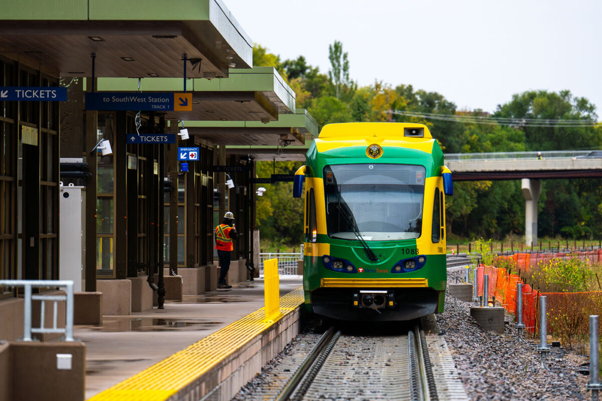
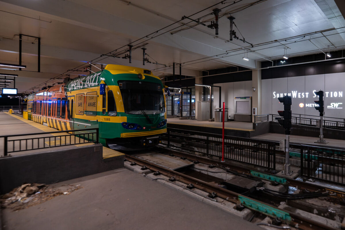
October 2025 — Metro Transit light rail vehicle at the W 21st Street Station in Minneapolis for the very first time. This morning Metro Transit towed a light rail vehicle through the line for the first time doing basic clearance testing. Construction on the green line extension began in 2018 and is set to open to passengers in 2027.
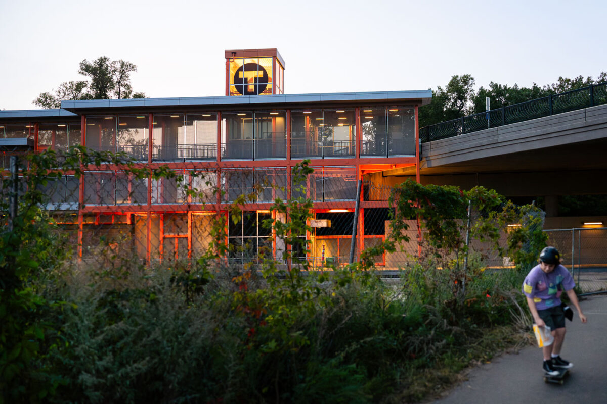
September 2025 — Construction on the Lake Street Station of the new light rail line in Minneapolis. The Green Line is being extended to Eden Prairie.
April 2025 —
April 2025 —
April 2025 —
April 2025 —
April 2025 —
April 2025 —
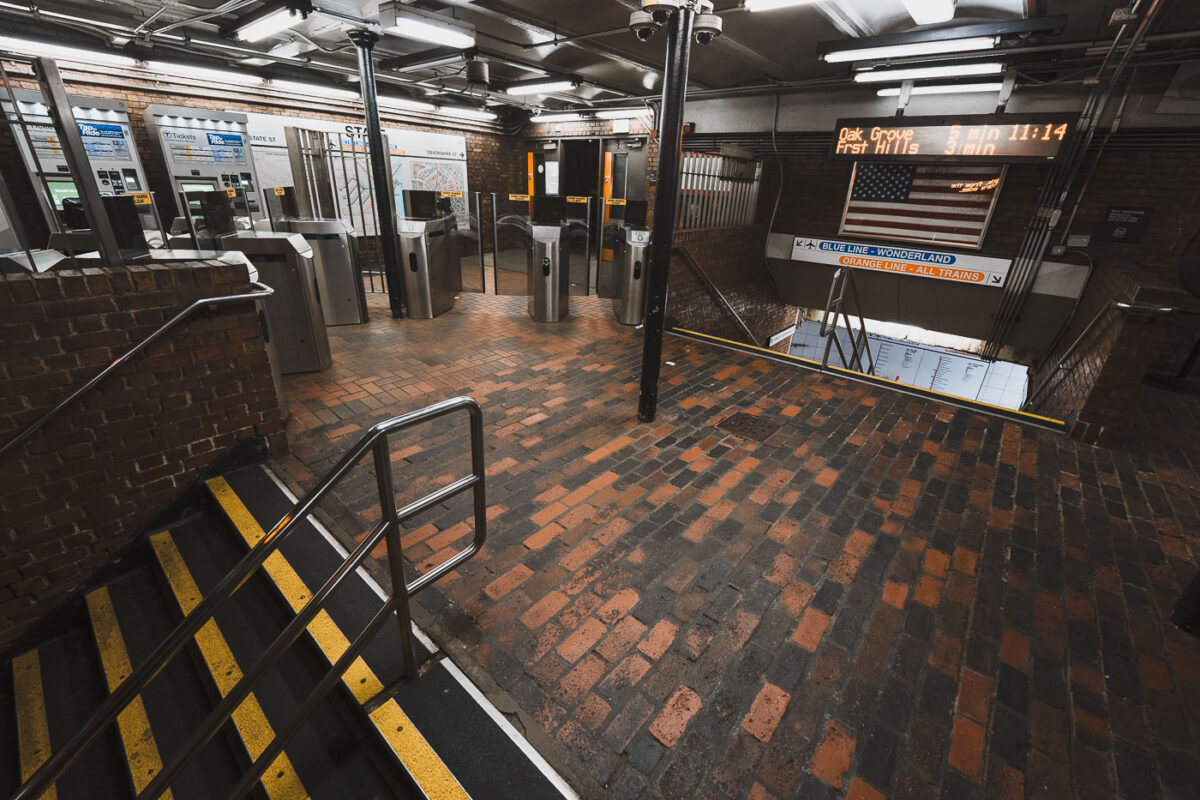
April 2025 — The entrance and fare control area at State Street Station, a key interchange in downtown Boston where the Orange Line and Blue Line intersect. The station opened in 1908 as part of the Washington Street Tunnel and remains one of the MBTA’s oldest continuously operating rapid transit facilities. Brick flooring, steel columns, and low ceilings reflect early 20th-century subway construction, while modern fare gates and electronic arrival boards show later upgrades layered onto the original structure. The signage directing riders to Oak Grove, Forest Hills, and Wonderland highlights the station’s role as a transfer point connecting North Shore riders, downtown commuters, and the broader MBTA network.
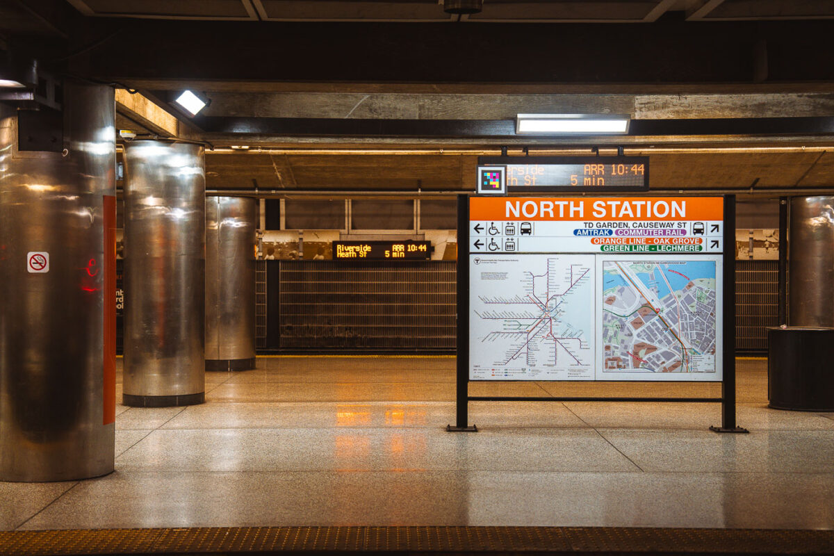
April 2025 — Interior signage at North Station, one of Boston’s oldest and most complex transit hubs. The station sits beneath TD Garden and serves as a major interchange between the MBTA Orange Line, Green Line (north branches), Amtrak Downeaster, and MBTA Commuter Rail. The current underground rapid-transit facilities date largely to the late 20th-century rebuilds, following the demolition of the original above-ground North Station headhouse in the 1920s and subsequent reconstructions tied to Boston’s evolving rail network. The platform wayfinding reflects this layered role: subway lines, regional rail, and intercity service are all integrated into a single information system. Electronic arrival boards and map panels emphasize transfer efficiency in a station that functions as the northern rail gateway to downtown Boston and the broader New England rail network.
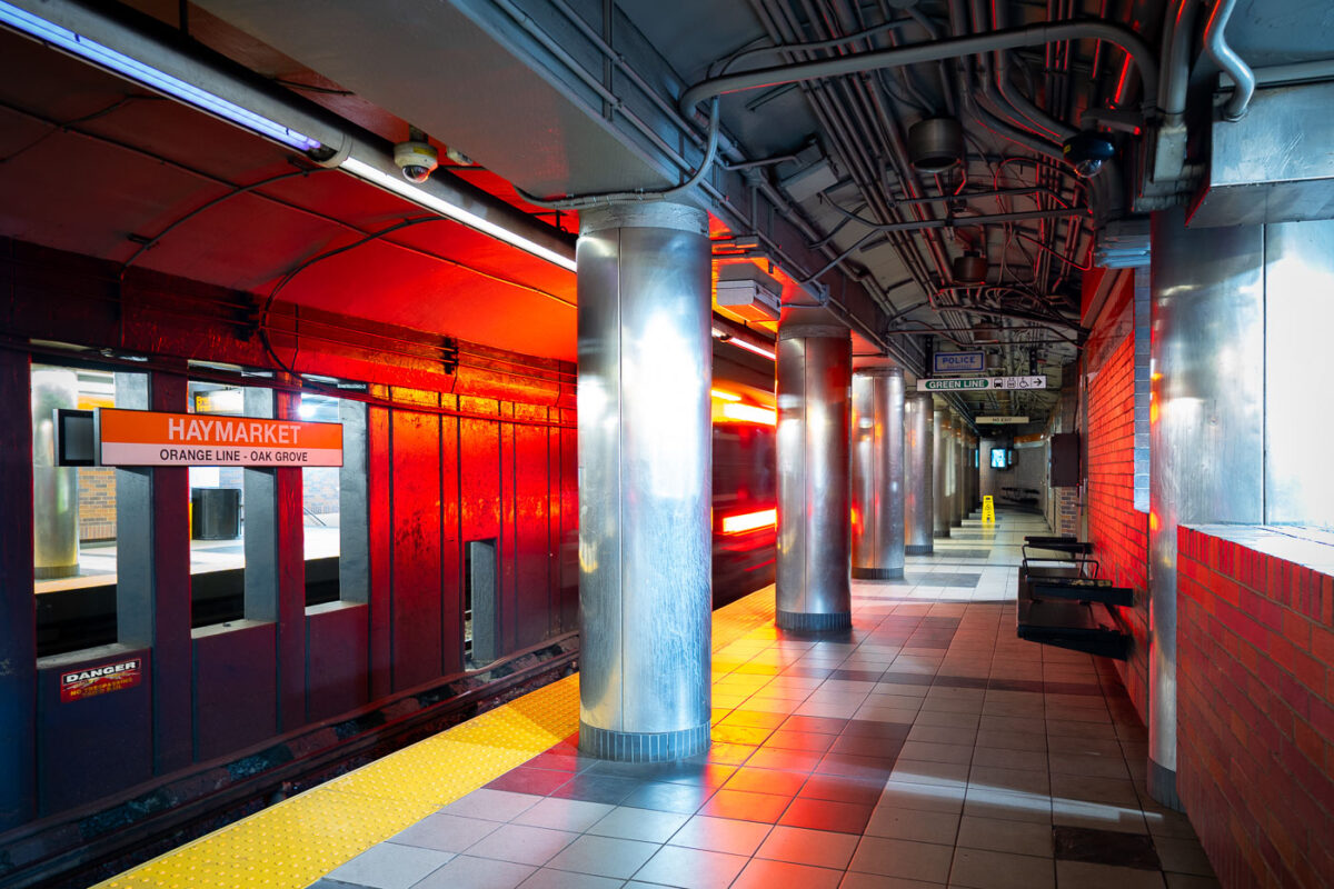
April 2025 — Haymarket Station in downtown Boston, one of the oldest transit locations in the city, serving riders since the late 19th century in various forms. The current underground station opened in 1971 as part of the MBTA’s modernization of the Orange Line, replacing earlier elevated structures that once ran through the area. The station sits at the edge of the historic Haymarket district, long associated with public markets and transportation links between downtown and Boston’s North End. The cylindrical steel columns and low-ceilinged platforms reflect mid-20th-century transit design, while the signage and lighting document decades of incremental updates to keep the station functional within one of the system’s busiest transfer points.
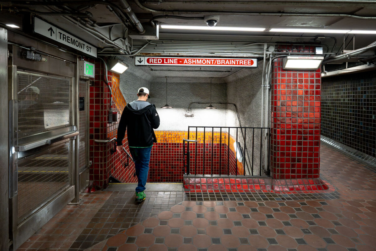
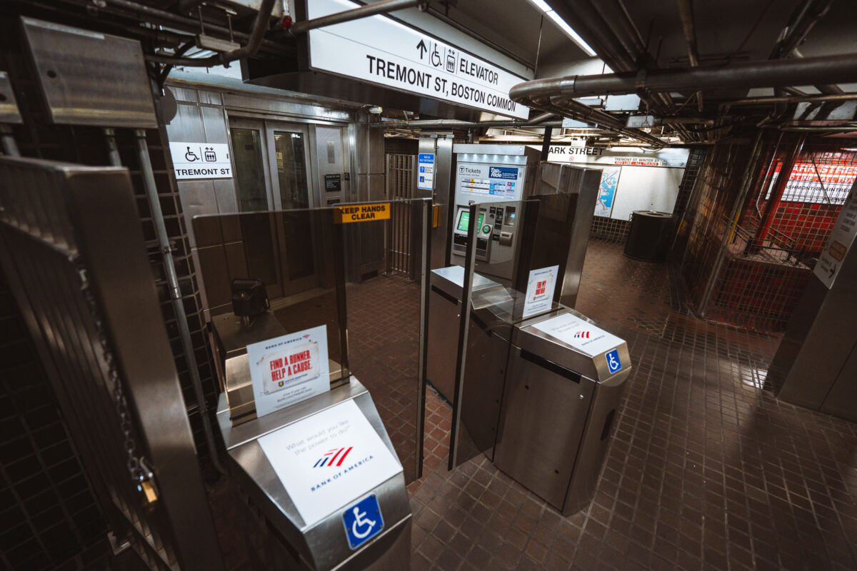
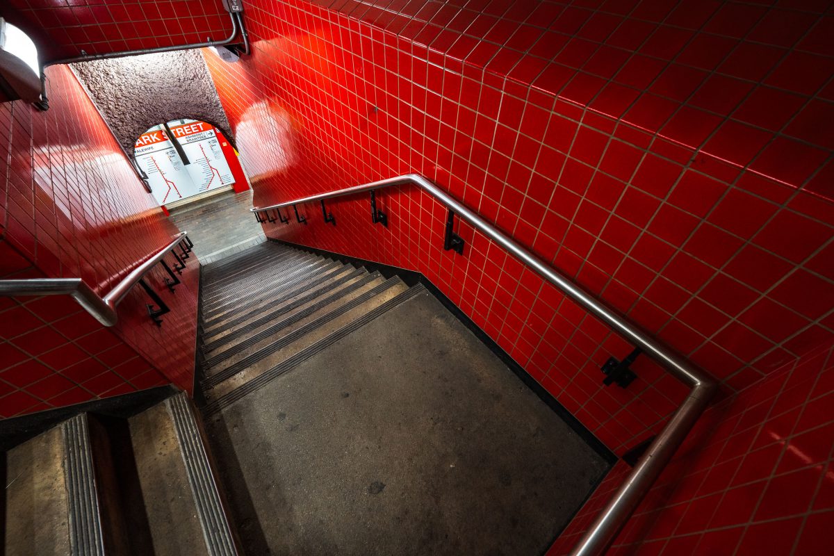
April 2025 — Inside Park Street station, one of the oldest active subway stations in the United States. Opened in 1897 as part of the Tremont Street Subway, the station has long served as a central transfer point beneath Boston Common. The tiled corridors and low ceilings reflect early subway construction techniques, with later renovations layering modern lighting, signage, and safety systems onto the original structure. Directional signage for the Ashmont and Braintree branches marks this passage as part of the MBTA Red Line, which continues to use Park Street as a key junction between downtown Boston and the city’s southern neighborhoods.
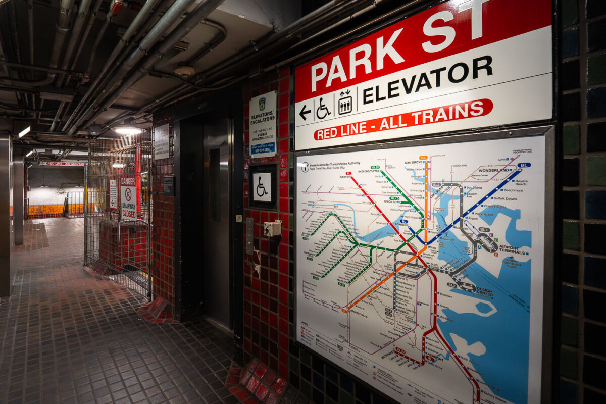
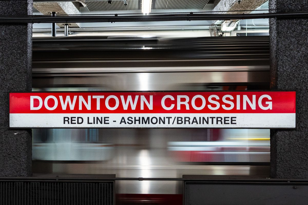
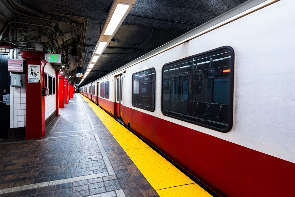
April 2025 — Boston's MBTA Park Street Red Line train station.
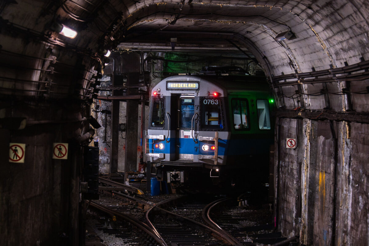
April 2025 —
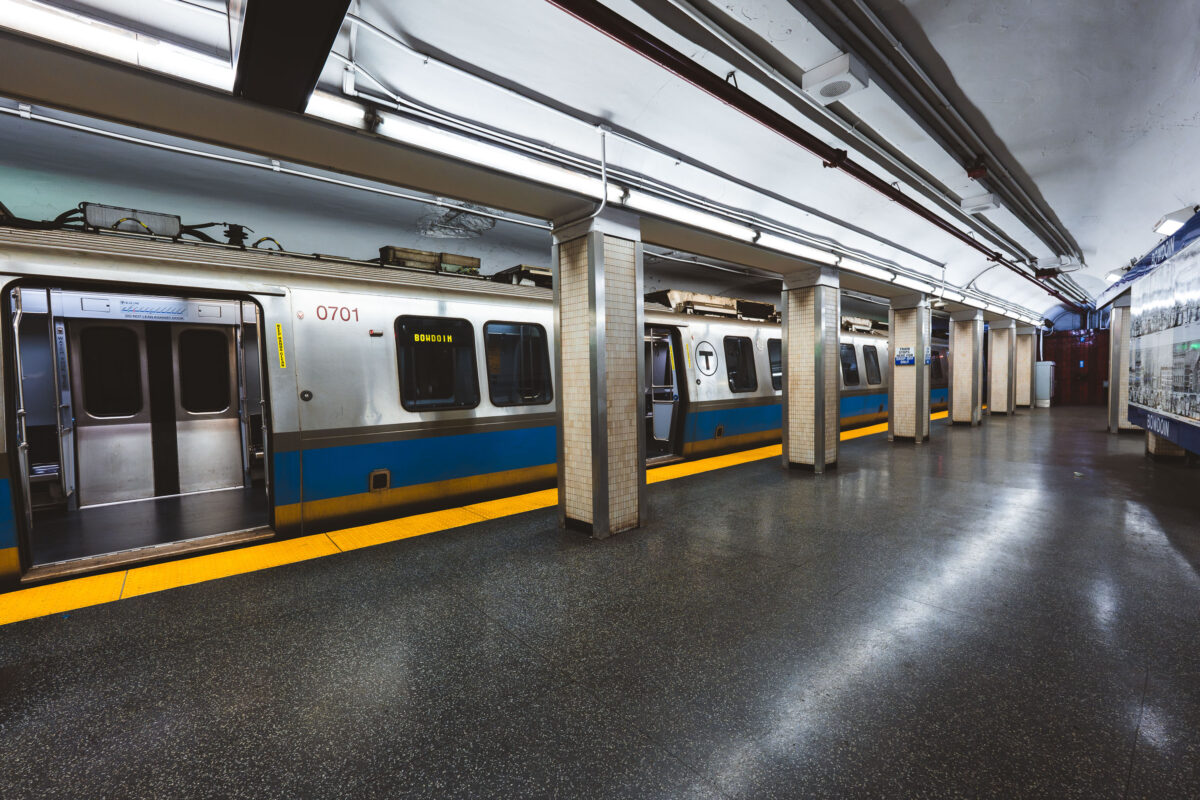
April 2025 —
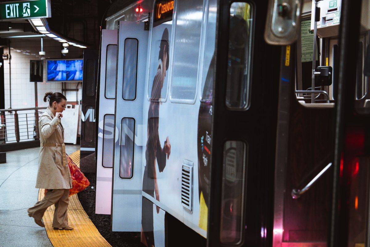
April 2025 —
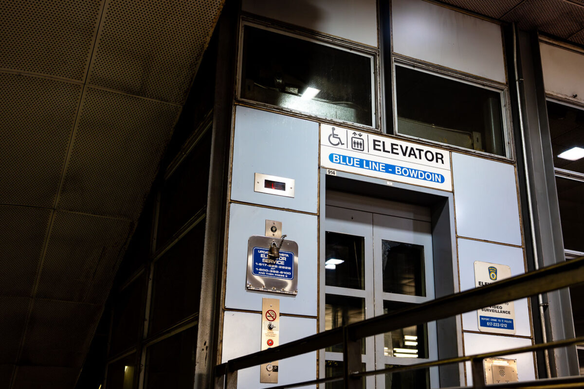
April 2025 — An elevator entrance at Bowdoin station, the downtown terminal of Boston’s Blue Line. Bowdoin Station opened in 1916 as part of the East Boston Tunnel, one of the earliest underwater rapid-transit tunnels in North America. The station is notable for its compact footprint, tight curves, and historically limited accessibility compared to newer MBTA stations. This elevator provides step-free access between street level and the platform, reflecting later retrofits required by accessibility standards rather than original station design. The utilitarian signage, metal paneling, and enclosed structure are characteristic of mid-to-late 20th century upgrades layered onto early 20th century transit infrastructure, illustrating how legacy subway systems have been incrementally adapted to modern accessibility and safety requirements.
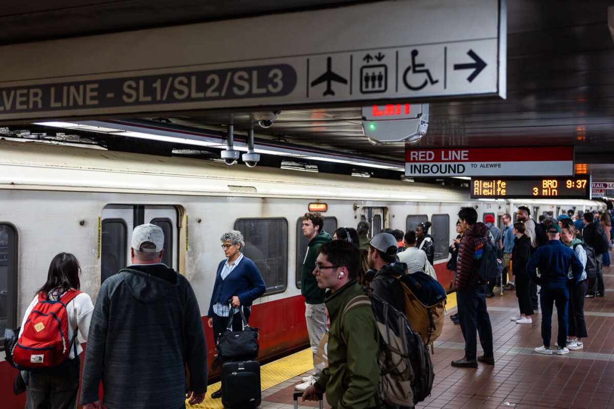
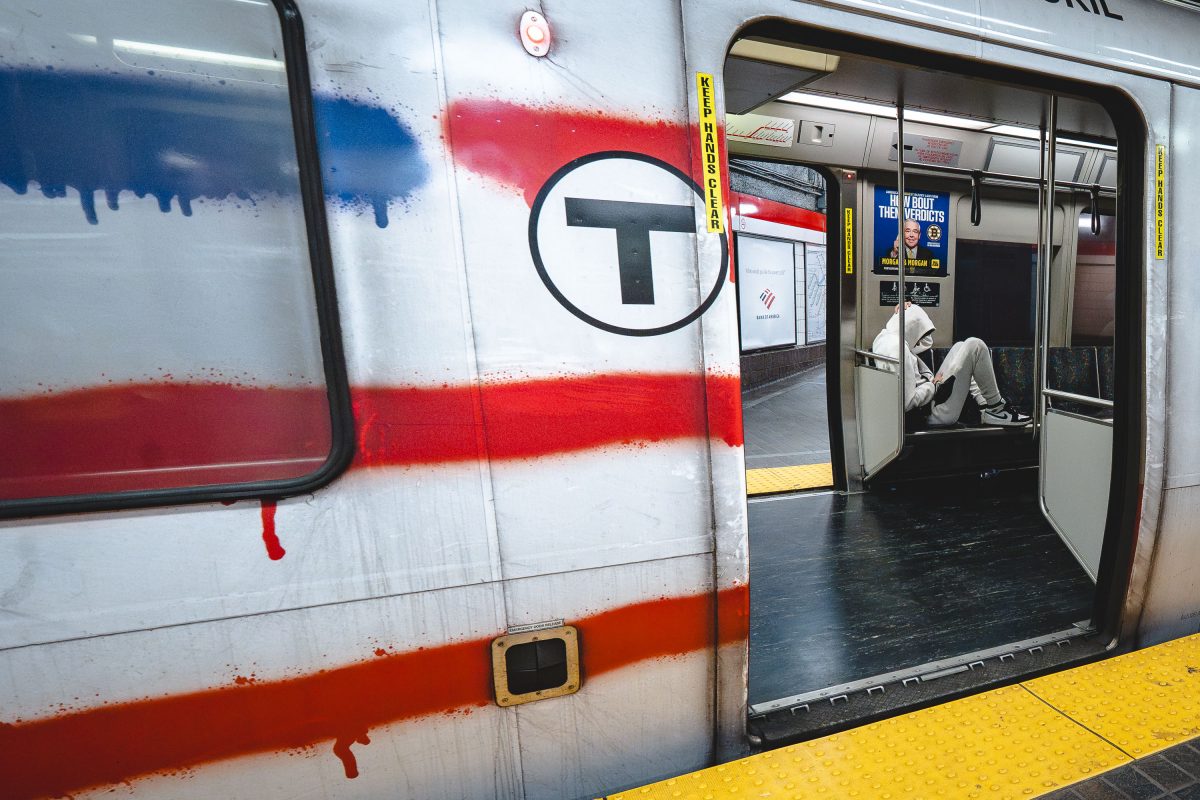
April 2025 — Passengers wait alongside an inbound MBTA Red Line train, headed toward Alewife, on a busy underground platform in downtown Boston. The Red Line is the system’s oldest rapid transit route, opening in 1912 and forming the backbone of east–west and north–south travel through the city. The high-floor cars shown here reflect decades of incremental fleet updates, while the tiled platforms, overhead wayfinding, and digital countdown signs illustrate how the MBTA has layered modern passenger information systems onto early-20th-century station infrastructure. The crowding and luggage visible on the platform highlight the line’s dual role serving both daily commuters and airport-bound travelers via transfers to bus and rail connections.
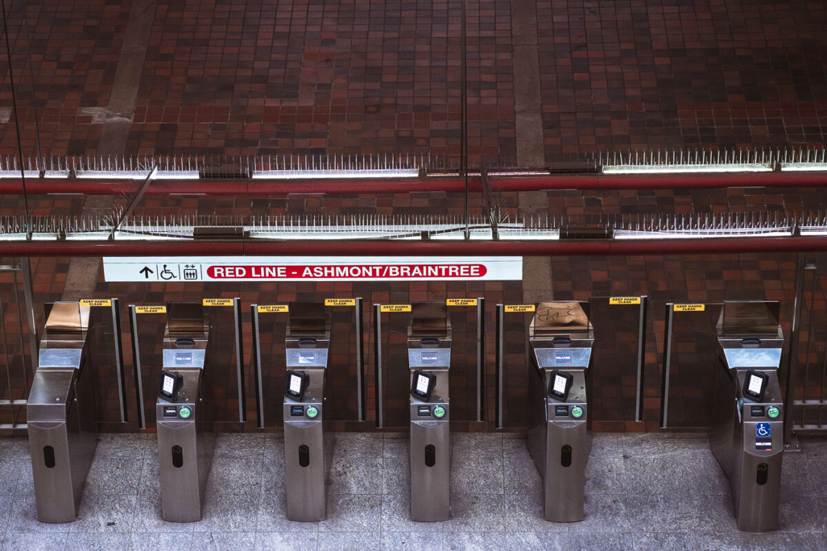
April 2025 — Fare gates line the paid entrance to the Massachusetts Bay Transportation Authority Red Line, directing riders toward Alewife-bound service. This northbound branch terminates at Alewife, the line’s northern endpoint, and serves as a primary commuter gateway for Cambridge and the Route 2 corridor. The stainless-steel fare control equipment reflects systemwide upgrades rolled out during the 2010s to improve ADA accessibility, reliability, and compatibility with modern fare media. Above the gates, the brick-vaulted ceiling and exposed utilities reflect the durable, utilitarian architecture common to many core Boston subway stations built and expanded in the mid-20th century, prioritizing longevity and fire resistance in high-traffic underground spaces.
April 2025 —
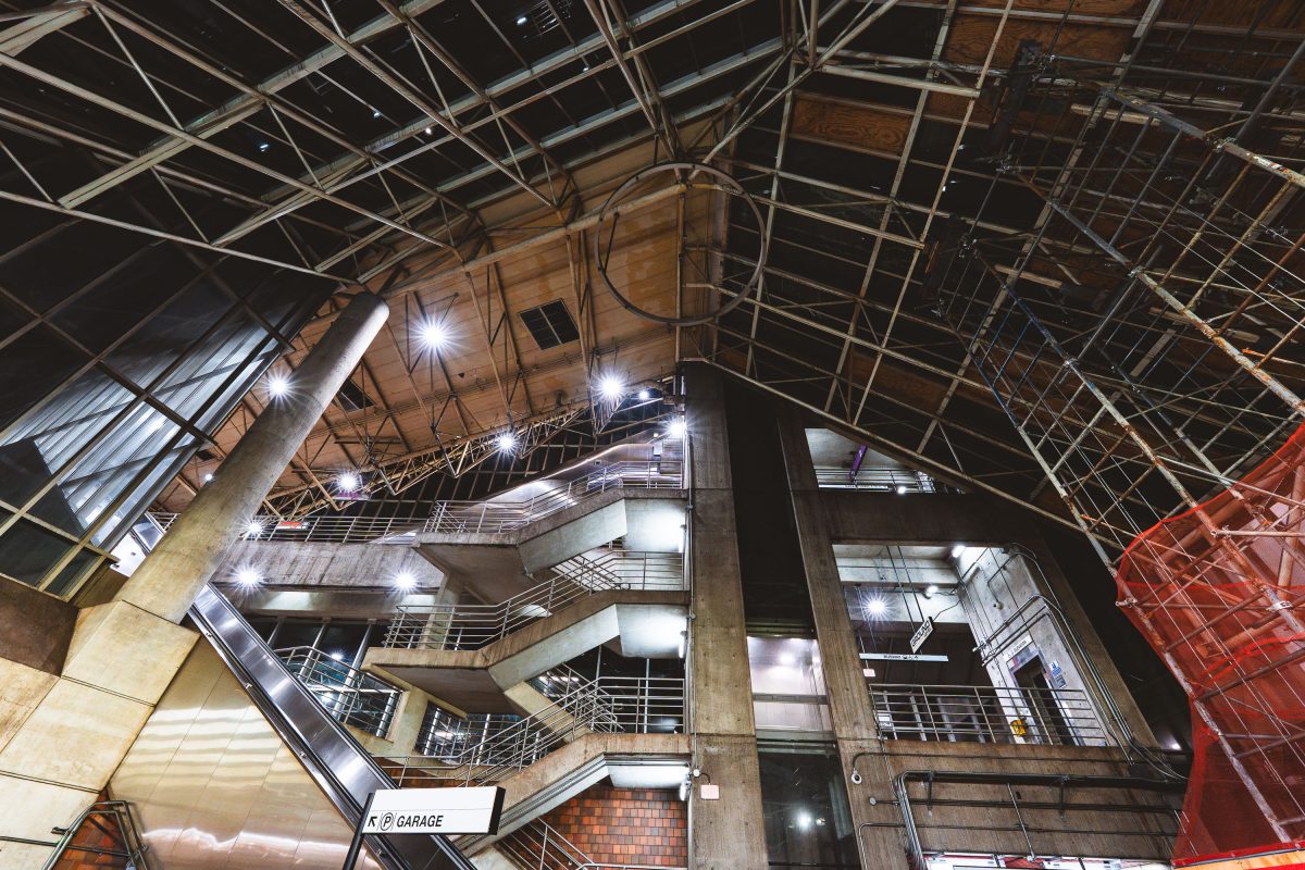
April 2025 —
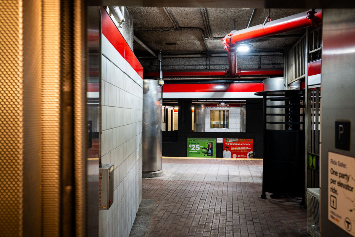
April 2025 — Getting off an elevator at Andrew Station on the red line in Boston.
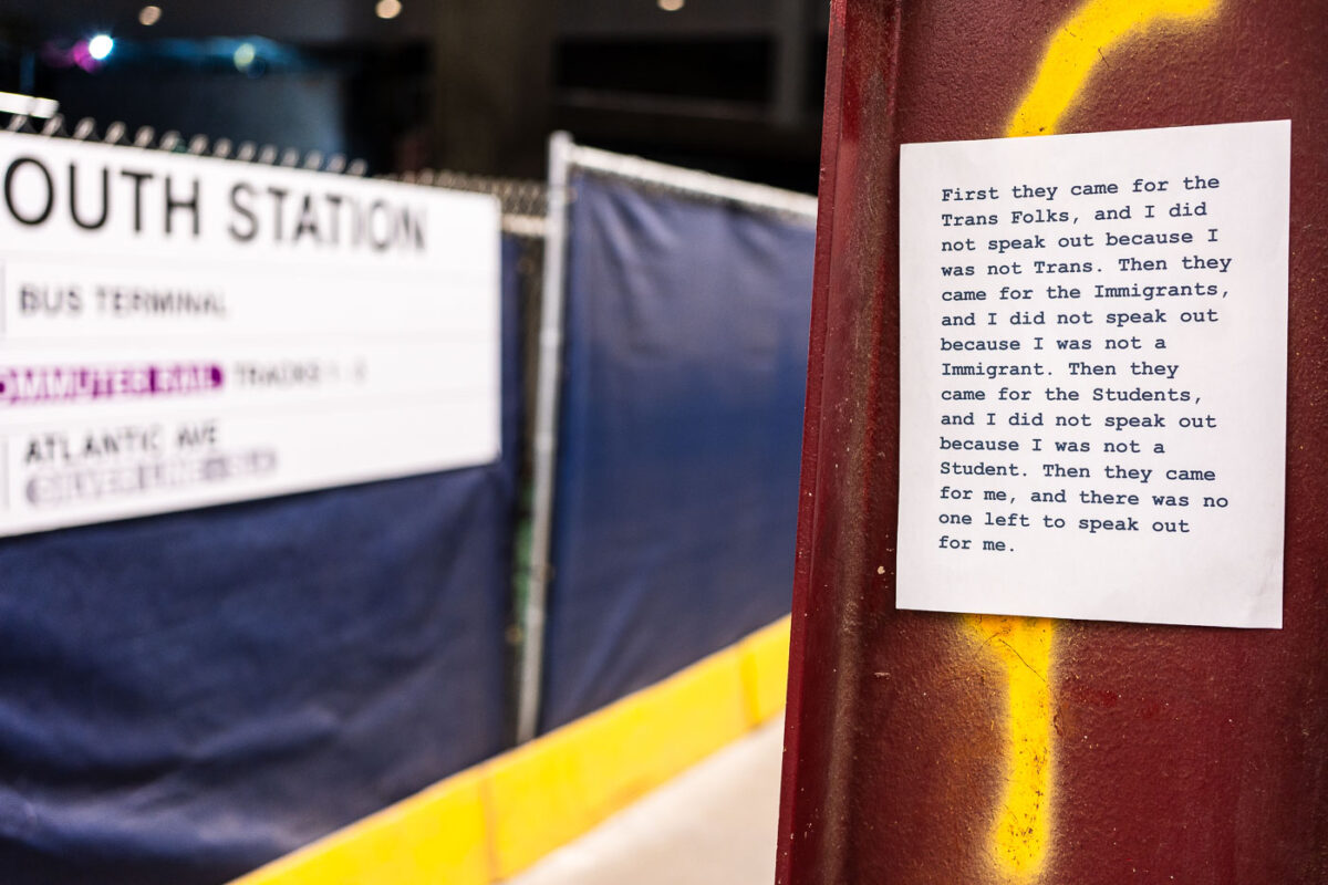
April 2025 — Sign seen at South Station in Boston: "First they came for the Trans Folks, and I did not speak out because I was not Trans. Then they came for the Immigrants, and I did not speak out because I was not a Immigrant. Then they came for the Students, and I did not speak out because I was not a Student. Then they came for me, and there was no one left to speak out for me."
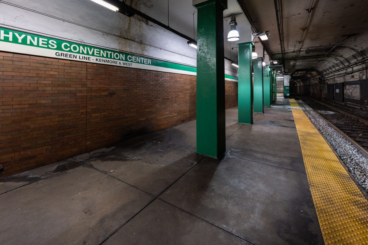
April 2025 — MBTA Green Line train platform at Hynes Convention Center.
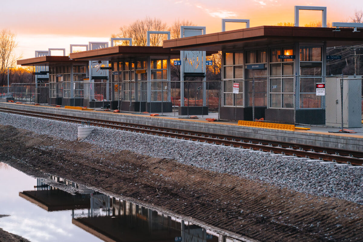
March 2025 — Sunset behind Bryn Mawr Station in Minneapolis. The train station will be used by the Metro Transit green line extension.
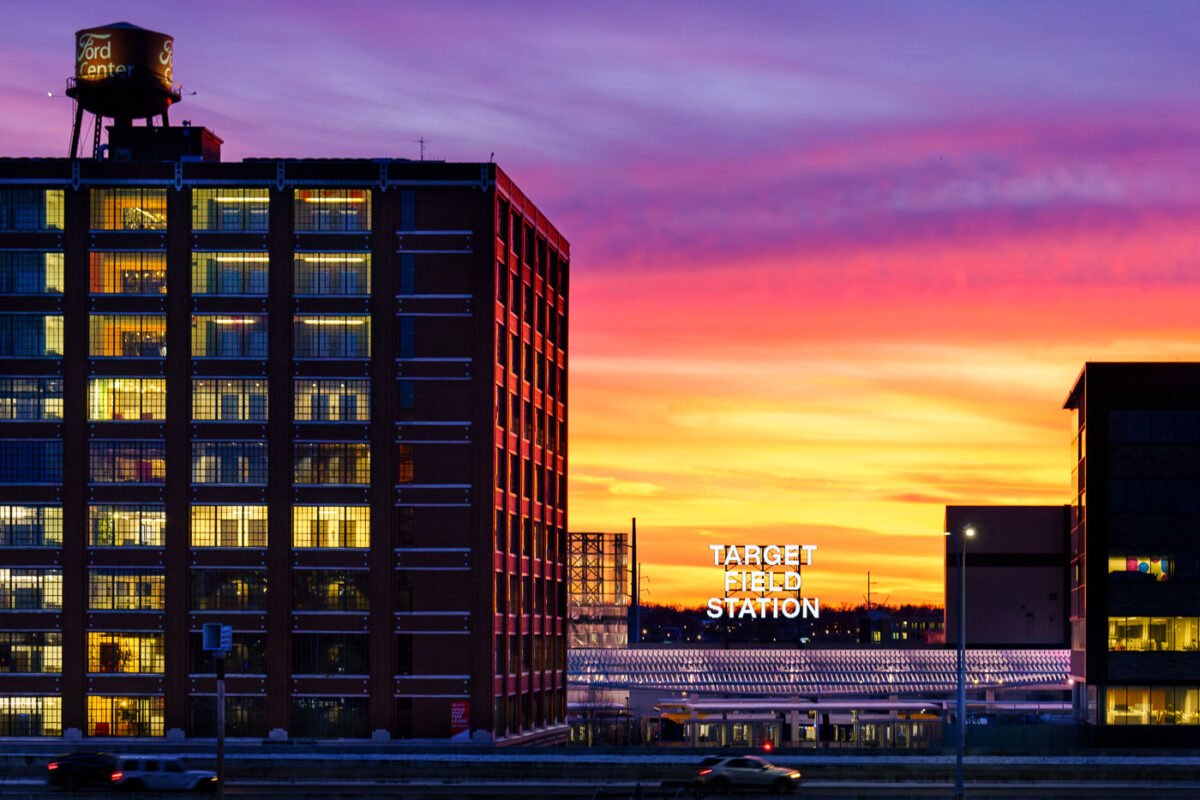
January 2025 — A beautiful mid January sunset behind Target Field Station in the North Loop Minneapolis.
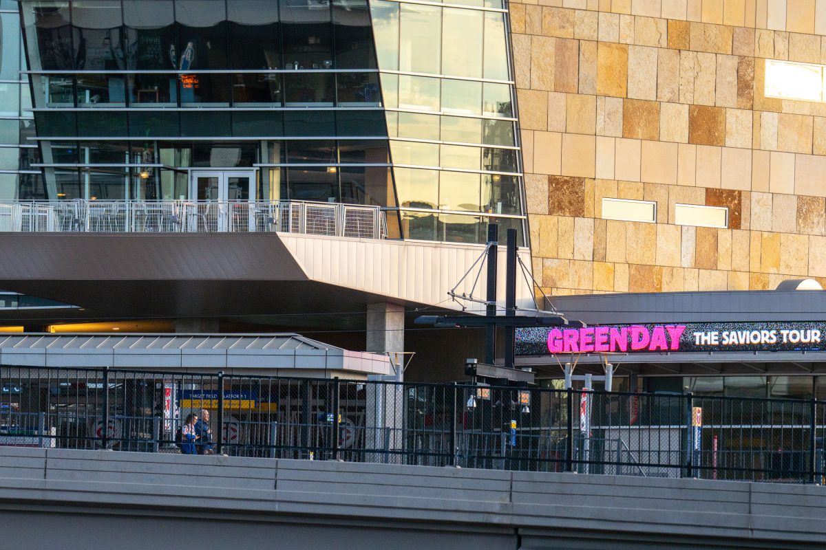
July 2024 —
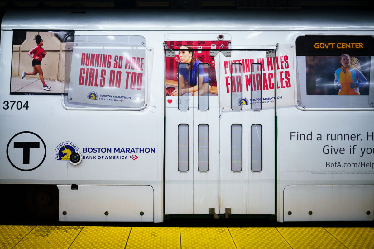
April 2024 — A train with Bank of America Boston Marathon wrap.
April 2024 —
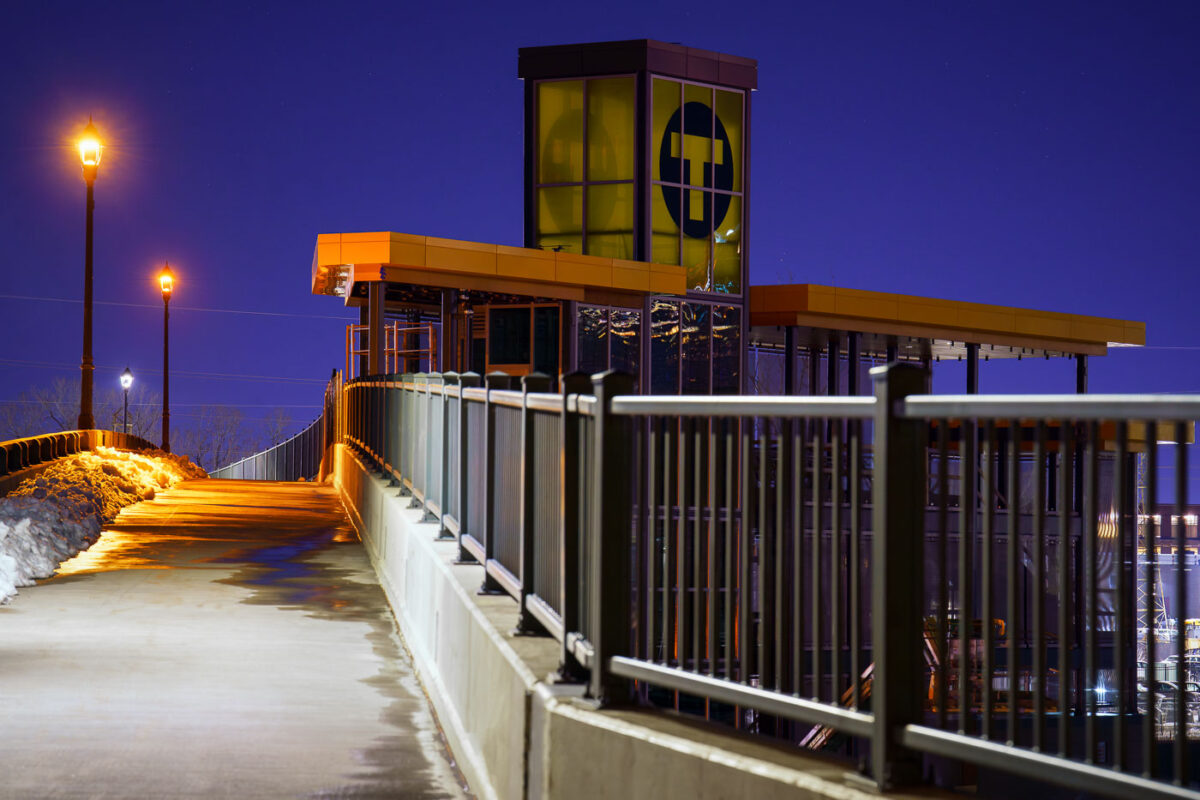
March 2024 — The new Bassett Creek Valley Station connection to Van White Memorial Boulevard looking nice as it nears completion. Only a few more years before you'll be able to catch a train here... (Minneapolis, March 2024)
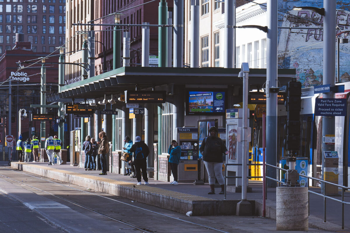
March 2024 — TRIP Outreach and riders at the Warehouse District/Hennepin Ave Station in downtown Minneapolis. March 2024.
February 2024 —
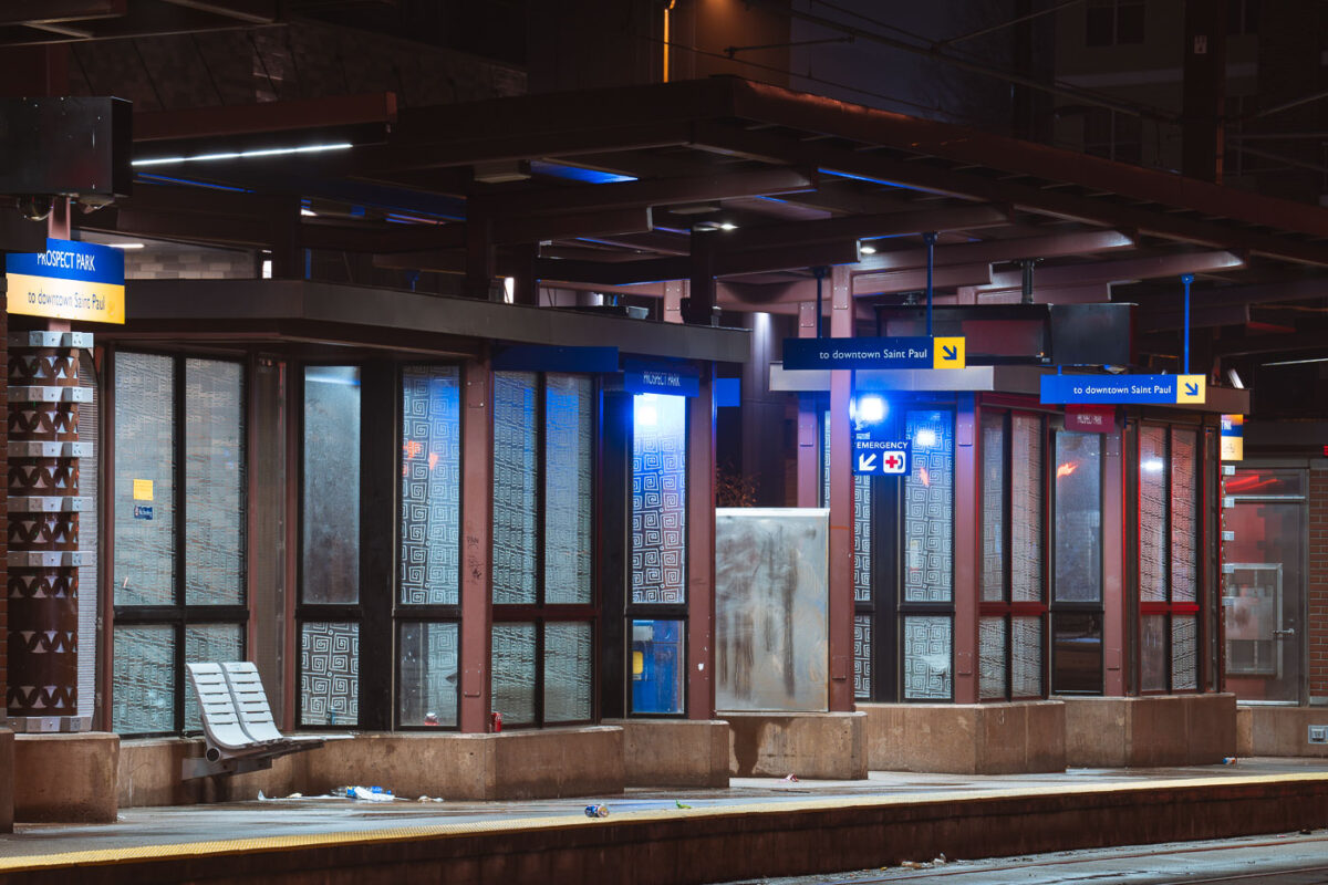
January 2024 — The Prospect Park light rail train station in Minneapolis.
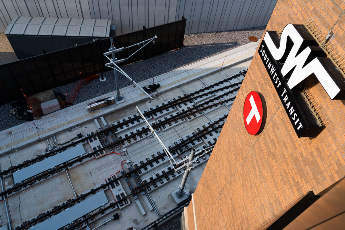
August 2023 —
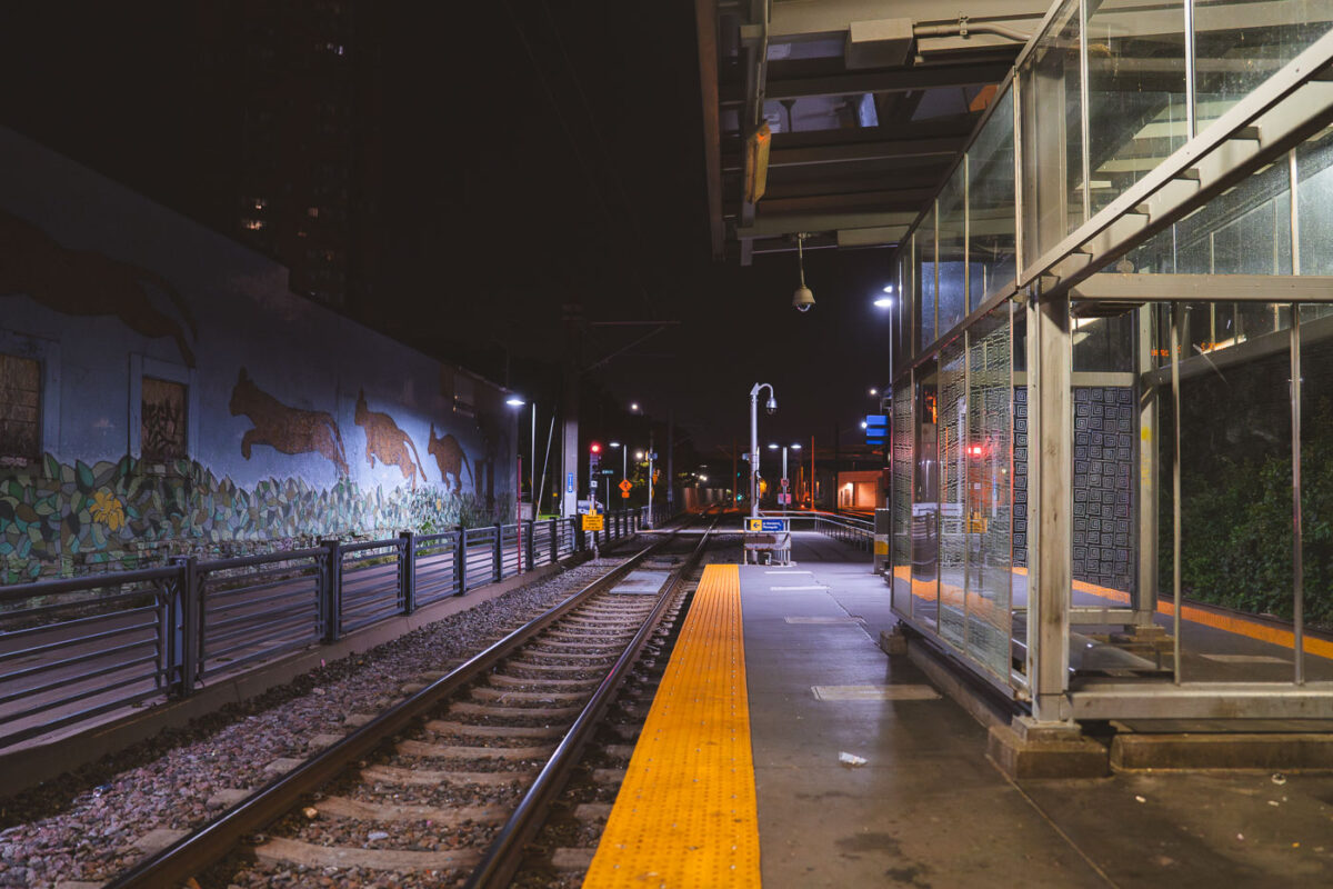
August 2023 — Metro Transit Cedar–Riverside station in South Minneapolis in August 2023.
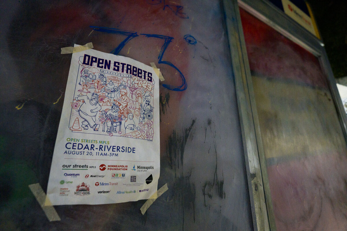
August 2023 — A flyer for Open Streets Cedar-Riverside at a bus stop in South Minneapolis on August 20, 2023.
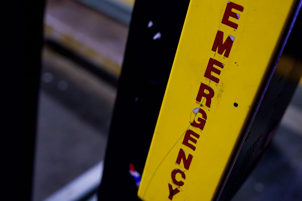
August 2023 — Emergency assistance box at a light rail station in South Minneapolis in August 2023.
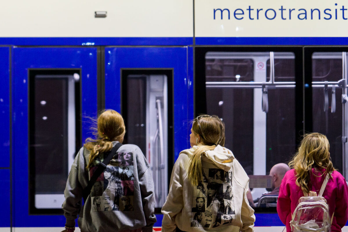
June 2023 — Taylor Swift fans wait for a train outsdie the stadium in Minneapolis.
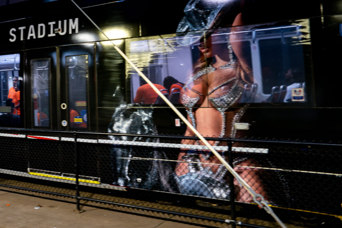
June 2023 — City of Minneapolis Violence Interrupters on a Metro Transit light rail train outside US Bank Stadium during a Taylor Swift concert on June 23, 2023.
April 2023 —
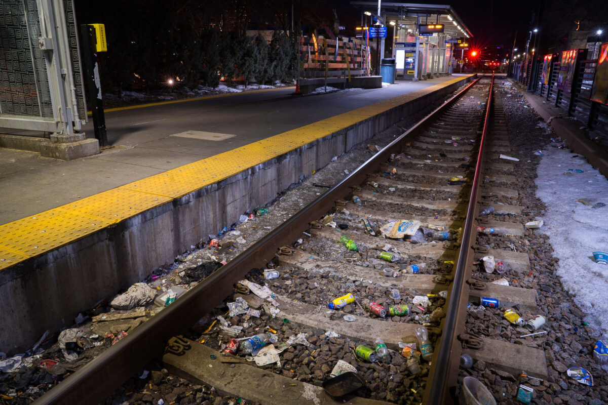
March 2023 — Discarded needles and trash line the tracks at the Cedar-Riverside LRT station.
March 2023 —
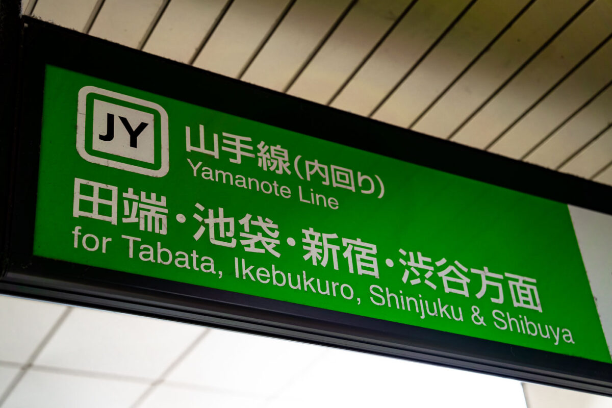
March 2023 — A sign for the JR Yamanote Line displays the inner loop direction toward Tabata, Ikebukuro, Shinjuku, and Shibuya. The familiar green design and “JY” line code mark one of Tokyo’s busiest and most important rail routes, which circles the city’s central districts. The bilingual signage reflects Japan Rail’s standardized system for navigation across Tokyo’s dense network of stations.

March 2023 —
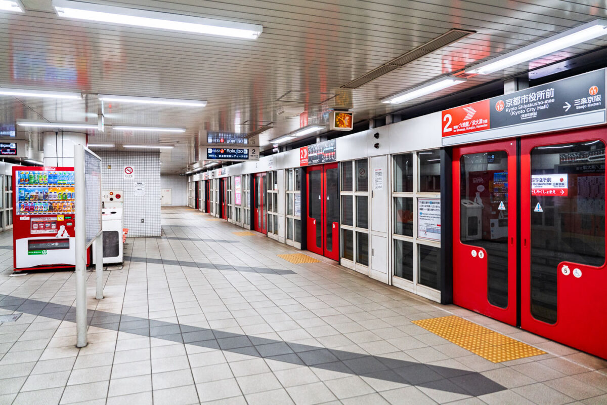
March 2023 — A quiet moment inside the Kyoto City Subway at Shiyakusho-mae Station, where the red-lined doors and bright vending machines reflect the city’s clean, orderly transit design. The tiled floors, yellow tactile paving, and minimalist signage embody the practical beauty of Japanese public infrastructure. Empty corridors like this highlight the calm rhythm of off-peak urban life in Kyoto.
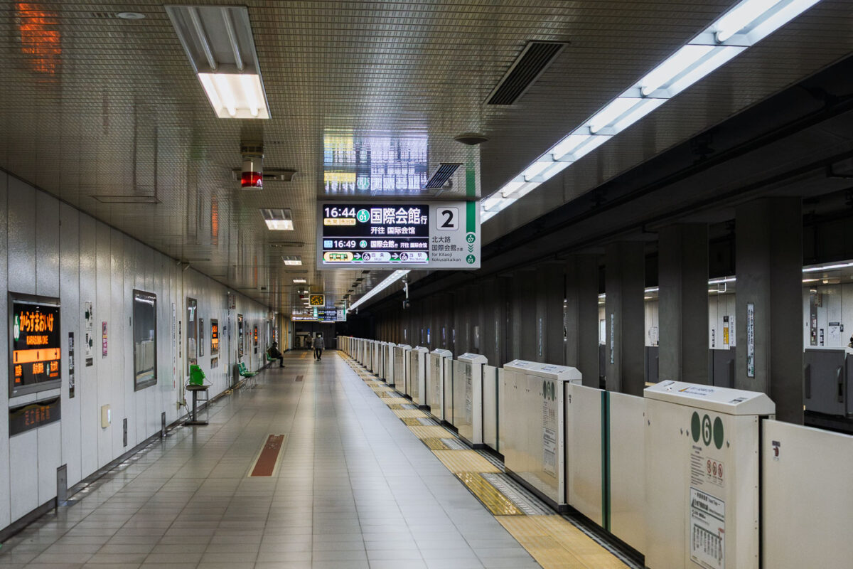
March 2023 — A quiet moment on the platform at Karasuma Oike Station, one of the key interchange points within the Kyoto Municipal Subway system. Opened in 1981 as part of the Karasuma Line, the station later became a transfer hub when the Tōzai Line opened in 1997, creating a central east–west and north–south connection beneath Kyoto’s urban core. The platform features platform-edge doors—introduced across Kyoto’s subway network to improve safety and accessibility—along with digital signage that displays through-service connections toward the northern suburbs and toward the International Conference Center. Located beneath the intersection of Karasuma-dōri and Oike-dōri, the station plays an important role in linking government offices, business districts, and cultural areas throughout central Kyoto.
March 2023 —
March 2023 —
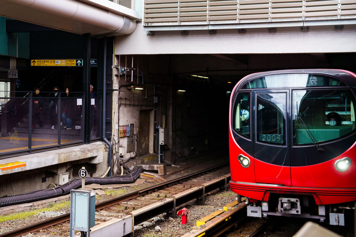
March 2023 — A Tokyo Metro Marunouchi Line train approaches its terminal platforms during a March 2023 visit. The Marunouchi Line, one of Tokyo’s earliest postwar subway routes, opened in 1954 and played a key role in connecting the expanding Yamanote district centers with government and commercial areas in central Tokyo. Its distinctive red livery has remained a defining visual identity for decades, even as the rolling stock has undergone multiple modernizations. Ikebukuro, the northern terminus of the line, is one of Tokyo’s busiest rail hubs, jointly served by JR East, the Seibu and Tobu railway networks, and several Metro lines. The station complex was heavily rebuilt throughout the late 20th century to handle increasing commuter volumes, resulting in the multi-level platform and passageway layout still in use today.
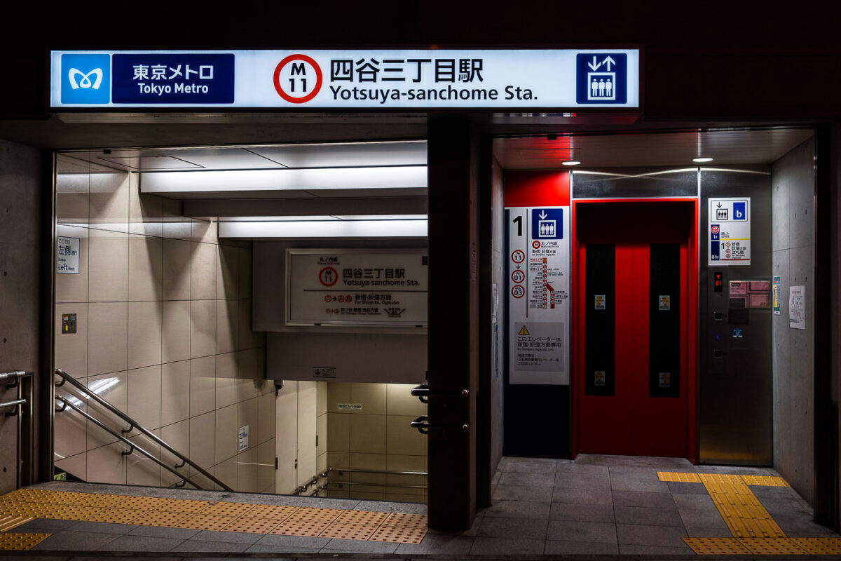
March 2023 — The entrance to Yotsuya-sanchome Station on Tokyo Metro’s Marunouchi Line (M11) is shown at night, featuring a clean, modern design with bright signage and red elevator doors. The station serves the Shinjuku district and connects to key destinations like Shinjuku, Ogikubo, and Tokyo Station. Braille paving and clear bilingual signs reflect Tokyo Metro’s accessibility standards and emphasis on wayfinding.
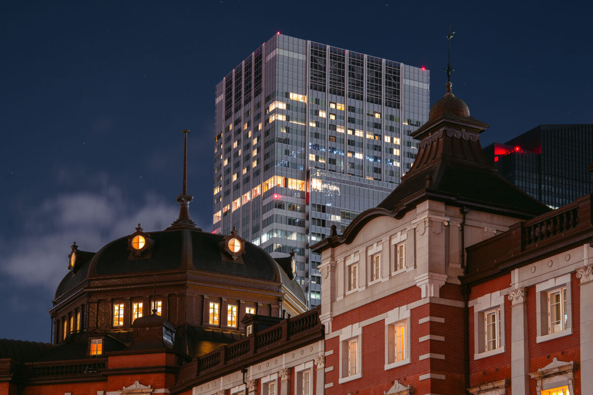
March 2023 — The historic Marunouchi side of Tokyo Station glows warmly at dusk, its red-brick exterior and copper domes standing in contrast to the modern skyscrapers of the surrounding Marunouchi business district. Opened in 1914 and designed by architect Tatsuno Kingo, the station served as the central gateway for Japan’s expanding rail network during the early 20th century. The dramatic juxtaposition in this March 2023 photograph highlights more than a century of architectural evolution: the restored station building—meticulously reconstructed after wartime damage—foregrounds the sleek high-rise towers that define contemporary central Tokyo. Together, they illustrate how Tokyo layers historic preservation and modern development within one of the busiest transport hubs in the world.
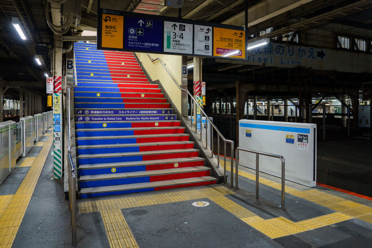
March 2023 — A color-coded stairway inside Nippori Station directs passengers to the Keisei Line platforms, the primary transfer point for travelers heading to Narita Airport on the high-speed Skyliner. Nippori serves as a major interchange between JR East lines, the Keisei Main Line, and the Nippori–Toneri Liner, linking northern Tokyo neighborhoods to the broader regional network. The mixed architecture—older steel passageways alongside newer safety upgrades like platform-edge barriers—reflects the station’s layered development since its opening in 1905. Today, Nippori remains one of Tokyo’s most important cross-rail transfer nodes, especially for airport-bound passengers navigating the city’s extensive transit system.
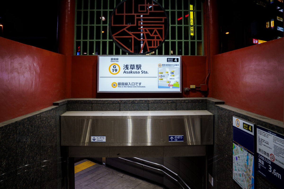
March 2023 — An entrance to Tokyo Metro’s Asakusa Station on the Ginza Line, marked with the station code G-19, leads commuters down a clean, tiled stairway under the red-painted gateway structure. The illuminated signage displays route maps and directional guidance, combining modern wayfinding with the surrounding area’s traditional aesthetic. Located near Sensō-ji Temple, this entrance reflects Asakusa’s balance of old Tokyo charm and contemporary transit design.
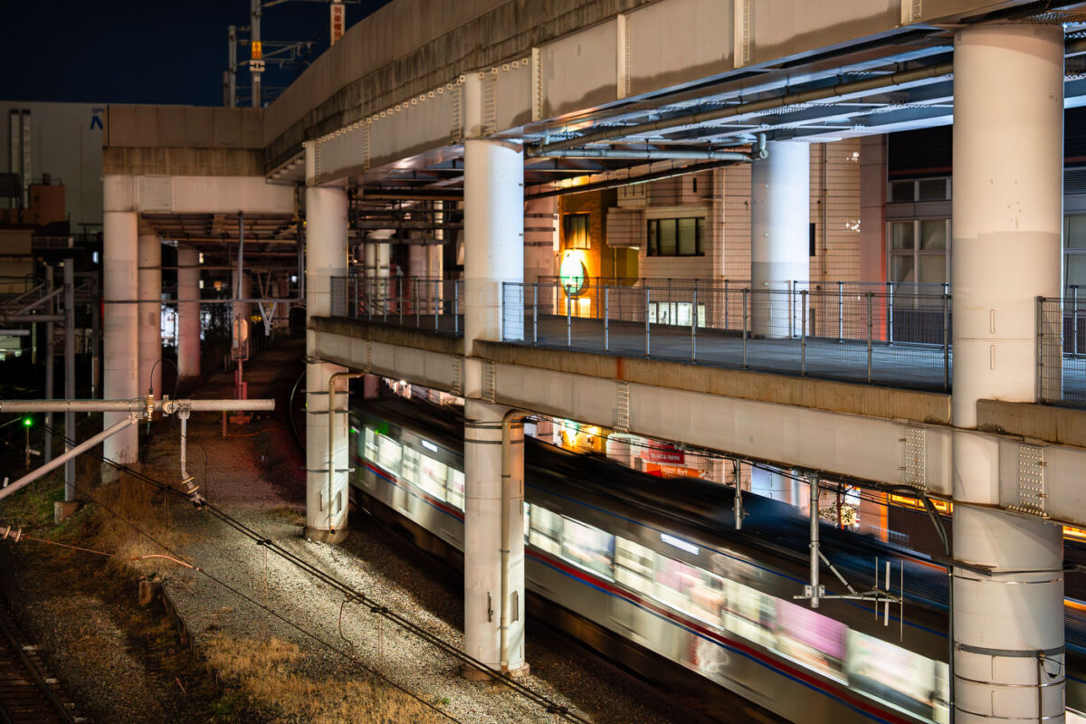
March 2023 — A commuter train passes through Nippori Station in Tokyo beneath an elevated expressway. Nippori is a major interchange for the JR Yamanote, Keisei, and Joban lines, connecting central Tokyo with Narita Airport and surrounding neighborhoods. The scene reflects the district’s tightly integrated infrastructure, where multiple rail lines and highways converge within a compact urban corridor.
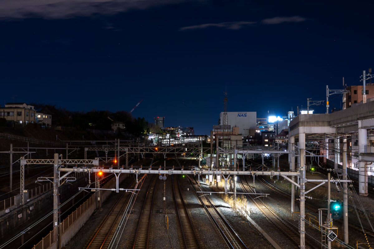
March 2023 — Multiple rail lines converge near Nippori Station in Tokyo, a key junction connecting the JR Yamanote, Keisei, and Joban lines. The illuminated signals and overhead power lines reveal the complexity of the city’s rail infrastructure as it weaves through residential and industrial zones. To the right, elevated expressway supports and nearby buildings frame the corridor, emphasizing Tokyo’s dense layering of transport systems and urban development.
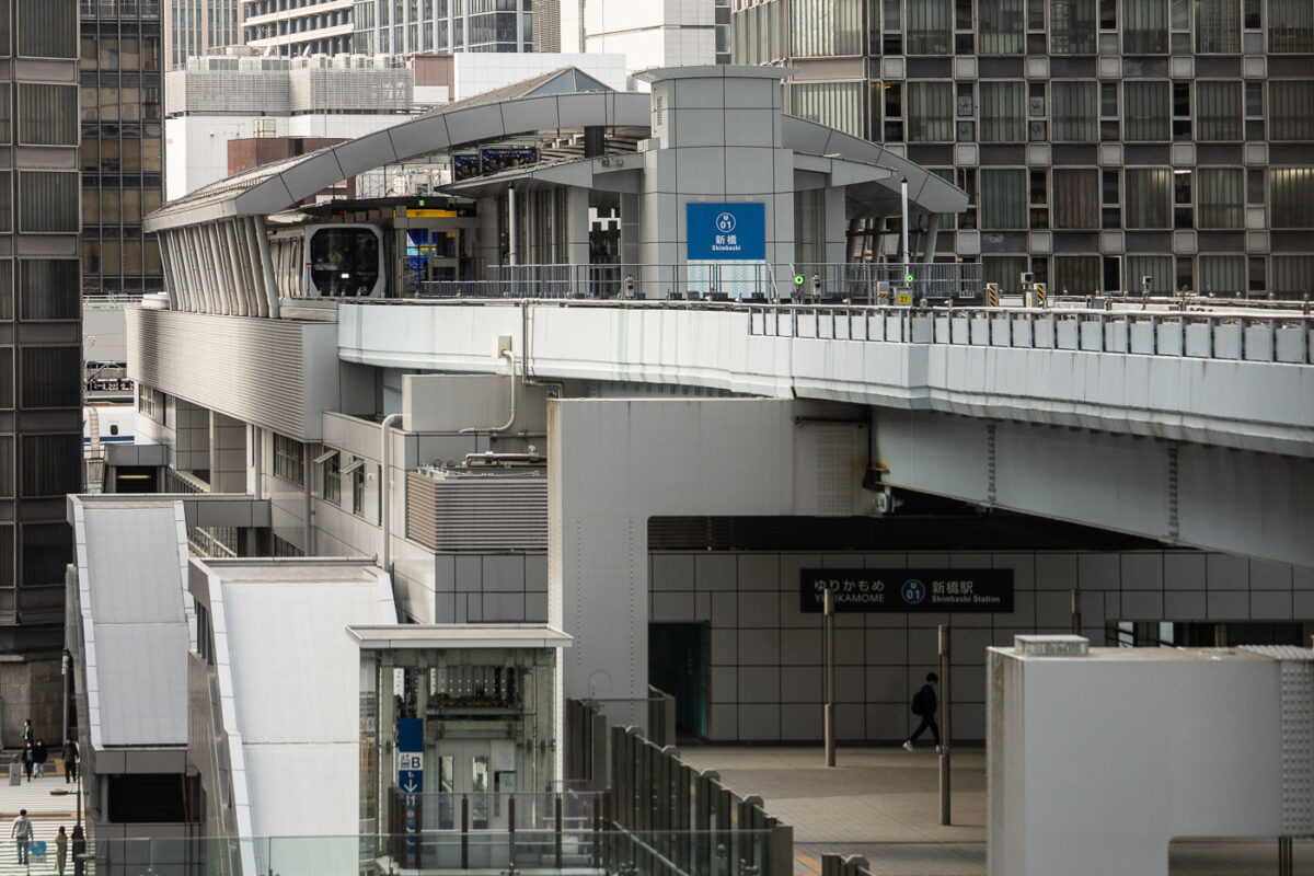
March 2023 — Shimbashi Station serves as a key interchange between Tokyo’s dense urban rail systems, connecting JR East lines with the Yurikamome automated transit route to Odaiba. The elevated Yurikamome track, seen here curving above the city streets, is a fully driverless, rubber-tired train line that opened in 1995 to link Tokyo’s central business districts with its reclaimed waterfront developments. This structure’s sleek metallic architecture and tiered design reflect Japan’s approach to maximizing space efficiency in high-density transport corridors. The network below includes the JR Yamanote Line, Tokyo Metro Ginza Line, and the Toei Asakusa Line, making Shimbashi one of the most vertically integrated transit hubs in Japan.
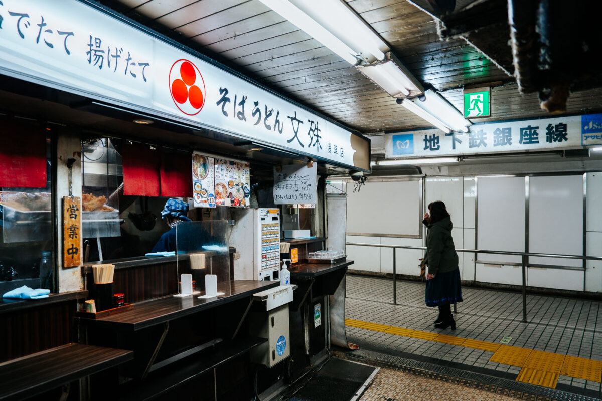
March 2023 — A small soba counter operates inside Asakusa Underground Street, one of Tokyo’s oldest surviving subterranean shopping arcades. Tucked beneath the streets near Asakusa Station, these compact eateries serve quick bowls of soba and udon to commuters and visitors moving between the metro and the surrounding neighborhood. Opened in 1955, Asakusa Underground Street is considered the oldest underground shopping street in Japan. Its narrow corridors, low ceilings, and tightly packed storefronts preserve a postwar atmosphere that has largely vanished from Tokyo as major stations modernized. The passageway originally developed as a practical connection point for transit riders, but it evolved into a lively network of bars, snack counters, tobacconists, and small service shops. Today, despite gradual renovation, it remains one of the city’s most atmospheric relics of mid-20th-century urban life—an example of how Tokyo’s underground spaces doubled as both transportation infrastructure and neighborhood social hubs.
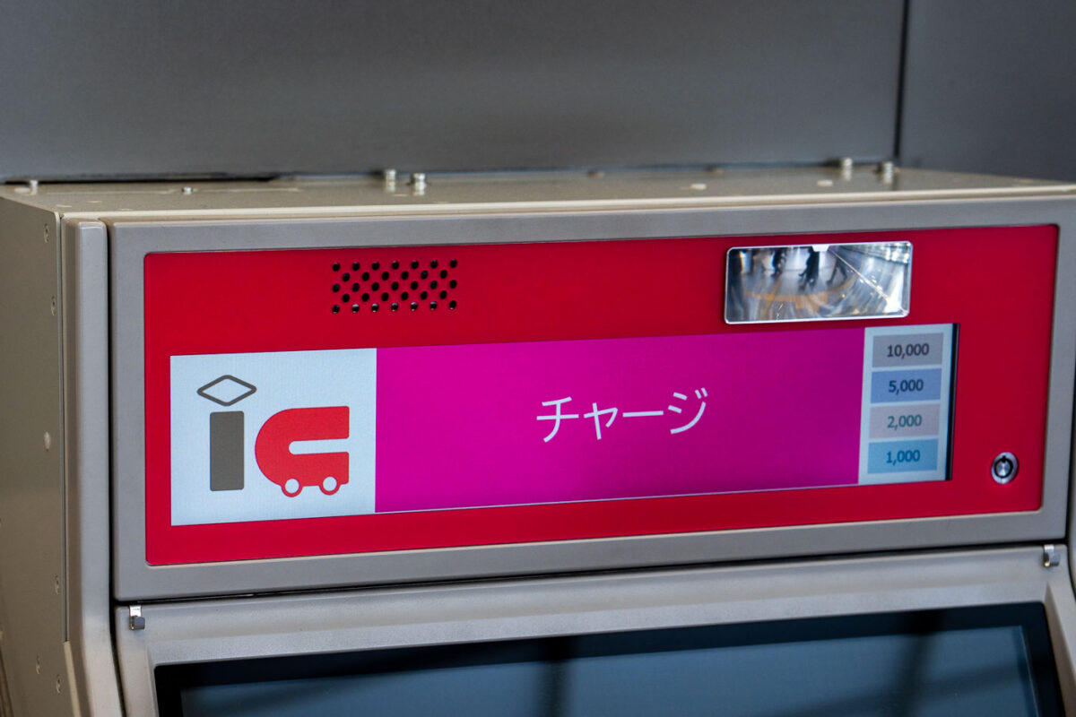
March 2023 — A close-up of a Japanese IC card recharge machine shows a bright pink interface with the word “チャージ” (charge) displayed prominently. The IC logo indicates it’s used for topping up transit smart cards like Suica or Pasmo. On the right side, selectable amounts range from 1,000 to 10,000 yen. The machine’s metal casing and reflective surface hint at its location inside a modern subway or train station.
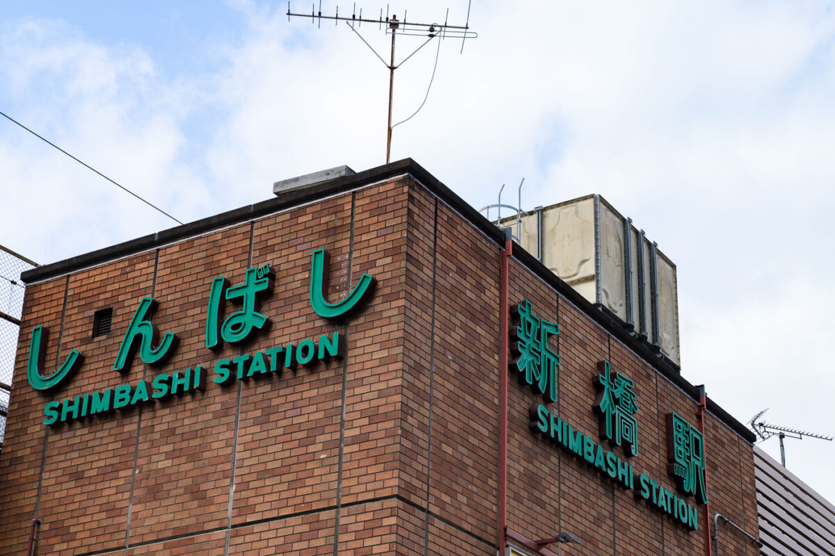
March 2023 — The brick exterior of Shimbashi Station displays its bold green lettering in both Japanese and English, marking one of Tokyo’s busiest commuter hubs. Opened in 1872 as Japan’s first railway terminal, Shimbashi holds deep historical significance while continuing to serve modern rail lines, including JR East and Tokyo Metro. The building’s retro façade contrasts with the skyscrapers surrounding it, symbolizing Tokyo’s seamless blend of heritage and contemporary transit infrastructure.
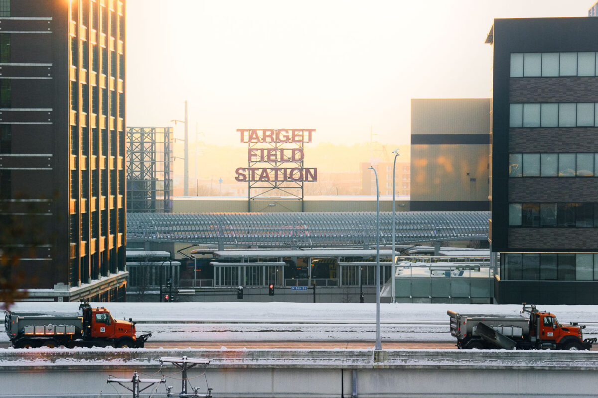
January 2023 — Target Field Station in Minneapolis during a winter sunrise, viewed across the railyard as snowplow trucks clear nearby roadways. Opened in 2014, the station serves as the western terminus for METRO Blue and Green Line light-rail service and functions as a multimodal hub for events at Target Field and the surrounding North Loop district. Its distinctive steel canopy and track arrangement were designed to accommodate both current transit operations and future extensions, reflecting the region’s long-term rail planning strategy. The elevated vantage also highlights the mix of transit, freight infrastructure, and redevelopment that continues to reshape this former warehouse district.
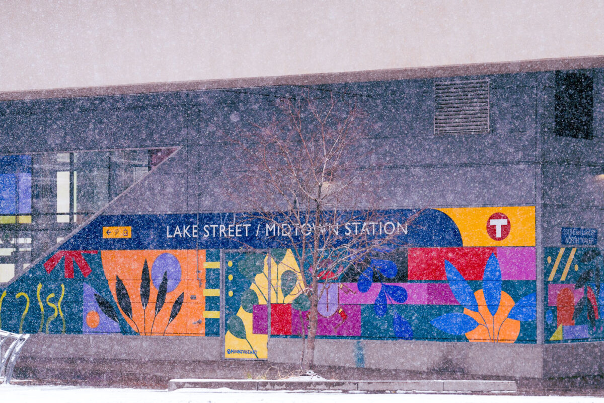
November 2022 — Lake Street / Midtown Station in South Minneapolis during November snowfall.
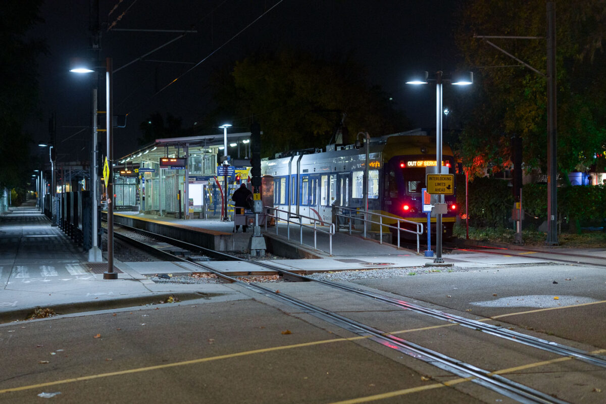
October 2022 — Cedar-Riverside train station in South Minneapolis.
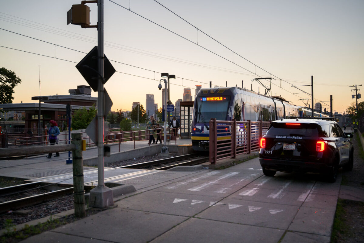
June 2022 — Franklin Avenue Light Rail station with a Metro Transit squad car.
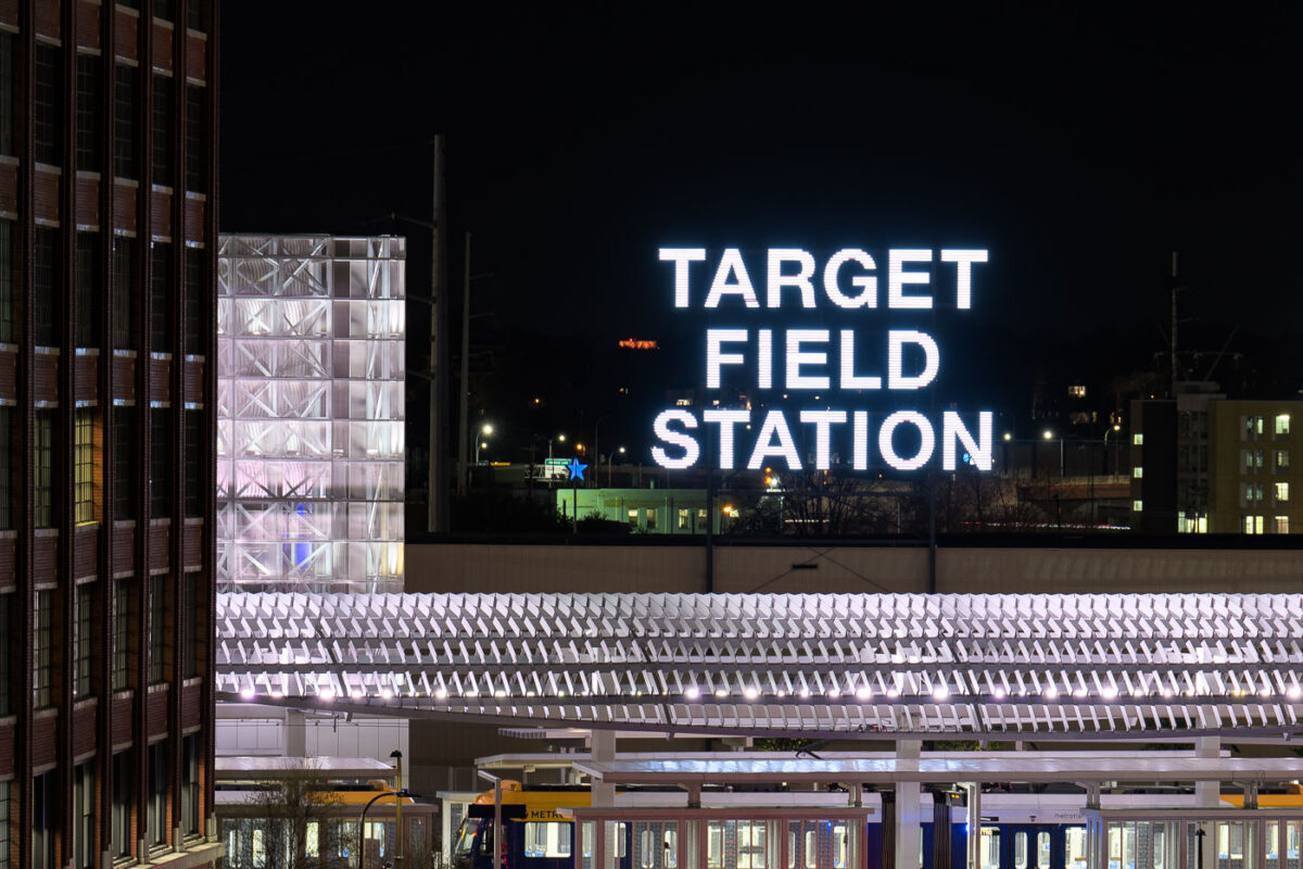
May 2022 — Target Field Station, Minneapolis
April 2021 —
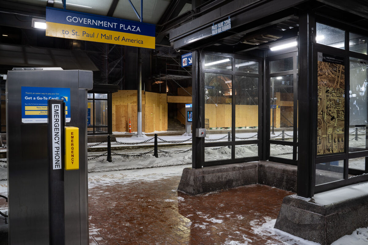
February 2021 —
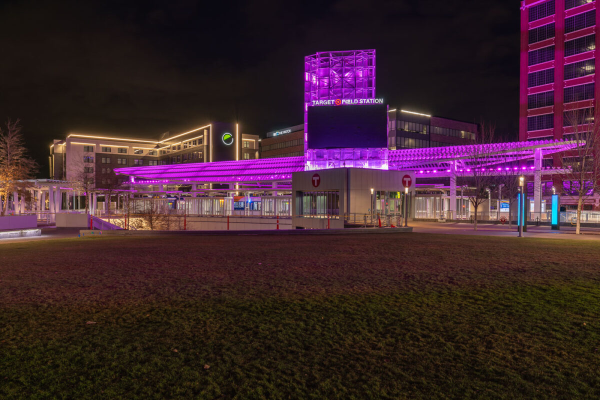
November 2020 — Target Field Station in Downtown Minneapolis at night.
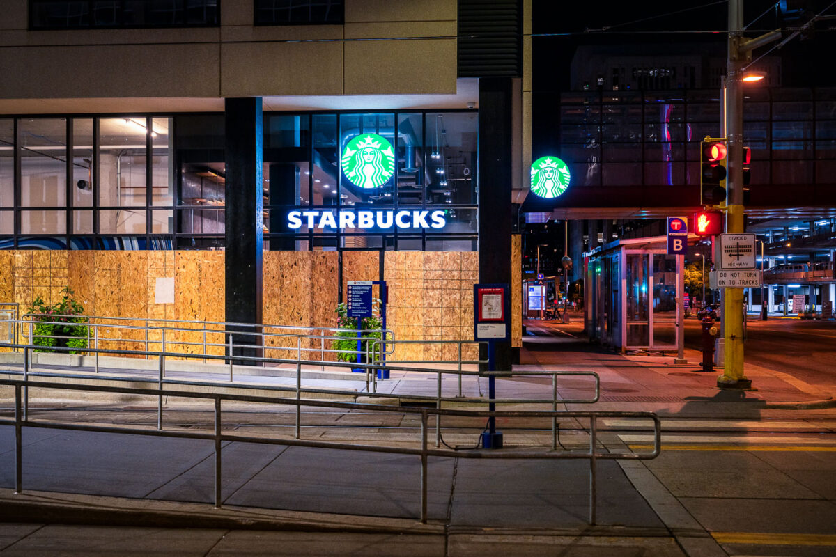
September 2020 — Starbucks located at 450 S Marquette Ave. in Downtown Minneapolis after it was boarded up following the murder of George Floyd.
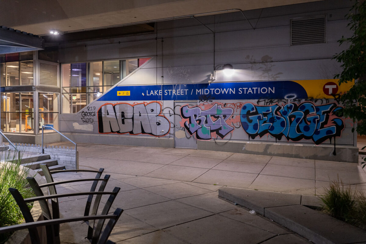
August 2020 — George Floyd graffiti on Midtown Station in South Minneapolis seen on August 22, 2020.
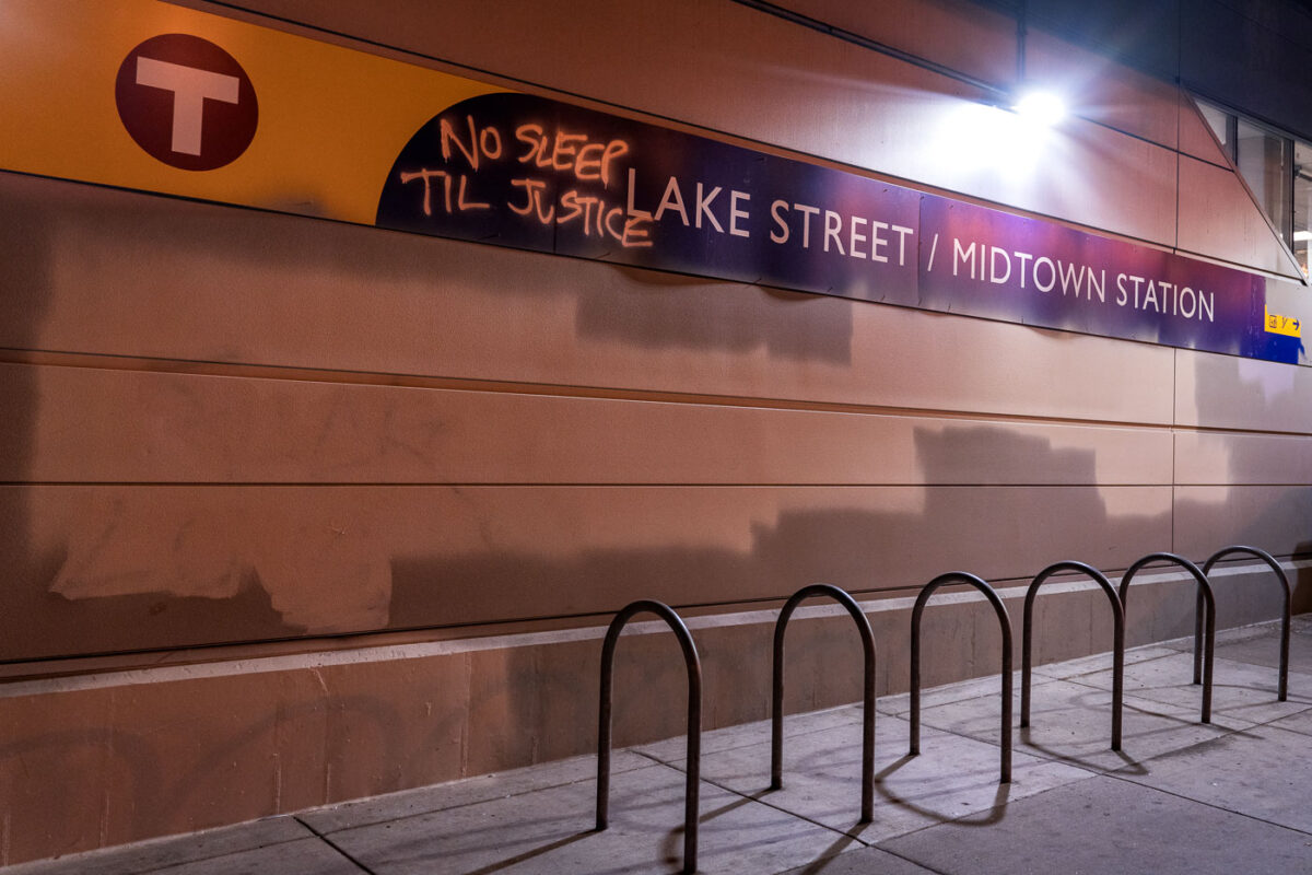
August 2020 — Graffiti reading No Sleep Til Justice on the Lake Street/Midtown Station signage in South Minneapolis.
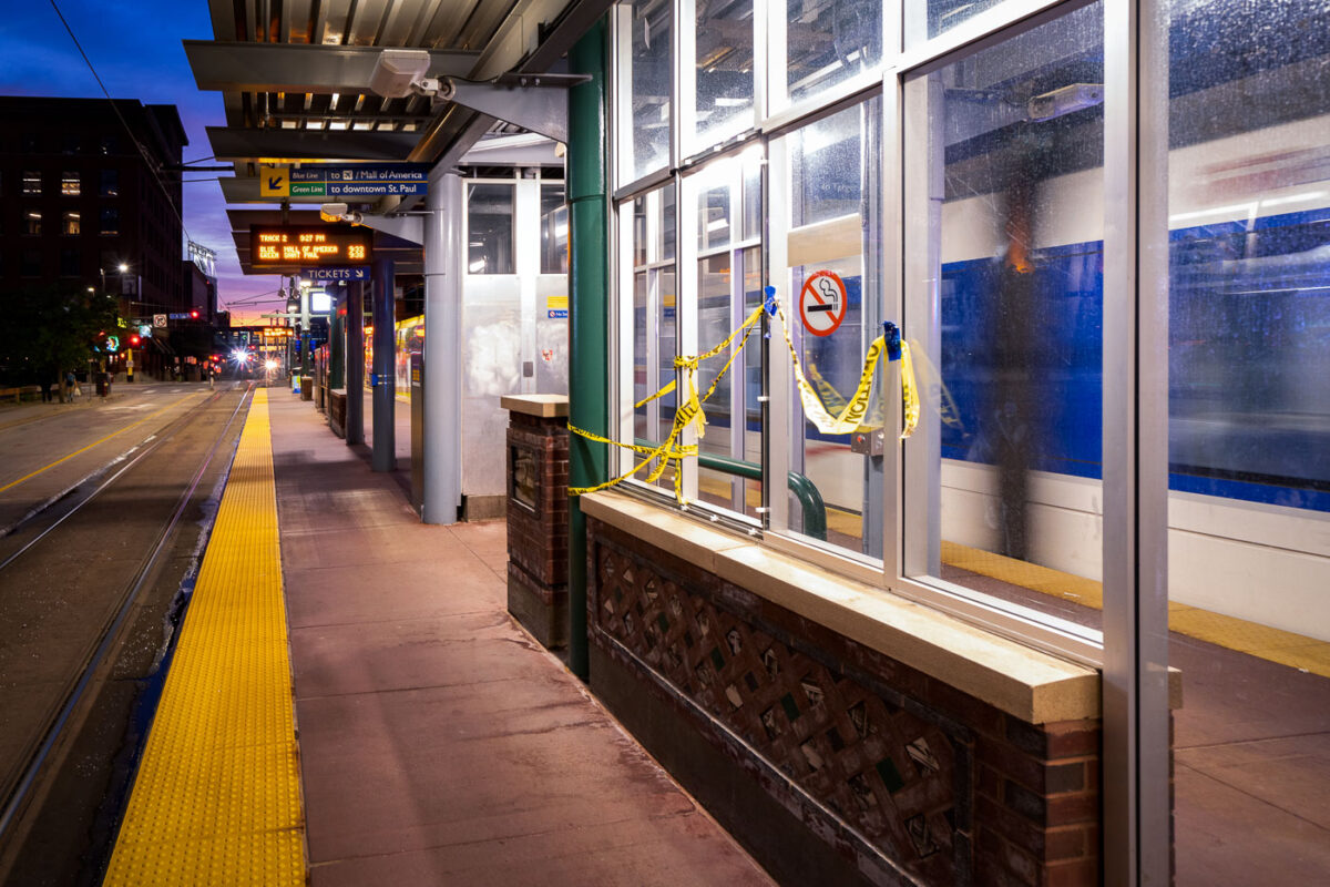
July 2020 — The Warehouse District Light Rail platform in Downtown Minneapolis with caution tape.
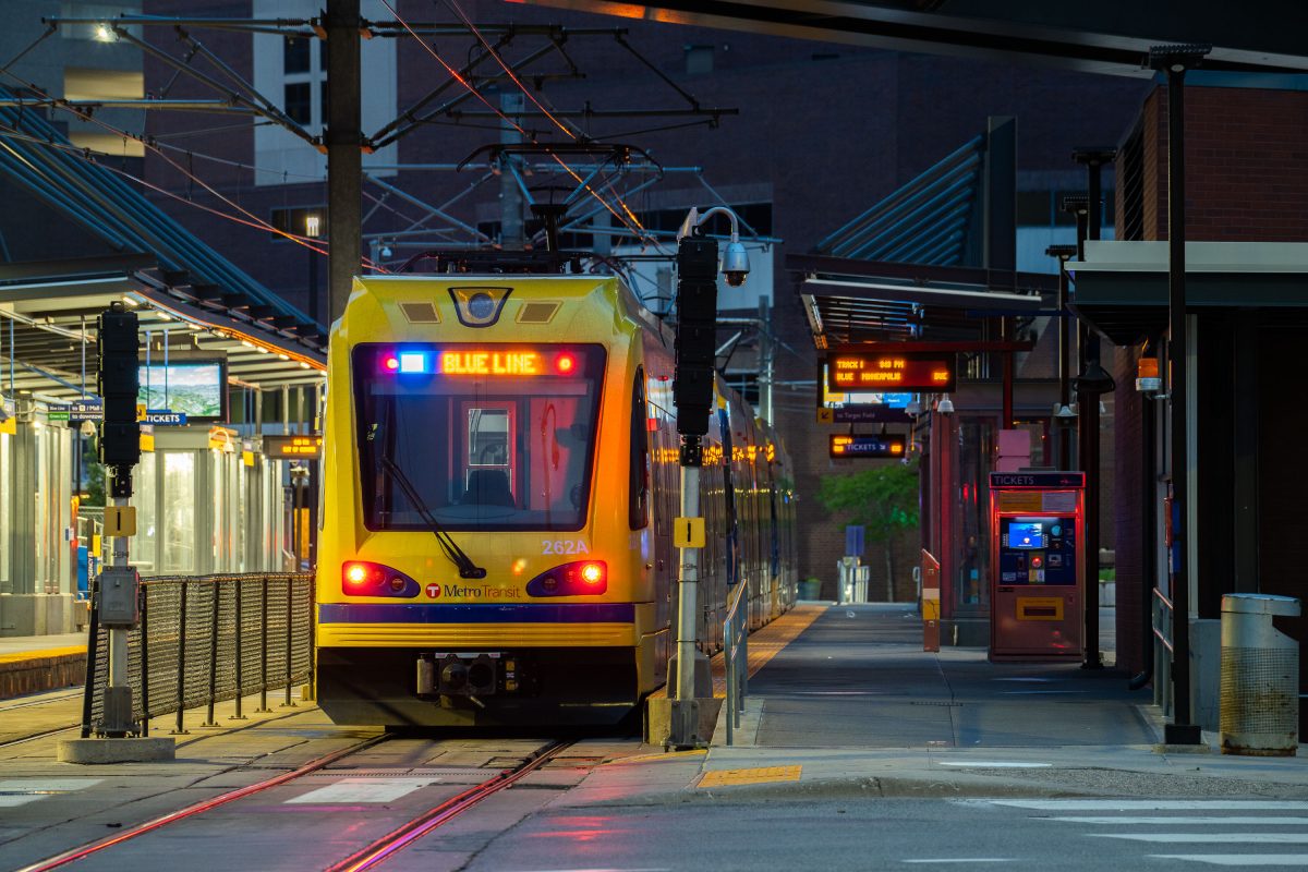
June 2020 —
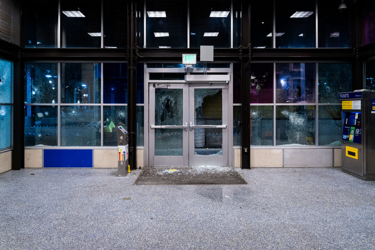
May 2020 — Broken windows at the Lake Street/Midtown Light Rail Station on May 28, 2020 during the 3rd day of protests in Minneapolis following the death of George Floyd.
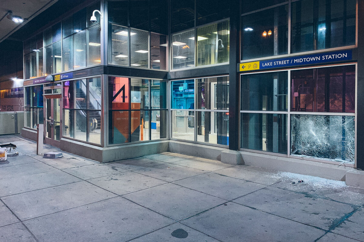
May 2020 — Broken windows on May 28, 2020 at the Lake Street/Midtown Station on the 3rd day of protests in Minneapolis following the death of George Floyd.
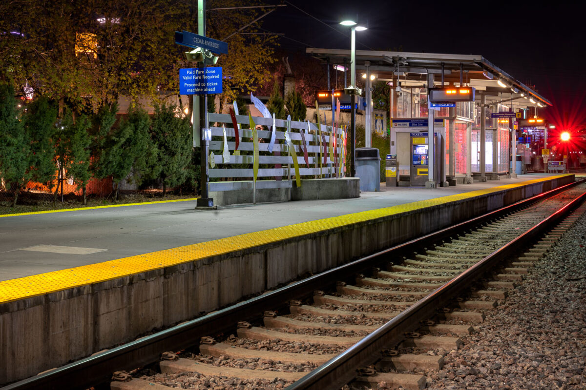
April 2020 — Cedar-Riverside LRT trains station in Minneapolis, Minnesota.
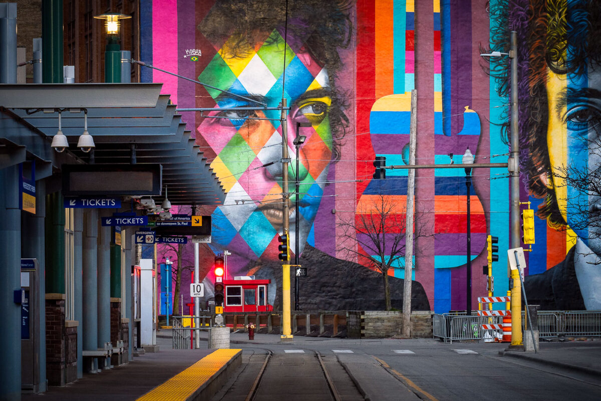
April 2020 — Bob Dylan Mural in downtown Minneapolis by Kobra during COVID-19 shutdown.
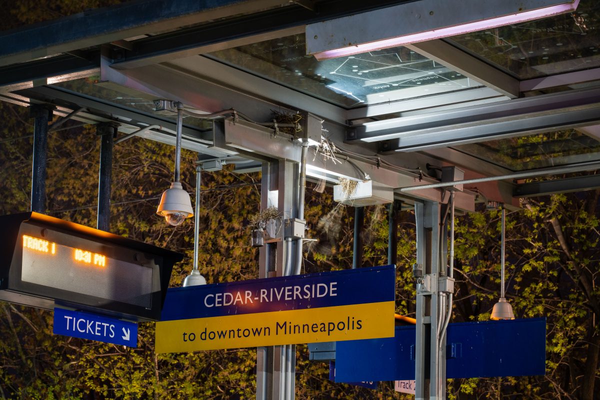
April 2020 —
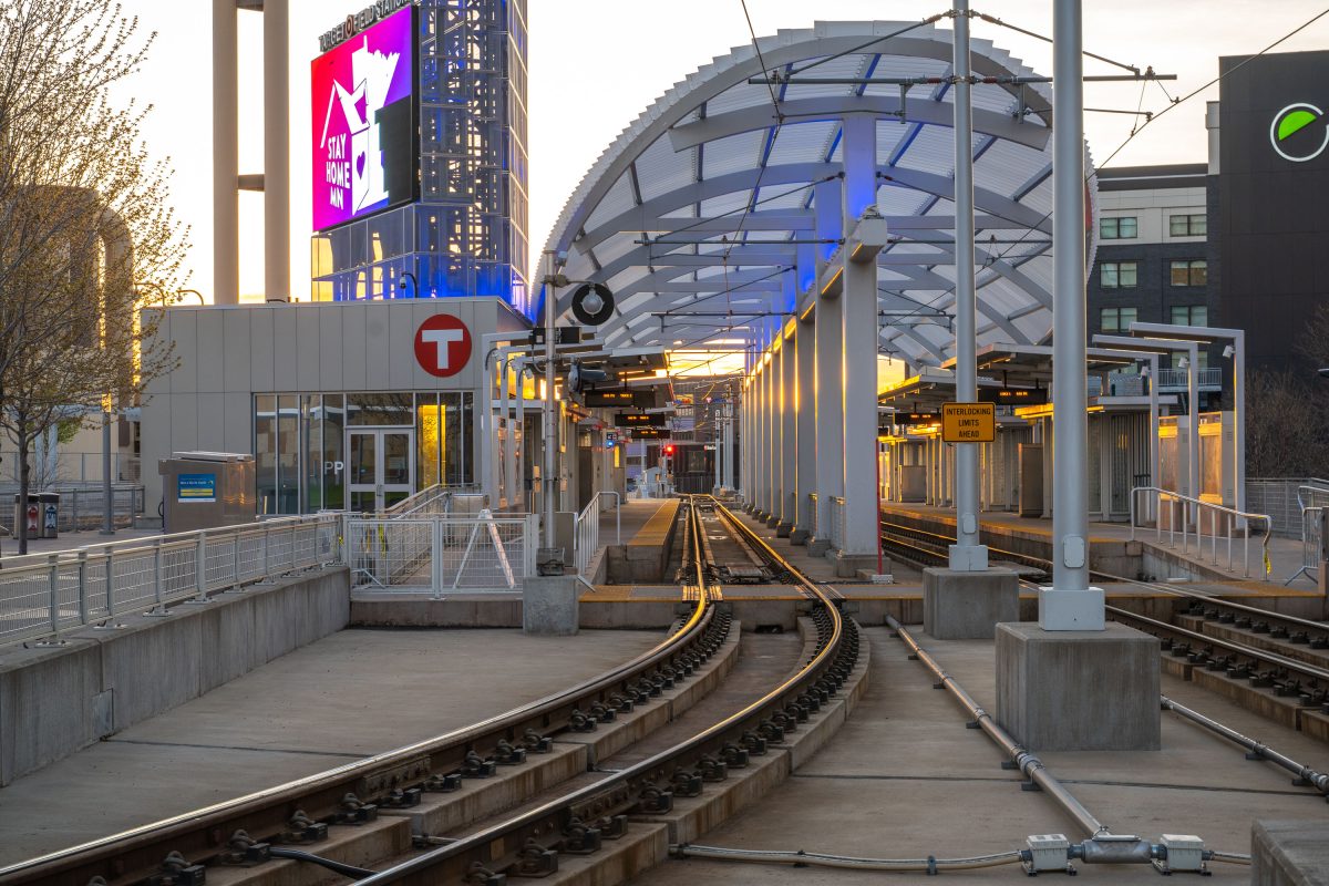
April 2020 —
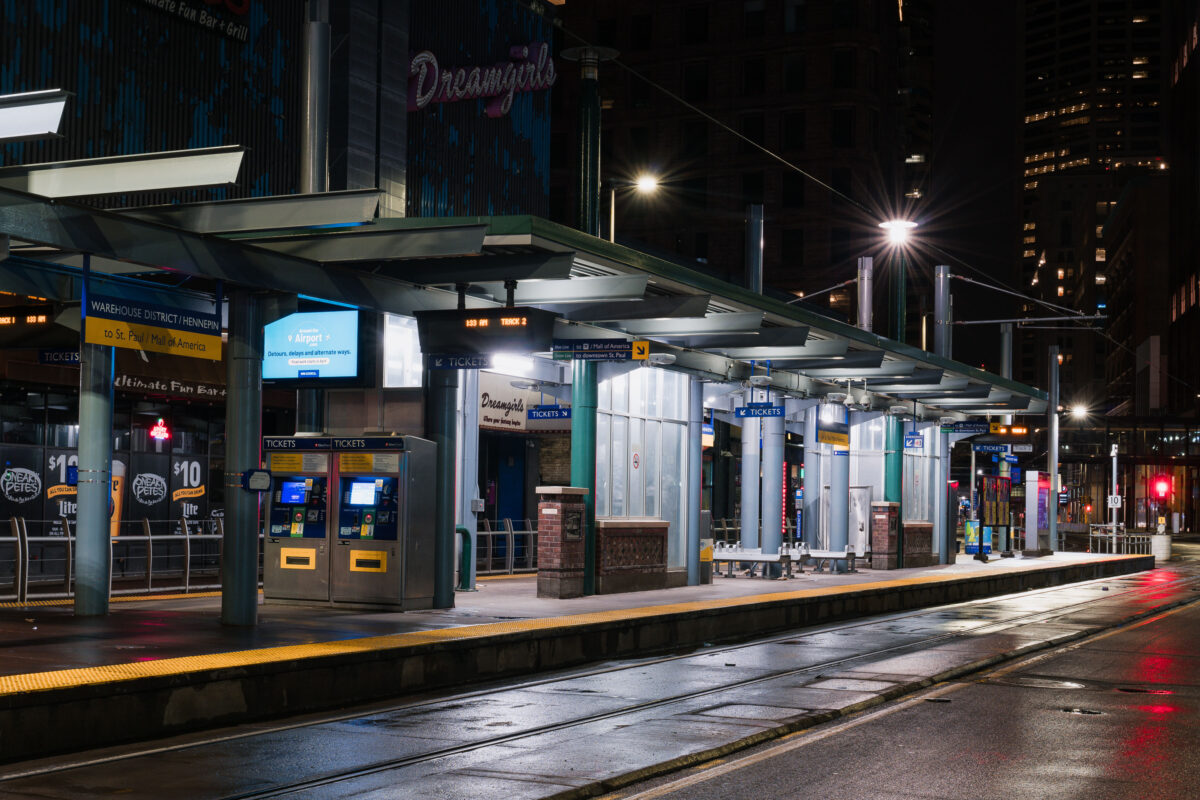
March 2020 — Warehouse District/Hennepin light rail station in Downtown Minneapolis in the hours after the Minnesota Stay At Home order went into effect.
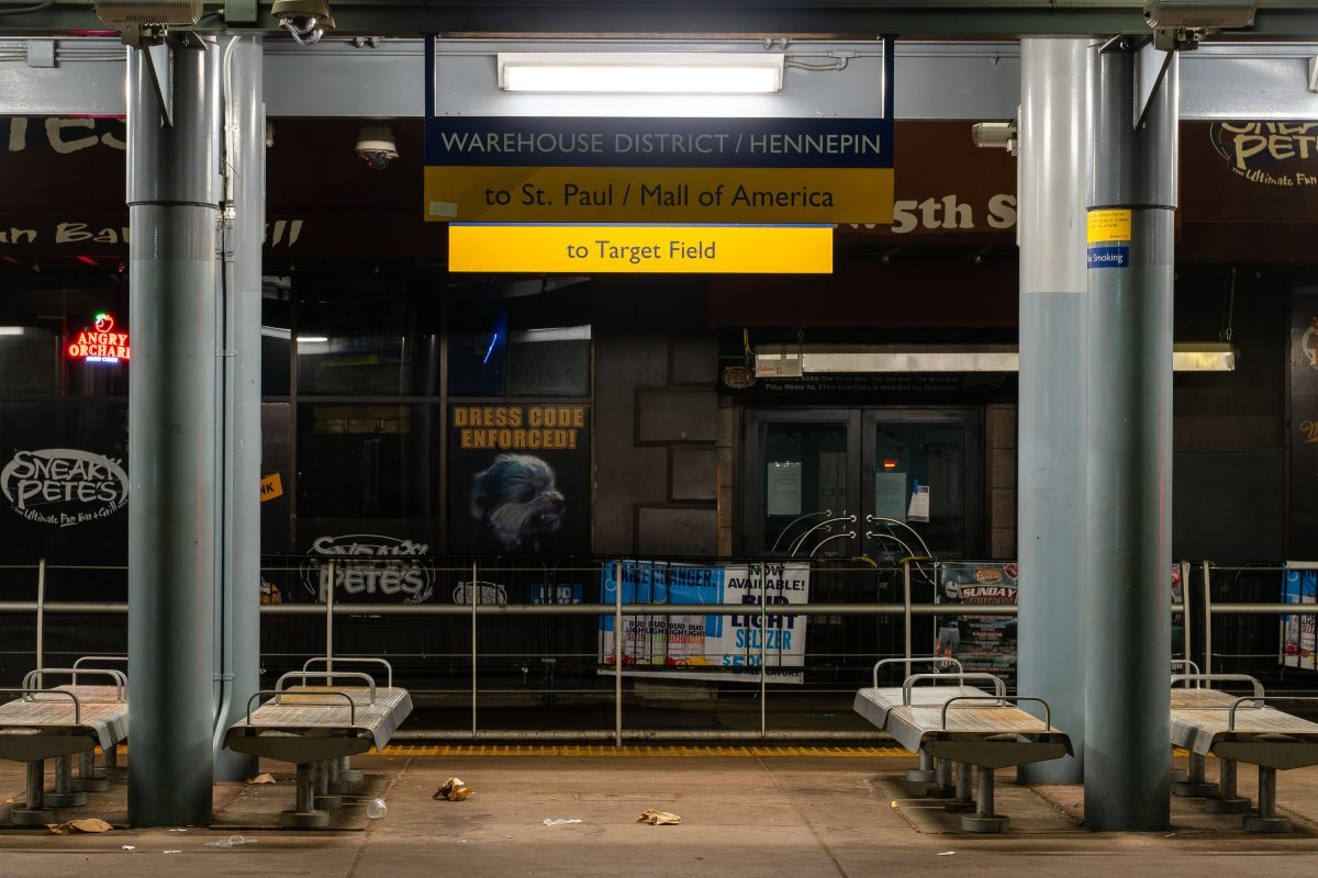
March 2020 —
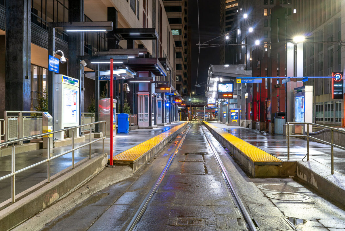
March 2020 — Nicollet Mall Light Rail Station on a rainy night in Downtown Minneapolis during Minnesota’s Stay At Home orders.
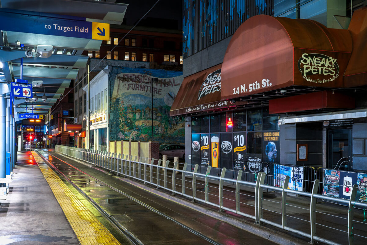
March 2020 — Sneaky Pete’s bar during the first night of Minnesota’s Stay At Home Order on 03/28/20.
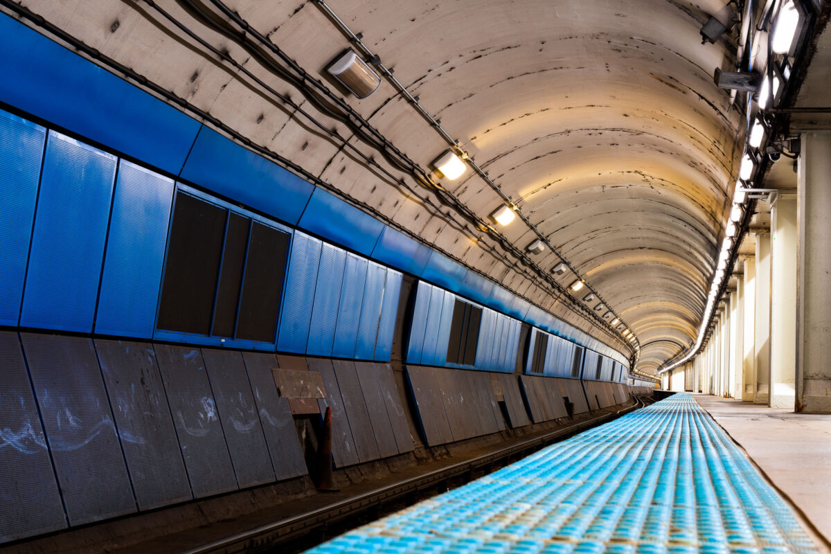
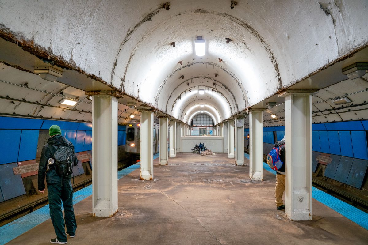
October 2019 — The curved platform of a Chicago Transit Authority Blue Line station reveals the utilitarian design of the city’s subway infrastructure, part of the Milwaukee–Dearborn subway opened in 1951. The tunnel’s tiled blue panels and low arched ceiling reflect the postwar engineering era that brought rapid transit beneath the Loop and the West Side, connecting O’Hare International Airport to downtown. Despite its age, this corridor remains a vital artery in Chicago’s daily commuter network, a symbol of mid-century urban mobility still in constant motion beneath the city streets.
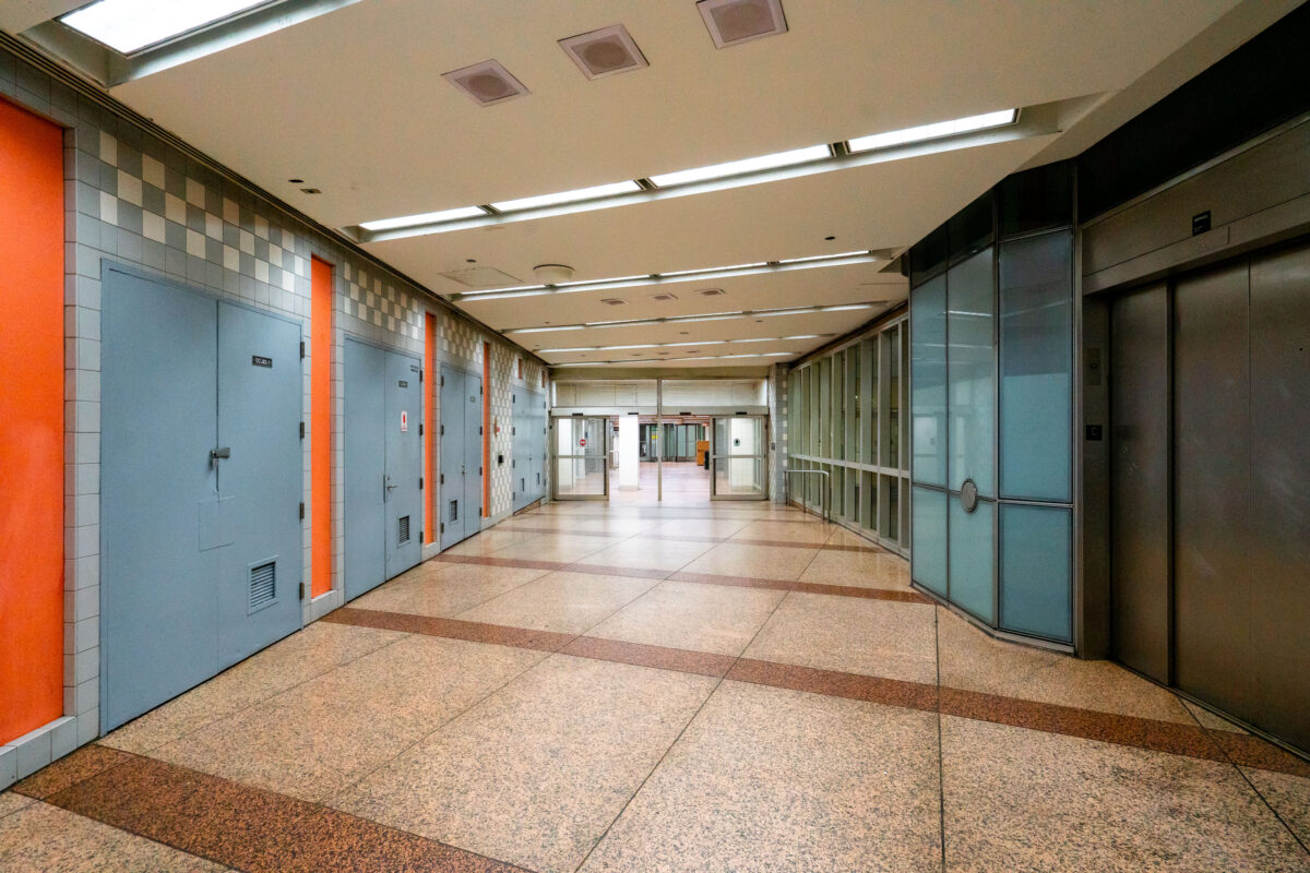
October 2019 — An empty corridor of the Chicago Pedway connects the Randolph/Washington subway station to surrounding office buildings and shopping centers beneath the Loop. The Pedway system, developed beginning in the 1950s, extends for more than 40 city blocks, linking major transit lines with civic and commercial spaces. Its mid-century design—terrazzo floors, tiled walls, and fluorescent lighting—reflects the city’s practical approach to all-weather pedestrian infrastructure, a defining feature of downtown Chicago’s urban core.
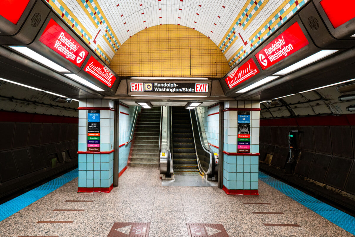
October 2019 — Randolph/Washington station sits beneath the heart of downtown Chicago, forming part of the CTA Red Line that runs through the State Street subway. Opened in 1943 as part of the city’s ambitious subway expansion, the station connects directly to the extensive Chicago Pedway system, linking offices, retail centers, and civic buildings underground. Its tiled vault and distinctive 1940s-era design remain largely intact, representing the Art Moderne phase of Chicago’s transit infrastructure.
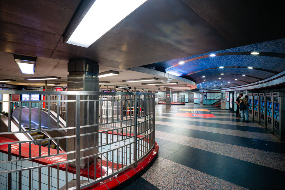
October 2019 — Passengers purchase tickets inside the Grand/State train station in Chicago.
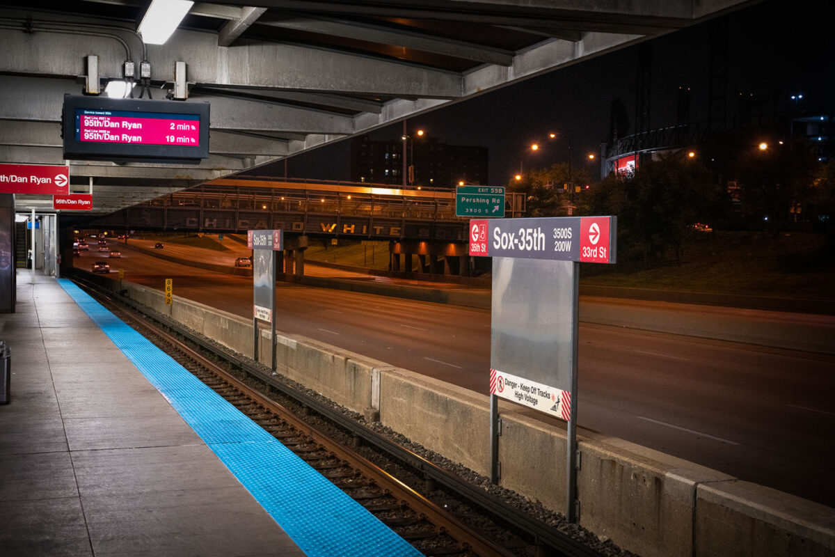
October 2019 — The Chicago Transit Authority’s Sox–35th station serves the Red Line on the city’s South Side, positioned above the Dan Ryan Expressway near Pershing Road. The station provides direct access to Guaranteed Rate Field, home of the Chicago White Sox, whose name can be seen across the pedestrian bridge in the background. Opened in 1969 as part of the Dan Ryan branch of the Red Line, the elevated structure was designed for efficiency amid highway traffic, symbolizing mid-century Chicago’s integration of mass transit and freeway infrastructure.
October 2019 —
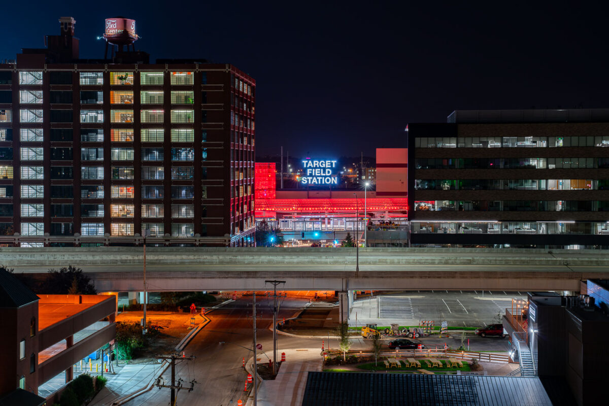
September 2019 — Opened in 2014, Target Field Station is a multimodal transit hub serving the METRO Blue and Green light rail lines, Northstar commuter rail, and several Metro Transit bus routes. It sits adjacent to Target Field, home of the Minnesota Twins, and doubles as a public gathering space with an amphitheater, green plaza, and year-round programming. In this night view, the glowing red canopy and bold “Target Field Station” signage stand out against the dark sky, framed between the historic Ford Center (left, built in 1912 as an assembly plant) and a modern office building (right). A freeway bridge cuts through the foreground, symbolizing the layered infrastructure of the city. This mix of historic brickwork, modern transit, and illuminated signage captures Minneapolis’s ongoing balance of industrial heritage and urban redevelopment.
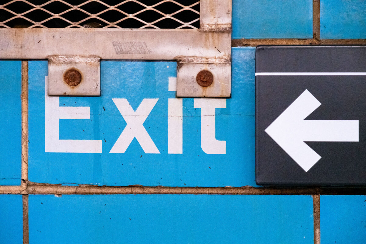
September 2019 — Exit signage at the Rector Street subway station in Manhattan New York City.
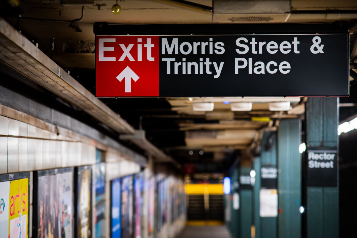
September 2019 — Rector Street subway station in Manhattan New York City.
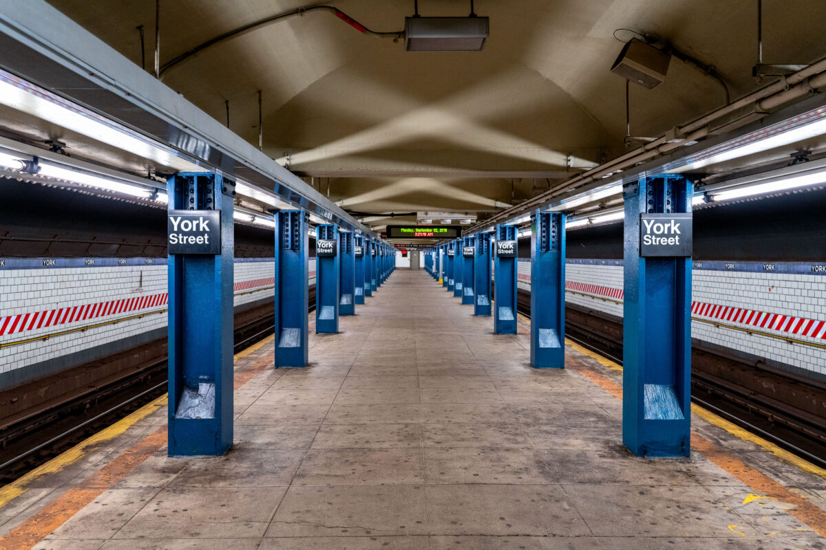
September 2019 — The York Street Station in Brooklyn, New York.
September 2019 —
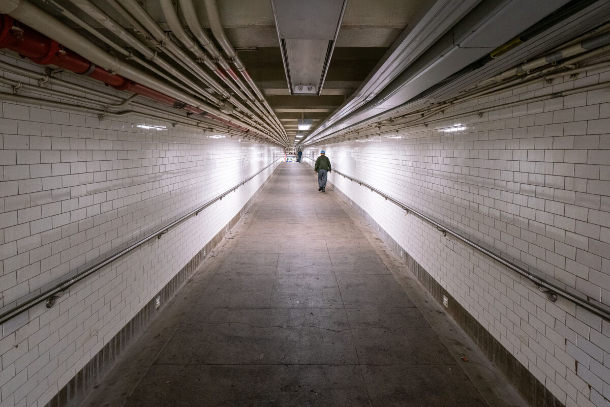
September 2019 — A man walks down a long hallway in the New York City Subway system.
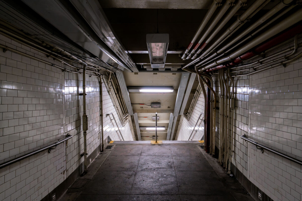
September 2019 — A dimly lit stairway leads down into a New York City subway station on Sunday, Sept. 14, 2025. Aging infrastructure and exposed piping are visible along the tiled walls.
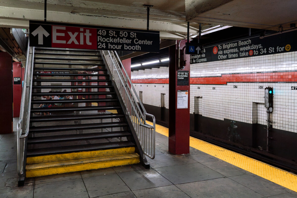
September 2019 — A staircase leads to the exit at the 47–50 Streets Rockefeller Center subway station in Manhattan. The station serves the B, D, F, and M lines.
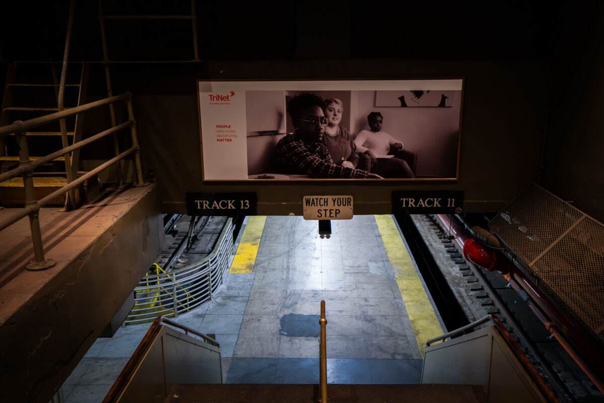
September 2019 — A stairway leads down to the train platforms for Tracks 11 and 13 at Penn Station in Manhattan. A sign reading “Watch Your Step” hangs above the stairs, while a black-and-white advertisement looms over the tracks in the busy transit hub.
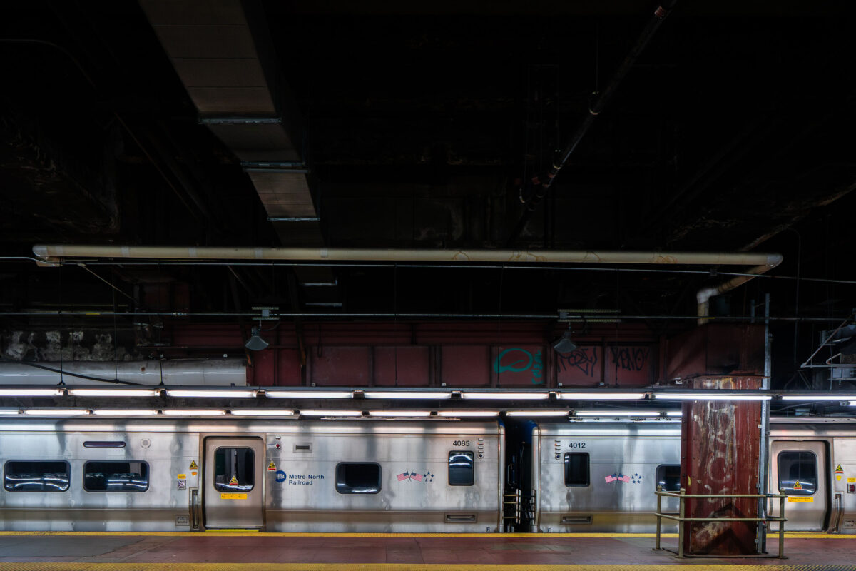
September 2019 — A Metro-North Railroad train sits at a platform inside Grand Central Terminal in Manhattan. The stainless-steel cars reflect the dim lighting of the underground station, where exposed pipes and graffiti-marked beams highlight the aging infrastructure of the busy commuter hub.
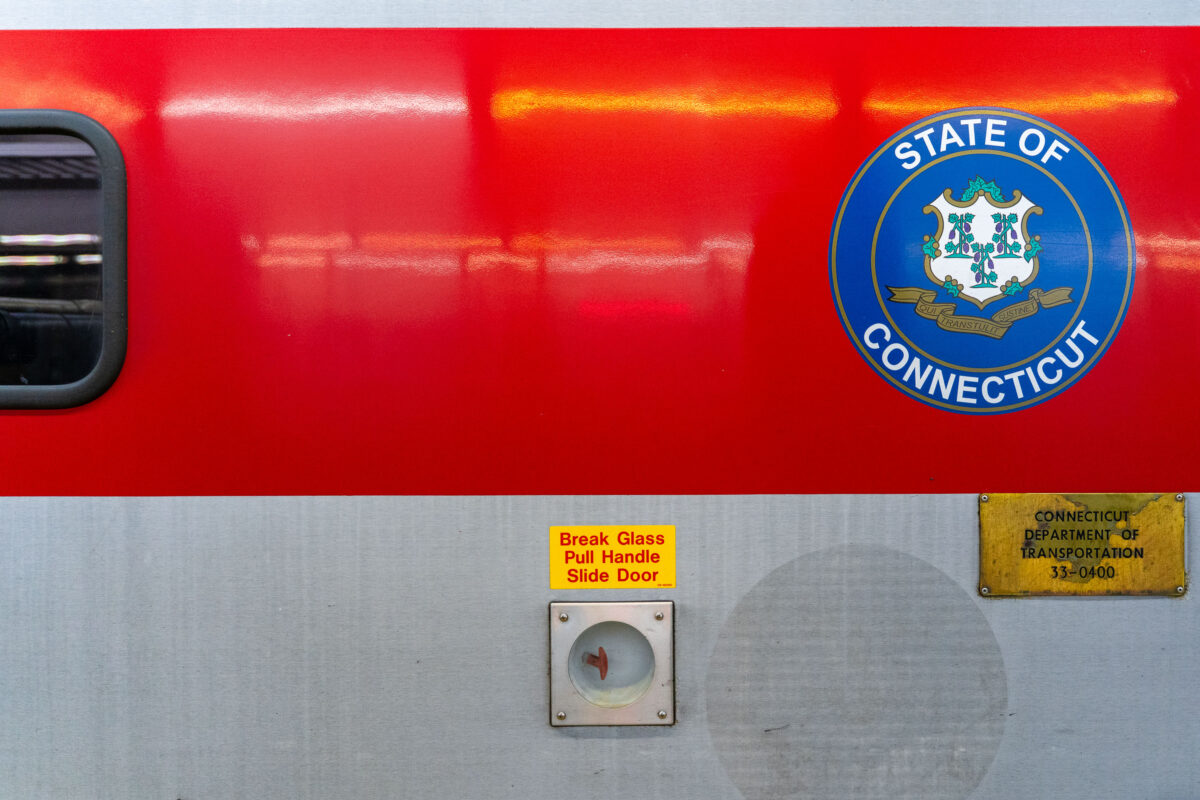
September 2019 — A Connecticut state seal is displayed on the side of a Metro-North Railroad train car, operated in partnership with the Connecticut Department of Transportation. The red-and-silver exterior includes safety instructions and signage, highlighting the regional rail system that connects commuters between New York and Connecticut.
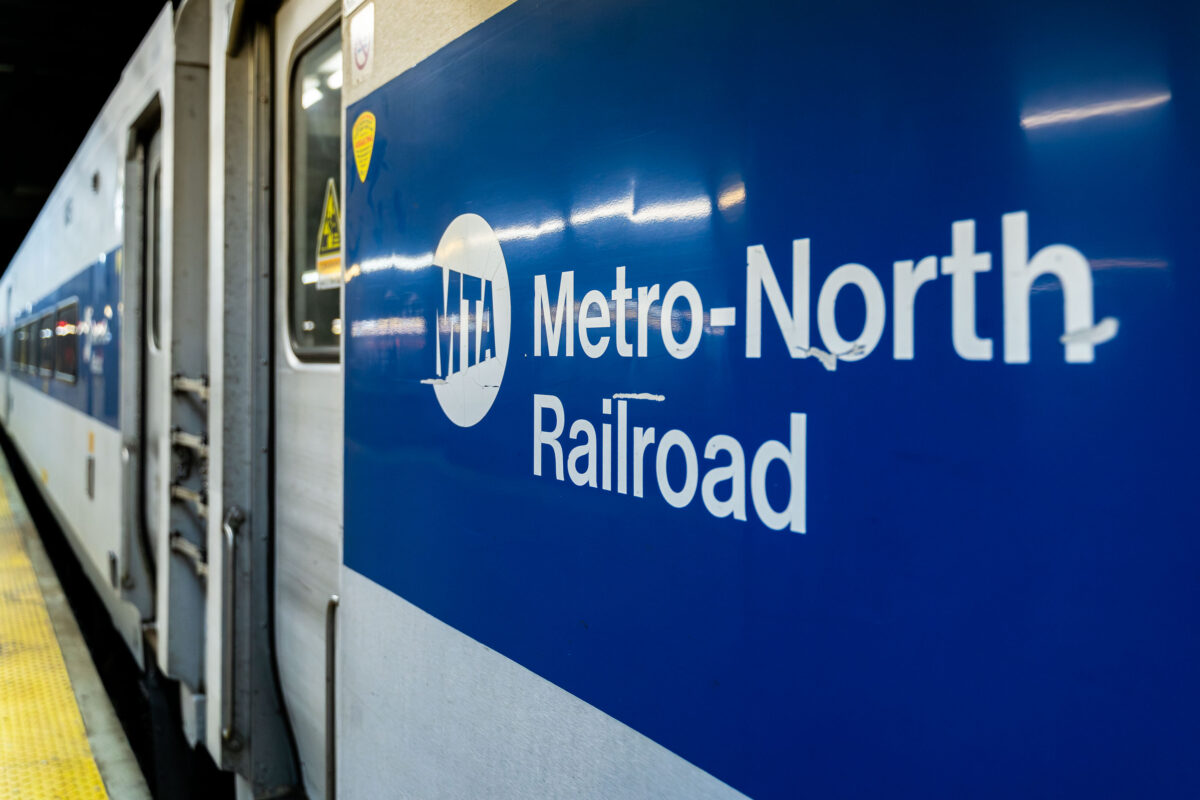
September 2019 — A Metro-North Railroad train is seen at a station platform, its blue-and-white exterior bearing the MTA logo. The commuter rail line, operated by the Metropolitan Transportation Authority, connects New York City with suburbs across New York State and Connecticut.
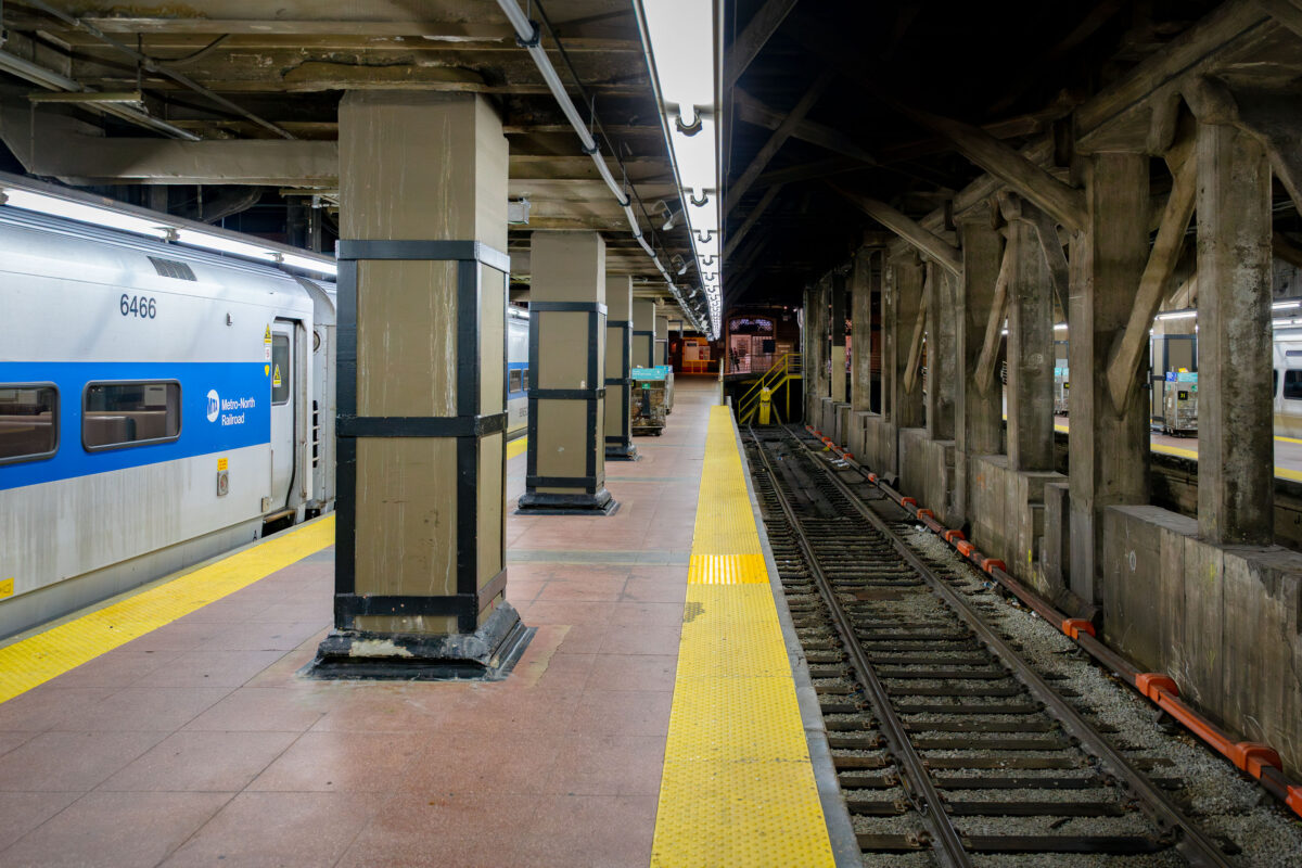
September 2019 — A Metro-North Railroad train waits at a platform inside Grand Central Terminal in Manhattan. The concrete pillars and exposed beams of the underground station frame the tracks, where the yellow warning strip lines the edge of the platform.
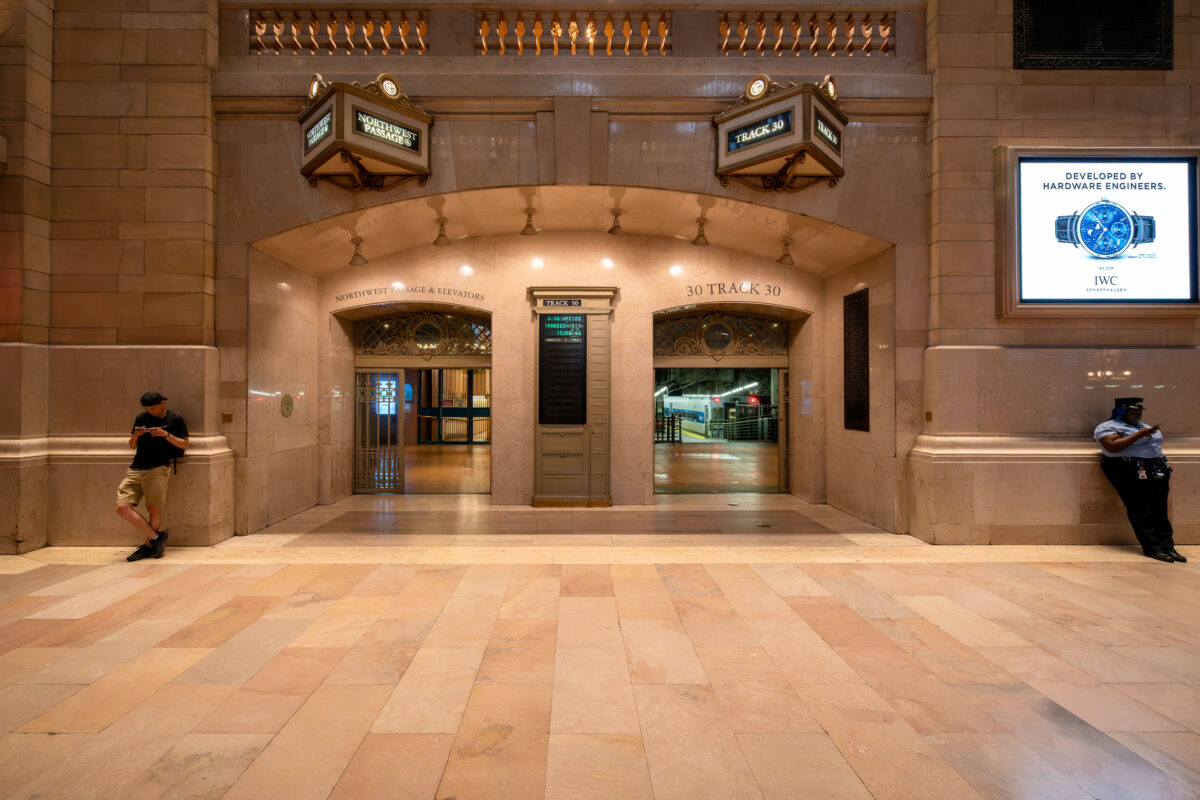
September 2019 — The entrance to Track 30 inside Grand Central Terminal in Manhattan is seen at night. The marble hallways of the landmark station lead to the train platforms below, as a commuter and a security officer stand near the archways beneath illuminated signs.
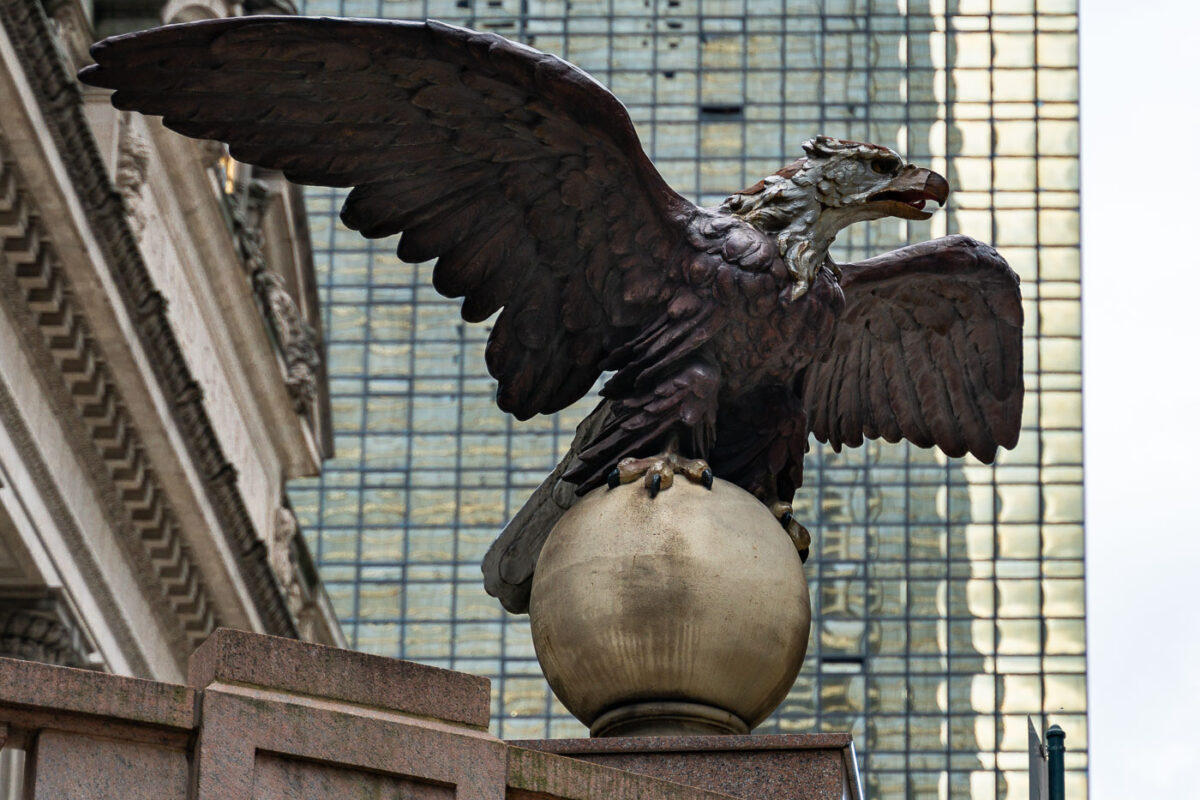
September 2019 — An eagle statue perched on a globe stands outside Grand Central Terminal in Manhattan. The bronze sculpture, one of several around the historic landmark, looks out over Midtown with the glass facade of the MetLife Building rising in the background.
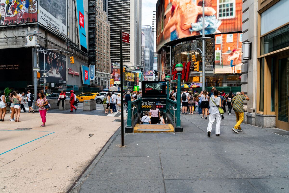
September 2019 — Pedestrians crowd the sidewalks around a subway entrance in Times Square, Manhattan. The 42nd Street–Times Square station, one of the busiest in New York City, connects multiple subway lines beneath the bright billboards, storefronts, and heavy traffic of the theater district.
August 2019 —
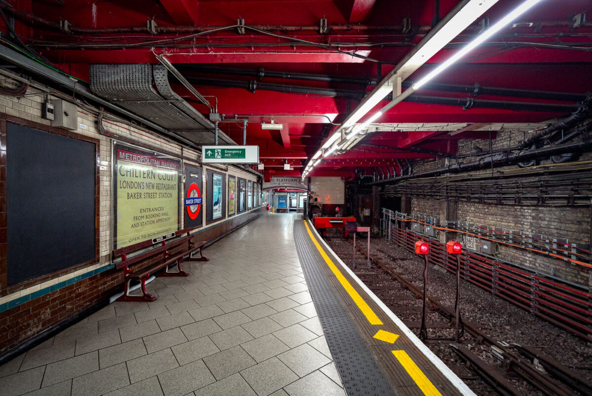
May 2019 — Baker Street Station’s Metropolitan Line platforms represent one of the oldest sections of the London Underground, opened in 1863 as part of the world’s first subterranean railway. The terminus platforms, seen here, retain their cut-and-cover Victorian brickwork paired with modern safety updates and striking red-painted steel reinforcements added during later refurbishments. The station originally served the Metropolitan Railway’s steam-hauled trains running between Paddington and Farringdon before electrification in the early 20th century transformed the network. Period signage advertising “Chiltern Court” and the original Metropolitan Railway branding pay homage to its heritage, contrasting with the exposed wiring, signal lights, and tiling that reveal more than 160 years of evolving underground infrastructure. Today, Baker Street remains a key interchange, connecting five Underground lines while preserving much of the industrial atmosphere that defined London’s pioneering approach to mass transit.
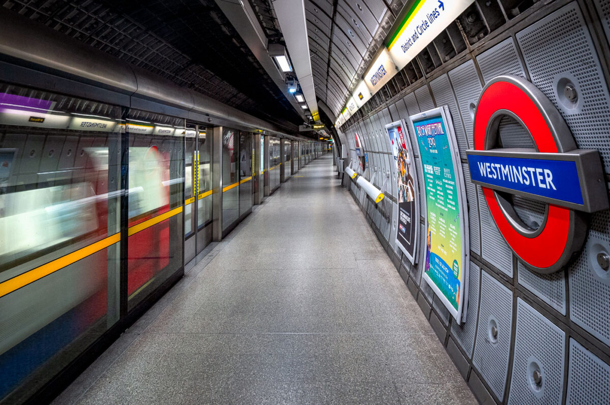
May 2019 — The Jubilee Line platforms at Westminster Underground Station represent the deep-level engineering and modernist design of London’s late-20th-century transit expansion. Constructed as part of the 1999 Jubilee Line Extension, these platforms sit approximately 30 meters below ground, directly beneath the District and Circle line tunnels. Designed by Foster + Partners, the station features full-height platform screen doors — a safety innovation uncommon on most of the Underground — and a sleek system of acoustic panels and perforated aluminum cladding that enhance both sound control and visual uniformity. Every structural and material detail reflects the project’s dual purpose: to manage immense passenger flow serving Parliament and Whitehall above, while preserving architectural clarity within a highly constrained urban site. The smooth curvature of the platform walls, precision lighting, and isolation of mechanical systems behind layered steel panels highlight the station’s integration of industrial functionality with the aesthetics of modern infrastructure.
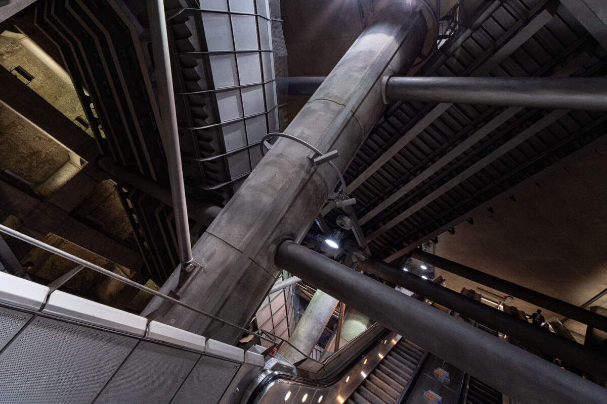
May 2019 — Westminster is a London Underground station in the City of Westminster. It is served by the Circle, District and Jubilee lines. On the Circle and District lines, the station is between St. James's Park and Embankment, and on the Jubilee line it is between Green Park and Waterloo. It is in Travelcard Zone 1. The station is located at the corner of Bridge Street and Victoria Embankment and is close to the Houses of Parliament, Westminster Abbey, Parliament Square, Whitehall, Westminster Bridge, and the London Eye. Also close by are Downing Street, the Cenotaph, Westminster Millennium Pier, the Treasury, the Foreign and Commonwealth Office, and the Supreme Court.
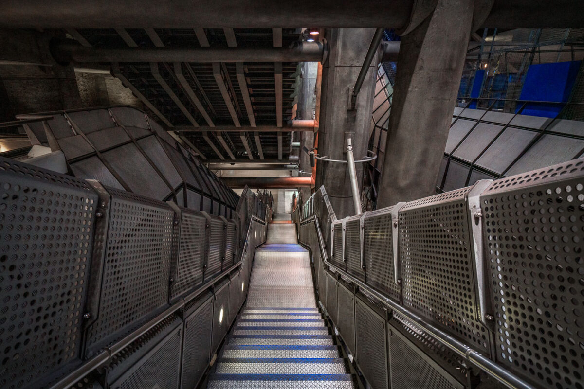
May 2019 — The angular steel and concrete design of Westminster Underground Station represents one of the most ambitious architectural undertakings of London’s Jubilee Line Extension, opened in 1999. Designed by Foster + Partners, the station descends more than 30 meters below ground beside the Houses of Parliament, requiring deep excavation and advanced structural engineering to stabilize the surrounding historic area. The stairwell seen here showcases the station’s signature industrial aesthetic — exposed concrete ribs, perforated metal panels, and massive supporting beams that evoke the look of a subterranean cathedral of infrastructure. Built within a massive box excavated beneath Bridge Street, Westminster’s layout integrates vertical circulation through lifts, escalators, and these steep stairways connecting the ticket hall to multiple underground levels. The design not only accommodates heavy passenger volumes but celebrates the raw mechanics of public transit, merging utility with architectural expression.
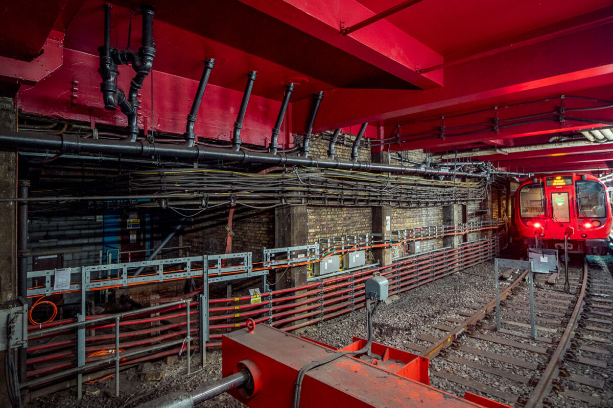
May 2019 — Deep beneath central London, Baker Street’s Metropolitan Line platforms reveal the layered engineering of one of the oldest functioning railway systems in the world. The exposed brick tunnel and steel framing date back to the Victorian “cut-and-cover” era of the 1860s, when steam locomotives first ran through these very corridors. The heavy red girders seen above were reinforced during modern refurbishments, supporting the city streets above while housing utilities and cable conduits that power today’s Underground network. The train at the far end belongs to the S8 Stock series, introduced in 2010 by Bombardier for the Metropolitan Line, equipped with air conditioning and regenerative braking. The dense web of cables and control boxes along the wall carries signal, communication, and traction power circuits, all vital to the line’s safe operation. Baker Street’s infrastructure embodies London Transport’s continual evolution—from soot-covered tunnels to precision-controlled, electrically powered systems still running along the same 19th-century alignments.
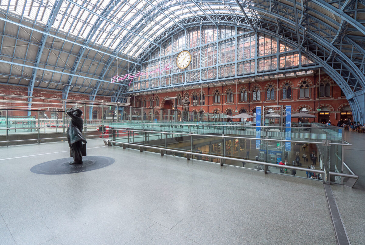
May 2019 — King's Cross St. Pancras (formerly King's Cross) is a London Underground station on Euston Road in the Borough of Camden, Central London. It serves King's Cross and St Pancras main line stations in fare zone 1, and is an interchange between six Underground lines. The station was one of the first to open on the network; as of 2017, it is the most used station on the network for passenger entrances and exits combined.