Minnesota

5,913 photos · 2008–2026

5,913 photographs tagged Minnesota, 2008–2026.
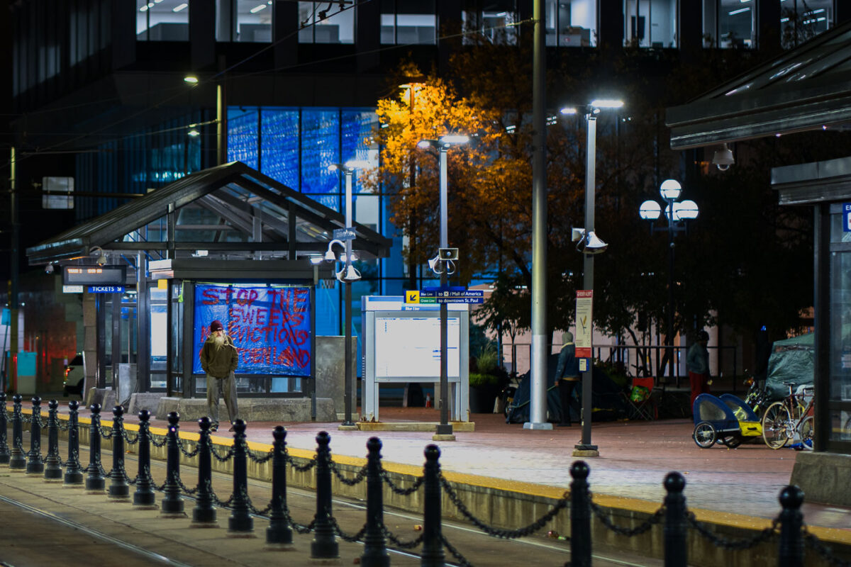
Homelessness protest at Minneapolis City Hall
A protestor stands before a banner at Minneapolis City Hall, demanding a moratorium on encampment clearings. The banner reads "STOP THE SWEEP" and lists demands for clear guidelines and proof of funding for housing solutions for unhoused residents. This protest highlights ongoing concerns about homelessness and housing security in Minneapolis, particularly in relation to public spaces and city governance.

Minneapolis City Hall Protest: Moratorium on Encampment Clearings
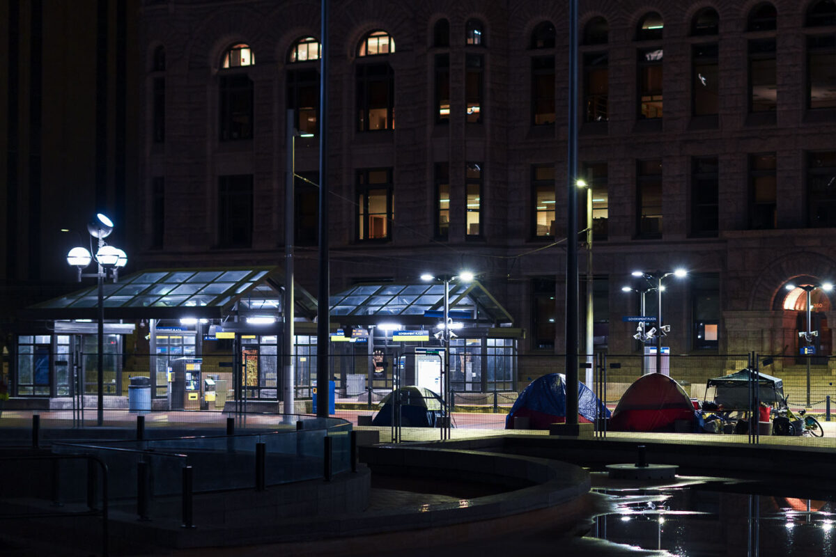
Protest Encampment at Minneapolis City Hall
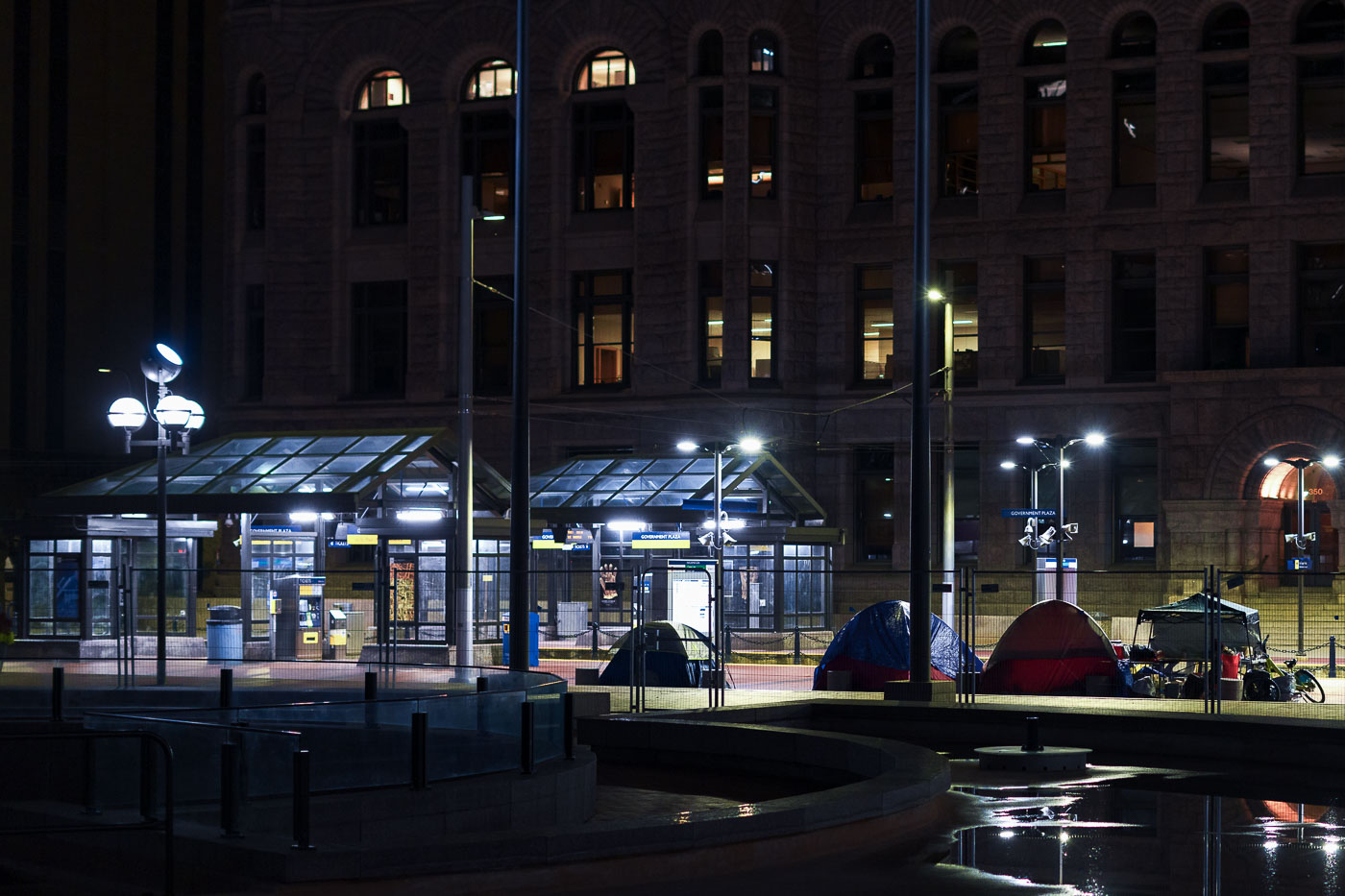
Tents are set up outside Minneapolis City Hall at night, where protesters have been holding space. The protesters' demands include a moratorium on encampment clearings, clear guidelines for encampments, and proof of funding for permanent housing solutions for unhoused residents.

Minneapolis City Hall Protest Encampment at Night
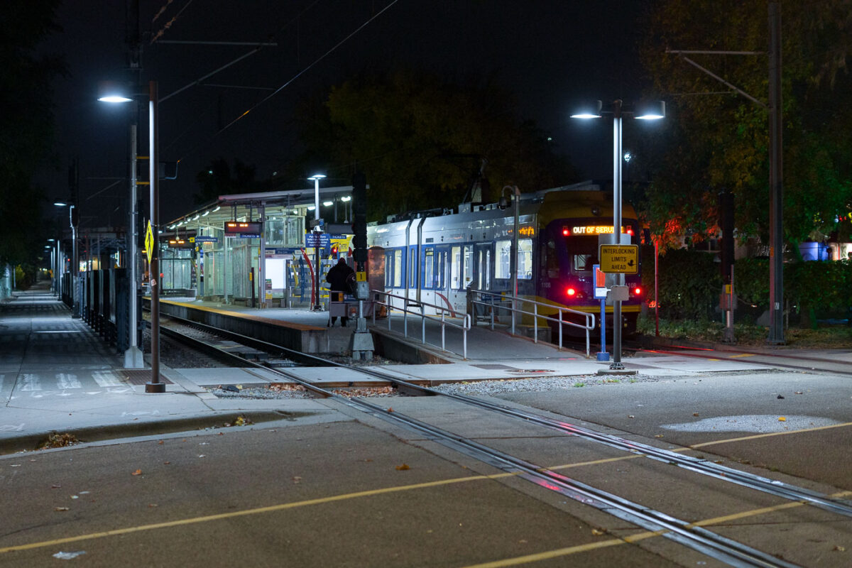
Cedar Riverside Train Station at night in Minneapolis
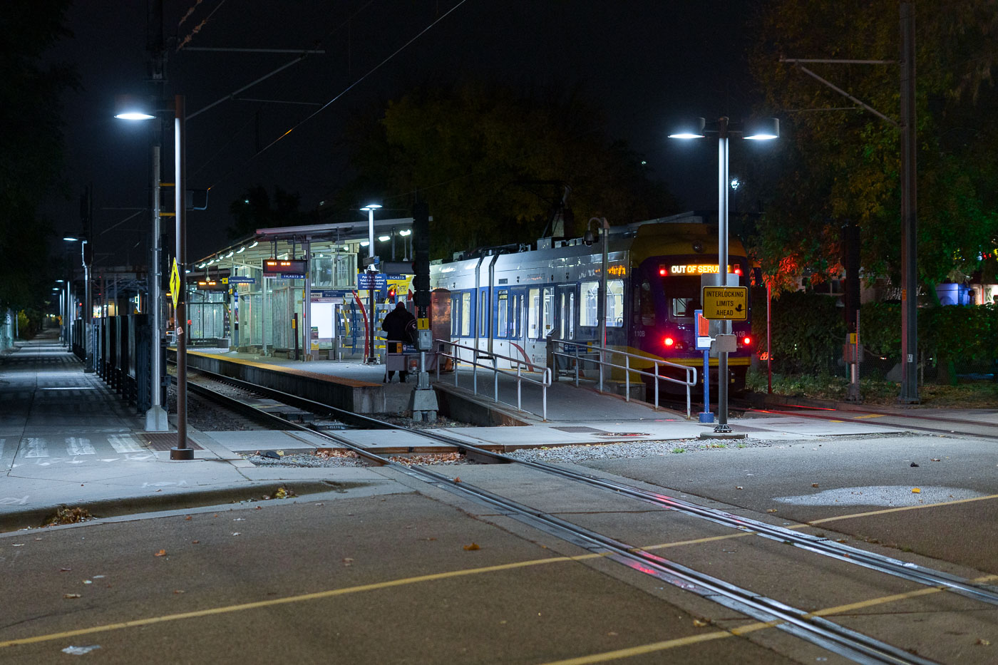
Cedar-Riverside Station, a key transit hub in South Minneapolis, serves as a stop on the Metro Transit Green Line. Opened in 2014 as part of the Central Corridor project, the station connects residents and visitors to downtown Minneapolis and St. Paul. The station's design incorporates modern elements while serving the daily needs of commuters and travelers.

Cedar Riverside Station, Minneapolis: Light Rail at Night
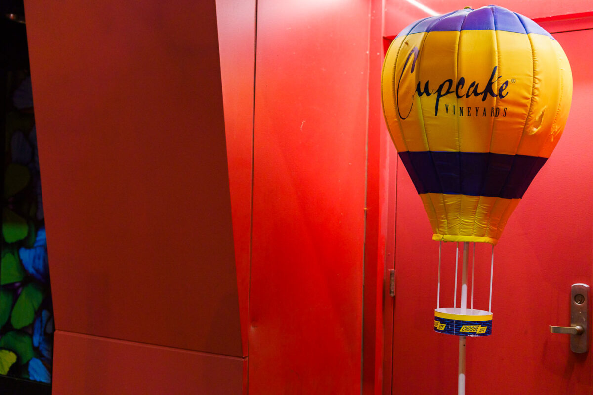
Cupcake Vineyards balloon display in a red-lit doorway in Minneapolis.
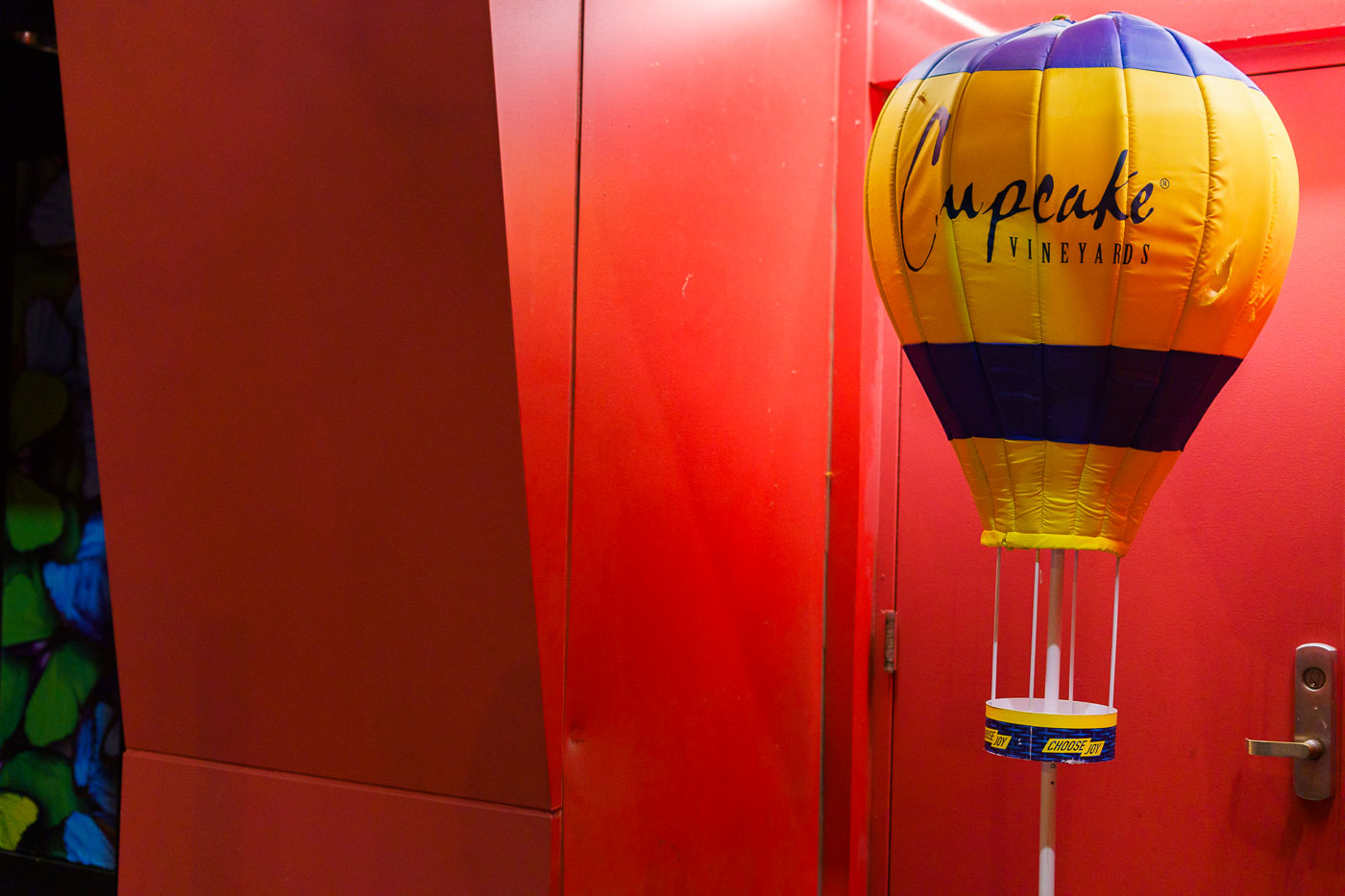
A Cupcake Vineyards promotional hot-air-balloon display stands at the edge of a red-lit entryway.

Cupcake Vineyards Display in a Red-Lit Entryway
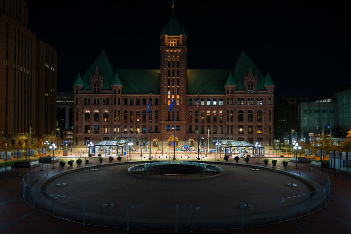
Encampment protest at Minneapolis CIty Hall
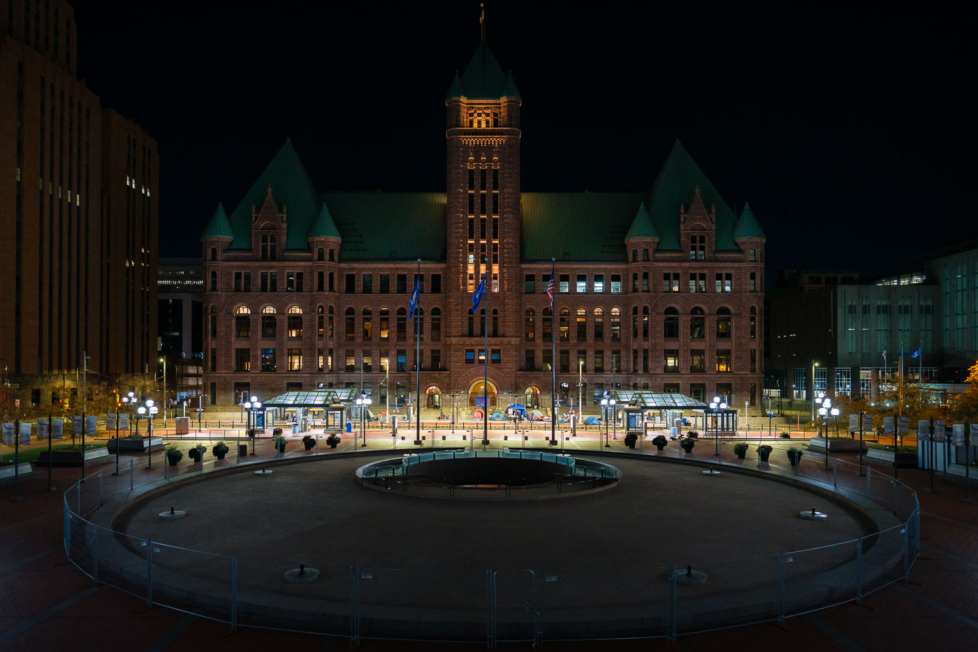
Minneapolis City Hall, a Beaux-Arts building completed in 1909, serves as the seat of government for the city. In this nighttime photograph, tents are visible on the plaza in front of the building, indicating an encampment. Protesters associated with this encampment have stated demands for a moratorium on encampment clearings, clear guidelines for encampments, and proof of funding for permanent housing solutions for unhoused individuals. The presence of the encampment highlights ongoing issues of homelessness in Minneapolis.

Minneapolis City Hall Encampment at Night
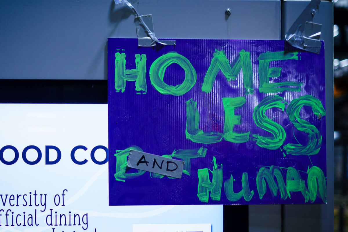
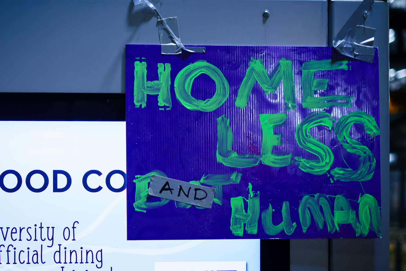
Homeless and Human protest sign at Minneapolis City Hall
Protesters gathered at Minneapolis City Hall to advocate for unhoused residents. The sign reads "HOMELESS AND HUMAN," emphasizing the humanity of those experiencing homelessness. The protest demanded a moratorium on encampment clearings, clear guidelines for encampments, and proof of funding for permanent housing solutions.

Minneapolis City Hall Protest: Homeless and Human Sign
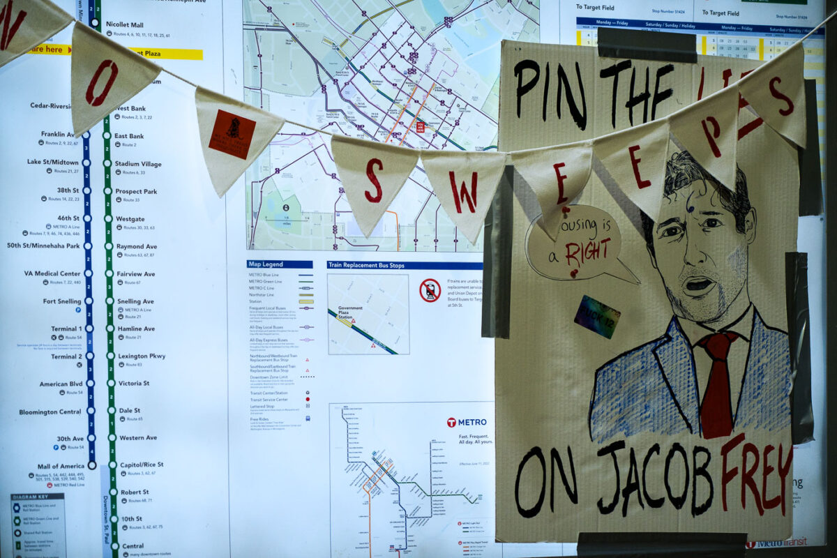
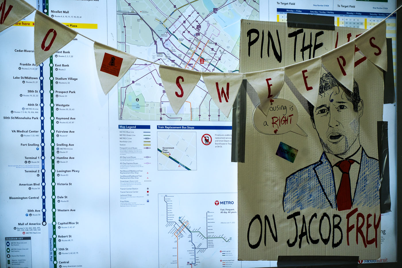
Pin the lies on Jacob Frey poster at city hall protest
Protesters gathered at Minneapolis City Hall to oppose the clearing of encampments. The "Pin the Sweeps on Jacob Frey" banner, featuring a caricature of the mayor, reflects the protesters' demands for a moratorium on encampment sweeps, clear guidelines, and proof of funding for permanent housing solutions.

Minneapolis City Hall Protest Against Sweeps of Encampments
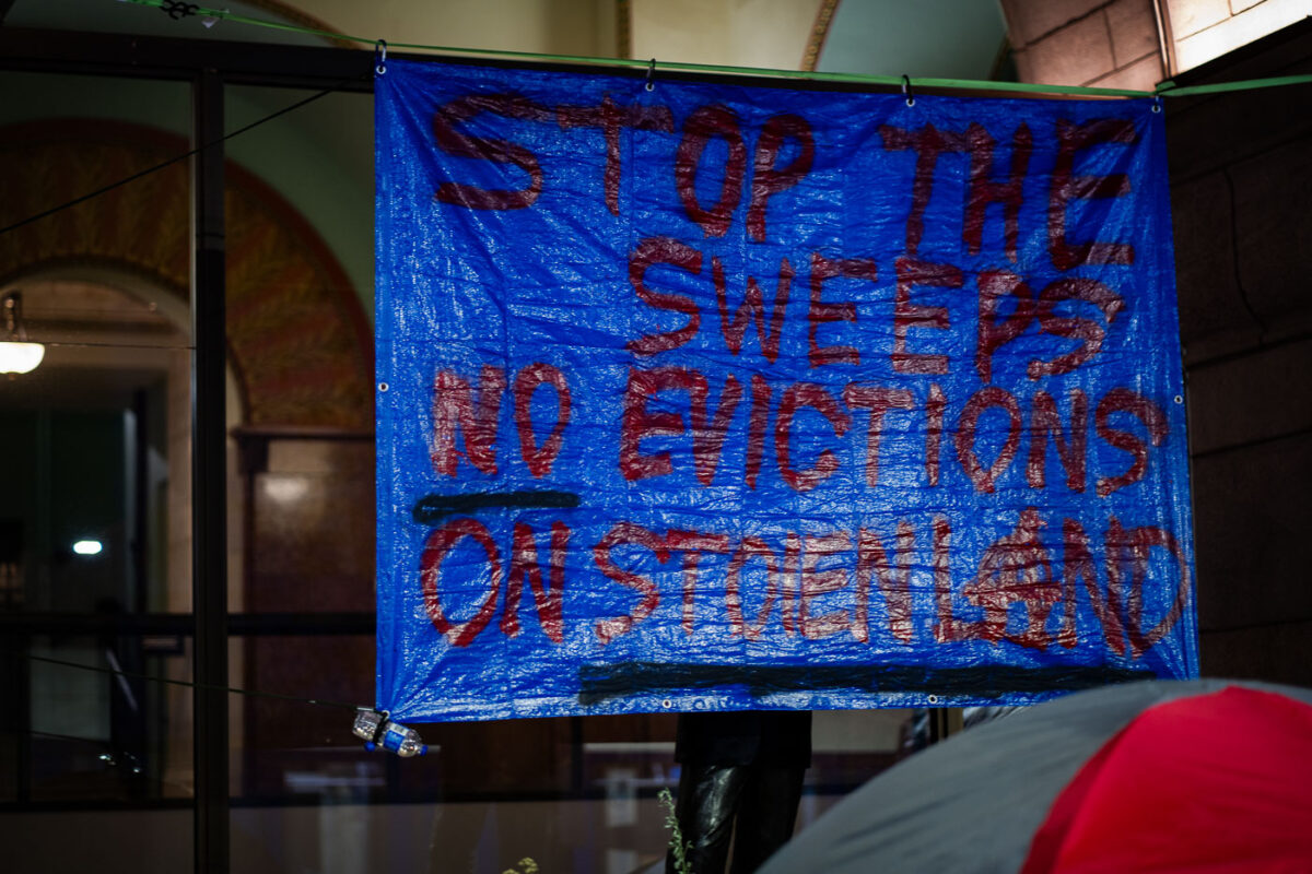
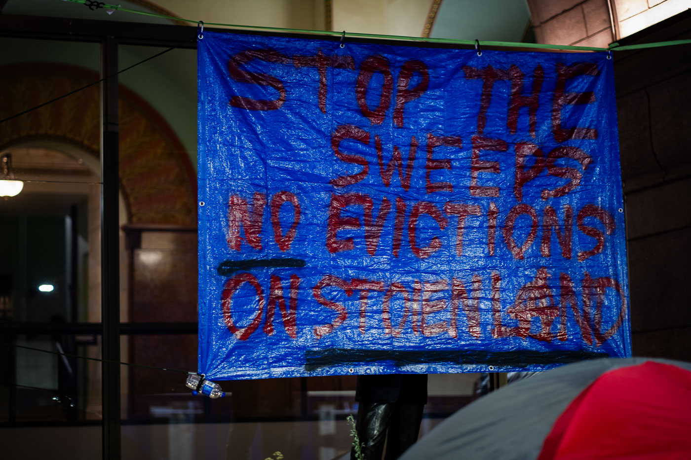
Stop The Sweeps No Evictions on Stolen Land
Protesters gathered at Minneapolis City Hall to advocate for unhoused residents. The banner reads "STOP THE SWEEPS, NO EVICTIONS ON STENCILAND," indicating a demand for a moratorium on encampment clearings and evictions. This protest highlights ongoing concerns about housing insecurity and the treatment of homeless populations in Minneapolis.

Minneapolis City Hall Protest: Stop Sweeps, No Evictions
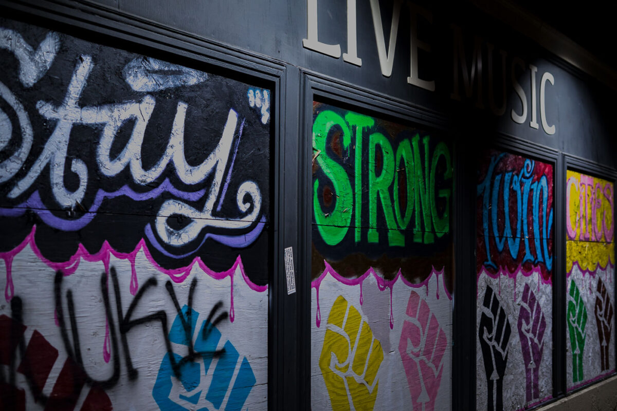
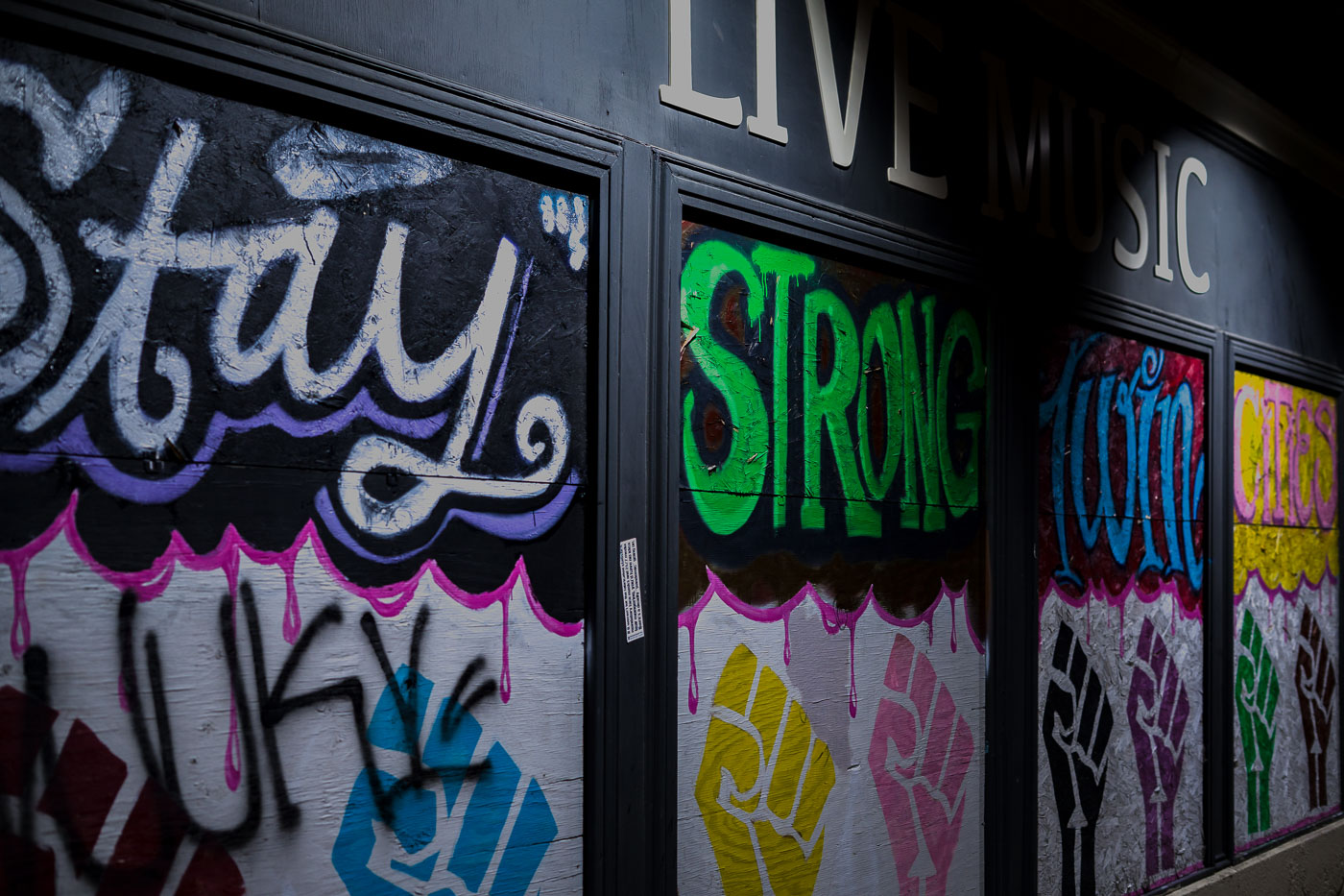
Mortimers Bar Painted Boards
Graffiti art adorns the boarded-up windows of Mortimer's Bar on Lyndale Avenue in Minneapolis. The messages "Stay Strong" and "Twin Cities" are visible, alongside painted fists symbolizing solidarity and resistance. These boards were installed during the civil unrest following the murder of George Floyd in 2020, a period of significant protest and activism in Minneapolis. Mortimer's, a long-standing establishment known for its live music, became a canvas for community expression during this time.

Mortimer’s Bar: “Stay Strong” Graffiti on Lyndale Ave, Minneapolis
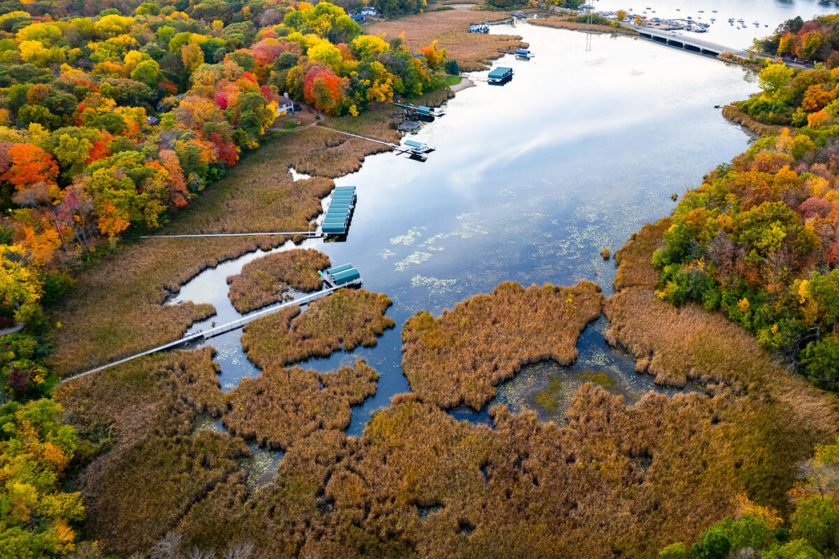
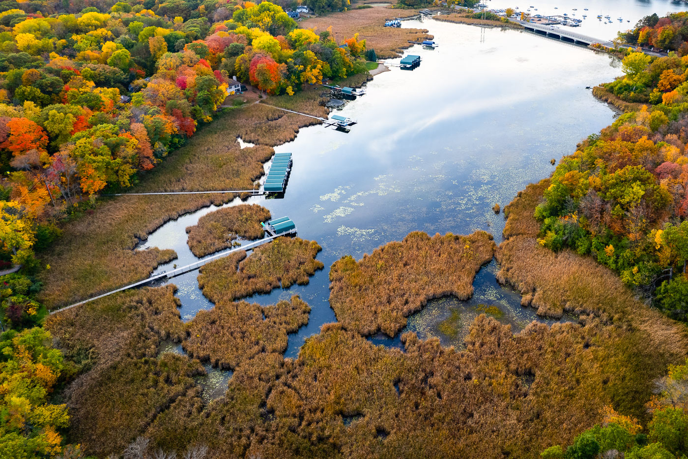
Lake Minnetonka wetlands and boat slips near Deephaven, Minnesota.
Lake Minnetonka wetlands and boat slips near Deephaven, Minnesota. This shallow eastern bay includes marsh habitat along the shoreline and private docks extending from nearby homes. The area is part of the lake’s connected basin system and lies near the Deephaven and Greenwood shoreline communities.

Lake Minnetonka Wetlands and Boat Slips, Deephaven
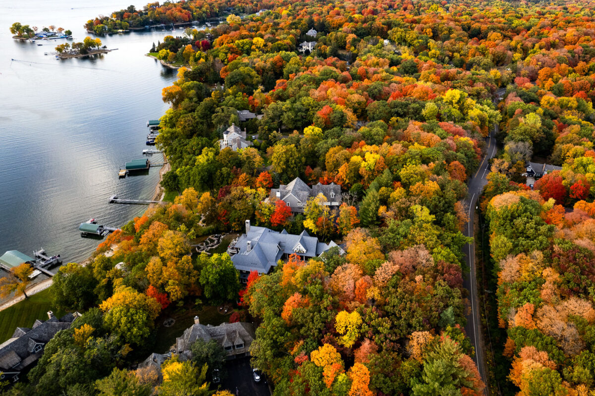
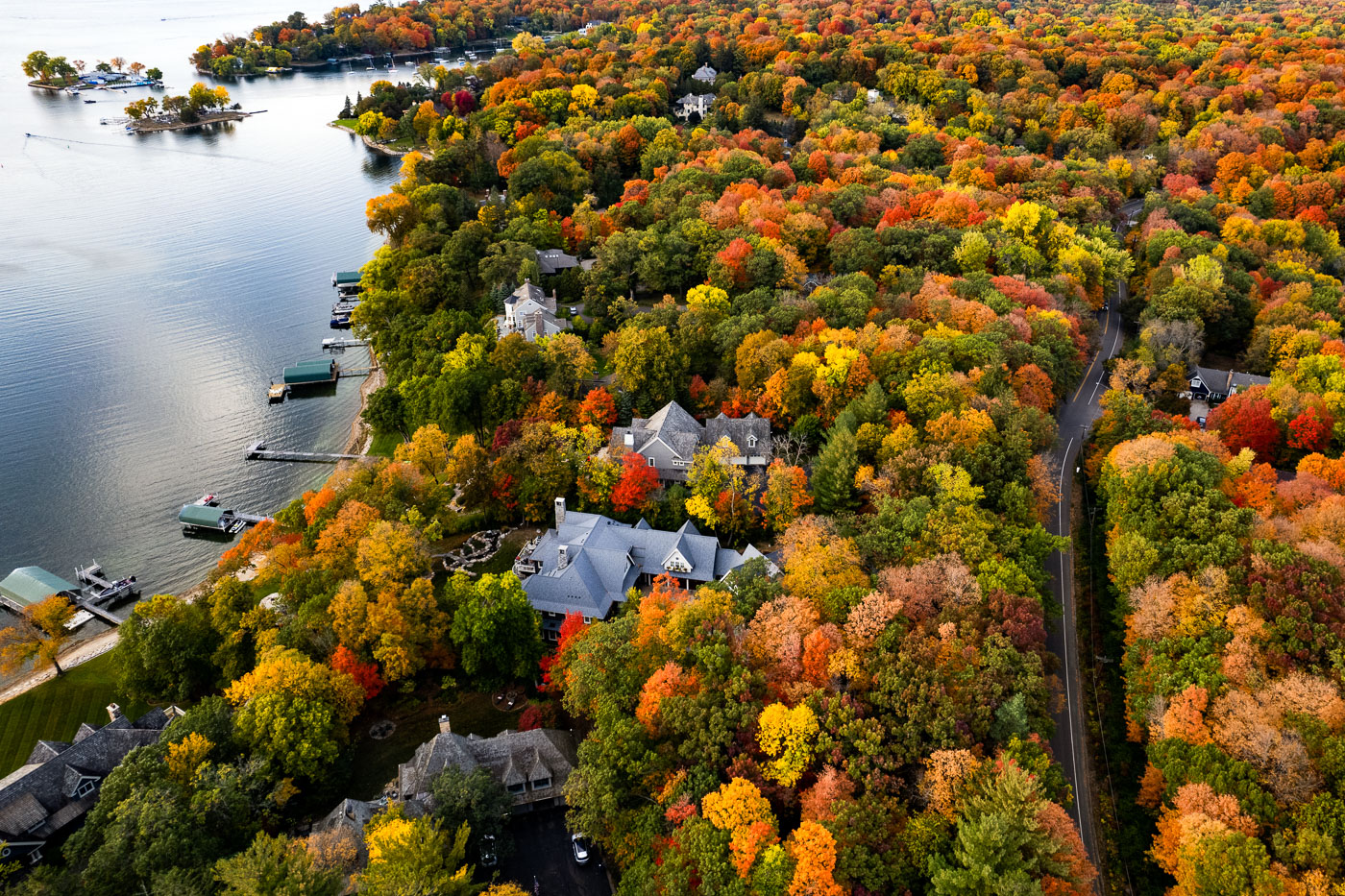
Deephaven, Minnesota shoreline homes on Lake Minnetonka surrounded by autumn trees.
Deephaven, Minnesota, lines the southeastern shore of Lake Minnetonka. The community is known for wooded residential lots, shoreline homes, and private docks along sheltered coves and peninsulas. In autumn, the dense tree cover surrounding the lakefront homes turns vivid shades of red, yellow, and orange.

Deephaven Shoreline Homes on Lake Minnetonka
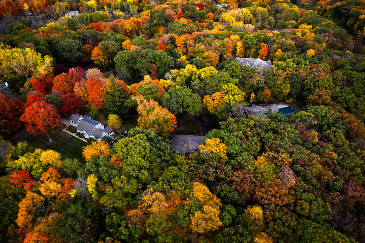
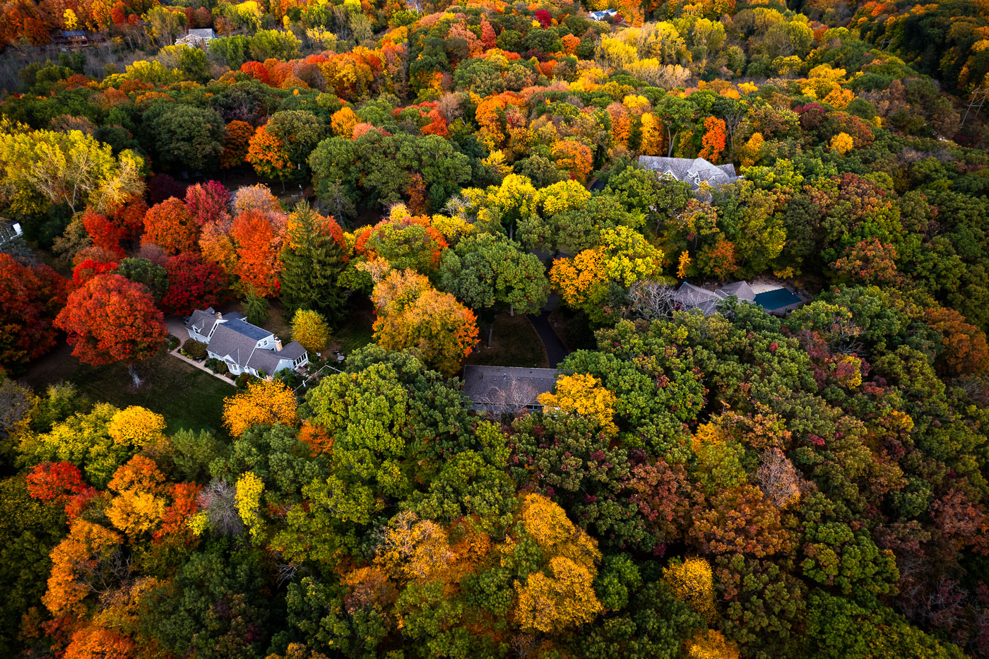
Deephaven, Minnesota residential canopy near Lake Minnetonka in autumn.
Deephaven, Minnesota, near Lake Minnetonka, is characterized by large wooded residential lots and mature hardwood trees. In autumn, the neighborhood’s canopy forms a dense mix of maple, oak, and basswood color across the shoreline community. The area developed with low-density housing and preserves extensive tree cover between homes and roads.

Deephaven Residential Canopy, Lake Minnetonka
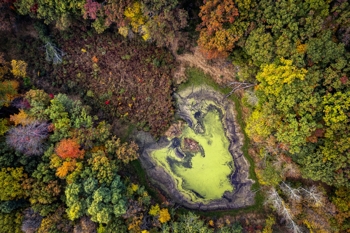
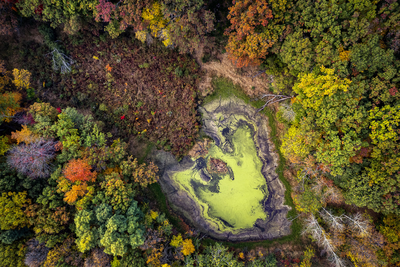
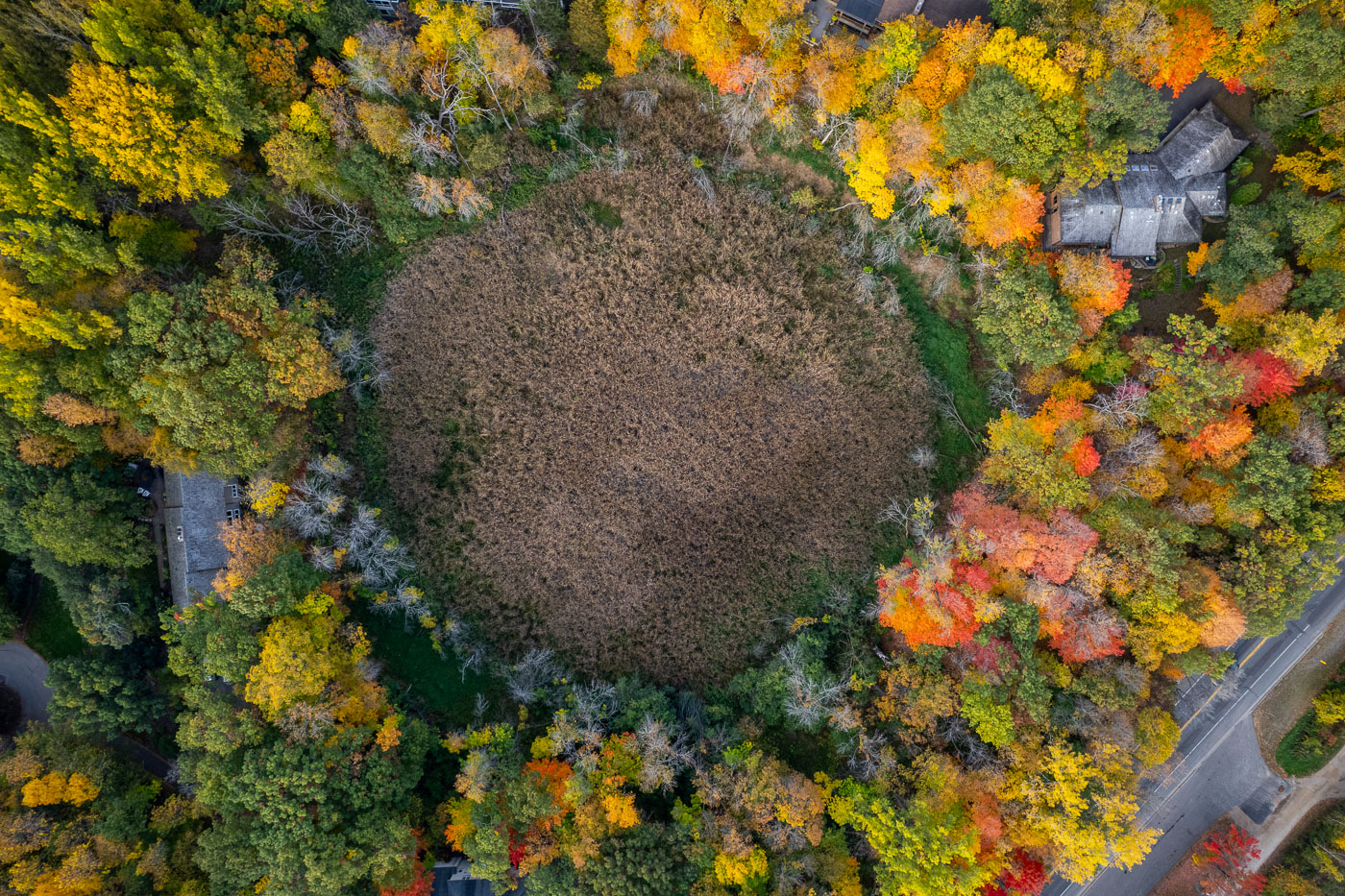
Deephaven wetland basin near Lake Minnetonka surrounded by autumn woods.
Deephaven wetland basin near Lake Minnetonka, Minnesota. Seasonal low water has exposed mudflats around the basin, with surrounding hardwoods and pines in autumn color.

Deephaven Wetland Basin, Lake Minnetonka

Deephaven lakeside road near Lake Minnetonka bordered by dense autumn trees.
Deephaven, Minnesota, along a lakeside road near Lake Minnetonka. Mature hardwoods and pines form a dense residential canopy in autumn color along the shoreline.

Deephaven Lakeside Road in Autumn

Deephaven wetland basin near Lake Minnetonka surrounded by autumn trees.
A wetland basin in Deephaven, Minnesota, lies amid tree-lined residential streets near Lake Minnetonka. The surrounding canopy is in peak autumn color.

Deephaven Wetland in Fall Color

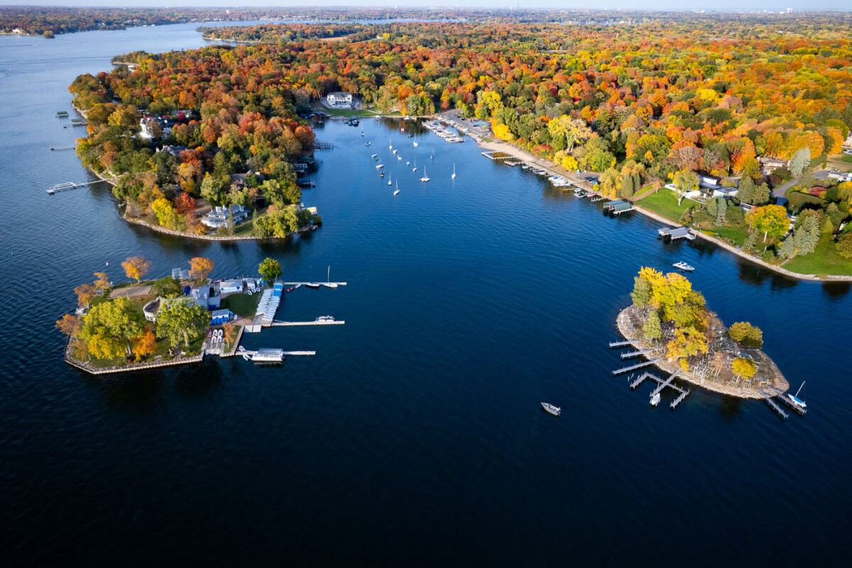
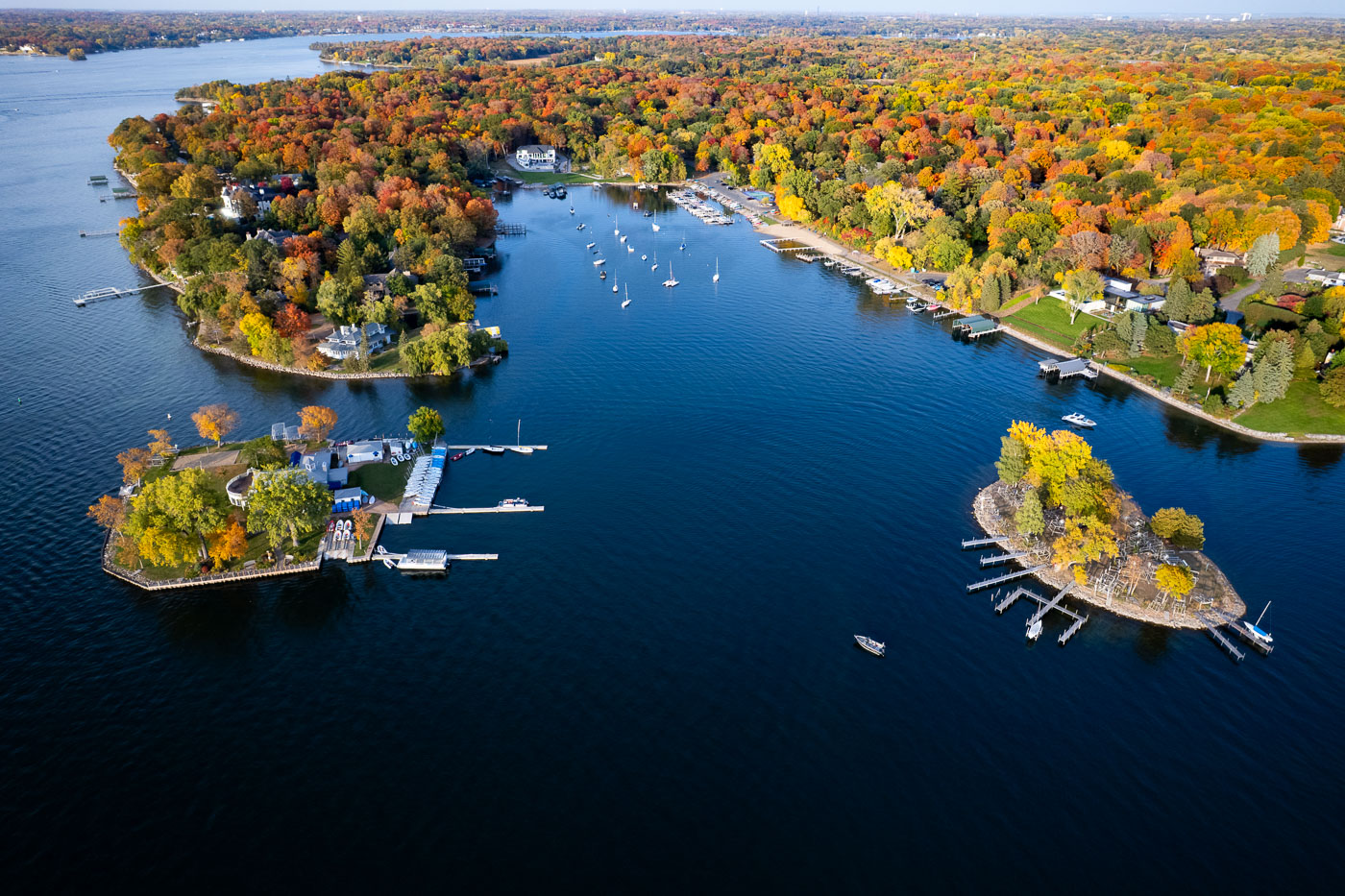
Lake Minnetonka near Deephaven, Minnesota, bordered by wooded coves, docks, and sailboats in autumn.
Lake Minnetonka near Deephaven, Minnesota, is bordered by wooded peninsulas, sheltered bays, and private docks. The lake’s irregular shoreline has long supported boating and lakeside residential development. Peak fall color covers the surrounding neighborhoods and wooded shoreline.

Lake Minnetonka shoreline coves in autumn

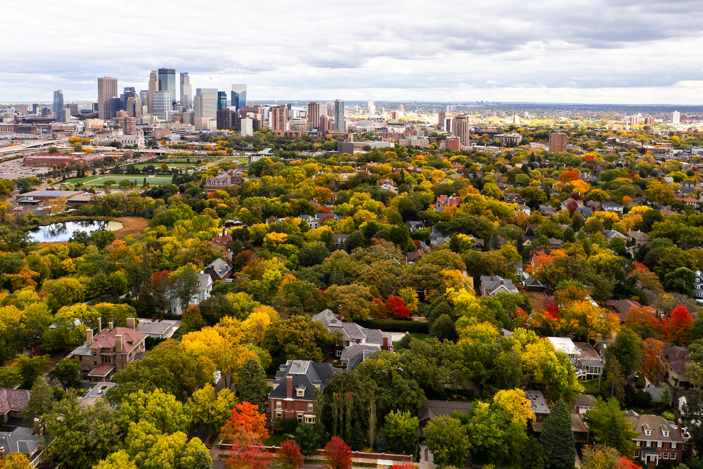
Minneapolis Skyline Over Kenwood in Peak Fall Color
A wide aerial view looks east toward the Minneapolis skyline, rising above the dense canopy of the Kenwood and Lowry Hill neighborhoods during peak autumn color. This part of the city was developed in the late 19th and early 20th centuries as a streetcar suburb, designed around curving streets, large residential lots, and proximity to the Chain of Lakes. Many of the homes below are early Minneapolis mansions built by lumber and milling-era industrialists, now tucked beneath mature trees that give the neighborhood one of the city’s most dramatic fall transitions. In the middle distance, the Basilica of Saint Mary, Loring Park, and the early downtown warehouse district reflect Minneapolis’s layered growth—from industrial rail corridors to modern glass towers. The contrast between the dense urban core and the tree-covered residential districts highlights how closely the city’s historic neighborhoods were shaped by parks, lakes, and the parkway system planned by Theodore Wirth in the early 1900s.

Minneapolis Skyline Over Kenwood in Peak Fall Color

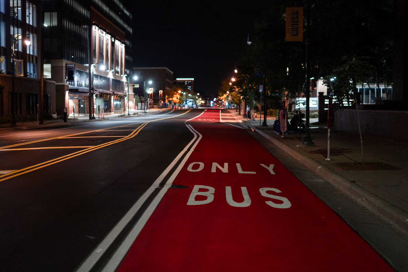
Red Bus Lane on Chicago Avenue at Night
A dedicated red bus-only lane runs along Chicago Avenue in Minneapolis, part of the city’s recent investments in transit priority corridors. These painted lanes are designed to give buses consistent travel times through dense urban segments, especially during peak hours, and they align with regional plans to improve service reliability on key north–south routes. Late at night the corridor is quiet, with the reflective pavement markings and overhead lighting emphasizing the straight line of the transit path through the Midtown area.

Red Bus Lane on Chicago Avenue at Nigh

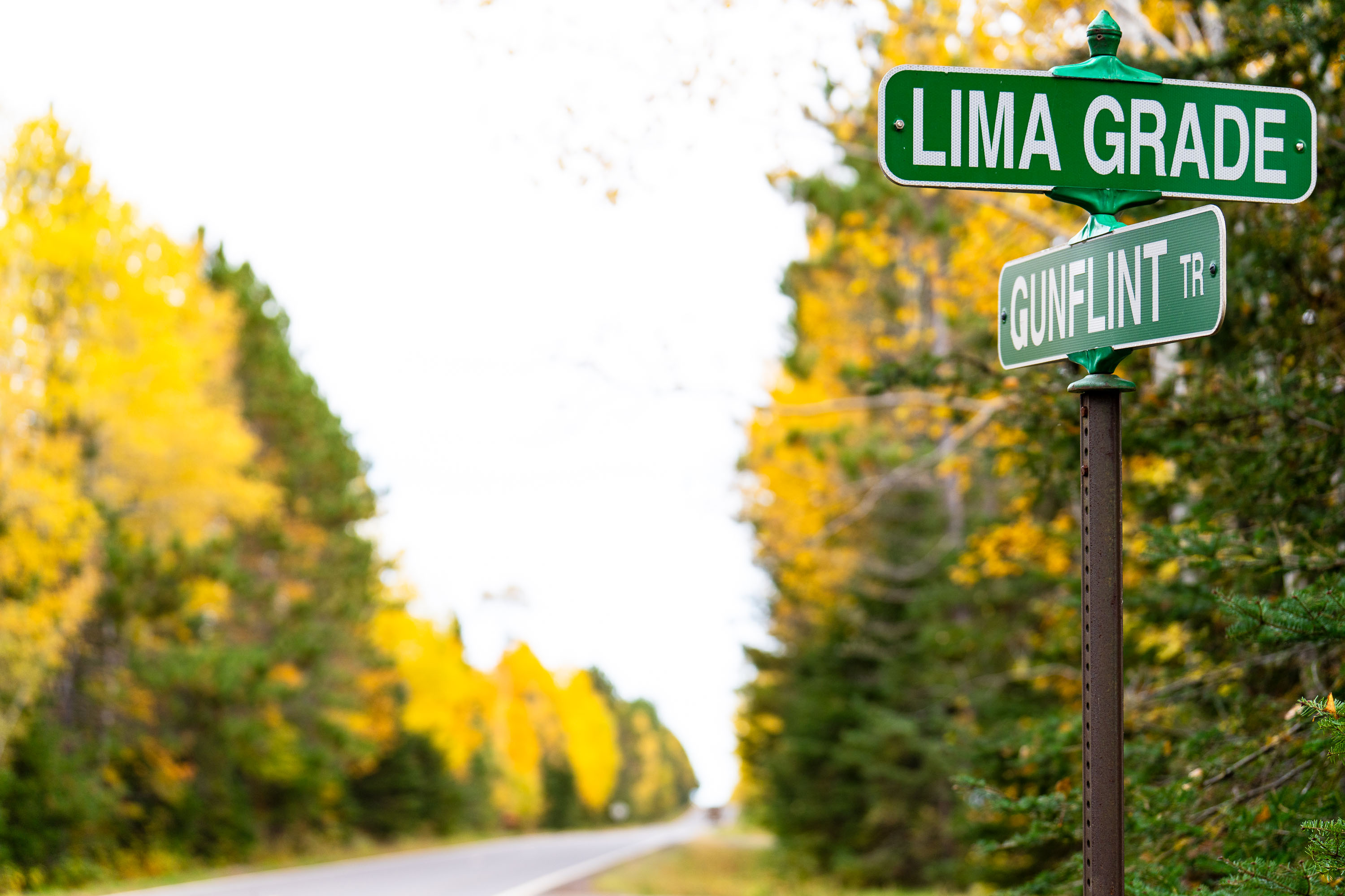
Lima Grade at Gunflint Trail, Grand Marais
Street signs at Lima Grade and Gunflint Trail in Grand Marais, Minnesota

Lima Grade at Gunflint Trail, Grand Marais

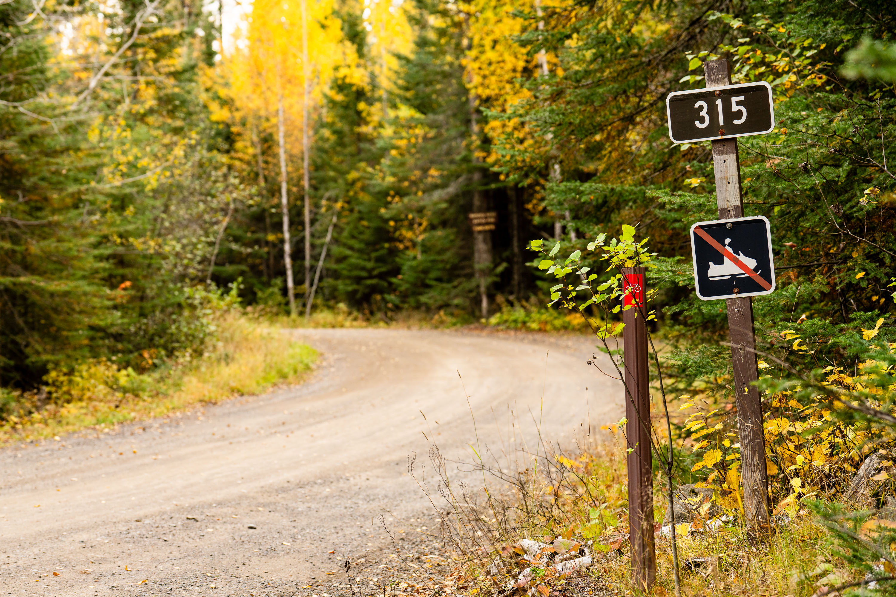
315 sign at Lima Grade at Gunflint Trail, Grand Marais

Lima Grade Road at the Gunflint Trail in Grand Marais, Minnesota.

315 sign at Lima Grade at Gunflint Trail, Grand Marais

US Forest Service grate
A firepit grate from the US Forest Service seen near the Gunflint Trail in Minnesota.

US Forest Service grate

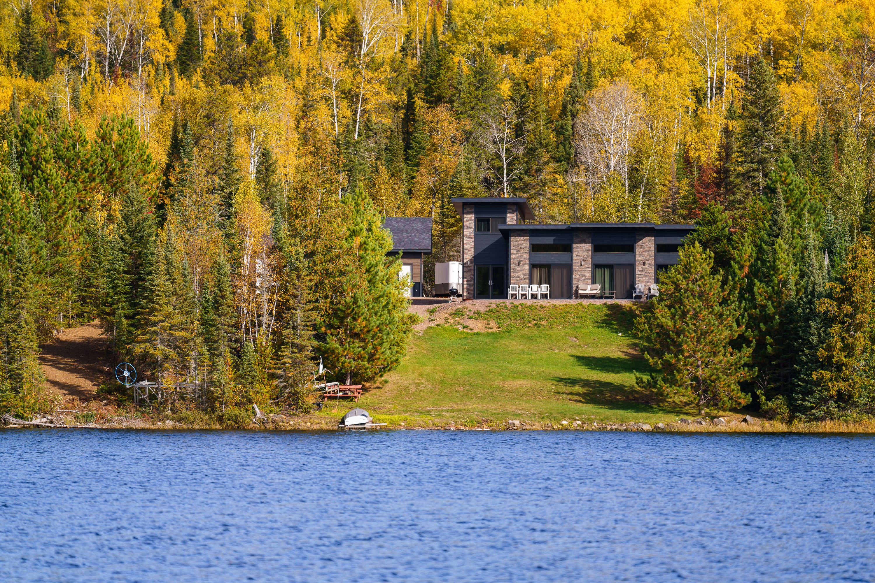
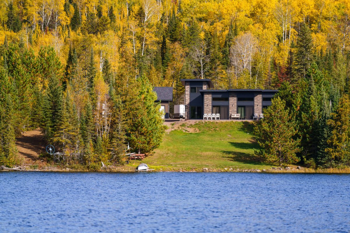
Modern home with stone facade on forested shoreline of Gunflint Lake, Minnesota, during autumn.
Gunflint Lake forms part of the international border between Minnesota and Ontario, Canada, within the Boundary Waters Canoe Area Wilderness and its Canadian counterpart, Quetico Provincial Park. The lake runs roughly six miles long and sits at the far end of the Gunflint Trail, about 45 miles northwest of Grand Marais. It's a popular put-in point for canoe and fishing trips into the connected chain of border lakes, and cabins along its shoreline are among the few private inholdings permitted within the wilderness boundary.

Lakeside Home Along the Gunflint Trail, Minnesota
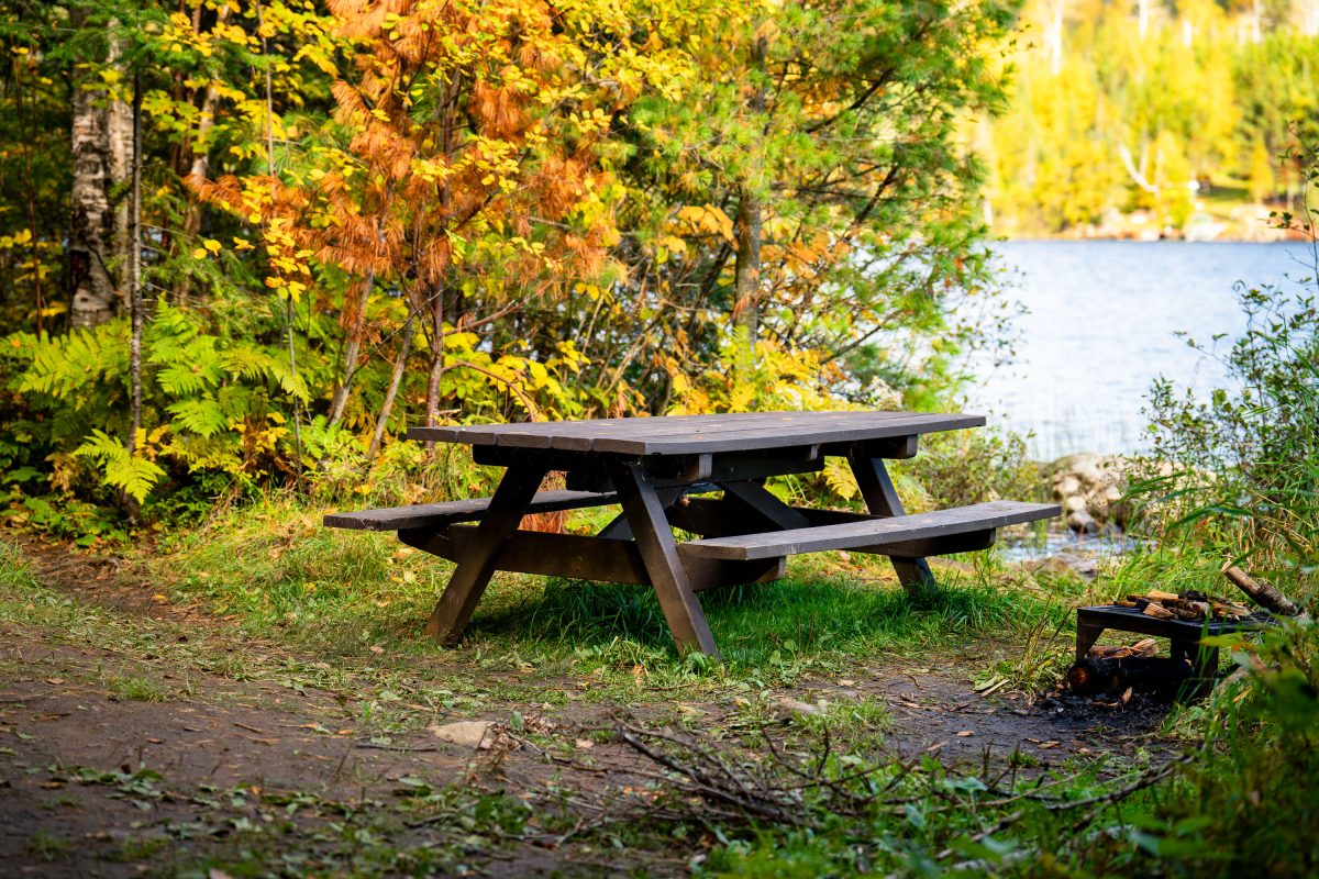
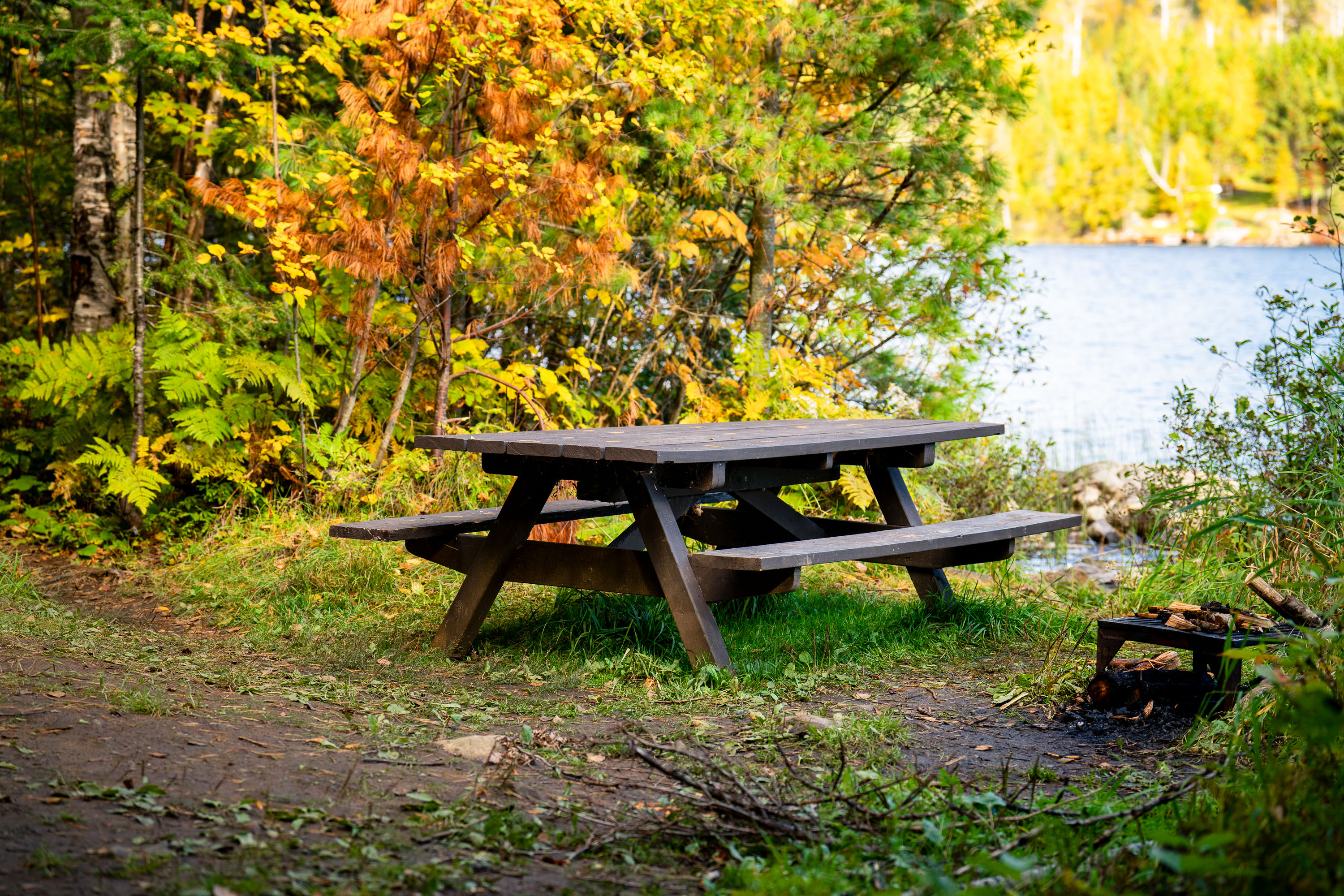
Gunflint Trail picnic table on Birch Lake
A picnic table next to Birch Lake on the Gunflint Trail in Northern Minnesota.

Picnic Table, Birch Lake, Gunflint Trail

Autumn-colored water lily pads float on a still pond in Cook County, Minnesota.
Cook County sits at the northeastern tip of Minnesota along Lake Superior's North Shore, bordering Ontario and encompassing much of the Boundary Waters Canoe Area Wilderness. The county's terrain includes numerous bogs, beaver ponds, and small wetlands fed by the Sawtooth Mountains' runoff, where floating-leaved plants like water lilies and pond-lily species take hold in shallow, still water. By early October, water lily pads in the region typically turn shades of yellow, orange, and red as chlorophyll breaks down, a seasonal change tied to shortening daylight and dropping water temperatures. Much of the county's land is managed by the Superior National Forest, which oversees a large share of Minnesota's remaining undeveloped wetland habitat.

Water Lily Leaves in Autumn, Cook County, Minnesota
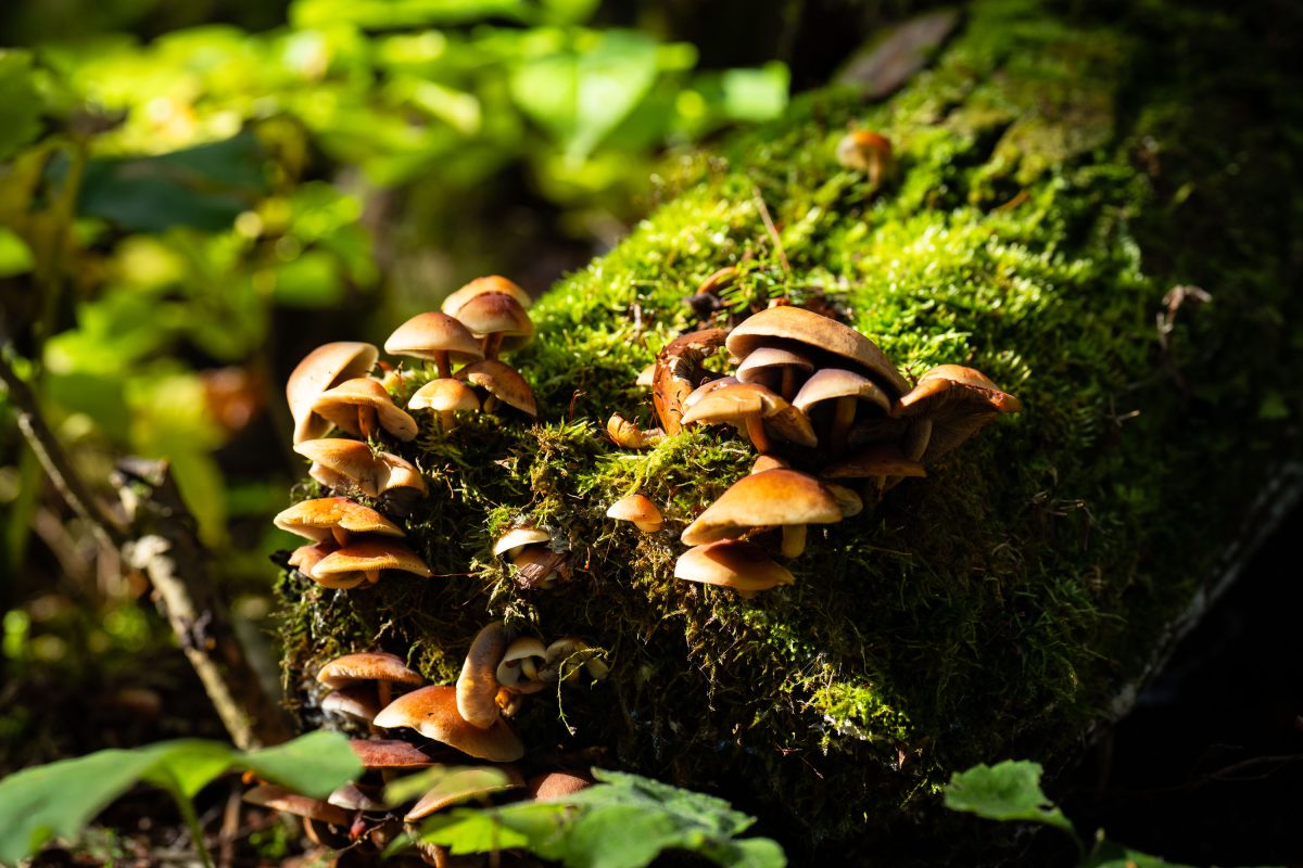
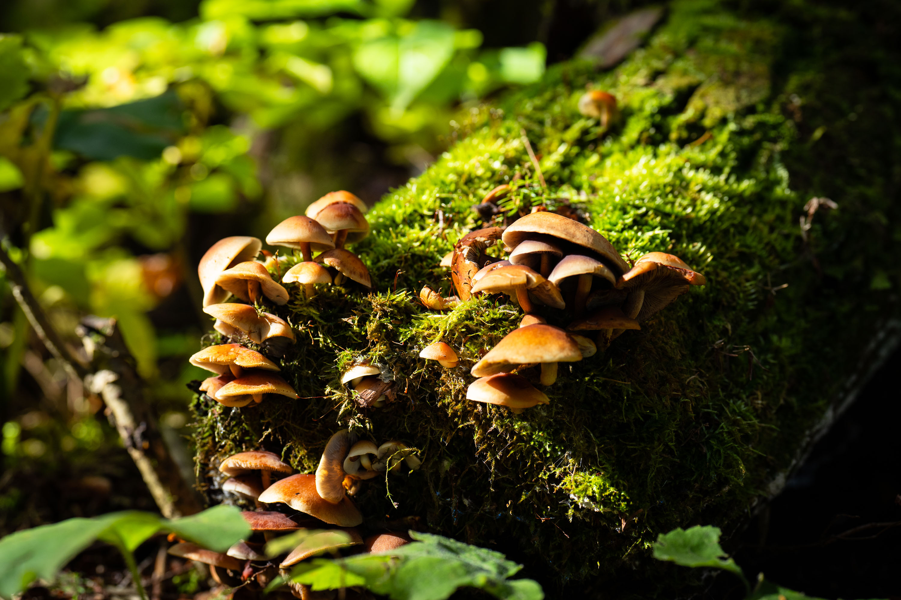
Cluster of gilled mushrooms growing on a moss-covered log in Superior National Forest, Minnesota.
Superior National Forest covers more than three million acres across northeastern Minnesota, bordering Canada along the Boundary Waters Canoe Area Wilderness. Fallen logs and decaying wood throughout the forest support clusters of gilled mushrooms, which break down cellulose and lignin as part of the forest's natural decomposition cycle. These fungi typically appear in fall, often growing in dense groups on moss-covered deadwood.

Wild Mushroom Cluster on Log, Superior National Forest
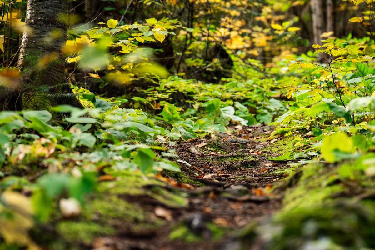
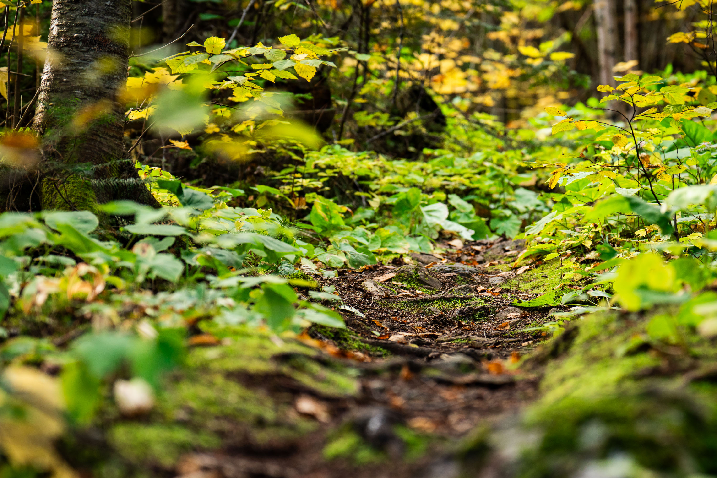
Dirt trail winds through dense underbrush and birch trees in Superior National Forest, Minnesota.
Superior National Forest covers roughly 3.9 million acres in northeastern Minnesota, managed by the U.S. Forest Service. It contains more than a million acres of lakes and streams, including the Boundary Waters Canoe Area Wilderness along its northern edge. The forest is dominated by boreal species such as birch, aspen, and various conifers, with understory plants like wood sorrel and ferns common along its trail systems. Established in 1909, it remains one of the most heavily visited wilderness areas in the country.

Forest Trail, Superior National Forest, Minnesota
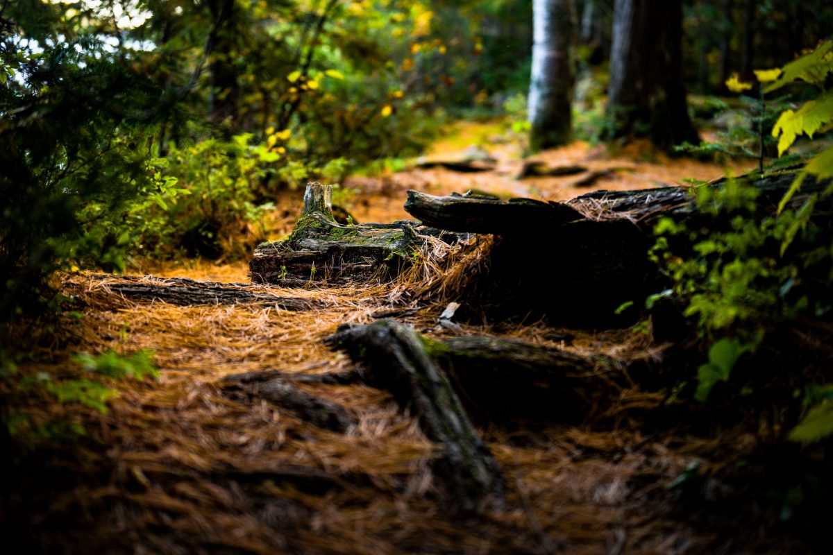
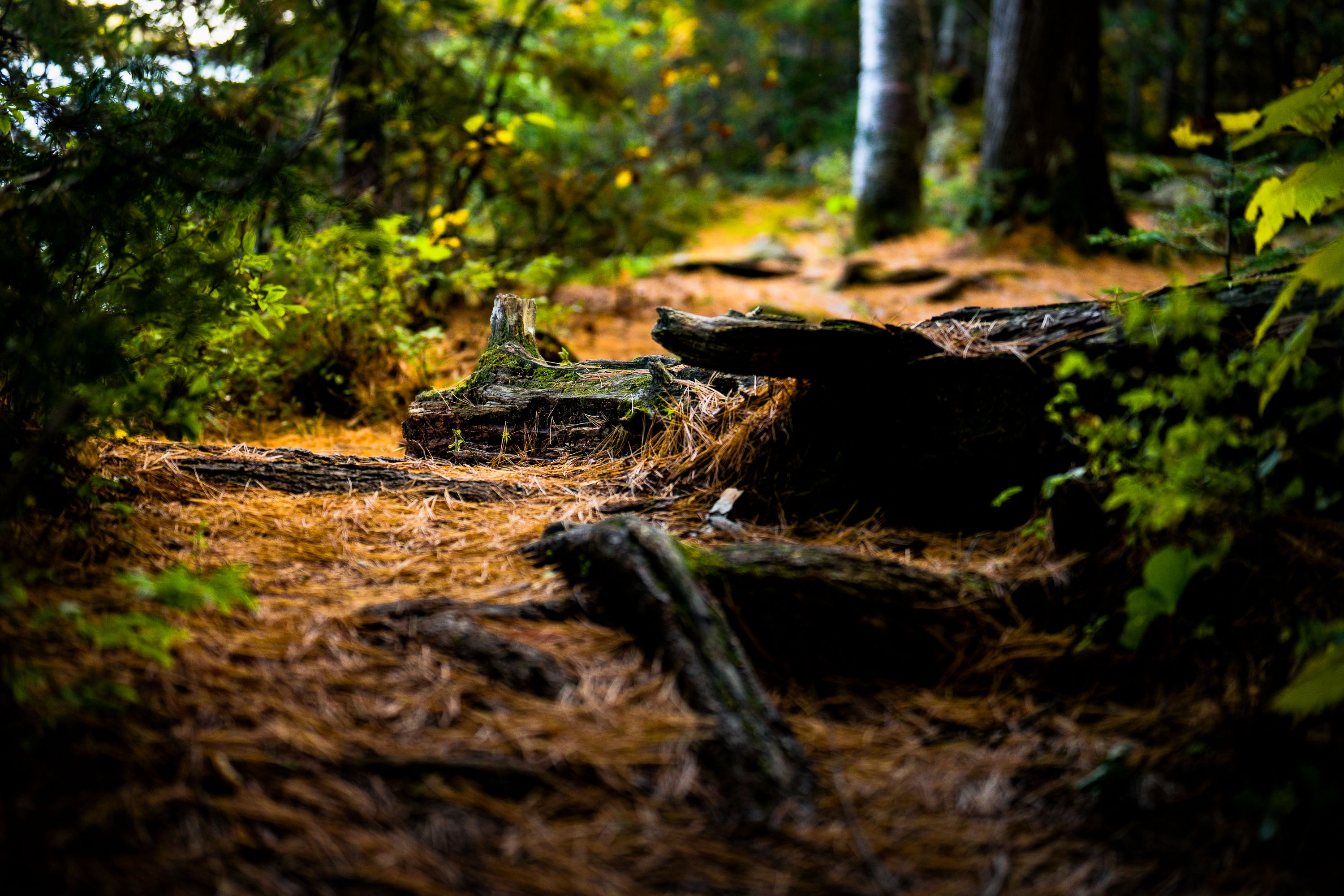
Fallen logs and pine needles line a wooded trail in Superior National Forest, Minnesota.
Superior National Forest covers roughly 3 million acres in northeastern Minnesota, managed by the U.S. Forest Service. It contains more than 445,000 acres of the Boundary Waters Canoe Area Wilderness, the most-visited wilderness area in the country. The forest is dominated by boreal species like jack pine, spruce, and birch, with a mix of maple and aspen contributing to fall color displays. Fallen logs and pine needle litter along its trails are typical of the mixed conifer-hardwood stands found throughout the region.

Fallen Logs Along a Forest Trail, Superior National Forest

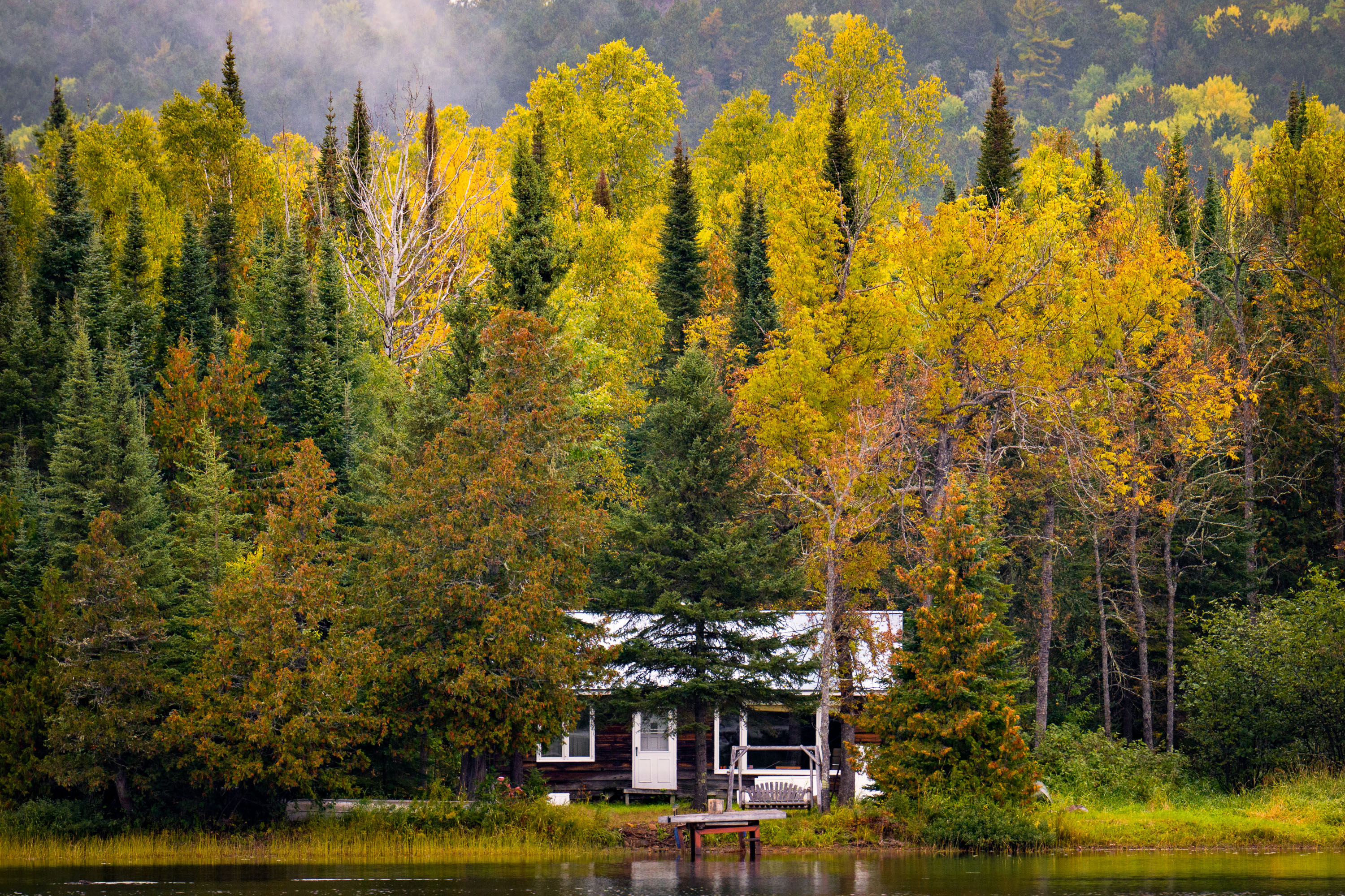
A cabin on McFarland Lake surrounded by birch and conifer trees in autumn foliage, northern Minnesota.
McFarland Lake sits along the Arrowhead Trail, a county road in Cook County near Grand Portage in far northeastern Minnesota. The lake lies close to the Canadian border and the eastern edge of the Boundary Waters Canoe Area Wilderness, an area popular for canoe access points and backcountry paddling routes. Cabins along this stretch of the Arrowhead Trail are mostly private, seasonal retreats built for fishing and access to the surrounding Superior National Forest.

Lakeside Cabin, McFarland Lake, Arrowhead Trail, Minnesota

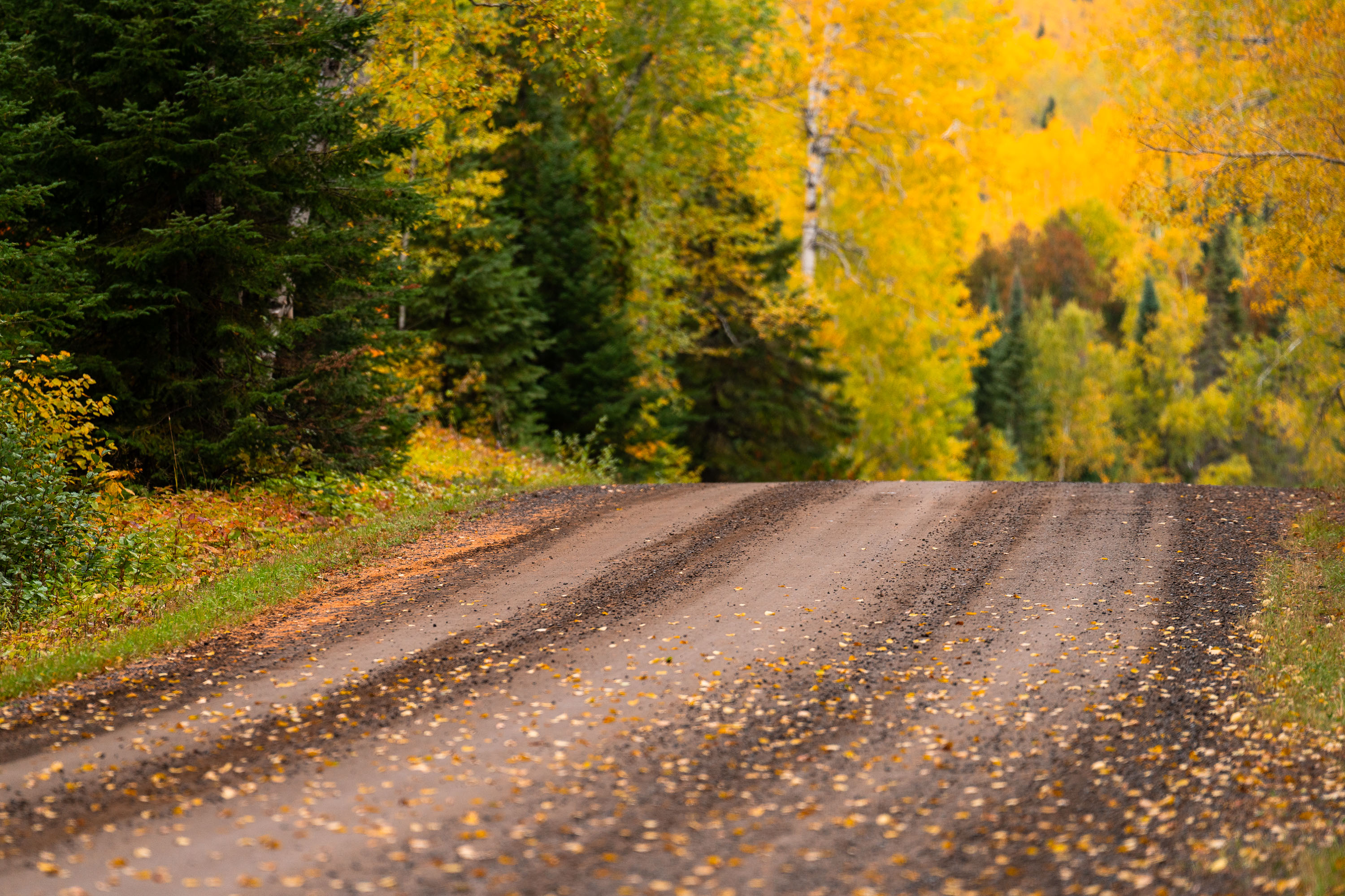
Gravel road through northern Minnesota forest in autumn with yellow larch and evergreen trees.
The Arrowhead Trail runs roughly 27 miles north from Minnesota Highway 61 at Hovland to South Fowl Lake on the Canadian border. Most of the route is unpaved, passing through the Superior National Forest and skirting the eastern edge of the Boundary Waters Canoe Area Wilderness. Cook County maintains the gravel surface, which sees heavy use by hunters, anglers, and leaf-peepers each fall as sugar maples and aspen along the corridor turn color. The road ends at a boat landing on South Fowl Lake, one of the closest public access points to Canada in this part of the state.

Fall Colors Along the Arrowhead Trail, Cook County
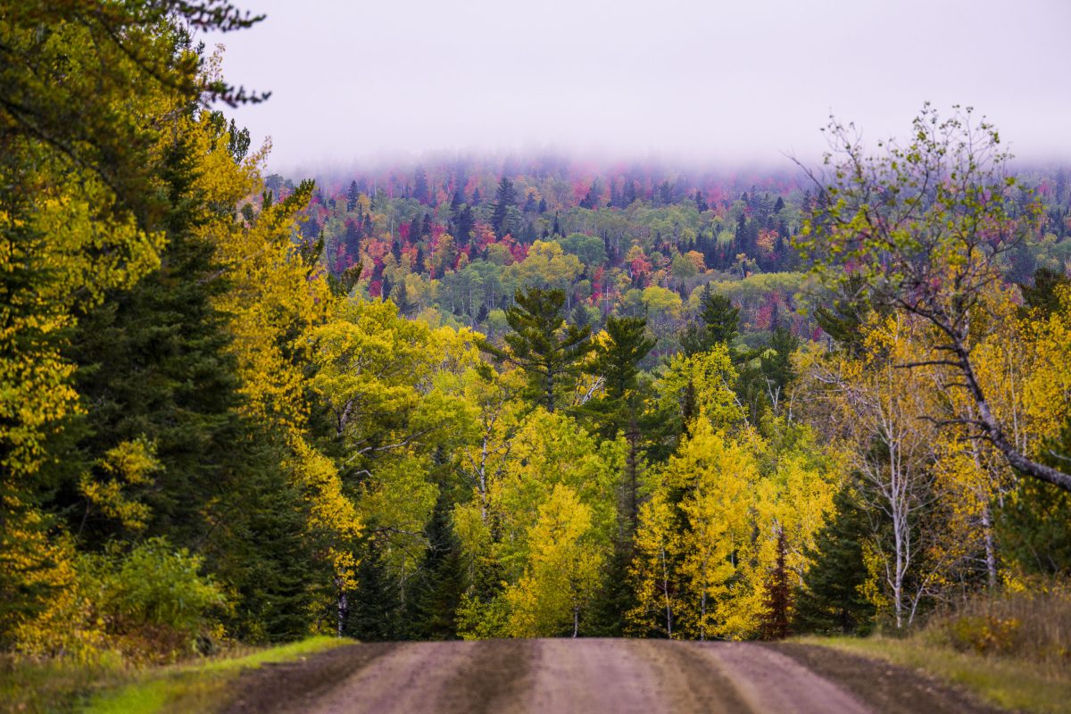
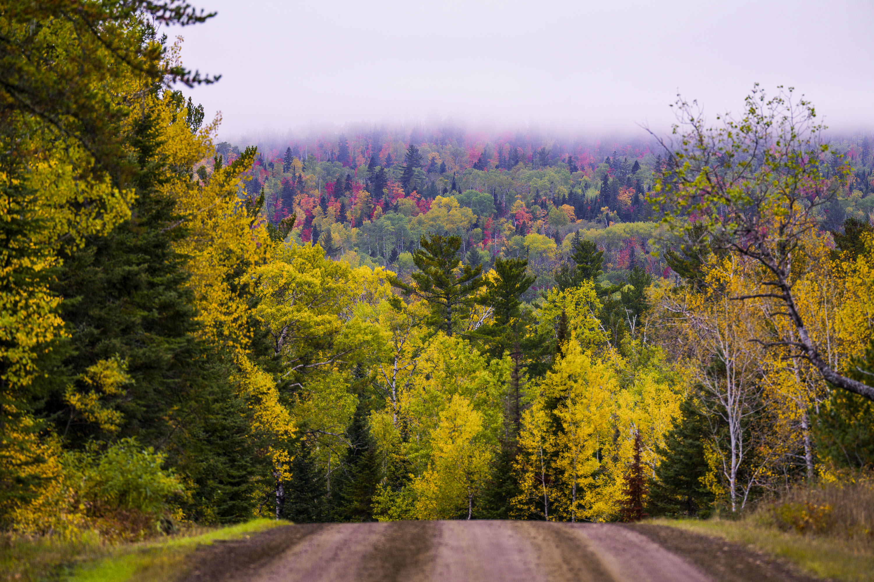
Dirt road through northern Minnesota forest displaying autumn foliage with yellow and red trees in distant fog.
The Arrowhead Trail is a roughly 20-mile gravel road, designated Cook County Road 16, running north from Hovland on Lake Superior's North Shore to the Ontario border at the Pigeon River. The route cuts through the Superior National Forest, passing stands of aspen, birch, and white and red pine mixed with maple that turn color each September and October. It's maintained as a low-traffic forest road rather than a state highway, popular with anglers heading to backcountry lakes and with fall-color drivers making the trip up from Highway 61.

Gravel Road Through Fall Foliage, Arrowhead Trail, Minnesota
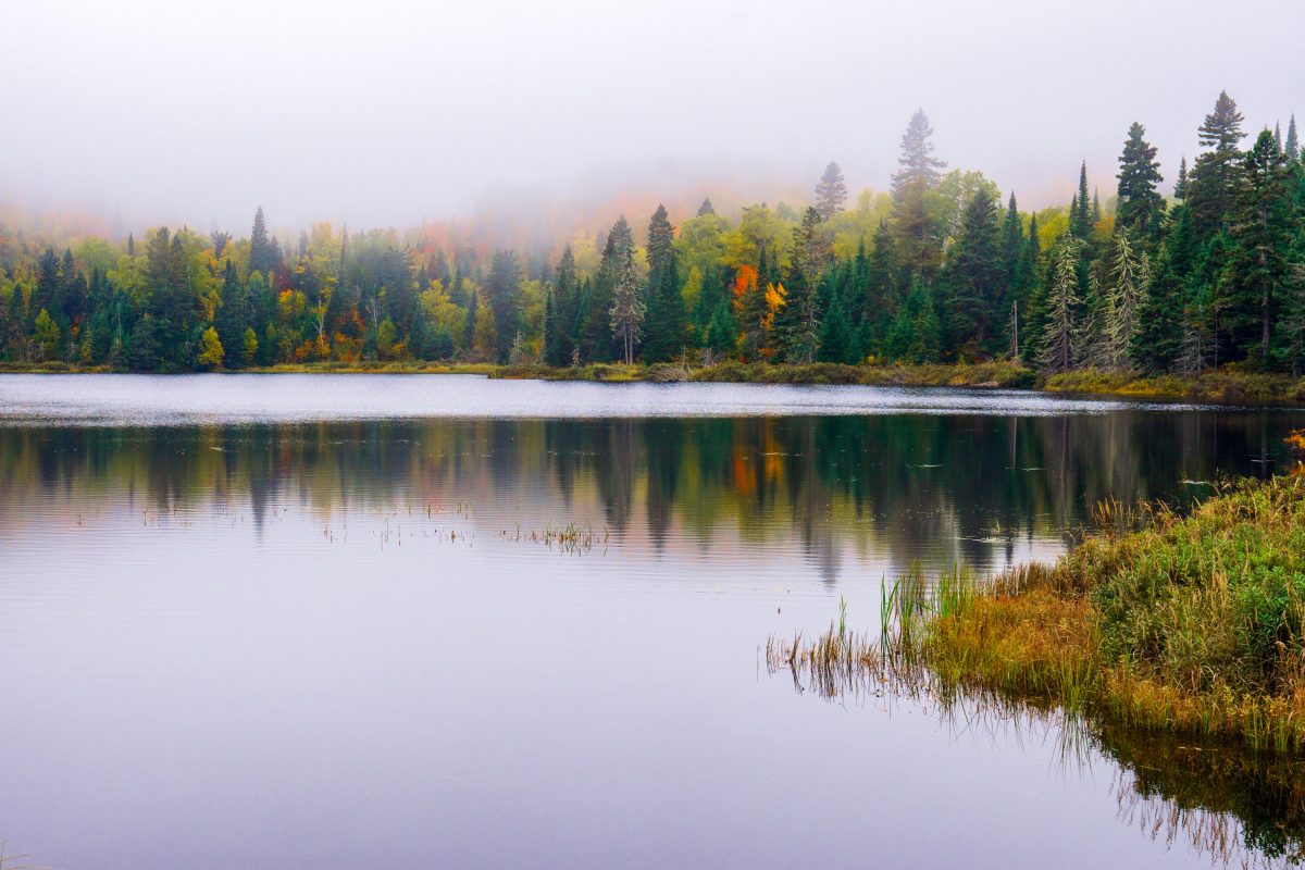
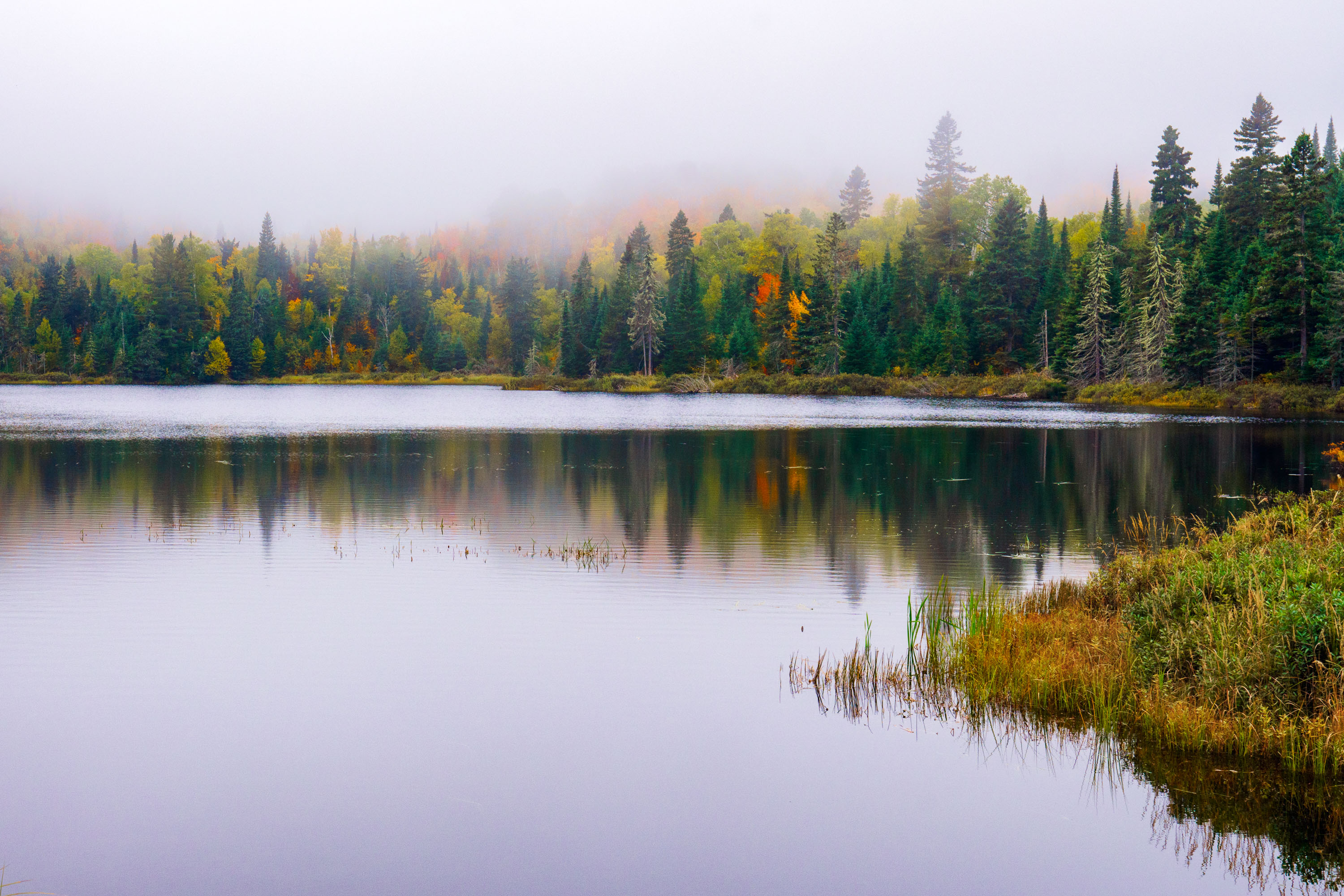
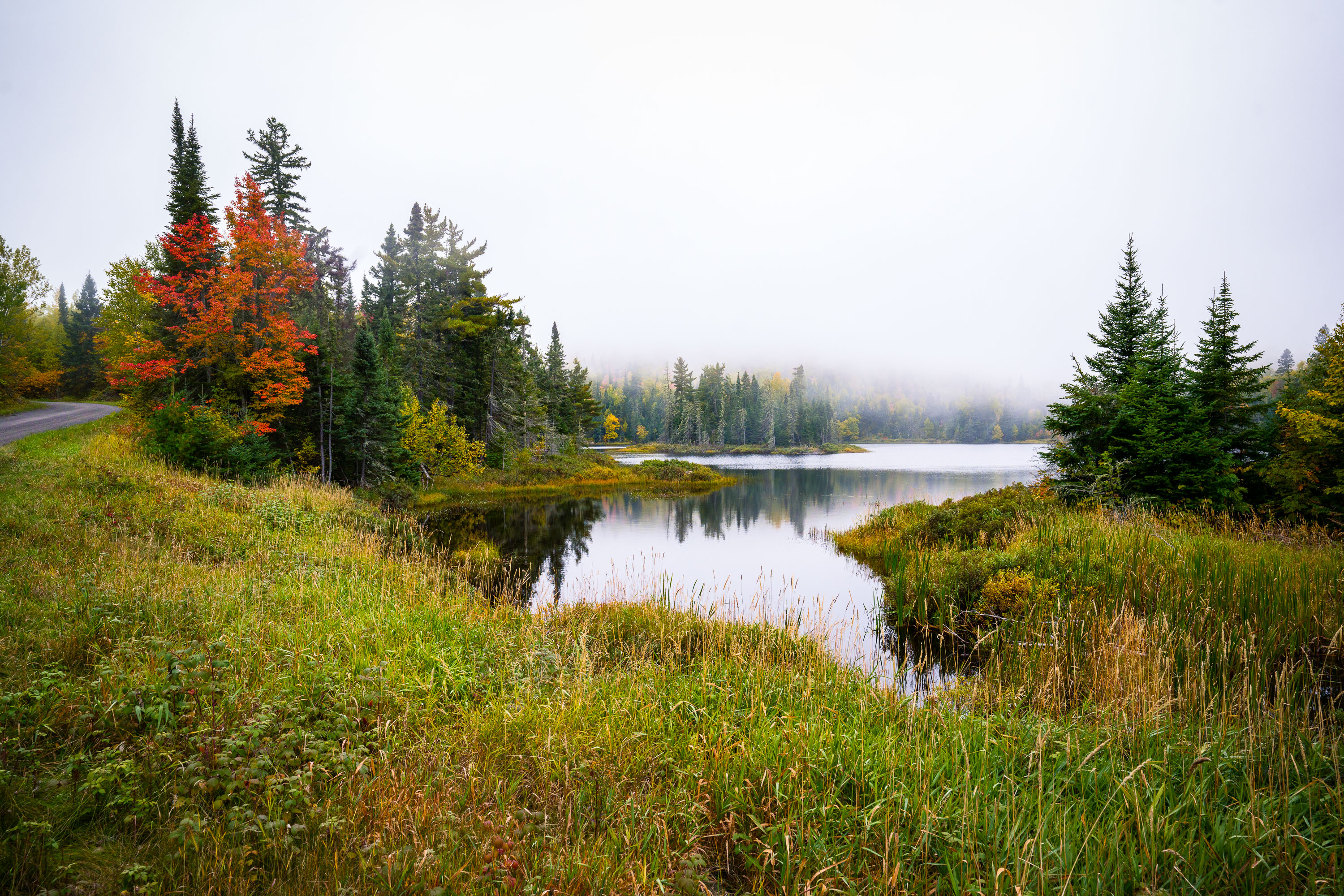
Fog over Loft Lake in Northern Minnesota
Foggy morning over Loft Lake as seen from Shoe Lake Road in Northern Minnesota.

Loft Lake from Shoe Lake Road in Minnesota
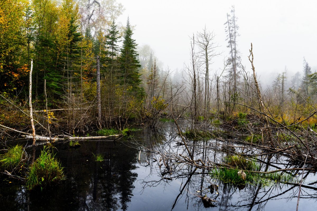
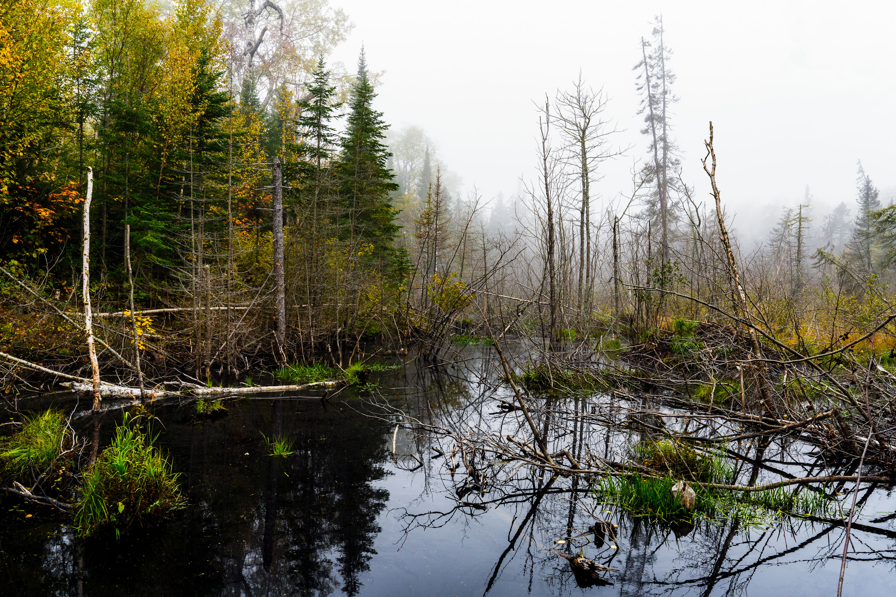
Flooded beaver wetland with standing dead trees near Shoe Lake Road in Superior National Forest, Minnesota.
Shoe Lake Road runs through the Superior National Forest in Cook County, Minnesota, near the edge of the Boundary Waters Canoe Area Wilderness. The surrounding forest is a mix of northern hardwoods and conifers, including birch, spruce, and balsam fir, typical of this part of the Superior National Forest. Beaver activity is common along the region's low-lying wetlands, where dammed water and downed trees create the shallow ponds and standing deadwood found throughout this stretch of forest. The area sits within the Laurentian Divide watershed, which separates drainage toward Lake Superior from waters flowing north toward Hudson Bay.

Beaver Pond Wetland Near Shoe Lake Road, Superior National Forest
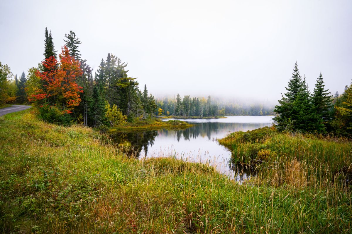
Shoe Lake surrounded by autumn forest and wetland grasses near Grand Marais, Minnesota.
Shoe Lake lies along Shoe Lake Road in Cook County, near Grand Marais, Minnesota, within the Superior National Forest region. The area is part of the North Shore's mixed boreal forest, where spruce, fir, and maple stands turn color each October.

Shoe Lake, Grand Marais, Minnesota

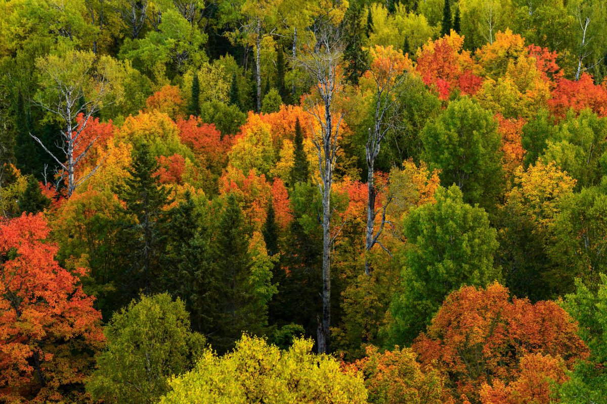
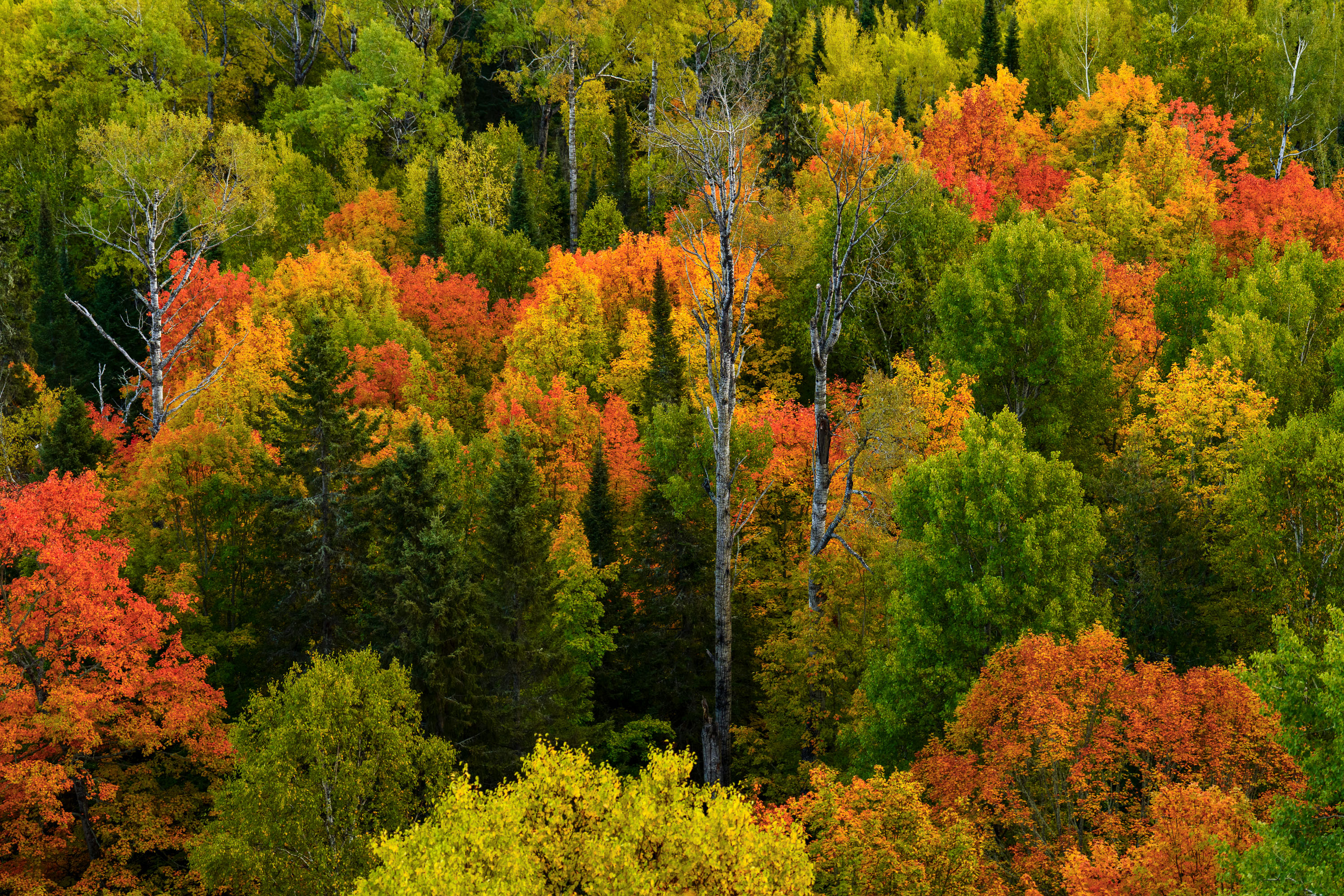
Mixed forest canopy in autumn with red, orange, and yellow deciduous trees among evergreens in Northern Minnesota.
Superior National Forest covers more than three million acres across northeastern Minnesota, including Cook County, and stands as Minnesota's largest national forest. The forest's canopy is a mix of birch, aspen, maple, and conifer species, a combination that produces a wide range of color change each autumn as hardwoods turn while pines and spruce stay green. Birch and aspen typically shift first, often in late September, while maples follow with reds and oranges. The forest is managed by the U.S. Forest Service and includes roughly 445,000 acres of the Boundary Waters Canoe Area Wilderness within its borders.

Mixed Hardwood Forest in Autumn, Superior National Forest
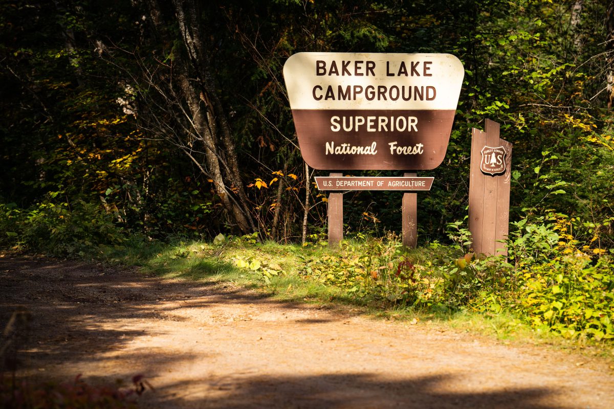
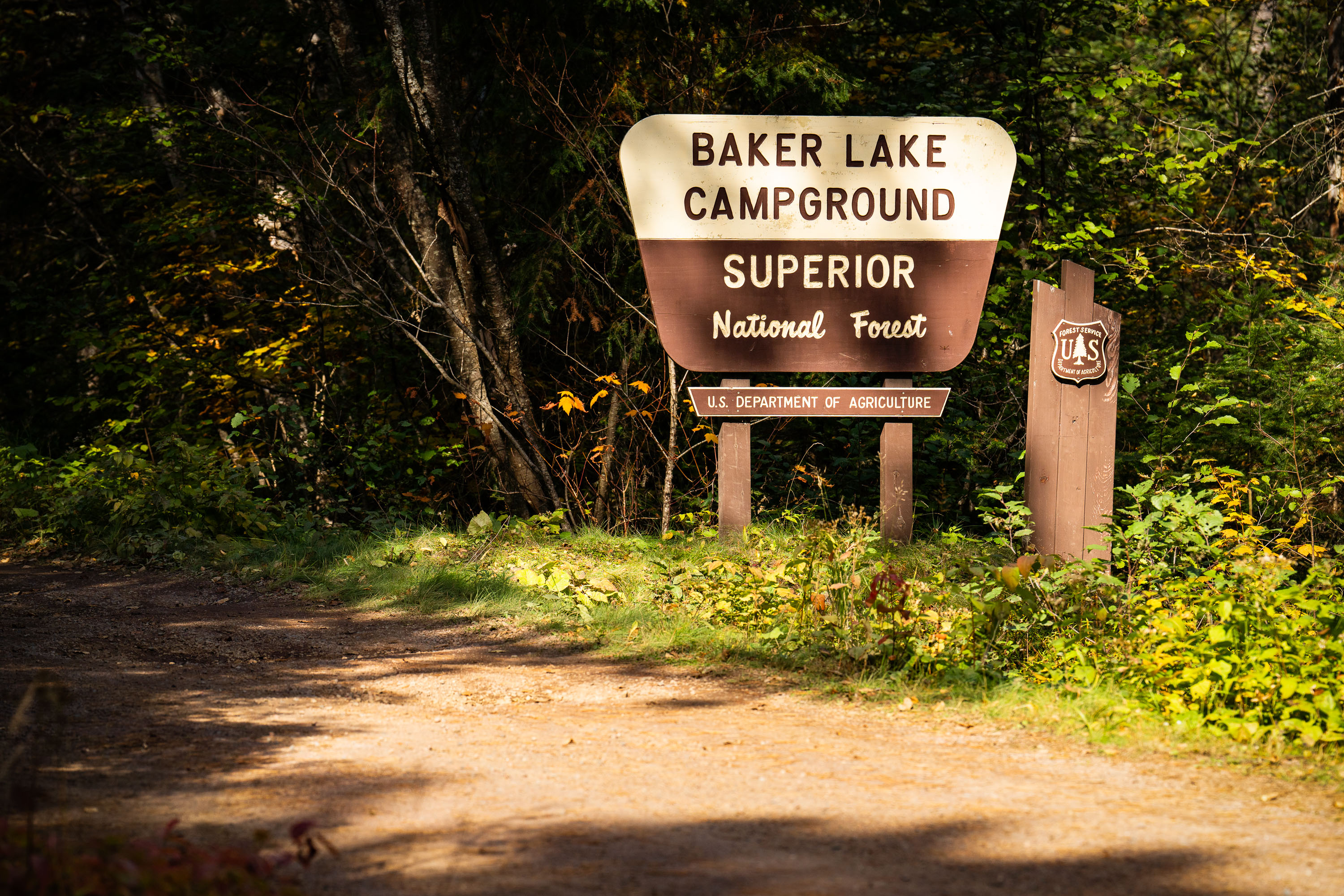
Baker Lake Campground sign in Superior National Forest, Minnesota, surrounded by forest.
Baker Lake Campground sits off the Sawbill Trail in Cook County, part of the Tofte Ranger District within the Superior National Forest. The U.S. Forest Service, an agency of the Department of Agriculture, maintains the site as a small, rustic campground with vault toilets and no electrical hookups. Its boat landing on Baker Lake serves as one of the entry points into the Boundary Waters Canoe Area Wilderness, giving paddlers direct access to the interior lake system. The surrounding forest is managed for multiple use, including timber, recreation, and wildlife habitat, under the Superior National Forest's broader stewardship of more than three million acres in northeastern Minnesota.

Baker Lake Campground Sign, Superior National Forest
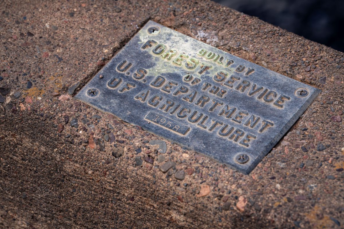
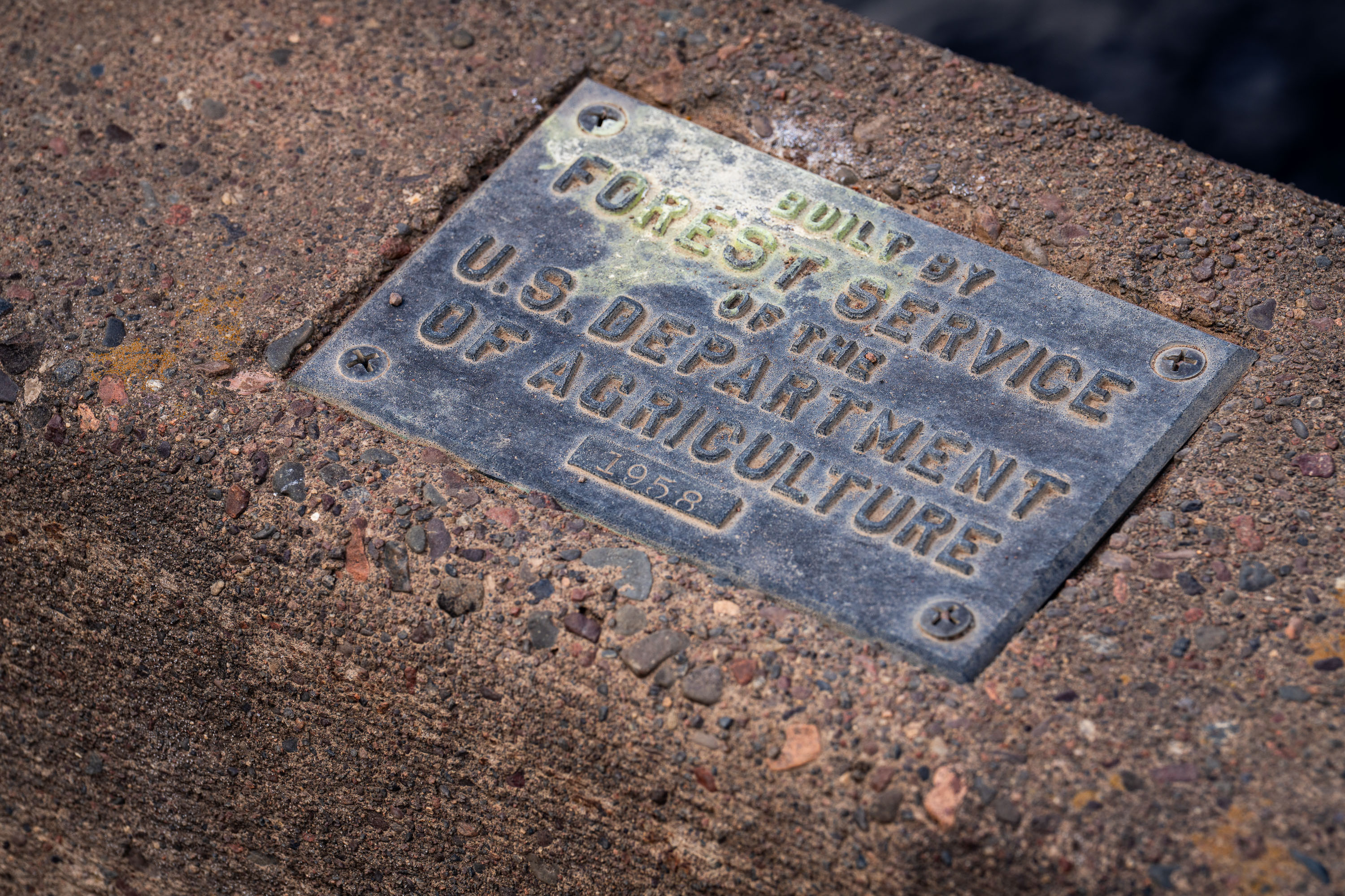
U.S. Forest Service plaque mounted on a bridge in Superior National Forest, Minnesota.
The U.S. Forest Service, part of the Department of Agriculture, builds and maintains bridges, culverts, and other infrastructure across the Superior National Forest in northeastern Minnesota. This plaque, dated 1958, marks one such structure from a decades-long program of forest road and bridge construction tied to logging access, fire management, and recreation. The Superior National Forest itself spans over three million acres and includes the Boundary Waters Canoe Area Wilderness. Forest Service builder's plaques like this one were standard practice for documenting agency construction projects, recording both the responsible agency and the year of completion.

1958 Forest Service Bridge Plaque, Superior National Forest
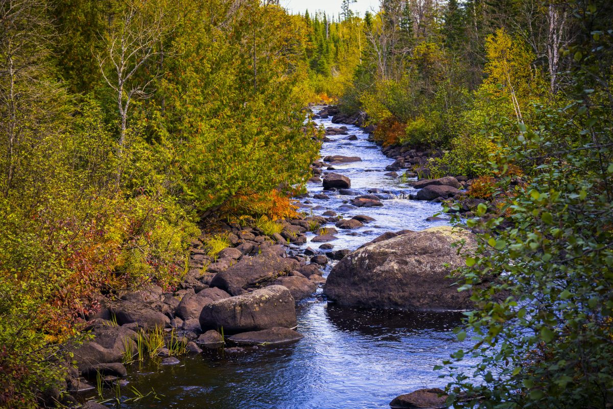
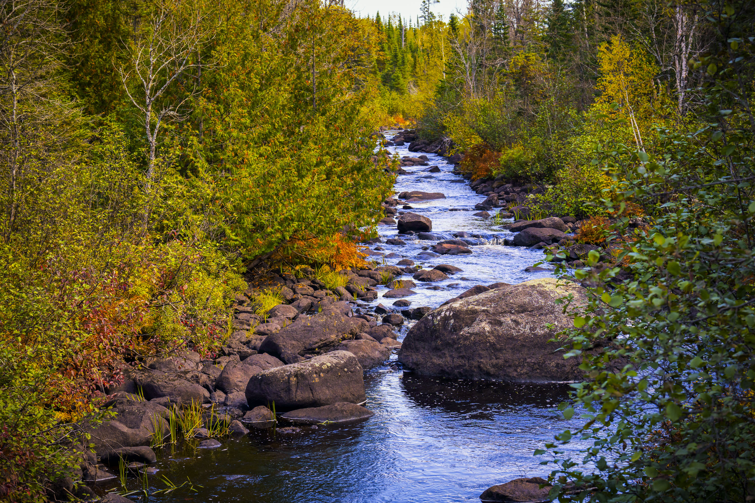
Temperance River flows through golden autumn foliage in Superior National Forest, Minnesota.
The Temperance River runs roughly 22 miles from its origin near the Laurentian Divide to Lake Superior, dropping through a series of potholes and gorges carved into volcanic rock along the way. It's one of the few rivers on Minnesota's North Shore with no sandbar at its mouth, which is how it got its name — early voyageurs who charted the region's rivers by their sandbars, or lack of a "bar," reportedly gave this one a teetotaling nickname. The river and its surrounding old-growth cedar and pine stands sit within the Superior National Forest, which spans nearly three million acres across northeastern Minnesota. Cook County's stretch of the river includes sections popular with anglers seeking steelhead and brook trout during their seasonal runs.

Rocky Stretch of the Temperance River, Superior National Forest
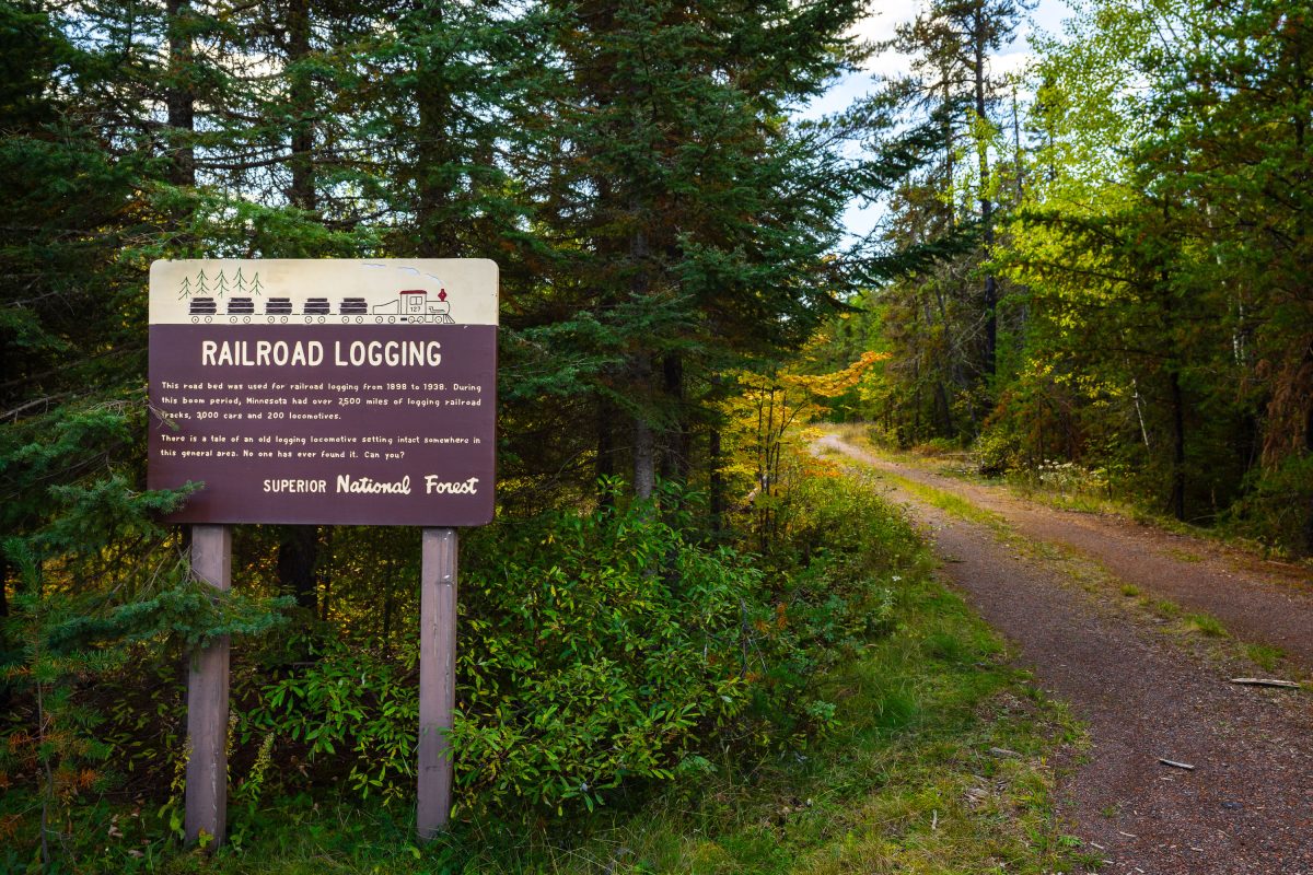
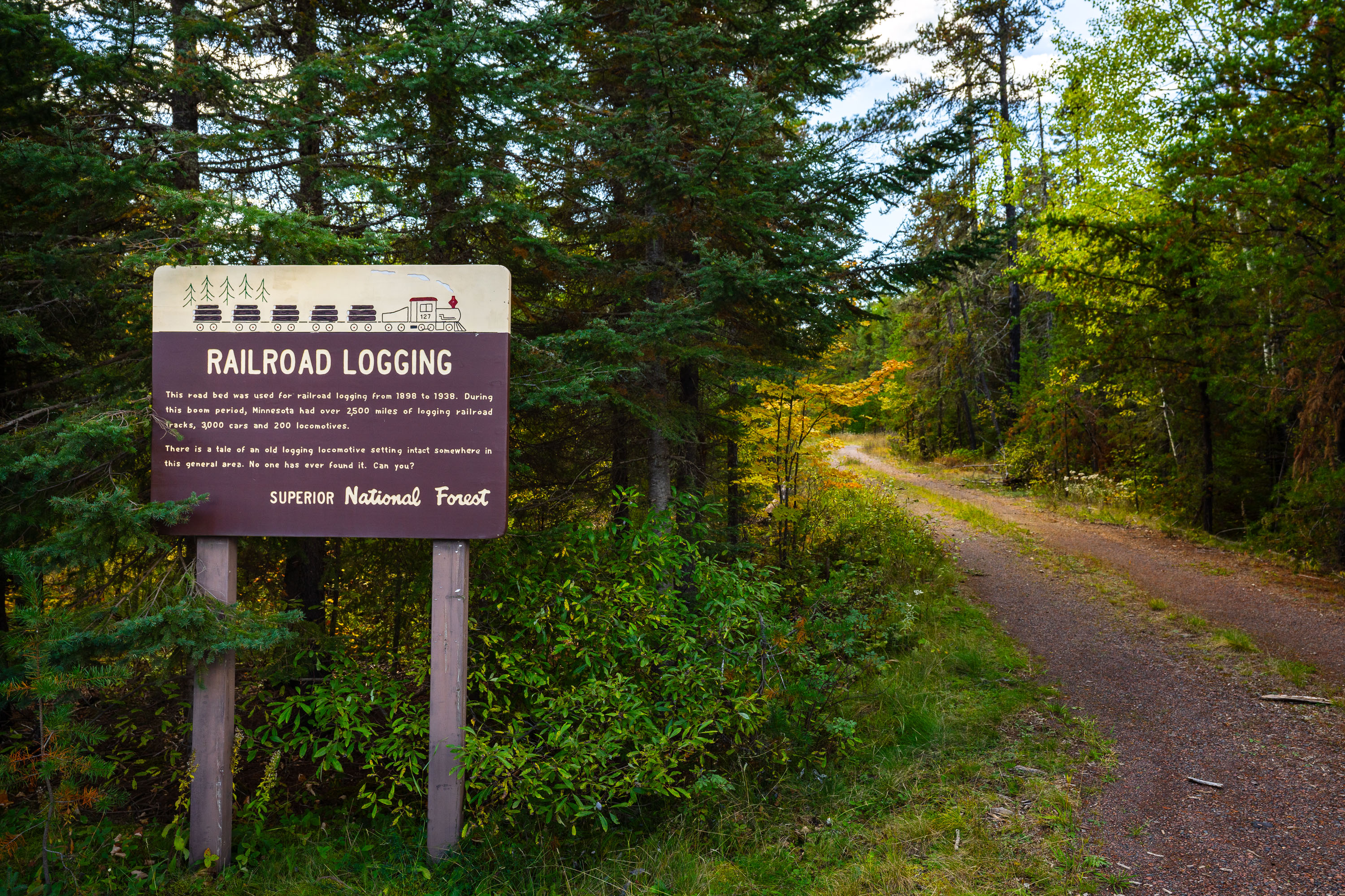
Railroad Logging sign in the Superior National Forest
RAILROAD LOGGING This road bed was used for railroad logging from 1898 to 1938. During this boom period, Minnesota had over 2,500 miles of logging railroad tracks, 3,000 cars and 200 locomotives. There is a tale of an old logging locomotive setting intact somewhere in this general area. No one has ever found it. Can you?

Railroad Logging sign in the Superior National Forest

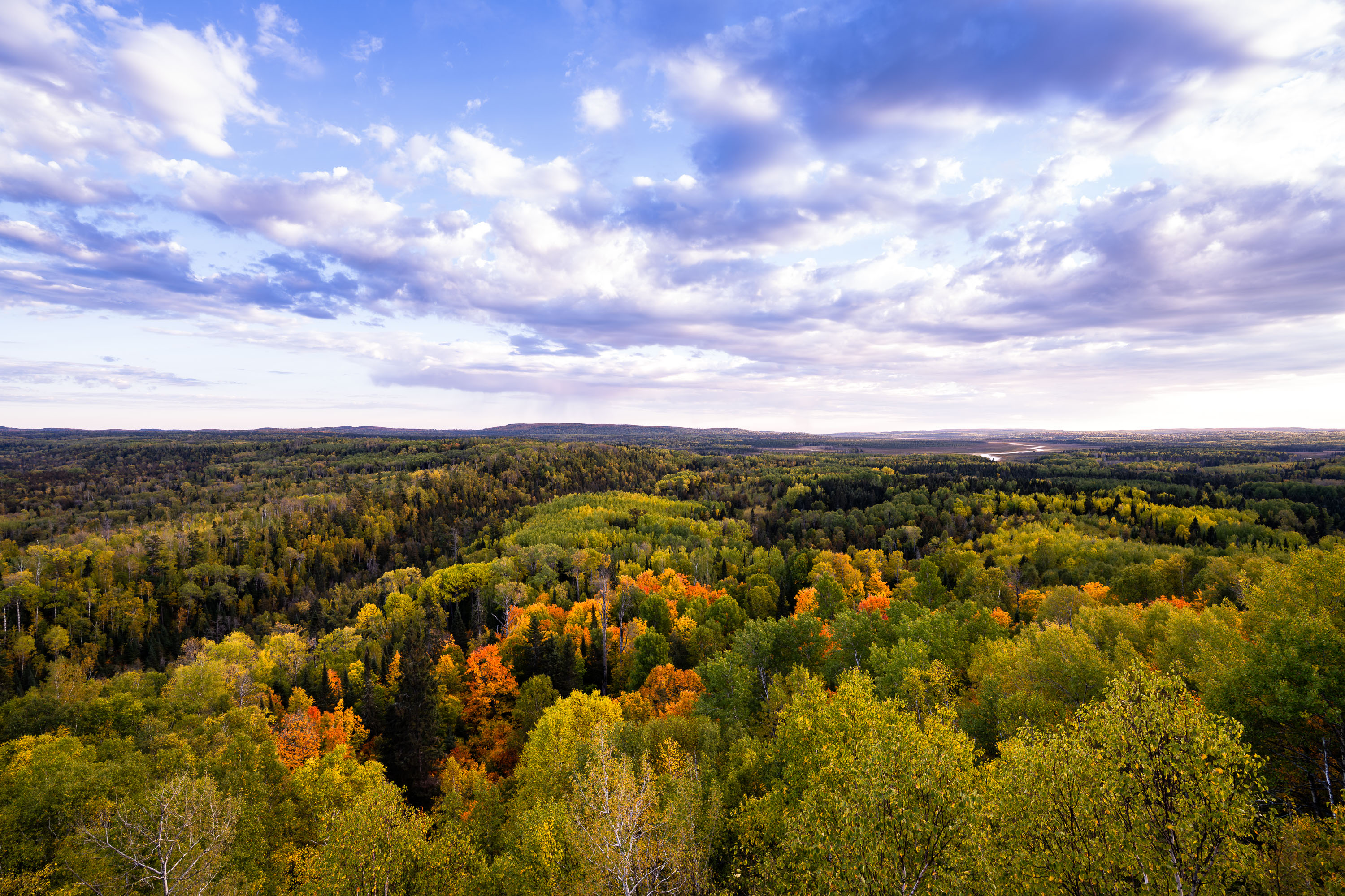
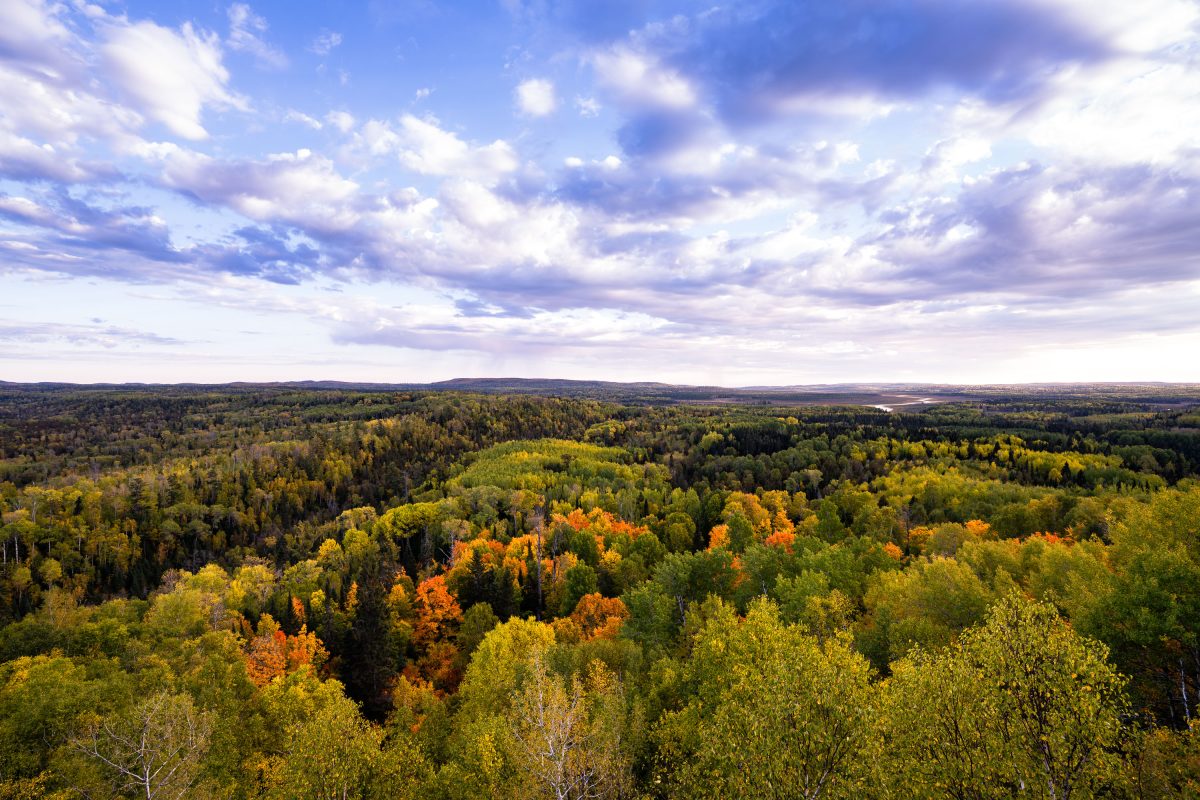
Autumn foliage colors the tree canopy of Superior National Forest in northeastern Minnesota.
Superior National Forest spans roughly 3 million acres across northeastern Minnesota, established in 1909 and managed by the U.S. Forest Service. It encloses the Boundary Waters Canoe Area Wilderness, more than a million acres of interconnected lakes and forest popular with canoeists. Aspen, birch, and pine make up much of its mixed hardwood-conifer cover, turning gold and orange each autumn. The forest holds over 2,000 miles of undeveloped shoreline, among the longest such stretches in the country.

Autumn Colors Over Superior National Forest, Minnesota
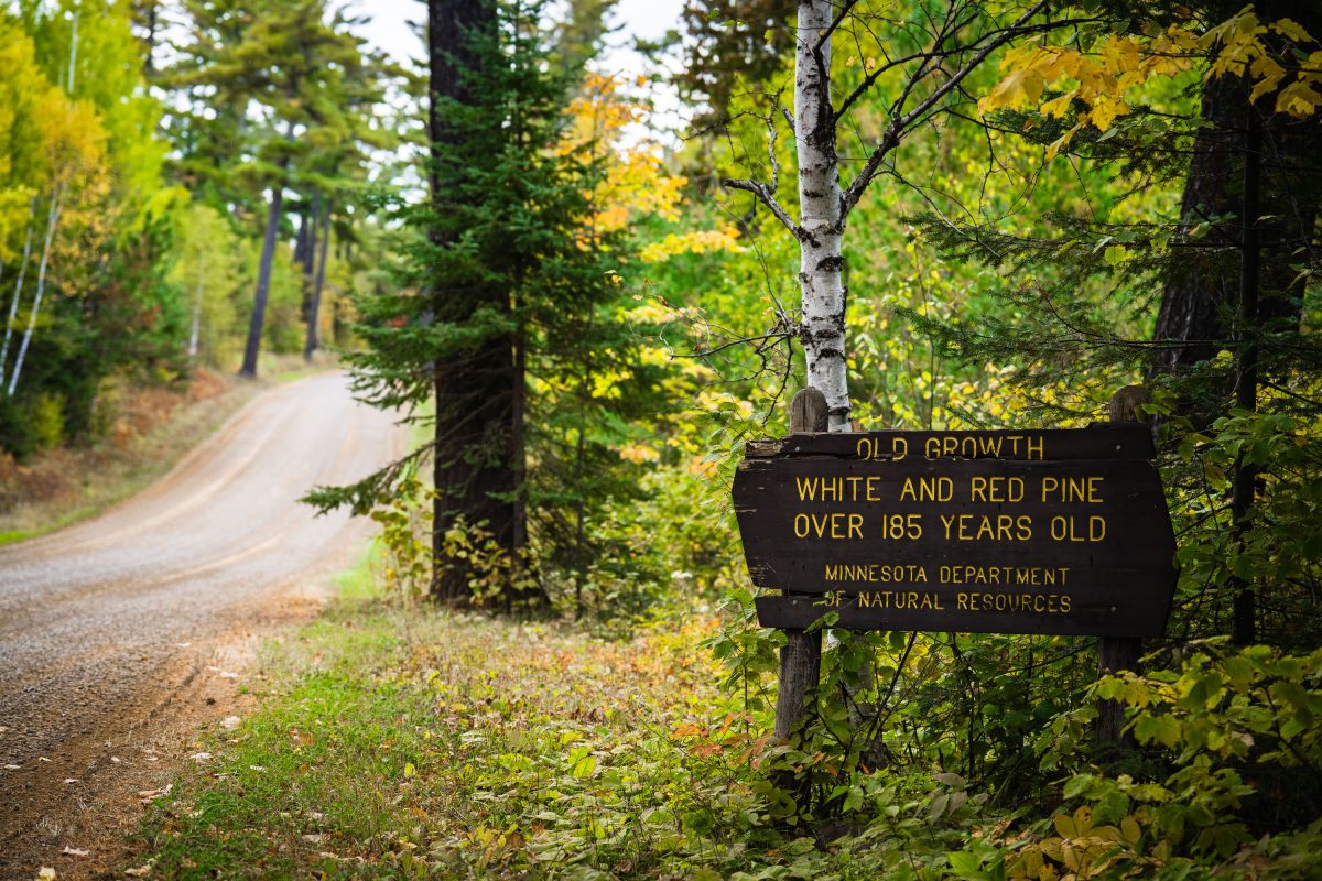
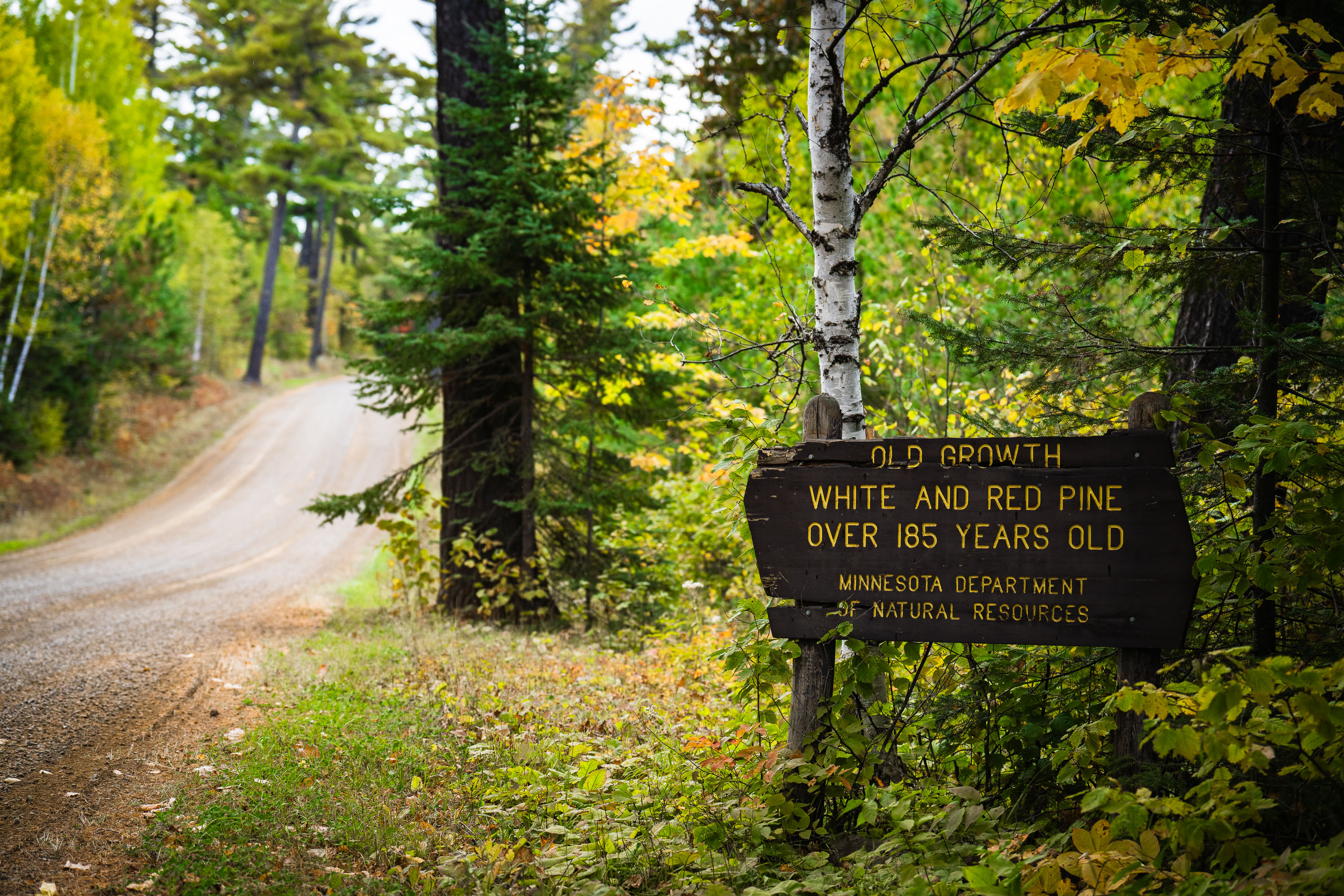
Old growth trees sign from the Minnesota Dept of Natural Resources
"Old growth white and red pine over 185 years old. Minnesota department of natural resources".

Old Growth Trees Sign in Minnesota

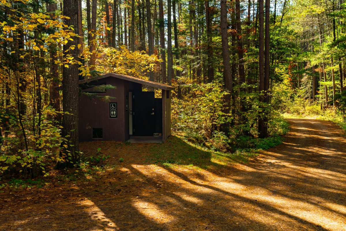
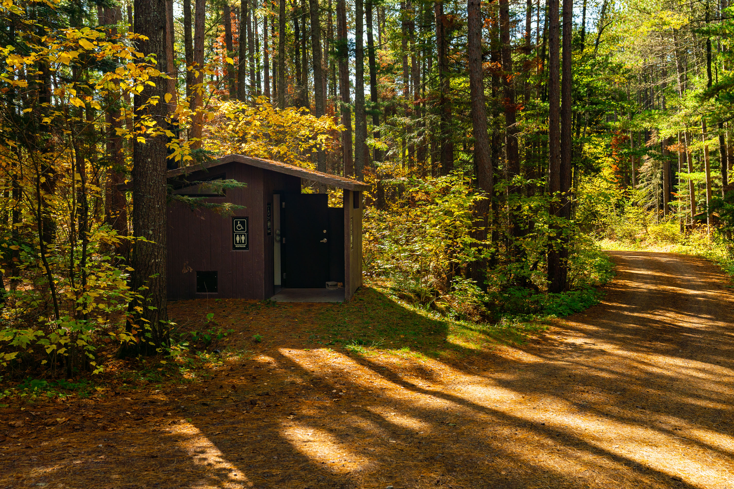
Baker Lake Campground Restrooms in Superior National Foresst
Outhouse at the Baker Lake Campground in the Superior National Forest.

Baker Lake Campground Restrooms in Superior National Foresst

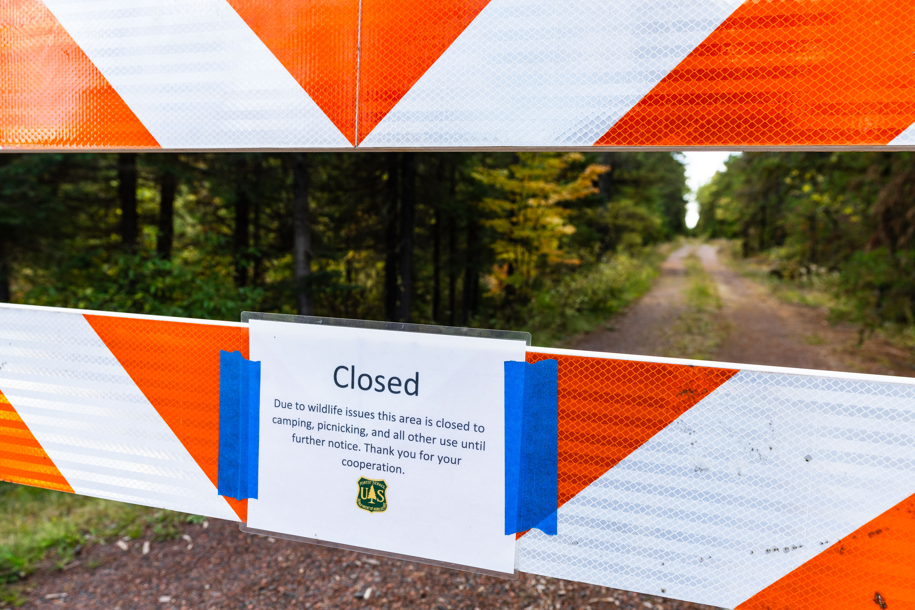
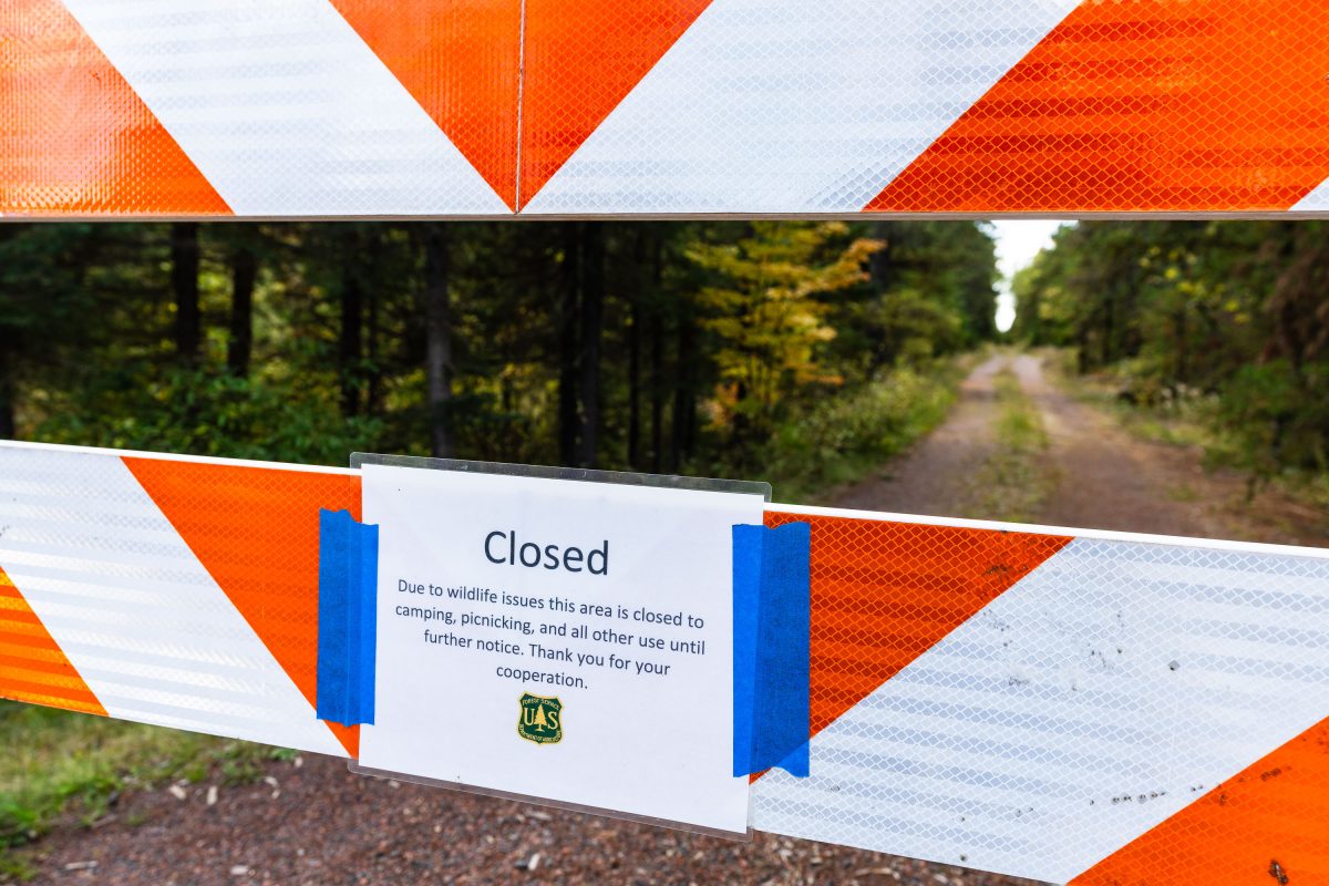
US Forest Service closure notice in Minnesota
"Due to wildlife issues this area is closed to camping, picnicking, and all other use until further notice. Thank you for your cooperation."

Road closure in Superior National Forest, September 2022
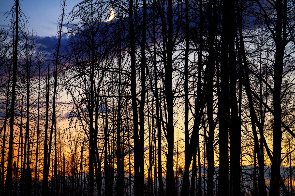
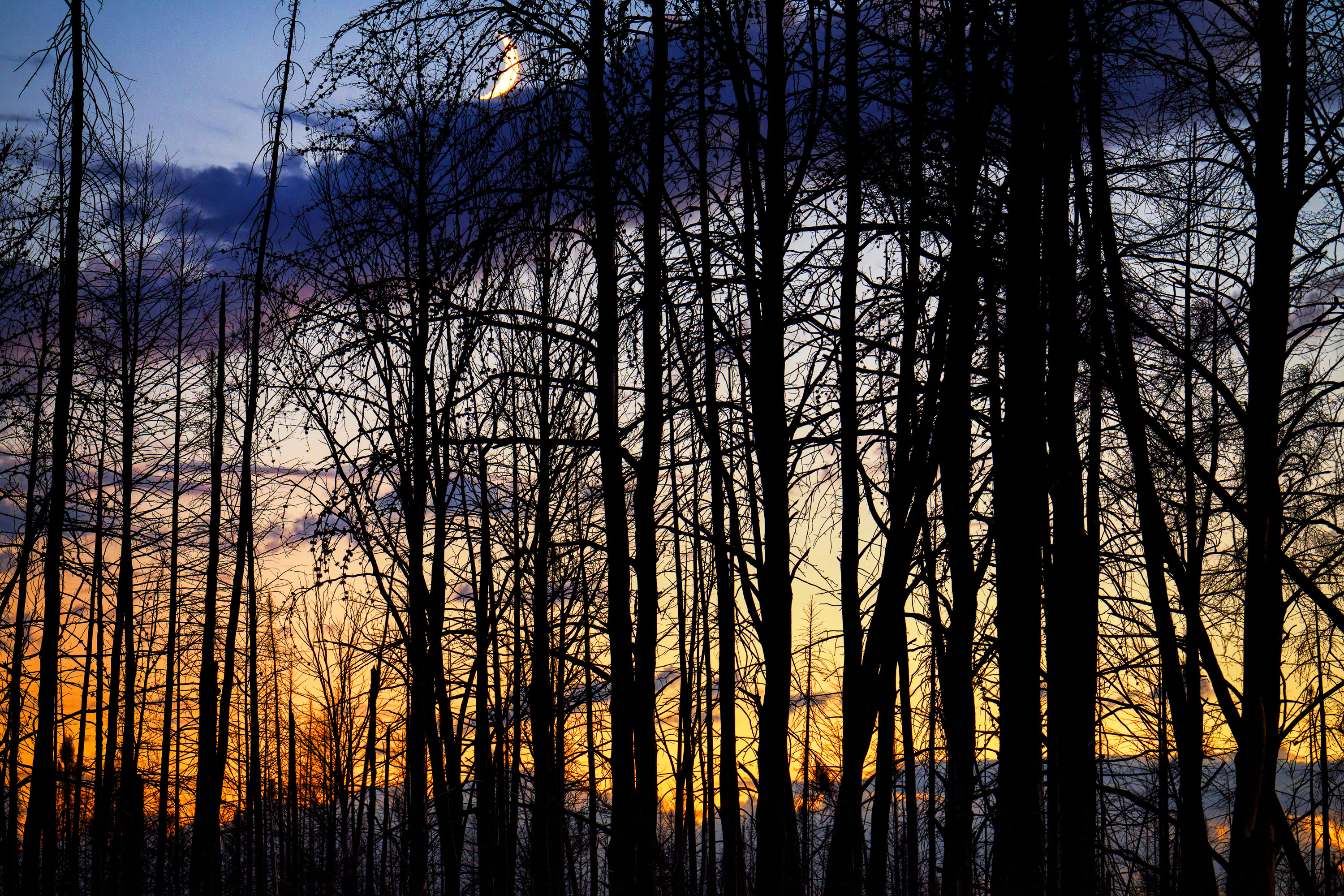
Moon rising over Superior National Forest
Burned trees inside the Greenwood fire zone a year after the wildfire.

Moon rising over Superior National Forest

Minneapolis Police Station on Nicollet Avenue at night
The Minneapolis Police 5th Precinct station is located on Nicollet Avenue.

Minneapolis Police 5th Precinct, Nicollet Ave at Night

2023 We Are Roosevelt Yard SIgn
A yard sign for Roosevelt High School's Class of 2023 is displayed in South Minneapolis. The sign, bearing the slogan "We are Roosevelt" and the school's mascot, is in a yard within George Floyd Square.

Roosevelt High School Class of 2023 Yard Sign, South Minneapolis

Portland Avenue in South Minneapolis at night
Portland Avenue in South Minneapolis is a major thoroughfare connecting residential neighborhoods to the downtown core. This view looks south down Portland Avenue, with the city's commercial center receding into the distance.

Portland Avenue, South Minneapolis at Night

Operation Endeavor Squad Cars Parked in Downtown Minneapolis
Minneapolis Police Department vehicles are visible downtown during "Operation Endeavor." The operation was spearheaded by Minneapolis Community Safety Commissioner Cedric Alexander.

Minneapolis Police Cars Downtown During Operation Endeavor

The THC Joint in Downtown Minneapolis
A mural of cannabis leaves adorns the exterior of a red brick building in downtown Minneapolis, adjacent to "The THC Joint" dispensary.

The THC Joint, Minneapolis: Cannabis Mural on Red Brick Building

We Remember signs at Minneapolis Police Station
The Minneapolis Police Third Precinct building, located on Lake Street, stands vacant and barricaded more than 2 years after it was taken over by protesters following the murder of George Floyd. Signs on the fencing read "The times are urgent, let us slow down". "We remember say their names" "cultivate care".

Minneapolis Police 3rd Precinct Barricade with Protest Signs

Demolition of US Bank Building After Fires
The US Bank building on East Lake Street in Minneapolis, shown here in a state of demolition, was destroyed during the protests that followed the murder of George Floyd in May 2020. The bank is one of many that were destroyed.

US Bank Building Demolition on East Lake Street, Minneapolis

Mexico Independence Day Festival in Minneapolis
The Mexican Independence Day Festival fills Lake Street in Minneapolis, a vibrant celebration of Mexican culture and heritage. This annual event draws large crowds to the city's diverse commercial corridor, showcasing traditional music, food, and performances.

Mexico Independence Day Festival on Lake Street, Minneapolis

Tom's Watch Bar Being Built Out In Minneapolis
Construction is underway for Tom's Watch Bar on Hennepin Avenue in Downtown Minneapolis. This establishment is part of a larger trend of entertainment venues opening in the city's core.

Tom’s Watch Bar Construction on Hennepin Ave, Downtown Minneapolis

Mobile Metal Lab and Show Bus
The "Workshop on Wheels" mobile lab and show bus is seen on Lake Street in Minneapolis. This converted bus serves as a traveling makerspace, offering hands-on art and metalworking activities.

Mobile Metal Lab & Show Bus on Lake Street, Minneapolis

Love Mural on pizza hut
The "LOVE" mural adorns the exterior of a Pizza Hut located at 4800 Chicago Avenue in Minneapolis. The mural, painted over boarded-up windows, became a symbol of resilience and community spirit amidst protests that followed the murder of George Floyd.

LOVE Mural on Pizza Hut, Chicago Ave, Minneapolis

New Lake Street Station Set To Open
The Lake Street Station Post Office in Minneapolis, MN, is nearing its reopening after being rebuilt. The original facility was destroyed by fire following the murder of George Floyd in May 2020, an event that sparked widespread protests and unrest in the city.

Lake Street Station Minneapolis, MN Post Office Reopens

Lake Street storefronts and mixed-use buildings at dusk in Uptown Minneapolis, viewed from Arts + Rec rooftop.
The Arts + Rec rooftop sits above Lake Street in Uptown Minneapolis, looking out over the shops and apartments below. Stella's Fish Cafe, a longtime Lake Street restaurant, occupies the building at the corner in the middle distance.

Lake Street at Dusk from the Arts + Rec Rooftop

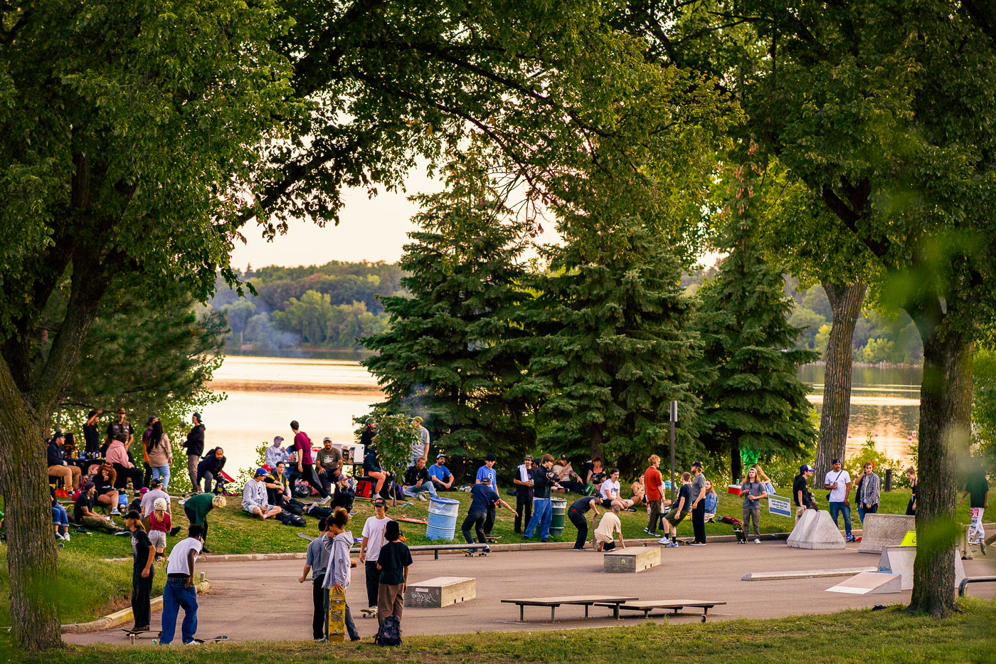
Crowds gather at a temporary skate park on the grassy shores of Bde Maka Ska lake in Minneapolis.
A temporary skate park was established on the shores of Bde Maka Ska in Minneapolis.

Evening Crowd at the Pop-Up Skate Park on Bde Maka Ska

Midori's Floating World Cafe rebuild
Midori's Floating World Cafe, located on Lake Street in Minneapolis, is a Japanese restaurant specializing in sushi, noodles, and sake. The establishment relocated to this site, a former Subway, after its original building was damaged during the Minneapolis Uprising.

Midori’s Floating World Cafe, Minneapolis

FUCK MPD on electrical box in Uptown Minneapolis
Graffiti reading "FUCK MPD + FREY" is spray-painted on an electrical box in Uptown Minneapolis. MPD refers to Minneapolis Police department and Mayor Jacob Frey.

Graffiti on Electrical Box: “FUCK MPD” in Uptown Minneapolis

Minneapolis Police Third Precinct with Joyful Art
An art installation adorns the fencing surrounding the Minneapolis Police Third Precinct. The building sustained significant damage during the civil unrest that followed the murder of George Floyd in May 2020. The installation, featuring banners with messages like "CULTURE," "ONE SOUND IN UNITY," and "SPACE."

Minneapolis Police 3rd Precinct Fencing Art Installation

Grass At The Minnehaha Liquors Site
This photograph shows the site of the former Minnehaha Liquors building on Lake Street in Minneapolis, which was destroyed by fire during the civil unrest following the murder of George Floyd in May 2020. The building's remaining brick wall has been adorned with a mural inspired by Piet Mondrian's abstract compositions, featuring blocks of primary colors. Adjacent to it, another building displays a vibrant mural with the word "LOVE" spelled out in colorful letters against a sky backdrop with hot air balloons and trees.

Minnehaha Liquor Site, Minneapolis: Post-Uprising Mural

Make a Joyful Noise at Police Station
An art installation, "Make a Joyful Noise," is displayed on the fencing surrounding the Minneapolis Police Third Precinct. The precinct was heavily damaged during the civil unrest that followed the murder of George Floyd in May 2020.

Minneapolis Police 3rd Precinct Art Installation: Make a Joyful Noise

Minneapolis Police Third Precinct Art Fence
An art installation featuring hubcaps and other metallic objects adorns the security fencing surrounding the Minneapolis Police Third Precinct. This precinct was significantly damaged during the civil unrest that followed the murder of George Floyd in May 2020.

Minneapolis Police 3rd Precinct Art Fence with Hubcaps

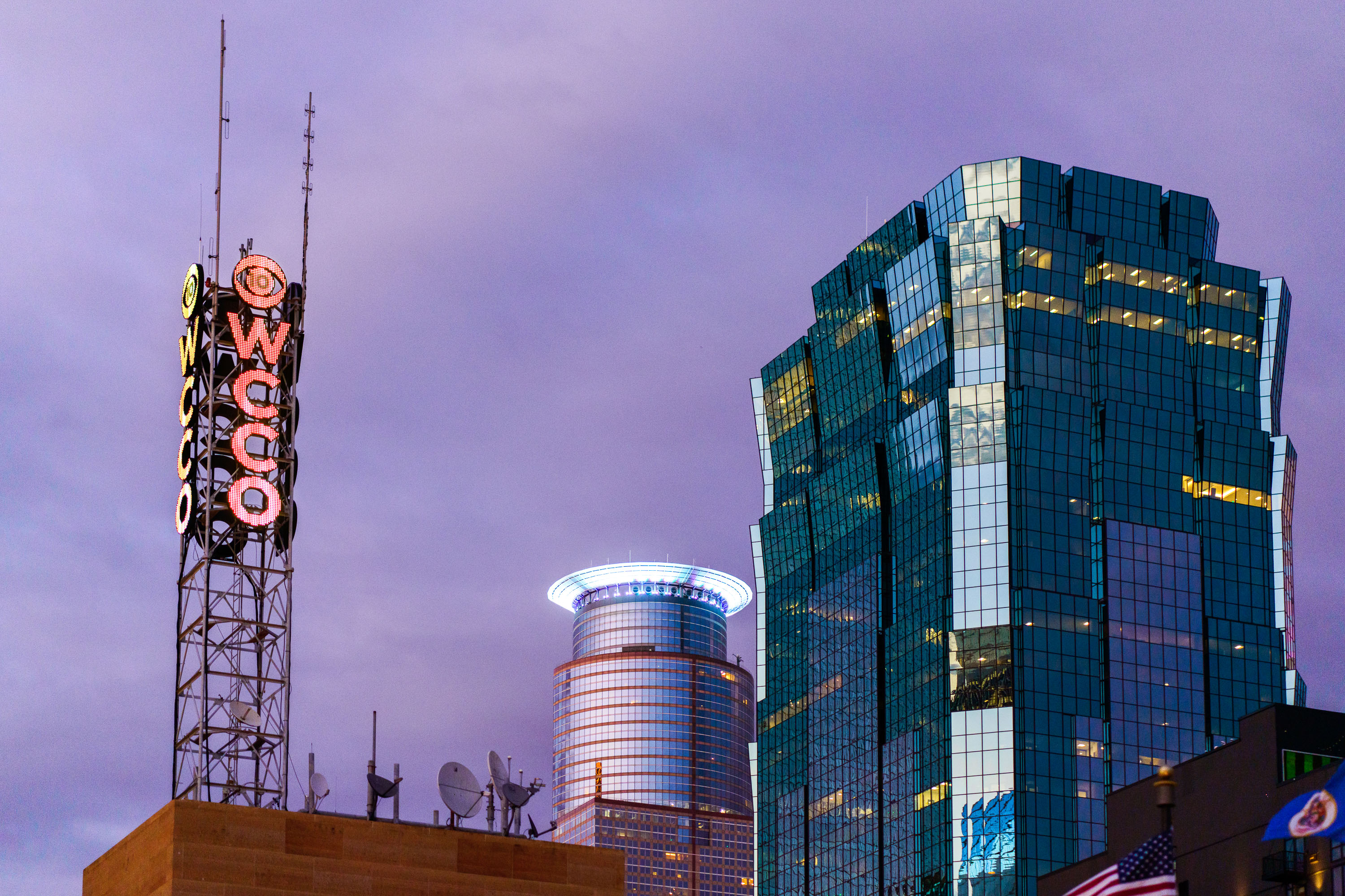
WCCO Weather Sign in Downtown Minneapolis
The WCCO "weather sign" in downtown Minneapolis ,It changes colors based on the weather conditions.

WCCO Weather Sign in Downtown Minneapolis

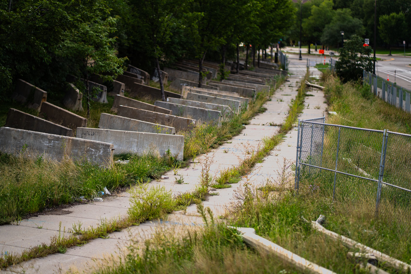
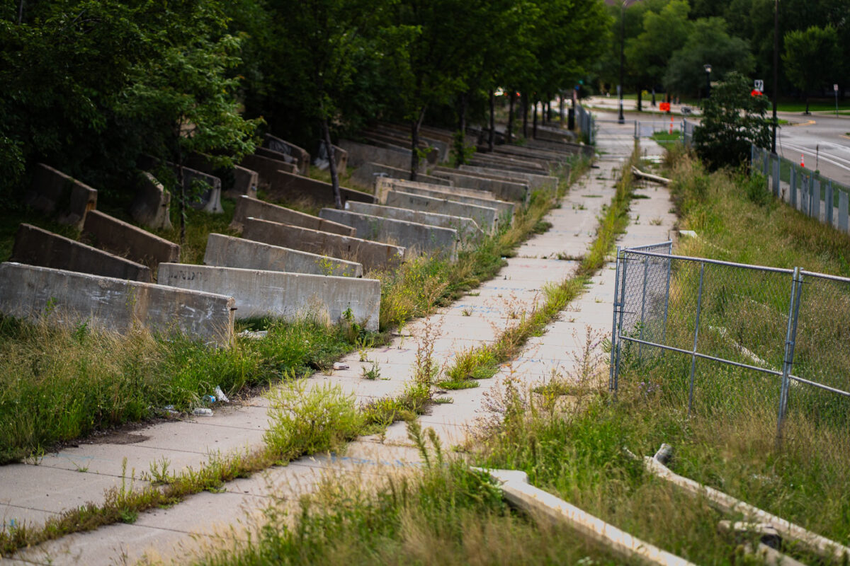
Closed Little Earth Trail in Minneapolis
The Little Earth Trail in Minneapolis remains closed, marked by concrete barriers and fencing. This closure followed the return of encampments to the "Wall of Forgotten Natives" area, a site where individuals experiencing homelessness had gathered since 2018. The city's action in 2020, which included erecting fencing and barriers, also resulted in the accumulation of discarded street poles and concrete barricades, leaving the trail inaccessible.

Minneapolis: Little Earth Trail closed with concrete barriers

Basilica of Saint Mary dome with illuminated lantern tower and cross in Minneapolis.
The Basilica of Saint Mary, dedicated in 1926, was the first church in the United States to be designated a basilica, an honor granted by Pope Pius XI in 1926. Designed by architect Emmanuel Masqueray in the Beaux-Arts style, it serves as co-cathedral of the Archdiocese of Saint Paul and Minneapolis alongside the Cathedral of Saint Paul. The dome rises above Hennepin Avenue near downtown Minneapolis, topped by a lantern and cross that mark the roofline from throughout the surrounding neighborhood. The building is listed on the National Register of Historic Places and remains an active parish church.

Dome and Lantern, Basilica of Saint Mary, Minneapolis

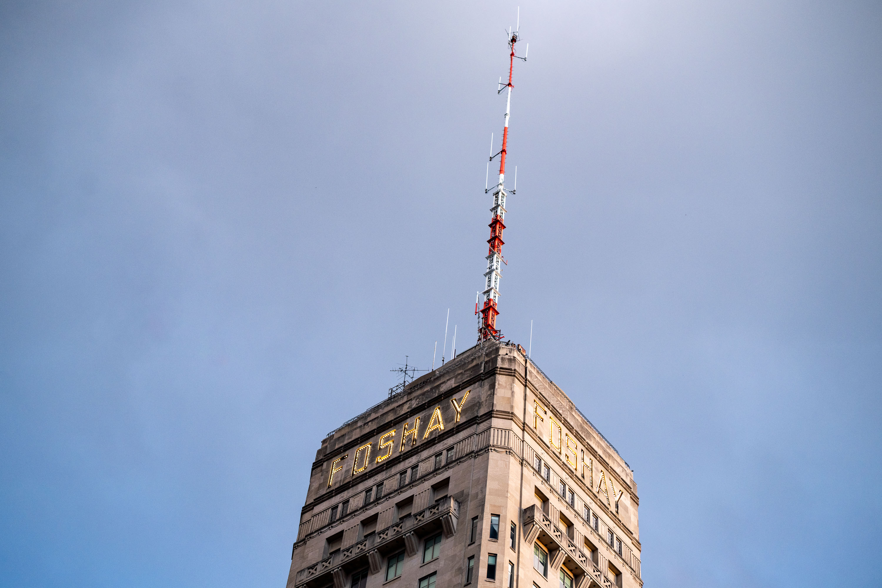
Red and white communication antenna mounted atop the Foshay Tower in downtown Minneapolis.
An antenna on top of the Foshay Tower in Downtown Minneapolis.

Foshay Tower’s Illuminated Sign and Broadcast Spire

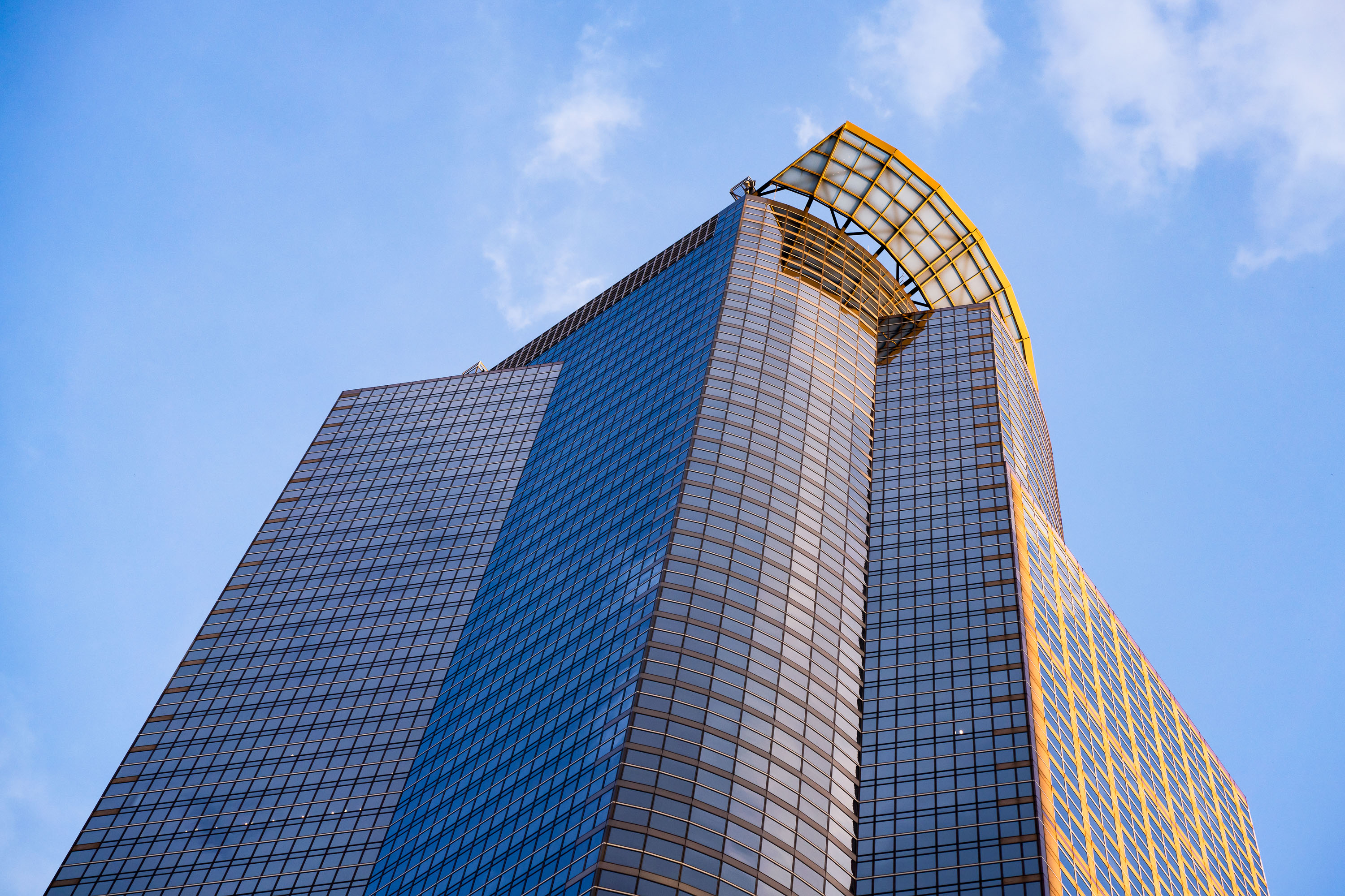
Capella Tower's glass facade and distinctive crown illuminated by golden sunlight against a blue sky in downtown Minneapolis.
The Capella Tower in Downtown Minneapolis on a sunny Spetember 2022 evening.

Capella Tower’s Crown Lit by Evening Sun in Minneapolis

True CBD booth outside the Minnesota State Fair
A True CBD booth selling "Legal THC Gummies" outside the Minnesota State Fair in 2022.

True CBD booth outside the Minnesota State Fair

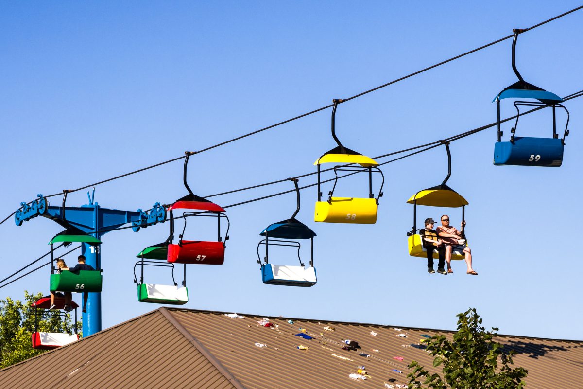
Items dropped from the Sky Ride at the Minnesota State Fair
items on the roof of a state fair building that were dropped from the Sky Ride.

Items dropped from the Sky Ride at the Minnesota State Fair

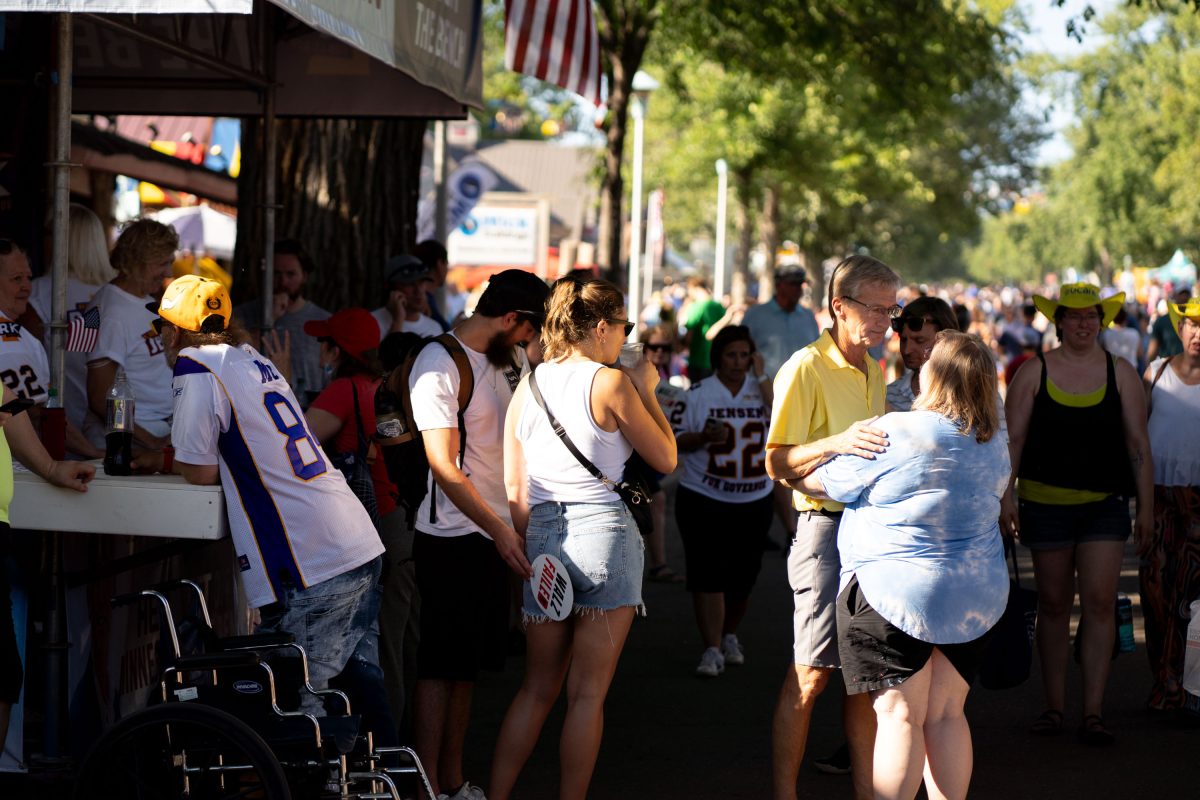
Scott Jensen at the Minnesota State fair
Scott Jensen, Republican candidate for Minnesota Governor, speaks to a supporter at the Minnesota State Fair.

Scott Jensen at the Minnesota State fair

Skyride at the MInnesota State Fair
The popular Sky Ride at the Minnesota State Fair, seen in September 2022.

Skyride at the MInnesota State Fair

Dump Walz Booth at the Minnesota State Fair
A booth at the Minnesota State Fair displays a political protest against Governor Tim Walz. The booth, labeled "Dump Walz," features a caricature of the governor holding a bag of money and surrounded by dollar bills, with text referencing "Biden-Walz Inflation." Signs around the booth list grievances such as "Businesses Crushed," "Mask Mandate," "Lockdowns," and "Vaccine Mandates." A spinning wheel with various political slogans further emphasizes the critical message directed at the governor's policies.

Minnesota State Fair: ‘Dump Walz’ Booth Criticizes Policies

Mike Lindell MyPillow Klobuchar MN State Fair
At the Minnesota State Fair, booths for U.S. Senator Amy Klobuchar and Mike Lindell's MyPillow company were situated adjacent to each other. Senator Klobuchar's booth, a small blue structure, featured information about her legislative efforts, including a sign detailing her work on lowering prescription drug costs. The MyPillow booth, a larger blue tent, advertised its products, highlighting them as "Most Comfortable Pillows You'll Ever Own."

Minnesota State Fair: MyPillow and Amy Klobuchar Booths

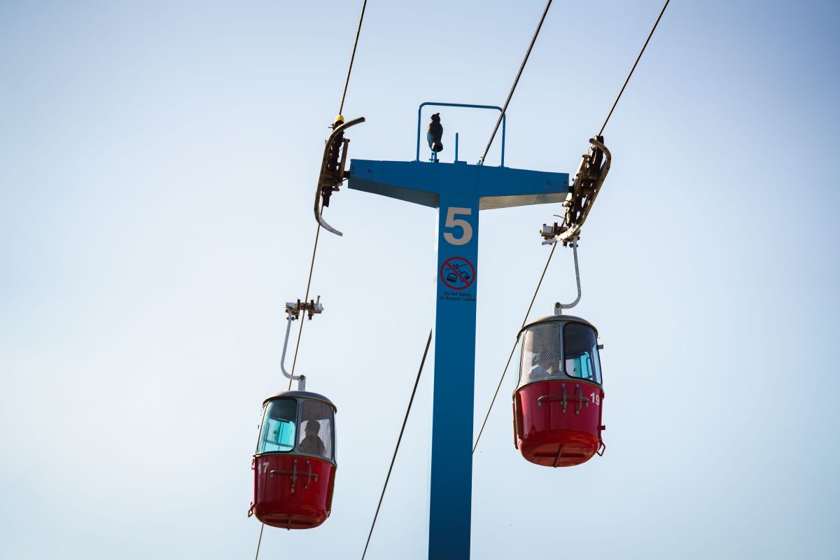
Large ferris wheel at the Minnesota State Fair
The Minnesota State Fair features a Sky Ride and a Ferris wheel, offering visitors aerial views of the fairgrounds. The Sky Ride, a gondola lift system, transports fairgoers across the expansive grounds, providing a unique perspective on the event's scale and activities. The Ferris wheel, a classic amusement park attraction, has been a staple at fairs and carnivals for generations, symbolizing the celebratory atmosphere of such gatherings. Both attractions contribute to the fair's enduring appeal as a major annual event in Minnesota.

Minnesota State Fair Sky Ride and Ferris Wheel
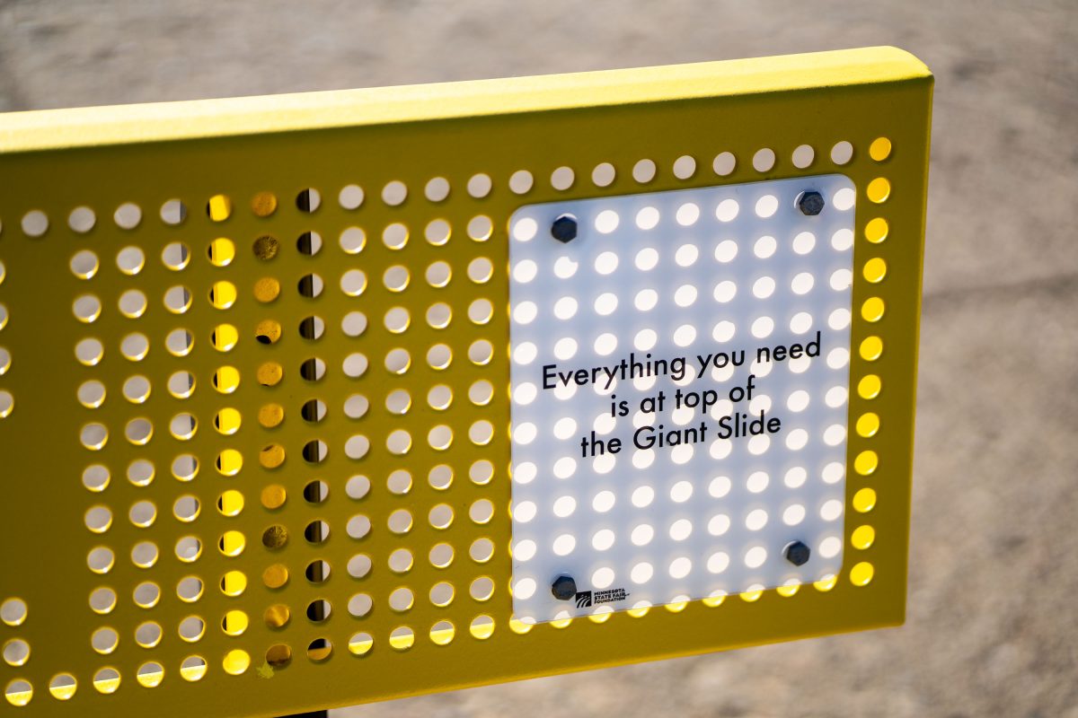
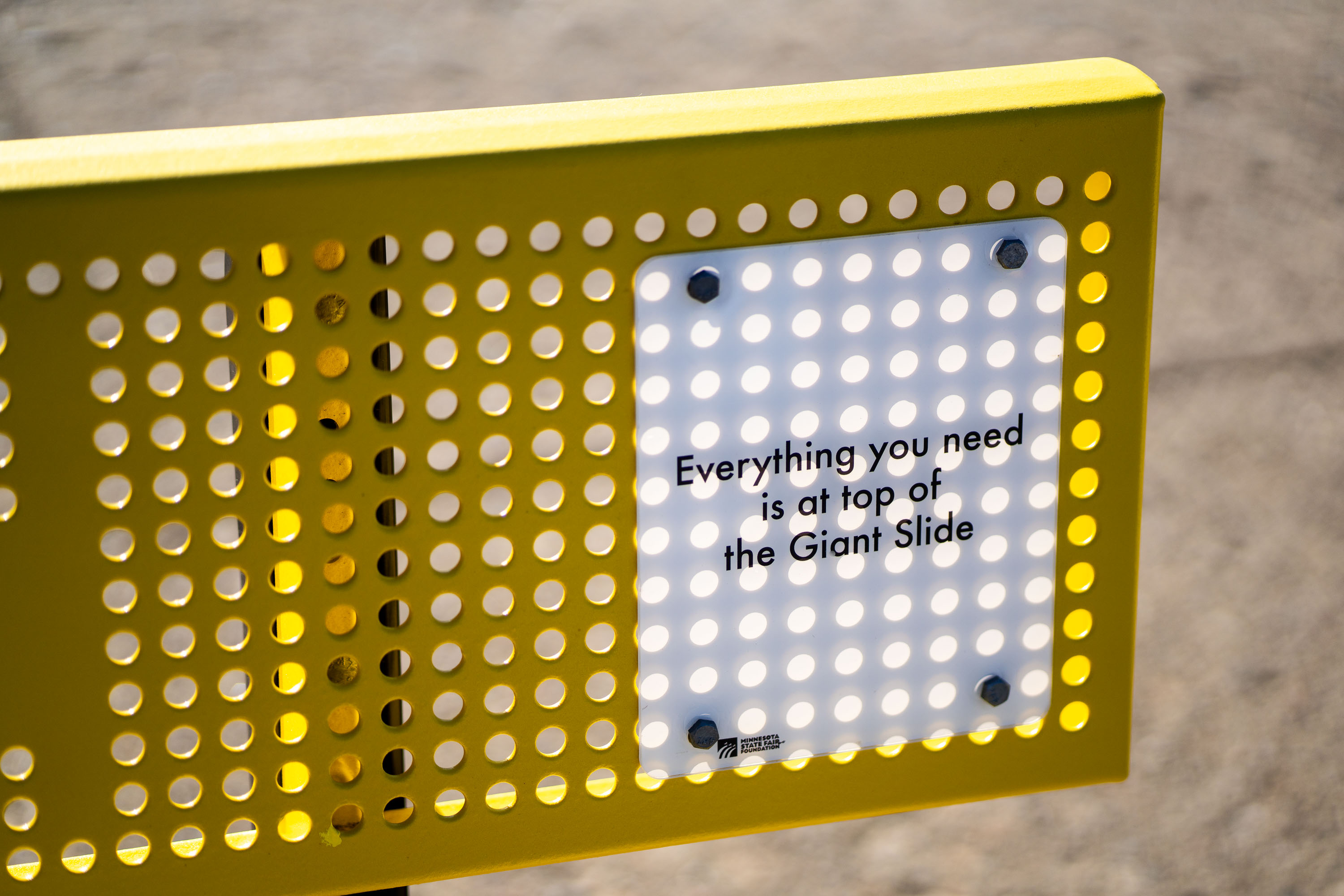
Yellow perforated sign at Minnesota State Fair directs visitors to the Giant Slide.
The Giant Slide has been a fixture of the Minnesota State Fair since 1965, making it one of the fairgrounds' longest-running attractions. Riders climb a set of stairs to a platform before descending on burlap sacks along one of several parallel lanes. The Minnesota State Fairgrounds in Falcon Heights host the ride each year during the fair's 12-day run in late August and early September, drawing crowds that rank among the largest state fair attendances in the country.

Giant Slide Sign, Minnesota State Fair
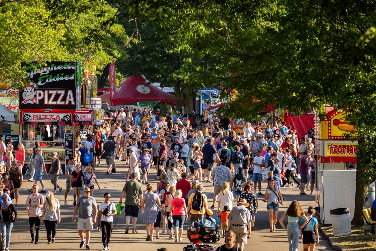
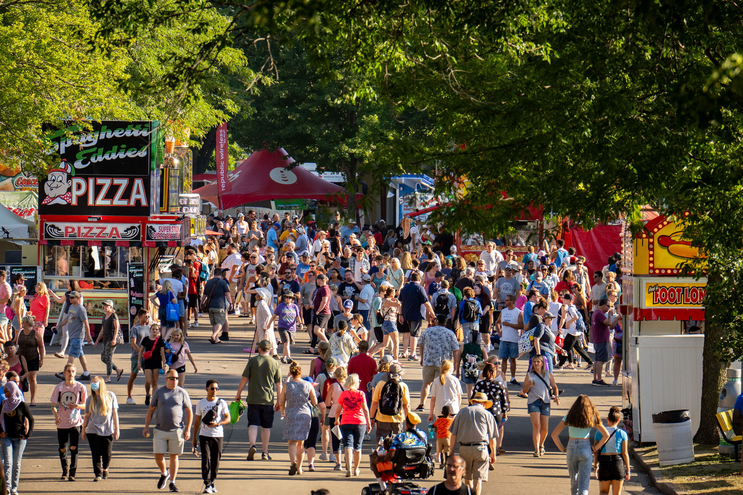
Crowds fill a tree-lined avenue at the Minnesota State Fair, with a pizza vendor stand visible among the fairground attractions.
The Minnesota State Fair takes place each year at the fairgrounds in Falcon Heights, straddling the border between St. Paul and the surrounding suburbs. First held in 1859, it now runs for twelve days, ending on Labor Day, and draws crowds that regularly top 1.9 million visitors, making it one of the largest state fairs in the country by attendance. The fairgrounds cover 322 acres and include permanent food stands, like Spaghetti Eddie's, that return year after year alongside seasonal vendors. Food is a major draw here; the fair is famous for introducing dozens of new foods on sticks each season, a tradition that dates back decades.

Spaghetti Eddie’s Pizza Stand, Minnesota State Fairgrounds

Matt Birk speaks into a microphone during an interview at the Minnesota State Fair.
Matt Birk, a former NFL center for the Minnesota Vikings and Baltimore Ravens, campaigned for Minnesota Lieutenant Governor in 2022 alongside gubernatorial candidate Scott Jensen. Birk won the Super Bowl XLVII championship with the Ravens in 2013 and made six Pro Bowl appearances during his career. The Minnesota State Fair, held annually in Falcon Heights, draws over one million visitors each year and is a traditional stop for statewide candidates during election season.

Matt Birk Interviewed, Minnesota State Fair
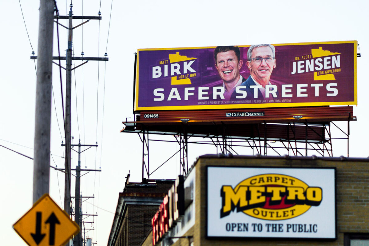
Scott Jensen and Matt Birk Safer Streets billboard in Minneapolis
A billboard in North Minneapolis promotes Scott Jensen for Governor and Matt Birk for Lieutenant Governor, with the slogan "Safer Streets." The advertisement was prepared and paid for by Dr. Scott Jensen, with a mailing address in Minnetonka, Minnesota.

Scott Jensen & Matt Birk Billboard, North Minneapolis
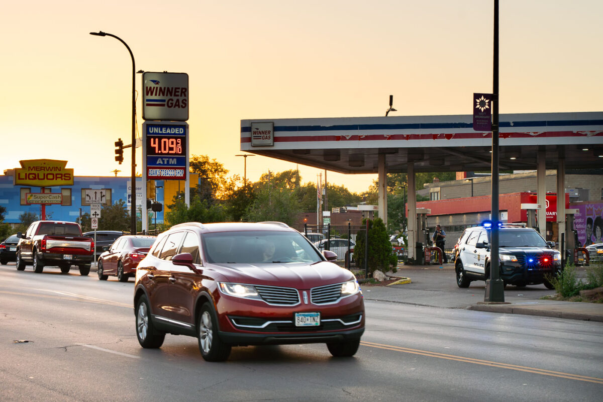
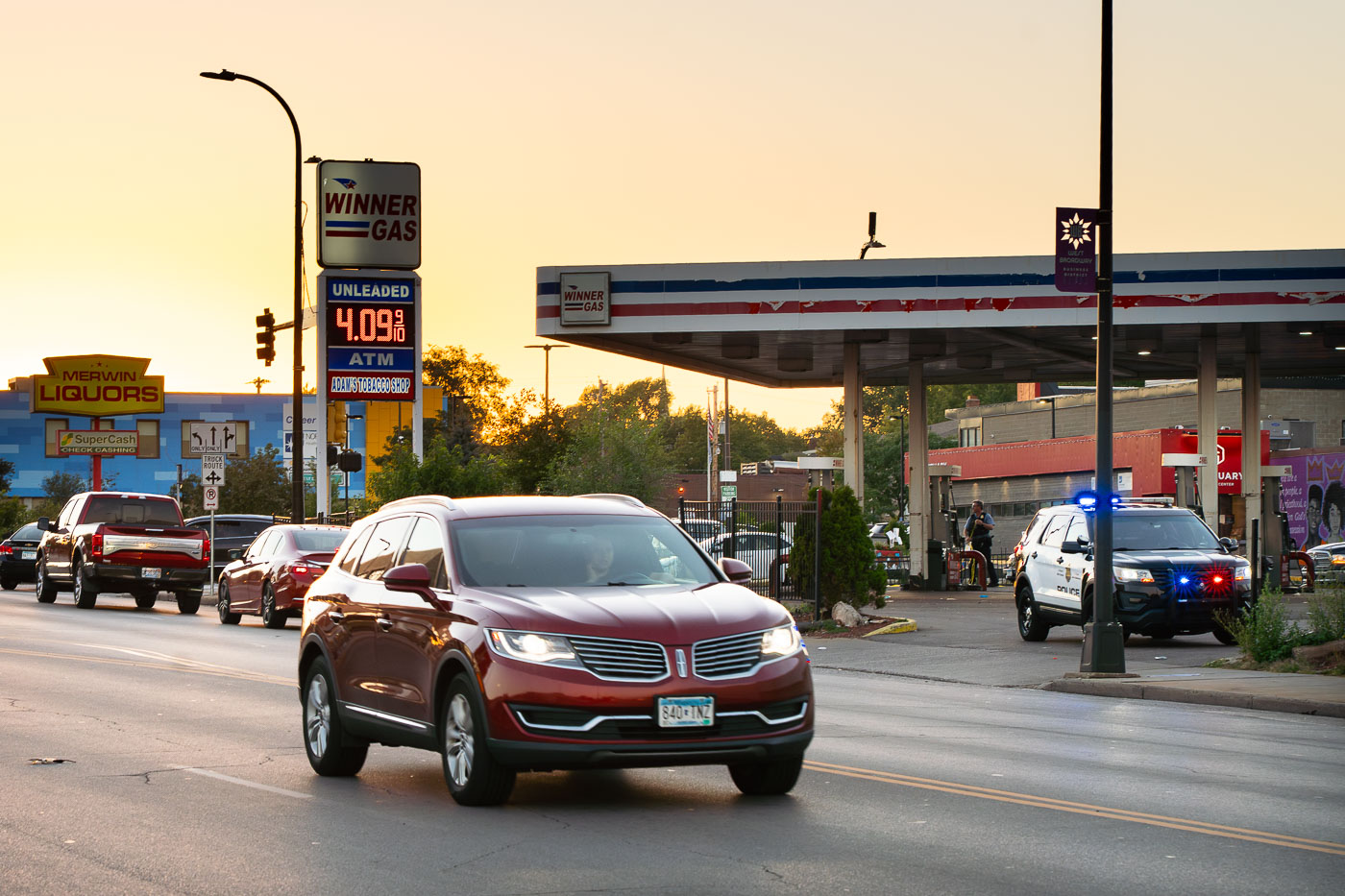
Winner Gas and Merwin Liquors at Broadway and Lyndale in North Minneapolis.
Winner Gas and Merwin Liquors at Broadway and Lyndale in North Minneapolis. The gas station and liquor store sit along a busy commercial corridor near the intersection.

Winner Gas and Merwin Liquors, North Minneapolis

Vote sign at George Floyd Square in August 2022
A mural reading "GEORGE" with stylized figures raising their arms is visible at George Floyd Square in Minneapolis, dated May 25, 2020. Adjacent to the mural, a sign encourages civic engagement with the message "TALK, WALK, RALLY, DISCUSS, DEBATE, POST & COMMENT, GET INFORMED, MOST IMPORTANTLY VOTE." The square, established in the wake of George Floyd's murder, has become a focal point for activism and community organizing.

George Floyd Square: Vote Sign & Mural, Minneapolis

Meet the 24 Demands written on the cement at George Floyd Square
Chalked messages on the pavement at George Floyd Square in Minneapolis, including "MEET THE 24 DEMANDS," reflect ongoing activism more than a year after the street was reopened to vehicles. The square, established in the summer of 2020 following the murder of George Floyd, has been a focal point for community organizing and demands for justice.

George Floyd Square: Meet the Demands in Chalk

Fist in the middle of George Floyd Square in August 2022
The Fist Monument stands at George Floyd Square in Minneapolis, a site that became a focal point for protests following the murder of George Floyd in May 2020. The square, located at the intersection of 38th Street and Chicago Avenue, was occupied by protesters for over two years after Floyd's death. The monument, a raised fist, has become a symbol of the movement and the ongoing calls for justice.

George Floyd Square, Minneapolis: Fist Monument at Night

Roxys Cabaret in Downtown Minneapolis lit up at night
Roxy's Cabaret and the 24/7 Nicollet Diner are shown at their new downtown Minneapolis location.

Roxy’s Cabaret and Nicollet Diner, Downtown Minneapolis at Night

Looking down Nicollet Ave towards Downtown Minneapolis
Nicollet Avenue in Minneapolis, a major thoroughfare, is shown here looking south towards the downtown area.

Nicollet Avenue, Minneapolis: Looking South Towards Downtown
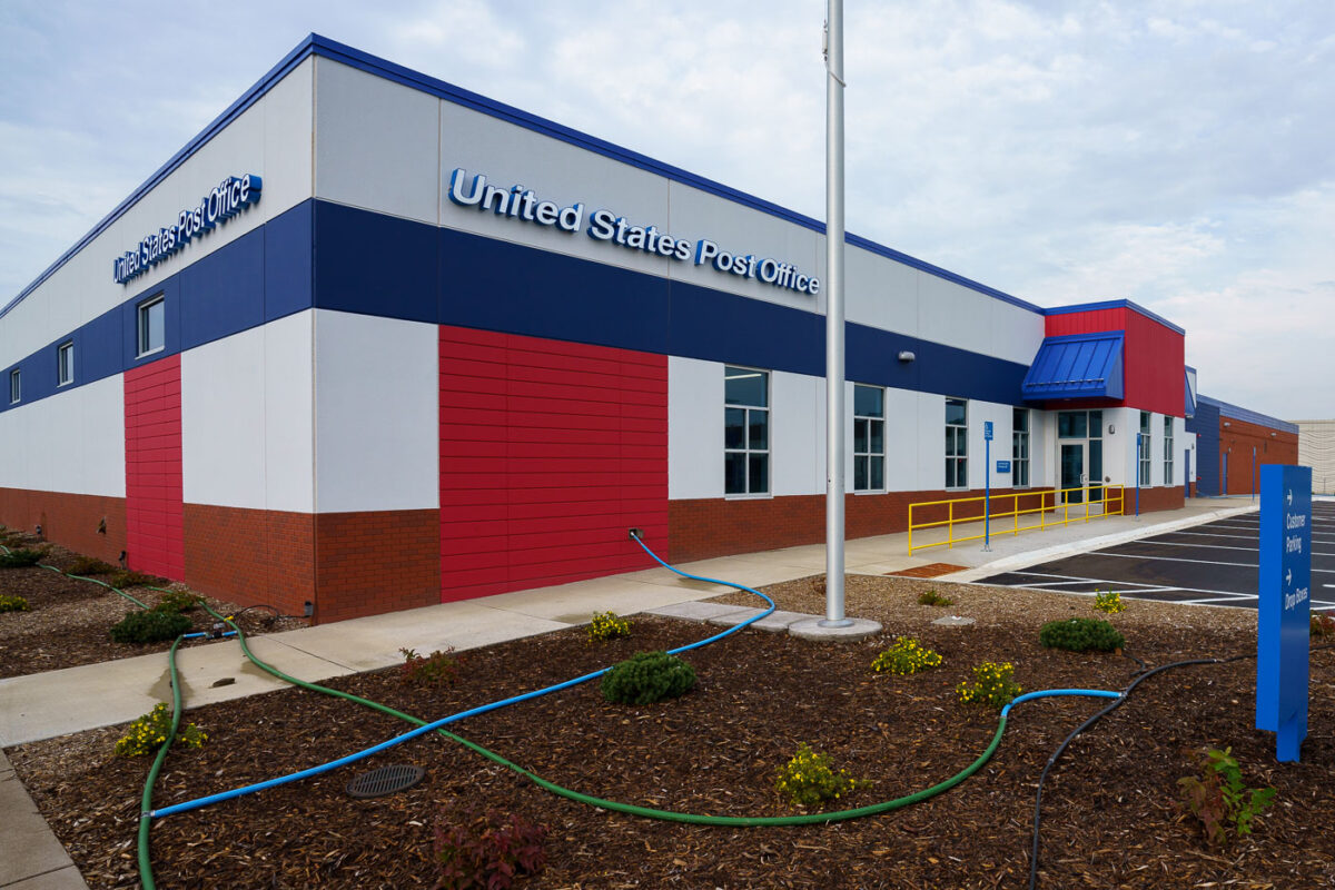
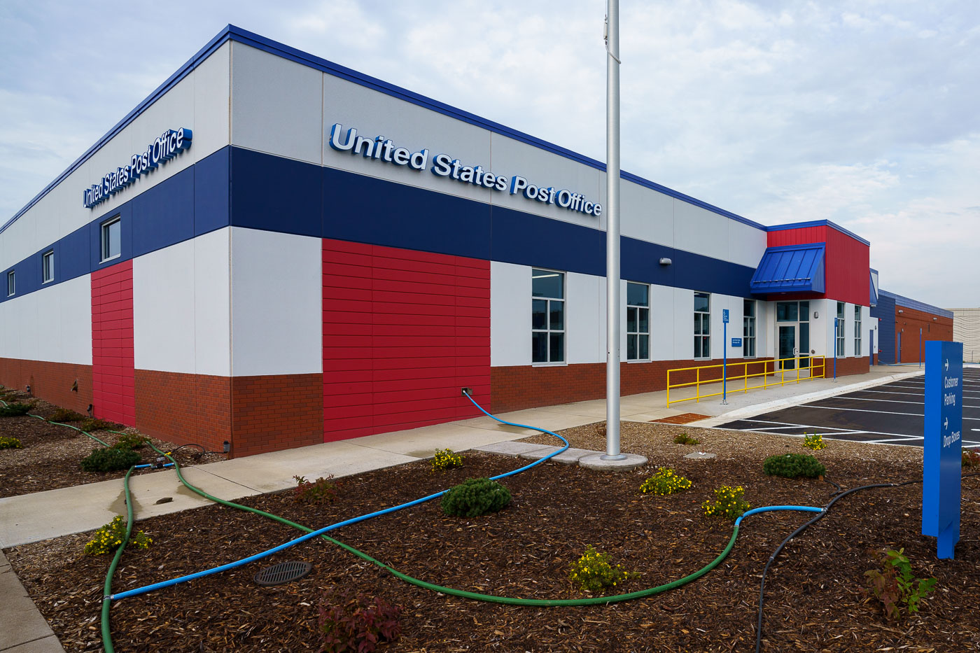
Newly built United States Post Office in South Minneapolis
The new Lake Street Station Post Office in South Minneapolis. This facility replaced the previous post office that was destroyed during the civil unrest following the murder of George Floyd on May 25, 2020. The rebuilding of this essential public service infrastructure in the South Minneapolis community underscores a commitment to recovery and continuity.

Lake Street Station Post Office, South Minneapolis

Sunset over Garden Lake in Ely, Minnesota, with forested shoreline and mountains in distance.
Garden Lake sits just outside Ely, Minnesota, within the Superior National Forest near the edge of the Boundary Waters Canoe Area Wilderness. The lake is a popular put-in point for canoeists heading into the BWCAW's interior chain of lakes.

Garden Lake at Dusk, Near Ely, Minnesota
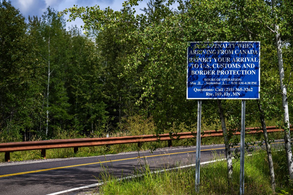
US Customs and Border Protection sign near Moose Lake, Minnesota
A U.S. Customs and Border Protection sign near Moose Lake and Ely in Northern Minnesota.

US Customs and Border Protection sign near Moose Lake, Minnesota

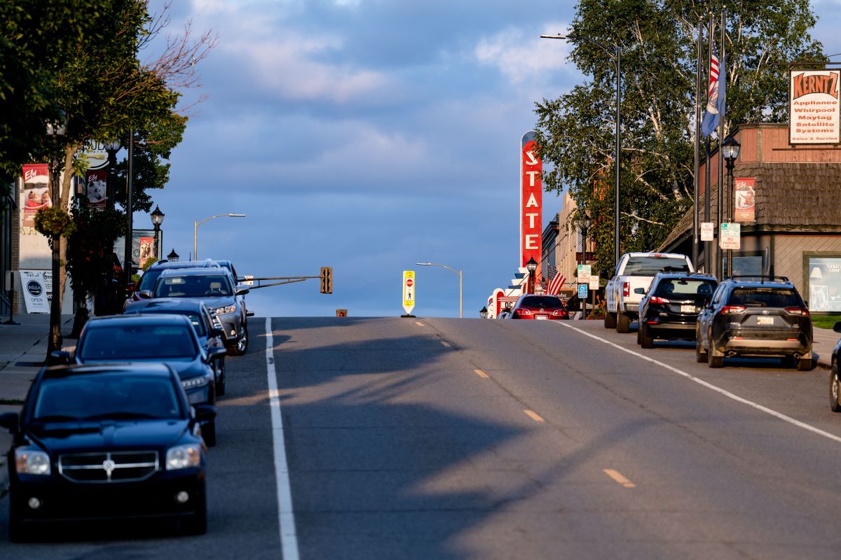
State Theater neon sign on Highway 1 in Ely, Minnesota, with parked vehicles and storefronts.
The State Theater anchors Sheridan Street in downtown Ely, a small city on Minnesota's Iron Range that serves as a gateway to the Boundary Waters Canoe Area Wilderness. Ely's downtown developed around the mining and outfitting trades that supported the surrounding iron mines and, later, canoe-country tourism. Sheridan Street, part of State Highway 1, remains the town's main commercial corridor, lined with small businesses like Kerntz Appliance that have served the community for decades.

State Theater Sign, Sheridan Street in Ely, Minnesota
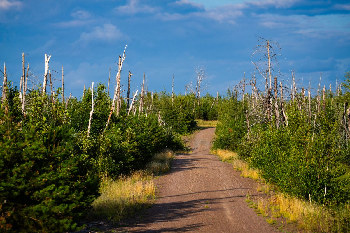
Dirt road through recovering forest with charred tree trunks in Superior National Forest, Minnesota.
Tomahawk Road runs through the Superior National Forest near Isabella, Minnesota, within the area burned by the 2011 Pagami Creek Fire. Lightning sparked the fire in May of that year, and it stayed contained until a windstorm in early September pushed it across more than 36,000 hectares, making it the largest wildfire in Minnesota in over a century. The fire burned into the Boundary Waters Canoe Area Wilderness, killing mature stands of red and white pine. Forest Service crews have since studied the event as a case of extreme fire behavior driven by drought and high winds.

Tomahawk Road, Pagami Creek Burn Area, Superior National Forest
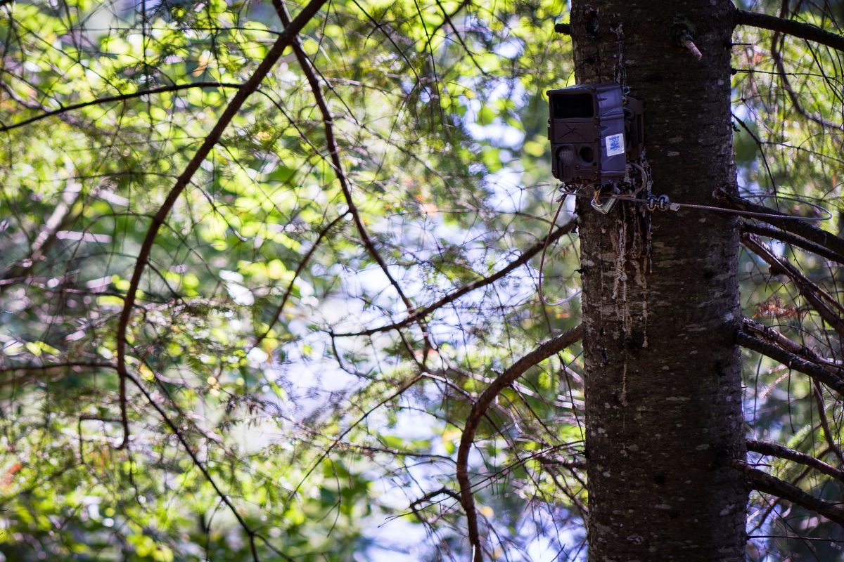
Trail cam in the Superior National Forest, Minnesota
A trail cam found in the Superior National Forest in Northern Minnesota.

Trail cam in the Superior National Forest, Minnesota

Island River in the Superior National Forest
Island River in Superior National Forest in Northern Minnesota. The river runs through the Pagami Creek Fire zone.

Island River in the Superior National Forest

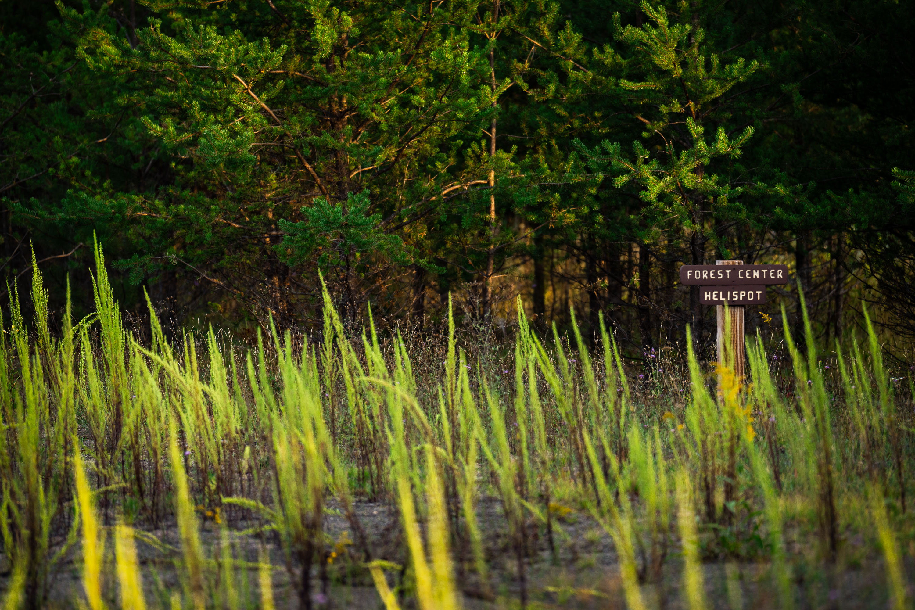
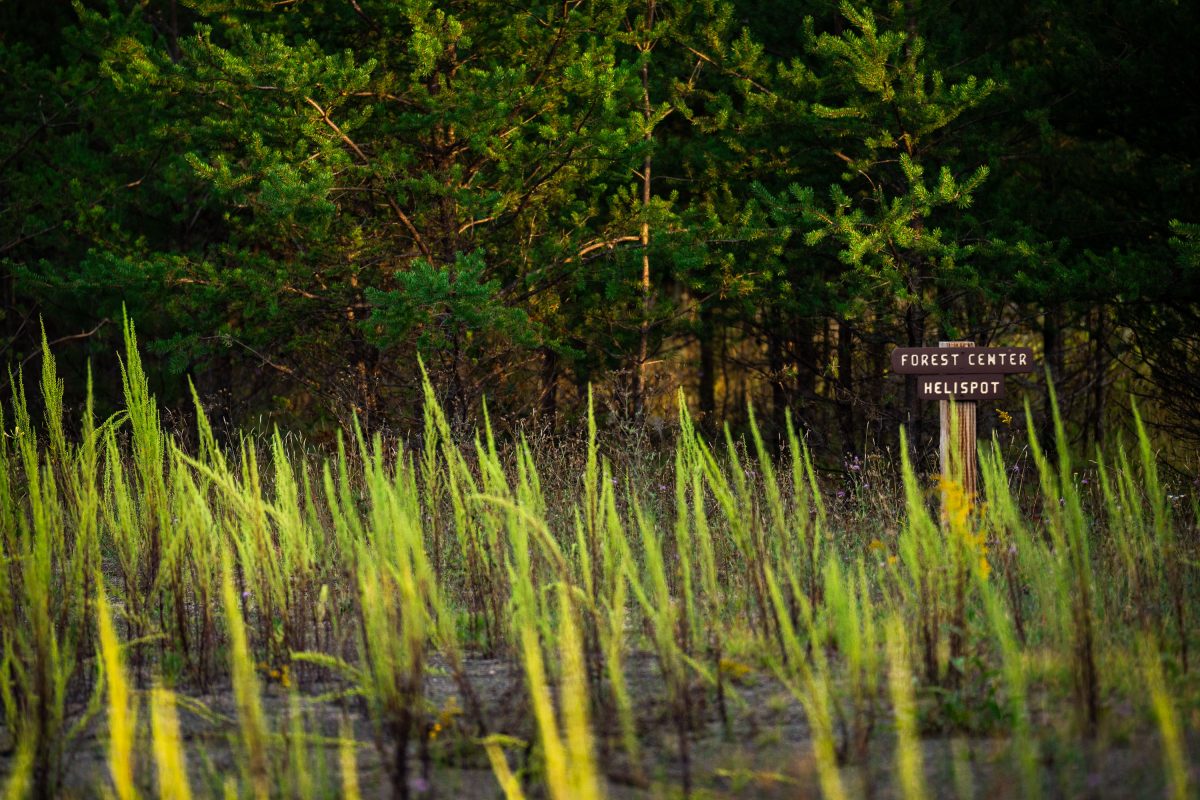
Forest Center Helispot sign near the Boundary Waters
Forest Center Helispot" sign. Forest Center is a small former logging community site within the Superior National Forest, near the Boundary Waters.

Forest Center Helispot sign near the Boundary Waters

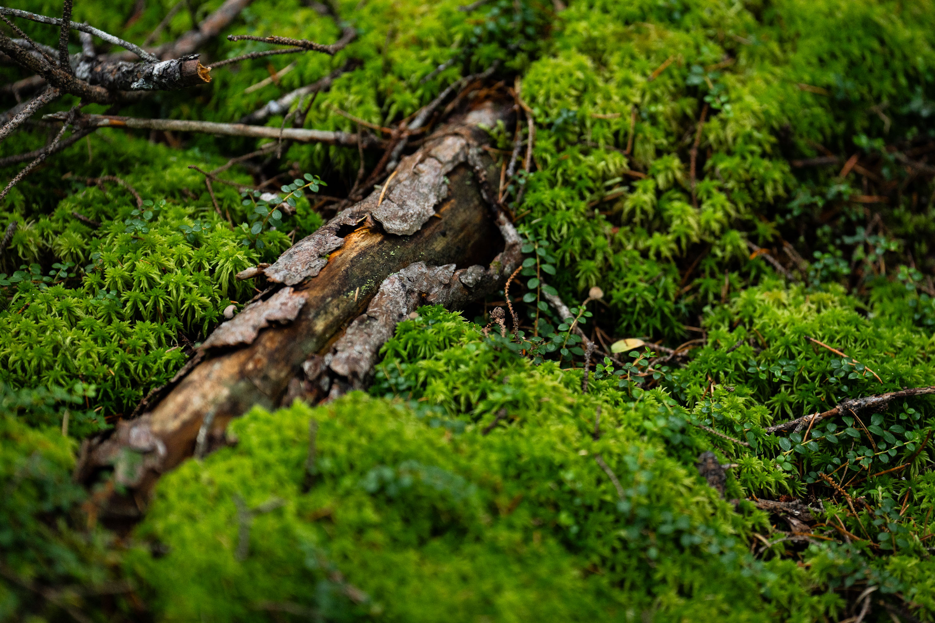
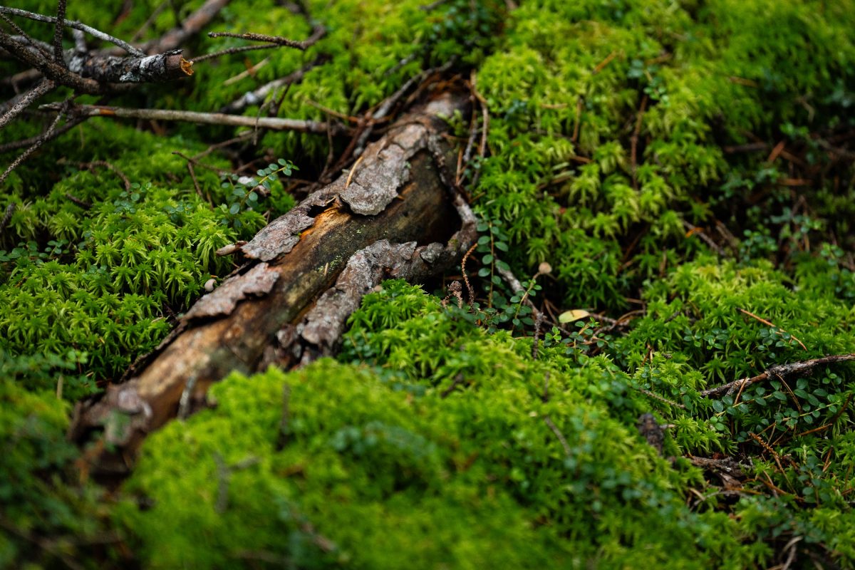
Decaying log laying in the Superior National Forest

A downed tree in the Superior National Forest in Northern Minnesota.

Decaying log laying in the Superior National Forest

Amanita muscaria mushroom in Minnesota
A mushroom found in the Superior National Forest. Pretty sure it's a amanita muscaria mushroom.

Amanita muscaria mushroom in Minnesota

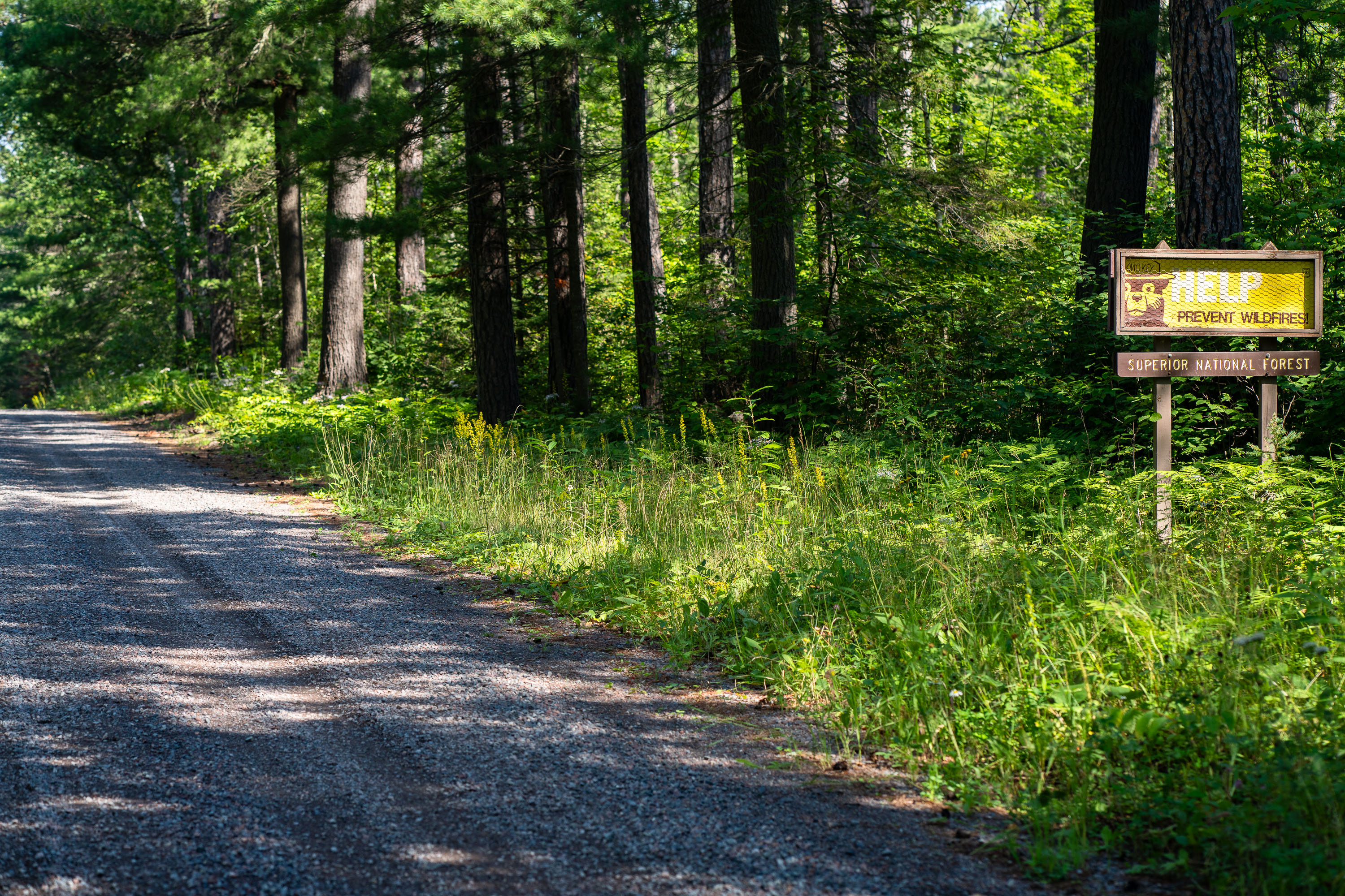
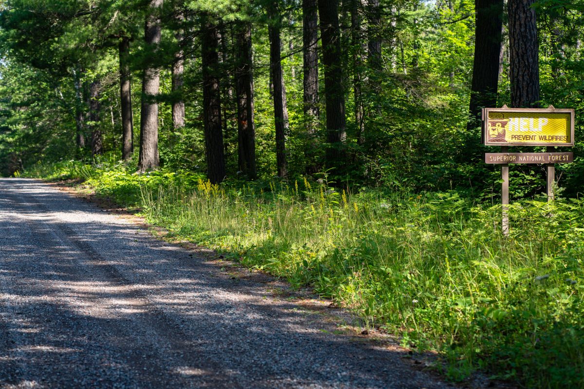
Prevent Wildfires sign in the Superior National Forest in 2022
HELP Prevent Wildfires sign in the Superior National Forest near Isabella, Minnesota.

Prevent Wildfires sign in the Superior National Forest in 2022

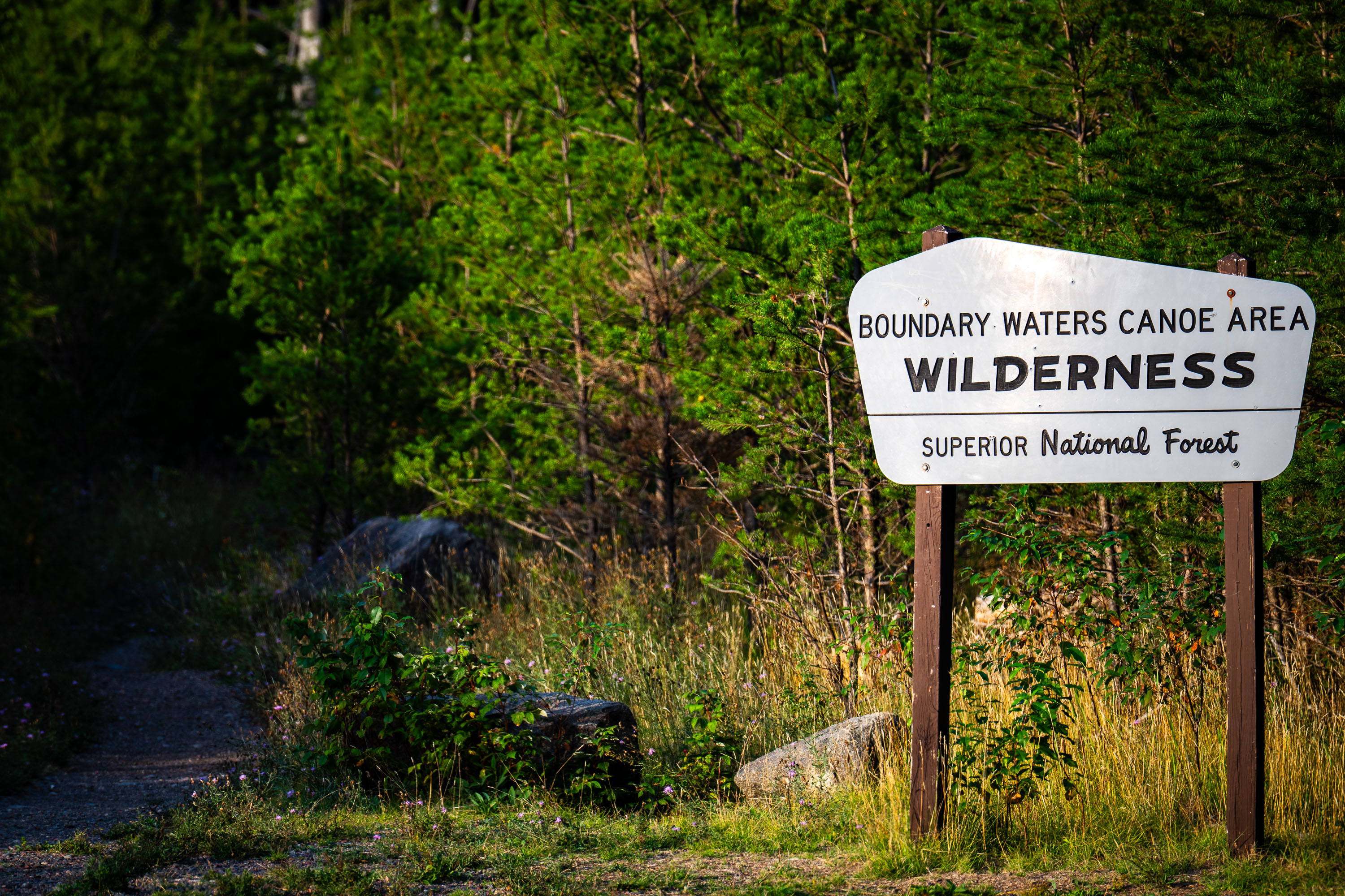
Boundary Waters Canoe Area Wilderness Superior National Forest Sign
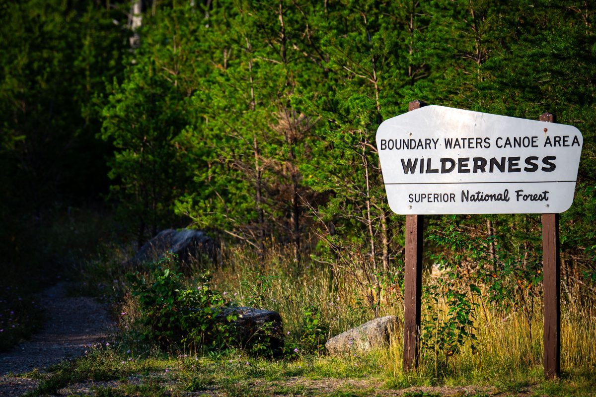
A Boundary Waters Canoe Area Wilderness sign in the Superior National Forest.

BWCA SNF Sign in Minnesota

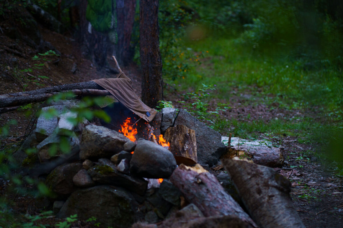
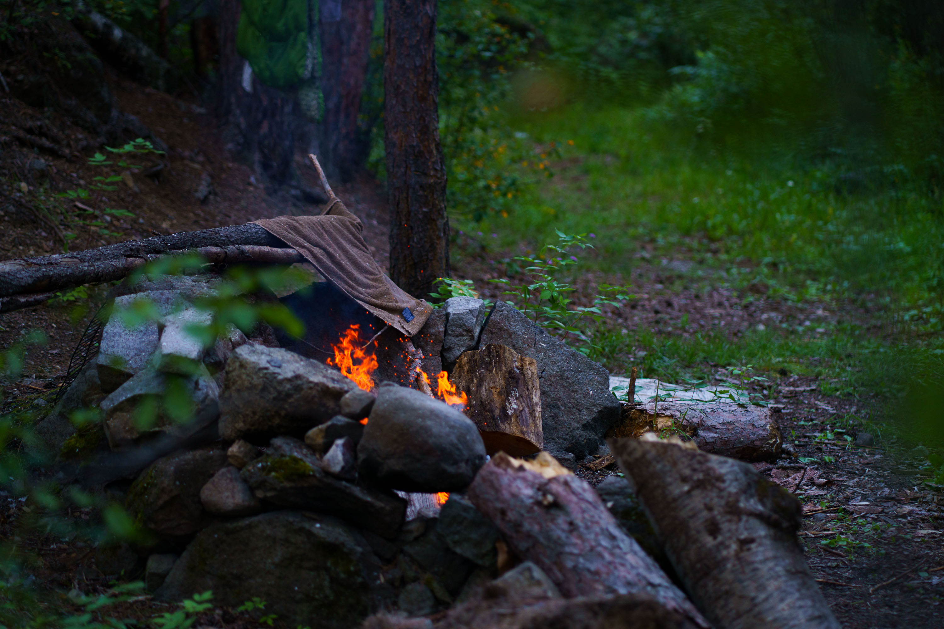
A campfire burns in a stone pit in Superior National Forest, Minnesota, with a towel draped over a log nearby. Smoke rises into the surrounding trees.
A campfire burns within a stone fire pit in Superior National Forest, Minnesota. A brown towel is draped over a log near the flames, and smoke rises into the surrounding trees. The photograph was taken in August 2022. Superior National Forest is a protected wilderness area in northeastern Minnesota, known for its vast forests, lakes, and recreational opportunities. Campfires are a common feature of camping and outdoor activities within the forest, providing warmth and a focal point for gatherings. This image documents a typical camping experience in the region during the summer season.

Superior National Forest Campfire, Minnesota
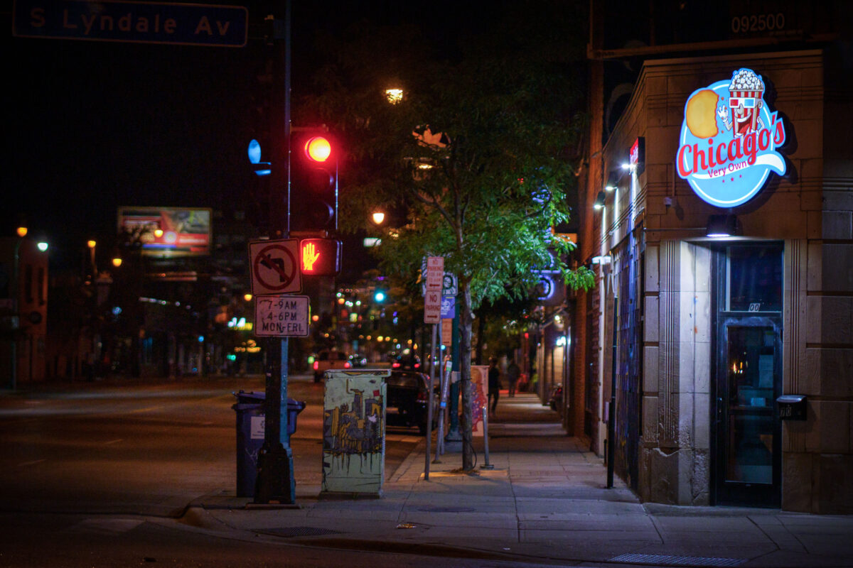
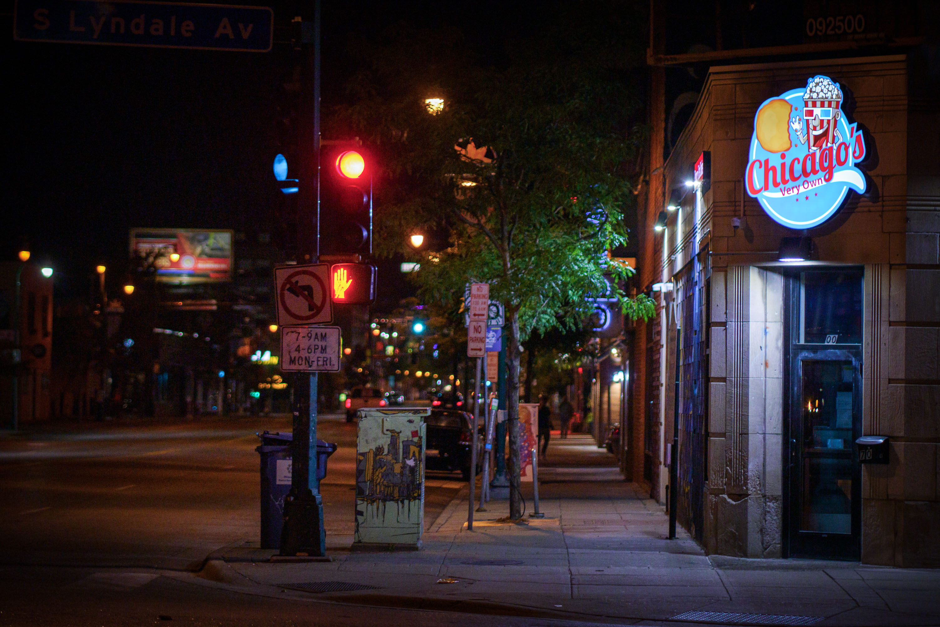
Chicagos Very Own on corner of Lyndale and Lake
Chicago's Very Own, a restaurant specializing in Chicago-style hot dogs and Italian beef sandwiches, is pictured at night on the corner of Lake Street and Lyndale Avenue in Minneapolis.

Chicago’s Very Own Signage at S Lyndale Ave and Lake St, Minneapolis

NaNaCarDon Clothing on Lake Street in Uptown Minneapolis
NaNaCarDon Clothing & Accessories is a retail establishment located at 617 West Lake Street in Minneapolis. The storefront displays mannequins in fashionable attire, showcasing the store's offerings.

NaNaCarDon Clothing Storefront, 617 West Lake Street, Minneapolis

Justice for George Floyd on table of a Minneapolis storefront
Arcade games, including NBA Jam and Mortal Kombat, are situated inside Jughouse on Hennepin Avenue in Minneapolis's Uptown neighborhood. A sticker advocating for justice for George Floyd is visible on a nearby table.

Jughouse Arcade Games and George Floyd Sticker, Minneapolis

Minneapolis Police squad car driving down Hennepin Ave in Downtown Minneapolis
A Minneapolis Police Department squad car patrols Hennepin Avenue in August 2022.

Minneapolis Police Squad Car on Hennepin Ave, August 2022

Millennium Auto Service in South Minneapolis
Millennium Auto Service is located in George Floyd Square in Minneapolis, a neighborhood that became a focal point of protests and activism following the murder of George Floyd in May 2020. A message on the garage door reads, "WE CANNOT BECOME NUMB TO INJUSTICE, TRAUMA, AND INEQUALITY."

Millennium Auto Service, George Floyd Square, Minneapolis

Unity Peace Art Blocks at George Floyd Square
Art blocks bearing the words "Unity" and "Peace" are displayed at George Floyd Square in Minneapolis. This space, located at the intersection of 38th Street and Chicago Avenue, became a significant site of protest and community organizing following the murder of George Floyd in May 2020.

George Floyd Square Art Blocks: Unity and Peace

Calendar at The People’s Way at George Floyd Square
An August 2022 calendar is displayed at The People's Way, a community space within George Floyd Square in Minneapolis. The calendar lists various events including "Primary Elections," "24 Demands 2nd Anniversary Meet the Demands," and "Public Hearing on MPD drones." It also notes community gatherings, birthdays, and other local activities, reflecting the ongoing community organizing and public life at the square.

August 2022 Calendar at The People’s Way, George Floyd Square

People visiting the George Floyd Memorial at George Floyd Square
The George Floyd Memorial at George Floyd Square in Minneapolis is a site of remembrance and protest. Established after the murder of George Floyd in May 2020, the square became a focal point for demonstrations against racial injustice and police brutality. The memorial, located outside the Cup Foods store where Floyd was murdered, features tributes, artwork, and messages from visitors.

George Floyd Memorial, George Floyd Square, Minneapolis, August 2022

Minnehaha Falls drops 53 feet into a pool surrounded by dense green forest and visitors along the rocky base in Minneapolis.
Minnehaha Falls, located in Minneapolis at Minnehaha Park. The waterfall, which drops 53 feet, is fed by Minnehaha Creek. It was a popular destination for visitors in the 19th century, including figures like Henry Wadsworth Longfellow, whose poem "The Song of Hiawatha" immortalized the falls.

Visitors Gather Below Minnehaha Falls

Streets closed for Open Streets Eat Street on Lake Street in Minneapolis
East Lake Street in South Minneapolis was closed to vehicular traffic for an Open Streets event, transforming the urban thoroughfare into a pedestrian-friendly space. These events, common in many cities, aim to promote community engagement, healthy lifestyles, and local businesses by temporarily reclaiming streets for public use. The closure allowed residents and visitors to walk, bike, and socialize freely, enjoying the vibrant atmosphere of the neighborhood.

East Lake Street Closed for Open Streets Event, South Minneapolis

Large crowd leaves a theater on Hennepin Ave in Downtown Minneapolis
Pedestrians cross Hennepin Avenue in downtown Minneapolis as they exit the Orpheum Theatre on a Friday night in August 2022. The Orpheum, a historic vaudeville house and movie palace, opened in 1921 and has hosted a variety of performances and events throughout its history.

Crowds exit Orpheum Theatre, Hennepin Ave, Minneapolis

Fireman walks to his firetruck on East Lake Street
Firefighters responded to a blaze at the vacant Coliseum building on East Lake Street in Minneapolis. The structure had been empty since a fire in May 2020, which occurred during the unrest following the murder of George Floyd. Plans for redevelopment of the site were slated to begin soon after this incident.

Coliseum Building Fire, East Lake Street, Minneapolis

Newly built Four Seasons Hotel in Downtown Minneapolis
The Four Seasons Hotel Minneapolis, a newly constructed luxury accommodation, stands in the heart of downtown Minneapolis. Opened in 2020, the hotel is part of a mixed-use development that includes residential units and retail spaces.

Four Seasons Hotel Minneapolis: New Downtown Architecture

People walking on Washington Avenue in Downtown Minneapolis North Loop
Washington Avenue North in Minneapolis's North Loop neighborhood is a vibrant area with a mix of historic industrial buildings and modern businesses. The street, once a hub for warehousing and manufacturing, has transformed into a popular destination for dining and entertainment.

Washington Avenue North Loop Minneapolis Evening

Minneapolis City of Finding out sign at George Floyd Square
A sign at George Floyd Square in Minneapolis reads "Minneapolis City of Finding Out." This area became a focal point for protests and activism following the murder of George Floyd on May 25, 2020. The "City of Finding Out" slogan reflects the ongoing community efforts to understand and address systemic issues. The square has served as a space for remembrance, community organizing, and continued calls for justice.

Minneapolis: George Floyd Square “City of Finding Out” Sign
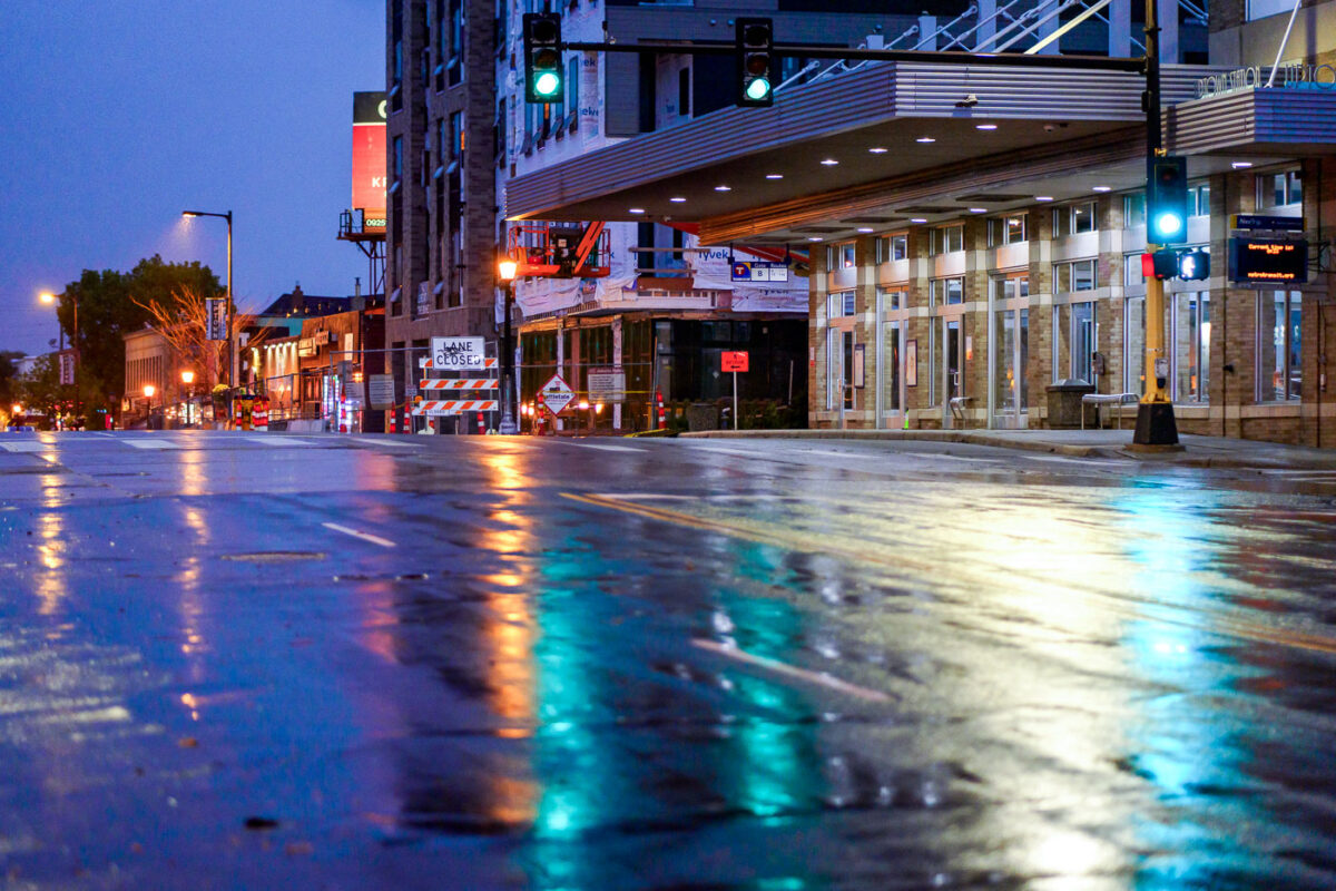
Bus shelter in the rain on Hennepin Ave in Uptown Minneapolis
Construction continues on Hennepin Avenue in Uptown Minneapolis, a district known for its vibrant commercial and residential character. The development of a new seven-story apartment building signifies ongoing investment and transformation in the neighborhood.

Hennepin Avenue Construction in Uptown Minneapolis at Dusk

Street Sweeper on Hennepin Ave in Uptown Minneapolis
A street sweeper in Uptown Minneapolis seen in August 2022.

Street Sweeper on Hennepin Ave in Uptown Minneapolis

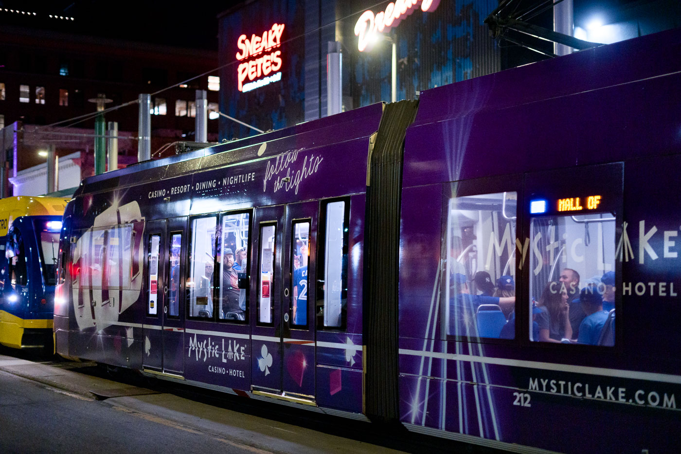
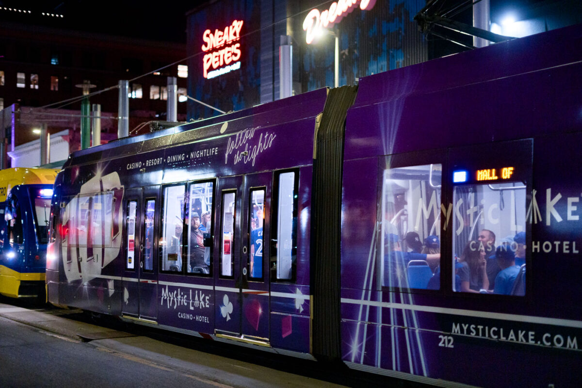
Mystic Lake wrapped light rail train and Sneaky Petes bar in Downtown Minneapolis
A light rail train branded for the Mystic Lake Casino & Hotel stops at the Warehouse District-Hennepin station in Minneapolis. The station serves the Green Line, which connects downtown Minneapolis and St. Paul, and is a popular transit point for events in the Warehouse District.

Mystic Lake Casino Train at Warehouse District Station

Armed police officers stationed outside of Target Field in Minneapolis
Hennepin County Sheriff's officers stand with rifles outside Target Field in Minneapolis.

Hennepin County Sheriff’s Officers with Rifles, Target Field Security

Online auction sign at former Chino Latino restaurant on Hennepin Ave
Online Auction sign on the former Chino Latino restaurant in Uptown Minneapolis.

Online auction sign at former Chino Latino restaurant on Hennepin Ave
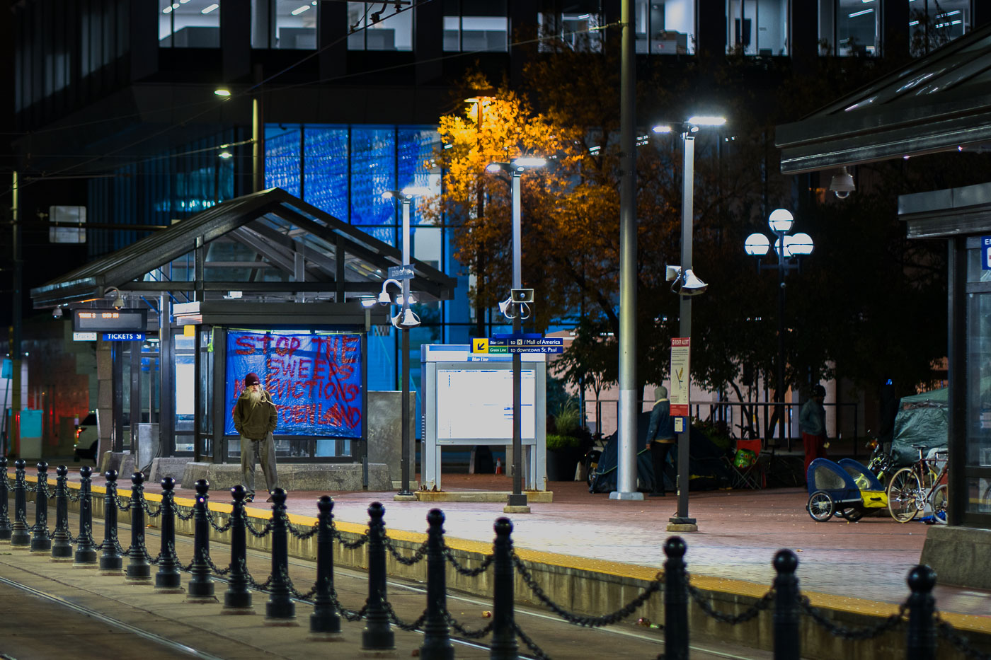
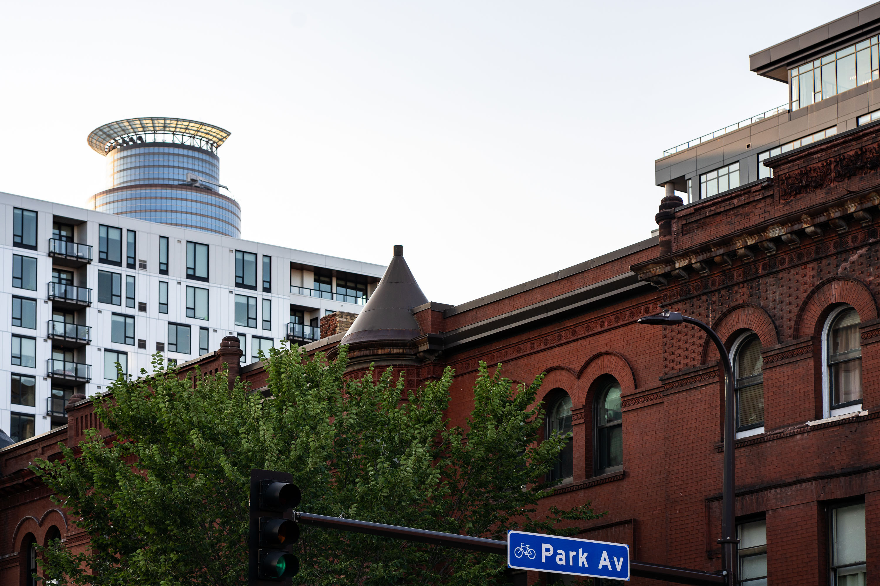
Park Ave and the Capella Tower in Downtown Minneapolis
Park Avenue sign in Downtown Minneapolis with the Capella Tower in the background.

Park Ave and the Capella Tower in Downtown Minneapolis
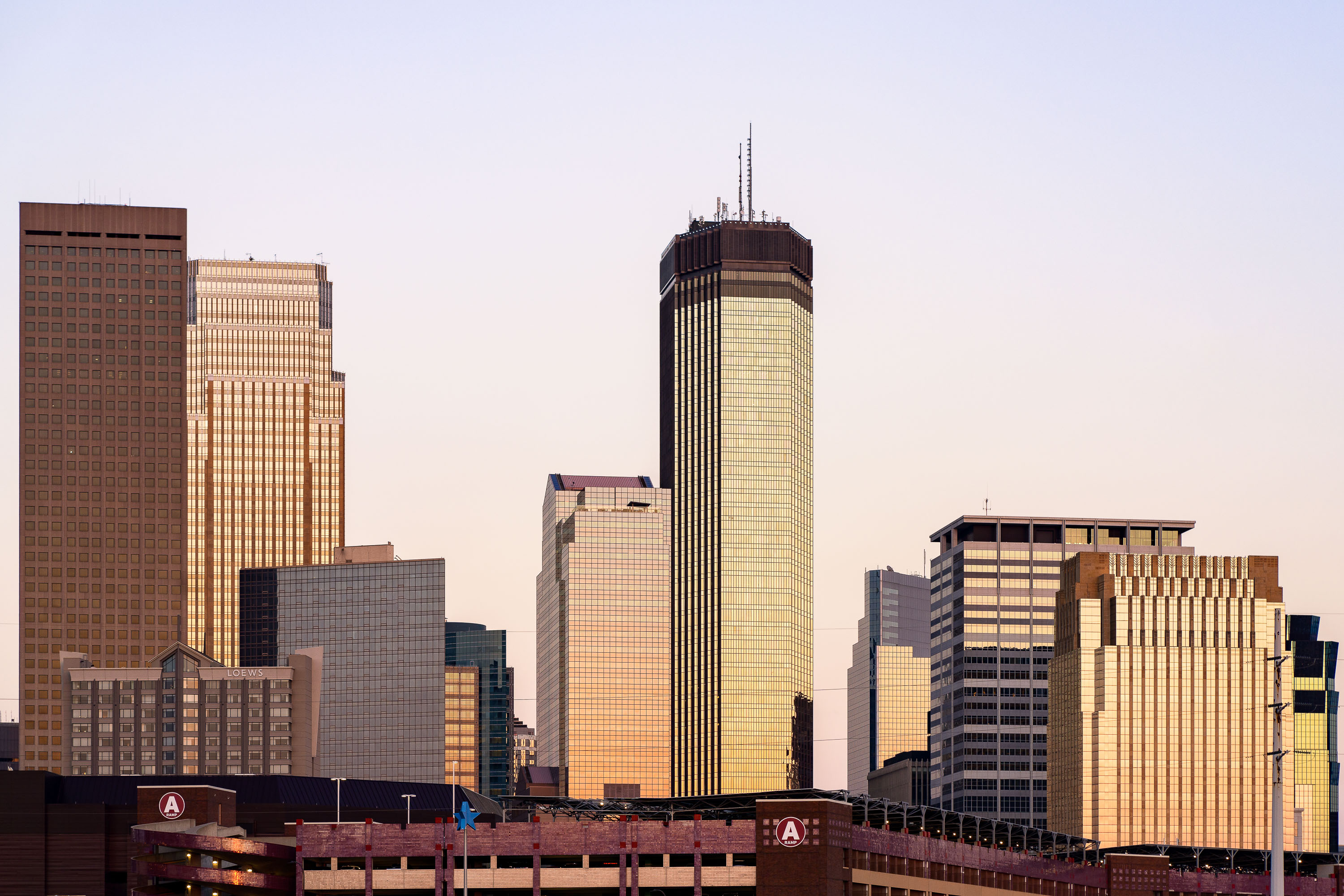
The IDS Center towers above downtown Minneapolis at sunset, with Ramp A parking structure in the foreground.
The IDS Center rises at the center of the Minneapolis skyline, completed in 1972 to a design by Philip Johnson and John Burgee. At 792 feet and 57 stories, it remains the tallest building in Minnesota, topped with an antenna spire that adds to its height. The tower's Crystal Court atrium connects it to the city's Skyway system, a network of enclosed pedestrian bridges linking downtown buildings. Ramp A, a municipal parking structure near Target Field, sits in the foreground along the western edge of downtown.

IDS Center Glows at Sunset Above Ramp A
© 1996–2026 Chad Davis