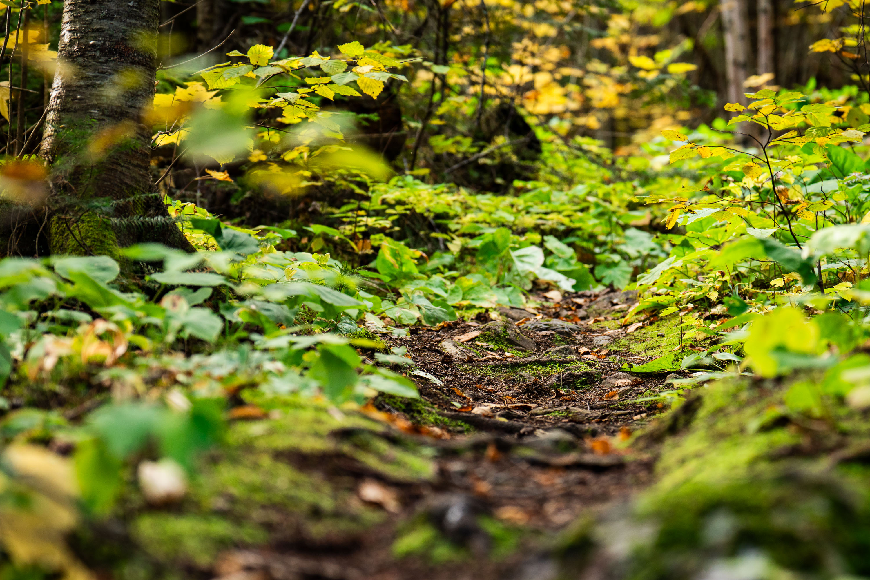
Forest Trail, Superior National Forest, Minnesota
Taken
Taken
Superior National Forest covers roughly 3.9 million acres in northeastern Minnesota, managed by the U.S. Forest Service. It contains more than a million acres of lakes and streams, including the Boundary Waters Canoe Area Wilderness along its northern edge. The forest is dominated by boreal species such as birch, aspen, and various conifers, with understory plants like wood sorrel and ferns common along its trail systems. Established in 1909, it remains one of the most heavily visited wilderness areas in the country.
Taken
More from
Superior National Forest
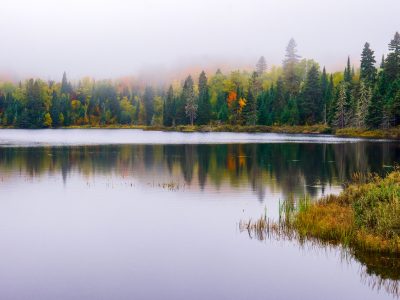 Loft Lake from Shoe Lake Road in Minnesota
Foggy morning over Loft Lake as seen from Shoe Lake Road in Northern Minnesota.
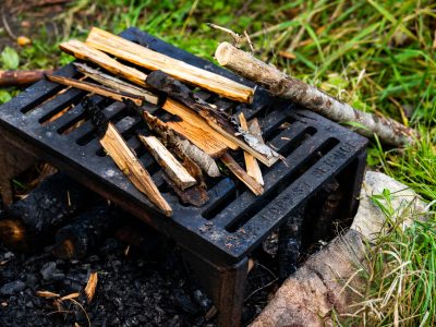 US Forest Service grate
A firepit grate from the US Forest Service seen near the Gunflint Trail in Minnesota.
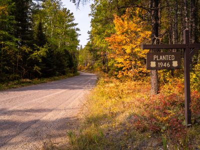 Stony River Road in Superior National Forest
, Minnesota, curves through mixed forest in early autumn. A roadside sign marks a…
 Campfire safety sign in Superior National Forest
A campfire safety sign stands in Superior National Forest in Stony River Township, Minnesota. The sign reads, “Wanted your campfire…
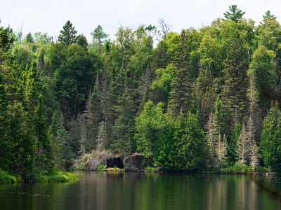 Homestead Lake, Superior National Forest, Minnesota
Homestead Lake in the Superior National Forest. As seen in July 2026.
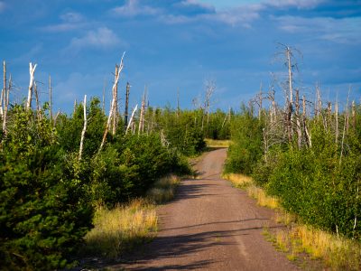 Tomahawk Road, Pagami Creek Burn Area, Superior National Forest
Tomahawk Road runs through the Superior National Forest near Isabella, Minnesota, within the area burned by the 2011 Pagami Creek…


