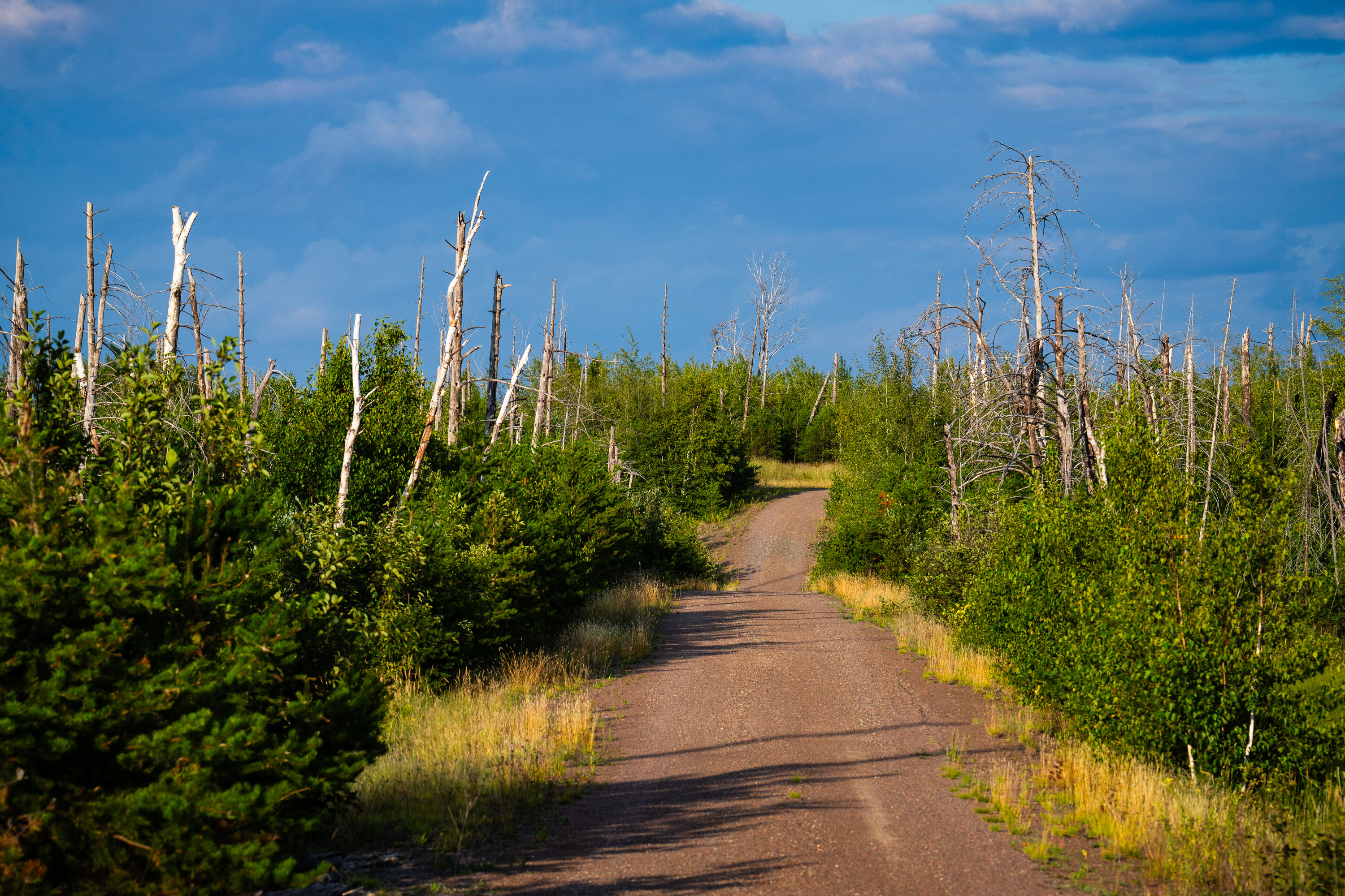
Map
More from Superior National Forest
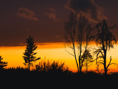
Sunset clouds in National Forest
Sunset in the Superior National Forest in Northern Minnesota.

Foggy Road in Superior National Forest, Minnesota
A gravel road winds through the dense coniferous forest of Superior National Forest near Isabella, Minnesota. Signs indicate Route 172…

Sand River in Superior National Forest, Minnesota
Sand River in Superior National Forest near Isabella, Minnesota. Autumn light illuminates the river bends, wetland grasses, and mixed conifer…

Beetle Lake Sign, Superior National Forest, Minnesota
A sign at the entrance to Beetle Lake in the Superior National Forest in Minnesota.
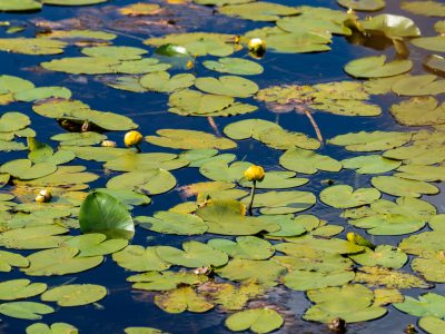
Yellow Pond Lilies and Lily Pads on Still Water
Yellow pond lilies (*Nuphar* species) and their broad floating pads cover the surface of a calm freshwater pond. Nuphar, commonly…

No Fires flag in Superior National Forest fire pit
No Fires Due to Wildfire Danger flag seen in a fire pit in the Superior National Forest on July 25,…
Nearby Photos