
Map
More from Superior National Forest

Fall Colors Along the Arrowhead Trail, Cook County
The Arrowhead Trail runs roughly 27 miles north from Minnesota Highway 61 at Hovland to South Fowl Lake on the…

Island River in the Superior National Forest
Island River in Superior National Forest in Northern Minnesota. The river runs through the Pagami Creek Fire zone.
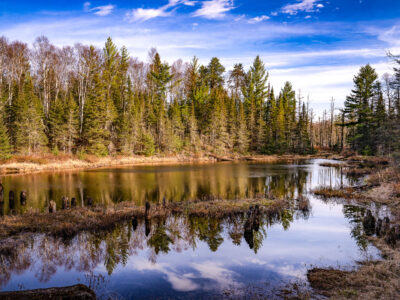
Dumbbell Road near Isabella, Minnesota
Dumbbell Road runs through Superior National Forest near Isabella, Minnesota. A still pond reflects the surrounding conifers and leafless trees…
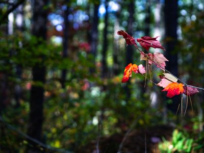
Early Autumn Color in Superior National Forest
A small branch of maple leaves shows the first vivid signs of autumn deep within Superior National Forest in northern…

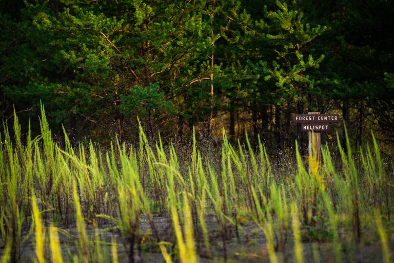
Forest Center Helispot sign near the Boundary Waters
Forest Center Helispot" sign. Forest Center is a small former logging community site within the Superior National Forest, near the…
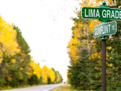
Lima Grade at Gunflint Trail, Grand Marais
Street signs at Lima Grade and Gunflint Trail in Grand Marais, Minnesota
Nearby Photos