Boundary Waters Canoe Area Wilderness

20 photos · 2020–2026

20 photographs tagged Boundary Waters Canoe Area Wilderness, 2020–2026.
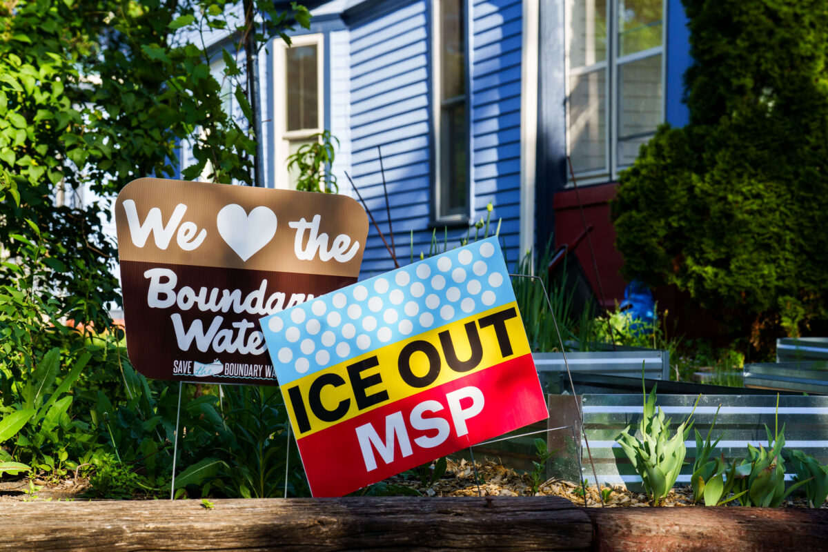
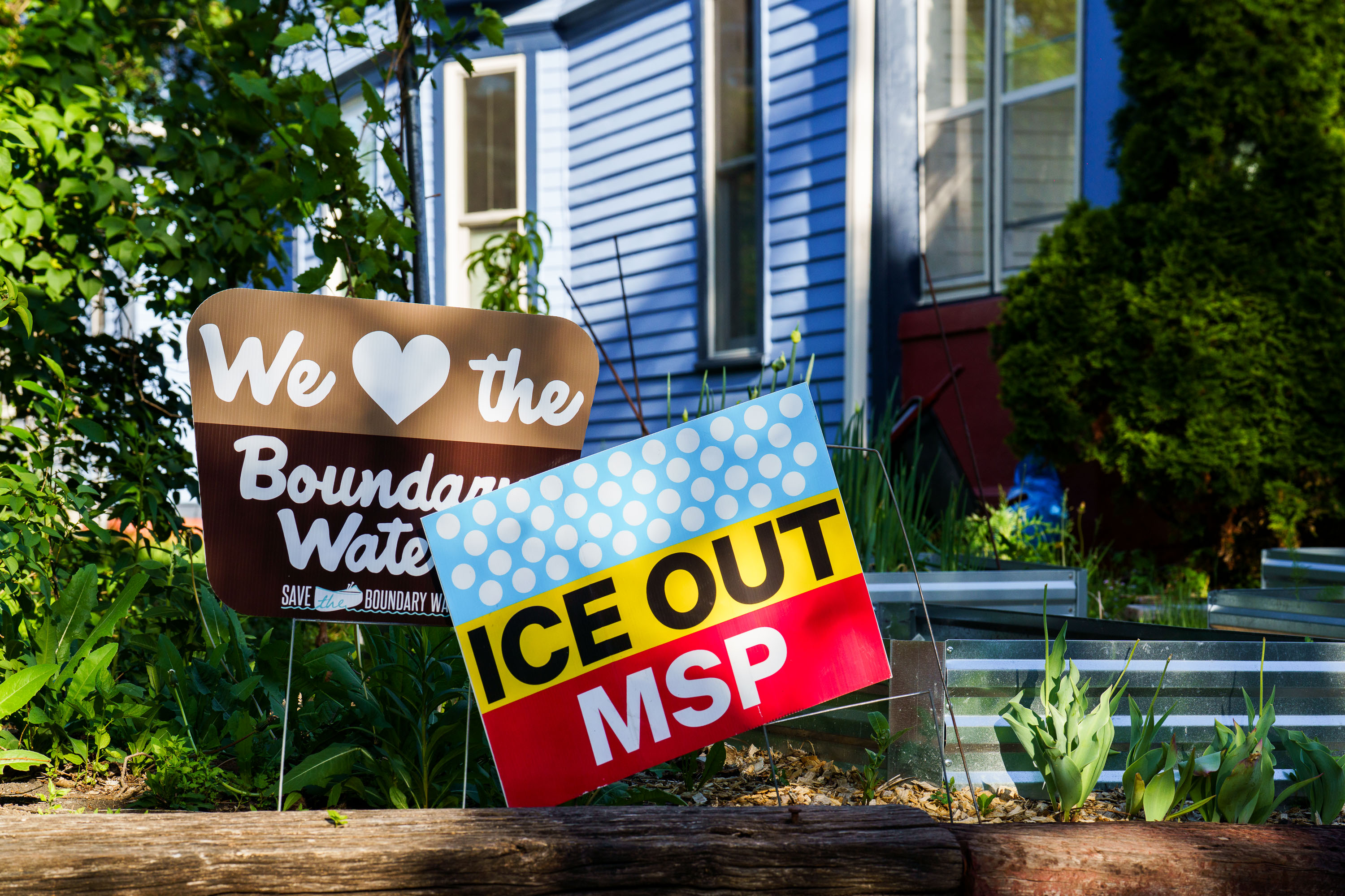
We Love the Boundary Waters, ICE OUT MSP Yard Signs
Yard signs in a South Minneapolis yard seen on May 25, 2026. They read "We love the Boundary Waters. Save the Boundary Waters" "ICE OUT MSP"

“Ice Out MSP” and Boundary Waters Yard Signs in South Minneapolis
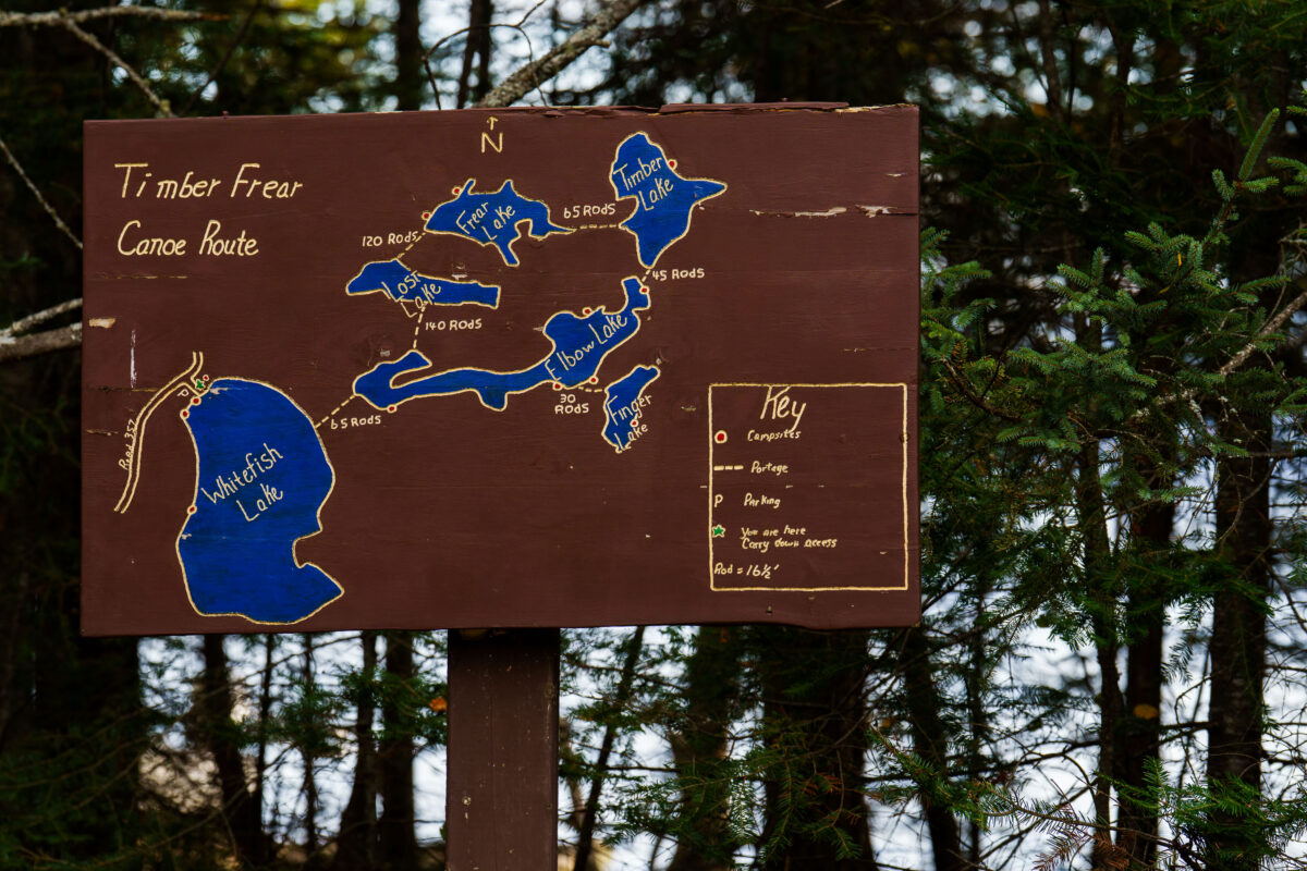
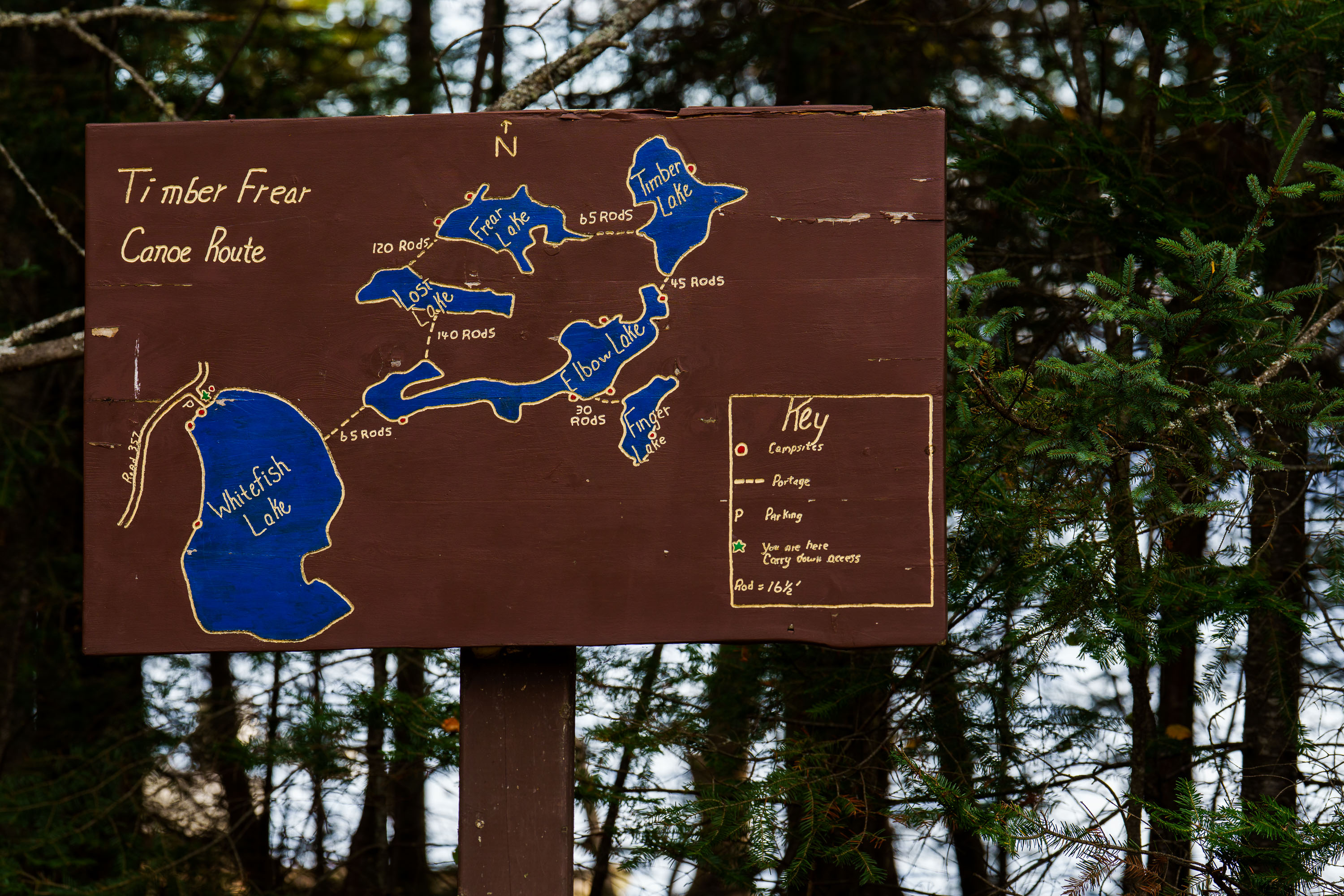
Hand-painted map on wooden sign details the Timber Frear Canoe Route in Superior National Forest, Minnesota, showing lakes, portages, and campsites.
A hand-painted map on a wooden sign details the Timber Frear Canoe Route in Minnesota's Superior National Forest. The map illustrates interconnected lakes including Whitefish Lake, Frear Lake, and Elbow Lake, with portage distances and campsite locations marked. A key explains symbols for campsites, portages, parking, and the user's current location.

Timber Frear Canoe Route Map, Superior National Forest
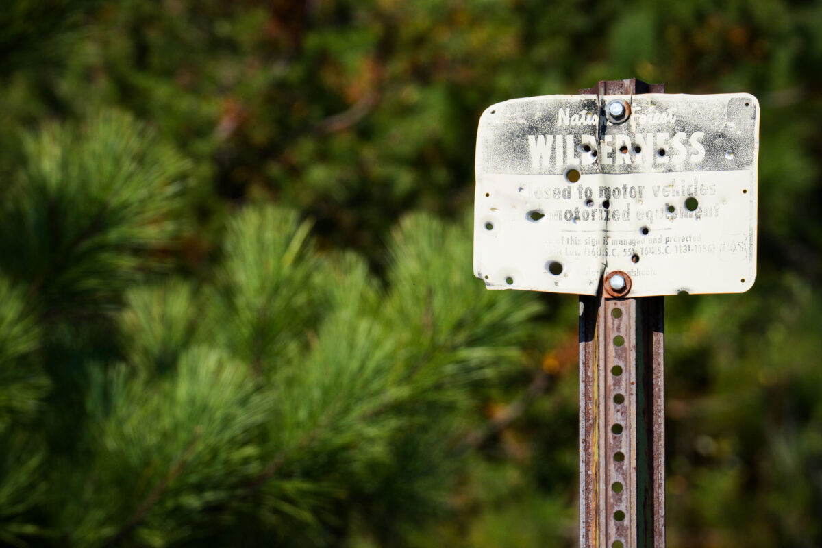
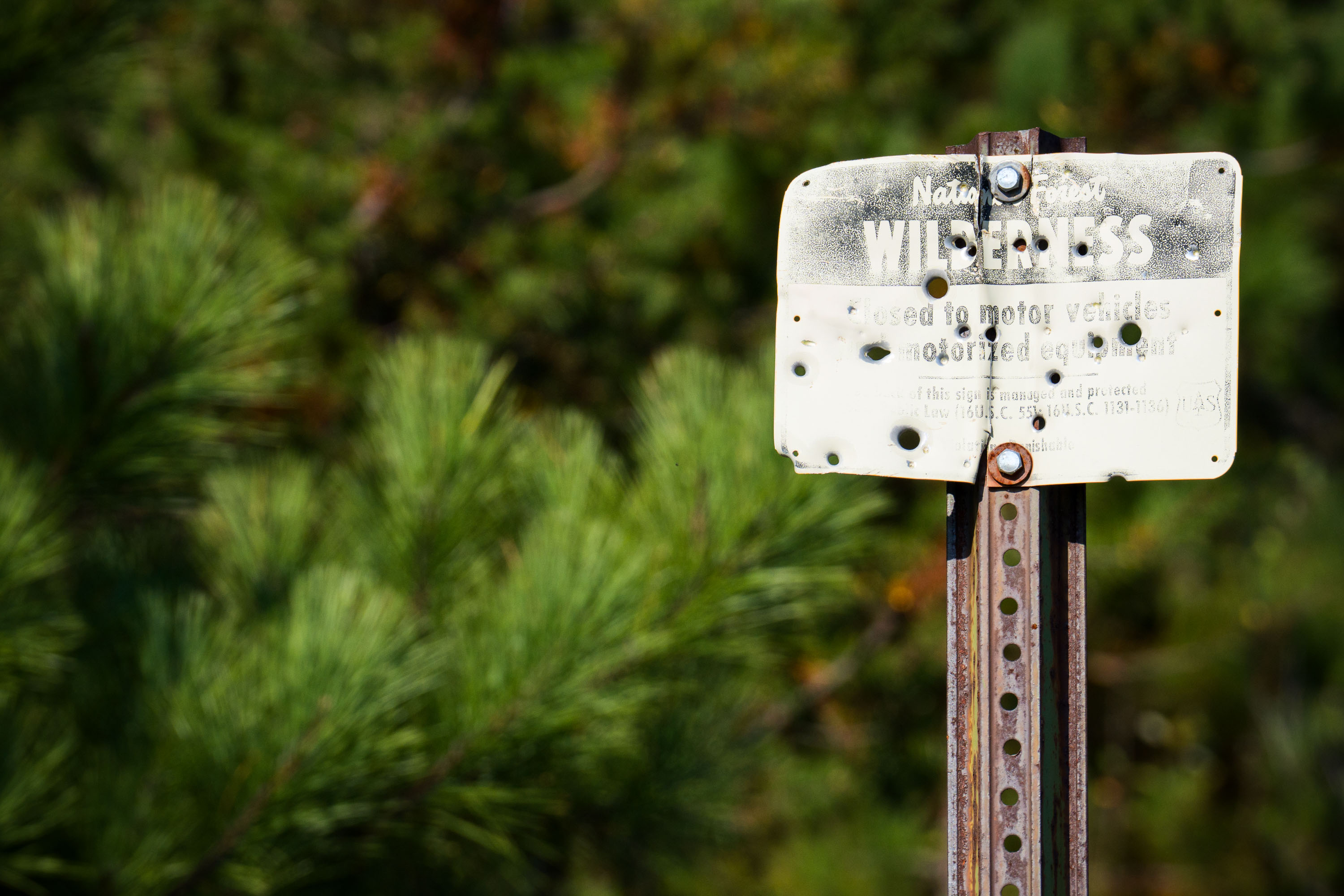
A weathered sign in the Superior National Forest, Boundary Waters, MN, states "WILDERNESS" and is closed to motor vehicles, preserving the natural character of the area.
A weathered sign in the Superior National Forest, Boundary Waters, reads "WILDERNESS" and "Closed to motor vehicles and motorized equipment." The sign also states, "It is the policy of this sign manager and protected by Law (16U.S.C. 1131-1136) that it is unlawful to disturb or damage this sign." The Boundary Waters Canoe Area Wilderness is a federally designated wilderness area in Minnesota, managed by the U.S. Forest Service. Its designation protects the area from commercial development and motorized use, preserving its natural character for primitive recreation.

Boundary Waters Wilderness Sign, Superior National Forest, MN
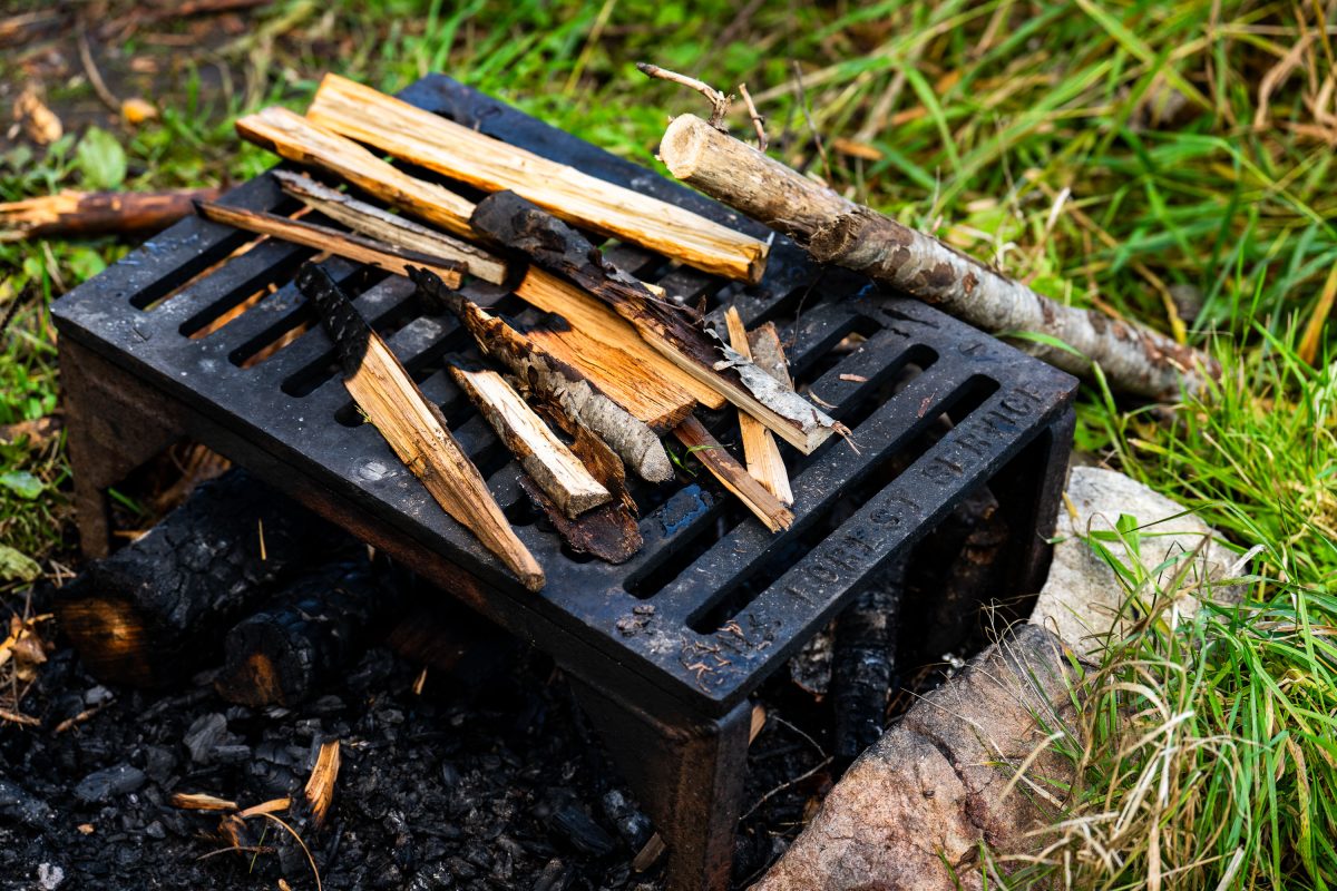
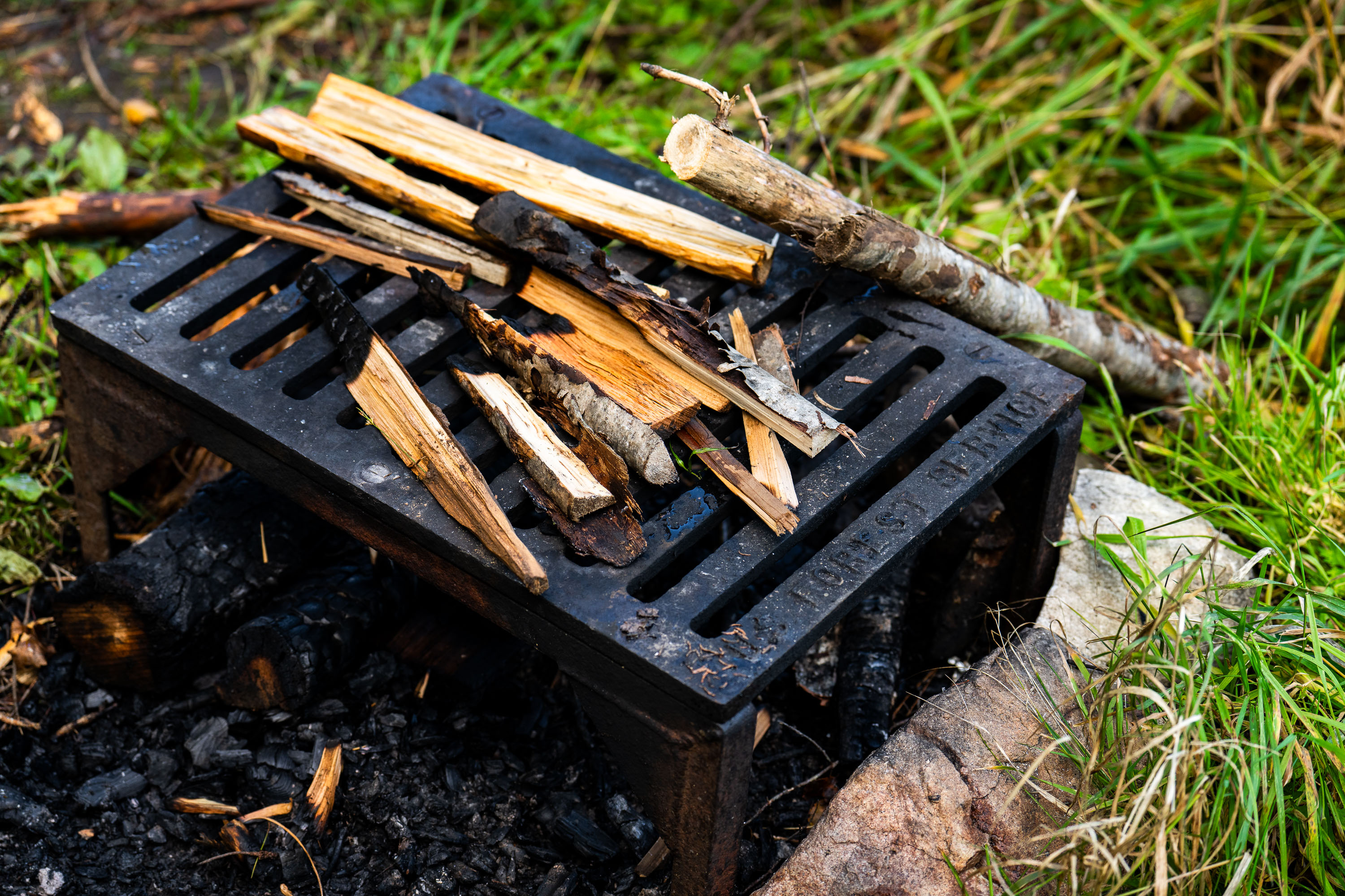
US Forest Service grate
A firepit grate from the US Forest Service seen near the Gunflint Trail in Minnesota.

US Forest Service grate

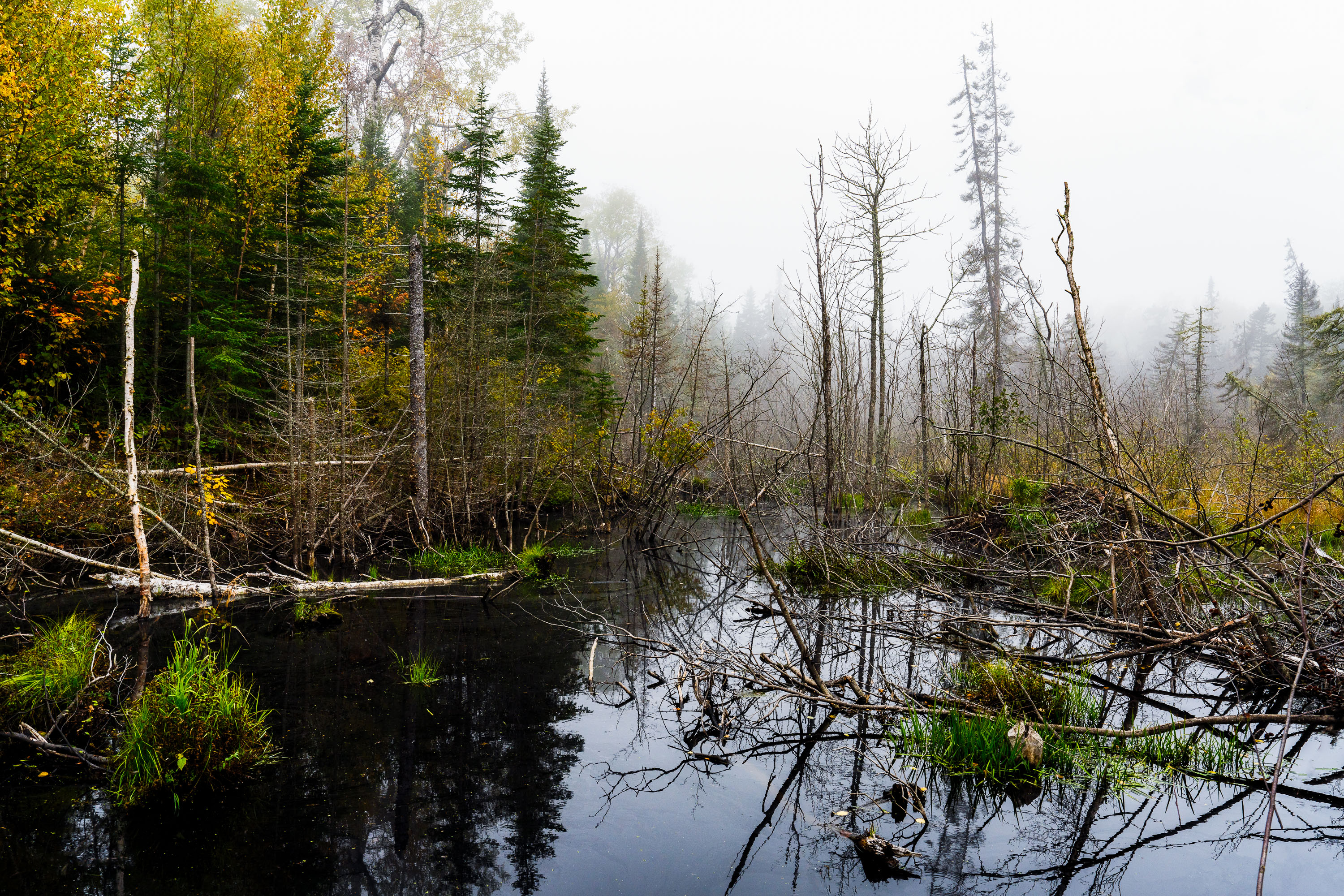
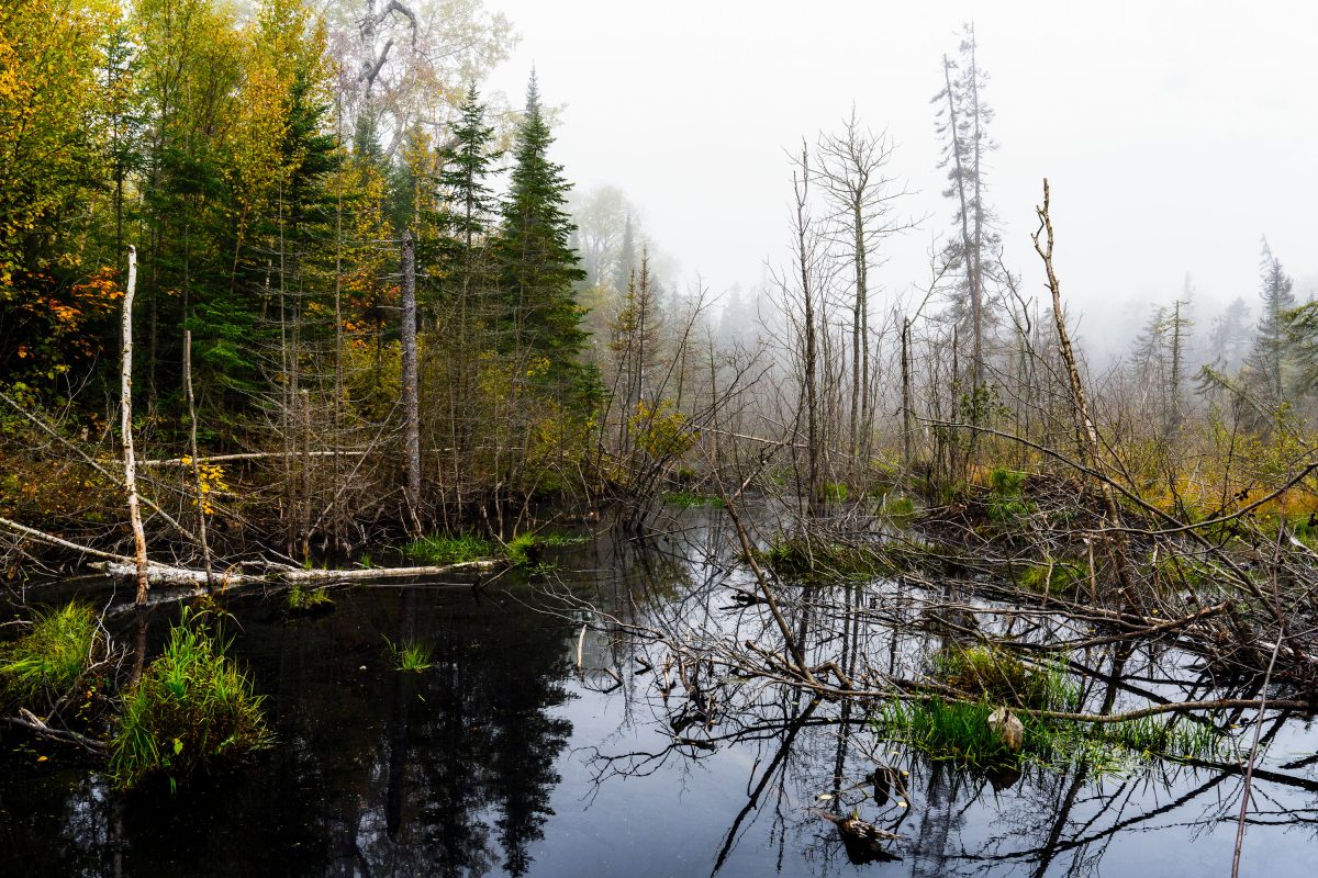
Flooded beaver wetland with standing dead trees near Shoe Lake Road in Superior National Forest, Minnesota.
Shoe Lake Road runs through the Superior National Forest in Cook County, Minnesota, near the edge of the Boundary Waters Canoe Area Wilderness. The surrounding forest is a mix of northern hardwoods and conifers, including birch, spruce, and balsam fir, typical of this part of the Superior National Forest. Beaver activity is common along the region's low-lying wetlands, where dammed water and downed trees create the shallow ponds and standing deadwood found throughout this stretch of forest. The area sits within the Laurentian Divide watershed, which separates drainage toward Lake Superior from waters flowing north toward Hudson Bay.

Beaver Pond Wetland Near Shoe Lake Road, Superior National Forest
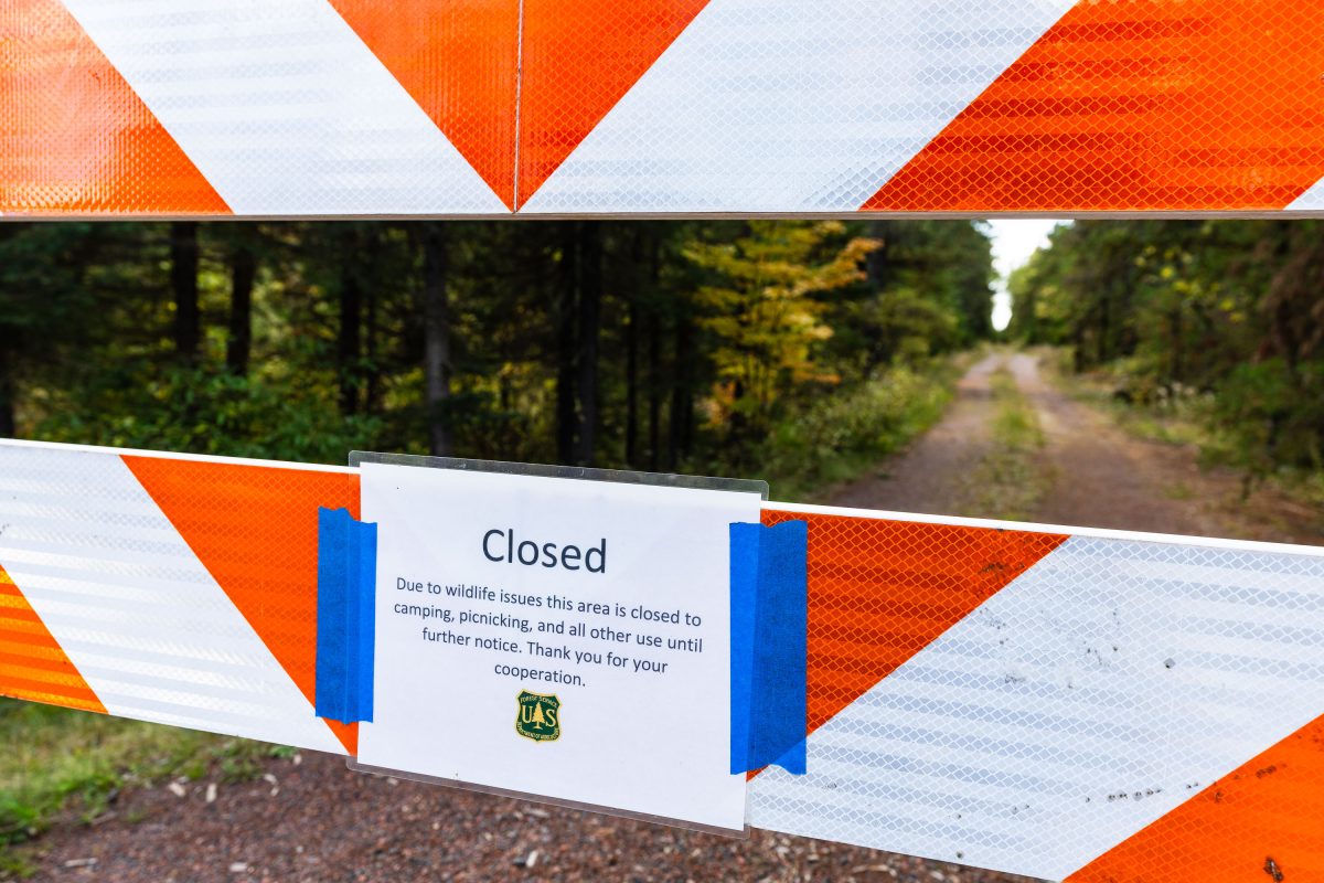
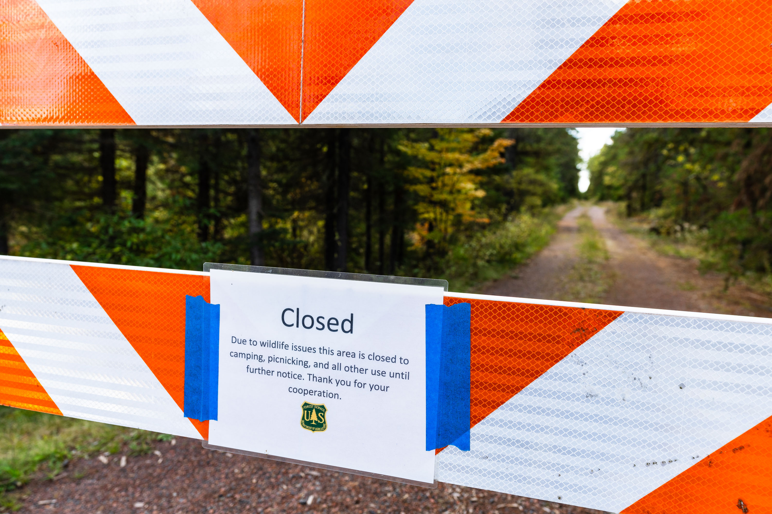
US Forest Service closure notice in Minnesota
"Due to wildlife issues this area is closed to camping, picnicking, and all other use until further notice. Thank you for your cooperation."

Road closure in Superior National Forest, September 2022
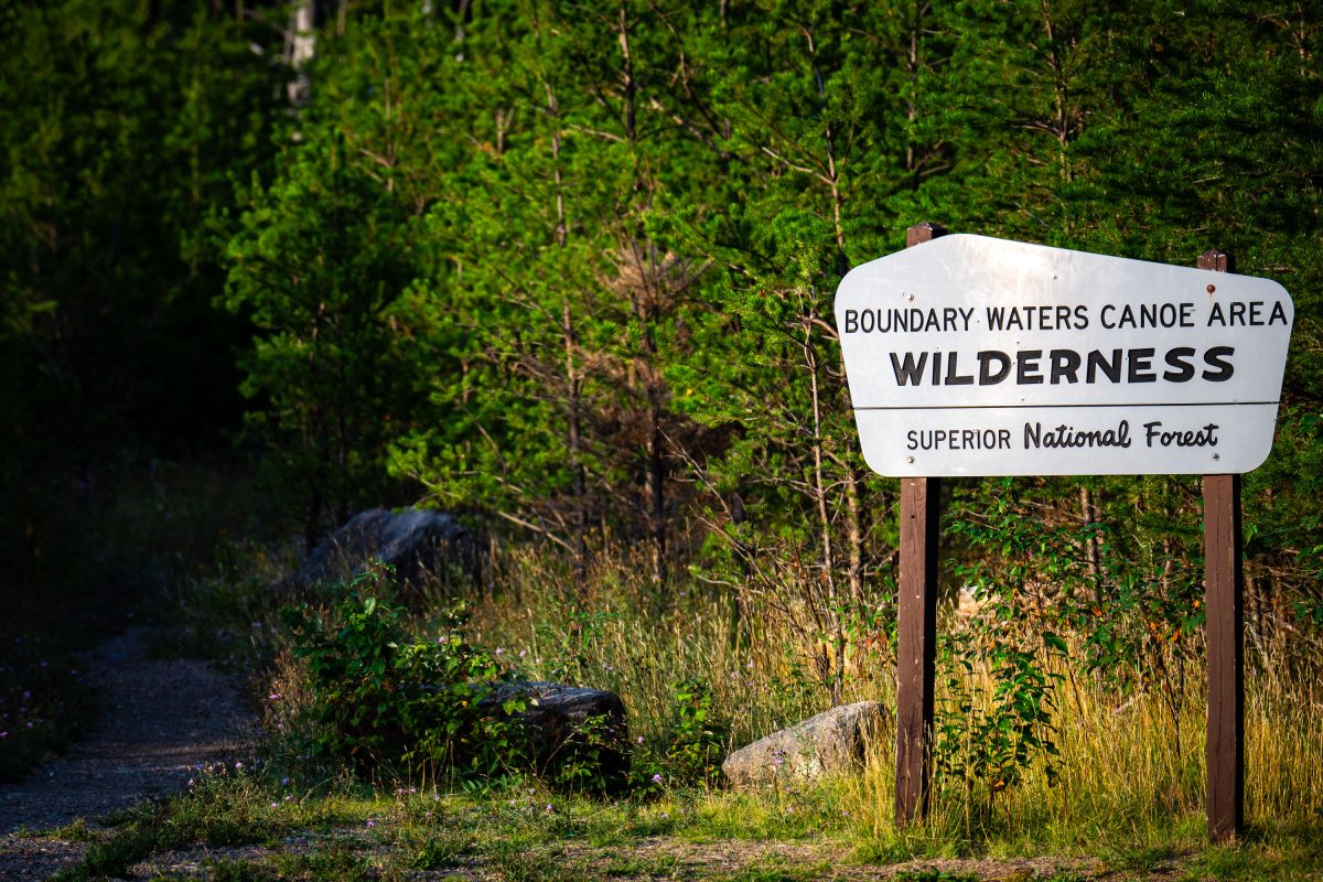
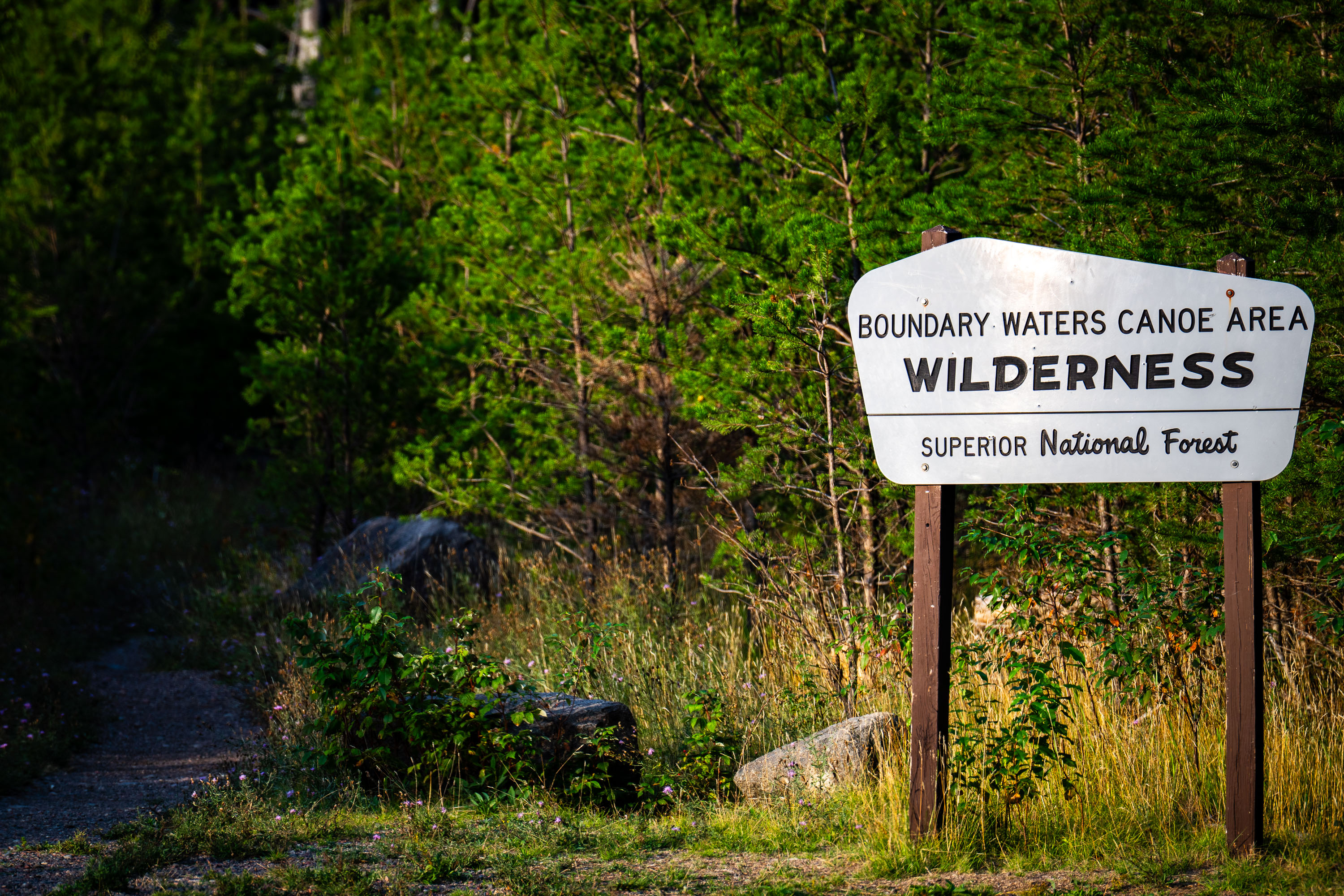
Boundary Waters Canoe Area Wilderness Superior National Forest Sign
A Boundary Waters Canoe Area Wilderness sign in the Superior National Forest.

BWCA SNF Sign in Minnesota

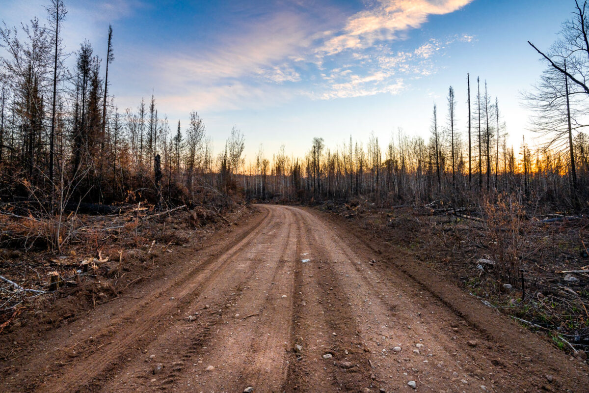
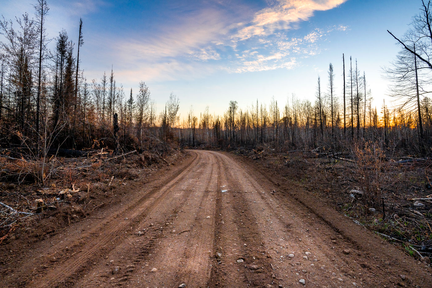
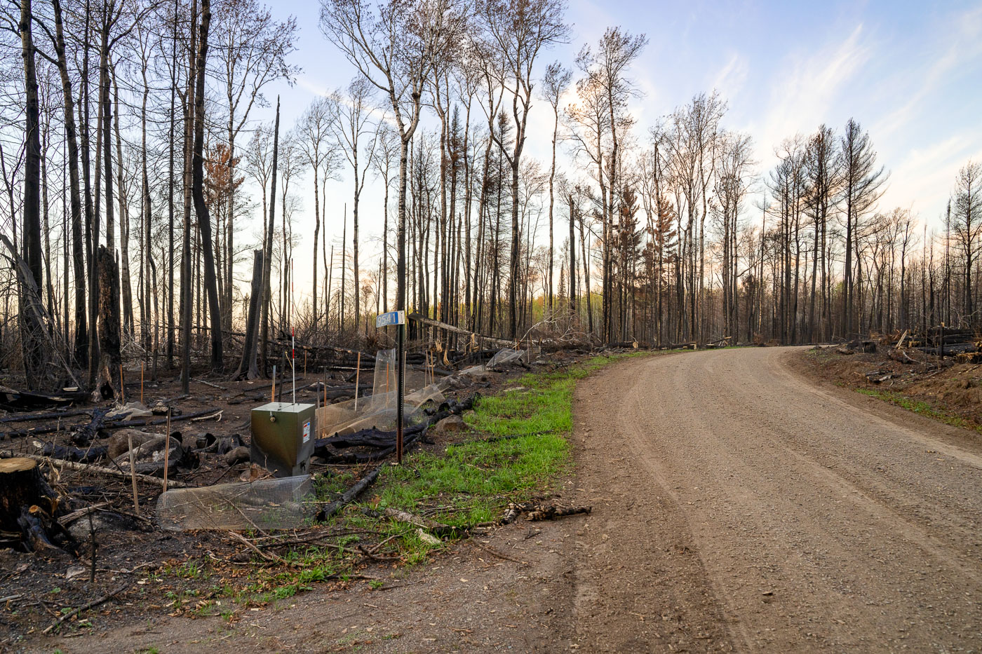
Greenwood Fire Burn Area at Sunset
A Forest Service road traverses the burn scar of the 2021 Greenwood Fire in Superior National Forest, northeastern Minnesota. This wildfire, ignited by a lightning strike in August 2021, consumed over 27,000 acres of drought-stressed timber.

Greenwood Fire Burn Scar Road, Superior National Forest Sunset
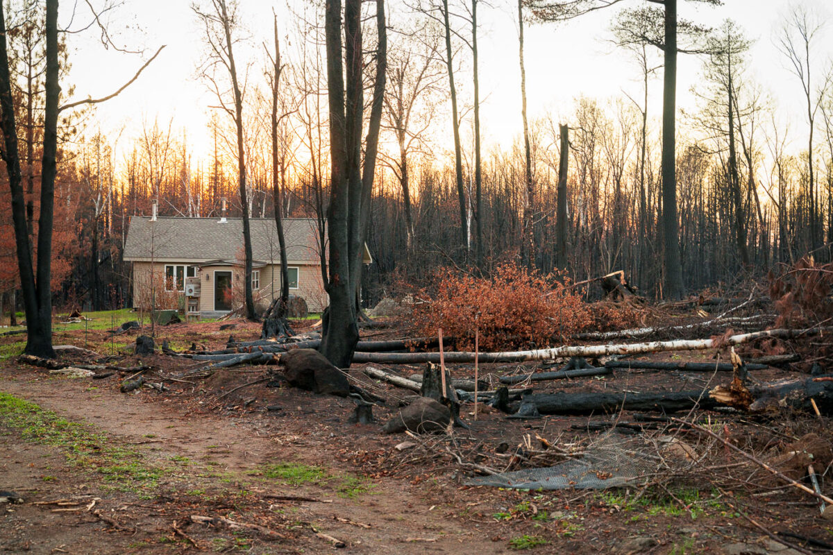
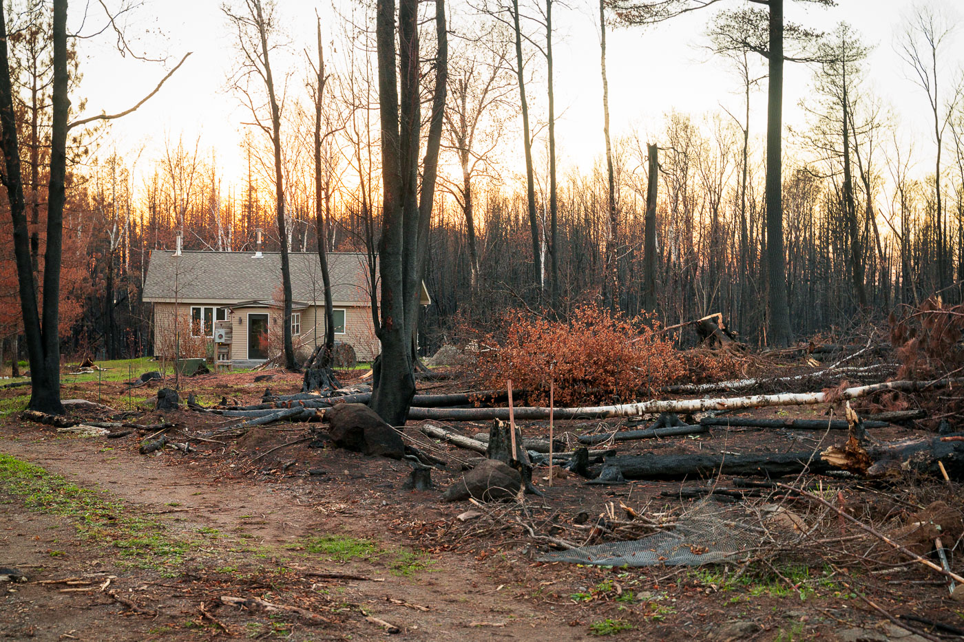
A home in the middle of Greenwood Fire
A home in Isabella, Minnesota, stands within the Superior National Forest, showing the aftermath of the Greenwood Fire. This significant wildfire, ignited by a lightning strike, consumed 27,000 acres across the forest and parts of the Boundary Waters Canoe Area Wilderness. While hundreds of firefighters initially battled the blaze, a smaller contingent of 97 crew members continued working in the closure zone to manage its lasting effects.

Isabella Home, Greenwood Fire Aftermath, Superior National Forest
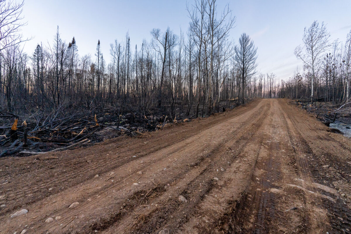
SNF Greenwood Fire 2021
A road traverses the charred landscape within the Greenwood Fire closure zone in Minnesota's Superior National Forest. This area was severely impacted by the Greenwood Fire, which burned 27,000 acres after a lightning strike ignited the extremely dry forest. Hundreds of US Forest Service crew members were deployed to combat the wildfire, with ongoing efforts continuing in the aftermath. The fire significantly affected this northern Minnesota wilderness, including portions of the Boundary Waters Canoe Area Wilderness near Isabella.

Road through Greenwood Fire Aftermath, Superior National Forest
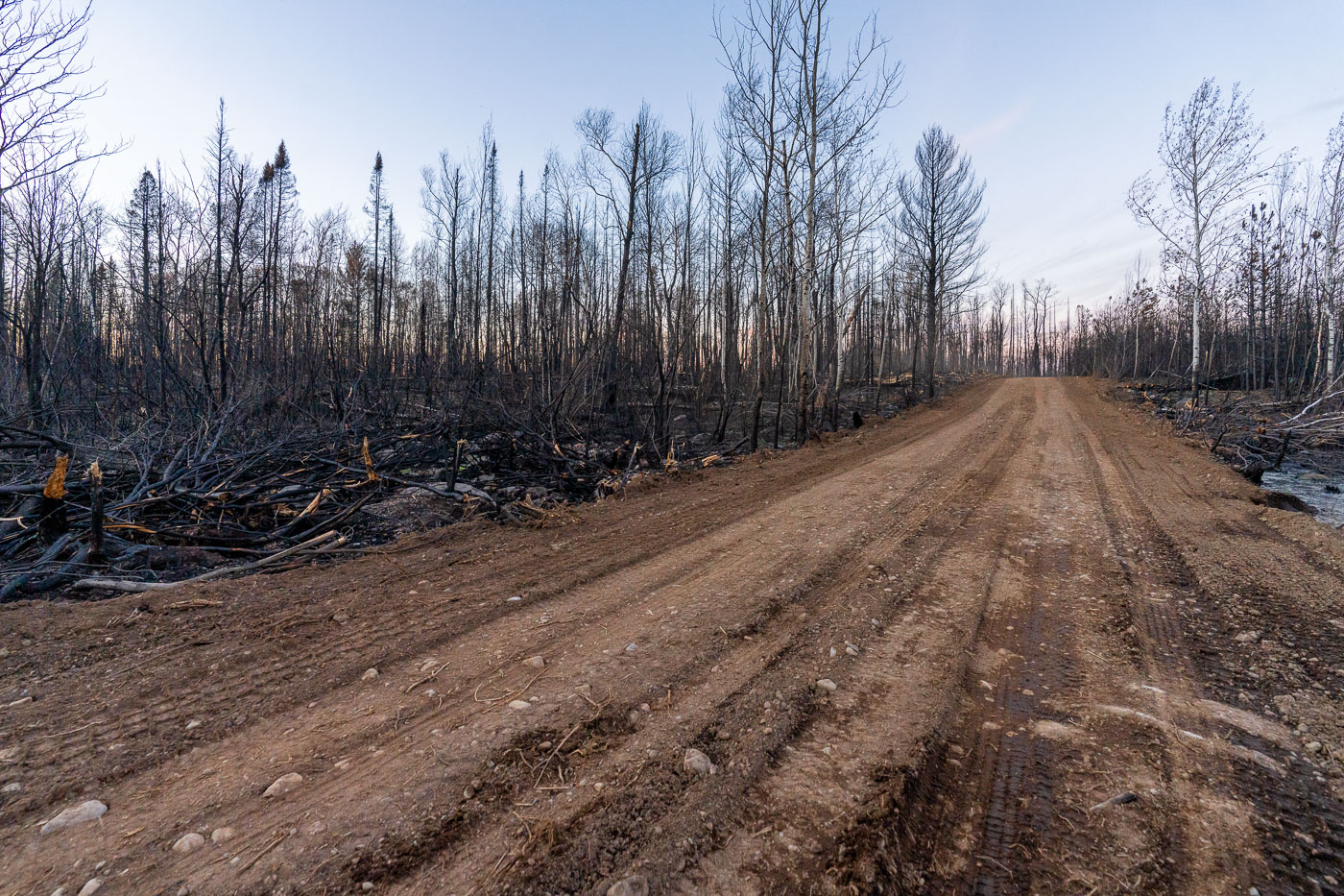
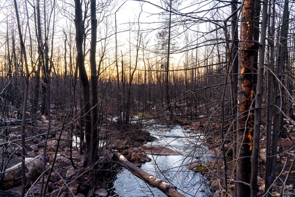
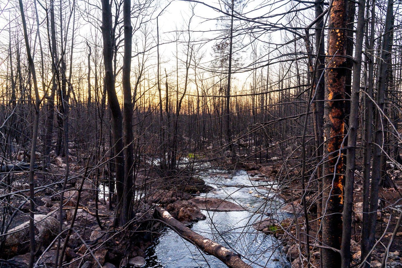
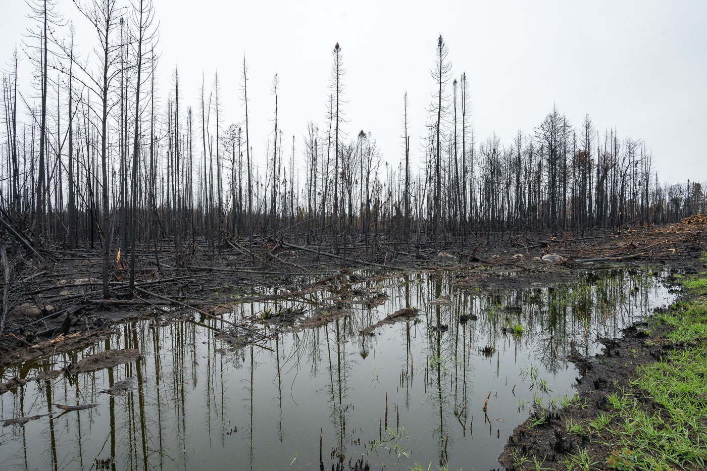
Stream in the middle of the Greenwood Fire SNF
A burnt forest stands within the Greenwood Fire closure zone near Isabella, Minnesota, part of the Superior National Forest and Boundary Waters Canoe Area Wilderness. The Greenwood Fire, ignited by a lightning strike in an exceptionally dry forest, burned approximately 27,000 acres in 2021. Following the extensive wildfire, the US Forest Service deployed hundreds of crew members to manage the area, with 97 personnel continuing operations in the aftermath.

Burnt Forest, Greenwood Fire, Isabella, Minnesota
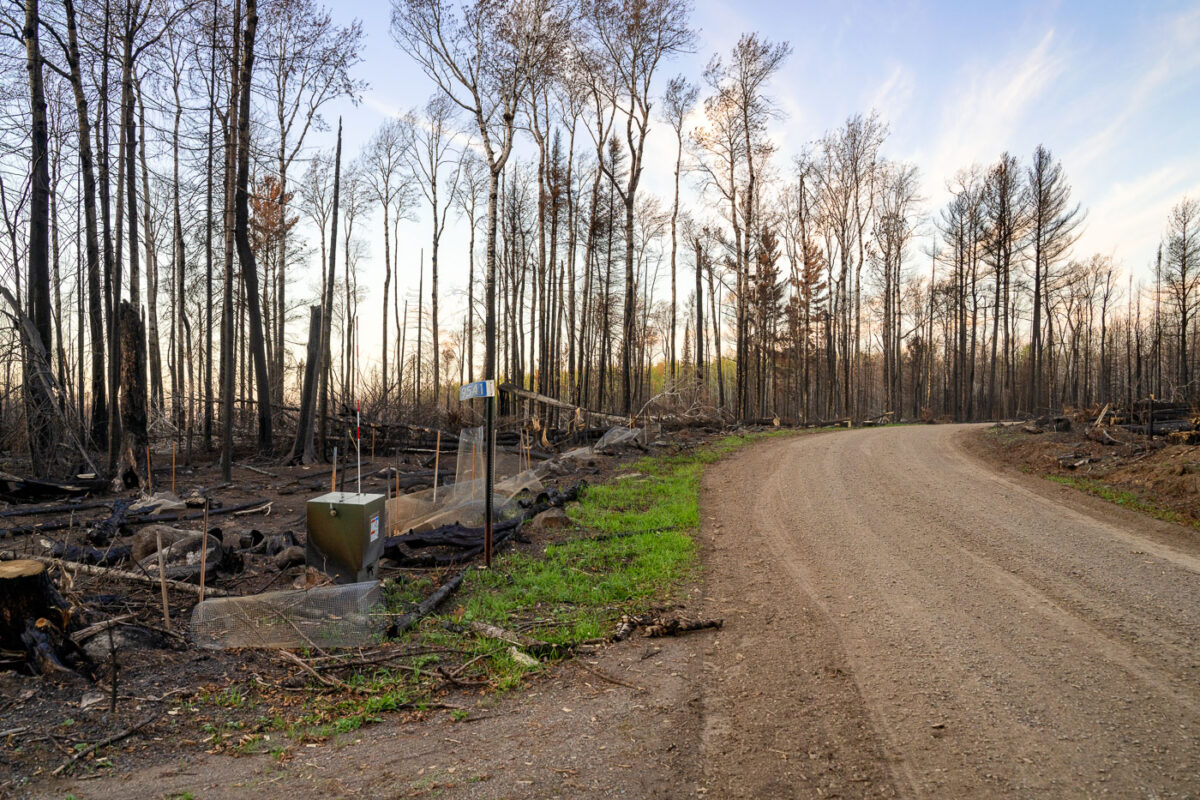
Burned out road Greenwood Fire Minnesota
A road winds through the Greenwood Fire closure zone within Minnesota's Superior National Forest, showcasing the extensive impact of the August 2021 wildfire. The Greenwood Fire, ignited by a lightning strike in an exceptionally dry forest, burned approximately 27,000 acres, affecting parts of the Boundary Waters Canoe Area Wilderness.

Road through Greenwood Fire Zone, Superior National Forest, Minnesota
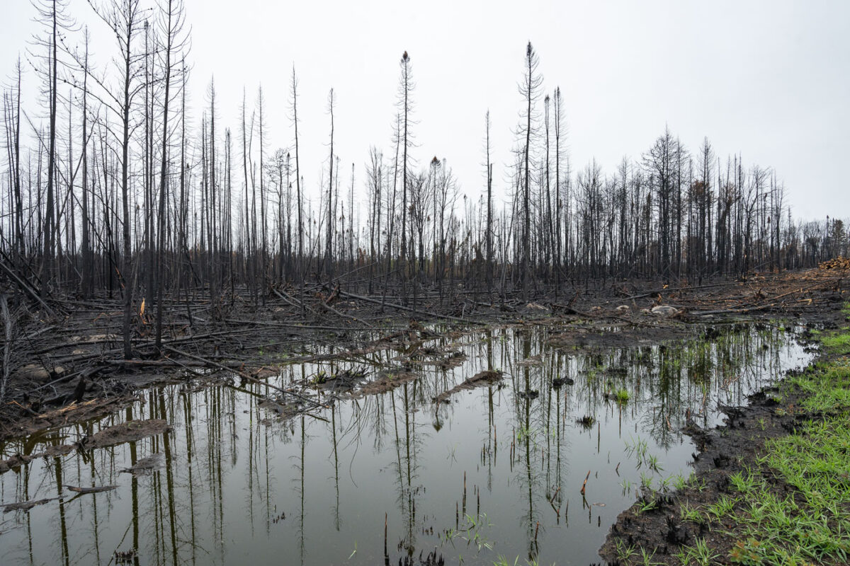
Forest Fire in Northern Minnesota
The landscape near Isabella, Minnesota, displays the aftermath of the Greenwood Fire, which occurred in August 2021. This wildfire significantly impacted the forest and wetland ecosystems within the Superior National Forest, an area adjacent to the Boundary Waters Canoe Area Wilderness.

Greenwood Fire: Burned Forest & Wetland, Isabella
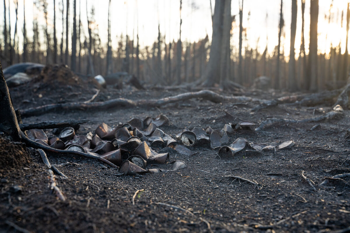
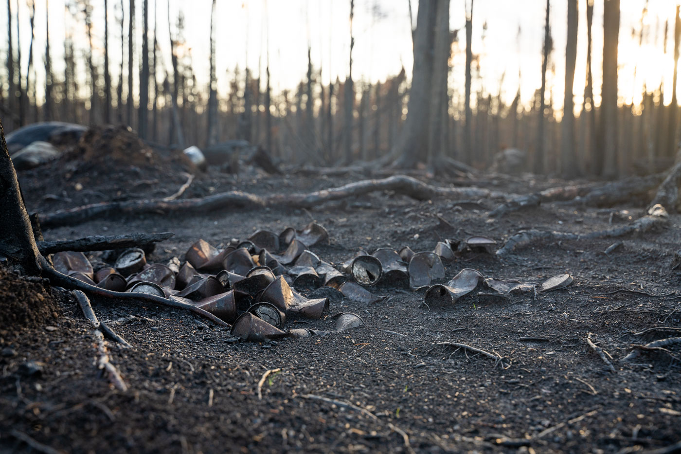
Forest fire in Superior National Forest
Melted cans rest on the charred forest floor in the Superior National Forest, a lasting impact of the Greenwood Fire that ignited in August 2021. This significant wildfire devastated areas near Isabella in northern Minnesota, affecting the landscape within the Superior National Forest and adjacent Boundary Waters Canoe Area Wilderness.

Burnt cans from Greenwood Fire, Superior National Forest
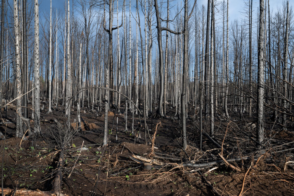
Burnt trees in Superior National Forest
Burned trees stand within the Superior National Forest, illustrating the lasting impact of the Greenwood Fire. This significant wildfire ignited in August 2021 near Isabella in northern Minnesota, affecting a substantial area of the forest. The Superior National Forest, which borders the Boundary Waters Canoe Area Wilderness, is accustomed to natural fire cycles, but the scale of such events has broader ecological implications.

Greenwood Fire Burned Trees, Superior National Forest

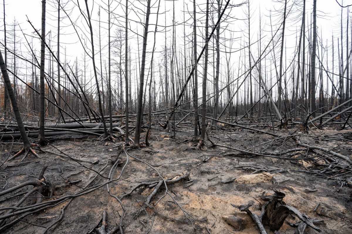
Greenwood Fire Superior National Forest
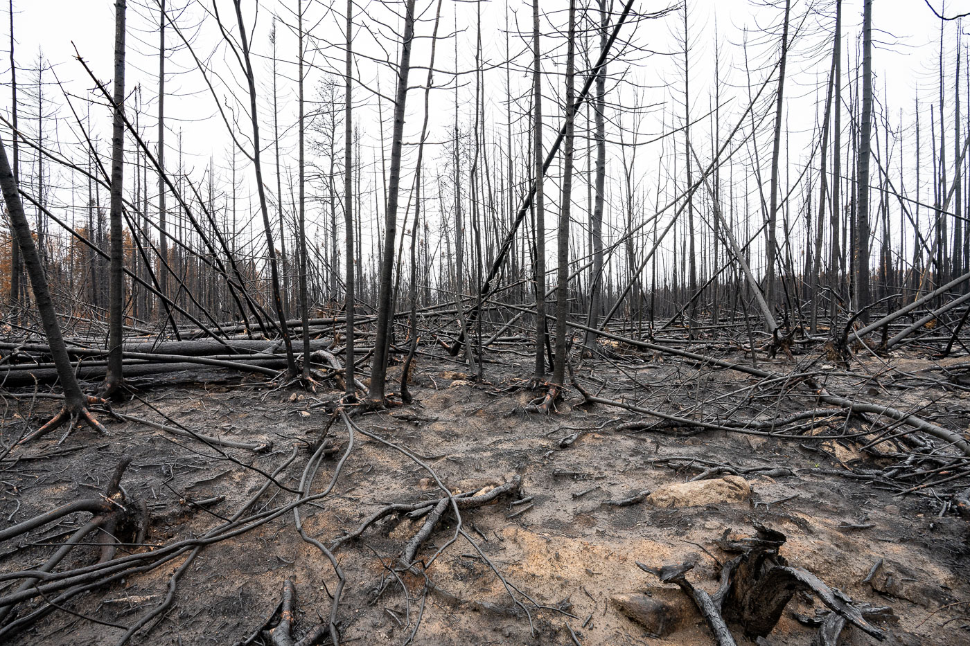
Charred trees stand in the aftermath of the Greenwood Fire within the Superior National Forest in northern Minnesota. This wildfire burned in August 2021, impacting areas near Isabella and within the broader Boundary Waters Canoe Area Wilderness. The Greenwood Fire consumed over 26,000 acres, leaving behind a landscape of scorched earth and skeletal tree trunks.

Burned Trees, Greenwood Fire, Superior National Forest
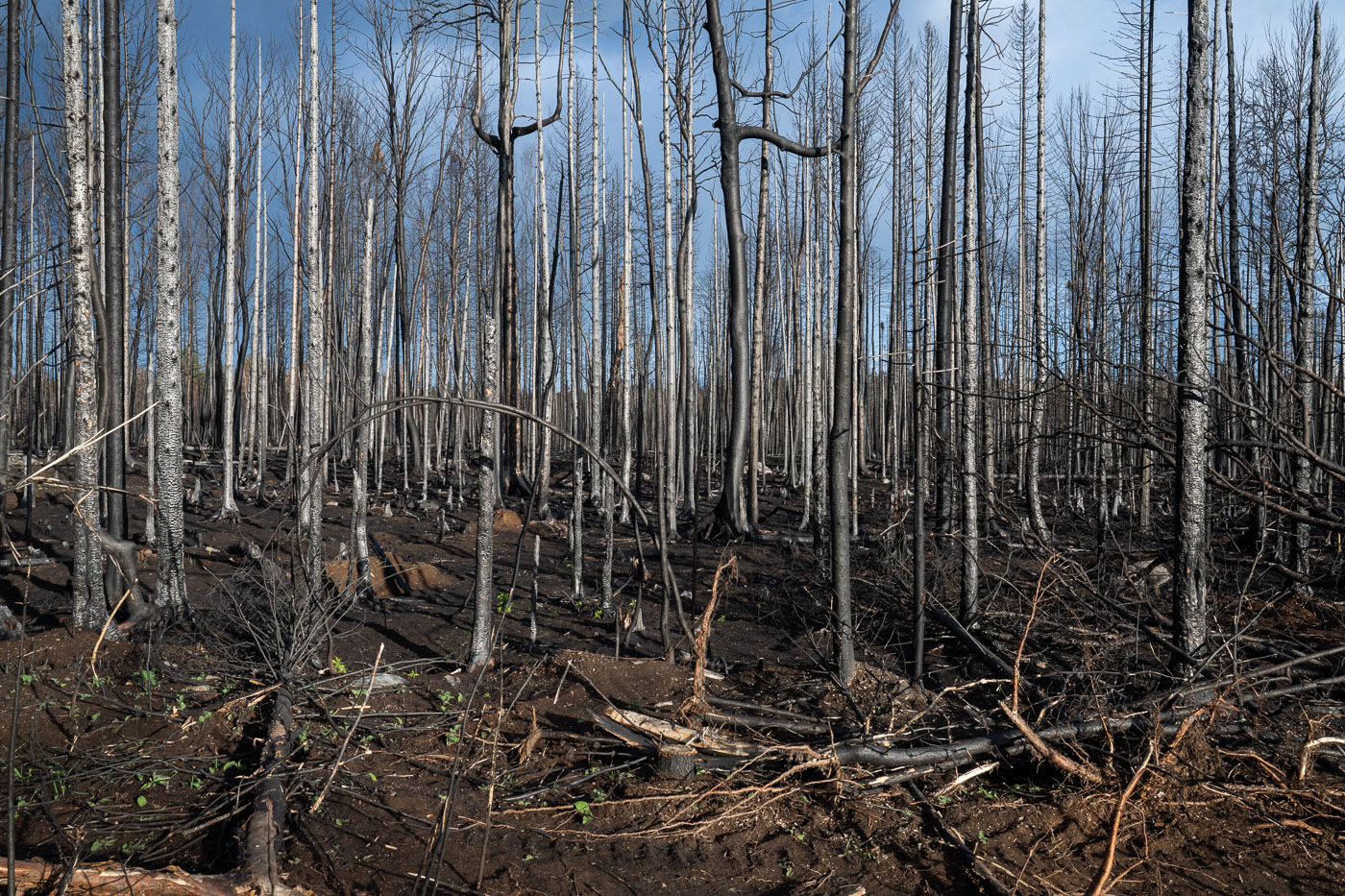
Burned forest during Greenwood Fire
Charred trees stand within the Superior National Forest, marking the extensive burn scar left by the Greenwood Fire. This significant wildfire ignited in August 2021 in northern Minnesota, near Isabella, impacting thousands of acres within a region adjacent to the Boundary Waters Canoe Area Wilderness.

Burnt trees from Greenwood Fire, Superior National Forest
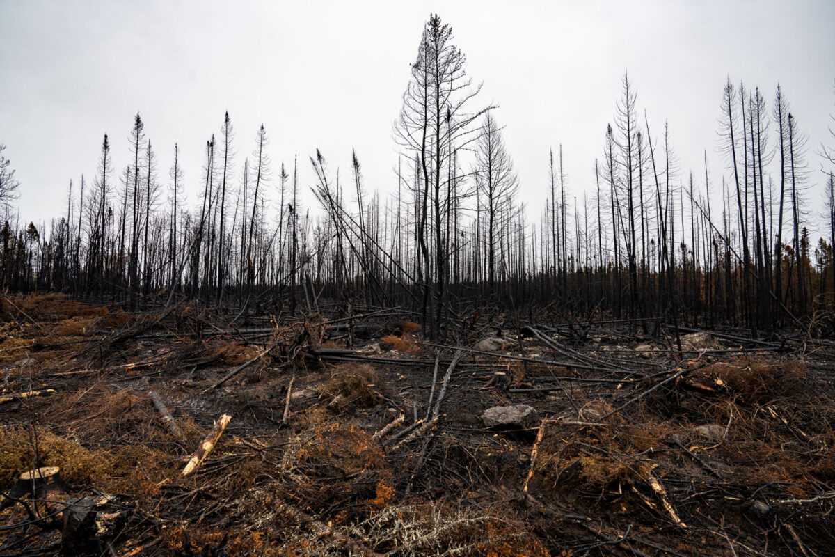
Forest Squirrel on burned log
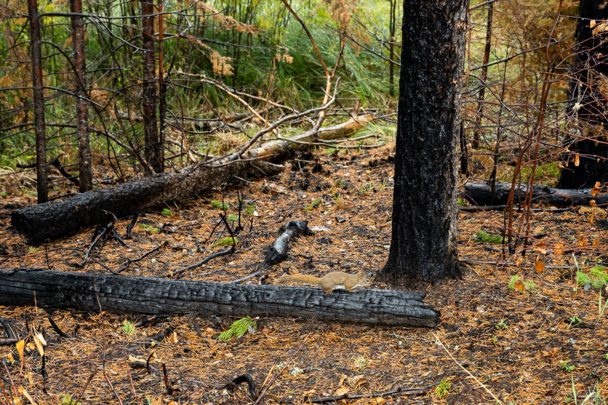
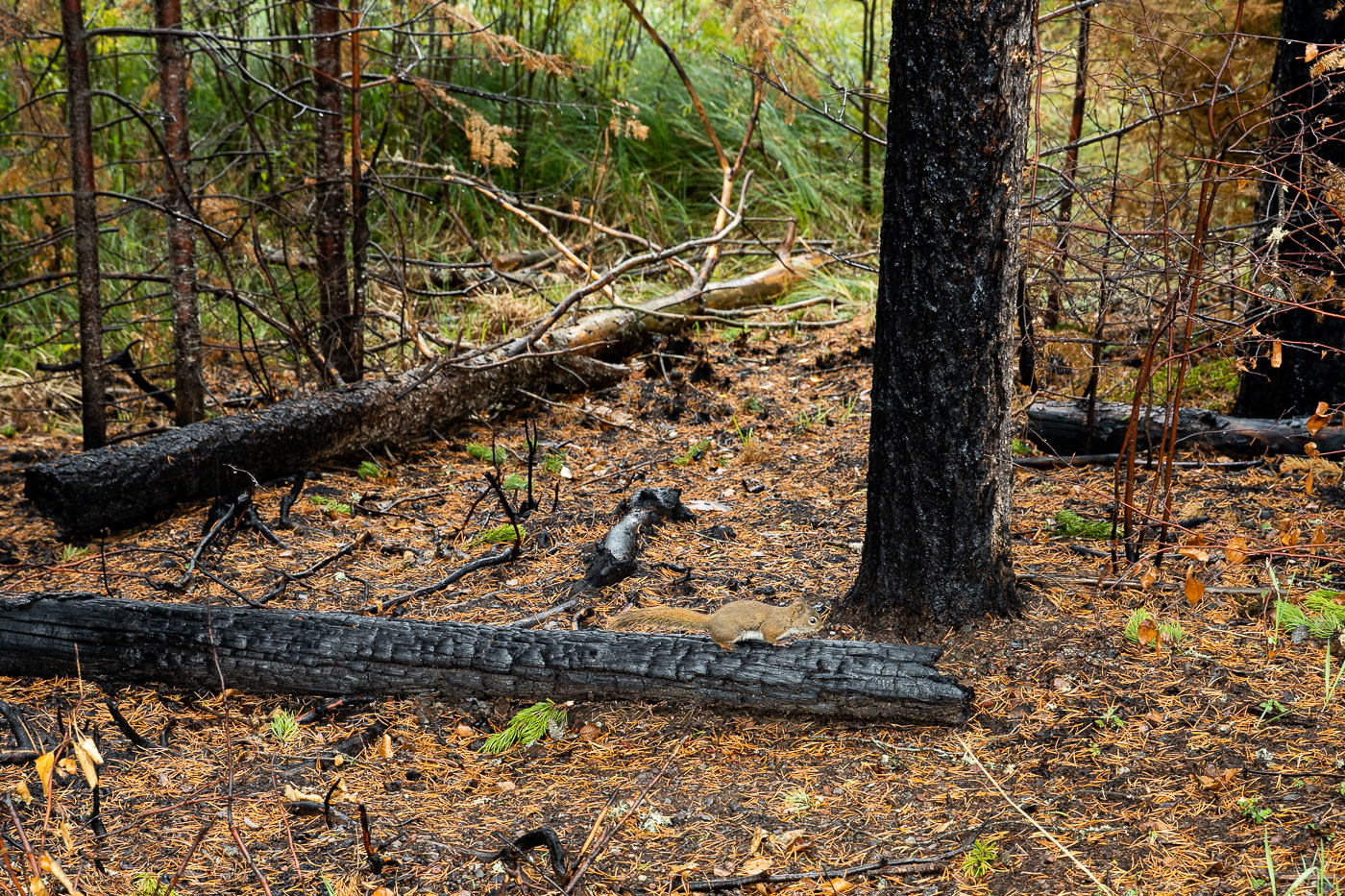
A squirrel rests on a charred log within the Superior National Forest, an area significantly impacted by the Greenwood Fire. This major wildfire, which occurred near Isabella, Minnesota, burned thousands of acres, including portions of the Boundary Waters Canoe Area Wilderness.

Squirrel on Burned Log, Greenwood Fire, Superior National Forest
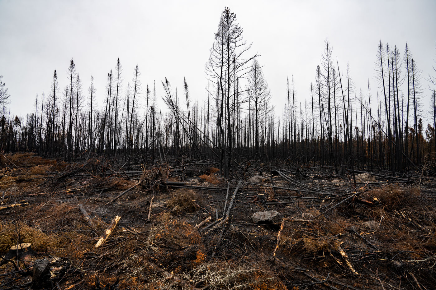
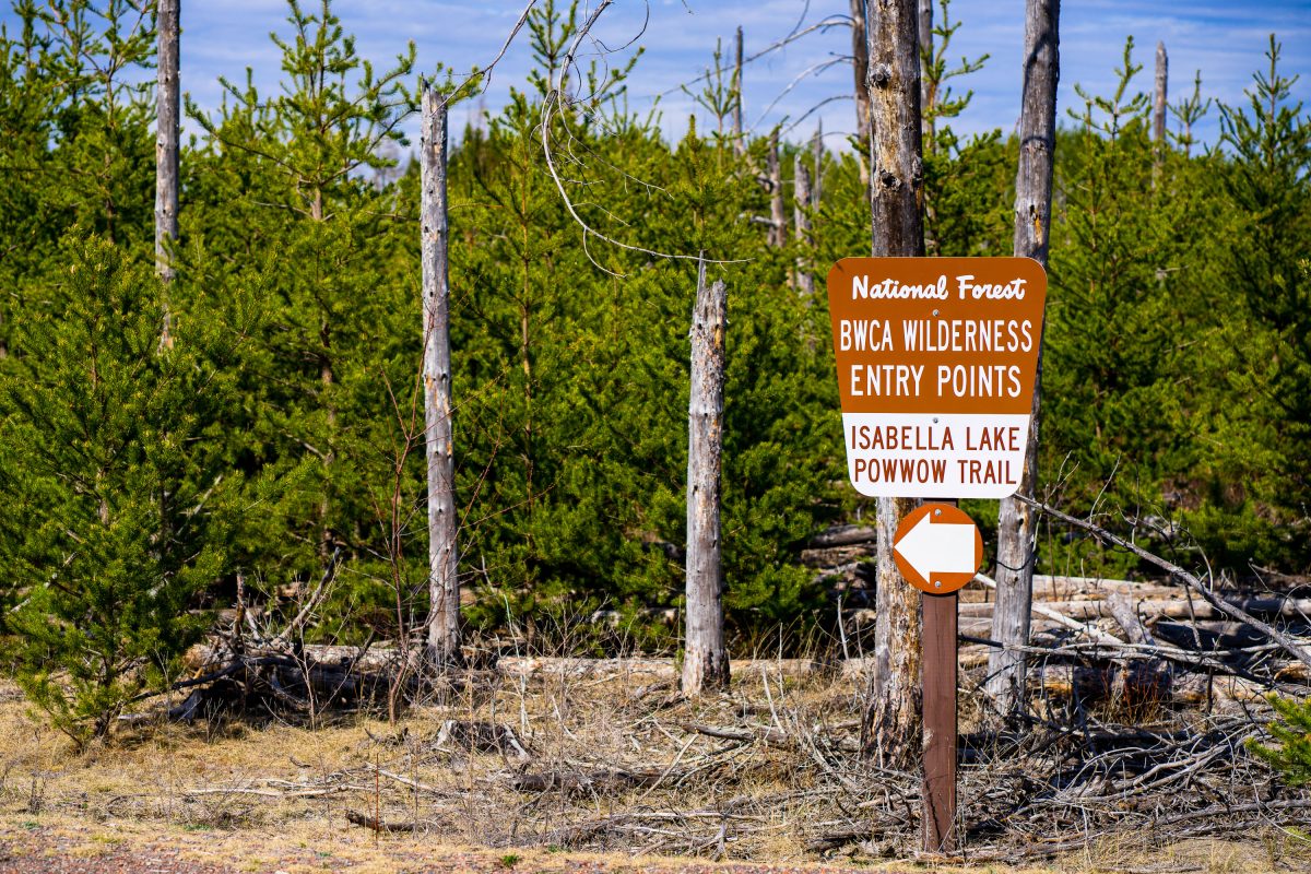
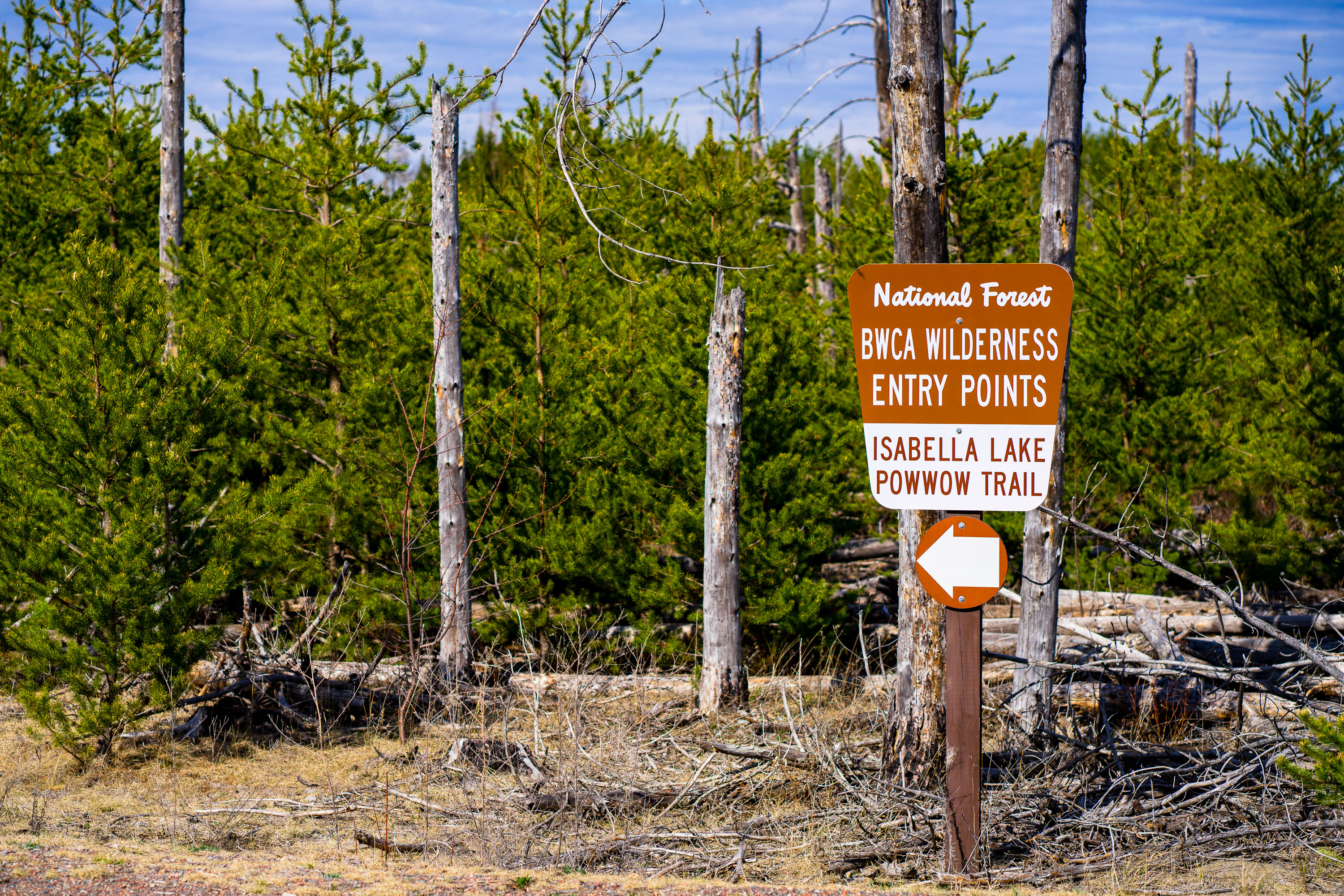
BWCA Wilderness entry sign at Isabella Lake along Powwow Trail.
BWCA Wilderness entry points at Isabella Lake along Powwow Trail in the Boundary Waters Canoe Area Wilderness. A Forest Service sign marks the trail access area in a wooded clearing with young pines and dead standing trees.

BWCA Wilderness Entry Sign at Isabella Lake
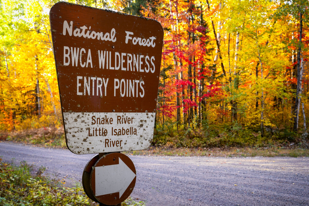
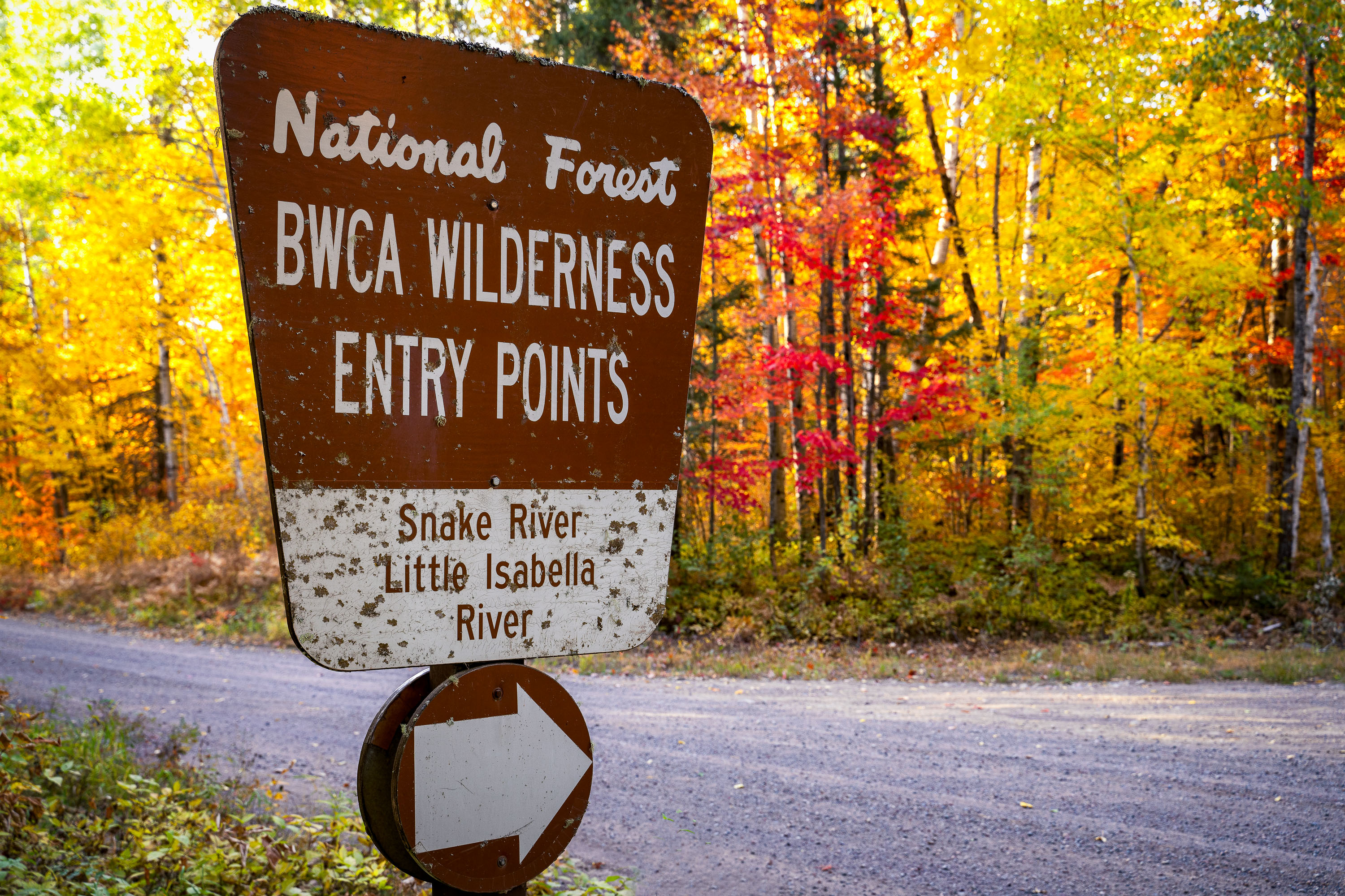
BWCA Wilderness entry sign for Snake River and Little Isabella River in Superior National Forest, Minnesota
A sign for the Boundary Waters Canoe Area Wilderness entry points for Snake River and Little Isabella River stands along a forest road in Superior National Forest, Minnesota. The sign marks access to the BWCA, a protected wilderness area in northern Minnesota. Autumn foliage fills the background.

BWCA Wilderness Entry Points Sign, Superior National Forest

Built in Minneapolis

Minneapolis Photographer

Browse by location, move through long-running series, or start with recent work.