Timber Frear Canoe Route Map, Superior National Forest
Taken October 2023
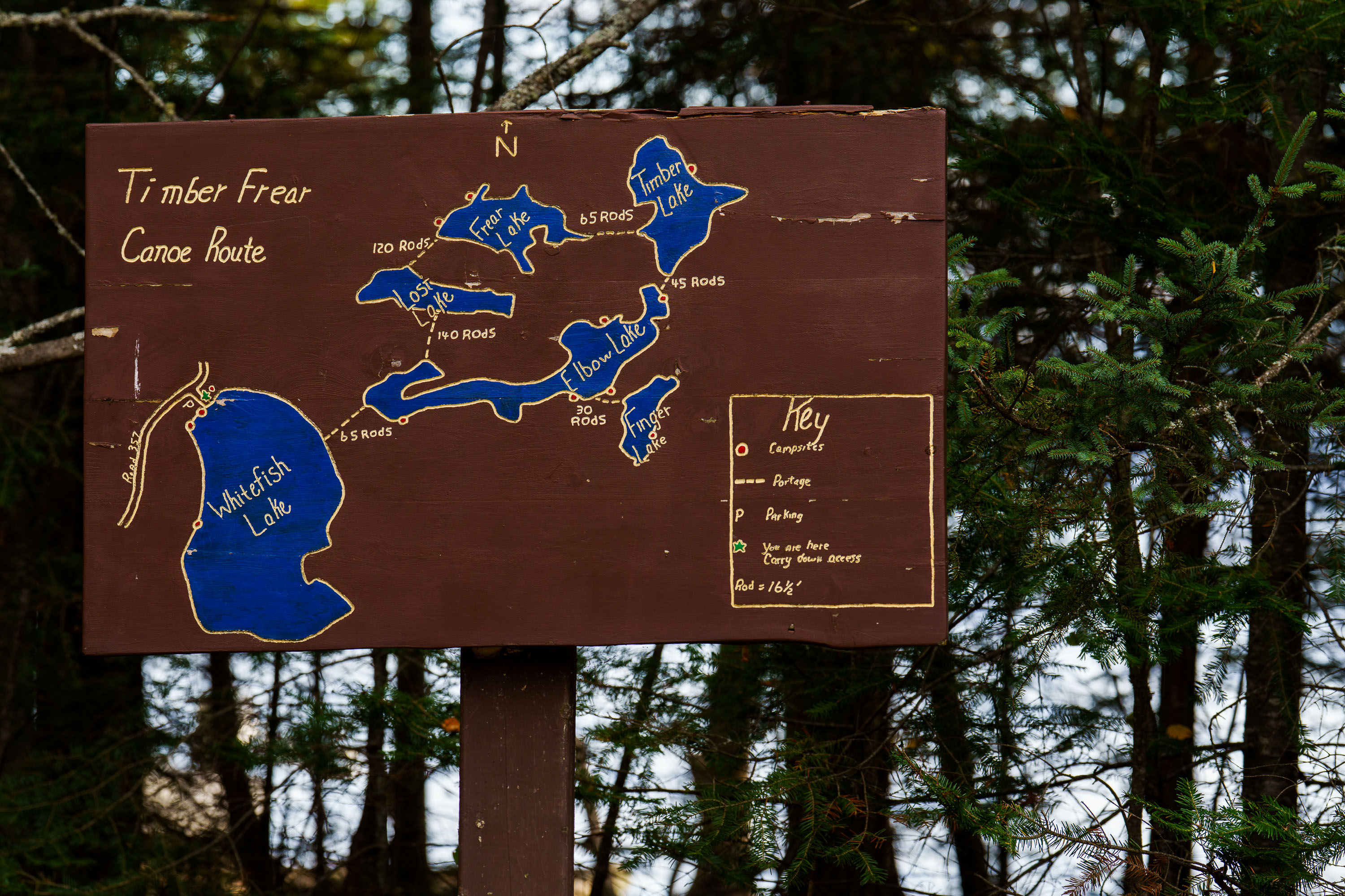
A hand-painted map on a wooden sign details the Timber Frear Canoe Route in Minnesota's Superior National Forest. The map illustrates interconnected lakes including Whitefish Lake, Frear Lake, and Elbow Lake, with portage distances and campsite locations marked. A key explains symbols for campsites, portages, parking, and the user's current location.
Taken October 2023
More from
Superior National Forest
 Dumbbell Lake Fishing Deck, Superior National Forest
A sign on the Dumbbell Lake Fishing Deck that reads "Dumbbell Lake Fishing Deck Constructed through a partnership with the…
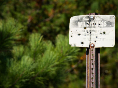 Boundary Waters Wilderness Sign, Superior National Forest, MN
A weathered sign in the Superior National Forest, Boundary Waters, reads "WILDERNESS" and "Closed to motor vehicles and motorized equipment."…
 Rocky Stretch of the Temperance River, Superior National Forest
The Temperance River runs roughly 22 miles from its origin near the Laurentian Divide to Lake Superior, dropping through a…
 Sand River in Superior National Forest, Minnesota
Sand River in Superior National Forest near Isabella, Minnesota. Autumn light illuminates the river bends, wetland grasses, and mixed conifer…
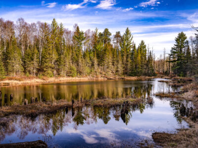 Dumbbell Road near Isabella, Minnesota
Dumbbell Road runs through Superior National Forest near Isabella, Minnesota. A still pond reflects the surrounding conifers and leafless trees…
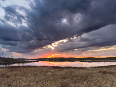 Island River Sunset, Superior National Forest
Island River in Minnesota’s Superior National Forest at sunset. Dark storm clouds hang over the wetland landscape while the low…