Map
More from Superior National Forest

Fall Colors Along the Arrowhead Trail, Cook County
The Arrowhead Trail runs roughly 27 miles north from Minnesota Highway 61 at Hovland to South Fowl Lake on the…

BWCA SNF Sign in Minnesota
A Boundary Waters Canoe Area Wilderness sign in the Superior National Forest.
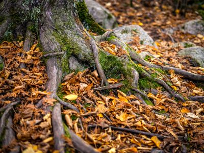
Exposed Tree Roots and Autumn Leaves near Ely, Minnesota
Ely sits at the edge of the Superior National Forest, a landscape shaped by thin glacial soils and granite bedrock…
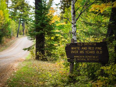
Old Growth Trees Sign in Minnesota
"Old growth white and red pine over 185 years old. Minnesota department of natural resources".
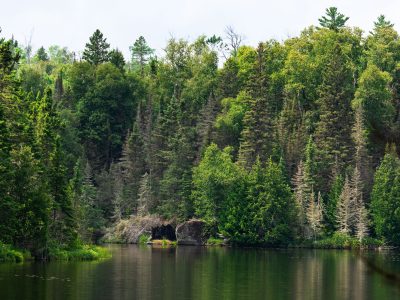
Homestead Lake, Superior National Forest, Minnesota
Homestead Lake in the Superior National Forest. As seen in July 2026.

Decaying log laying in the Superior National Forest
A downed tree in the Superior National Forest in Northern Minnesota.