Nature

17 photos · 2019–2026

17 photographs tagged Nature, 2019–2026.
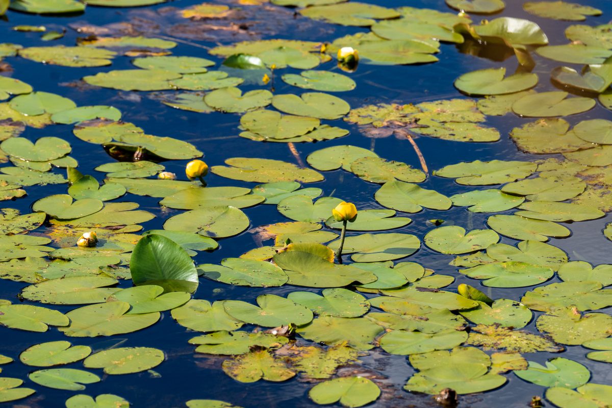
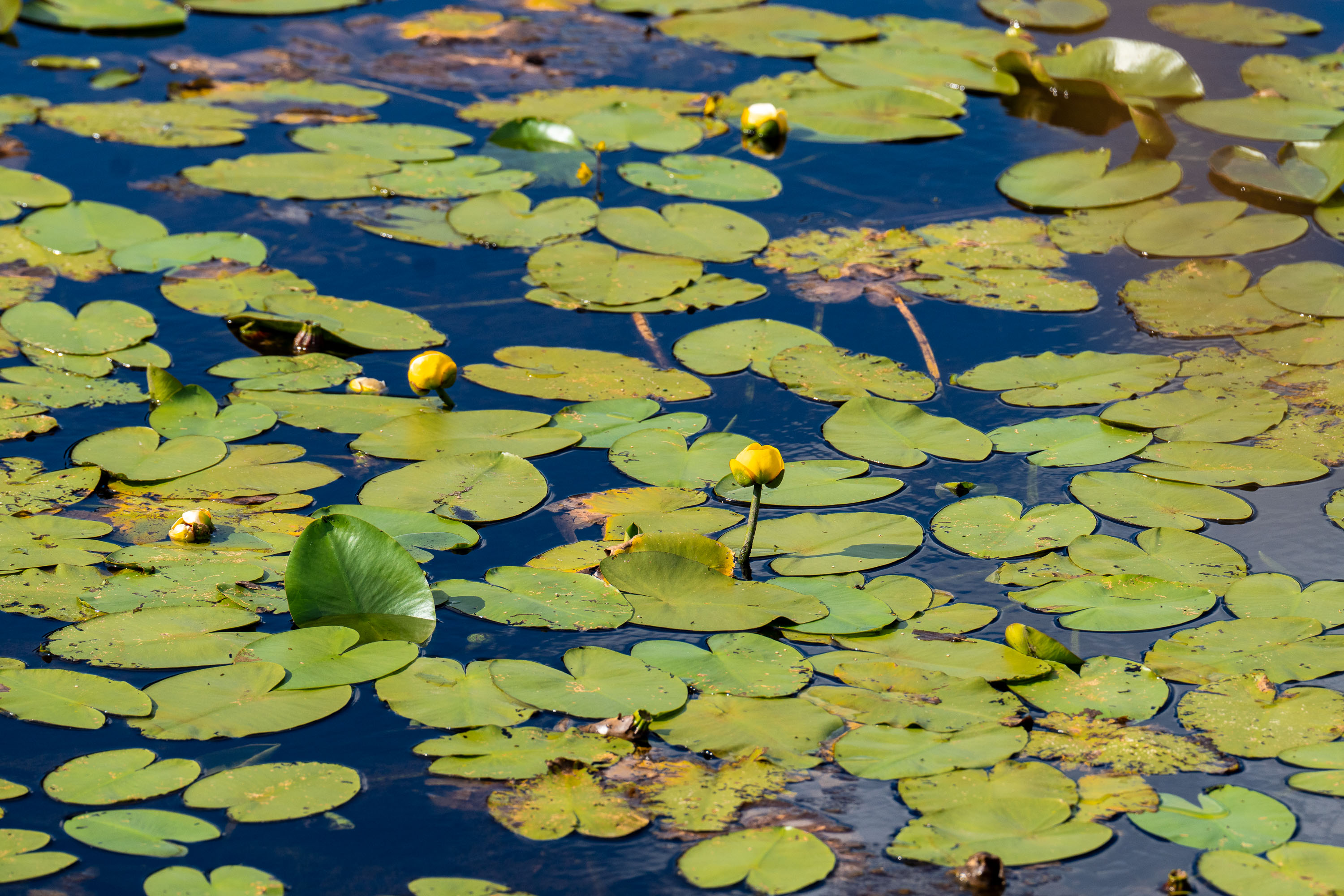
Dense covering of green lily pads and yellow pond lily flowers floating on a calm freshwater pond.
Yellow pond lilies (*Nuphar* species) and their broad floating pads cover the surface of a calm freshwater pond. Nuphar, commonly called yellow pond lilies or spatterdock, are native aquatic plants found throughout North America in lakes, ponds, and slow-moving streams. The plants root in bottom sediment and send up long stems that support both the floating leaves and the small, globe-shaped yellow flowers visible above the water's surface.

Yellow Pond Lilies and Lily Pads on Still Water
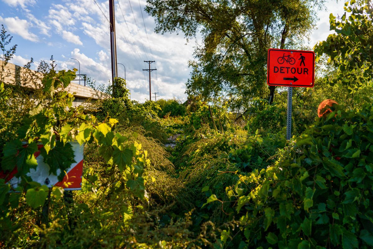
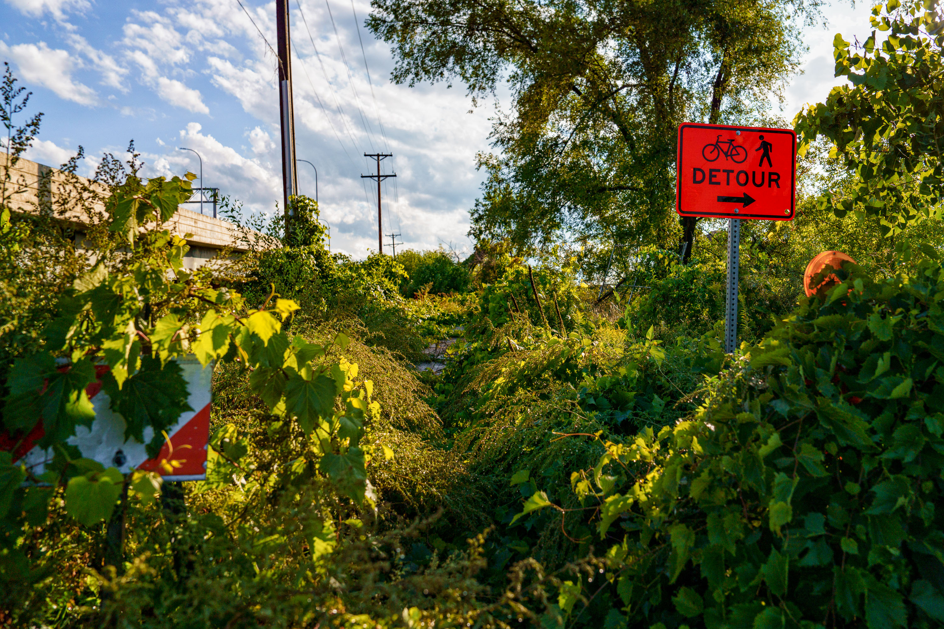
Red bicycle and pedestrian detour sign stands among overgrown vegetation along the Cedar Lake Trail in Minneapolis.
Nature taking back a trail after it was closed for Light Rail train construction.

Overgrown Detour Sign on the Cedar Lake Trail During SWLRT Construction
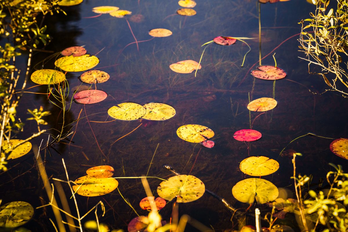
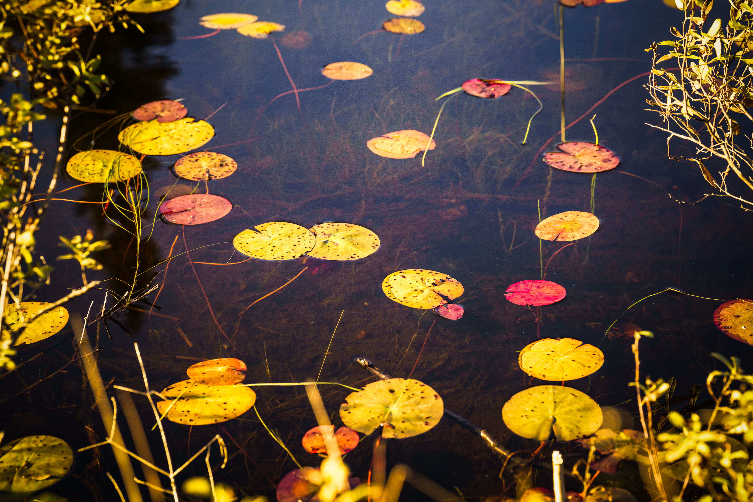
Autumn-colored water lily pads float on a still pond in Cook County, Minnesota.
Cook County sits at the northeastern tip of Minnesota along Lake Superior's North Shore, bordering Ontario and encompassing much of the Boundary Waters Canoe Area Wilderness. The county's terrain includes numerous bogs, beaver ponds, and small wetlands fed by the Sawtooth Mountains' runoff, where floating-leaved plants like water lilies and pond-lily species take hold in shallow, still water. By early October, water lily pads in the region typically turn shades of yellow, orange, and red as chlorophyll breaks down, a seasonal change tied to shortening daylight and dropping water temperatures. Much of the county's land is managed by the Superior National Forest, which oversees a large share of Minnesota's remaining undeveloped wetland habitat.

Water Lily Leaves in Autumn, Cook County, Minnesota
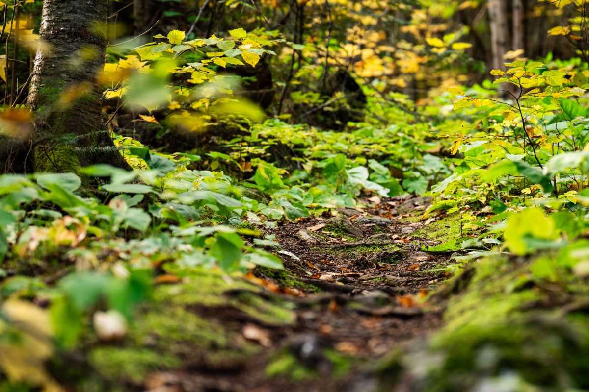
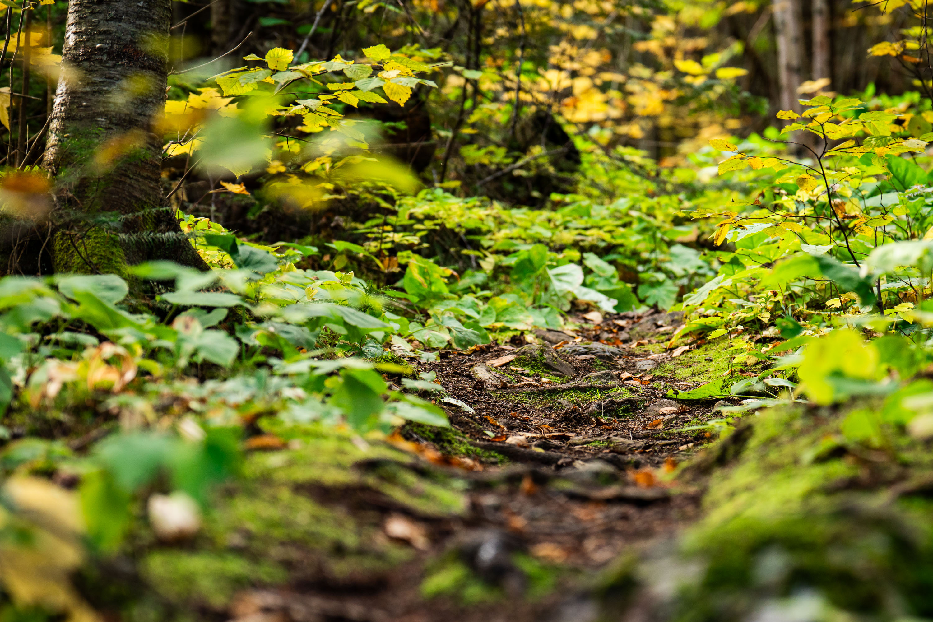
Dirt trail winds through dense underbrush and birch trees in Superior National Forest, Minnesota.
Superior National Forest covers roughly 3.9 million acres in northeastern Minnesota, managed by the U.S. Forest Service. It contains more than a million acres of lakes and streams, including the Boundary Waters Canoe Area Wilderness along its northern edge. The forest is dominated by boreal species such as birch, aspen, and various conifers, with understory plants like wood sorrel and ferns common along its trail systems. Established in 1909, it remains one of the most heavily visited wilderness areas in the country.

Forest Trail, Superior National Forest, Minnesota
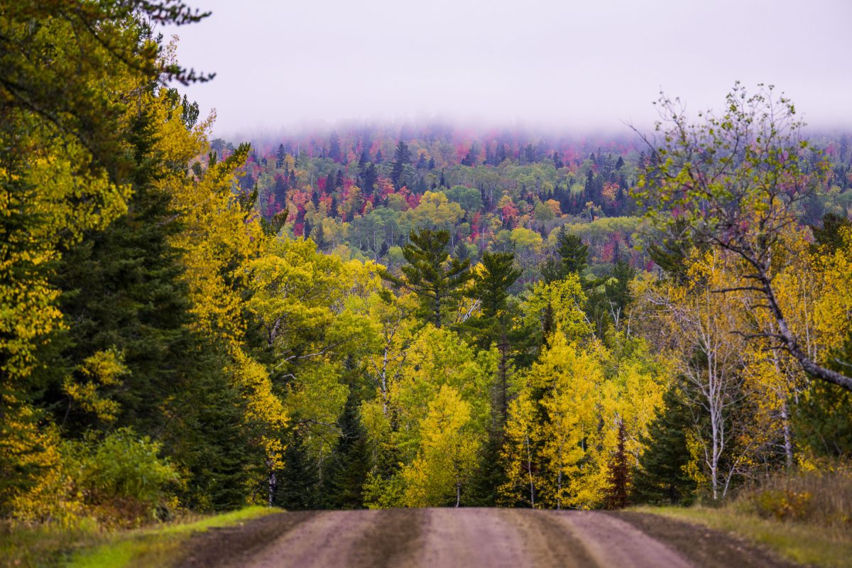
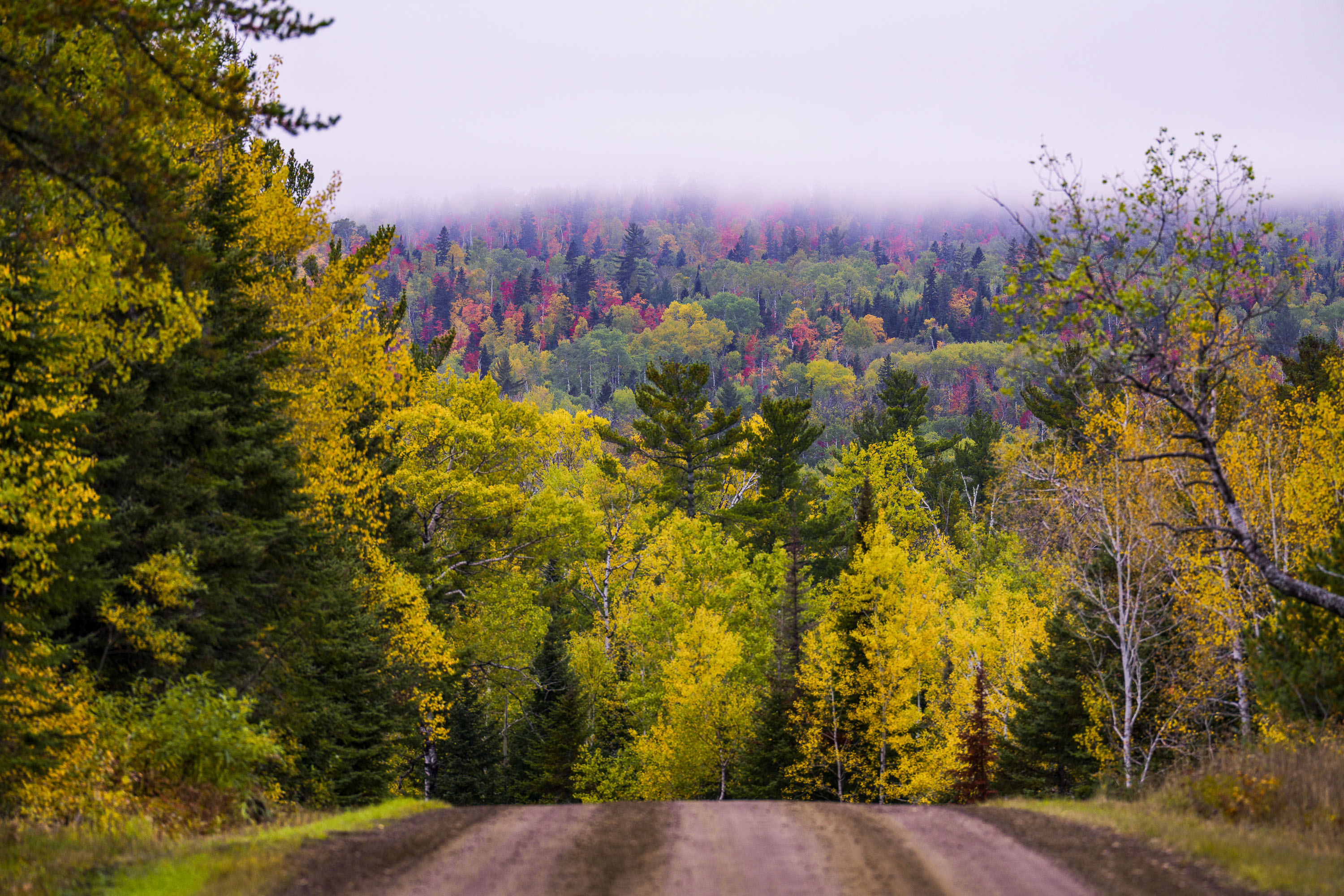
Dirt road through northern Minnesota forest displaying autumn foliage with yellow and red trees in distant fog.
The Arrowhead Trail is a roughly 20-mile gravel road, designated Cook County Road 16, running north from Hovland on Lake Superior's North Shore to the Ontario border at the Pigeon River. The route cuts through the Superior National Forest, passing stands of aspen, birch, and white and red pine mixed with maple that turn color each September and October. It's maintained as a low-traffic forest road rather than a state highway, popular with anglers heading to backcountry lakes and with fall-color drivers making the trip up from Highway 61.

Gravel Road Through Fall Foliage, Arrowhead Trail, Minnesota
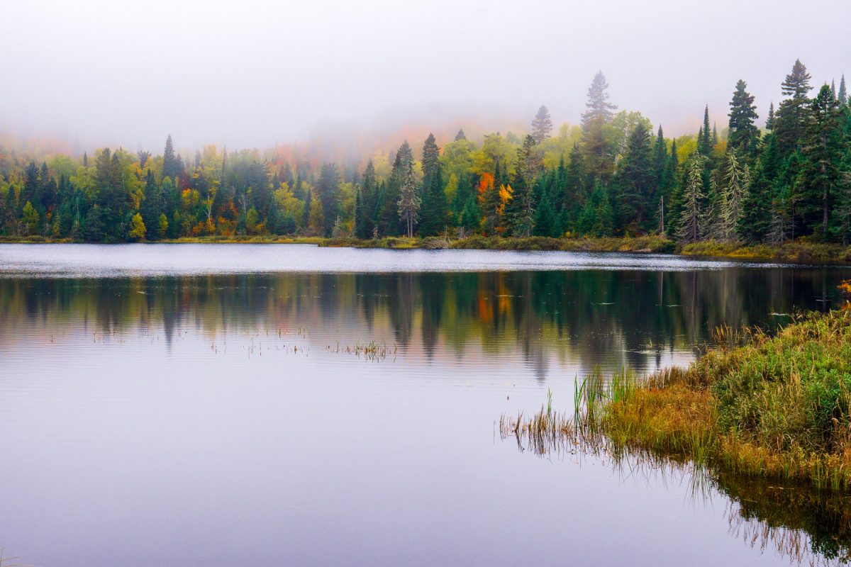
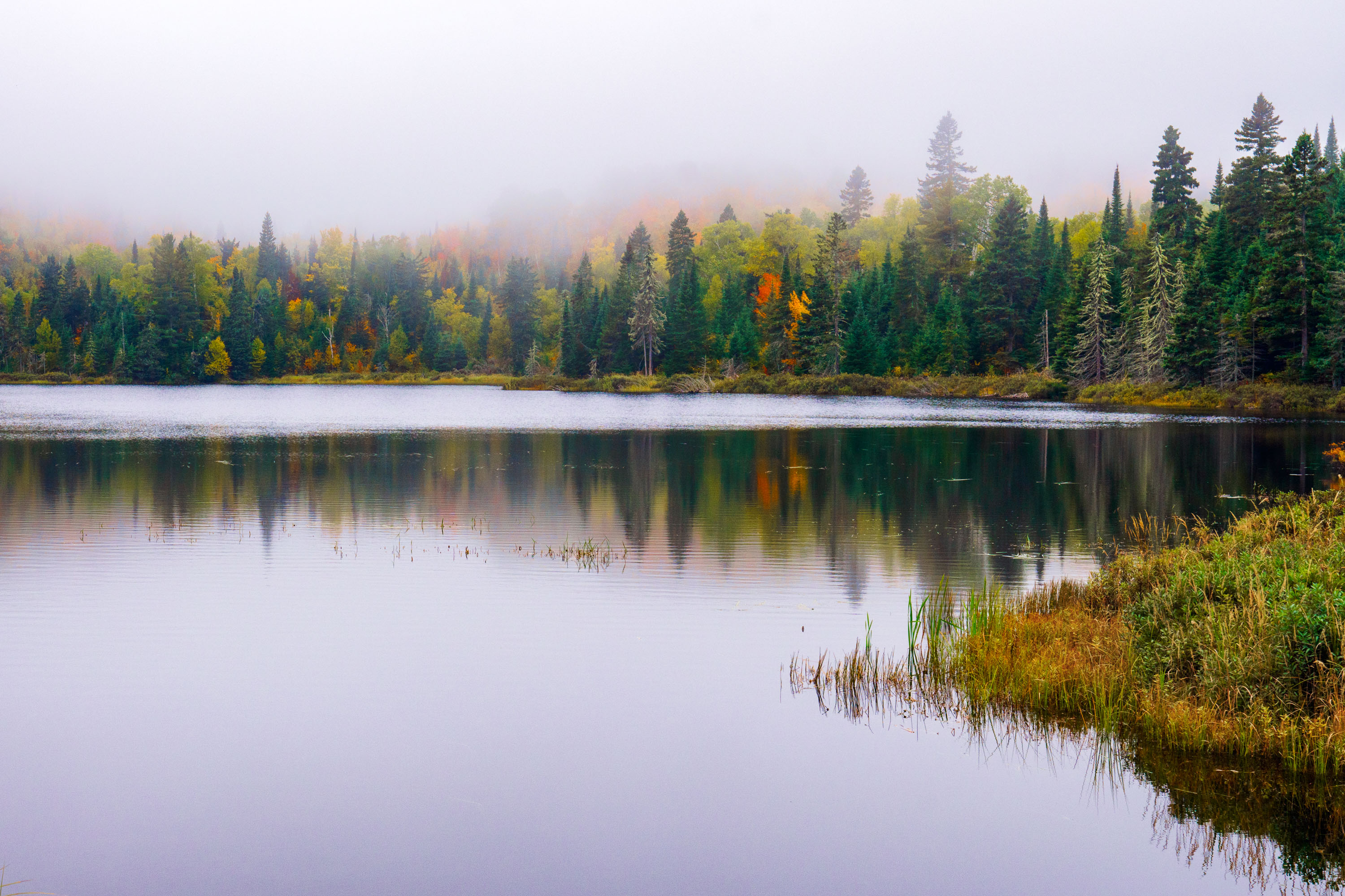
Fog over Loft Lake in Northern Minnesota
Foggy morning over Loft Lake as seen from Shoe Lake Road in Northern Minnesota.

Loft Lake from Shoe Lake Road in Minnesota
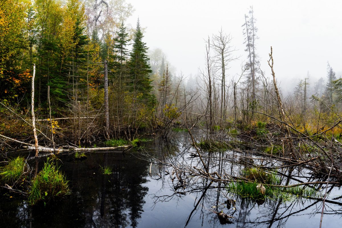
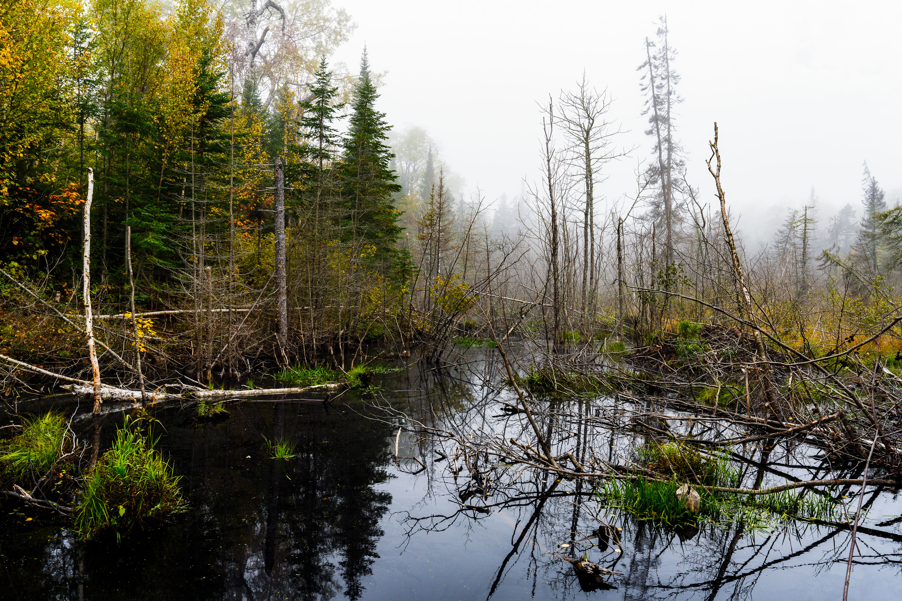
Flooded beaver wetland with standing dead trees near Shoe Lake Road in Superior National Forest, Minnesota.
Shoe Lake Road runs through the Superior National Forest in Cook County, Minnesota, near the edge of the Boundary Waters Canoe Area Wilderness. The surrounding forest is a mix of northern hardwoods and conifers, including birch, spruce, and balsam fir, typical of this part of the Superior National Forest. Beaver activity is common along the region's low-lying wetlands, where dammed water and downed trees create the shallow ponds and standing deadwood found throughout this stretch of forest. The area sits within the Laurentian Divide watershed, which separates drainage toward Lake Superior from waters flowing north toward Hudson Bay.

Beaver Pond Wetland Near Shoe Lake Road, Superior National Forest
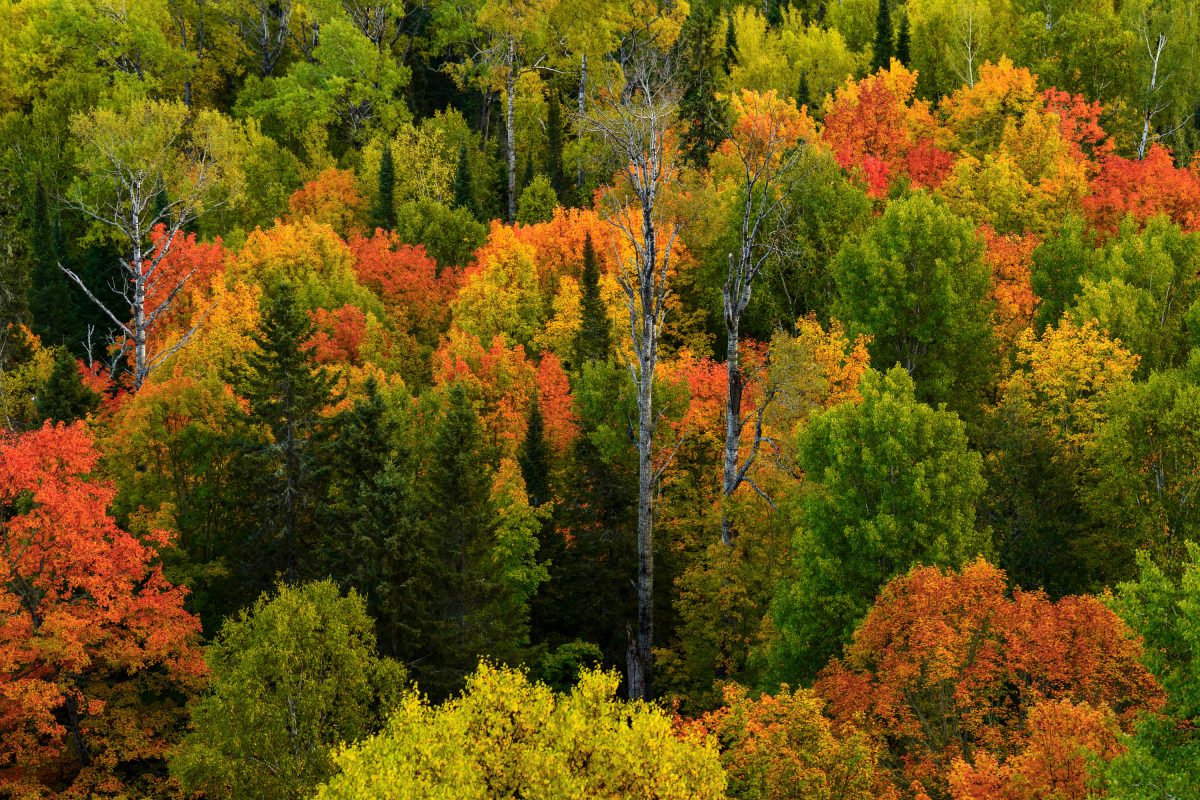
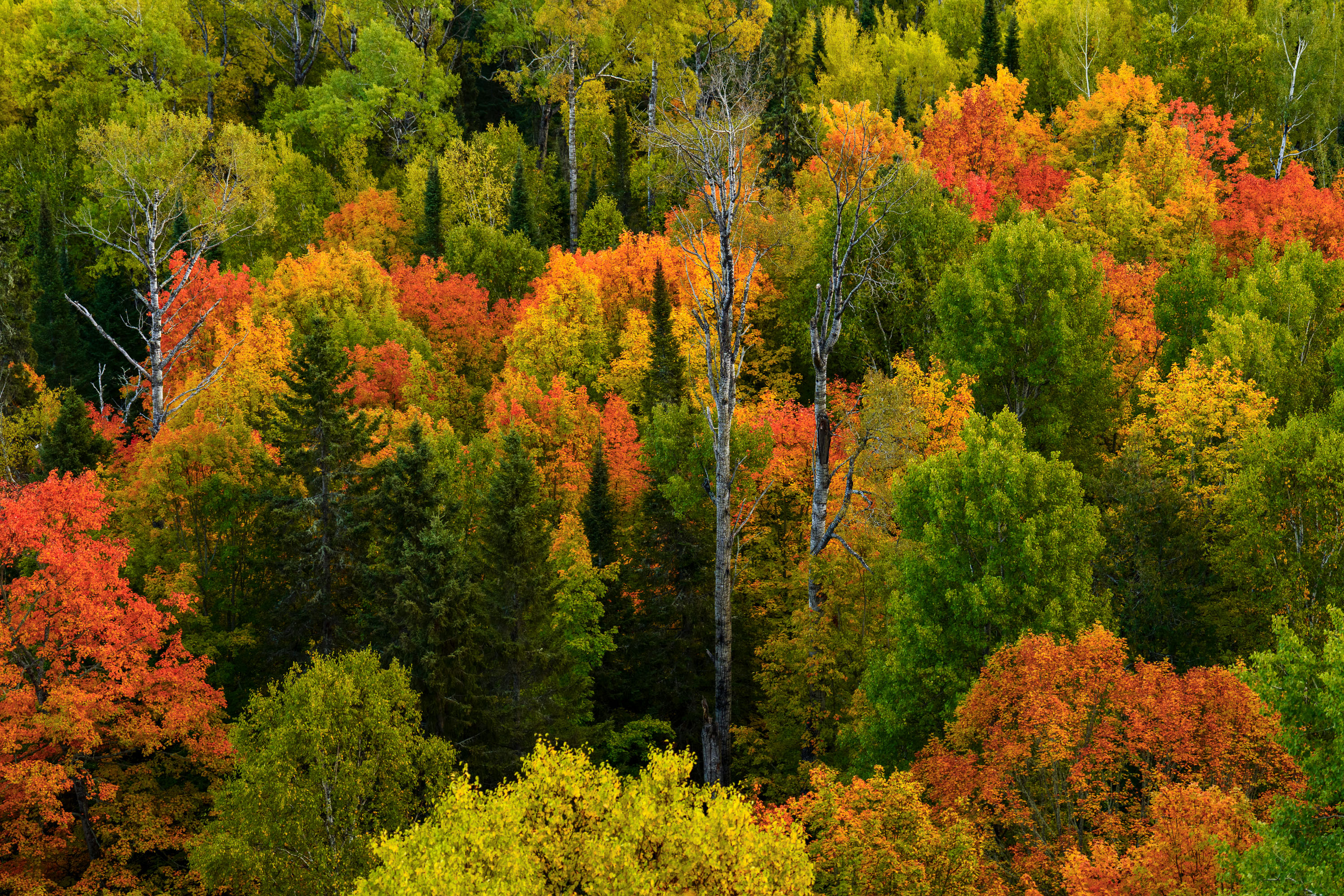
Mixed forest canopy in autumn with red, orange, and yellow deciduous trees among evergreens in Northern Minnesota.
Superior National Forest covers more than three million acres across northeastern Minnesota, including Cook County, and stands as Minnesota's largest national forest. The forest's canopy is a mix of birch, aspen, maple, and conifer species, a combination that produces a wide range of color change each autumn as hardwoods turn while pines and spruce stay green. Birch and aspen typically shift first, often in late September, while maples follow with reds and oranges. The forest is managed by the U.S. Forest Service and includes roughly 445,000 acres of the Boundary Waters Canoe Area Wilderness within its borders.

Mixed Hardwood Forest in Autumn, Superior National Forest
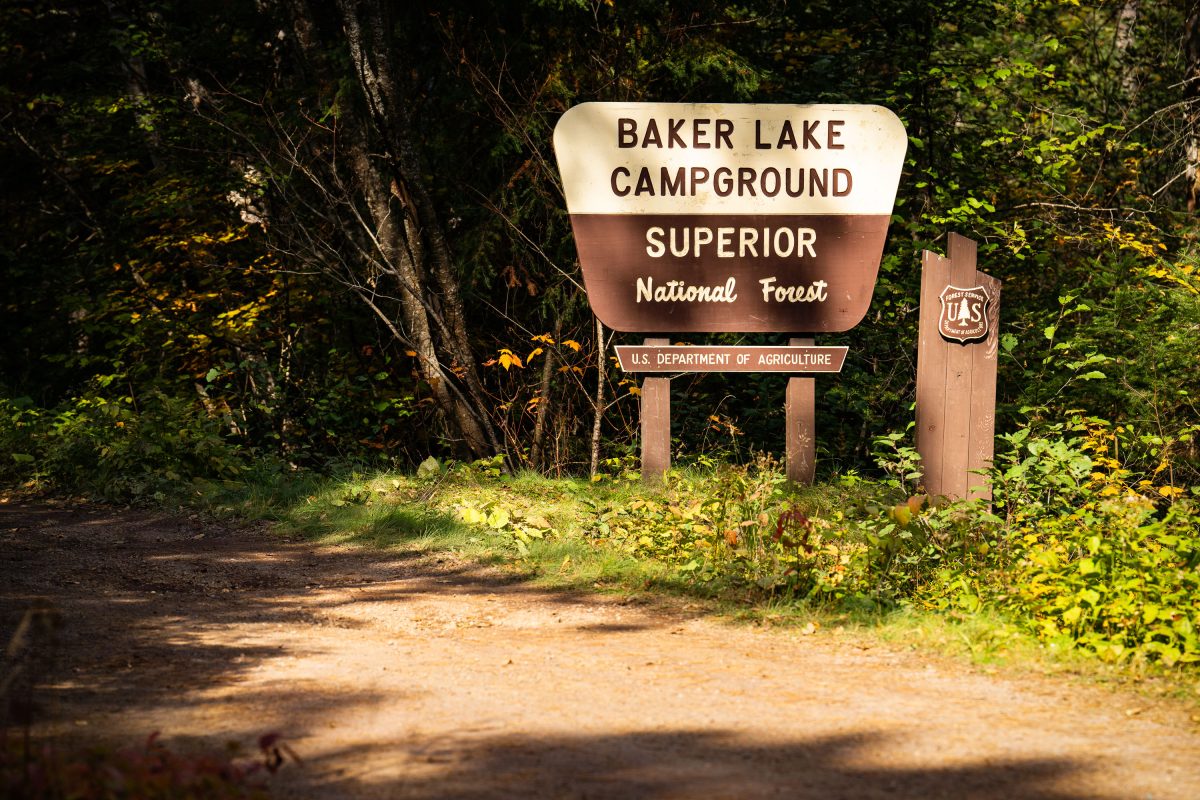
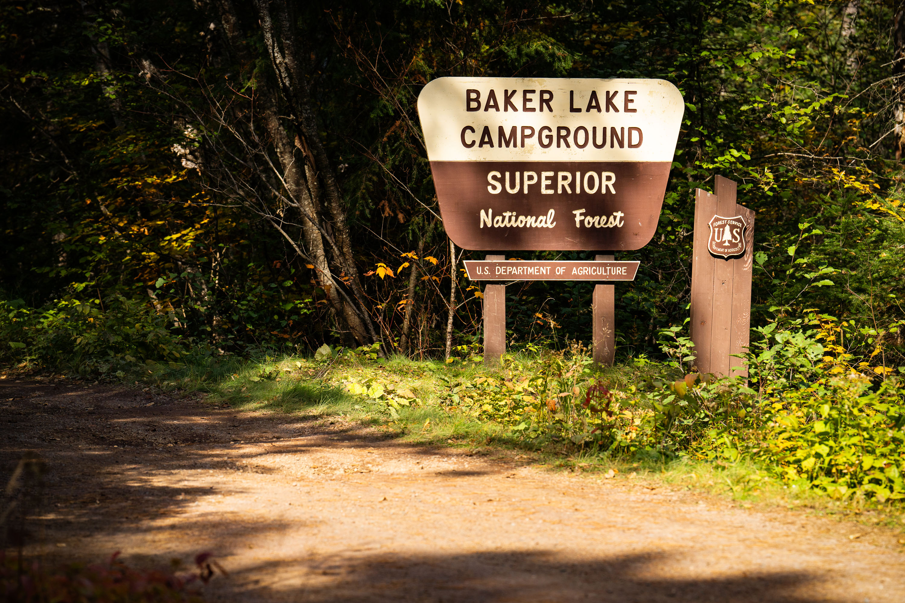
Baker Lake Campground sign in Superior National Forest, Minnesota, surrounded by forest.
Baker Lake Campground sits off the Sawbill Trail in Cook County, part of the Tofte Ranger District within the Superior National Forest. The U.S. Forest Service, an agency of the Department of Agriculture, maintains the site as a small, rustic campground with vault toilets and no electrical hookups. Its boat landing on Baker Lake serves as one of the entry points into the Boundary Waters Canoe Area Wilderness, giving paddlers direct access to the interior lake system. The surrounding forest is managed for multiple use, including timber, recreation, and wildlife habitat, under the Superior National Forest's broader stewardship of more than three million acres in northeastern Minnesota.

Baker Lake Campground Sign, Superior National Forest
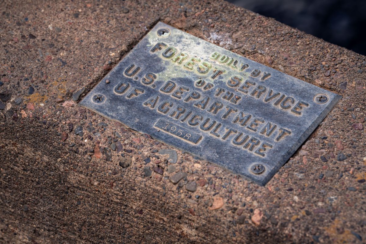
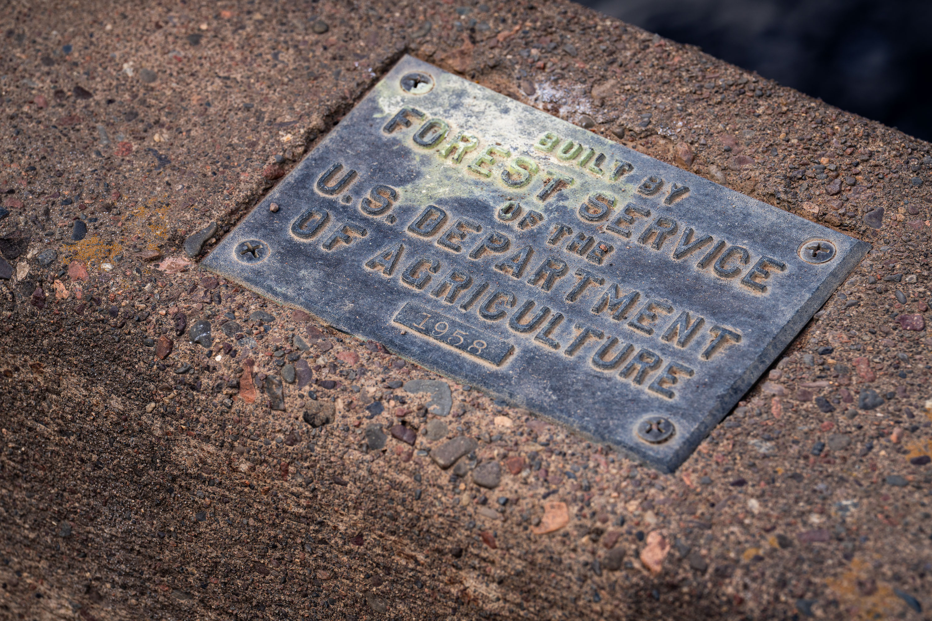
U.S. Forest Service plaque mounted on a bridge in Superior National Forest, Minnesota.
The U.S. Forest Service, part of the Department of Agriculture, builds and maintains bridges, culverts, and other infrastructure across the Superior National Forest in northeastern Minnesota. This plaque, dated 1958, marks one such structure from a decades-long program of forest road and bridge construction tied to logging access, fire management, and recreation. The Superior National Forest itself spans over three million acres and includes the Boundary Waters Canoe Area Wilderness. Forest Service builder's plaques like this one were standard practice for documenting agency construction projects, recording both the responsible agency and the year of completion.

1958 Forest Service Bridge Plaque, Superior National Forest
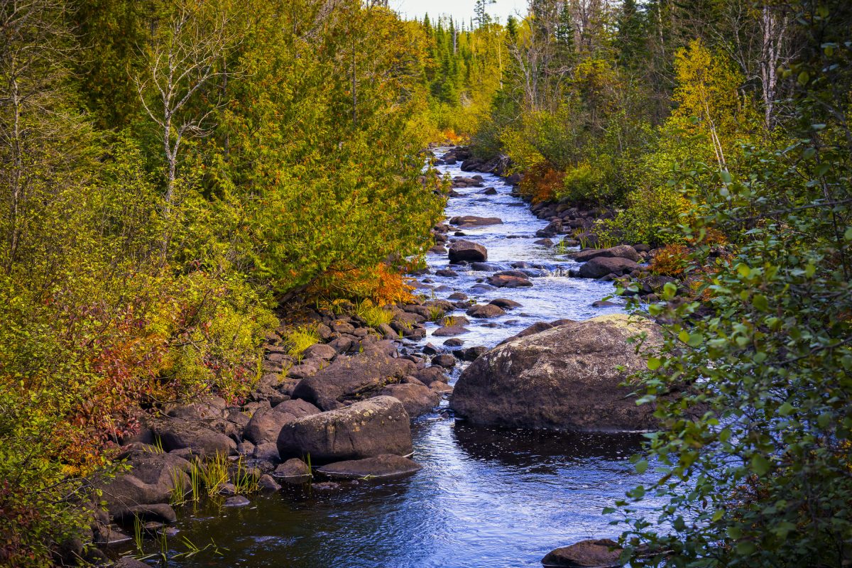
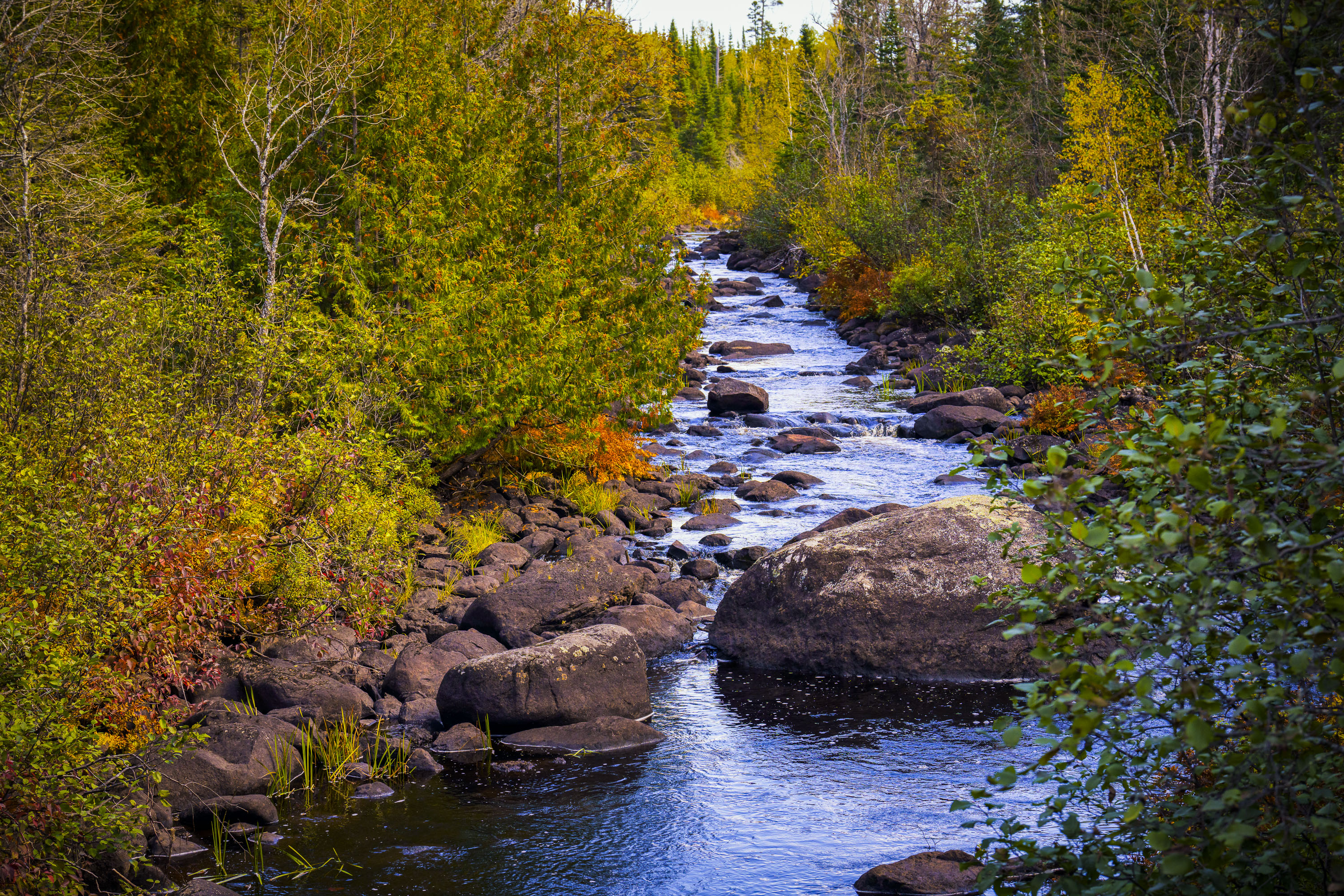
Temperance River flows through golden autumn foliage in Superior National Forest, Minnesota.
The Temperance River runs roughly 22 miles from its origin near the Laurentian Divide to Lake Superior, dropping through a series of potholes and gorges carved into volcanic rock along the way. It's one of the few rivers on Minnesota's North Shore with no sandbar at its mouth, which is how it got its name — early voyageurs who charted the region's rivers by their sandbars, or lack of a "bar," reportedly gave this one a teetotaling nickname. The river and its surrounding old-growth cedar and pine stands sit within the Superior National Forest, which spans nearly three million acres across northeastern Minnesota. Cook County's stretch of the river includes sections popular with anglers seeking steelhead and brook trout during their seasonal runs.

Rocky Stretch of the Temperance River, Superior National Forest
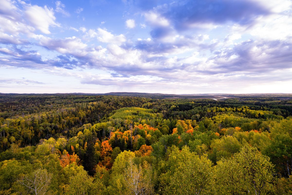
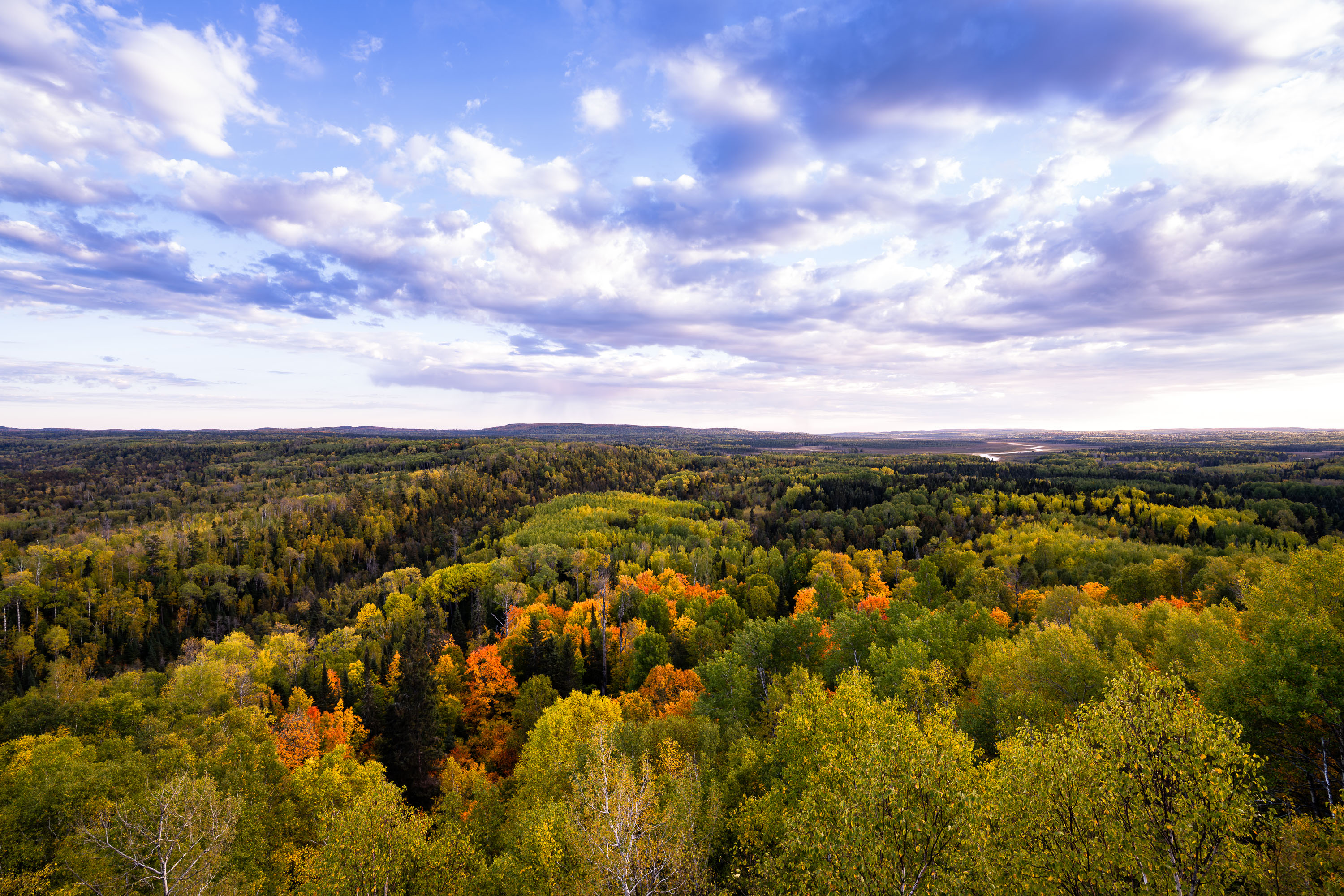
Autumn foliage colors the tree canopy of Superior National Forest in northeastern Minnesota.
Superior National Forest spans roughly 3 million acres across northeastern Minnesota, established in 1909 and managed by the U.S. Forest Service. It encloses the Boundary Waters Canoe Area Wilderness, more than a million acres of interconnected lakes and forest popular with canoeists. Aspen, birch, and pine make up much of its mixed hardwood-conifer cover, turning gold and orange each autumn. The forest holds over 2,000 miles of undeveloped shoreline, among the longest such stretches in the country.

Autumn Colors Over Superior National Forest, Minnesota
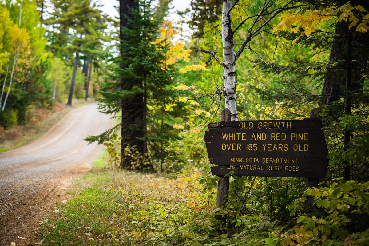
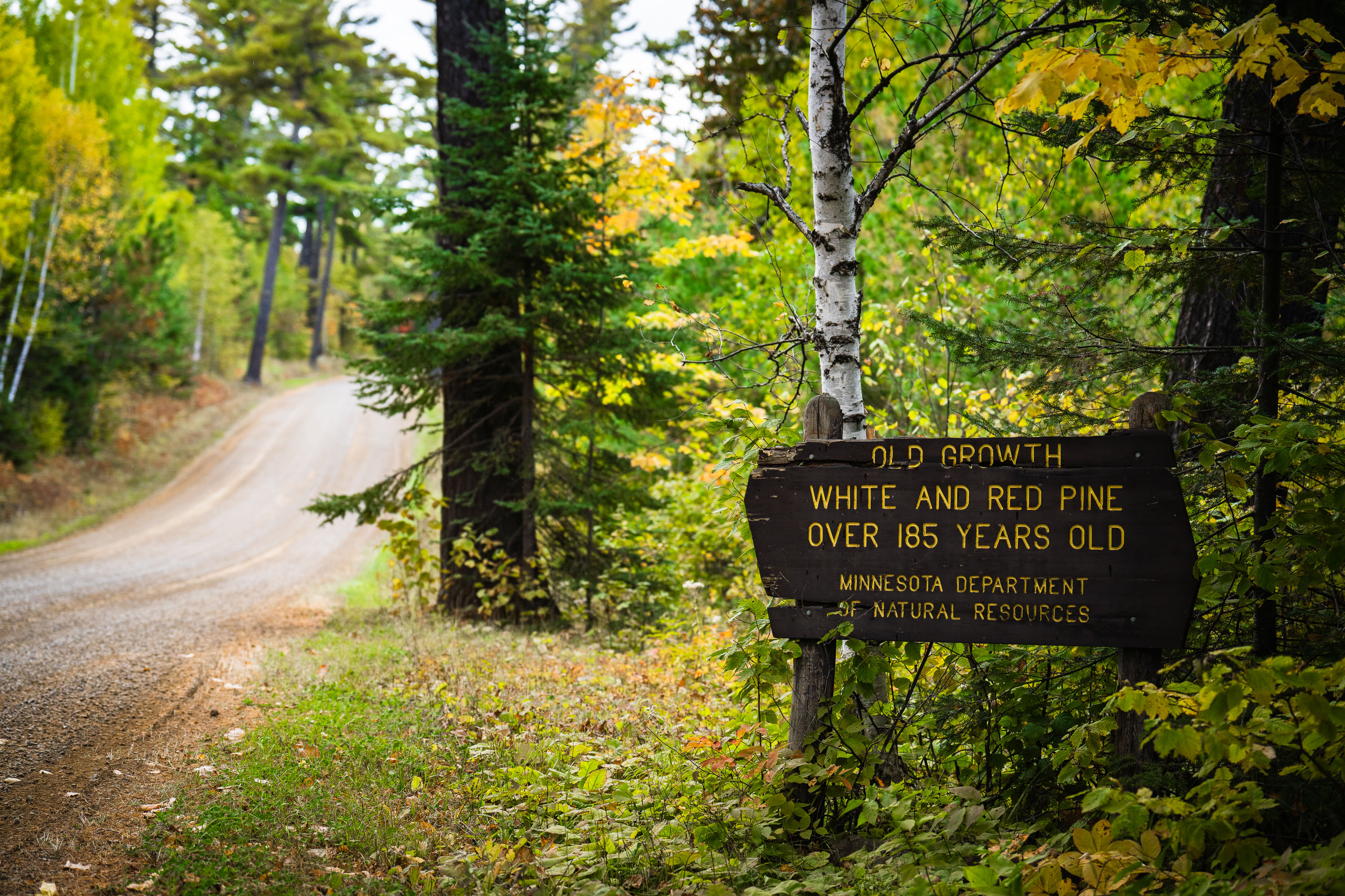
Old growth trees sign from the Minnesota Dept of Natural Resources
"Old growth white and red pine over 185 years old. Minnesota department of natural resources".

Old Growth Trees Sign in Minnesota

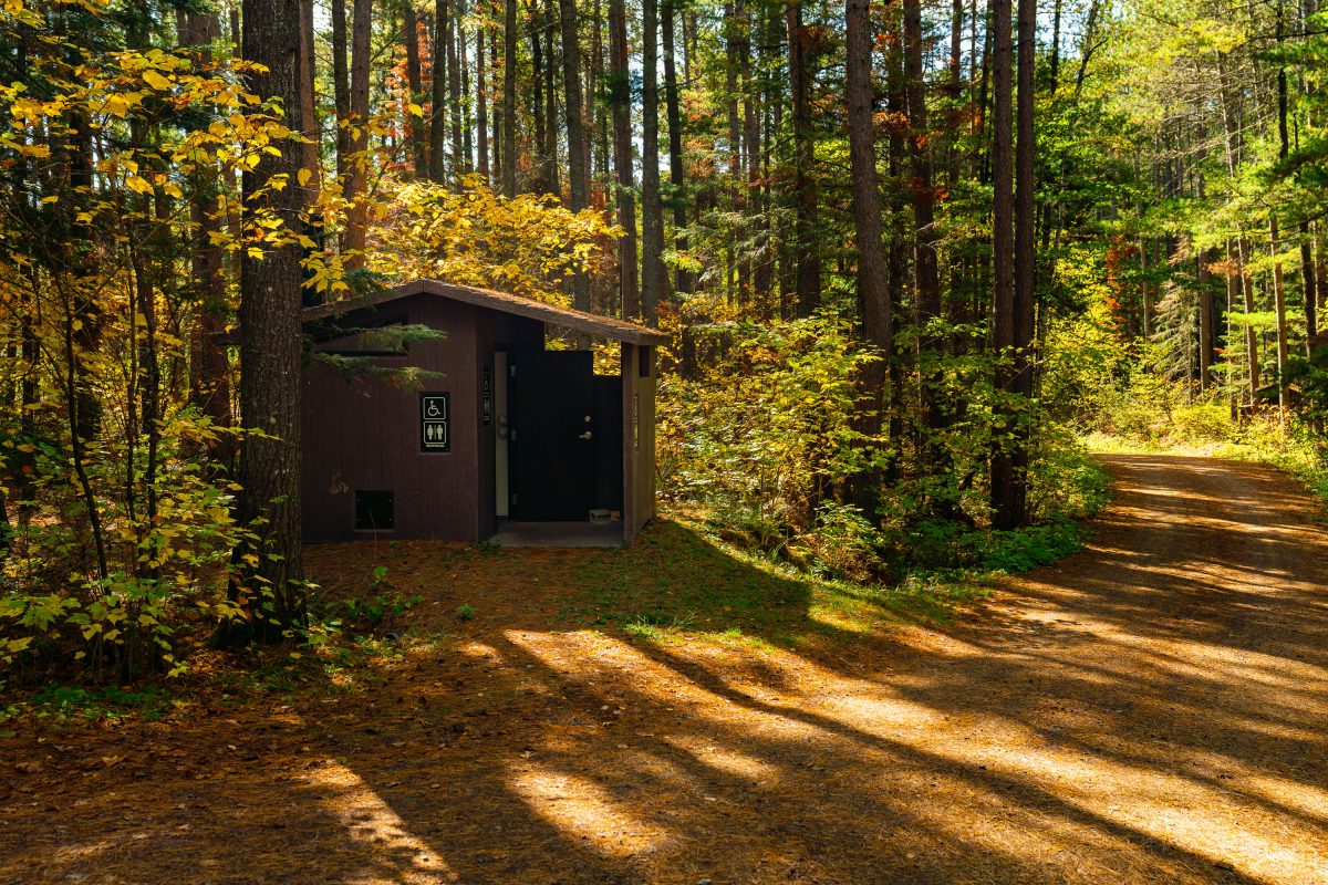
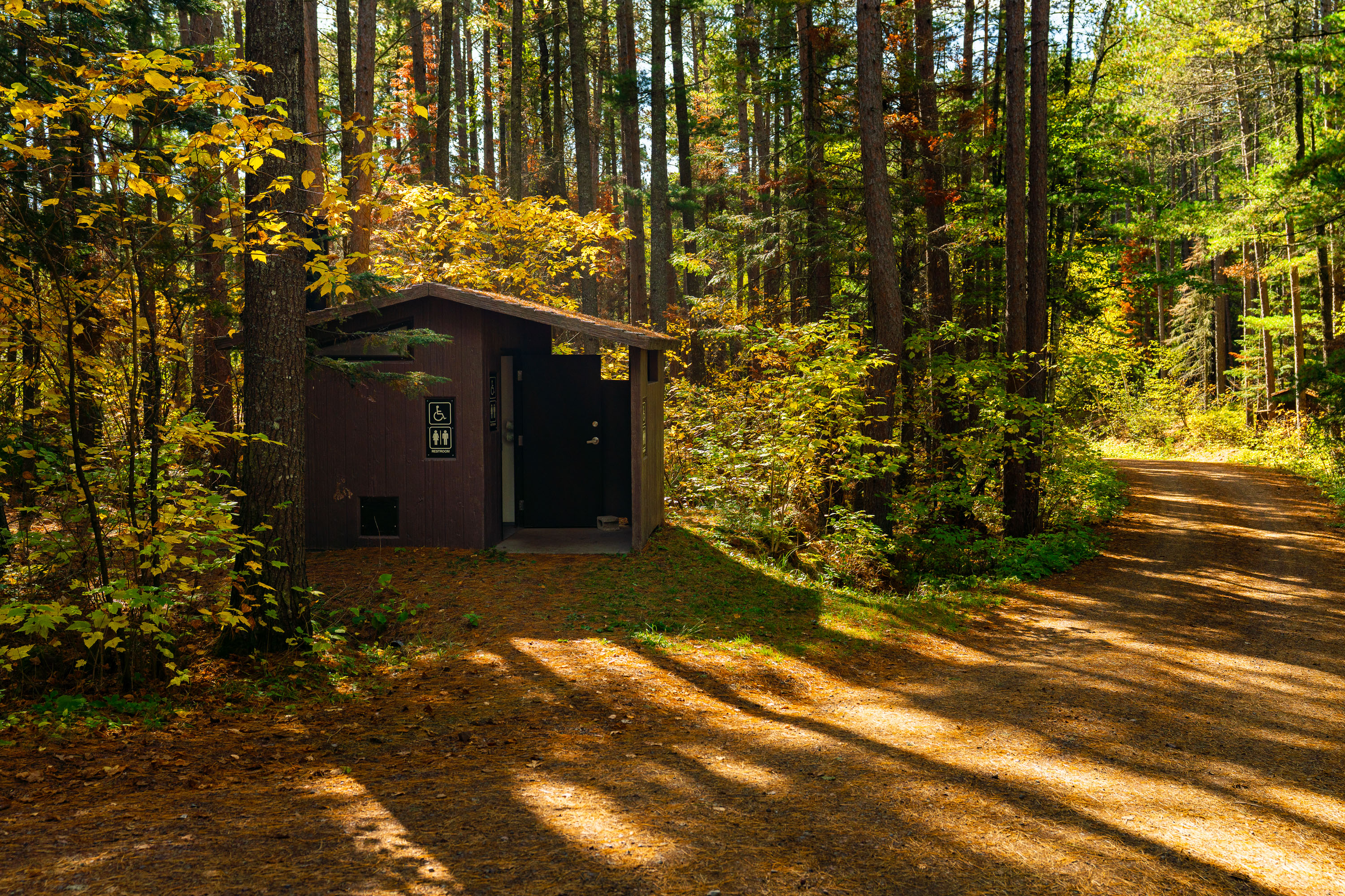
Baker Lake Campground Restrooms in Superior National Foresst
Outhouse at the Baker Lake Campground in the Superior National Forest.

Baker Lake Campground Restrooms in Superior National Foresst

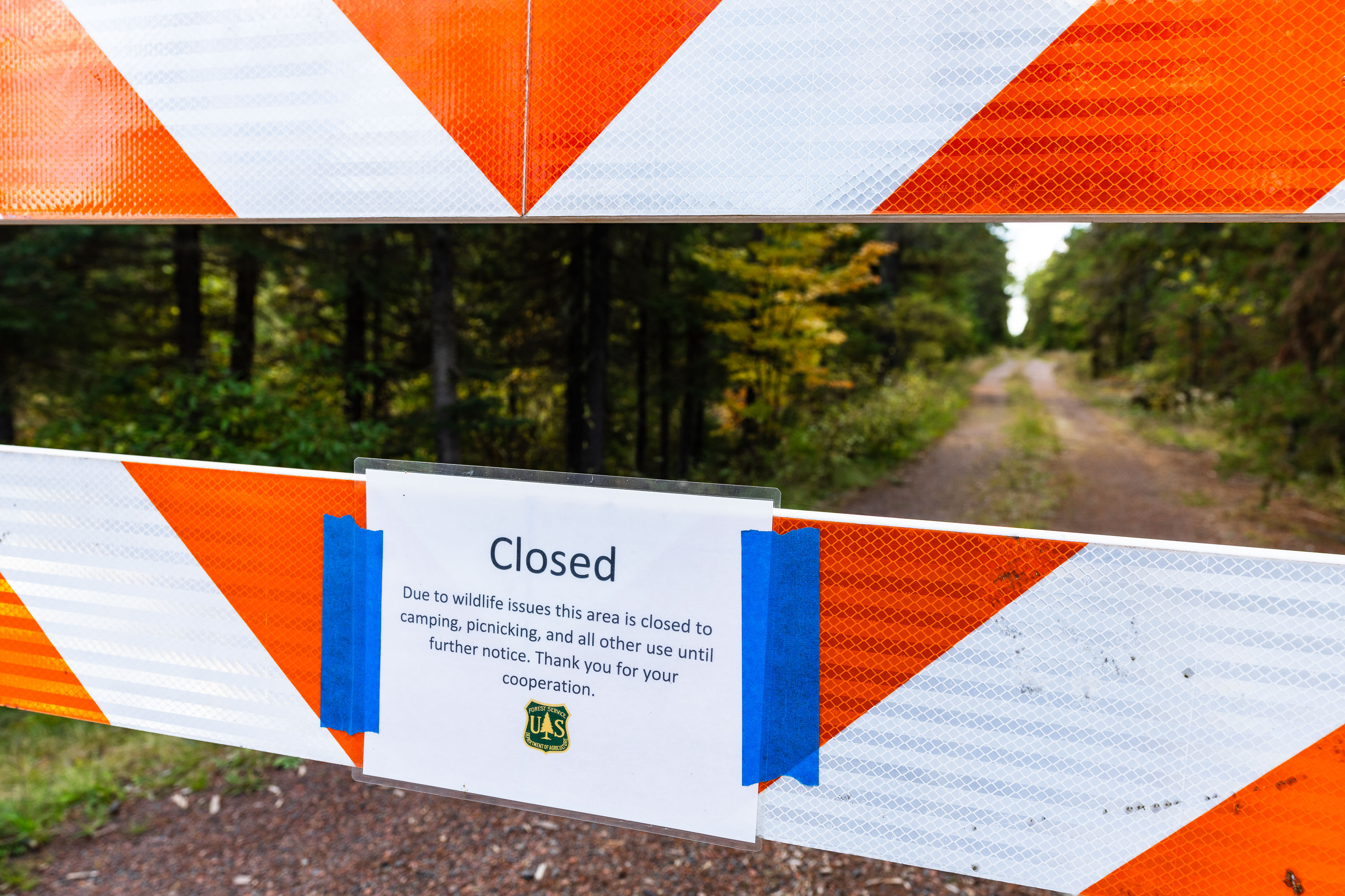
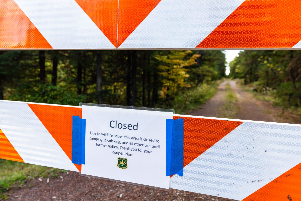
US Forest Service closure notice in Minnesota
"Due to wildlife issues this area is closed to camping, picnicking, and all other use until further notice. Thank you for your cooperation."

Road closure in Superior National Forest, September 2022
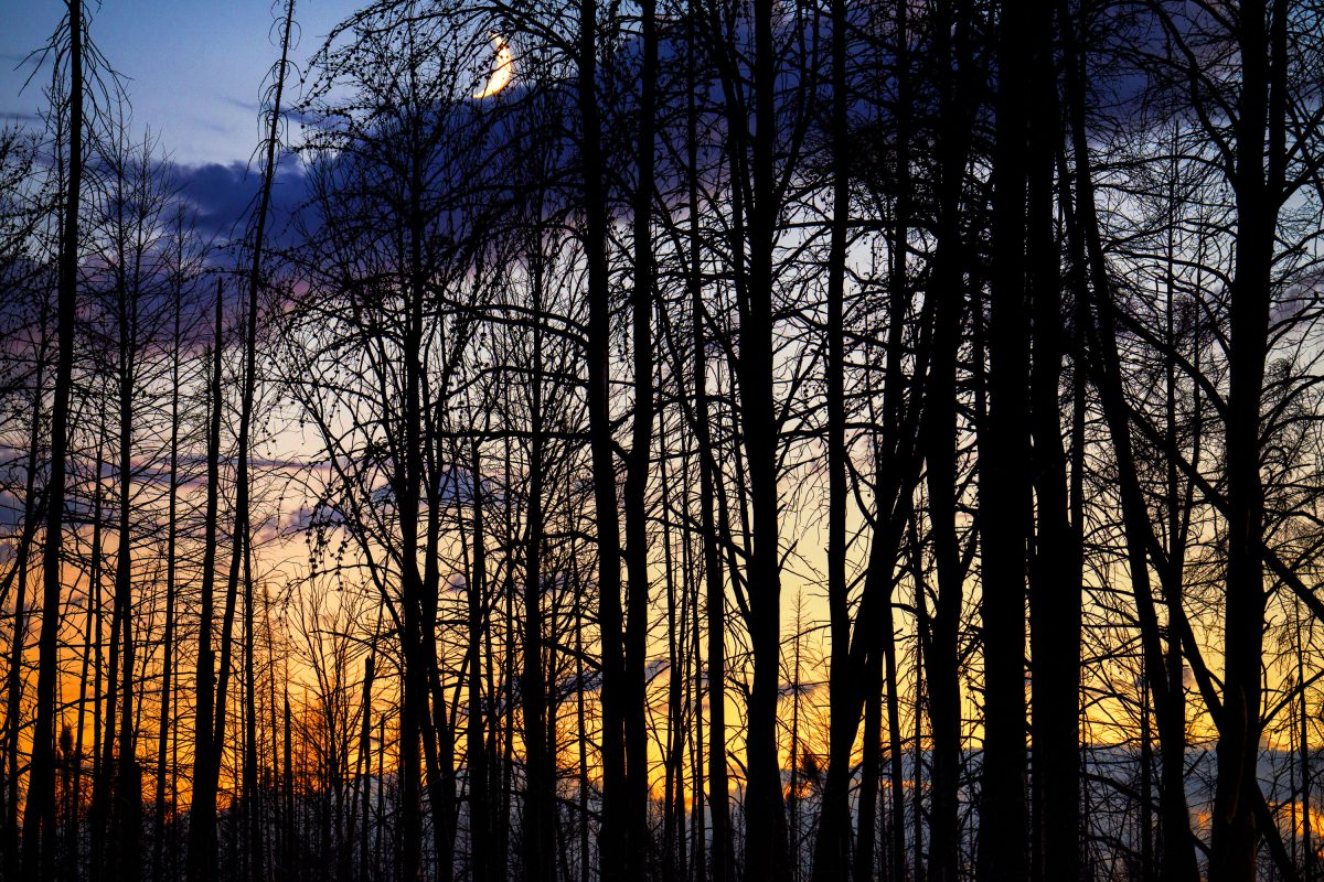
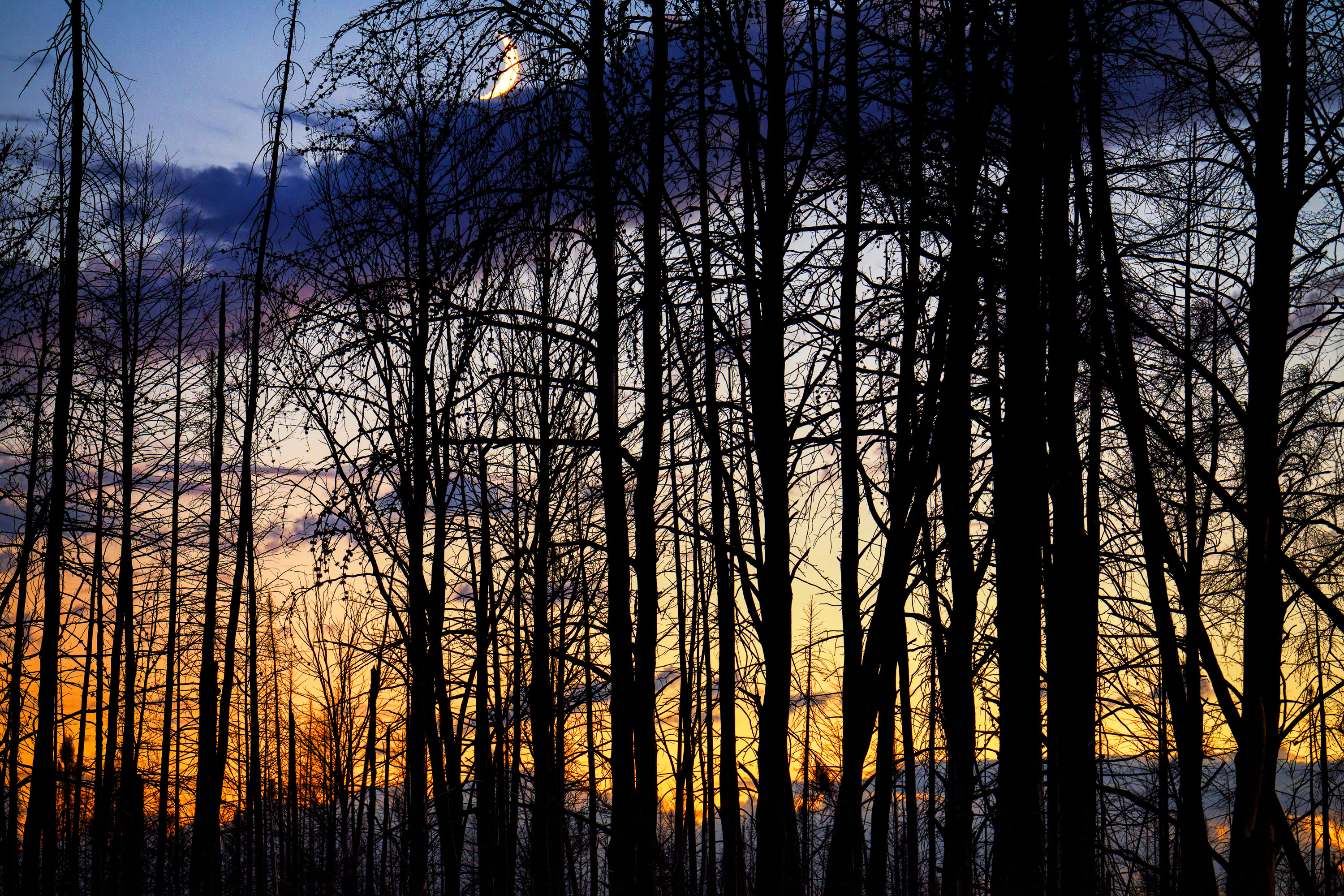
Moon rising over Superior National Forest
Burned trees inside the Greenwood fire zone a year after the wildfire.

Moon rising over Superior National Forest

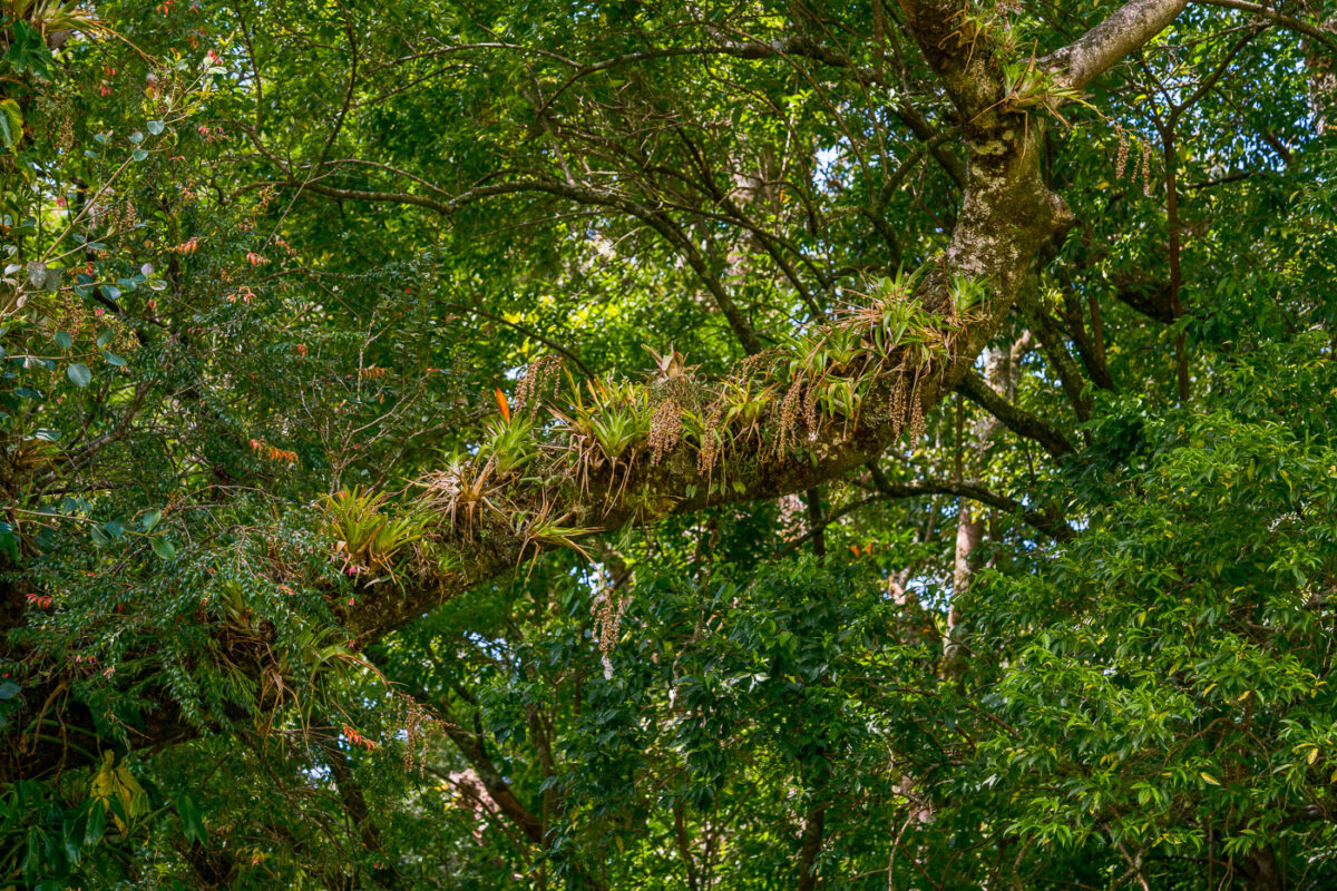
Bromeliads and epiphytic plants grow on a tree branch in the Monteverde Cloud Forest Biological Preserve, Costa Rica.
The Monteverde Cloud Forest Biological Reserve sits along the Continental Divide in Costa Rica's Tilarán mountain range, where moisture-laden trade winds keep the forest in near-constant mist. That humidity supports a dense load of epiphytes — bromeliads, orchids, ferns, and mosses — that grow directly on tree limbs rather than in soil, drawing water and nutrients from the air and debris around them. Researchers have cataloged more than 500 species of epiphytes within the reserve, among the highest counts recorded in any neotropical cloud forest. The reserve itself protects roughly 10,500 hectares and was established in 1972 through the efforts of Quaker settlers and conservationists working with the Tropical Science Center.

Epiphyte-Laden Branch in the Monteverde Cloud Forest Reserve