
Map
More from Superior National Forest

Fall Colors Along the Arrowhead Trail, Cook County
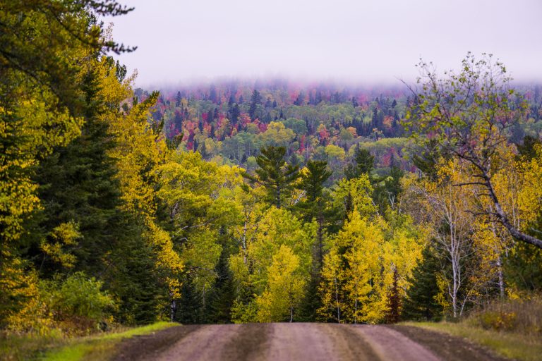
The Arrowhead Trail runs roughly 27 miles north from Minnesota Highway 61 at Hovland to South Fowl Lake on the…

Sand River in Superior National Forest, Minnesota
Sand River in Superior National Forest near Isabella, Minnesota. Autumn light illuminates the river bends, wetland grasses, and mixed conifer…

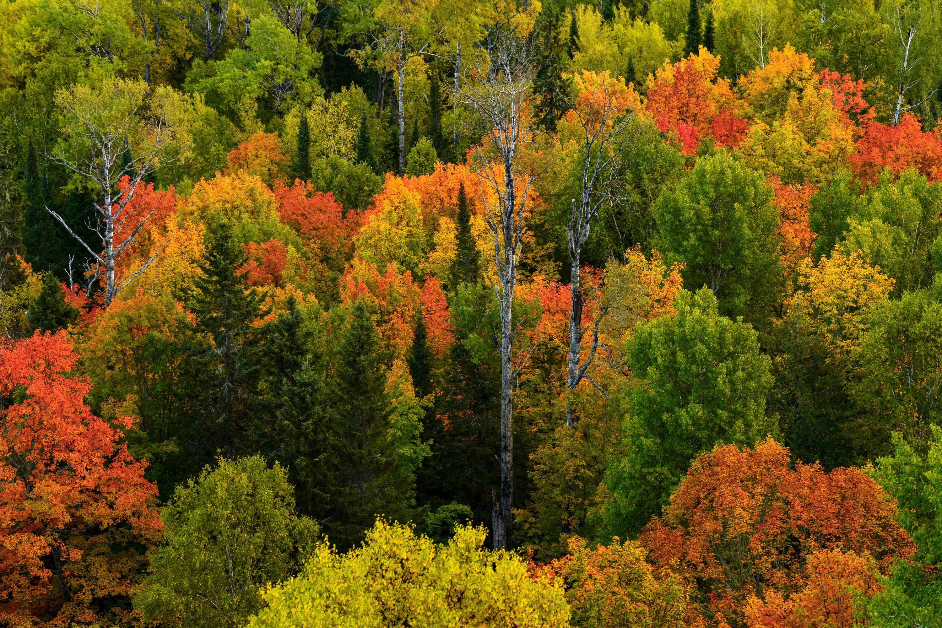
Superior National Forest, Minnesota: Forest Floor Detail
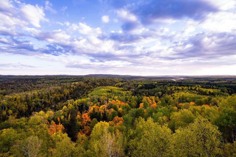
The Superior National Forest in Minnesota is a vast protected area known for its extensive boreal forests and numerous lakes.…
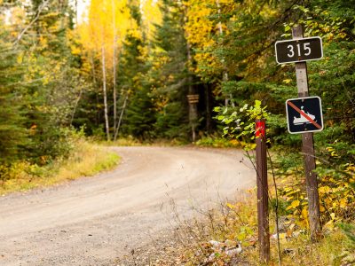
315 sign at Lima Grade at Gunflint Trail, Grand Marais
Lima Grade Road at the Gunflint Trail in Grand Marais, Minnesota.
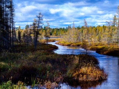
West Baptism River, Superior National Forest, Minnesota
The West Baptism River flows through the Superior National Forest near Isabella, Minnesota. This waterway is part of the Boundary…

BWCA SNF Sign in Minnesota
A Boundary Waters Canoe Area Wilderness sign in the Superior National Forest.
Nearby Photos