
Map
More from Superior National Forest

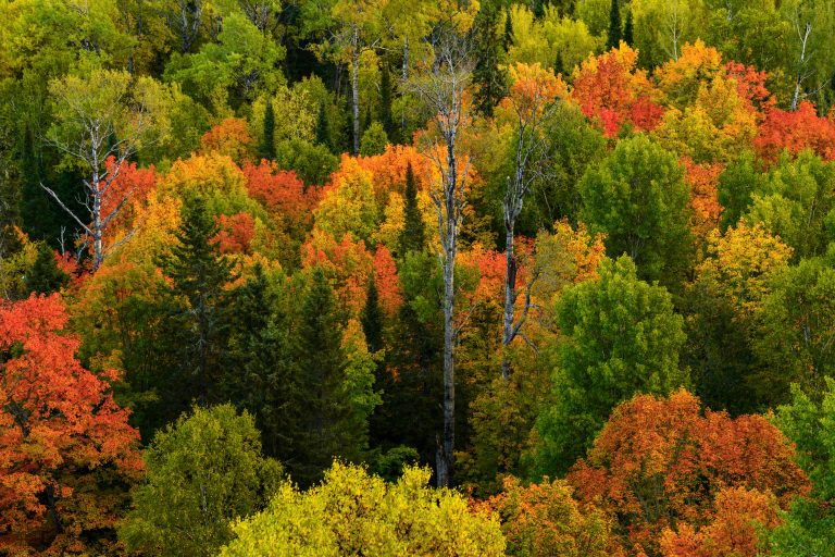
Fall Colors Along the Arrowhead Trail, Cook County
The Arrowhead Trail runs roughly 27 miles north from Minnesota Highway 61 at Hovland to South Fowl Lake on the…
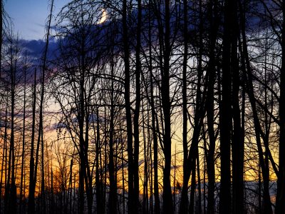
Moon rising over Superior National Forest
Burned trees inside the Greenwood fire zone a year after the wildfire.
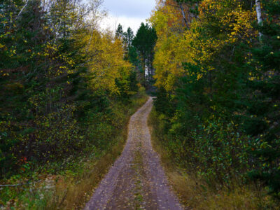
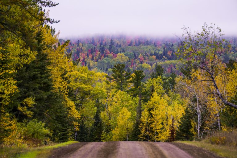
Timber Frear Loop, Superior National Forest, Minnesota
A dirt road winds through the Timber Frear Loop in Minnesota's Superior National Forest during autumn. The path is covered…

Snowmobile Trail Sign in Stony River Township
An aging “Snowmobile Trail” sign stands along a forested route in Stony River Township in northern Minnesota, an area threaded…

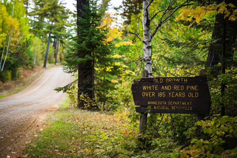
Stony River Road in Superior National Forest
Stony River Road in Superior National Forest, Minnesota, curves through mixed forest in early autumn. A roadside sign marks a…

BWCA SNF Sign in Minnesota
A Boundary Waters Canoe Area Wilderness sign in the Superior National Forest.
Nearby Photos