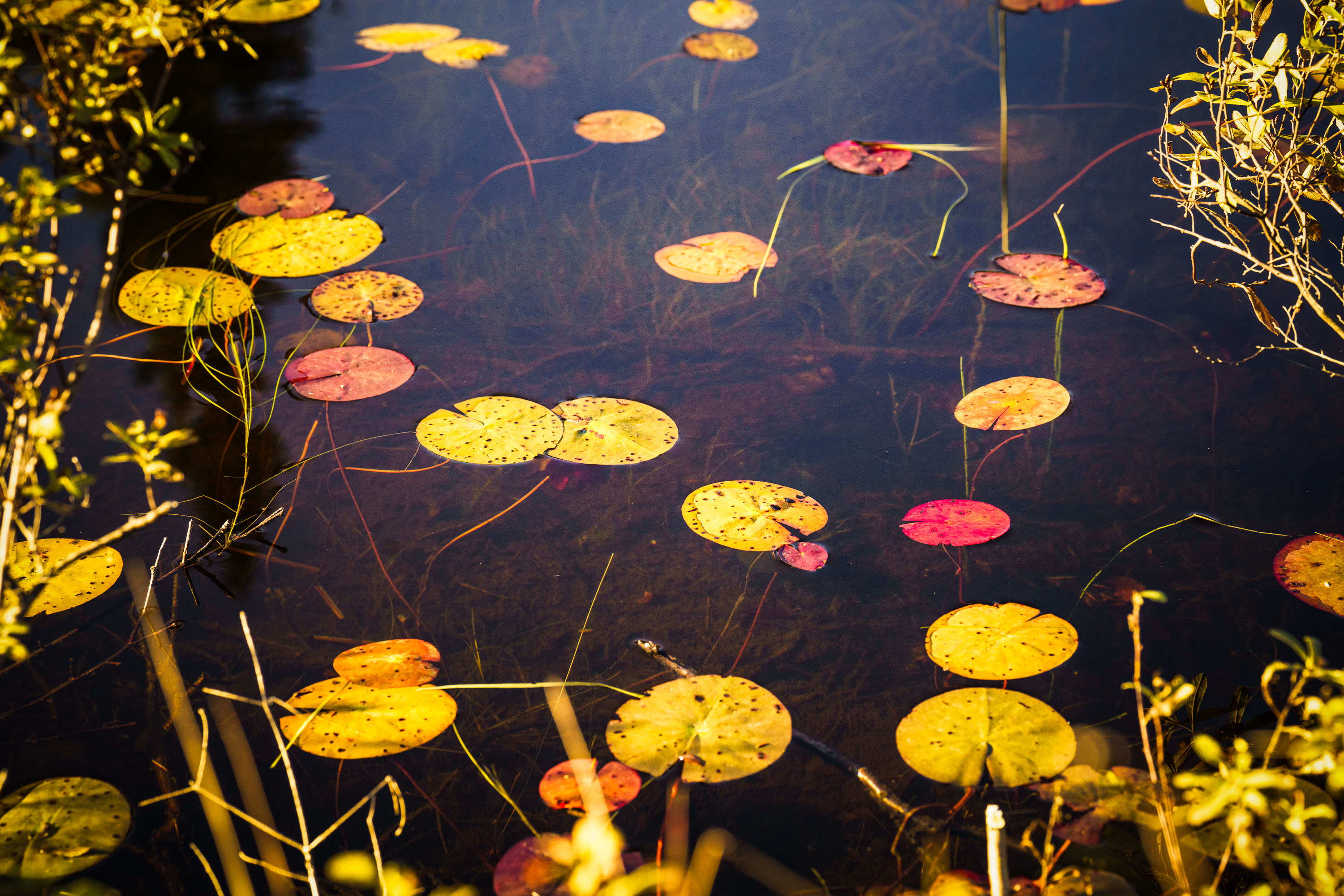
Water Lily Leaves in Autumn, Cook County, Minnesota
Taken
Taken
Cook County sits at the northeastern tip of Minnesota along Lake Superior's North Shore, bordering Ontario and encompassing much of the Boundary Waters Canoe Area Wilderness. The county's terrain includes numerous bogs, beaver ponds, and small wetlands fed by the Sawtooth Mountains' runoff, where floating-leaved plants like water lilies and pond-lily species take hold in shallow, still water. By early October, water lily pads in the region typically turn shades of yellow, orange, and red as chlorophyll breaks down, a seasonal change tied to shortening daylight and dropping water temperatures. Much of the county's land is managed by the Superior National Forest, which oversees a large share of Minnesota's remaining undeveloped wetland habitat.
Taken
More from
Superior National Forest
 Superior National Forest Campfire, Minnesota
A campfire burns within a stone fire pit in Superior National Forest, Minnesota. A brown towel is draped over a…
 Milky Way Over Superior National Forest, Minnesota
The Milky Way galaxy is visible above the treeline of the Superior National Forest in Minnesota, near the Boundary Waters…
 West Baptism River, Superior National Forest, Minnesota
The West Baptism River flows through the Superior National Forest near Isabella, Minnesota. This waterway is part of the Boundary…
 Loft Lake from Shoe Lake Road in Minnesota
Foggy morning over Loft Lake as seen from Shoe Lake Road in Northern Minnesota.
 Wetland Marsh in Autumn, Superior National Forest, Minnesota
The Superior National Forest covers more than three million acres across northeastern Minnesota, stretching along the Canadian border from near…
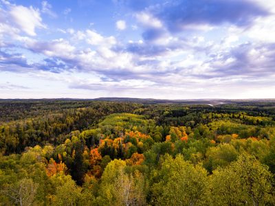 Autumn Colors Over Superior National Forest, Minnesota
Superior National Forest spans roughly 3 million acres across northeastern Minnesota, established in 1909 and managed by the U.S. Forest…