Autumn

36 photos · 2021–2025

36 photographs tagged Autumn, 2021–2025.
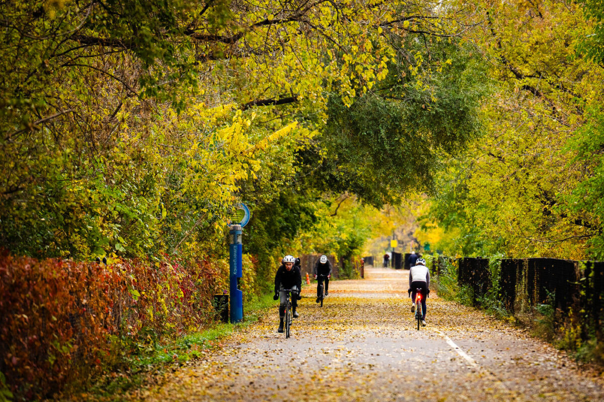
Midtown Greenway Fall Colors November 2025
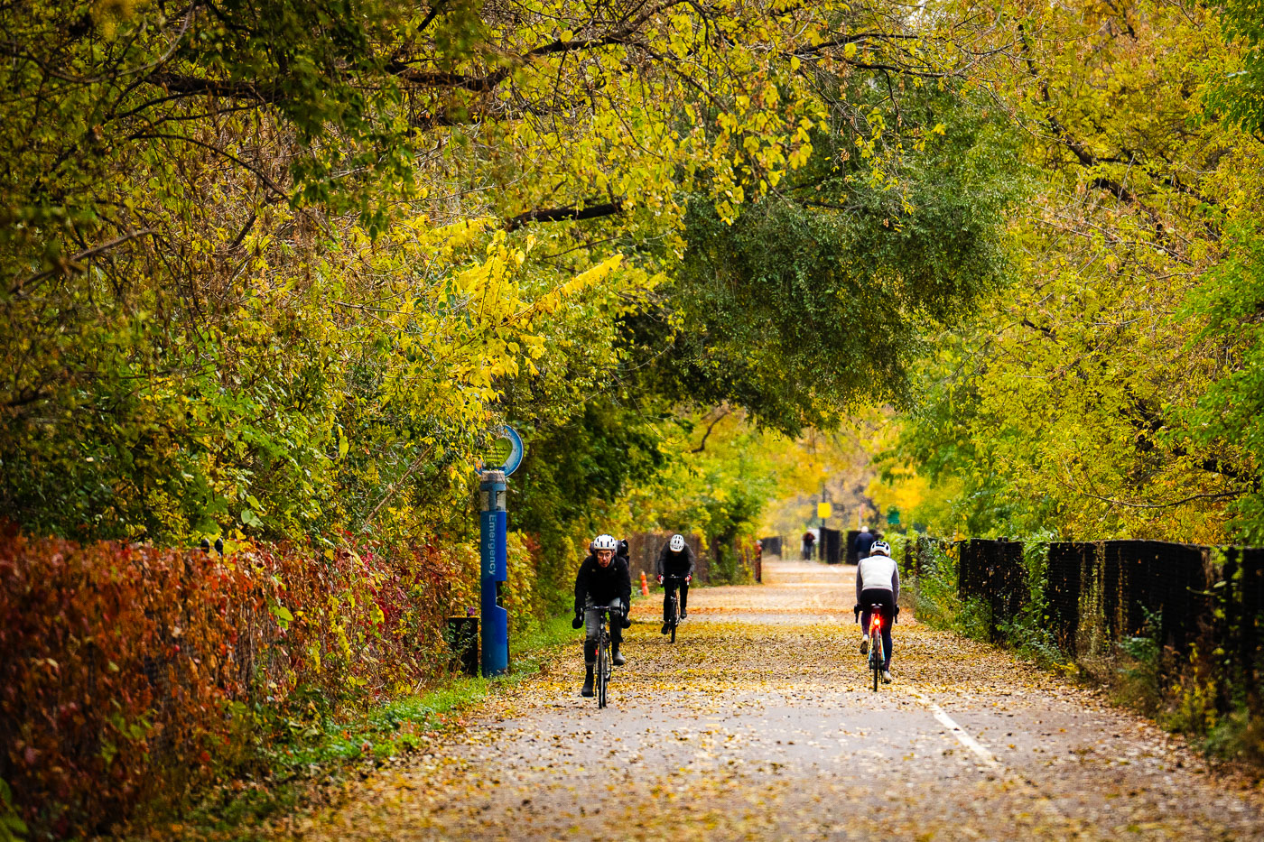
Beautiful fall colors on the Midtown Greenway in South Minneapolis. This has to be my favorite time of the year!

Cyclists Ride Through Fall Foliage on the Midtown Greenway
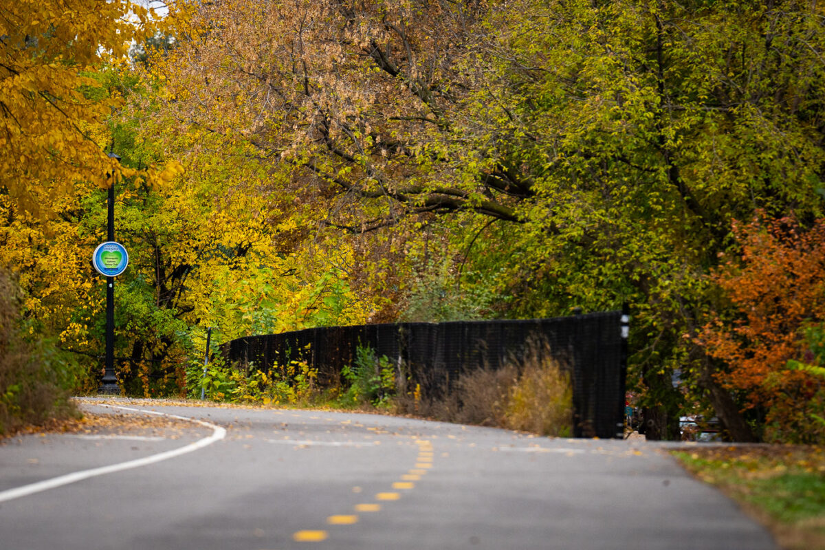
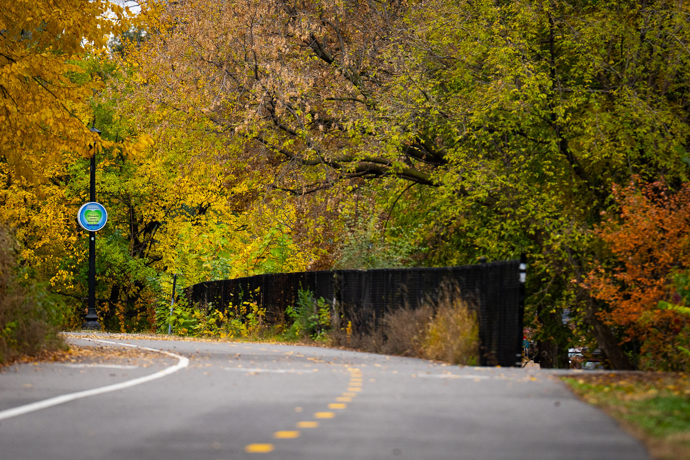
Dean Parkway and Midtown Greenway Fall Colors
Fall colors on the Midtown Greenway at the Dean Parkway exit. A great time of the year!

Fall Foliage Along the Midtown Greenway Bike Trail
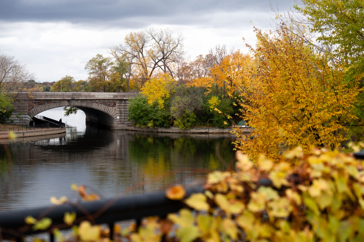
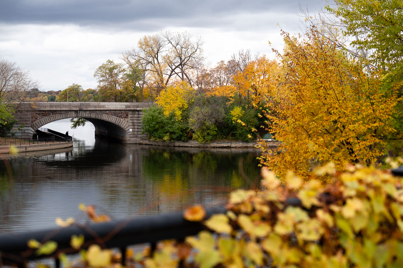
Lake Street over Bde Maka Ska Channel 2025
Lake Street bridge over the channel between Lake of the Isles and Bde Maka Ska on a fall day.
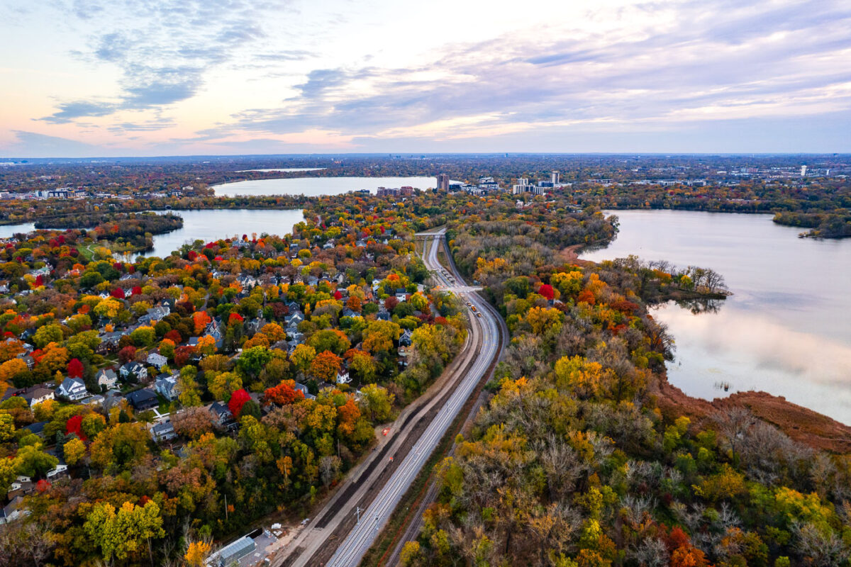
Fall Colors Along the Channel Between Lake of the Isles and Bde Maka Ska

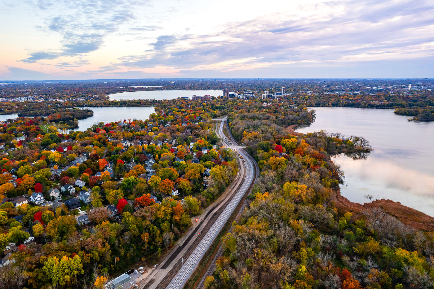
Metro Transit Southwest LRT green line extension curves through autumn forests and residential neighborhoods between Cedar Lake
The new rails of the Metro Transit Southwest LRT green line extension. Lake of the Isles, Bde Maka Ska and Cedar Lake.

Southwest LRT Line Under Construction Near Bde Maka Ska in Fall
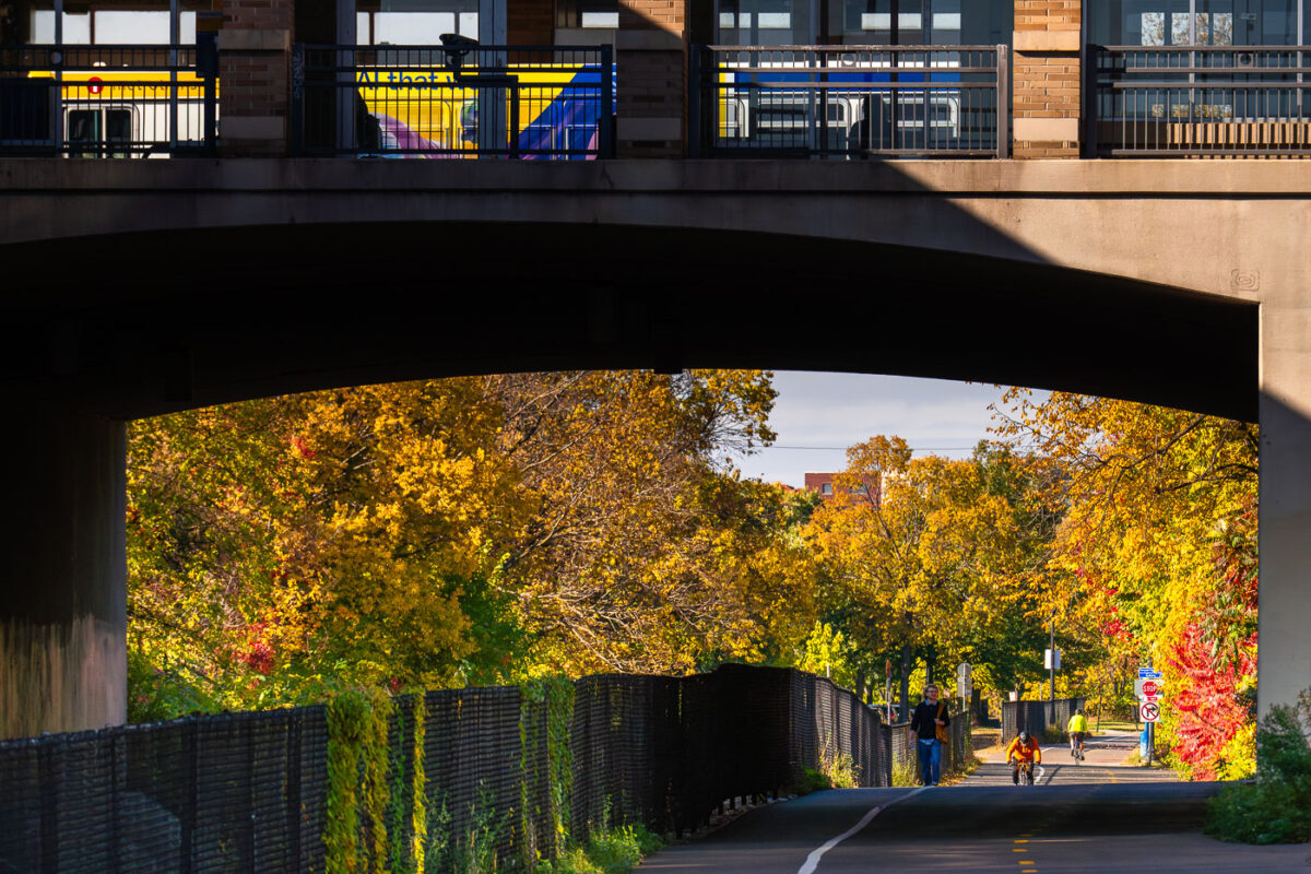
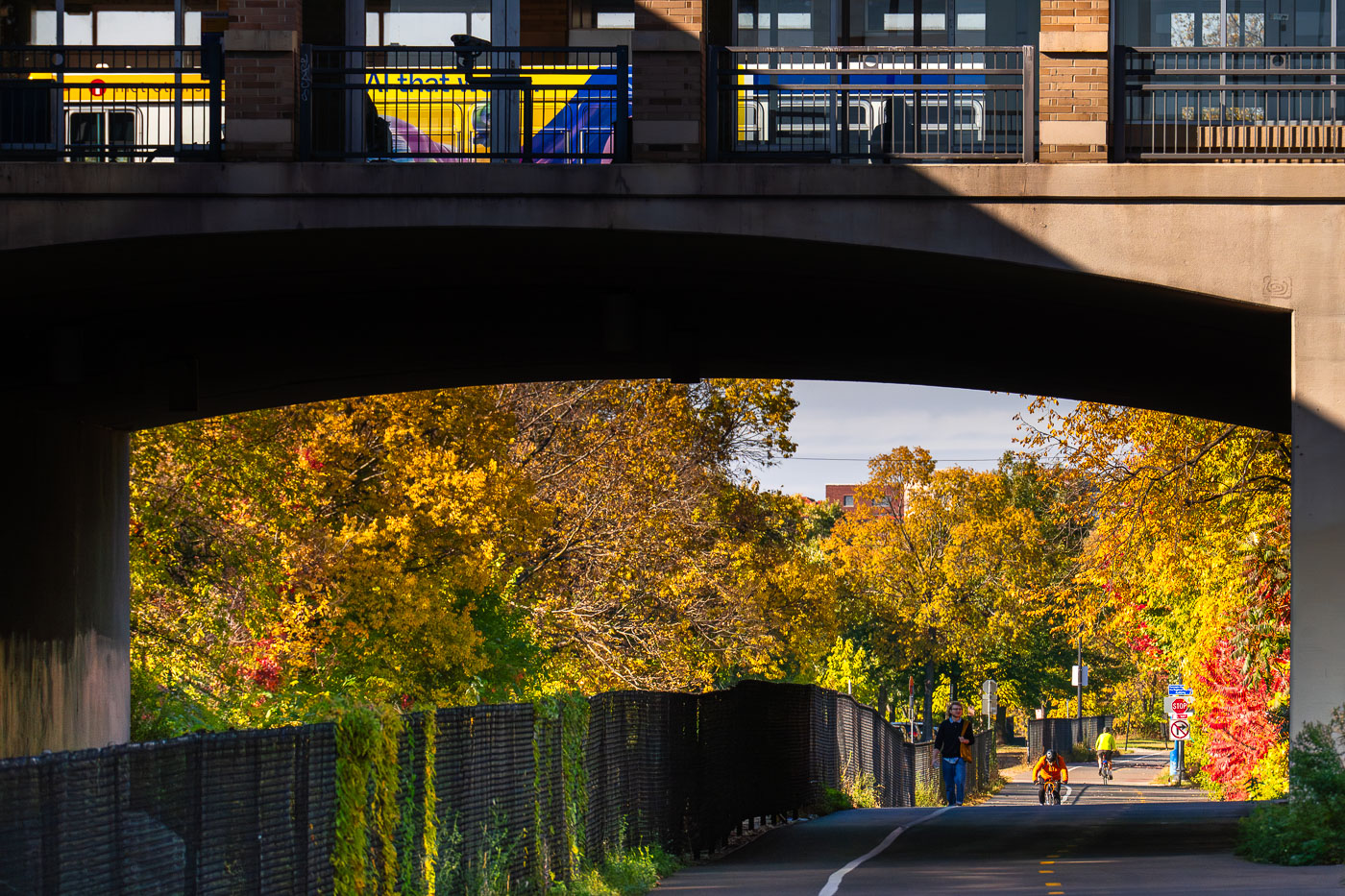
Cyclists and pedestrians on the Midtown Greenway beneath the Uptown Transit Station in Minneapolis.
The Midtown Greenway in Uptown Minneapolis passes beneath the Uptown Transit Station as a Metro Transit bus moves along the bridge above in October 2025.

Fall Color Along the Midtown Greenway Beneath Uptown Station
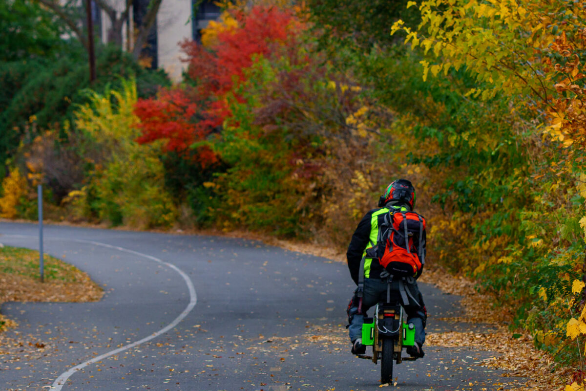
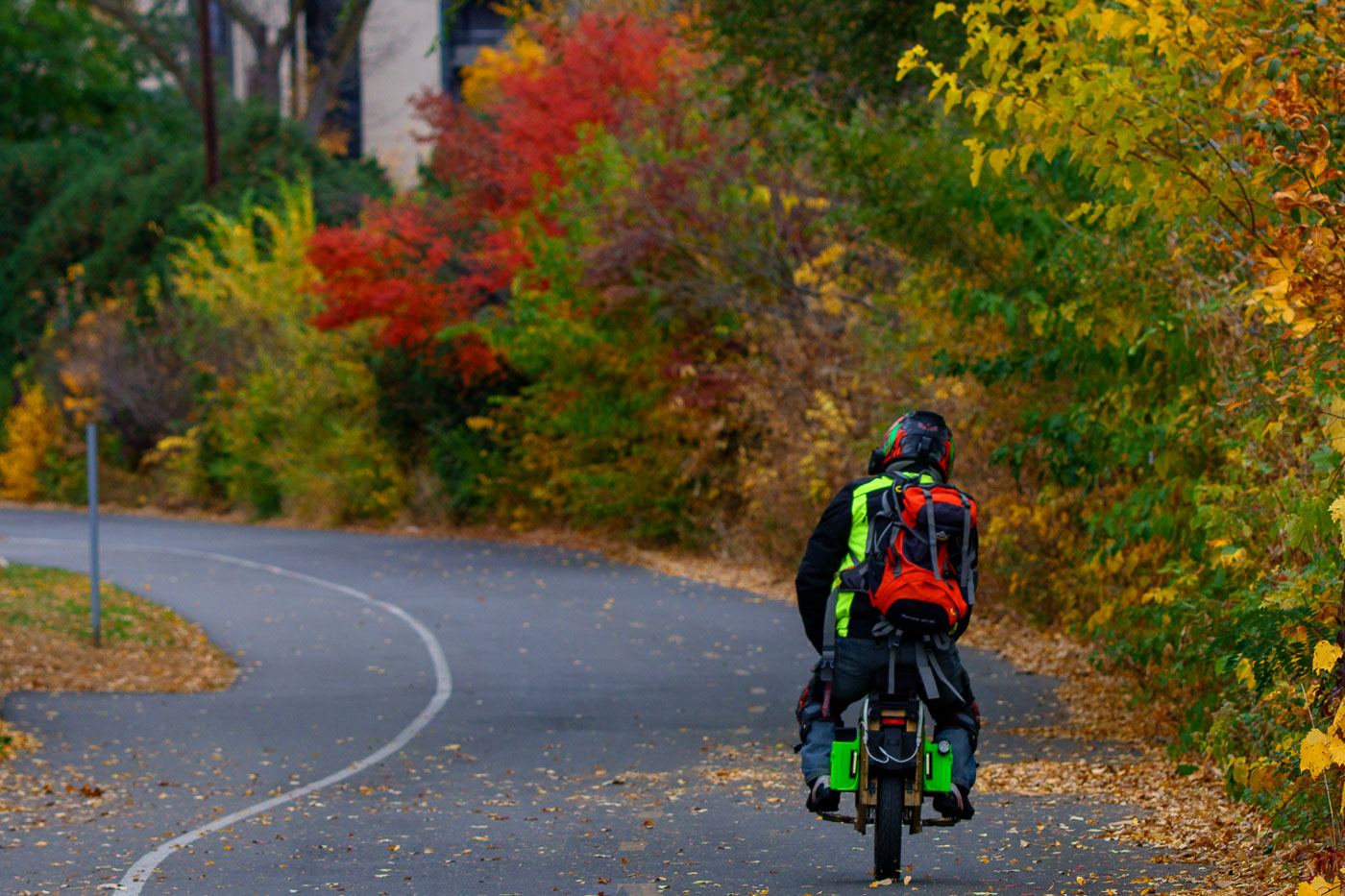
A cyclist rides a motorized unicycle along the Midtown Greenway surrounded by autumn foliage in Minneapolis.
A rider on a motorized unicycle travels along the Midtown Greenway in Minneapolis during fall.

Rider on a Motorized Unicycle Along the Midtown Greenway in Autumn
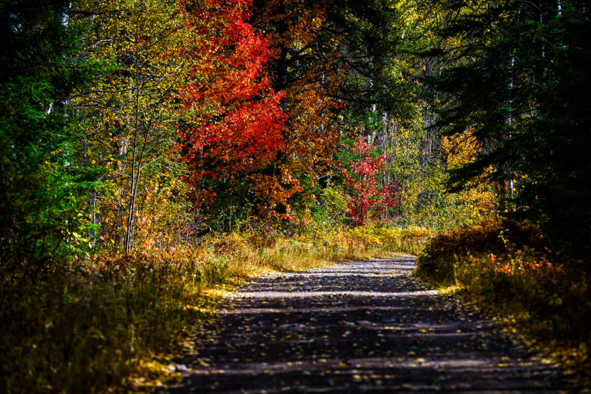
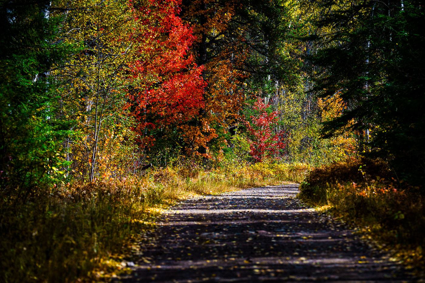
A gravel road winds through Superior National Forest in Minnesota during autumn, showcasing vibrant fall foliage.
A gravel road winds through the Superior National Forest in northern Minnesota during autumn. This forest, established in 1932, encompasses over 3 million acres and is the largest national forest east of the Mississippi River. It is renowned for its vast wilderness, including the Boundary Waters Canoe Area Wilderness, and serves as a critical habitat for diverse wildlife. The road provides access for visitors to explore the forest's natural beauty and recreational opportunities, particularly during the fall foliage season.

Superior National Forest Road in Autumn, Minnesota
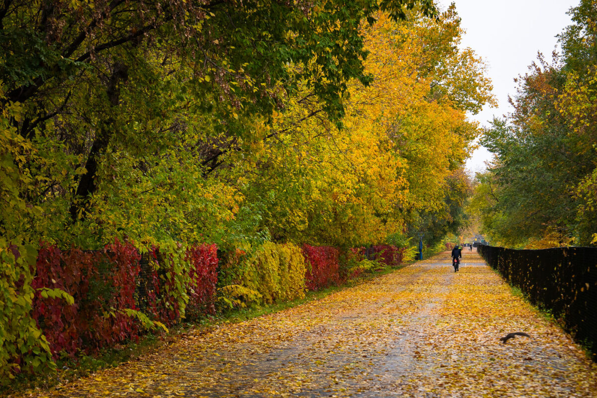
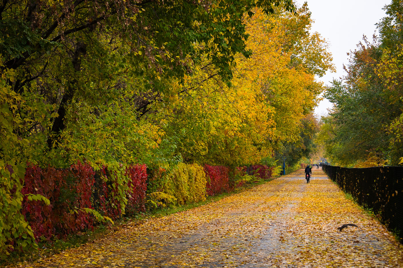
A lone bicyclist rides on the leaf-covered Midtown Greenway path in Minneapolis during autumn.
A lone bicyclist travels along the Midtown Greenway in Minneapolis during late October 2023. The Midtown Greenway is a 5.5-mile-long parkway built on a former railroad corridor, connecting the Mississippi River to the Chain of Lakes.

Midtown Greenway, Minneapolis: Autumn Bicyclist on Leaf-Covered Path
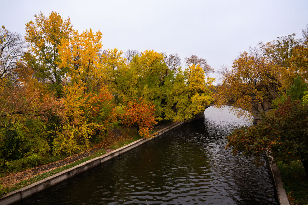
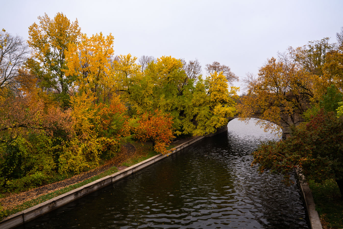
Midtown Greenway in Minneapolis, MN, features a canal with trees displaying autumn colors and an arched stone bridge in the background.
The Midtown Greenway in Minneapolis, Minnesota, features a paved trail alongside a canal, bordered by trees displaying vibrant autumn foliage in late October 2023. An arched stone bridge spans the canal in the background, reflecting the fall colors on the water's surface.

Midtown Greenway, Minneapolis: Autumn Colors Over Water
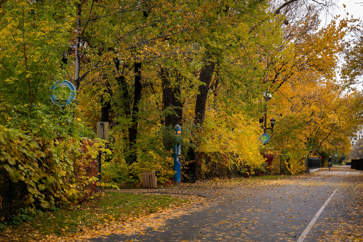
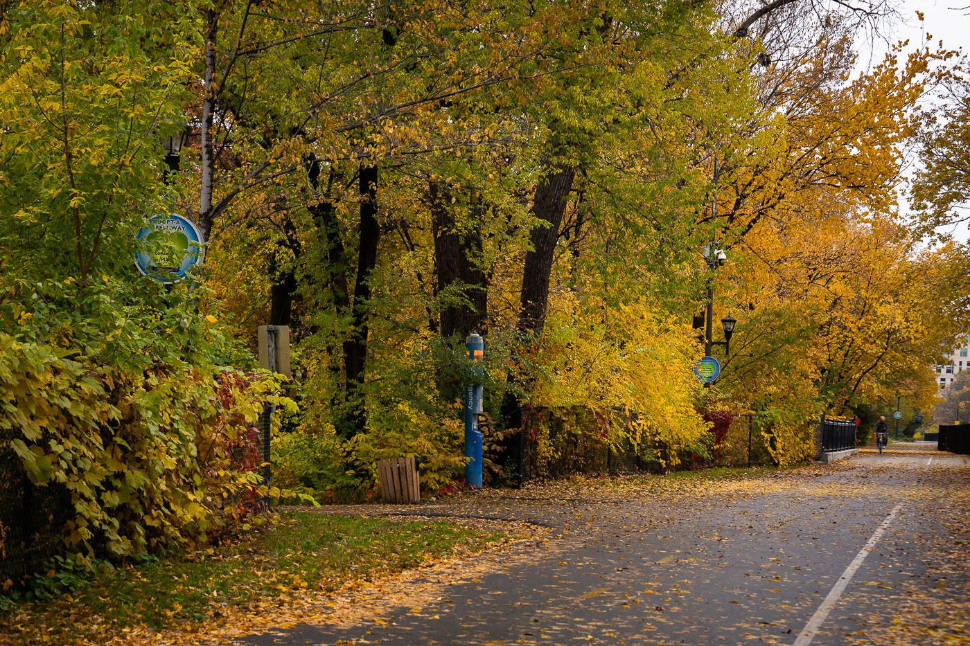
A cyclist rides on the Midtown Greenway in Minneapolis during autumn. The path is lined with trees displaying fall foliage and fallen leaves cover the ground.
A cyclist rides on the Midtown Greenway in Minneapolis, Minnesota, during autumn. A sign visible on the path reads "ADOPT-A-GREENWAY." The Midtown Greenway is a 5.5-mile multi-use trail constructed on a former railroad corridor, connecting the Mississippi River to the Chain of Lakes. It serves as a key transportation and recreation route for the Twin Cities, maintained by the city and supported by community volunteer programs like Adopt-a-Greenway.

Midtown Greenway, Minneapolis: Autumn Foliage and Cyclist
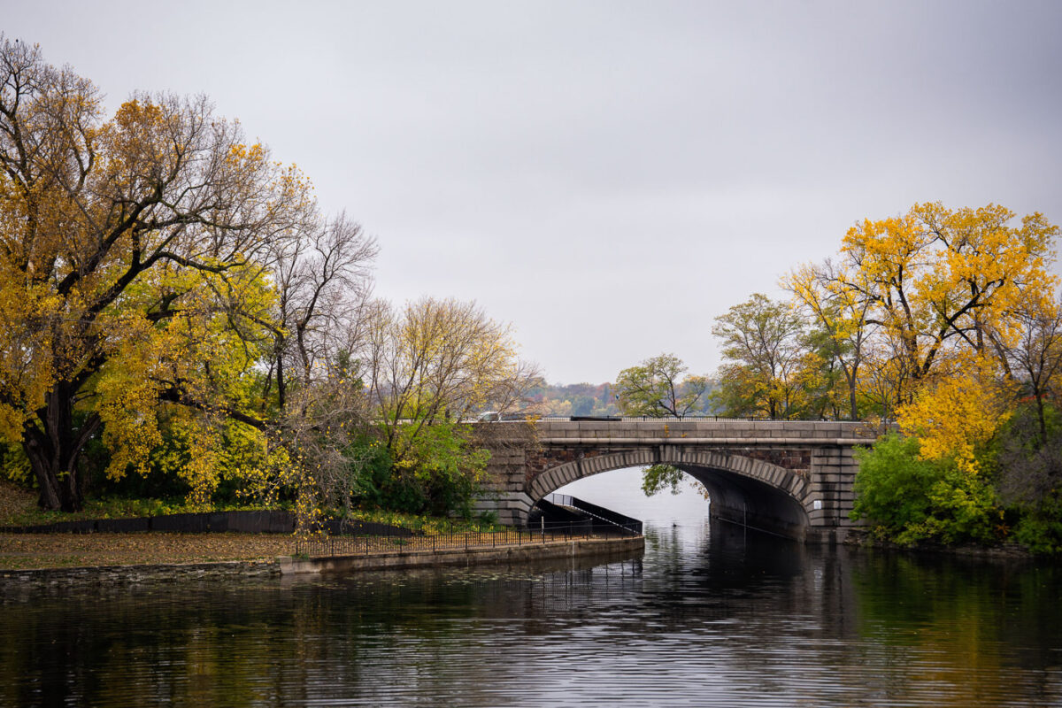
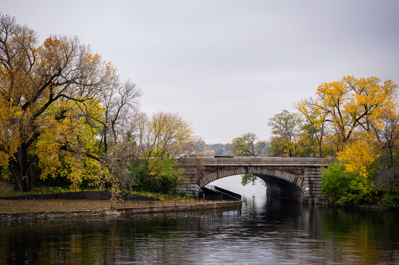
The Midtown Greenway Bridge in Minneapolis, a stone arch structure, carries traffic over a waterway surrounded by autumn foliage.
The Midtown Greenway Bridge, a stone arch structure in Minneapolis, carries vehicular traffic over a waterway. Autumn foliage surrounds the bridge and lines the banks of the waterway. This bridge is part of the Midtown Greenway, a 5.7-mile paved multi-use trail in Minneapolis that runs through the heart of the city. The trail follows a former railroad corridor and is a vital piece of the Twin Cities' active transportation network, popular for biking and walking. Keywords: Autumn, Biking, Colors, Fall, Midtown, Midtown Greenway, Minneapolis, Twin Cities

Midtown Greenway Bridge, Minneapolis in Autumn Colors
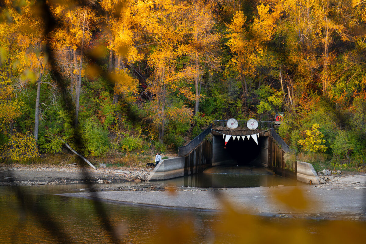
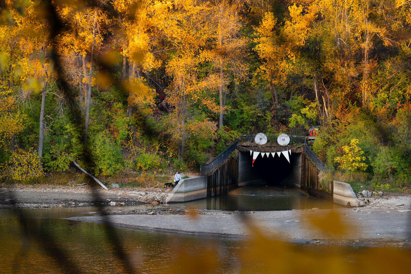
Storm drain outfall decorated with googly eyes and teeth along the Winchell Trail in Minneapolis during autumn.
Decortations on the outfall of a storm drain in South Minneapolis. Seen in October 2023.

Winchell Trail Tunnel Entrance, Minneapolis, Autumn
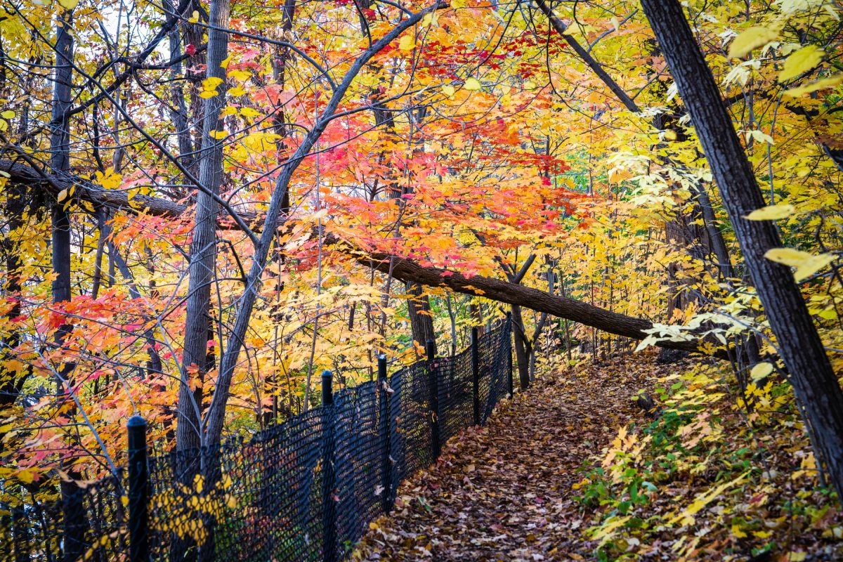
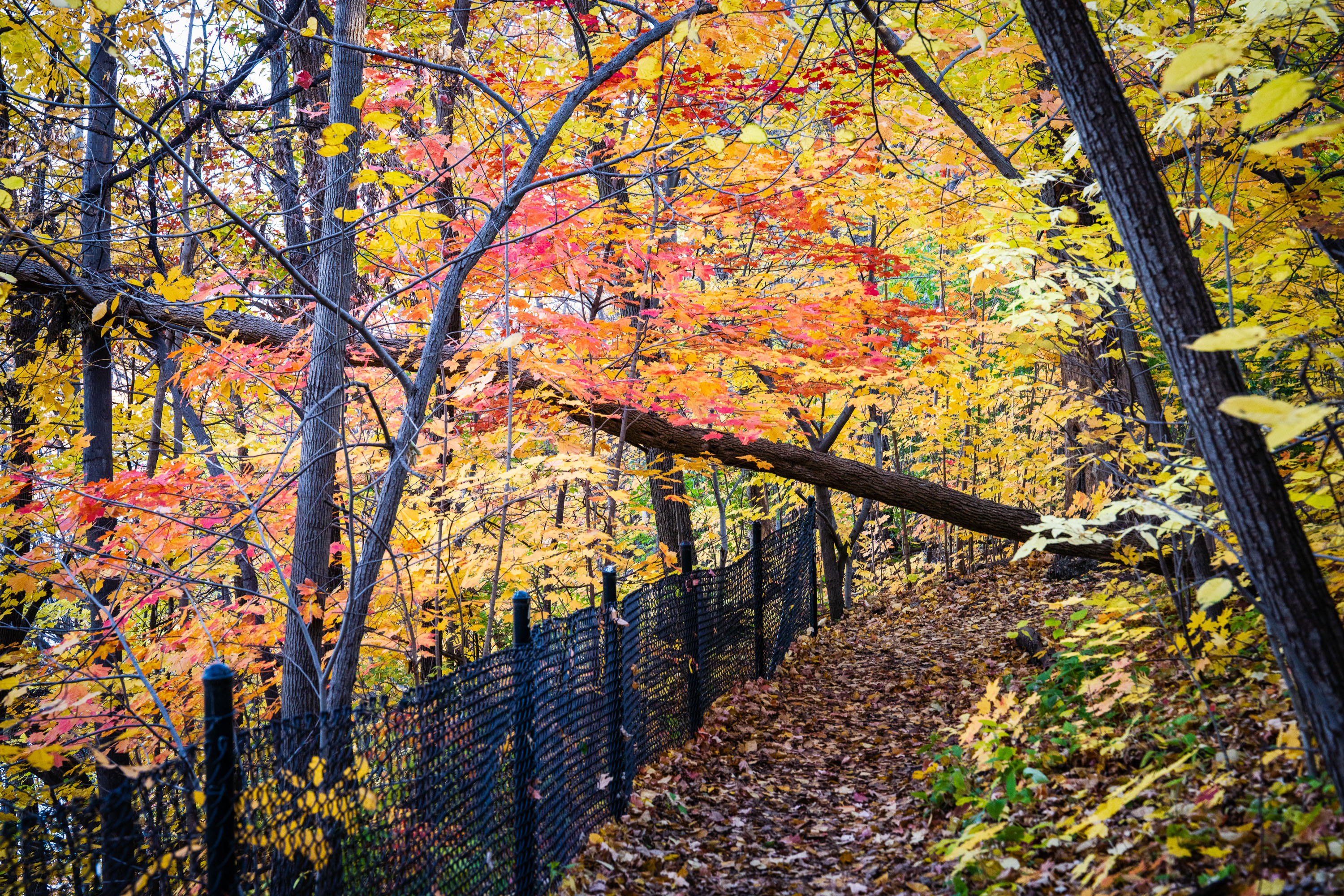
Autumn foliage in red and gold colors lines a fenced hiking trail through a wooded area.
Winchell Trail follows the bluffs above the Mississippi River Gorge in Minneapolis, connecting sections of the parkway system managed by the Minneapolis Park and Recreation Board. The trail is named for Newton Horace Winchell, Minnesota's first state geologist, who studied the gorge's rock formations in the late 19th century.

Fall Colors on Winchell Trail, Minneapolis
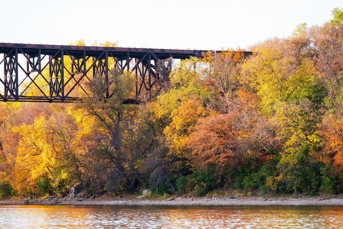
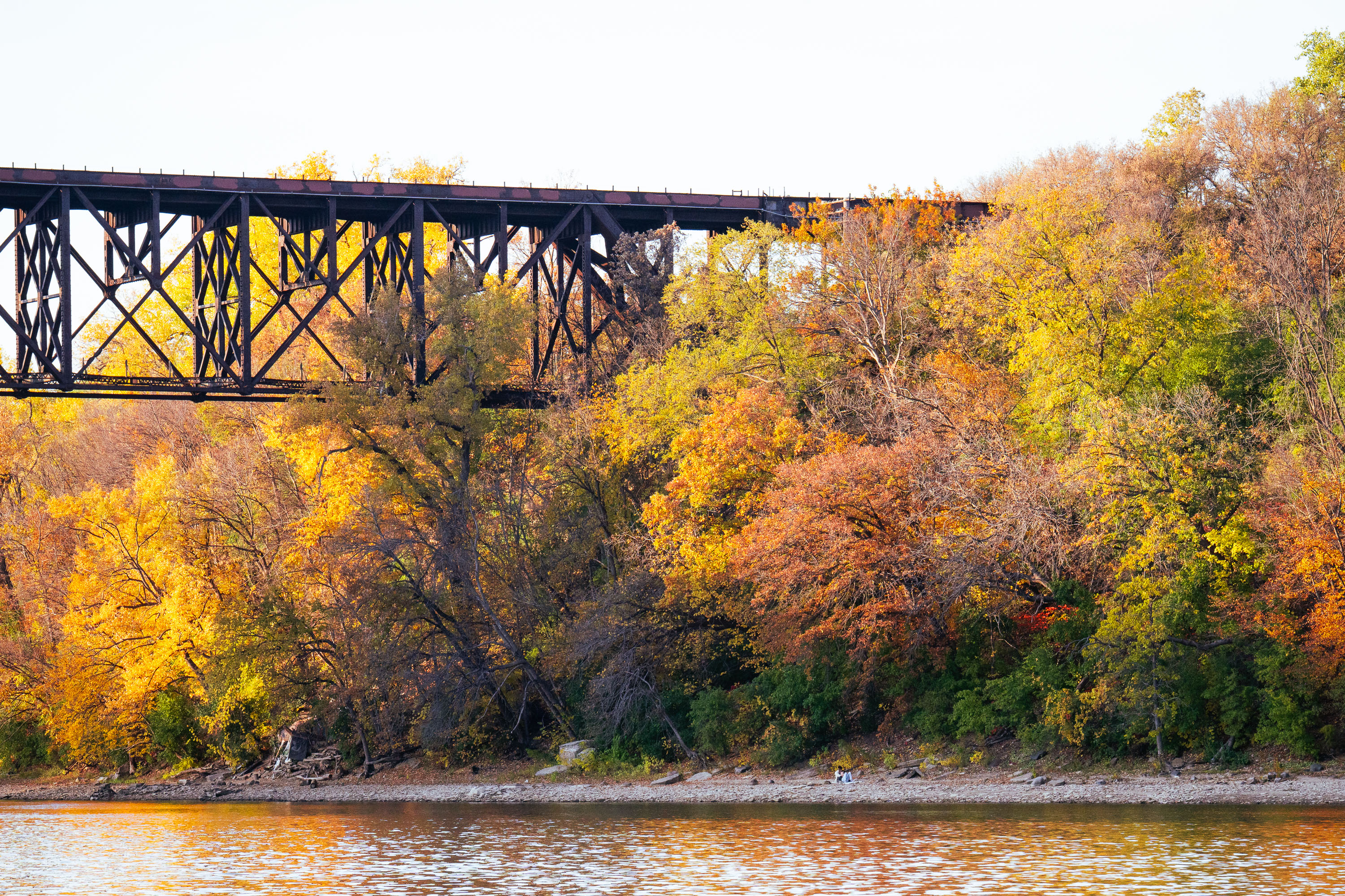
Railroad trestle spans above autumn foliage and the Mississippi River along Winchell Trail in Minneapolis.
The Winchell Trail follows the Mississippi River Gorge in Minneapolis, tracing the bluffs between Franklin Avenue and Minnehaha Park. It's named for Newton Horace Winchell, Minnesota's first state geologist, who studied the gorge's rock formations in the late 1800s. The Minneapolis Park and Recreation Board built the path in the early 1900s as part of the city's Grand Rounds park system, and it remains one of the few stretches of unpaved, natural trail within that network.

Railroad Trestle Bridge, Winchell Trail, Minneapolis
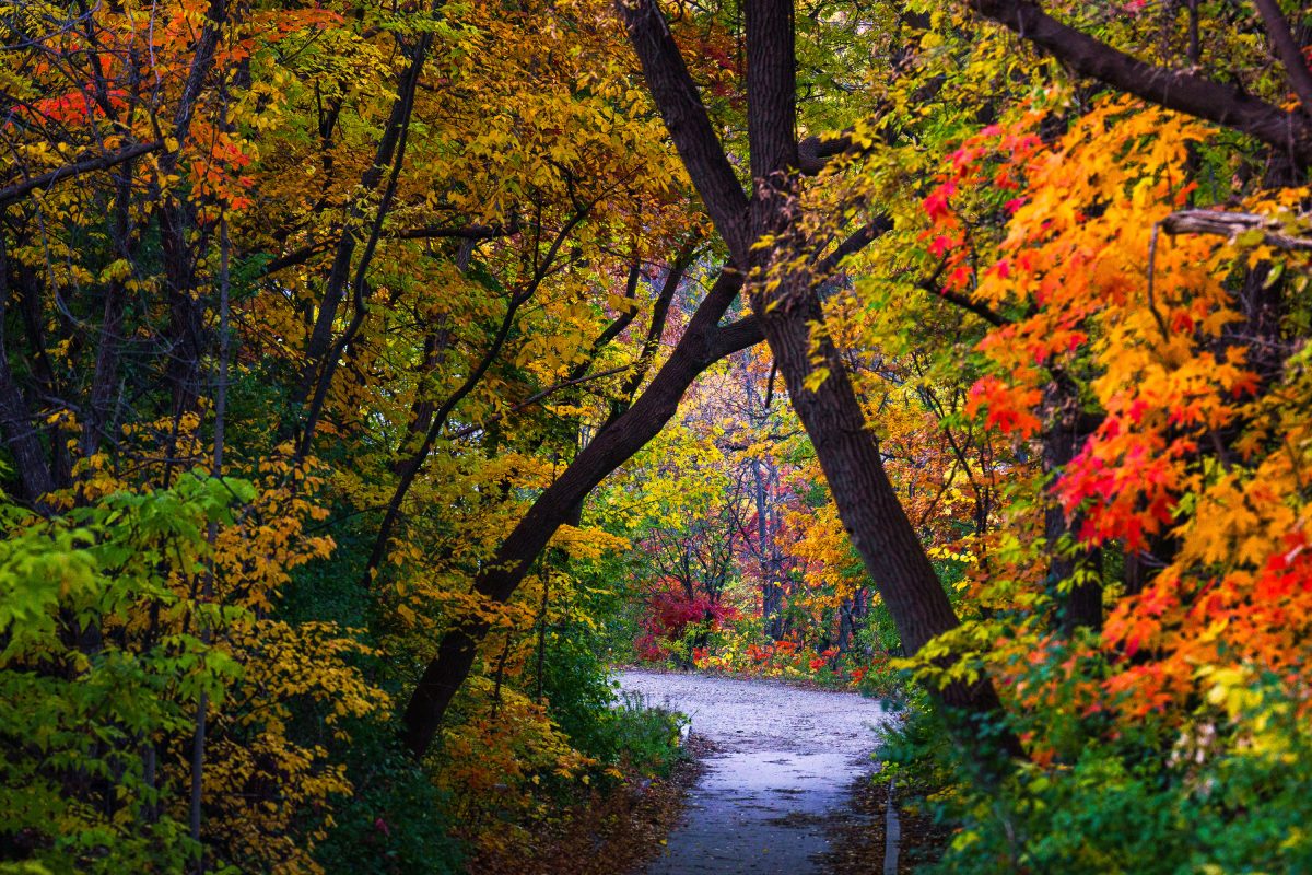
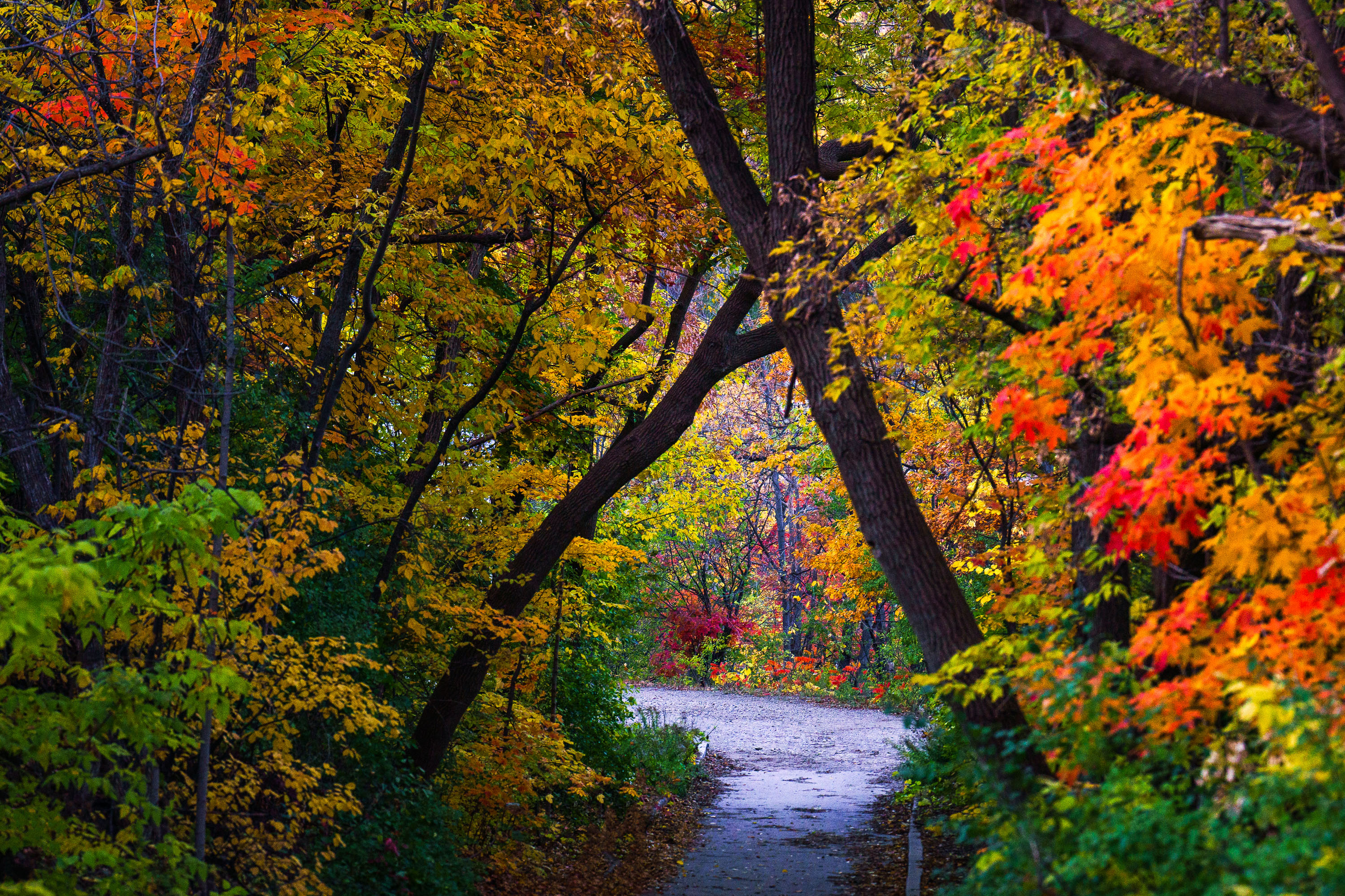
Autumn foliage frames a section of the Winchell Trail along the Mississippi River in Minneapolis.
Winchell Trail winds along the Mississippi River gorge in Minneapolis, tucked below West River Parkway between the Lake Street/Marshall Avenue Bridge and Franklin Avenue. The path is named for Newton Horace Winchell, the state geologist who studied the gorge's limestone bluffs in the late 1800s. Minneapolis Park and Recreation Board maintains the trail as part of Mississippi Gorge Regional Park, a segment of the Mississippi National River and Recreation Area established by Congress in 1988.

Autumn Foliage on Winchell Trail, Minneapolis

Storm drain outfall decorated with googly eyes and teeth along the Winchell Trail in Minneapolis during autumn.
Decortations on the outfall of a storm drain in South Minneapolis. Seen in October 2023.

Storm Drain Tunnel Art Along the Winchell Trail
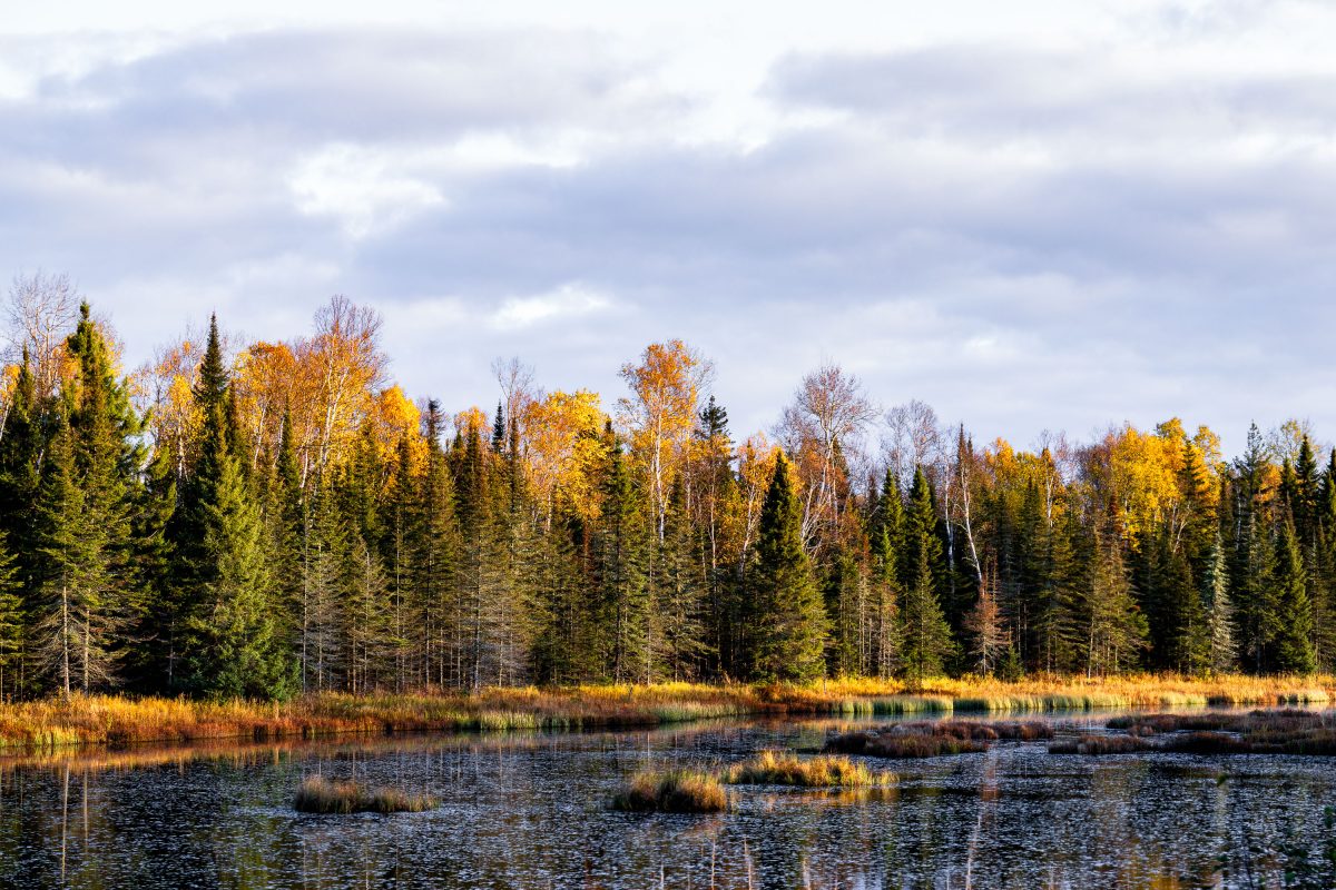
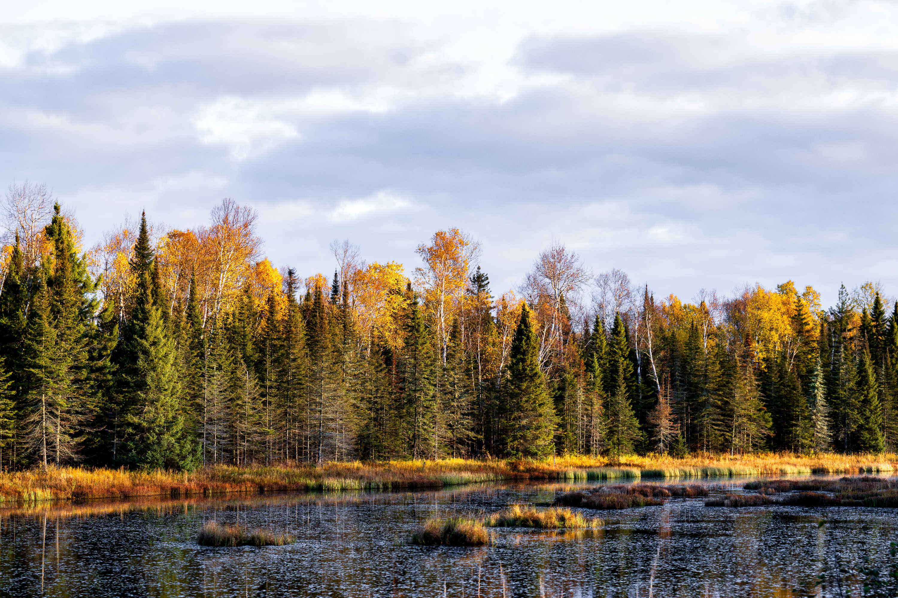
Boreal forest with birch and conifer trees in autumn colors beside a northern Minnesota wetland.
The Superior National Forest covers more than three million acres across northeastern Minnesota, stretching along the Canadian border from near International Falls to Grand Portage. Congress established it in 1909, and the U.S. Forest Service now manages it as one of the most water-rich forests in the country, with roughly 2,000 lakes and hundreds of miles of streams and wetlands like the one pictured here. More than a million acres of the forest fall within the Boundary Waters Canoe Area Wilderness, the most-visited wilderness area in the United States. The forest's mix of birch, aspen, and conifer stands produces some of the region's most reliable fall color displays each October.

Wetland Marsh in Autumn, Superior National Forest, Minnesota
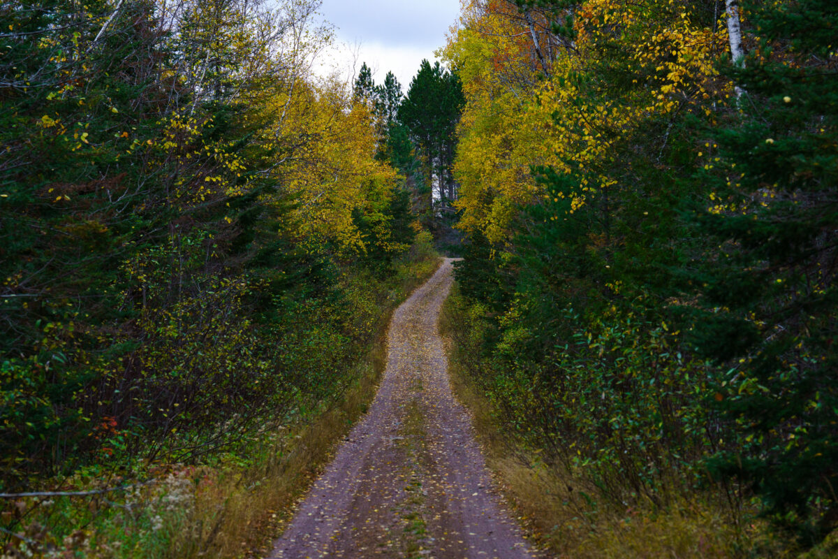
A dirt road winds through the Timber Frear Loop in Minnesota's Superior National Forest during autumn, surrounded by trees with yellow and green foliage.
A dirt road winds through the Timber Frear Loop in Minnesota's Superior National Forest during autumn. The path is covered with fallen leaves, and the surrounding trees display vibrant yellow and green foliage.

Timber Frear Loop, Superior National Forest, Minnesota
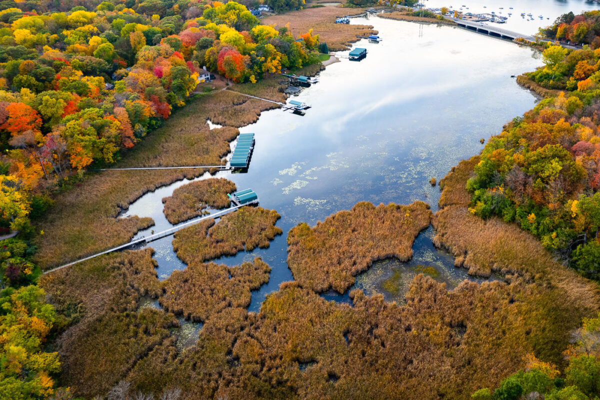
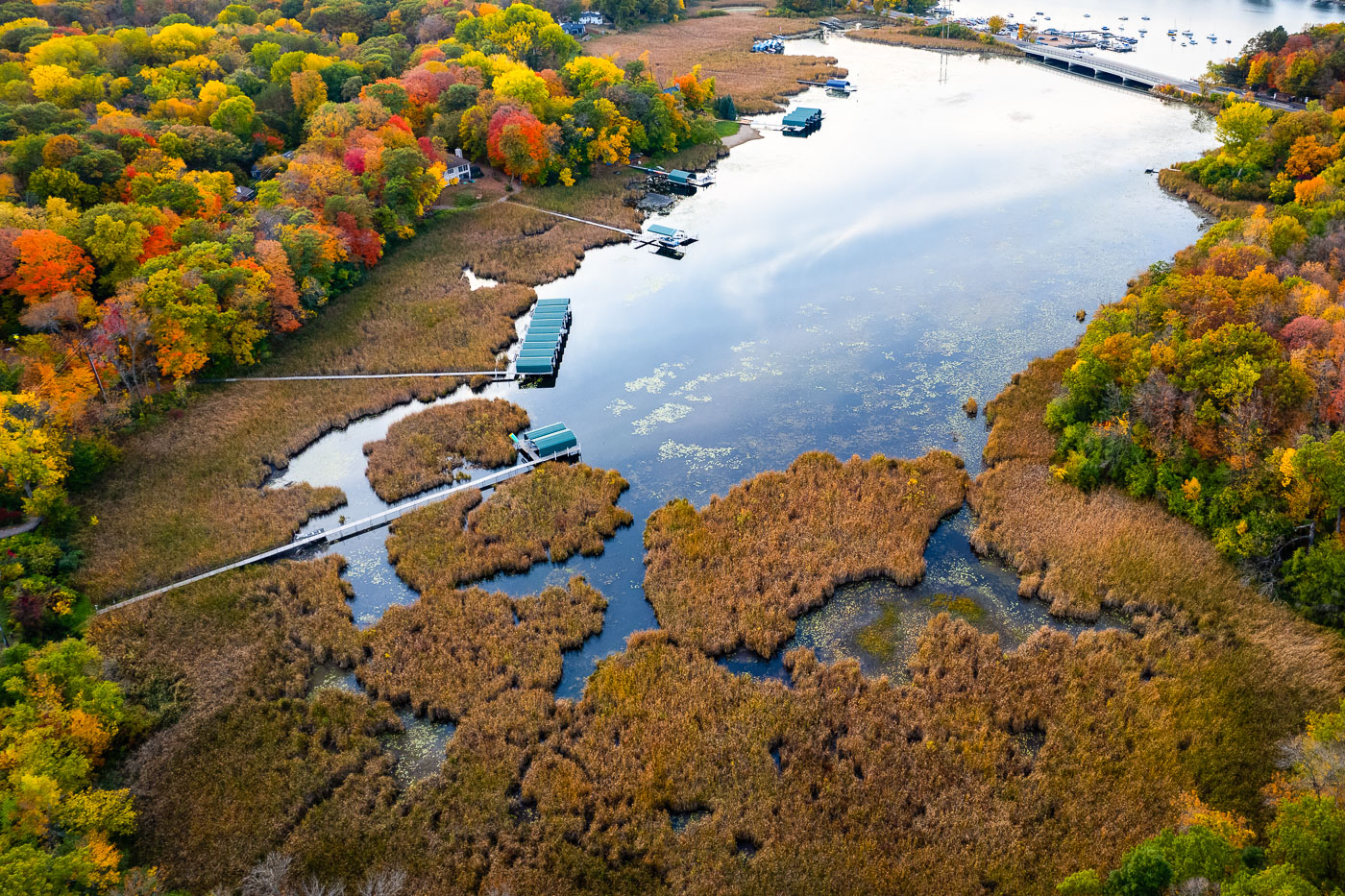
Lake Minnetonka wetlands and boat slips near Deephaven, Minnesota.
Lake Minnetonka wetlands and boat slips near Deephaven, Minnesota. This shallow eastern bay includes marsh habitat along the shoreline and private docks extending from nearby homes. The area is part of the lake’s connected basin system and lies near the Deephaven and Greenwood shoreline communities.

Lake Minnetonka Wetlands and Boat Slips, Deephaven
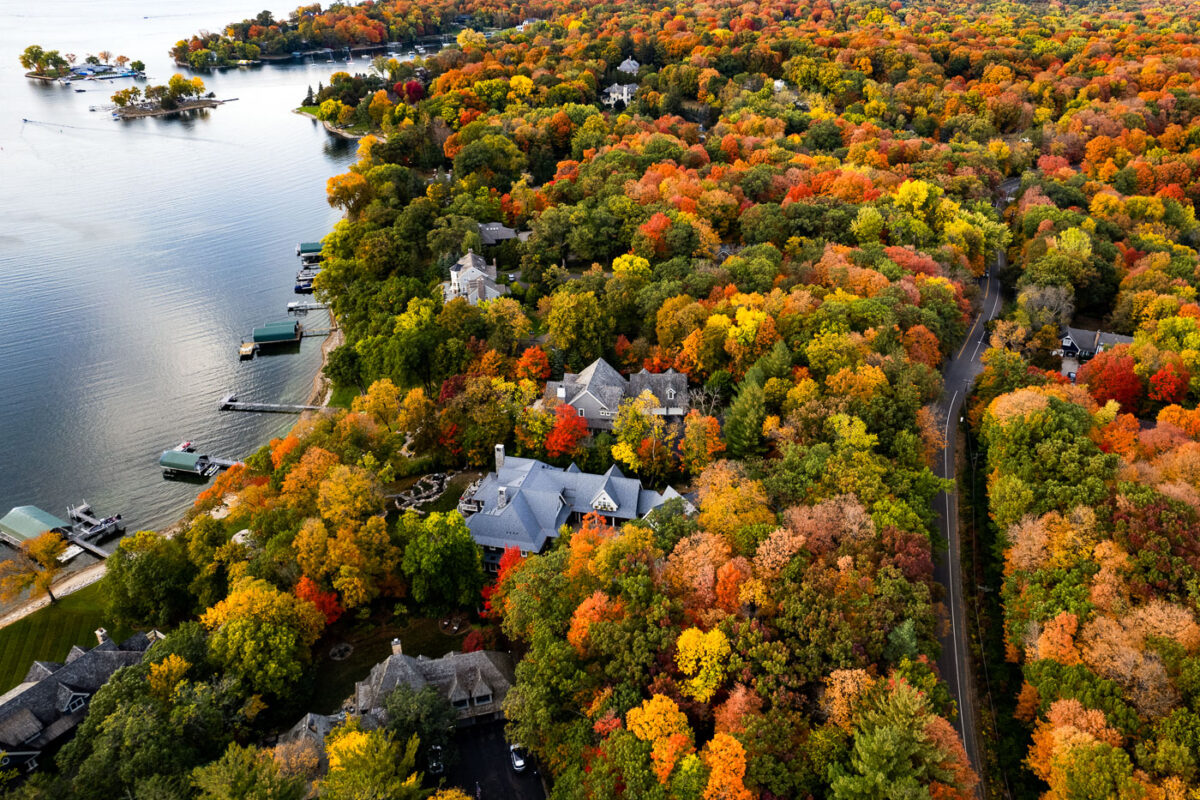
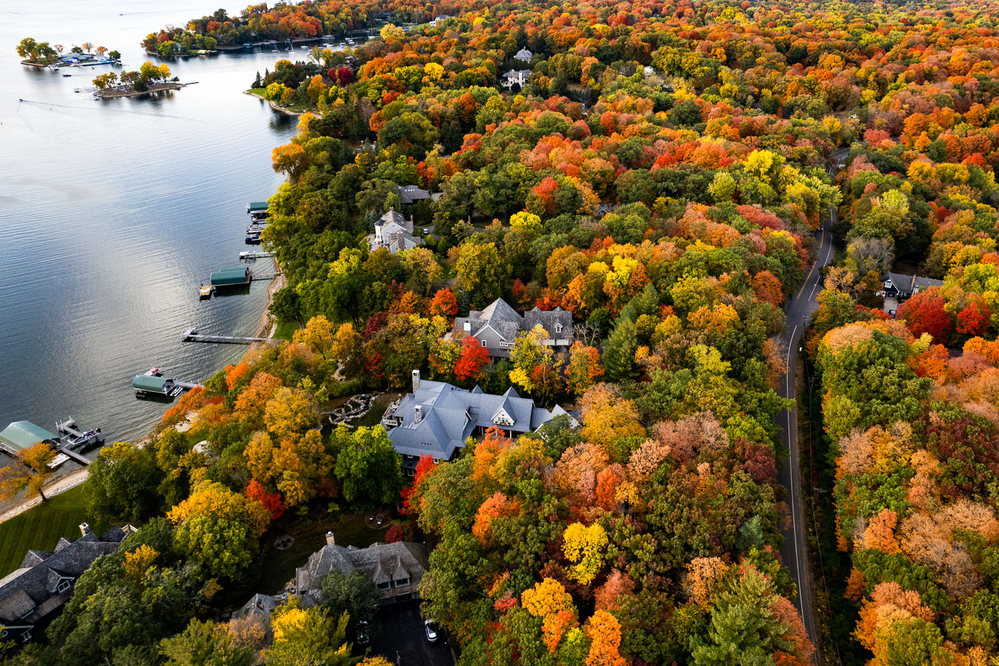
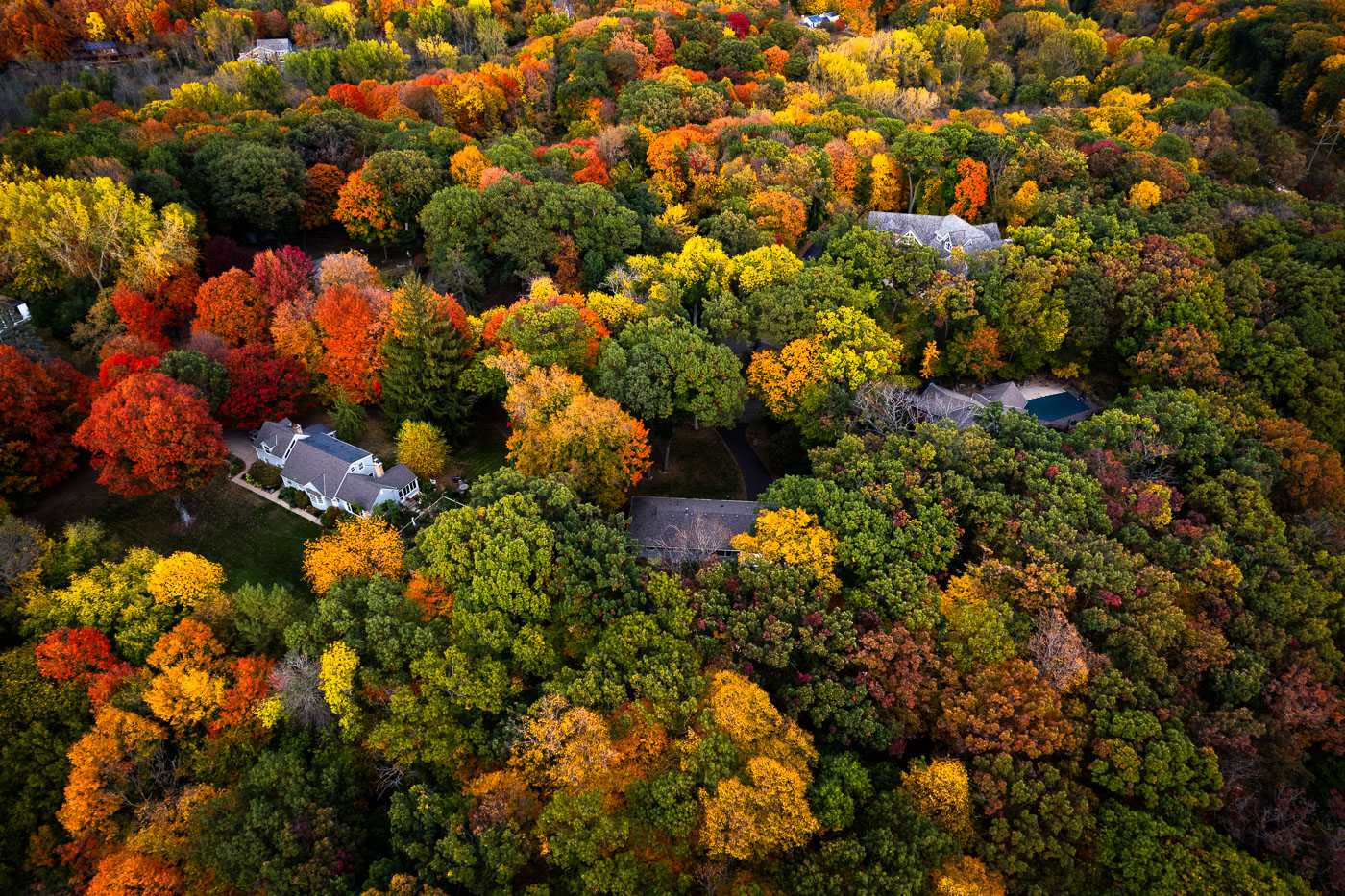
Deephaven, Minnesota shoreline homes on Lake Minnetonka surrounded by autumn trees.
Deephaven, Minnesota, lines the southeastern shore of Lake Minnetonka. The community is known for wooded residential lots, shoreline homes, and private docks along sheltered coves and peninsulas. In autumn, the dense tree cover surrounding the lakefront homes turns vivid shades of red, yellow, and orange.

Deephaven Shoreline Homes on Lake Minnetonka
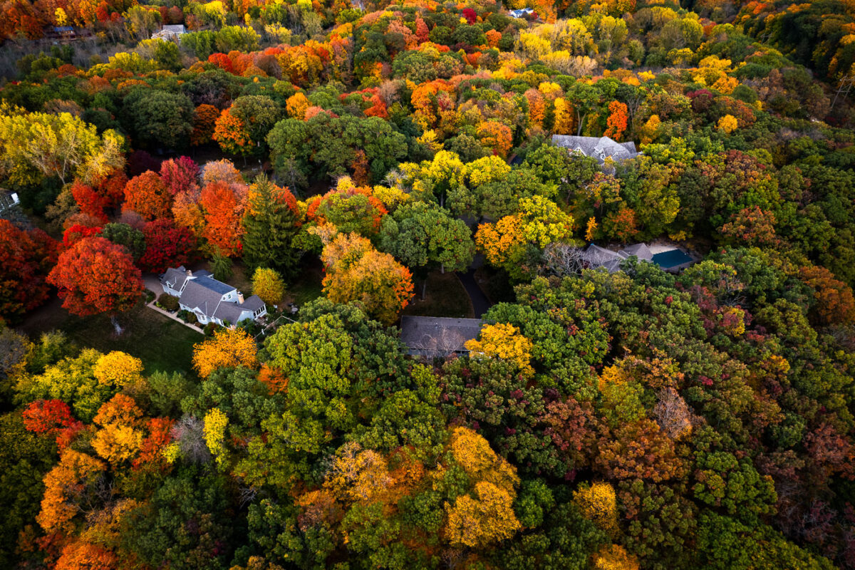
Deephaven, Minnesota residential canopy near Lake Minnetonka in autumn.
Deephaven, Minnesota, near Lake Minnetonka, is characterized by large wooded residential lots and mature hardwood trees. In autumn, the neighborhood’s canopy forms a dense mix of maple, oak, and basswood color across the shoreline community. The area developed with low-density housing and preserves extensive tree cover between homes and roads.

Deephaven Residential Canopy, Lake Minnetonka
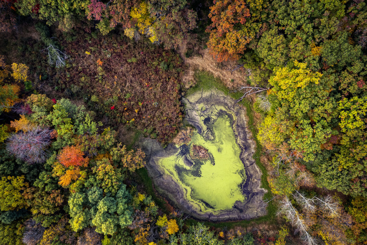
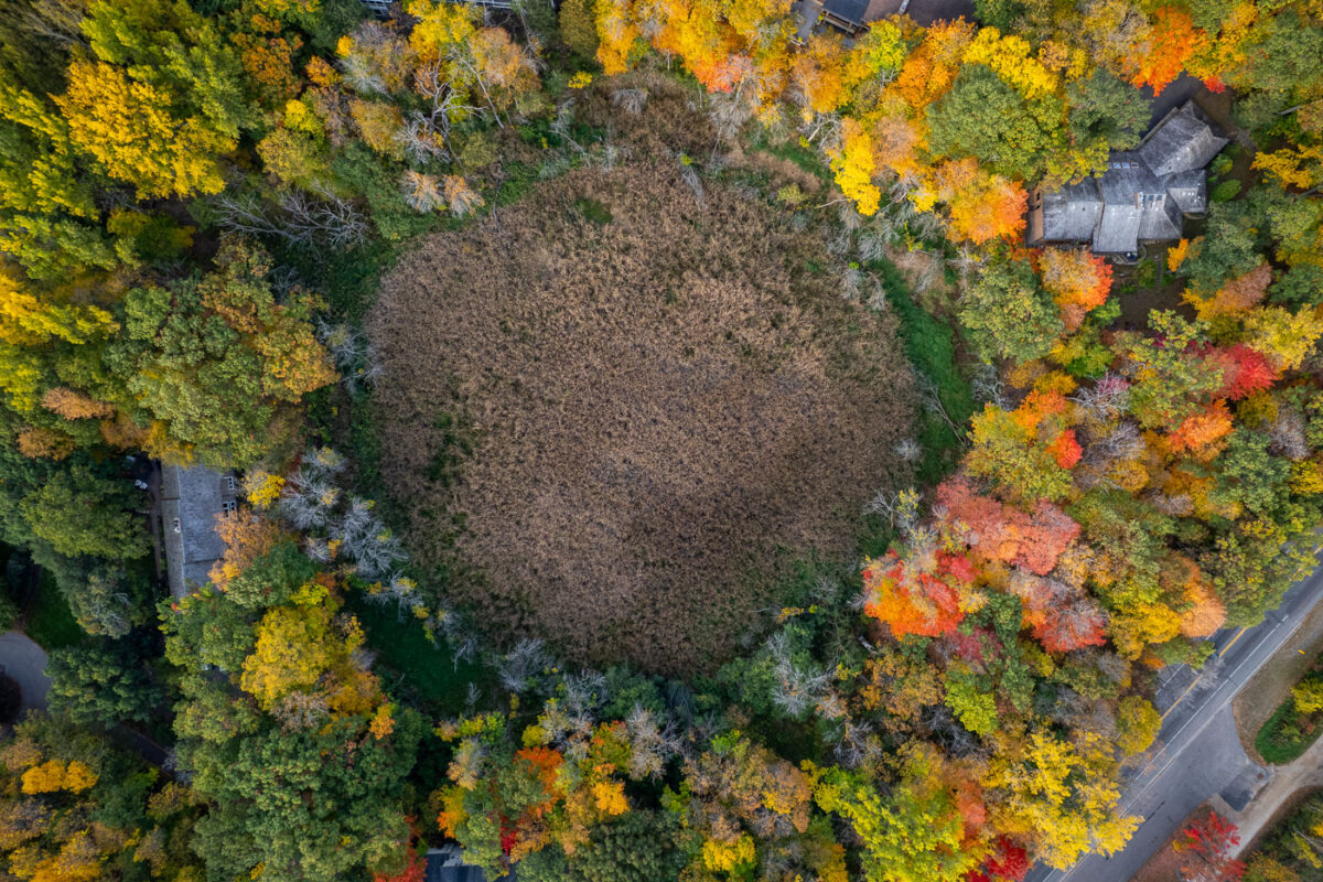
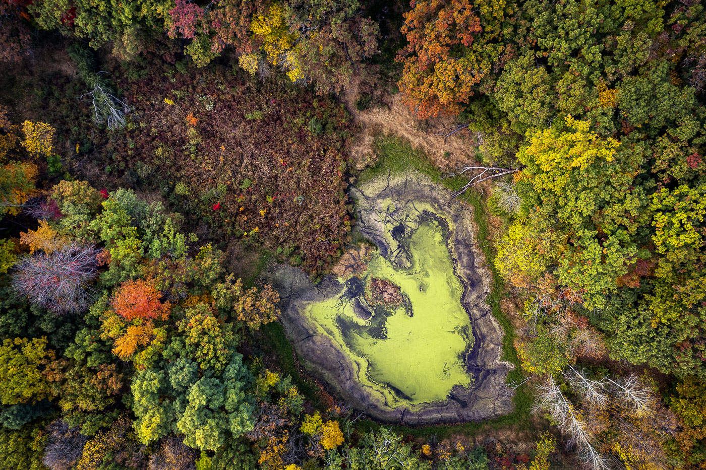
Deephaven wetland basin near Lake Minnetonka surrounded by autumn woods.
Deephaven wetland basin near Lake Minnetonka, Minnesota. Seasonal low water has exposed mudflats around the basin, with surrounding hardwoods and pines in autumn color.

Deephaven Wetland Basin, Lake Minnetonka
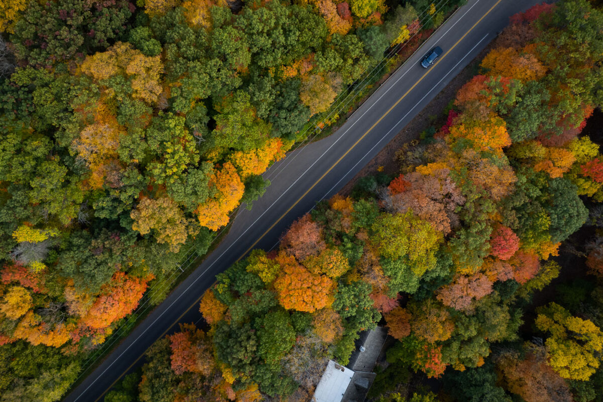
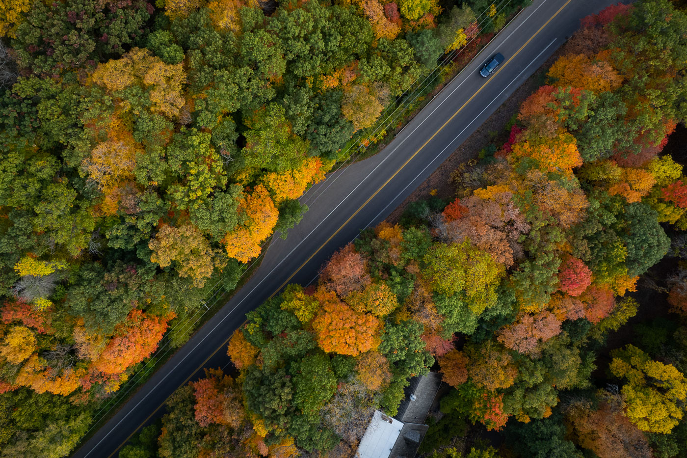
Deephaven lakeside road near Lake Minnetonka bordered by dense autumn trees.
Deephaven, Minnesota, along a lakeside road near Lake Minnetonka. Mature hardwoods and pines form a dense residential canopy in autumn color along the shoreline.

Deephaven Lakeside Road in Autumn

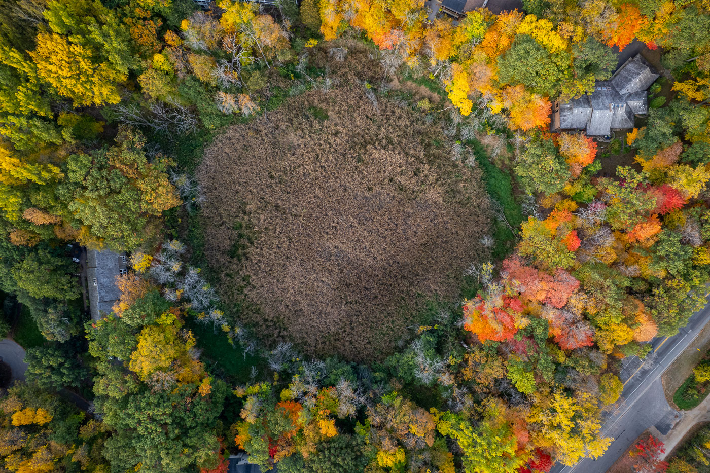
Deephaven wetland basin near Lake Minnetonka surrounded by autumn trees.
A wetland basin in Deephaven, Minnesota, lies amid tree-lined residential streets near Lake Minnetonka. The surrounding canopy is in peak autumn color.

Deephaven Wetland in Fall Color

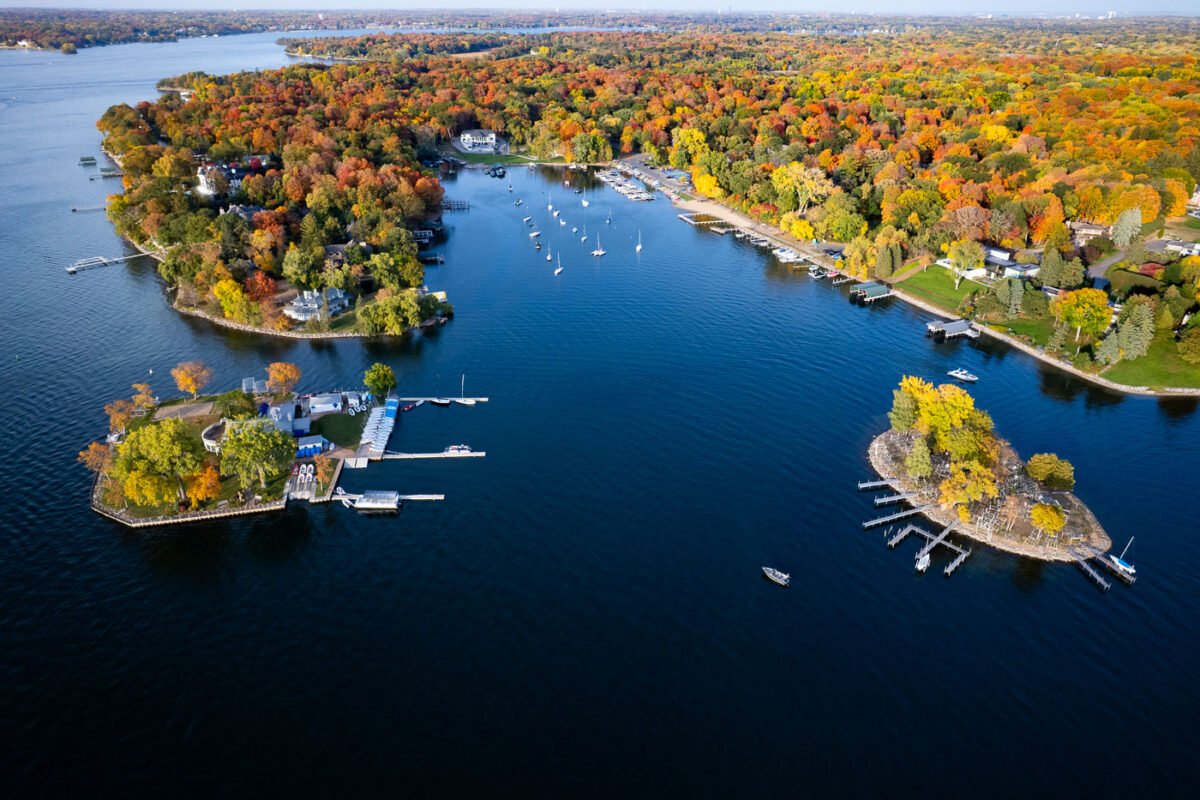
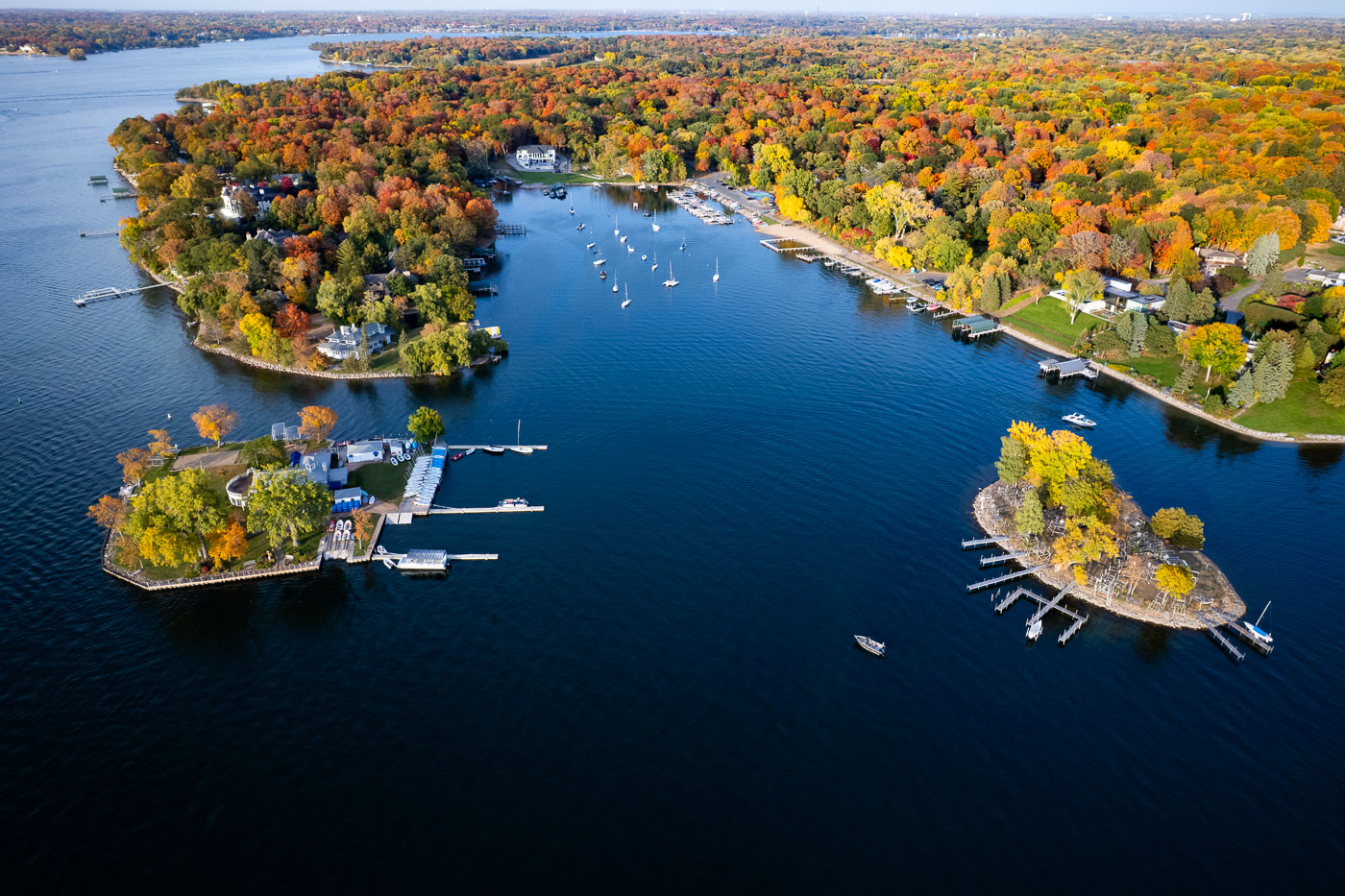
Lake Minnetonka near Deephaven, Minnesota, bordered by wooded coves, docks, and sailboats in autumn.
Lake Minnetonka near Deephaven, Minnesota, is bordered by wooded peninsulas, sheltered bays, and private docks. The lake’s irregular shoreline has long supported boating and lakeside residential development. Peak fall color covers the surrounding neighborhoods and wooded shoreline.

Lake Minnetonka shoreline coves in autumn
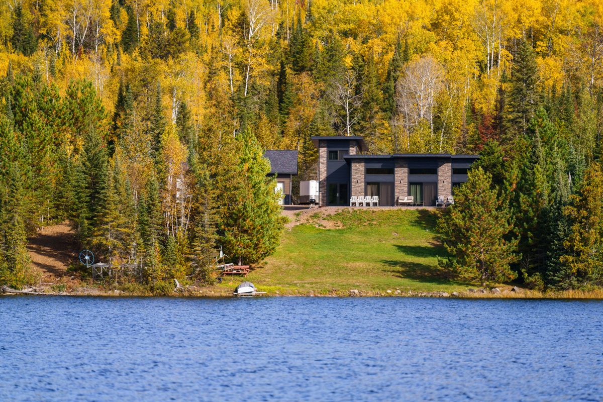
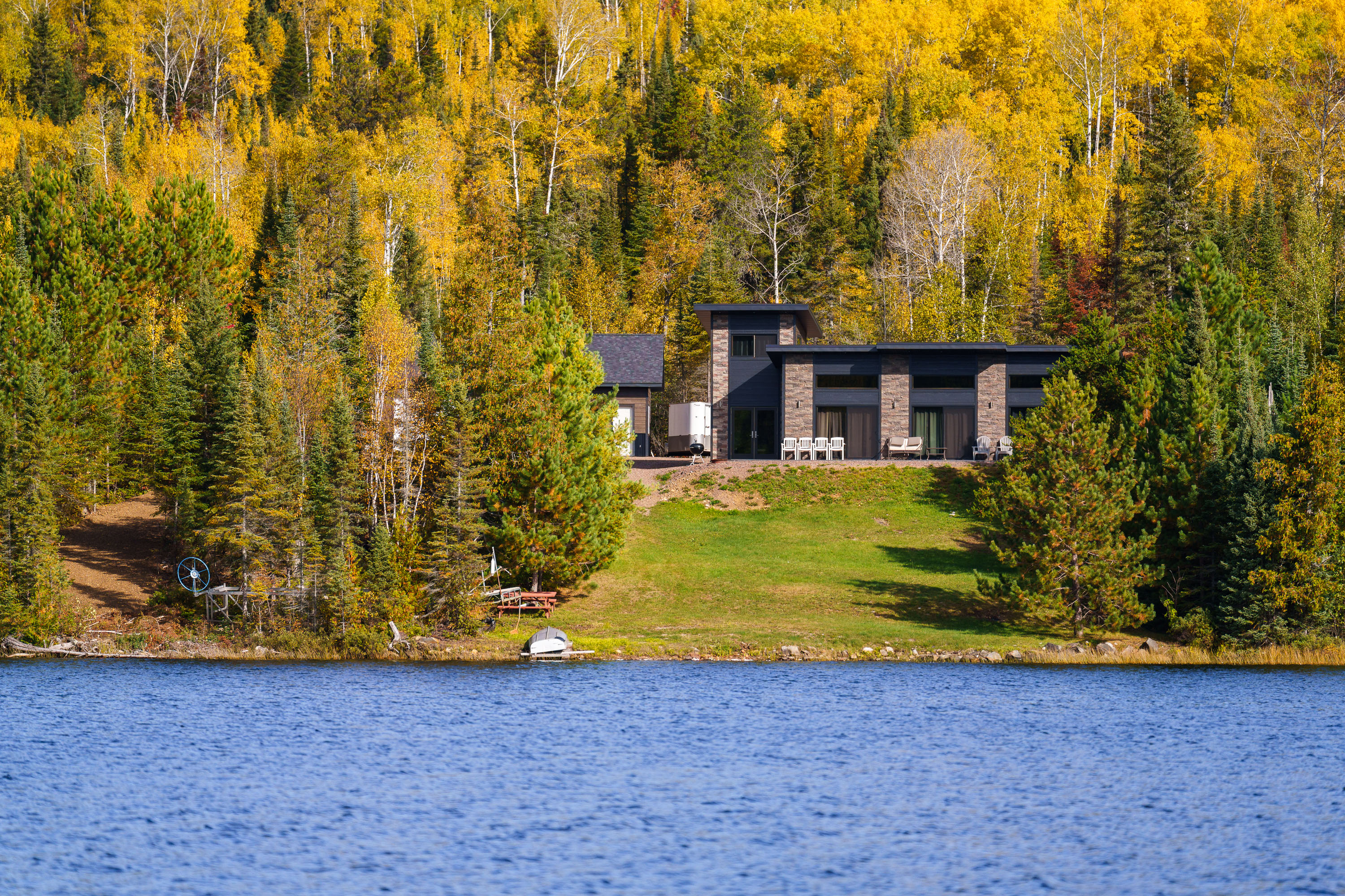
Modern home with stone facade on forested shoreline of Gunflint Lake, Minnesota, during autumn.
Gunflint Lake forms part of the international border between Minnesota and Ontario, Canada, within the Boundary Waters Canoe Area Wilderness and its Canadian counterpart, Quetico Provincial Park. The lake runs roughly six miles long and sits at the far end of the Gunflint Trail, about 45 miles northwest of Grand Marais. It's a popular put-in point for canoe and fishing trips into the connected chain of border lakes, and cabins along its shoreline are among the few private inholdings permitted within the wilderness boundary.

Lakeside Home Along the Gunflint Trail, Minnesota
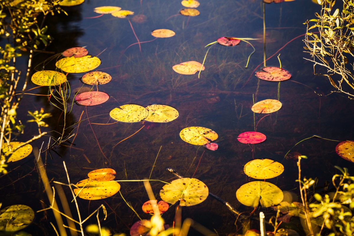
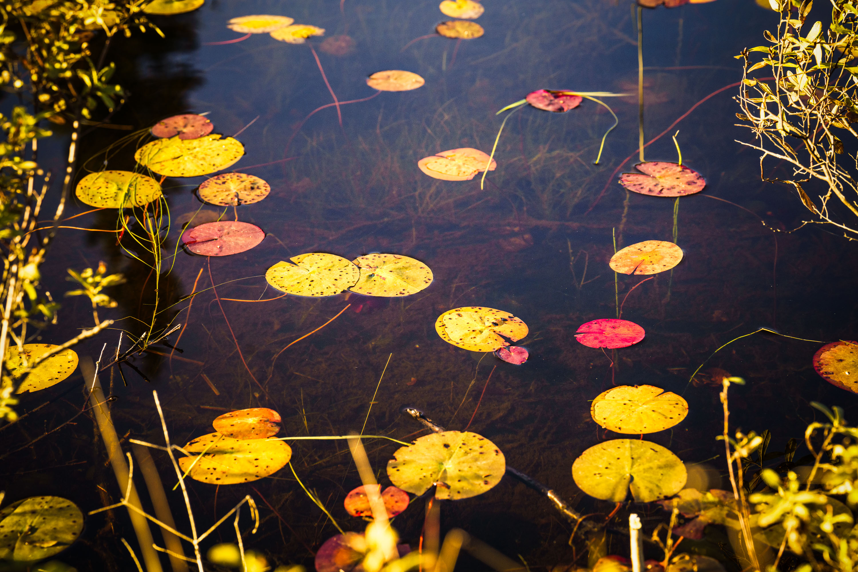
Autumn-colored water lily pads float on a still pond in Cook County, Minnesota.
Cook County sits at the northeastern tip of Minnesota along Lake Superior's North Shore, bordering Ontario and encompassing much of the Boundary Waters Canoe Area Wilderness. The county's terrain includes numerous bogs, beaver ponds, and small wetlands fed by the Sawtooth Mountains' runoff, where floating-leaved plants like water lilies and pond-lily species take hold in shallow, still water. By early October, water lily pads in the region typically turn shades of yellow, orange, and red as chlorophyll breaks down, a seasonal change tied to shortening daylight and dropping water temperatures. Much of the county's land is managed by the Superior National Forest, which oversees a large share of Minnesota's remaining undeveloped wetland habitat.

Water Lily Leaves in Autumn, Cook County, Minnesota
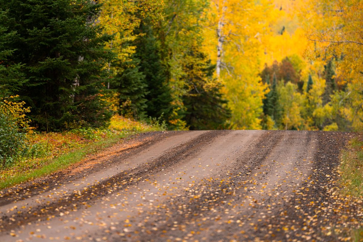
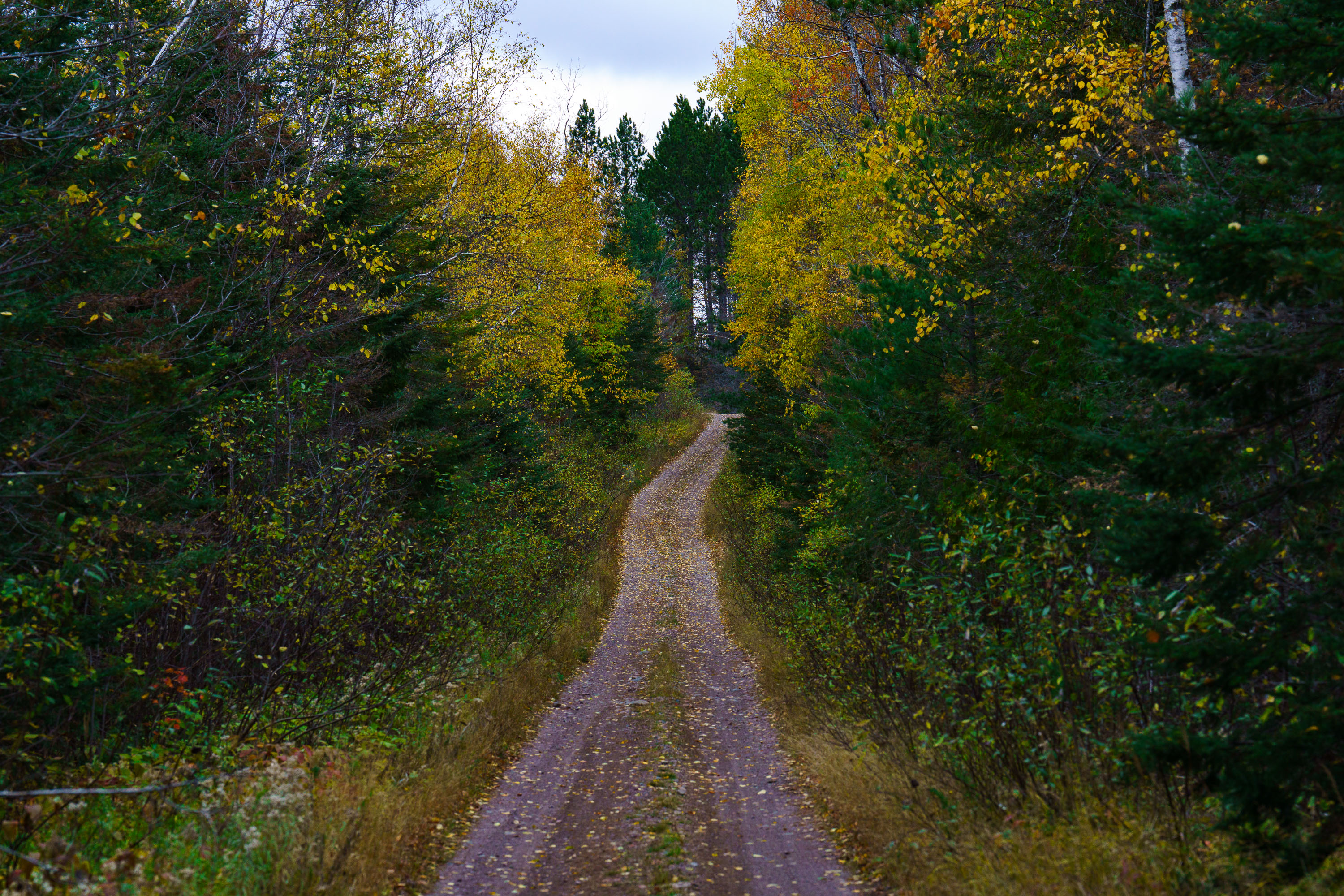
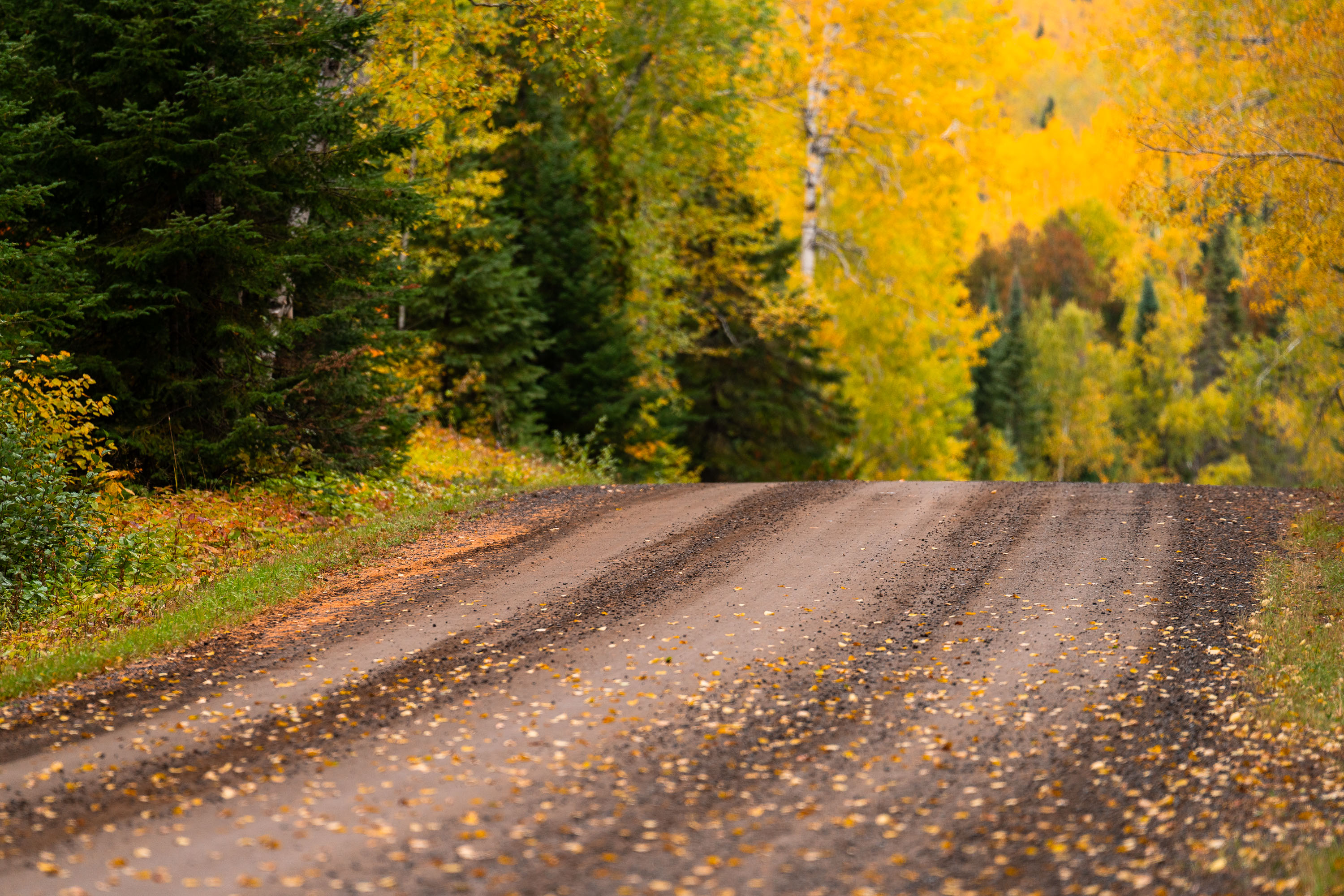
Gravel road through northern Minnesota forest in autumn with yellow larch and evergreen trees.
The Arrowhead Trail runs roughly 27 miles north from Minnesota Highway 61 at Hovland to South Fowl Lake on the Canadian border. Most of the route is unpaved, passing through the Superior National Forest and skirting the eastern edge of the Boundary Waters Canoe Area Wilderness. Cook County maintains the gravel surface, which sees heavy use by hunters, anglers, and leaf-peepers each fall as sugar maples and aspen along the corridor turn color. The road ends at a boat landing on South Fowl Lake, one of the closest public access points to Canada in this part of the state.

Fall Colors Along the Arrowhead Trail, Cook County
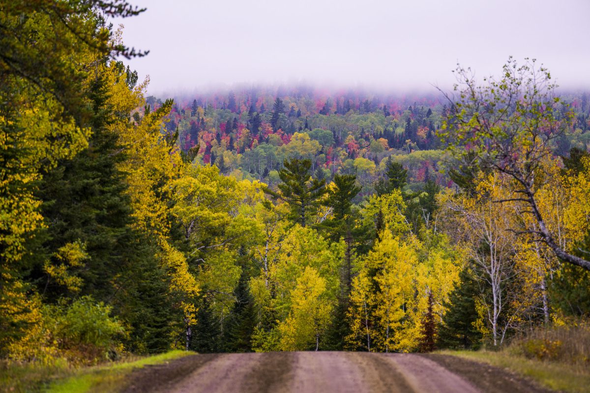
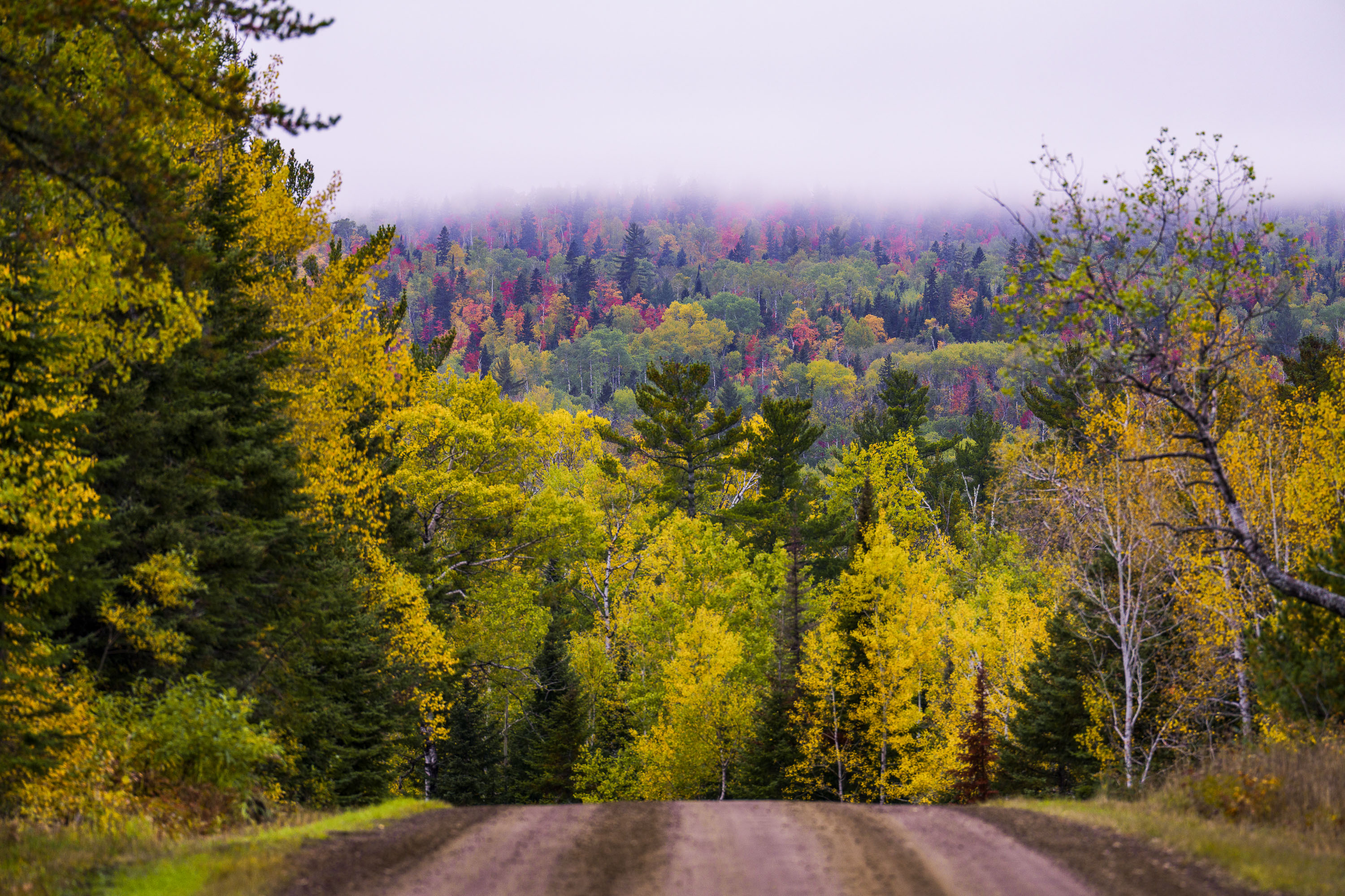
Dirt road through northern Minnesota forest displaying autumn foliage with yellow and red trees in distant fog.
The Arrowhead Trail is a roughly 20-mile gravel road, designated Cook County Road 16, running north from Hovland on Lake Superior's North Shore to the Ontario border at the Pigeon River. The route cuts through the Superior National Forest, passing stands of aspen, birch, and white and red pine mixed with maple that turn color each September and October. It's maintained as a low-traffic forest road rather than a state highway, popular with anglers heading to backcountry lakes and with fall-color drivers making the trip up from Highway 61.

Gravel Road Through Fall Foliage, Arrowhead Trail, Minnesota
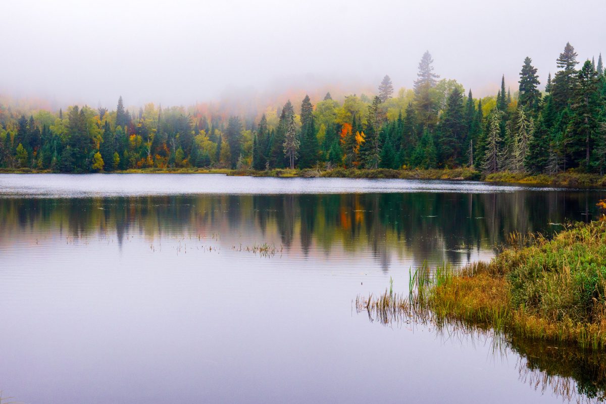
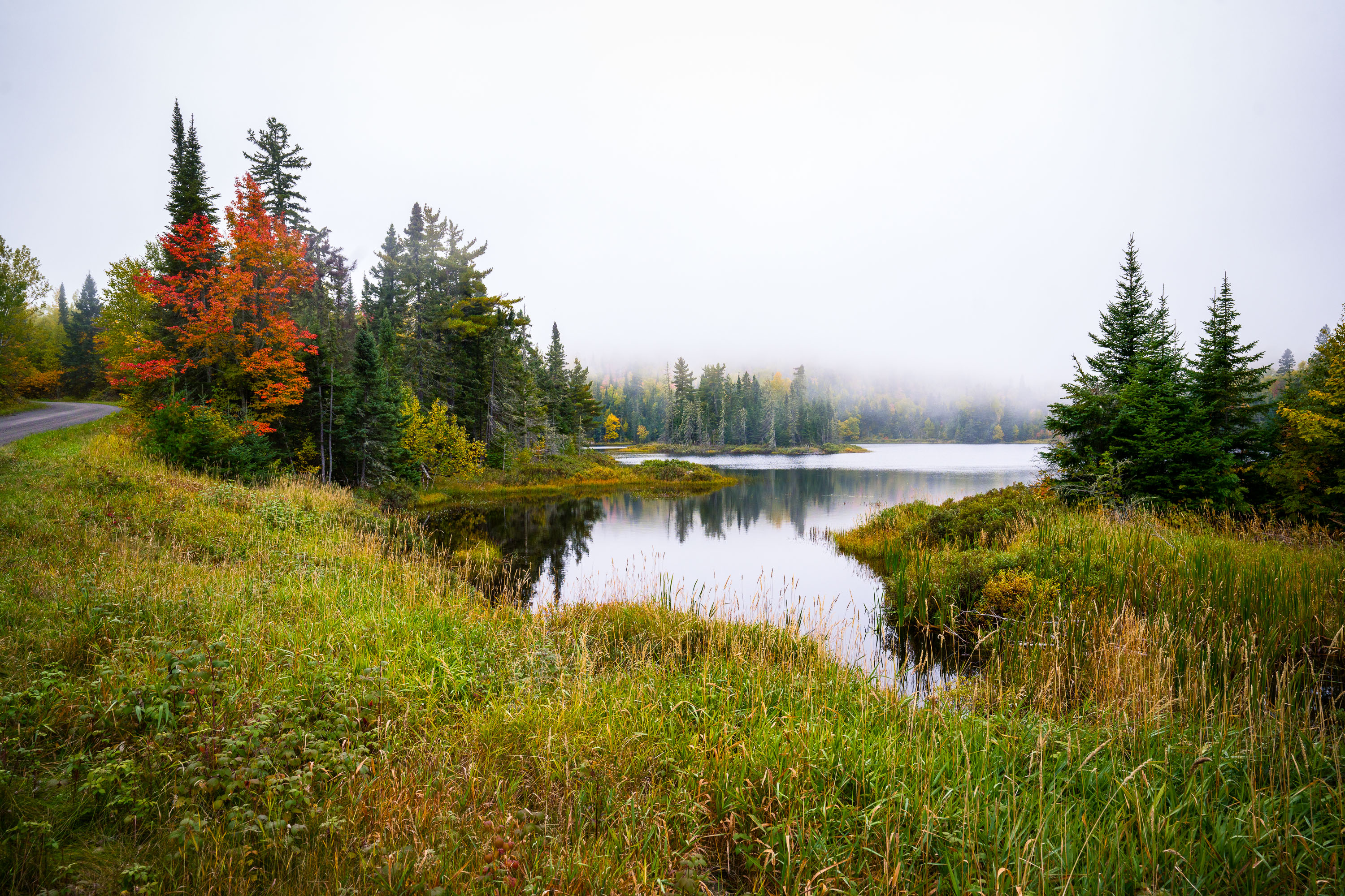
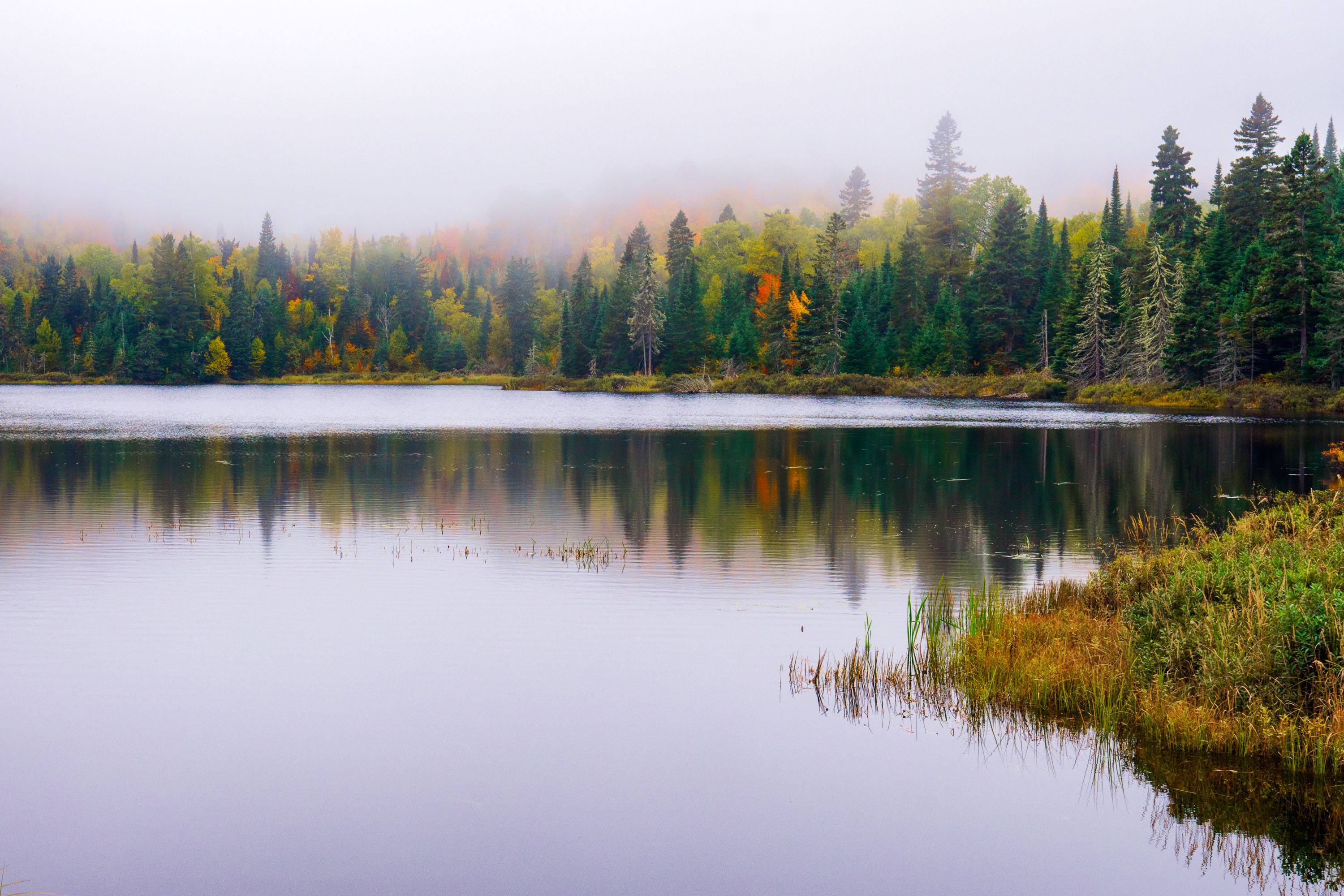
Fog over Loft Lake in Northern Minnesota
Foggy morning over Loft Lake as seen from Shoe Lake Road in Northern Minnesota.

Loft Lake from Shoe Lake Road in Minnesota
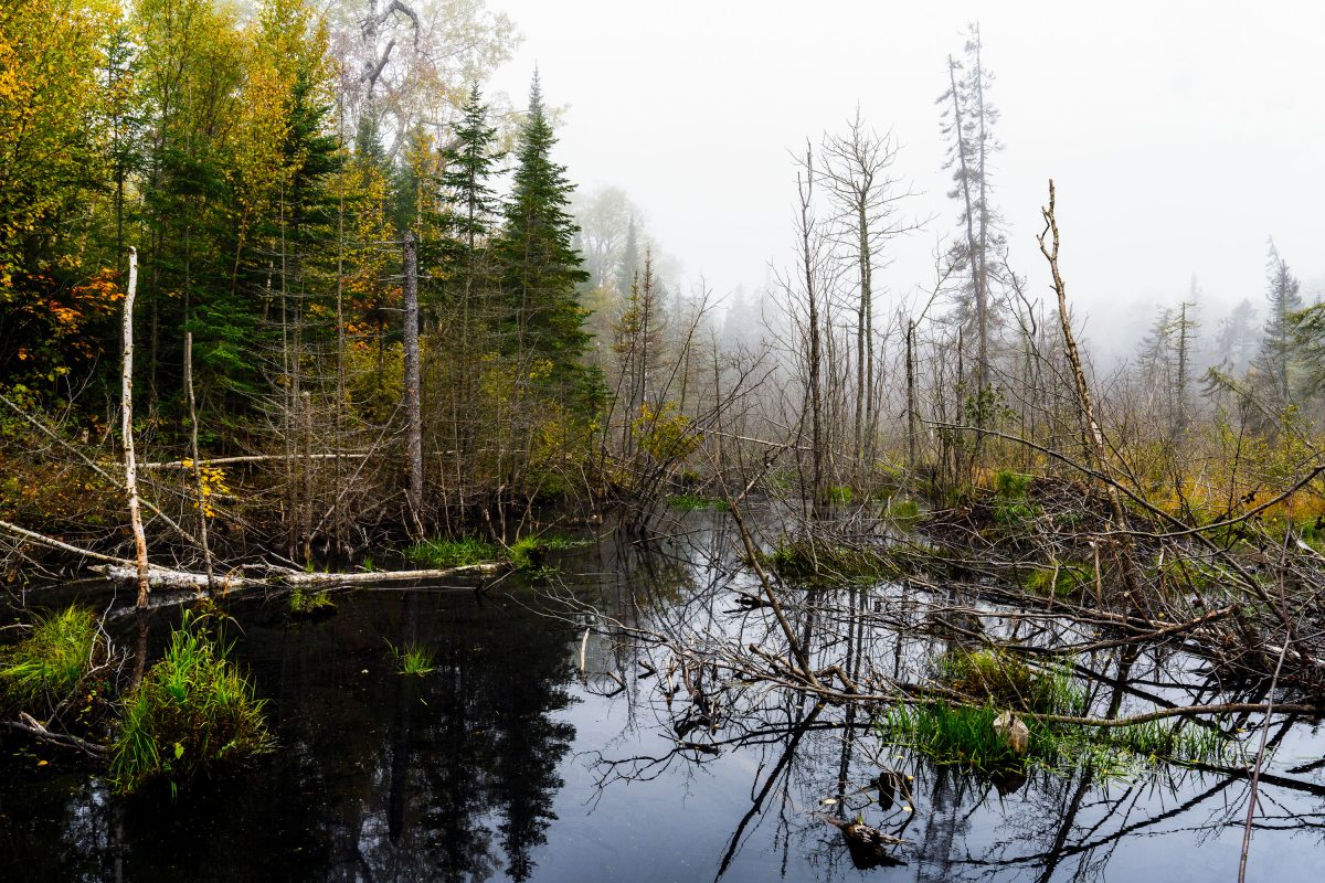
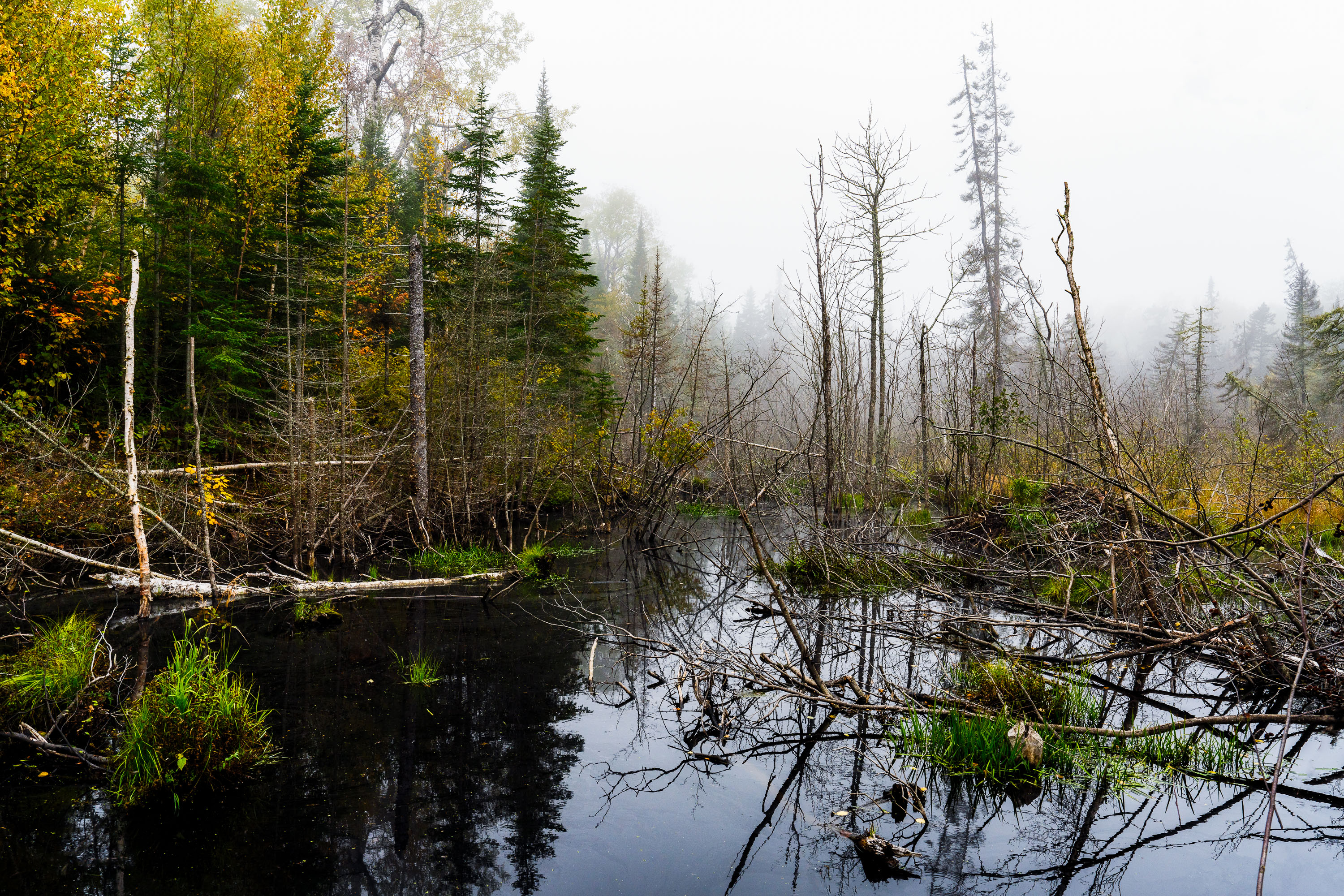
Flooded beaver wetland with standing dead trees near Shoe Lake Road in Superior National Forest, Minnesota.
Shoe Lake Road runs through the Superior National Forest in Cook County, Minnesota, near the edge of the Boundary Waters Canoe Area Wilderness. The surrounding forest is a mix of northern hardwoods and conifers, including birch, spruce, and balsam fir, typical of this part of the Superior National Forest. Beaver activity is common along the region's low-lying wetlands, where dammed water and downed trees create the shallow ponds and standing deadwood found throughout this stretch of forest. The area sits within the Laurentian Divide watershed, which separates drainage toward Lake Superior from waters flowing north toward Hudson Bay.

Beaver Pond Wetland Near Shoe Lake Road, Superior National Forest
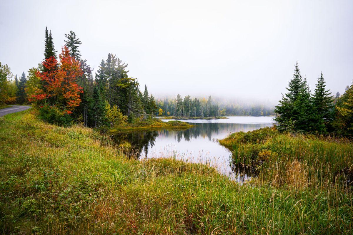
Shoe Lake surrounded by autumn forest and wetland grasses near Grand Marais, Minnesota.
Shoe Lake lies along Shoe Lake Road in Cook County, near Grand Marais, Minnesota, within the Superior National Forest region. The area is part of the North Shore's mixed boreal forest, where spruce, fir, and maple stands turn color each October.

Shoe Lake, Grand Marais, Minnesota

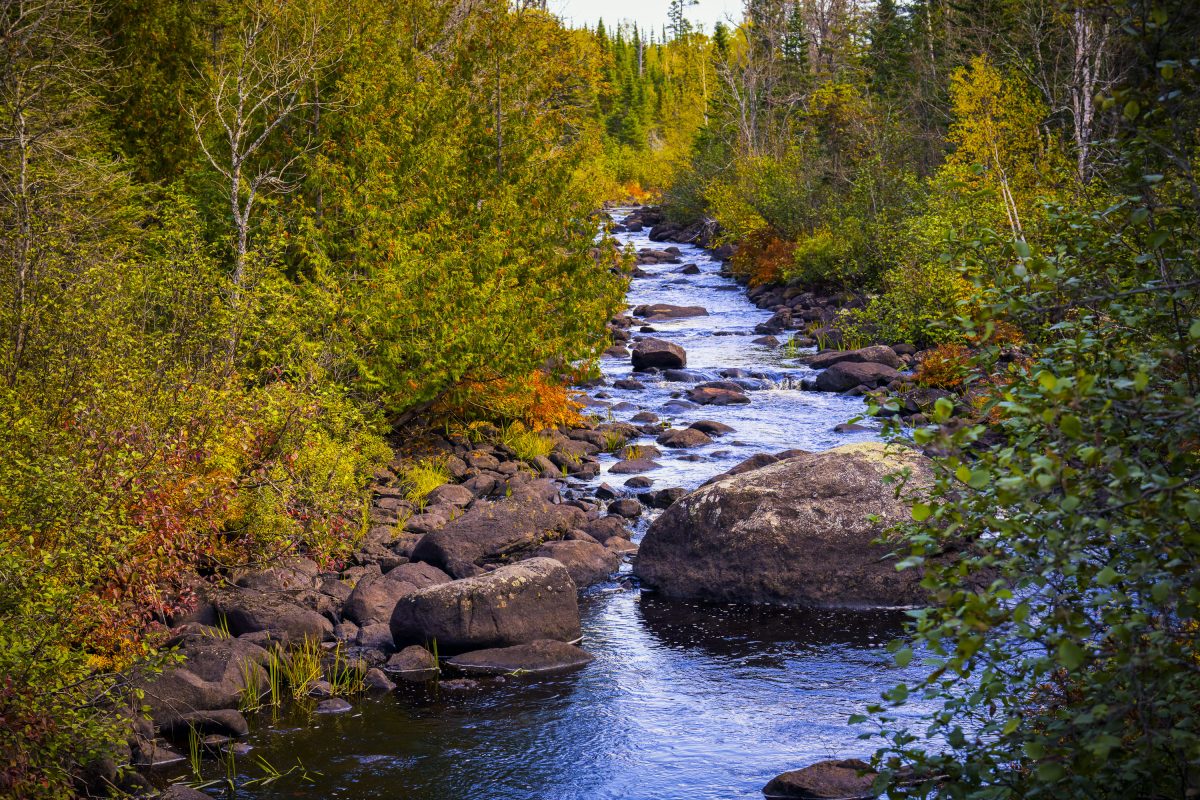
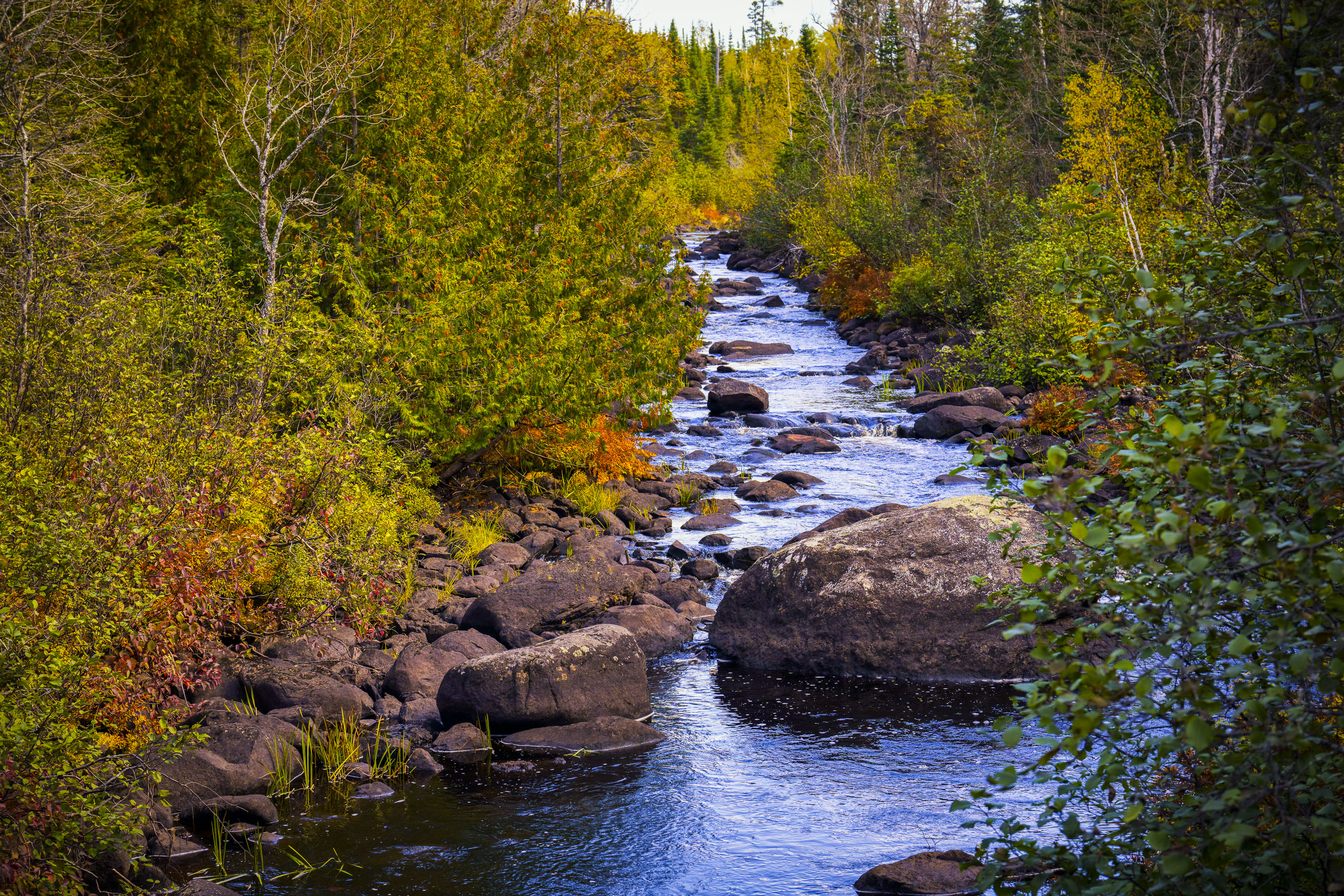
Temperance River flows through golden autumn foliage in Superior National Forest, Minnesota.
The Temperance River runs roughly 22 miles from its origin near the Laurentian Divide to Lake Superior, dropping through a series of potholes and gorges carved into volcanic rock along the way. It's one of the few rivers on Minnesota's North Shore with no sandbar at its mouth, which is how it got its name — early voyageurs who charted the region's rivers by their sandbars, or lack of a "bar," reportedly gave this one a teetotaling nickname. The river and its surrounding old-growth cedar and pine stands sit within the Superior National Forest, which spans nearly three million acres across northeastern Minnesota. Cook County's stretch of the river includes sections popular with anglers seeking steelhead and brook trout during their seasonal runs.

Rocky Stretch of the Temperance River, Superior National Forest

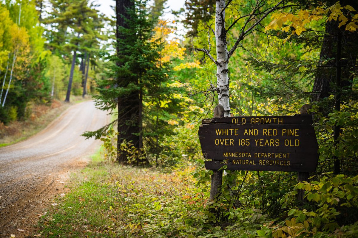
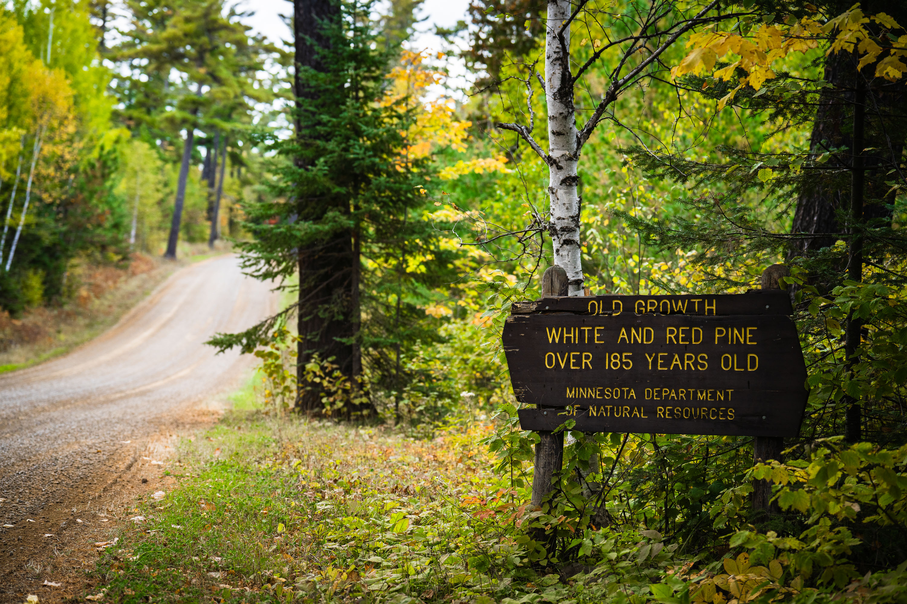
Old growth trees sign from the Minnesota Dept of Natural Resources
"Old growth white and red pine over 185 years old. Minnesota department of natural resources".
Old Growth Trees Sign in Minnesota
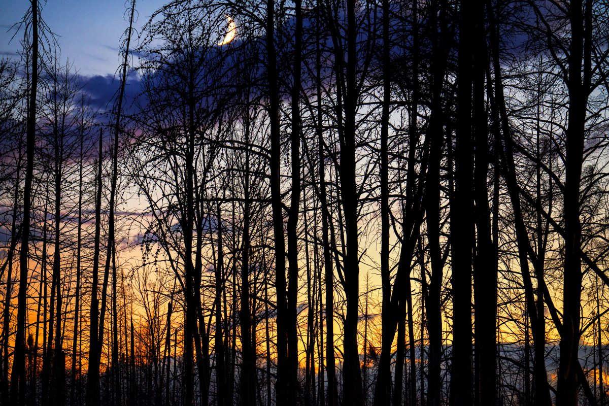
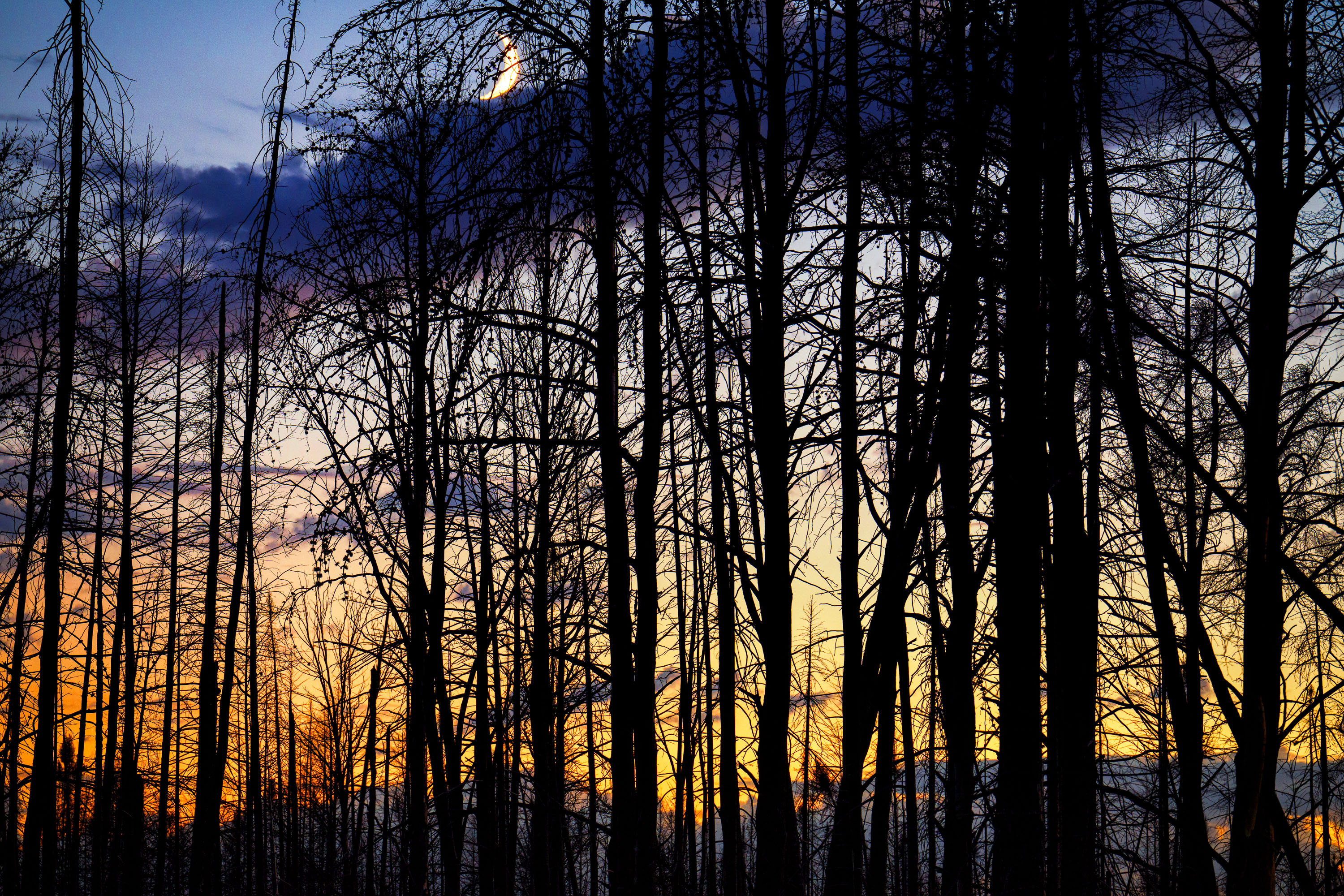
Moon rising over Superior National Forest
Burned trees inside the Greenwood fire zone a year after the wildfire.

Moon rising over Superior National Forest

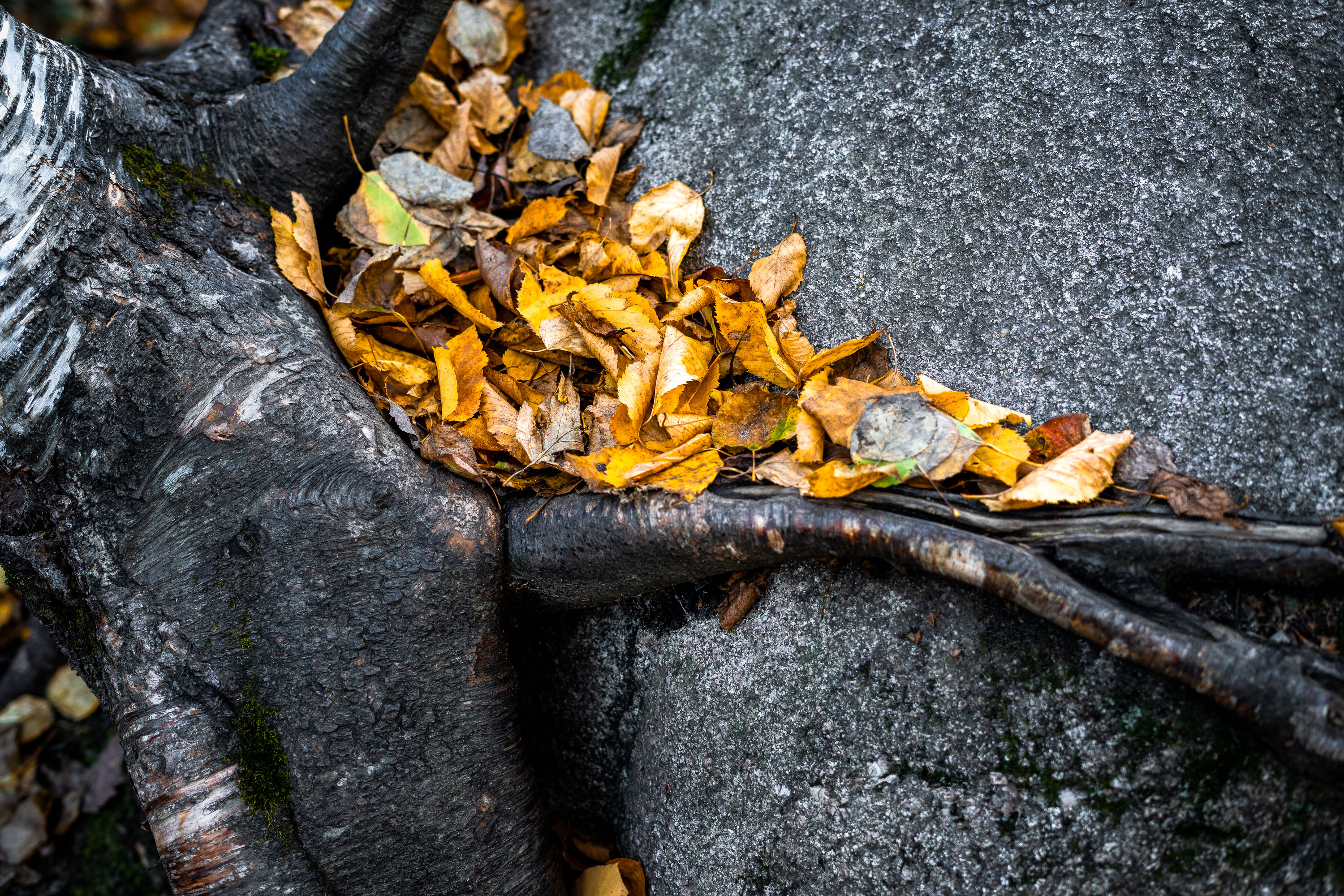
Leaves in the Superior National Forest, Northern Minnesota
A rock with roots around it with fallen leaves near Ely, Minnesota.

Leaves in the Superior National Forest, Northern Minnesota
Built in Minneapolis

Minneapolis Photographer

Browse by location, move through long-running series, or start with recent work.