Wetland Marsh in Autumn, Superior National Forest, Minnesota
Taken October 2023
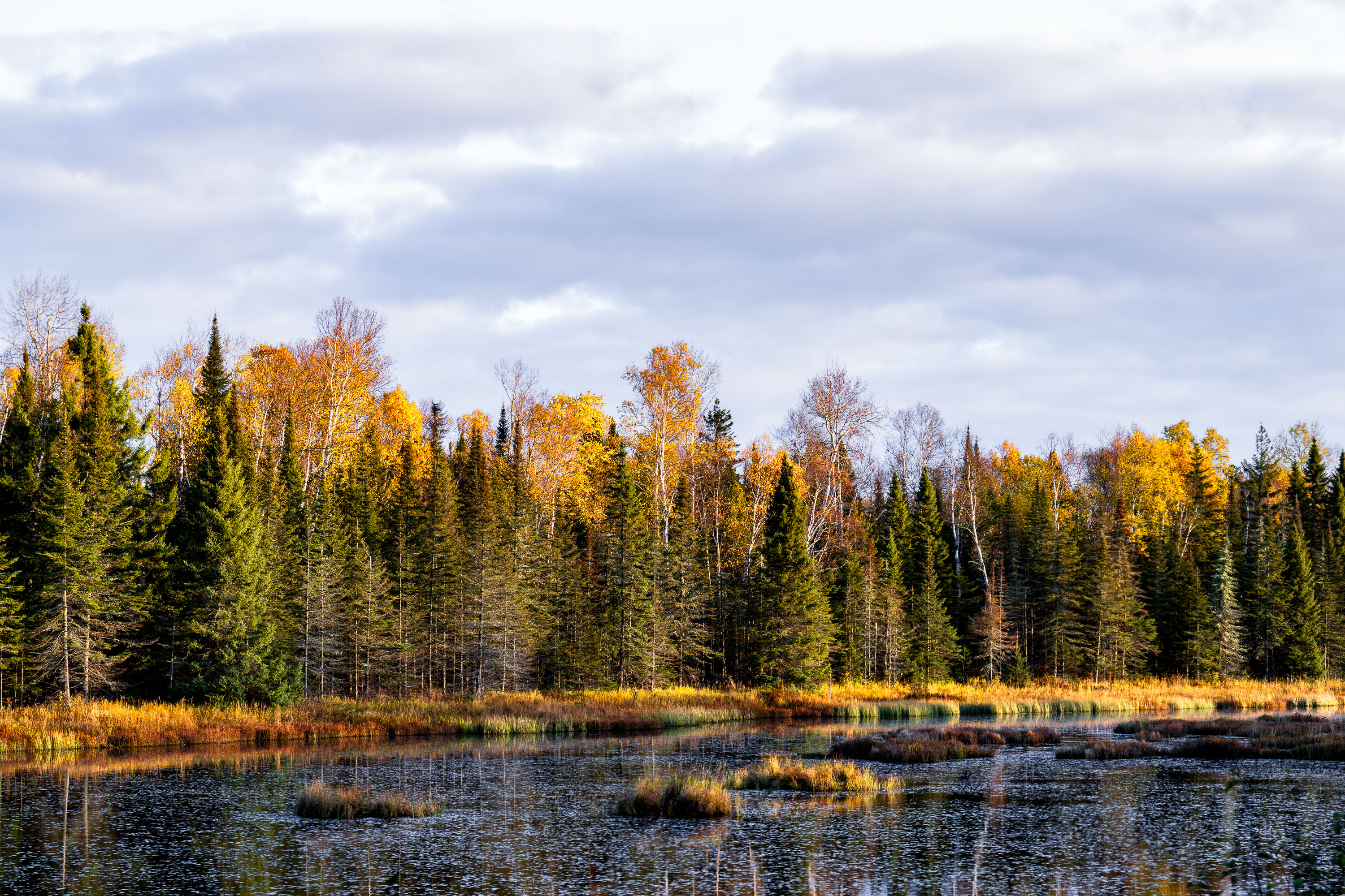
The Superior National Forest covers more than three million acres across northeastern Minnesota, stretching along the Canadian border from near International Falls to Grand Portage. Congress established it in 1909, and the U.S. Forest Service now manages it as one of the most water-rich forests in the country, with roughly 2,000 lakes and hundreds of miles of streams and wetlands like the one pictured here. More than a million acres of the forest fall within the Boundary Waters Canoe Area Wilderness, the most-visited wilderness area in the United States. The forest's mix of birch, aspen, and conifer stands produces some of the region's most reliable fall color displays each October.
Taken October 2023
More from
Superior National Forest
 Road closure in Superior National Forest, September 2022
"Due to wildlife issues this area is closed to camping, picnicking, and all other use until further notice. Thank you…
 Dumbbell Lake Fishing Deck, Superior National Forest
A sign on the Dumbbell Lake Fishing Deck that reads "Dumbbell Lake Fishing Deck Constructed through a partnership with the…
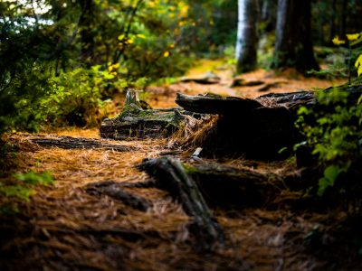 Fallen Logs Along a Forest Trail, Superior National Forest
Superior National Forest covers roughly 3 million acres in northeastern Minnesota, managed by the U.S. Forest Service. It contains more…
 Baker Lake Campground Restrooms in Superior National Foresst
Outhouse at the Baker Lake Campground in the Superior National Forest.
 Baker Lake Campground Sign, Superior National Forest
Baker Lake Campground sits off the Sawbill Trail in Cook County, part of the Tofte Ranger District within the Superior…
 Island River in the Superior National Forest
Island River in Superior National Forest in Northern Minnesota. The river runs through the Pagami Creek Fire zone.