Map
More from Superior National Forest
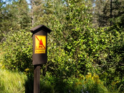
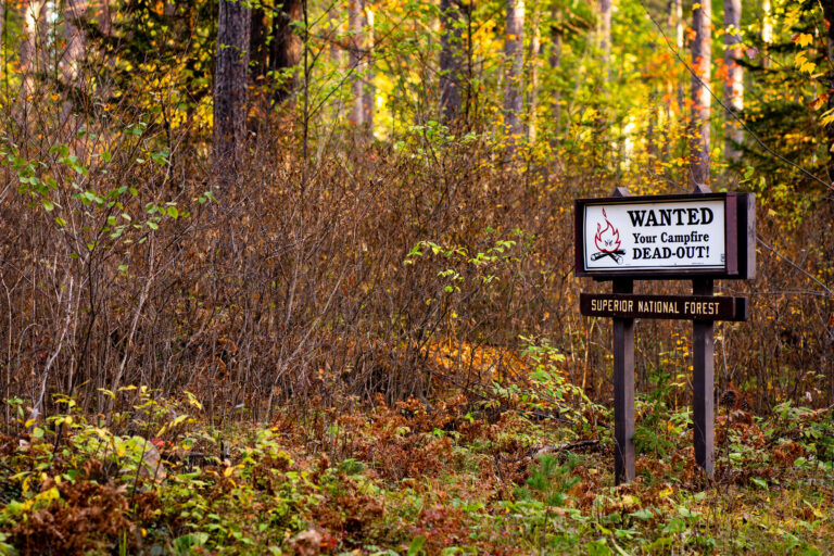
Fire Ban Signage, Superior National Forest, Minnesota
This posted notice bans open campfires within the Superior National Forest, a 3-million-acre expanse managed by the U.S. Forest Service…

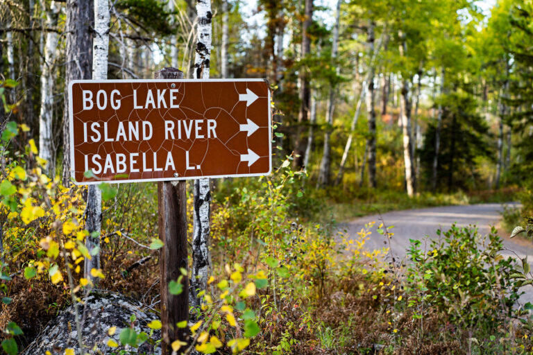
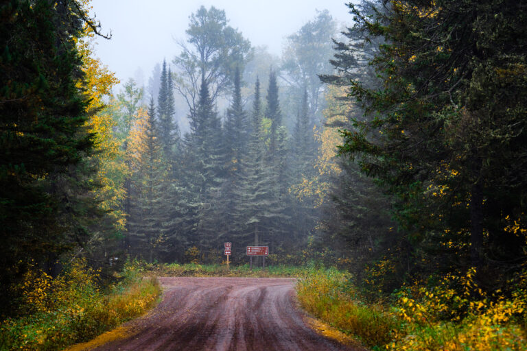
Foggy Road in Superior National Forest, Minnesota
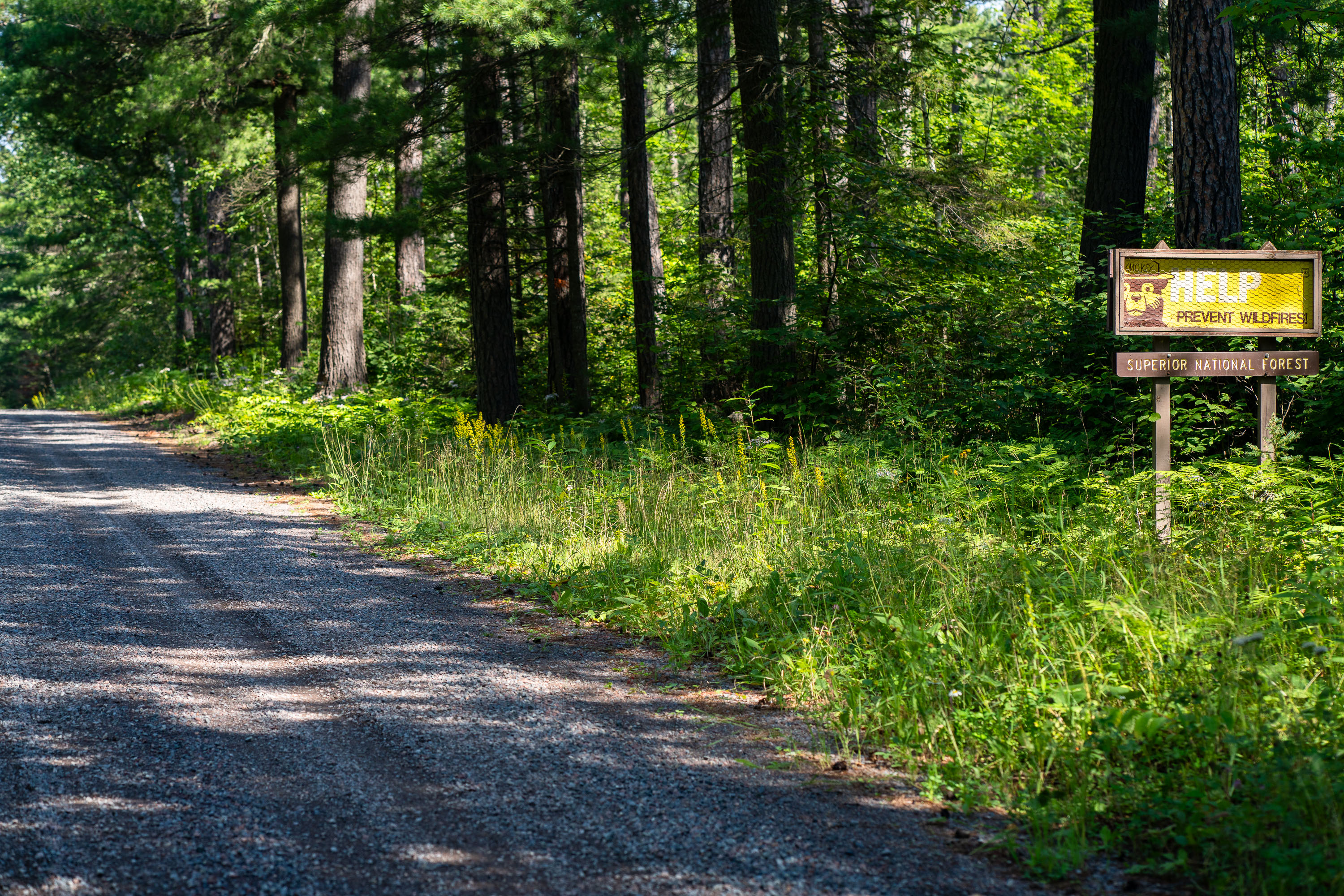
A gravel road winds through the dense coniferous forest of Superior National Forest near Isabella, Minnesota. Signs indicate Route 172…
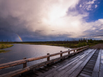
Rainbow near Isabella Lake, Superior National Forest
A rainbow appears over Isabella Lake in Superior National Forest, Minnesota, beside a wooden bridge and road crossing. Storm clouds…

Fog on an Unpaved Forest Road near Finland, Minnesota
Finland, Minnesota, is an unincorporated community in Lake County, about 20 miles inland from Lake Superior's North Shore. The community…
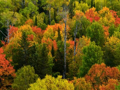
Mixed Hardwood Forest in Autumn, Superior National Forest
Superior National Forest covers more than three million acres across northeastern Minnesota, including Cook County, and stands as Minnesota's largest…
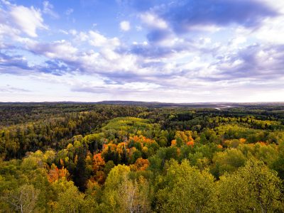
Autumn Colors Over Superior National Forest, Minnesota
Superior National Forest spans roughly 3 million acres across northeastern Minnesota, established in 1909 and managed by the U.S. Forest…
Nearby Photos