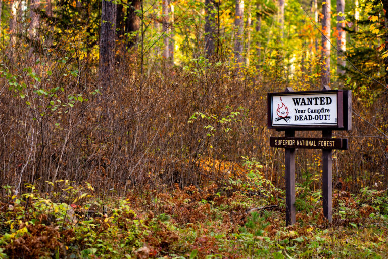
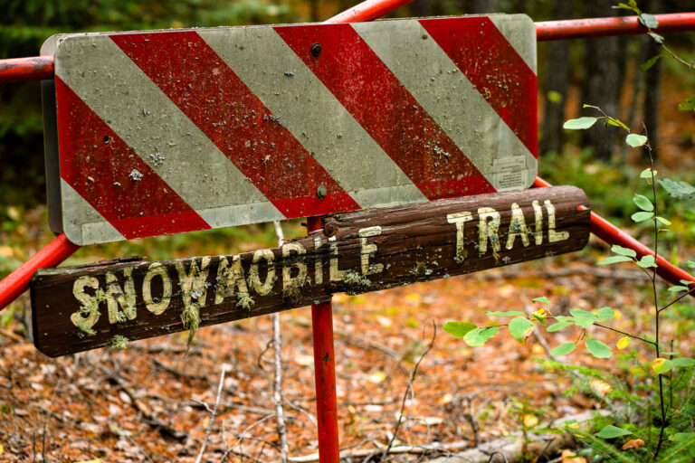
Trail Junction Sign in Superior National Forest
Taken September 2021
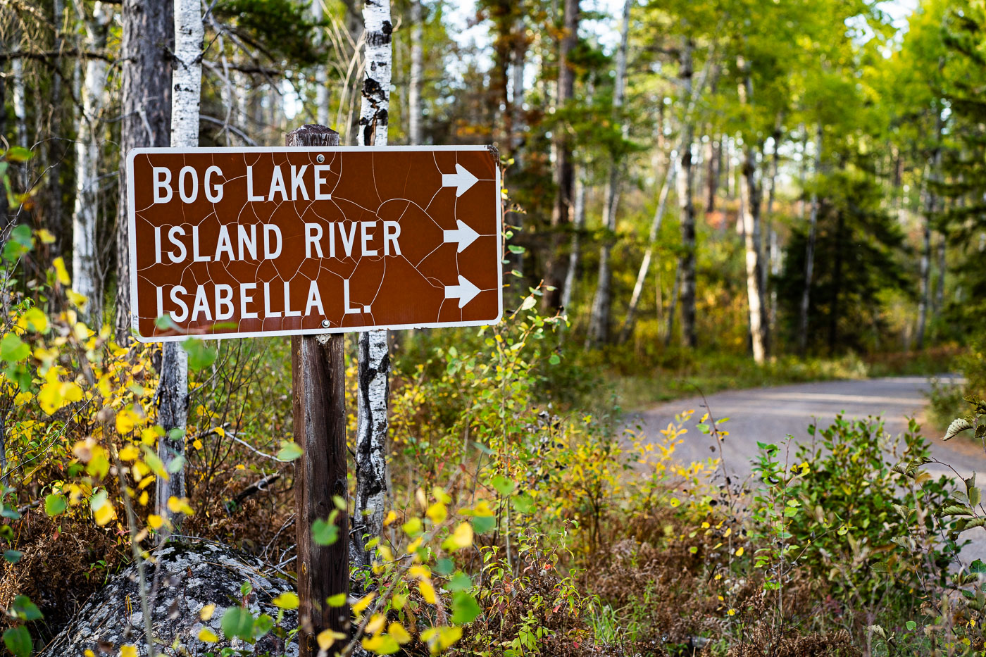
A weathered brown U.S. Forest Service directional sign marks the turnoff for Bog Lake, the Island River, and Isabella Lake within Superior National Forest in northern Minnesota. These destinations sit along a network of remote gravel roads east of Ely and north of Isabella, an area known for its mixed pine–birch forest, quiet canoe routes, and access to the Boundary Waters Canoe Area Wilderness. The cracked reflective surface of the sign hints at decades of harsh winters and summer sun, while the surrounding understory—changing with early autumn color—reflects the rugged, lightly traveled character of this part of the Northwoods.
Taken September 2021
More from
Superior National Forest
 Little Isabella River Campground, Superior National Forest
Little Isabella River Campground in Superior National Forest is shown on a Forest Service information board. The sign lists campground…
 Loft Lake from Shoe Lake Road in Minnesota
Foggy morning over Loft Lake as seen from Shoe Lake Road in Northern Minnesota.
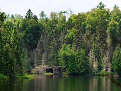 Homestead Lake, Superior National Forest, Minnesota
Homestead Lake in the Superior National Forest. As seen in July 2026.
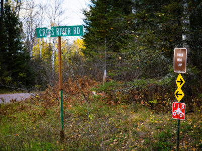 Superior National Forest: Cross River Rd & Timber Frear Loop
A green sign reads "CROSS RIVER RD". Nearby, a brown sign indicates "TIMBER FREAR LOOP" with directional arrows and a…
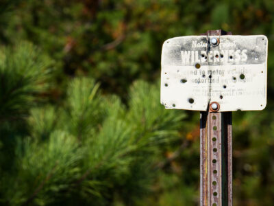 Boundary Waters Wilderness Sign, Superior National Forest, MN
A weathered sign in the Superior National Forest, Boundary Waters, reads "WILDERNESS" and "Closed to motor vehicles and motorized equipment."…
 Sunset Along a Forest Road in Superior National Forest
A stretch of forest road in Superior National Forest glows with intense backlight as the sun drops behind the pines,…