Map
More from Superior National Forest
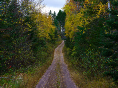
Timber Frear Loop, Superior National Forest, Minnesota
A dirt road winds through the Timber Frear Loop in Minnesota's Superior National Forest during autumn. The path is covered…
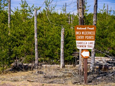
BWCA Wilderness Entry Sign at Isabella Lake
BWCA Wilderness entry points at Isabella Lake along Powwow Trail in the Boundary Waters Canoe Area Wilderness. A Forest Service…

Rocky Stretch of the Temperance River, Superior National Forest
The Temperance River runs roughly 22 miles from its origin near the Laurentian Divide to Lake Superior, dropping through a…
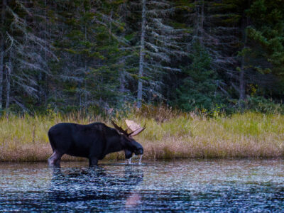
Moose Drinks Water in Superior National Forest, Minnesota
A bull moose stands in the shallow water of a lake in the Superior National Forest, Minnesota, drinking in October…
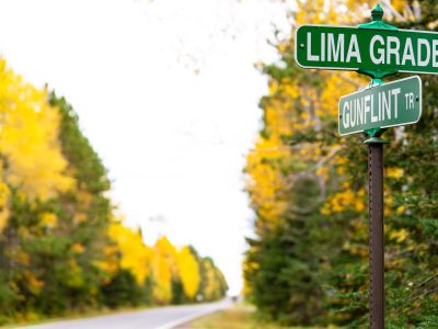
Lima Grade at Gunflint Trail, Grand Marais
Street signs at Lima Grade and Gunflint Trail in Grand Marais, Minnesota

Boundary Marker on Superior National Forest Land
A U.S. Forest Service property boundary sign marks the transition onto Superior National Forest land in northern Minnesota. Signs like…
Nearby Photos