Landscape

12 photos · 2015–2024

12 photographs tagged Landscape, 2015–2024.
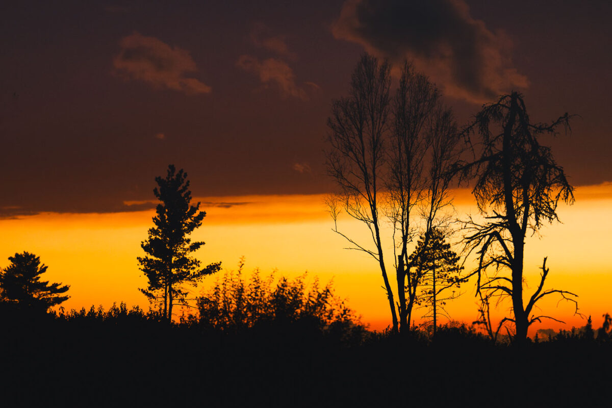
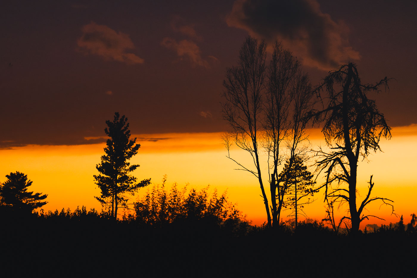
Sunset clouds in National Forest
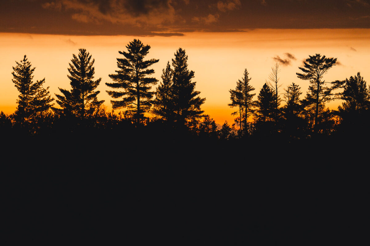
Sunset in the Superior National Forest in Northern Minnesota.

Sunset clouds in National Forest

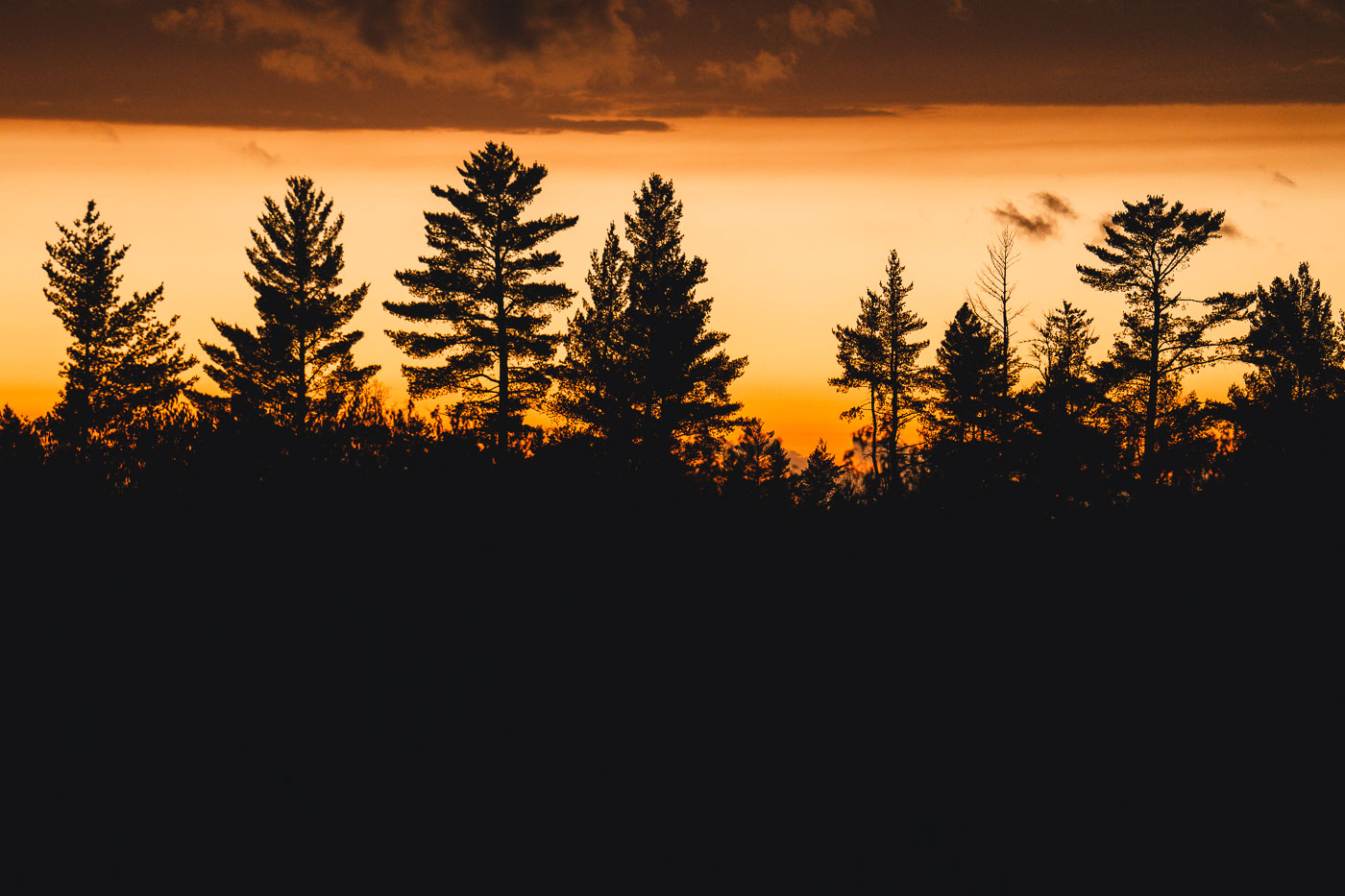
Autumn sunset trees in Minnesota
Sunset in the Superior National Forest in Northern Minnesota.

Autumn sunset trees in Minnesota

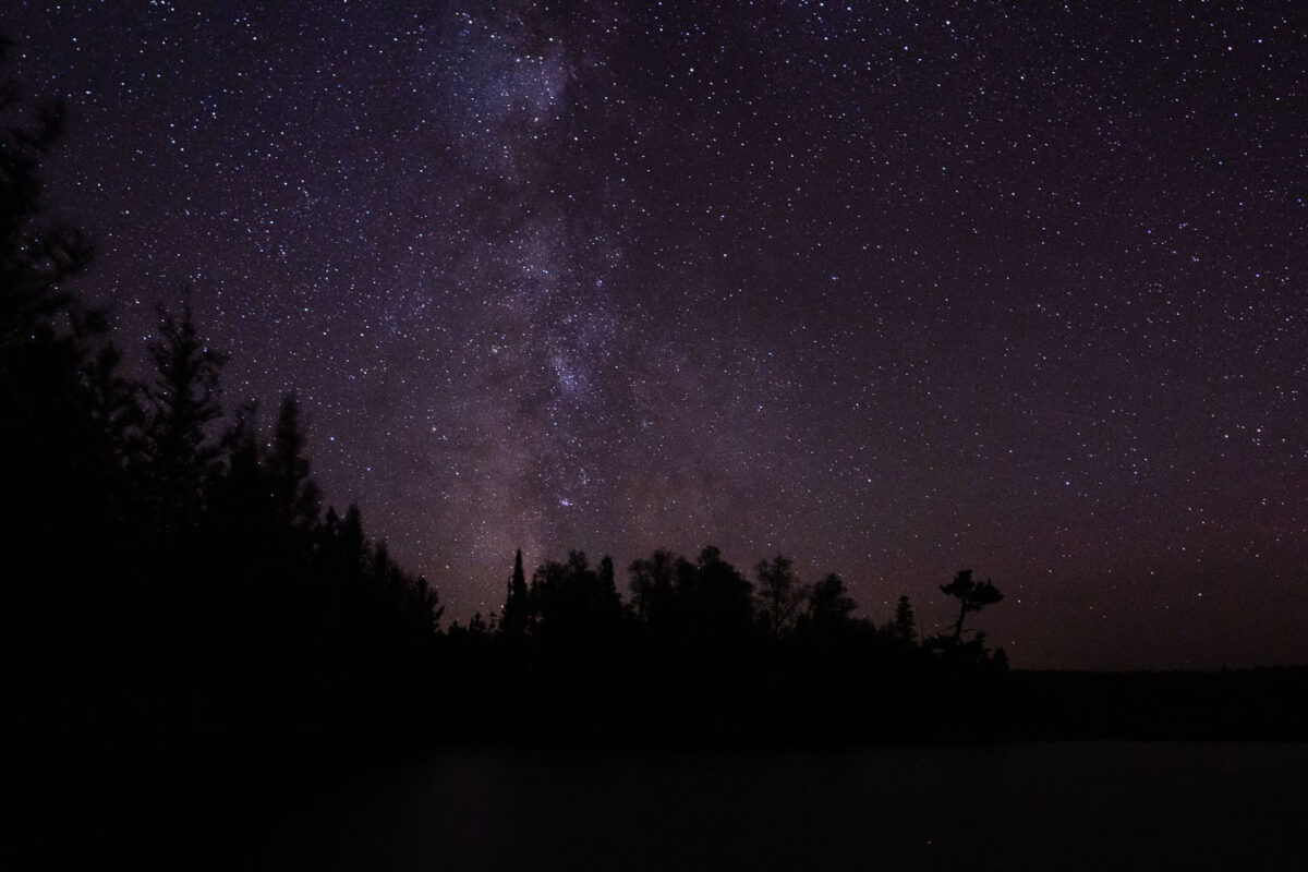
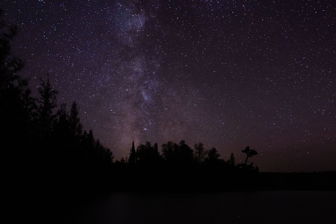
Milky Way galaxy above the treeline of Superior National Forest in Minnesota at night.
The Milky Way galaxy is visible above the treeline of the Superior National Forest in Minnesota, near the Boundary Waters Canoe Area Wilderness (BWCAW). Established in 1964, the BWCAW protects over a million acres of lakes and forests, preserving a pristine natural environment. This region's minimal light pollution makes it an ideal location for astronomical observation, offering unobstructed views of the cosmos. The vast wilderness of the Superior National Forest has been a protected area since 1909, safeguarding its natural character for future generations.

Milky Way Over Superior National Forest, Minnesota
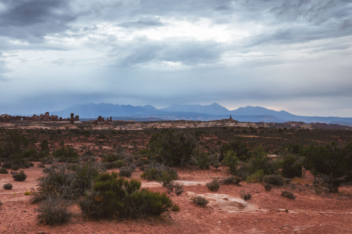
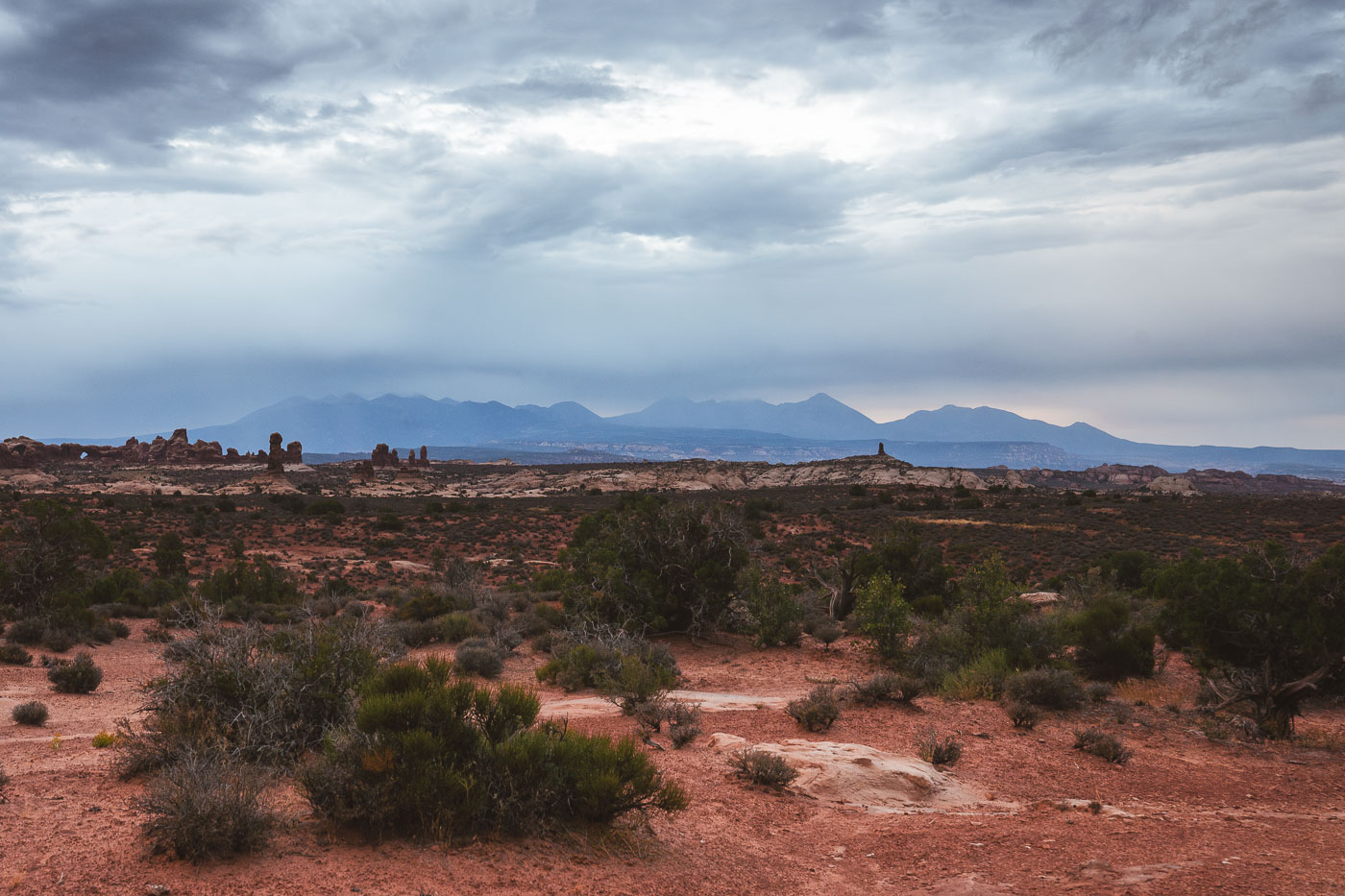
La Sal Mountains rise above red desert terrain at Arches National Park, Utah.
Arches National Park lies just north of Moab in eastern Utah, bordered by the Colorado River. The La Sal Mountains rise beyond the park's boundary to over 12,000 feet, ranking as Utah's second-highest range and formed roughly 25 to 28 million years ago by intrusions of molten rock that never reached the surface. The park protects more than 2,000 recorded natural stone arches across roughly 76,000 acres, a product of erosion working on an ancient underground salt bed that caused the overlying rock to buckle and fracture. Formations near the Garden of Eden and the Windows section owe their spires and hoodoos to Entrada sandstone, where softer layers wore away and left harder rock standing.

Storm Clouds Over the La Sal Mountains at Arches National Park
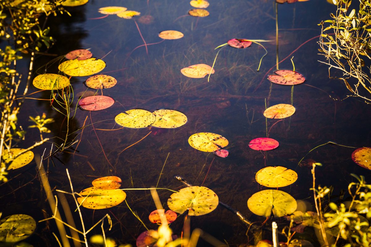
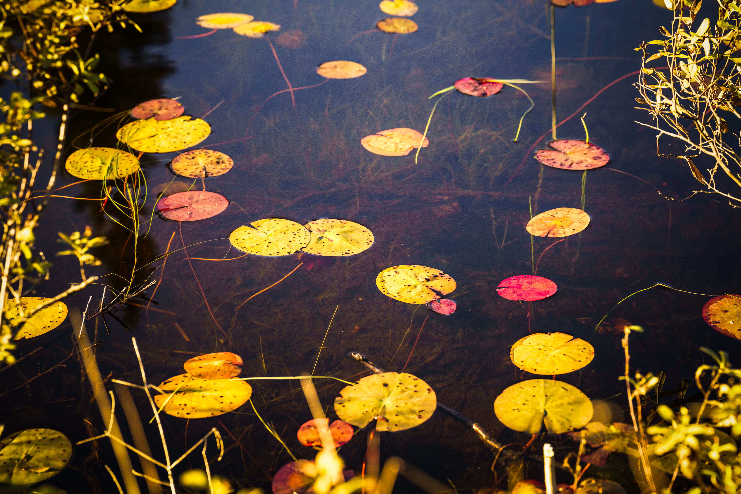
Autumn-colored water lily pads float on a still pond in Cook County, Minnesota.
Cook County sits at the northeastern tip of Minnesota along Lake Superior's North Shore, bordering Ontario and encompassing much of the Boundary Waters Canoe Area Wilderness. The county's terrain includes numerous bogs, beaver ponds, and small wetlands fed by the Sawtooth Mountains' runoff, where floating-leaved plants like water lilies and pond-lily species take hold in shallow, still water. By early October, water lily pads in the region typically turn shades of yellow, orange, and red as chlorophyll breaks down, a seasonal change tied to shortening daylight and dropping water temperatures. Much of the county's land is managed by the Superior National Forest, which oversees a large share of Minnesota's remaining undeveloped wetland habitat.

Water Lily Leaves in Autumn, Cook County, Minnesota
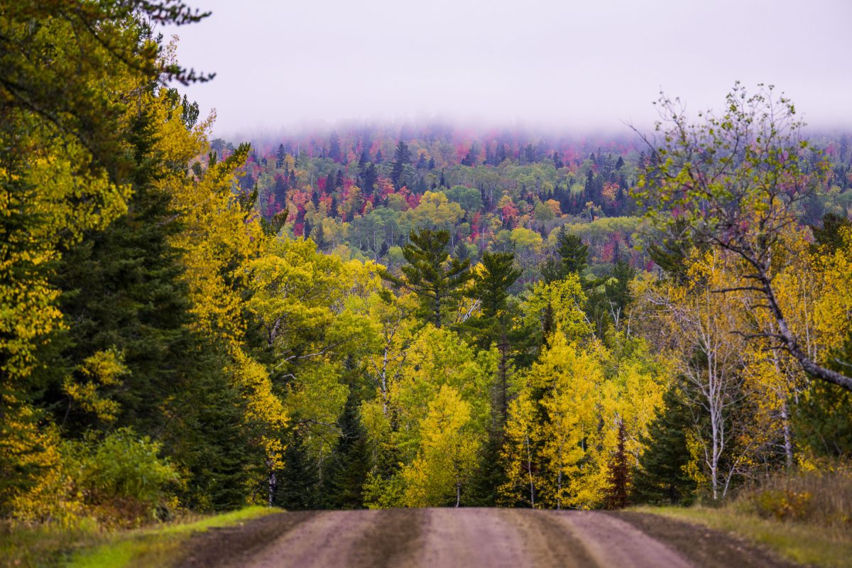
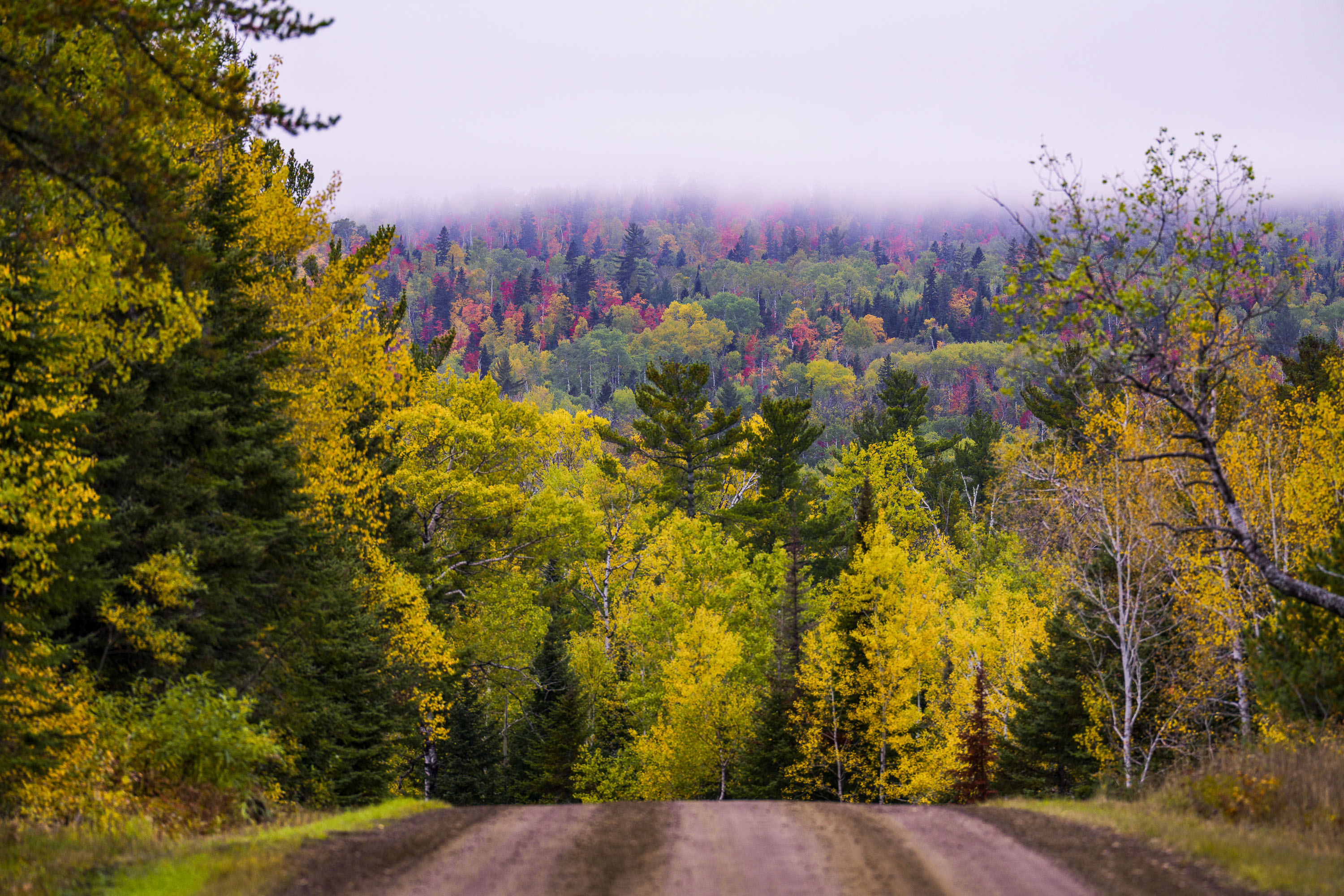
Dirt road through northern Minnesota forest displaying autumn foliage with yellow and red trees in distant fog.
The Arrowhead Trail is a roughly 20-mile gravel road, designated Cook County Road 16, running north from Hovland on Lake Superior's North Shore to the Ontario border at the Pigeon River. The route cuts through the Superior National Forest, passing stands of aspen, birch, and white and red pine mixed with maple that turn color each September and October. It's maintained as a low-traffic forest road rather than a state highway, popular with anglers heading to backcountry lakes and with fall-color drivers making the trip up from Highway 61.

Gravel Road Through Fall Foliage, Arrowhead Trail, Minnesota
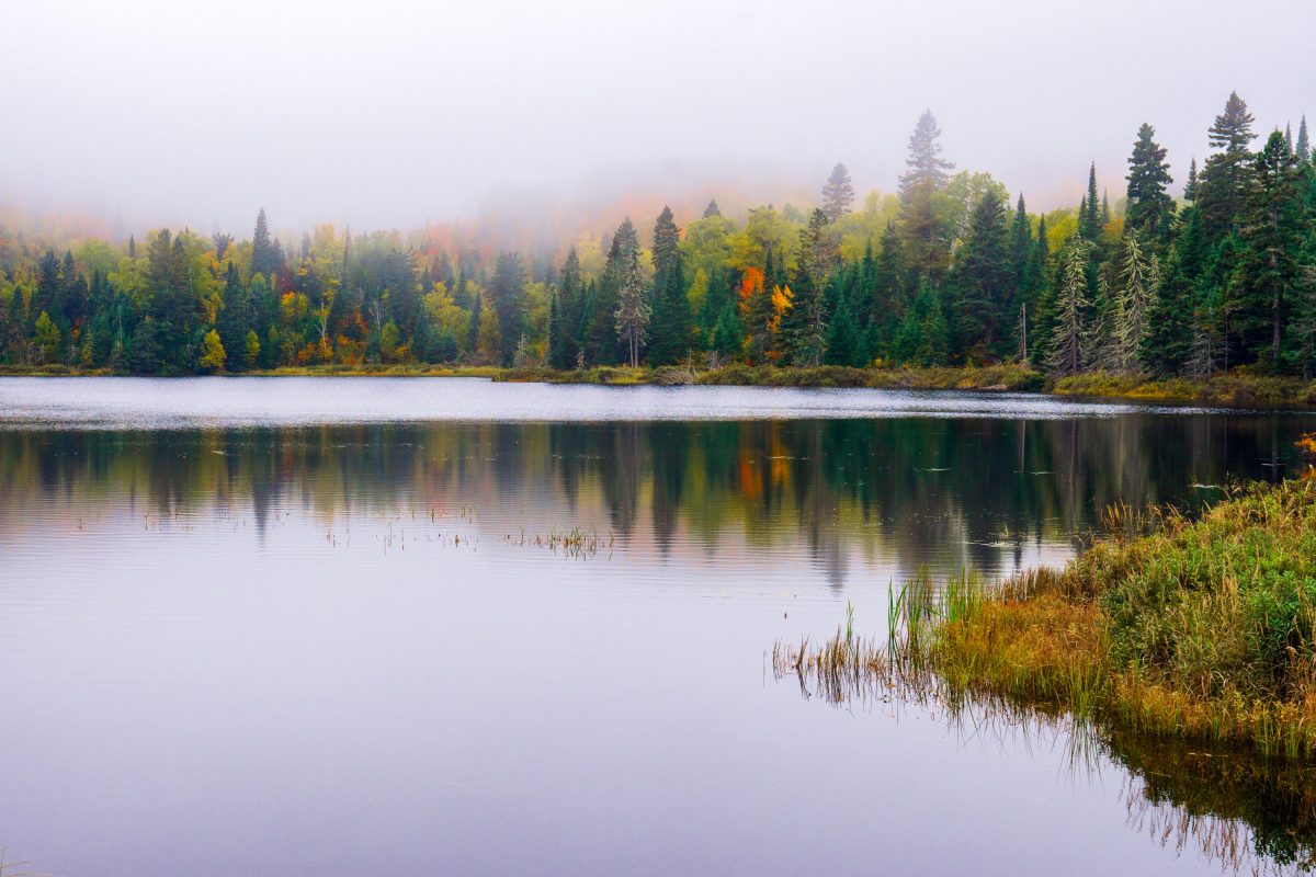
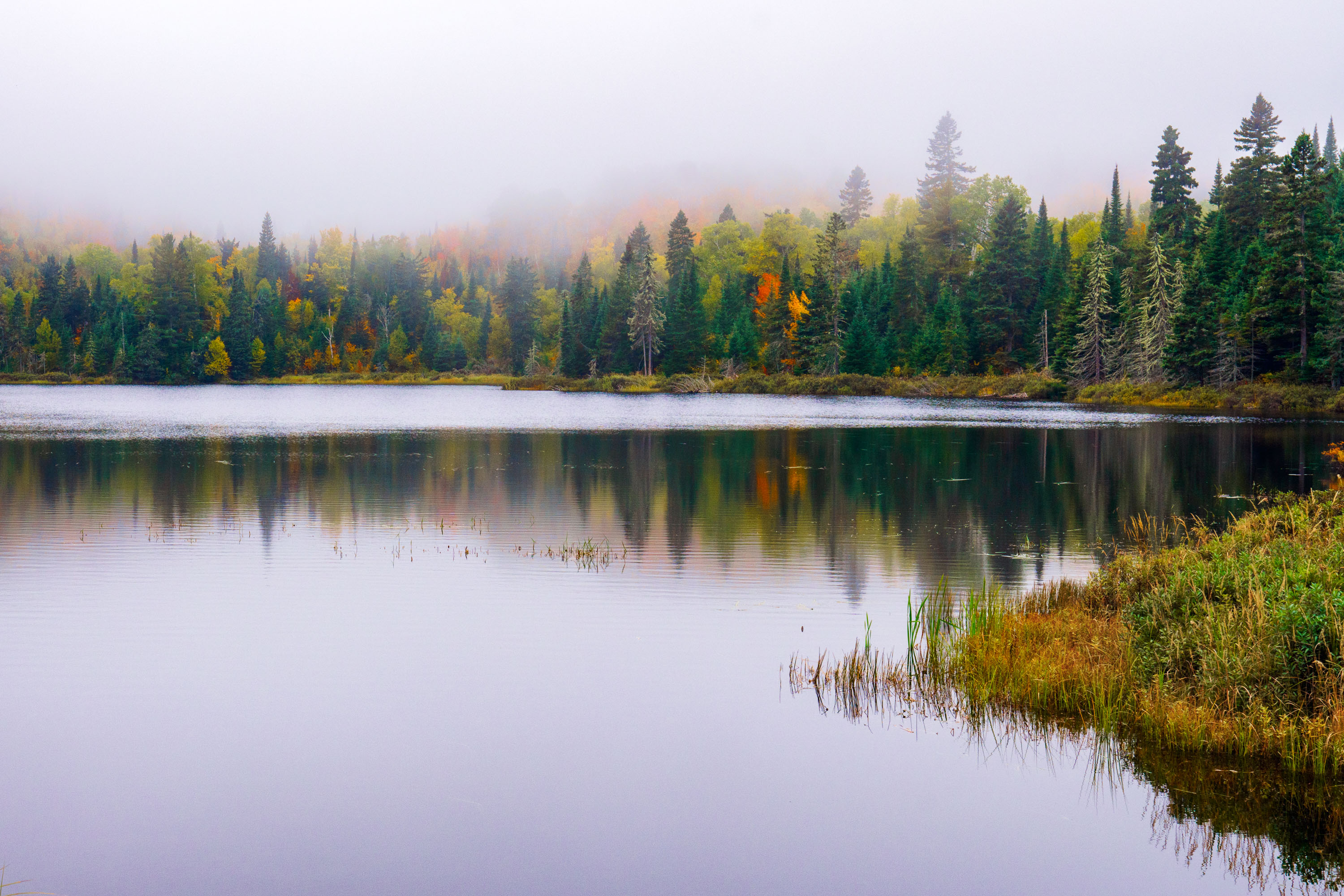
Fog over Loft Lake in Northern Minnesota
Foggy morning over Loft Lake as seen from Shoe Lake Road in Northern Minnesota.

Loft Lake from Shoe Lake Road in Minnesota
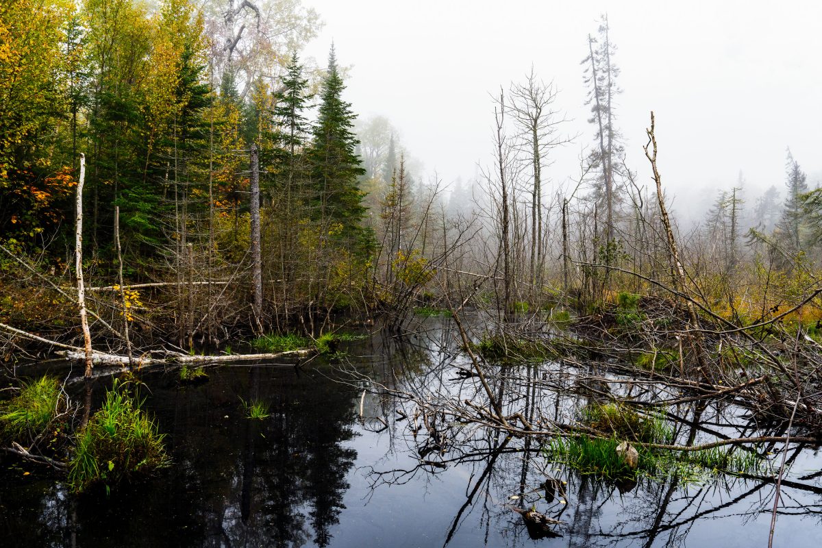
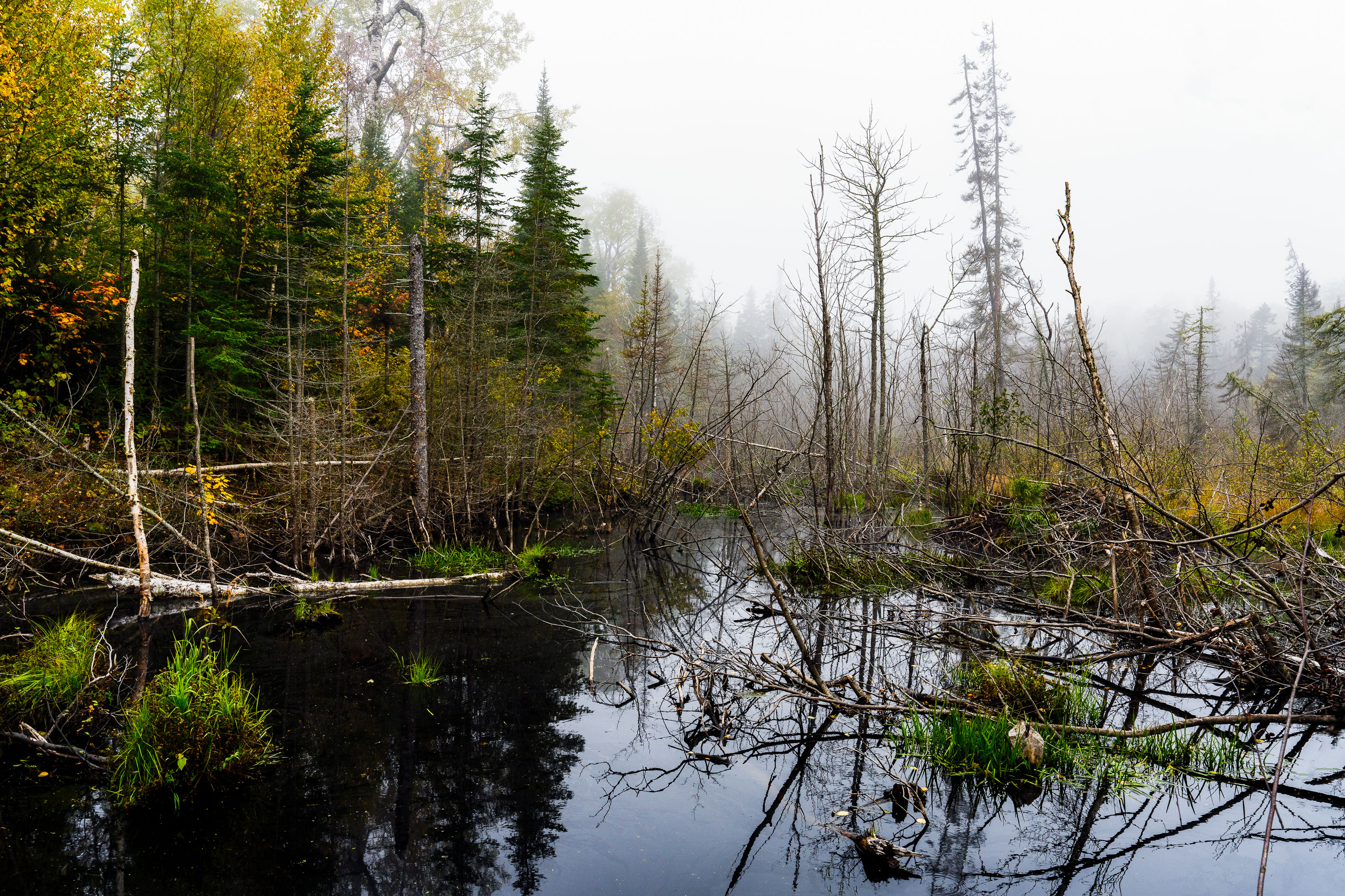
Flooded beaver wetland with standing dead trees near Shoe Lake Road in Superior National Forest, Minnesota.
Shoe Lake Road runs through the Superior National Forest in Cook County, Minnesota, near the edge of the Boundary Waters Canoe Area Wilderness. The surrounding forest is a mix of northern hardwoods and conifers, including birch, spruce, and balsam fir, typical of this part of the Superior National Forest. Beaver activity is common along the region's low-lying wetlands, where dammed water and downed trees create the shallow ponds and standing deadwood found throughout this stretch of forest. The area sits within the Laurentian Divide watershed, which separates drainage toward Lake Superior from waters flowing north toward Hudson Bay.

Beaver Pond Wetland Near Shoe Lake Road, Superior National Forest
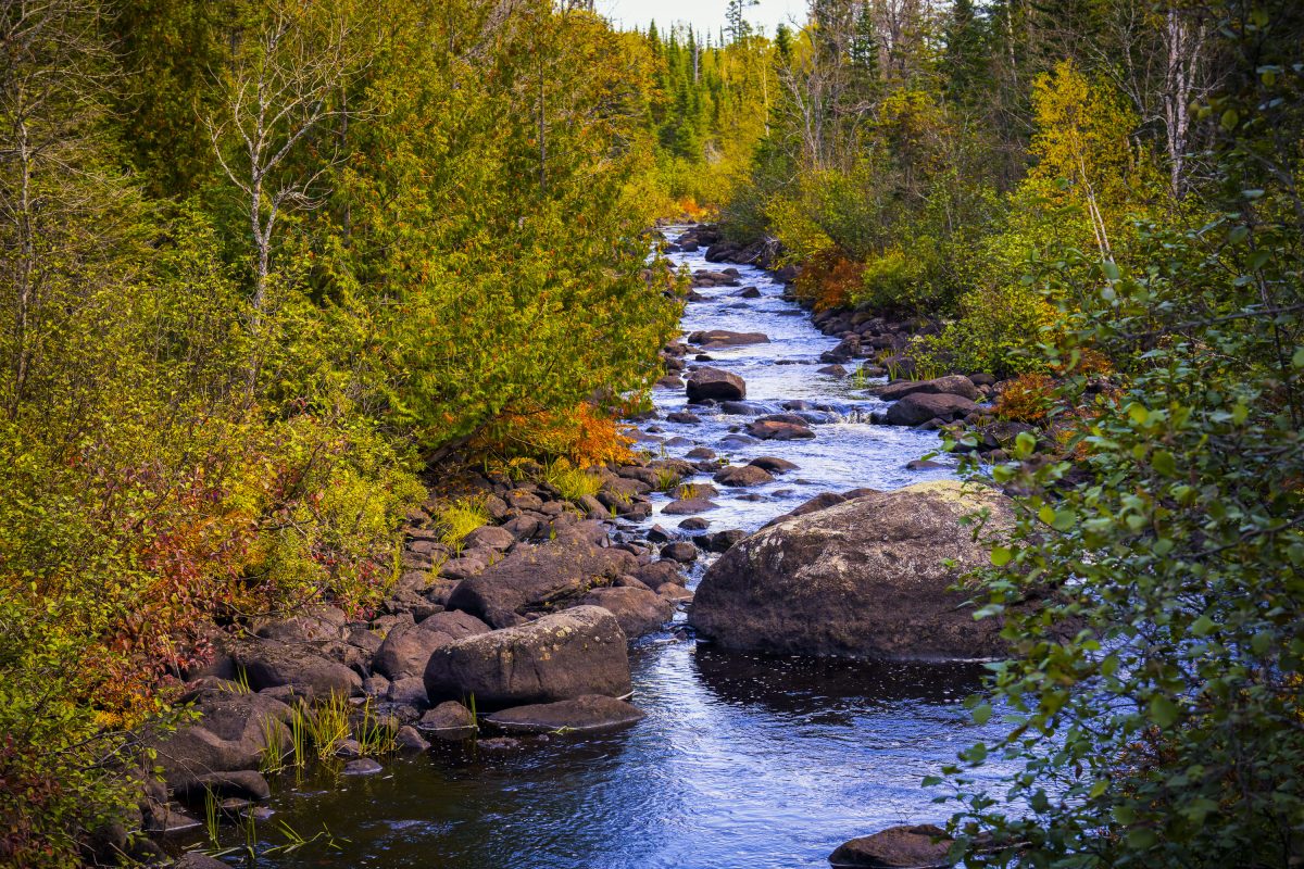
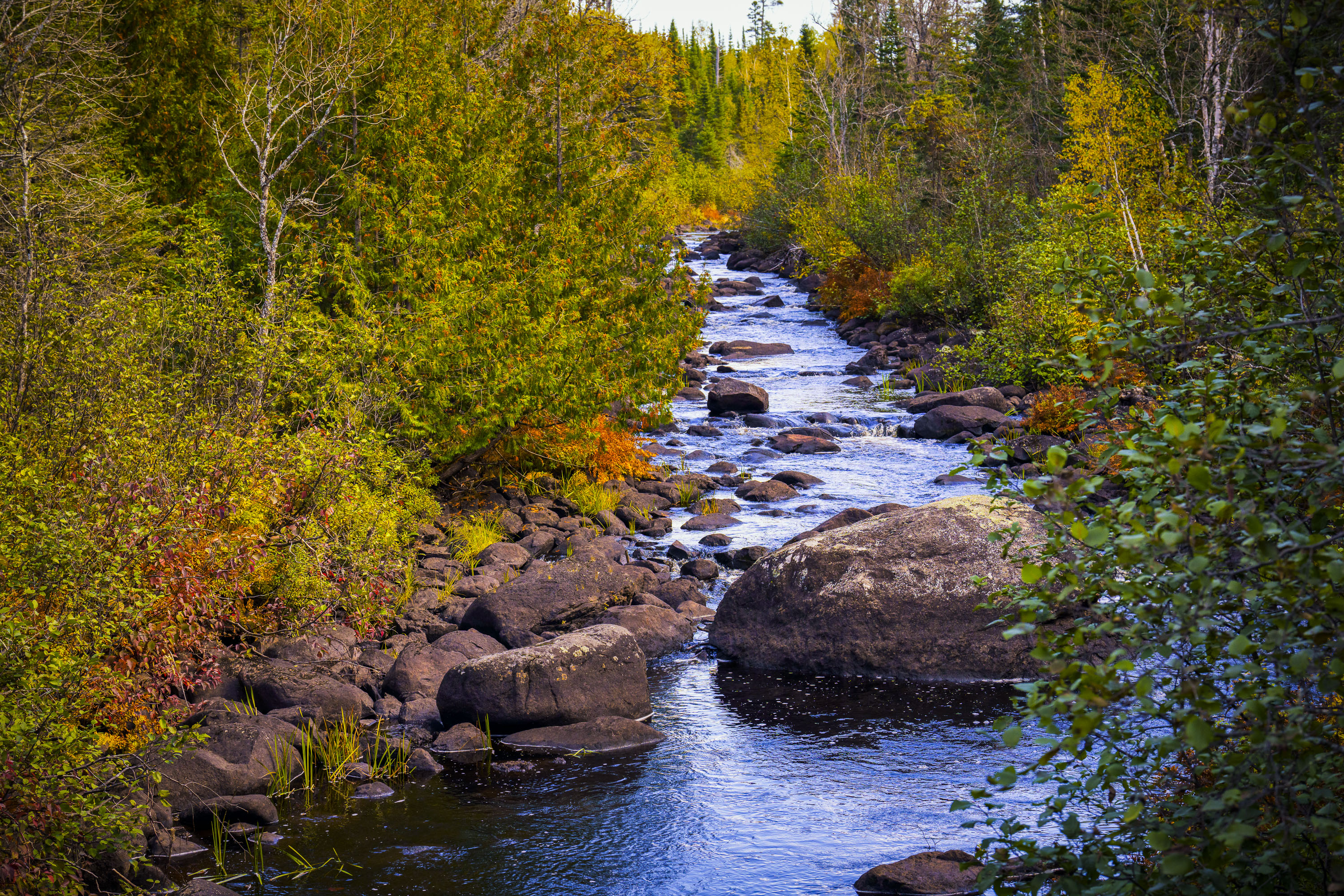
Temperance River flows through golden autumn foliage in Superior National Forest, Minnesota.
The Temperance River runs roughly 22 miles from its origin near the Laurentian Divide to Lake Superior, dropping through a series of potholes and gorges carved into volcanic rock along the way. It's one of the few rivers on Minnesota's North Shore with no sandbar at its mouth, which is how it got its name — early voyageurs who charted the region's rivers by their sandbars, or lack of a "bar," reportedly gave this one a teetotaling nickname. The river and its surrounding old-growth cedar and pine stands sit within the Superior National Forest, which spans nearly three million acres across northeastern Minnesota. Cook County's stretch of the river includes sections popular with anglers seeking steelhead and brook trout during their seasonal runs.

Rocky Stretch of the Temperance River, Superior National Forest
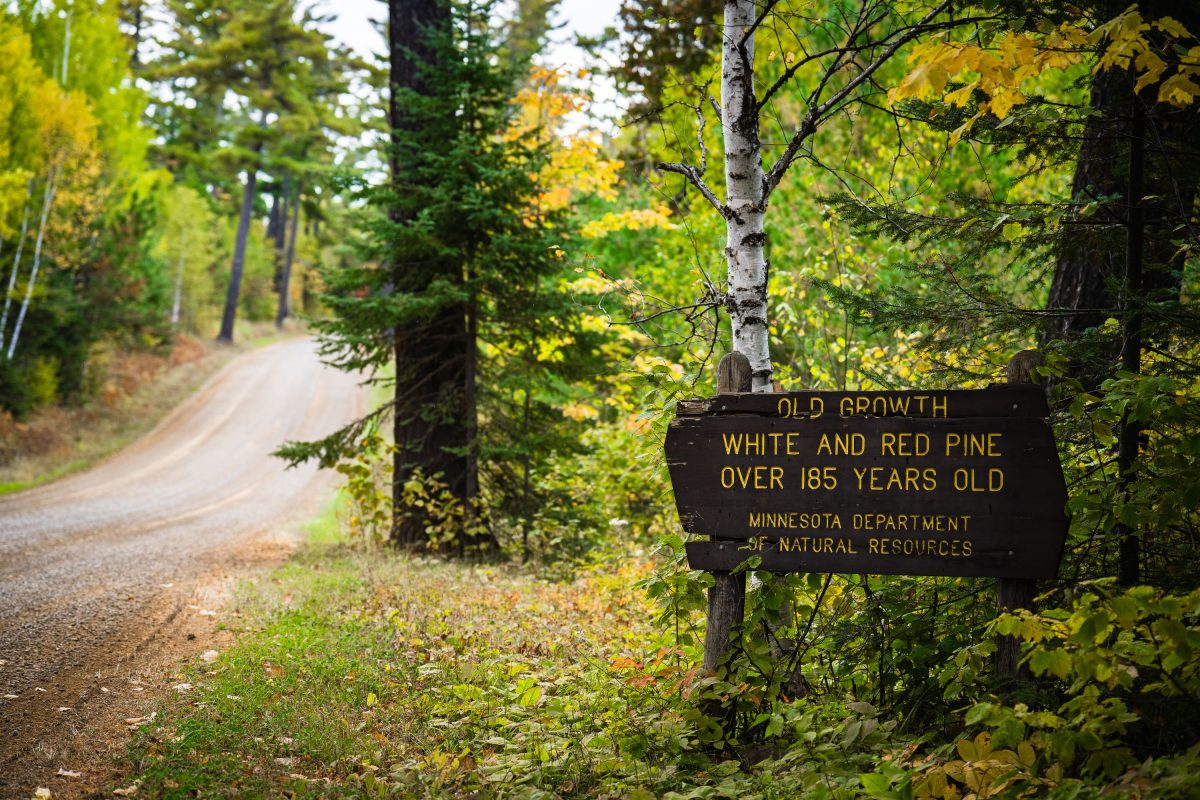
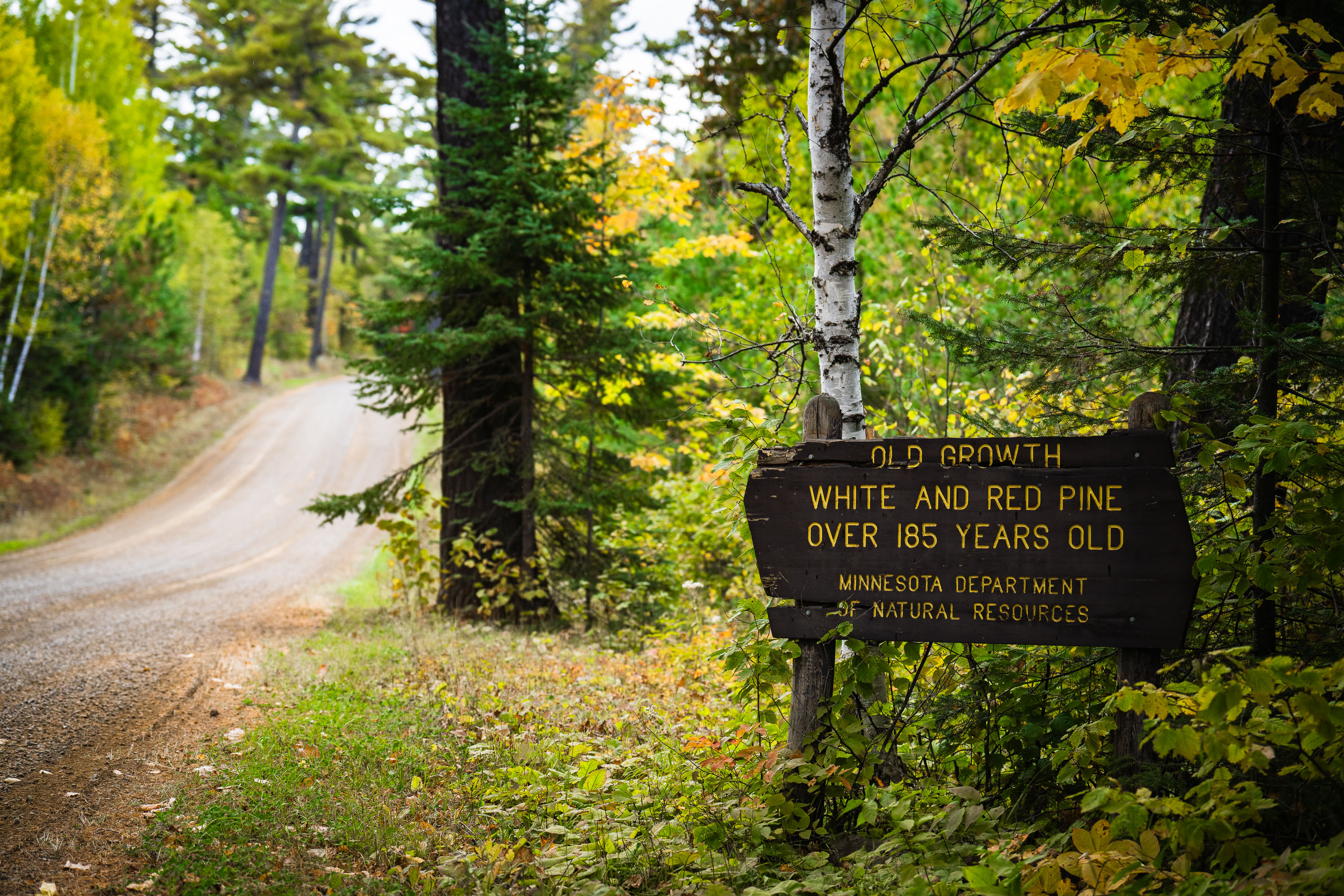
Old growth trees sign from the Minnesota Dept of Natural Resources
"Old growth white and red pine over 185 years old. Minnesota department of natural resources".

Old Growth Trees Sign in Minnesota
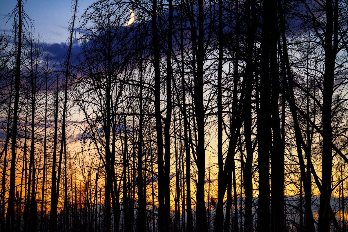
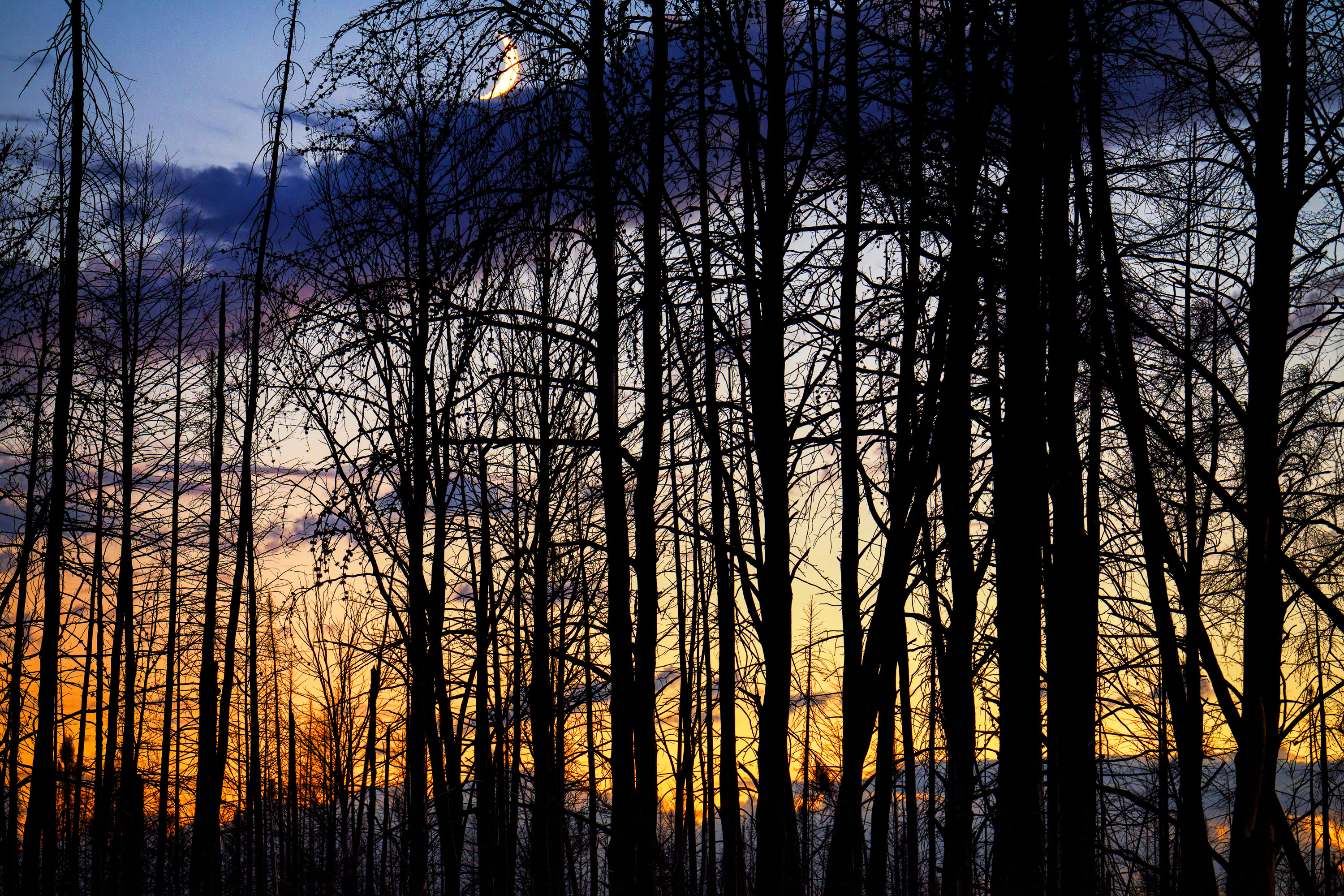
Moon rising over Superior National Forest
Burned trees inside the Greenwood fire zone a year after the wildfire.

Moon rising over Superior National Forest
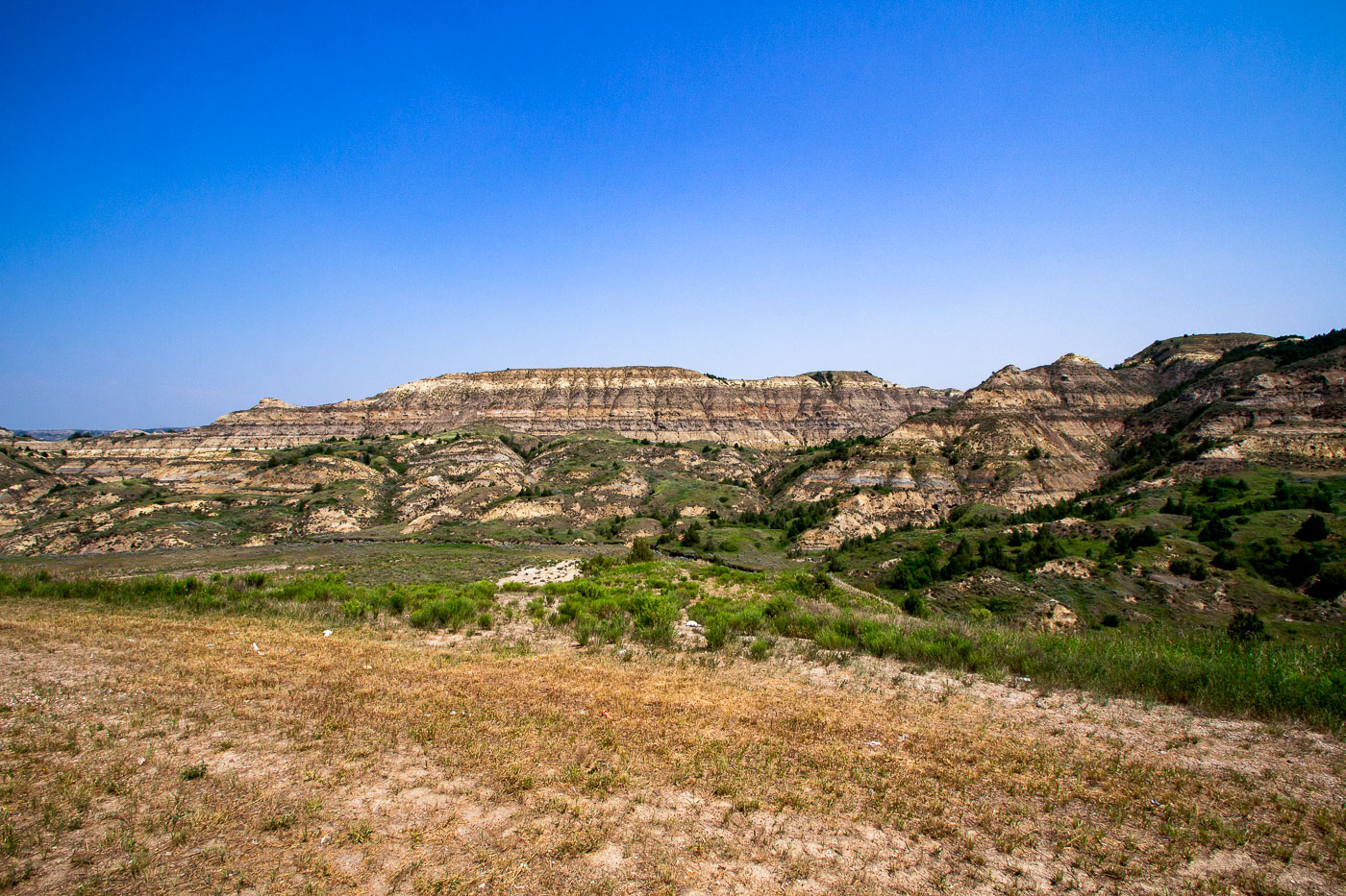
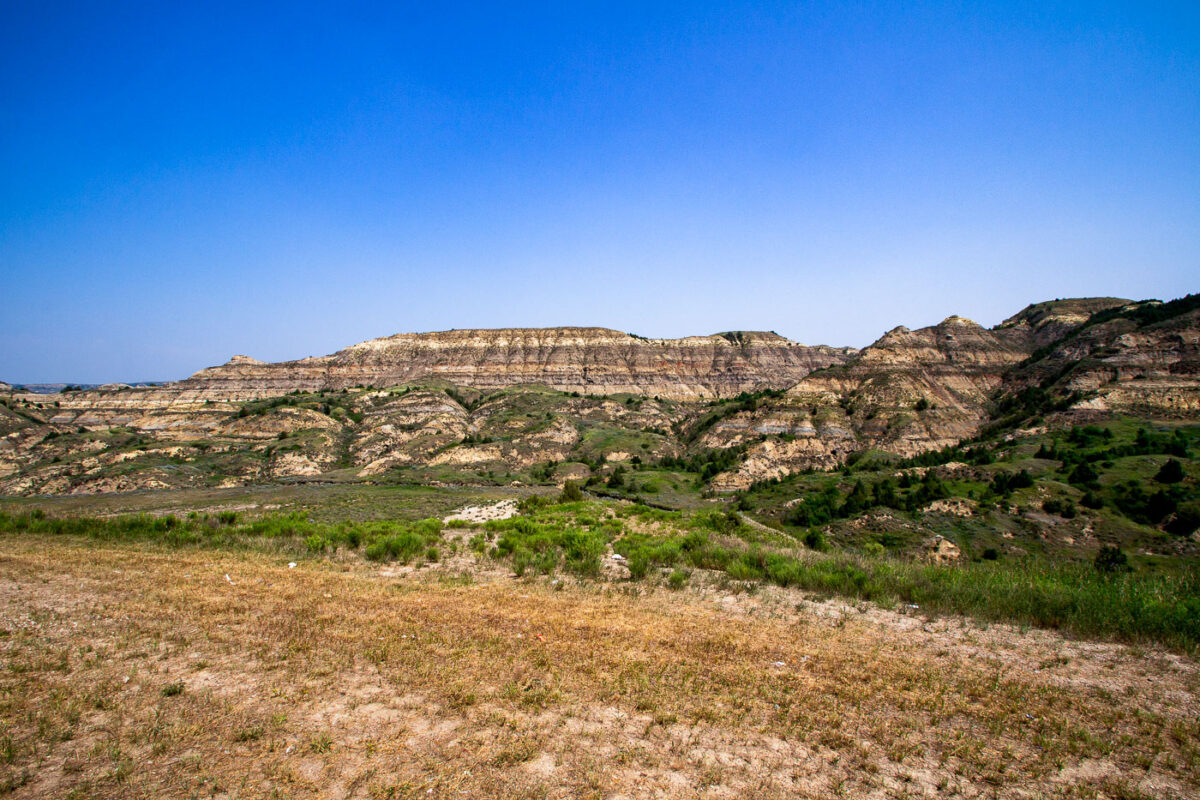
Stratified badlands formations rise above grassland along Theodore Roosevelt Expressway in North Dakota.
These layered buttes sit within the Little Missouri Badlands, part of the Little Missouri National Grassland in western North Dakota. The banded rock exposed here records roughly 60 million years of sediment deposited by ancient rivers and swamps during the Paleocene epoch, including beds of lignite coal, clay, and sandstone. Erosion from wind and the Little Missouri River has carved the soft rock into the buttes and ridges typical of this terrain. Theodore Roosevelt ranched in this region during the 1880s, an experience that later shaped his views on conservation, and much of the surrounding land is now preserved within Theodore Roosevelt National Park.

Eroded Buttes of the North Dakota Badlands Near Medora