Map
More from Superior National Forest
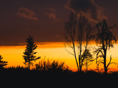
Sunset clouds in National Forest
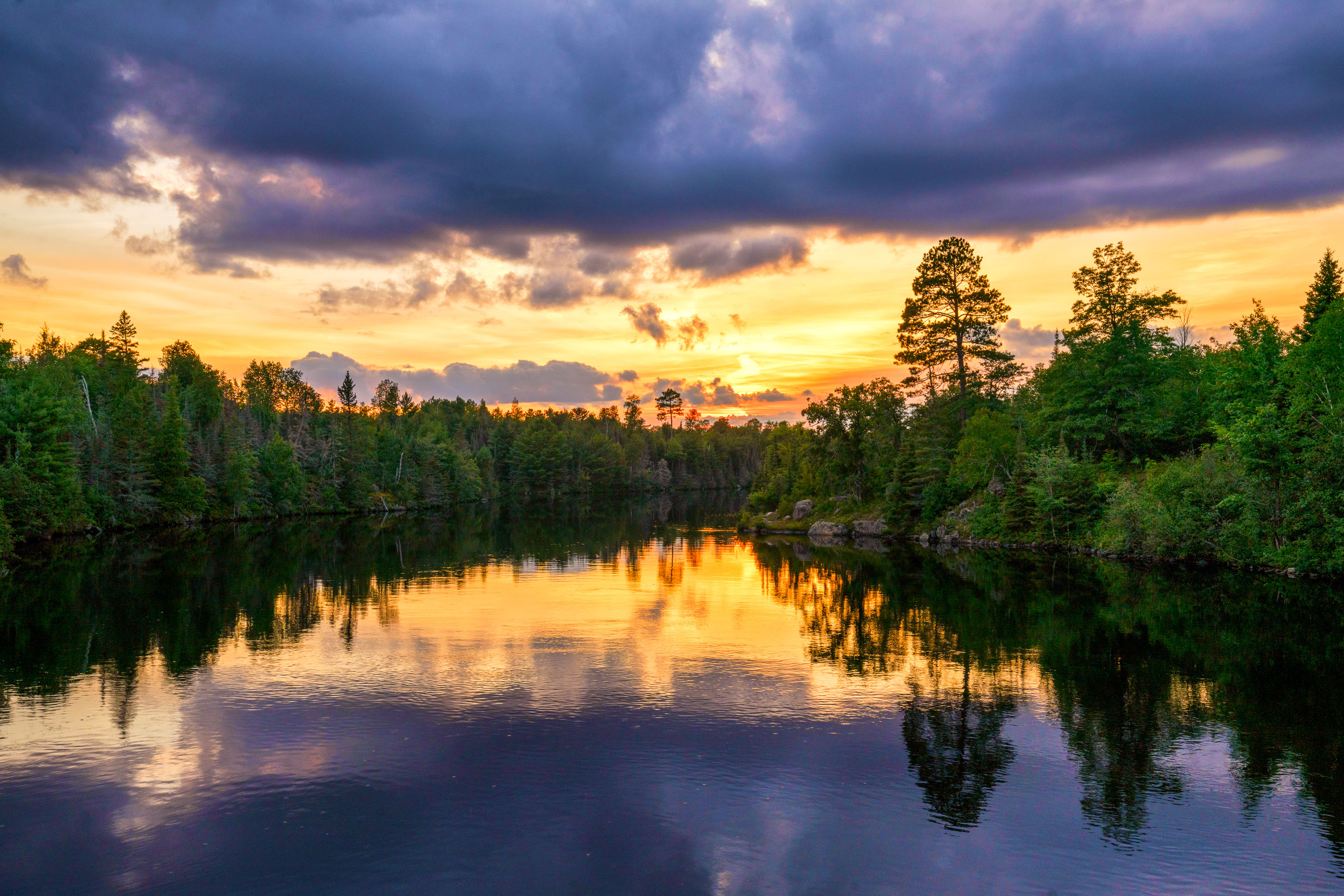
Sunset in the Superior National Forest in Northern Minnesota.
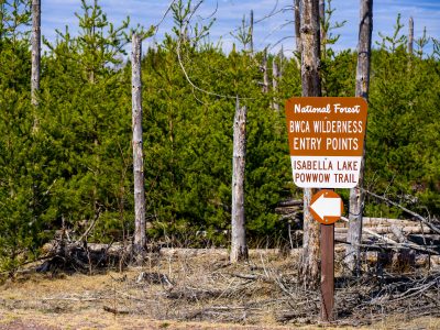
BWCA Wilderness Entry Sign at Isabella Lake
BWCA Wilderness entry points at Isabella Lake along Powwow Trail in the Boundary Waters Canoe Area Wilderness. A Forest Service…
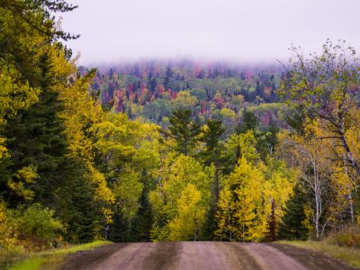
Gravel Road Through Fall Foliage, Arrowhead Trail, Minnesota
The Arrowhead Trail is a roughly 20-mile gravel road, designated Cook County Road 16, running north from Hovland on Lake…
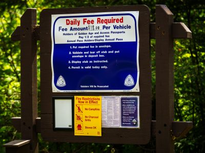
Fire restrictions signage in Finland State Forest, Minnesota
Fire restrictions now in effect signage in the Finland State Forest. Seen in July 2026 during drought conditions with multiple…

Forest Trail, Superior National Forest, Minnesota
Superior National Forest covers roughly 3.9 million acres in northeastern Minnesota, managed by the U.S. Forest Service. It contains more…

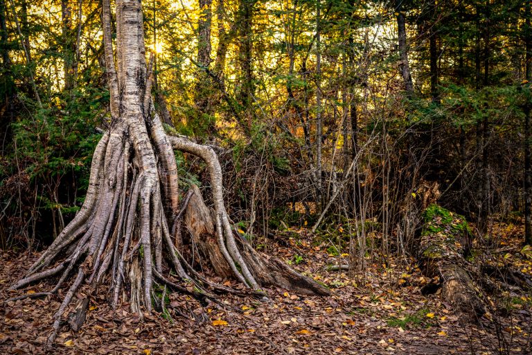
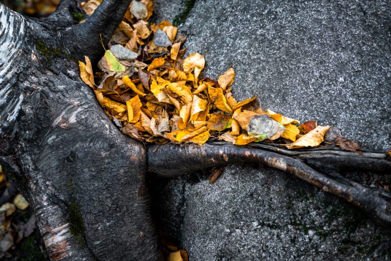
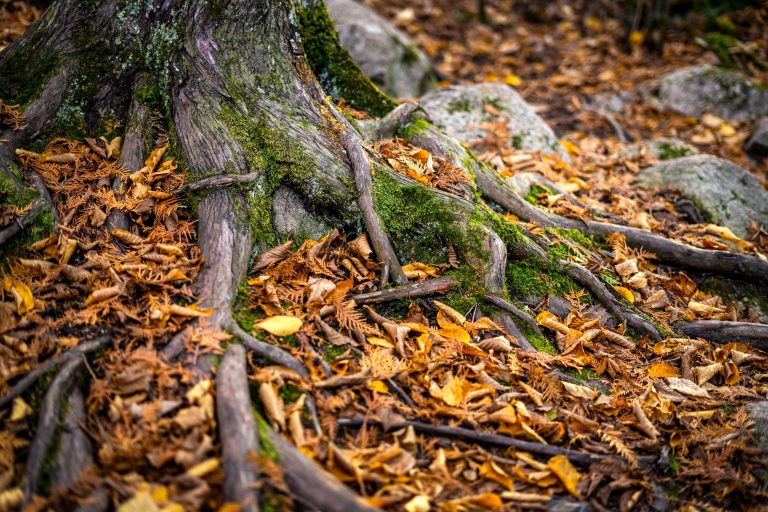
Exposed Birch Roots in the Superior National Forest, Ely, Minnesota
Ely sits at the edge of the Superior National Forest and serves as a gateway to the Boundary Waters Canoe…
Nearby Photos