Map
More from Superior National Forest
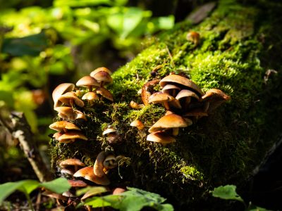
Wild Mushroom Cluster on Log, Superior National Forest
Superior National Forest covers more than three million acres across northeastern Minnesota, bordering Canada along the Boundary Waters Canoe Area…
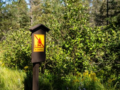
Fire Ban Signage, Superior National Forest, Minnesota
This posted notice bans open campfires within the Superior National Forest, a 3-million-acre expanse managed by the U.S. Forest Service…

BWCA Wilderness Entry Points Sign, Superior National Forest
A sign for the Boundary Waters Canoe Area Wilderness entry points for Snake River and Little Isabella River stands along…

Snowmobile Trail Sign in Stony River Township
An aging “Snowmobile Trail” sign stands along a forested route in Stony River Township in northern Minnesota, an area threaded…
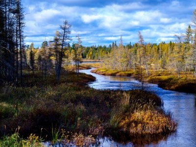
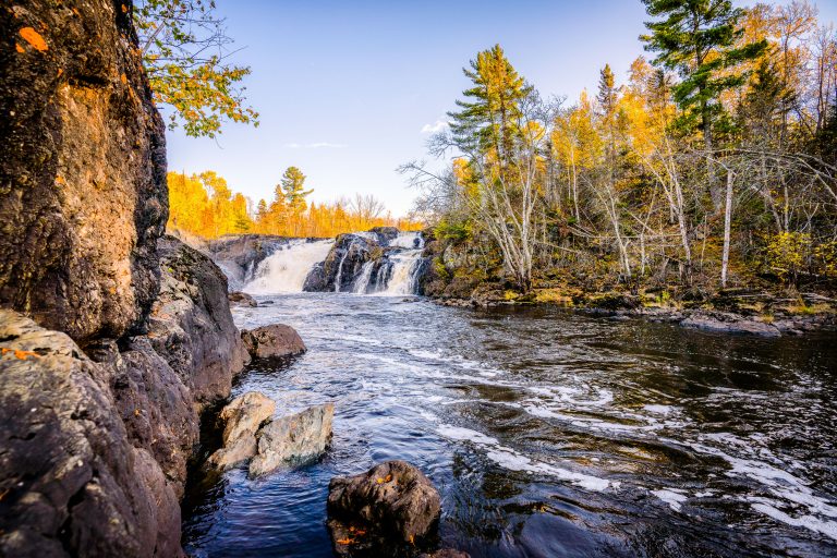
West Baptism River, Superior National Forest, Minnesota
The West Baptism River flows through the Superior National Forest near Isabella, Minnesota. This waterway is part of the Boundary…
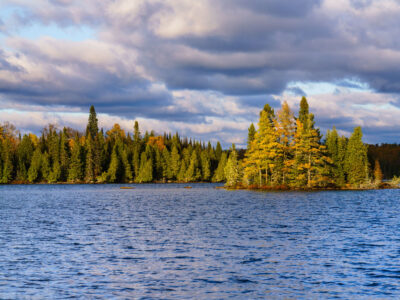
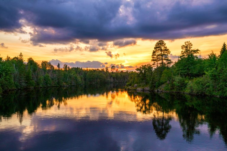
Richey Lake, Superior National Forest, Minnesota
Richey Lake is visible in the Superior National Forest, Northern Minnesota, under a dramatic, cloud-filled sky in October 2023. The…
Nearby Photos