Sunset

100 photos · 2008–2026

100 photographs tagged Sunset, 2008–2026.
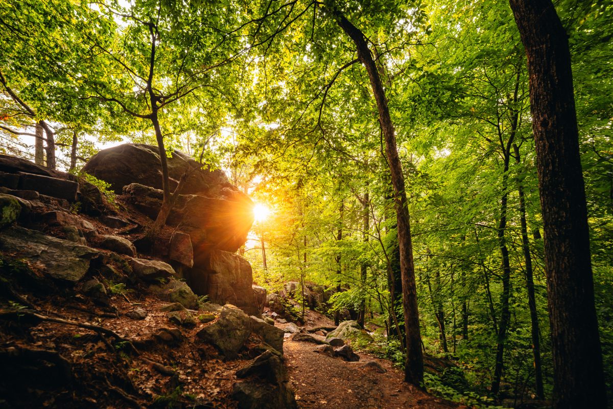
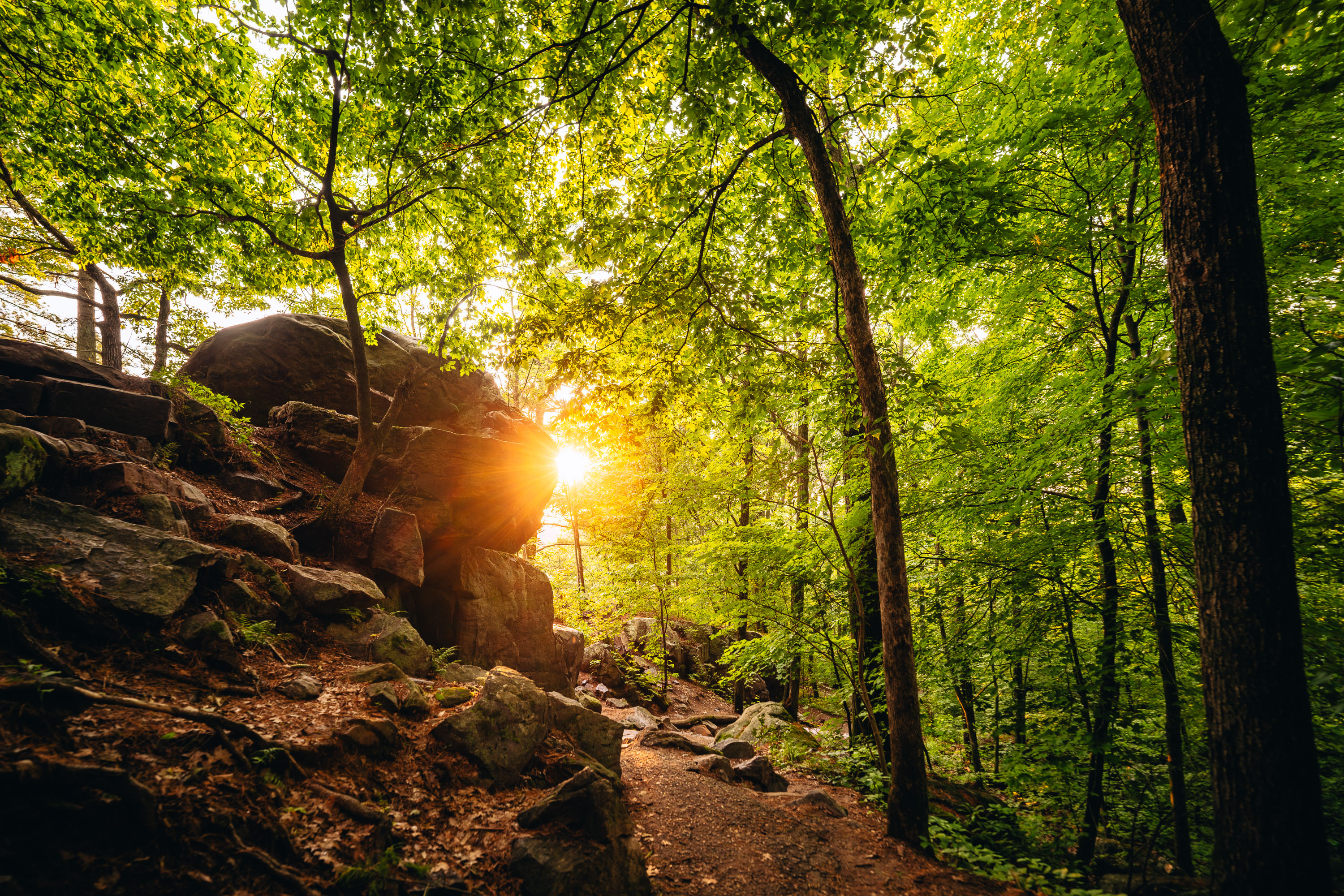
Sunlight filters through dense forest canopy above a rocky hiking trail at Devil's Lake State Park in Wisconsin.
Devil's Lake State Park sits within Wisconsin's Baraboo Range, among the oldest exposed rock formations in North America, with quartzite dating back some 1.6 billion years. The East Bluff Trail climbs along a talus slope of massive quartzite boulders left behind as ancient cliff faces broke apart over time. At more than 9,000 acres, Devil's Lake is the largest property in the Wisconsin State Park System and consistently draws more visitors than any other park in the state. The lake itself formed when glacial debris dammed an ancient river channel, sealing off the valley at both ends and creating the basin seen today.

Sunset Through the Trees on the East Bluff Trail at Devil’s Lake

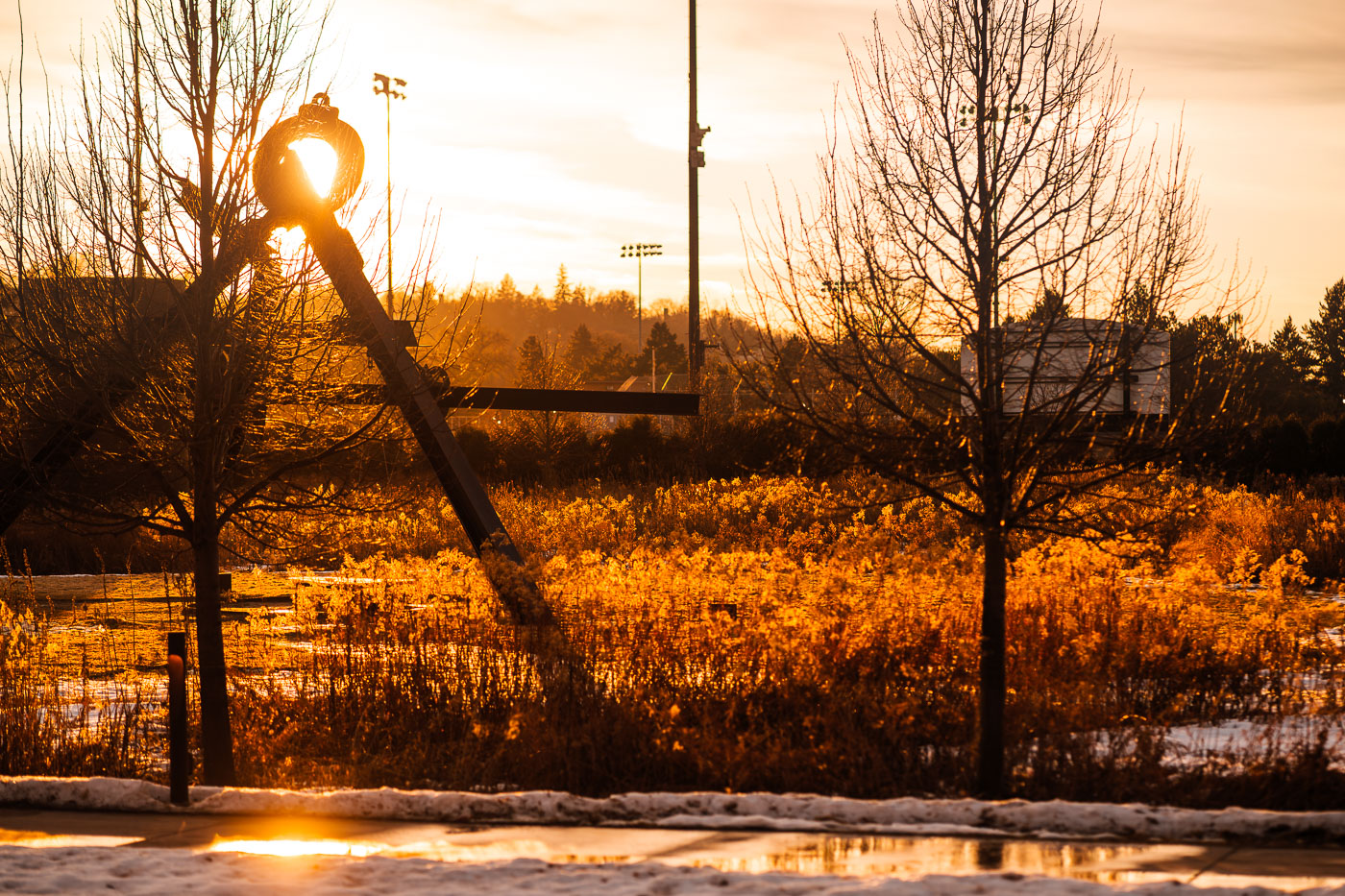
Spoonbridge and Cherry at Walker Sculpture Garden in Minneapolis at sunset
Spoonbridge and Cherry stands at the Walker Sculpture Garden in Minneapolis, Minnesota, lit by low evening sun. The Claes Oldenburg and Coosje van Bruggen sculpture is one of the park’s best-known works, set among winter trees and landscaped grounds near the Walker Art Center.

Spoonbridge and Cherry at Sunset, Walker Sculpture Garden

A jogger runs along Bde Maka Ska in Minneapolis at sunset, with stacked rowing shells in the foreground.
A jogger runs along the shore of Bde Maka Ska in Minneapolis as the sun sets, casting a warm glow over the stacked rowing shells. Bde Maka Ska, one of Minneapolis's Chain of Lakes, is a popular destination for recreation and is home to several rowing clubs. The boats are stored on racks during the winter months, awaiting the warmer weather when the lake is free of ice. The presence of the boats signifies the cyclical nature of the seasons and the enduring appeal of the lake for athletic pursuits.

Winter Sunset Jog Past Stacked Canoes at Bde Maka Ska

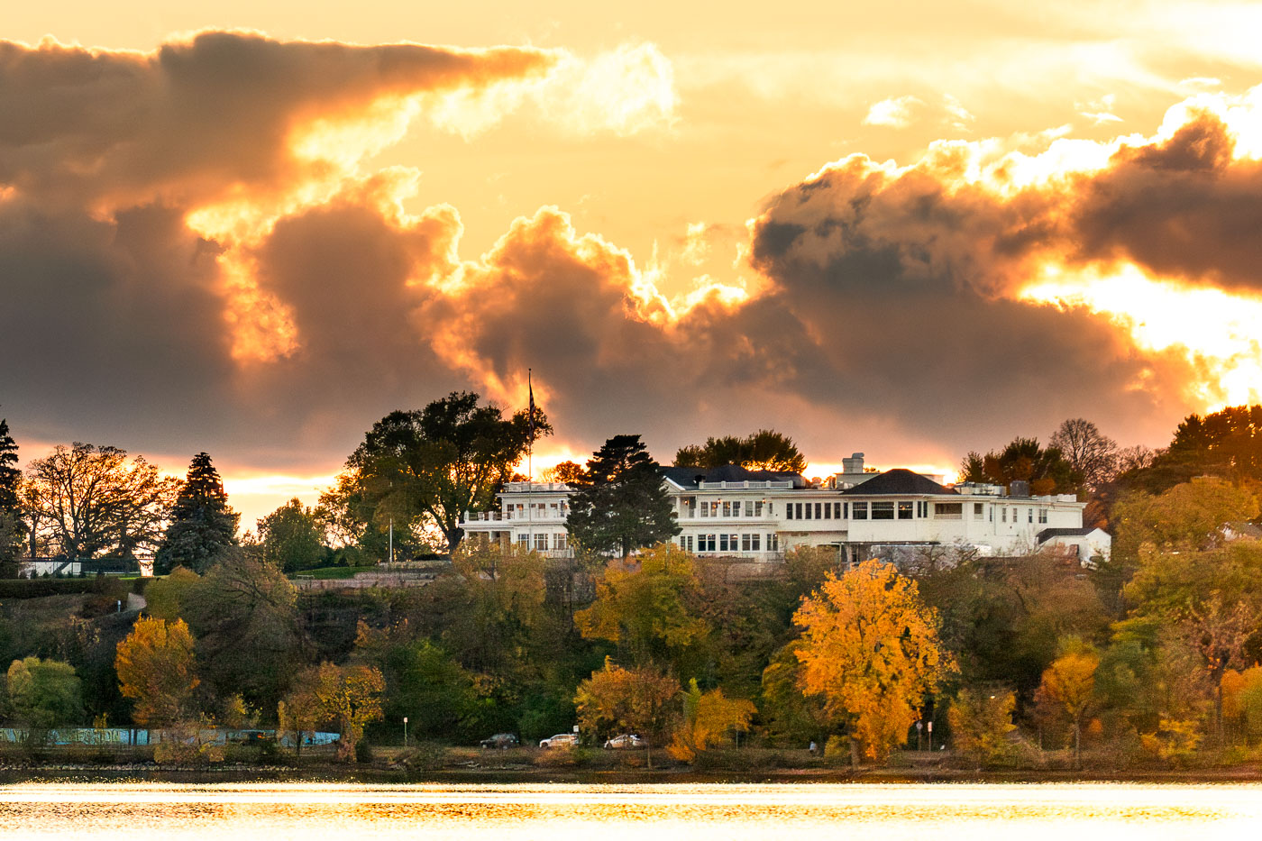
White clubhouse of Minikahda Club overlooks Bde Maka Ska lake at sunset in Minneapolis.
The Minikahda Club in Minneapolis stands above Bde Maka Ska in the Chain of Lakes area. Founded in 1898, the private club includes a golf course and clubhouse overlooking the lake. An early November sunset falls behind the club grounds.

Storm Clouds Glow Over the Minikahda Club at Sunset

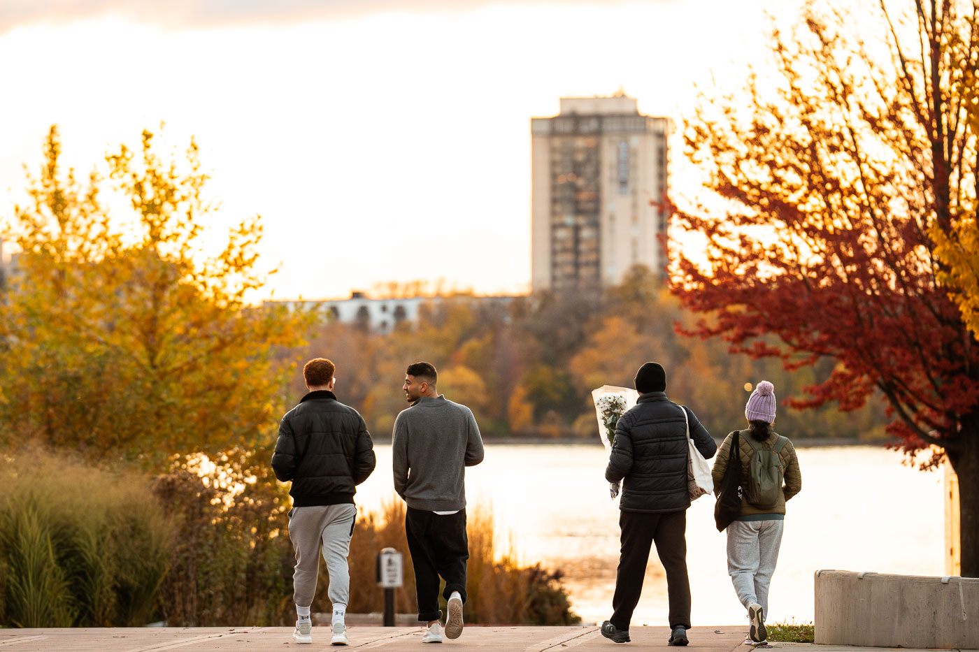
Four runners jog on a lakeside path at Bde Maka Ska in Minneapolis during autumn.
Sunset at Bde Maka Ska in South Minneapolis in November 2025.

Autumn Evening Walk Along Bde Maka Ska

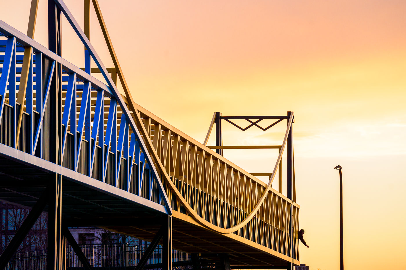
Martin Olav Sabo Bridge in Minneapolis silhouetted against a pink and purple sunset sky.
The Martin Olav Sabo Bridge in South Minneapolis spans Hiawatha Avenue beneath a pink and purple sunset sky. The cable-stayed pedestrian and bicycle bridge carries trail traffic over the highway and light-rail corridor on the city’s east side. In this view, the bridge’s curved deck and protective fencing are silhouetted against the evening clouds, with a person visible on the span.

Pink Sunset Over the Martin Olav Sabo Bridge
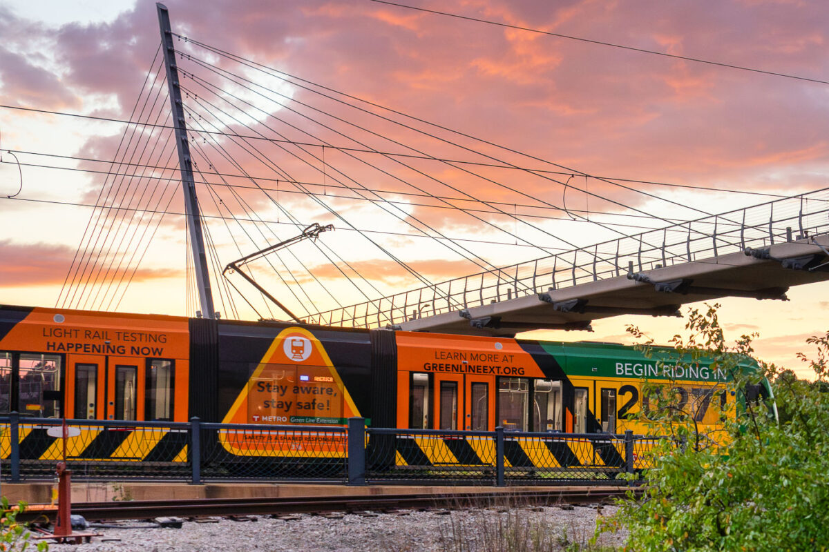
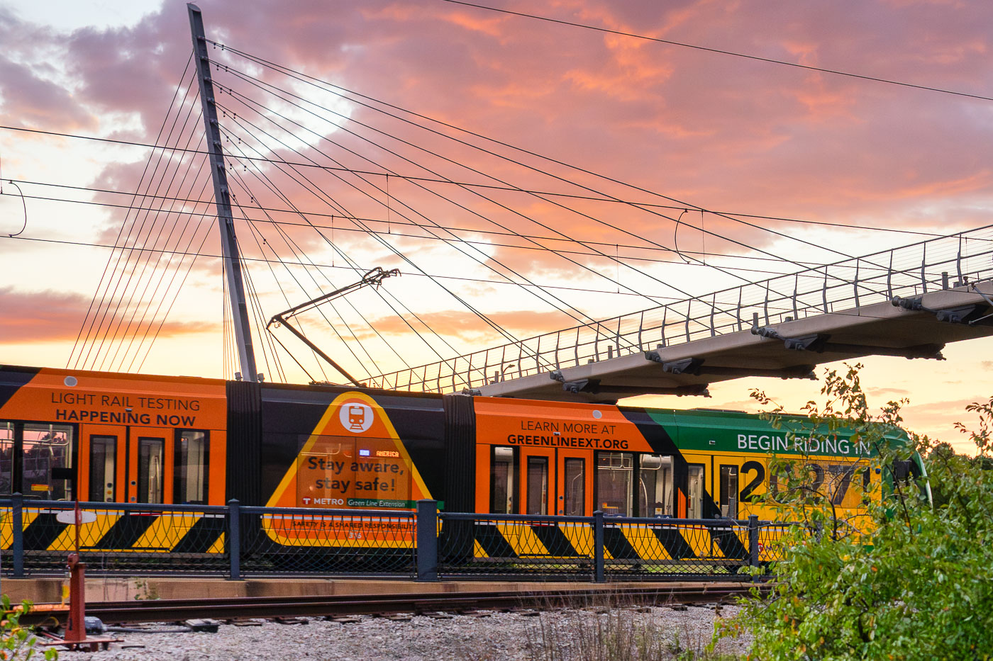
Metro Transit Siemens S700 light rail vehicle 316A passes beneath cable-stayed station canopy during Green Line Extension testing
A Siemens S700 light rail vehicle for Metro Transit’s Green Line Extension passes beneath a cable-stayed station canopy in Minneapolis. The car is wrapped with “Light Rail Testing Happening Now” and GreenLineExt.org graphics promoting public awareness during testing for the Southwest LRT project. The train is identified as car 316A, part of the new fleet ordered for the extension of the Green Line.

Light Rail Testing at Sunset on the Green Line Extension

Uptown Apartments in Uptown Minneapolis
Cars moving down Lake Street during a late September sunset in Uptown Minneapolis.

Evening Traffic on Lake Street in Uptown Minneapolis

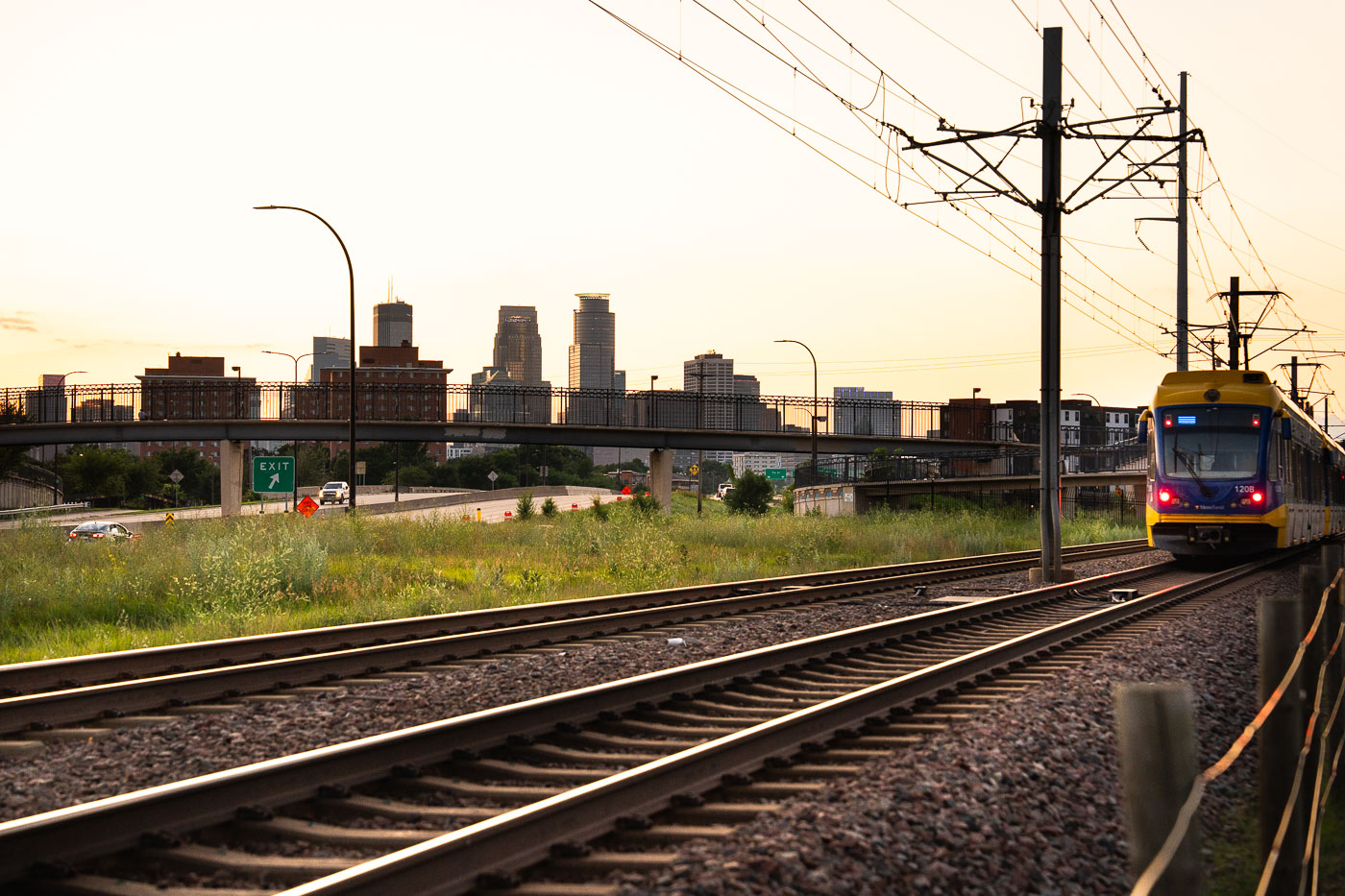
Light rail tracks in Minneapolis during sunset
Downtown Minneapolis during sunset from the Haiwatha LRT trail in July 2025.

Downtown Minneapolis Skyline at Sunset Along the Hiawatha LRT Tracks
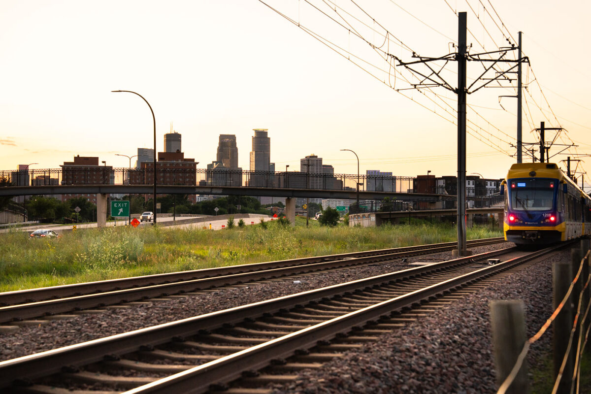
Metro Transit light rail train departing Downtown Minneapolis at sunset with skyline in background.
A Metro Transit light rail train departs Downtown Minneapolis at sunset. The Blue Line, the first segment, commenced operations in 2004, followed by the Green Line in 2014.

Light Rail Train Leaving the Minneapolis Skyline at Dusk
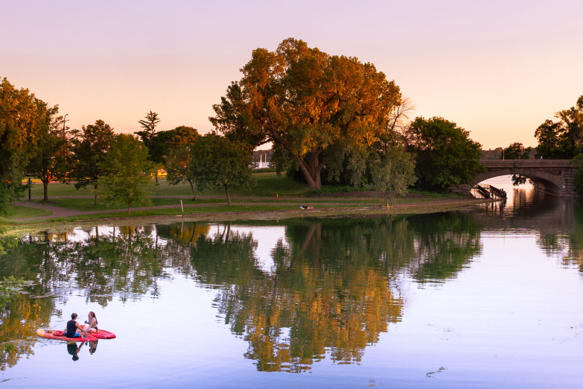
Two paddleboarders on Lake of the Isles in Minneapolis at sunset with park trees and stone bridge.
Two individuals paddleboard on Lake of the Isles in Minneapolis during sunset. Lake of the Isles is one of five lakes in the Chain of Lakes Regional Park, a significant part of Minneapolis's Grand Rounds National Scenic Byway.

Paddleboarders Near the Stone Bridge on Lake of the Isles
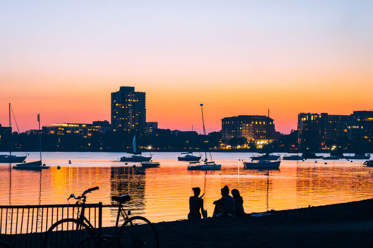
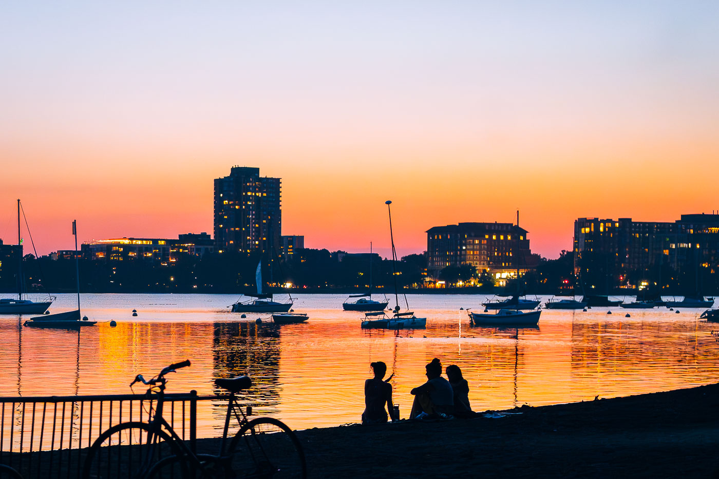
People and bicycles on shore at Bde Maka Ska Lake during sunset with moored sailboats and Minneapolis skyline.
Bde Maka Ska Lake, located in South Minneapolis, is a prominent natural lake within the city's Chain of Lakes Regional Park system. Originally known by its Dakota name, meaning "White Earth Lake," it was officially restored in 2017 after decades as Lake Calhoun.

Sailboats and Skyline at Dusk on Bde Maka Ska
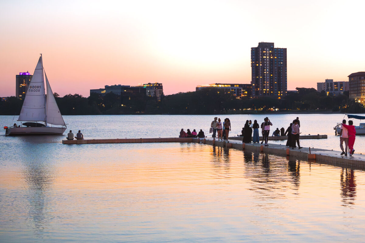
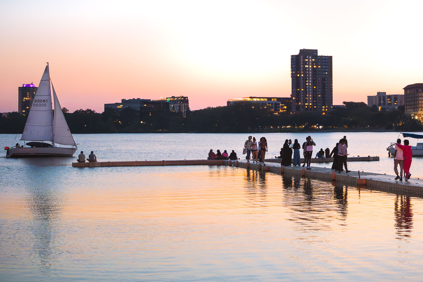
Sailboat and people on dock at Bde Maka Ska during sunset in Minneapolis.
A sailboat glides across Bde Maka Ska at sunset, with people gathered on a dock near the Minneapolis Sailing Center. Located in Minneapolis, Bde Maka Ska is the largest lake in the city's Chain of Lakes. The lake's name, meaning 'White Earth Lake' in the Dakota language, was officially restored in 2017, reflecting its Indigenous heritage.

Sailboat Passing the Dock on Bde Maka Ska at Sunset
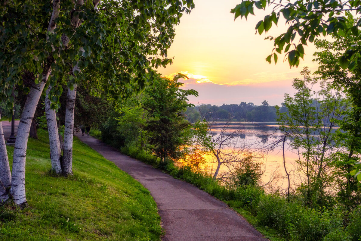
Beautiful sunset around Cedar Lake in Minneapolis
A spectacular sunset around Cedar Lake yesterday. Although probably made possible by incoming wildfire smoke.

Beautiful sunset around Cedar Lake in Minneapolis

Attendees gather at George Floyd Square during the Rise and Remember Festival at sunset in Minneapolis.
The 5th annual Rise and Remember Festival concludes at sunset in George Floyd Square, Minneapolis. This gathering commemorates the 5th anniversary of George Floyd's murder on May 25, 2020, at the intersection of 38th Street and Chicago Avenue.

“People Over Property” Sign at George Floyd Square Sunset

Canoes and kayaks in the snow in Minneapolis
Canoes and kayaks are stacked on the snowy shore of Bde Maka Ska in Minneapolis at sunset.

Snowbound Kayaks Along Bde Maka Ska at Sunset

Cedar Lake Trail in Minneapolis at sunset, a former railroad corridor lined with bare trees and dormant grasses in golden light.
Sunset over the Cedar Lake Trail, a multi-use path in Minneapolis. This trail occupies a former railroad corridor. Opened in the early 1990s, the Cedar Lake Trail was among the first such conversions in the region, transforming disused railway lines into public infrastructure for active transportation and recreation.

Winter Sunset Along the Cedar Lake Trail
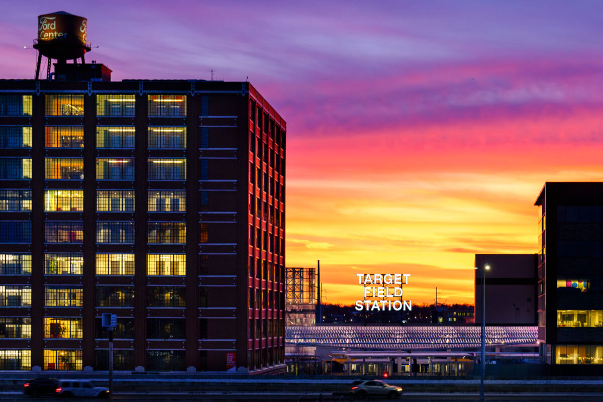
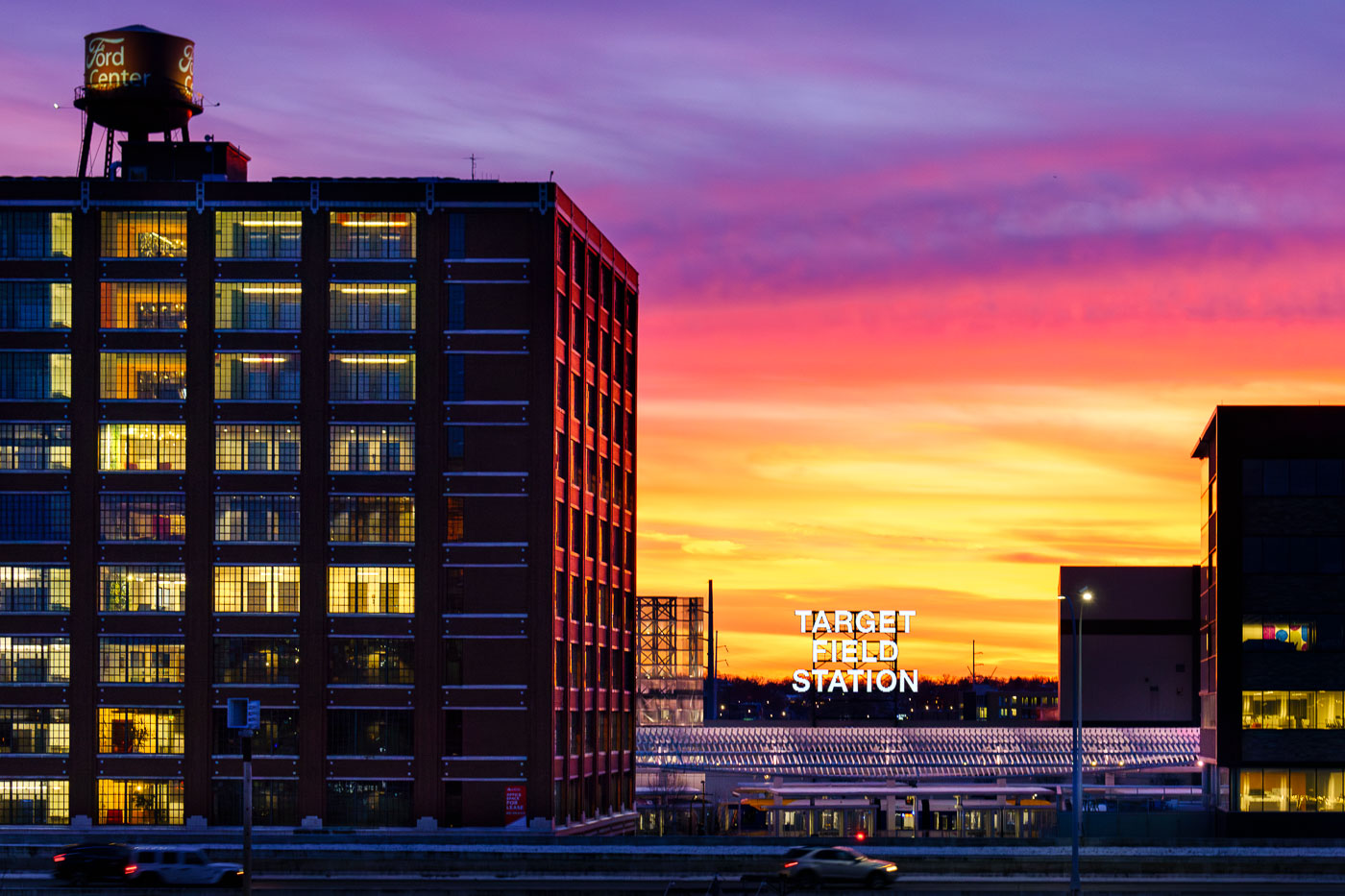
Target Field Station light rail platform at sunset with illuminated Ford Center building in Minneapolis North Loop.
Target Field Station, a light rail station in Minneapolis’s North Loop, is located adjacent to Target Field, home of the Minnesota Twins. In the foreground is the historic Ford Center.

Sunset Over the Ford Center and Target Field Station
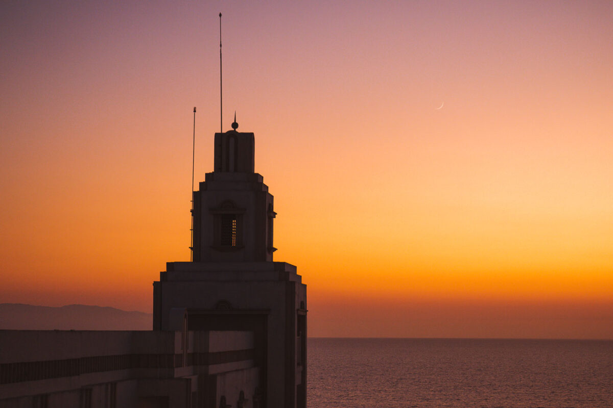
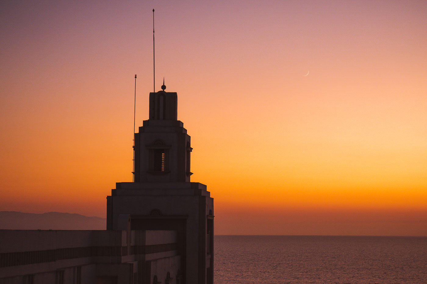
Silhouette of Riu Palace Pacifico's Art Deco tower at sunset overlooking Banderas Bay in Puerto Vallarta, Mexico.
Riu Palace Pacifico stands along the coast in Puerto Vallarta, Mexico, overlooking Banderas Bay and the Pacific Ocean. The resort opened in 2007 and is known for its Art Deco-inspired tower.

Riu Palace Pacifico Tower at Sunset, Puerto Vallarta
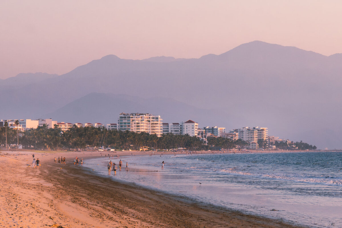
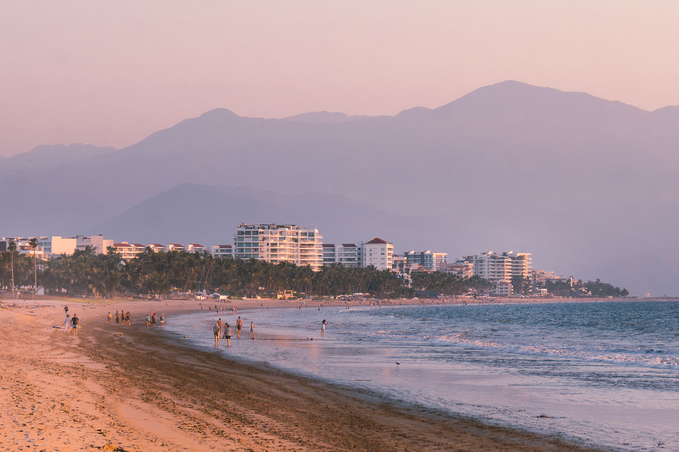
Beachfront hotels line Nuevo Vallarta beach with the Sierra Madre Occidental mountains rising in the background at sunset.
Beachfront hotels in Nuevo Vallarta, Nayarit, line the coast near the Pacific shoreline. The Sierra Madre Occidental rises behind the resort strip, and the area is part of the Riviera Nayarit tourism corridor north of Puerto Vallarta.

Sunset Walk Along the Beach in Nuevo Vallarta
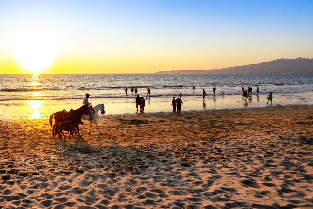
A horseman rides a horse along a beach in Puerto Vallarta, Mexico at sunset, with swimmers and beachgoers in the water and Sierra Madre mountains visible across Banderas Bay.
A beach in Puerto Vallarta, Jalisco, Mexico, has horseback rides along the shoreline at sunset. Beachgoers wade in the Pacific surf, with the Sierra Madre mountains across Banderas Bay.

Sunset Horseback Ride Along the Shore in Puerto Vallarta

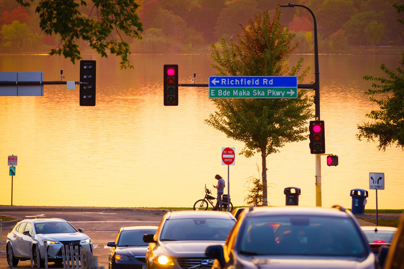
Richfield Drive and Bde Maka Ska Parkway
Sunset over Bde Maka Ska from 36th Street.

Bde Maka Ska Parkway at Sunset, Minneapolis

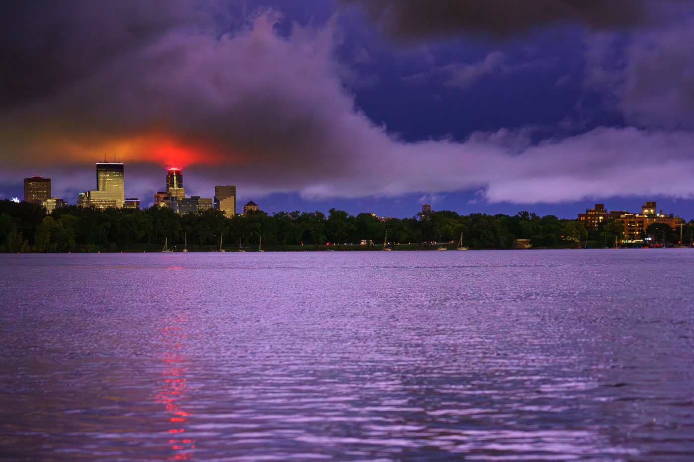
Minneapolis skyline illuminated at dusk across Bde Maka Ska lake after a thunderstorm.
The Minneapolis skyline is visible across Bde Maka Ska following a severe thunderstorm on August 26, 2024.

Storm Clouds Glow Red Over the Minneapolis Skyline From Bde Maka Ska

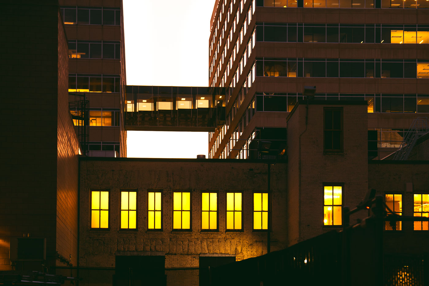
Skyway at Target Headquarters
Skyway between Target Plaza North and Target Plaza South. The buildings are home to the headquarters of retail giant Target.

Skyway at Target Headquarters

Paved recreational trail with shelter structure and wooden fencing at sunset along Cedar Lake Trail in Minneapolis.
The re-opened Cedar Lake LRT Regional Trail that was closed for years due to light rail construction.

Trail Shelter at Sunset on the Reopened Cedar Lake LRT Regional Trail

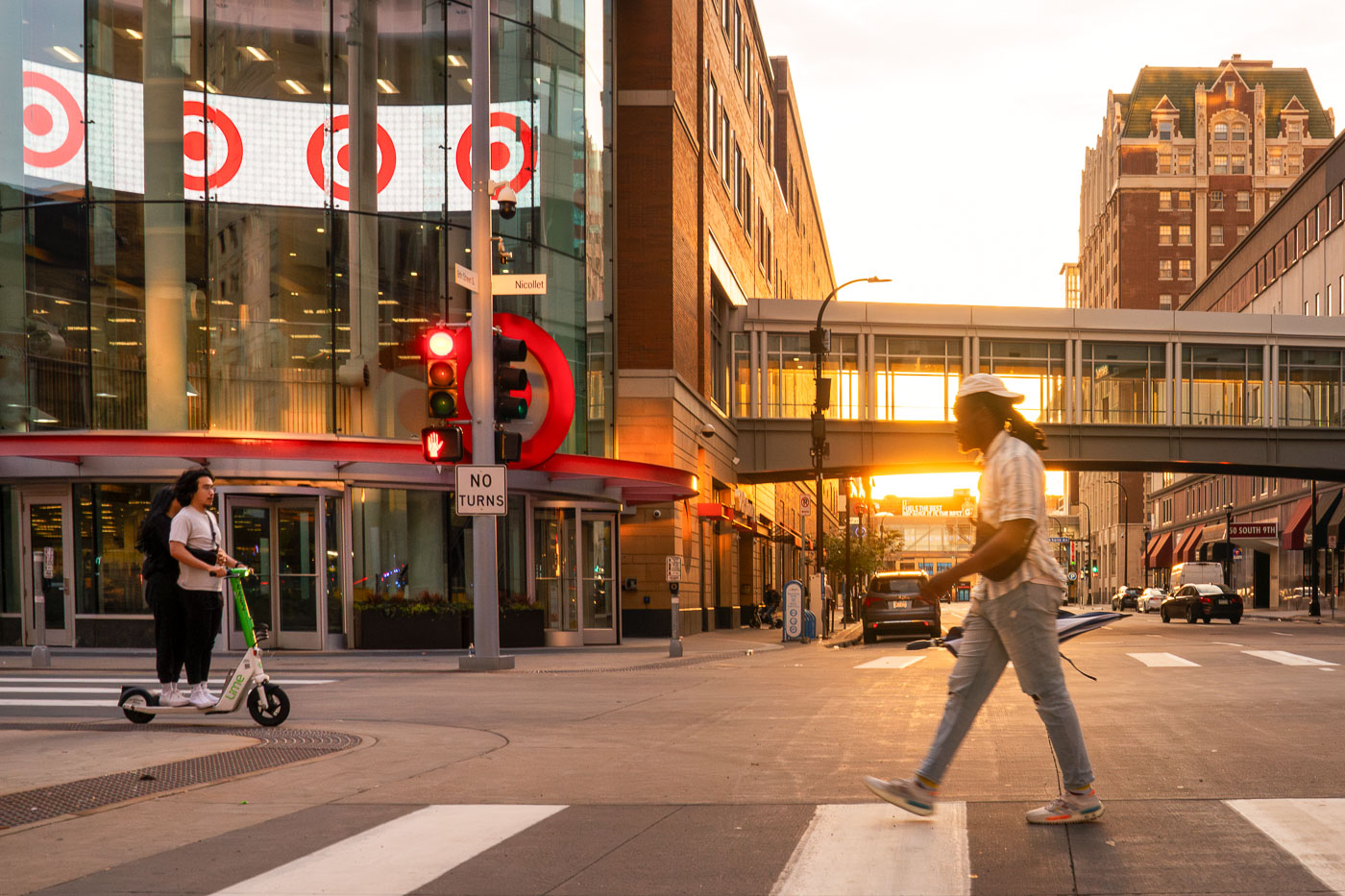
Pedestrians and a scooter user on Nicollet Mall at sunset in downtown Minneapolis, with the Target flagship store visible across the street.
Pedestrians and a scooter at sunset on Nicollet Mall in Downtown Minneapolis, across from Target's flagship store.

Crossing Nicollet Mall at Sunset Near Target’s Flagship Store

Waterbury House Apartments and surrounding residential towers on Lake Street in Minneapolis at dusk with downtown skyline visible in distance.
Waterbury House Apartments, located on Lake Street in Minneapolis, is a modern residential building situated near the intersection of Lake Street and Excelsior Boulevard.

Storm Clouds Over Lake Street Near Downtown Minneapolis

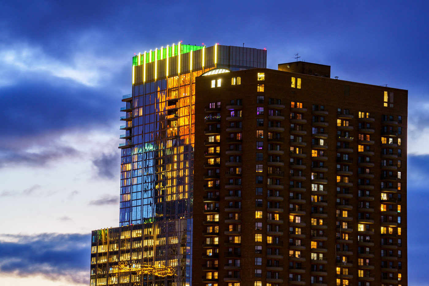
Reflections on side of glass tower at sunset
RBC Gateway and The Churchill towers in Downtown Minneapolis. Reflections from Wells Fargo Tower on the side of RBC Gateway during sunset.

The Churchill and RBC Gateway at Twilight in Downtown Minneapolis
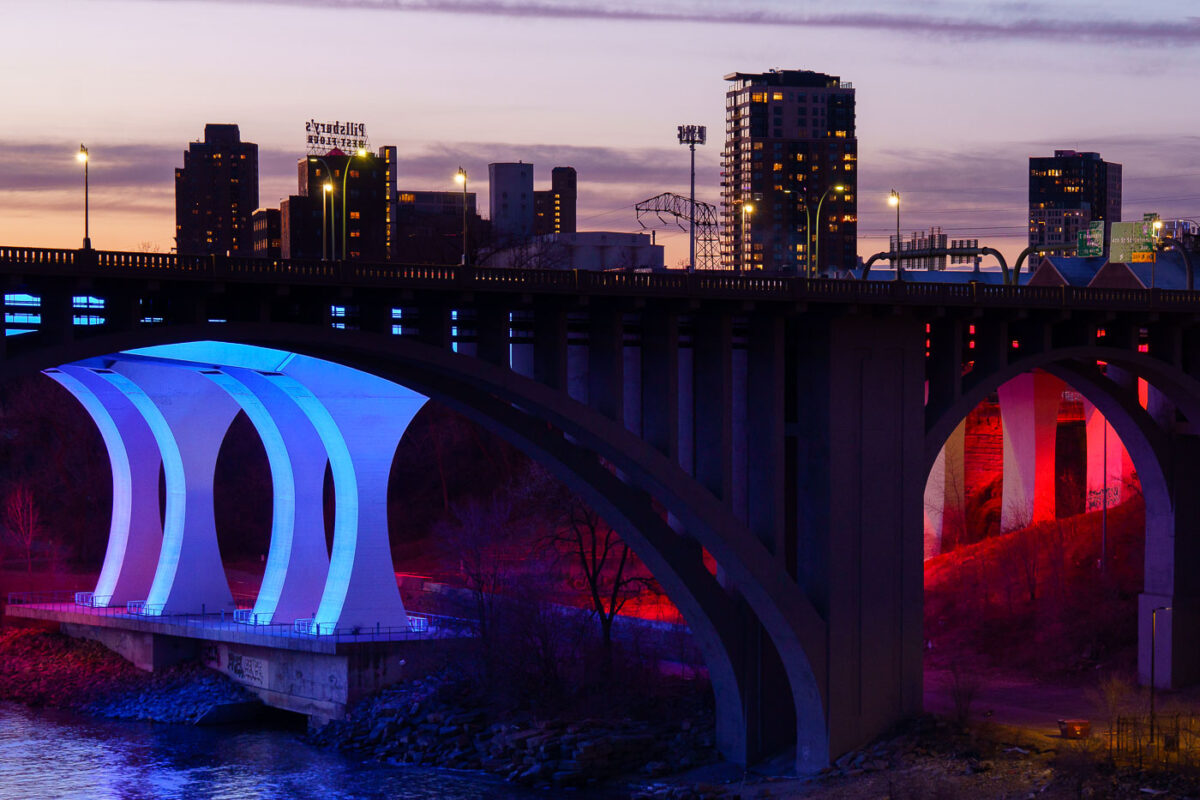
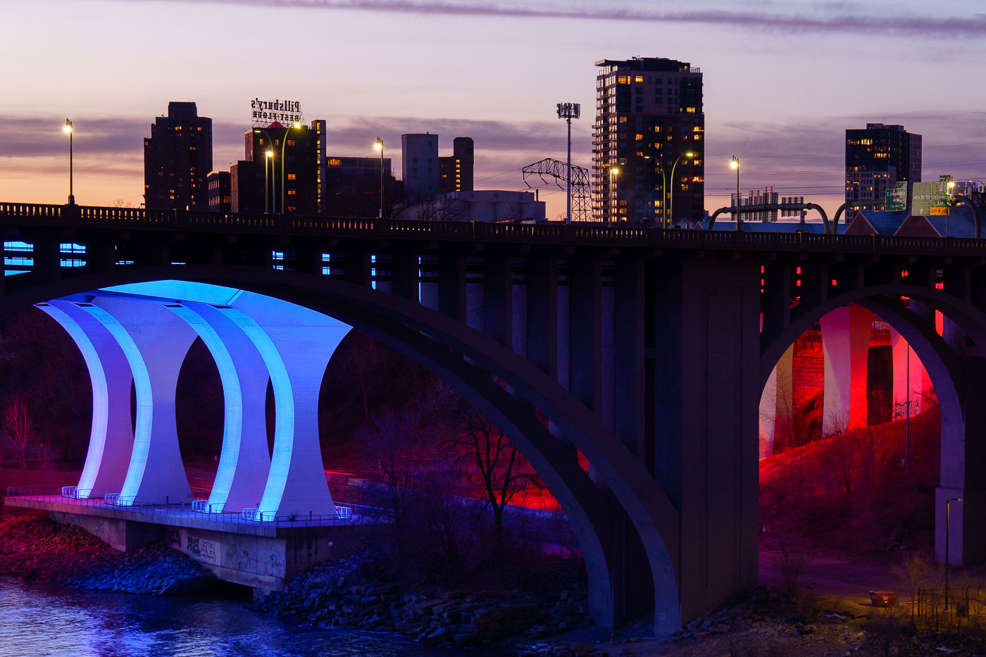
The 10th Avenue Bridge illuminated in blue and the I-35W Bridge lit in red span the Mississippi River at dusk in Minneapolis.
The 10th Avenue Bridge and the I-35W Bridge span the Mississippi River near downtown Minneapolis at sunset in March 2024.

10th Avenue Bridge Lit Blue and Red Over the Mississippi River
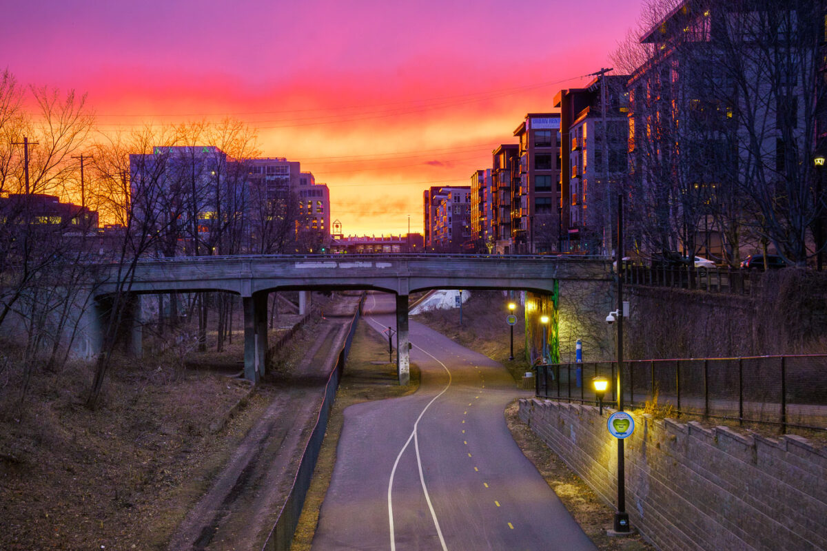
Very colorful red orange and yellow sunset on trail
The Midtown Greenway, a 5.5-mile-long rail-with-trail corridor, traverses south Minneapolis, providing a dedicated path for cyclists and pedestrians. Developed from a former railway corridor, primarily the Milwaukee Road's Short Line, it officially opened as a multi-use path in 2000.

Midtown Greenway Bridge and Trail Sunset, Minneapolis
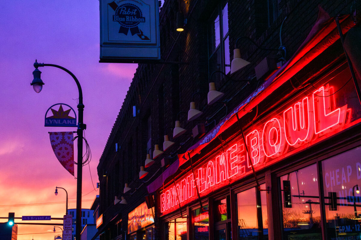
Bryant Lake Bowl neon sign glows red on Lake Street in Minneapolis at sunset, with Pabst Blue Ribbon sign visible above.
Bryant Lake Bowl is a bar, restaurant, and theater at 810 West Lake Street in the Lyn-Lake area of Minneapolis. It opened in 1993 in a building that once housed a bowling alley, and it kept the Bryant-Lake Bowl name along with its six-lane bowling alley.

Bryant Lake Bowl’s Neon Sign Above Lake Street
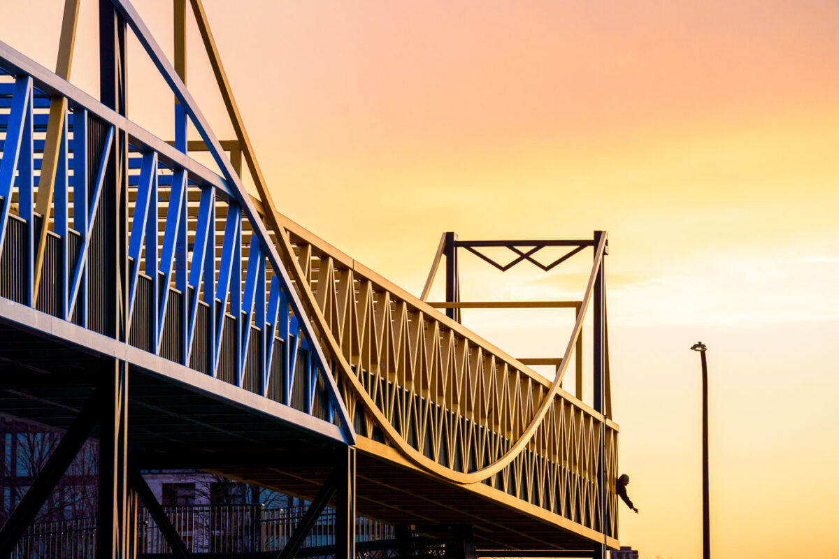
Irene Hixon Whitney Bridge November 2023
The Irene Hixon Whitney Bridge, a pedestrian walkway connecting the Walker Art Center and the Minneapolis Sculpture Garden, is illuminated by the warm hues of a November sunset. Designed by architect Maya Lin, the bridge opened in 1991 and spans Vineland Place.

Irene Hixon Whitney Bridge at Sunset, Minneapolis
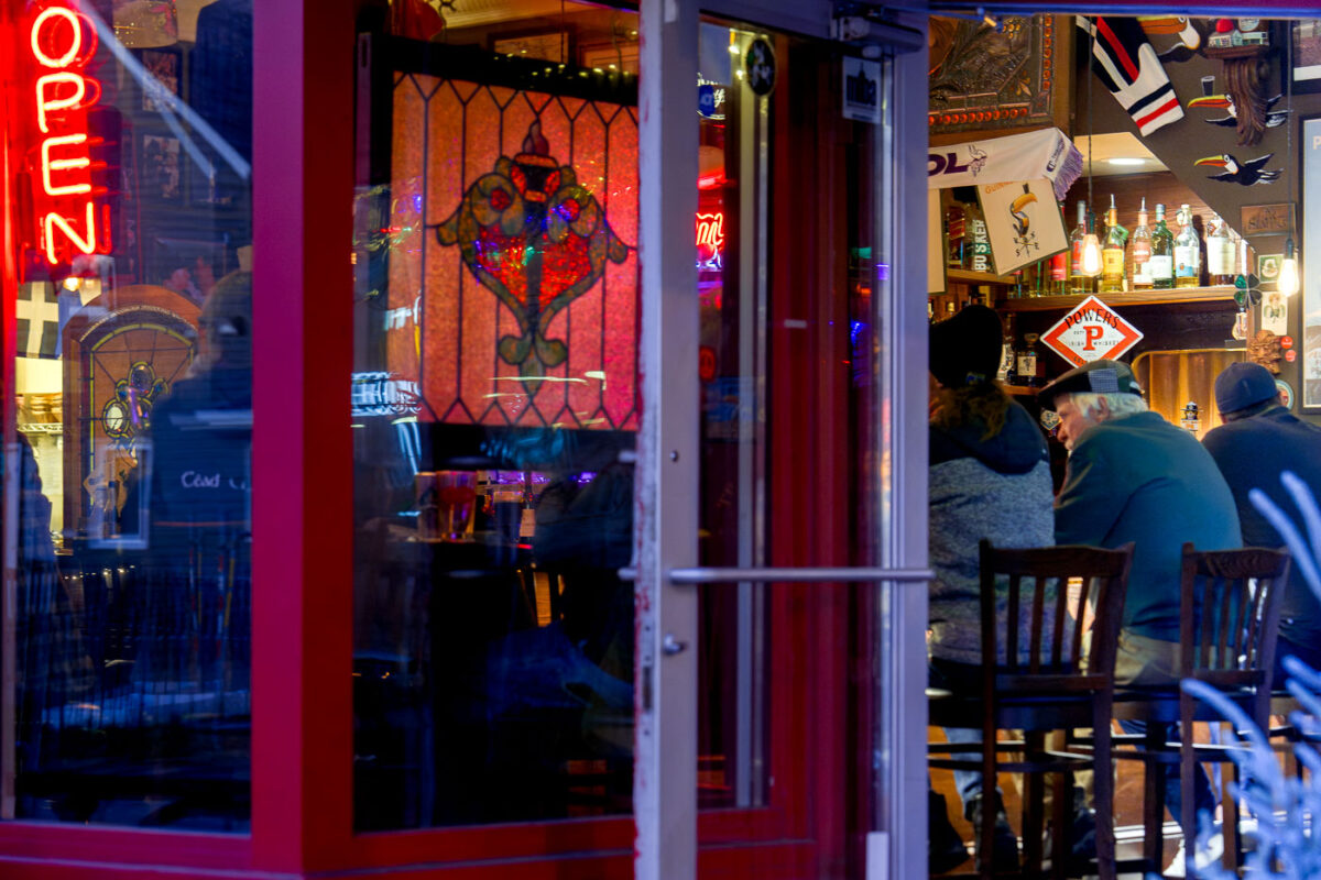
Patrons sit inside the Prodigal Pub on South Minneapolis's Lake Street at dusk.
The Prodigal Pub in South Minneapolis is seen on an unusually warm November evening.

Evening Crowd at the Prodigal Pub in South Minneapolis
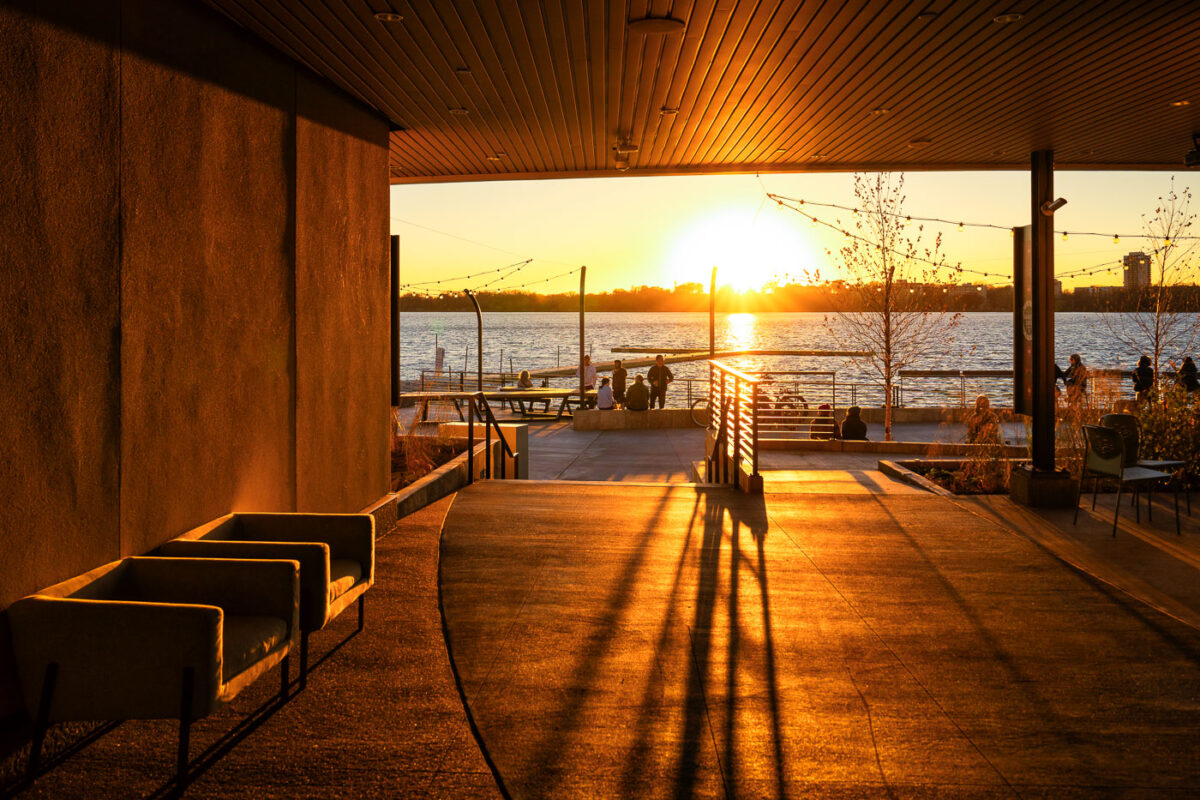
Wooden pavilion overlooking Bde Maka Ska lake at sunset in Minneapolis, Minnesota.
The Bde Maka Ska Pavilion in Minneapolis, rebuilt after a fire destroyed the previous building.

Sunset Light Inside the Bde Maka Ska Pavilion
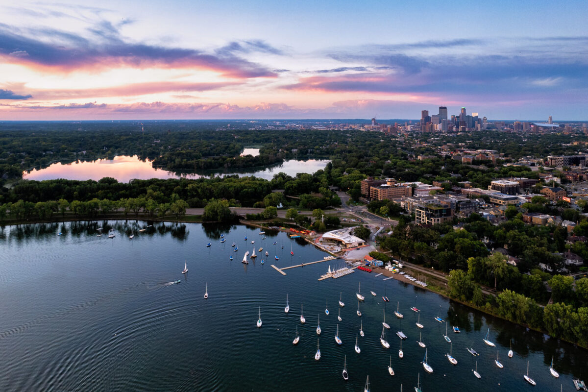
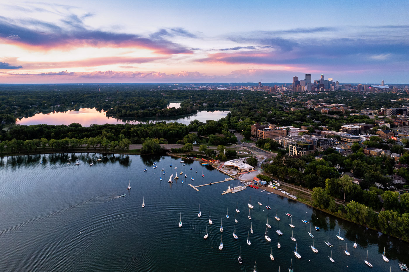
Sailboats on lake with city skyline
Sailboats on Bde Maka Ska in Minneapolis during sunset. Lake of the Isles seen in the distance.

Sailboats and a colorful sunset

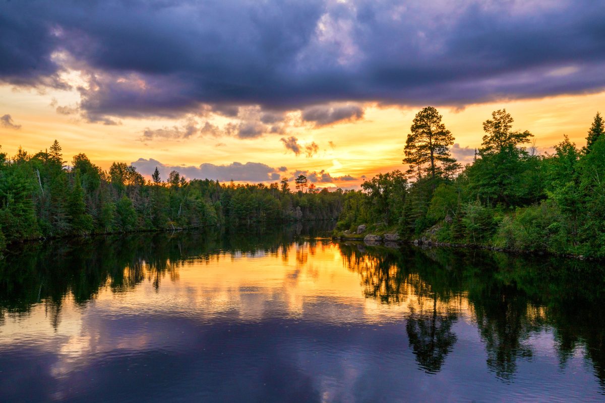
Sunset over Garden Lake in Ely, Minnesota, with forested shoreline and mountains in distance.
Garden Lake sits just outside Ely, Minnesota, within the Superior National Forest near the edge of the Boundary Waters Canoe Area Wilderness. The lake is a popular put-in point for canoeists heading into the BWCAW's interior chain of lakes.

Garden Lake at Dusk, Near Ely, Minnesota

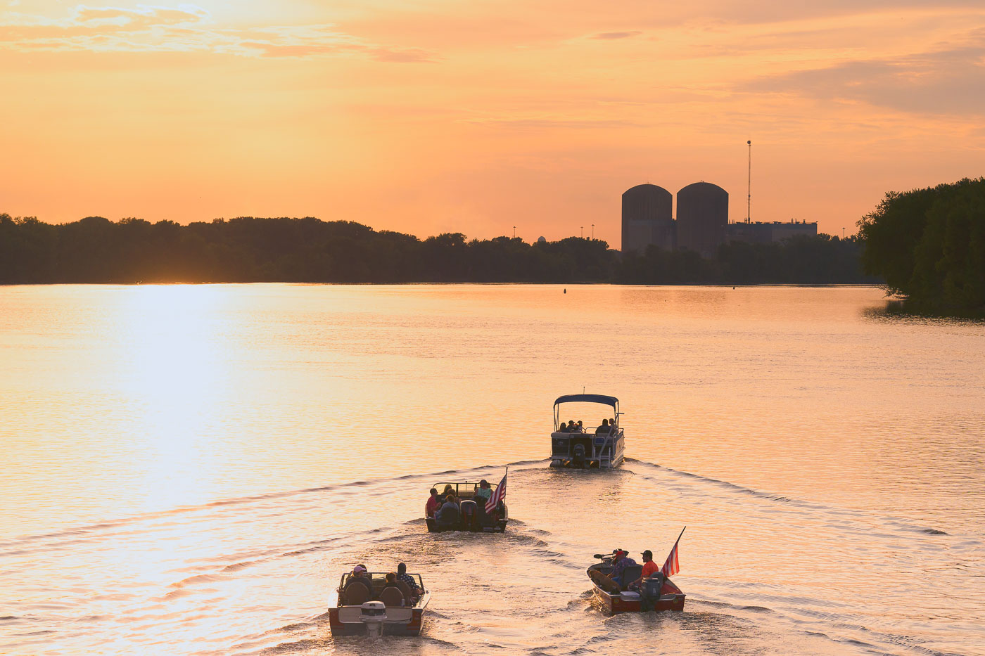
Recreational boats travel on the Mississippi River near Red Wing, Minnesota, with the Prairie Island Nuclear Generating Plant visible across the water at sunset.
The Prairie Island Nuclear Generating Plant sits on the Mississippi River near Red Wing, Minnesota, on land within the Prairie Island Indian Community's reservation. Xcel Energy operates the two-reactor plant, which began generating power in the early 1970s and supplies electricity to the Twin Cities region.

Boats Heading Toward Prairie Island Nuclear Plant at Sunset

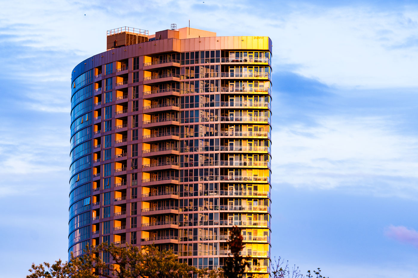
Sunset at LPM Apartments in Loring Park
LPM Apartments in Loring Park, Minneapolis, is a high-rise residential tower that was completed as part of the neighborhood’s modern apartment development.

Sunset at LPM Apartments in Loring Park

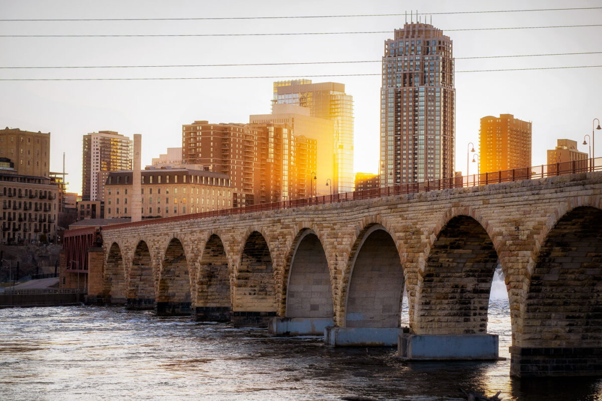
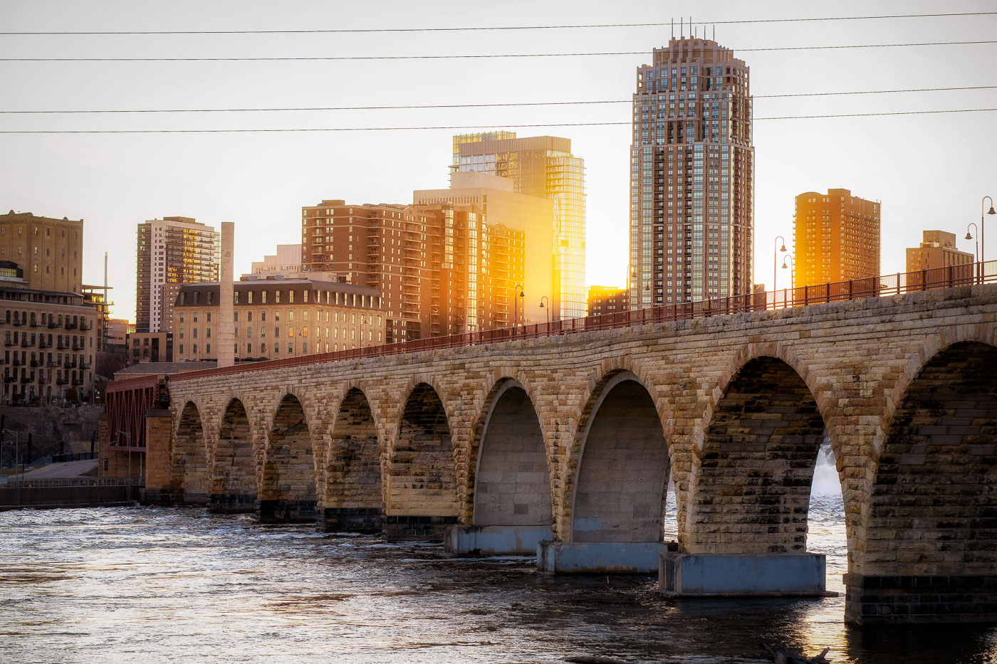
The Stone Arch Bridge spans the Mississippi River in Minneapolis at sunset with the city skyline beyond.
The Stone Arch Bridge, a historic 2,300-foot-long stone arch bridge spanning the Mississippi River in Minneapolis. Constructed in 1883, it was once the longest stone arch bridge in the world and served as a vital railway bridge for the Great Northern Railway.

Golden Light Over Minneapolis Skyline From Stone Arch Bridge

Palapas and picnic tables submerged in shallow water at Secret Beach, Ambergris Caye, Belize, during sunset.
Palapas and submerged picnic tables at Secret Beach on Ambergris Caye, Belize, stand in shallow water at the edge of Ambergris Bay. The open-sided shade structures and seating are part of a popular beach area on the island’s west coast.

Palapas at Secret Beach, Ambergris Caye, Belize

Dusk over San Pedro, Belize, a town on Ambergris Caye, with buildings lining the main street as the sky turns orange.
San Pedro, Belize, lies along Ambergris Caye at dusk, with buildings and streets visible beneath a fading sunset. The town’s commercial core and waterfront are visible in the distance, including low-rise structures and streetlights along the main road.

San Pedro, Belize: Dusk Over Ambergris Caye

Dusk settles over San Pedro, Belize, a coastal town on Ambergris Caye.
San Pedro, Belize, is shown at dusk on Ambergris Caye, with low-rise buildings and waterfront development extending along the shore of the Caribbean Sea. The town is the main settlement on the island and a center for tourism and marine transport.

San Pedro, Belize: Dusk over Caribbean Sea

The Sunset Lounge in San Pedro, Belize, features a rooftop seating area with a sign and chairs overlooking the coast at dusk.
Sunset Lounge in San Pedro, Belize, occupies a rooftop bar terrace with seating facing the coastline of Ambergris Caye. The venue’s sign and open-air layout place it among the island’s hospitality businesses serving visitors in the main town on the island.

Sunset Lounge, San Pedro, Belize

Coastal vegetation and palm trees on Ambergris Caye, Belize, are silhouetted against a sunset sky.
Coastal vegetation on Ambergris Caye, Belize, is backlit by low evening light. The island lies off Belize’s Caribbean coast and forms part of the Belize Barrier Reef Reserve System, a UNESCO World Heritage Site.

Ambergris Caye Vegetation at Sunset

Sunset over mangrove wetlands at Ambergris Caye, Belize, with reflections in calm water.
Mangrove wetlands on Ambergris Caye, Belize, are silhouetted against a sunset over calm coastal water. The low-lying mangrove habitat lines the shoreline and supports the island’s marine ecosystem.

Mangrove Sunset, Ambergris Caye, Belize

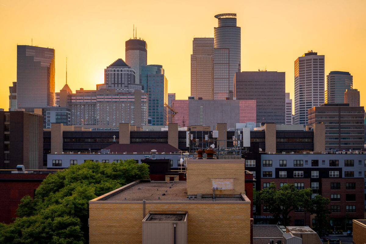
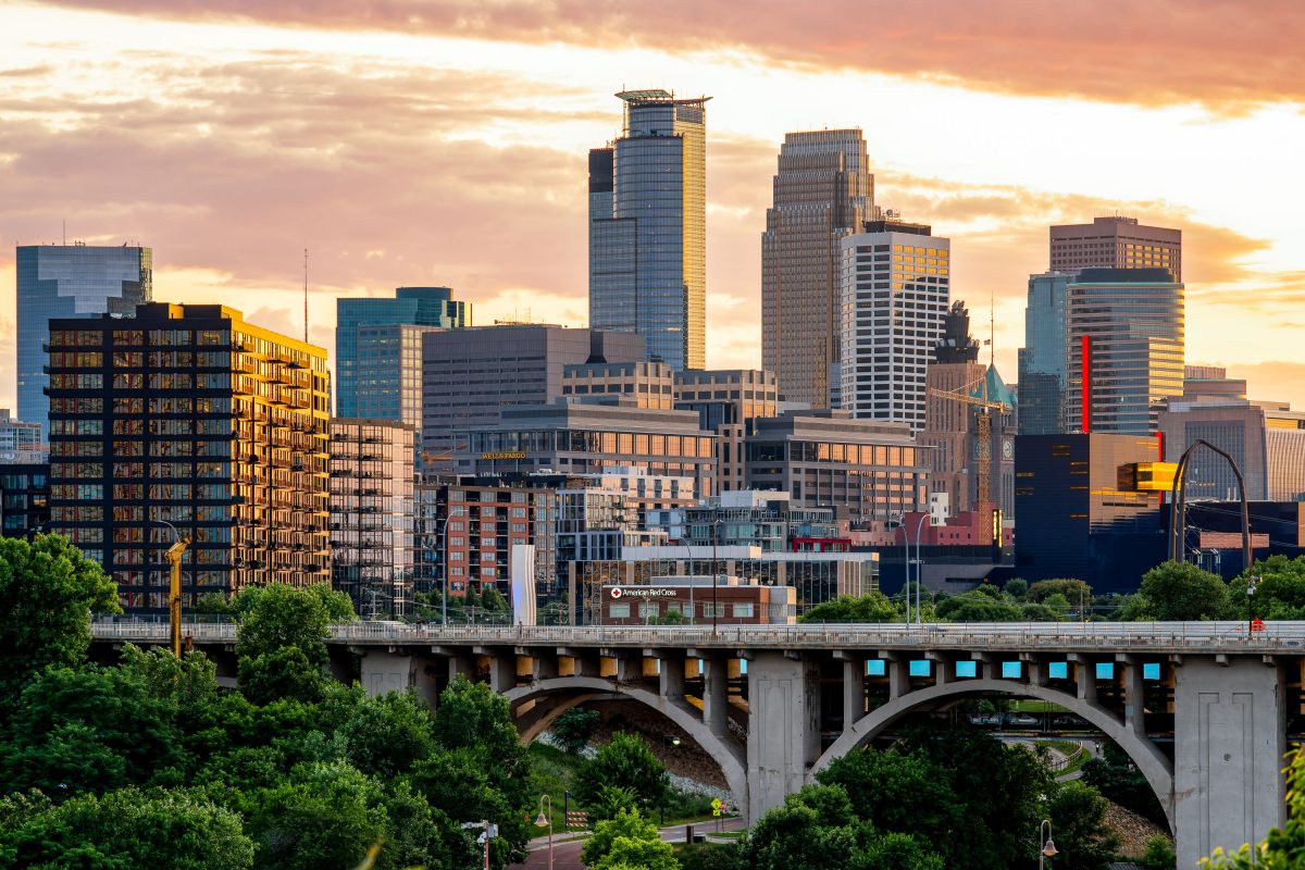
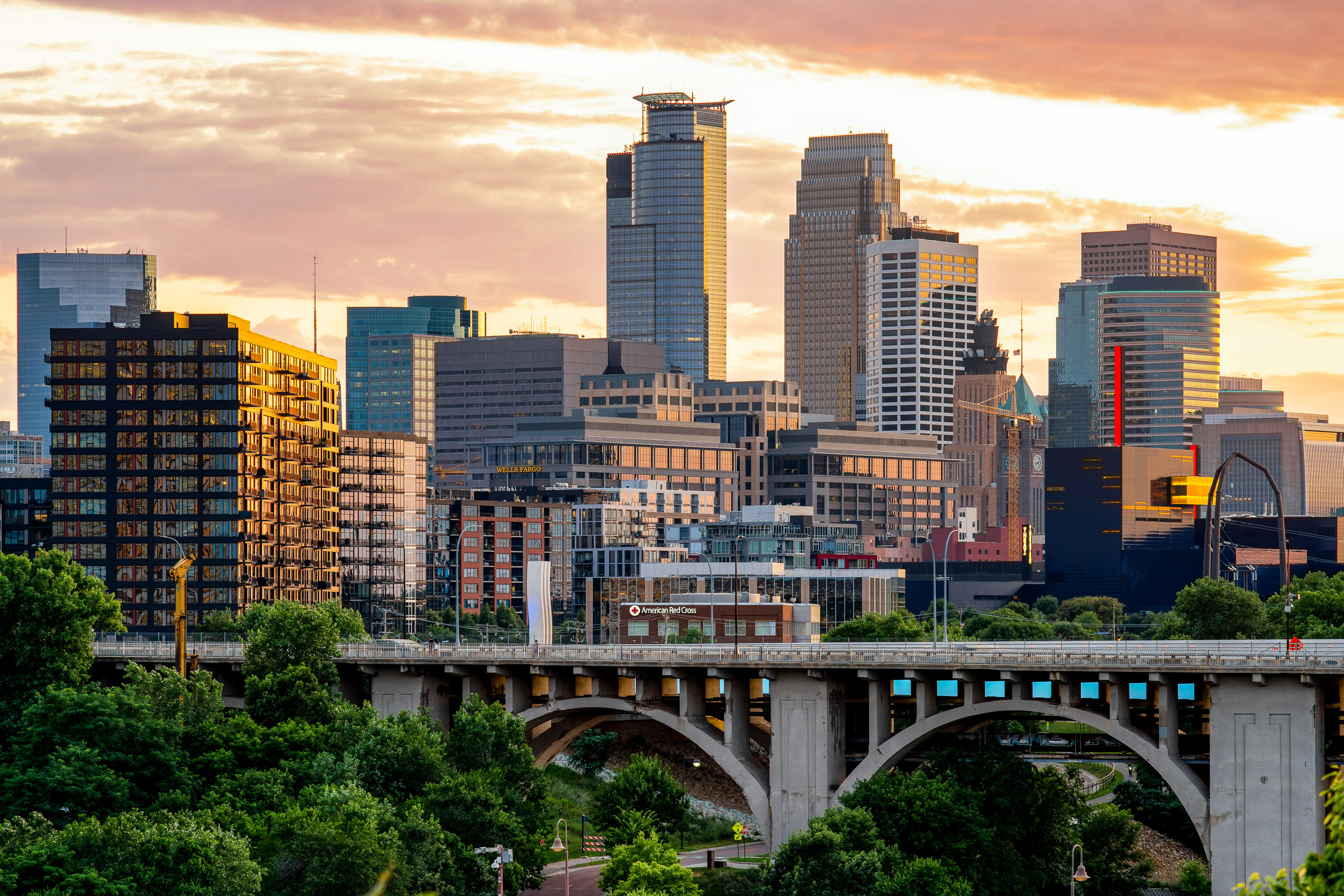
Minneapolis Skyline at Sunset from the South Loop
The downtown Minneapolis skyline glows at sunset, viewed from the south side near the Elliot Park and Stevens Square neighborhoods. Prominent landmarks include the IDS Center, Capella Tower, and Wells Fargo Center—each a hallmark of the city’s late-20th-century architectural boom. The mix of older mid-rise apartment structures and new glass towers highlights the city’s ongoing evolution, where historic housing blocks now share the horizon with symbols of modern corporate development.

Minneapolis Skyline at Sunset from the South Loop

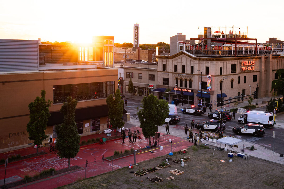
Police clear a memorial site outside Stella's Fish Cafe on Lake Street in Minneapolis at sunset.
Minneapolis Police cleared the Deona Marie Memorial site at sunset on July 10, 2020. Protesters had gathered at the site, located in the Uptown neighborhood, following the killings of Winston Smith on June 3 and Deona Marie on June 13. On June 3, 2021, members of a U.S. Marshals Service fugitive task force fatally shot 32-year-old Winston “Boogie” Smith Jr. on the top level of a parking ramp in Minneapolis’ Uptown neighborhood while attempting to arrest him on a felony warrant. Authorities said Smith fired a handgun from inside his vehicle during the encounter, while family members and activists questioned the official account and demanded the release of additional evidence. The killing led to weeks of protests, street occupations, and confrontations with police in Uptown, becoming another major flashpoint in Minneapolis during the period following the murder of George Floyd. Earlier in the day Minneapolis city officials along with The Agape Movement coordinated to open the streets that had been closed at George Floyd Square since his murder. On June 13, 2021, 31-year-old Deona Marie Knajdek was killed when a driver accelerated into a group of demonstrators gathered in Minneapolis’ Uptown neighborhood during ongoing protests over the killing of Winston “Boogie” Smith Jr. Protesters had blocked the intersection of West Lake Street and Girard Avenue with vehicles and barricades when Nicholas Kraus drove a Jeep Cherokee into the crowd at high speed, killing Knajdek and injuring several others. Kraus was later charged with second-degree murder, two counts of second-degree assault with a dangerous weapon, and criminal vehicular operation. In 2023, he pleaded guilty to murder and assault charges and was sentenced to more than 20 years in prison for the attack.

Minneapolis Police Clear Deona Marie Memorial Site at Sunset

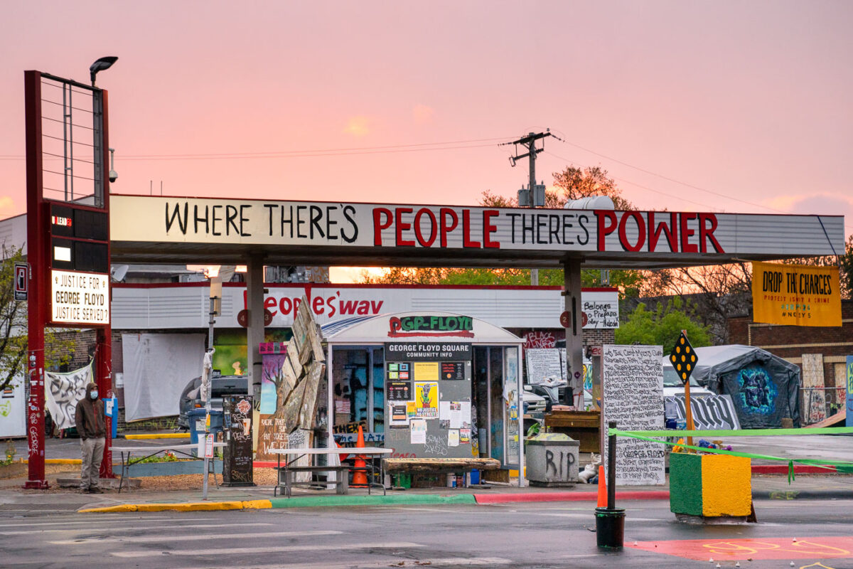
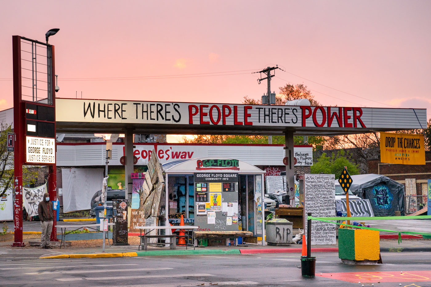
Sun sets behind The Peoples Way at George Floyd Square
The Peoples Way at George Floyd Square in Minneapolis. The area has been a place of protest since the May 2020 killing of George Floyd by Minneapolis Police officers.

George Floyd Square at Sunset, Minneapolis

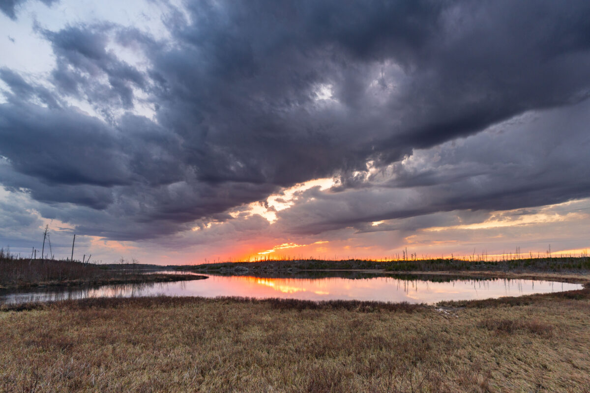
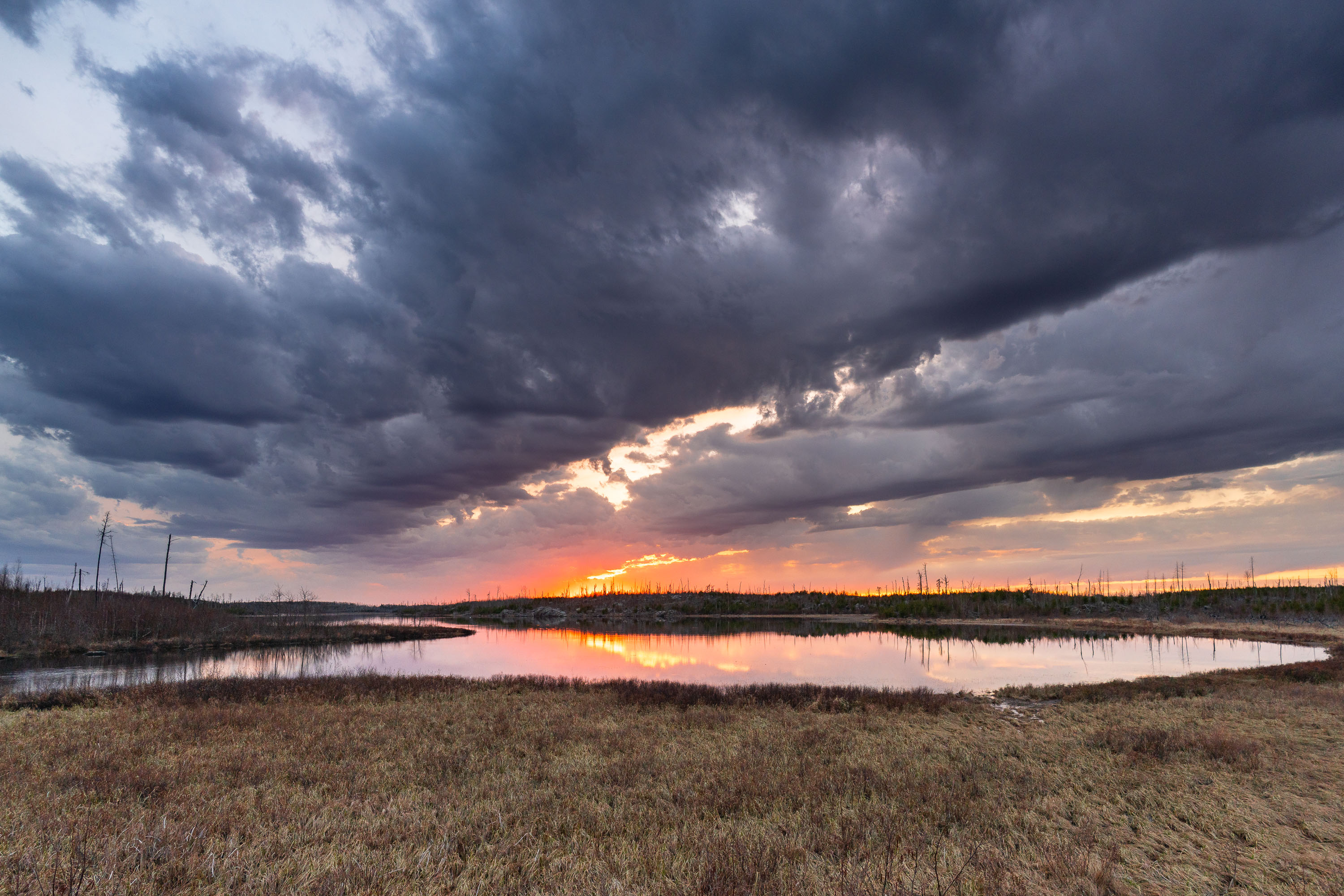
Island River at sunset in Superior National Forest, with storm clouds over reflected water.
Island River in Minnesota’s Superior National Forest at sunset. Dark storm clouds hang over the wetland landscape while the low sun reflects in the water.

Island River Sunset, Superior National Forest

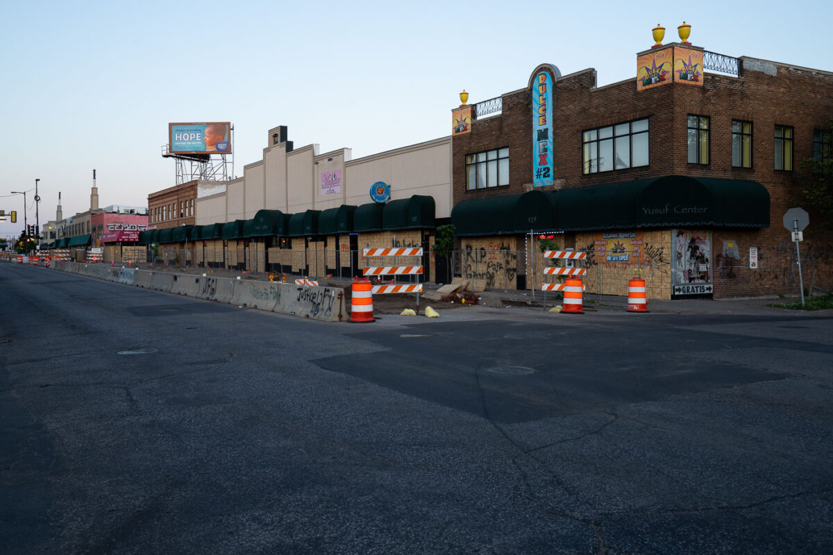
Boarded businesses on Lake Street in Minneapolis after George Floyd protests, June 2020.
Boarded storefronts along Lake Street in Minneapolis, including the Yusuf Center and Dulce Mex #2, are shown on June 16, 2020. Plywood covers the ground-floor windows and doors, with graffiti and memorial messages such as “RIP George” and “Justice for Floyd” visible on the barriers and concrete traffic dividers. The businesses were protected after the protests and unrest that followed the killing of George Floyd in Minneapolis in May 2020.

Lake Street Boarded Businesses After George Floyd Protests

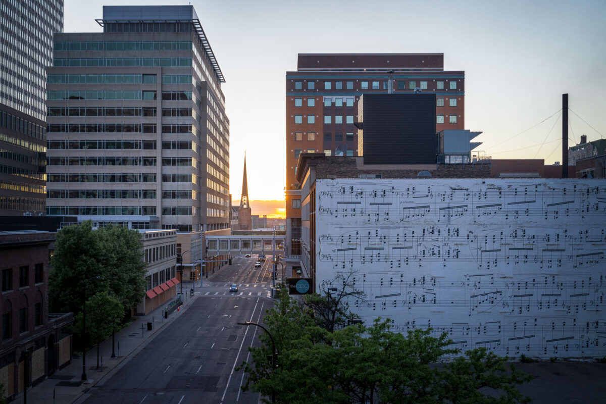
South 10th Street in downtown Minneapolis at sunset, with a music mural and sparse traffic.
S 10th Street in downtown Minneapolis is shown at sunset on May 29, 2020, with very light traffic and few people visible. Mid-rise office and commercial buildings line the corridor, and a large mural of musical notation covers the wall of the building at right, while a church spire rises in the distance. The photograph was made during the period of unrest in Minneapolis following the killing of George Floyd, when parts of the downtown street network were noticeably quieter than usual.

S 10th St Sunset, Downtown Minneapolis

A target store being looted during protests
The Target store on East Lake Street in Minneapolis is shown on May 27, 2020, as people and vehicles crowd the parking lot during looting and unrest after the killing of George Floyd. The store stood near the Minneapolis Police Department’s 3rd Precinct, an area that became a major center of protest and property damage in the first days after Floyd’s death.

Lake Street Target Looting at Sunset

Sunset behind a looted target store
The Target store on East Lake Street in Minneapolis is seen at sunset on May 27, 2020, with its parking lot filled with cars and the downtown skyline visible in the distance. The store stands directly across from the Minneapolis Police Third Precinct in South Minneapolis.

Target Store Sunset, Lake Street Minneapolis

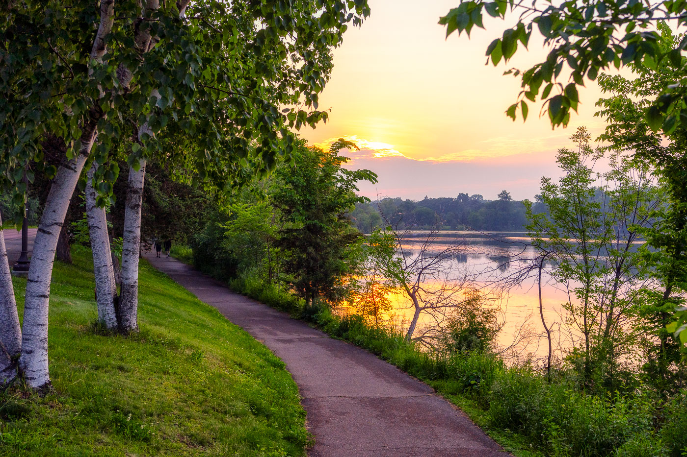
Sunlight filters through trees along a stream at Pike Island in St. Paul, Minnesota.
Pike Island, located in St. Paul along the Mississippi River, is a natural area featuring mature bottomland forest and waterways. The island's wooded landscape and channels provide habitat and recreational access within the .

Wooded Stream at Pike Island, St. Paul

Powderhorn Park in South Minneapolis features a curved path and large tree at sunset with the recreation center visible beyond.
Powderhorn Park anchors a residential section of South Minneapolis, its 66 acres laid out around Powderhorn Lake since the park's founding in 1889. The Minneapolis Park and Recreation Board maintains the grounds, which include the lake itself, open lawns, and a recreation center built in the 1970s. The neighborhood surrounding the park takes its name from the same source, and the park remains one of the larger green spaces on the city's south side.

Sunset Through a Bare Tree at Powderhorn Park

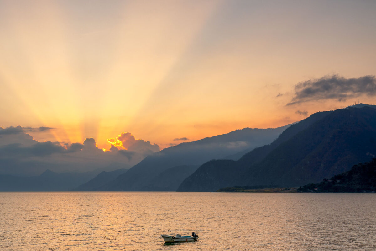
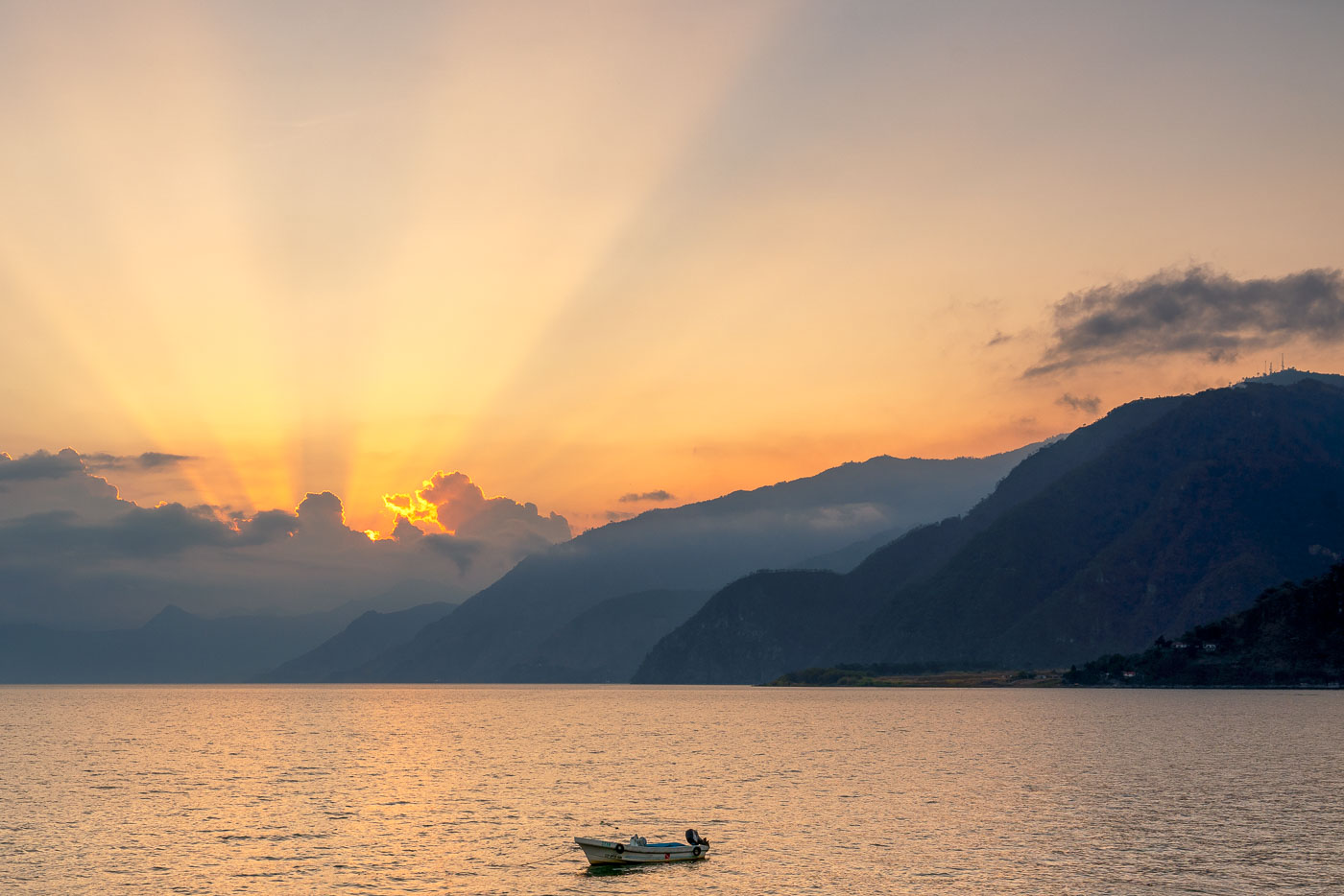
A small fishing boat sits on Lake Atitlán near Panajachel, Guatemala, as the sun sets behind forested volcanic mountains.
Lake Atitlán fills a volcanic caldera in Guatemala's western highlands, formed by an eruption roughly 84,000 years ago that ranks among the largest in Earth's history. At about 1,949 feet deep, it's one of the deepest lakes in Central America, ringed by the volcanoes Atitlán, Tolimán, and San Pedro. Panajachel, on the lake's northern shore, serves as the main gateway for boats connecting to smaller towns like Santiago Atitlán and San Pedro La Laguna, since no road circles the entire lake. Aldous Huxley famously called it "the most beautiful lake in the world" after visiting in the 1930s.

Small Fishing Boat on Lake Atitlán at Sunset

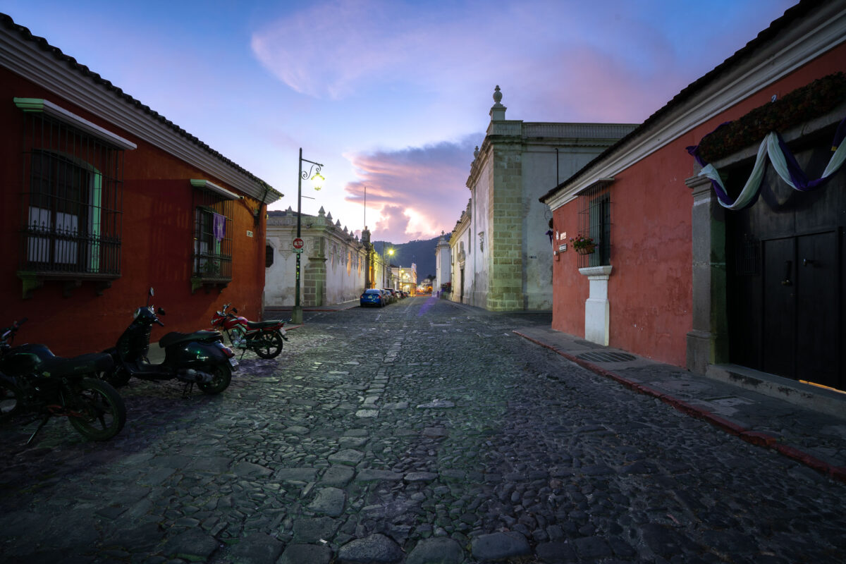
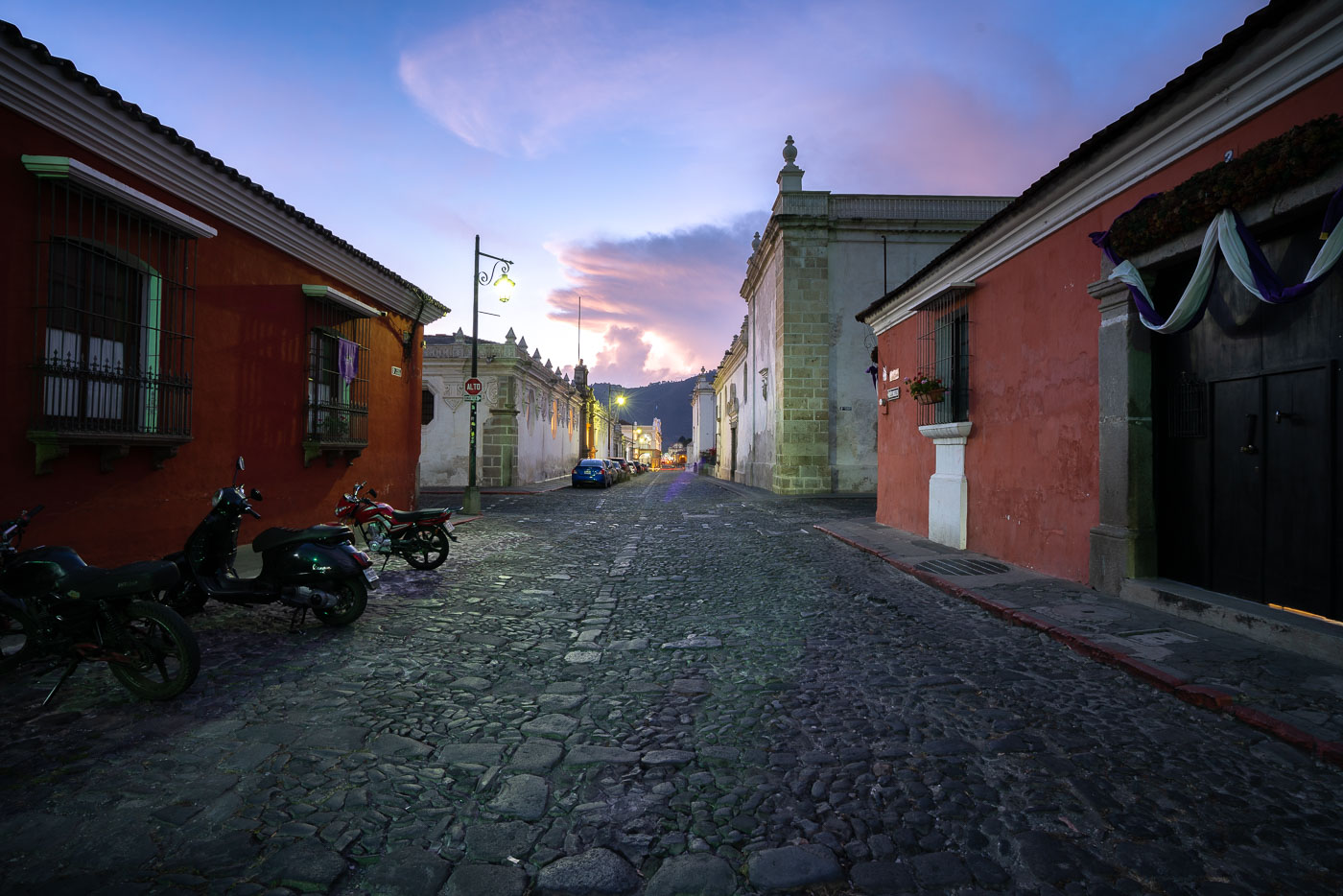
Cobblestone street in colonial Antigua Guatemala at dusk, lined with red and white buildings, motorcycles, and a church tower visible ahead.
Antigua Guatemala served as the capital of the Kingdom of Guatemala from 1543 until a series of earthquakes forced the government to relocate to present-day Guatemala City in 1776. UNESCO added the city to its World Heritage list in 1979, citing its Spanish Baroque architecture and well-preserved colonial street grid. The volcano Agua, rising to roughly 3,760 meters, stands just south of the city and has shaped its layout since Spanish colonists settled the valley in the 1540s. Many of Antigua's streets retain their original cobblestone paving, a feature protected under local preservation rules that restrict modern alterations within the historic center.

Twilight Falls Over a Cobblestone Street in Antigua Guatemala

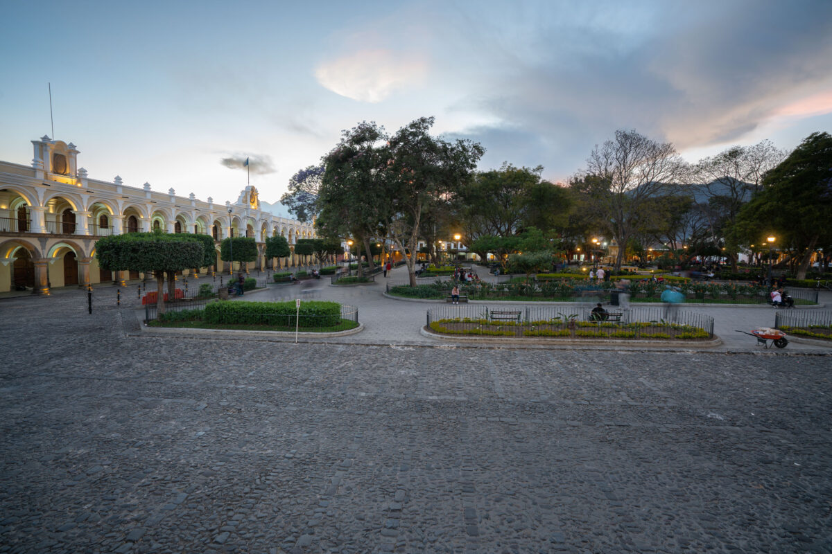
Parque Central in Antigua Guatemala features a yellow arcaded colonial building, manicured gardens, and mountains visible at dusk.
Parque Central sits at the heart of Antigua Guatemala, laid out when the city was founded as Santiago de los Caballeros in 1543. The square's centerpiece, the Fuente de las Sirenas, was cast in 1739 and remains one of the few colonial fountains in the Americas still in its original location. The Palacio de los Capitanes Generales, seat of Spanish colonial governors for Central America, lines its western edge, while the Antigua Cathedral and the Ayuntamiento building border the other sides. UNESCO listed Antigua Guatemala as a World Heritage Site in 1979, citing the preserved layout of its historic center, of which this plaza forms the core.

Twilight at Parque Central in Antigua Guatemala

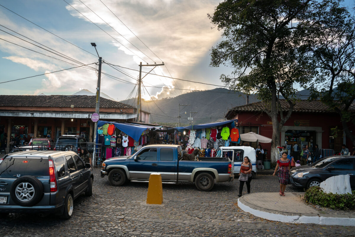
Street vendors display colorful clothing and goods along a cobblestone market street in colonial Antigua, Guatemala, with mountains visible in the background.
Antigua Guatemala served as the capital of the Kingdom of Guatemala from 1543 until a series of earthquakes forced the colonial government to relocate to present-day Guatemala City in 1773. The city's grid of cobblestone streets and low Spanish colonial buildings has remained largely intact since that period, earning it UNESCO World Heritage status in 1979. Open-air vendor stalls selling clothing and textiles are a regular feature along several of Antigua's market streets, supplying both residents and the tourists who visit the city. Volcán de Agua, rising to the south, has long shaped the layout and orientation of the city's streets.

Clothing Vendors Along a Market Street in Antigua, Guatemala

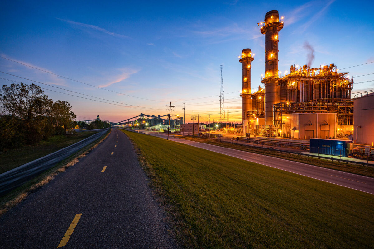
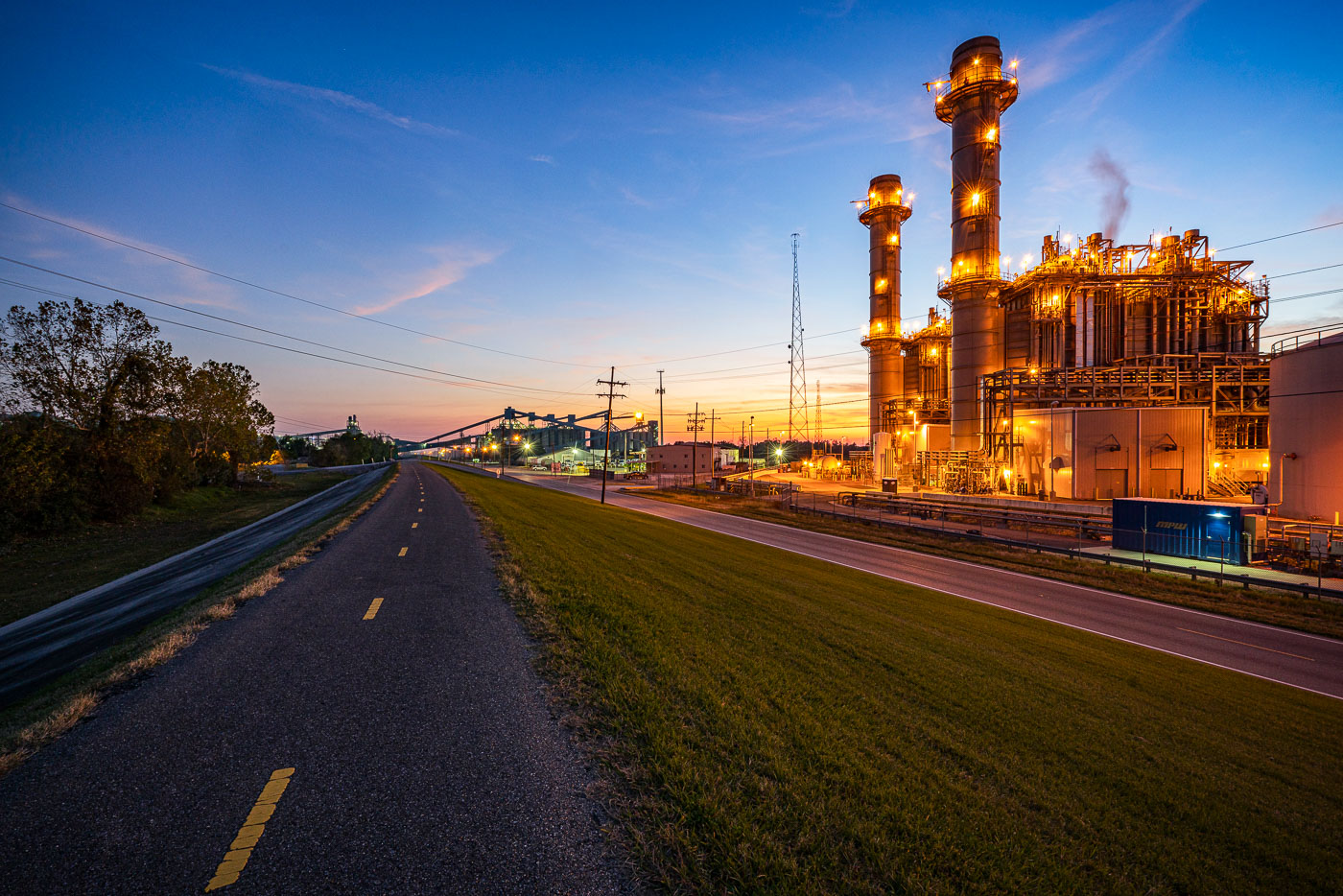
Entergy Ninemile 6 natural gas power plant illuminated at dusk along a levee trail in Westwego, Louisiana.
Entergy Ninemile 6 Power Plant in Westwego, Louisiana, is a natural gas-fired generating unit operated by Entergy Corporation. The facility began operation in 2014 and supplies electricity to the New Orleans area.

Ninemile 6 Power Plant at Dusk Along the Westwego Levee Trail

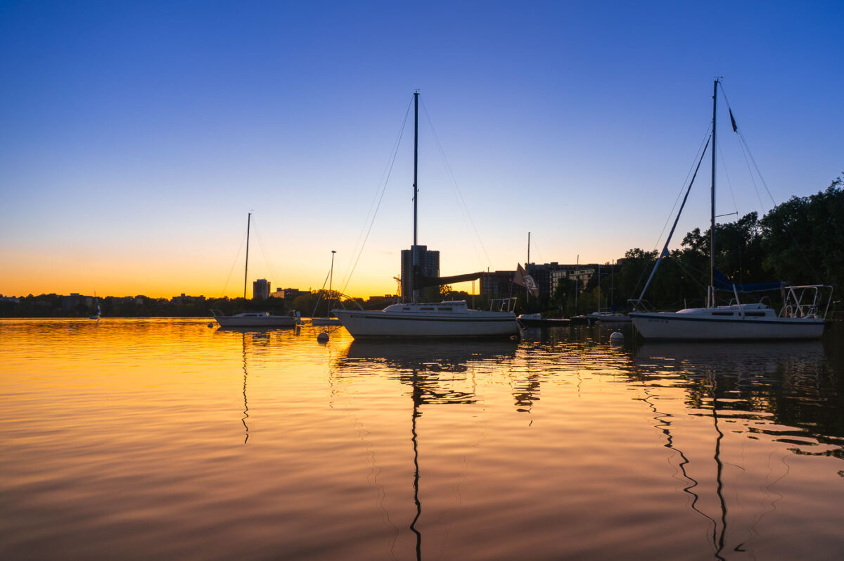
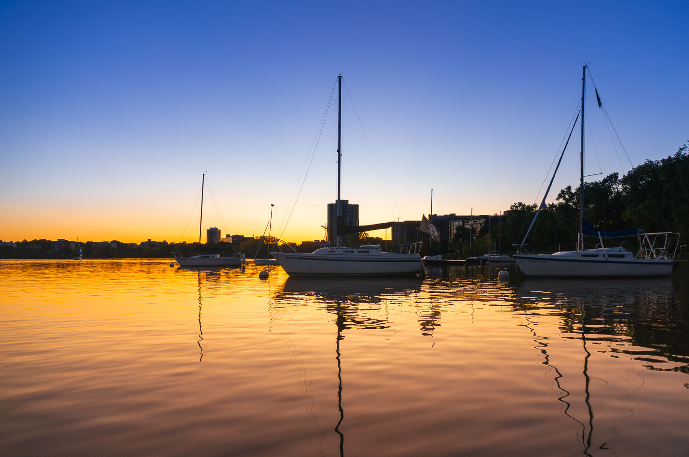
Sailboats moored at Bde Maka Ska lake at sunset in Minneapolis, Minnesota.
Sailboats are moored on Bde Maka Ska, Minneapolis, Minnesota, as the sun sets. The lake, formerly known as Lake Calhoun, is one of the city's Chain of Lakes, a system of lakes and parkland that provides significant recreational opportunities. Bde Maka Ska is a popular destination for sailing, kayaking, and other water activities, and its shores are lined with parks and trails used by residents and visitors.

Sailboats Moored on Bde Maka Ska at Golden Hour

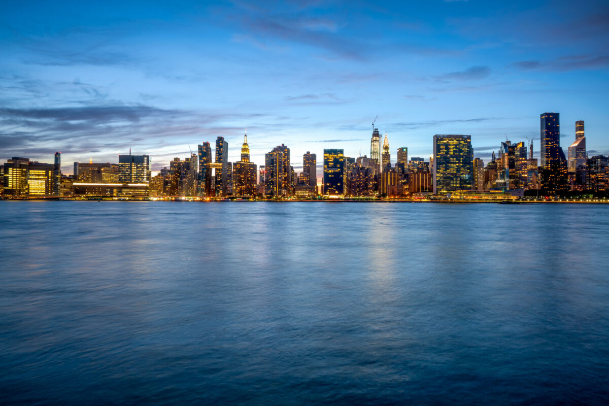
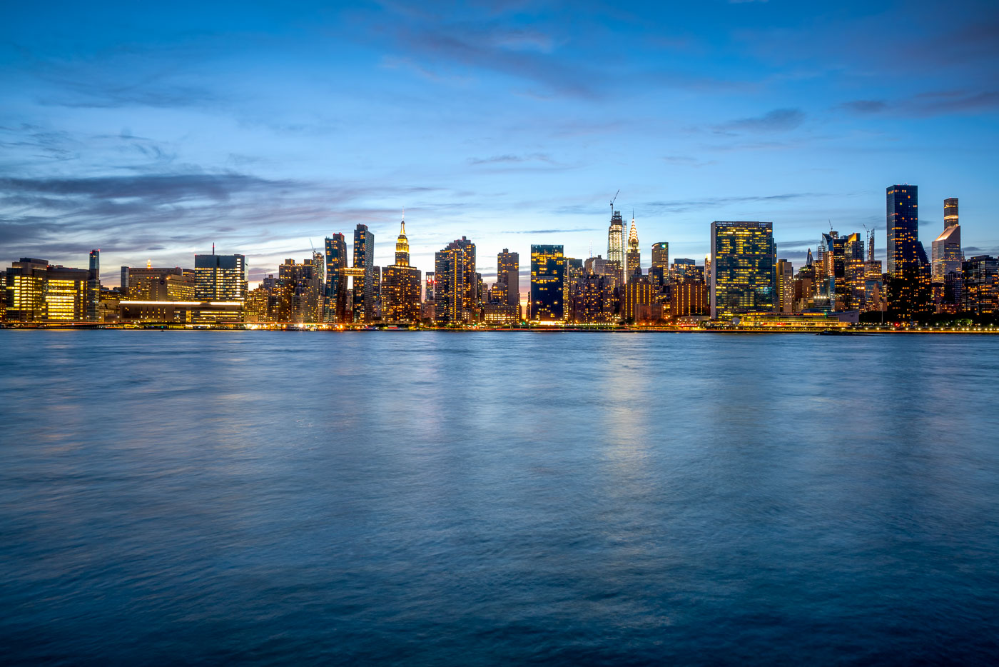
Midtown Manhattan skyline illuminated at dusk across the East River from Long Island City, Queens.
Midtown Manhattan rises across the East River as viewed from Long Island City in Queens. The Empire State Building, completed in 1931 to a height of 1,454 feet with its antenna, remains one of the skyline's most recognizable structures. Nearby, the Chrysler Building, finished in 1930, held the title of world's tallest building for less than a year before losing it to the Empire State Building. The East River separates Manhattan from Queens and Brooklyn, connecting New York Harbor to Long Island Sound as a tidal estuary rather than a true river. Long Island City, once dominated by factories and warehouses, has become one of the fastest-growing residential areas in New York City over the past two decades.

Manhattan Skyline Seen From Long Island City at Dusk

The 10th Avenue Bridge spans the Mississippi River with downtown Minneapolis skyline and Capella Tower at sunset.
The 10th Avenue Bridge crosses the Mississippi River between the West Bank and the University of Minnesota's East Bank campus. Built in 1929, it's a concrete arch bridge carrying Tenth Avenue Southeast into downtown Minneapolis.

Downtown Minneapolis Skyline Above the 10th Avenue Bridge

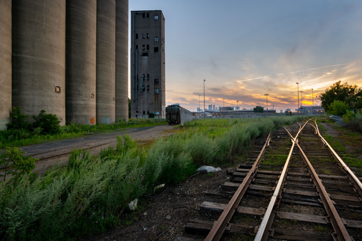
Tracks at Archer Daniels Midland Elevator
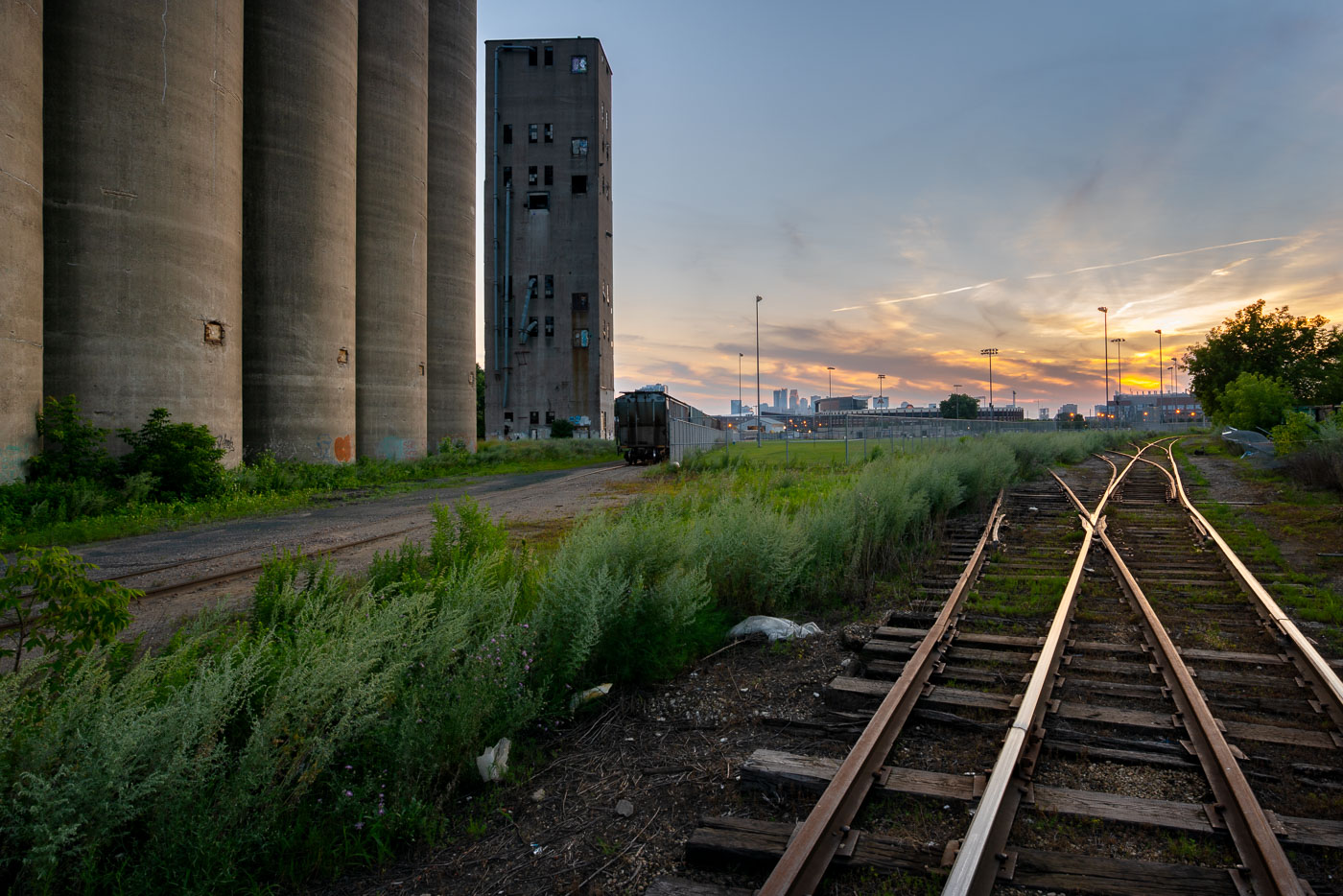
Train tracks outside the long abandoned massive concrete Archer-Daniels-Midland Delmar Elevator No. 7 in Minneapolis. Known locally as the "United Crushers" mill after the large tag visible from miles away.

Tracks at Archer Daniels Midland Elevator

The Pillsbury's Best flour mill sign glows red atop a historic brick mill building in Minneapolis at sunset.
The Pillsbury A-Mill, a former flour mill on the Mississippi River in Minneapolis, Minnesota, was once the world's largest flour mill for four decades. Completed in 1881, it utilized two powerful 1,200-horsepower waterwheels. Recognized as a National Historic Landmark in 1966, the structure has since been repurposed into resident artist lofts.

Pillsbury’s Best Flour Sign and Water Tower at Dusk

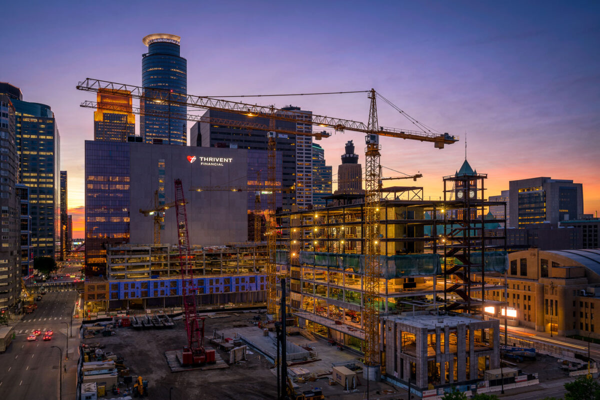
Construction of the Thrivent Financial campus in downtown Minneapolis
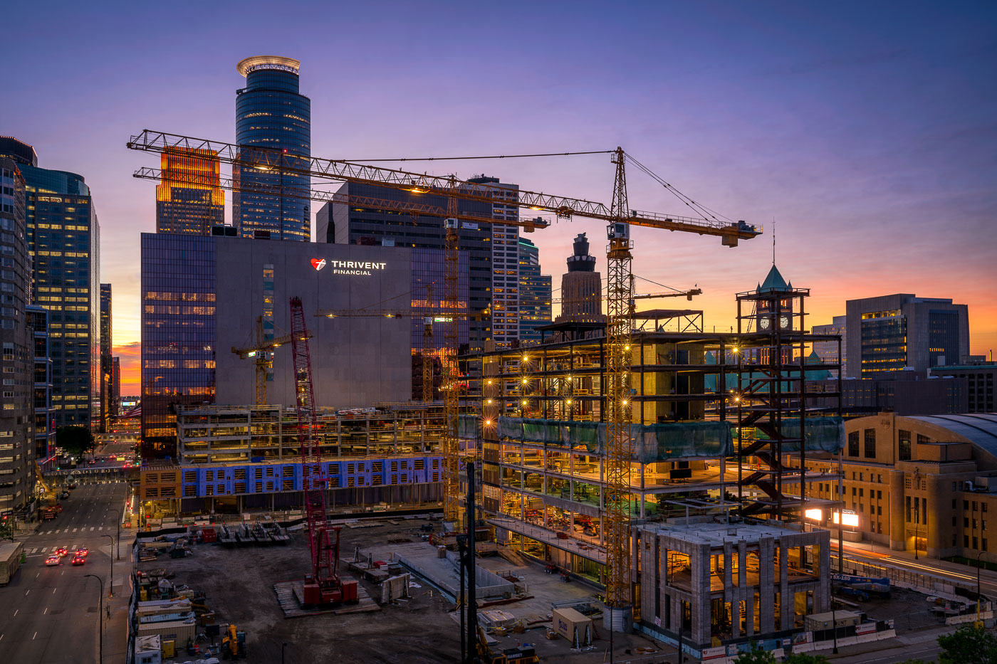
Construction of the Thrivent Financial campus in downtown Minneapolis is underway, with the company's existing building visible alongside the new structure. The project, which began in 2018, is designed to consolidate Thrivent's operations into a single, modern facility. The new building features a distinctive glass facade and is situated adjacent to the historic Milwaukee Road Depot, a landmark of Minneapolis's transportation history.

Thrivent Financial Construction Downtown Minneapolis at Sunset

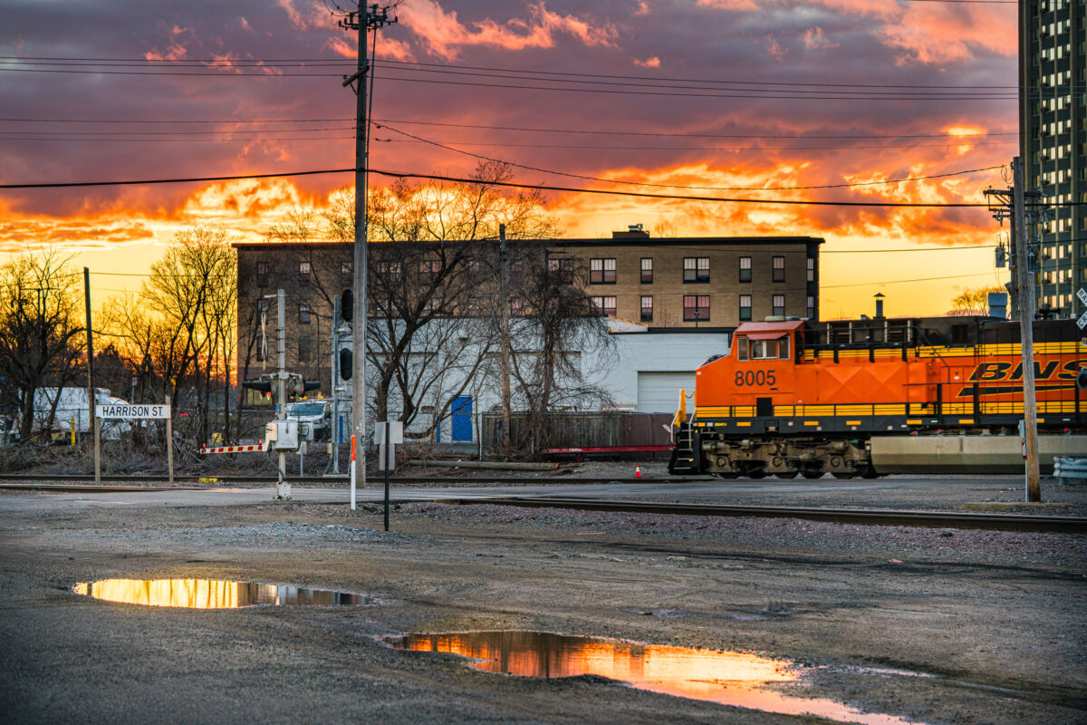
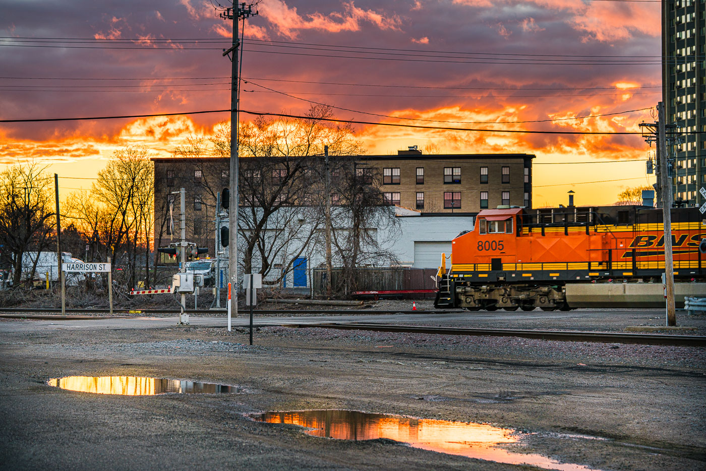
BNSF Railway locomotive number 8005 passes Harrison Street crossing in Northeast Minneapolis at sunset.
A BNSF Railway locomotive passes the Harrison Street crossing in Northeast Minneapolis. The crossing is part of the rail corridor that runs through the neighborhood near the Mississippi River.

Sunset Over the BNSF Crossing on Harrison Street

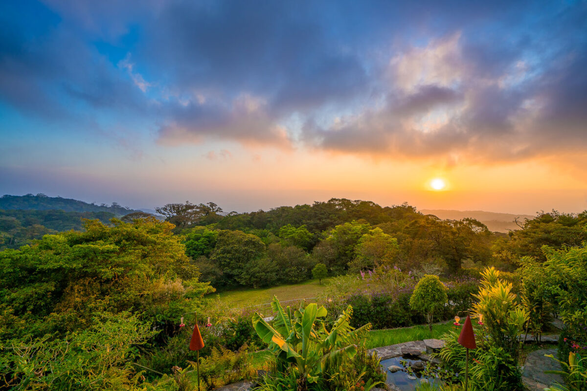
Monteverde Cloud Forest in Costa Rica at sunset, with flowering plants in foreground and forested hills beneath golden sky.
Monteverde sits along Costa Rica's Tilarán Cordillera, where trade winds off the Caribbean push moisture up the slopes and condense into the near-constant mist that gives the cloud forest its name. The Monteverde Cloud Forest Reserve, established in 1972, protects roughly 10,500 hectares and spans six distinct ecological zones across an elevation range of about 1,440 to 1,800 meters. That shift in elevation and moisture supports more than 2,500 plant species, including over 400 types of orchids, along with some 100 mammal species and 400 bird species, among them the resplendent quetzal. Quaker settlers and conservationists who arrived in the 1950s helped set aside the original forest tract, a decision credited with starting the region's long-running ecotourism economy.

Sunset Over the Treetops at Monteverde

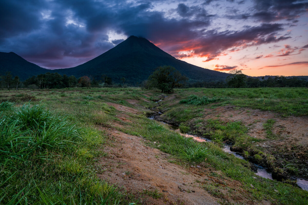
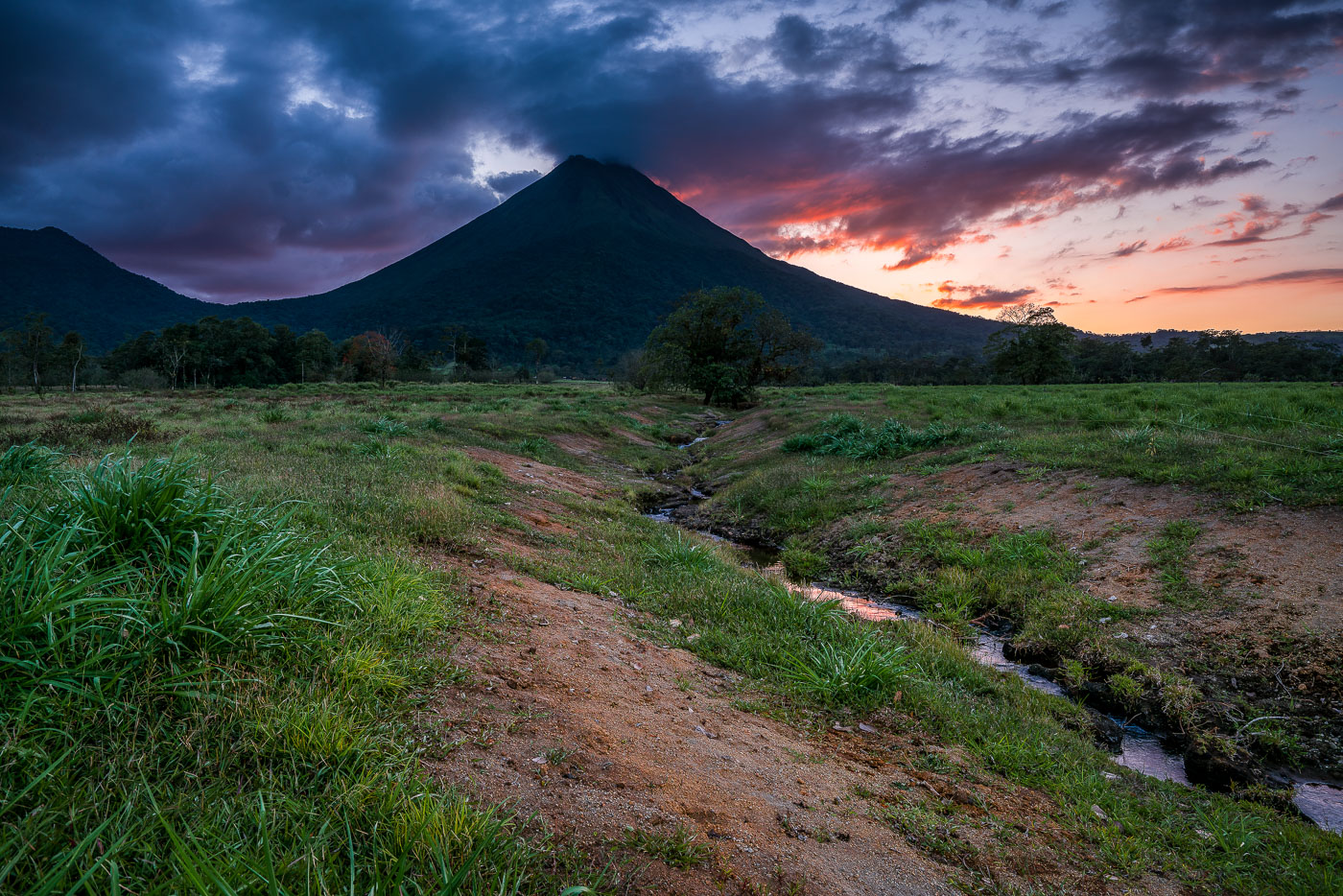
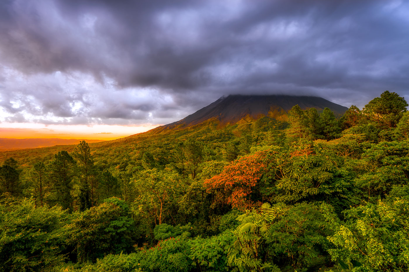
Arenal Volcano rises above grassy plains with a stream running through the foreground at sunset near La Fortuna, Costa Rica.
Arenal Volcano stands 1,633 meters tall near La Fortuna in Costa Rica's Alajuela province. Its symmetrical cone formed through repeated eruptions that began in 1968, when a sudden blast destroyed the nearby villages of Tabacón and Pueblo Nuevo and killed 87 people. The eruption marked the start of continuous activity that lasted until 2010, when the volcano entered its current dormant phase. The surrounding lowlands, drained by small streams like this one, are part of Arenal Volcano National Park, established in 1991 to protect the area's forests and wildlife.

Twilight Creek Below Arenal Volcano, Costa Rica

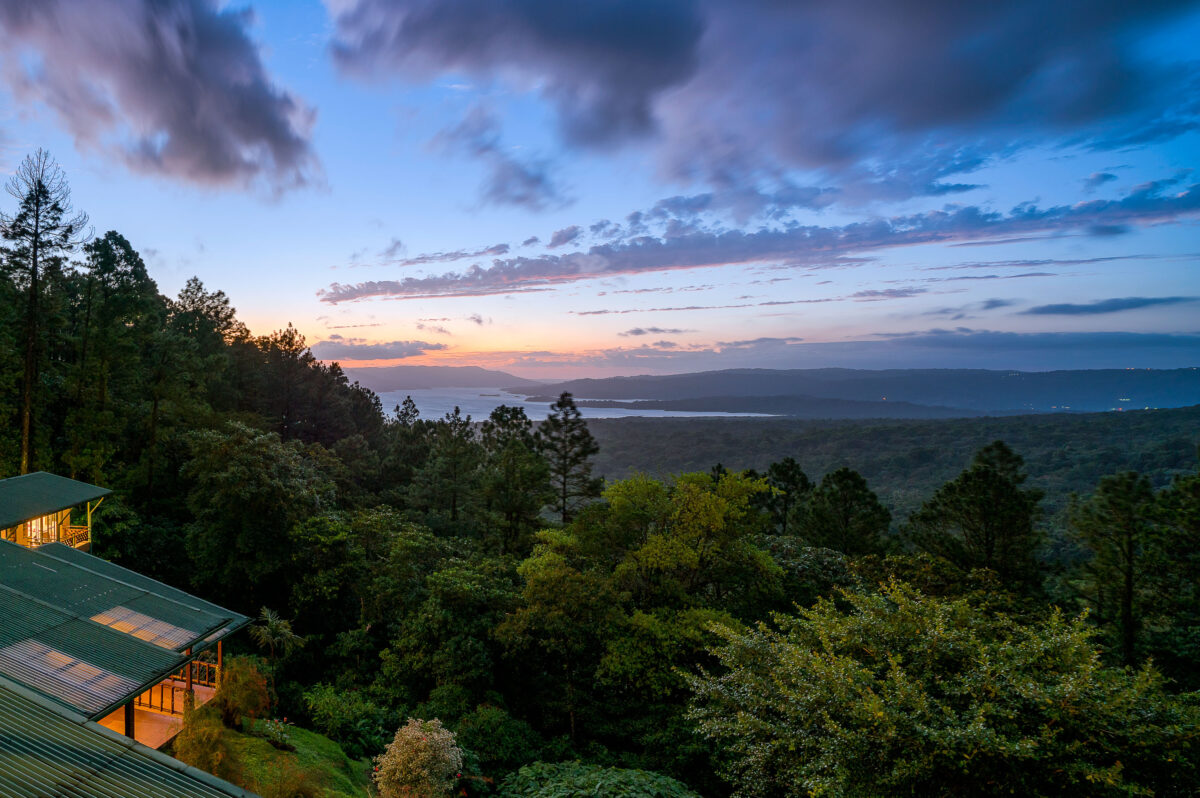
Arenal Observatory Lodge overlooks Lake Arenal and rainforest at twilight in Costa Rica's Alajuela Province.
Arenal Observatory Lodge sits on the southern flank of Arenal Volcano, overlooking Lake Arenal in Costa Rica's Alajuela province. The lodge began in 1987 as a research station built to house volcanologists monitoring Arenal's eruptions, which continued almost continuously from 1968 until 2010. Lake Arenal itself is artificial, formed in 1979 when a dam was built for hydroelectric power and now supplying a significant share of the country's electricity. The property later converted from a scientific outpost into a hotel, with trails leading through the surrounding rainforest toward the volcano's lower lava fields.

Dusk Over Lake Arenal from Arenal Observatory Lodge

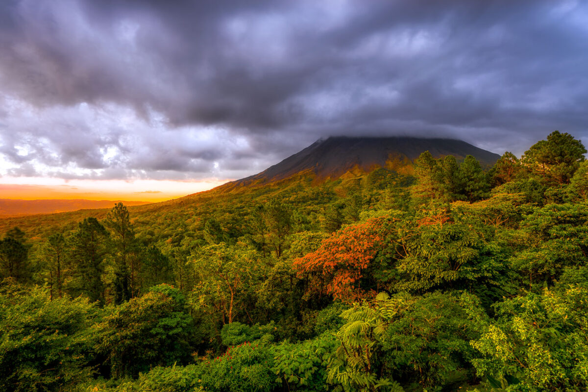
Arenal Volcano rises above dense rainforest canopy under stormy skies near La Fortuna, Costa Rica.
Arenal Volcano rises 1,657 meters above the plains of northern Costa Rica, near the town of La Fortuna in Alajuela Province. The stratovolcano stayed dormant for centuries before an eruption in 1968 destroyed the nearby village of Tabacón and reshaped its slopes with the lava flows still visible today. It erupted continuously from 1968 until activity ceased in 2010, making it one of the youngest active volcanoes in Central America during that period. The surrounding land was designated Arenal Volcano National Park in 1991, protecting the rainforest that now covers much of the mountain's lower flanks.

Sunset Light Breaks Over Arenal Volcano Near La Fortuna

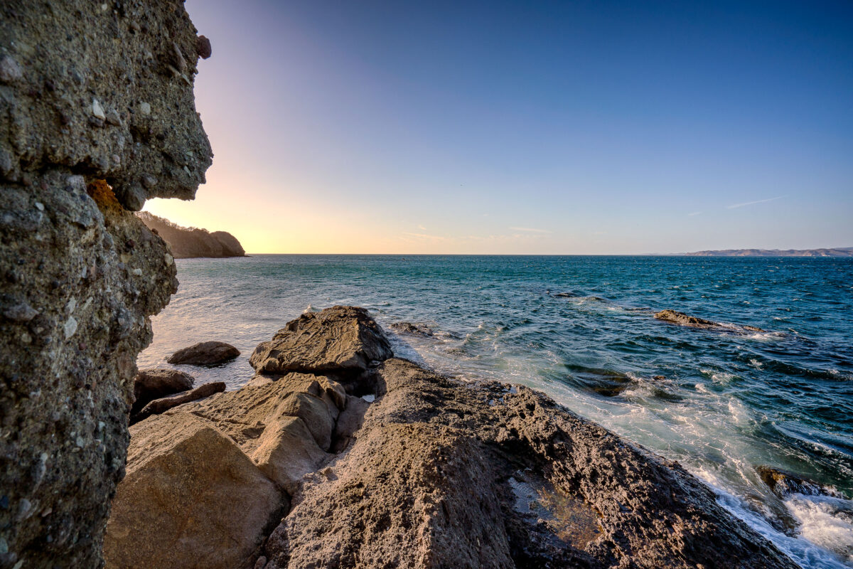
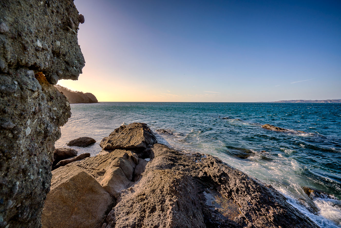
Rocky coastal outcrop overlooks Jobo Bay and the Pacific Ocean at sunset in Guanacaste province, Costa Rica.
Jobo Bay sits on Costa Rica's Pacific coast in Guanacaste Province, near the Nicaraguan border. The shoreline here is volcanic in origin, part of the same geologic activity that shaped the Guanacaste mountain range inland. Guanacaste's coast is drier than much of the rest of Costa Rica, with a pronounced dry season that leaves its tropical dry forests deciduous for part of the year. The province's beaches and bays, including this one, draw divers and anglers for the rocky reefs and sheltered coves common along this stretch of coastline.

Volcanic Rock Formation Along Jobo Bay, Guanacaste

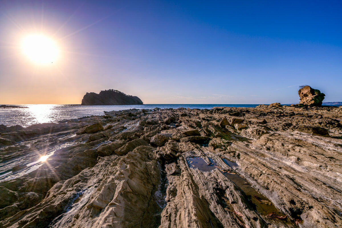
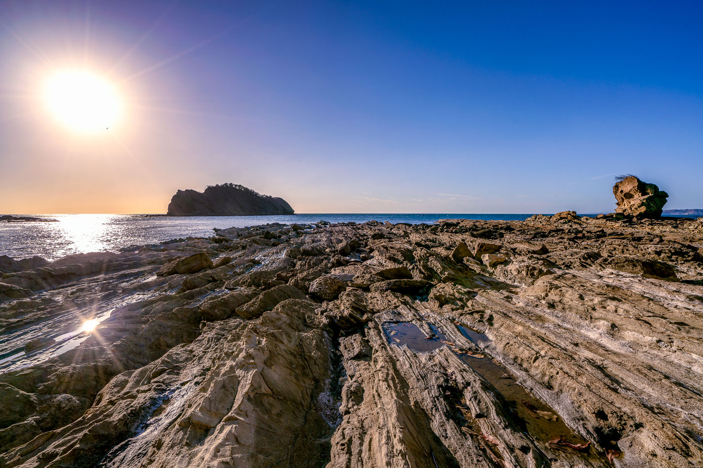
Rocky shoreline with layered stone formations and a sea stack at Jobo Bay in Guanacaste, Costa Rica.
Jobo Bay sits along the Santa Elena Peninsula in northern Guanacaste, near Costa Rica's border with Nicaragua. The shoreline's folded rock shelves formed from ancient volcanic flows that run along this stretch of the Pacific coast. Steady offshore winds common to the area have made the region a site for wind-energy development, with turbine farms built on the hills above the coastline. At low tide, the exposed rock platforms create shallow pools and channels along the bay's edge.

Sunset Over the Rocky Shoreline of Jobo Bay

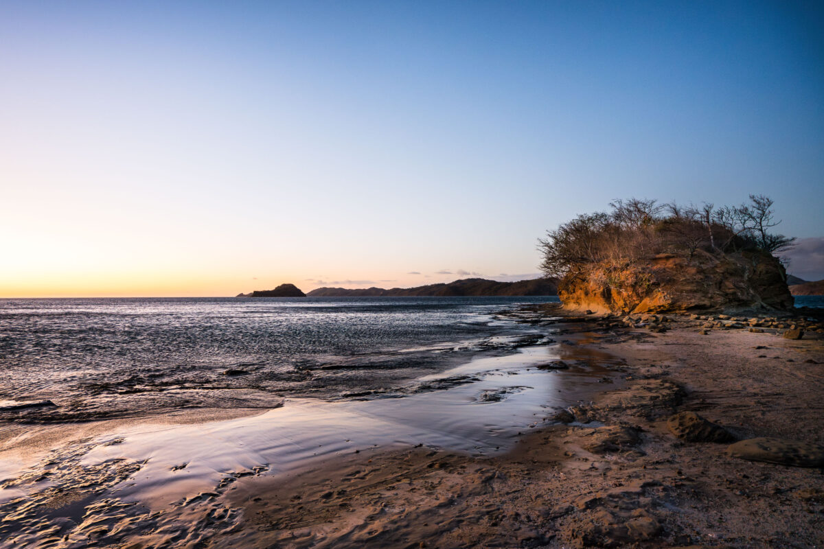
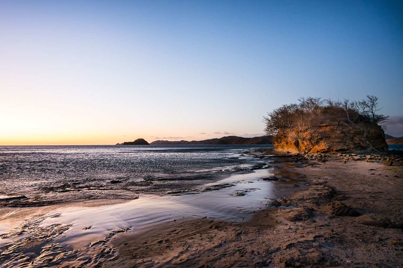
Rocky shoreline with tide pools and a sandstone outcrop at Playa Escondida, Guanacaste, Costa Rica at sunset.
Playa Escondida sits along the Guanacaste coast of Costa Rica, a stretch of the Pacific shoreline known for its rocky headlands and tide-exposed sandbars. The beach's name translates to "hidden beach," a nod to its secluded position away from the region's more developed tourist strips like Tamarindo and Playas del Coco. Low tide here exposes flat sand channels and rock outcrops that connect to the forested bluffs along the shore, conditions shaped by the area's pronounced tidal swings common to Guanacaste's Pacific-facing beaches.

Sunrise Over the Rocky Shore of Playa Escondida

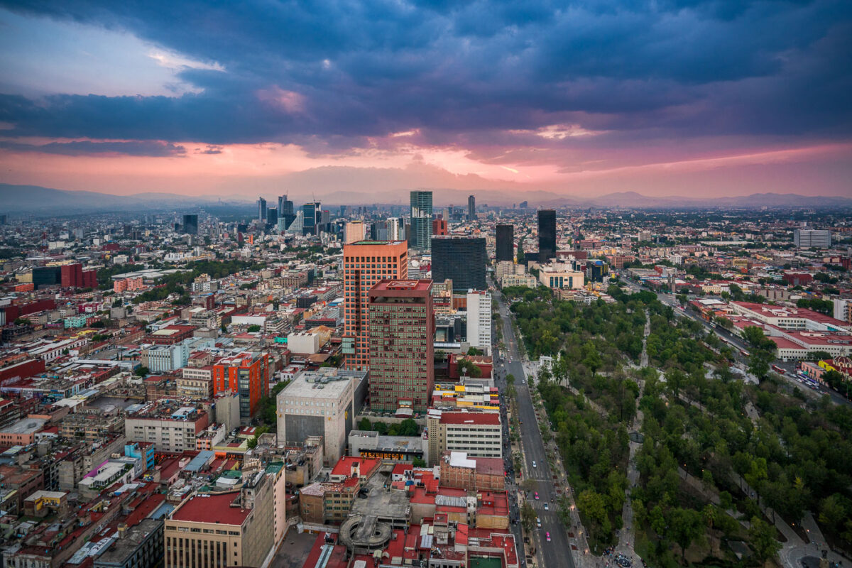
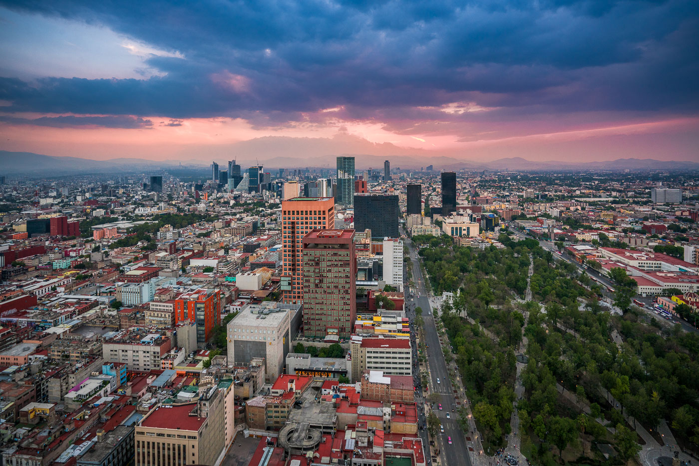
Mexico City skyline at dusk showing Paseo de la Reforma avenue, downtown towers, and Alameda Central park with mountains beyond.
Paseo de la Reforma in Mexico City runs north from the historic center toward the city’s modern business districts. The broad avenue is one of the capital’s main arteries and passes landmarks such as the Alameda Central and the Torre Latinoamericana area. Here it appears at dusk beside the tree-lined expanse of Alameda Central and surrounding high-rise development.

Aerial View of Paseo de la Reforma Toward the Alameda Central at Dusk

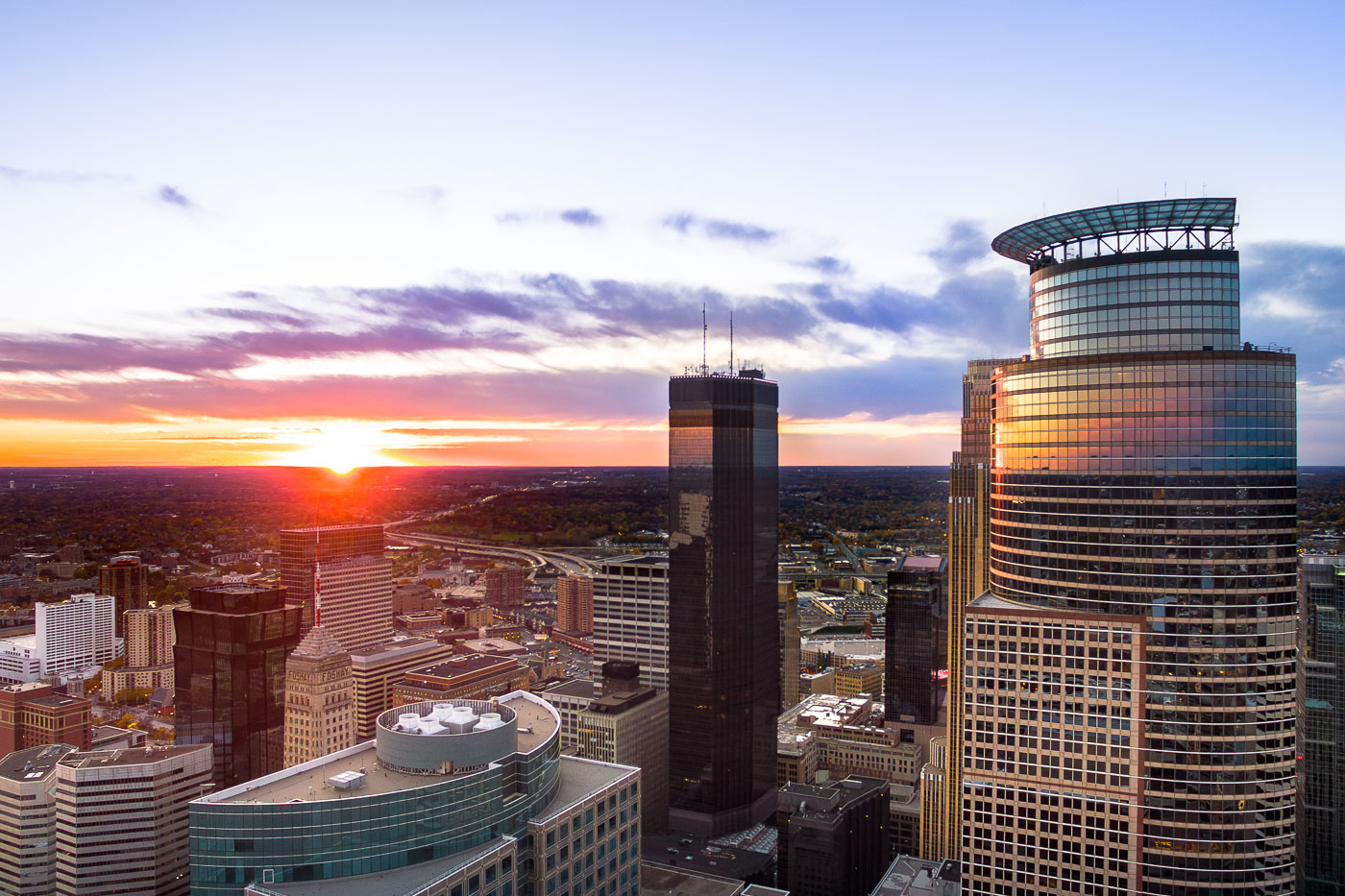
Minneapolis skyline at sunset, featuring Capella Tower, IDS Center, and Foshay Tower. The IDS Center (1972) and Foshay Tower (1929) represent modernist and early skyscraper architecture.
The Minneapolis skyline is illuminated by sunset, with the Capella Tower, IDS Center, and Foshay Tower prominently featured.

Minneapolis: Capella Tower, IDS Center, Foshay Tower at Sunset

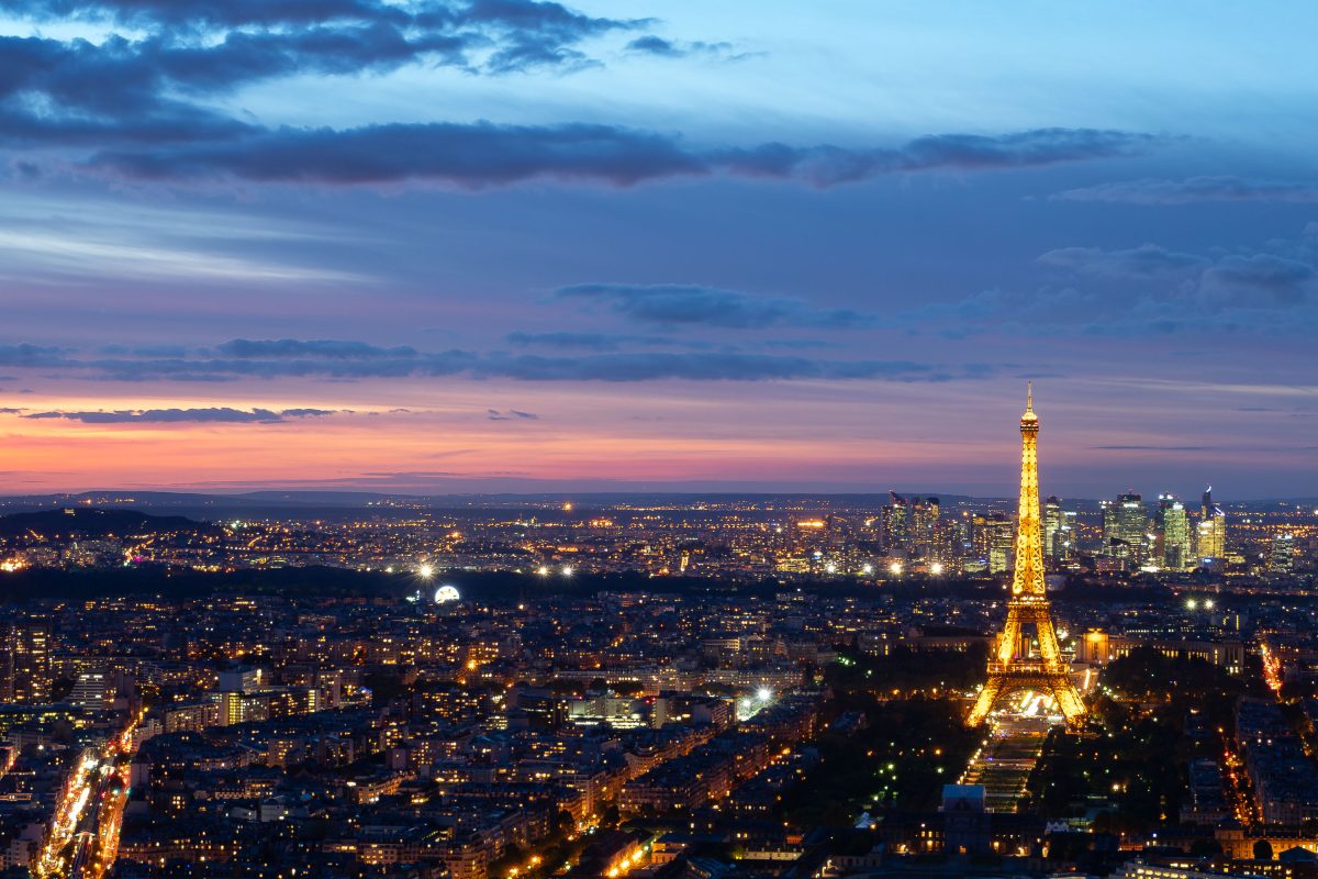
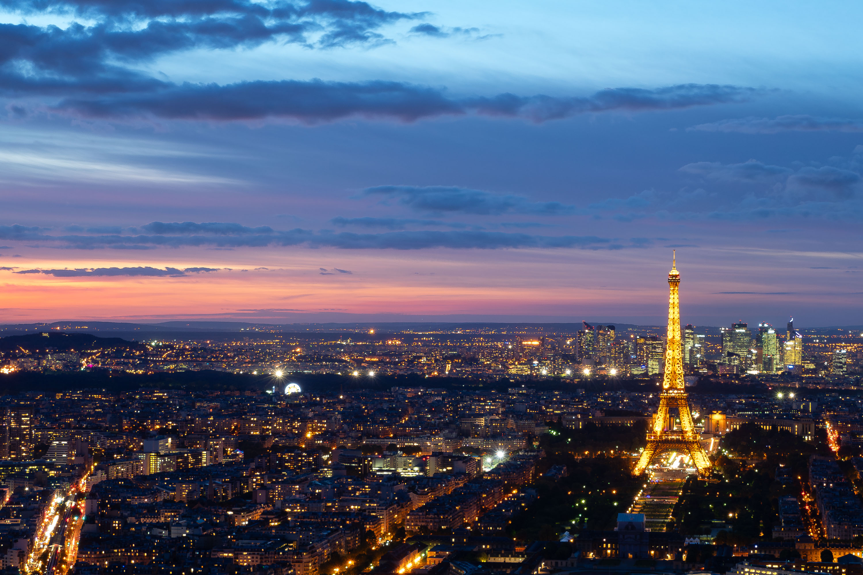
The Eiffel Tower rises above the Paris skyline, viewed from the Montparnasse Tower observation deck at dusk.
The Eiffel Tower stands on the Champ de Mars in the 7th arrondissement of Paris, France. Designed by engineers Maurice Koechlin and Émile Nouguier under Gustave Eiffel's company, it was completed in 1889 as the entrance arch for the World's Fair. The tower rises 330 meters and held the title of tallest man-made structure until the Chrysler Building surpassed it in 1930. It is owned by the City of Paris and operated by the Société d'Exploitation de la Tour Eiffel. The tower draws close to seven million visitors annually, making it one of the most visited paid monuments in the world.
Eiffel Tower from Montparnasse Tower Observation Deck, Paris
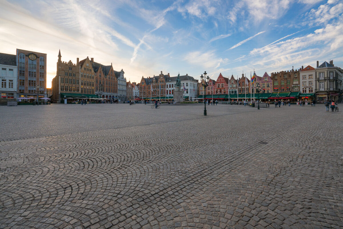
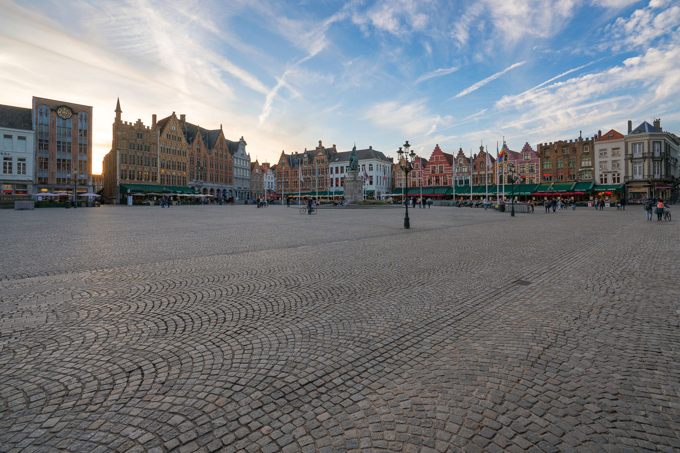
Bruges Markt Square guild houses at sunset with people strolling and dining.
Bruges’ Markt square in West Flanders, Belgium, is lined with step-gabled guild houses and cafés beneath a broad evening sky. The 1887 monument to Jan Breydel and Pieter de Coninck stands at the center of the cobblestoned square, where pedestrians and cyclists move among restaurant terraces and flagpoles.

Bruges Markt Square Guild Houses Sunset
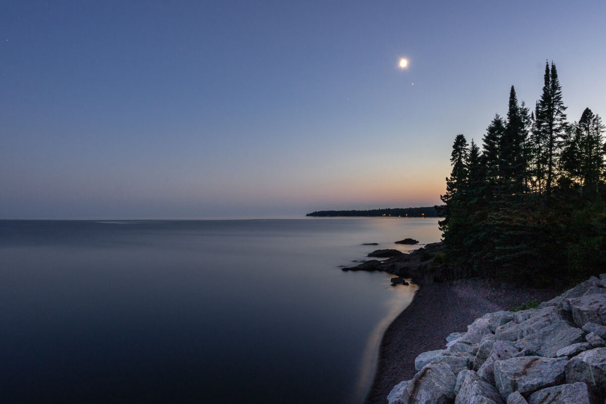
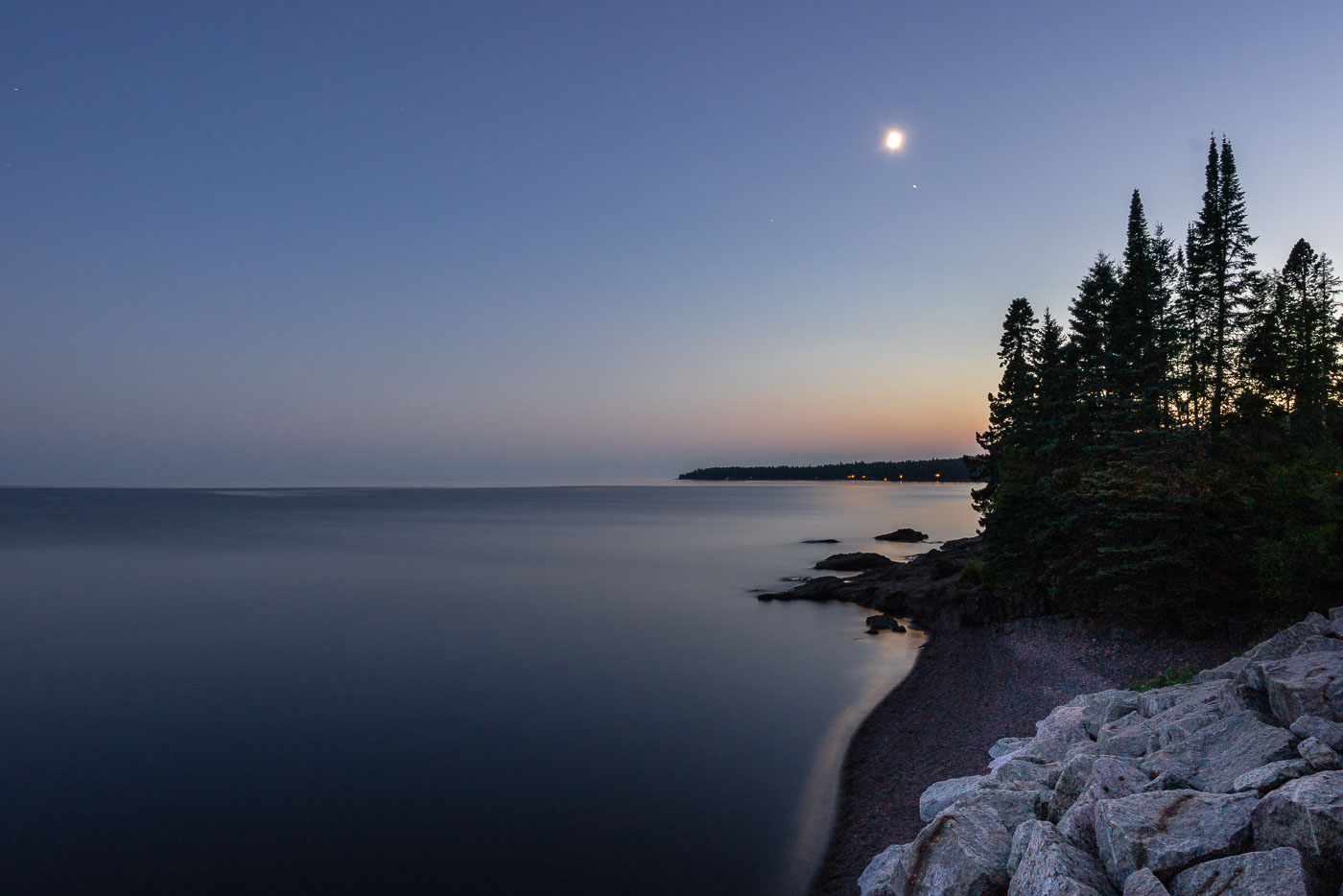
Moonrise over Lake Superior, Silver Creek Township, MN. The undeveloped North Shore features ancient basaltic rock formations and forests meeting the calm freshwater lake.
Moonrise over Lake Superior, Silver Creek Township, MN. The North Shore of Lake Superior, north of Two Harbors, is characterized by its ancient basaltic rock formations, remnants of lava flows from nearly a billion years ago. This undeveloped stretch of coastline in Silver Creek Township, Minnesota, is geologically significant and features forests of spruce and pine meeting the vast freshwater lake. The calm waters reflect the twilight sky as the moon ascends, marking the transition from day to night along this rugged shore.

Moonrise over Lake Superior, Silver Creek Township, MN
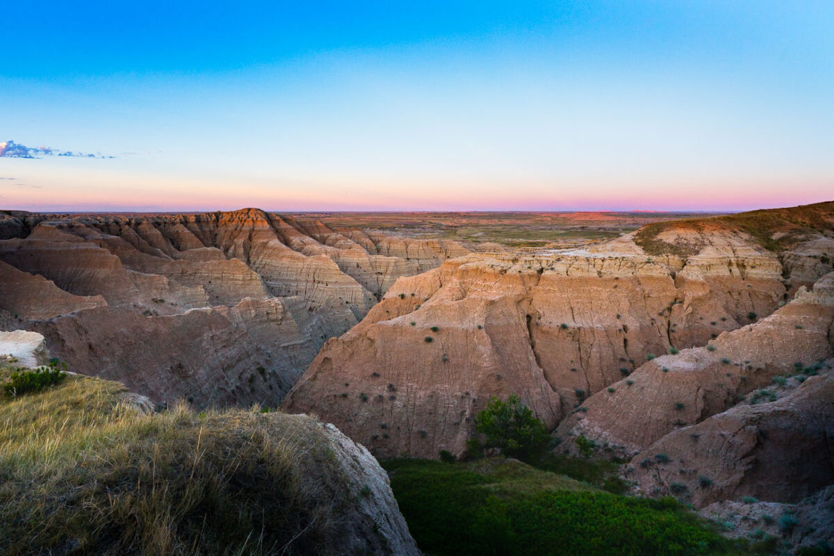
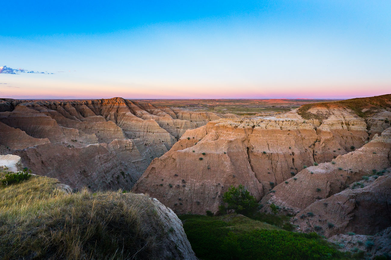
Eroded badlands formations at Buffalo Gap National Grasslands, South Dakota, at sunset.
Buffalo Gap National Grasslands, South Dakota. The grasslands include rugged badlands terrain along the southern edge of the Black Hills region. Much of the area is managed for grazing, wildlife habitat, and dispersed recreation.

Twilight Over the Badlands at Buffalo Gap National Grassland

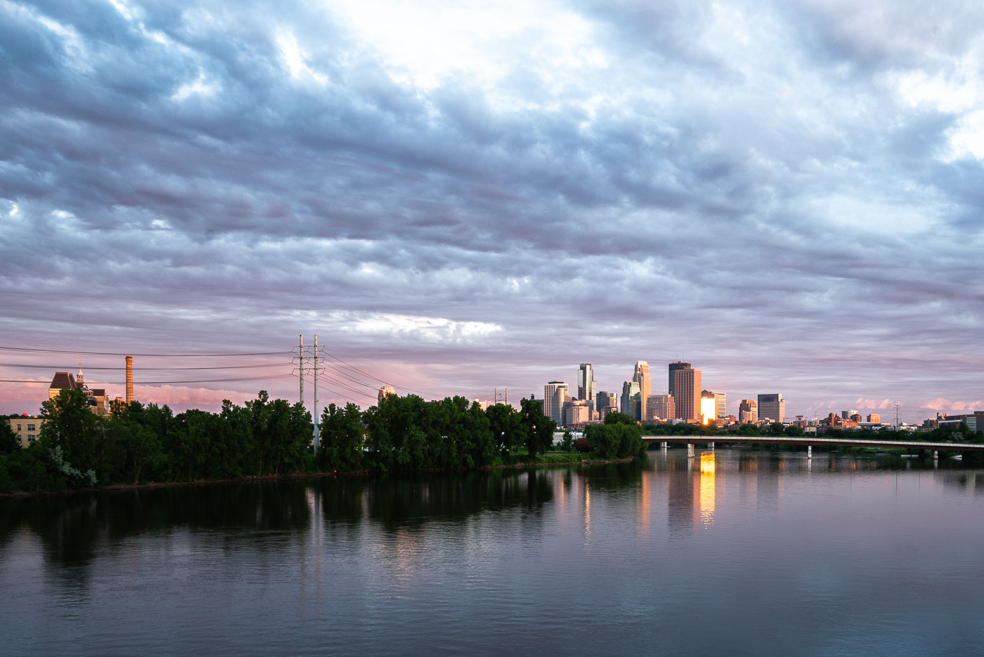
Minneapolis downtown skyline and Mississippi River at dusk with suspension bridge visible across the water.
Downtown Minneapolis along the Mississippi River, with the Third Avenue Bridge crossing toward downtown. The river marks the site of St. Anthony Falls, the only major waterfall on the Mississippi, which drew the flour mills that built the city's early economy.

Downtown Minneapolis Skyline Along the Mississippi River
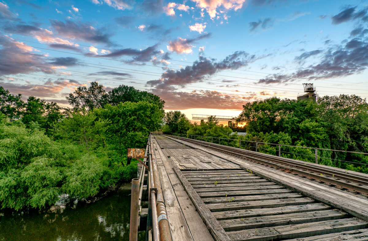
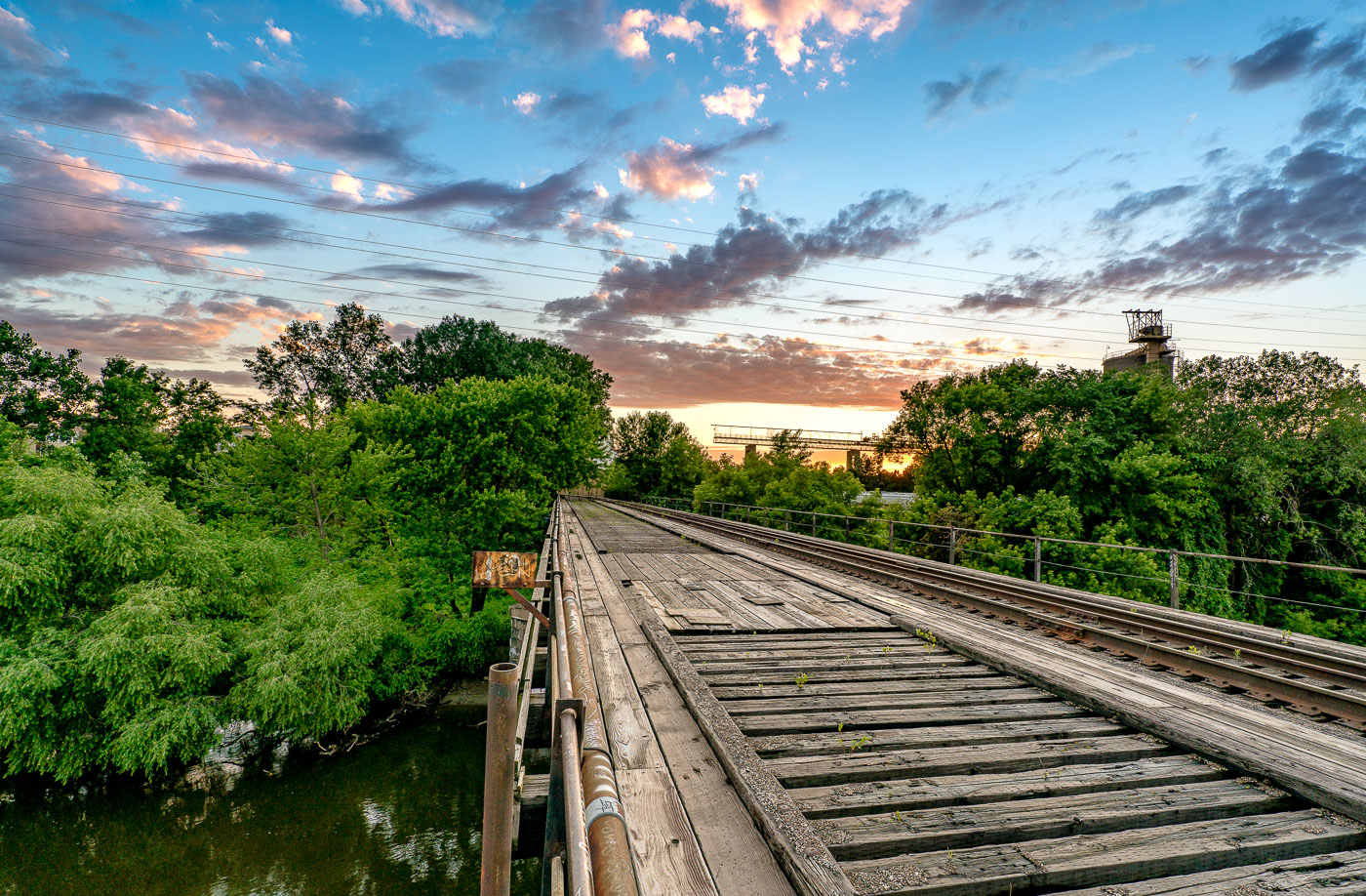
A wooden train bridge spans the Mississippi River in Minneapolis, Minnesota, at sunset, highlighting the historical importance of rail infrastructure.
A wooden train bridge spans the Mississippi River in Minneapolis, Minnesota. This structure, likely built to facilitate freight transport, highlights the historical importance of rail infrastructure in the region's development. The weathered timbers and visible tracks suggest a long operational history, while the surrounding greenery and sunset clouds offer a contrast between industrial utility and natural beauty. Such bridges were vital arteries for commerce and industry, connecting communities and enabling the movement of goods.

Wooden Train Bridge Over Mississippi River, Minneapolis
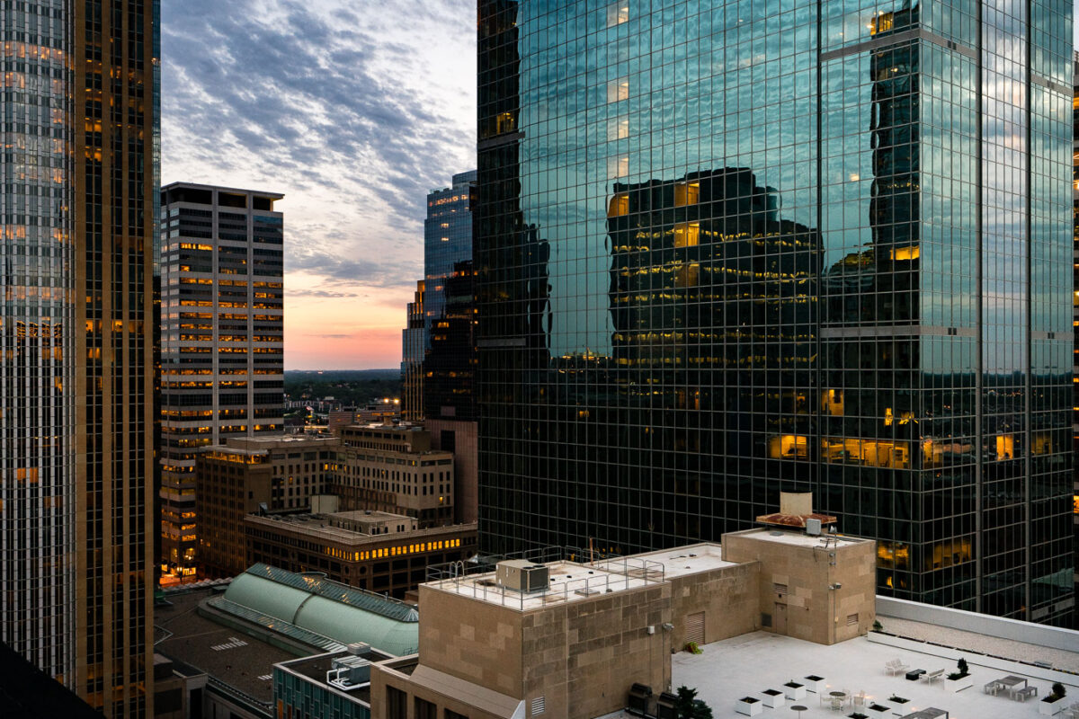
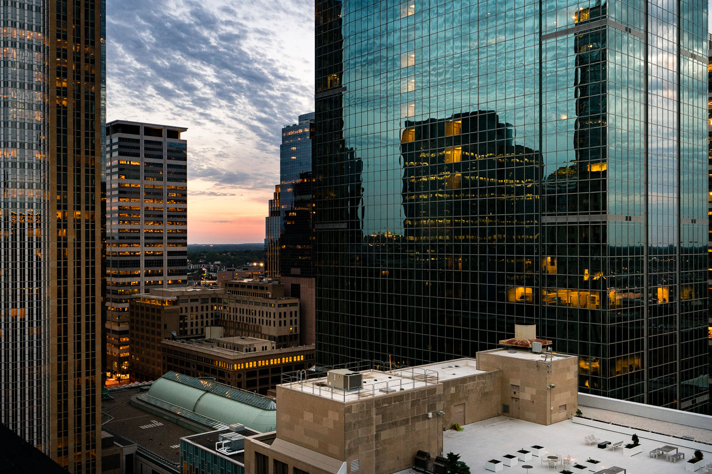
Downtown Minneapolis skyscrapers at sunset.
The setting sun casts a warm glow over Downtown Minneapolis, illuminating the windows of its modern skyscrapers. These buildings represent the city's economic and commercial core, housing numerous businesses and corporate offices. The architecture reflects a blend of contemporary design, with glass facades mirroring the sky and surrounding structures. As evening approaches, the lights within the offices signify the ongoing activity and the city's role as a hub for commerce and industry.

June sunset in Downtown Minneapolis
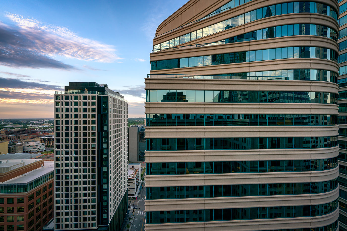
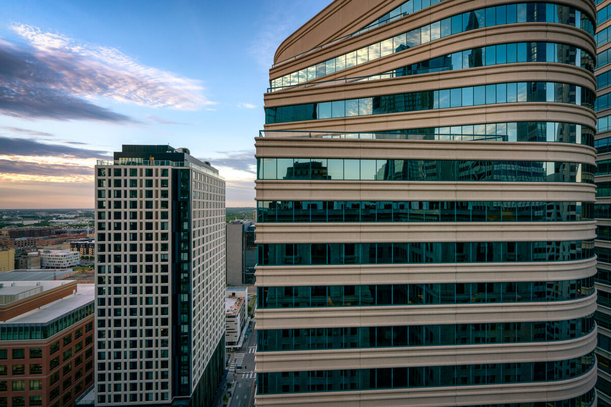
Fifth Street Towers in downtown Minneapolis at sunset
The Fifth Street Towers, a pair of modern office buildings in Downtown Minneapolis, are seen at sunset. The building on the right features a distinctive curved facade with horizontal bands of beige stone and blue-tinted glass, reflecting the sky and surrounding architecture. Its counterpart on the left is a more rectilinear structure with a grid of windows. These buildings are part of the central business district, housing various commercial enterprises and contributing to the city's economic activity.

Fifth Street Towers, Downtown Minneapolis at Sunset
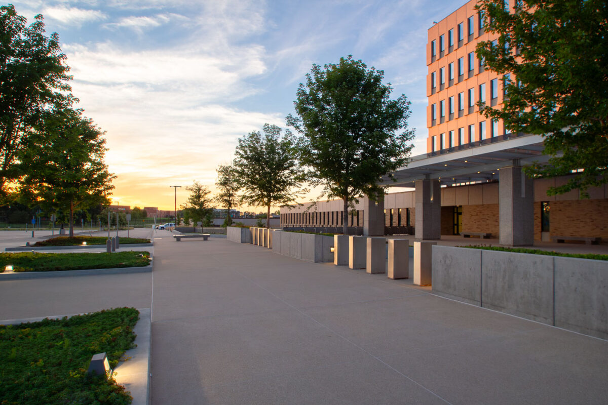
Bishop Henry Whipple Federal Building in Minneapolis at sunset.
The Bishop Henry Whipple Federal Building in Minneapolis houses the Immigration Court and other federal offices. The complex is a U.S. General Services Administration property used for administrative and judicial functions.

Bishop Henry Whipple Federal Building, Minneapolis
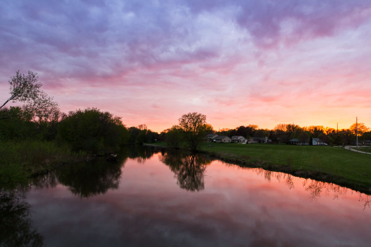
Sunset over the Straight River in Owatonna, Minnesota, with residential homes visible on the far bank.
A sunset casts vibrant hues of pink and purple across the sky over the Straight River in Owatonna, Minnesota. The tranquil water reflects the colorful clouds and the surrounding trees, with residential homes visible on the far bank. This photograph, taken in May 2016, captures a moment of natural beauty in a developed area, highlighting the coexistence of residential life and the natural environment within the city. The Straight River is a significant waterway in Steele County, providing a scenic backdrop to the community.

Owatonna, Minnesota: Sunset Over the Straight River
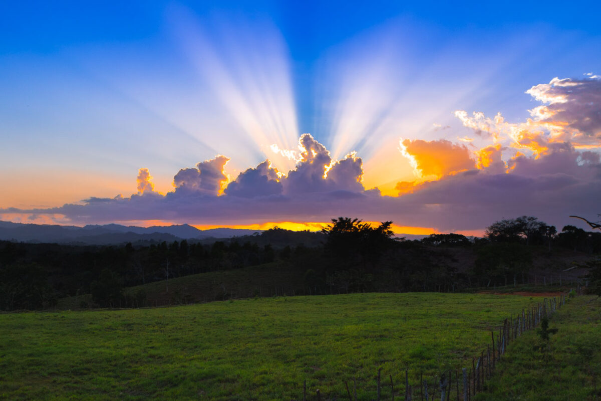
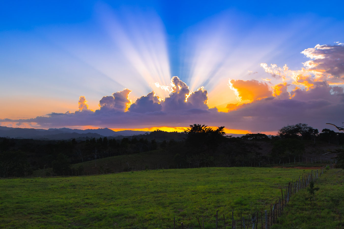
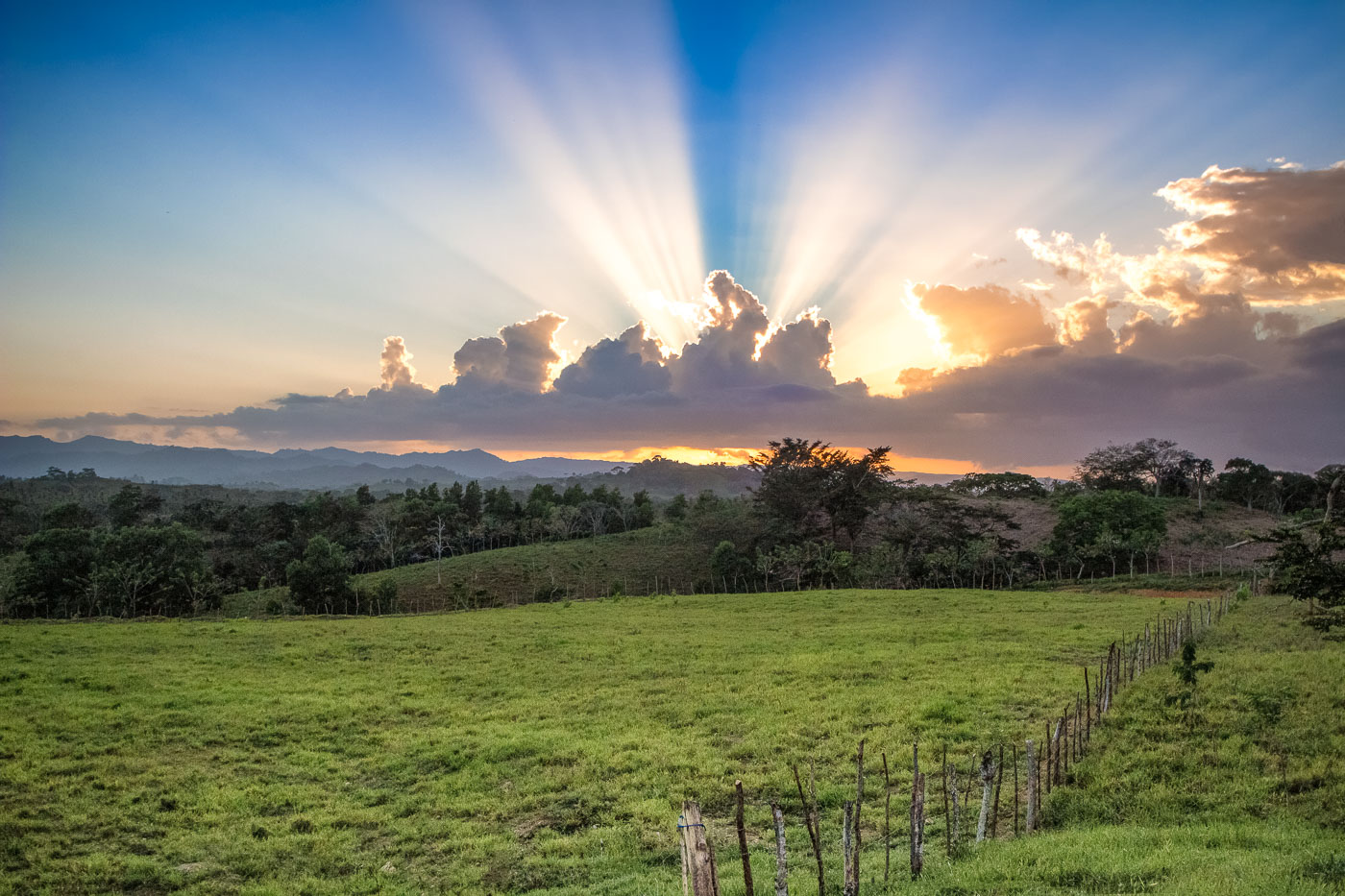
Sunset over rural farmland in Dominican Republic with crepuscular rays breaking through clouds above silhouetted hills and tree line.
Sunset over rural farmland in the Dominican Republic, with crepuscular rays spreading above a line of low hills and fields enclosed by fence posts. The late-day light breaks through a band of clouds near the horizon, silhouetting trees and emphasizing the open agricultural landscape.

Crepuscular Rays Over Pastureland, Dominican Republic
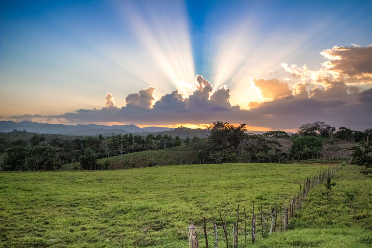
Sunset over farmland in El Seibo, Dominican Republic, with crepuscular rays behind clouds.
Farmland in El Seibo Province, Dominican Republic, extends across rolling pasture at sunset. El Seibo is one of the country’s principal agricultural provinces, with land used for cattle ranching as well as cacao and coffee production.

El Seibo, Dominican Republic: Sunset Over Farmland
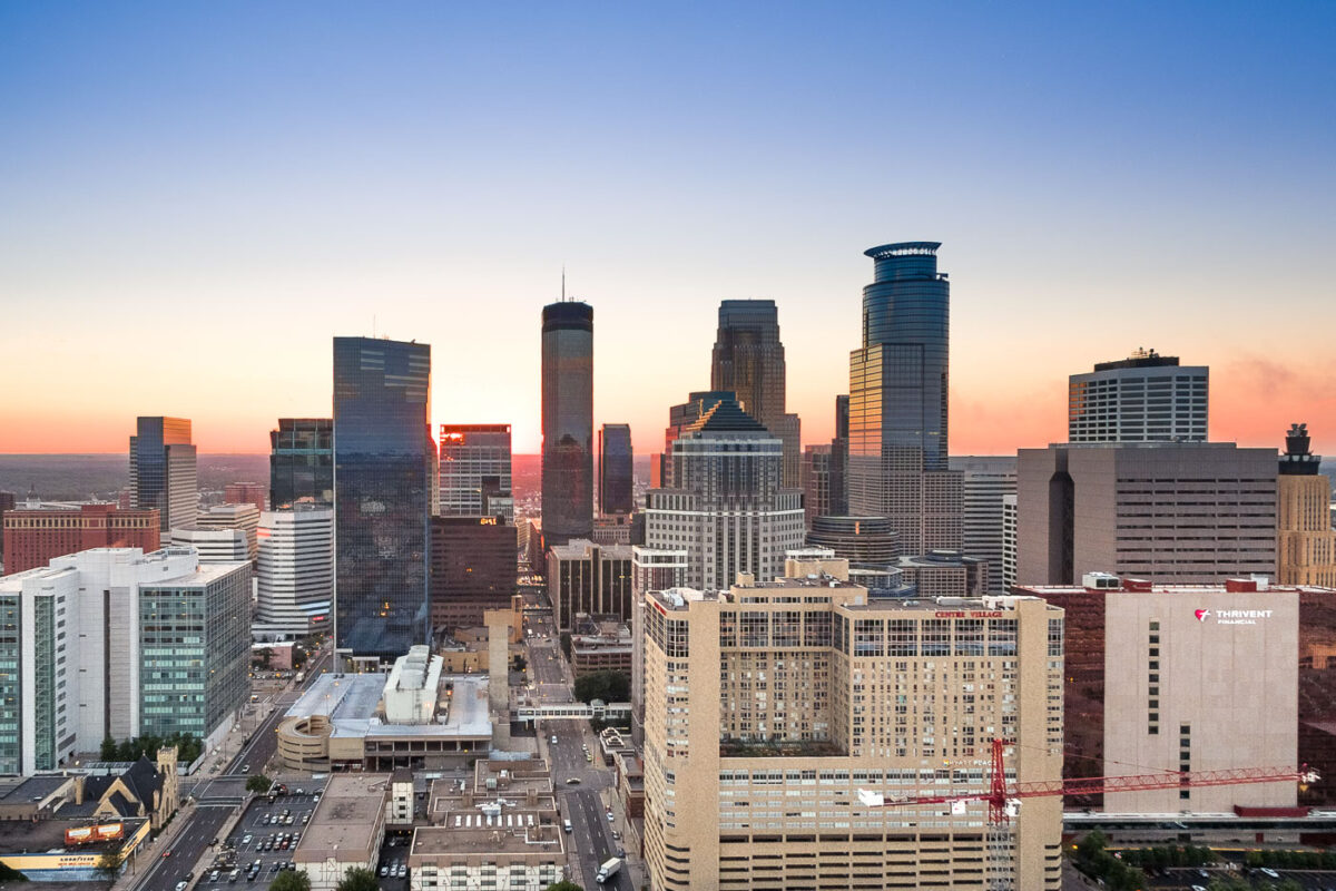
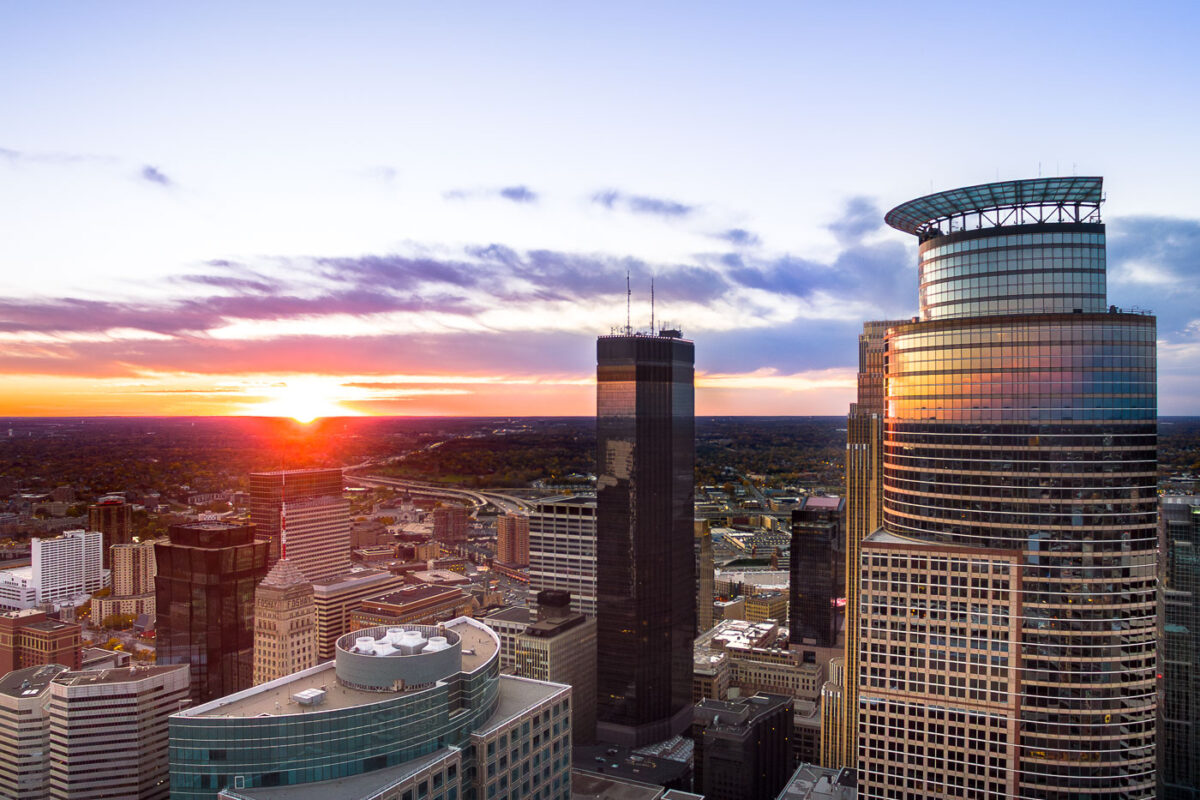
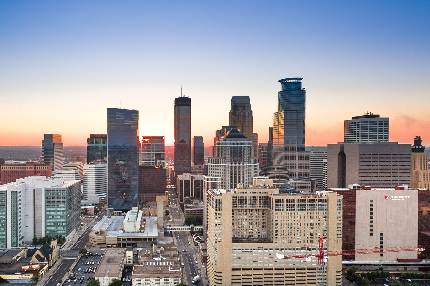
Minneapolis downtown skyline at sunset, showing the IDS Center, Capella Tower, and surrounding buildings.
Downtown Minneapolis is the city's business center, anchored by the IDS Center and Capella Tower. The IDS Center, completed in 1972, stands 792 feet tall and is the tallest building in Minnesota, while Capella Tower, finished in 1992, rises 775 feet with its signature crown of steel arches.

Capella Tower and the IDS Center Rise Above Downtown Minneapolis
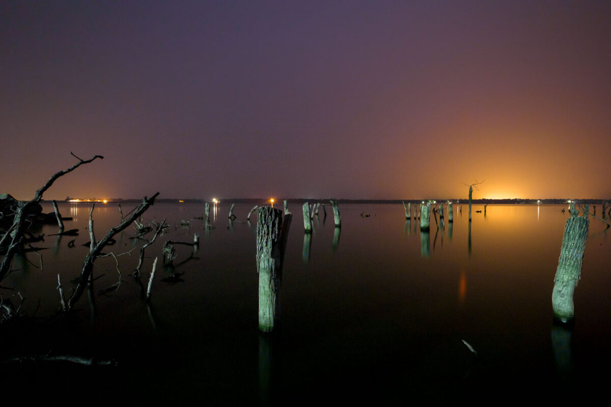
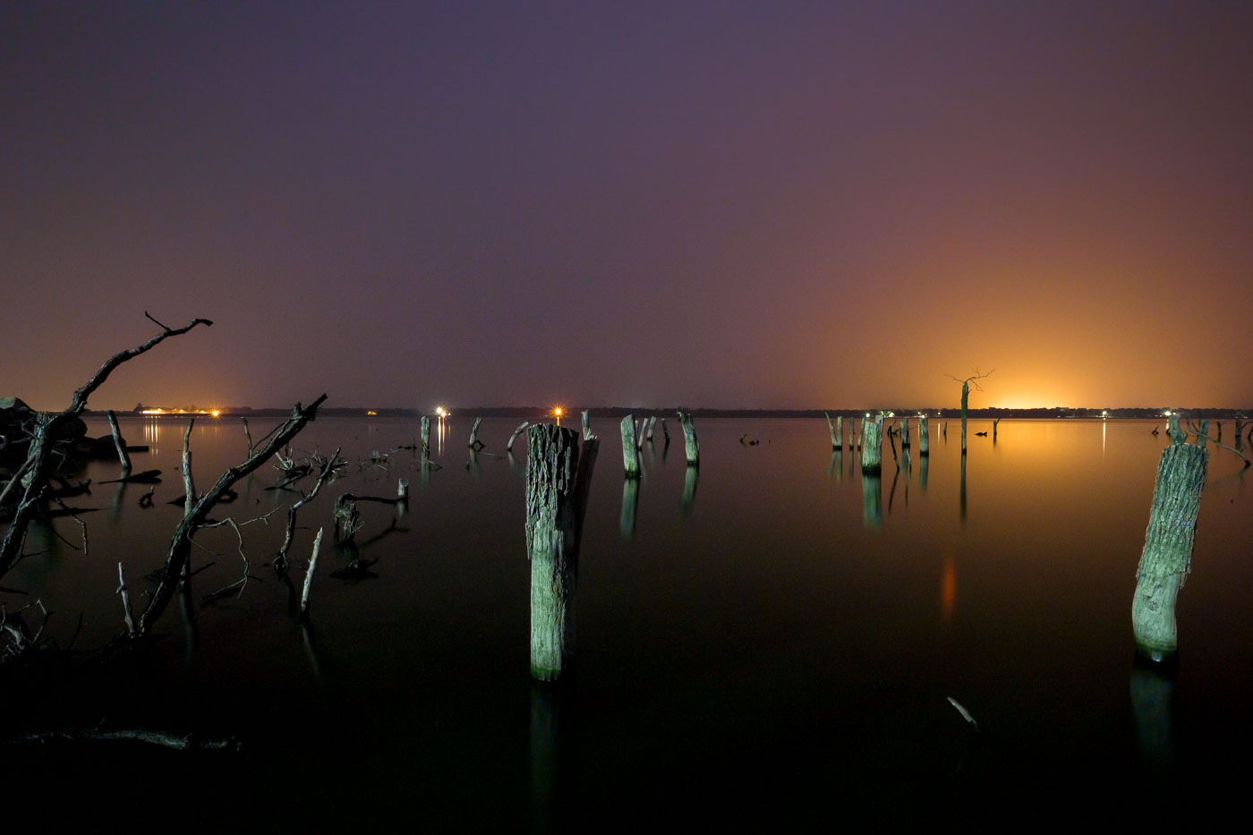
Submerged wooden pilings and debris from Woodland Resort remain in Devils Lake, North Dakota at dusk.
Devils Lake has risen more than 25 feet since the early 1990s, flooding thousands of acres of farmland, roads, and shoreline development across Ramsey and Benson counties. The Woodland Resort, once a lakeside destination with cabins and a public beach, was among the properties lost to the rising water. What remains are rows of dead trees and wooden pilings standing in water that now covers the former resort grounds. Devils Lake is a closed-basin lake with no natural outlet, meaning its water level depends entirely on precipitation and runoff rather than drainage to a river system, which has made its flooding especially difficult to predict or control.

Submerged Pilings of the Woodland Resort, Devils Lake
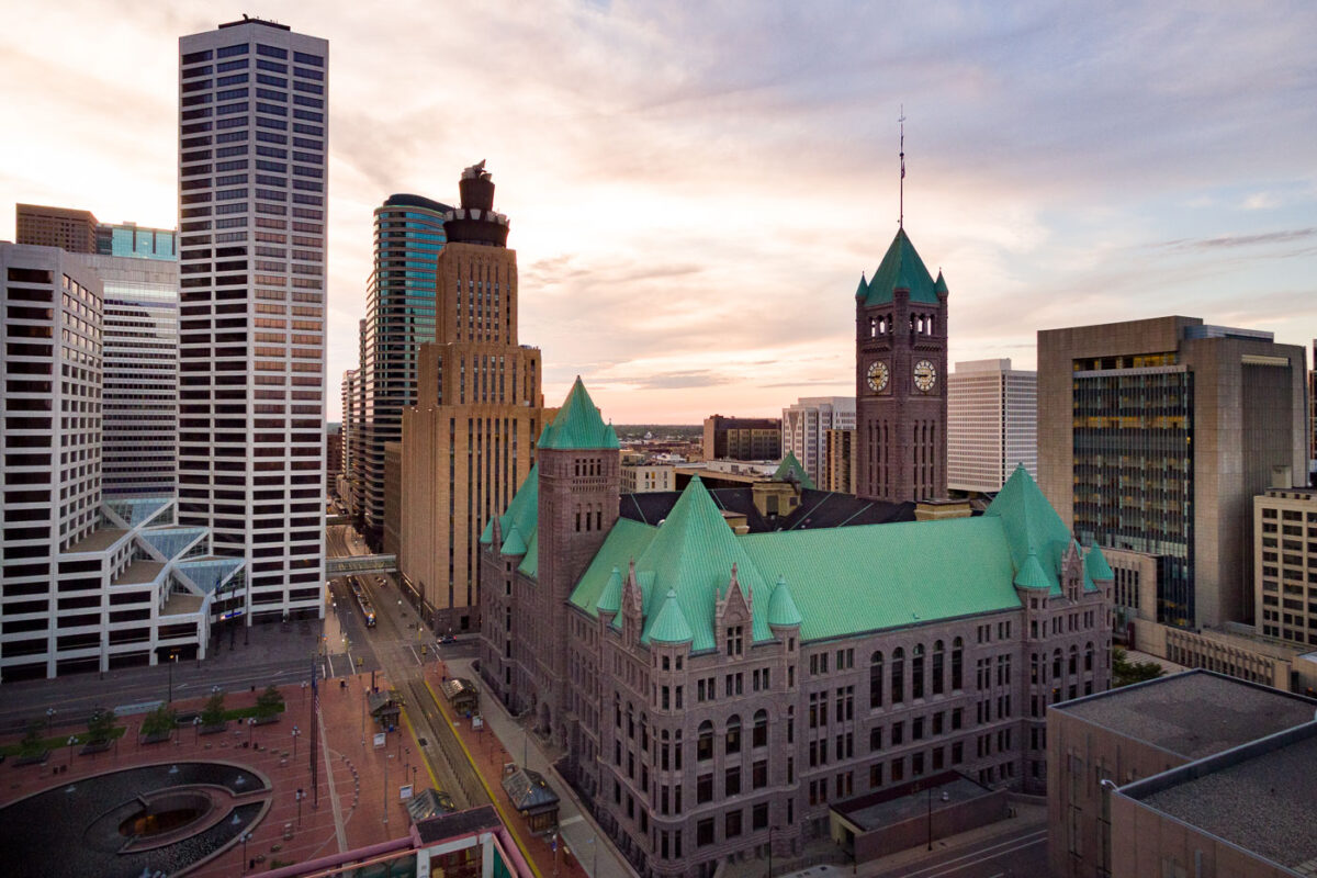
Minneapolis City Hall with its distinctive green copper roof stands among downtown office towers at sunset.
Minneapolis City Hall, also known as the Hennepin County Courthouse, stands at 350 South Fifth Street in downtown Minneapolis. Built of granite between 1888 and 1906, it houses both city and county offices under a shared roof. Its clock tower rises 345 feet and once held the largest four-faced clock in the country.

Clock Tower of Minneapolis City Hall Rises Above Downtown
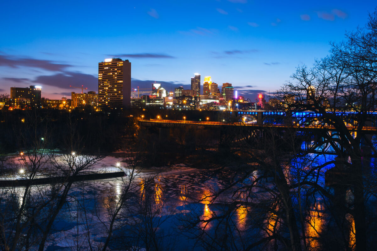
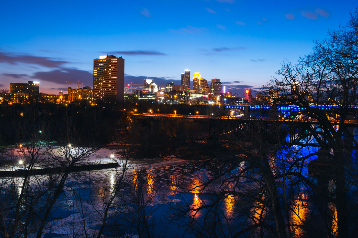
Minneapolis downtown skyline across the Mississippi River at blue hour, with a bridge and partial river ice.
Minneapolis downtown skyline rises across the Mississippi River at blue hour. The city center stands on the east bank of the river, with a bridge carrying traffic and lighting along the waterfront. Partial ice covers the river in the foreground during early March.

Minneapolis Downtown Skyline at Blue Hour Over Mississippi River
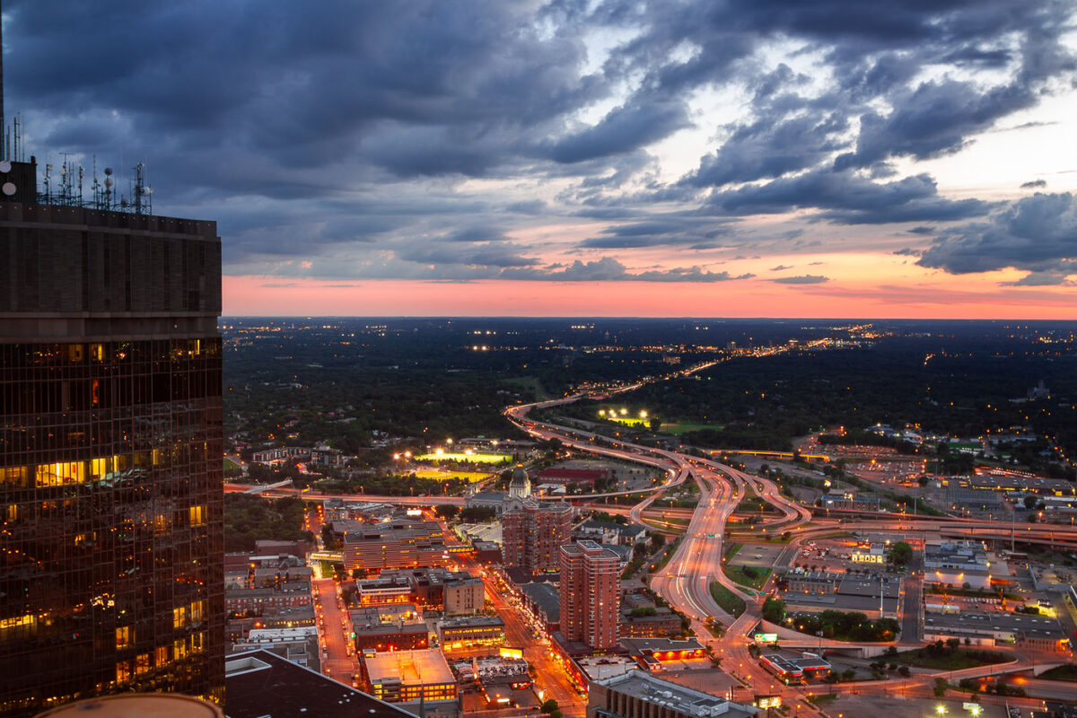
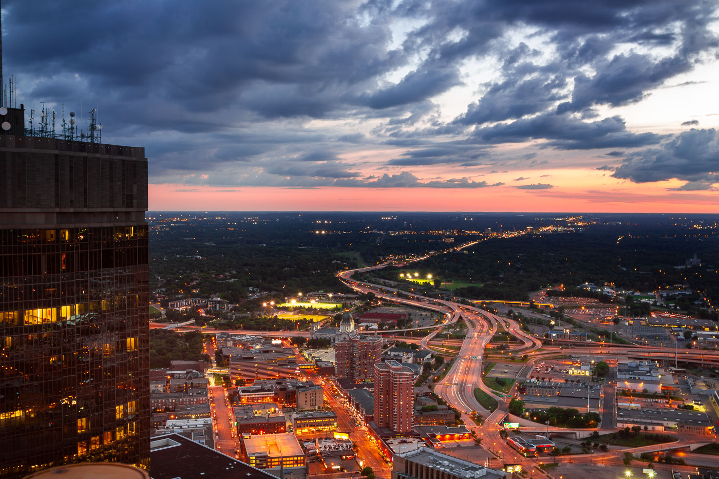
Minneapolis, Minnesota, at dusk, with the I-394 and I-94 interchange and the IDS Center.
Minneapolis, Minnesota, at dusk, with the I-394 and I-94 interchange linking downtown to the western suburbs. The freeway system channels regional traffic through the city’s central business district. The IDS Center stands at left.

Minneapolis I-394 and I-94 Interchange at Dusk

Clermont Hotel Motor Hotel sign in Atlanta, Georgia, at sunset.
The Clermont Hotel Motor Hotel sign stands in Atlanta, Georgia, near the Clermont Lounge. The motel sign is a longtime roadside landmark associated with the Clermont Hotel, which opened in 1937. It remains one of the most recognizable signs in the Poncey-Highland area.

Clermont Hotel Motor Hotel Sign, Atlanta, Georgia

Lake Michigan at sunset in Door County, Wisconsin.
Lake Michigan, Door County, Wisconsin, at sunset. The view looks across the lake from the Door County shoreline, where the peninsula forms the eastern edge of Wisconsin between Green Bay and the open waters of Lake Michigan.

Door County Lake Michigan Sunset

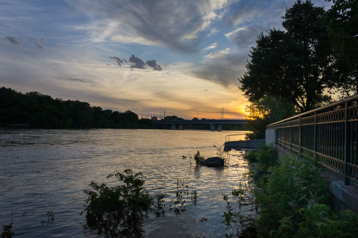
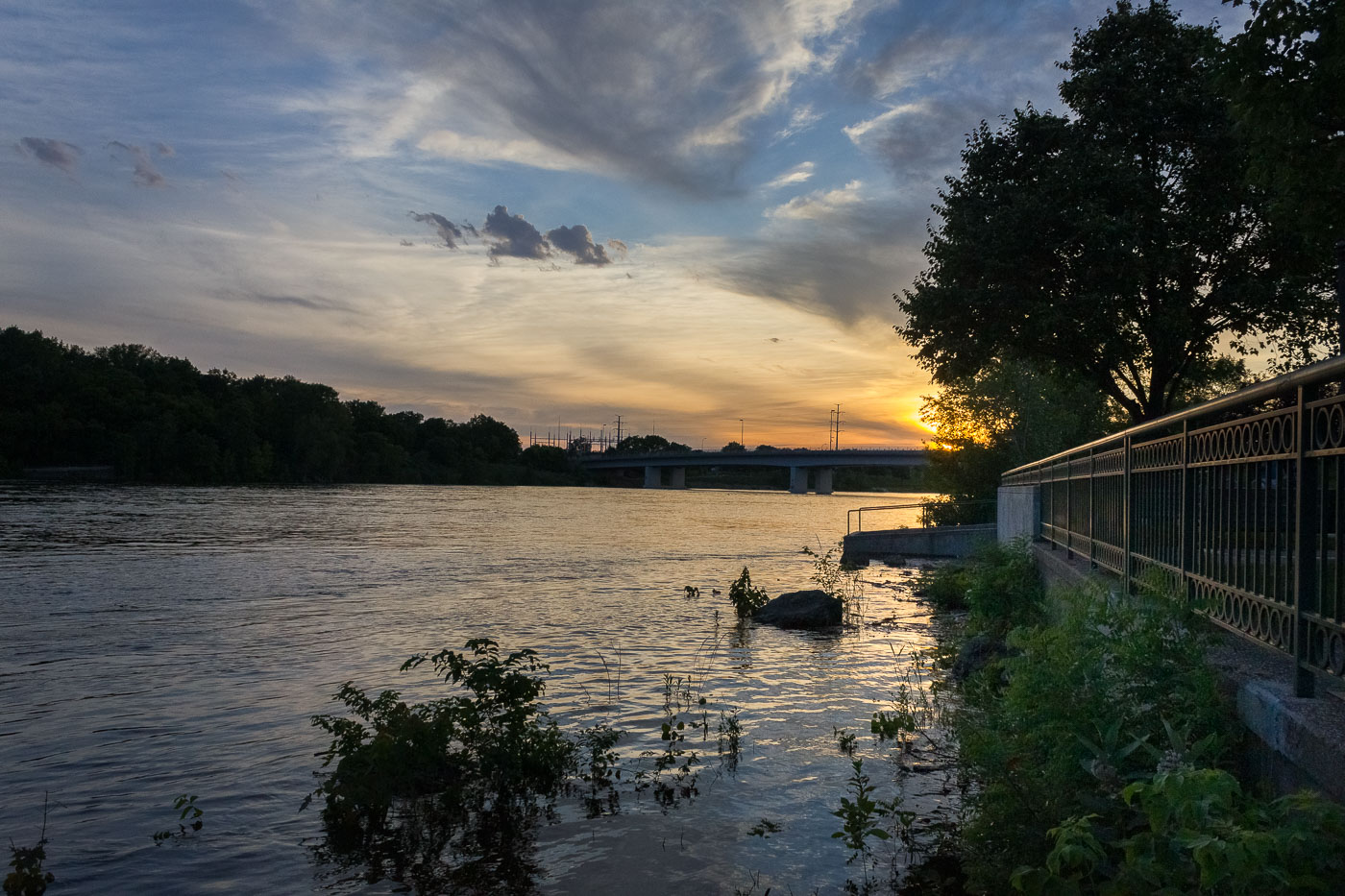
Mississippi River at Boom Island Park in Minneapolis at sunset.
The Mississippi River passes Boom Island Park in Minneapolis at sunset. Boom Island is a park on the river's west bank, north of downtown, with access to the riverfront and views of nearby bridges. The riverfront area was once used for logging and milling before becoming public parkland.

Mississippi River at Boom Island, Minneapolis
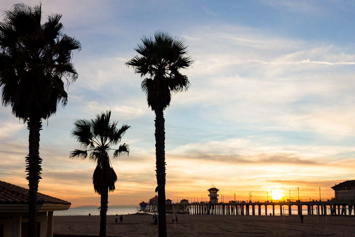
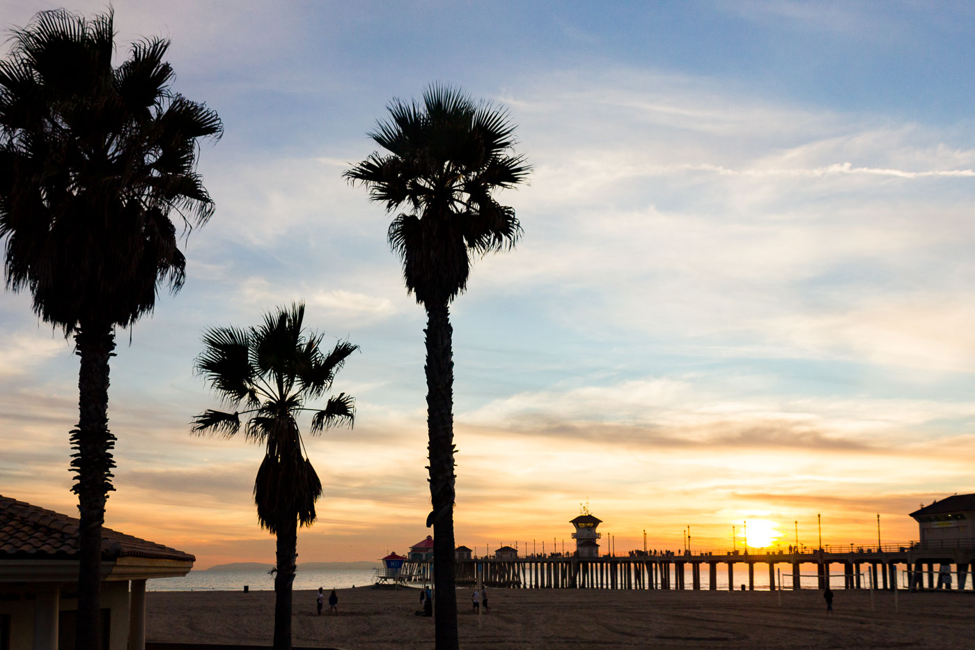
Huntington Beach Pier silhouetted against sunset with palm trees on sandy beach.
Huntington Beach Pier reaches 1,850 feet into the Pacific, among the longest piers on the West Coast. The current concrete pier dates to 1914, replacing a wooden structure lost to storms, and was rebuilt after damage from a 1988 storm. A lifeguard tower sits near its base, part of the city's beach patrol.

Huntington Beach Pier at Sunset Beyond the Palms
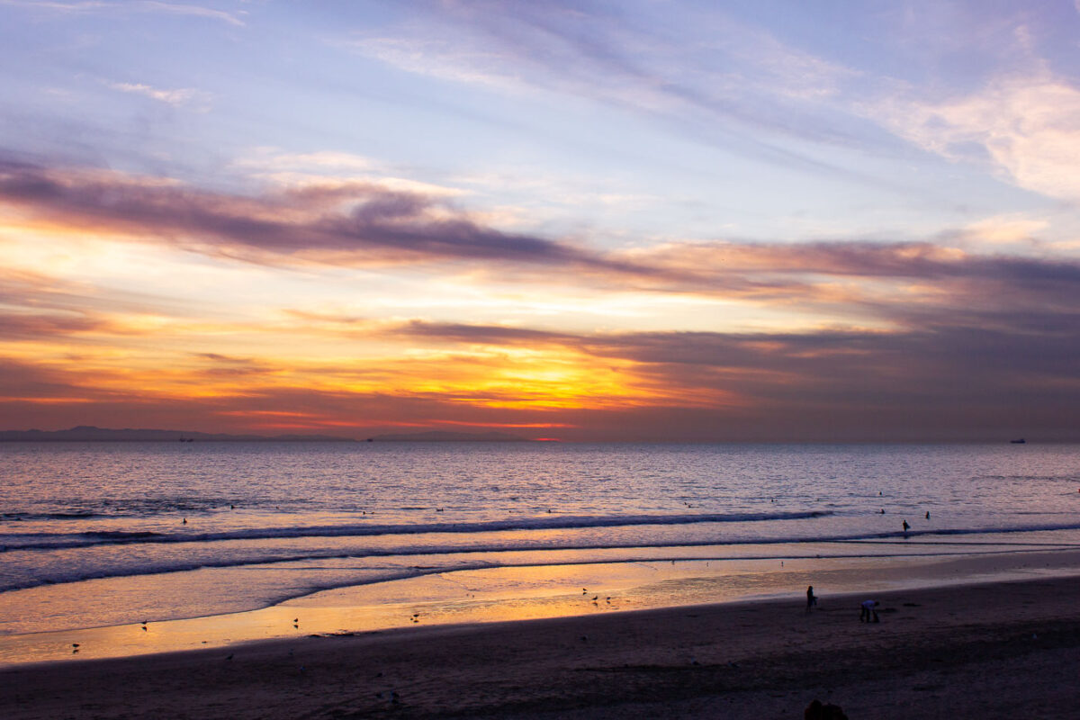
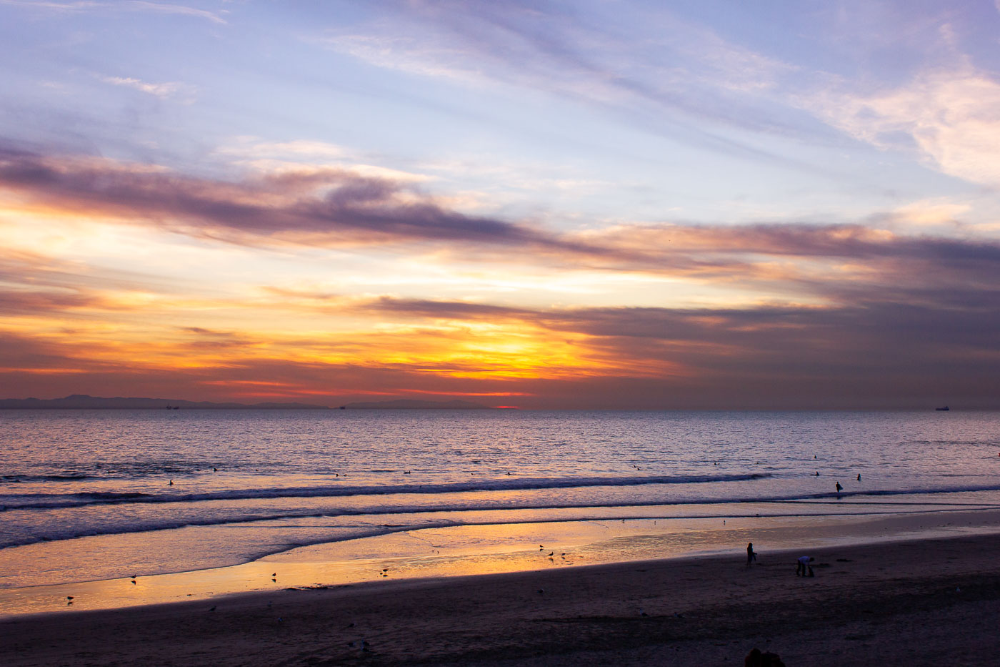
Sunset over Huntington Beach, California, with surfers and cargo ships visible on the Pacific Ocean.
Huntington Beach holds the trademarked nickname "Surf City USA," a title it won in a 2006 legal settlement with Santa Cruz over rights to the phrase. The city's pier, rebuilt in 1992 after storm damage destroyed its predecessor, extends 1,856 feet into the Pacific and remains a hub for the surfing community that gave the town its identity. Cargo ships often anchor offshore here while waiting for berths at the Port of Los Angeles or Port of Long Beach, together the busiest container port complex in the United States.

Evening Surfers Along Huntington Beach’s Shoreline
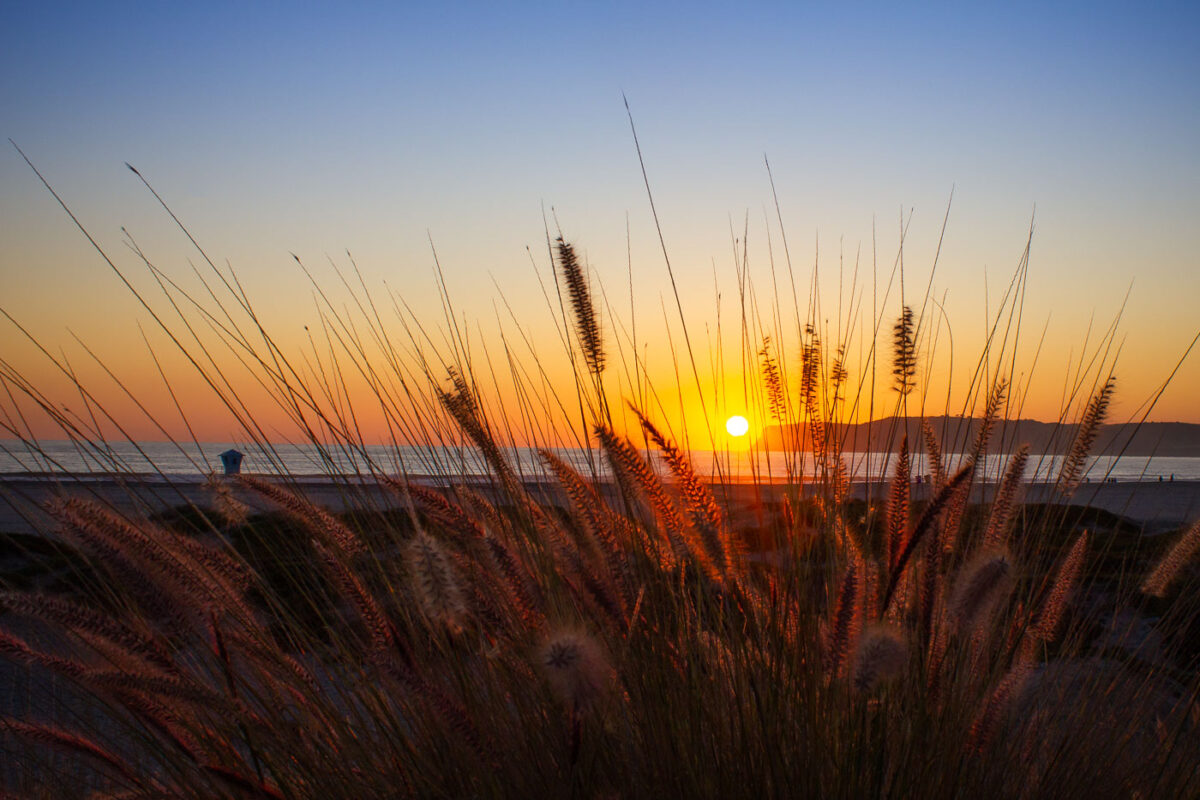
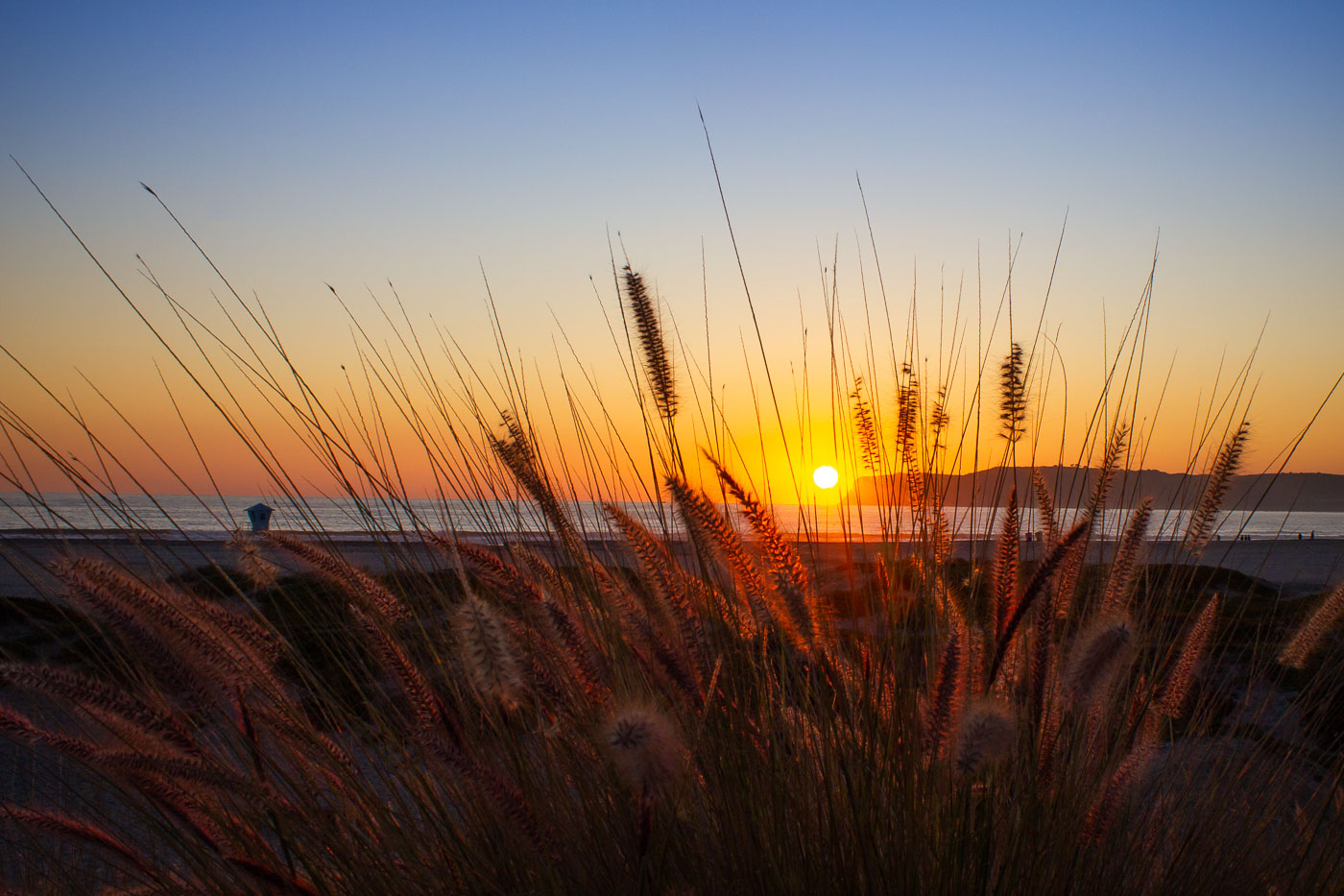
Beach grass silhouetted against sunset over Pacific Ocean with lifeguard tower in distance.
Fountain grass, likely Pennisetum setaceum, grows along dunes and bluffs on this stretch of San Diego coastline. Native to Africa and the Middle East, it has naturalized widely in coastal California, valued for its feathery seed heads and tolerance of sandy, salt-exposed soil. A lifeguard tower stands on the beach below, part of the network San Diego lifeguard services uses to watch over swimmers.

Fountain Grass Silhouetted at Sunset Over the Pacific

Lake Michigan at sunset from the Wisconsin shoreline with low shrubs along the water.
Lake Michigan along the Wisconsin shoreline at sunset is part of the Great Lakes system. The lake borders Wisconsin, Illinois, Indiana, and Michigan. It is a major Midwestern freshwater body used for shipping, water supply, fishing, and recreation.

Lake Michigan at Sunset, Wisconsin Shore

Built in Minneapolis

Minneapolis Photographer

Browse by location, move through long-running series, or start with recent work.