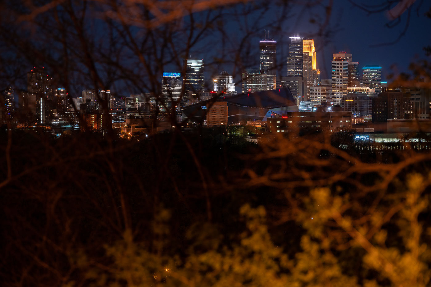
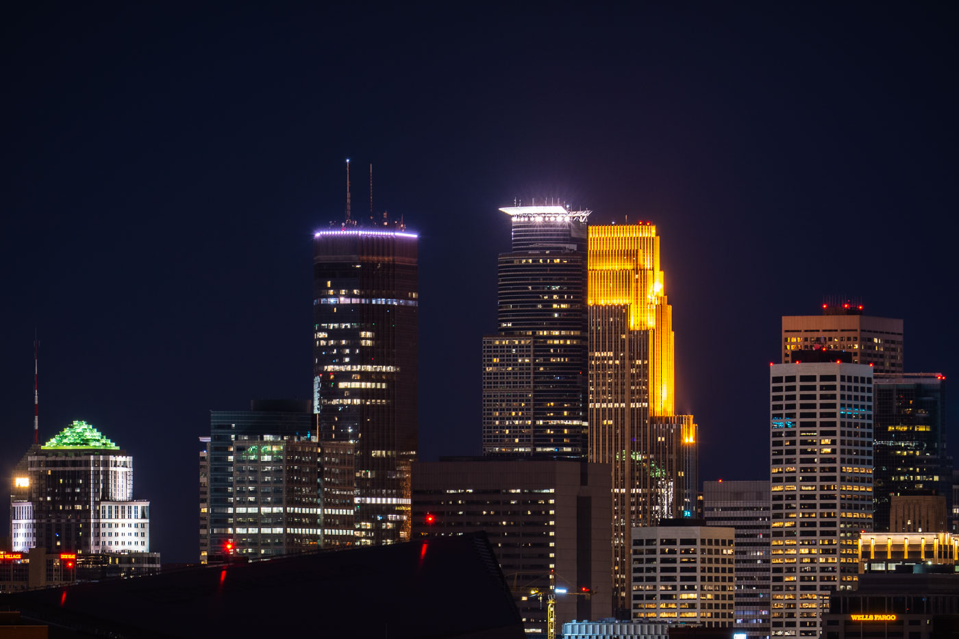
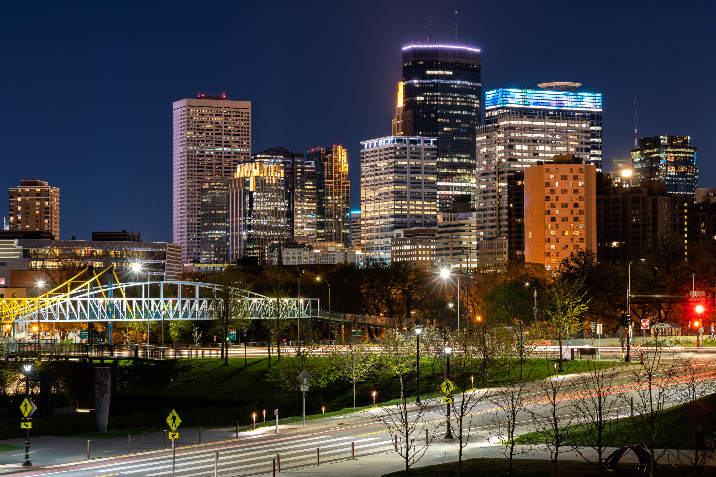
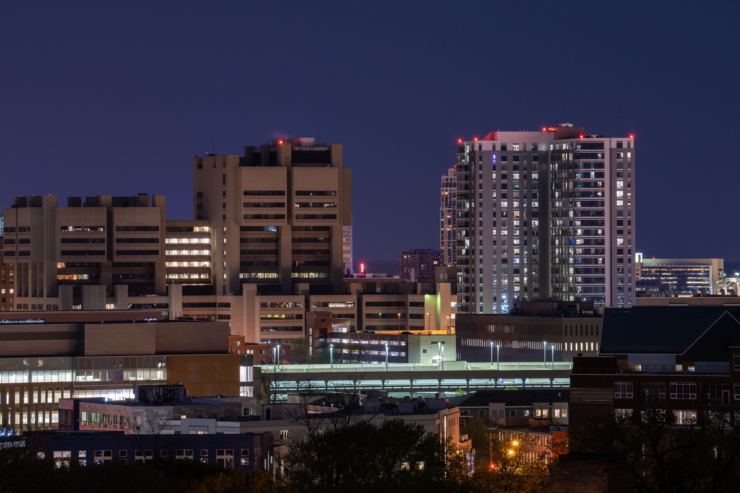
Minneapolis Cityscape Photography

231 photos · 2012–2025

Photos taken around Minneapolis.

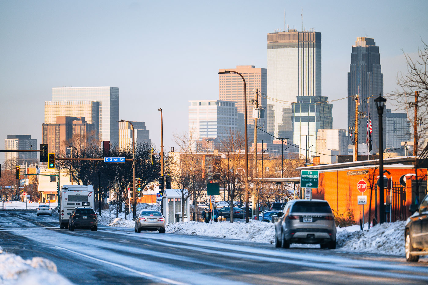
Snowy Nicollet Avenue at East 31st Street with Minneapolis downtown skyline in background.
Nicollet Avenue runs north through south Minneapolis toward the downtown skyline, crossing East 31st Street along the way. Snow covers the roadway and boulevard as traffic moves toward downtown, where the IDS Center and Wells Fargo Center stand among the taller buildings.

Snowy Nicollet Avenue at East 31st Street Toward Downtown Minneapolis

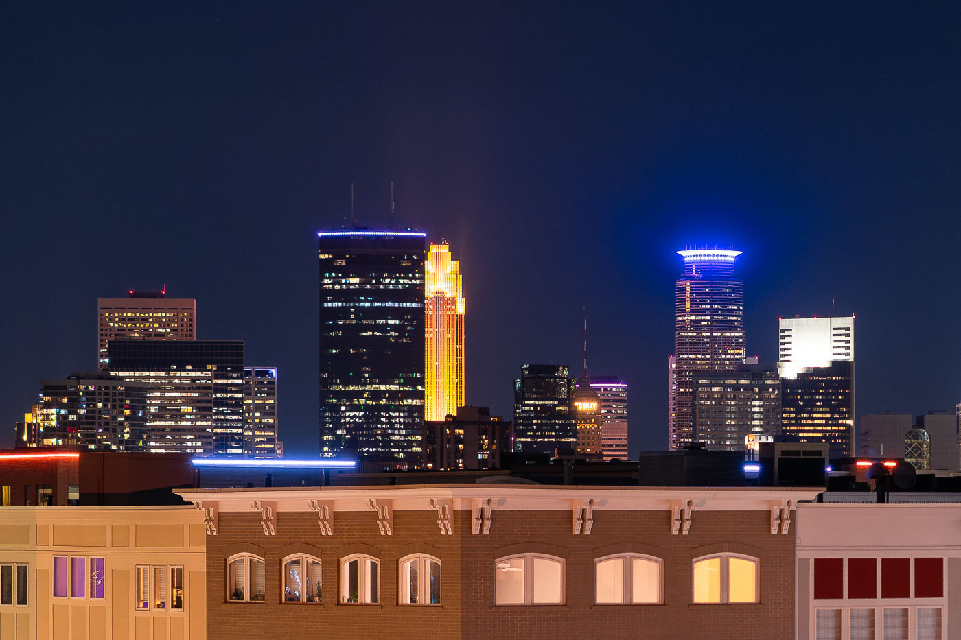
Downtown Minneapolis Skyline from Uptown
A nighttime view of the Minneapolis skyline as seen from Lake Street in Uptown, looking north toward the city’s central business district. The IDS Center, Minnesota’s tallest building since 1972, anchors the scene on the left with its rectangular black façade and illuminated roofline. Just to the right, the art deco–inspired Wells Fargo Center glows in its signature gold lighting, a design motif rooted in its 1980s postmodern architecture. On the far right, Capella Tower stands out with its distinctive ring-shaped halo, an element added during the 1990s wave of illuminated crown designs across American skyscrapers. The foreground shows the mixed-use buildings of Uptown, reflecting the corridor’s early-20th-century commercial architecture.

Downtown Minneapolis Skyline Beyond Lake Street in Uptown
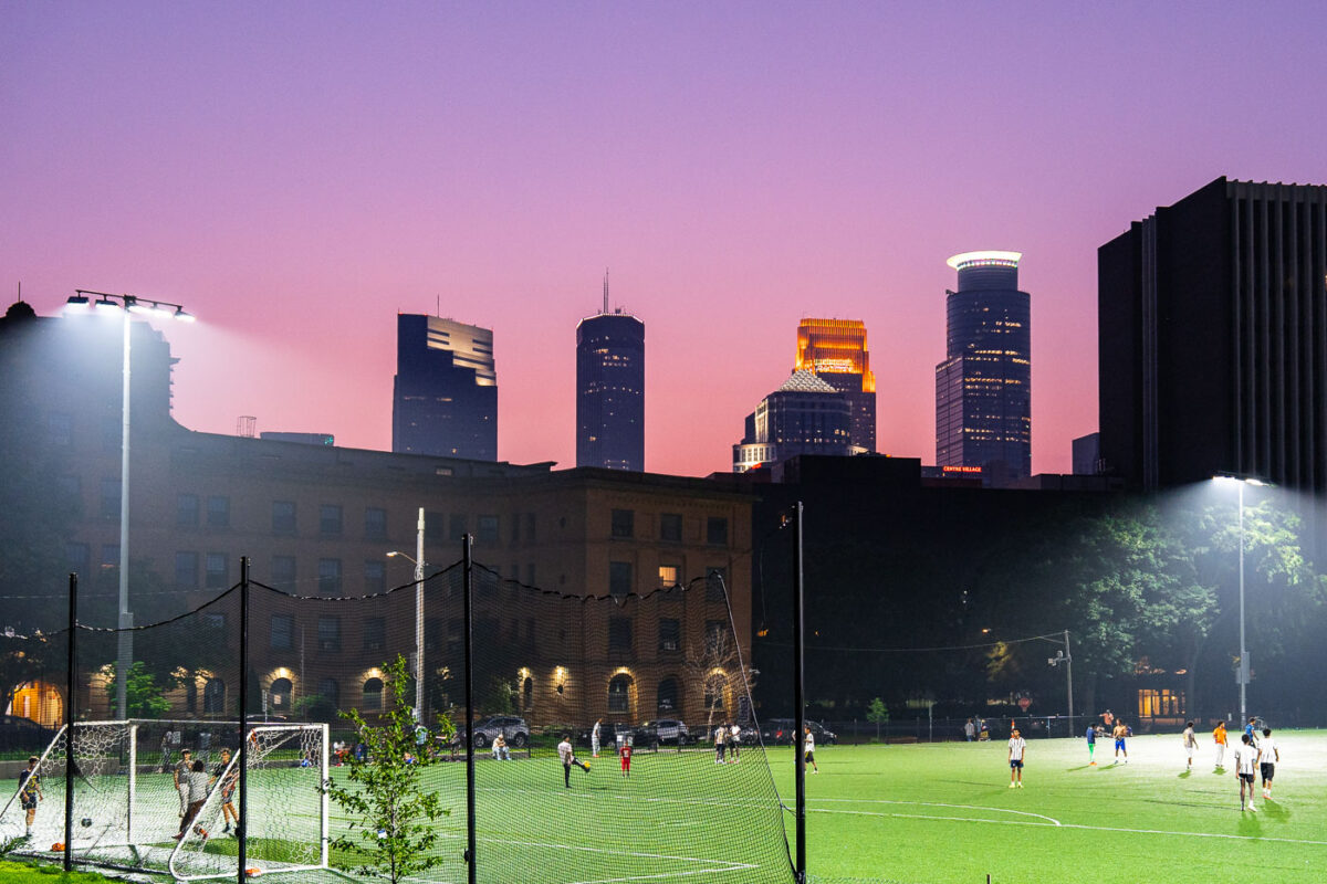
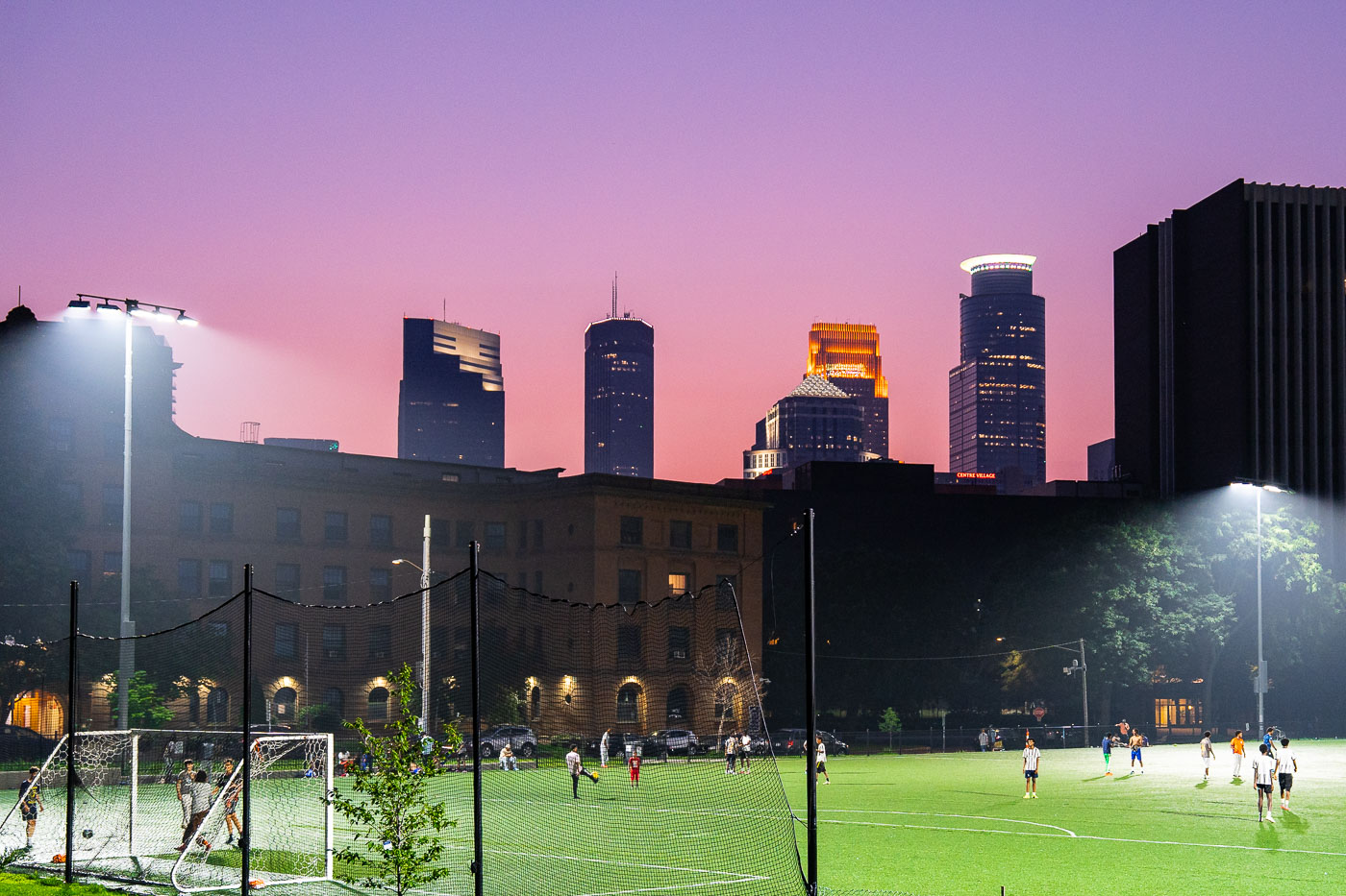
Soccer players compete at Elliot Park in downtown Minneapolis beneath a purple sky colored by Canadian wildfire smoke.
A soccer game takes place at Elliot Park in Downtown Minneapolis under a sky colored by Canadian wildfire smoke. Elliot Park, established in 1883, is one of Minneapolis's oldest parks.

Evening Soccer Match at Elliot Park Beneath the Minneapolis Skyline
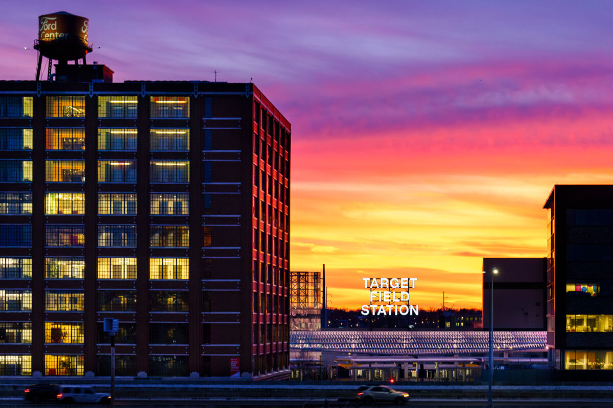
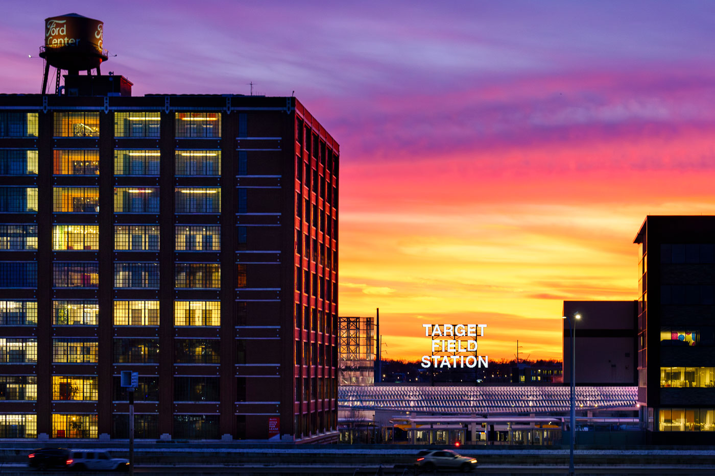
Target Field Station light rail platform at sunset with illuminated Ford Center building in Minneapolis North Loop.
Target Field Station, a light rail station in Minneapolis’s North Loop, is located adjacent to Target Field, home of the Minnesota Twins. In the foreground is the historic Ford Center.

Sunset Over the Ford Center and Target Field Station

Jesus Christ Will you vote for him
A car on Lake Street in Minneapolis displays a sign in its rear window, reading 'Jesus Christ. Will you vote for him? He died for you. He loves you.'

Jesus Christ sign on car, Lake Street, Minneapolis at night

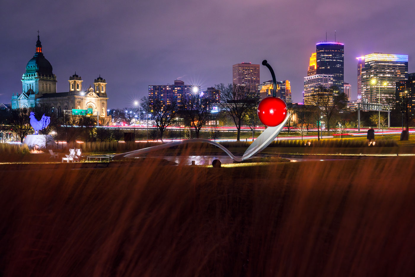
Spoonbridge and Cherry in Minneapolis
Spoonbridge and Cherry, a prominent sculpture by Claes Oldenburg and Coosje van Bruggen, is situated in the Minneapolis Sculpture Garden. Completed in 1988, the artwork is a whimsical representation of a cherry balanced on a giant spoon, inviting interaction and contemplation. The sculpture garden itself, part of the Walker Art Center's grounds, showcases a diverse collection of contemporary art in an outdoor setting.

Spoonbridge and Cherry Sculpture, Minneapolis Sculpture Garden
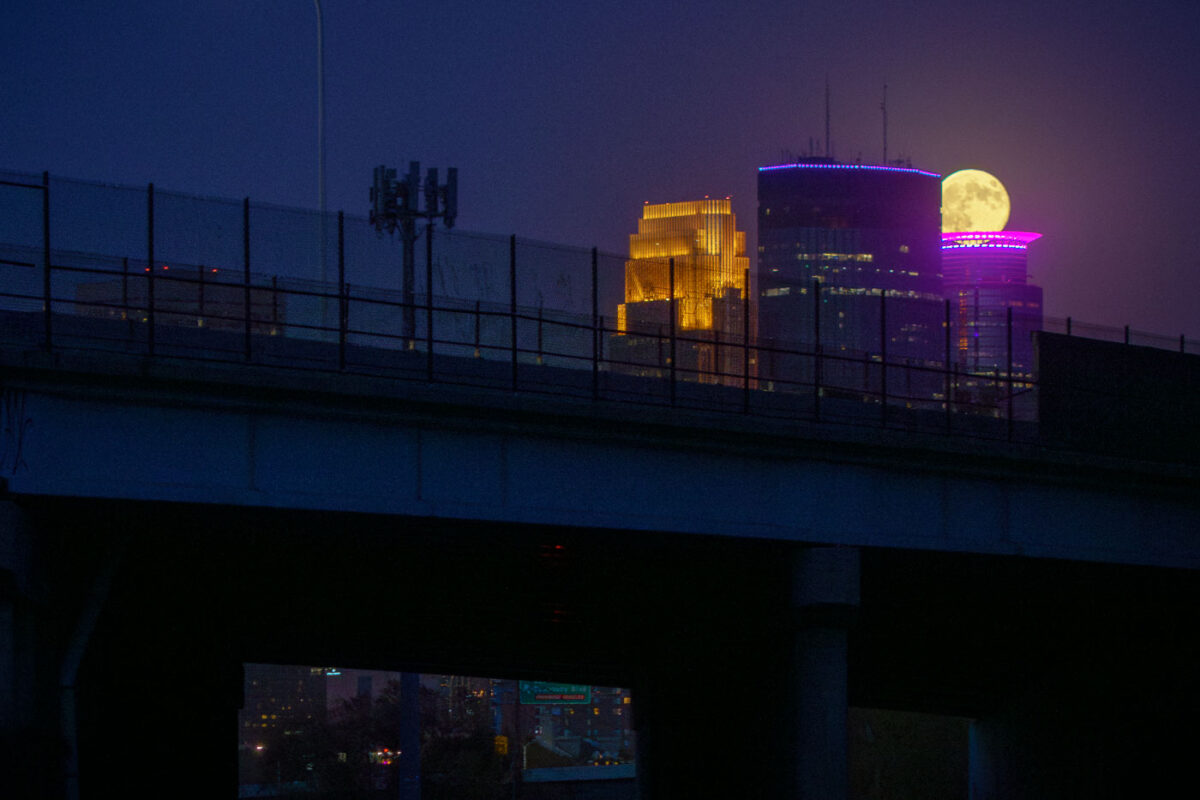
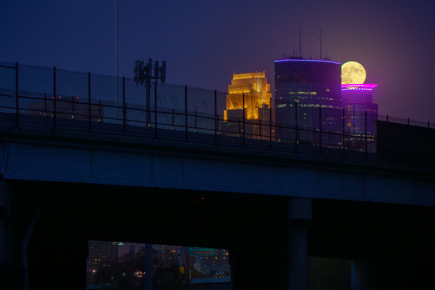
A full moon rises behind downtown Minneapolis buildings including the gold-lit IDS Center and purple-accented RBC Plaza.
A supermoon rises behind prominent buildings in downtown Minneapolis, including the IDS Center, which is illuminated in gold, and the RBC Plaza, lit with purple accents.

Supermoon Behind the IDS Center and RBC Plaza
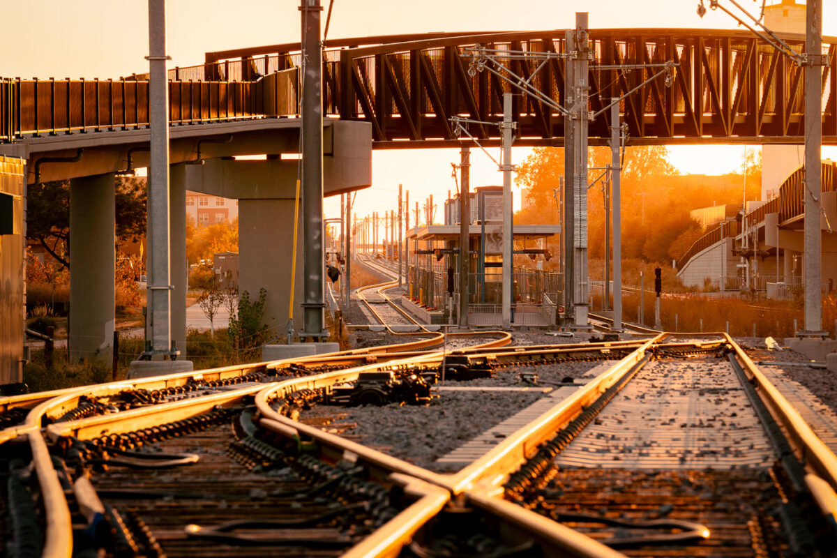
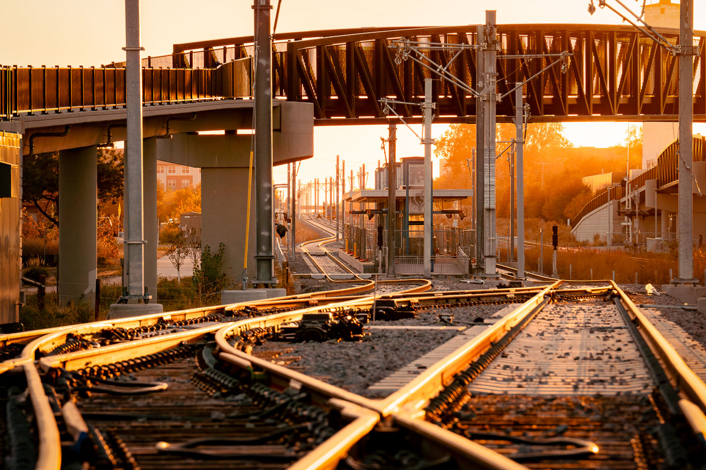
Light rail track switches under construction at sunset along the METRO Green Line Extension in St. Louis Park, Minnesota.
Construction of the METRO Green Line Extension, also known as the Southwest Light Rail Transit (SWLRT) project, is underway in St. Louis Park, MN. This expansion aims to connect St. Paul and Eden Prairie, enhancing public transportation options in the Twin Cities metropolitan area. The project involves significant infrastructure development, including new tracks, stations, and bridges, to integrate light rail service into the existing transit network.

Track Switches at Sunset Along the METRO Green Line Extension
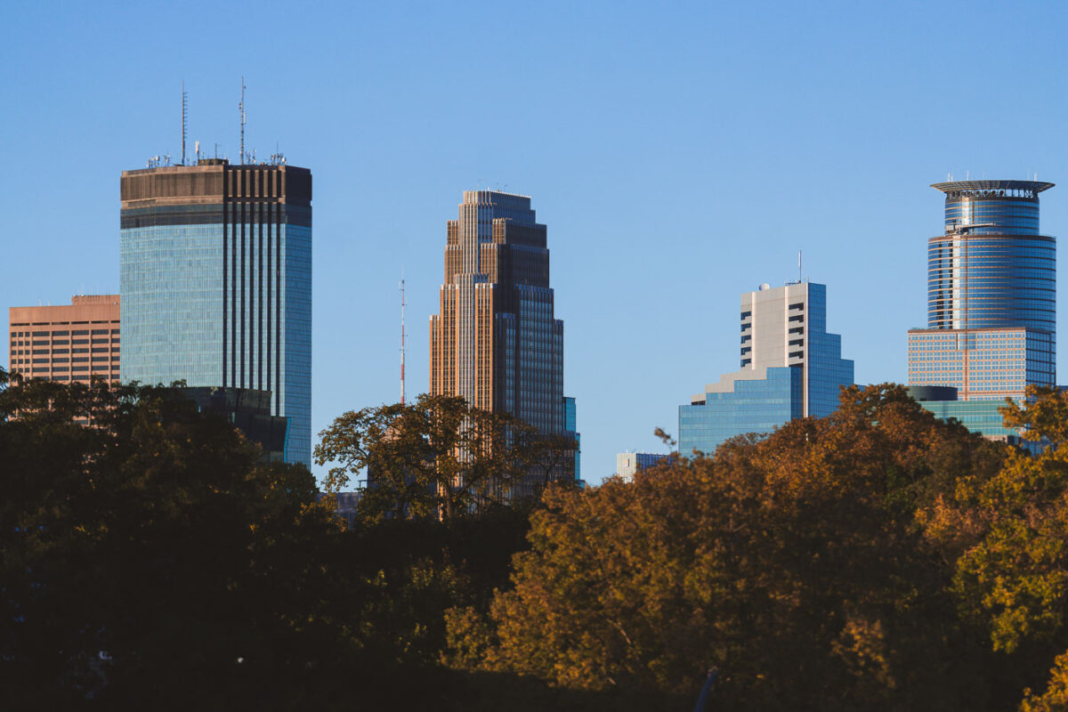
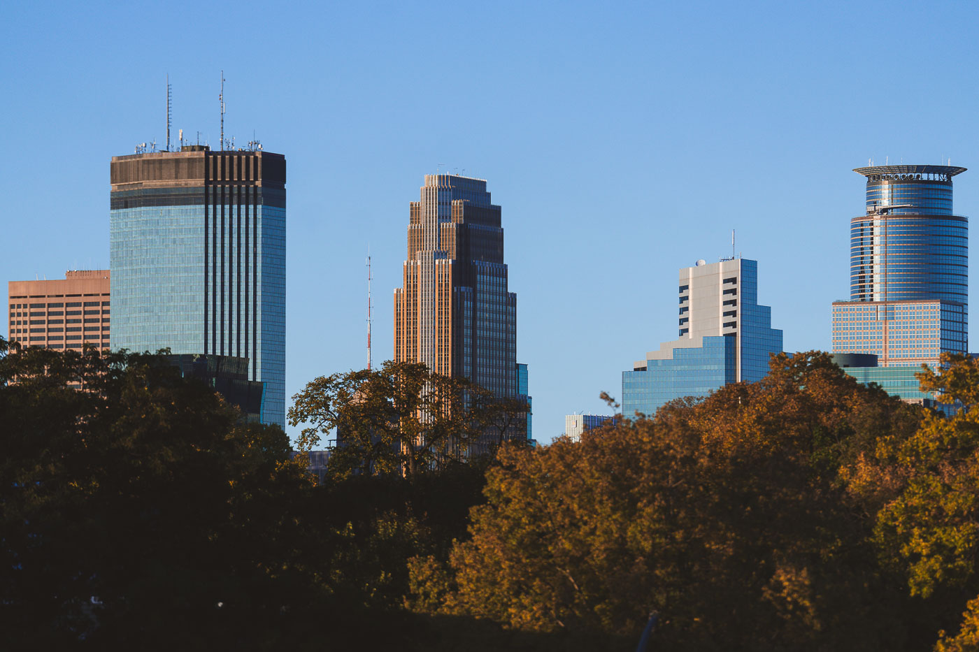
Minneapolis downtown skyline with high-rise office and residential towers above autumn trees under clear sky.
Downtown Minneapolis office towers stand above autumn foliage in October 2024. The skyline includes the IDS Center, at 792 feet the tallest building in Minnesota.

Downtown Minneapolis High-Rises Above Autumn Foliage

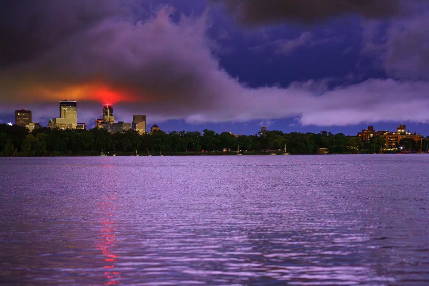
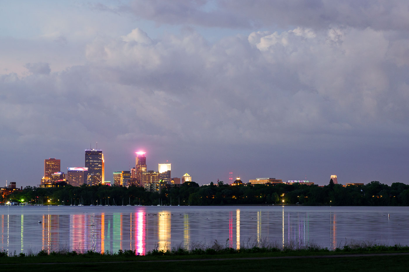
Minneapolis skyline illuminated at dusk across Bde Maka Ska lake after a thunderstorm.
The Minneapolis skyline is visible across Bde Maka Ska following a severe thunderstorm on August 26, 2024.

Minneapolis Skyline After Thunderstorm, August 26, 2024

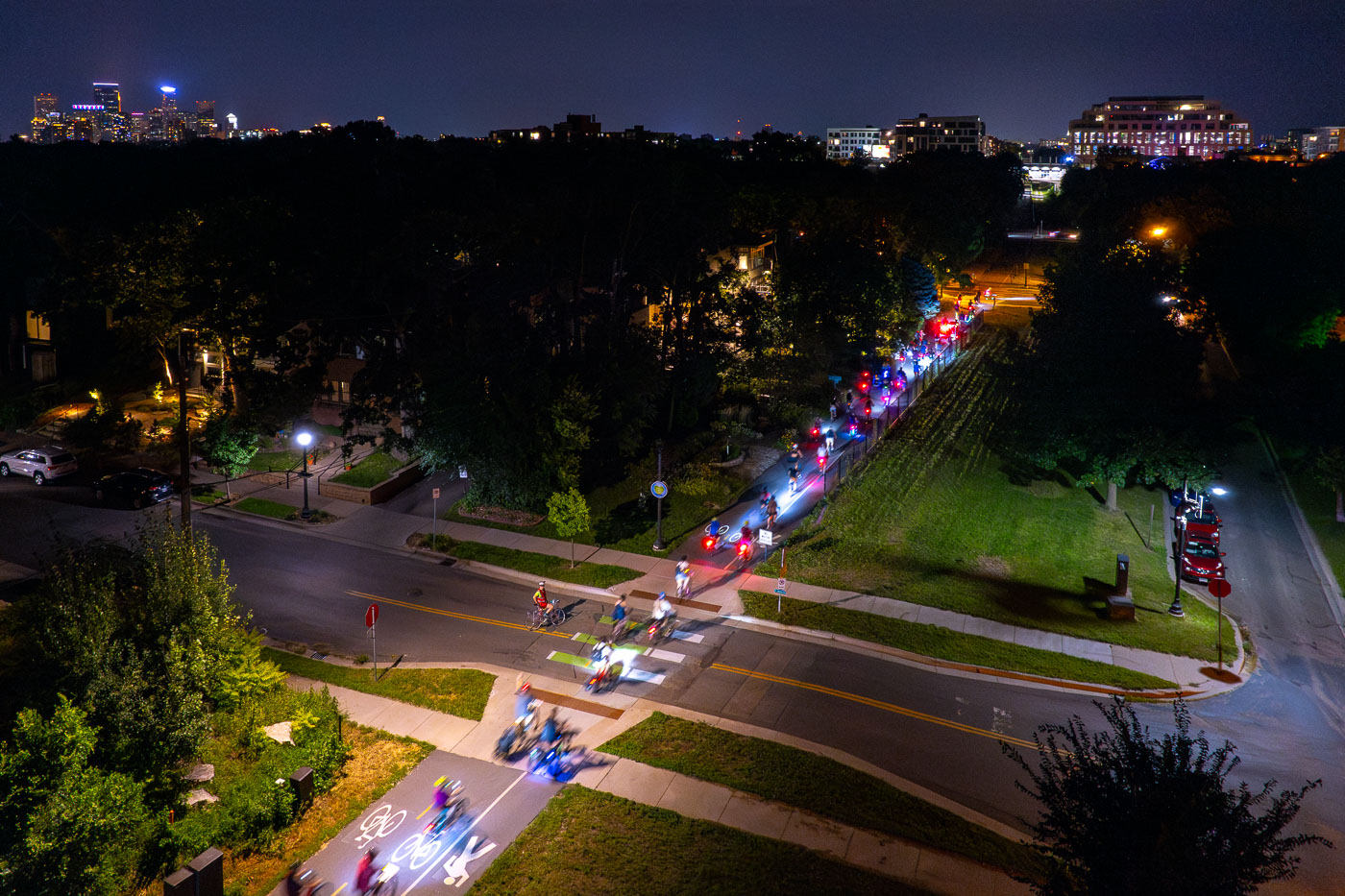
Joyful Riders Club in Minneapolis August 2024
A group of cyclists participates in a night ride organized by the Joyful Riders Club on the Midtown Greenway in Minneapolis.

Joyful Riders Club Night Ride on Midtown Greenway, Minneapolis

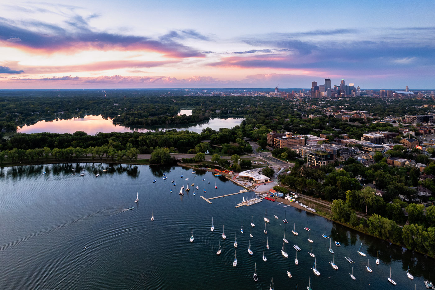
Sailboats dotting Bde Maka Ska with the Minneapolis skyline beyond under a dramatic cloudy sky.
Sailboats on Bde Maka Ska in Minneapolis on a June evening in 2024, under a sky filled with dramatic clouds.

Sailboats on Bde Maka Ska, Minneapolis, June 2024

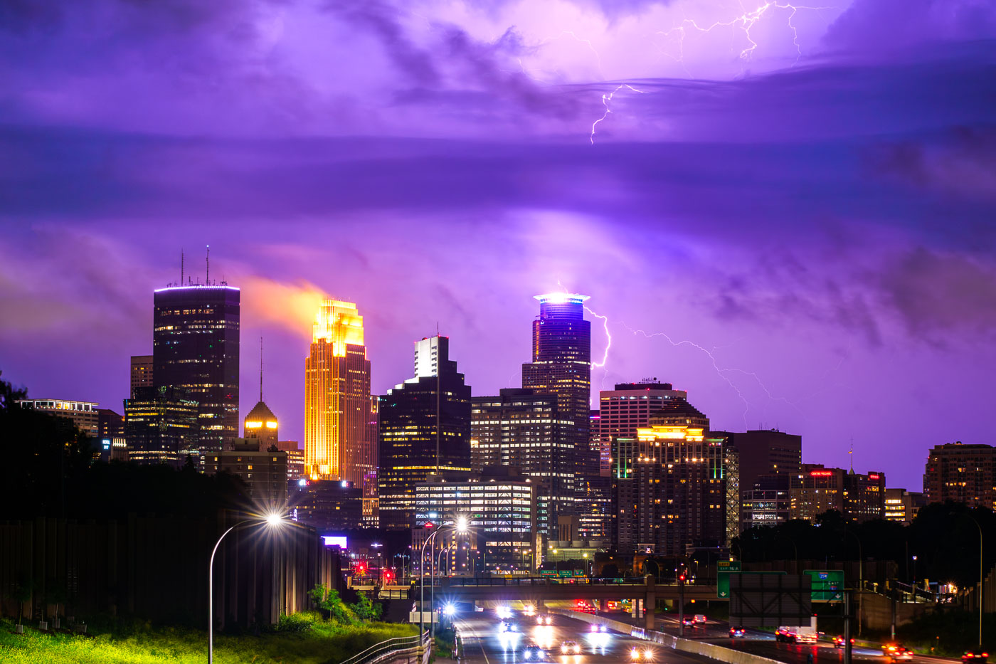
Lightning hits the Capella Tower in downtown Minneapolis
A powerful lightning strike illuminates the downtown Minneapolis skyline during a summer storm in June 2024.

Lightning Strikes Downtown Minneapolis Skyline June 2024

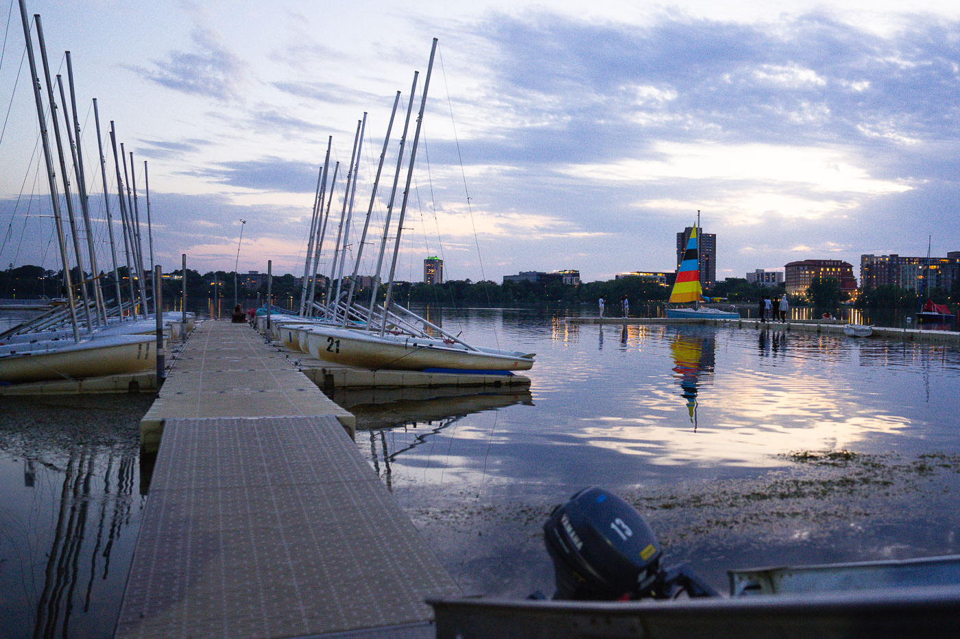
Sailboats with tall masts moored at a dock on Bde Maka Ska lake in Minneapolis at dusk.
Sailboats are docked at Bde Maka Ska, a lake in Minneapolis, Minnesota. The lake is part of the city's Chain of Lakes, a system of lakes and parkways that are popular for recreation and serve as a vital green space within the urban environment. Bde Maka Ska, originally known as Lake Calhoun, was renamed in 2020 to honor the Dakota people.

Dusk at the Bde Maka Ska Sailboat Dock, Minneapolis

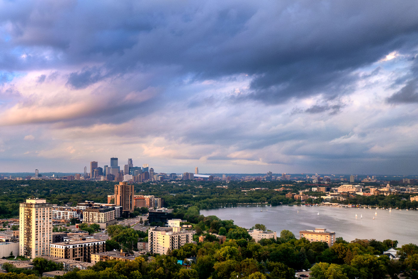
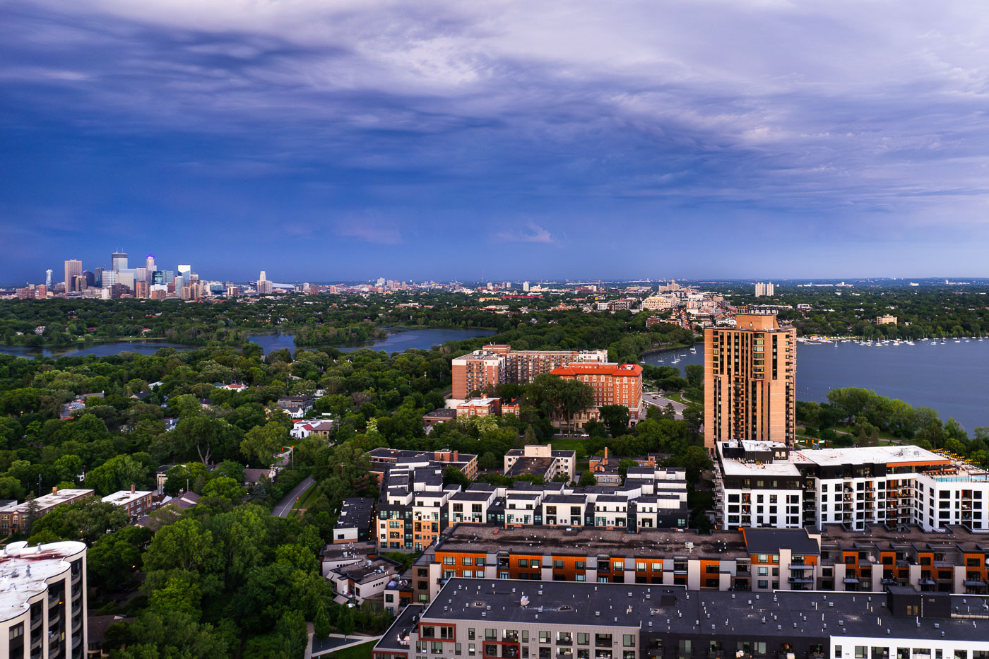
Minneapolis skyline beyond residential buildings and Bde Maka Ska lake in the Uptown neighborhood.
This photograph presents a panoramic view of Minneapolis, Minnesota, looking eastward from the southwest quadrant of the city. The foreground features residential buildings and the distinct architecture of the Uptown neighborhood. Beyond, the waters of Bde Maka Ska and Lake of the Isles are visible.

Minneapolis Lakes and Downtown from Southwest, June 2024

Waterbury House Apartments and surrounding residential towers on Lake Street in Minneapolis at dusk with downtown skyline visible in distance.
Waterbury House Apartments, located on Lake Street in Minneapolis, is a modern residential building situated near the intersection of Lake Street and Excelsior Boulevard.

Waterbury House Apartments, Lake Street, Minneapolis Sunset

Downtown Minneapolis from new Green Line Train Extension
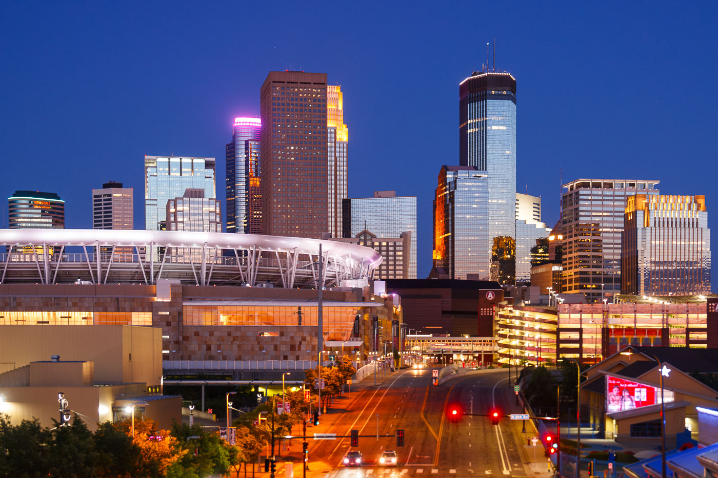
The Minneapolis skyline is illuminated at dusk, with Target Field, home of the Minnesota Twins, prominently visible in the foreground. The stadium, completed in 2010, is a central feature of the North Loop neighborhood.

Downtown Minneapolis Skyline and Stadium at Dusk

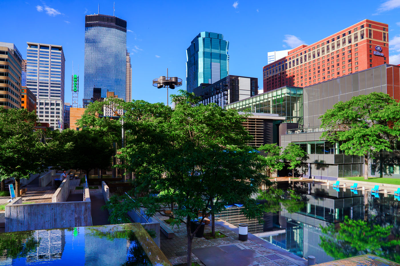
Peavey Plaza in downtown Minneapolis features a water feature with blue Adirondack chairs, mature trees, and modern skyscrapers in the background.
Peavey Plaza, located in downtown Minneapolis, is a public space designed by M. Paul Friedberg and opened in 1975.

Peavey Plaza, Minneapolis: Architecture and Reflections
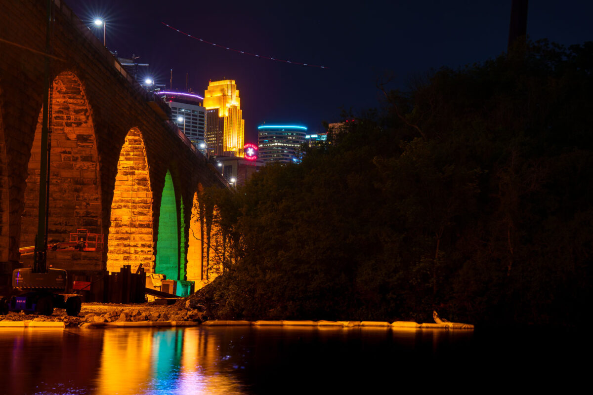
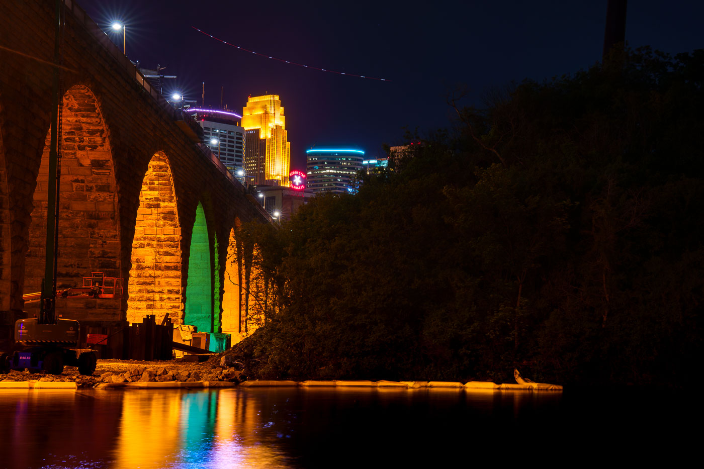
Stone Arch Bridge's illuminated stone arches span the Mississippi River at night with Minneapolis skyline beyond.
The Stone Arch Bridge, a former railroad bridge constructed in 1883, is undergoing repairs. The bridge, which spans the Mississippi River in Minneapolis, is closed to the public for several summers to facilitate this work.

Colorful Arch Lighting During Stone Arch Bridge Construction

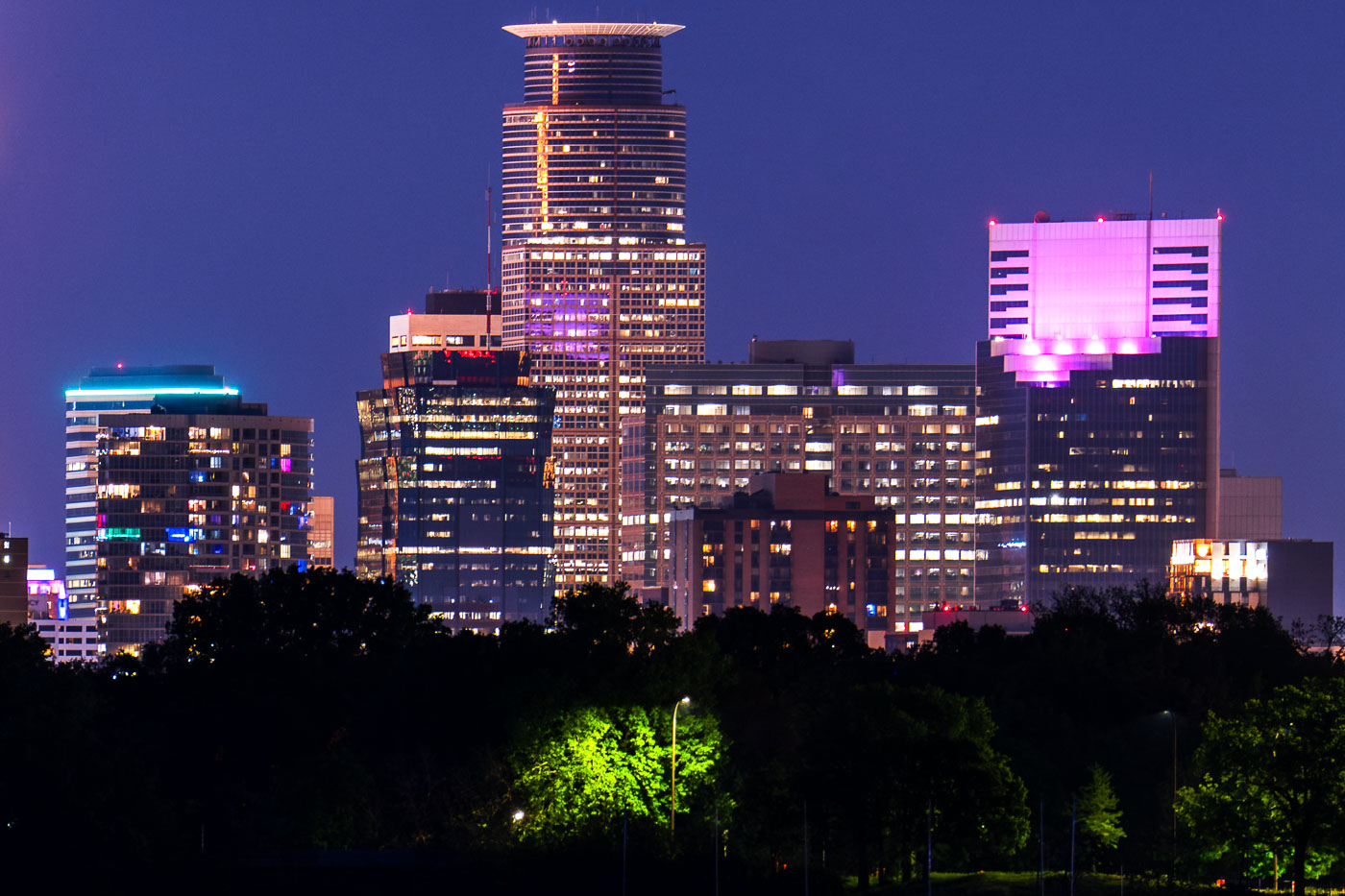
Downtown Minneapolis skyline illuminated at night from the shore of Bde Maka Ska lake.
Capella Tower stands in the downtown Minneapolis skyline near the west shore of Bde Maka Ska. Built in 1992, the 776 foot tower is Minneapolis's second tallest building. Bde Maka Ska, the largest lake in Minneapolis at 401 acres, took its Dakota name in 2018 after over a century as Lake Calhoun.

Capella Tower and the Minneapolis Skyline from Bde Maka Ska
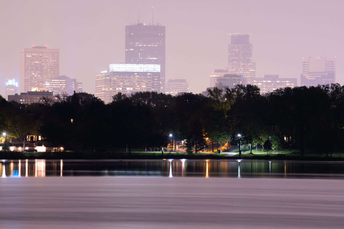
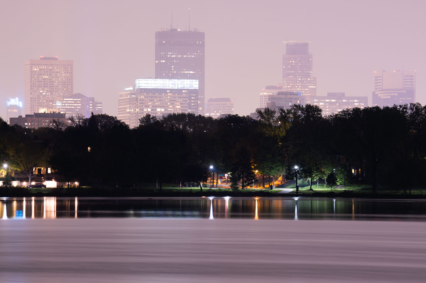
Downtown Minneapolis skyline at dusk across Lake of the Isles, obscured by Canadian wildfire smoke in May 2024.
Lake of the Isles is one of the Minneapolis Chain of Lakes, covering about 108 acres with a maximum depth of 20 feet. Smoke from Canadian wildfires drifts over the downtown Minneapolis skyline in May 2024.

Canadian Wildfire Smoke Drifts Over Lake of the Isles

Nicollet Avenue in South Minneapolis at dusk with emergency vehicles, chain-link fencing, and downtown skyline illuminated behind.
Nicollet Avenue at dusk, viewed from the former K-Mart site in South Minneapolis.

Nicollet Ave at dusk from former K-Mart site, Minneapolis
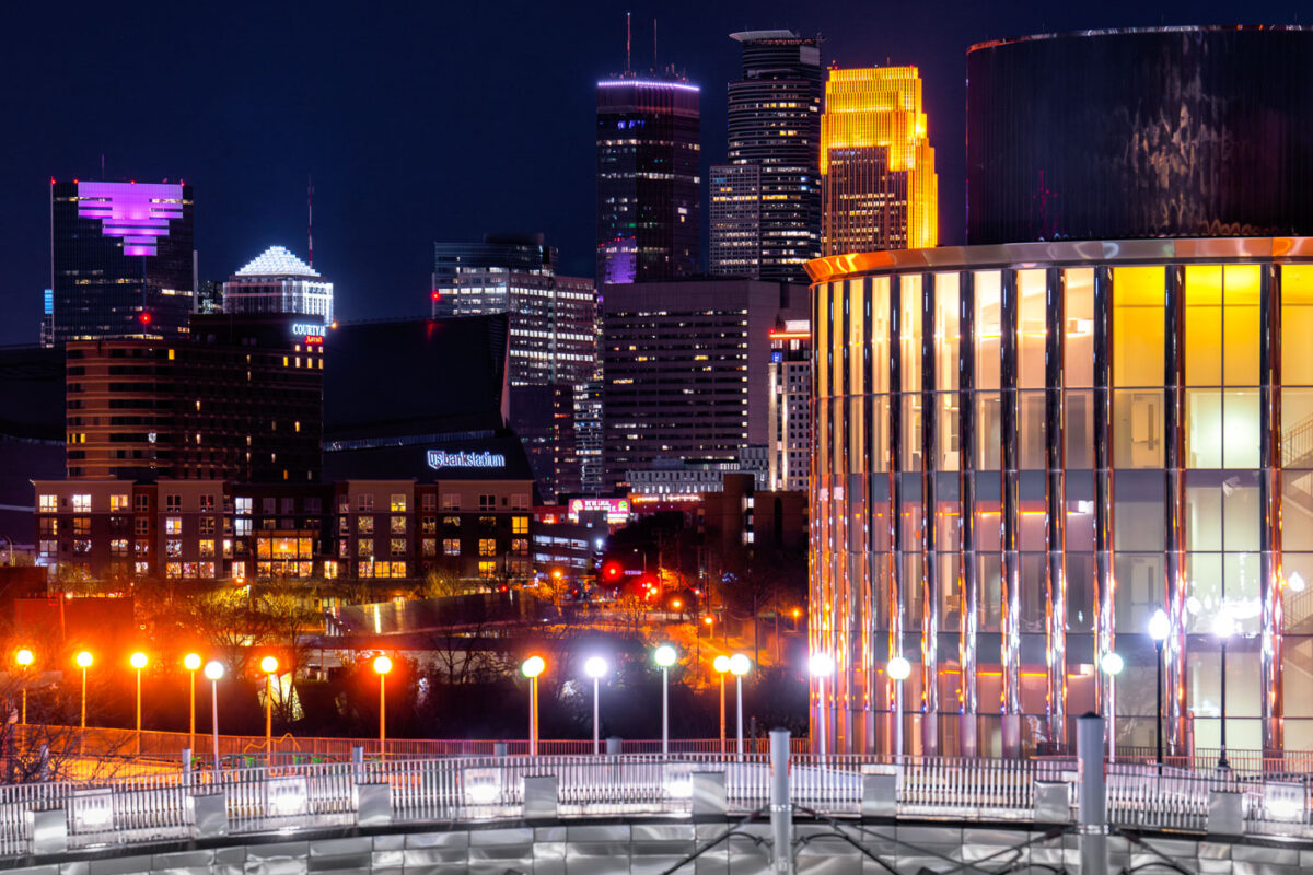
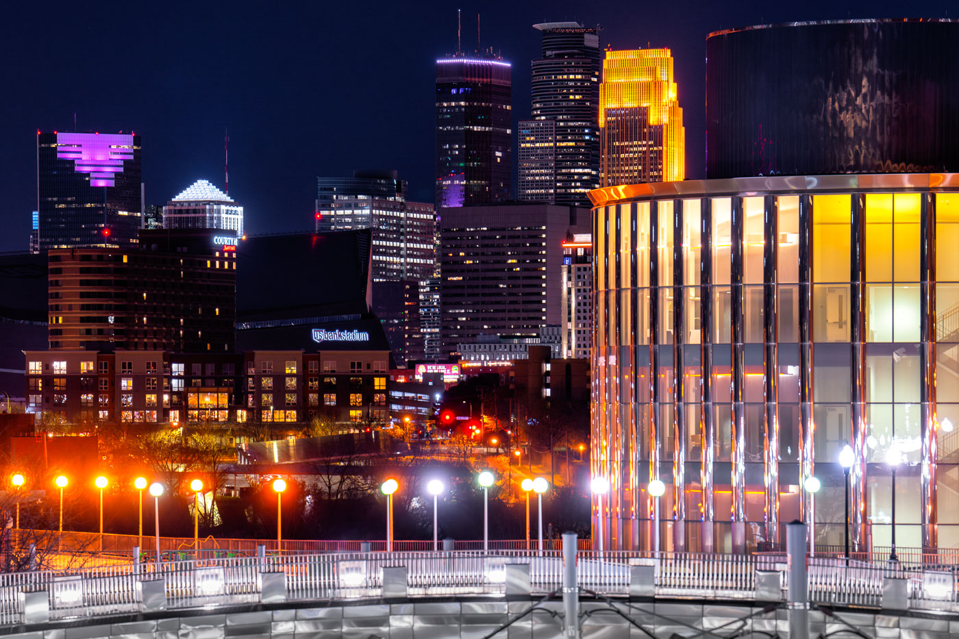
Bruininks Hall in Minneapolis at night
Bruininks Hall at the University of Minnesota in Minneapolis is prominently featured against the city's night skyline. Completed in 2014, this academic building serves as a central hub for student services and classrooms on the East Bank campus, near the Dinkytown neighborhood.

Bruininks Hall, Minneapolis Skyline at Night

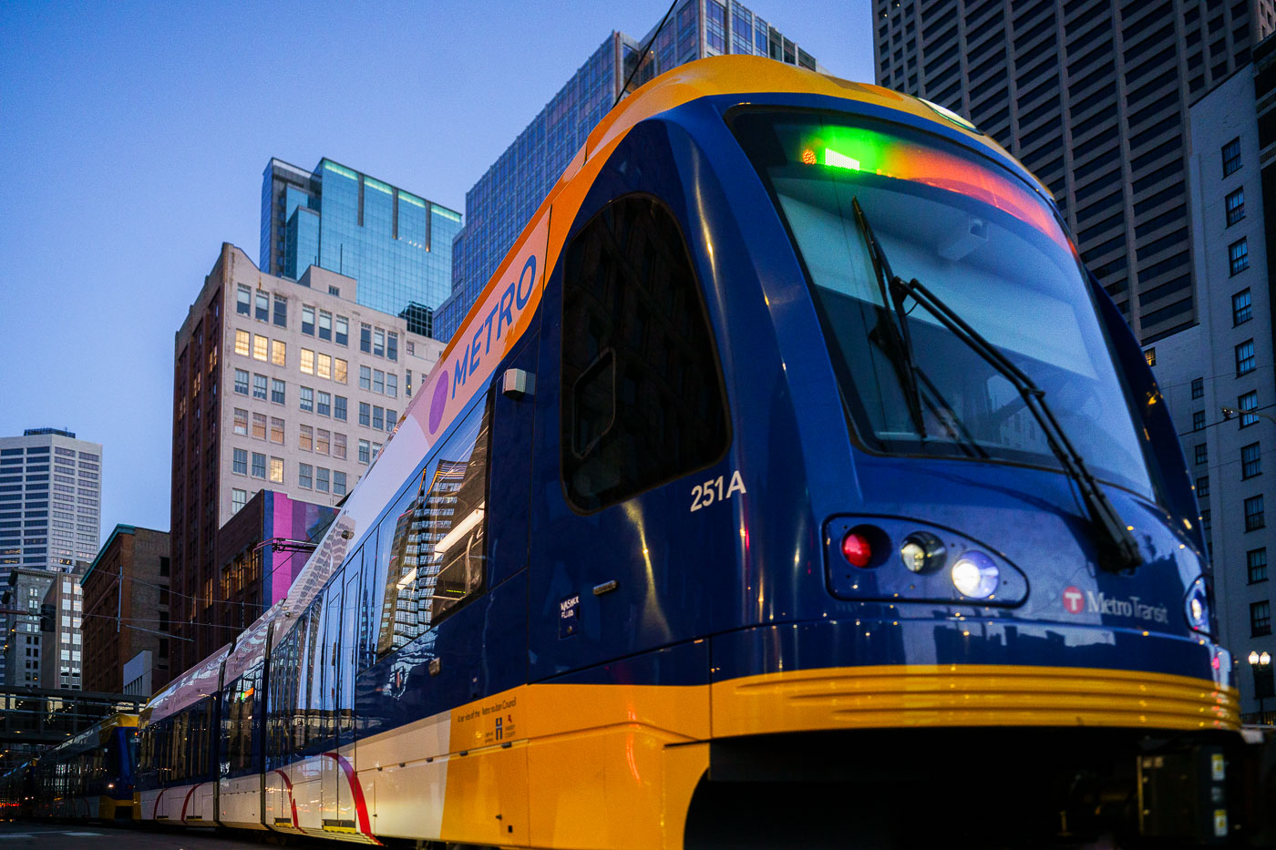
Metro Transit Green Line train 251A in downtown Minneapolis.
Metro Transit Green Line light rail train 251A in downtown Minneapolis. The Green Line is the Twin Cities' light rail route linking downtown Minneapolis and downtown Saint Paul. Metro Transit operates the line as part of the region's public transportation system.

Metro Transit Green Line Train at Dusk in Downtown Minneapolis

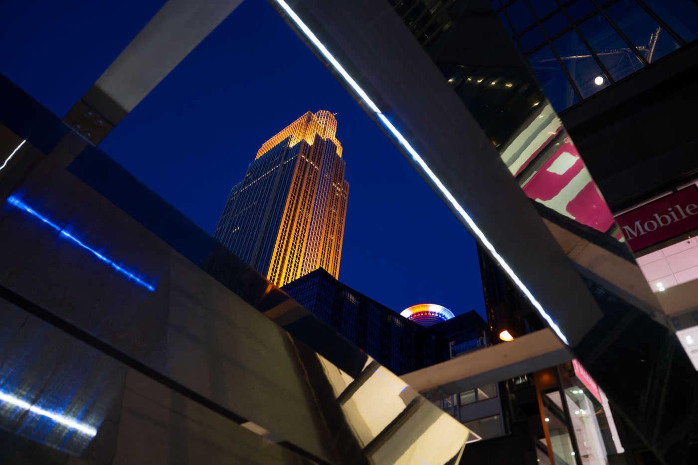
Nicollet Mall during blue hour
The Wells Fargo Center, illuminated in gold, rises above Nicollet Mall in Downtown Minneapolis at night.

Wells Fargo Center Framed by Nicollet Mall Sculpture at Night
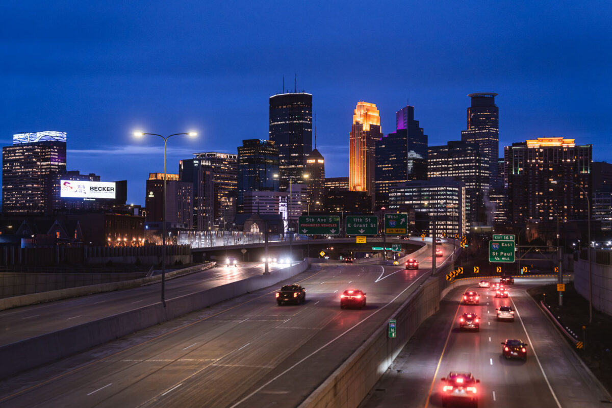
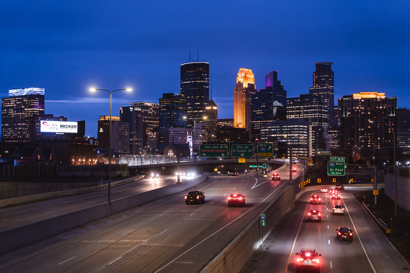
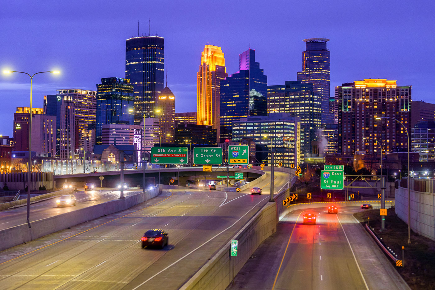
Minneapolis Downtown Skyline from 35W in April 2024
The Minneapolis downtown skyline is seen from Interstate 35W at dusk in April 2024. Interstate 35W functions as a critical north-south transportation artery, connecting the city's core with its surrounding metropolitan area and facilitating regional travel.

Minneapolis Downtown Skyline from I-35W at Dusk, April 2024
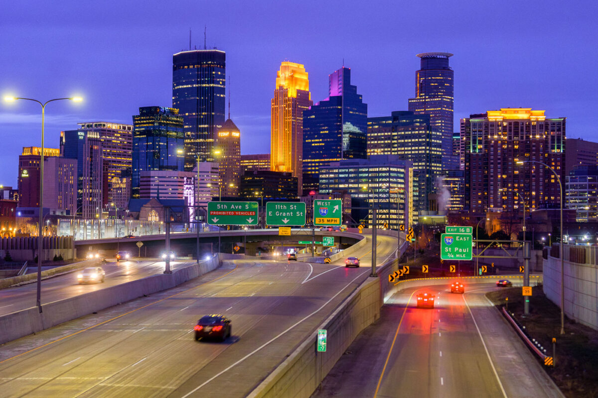
Minneapolis skyline from I35W in April 2024
The Downtown Minneapolis skyline rises above Interstate 35W, a vital north-south freeway corridor, as seen in April 2024.

Downtown Minneapolis Skyline from I-35W Bridge, April 2024

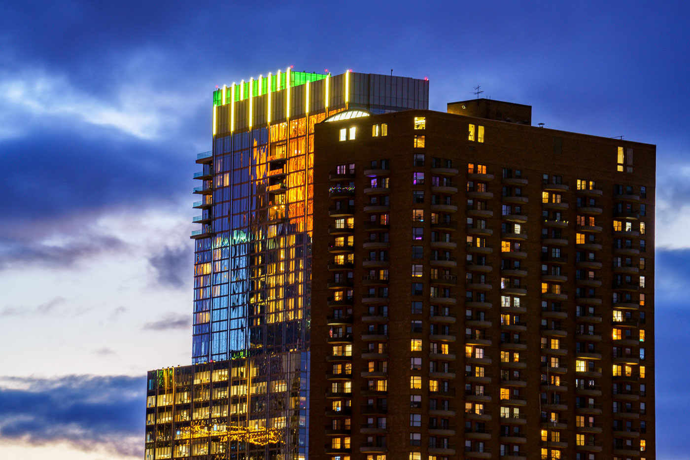
Reflections on side of glass tower at sunset
RBC Gateway and The Churchill towers in Downtown Minneapolis. Reflections from Wells Fargo Tower on the side of RBC Gateway during sunset.

The Churchill and RBC Gateway at Twilight in Downtown Minneapolis
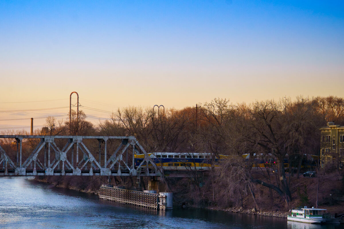
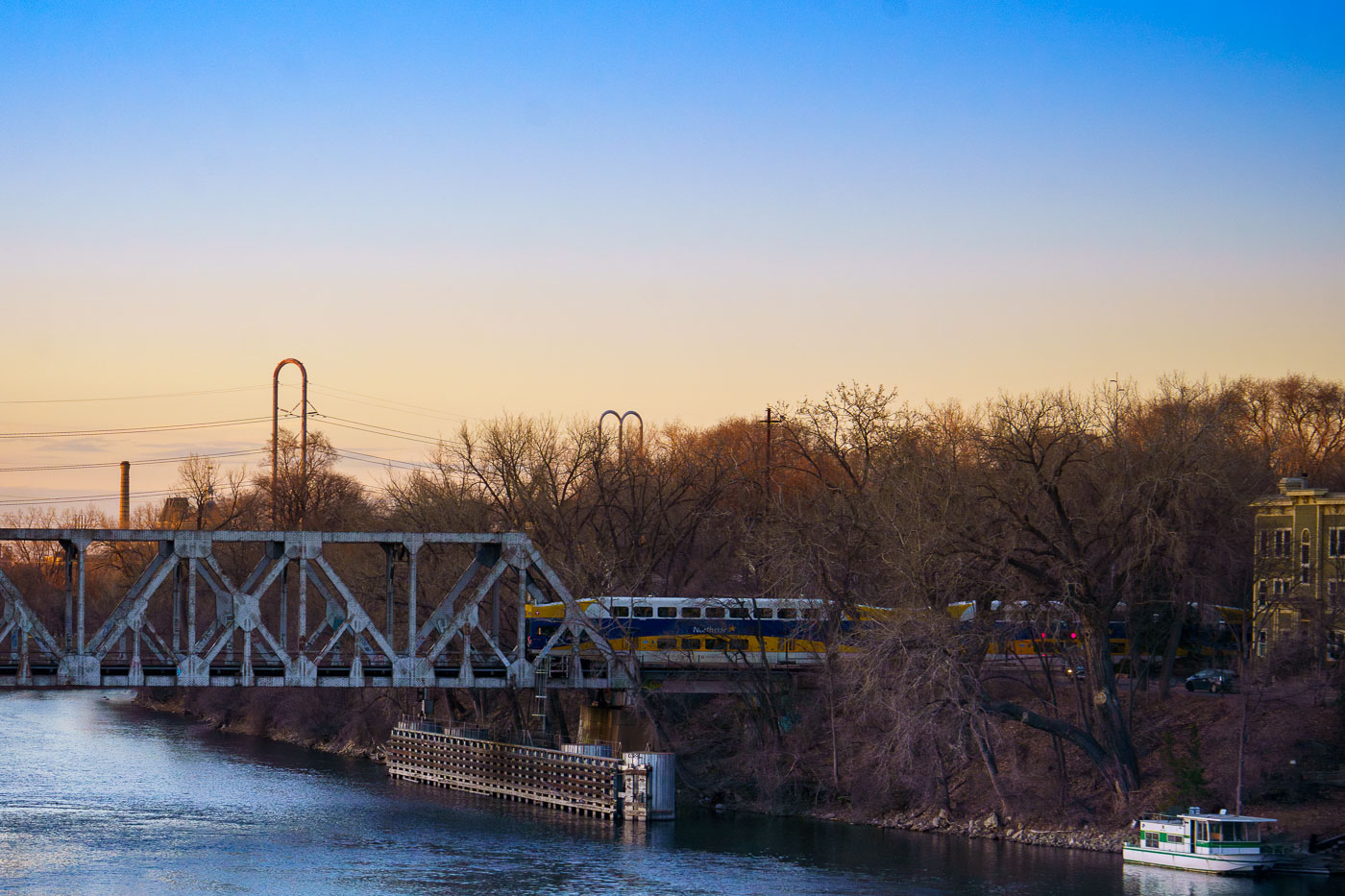
Northstar Line commuter train crosses a railway bridge spanning the Mississippi River in Minneapolis during early evening light.
The Northstar Line commuter train crosses a railway bridge over the Mississippi River in Minneapolis, as observed in March 2024. The Northstar Line began service in 2009, utilizing existing freight rail corridors and new infrastructure.

Northstar Train Crossing the Mississippi River at Dusk
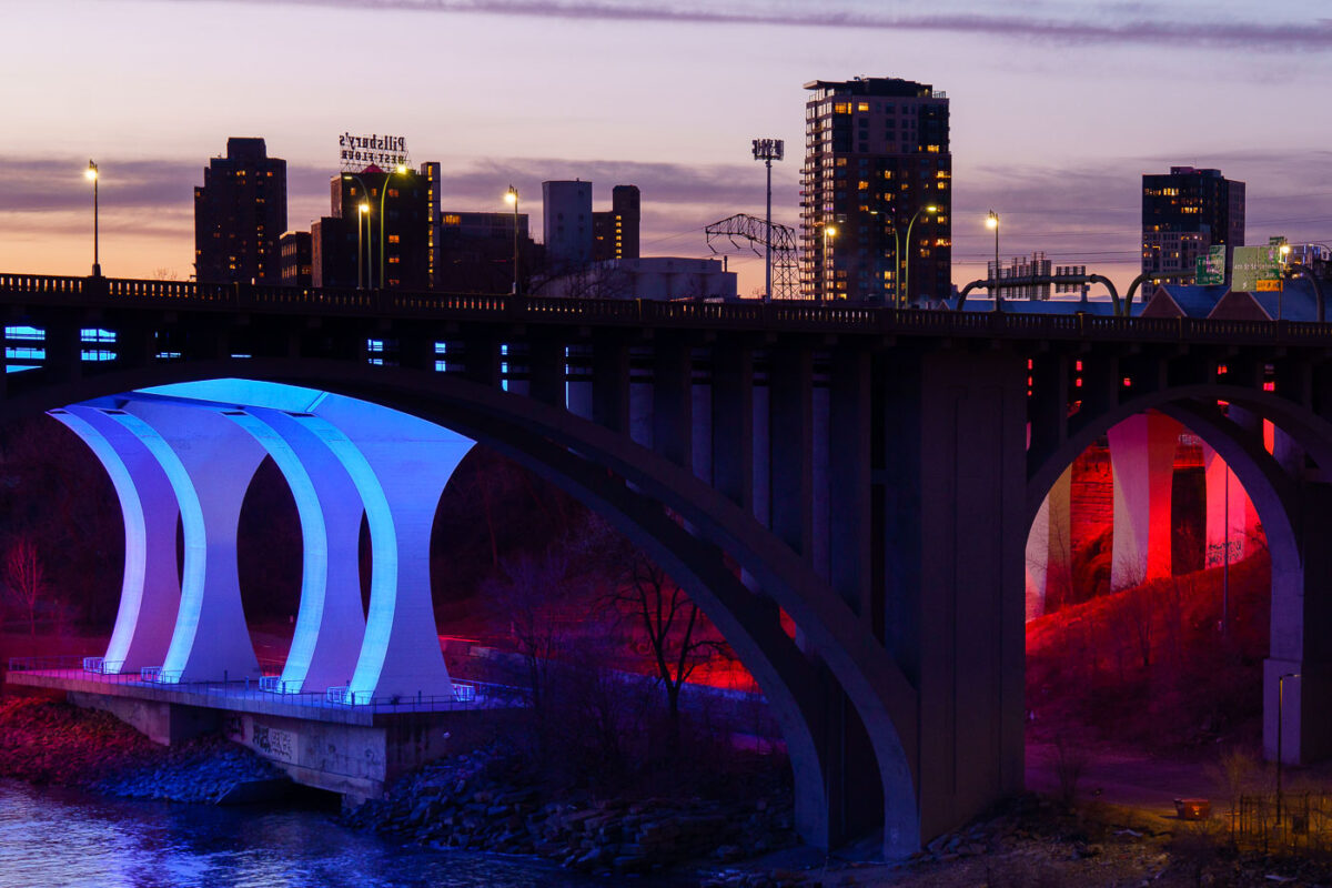
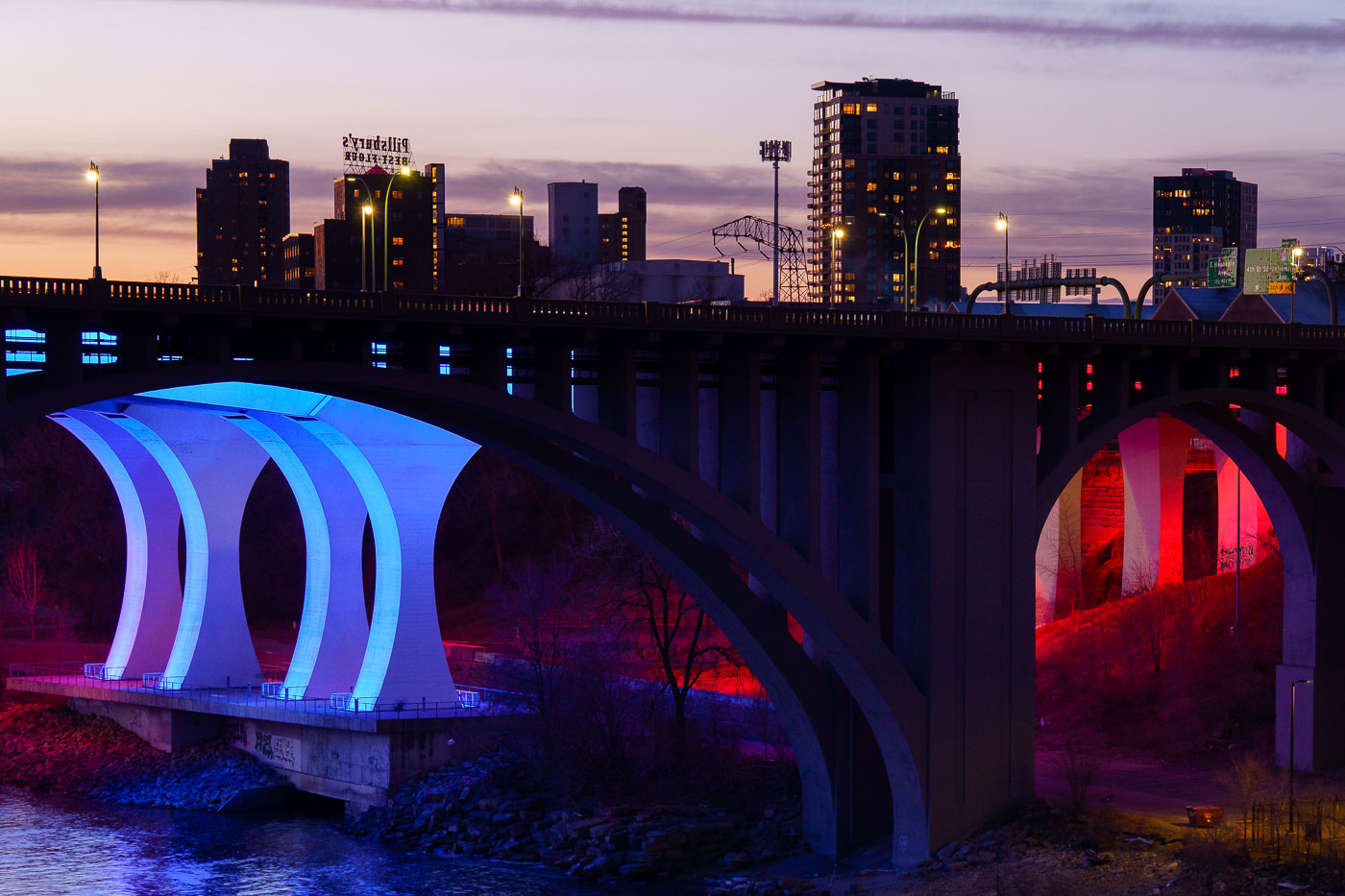
The 10th Avenue Bridge illuminated in blue and the I-35W Bridge lit in red span the Mississippi River at dusk in Minneapolis.
The 10th Avenue Bridge and the I-35W Bridge span the Mississippi River near downtown Minneapolis at sunset in March 2024.

10th Avenue Bridge Lit Blue and Red Over the Mississippi River
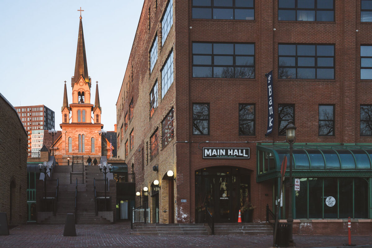
Our Lady of Lourdes Catholic Church, Minneapolis's oldest continuously used church, stands on Main Street with its distinctive Gothic Revival spire.
Our Lady of Lourdes Catholic Church, situated on Main Street in Minneapolis, is the city's oldest continuously used church building. Consecrated in 1857, this Gothic Revival structure features a prominent spire and stone facade.

Main Hall at RiverPlace Near Our Lady of Lourdes Church, Minneapolis
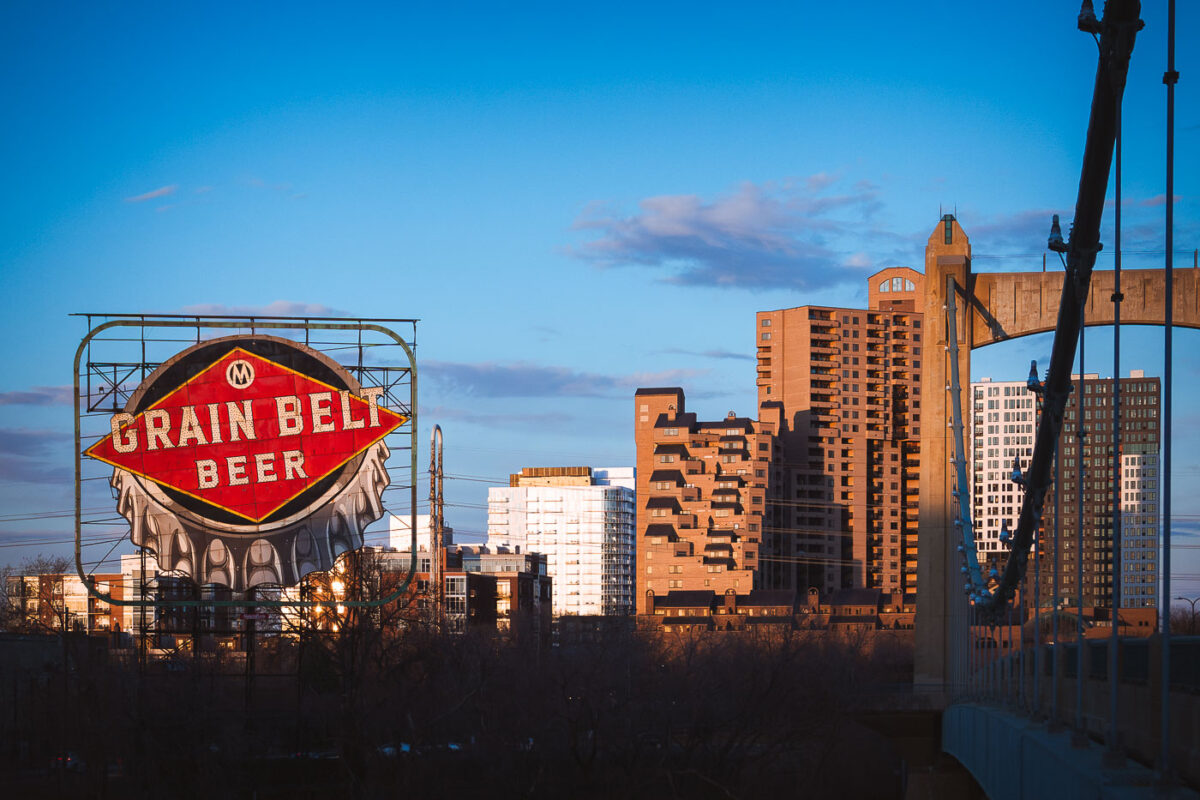
The vintage Grain Belt Beer sign illuminates at dusk on Nicollet Island with Minneapolis skyline and Hennepin Avenue Bridge behind.
The Grain Belt Beer sign, a historic Minneapolis landmark, stands on Nicollet Island overlooking the Mississippi River. Originally installed in 1941, this illuminated sign once advertised the nearby Grain Belt Brewery, which operated in Northeast Minneapolis. In the background, the Hennepin Avenue Bridge, the first bridge to cross the Mississippi River at Minneapolis, connects downtown with the city's northeast side.

Grain Belt Beer Sign at Dusk Over the Minneapolis Skyline
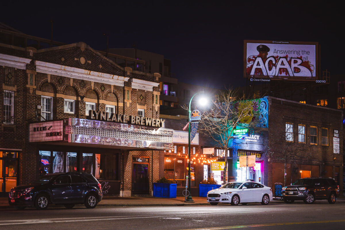
LynLake Brewery storefront on Lyndale Avenue with ACAB graffiti marked on adjacent commercial billboard at night in Minneapolis.
The LynLake Brewery, located on Lyndale Avenue in Minneapolis, occupies a building known for its distinctive theater-like architecture. Adjacent to the brewery, a commercial billboard features an advertisement that has been marked with the graffiti 'ACAB'.

ACAB Billboard at LynLake Brewery, Minneapolis
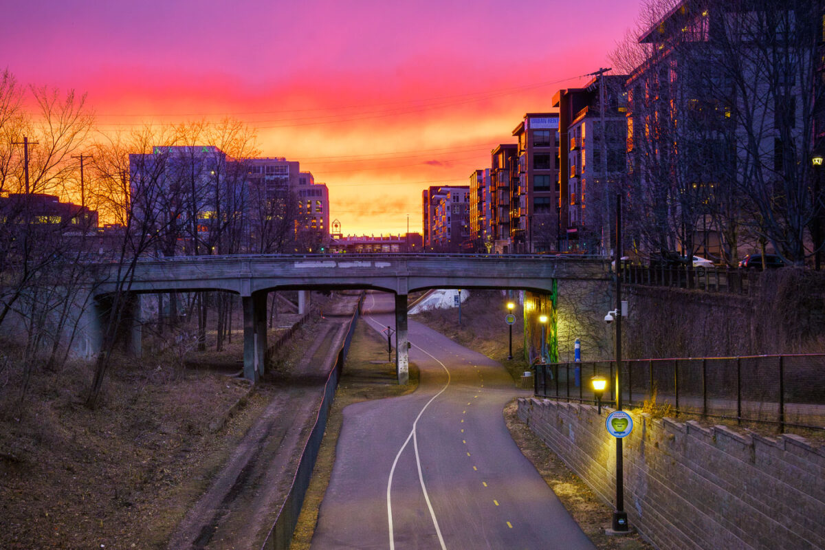
Very colorful red orange and yellow sunset on trail
The Midtown Greenway, a 5.5-mile-long rail-with-trail corridor, traverses south Minneapolis, providing a dedicated path for cyclists and pedestrians. Developed from a former railway corridor, primarily the Milwaukee Road's Short Line, it officially opened as a multi-use path in 2000.

Midtown Greenway Bridge and Trail Sunset, Minneapolis

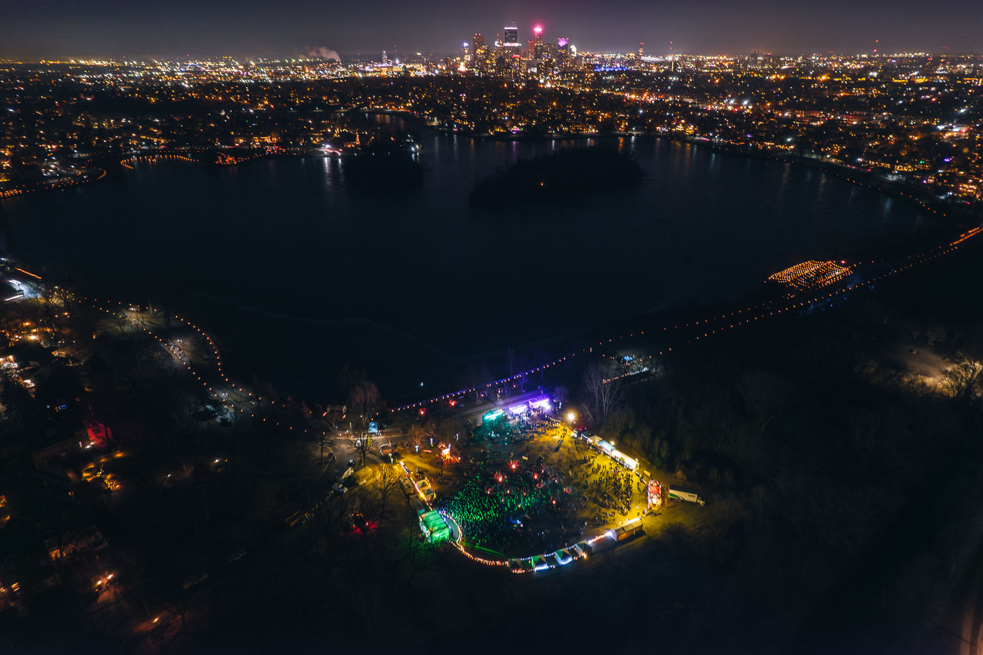
Aerial view of Lake of the Isles in Minneapolis at night with illuminated luminaries lining the parkway pathways around the dark water.
The Luminary Loppet, an annual winter festival, took place around Lake of the Isles in Minneapolis in February 2024. Due to unseasonably warm weather, the event's traditional route across the frozen lake was relocated to the surrounding parkways, where participants walked among thousands of luminaries.

Aerial View of the Luminary Loppet Beside Lake of the Isles
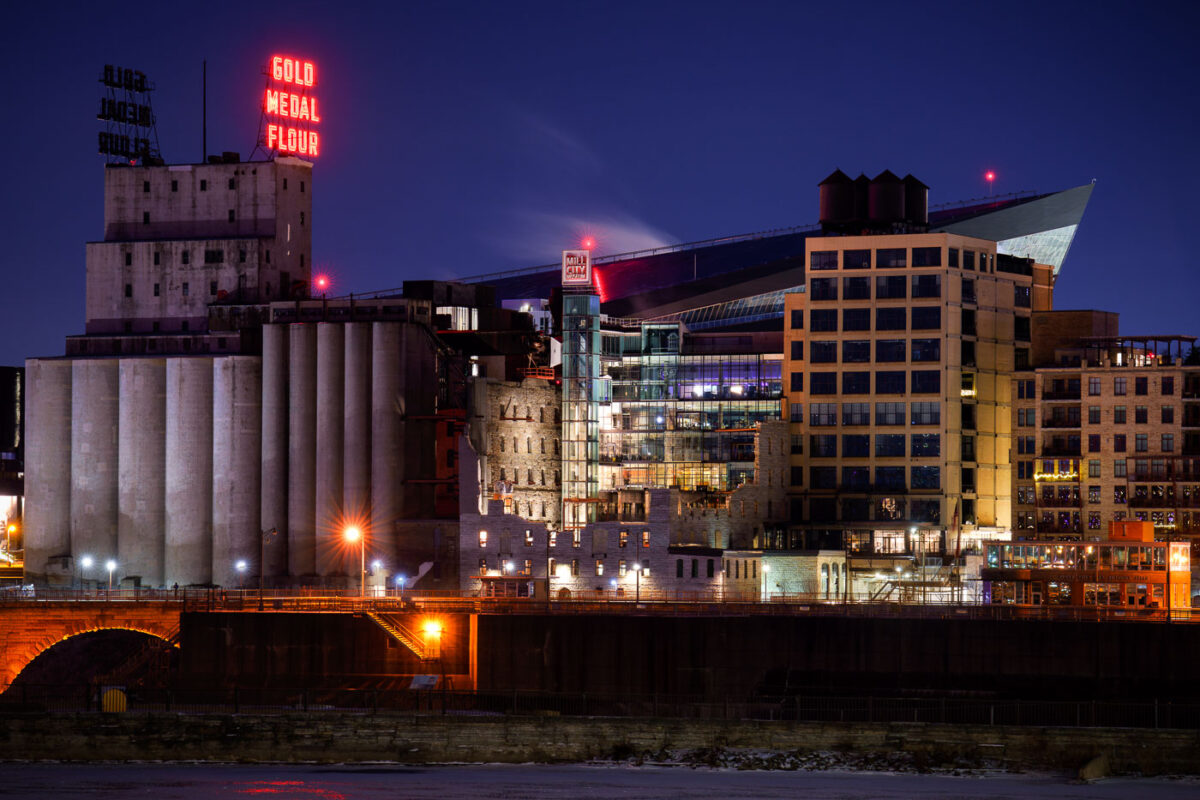
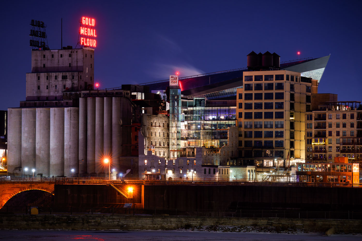
US Bank Stadium and Mill City Museum neon signs
The Washburn A Mill, once the world's largest flour mill, stands illuminated along the Mississippi River in Minneapolis. This historic structure now houses the Mill City Museum, which interprets the city's industrial past as a global flour milling center. In the background, the contemporary architecture of US Bank Stadium signifies Minneapolis's modern urban landscape.

Mill City Museum and Gold Medal Flour Sign Along the Mississippi River

Aerial photo of FAIR School For Arts
An aerial view of the FAIR School For Arts mural on Hennepin Avenue in downtown Minneapolis, captured in September 2023. This vibrant artwork adorns a pedestrian walkway adjacent to the school, adding a splash of color to the urban environment. The FAIR School For Arts is a public school dedicated to providing arts-integrated education to students from kindergarten through 12th grade.

FAIR School For Arts Mural on Hennepin Ave, Minneapolis

Motorcycles parked outside skyway theatre
Motorcycles and hot rodders outside the Skyway Theatre in Downtown Minneapolis.

Motorcycles and Hot Rodders at Skyway Theatre
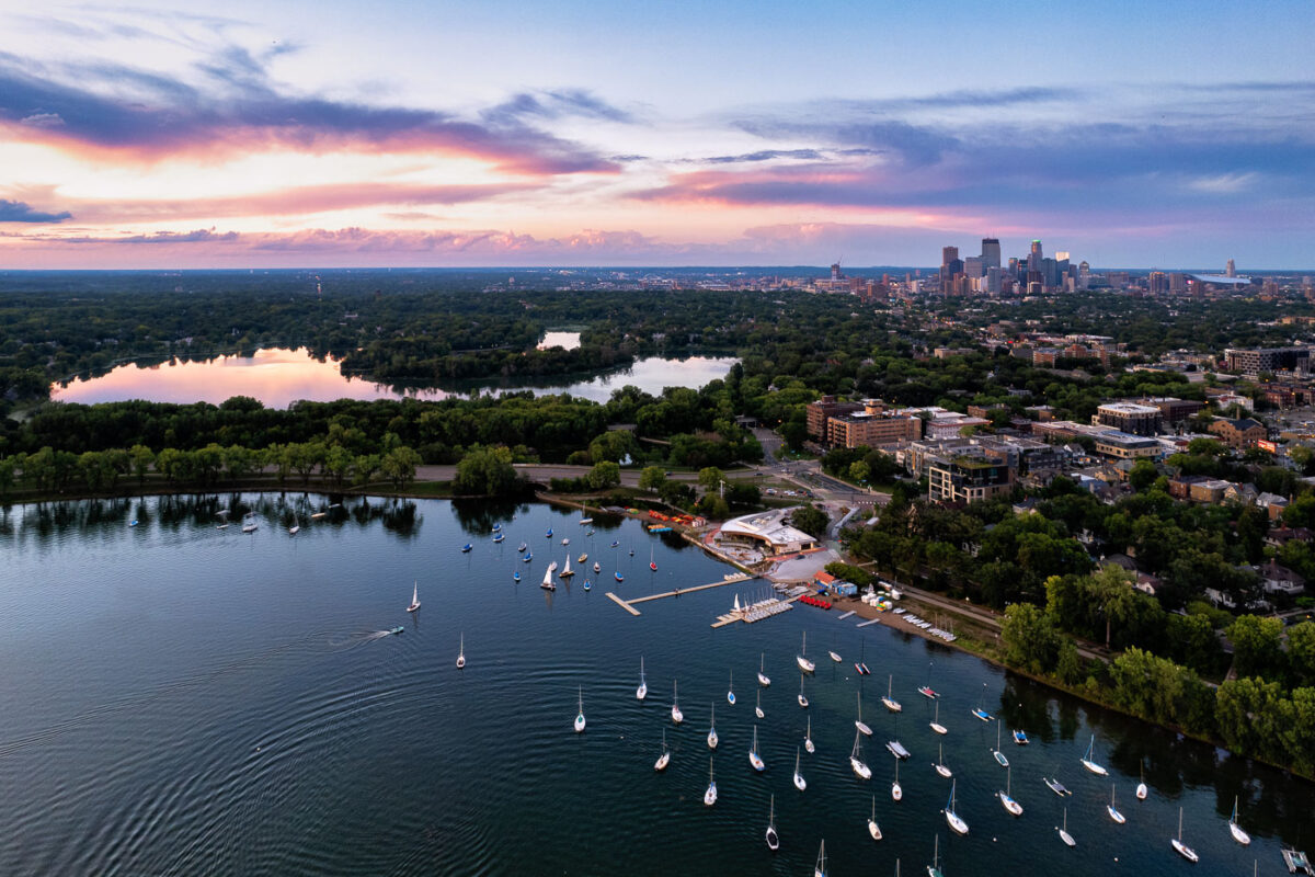
Sailboats on lake with city skyline
Sailboats on Bde Maka Ska in Minneapolis during sunset. Lake of the Isles seen in the distance.

Sailboats and a colorful sunset

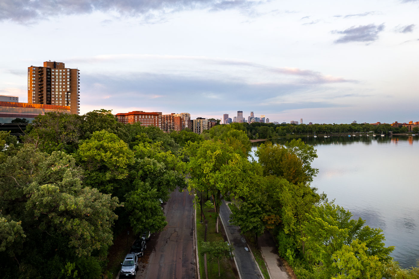
Grand Rounds Scenic Byway in Minneapolis
Bde Maka Ska Parkway on Bde Maka Ska, the largest lake in Minneapolis.

Grand Rounds Scenic Byway in Minneapolis

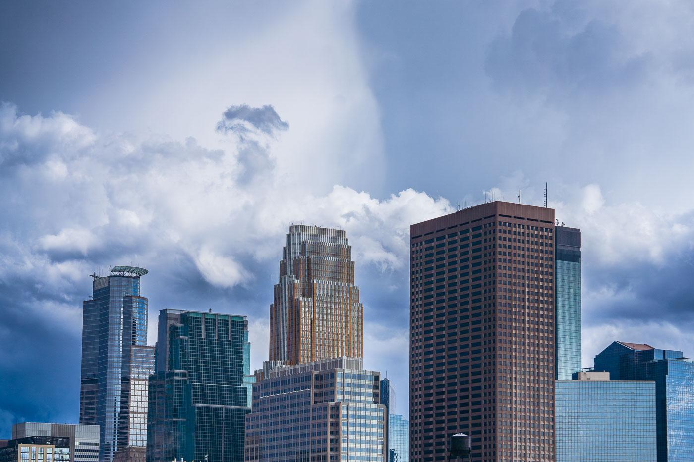
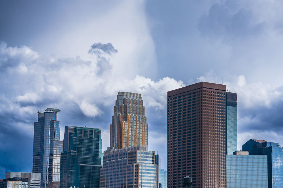
Downtown Minneapolis skyline with Capella Tower, IDS Center, and Wells Fargo Center under blue sky with white clouds.
Caught some real funky clouds behind downtown Minneapolis. Capella Tower, Wells Fargo Center, IDS Center are some of the large buildings shown on this day in August 2023.

Capella Tower and Wells Fargo Center Under Storm Clouds
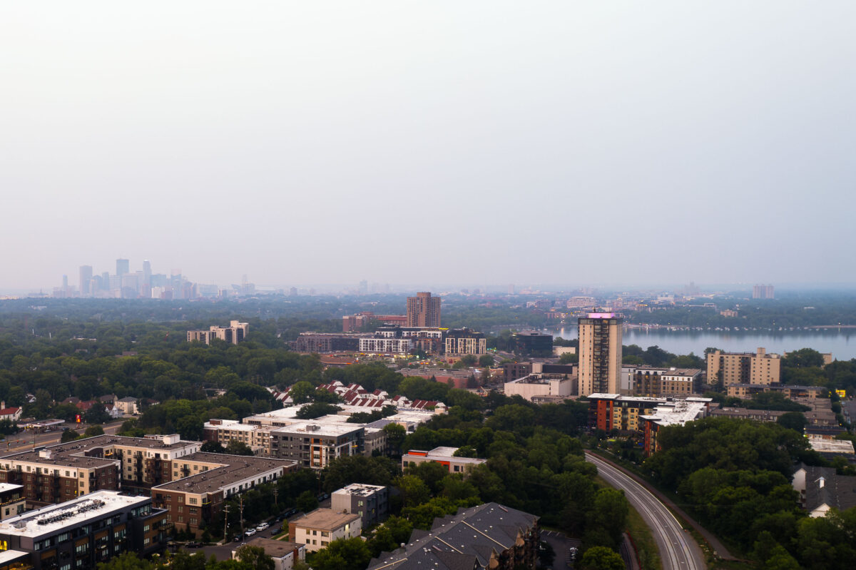
Minneapolis and Bde Maka Ska and wildfire smoke
Minneapolis's downtown skyline is obscured by smoke from Canadian wildfires, viewed from the vicinity of Bde Maka Ska. The lake, one of the city's Chain of Lakes, is a popular destination for recreation and is bordered by parkland and residential areas. The presence of wildfire smoke highlights the increasing impact of climate change on air quality across North America.

Minneapolis Skyline Through Wildfire Smoke, Bde Maka Ska
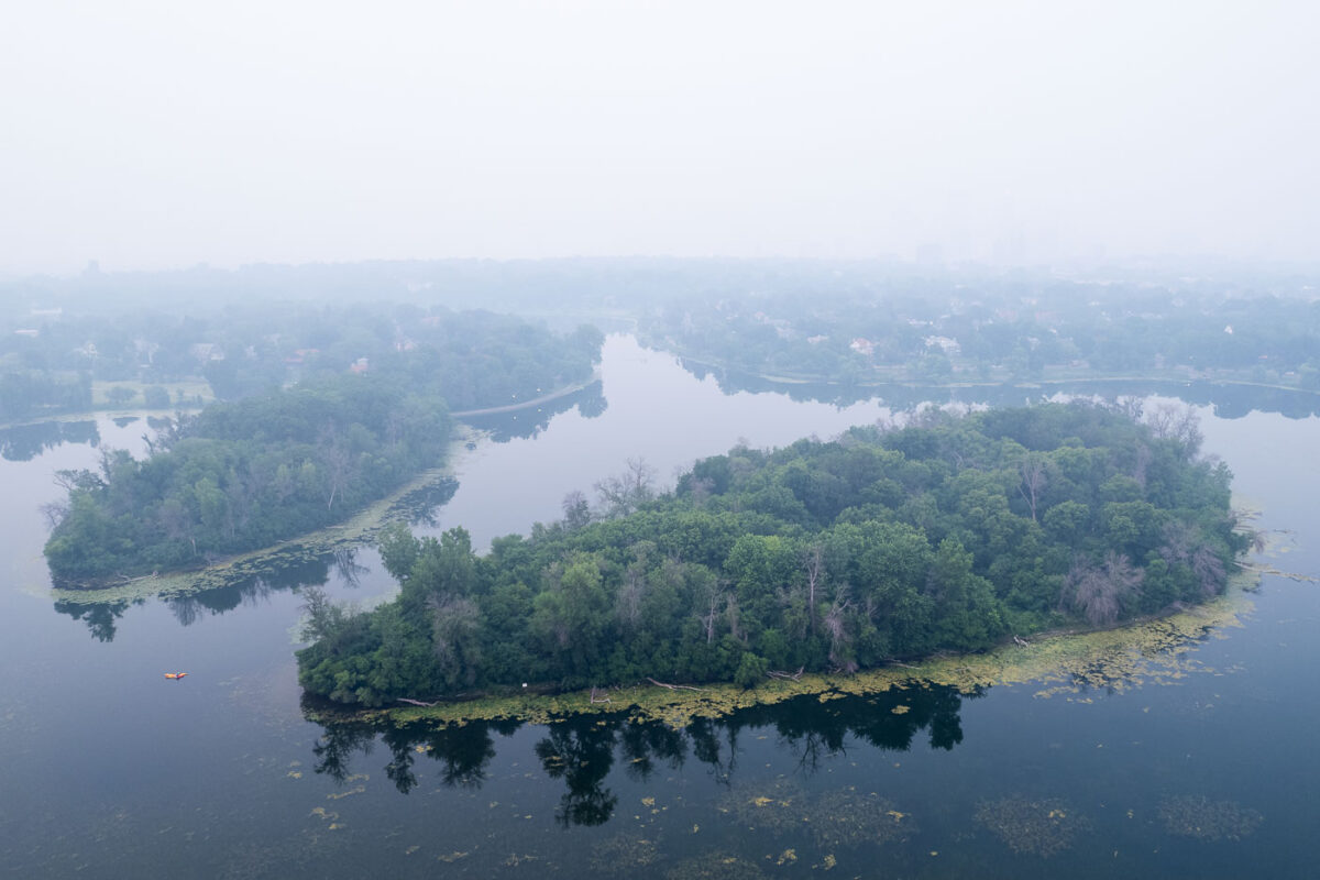
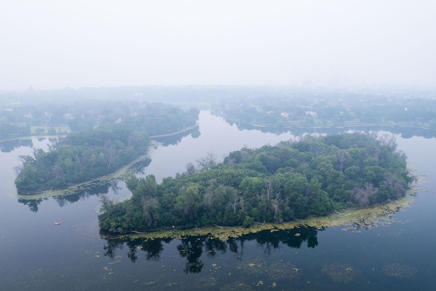
Lake of the Isles with wildfire smoke aerial
Canadian wildfire smoke blankets Lake of the Isles in Minneapolis, obscuring the urban landscape. The lake and its surrounding parkland are part of the Minneapolis Chain of Lakes, a system of lakes and parkways designed by landscape architect H.W.S. Cleveland and engineer William Berry in the late 19th century. These lakes, including Bde Maka Ska, Harriet, Nokomis, and Cedar, were developed to provide naturalistic recreational spaces within the growing city. Today, the Chain of Lakes remains a vital public amenity, offering residents and visitors opportunities for walking, biking, boating, and enjoying nature, even when impacted by environmental events like wildfire smoke.

Minneapolis Smoke Over Lake of the Isles
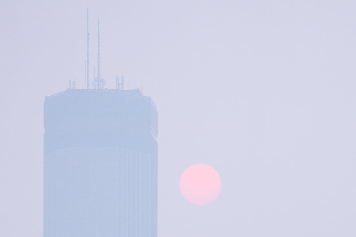
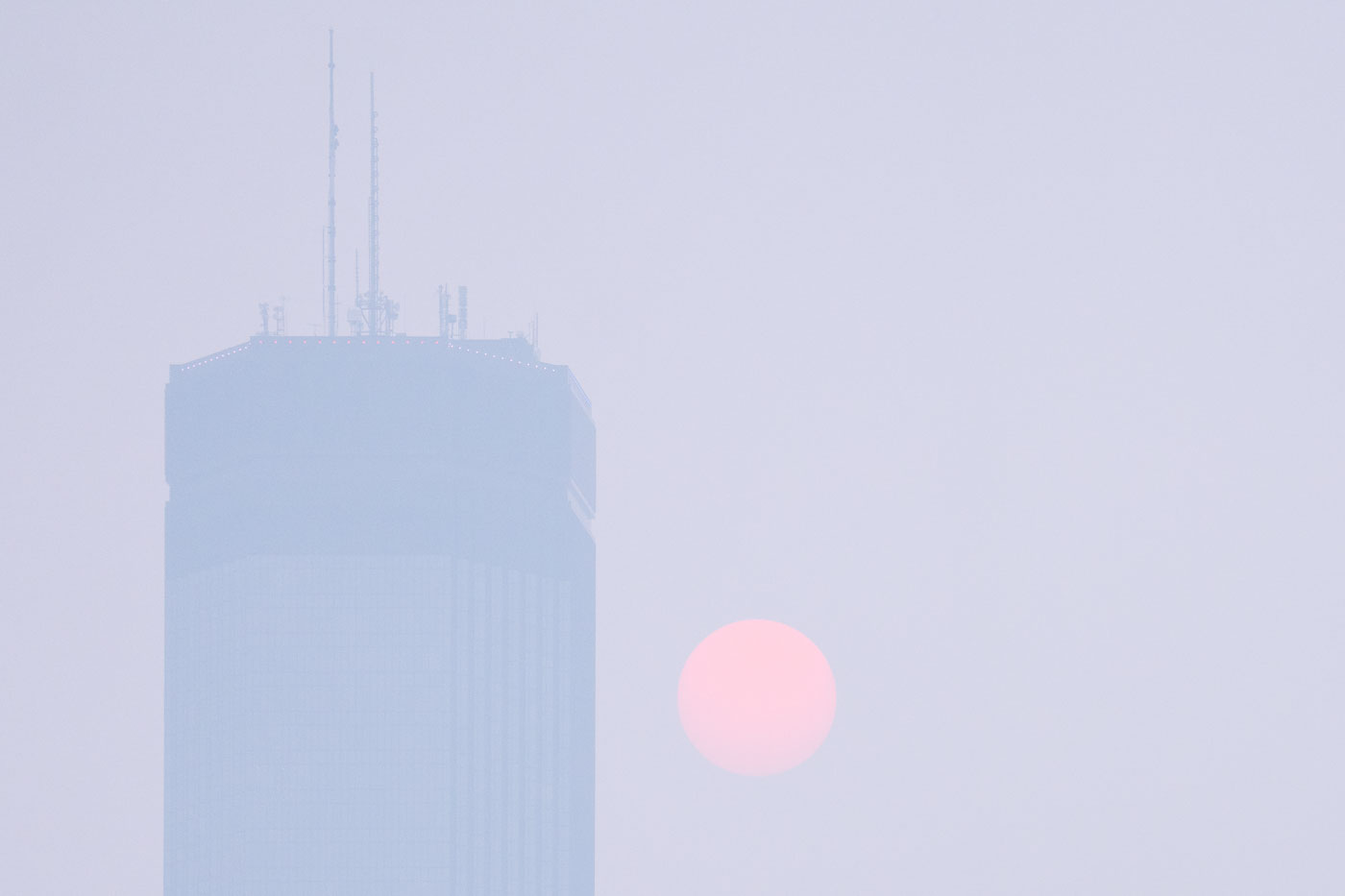
Wildfire smoke full moon hazy IDS Center
The IDS Center, Minneapolis's first skyscraper completed in 1973, is partially obscured by smoke from Canadian wildfires. The building, designed by architect Philip Johnson, was a significant development in the city's downtown core and remains a prominent feature of its skyline. The hazy conditions, caused by smoke drifting south, significantly altered the appearance of the city and the sun, casting a reddish hue across the sky and reducing visibility.

IDS Center obscured by Canadian wildfire smoke, Minneapolis

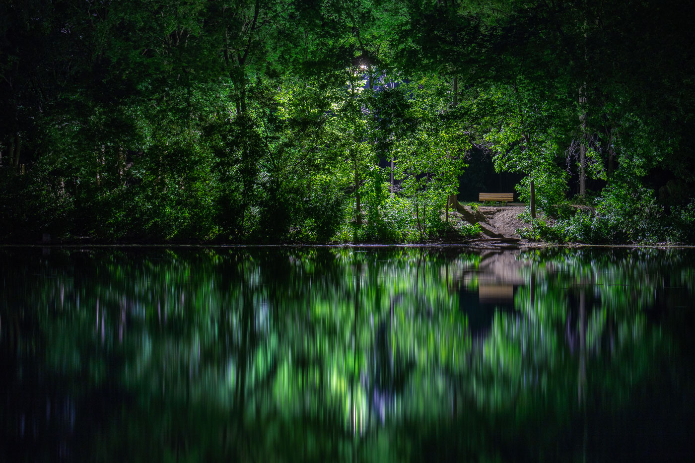
A bench sits on the shore of Cedar Lake in Minneapolis, with dense green trees mirrored in the still water.
Cedar Lake is one of the Minneapolis Chain of Lakes, roughly 170 acres with a maximum depth of about 51 feet. A bench sits along its wooded shoreline near a sandy path leading down to the water.

A Wooded Shoreline Path at Cedar Lake, Minneapolis
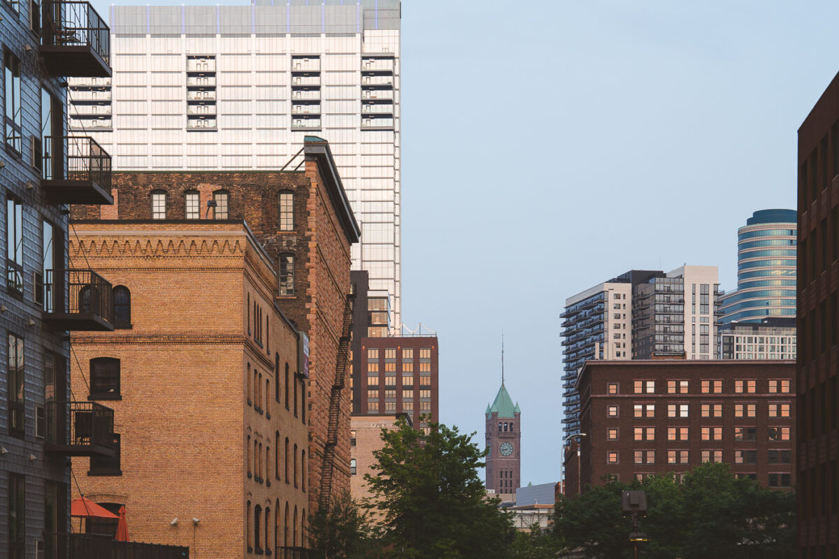
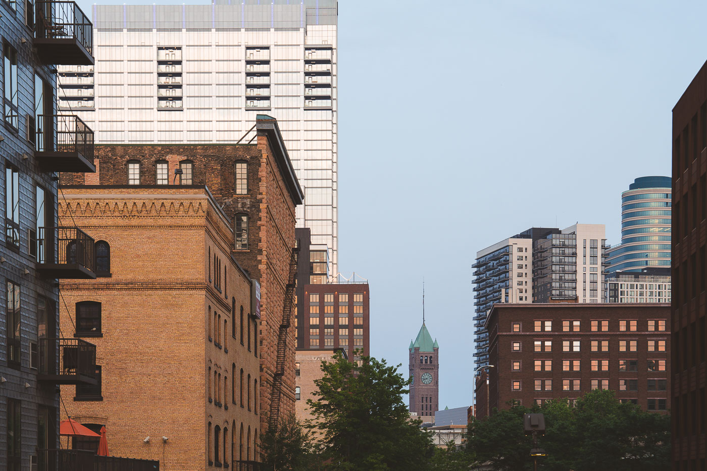
Minneapolis City Hall seen through Warehouse District buildings
The Minneapolis City Hall building as seen from the North Loop. June 2023.

Minneapolis City Hall from the North Loop
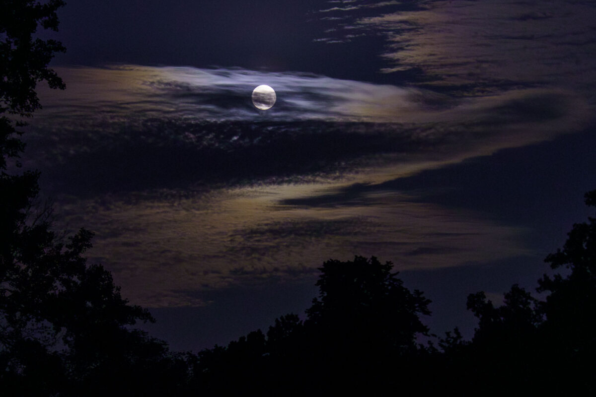
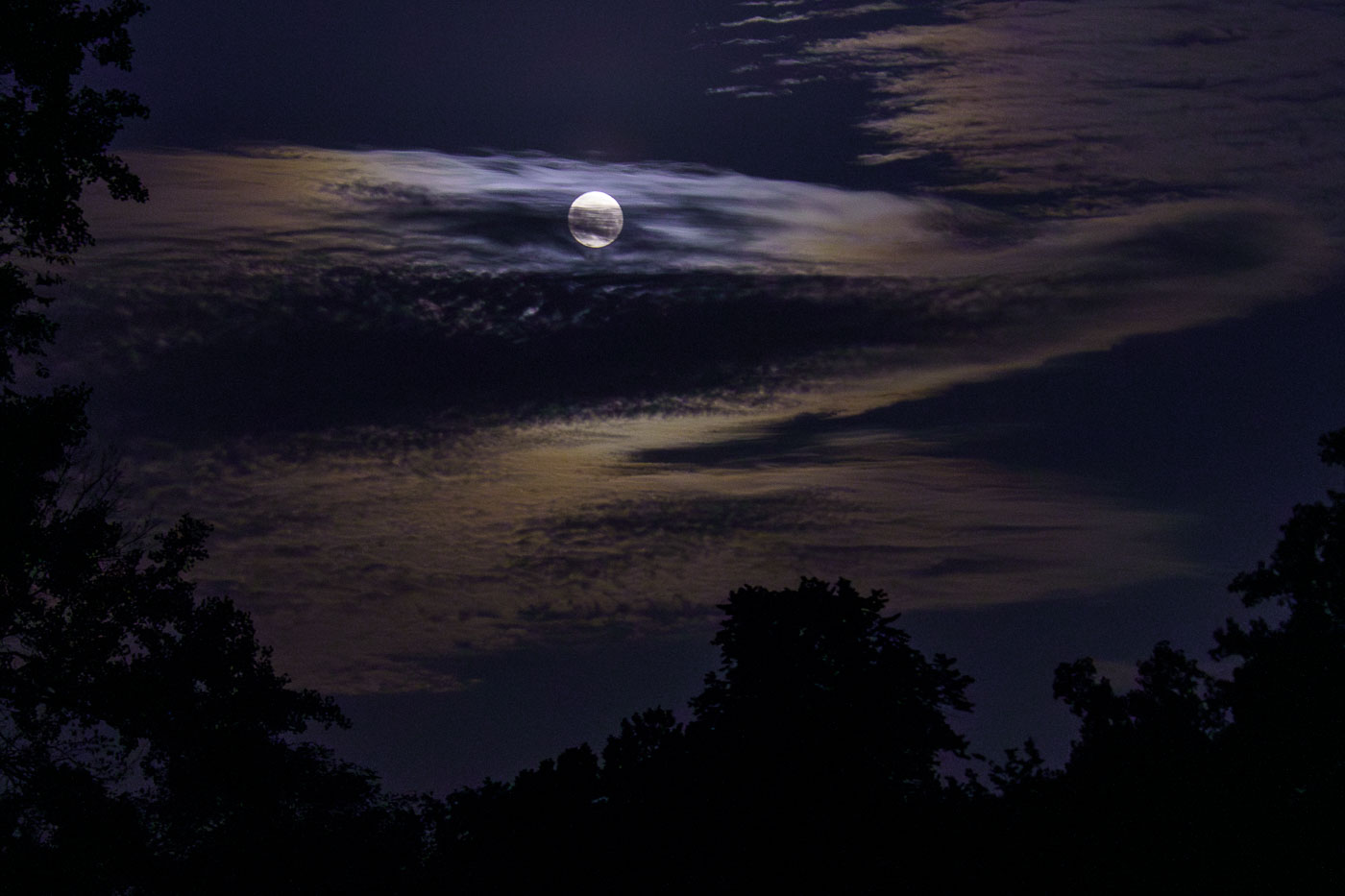
Full moon over Minneapolis with hazy clouds
A full moon illuminates the sky above the Cedar Lake Trail in Minneapolis on June 3, 2023. The Cedar Lake Trail is part of the Grand Rounds Scenic Byway, a 50-mile parkway and trail system encircling the city. Developed in the early 20th century, the Grand Rounds connect Minneapolis's chain of lakes and parks, providing essential green space and transportation corridors for residents and visitors. The trail system is widely used for walking, running, and cycling, offering a vital connection to nature within the urban environment.

Full Moon over Cedar Lake Trail, Minneapolis, June 3, 2023
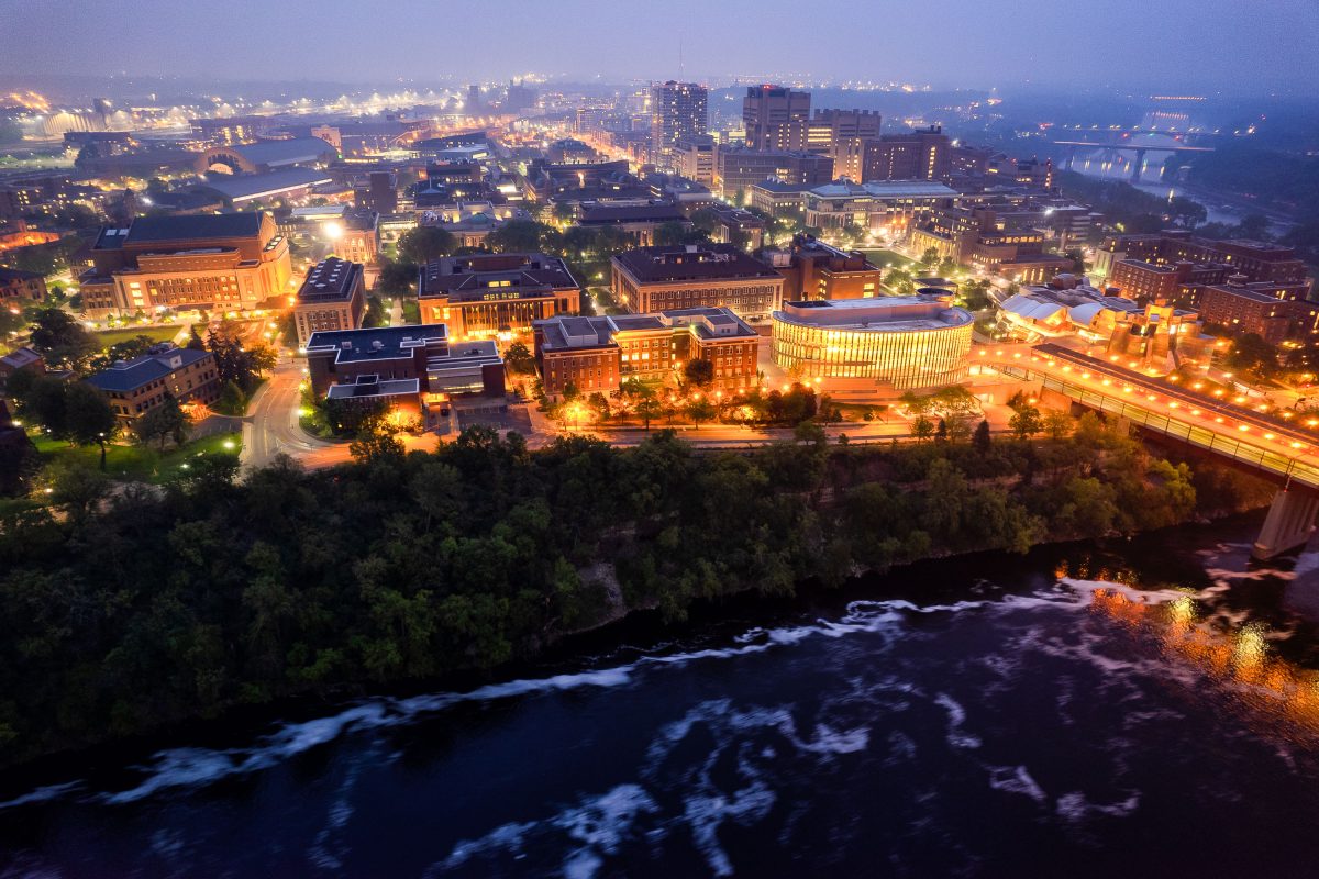
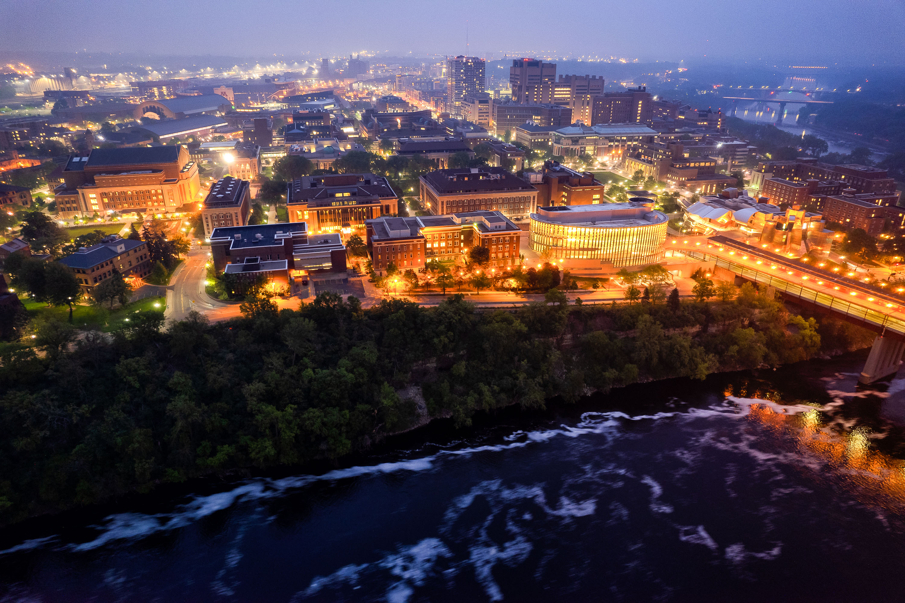
University of Minnesota campus at dusk overlooking the Mississippi River with illuminated buildings and the Washington Avenue Bridge spanning the water.
The University of Minnesota's Twin Cities campus lines both banks of the Mississippi River in Minneapolis, divided between the East Bank and West Bank districts. Founded in 1851, it's the flagship campus of the university system and one of the largest in the country, enrolling more than 50,000 students. The Washington Avenue Bridge links the two campuses, carrying vehicle and pedestrian traffic along with a light-rail line across the river.

Aerial Twilight View of the University of Minnesota’s East Bank
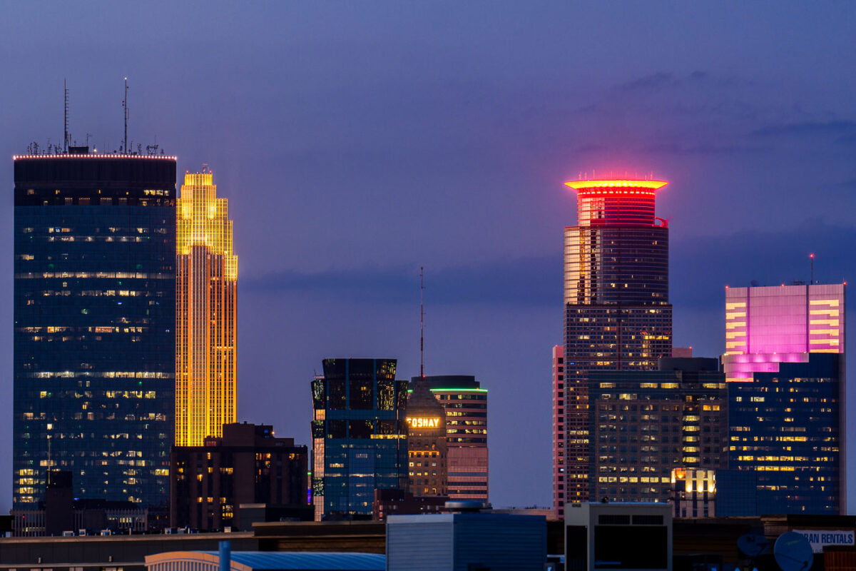
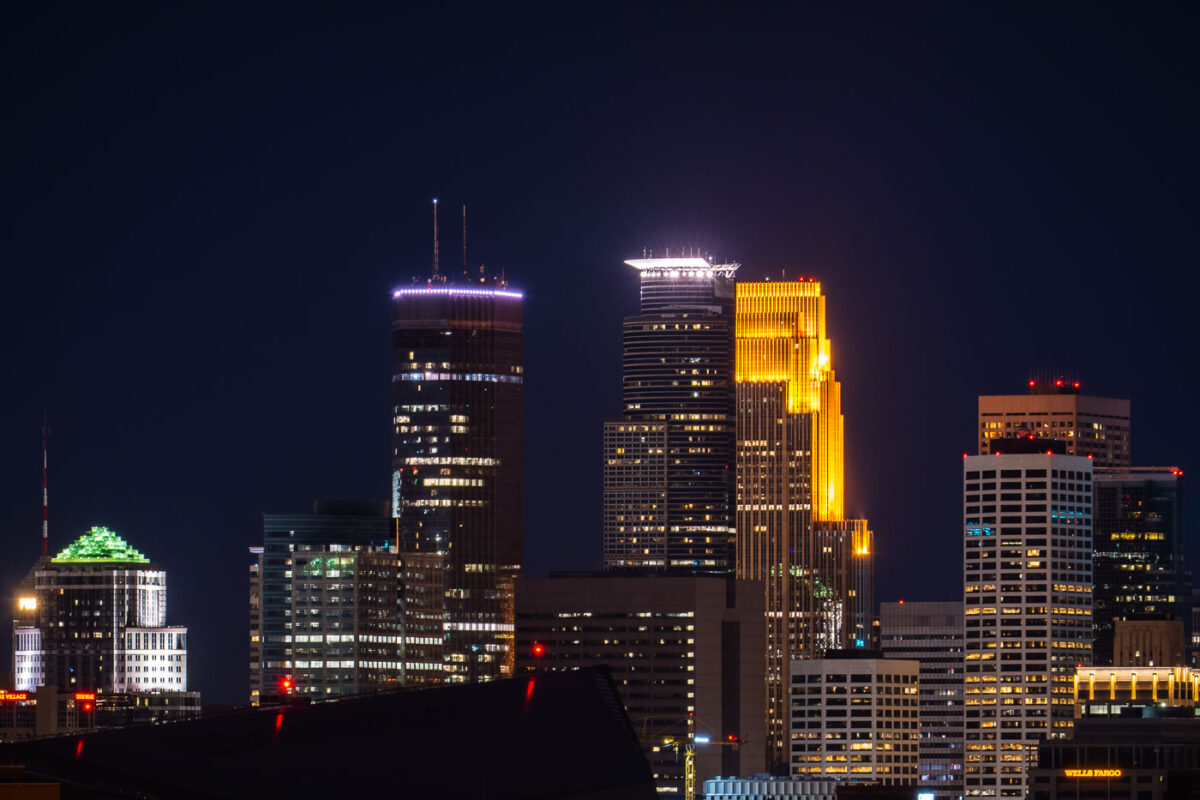
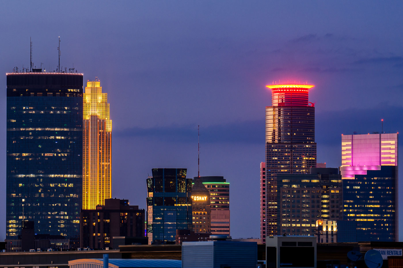
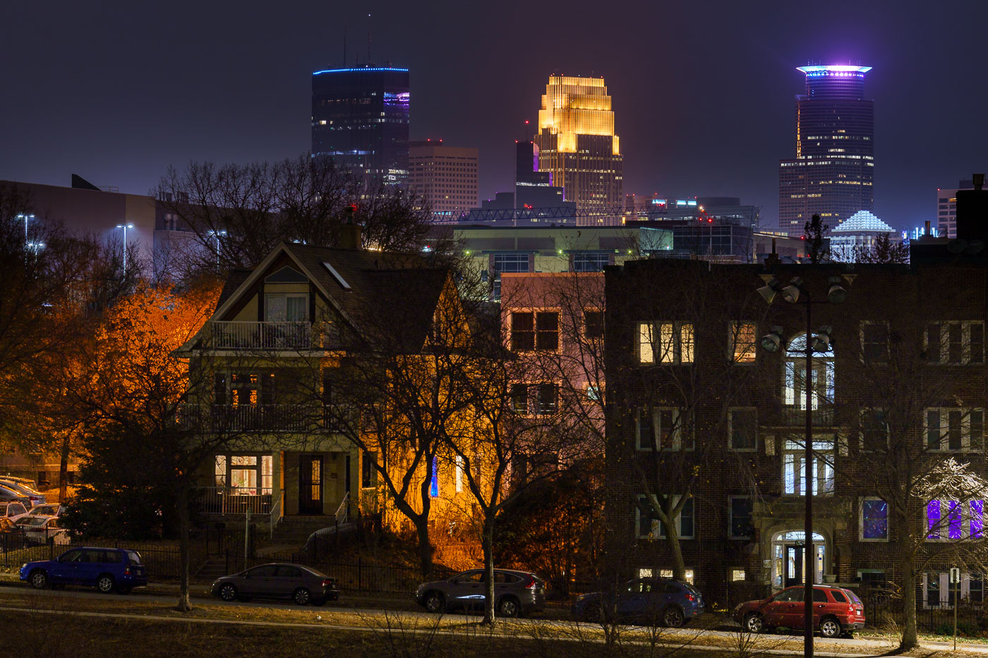
Colorful downtown skyline colors Foshay IDS
The Minneapolis skyline is illuminated at dusk, viewed from the Uptown neighborhood. Prominent structures include the IDS Center, recognizable by its golden illumination, and the Foshay Tower, a historic Art Deco skyscraper that was Minneapolis's first.

Minneapolis Skyline at Dusk, Uptown View
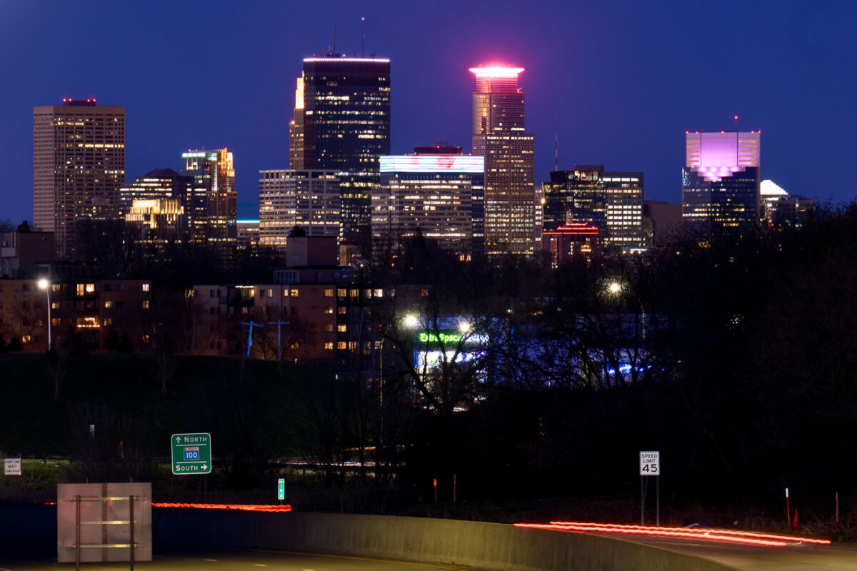
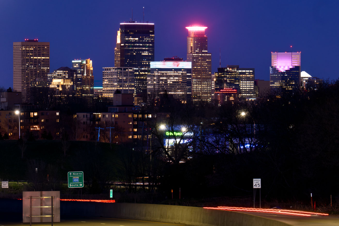
Minneapolis skyline viewed from St. Louis Park at night, with Highway 100 in the foreground. The highway, built in stages from the 1950s-1970s, connects western suburbs to the city.
The Minneapolis skyline is visible from Woodale Avenue in St. Louis Park, with Highway 100 in the foreground. Highway 100, officially known as the Crosstown Highway, was constructed in stages from the 1950s through the 1970s to alleviate traffic congestion in the western suburbs and connect them to Minneapolis. The highway serves as a vital artery for commuters and commerce, facilitating access to the downtown business district and other key areas of the Twin Cities metropolitan area.

Minneapolis Skyline from St. Louis Park with Highway 100
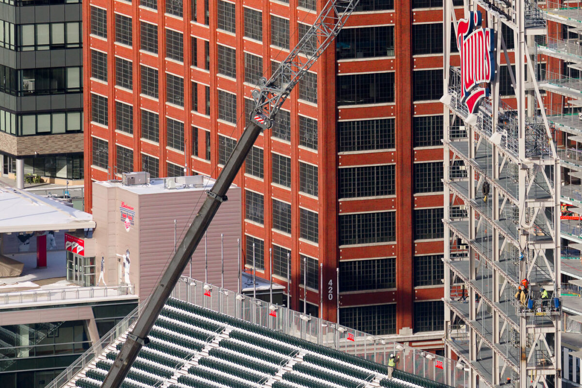
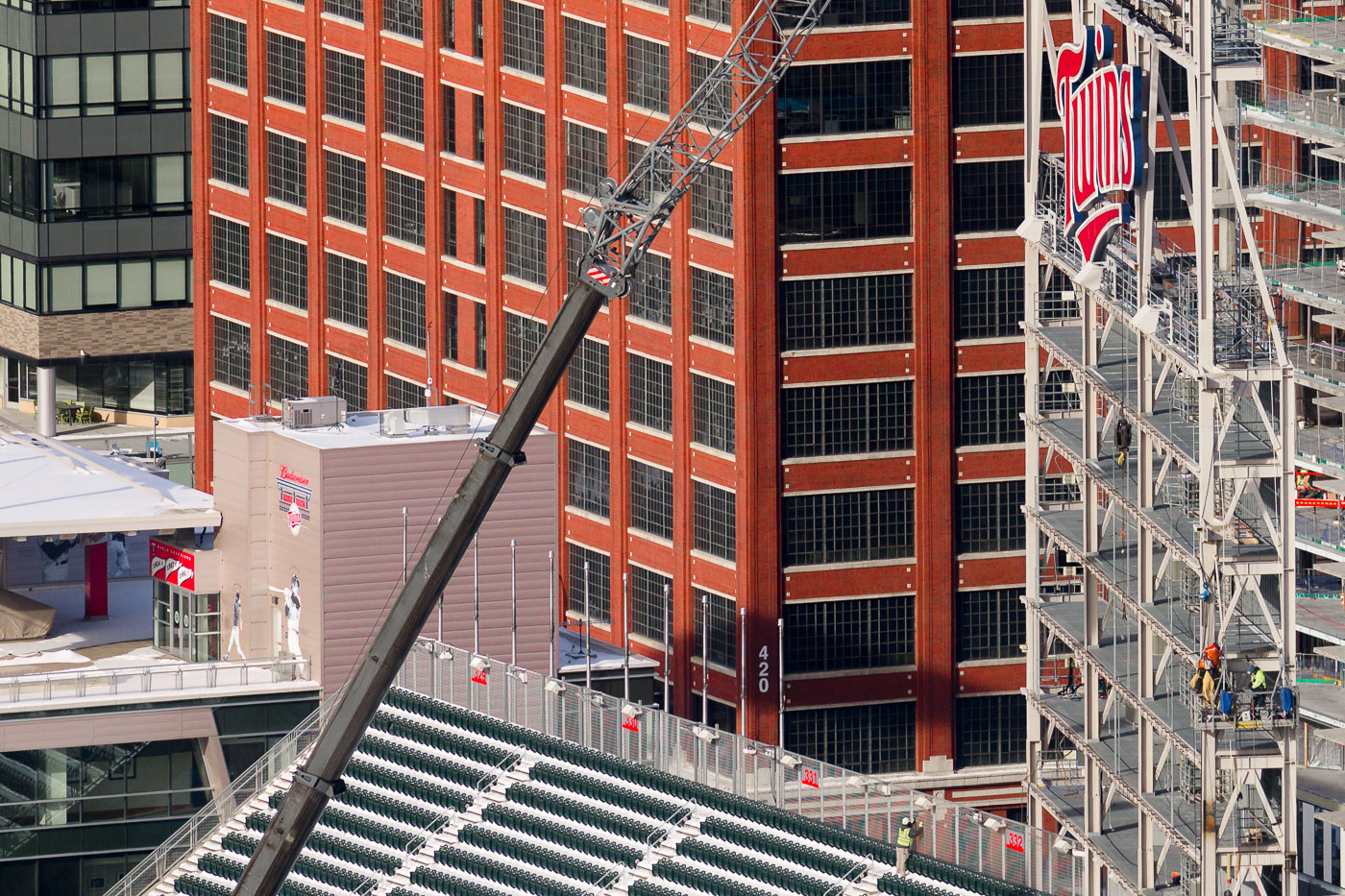
LED video board installation at Target Field
Construction workers install a new 10,000-square-foot LED videoboard at Target Field in Minneapolis in December 2022. The new display, which is 76% larger than its predecessor, was designed to be the fourth-largest video board in Major League Baseball and the fifth to offer HDR capability. This upgrade enhances the fan experience at the home ballpark of the Minnesota Twins, a venue that opened in 2010.

Target Field construction: New LED videoboard installation
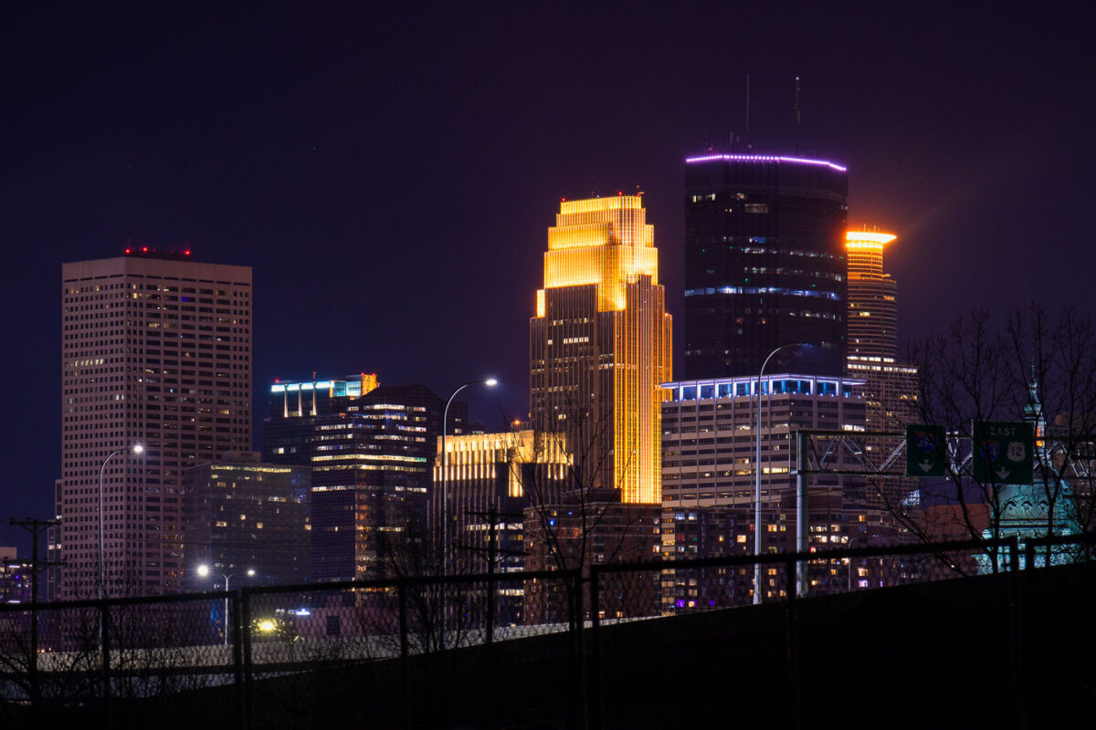
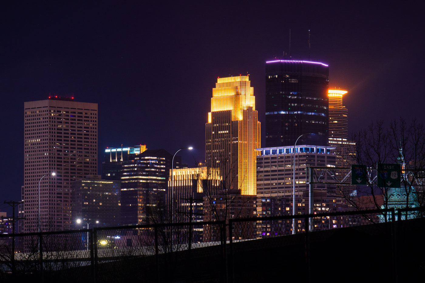
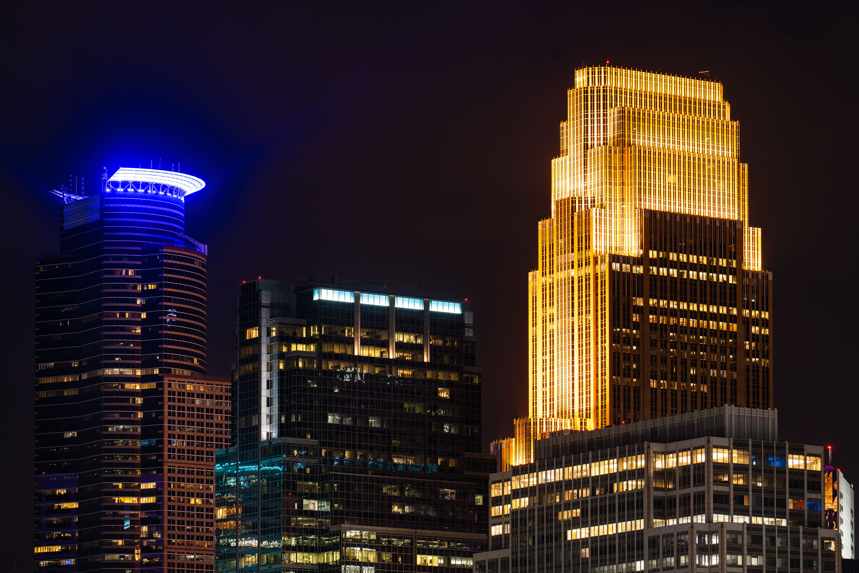
Capella Tower and Wells Fargo Center stand among illuminated skyscrapers in downtown Minneapolis at night.
Capella Tower rises 776 feet at 225 South Sixth Street, making it one of the tallest buildings in Minneapolis; designed by César Pelli and completed in 1992, it was originally known as Wells Fargo Center before taking its current name in 2010. Its crown, a ring of lights near the top, changes color for holidays and special occasions. Nearby, the Wells Fargo Center at 90 South Seventh Street — also designed by Pelli and completed in 1988 as Norwest Center — is nicknamed the "cash register building" for its tiered, stepped roofline. Both towers anchor the financial core of downtown Minneapolis, within blocks of the IDS Center and Nicollet Mall.

Capella Tower and Wells Fargo Center, Downtown Minneapolis
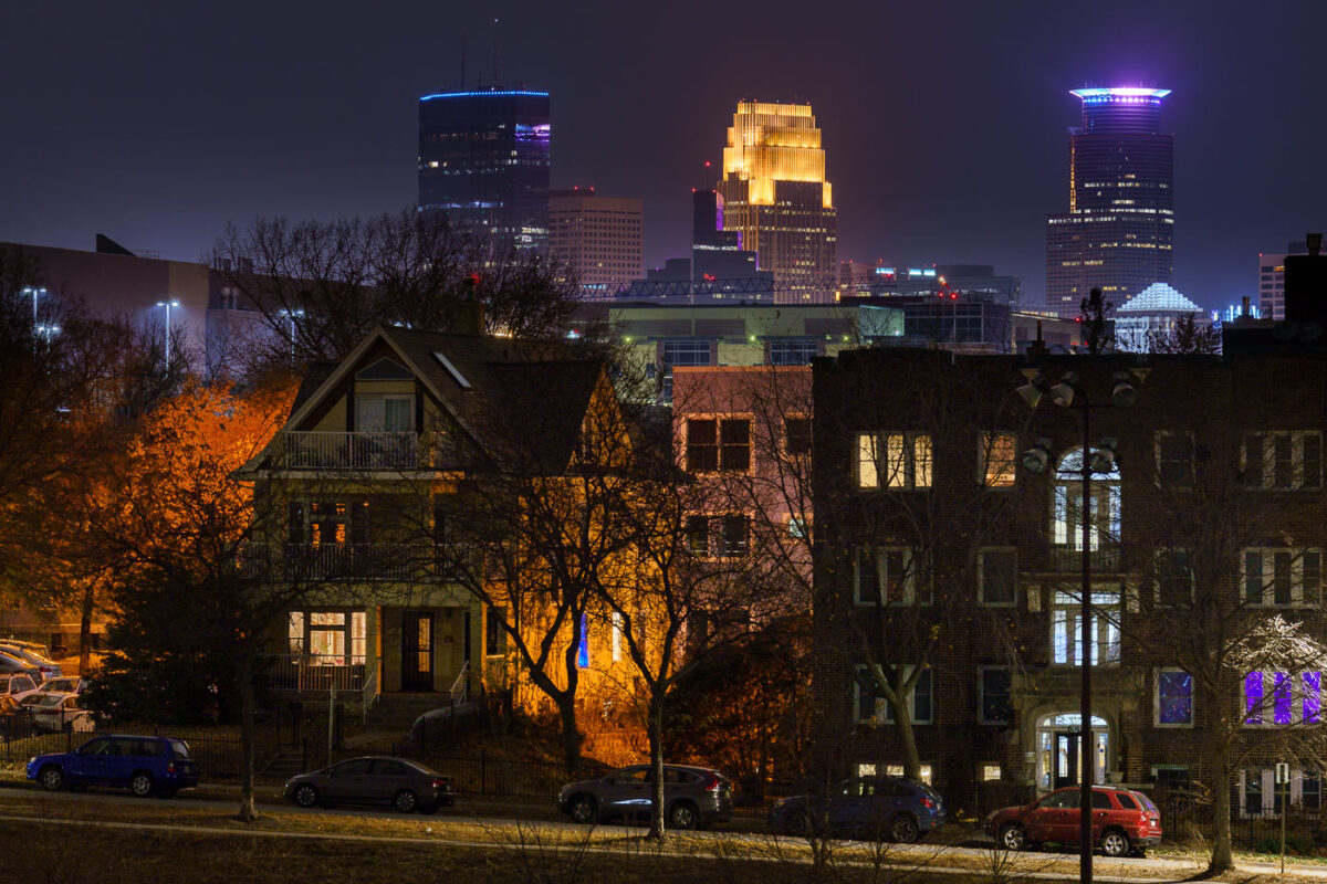
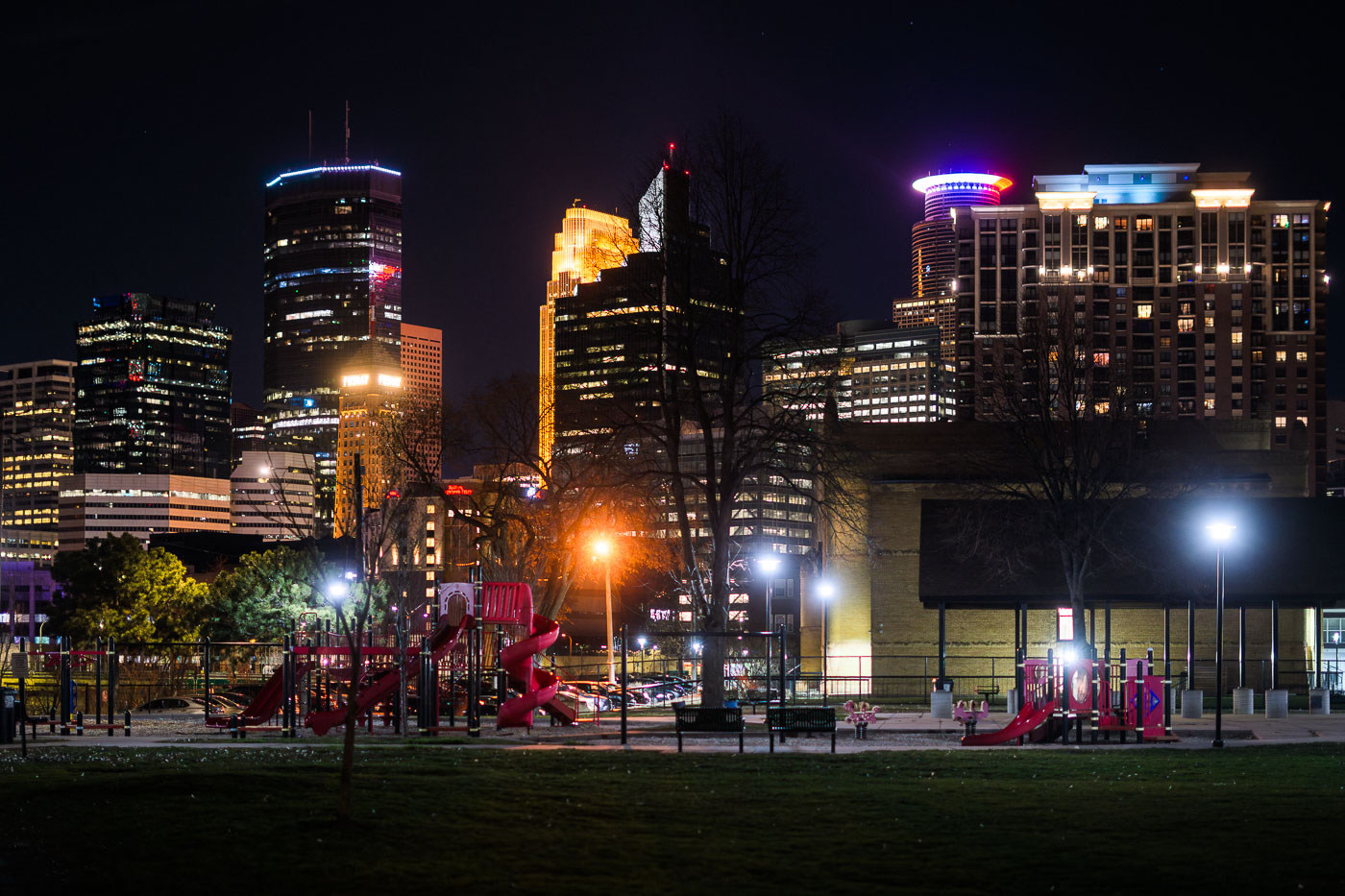
Minneapolis Skyline at night from Powderhorn Park 2022
The Minneapolis skyline is visible from Powderhorn Park, a public space in South Minneapolis. The park, established in 1889, is named for its central lake and has been a gathering place for the community for over a century.

Minneapolis Skyline from Powderhorn Park at Night 2022
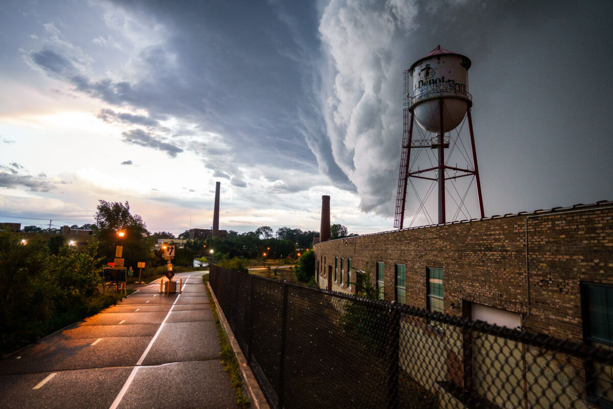
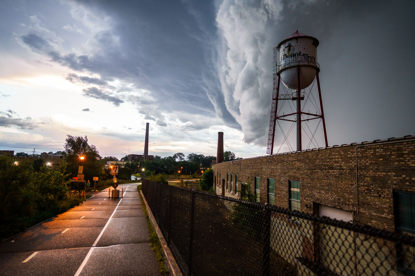
Depot water tower in Minneapolis beneath a thunderstorm over the Roof Depot site.
A massive storm front approaches Minneapolis on July 12, 2022, casting dark clouds over the city's industrial landscape. The photograph features a prominent water tower, labeled "Depot," and a brick industrial building, likely part of a former manufacturing or processing facility given the presence of smokestacks in the background. Water towers like this were essential for providing water pressure for industrial processes and fire suppression in urban and industrial areas. This particular tower, with its distinctive "Depot" marking, may have served a specific industrial complex or transportation hub within Minneapolis.

Minneapolis Depot Water Tower Under Storm Clouds
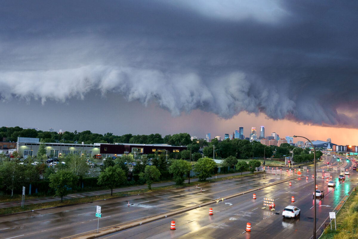
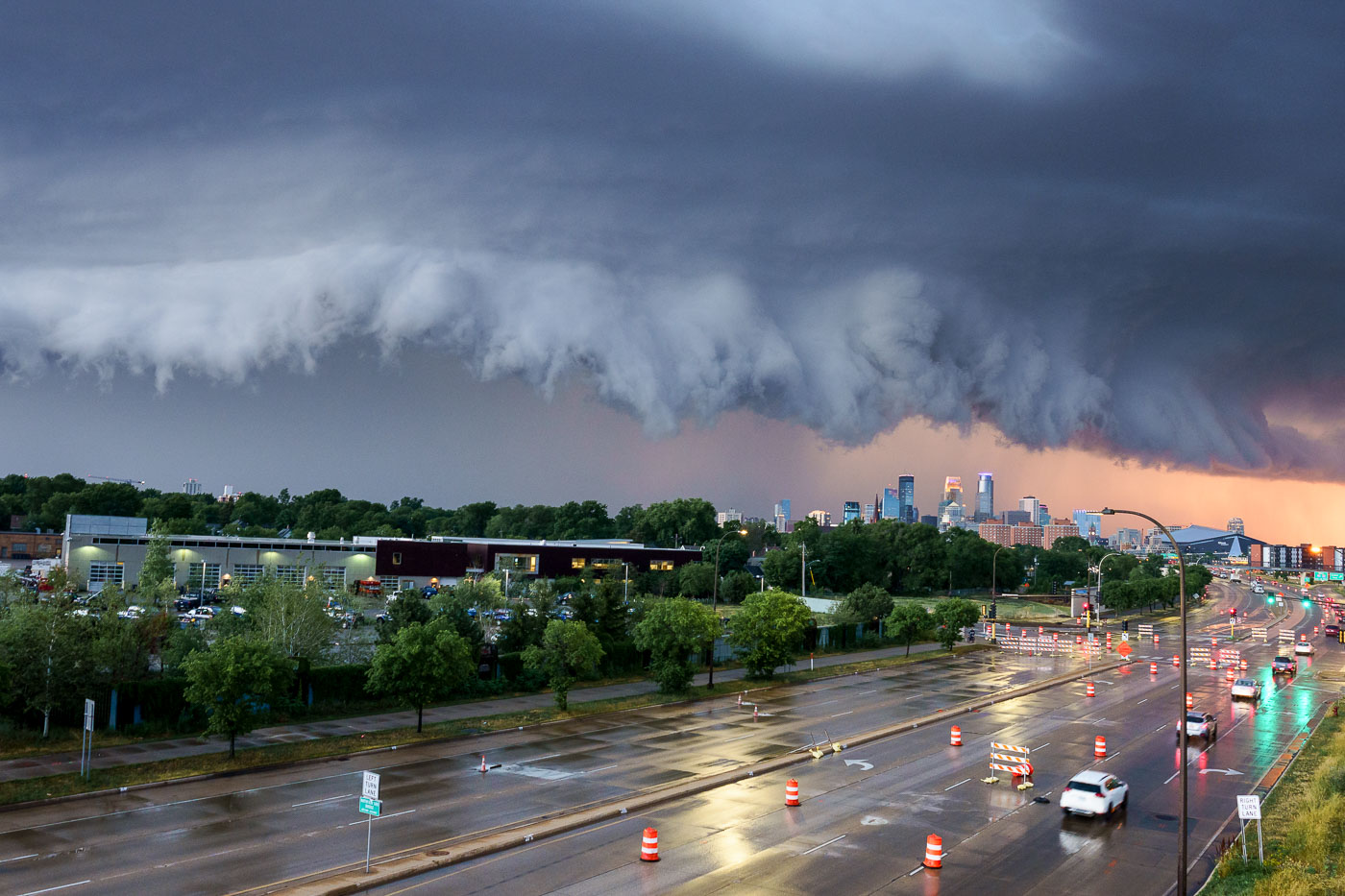
Storm clouds over downtown Minneapolis above a wet roadway after rain.
A severe thunderstorm approaches the Minneapolis skyline on July 12, 2022. The city's downtown core, with its characteristic modern architecture, is visible in the distance under a dramatic, dark cloud formation. The foreground shows a wet roadway, indicating recent rainfall, with traffic continuing despite the approaching weather. This image captures a moment of atmospheric intensity over a major Midwestern urban center, highlighting the dynamic relationship between weather and the built environment.

Minneapolis Thunderstorm Approaching Downtown July 12 2022
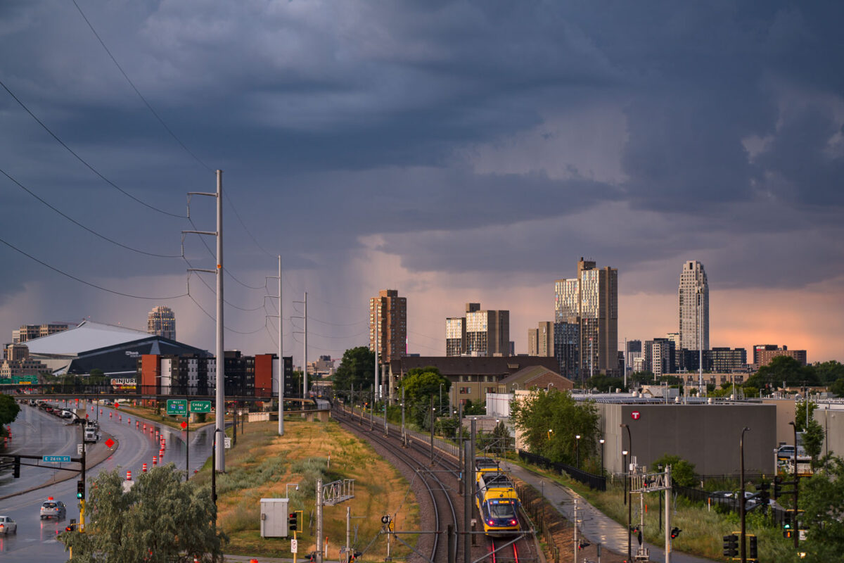
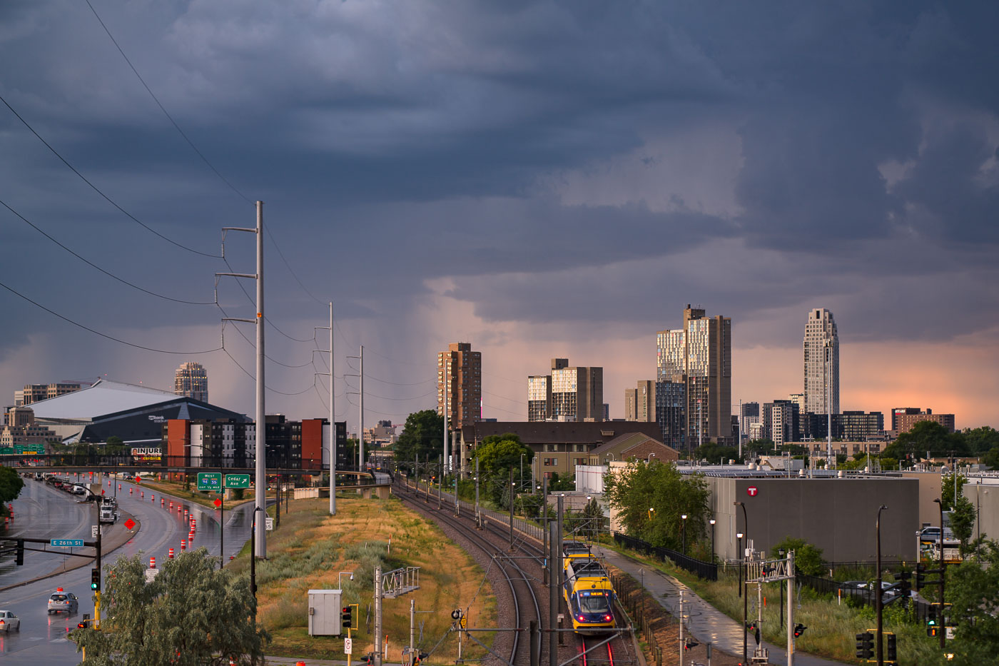
Metro Blue Line train near U.S. Bank Stadium in Minneapolis under storm clouds.
Storm clouds loom over the Minneapolis skyline on July 12, 2022, with the U.S. Bank Stadium visible on the left. The image also features the Metro Blue Line light rail, a key component of public transit in the Twin Cities. Opened in 2004, the Blue Line connects Minneapolis-Saint Paul International Airport and the Mall of America to downtown Minneapolis, serving as a vital link for commuters and visitors. The infrastructure facilitates access to the city's core employment centers and cultural attractions.

Minneapolis: Light Rail Under Storm Clouds Near US Bank Stadium
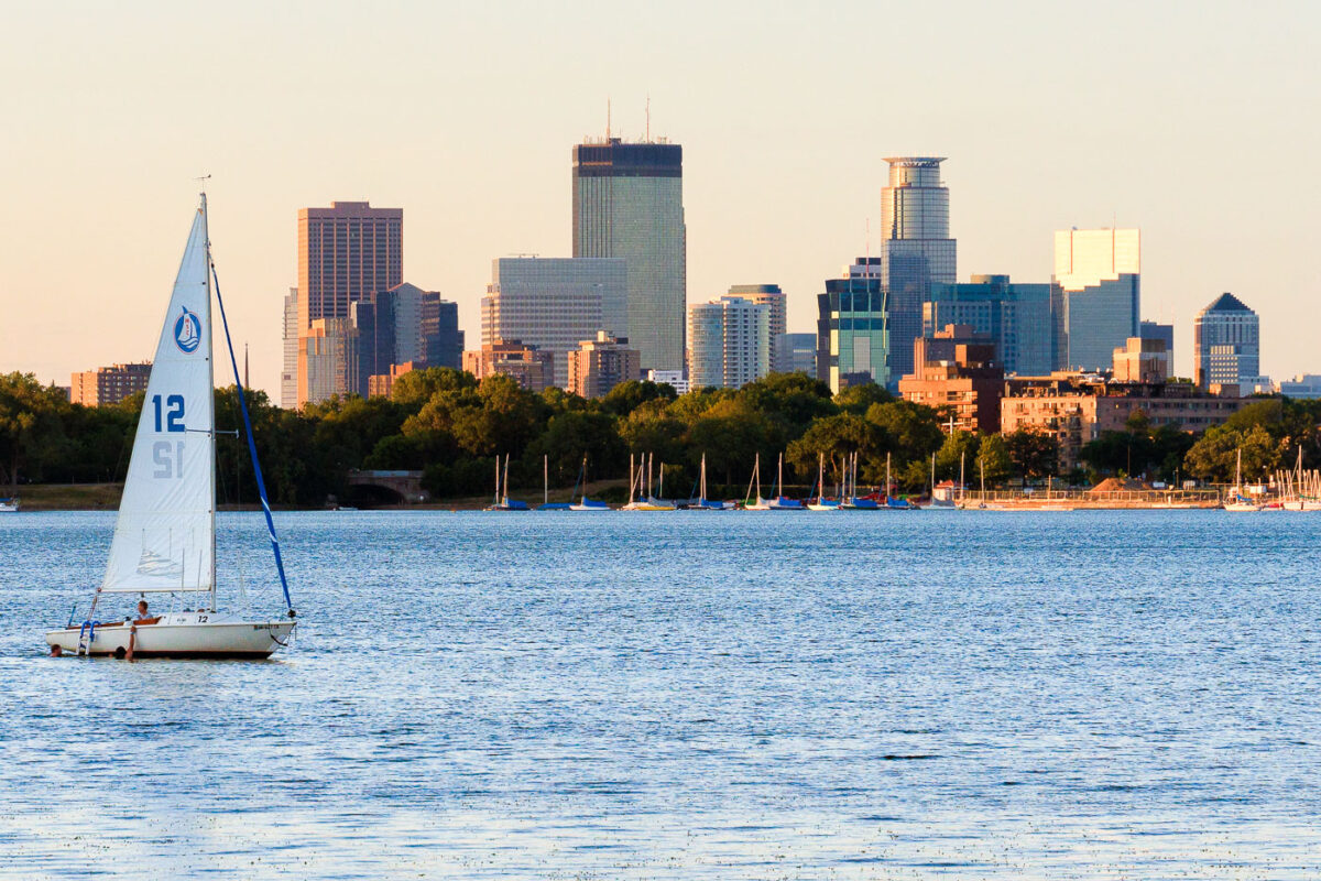
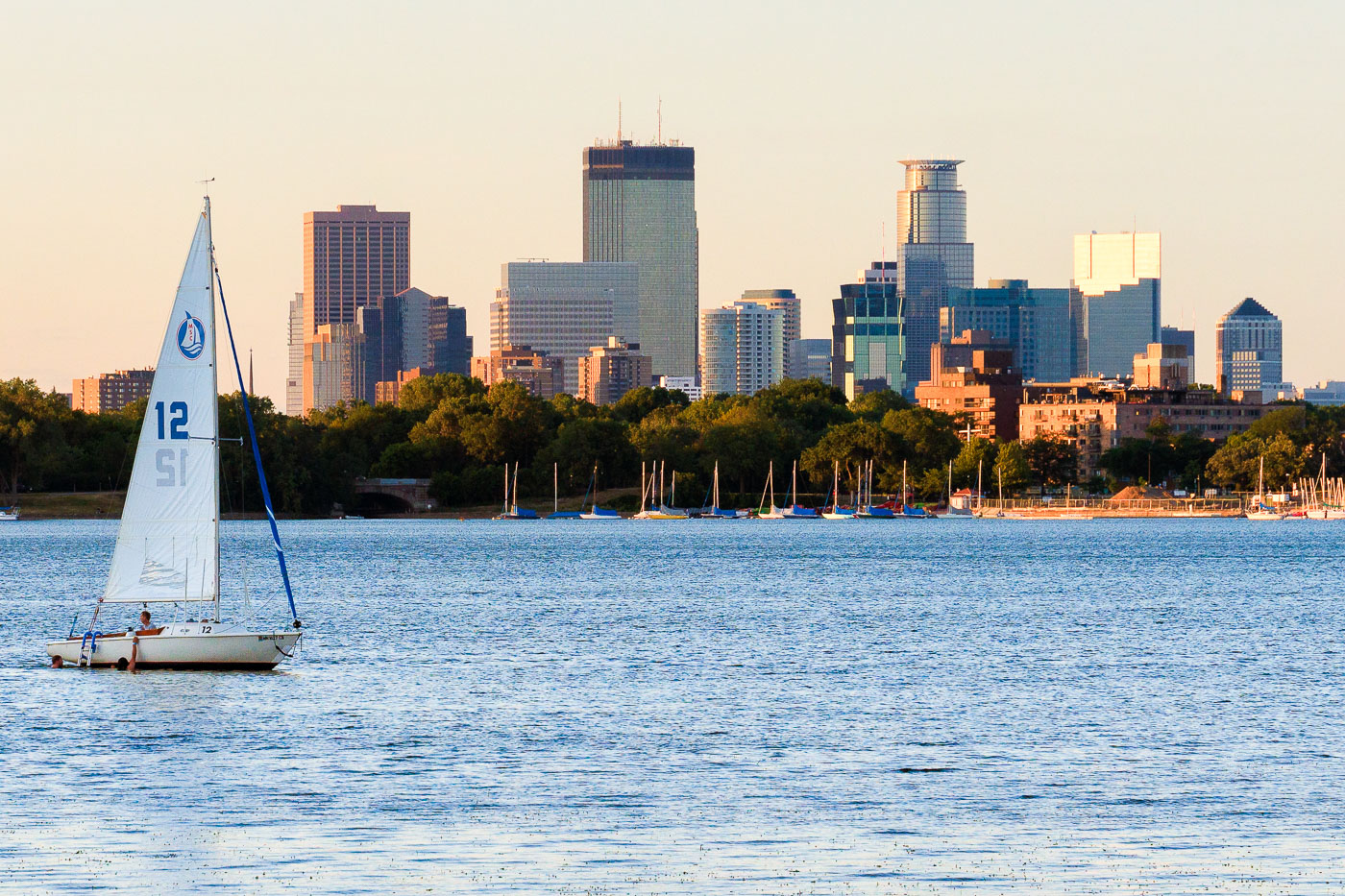
Sailboat on Bde Maka Ska in Minneapolis with the downtown skyline behind it
A sailboat is on Bde Maka Ska in Minneapolis with the downtown skyline in the background. The late-day light warms the buildings along the lakefront while other boats are moored near shore.

Sailboat on Bde Maka Ska, Minneapolis

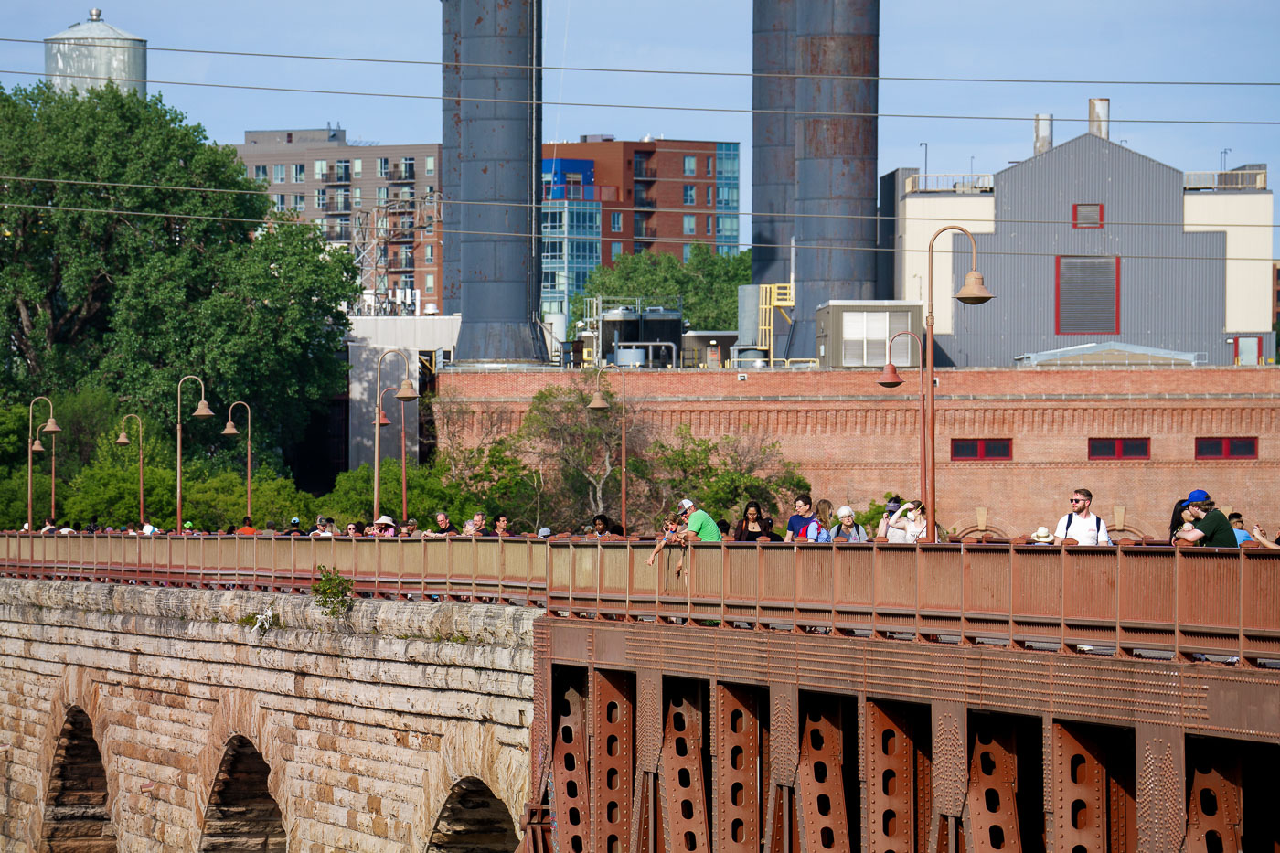
People walk and gather on the Stone Arch Bridge spanning the Mississippi River in Minneapolis, with historic brick industrial buildings and mill smokestacks visible in the background.
The Stone Arch Bridge spans the Mississippi River in downtown Minneapolis, linking the city's east and west banks near St. Anthony Falls. Built in 1883 by railroad magnate James J. Hill for his Great Northern Railway, it was the only span of its kind on the upper Mississippi, built with 23 stone and granite arches to carry trains rather than road traffic. The bridge now serves as a pedestrian and bicycle crossing within the Mississippi Mile trail system.

Pedestrians Crossing the Stone Arch Bridge in Minneapolis

Movies in the park in front of US Bank Stadium
US Bank Stadium in Minneapolis, Minnesota, hosts an outdoor screening of "The Princess Bride" as part of the city's "Movies in the Park" series. Opened in 2016, US Bank Stadium is home of the Minnesota Vikings.

Movies in the Park at US Bank Stadium, Minneapolis

One Ten Grant Apartments in Loring Park, Minneapolis.
One Ten Grant Apartments in Loring Park, Minneapolis. The high-rise residential building is part of the downtown Minneapolis skyline near the Minneapolis Convention Center and Loring Park.

One Ten Grant Apartments, Minneapolis
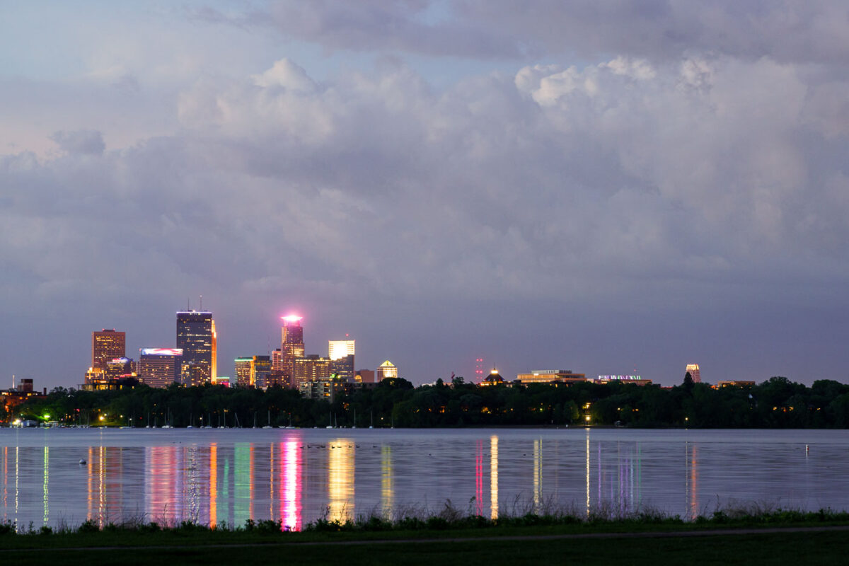
Minneapolis skyline illuminated at dusk across Bde Maka Ska lake.
The Minneapolis skyline is visible across Bde Maka Ska, a prominent lake in the city's chain of lakes. The lake, originally named Lake Calhoun, was renamed Bde Maka Ska in 2018 to honor its Dakota heritage.

Minneapolis Skyline from Bde Maka Ska, May 2022

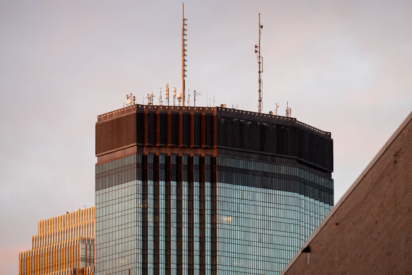
Antennas on to of tall high rise in Minneapolis
The IDS Center rises into the evening light in downtown Minneapolis, its rooftop antennas silhouetted against a soft autumn sky. Designed by Philip Johnson and John Burgee and completed in 1972, the 792-foot tower remains the tallest building in Minnesota. The dark mechanical crown houses HVAC systems and broadcast transmitters, while the curtain wall’s reflective glass panels catch the last warm tones of sunset alongside the adjacent RBC Gateway Tower.

Antennas on top of the IDS Center in Minneapolis

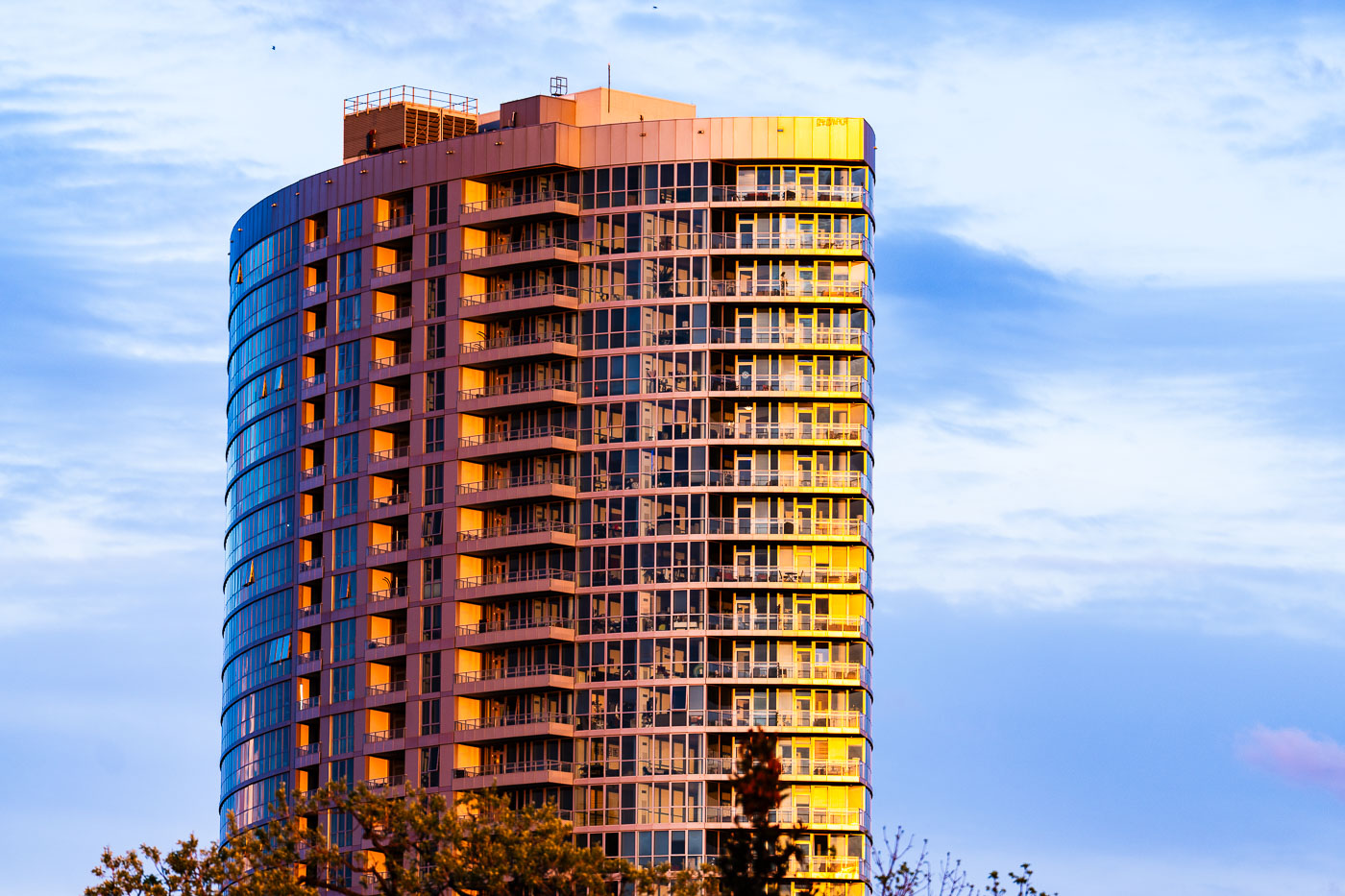
Sunset at LPM Apartments in Loring Park
LPM Apartments in Loring Park, Minneapolis, is a high-rise residential tower that was completed as part of the neighborhood’s modern apartment development.

Sunset at LPM Apartments in Loring Park

Wells Fargo Center and the IDS Center in downtown Minneapolis at night.
Wells Fargo Center and the IDS Center in downtown Minneapolis are two of the city’s best-known high-rise office buildings. Completed in 1988 as the Norwest Center, Wells Fargo Center is recognized for its illuminated Art Deco-style crown. The IDS Center, completed in 1972, anchors the IDS complex and Crystal Court in the central business district.

Wells Fargo Center and IDS Center Rooftops, Minneapolis
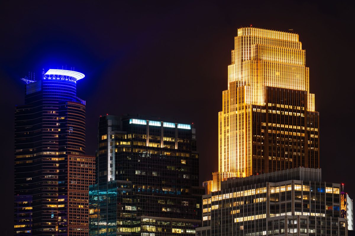
Wells Fargo Center and Capella Tower illuminate the Minneapolis skyline at night in downtown Minneapolis.
Wells Fargo Center rises at 90 South Seventh Street in downtown Minneapolis, completed in 1988 and designed by architect Cesar Pelli. The 774-foot tower originally served as headquarters for Norwest Corporation before that company merged with Wells Fargo in 1998. Capella Tower stands beside it at 225 South Sixth Street, finished in 1992 to the same architect's design and rising 776 feet, making it one of the two tallest buildings in Minnesota.

Wells Fargo Center and Capella Tower Lit Up at Night
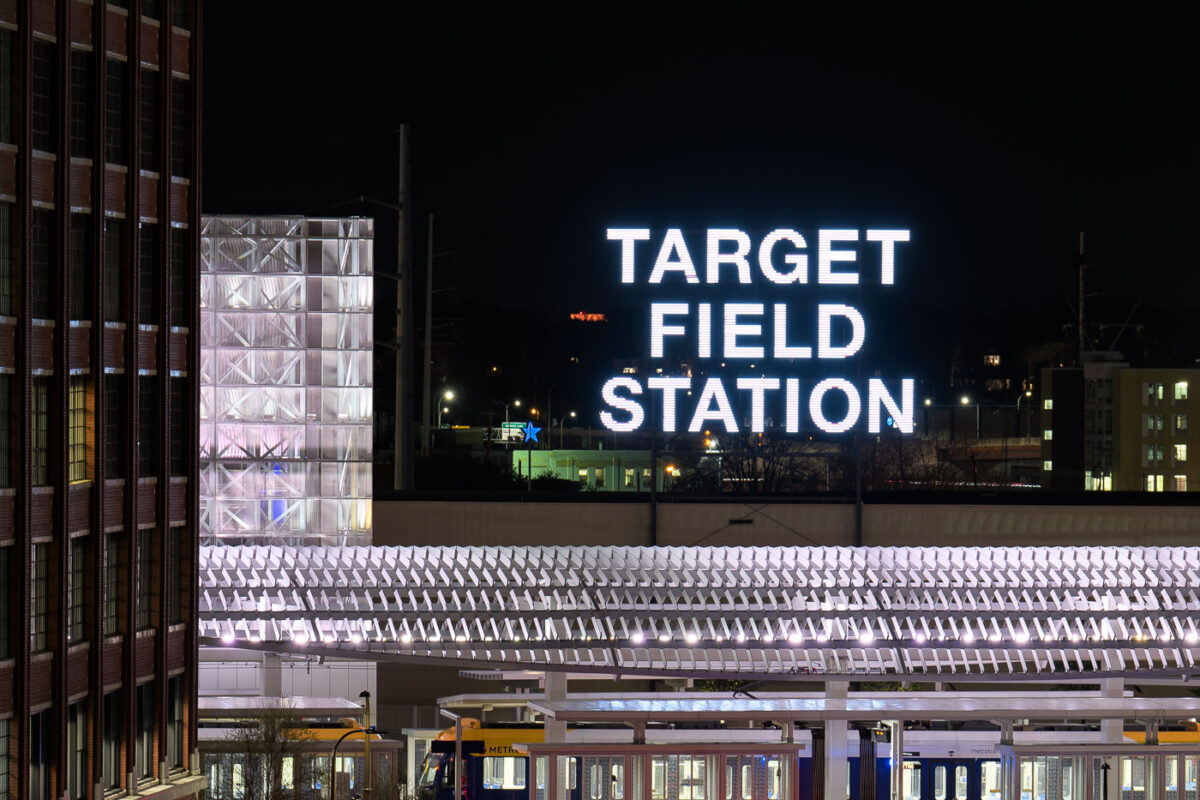
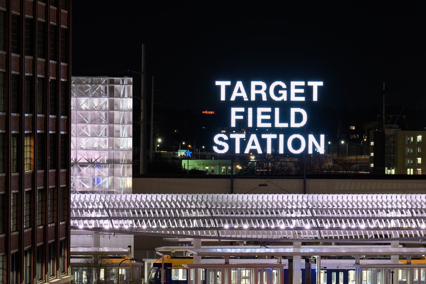
Target Field Station's illuminated sign above the platform canopy in downtown Minneapolis at night.
Target Field Station in Minneapolis, Minnesota, is a transit hub next to Target Field that connects the METRO Blue and Green light rail lines with Northstar Commuter Rail and bus service. Opened in 2009 as part of the ballpark and transit redevelopment in the North Loop area, the station was built to handle both daily riders and large game-day crowds for Minnesota Twins home games.

Target Field Station Sign Lit Up at Night
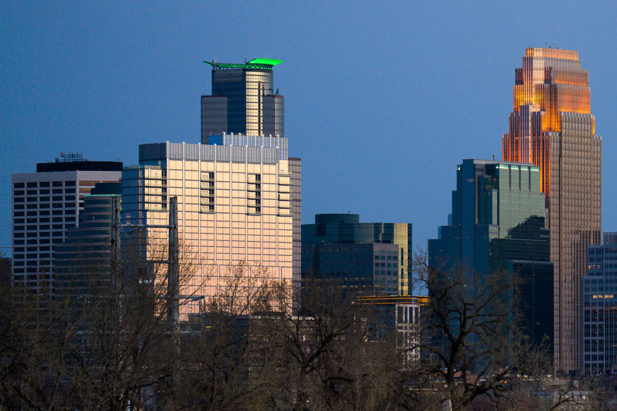
Minneapolis Skyline May 2022
The Minneapolis skyline is illuminated by the setting sun in May 2022. These buildings, along with others, form the central business district of Minneapolis, serving as hubs for commerce and corporate activity in the region.

Minneapolis Downtown Skyscrapers at Dusk, May 2022
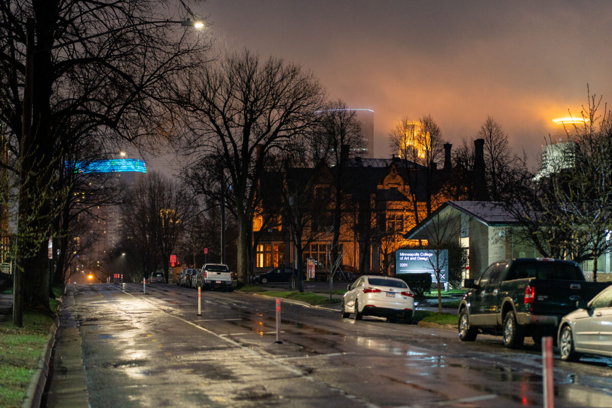
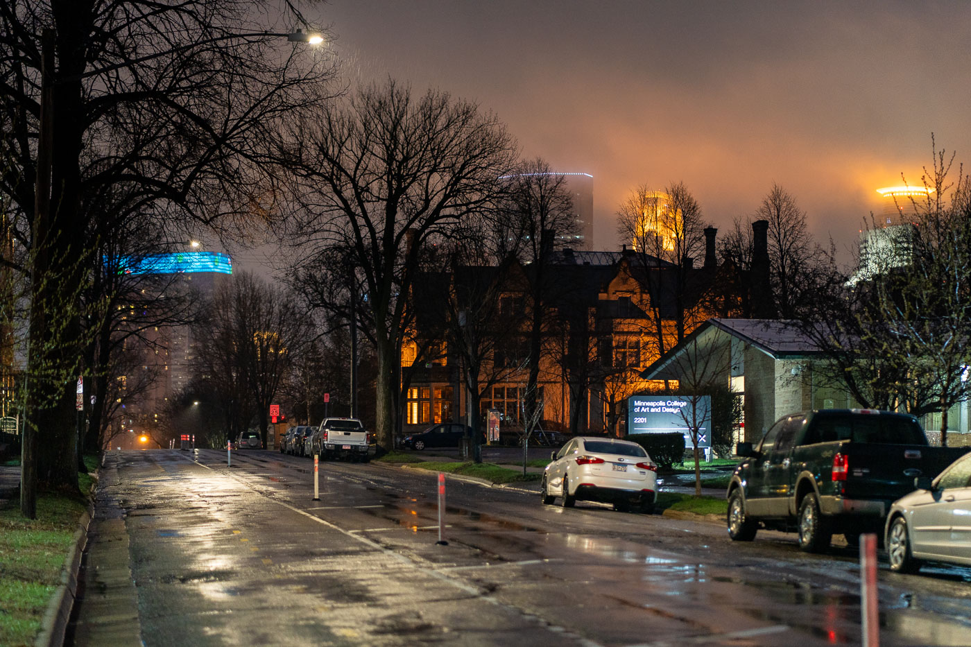
First Avenue South in Minneapolis in rain and fog
First Avenue South in Minneapolis is seen on a foggy, rainy night. The street is lined with trees and historic buildings, including the Minneapolis College of Art and Design at 2201 First Avenue South. In the distance, the city's modern architecture is visible through the mist.

First Avenue South, Minneapolis: Rainy Night with Fog
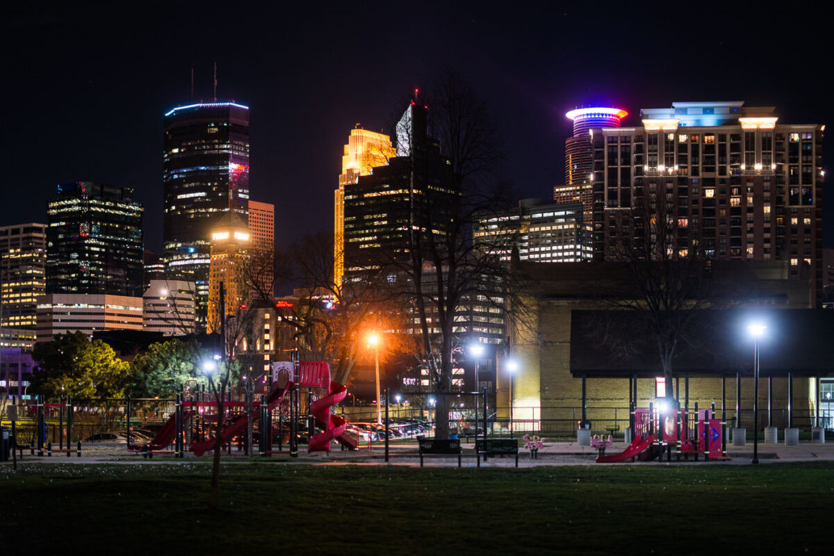
Franklin Steele Square park in Minneapolis
Downtown Minneapolis as seen from Franklin Steele Square park in South Minneapolis.

Franklin Steele Square park in Minneapolis

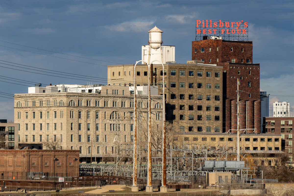
Pillsbury A Mill complex in Minneapolis with the Pillsbury's Best Flour sign and water tower.
Pillsbury A Mill complex in Minneapolis stands on the east bank of the Mississippi River near St. Anthony Falls. Built for the Pillsbury Company in the 1880s, the former flour mill was part of the city’s milling district and later adapted for other uses.

Pillsbury’s Best Flour Sign Atop the A Mill in Minneapolis
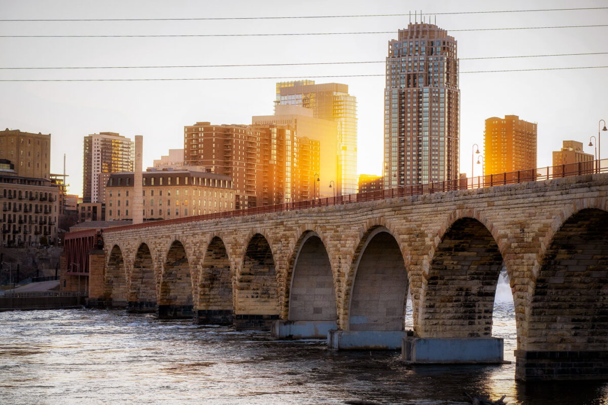
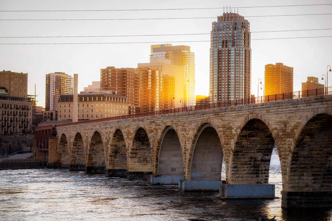
The Stone Arch Bridge spans the Mississippi River in Minneapolis at sunset with the city skyline beyond.
The Stone Arch Bridge, a historic 2,300-foot-long stone arch bridge spanning the Mississippi River in Minneapolis. Constructed in 1883, it was once the longest stone arch bridge in the world and served as a vital railway bridge for the Great Northern Railway.

Golden Light Over Minneapolis Skyline From Stone Arch Bridge

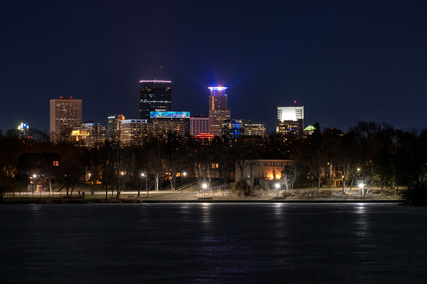
Minneapolis skyline across Lake of the Isles at night.
The Minneapolis skyline is visible at night from the frozen surface of Lake of the Isles, a prominent feature of the city's Chain of Lakes park system. This vantage point offers a view of the downtown commercial district, showcasing the development of its architecture and economic activity. Lake of the Isles, established in the late 19th century, serves as a vital green space within the urban environment, providing areas for public use and contributing to the city's character.

Minneapolis Skyline from Lake of the Isles at Night

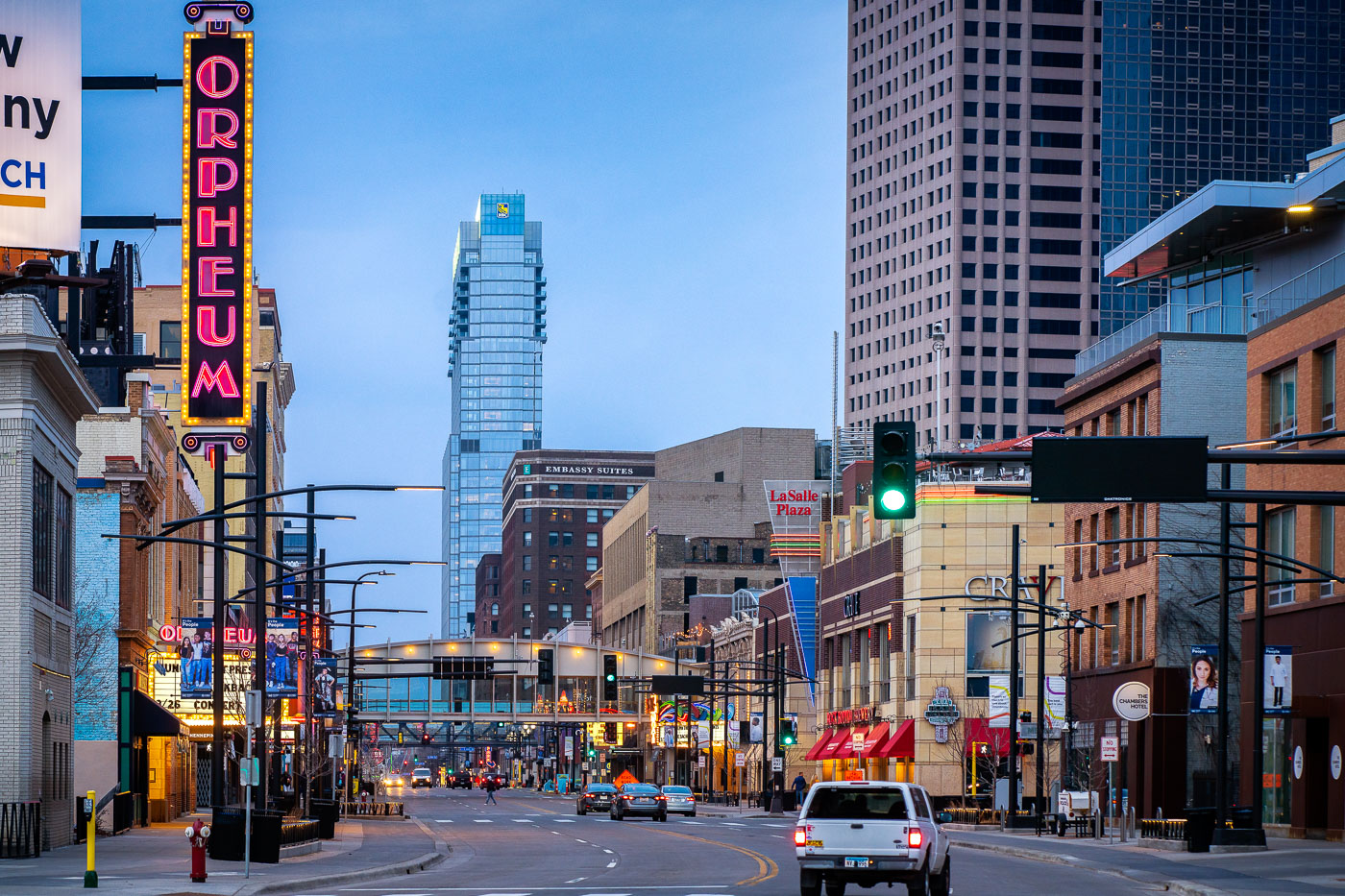
Orpheum Theatre sign on Hennepin Avenue in downtown Minneapolis with RBC Gateway rising behind.
The Orpheum Theatre, a historic Minneapolis venue opened in 1921, stands adjacent to the modern Gateway Tower in the city's central business district. The Orpheum has been a premier destination for Broadway shows and live performances following numerous renovations.

Gateway Tower and Orpheum Theatre, Downtown Minneapolis

Target headquarters in downtown Minneapolis lit blue and yellow in support of Ukraine.
Target Headquarters in downtown Minneapolis was illuminated with blue and yellow lights, the colors of the Ukrainian flag, in a show of solidarity. The building, a prominent feature of the Minneapolis cityscape, serves as the corporate hub for the retail giant Target. This display of support occurred during a period of international concern regarding the conflict in Ukraine, reflecting a global response to the crisis.

Target HQ Minneapolis Lights in Support of Ukraine
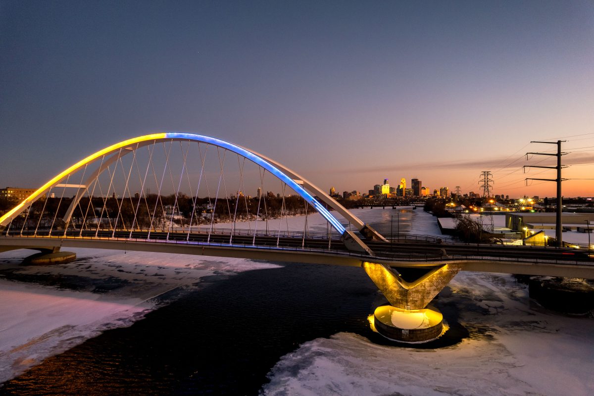
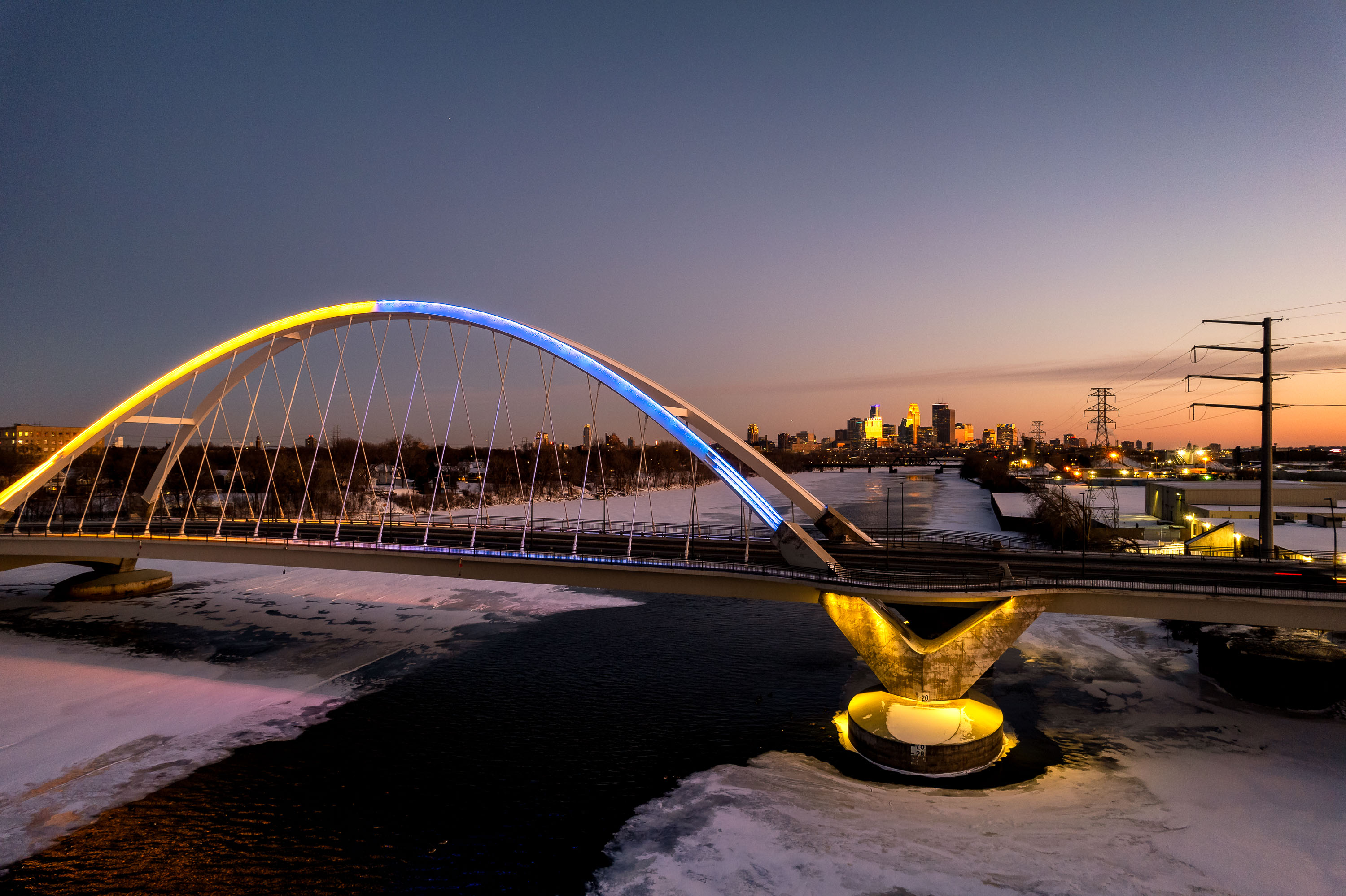
Lowry Avenue Bridge in Minneapolis illuminated in yellow and blue at sunset in support of Ukraine.
The Lowry Avenue Bridge crosses the Mississippi River, linking Minneapolis's Camden and Northeast neighborhoods. The current span opened in 2012, replacing an earlier bridge that closed in 2008 after a barge struck and damaged one of its piers. The bridge lit up blue and yellow in solidarity with Ukraine in 2022.

Lowry Avenue Bridge Lit in Ukrainian Colors

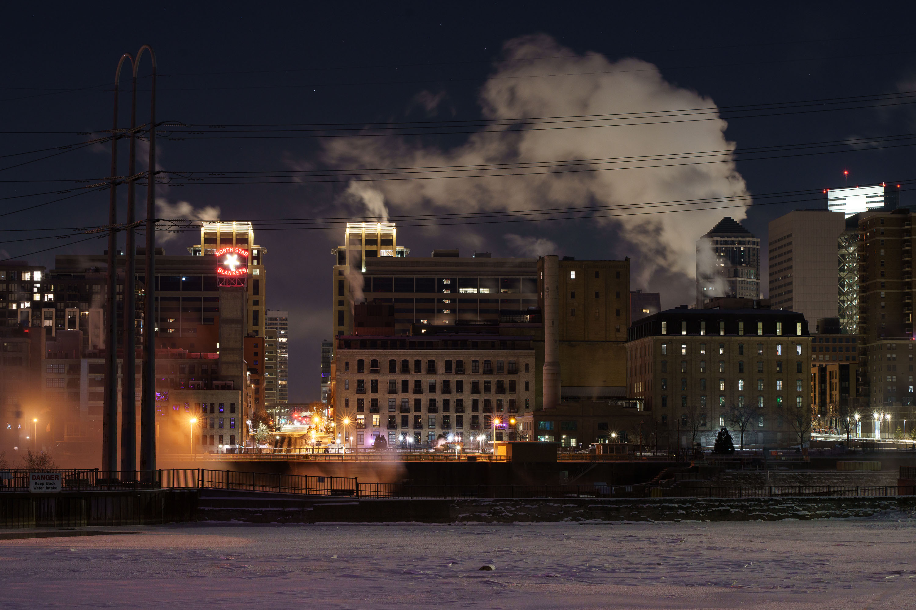
Minneapolis riverfront at night with the North Star Blankets sign and steam over the Mississippi River
The sign dates to the mid twentieth century, when the building housed a blanket and textile manufacturer. The river below stays mostly frozen through the winter months, with open patches where warmer water and steam keep it from icing over completely.

North Star Blankets Sign Above the Frozen Mississippi
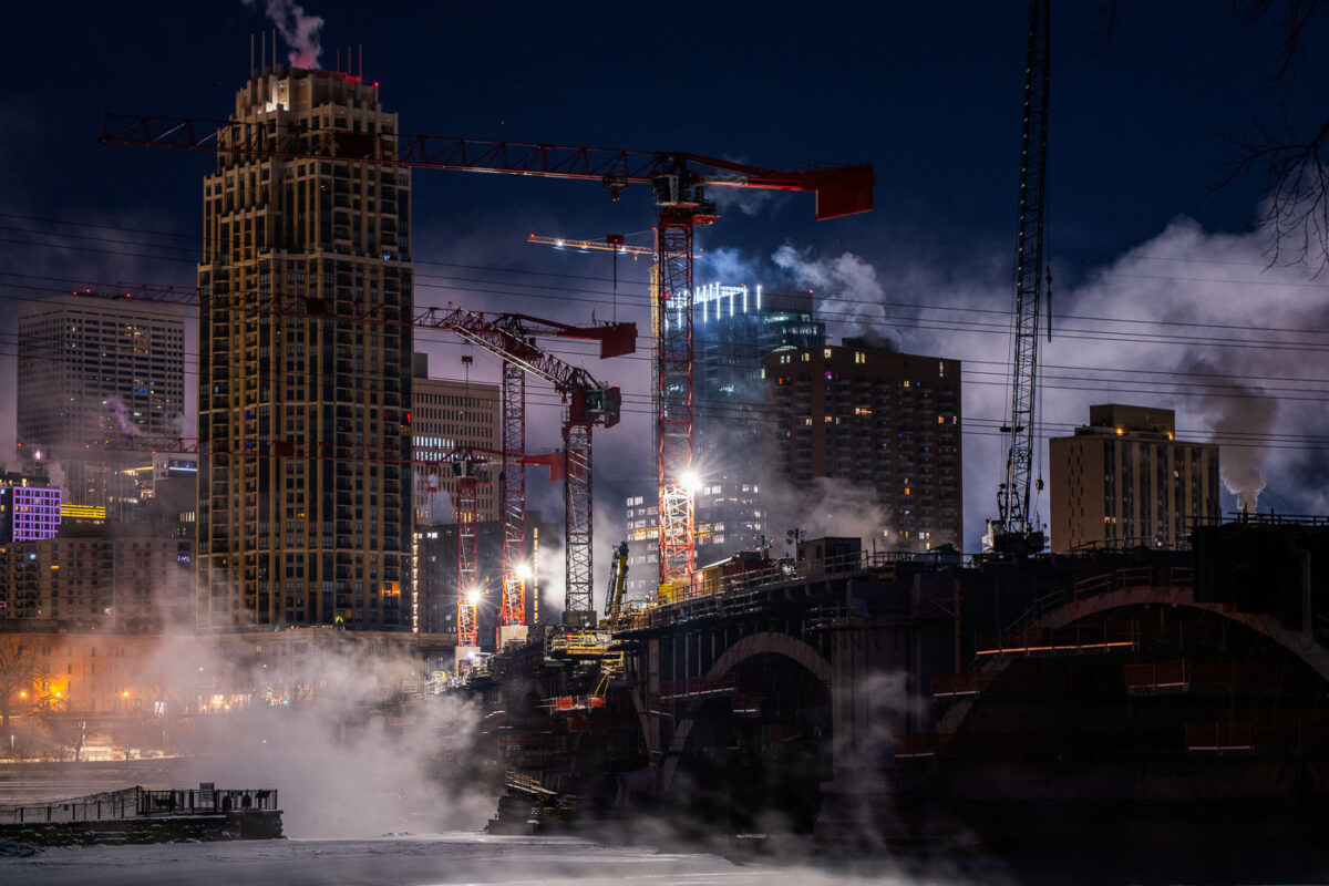
Steam and tower cranes on a frigid night
Construction continues on the Third Avenue Bridge in downtown Minneapolis during frigid winter conditions, with temperatures reaching -15°F. The image shows multiple tower cranes actively working on the bridge's structure, illuminated against the night sky.

Downtown Minneapolis Construction in Frigid Temperatures
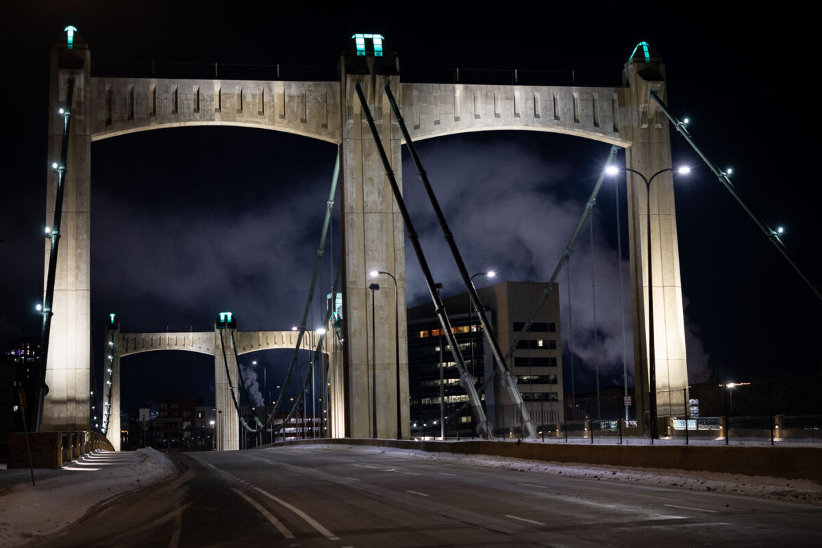
Hennepin Avenue bridge on a night with negative temps
Minneapolis gets hidden behind steam when it gets to -15F. Some photos from the early morning hours of January 2, 2022.

Hennepin Avenue Bridge, Minneapolis, at -15F

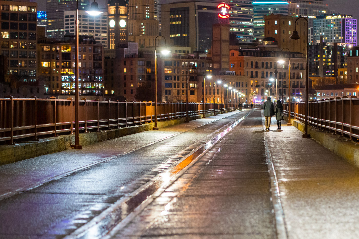
Couple walk the Stone Arch Bridge in December 2021
A couple walks across the Stone Arch Bridge in Minneapolis in December 2021. Constructed in 1883 for the Great Northern Railway, the bridge spans the Mississippi River and is one of the city's oldest railroad bridges. After ceasing rail operations, it was repurposed in 1999 as a pedestrian and bicycle bridge. The structure offers views of St. Anthony Falls and the downtown Minneapolis skyline, serving as a significant link to the city's industrial past and a popular public space today.

Couple on Stone Arch Bridge, Minneapolis, December 2021
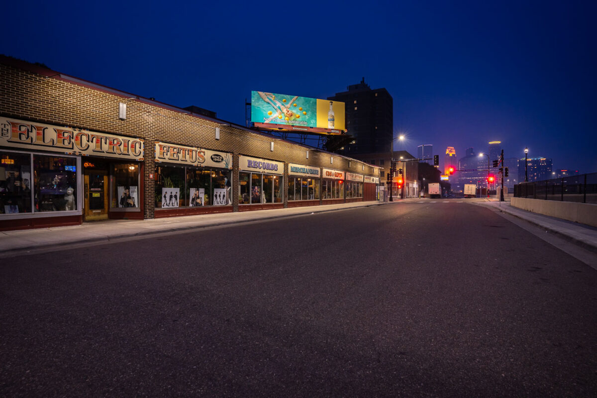
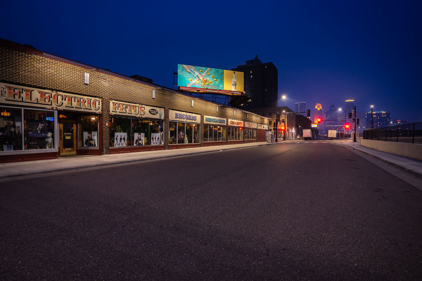
The Electric Fetus record store in Minneapolis, with the downtown skyline in the background.
The Electric Fetus record store in Minneapolis is a longtime independent music retailer in the Cedar-Riverside neighborhood. The store sits near downtown Minneapolis.

The Electric Fetus, Minneapolis

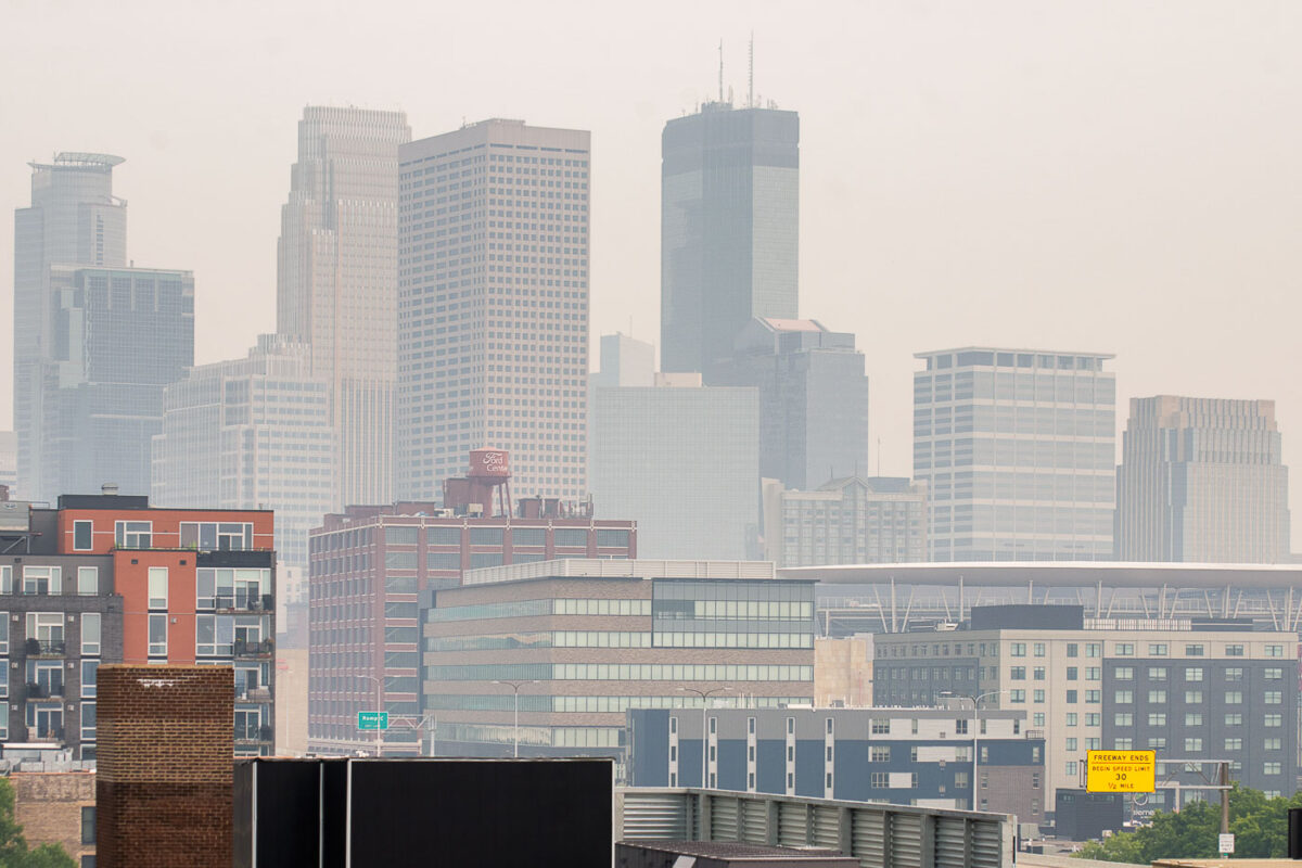
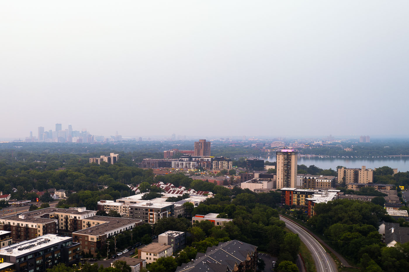
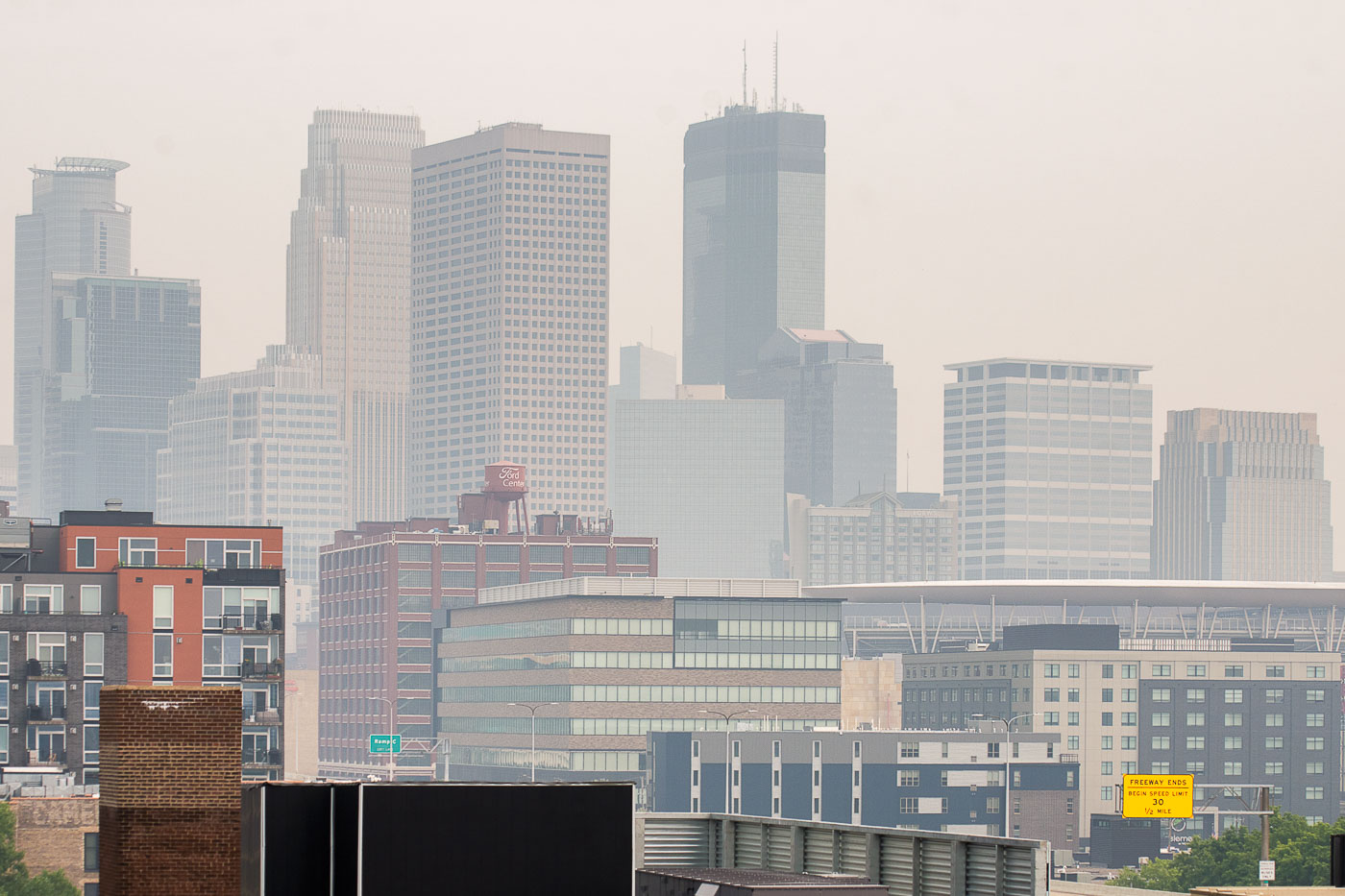
Downtown Minneapolis skyline obscured by wildfire smoke from Canadian fires.
Downtown Minneapolis is obscured by wildfire smoke from Canadian fires. The haze softens the city skyline and reduces visibility across the North Loop area.

Downtown Minneapolis skyline in wildfire smoke
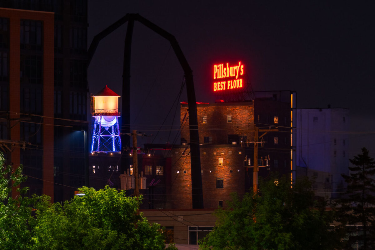
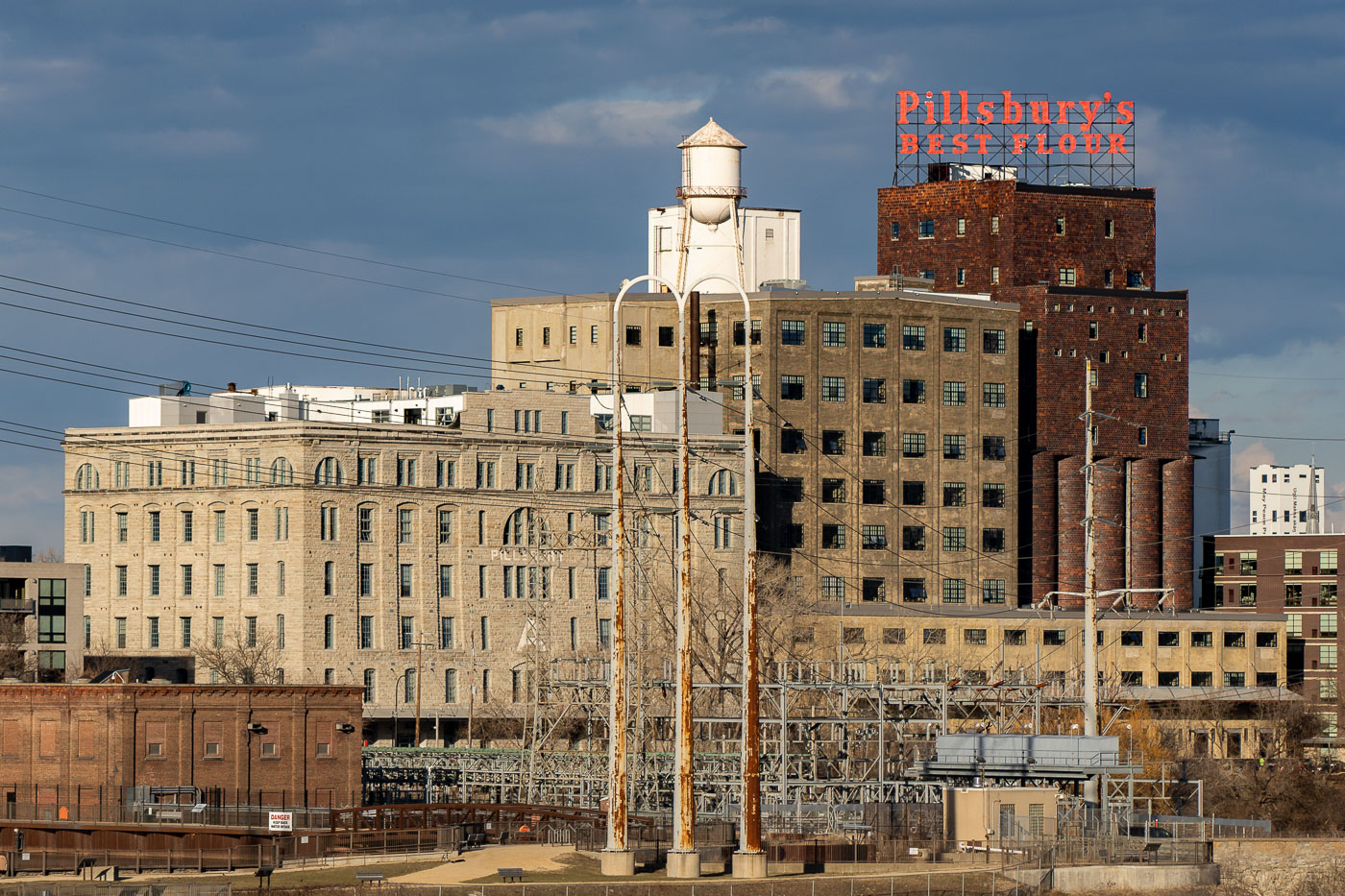
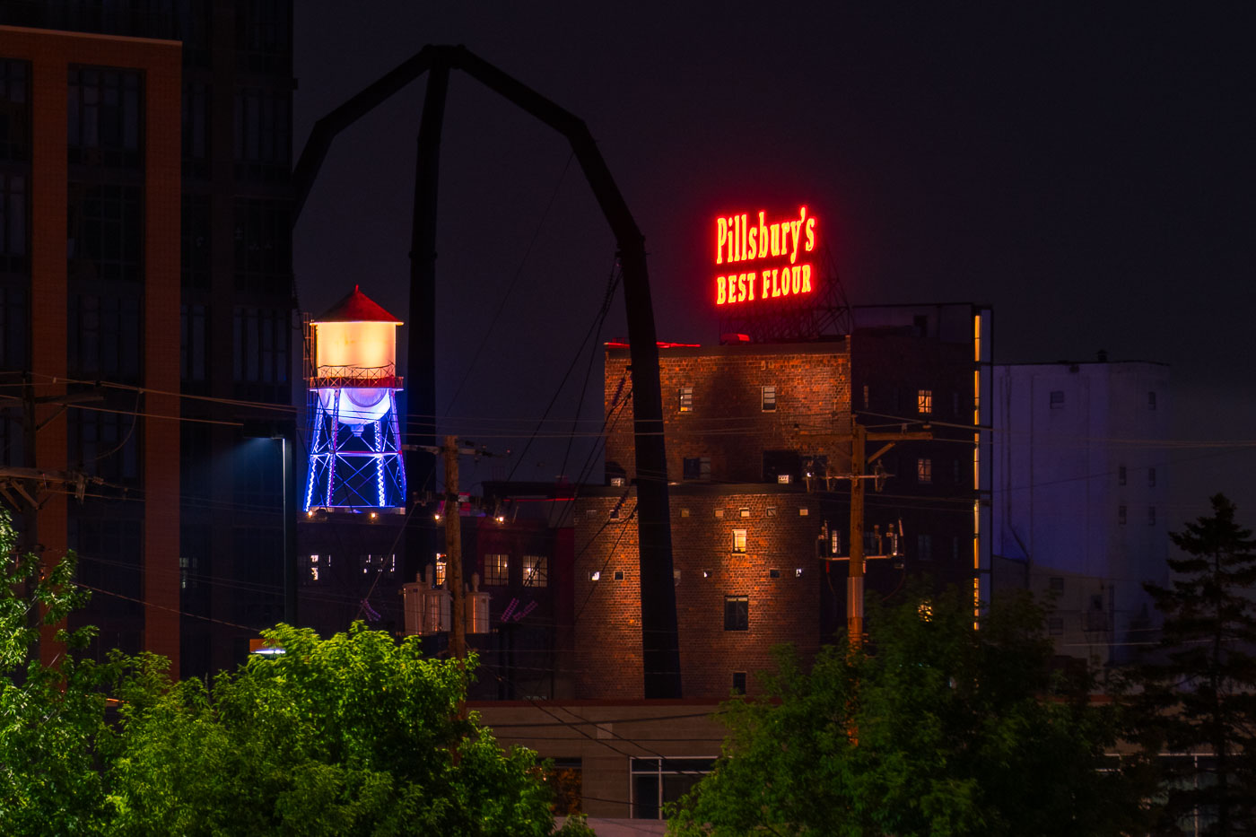
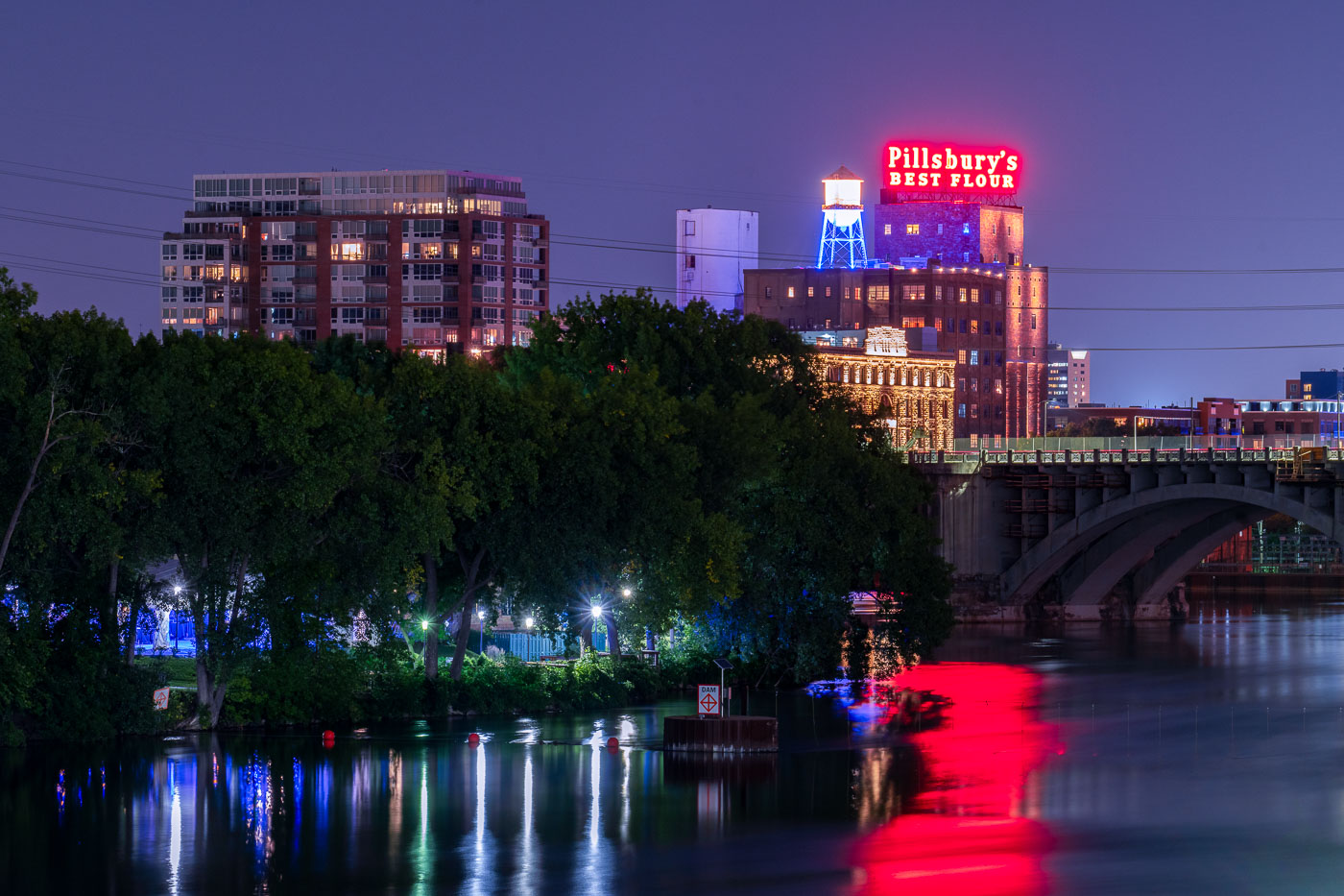
Lit up water tower and pillsbury neon sign
The former Pillsbury flour mill near downtown Minneapolis. It's since been renovated into condos.

Pillsbury’s Best Flour and the lit up water tower
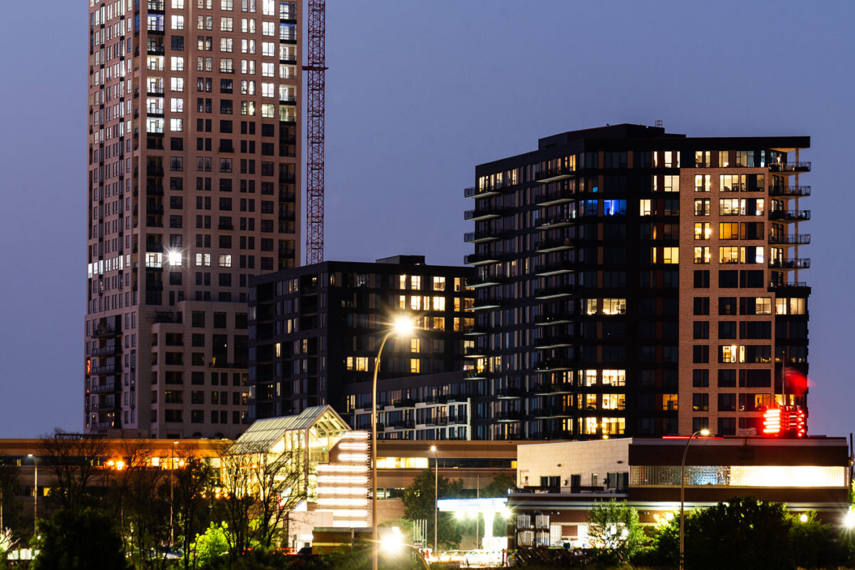
The Legacy Condominiums and The Eleven in downtown Minneapolis.
The Legacy Condominiums and The Eleven in downtown Minneapolis. The two residential towers stand near each other in the Mill District, with The Eleven under construction behind The Legacy in July 2021.

The Legacy Condominiums and The Eleven, Minneapolis
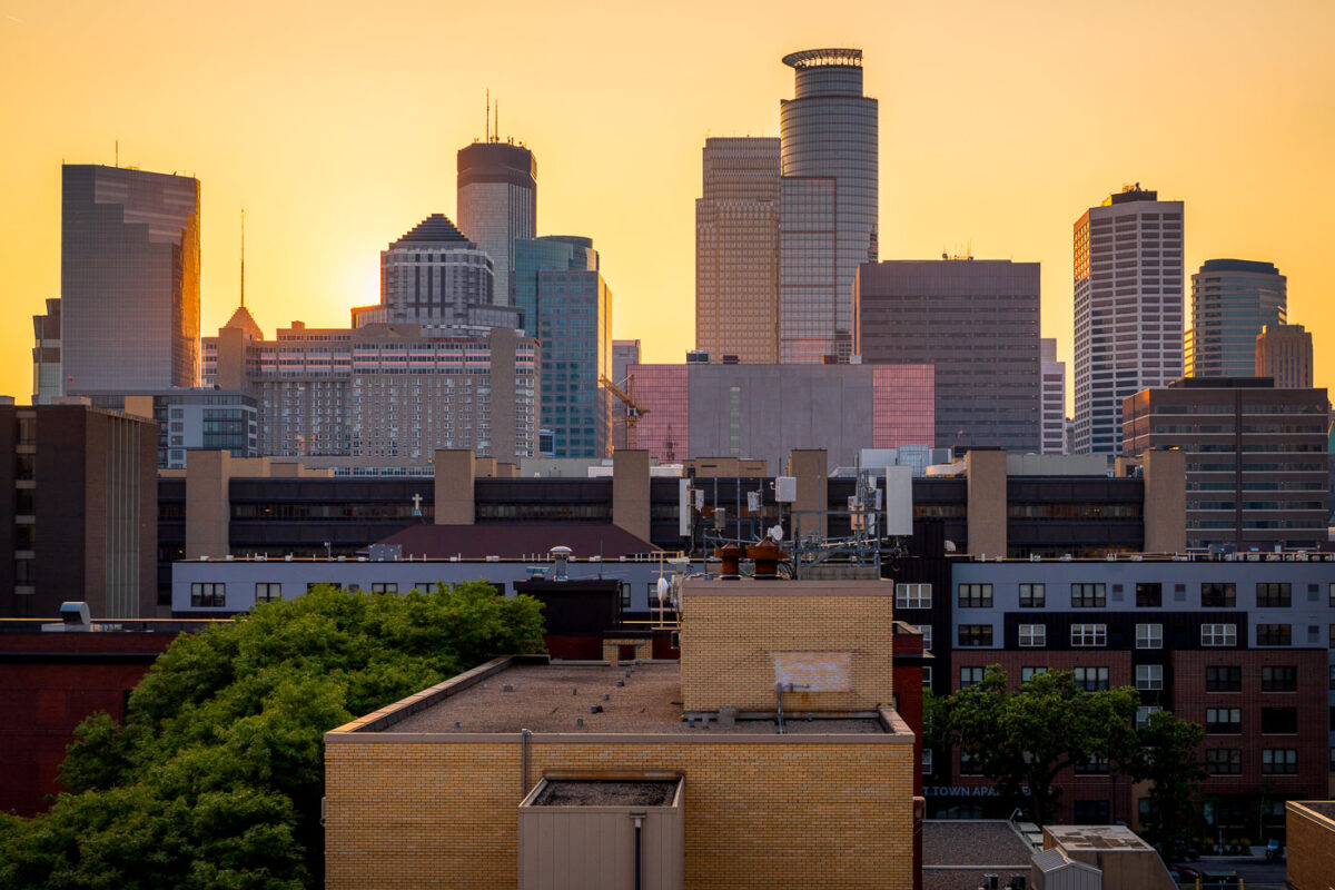
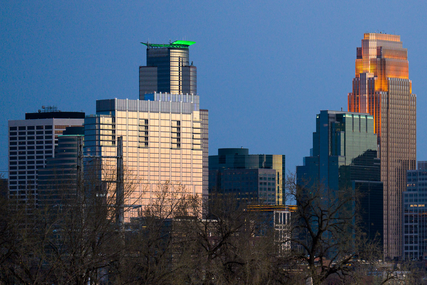
Minneapolis Skyline at Sunset from the South Loop
The downtown Minneapolis skyline glows at sunset, viewed from the south side near the Elliot Park and Stevens Square neighborhoods. Prominent landmarks include the IDS Center, Capella Tower, and Wells Fargo Center—each a hallmark of the city’s late-20th-century architectural boom. The mix of older mid-rise apartment structures and new glass towers highlights the city’s ongoing evolution, where historic housing blocks now share the horizon with symbols of modern corporate development.

Minneapolis Skyline at Sunset from the South Loop

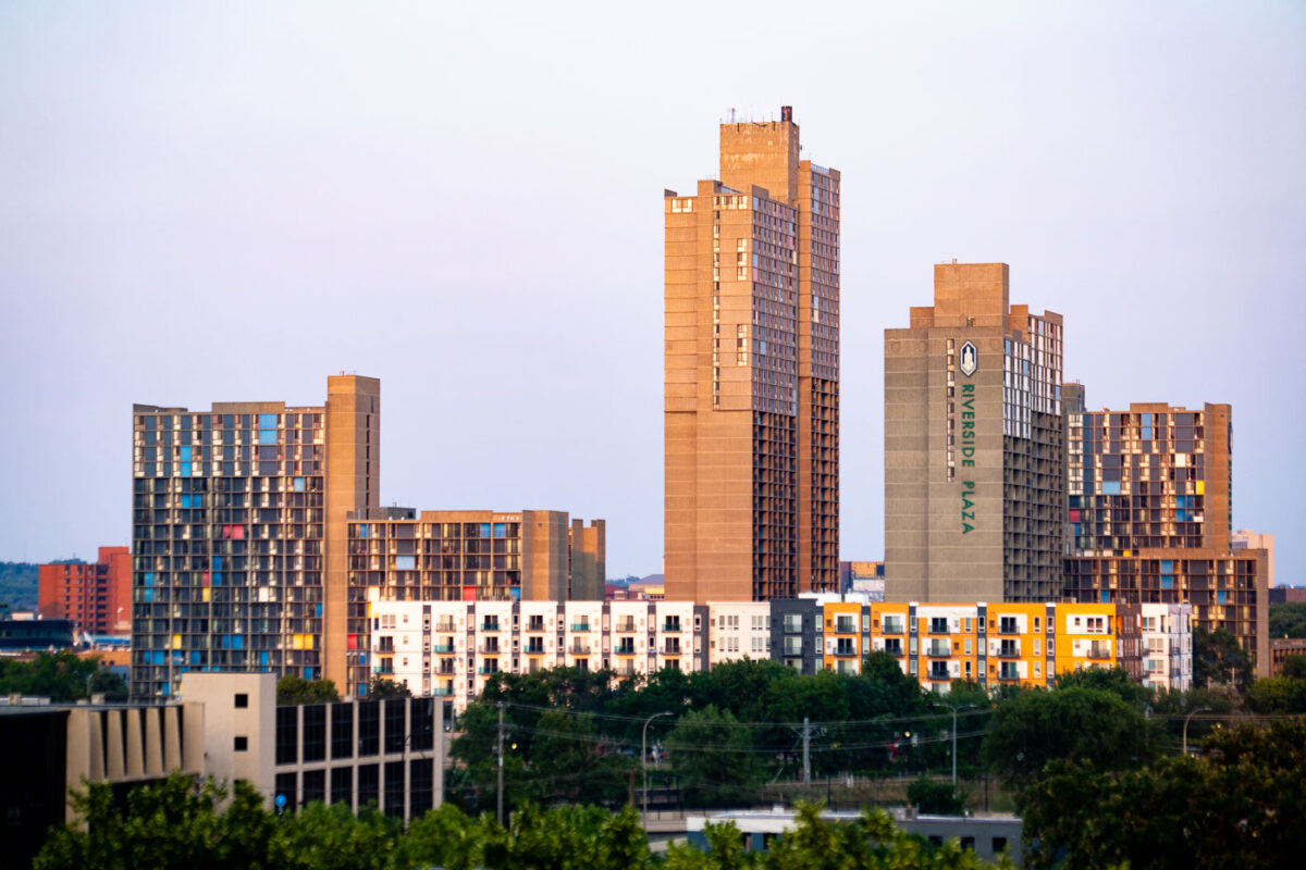
Riverside Plaza towers rise in the Cedar-Riverside neighborhood of Minneapolis.
Riverside Plaza is a high-rise residential complex in the Cedar-Riverside neighborhood of Minneapolis. Designed by architect Ralph Rapson and completed in 1973, the complex is known for concrete towers with modular apartment façades and colored panels. The development is a prominent landmark near the University of Minnesota’s West Bank and downtown Minneapolis.

Riverside Plaza Towers, Cedar-Riverside
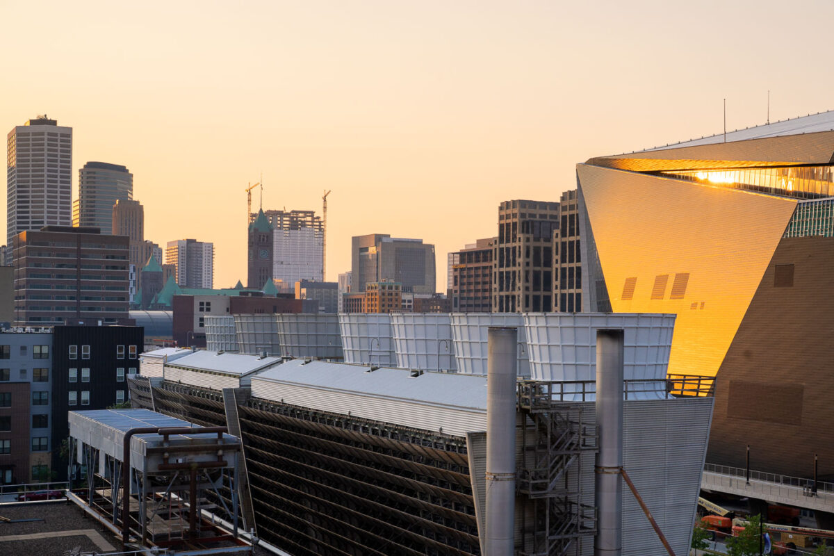
Cooling towers stand beside U.S. Bank Stadium in downtown Minneapolis.
Cooling towers stand beside U.S. Bank Stadium in downtown Minneapolis on July 24, 2021. The stadium opened in 2016 as the home of the Minnesota Vikings and a venue for concerts, sports, and large public events. The equipment is located in the Downtown East area near the stadium and surrounding high-rise development.

Cooling Towers Beside U.S. Bank Stadium, Minneapolis
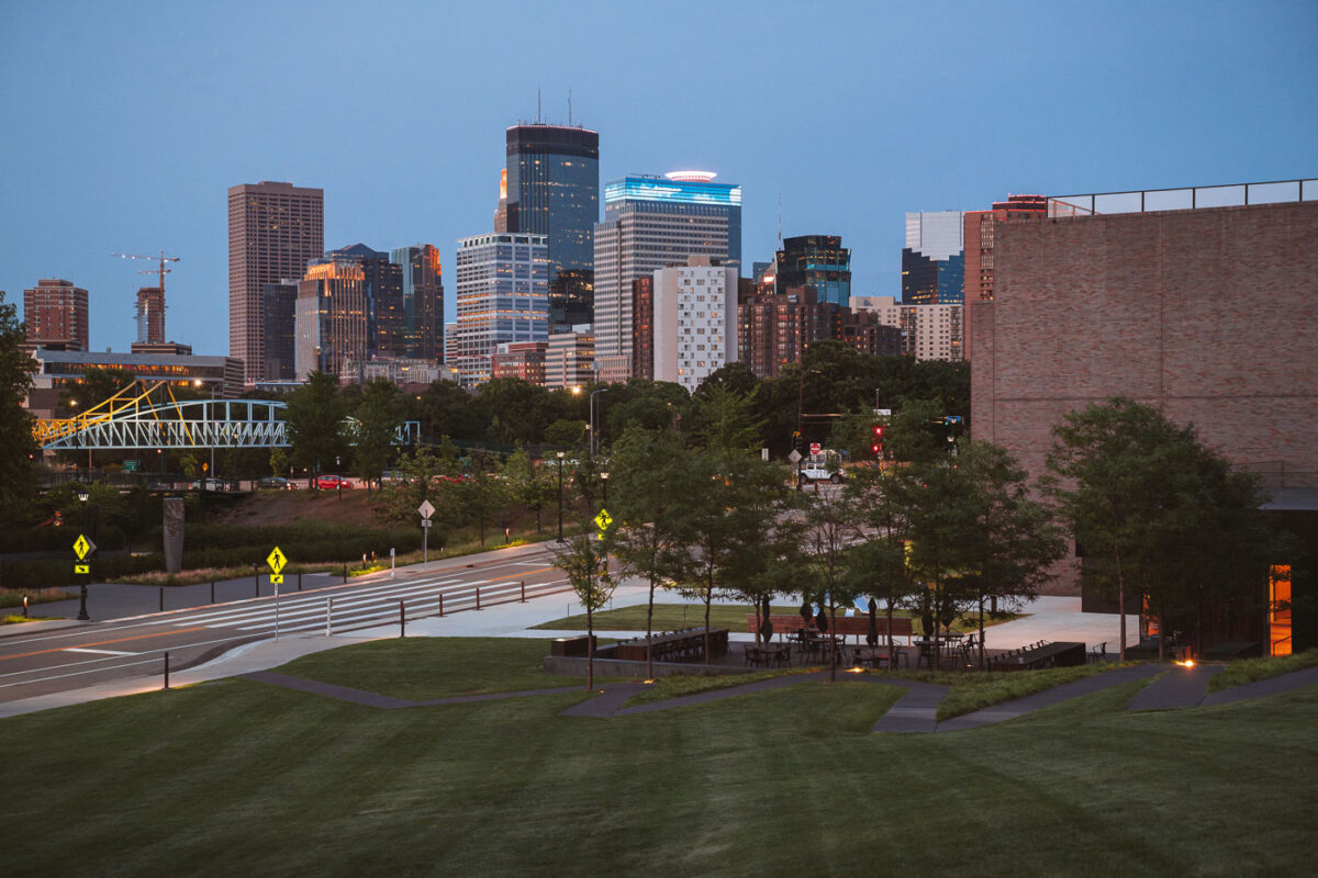
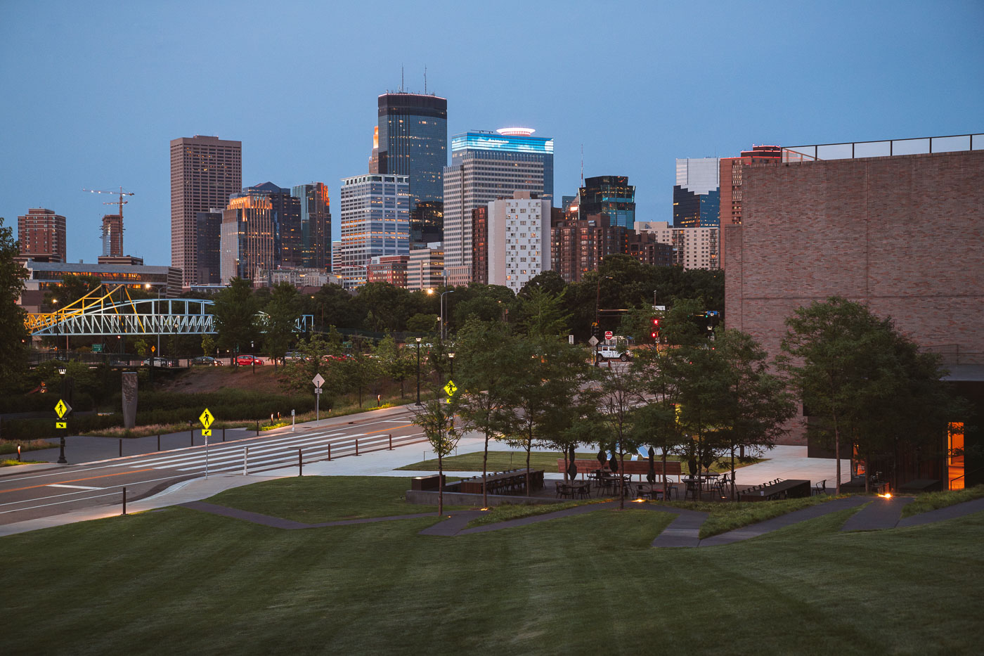
Downtown Minneapolis business district April 2024
The downtown Minneapolis business district as seen from the Walker Art Center,.

Downtown Minneapolis business district

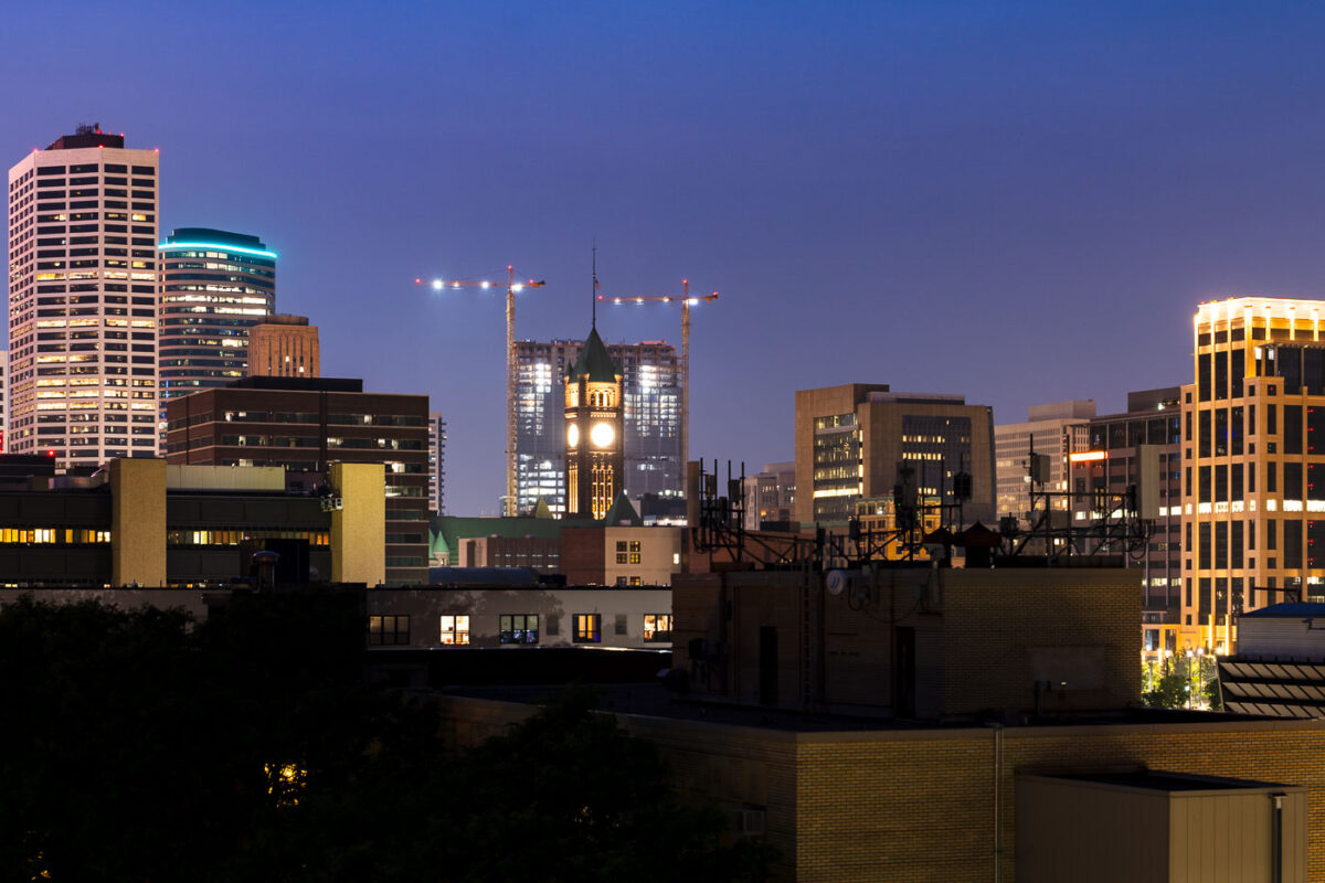
RBC Gateway tower cranes rise behind Minneapolis City Hall and the Hennepin County clock tower.
RBC Gateway tower cranes in downtown Minneapolis rise behind City Hall and the Hennepin County clock tower. The mixed-use development is part of the redevelopment area near the historic core of the city.

RBC Gateway tower cranes, Minneapolis
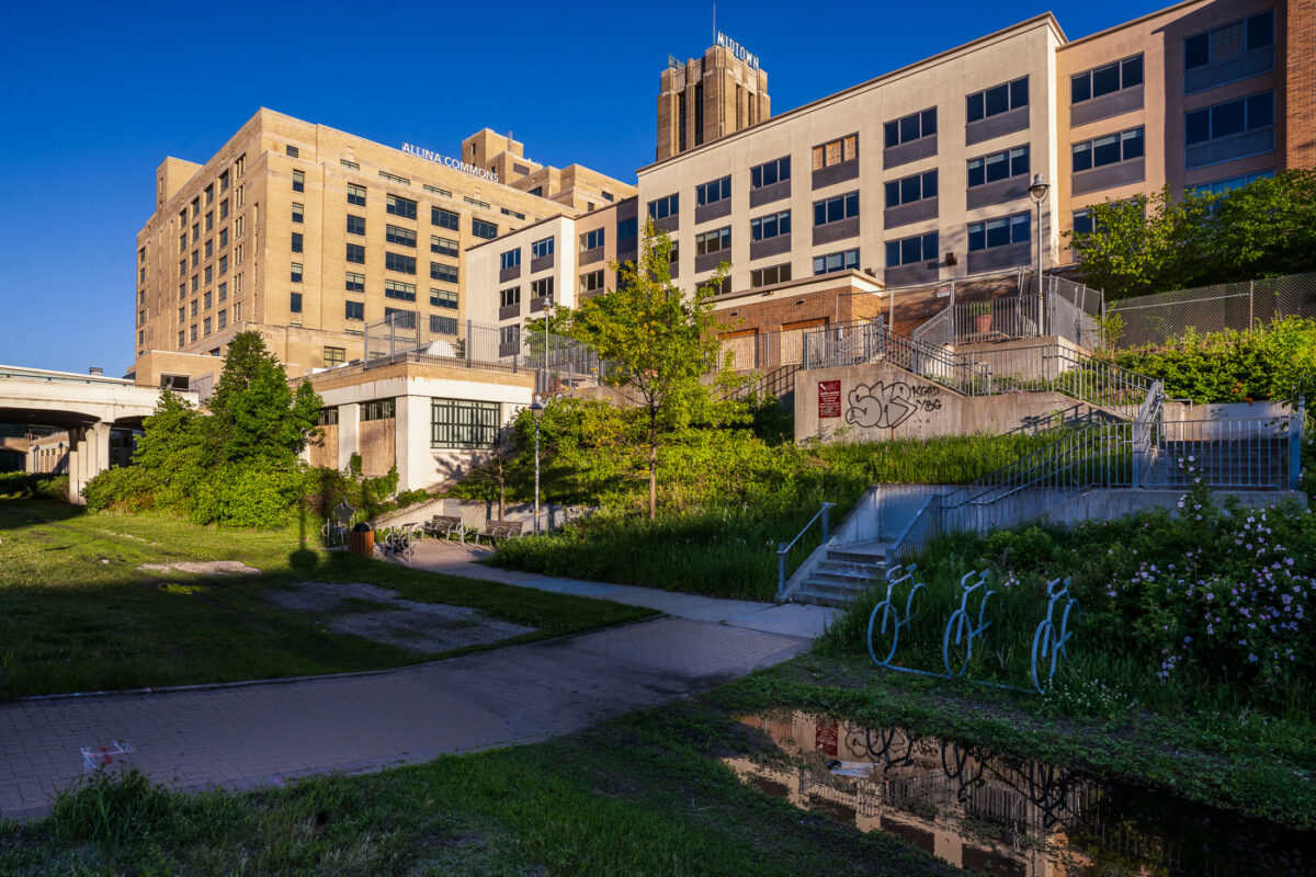
Midtown Sheraton from the Midtown Greenway
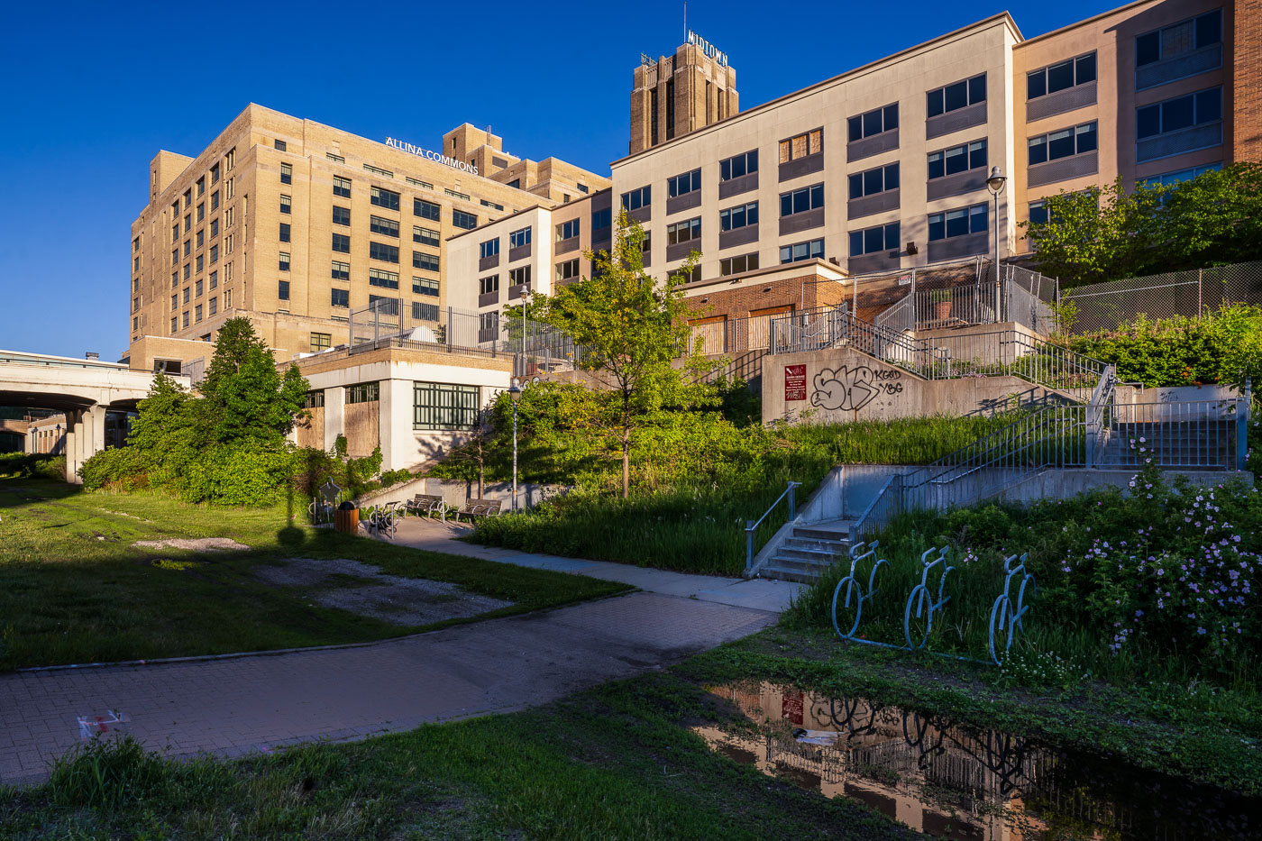
The Allina Commons building, formerly the Midtown Sheraton Hotel, stands in South Minneapolis. The structure, originally built as a hotel, has been repurposed and is now part of the Allina Health system. Adjacent to the building is the Midtown Greenway, a popular urban trail developed on a former railroad corridor. The Greenway provides a vital link for cyclists and pedestrians through the city, connecting various neighborhoods and parks.

Allina Commons and Midtown Greenway, South Minneapolis
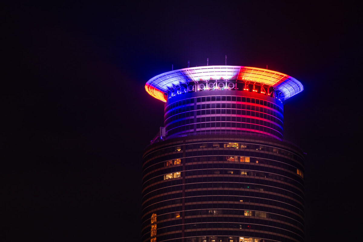
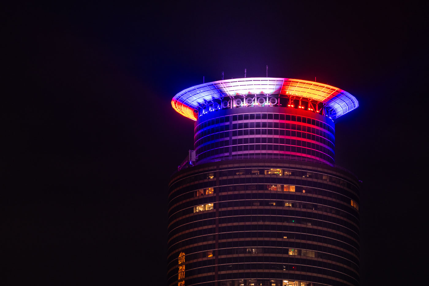
Capella Tower in red white and blue on January 6
Capella Tower in downtown Minneapolis is illuminated in red, white, and blue lights. The building, completed in 1992, is a prominent feature of the Minneapolis skyline and houses offices and hotel accommodations. The patriotic lighting on January 6, 2021, coincided with the attack on the United States Capitol Building in Washington D.C., reflecting a moment of national turmoil and remembrance.

Capella Tower, Minneapolis, Lit Red, White, Blue
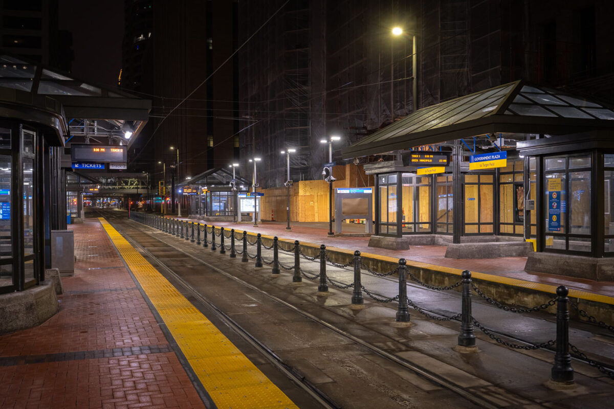
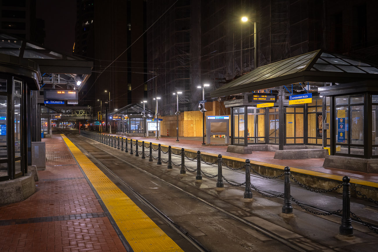
City Hall train station in Minneapolis
Government Plaza station serves as a key transit hub for the Green Line and Blue Line light rail services in downtown Minneapolis. Opened in 2004, the station is situated beneath the plaza of the same name, connecting commuters and visitors to the heart of the city's business and government district. Pictured here during COVID-19 shutdowns.

Government Plaza LRT Station, Downtown Minneapolis
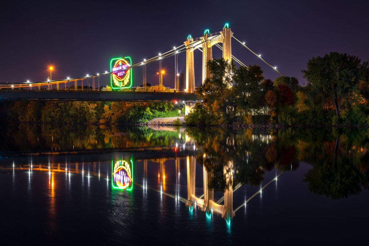
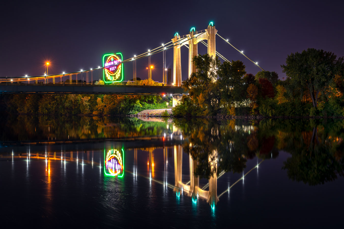
Hennepin Avenue Bridge spans the Mississippi River at night with illuminated suspension cables and a glowing Grain Belt beer sign
The Hennepin Avenue Bridge crosses the Mississippi River in Minneapolis, connecting downtown with Northeast Minneapolis. The suspension bridge, completed in 1990, is the fifth structure at this crossing, where the city’s first bridge over the Mississippi once stood.

Grain Belt Beer Sign Reflected Beneath the Hennepin Avenue Bridge

Rand Tower in downtown Minneapolis illuminated at night with red, white, and blue lighting on its upper facade.
Rand Tower in downtown Minneapolis is shown at night with red, white, and blue exterior lighting accenting its upper stories. The Art Deco skyscraper, completed in 1929 and designed by Holabird & Root, is a prominent landmark in the city center.

Rand Tower, Minneapolis, Night Red White Blue Illumination
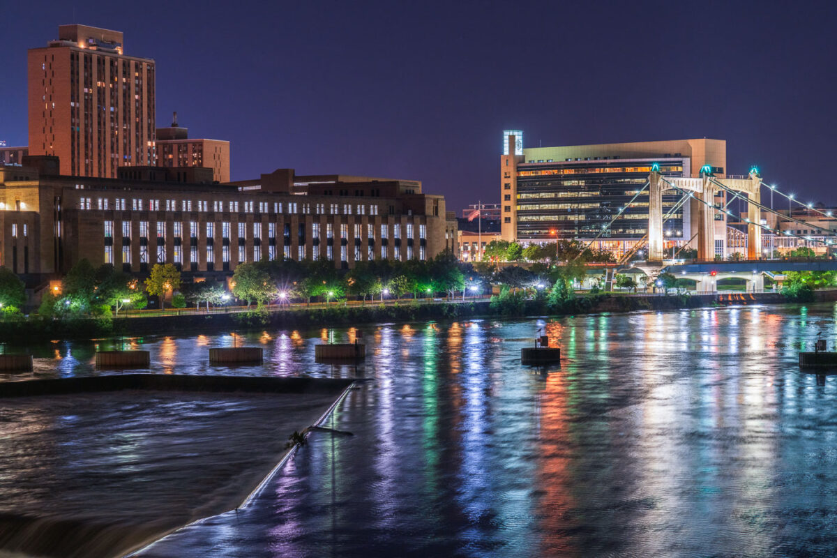
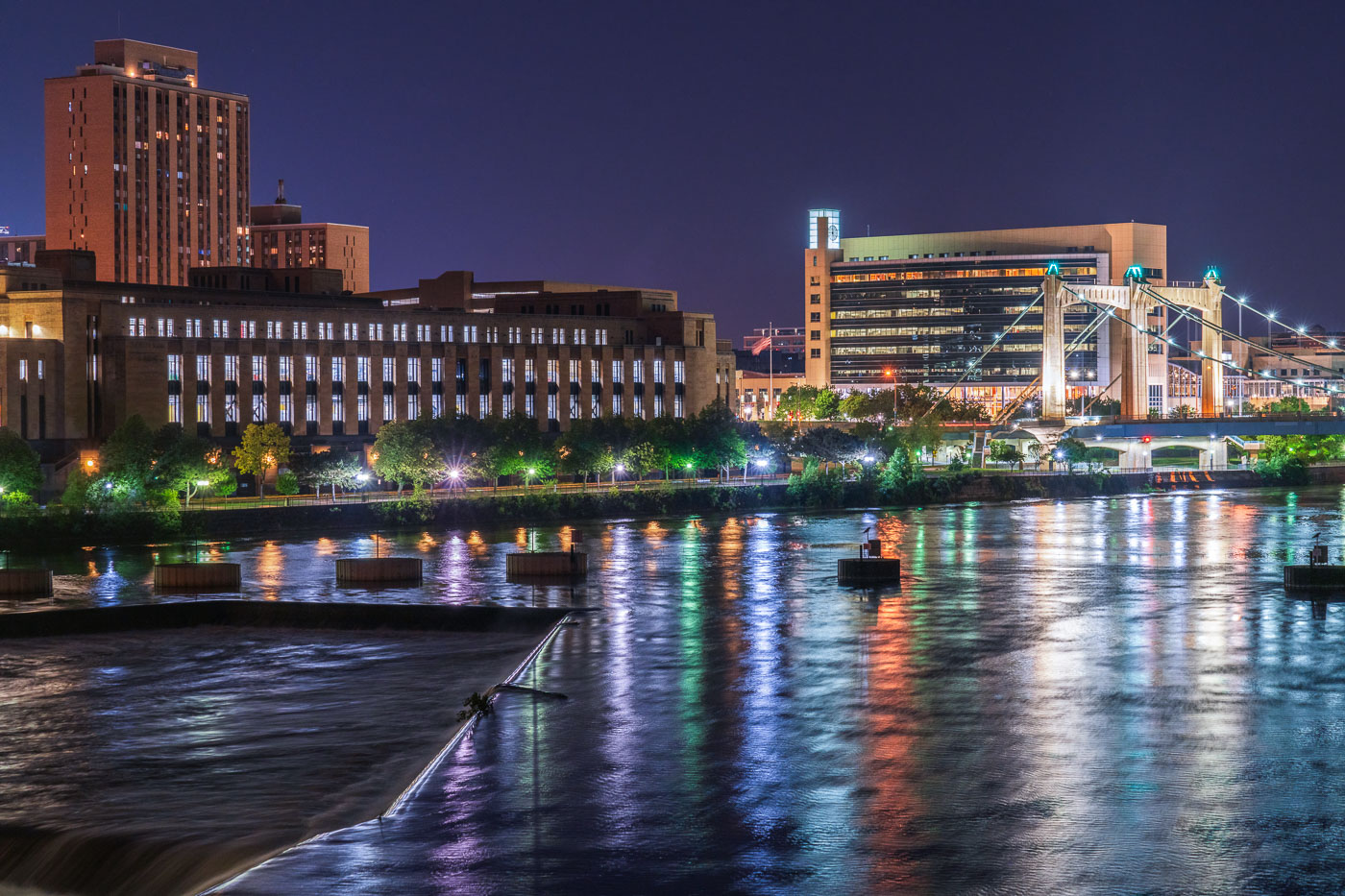
Mississippi River and Hennepin bridge August 2020
The Mississippi River flows through downtown Minneapolis at night, featuring the illuminated Hennepin Avenue Bridge. This historic suspension bridge, originally built in 1855 and rebuilt multiple times, connects the east and west banks of the city, serving as a vital transportation artery. Along the riverfront, the United States Post Office and the Federal Reserve Bank of Minneapolis stand as prominent structures, contributing to the city's commercial and governmental functions.

Minneapolis: Mississippi River, Hennepin Bridge, US Post Office 2020
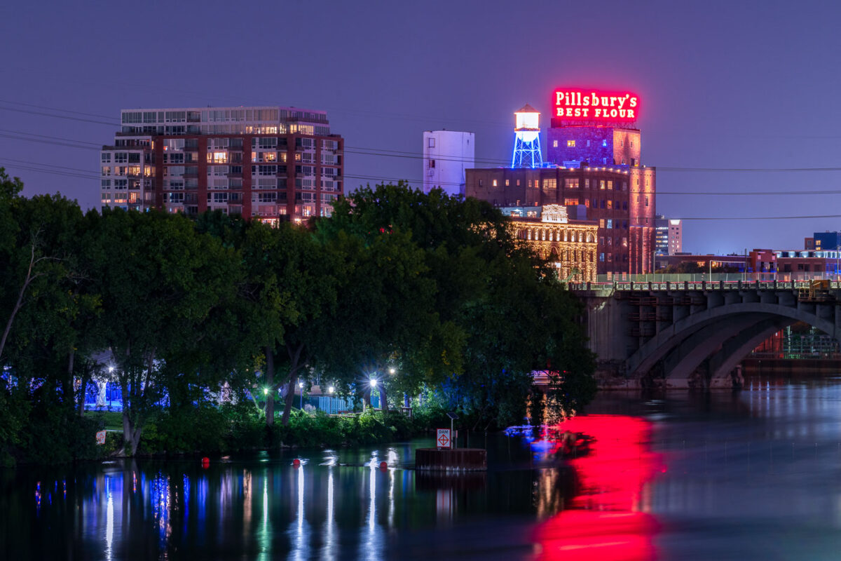
Pillsbury A Mill's illuminated neon sign glows red above the Mississippi River at night in Minneapolis.
The historic Pillsbury A Mill stands illuminated on the Mississippi River near downtown Minneapolis. Once the world's largest flour mill, this National Historic Landmark played a crucial role in Minneapolis's development as a milling center.

Pillsbury’s Best Flour Sign Above the Mississippi River at Night
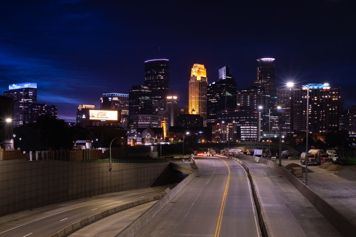
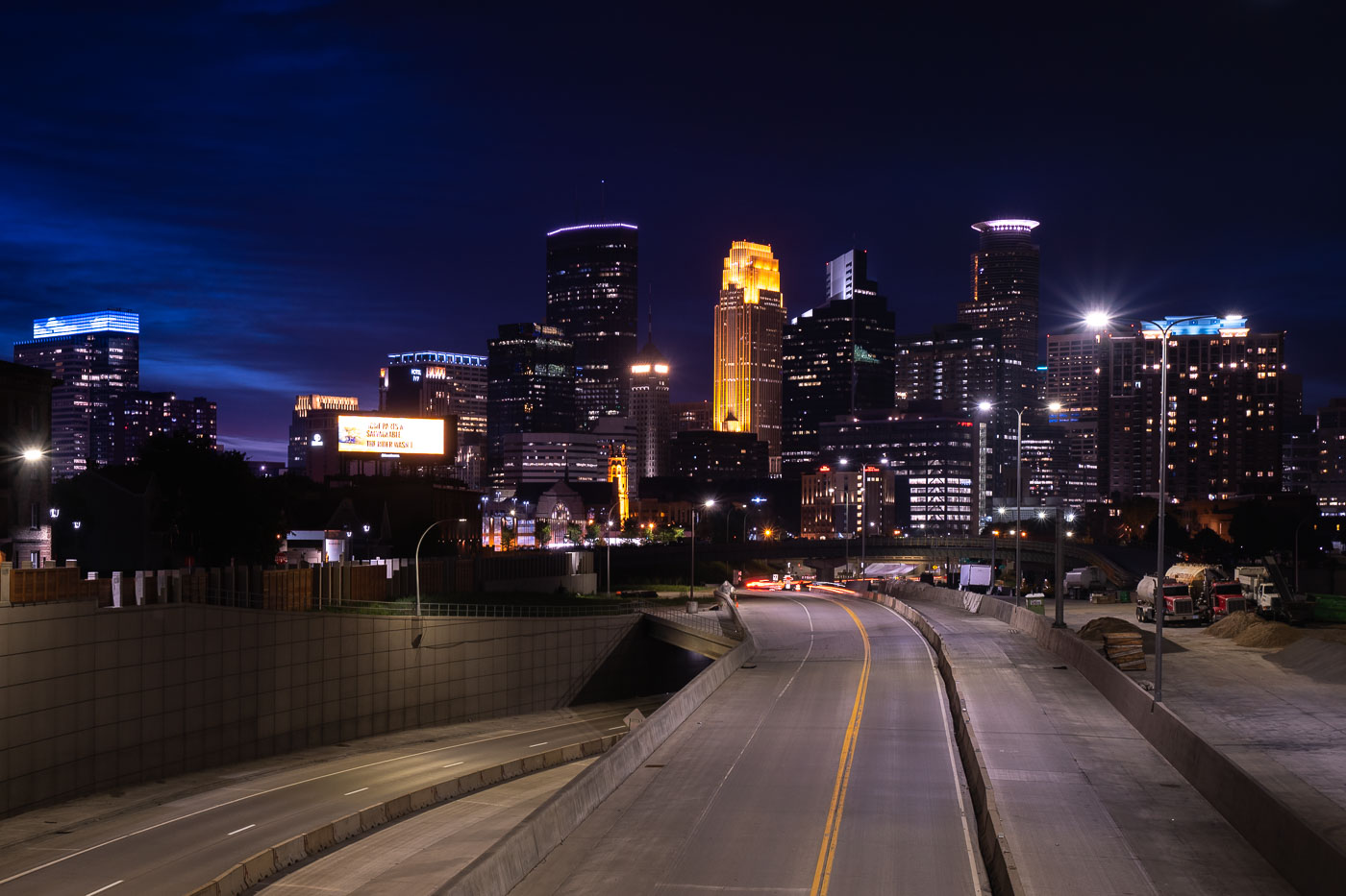
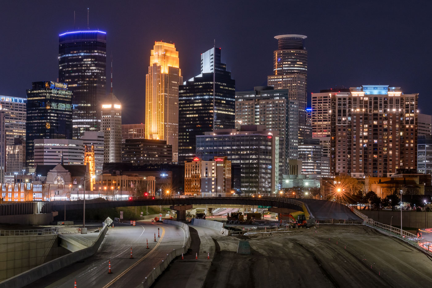
Interstate 35W construction approaching downtown Minneapolis at night with the skyline beyond.
Interstate 35W approaches downtown Minneapolis during overnight construction in July 2020. The freeway corridor curves toward the central business district, with lane shifts, barriers, and active work areas visible along the roadway. The Minneapolis skyline rises beyond the construction zone.

Interstate 35W construction approaching downtown Minneapolis

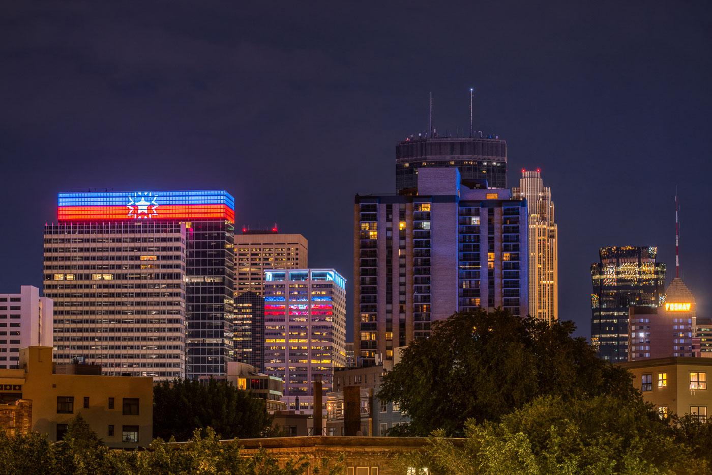
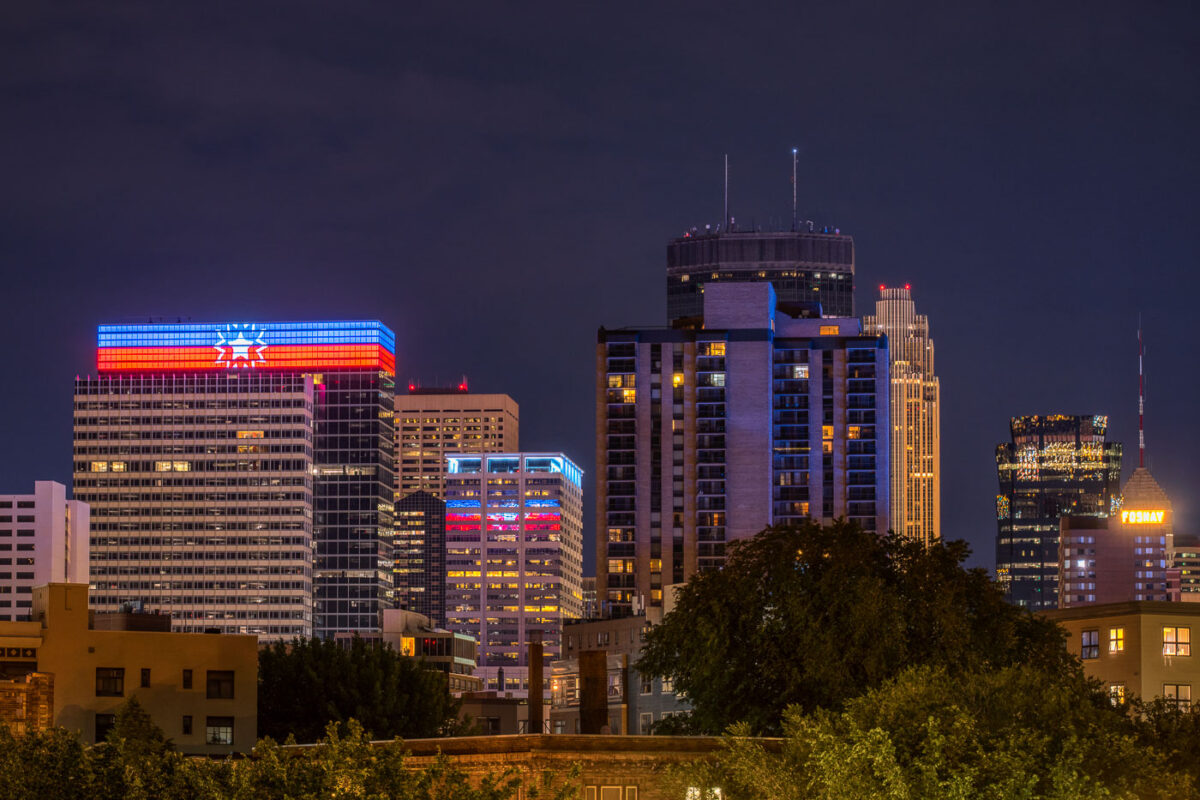
Target Headquarters in downtown Minneapolis displaying the Juneteenth flag on its rooftop LED facade at night.
Target Corporate Headquarters in downtown Minneapolis is illuminated with the Juneteenth flag on its rooftop LED display. Photographed on June 20, 2020, the installation marked Juneteenth, the annual commemoration of June 19, 1865, when enslaved people in Texas were informed of their freedom. The building’s programmable facade, a prominent feature of the city center, was used here for a public observance of the holiday.

Juneteenth Flag on Target HQ LEDs, Downtown Minneapolis
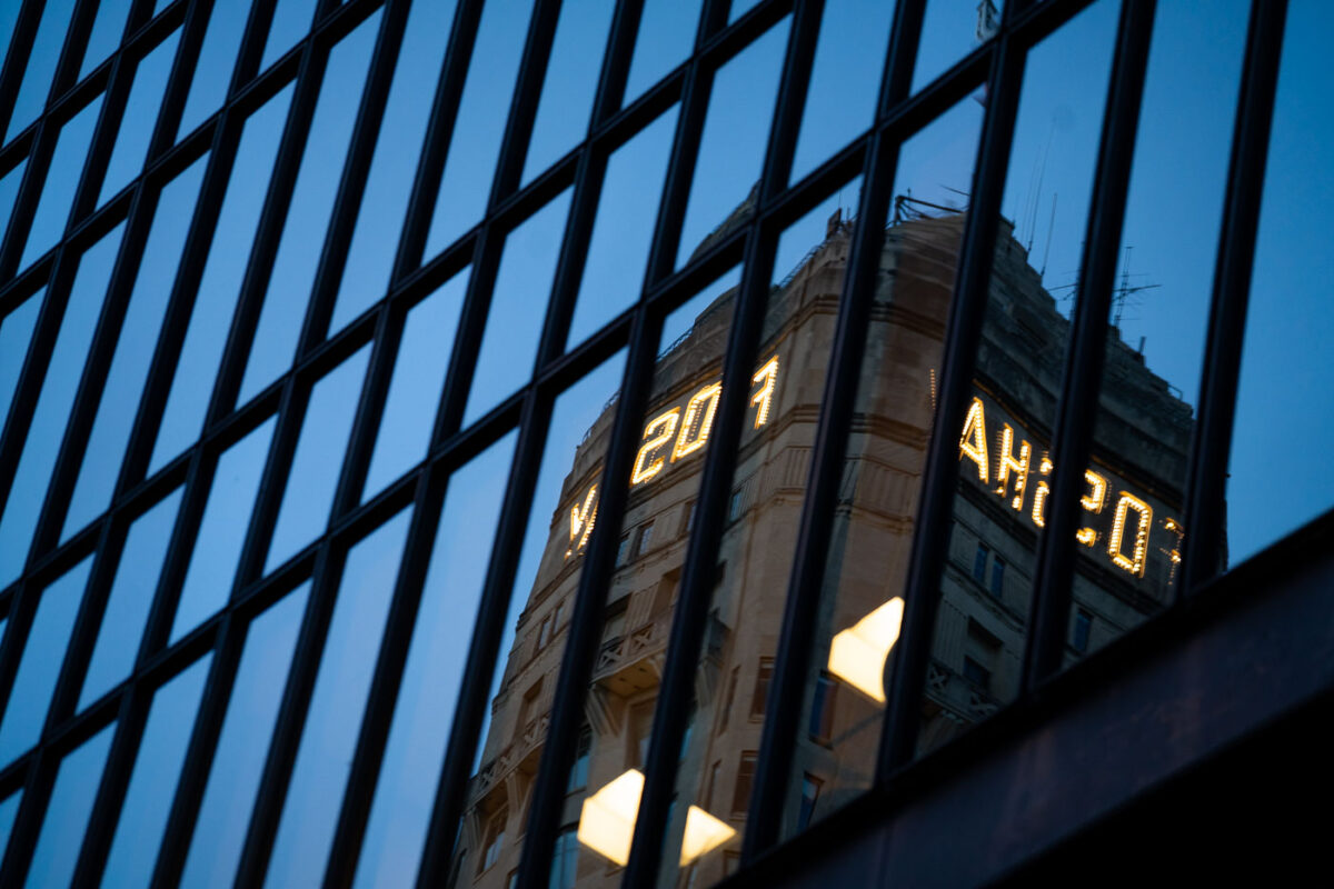
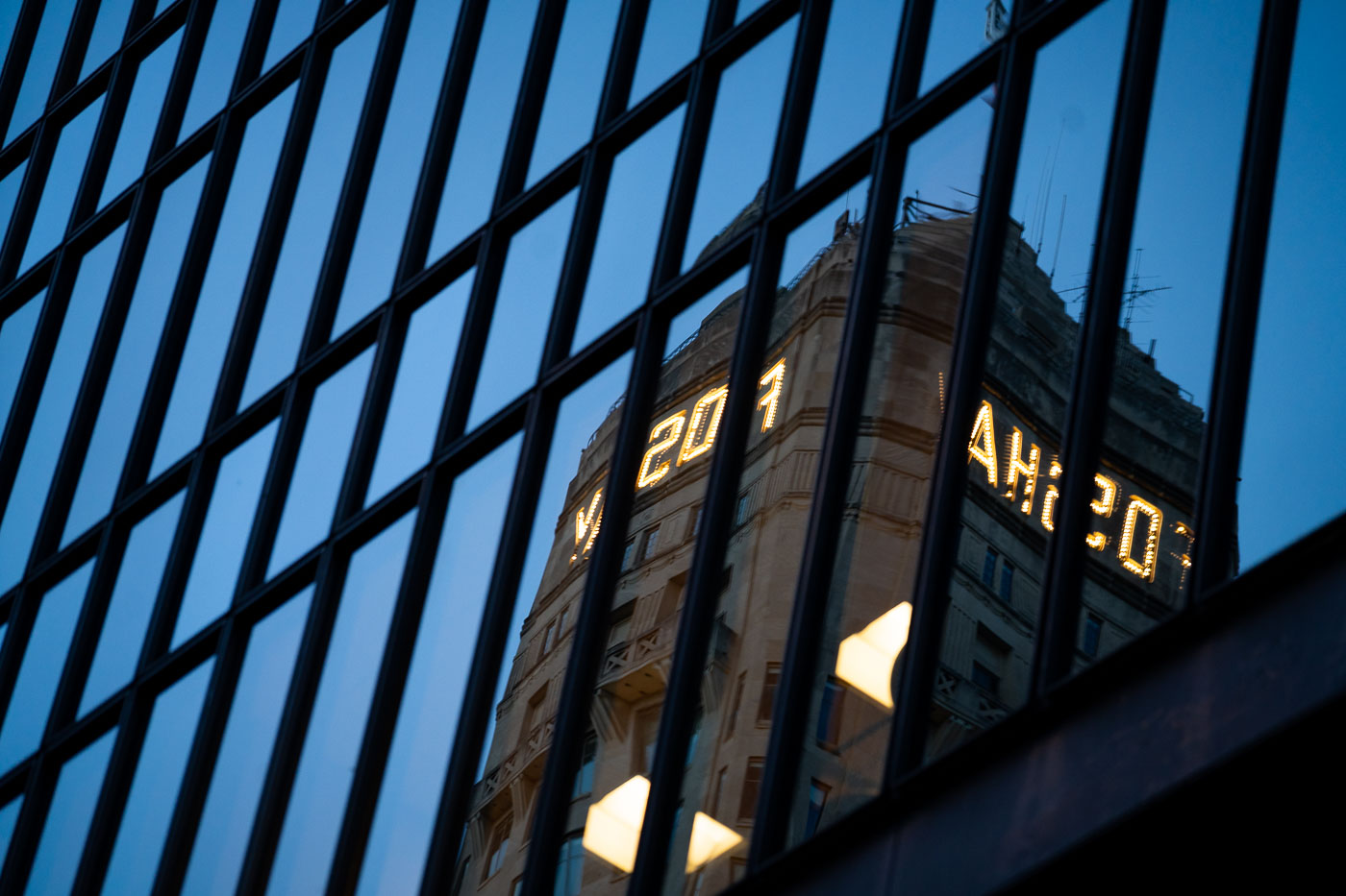
Foshay Tower mirrored in a downtown Minneapolis glass building facade.
Foshay Tower in downtown Minneapolis is mirrored in the glass façade of a nearby office building. Completed in 1929, the Art Deco skyscraper was built for utilities executive Wilbur B. Foshay and was modeled after the Washington Monument. The building is now part of W Minneapolis–The Foshay and remains a landmark in the city’s downtown core.

Foshay Tower Reflection in Downtown Minneapolis
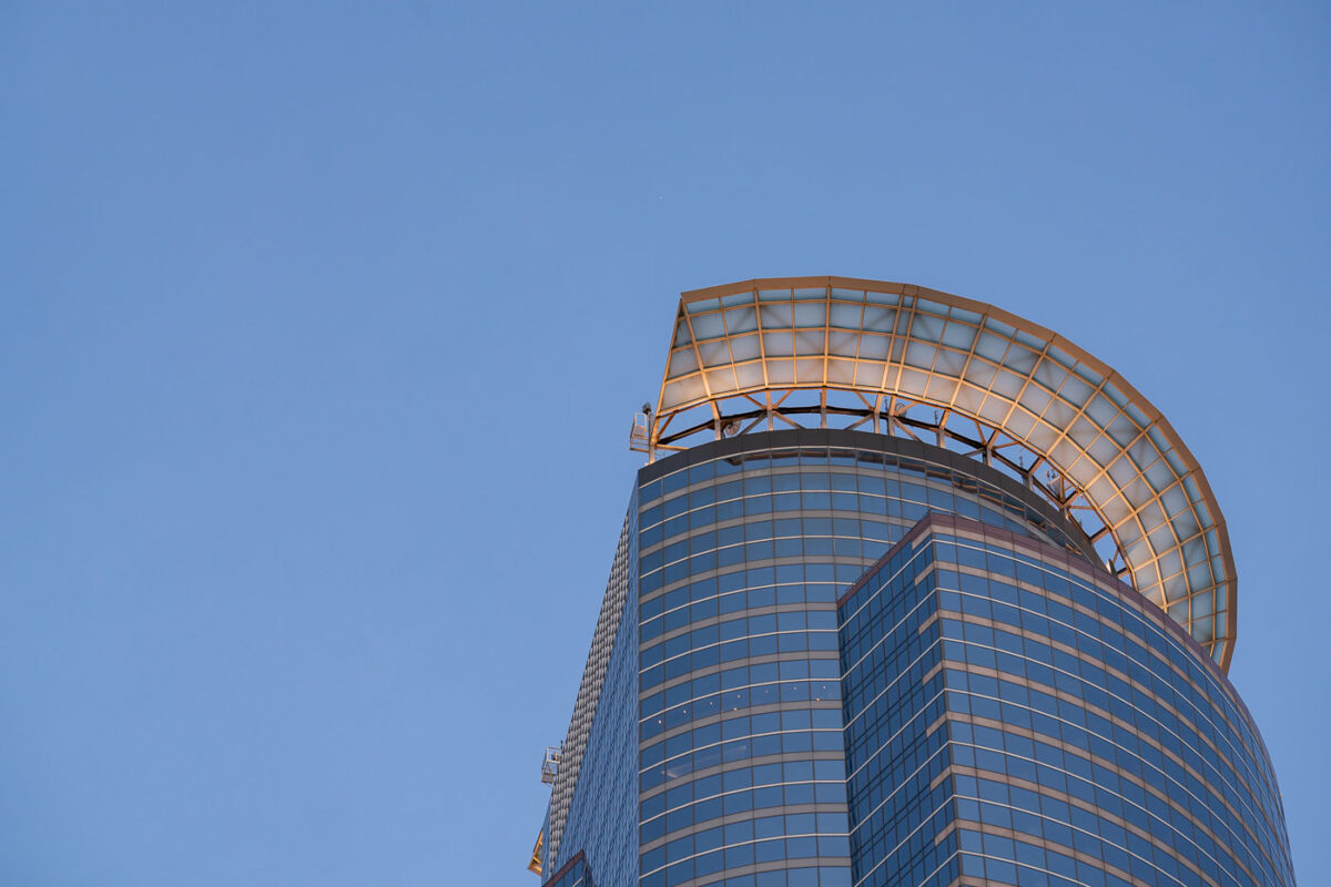
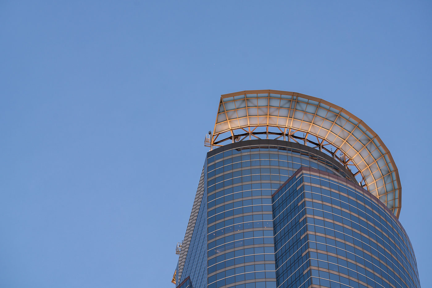
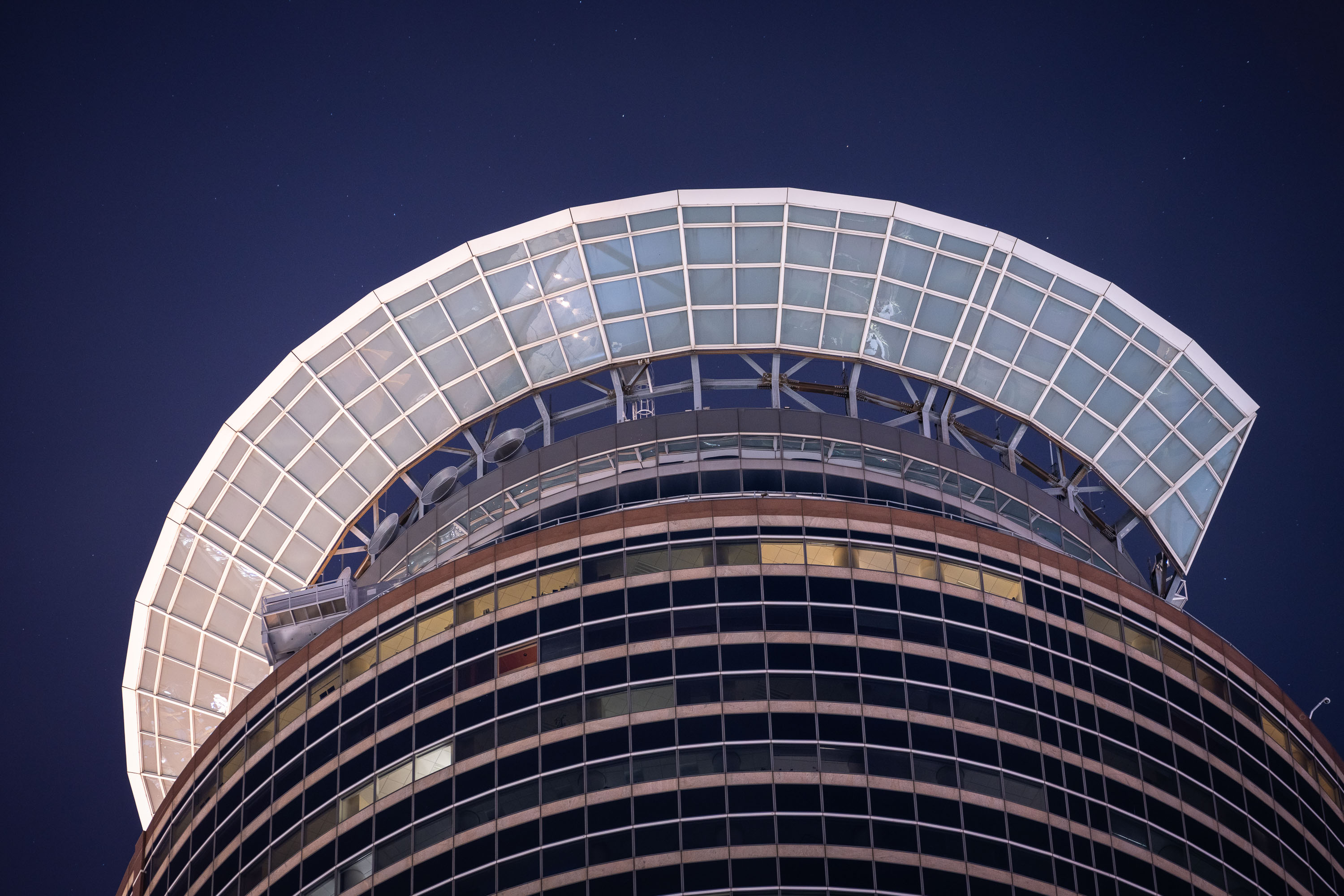
Capella Tower rooftop crown rises above downtown Minneapolis at dusk.
Capella Tower's rooftop crown rises above downtown Minneapolis. The 57-story office skyscraper opened in 1992 as First Bank Place and is one of the tallest buildings in Minnesota. Its semicircular crown is a defining architectural feature at the top of the tower.

Capella Tower Rooftop Crown, Minneapolis
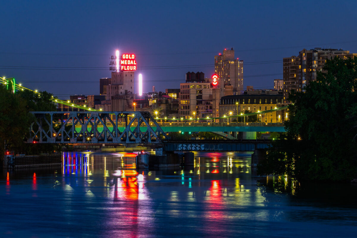
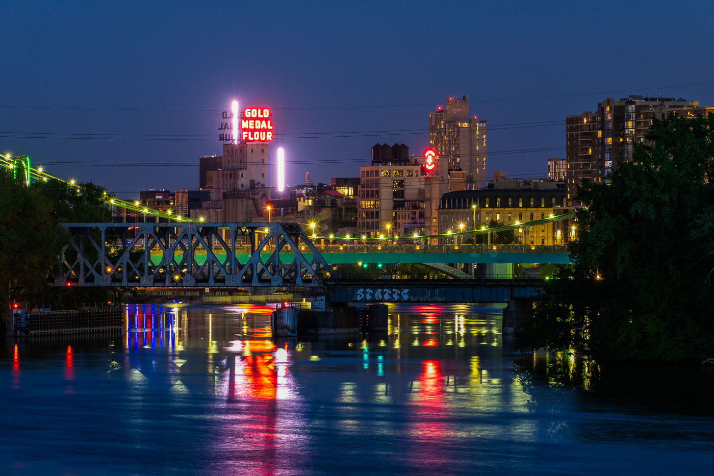
Gold Medal Flour seen from Boom Island in May 2020
Downtown Minneapolis as seen from Boom Island in May 2020. Gold Medal Flour and Northstar Blankets neon signs visible across the Mississippi River.

Neon signs of Downtown Minneapolis

Ford Center with illuminated rooftop sign at sunset in Minneapolis North Loop.
The Ford Center is a major office and entertainment venue in Minneapolis's North Loop neighborhood. The building's rooftop sign is a prominent landmark visible across the downtown area. Adjacent structures house additional office and commercial space throughout the district.

Ford Center at Sunset, Minneapolis

Dome at the Millennium Hotel in Minneapolis
Have always loved the dome at the Millennium Hotel in downtown Minneapolis. A popular wedding spot.

Dome at the Millennium Hotel

Woman looks over the Stone Arch Bridge in Minneapolis
Woman looks over the railing on the Stone Arch Bridge in downtown Minneapolis.

Downtown Minneapolis Skyline and Stoen Arch Bridge
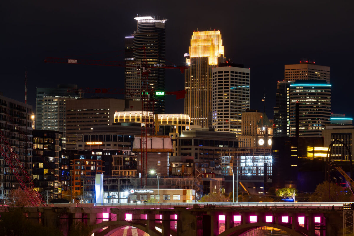
Minneapolis in Development
Tower cranes in downtown Minneapolis during constructon work on the 10th avenue bridge.

Minneapolis in Development

Skyscrapers in downtown Minneapolis on clear night
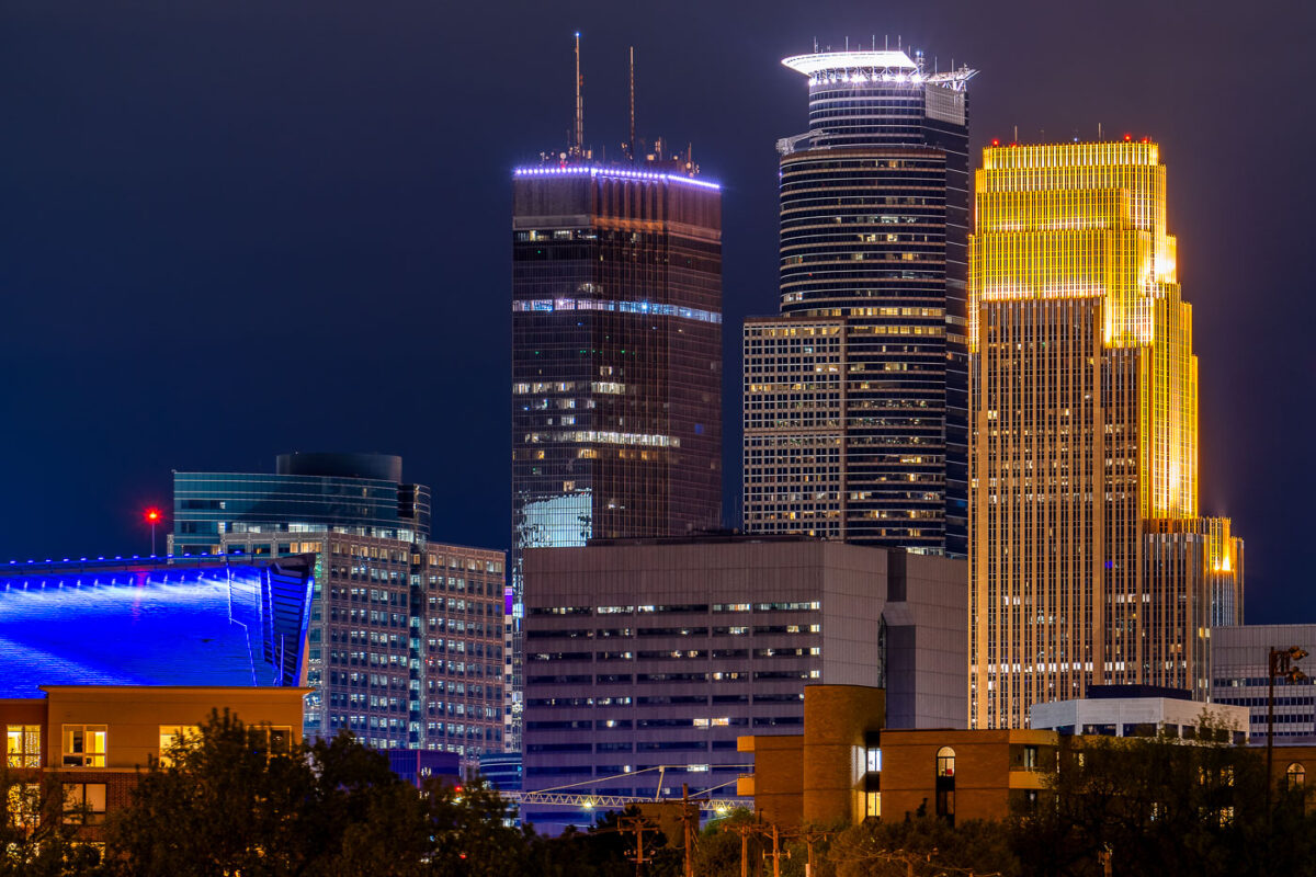
The Capella Tower, IDS Center, and Wells Fargo Center in Downtown Minneapolis at night.

Capella, IDS and Wells Fargo Center in Minneapolis
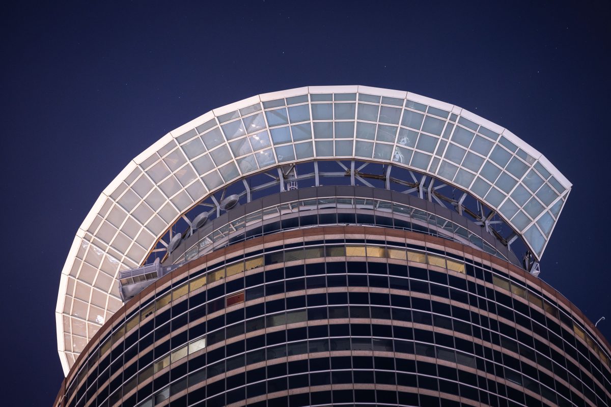
Capella Tower crown seen at night in Downtown Minneapolis
Capella Tower in Downtown Minneapolis

Capella Tower crown seen at night in Downtown Minneapolis

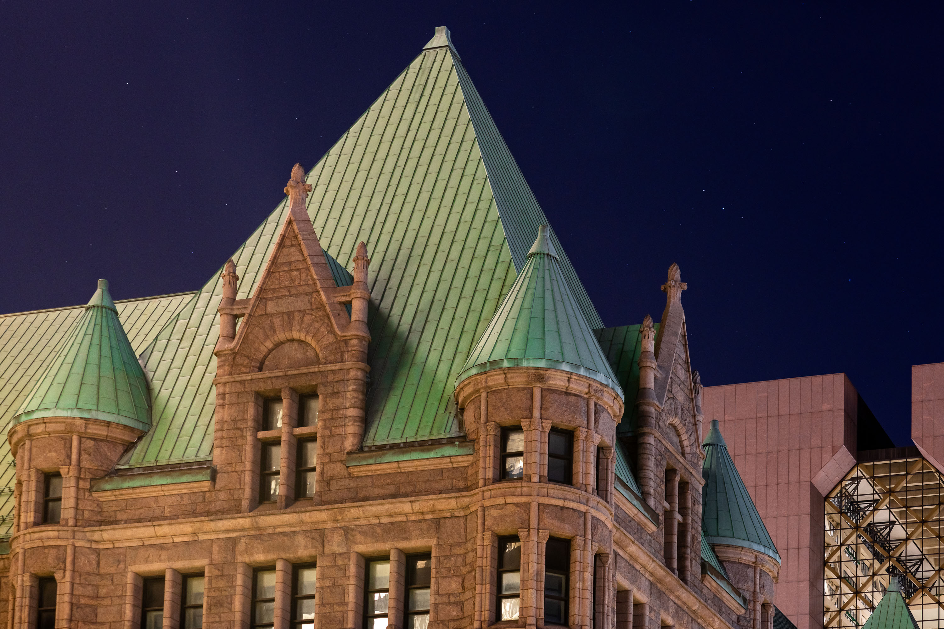
Minneapolis City Hall and Hennepin County Government Center at night
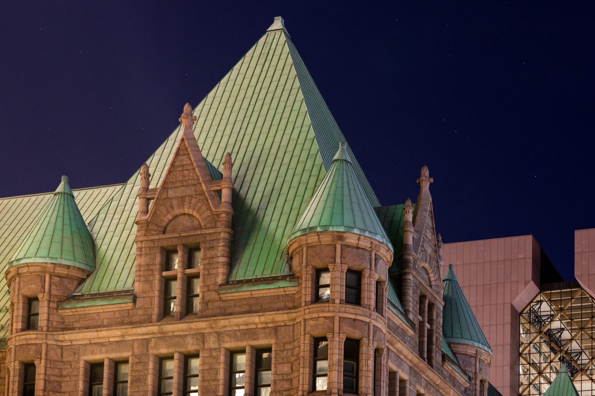
Minneapolis City Hall and the Hennepin County Government Center in downtown Minneapolis on a clear night.

Downtown Minneapolis City Hall At Night
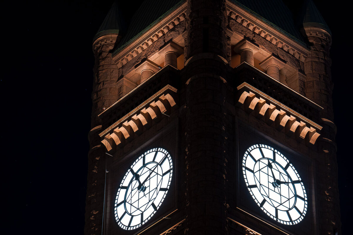
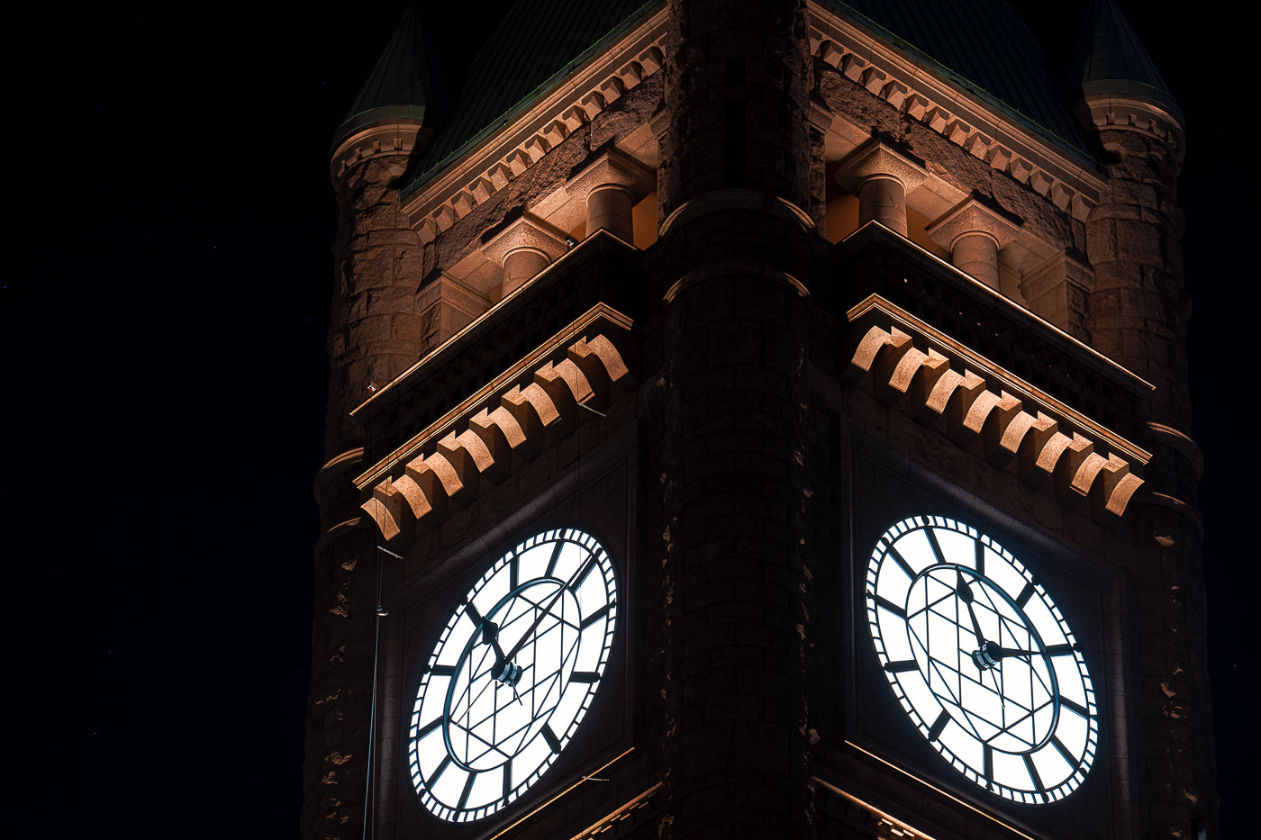
Minneapolis City Hall's illuminated clock tower displays two glowing faces against ornate Romanesque architecture at night.
The clock tower of Minneapolis City Hall glows at night, its illuminated faces visible across downtown.

Illuminated Clock Faces on Minneapolis City Hall’s Tower
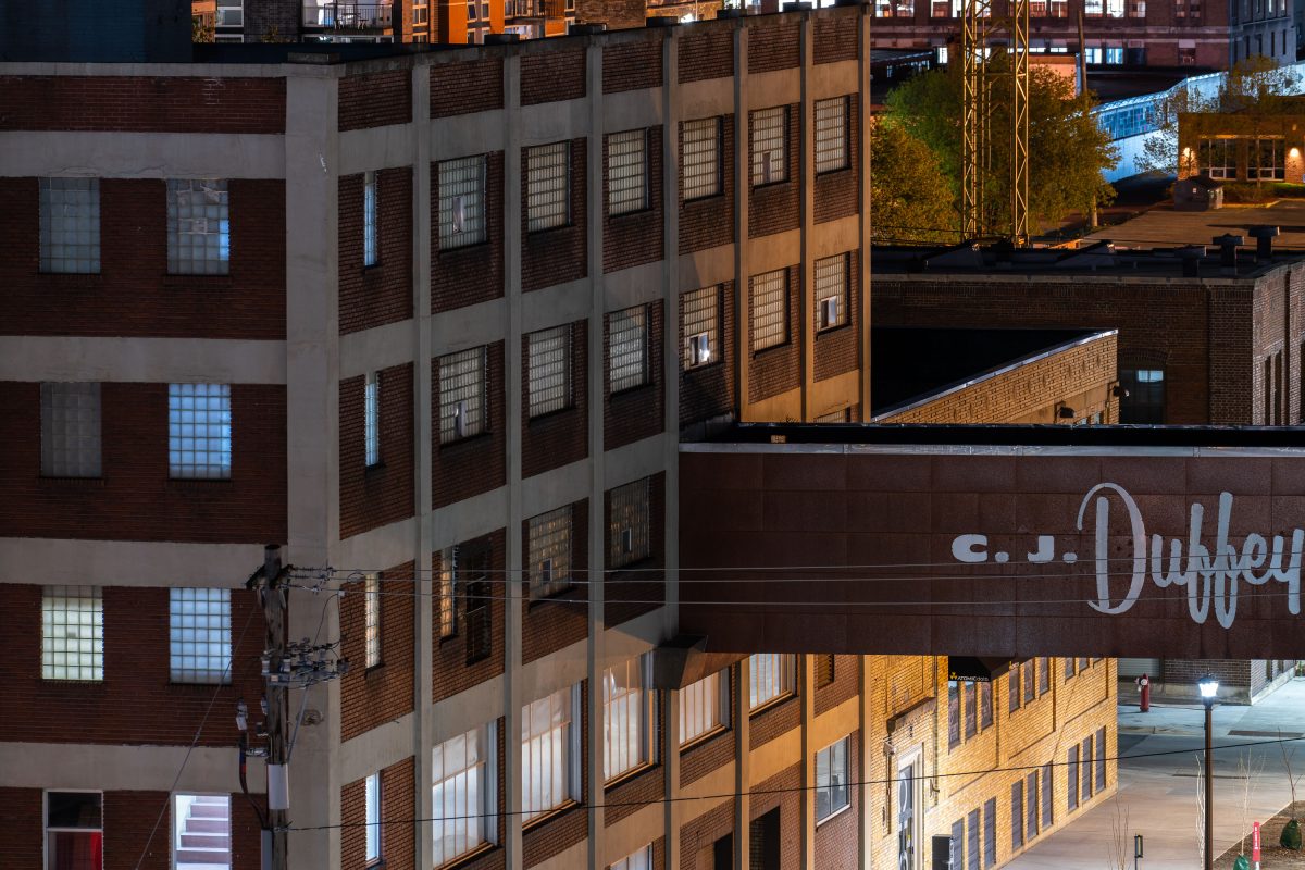
CJ Duffey Building, a historic brick warehouse in Minneapolis's North Loop district, lit at dusk.
One of the CJ Duffey Paper Co. buildings in the North Loop. Now being renovated.

C.J. Duffey Paper Co. Skyway at Dusk in the North Loop
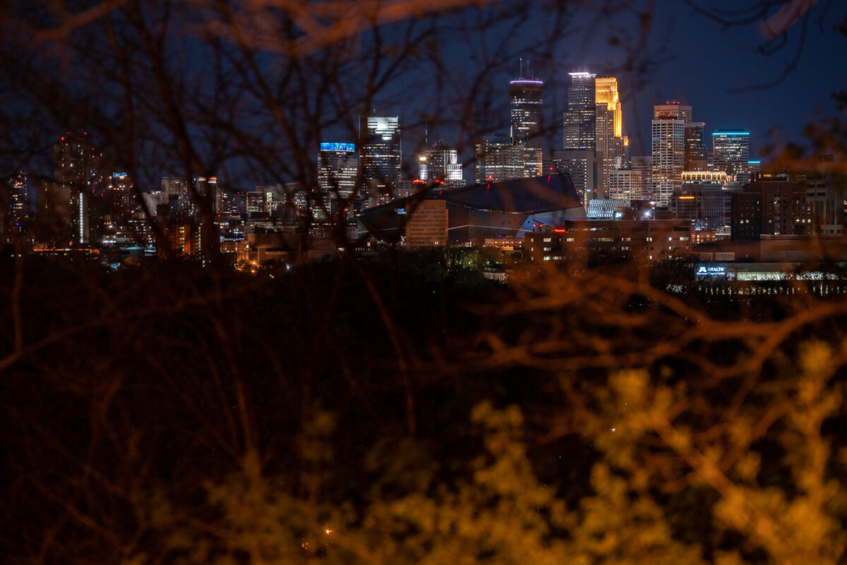
Minneapolis skyline at night from Witches Hat
Downtown Minneapolis as seen from the Prospect Park and Witches Hat. In my opinion, this is a very underrated view of the downtown skyline!

Minneapolis skyline from Witches Hat

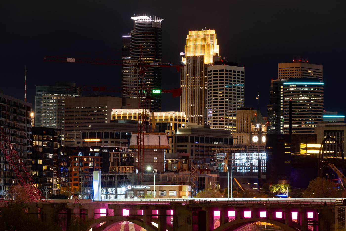
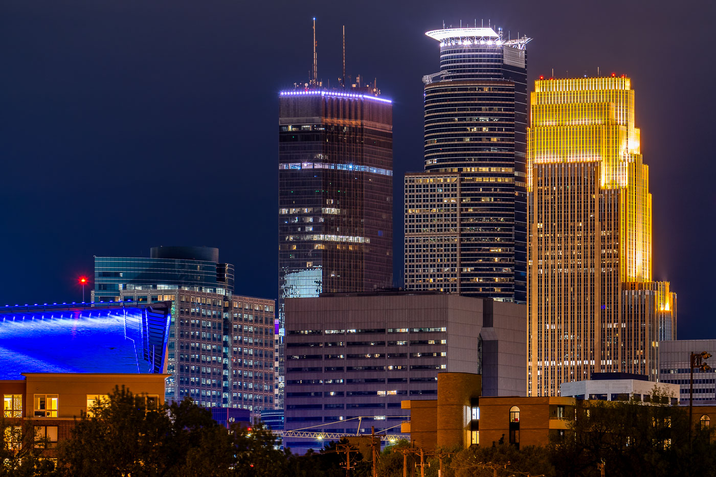
Downtown Minneapolis skyline with IDS Center, Wells Fargo Center, and Capella Tower at night.
Downtown Minneapolis skyline, Minnesota, includes IDS Center, Wells Fargo Center, and Capella Tower on May 6, 2020. The office towers are part of the city’s central business district, clustered around Nicollet Mall and the downtown core. IDS Center has long been Minnesota’s tallest building, while Wells Fargo Center is one of the city’s most recognizable high-rise office towers.

IDS Center and Wells Fargo Center, Minneapolis

Minneapolis skyline at night with illuminated downtown towers and a lit pedestrian bridge in foreground.
The Irene Hixon Whitney Bridge links Loring Park to the Minneapolis Sculpture Garden at the Walker Art Center, carrying pedestrians and cyclists over Interstate 94. Minneapolis artist and MIT design professor Siah Armajani designed the bridge, which opened in 1988 and stretches roughly 375 feet in a bowstring-arch form of steel and wood. The skyline behind it is anchored by Capella Tower, completed in 1992 and capped with a lattice crown that once displayed a rotating color scheme, and the IDS Center, Minnesota's tallest building at 792 feet since 1972. Both towers stand within the city's central business district, a short walk from Loring Park.

Irene Hixon Whitney Bridge and Minneapolis Skyline at Night

Prospect Park Water Tower with its green conical roof overlooking Minneapolis downtown and industrial skyline at dusk.
The Prospect Park Water Tower, commonly known as the Witches Hat for its distinctive green conical roof, overlooks downtown Minneapolis and the Mississippi River valley. Built in 1913, the tower served as a water storage and distribution facility for the surrounding neighborhood. The tower remains a recognizable landmark in the Prospect Park area, offering views across the city's industrial and commercial districts.

Prospect Park Water Tower and Minneapolis Skyline
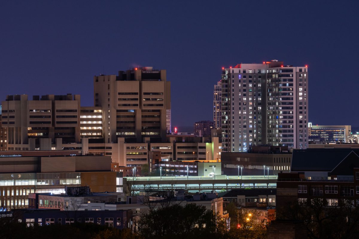
University of Minnesota Medical Center and East Bank campus buildings illuminated at dusk in Minneapolis.
The University of Minnesota's East Bank campus includes its academic health center, home to M Health Fairview University of Minnesota Medical Center and the university's medical school.

East Bank Medical Center Towers at Night from Prospect Park
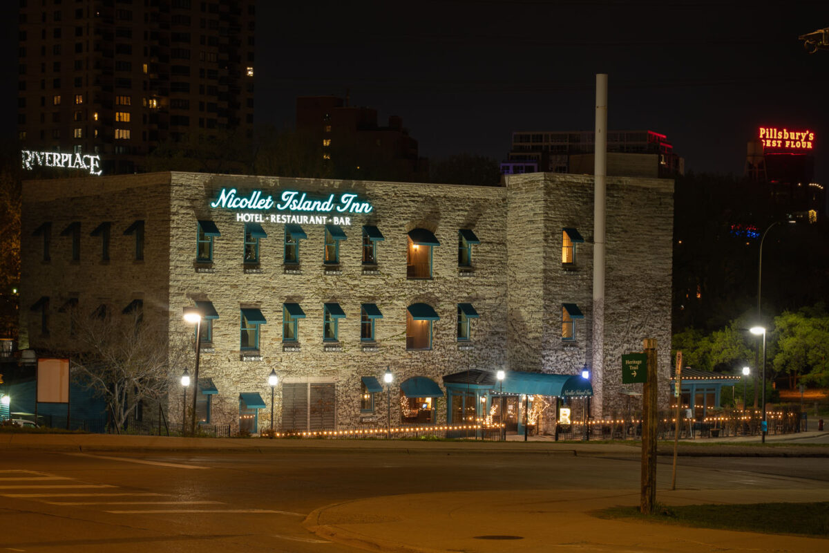
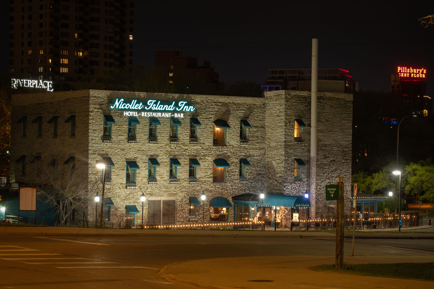
NIcollet Island Inn on Nicollet Island
The Nicollet Island Inn, a landmark along the Mississippi River in Minneapolis, occupies a 19th-century brick and limestone structure originally built in the 1890s as an industrial facility. Converted into a hotel and restaurant in the 1970s, it retains its historic character with exposed stone walls and vintage architectural details. Illuminated signage and soft outdoor lighting highlight the inn’s distinctive facade, with the iconic Pillsbury’s Best Flour sign visible across the river, linking the scene to the city’s milling heritage.

Nicollet Island Inn at Night, Minneapolis Riverfront
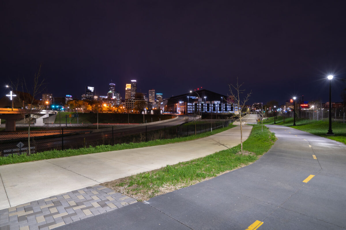
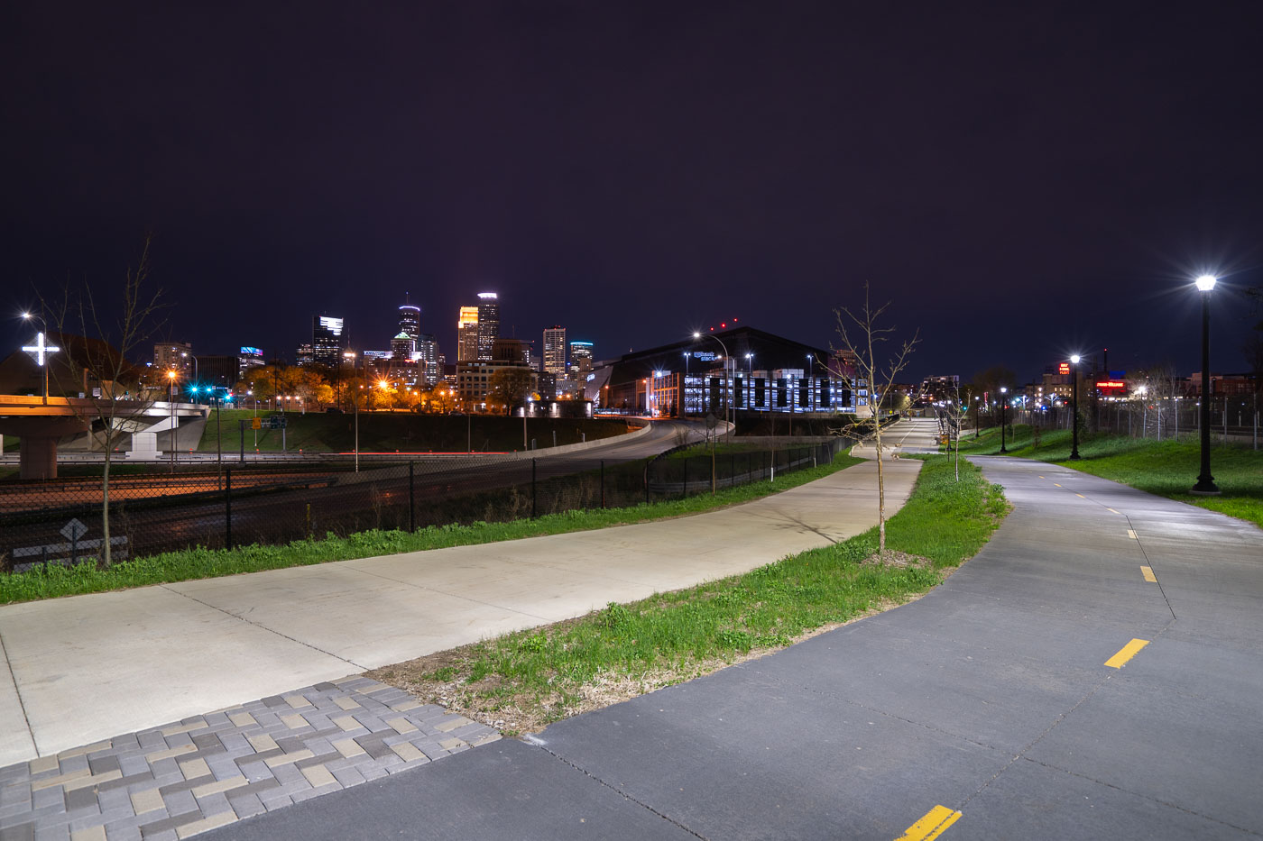
Samatar Crossing near Downtown Minneapolis
The Samatar Crossing shared use path near downtown Minneapolis. The path leads from Cedar Riverside to near US Bank Stadium.

Samatar Crossing near Downtown Minneapolis

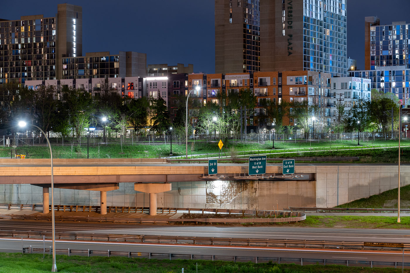
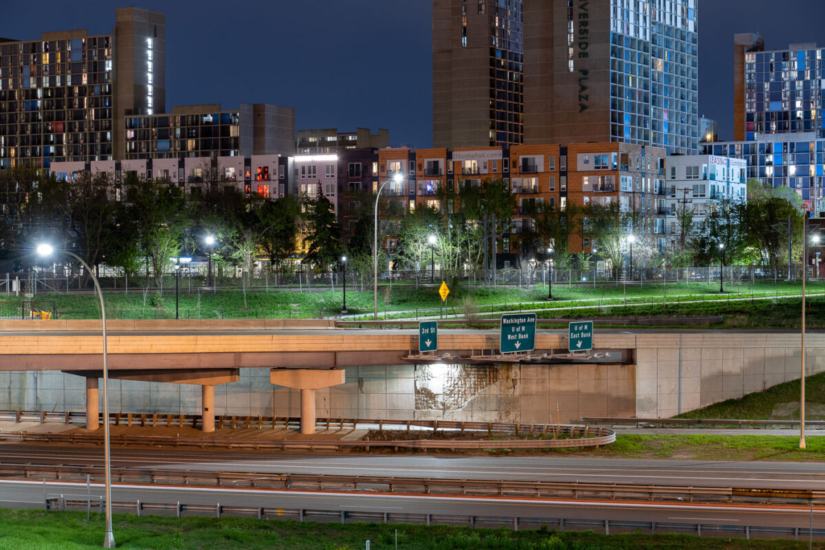
Interstate 35W underpass with Riverside Plaza towers in Cedar-Riverside, Minneapolis.
Interstate 35W passes beneath an overpass at the Cedar-Riverside neighborhood in Minneapolis. Riverside Plaza residential towers rise beyond the freeway corridor, which connects the Twin Cities metropolitan area north and south through downtown Minneapolis.

Interstate 35W at Cedar-Riverside, Minneapolis
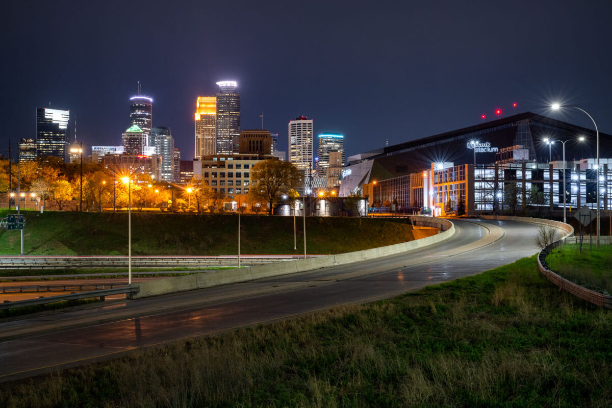
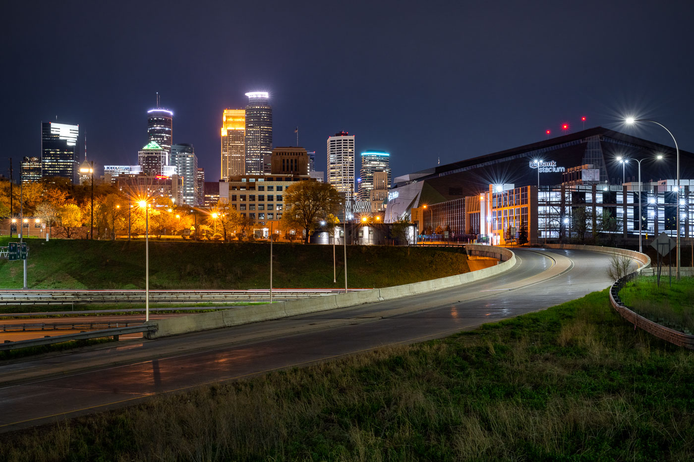
US Bank Stadium and the downtown Minneapolis skyline
US Bank Stadium, a multi-purpose venue in downtown Minneapolis, is illuminated at night. Opened in 2016, the stadium was built on the former site of the Metrodome and serves as the home for the Minnesota Vikings of the National Football League. Its distinctive architecture features a transparent ETFE roof and a faceted glass exterior, designed to reflect the city's sky and surrounding environment. The stadium hosts a variety of events, including professional football games, concerts, and other large-scale public gatherings.

US Bank Stadium and Minneapolis Skyline at Night
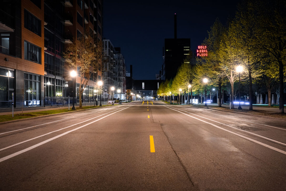
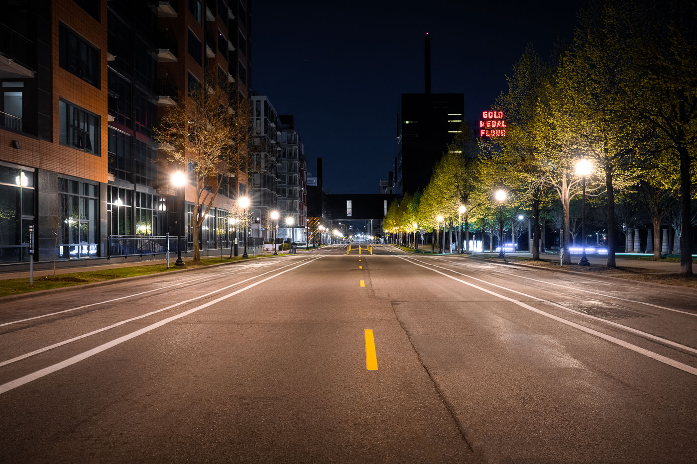
Gold Medal Flour neon sign as seen from 2nd st
South Second Street in downtown Minneapolis during the coronavirus (COVID-19) shutdown.

South Second Street in Downtown Minneapolis

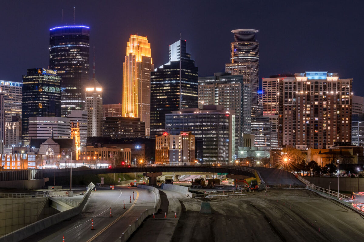
Interstate 35W construction site at night with downtown Minneapolis skyline and illuminated office towers beyond.
Interstate 35W cuts through downtown Minneapolis on its way between the northern and southern suburbs, carrying more than 100,000 vehicles a day under normal conditions. The tallest building on the skyline, the IDS Center, rises 792 feet and has held the title of Minnesota's tallest structure since its completion in 1972, designed by architect Philip Johnson. Capella Tower, completed in 1992 as the Norwest Center, stands 776 feet tall and is topped by a lattice crown that's lit gold for much of the year. This stretch of freeway saw major nighttime lane closures and repaving work in spring 2020, part of ongoing maintenance on one of the Twin Cities' primary north-south corridors.

I-35W Overnight Construction Beneath the Minneapolis Skyline
Built in Minneapolis

Minneapolis Photographer

Browse by location, move through long-running series, or start with recent work.