Tag Archive

Minneapolis Cityscape Photography

Photos taken around Minneapolis.

Downtown Minneapolis skyline at night featuring the IDS Center and Capella Tower among surrounding office buildings.
The Minneapolis skyline includes the IDS Center, Capella Tower, and Foshay Tower, three of downtown's best known towers. The IDS Center, completed in 1972, rises 792 feet and remains the tallest building in Minnesota. The Foshay Tower, finished in 1929 as the city's first skyscraper, modeled its stepped shape after the Washington Monument.

Minneapolis Skyline: IDS Center, Capella Tower at Night

Minneapolis Convention Center at night with downtown Minneapolis in the background.
The Minneapolis Convention Center in Minneapolis, Minnesota, is a major venue for trade shows, conventions, and public events. Opened in 1990, the complex is known for its domed roof structures. Downtown Minneapolis is visible in the background.

Minneapolis Convention Center at Night
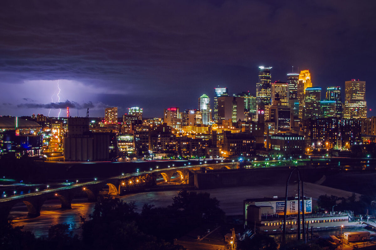
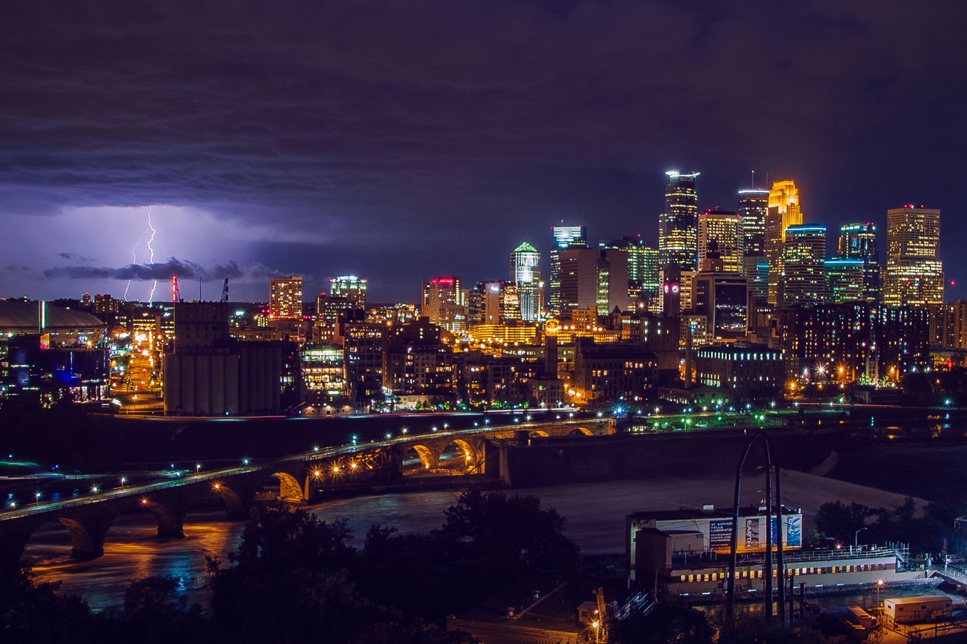
Lightning strikes over downtown Minneapolis skyline at night, with the Stone Arch Bridge spanning the Mississippi River.
The Stone Arch Bridge crosses the Mississippi River below Saint Anthony Falls in downtown Minneapolis. Railroad magnate James J. Hill built it in 1883 for the Great Northern Railway, and it now carries pedestrians and cyclists between the river's east and west banks. Lightning flashes over the downtown skyline beyond it.

Lightning Over Downtown Minneapolis and the Stone Arch Bridge

Downtown Minneapolis skyline from Loring Park with a construction crane marking the LPM Apartments building site in June 2013.
The Minneapolis skyline rises beyond Loring Park, where a construction crane marks the site of the LPM Apartments, a 36-story tower completed in 2015 along the park's edge. The Wells Fargo Center, the city's second-tallest building at 774 feet, stands nearby, completed in 1988.

LPM Apartments Rising Above Loring Park in Minneapolis
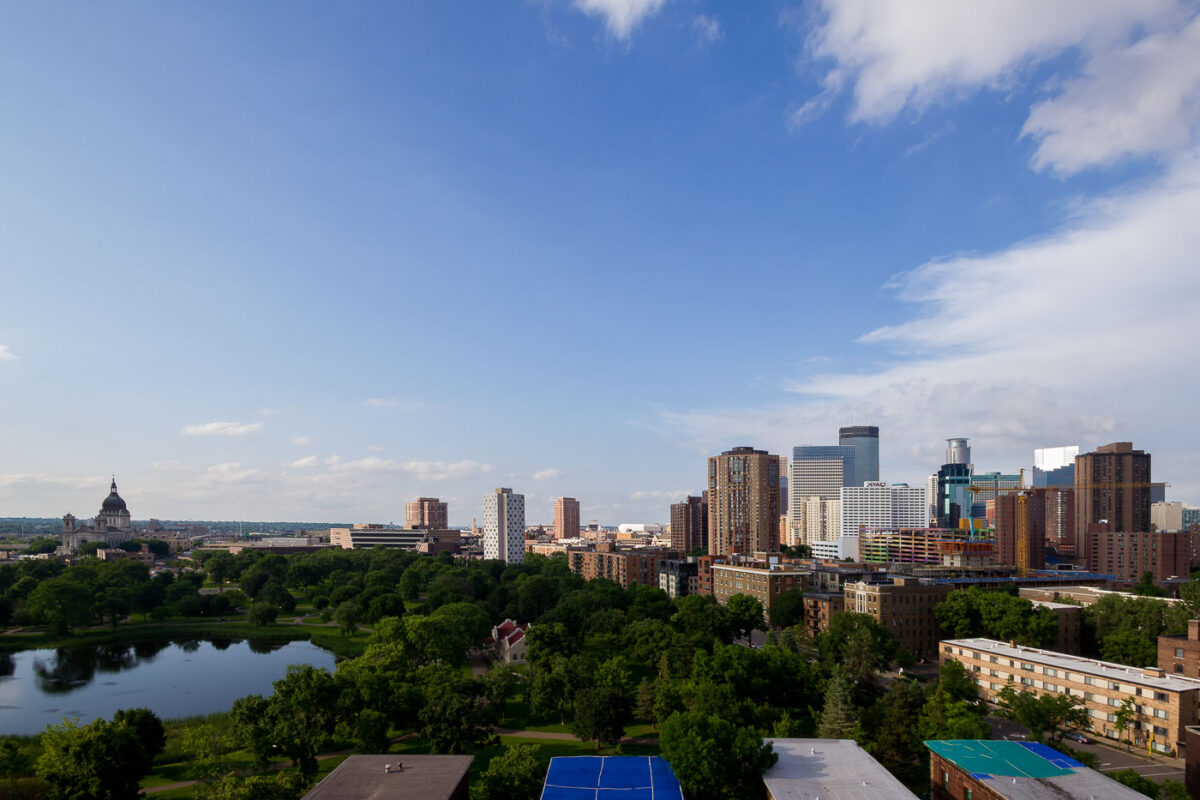
Downtown Minneapolis skyline with the Basilica of Saint Mary viewed from Loring Park.
Loring Park sits just southwest of downtown Minneapolis, its pond and tree canopy giving way to the city's skyline. The Basilica of Saint Mary, completed in 1926 as the first basilica in the United States, stands at the park's edge near Hennepin Avenue.

Downtown Minneapolis and Basilica from Loring Park
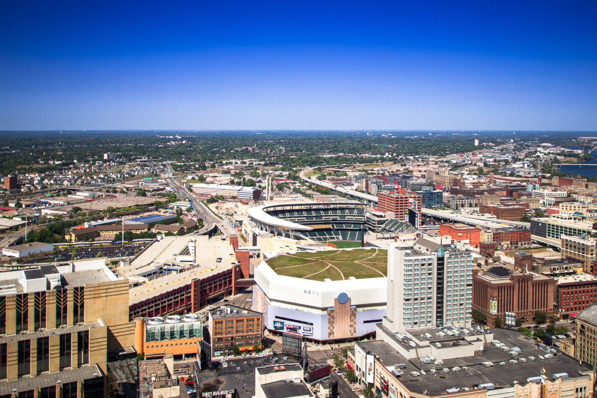
Target Field and Target Center sports venues in downtown Minneapolis, Minnesota.
Target Field is the open-air home ballpark of the Minnesota Twins, built on the former site of the Minneapolis Milling District along Fifth Street North. It opened in 2010 and seats about 39,000 for baseball. Target Center, the arena for the Minnesota Timberwolves, stands nearby and opened in 1990.

Aerial View of Target Field and Downtown Minneapolis
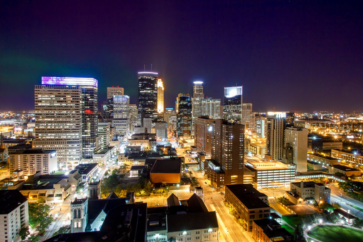
Northern Lights are visible over the Minneapolis skyline at night, illuminating the downtown area with city lights and natural aurora.
The Northern Lights are visible above the Minneapolis skyline on a clear night. The city's downtown area is illuminated by streetlights and the lights from office buildings and residences.

Northern Lights Over Downtown Minneapolis Skyline
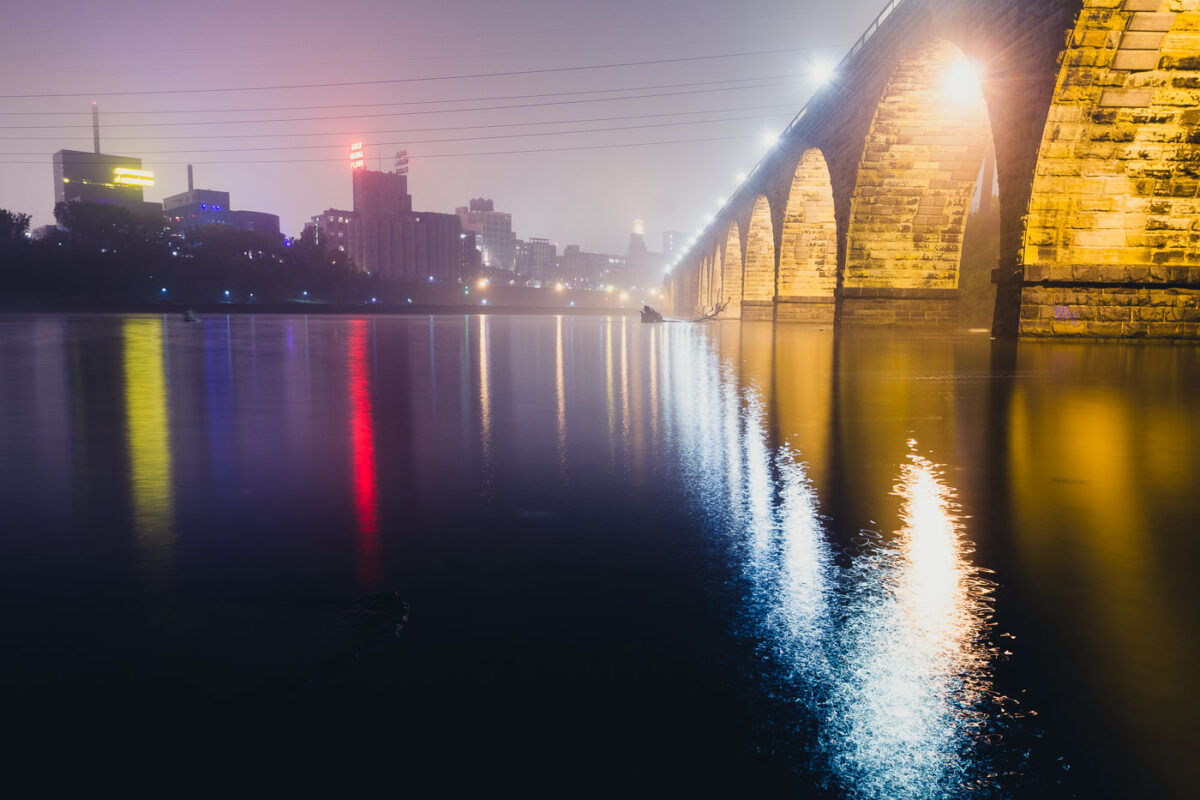
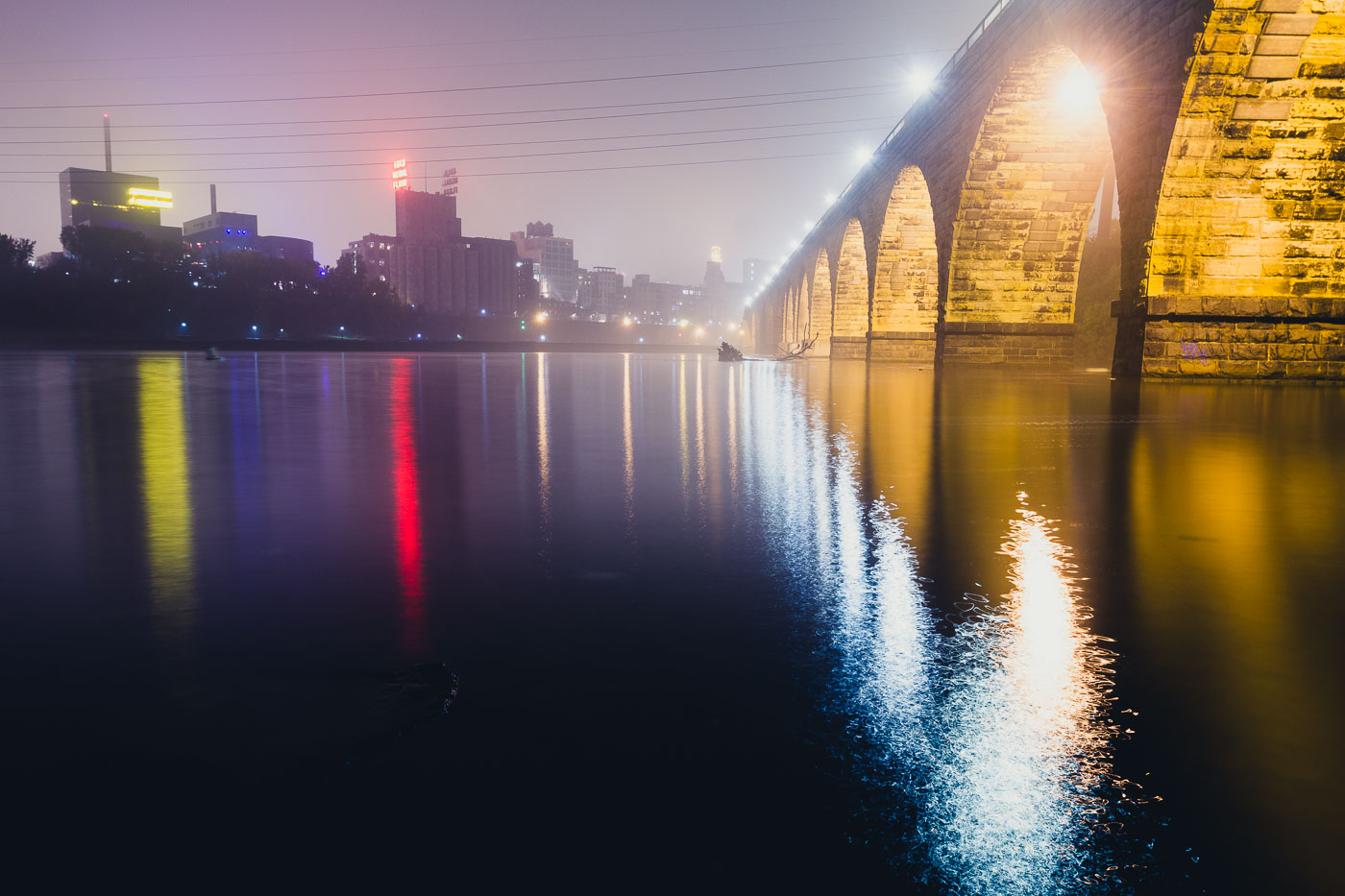
The Stone Arch Bridge spans the Mississippi River in Minneapolis, illuminated at dusk with the city skyline beyond.
The Stone Arch Bridge, a historic railroad bridge spanning the Mississippi River in Minneapolis. Constructed between 1881 and 1883, the bridge was built for the Great Northern Railway.

Foggy Night Reflections Along the Stone Arch Bridge
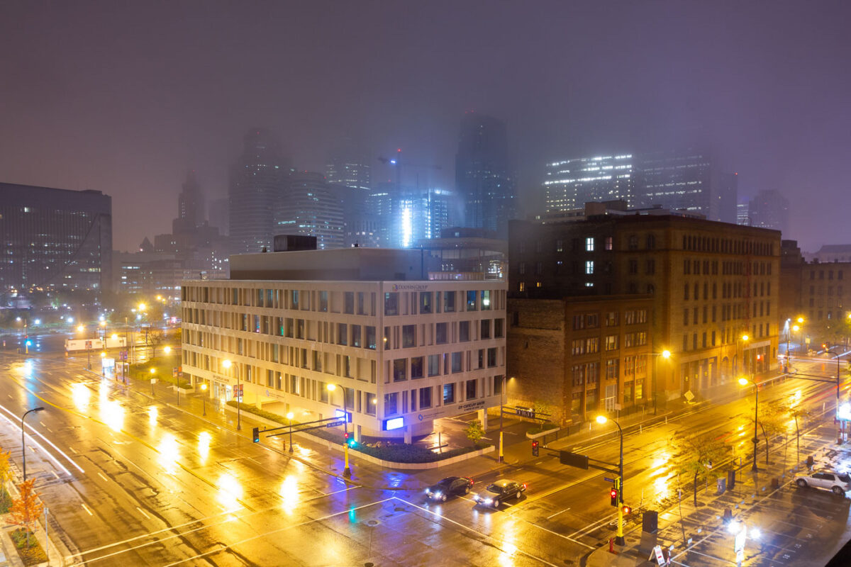
Downtown Minneapolis street intersection at night with fog-shrouded skyline, wet pavement, and illuminated buildings.
Washington Avenue runs along the edge of downtown Minneapolis, past the Mill District and into the North Loop's warehouse blocks. The brick building here dates to the city's late-nineteenth-century milling and warehouse era, when the area supplied flour mills and rail depots along the Mississippi riverfront.

Fog Blankets the Downtown Minneapolis Skyline Along Washington Avenue
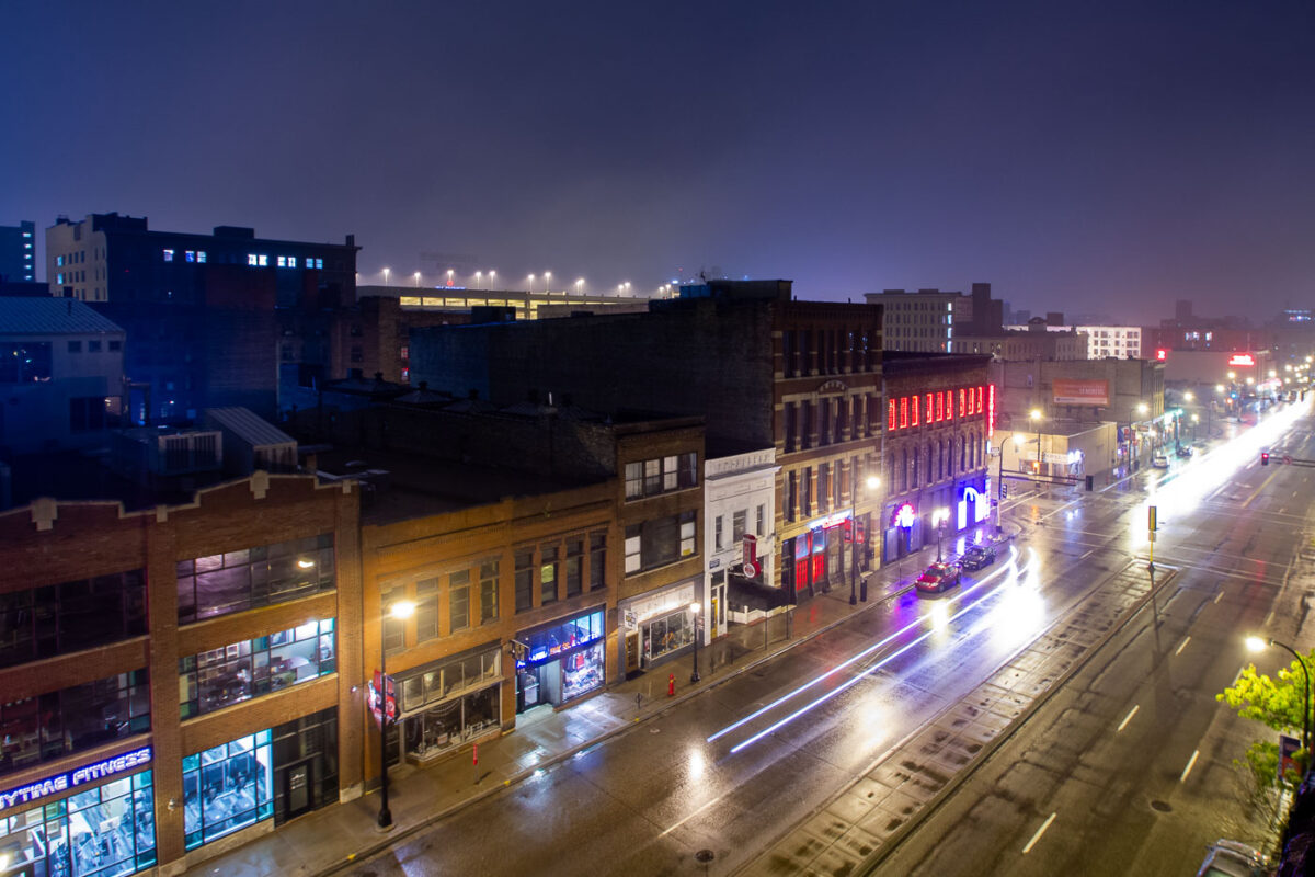
Washington Avenue in Minneapolis's North Loop district at night, with traffic light trails streaking across wet pavement on a foggy evening.
Washington Avenue in Minneapolis's North Loop district is seen on a foggy night, with light trails from traffic streaking across the wet pavement. This area, historically a warehouse district, has transformed into a vibrant hub for businesses, restaurants, and entertainment venues. The architecture reflects its industrial past, with many buildings dating back to the late 19th and early 20th centuries. Today, the North Loop continues to be a dynamic part of the city, attracting residents and visitors alike.

Washington Ave, Minneapolis: Foggy Night Traffic Streaks
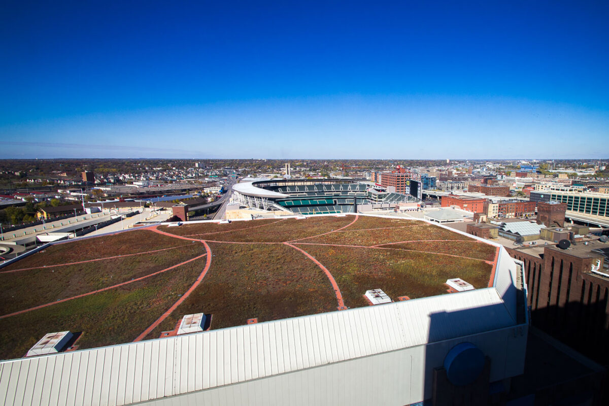
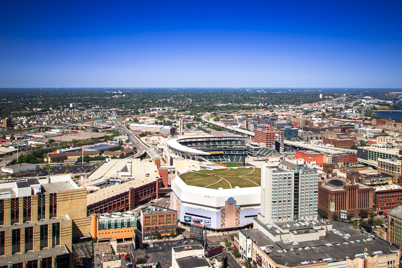
Green roof with red pathways atop Target Center in downtown Minneapolis, with Target Field stadium visible beyond.
The green roof of the Target Center in Downtown Minneapolis is prominently featured, with Target Field visible in the background. Completed as part of a major renovation between 2009 and 2011, the Target Center's extensive green roof helps manage stormwater runoff and reduce the urban heat island effect.

Green Roof of Target Center & Target Field, Minneapolis
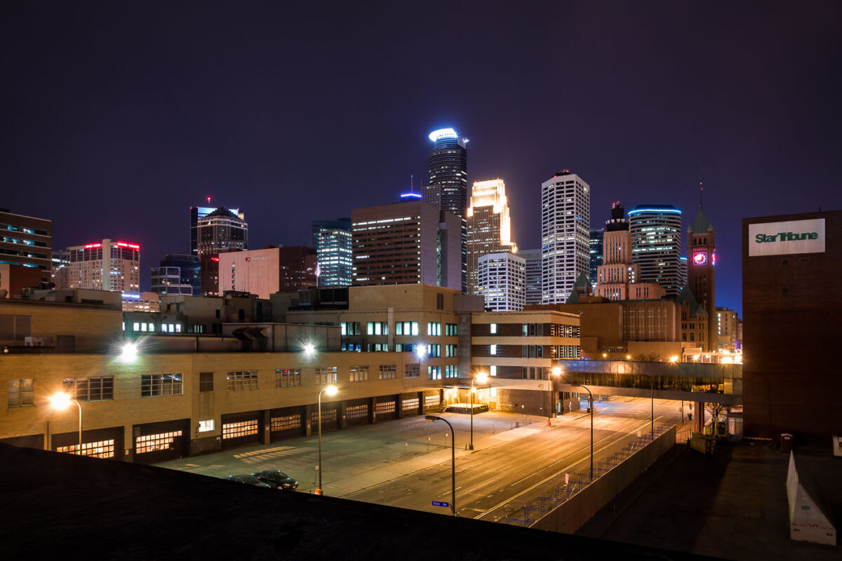
Downtown Minneapolis skyline at night, April 2014, showing the Star Tribune buildings on South 4th Street prior to demolition for stadium development.
South 4th Street in downtown Minneapolis, April 2014. The Star Tribune buildings, visible in the foreground, were a significant part of the city's newspaper operations for decades. These structures were later demolished to facilitate the Downtown East development, which included the construction of the US Bank Stadium for the Minnesota Vikings.

Star Tribune Buildings, Downtown Minneapolis, April 2014
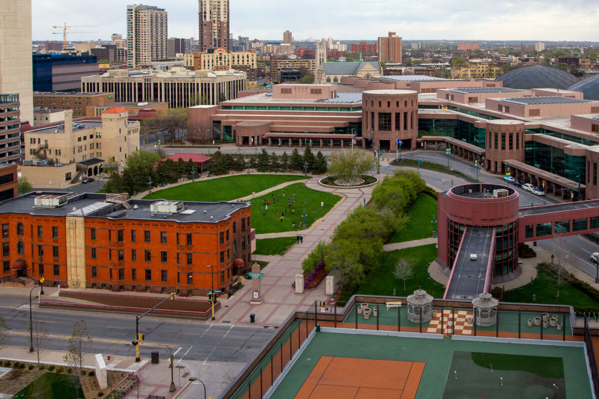
Minneapolis Convention Center and Marquette Avenue in downtown Minneapolis.
The Minneapolis Convention Center is a major event facility in downtown Minneapolis, adjacent to Marquette Avenue. Opened in 1990 and expanded in later phases, it hosts conventions, trade shows, and public events.

Minneapolis Convention Center and Marquette Avenue

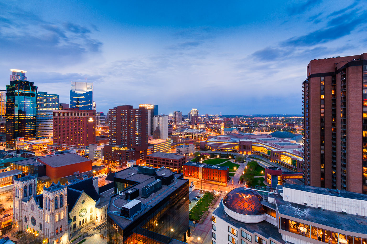
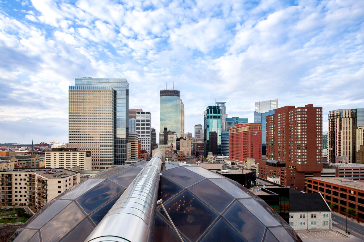
Downtown Minneapolis skyline with modern and historic skyscrapers, viewed from the Millennium Hotel on Nicollet Mall.
The Millennium Hotel stands at 1313 Nicollet Mall in downtown Minneapolis, its rooftop geodesic dome enclosing an indoor pool. The hotel opened in 1982, originally operating under the Hilton name before later becoming the Millennium and now the Sheraton.

Downtown Minneapolis Skyline Beyond the Millennium Hotel Dome
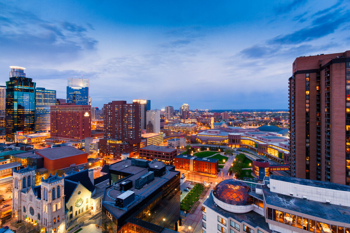
Downtown Minneapolis skyline at dusk with the illuminated Millennium Hotel dome in the foreground.
The glass dome atop the Millennium Hotel in downtown Minneapolis holds a rooftop restaurant and event space with views across the skyline.

Millennium Hotel’s Glass Dome Above Downtown Minneapolis
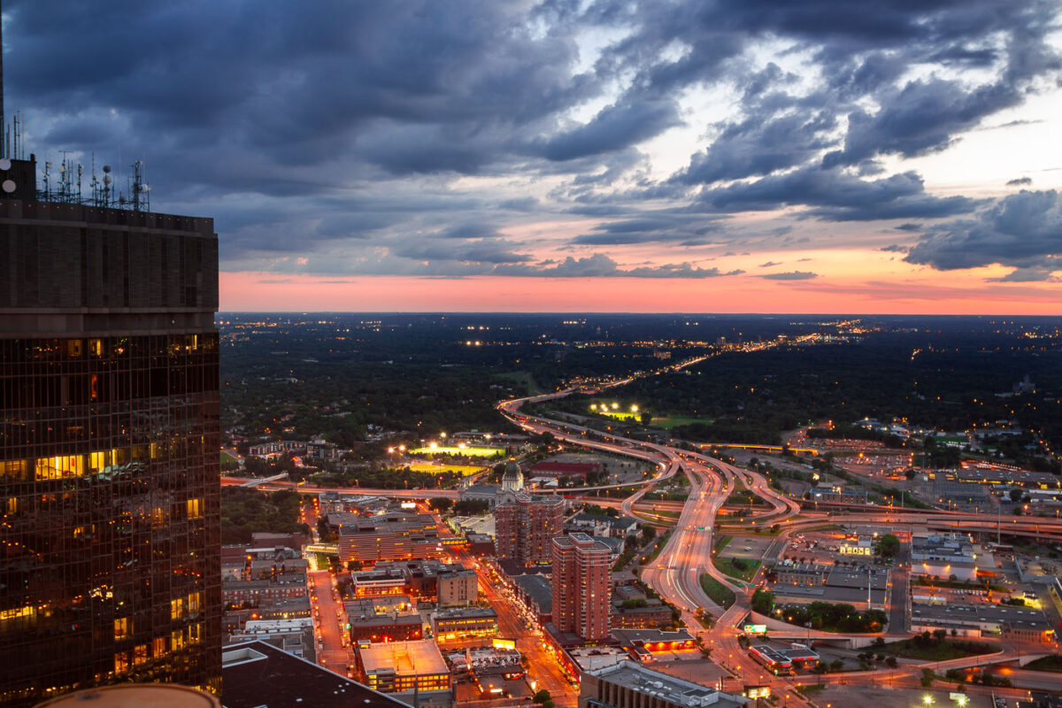
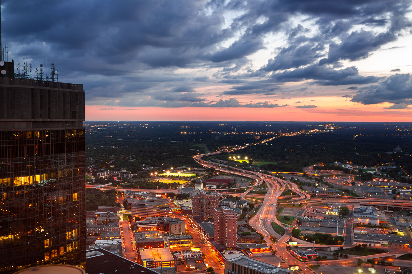
Minneapolis, Minnesota, at dusk, with the I-394 and I-94 interchange and the IDS Center.
Minneapolis, Minnesota, at dusk, with the I-394 and I-94 interchange linking downtown to the western suburbs. The freeway system channels regional traffic through the city’s central business district. The IDS Center stands at left.

Minneapolis I-394 and I-94 Interchange at Dusk
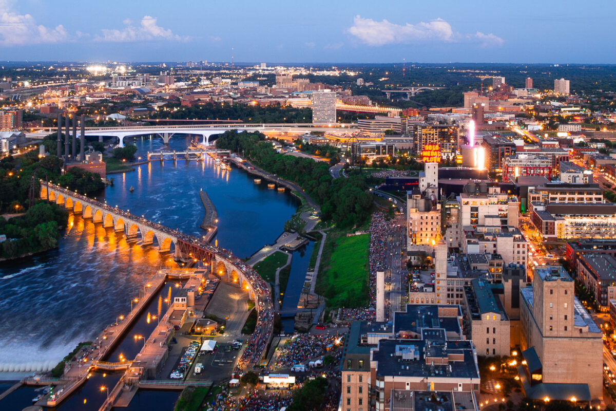
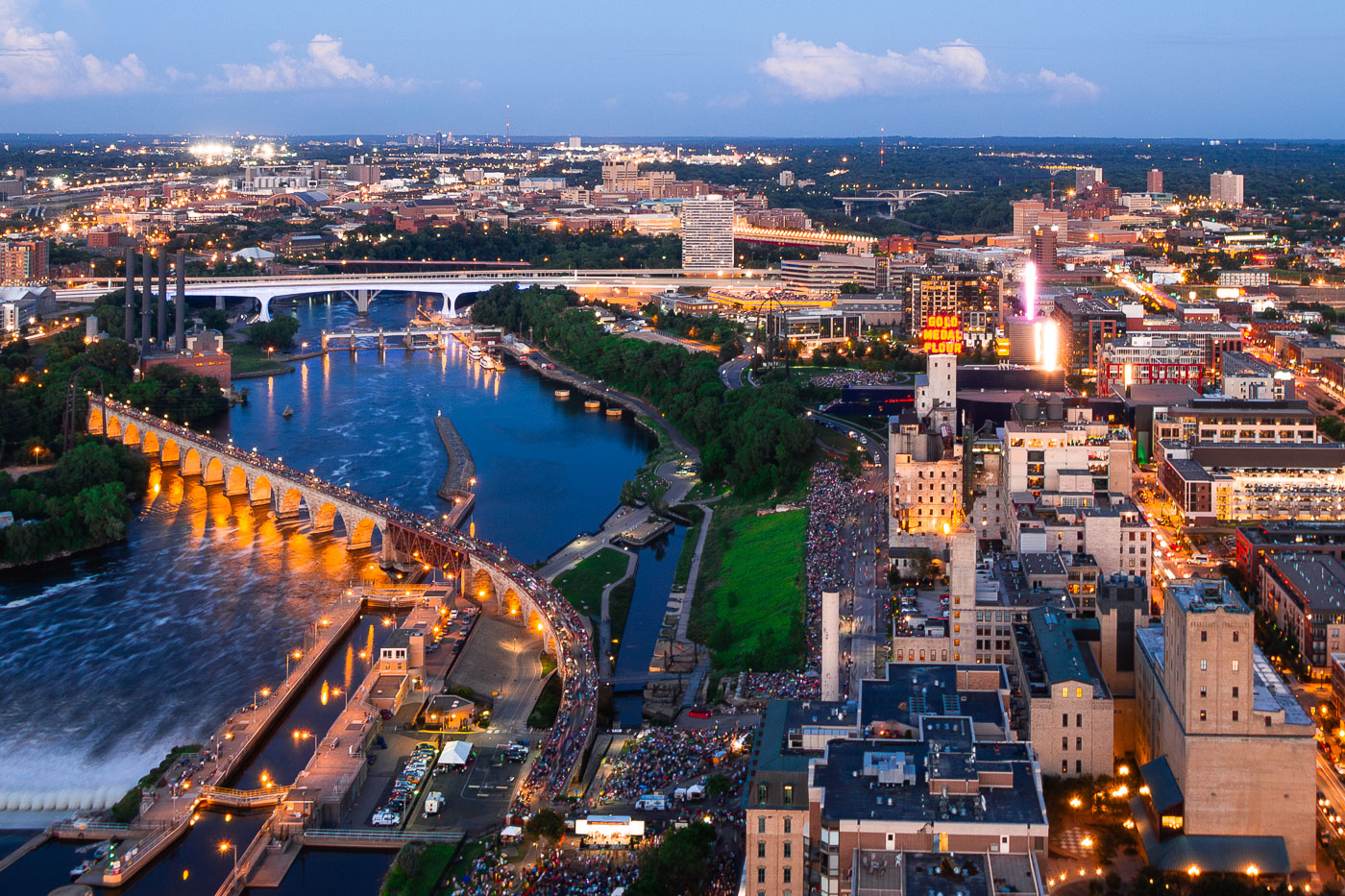
Minneapolis Aquatennial fireworks over the Mississippi River, with crowds on the Stone Arch Bridge and riverbanks.
The Minneapolis Aquatennial fireworks illuminate the night sky over the Mississippi River, with crowds gathered along its banks and on the Stone Arch Bridge. The Aquatennial, a summer festival established in 1941, celebrates Minneapolis and its connection to the river. The Stone Arch Bridge, originally built in 1883 for the Great Northern Railway, now serves as a pedestrian walkway and offers prime viewing for the annual event.

Minneapolis Aquatennial Fireworks over Mississippi River
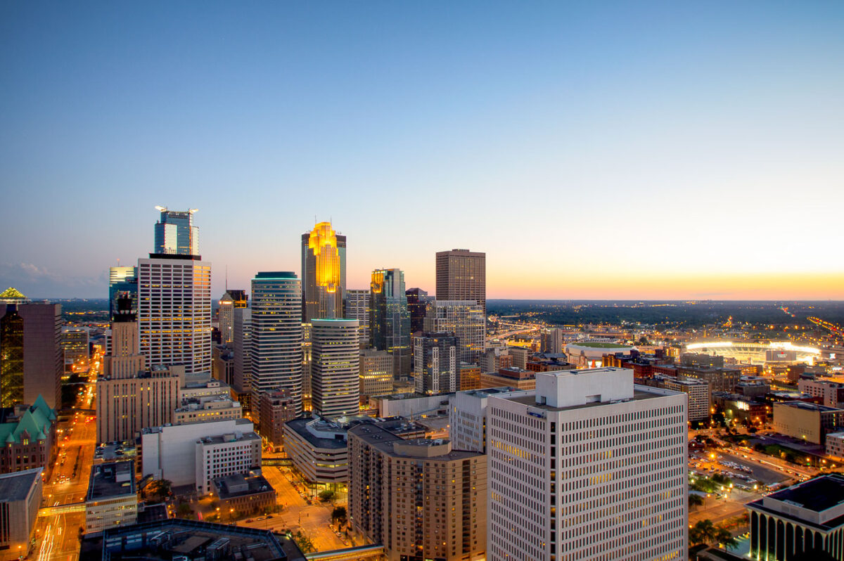
Minneapolis downtown skyline illuminated at dusk, with high-rise office and residential buildings lit against a twilight sky.
Downtown Minneapolis rises along the Mississippi River, with the IDS Center, at 792 feet the tallest building in Minnesota, among its towers. The nearby Wells Fargo Center was built as the Norwest Center in 1988. Target Field, home of the Minnesota Twins since 2010, sits beyond downtown to the east.

Target Field Lights Up Beyond Downtown Minneapolis
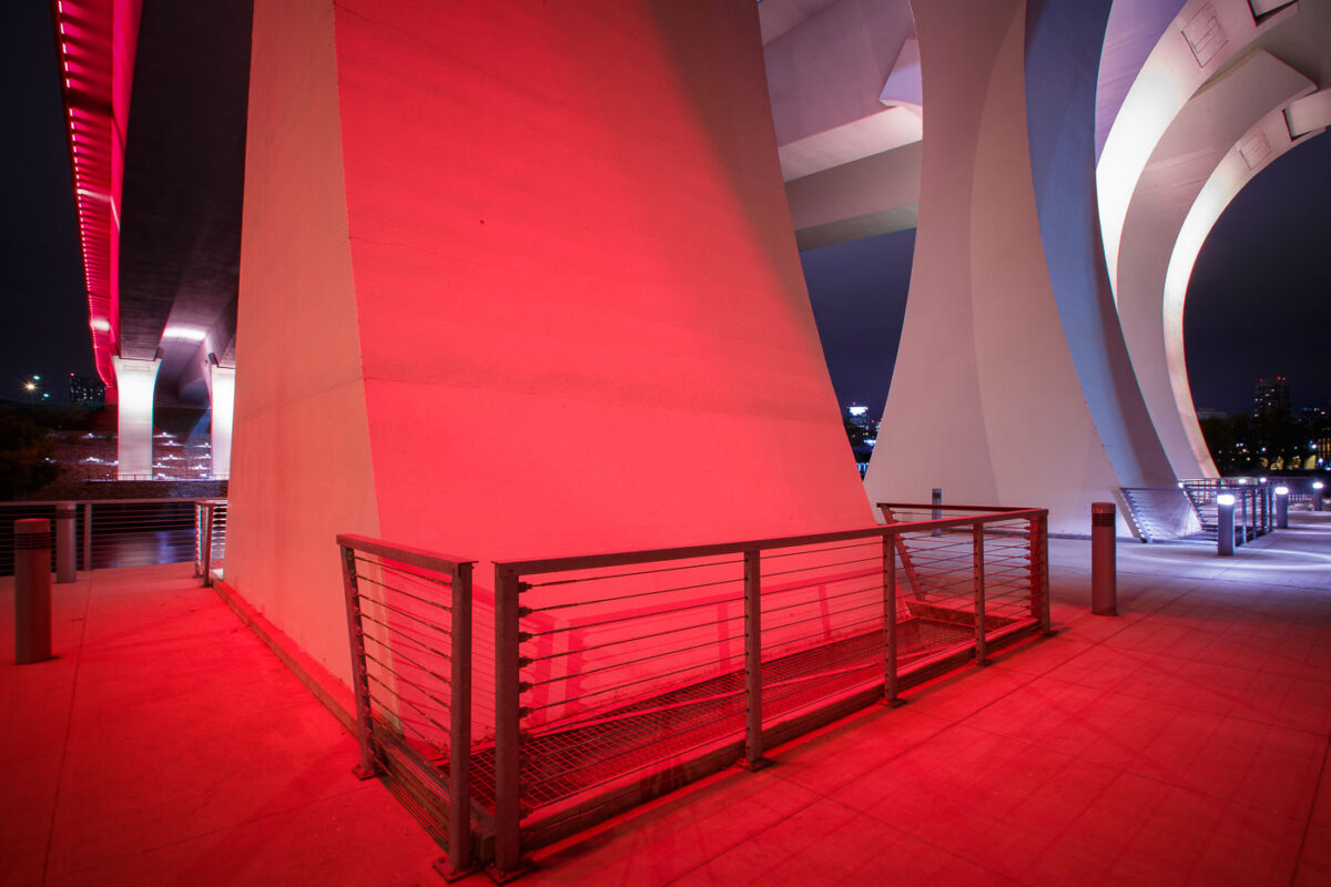
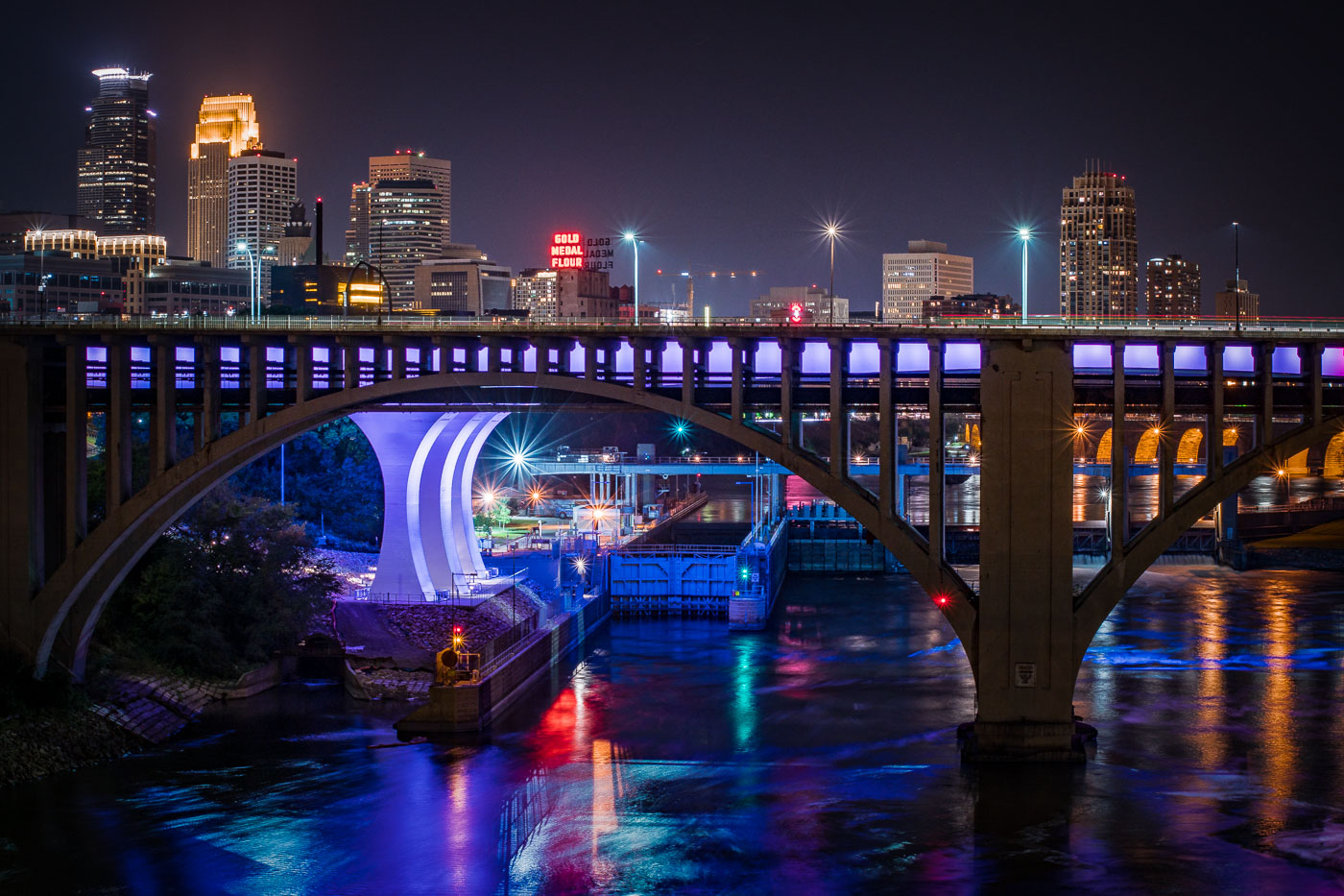
The I-35W Bridge in Minneapolis is illuminated in red at night, with metal railings visible on an illuminated walkway below.
The I-35W Mississippi River Bridge in Minneapolis is illuminated in red. This bridge was rebuilt following its catastrophic collapse in 2007.

Red Light Beneath the I-35W Bridge Pylons at Night
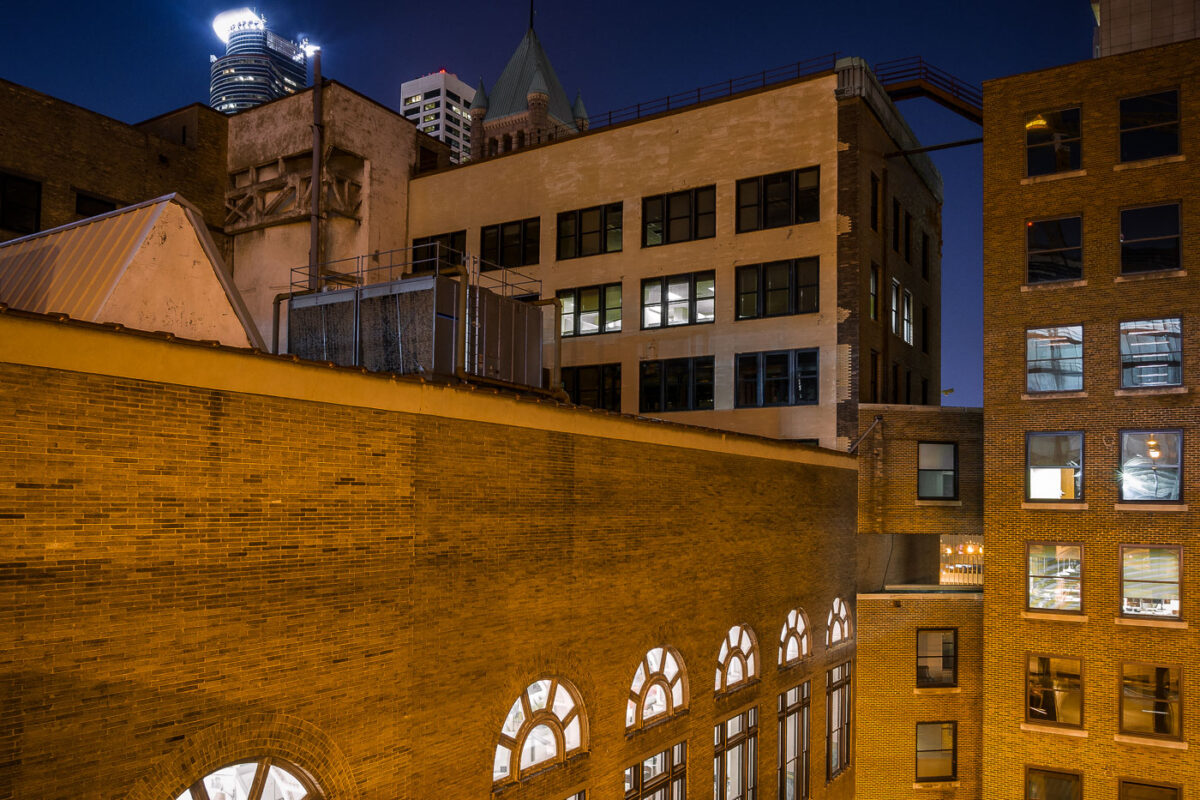
Minneapolis Grain Exchange skyway connects downtown Minneapolis buildings above street level.
Minneapolis Grain Exchange skyway in downtown Minneapolis links office and commercial buildings above street level. The enclosed pedestrian network is part of the city’s downtown skyway system, which connects buildings across several blocks. The historic Grain Exchange building anchors the area around the former agricultural trading center.

Minneapolis Grain Exchange Skyway at Night
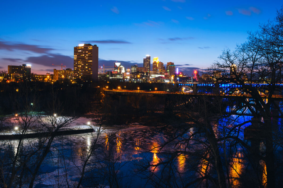
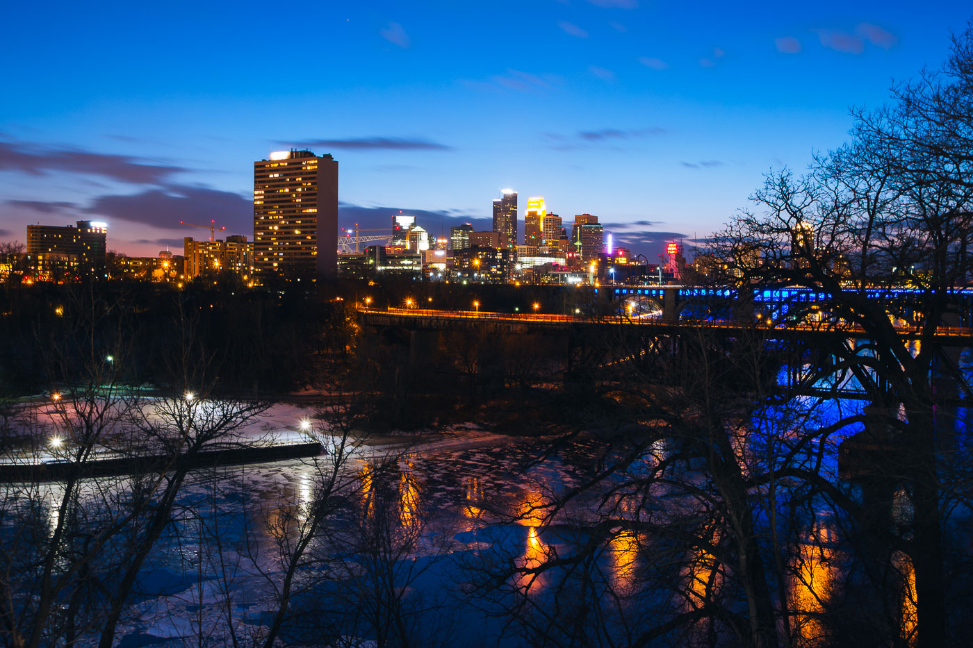
Minneapolis downtown skyline across the Mississippi River at blue hour, with a bridge and partial river ice.
Minneapolis downtown skyline rises across the Mississippi River at blue hour. The city center stands on the east bank of the river, with a bridge carrying traffic and lighting along the waterfront. Partial ice covers the river in the foreground during early March.

Minneapolis Downtown Skyline at Blue Hour Over Mississippi River

US Bank Stadium going up in Downtown Minneapolis
Construction of U.S. Bank Stadium in downtown Minneapolis is shown during its development phase. The stadium, which broke ground in 2014 and opened in 2016, was built to replace the Metrodome and serve as the home for the Minnesota Vikings. Its construction represented a significant development project for the Downtown East neighborhood.

US Bank Stadium Construction, Downtown Minneapolis
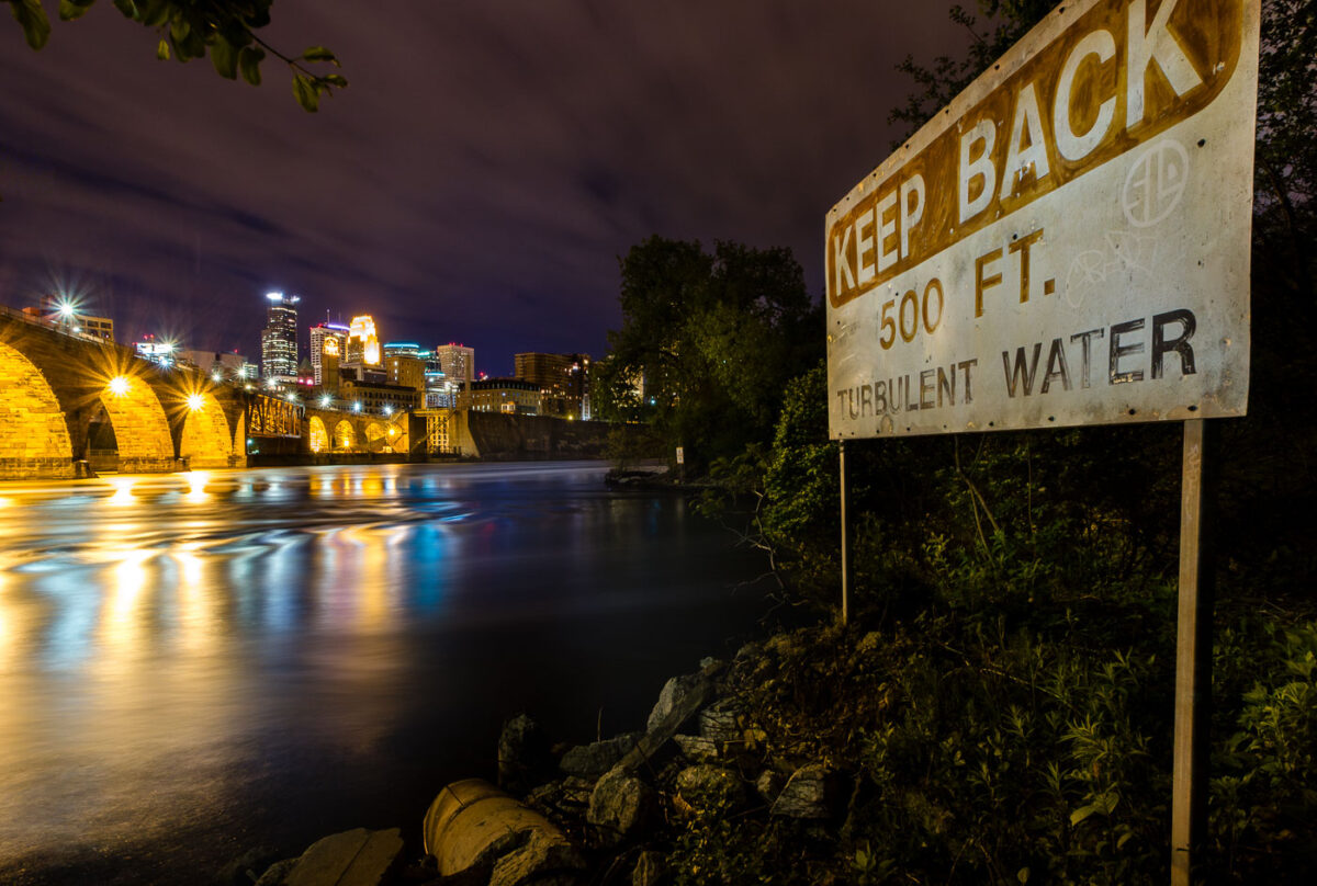
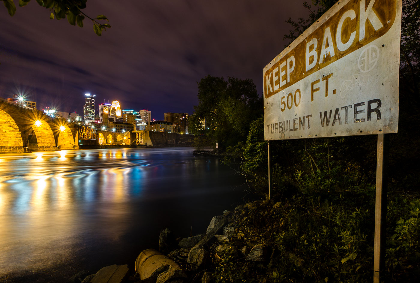
A "Keep Back 500 FT Turbulent Water" warning sign on the Mississippi River bank in Minneapolis, with the illuminated Stone Arch
This "Keep Back 500 Ft. Turbulent Water" sign warns boaters of the current below St. Anthony Falls, the only natural waterfall on the Mississippi River. The falls drop about 50 feet and once powered the flour and lumber mills that built Minneapolis into a milling capital in the late 1800s. The Stone Arch Bridge, visible upstream, was built in 1883 by railroad magnate James J. Hill to carry trains across the river just below the falls.

“Turbulent Water” Sign Near St. Anthony Falls on the Mississippi
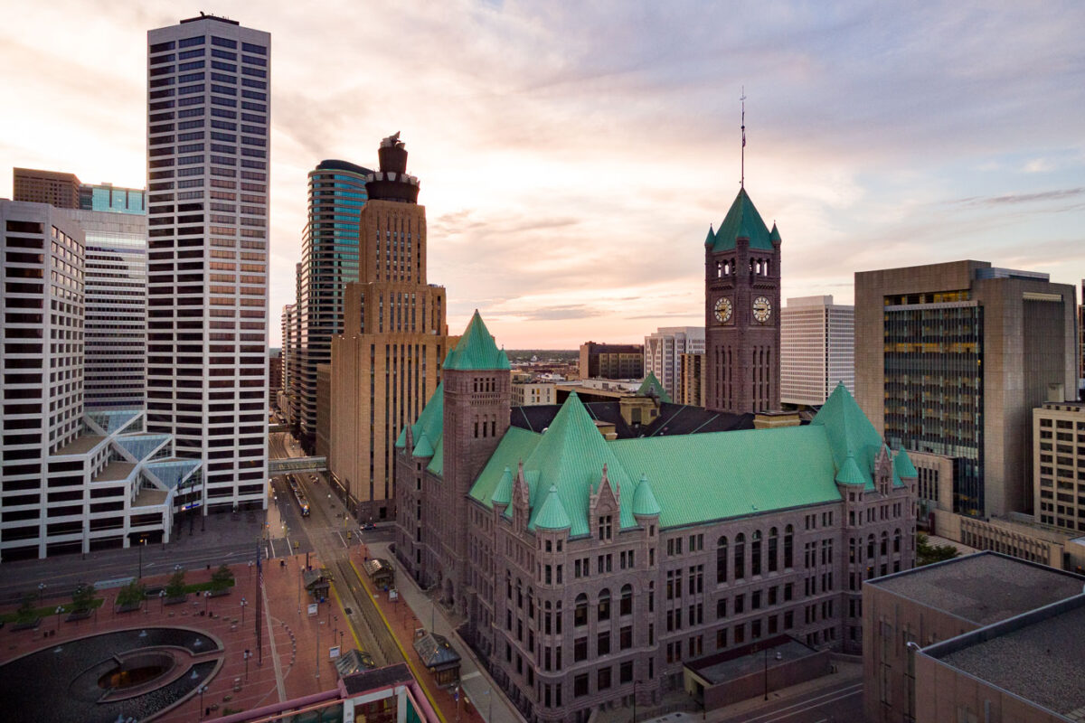
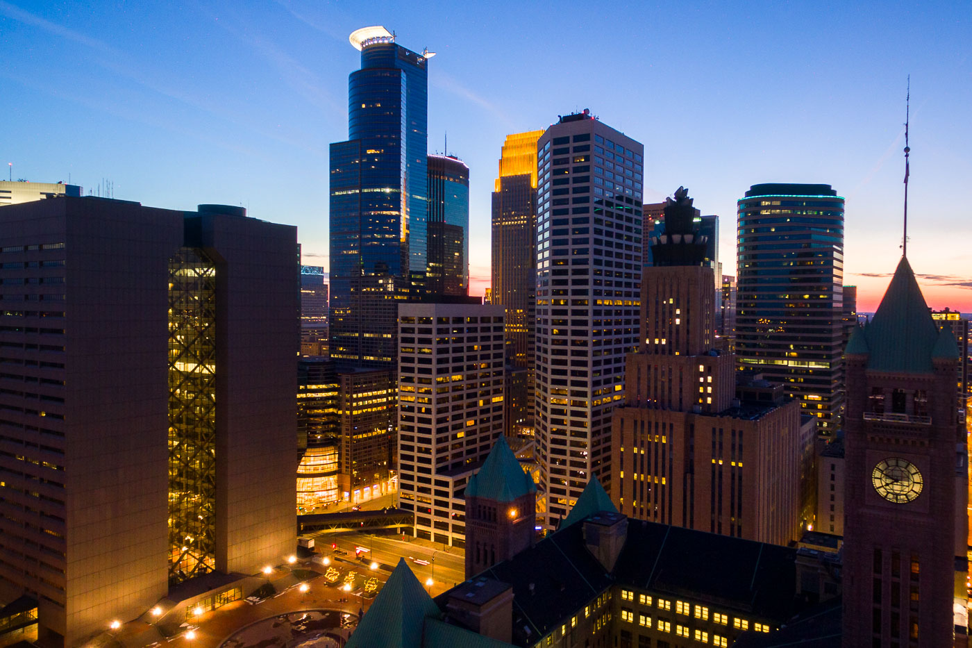
Minneapolis City Hall with its distinctive green copper roof stands among downtown office towers at sunset.
Minneapolis City Hall, also known as the Hennepin County Courthouse, stands at 350 South Fifth Street in downtown Minneapolis. Built of granite between 1888 and 1906, it houses both city and county offices under a shared roof. Its clock tower rises 345 feet and once held the largest four-faced clock in the country.

Clock Tower of Minneapolis City Hall Rises Above Downtown
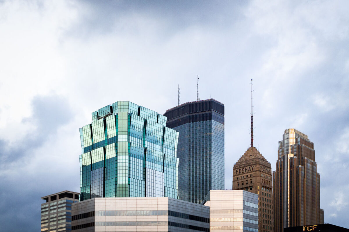
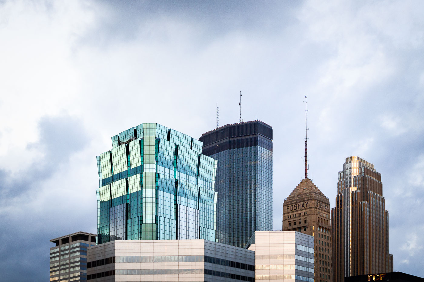
Minneapolis skyline featuring the 901 Marquette building, IDS Center, and Foshay Tower, with TCF Tower visible.
The Minneapolis skyline features several notable buildings, including the 901 Marquette building, the IDS Center, and the historic Foshay Tower. The Foshay Tower, completed in 1929, was once the tallest building in Minneapolis and served as a landmark for decades. The IDS Center, designed by Philip Johnson and John Burgee, was completed in 1973 and became the city's tallest building. The 901 Marquette building, a more recent addition, showcases modern architectural design with its distinctive glass facade.

901 Marquette, IDS Center, Foshay Tower, Minneapolis
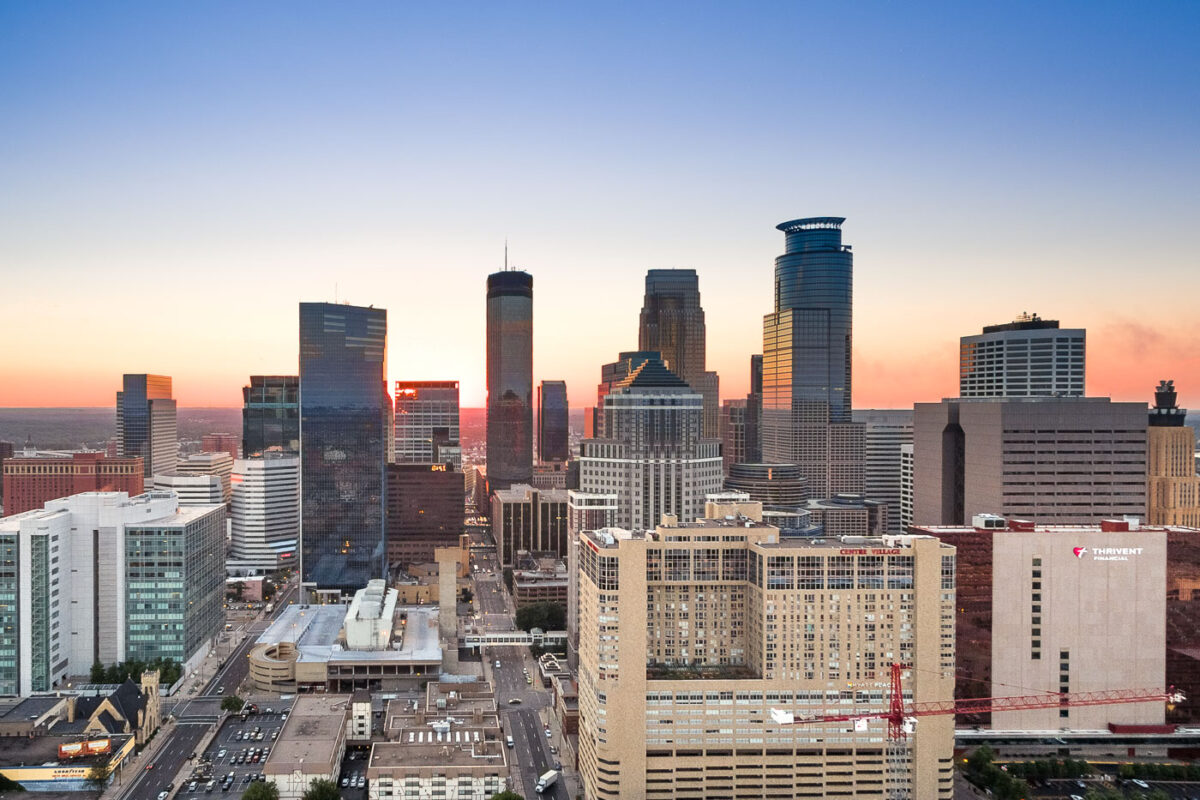
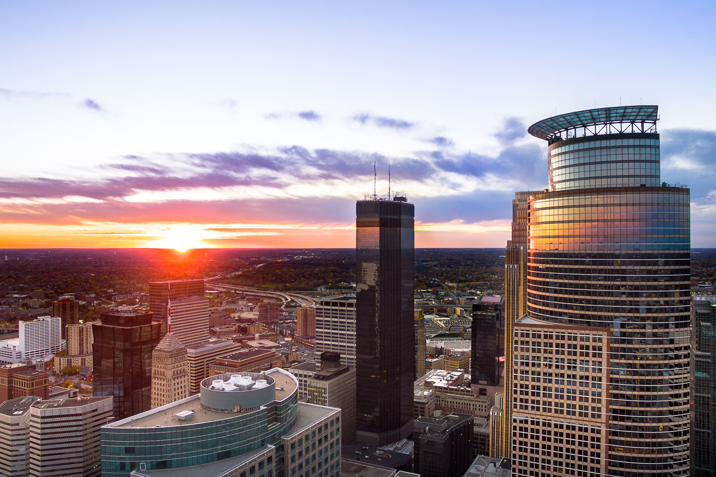
Minneapolis downtown skyline at sunset, showing the IDS Center, Capella Tower, and surrounding buildings.
Downtown Minneapolis is the city's business center, anchored by the IDS Center and Capella Tower. The IDS Center, completed in 1972, stands 792 feet tall and is the tallest building in Minnesota, while Capella Tower, finished in 1992, rises 775 feet with its signature crown of steel arches.

Capella Tower and the IDS Center Rise Above Downtown Minneapolis
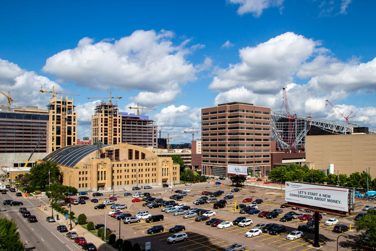
US Bank Stadium construction site in downtown Minneapolis with active cranes and surrounding office buildings during 2015.
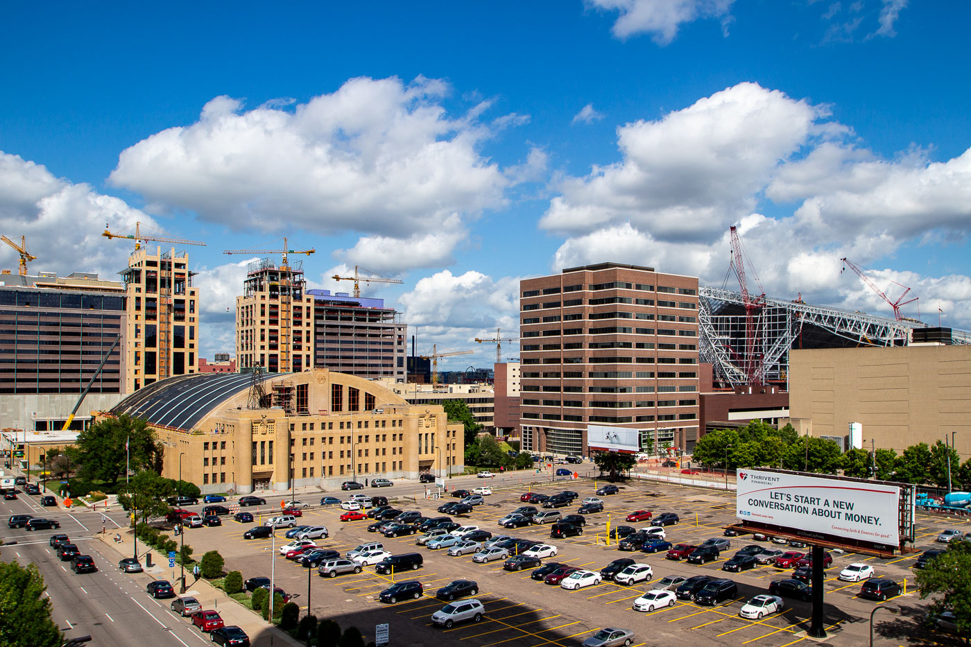
Construction cranes dominate the Minneapolis skyline in the Downtown East neighborhood during 2015. With construction occurring on the 1.1 billion dollar US Bank Stadium, replacing the Metrodome.

The Armory and Parking Lots Beneath Rising Downtown East Towers
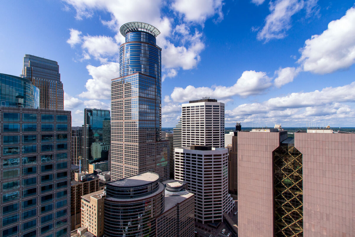
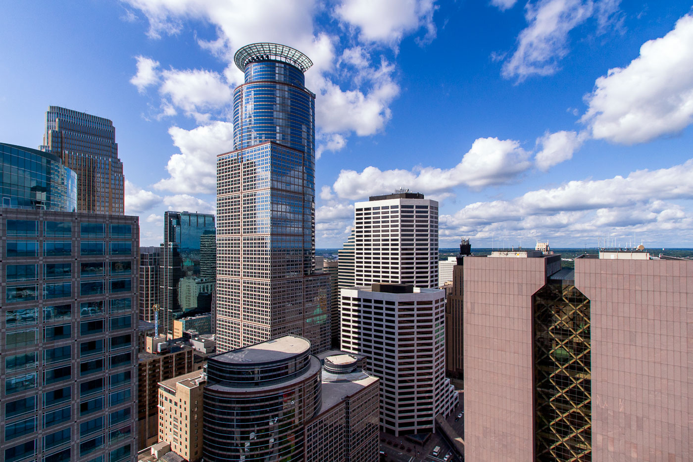
Capella Tower in downtown Minneapolis with surrounding skyscrapers under a blue sky
The Capella Tower, completed in 1992, stands as a prominent skyscraper in downtown Minneapolis. Adjacent to it is the Hennepin County Government Center, a Brutalist structure designed by architect Gunnar Birkerts and completed in 1974. The Government Center houses various county administrative offices and courtrooms, serving as a central hub for local governance. Capella Tower, formerly known as First Bank Place, is a mixed-use building containing office spaces and retail establishments, contributing to the commercial vitality of the city's central business district.

Capella Tower and Hennepin County Government Center, Minneapolis
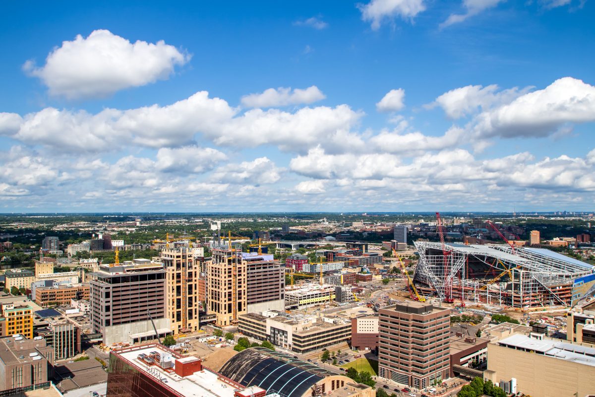
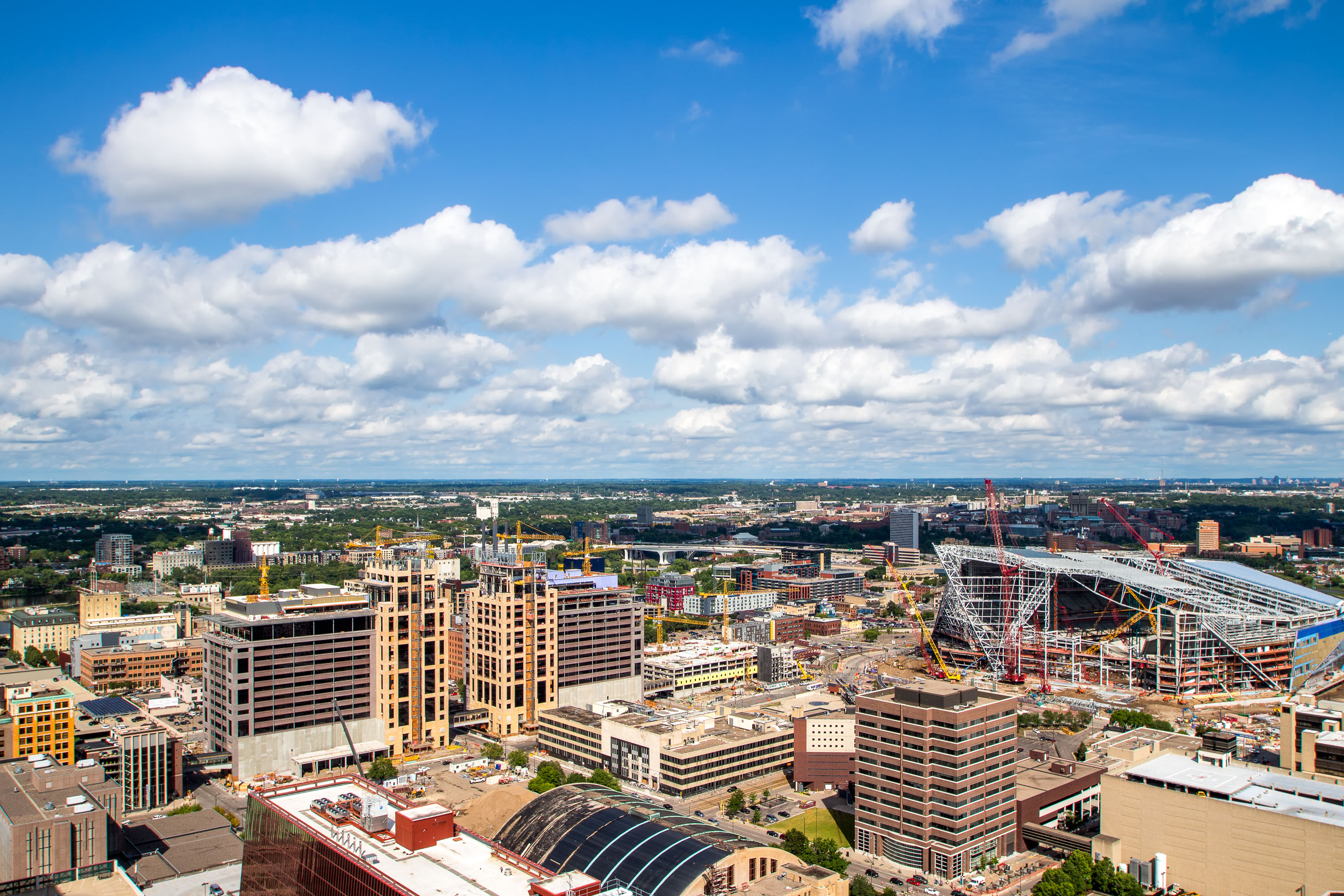
US Bank Stadium under construction in downtown Minneapolis with yellow cranes and steel framework visible among surrounding office buildings.
US Bank Stadium replaced the Hubert H. Humphrey Metrodome as the home of the Minnesota Vikings, rising on the same Downtown East site the Metrodome had occupied since 1982. Construction ran from 2013 to 2016 at a cost of roughly $1.1 billion, funded through a mix of state, city, and team contributions.

Aerial View of US Bank Stadium Rising Over Downtown East
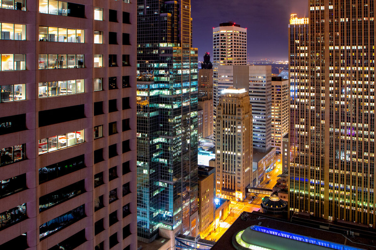
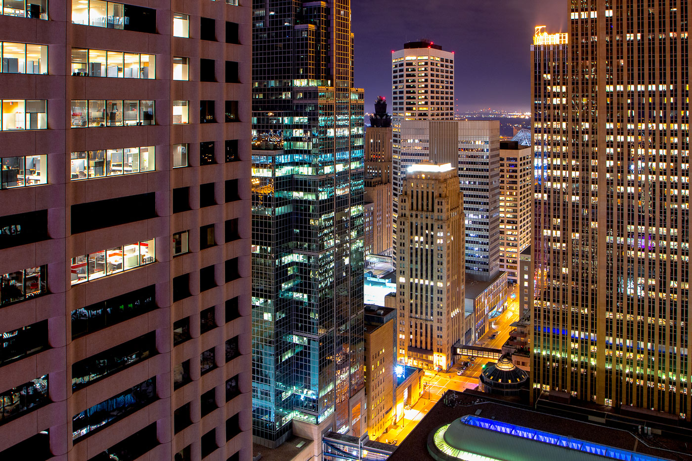
Downtown Minneapolis skyscrapers lit at night.
The core of Downtown Minneapolis is illuminated at night, showcasing a collection of office buildings and architectural styles. These structures represent the city's commercial and financial hub, with many dating back to the mid-20th century and later. The lights indicate ongoing activity within these business centers, reflecting their continued use for commerce and employment. This view highlights the density and verticality of the urban environment, characteristic of major American cities.

Downtown Minneapolis Buildings at Night
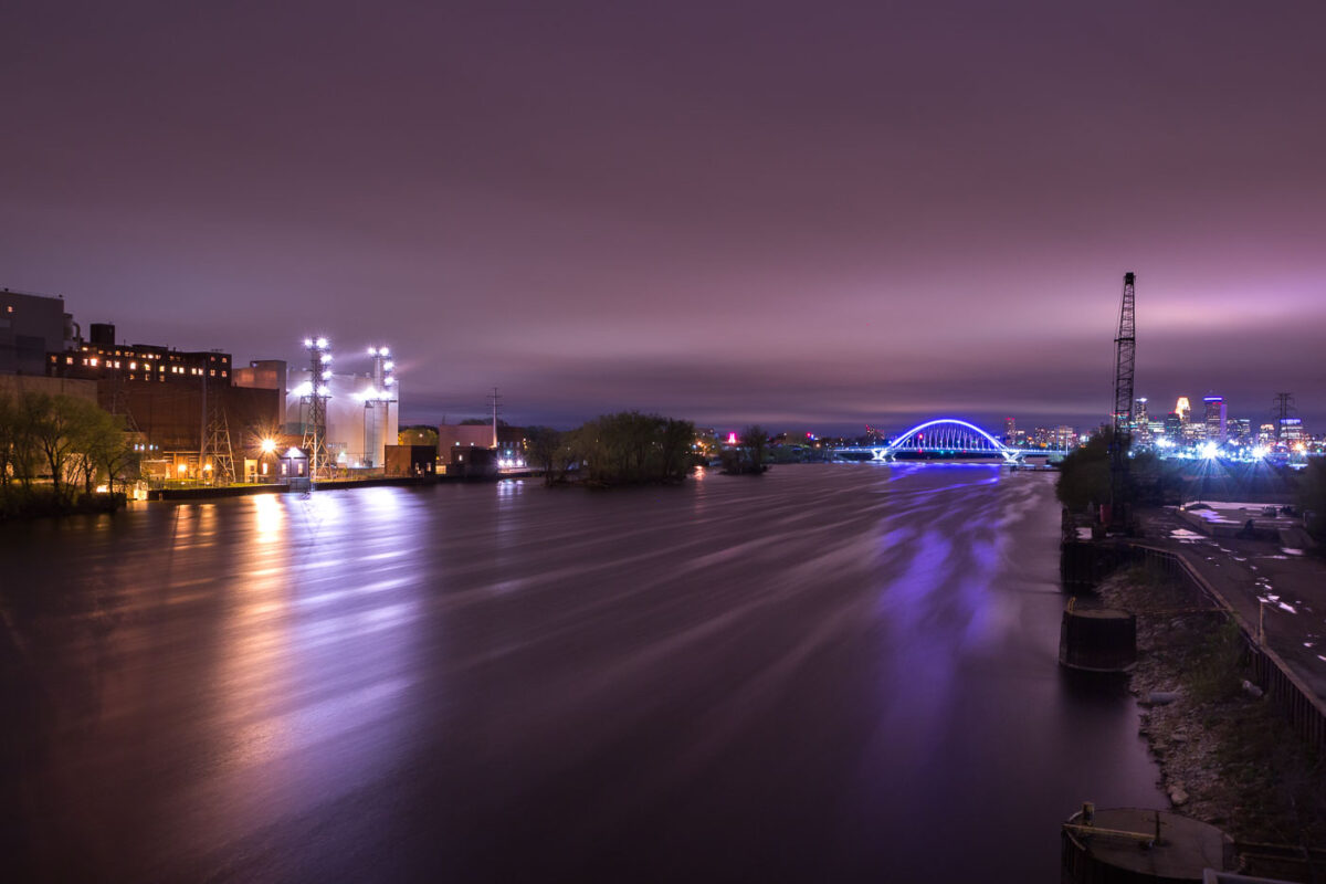
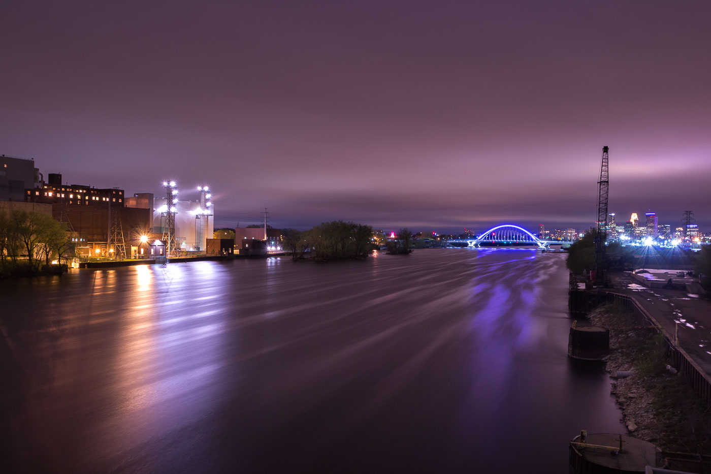
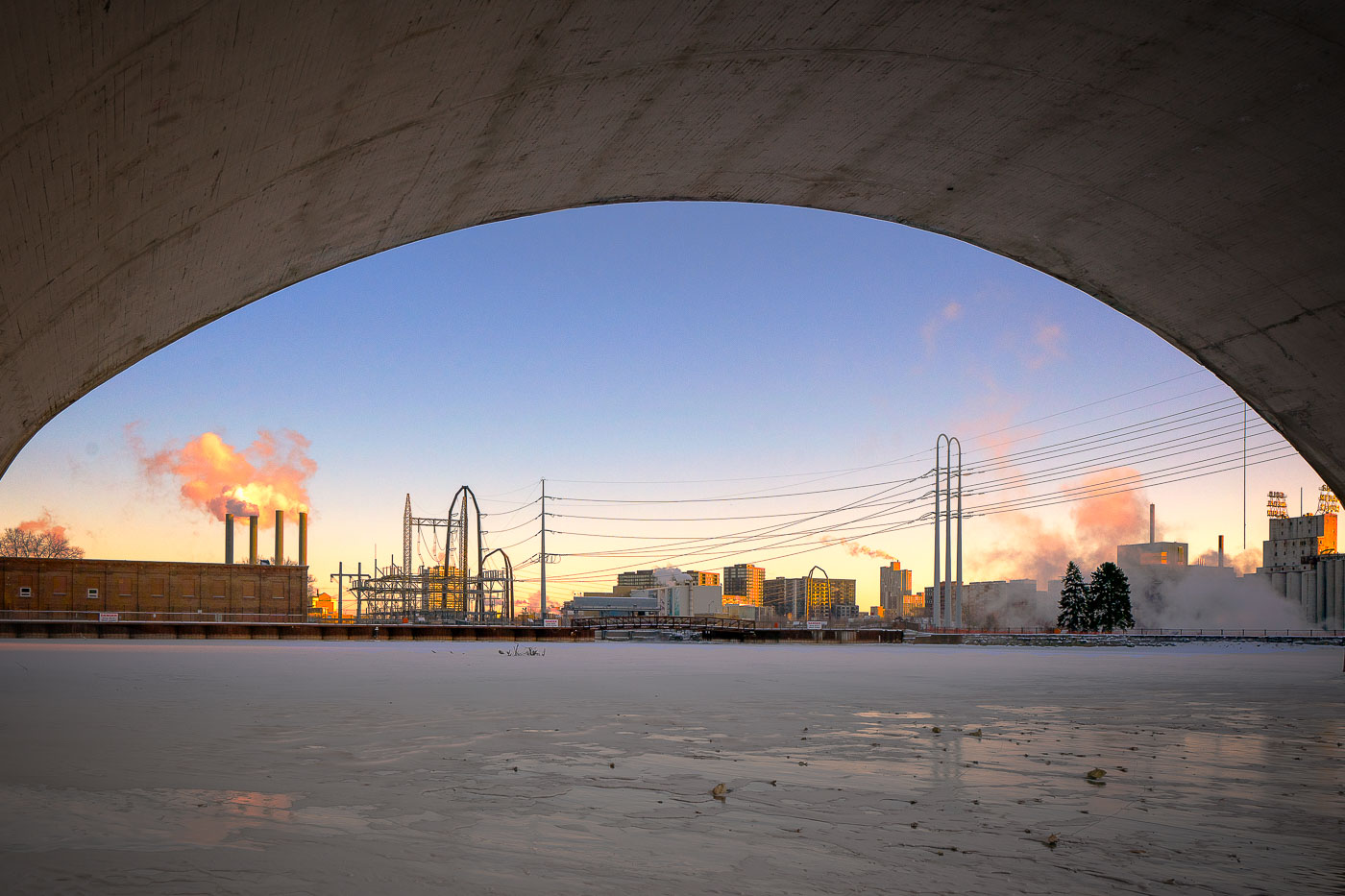
The Lowry Bridge and Riverside Generating Station are illuminated at night across the Mississippi River in Minneapolis.
The Lowry Bridge and the Riverside Generating Station are visible across the Mississippi River in Minneapolis. The Riverside Generating Station, a coal-fired power plant, has been a significant source of electricity for the city since its construction in the early 20th century. The Lowry Bridge, a steel arch bridge, was completed in 2012, replacing an earlier structure and improving traffic flow across the river. The photograph captures the industrial and infrastructural elements of the city at night, with the illuminated bridge and power plant contrasting against the dark sky.

Lowry Bridge and Riverside Generating Station, Minneapolis
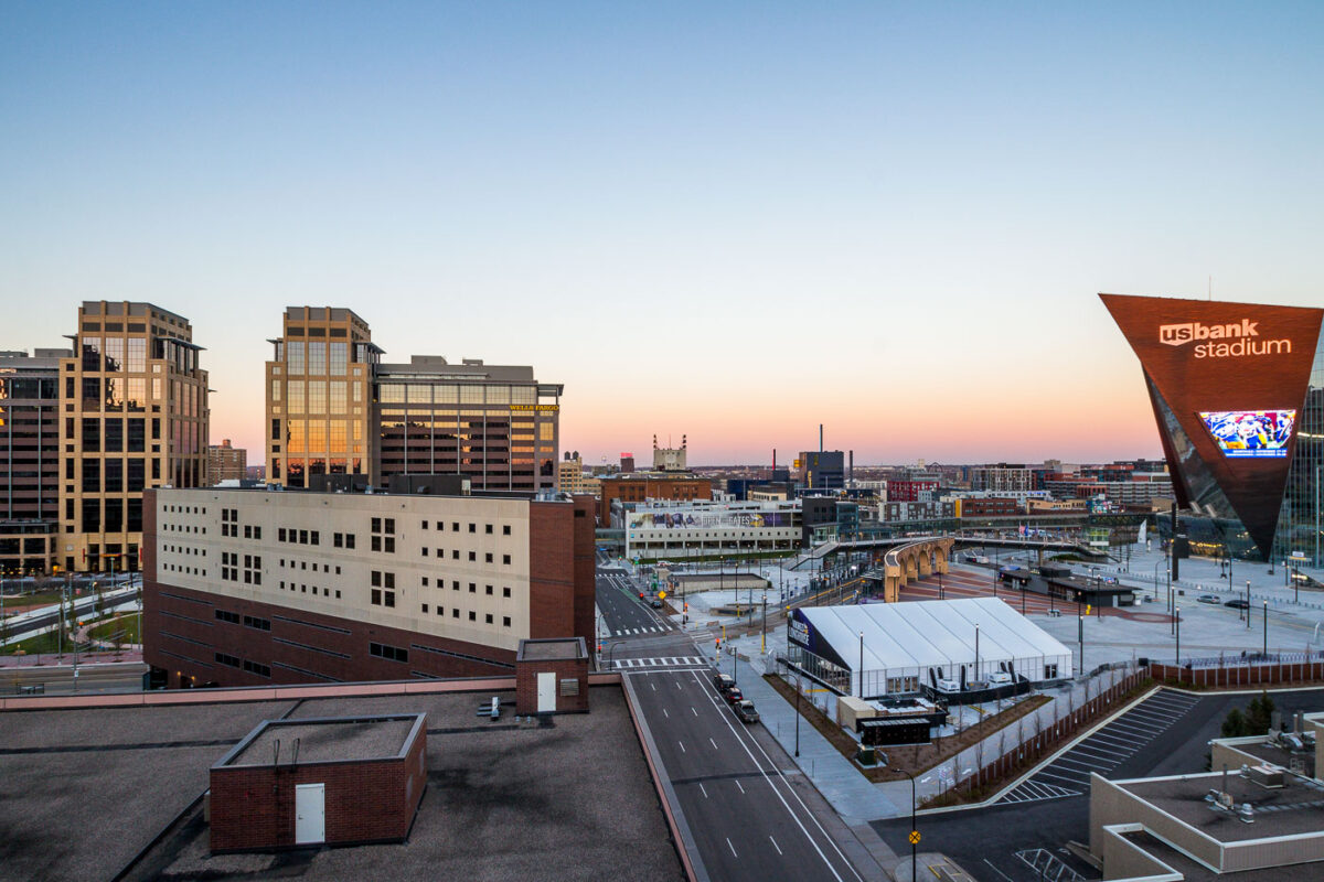
US Bank Stadium, home of the Minnesota Vikings, in Downtown East Minneapolis, completed in 2016, with surrounding urban development.
US Bank Stadium, a multi-purpose venue in Downtown East Minneapolis, was completed in 2016. The stadium serves as the home for the Minnesota Vikings of the National Football League and hosts major sporting events, concerts, and other public gatherings. Its distinctive angular design and brick facade are intended to complement the surrounding urban environment. The development of the stadium spurred significant redevelopment in the surrounding Downtown East neighborhood, transforming a former industrial area into a vibrant mixed-use district.

Downtown East Minneapolis: US Bank Stadium and Development
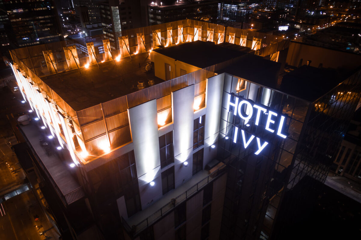
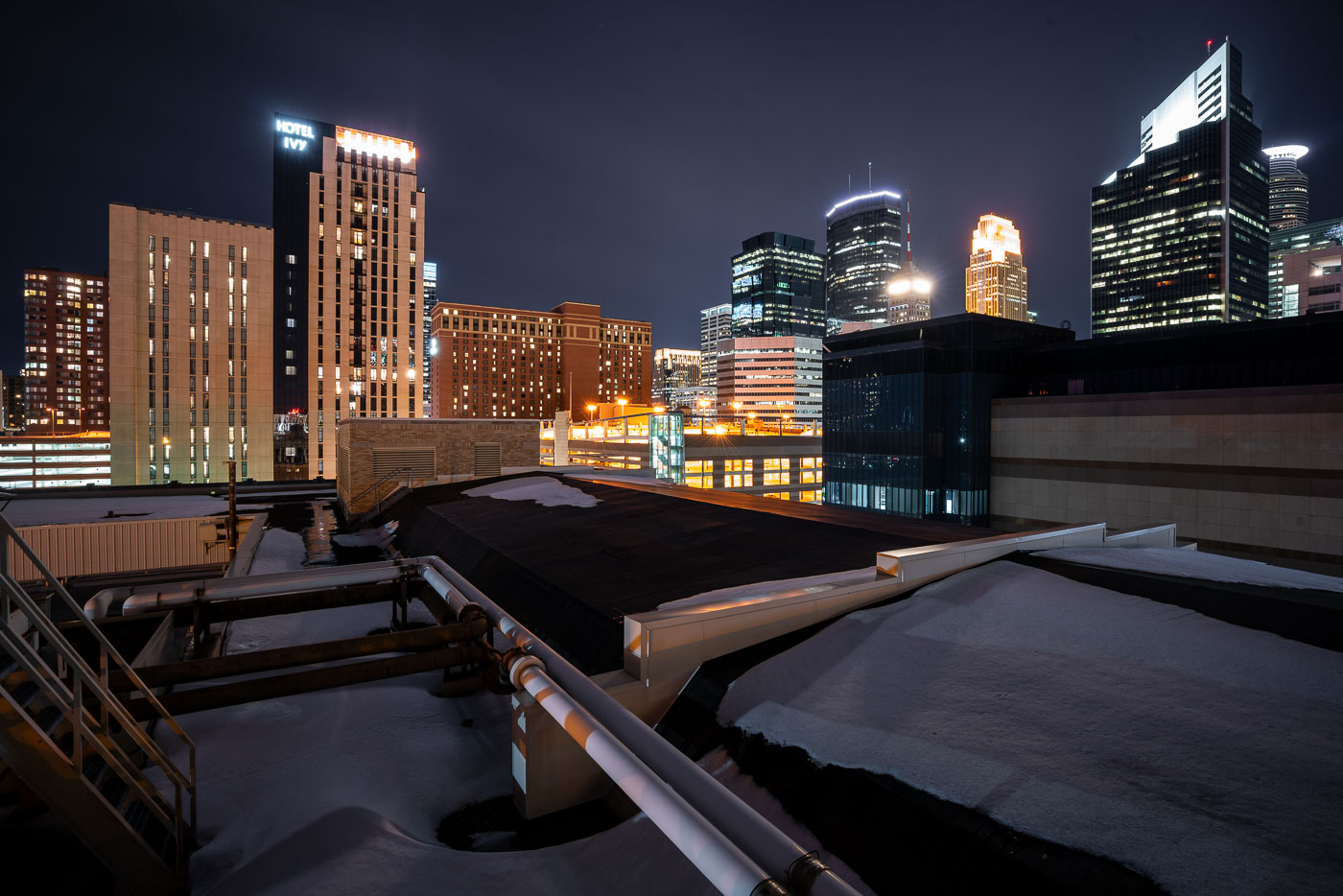
Hotel Ivy, a luxury hotel in downtown Minneapolis, is illuminated at night.
Hotel Ivy, a luxury hotel in downtown Minneapolis, is illuminated at night. The building, which opened in 2019, is part of the city's modern architectural development. Its rooftop area offers views of the surrounding urban environment, reflecting the ongoing growth and activity within the Minneapolis central business district.

Hotel Ivy Rooftop and Downtown Minneapolis at Night
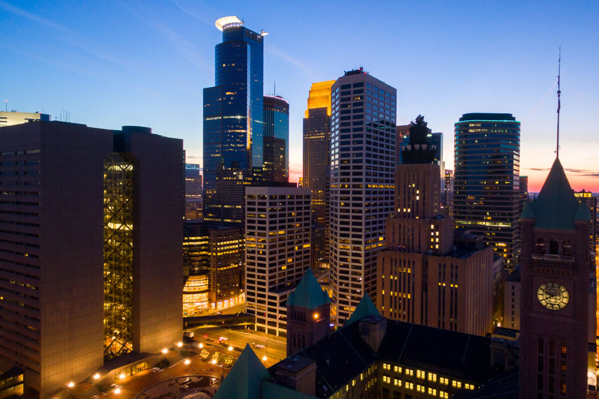
Minneapolis City Hall and downtown skyline at dusk with illuminated office and residential towers.
Minneapolis City Hall is a Romanesque Revival building completed in 1909. Its clock tower stands 345 feet tall and holds one of the world's largest handcarved marble statues, the Father of Waters, in its rotunda.

Minneapolis City Hall’s Clock Tower Beneath the Downtown Skyline
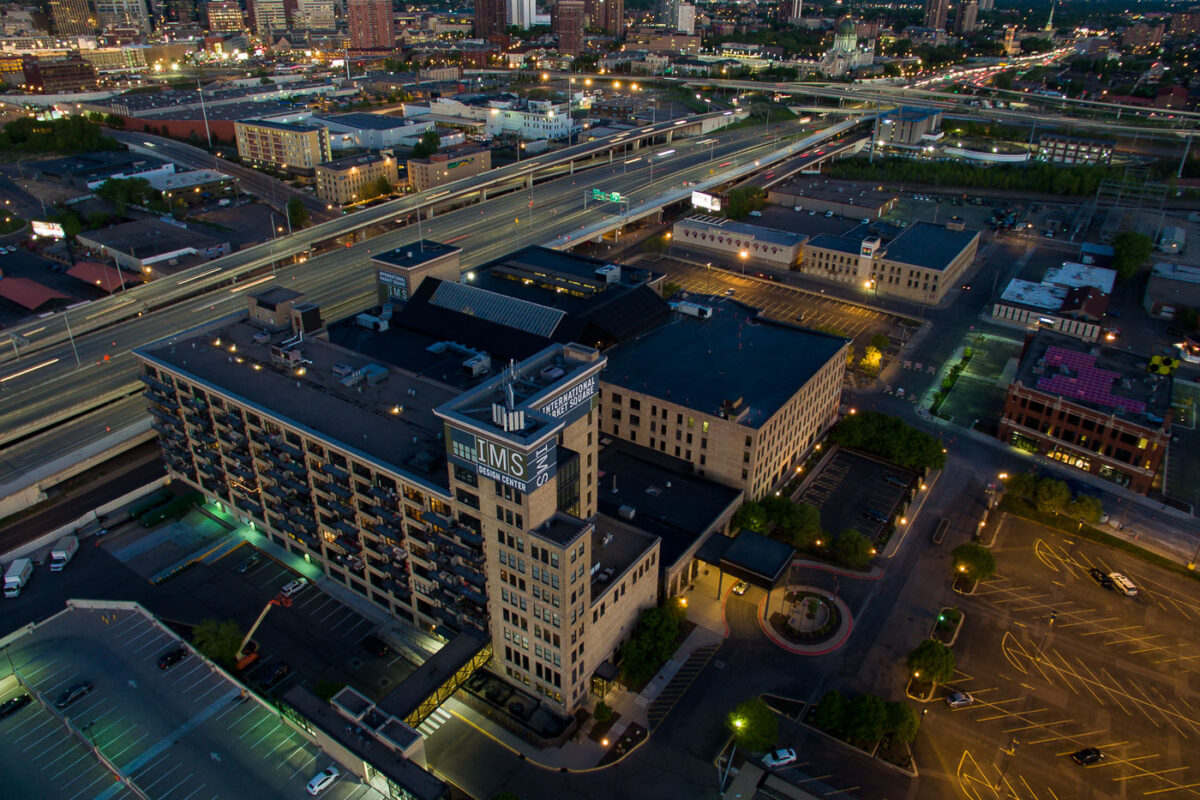
International Market Square, a mixed-use development in North Minneapolis, originally built in 1907 as a factory, now houses design spaces and residences.
International Market Square, Minneapolis Design Center, is a mixed-use development located in North Minneapolis. Originally constructed in 1907 as a factory for the Minneapolis Woolen Mills, the building has undergone significant redevelopment. It now houses a design center, event spaces, and residential units. The structure's industrial architecture is a notable feature, reflecting its manufacturing past.

International Market Square, Minneapolis Design Center
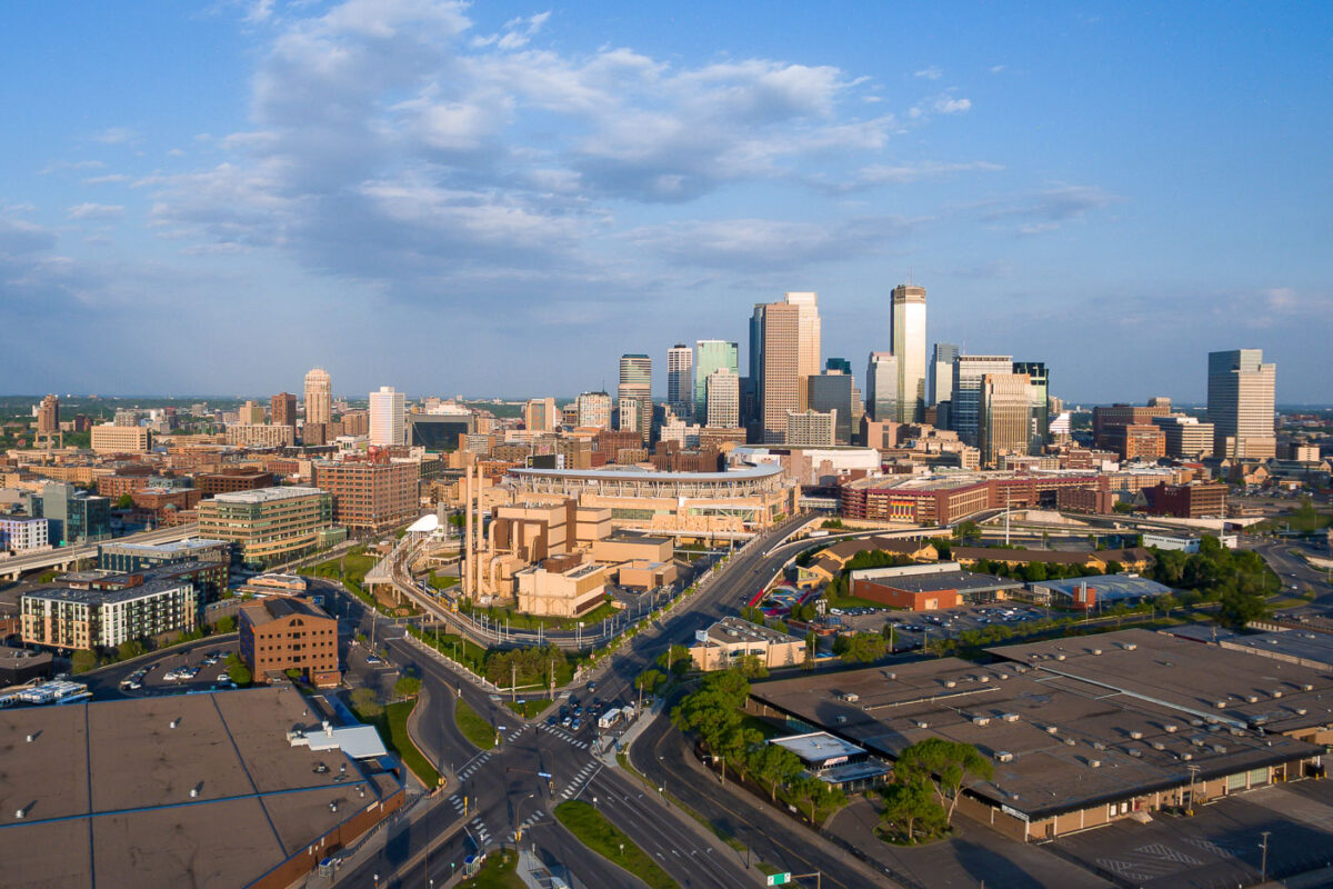
Downtown Minneapolis Skyline from the North
Downtown Minneapolis, Minnesota, is shown from the north with the central business district rising beyond Target Field and the warehouse district. Target Field, home of Major League Baseball’s Minnesota Twins since 2010, anchors the foreground near Interstate 394 and the rail corridors that connect the North Loop to downtown. The skyline includes IDS Center, long the city’s tallest building, along with newer office and residential towers that have expanded westward around the ballpark area.

Downtown Minneapolis Skyline Target Field
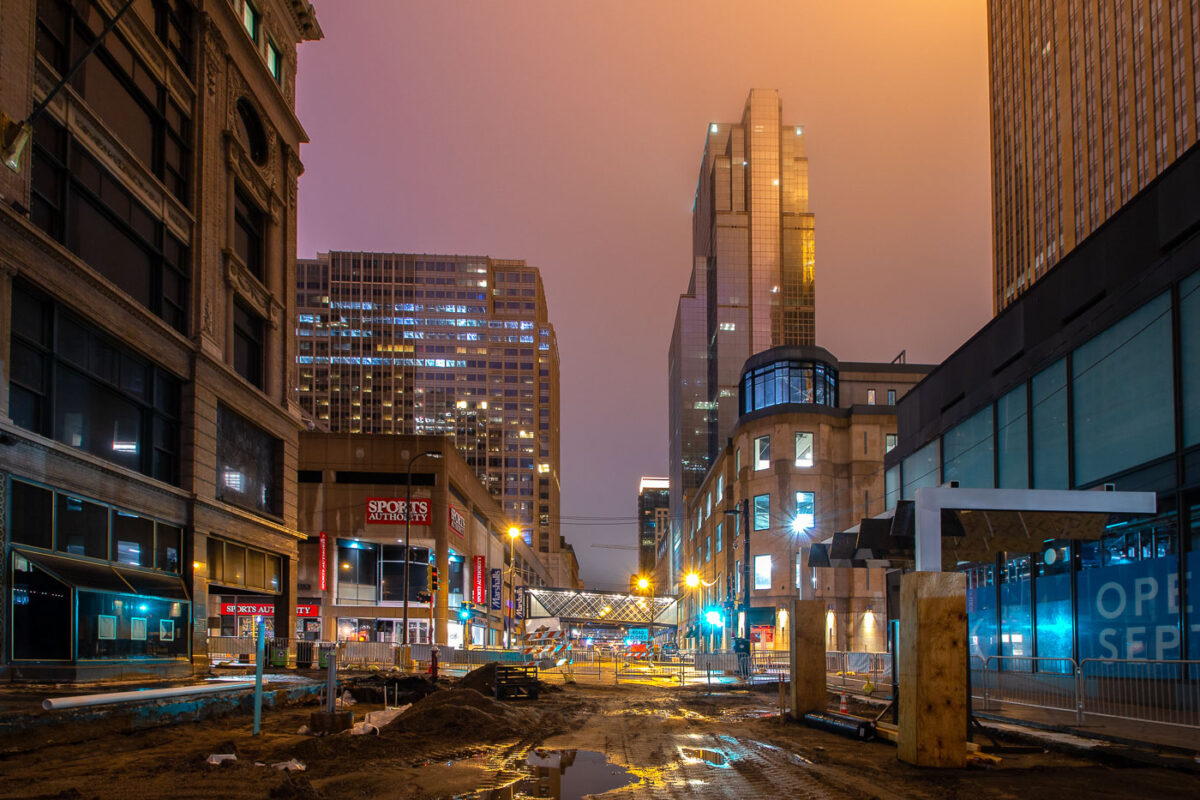
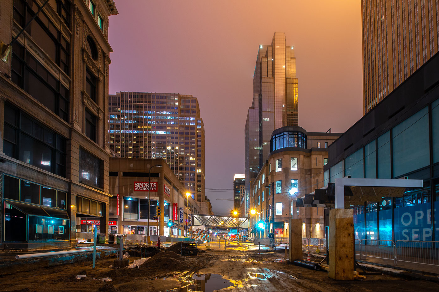
Nicollet Mall under construction at dusk in downtown Minneapolis, with the IDS Center tower illuminated in the background.
Nicollet Mall in Downtown Minneapolis during the COVID-19 shutdowns.

Construction Along Nicollet Mall Near the IDS Center
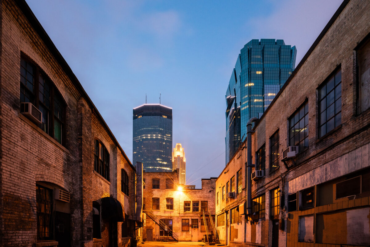
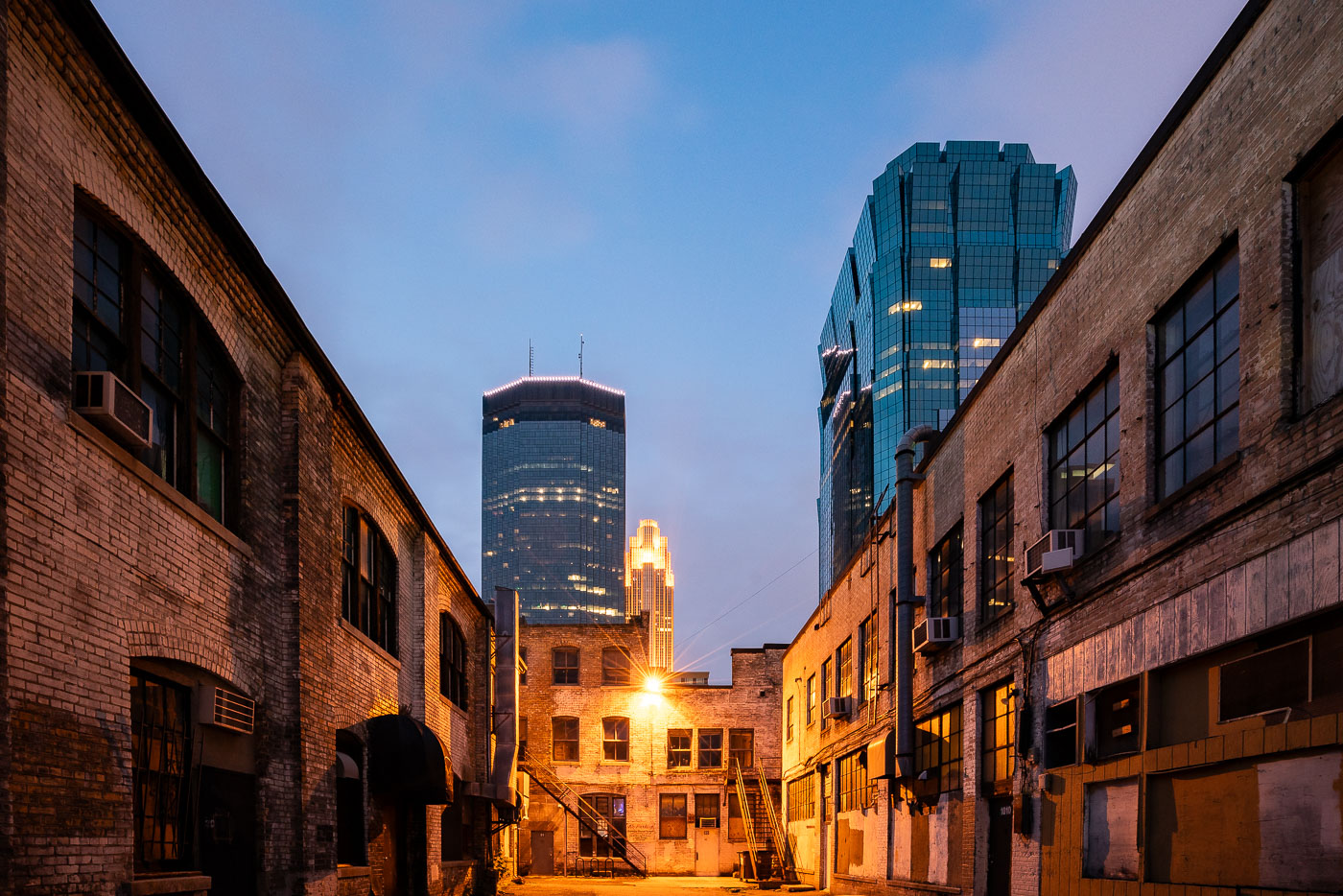
Alleyway in downtown Minneapolis framed by the IDS Center and AT&T Tower at dusk
An alleyway in downtown Minneapolis frames the IDS Center and the AT&T Tower. The older brick buildings lining the alleyway, likely dating from the early to mid-20th century, contrast with the modern skyscrapers. The IDS Center, completed in 1972, was Minneapolis's tallest building for many years and a significant example of modernist architecture. The AT&T Tower, also known as the Marquette Building, was completed in 1983. This view highlights the juxtaposition of older industrial or commercial structures with contemporary high-rise development in the city's central business district.

Alleyway with IDS Center, Minneapolis
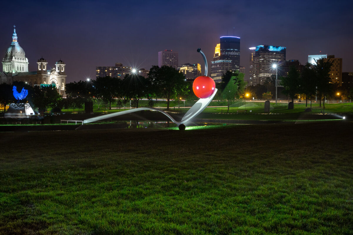
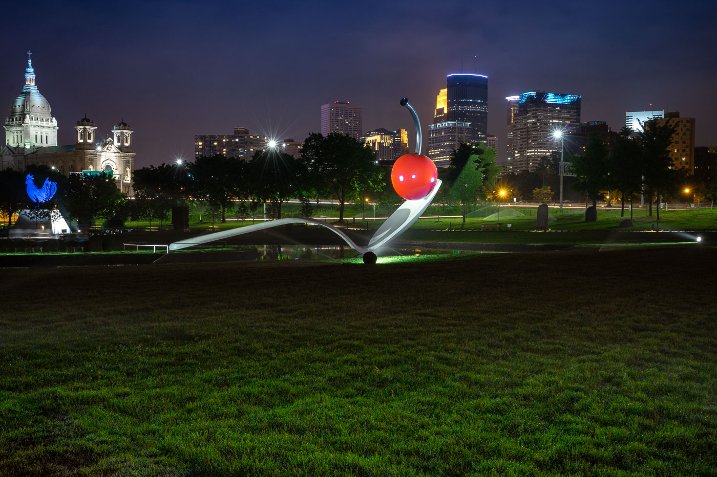
Spoonbridge and Cherry in the Minneapolis Sculpture Garden with the downtown skyline behind it.
Spoonbridge and Cherry is located in the Minneapolis Sculpture Garden near the Walker Art Center in Minneapolis. Designed by Claes Oldenburg and Coosje van Bruggen, the sculpture was installed in 1988 as part of the garden’s opening.

Spoonbridge and Cherry with Minneapolis Skyline
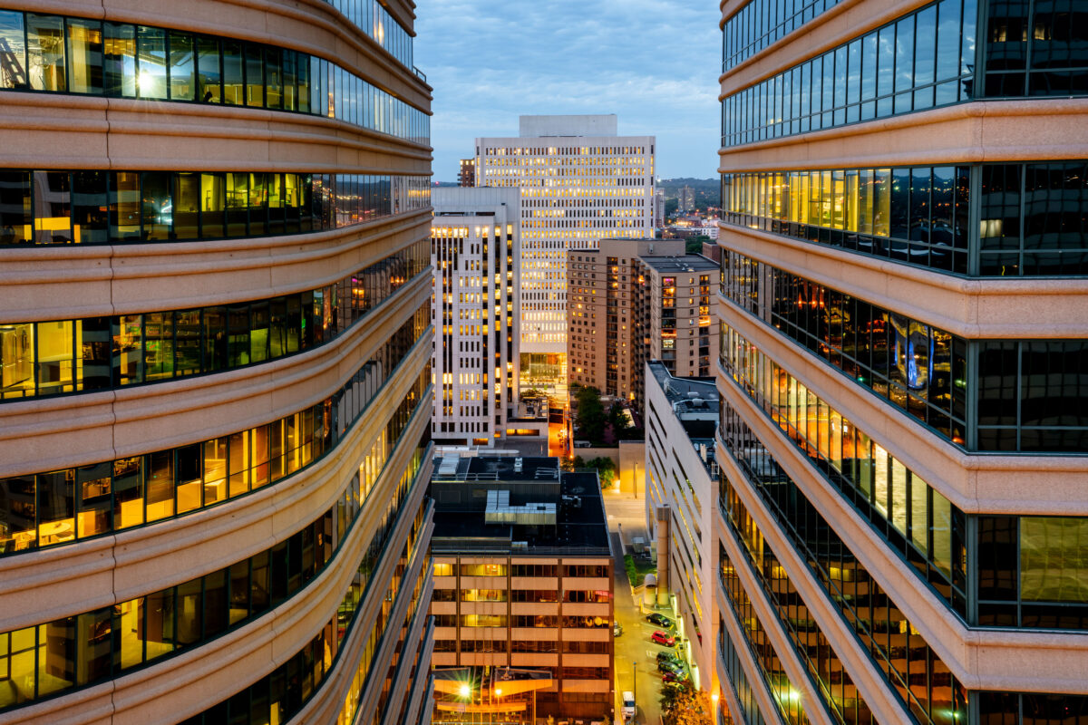
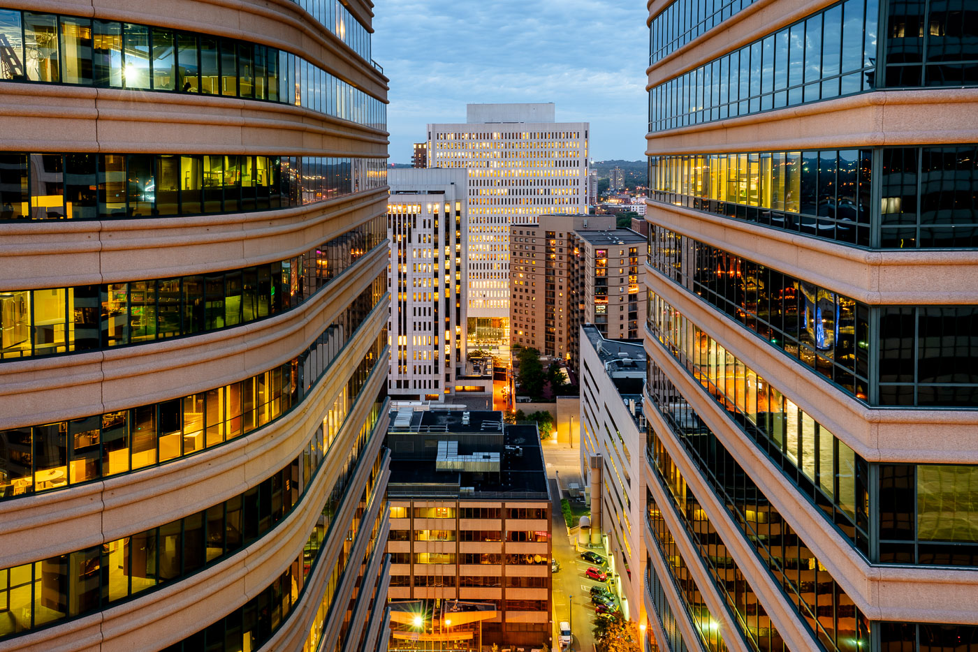
Fifth Street Towers in downtown Minneapolis at dusk.
The Fifth Street Towers, located in Downtown Minneapolis, are a pair of modern office buildings that contribute to the city's commercial core. Completed in the late 20th century, these structures feature distinctive curved facades and extensive glass exteriors, reflecting the surrounding urban environment. The towers house various businesses and professional services, serving as a key component of Minneapolis's business district. Their design and placement highlight the ongoing development and density of the downtown area.

Fifth Street Towers, Downtown Minneapolis
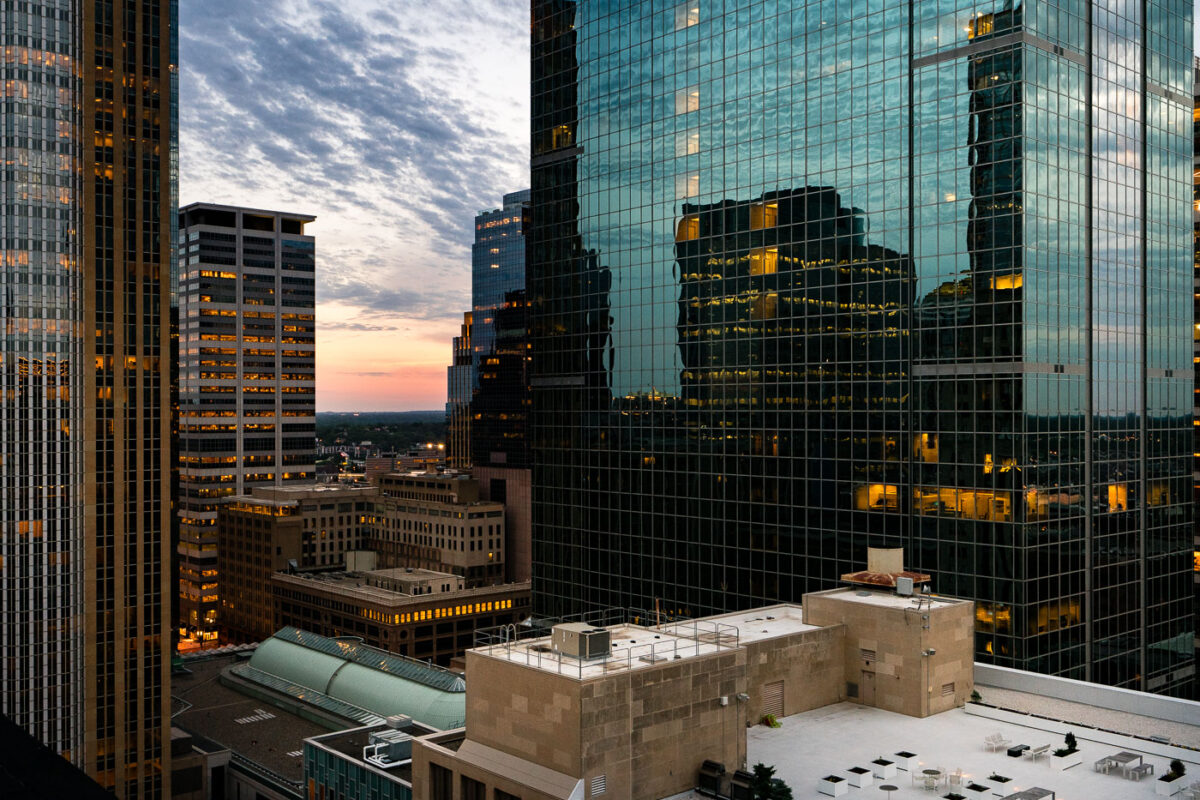
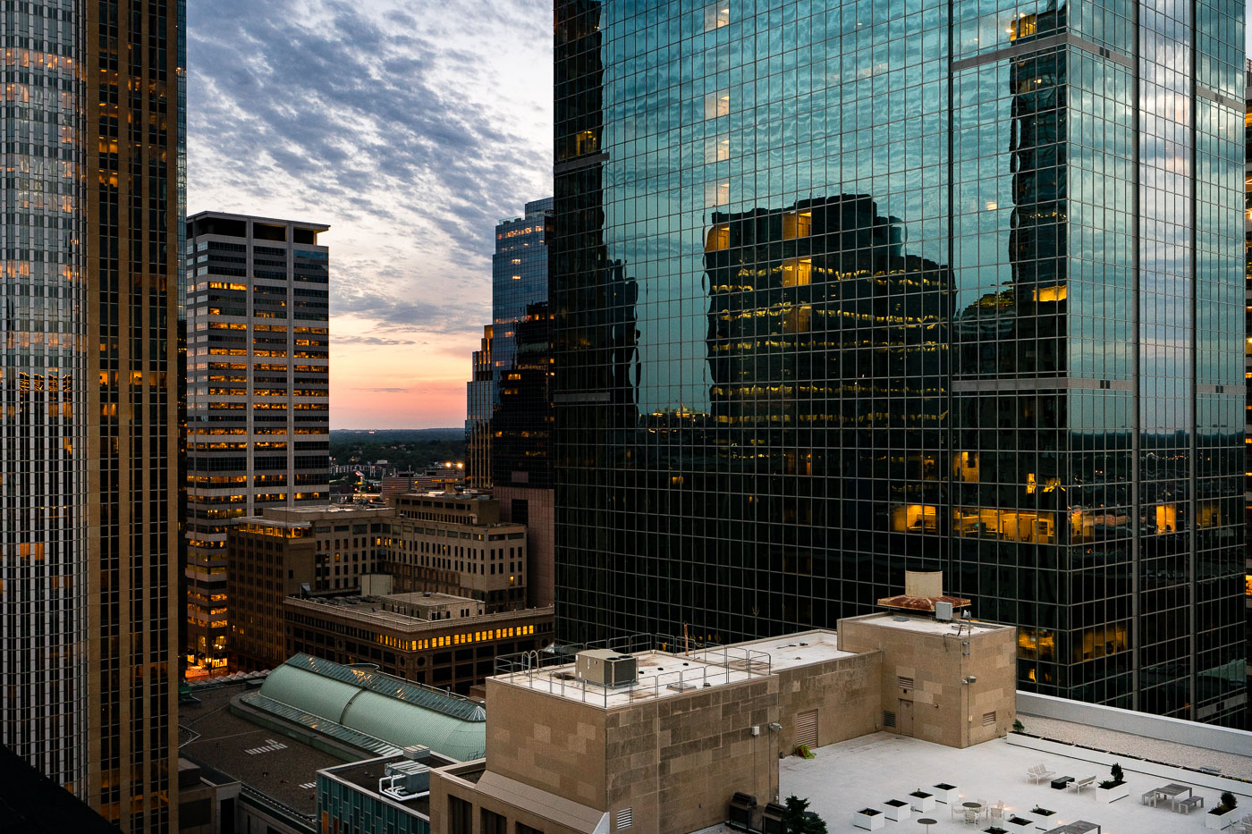
Downtown Minneapolis skyscrapers at sunset.
The setting sun casts a warm glow over Downtown Minneapolis, illuminating the windows of its modern skyscrapers. These buildings represent the city's economic and commercial core, housing numerous businesses and corporate offices. The architecture reflects a blend of contemporary design, with glass facades mirroring the sky and surrounding structures. As evening approaches, the lights within the offices signify the ongoing activity and the city's role as a hub for commerce and industry.

June sunset in Downtown Minneapolis

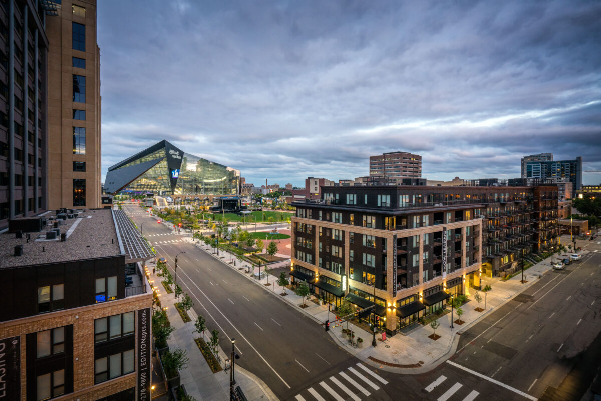
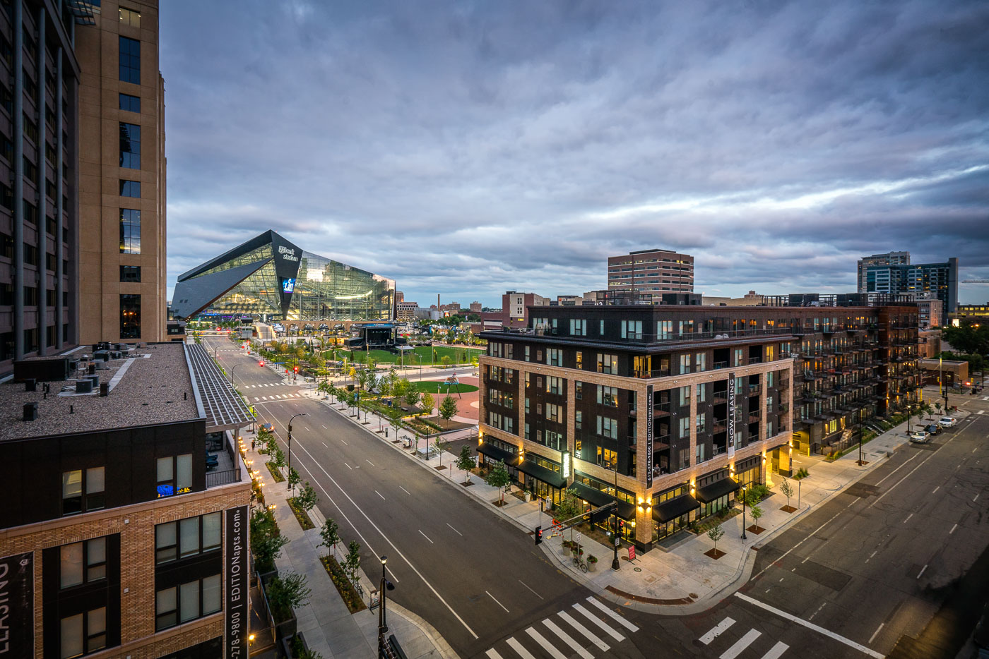
Edition Apartments and US Bank Stadium anchor the Downtown East neighborhood of Minneapolis at dusk.
US Bank Stadium, a multi-purpose venue completed in 2016, anchors the Downtown East neighborhood of Minneapolis. Adjacent to the stadium is the Edition Apartments.

Dusk Over Park Avenue Near US Bank Stadium and Edition Apartments
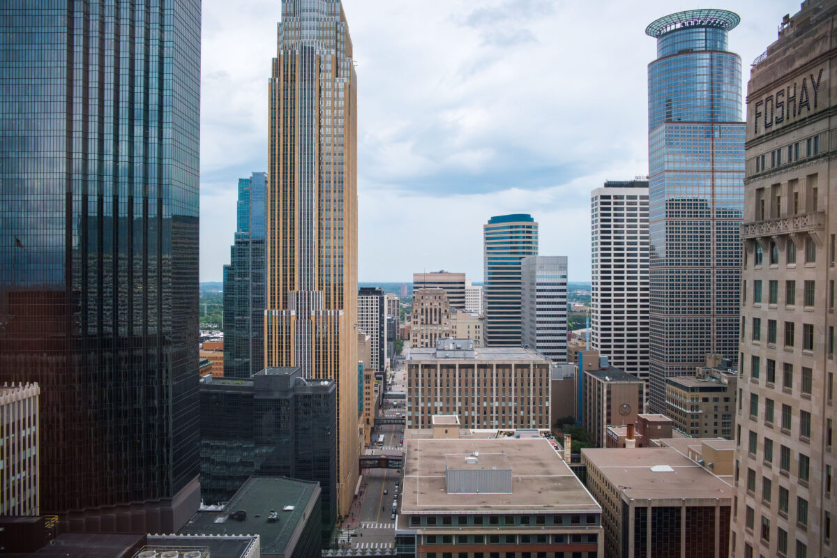
Downtown Minneapolis cityscape featuring Capella Tower, Wells Fargo Center, and Foshay Tower, representing key architectural developments.
This photograph looks out from the AT&T Tower, showcasing the downtown Minneapolis cityscape. Prominently featured are the Capella Tower, completed in 1992, and the Wells Fargo Center, which was the city's tallest building upon its completion in 1989. The image also includes the historic Foshay Tower, a landmark built in 1929 that was once the tallest building in Minneapolis. These structures represent significant periods of architectural development and economic growth in the city's central business district.

Downtown Minneapolis: Capella Tower and Wells Fargo Center
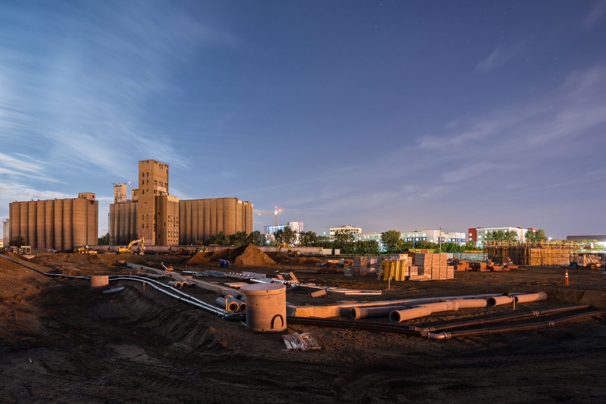
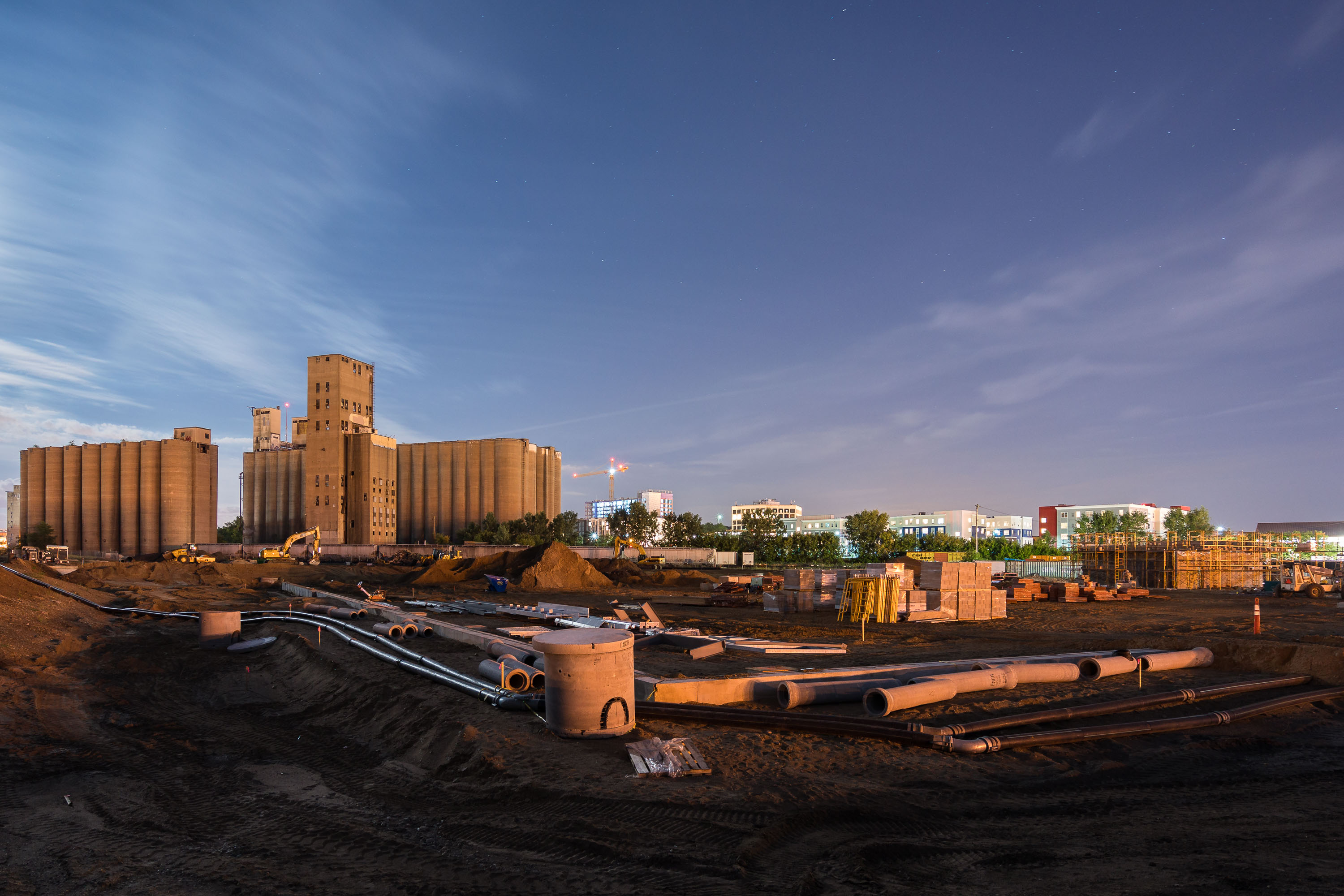
Construction site at night on the former Kurth Malting grain elevator grounds in Dinkytown, Minneapolis.
This construction site in Dinkytown, Minneapolis, sits on the former grounds of the Kurth Malting Company grain elevator. The elevator complex was demolished to clear land for a University of Minnesota athletic facility. Concrete silos from the adjacent Archer Daniels Midland elevator remain standing near the cleared parcel.

Kurth Malting Site Redevelopment, Dinkytown Minneapolis
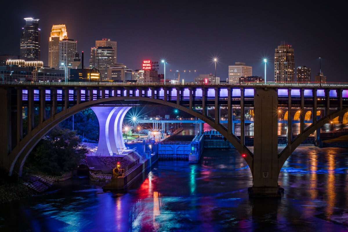
The I-35W Mississippi River Bridge at night, with the Minneapolis skyline in the background.
The I-35W Mississippi River Bridge over the Mississippi River in downtown Minneapolis. The bridge collapsed in 2007 and was replaced in 2008.

Minneapolis I-35W Bridge and Downtown Skyline at Night
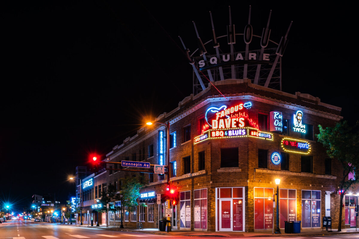
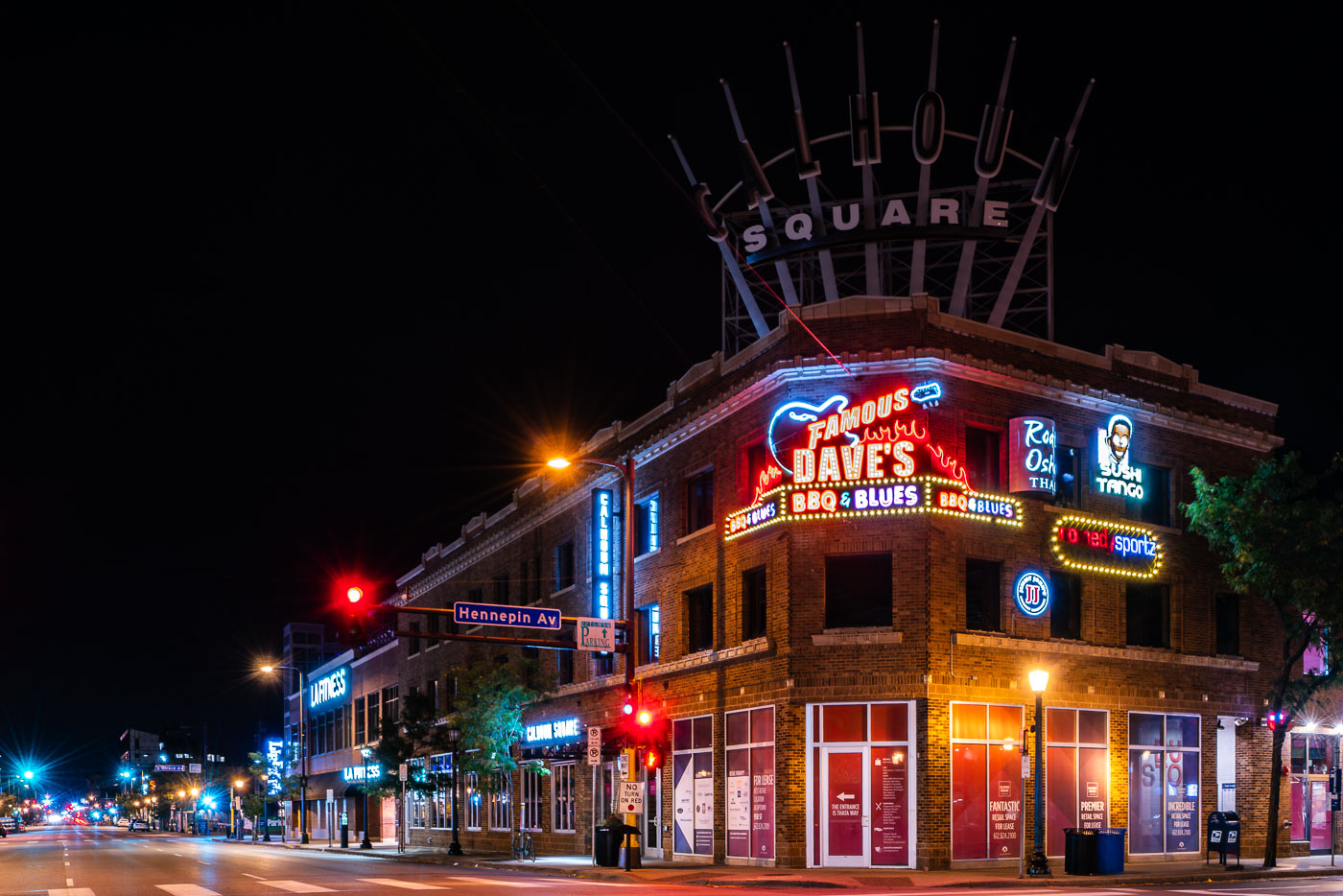
Calhoun Square in Minneapolis lit by neon signs at Hennepin Avenue and Lake Street.
Calhoun Square, a mall located at the intersection of Hennepin Avenue and Lake Street in Minneapolis's Uptown neighborhood, is illuminated at night. The building features a large neon sign for "Famous Dave's BBQ & Blues," alongside other businesses like "Sushi Tango" and "Roti Osha Thai."

Calhoun Square, Famous Dave’s, Hennepin Ave & Lake St, Minneapolis
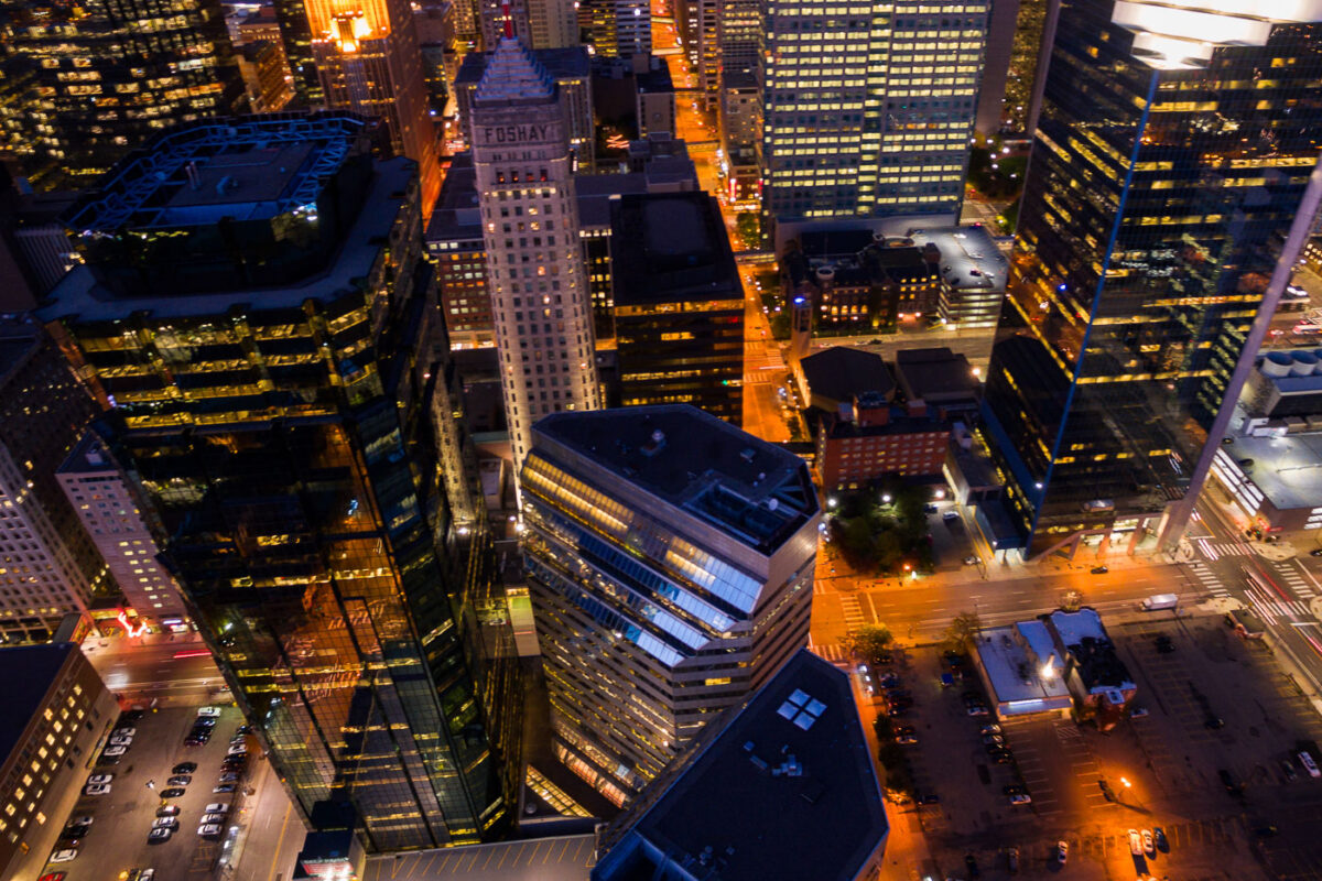
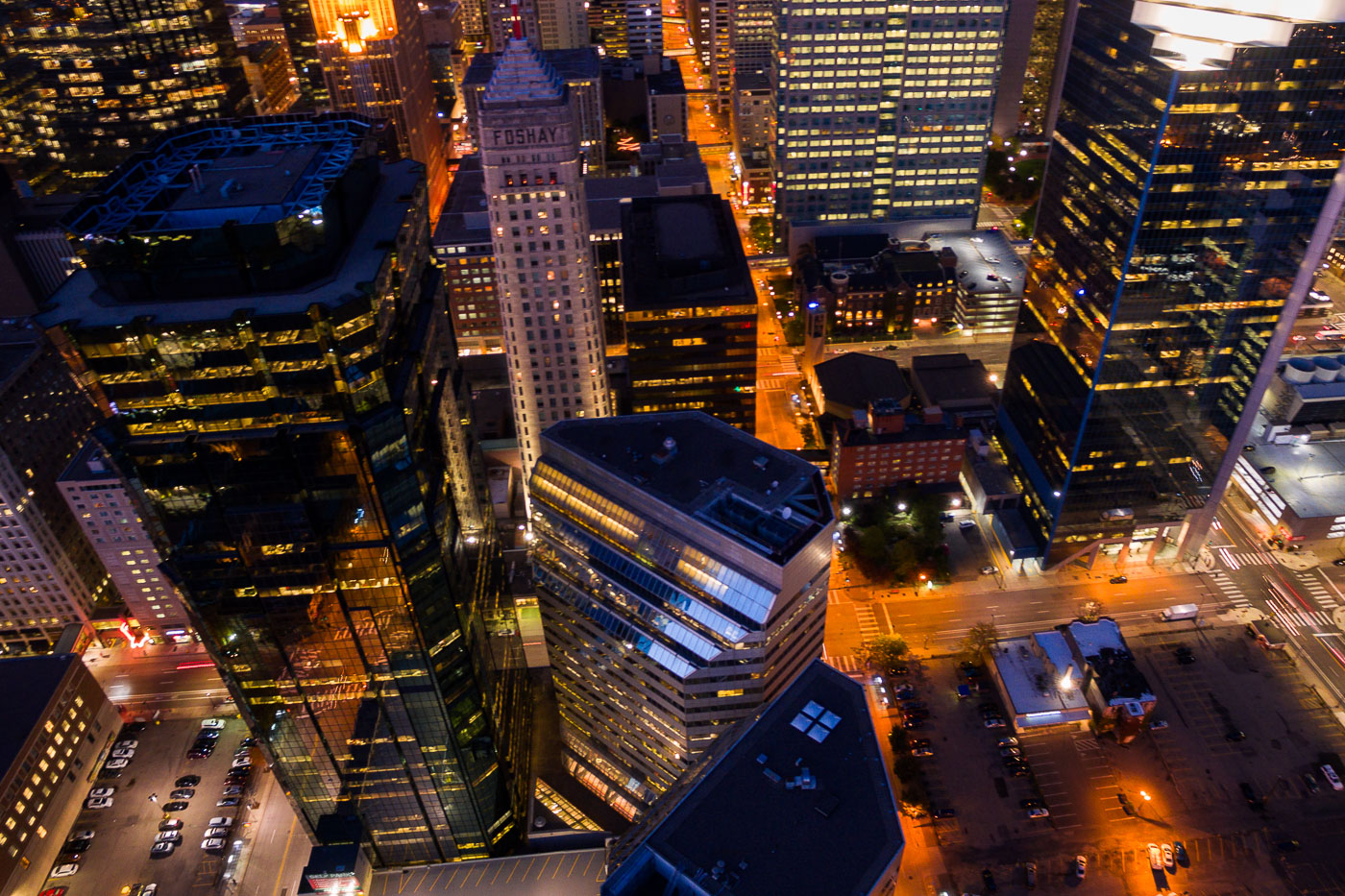
Aerial view of the Foshay Tower and AT&T Tower at night in Downtown Minneapolis, highlighting illuminated windows and ongoing development.
The Foshay Tower, completed in 1929, was Minneapolis's first skyscraper and served as a symbol of the city's burgeoning prosperity. Adjacent to it is the AT&T Tower.

Downtown Minneapolis: Foshay and AT&T Towers at Night
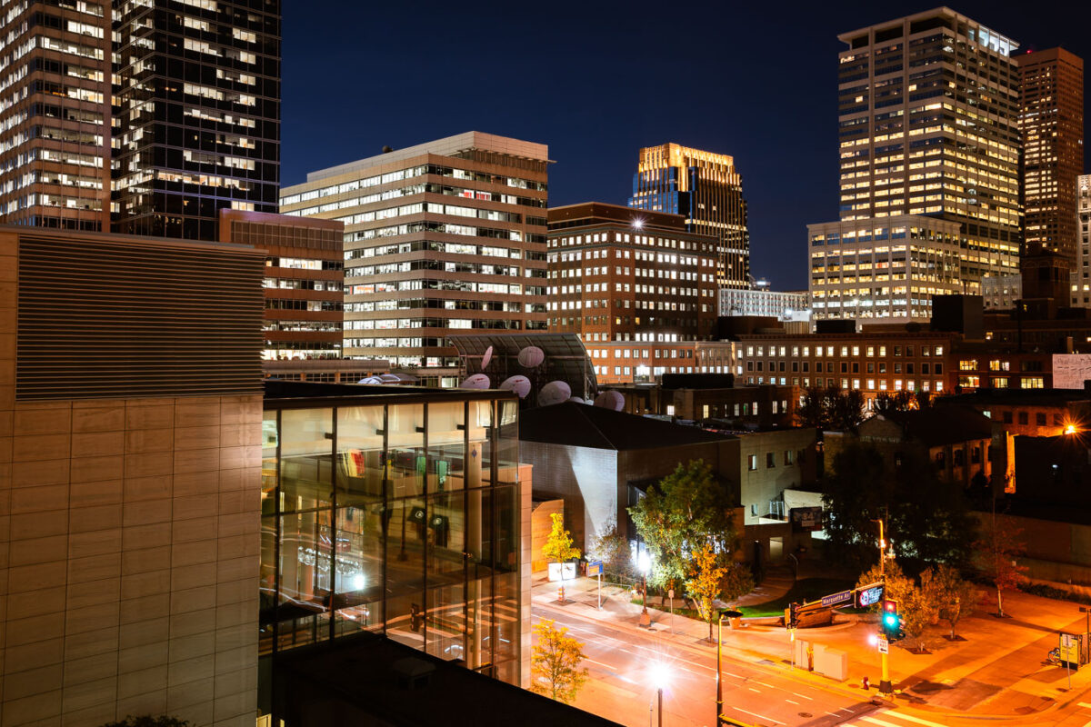
Marquette Avenue in Downtown Minneapolis at night, showing illuminated office buildings in the city's central business district.
Marquette Avenue in Downtown Minneapolis is a central artery for the city's business district. The street is lined with numerous office buildings, reflecting the area's role as a hub for commerce and finance. Many of these structures are illuminated at night, showcasing the active professional environment that continues after business hours. The architecture visible represents a range of modern and mid-century design, contributing to the city's distinct urban character.

Marquette Avenue, Downtown Minneapolis at Night
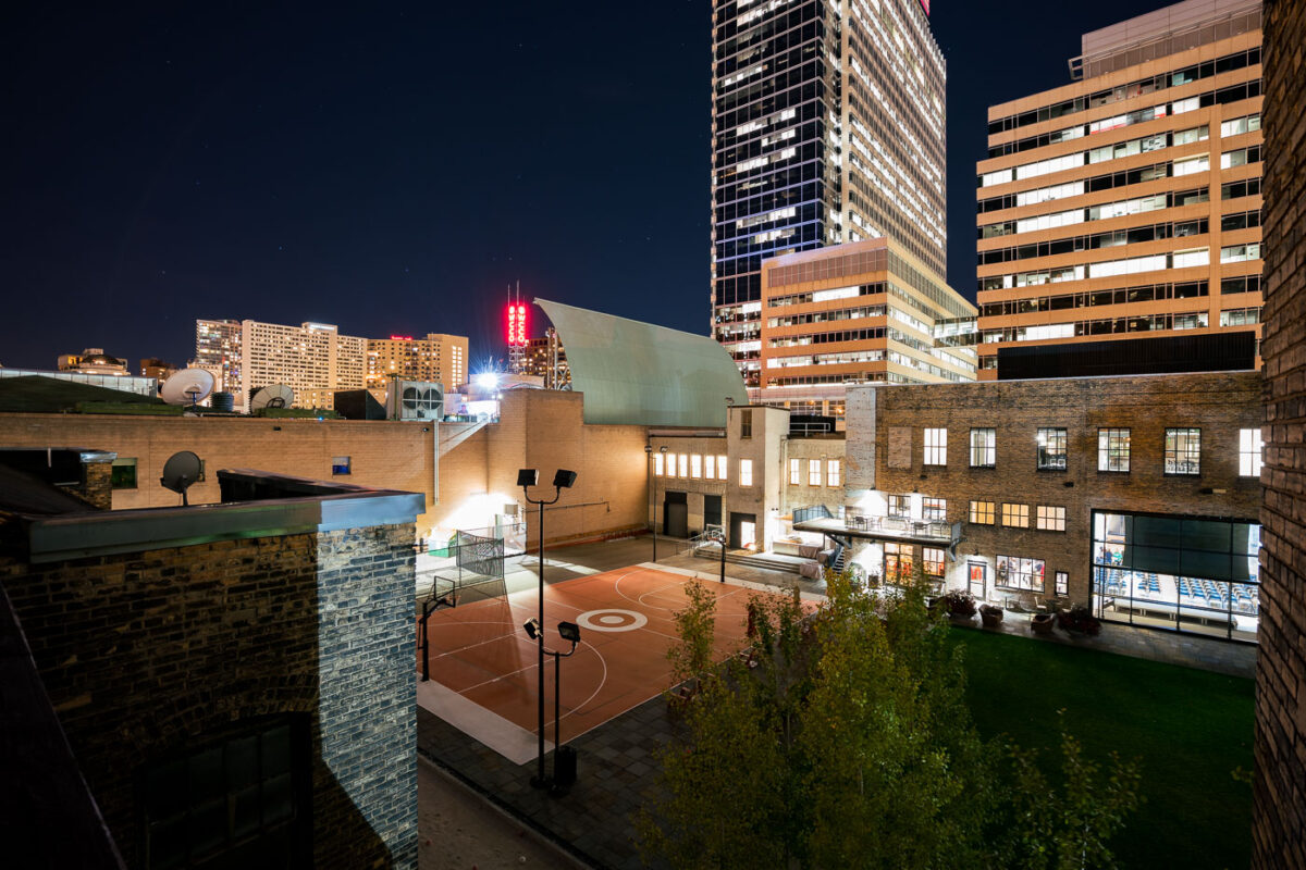
A Target-branded basketball court is illuminated at night in downtown Minneapolis, near the Target Corporation's headquarters.
A Target-branded basketball court is illuminated at night in downtown Minneapolis. This court is located near the Target Corporation's headquarters, reflecting the company's presence in the city's business district. The surrounding buildings showcase the urban environment of Minneapolis, with the court serving as a recreational amenity within the downtown area. Its presence highlights the integration of corporate branding with public spaces in contemporary urban development.

Target Basketball Court at Night, Downtown Minneapolis
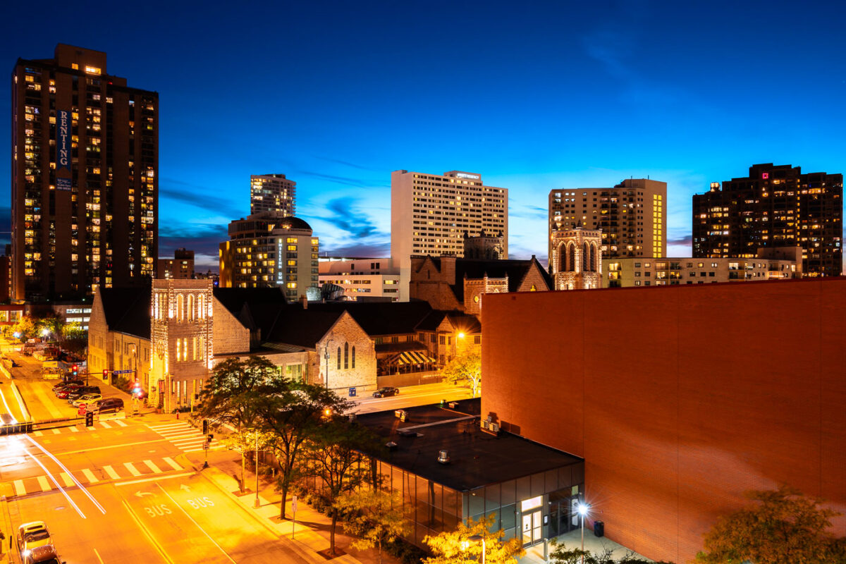
Hilton Minneapolis and Marquette Avenue in downtown Minneapolis at dusk.
Hilton Minneapolis and Marquette Avenue are in downtown Minneapolis, near the Minneapolis Convention Center. The hotel at 1001 Marquette Avenue South is one of the major lodging properties in the city’s convention district. Marquette Avenue is part of the downtown street network used by local bus routes and southbound traffic.

Hilton Minneapolis and Marquette Avenue, Downtown Minneapolis
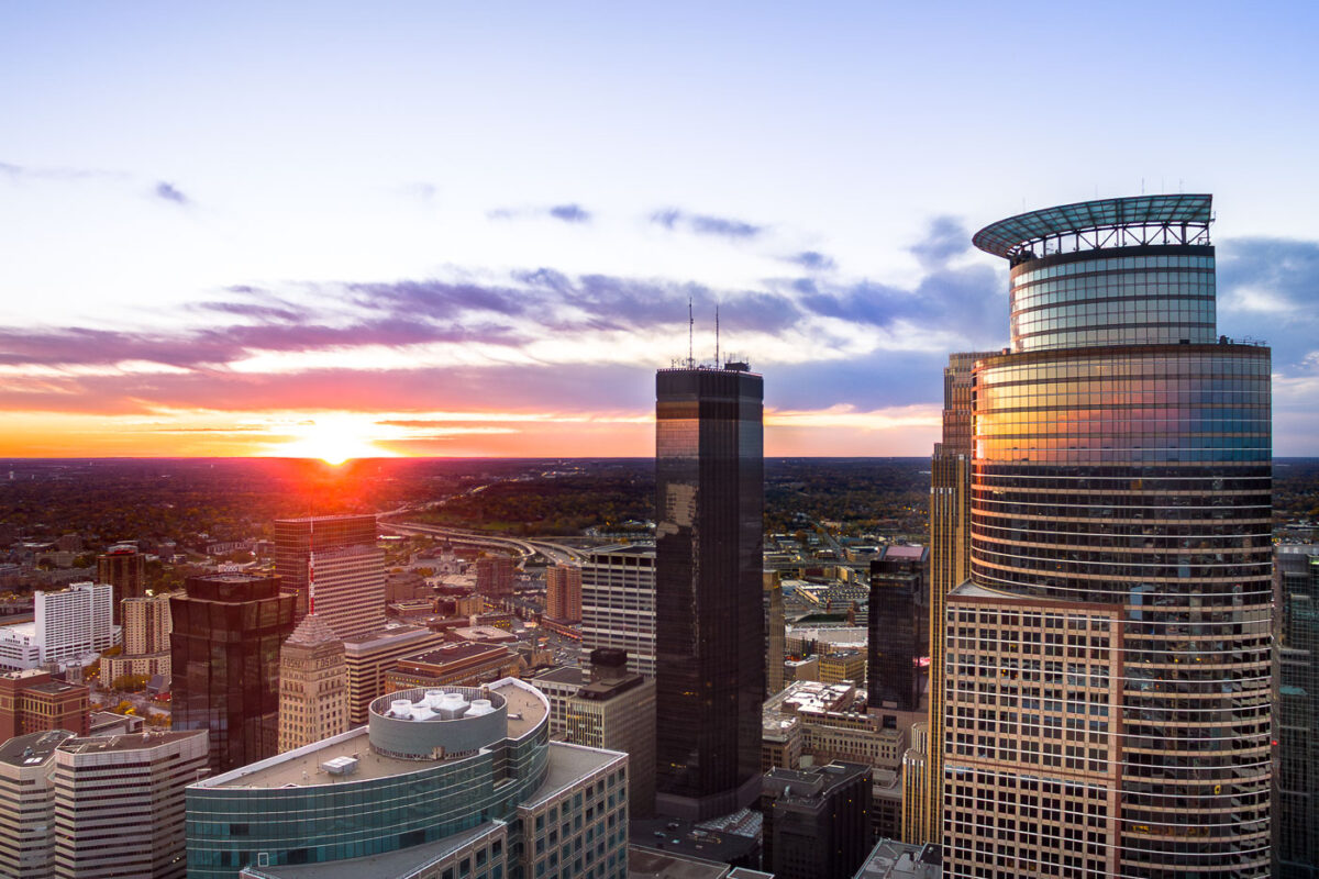
Minneapolis skyline at sunset, featuring Capella Tower, IDS Center, and Foshay Tower. The IDS Center (1972) and Foshay Tower (1929) represent modernist and early skyscraper architecture.
The Minneapolis skyline is illuminated by sunset, with the Capella Tower, IDS Center, and Foshay Tower prominently featured.

Minneapolis: Capella Tower, IDS Center, Foshay Tower at Sunset
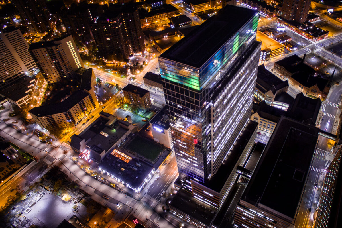
Target Plaza South on Nicollet Mall in downtown Minneapolis at night.
Target Plaza South in downtown Minneapolis is part of Target Corporation's headquarters complex on Nicollet Mall. Completed in 2001, the office tower is located near 10th Street in the southern part of the central business district.

Target Plaza South, Downtown Minneapolis
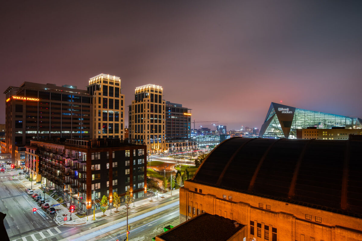
Wells Fargo Towers Armory and US Bank Stadium
The Downtown East neighborhood of Minneapolis is represented by its modern architectural landmarks. The Wells Fargo Towers, completed in 2017, serve as a significant corporate presence in the city's business district. Adjacent to them stands the historic Minneapolis Armory, originally built in 1935 as a venue for military drills and public events, which has since been redeveloped. Dominating the background is U.S. Bank Stadium, a state-of-the-art facility that opened in 2016, hosting professional football games and other large-scale events.

Downtown East Minneapolis: Wells Fargo, Armory, US Bank Stadium
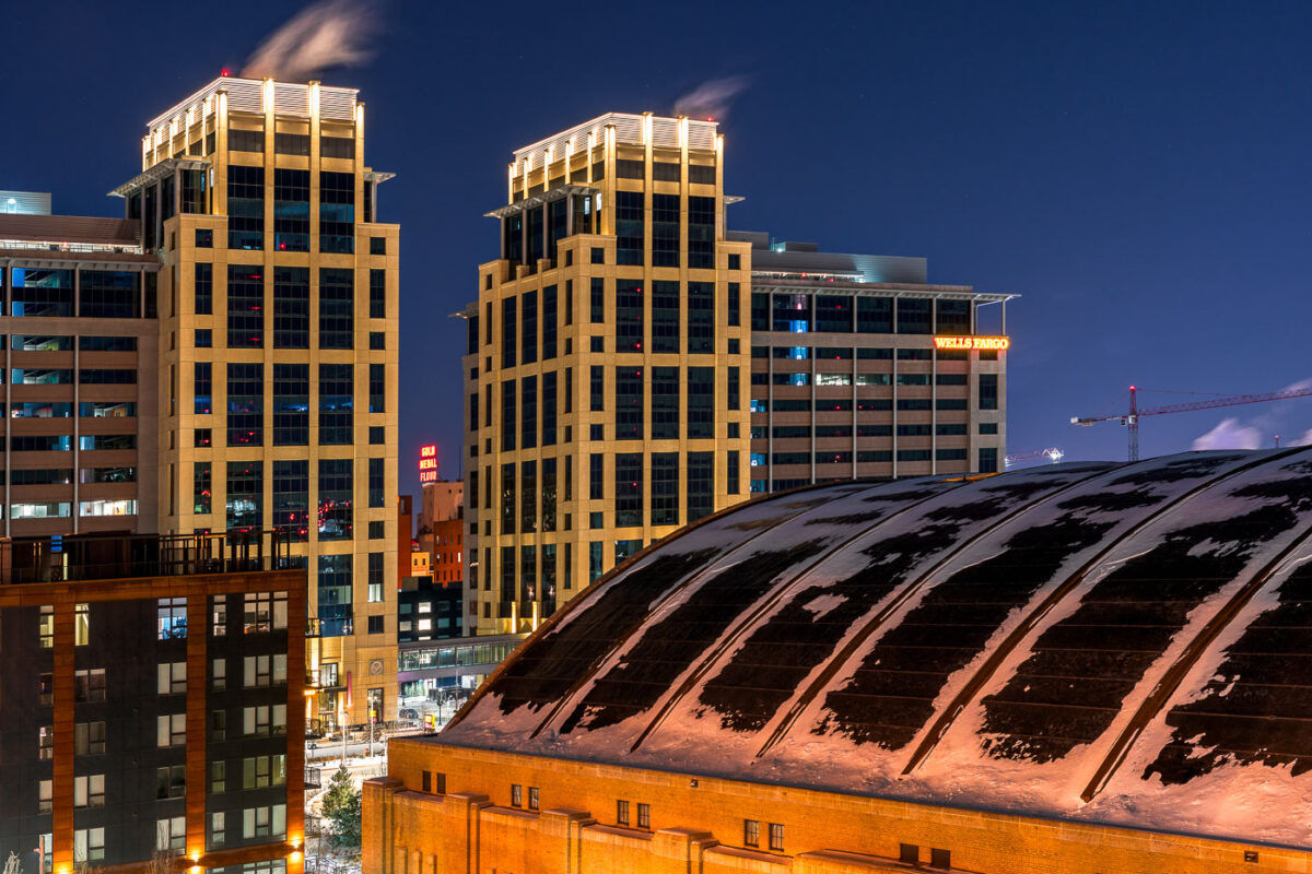
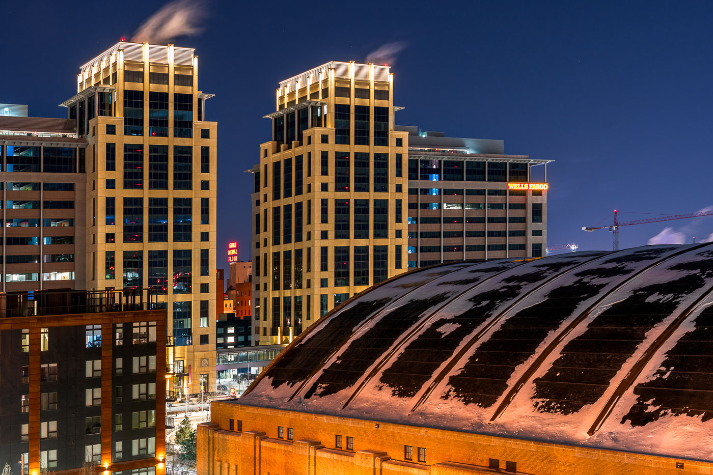
The Armory building and illuminated Wells Fargo office towers stand in downtown Minneapolis at night.
The Armory and the new Wells Fargo Towers in Downtown East, Minneapolis.

Snow-Dusted Armory Roof Beneath the Wells Fargo Towers at Night
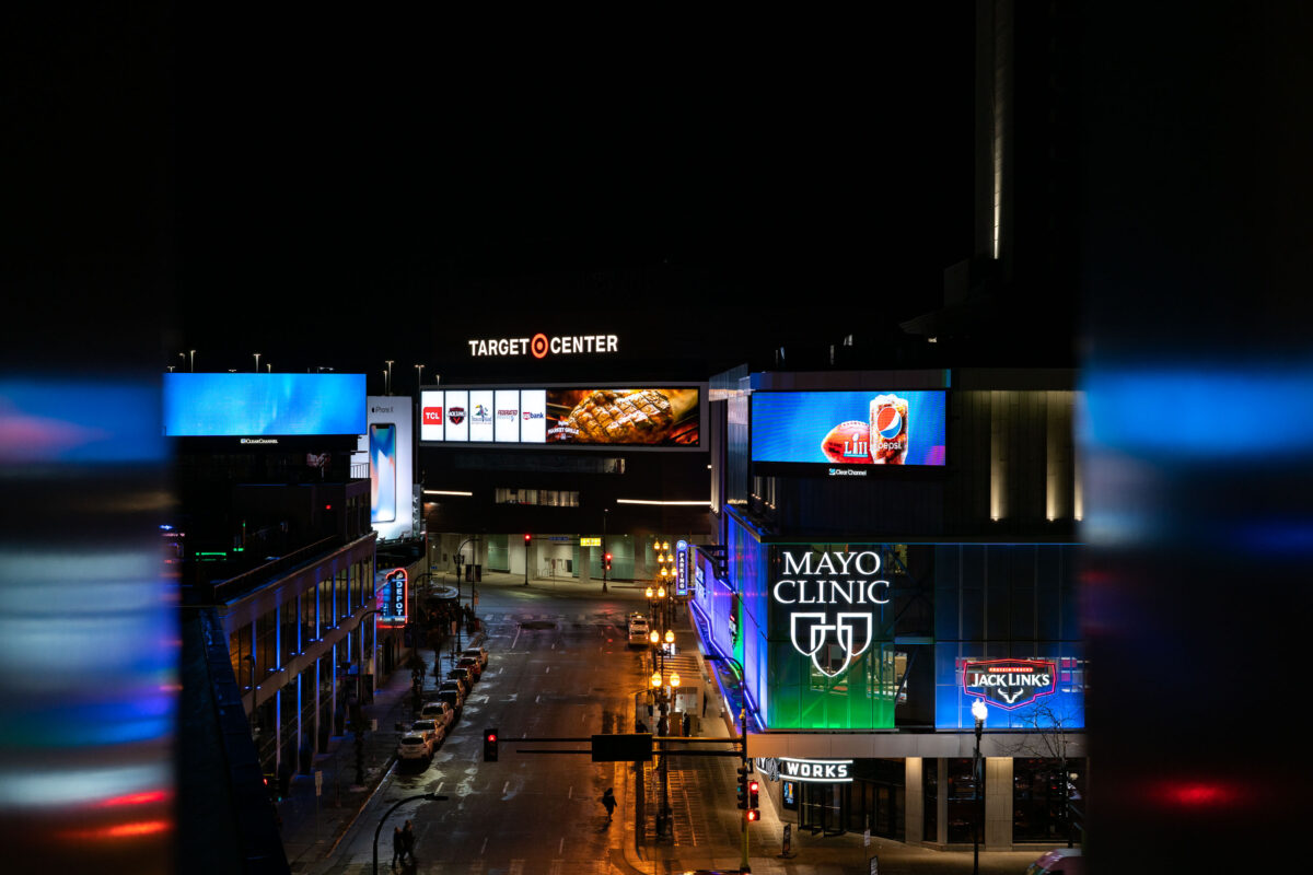
Target Center and Mayo Clinic Square in downtown Minneapolis at night.
Target Center and Mayo Clinic Square are in downtown Minneapolis near the Warehouse District. Target Center is the arena used by the Minnesota Timberwolves and Minnesota Lynx. Mayo Clinic Square includes sports medicine, office, restaurant, and retail space adjacent to the arena.

Target Center and Mayo Clinic Square, Downtown Minneapolis
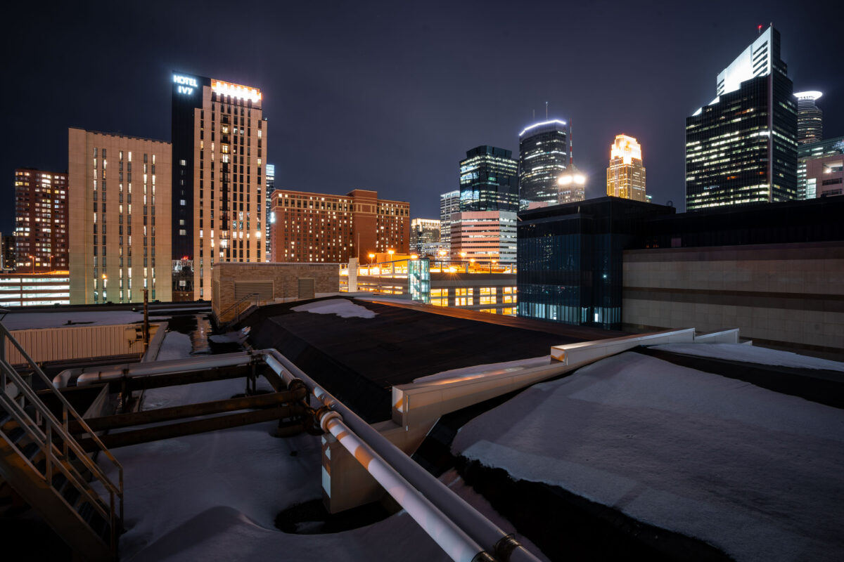
Hotel Ivy and IDS Center rise in the downtown Minneapolis skyline near Century Plaza.
Downtown Minneapolis skyline near Century Plaza includes Hotel Ivy, IDS Center, and Wells Fargo Center. Century Plaza houses the Minneapolis Police Department's 1st Precinct, which covers the downtown area.

Hotel Ivy and IDS Center, Downtown Minneapolis
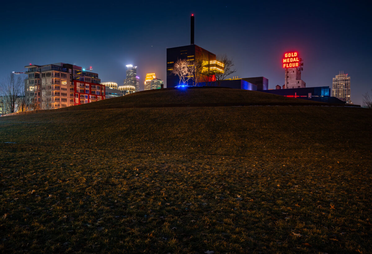
Gold Medal Park in Minneapolis with the Guthrie Theater and Gold Medal Flour sign at night.
Gold Medal Park in Minneapolis's Mill District sits beside the Guthrie Theater near the Mississippi riverfront. The park opened in 2007 on land tied to the area's former flour-milling district. The Gold Medal Flour sign marks the historic Washburn-Crosby milling complex near Mill City Museum.

Gold Medal Park and Guthrie Theater, Minneapolis
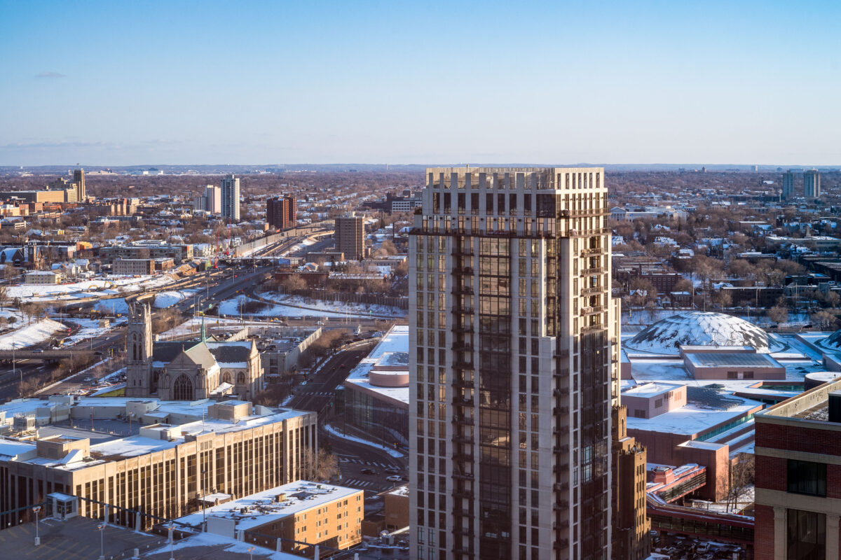
Hotel Ivy and Ivy Residences rise near the snow-covered Minneapolis Convention Center.
Hotel Ivy and Ivy Residences stand in downtown Minneapolis near the Minneapolis Convention Center. The complex is located on South Eleventh Street at the south end of downtown. Snow covers the convention center roofs and surrounding streets during late winter.

Hotel Ivy and Minneapolis Convention Center, Minneapolis
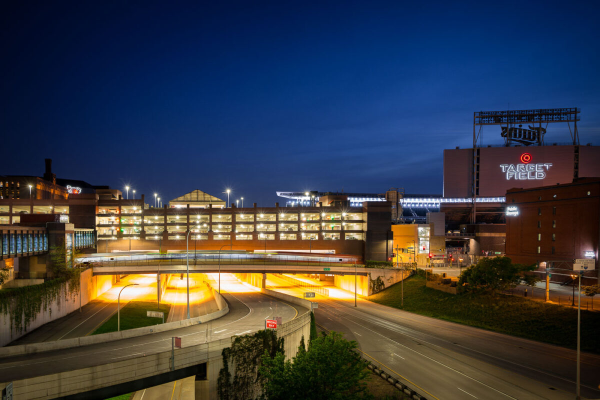
Target Field and Interstate 394 in Minneapolis
Target Field, home of the Minnesota Twins, and Interstate 394 are shown at night in Downtown Minneapolis. Opened in 2010, Target Field is a significant outdoor baseball stadium located in the city's North Loop neighborhood. A multi-story parking ramp adjacent to the stadium provides essential vehicle access for events and the surrounding urban environment. Interstate 394, a major freeway completed in the late 1980s, facilitates commuter traffic, connecting western suburbs to the downtown core and supporting the accessibility of this urban district.

Target Field, Parking Ramp, I-394, Downtown Minneapolis Night
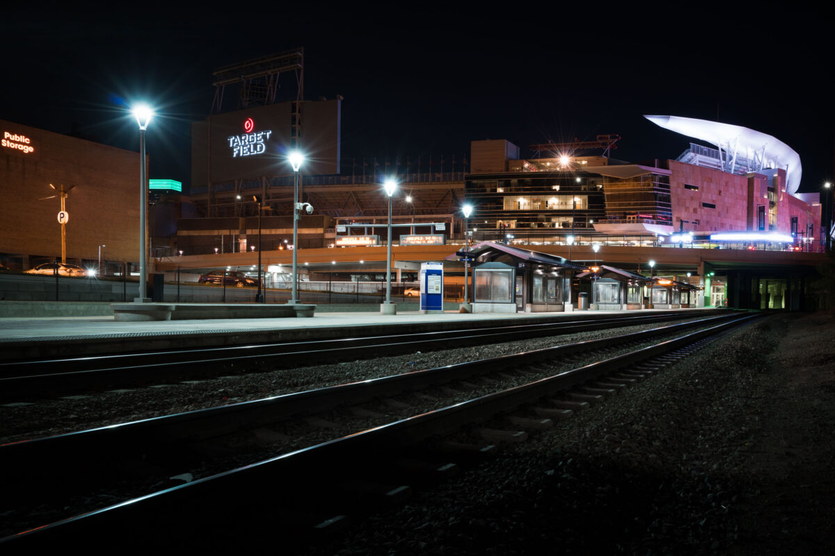
Target Field Northttar Train Station in Minneapolis
Target Field Station and Target Field in Minneapolis, Minnesota, are shown at night. The station serves as a transit hub for the Northstar Line and Metro Transit, connecting commuters and fans to downtown Minneapolis. Target Field, opened in 2010, is the home ballpark of the Minnesota Twins baseball team and is located in the city's North Loop neighborhood.

Target Field Station and Stadium, Minneapolis
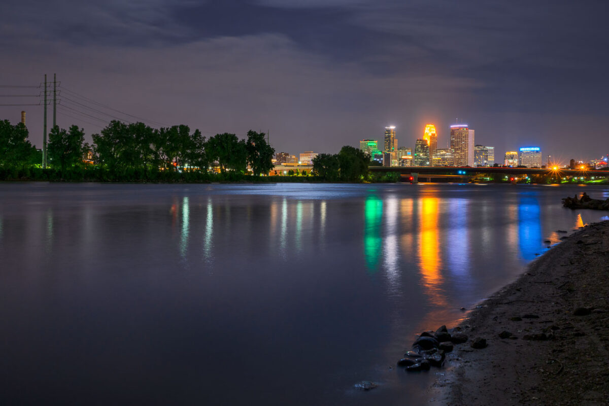
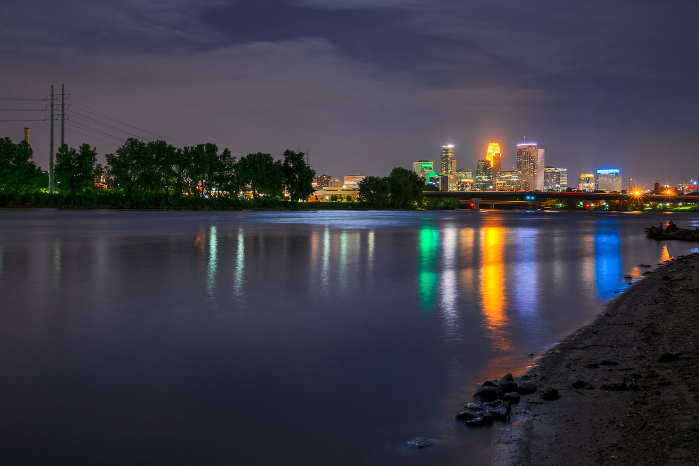
Minneapolis downtown skyline illuminated at night, viewed across the Mississippi River at dusk.
The Mississippi River flows past downtown Minneapolis on its way from Lake Itasca to the Gulf of Mexico, a course of about 2,340 miles.

Downtown Minneapolis Skyline Across the Mississippi River at Night
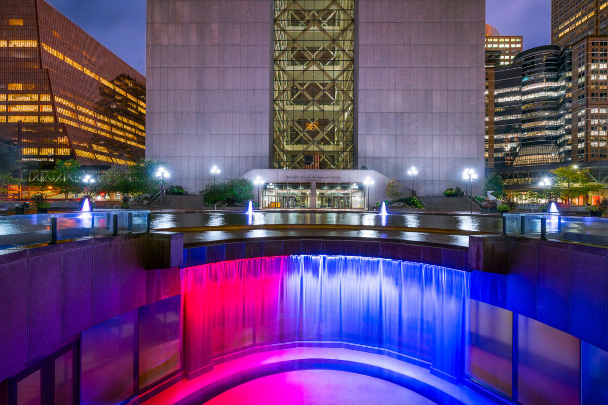
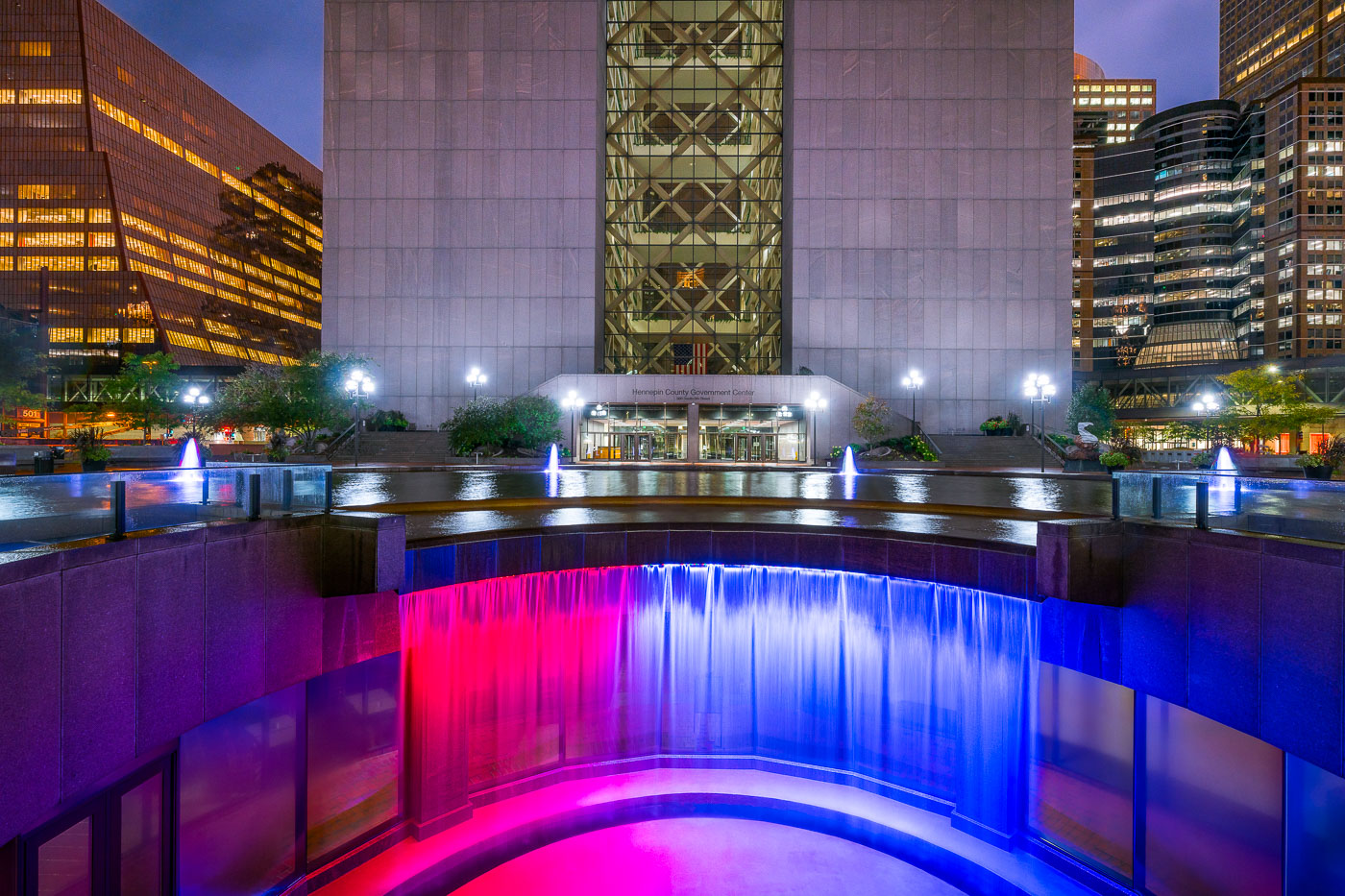
Colorful waterfall outside Hennepin County GC
Hennepin County Government Center, construction was completed in 1977. While often looked at as a single building, it’s actually 2 different towers with glass in between them. When viewed from the northeast or southeast(such as this photo), the building gives the appearance of the letter H for Hennepin. The towers are accessible from each other via catwalks on each floor. Glass walls were added after multiple suicides.

Hennepin County Government Center, Minneapolis MN

Aerial view of the former Dayton's department store rooftop and surrounding downtown Minneapolis buildings at night.
The former Dayton's department store building occupies a full block along Nicollet Mall in downtown Minneapolis, between Seventh and Eighth streets. Dayton's opened the flagship store in 1902 and operated there for decades before the chain became Macy's, which closed the location in 2017. The complex has since been redeveloped for offices and retail under new ownership.

Rooftops of the Former Dayton’s Building Above Nicollet Mall
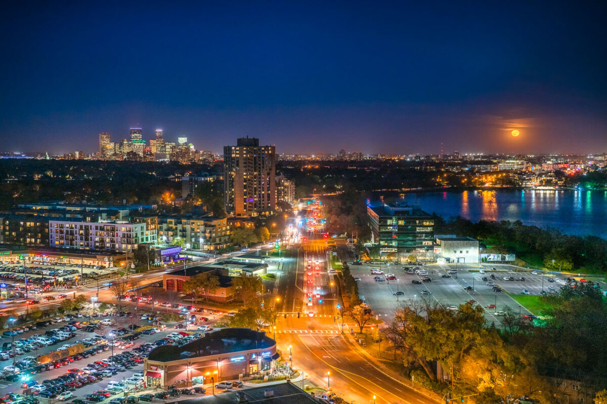
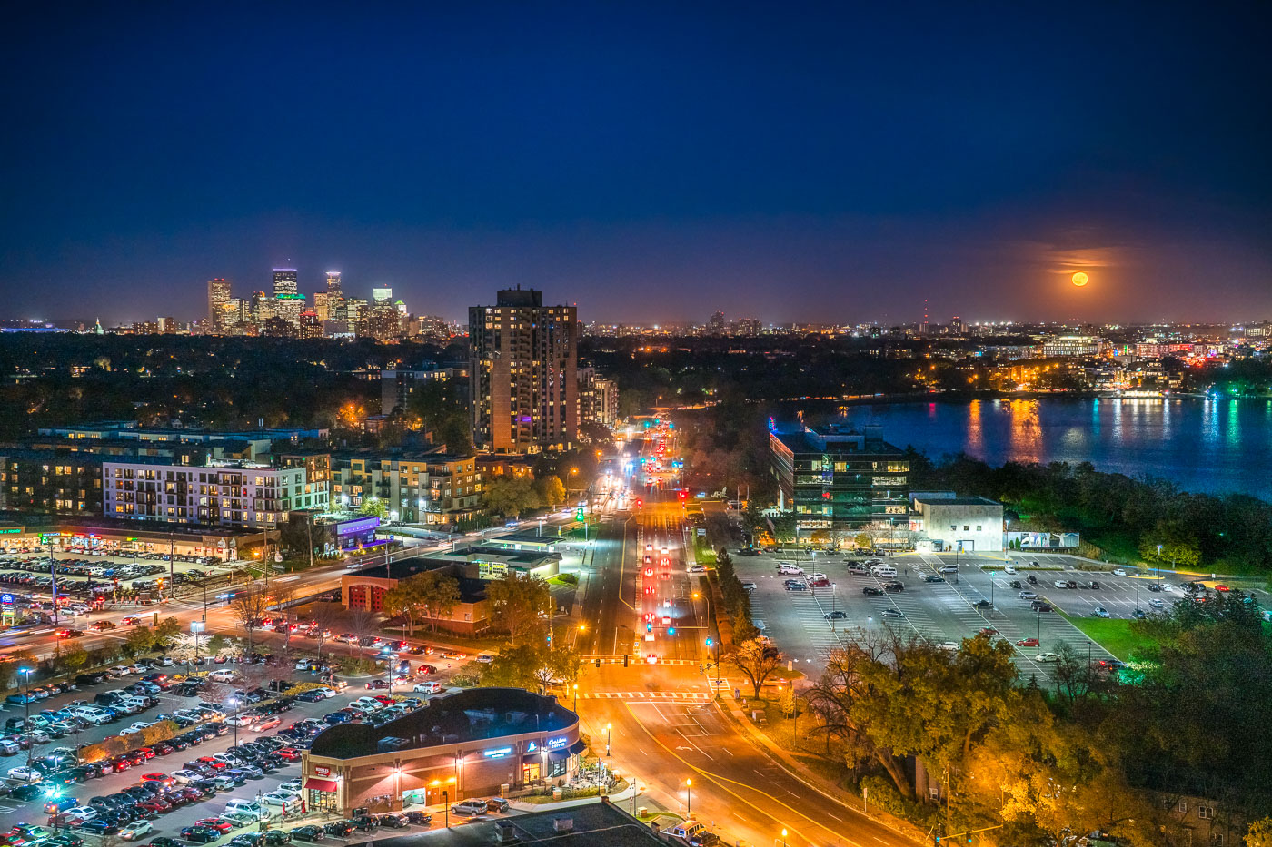
Minneapolis skyline and Bde Maka Ska under a full moon, viewed from the West Calhoun neighborhood.
The Minneapolis skyline is visible in the distance as a full moon rises over Bde Maka Ska. Bde Maka Ska the largest lake in Minneapolis and is part of the Chain of Lakes.

Minneapolis skyline and Bde Maka Ska under full moon
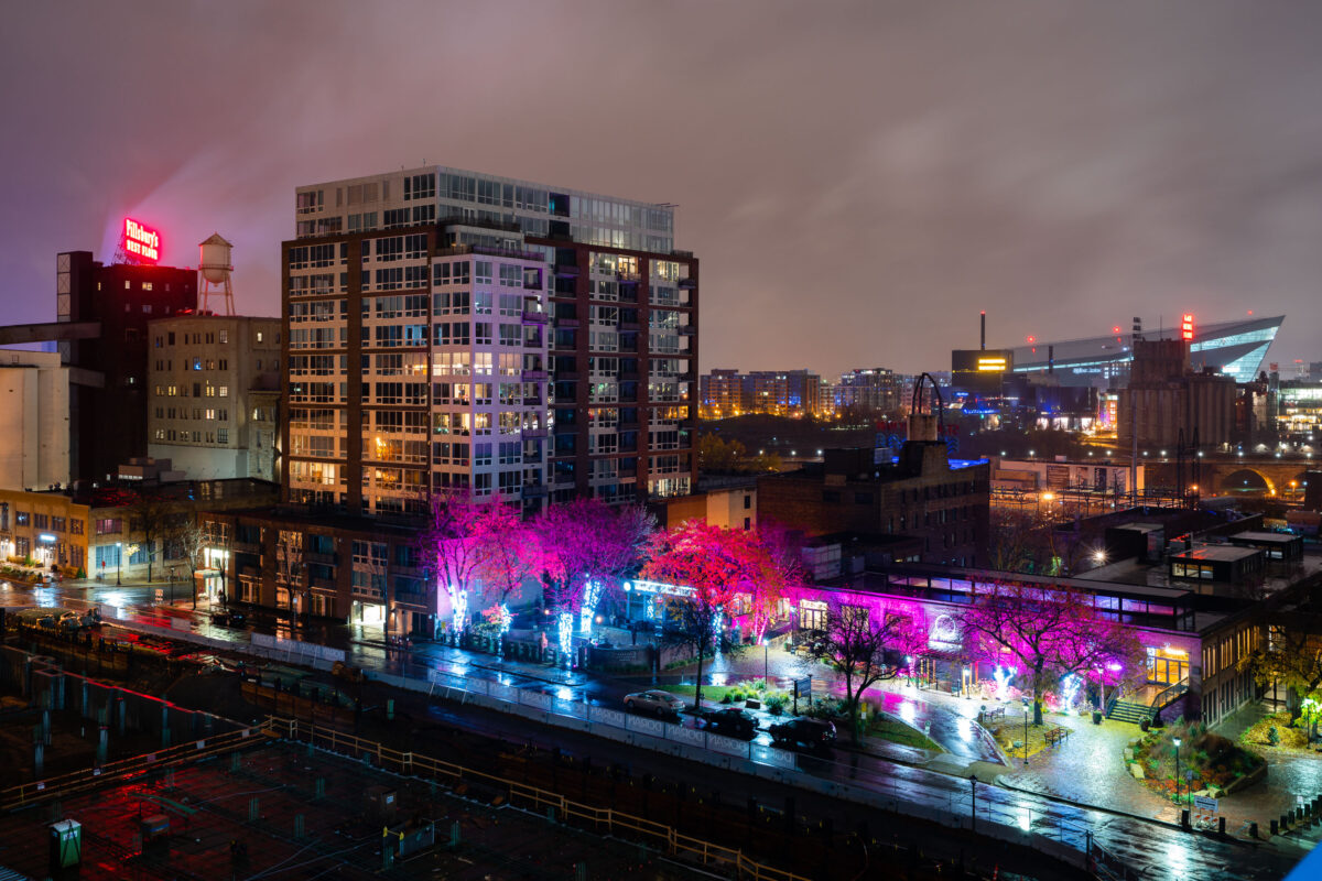
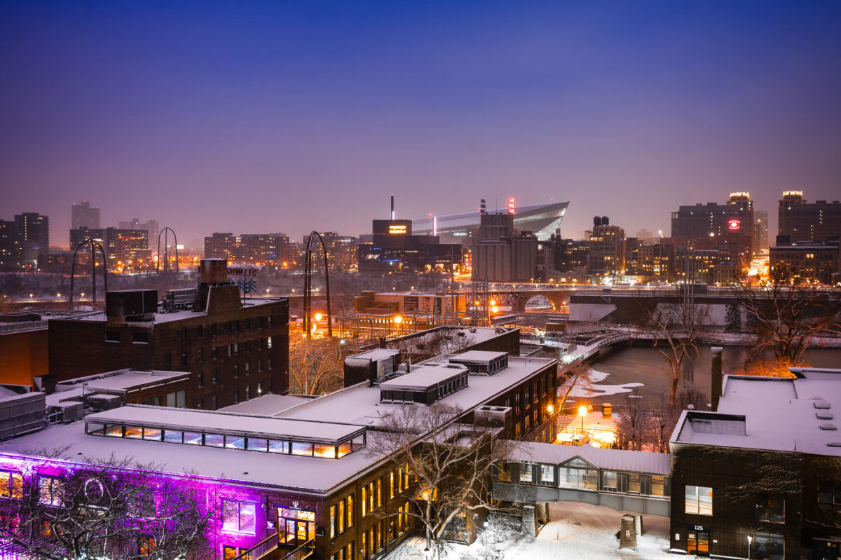
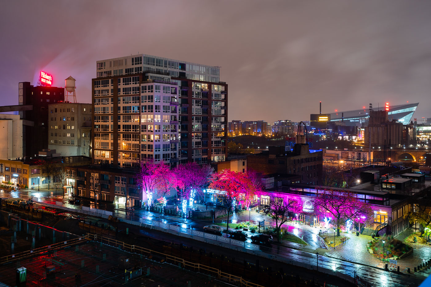
Northeast Minneapolis riverfront at night with illuminated Pillsbury A Mill and US Bank Stadium visible across the Mississippi River.
US Bank Stadium, a multi-purpose venue completed in 2016, is visible across the Mississippi River from Northeast Minneapolis. In the foreground, the historic Pillsbury A Mill, once the largest flour mill in the world, stands as a reminder of the area's industrial past.

Pink-Lit Trees on St. Anthony Main Near US Bank Stadium
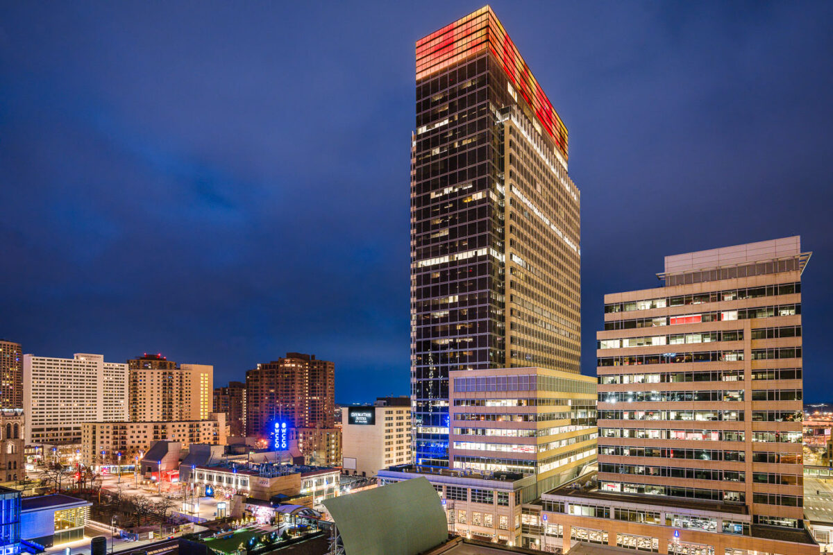
Target Corporation headquarters tower in downtown Minneapolis, Minnesota.
Target Corporation headquarters in downtown Minneapolis, Minnesota. The tower is part of Target Center’s corporate campus and the company’s main office complex in the city.

Target Headquarters Tower, Minneapolis
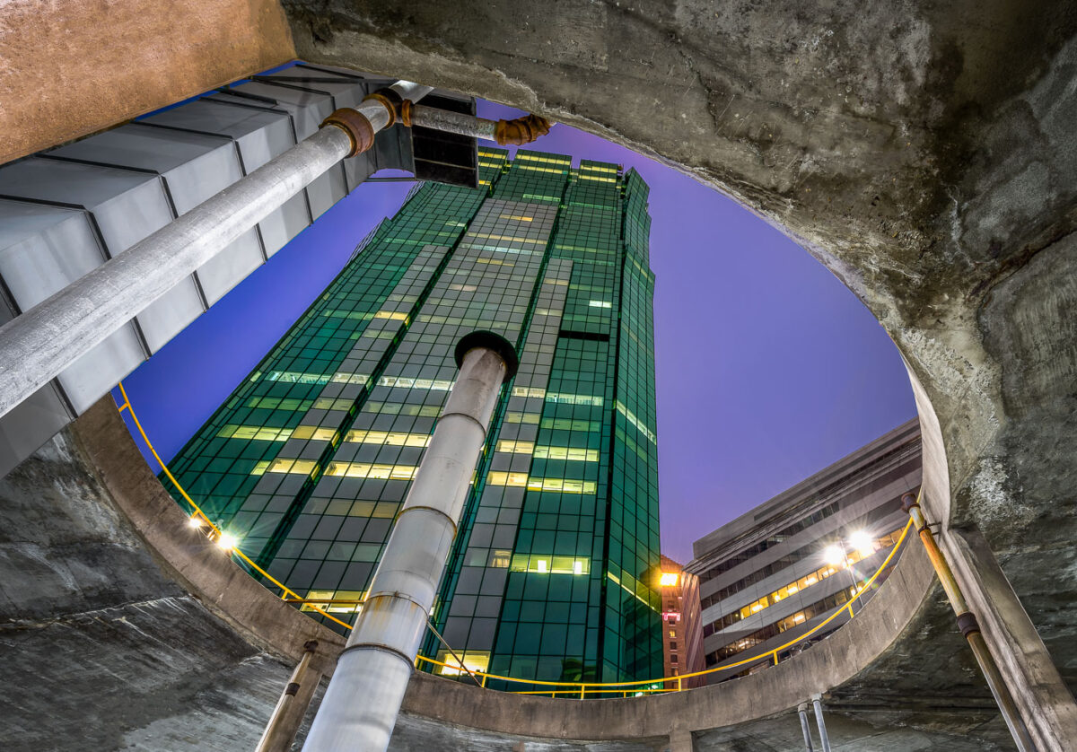
AT&T Tower in downtown Minneapolis rises above a parking ramp.
AT&T Tower, Minneapolis, rises above a downtown parking ramp. The building is a prominent office tower in the city’s central business district.

AT&T Tower, Minneapolis

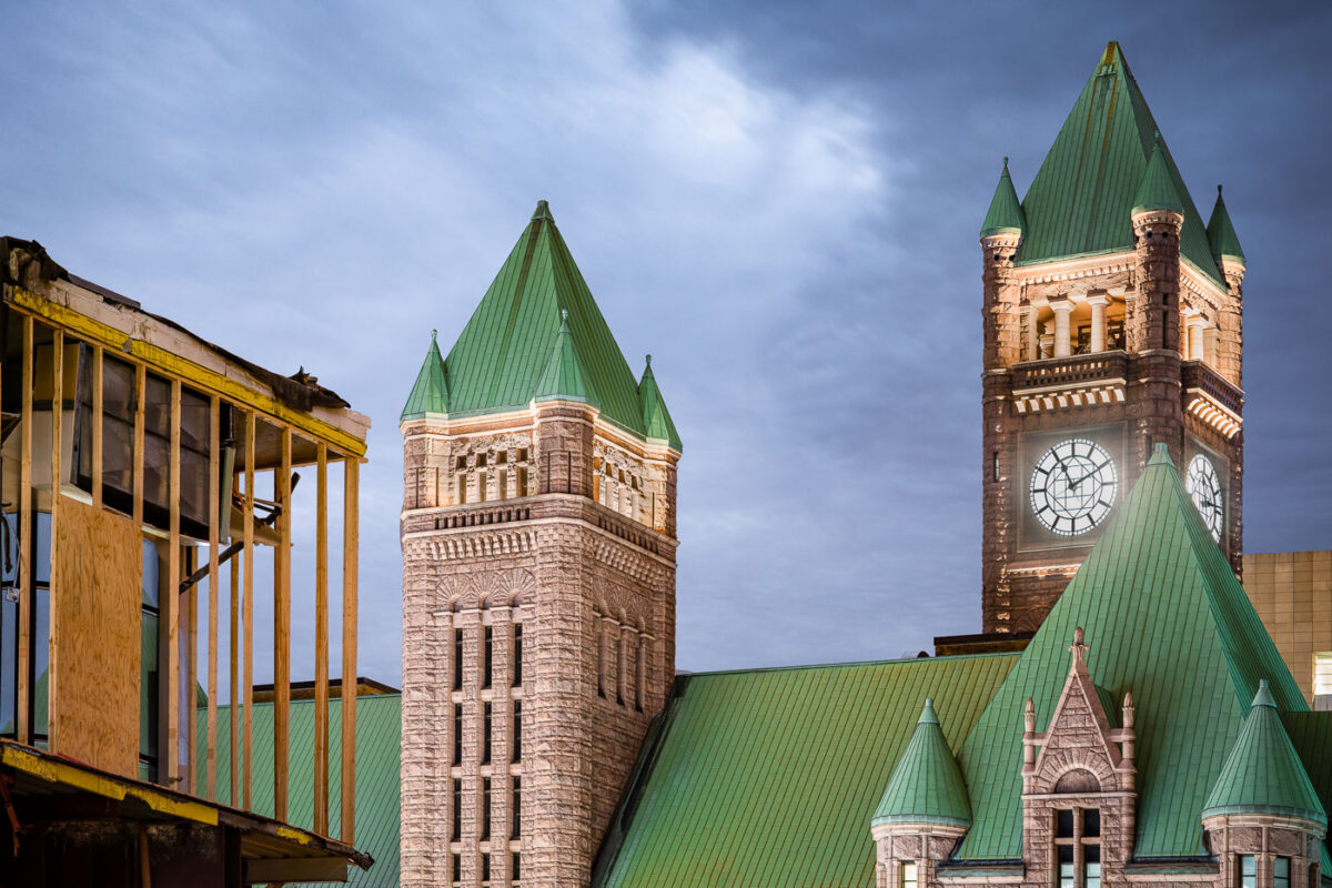
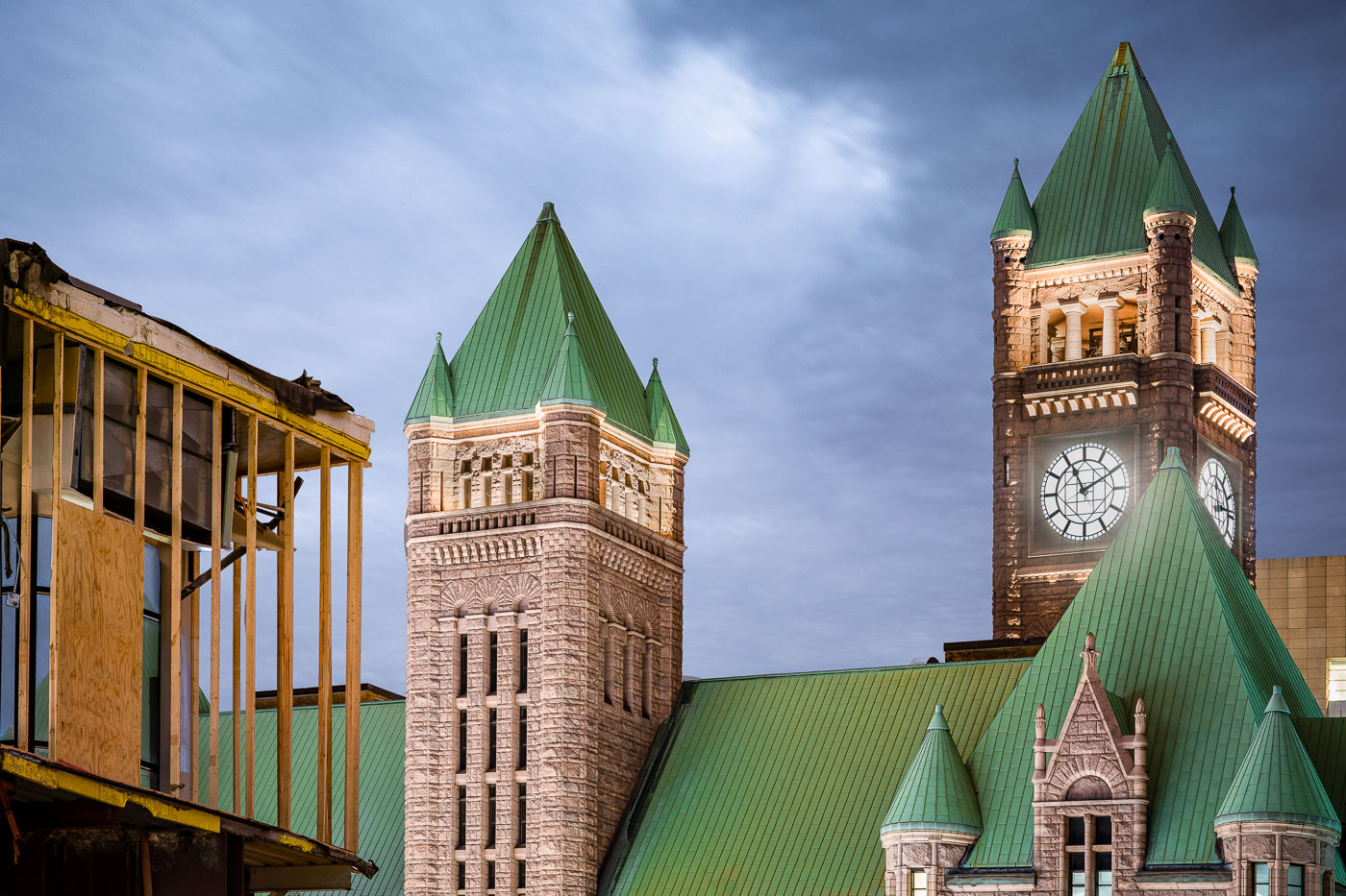
Minneapolis City Hall's Romanesque Revival towers with green copper roofs and large clock faces stand beside construction scaffolding.
Minneapolis City Hall, at 350 South Fifth Street, was built between 1888 and 1906 to a design by architects Franklin B. Long and Frederick Kees in the Romanesque Revival style. Its tower rises 345 feet and carries four clock faces, each about 24 feet in diameter, driven by a weight-powered mechanism installed when the building opened. The clock has long been cited as one of the largest four-faced, chiming clocks in the country. The building is listed on the National Register of Historic Places and still houses Minneapolis municipal offices along with Hennepin County government functions.

Minneapolis City Hall Towers Beside a Construction Site at Dusk

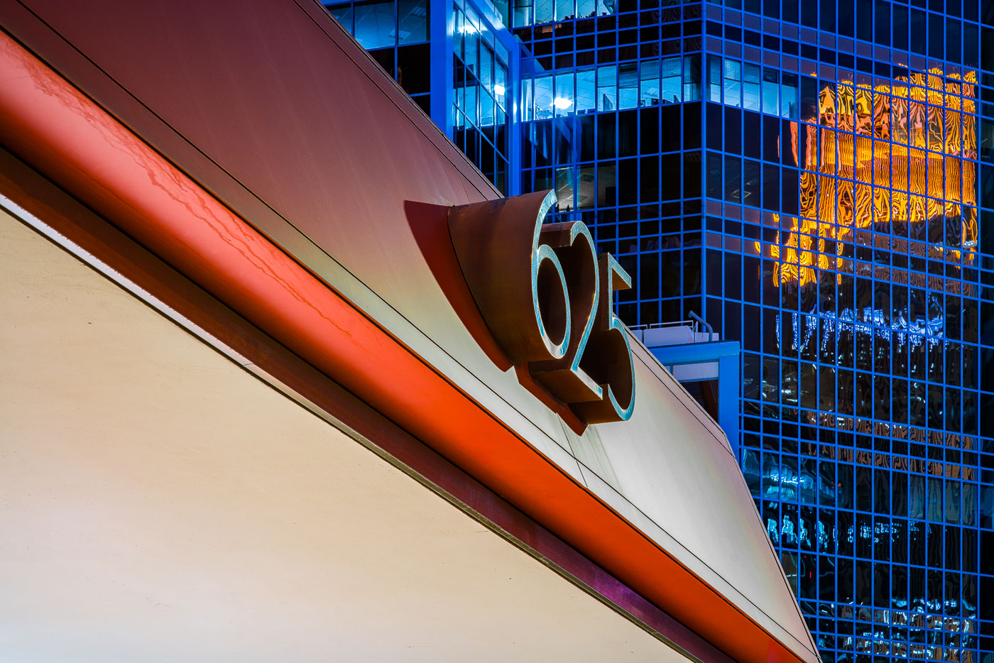
625 Building sign on a downtown Minneapolis facade beside a blue glass office tower
The 625 Building rises in downtown Minneapolis with a red and white facade in the foreground and a glass office tower behind it. A large “625” address sign is mounted on the building’s exterior near the corner.

625 Building, Downtown Minneapolis

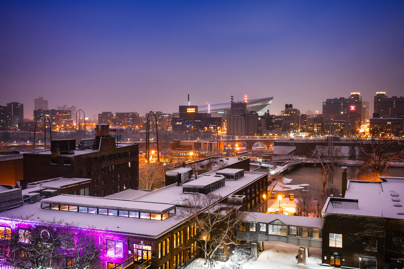
Downtown Minneapolis from St. Anthony Main
The Minneapolis skyline is visible in the distance, with US Bank Stadium prominently featured. In the foreground, the historic Stone Arch Bridge spans the Mississippi River, connecting the St. Anthony Main district to the city's core. Originally built in 1883 for the Great Northern Railway, the bridge is now a pedestrian and bicycle path, offering views of the river and the former industrial buildings that once defined this area.

Minneapolis Skyline and Stone Arch Bridge in Winter
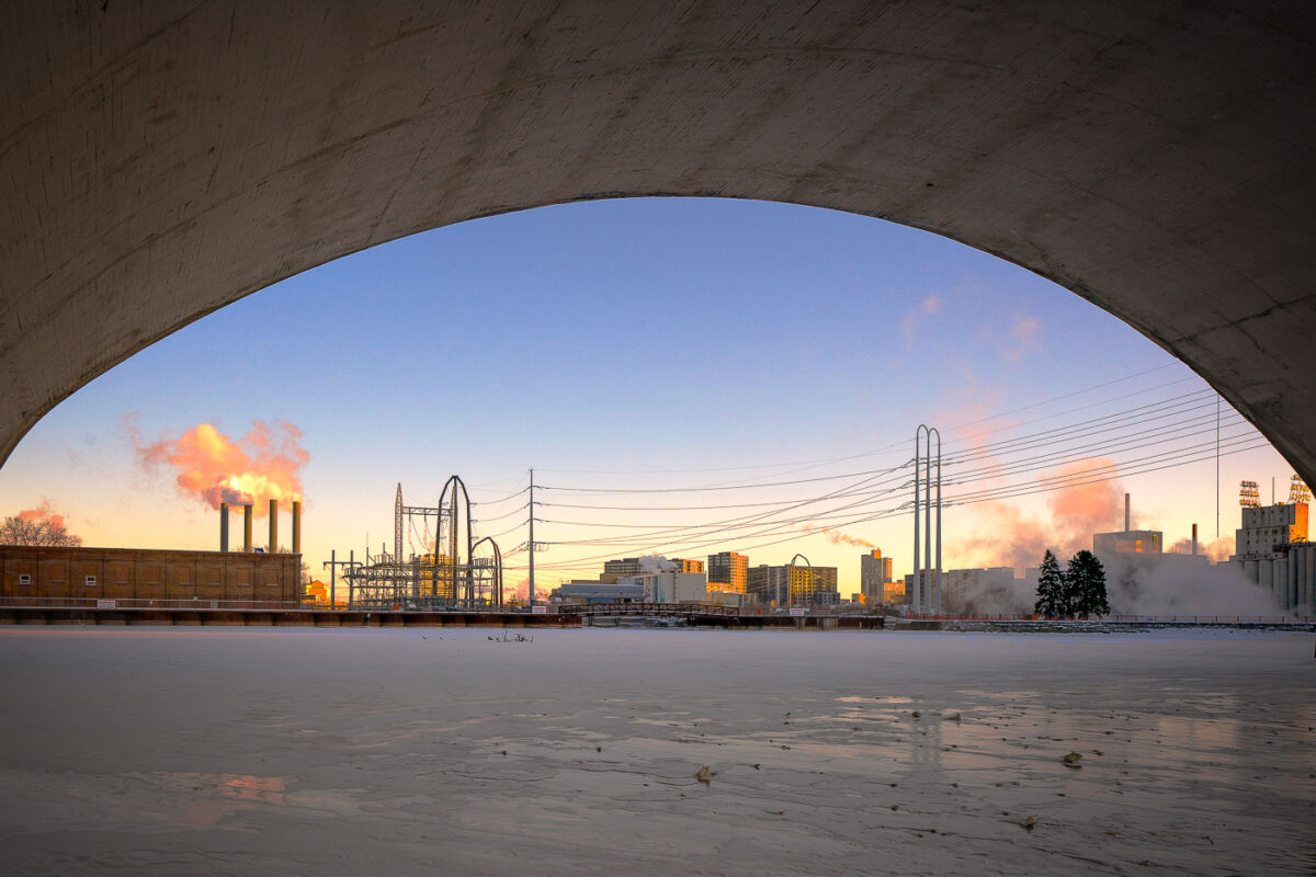
Third Avenue Bridge in Minneapolis spans the frozen Mississippi River near downtown.
Third Avenue Bridge in Minneapolis spans the Mississippi River near downtown. The bridge connects the city’s riverfront with the downtown area over the river. In winter, the river below is often covered with ice during periods of extreme cold.

Third Avenue Bridge Overlook, Minneapolis
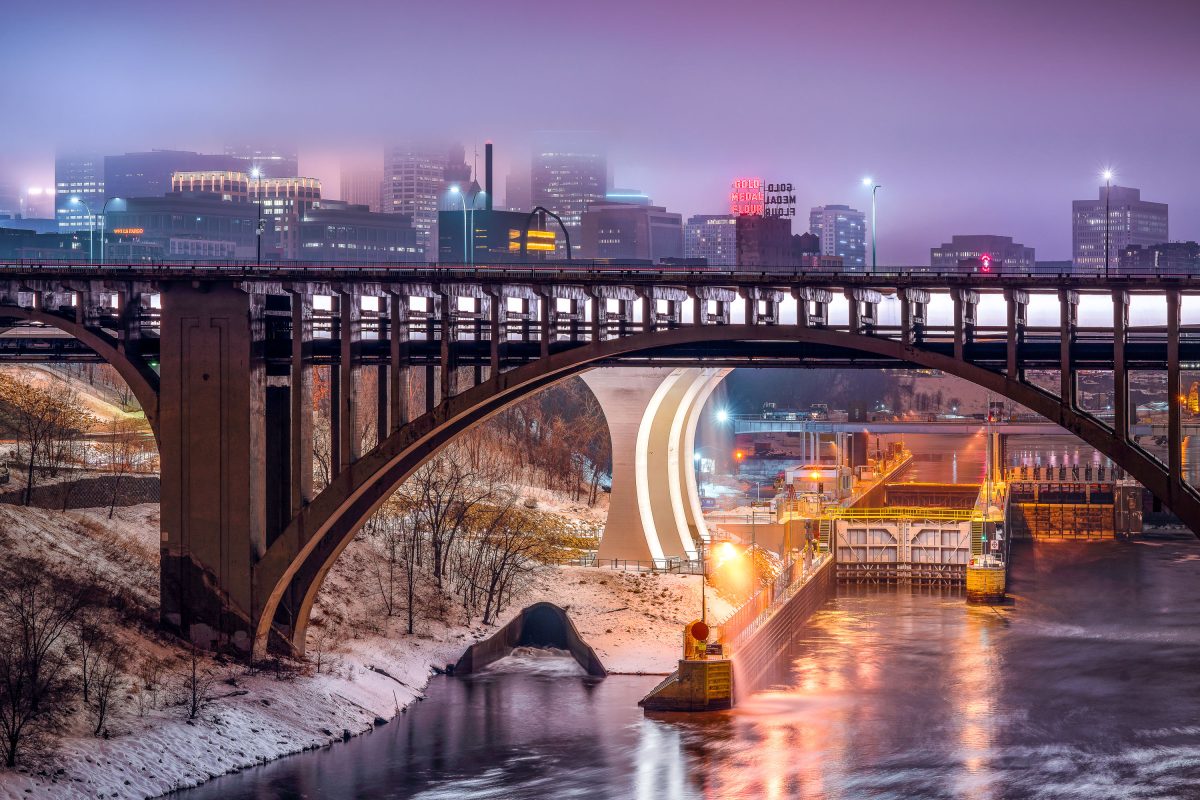
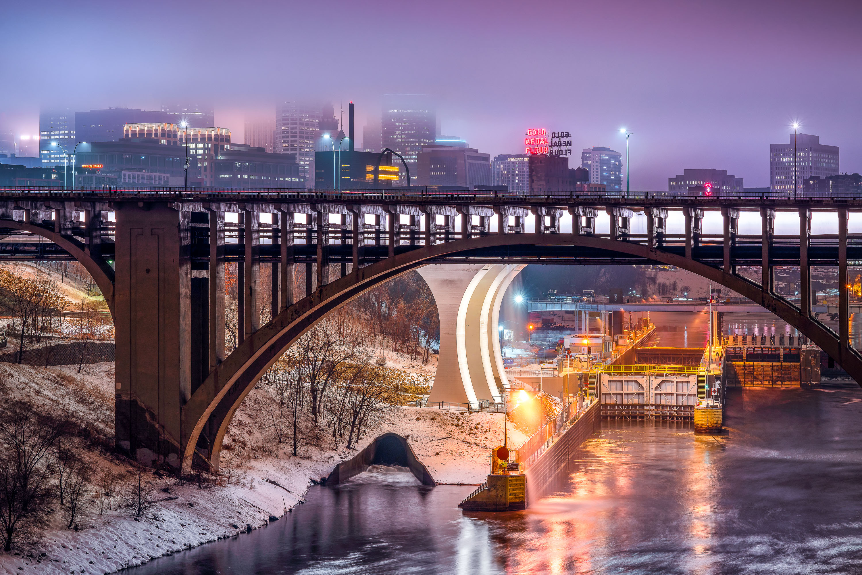
Third Avenue Bridge crosses the Mississippi River with the Gold Medal Flour sign and downtown Minneapolis skyline illuminated at dusk.
The Third Avenue Bridge crosses the Mississippi River just downstream from Saint Anthony Falls, linking downtown Minneapolis to the university area to the east. Completed in 1918, it's a concrete arch span designed by engineer Kristoffer Olsen Oustad with a slight curve to fit the site's geology. Below it, the Lower St. Anthony Falls Lock and Dam helps vessels pass the falls, while the Gold Medal Flour sign, raised above the old Washburn-Crosby mill site in 1908, still marks the skyline behind it.

Foggy Dusk at Third Avenue Bridge and St. Anthony Falls
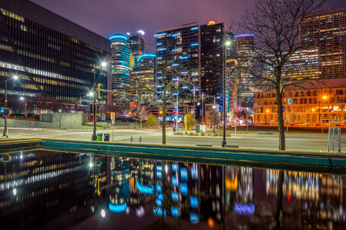
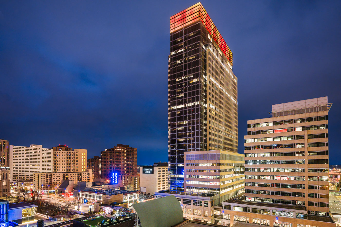
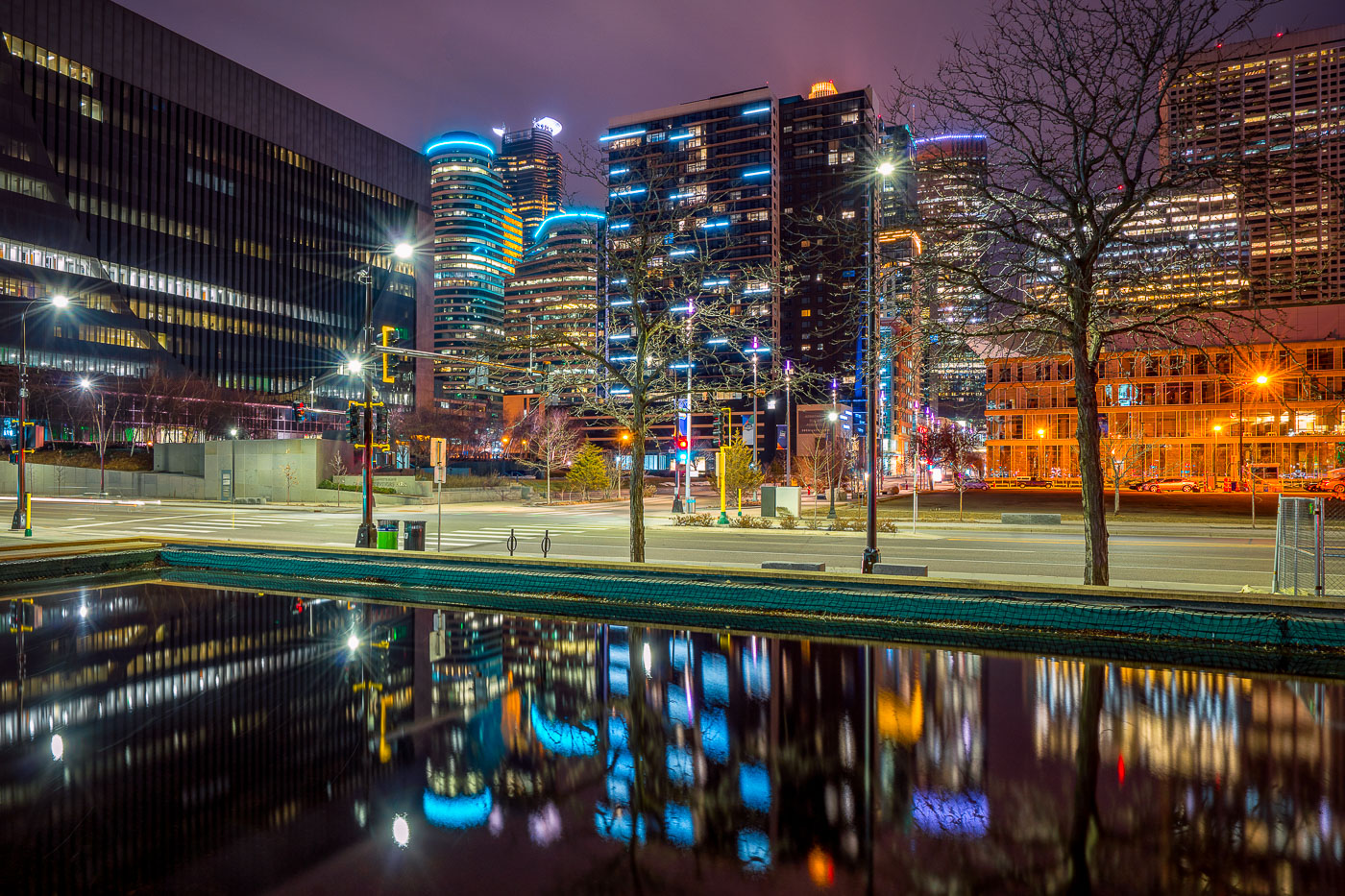
Illuminated downtown Minneapolis office and residential towers rise above a still water feature near Nicollet Mall at night.
Downtown Minneapolis's towers rise near Nicollet Mall, including Capella Tower and the Fifth Street Towers, among office buildings and residential high-rises built up in the 2000s and 2010s.

Minneapolis Skyline Reflected in a Water Feature Near Nicollet Mall
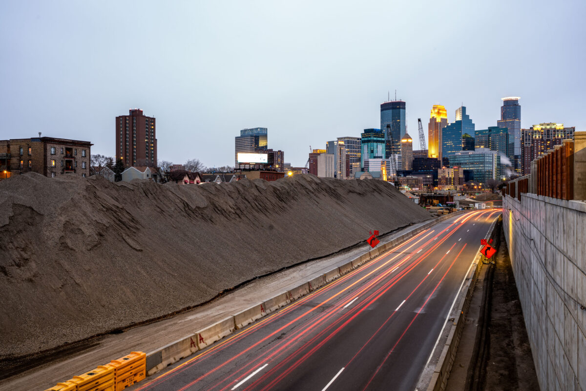
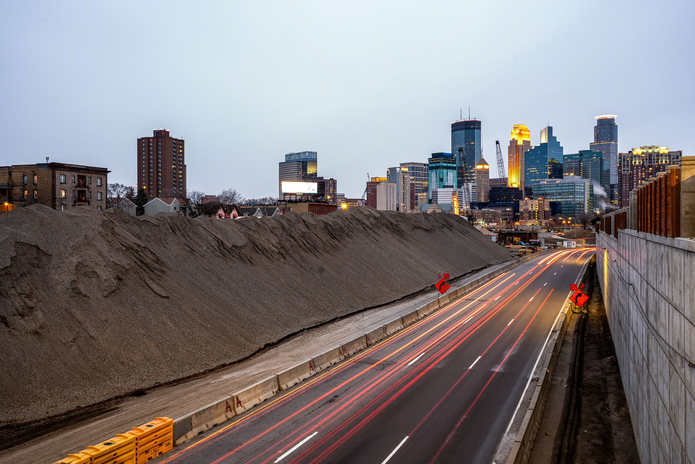
Excavated earth and traffic on Interstate 35W construction site near downtown Minneapolis skyline.
Interstate 35W underwent major reconstruction near downtown Minneapolis during this period. The project involved extensive earthwork and roadway modifications, with excavated material staged alongside the highway corridor. The construction activity was visible from multiple vantage points throughout the downtown area, marking a significant infrastructure undertaking in the city's transportation network.

Interstate 35W Construction Site, Minneapolis
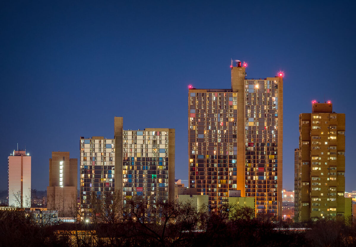
Riverside Plaza Cedar HIgh Apartments Minneapolis
Riverside Plaza and Cedar High Apartments stand illuminated against the twilight sky in Minneapolis’ Cedar-Riverside neighborhood. Completed in the 1970s and designed by architect Ralph Rapson, the complex is one of the city’s most distinctive examples of modernist architecture. Its colorful paneling and Brutalist concrete forms house one of the most diverse communities in the region, symbolizing both urban renewal and the evolution of affordable housing in the Twin Cities.

Riverside Plaza at Dusk

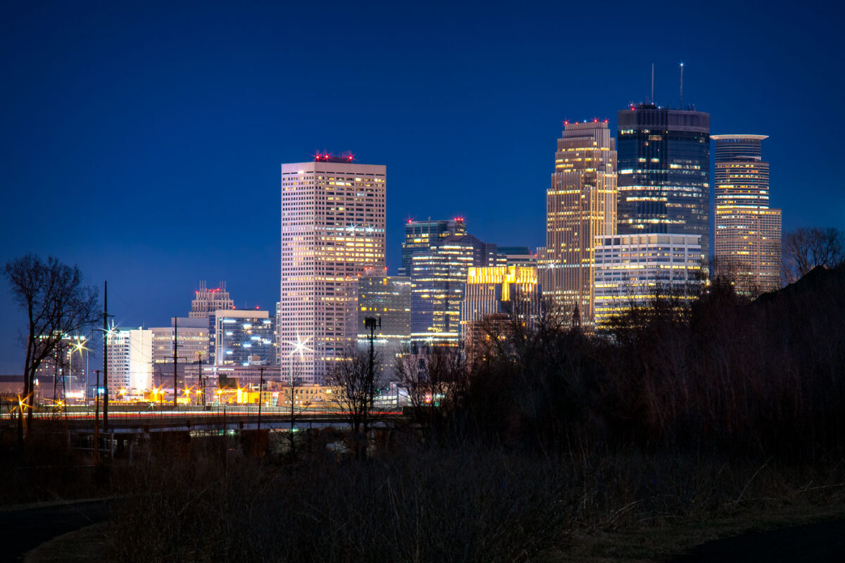
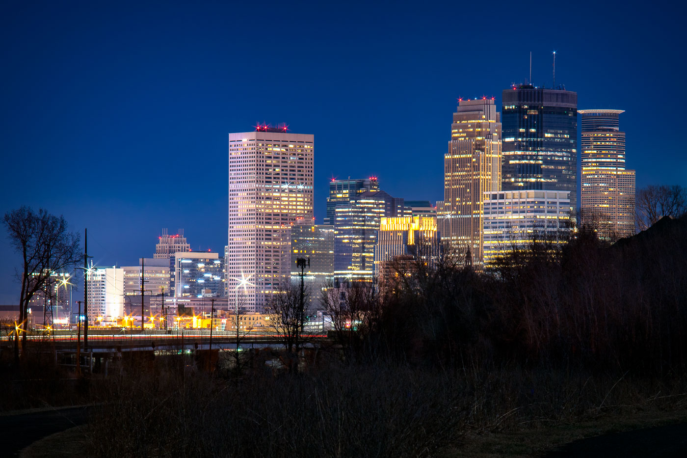
Minneapolis downtown skyline at twilight, viewed from Cedar Lake Trail with illuminated office towers against a deep blue sky.
Downtown Minneapolis's skyscrapers stand along the Cedar Lake Trail, including the IDS Center and Capella Tower. The IDS Center, completed in 1972, is Minnesota's tallest building at 792 feet.

Downtown Minneapolis Skyline Seen from the Cedar Lake Trail
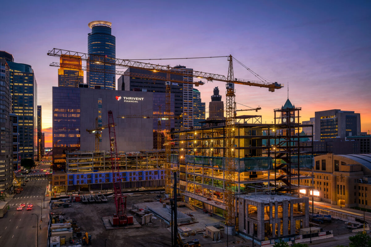
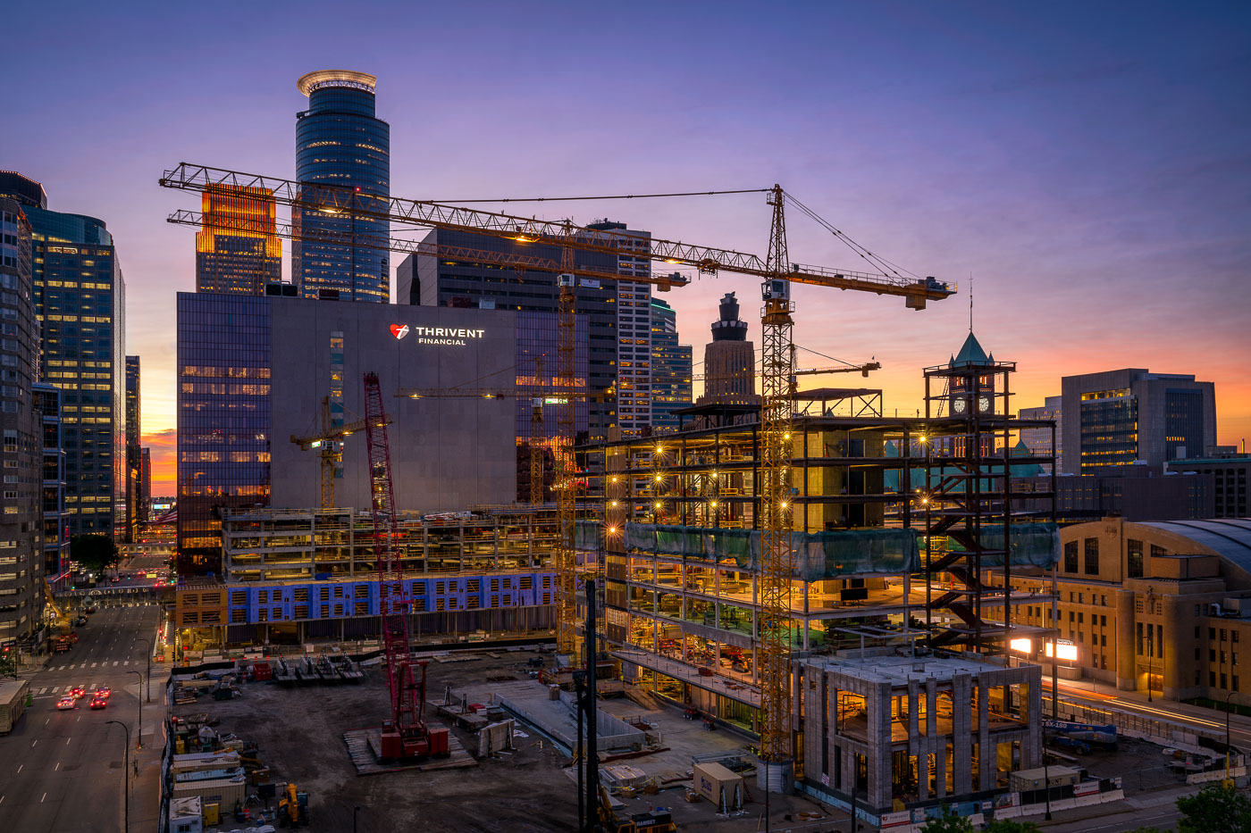
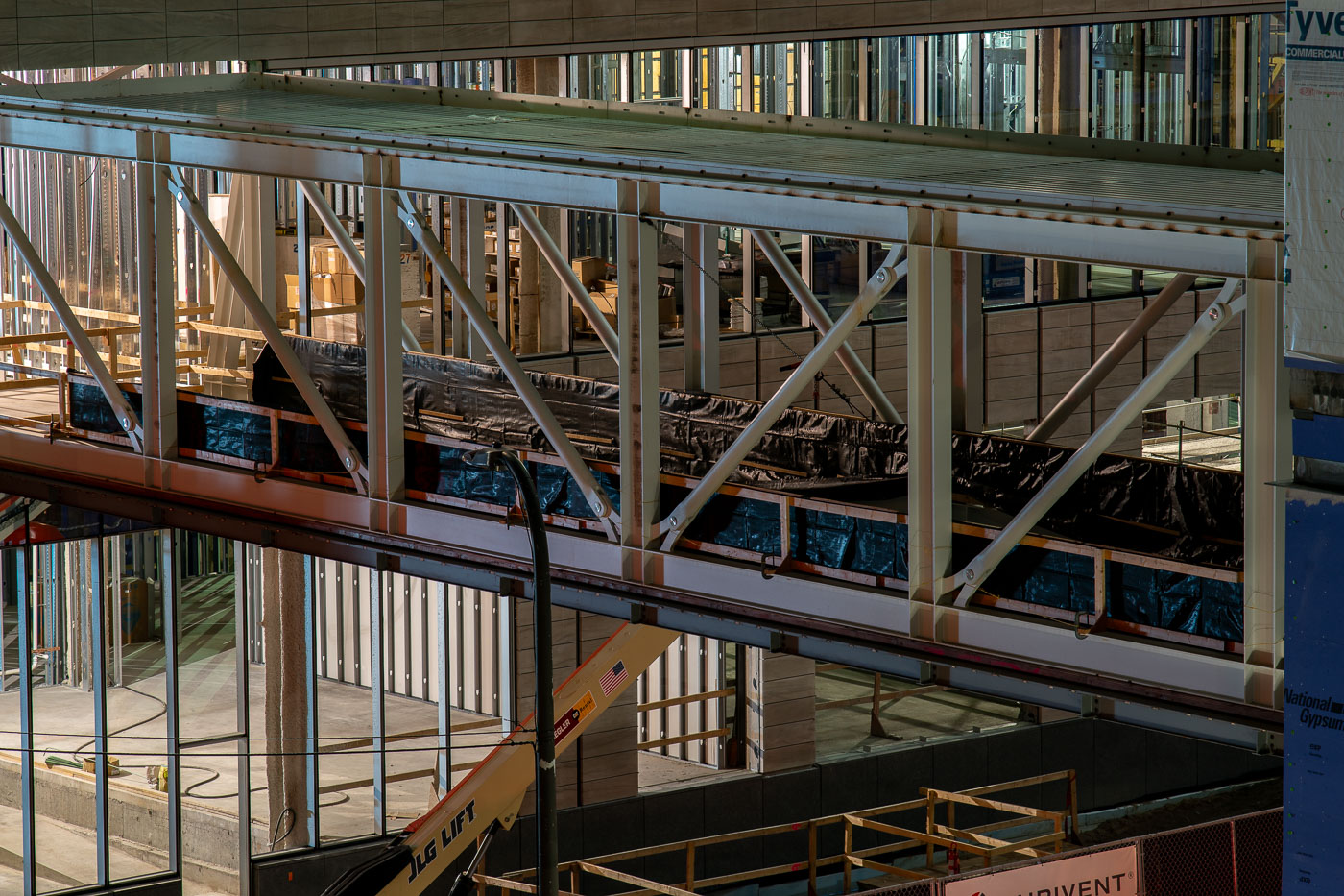
Construction of the Thrivent Financial campus in downtown Minneapolis
Construction of the Thrivent Financial campus in downtown Minneapolis is underway, with the company's existing building visible alongside the new structure. The project, which began in 2018, is designed to consolidate Thrivent's operations into a single, modern facility. The new building features a distinctive glass facade and is situated adjacent to the historic Milwaukee Road Depot, a landmark of Minneapolis's transportation history.

Thrivent Financial Construction Downtown Minneapolis at Sunset
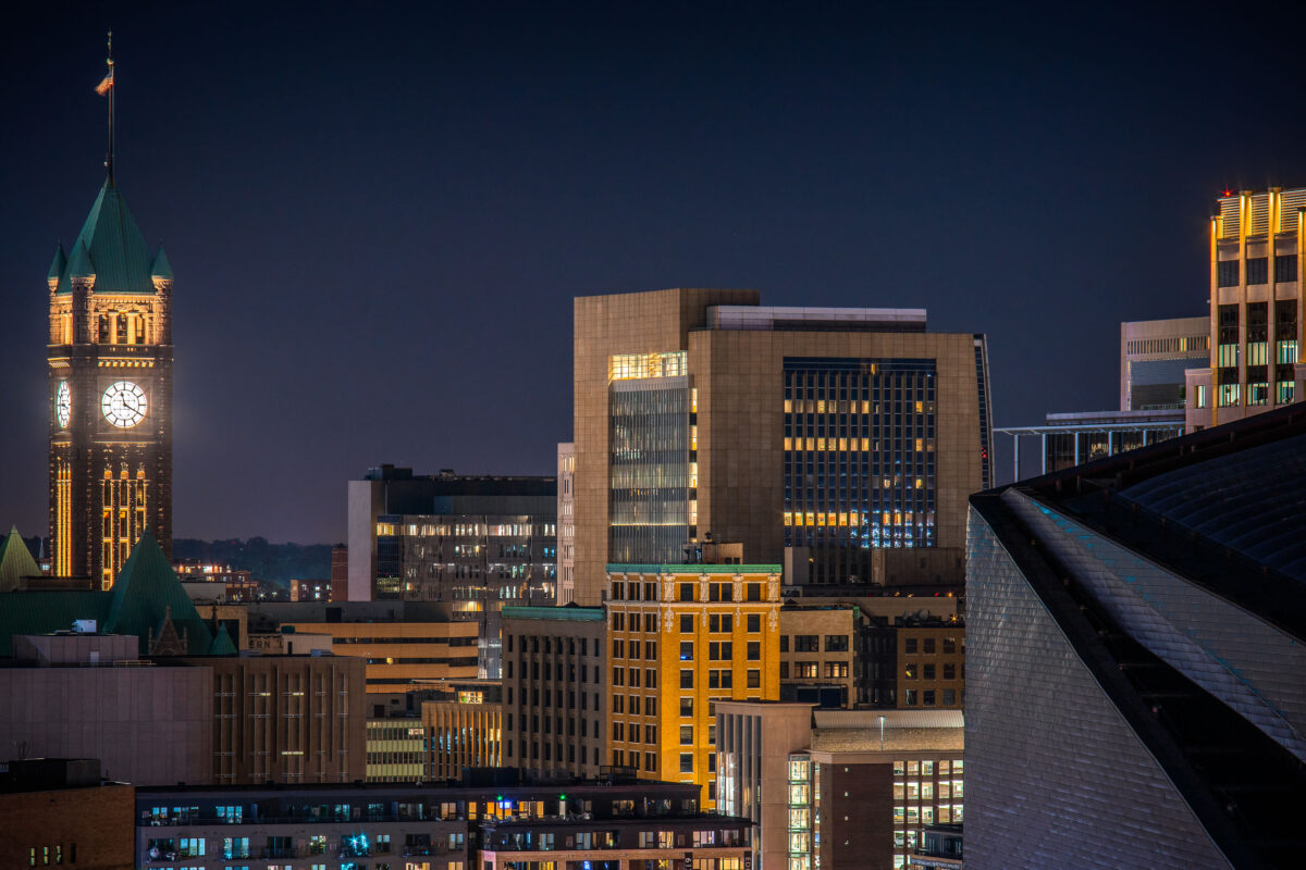
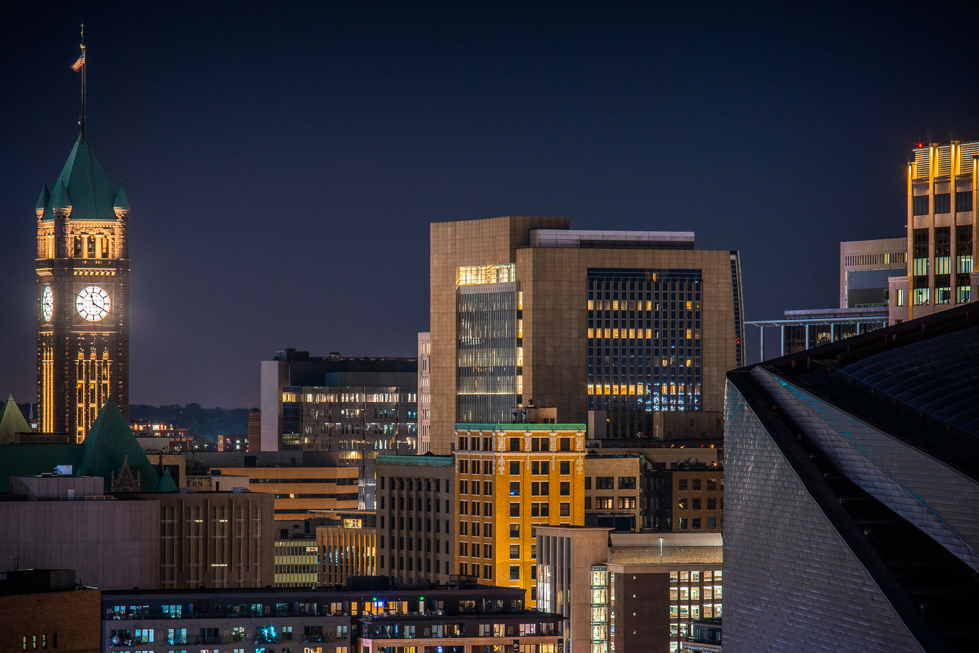
Minneapolis City Hall's illuminated clock tower and green copper roof rise above the downtown skyline at night.
Minneapolis City Hall’s clock tower rises above downtown Minneapolis at night. The historic building was completed in 1909.

Downtown Minneapolis Skyline with City Hall’s Clock Tower
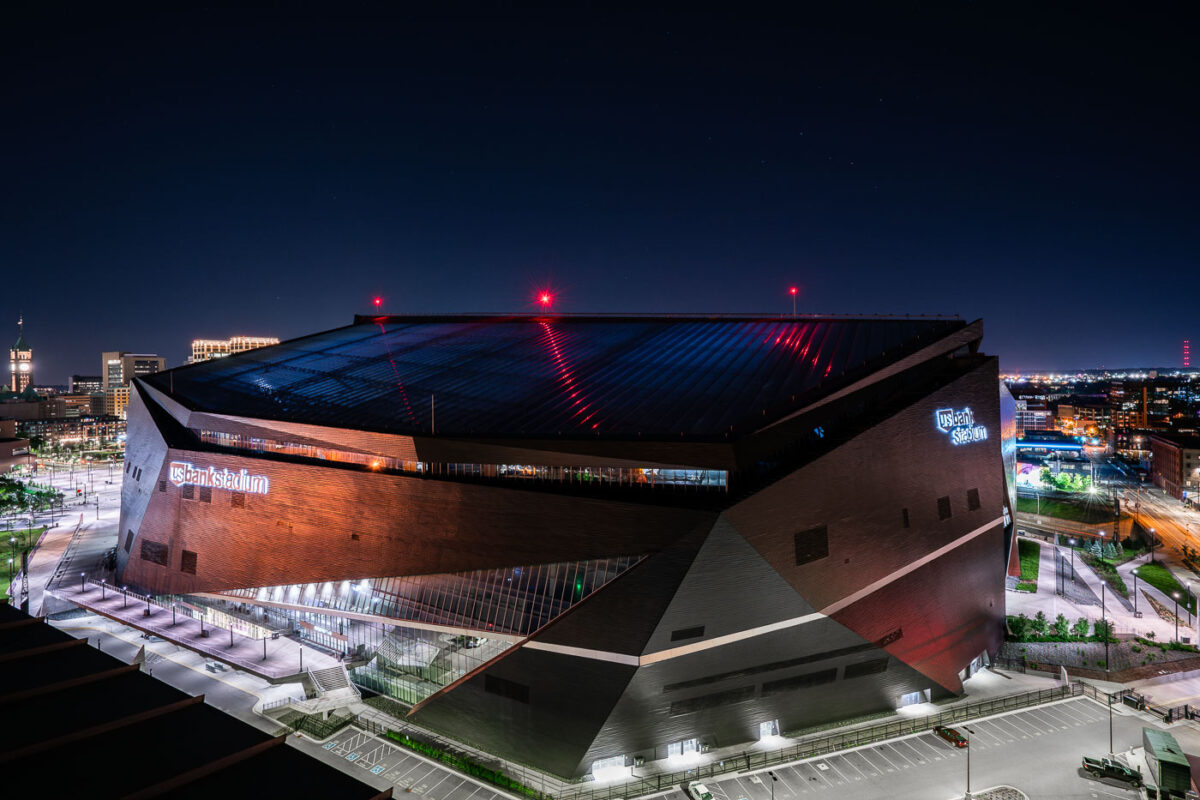
US Bank Stadium in Downtown East Minneapolis
US Bank Stadium, located in the Downtown East neighborhood of Minneapolis, Minnesota, is a multi-purpose indoor stadium that opened in 2016. It serves as the home venue for the National Football League's Minnesota Vikings and also hosts concerts, conventions, and other sporting events. Its construction replaced the Metrodome, providing a modern facility for professional sports and large-scale public gatherings in the Twin Cities.

US Bank Stadium at Night, Downtown East Minneapolis
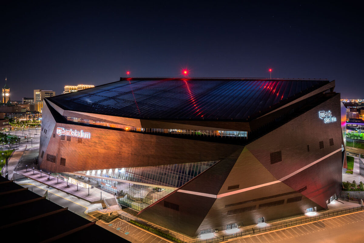
US Bank Stadium at Night Minneapolis Minnesota
U.S. Bank Stadium, home to the NFL's Minnesota Vikings, is a multi-purpose arena in downtown Minneapolis that opened in 2016. Designed by HKS Architects, its distinctive angular exterior is clad in brick and glass, with a translucent ETFE roof that allows natural light during the day and reflects ambient city light at night. The stadium's design, inspired by the prow of a Viking ship, replaced the former Metrodome and serves as a significant venue for sporting events, concerts, and conventions, anchoring the eastern edge of the Minneapolis skyline.

U.S. Bank Stadium in Downtown Minneapolis at Night
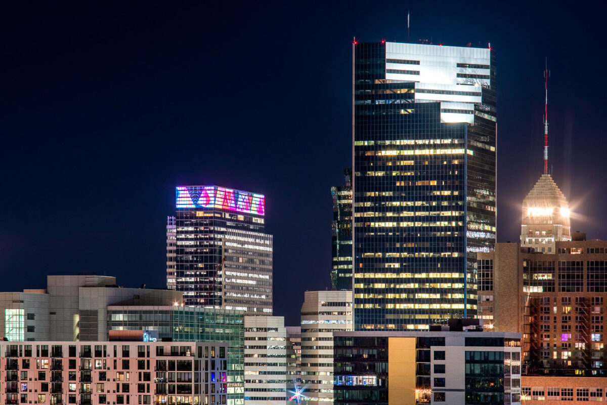
Downtown Minneapolis skyline at night with Target Plaza South, Campbell Mithun Tower, and Foshay Tower.
Downtown Minneapolis skyline at night includes Target Plaza South, the Campbell Mithun Tower, and the Foshay Tower. Target Plaza South houses Target’s corporate headquarters, while the Foshay Tower is a 1929 Art Deco skyscraper that was once the city’s tallest building. The Campbell Mithun Tower stands nearby in the city’s central business district.

Minneapolis Skyline: Target HQ, Campbell Mithun Tower, Foshay Tower
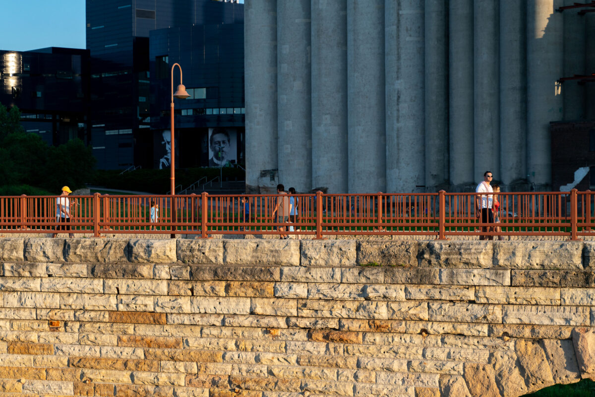
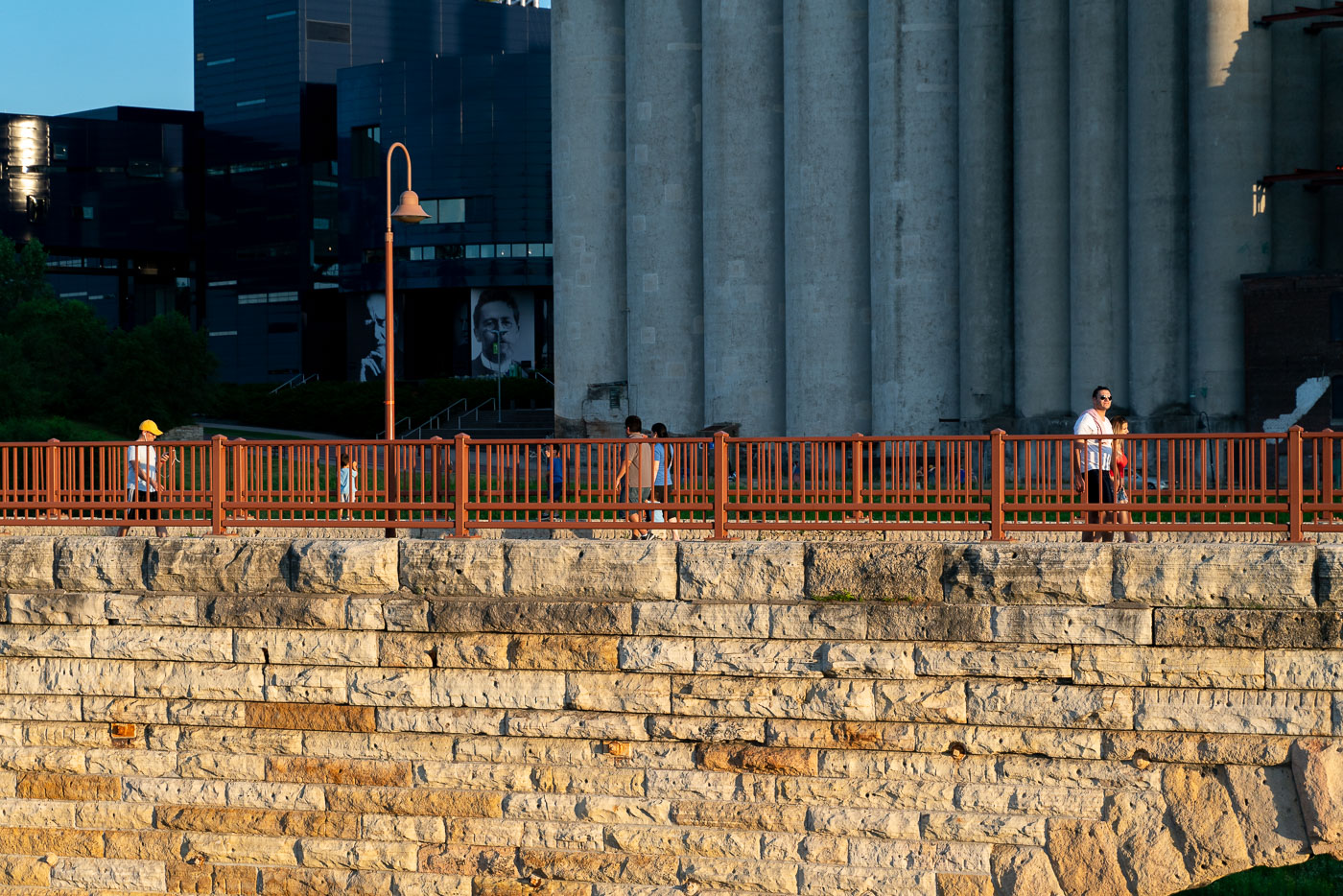
Pedestrians walk on the Stone Arch Bridge with an orange railing, overlooking stone foundation and Minneapolis grain silos.
The Stone Arch Bridge in Minneapolis, Minnesota, spans the Mississippi River. Originally constructed in 1883 by the St. Paul & Minneapolis Railroad. Today it's a pedestrian walkway and bicycle path.

Evening Walkers on Stone Arch Bridge Near the Grain Silos
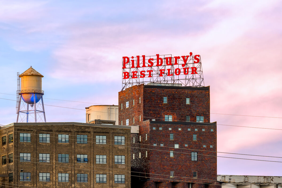
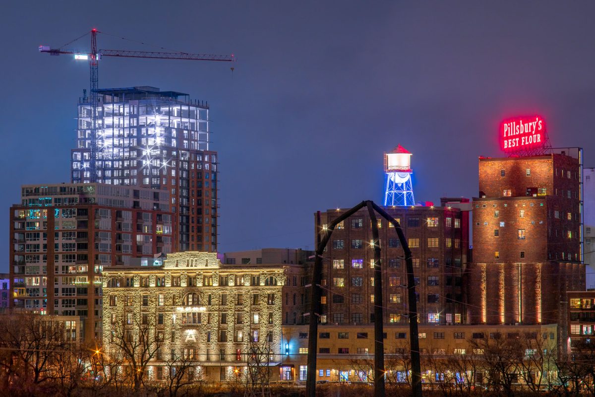
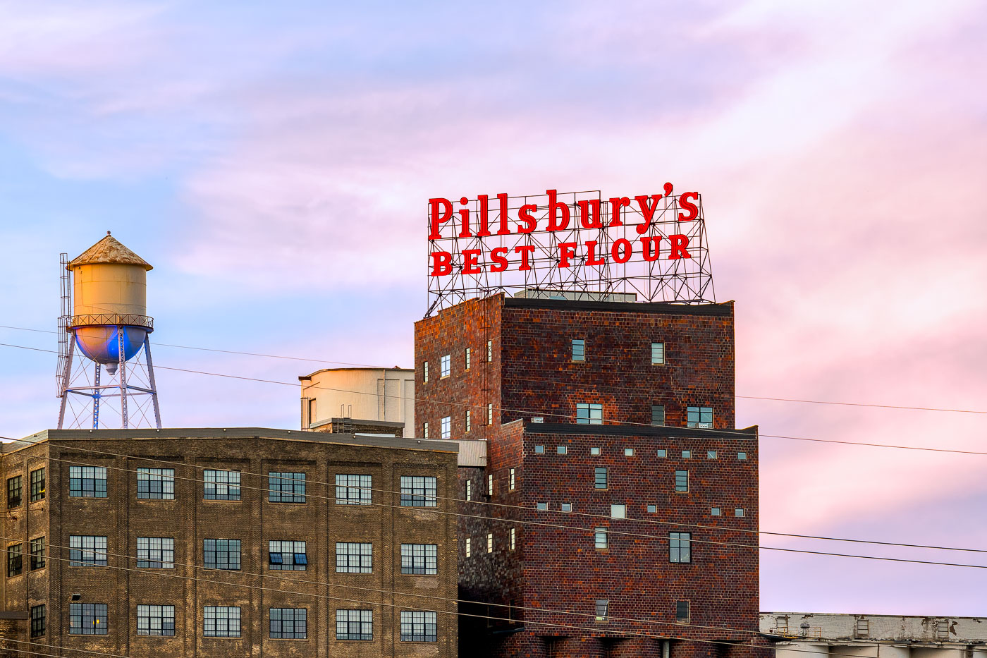
The Pillsbury's Best flour mill sign glows red atop a historic brick mill building in Minneapolis at sunset.
The Pillsbury A-Mill, a former flour mill on the Mississippi River in Minneapolis, Minnesota, was once the world's largest flour mill for four decades. Completed in 1881, it utilized two powerful 1,200-horsepower waterwheels. Recognized as a National Historic Landmark in 1966, the structure has since been repurposed into resident artist lofts.

Pillsbury’s Best Flour Sign and Water Tower at Dusk
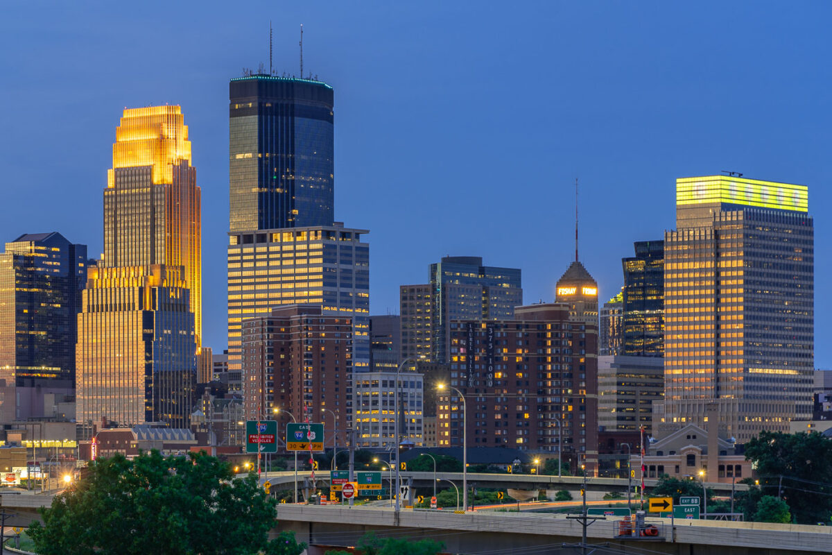
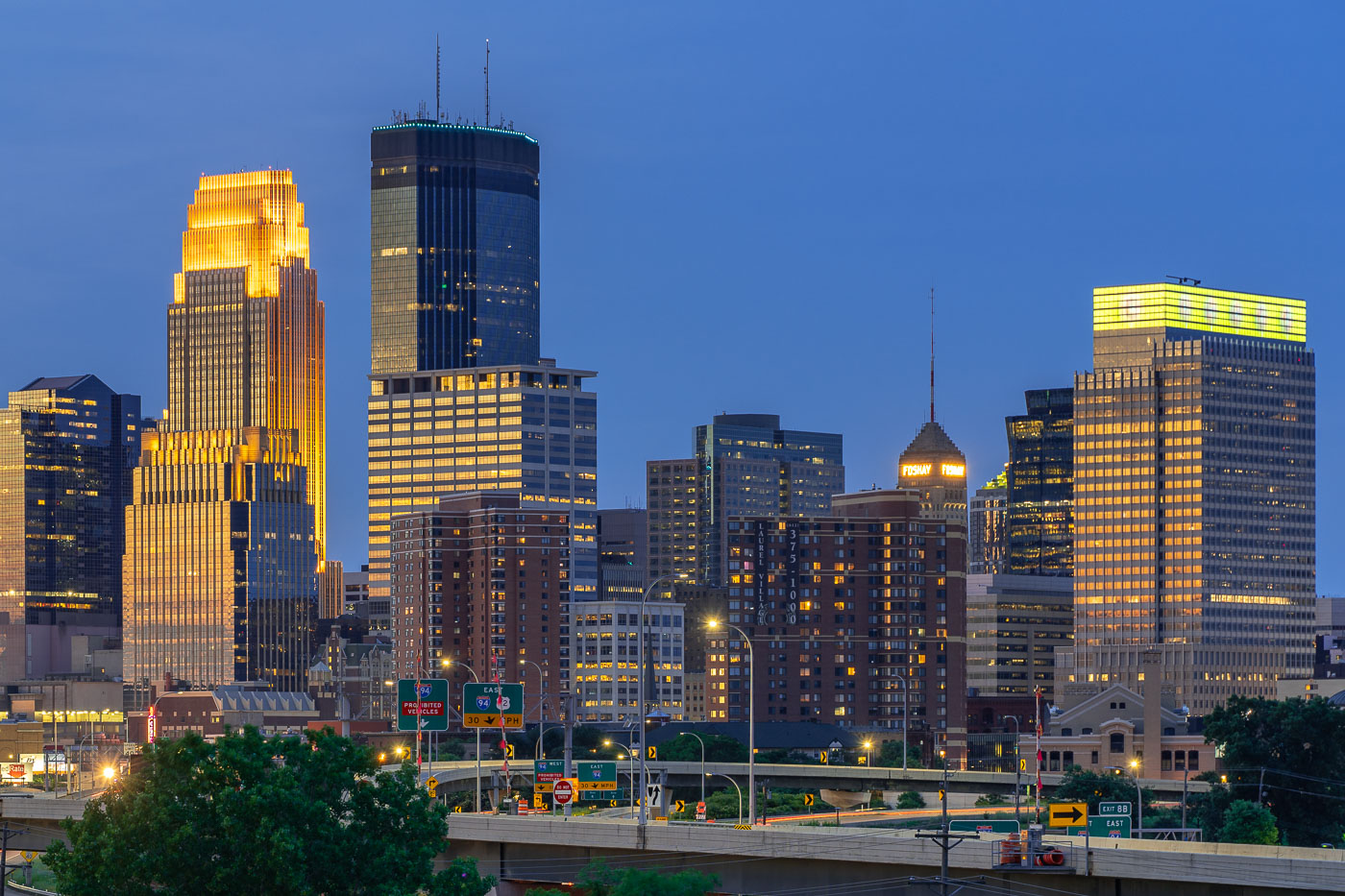
Downtown Minneapolis skyline at dusk with the IDS Center and Foshay Tower illuminated above Interstate 94.
The IDS Center and Foshay Tower stand above Interstate 94 in downtown Minneapolis. The IDS Center, completed in 1972, is 792 feet tall, the tallest building in Minnesota. The Foshay Tower, finished in 1929 and modeled after the Washington Monument, held that title until the IDS Center surpassed it.

IDS Center and Foshay Tower Above Interstate 94 in Minneapolis
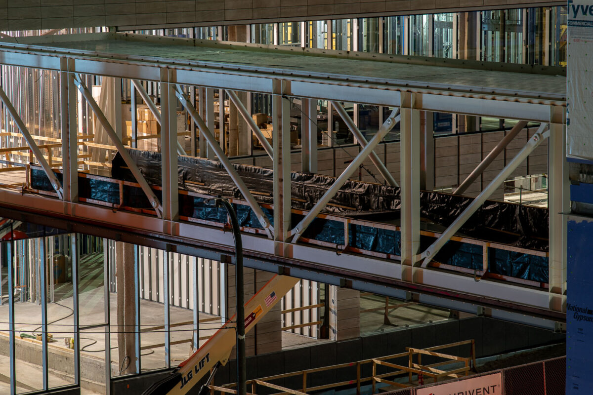
Minneapolis skyway under construction between downtown buildings.
A Minneapolis skyway is under construction in downtown Minneapolis. The elevated pedestrian walkway connects buildings in the city’s enclosed skyway system, which links offices, shops, and transit access across the downtown core.

Downtown Minneapolis Skyway Construction in 2019
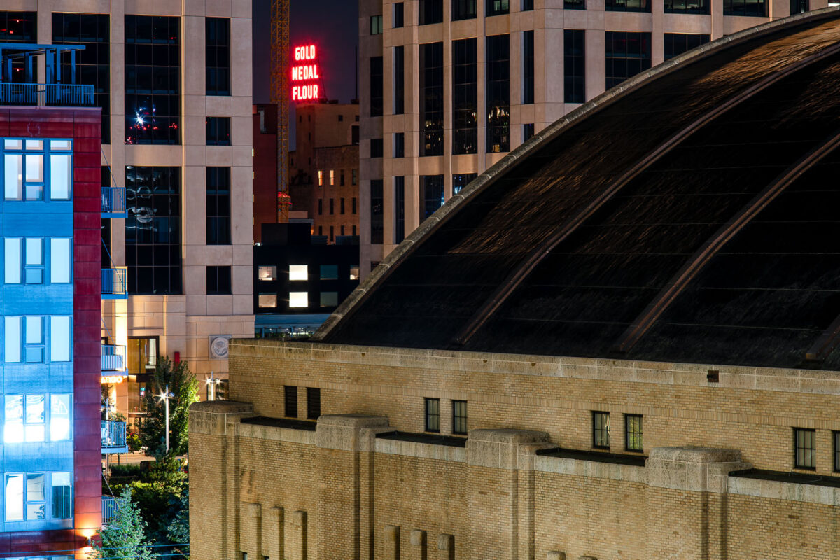
The Armory and Gold Medal Flour sign in Downtown Minneapolis
The Gold Medal Flour seen in the distance with the Minneapolis Armory in the foreground. The Armory is noiw a concert venue after being a parking garage for a long time.

The Armory and Gold Medal Flour sign in Downtown Minneapolis

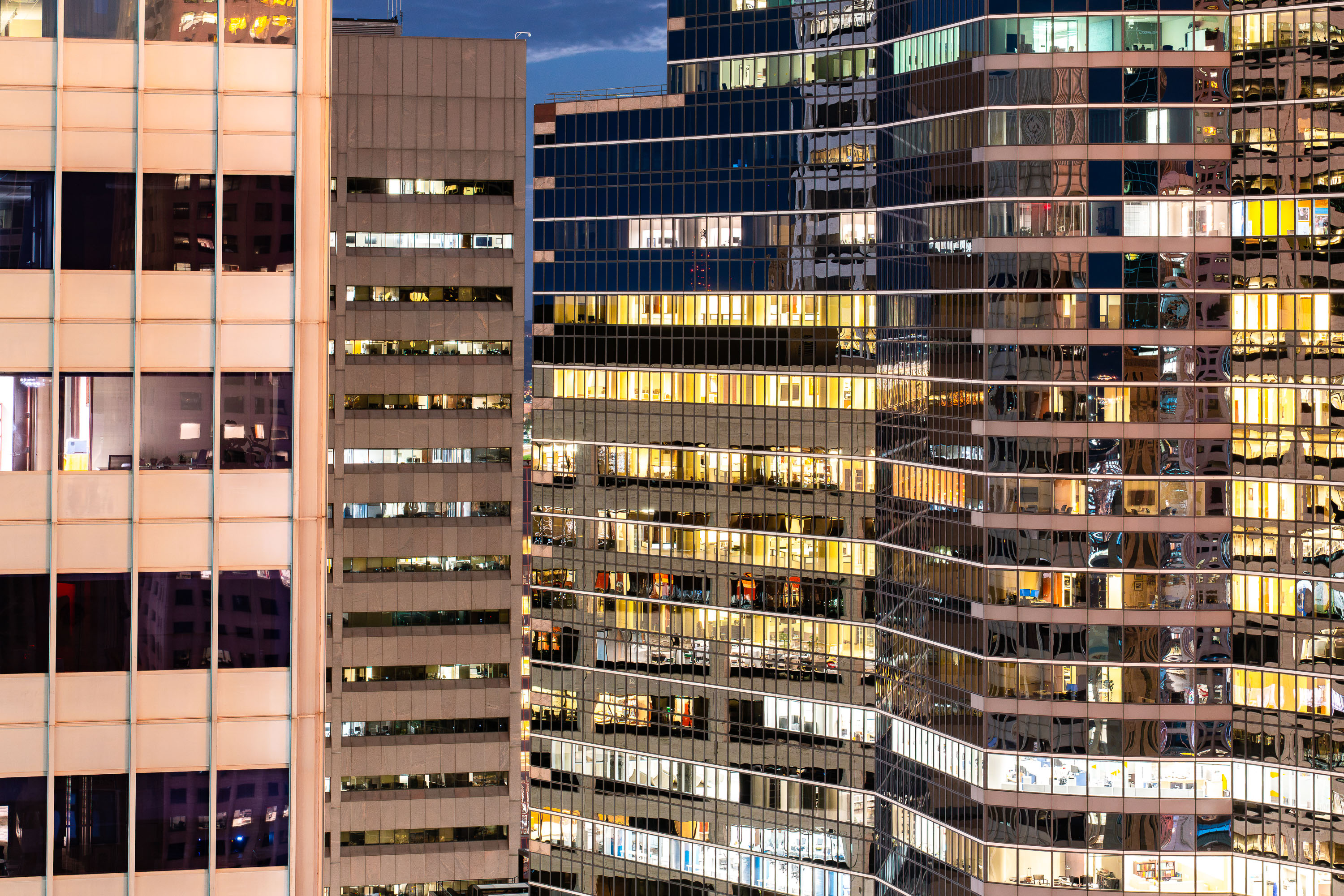
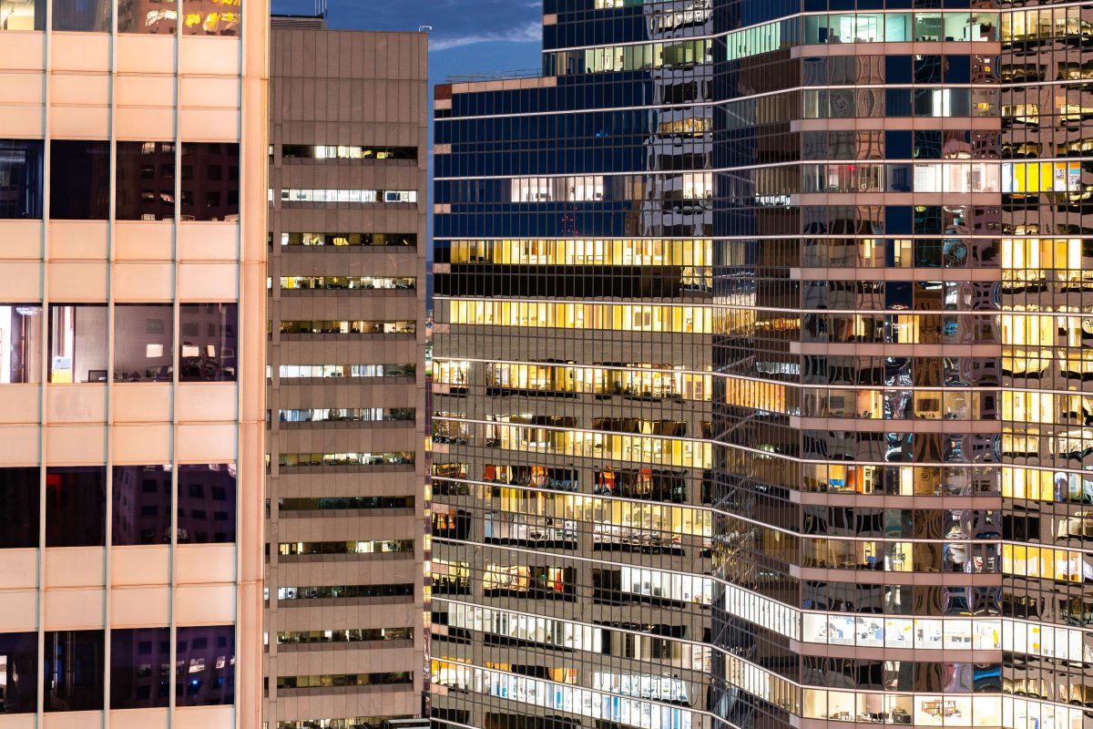
Illuminated office buildings in downtown Minneapolis at dusk with lit windows across multiple facades.
The buildings of Downtown Minneapolis at night.

Glass and Glow of Downtown Minneapolis Office Towers
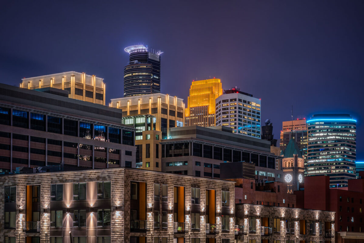
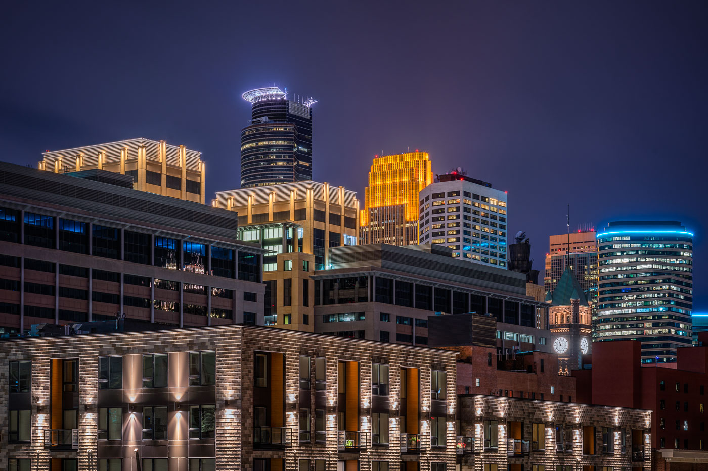
Illuminated downtown Minneapolis skyline at night featuring the IDS Center and Wells Fargo Tower among modern high-rises.
Capella Tower, completed in 1992, stands 776 feet tall and is known for the ring of lights around its crown. Minneapolis City Hall, built from 1888 to 1909, stands nearby with a clock tower whose four faces each measure about eleven and a half feet across.

Minneapolis City Hall Clock Tower and Capella Tower at Night

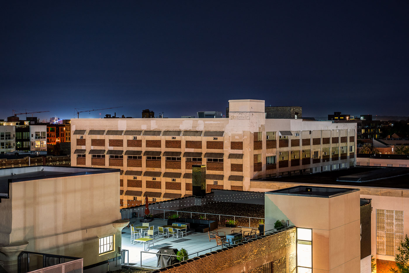
Rooftop patio with seating and black canopy at CJ Duffey Paper Co in North Loop Minneapolis.
The rooftop patio at CJ Duffey Paper Co in Minneapolis's North Loop neighborhood serves as an outdoor gathering space adjacent to the historic brick warehouse. The patio is sheltered by a black canopy and furnished with blue and wood seating. The surrounding North Loop area features mixed-use industrial and residential architecture, with modern apartment buildings and converted warehouses characteristic of the neighborhood's development.

CJ Duffey Paper Co Rooftop Patio, North Loop Minneapolis
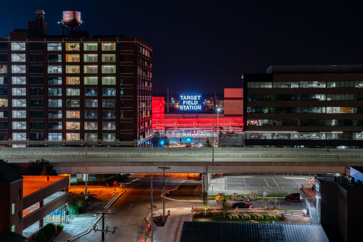
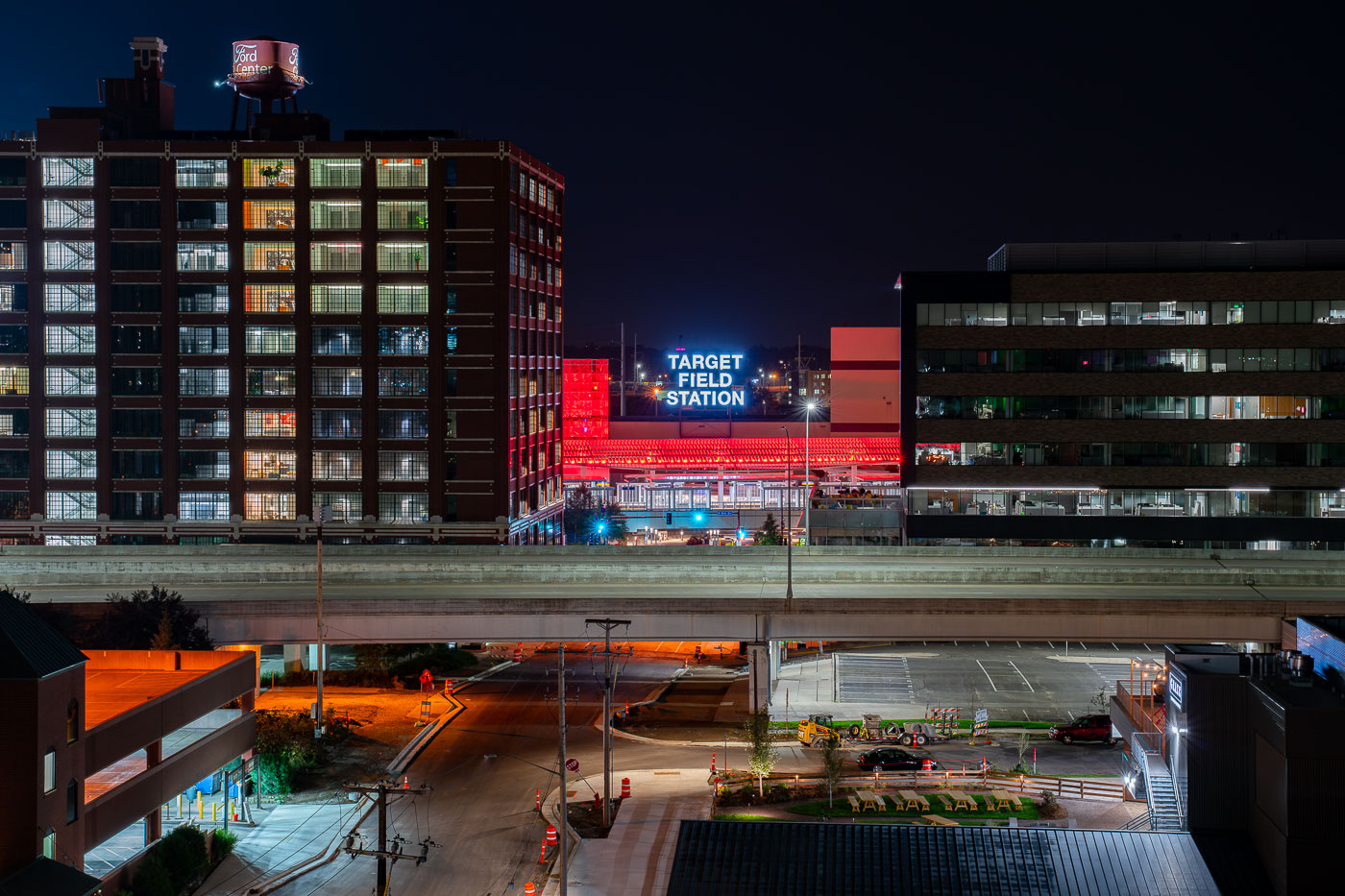
Target Field Station illuminated at night in Minneapolis's North Loop, surrounded by historic and modern buildings.
Target Field Station is a transit hub in the North Loop next to Target Field, home of the Minnesota Twins. It opened in 2014 and brings together the METRO Blue and Green light rail lines, Northstar Commuter Rail, and Metro Transit buses under one roof.

Target Field Station Sign Above the North Loop

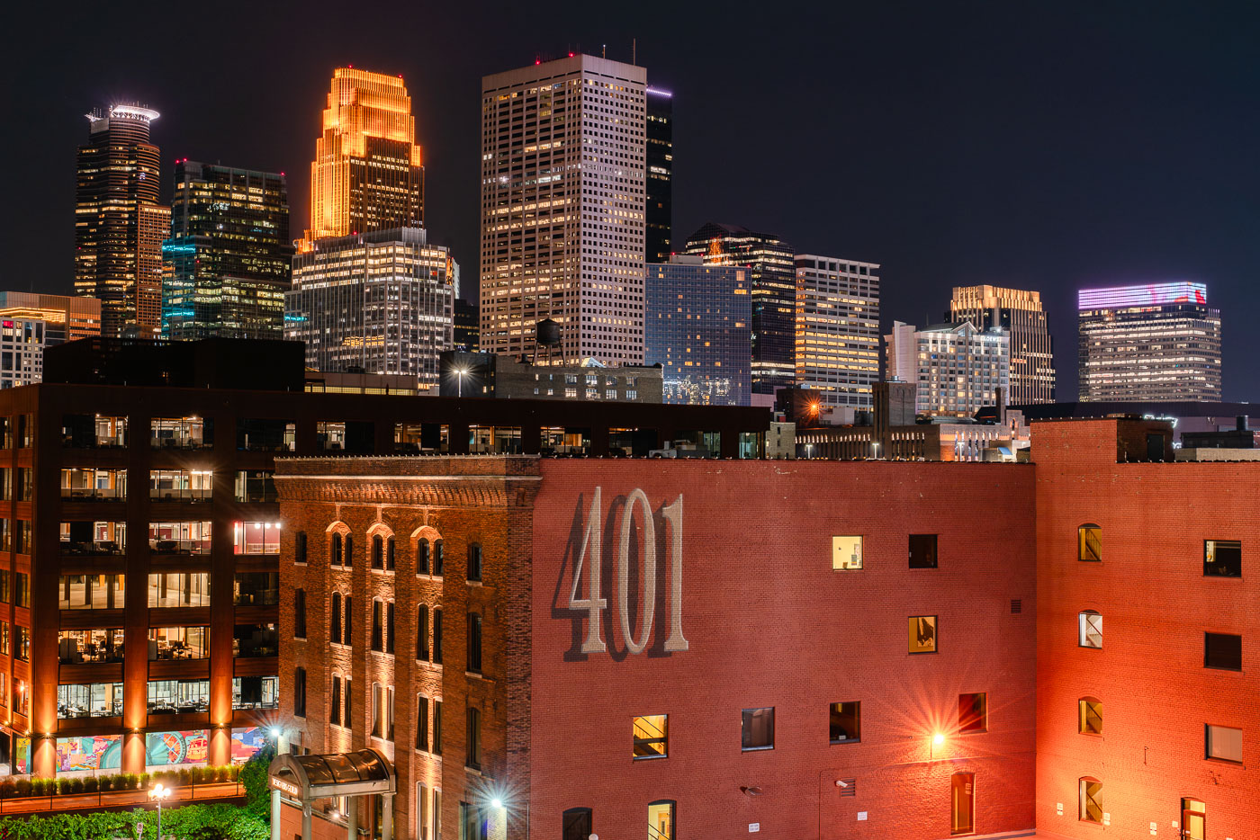
Downtown Minneapolis skyline at night from the North Loop, with the 401 North First Avenue building in front.
Downtown Minneapolis skyline at night from the North Loop. The North Loop area combines former warehouse buildings with newer residential and commercial development.

Minneapolis Skyline from the North Loop at night
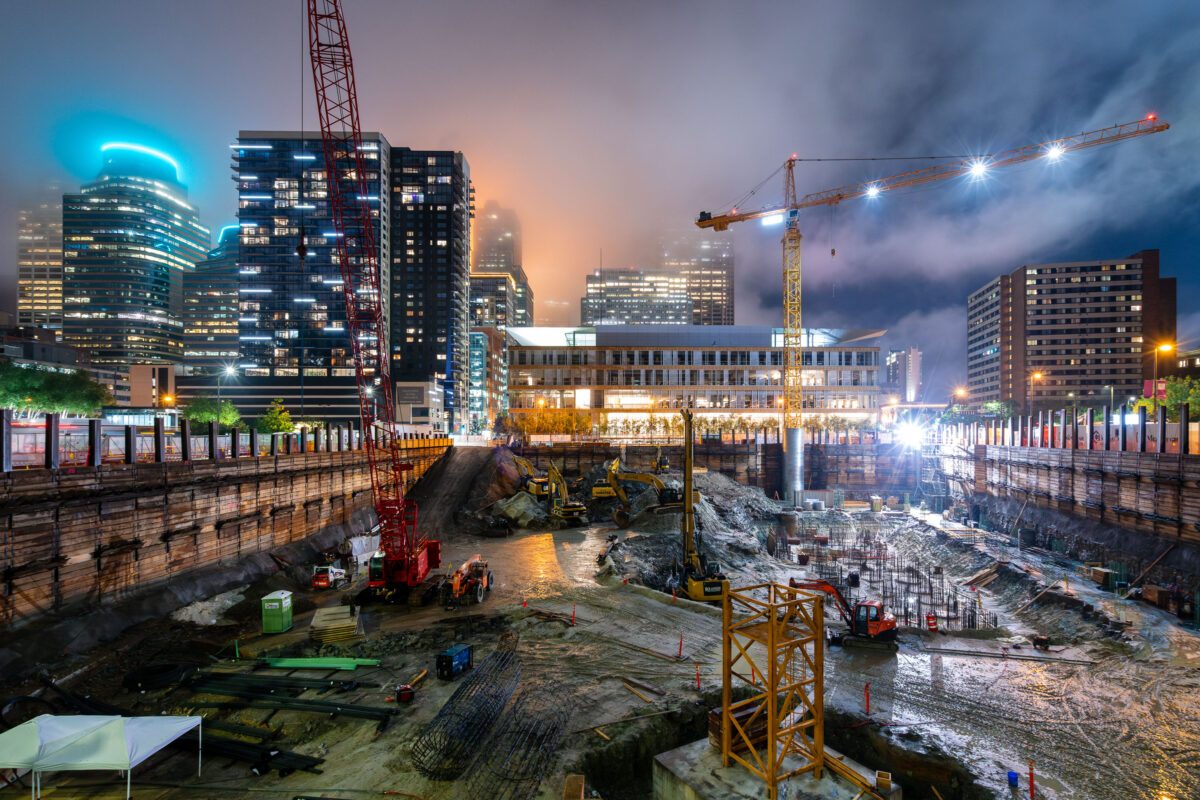
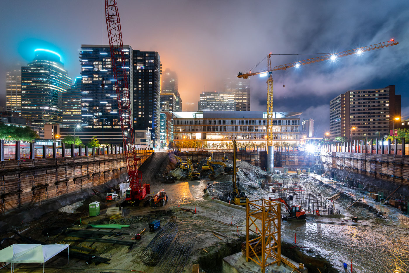
Tower cranes and construction equipment operate at the RBC Gateway site in downtown Minneapolis at dusk.
A tower crane at the site of the new RBC Gateway development in Downtown Minneapolis.

Night Excavation at the RBC Gateway Construction Site

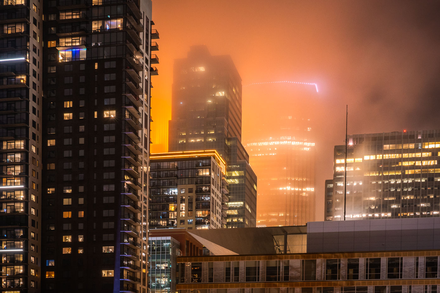
Wells Fargo Tower Lights Up Downtown With Fog
A foggy night in downtown Minneapolis with IDS Center in the background with Xcel Energy Headquarters in the foreground.

Wells Fargo Tower Lights Up Downtown With Fog

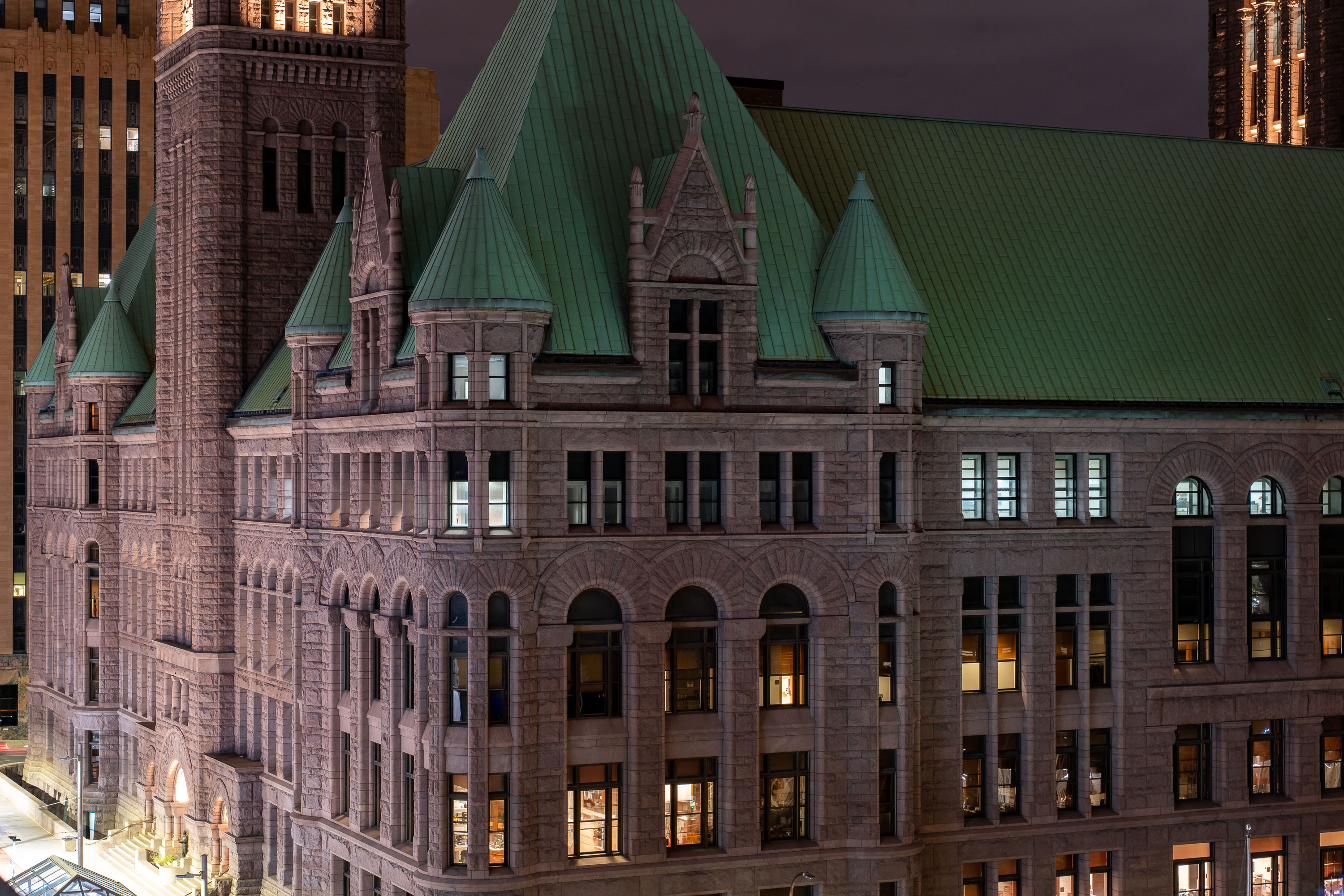
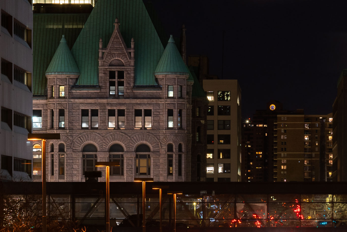
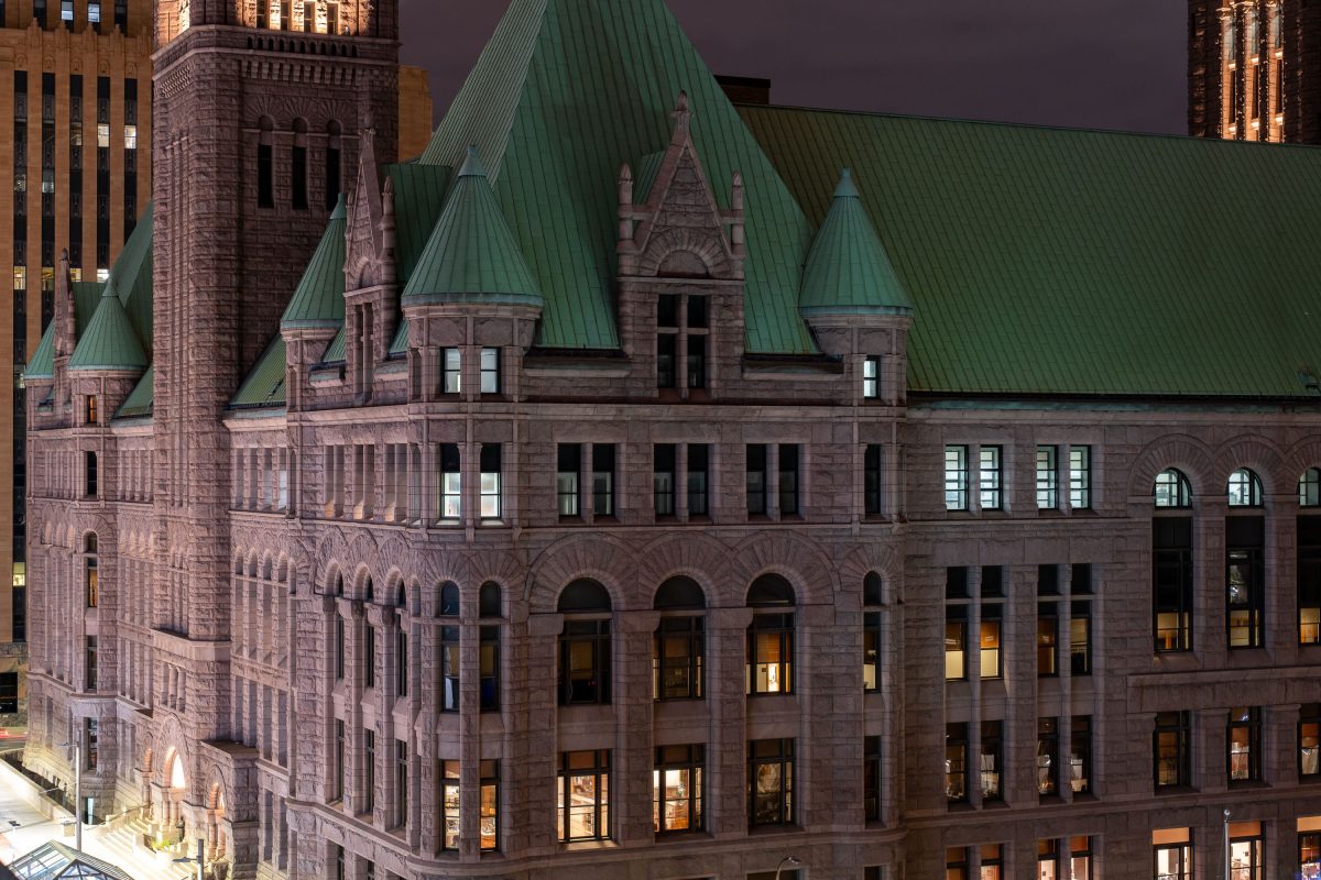
Minneapolis City Hall's Romanesque Revival facade with green copper roof turrets illuminated at night.
The Minneapolis City Hall and Hennepin County Courthouse building stands at 350 South 5th Street in downtown Minneapolis. Completed in 1905, the Romanesque Revival structure was designed by architects Long and Kees. It houses offices for the City of Minneapolis and Hennepin County, including courtrooms and municipal administration.

Green Rooflines of Minneapolis City Hall at Night
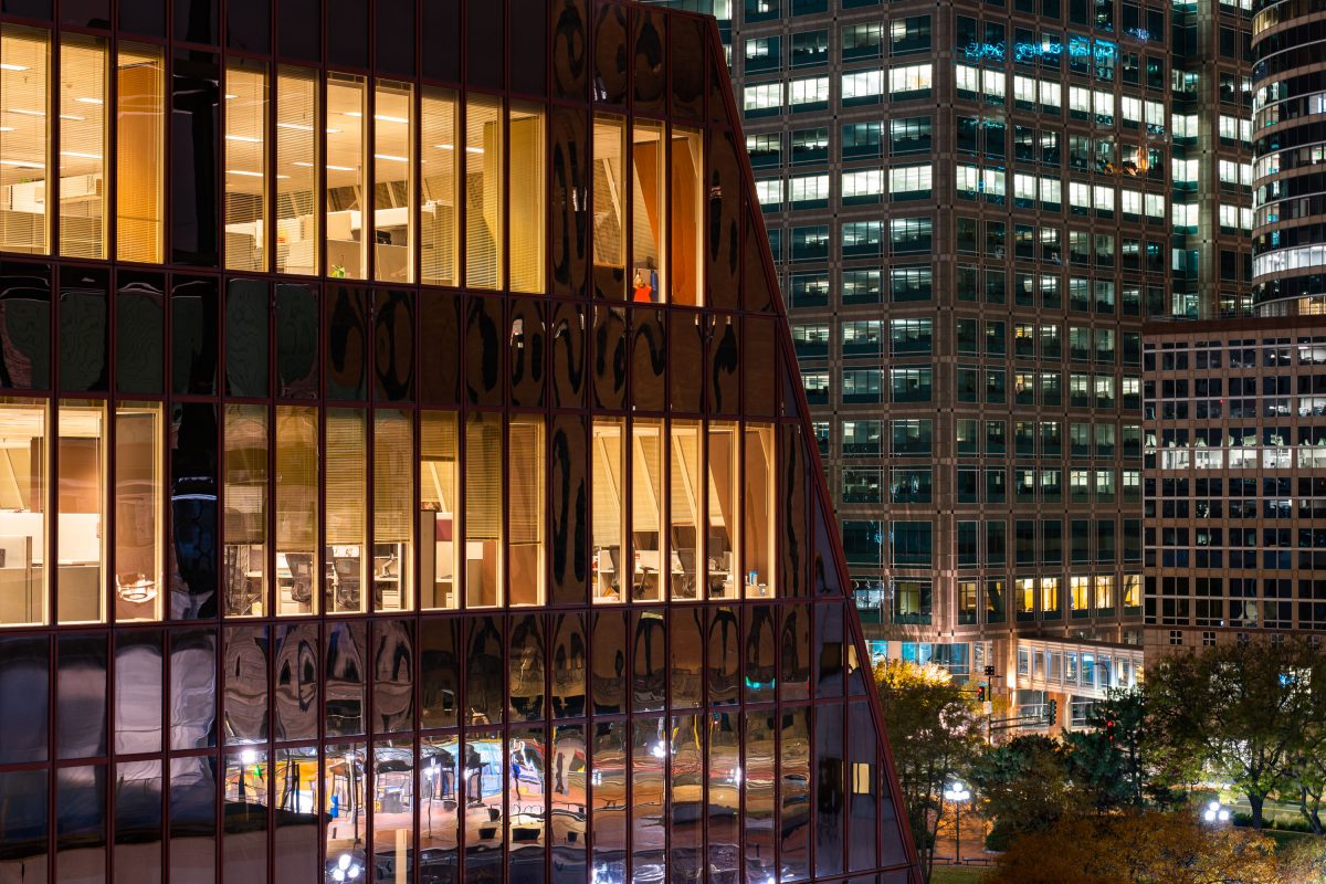
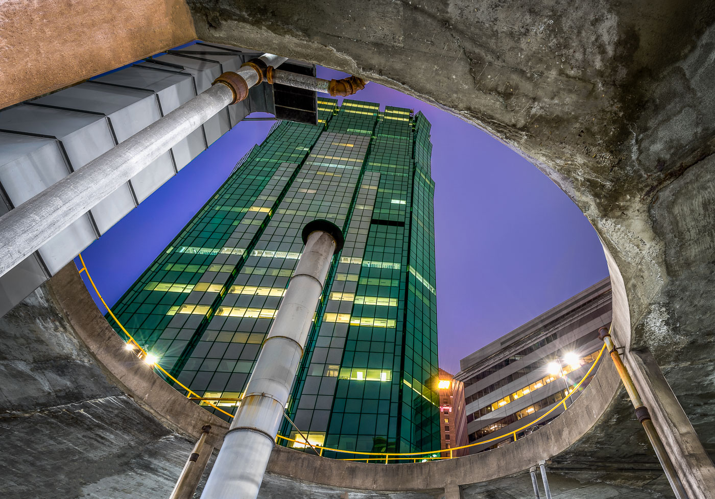
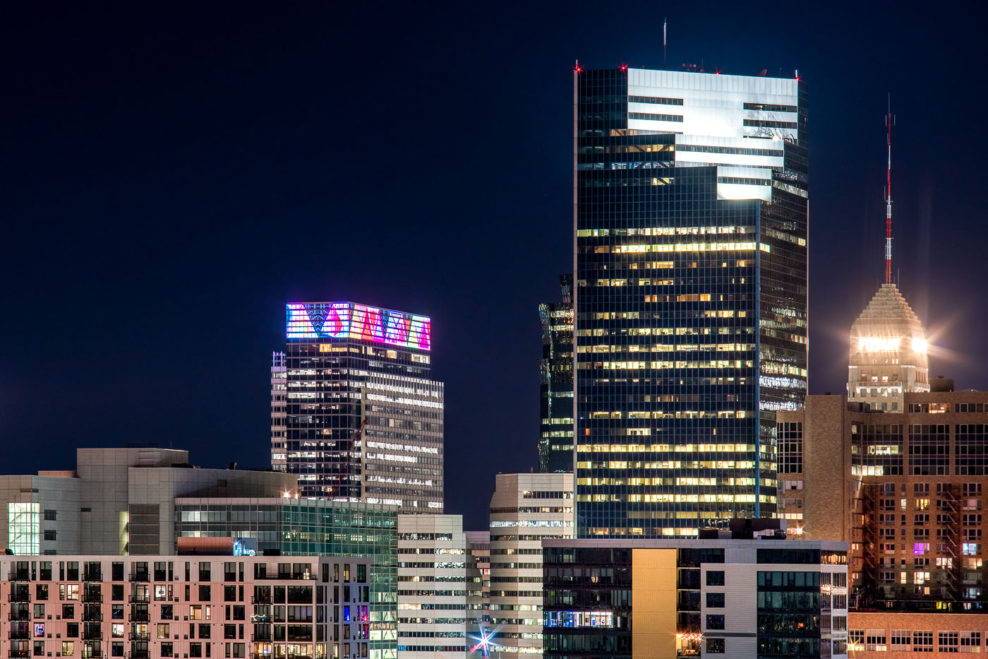
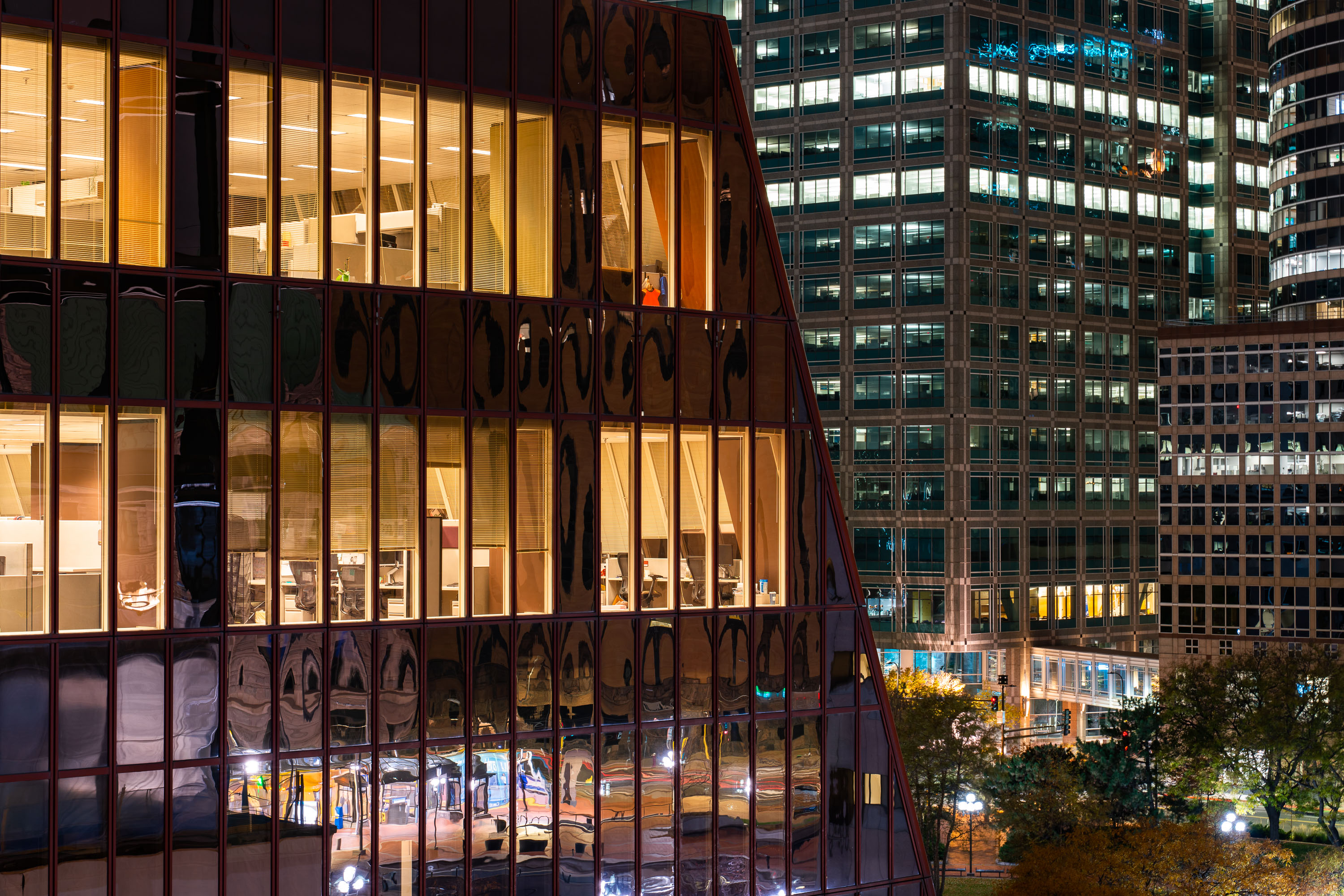
Glass office tower, the former Thrivent Financial headquarters, among high-rises in downtown Minneapolis at night.
This building at 625 Fourth Avenue South is the former Thrivent Financial headquarters in downtown Minneapolis. Thrivent, a Fortune 500 financial services organization, relocated its headquarters to a new downtown campus in 2020.

Former Thrivent Building, Downtown Minneapolis
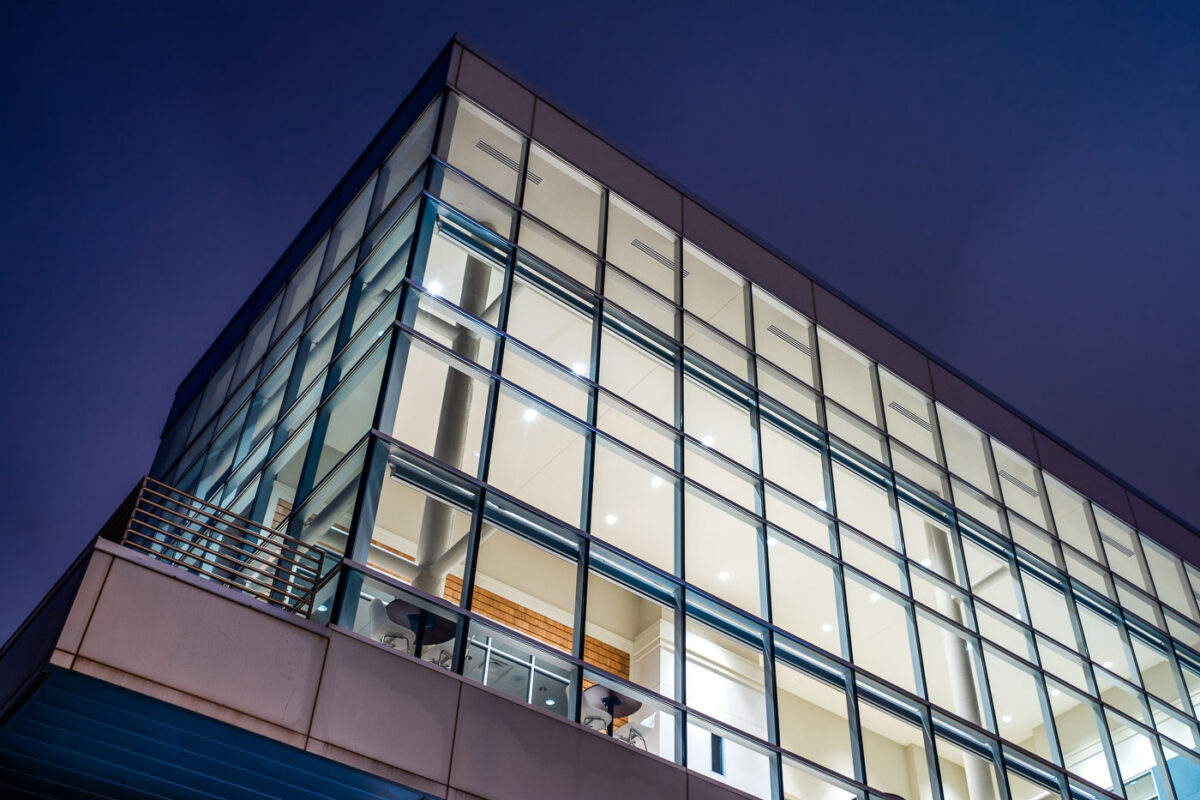
River Parkway Place in Minneapolis has a glass curtain wall lit at dusk.
River Parkway Place at 1101 West River Parkway in Minneapolis is a modern commercial building along the Mississippi River. The structure has a glass curtain wall and is adjacent to the site planned for the Eleven Condos development.

River Parkway Place, Minneapolis

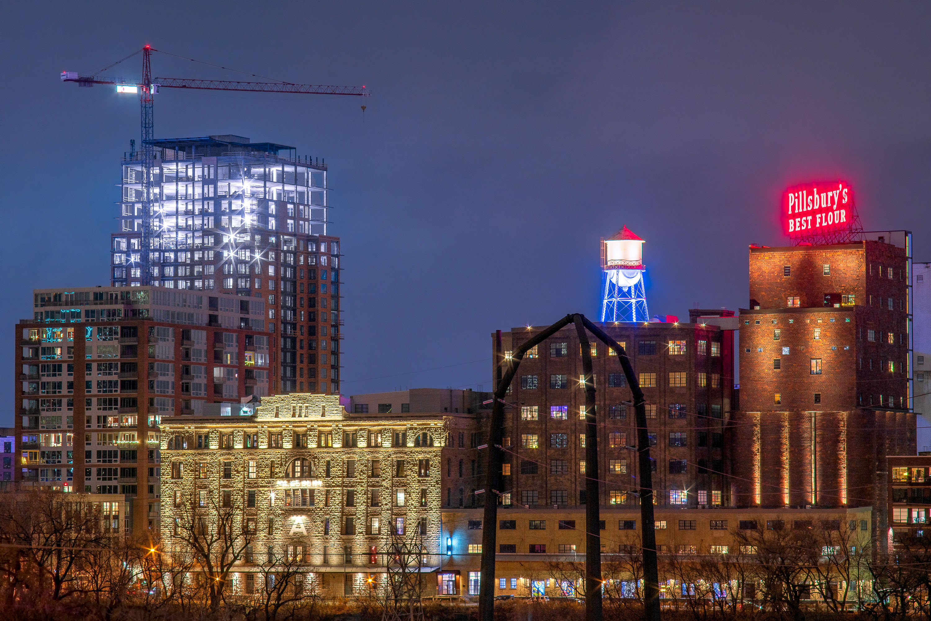
Pillsbury "A" Mill and water tower illuminated at night along Minneapolis's Main Street with the Expo building under construction.
The Pillsbury A Mill sits on the Mississippi riverfront at 415 Main Street SE, built in 1881 by Charles Pillsbury on the site of an earlier mill destroyed by an explosion. At the time of its construction, it was the largest flour mill in the world, producing wheat flour under the "Pillsbury's Best" name that still glows in neon atop the building. The mill operated until 2003 and was later designated a National Historic Landmark; it now houses the A-Mill Artist Lofts, an affordable housing complex for working artists completed in 2015. The water tower beside it, part of the historic milling complex, has been restored as a lighted architectural feature rather than a working tank. The Expo, the glass tower rising behind the mill, is part of the Mill & Main development along Main Street SE, adding market-rate apartments to the former industrial riverfront district.

Pillsbury A Mill and The Expo Tower, Minneapolis, MN

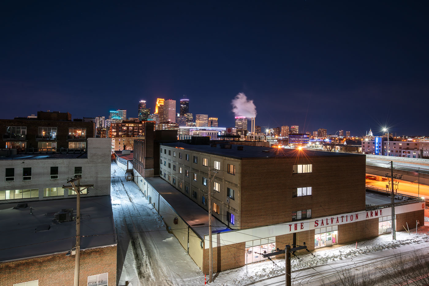
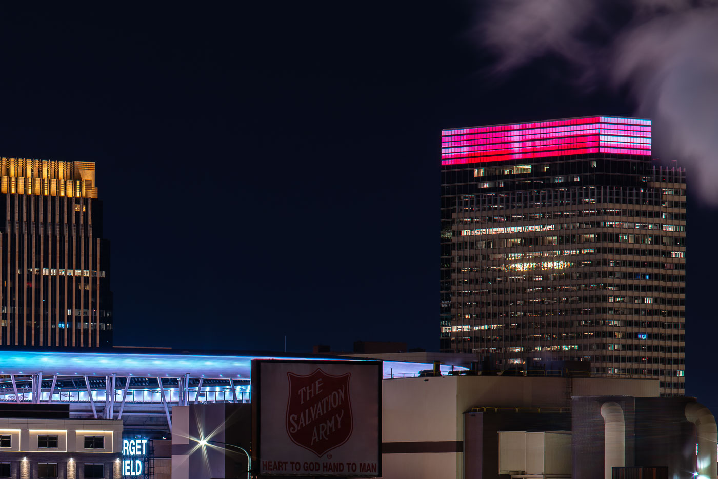
The Salvation Army facility in Minneapolis stands near downtown with the skyline behind it at night.
The Salvation Army facility in Minneapolis stands near downtown with the city skyline in the background. The organization provides social services and humanitarian aid in the city through local programs and emergency support. Its Minneapolis presence dates to the late 19th century.

The Salvation Army, Minneapolis at Night
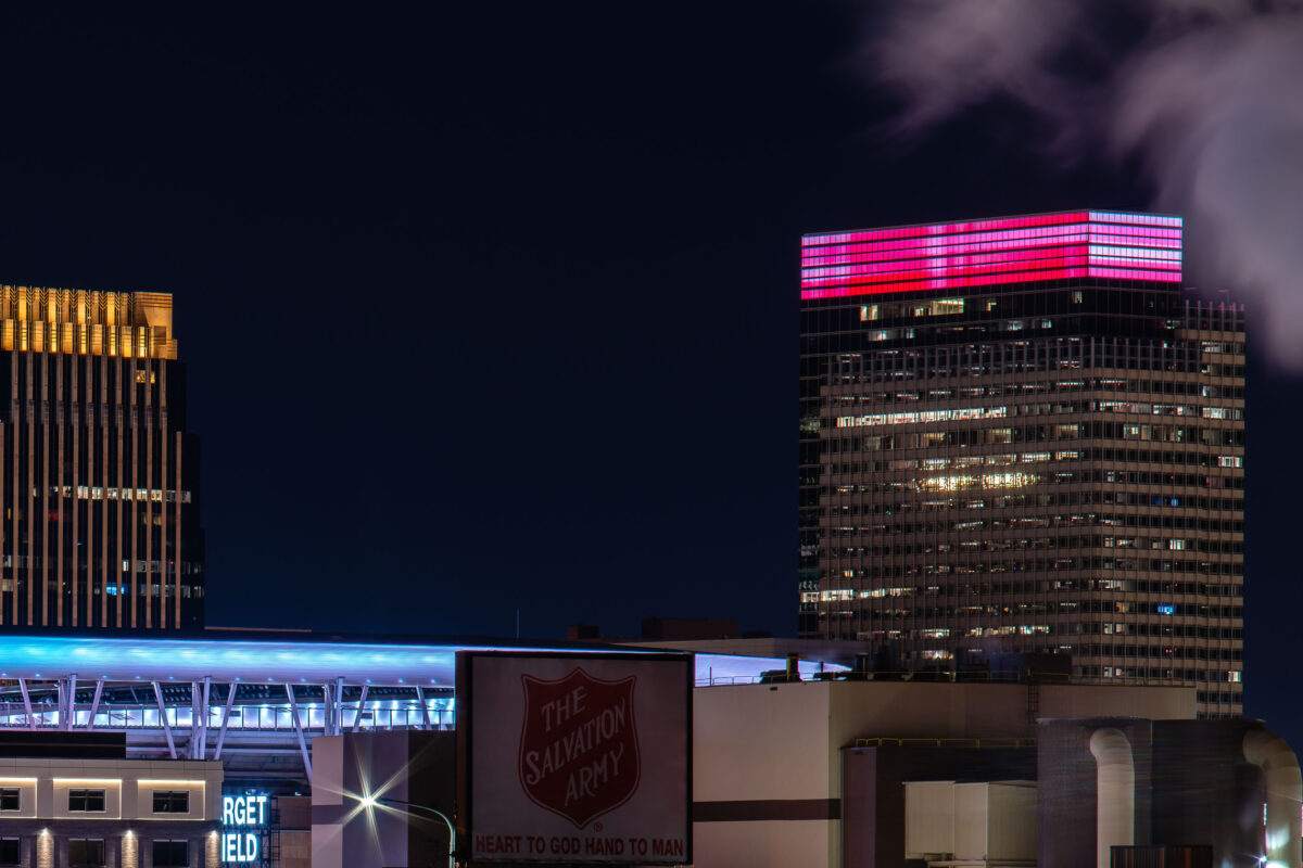
Salvation Army and Target Headquarters
The Minneapolis North Loop district is home to both corporate headquarters and community service organizations. The Target World Headquarters, a prominent feature of the city's business landscape, stands adjacent to Target Field, a baseball stadium. Also visible is a sign for The Salvation Army, a non-profit organization dedicated to providing social services.

Salvation Army and Target HQ, Minneapolis North Loop
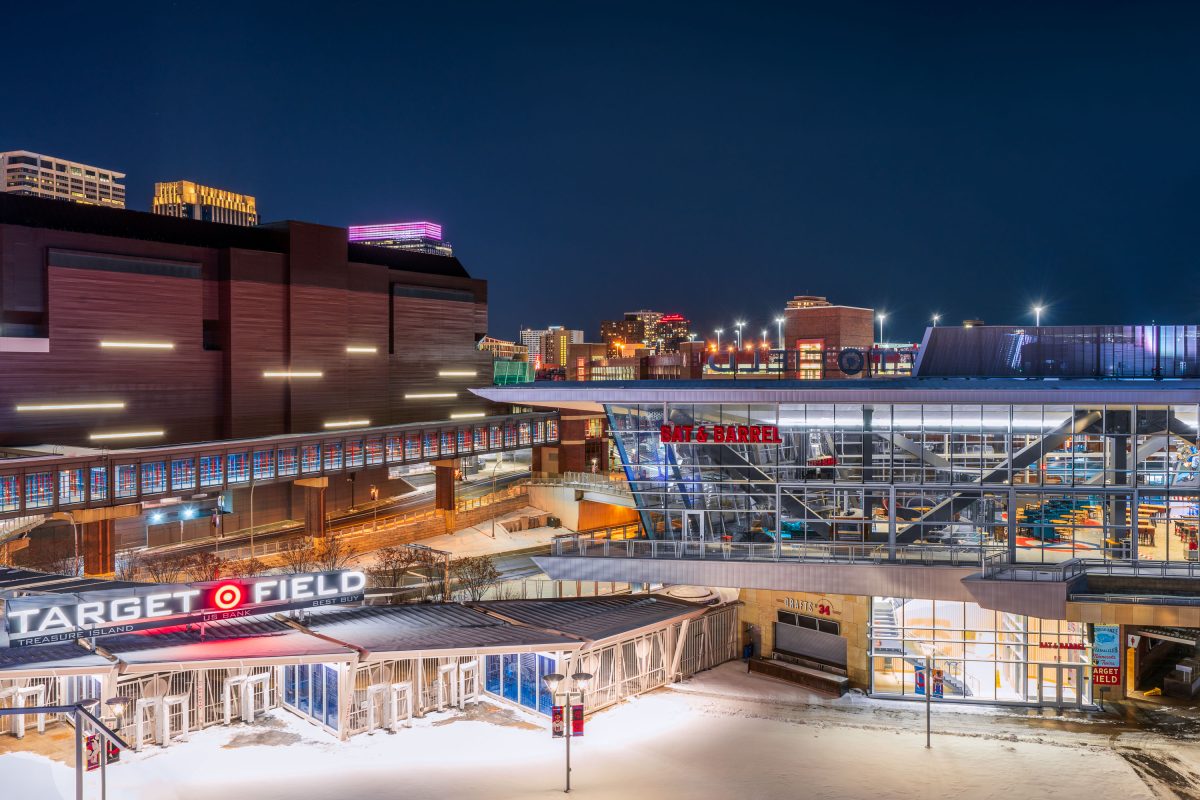
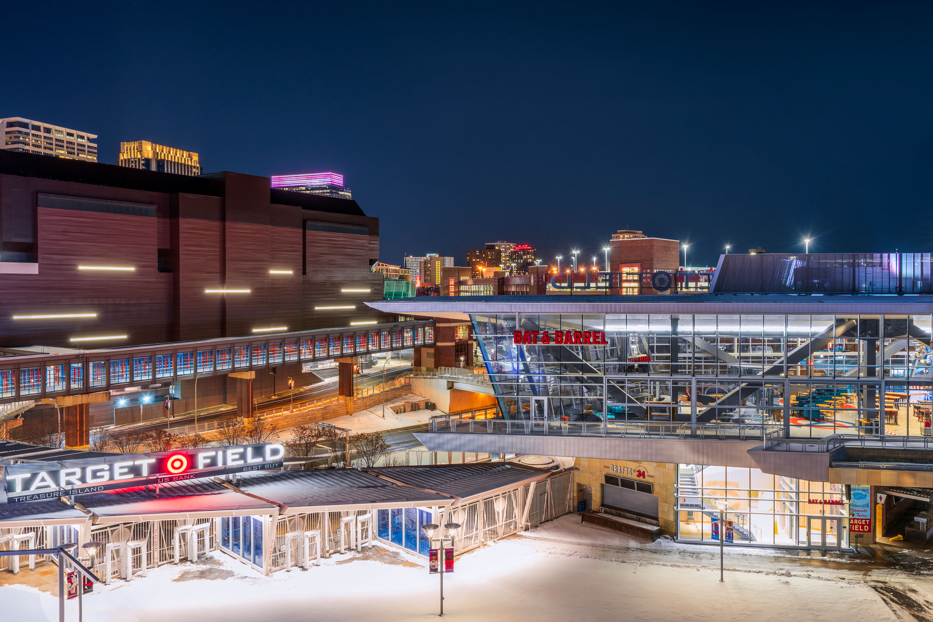
Target Field stadium and surrounding downtown Minneapolis buildings illuminated at night with snow on the ground.
Target Field, the home of the MLB Minnesota Twins. Located near the North Loop and Downtown Minneapolis.

Target Field and Bat & Barrel on a Snowy Night in Minneapolis
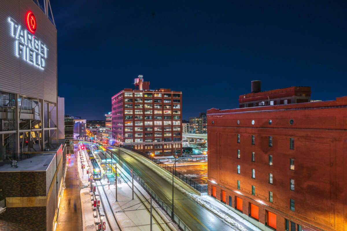
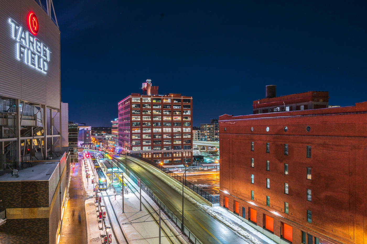
Target Field's illuminated sign overlooks downtown Minneapolis's Warehouse District with historic brick buildings and modern transit infrastructure at night.
Target Field, home of the Minnesota Twins, sits at the edge of the Warehouse District in downtown Minneapolis's North Loop. The ballpark opened in 2010 and stands next to Target Field Station, a transit hub serving the Metro Blue and Green Line light rail along with regional and commuter rail.

Warehouse District Rooftops Near Target Field
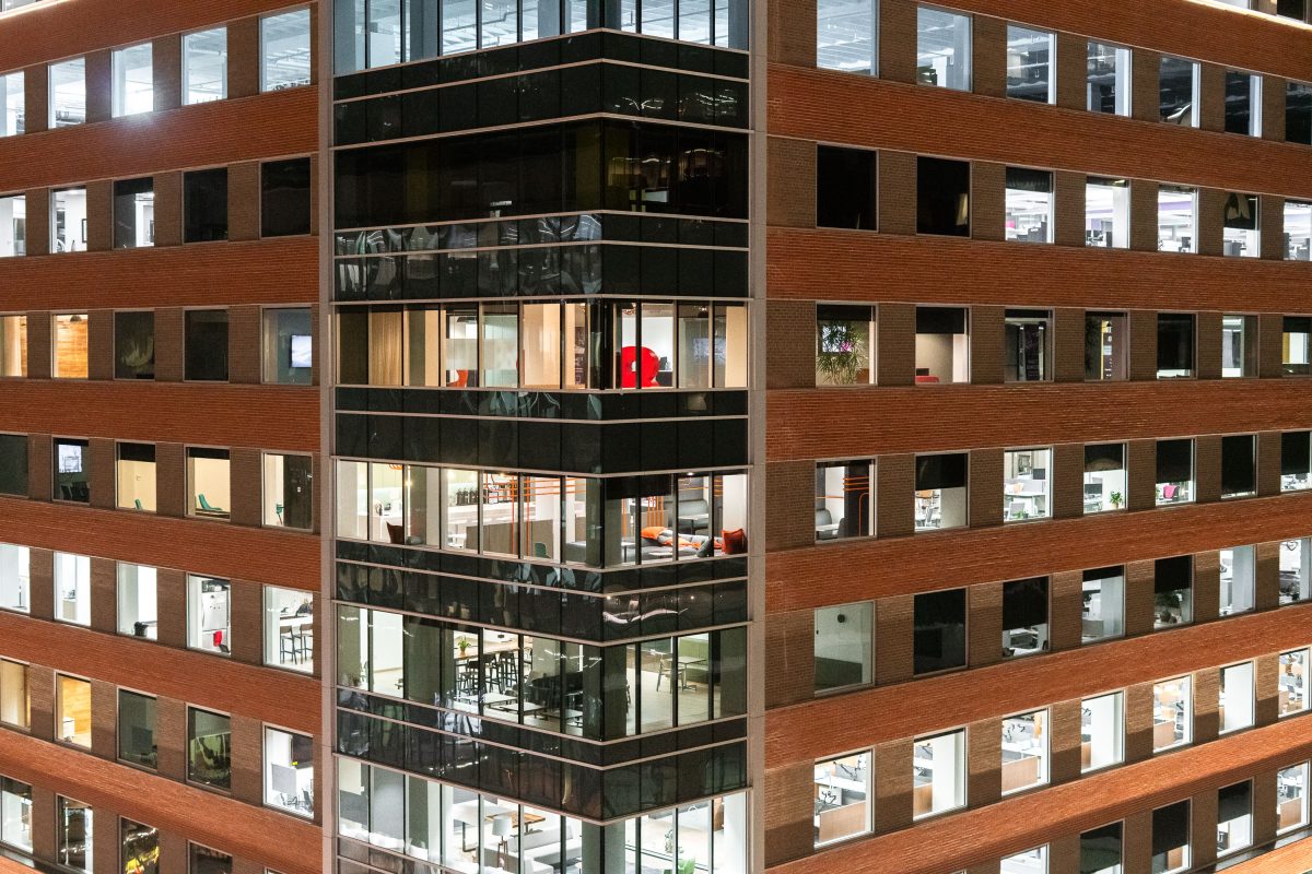
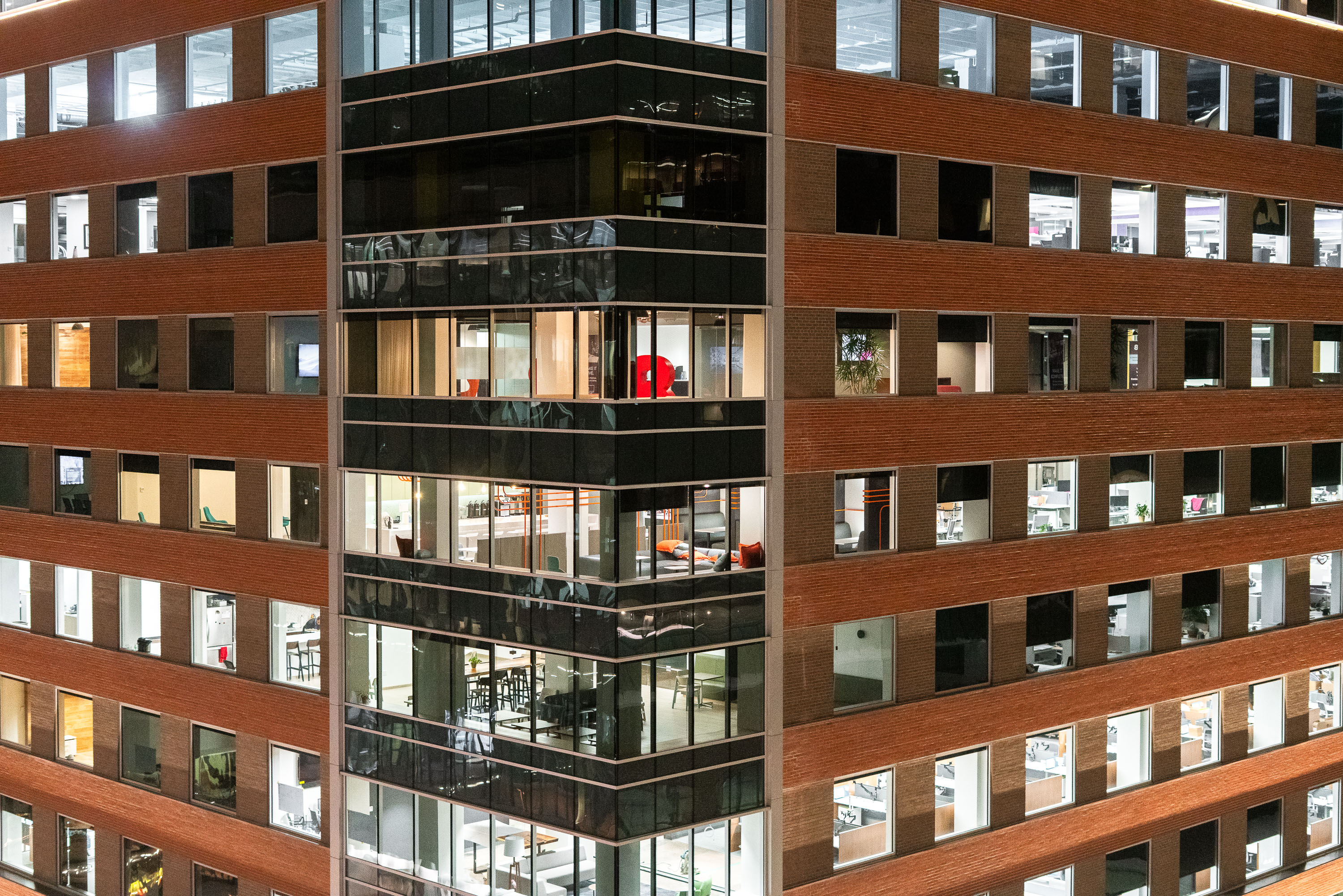
Baker Center Renovation in Downtown Minneapolis
The Baker Center office building in downtown Minneapolis after ungoing a large renovation both inside and outside.

Baker Center Renovation in Downtown Minneapolis

Minneapolis City Hall's green-roofed clock tower illuminated at night above downtown buildings and street lights.
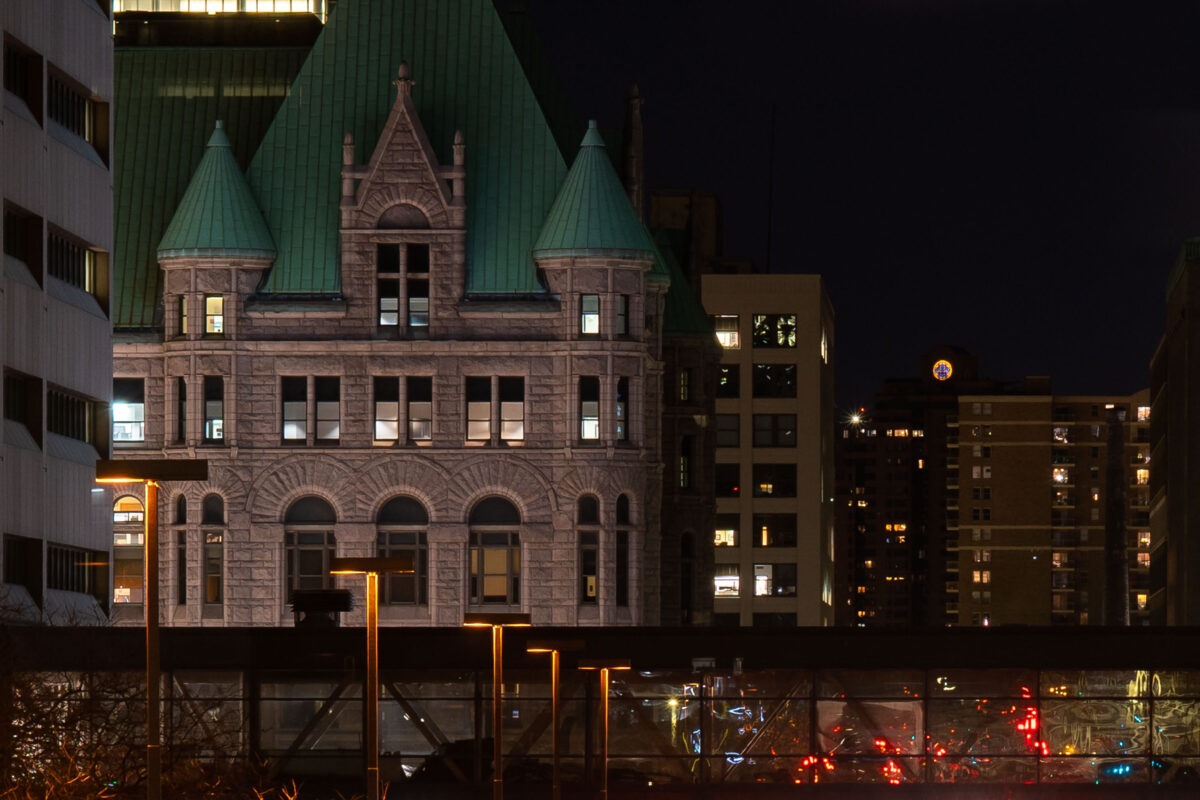
Minneapolis City Hall rises behind a skyway in downtown Minneapolis at night. The historic building’s green roof and stone façade are lit against nearby apartment and office buildings.

Minneapolis City Hall Amid Downtown Towers at Night
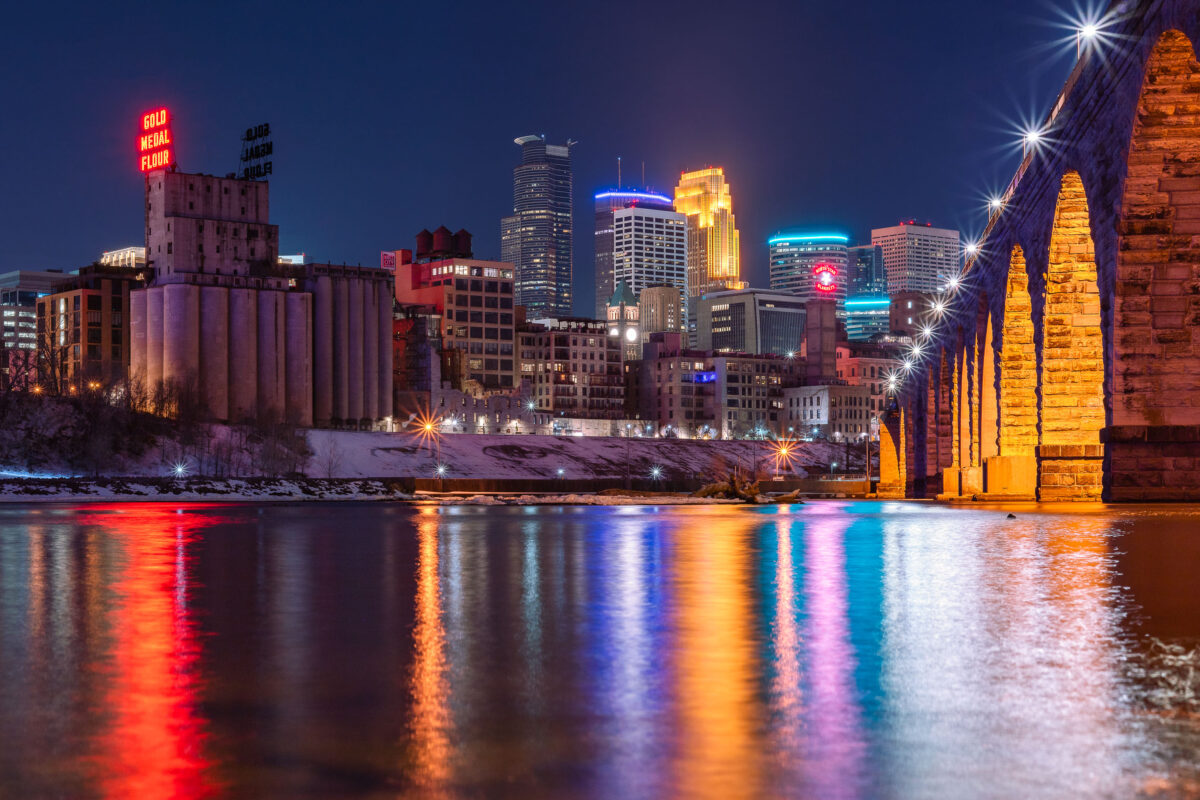
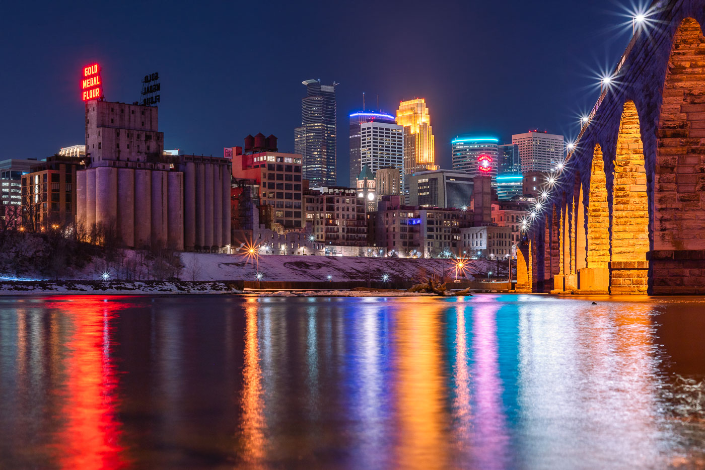
Stone Arch Bridge and Minneapolis skyline at night along the Mississippi River, with Gold Medal Flour mill sign visible.
The Gold Medal Flour sign sits atop the old Washburn-Crosby mill complex, a reminder of Minneapolis's decades as the flour-milling capital of the world. Washburn-Crosby, which later became General Mills, first put up the sign in 1910, and it has been relit and maintained as a fixture of the skyline ever since. The Stone Arch Bridge crosses the Mississippi just downstream, built in 1883 for the St. Paul, Minneapolis and Manitoba Railway to carry trains into the city's rail yards. Its limestone and granite piers were designed to withstand river ice, and the bridge now carries only pedestrians and cyclists between the riverfront and St. Anthony Main.

Gold Medal Flour Sign Above the Minneapolis Riverfront
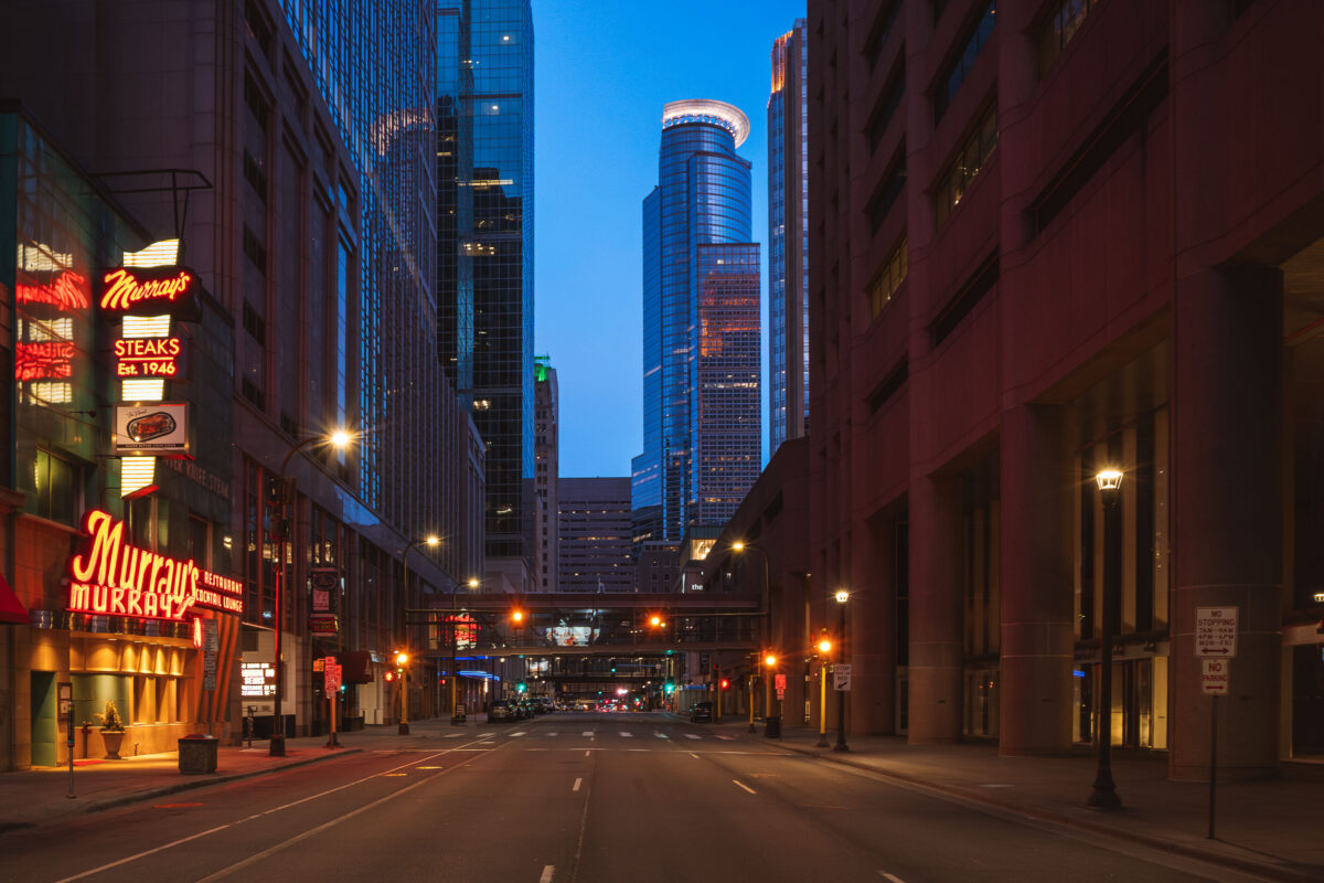
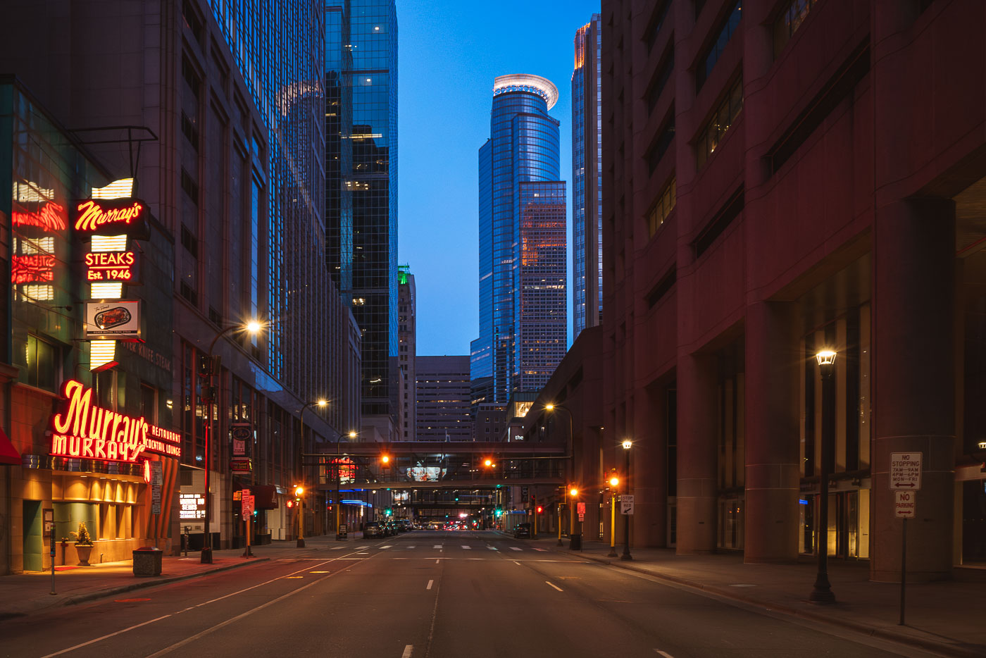
Murray's Steakhouse, Minneapolis Blue Hour
A north–south view through downtown Minneapolis during early evening, with illuminated office towers forming a dense street corridor and minimal traffic on the roadway below. The cylindrical crown of the IDS Center, completed in 1973, anchors the skyline in the distance as the city’s tallest building and a defining element of its modern profile. In the foreground, the neon signage of Murray’s, a Minneapolis institution since 1946, adds a warm counterpoint to the cooler glass-and-steel architecture surrounding Nicollet Mall.

Murray’s Steakhouse, Minneapolis Blue Hour

Hennepin Avenue at West Lake Street in Uptown Minneapolis at night, with the Uptown Theatre's vertical sign visible on the left.
Hennepin Avenue and West Lake Street mark the commercial center of Uptown Minneapolis. The Uptown Theatre, opened in 1939 with its Art Deco vertical sign, anchors the block and remains one of the few single-screen movie houses still operating in the Twin Cities.

Empty Streets at Hennepin Avenue and West Lake Street at Night
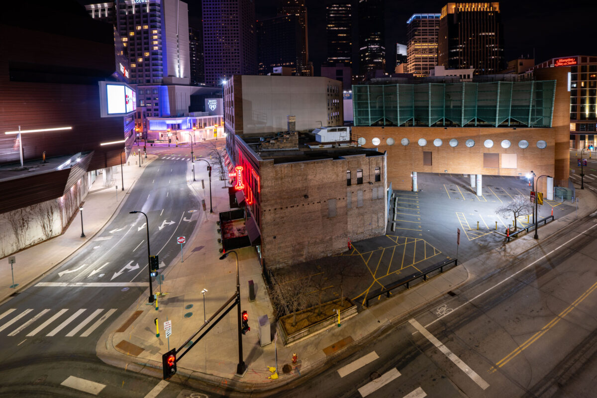
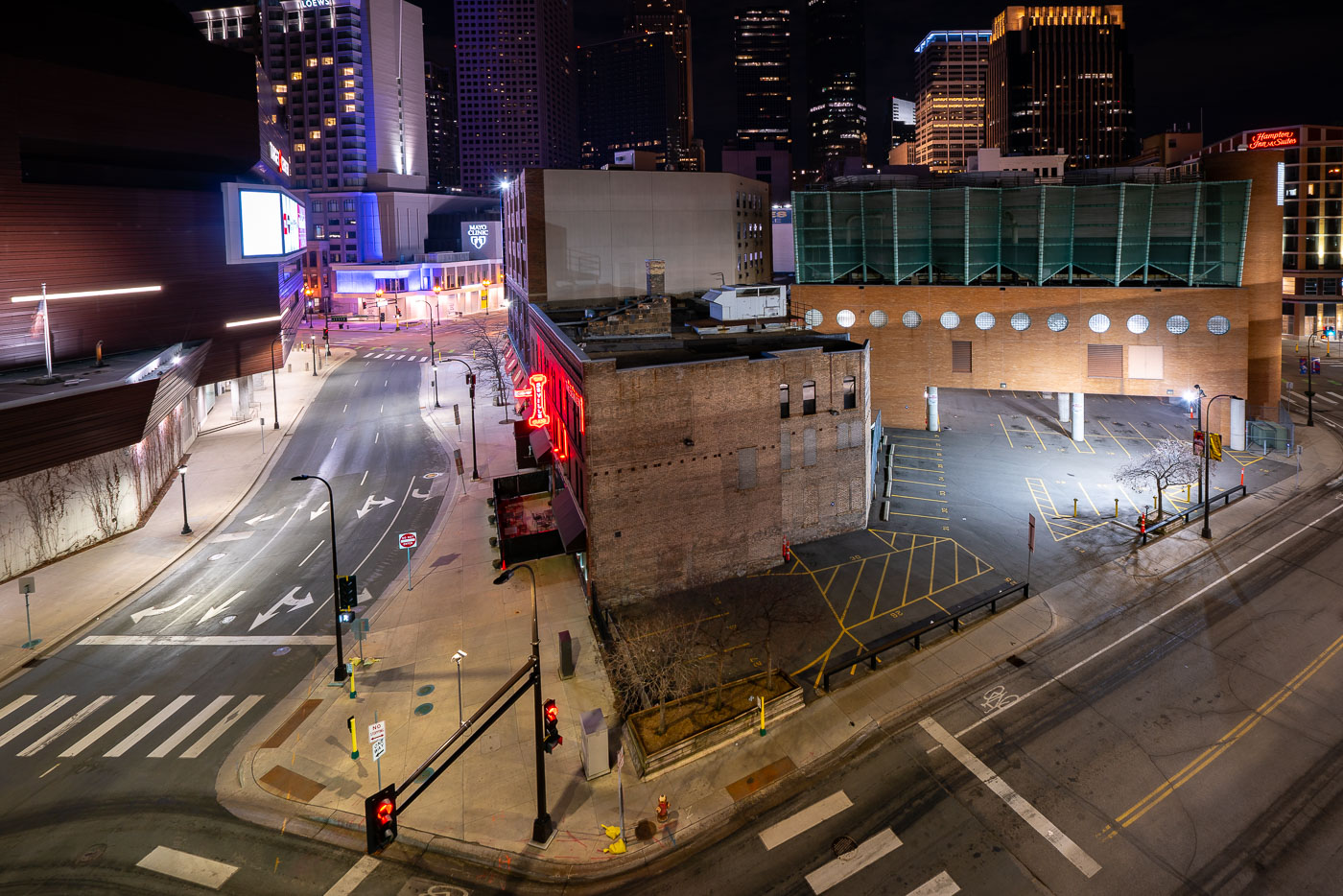
The Seville Club nightclub with red neon sign on 1st Avenue North in downtown Minneapolis during April 2020 COVID-19 shutdowns.
The Seville Club sits at 1st Avenue North and 9th Street in downtown Minneapolis, near the Target Center. Its red neon sign has long marked the block along a stretch of downtown known for nightlife and entertainment venues. In April 2020, statewide stay-at-home orders halted nightclub operations and left the surrounding streets and parking areas largely empty, a temporary condition rather than a permanent closure.

Seville Club on 1st Avenue North During Empty Downtown Streets

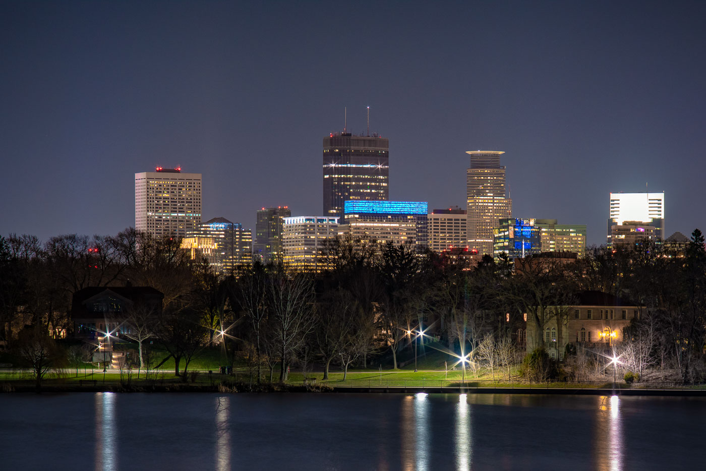
Minneapolis downtown skyline at night viewed across Lake of the Isles with illuminated office towers and foreground park.
Lake of the Isles sits at the western edge of Minneapolis's Chain of Lakes, linked by man-made channels to Bde Maka Ska to the south and Cedar Lake to the north.

Minneapolis Skyline at Night from Lake of the Isles
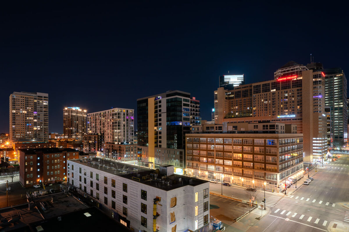
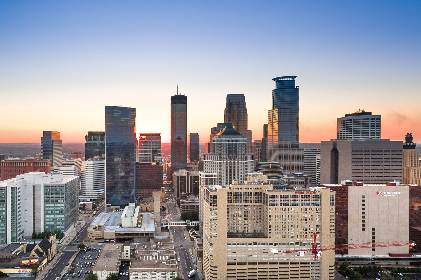
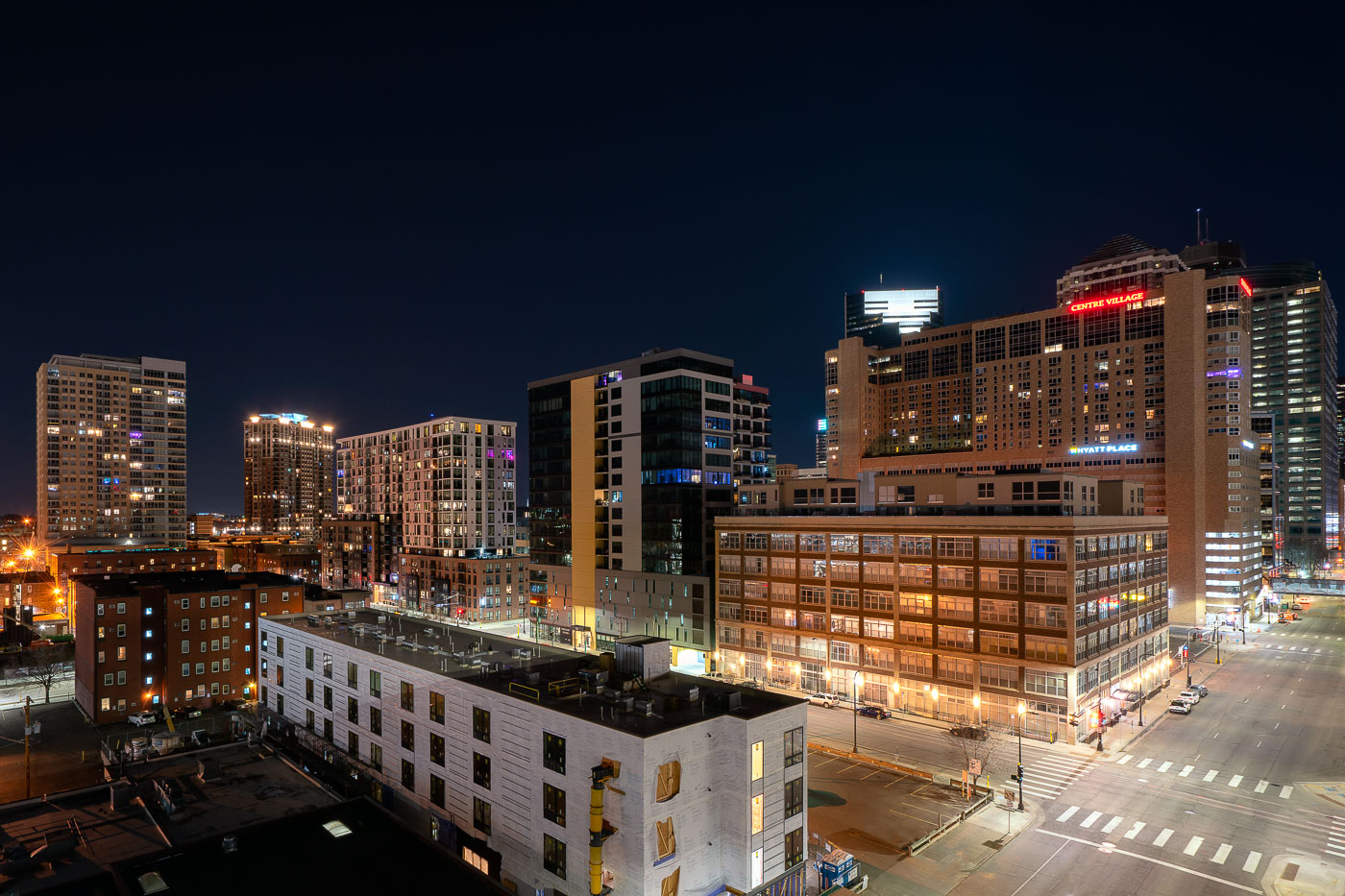
Downtown Minneapolis skyline at night showing Centre Village and Hyatt Place hotel buildings, April 2020.
Centre Village rises over downtown Minneapolis at Second Avenue South, a mixed-use high-rise completed in 1984 that combines residential units with commercial space. The Hyatt Place hotel occupies part of the same complex, serving business travelers and visitors to the city center. Both buildings sit within blocks of the Mississippi riverfront and the Central Business District, an area built up largely in the 1980s as downtown Minneapolis added residential towers alongside its office core.

Centre Village and Hyatt Place Above Downtown Minneapolis at Night
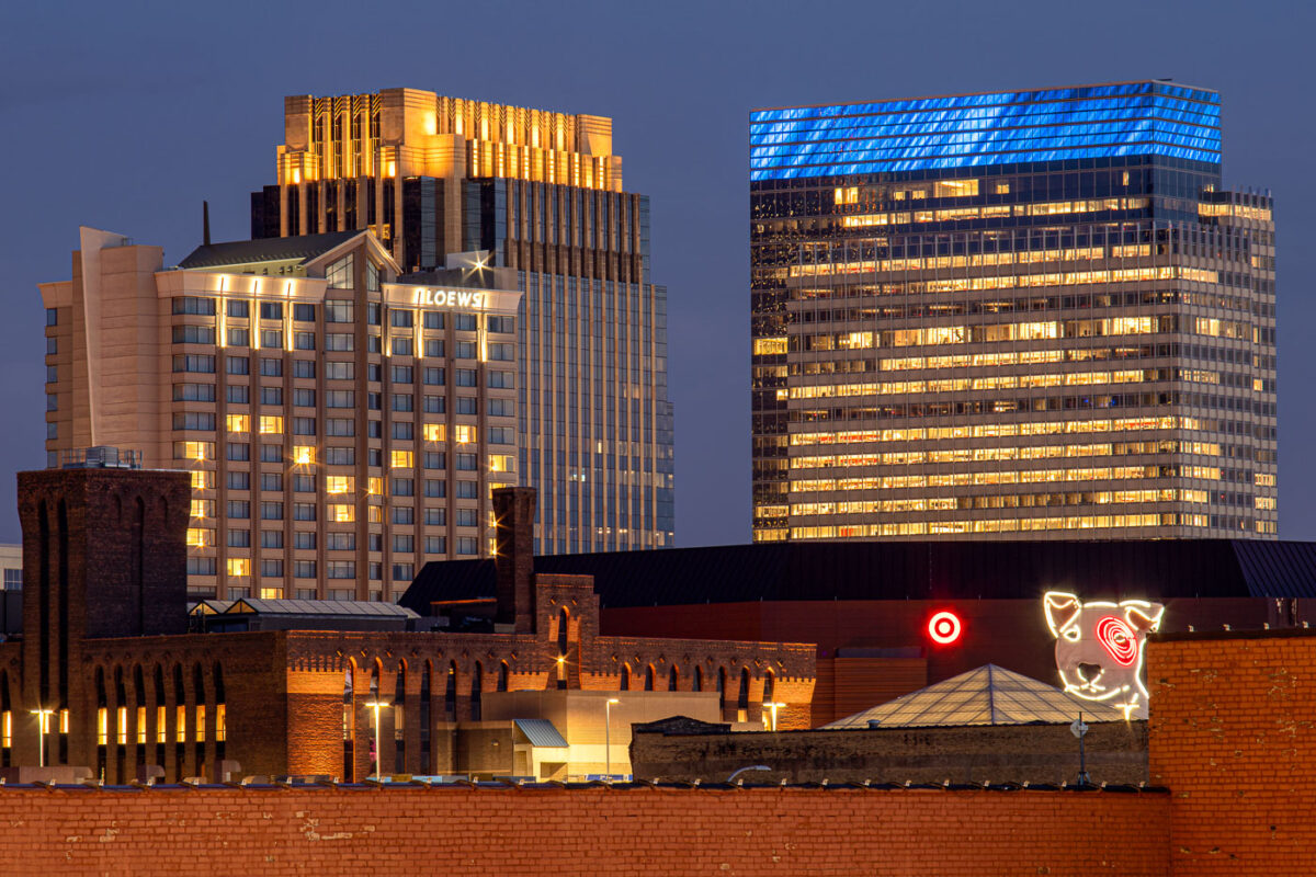
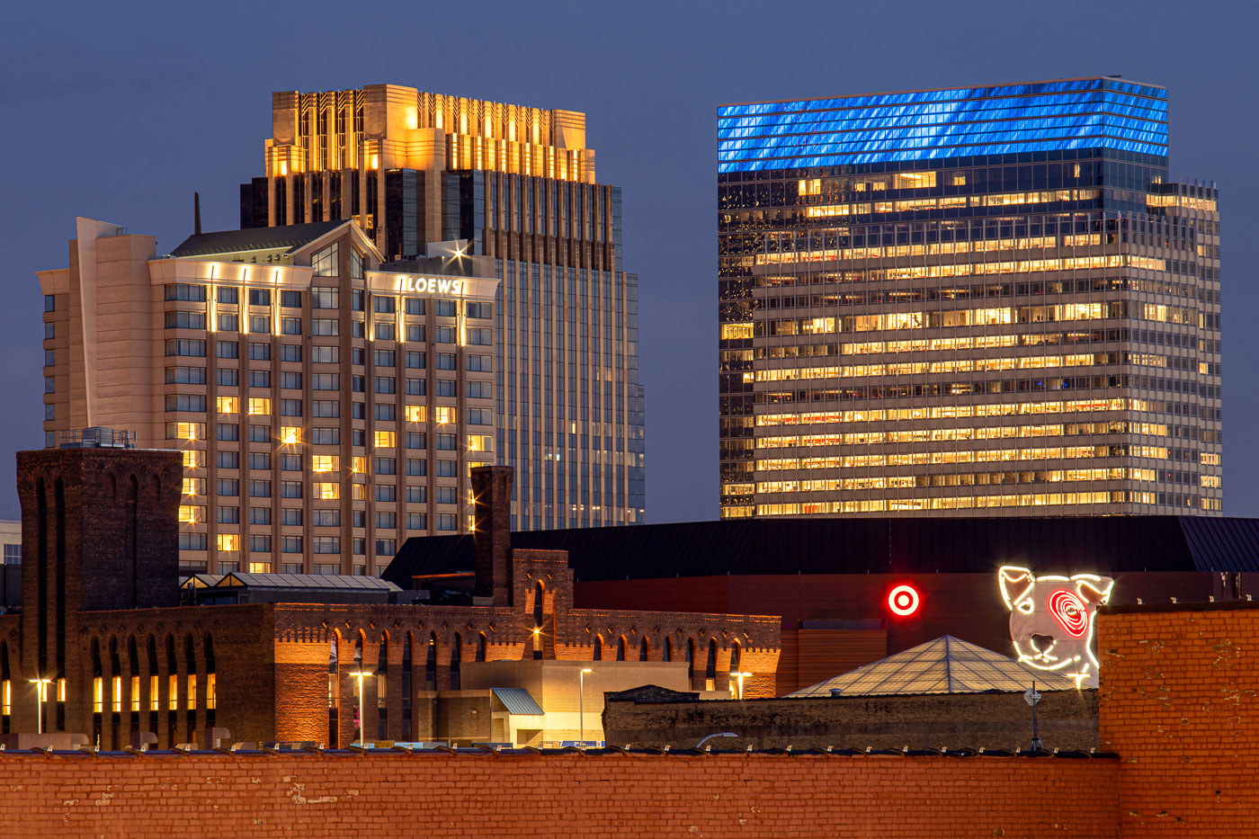
Loews Hotel and Target headquarters illuminated at night in downtown Minneapolis with Target Dog neon sign in foreground.
Target's corporate headquarters tower rises at 1000 Nicollet Mall, its glass exterior wrapped in a blue-lit crown near the top floors. The company has been based in downtown Minneapolis since its founding as a Dayton's discount offshoot in 1962, and its headquarters campus remains one of the largest employers in the city's core. The neon Bullseye dog sign near the building's base is a longstanding piece of Target's branding, drawn from the company's mascot, Bullseye. To the left, the Loews Minneapolis Hotel occupies part of the LaSalle Plaza complex, a mixed-use development completed in 1991 that also includes office space and street-level retail along Nicollet Mall.

Target’s Bullseye Dog Sign Beneath Its Minneapolis Headquarters
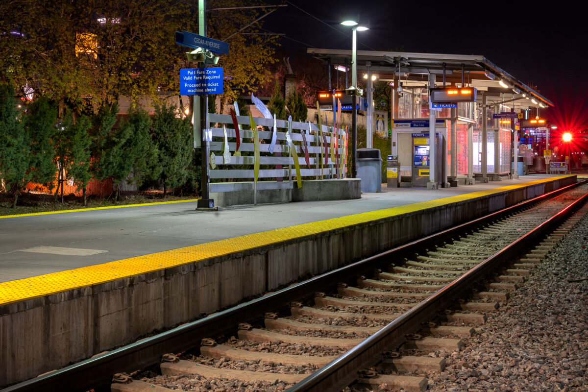
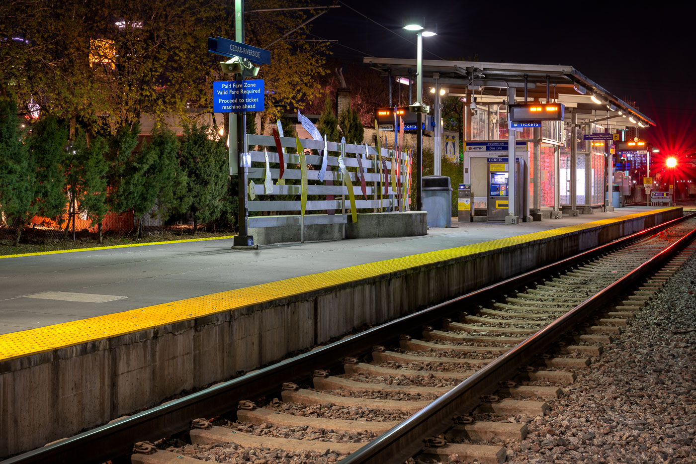
Cedar-Riverside Blue Line station platform at night in Minneapolis with yellow safety edge and rail tracks.
Cedar-Riverside Station sits along Metro Transit's Blue Line, formerly the Hiawatha Line, which opened in 2004 as the region's first light-rail route. The station serves the Cedar-Riverside and West Bank neighborhoods, just south of downtown Minneapolis and adjacent to the University of Minnesota's West Bank campus. The Blue Line runs roughly 12 miles between downtown Minneapolis, Minneapolis-Saint Paul International Airport, and the Mall of America in Bloomington. Metro Transit operates the line with trains arriving every 7 to 10 minutes during peak service hours.

Nighttime Platform at Cedar-Riverside Station
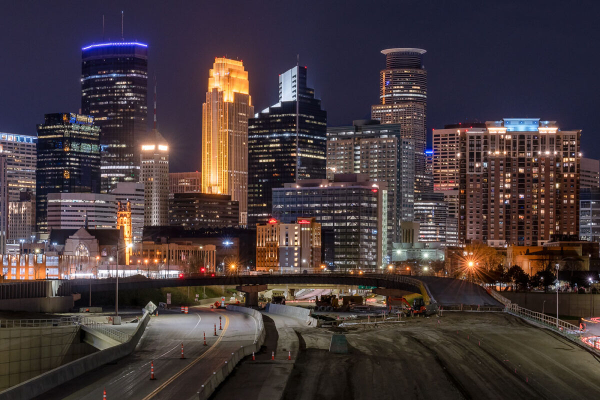
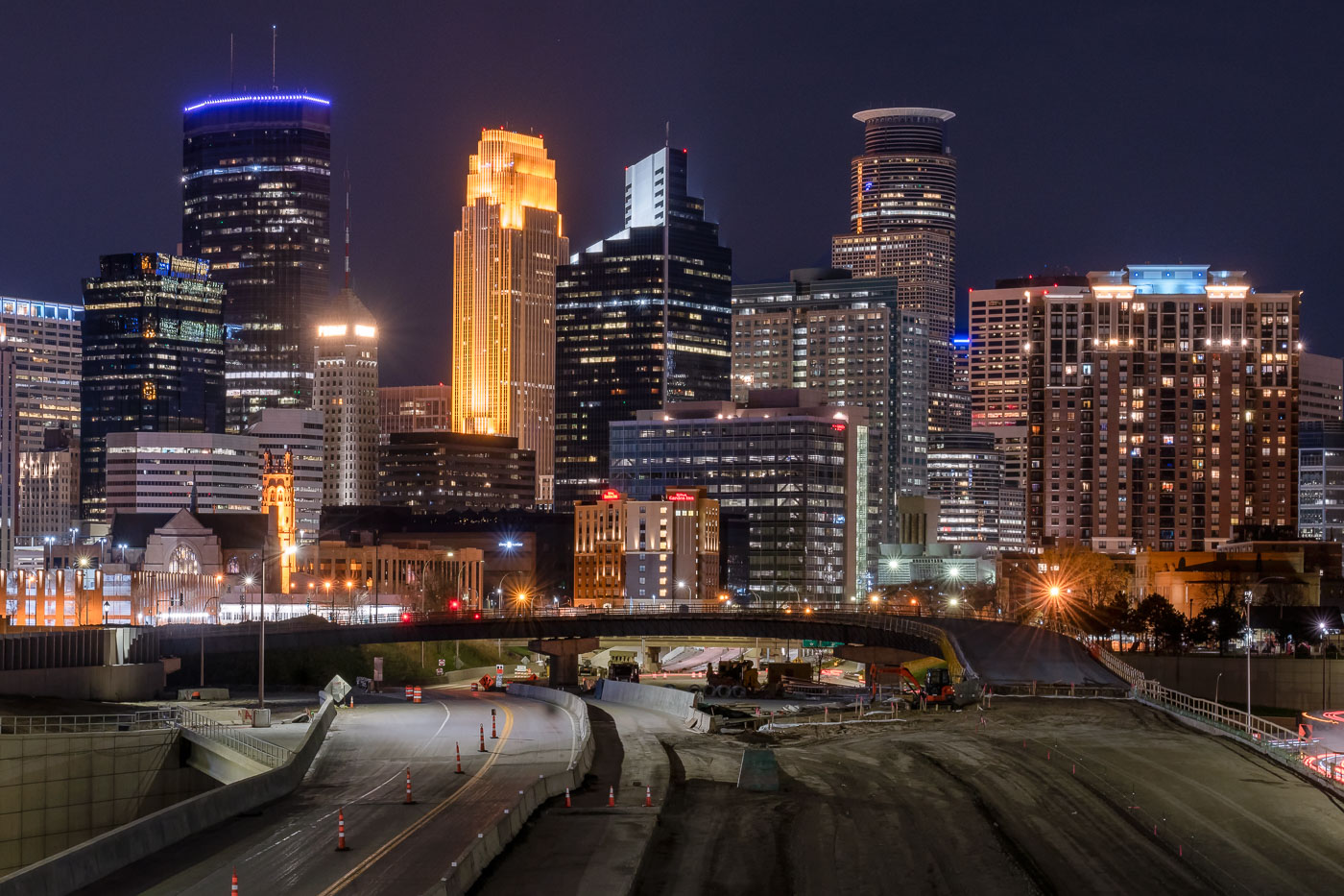
Interstate 35W construction site at night with downtown Minneapolis skyline and illuminated office towers beyond.
Interstate 35W cuts through downtown Minneapolis on its way between the northern and southern suburbs, carrying more than 100,000 vehicles a day under normal conditions. The tallest building on the skyline, the IDS Center, rises 792 feet and has held the title of Minnesota's tallest structure since its completion in 1972, designed by architect Philip Johnson. Capella Tower, completed in 1992 as the Norwest Center, stands 776 feet tall and is topped by a lattice crown that's lit gold for much of the year. This stretch of freeway saw major nighttime lane closures and repaving work in spring 2020, part of ongoing maintenance on one of the Twin Cities' primary north-south corridors.

I-35W Overnight Construction Beneath the Minneapolis Skyline
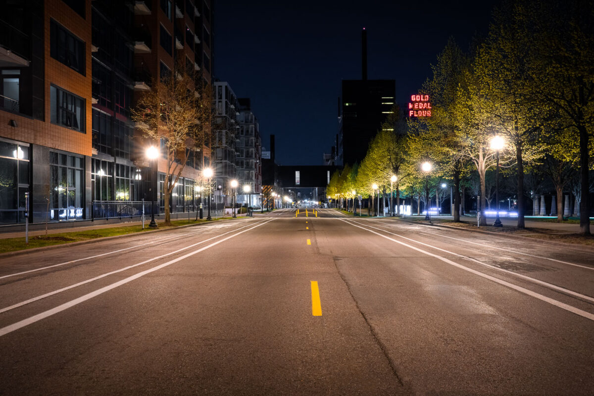
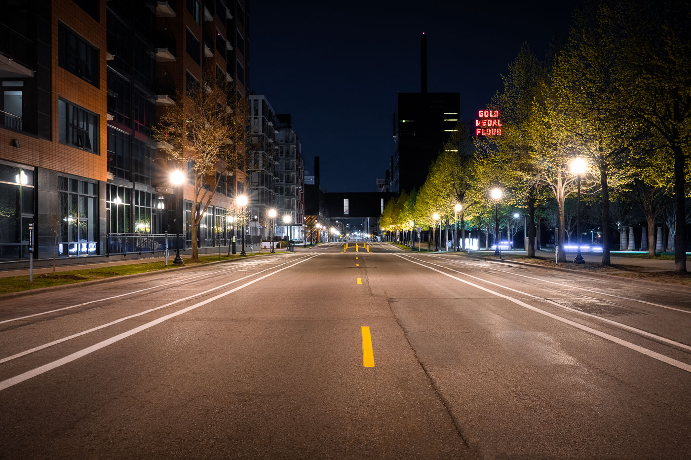
Gold Medal Flour neon sign as seen from 2nd st
South Second Street in downtown Minneapolis during the coronavirus (COVID-19) shutdown.

South Second Street in Downtown Minneapolis

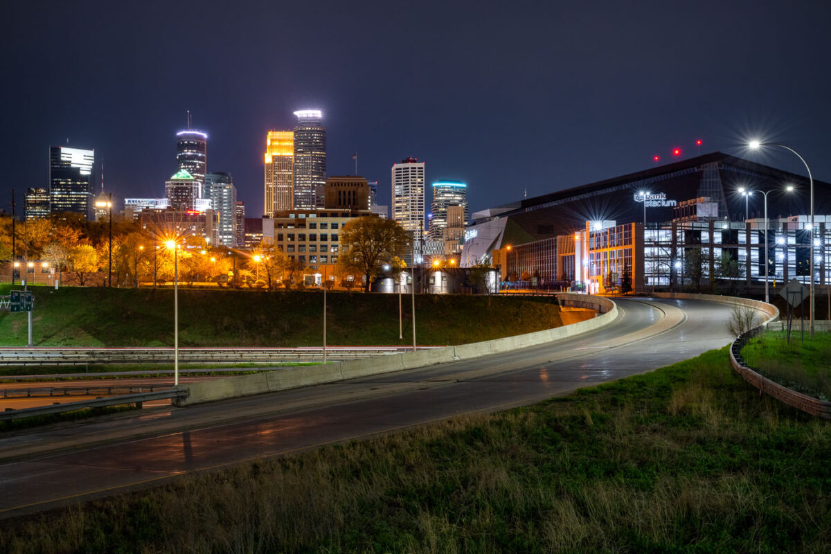
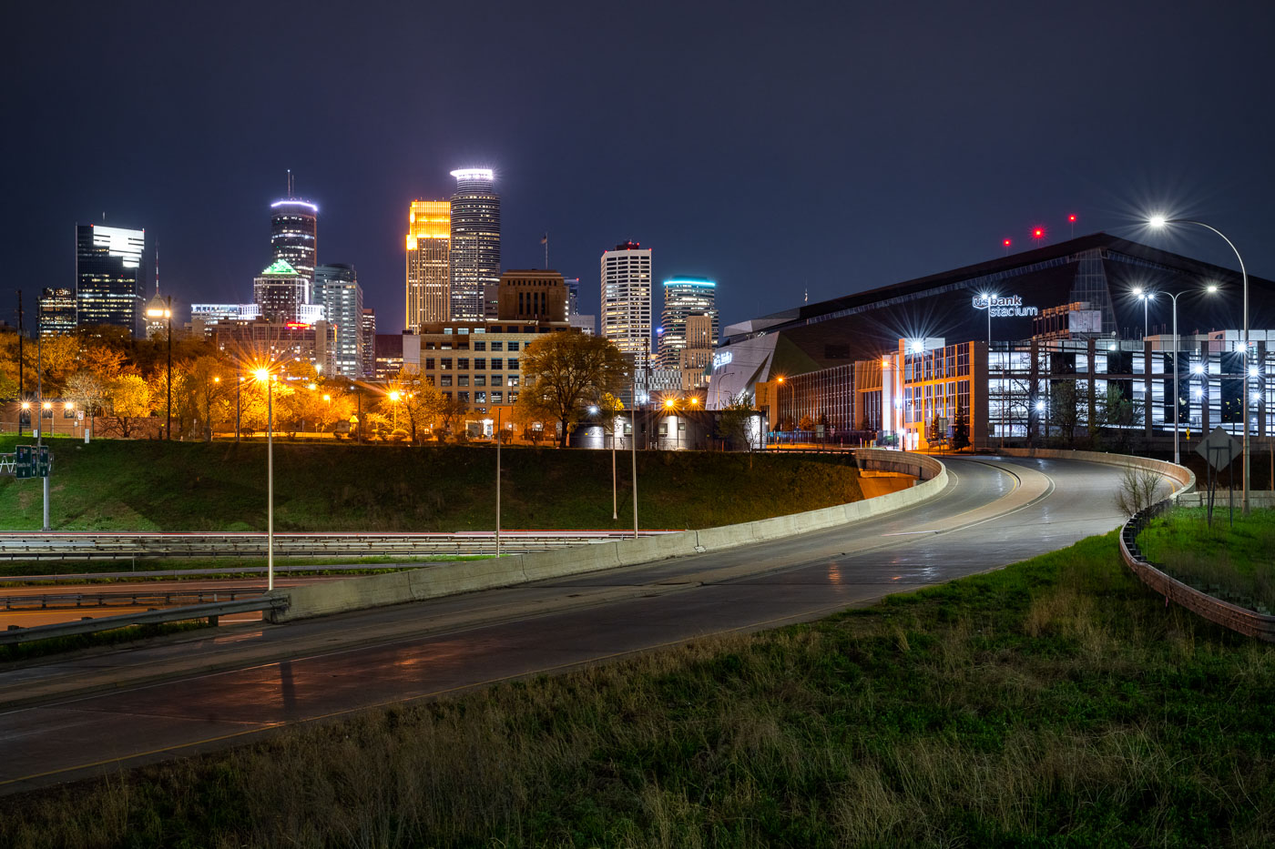
US Bank Stadium and the downtown Minneapolis skyline
US Bank Stadium, a multi-purpose venue in downtown Minneapolis, is illuminated at night. Opened in 2016, the stadium was built on the former site of the Metrodome and serves as the home for the Minnesota Vikings of the National Football League. Its distinctive architecture features a transparent ETFE roof and a faceted glass exterior, designed to reflect the city's sky and surrounding environment. The stadium hosts a variety of events, including professional football games, concerts, and other large-scale public gatherings.

US Bank Stadium and Minneapolis Skyline at Night
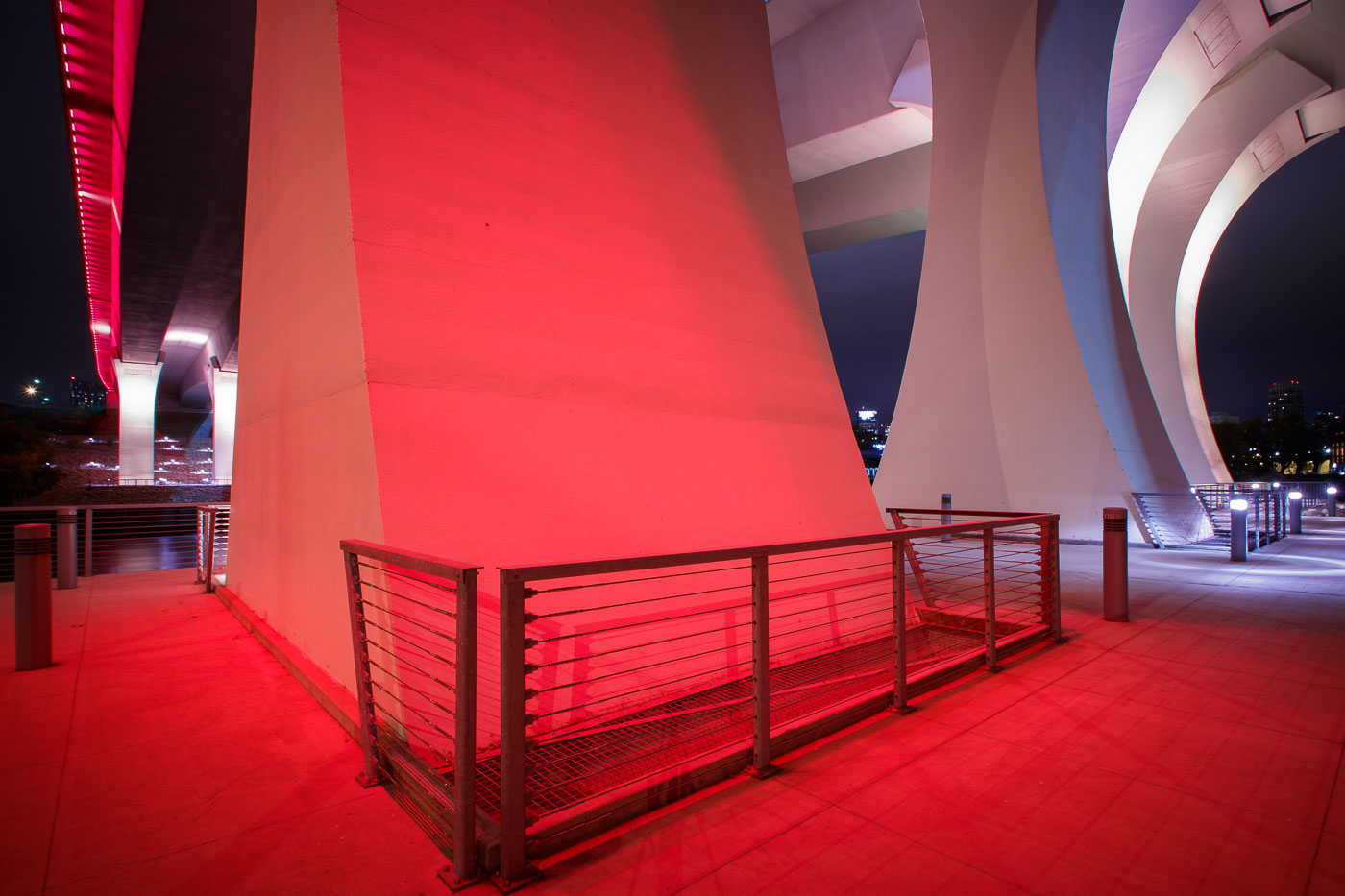
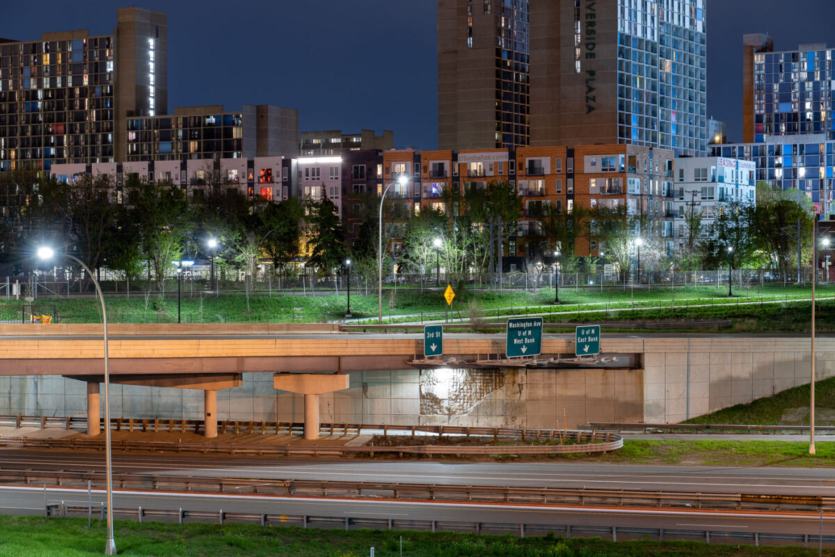
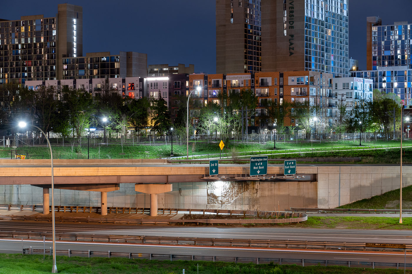
Interstate 35W underpass with Riverside Plaza towers in Cedar-Riverside, Minneapolis.
Interstate 35W passes beneath an overpass at the Cedar-Riverside neighborhood in Minneapolis. Riverside Plaza residential towers rise beyond the freeway corridor, which connects the Twin Cities metropolitan area north and south through downtown Minneapolis.

Interstate 35W at Cedar-Riverside, Minneapolis

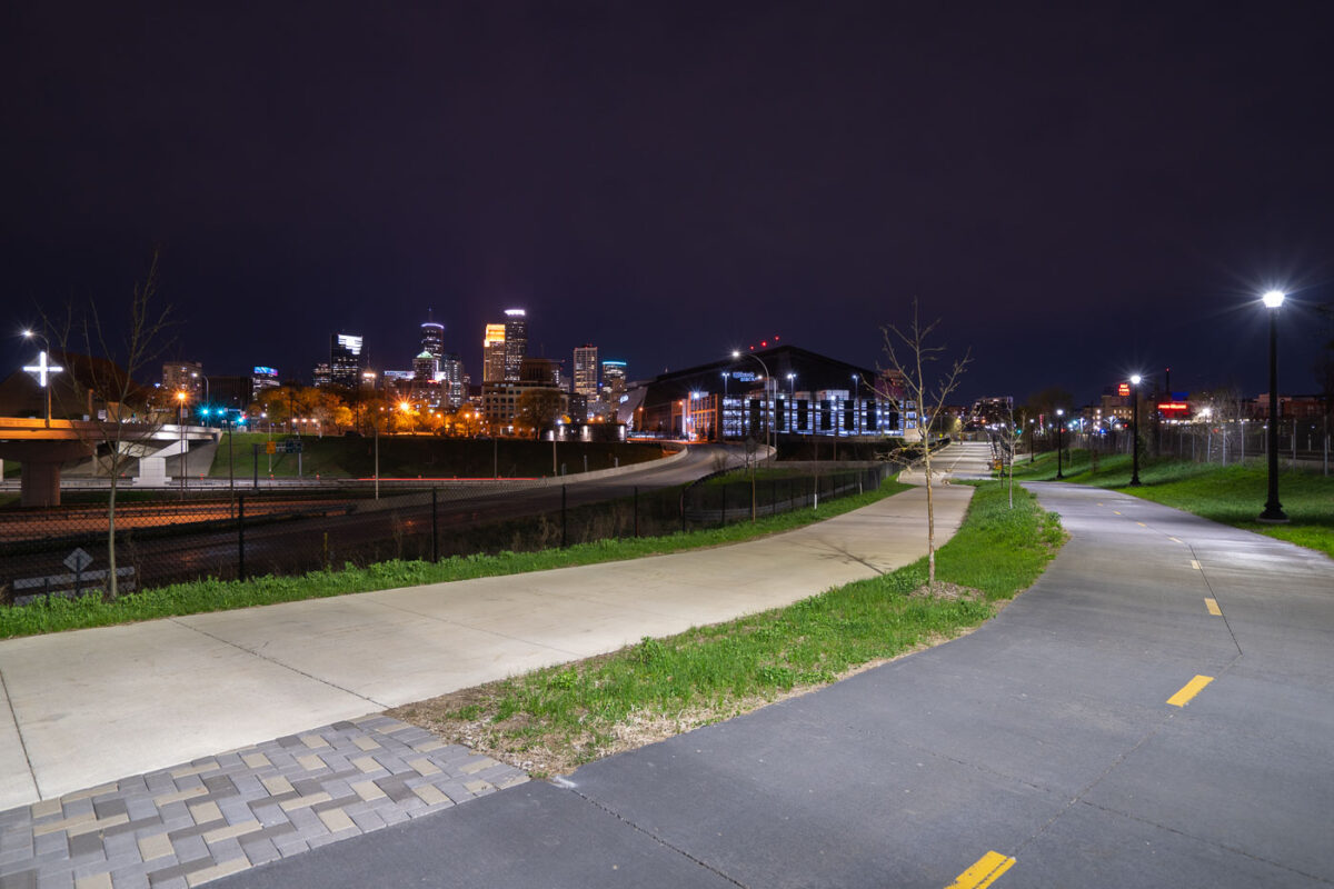
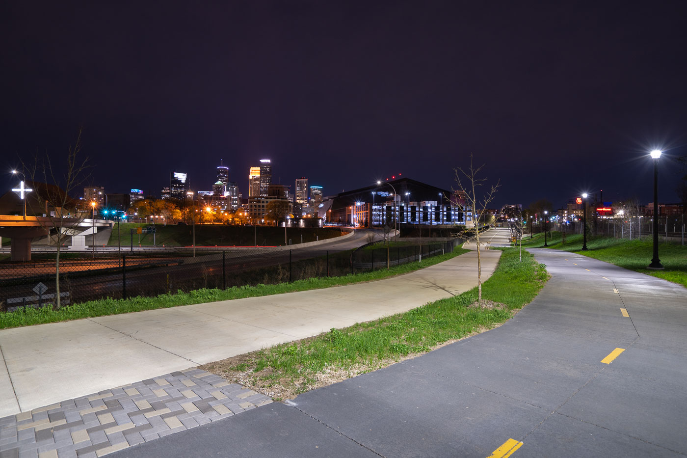
Samatar Crossing near Downtown Minneapolis
The Samatar Crossing shared use path near downtown Minneapolis. The path leads from Cedar Riverside to near US Bank Stadium.

Samatar Crossing near Downtown Minneapolis

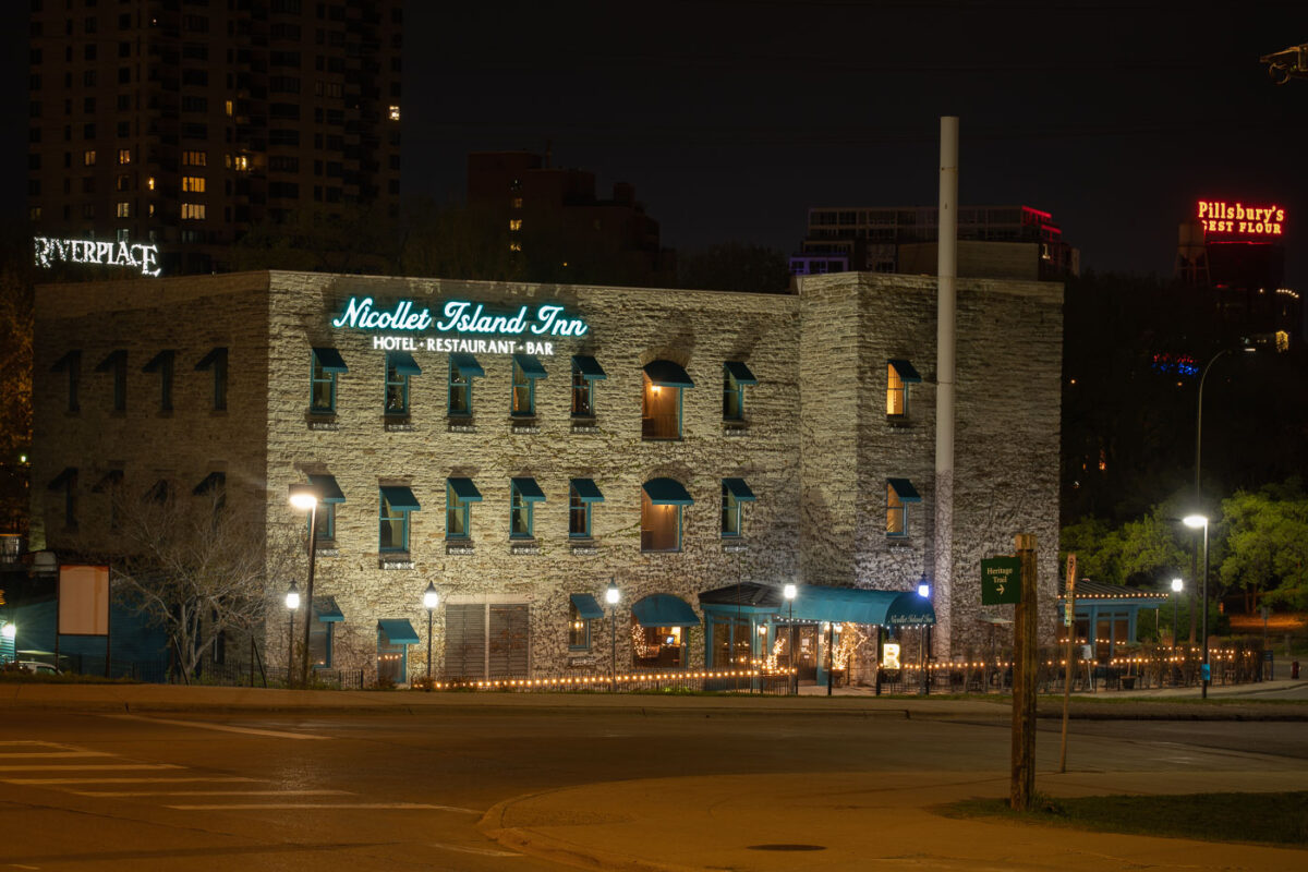
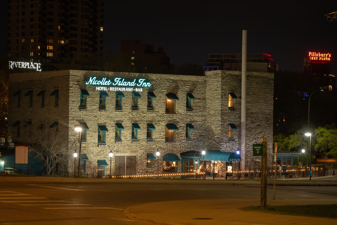
NIcollet Island Inn on Nicollet Island
The Nicollet Island Inn, a landmark along the Mississippi River in Minneapolis, occupies a 19th-century brick and limestone structure originally built in the 1890s as an industrial facility. Converted into a hotel and restaurant in the 1970s, it retains its historic character with exposed stone walls and vintage architectural details. Illuminated signage and soft outdoor lighting highlight the inn’s distinctive facade, with the iconic Pillsbury’s Best Flour sign visible across the river, linking the scene to the city’s milling heritage.

Nicollet Island Inn at Night, Minneapolis Riverfront

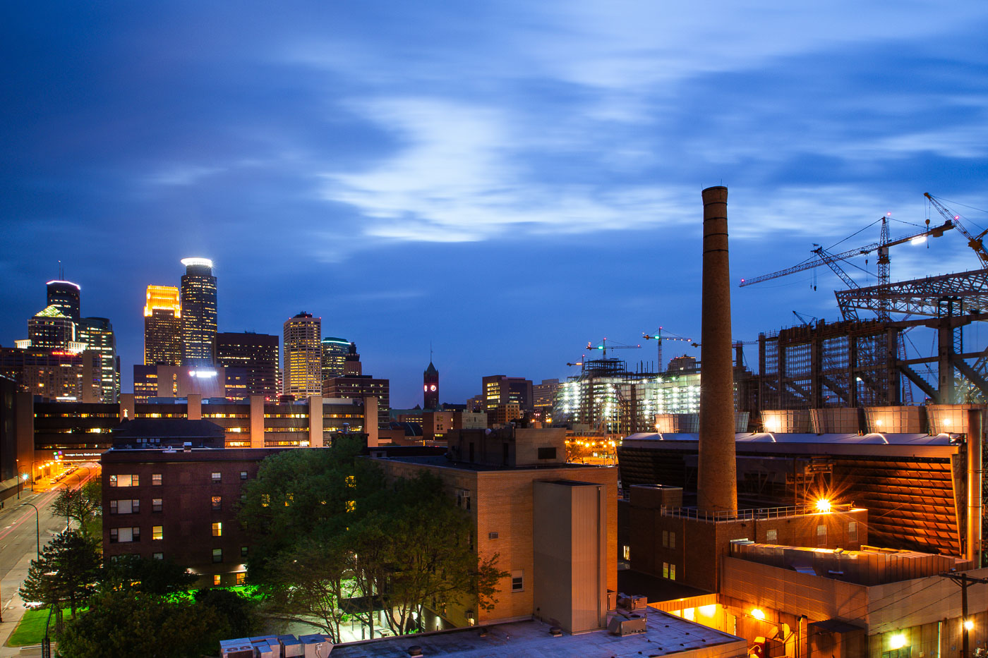
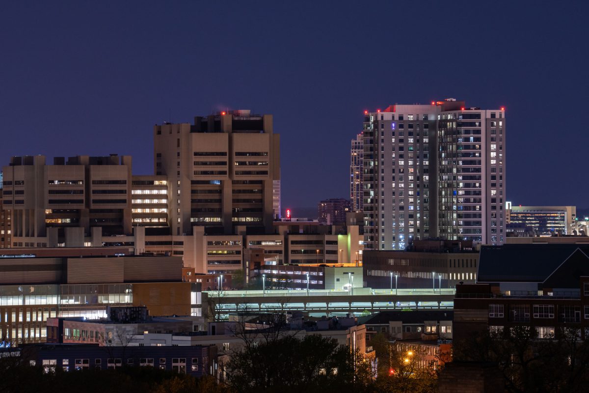
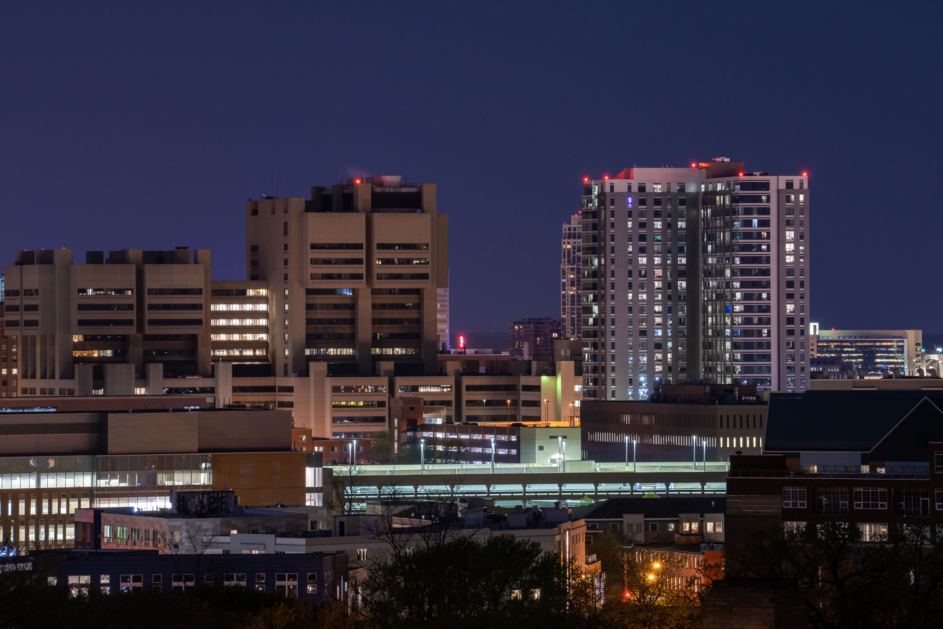
University of Minnesota Medical Center and East Bank campus buildings illuminated at dusk in Minneapolis.
The University of Minnesota's East Bank campus includes its academic health center, home to M Health Fairview University of Minnesota Medical Center and the university's medical school.

East Bank Medical Center Towers at Night from Prospect Park

Prospect Park Water Tower with its green conical roof overlooking Minneapolis downtown and industrial skyline at dusk.
The Prospect Park Water Tower, commonly known as the Witches Hat for its distinctive green conical roof, overlooks downtown Minneapolis and the Mississippi River valley. Built in 1913, the tower served as a water storage and distribution facility for the surrounding neighborhood. The tower remains a recognizable landmark in the Prospect Park area, offering views across the city's industrial and commercial districts.

Prospect Park Water Tower and Minneapolis Skyline
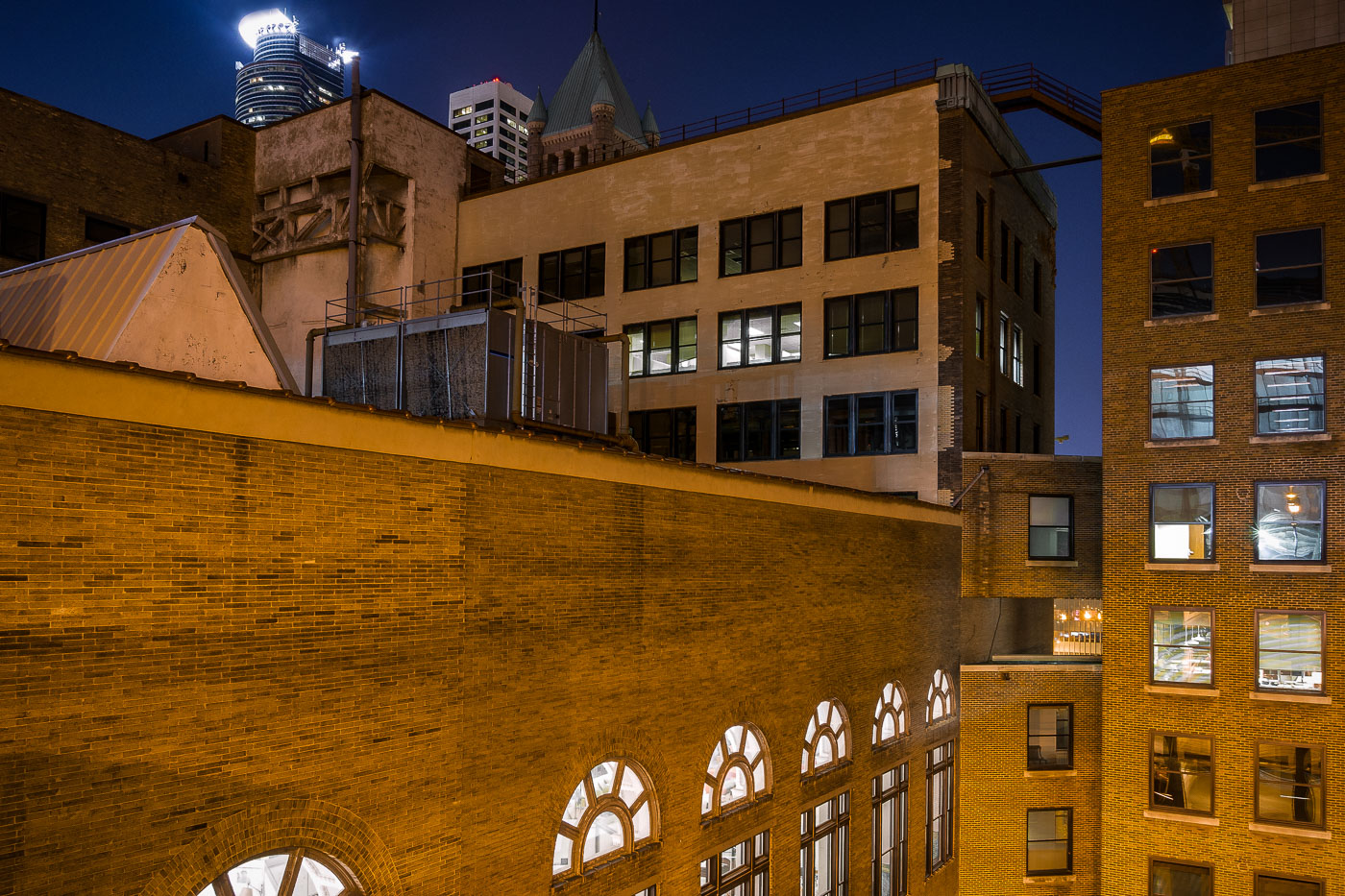
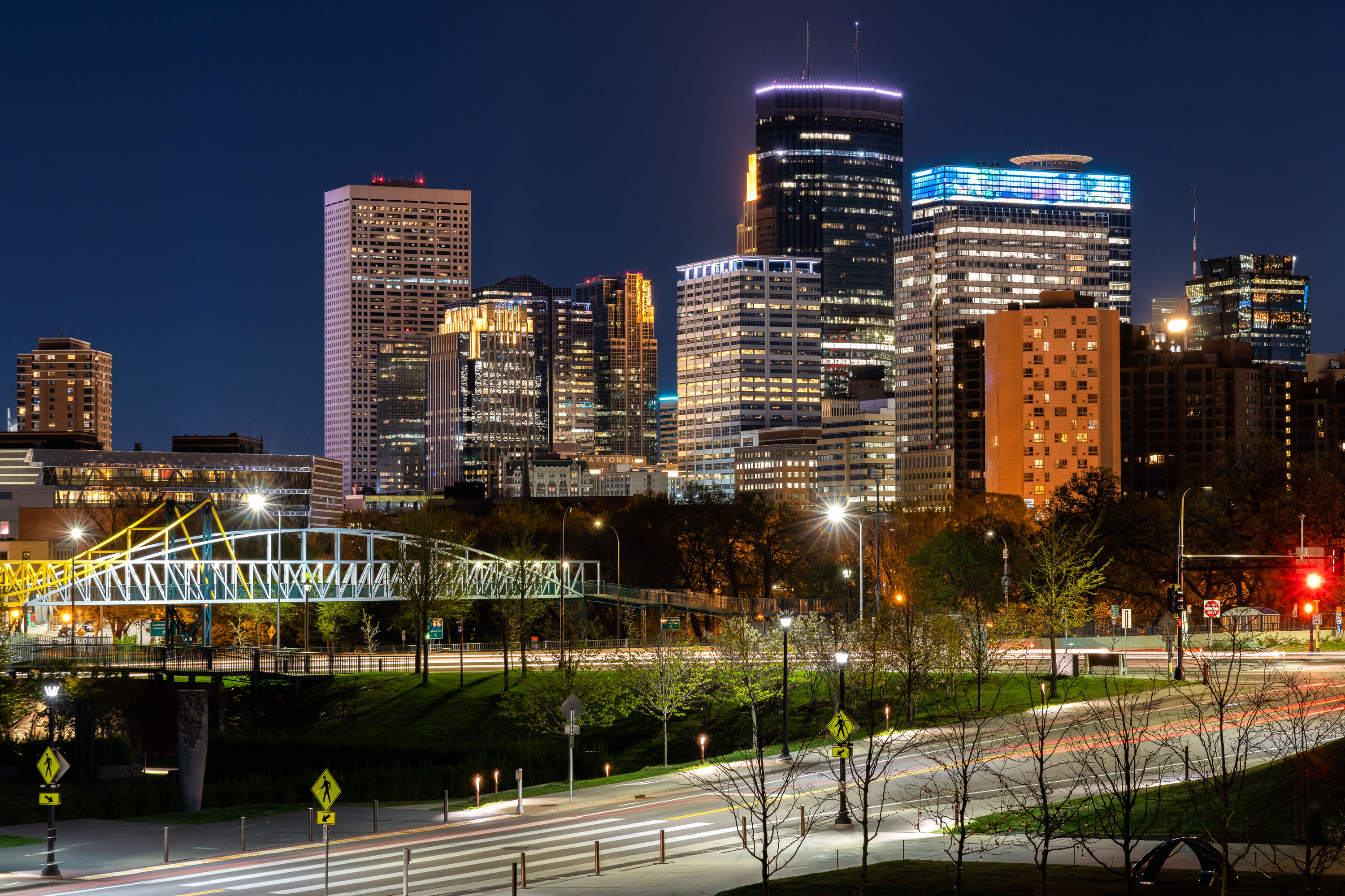
Minneapolis skyline at night with illuminated downtown towers and a lit pedestrian bridge in foreground.
The Irene Hixon Whitney Bridge links Loring Park to the Minneapolis Sculpture Garden at the Walker Art Center, carrying pedestrians and cyclists over Interstate 94. Minneapolis artist and MIT design professor Siah Armajani designed the bridge, which opened in 1988 and stretches roughly 375 feet in a bowstring-arch form of steel and wood. The skyline behind it is anchored by Capella Tower, completed in 1992 and capped with a lattice crown that once displayed a rotating color scheme, and the IDS Center, Minnesota's tallest building at 792 feet since 1972. Both towers stand within the city's central business district, a short walk from Loring Park.

Irene Hixon Whitney Bridge and Minneapolis Skyline at Night