Minneapolis

5,178 photos · 2008–2026

5,178 photographs tagged Minneapolis, 2008–2026.
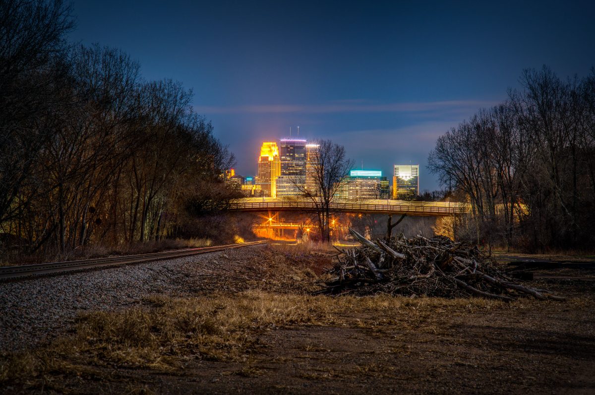
North Cedar Lake Trail, St. Louis Park, MN.
North Cedar Lake trail in St. Louis Park, Minnesota.

North Cedar Lake Trail, St. Louis Park, MN.

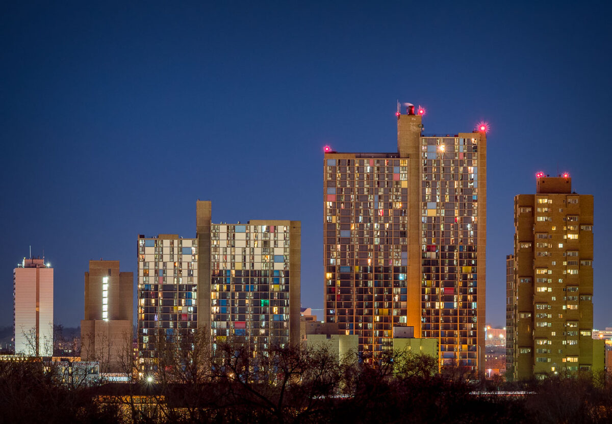
Riverside Plaza Cedar HIgh Apartments Minneapolis
Riverside Plaza and Cedar High Apartments stand illuminated against the twilight sky in Minneapolis’ Cedar-Riverside neighborhood. Completed in the 1970s and designed by architect Ralph Rapson, the complex is one of the city’s most distinctive examples of modernist architecture. Its colorful paneling and Brutalist concrete forms house one of the most diverse communities in the region, symbolizing both urban renewal and the evolution of affordable housing in the Twin Cities.

Riverside Plaza at Dusk

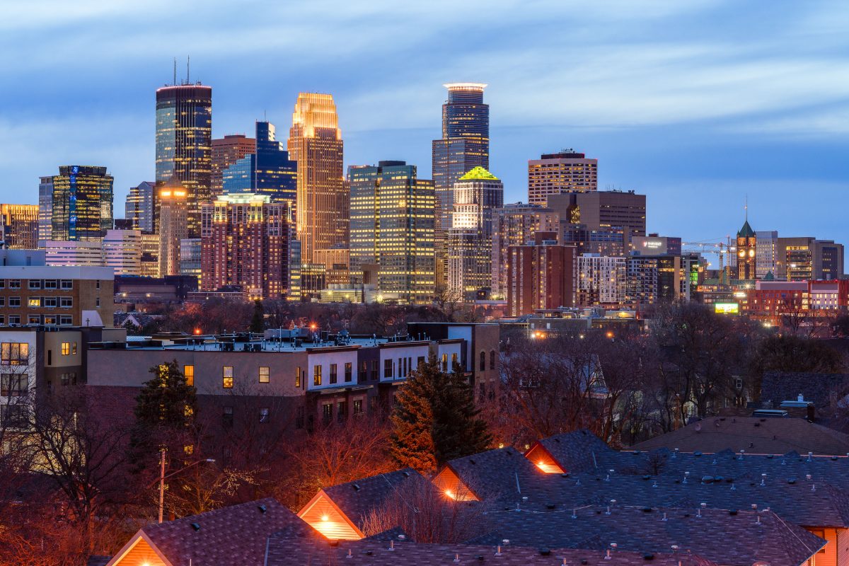
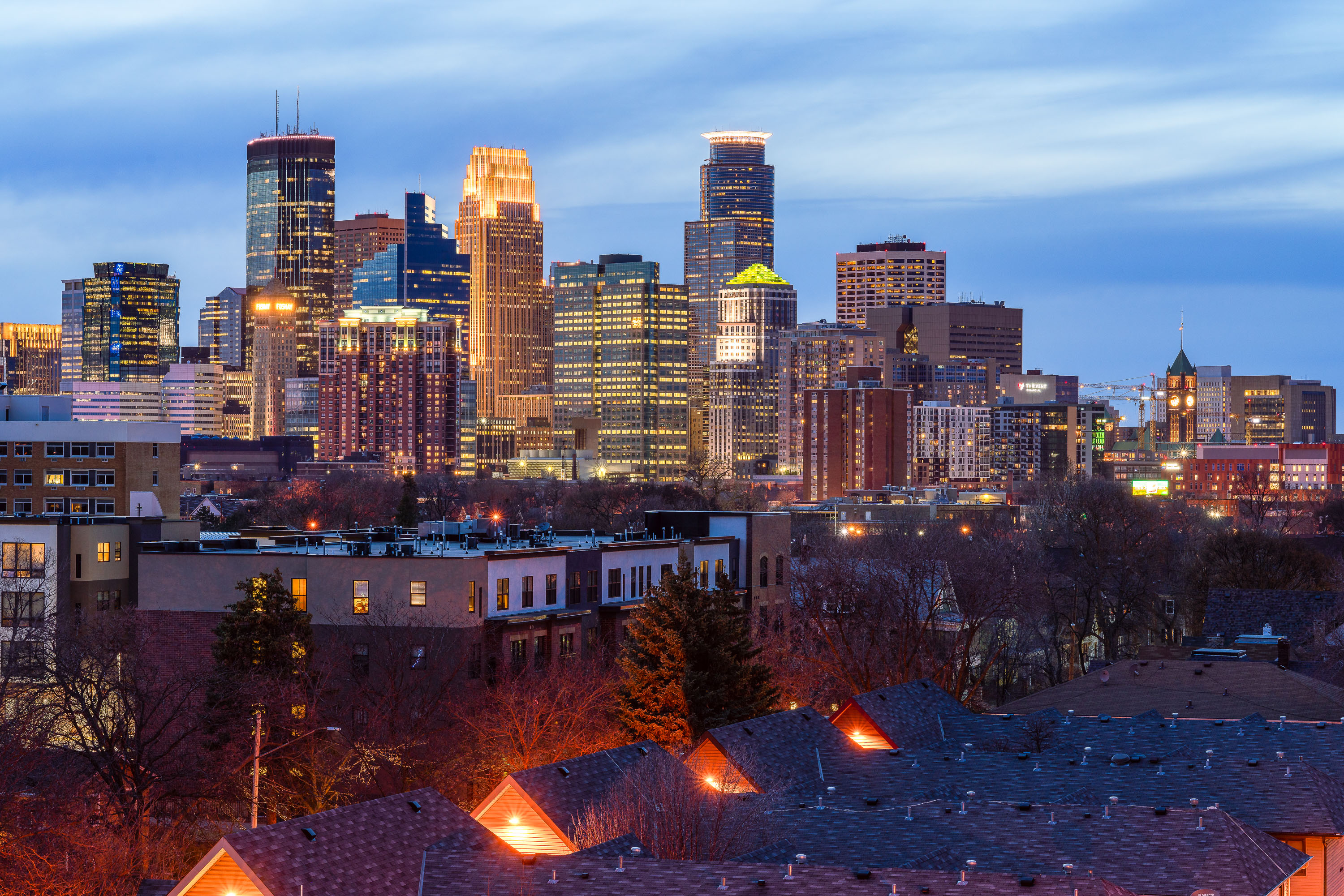
Minneapolis downtown skyline at dusk, viewed from South Minneapolis with illuminated buildings and residential rooflines in foreground.
Downtown Minneapolis's skyline stands beyond the rooftops of South Minneapolis.

Downtown Minneapolis Skyline Beyond South Minneapolis Rooftops
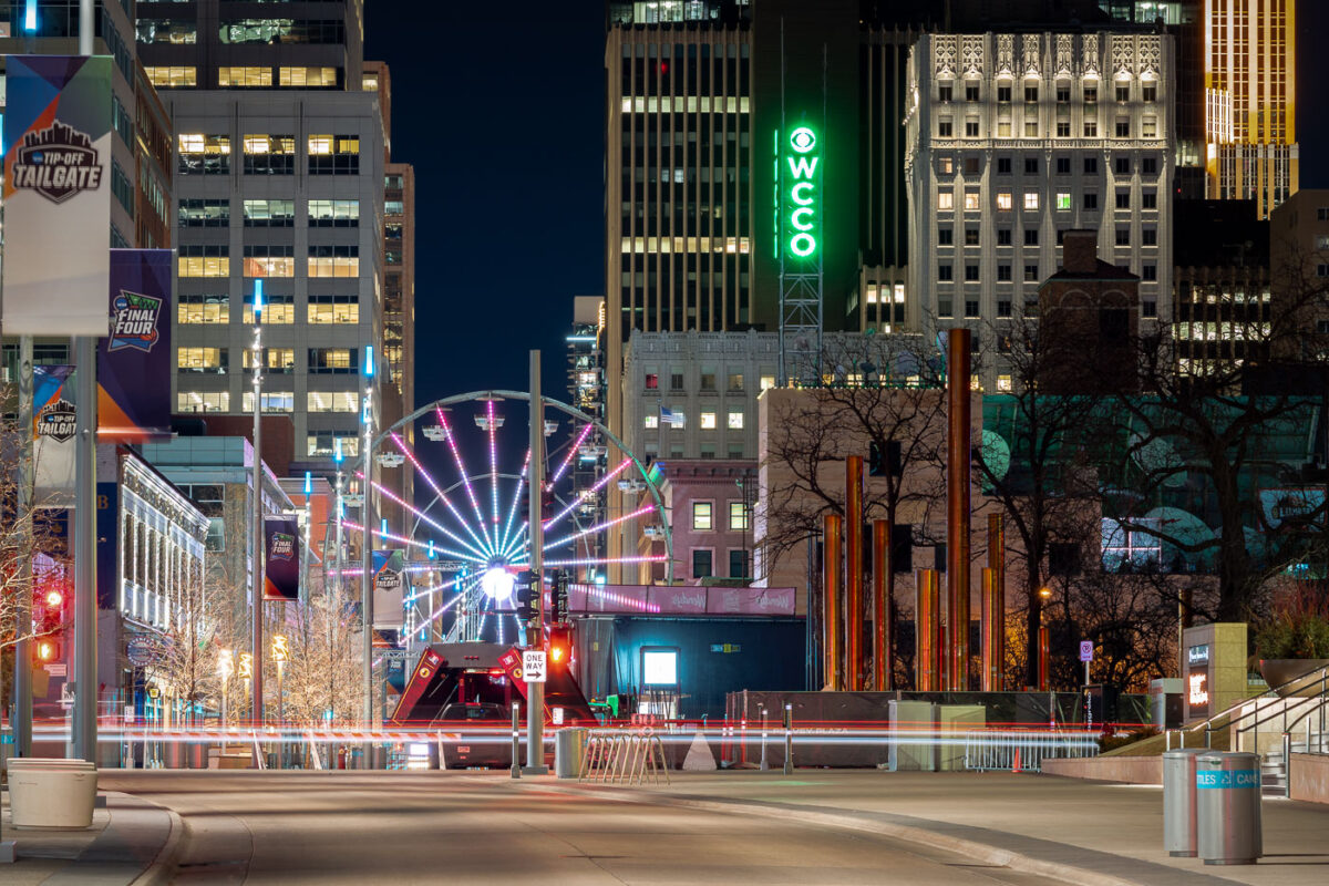
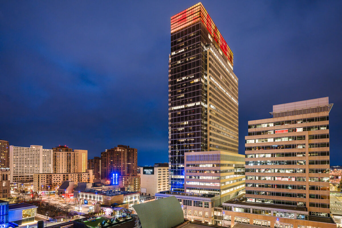
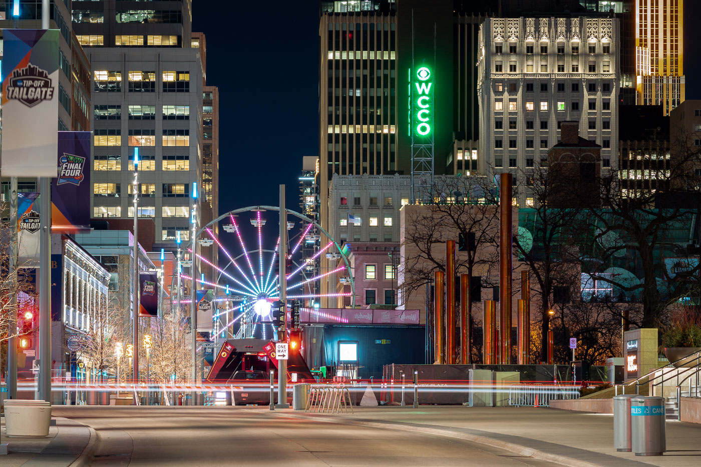
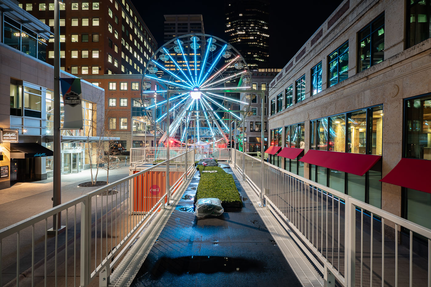
A temporary Ferris wheel illuminates Nicollet Mall in downtown Minneapolis during the 2019 NCAA Final Four fan festival.
Nicollet Mall is downtown Minneapolis's main shopping street, a pedestrian and transit mall that opened in 1967 and was rebuilt in 2015–2017. A temporary Ferris wheel stands on the mall in April 2019 as part of the Tip-Off Tailgate, a fan festival tied to the NCAA Men's Final Four at U.S. Bank Stadium.

Tip-Off Tailgate Ferris Wheel Near the WCCO Sign
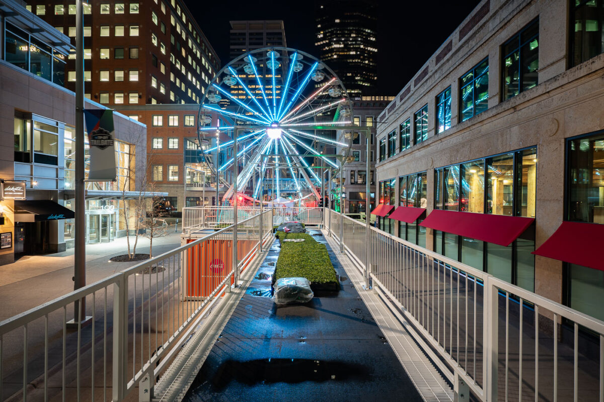
Illuminated Ferris wheel installed on Nicollet Mall in downtown Minneapolis during the 2019 NCAA Final Four.
Nicollet Mall is downtown Minneapolis's main shopping street, a pedestrian mall that opened in 1967 and was rebuilt in 2015–2017. A temporary Ferris wheel stands on the mall in April 2019 for the NCAA Final Four.

A Ferris Wheel Lights Up Nicollet Mall for the Final Four
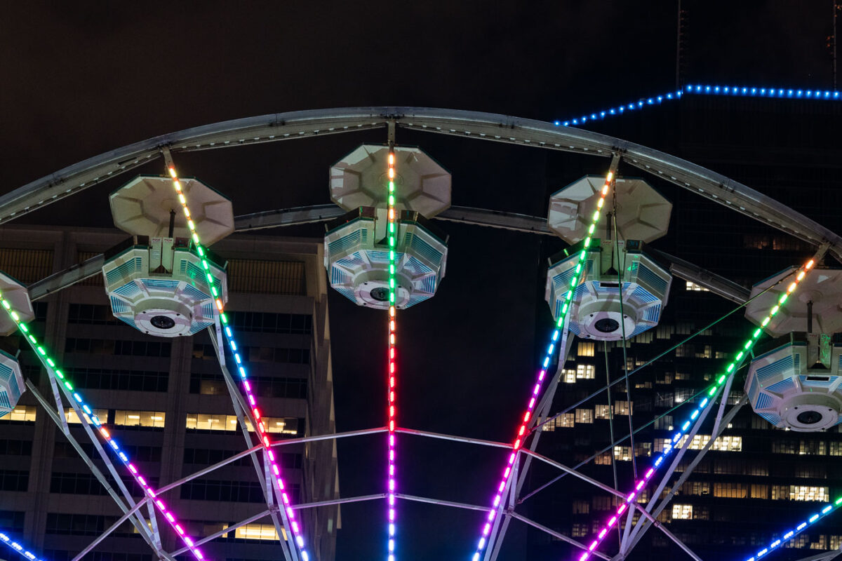
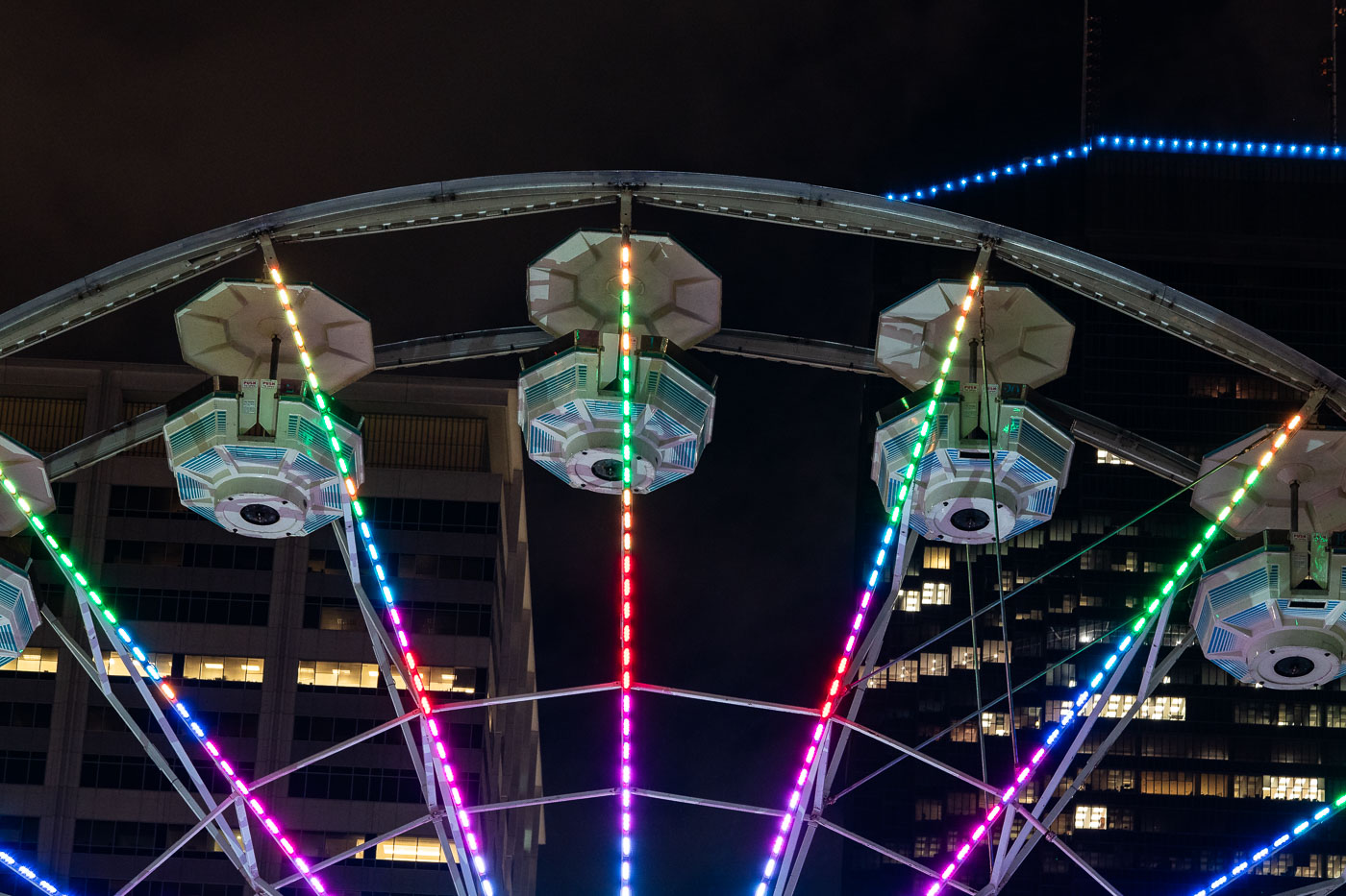
A colorful illuminated Ferris wheel stands on Nicollet Mall in downtown Minneapolis during the 2019 NCAA Final Four.
A Ferris wheel was set up on Nicollet Mall in downtown Minneapolis for the 2019 NCAA Final Four, part of the fan festivities held around the men's basketball championship that April.

A Ferris Wheel Lights Up Nicollet Mall for the 2019 Final Four
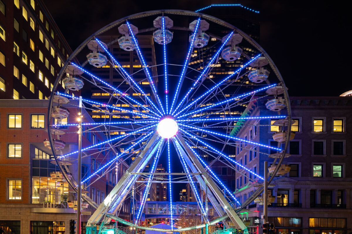
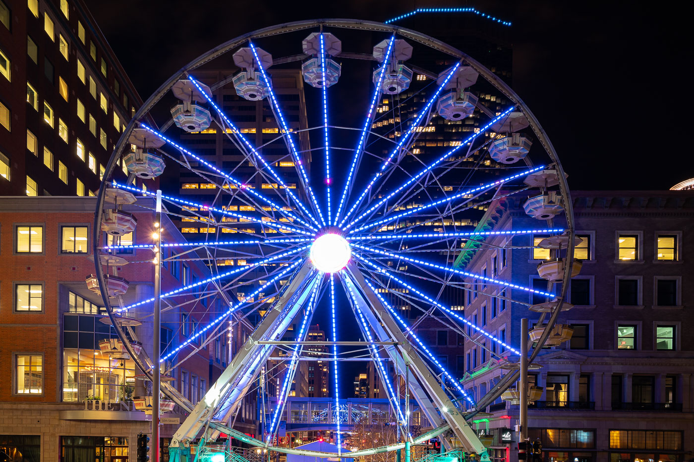
Illuminated Ferris wheel with blue neon spokes installed downtown Minneapolis for the 2019 NCAA Final Four tournament.
A temporary Ferris wheel was set up on Nicollet Mall in downtown Minneapolis for Final Four Fan Fest events tied to the 2019 NCAA Men's Final Four. The tournament's championship games were played at U.S. Bank Stadium that April, with related fan activities held throughout downtown.

Ferris Wheel on Nicollet Mall During Final Four Weekend
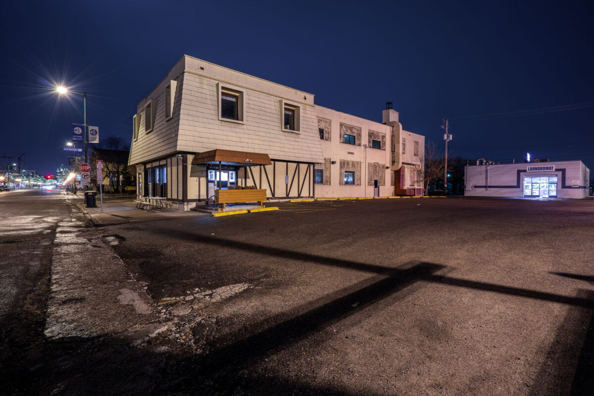
Pho Tau Bay and the Laundromat on Nicollet Avenue in South Minneapolis.
Pho Tau Bay and the Laundromat on Nicollet Avenue in South Minneapolis. The businesses occupy adjoining storefronts along the commercial corridor.

Pho Tau Bay and Laundromat on Nicollet Ave
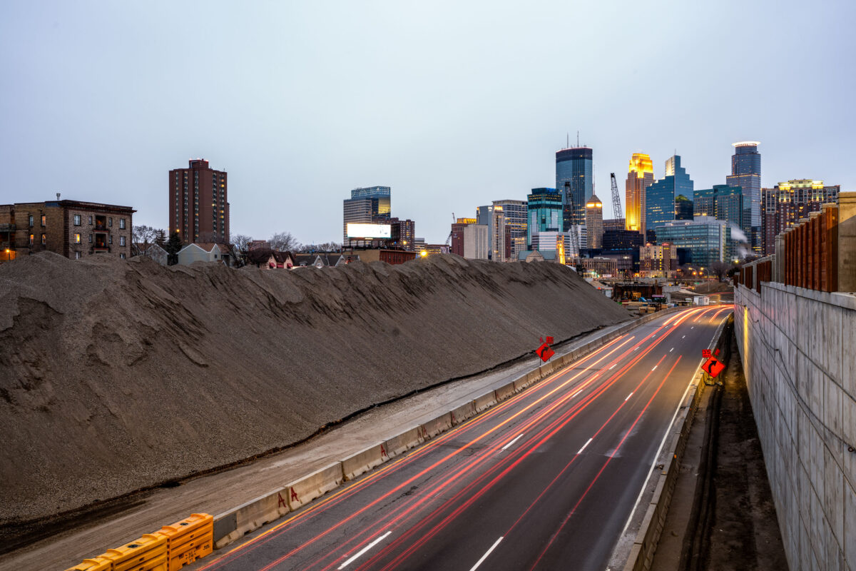
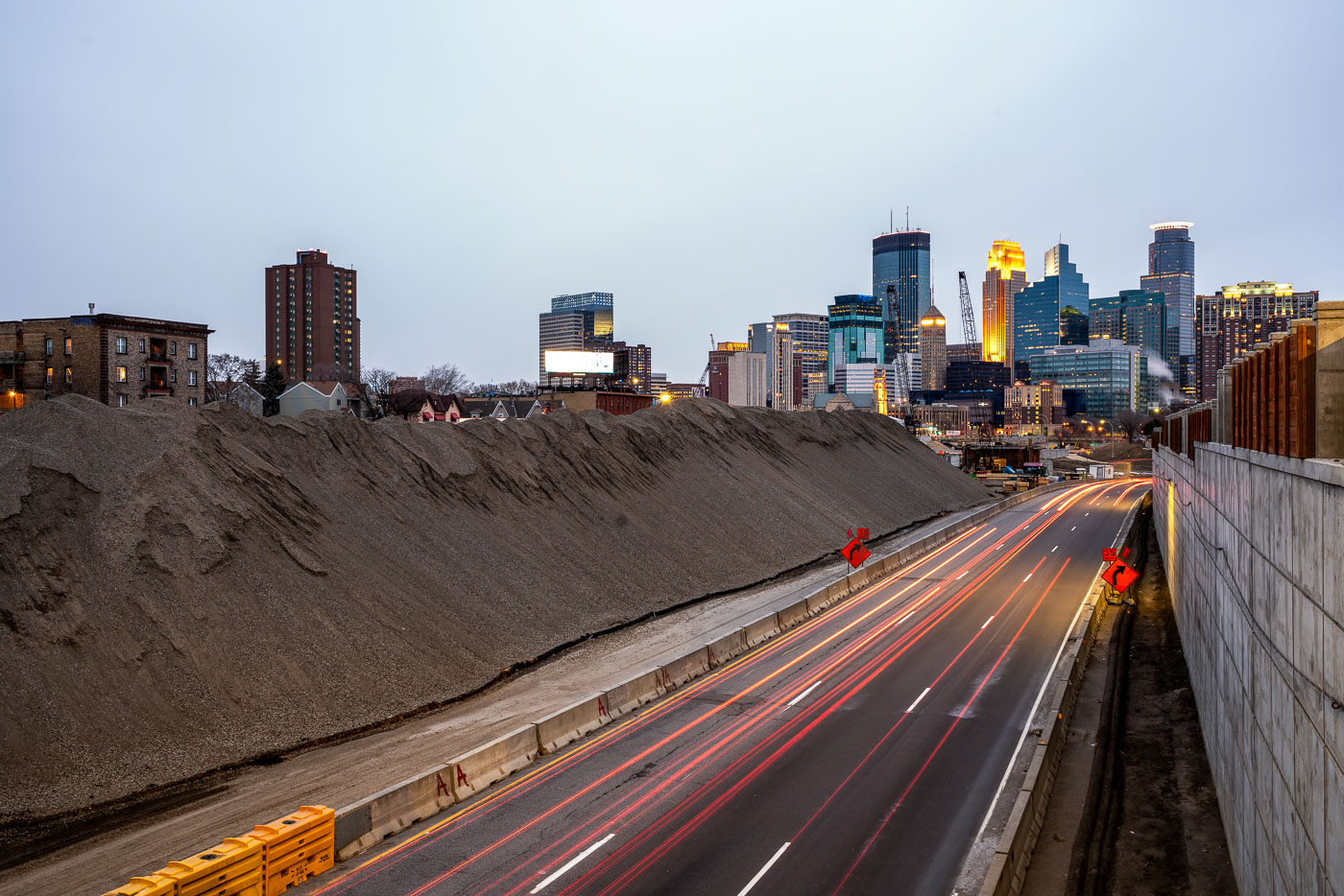
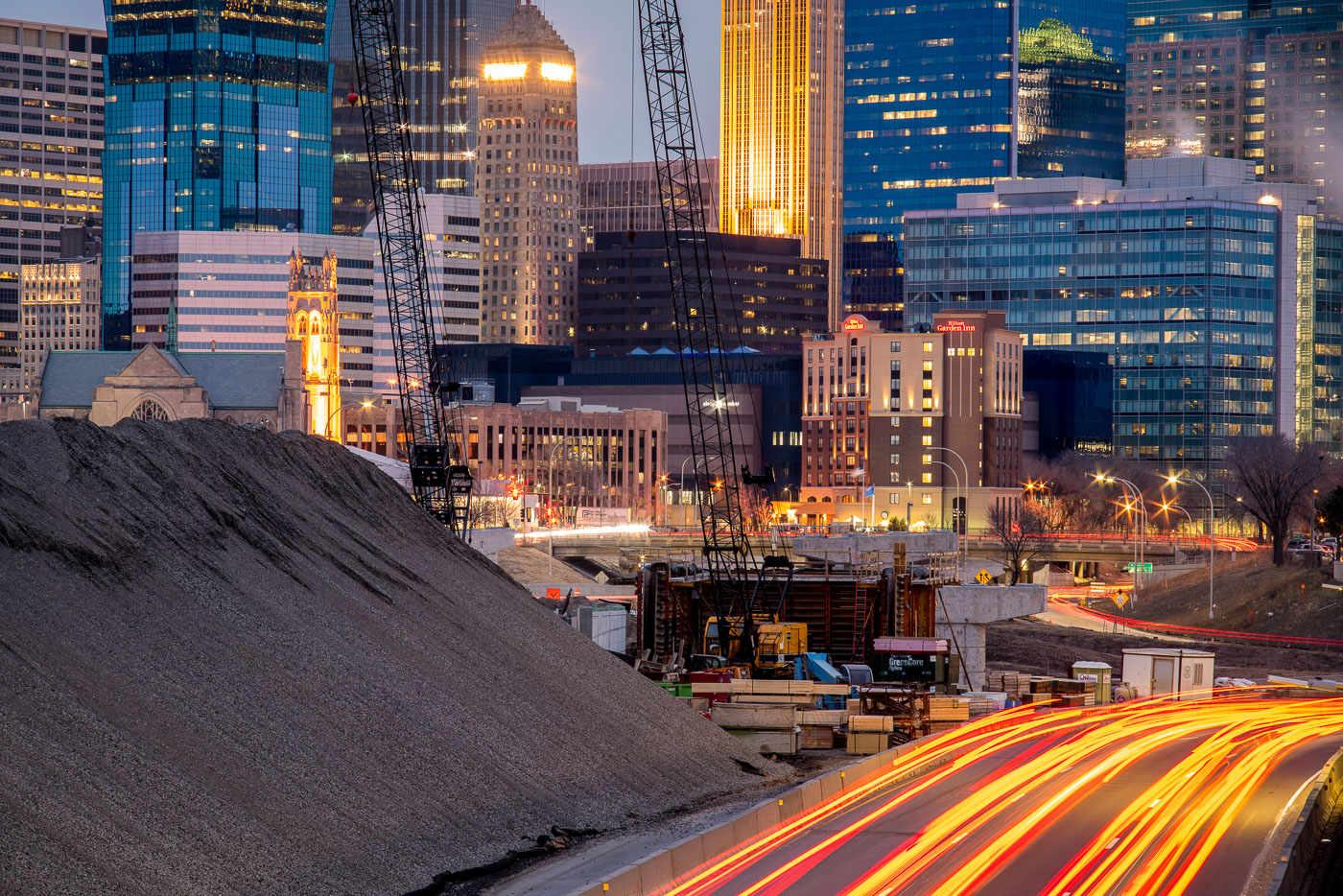
Excavated earth and traffic on Interstate 35W construction site near downtown Minneapolis skyline.
Interstate 35W underwent major reconstruction near downtown Minneapolis during this period. The project involved extensive earthwork and roadway modifications, with excavated material staged alongside the highway corridor. The construction activity was visible from multiple vantage points throughout the downtown area, marking a significant infrastructure undertaking in the city's transportation network.

Interstate 35W Construction Site, Minneapolis
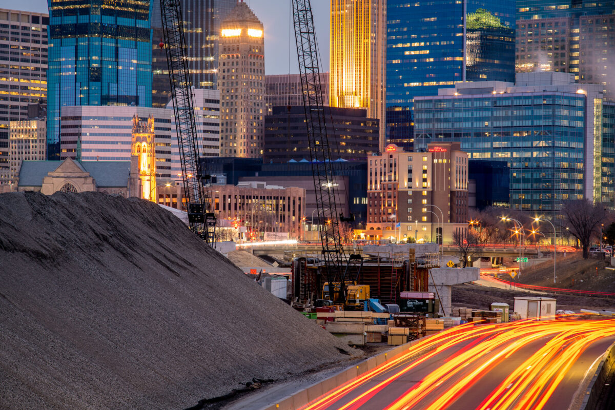
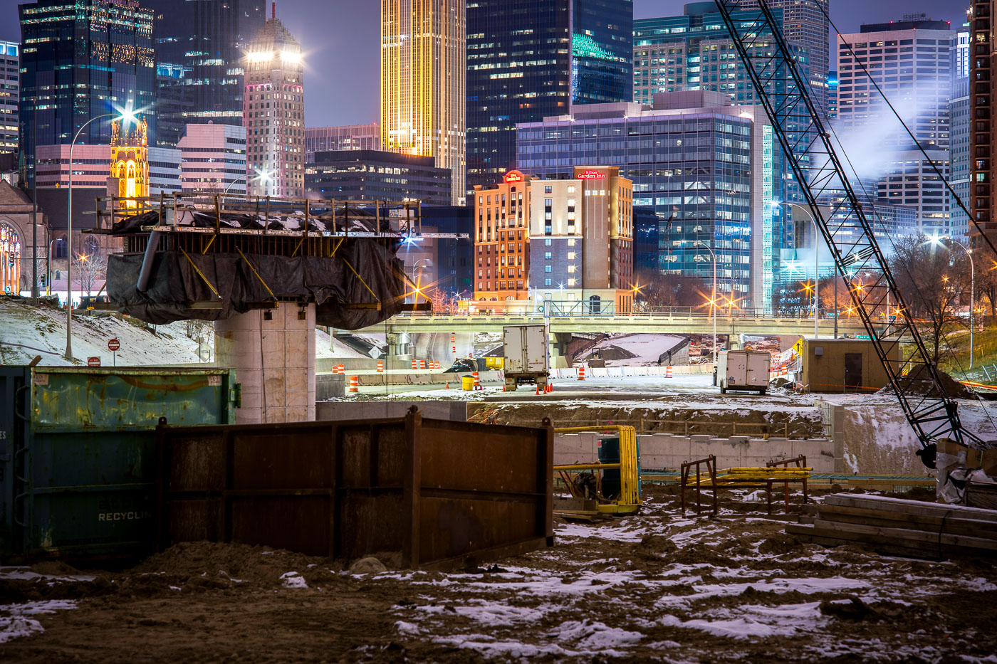
Interstate 35W construction site in downtown Minneapolis at dusk, with the Foshay Tower and illuminated skyline in the background.
Interstate 35W construction on the south edge of downtown Minneapolis is framed by the central business district, including the Foshay Tower and the Hilton Garden Inn.

I-35W Construction Below the Foshay Tower at Dusk
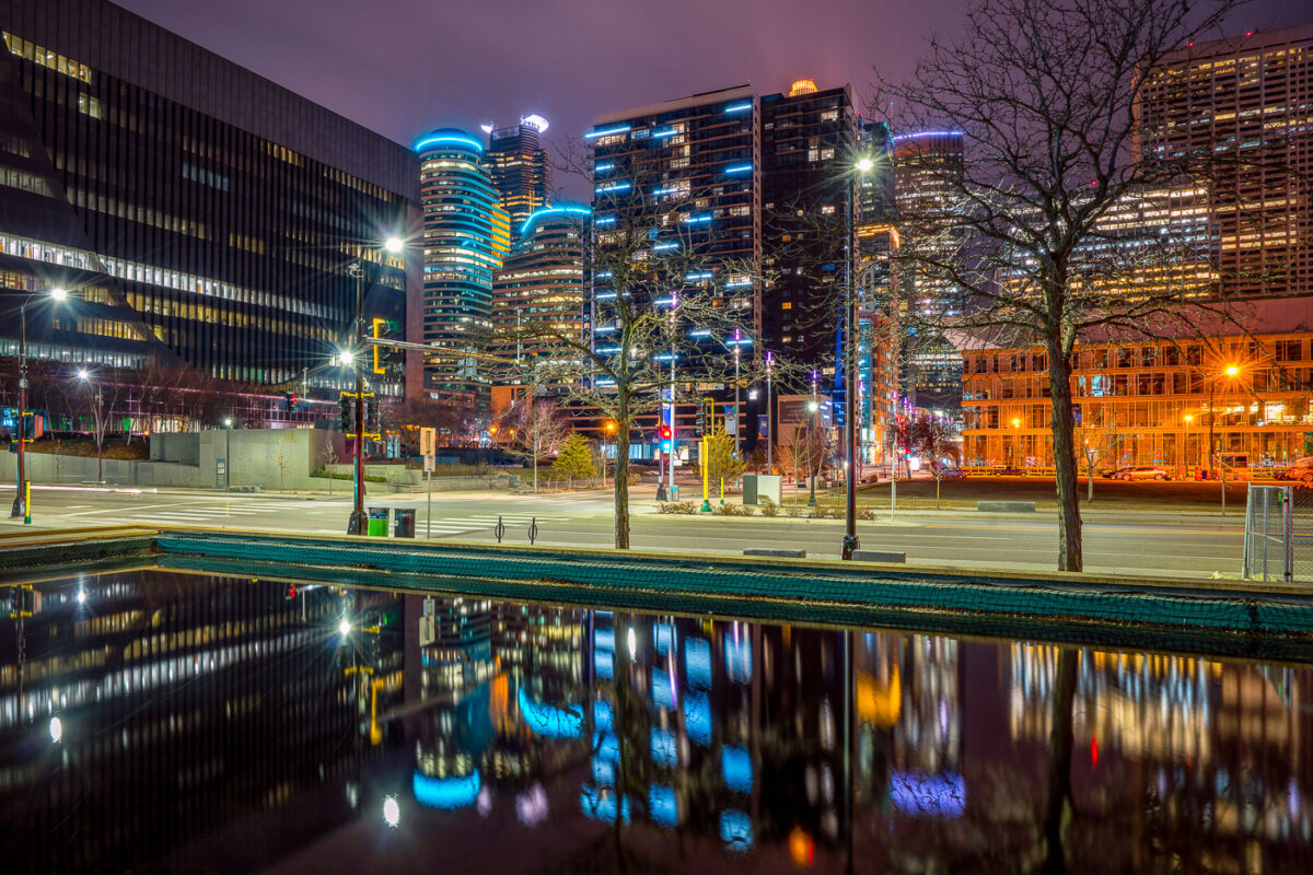
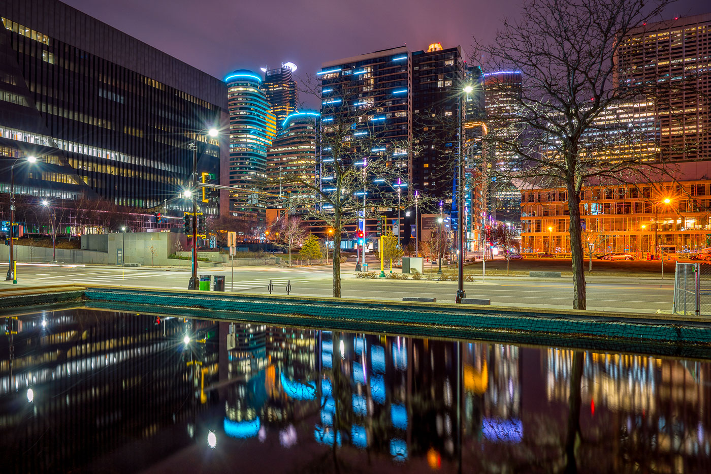
Illuminated downtown Minneapolis office and residential towers rise above a still water feature near Nicollet Mall at night.
Downtown Minneapolis's towers rise near Nicollet Mall, including Capella Tower and the Fifth Street Towers, among office buildings and residential high-rises built up in the 2000s and 2010s.

Minneapolis Skyline Reflected in a Water Feature Near Nicollet Mall
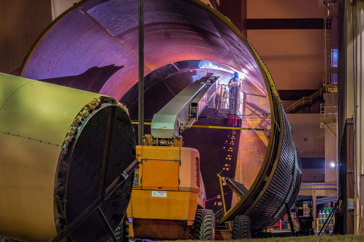
A welder works inside a large cylindrical structure during the replacement of a water tank at the Hennepin Energy Recovery Center in Minneapolis, Minnesota.
A welder works inside a large cylindrical structure at the Hennepin Energy Recovery Center (HERC) in Minneapolis, Minnesota. This facility, which began operation in 1989, processes waste to generate electricity for the local grid. The ongoing work involves the replacement of a water tank, a critical component for the plant's cooling and operational systems. The HERC plays a significant role in waste management and energy production for the Twin Cities metropolitan area.

Welder at Hennepin Energy Recovery Center Water Tank Replacement
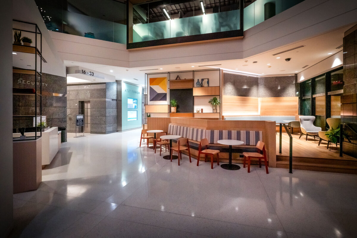
AT&T Tower lobby at 901 Marquette Avenue in downtown Minneapolis.
AT&T Tower at 901 Marquette Avenue in downtown Minneapolis. The renovated lobby includes a security desk and seating area for office tenants and visitors.

AT&T Tower Lobby, 901 Marquette Avenue, Minneapolis
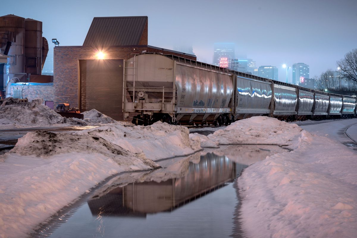
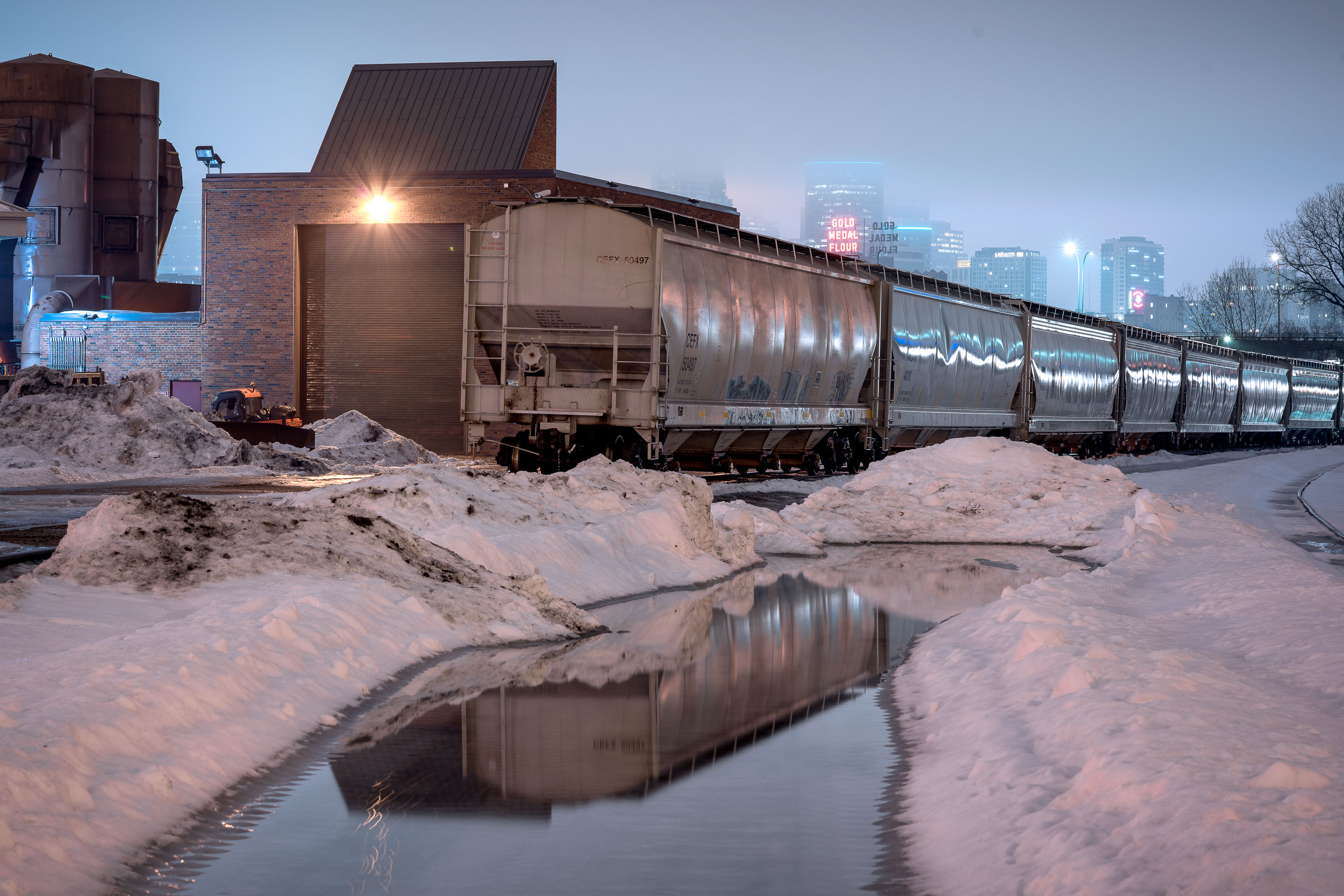
Freight train with graffiti parked beside Old Main Heating Plant in Minneapolis during winter.
These hopper cars sit on tracks running past the University of Minnesota's Old Main Heating Plant, which has long supplied steam heat to the East Bank campus through a network of underground tunnels. Across the Mississippi River, the Gold Medal Flour sign marks the site of the former Washburn-Crosby mill complex, once among the largest flour-milling operations in the world and the namesake of General Mills. The rail corridor along this stretch of river served Minneapolis's milling district for more than a century, moving grain in and flour out to markets across the country.

Freight Train Reflections, Gold Medal Flour Sign, Minneapolis

Bench in Father Hennepin Bluff Park beside snow and open water in Northeast Minneapolis.
Father Hennepin Bluff Park in Northeast Minneapolis, with a bench beside a snow-covered area near open water. The park sits along the Mississippi River and offers views toward downtown Minneapolis.

Bench in Father Hennepin Bluff Park, Northeast Minneapolis
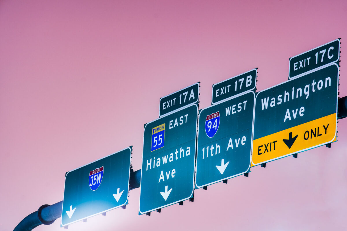
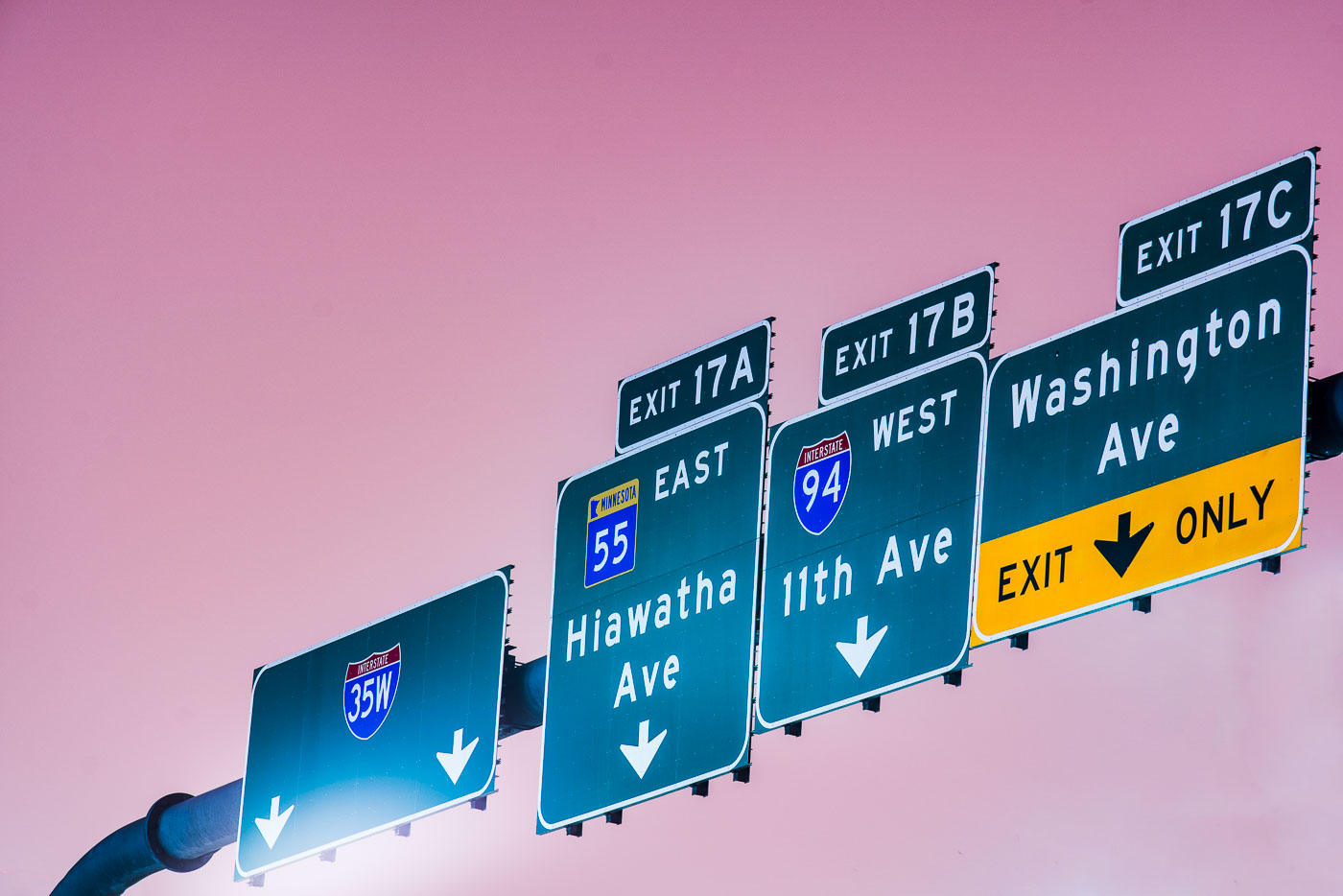
Interstate 35W exit signs for Hiawatha Ave, 11th Ave, and Washington Ave in Minneapolis.
Interstate 35W exit signs in Minneapolis direct traffic to Hiawatha Avenue, 11th Avenue, and Washington Avenue. The guide signs also reference Interstate 94 and Minnesota State Highway 55 at Exit 17.

Interstate 35W exit signs at Hiawatha Ave, Minneapolis
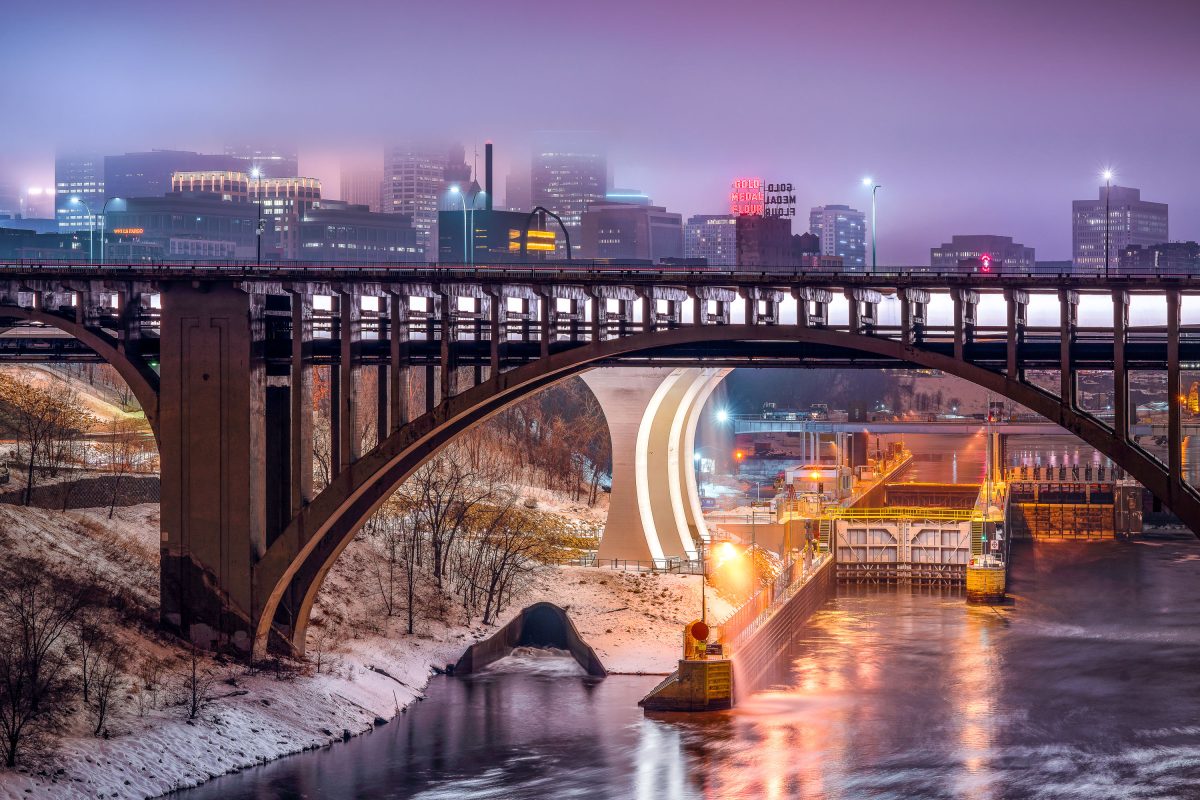
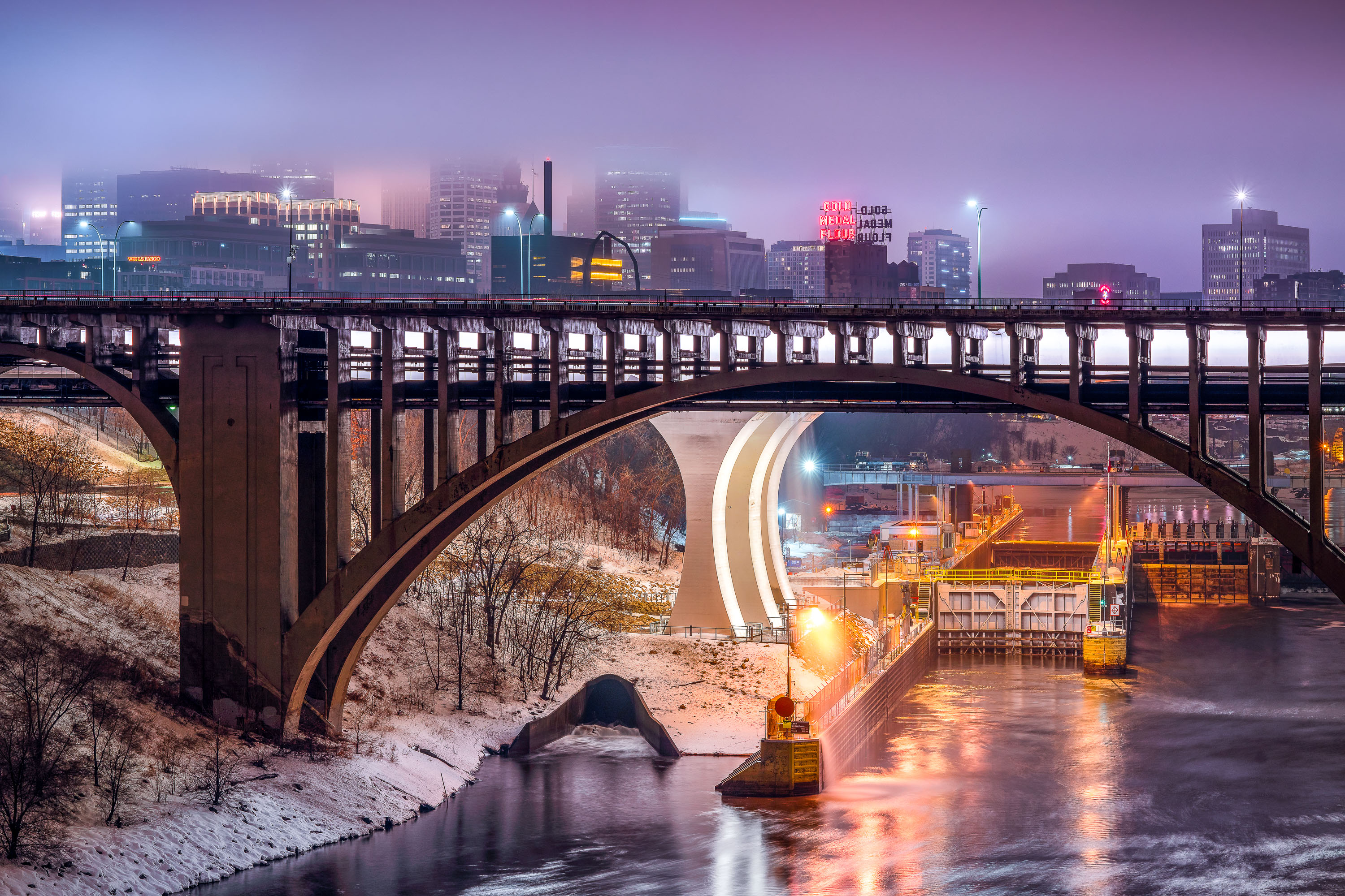
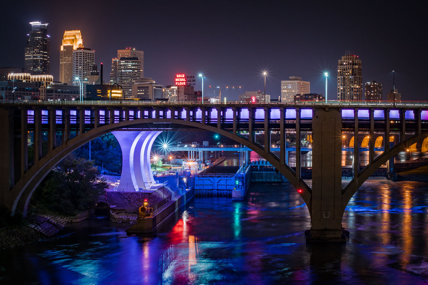
Third Avenue Bridge crosses the Mississippi River with the Gold Medal Flour sign and downtown Minneapolis skyline illuminated at dusk.
The Third Avenue Bridge crosses the Mississippi River just downstream from Saint Anthony Falls, linking downtown Minneapolis to the university area to the east. Completed in 1918, it's a concrete arch span designed by engineer Kristoffer Olsen Oustad with a slight curve to fit the site's geology. Below it, the Lower St. Anthony Falls Lock and Dam helps vessels pass the falls, while the Gold Medal Flour sign, raised above the old Washburn-Crosby mill site in 1908, still marks the skyline behind it.

Foggy Dusk at Third Avenue Bridge and St. Anthony Falls
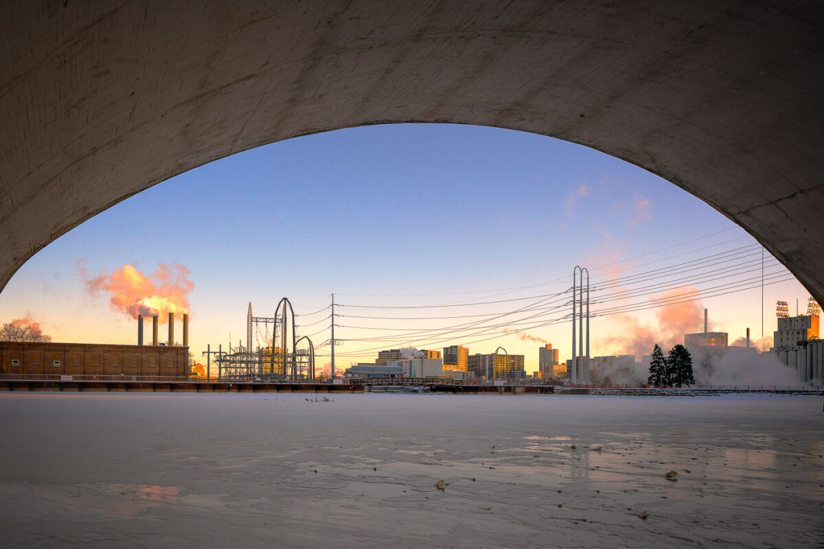
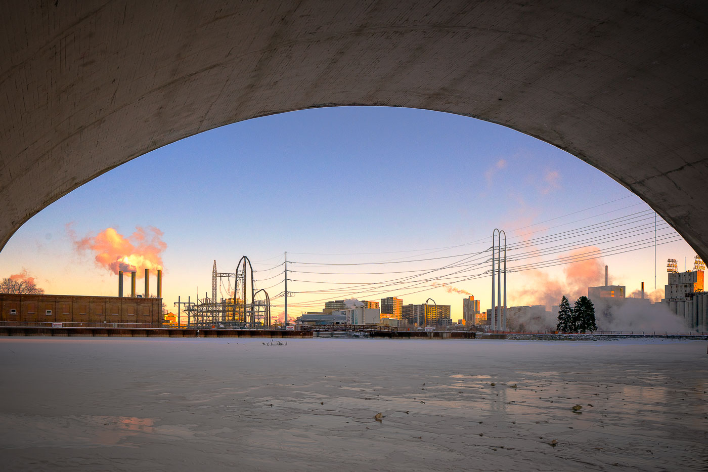
Third Avenue Bridge in Minneapolis spans the frozen Mississippi River near downtown.
Third Avenue Bridge in Minneapolis spans the Mississippi River near downtown. The bridge connects the city’s riverfront with the downtown area over the river. In winter, the river below is often covered with ice during periods of extreme cold.

Third Avenue Bridge Overlook, Minneapolis
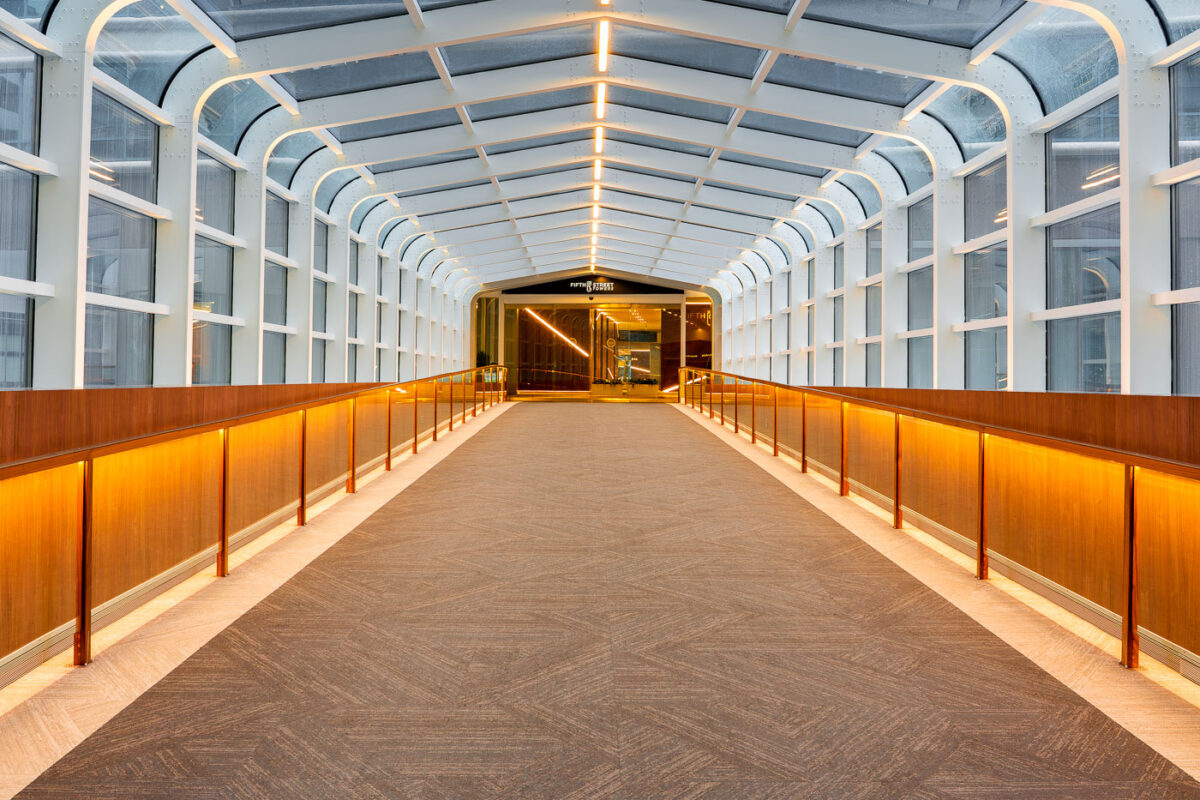
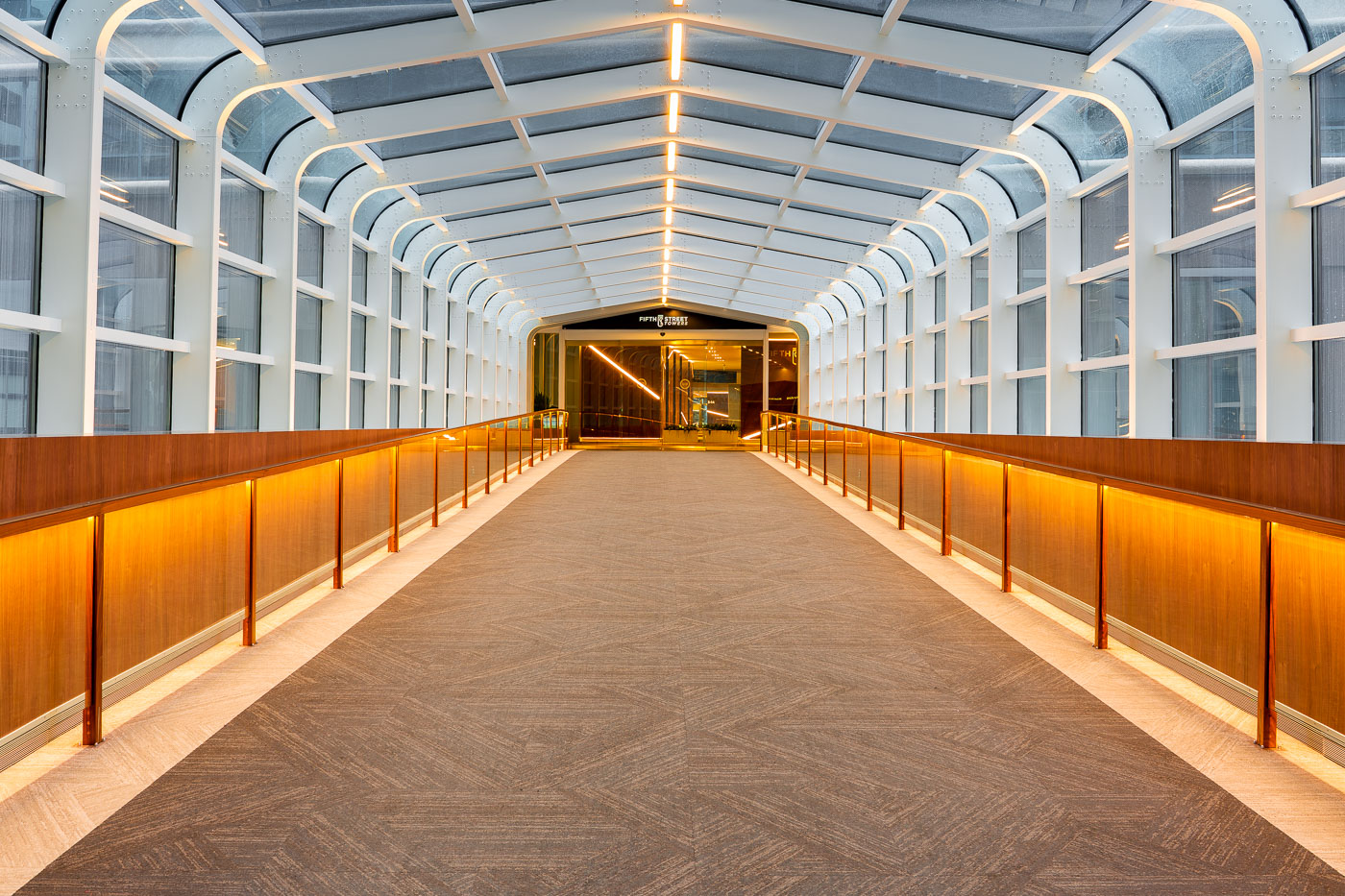
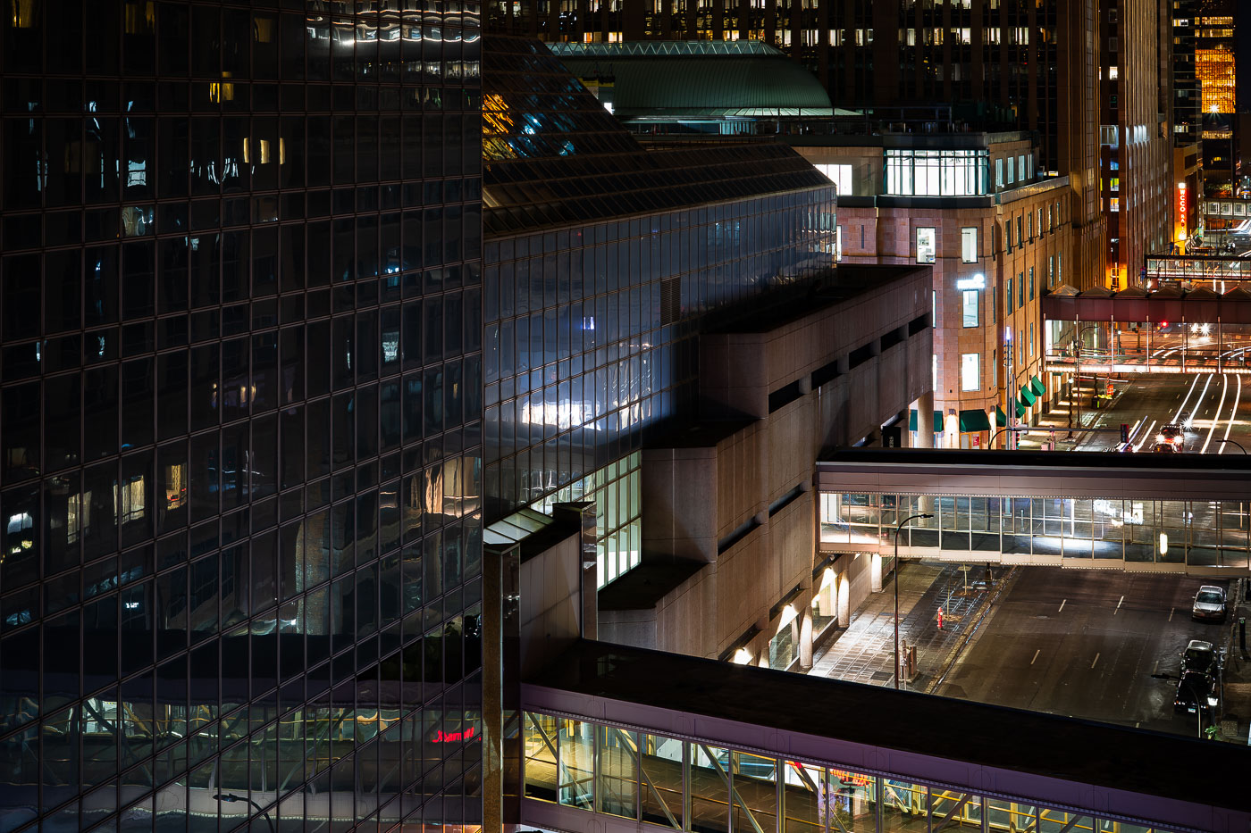
Inside the Fifth Street Towers skyway
The skyway connecting the Soo Line Apartments to the Fifth Street Towers. The skyway is part of the large Minneapolis Skyway System.

Inside the Fifth Street Towers skyway

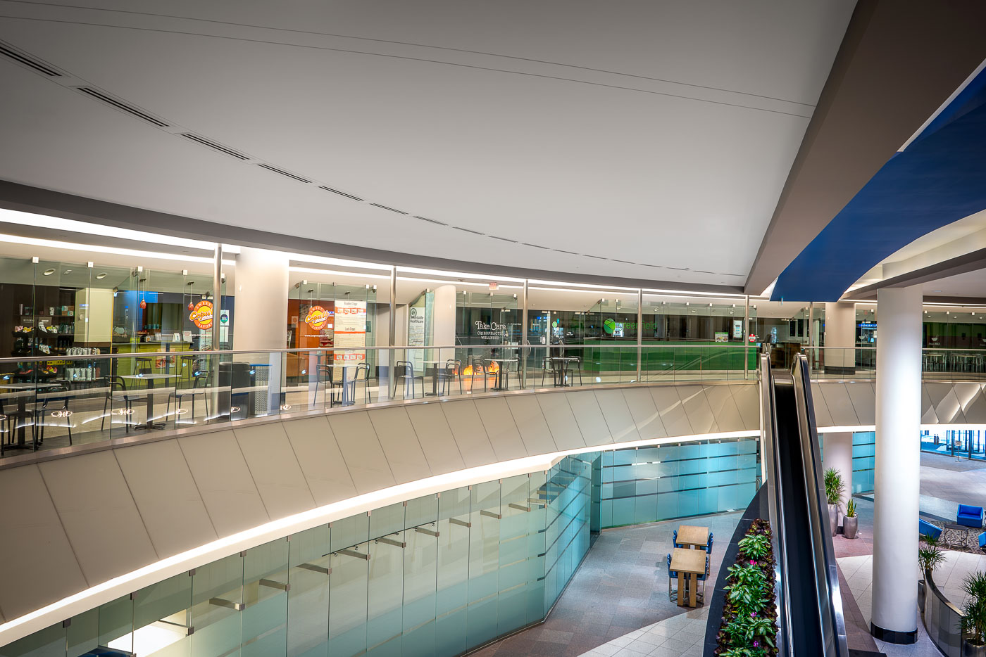
Inside the Canadian Pacific Plaza Skyway Minneapolis
Located at 120 South 6th St, the 28 story Canadian Pacific Plaza was the tallest building in Minneapolis built in the 1960s.

Inside the Canadian Pacific Plaza

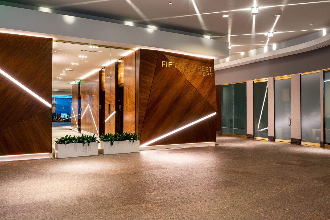
Fifth Street Towers skyway entrance in downtown Minneapolis with wood-paneled walls and lit planters.
Inside the Fifth Street Towers in Downtown Minneapolis.

Fifth Street Towers Skyway Entrance, Minneapolis

Roof of the Hennepin Energy Recovery Center
Inside the Hennepin Energy Recovery Center (HERC) in downtown Minneapolis. Operated by Hennepin County, the facility began service in 1989 and processes hundreds of thousands of tons of trash each year, burning refuse to generate steam and electricity for the local grid.

Steam Pipes on the HERC Rooftop in Minneapolis

HERC Control Room Monitoring, Minneapolis
Operators monitor facility systems from a control room inside the Hennepin Energy Recovery Center (HERC) in Minneapolis. Wall-mounted screens display live camera feeds from across the plant, including the waste bunker and combustion areas, allowing staff to track material flow and equipment conditions in real time. Control panels and logs are used to manage burn rates, steam production, and electrical output, ensuring stable operation of the waste-to-energy process. Operated by Hennepin County since 1989, the facility relies on centralized monitoring like this to coordinate daily operations and maintain safety across the plant.

Security Camera Feeds Outside the HERC Control Room

HERC Turbine Hall Operations Floor
The turbine hall at the Hennepin Energy Recovery Center (HERC) in Minneapolis houses control panels, steam piping, and generator equipment that convert heat from burned municipal waste into electricity. High-pressure steam is routed from the boilers through insulated lines into turbines, with control systems monitoring output and maintaining stable operation. Overhead cranes and access platforms support maintenance of large components within the hall. In operation since 1989 and run by Hennepin County, the facility integrates waste processing with power generation and district energy service for downtown Minneapolis.

Overhead Crane Hook Inside HERC’s Turbine Hall

HERC Turbine Generator Hall
A turbine generator housing and connected high-pressure steam line are seen inside the Hennepin Energy Recovery Center (HERC) in Minneapolis. Steam produced from burning municipal solid waste is directed through insulated piping into turbines like this, where it is converted into electricity for the local grid. The enclosed generator units help reduce noise and protect critical components, while adjacent piping and supports manage the flow and pressure of steam across the system. Operating since 1989 under Hennepin County, the facility integrates waste processing with energy production to serve downtown Minneapolis.

Steam Piping and Turbine Housing at HERC in Minneapolis

HERC High-Pressure Steam Lines
Inside the Hennepin Energy Recovery Center (HERC) in downtown Minneapolis. Operated by Hennepin County, the facility began service in 1989 and processes hundreds of thousands of tons of trash each year, burning refuse to generate steam and electricity for the local grid.

Piping and Catwalks Inside the HERC Boiler Building

HERC Boiler Floor Equipment, Hennepin Minneapolis
Pumps, valves, and piping systems operate on the boiler floor inside the Hennepin Energy Recovery Center (HERC) in Minneapolis. These systems circulate water and steam through the facility’s boilers, where heat from burning municipal solid waste is captured and converted into usable energy. The resulting steam is distributed to downtown buildings and also used to generate electricity. In service since 1989 and operated by Hennepin County, the plant relies on a network of motors, gauges, and control valves like these to regulate pressure, flow, and temperature across its waste-to-energy process.

Pump Motors and Piping on the HERC Boiler Floor

HERC Combustion Unit Access Doors, Minneapolis
Maintenance access doors line a combustion unit inside the Hennepin Energy Recovery Center (HERC) in downtown Minneapolis. These sealed panels provide entry points for inspection and servicing of the high-temperature chambers where municipal solid waste is burned. Operated by Hennepin County since 1989, the facility uses controlled combustion to convert trash into energy, producing steam that is distributed to nearby buildings and used to generate electricity.

Catwalk Beside the Combustion Chamber at HERC in Minneapolis

Inside the Hennepin Energy Recovery Center (HERC), Minneapolis
Inside the Hennepin Energy Recovery Center (HERC) in downtown Minneapolis. Operated by Hennepin County, the facility began service in 1989 and processes hundreds of thousands of tons of trash each year, burning refuse to generate steam and electricity for the local grid.

Westinghouse Steam Turbine at HERC in Minneapolis

Crane inside the Hennepin Energy Recovery Center (HERC), Minneapolis
A crane-mounted grapple lifts mixed municipal waste inside the Hennepin Energy Recovery Center (HERC) in downtown Minneapolis. Operated by Hennepin County, the facility began service in 1989 and processes hundreds of thousands of tons of trash each year, burning refuse to generate steam and electricity for the local grid.

Crane Claw Lifts Waste at the HERC Tipping Floor, Minneapolis

Waste Processing Floor, HERC Minneapolis
A crane-mounted grapple lifts mixed municipal waste inside the Hennepin Energy Recovery Center (HERC) in downtown Minneapolis. Operated by Hennepin County, the facility began service in 1989 and processes hundreds of thousands of tons of trash each year, burning refuse to generate steam and electricity for the local grid.

Claw Crane Over Trash Piles at HERC Minneapolis

Crane on the HERC Waste Processing Floor, Minneapolis
A crane-mounted grapple lifts mixed municipal waste inside the Hennepin Energy Recovery Center (HERC) in downtown Minneapolis. Operated by Hennepin County, the facility began service in 1989 and processes hundreds of thousands of tons of trash each year, burning refuse to generate steam and electricity for the local grid.

Claw Grabs Trash at the HERC Waste Pit, Minneapolis

HERC Waste Processing Floor, Minneapolis
A crane-mounted grapple lifts mixed municipal waste inside the Hennepin Energy Recovery Center (HERC) in downtown Minneapolis. Operated by Hennepin County, the facility began service in 1989 and processes hundreds of thousands of tons of trash each year, burning refuse to generate steam and electricity for the local grid.

Trash Pile Awaits the Claw at HERC in Minneapolis
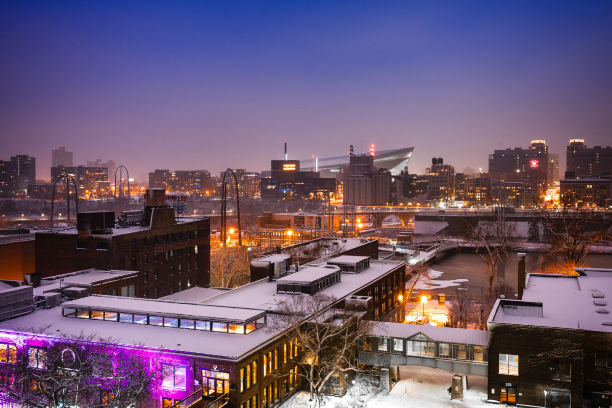
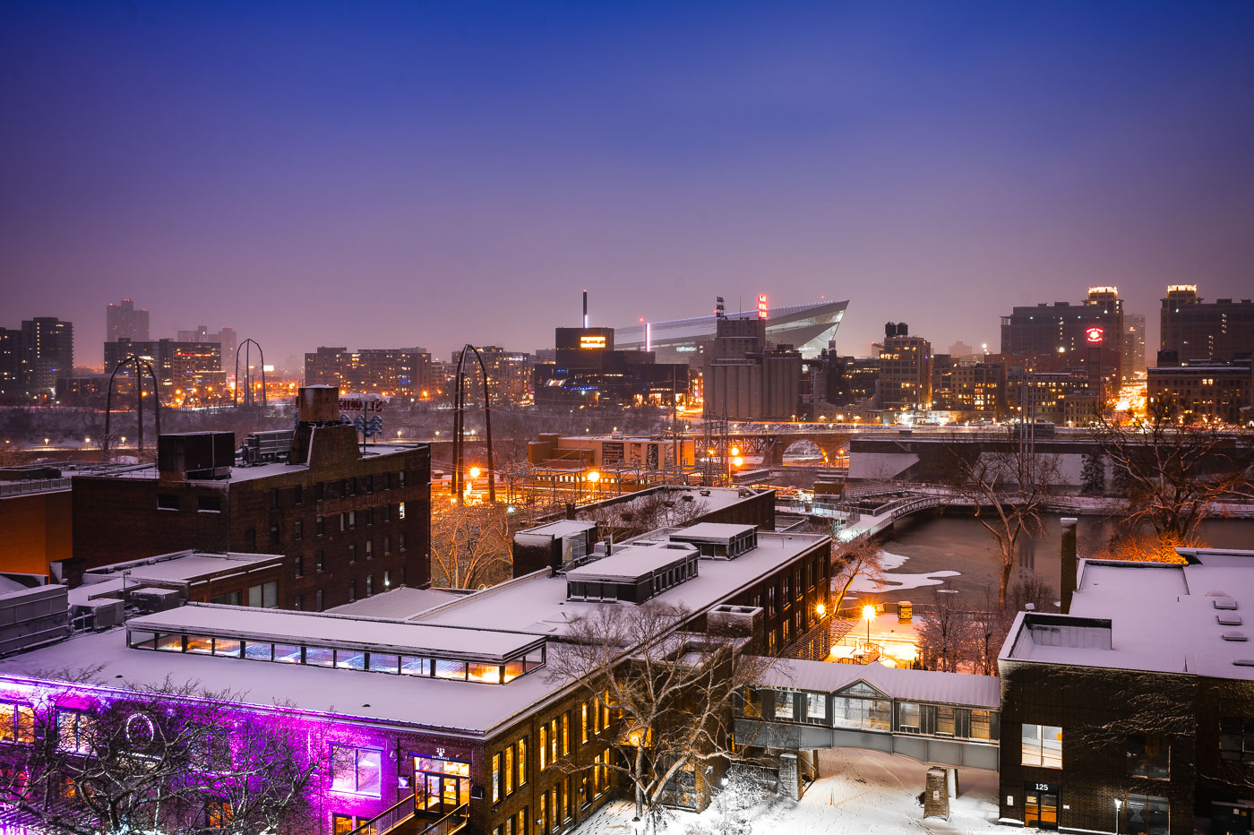
Downtown Minneapolis from St. Anthony Main
The Minneapolis skyline is visible in the distance, with US Bank Stadium prominently featured. In the foreground, the historic Stone Arch Bridge spans the Mississippi River, connecting the St. Anthony Main district to the city's core. Originally built in 1883 for the Great Northern Railway, the bridge is now a pedestrian and bicycle path, offering views of the river and the former industrial buildings that once defined this area.

Minneapolis Skyline and Stone Arch Bridge in Winter

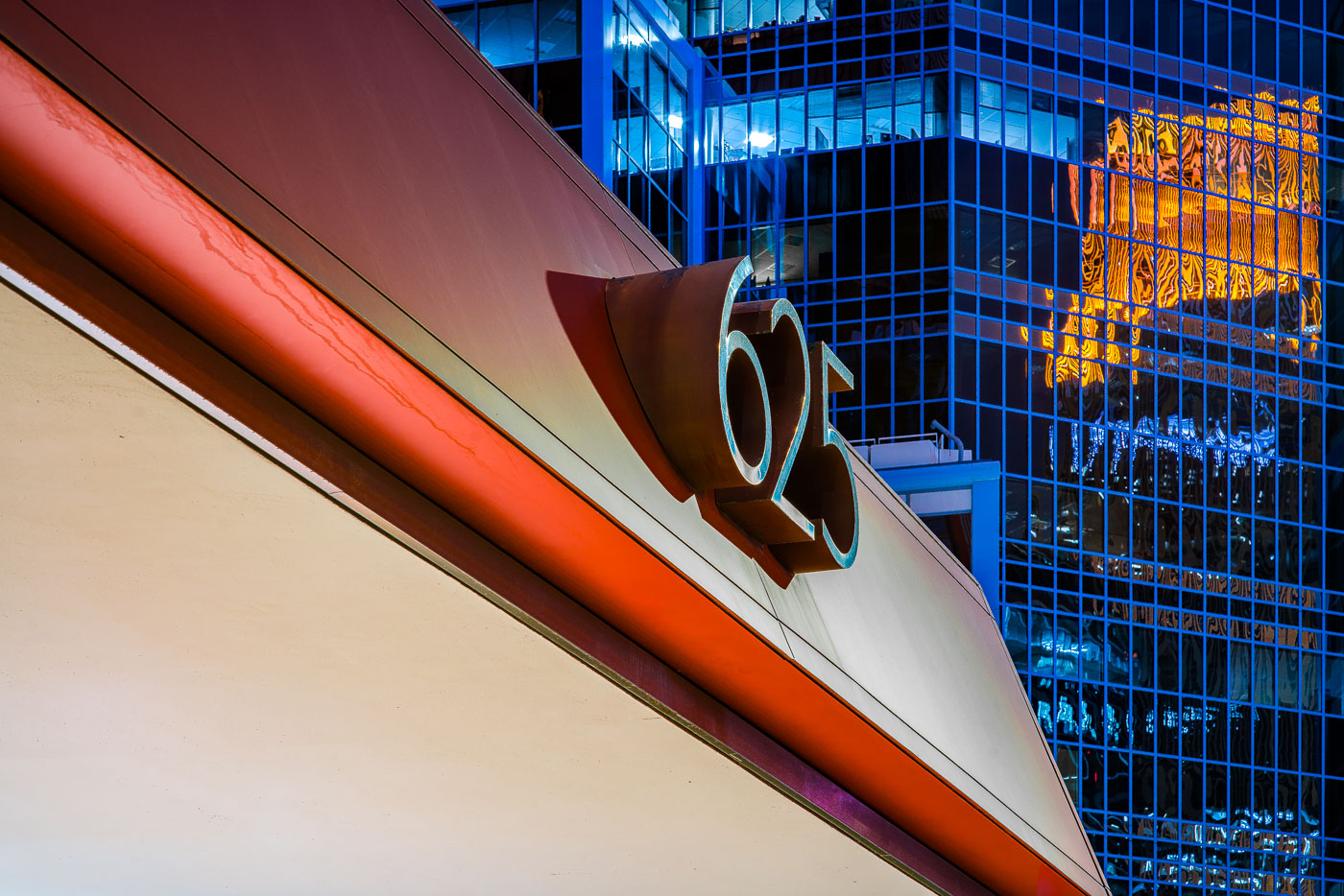
625 Building sign on a downtown Minneapolis facade beside a blue glass office tower
The 625 Building rises in downtown Minneapolis with a red and white facade in the foreground and a glass office tower behind it. A large “625” address sign is mounted on the building’s exterior near the corner.

625 Building, Downtown Minneapolis

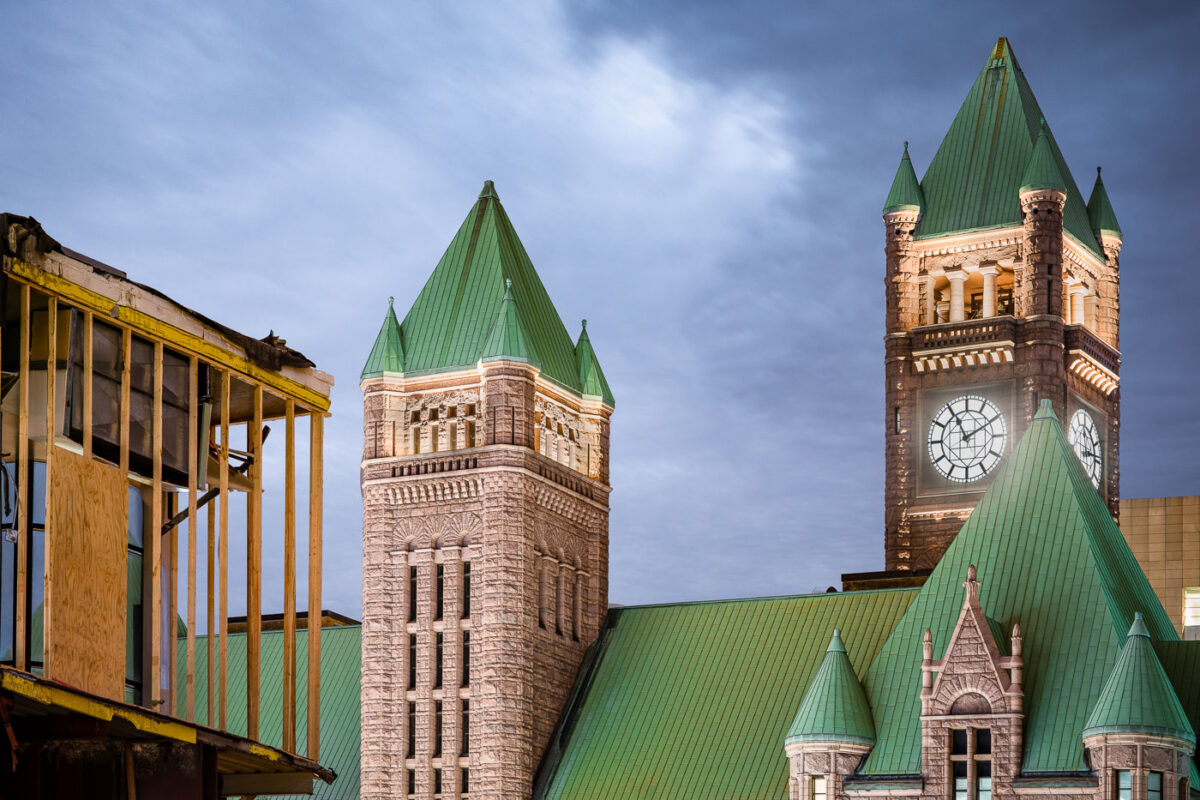
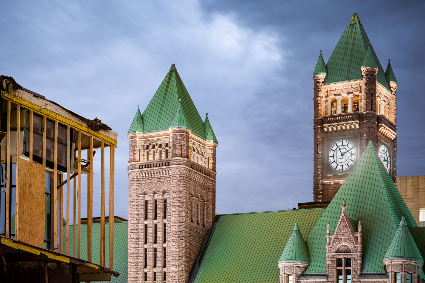
Minneapolis City Hall's Romanesque Revival towers with green copper roofs and large clock faces stand beside construction scaffolding.
Minneapolis City Hall, at 350 South Fifth Street, was built between 1888 and 1906 to a design by architects Franklin B. Long and Frederick Kees in the Romanesque Revival style. Its tower rises 345 feet and carries four clock faces, each about 24 feet in diameter, driven by a weight-powered mechanism installed when the building opened. The clock has long been cited as one of the largest four-faced, chiming clocks in the country. The building is listed on the National Register of Historic Places and still houses Minneapolis municipal offices along with Hennepin County government functions.

Minneapolis City Hall Towers Beside a Construction Site at Dusk
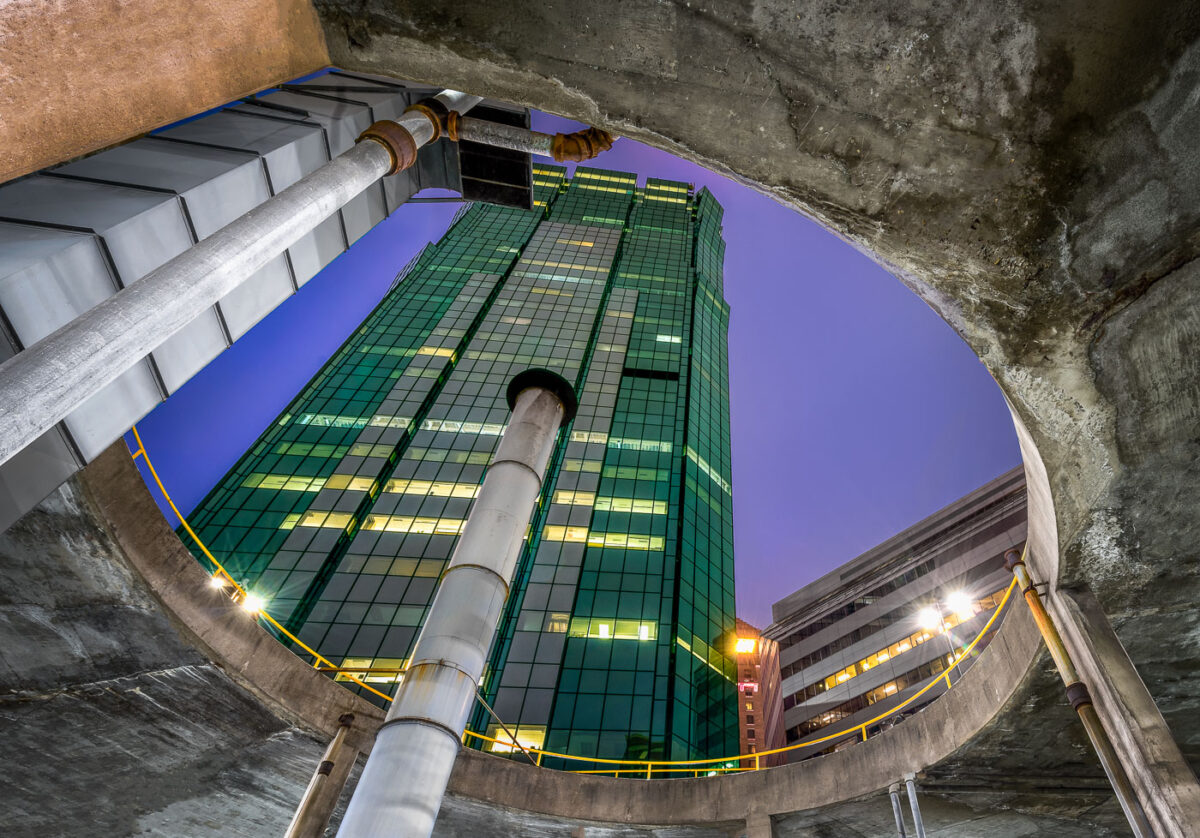
AT&T Tower in downtown Minneapolis rises above a parking ramp.
AT&T Tower, Minneapolis, rises above a downtown parking ramp. The building is a prominent office tower in the city’s central business district.

AT&T Tower, Minneapolis

Target Corporation headquarters tower in downtown Minneapolis, Minnesota.
Target Corporation headquarters in downtown Minneapolis, Minnesota. The tower is part of Target Center’s corporate campus and the company’s main office complex in the city.

Target Headquarters Tower, Minneapolis

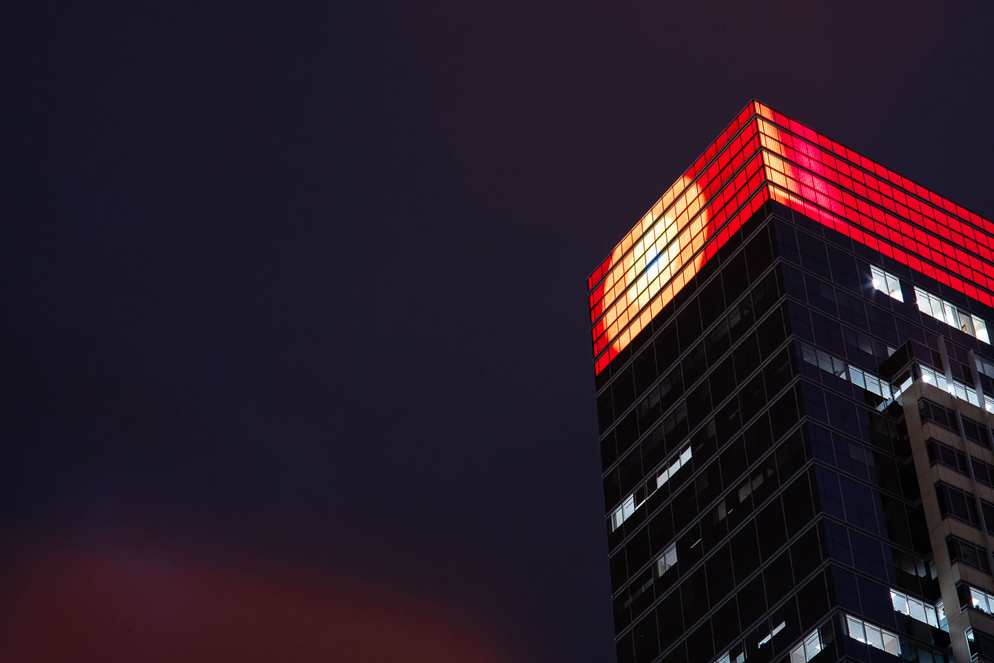
Target headquarters in downtown Minneapolis lit red and yellow at dusk.
The Target Corporation headquarters building in downtown Minneapolis is illuminated at dusk. Completed in 2001, the structure serves as the central hub for the retail giant's operations. Its modern architecture features a dark glass facade, contrasted by a vibrant red and yellow lighting system on its upper levels. The building is a significant presence in the Minneapolis business district, reflecting the company's prominence in the retail industry.

Target Headquarters, Downtown Minneapolis at Dusk
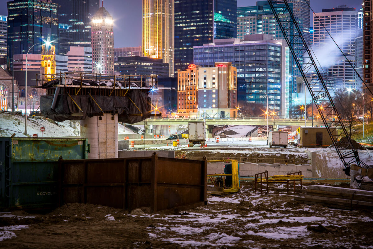
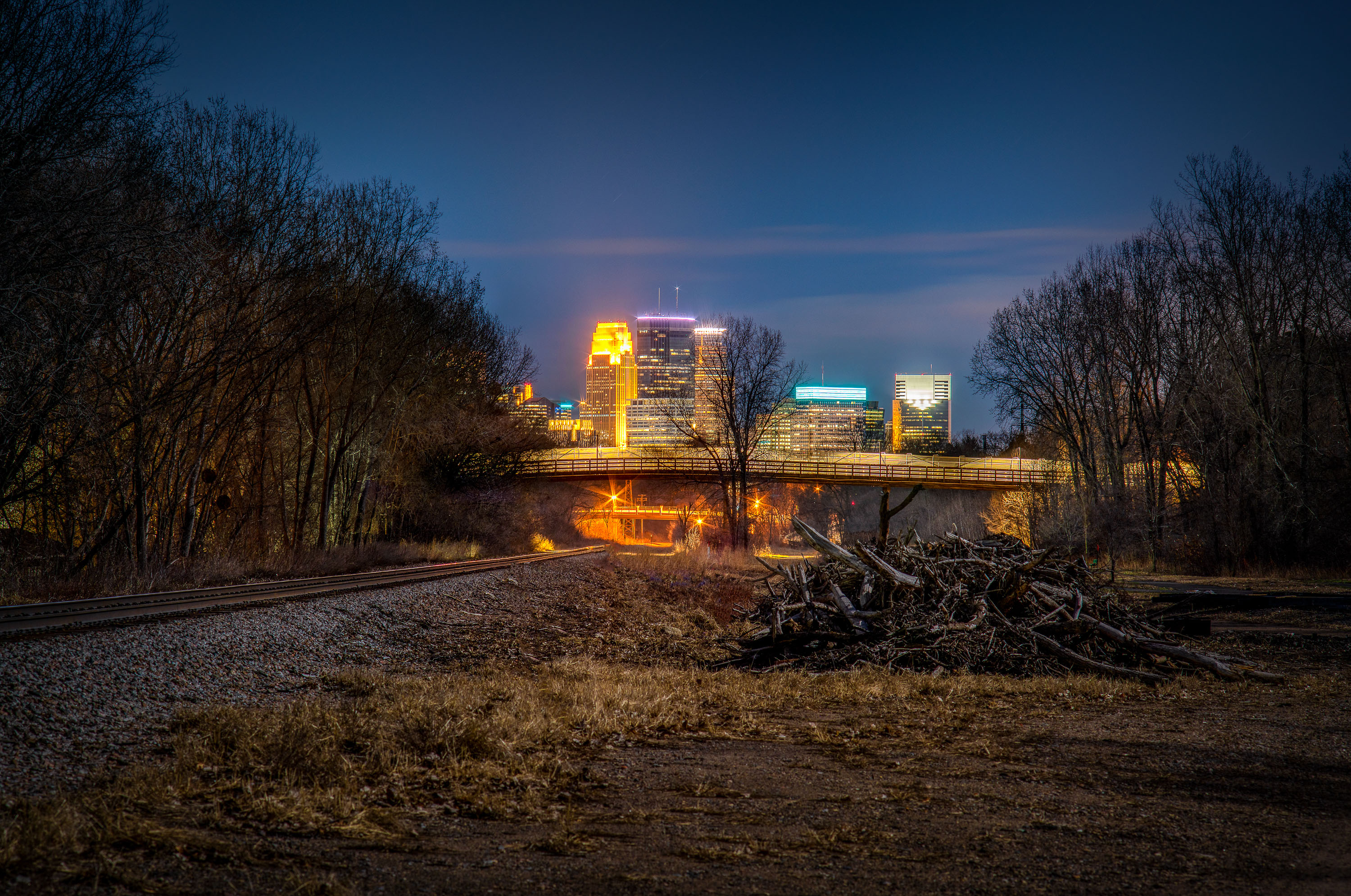
I-35W highway construction site in downtown Minneapolis with illuminated office towers and buildings visible beyond the freeway trench.
I-35W construction in downtown Minneapolis continues in the freeway trench south of the central business district.

Night Construction Along I-35W Beneath the Minneapolis Skyline
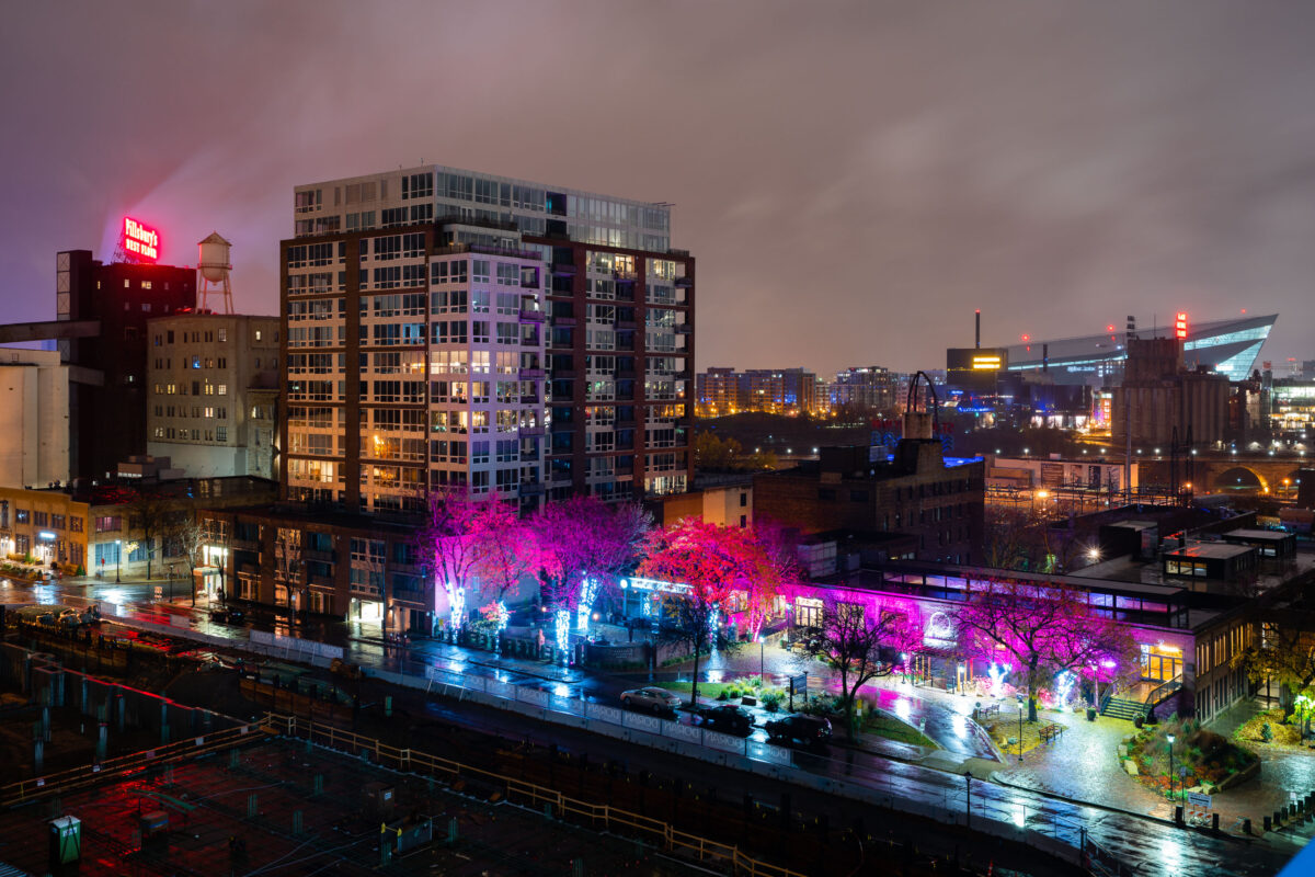
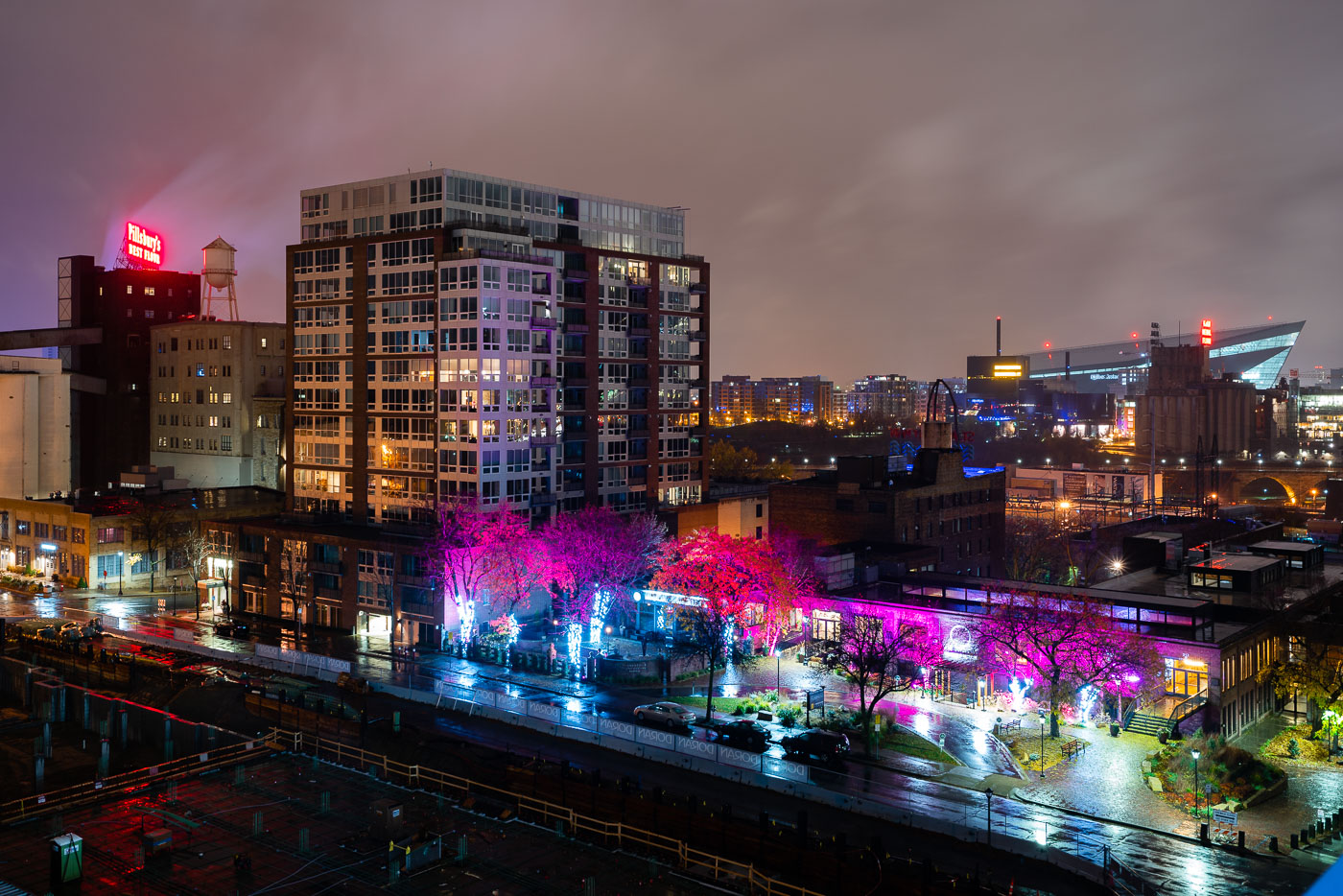
Northeast Minneapolis riverfront at night with illuminated Pillsbury A Mill and US Bank Stadium visible across the Mississippi River.
US Bank Stadium, a multi-purpose venue completed in 2016, is visible across the Mississippi River from Northeast Minneapolis. In the foreground, the historic Pillsbury A Mill, once the largest flour mill in the world, stands as a reminder of the area's industrial past.

Pink-Lit Trees on St. Anthony Main Near US Bank Stadium

Stone Arch Bridge in Minneapolis beyond trees at Gold Medal Park.
The Stone Arch Bridge spans the Mississippi River in Minneapolis. Built in 1883 for the Great Northern Railway, it now carries pedestrians and cyclists across the river.

Stone Arch Bridge, Minneapolis

The Mill City Museum, housed in the former Washburn "A" Grain Elevator in Minneapolis, preserves the history of the city's flour milling industry.
The Mill City Museum in Minneapolis is housed in the former Washburn "A" Grain Elevator, a structure that was once the largest flour mill in the world. The museum preserves and interprets the history of the mill and the city's flour milling industry, which was central to Minneapolis's development. The grain elevator, built in 1880, is a prominent example of industrial architecture from the era. Today, the museum offers exhibits on the milling process, the lives of mill workers, and the impact of the industry on the city's growth and identity.

Gold Medal Flour Grain Elevator, Mill City Museum, Minneapolis
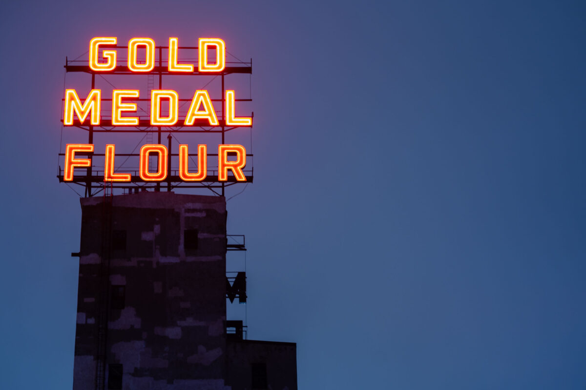
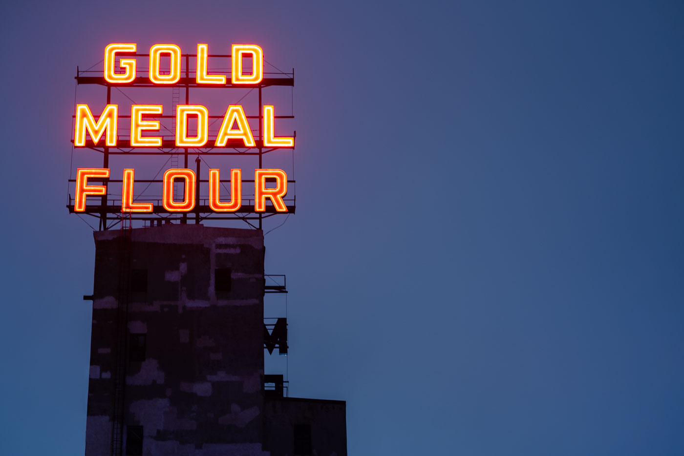
The Gold Medal Flour neon sign illuminates a historic grain elevator in downtown Minneapolis, a reminder of the city's industrial past.
The "Gold Medal Flour" neon sign stands atop a historic grain elevator in downtown Minneapolis.

Gold Medal Flour Neon Sign, Downtown Minneapolis
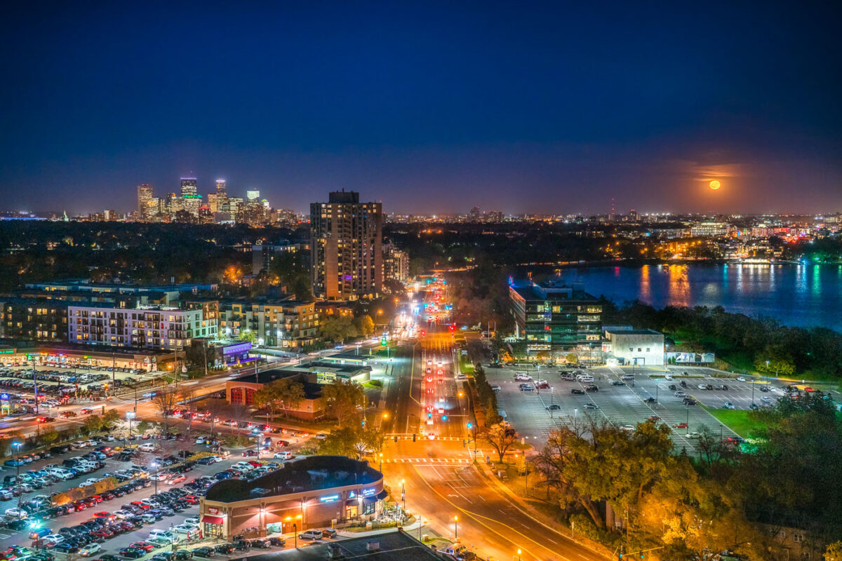
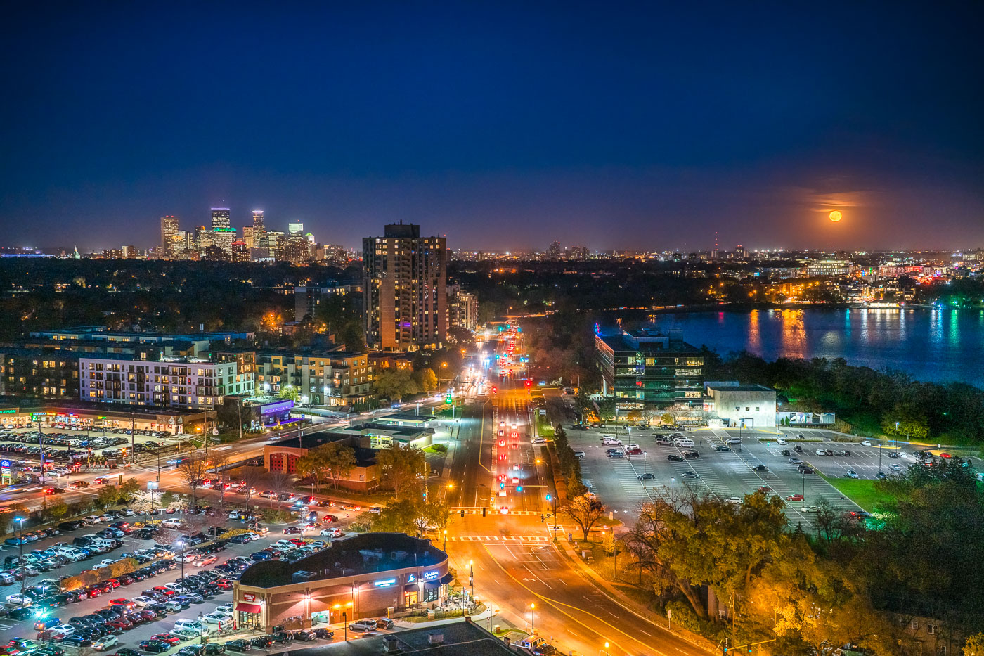
Minneapolis skyline and Bde Maka Ska under a full moon, viewed from the West Calhoun neighborhood.
The Minneapolis skyline is visible in the distance as a full moon rises over Bde Maka Ska. Bde Maka Ska the largest lake in Minneapolis and is part of the Chain of Lakes.

Minneapolis skyline and Bde Maka Ska under full moon

Aerial view of the former Dayton's department store rooftop and surrounding downtown Minneapolis buildings at night.
The former Dayton's department store building occupies a full block along Nicollet Mall in downtown Minneapolis, between Seventh and Eighth streets. Dayton's opened the flagship store in 1902 and operated there for decades before the chain became Macy's, which closed the location in 2017. The complex has since been redeveloped for offices and retail under new ownership.

Rooftops of the Former Dayton’s Building Above Nicollet Mall
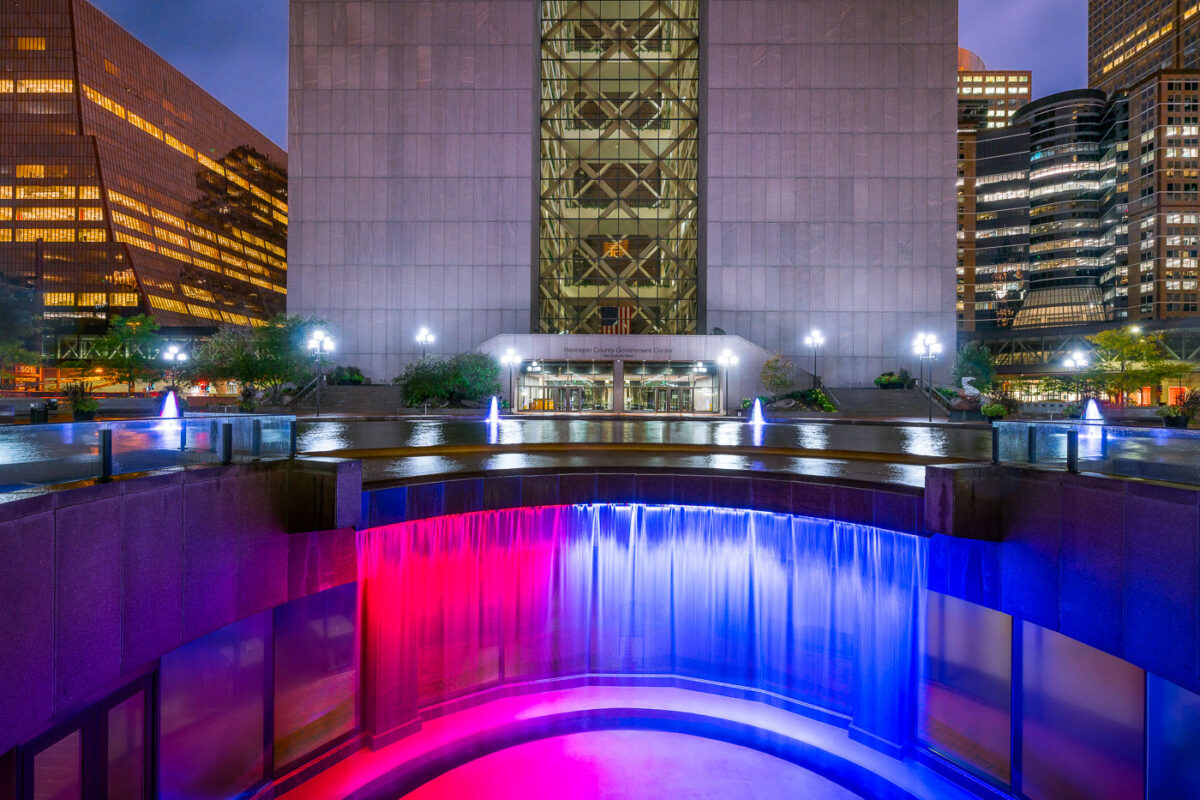
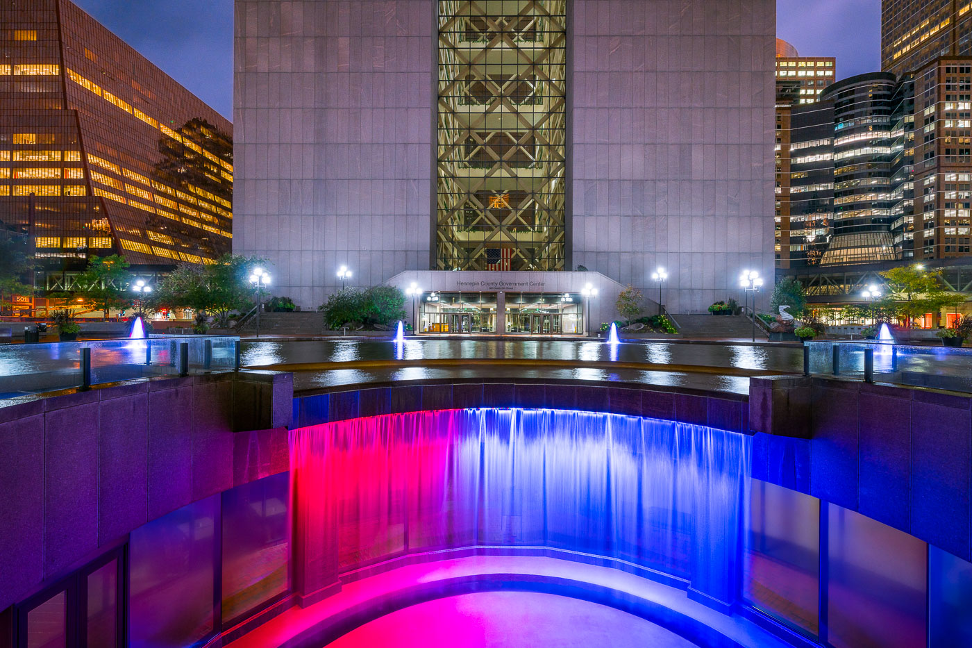
Colorful waterfall outside Hennepin County GC
Hennepin County Government Center, construction was completed in 1977. While often looked at as a single building, it’s actually 2 different towers with glass in between them. When viewed from the northeast or southeast(such as this photo), the building gives the appearance of the letter H for Hennepin. The towers are accessible from each other via catwalks on each floor. Glass walls were added after multiple suicides.

Hennepin County Government Center, Minneapolis MN

General Mills Research Center building in Minneapolis at night before demolition.
The General Mills Research Center building in Minneapolis appears during nighttime operations shortly before its demolition. General Mills used the facility for food and product research and development. The site was part of the company's long-standing presence in Minneapolis.

General Mills Research Center Building, Minneapolis

Bail Bonds Doctor and Minneapolis Public Service Building banners on fencing in downtown Minneapolis.
Bail Bonds Doctor and City of Minneapolis New Public Service Building banners line fencing around a construction site in downtown Minneapolis. The project appears to be associated with the Minneapolis Public Service Center area.

Bail Bonds Doctor Banner, Minneapolis Public Service Building

Bde Maka Ska Boulevard in Minneapolis with fog over parkland and nearby apartments.
Bde Maka Ska Boulevard in Minneapolis is bordered by parkland and nearby apartment buildings along the city’s lake district. The area is part of the Minneapolis park and parkway system connected to the Grand Rounds National Scenic Byway.

Bde Maka Ska Boulevard Fog, Minneapolis

Lake Harriet Bandshell, an illuminated open-air performance venue in Minneapolis, stands at dusk with symmetrical towers and a curved stage.
Lake Harriet Bandshell in Minneapolis, Minnesota, is an open-air performance venue in Lake Harriet Park. The bandshell was originally built in 1905 and reconstructed in 1986.

Benches at the Lake Harriet Bandshell After Dark
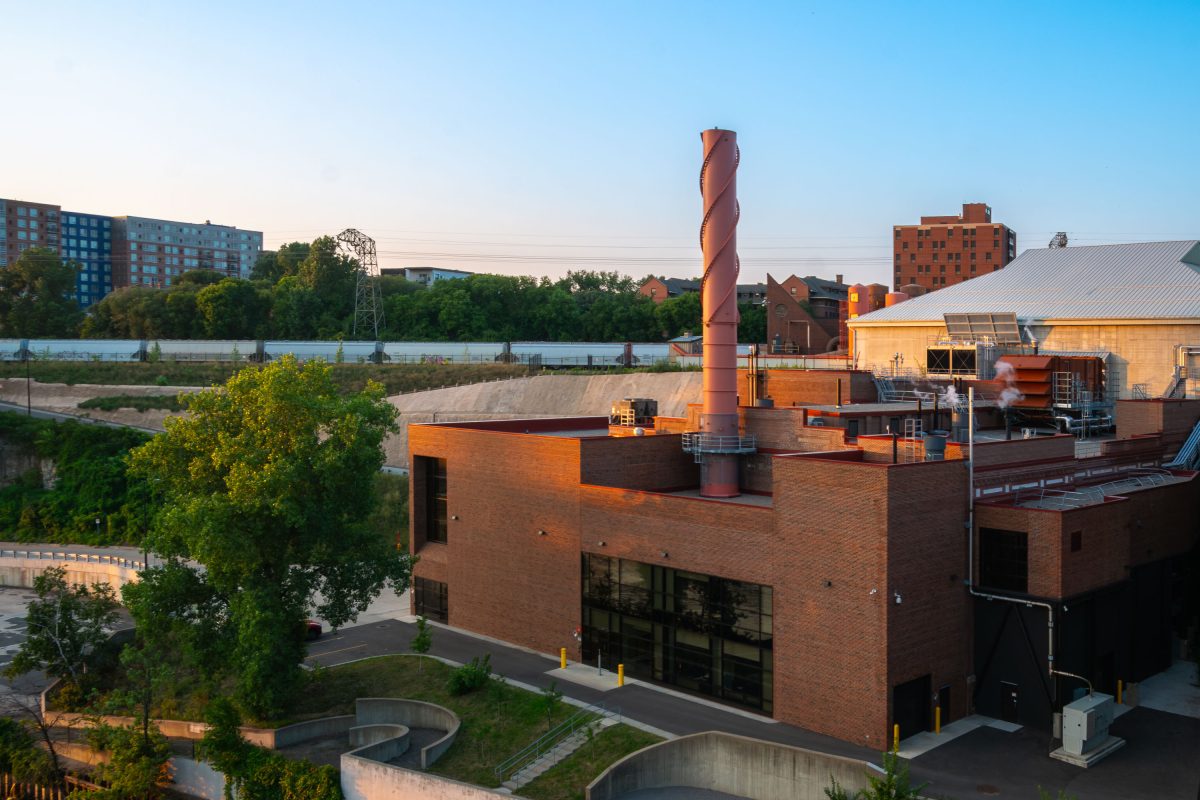
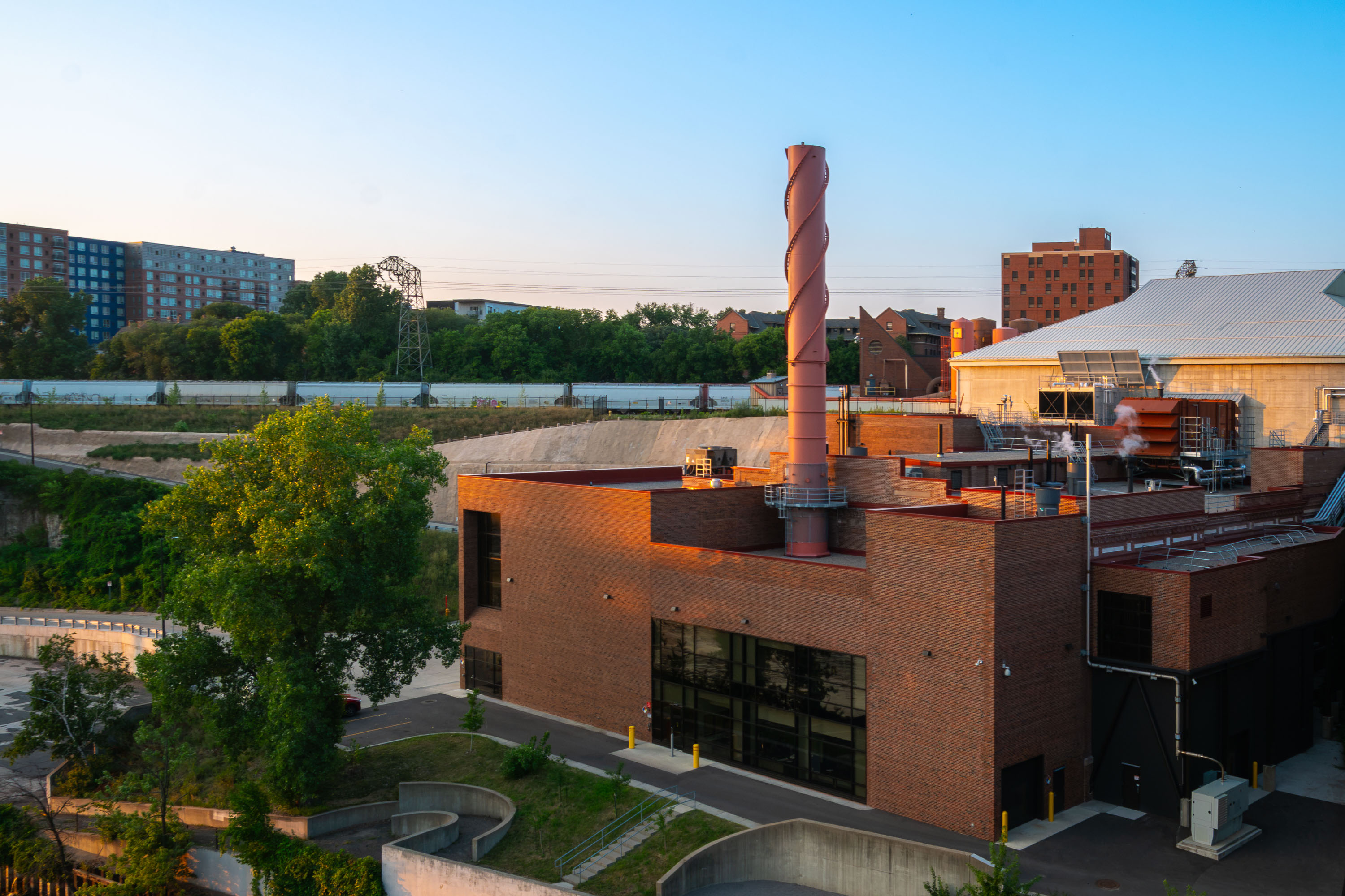
Brick steam plant with a tall spiral-patterned smokestack near the University of Minnesota campus in Minneapolis.
The Southeast Steam Plant sits along the Mississippi River near the University of Minnesota's East Bank campus in Minneapolis. It is operated by the university to provide steam heat and electricity to campus buildings.

Southeast Steam Plant, University of Minnesota
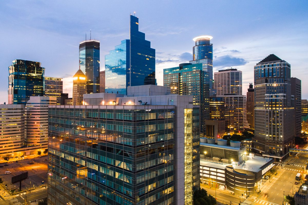
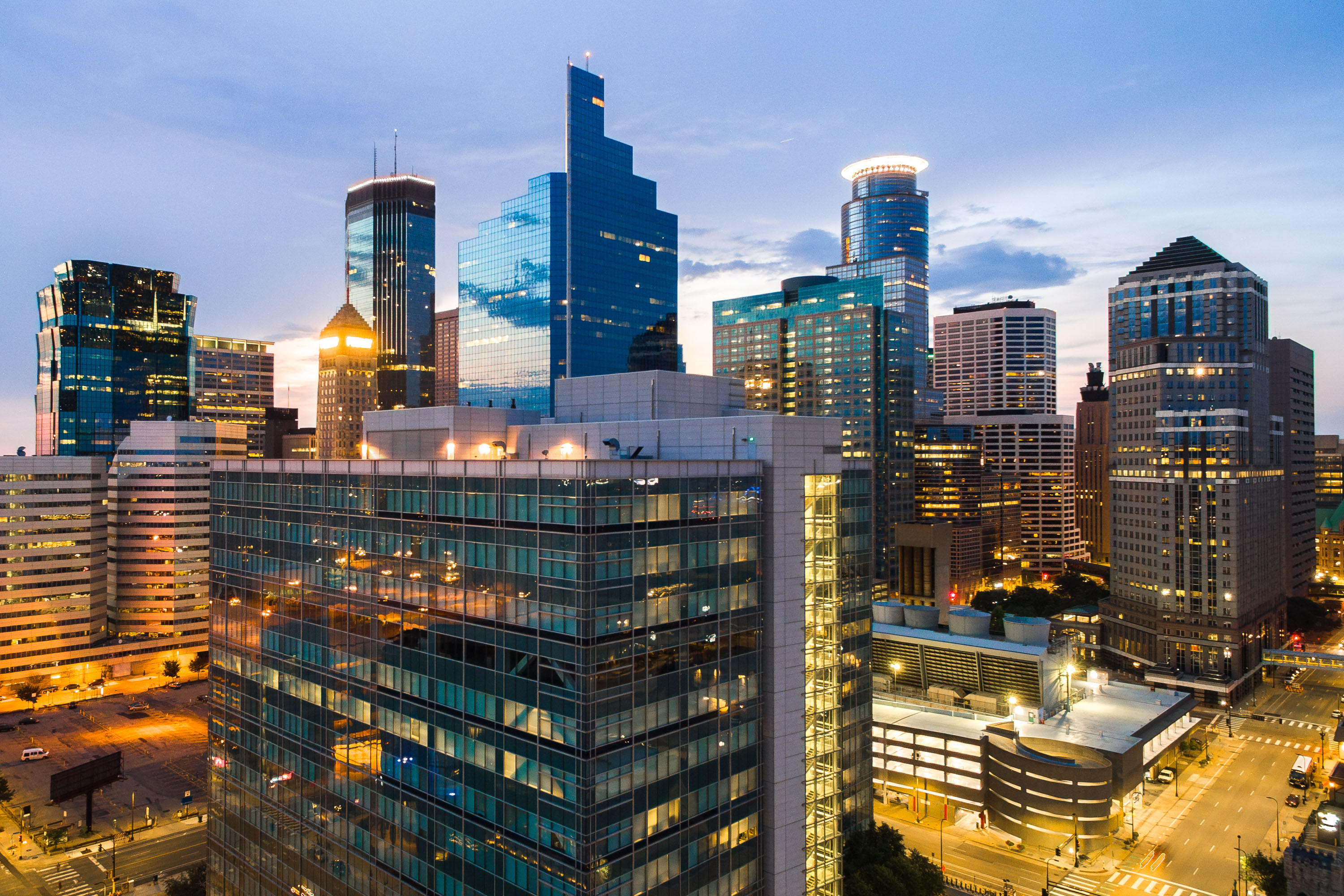
Downtown Minneapolis skyline at dusk with illuminated office towers and streets below.
The tallest buildings in Minnesota seen at dusk on July 29, 2018.

Tallest buildings in Minnesota at Dusk
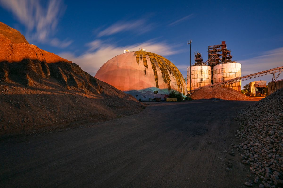
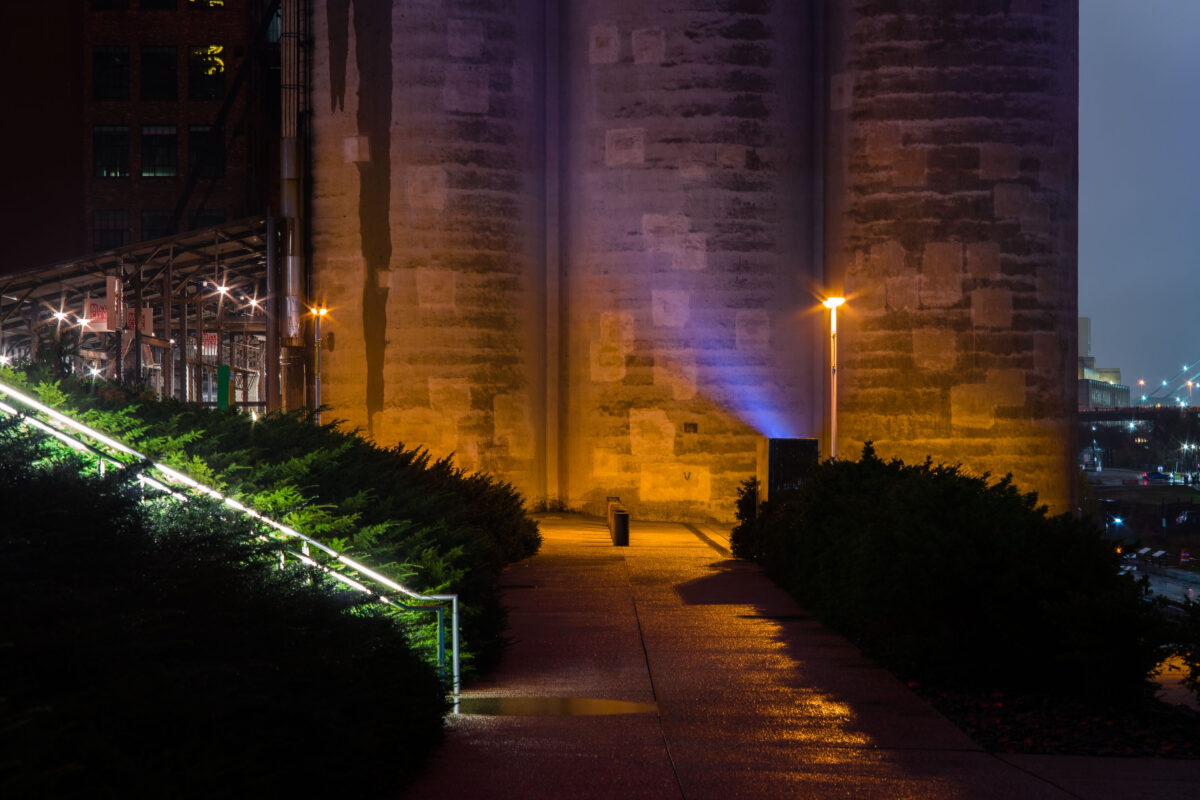
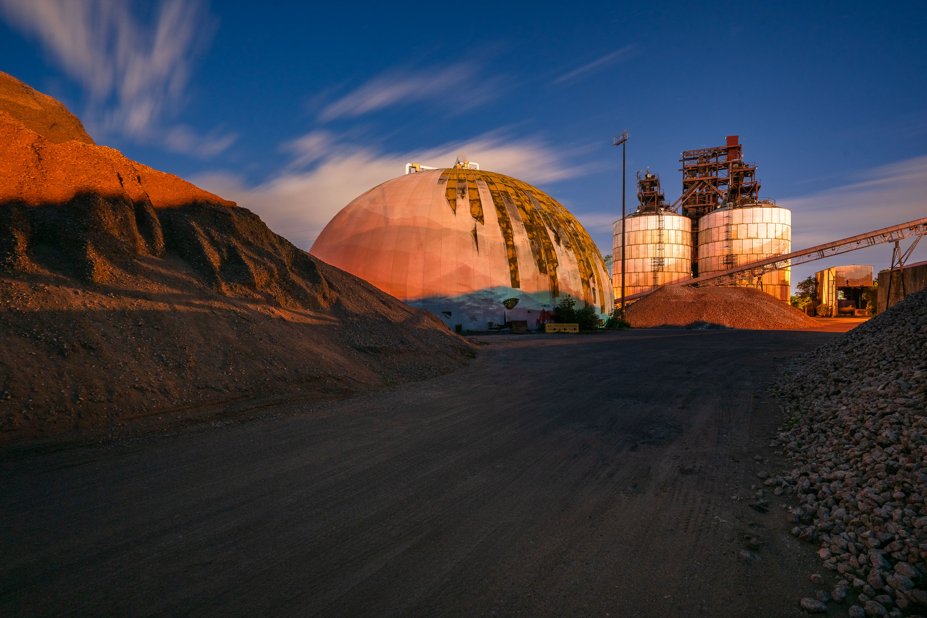
A large geodesic dome and grain storage silos stand illuminated at sunset at Upper Harbor Terminal on the Mississippi River in Minneapolis.
Upper Harbor Terminal is a former city-owned barge terminal on the Mississippi River in north Minneapolis, upstream of the Upper St. Anthony Falls Lock and Dam. Opened in 1968, five years after the lock made the upper river accessible to commercial barges, it handled bulk freight for decades, including road salt, coal, and gravel. Barge operations ended in 2014, ahead of the lock’s closure to navigation in June 2015 to help prevent the upstream spread of invasive carp

Dome and Silos at Upper Harbor Terminal at Dusk
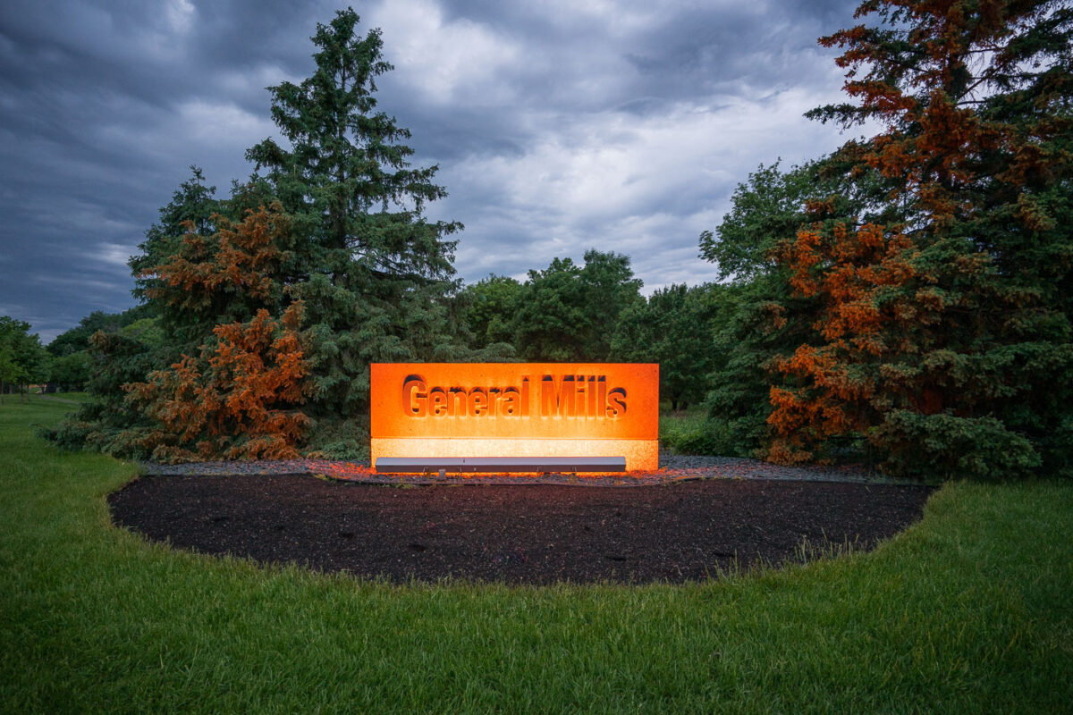
Illuminated General Mills sign at the entrance to the company's corporate headquarters campus in Golden Valley, Minnesota.
The illuminated General Mills headquarters sign stands at the entrance to the company’s corporate campus in Golden Valley, Minnesota. General Mills has maintained its main headquarters in Golden Valley since the 1970s, while the company’s Minnesota roots extend to the flour-milling businesses that preceded its 1928 formation.

General Mills Sign Illuminated at Dusk in Golden Valley
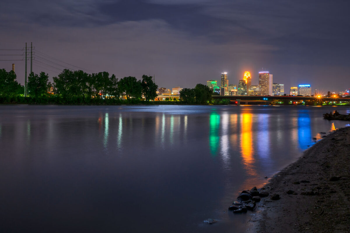
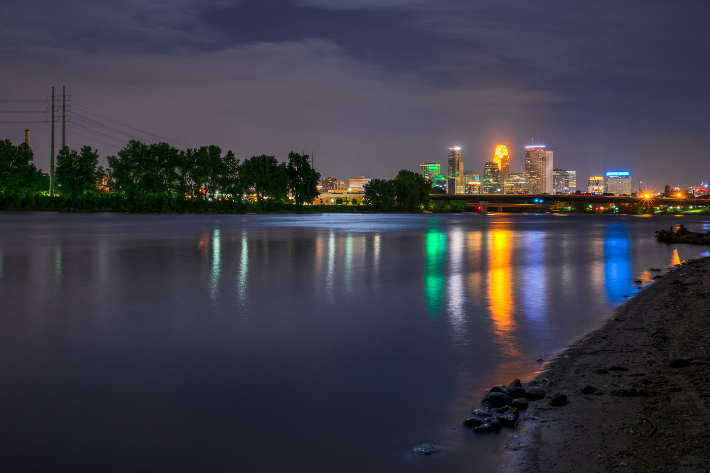
Minneapolis downtown skyline illuminated at night, viewed across the Mississippi River at dusk.
The Mississippi River flows past downtown Minneapolis on its way from Lake Itasca to the Gulf of Mexico, a course of about 2,340 miles.

Downtown Minneapolis Skyline Across the Mississippi River at Night
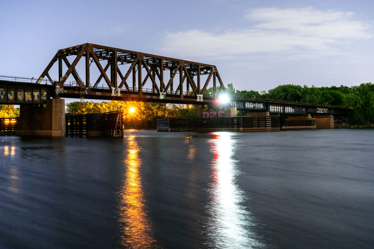
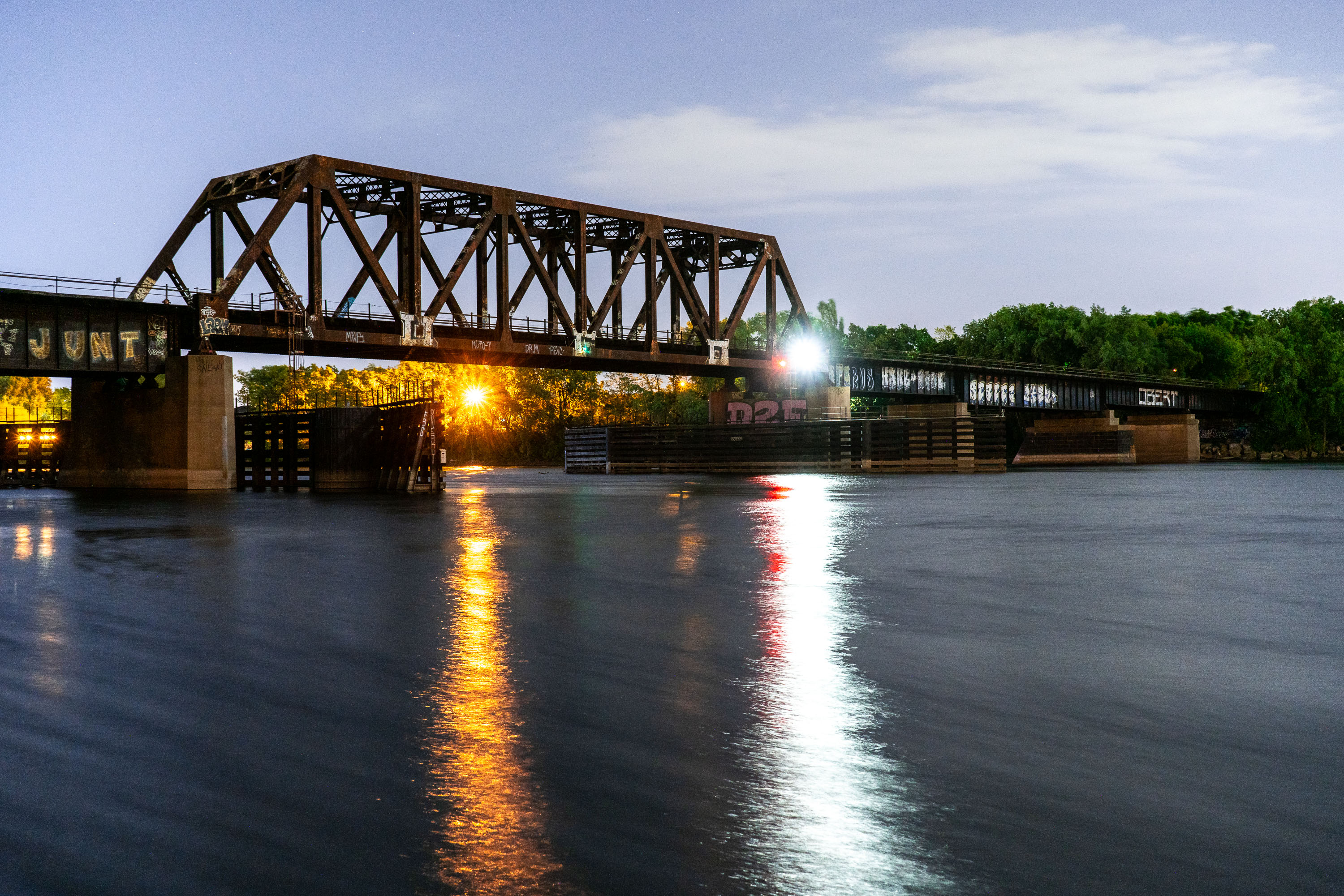
Northern Pacific BNSF Rail Bridge crosses the Mississippi River in Minneapolis.
Northern Pacific BNSF Rail Bridge spans the Mississippi River in Minneapolis between downtown and Northeast Minneapolis. Originally built in 1884 for the Northern Pacific Railway, it provided rail access to yards north of downtown. The bridge has been altered and repaired over time and remains part of BNSF Railway operations in the city.

Northern Pacific BNSF Rail Bridge, Minneapolis
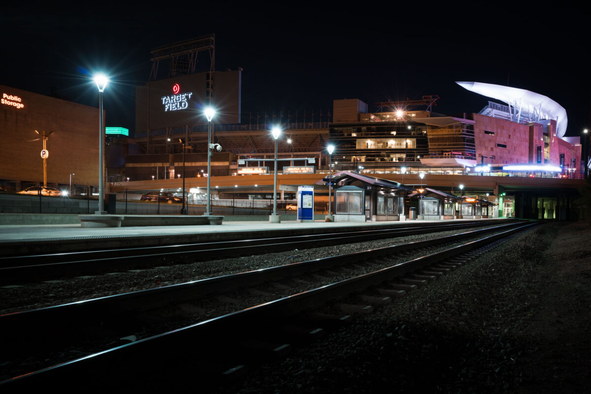
Target Field Northttar Train Station in Minneapolis
Target Field Station and Target Field in Minneapolis are shown at night. The station serves as a transit hub for the Northstar Line and Metro Transit, connecting commuters and fans to downtown Minneapolis.

Target Field Station and Stadium, Minneapolis
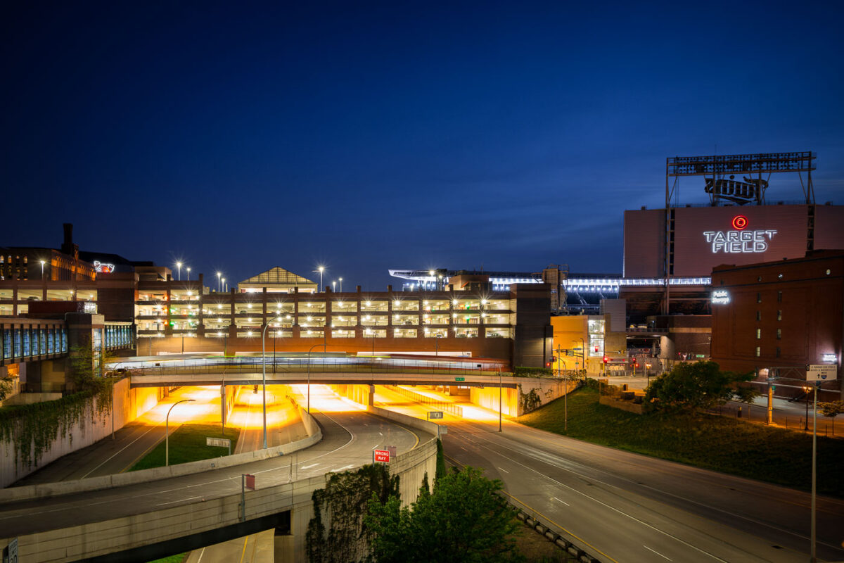
Target Field and Interstate 394 in Minneapolis
Target Field, home of the Minnesota Twins, and Interstate 394 are shown at night in Downtown Minneapolis.

Target Field, Parking Ramp, I-394, Downtown Minneapolis Night
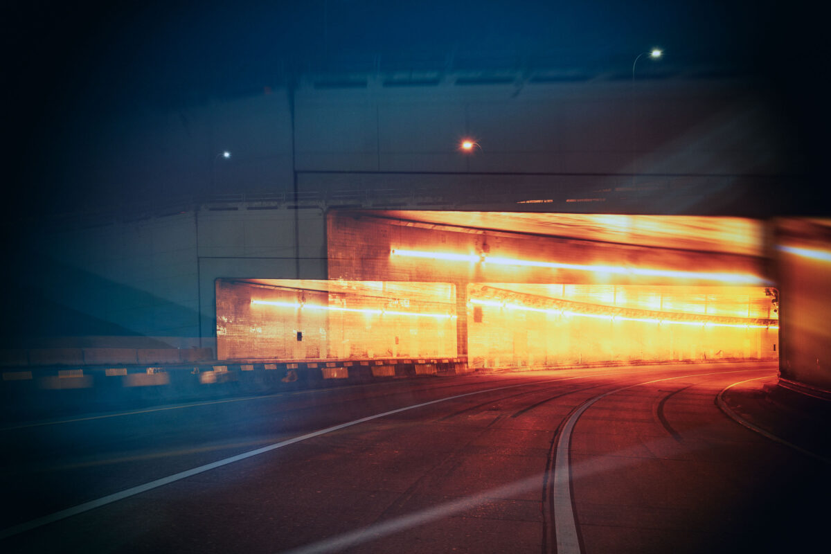
Interior view of the Lowry Hill Tunnel in Minneapolis at night, showing illuminated walls and a curving roadway.
The Lowry Hill Tunnel, located in Minneapolis, is a vital piece of the city's transportation network. Completed in 1971, this tunnel was constructed to alleviate traffic congestion and improve connectivity between neighborhoods. Its design accommodates vehicular traffic, allowing for the smooth flow of cars and trucks beneath the Lowry Hill neighborhood. The tunnel continues to serve as a critical artery for commuters and freight, facilitating daily movement within the Minneapolis North Loop and beyond.

Lowry Hill Tunnel, Minneapolis: Interior View at Night
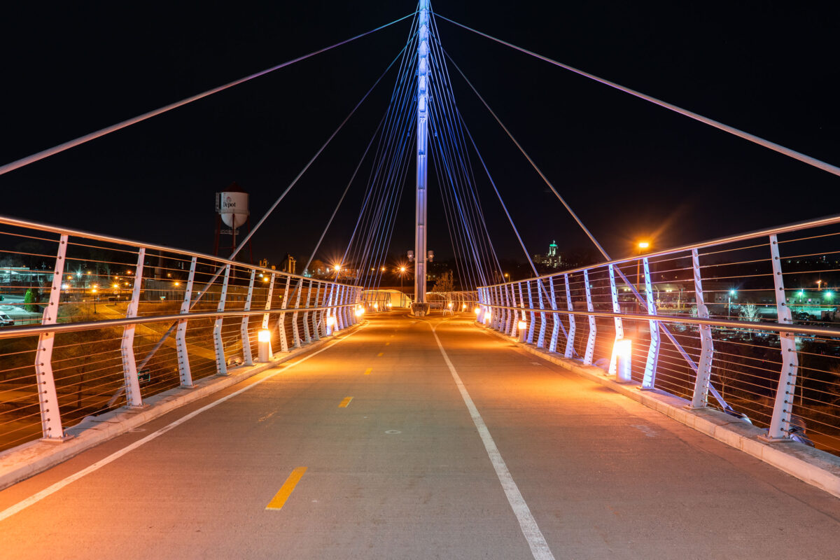
The Martin Olav Sabo Bridge, a pedestrian and bicycle bridge in Minneapolis, illuminated at night
The Martin Olav Sabo Bridge, a pedestrian and bicycle bridge in Minneapolis. Opened in 2000, the bridge connects the Longfellow and Seward neighborhoods, over Haiwatha Ave. The bridge is named in honor of Martin Olav Sabo, a U.S. Representative from Minnesota.

Martin Olav Sabo Bridge at Night, Minneapolis
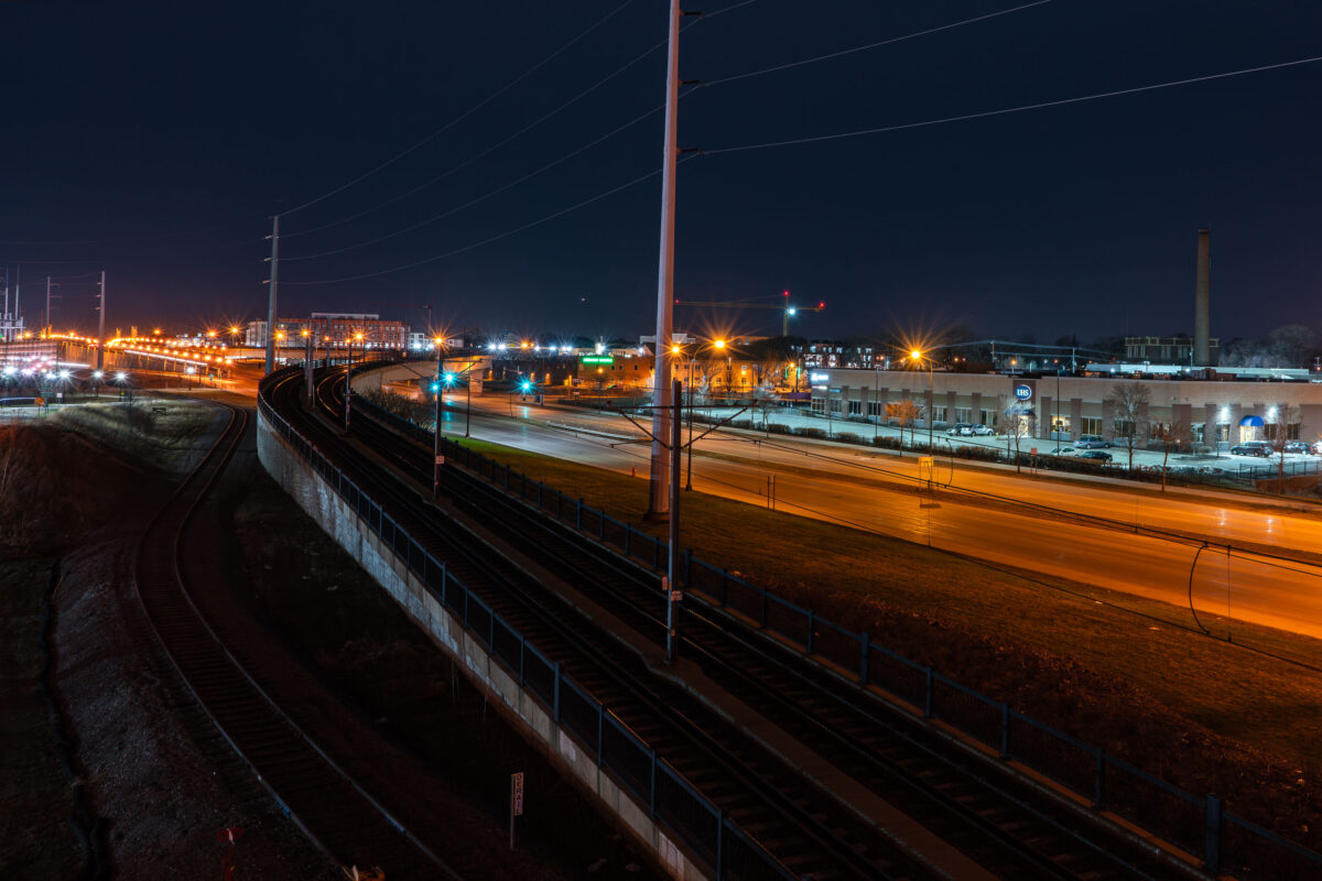
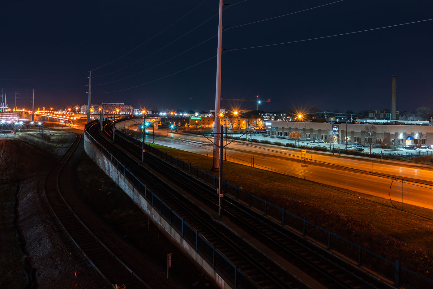
Metro Transit light rail bridge spanning Hiawatha Avenue in South Minneapolis at night.
The Metro Transit light rail bridge spans Hiawatha Avenue in South Minneapolis. Completed in 2018, this structure is part of the Blue Line's expansion.

Light Rail Tracks Curving Above Hiawatha Avenue at Night
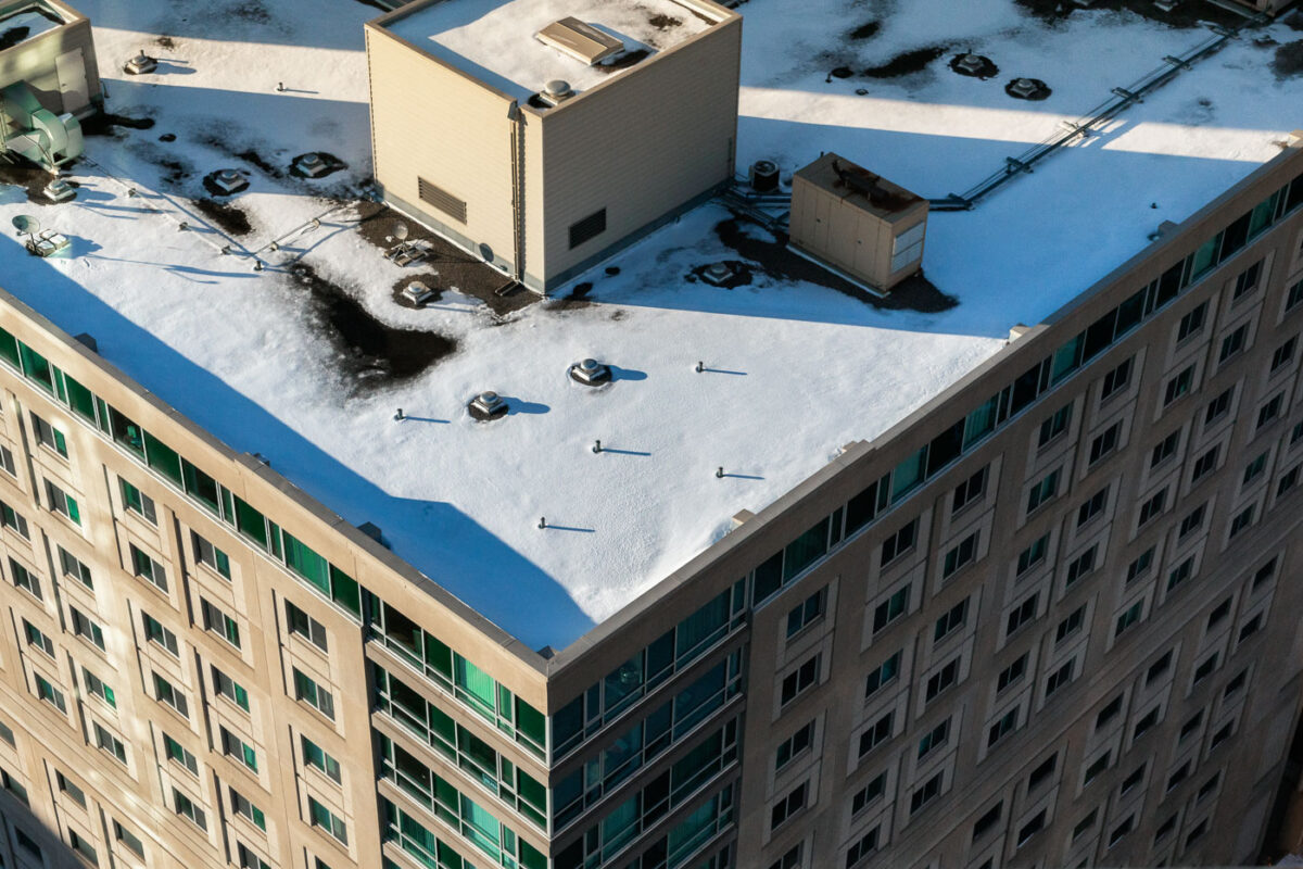
Metro Apartments in Minneapolis 2018
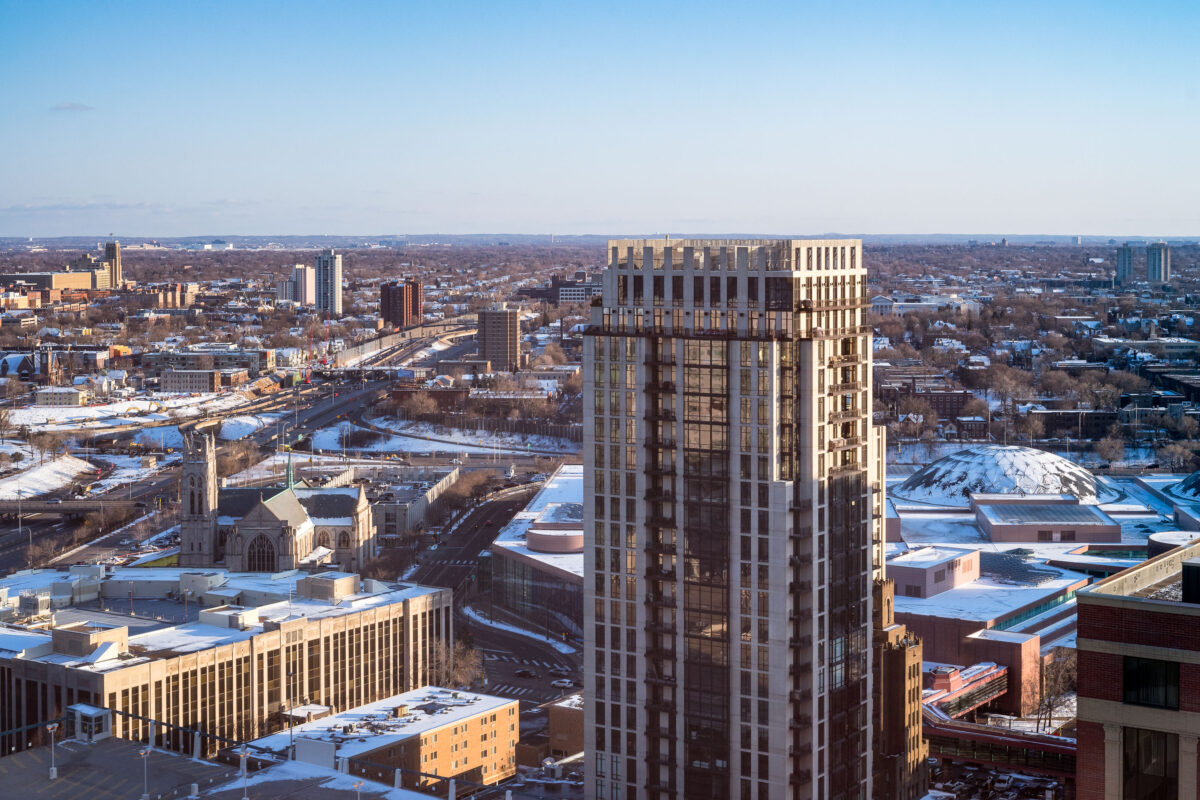
Metro Apartments at Marquette Avenue and South 9th Street in Minneapolis is a multi-story residential building in the city center. The view shows the building’s flat roof under late-season snow, with rooftop mechanical structures and service equipment visible above the upper floors. Built for urban apartment living, the property occupies a block within the downtown street grid near Minneapolis’s office and transit corridors.

Metro Apartments in Minneapolis

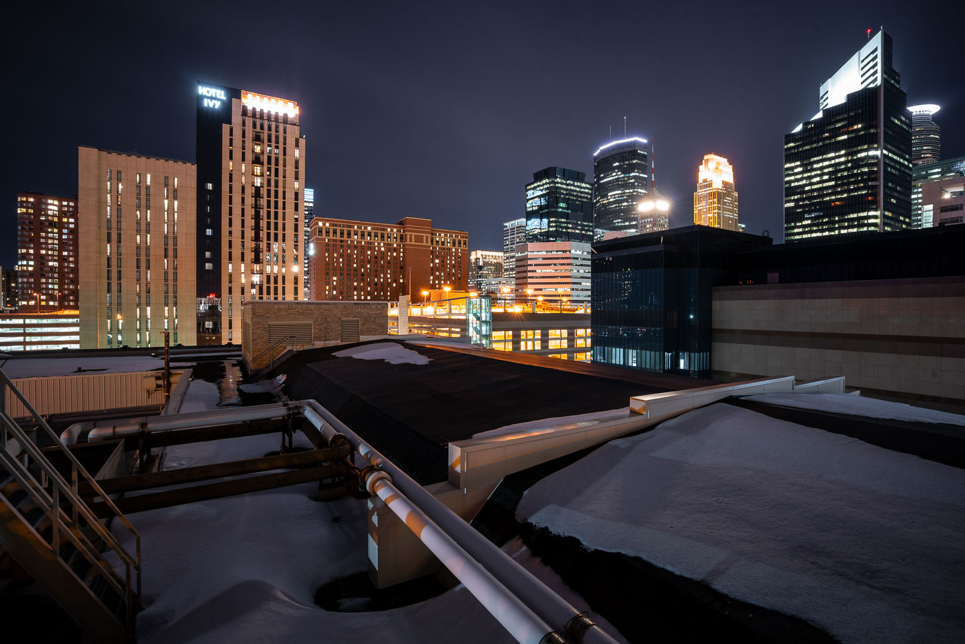
Hotel Ivy and Ivy Residences rise near the snow-covered Minneapolis Convention Center.
Hotel Ivy and Ivy Residences stand in downtown Minneapolis near the Minneapolis Convention Center. The complex is located on South Eleventh Street at the south end of downtown. Snow covers the convention center roofs and surrounding streets during late winter.

Hotel Ivy and Minneapolis Convention Center, Minneapolis
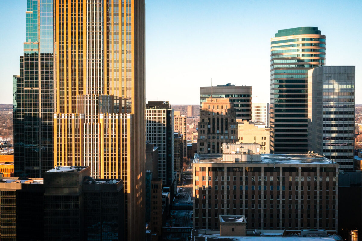
Downtown Minneapolis skyline along Marquette Avenue with mixed architectural styles under clear sky.
Marquette Avenue runs through the core of downtown Minneapolis, lined with several of the city's tallest office towers. The gold-toned tower on the left is Wells Fargo Center, completed in 1988 and designed by Cesar Pelli; at 774 feet and 57 floors, it ranks among Minnesota's tallest buildings. The green-topped tower is Capella Tower, finished in 1992 at 776 feet with 56 floors, built originally as the headquarters for AT&T's regional operations. Both buildings anchor a stretch of Marquette Avenue that has long served as a corridor for banking, law, and corporate offices in the city.

Skyline Along Marquette Avenue, Downtown Minneapolis
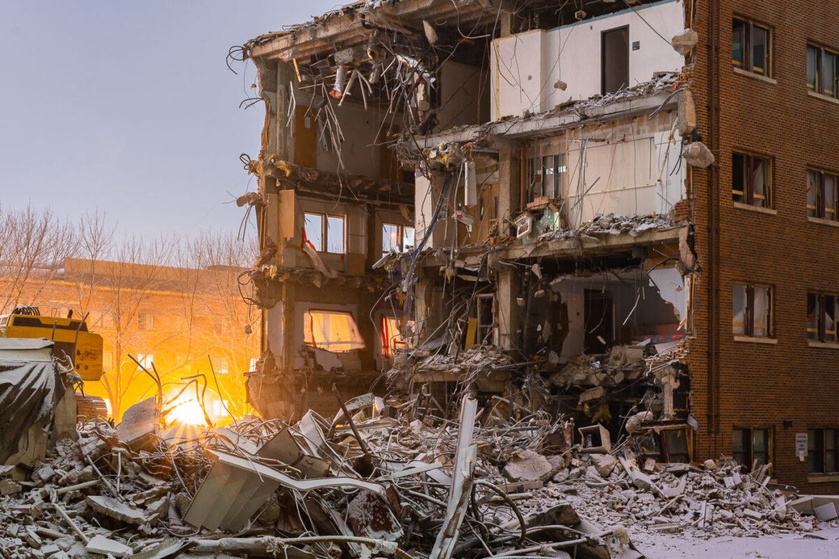
Demolished University of Minnesota building in Dinkytown with excavator and debris pile during March 2018 demolition.
Demolition work on a University of Minnesota campus building in Minneapolis underway in March 2018.

Winter Sunrise Through a Gutted Dinkytown Apartment Building
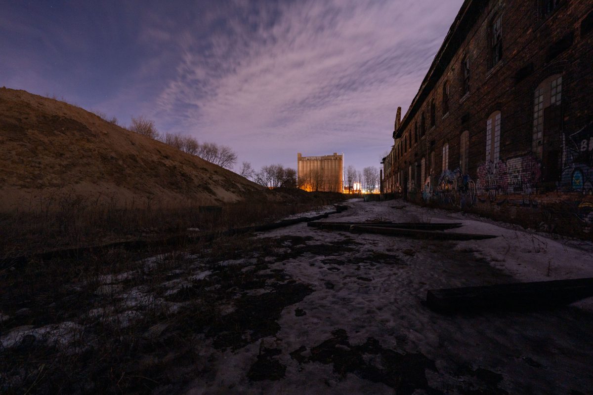
Harris Machinery and Grain Elevator
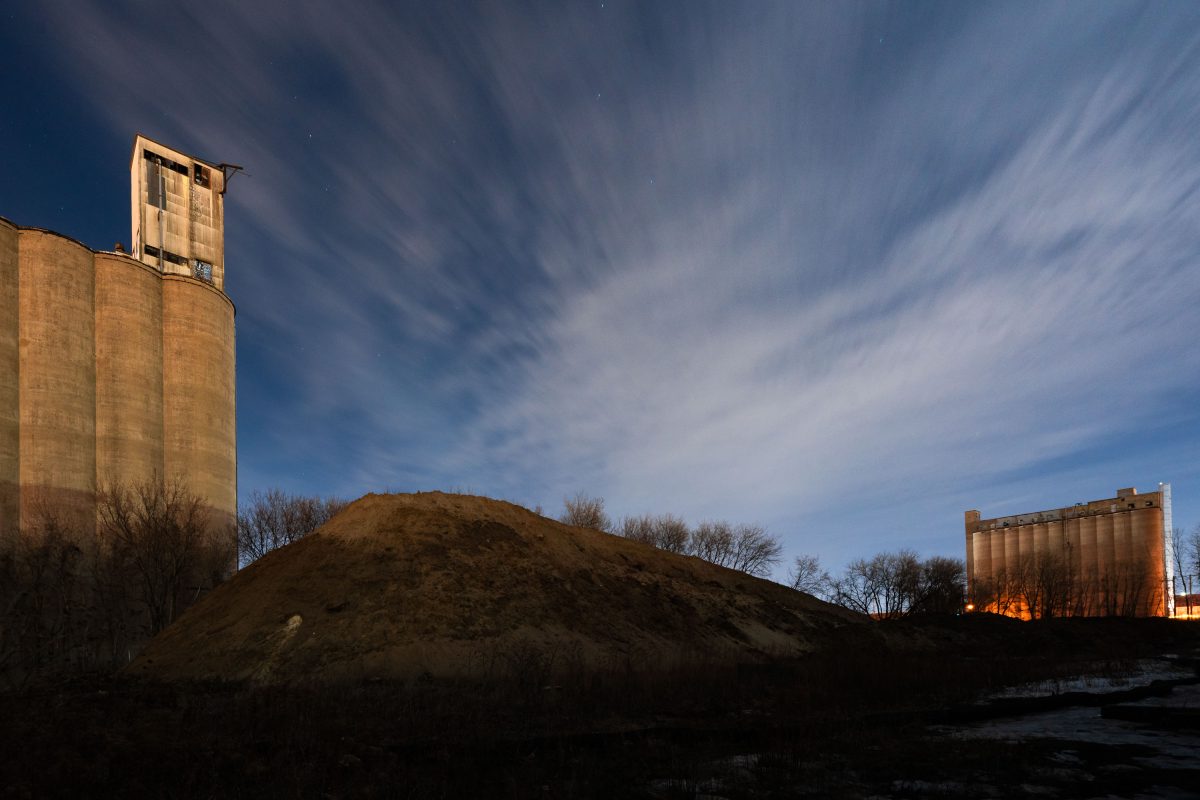
Night photo of the back of Harris Machinery and a grain elevator in the distance.

Harris Machinery and Grain Elevator

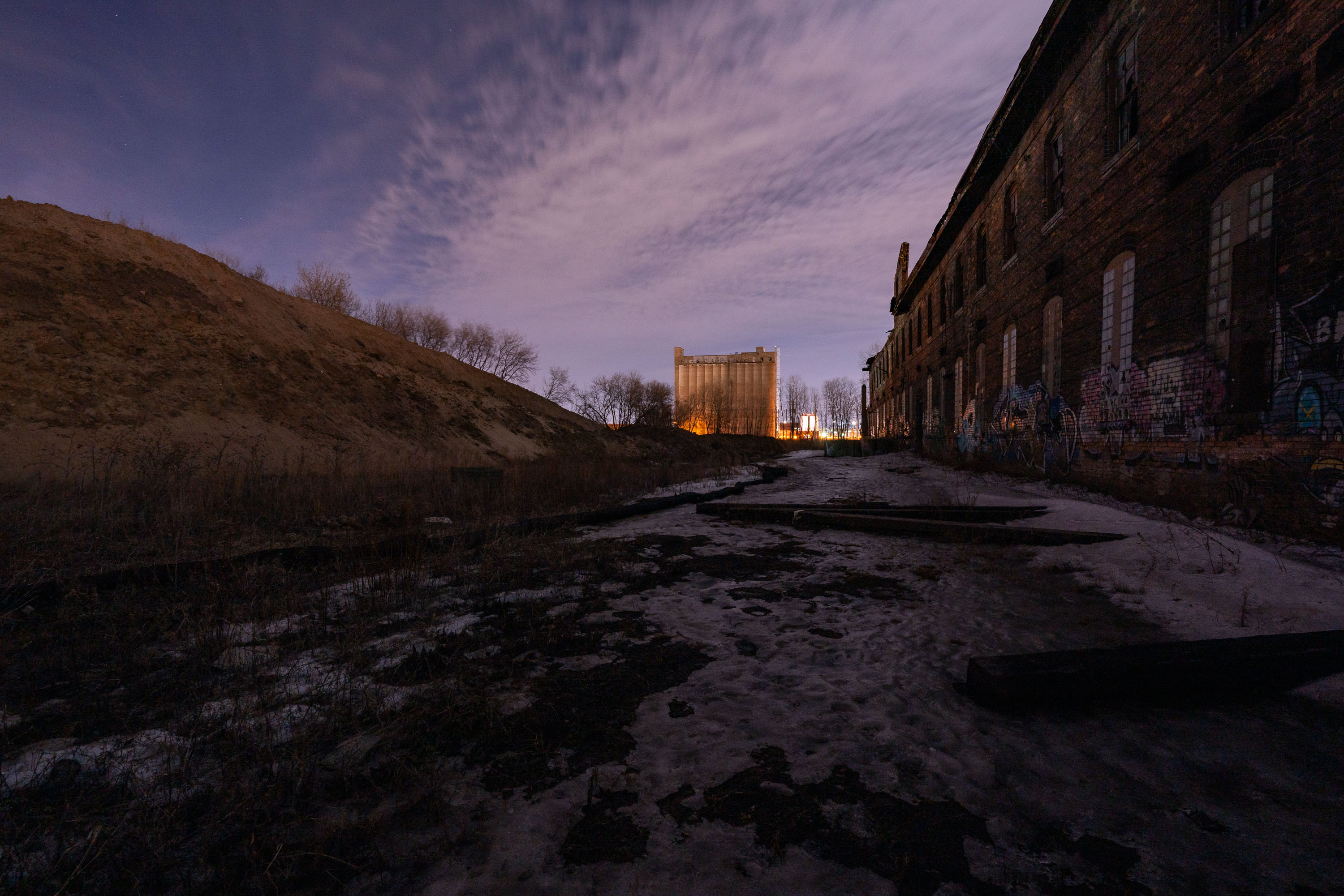
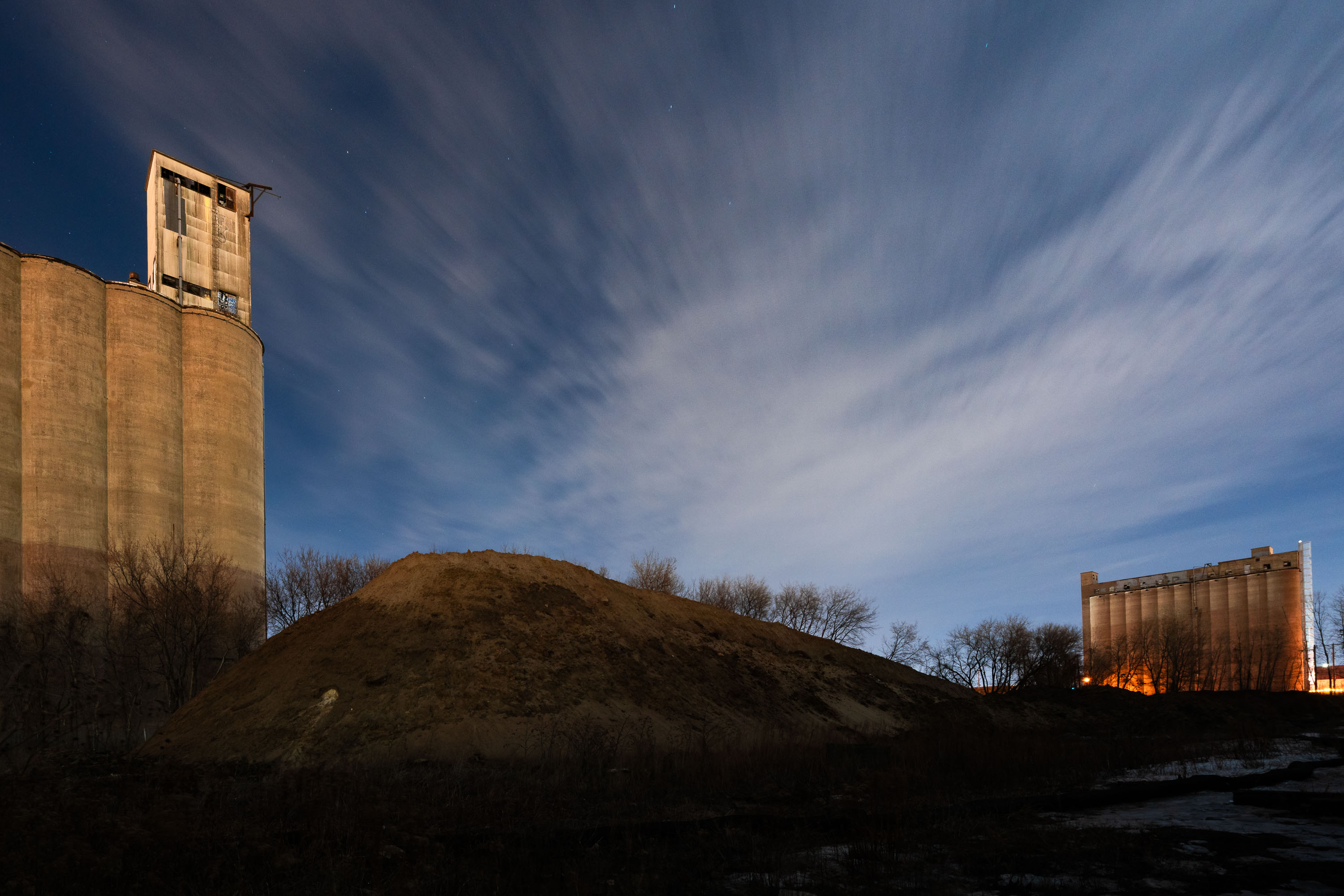
Illuminated concrete grain elevators flank an earthen mound near Dinkytown, Minneapolis.
Abandoned concrete grain elevators in Minneapolis, Minnesota.

Concrete Grain Elevators Near Dinkytown, Minneapolis
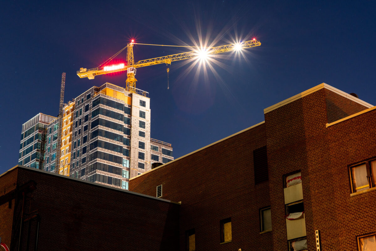
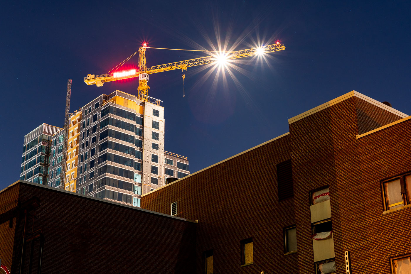
Tower crane over a high-rise construction site in Dinkytown, Minneapolis, near the University of Minnesota.
A tower crane stands over a high-rise construction site in Dinkytown, Minneapolis, near the University of Minnesota. Dinkytown is a commercial district adjacent to the university's Minneapolis campus, with student-oriented housing, shops, and restaurants. J.H. Findorff & Son Inc. was associated with the construction work at the site.

Tower Crane Over Dinkytown Construction, Minneapolis
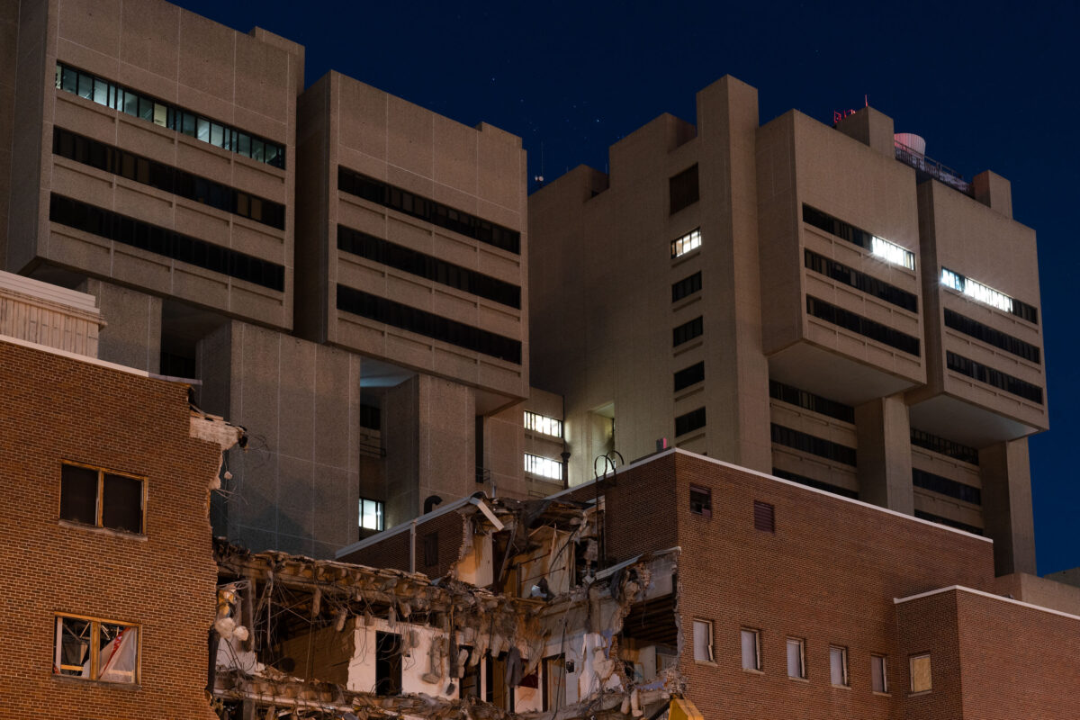
Demolished building with excavator and debris at night beneath University of Minnesota towers in Minneapolis.
Demolition of a building on the University of Minnesota campus in Minneapolis.

Nighttime Demolition Beneath University of Minnesota Dorm Towers
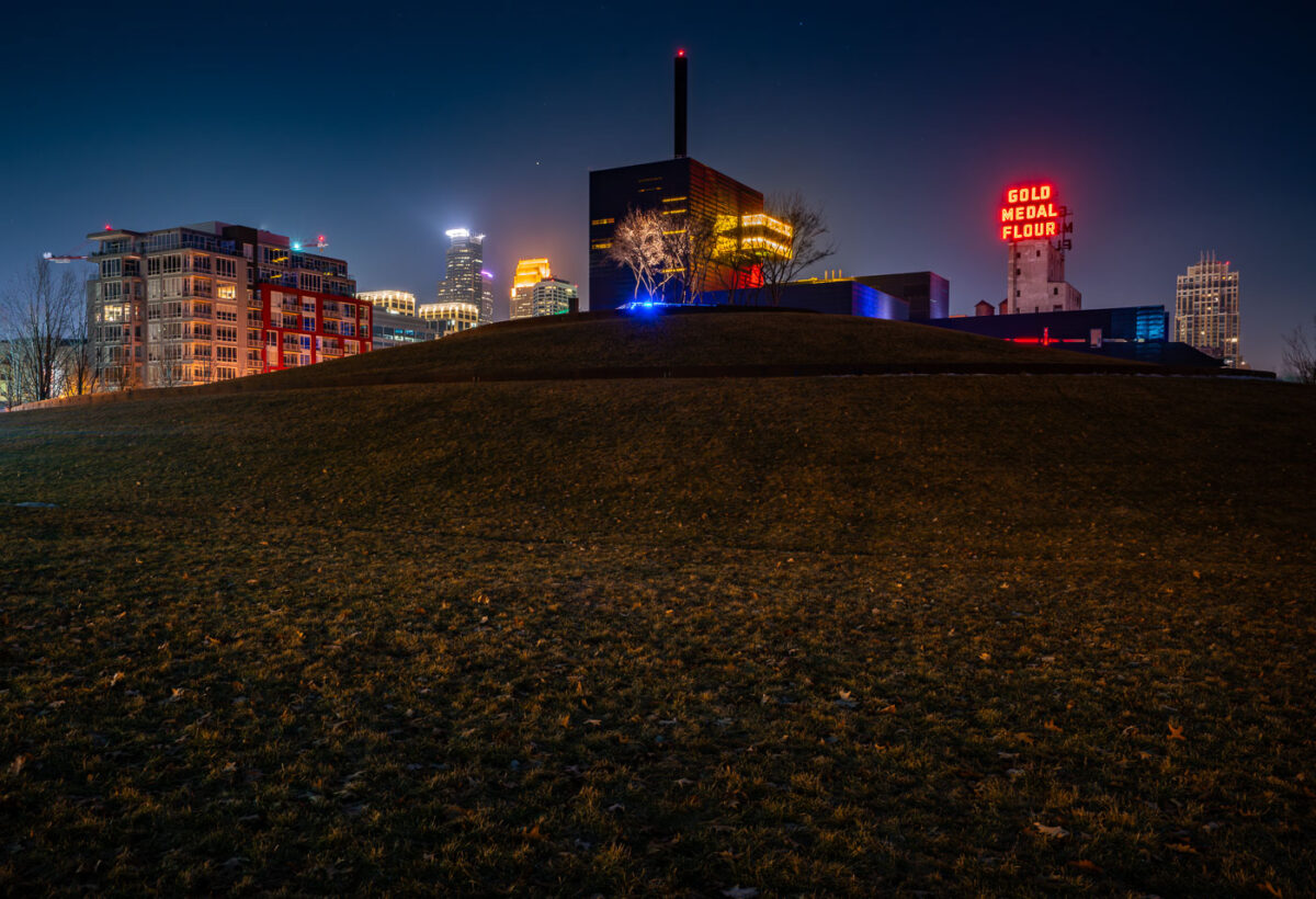
Gold Medal Park in Minneapolis with the Guthrie Theater and Gold Medal Flour sign at night.
Gold Medal Park in Minneapolis's Mill District sits beside the Guthrie Theater near the Mississippi riverfront. The park opened in 2007 on land tied to the area's former flour-milling district. The Gold Medal Flour sign marks the historic Washburn-Crosby milling complex near Mill City Museum.

Gold Medal Park and Guthrie Theater, Minneapolis
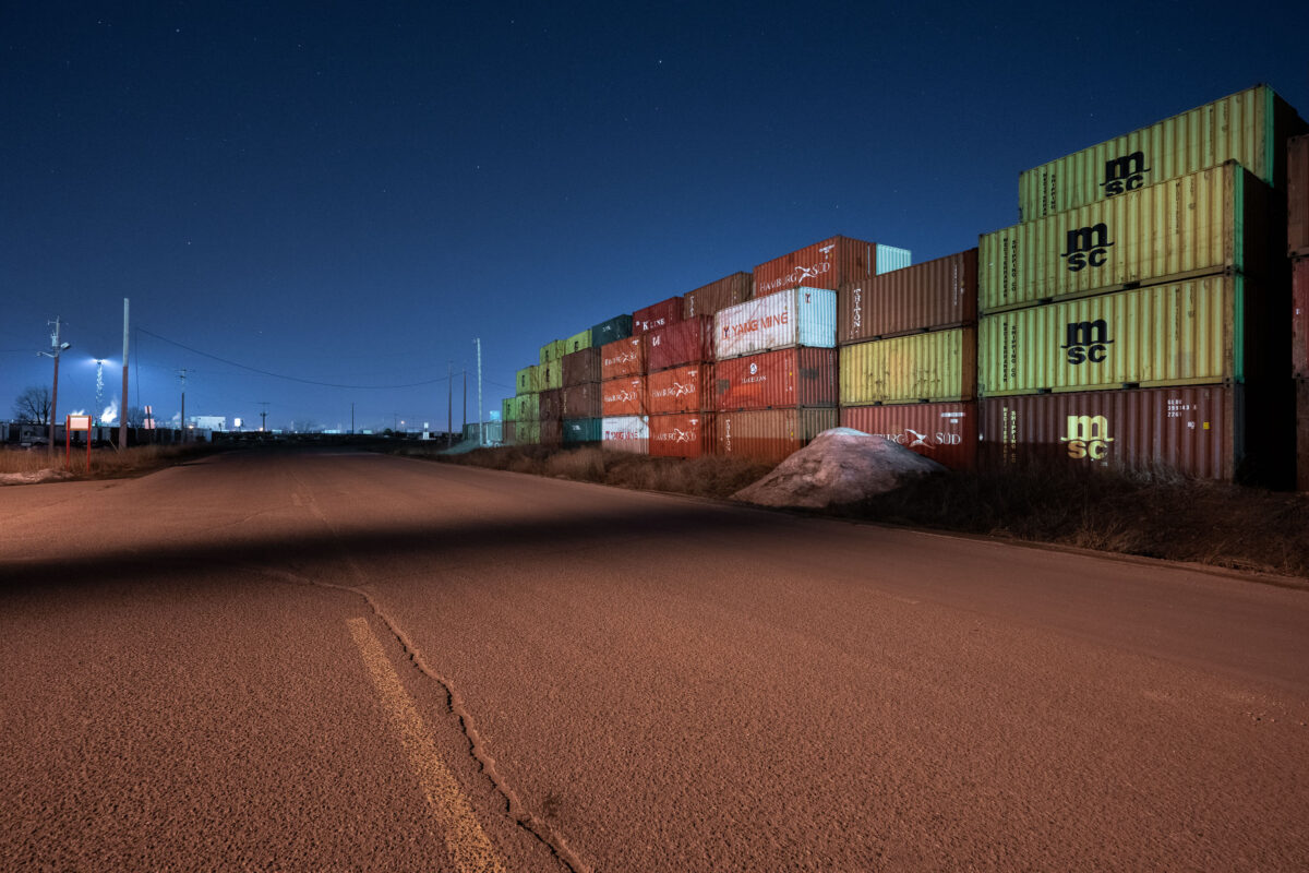
Stacked shipping containers at an intermodal yard in Minneapolis at night.
An intermodal container storage yard in Minneapolis displays stacked shipping containers from major carriers including MSC and Yang Ming. The facility operates as a transshipment and storage point for containerized cargo moving through the region's transportation network. Industrial lighting illuminates the colorful containers during nighttime operations.

Intermodal Container Yard, Minneapolis
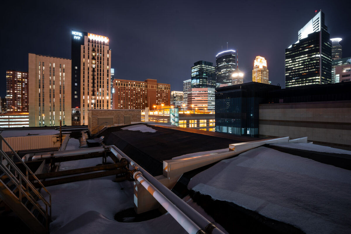
Hotel Ivy and IDS Center rise in the downtown Minneapolis skyline near Century Plaza.
Downtown Minneapolis skyline near Century Plaza includes Hotel Ivy, IDS Center, and Wells Fargo Center. Century Plaza houses the Minneapolis Police Department's 1st Precinct, which covers the downtown area.

Hotel Ivy and IDS Center, Downtown Minneapolis
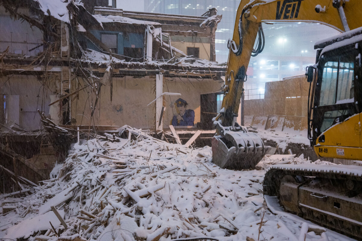
Excavator demolishes snowy building on Marquette Avenue in downtown Minneapolis, revealing police officer mural on adjacent wall.
Demolition work on Marquette Avenue in downtown Minneapolis clears a low-rise commercial building for the City Club Apartments redevelopment in February 2018.

Police Officer Mural Revealed in Snowy Marquette Avenue Demolition
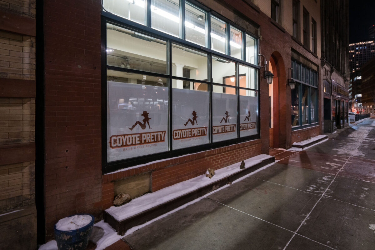
Coyote Pretty pop-up club in downtown Minneapolis during preparations for Super Bowl LII.
Coyote Pretty pop-up club in downtown Minneapolis was installed ahead of Super Bowl LII, played at U.S. Bank Stadium on February 4, 2018. The temporary bar and dance saloon used Coyote Pretty branding during the city’s Super Bowl preparations.

Coyote Pretty Pop-Up Club, Downtown Minneapolis
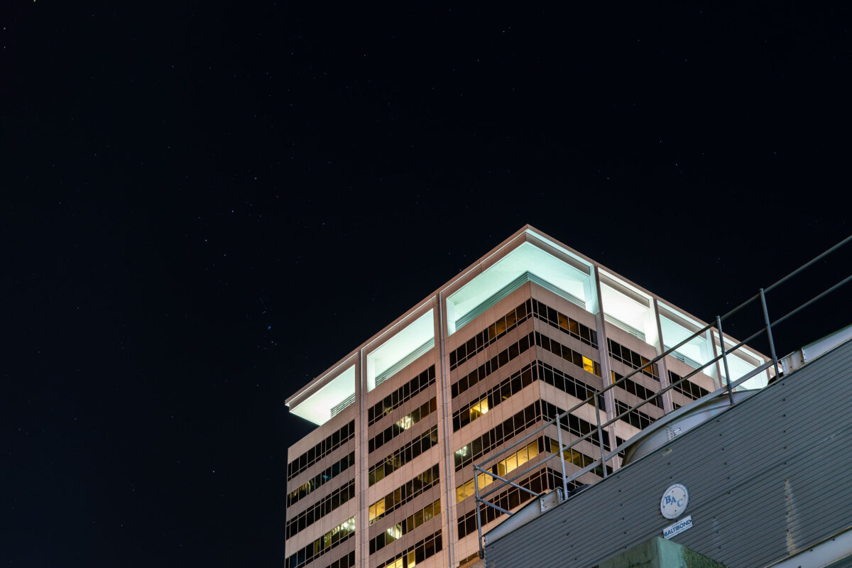
US Bank Corporate Headquarters in Downtown Minneapolis
The U.S. Bancorp Center in Downtown Minneapolis seen in January 2018. The building serves as the headquarters for US Bank.

US Bank Corporate Headquarters in Downtown Minneapolis

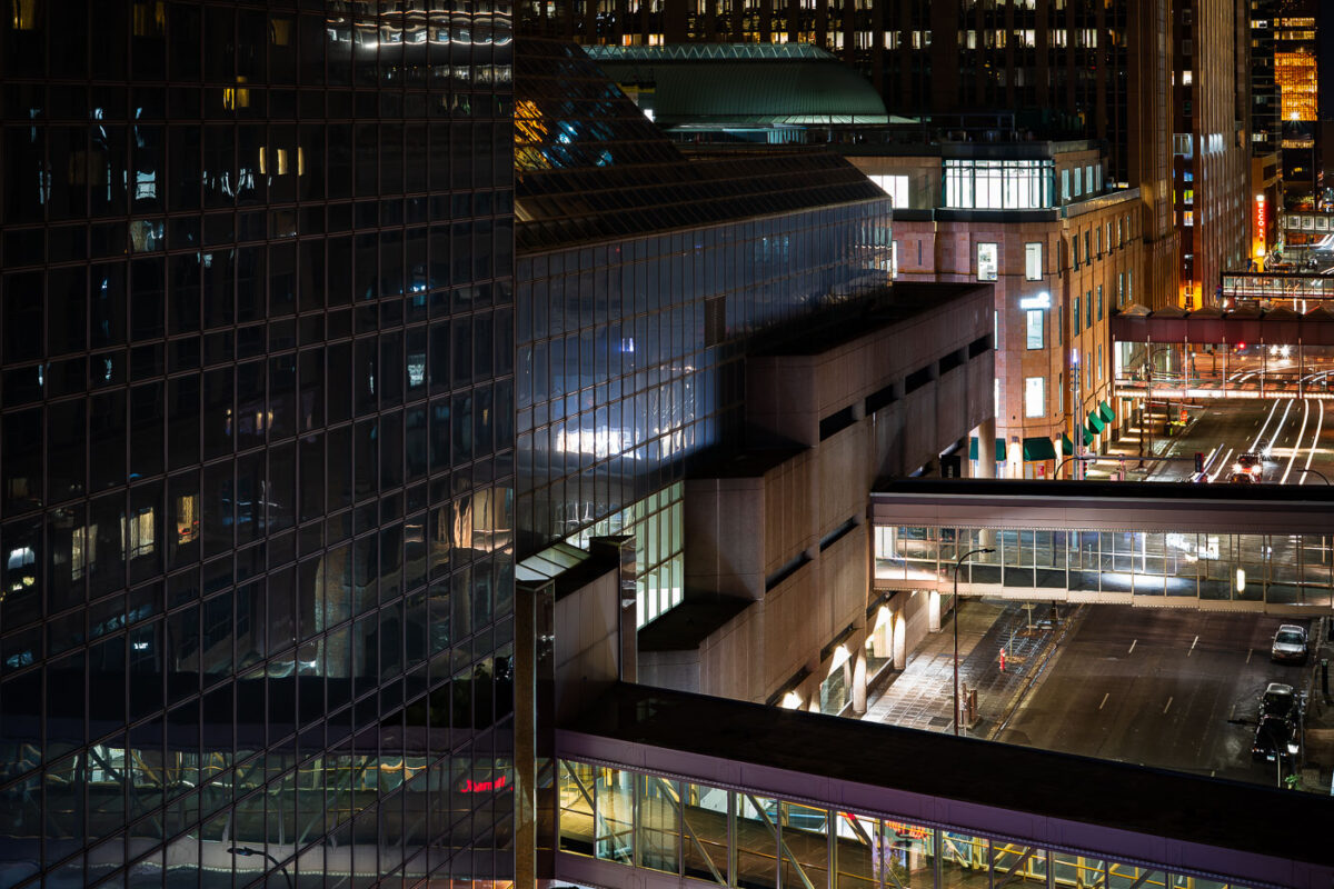
Minneapolis Skyway over Nicollet Mall in downtown Minneapolis, linking office towers across the street.
Minneapolis Skyway over Nicollet Mall in downtown Minneapolis. The enclosed pedestrian network connects office towers, hotels, parking ramps, and retail spaces across the city center. It allows indoor pedestrian crossings above street level.

Minneapolis Skyway over Nicollet Mall

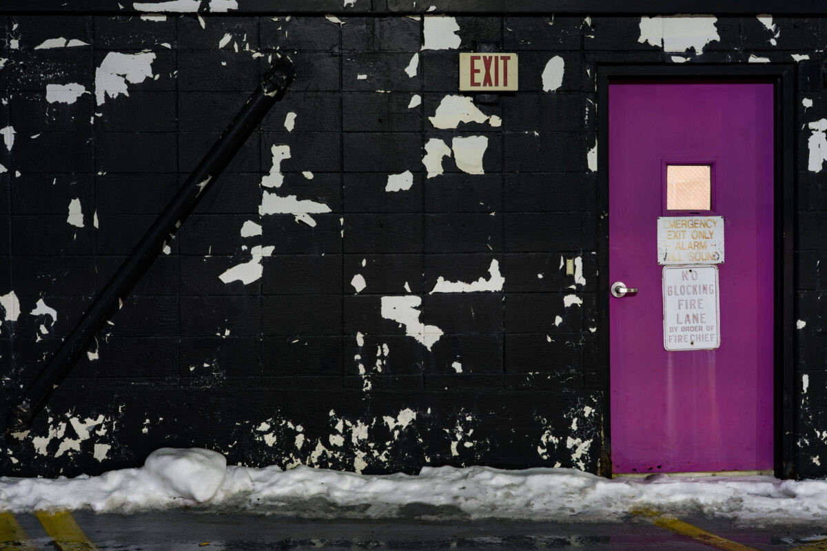
Purple emergency exit door in a downtown Minneapolis parking ramp beside a peeling black masonry wall.
A purple emergency exit door marks a fire exit in a downtown Minneapolis parking ramp. Door signage warns that the alarm will sound and that blocking the fire lane is prohibited by order of the fire chief. Snow along the wall and worn masonry finishes mark winter conditions and maintenance wear in the ramp.

Purple Emergency Exit Door, Minneapolis Parking Ramp
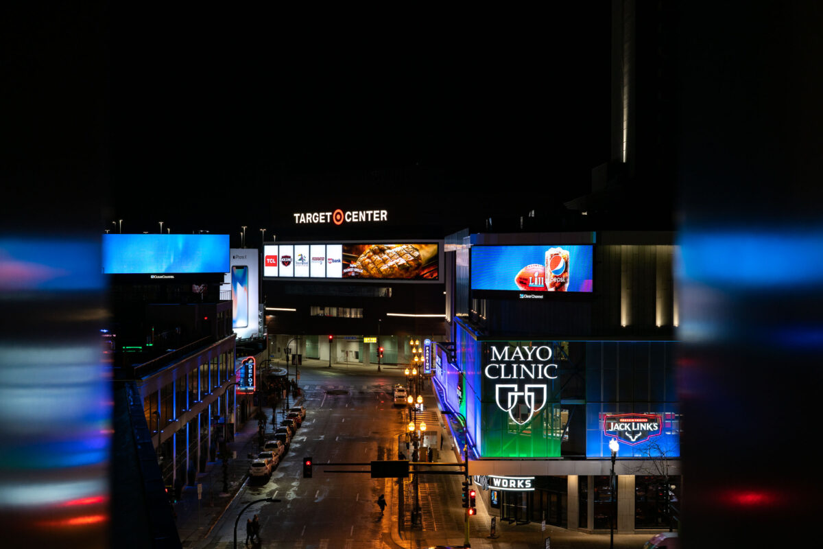
Target Center and Mayo Clinic Square in downtown Minneapolis at night.
Target Center and Mayo Clinic Square are in downtown Minneapolis near the Warehouse District. Target Center is the arena used by the Minnesota Timberwolves and Minnesota Lynx. Mayo Clinic Square includes sports medicine, office, restaurant, and retail space adjacent to the arena.

Target Center and Mayo Clinic Square, Downtown Minneapolis
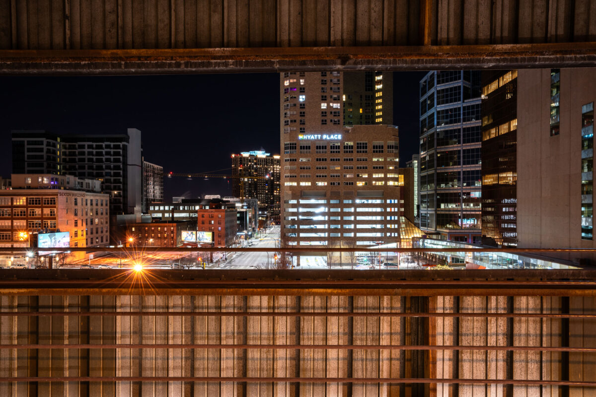
Hyatt Place seen from the parking garage on 5th and 5th.
Hyatt Place seen from the parking ramp at 5th and 5th in Downtown Minneapolis.

Hyatt Place seen from Parking Ramp

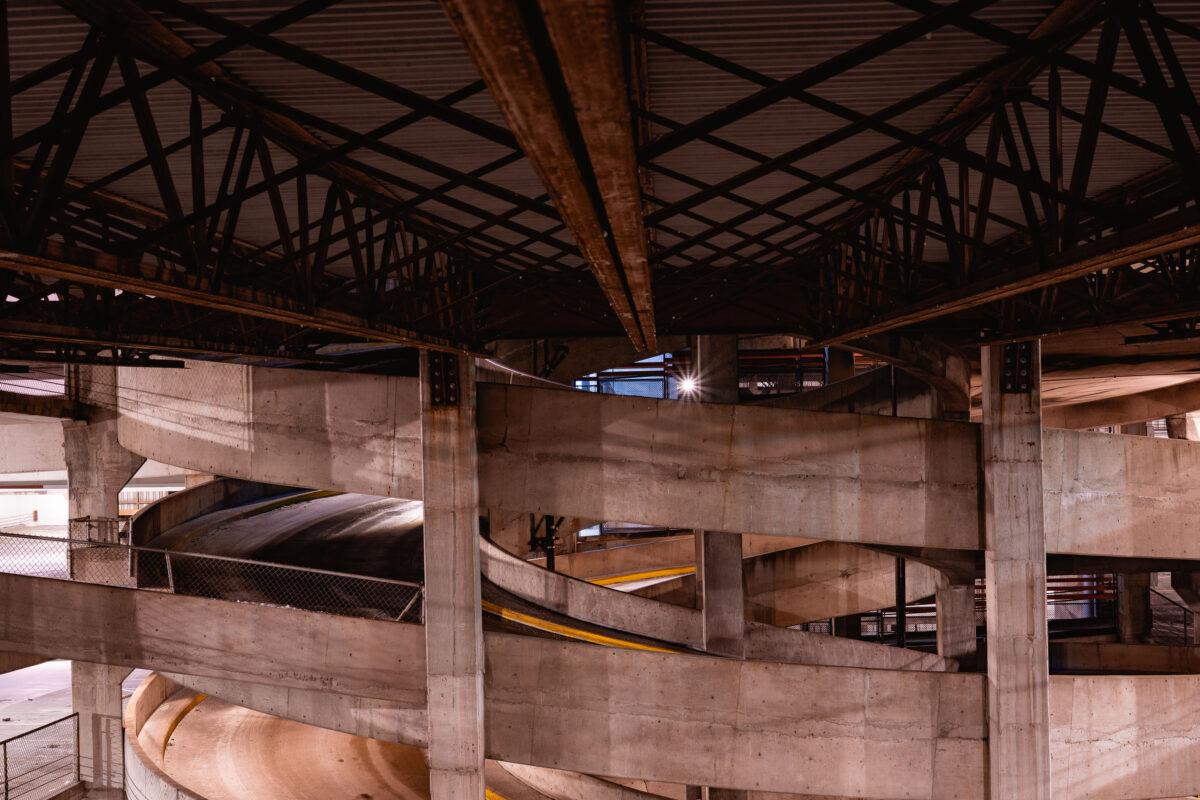
Interior view of a spiral parking ramp with concrete levels and steel support beams in downtown Minneapolis.
A multi-level parking ramp in downtown Minneapolis features concrete construction with spiral design elements. The structure's repetitive ramps and support columns create geometric patterns visible from interior vantage points. Steel beams support the upper levels, characteristic of mid-century parking garage construction in urban centers.

Spiral Parking Ramp, Downtown Minneapolis
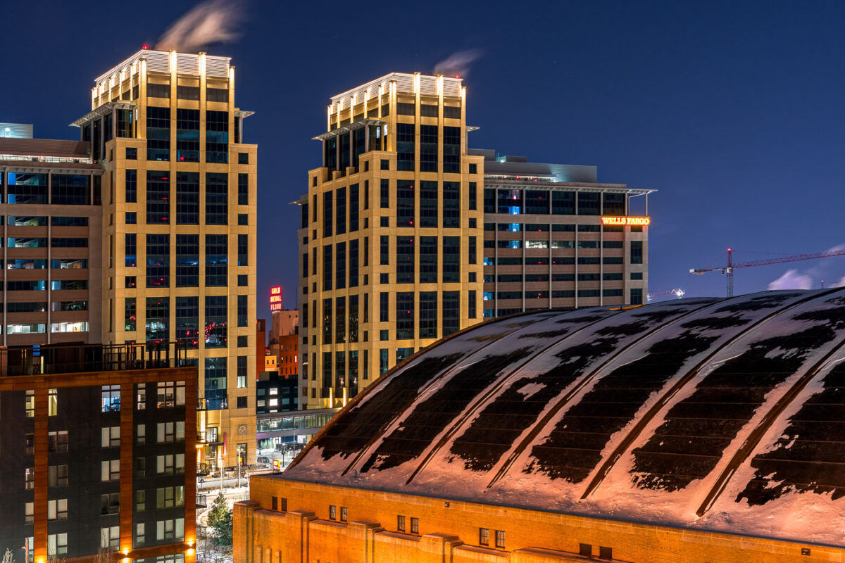
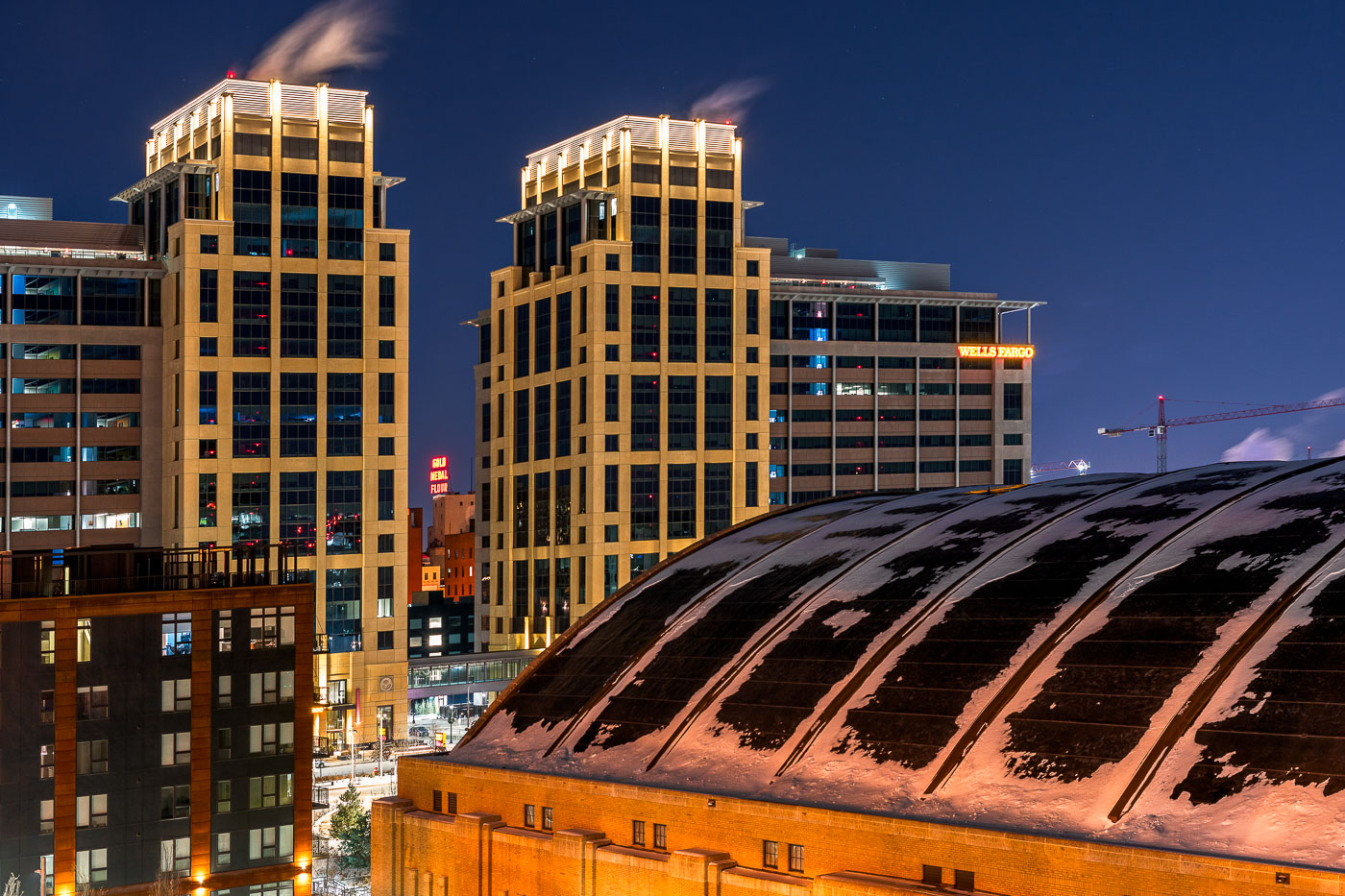
The Armory building and illuminated Wells Fargo office towers stand in downtown Minneapolis at night.
The Armory and the new Wells Fargo Towers in Downtown East, Minneapolis.

Snow-Dusted Armory Roof Beneath the Wells Fargo Towers at Night
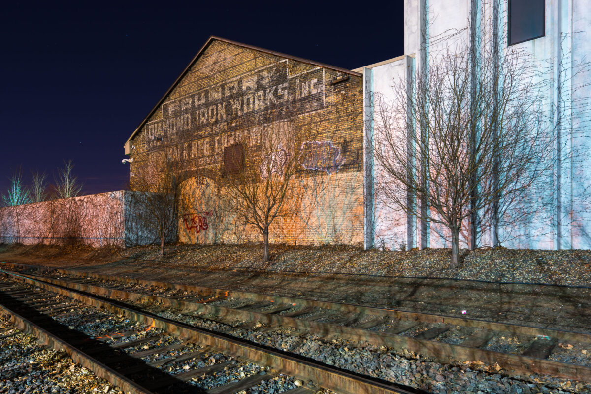
Faded "Diamond Iron Works, Inc." foundry signage on a brick building beside railroad tracks in North Minneapolis.
Diamond Iron Works, Inc. operated as a foundry in North Minneapolis, producing iron castings for the region's railroad and manufacturing trades. The faded lettering on the building's brick exterior still reads "Diamond Iron Works, Inc." and "Foundry," remnants of painted signage common to early 20th-century industrial buildings. The site sits near active railroad tracks, reflecting the historic ties between Minneapolis foundries and rail-based shipping and supply lines.

Old Diamond Iron Works Foundry Building, North Minneapolis
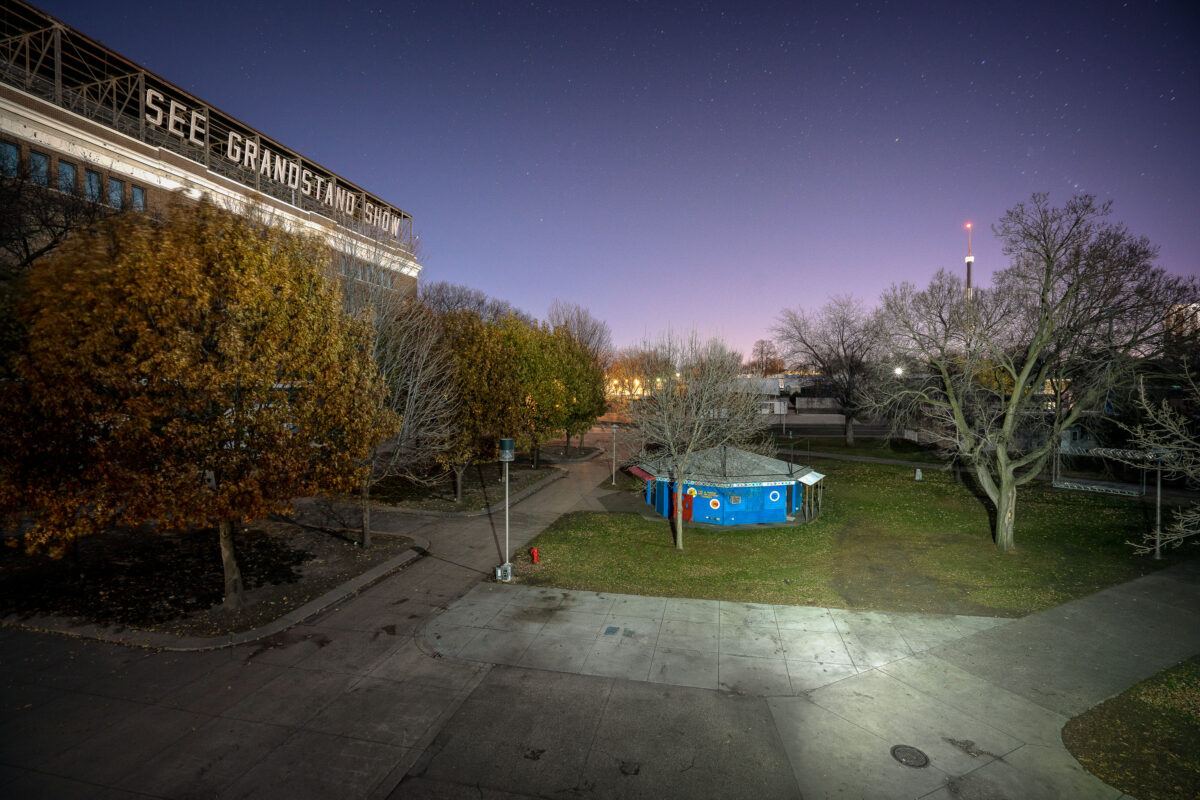
The Grandstand at the Minnesota State Fairgrounds in St. Paul, Minnesota, is illuminated at night, serving as a venue for concerts and the annual state fair.
The Grandstand at the Minnesota State Fairgrounds in St. Paul, Minnesota, is illuminated at night. This structure has served as the primary venue for concerts, events, and the annual Minnesota State Fair since its construction. The fair itself is one of the largest and oldest state fairs in the United States, dating back to 1854. The Grandstand hosts a variety of performances and is a central gathering point for fairgoers.

Minnesota State Fairgrounds Grandstand at Night
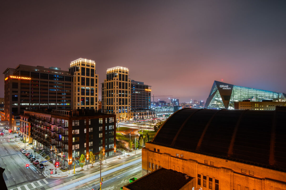
Wells Fargo Towers Armory and US Bank Stadium
The Downtown East neighborhood of Minneapolis is represented by its modern architectural landmarks. The Wells Fargo Towers, completed in 2017, serve as a significant corporate presence in the city's business district. Adjacent to them stands the historic Minneapolis Armory, originally built in 1935 as a venue for military drills and public events, which has since been redeveloped. Dominating the background is U.S. Bank Stadium, a state-of-the-art facility that opened in 2016, hosting professional football games and other large-scale events.

Downtown East Minneapolis: Wells Fargo, Armory, US Bank Stadium
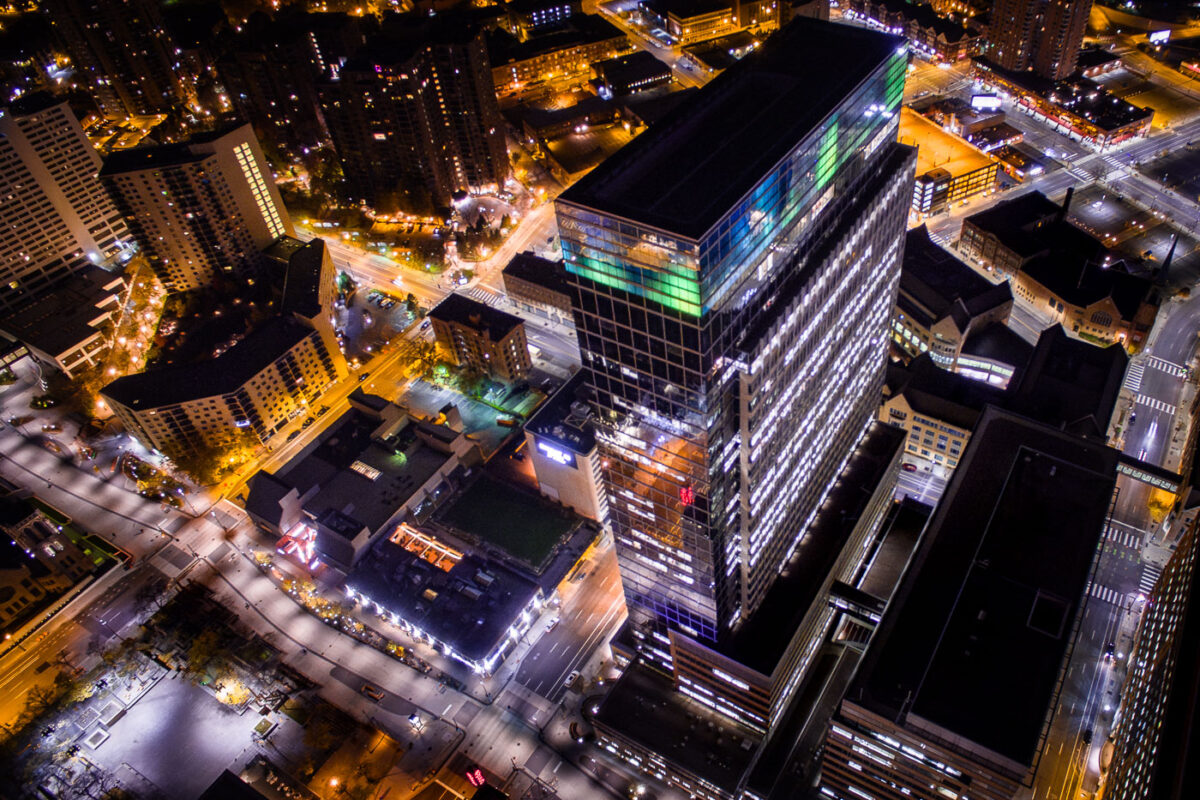
Target Plaza South on Nicollet Mall in downtown Minneapolis at night.
Target Plaza South in downtown Minneapolis is part of Target Corporation's headquarters complex on Nicollet Mall. Completed in 2001, the office tower is located near 10th Street in the southern part of the central business district.

Target Plaza South, Downtown Minneapolis
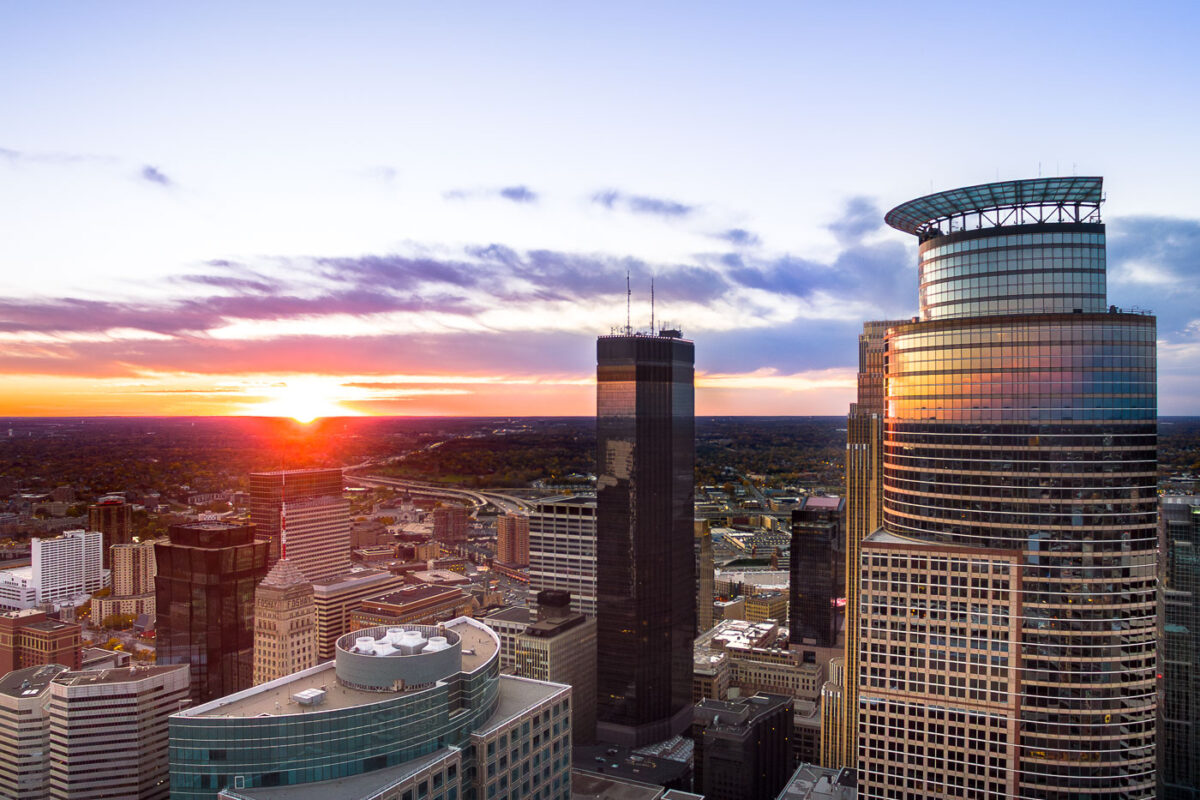
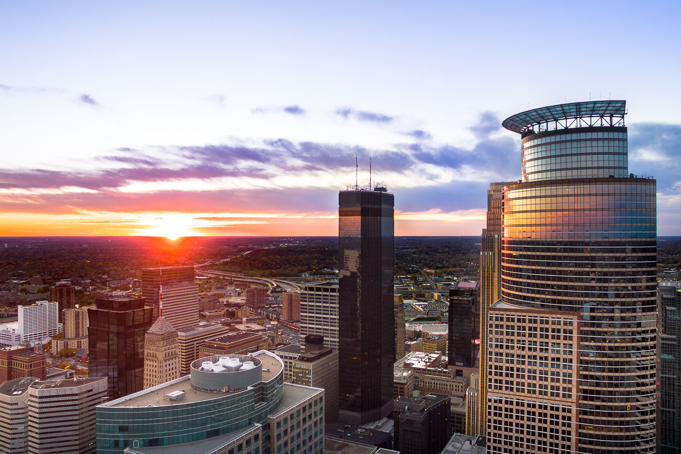
Minneapolis skyline at sunset, featuring Capella Tower, IDS Center, and Foshay Tower. The IDS Center (1972) and Foshay Tower (1929) represent modernist and early skyscraper architecture.
The Minneapolis skyline is illuminated by sunset, with the Capella Tower, IDS Center, and Foshay Tower prominently featured.

Minneapolis: Capella Tower, IDS Center, Foshay Tower at Sunset
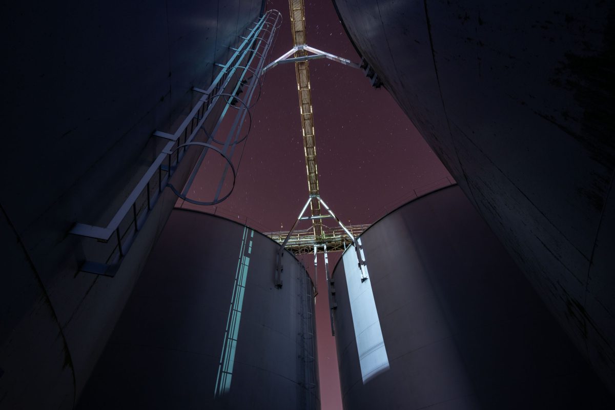
Concrete grain elevators of the Peavey terminal rise against the night sky in Superior, Wisconsin.
The Peavey Company, founded by Frank H. Peavey in the late 1800s, grew into one of the largest grain trading and storage operations in the United States. Superior, Wisconsin, sits at the westernmost point of Lake Superior and developed into a major grain-shipping port in the early 20th century, linking Midwest wheat farms to Great Lakes freighter traffic. Concrete elevators like this one were built to store grain in bulk before loading onto ships bound for mills and markets farther east. The Twin Ports of Superior and Duluth once ranked among the busiest grain-handling centers on the Great Lakes.

Peavey Grain Terminal, Superior, Wisconsin
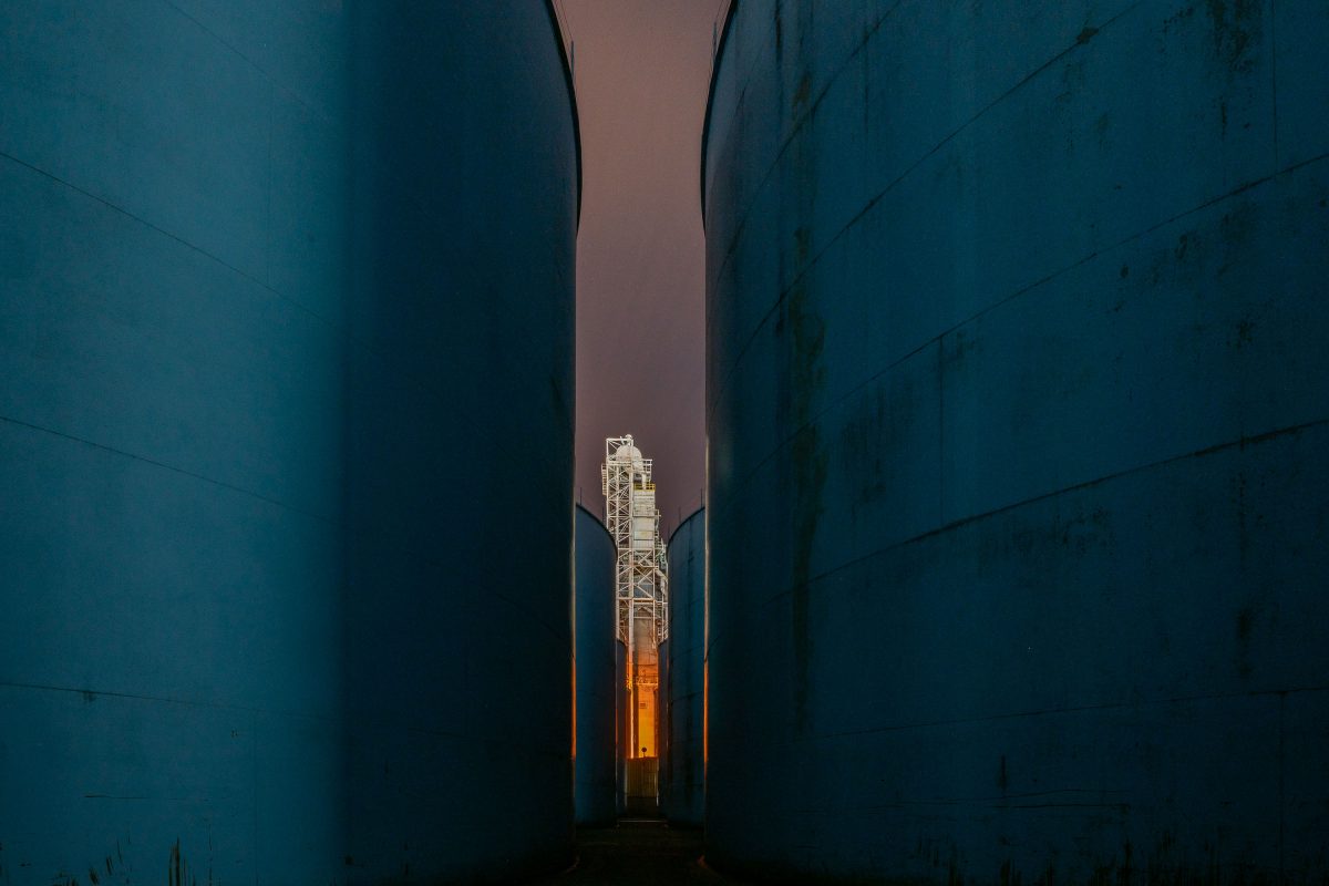
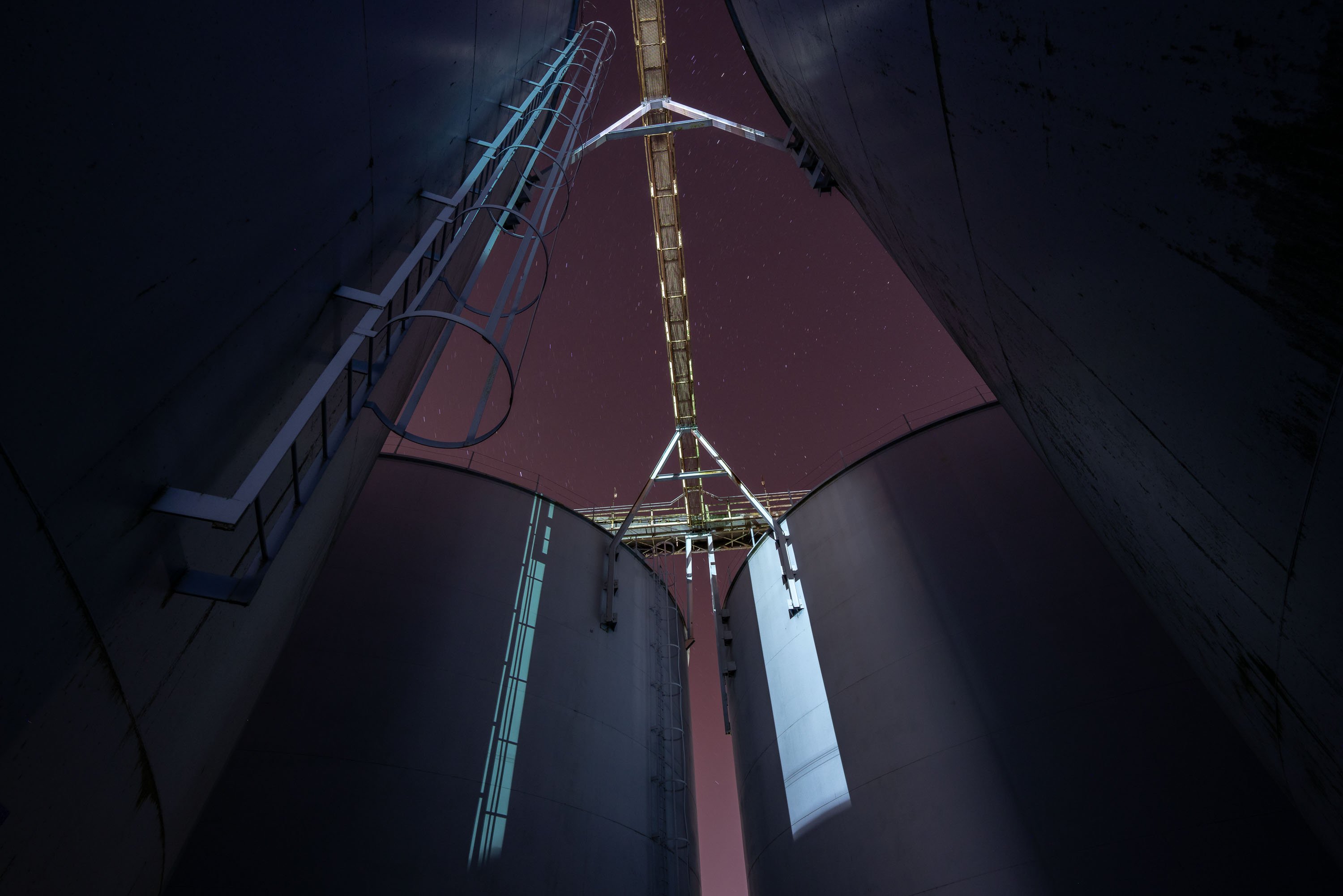
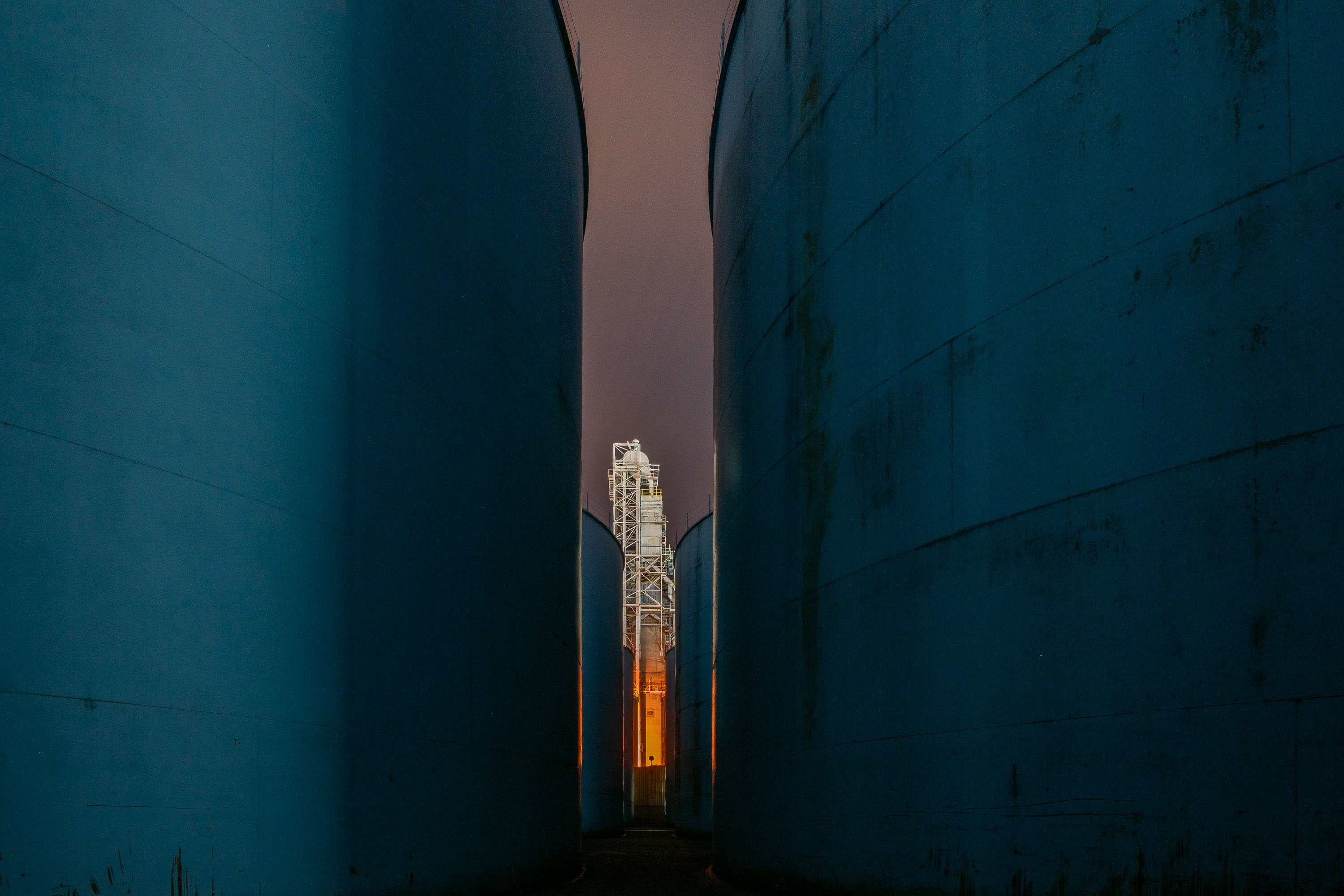
Steel grain storage tanks at a Peavey elevator complex in Superior, Wisconsin, with an industrial structure visible between them.
This grain storage complex sits along the Superior, Wisconsin waterfront on Lake Superior's Twin Ports. The Peavey Company operated grain elevators here to store wheat and other grain shipped by rail from the northern plains for transfer onto lake freighters.

Grain Elevator Storage Tanks at Peavey, Superior, Wisconsin
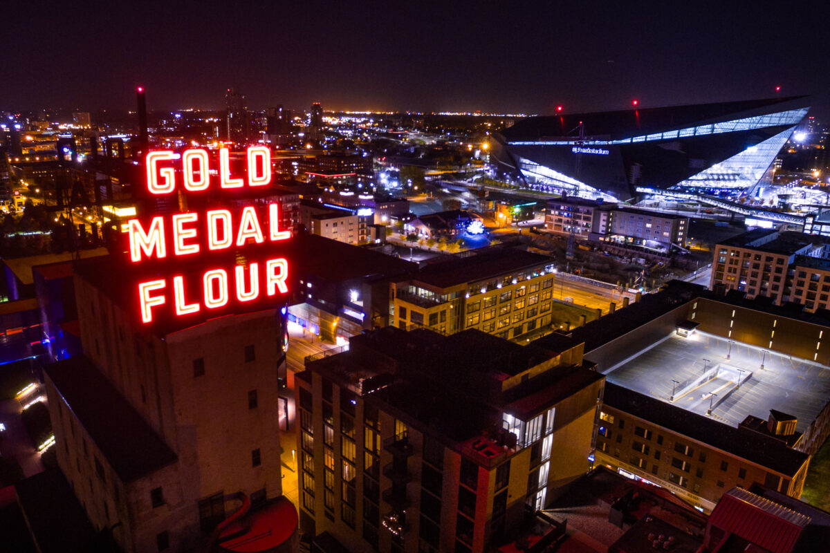
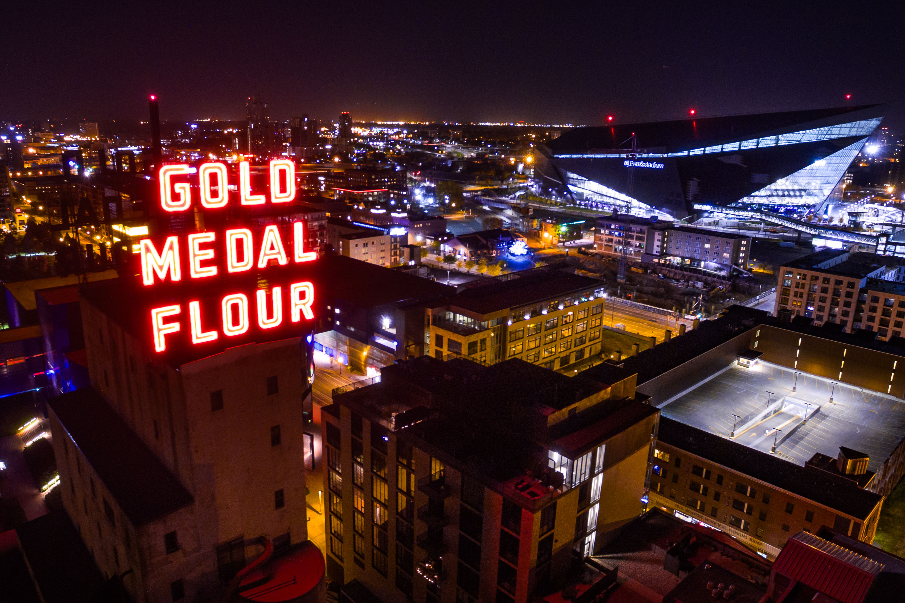
Lit up neon sign reading Gold Medal Flour, Minneapolis
Gold Medal Flour and US Bank Stadium in downtown Minneapolis.
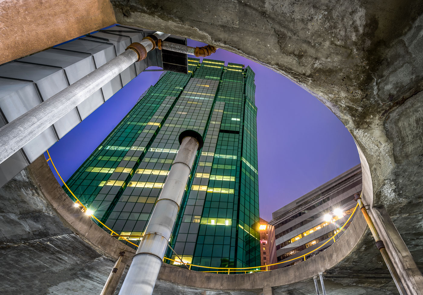
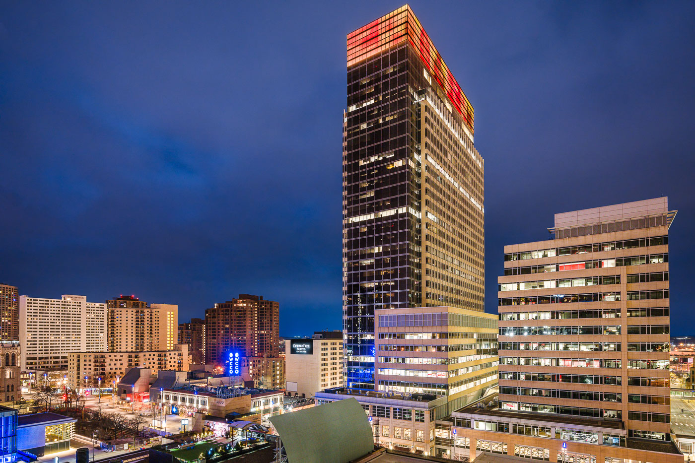
Gold Medal Flour and US Bank Stadium, Minneapolis
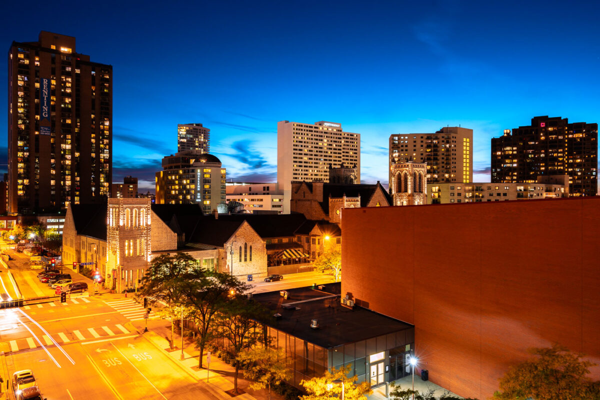
Hilton Minneapolis and Marquette Avenue in downtown Minneapolis at dusk.
Hilton Minneapolis and Marquette Avenue are in downtown Minneapolis, near the Minneapolis Convention Center. The hotel at 1001 Marquette Avenue South is one of the major lodging properties in the city’s convention district. Marquette Avenue is part of the downtown street network used by local bus routes and southbound traffic.

Hilton Minneapolis and Marquette Avenue, Downtown Minneapolis
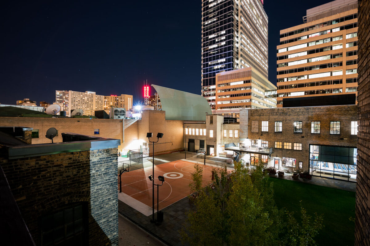
A Target-branded basketball court is illuminated at night in downtown Minneapolis, near the Target Corporation's headquarters.
A Target-branded basketball court is illuminated at night in downtown Minneapolis. This court is located near the Target Corporation's headquarters, reflecting the company's presence in the city's business district. The surrounding buildings showcase the urban environment of Minneapolis, with the court serving as a recreational amenity within the downtown area. Its presence highlights the integration of corporate branding with public spaces in contemporary urban development.

Target Basketball Court at Night, Downtown Minneapolis

Marquette Avenue in Downtown Minneapolis at night, showing illuminated office buildings in the city's central business district.
Marquette Avenue in Downtown Minneapolis is a central artery for the city's business district. The street is lined with numerous office buildings, reflecting the area's role as a hub for commerce and finance. Many of these structures are illuminated at night, showcasing the active professional environment that continues after business hours. The architecture visible represents a range of modern and mid-century design, contributing to the city's distinct urban character.

Marquette Avenue, Downtown Minneapolis at Night
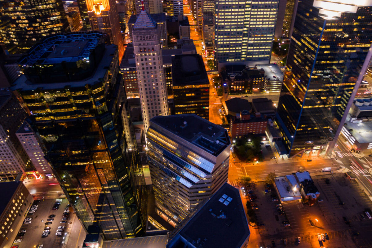
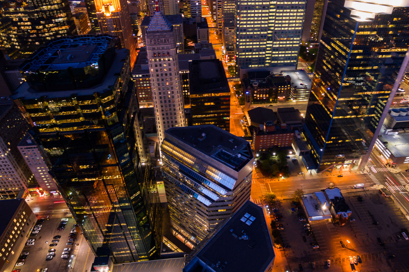
Aerial view of the Foshay Tower and AT&T Tower at night in Downtown Minneapolis, highlighting illuminated windows and ongoing development.
The Foshay Tower, completed in 1929, was Minneapolis's first skyscraper and served as a symbol of the city's burgeoning prosperity. Adjacent to it is the AT&T Tower.

Downtown Minneapolis: Foshay and AT&T Towers at Night
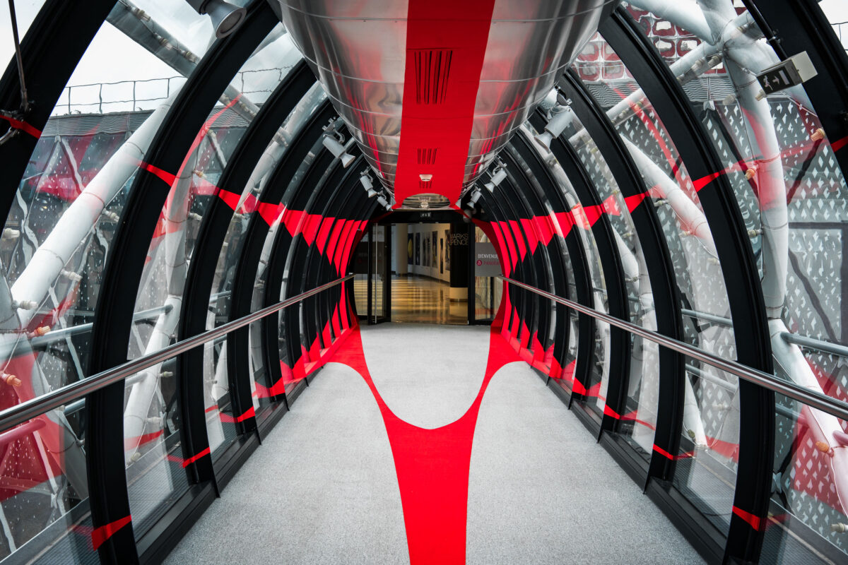
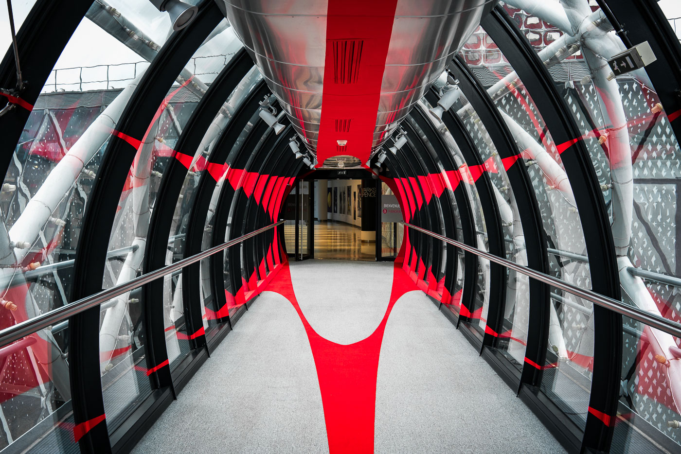
Paris shopping mall skyway interior with glass walls and red accents
An enclosed pedestrian skyway inside a shopping mall in Paris, France, connects retail units on either side. The tubular glass-and-steel passage has black framing, exposed structural members, and bold red interior accents.

Paris Shopping Mall Skyway Interior
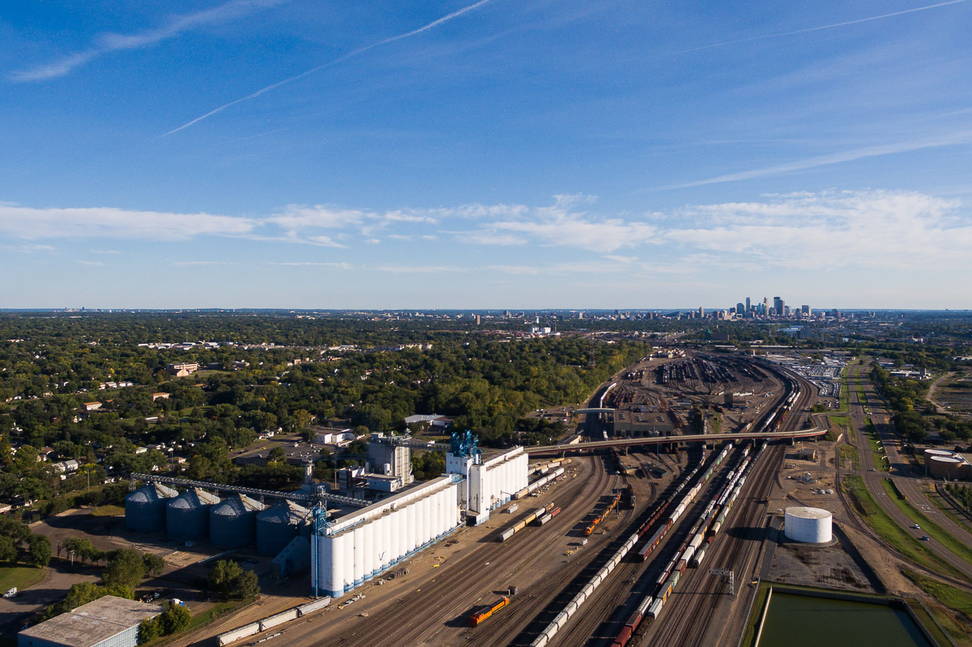
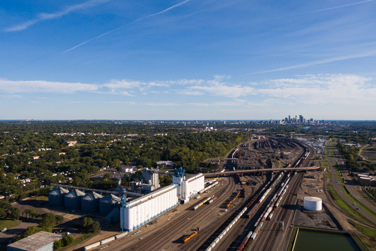
General Mills Grain Elevator and Rail Yard in Northeast Minneapolis, a key industrial facility for grain storage and transportation connecting to national markets.
The General Mills Grain Elevator and Rail Yard in Northeast Minneapolis is a critical component of the region's agricultural and industrial infrastructure. This facility, designed for the storage and transportation of grain, plays a vital role in the food processing industry, particularly for a company with deep roots in Minneapolis's milling history. The extensive rail yard adjacent to the elevators facilitates the efficient movement of commodities, connecting local production to national and international markets. Its presence underscores the historical importance of grain processing and transportation to the economic development of Minneapolis.

General Mills Grain Elevator and Rail Yard, Northeast Minneapolis
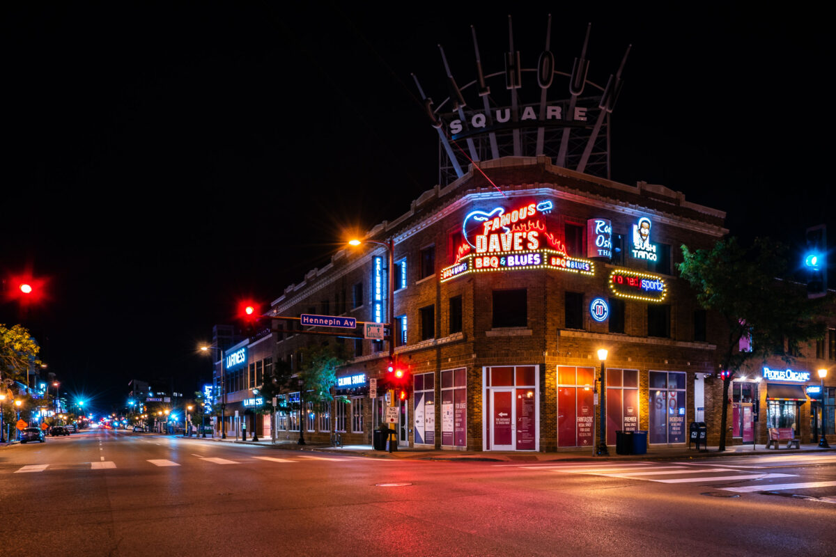
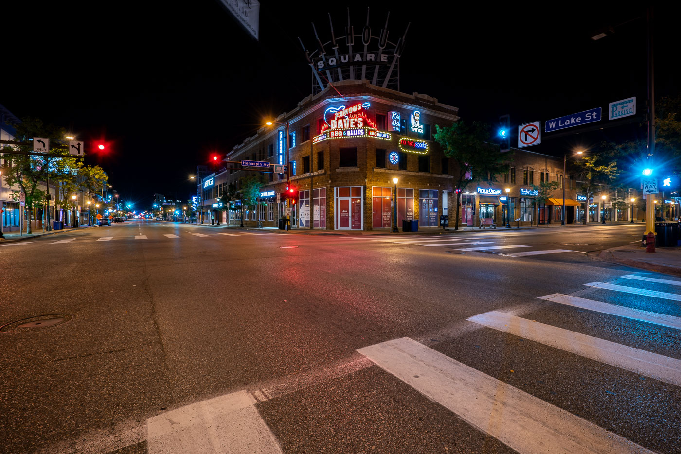
Calhoun Square, a brick corner building with neon signs for Famous Dave's and other businesses, illuminated at night at Hennepin Avenue and Lake Street in Minneapolis's Uptown neighborhood.
Calhoun Square mall located at the intersection of Hennepin Avenue and Lake Street in Minneapolis's Uptown neighborhood.

Famous Dave’s Sign at Hennepin Avenue and Lake Street
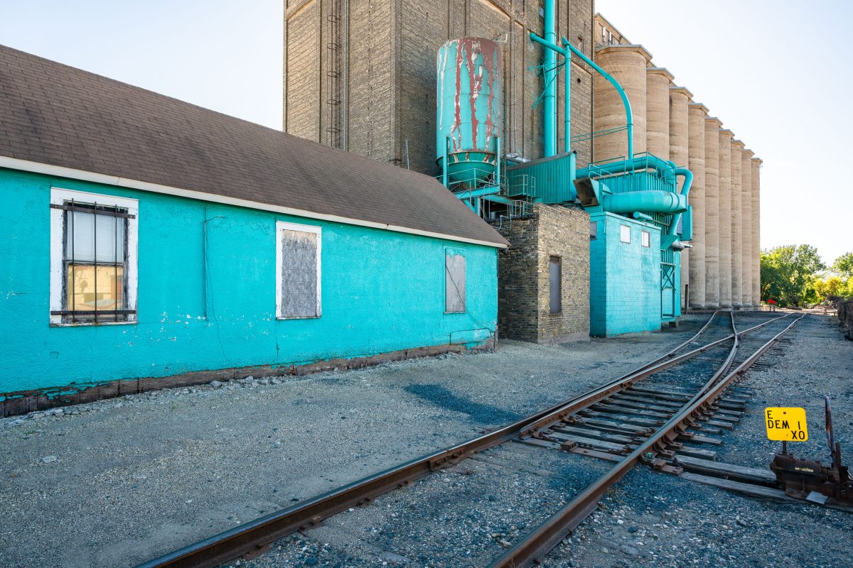
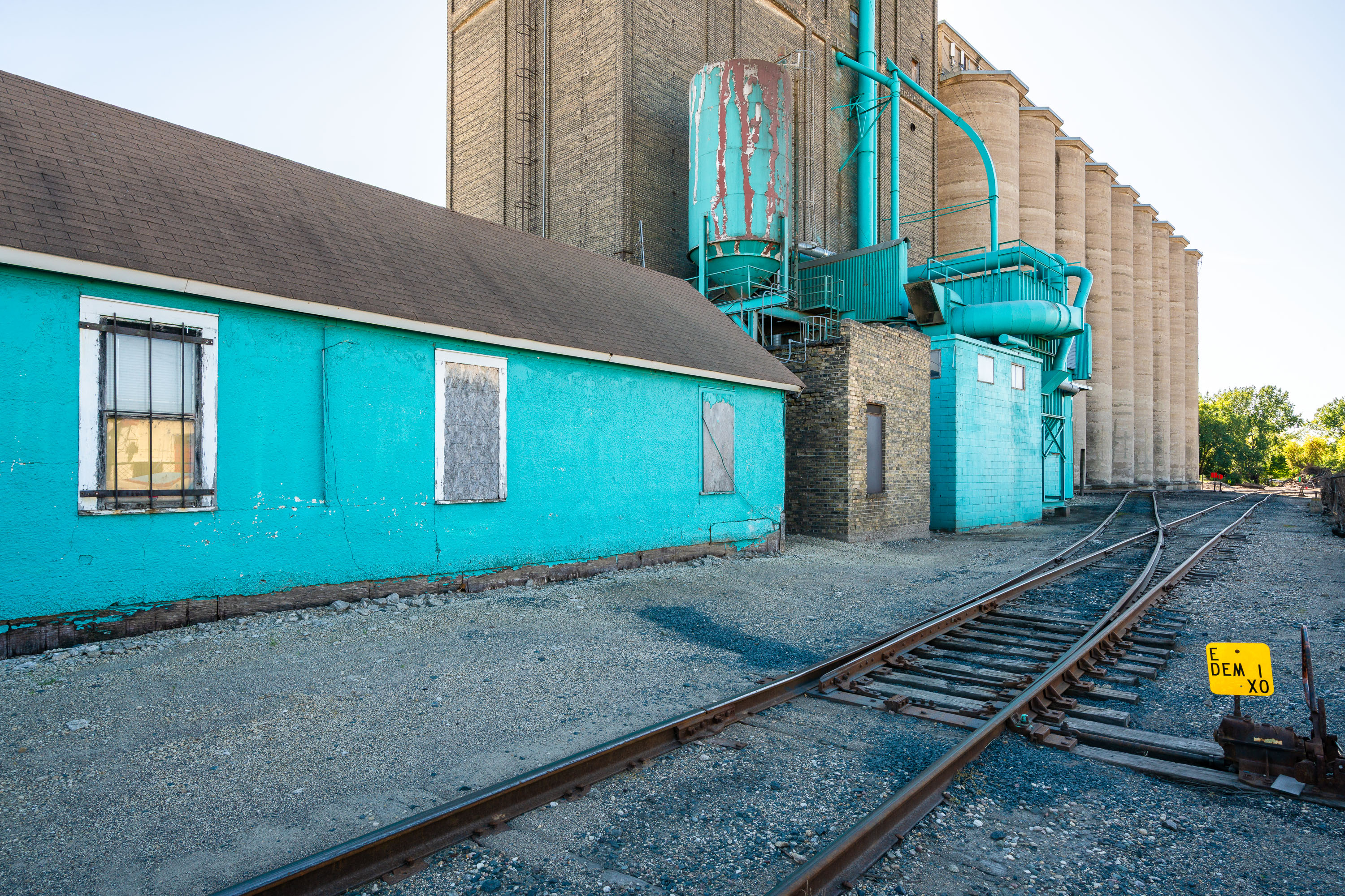
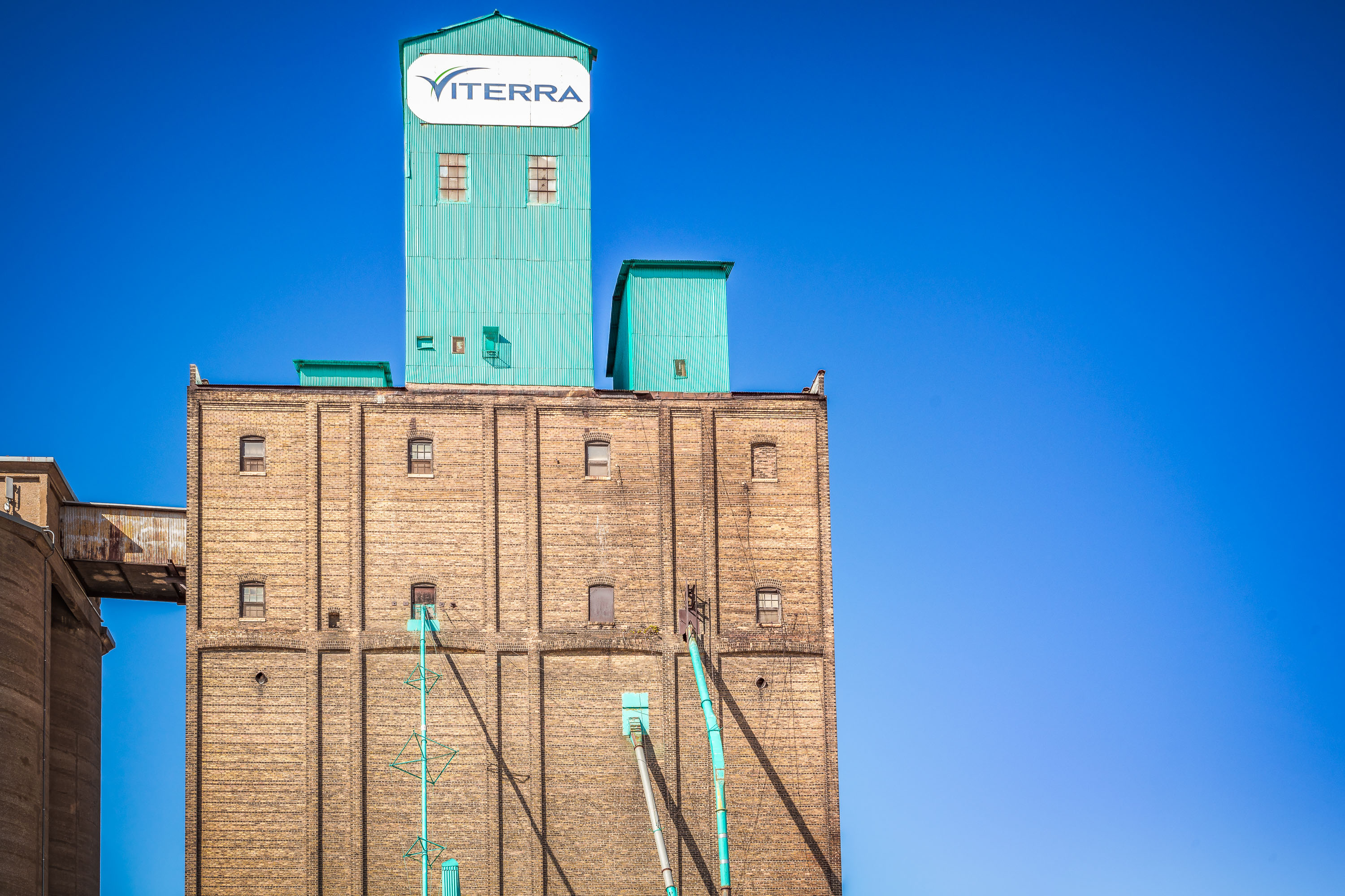
Viterra grain elevator complex with turquoise outbuilding and railroad tracks leading to concrete storage silos.
Viterra's grain elevator sits along a rail spur in Minneapolis, part of a concrete silo complex built for bulk grain storage. A turquoise annex with a loading structure stands beside the row of silos, with tracks running up to the building for loading and unloading rail cars.

Rail Tracks Curve Past the Viterra Grain Elevator’s Turquoise Annex
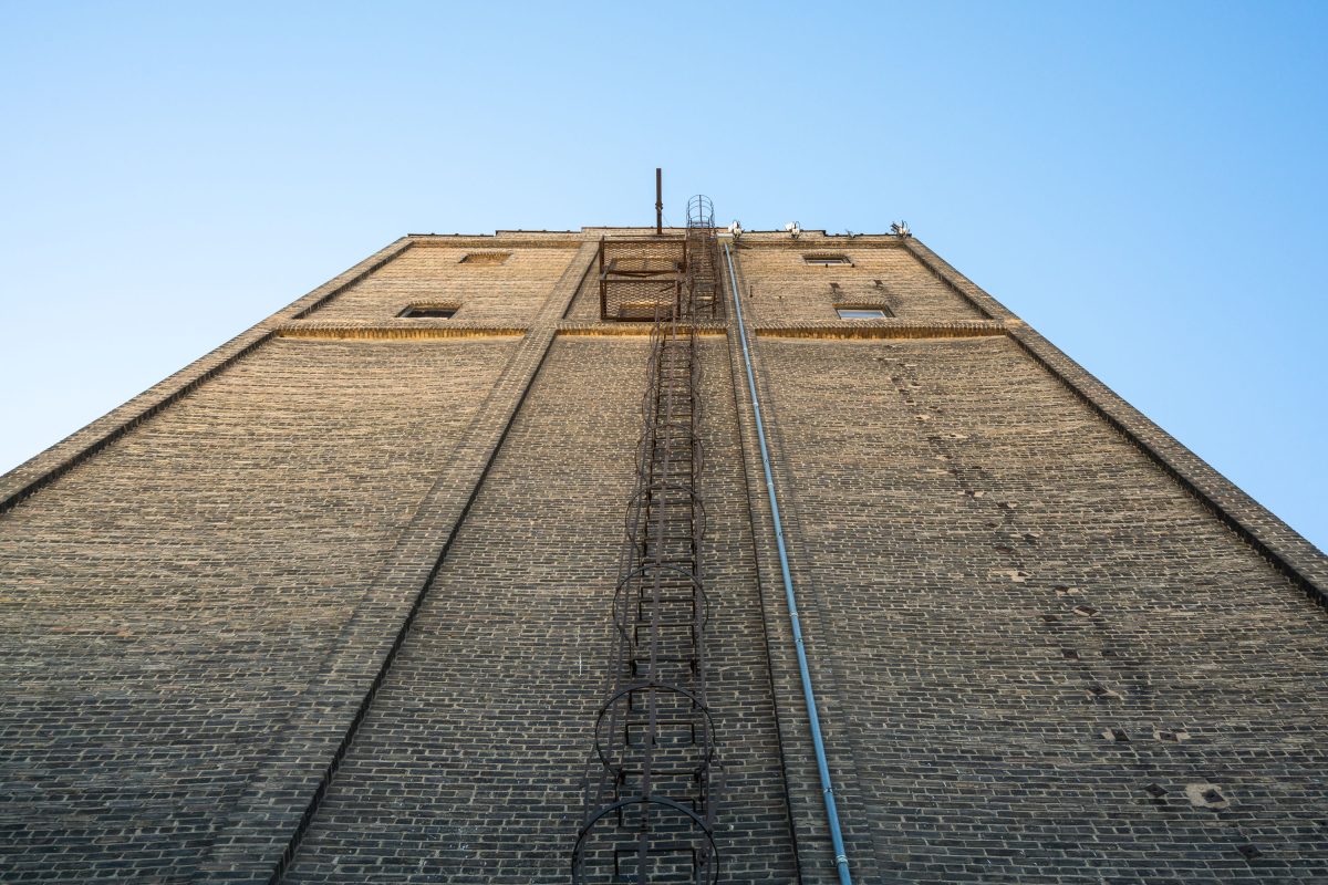
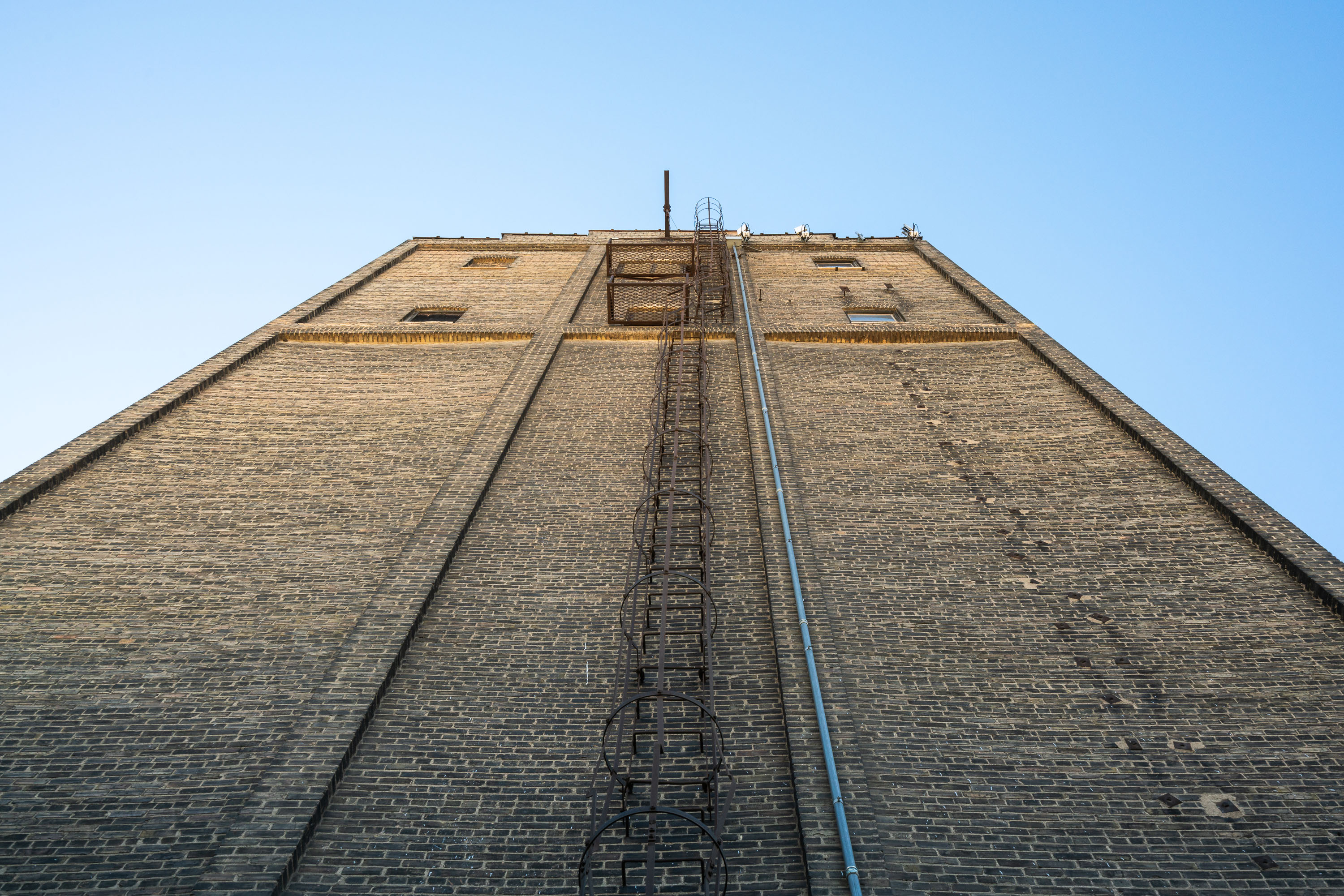
Tall brick grain elevator with metal fire escape and blue utility pipe against clear sky in Minneapolis.
Viterra operates this grain elevator in Minneapolis, a concrete and brick structure used to store grain before it moves out by rail. A caged metal ladder and a utility pipe run the full height of the wall, servicing the tower's upper equipment.

Straight Up the Brick Face of Viterra’s Grain Elevator
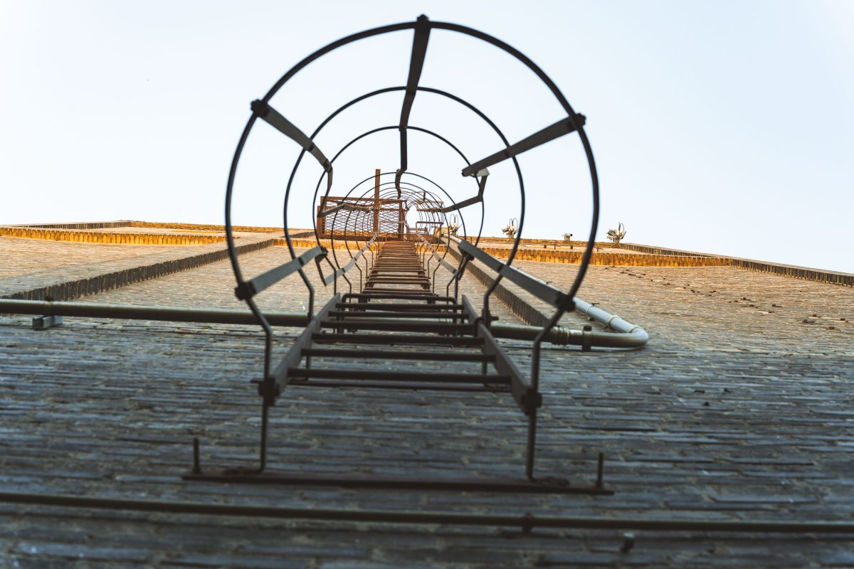
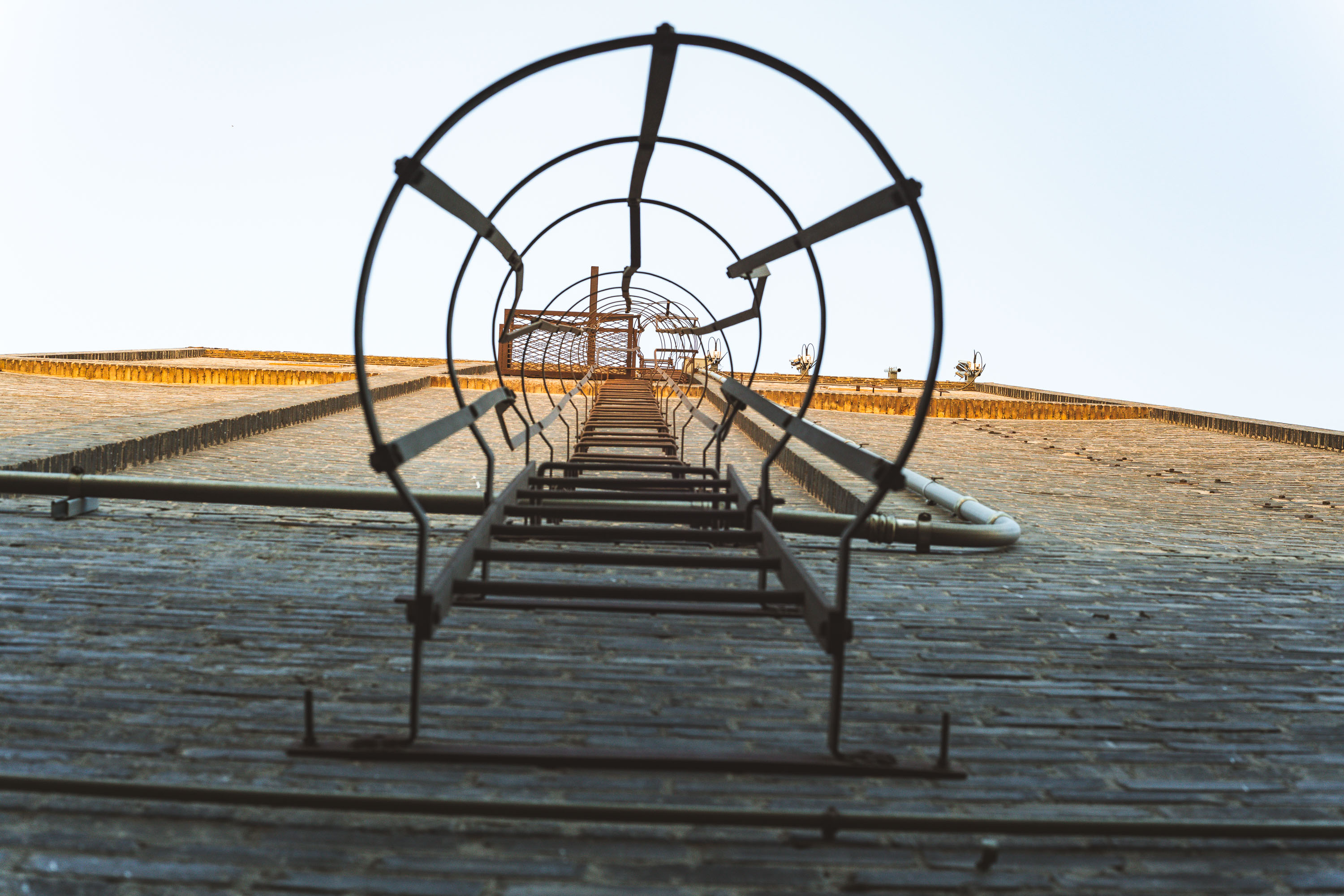
Caged metal ladder and walkway system on the exterior of a Viterra grain elevator in Minneapolis.
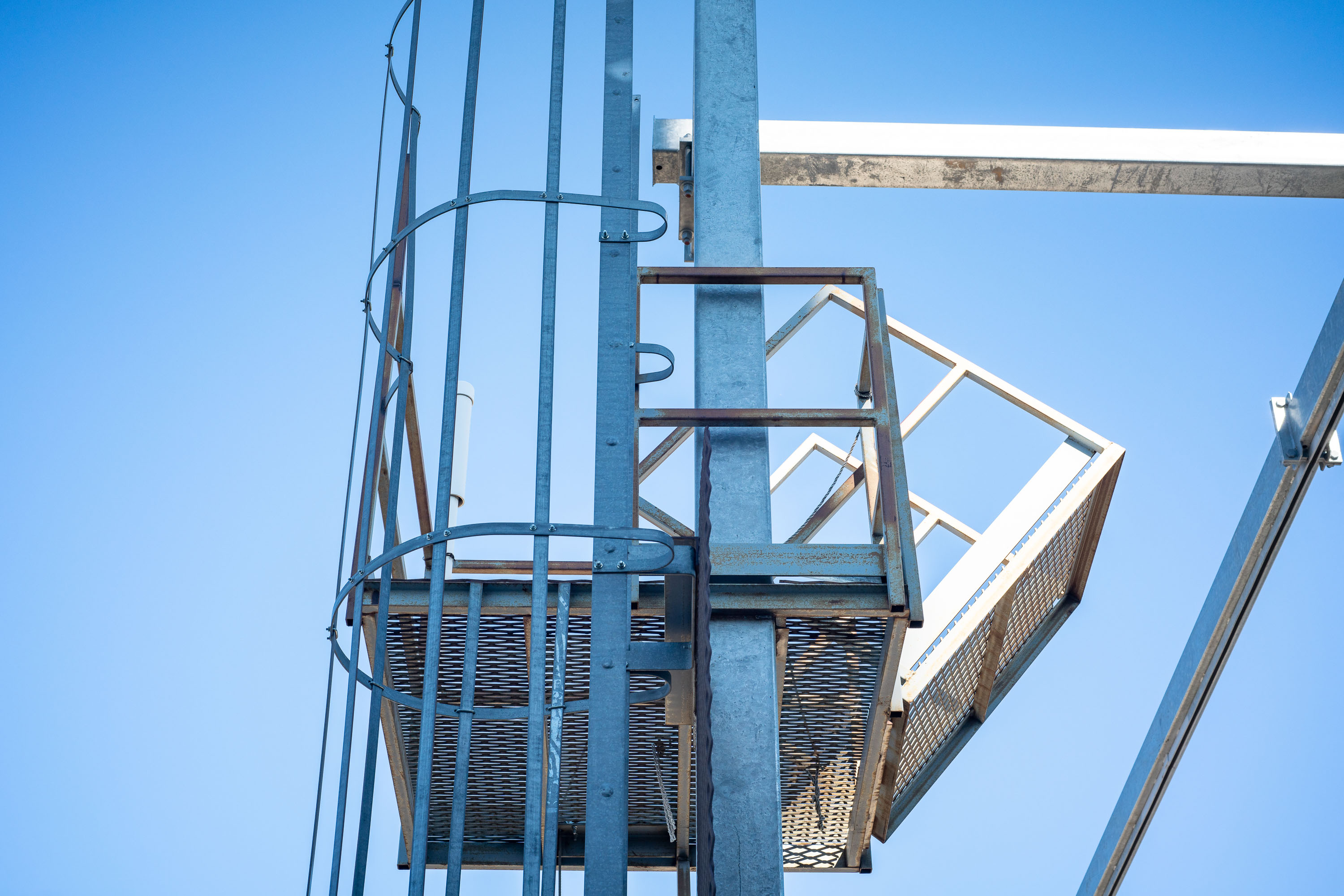
A caged ladder climbs the exterior wall of the Viterra grain elevator in Minneapolis, rising toward a platform near the roofline. The circular hoops around the rungs are a standard safety guard meant to keep a climber from falling backward on the long vertical run.

A Caged Exterior Ladder on Viterra’s Grain Elevator
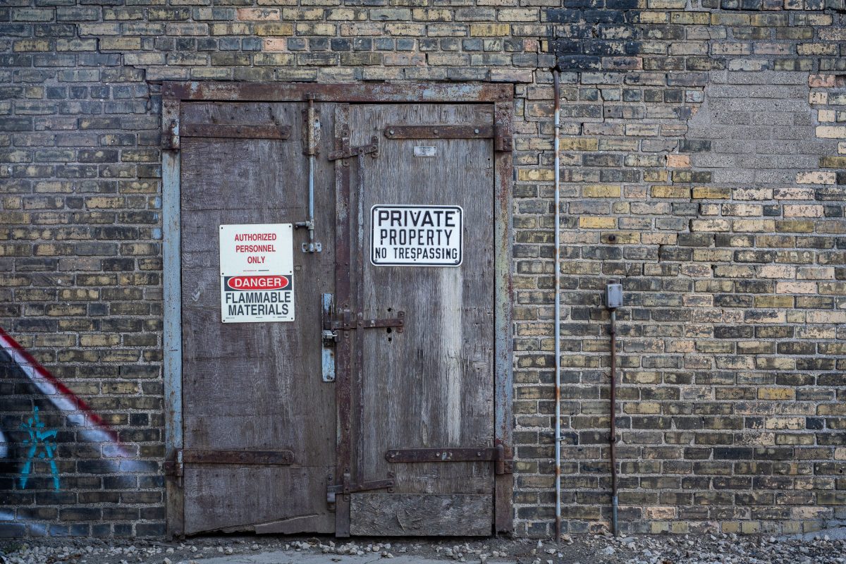
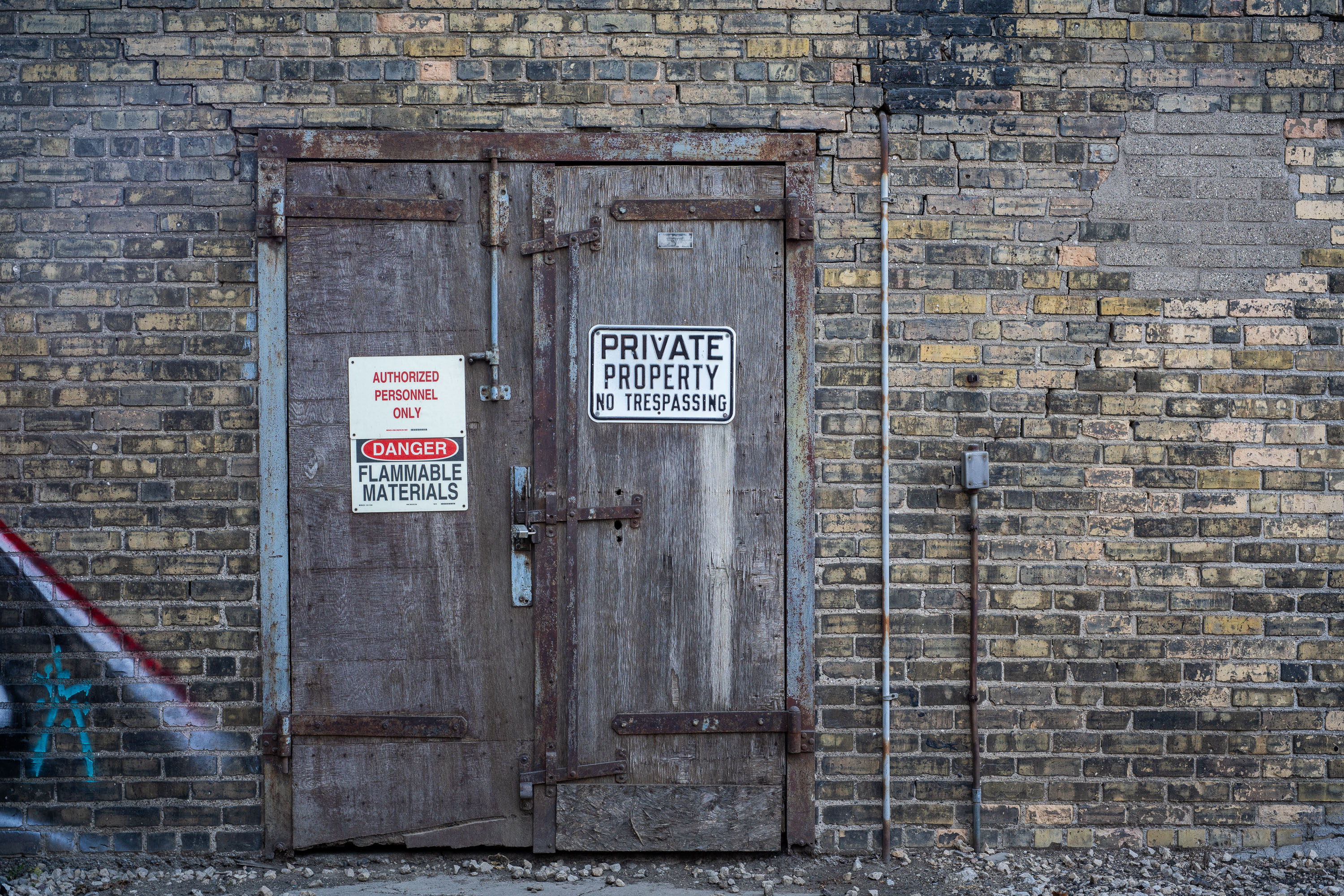
Loading dock door at Viterra grain elevator in Minneapolis displaying "Private Property" and "Flammable Materials" warning signs.
This locked double door sits on a loading dock at a grain elevator Viterra operates in Minneapolis. Viterra is a global grain handling company that stores, processes, and ships grain for export.

Warning Signs on a Loading Dock Door at Viterra’s Grain Elevator
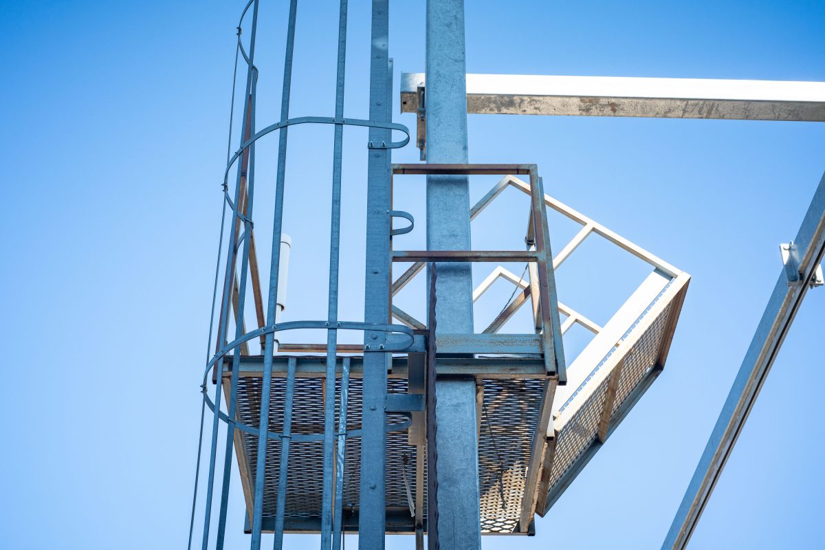
Viterra grain elevator safety cage and platform with blue metal framework and ladder against clear sky in Minneapolis.
This safety cage and landing are part of the Viterra grain elevator in Minneapolis, a facility along the Mississippi River used for storing and loading grain. The caged ladder gives workers a protected climb between platforms on the structure's exterior.

Safety Cage and Landing on the Viterra Grain Elevator

Barred window with white trim set in bright turquoise wall of Viterra grain elevator in Northeast Minneapolis.
Viterra runs a grain elevator complex in Northeast Minneapolis, part of the storage terminals that grew up near the city's old flour milling district. The window's iron security bars and worn wood frame point to the building's industrial age.

A Barred Window in the Turquoise Wall at Viterra
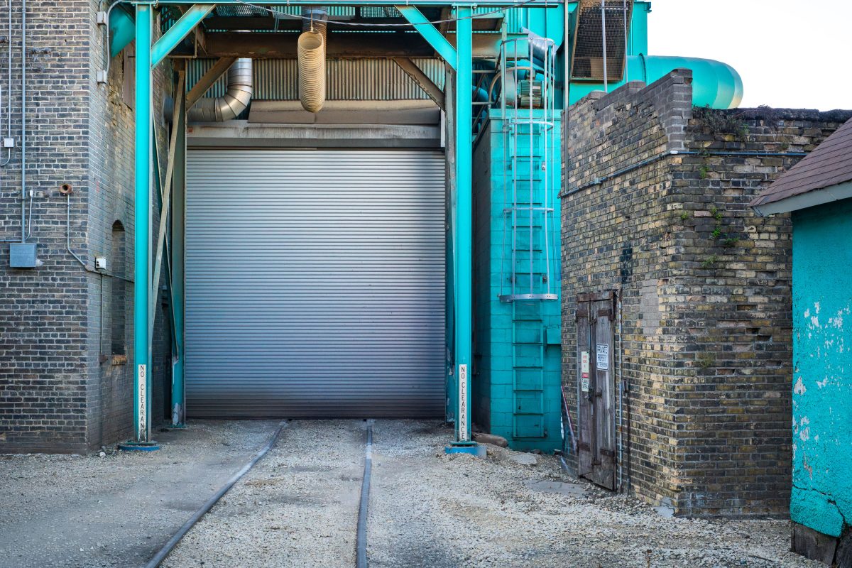
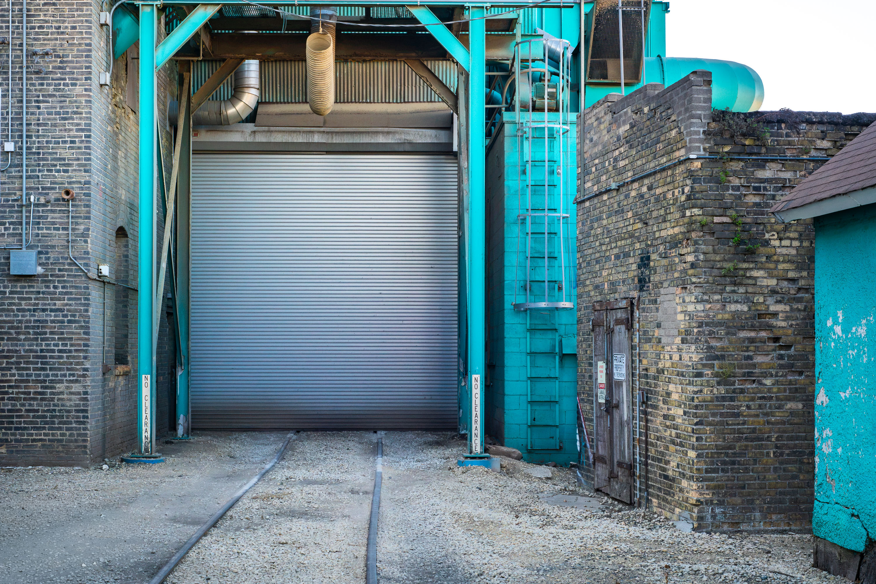
Turquoise steel loading frame and metal roll-up door at Viterra's grain elevator rail dock in Minneapolis.
Viterra operates this grain elevator and rail dock in Minneapolis. A narrow gauge rail spur runs beneath the turquoise steel loading frame, where hopper cars once positioned themselves under the elevator for grain transfer through the now closed roll up door.

Rail Tracks Leading to a Closed Loading Bay at Viterra’s Elevator

Window 16 on the Viterra grain elevator in Minneapolis features a barred window with white frame and number 16 graffiti on turquoise wall.
Viterra operates a grain elevator in Minneapolis, part of a global agribusiness network handling grain storage and shipping.

Window No. 16 on the Viterra Grain Elevator’s Turquoise Wall
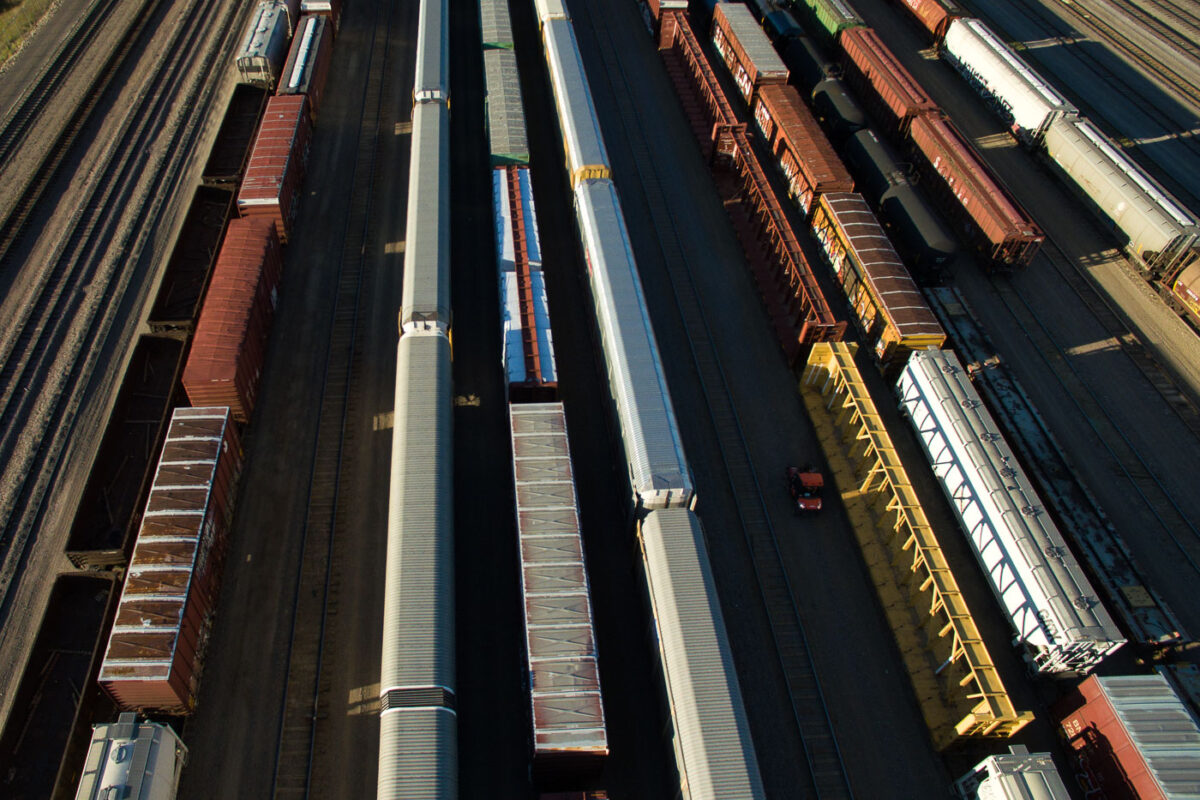
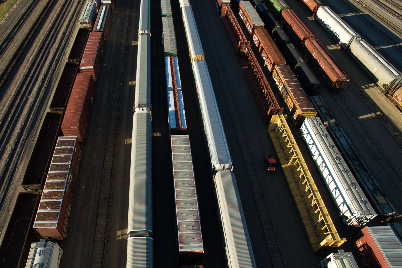
Multiple freight trains lined up in parallel tracks at Northtown Yard rail facility in North Minneapolis.
Northtown Yard, a major rail freight hub in North Minneapolis, is seen here with numerous freight cars.

Aerial View of Freight Cars at Northtown Yard
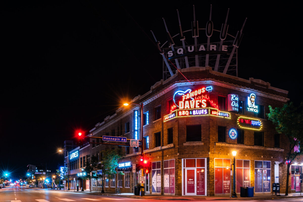
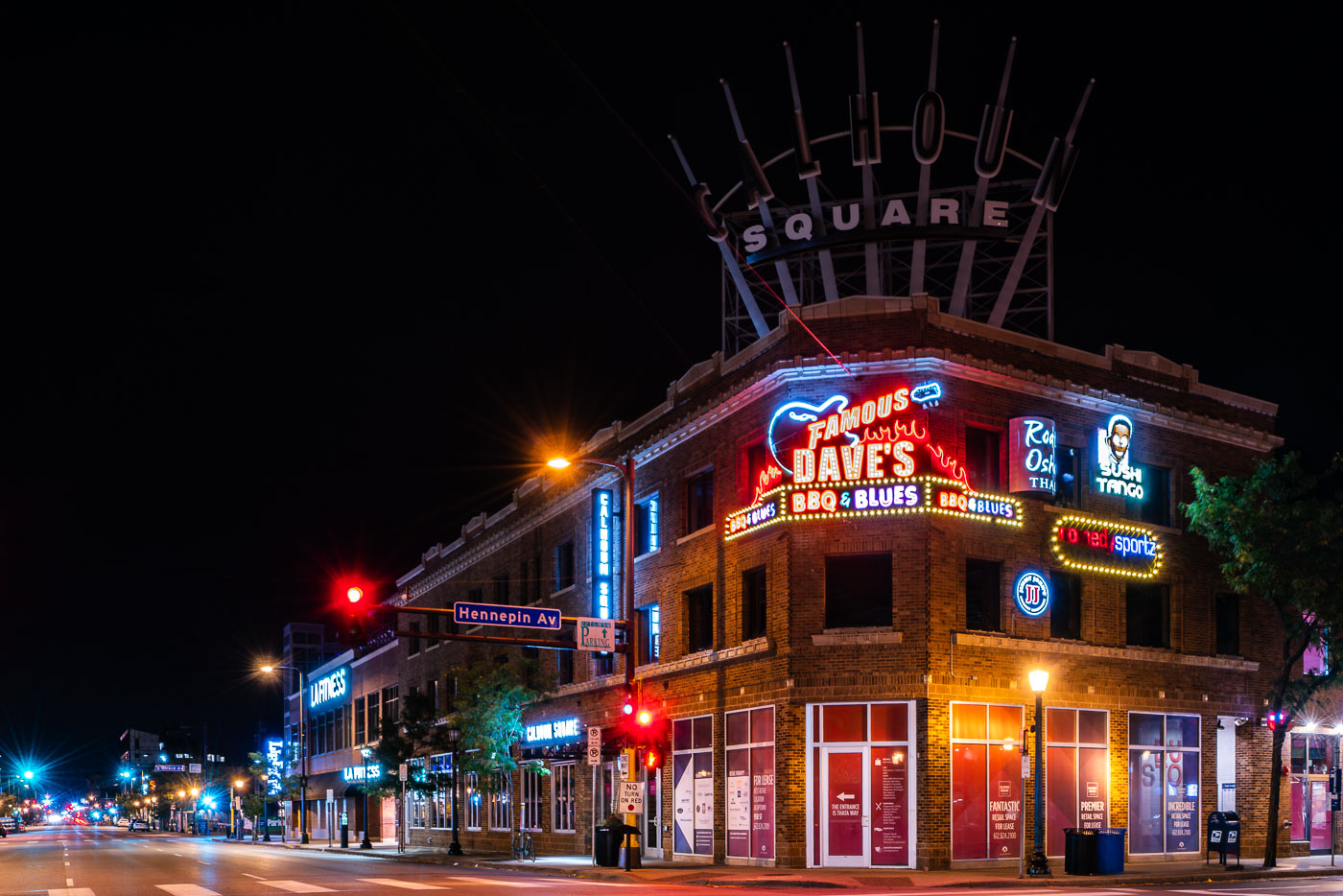
Calhoun Square in Minneapolis lit by neon signs at Hennepin Avenue and Lake Street.
Calhoun Square, a mall located at the intersection of Hennepin Avenue and Lake Street in Minneapolis's Uptown neighborhood, is illuminated at night. The building features a large neon sign for "Famous Dave's BBQ & Blues," alongside other businesses like "Sushi Tango" and "Roti Osha Thai."

Calhoun Square, Famous Dave’s, Hennepin Ave & Lake St, Minneapolis
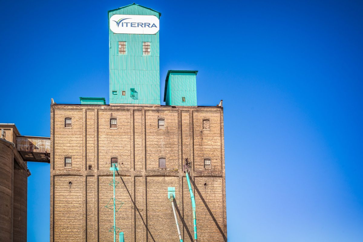
Viterra grain elevator with turquoise metal tower and mustard seed storage facility in Northeast Minneapolis.
Viterra facility in Northeast Minneapolis. The elevator stores mustard seed and has been operating since the 1920s.

Viterra Sign Atop the Grain Elevator Tower
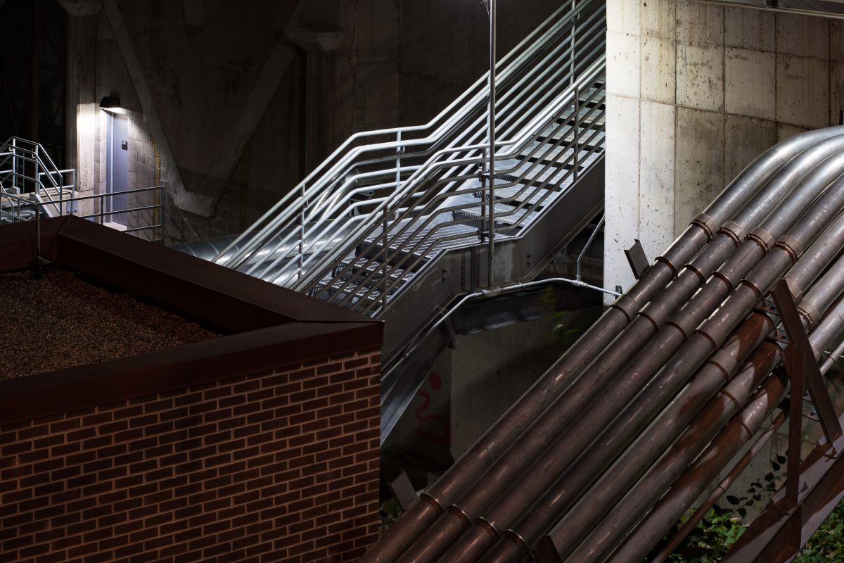
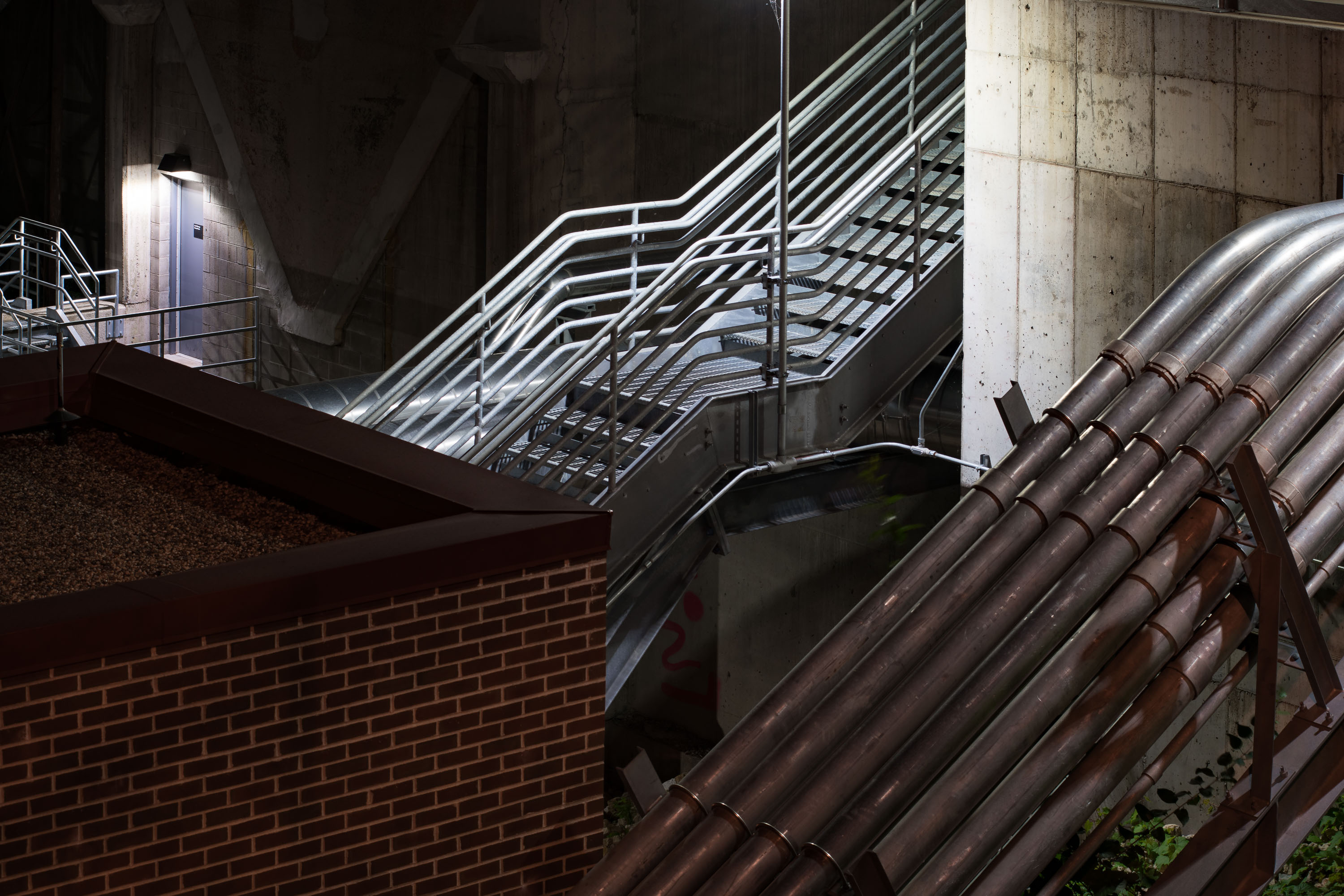
Industrial pipes and metal staircase at University of Minnesota's Main Energy Plant facility.
The Main Energy Plant, on the University of Minnesota's Minneapolis campus along the Mississippi River, generates steam and electricity for the Twin Cities campus through a combined heat and power system.

Steam Pipes and Stairwell, Main Energy Plant, University of Minnesota
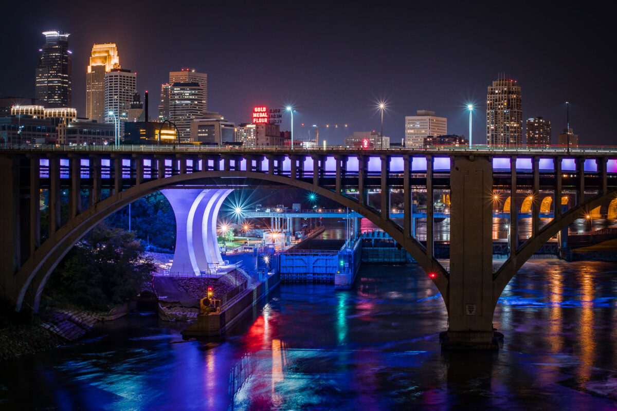
The I-35W Mississippi River Bridge at night, with the Minneapolis skyline in the background.
The I-35W Mississippi River Bridge over the Mississippi River in downtown Minneapolis. The bridge collapsed in 2007 and was replaced in 2008.

Minneapolis I-35W Bridge and Downtown Skyline at Night
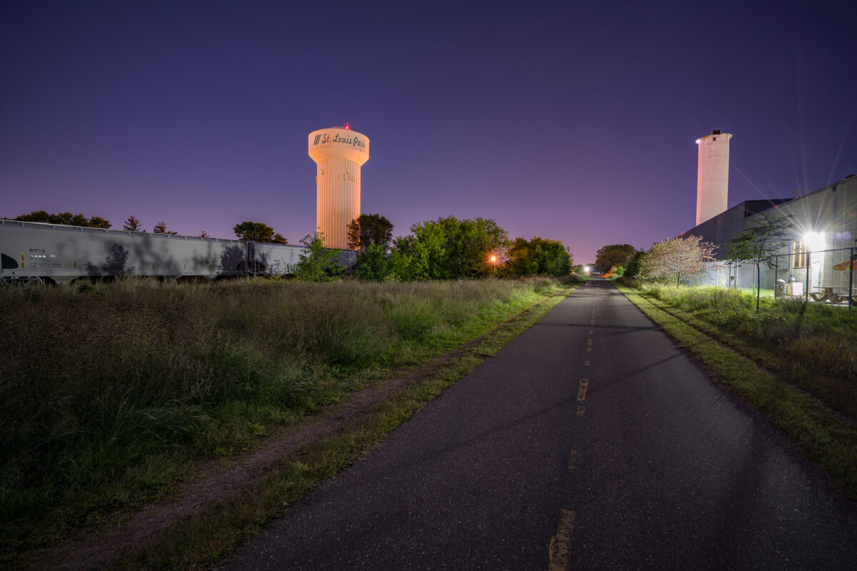
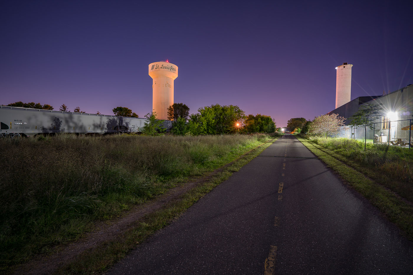
St. Louis Park water tower and grain elevator illuminated at dusk above the Cedar Lake Trail paved path.
The Cedar Lake LRT Regional Trail in St. Louis Park, Minnesota. This paved trail follows a former railroad corridor, originally part of the Minneapolis & St. Louis Railway.

Night photo of Cedar Lake LRT Regional Trail Near the St. Louis Park Water Tower
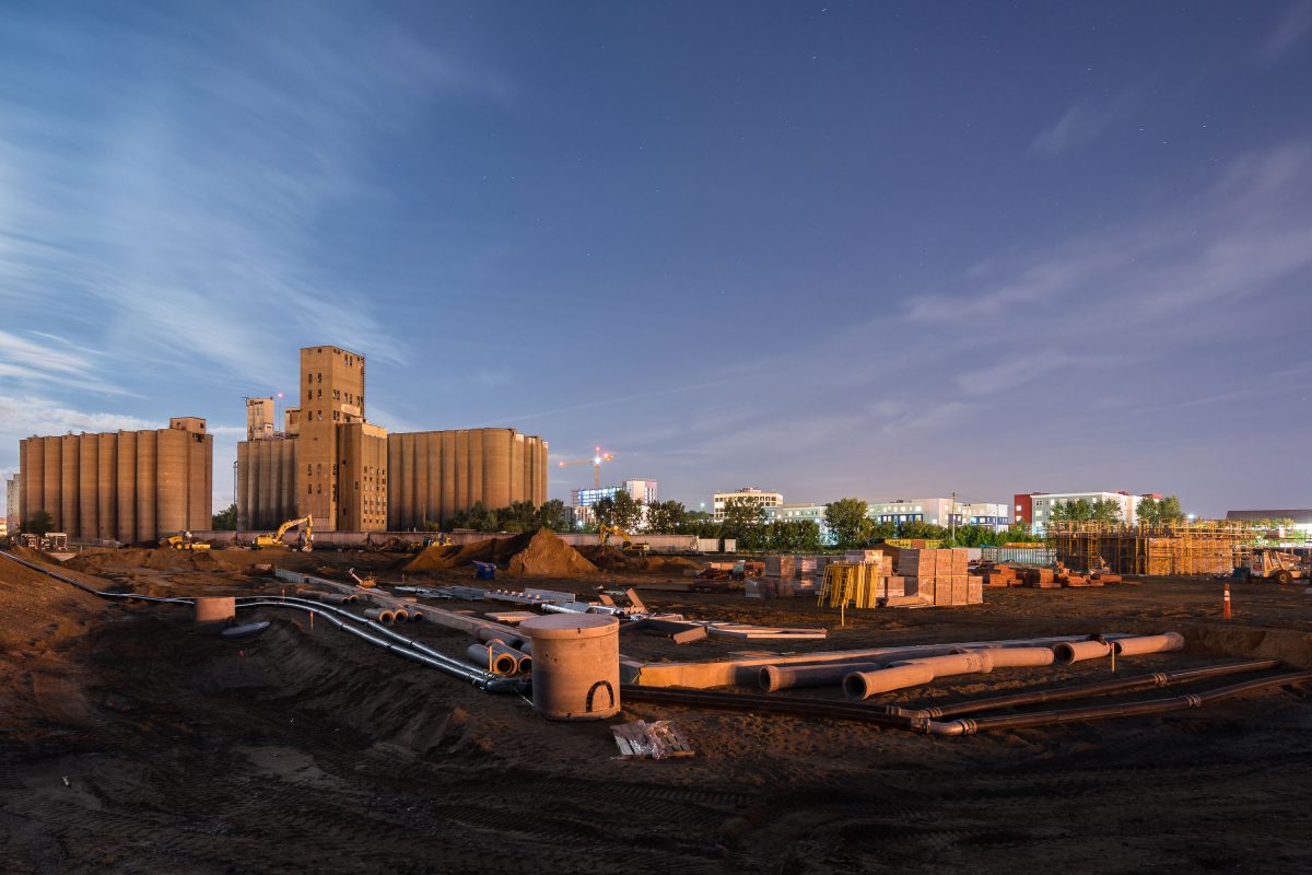
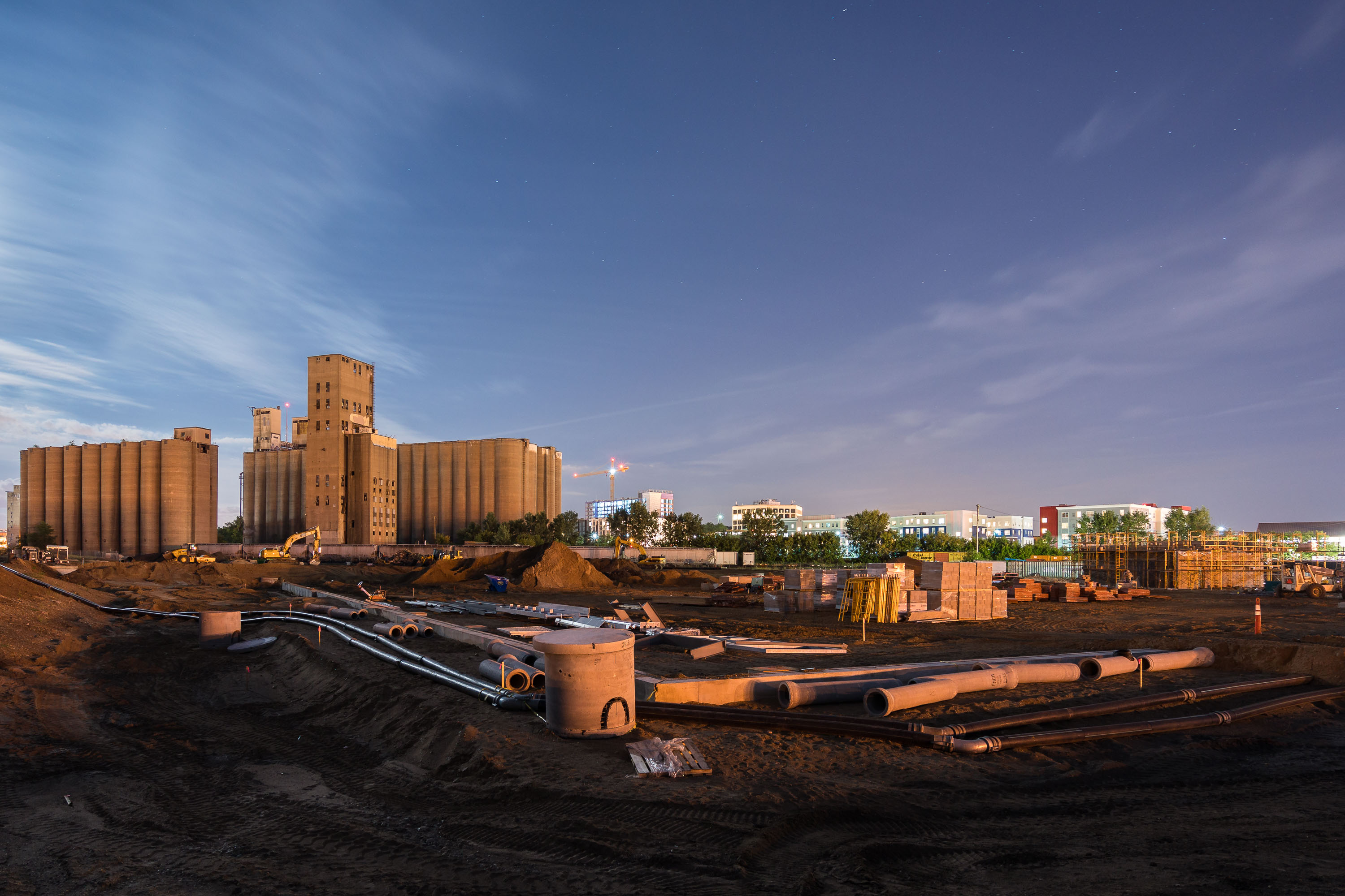
Construction site at night on the former Kurth Malting grain elevator grounds in Dinkytown, Minneapolis.
This construction site in Dinkytown, Minneapolis, sits on the former grounds of the Kurth Malting Company grain elevator. The elevator complex was demolished to clear land for a University of Minnesota athletic facility. Concrete silos from the adjacent Archer Daniels Midland elevator remain standing near the cleared parcel.

Kurth Malting Site Redevelopment, Dinkytown Minneapolis
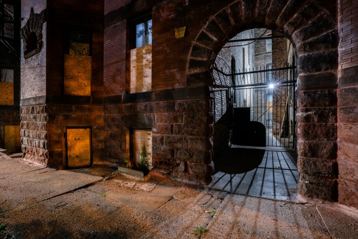
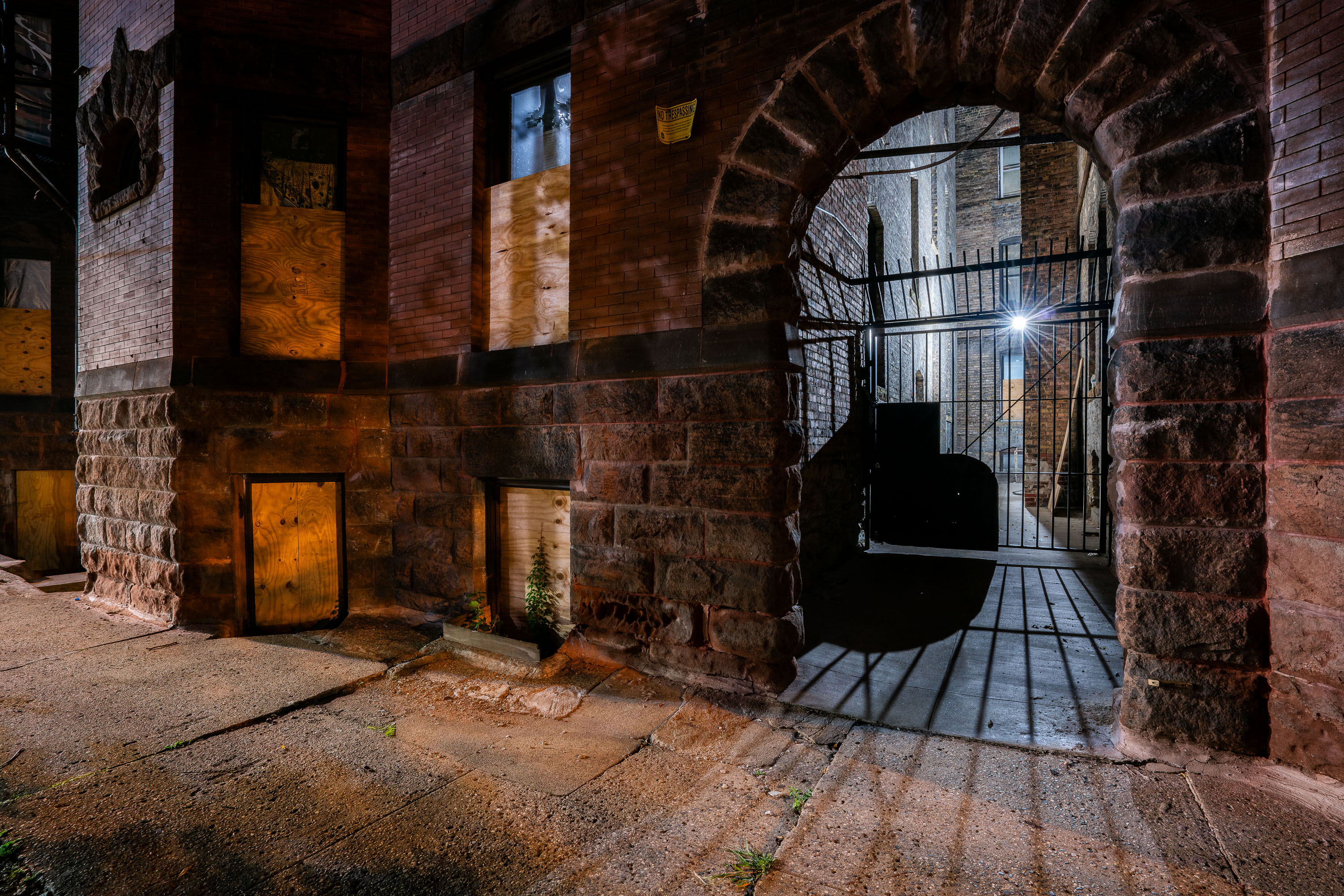
Boarded windows on a brick apartment building alley in downtown Minneapolis at night.
The Laurel Apartments building sits near downtown Minneapolis, constructed with the rusticated stone base and brick upper walls common to the city's late-19th and early-20th century multifamily housing stock.

Boarded Windows and Gated Archway, Laurel Apartments, Minneapolis
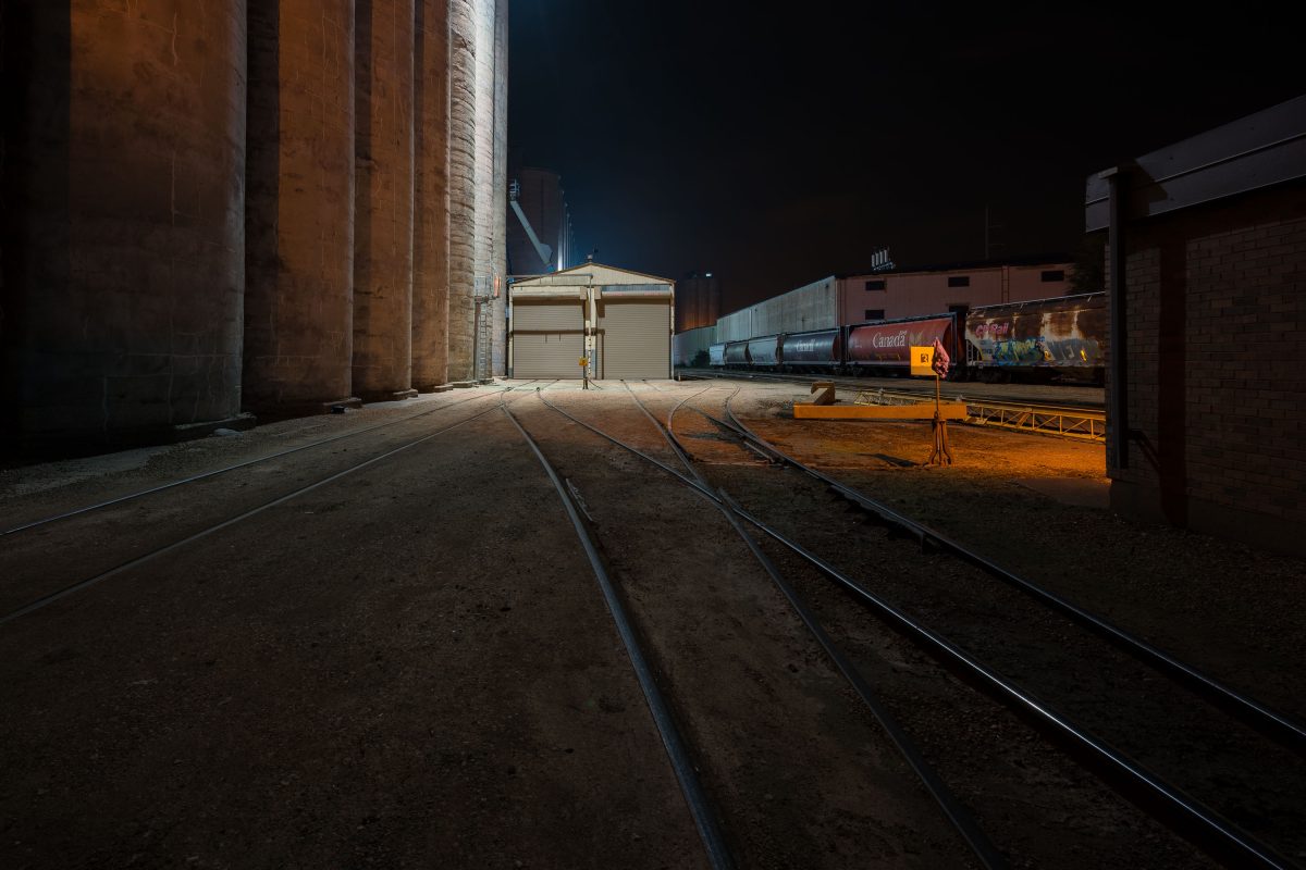
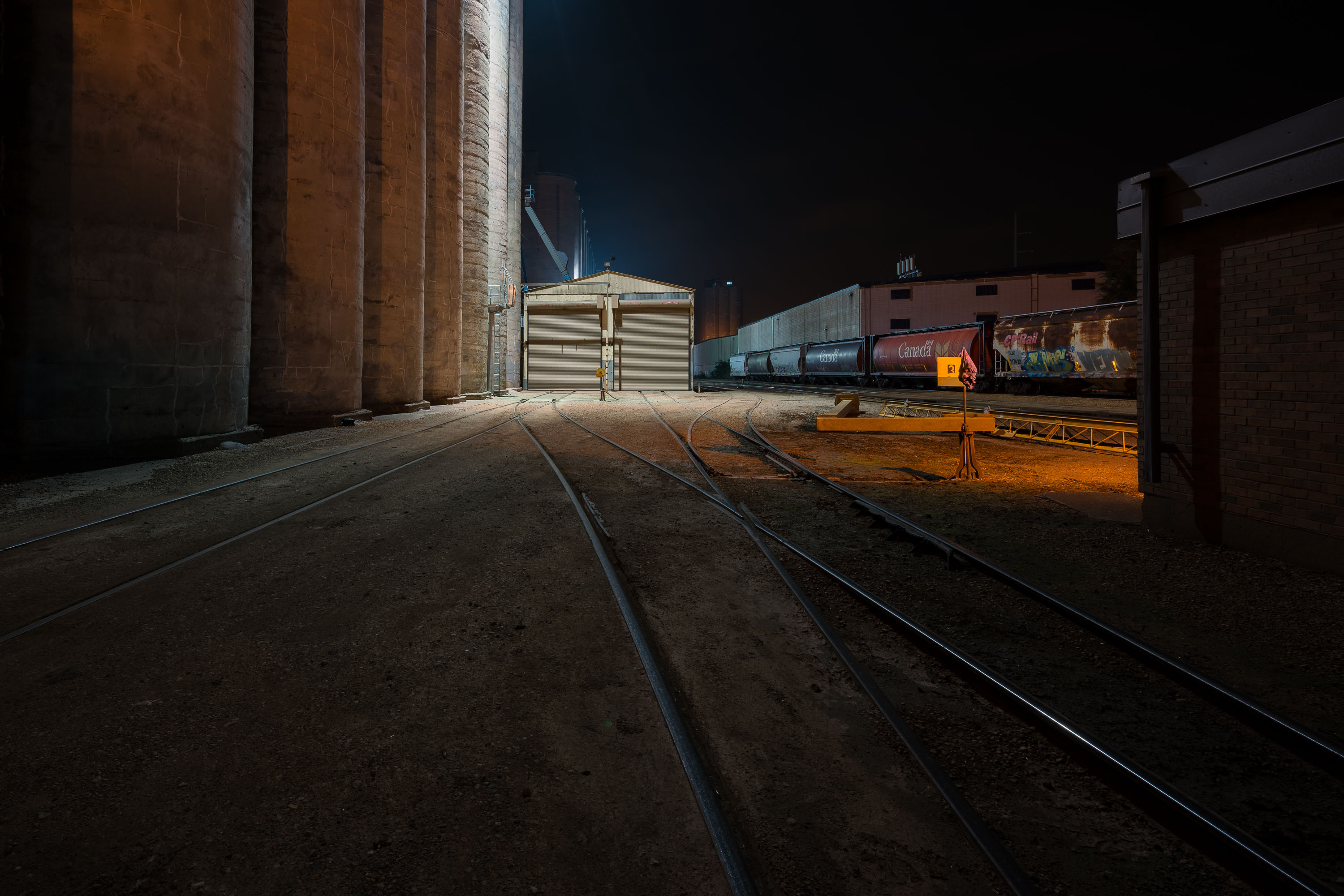
Railroad tracks lead to a General Mills grain elevator and freight train at night in Minneapolis.
A General Mills grain elevator complex sits along active rail lines in Minneapolis. General Mills, headquartered in Golden Valley, Minnesota, operates grain milling and food production facilities across the Minneapolis area. Rail spurs connect the elevator to the wider freight network, including Canadian National and other North American carriers, for shipping grain and finished products.

Rail Tracks at General Mills Grain Elevator, Minneapolis
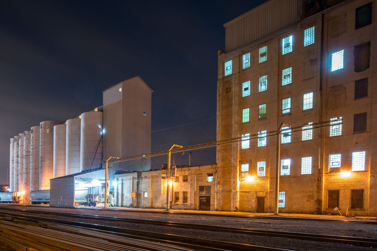
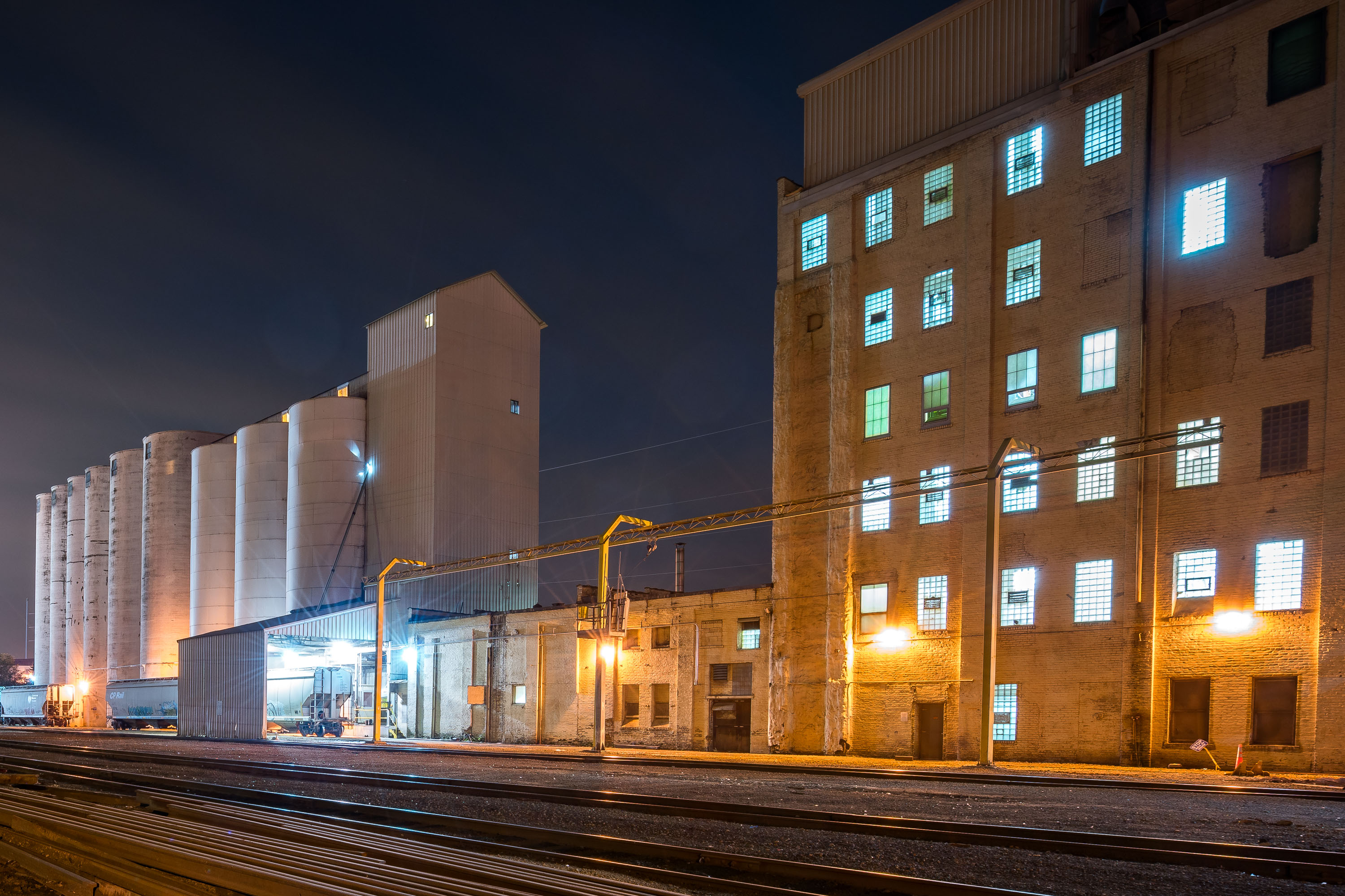
ADM Nokomis Flour Mill complex in South Minneapolis at night, featuring illuminated grain silos and brick mill buildings adjacent to railroad tracks.
ADM Nokomis Flour Mill in South Minneapolis was an Archer Daniels Midland grain-processing facility. The complex includes mill buildings, grain silos, and rail access for moving grain and flour. The mill closed in mid-2019.

ADM Nokomis Mill Silos at Night Along the Rail Line
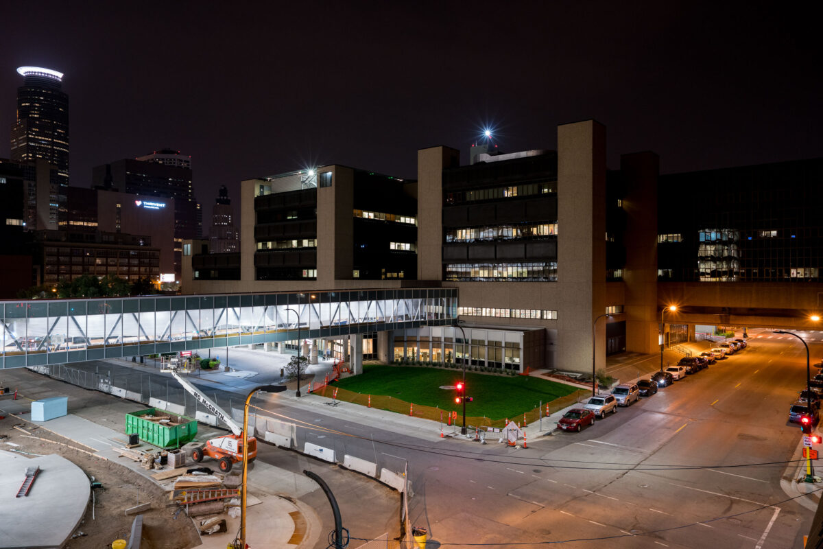
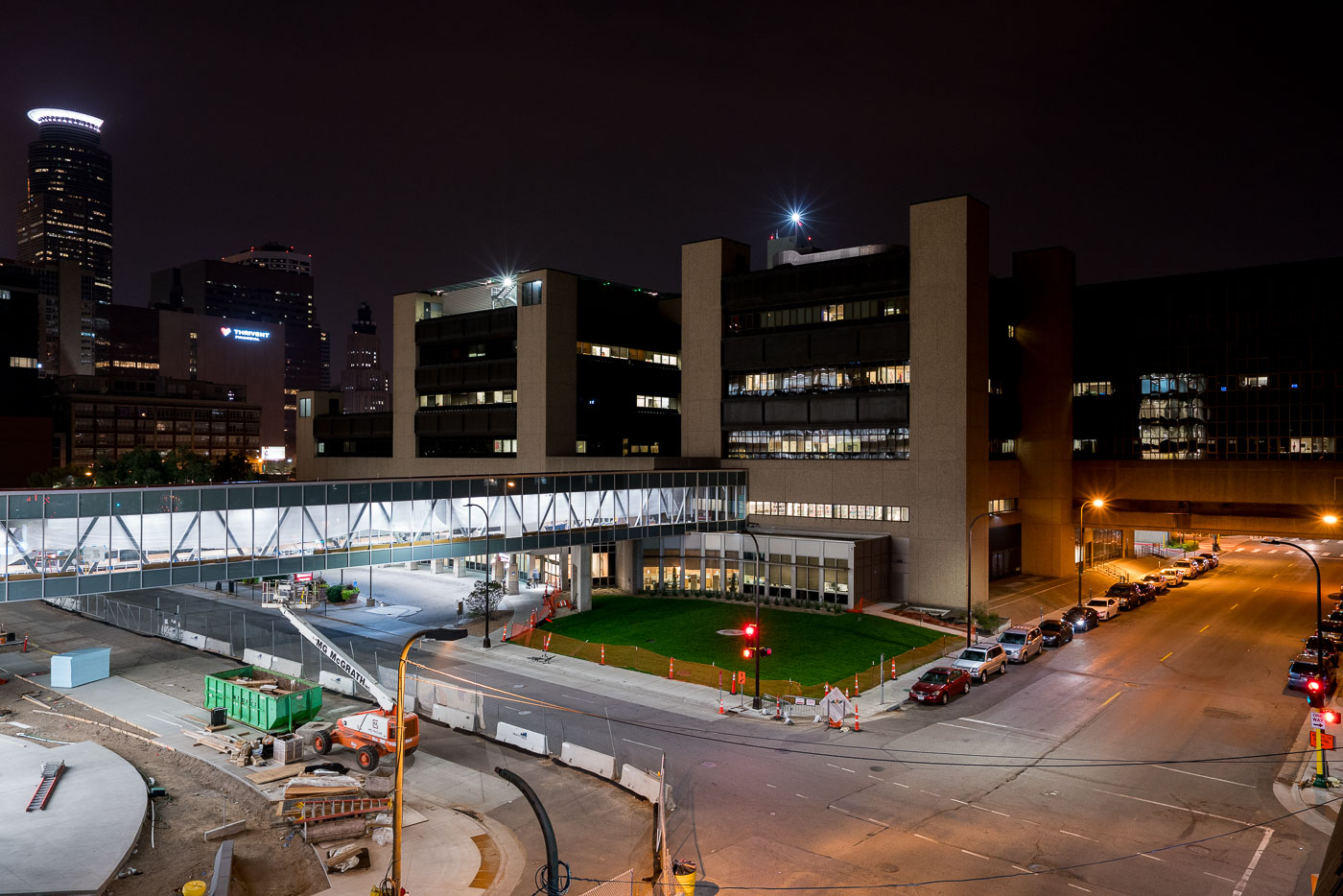
The Hennepin County Medical Center skyway connects buildings in downtown Minneapolis, providing a weather-protected passage for patients and staff.
The Hennepin County Medical Center (HCMC) skyway connects buildings within the Hennepin Healthcare complex in downtown Minneapolis. This elevated walkway provides a weather-protected passage for patients, staff, and visitors between medical facilities. HCMC, established in 1972, is a major public hospital serving the Twin Cities metropolitan area and is a key component of the city's downtown infrastructure.

Hennepin County Medical Center Skyway, Minneapolis at Night
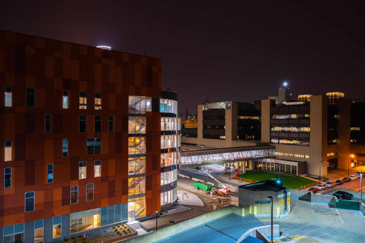
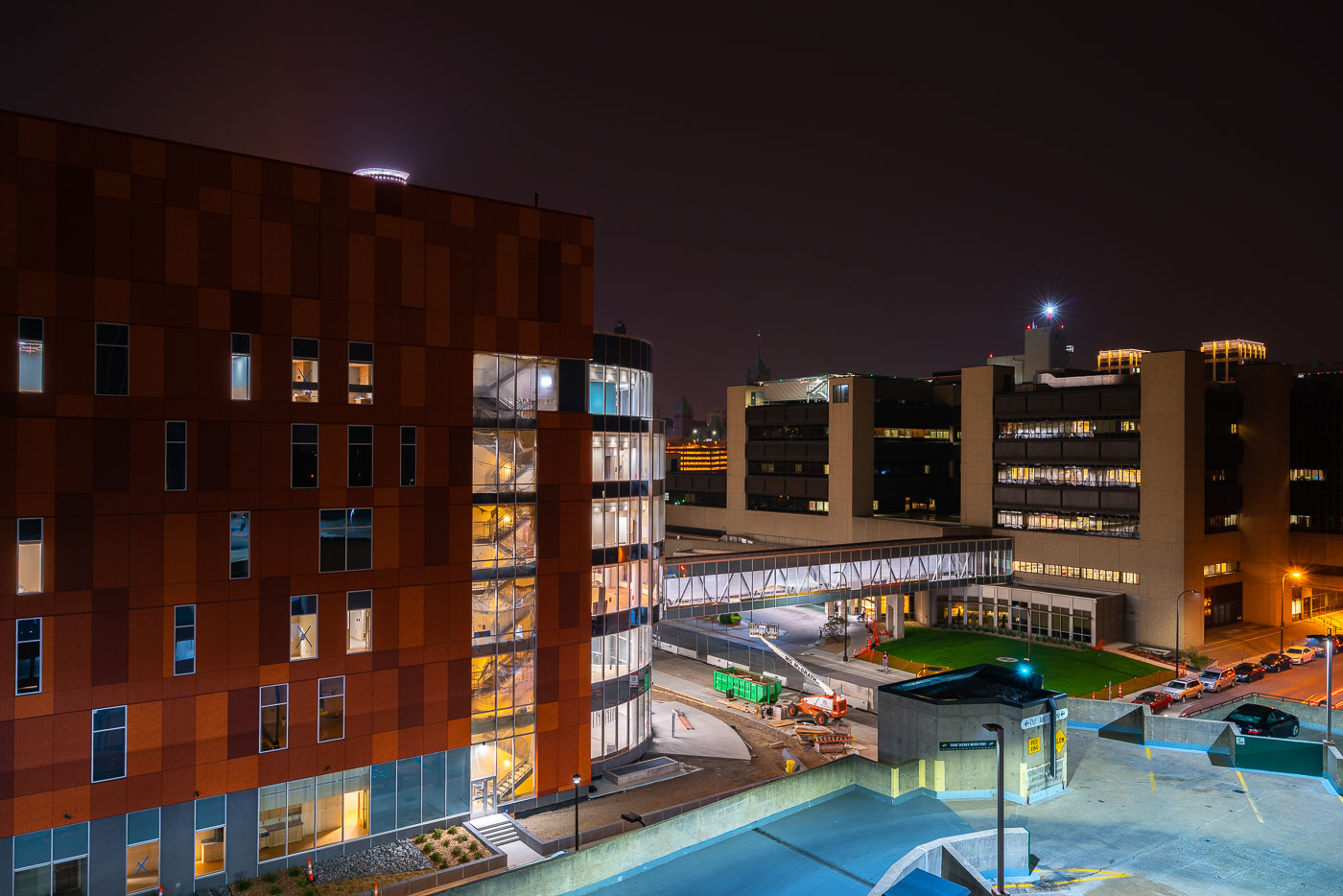
Hennepin Healthcare's Minneapolis campus on Chicago Avenue at night, featuring modern additions and construction.
Hennepin Healthcare's downtown Minneapolis campus at night. The medical center, located on Chicago Avenue, has served the community since its founding in 1969. The photograph captures the hospital complex, including a modern addition with a distinctive copper-colored facade and a skybridge connecting different structures.

Hennepin Healthcare Minneapolis at Night
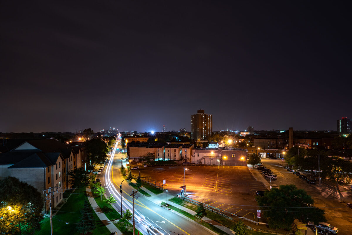
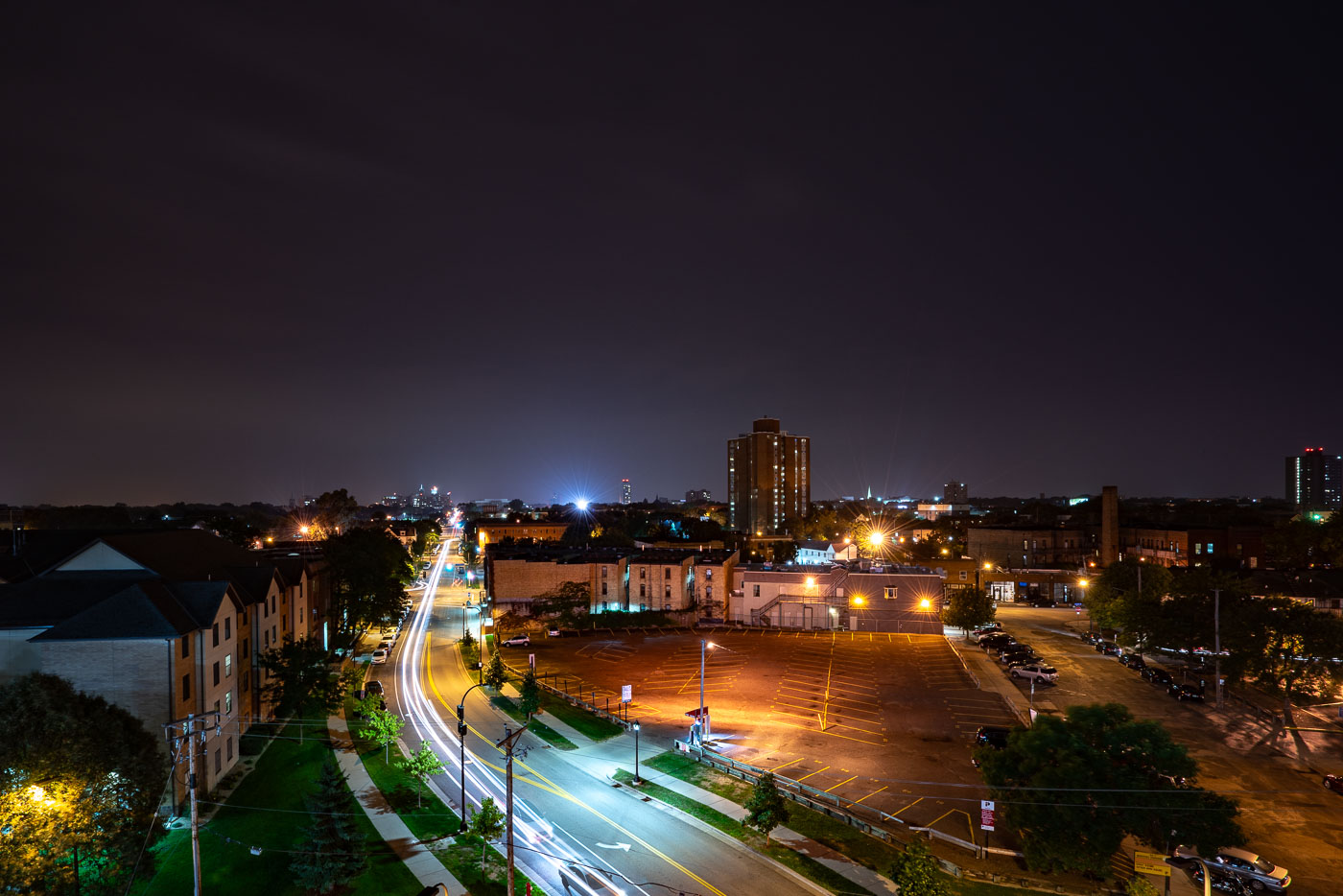
Chicago Avenue in Downtown Minneapolis at night, 2017. Long exposure shows vehicle light trails on the street, a vital transportation artery.
Chicago Avenue in Downtown Minneapolis, as seen on September 1, 2017, is a vital artery for the city's transportation network. The long exposure captures the movement of vehicles, illustrating the street's function as a thoroughfare connecting various neighborhoods and commercial districts. The surrounding architecture, including residential buildings and commercial establishments, reflects the mixed-use nature of this urban environment. This view highlights the continuous activity and infrastructure that supports daily life and commerce in Minneapolis.

Chicago Avenue, Downtown Minneapolis at Night, 2017
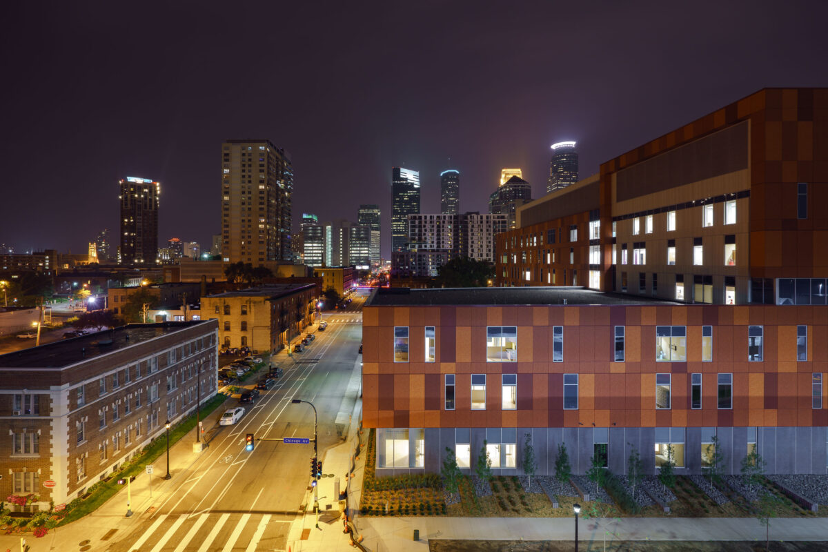
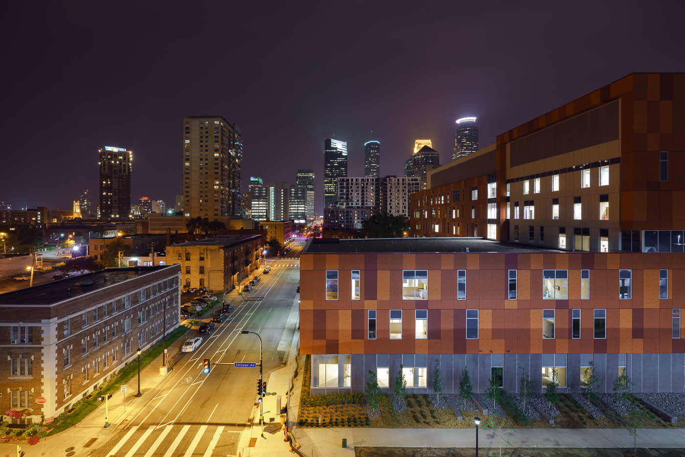
Hennepin Healthcare on Chicago Avenue in downtown Minneapolis at night.
Hennepin Healthcare's new clinic and specialty center, located on Chicago Avenue in downtown Minneapolis, is illuminated at night. This facility, part of the larger Hennepin County Medical Center (HCMC) system, provides essential healthcare services to the community. The building's modern design contrasts with the historic architecture visible in the background, representing the ongoing development of the urban environment.

Hennepin Healthcare, Chicago Ave, Downtown Minneapolis at Night
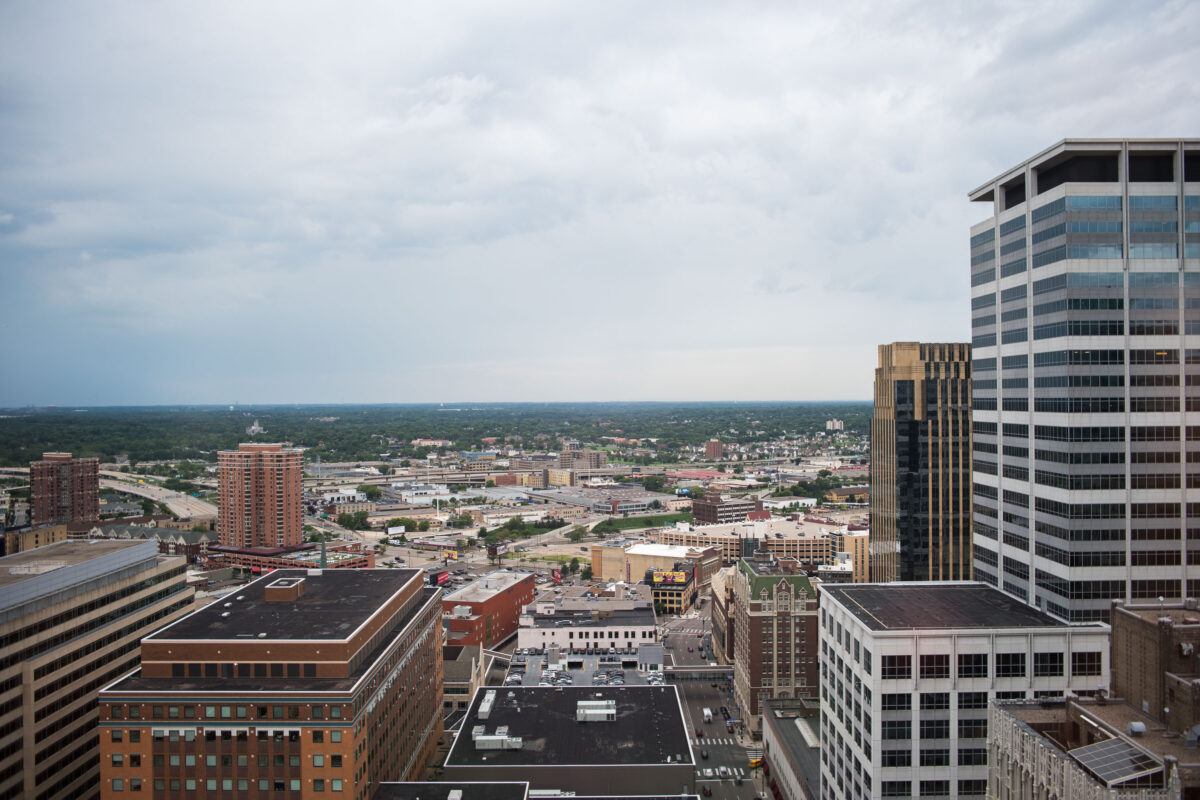
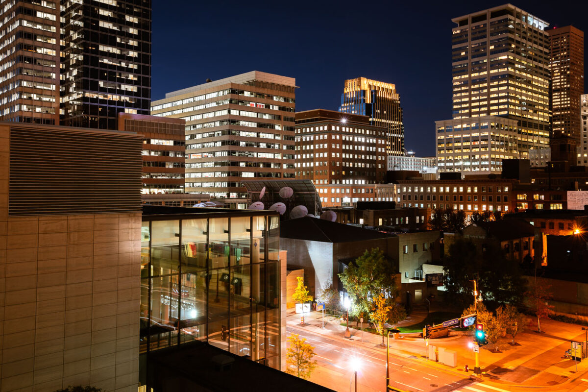
Downtown Minneapolis north of the AT&T Tower with office towers and commercial blocks.
Downtown Minneapolis, Minnesota, north of the AT&T Tower includes the central business district and adjoining blocks toward the city’s north side. The area combines office towers, hotels, parking structures, commercial streets, and transportation corridors within the downtown core.

Downtown Minneapolis North of AT&T Tower

© 1996–2026 Chad Davis