Metro Transit

184 photos · 2012–2026

184 photographs tagged Metro Transit, 2012–2026.
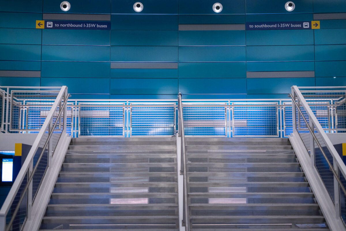
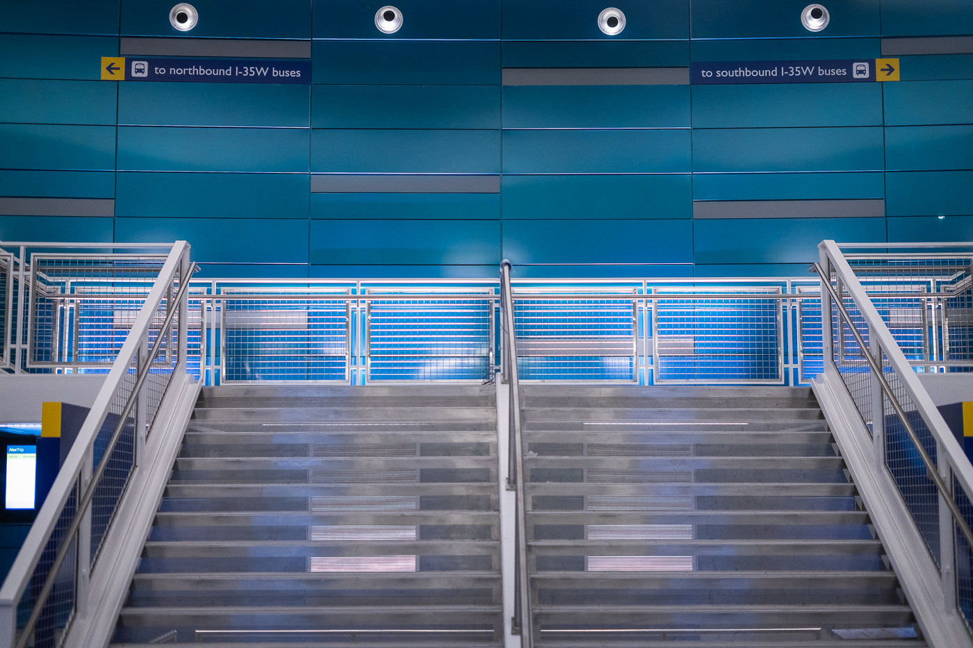
I-35W & Lake Street Transit Center stairs in Minneapolis.
I-35W & Lake Street Transit Center in Minneapolis. The station serves Metro Transit buses on the I-35W corridor and opened as part of the area’s bus rapid transit network.

I-35W & Lake Street Transit Center, Minneapolis
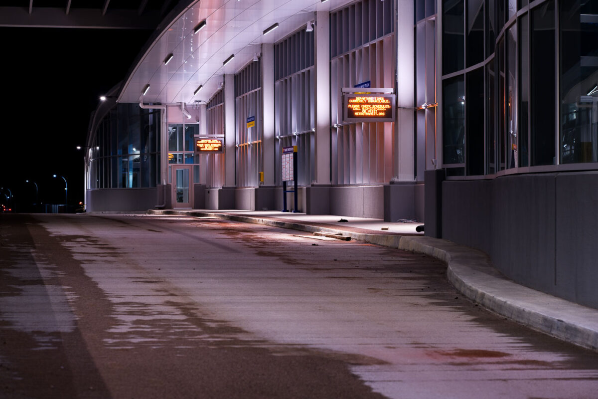
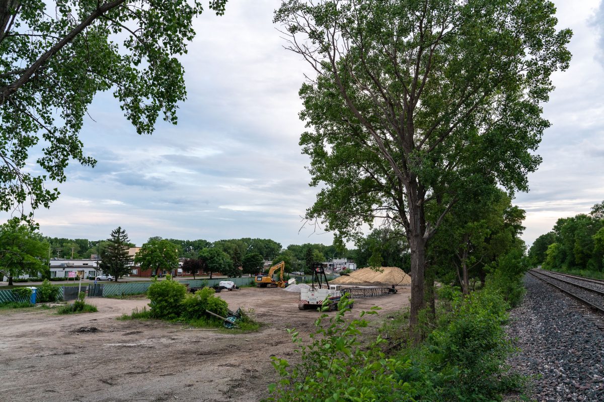
35W Transit Center Under Construction
Construction continues on the 35W Transit Center in South Minneapolis, a key component of the Interstate 35W corridor improvements. This facility is designed to serve as a major hub for Metro Transit bus routes, connecting commuters across the Twin Cities metropolitan area.

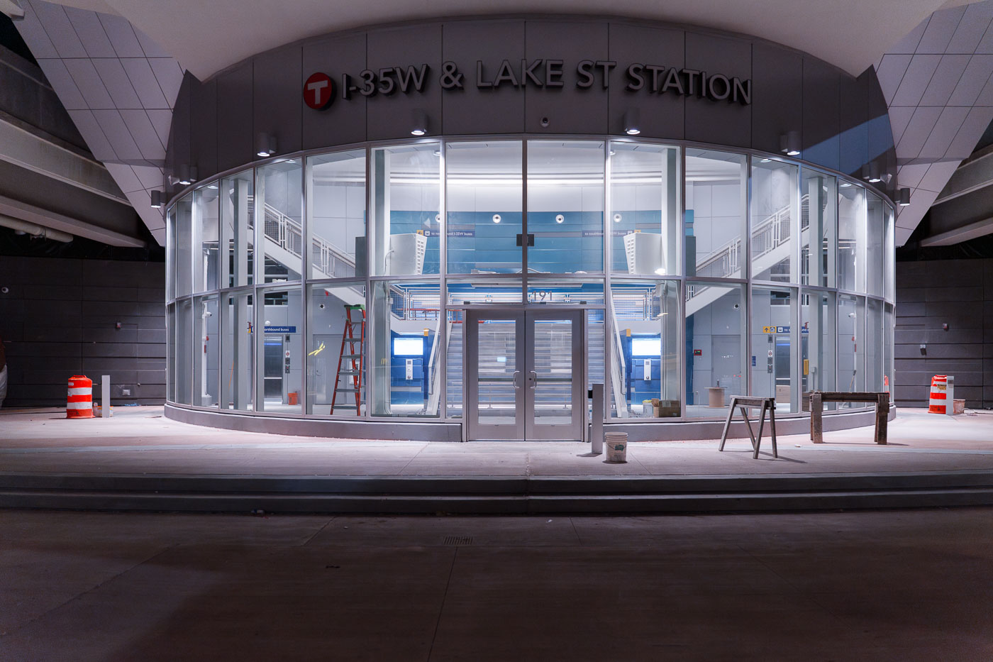
35W Transit Center Construction Night
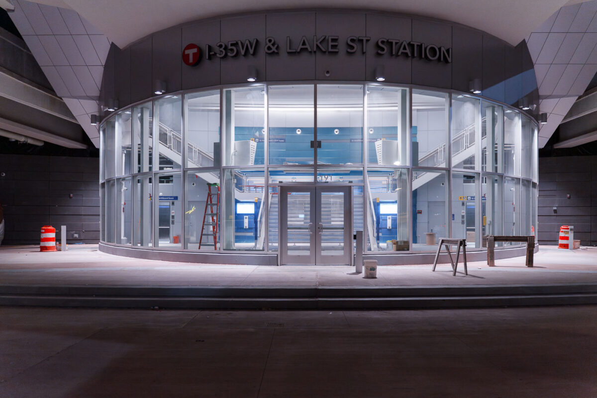
I35W and Lake Street Station development
The I-35W & Lake Street Station in Minneapolis is a multimodal transit hub serving bus routes and connecting to Interstate 35W. Construction was ongoing at the time this photograph was taken.

I-35W & Lake Street Station, Minneapolis
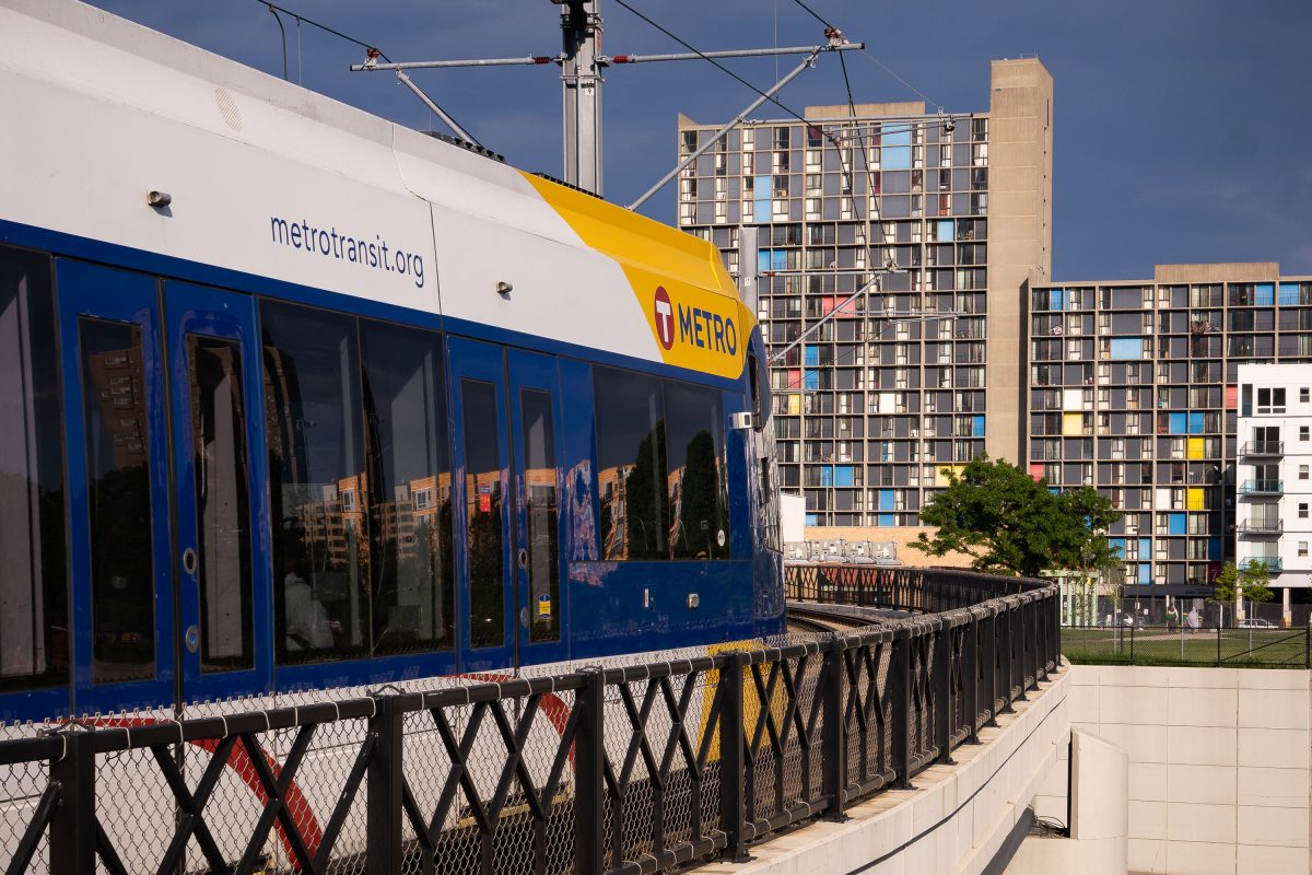
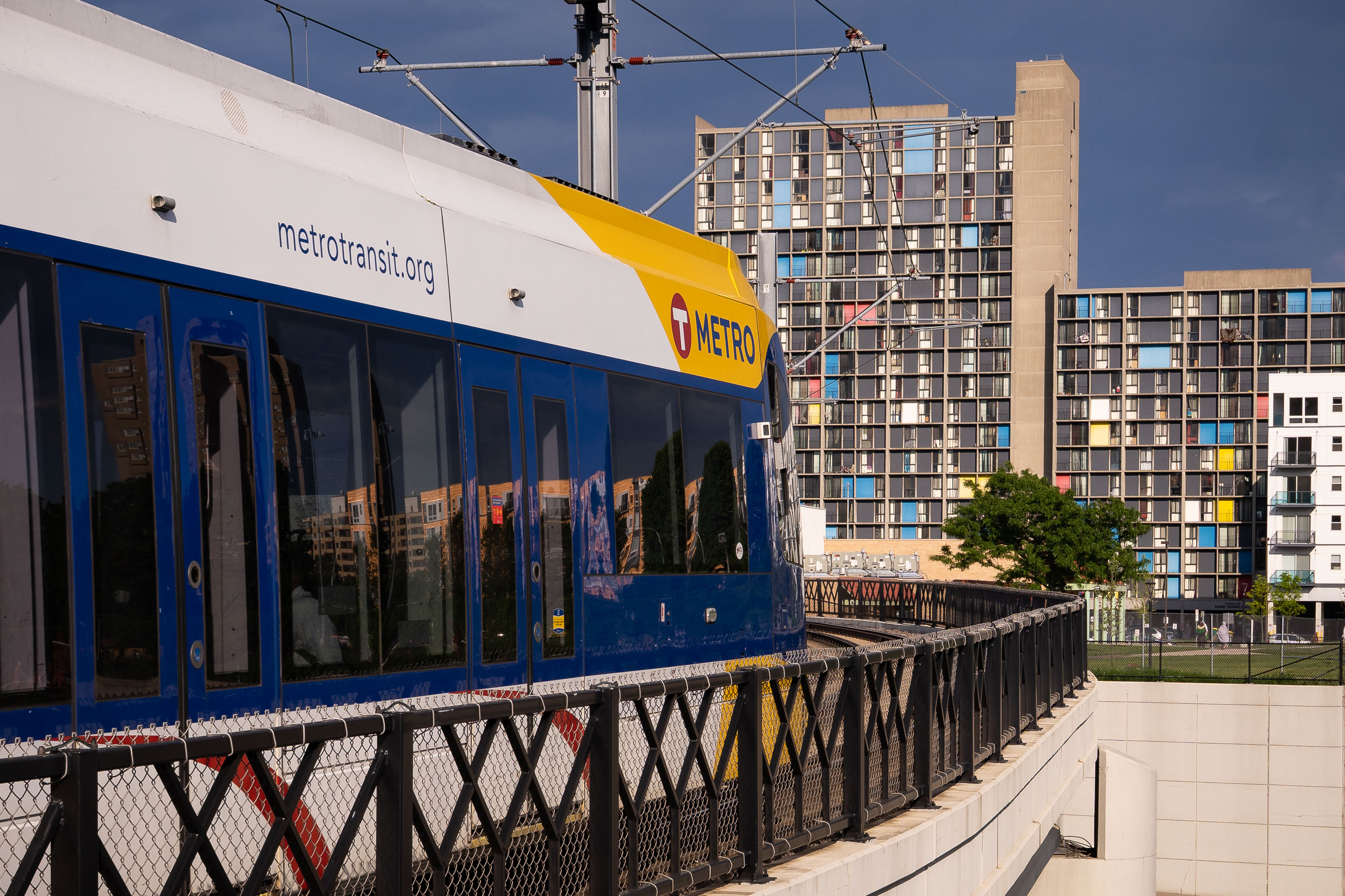
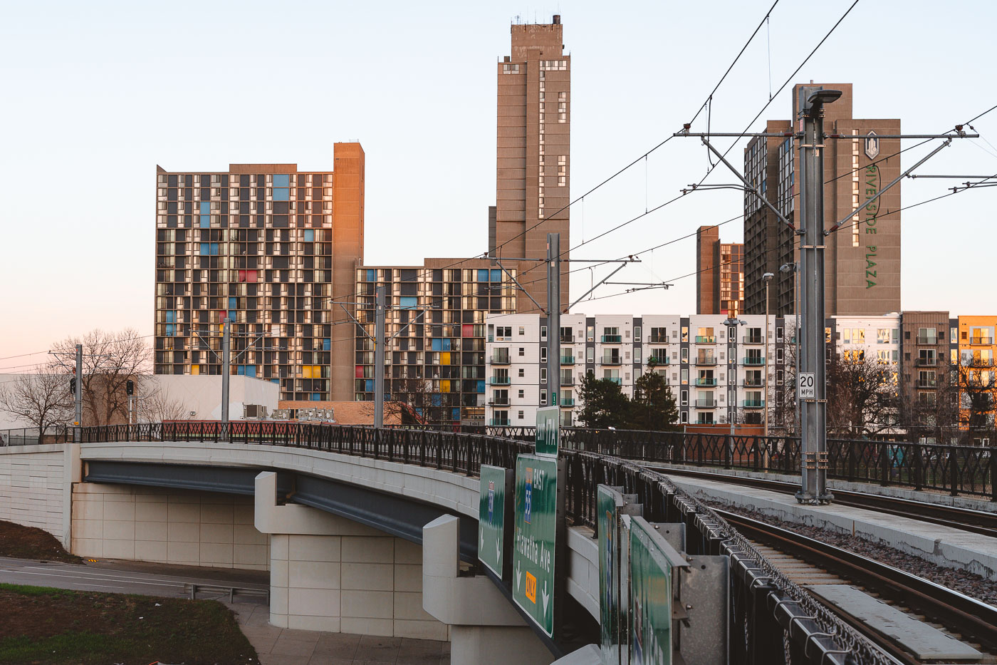
Metro Transit light rail train approaching Cedar-Riverside Station with Riverside Plaza residential towers in downtown Minneapolis.
A Metro Transit light rail train crosses Interstate 35W approaching the Cedar-Riverside Station in Minneapolis. The station serves the Blue and Green Lines and sits adjacent to the Riverside Plaza high-rise complex, a distinctive Brutalist housing development completed in 1973.

Metro Train Crosses I-35W Near Riverside Plaza, Minneapolis
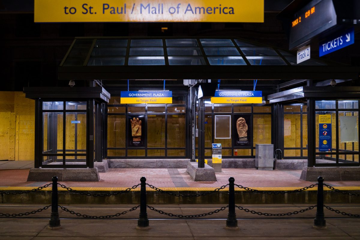
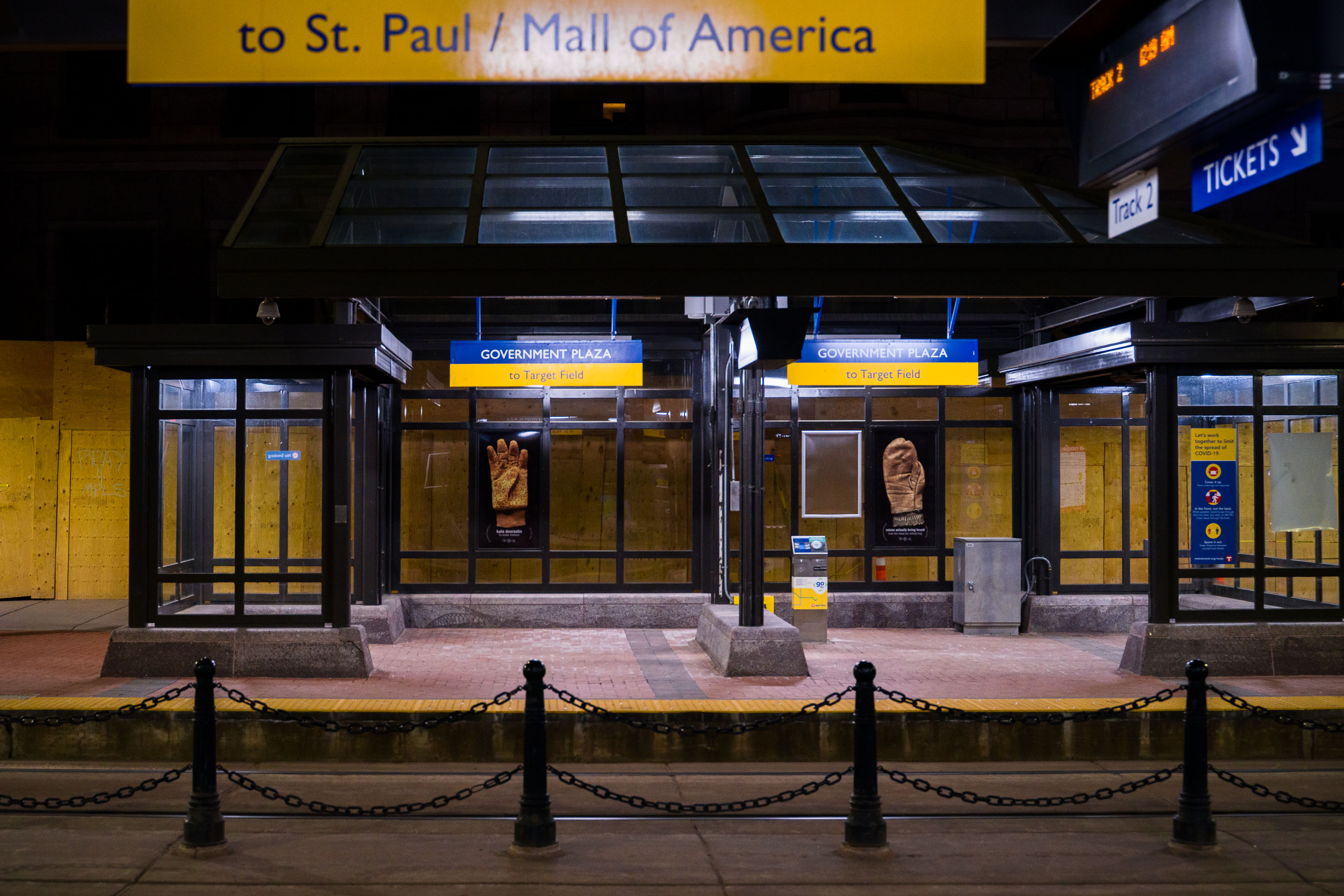
Government Plaza light rail station entrance in downtown Minneapolis with boarded-up glass panels and protective chain barriers.
Government Plaza Station serves the Blue and Green Line light rail routes in downtown Minneapolis, operated by Metro Transit. Located near the Hennepin County Government Center, the stop provides connections toward St. Paul, the Mall of America, and Target Field. The entrance shown here was boarded up along its glass panels during a period of civil unrest in the city in 2021.

Boarded-Up Entrance at Government Plaza Station at Night
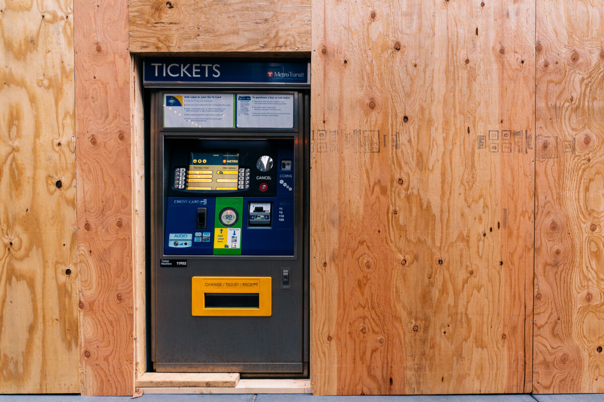
Metro Transit ticket machine boarded into a plywood wall on Marquette Avenue in Minneapolis.
A Metro Transit ticket machine stands on Marquette Avenue in Minneapolis, encased in plywood. This machine is part of the public transportation system serving the Minneapolis-Saint Paul metropolitan area. Its presence on Marquette Avenue, a major downtown street, highlights its role in facilitating daily commutes and travel for residents and visitors. The plywood enclosure suggests recent events or ongoing construction that necessitated temporary protection for the infrastructure.

Metro Transit Ticket Machine, Marquette Ave, Minneapolis
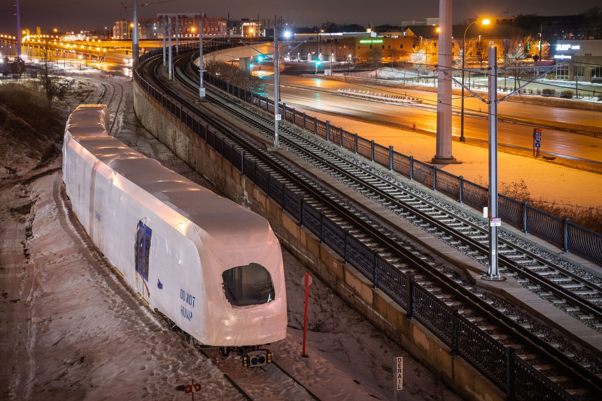
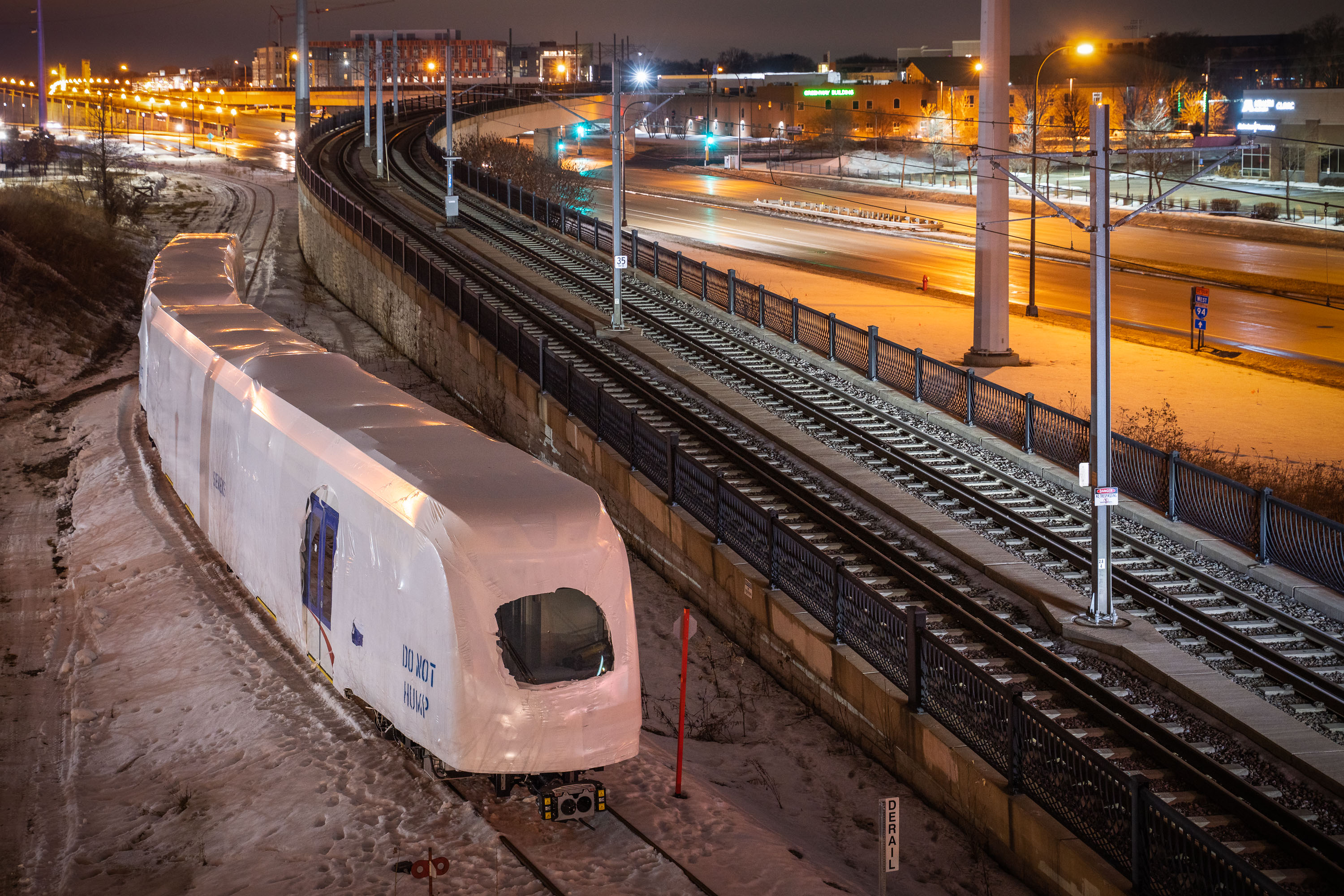
New Siemens light rail vehicle wrapped in protective covering on Metro Transit Blue Line tracks in Minneapolis.
A newly delivered Siemens light rail vehicle sits wrapped in protective covering on the Metro Transit Blue Line tracks in Minneapolis. The car is part of an order of new LRVs built to expand and modernize the region's light rail fleet, which serves the Hiawatha corridor and connects to planned Southwest LRT service.

Shrink-Wrapped Siemens LRV Awaits Delivery on Blue Line Tracks
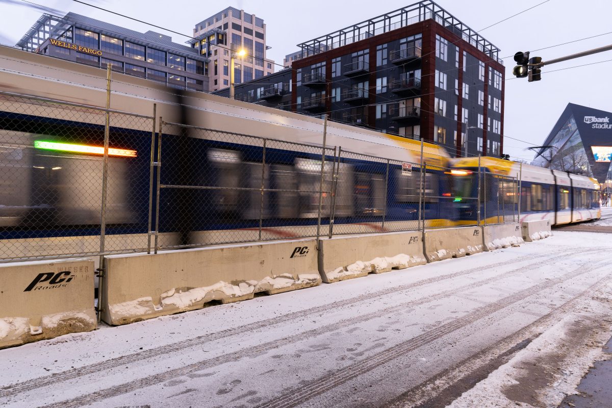
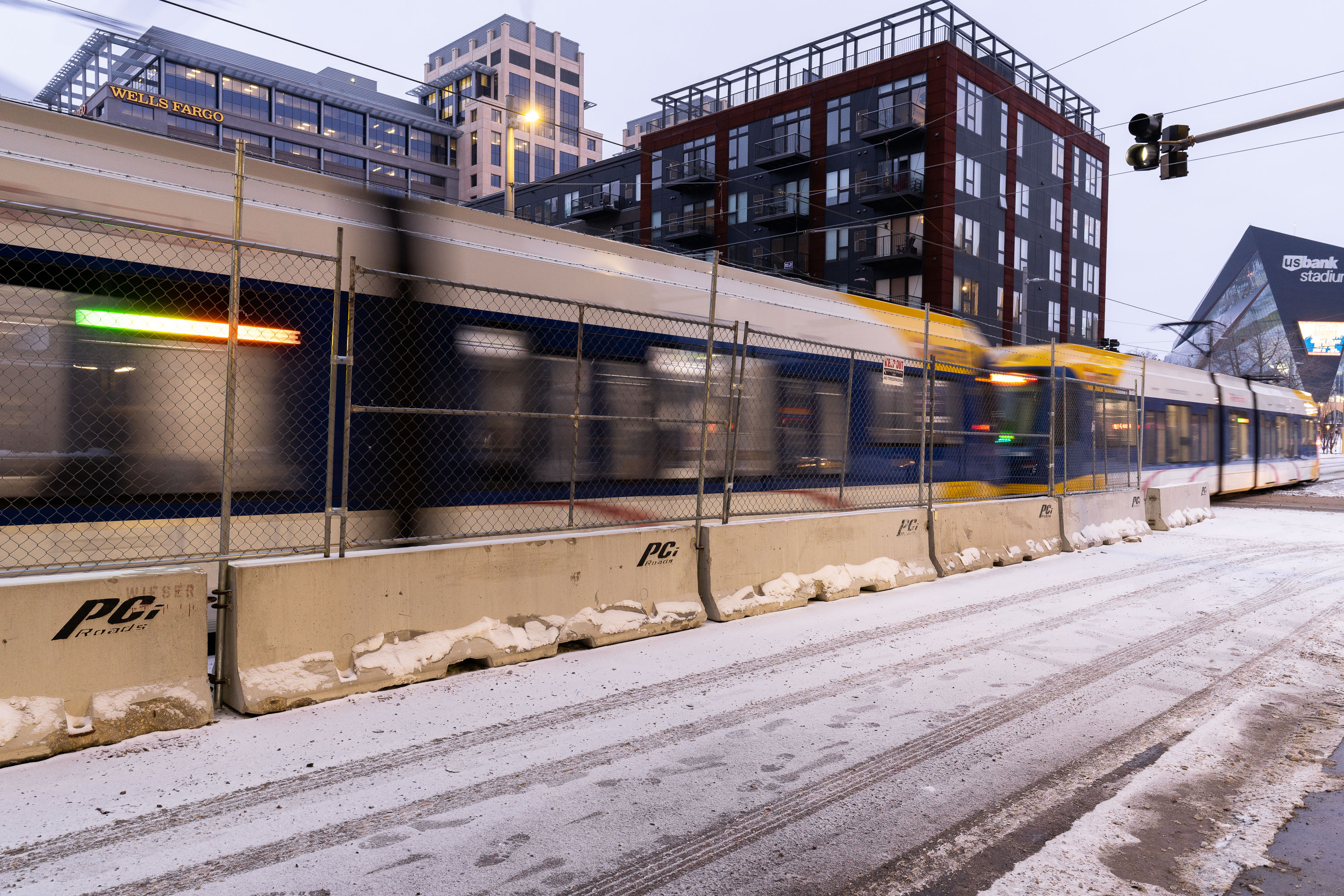
Metro Transit light rail train passes security fencing along South 5th Street near US Bank Stadium in downtown Minneapolis during winter.
A Metro Transit light rail train passes along South 5th Street near US Bank Stadium in downtown Minneapolis. This stretch of track serves the METRO Blue and Green Lines, connecting downtown to the stadium, Nicollet Mall, and surrounding neighborhoods.

Light Rail Passing Security Fencing Near US Bank Stadium in Snow

Buses do not stop here
George Floyd Square, located at the intersection of 38th Street and Chicago Avenue in Minneapolis, serves as a permanent memorial and protest site following the murder of George Floyd in May 2020. Amidst a snowfall, a Metro Transit bus stop sign is overlaid with a handmade message declaring "BUSES DO NOT STOP HERE: Effective: NOW Reason: We Need Justice," reflecting the community's ongoing demands.

George Floyd Square: Buses Do Not Stop Here, Minneapolis Snow

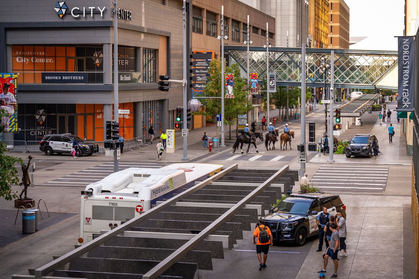
Minneapolis police officers and mounted unit patrol Nicollet Mall at South 7th Street downtown.
Minneapolis Police officers, including a mounted unit, patrol Nicollet Mall at South 7th Street in downtown Minneapolis on September 25, 2020.

Mounted Police Unit Crossing Nicollet Mall at 7th Street
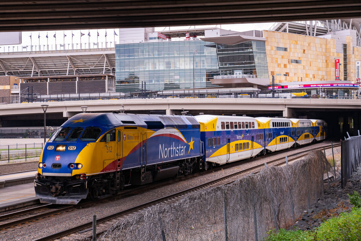
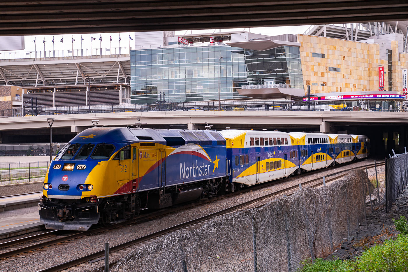
Northstar commuter train at Target Field Station in downtown Minneapolis, Minnesota.
The Northstar Line is a commuter rail route running between Big Lake and downtown Minneapolis, with this train passing Target Field Station near the ballpark. Metro Transit operates the line, which opened in 2009 and covers about 40 miles along existing freight tracks owned by BNSF Railway.

Northstar Train Passes Target Field in Minneapolis
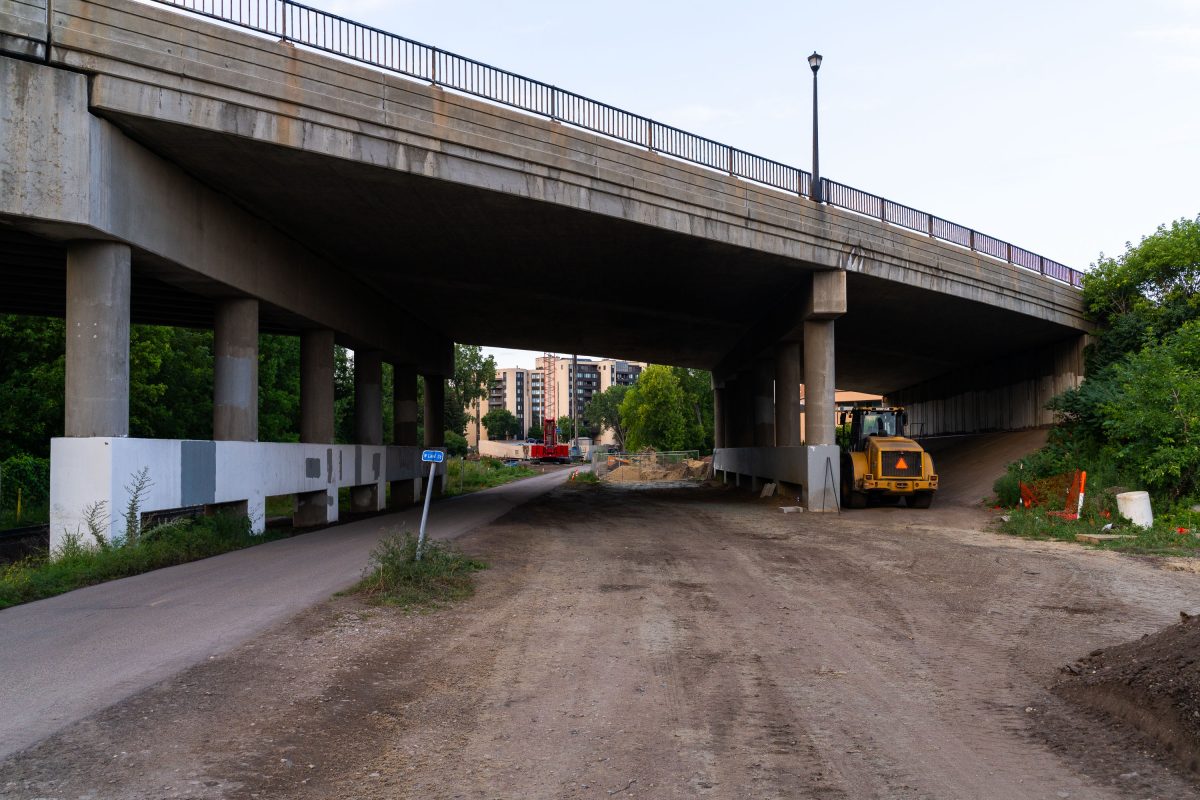
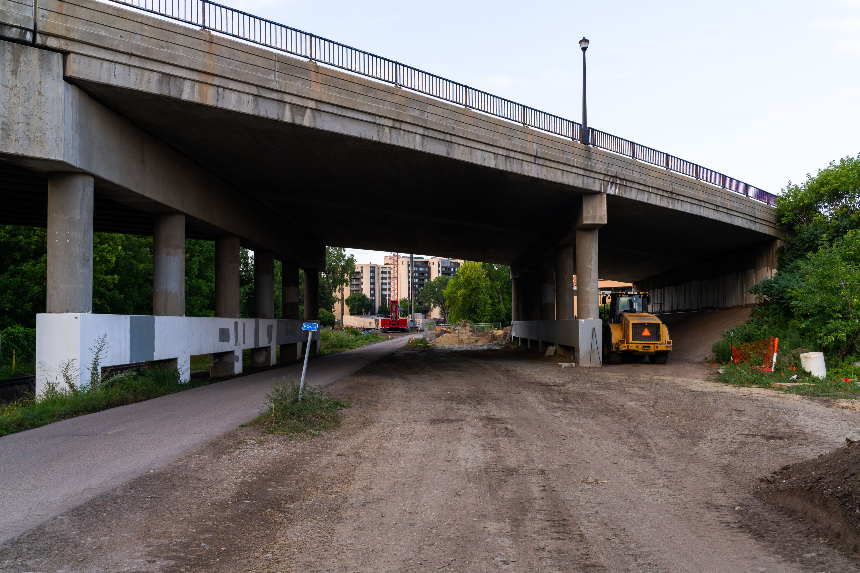
Construction site under highway overpass for Minneapolis Metro Green Line West Lake Street station.
The Midtown Greenway runs along a former Milwaukee Road rail corridor that was converted into a pedestrian and bicycle trail beginning in 2000, stretching roughly 5.5 miles through south Minneapolis between the Mississippi River and Chowen Avenue. Lake Street crosses the Greenway on a concrete overpass that also marks the site of the planned West Lake Street Station for the METRO Green Line Extension, part of the Southwest LRT project linking downtown Minneapolis to Eden Prairie. The extension, overseen by the Metropolitan Council, adds roughly 14.5 miles of new light rail track and 16 stations to the regional transit system. Work at this site has involved excavation and grading beneath the bridge to prepare the below-grade station area, consistent with the project's design of routing trains through a trench along this section of the corridor.

Construction at the Lake Street Bridge Over the Midtown Greenway
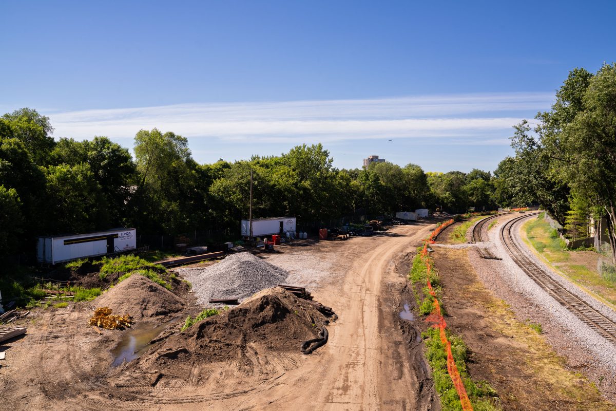
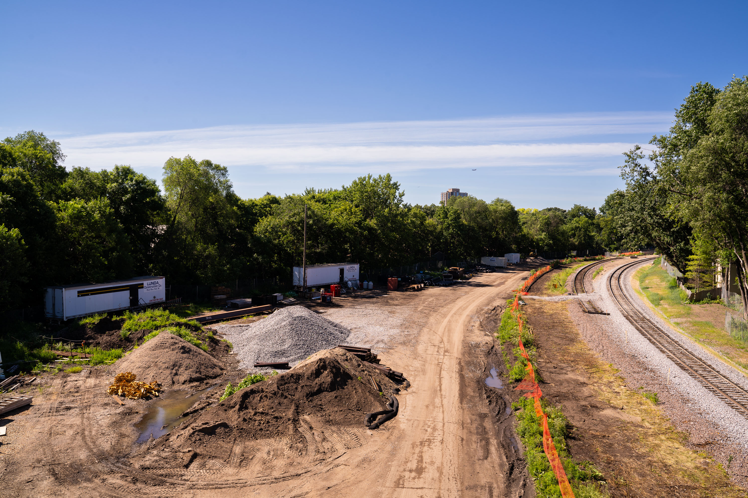
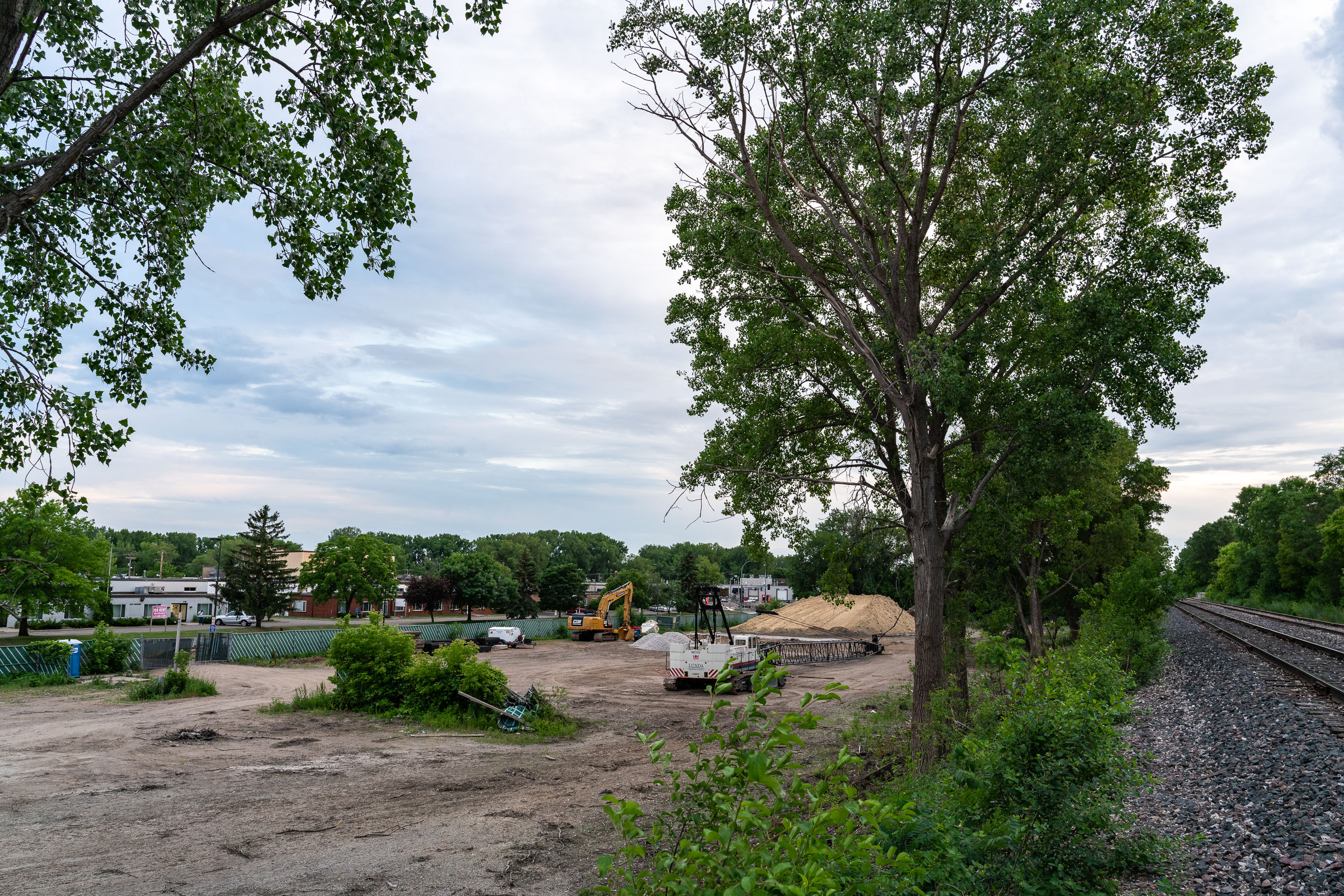
Southwest LRT construction site along Kenilworth Trail in Minneapolis with excavated earth and railroad tracks.
The Kenilworth Corridor carries freight rail, the Kenilworth bike and walking trail, and now the Southwest Light Rail Transit extension through a narrow strip of land between the Chain of Lakes and the Cedar Isles neighborhoods. The Metropolitan Council's Southwest LRT project, known as the Green Line Extension, runs nearly 14.5 miles from Minneapolis to Eden Prairie and adds 16 new stations. The trail recently cleared and being used for construction staging.

Metro Green Line Extension Construction Staging Along the Kenilworth Corridor
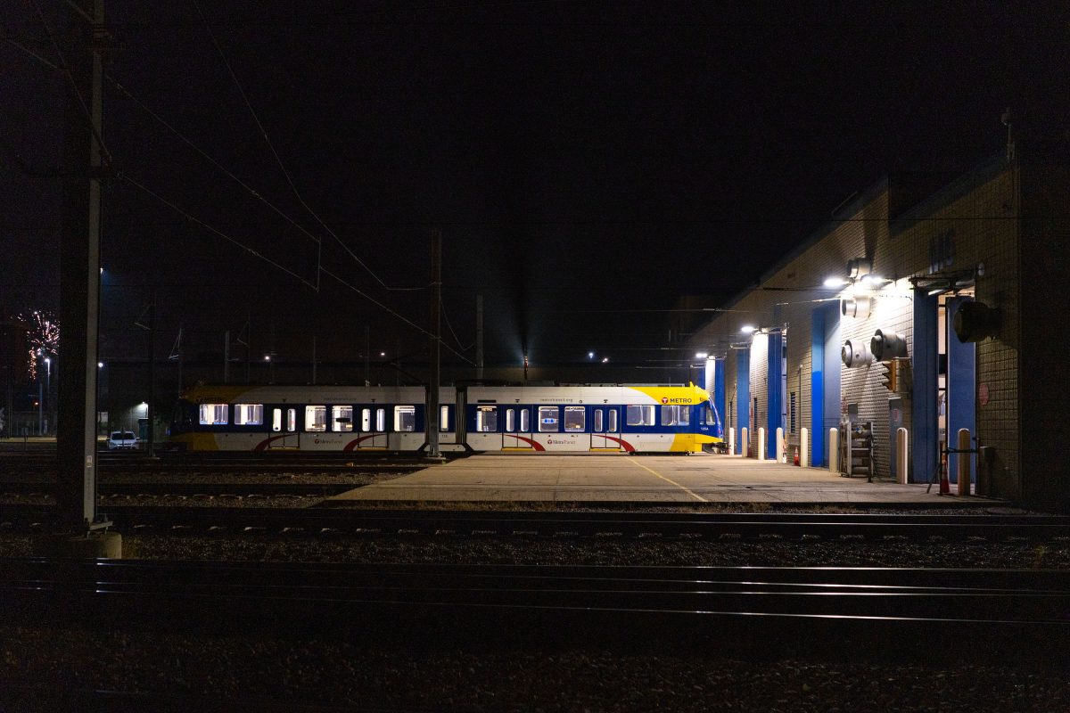
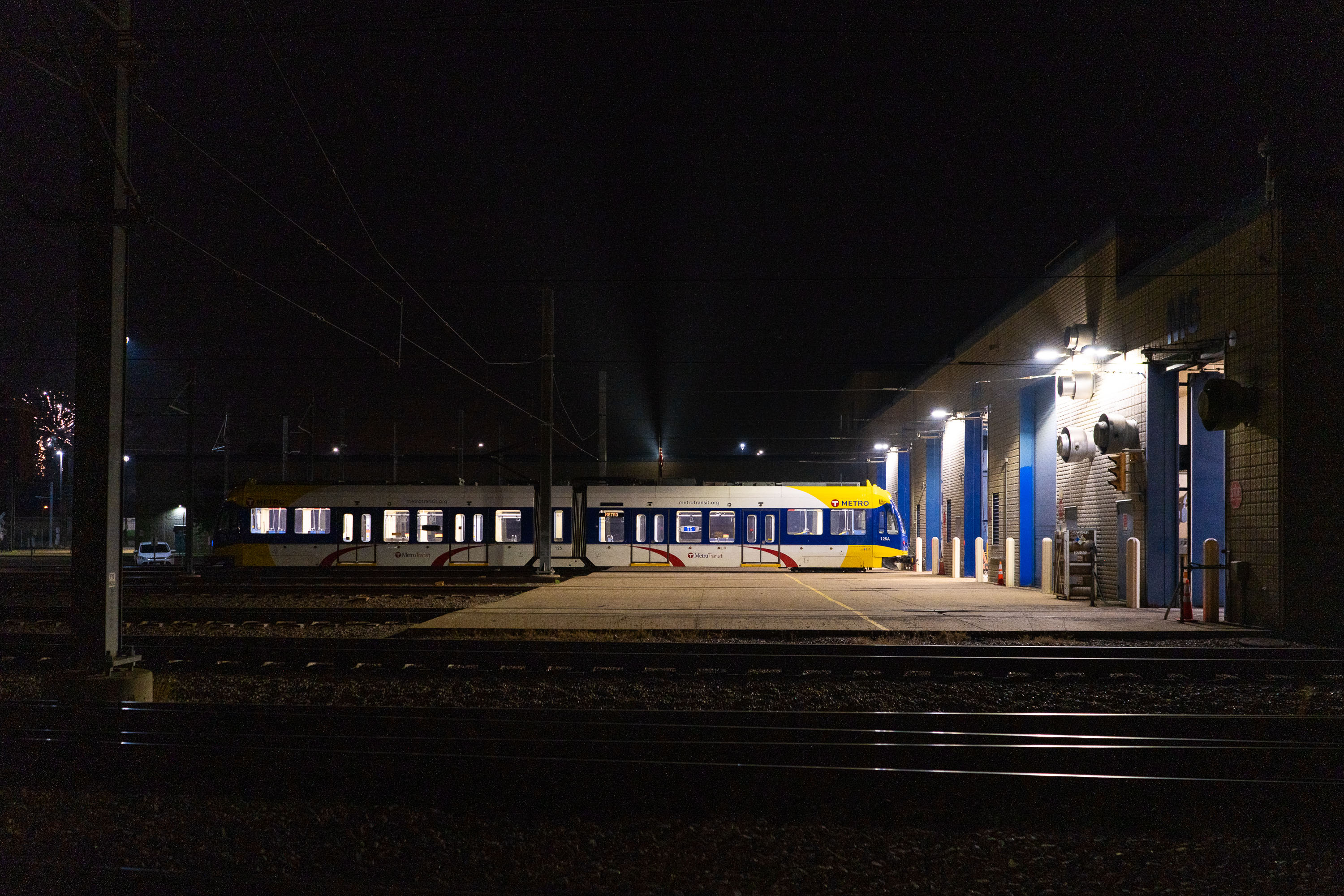
Metro Transit light rail vehicle stationed at a maintenance facility in south Minneapolis at night.
A Metro Transit light rail vehicle sits outside a maintenance and storage facility in South Minneapolis. The building services light rail cars operating on the METRO system, which includes the Blue and Green Lines connecting Minneapolis, St. Paul, and surrounding suburbs.

Light Rail Vehicle Parked at Metro Transit Facility at Night
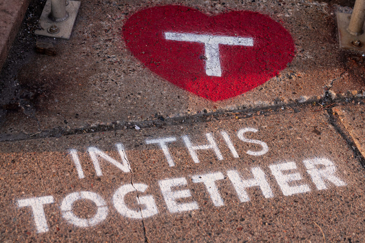
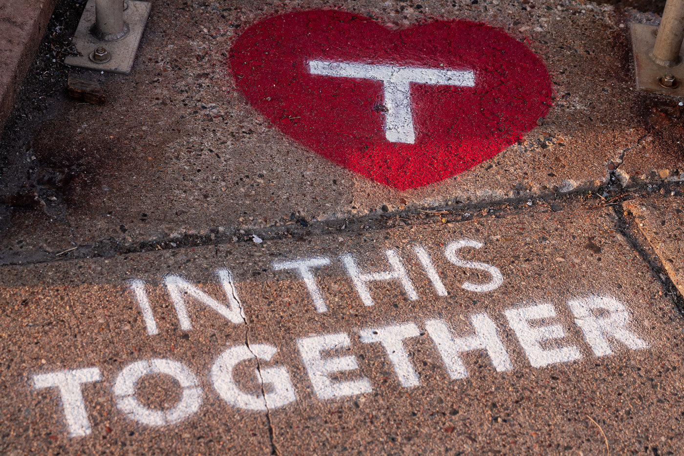
Metro Transit heart stencil and “IN THIS TOGETHER” message on a Minneapolis sidewalk.
Metro Transit stencil art on a sidewalk in Minneapolis’s North Loop neighborhood features the agency’s white “T” inside a red heart above the words “IN THIS TOGETHER.” The marking appears outside a Metro Transit facility and references the Twin Cities regional transit operator.

North Loop Metro Transit Stencil Art: In This Together
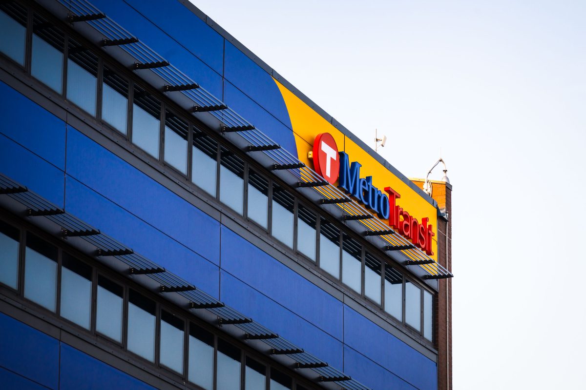
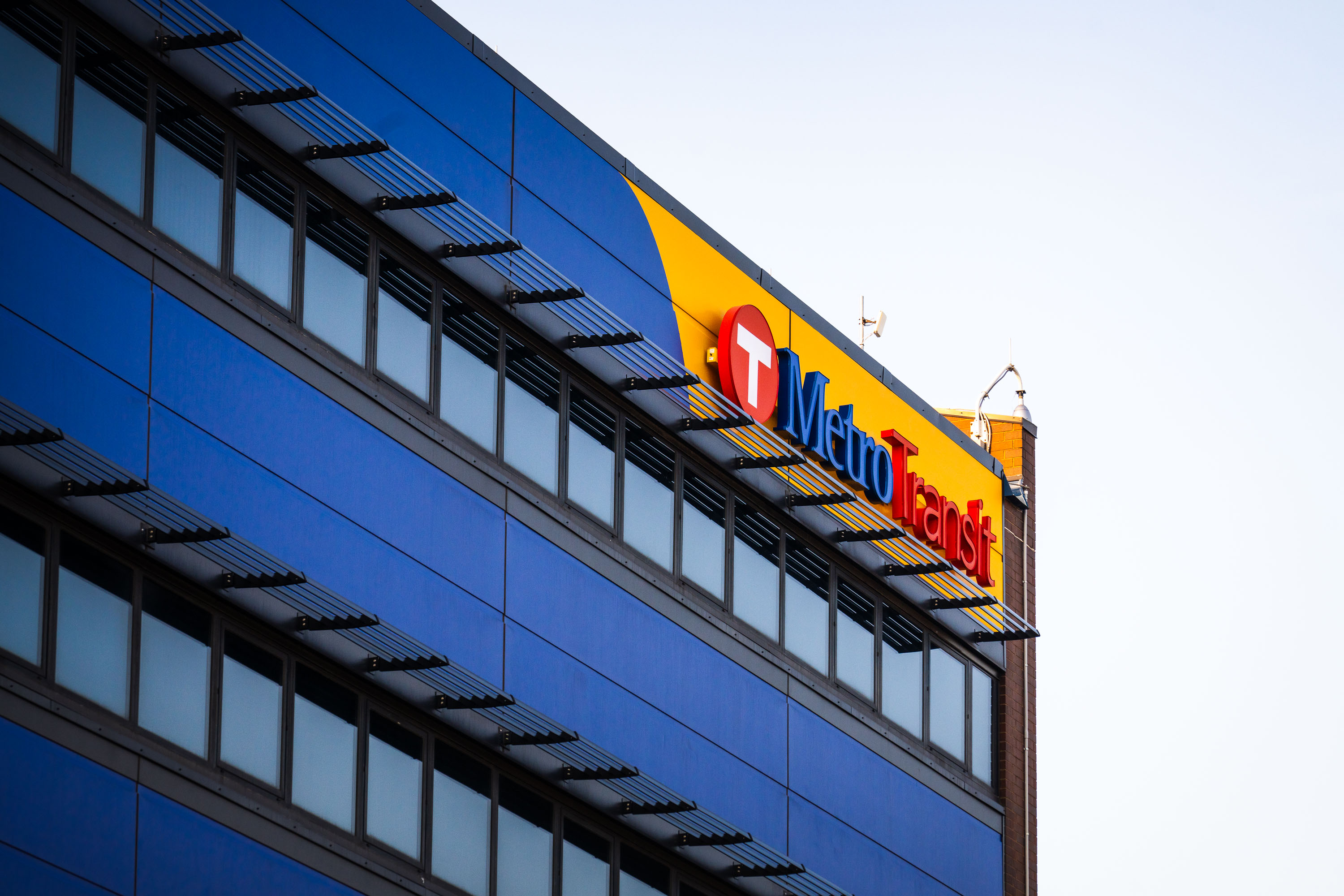
Metro Transit facility sign on blue building in Minneapolis North Loop.
Metro Transit operates the bus and rail network for the Minneapolis–St. Paul region under the Metropolitan Council, serving the Twin Cities' seven-county metro area. The agency runs the METRO light rail lines along with an extensive bus system, including the North Loop routes that connect downtown Minneapolis to surrounding neighborhoods. Metro Transit's headquarters and operations facilities are scattered across the metro, supporting a system that carries tens of millions of rides annually.

Metro Transit Building Sign, North Loop, Minneapolis
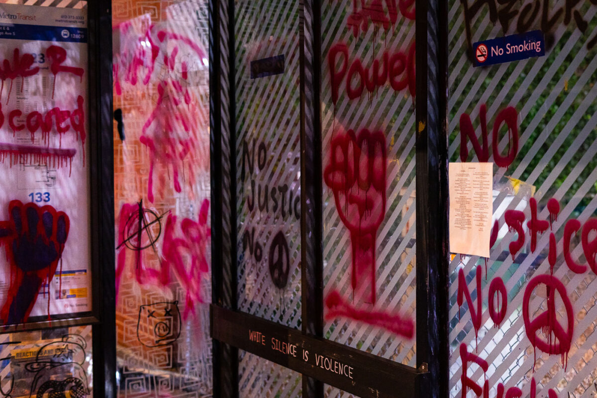
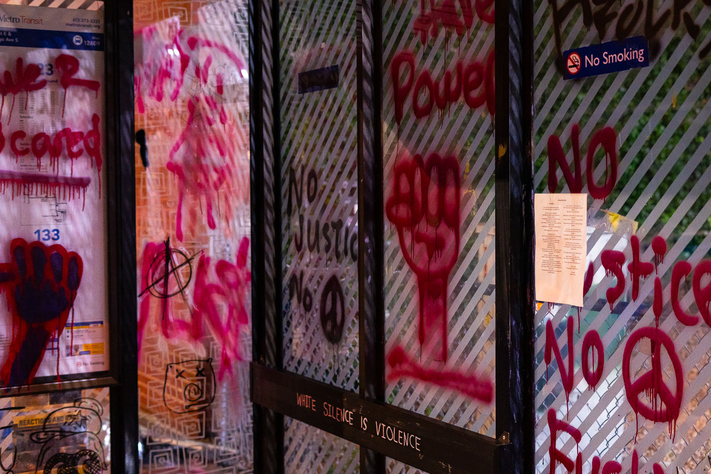
Protest graffiti on a former Metro Transit bus shelter at George Floyd Square in Minneapolis.
A former Metro Transit bus shelter at George Floyd Square in Minneapolis is covered with protest messages and symbols at the intersection of 38th Street and Chicago Avenue. The glass panels bear hand-painted phrases including “Power,” “No Justice No Peace,” and “White Silence Is Violence,” along with raised-fist imagery and other markings. After the murder of George Floyd in May 2020, the intersection became a community-maintained memorial and protest site, and transit structures there were repurposed as surfaces for mourning and political expression.

George Floyd Square Bus Shelter, Minneapolis: Protest Slogans
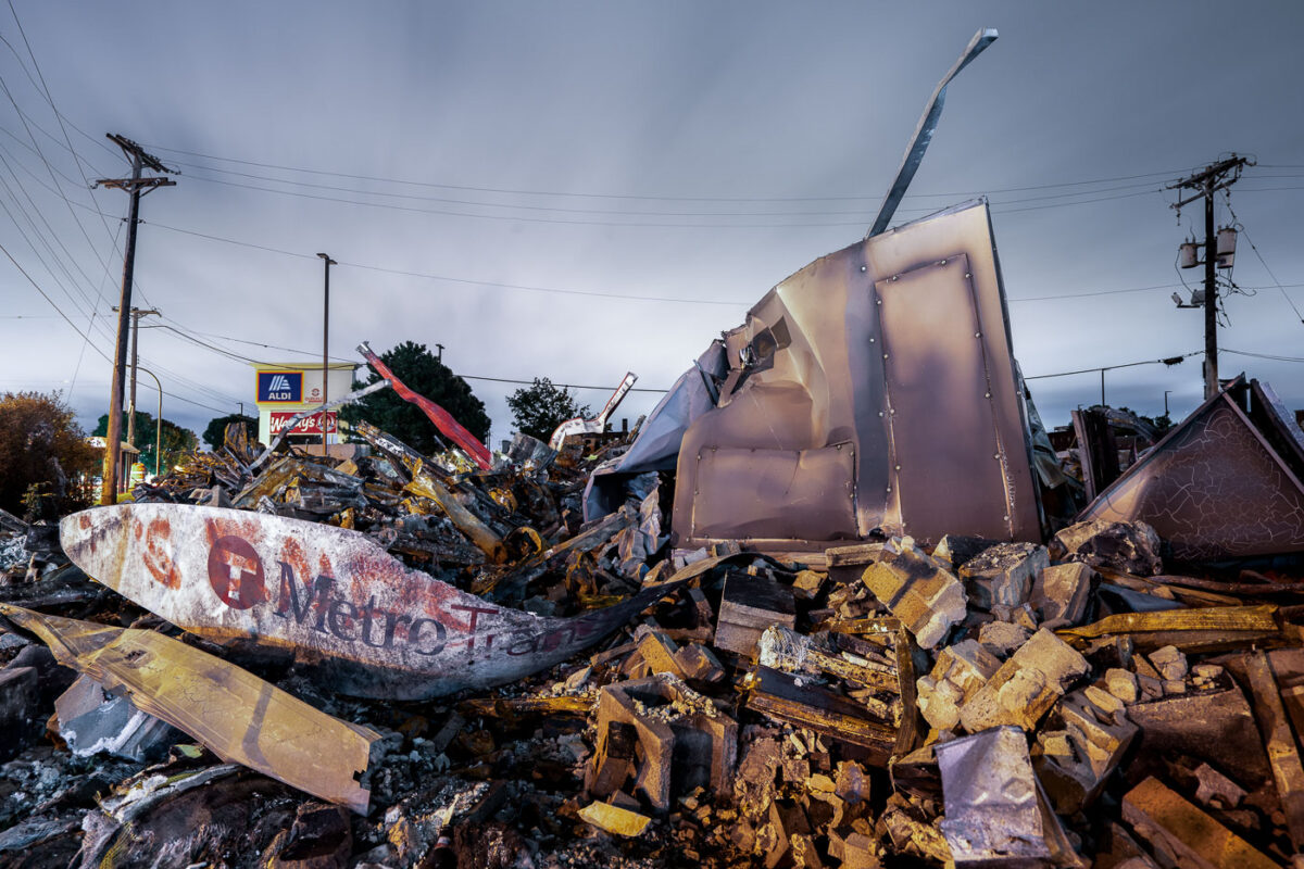
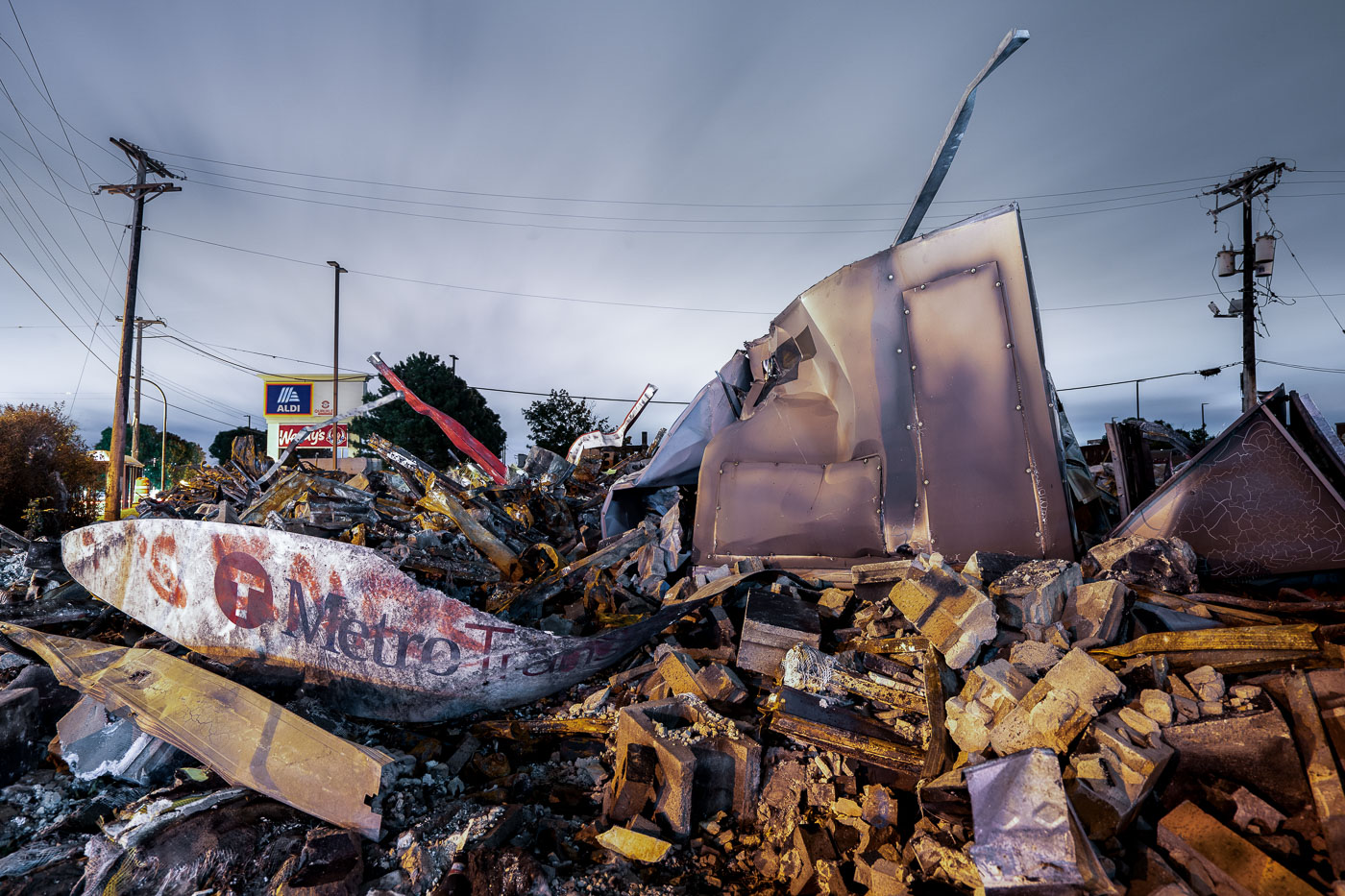
Burned AutoZone rubble on East Lake Street in Minneapolis, with a damaged Metro Transit sign in the foreground.
The burned remains of the AutoZone store on East Lake Street in Minneapolis fill the frame, with a damaged Metro Transit sign lying across the rubble in the foreground. The store was among the first buildings destroyed during the unrest that followed the murder of George Floyd by Minneapolis police in May 2020. East Lake Street, a major commercial corridor in south Minneapolis, sustained widespread fire damage and business losses during that period. Store signs for Aldi and Walgreens are visible in the background beyond the debris.

Burned AutoZone Rubble, E. Lake Street, Minneapolis
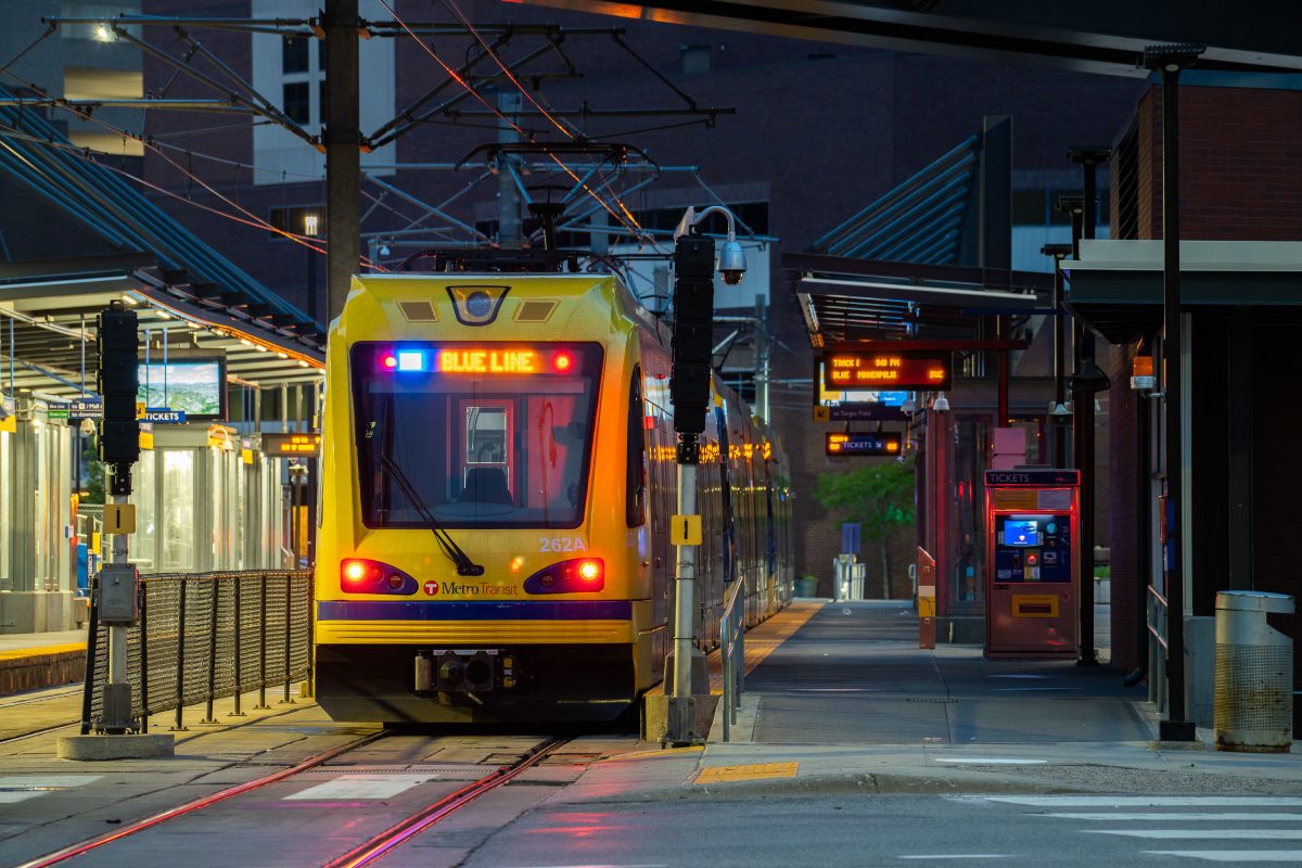
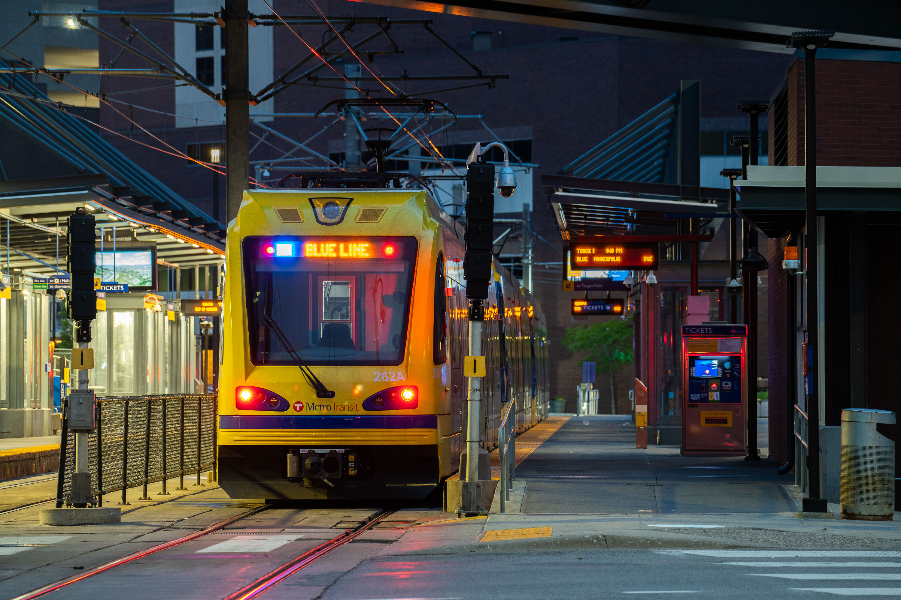
Metro Transit Blue Line train at Warehouse District/Hennepin Avenue Station in Minneapolis at dusk.
The Warehouse District/Hennepin Avenue Station serves Metro Transit's METRO Blue Line, which runs between downtown Minneapolis and the Mall of America in Bloomington via Minneapolis-Saint Paul International Airport. The line opened in 2004 as the region's first light rail line, originally branded the Hiawatha Line. This station sits along Hennepin Avenue in the Warehouse District, a neighborhood of former wholesale and manufacturing buildings that now houses bars, theaters, and offices.

Blue Line Train at Dusk, Warehouse District/Hennepin Station
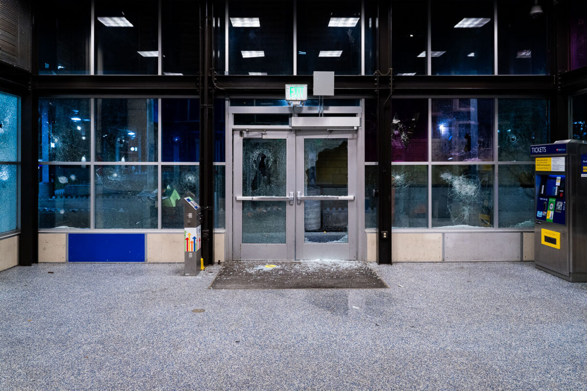
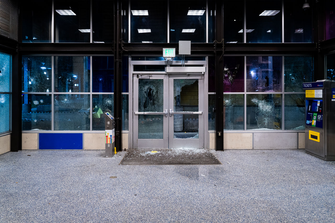
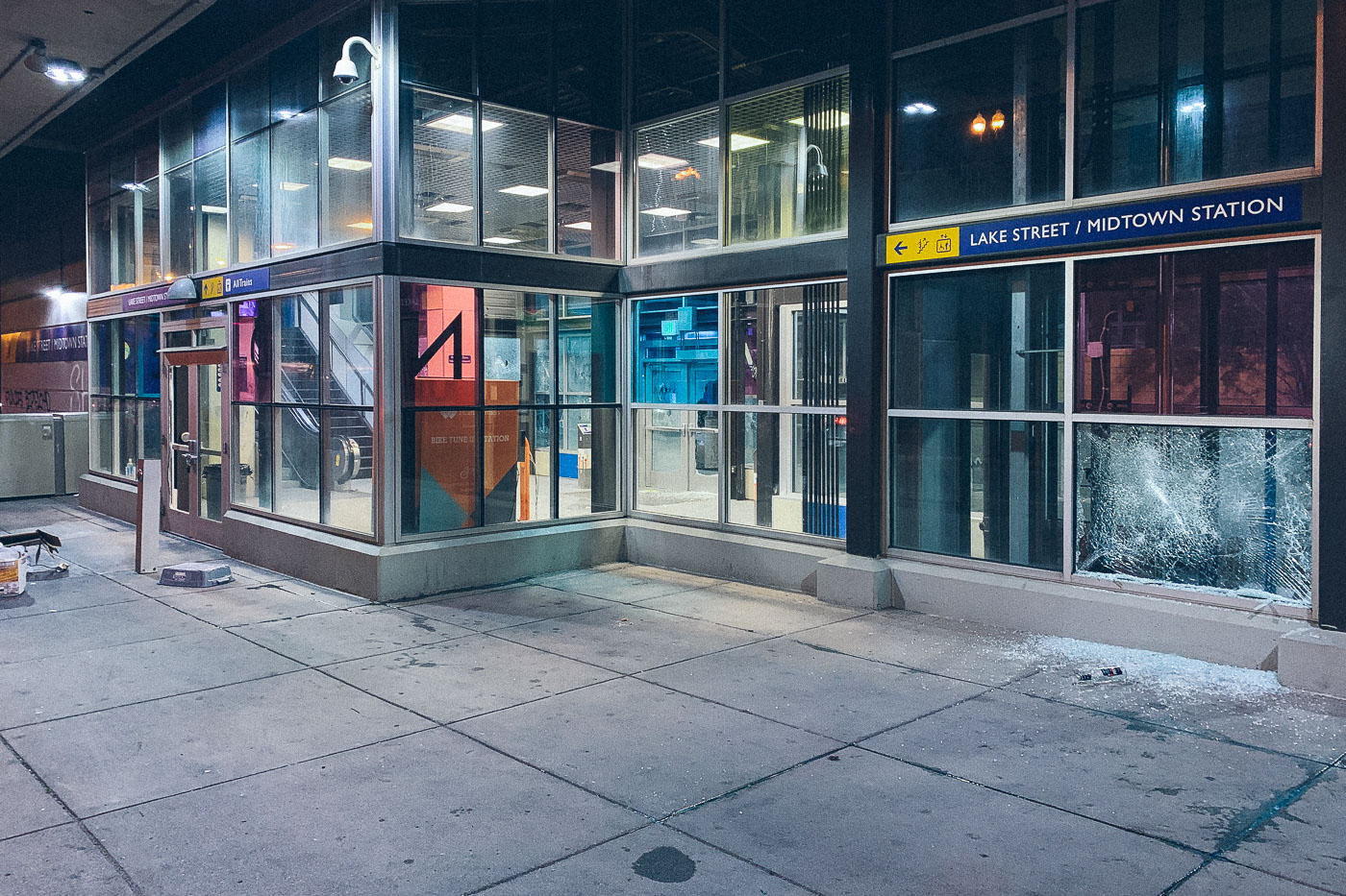
Shattered doors and windows at Lake Street/Midtown station in Minneapolis.
Damage to the entrance of the Lake Street/Midtown light rail station in Minneapolis is visible on May 28, 2020, with shattered glass in the doors and station windows. Operated by Metro Transit, the station is part of the Blue Line and serves the Lake Street corridor in south Minneapolis. The damage occurred during the third day of unrest in the city after the killing of George Floyd.

Lake Street Station Damage, Minneapolis
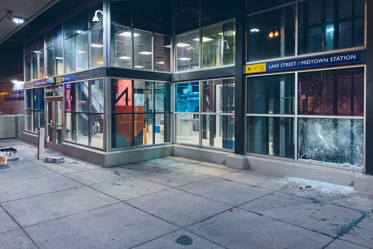
Shattered window at Lake Street/Midtown Station in Minneapolis, with broken glass on the sidewalk.
Lake Street/Midtown Station in Minneapolis stands with a shattered ground-floor window on May 28, 2020. The Metro Transit light rail station sustained visible damage during the third day of unrest in the city after the killing of George Floyd. Broken glass remains on the sidewalk outside the station entrance, where signage for the transit facility is still visible.

Shattered Window at Lake Street/Midtown Station
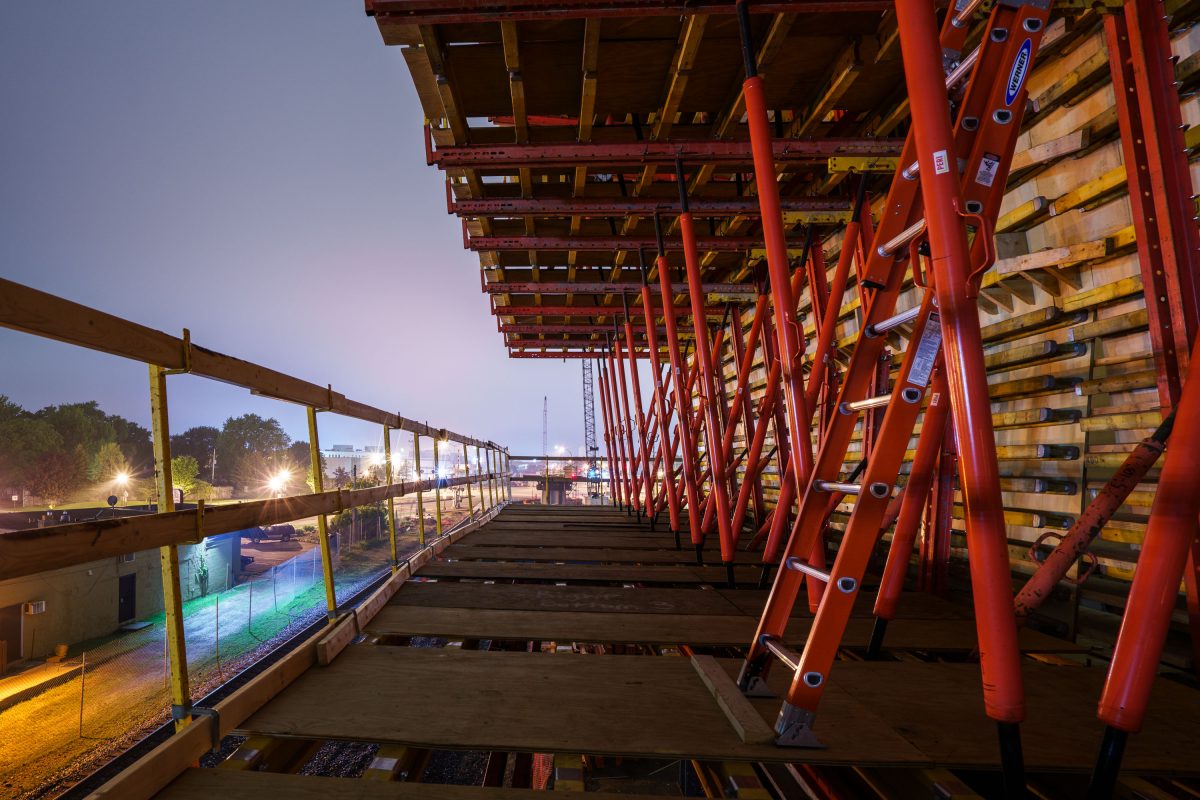
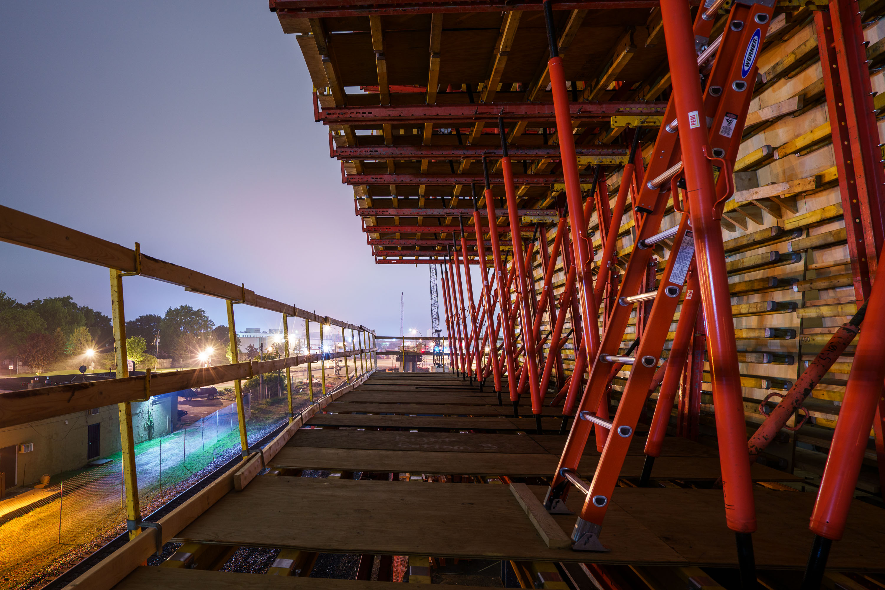
Red steel bridge structure under construction over Excelsior Boulevard in St. Louis Park at dusk.
This bridge carries the Southwest Light Rail Transit extension, also known as the Green Line Extension, over Excelsior Boulevard in St. Louis Park. The project adds roughly 14.5 miles of track connecting downtown Minneapolis to Eden Prairie, with stops planned throughout St. Louis Park, Hopkins, Minnetonka, and Eden Prairie. The Metropolitan Council oversees construction, which involves building new bridges and retaining walls along the corridor to carry trains over existing roads and rail lines.

Formwork Shoring on the Southwest LRT Bridge Over Excelsior Blvd
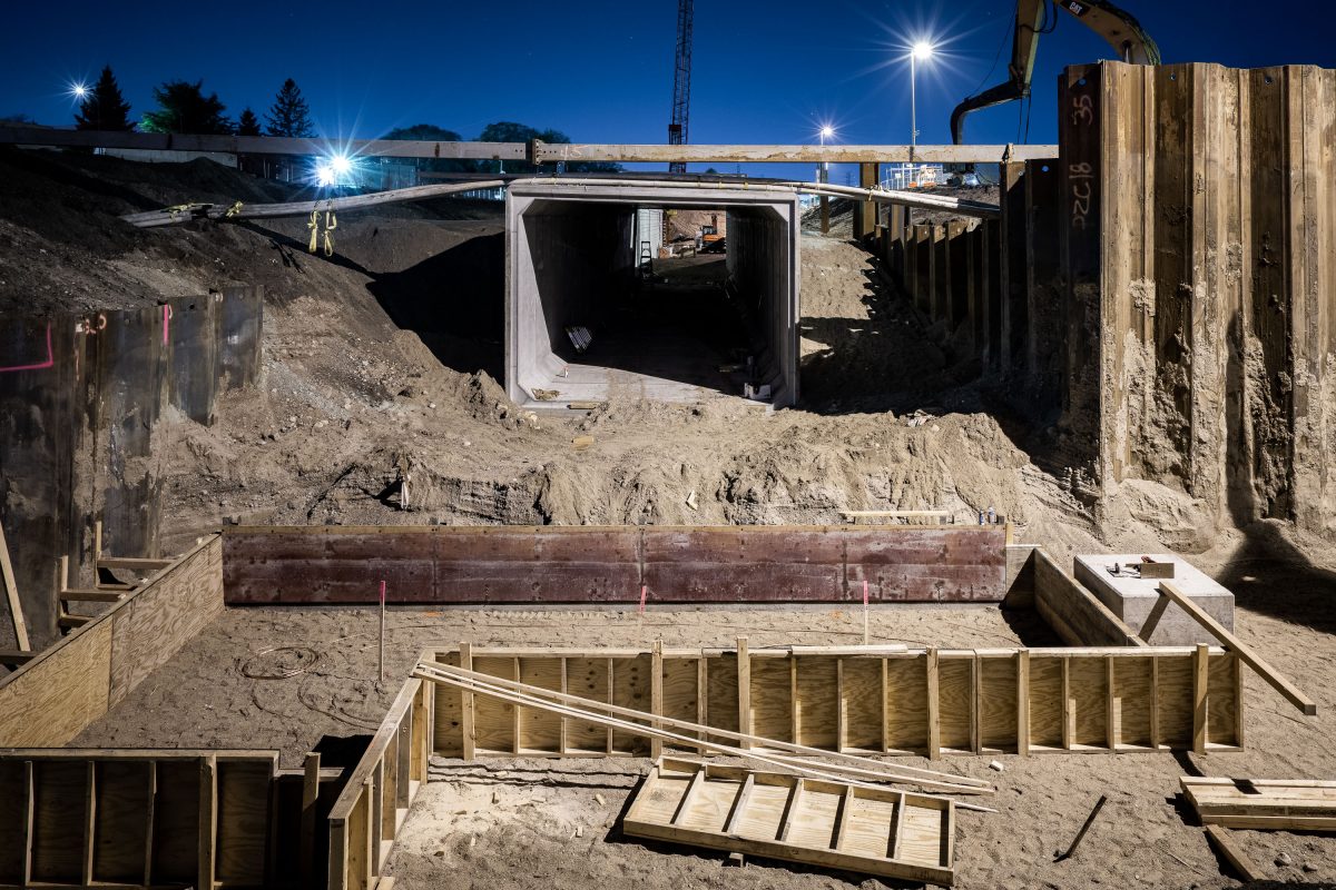
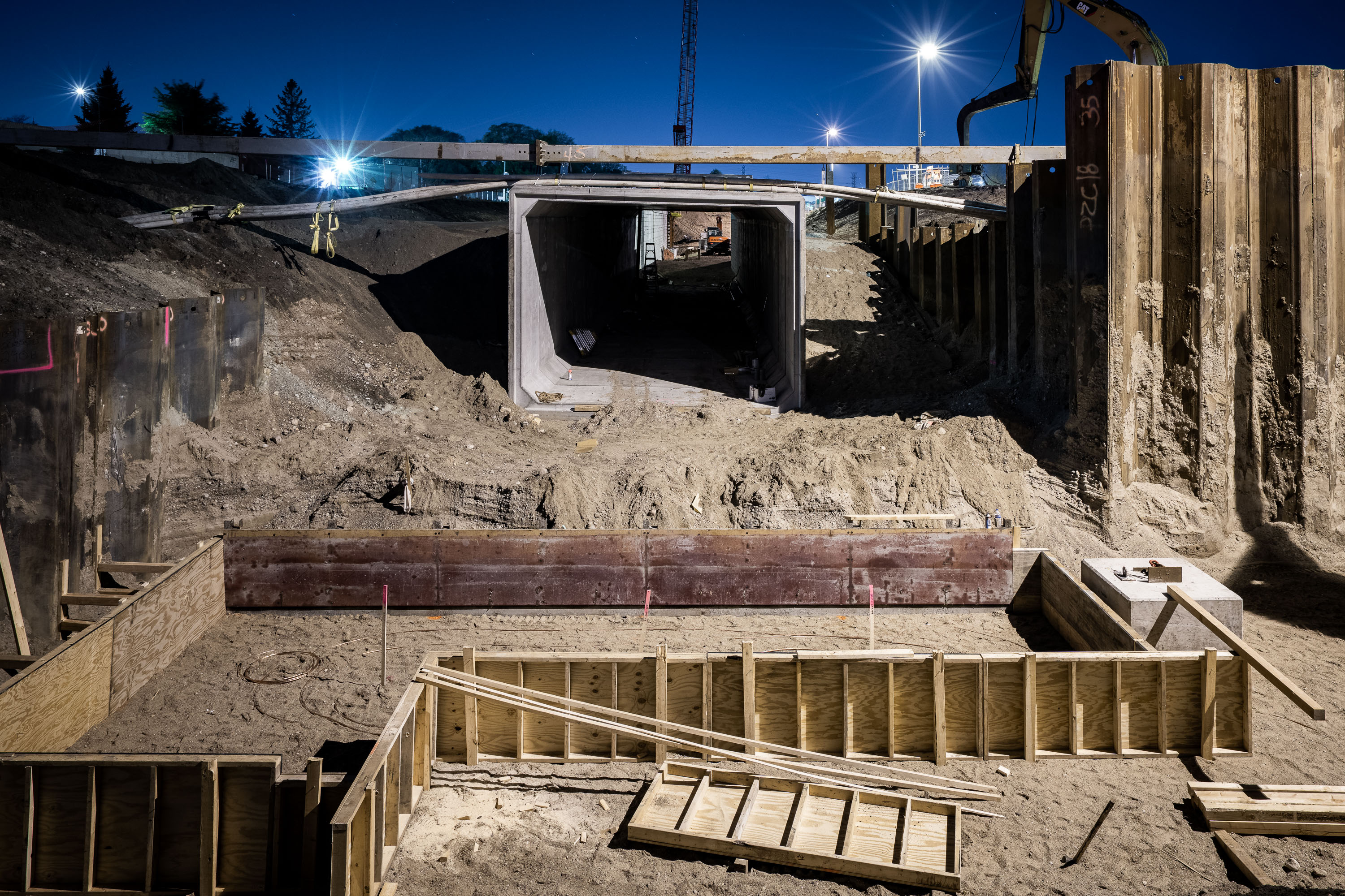
Construction of the Cedar Lake Trail tunnel under Wooddale Avenue in St. Louis Park at night.
The Cedar Lake Trail tunnel carries the regional bike and pedestrian path beneath Wooddale Avenue in St. Louis Park. The trail connects Minneapolis's Kenilworth corridor to the western suburbs, following a former railroad right-of-way. This segment was rebuilt as part of the Southwest Light Rail Transit project, which required reconstructing Wooddale Avenue and its crossing structures to accommodate the new Green Line extension.

Night Construction of the Cedar Lake Trail Tunnel at Wooddale Avenue
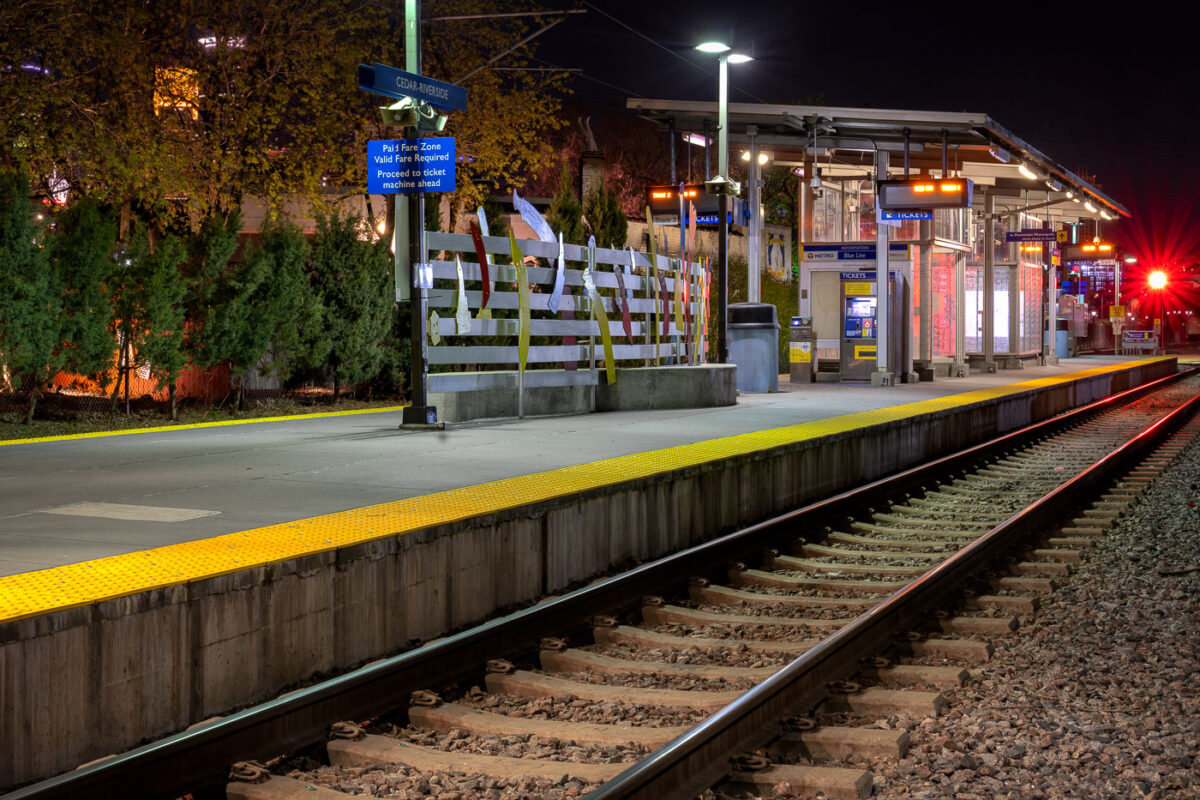
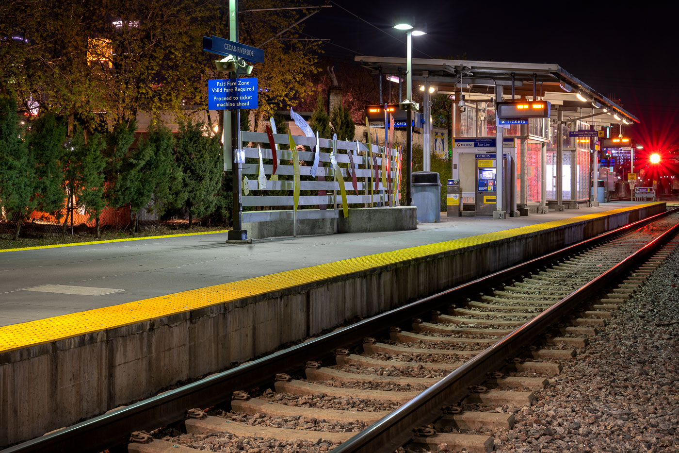
Cedar-Riverside Blue Line station platform at night in Minneapolis with yellow safety edge and rail tracks.
Cedar-Riverside Station sits along Metro Transit's Blue Line, formerly the Hiawatha Line, which opened in 2004 as the region's first light-rail route. The station serves the Cedar-Riverside and West Bank neighborhoods, just south of downtown Minneapolis and adjacent to the University of Minnesota's West Bank campus. The Blue Line runs roughly 12 miles between downtown Minneapolis, Minneapolis-Saint Paul International Airport, and the Mall of America in Bloomington. Metro Transit operates the line with trains arriving every 7 to 10 minutes during peak service hours.

Nighttime Platform at Cedar-Riverside Station
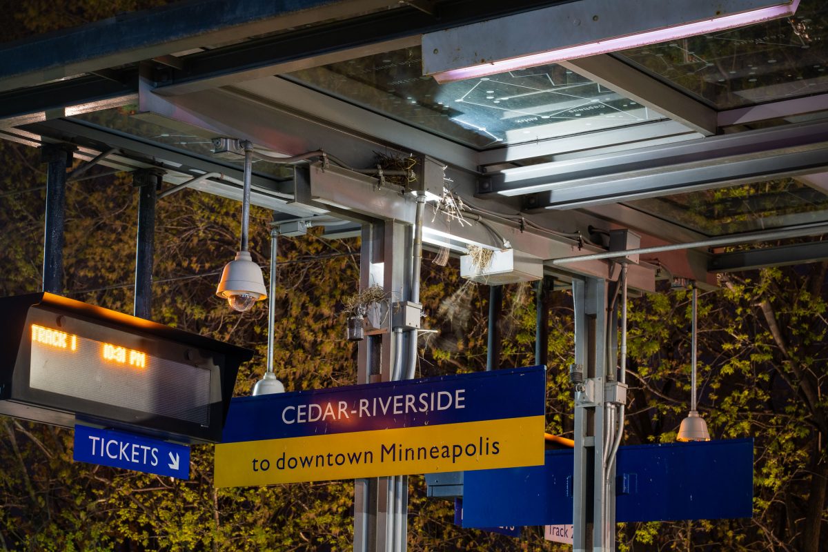
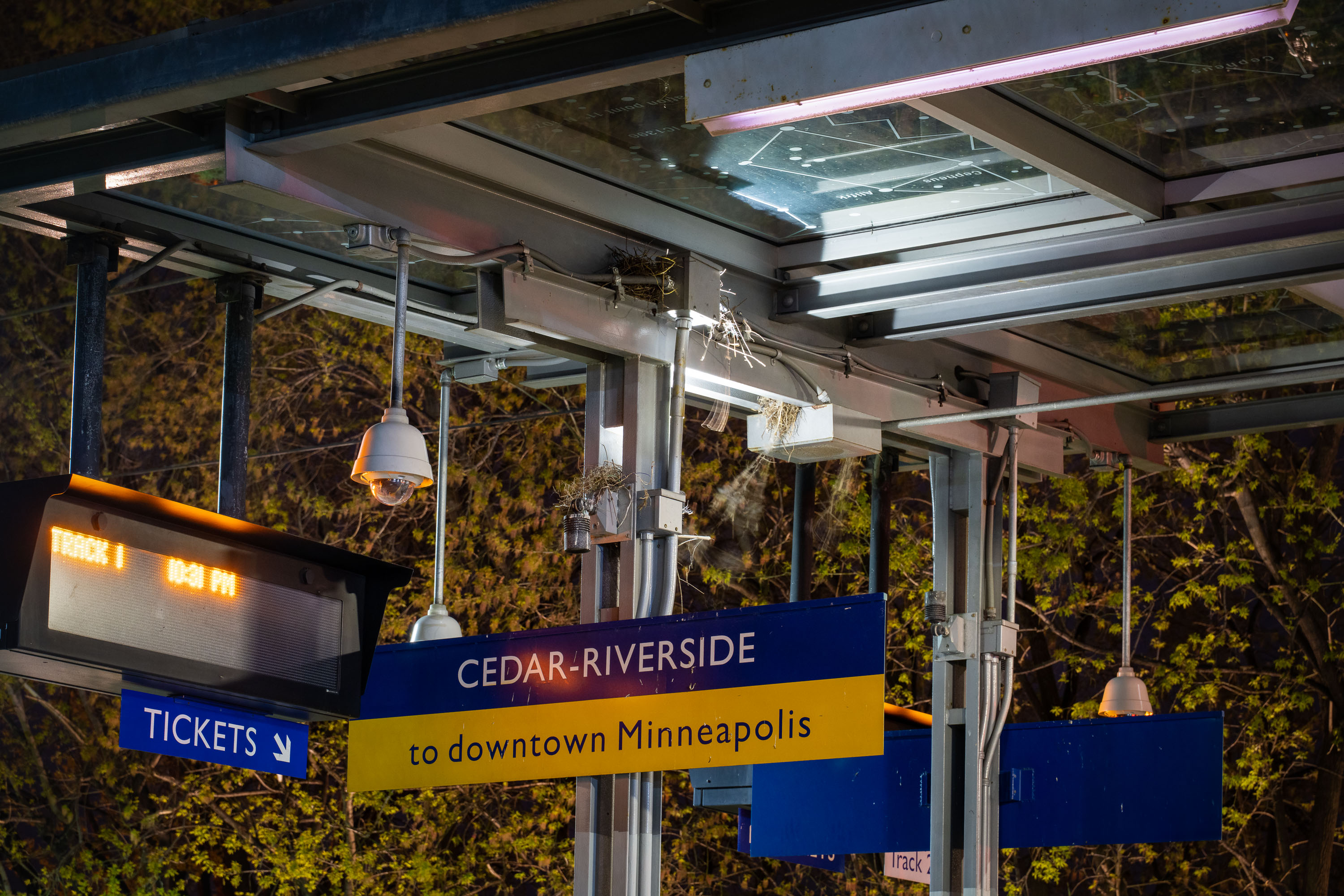
Cedar-Riverside light rail station platform sign in Minneapolis directing passengers to downtown via the Blue Line.
Cedar-Riverside Station serves the METRO Blue and Green Lines in Minneapolis, adjacent to the West Bank neighborhood and University of Minnesota. Opened in 2004 as part of the original Hiawatha Line, it sits near Augsburg University and the Cedar-Riverside residential towers, an area historically home to a large East African immigrant community.

Track 1 Signage at Cedar-Riverside Station, Minneapolis

Metro Transit buses parked in a North Minneapolis storage lot at night.
Metro Transit operates the bulk of bus and rail service across Minneapolis, St. Paul, and the surrounding Twin Cities metro area. Its fleet includes standard 40-foot coaches like the ones numbered here, typically pulled from routes for storage, repair, or reassignment between garages. During the early months of the COVID-19 pandemic, the agency cut scheduled service significantly as ridership dropped, leaving more buses parked than usual. Metro Transit is run by the Metropolitan Council, the regional planning body that also oversees transit for the seven-county Twin Cities area.

Metro Transit Buses Parked at a North Minneapolis Storage Lot
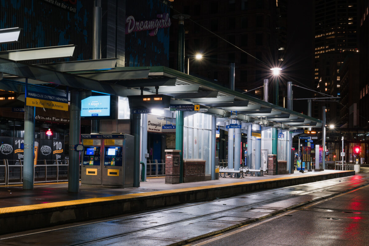
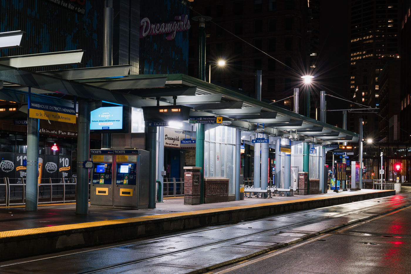
Warehouse District/Hennepin light rail station on North 5th Street in downtown Minneapolis, empty during early morning hours.
Warehouse District/Hennepin Station sits on North 5th Street in downtown Minneapolis, one of the stops serving Metro Transit's METRO Blue and Green Line trains. The station connects riders to downtown St. Paul and the Mall of America along one route, and to the Warehouse District's bars, theaters, and entertainment venues at street level. Metro Transit operates the regional light rail system, which opened its first line in 2004. This platform recorded far lower ridership in late March 2020, after Minnesota's statewide stay-at-home order took effect during the early weeks of the COVID-19 pandemic.

Warehouse District/Hennepin Station at Night, Minneapolis
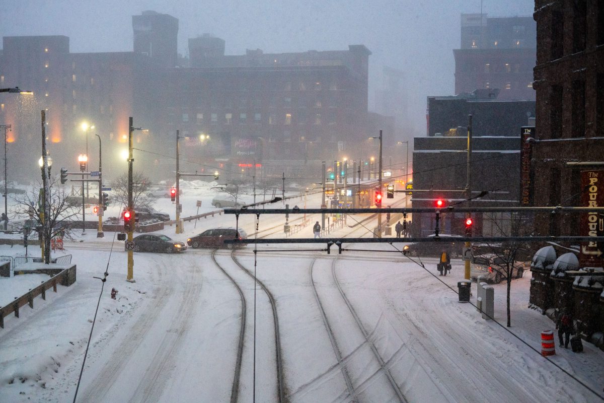
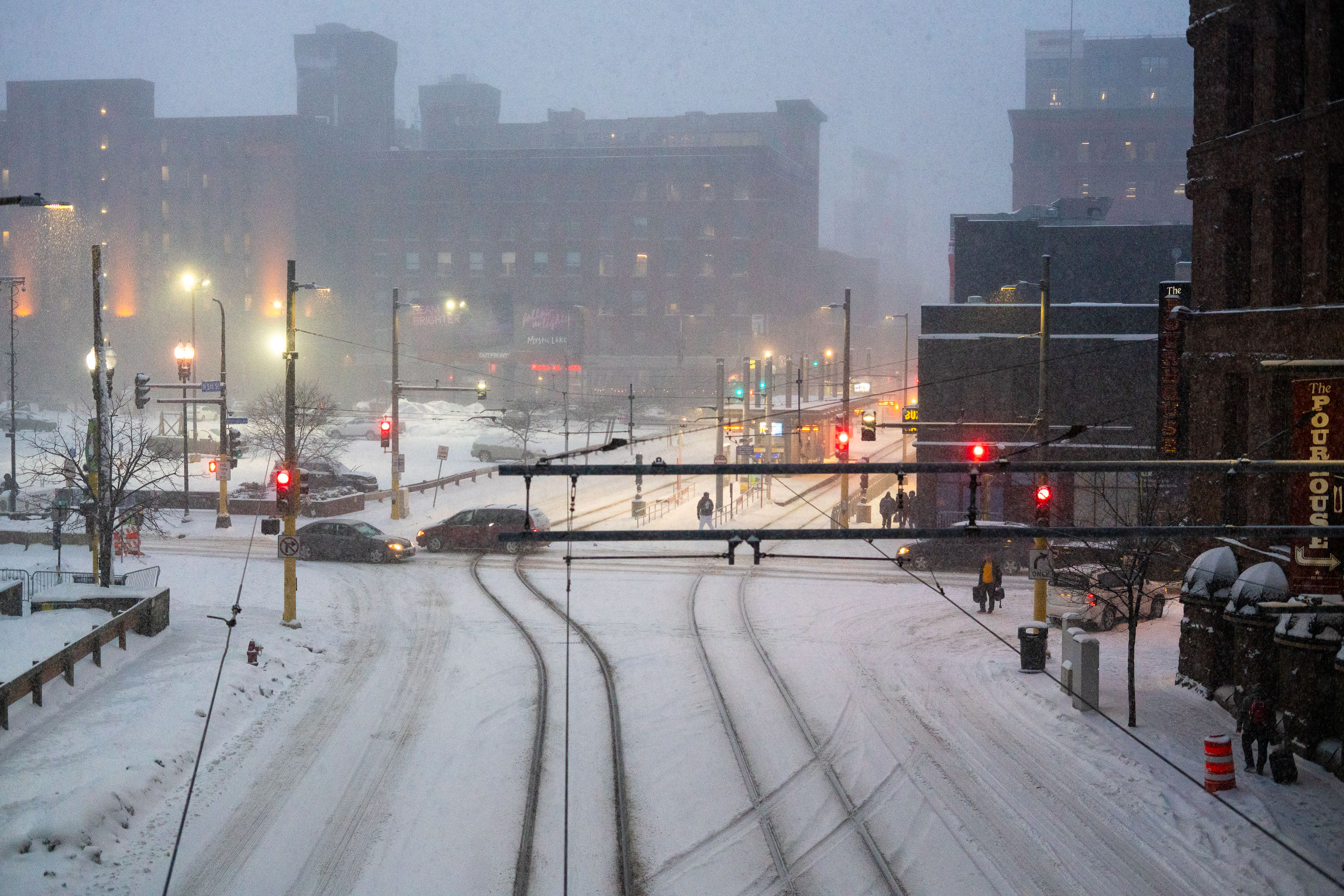
Snow-covered light rail tracks and traffic signals in downtown Minneapolis during a winter storm.
The METRO Blue and Green Line light rail tracks run through downtown Minneapolis along a shared corridor near the Warehouse District. Metro Transit operates the system, which connects downtown to the Mall of America, the airport, and the University of Minnesota. Overhead catenary wires power the trains along fixed rails embedded in the roadway. Snowstorms are common in the region between November and March, and Metro Transit crews use heated switches and de-icing equipment to keep the rail lines operational during winter weather.

Snowstorm Blankets METRO Light Rail Tracks, Downtown Minneapolis
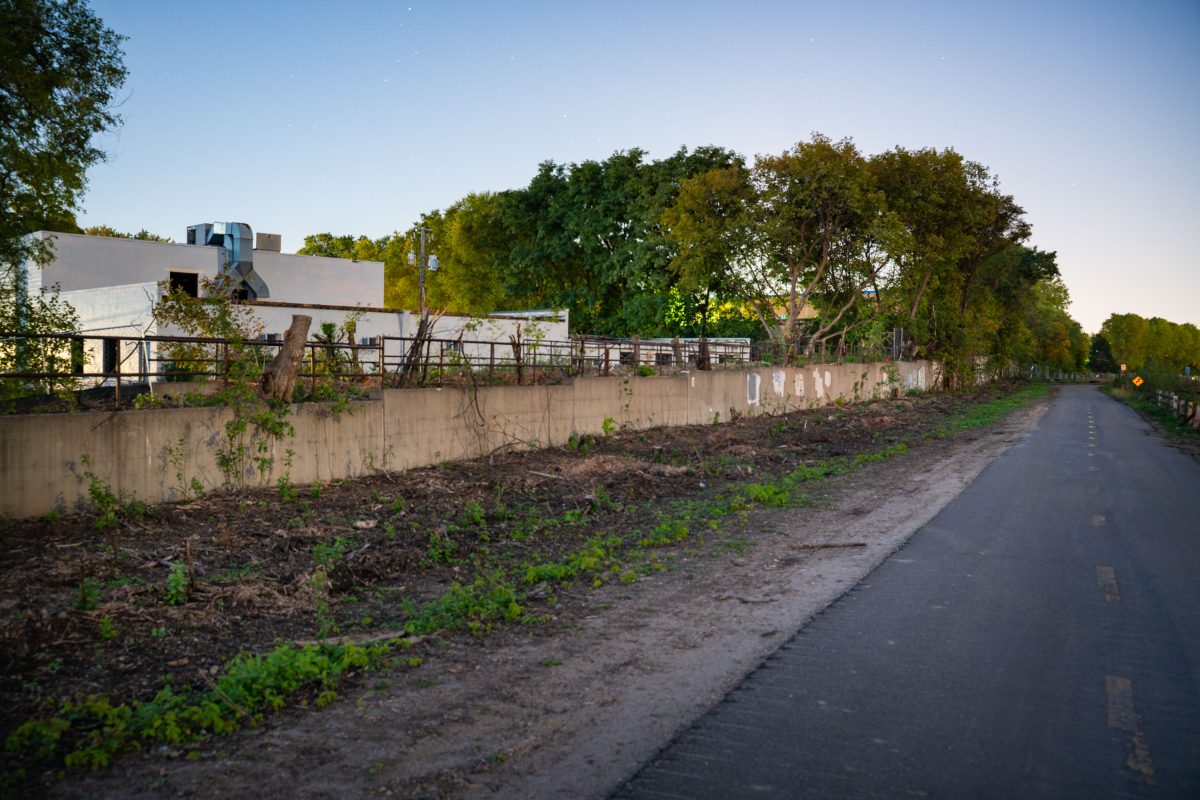
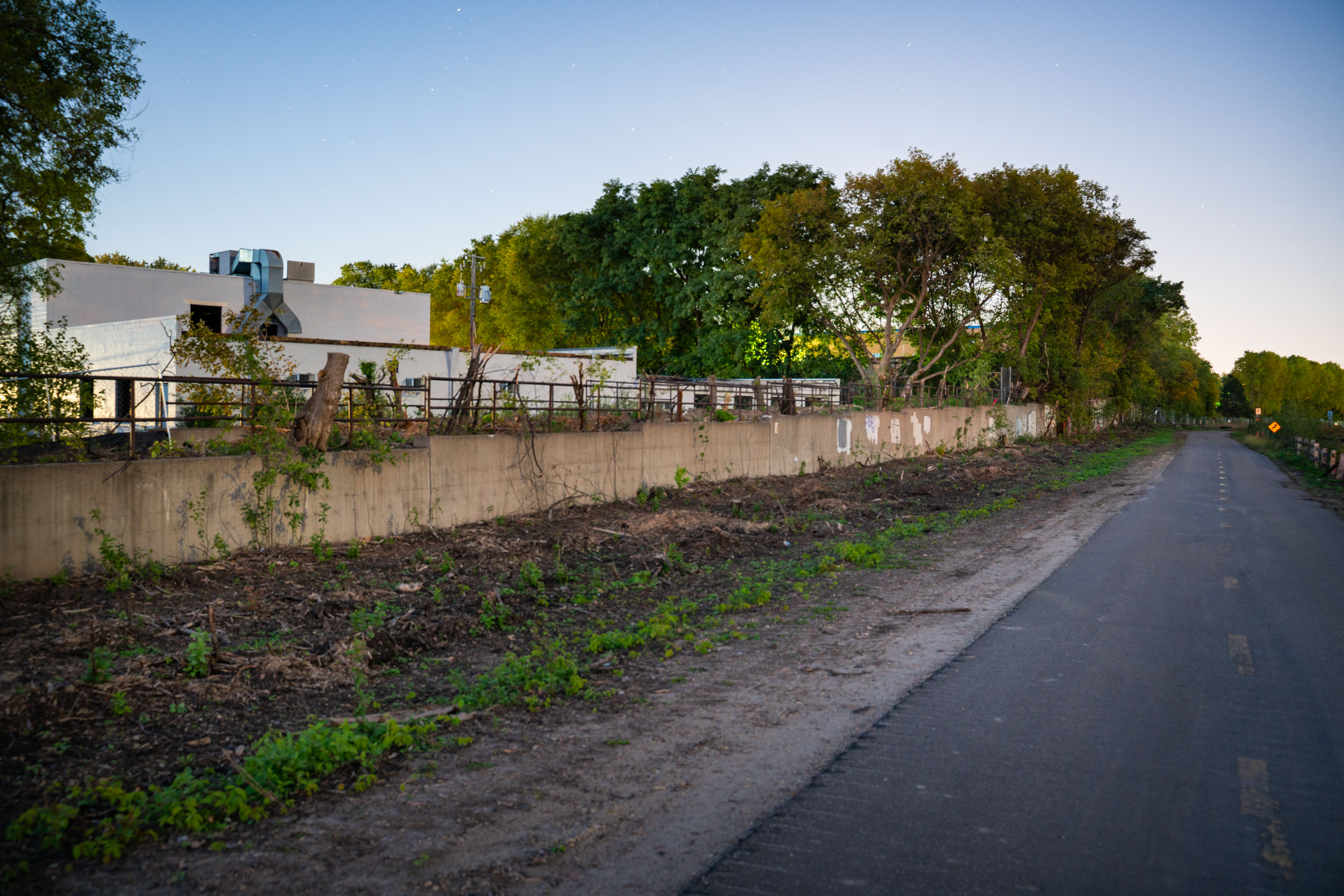
Concrete retaining wall along Cedar Lake Trail in St. Louis Park with industrial building and mature trees.
Cedar Lake Trail runs along a former rail corridor connecting the Kenilworth area of Minneapolis to St. Louis Park, used today by cyclists and pedestrians. The trail parallels the alignment of the Metro Green Line Extension, a light rail project linking downtown Minneapolis to Eden Prairie. Construction along this corridor required new retaining walls and the clearing of vegetation to accommodate the rail line. St. Louis Park station is one of several planned stops along this western stretch of the route.

Cedar Lake Trail Near the Green Line Extension in St. Louis Park
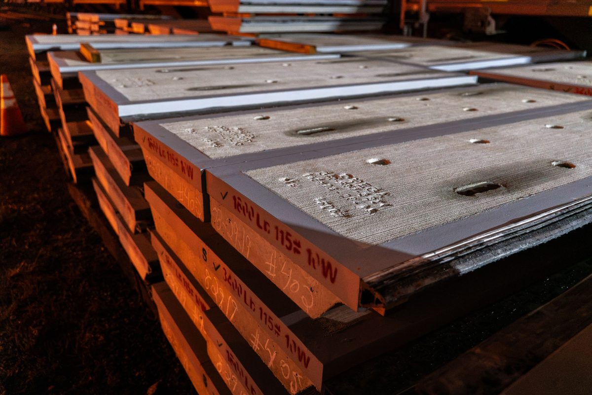
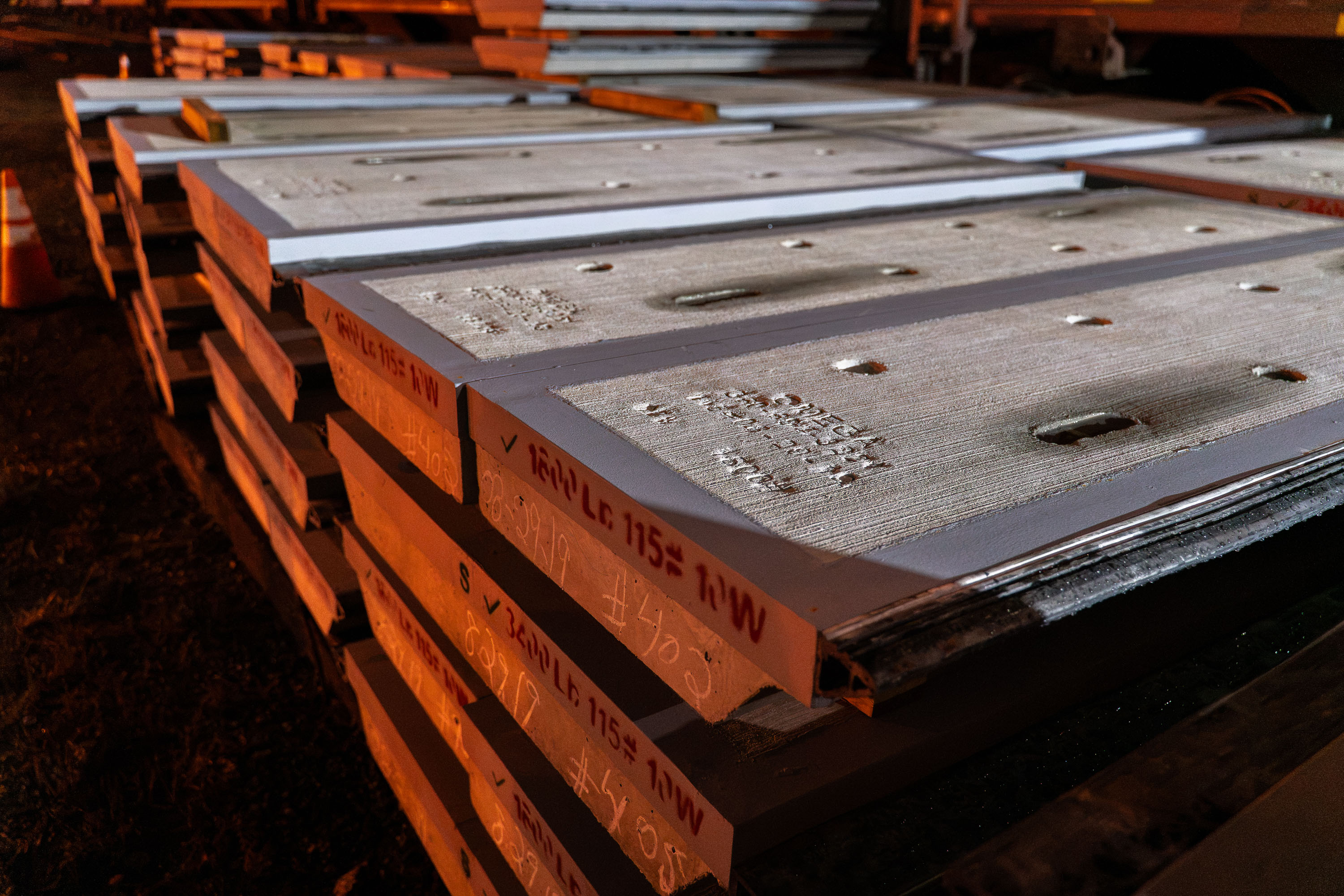
Stacked concrete railroad crossing panels with metal reinforcement stored outdoors in Minneapolis.
Precast concrete panels like these form the running surface of a railroad grade crossing, fitting between and alongside the rails so vehicles can pass over the tracks without damaging their tires or suspensions. Markings chalked on the edges typically note load ratings, panel width, and sequence numbers so crews install each section in the correct order and orientation.

Stacked Concrete Panels for a Railroad Crossing Rebuild
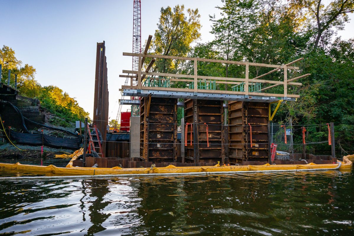
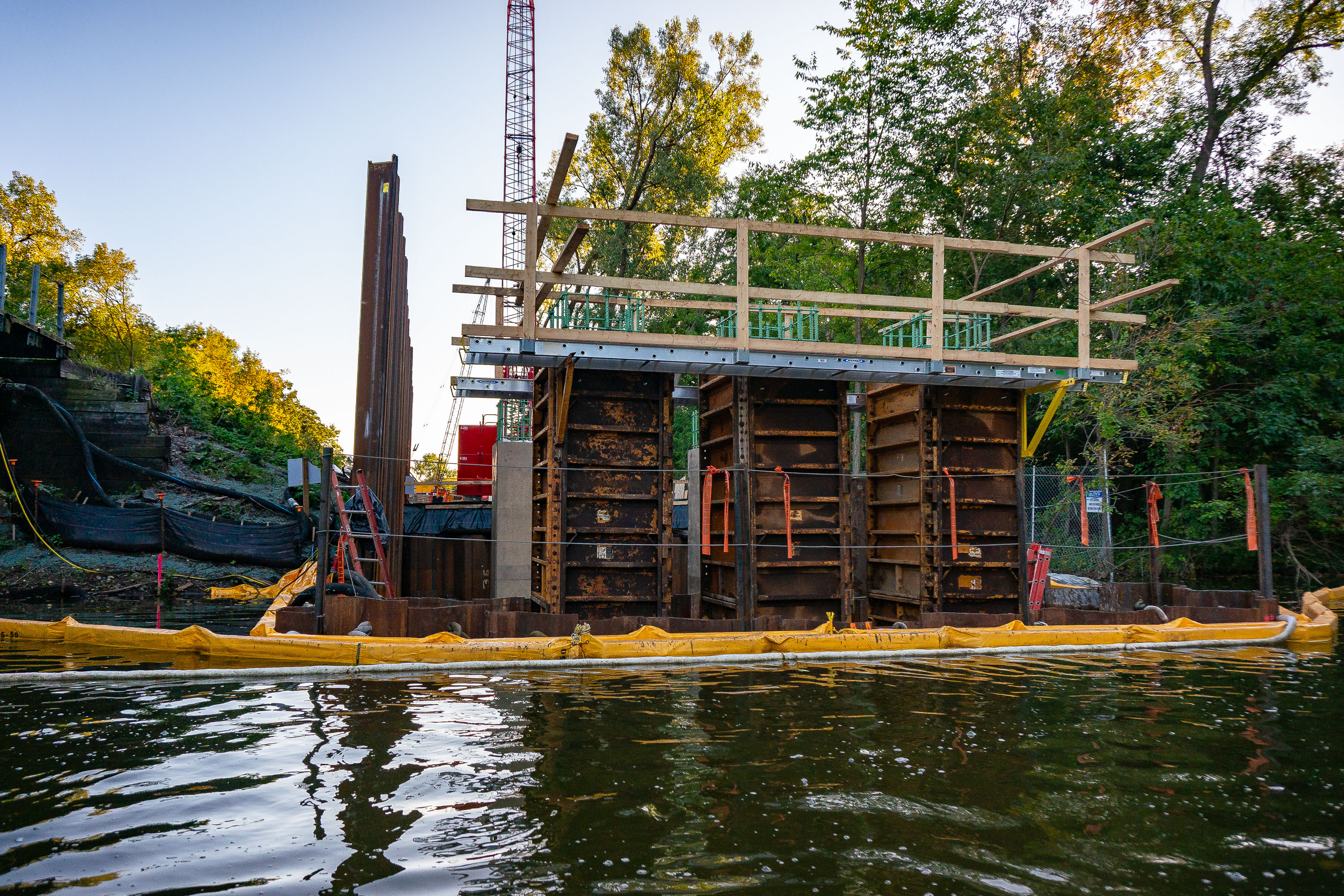
Construction equipment and containment barriers along Cedar Lake during Metro Green Line Extension work in Minneapolis.
The Kenilworth Channel connects Cedar Lake and Lake of the Isles in Minneapolis, carrying both water traffic and the Kenilworth Trail along its banks. Construction here is tied to the Metro Green Line Extension, a light-rail project that runs through the Kenilworth corridor en route to Eden Prairie. Steel sheet piling and formwork mark the early stages of a bridge support structure, with turbidity barriers placed in the water to contain sediment during in-water work. The corridor has long been a point of contention in the project's planning, given its shared use by rail, trail, and waterway traffic.

Bridge Construction Along the Kenilworth Channel
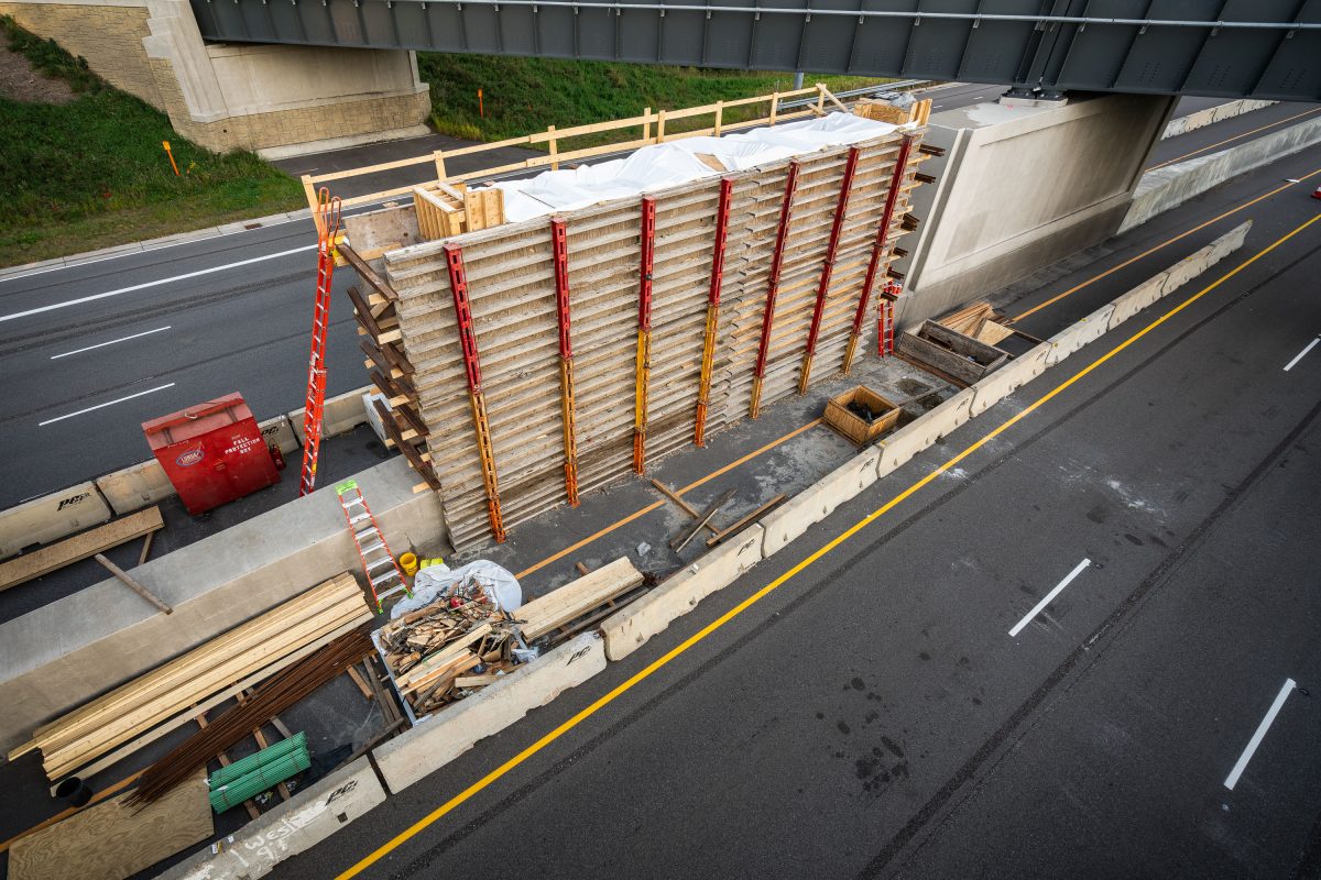
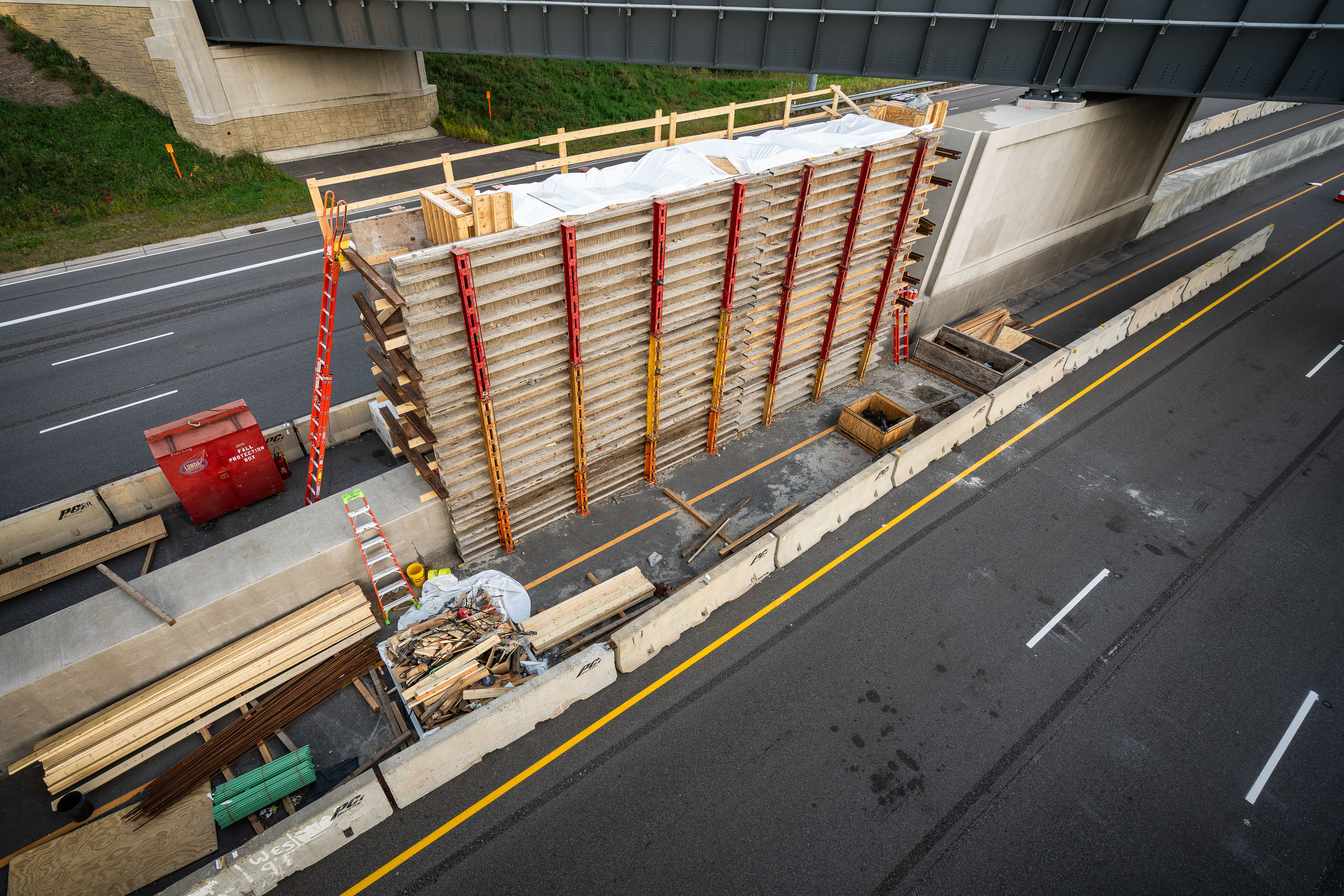
Wooden formwork and steel shoring towers support bridge deck construction over Highway 100 during Green Line Extension light rail
The Green Line Extension is a light rail project adding 14.5 miles of track between Minneapolis and Eatan Prairie, with a bridge crossing over Highway 100 in St. Louis Park as one of its structures. Metro Transit and the Metropolitan Council oversee the project, which extends the existing Green Line that currently runs between Minneapolis and Saint Paul. Formwork and shoring towers built from wood and steel supports are standard methods for pouring concrete bridge decks and piers during highway-spanning construction like this.

Formwork Tower for the Green Line Extension Bridge over Highway 100
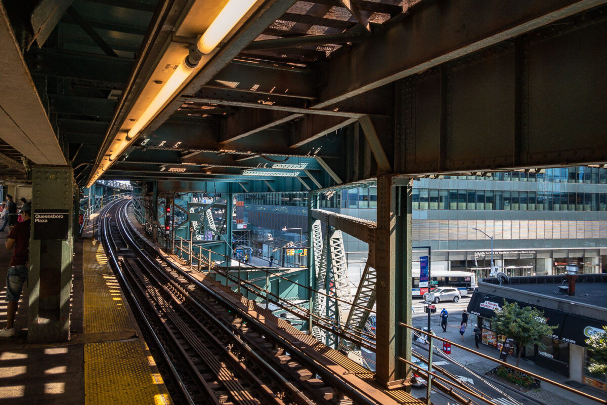
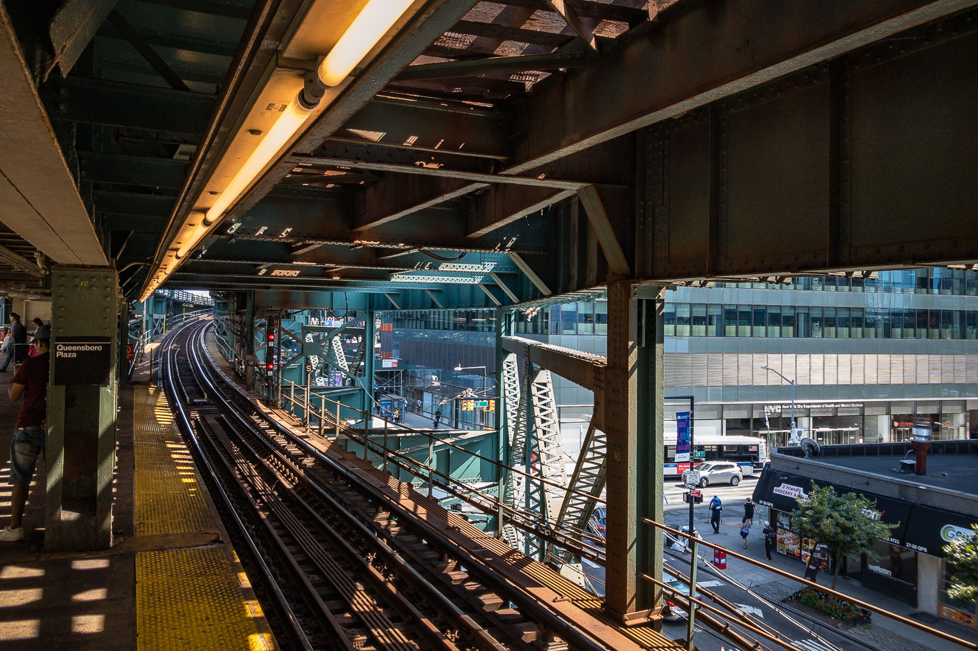
Queensboro Plaza elevated train station platform with steel trusswork, tracks, and Manhattan skyline visible beyond.
Queensboro Plaza elevated train station in Long Island City, Queens, New York City. The station features multiple tracks and platforms, with the distinctive green and steel structure of the elevated railway overhead. This station is a key transit hub, serving as a transfer point for the 7 train and formerly for the Long Island Rail Road. Its construction and ongoing operation are integral to the connectivity of Queens with Manhattan and the rest of the city's transit network.

Elevated Tracks Curve Toward Long Island City at Queensboro Plaza
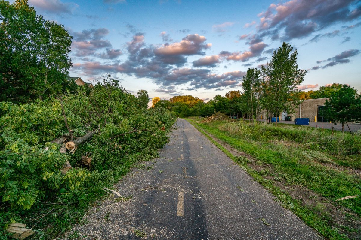
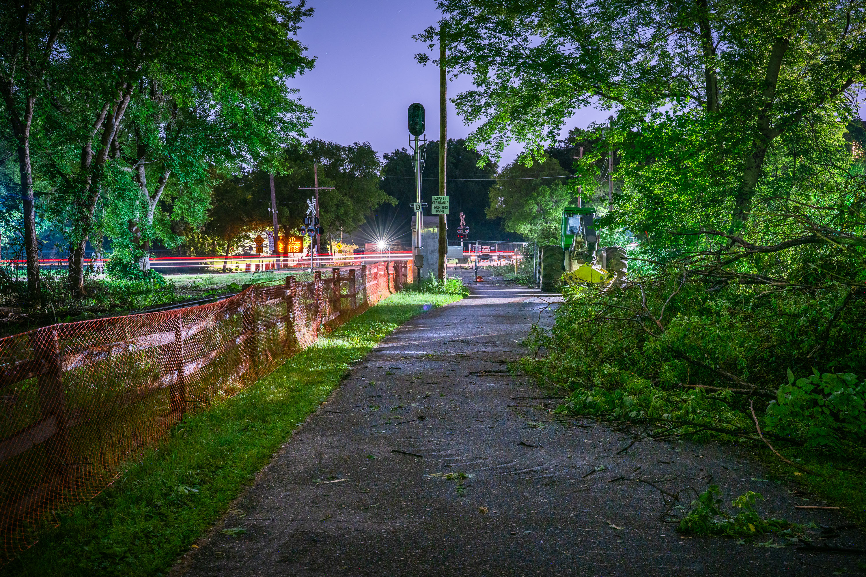
Tree Removal on Cedar Lake Trail in St. Louis Park
Trees being removed on the Cedar Lake Trail in St. Louis Park during the Metro Green Line Extension Construction.

Tree Removal on Cedar Lake Trail in St. Louis Park

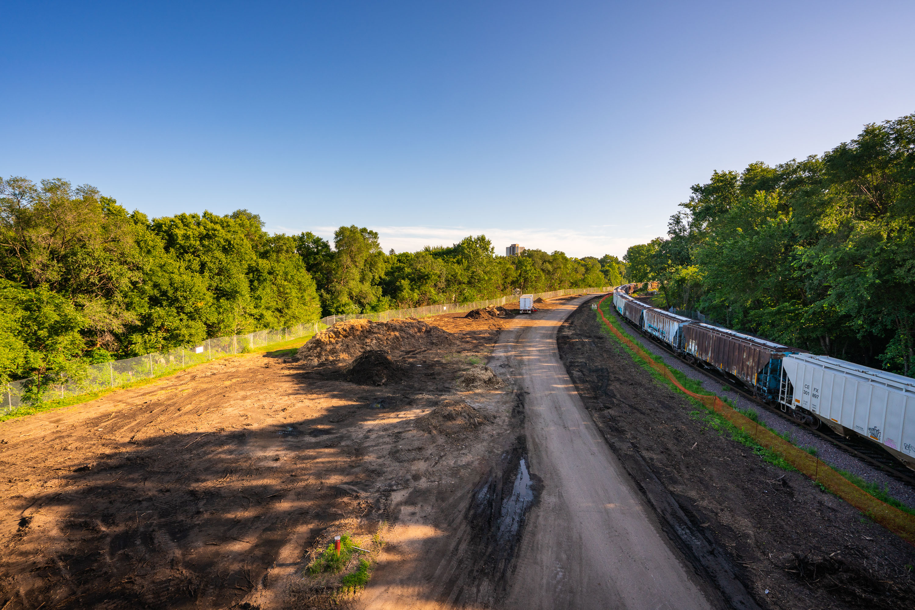
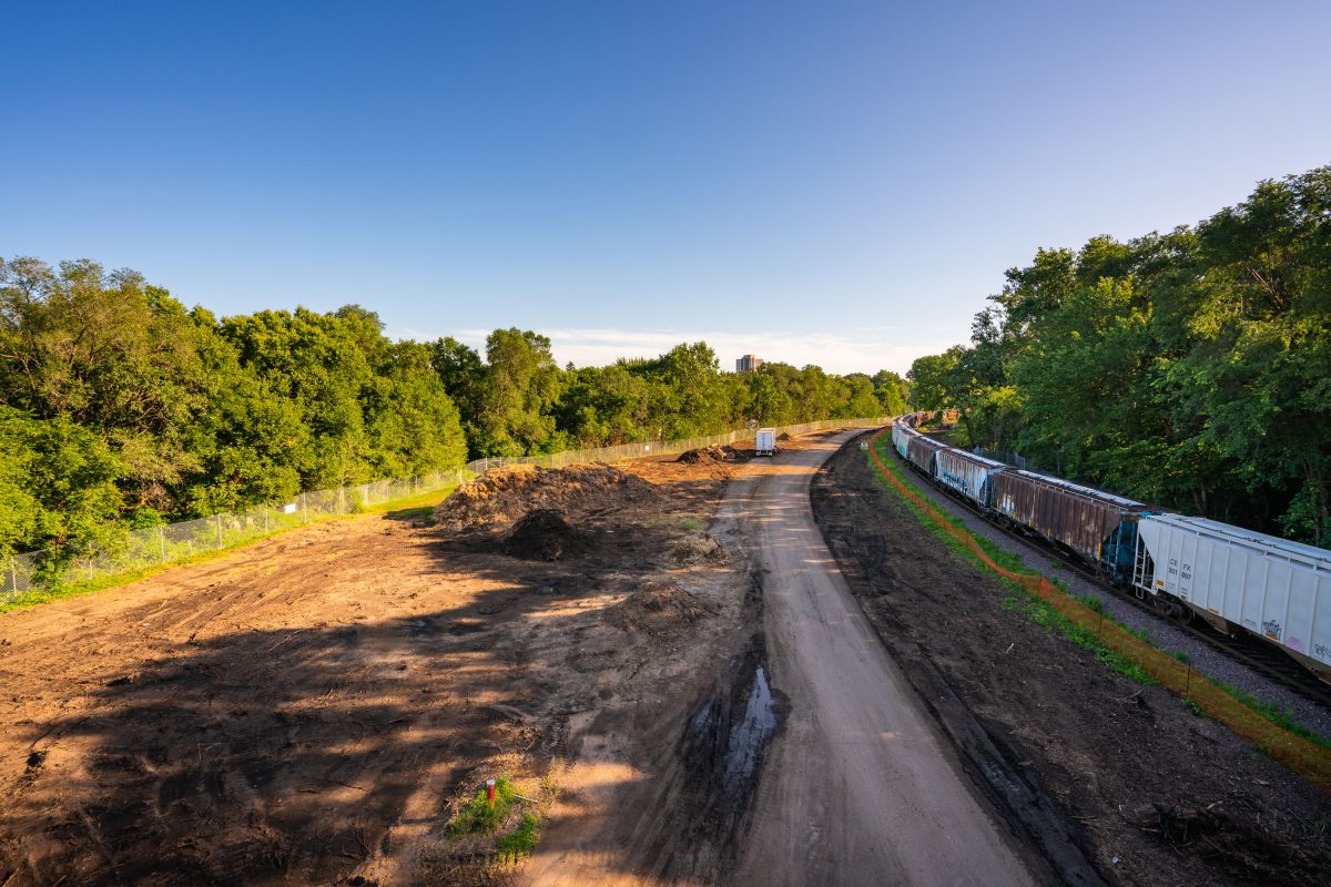
Freight train alongside excavated Cedar Lake Trail during Southwest Light Rail construction in Minneapolis, August 2019.
The view of what was the Cedar Lake Trail seen from Burnham Road. The trail was ripped up during light rail construction that will bring a train from Eden Prairie to Minneapolis to St. Paul.

Freight Train Passes Cedar Lake Trail Construction at Burnham Road
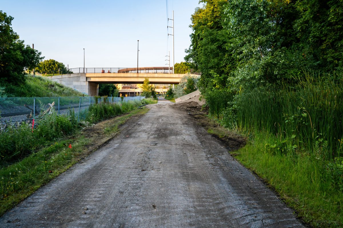
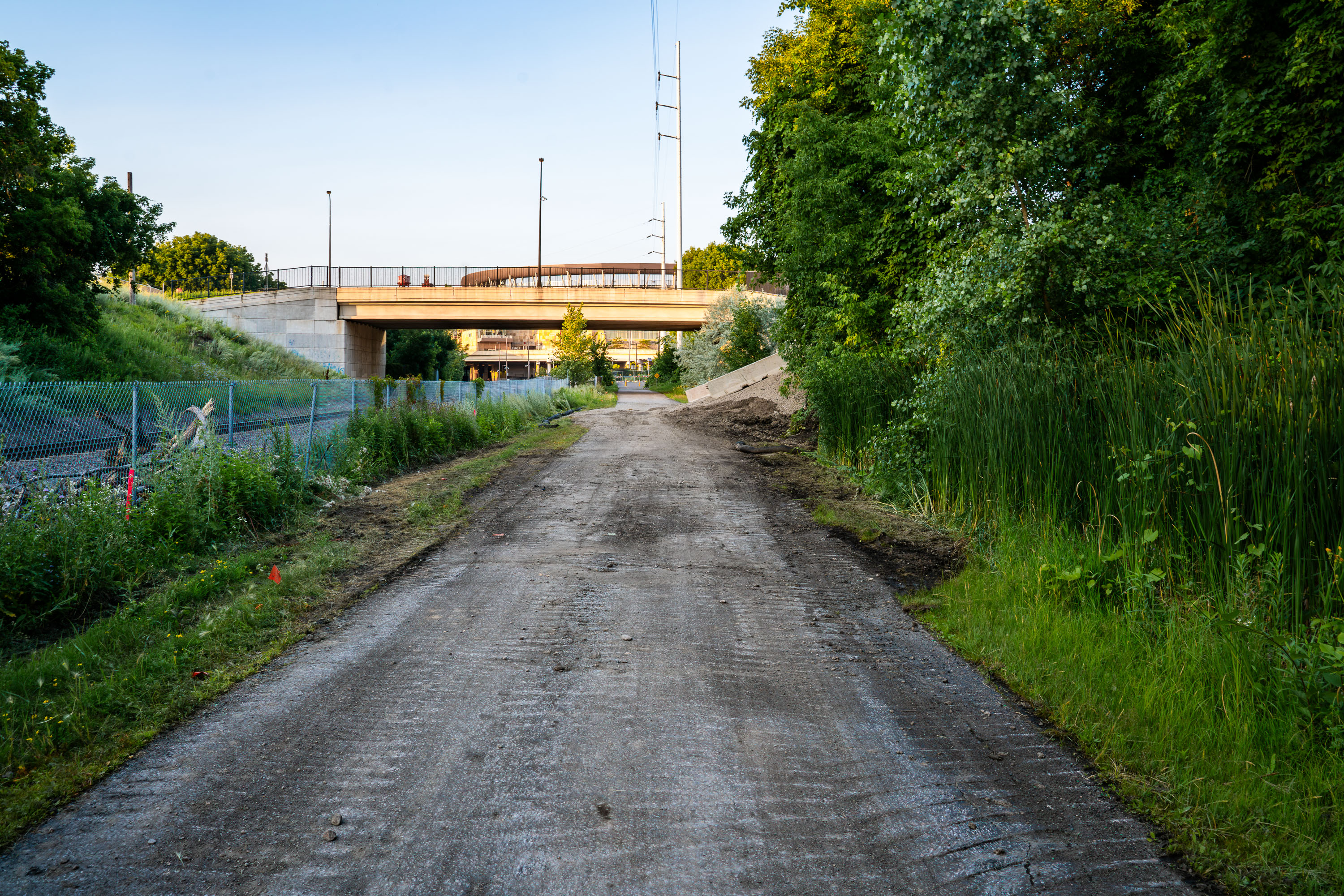
Unpaved construction path beneath highway overpass along Cedar Lake Trail during Metro Transit Green Line Extension project in
The Cedar Lake Trail shortly after it was ripped up during the Metro Transit Green Line Extension light rail project. The trail re-opened in 2025.

Cedar Lake Trail Torn Up Near a Bridge During LRT Construction
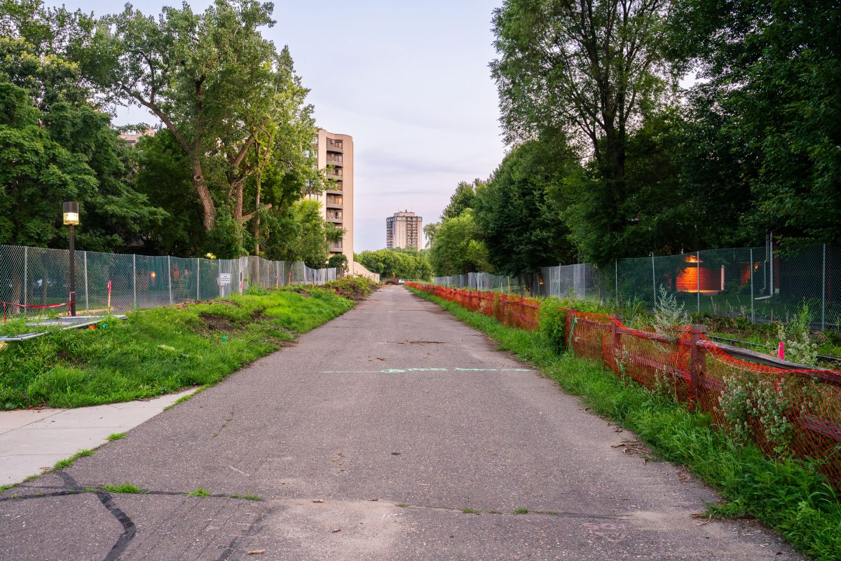
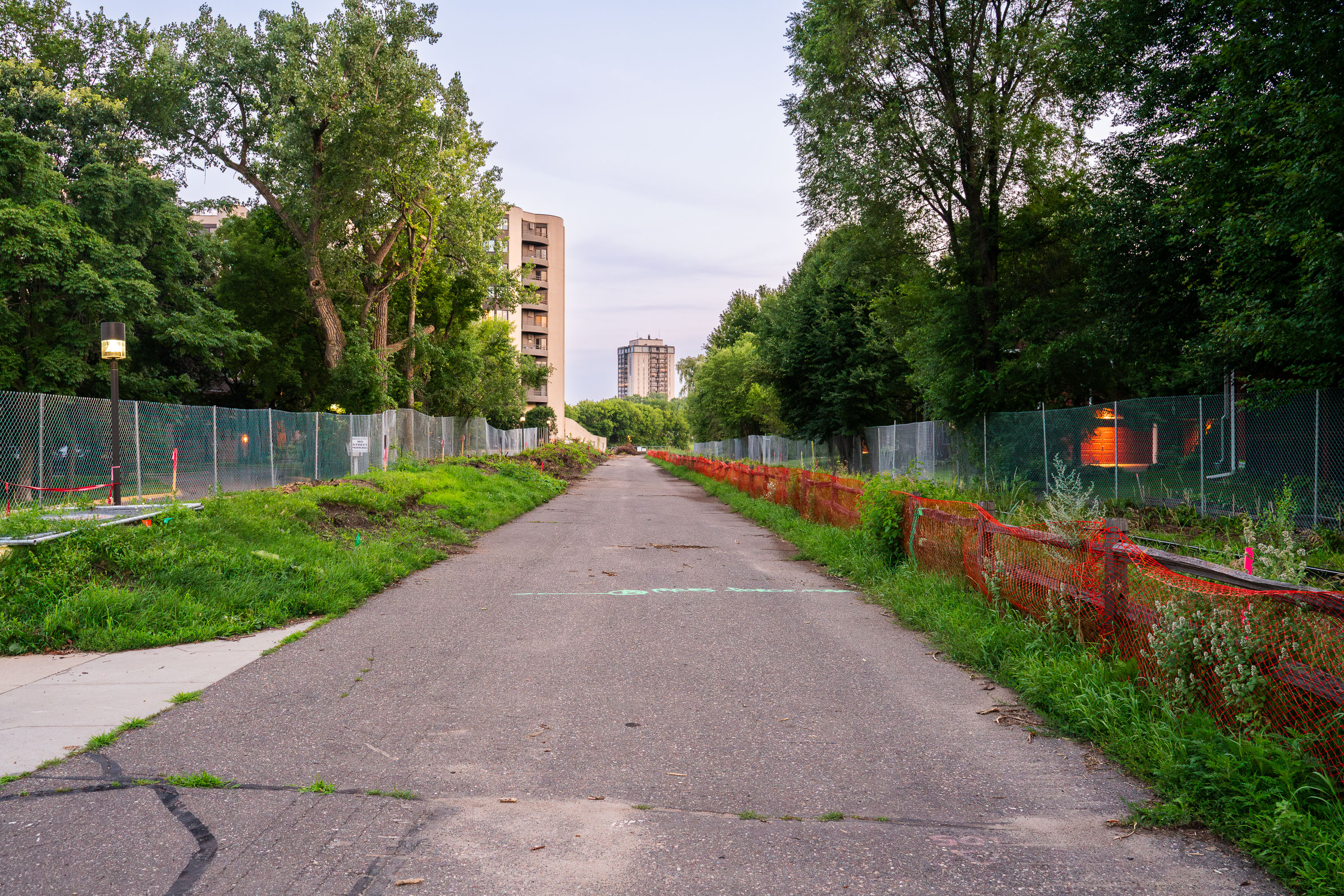
Fenced pathway along Kenilworth Trail in Minneapolis during Southwest Light Rail construction in 2019.
The Kenilworth Trail construction seen on July 23, 2019. The trail was closed for years

Fenced-Off Kenilworth Trail Corridor Awaiting LRT Construction
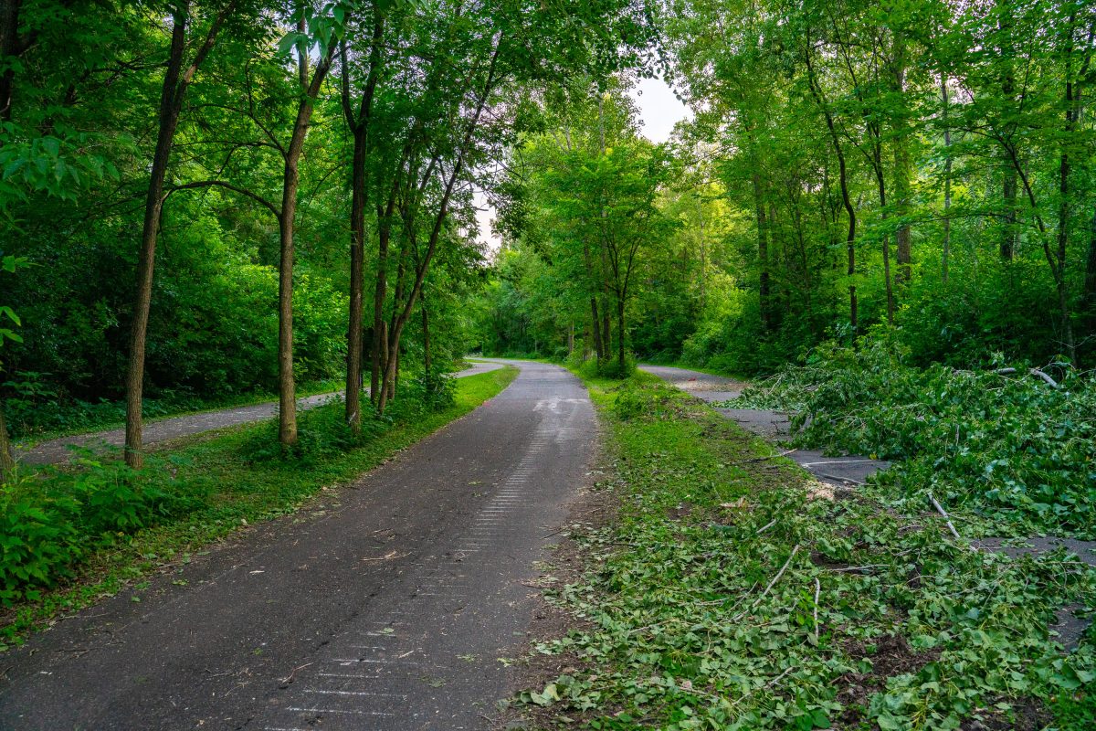
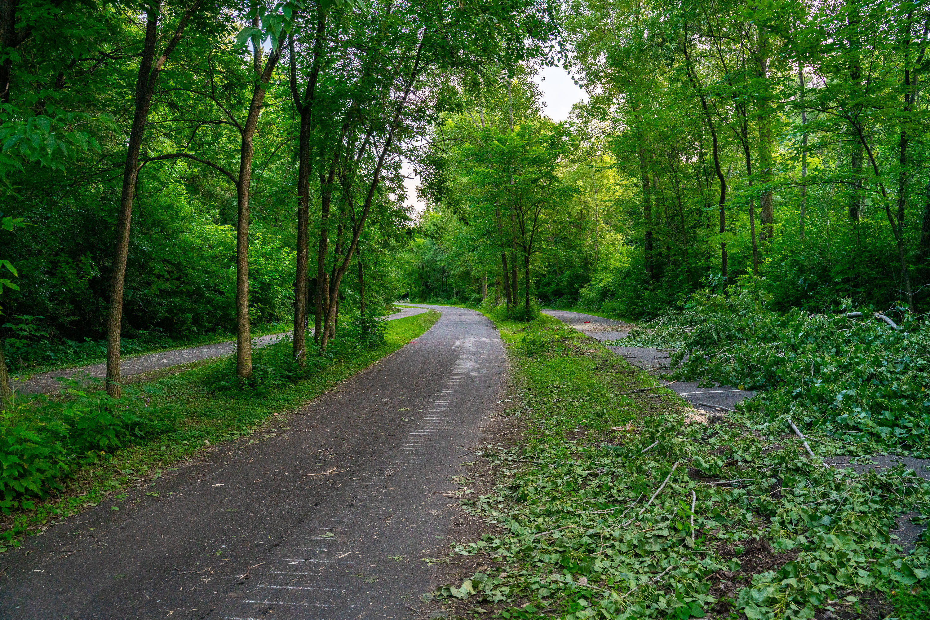
Tree-lined path on Kenilworth Trail in Minneapolis during Southwest light rail construction in July 2019.
Trees being cleared out on the Kenilworth Trail in Minneapolis during Metro Transit Green Line light rail construction.

Trail Debris Piled Along the Kenilworth Trail in Minneapolis
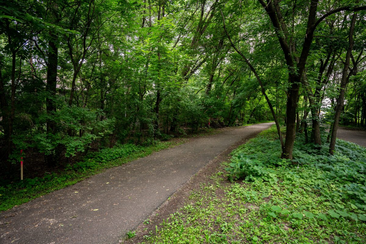
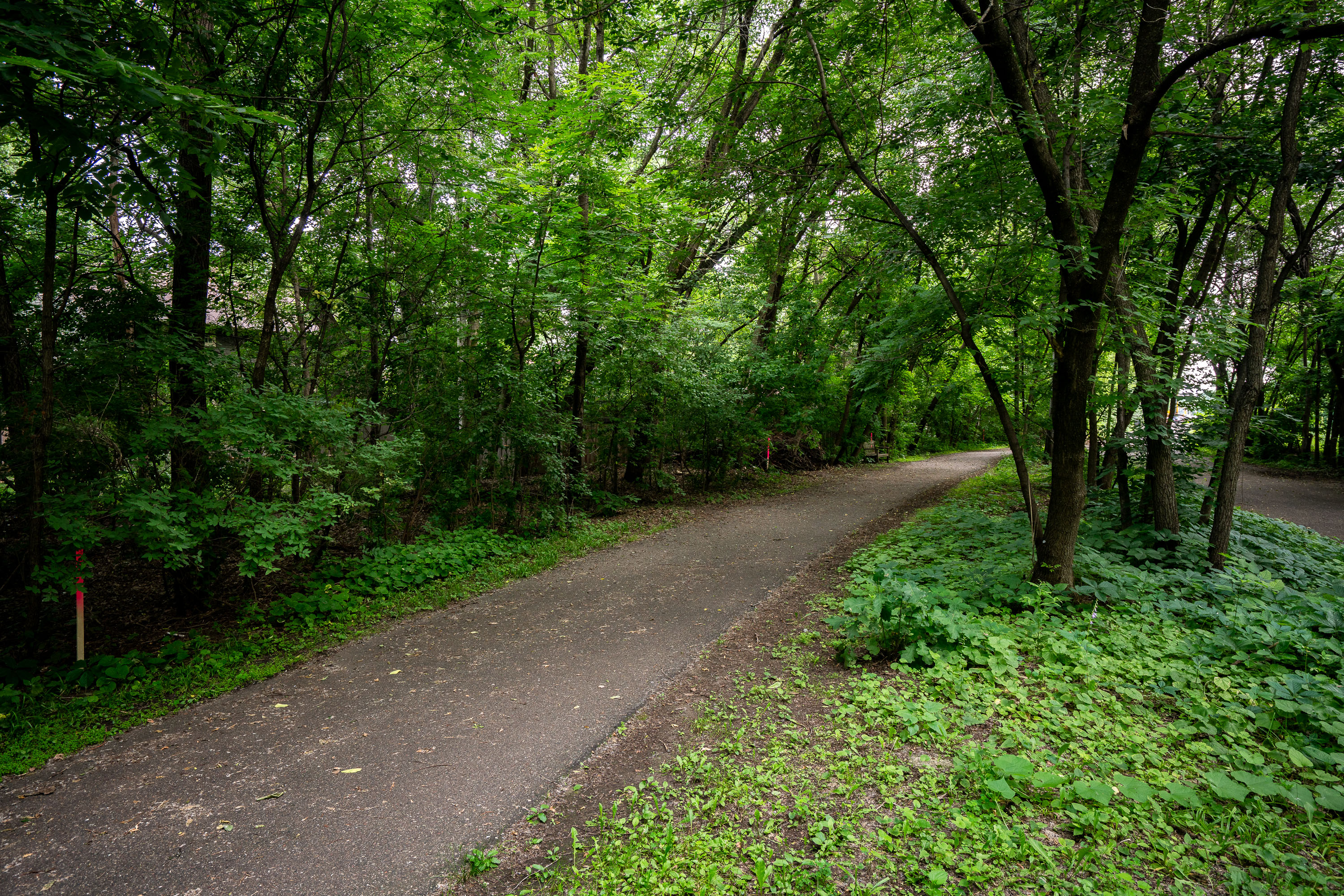
Paved trail winds through dense deciduous forest with mature trees lining both sides.
The Kenilworth Trail runs through the Kenilworth corridor connecting the Chain of Lakes area with downtown Minneapolis, following a former rail right-of-way once used by freight lines. The paved path is shared by pedestrians and cyclists and links to the regional Grand Rounds trail network. The corridor has long been the subject of planning debate as the proposed route for the Southwest Light Rail Transit extension of the Metro Green Line, with construction requiring the trail to be rerouted and rebuilt in sections alongside the new rail line.

A Wooded Stretch of the Kenilworth Trail
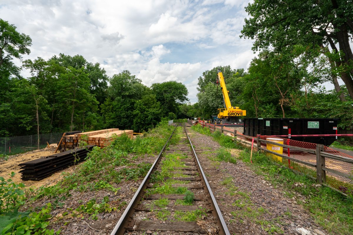
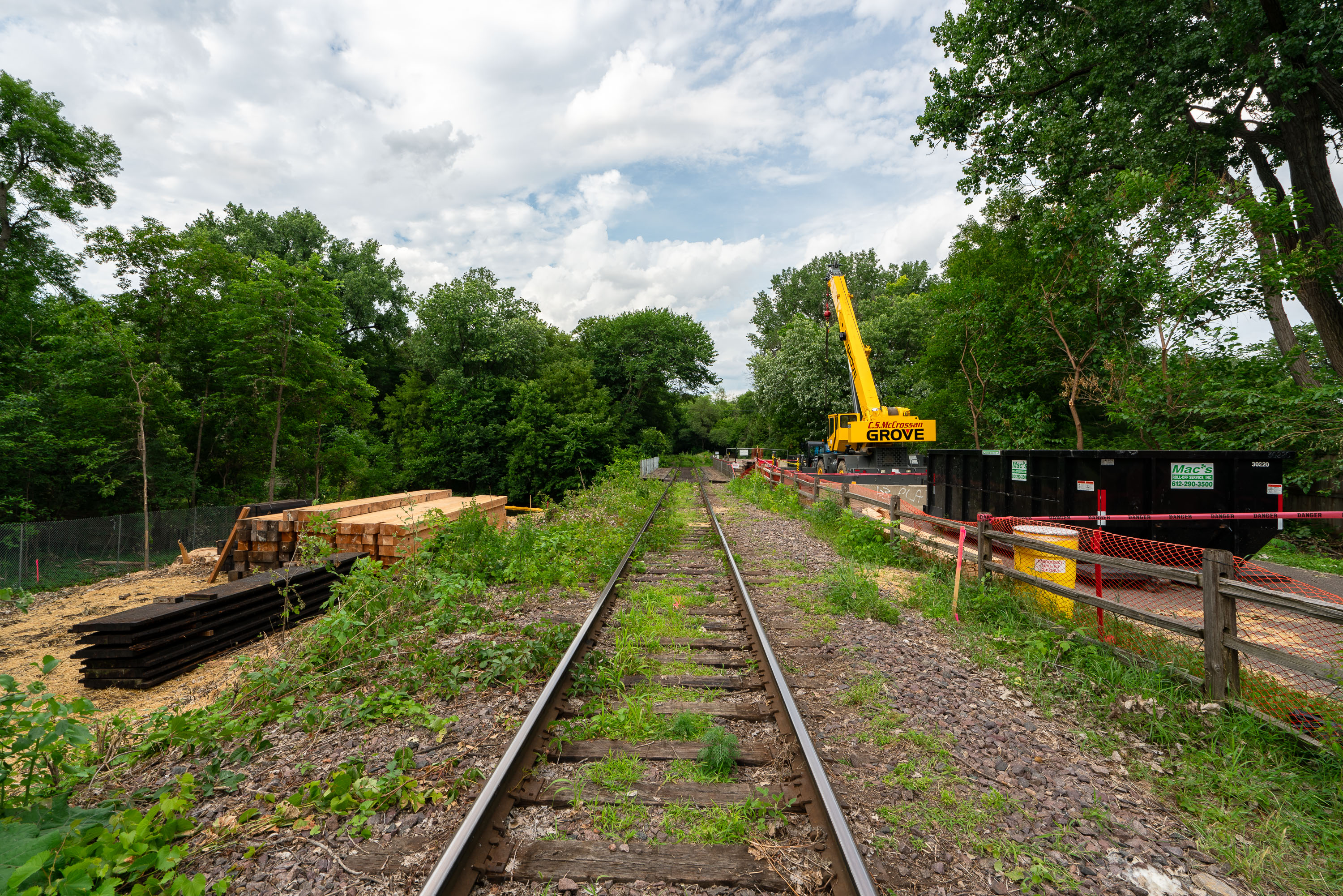
Grove construction crane and equipment on railroad tracks along the Kenilworth Trail in Minneapolis.
The Kenilworth Trail follows a former Milwaukee Road rail corridor connecting Minneapolis's Cedar Lake and Lake of the Isles areas to Hopkins. The corridor has been used for freight rail, bike and pedestrian paths, and is the planned route for the Metro Green Line Extension light rail. Construction crews have used the rail line for staging materials, including ties and ballast, during the extension's preliminary work. A Grove mobile crane, commonly used for lifting rail and bridge components, appears among the equipment staged along the tracks.

Rail Tie Replacement Along the Kenilworth Trail Corridor
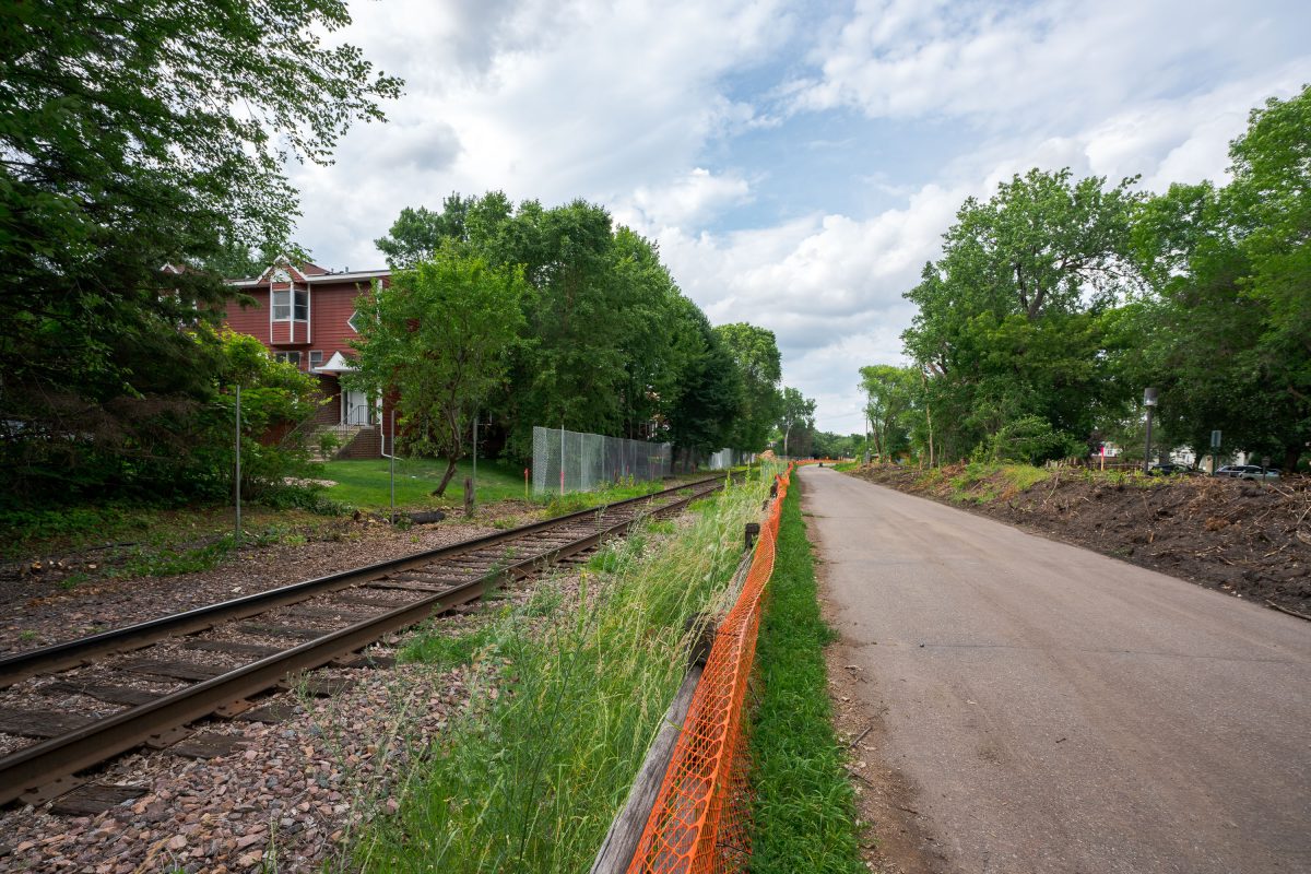
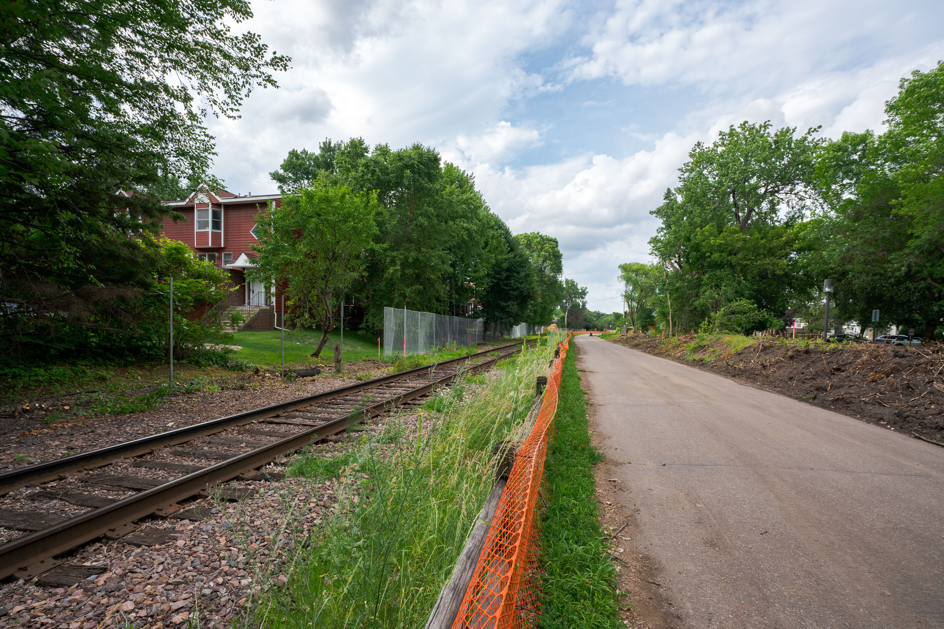
Orange safety fencing installed along Kenilworth Trail during Metro Green Line Extension construction in Minneapolis.
The Kenilworth Trail runs alongside active freight and light-rail tracks through the Kenilworth Corridor, a narrow strip of land connecting the Chain of Lakes to downtown Minneapolis. The corridor has long carried both recreational trail traffic and rail lines, a dual use that predates the current Green Line Extension project. Construction fencing here marks work tied to that extension, which is adding light-rail tracks through the same shared right-of-way used by the trail and freight rail. The project has required temporary trail reroutes and vegetation clearing along sections of the corridor during construction.

Safety Fencing Along the Kenilworth Trail Rail Corridor
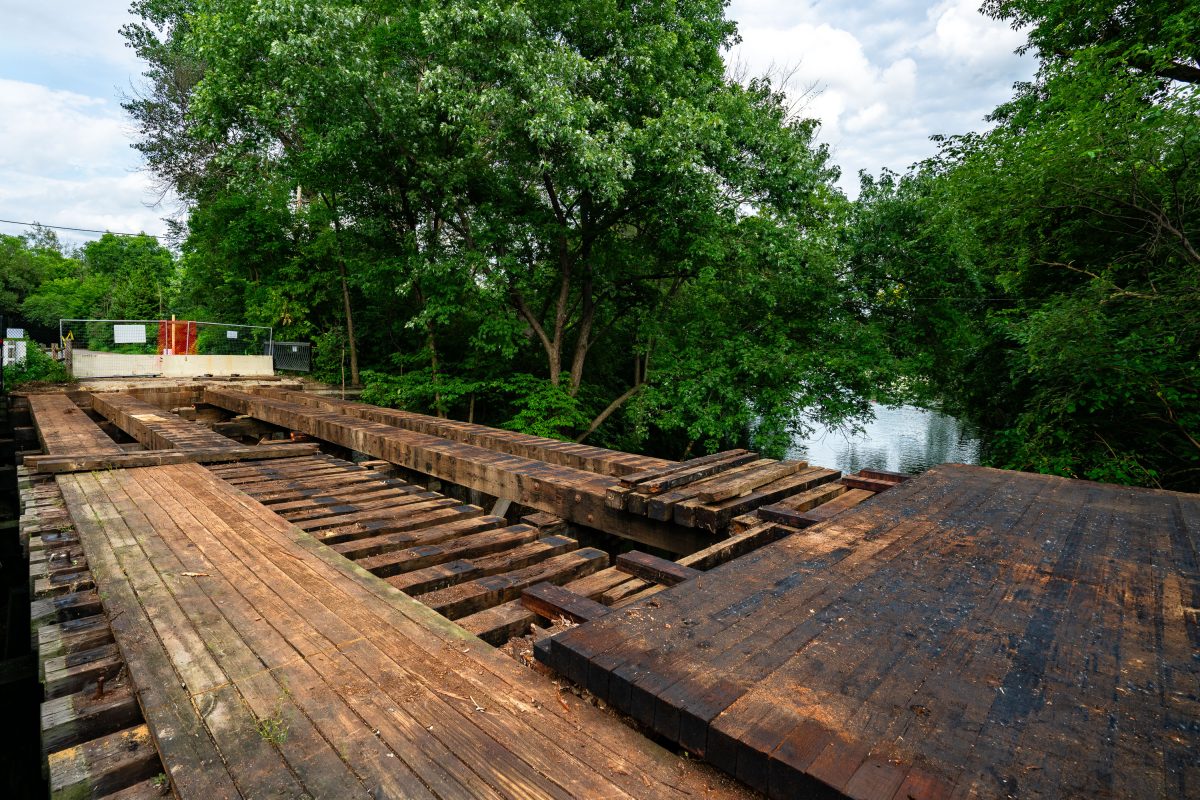
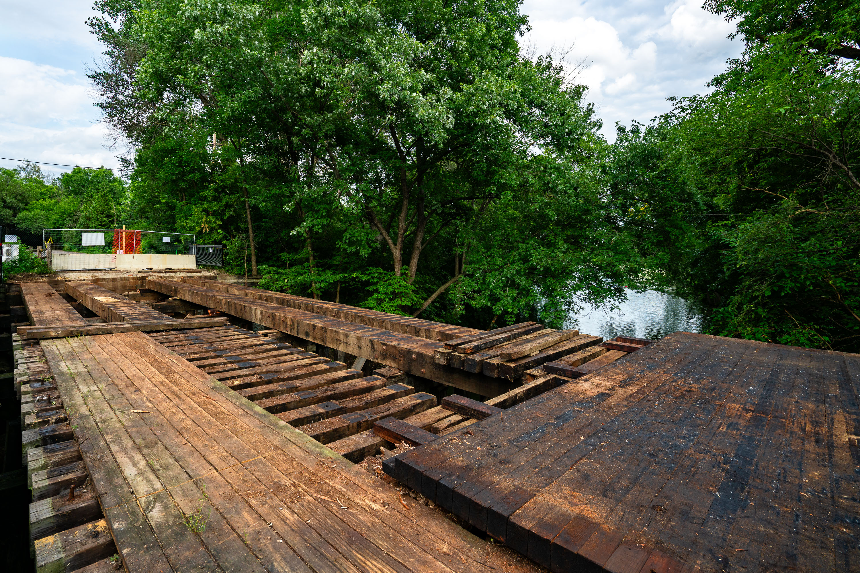
Deteriorated wooden bridge spanning Cedar Lake channel alongside Burnham Trail in Minneapolis during Green Line Extension
The bridge over the Cedar Lake/Lake of the Isles channel in Minneapolis. The bridge was removed and replaced during construction of the Metro Transit Green Line Extension.

Decking Removed from the Cedar Lake Channel Bridge on the Burnham Trail
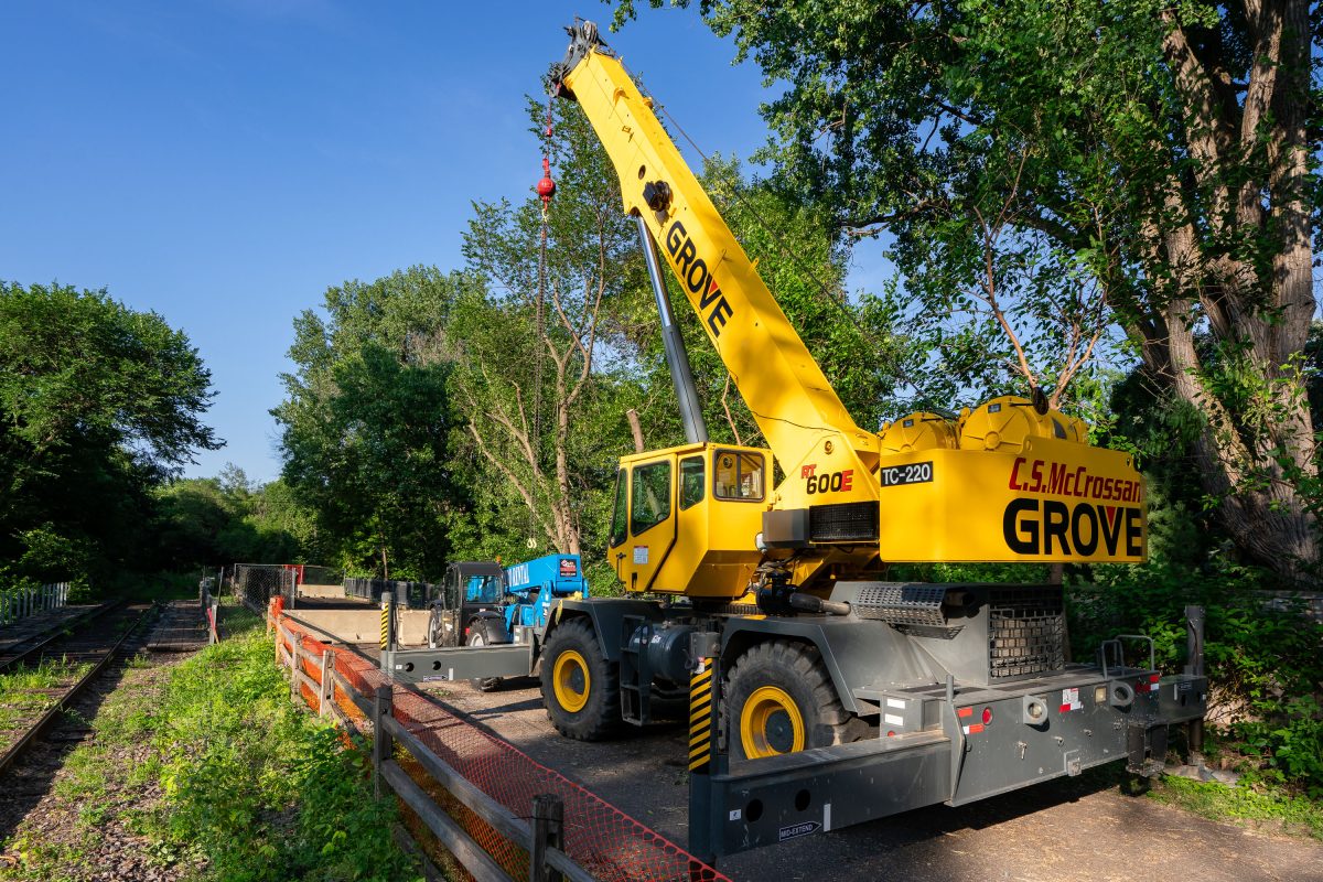
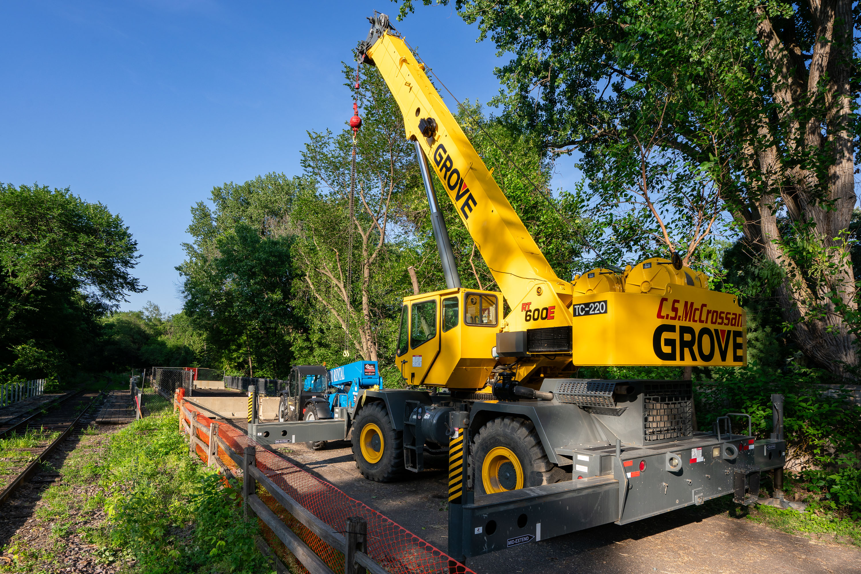
Yellow Grove mobile crane on Kenilworth Trail in Minneapolis during Southwest LRT construction.
This Grove RT600E rough-terrain crane, operated by C.S. McCrossan, was staged along the Kenilworth Trail during construction of Metro Transit's Southwest LRT Green Line Extension. The crane can lift up to 60 tons and extend a boom beyond 100 feet, making it suited for setting bridge and tunnel components along the corridor. The Kenilworth corridor carries freight rail and a recreational trail between the Chain of Lakes and downtown Minneapolis, and became a major staging area for the light-rail line's tunnel and bridge work. C.S. McCrossan, a Minnesota-based heavy civil contractor, has worked on multiple segments of the Southwest LRT project.

Grove Crane Staged on the Kenilworth Trail for Southwest LRT Work
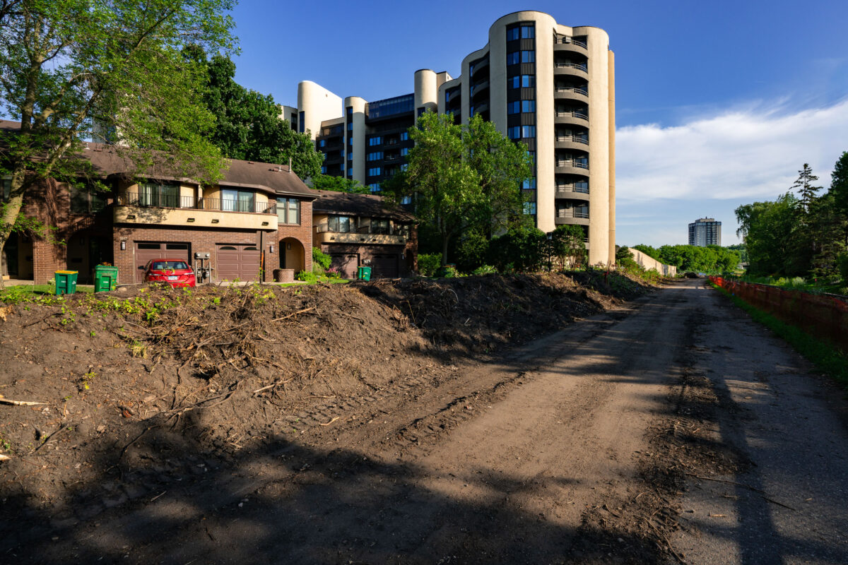
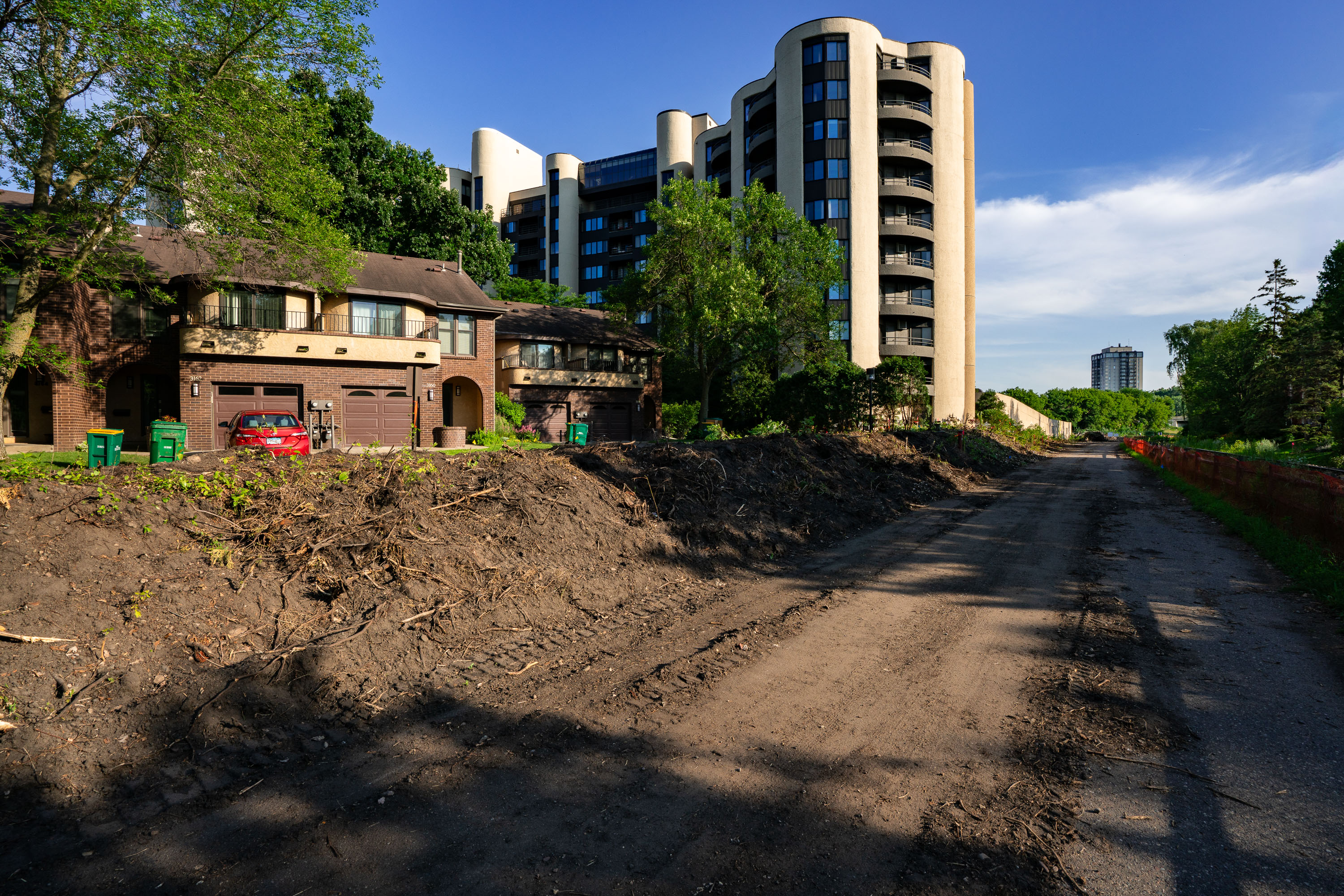
Excavated construction site along Kenilworth Trail with brick building and modern apartment tower in Minneapolis.
Construction on the area that was the Kenilworth Trail that connected the Midtown Greenway with the Cedar Lake Trail. The trail was closed for years for construction of the new Metro Transit Green Line Light Rail line.

Cleared Kenilworth Trail Corridor Near Condo Towers in Minneapolis
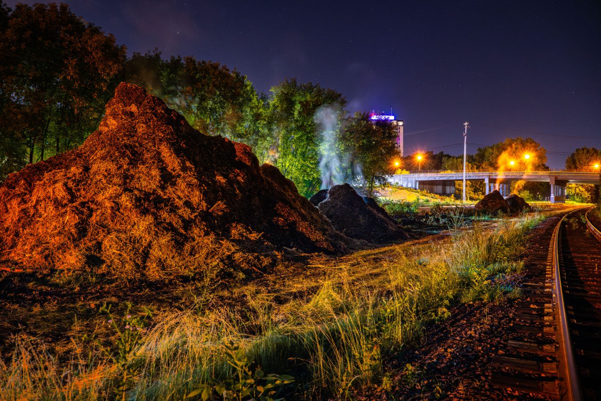
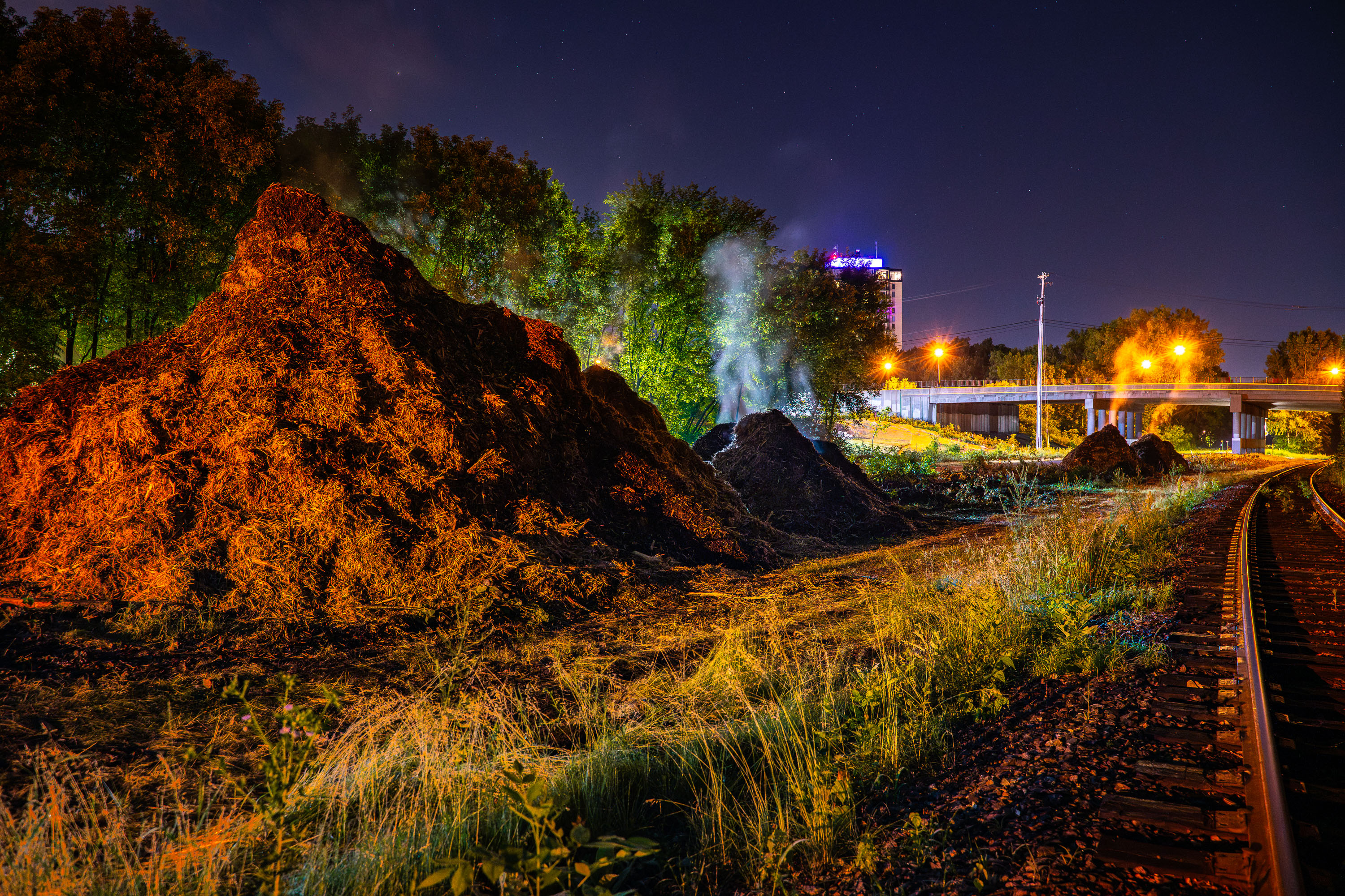
Illuminated mulch piles steam on the Midtown Greenway during Metro Transit light rail construction in Minneapolis.
Steaming mulch seen on the Midtown Greenway during Metro Transit's light rail construction work.

Steaming Mulch Piles Along the Midtown Greenway at Night
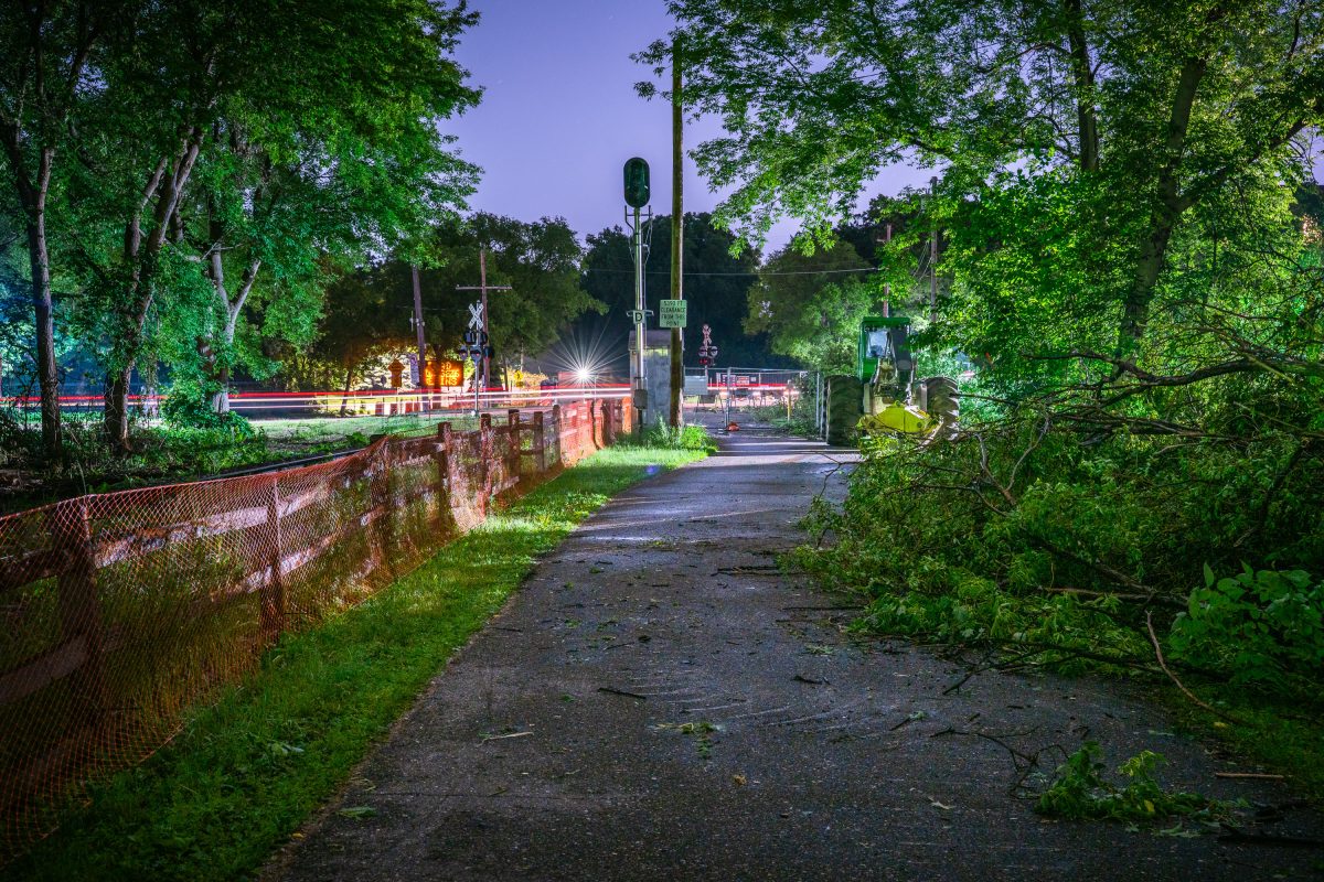
Burnham Trail in Minneapolis closed for Southwest LRT light rail construction, June 2019.
The Burnham Trail portion of the Kenilworth Trail in Minneapolis. Photo taken in June 2019 after the trail closed in preparation for the Southwest LRT light rail construction.

Night Clearing on the Burnham Trail Ahead of Southwest LRT Work
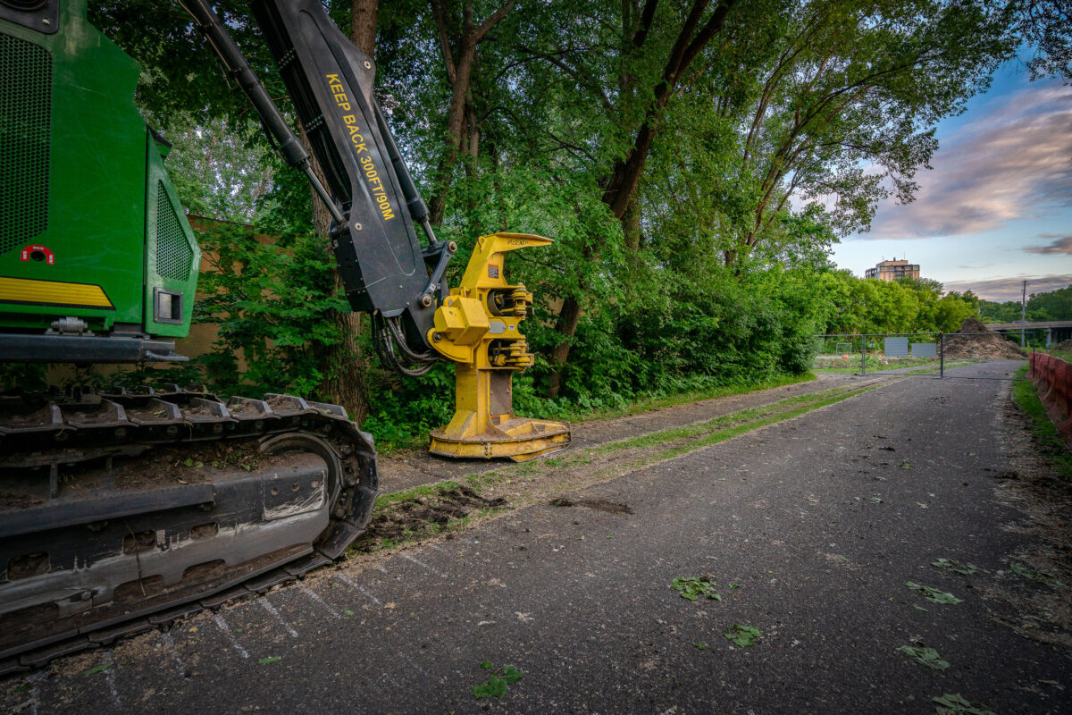
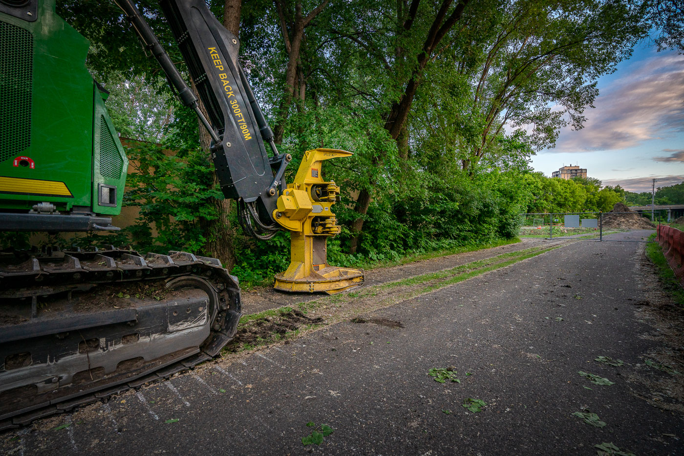
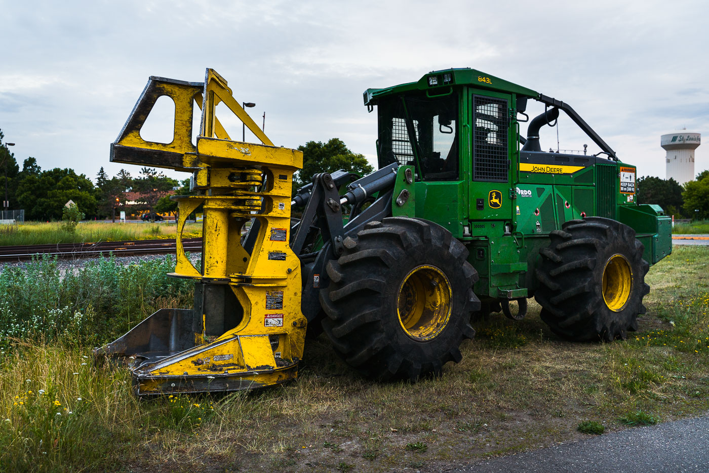
A John Deere feller buncher sits at the Southwest LRT construction site in St. Louis Park, Minnesota, used for clearing trees for the new transit line.
A John Deere feller buncher, a heavy-duty forestry machine, is parked at the Southwest Light Rail Transit (LRT) construction site in St. Louis Park, Minnesota. This equipment was used for site preparation, clearing trees and vegetation to make way for the new transit line. The "KEEP BACK 300 FT / 90 M" warning on the machine highlights the safety protocols necessary for such large-scale construction projects. The Southwest LRT, a major transit expansion, aims to connect Minneapolis with its western suburbs, transforming the transportation network and the surrounding urban environment.

John Deere Feller Buncher at Southwest LRT Construction, St. Louis Park
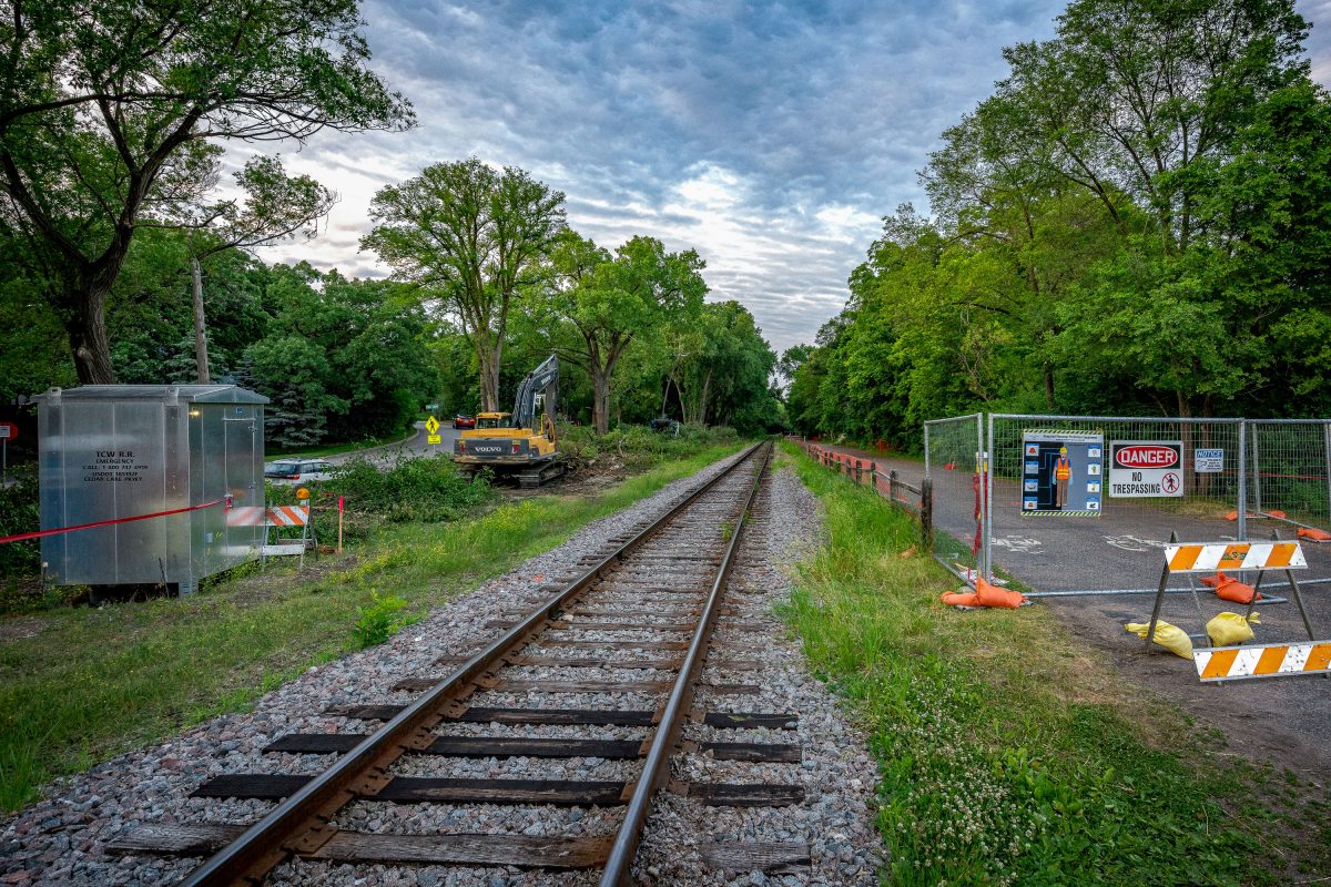
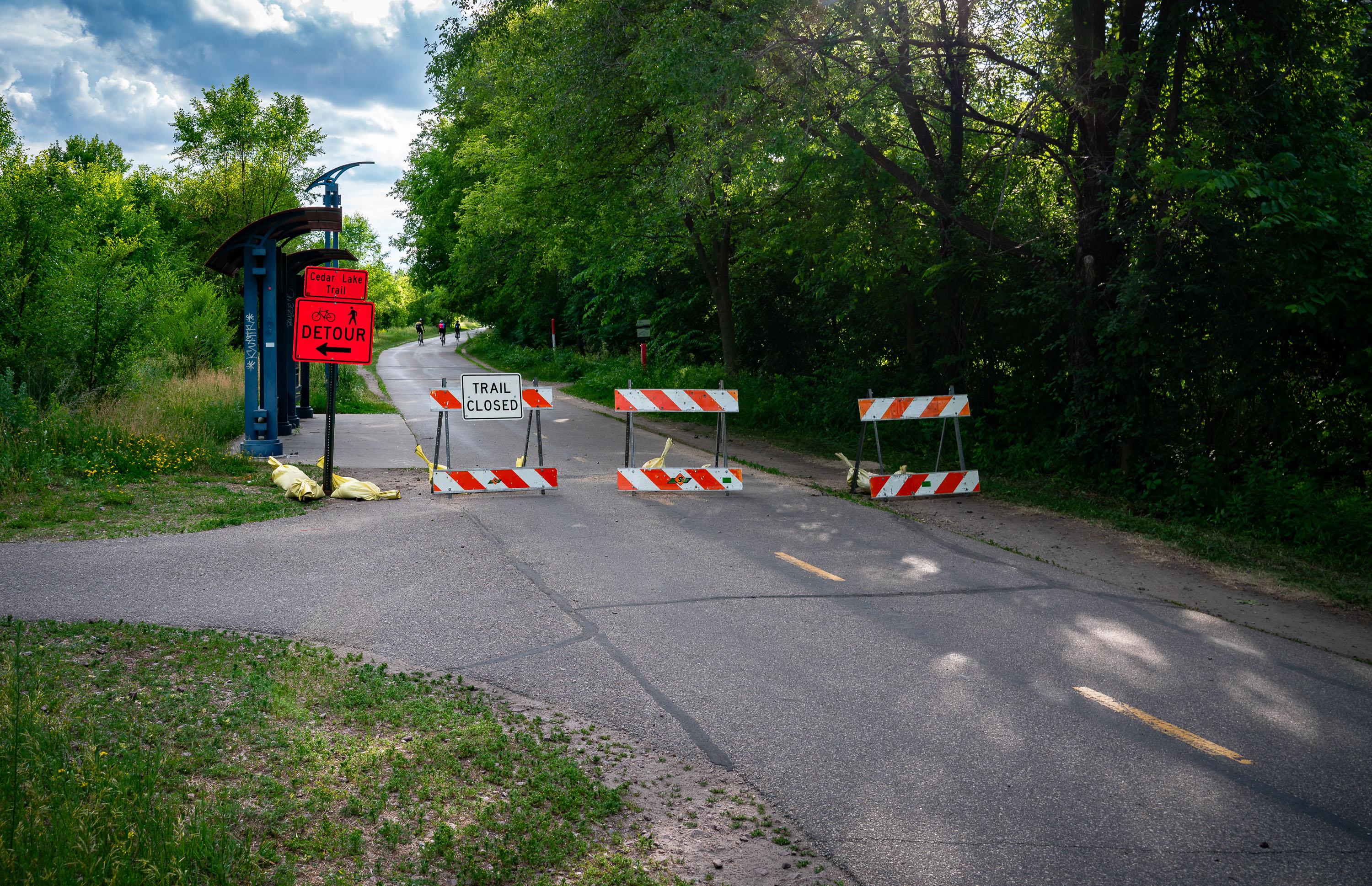
Cedar Lake Trail Closes at Cedar Lake Parkway
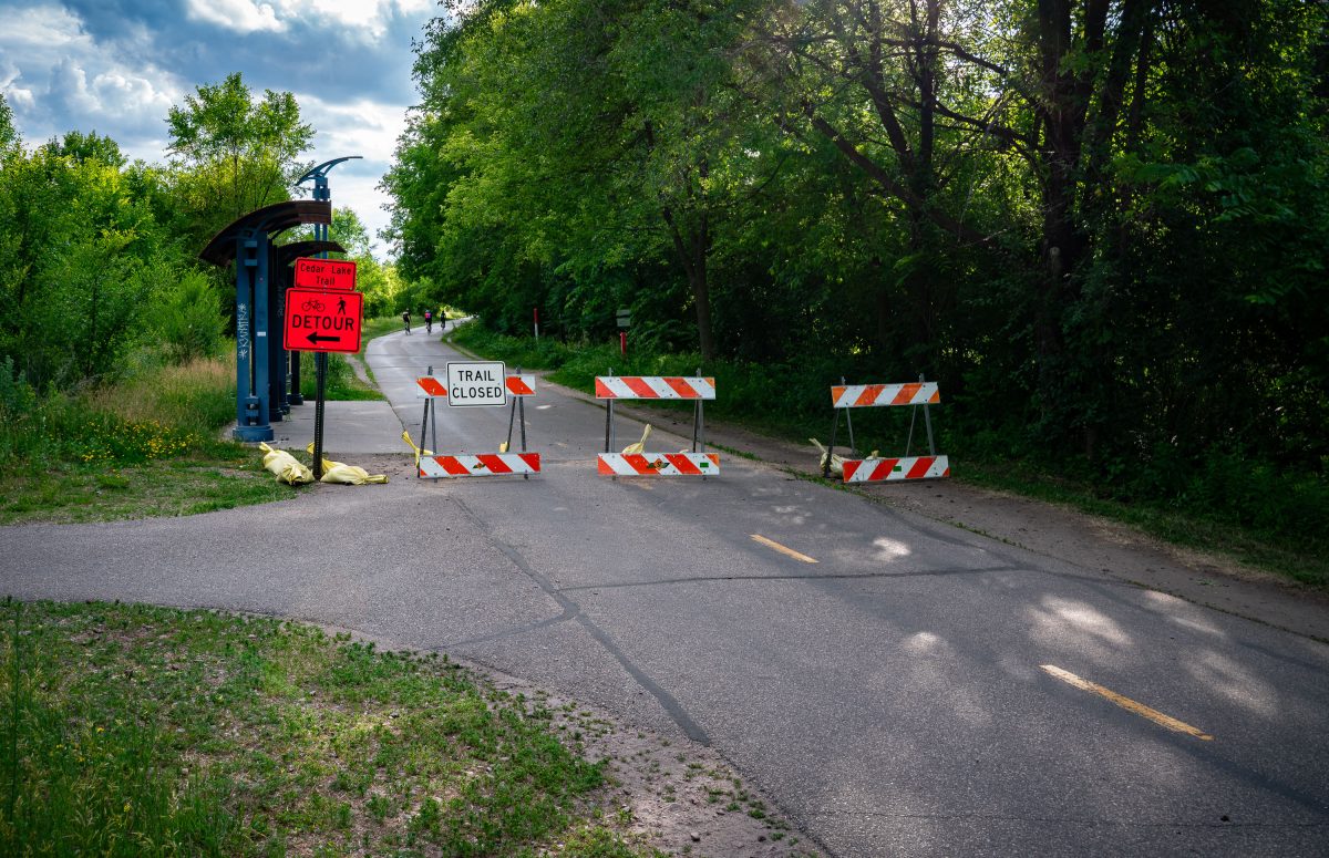
Closure of Cedar Lake Trail at Cedar Lake Parkway as part of the Metro Transit Green Line Extension construction.

Cedar Lake Trail Closes at Cedar Lake Parkway

Cedar Lake Trail Closes in June 2019
Kenilworth Trail n Minneapolis prior to major light rail construction.

Kenilworth Trail Closes in June 2019

Construction equipment and excavation site at Louisiana Avenue light rail station in St. Louis Park, Minnesota.
Metro Transit Louisiana Avenue Green Line Light Rail station prior to construction.

Future Louisiana Station Site Before Green Line Extension Construction
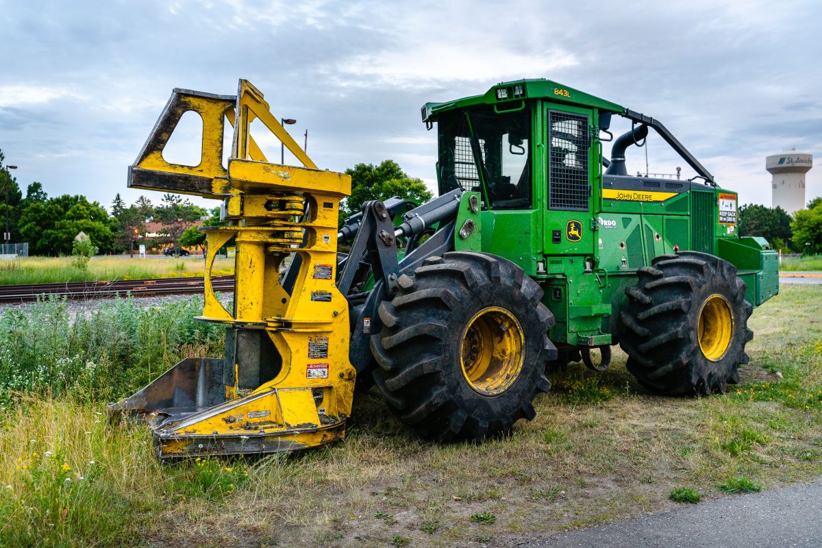
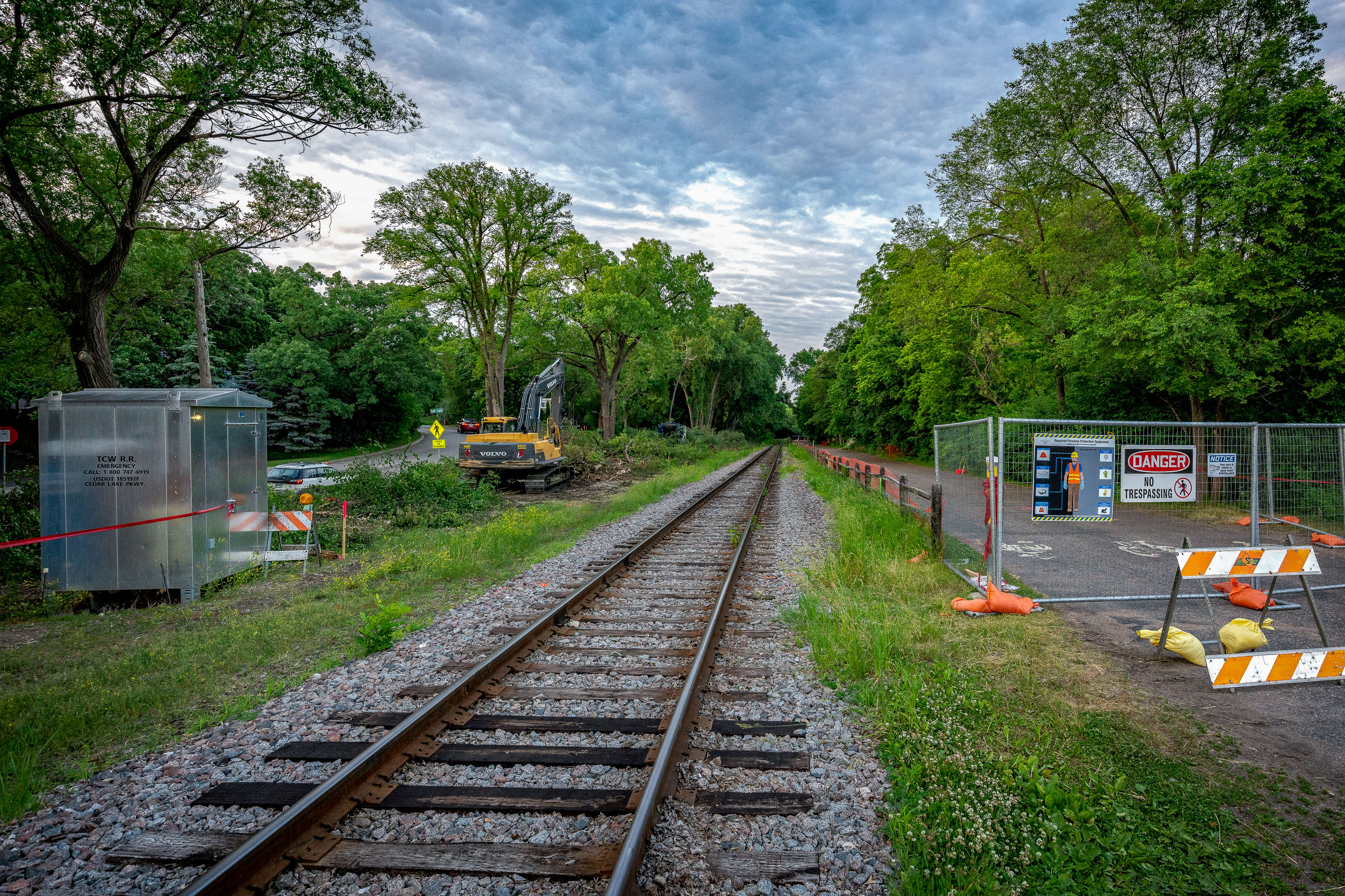
John Deere 843L feller buncher clearing vegetation for Southwest Light Rail Transit construction in St. Louis Park, Minnesota.
A John Deere 843L feller buncher sits parked near the railway tracks in St. Louis Park, Minnesota, during the early stages of construction for the Southwest Light Rail Transit (LRT) project. Designed primarily for forestry work, this heavy-duty machine—with its massive front grapple and thick treaded tires—was adapted for clearing brush and trees along the rail corridor.

John Deere 843L Feller Buncher Near the Rail Corridor in St. Louis Park
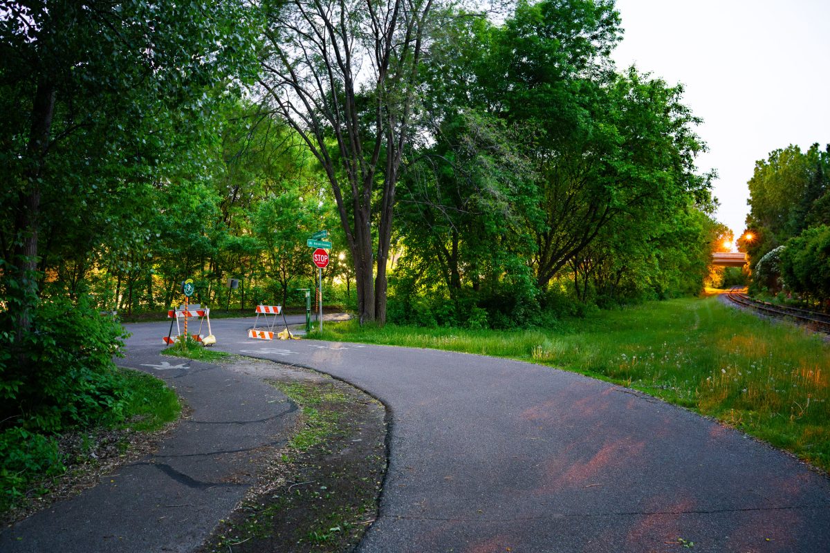
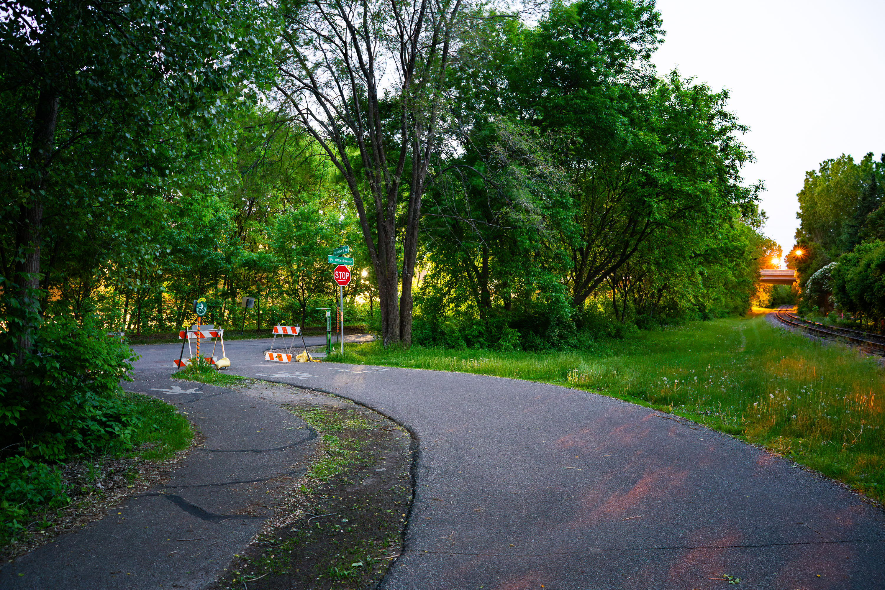
Kenilworth Trail detour with stop sign and construction barriers during Southwest Light Rail construction in Minneapolis.
The Kenilworth Trail at the Midtoiwn Greeenway pictured in June 2019.

Trail Detour Near the Kenilworth and Midtown Greenway Junction

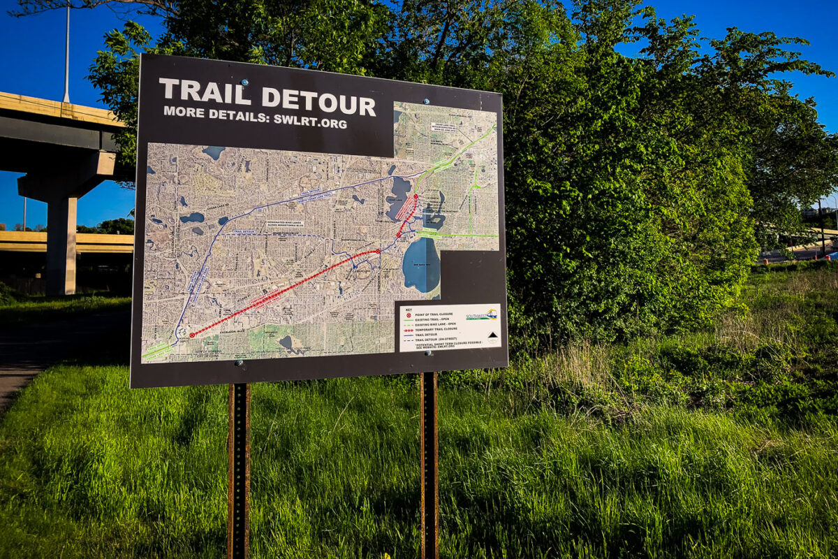
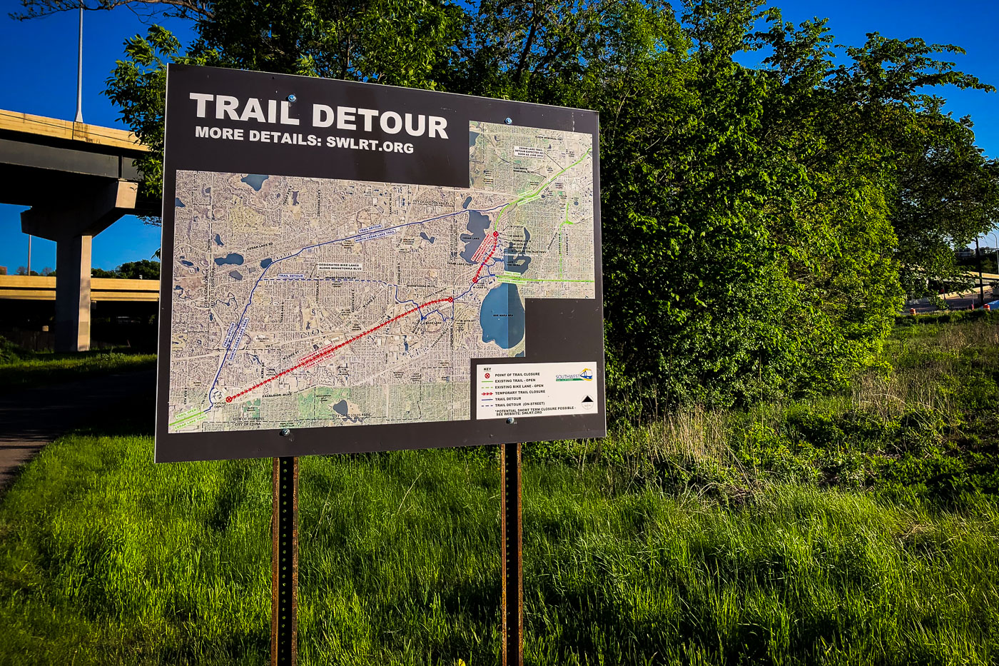
A trail detour sign in Minneapolis directs cyclists and pedestrians around Southwest LRT construction. The sign shows rerouted paths for the Cedar Lake Trail and Kenilworth Corridor.
A "Trail Detour" sign provides navigation for cyclists and pedestrians around construction for the Southwest Light Rail Transit (SWLRT) project in Minneapolis. The map details rerouted paths, indicating temporary closures along popular routes like the Cedar Lake Trail and the Kenilworth Corridor. This major public works initiative, one of Minnesota's largest infrastructure projects, aims to extend light rail service from downtown Minneapolis into the southwestern suburbs. Construction has impacted the use of these urban trails since the late 2010s, necessitating these temporary navigational aids.

Southwest LRT Trail Detour Sign, Minneapolis

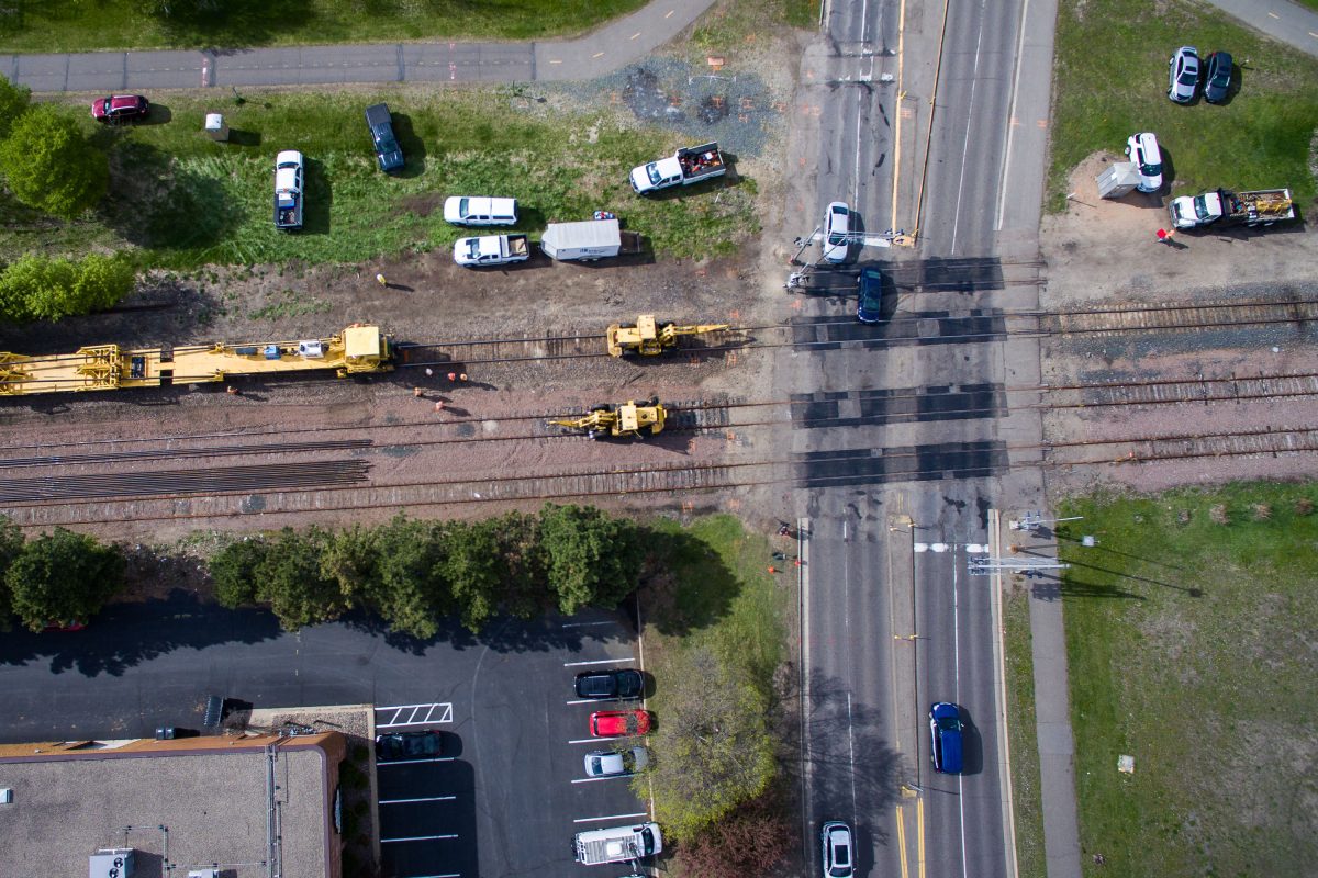
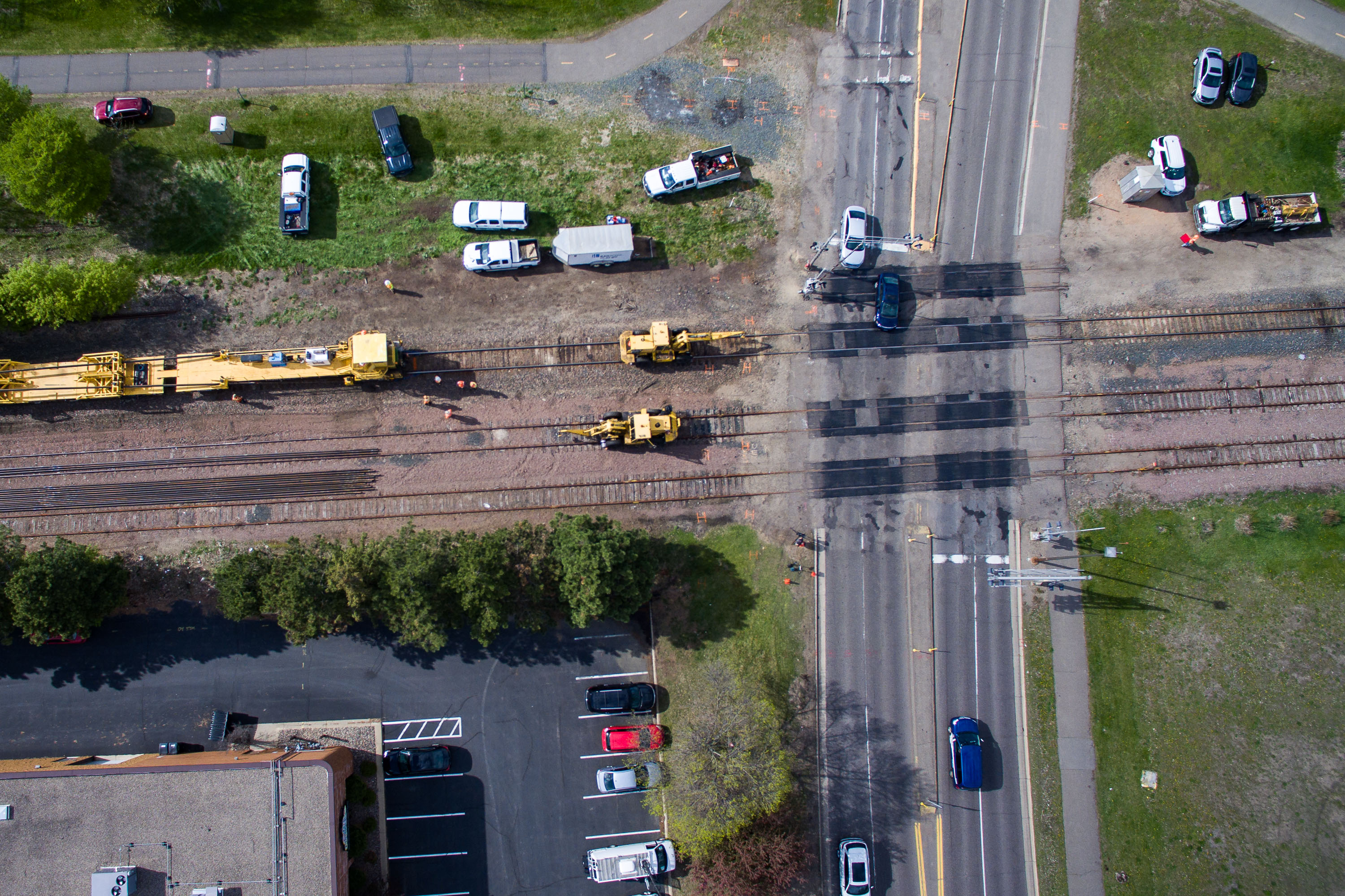
Aerial view of light rail construction equipment crossing railroad tracks at Green Line and Beltline Boulevard in St. Louis Park.
Beltline Boulevard crosses a freight rail corridor in St. Louis Park, Minnesota, just west of Minneapolis. The tracks here run through the Southwest LRT corridor, part of the route being rebuilt for the METRO Green Line Extension connecting downtown Minneapolis to Eden Prairie. Heavy equipment positioned along the rails points to ongoing trackwork tied to that transit construction project.

Rail Crew Works the Beltline Boulevard Crossing in St. Louis Park

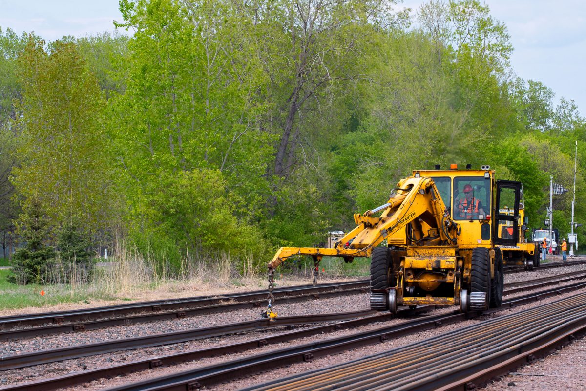
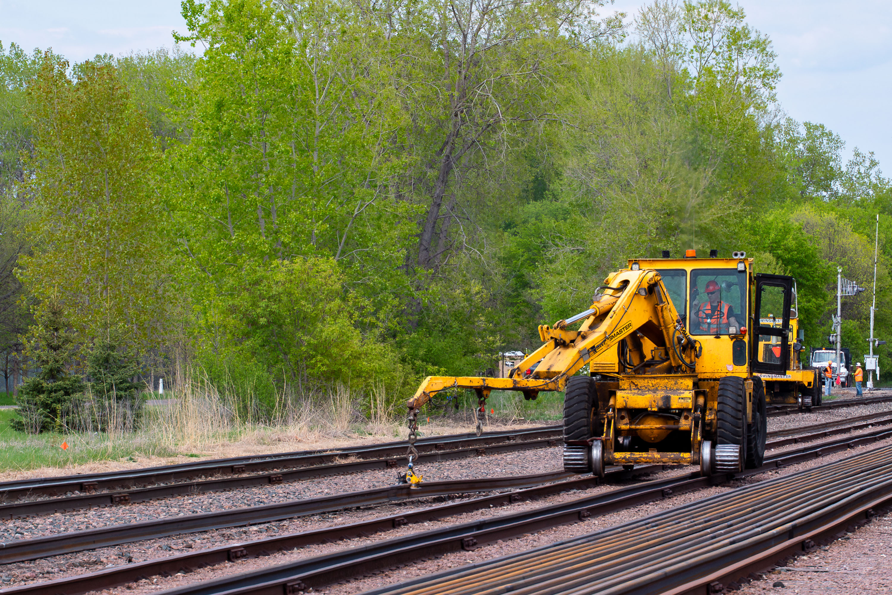
Yellow railroad maintenance vehicle operates on light rail tracks during Southwest LRT construction in St. Louis Park.
The Southwest LRT, also known as the Green Line Extension, is a light rail project extending Metro Transit's existing Green Line roughly 14.5 miles from Minneapolis through St. Louis Park, Hopkins, Minnetonka, and Eden Prairie. Construction has required extensive work on existing freight rail corridors, including track realignment and maintenance to accommodate shared and adjacent rail lines. The project is being built and overseen by the Metropolitan Council, with completion delayed multiple times past its original targeted opening.

Rail Maintenance Equipment Along the Southwest LRT Corridor in St. Louis Park
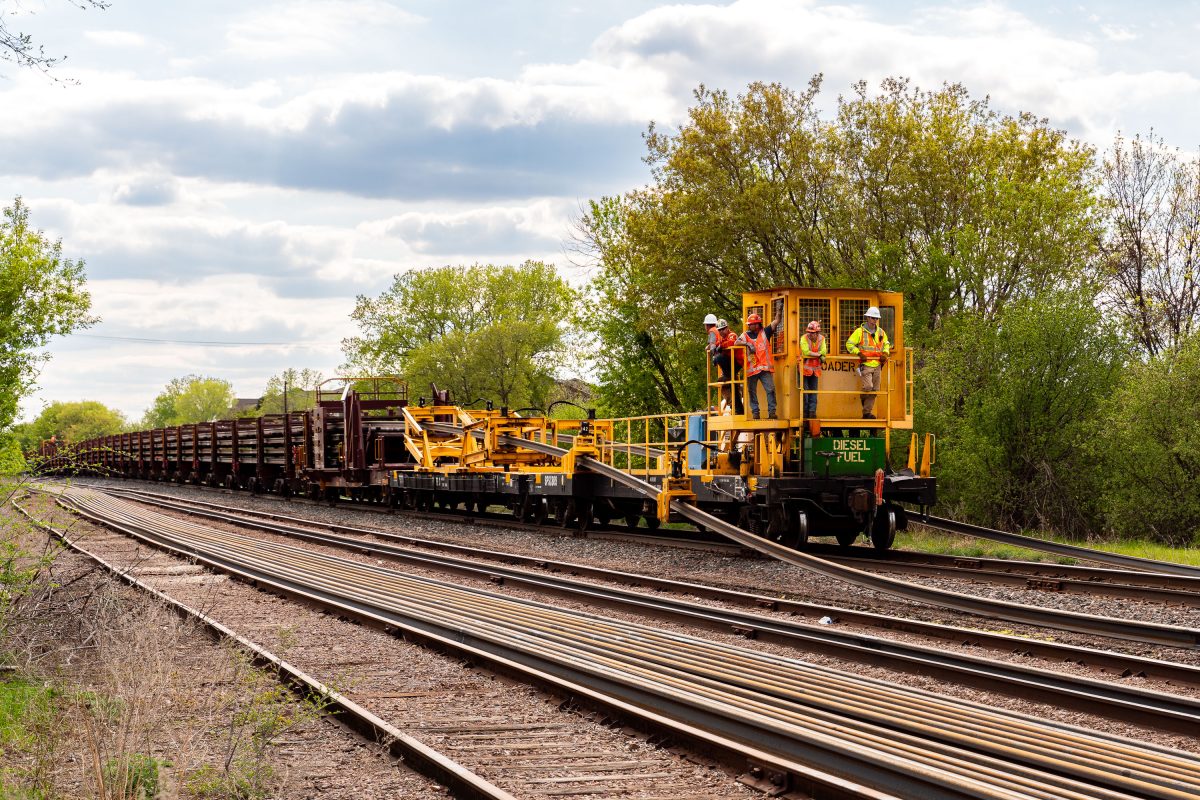
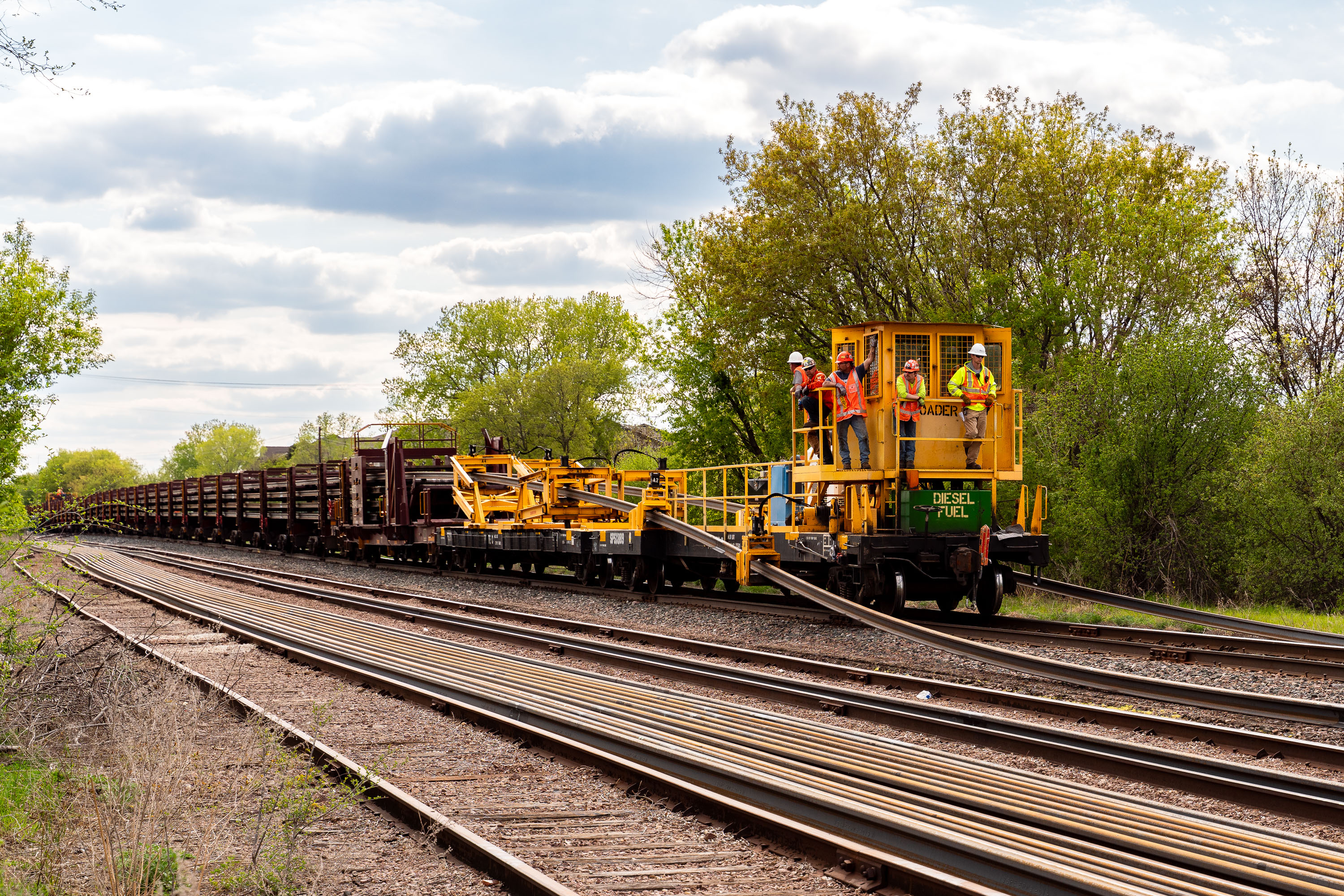
Workers install new rail tracks for the Metro Transit Green Line Extension in St. Louis Park.
Crews working the Southwest LRT line in St. Louis Park use a rail loader car, a flatbed-mounted machine that threads long steel rails off a train and positions them along the roadbed for installation. The Southwest LRT, known operationally as the Green Line Extension, is a Metropolitan Council project extending light rail service roughly 14.5 miles from Minneapolis through St. Louis Park, Hopkins, Minnetonka, and Eden Prairie. The line runs largely along former freight corridors, requiring extensive new track construction rather than simple conversion of existing rail. Rail-loading equipment like this allows crews to deliver continuous welded rail sections directly to the grade, reducing the need for separate hauling and placement steps during construction.
Rail Loader Crew Works on the Southwest LRT Line in St. Louis Park
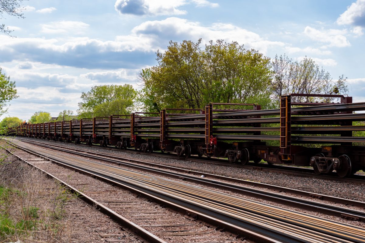
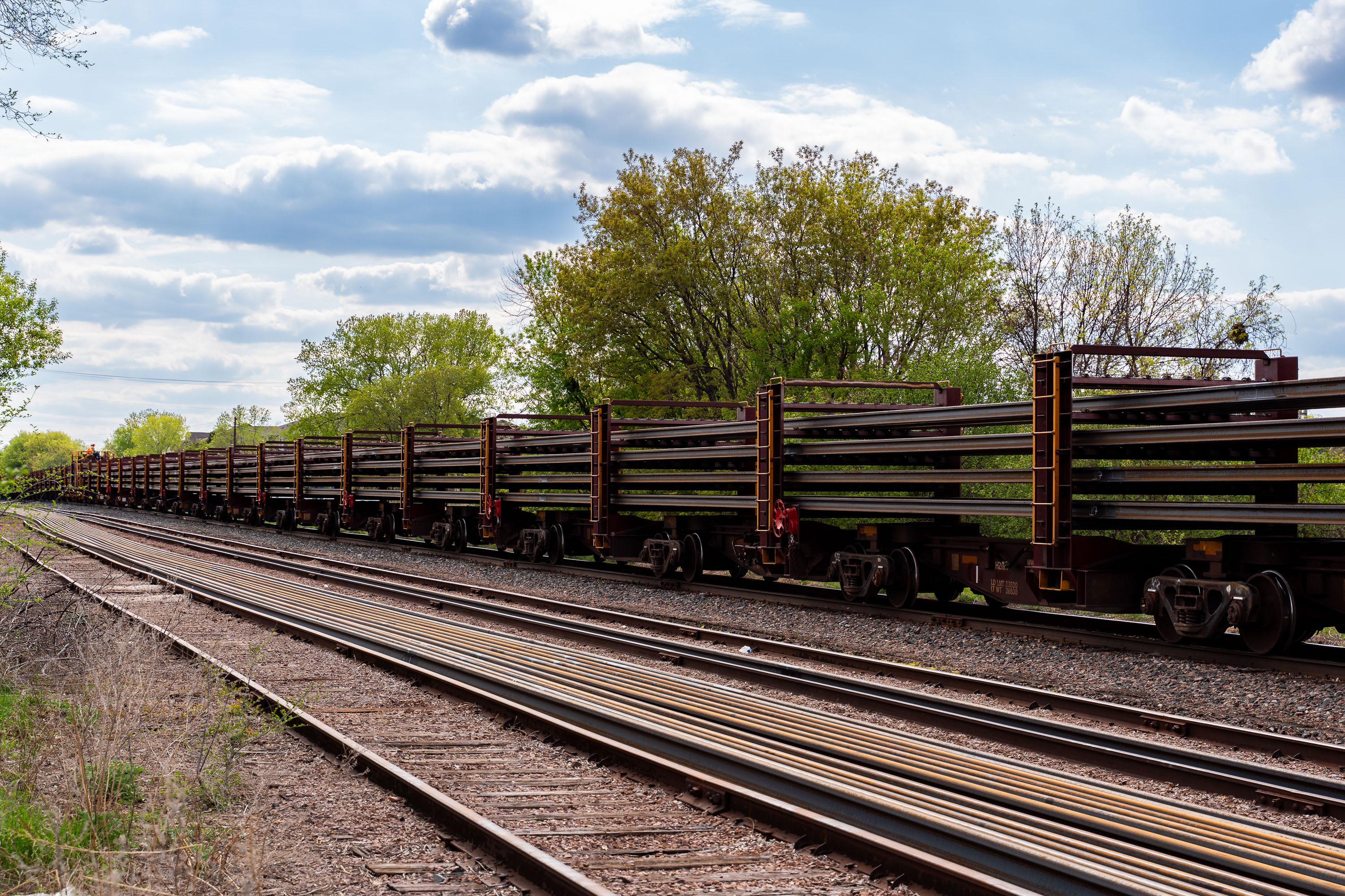
Long train of empty freight cars lined up on railroad tracks beside green spring vegetation.
The Metro Transit Green Line Extension, also known as the Southwest Light Rail Transit project, is a roughly 14.5-mile light rail line under construction between Minneapolis and Eden Prairie, Minnesota. It extends the existing Green Line, which opened in 2014 and links downtown Minneapolis with downtown St. Paul. Building the line requires delivering continuous welded rail in long sections, typically hauled on specialized flatcars like the ones pictured here. Metro Transit, the regional transit authority for the Twin Cities, is overseeing construction and will operate the completed extension.

Rail Cars Hauling New Track for the Green Line Extension

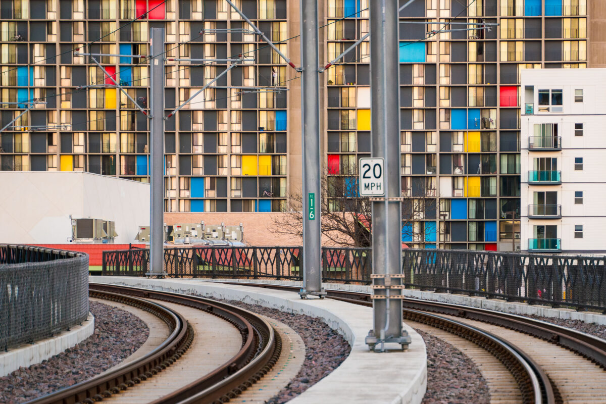
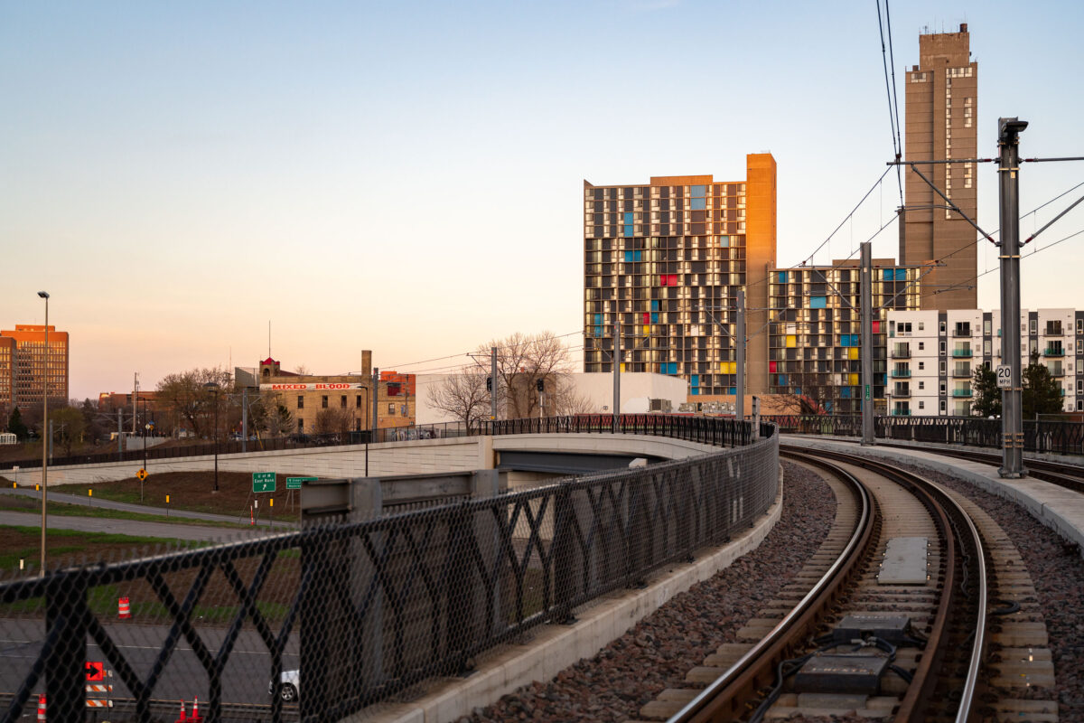
Metro Transit light rail tracks curve past Riverside Plaza in Minneapolis’s Cedar-Riverside neighborhood.
Metro Transit light rail tracks by Riverside Plaza in Minneapolis’s Cedar-Riverside neighborhood. Riverside Plaza is a large housing complex along the light rail corridor near Interstate 35W. The tracks curve through the area south of downtown Minneapolis.

Metro Transit light rail tracks by Riverside Plaza, Minneapolis

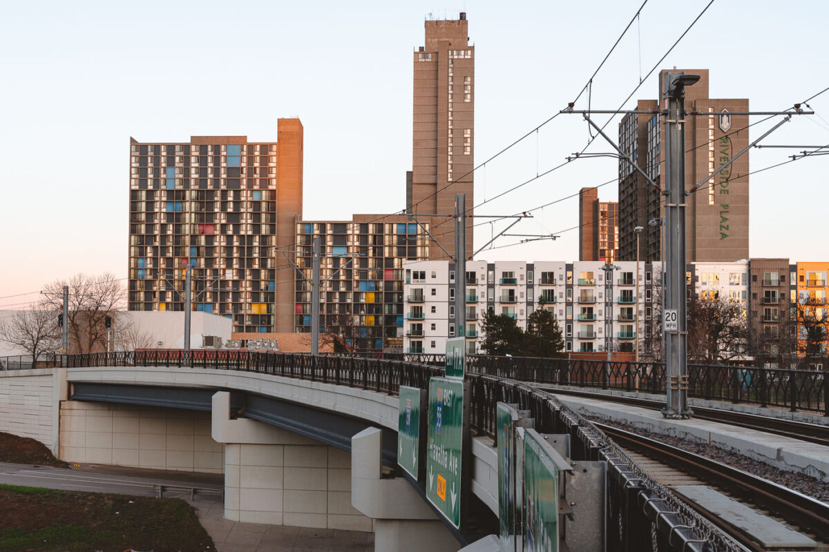
Riverside Plaza and the Light Rail Tracks
Riverside Plaza stands tall beyond the METRO Blue Line overpass in the Cedar–Riverside district of Minneapolis. The colorful panels of the 1970s residential towers contrast with the new mid-rise apartments and light rail infrastructure built decades later.

Riverside Plaza from the Light Rail Overpass, Minneapolis

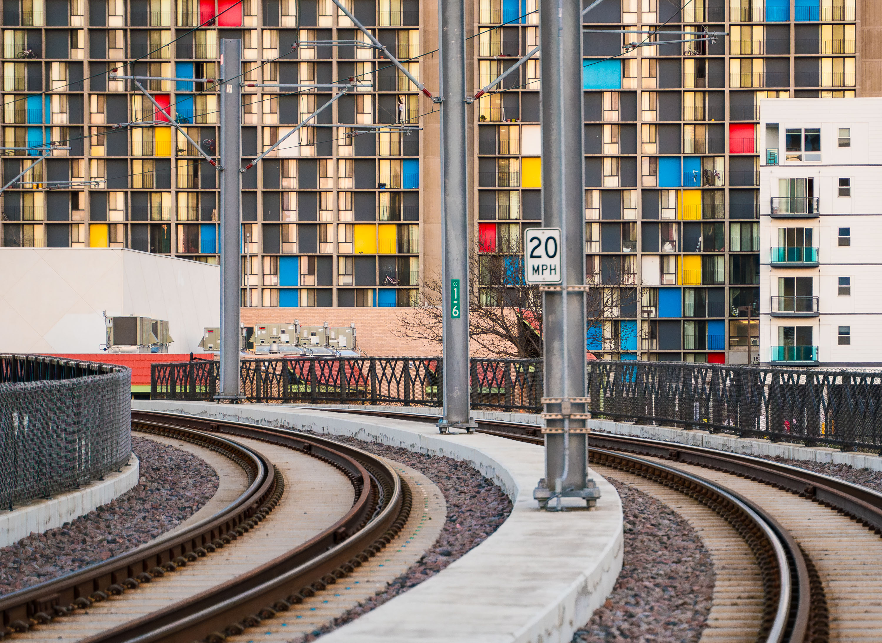
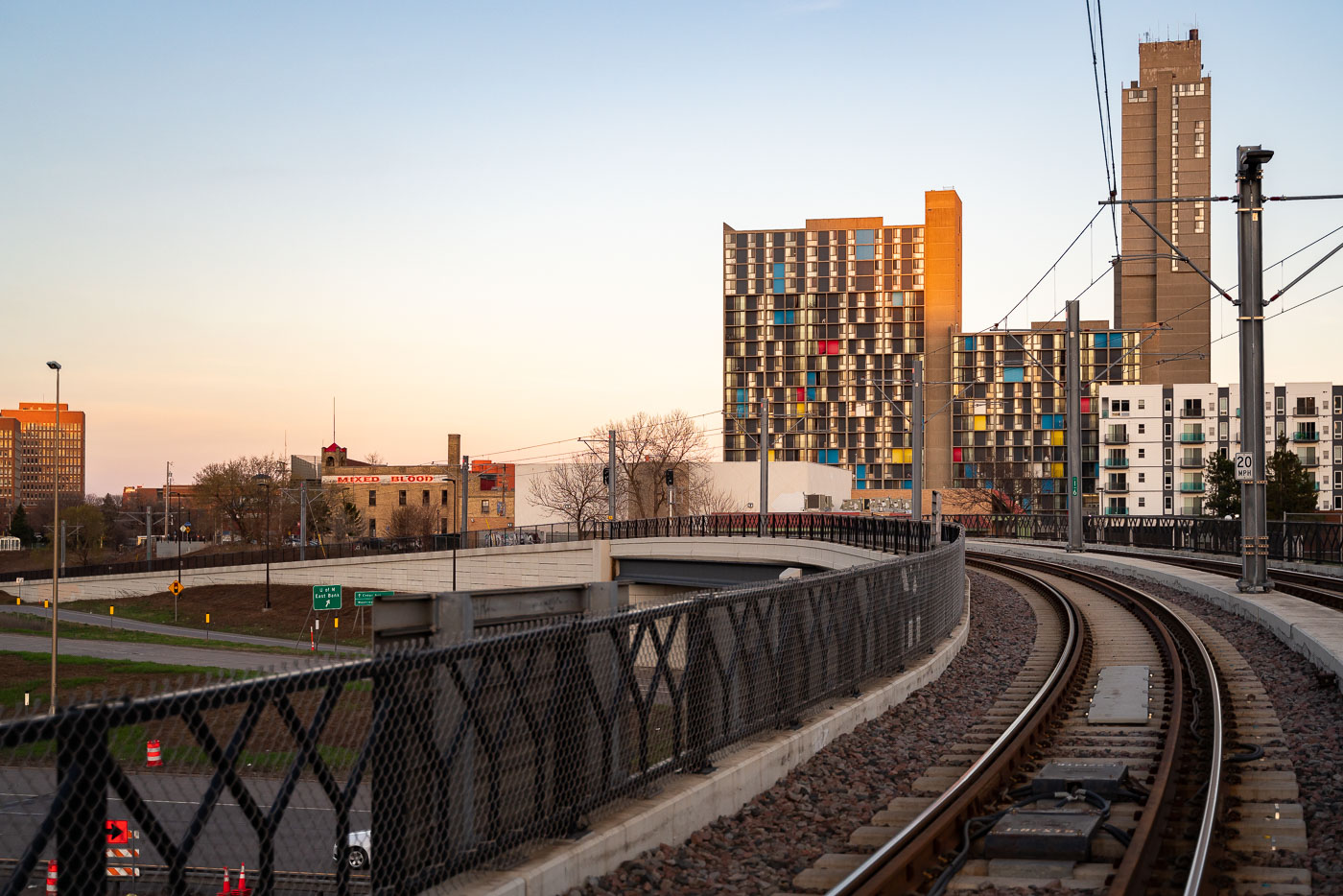
Riverside Plaza and Light Rail tracks April 2019
The METRO Blue Line curves toward downtown Minneapolis near the Cedar–Riverside neighborhood, passing below the colorful concrete towers of Riverside Plaza at sunset. The complex, designed by architect Ralph Rapson and completed in 1973, is one of the city’s most distinctive examples of Brutalist modernism.

Light Rail Curve at Cedar–Riverside, Minneapolis

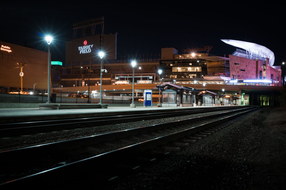
Target Field Northttar Train Station in Minneapolis
Target Field Station and Target Field in Minneapolis, Minnesota, are shown at night. The station serves as a transit hub for the Northstar Line and Metro Transit, connecting commuters and fans to downtown Minneapolis. Target Field, opened in 2010, is the home ballpark of the Minnesota Twins baseball team and is located in the city's North Loop neighborhood.

Target Field Station and Stadium, Minneapolis

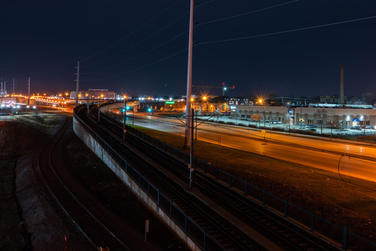
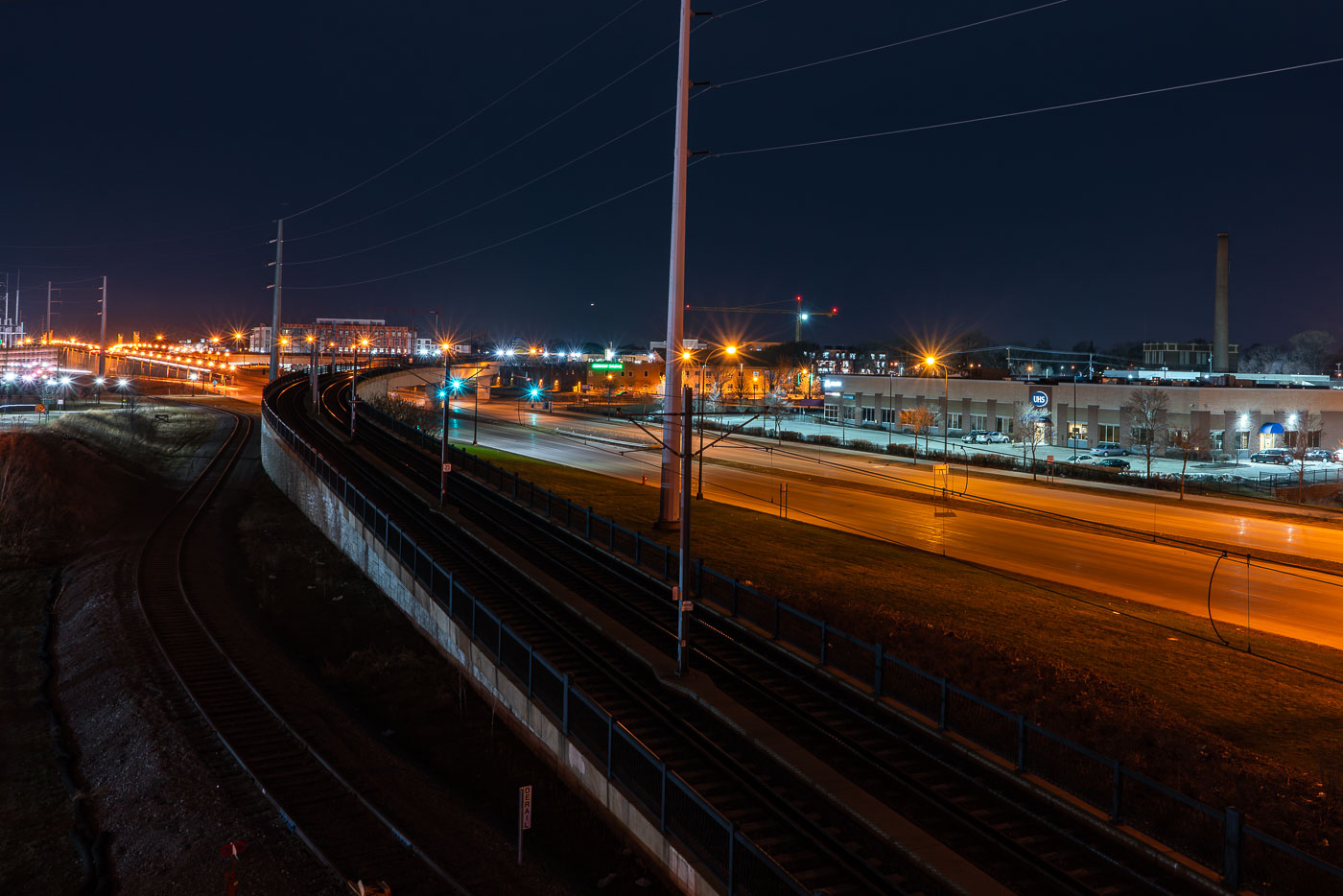
Metro Transit light rail bridge spanning Hiawatha Avenue in South Minneapolis at night.
The Metro Transit light rail bridge spans Hiawatha Avenue in South Minneapolis. Completed in 2018, this structure is part of the Blue Line's expansion.

Light Rail Tracks Curving Above Hiawatha Avenue at Night

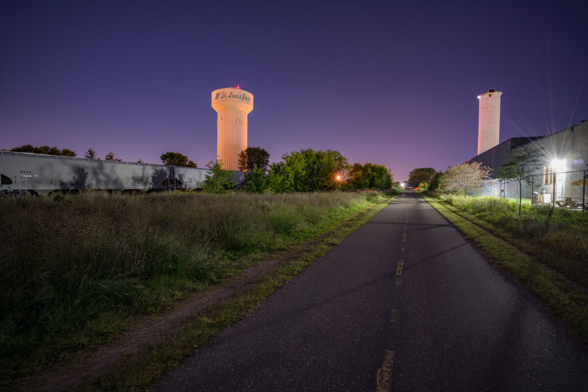
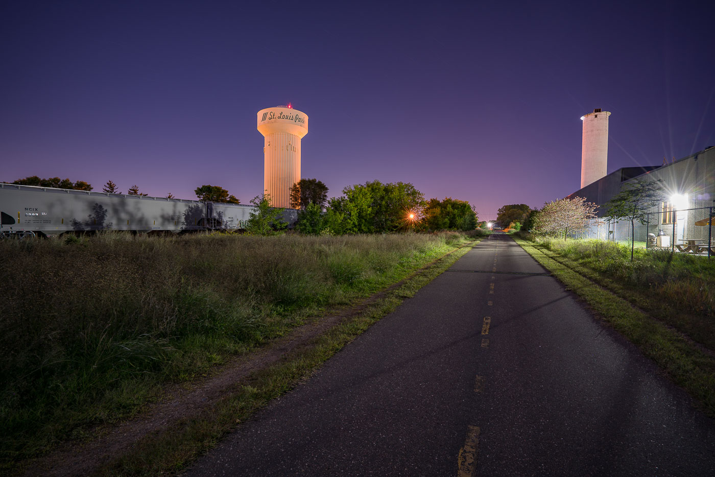
St. Louis Park water tower and grain elevator illuminated at dusk above the Cedar Lake Trail paved path.
The Cedar Lake LRT Regional Trail in St. Louis Park, Minnesota. This paved trail follows a former railroad corridor, originally part of the Minneapolis & St. Louis Railway.

Night photo of Cedar Lake LRT Regional Trail Near the St. Louis Park Water Tower
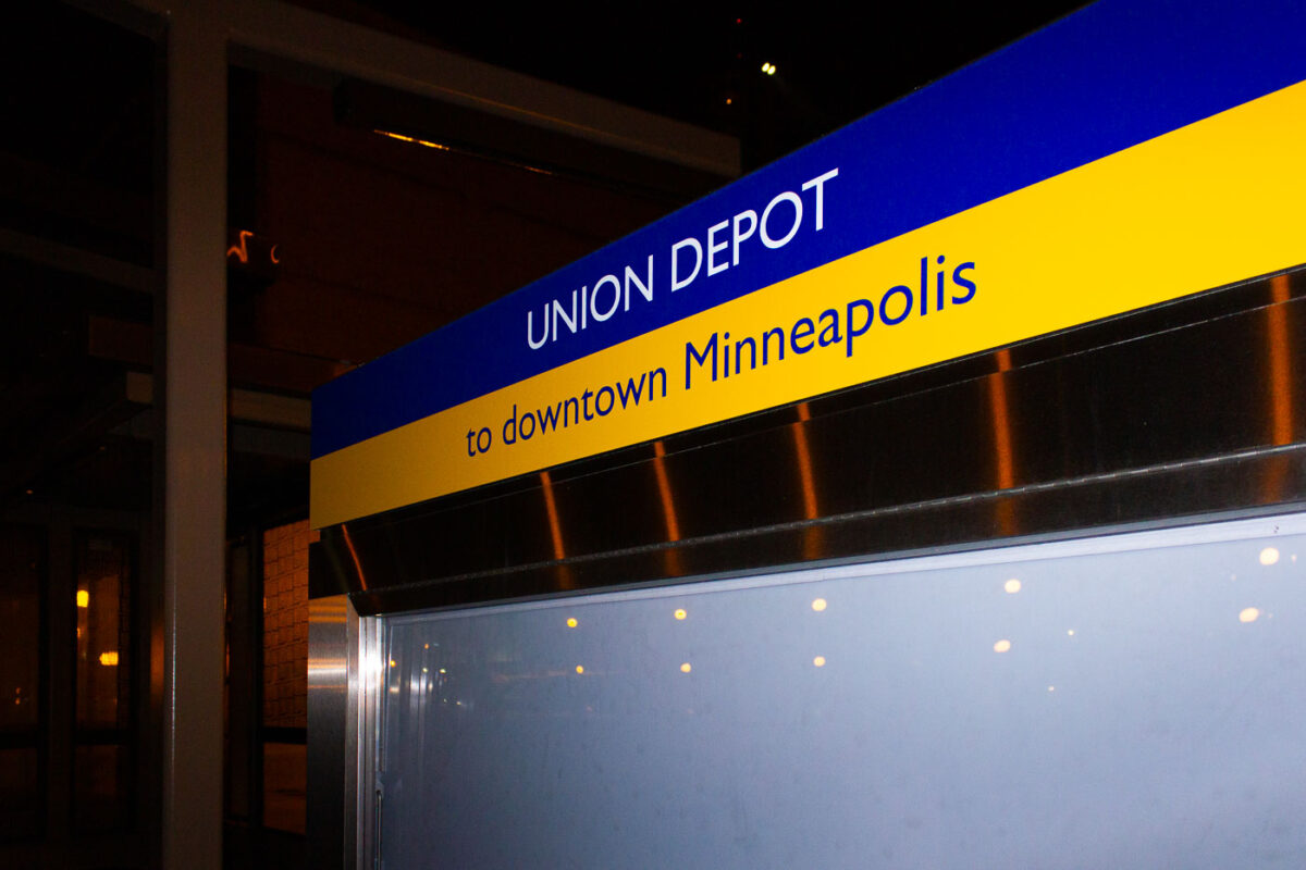
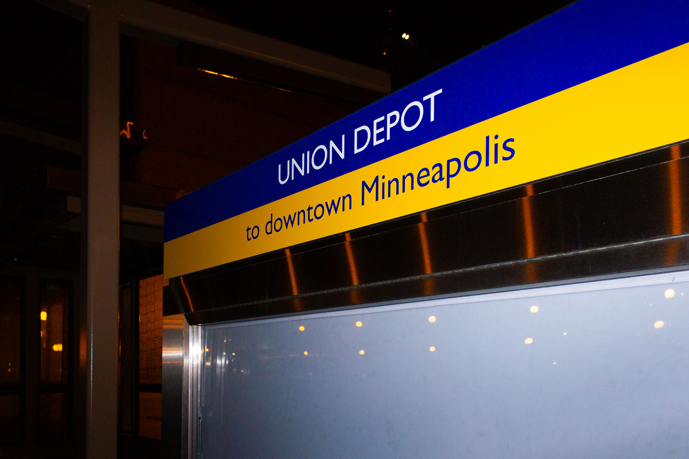
Union Depot station sign in St. Paul directing passengers to downtown Minneapolis via light rail.
Union Depot in St. Paul, Minnesota, is a regional transportation hub serving light rail, buses, and Amtrak. The restored 1923 terminal reopened in 2012 after decades of decline and renovation.

Union Depot Sign for Downtown Minneapolis Service at Night

Built in Minneapolis

Minneapolis Photographer

Browse by location, move through long-running series, or start with recent work.