Smoke

45 photos · 2015–2026

45 photographs tagged Smoke, 2015–2026.
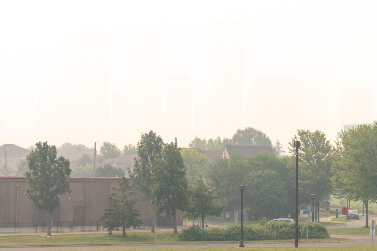
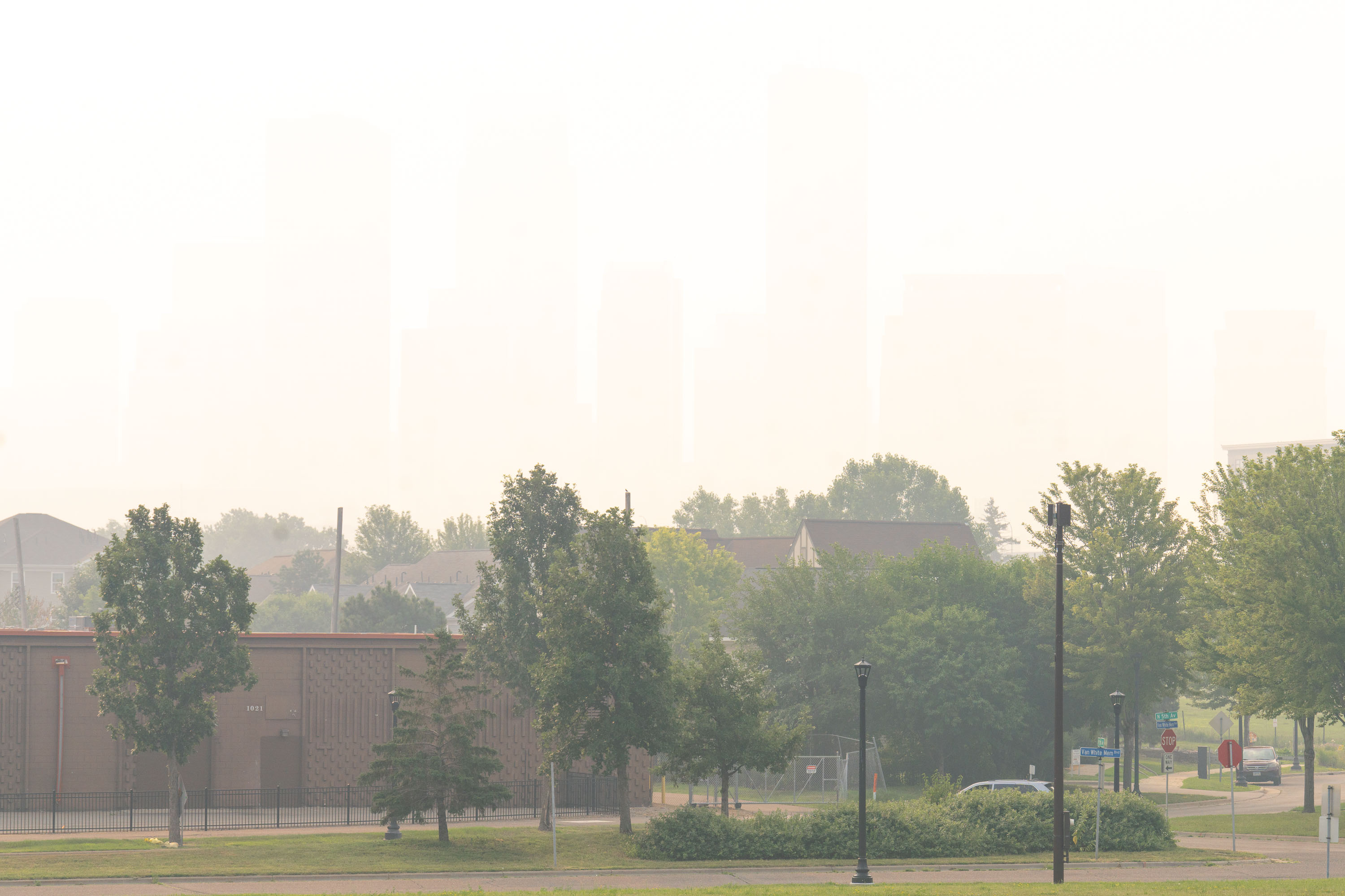
Wildfire Smoke hides downtown Minneapolis in July 2026
Heavy wildfire smoke as seen from Van White Memorial Blvd in North Minneapolis. The last day has registered the worst air quality readings ever recorded in Minneapolis.

Downtown Minneapolis Skyline Obscured by Wildfire Smoke
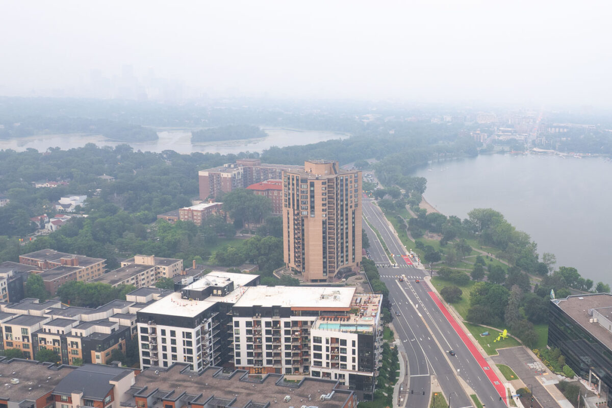
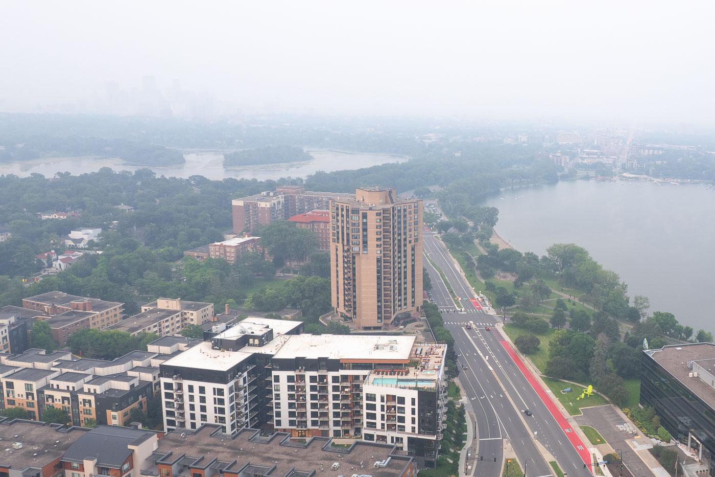
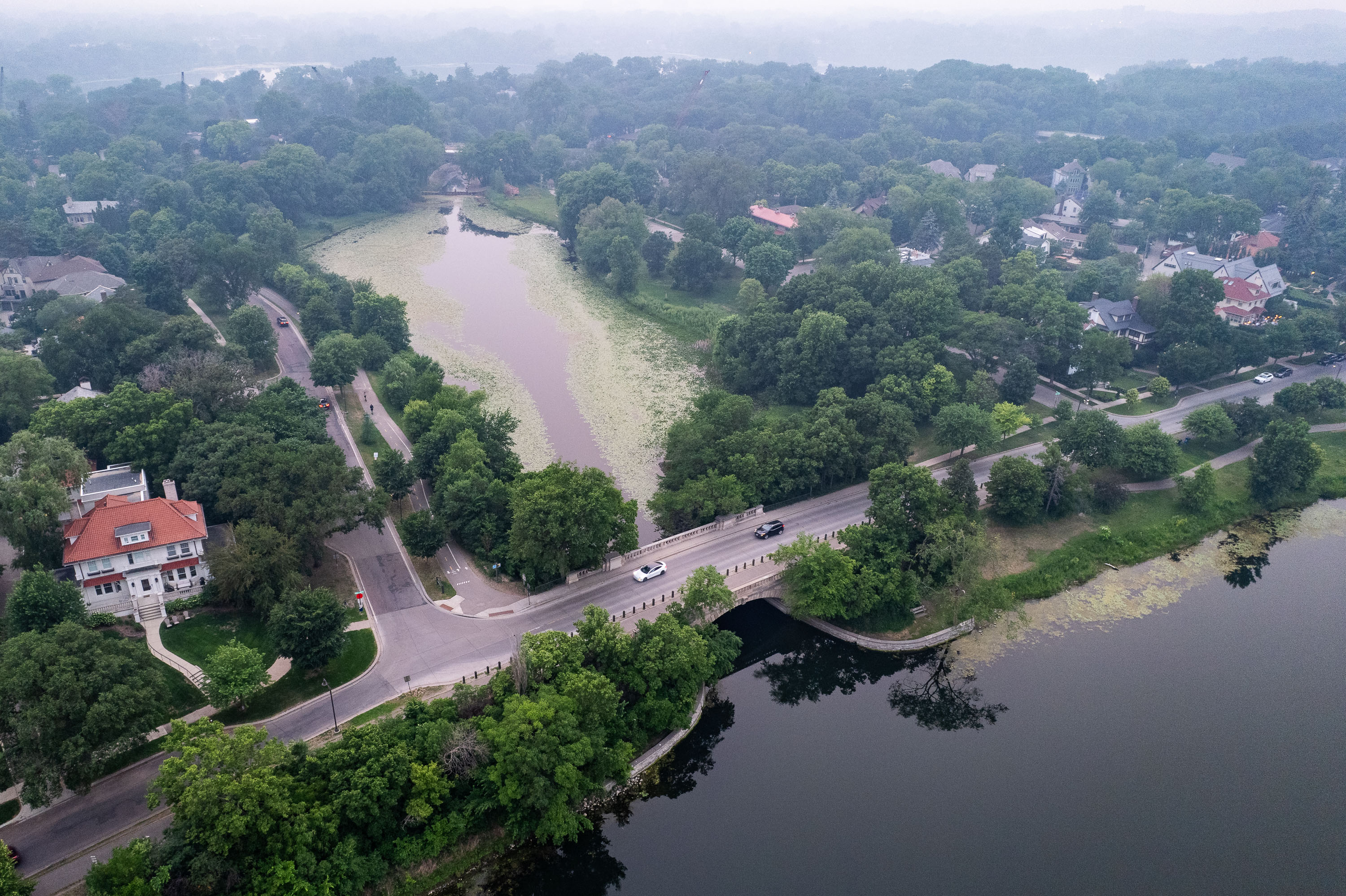
Aerial view of Minneapolis residential and commercial buildings with Mississippi River visible through haze from Canadian
Canadian wildfire smoke covered Minneapolis, Minnesota in July 2025, obscuring the urban landscape.

Wildfire Smoke Blankets Bde Maka Ska and Downtown Minneapolis
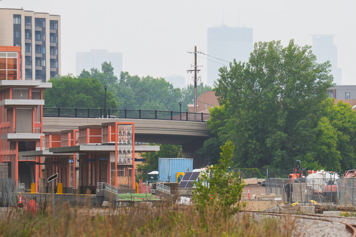
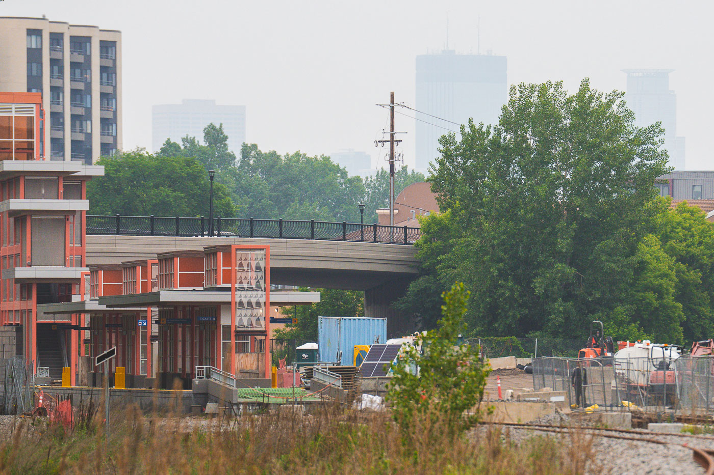
Lake Street Station in Minneapolis with downtown obscured by wildfire smoke.
Lake Street Station in Minneapolis is part of Metro Transit's Southwest light rail line. Canadian wildfire smoke hangs over the city, reducing the visibility of the downtown skyline beyond the station.

Lake Street Station, Minneapolis

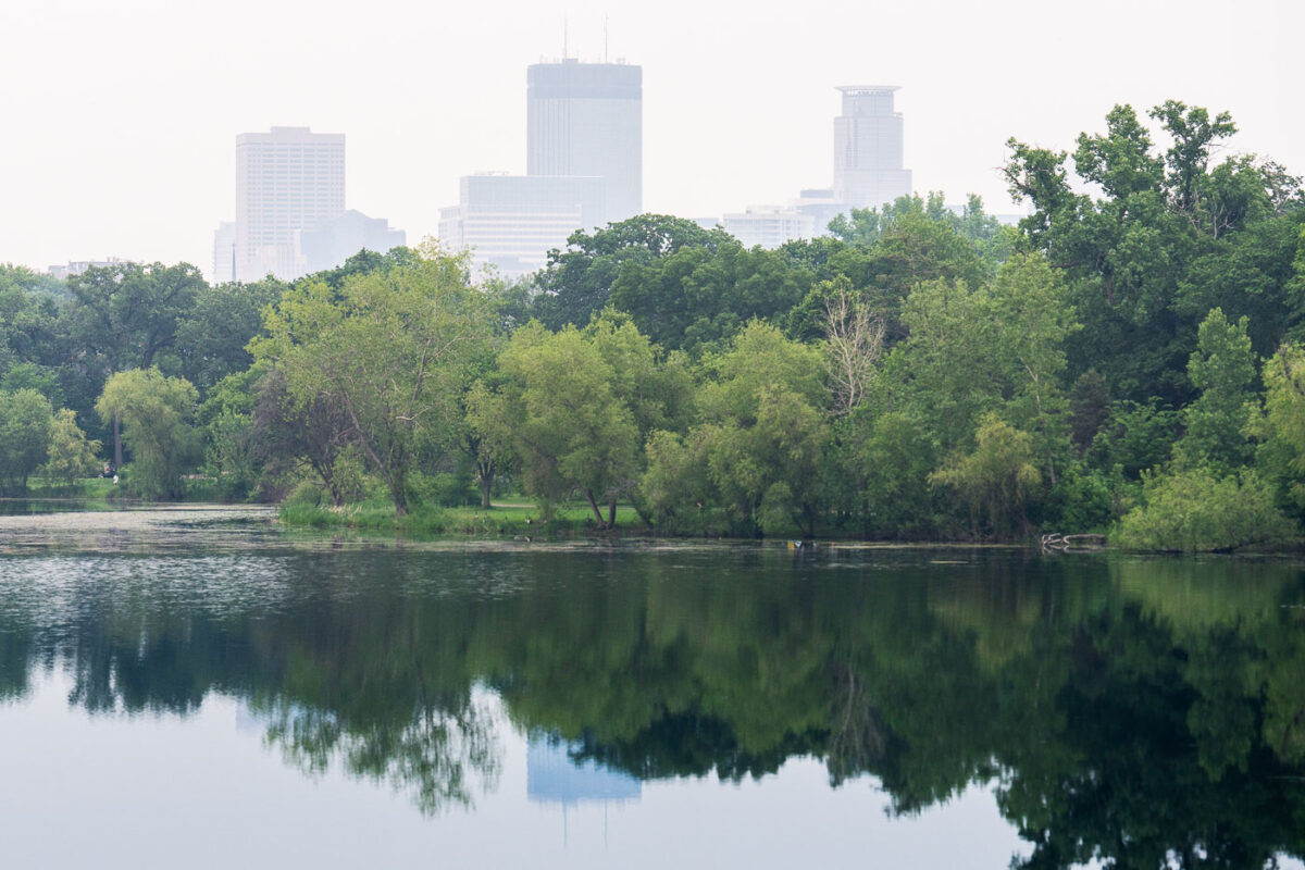
Lake of the Isles in Minneapolis with downtown skyline obscured by wildfire smoke haze.
Lake of the Isles in Minneapolis is bordered by dense tree cover, with the downtown skyline visible through wildfire smoke haze. The haze reduced visibility across the lake and softened the outlines of the city towers.

Lake of the Isles with Minneapolis skyline smoke haze
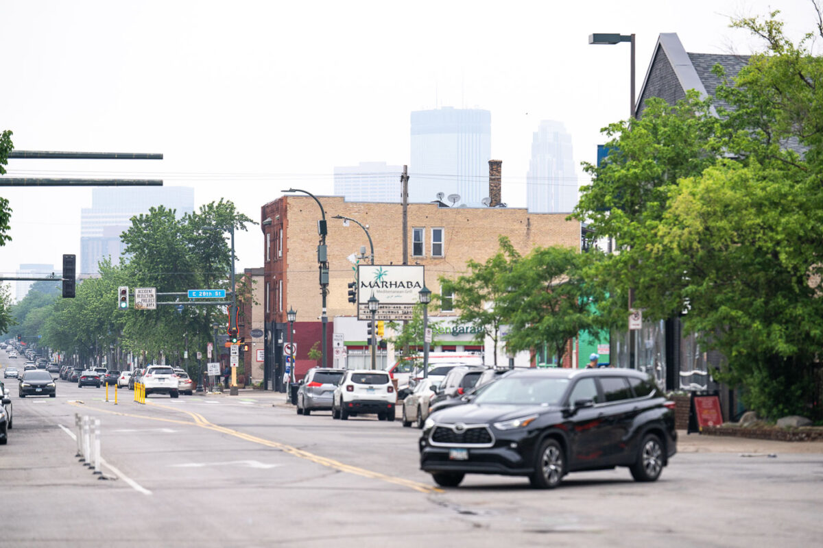
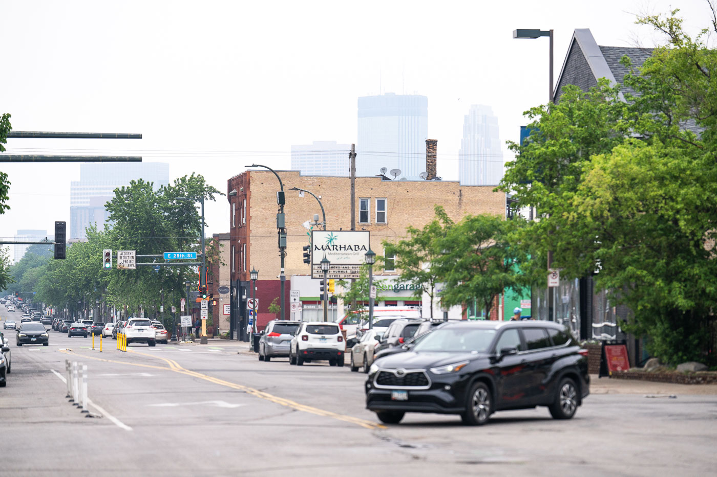
Nicollet Avenue in Minneapolis with downtown obscured by Canadian wildfire smoke.
Nicollet Avenue in Minneapolis is lined with businesses and traffic as smoke from Canadian wildfires hazes the downtown skyline. The corridor runs south from downtown through several commercial blocks. Smoke reduced visibility across the central city on June 3, 2025.

Nicollet Avenue with Canadian wildfire smoke, Minneapolis
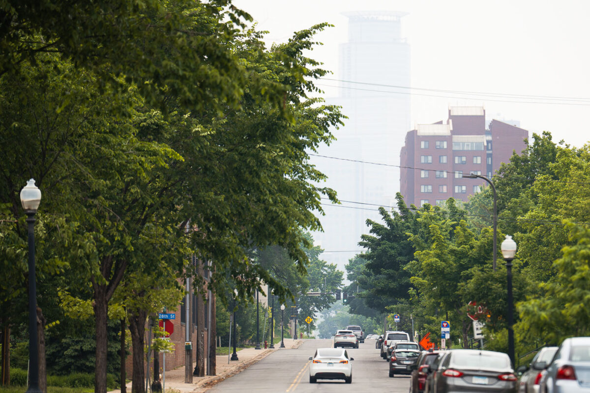
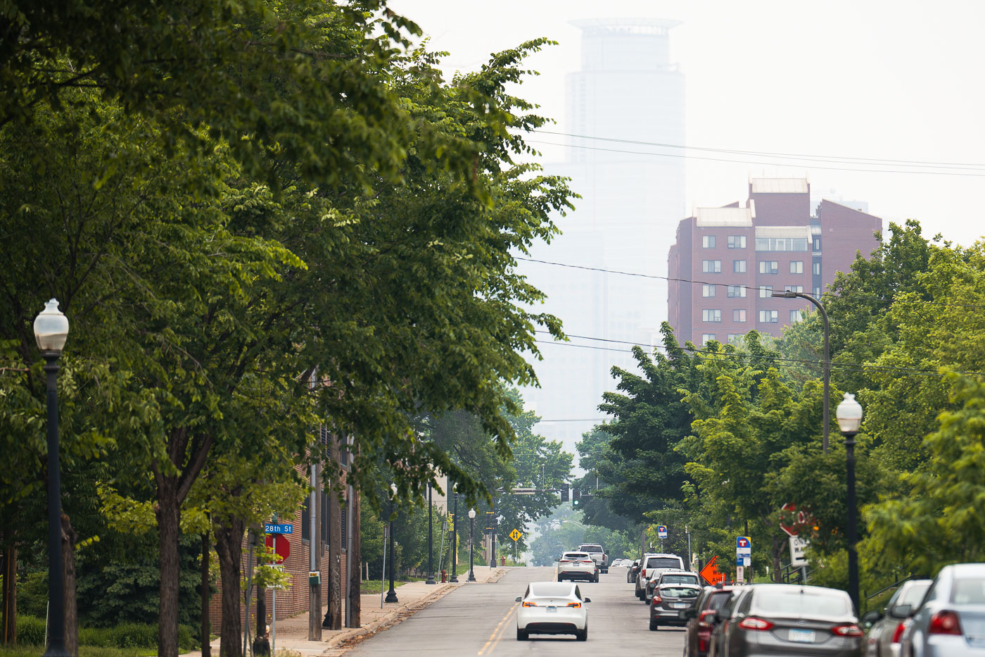
Capella Tower in Minneapolis is obscured by smoke from Canadian wildfires.
Capella Tower in downtown Minneapolis is obscured by smoke from Canadian wildfires. The haze hangs over the city along the Midtown Greenway corridor.

Capella Tower and wildfire smoke over Minneapolis
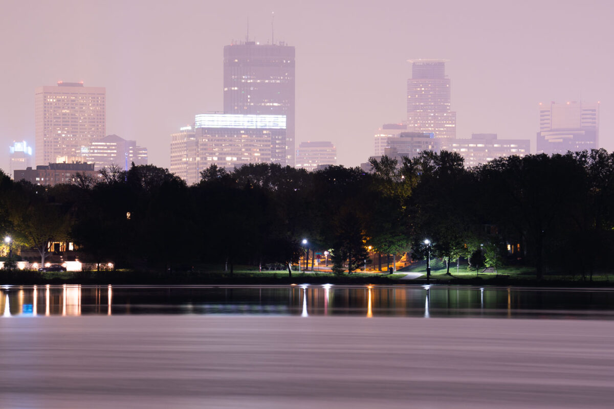
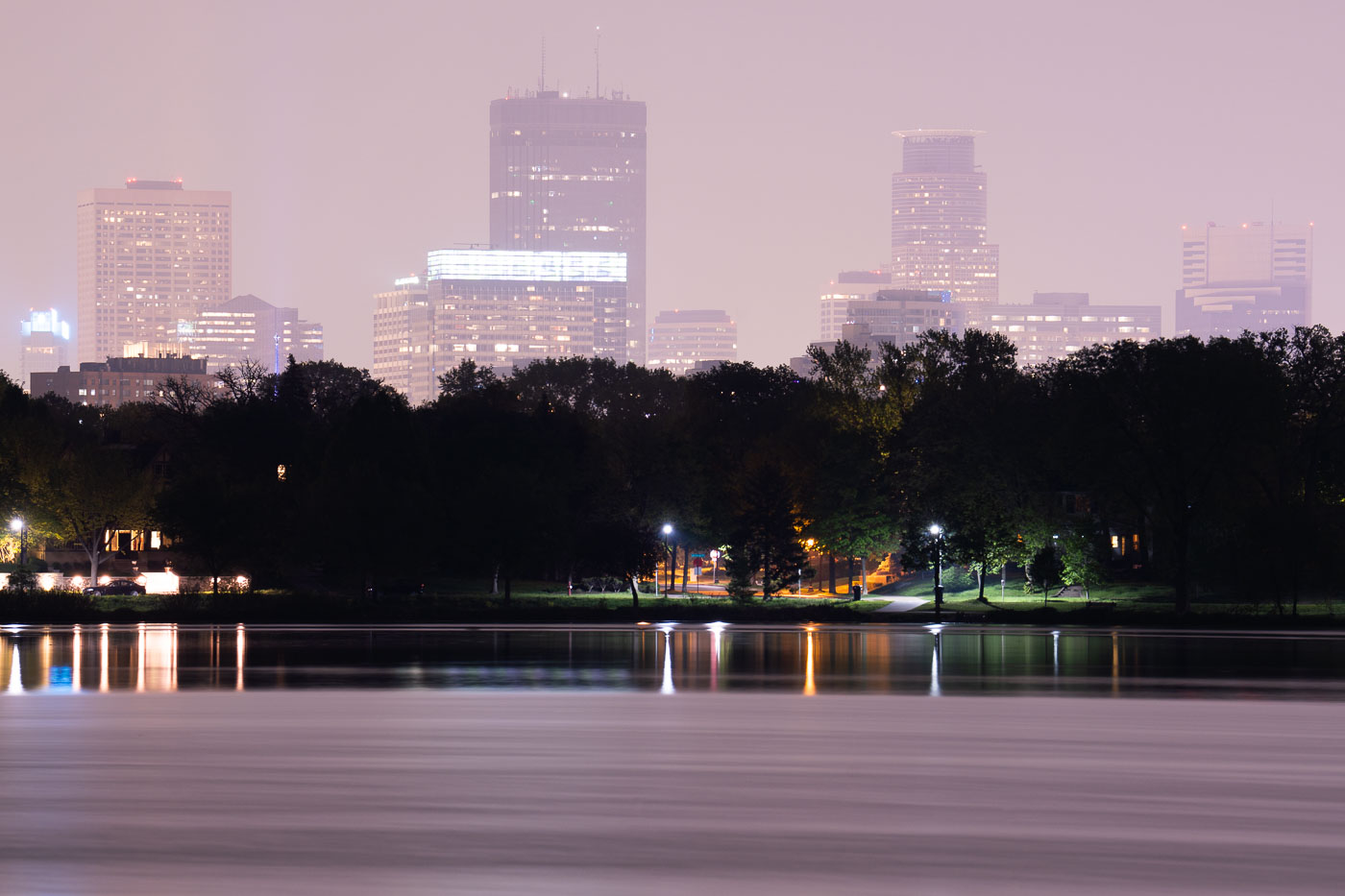
Downtown Minneapolis skyline at dusk across Lake of the Isles, obscured by Canadian wildfire smoke in May 2024.
Lake of the Isles is one of the Minneapolis Chain of Lakes, covering about 108 acres with a maximum depth of 20 feet. Smoke from Canadian wildfires drifts over the downtown Minneapolis skyline in May 2024.

Canadian Wildfire Smoke Drifts Over Lake of the Isles
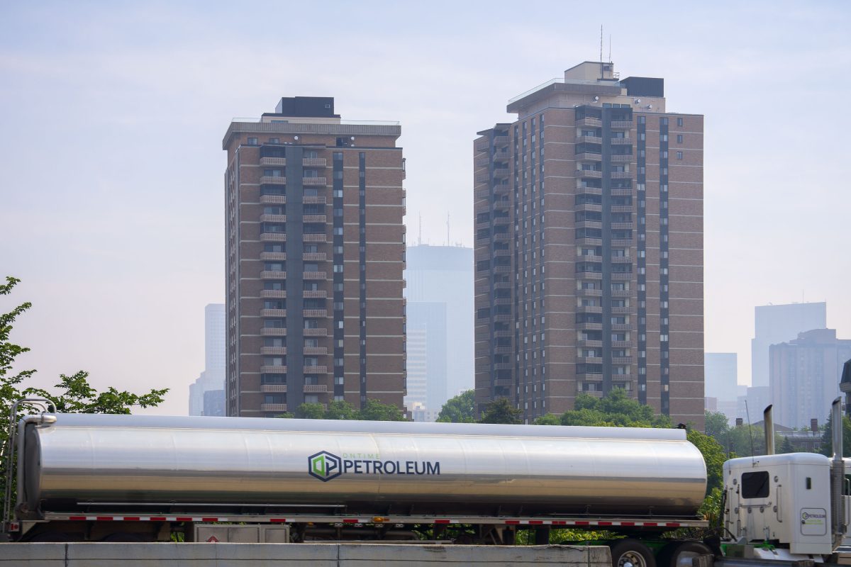
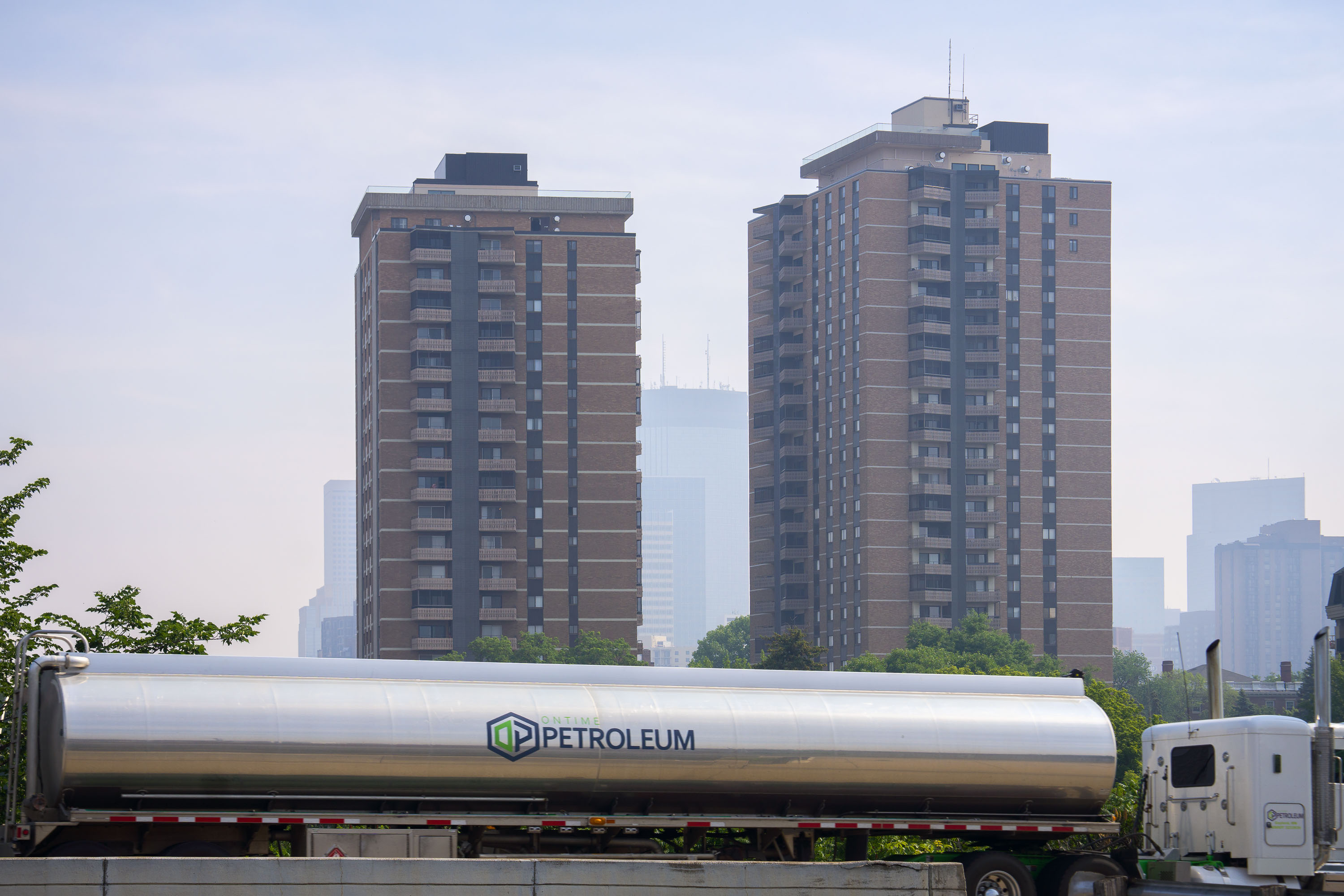
Petroleum Oil Tanker moves through Minneapolis wildfire smoke
Wildfire smoke in downtown Minneapolis with a Ontime Petroleum truck driving by. June 27, 2023.

Petroleum Oil Tanker moves through Minneapolis wildfire smoke
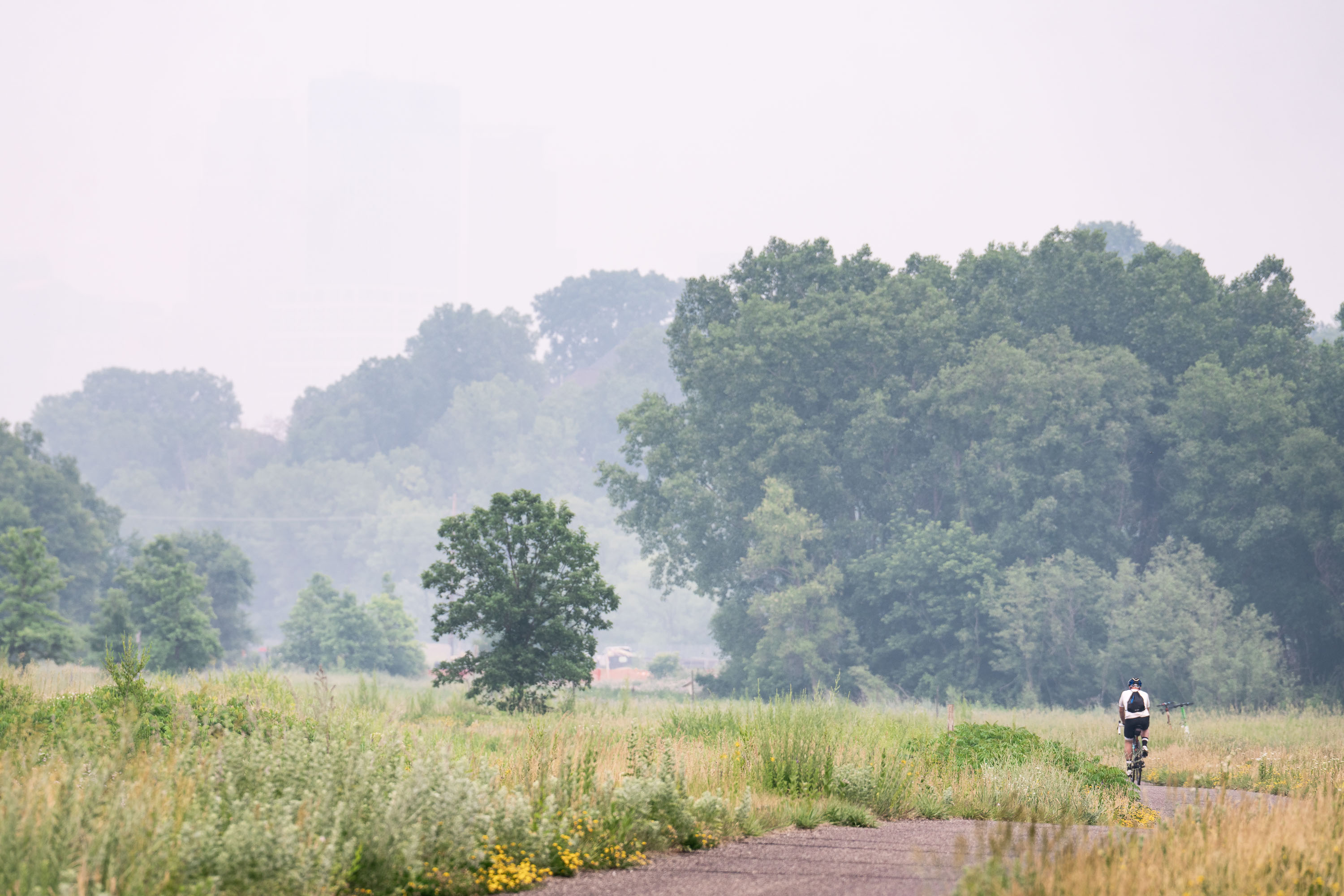
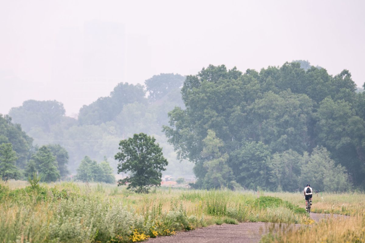
Biker on Cedar Lake Trail during heavy wildfire smoke
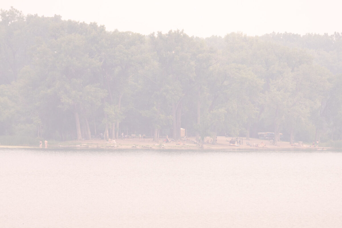
A biker on the Cedar Lake Trail with smoke from the Canadian Wildfires on June 15, 2023.

Biker on Cedar Lake Trail during heavy wildfire smoke
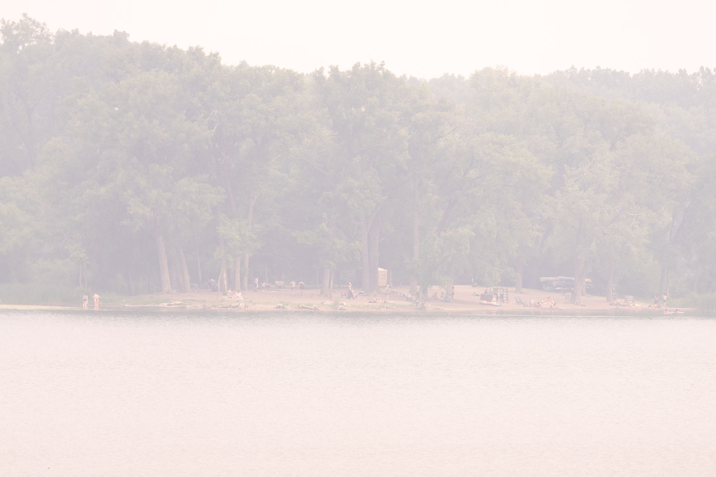
Hidden Beach at Cedar Lake in Minneapolis under heavy wildfire smoke.
Hidden Beach at Cedar Lake in Minneapolis is a public swimming beach on the lake’s north shore. On June 14, 2023, wildfire smoke from Canada reduced visibility across the area.

Hidden Beach, Cedar Lake, Minneapolis
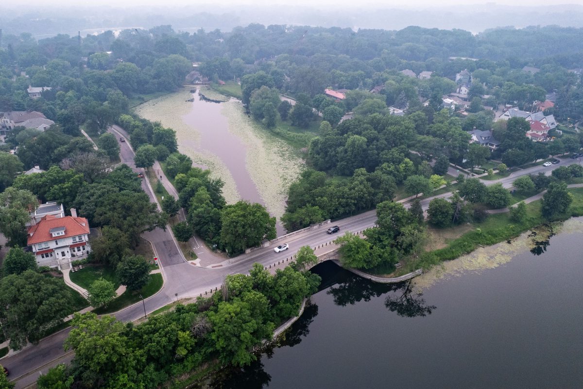
Lake of the Isles in Minneapolis surrounded by residential neighborhood and tree canopy, with hazy sky from Canadian wildfire smoke in June 2023.
Lake of the Isles in June 2023, smoke drifting south from Canadian wildfires pushed air quality across the Twin Cities to hazardous levels for several days.

Hazy Skies Over the Channel Bridge at Lake of the Isles
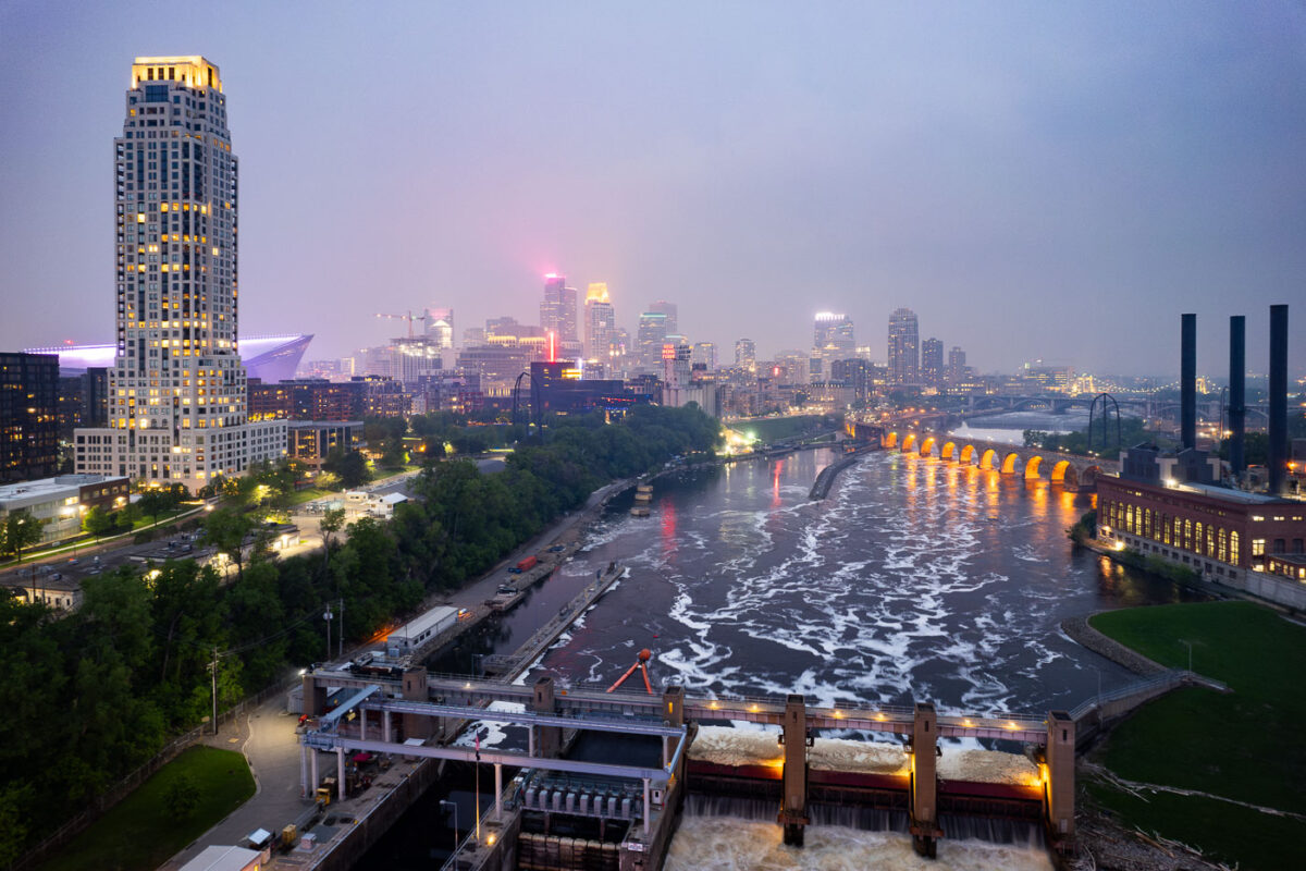
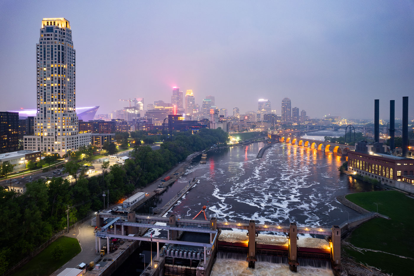
Night photo of river and city skyline with a haze in Minneapolis
The Minneapolis skyline is veiled by smoke from Canadian wildfires, impacting regional air quality. The Mississippi River flows past the historic Stone Arch Bridge, a former railway bridge completed in 1883, now a pedestrian walkway. Adjacent to the bridge is the Upper St. Anthony Falls Lock and Dam, a 20th-century engineering project that regulates the river's flow and supports navigation, a function critical to Minneapolis since its establishment.

Minneapolis Skyline and Mississippi River in Wildfire Smoke
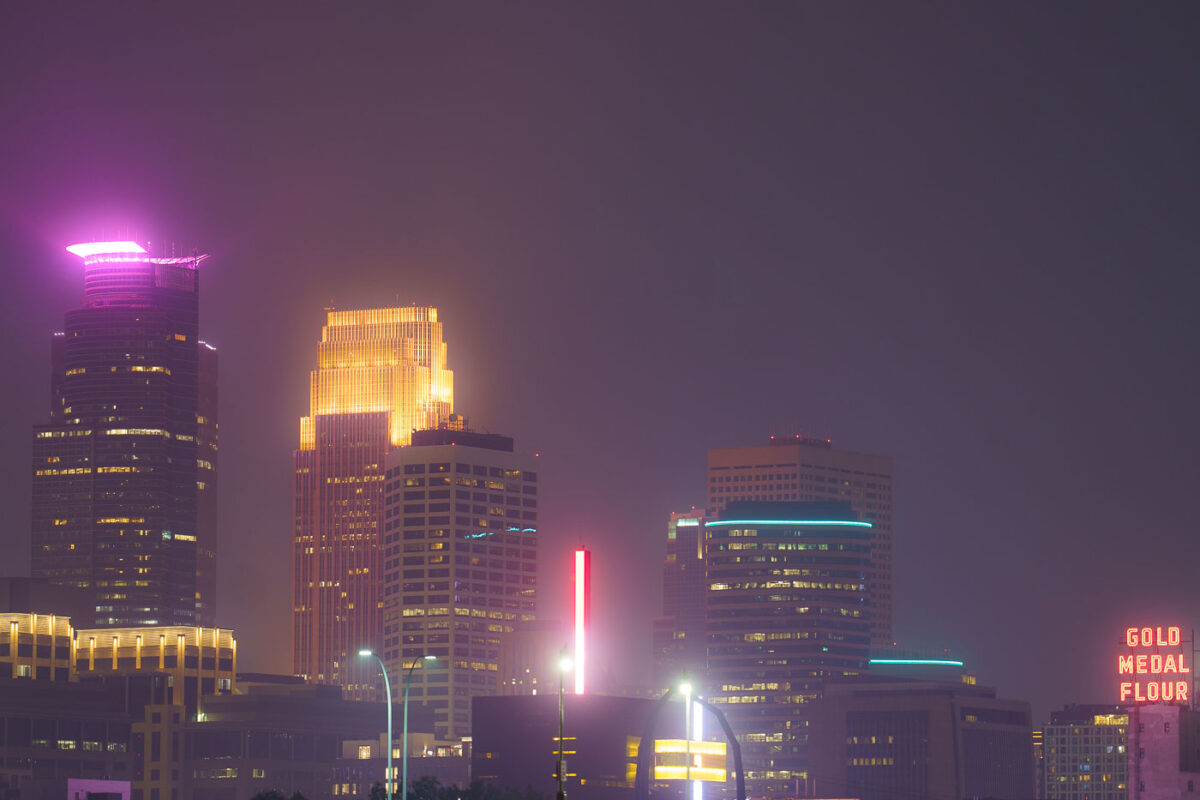
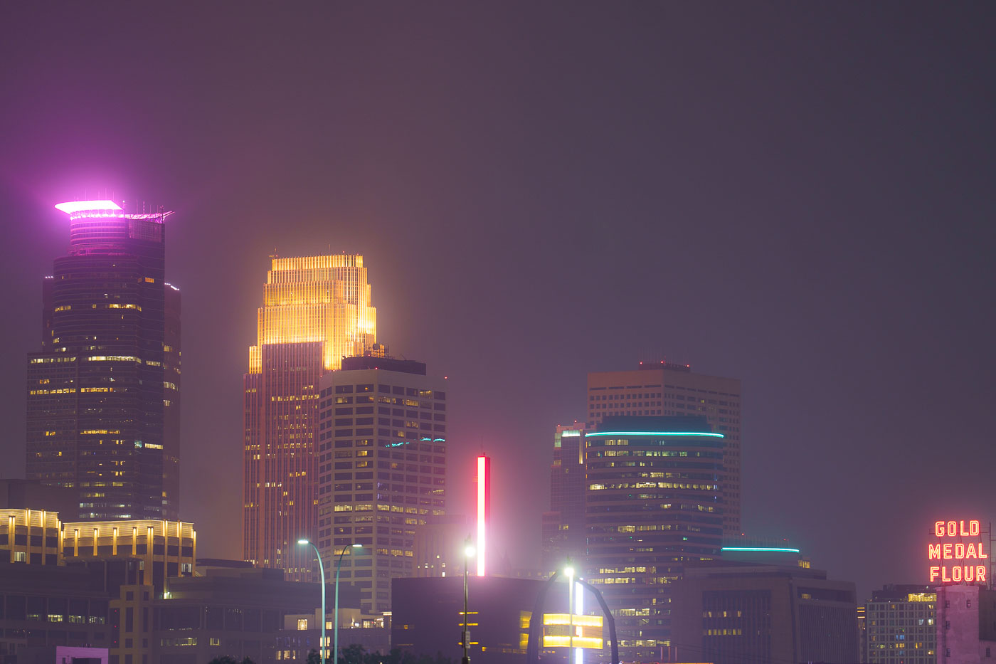
Night photo of Minneapolis skyline during air quality alerts
The Minneapolis city skyline is obscured by haze from Canadian wildfires, impacting air quality across the region. The "Gold Medal Flour" sign, a historic landmark dating back to the early 20th century, is visible through the atmospheric conditions. This event highlights the increasing frequency of such air quality alerts due to climate change and widespread wildfires. The city's downtown core, with its mix of modern skyscrapers and older structures, serves as the economic and cultural hub of Minnesota.

Minneapolis Skyline Under Wildfire Smoke Haze
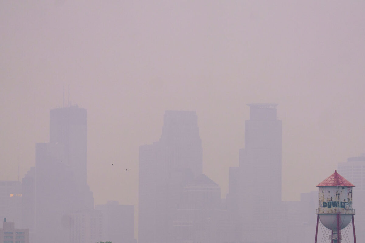
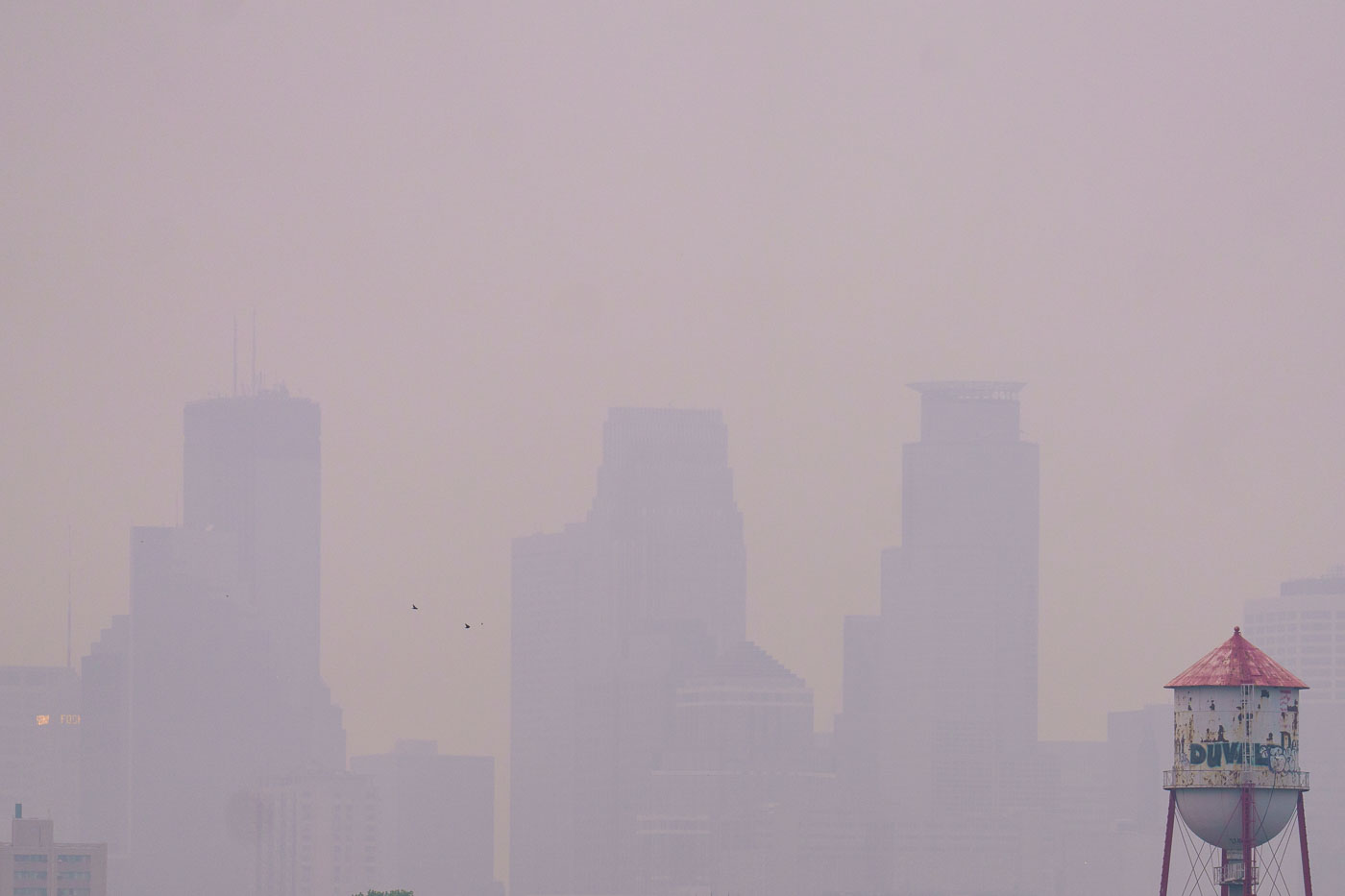
Barely visible downtown skyline due to wildfire
Wildfire smoke from Canada drifts into Minneapolis, significantly reducing visibility of the downtown skyline. The smoke, a result of widespread wildfires, impacted air quality across the region. The image also shows a water tower, a common feature in urban environments providing essential water storage and pressure for municipal systems.

Minneapolis Skyline Obscured by Wildfire Smoke

Mississippi River in front of Downtown Minneapolis Skyline
The Minneapolis Lock and Dam on the Mississippi River is obscured by haze from Canadian wildfire smoke, impacting air quality in the downtown area. Constructed in the early 20th century, the lock and dam system was designed to improve navigation on the river, facilitating the transport of goods and materials. Today, it continues to play a role in managing water levels and supporting barge traffic, though its visual presence is altered by atmospheric conditions. The Stone Arch Bridge, a historic landmark, is visible in the background, further contextualizing the industrial and infrastructural history of Minneapolis.

Minneapolis Lock and Dam Under Canadian Wildfire Smoke
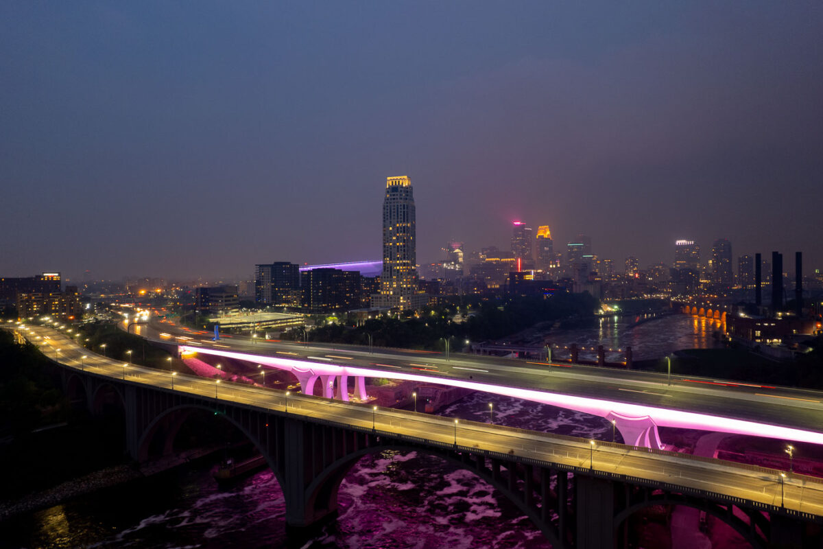
2 bridges over the Mississippi River and city skyline
The I-35W Bridge and the 10th Avenue Bridge cross the Mississippi River in Minneapolis, Minnesota, under a sky obscured by smoke from Canadian wildfires. This atmospheric condition, which led to air quality advisories, significantly reduced visibility across the city. The I-35W Bridge serves as a major north-south transportation route, while the 10th Avenue Bridge, with its distinctive arches, is a notable element of the city's infrastructure.

Minneapolis I-35W Bridge in Wildfire Smoke
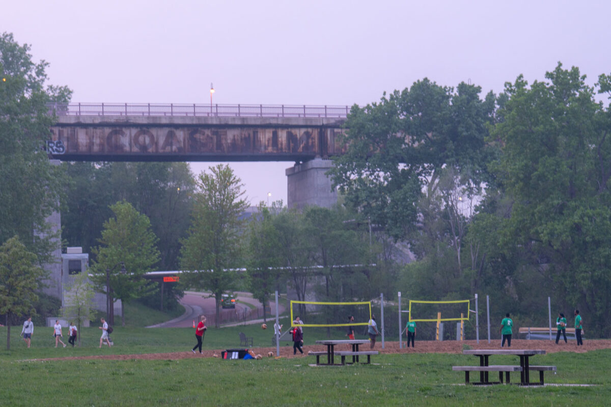
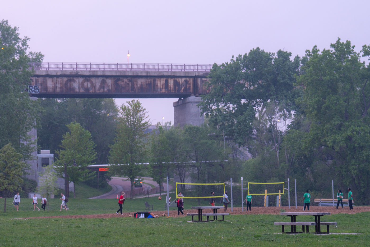
Volleyball during bad air quality.
Despite air quality warnings issued due to wildfire smoke, residents engaged in outdoor activities, including volleyball, near the Mississippi River in Minneapolis. The elevated structure in the background is a railway bridge, a vital piece of transportation infrastructure that has served the city for decades. The presence of people enjoying the park highlights the resilience of community life even amidst environmental concerns.

Volleyball near Mississippi River Bridge, Minneapolis
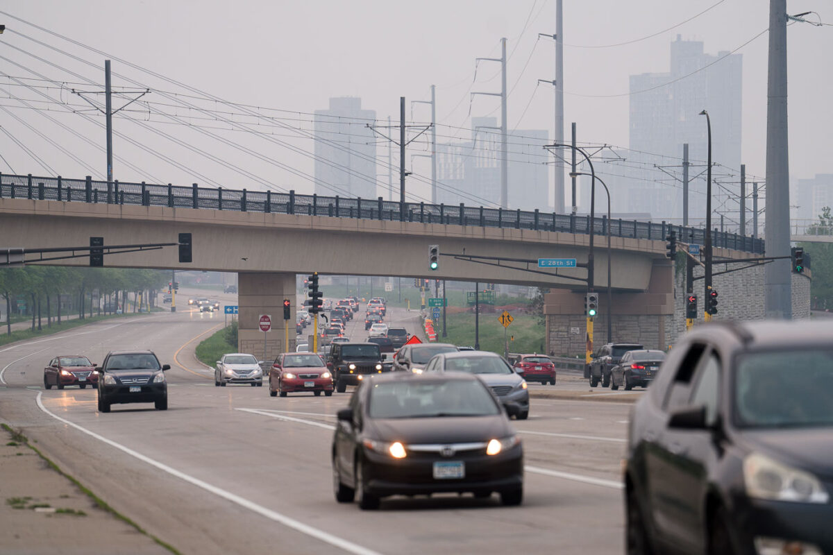
Cars going down the street with bad air quality
Traffic moves along Hiawatha Avenue in Minneapolis under the E 28th Street bridge, obscured by smoke from Canadian wildfires. The dense haze significantly reduced visibility, impacting air quality across the city. This event highlighted the vulnerability of urban environments to distant environmental factors, affecting daily life and public health. The E 28th Street bridge is part of the infrastructure supporting transportation in Minneapolis, a city known for its extensive park system and commitment to urban planning.

Hazy Haiwatha Ave Traffic Under E 28th St Bridge, Minneapolis

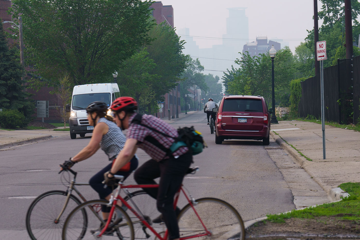
Bikers cross road with hazy skies
Bicyclists navigate the Midtown Greenway in Minneapolis under a sky obscured by smoke from Canadian wildfires. The Midtown Greenway is a 5.7-mile-long trail built on a former railroad corridor, serving as a vital piece of the city's active transportation network. This trail provides a safe and accessible route for cyclists and pedestrians, connecting various neighborhoods and parks across the city. The heavy haze, a result of widespread wildfires, significantly impacted air quality across the Midwest during the summer of 2023, highlighting the environmental challenges faced by urban areas.

Bikers on Midtown Greenway Amidst Wildfire Smoke, Minneapolis
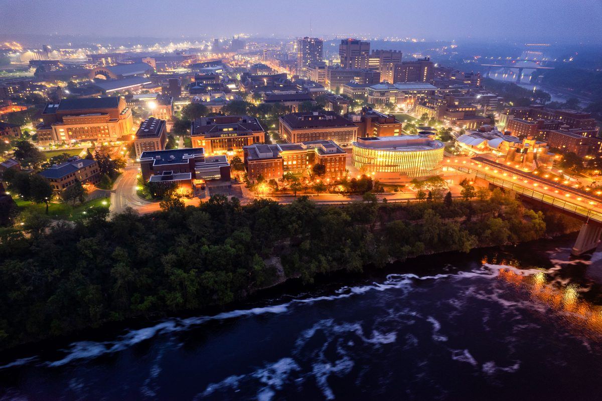
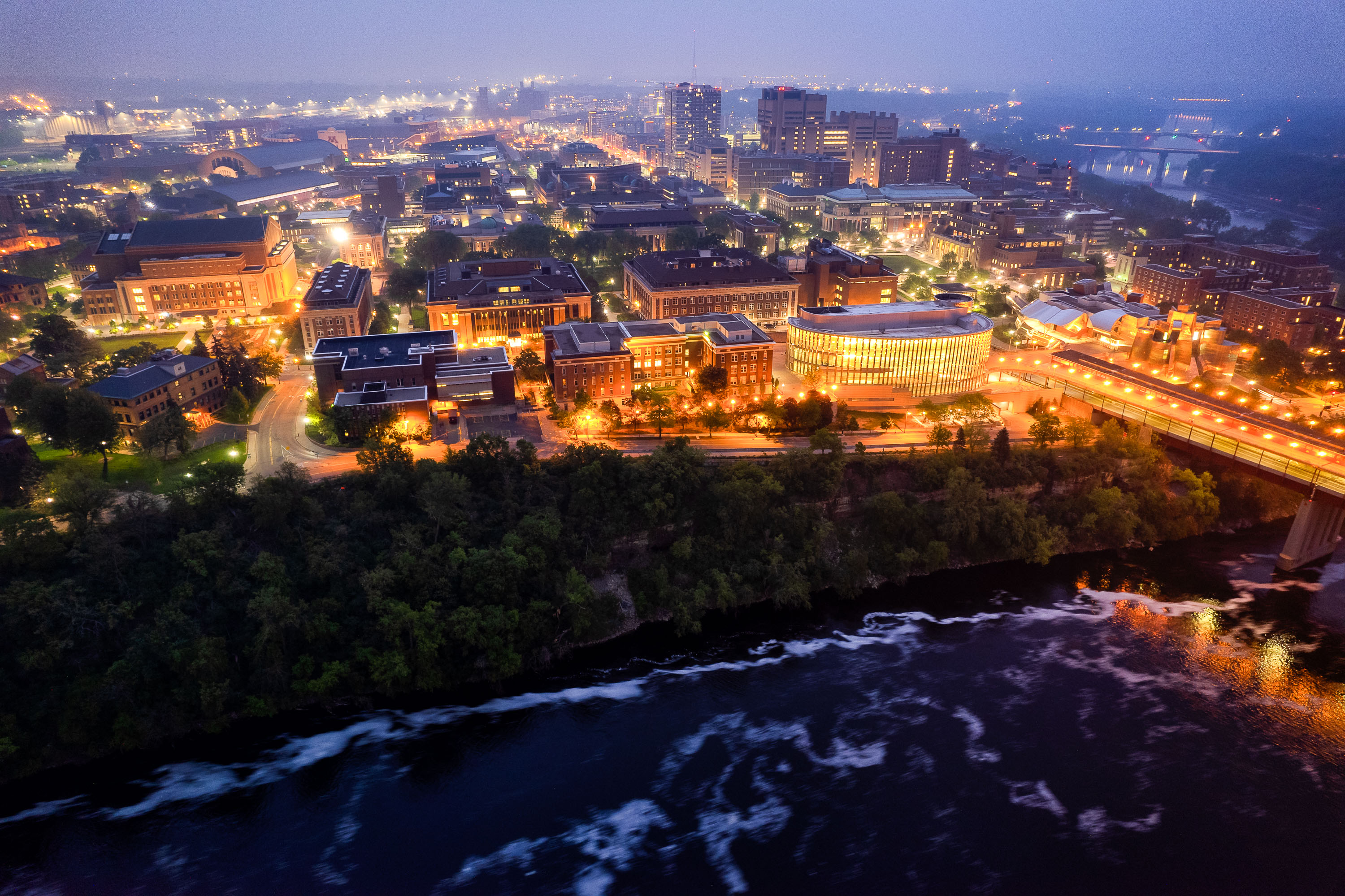
University of Minnesota campus at dusk overlooking the Mississippi River with illuminated buildings and the Washington Avenue Bridge spanning the water.
The University of Minnesota's Twin Cities campus lines both banks of the Mississippi River in Minneapolis, divided between the East Bank and West Bank districts. Founded in 1851, it's the flagship campus of the university system and one of the largest in the country, enrolling more than 50,000 students. The Washington Avenue Bridge links the two campuses, carrying vehicle and pedestrian traffic along with a light-rail line across the river.

Aerial Twilight View of the University of Minnesota’s East Bank
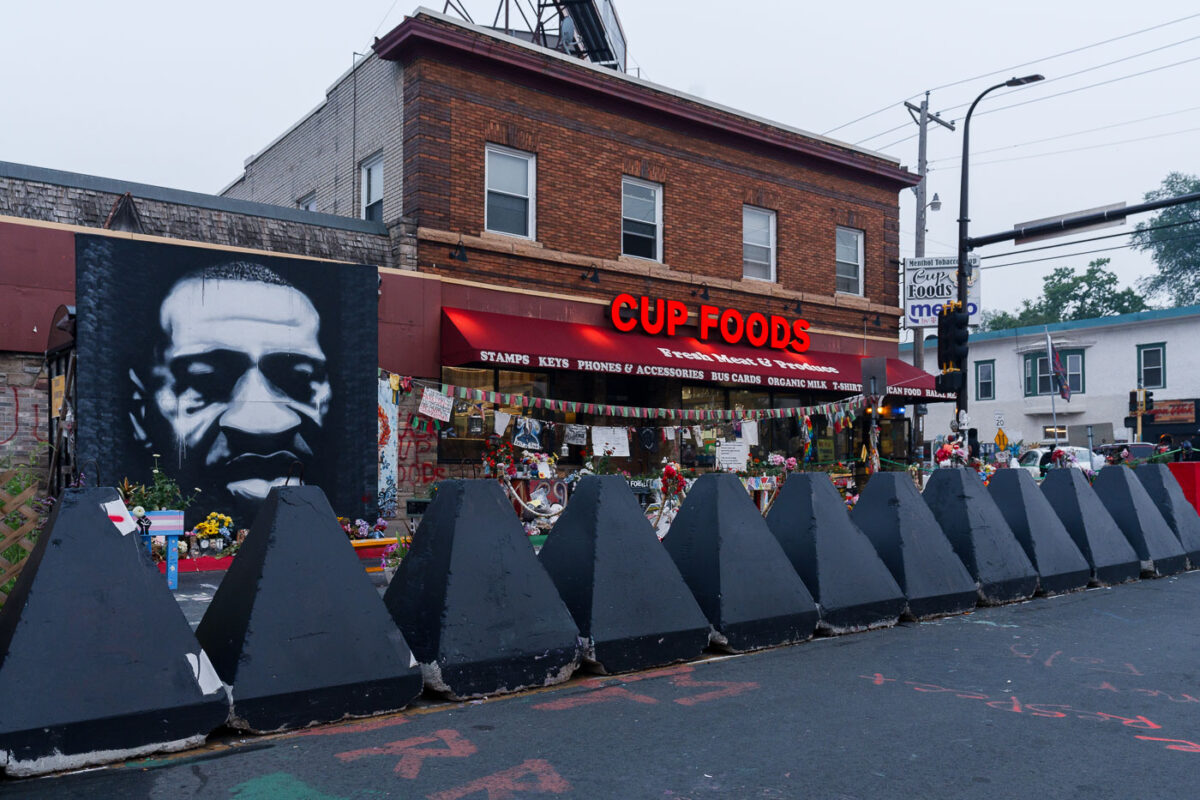
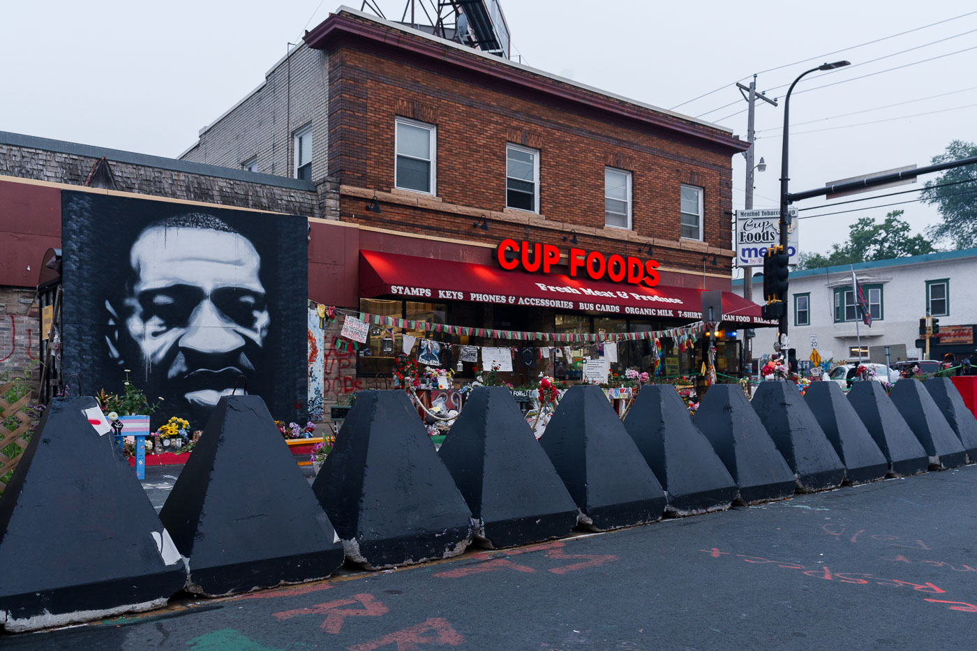
Cup Foods and George Floyd Memorial July 2021
George Floyd Square in Minneapolis is seen under a haze of smoke from Canadian wildfires, which caused record-breaking air quality issues in Minnesota.

George Floyd Square Memorial Under Wildfire Haze, Minneapolis
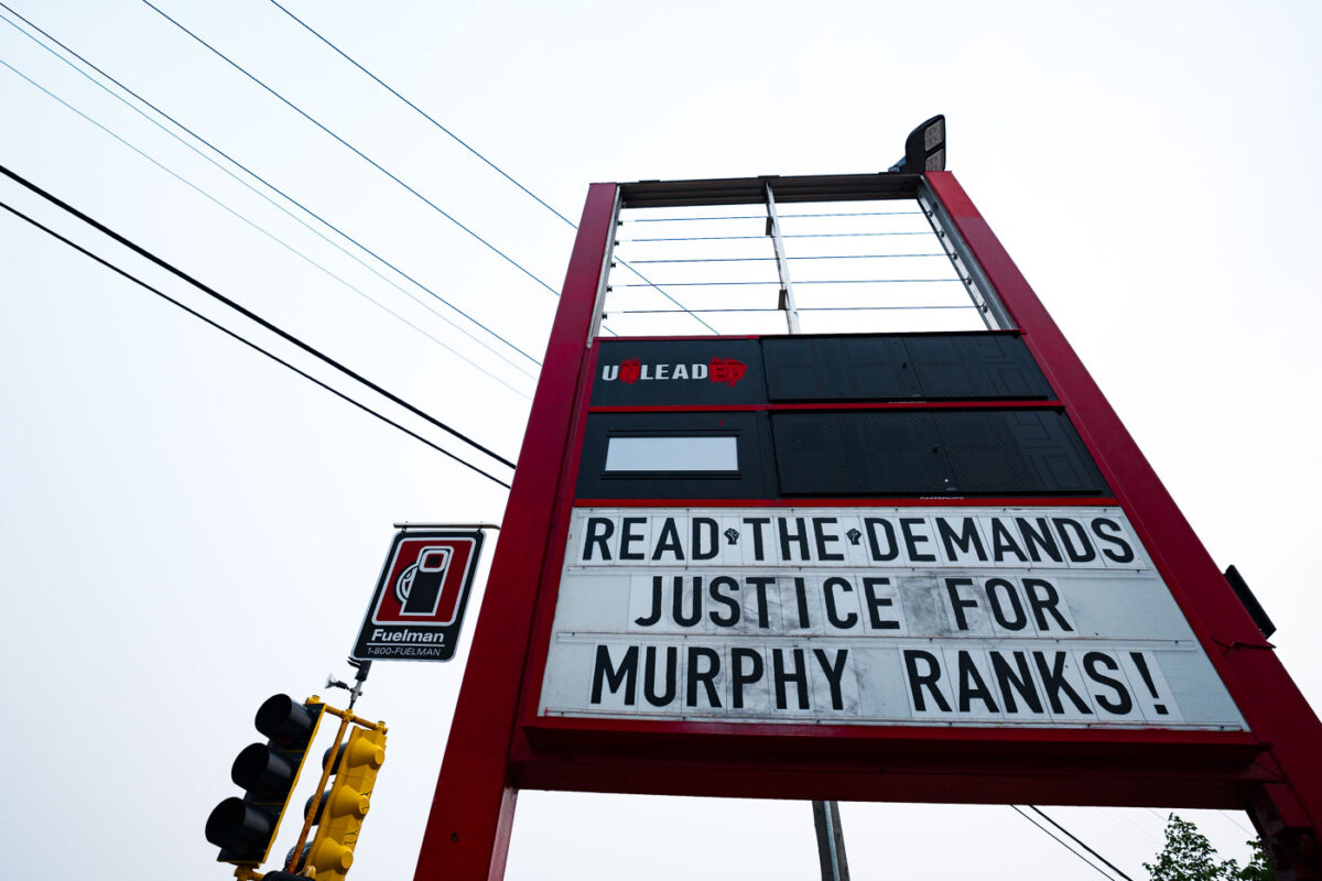
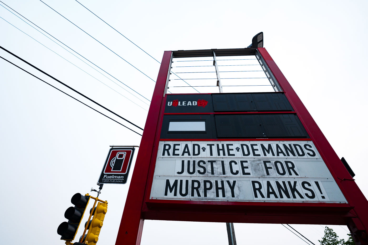
Read the demands Justice For Murphy Ranks
A sign at George Floyd Square in Minneapolis reads "READ THE DEMANDS JUSTICE FOR MURPHY RANKS!" This message was displayed on July 29, 2021, amidst ongoing protests and activism following the murder of George Floyd. The square, established as a site of protest and community organizing, became a focal point for demands for racial justice and police accountability.

George Floyd Square: “Justice for Murphy Ranks” Sign
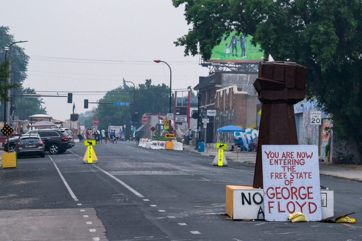
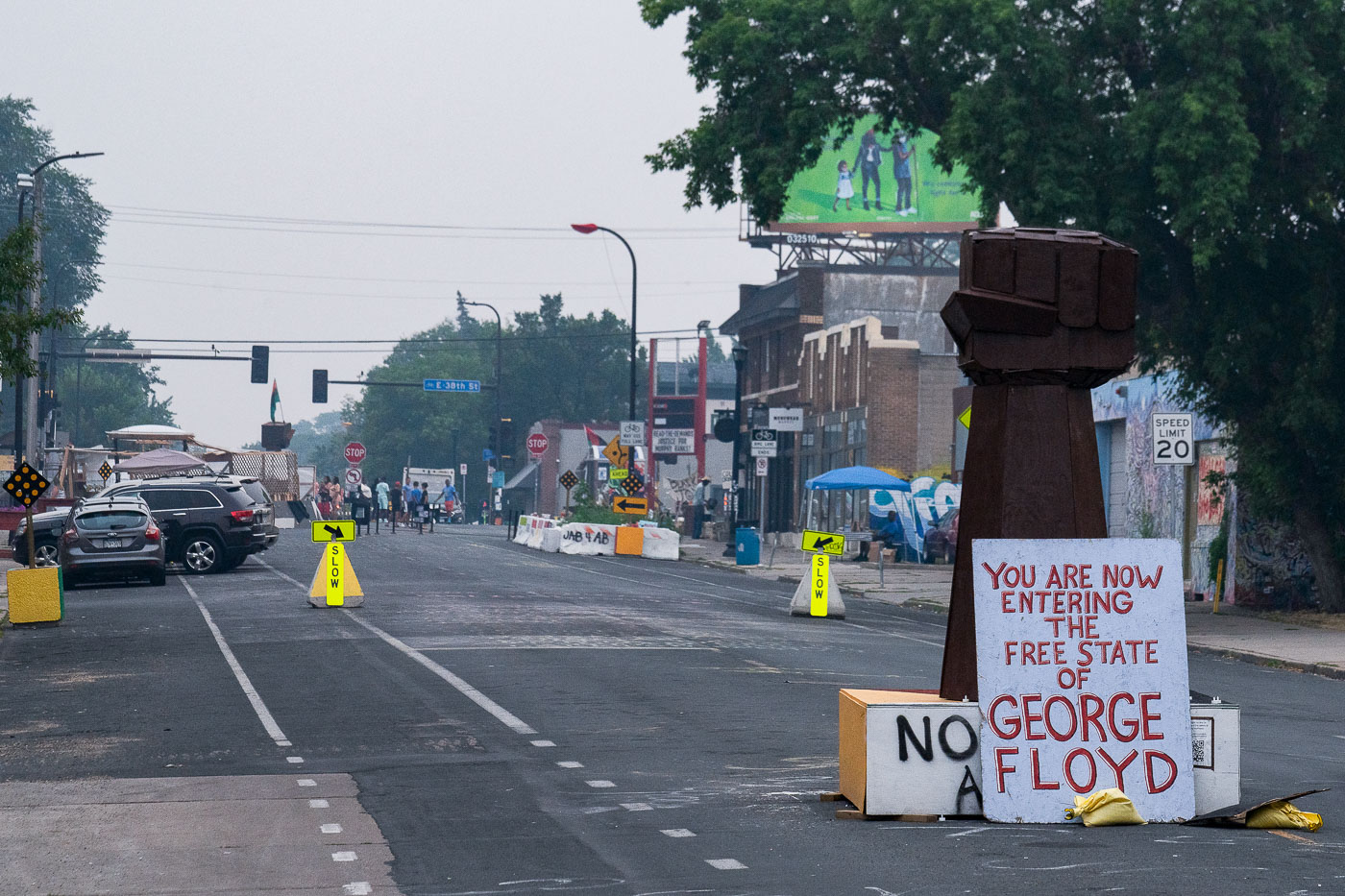
George Floyd Square and bad air quality
Chicago Avenue in Minneapolis, known as George Floyd Square, is seen under a hazy sky caused by smoke from Canadian wildfires. This area became a focal point for protests and activism following the murder of George Floyd in May 2020. The "Free State of George Floyd" sign and barricades signify the community's assertion of autonomy and a memorial to Floyd.

George Floyd Square Hazy Evening, Minneapolis
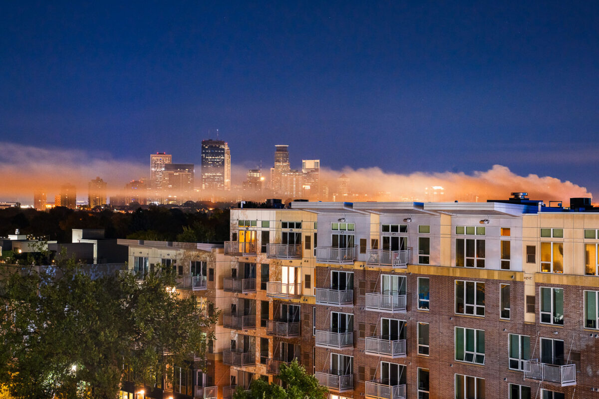
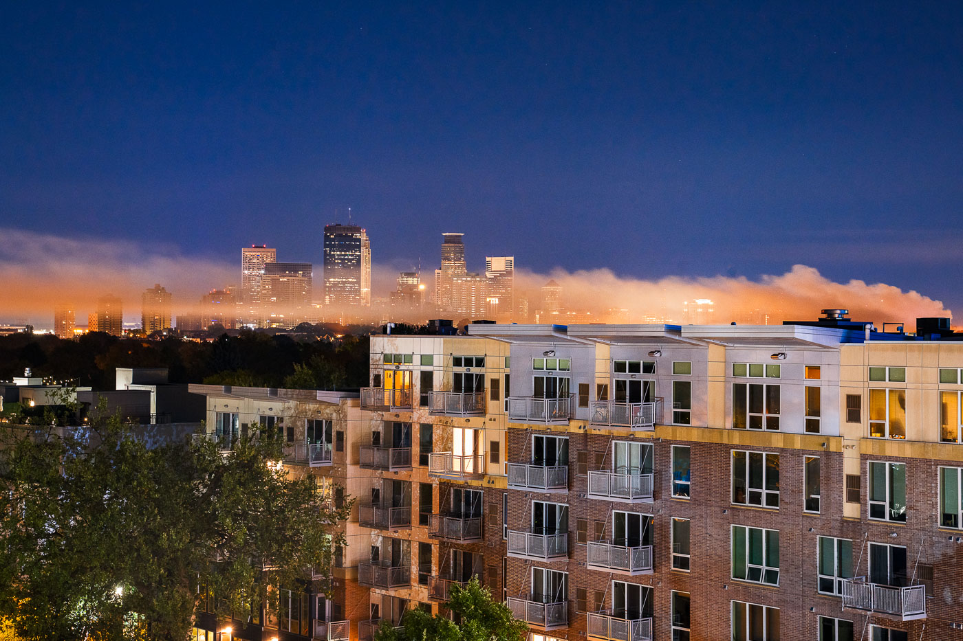
Smoke floating through Minneapolis
Smoke from a vacant home fire on South 4th Avenue rises over the Minneapolis skyline in the early morning hours of October 4th, 2020. This incident occurred during the Minneapolis Uprising, a period of significant civil unrest and protests in the city.

Smoke from South 4th Ave Fire over Minneapolis Skyline
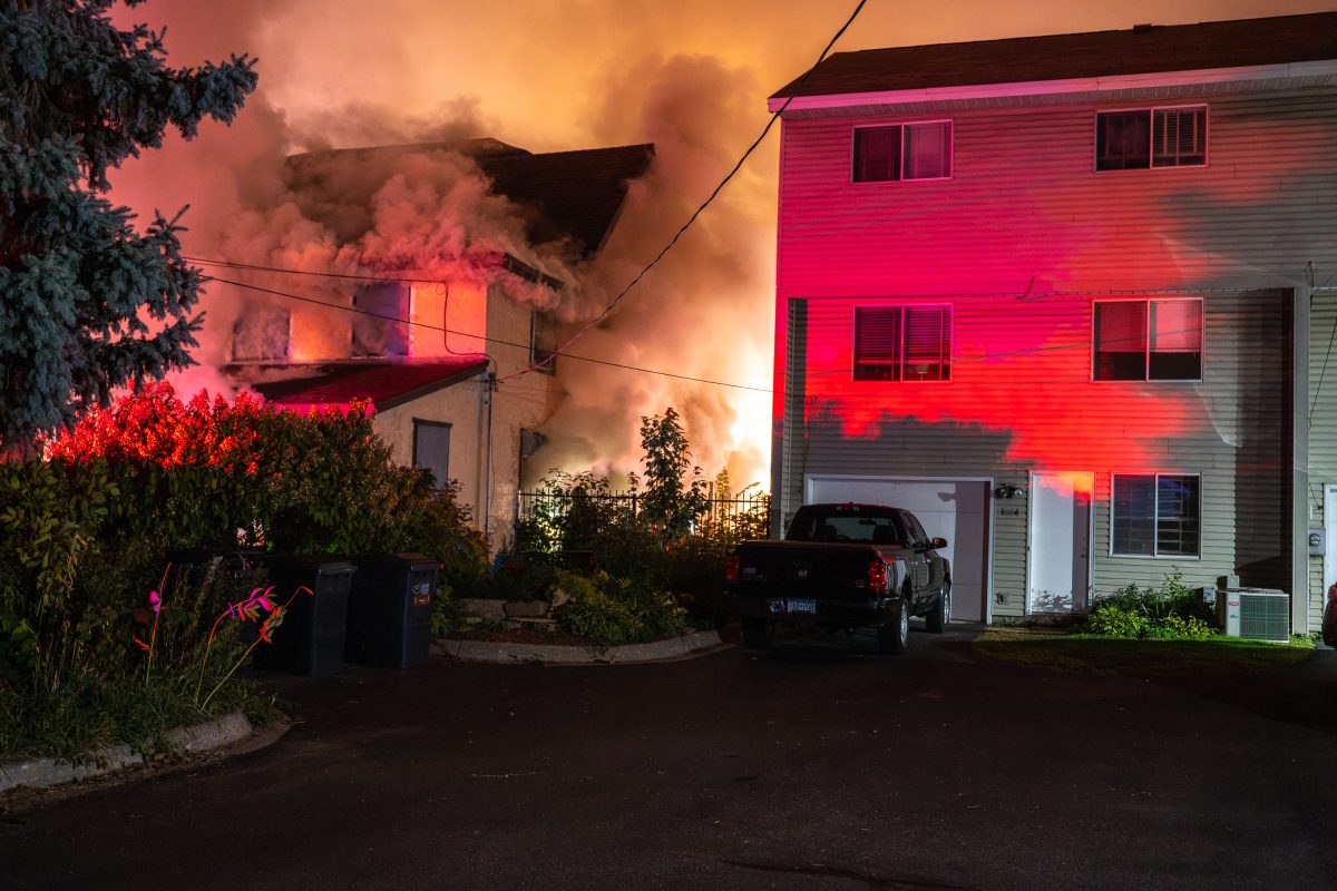
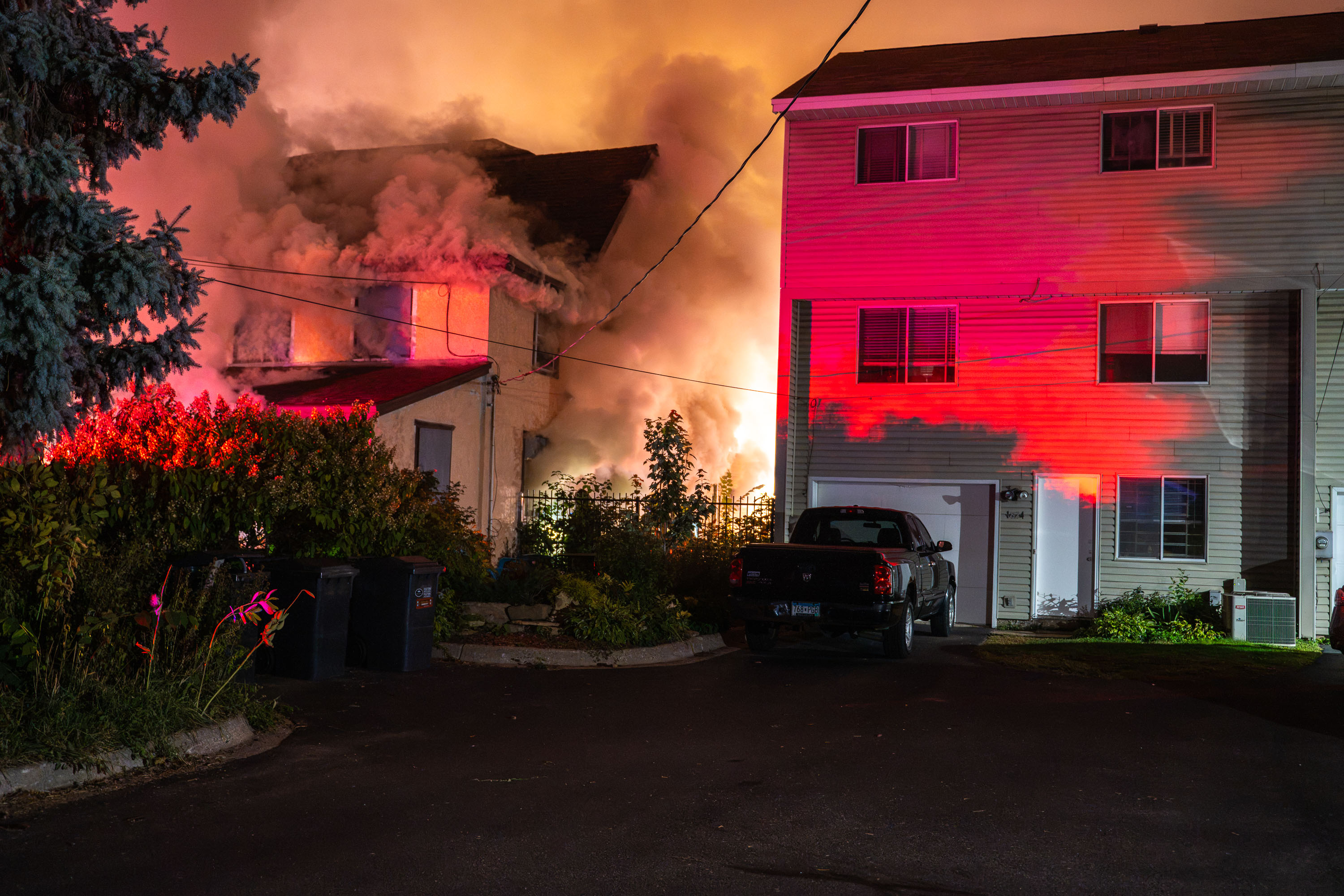
A residential house on South 4th Avenue in Minneapolis engulfed in flames and smoke at night.
This vacant home on South 4th Avenue went up in flames overnight, sending heavy smoke into the surrounding residential block.

Vacant House Fire on South 4th Avenue, Minneapolis
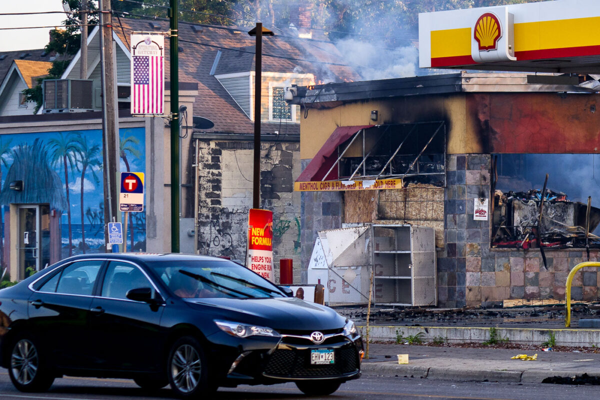
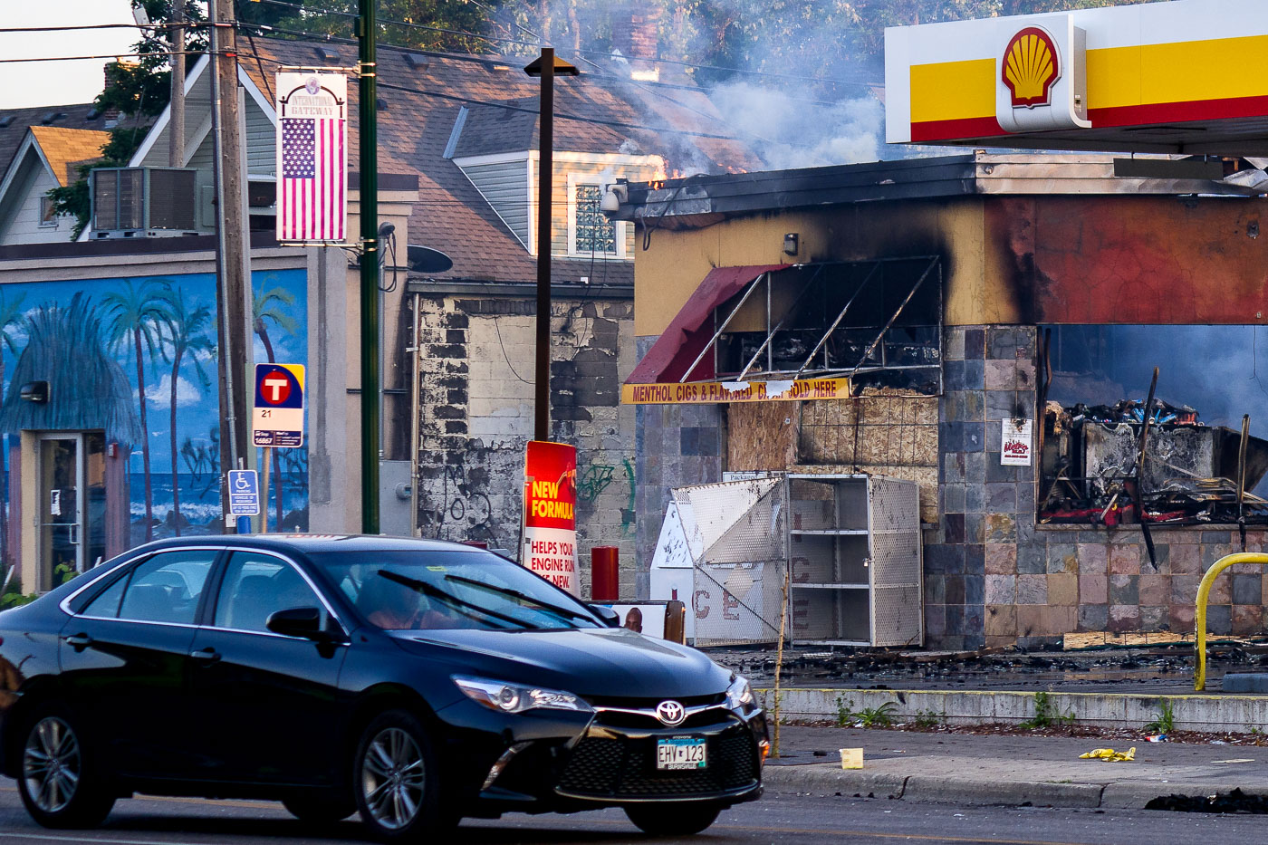
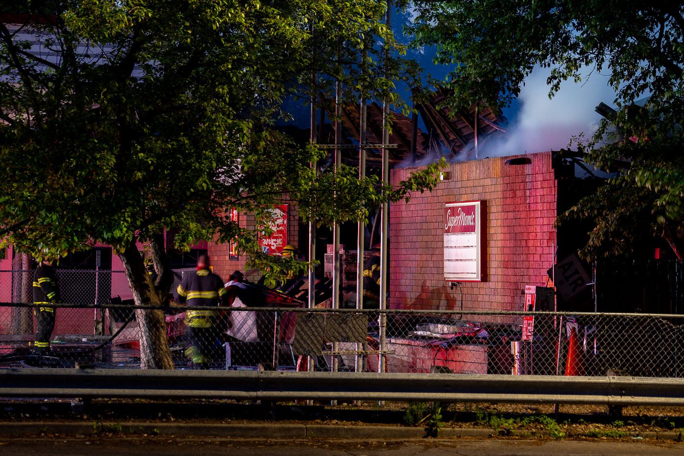
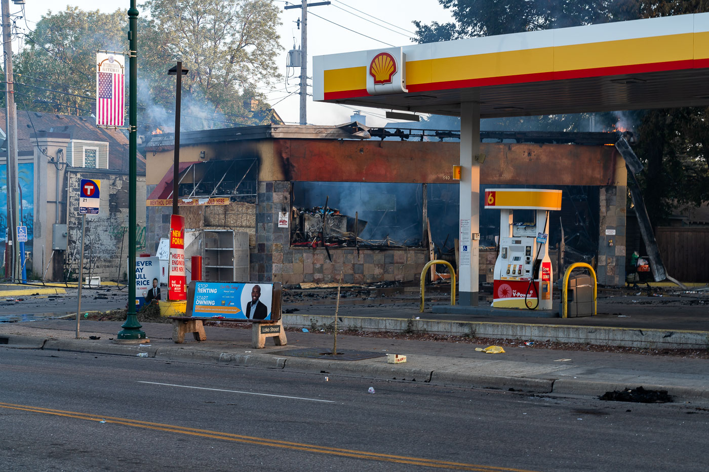
Burning Shell gas station on Lake Street in Minneapolis as smoke rises above the damaged building.
A fire-damaged Shell gas station on Lake Street in Minneapolis burns on the morning of May 30, 2020. Smoke rises from the convenience store area as traffic passes on the commercial corridor, and a Metro Transit bus stop sign is visible beside the property. The damage followed nights of protests and unrest in the city after the killing of George Floyd.

Shell Gas Station Burns on Lake Street After George Floyd Unrest
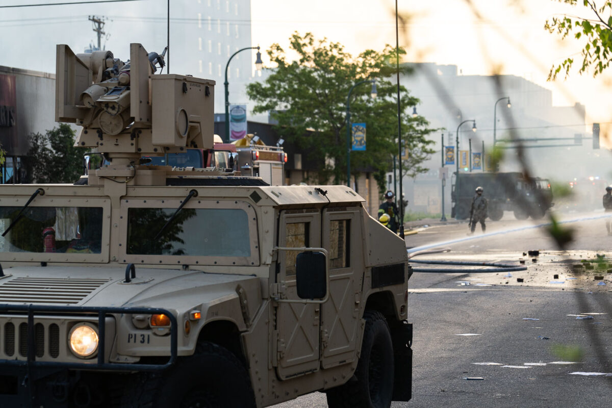
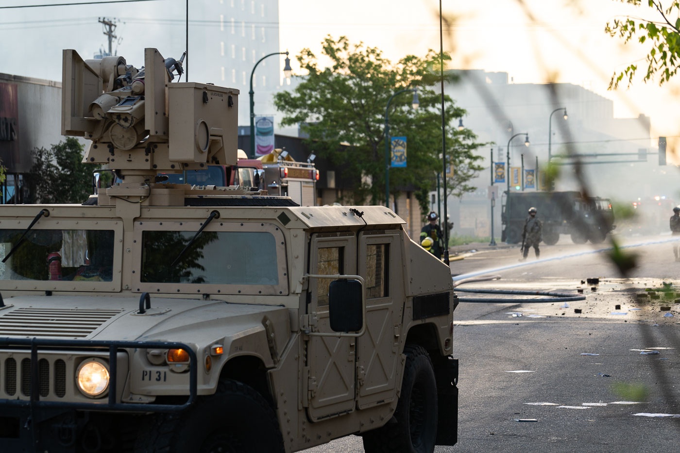
Minnesota National Guard vehicle near Midtown Exchange in Minneapolis as firefighters work amid smoke.
A Minnesota National Guard vehicle stands on a street near the Midtown Exchange in south Minneapolis as Minneapolis firefighters work amid smoke at daybreak on May 30, 2020. The photograph was made during the unrest that followed the killing of George Floyd, when fires and heavy emergency response affected commercial corridors across the city. The Midtown Exchange, a large mixed-use redevelopment of the historic Sears, Roebuck and Company building, is visible in the area behind the response.

National Guard at Minneapolis Midtown Exchange Fires
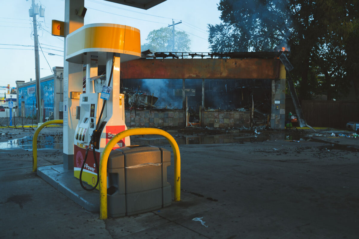
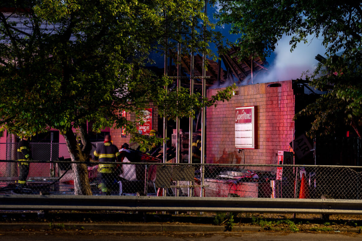
Burned Shell gas station on Lake Street in Minneapolis with smoke rising from the gutted store.
A fire-damaged Shell gas station on Lake Street in Minneapolis is pictured on the morning of May 30, 2020. The convenience store behind the pumps is gutted and still smoking, with parts of the roof and facade burned away. The damage followed nights of unrest in Minneapolis after the murder of George Floyd, when businesses along Lake Street, one of the city’s main commercial corridors, were heavily affected.

Shell Gas Station Fire, Lake Street, Minneapolis
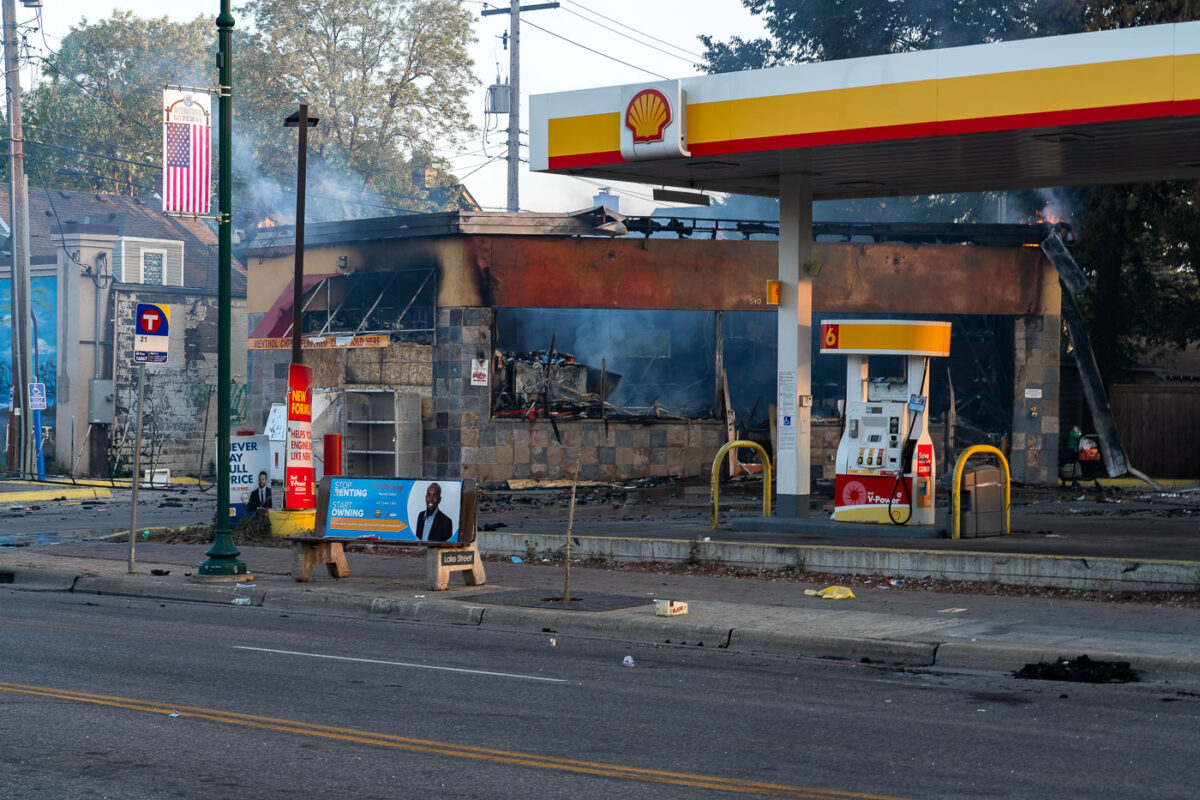
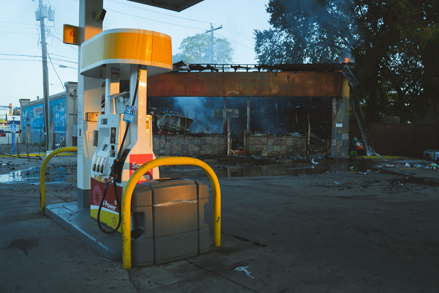
Burned Shell gas station on Lake Street in Minneapolis with smoke rising from the damaged store.
A Shell gas station on Lake Street in Minneapolis stands heavily burned on the morning of May 30, 2020, with smoke still rising from the convenience store behind the pump canopy. The damage followed overnight unrest after the killing of George Floyd, which led to fires and destruction along major commercial corridors in south Minneapolis. A Metro Transit bus stop and campaign signs remain in the foreground, situating the station within the everyday streetscape of Lake Street.

Shell Gas Station Fire, Lake Street, Minneapolis
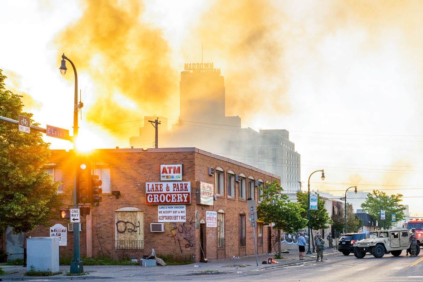
Smoke over Midtown Exchange on East Lake Street in Minneapolis as National Guard vehicles patrol at sunrise.
Smoke rises around the Midtown Exchange in south Minneapolis as sunrise lights East Lake Street on May 30, 2020. Minnesota National Guard troops and Minneapolis Fire Department personnel are visible near the Lake Street commercial corridor after overnight fires and unrest following protests over the killing of George Floyd. The Midtown Exchange, originally built in 1928 as a Sears, Roebuck and Company mail-order and retail complex, had been redeveloped as a mixed-use building before the disturbances.

Smoke over Midtown Exchange, Minneapolis
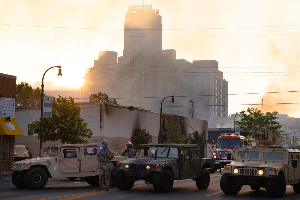
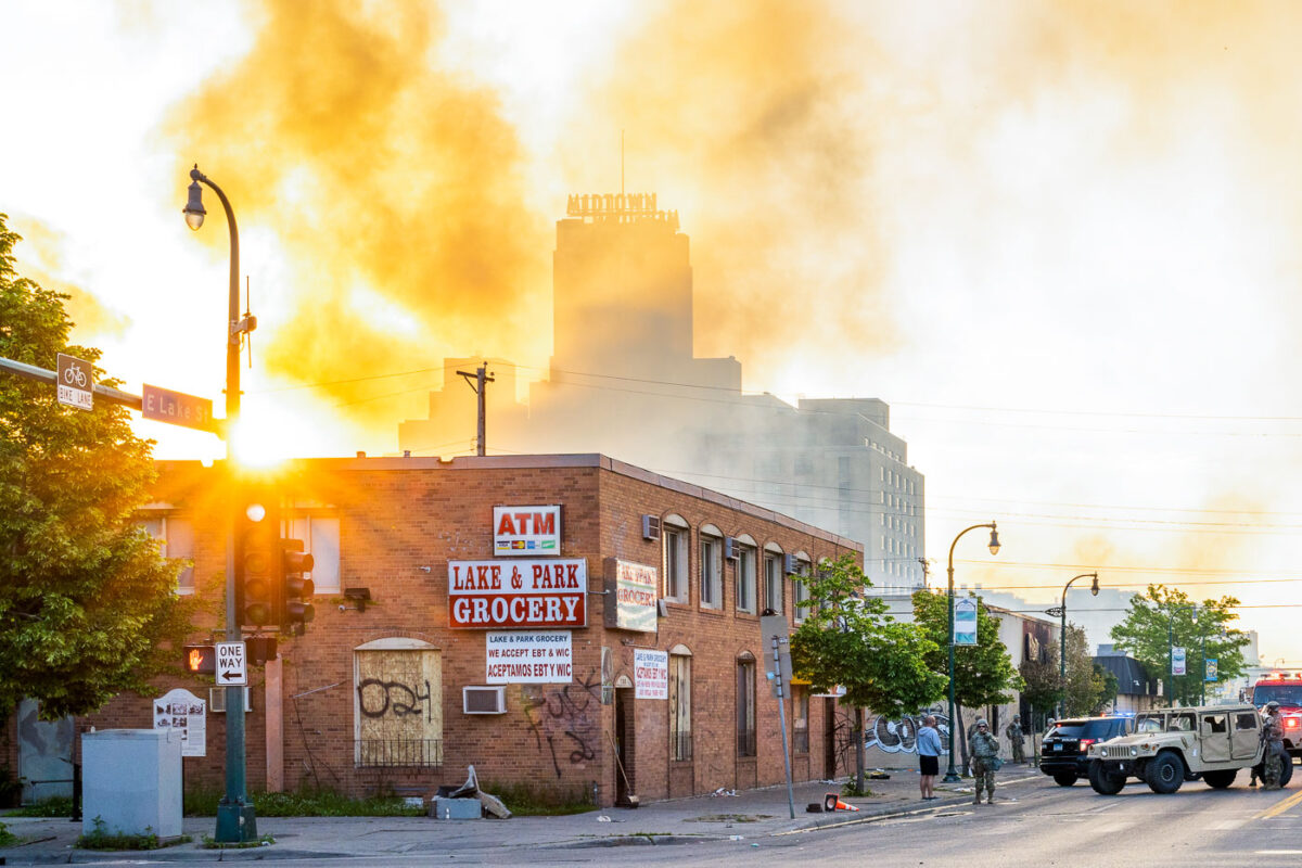
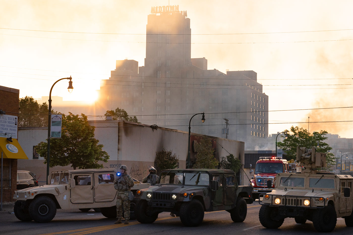
National Guard vehicles and a fire truck in Midtown Minneapolis with Midtown Exchange behind smoke at sunrise.
Minnesota National Guard troops and Minneapolis Fire Department vehicles are positioned in Midtown Minneapolis on May 30, 2020, with the Midtown Exchange building rising through smoke at sunrise in the background. The large brick structure, topped by the “MIDTOWN EXCHANGE” sign, was originally built as a Sears, Roebuck and Company mail-order and retail complex. The deployment came after overnight unrest following the killing of George Floyd, as firefighters responded to active fires and the National Guard supported local authorities.

National Guard, Fire Dept. in Midtown Minneapolis
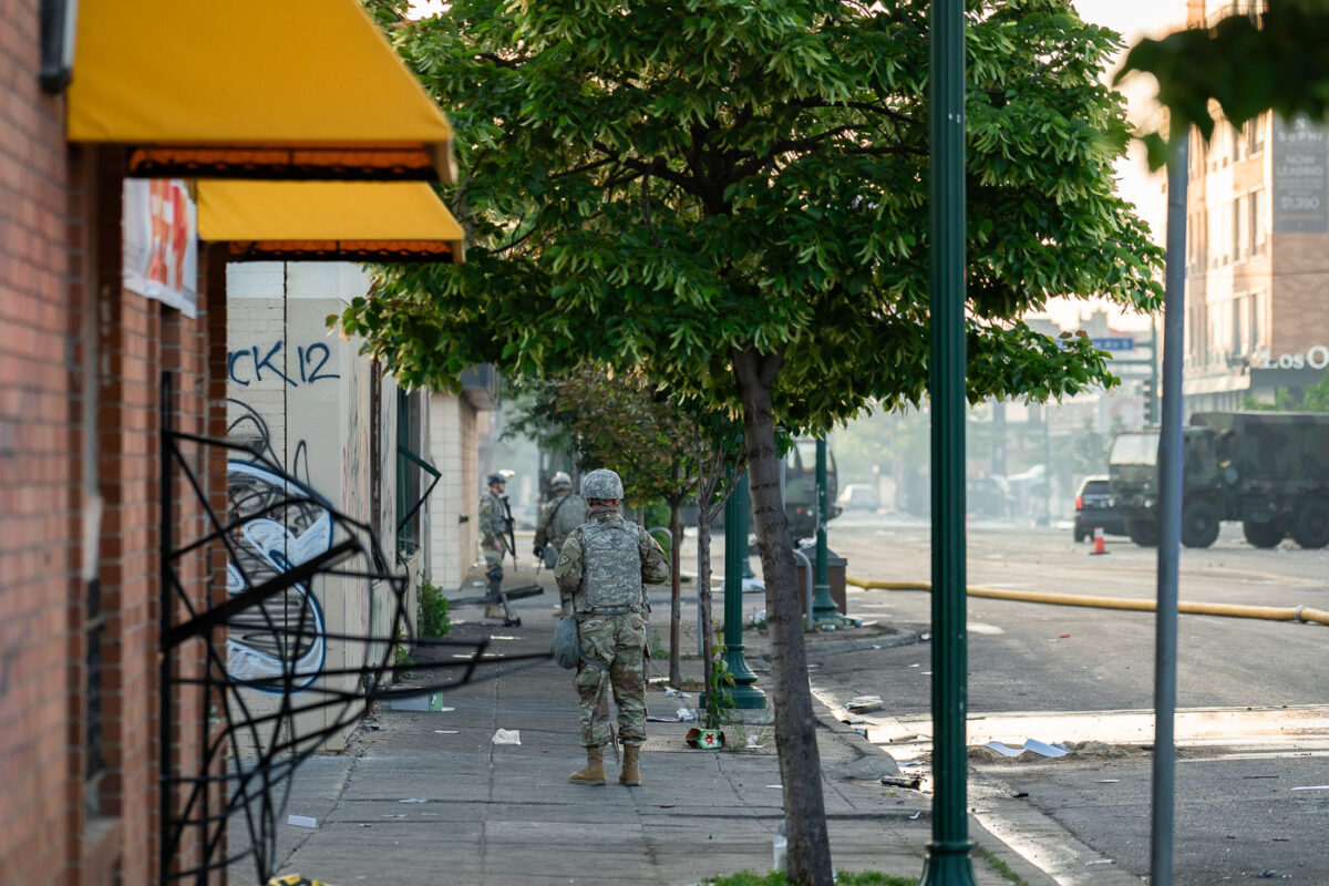
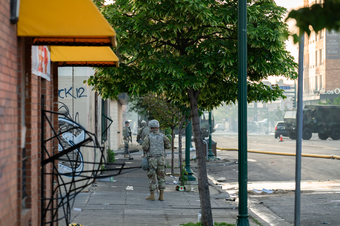
National Guard troops on Lake Street in Minneapolis beside graffiti-marked storefronts and debris.
Members of the Minnesota National Guard patrol Lake Street in Minneapolis on May 30, 2020, passing boarded and graffiti-marked storefronts amid debris left on the street. The deployment came after several nights of fires and property damage during protests following the death of George Floyd. Lake Street, a major commercial corridor in south Minneapolis, was among the areas most heavily affected, and National Guard units were sent to support security operations and protect businesses and residents.

National Guard on Lake Street, Minneapolis
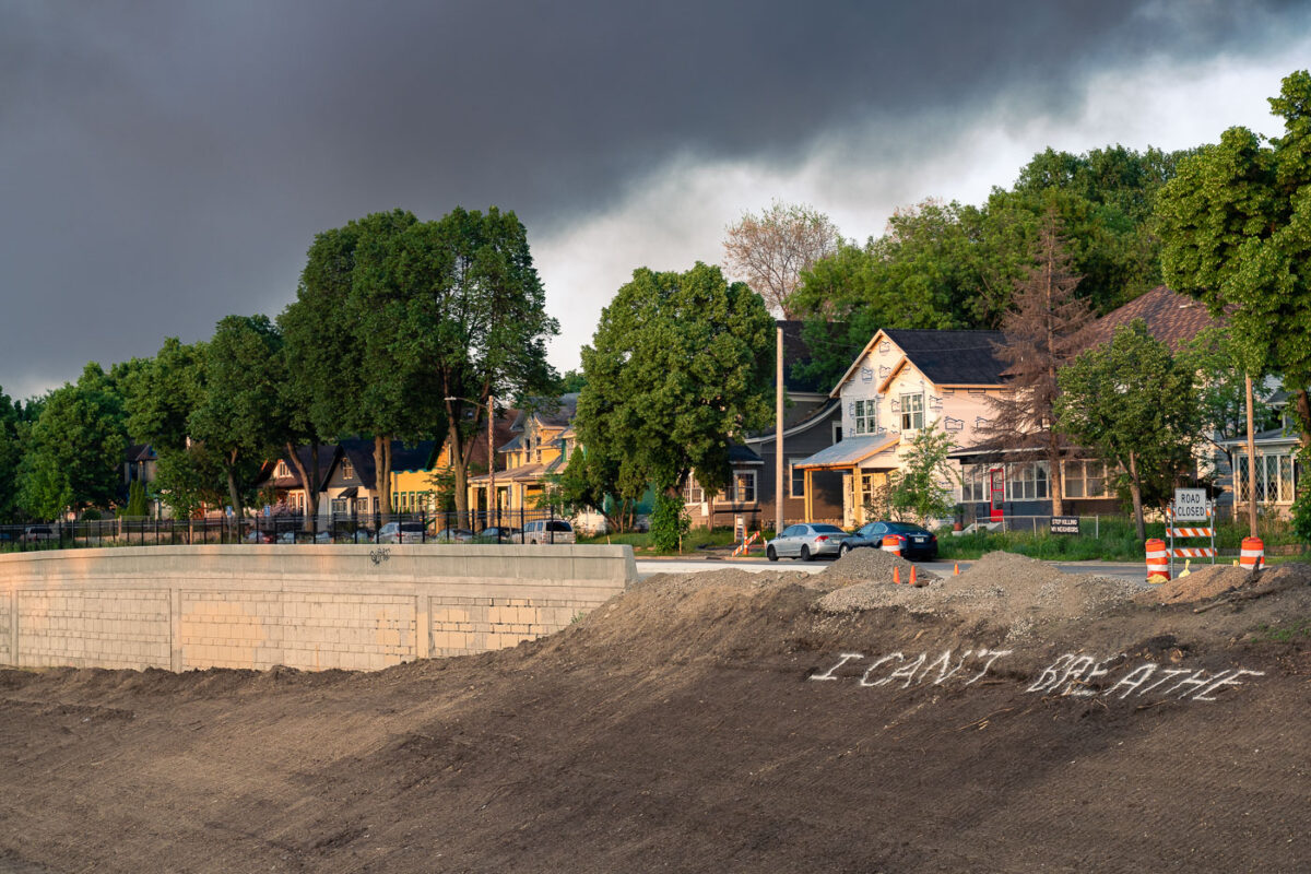
“I Can’t Breathe” graffiti on an embankment beside Interstate 35W in South Minneapolis under smoke-filled skies.
“I Can’t Breathe” is spray-painted on a dirt embankment beside Interstate 35W in South Minneapolis on May 30, 2020. The message appeared in the days after George Floyd was killed by Minneapolis police on May 25, during protests and unrest across the city. Morning light falls on nearby houses while smoke lingers over the neighborhood from fires set overnight.

I Can’t Breathe Graffiti, Minneapolis

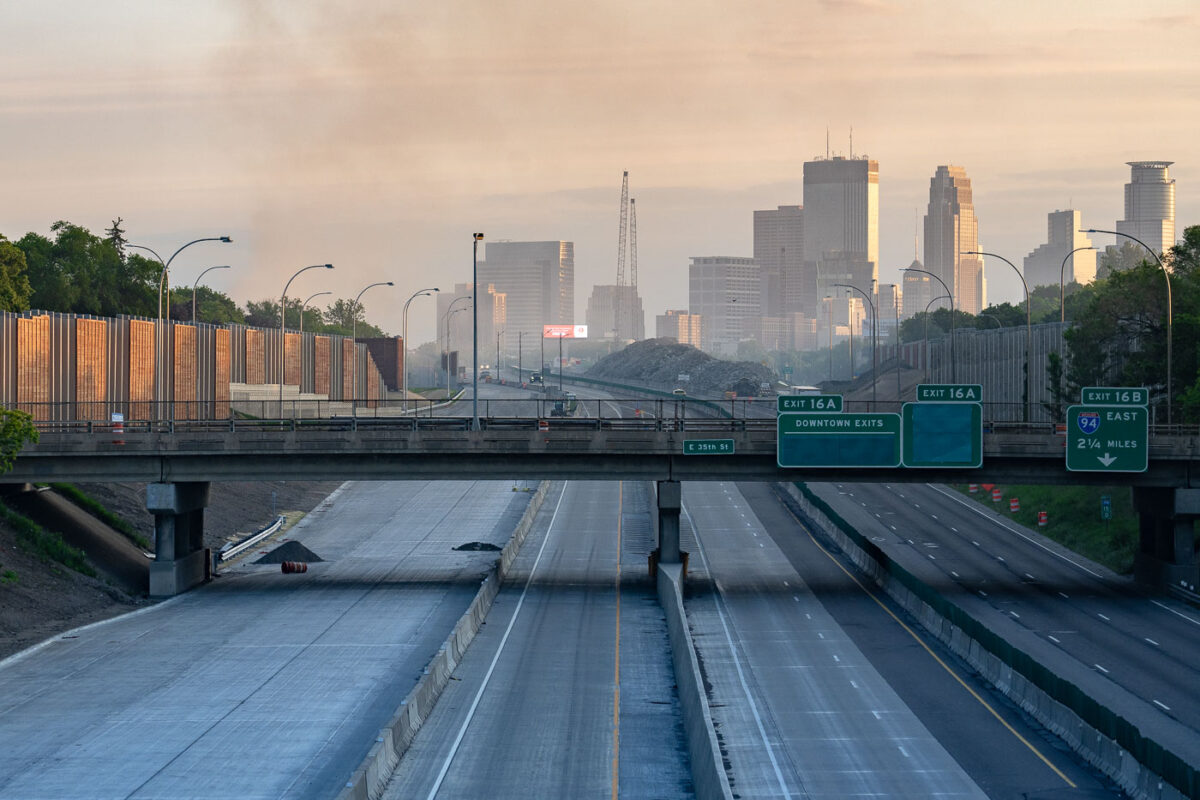
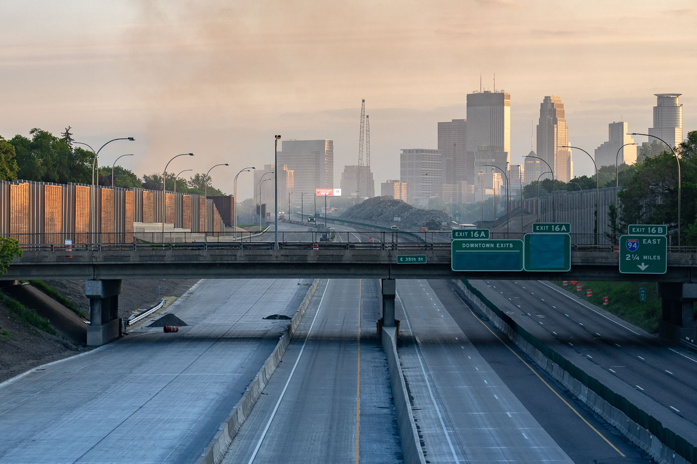
Interstate 35W approaching downtown Minneapolis under smoke haze at daybreak.
Interstate 35W approaching downtown Minneapolis, Minnesota, is seen under a layer of smoke at daybreak on May 30, 2020. Overhead signs for downtown exits, East 35th Street, and Interstate 94 place the view along the main north-south freeway corridor leading into the city center. The haze followed overnight fires during protests after the death of George Floyd, and the light traffic contrasts with the volume normally carried on this route.

I-35W Minneapolis Smoke Haze May 30 2020

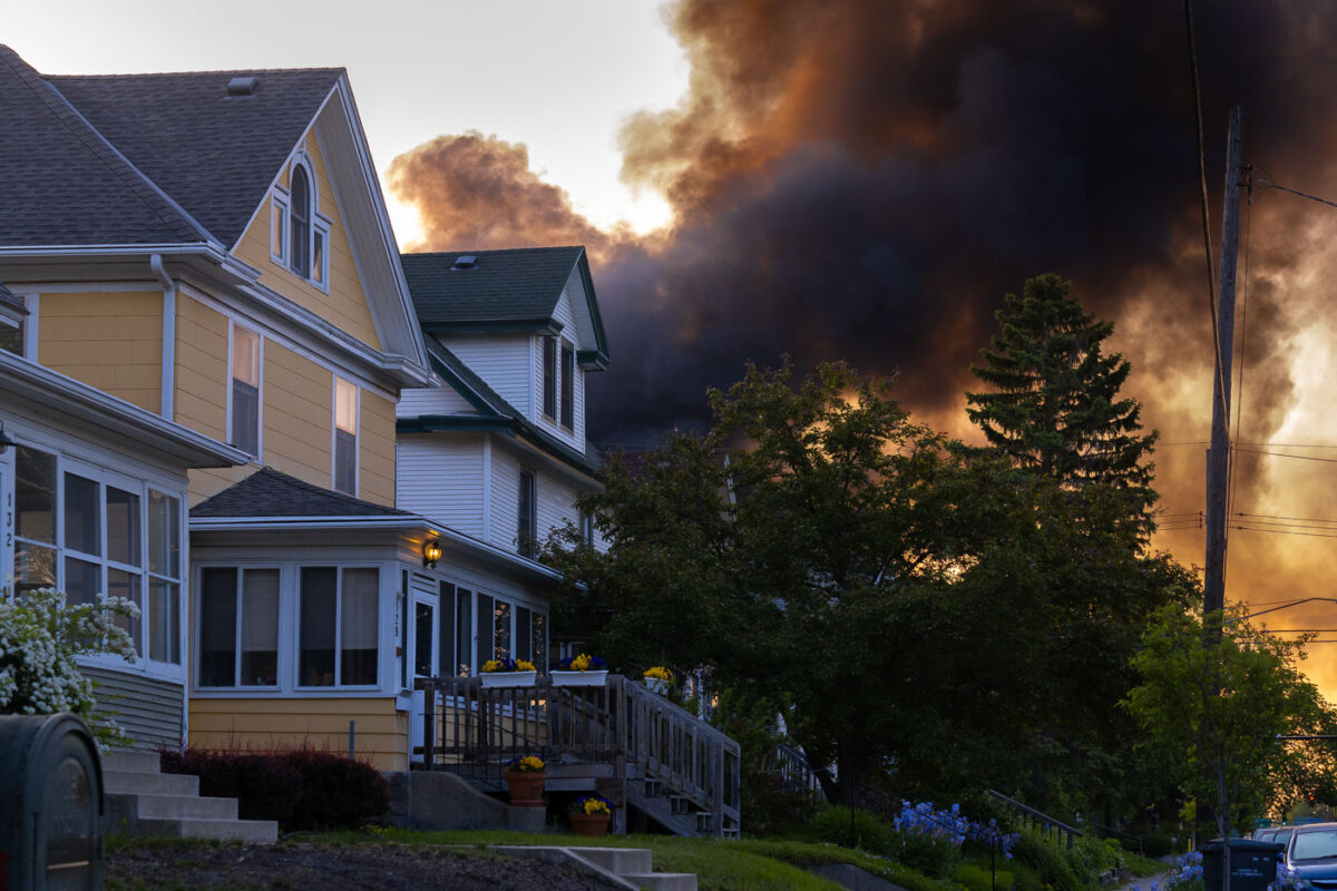
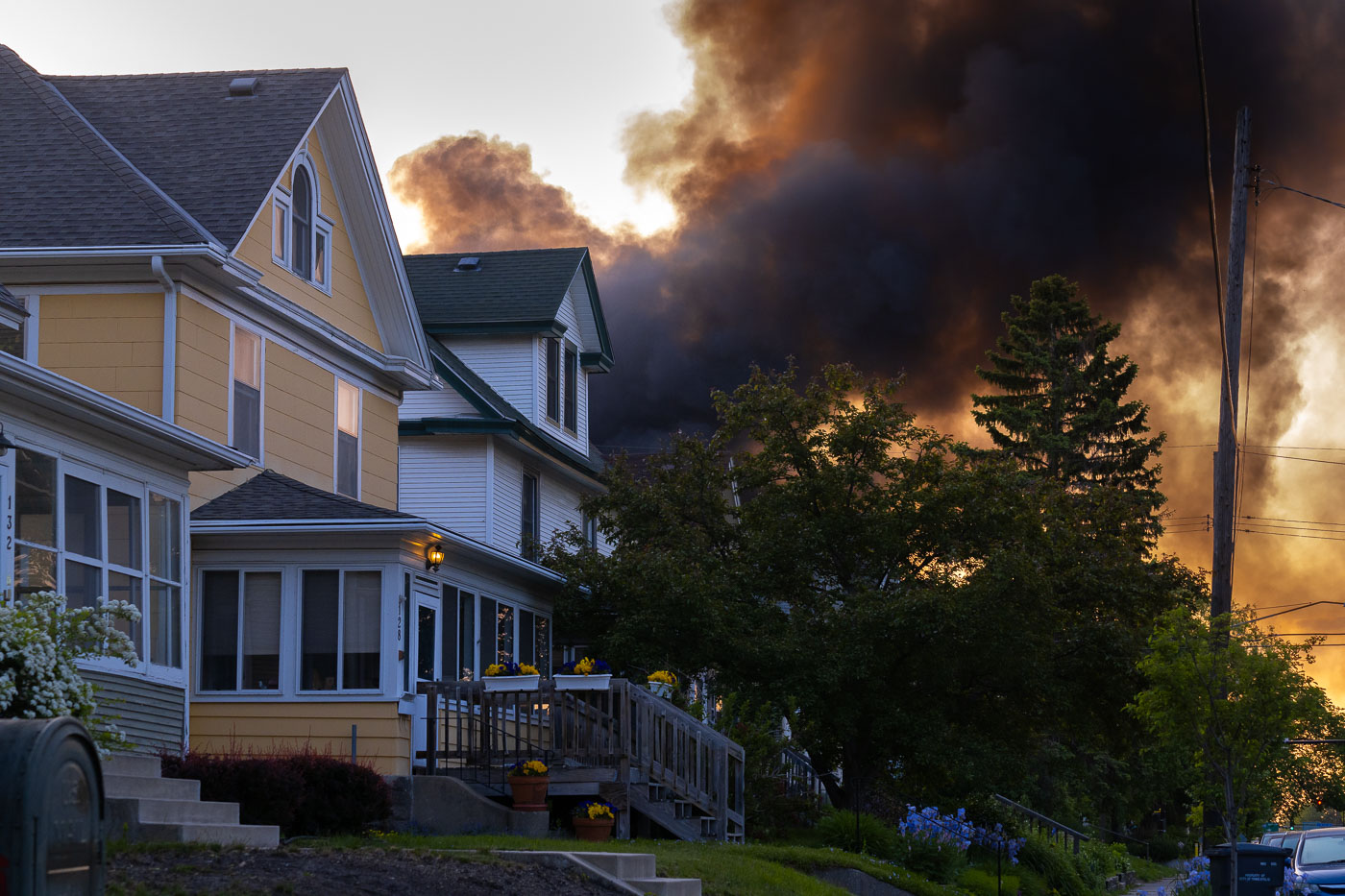
Smoke over houses in South Minneapolis at sunrise after overnight fires on May 30, 2020.
Smoke rises over residential houses in South Minneapolis at sunrise on May 30, 2020. The photograph shows a neighborhood street as heavy black plumes from overnight fires spread above homes and utility lines. The fires followed several days of protests in Minneapolis after the killing of George Floyd by a Minneapolis police officer.

Smoke over South Minneapolis at Sunrise

Firefighters at the damaged Speedway on Lake Street in Minneapolis as smoke rises from the collapsed roof.
Minneapolis Fire Department crews work at the damaged Speedway gas station on Lake Street in Minneapolis in the early morning of May 30, 2020. Smoke rises from the collapsed roof area as firefighters move through debris around the convenience store and fuel station. The fire occurred during the fourth day of unrest in Minneapolis following the killing of George Floyd, when numerous commercial properties along Lake Street were damaged or destroyed.

Speedway Fire, Lake Street, Minneapolis Uprising

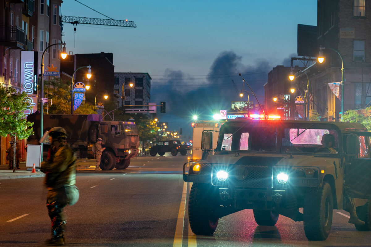
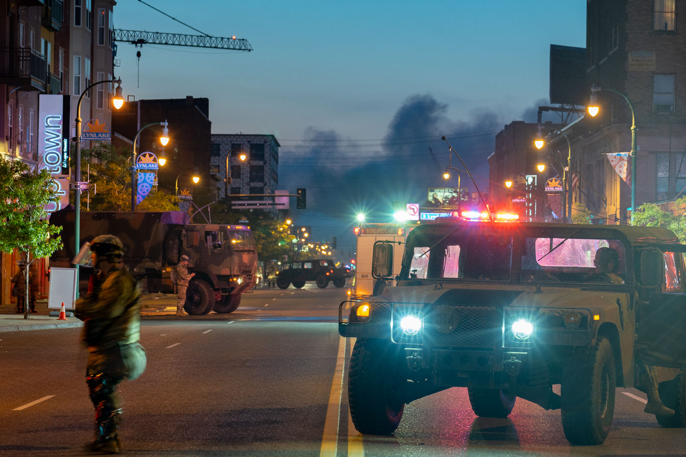
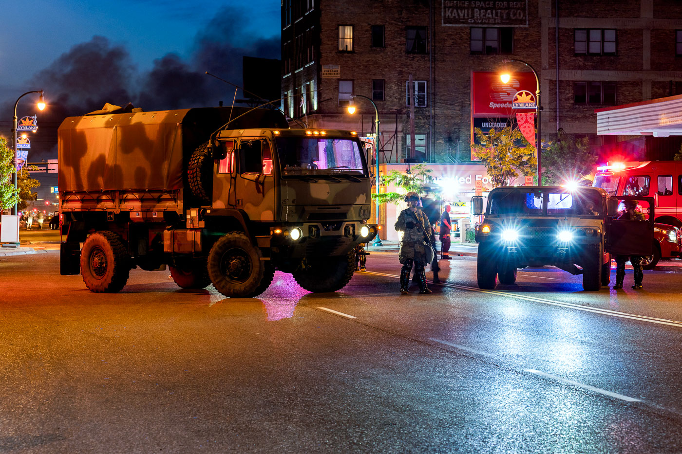
Minnesota National Guard vehicles on Lake Street in Minneapolis as smoke rises near LynLake at dawn.
Minnesota National Guard vehicles and personnel are stationed on Lake Street in Minneapolis near the LynLake district on May 30, 2020. Smoke rises in the distance at dawn as military and emergency vehicles line the commercial corridor after several nights of unrest following the killing of George Floyd. Lake Street is a major east-west route through South Minneapolis, lined with businesses, housing, and neighborhood landmarks.

National Guard on Lake Street, Minneapolis
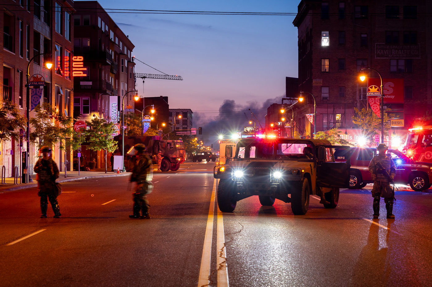
National Guard vehicles block Lake Street in Minneapolis before sunrise as smoke rises in the distance.
Minnesota National Guard troops and military vehicles block Lake Street in the LynLake area of Uptown Minneapolis before sunrise on May 30, 2020. The deployment came during protests and unrest following the killing of George Floyd by Minneapolis police, with smoke from fires visible in the distance along the commercial corridor. Lake Street, a major east-west route lined with apartments, shops, and businesses, was heavily affected during the unrest and remained under a strong security presence as day broke.

National Guard on Lake Street, Minneapolis Uprising
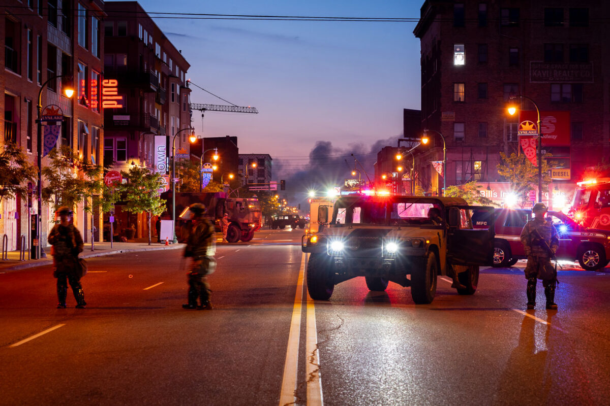
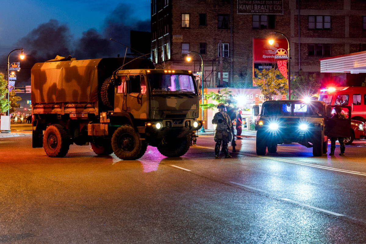
Minnesota National Guard vehicles block Lake Street at Speedway in Minneapolis as smoke rises behind them.
Minnesota National Guard troops and military vehicles block Lake Street near the Speedway station in the LynLake area of South Minneapolis on May 30, 2020. Thick smoke rises behind the intersection as firefighters and emergency vehicles respond during unrest that followed the killing of George Floyd. The deployment was part of the state response to secure major commercial corridors and assist local law enforcement and fire operations overnight.

National Guard at Speedway Fire, Minneapolis
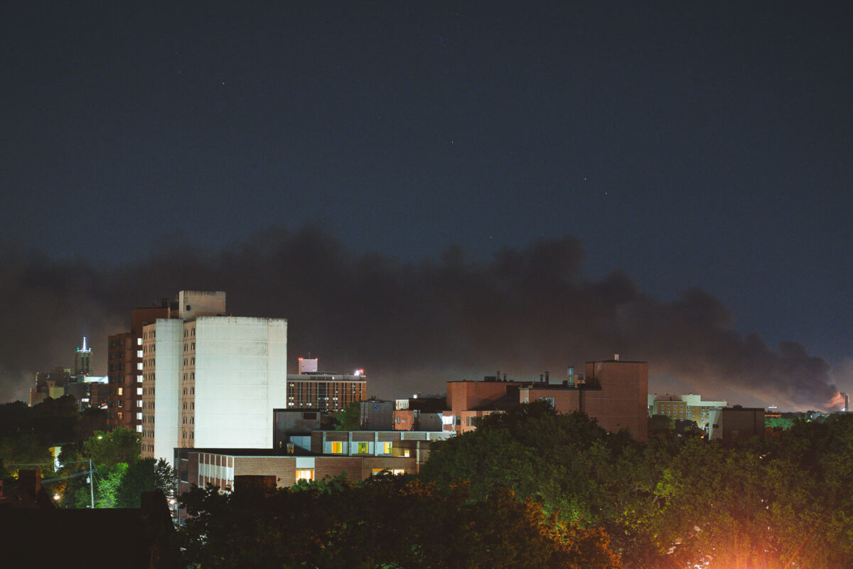
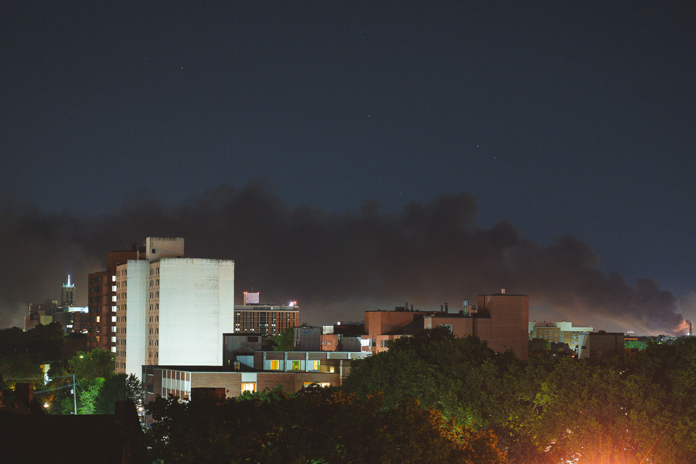
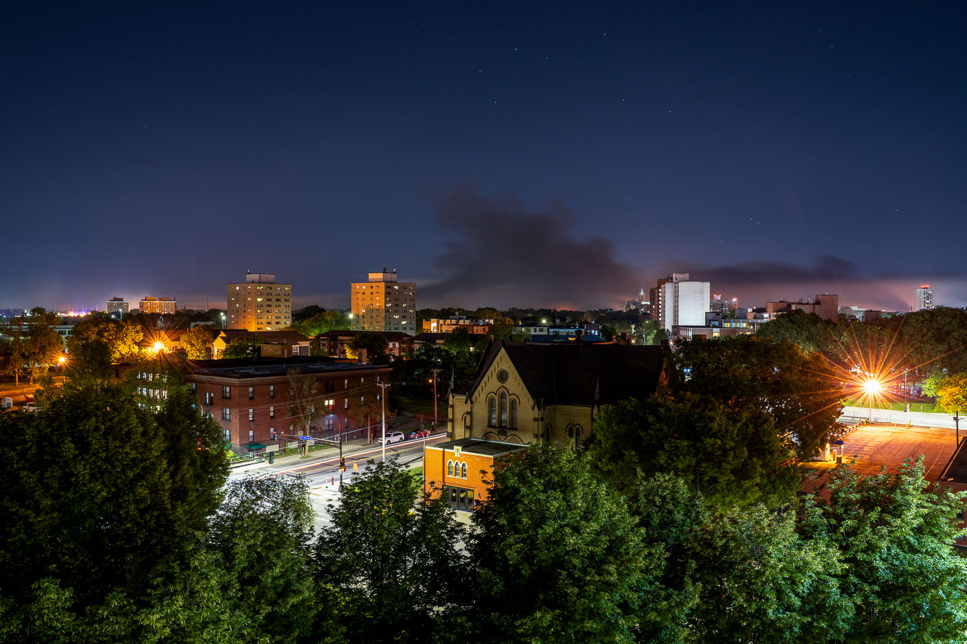
Smoke over Lake Street in Minneapolis as fires burn during George Floyd protest unrest.
Smoke rises over the Lake Street corridor in Minneapolis, Minnesota, in the early hours of May 30, 2020, as fires burn during protests following the death of George Floyd. The photograph looks across South Minneapolis at a broad plume spreading above mid-rise residential and institutional buildings. Lake Street, a major commercial artery, sustained extensive fire damage and business losses during the unrest that followed Floyd’s killing by Minneapolis police.

Smoke over Lake Street, Minneapolis Uprising
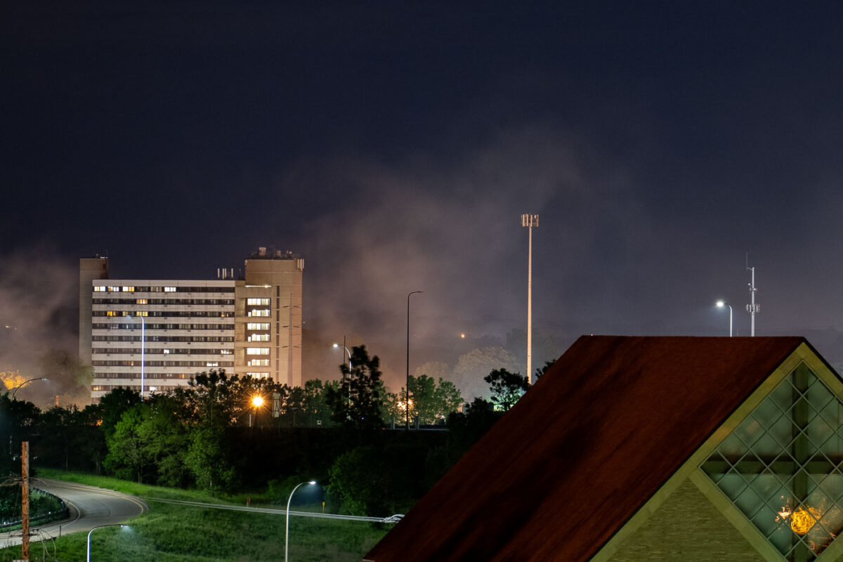
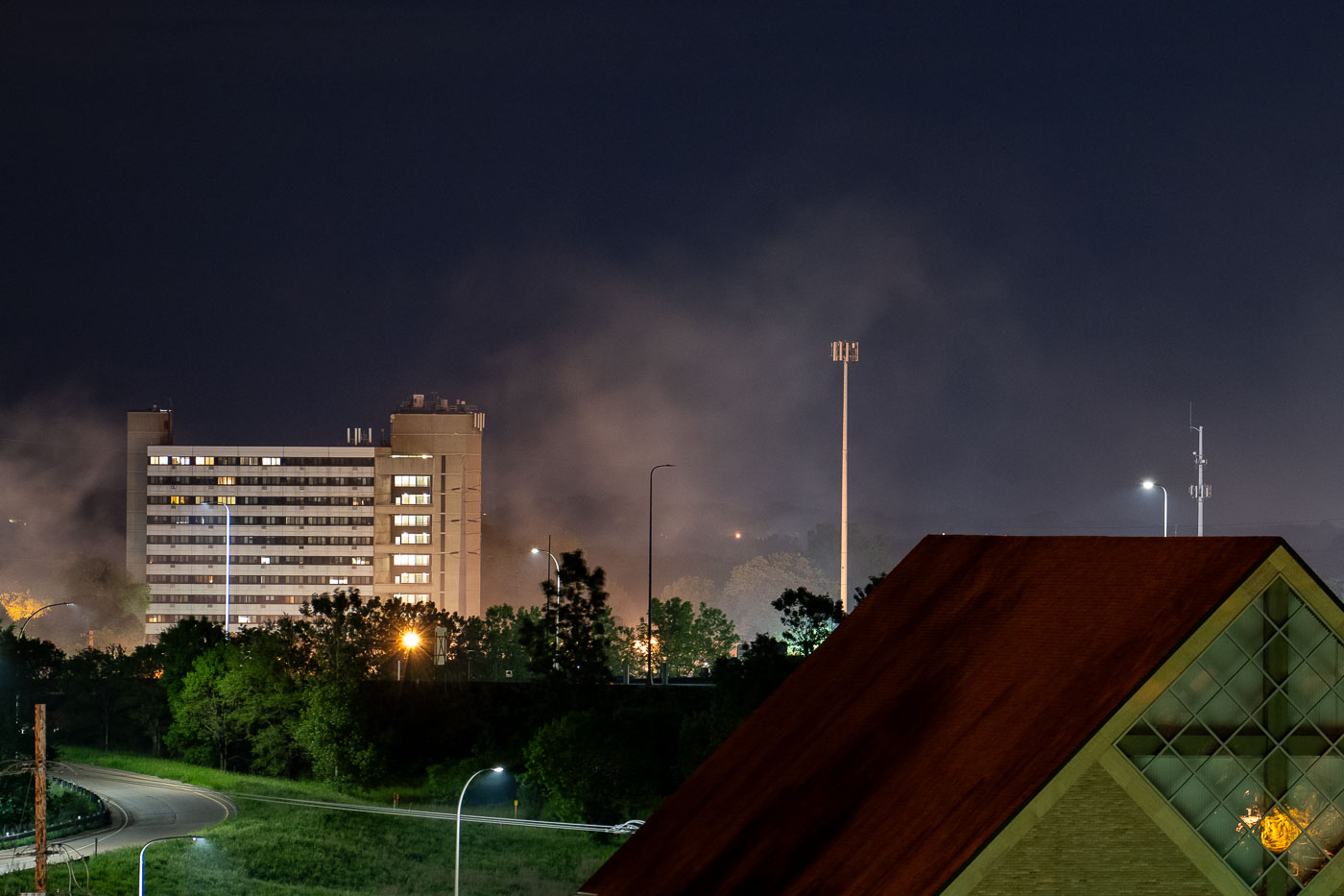
Smoke over Lake Street in Minneapolis during George Floyd protests.
Smoke rises over the Lake Street area of Minneapolis, Minnesota, in the early hours of May 30, 2020, during protests and unrest following the killing of George Floyd. A residential high-rise and roadway are visible in the foreground as smoke drifts across the corridor, where multiple commercial buildings were damaged by fire that week. Lake Street became one of the most heavily affected areas in south Minneapolis during the fourth day of demonstrations.

Minneapolis Uprising Smoke, Lake Street Area
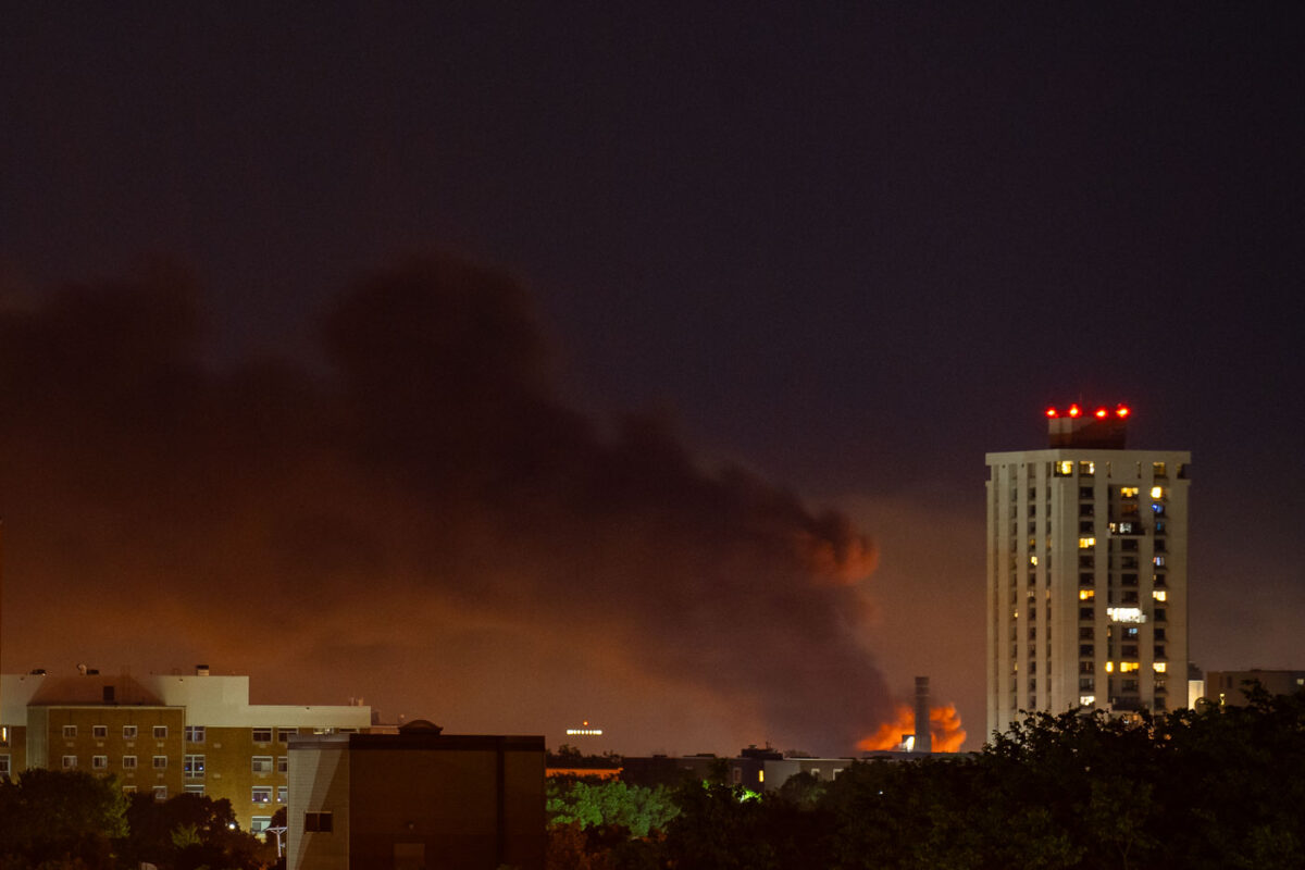
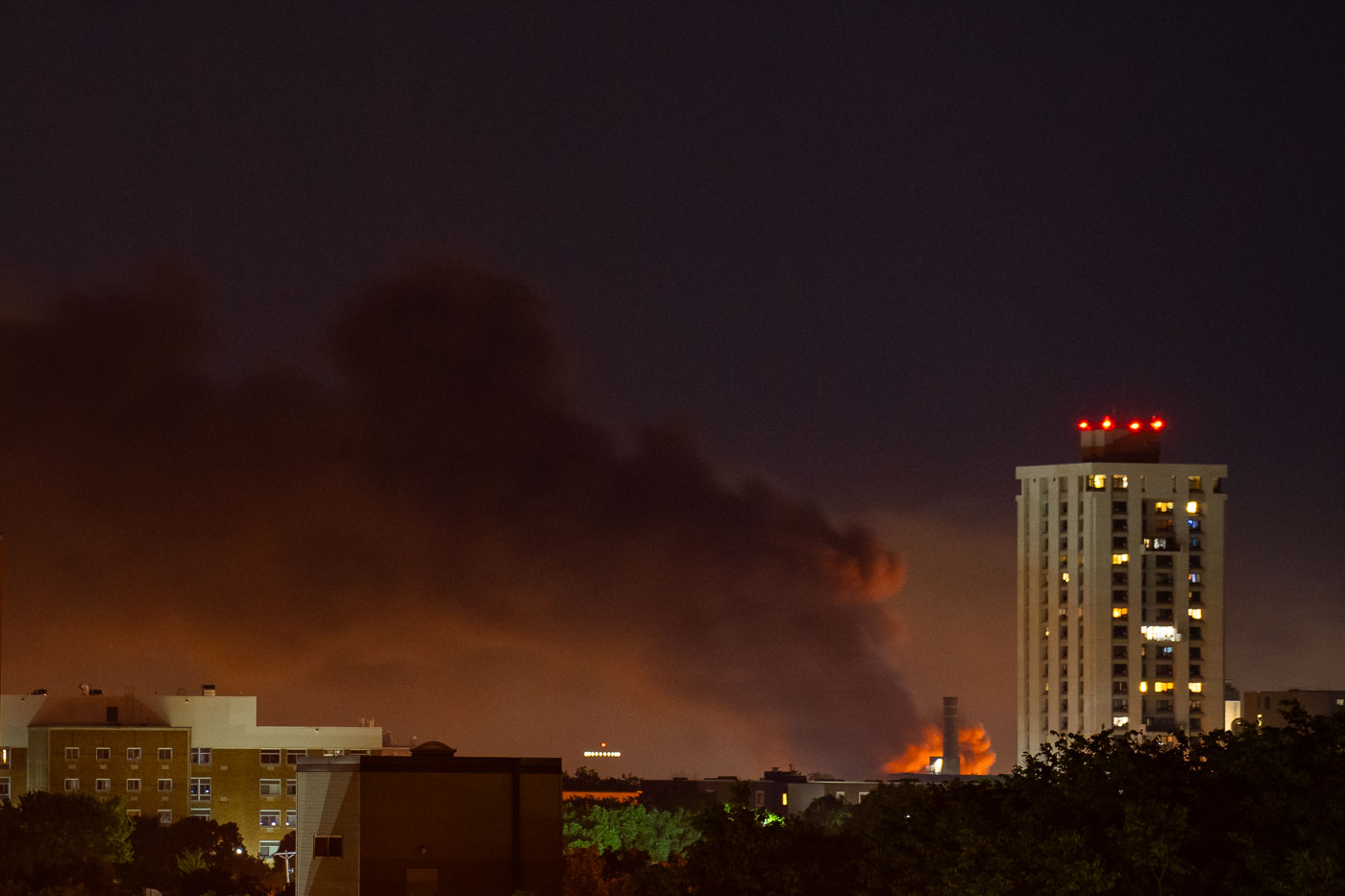
Smoke and flames over Lake Street in Minneapolis before dawn on May 30, 2020.
Fires burn along Lake Street in Minneapolis, Minnesota, on May 30, 2020, sending a large plume of smoke over surrounding apartment buildings before dawn. The fires occurred during unrest following the killing of George Floyd by Minneapolis police. Lake Street is a major commercial corridor in south Minneapolis and sustained extensive damage during the nights of arson and looting that followed the protests.

Lake Street Fires, Minneapolis Uprising, May 30, 2020
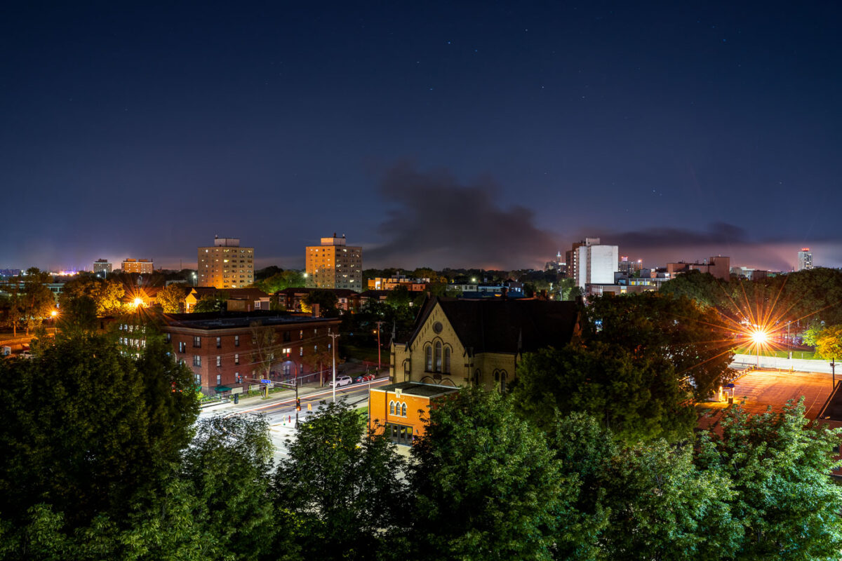
Smoke over Lake Street in Minneapolis during George Floyd protest fires.
Smoke rises over the Lake Street area of Minneapolis in the early morning hours of May 30, 2020, as fires burn during protests following the killing of George Floyd. The photograph looks across a South Minneapolis residential and commercial district, with apartment buildings, a church, and neighborhood streets in the foreground and a broad plume of smoke extending across the night sky. Lake Street, a major east-west corridor, sustained extensive fire and property damage during that night of unrest.

Smoke over Lake Street, Minneapolis, May 30, 2020
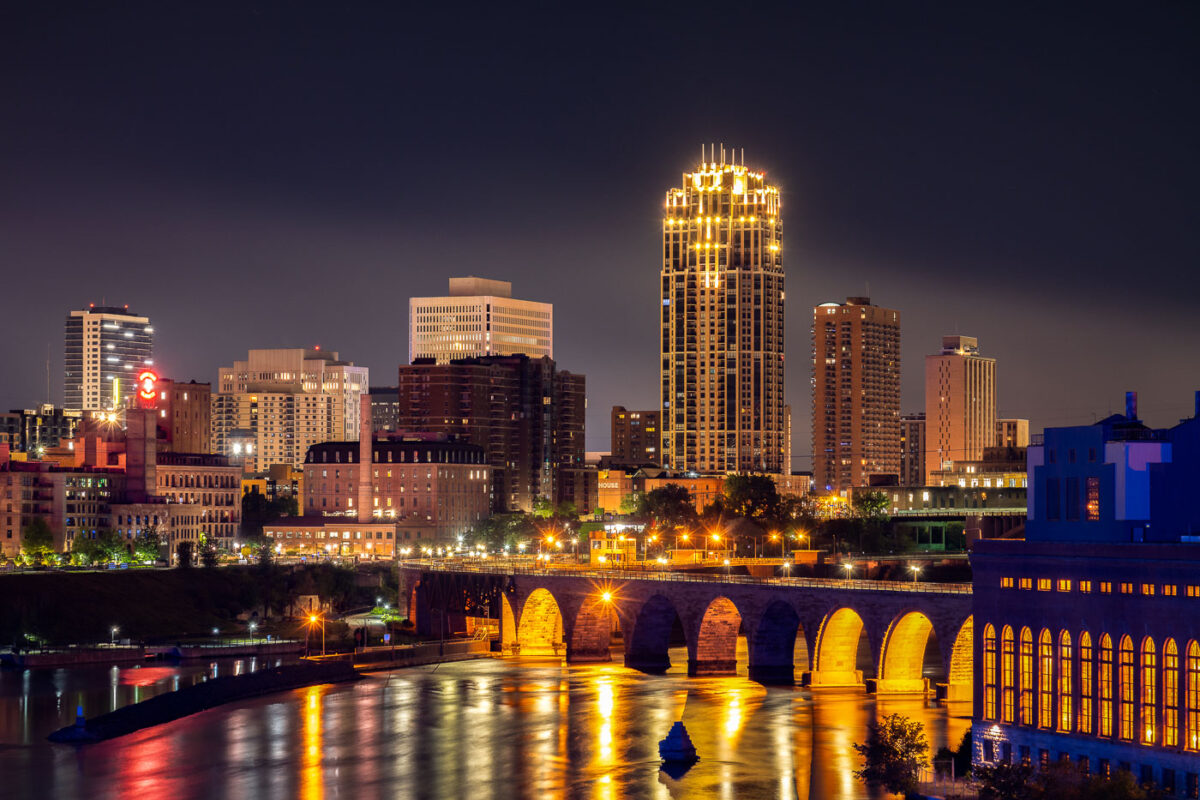
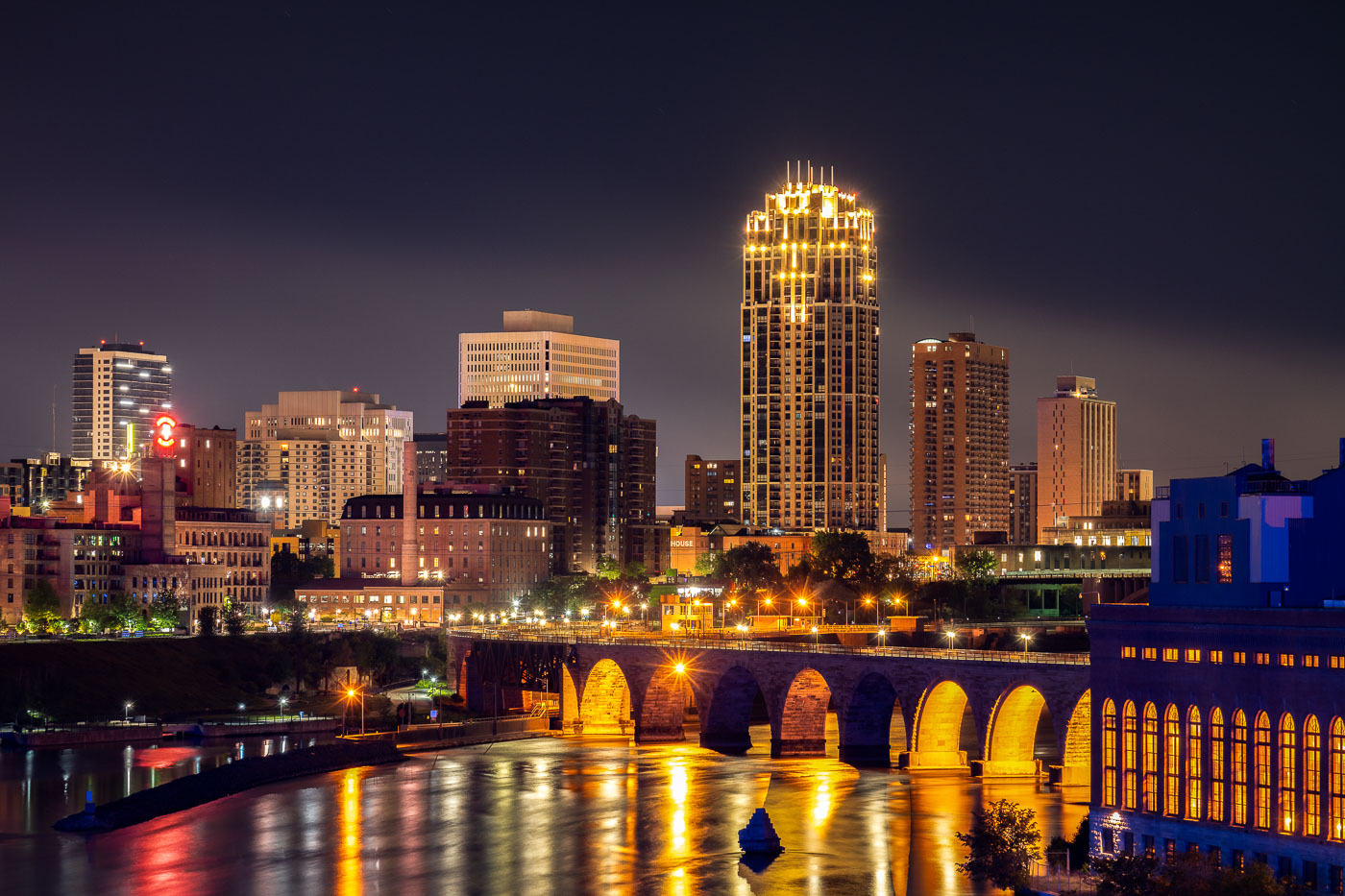
Stone Arch Bridge spanning the Mississippi River with illuminated downtown Minneapolis skyline at night.
The Stone Arch Bridge spans the Mississippi River in Minneapolis. Built in 1883 as a railroad bridge, the structure is a prominent historic landmark along the riverfront near St. Anthony Falls.

Downtown Minneapolis Skyline from the Mississippi Riverfront
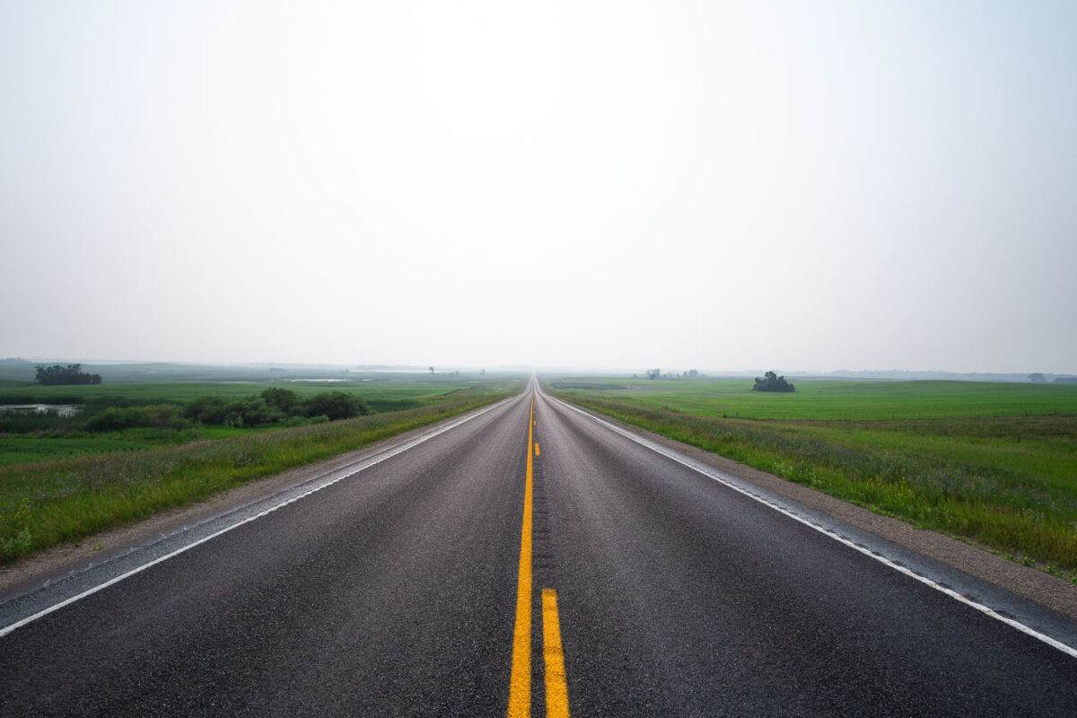
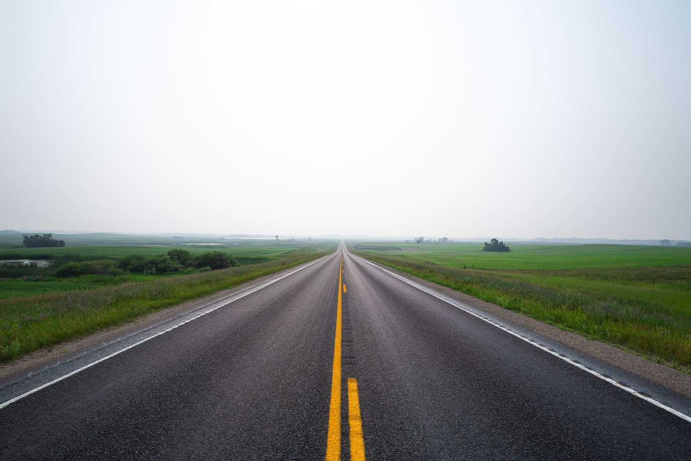
Straight highway with yellow center line stretches through flat green fields near Wolford, North Dakota under hazy sky.
Wolford is a small city in Pierce County, North Dakota, in the north-central part of the state along Highway 17. The surrounding countryside is flat to gently rolling prairie, given over mostly to wheat, canola, and soybean farming, with scattered wetlands typical of the Prairie Pothole Region. Haze events like this one are common in the area during summer months, often tied to smoke drifting south from wildfires in Canada's boreal forest. Pierce County's population has declined steadily since peaking in the mid-20th century, leaving long stretches of two-lane highway like this one with little traffic.

Hazy Two-Lane Highway Near Wolford, North Dakota

Built in Minneapolis

Minneapolis Photographer

Browse by location, move through long-running series, or start with recent work.