WIldfire Smoke

33 photos · 2015–2026

33 photographs tagged WIldfire Smoke, 2015–2026.
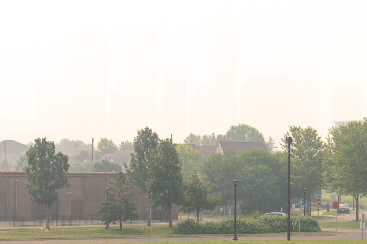
Wildfire Smoke hides downtown Minneapolis in July 2026
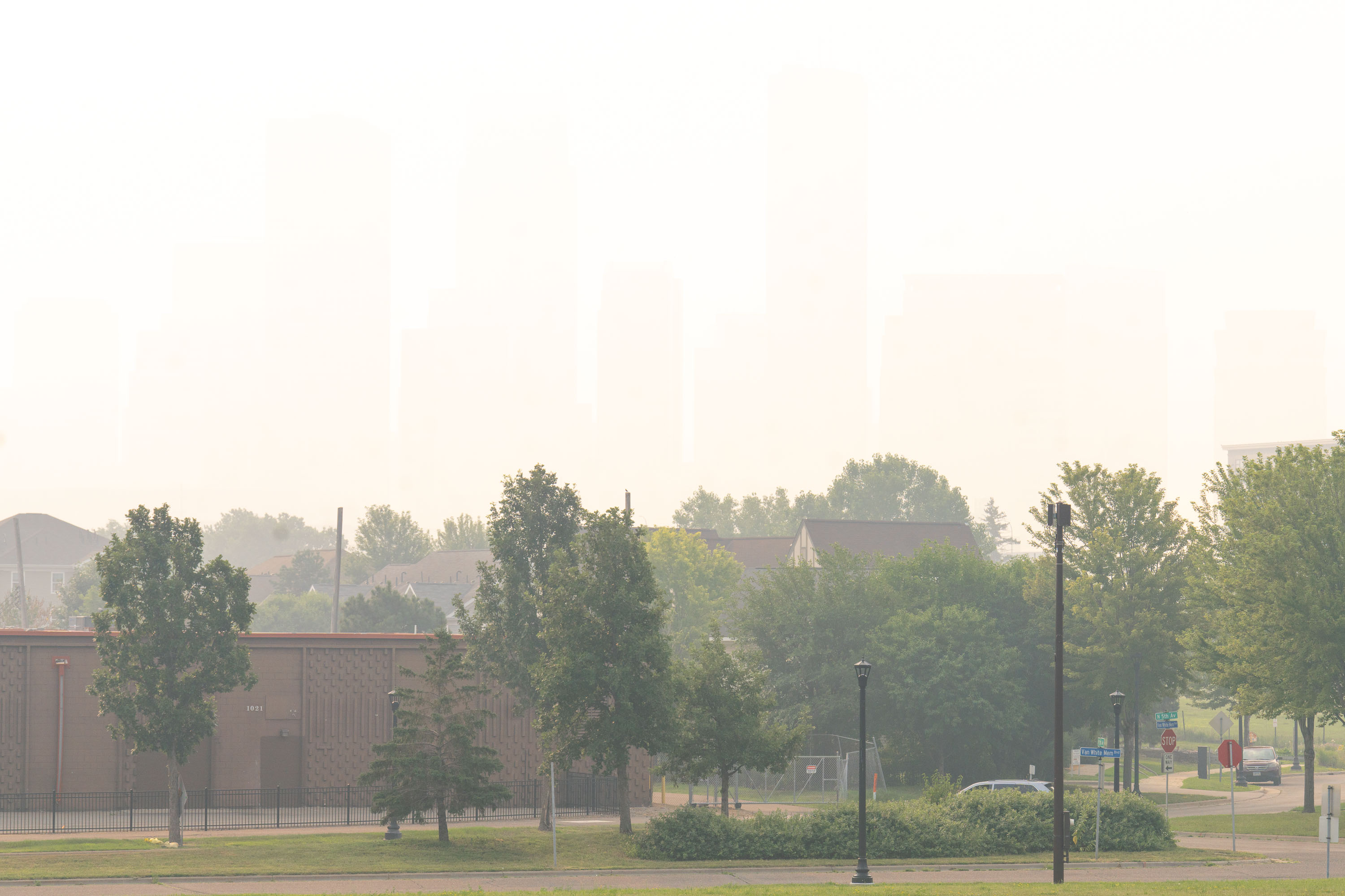
Heavy wildfire smoke as seen from Van White Memorial Blvd in North Minneapolis. The last day has registered the worst air quality readings ever recorded in Minneapolis.

Downtown Minneapolis Skyline Obscured by Wildfire Smoke

Soccer players compete at Elliot Park in downtown Minneapolis beneath a purple sky colored by Canadian wildfire smoke.
A soccer game takes place at Elliot Park in Downtown Minneapolis under a sky colored by Canadian wildfire smoke. Elliot Park, established in 1883, is one of Minneapolis's oldest parks.

Evening Soccer Match at Elliot Park Beneath the Minneapolis Skyline
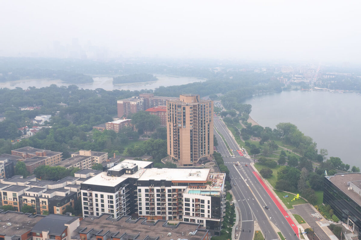
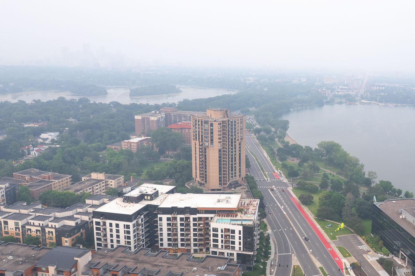
Aerial view of Minneapolis residential and commercial buildings with Mississippi River visible through haze from Canadian
Canadian wildfire smoke covered Minneapolis, Minnesota in July 2025, obscuring the urban landscape.

Wildfire Smoke Blankets Bde Maka Ska and Downtown Minneapolis
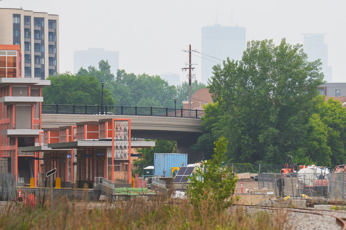
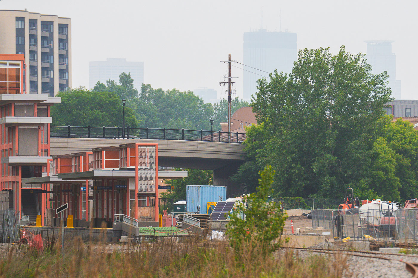
Lake Street Station in Minneapolis with downtown obscured by wildfire smoke.
Lake Street Station in Minneapolis is part of Metro Transit's Southwest light rail line. Canadian wildfire smoke hangs over the city, reducing the visibility of the downtown skyline beyond the station.

Lake Street Station, Minneapolis

Lake of the Isles in Minneapolis with downtown skyline obscured by wildfire smoke haze.
Lake of the Isles in Minneapolis is bordered by dense tree cover, with the downtown skyline visible through wildfire smoke haze. The haze reduced visibility across the lake and softened the outlines of the city towers.

Lake of the Isles with Minneapolis skyline smoke haze
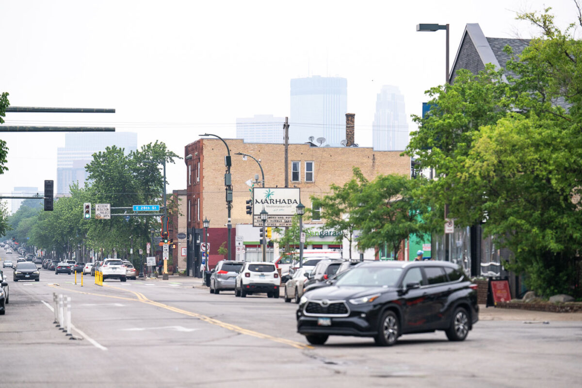
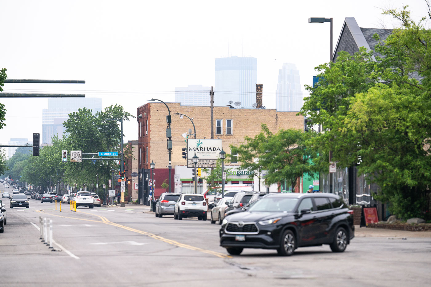
Nicollet Avenue in Minneapolis with downtown obscured by Canadian wildfire smoke.
Nicollet Avenue in Minneapolis is lined with businesses and traffic as smoke from Canadian wildfires hazes the downtown skyline. The corridor runs south from downtown through several commercial blocks. Smoke reduced visibility across the central city on June 3, 2025.

Nicollet Avenue with Canadian wildfire smoke, Minneapolis
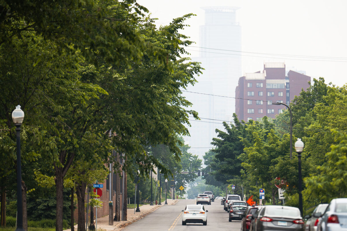
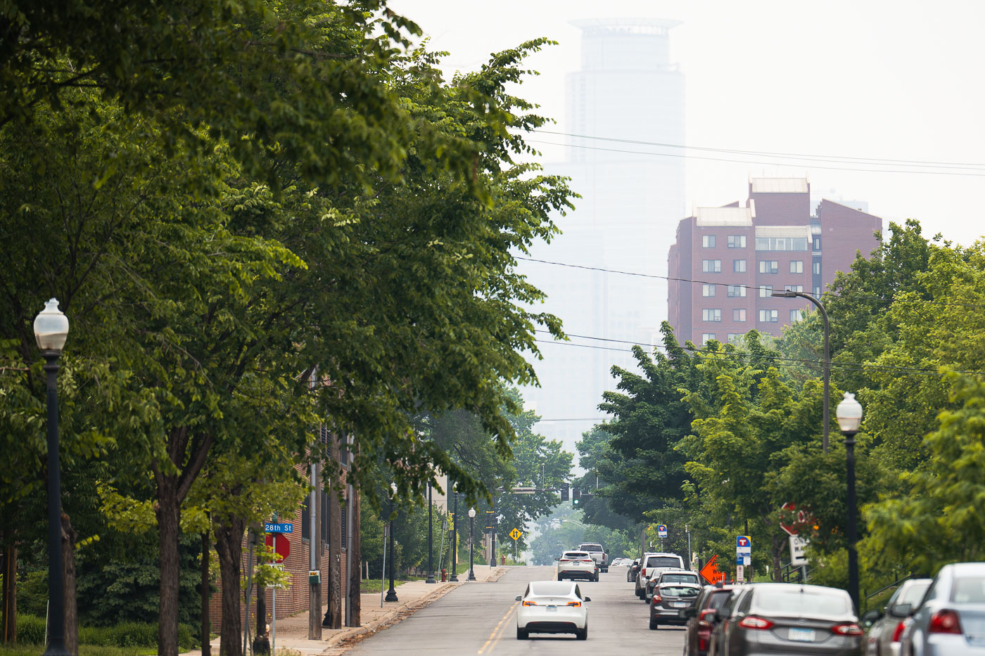
Capella Tower in Minneapolis is obscured by smoke from Canadian wildfires.
Capella Tower in downtown Minneapolis is obscured by smoke from Canadian wildfires. The haze hangs over the city along the Midtown Greenway corridor.

Capella Tower and wildfire smoke over Minneapolis
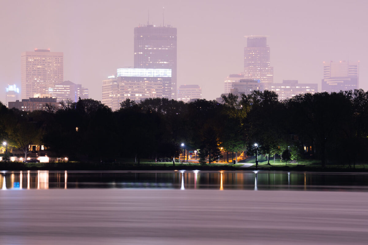
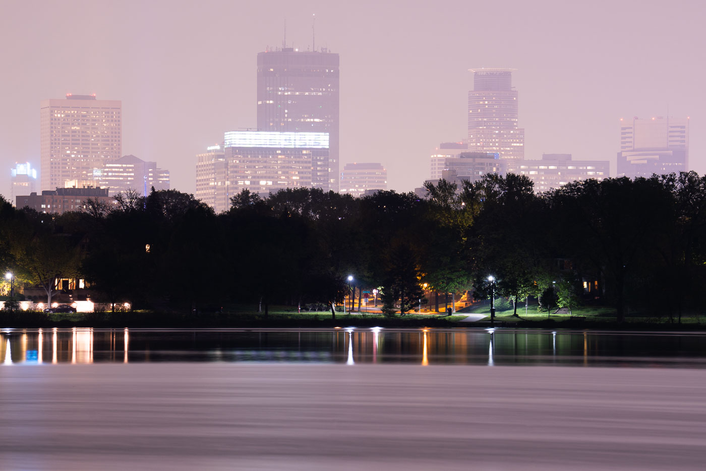
Downtown Minneapolis skyline at dusk across Lake of the Isles, obscured by Canadian wildfire smoke in May 2024.
Lake of the Isles is one of the Minneapolis Chain of Lakes, covering about 108 acres with a maximum depth of 20 feet. Smoke from Canadian wildfires drifts over the downtown Minneapolis skyline in May 2024.

Canadian Wildfire Smoke Drifts Over Lake of the Isles
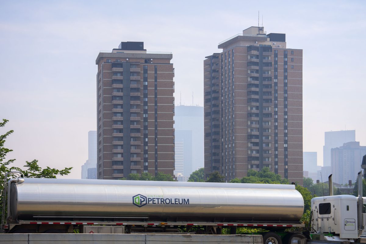
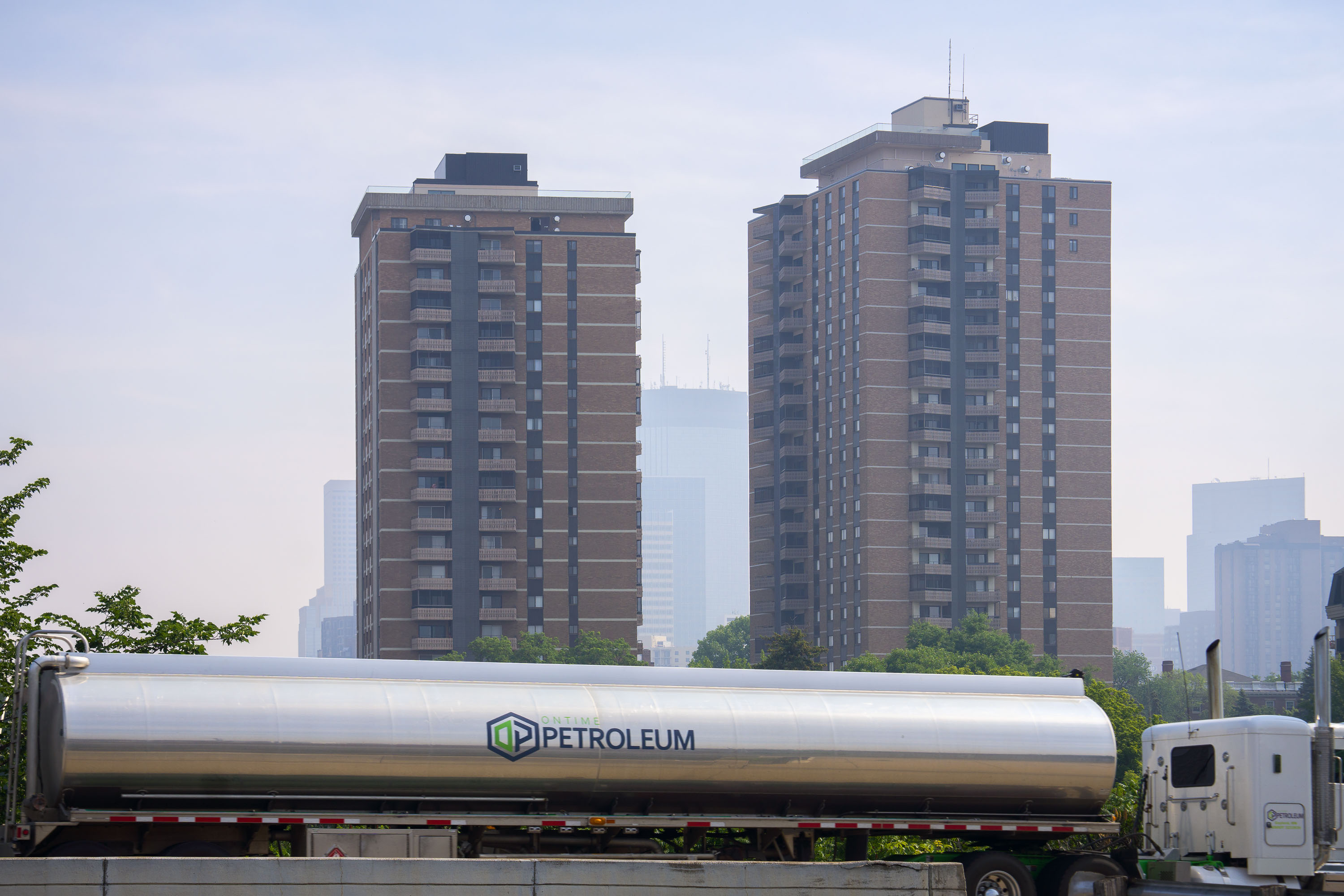
Petroleum Oil Tanker moves through Minneapolis wildfire smoke
Wildfire smoke in downtown Minneapolis with a Ontime Petroleum truck driving by. June 27, 2023.

Petroleum Oil Tanker moves through Minneapolis wildfire smoke
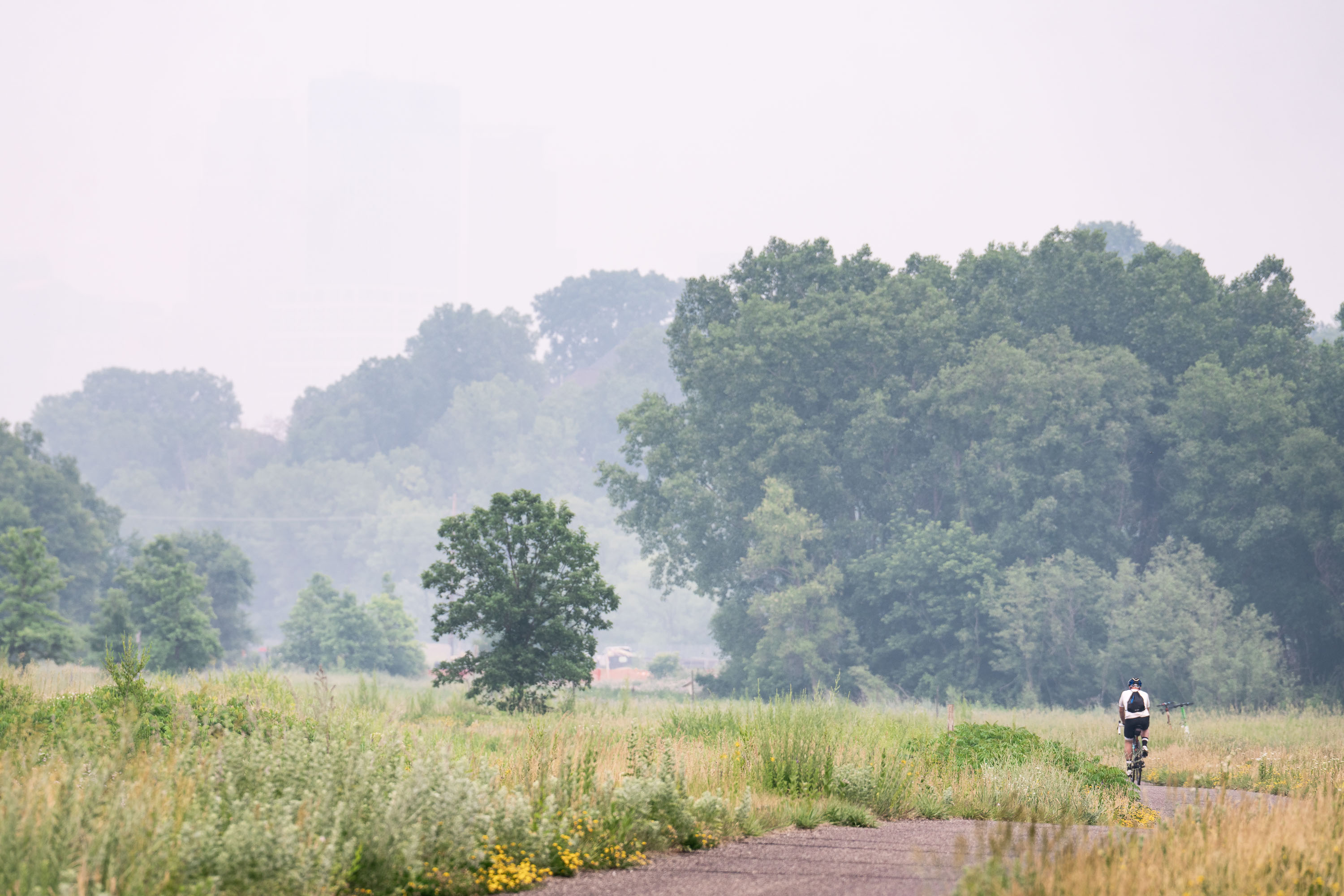
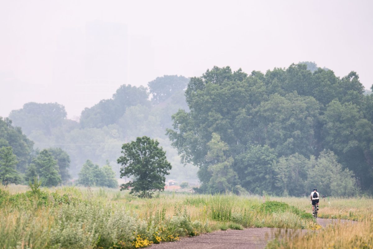
Biker on Cedar Lake Trail during heavy wildfire smoke
A biker on the Cedar Lake Trail with smoke from the Canadian Wildfires on June 15, 2023.

Biker on Cedar Lake Trail during heavy wildfire smoke
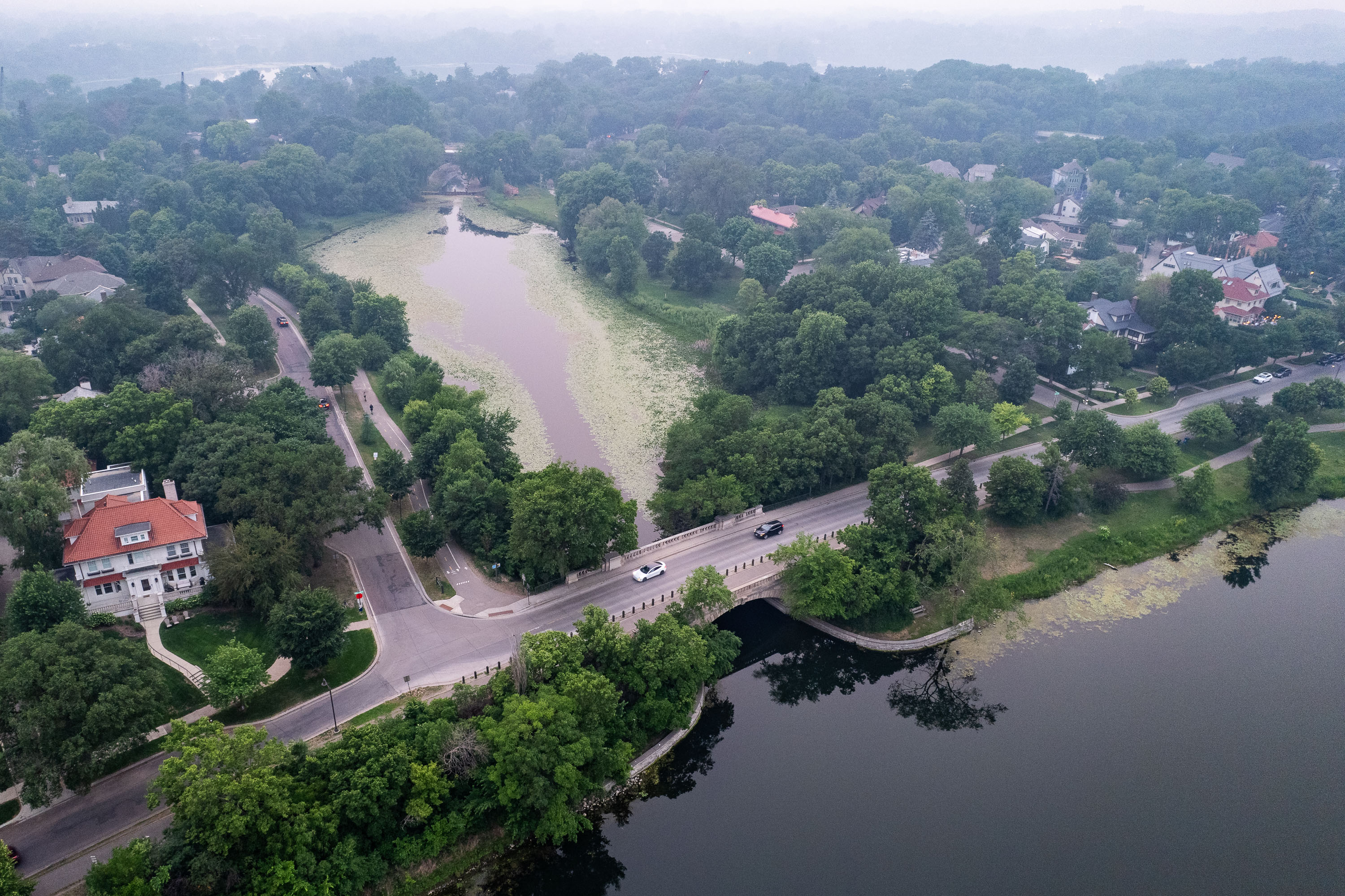
Lake of the Isles with wildfire smoke aerial
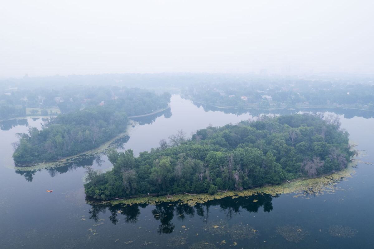
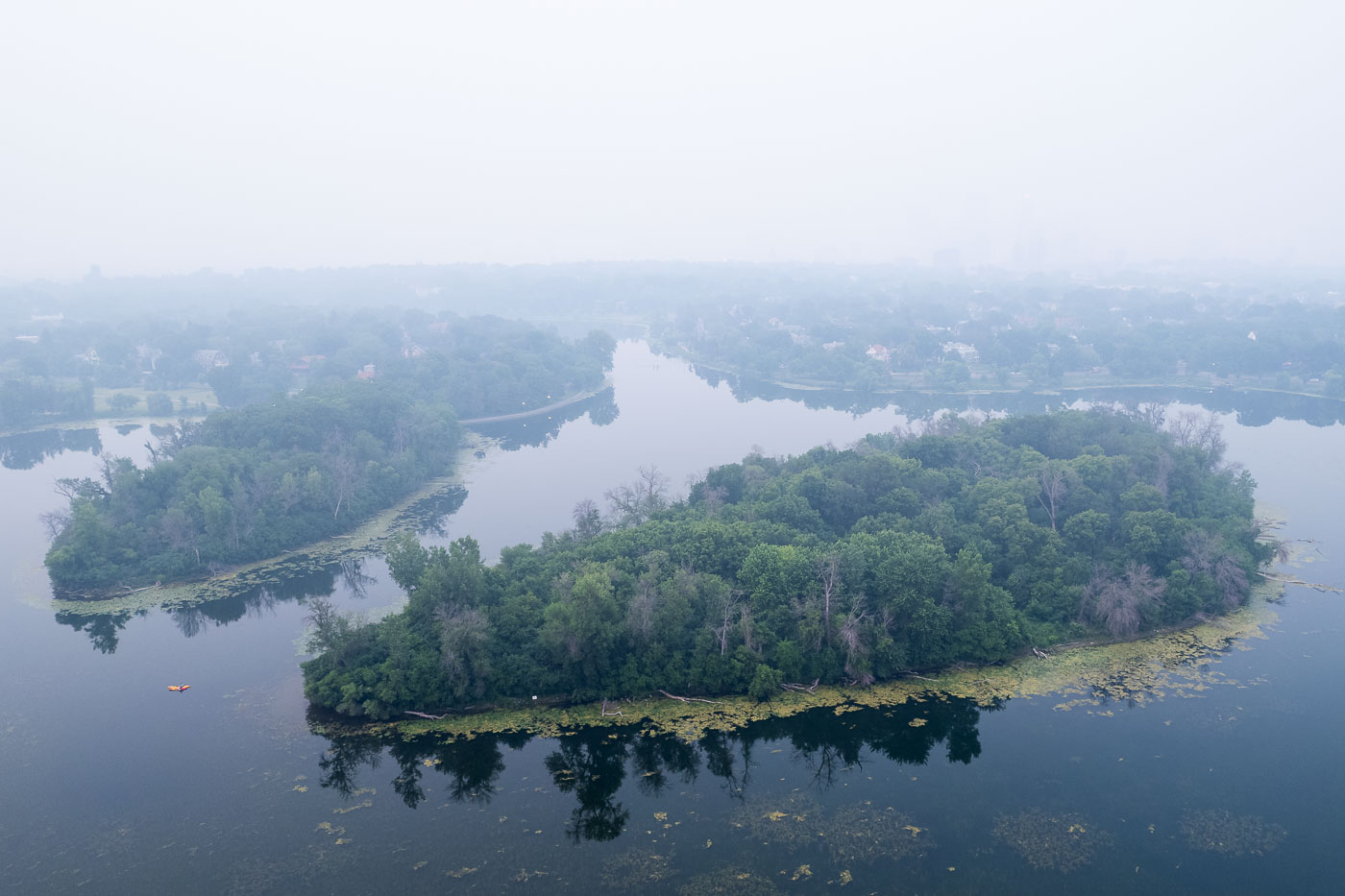
Canadian wildfire smoke blankets Lake of the Isles in Minneapolis, obscuring the urban landscape. The lake and its surrounding parkland are part of the Minneapolis Chain of Lakes, a system of lakes and parkways designed by landscape architect H.W.S. Cleveland and engineer William Berry in the late 19th century. These lakes, including Bde Maka Ska, Harriet, Nokomis, and Cedar, were developed to provide naturalistic recreational spaces within the growing city. Today, the Chain of Lakes remains a vital public amenity, offering residents and visitors opportunities for walking, biking, boating, and enjoying nature, even when impacted by environmental events like wildfire smoke.

Minneapolis Smoke Over Lake of the Isles

Wildfire smoke full moon hazy IDS Center
The IDS Center, Minneapolis's first skyscraper completed in 1973, is partially obscured by smoke from Canadian wildfires. The building, designed by architect Philip Johnson, was a significant development in the city's downtown core and remains a prominent feature of its skyline. The hazy conditions, caused by smoke drifting south, significantly altered the appearance of the city and the sun, casting a reddish hue across the sky and reducing visibility.

IDS Center obscured by Canadian wildfire smoke, Minneapolis

Hidden Beach at Cedar Lake in Minneapolis under heavy wildfire smoke.
Hidden Beach at Cedar Lake in Minneapolis is a public swimming beach on the lake’s north shore. On June 14, 2023, wildfire smoke from Canada reduced visibility across the area.

Hidden Beach, Cedar Lake, Minneapolis
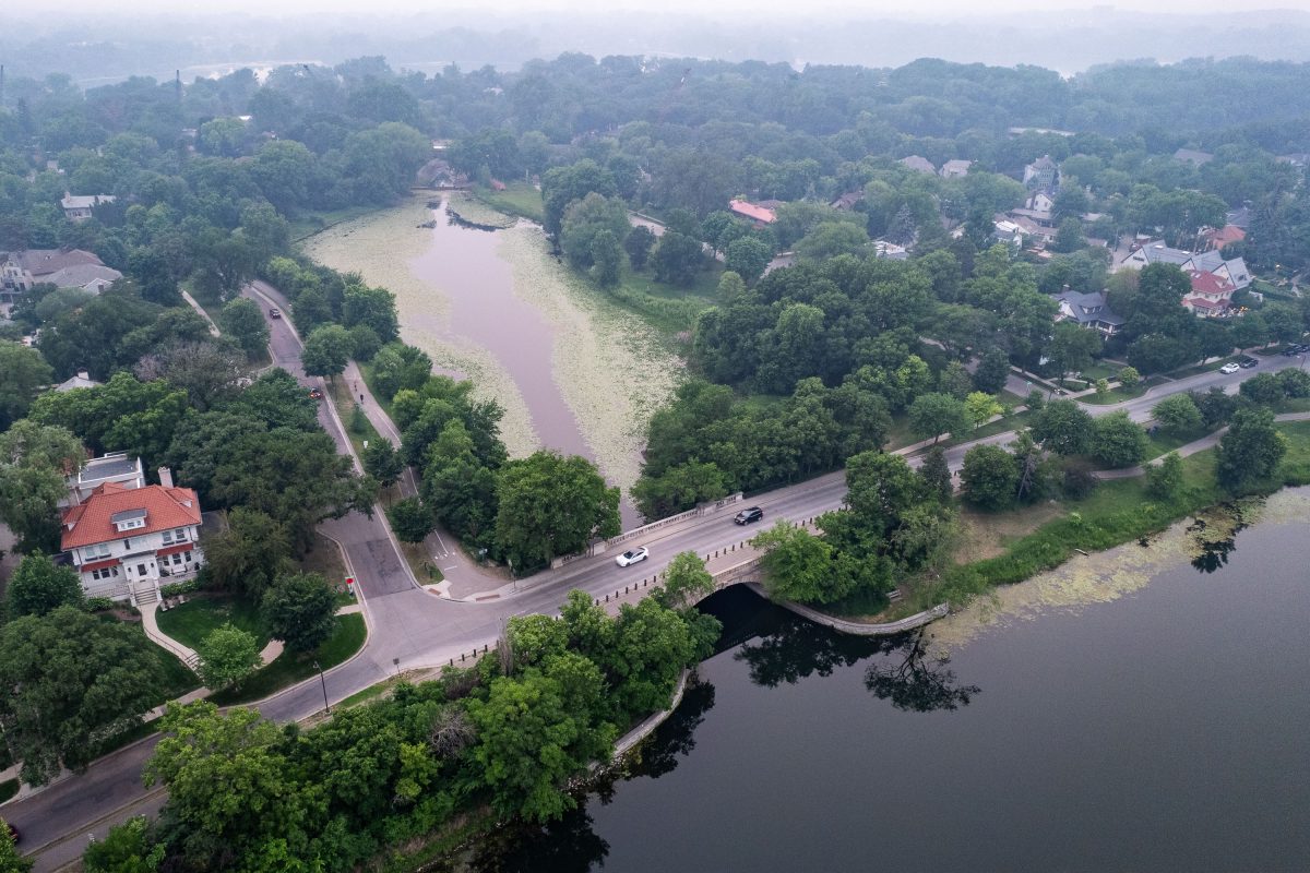
Lake of the Isles in Minneapolis surrounded by residential neighborhood and tree canopy, with hazy sky from Canadian wildfire smoke in June 2023.
Lake of the Isles in June 2023, smoke drifting south from Canadian wildfires pushed air quality across the Twin Cities to hazardous levels for several days.

Hazy Skies Over the Channel Bridge at Lake of the Isles
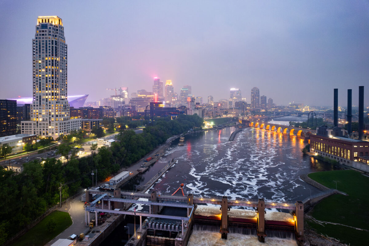
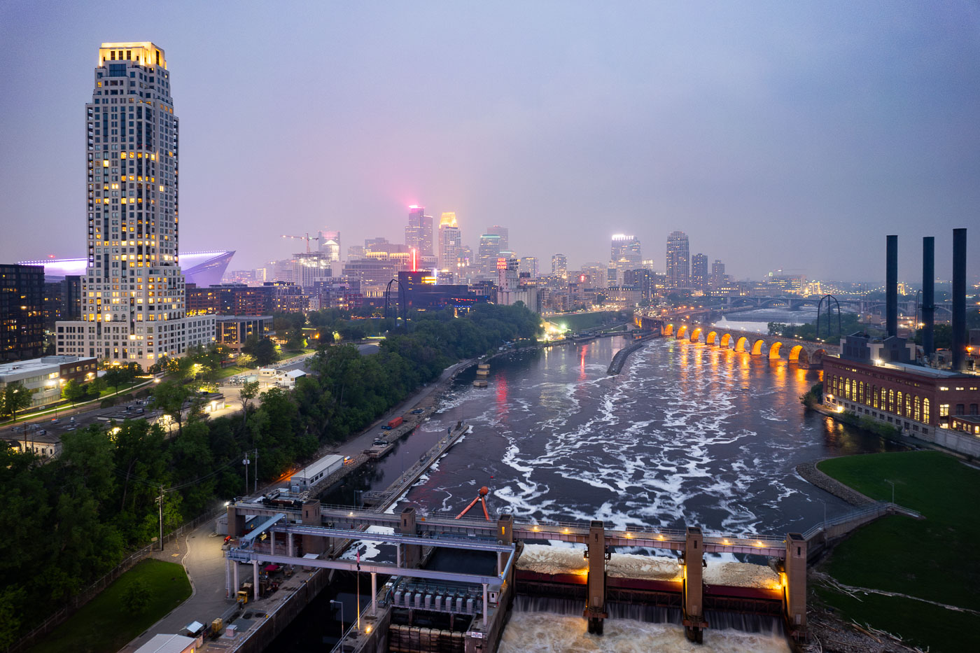
Night photo of river and city skyline with a haze in Minneapolis
The Minneapolis skyline is veiled by smoke from Canadian wildfires, impacting regional air quality. The Mississippi River flows past the historic Stone Arch Bridge, a former railway bridge completed in 1883, now a pedestrian walkway. Adjacent to the bridge is the Upper St. Anthony Falls Lock and Dam, a 20th-century engineering project that regulates the river's flow and supports navigation, a function critical to Minneapolis since its establishment.

Minneapolis Skyline and Mississippi River in Wildfire Smoke
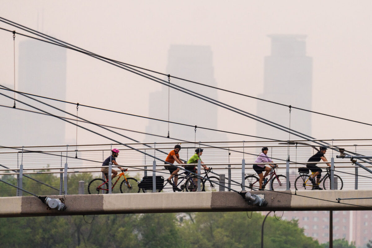
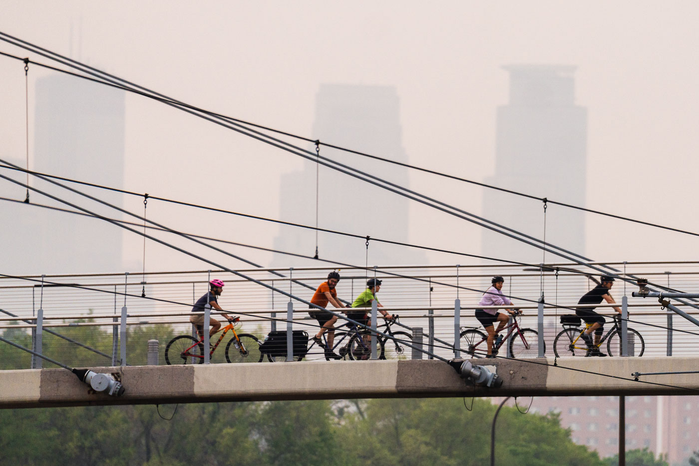
Bikers crossing bridge during air quality alerts in Minneapolis
Cyclists ride across the Martin Olav Sabo Bridge in Minneapolis, Minnesota, under a sky obscured by smoke from Canadian wildfires.

Bikers on Sabo Bridge amid Canadian wildfire smoke, Minneapolis
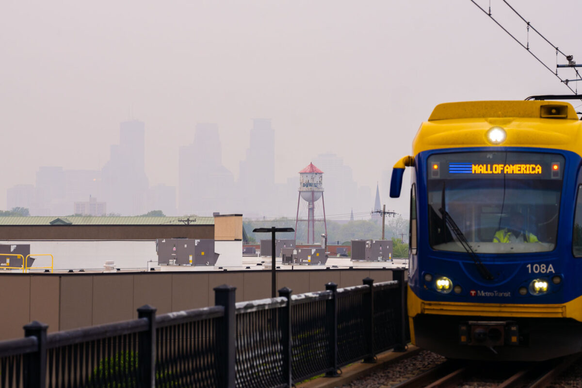
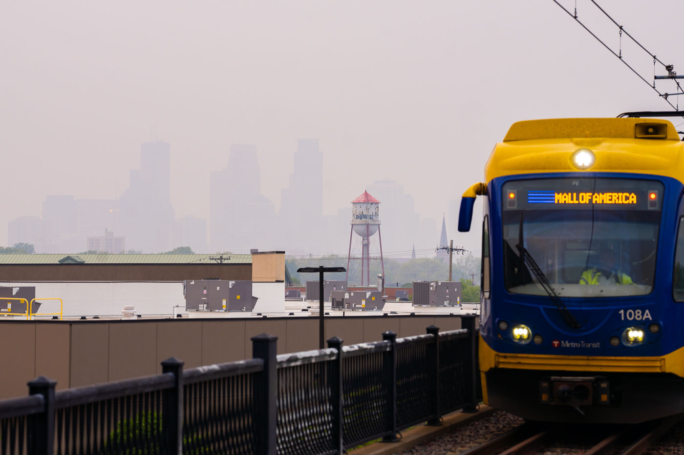
Light rail train and hazy wildfire skies in Minneapolis
A Metro Transit Light Rail train bound for the Mall of America travels through Minneapolis under a sky choked with smoke from Canadian wildfires.

Metro Transit train near hazy Minneapolis skyline

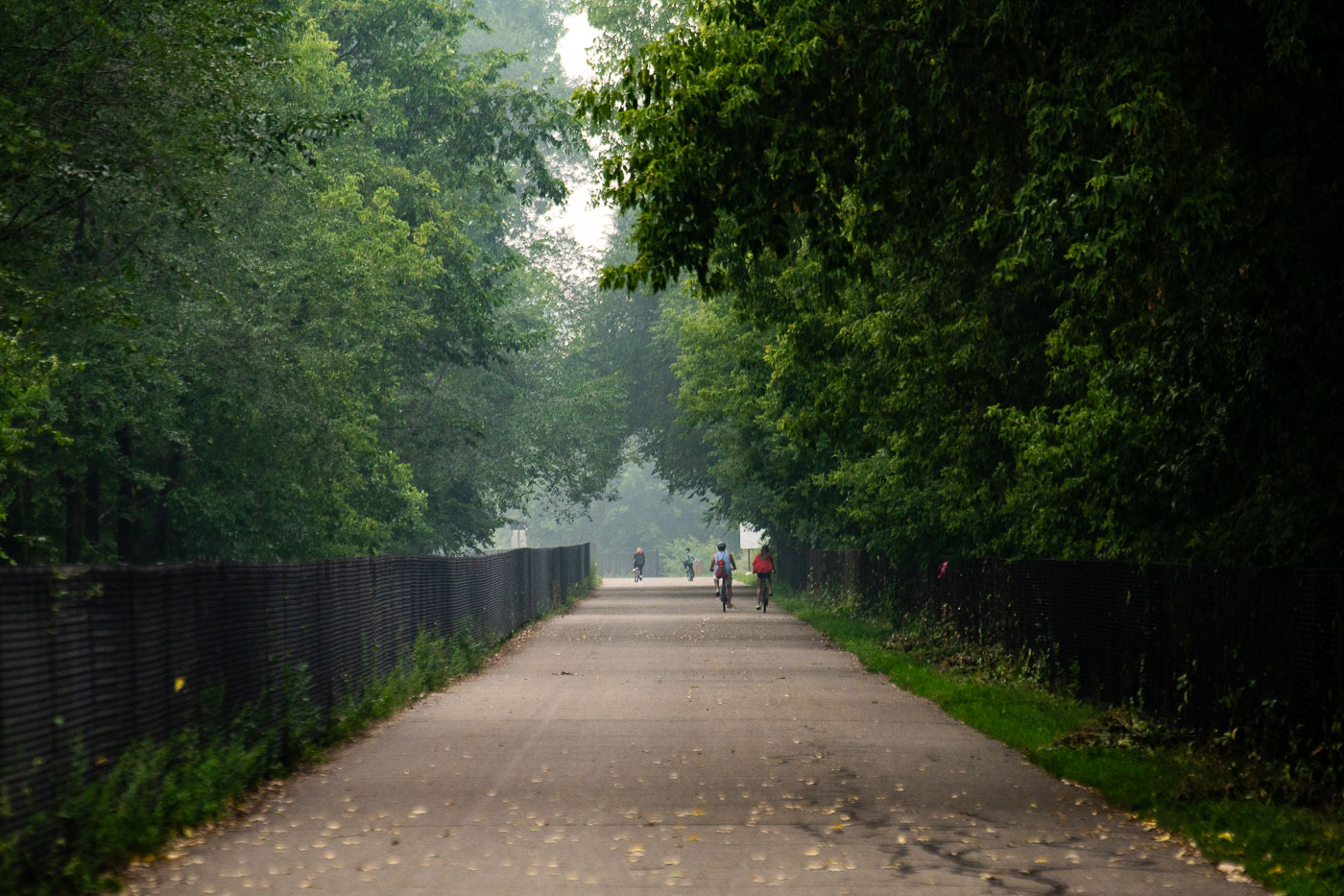
Man and bicyclist on a biking trail with wildfire smoke
The Midtown Greenway in South Minneapolis, a 5.7-mile paved urban trail, was developed on a former railroad corridor. It serves as a vital artery for cyclists and pedestrians, connecting diverse neighborhoods and providing a safe, car-free environment for recreation and commuting. On this day, wildfire smoke from Canada created a hazy atmosphere, impacting air quality and visibility for those using the trail for biking and jogging.

Midtown Greenway, Minneapolis: Biking and Jogging in Wildfire Haze

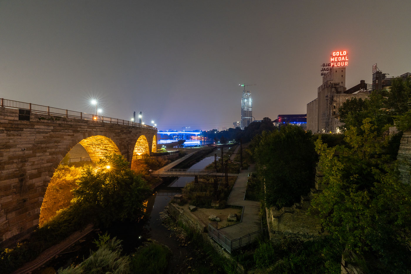
Night photo of Minneapolis skyline during air quality alerts
The Minneapolis city skyline is obscured by haze from Canadian wildfires, impacting air quality across the region. The "Gold Medal Flour" sign, a historic landmark dating back to the early 20th century, is visible through the atmospheric conditions. This event highlights the increasing frequency of such air quality alerts due to climate change and widespread wildfires. The city's downtown core, with its mix of modern skyscrapers and older structures, serves as the economic and cultural hub of Minnesota.

Minneapolis Skyline Under Wildfire Smoke Haze
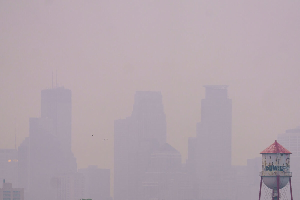
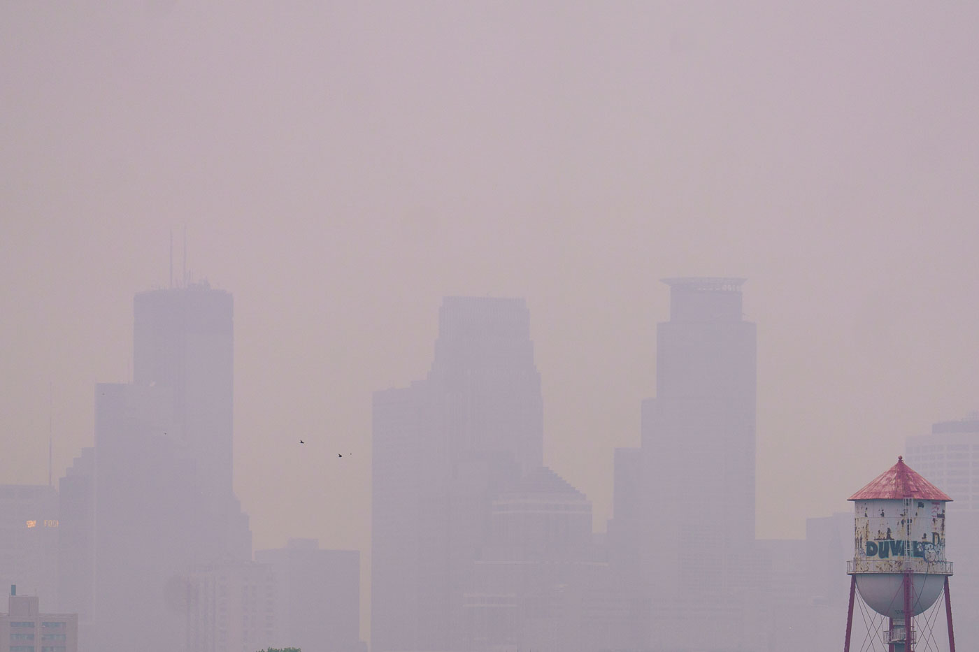
Barely visible downtown skyline due to wildfire
Wildfire smoke from Canada drifts into Minneapolis, significantly reducing visibility of the downtown skyline. The smoke, a result of widespread wildfires, impacted air quality across the region. The image also shows a water tower, a common feature in urban environments providing essential water storage and pressure for municipal systems.

Minneapolis Skyline Obscured by Wildfire Smoke
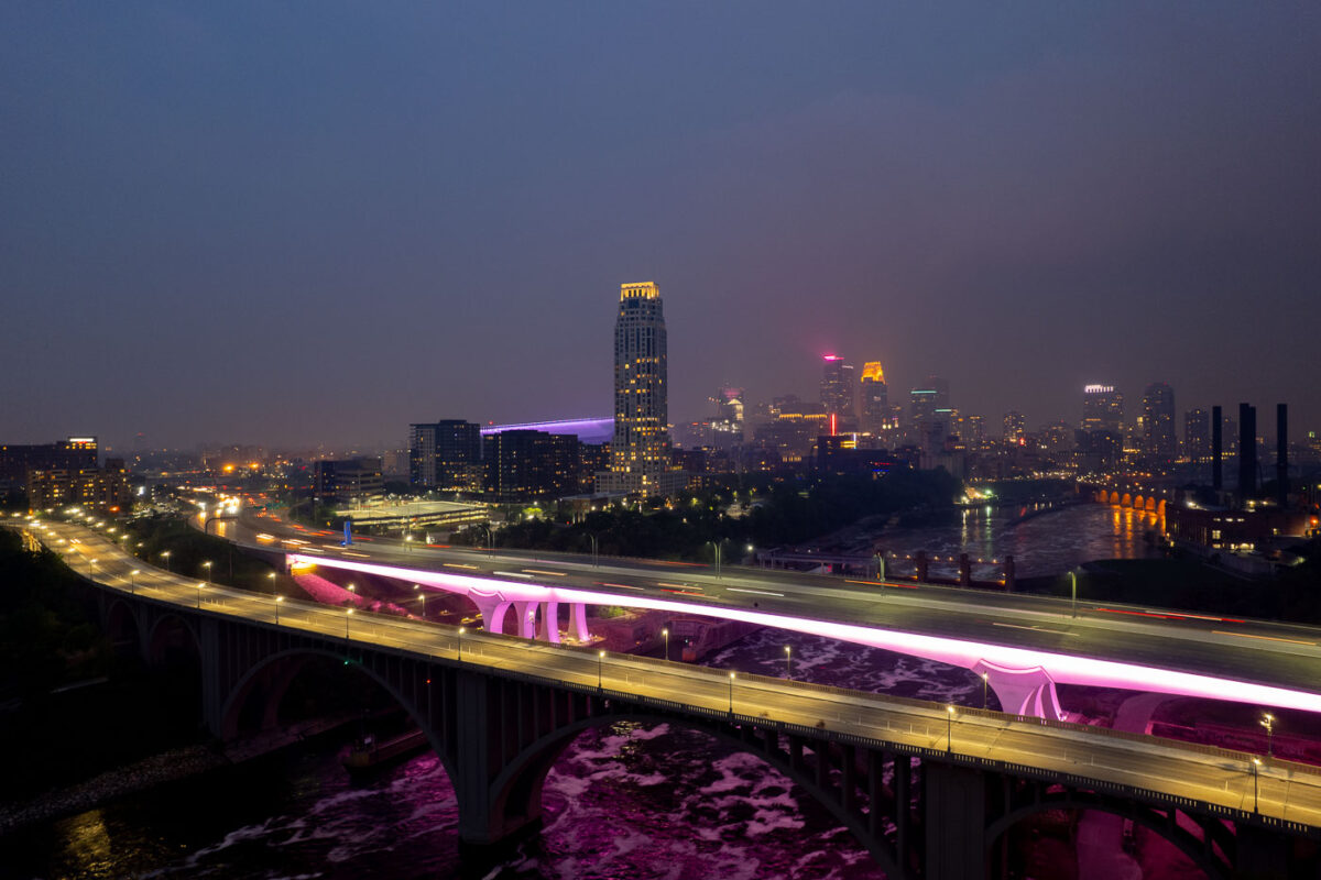
2 bridges over the Mississippi River and city skyline
The I-35W Bridge and the 10th Avenue Bridge cross the Mississippi River in Minneapolis, Minnesota, under a sky obscured by smoke from Canadian wildfires. This atmospheric condition, which led to air quality advisories, significantly reduced visibility across the city. The I-35W Bridge serves as a major north-south transportation route, while the 10th Avenue Bridge, with its distinctive arches, is a notable element of the city's infrastructure.

Minneapolis I-35W Bridge in Wildfire Smoke

Mississippi River in front of Downtown Minneapolis Skyline
The Minneapolis Lock and Dam on the Mississippi River is obscured by haze from Canadian wildfire smoke, impacting air quality in the downtown area. Constructed in the early 20th century, the lock and dam system was designed to improve navigation on the river, facilitating the transport of goods and materials. Today, it continues to play a role in managing water levels and supporting barge traffic, though its visual presence is altered by atmospheric conditions. The Stone Arch Bridge, a historic landmark, is visible in the background, further contextualizing the industrial and infrastructural history of Minneapolis.

Minneapolis Lock and Dam Under Canadian Wildfire Smoke
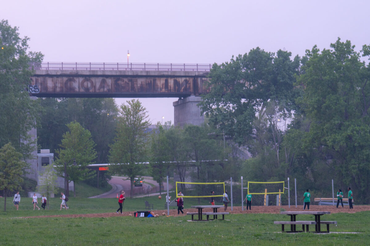
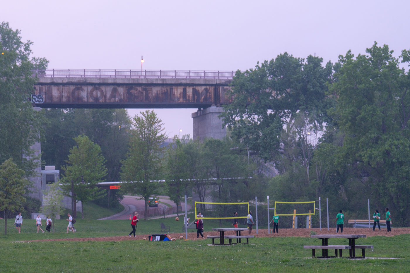
Volleyball during bad air quality.
Despite air quality warnings issued due to wildfire smoke, residents engaged in outdoor activities, including volleyball, near the Mississippi River in Minneapolis. The elevated structure in the background is a railway bridge, a vital piece of transportation infrastructure that has served the city for decades. The presence of people enjoying the park highlights the resilience of community life even amidst environmental concerns.

Volleyball near Mississippi River Bridge, Minneapolis
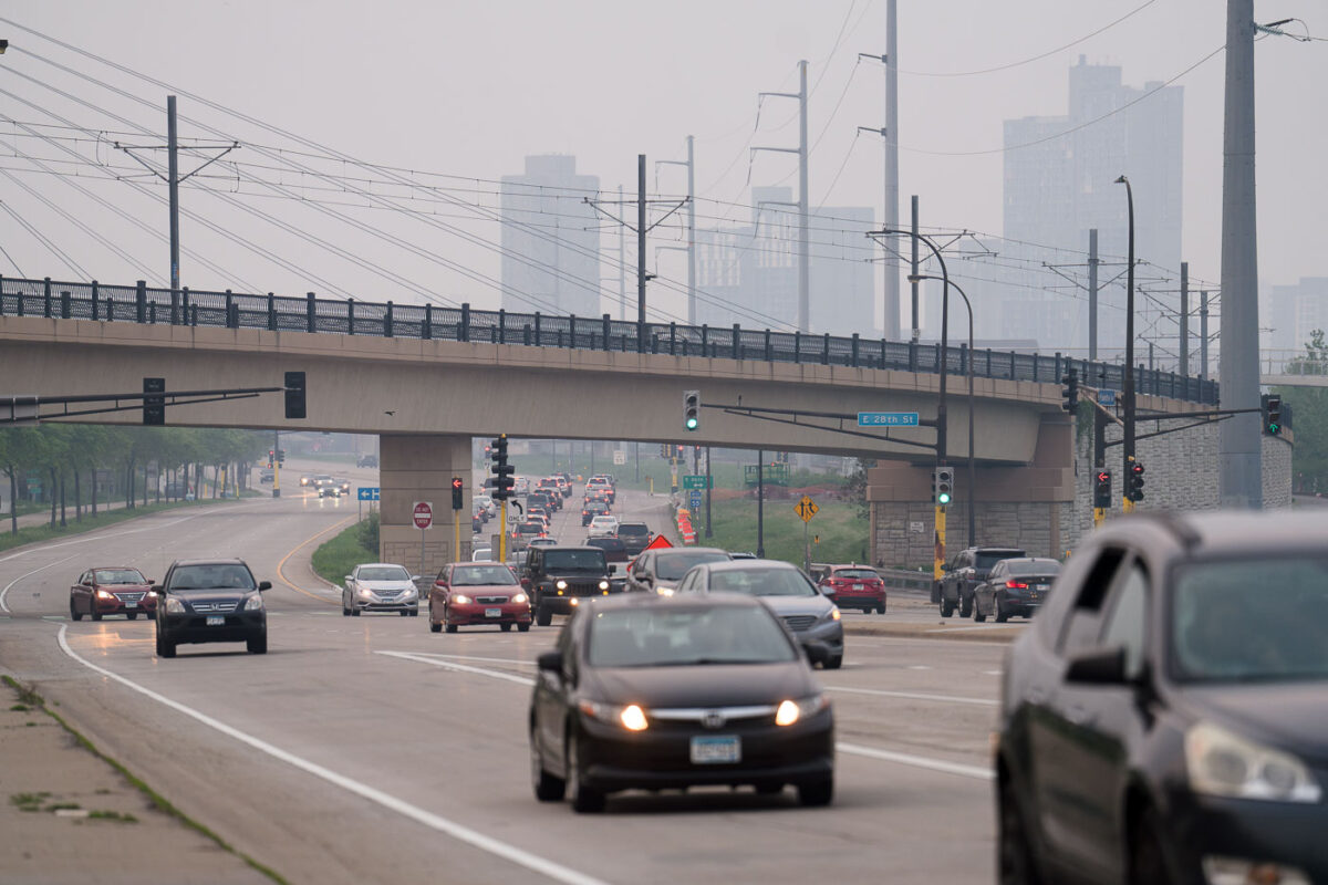
Cars going down the street with bad air quality
Traffic moves along Hiawatha Avenue in Minneapolis under the E 28th Street bridge, obscured by smoke from Canadian wildfires. The dense haze significantly reduced visibility, impacting air quality across the city. This event highlighted the vulnerability of urban environments to distant environmental factors, affecting daily life and public health. The E 28th Street bridge is part of the infrastructure supporting transportation in Minneapolis, a city known for its extensive park system and commitment to urban planning.

Hazy Haiwatha Ave Traffic Under E 28th St Bridge, Minneapolis

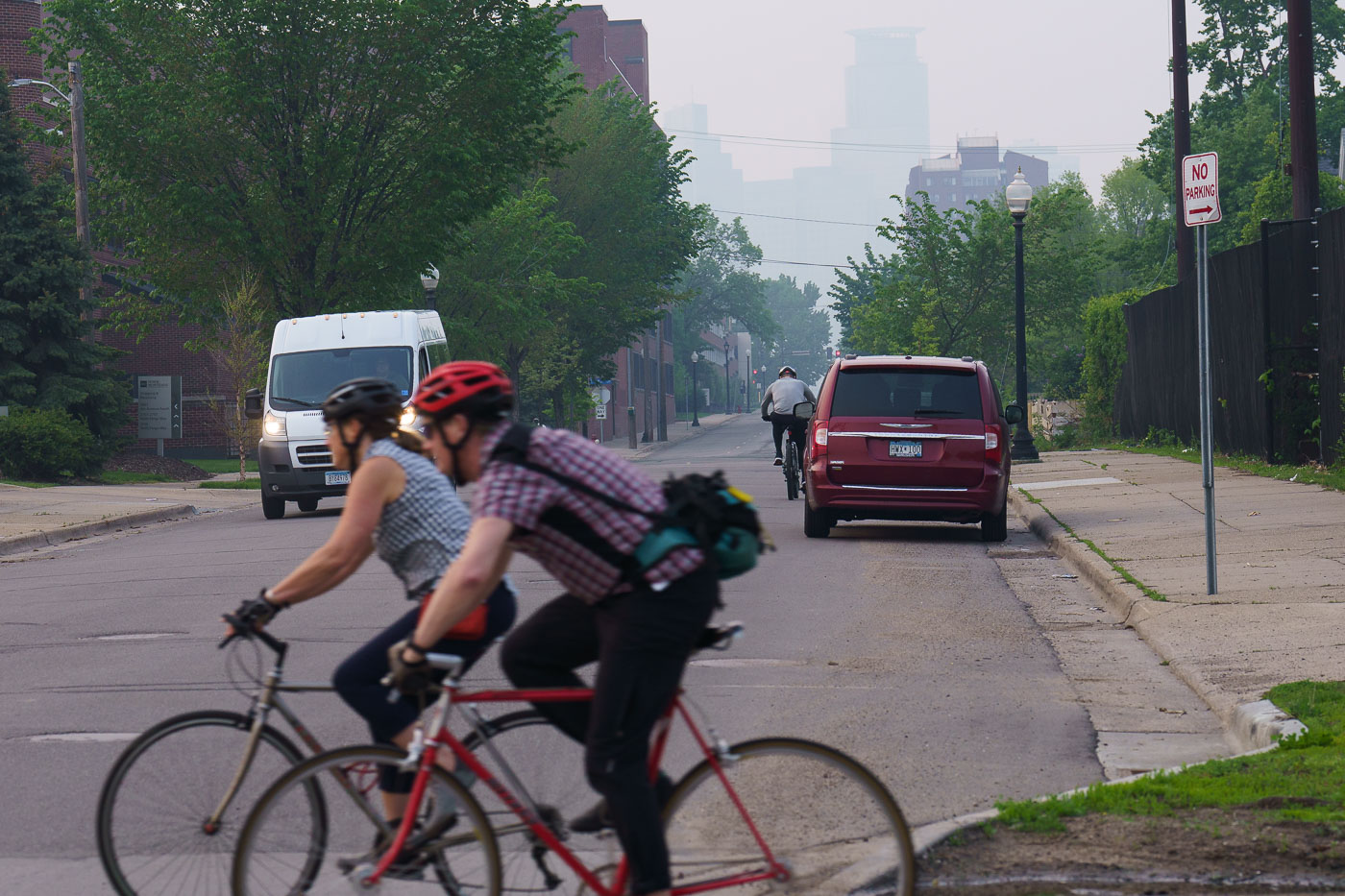
Bikers cross road with hazy skies
Bicyclists navigate the Midtown Greenway in Minneapolis under a sky obscured by smoke from Canadian wildfires. The Midtown Greenway is a 5.7-mile-long trail built on a former railroad corridor, serving as a vital piece of the city's active transportation network. This trail provides a safe and accessible route for cyclists and pedestrians, connecting various neighborhoods and parks across the city. The heavy haze, a result of widespread wildfires, significantly impacted air quality across the Midwest during the summer of 2023, highlighting the environmental challenges faced by urban areas.

Bikers on Midtown Greenway Amidst Wildfire Smoke, Minneapolis
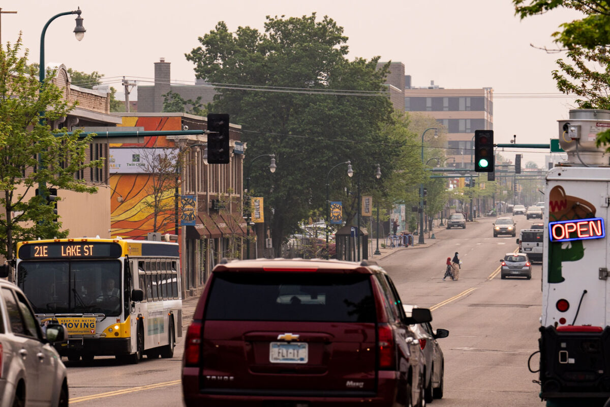
Lake Street in Minneapolis shrouded in haze from Canadian wildfire smoke, with traffic and pedestrians visible.
Lake Street runs about seven miles through Minneapolis, from the Mississippi River east to France Avenue in St. Louis Park, and carries Metro Transit's Route 21 bus line. Smoke drifting south from Canadian wildfires blankets the street in haze on May 18, 2023.

Canadian Wildfire Smoke Blankets Lake Street in Minneapolis
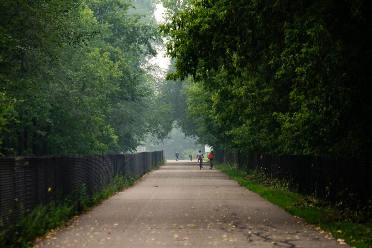
Cyclists ride the Midtown Greenway bike trail in Minneapolis under haze from Canadian wildfire smoke.
The Midtown Greenway is a 5.5-mile bike and pedestrian corridor built along a former Milwaukee Road rail trench that cuts through south Minneapolis. Completed in phases through the early 2000s, it connects the Chain of Lakes to the Mississippi River and sees heavy year-round commuter and recreational traffic. In late July 2021, Canadian wildfire smoke drifted into the Twin Cities, pushing regional air quality into unhealthy ranges for several days. The trail's below-grade route runs past the Midtown Greenway Coalition's maintained corridor and remains one of the busiest bike commuter routes in the state.

Cyclists on Midtown Greenway Under Canadian Wildfire Haze
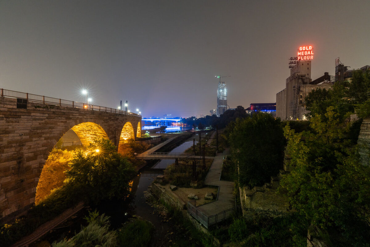
Stone Arch Bridge and Gold Medal Flour sign in Mill Ruins Park, Minneapolis.
Mill Ruins Park in Minneapolis preserves the remains of the Washburn “A” and Pillsbury “A” flour mills along the Mississippi River. The Stone Arch Bridge, completed in 1883 as a railroad crossing, now carries pedestrians and cyclists. The Gold Medal Flour sign marks the former milling district on the riverfront.

Stone Arch Bridge and Gold Medal Flour Sign, Minneapolis
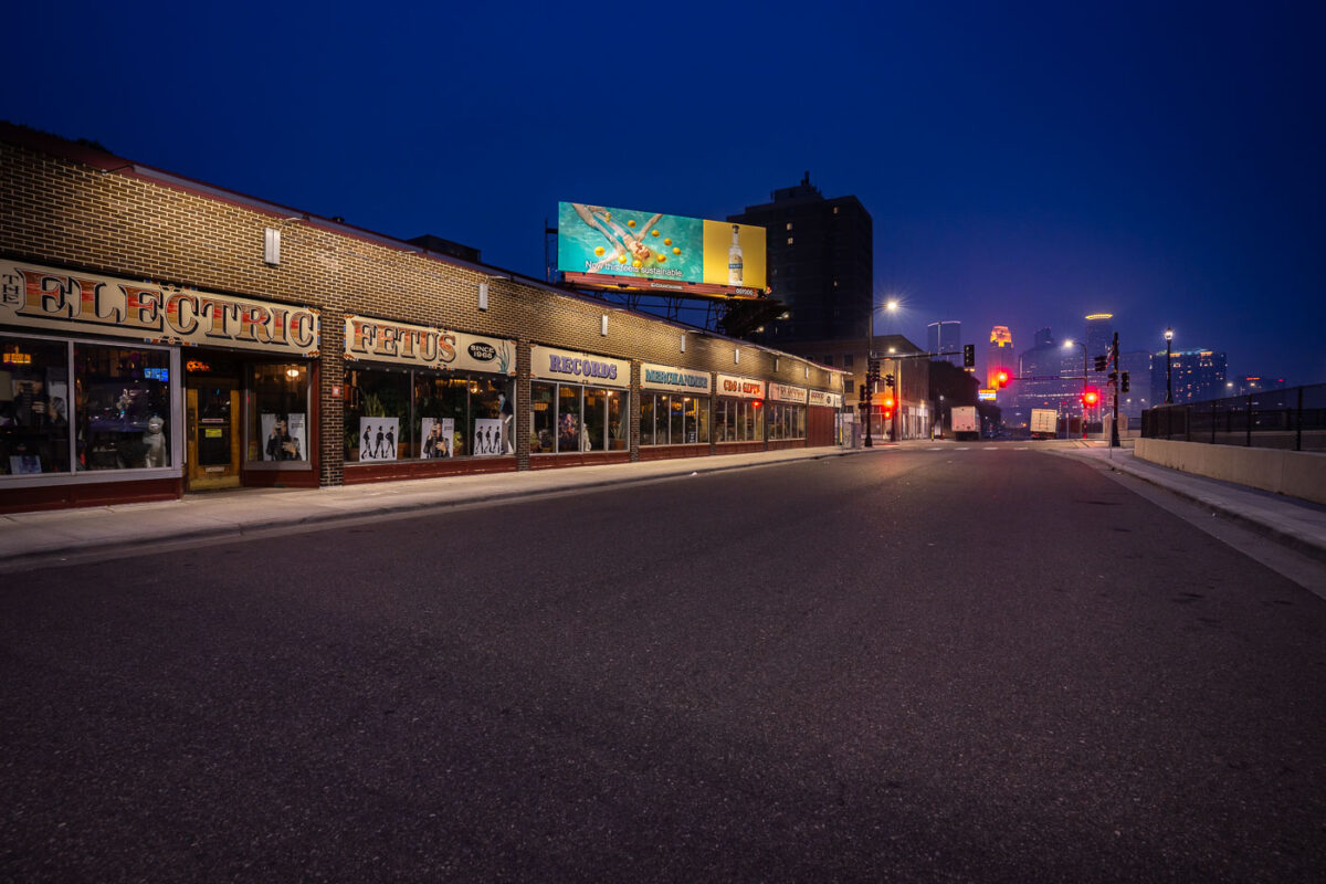
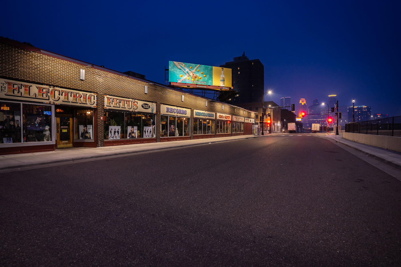
The Electric Fetus record store in Minneapolis, with the downtown skyline in the background.
The Electric Fetus record store in Minneapolis is a longtime independent music retailer in the Cedar-Riverside neighborhood. The store sits near downtown Minneapolis.

The Electric Fetus, Minneapolis

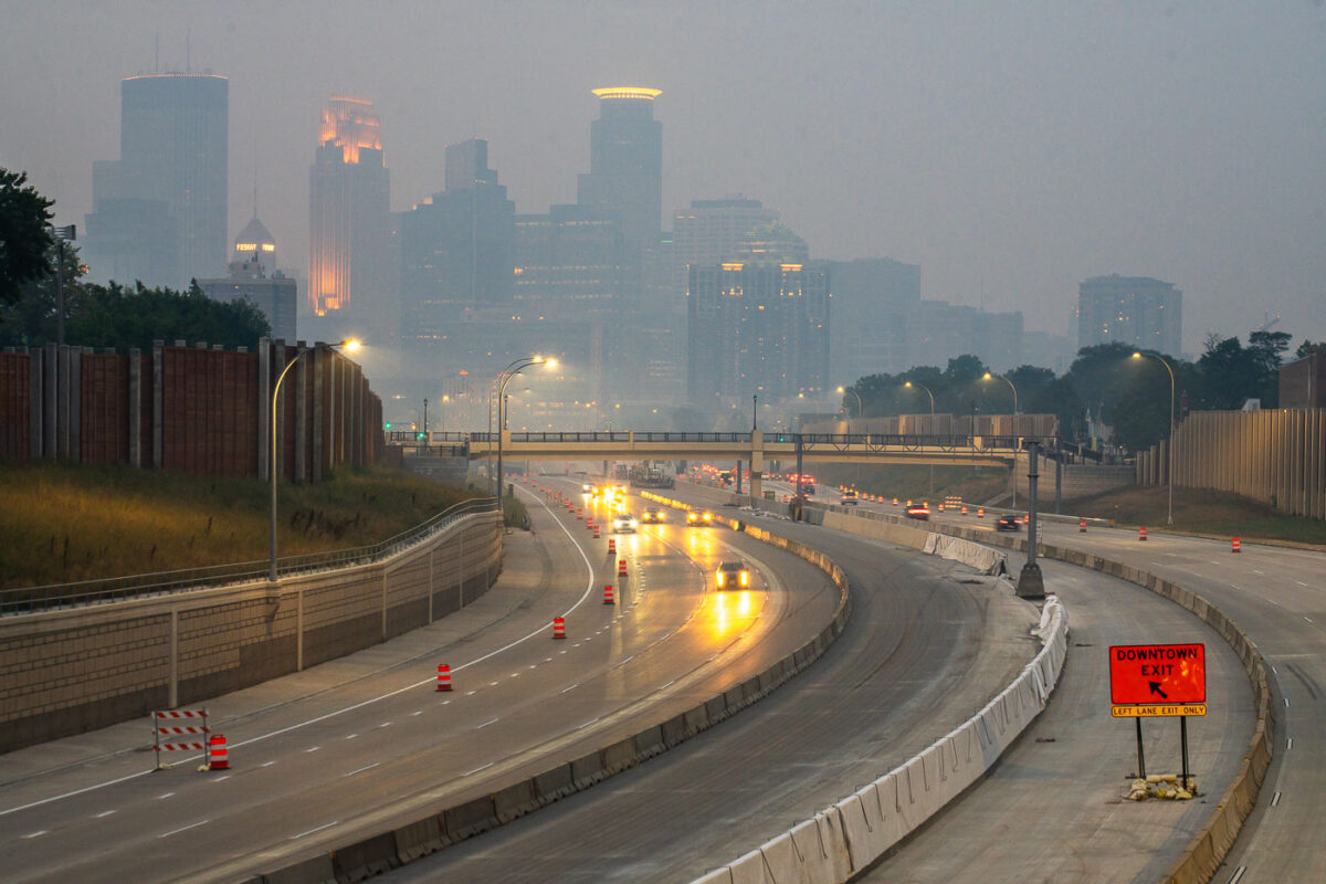
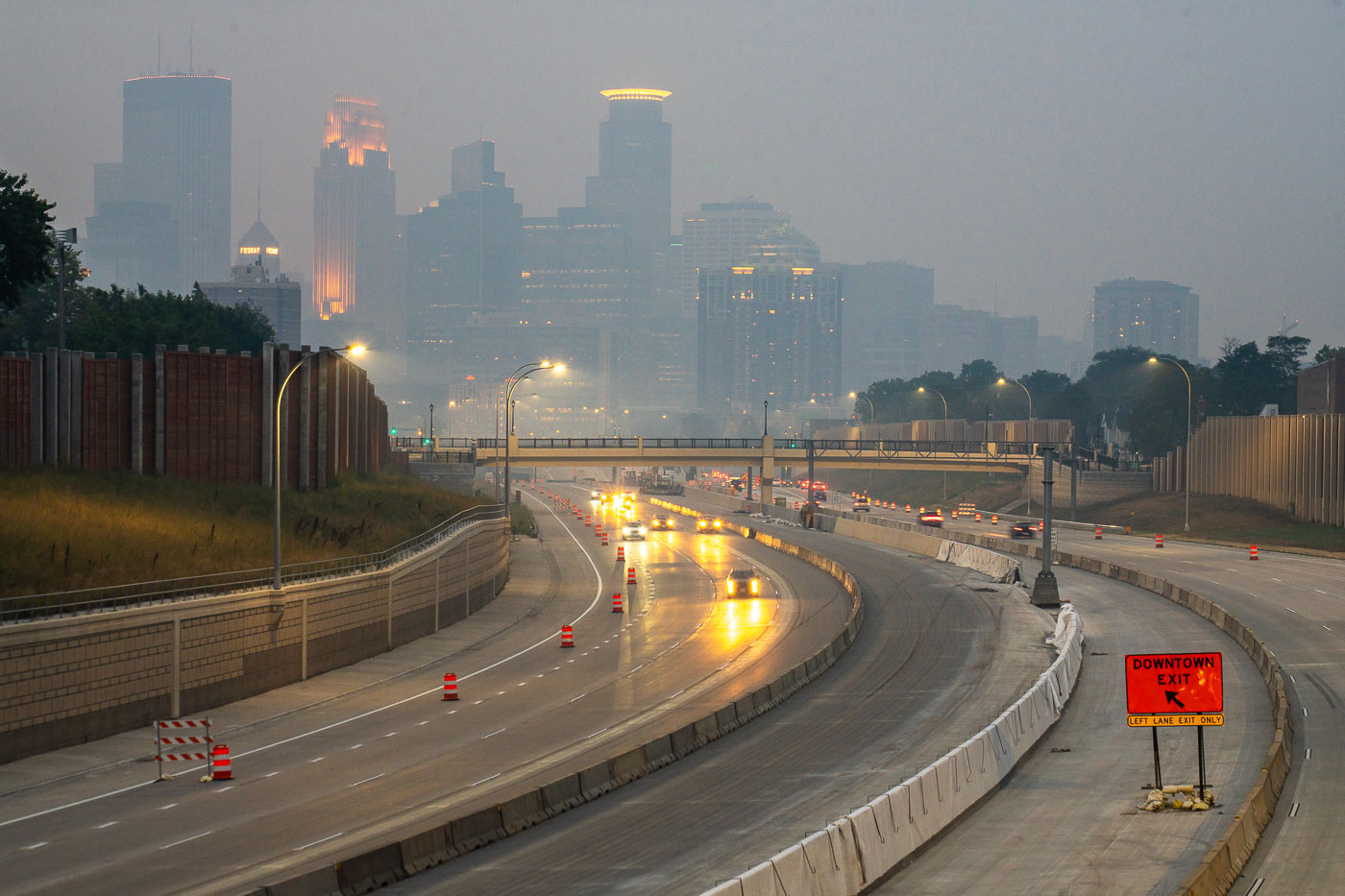
Interstate 35W in Minneapolis under smoke from Canadian wildfires, with downtown in the background.
Interstate 35W in Minneapolis carries traffic past downtown during smoke from Canadian wildfires. The freeway runs through the central city and connects north–south traffic through Minneapolis.

Interstate 35W in Minneapolis with wildfire smoke
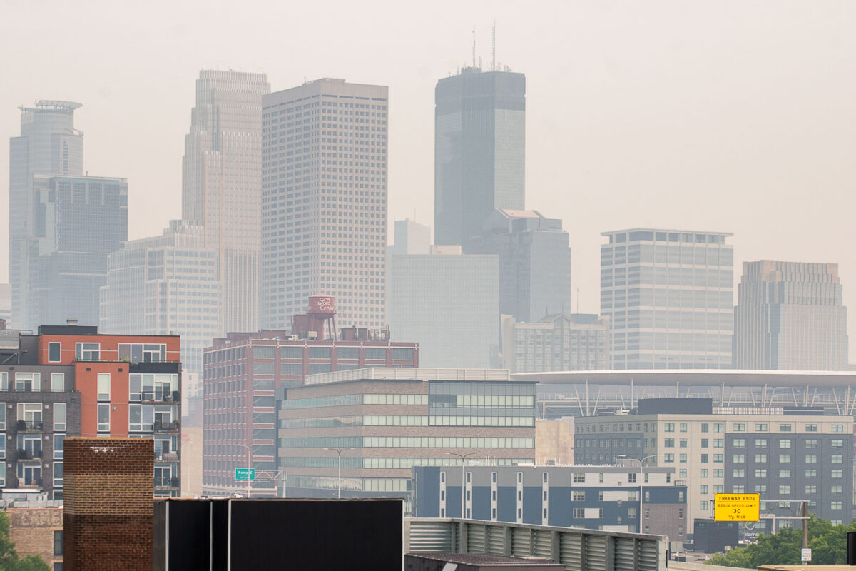
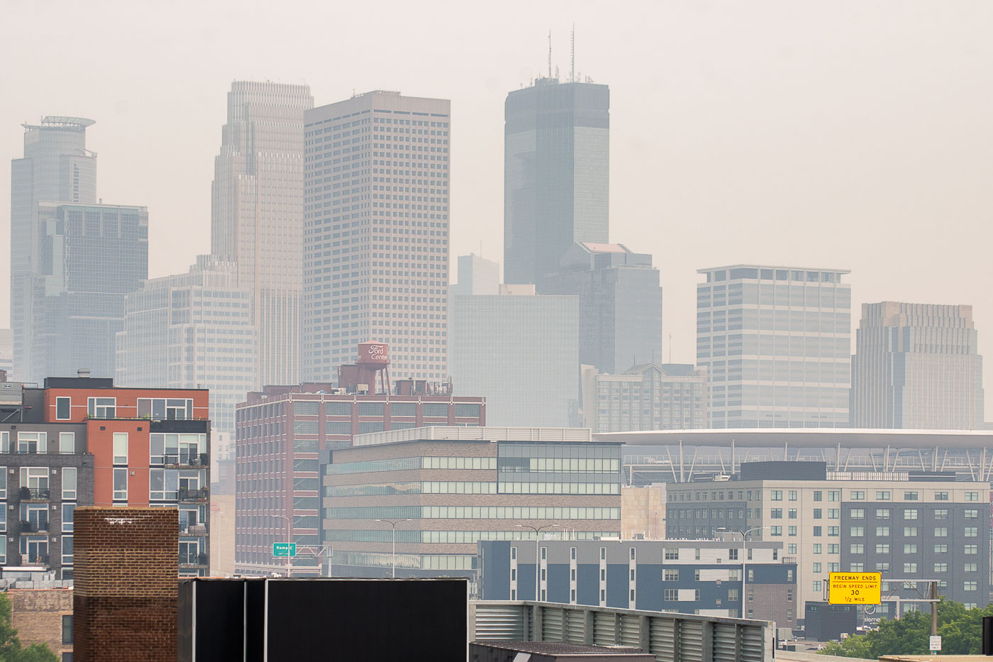
Downtown Minneapolis skyline obscured by wildfire smoke from Canadian fires.
Downtown Minneapolis is obscured by wildfire smoke from Canadian fires. The haze softens the city skyline and reduces visibility across the North Loop area.

Downtown Minneapolis skyline in wildfire smoke
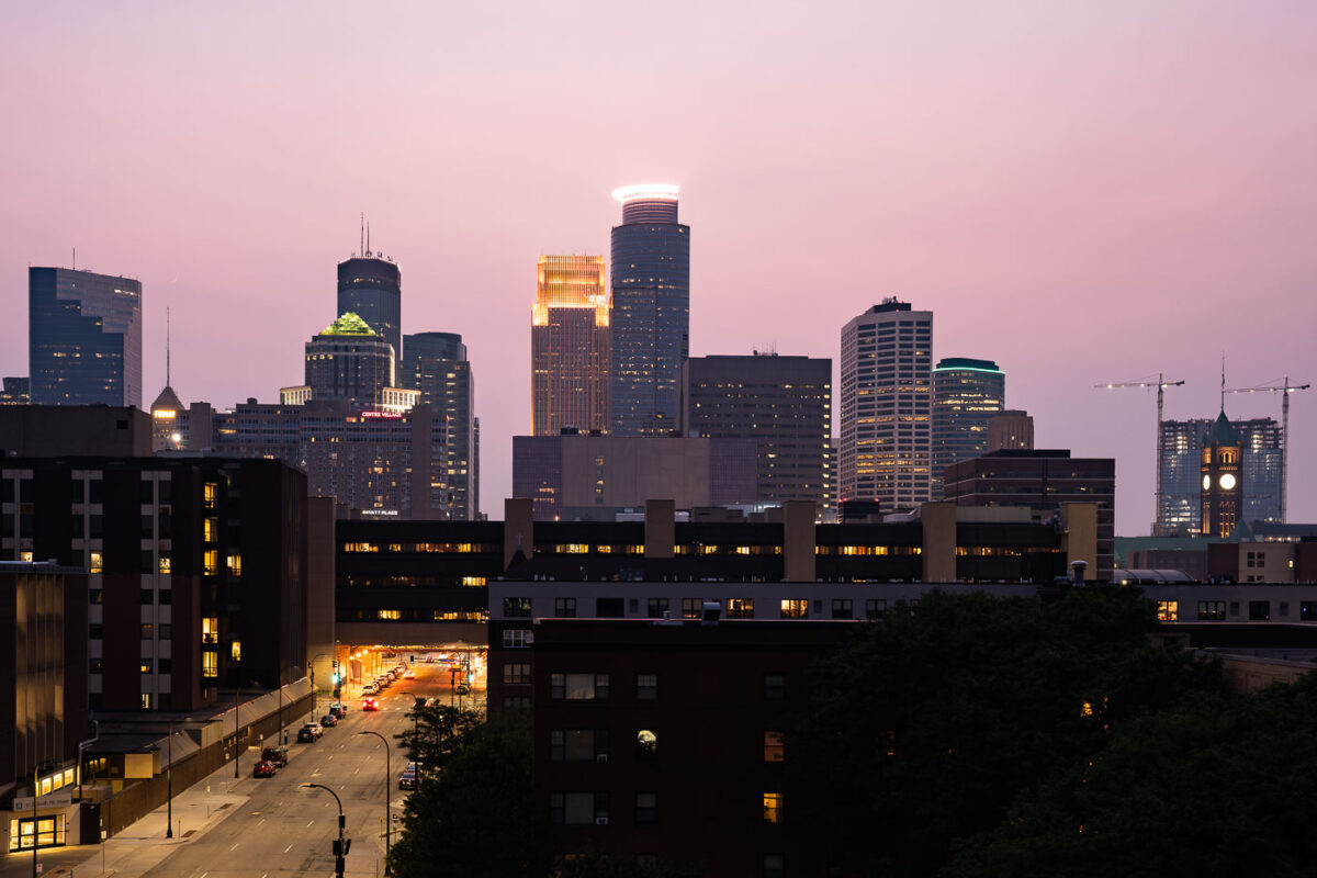
Downtown Minneapolis skyline from South 7th Street during wildfire smoke.

Downtown Minneapolis, Minnesota, during wildfire smoke conditions on July 11, 2021. The skyline is visible from South 7th Street as smoke from Canadian wildfires reduced air quality across the city.

Downtown Minneapolis skyline from South 7th Street

Straight highway with yellow center line stretches through flat green fields near Wolford, North Dakota under hazy sky.
Wolford is a small city in Pierce County, North Dakota, in the north-central part of the state along Highway 17. The surrounding countryside is flat to gently rolling prairie, given over mostly to wheat, canola, and soybean farming, with scattered wetlands typical of the Prairie Pothole Region. Haze events like this one are common in the area during summer months, often tied to smoke drifting south from wildfires in Canada's boreal forest. Pierce County's population has declined steadily since peaking in the mid-20th century, leaving long stretches of two-lane highway like this one with little traffic.

Hazy Two-Lane Highway Near Wolford, North Dakota

Built in Minneapolis

Minneapolis Photographer

Browse by location, move through long-running series, or start with recent work.