Minneapolis

5,036 photos · 2008–2026

5,036 photographs tagged Minneapolis, 2008–2026.

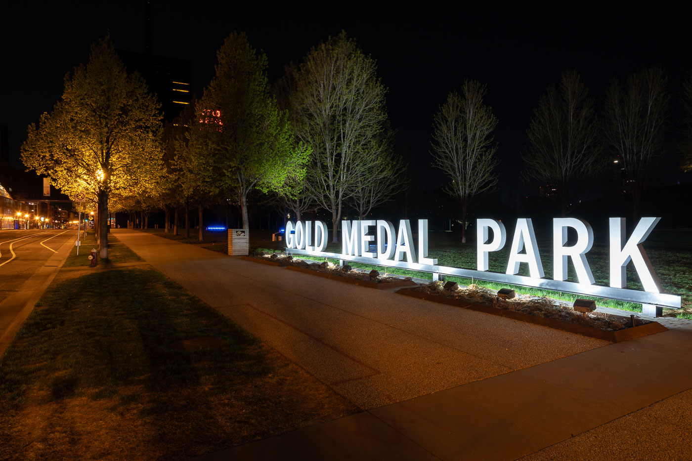
Gold Medalk Park near Downtown Minneapolis
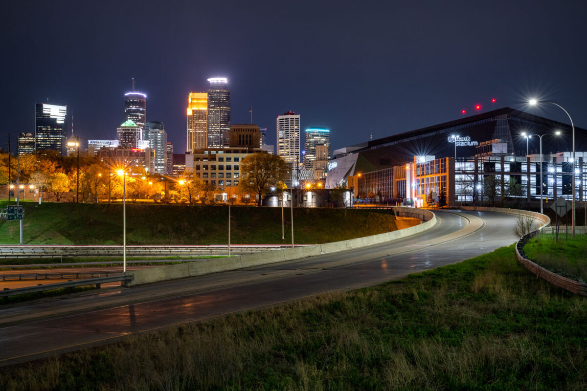
Gold Medal Park near downtown Minneapolis seen at night in November 2019.

Gold Medalk Park near Downtown Minneapolis

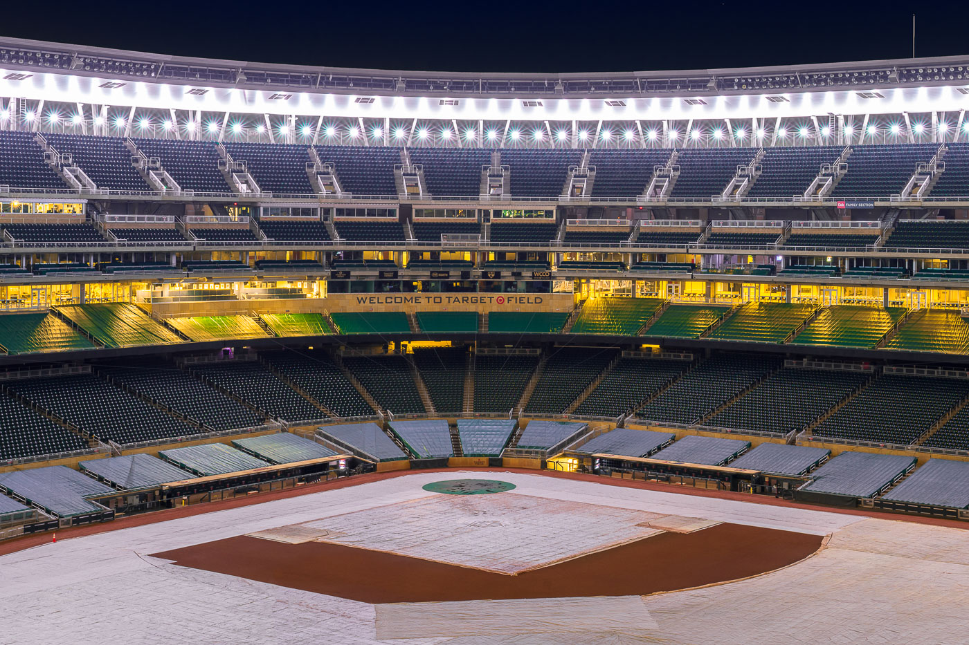
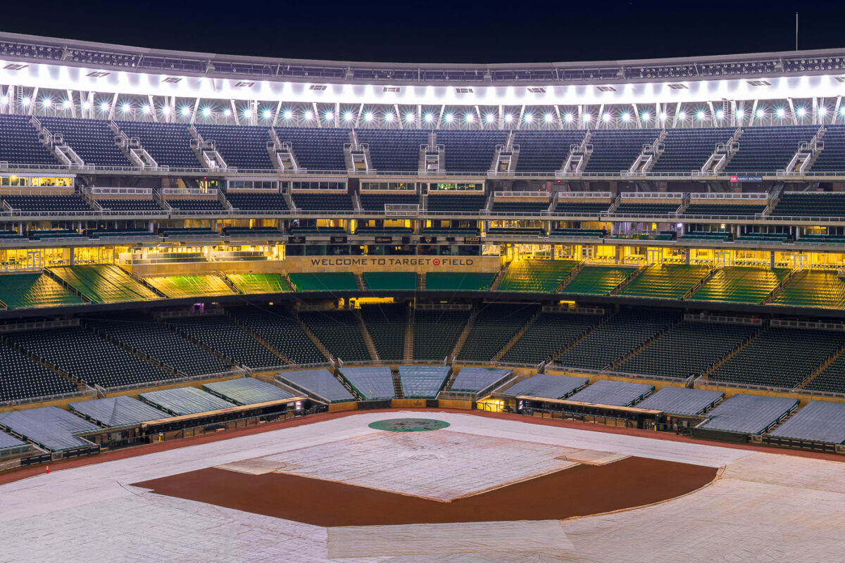
Target Field's baseball diamond covered in white tarps under stadium lights in Minneapolis.
Target Field is the Minnesota Twins' ballpark in downtown Minneapolis, built on a former railroad and warehouse site in the North Loop. It opened in 2010, replacing the Metrodome as the team's home after nearly three decades of indoor baseball. A tarp covers the infield during the off-season, with the diamond empty and the stands bare of fans.

Target Field’s Infield Tarp on a Winter Night

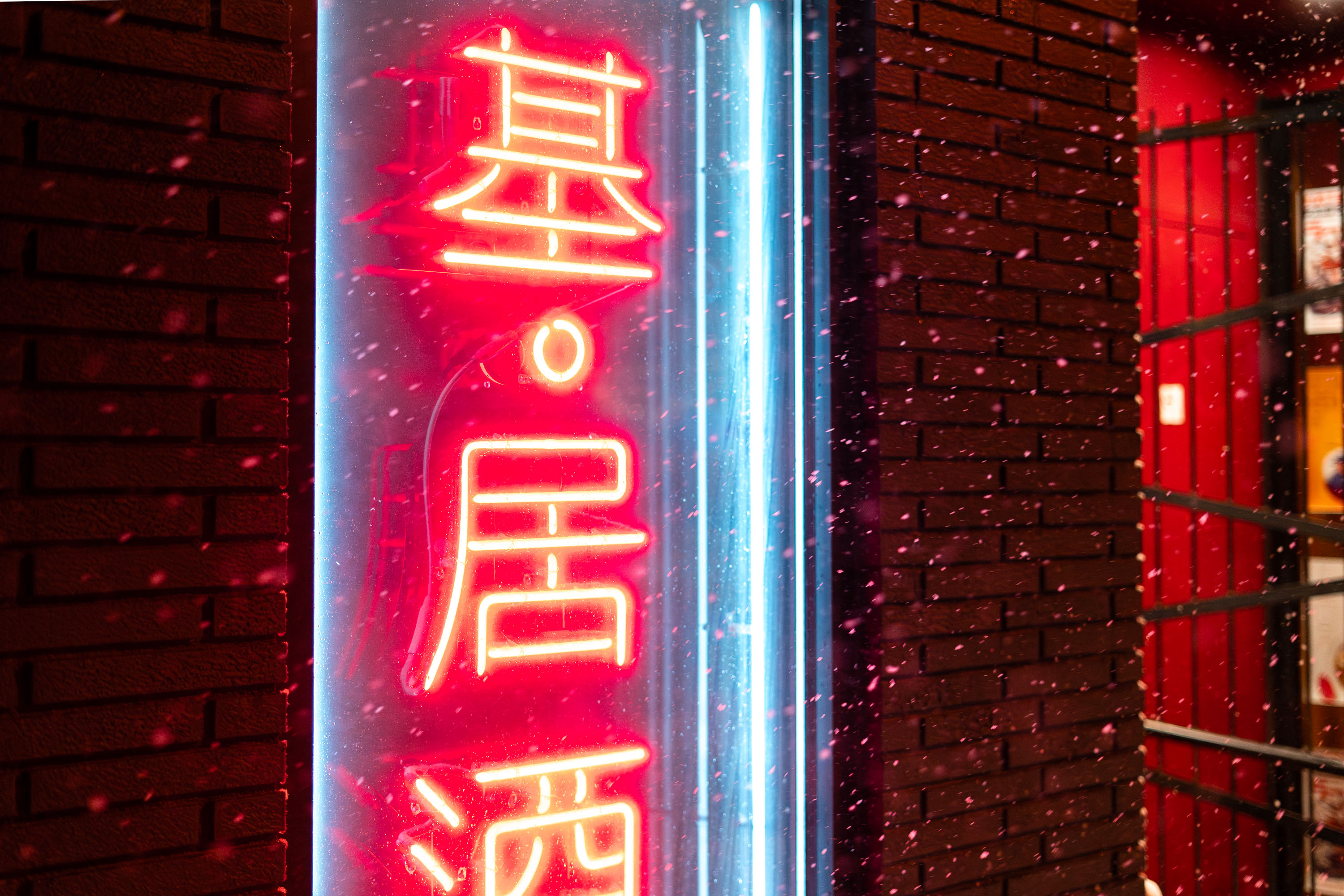
Moto-i neon sign in snow on Lyndale Avenue in Minneapolis
The neon sign for Moto-i, a Japanese restaurant and sake bar, glows in the snow on Lyndale Avenue in Minneapolis. The restaurant, which opened in 2001, is known for its extensive sake list and sushi offerings. This image was taken during a significant snowstorm on November 26, 2019, which blanketed the city.

Moto-i Neon Sign in the snow, Minneapolis
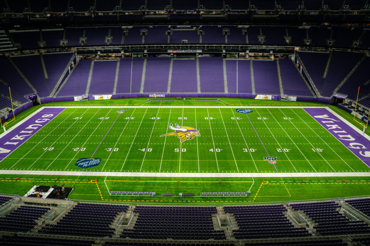
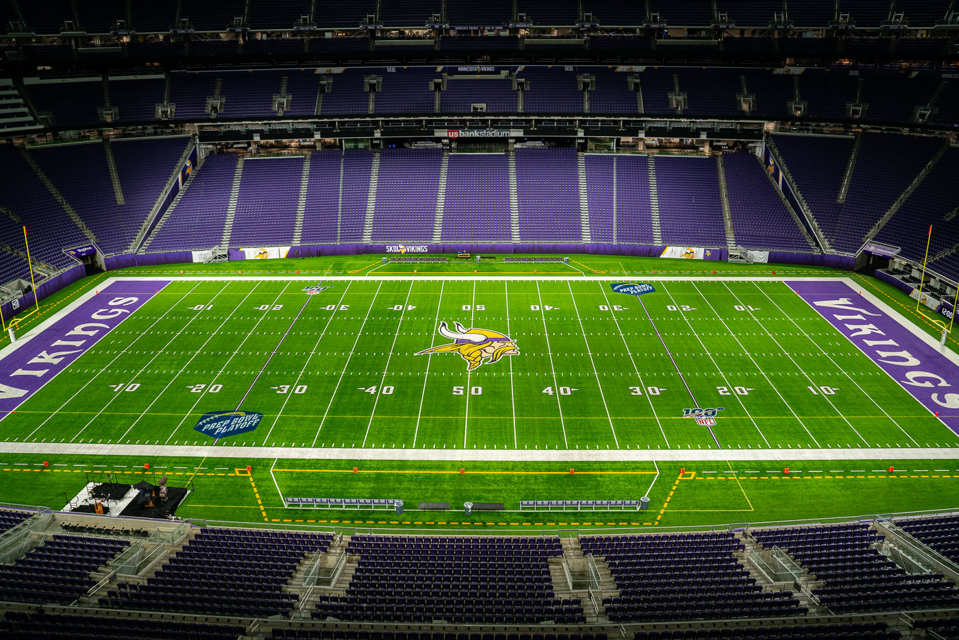
US Bank Stadium Field Home of the Minnesota Vikings
U.S. Bank Stadium, home of the NFL's Minnesota Vikings, is a multi-purpose venue in downtown Minneapolis. Completed in 2016, the $1.1 billion stadium replaced the Metrodome and features a translucent ETFE roof and steep seating.

U.S. Bank Stadium Field, Minneapolis, Home of the Minnesota Vikings
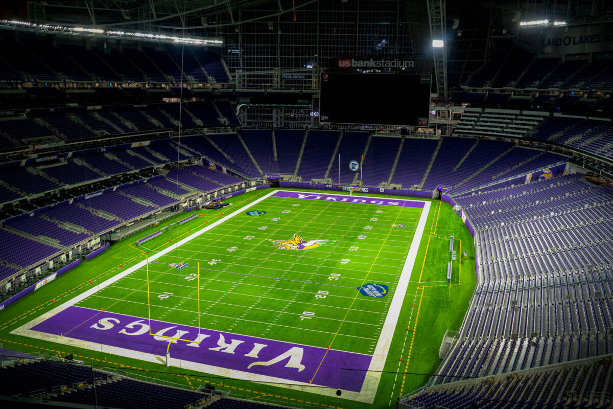
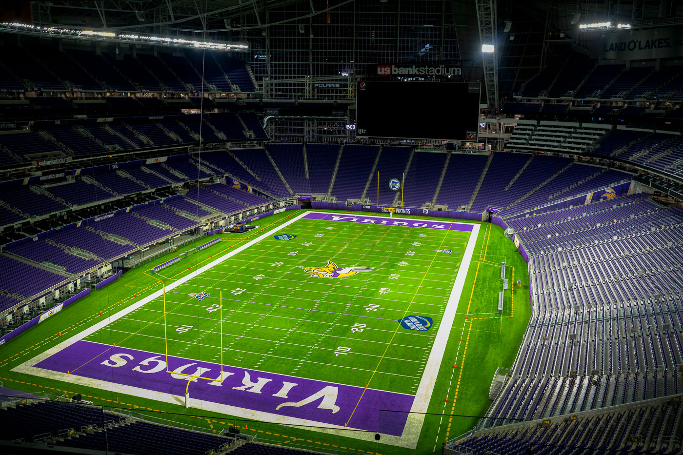
Inside US Bank Stadium at night
US Bank Stadium, located in downtown Minneapolis, serves as the home field for the NFL's Minnesota Vikings. Opened in 2016, the stadium replaced the Metrodome, which had been the Vikings' home since 1982.

US Bank Stadium, Home of the Minnesota Vikings, Minneapolis

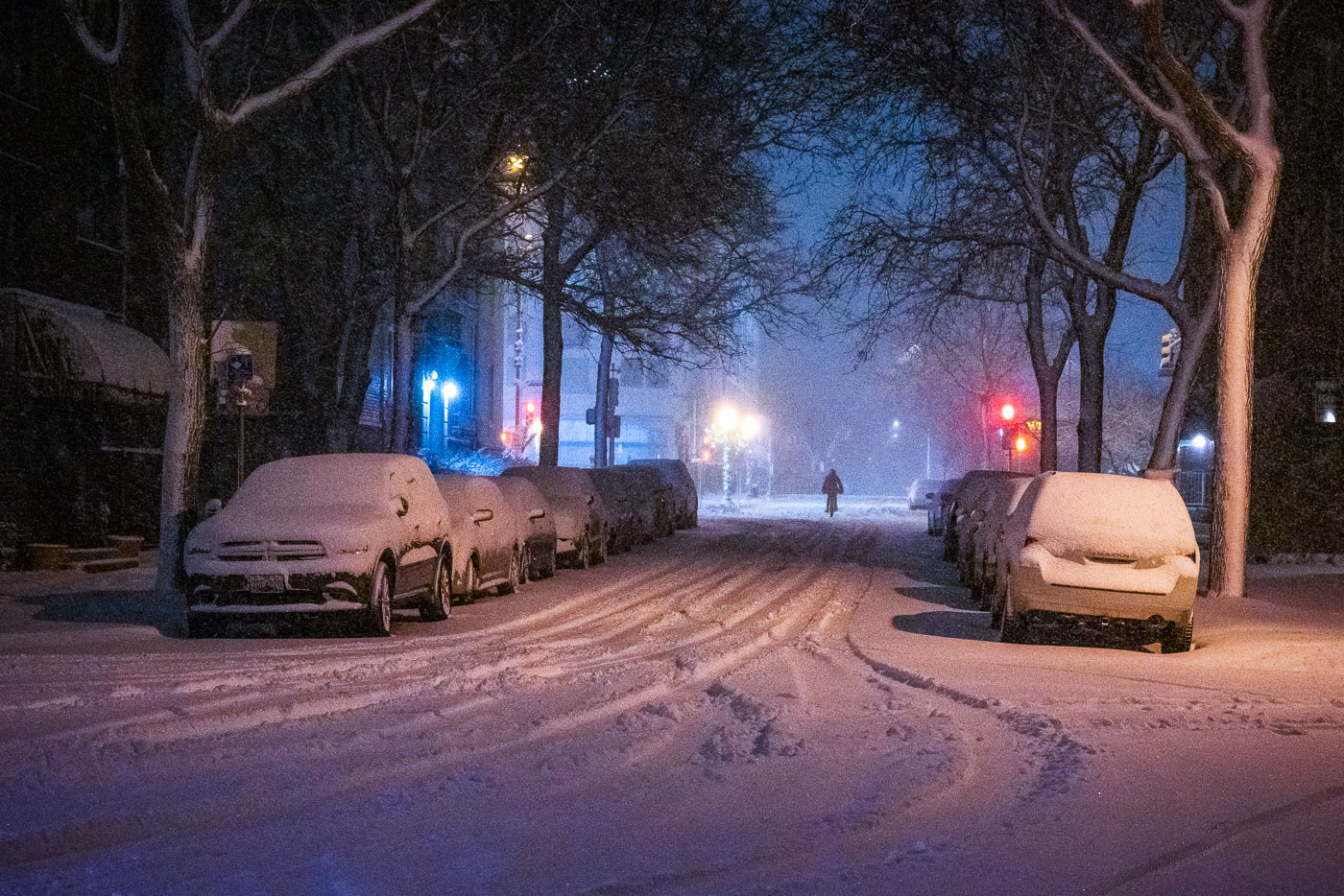
Cyclist on a snow-covered Uptown Minneapolis street during the November 2019 snowstorm.
Minneapolis, Minnesota, during a snowstorm on November 26, 2019. A cyclist makes their way along a snow-covered Uptown street as parked cars and tree-lined blocks are buried in fresh snow.

Minneapolis Snowstorm, Uptown Street Nov. 2019
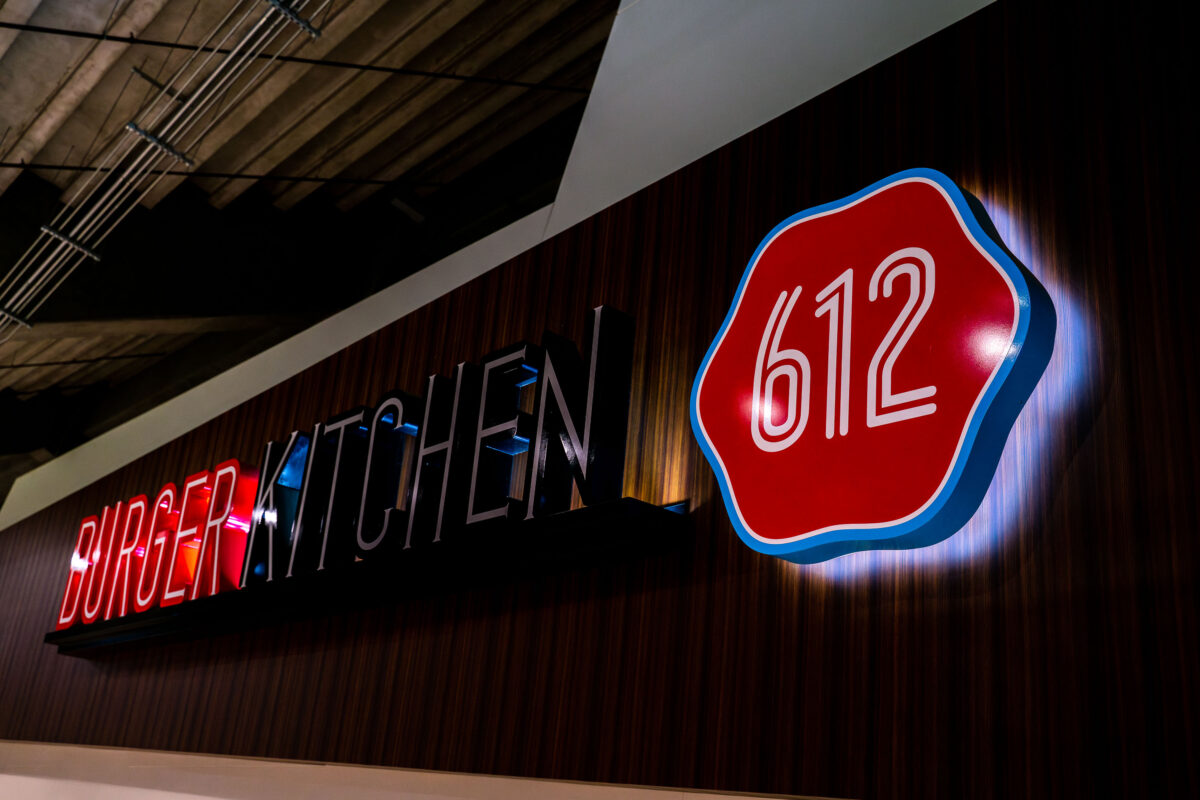
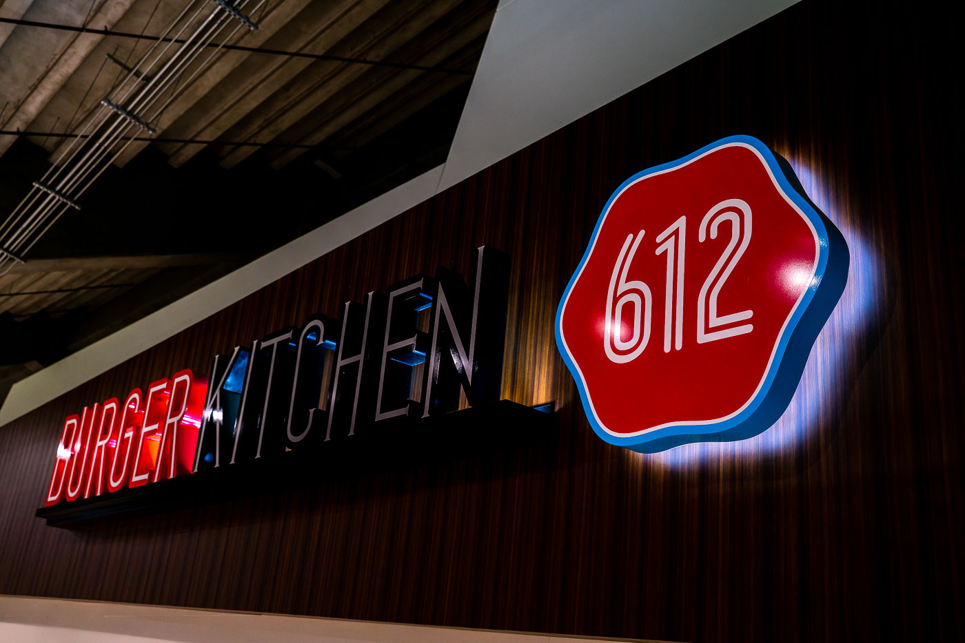
612 Burger Kitchen sign inside U.S. Bank Stadium in Minneapolis.
612 Burger Kitchen at U.S. Bank Stadium in Minneapolis is a concessions outlet inside the home of the Minnesota Vikings. The name references Minneapolis area code 612, a local identifier used in the stadium's food and beverage branding.

612 Burger Kitchen at U.S. Bank Stadium, Minneapolis

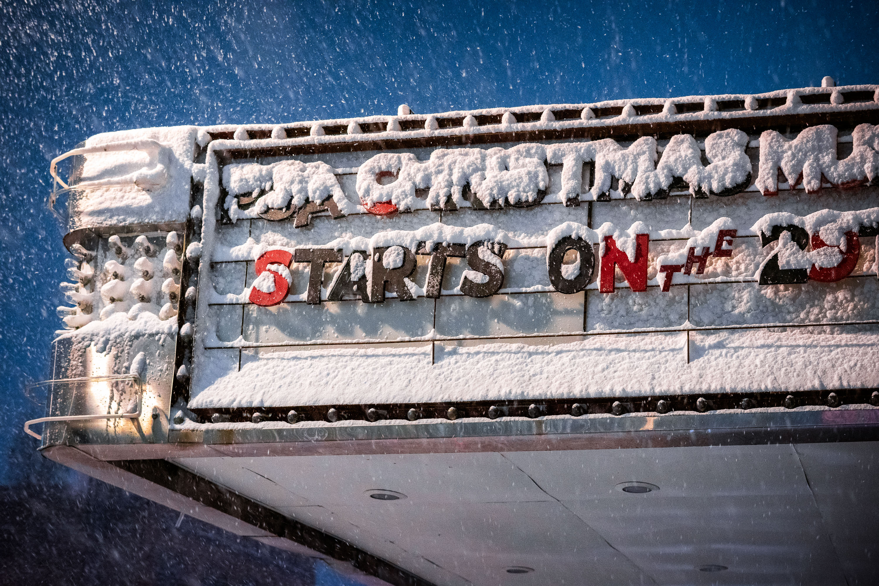
Snow-covered Lynlake Brewery marquee in Minneapolis during a winter storm.
The marquee of Lynlake Brewery in Minneapolis's Uptown neighborhood is covered in snow during a November storm. The sign reads "CHRISTMAS STARTS ON THE 29th."

Lynlake Brewery Marquee in Snowstorm, Minneapolis

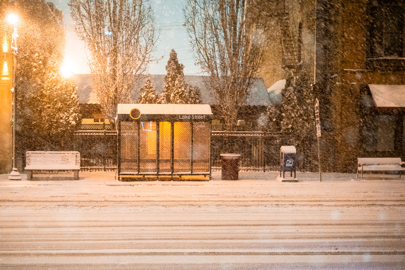
Lake Street bus stop in Minneapolis during a November 2019 snowstorm at night.
A heavy snow falls on a bus shelter along Lake Street in Minneapolis in late November 2019. Lake Street runs about six miles across south Minneapolis, linking Uptown to the Mississippi River and the Midtown Greenway.

Snowstorm at a Lake Street Bus Shelter in Minneapolis

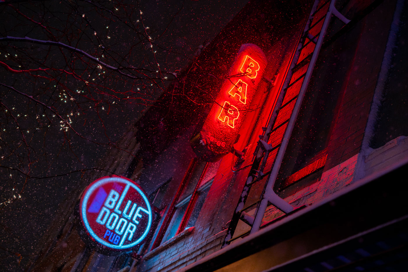
Blue Door Pub neon signs glow red and blue on a snowy building in Uptown Minneapolis at night.
The Blue Door Pub is a bar and restaurant on Lyndale Avenue in Minneapolis. Snow falls past its neon "BAR" sign during a snowstorm on November 26, 2019.

Blue Door Pub’s “BAR” Sign During a November Snowstorm

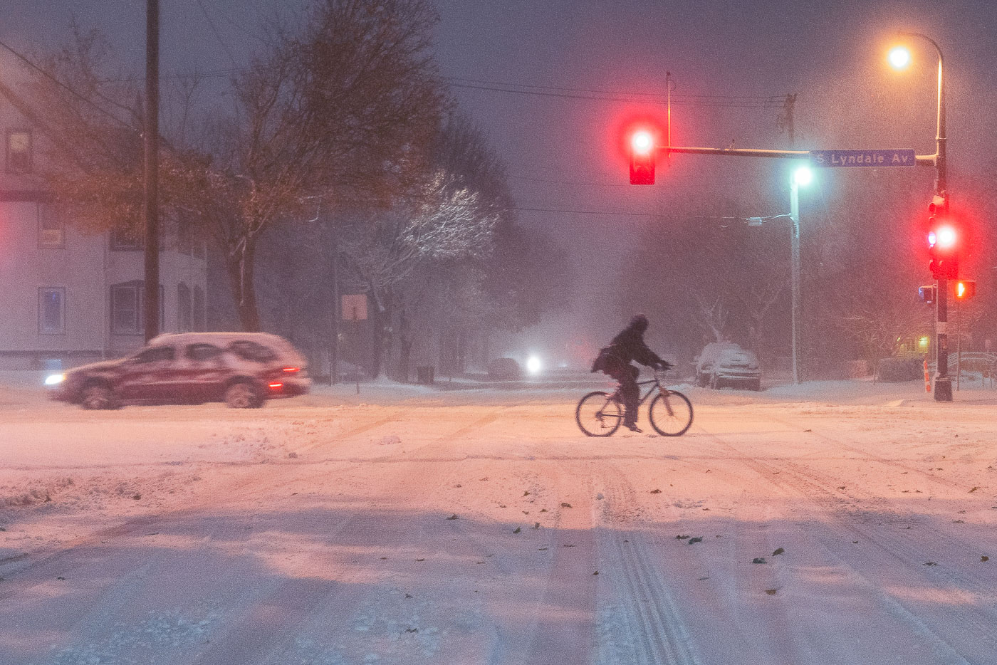
A cyclist rides across snow-covered Lyndale Avenue in Minneapolis during a heavy snowstorm at night.
South Lyndale Avenue is a major north-south street through Uptown Minneapolis. A cyclist crosses the snow-covered street at a red light during a snowstorm on November 26, 2019.

Cyclist Crossing South Lyndale Avenue During a Snowstorm

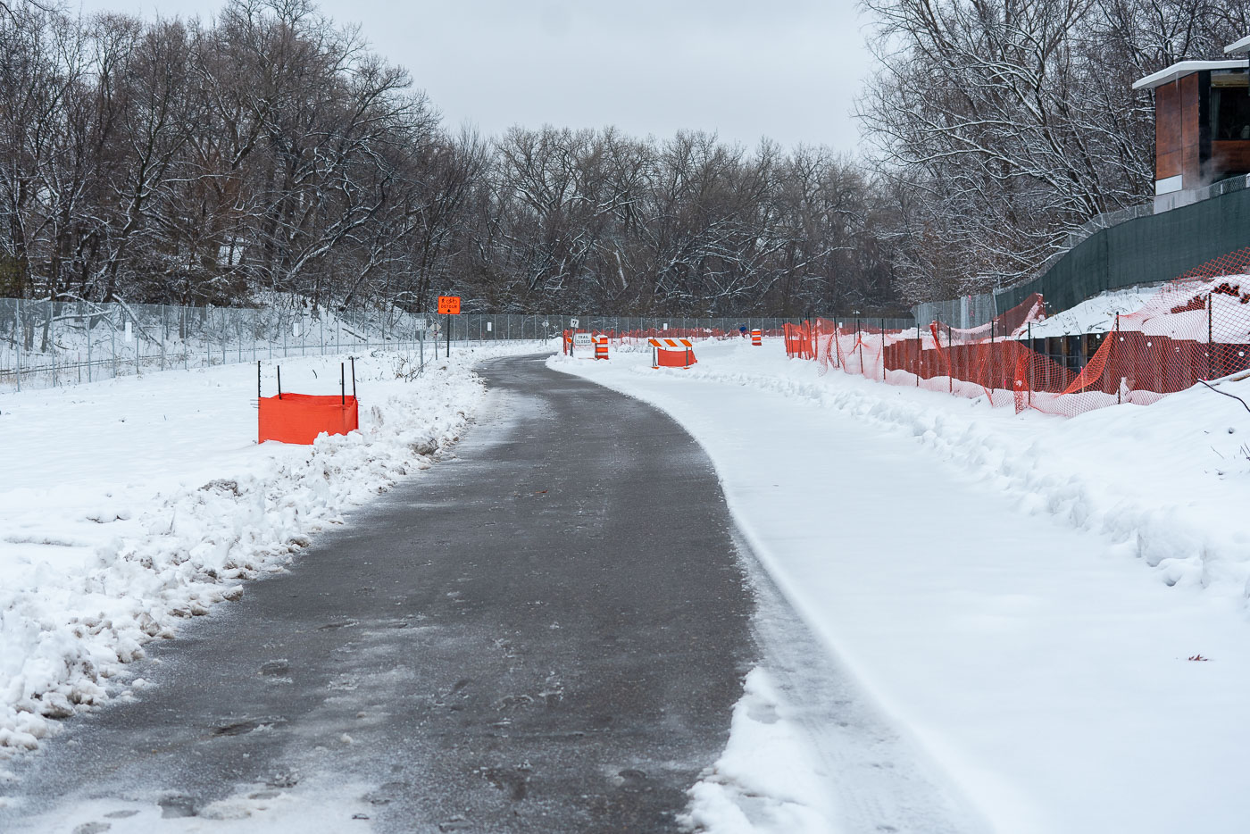
Red detour barriers and signs line a snow-covered Cedar Lake Trail in Minneapolis during winter construction.
A detour is in effect on the Kenilworth Trail near 21st Street in Minneapolis. The detour is in place during Metro Green Line construction.

Snow-Covered Kenilworth Trail During Green Line Construction

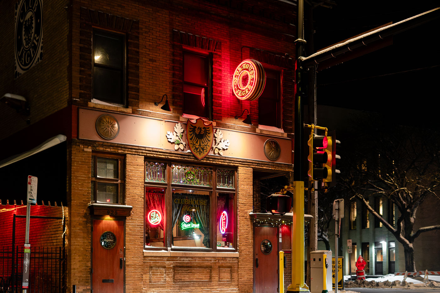
Clubhouse Jäger in Minneapolis’s North Loop neighborhood at night.
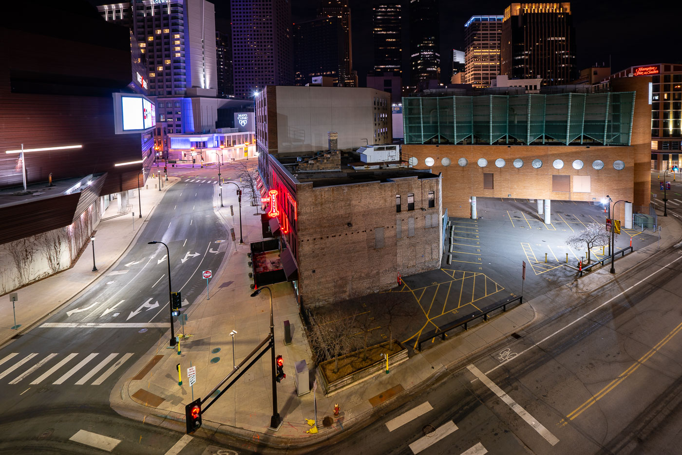
Clubhouse Jäger in Minneapolis’s North Loop neighborhood is a longtime bar and music venue at 925 Washington Avenue North. The brick building is one of the neighborhood’s older commercial structures, known for its distinctive neon signage and corner location.

Clubhouse Jäger, North Loop, Minneapolis

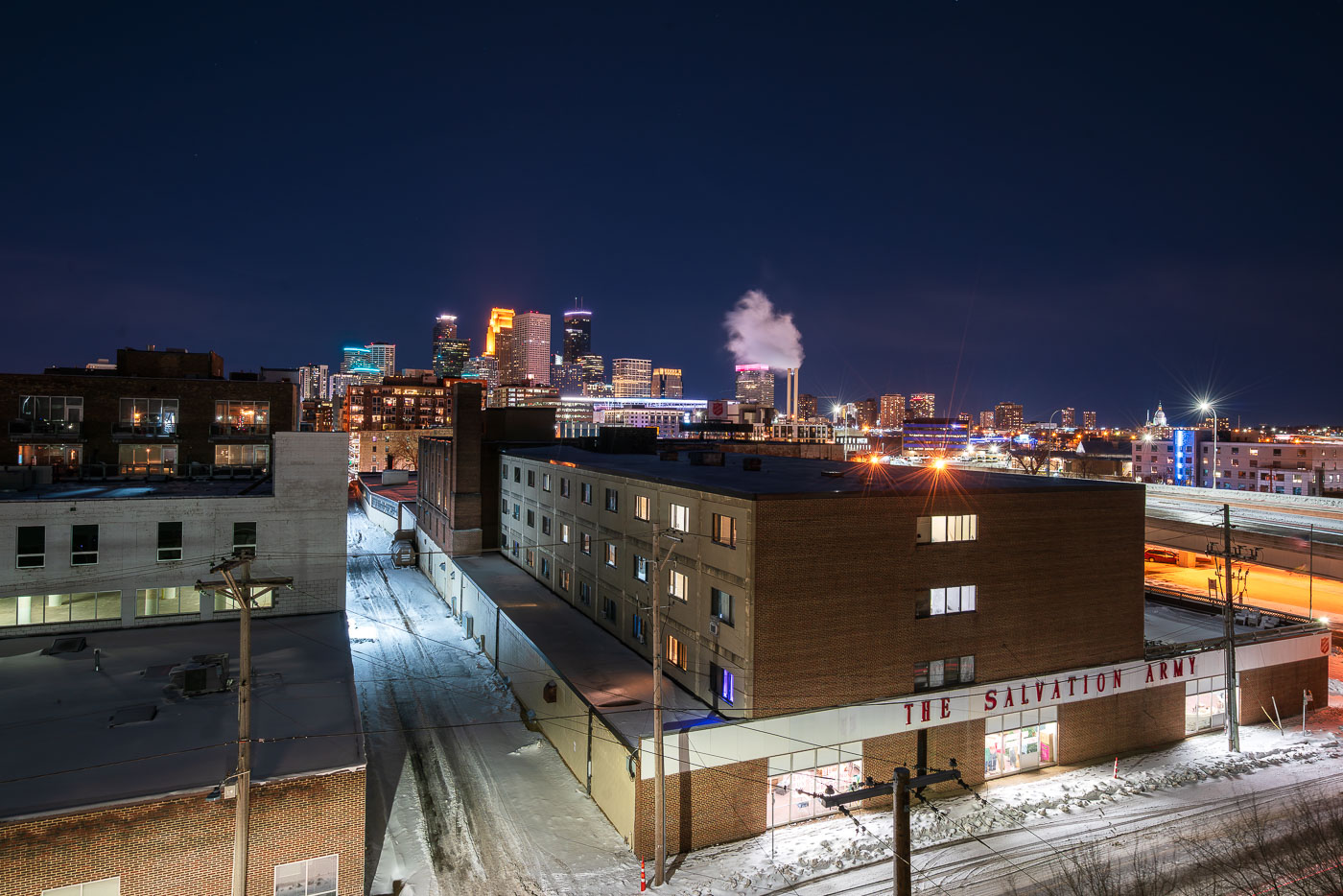
The Salvation Army facility in Minneapolis stands near downtown with the skyline behind it at night.
The Salvation Army facility in Minneapolis stands near downtown with the city skyline in the background. The organization provides social services and humanitarian aid in the city through local programs and emergency support. Its Minneapolis presence dates to the late 19th century.

The Salvation Army, Minneapolis at Night
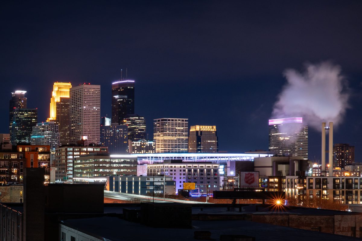
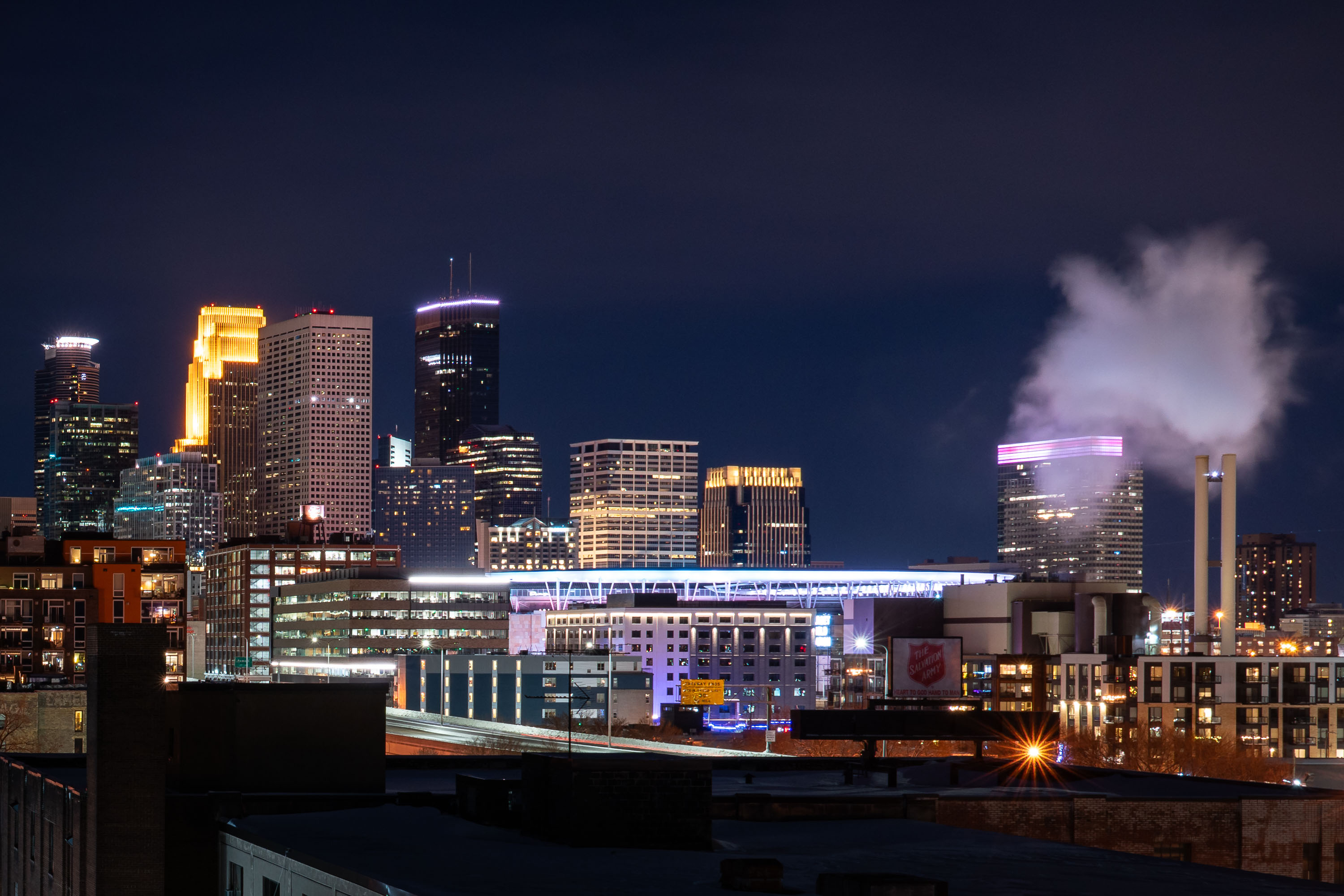
Target Field and downtown Minneapolis skyline at night, viewed from North Loop.
Target Field opened in 2010 as the home of the Minnesota Twins, ending the team's 28-year run at the Metrodome. The ballpark seats about 38,800 and was built from Minnesota-quarried limestone at a cost of roughly $545 million. Beyond the outfield, downtown Minneapolis rises with the 57-story Wells Fargo Center and the 775-foot IDS Center, the tallest building in the state since its 1972 completion. The twin smokestacks near the ballpark belong to a district energy plant that supplies steam heat to much of downtown.

Target Field Skyline at Night, Minneapolis
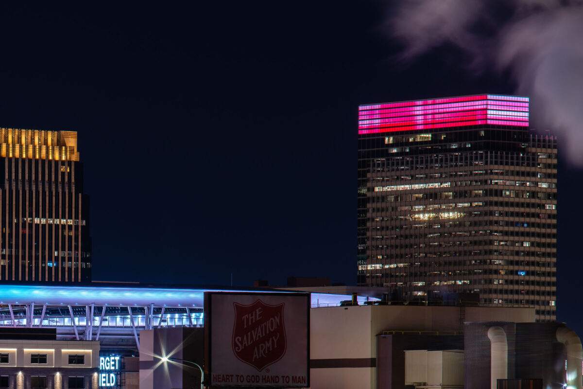
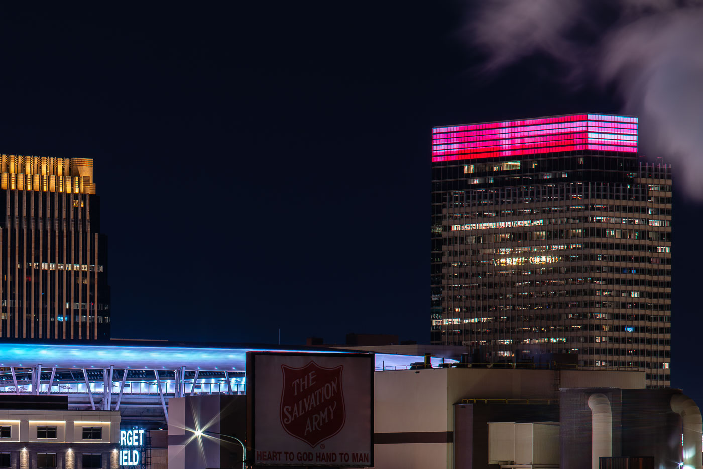
Salvation Army and Target Headquarters
The Minneapolis North Loop district is home to both corporate headquarters and community service organizations. The Target World Headquarters, a prominent feature of the city's business landscape, stands adjacent to Target Field, a baseball stadium. Also visible is a sign for The Salvation Army, a non-profit organization dedicated to providing social services.

Salvation Army and Target HQ, Minneapolis North Loop
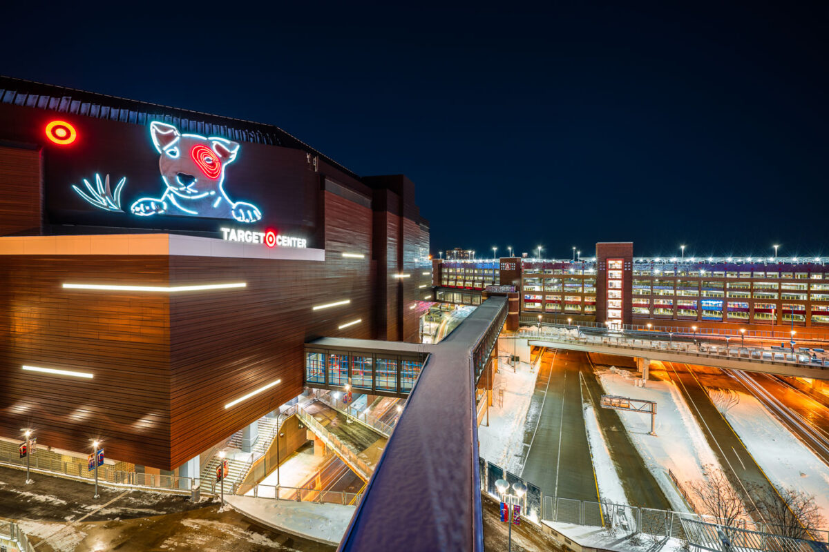
Target Center and Ramp A skyway in downtown Minneapolis at night.
Target Center in downtown Minneapolis is a multi-purpose arena opened in 1990 and renovated in 2017. It is the home court of the Minnesota Timberwolves and is connected to Ramp A by an enclosed skyway. The Minneapolis skyway system links buildings and parking ramps across the downtown core.

Target Center and Ramp A Skyway, Minneapolis
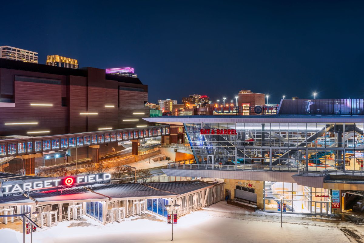
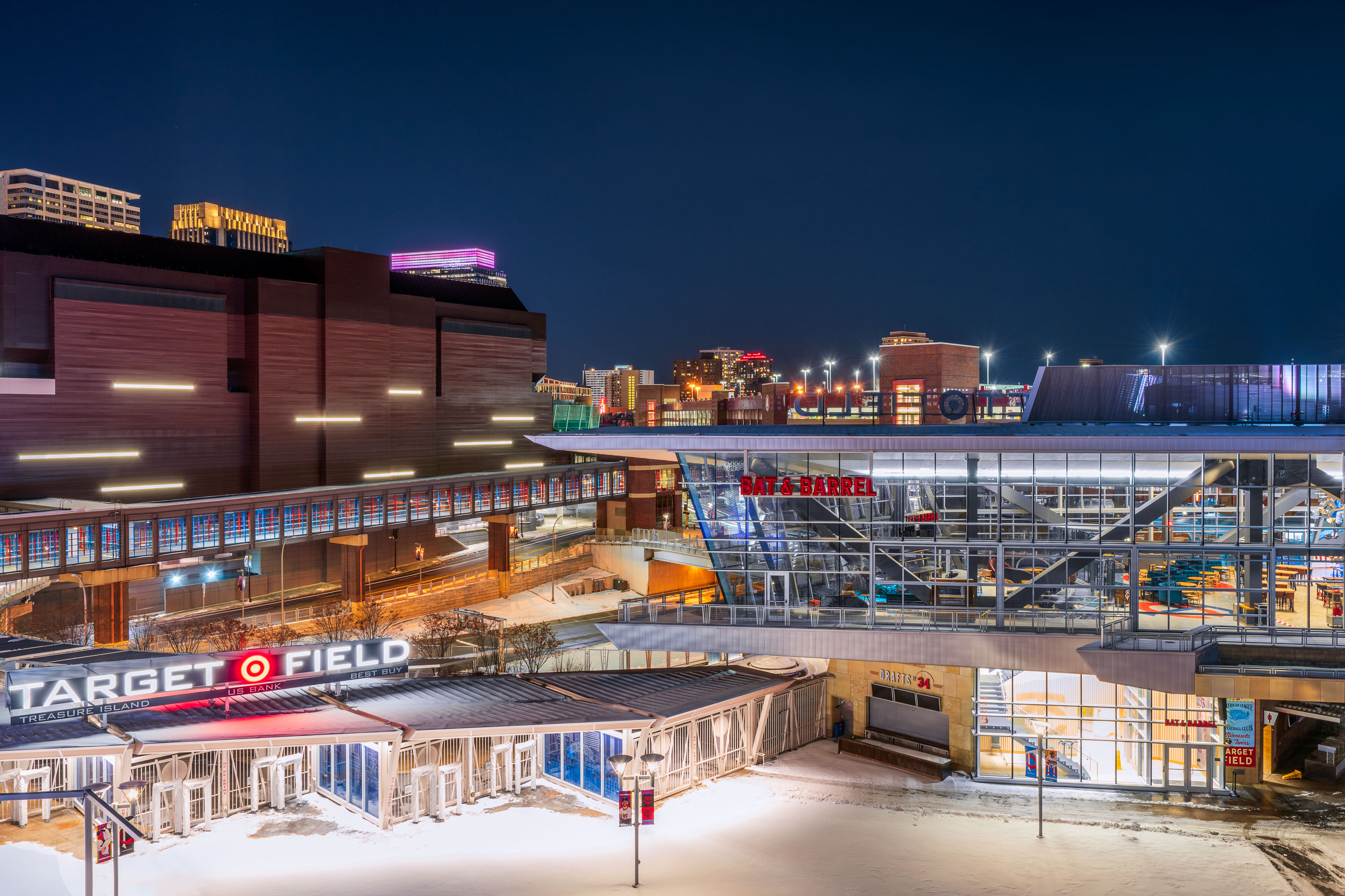
Target Field stadium and surrounding downtown Minneapolis buildings illuminated at night with snow on the ground.
Target Field, the home of the MLB Minnesota Twins. Located near the North Loop and Downtown Minneapolis.

Target Field and Bat & Barrel on a Snowy Night in Minneapolis
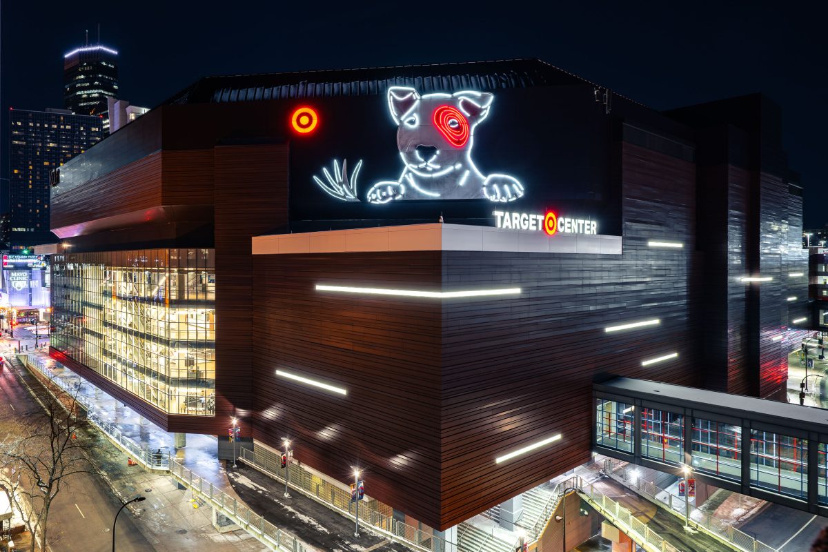
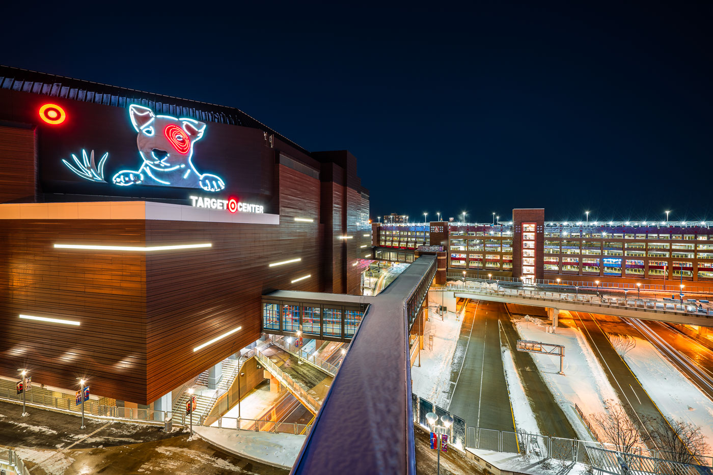
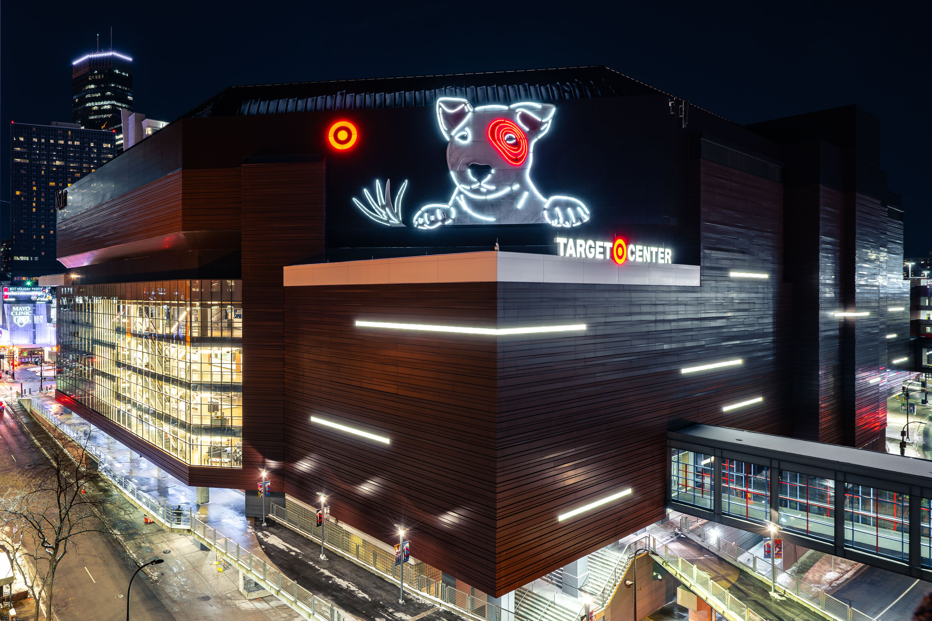
Target Center's illuminated neon bullseye dog logo displays above the arena entrance in downtown Minneapolis at night.
Target Center opened in downtown Minneapolis in 1990 as home to the NBA's Minnesota Timberwolves and, later, the WNBA's Minnesota Lynx. The arena seats roughly 19,000 for basketball and hosts concerts and other events year-round. A skyway connection links the building to the surrounding downtown buildings.

Neon Bullseye Dog Sign on Target Center at Night
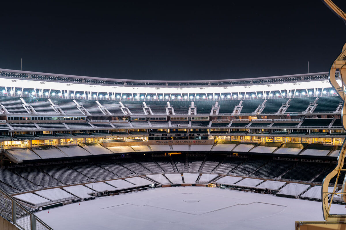
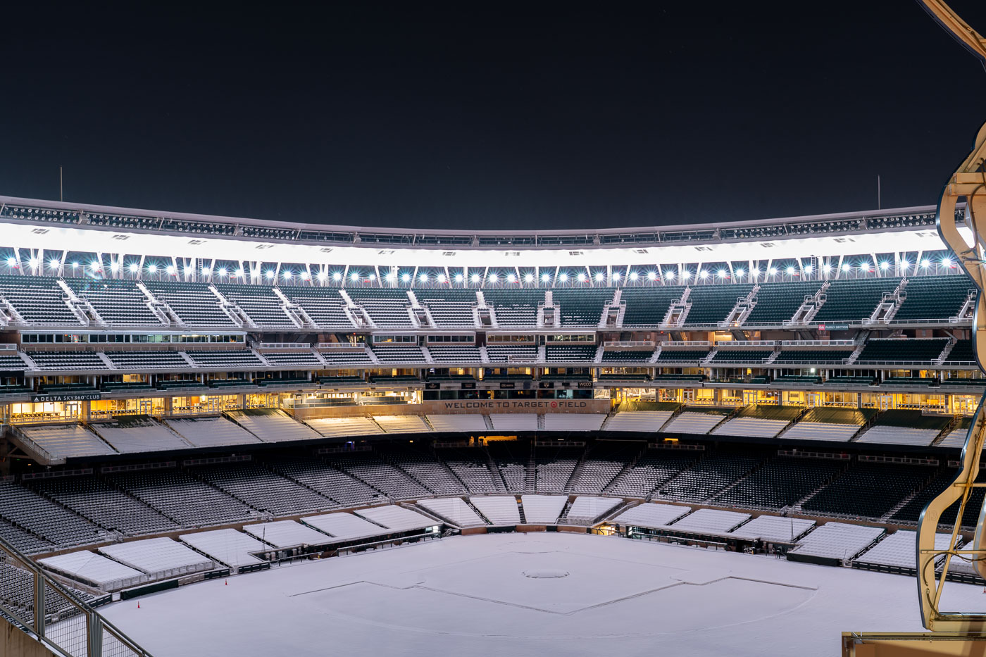
Target Field, home of the Minnesota Twins, sits snow-covered under night lighting in Minneapolis.
Target Field is the Minnesota Twins' ballpark in the North Loop of downtown Minneapolis, seating about 39,000 fans. It opened in 2010 as an open-air replacement for the Metrodome, where the Twins had played since 1982.

Snow Covers the Infield at Target Field
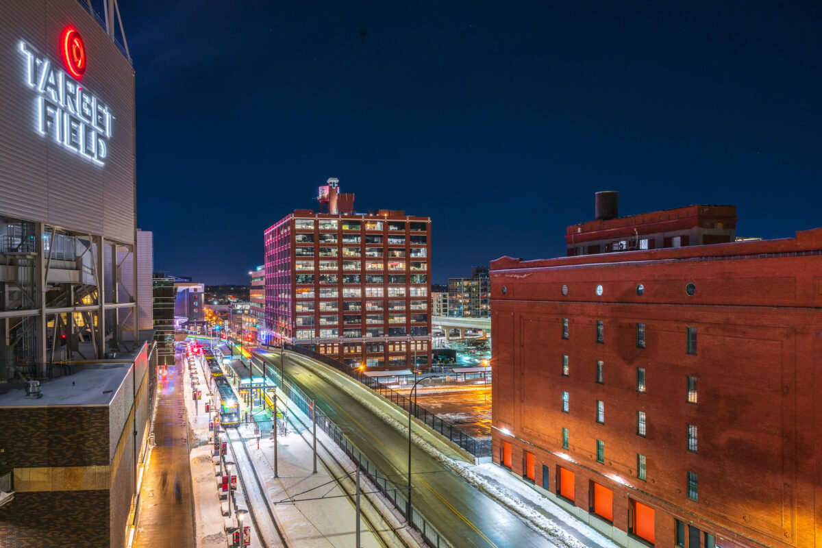
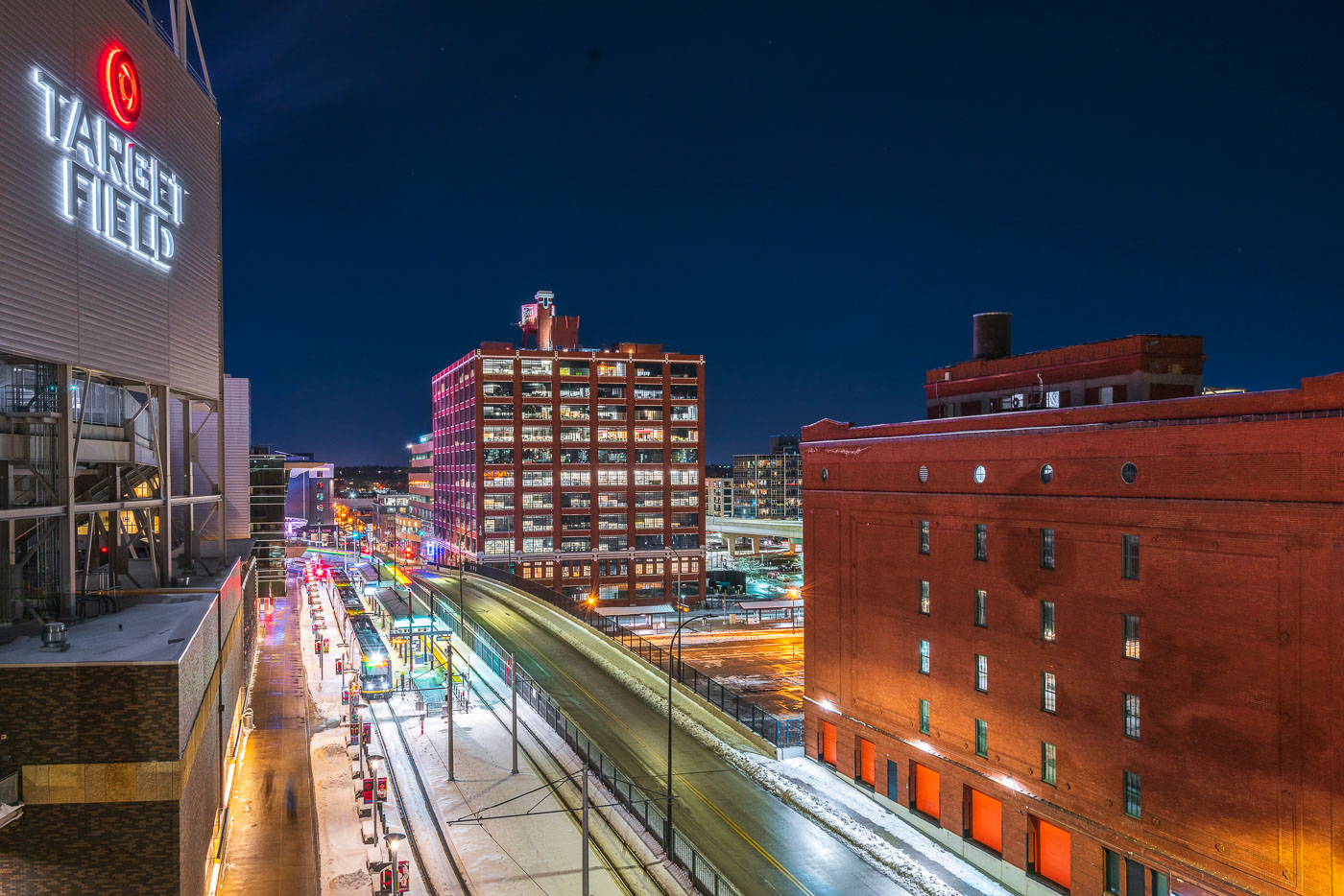
Target Field's illuminated sign overlooks downtown Minneapolis's Warehouse District with historic brick buildings and modern transit infrastructure at night.
Target Field, home of the Minnesota Twins, sits at the edge of the Warehouse District in downtown Minneapolis's North Loop. The ballpark opened in 2010 and stands next to Target Field Station, a transit hub serving the Metro Blue and Green Line light rail along with regional and commuter rail.

Warehouse District Rooftops Near Target Field
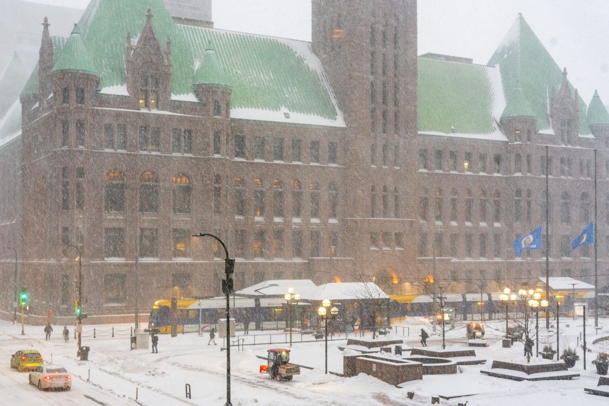
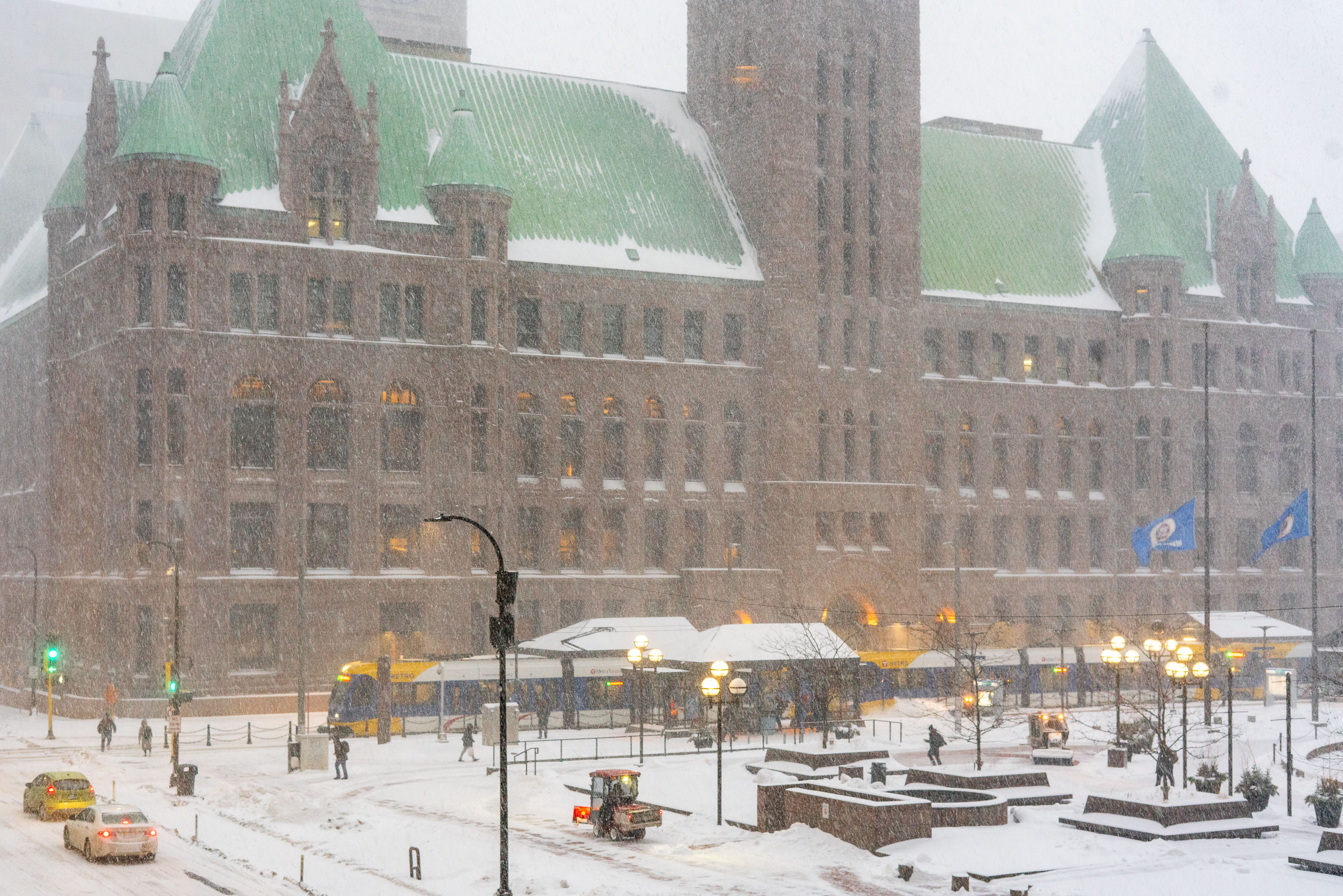
Minneapolis City Hall's Romanesque Revival tower with green copper roof dominates the snow-covered downtown plaza during a winter snowstorm.
Minneapolis City Hall opened in 1905 after nearly two decades of construction, designed by Long and Kees in Romanesque Revival style. The building rises twelve stories and is topped by a clock tower with a 15-foot minute hand, once among the largest four-faced clocks in the world.

Light Rail and Pedestrians Pass Minneapolis City Hall During Snowfall
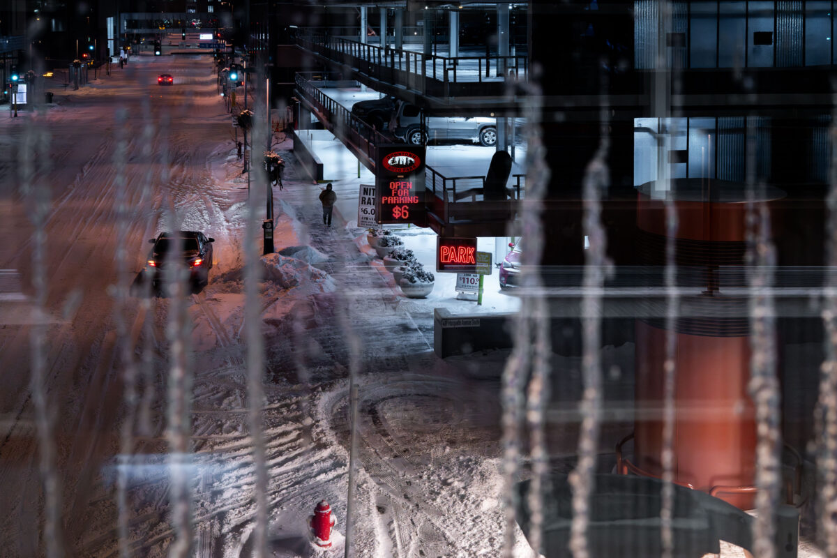
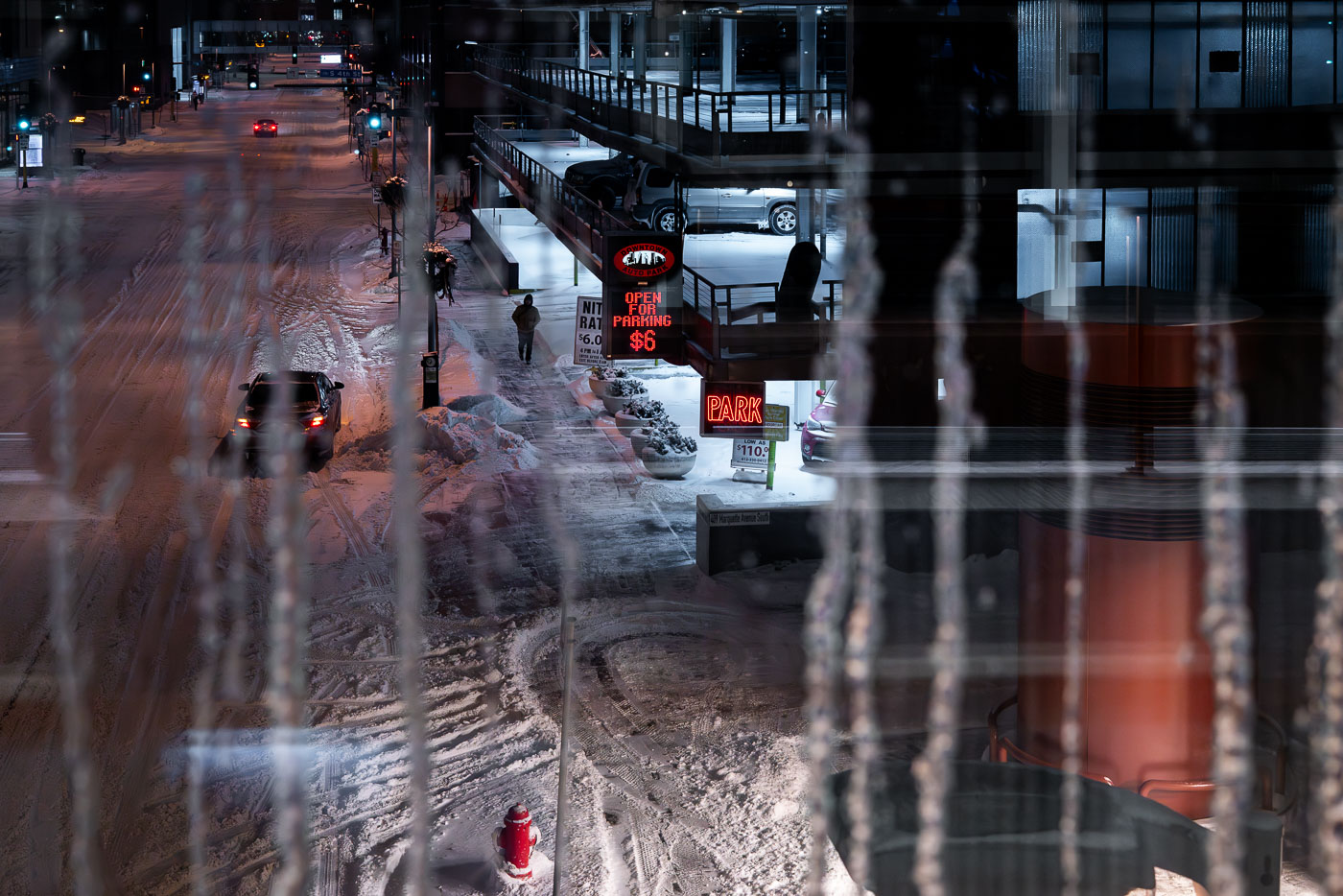
Icy downtown Minneapolis street beside a skyway parking ramp at night
A snow-covered street in downtown Minneapolis runs past a skyway-connected parking ramp at night. Icicles hang in the foreground, and neon signs mark the parking entrance and rate information.

Icy downtown Minneapolis street beside skyway parking ramp
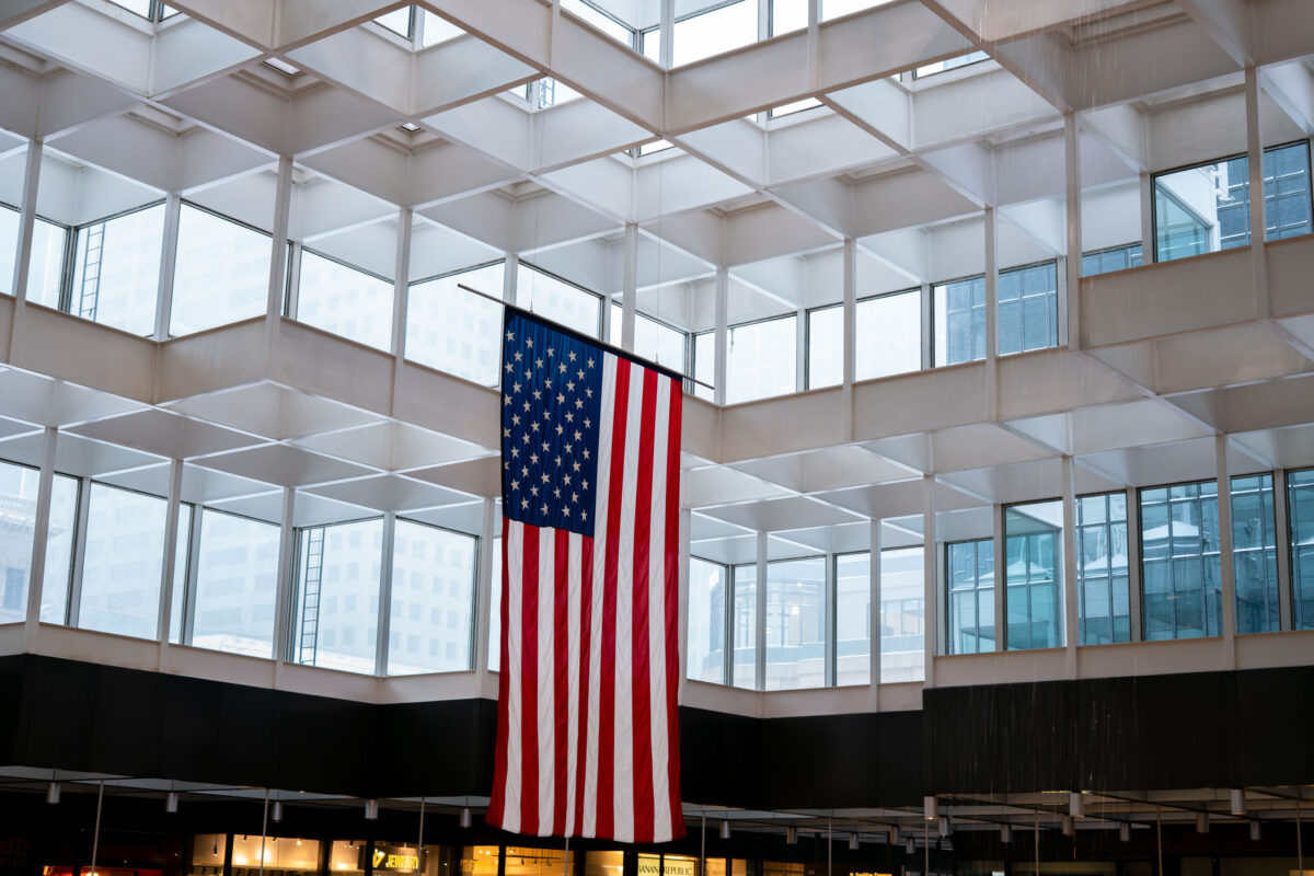
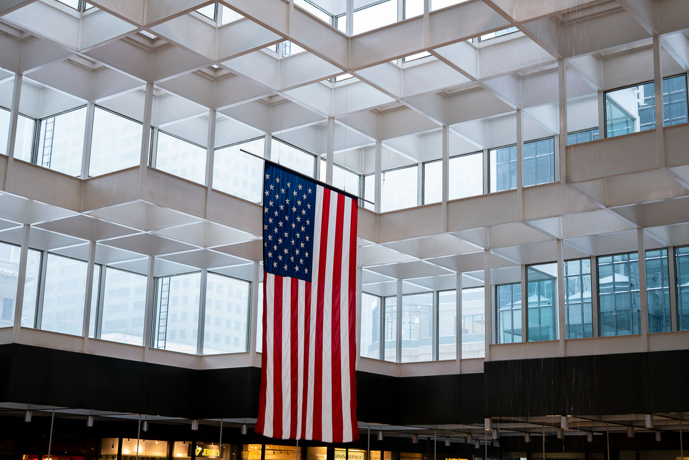
American flag suspended in the IDS Crystal Court atrium, downtown Minneapolis.
An American flag hangs in the IDS Crystal Court, the atrium of the IDS Center in downtown Minneapolis. The court is enclosed by a grid of skylights and surrounded by multiple levels of offices and commercial spaces. Completed in 1973, the IDS Center was Minnesota's tallest building at the time of construction.

American flag, IDS Crystal Court, Minneapolis
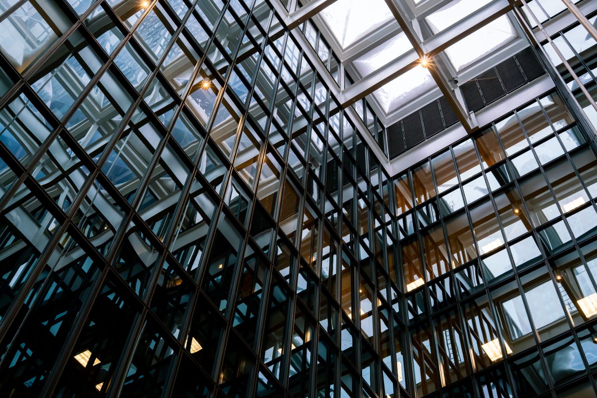
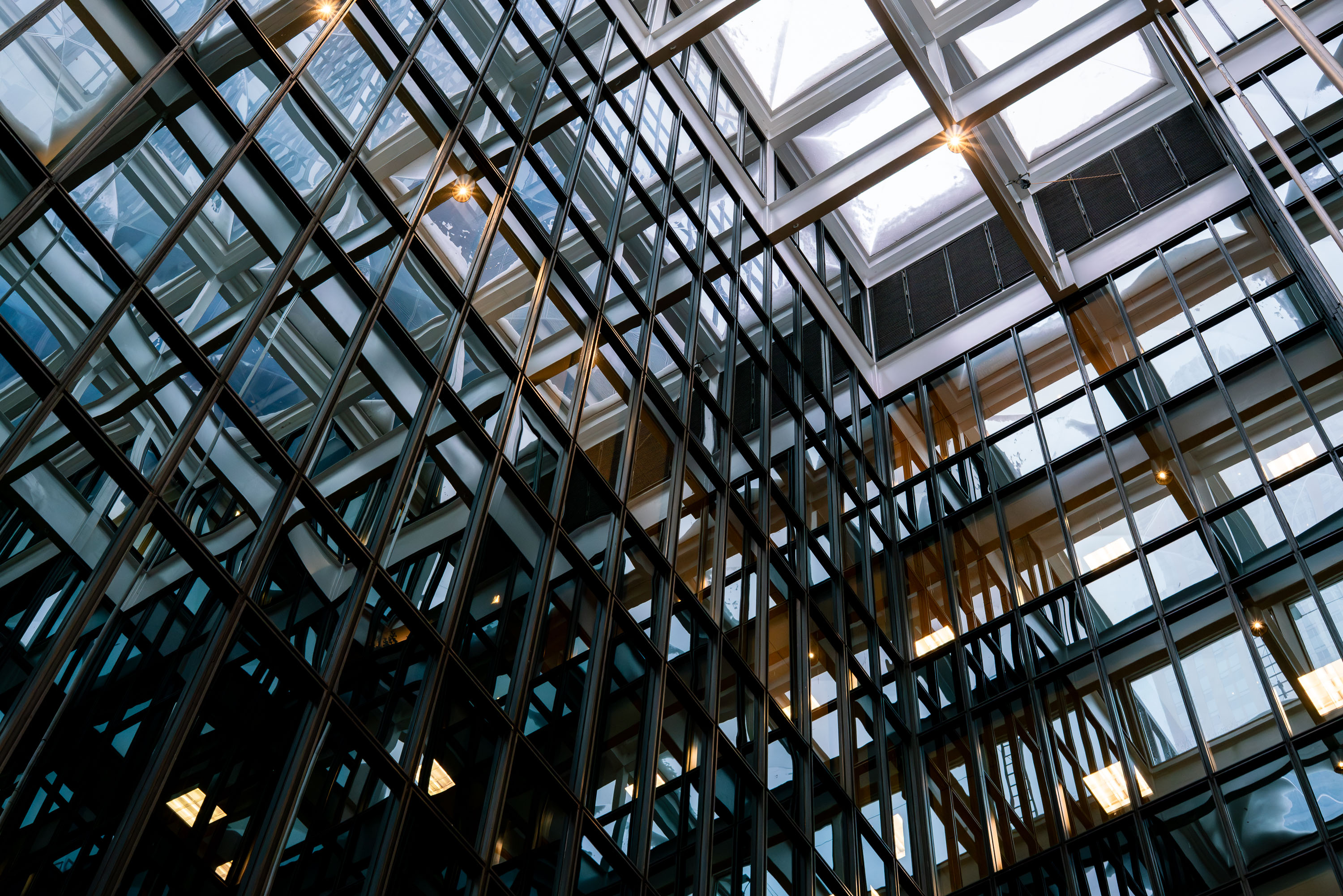
Steel-framed glass atrium ceiling inside the IDS Center's Crystal Court in downtown Minneapolis.
The IDS Center's Crystal Court sits at the base of the 792-foot IDS Tower, completed in 1972 to a design by Philip Johnson and John Burgee with Edward Baker. The eight-story atrium was built as a public gathering space linking the tower to the surrounding skyway system, which connects much of downtown Minneapolis. Its steel-and-glass roof structure covers roughly an acre, making it one of the largest enclosed public spaces of its kind in the city. The building remains the tallest in Minnesota and is listed on the National Register of Historic Places.

Glass Atrium Ceiling, IDS Center Crystal Court, Minneapolis
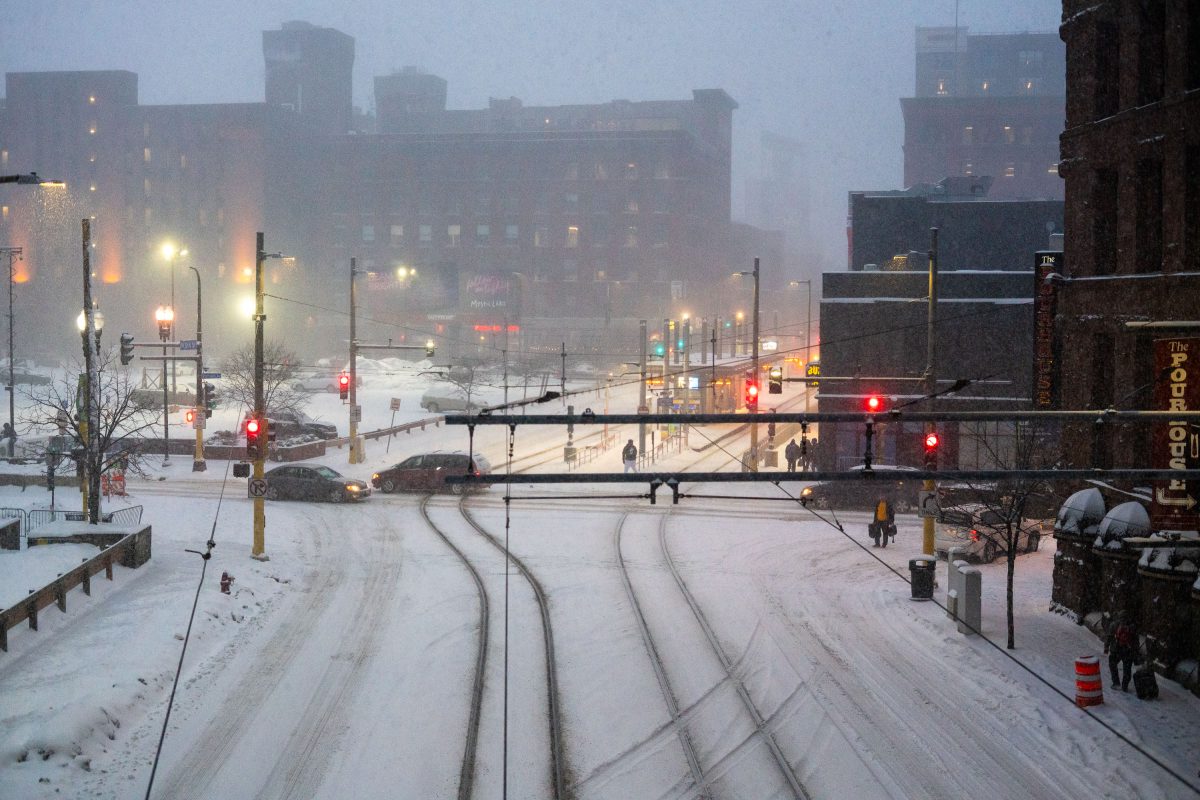
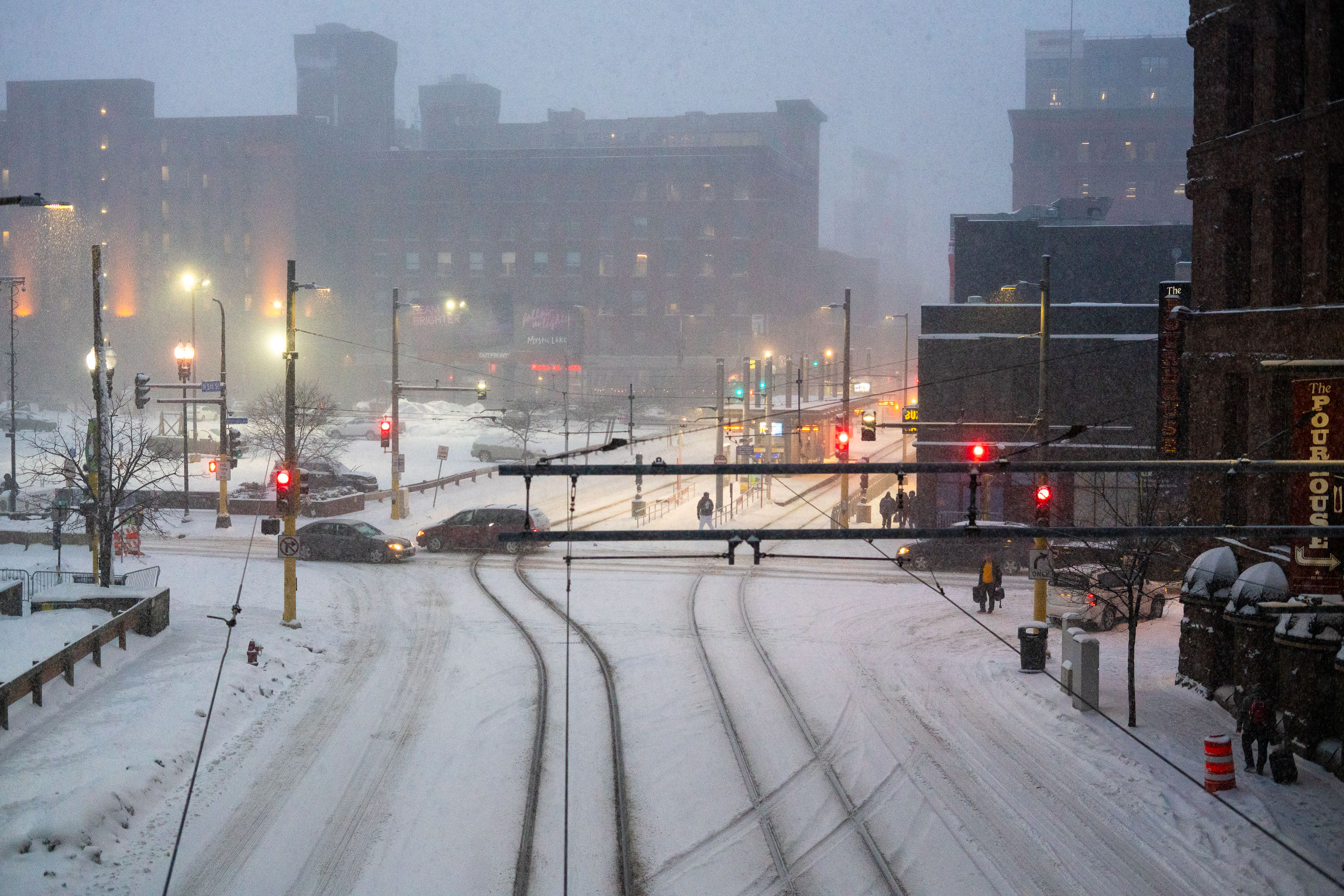
Snow-covered light rail tracks and traffic signals in downtown Minneapolis during a winter storm.
The METRO Blue and Green Line light rail tracks run through downtown Minneapolis along a shared corridor near the Warehouse District. Metro Transit operates the system, which connects downtown to the Mall of America, the airport, and the University of Minnesota. Overhead catenary wires power the trains along fixed rails embedded in the roadway. Snowstorms are common in the region between November and March, and Metro Transit crews use heated switches and de-icing equipment to keep the rail lines operational during winter weather.

Snowstorm Blankets METRO Light Rail Tracks, Downtown Minneapolis
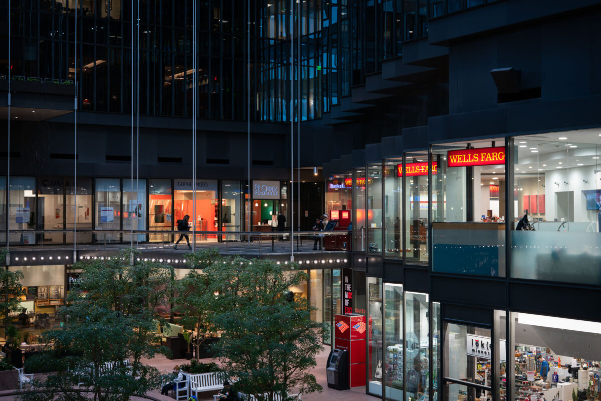
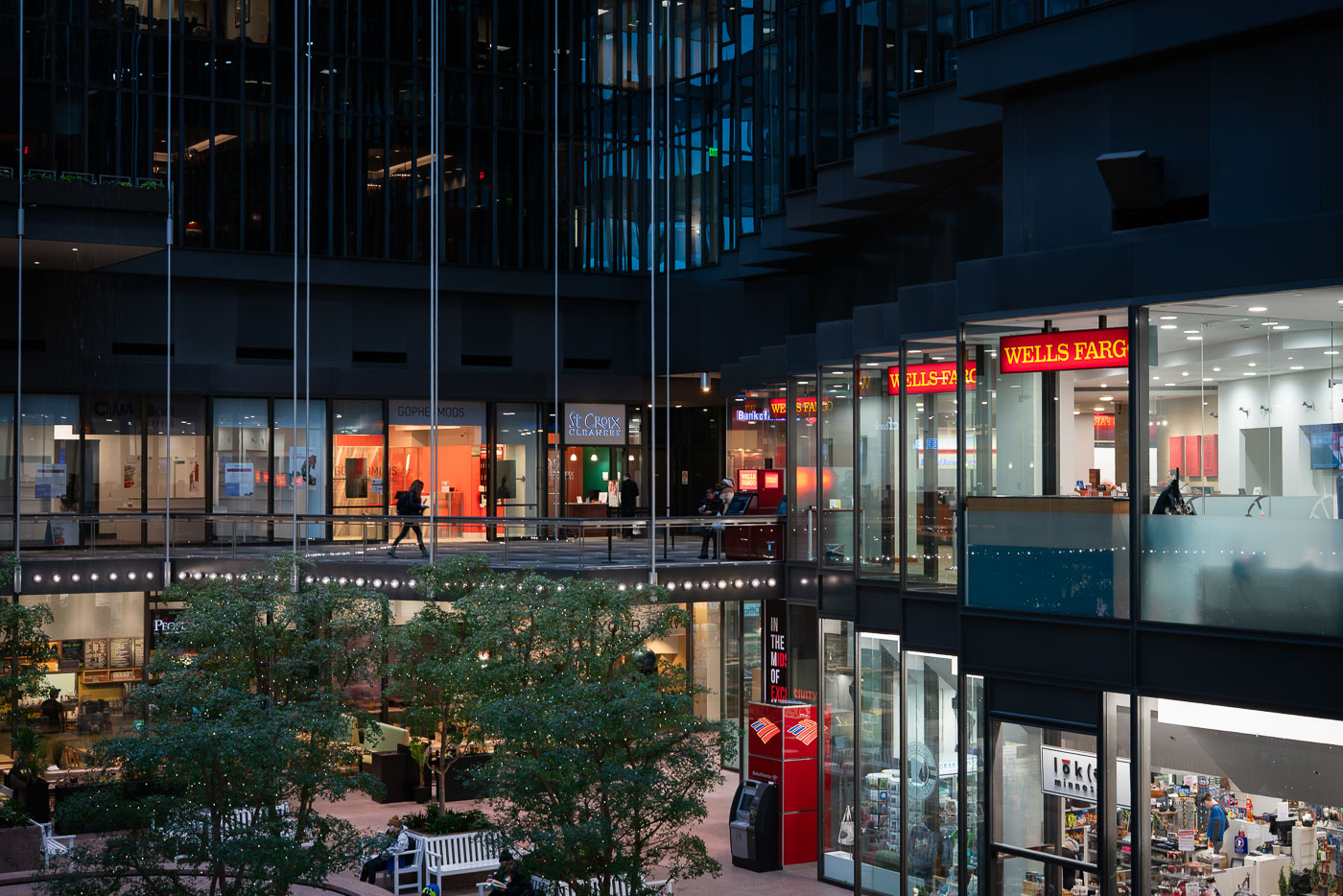
Storefronts and skyway walkway inside Crystal Court at the IDS Center in downtown Minneapolis.
Crystal Court is the eight-story glass atrium at the base of the IDS Center in downtown Minneapolis. Designed by Philip Johnson and John Burgee, the IDS Center opened in 1972 and rises 792 feet, making it the tallest building in Minnesota. Crystal Court connects to several downtown blocks via the Minneapolis Skyway System, the enclosed pedestrian network that links buildings throughout the city center. The atrium has long functioned as a public gathering space and retail concourse, with Wells Fargo among the tenants operating storefronts along its upper walkways.

Retail Level of Crystal Court, IDS Center, Minneapolis
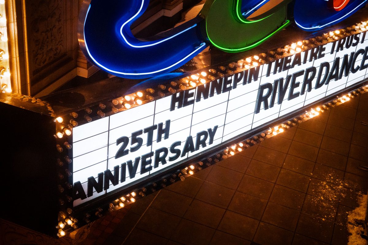
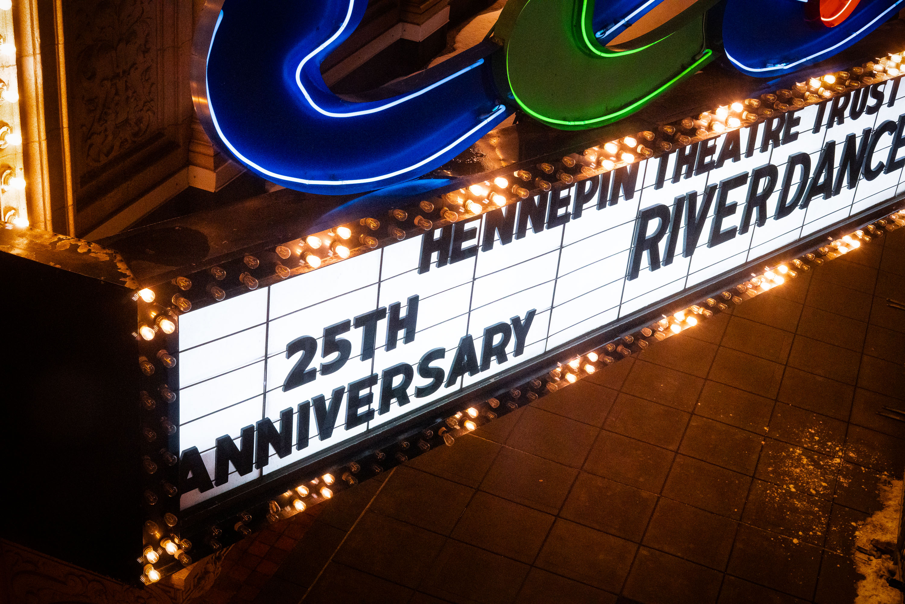
Riverdance 25th Anniversary Marquee
The marquee of the State Theater on Hennepin Avenue in Downtown Minneapolis.

Riverdance 25th Anniversary Marquee State Theater

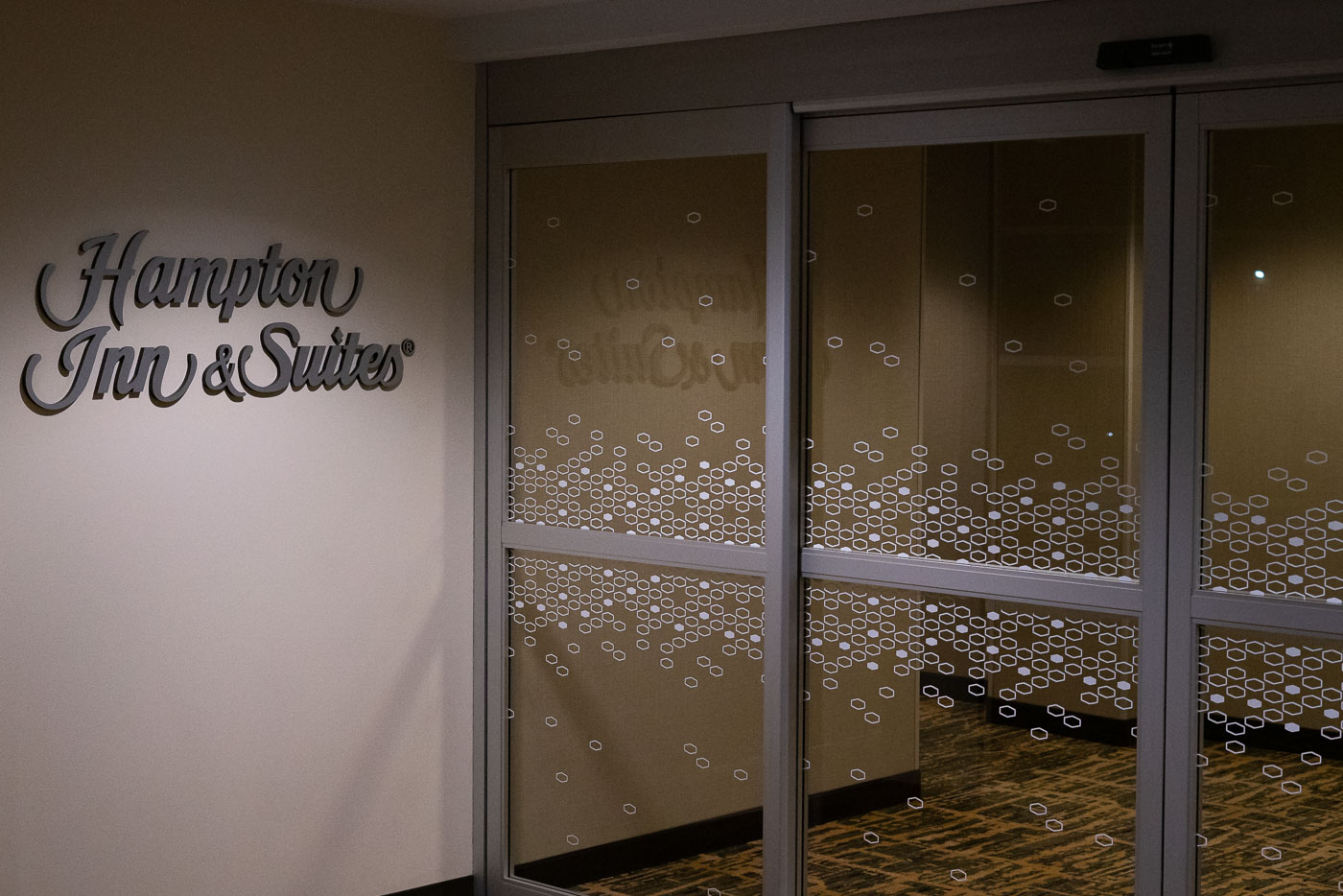
The entrance to the Hampton Inn & Suites in downtown Minneapolis, a hotel offering accommodations for travelers.
The entrance to the Hampton Inn & Suites in downtown Minneapolis is shown. This hotel chain, part of Hilton Worldwide, is known for providing comfortable accommodations for business and leisure travelers. The "& Suites" designation indicates that this particular location offers extended-stay options with kitchenettes. The hotel serves as a lodging facility within the central business district of Minneapolis, contributing to the city's hospitality sector and supporting tourism and commerce.

Hampton Inn & Suites Entrance, Downtown Minneapolis

Red-tiled escalator station interior with metal escalators and illuminated ceiling panels in downtown Minneapolis.
Ramp A is one of several municipal parking ramps woven into downtown Minneapolis's skyway system, connecting parking levels directly to the enclosed second-story walkways that link buildings throughout downtown. The city operates a network of these ramps to serve commuters and shoppers without requiring them to step outside, a design common to Minneapolis since the skyway system's expansion in the 1960s and 1970s.

Ramp A Skyway Escalators, Downtown Minneapolis
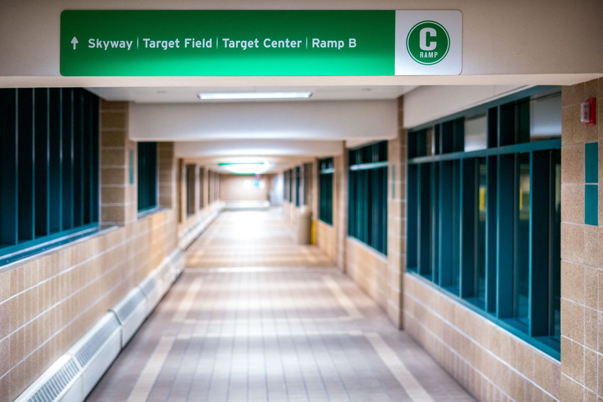
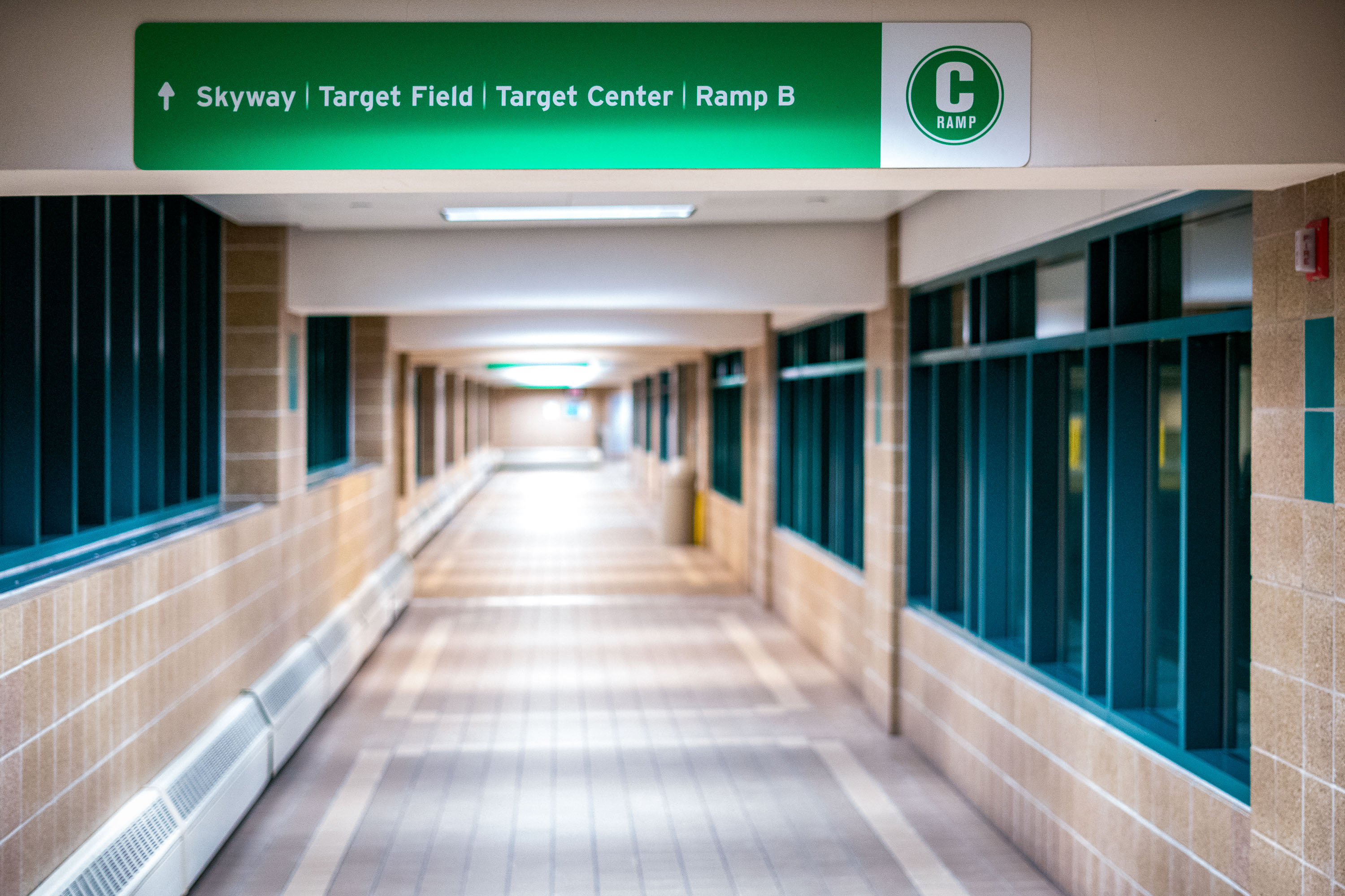
Interior corridor of Ramp C in the Minneapolis Skyway System with directional signage for Target Field and Target Center.
Minneapolis's Skyway System is the largest continuous skyway network in the world, linking more than 80 blocks of downtown through roughly 9.5 miles of enclosed, climate-controlled walkways. This particular corridor runs through Ramp C, a municipal parking structure, and directs pedestrians toward Target Field, home of the Minnesota Twins since 2010, and Target Center, the arena that has hosted the Minnesota Timberwolves since 1990.

Ramp C Skyway to Target Field and Target Center, Minneapolis
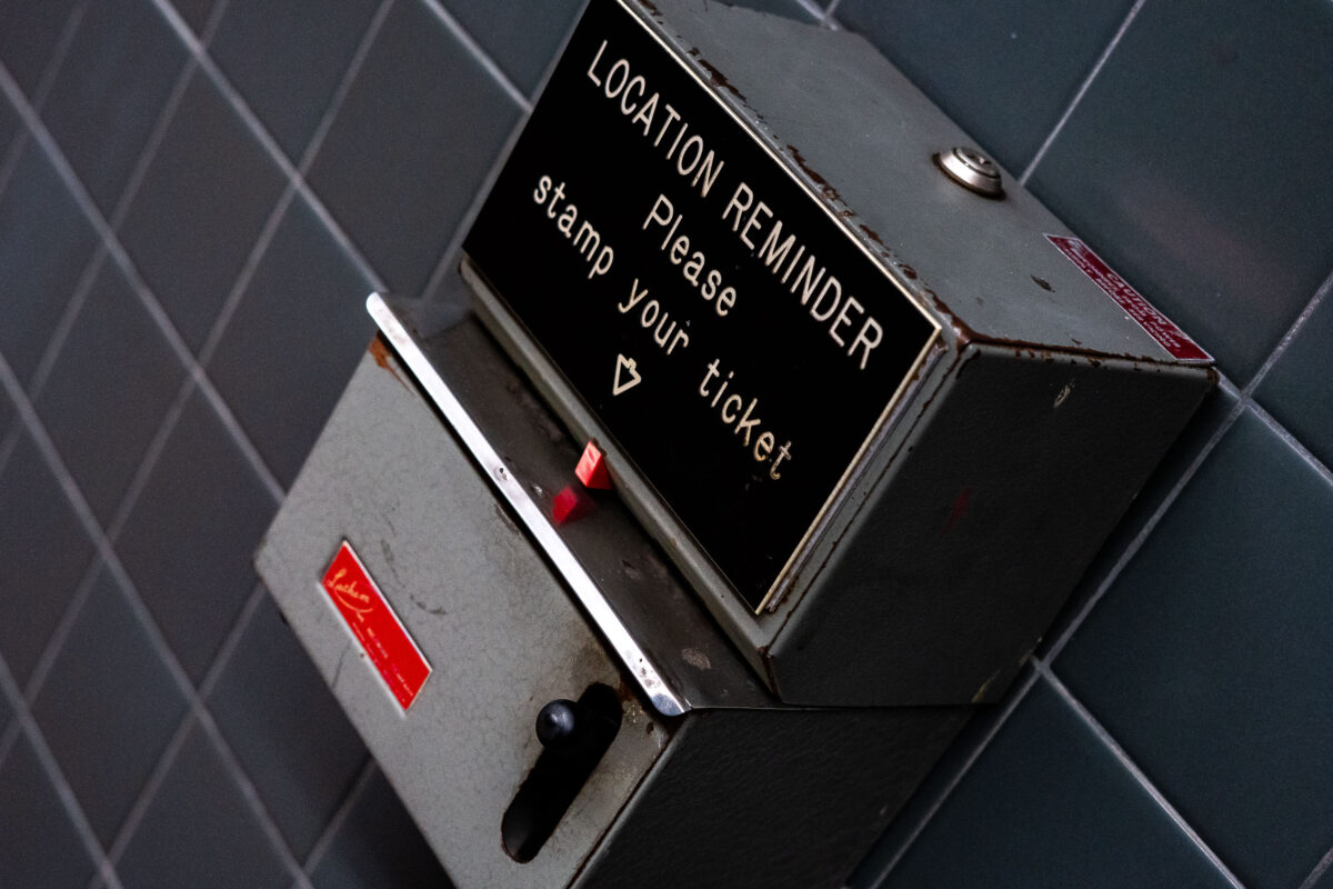
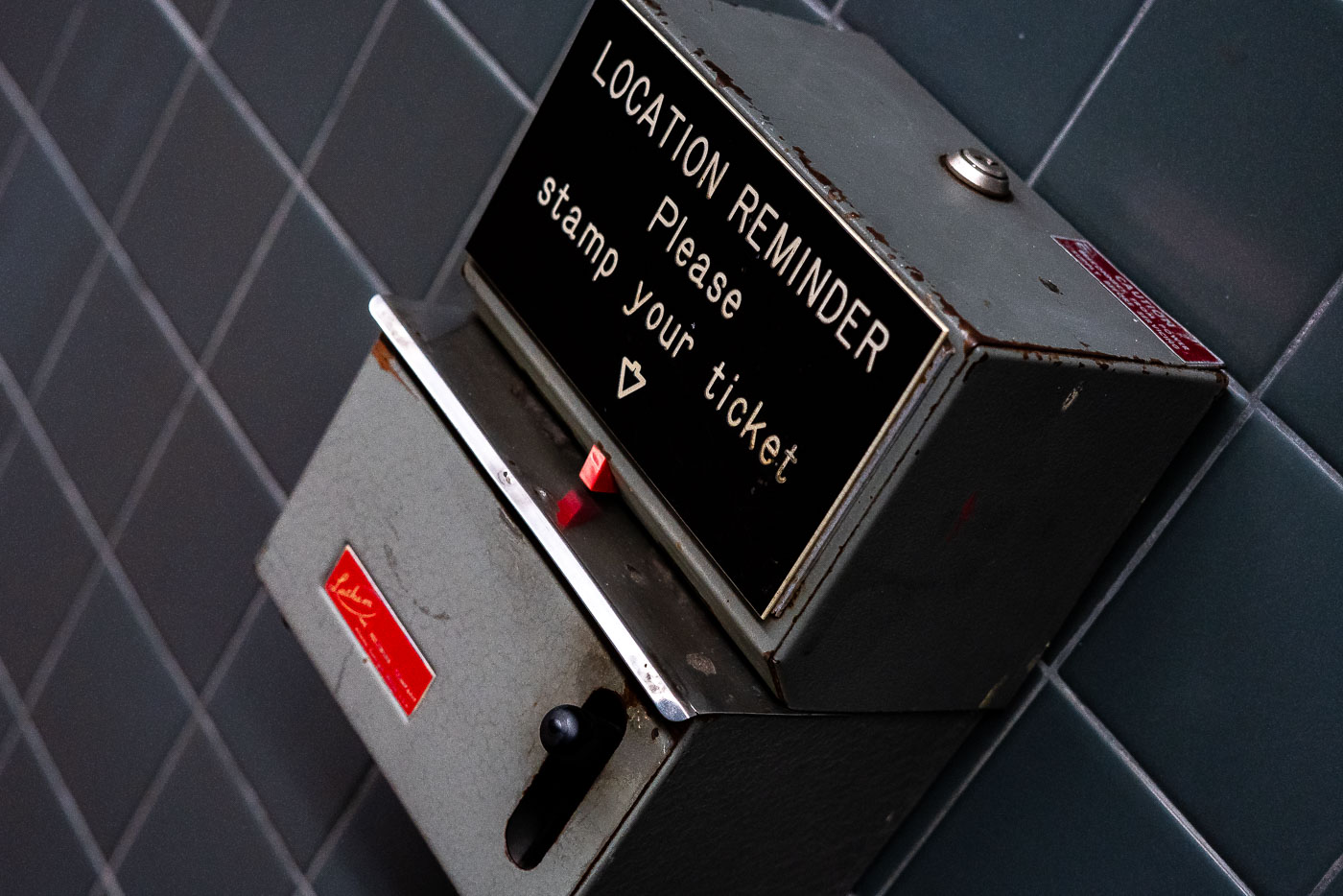
A "Location Reminder" ticket stamping machine, formerly in downtown Minneapolis transit stations, allowed passengers to mark tickets with arrival/departure times. This mid-20th-century device exemplifies transit infrastructure.
A "Location Reminder" ticket stamping machine, formerly installed in downtown Minneapolis transit stations, allowed passengers to mark their tickets with the time and place of their arrival or departure. This utilitarian device, with its lever-operated mechanism and faded instructional label, exemplifies mid-20th-century transit infrastructure. Such machines were essential for manual timestamping in parking facilities and public transit hubs before the widespread adoption of digital systems. The machine's robust, industrial design and its mounting on a tiled wall reflect the functional aesthetics of public transportation facilities of its era.

Location Reminder Ticket Stamping Machine, Downtown Minneapolis
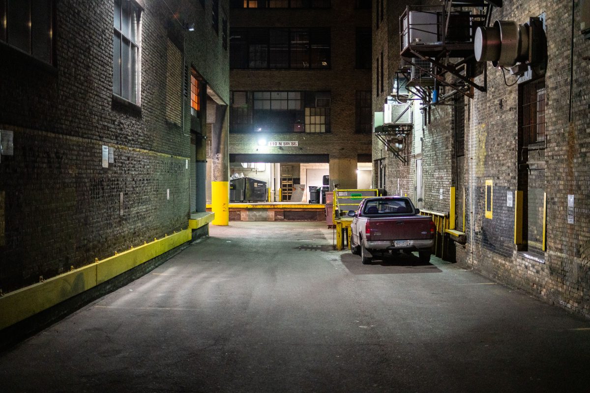
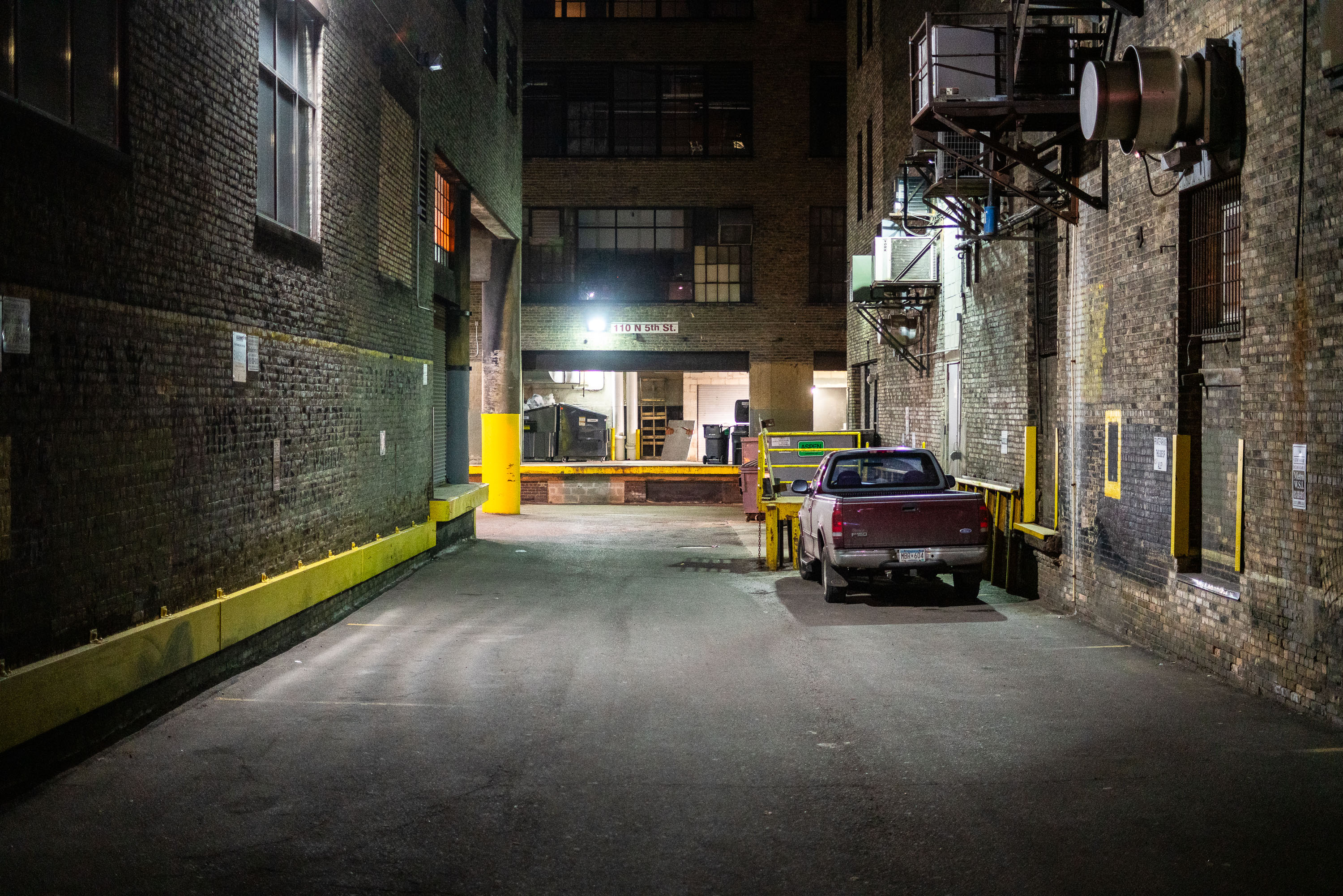
An Alley in Downtown Minneapolis
An alley in downtown Minneapolis.

An Alley in Downtown Minneapolis

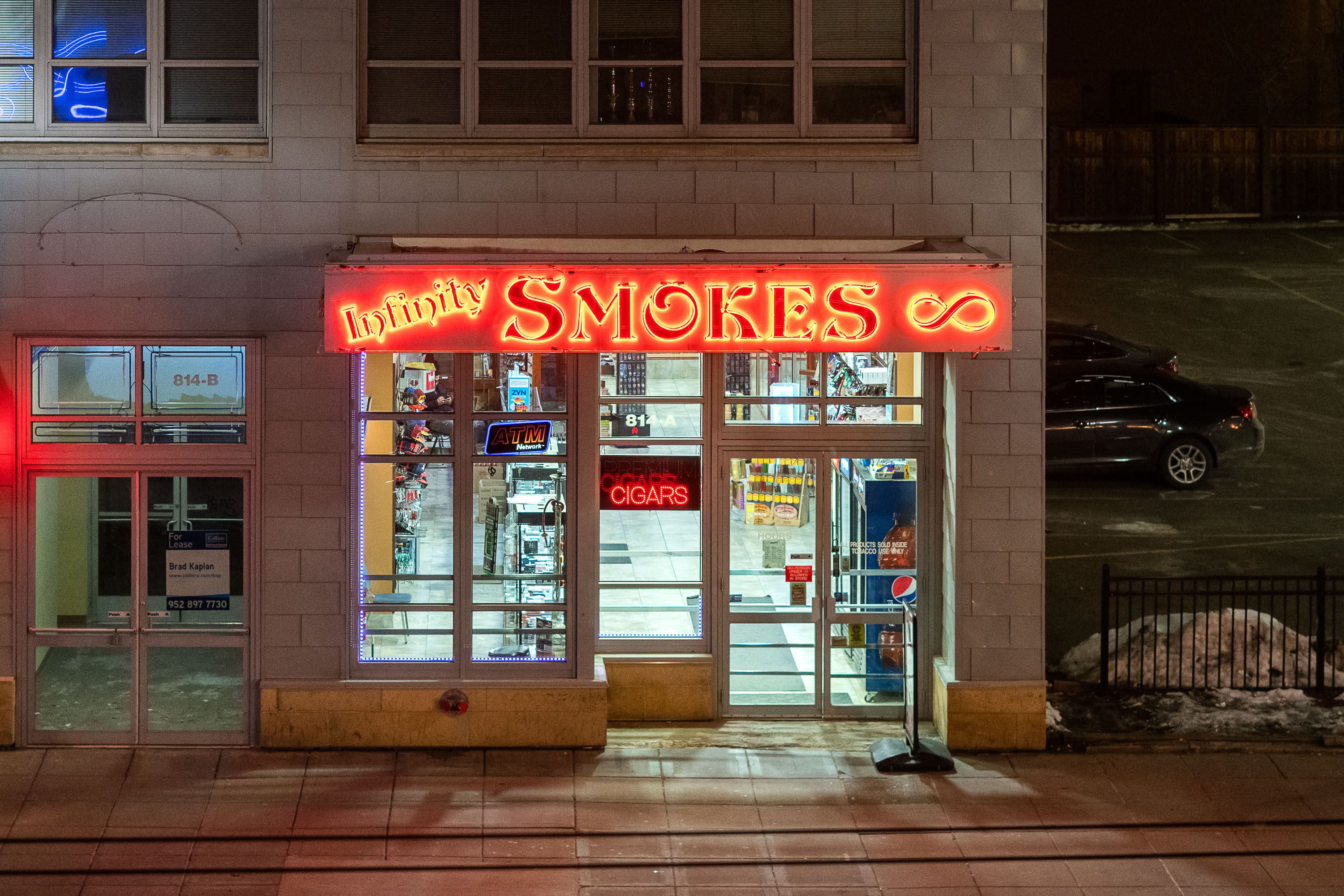
Infinity Smokes in Downtown Minneapolis
Infinity Smokes at 814 Hennepin Ave in Downtown Minneapolis.

Infinity Smokes in Downtown Minneapolis

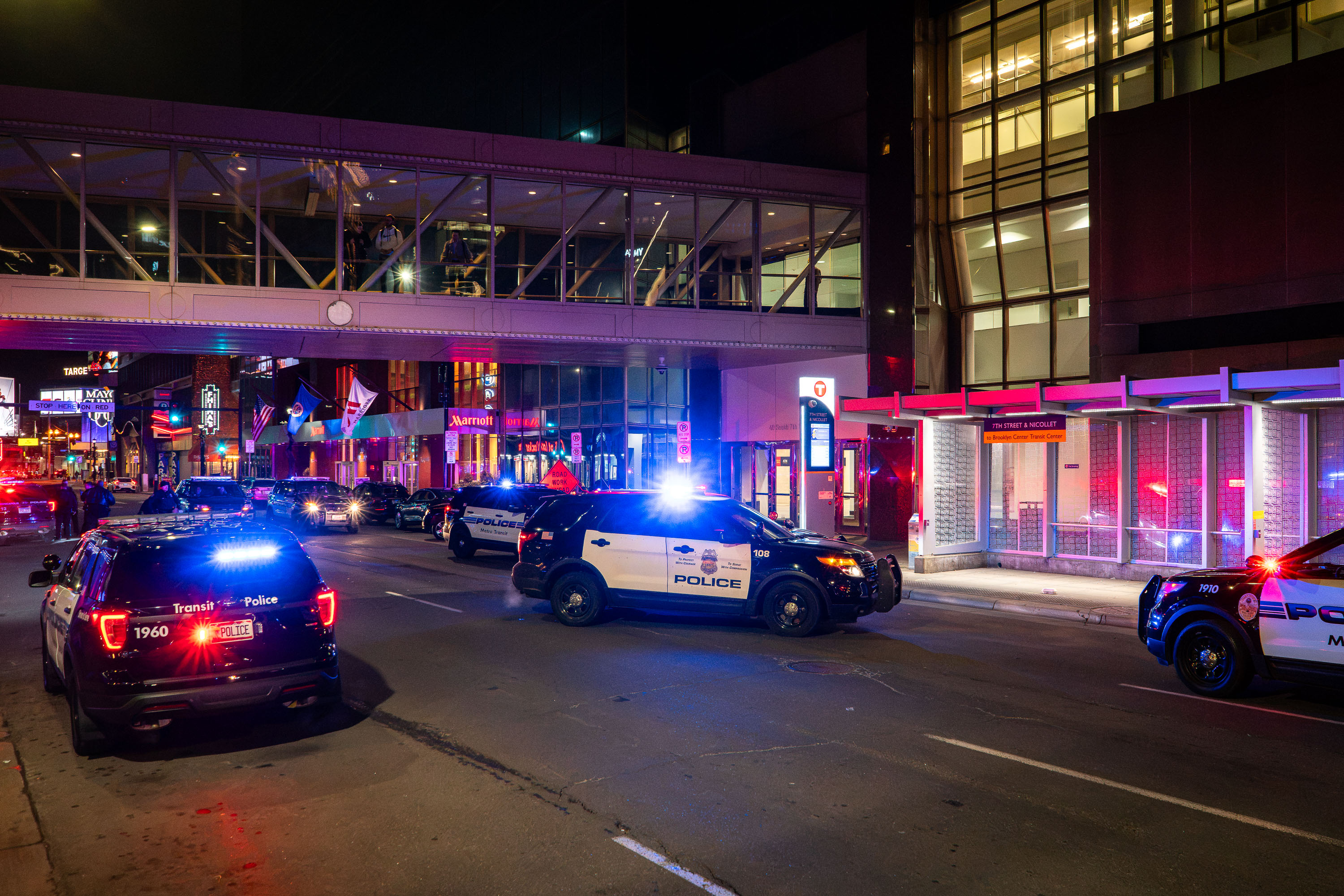
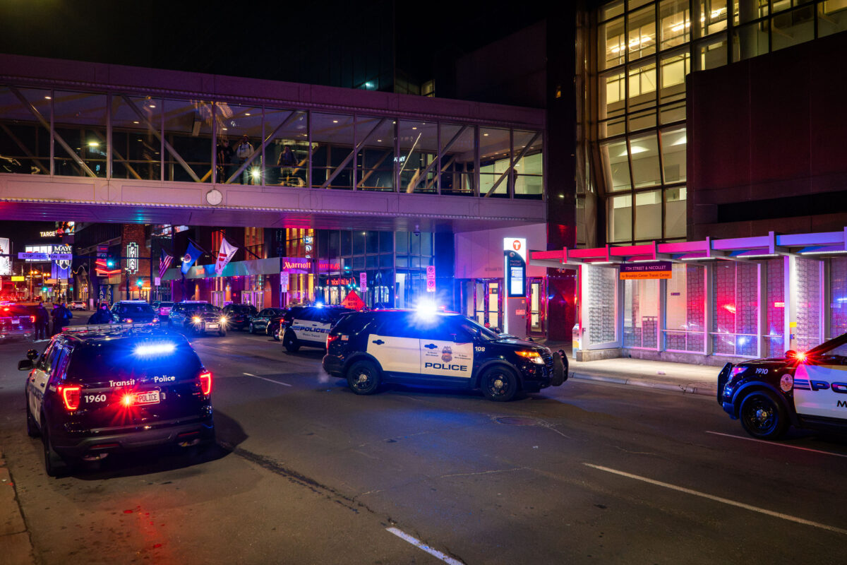
Minneapolis Police and Metro Transit Police, Downtown Minneapolis
Minneapolis Police and Metro Transit Police on 7th Street in Downtown Minneapolis.

Minneapolis Police and Metro Transit Police, Downtown Minneapolis

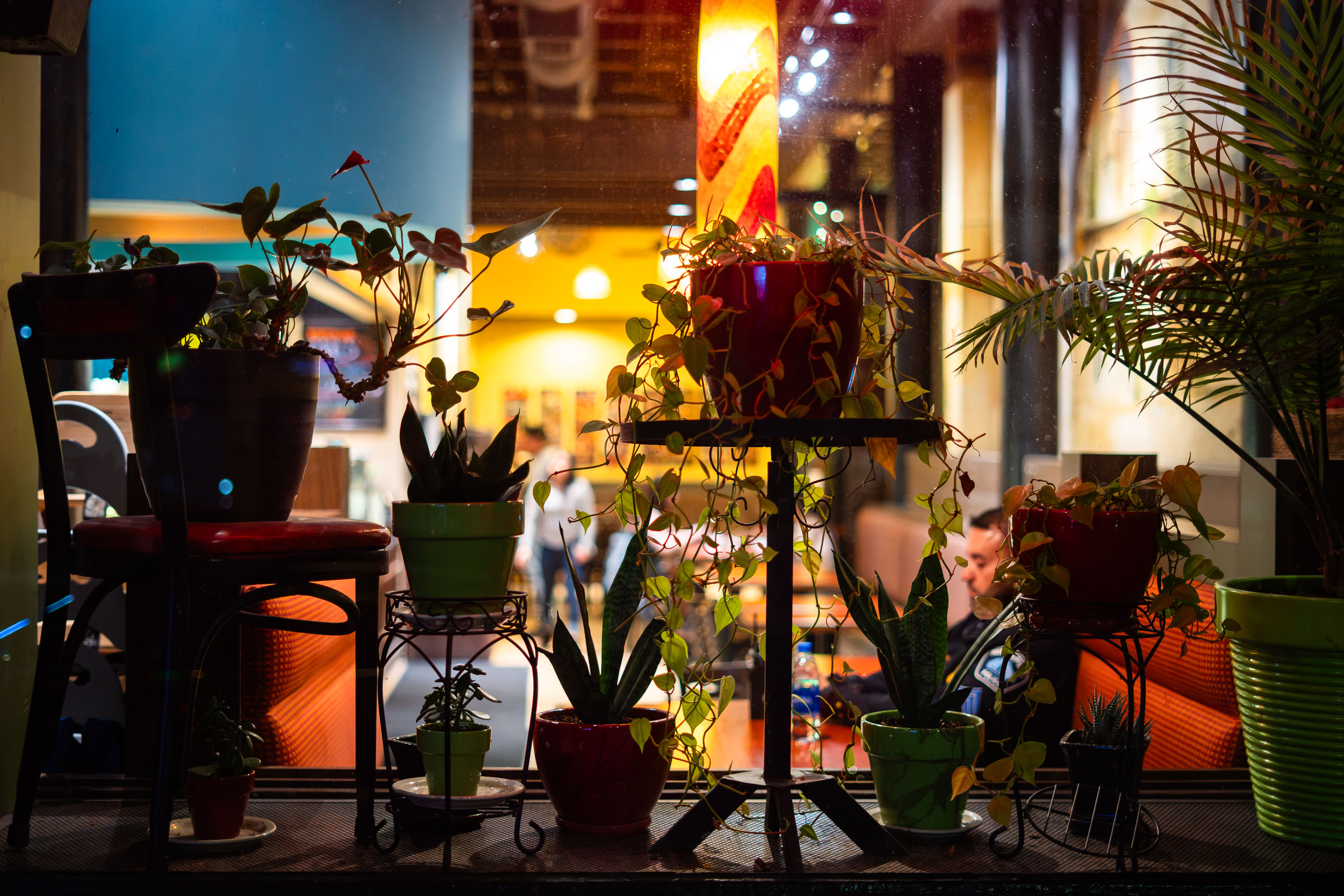
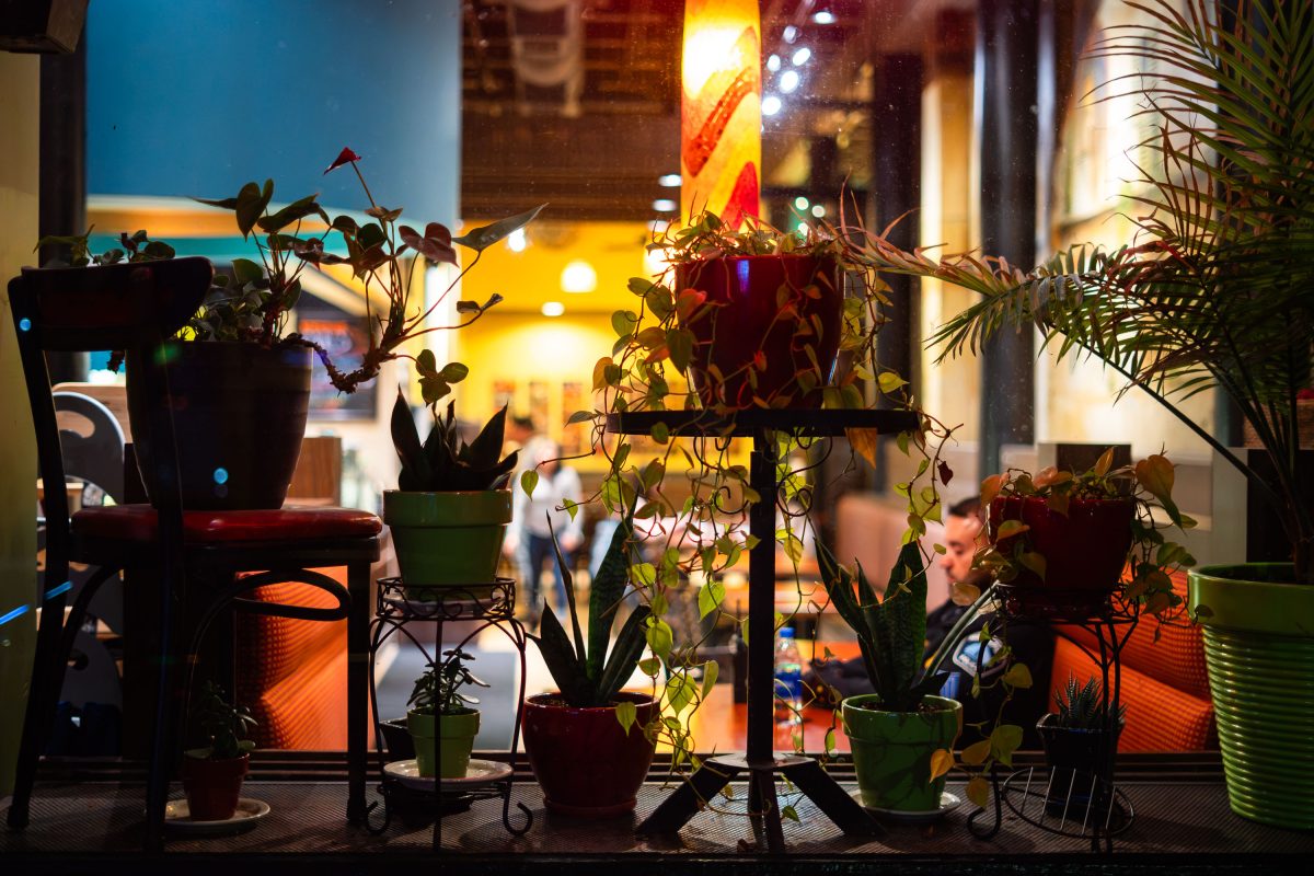
Window Plants at Pizza Luce in Downtown Minneapolis
Plants in the window of Pizza Luce in Downtown Minneapolis.

Window Plants at Pizza Luce in Downtown Minneapolis

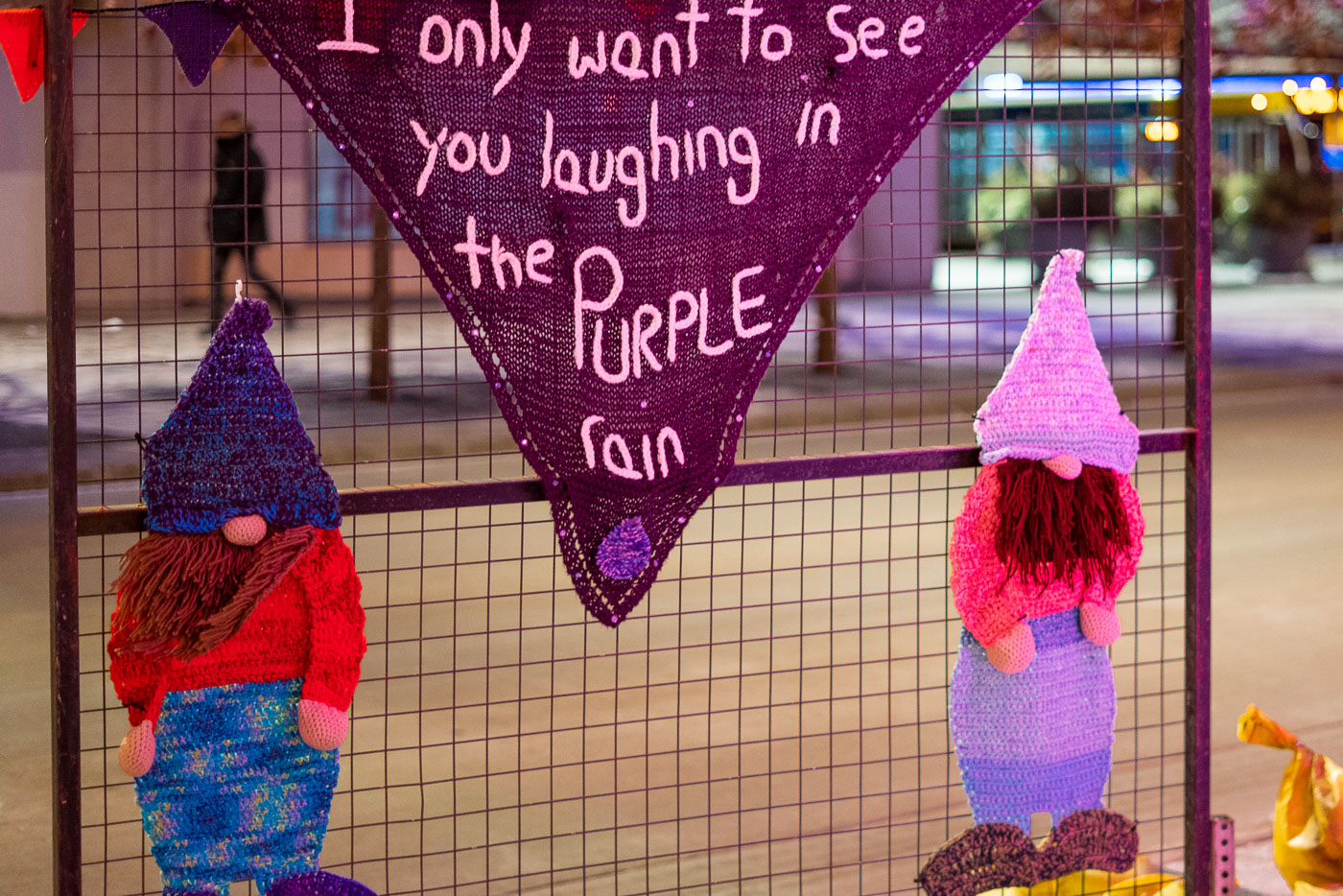
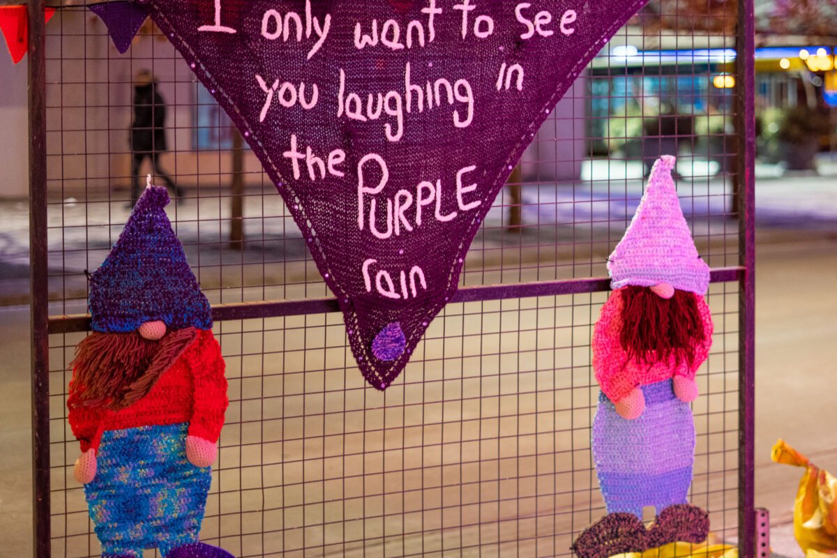
Knitted figures with a purple banner quoting Prince's "Purple Rain" hang from a downtown Minneapolis fence.
Fiber art installed on a fence in downtown Minneapolis on February 12, 2020 includes a stitched quotation from Prince’s “Purple Rain.”

Yarn-Bombed Gnomes with “Purple Rain” Quote on Nicollet Mall
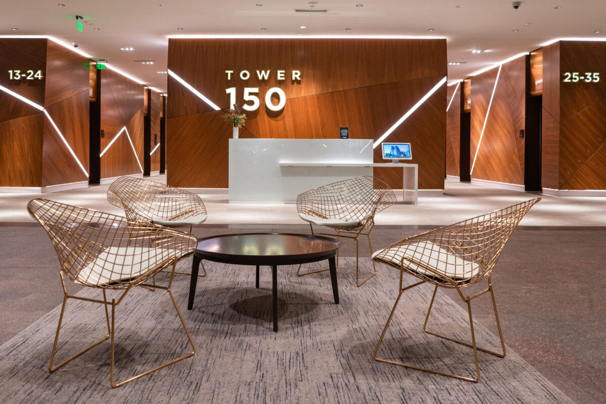
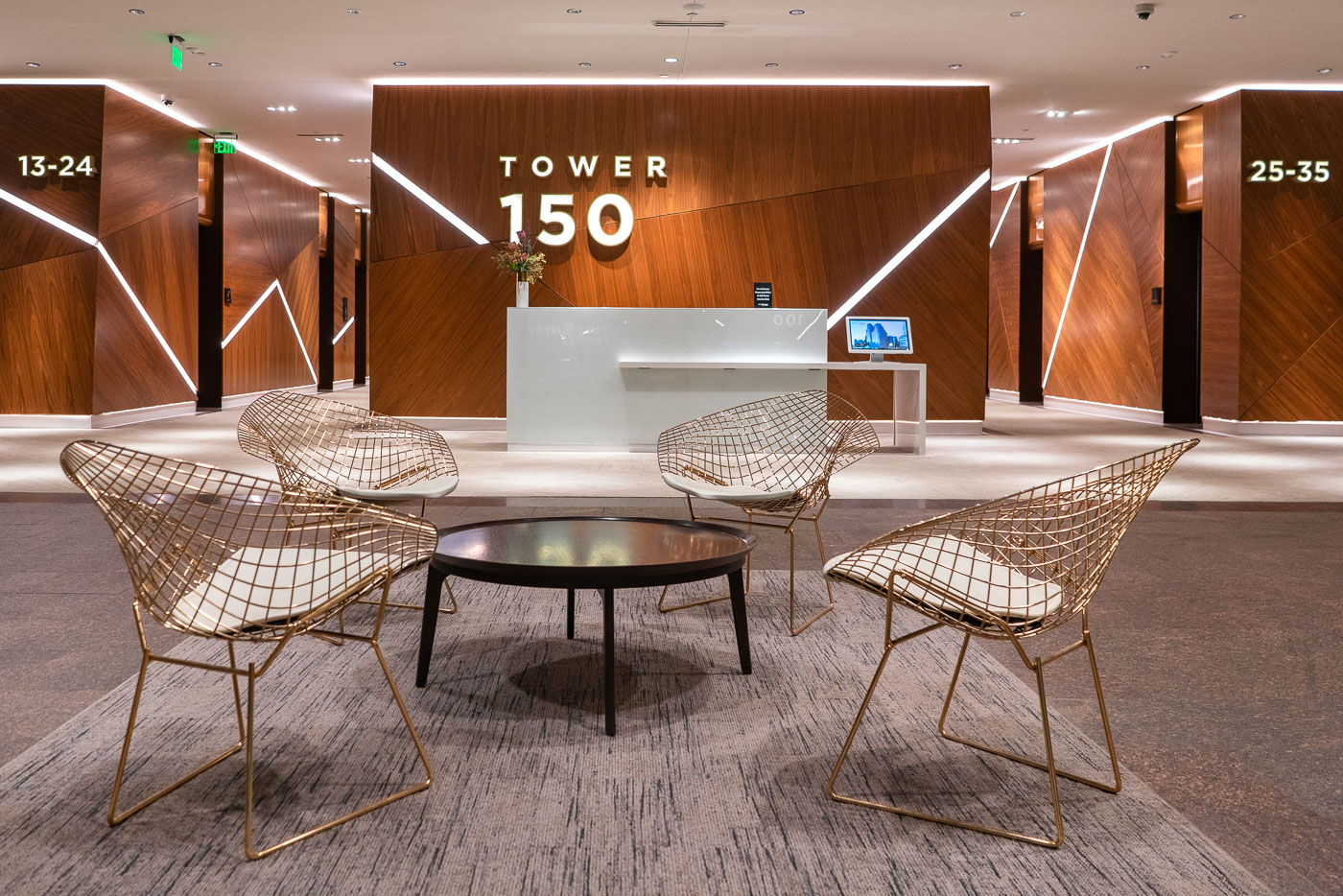
Tower 150 lobby at Fifth Street Towers in downtown Minneapolis with elevator banks and seating.
Tower 150 lobby at Fifth Street Towers in downtown Minneapolis. The office tower is part of the Fifth Street Towers complex, which connects to the Minneapolis Skyway system. The lobby provides elevator access to upper-floor offices and links building tenants and visitors with the downtown skyway network.

Tower 150 Lobby at Fifth Street Towers
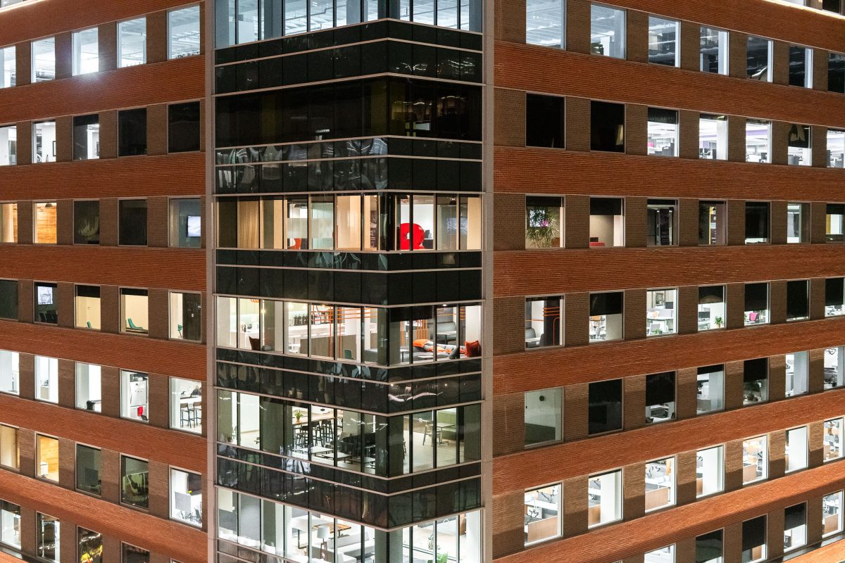
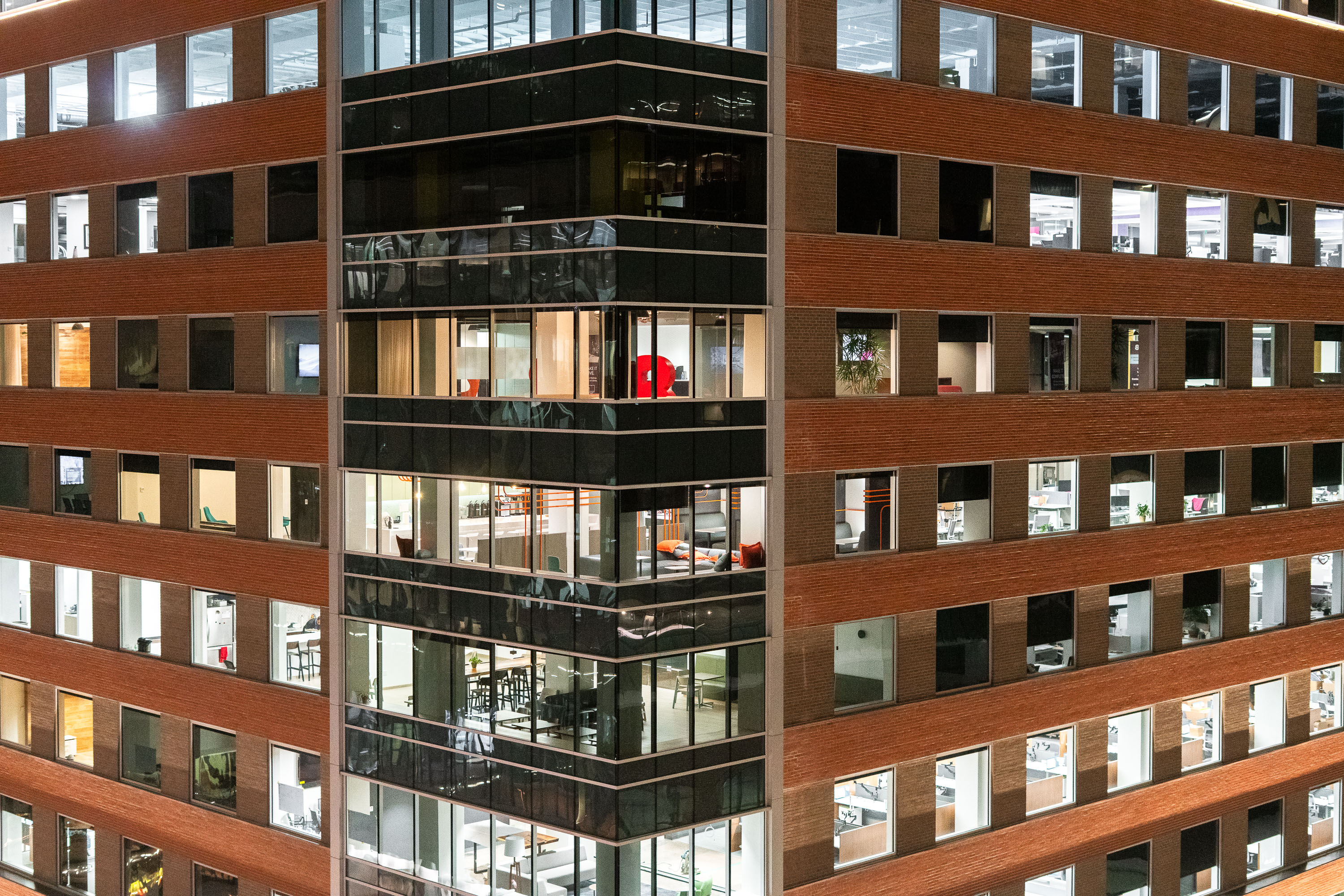
Baker Center Renovation in Downtown Minneapolis
The Baker Center office building in downtown Minneapolis after ungoing a large renovation both inside and outside.

Baker Center Renovation in Downtown Minneapolis

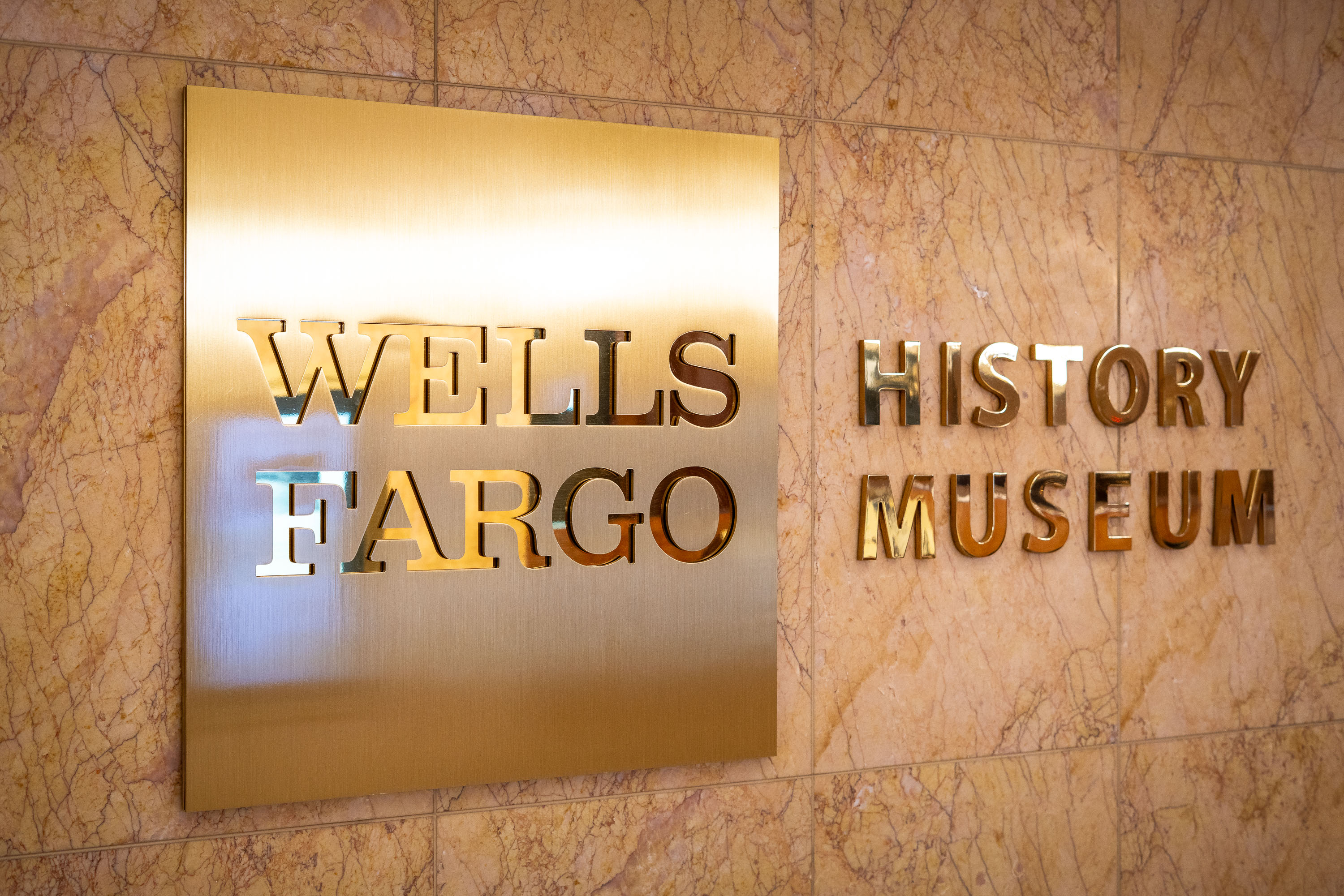
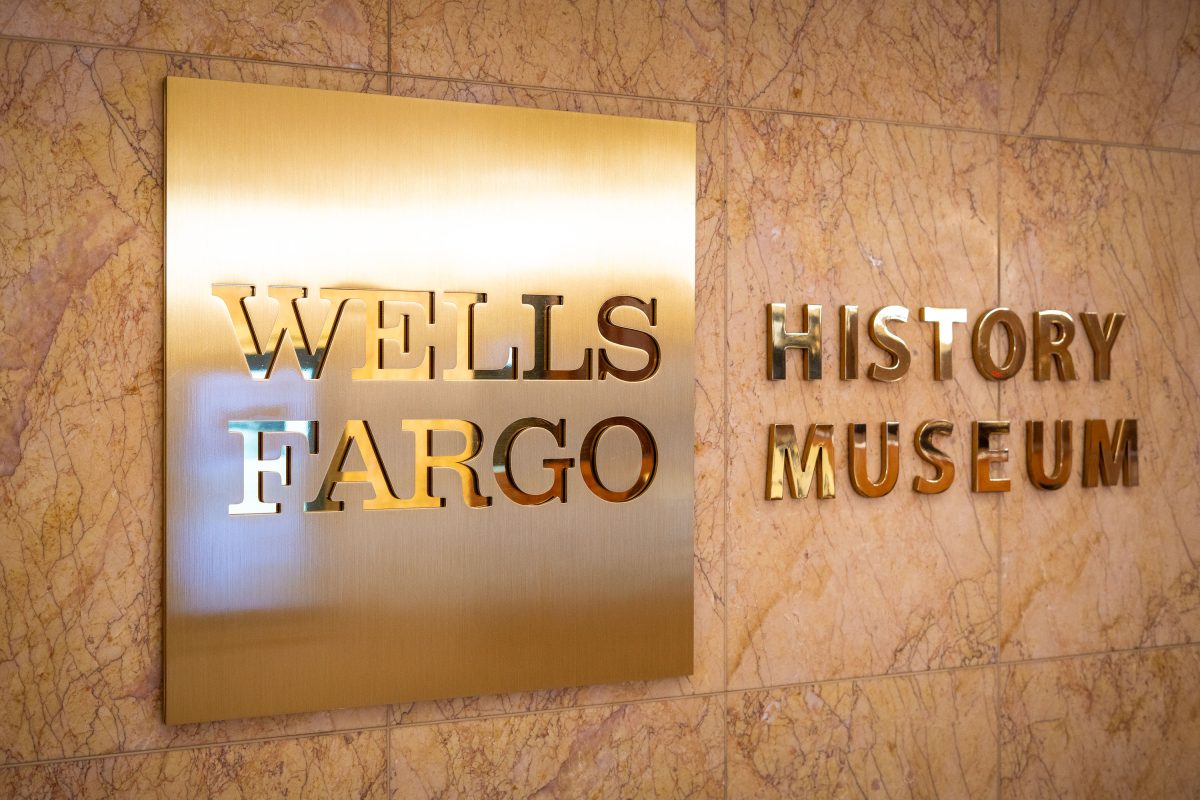
Wells Fargo History Museum signage mounted on marble wall in Minneapolis.
Wells Fargo operates several history museums across its footprint, including this one inside Wells Fargo Center in downtown Minneapolis. The museums showcase artifacts from the company's founding in 1852 by Henry Wells and William Fargo, when it began as an express delivery and banking service for customers headed to California during the Gold Rush. Exhibits typically include stagecoaches, mining-era currency, and telegraph equipment tracing the company's expansion across the American West. Wells Fargo Center itself, completed in 1988, is a 58-story skyscraper designed by César Pelli and remains one of the tallest buildings in Minneapolis.

Wells Fargo History Museum, Wells Fargo Center, Minneapolis
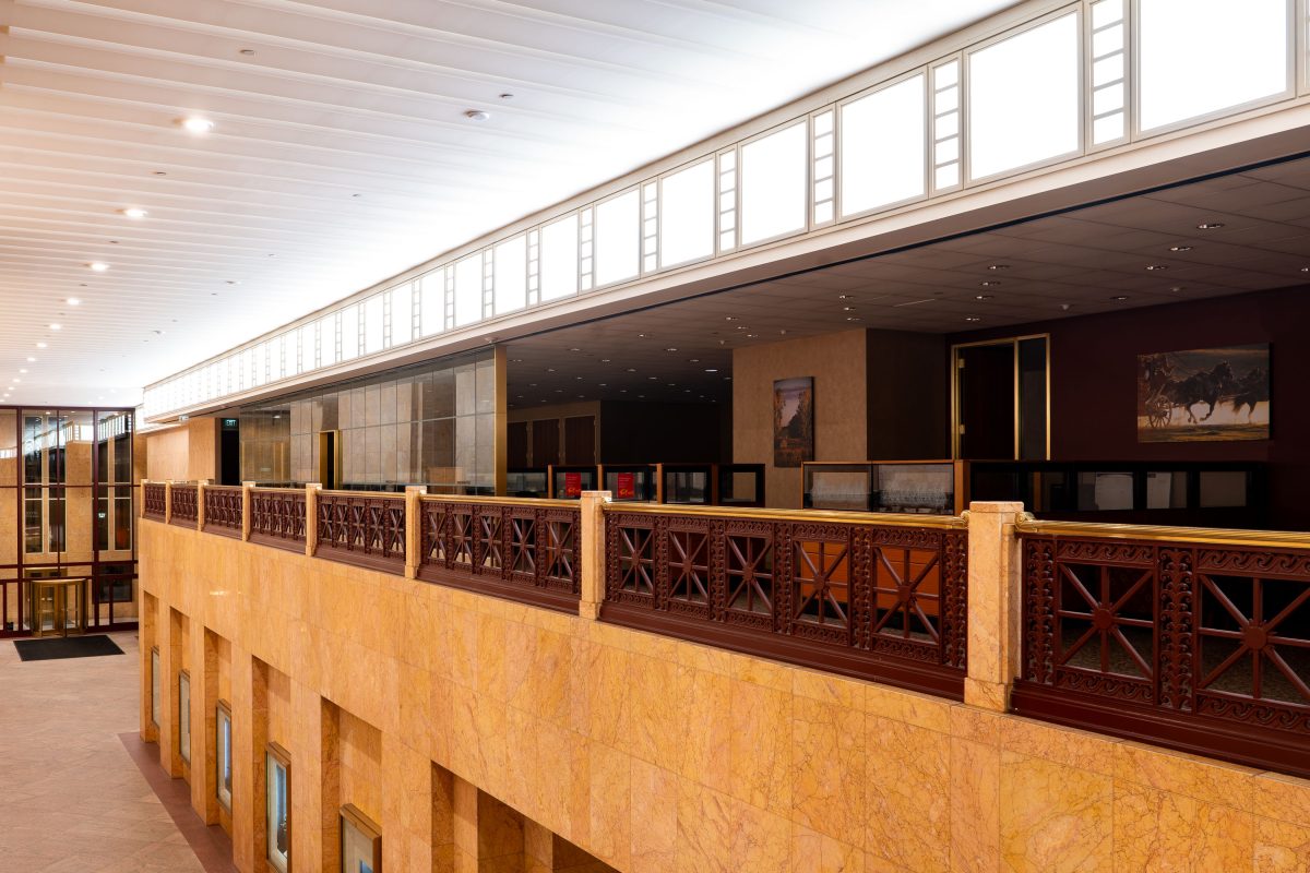
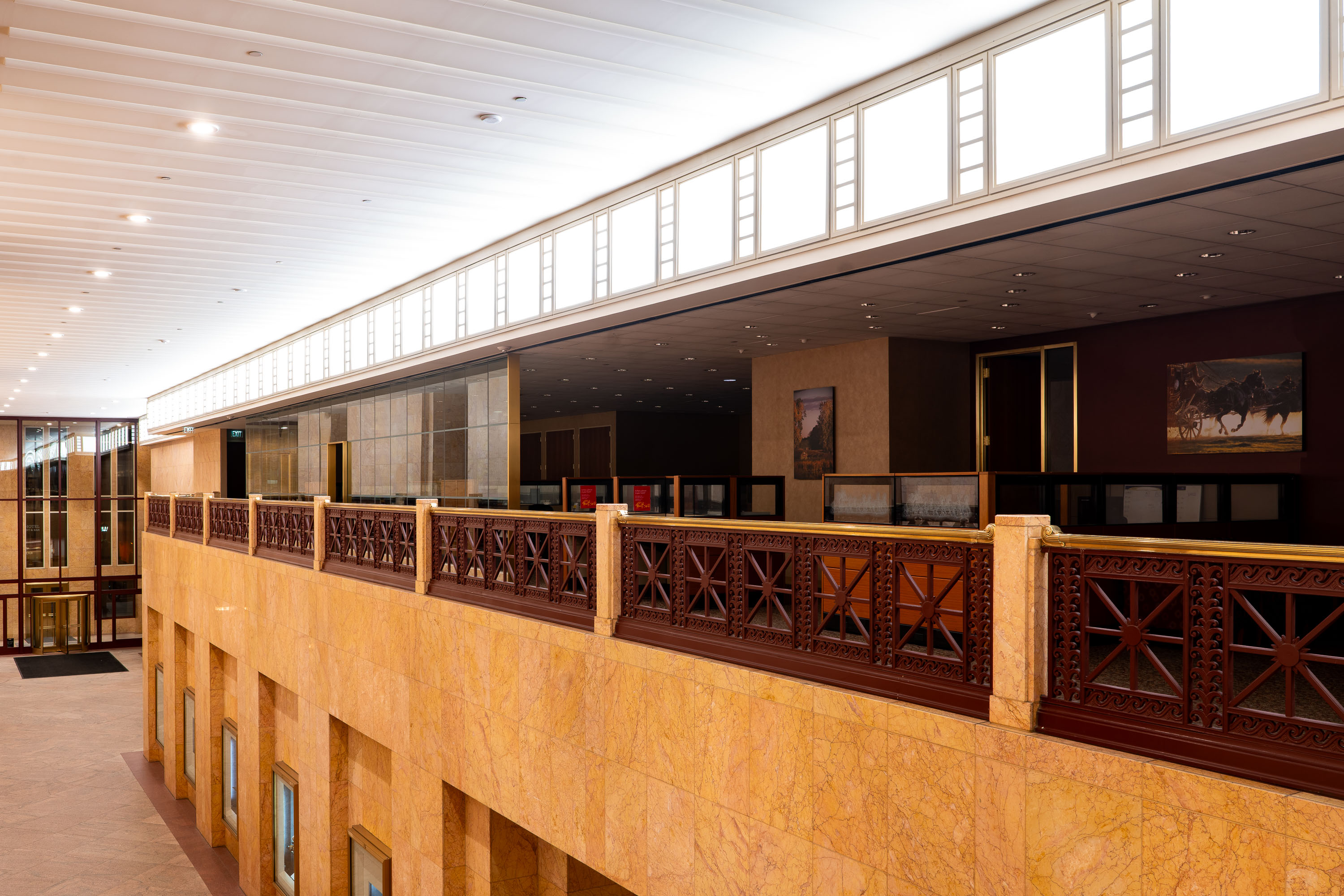
Interior of the Wells Fargo Center Museum in downtown Minneapolis featuring wooden railings and gallery spaces.
The Wells Fargo History Museum occupies the mezzanine level of the Wells Fargo Center at 90 South Seventh Street in downtown Minneapolis. Wells Fargo operates a small chain of these free museums in cities where it has a historic presence, using them to display stagecoaches, mining-era artifacts, and archival s tied to the company's founding in 1852. The exhibit cases along the balcony rail typically rotate items from the bank's corporate archives, including gold specimens and correspondence from the stagecoach express era. The Wells Fargo Center tower itself, completed in 1988 and designed by Cesar Pelli, rises 58 stories above the museum's perch overlooking the building's lobby.

Mezzanine Balcony, Wells Fargo History Museum, Minneapolis
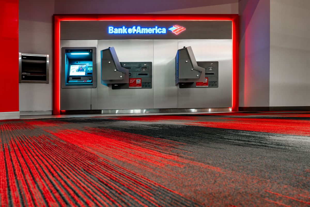
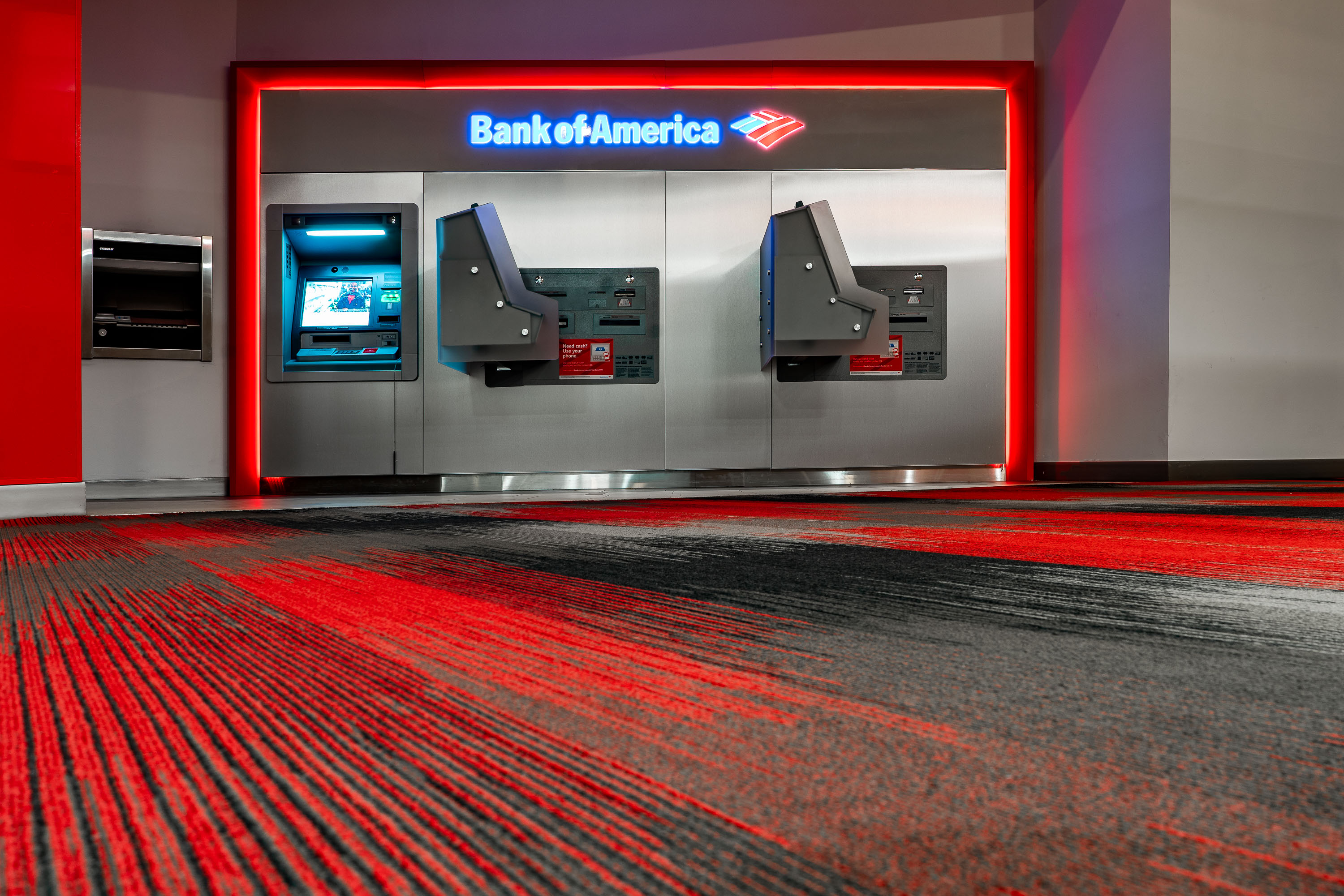
Bank Of America ATM Downtown Minneapolis
Bank Of America ATMs in the IDS Center in Downtown Minneapolis.

Bank Of America ATM Downtown Minneapolis

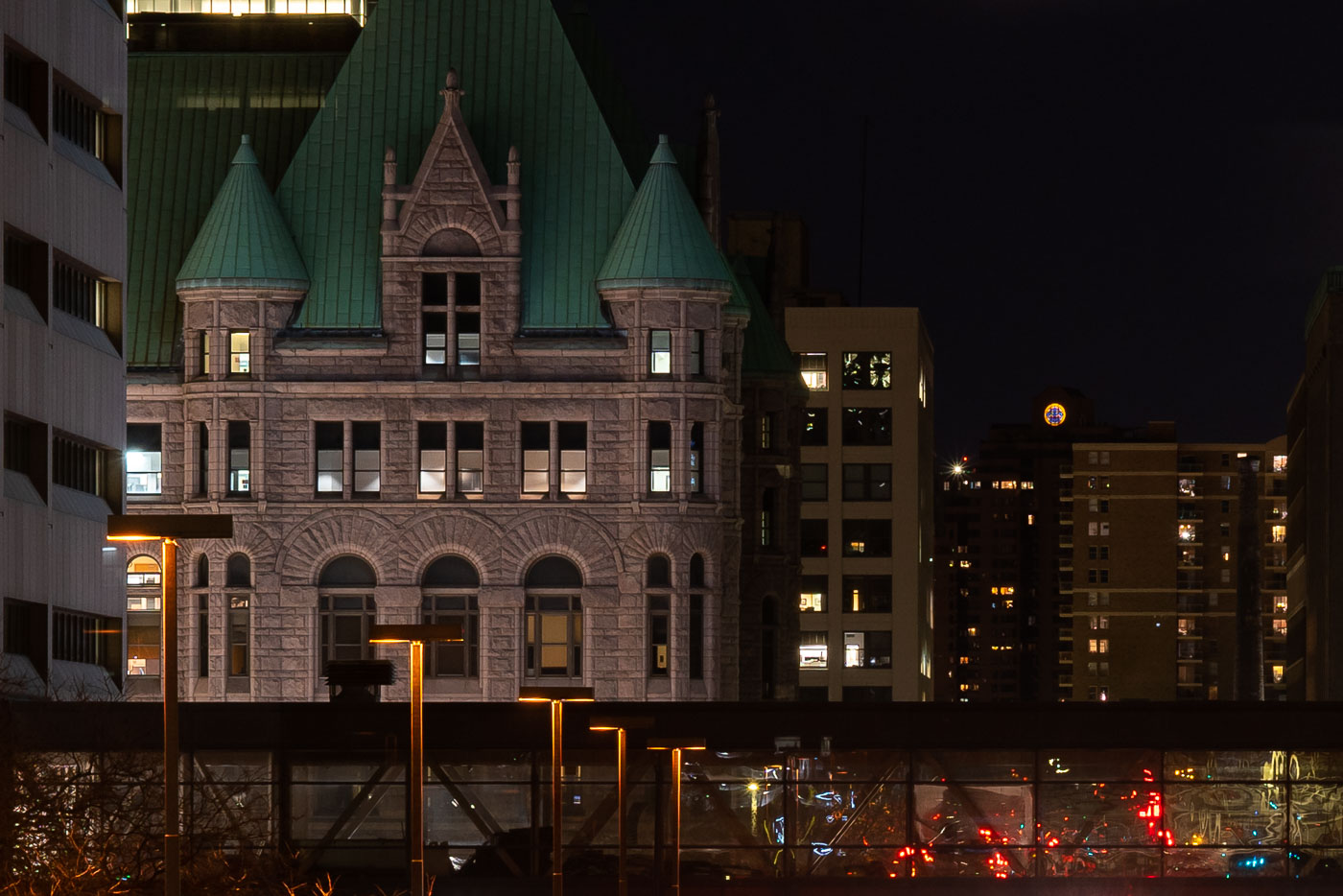
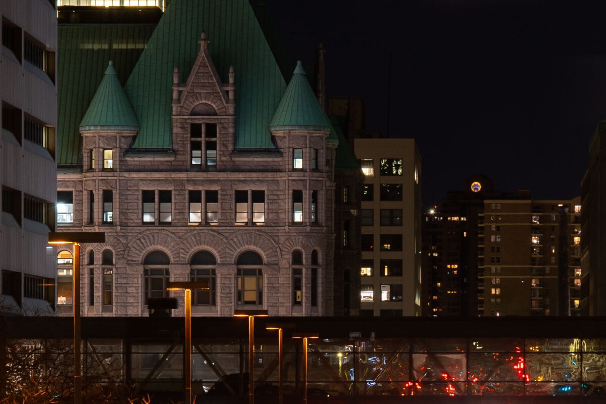
Minneapolis City Hall's green-roofed clock tower illuminated at night above downtown buildings and street lights.
Minneapolis City Hall rises behind a skyway in downtown Minneapolis at night. The historic building’s green roof and stone façade are lit against nearby apartment and office buildings.

Minneapolis City Hall Amid Downtown Towers at Night
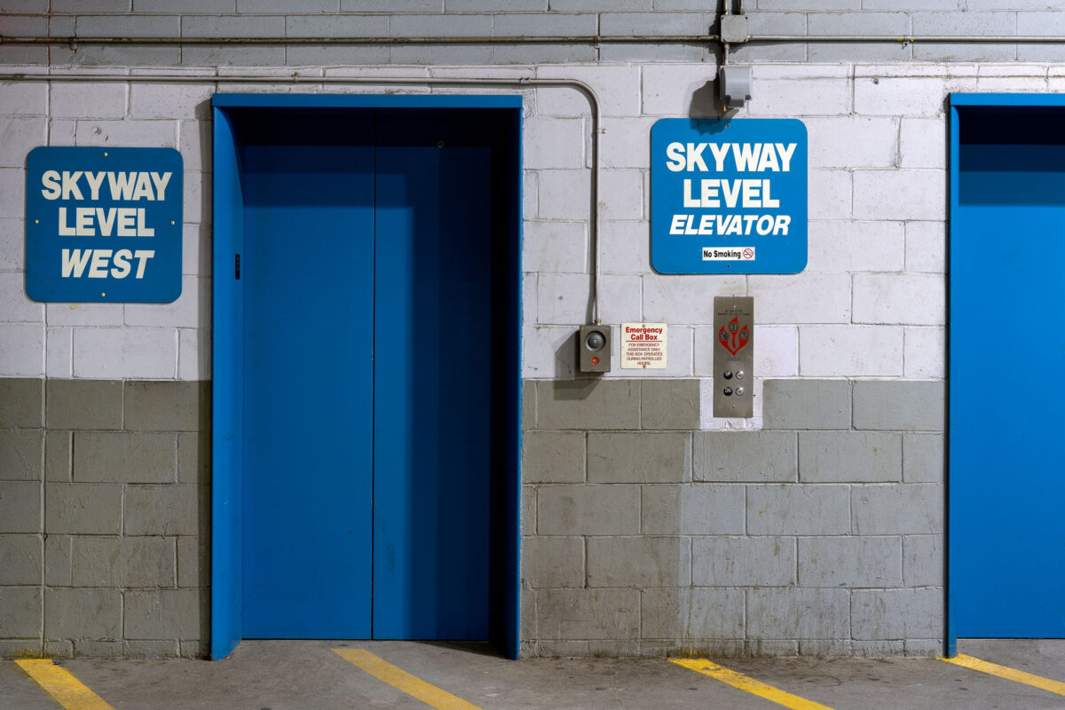
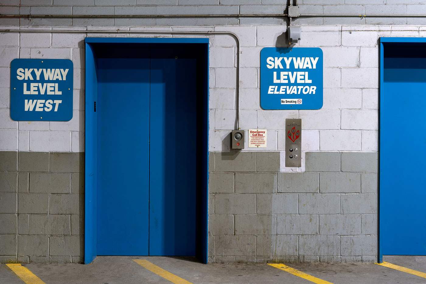
Blue directional signs for Skyway Level elevators in a downtown Minneapolis parking ramp.
Directional signs for Skyway Level elevators mark access points in a downtown Minneapolis parking ramp. The Minneapolis Skyway System connects downtown buildings at the second-floor level, allowing pedestrians to move between structures without exposure to weather. Elevator access from parking facilities is essential infrastructure for the skyway network's operation.

Skyway Level Elevator Signs, Minneapolis Parking Ramp
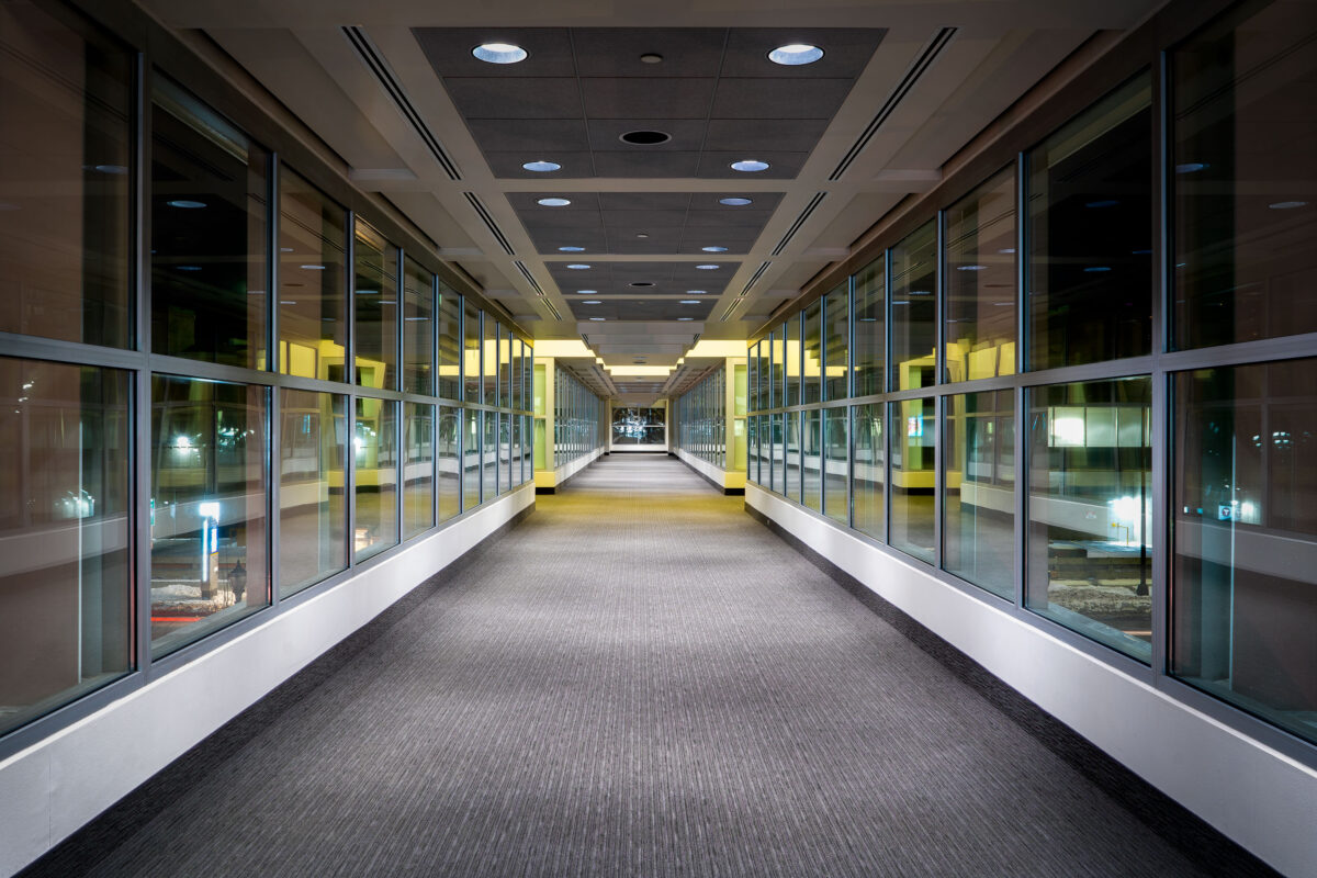
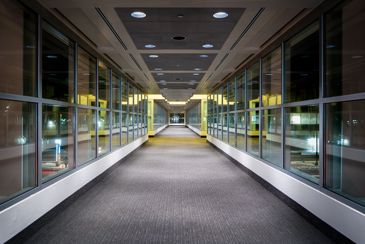
SPS Tower skyway corridor in downtown Minneapolis with windows lining the elevated walkway.
The SPS Tower skyway in downtown Minneapolis is part of the Minneapolis Skyway System. The enclosed elevated walkway connects downtown buildings above street level and supports pedestrian movement through the central business district.

SPS Tower Skyway, Downtown Minneapolis
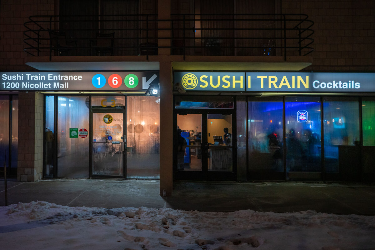
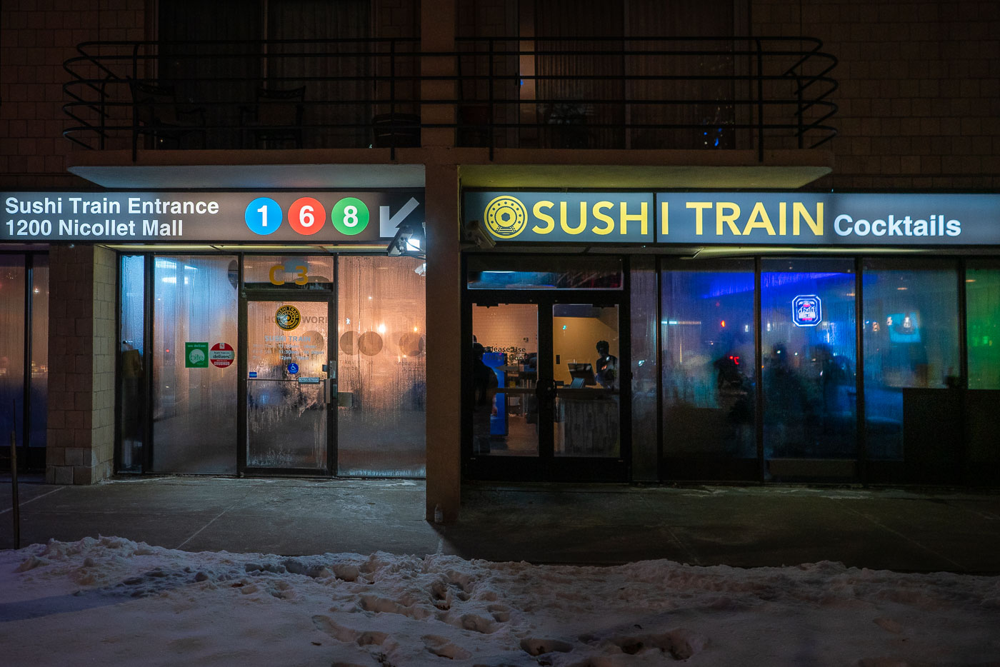
Sushi Train restaurant entrance at 1200 Nicollet Mall in downtown Minneapolis on a snowy evening.
Sushi Train is a conveyor-belt sushi restaurant at 1200 Nicollet Mall in downtown Minneapolis. The conveyor-belt format, where plates circle the dining counter for customers to pick up, began in Japan in the 1950s and later spread worldwide.

Sushi Train on Nicollet Mall on a Snowy Night
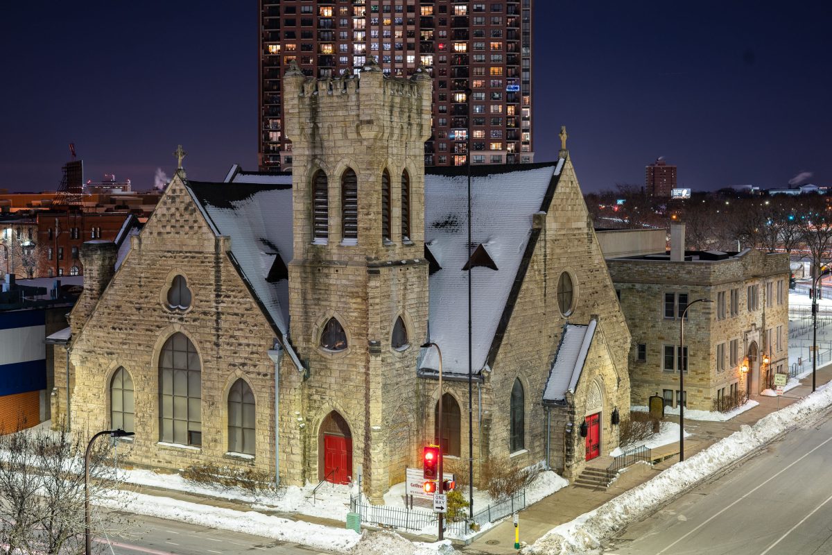
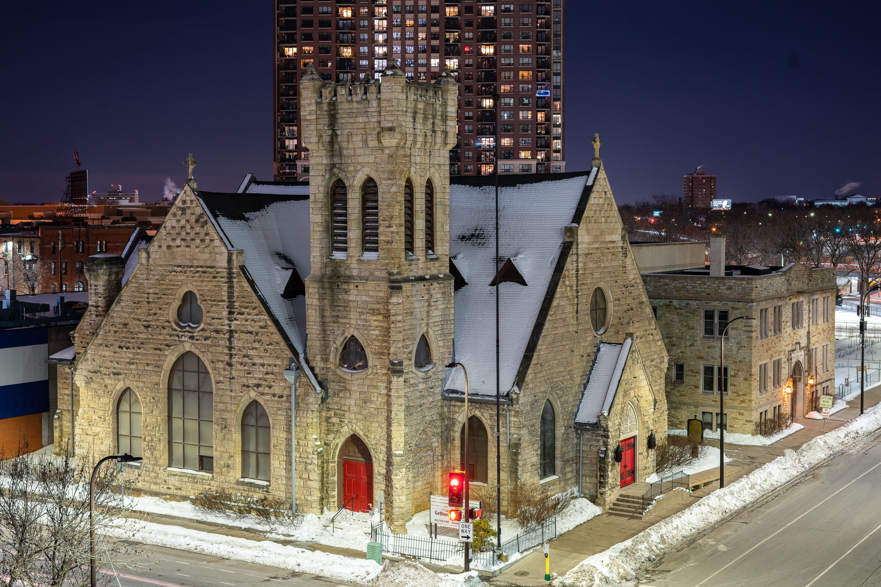
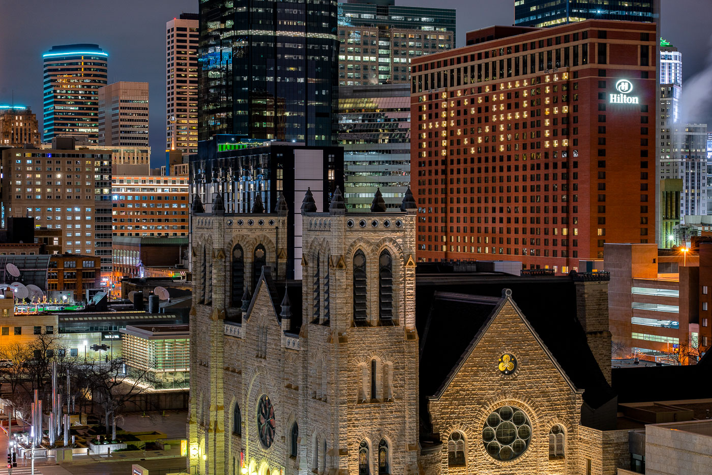
Gethsemane Episcopal Church's stone tower and snow-covered roof stand below a high-rise in downtown Minneapolis.
Gethsemane Episcopal Church stands at 905 4th Avenue South in downtown Minneapolis. The congregation was organized in 1856, making it one of the oldest Episcopal parishes in the city, and the current limestone building dates to the 1880s in a Gothic Revival style. The church has long served an urban parish role, offering outreach programs alongside regular worship. It sits within blocks of the Minneapolis Convention Center and the city's Loring Park neighborhood, surrounded in recent decades by high-rise residential towers built up around the older structure.

Gethsemane Episcopal Church Beneath Downtown Minneapolis High-Rise
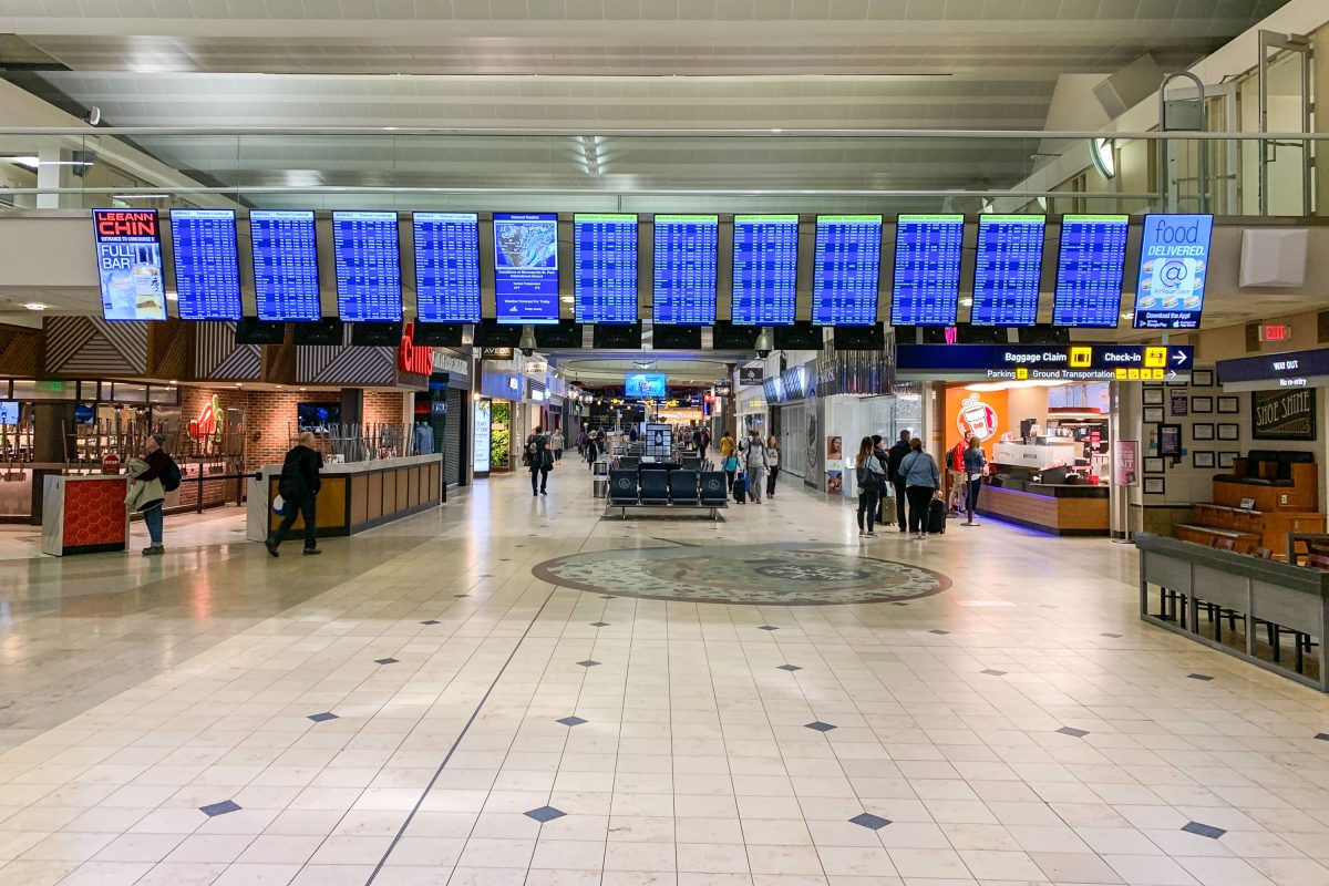
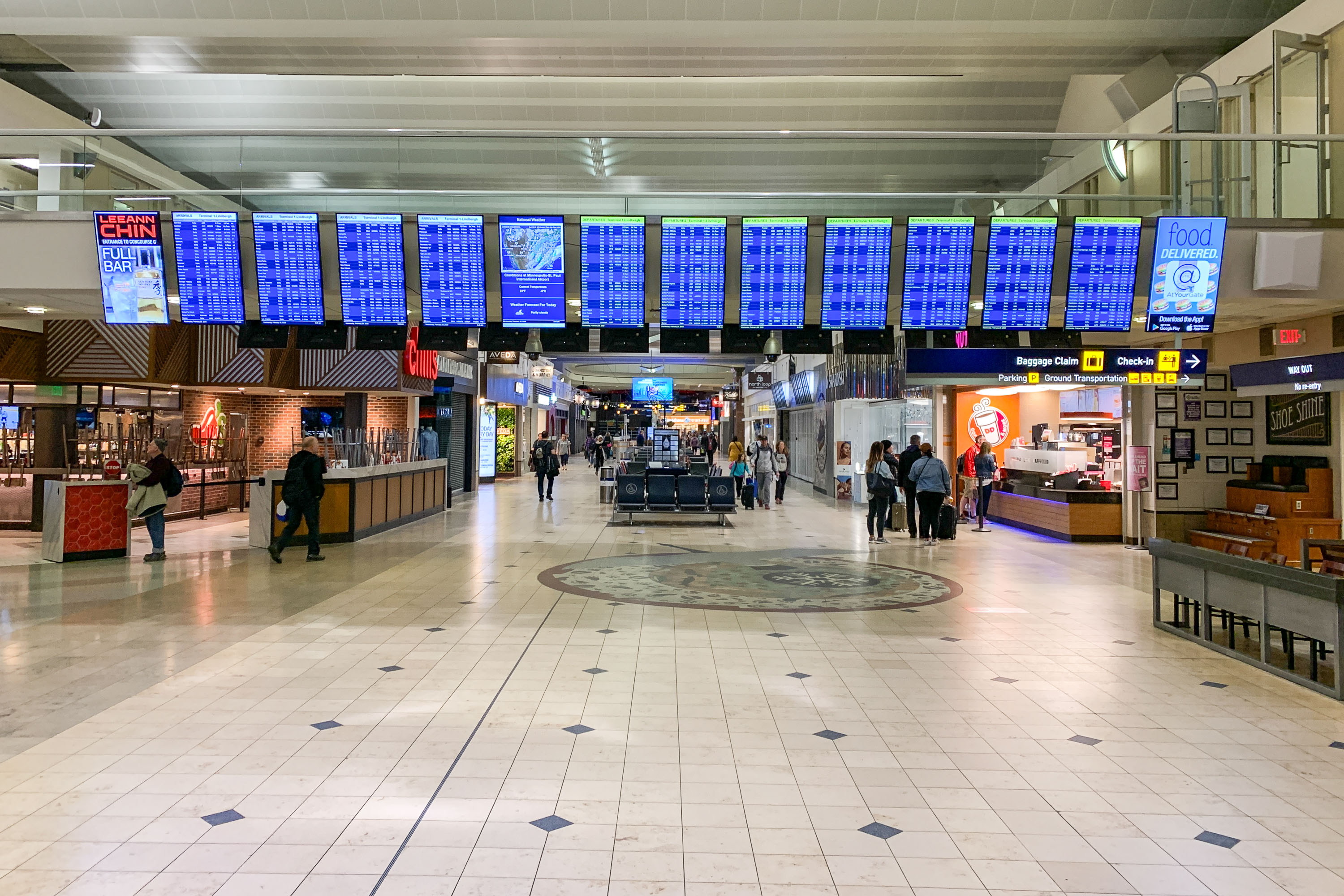
Airport terminal concourse with departure boards, retail shops, and scattered passengers at Minneapolis-St. Paul International
Minneapolis-Saint Paul International Airport's Terminal 1, also known as the Lindbergh Terminal, serves as the primary hub for Delta Air Lines and its regional partners. The terminal is operated by the Metropolitan Airports Commission and connects to seven concourses identified by letters A through G.

Flight Boards Line the Concourse at MSP’s Lindbergh Terminal
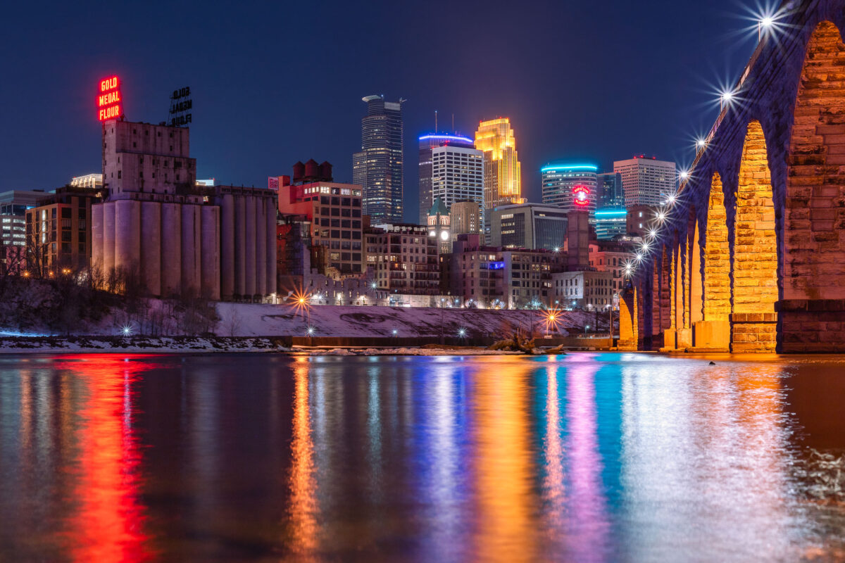
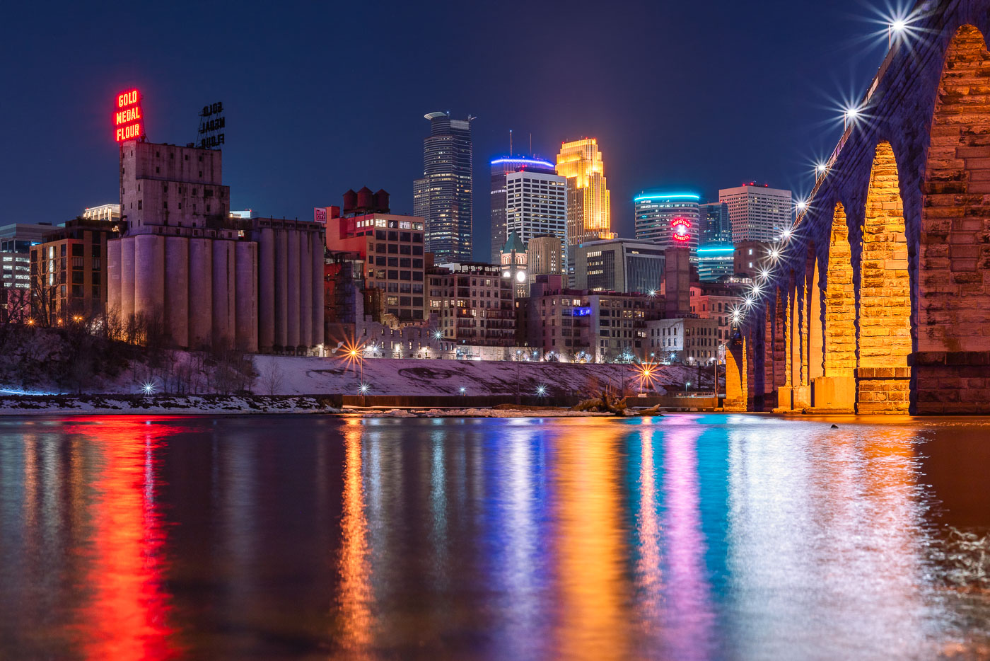
Stone Arch Bridge and Minneapolis skyline at night along the Mississippi River, with Gold Medal Flour mill sign visible.
The Gold Medal Flour sign sits atop the old Washburn-Crosby mill complex, a reminder of Minneapolis's decades as the flour-milling capital of the world. Washburn-Crosby, which later became General Mills, first put up the sign in 1910, and it has been relit and maintained as a fixture of the skyline ever since. The Stone Arch Bridge crosses the Mississippi just downstream, built in 1883 for the St. Paul, Minneapolis and Manitoba Railway to carry trains into the city's rail yards. Its limestone and granite piers were designed to withstand river ice, and the bridge now carries only pedestrians and cyclists between the riverfront and St. Anthony Main.

Gold Medal Flour Sign Above the Minneapolis Riverfront
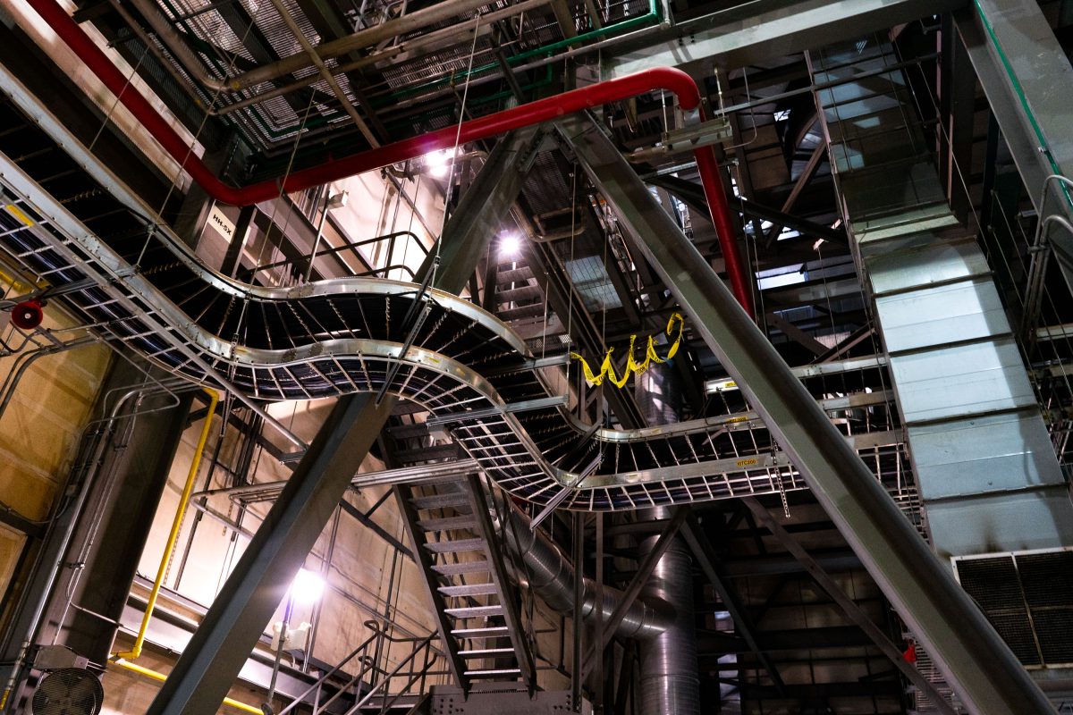
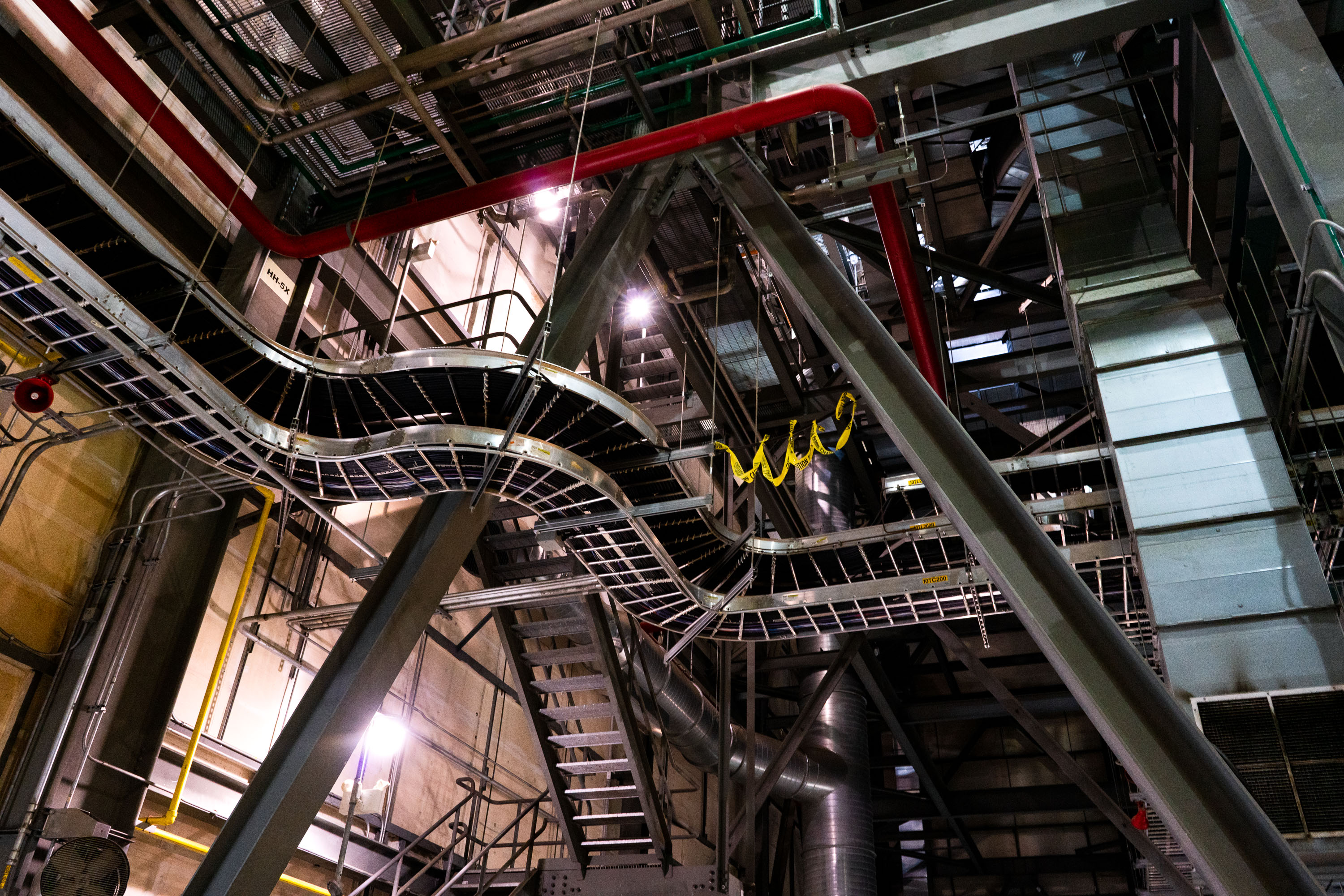
Steel catwalks, pipes, and ductwork inside Riverside Generating Station, an Xcel Energy power plant in Minneapolis.
Riverside Generating Station is an Xcel Energy power plant along the Mississippi River in Minneapolis. Built in the early twentieth century as a coal-fired plant, it was later converted to burn natural gas.

Catwalks and Piping Inside Riverside Generating Station
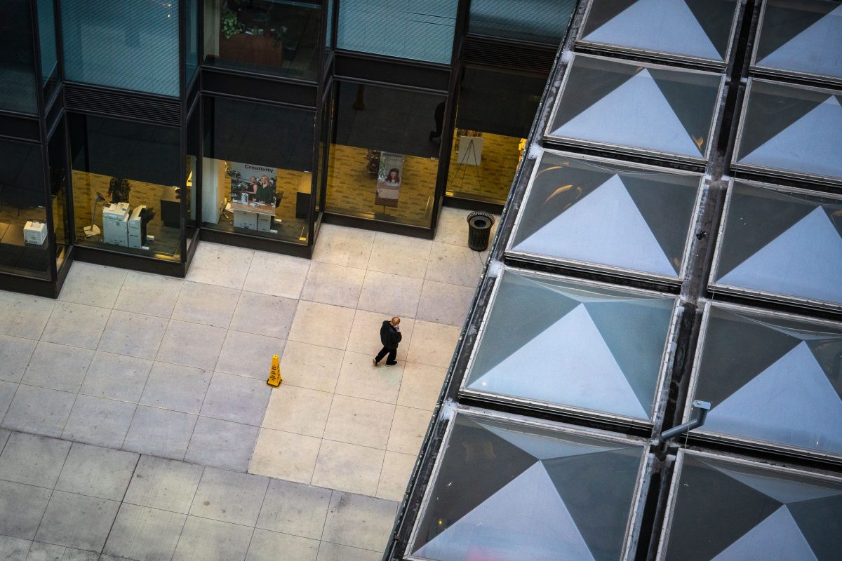
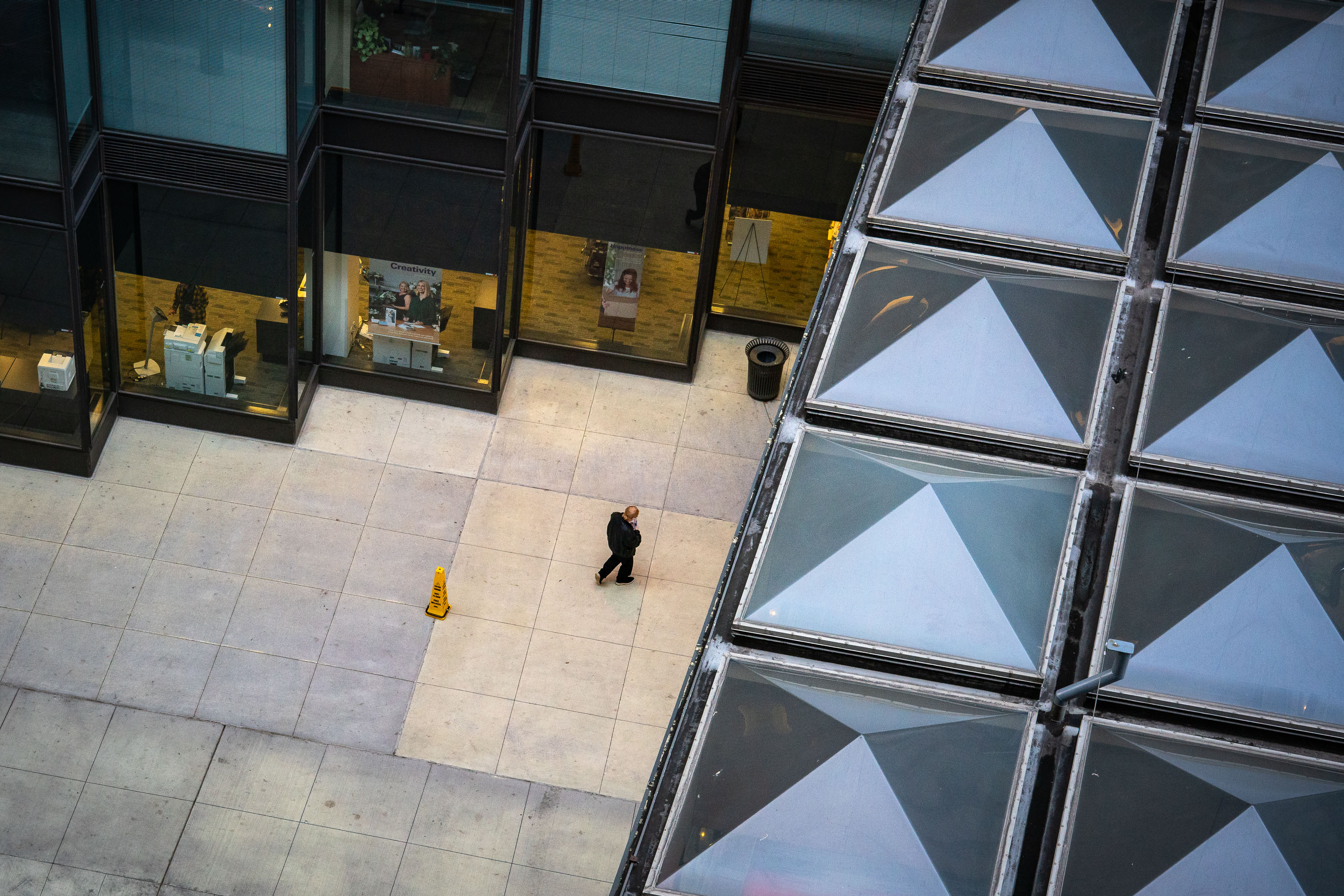
View from above the IDS Center Skyway
A man walks outside the IDS Center in Downtown Minneapolis. Seen from above the skyway.

Man walks outside the IDS Center, Minneapolis
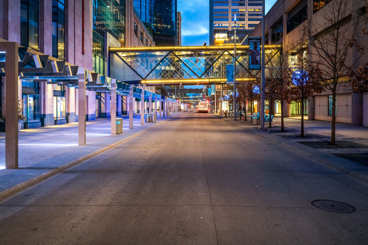
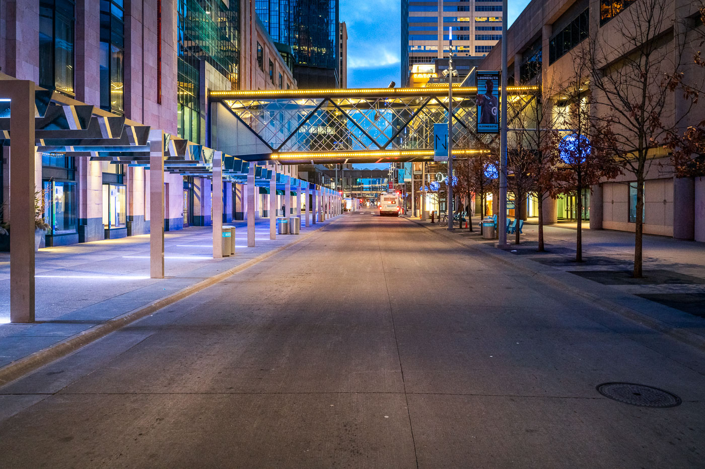
Empty Nicollet Mall pedestrian street in downtown Minneapolis at dusk during COVID-19 pandemic shutdowns.
Nicollet Mall is downtown Minneapolis's mile-long pedestrian and transit corridor, running between Washington Avenue and Grant Street. Cars have been barred from the mall since it opened in 1967, leaving the roadway to buses, taxis, and foot traffic. A $50 million redesign led by James Corner Field Operations, the firm behind New York's High Line, reopened the corridor in 2017 with wider sidewalks, new lighting, and updated bus shelters. Skyways link many of the office towers and retail buildings along the mall, letting workers move between blocks without going outside. In March 2020, Minnesota's stay-at-home order emptied the corridor of the office workers and shoppers who normally fill it on weekdays.

Nicollet Mall at Dusk During Minneapolis’s COVID-19 Shutdown

Hennepin Healthcare outpatient building illuminated at dusk in Minneapolis, Minnesota.
Hennepin Healthcare, formerly known as Hennepin County Medical Center (HCMC), is Minnesota's largest safety-net hospital system, serving patients regardless of ability to pay. The system opened this outpatient specialty center in downtown Minneapolis in 2018 to consolidate clinic services previously spread across multiple buildings. Hennepin Healthcare operates as a public teaching hospital affiliated with the University of Minnesota Medical School, training resident physicians alongside its clinical work. The system's Level I Trauma Center designation makes it one of the region's primary referral points for critical emergency care.

Hennepin Healthcare Outpatient Building, Minneapolis
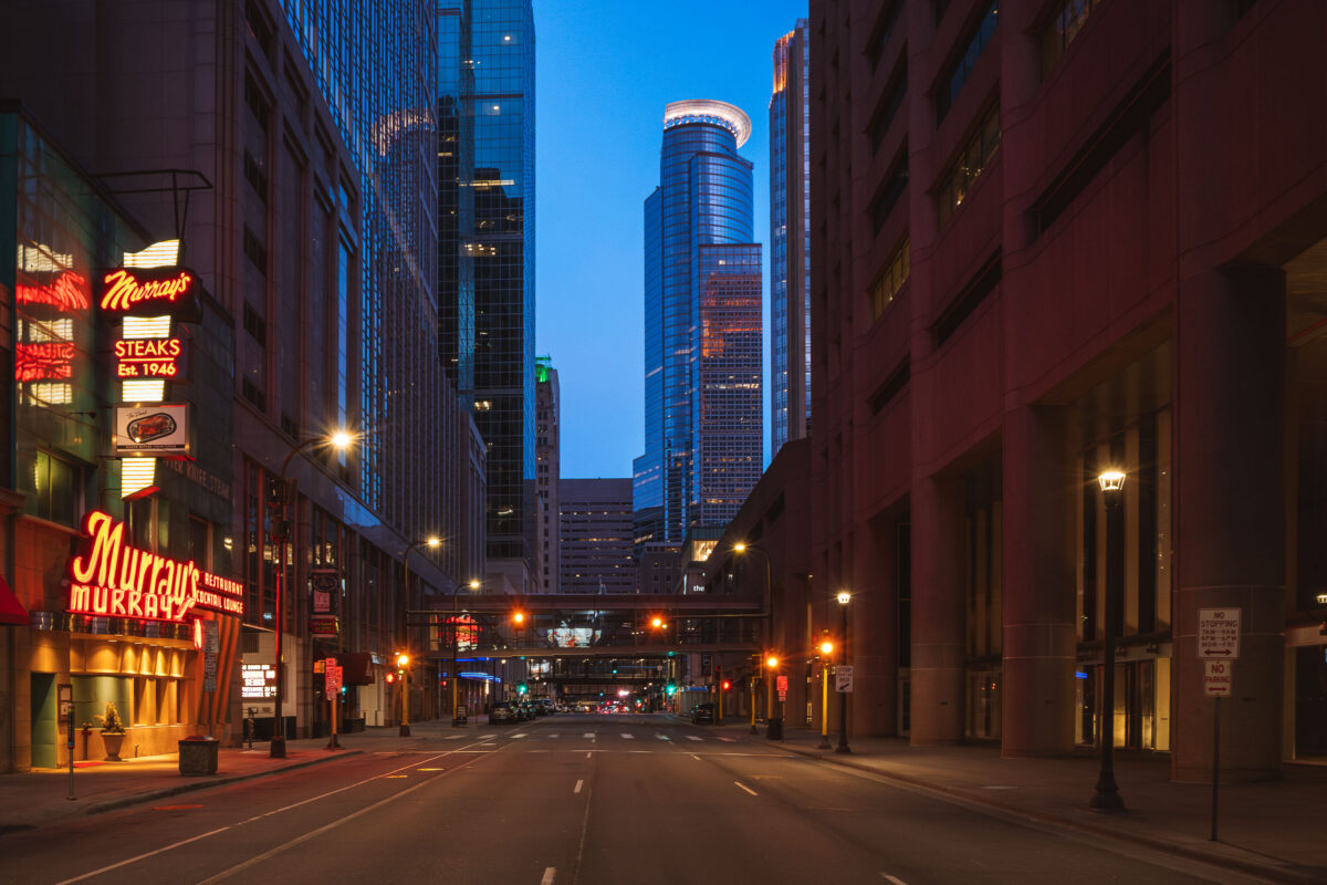
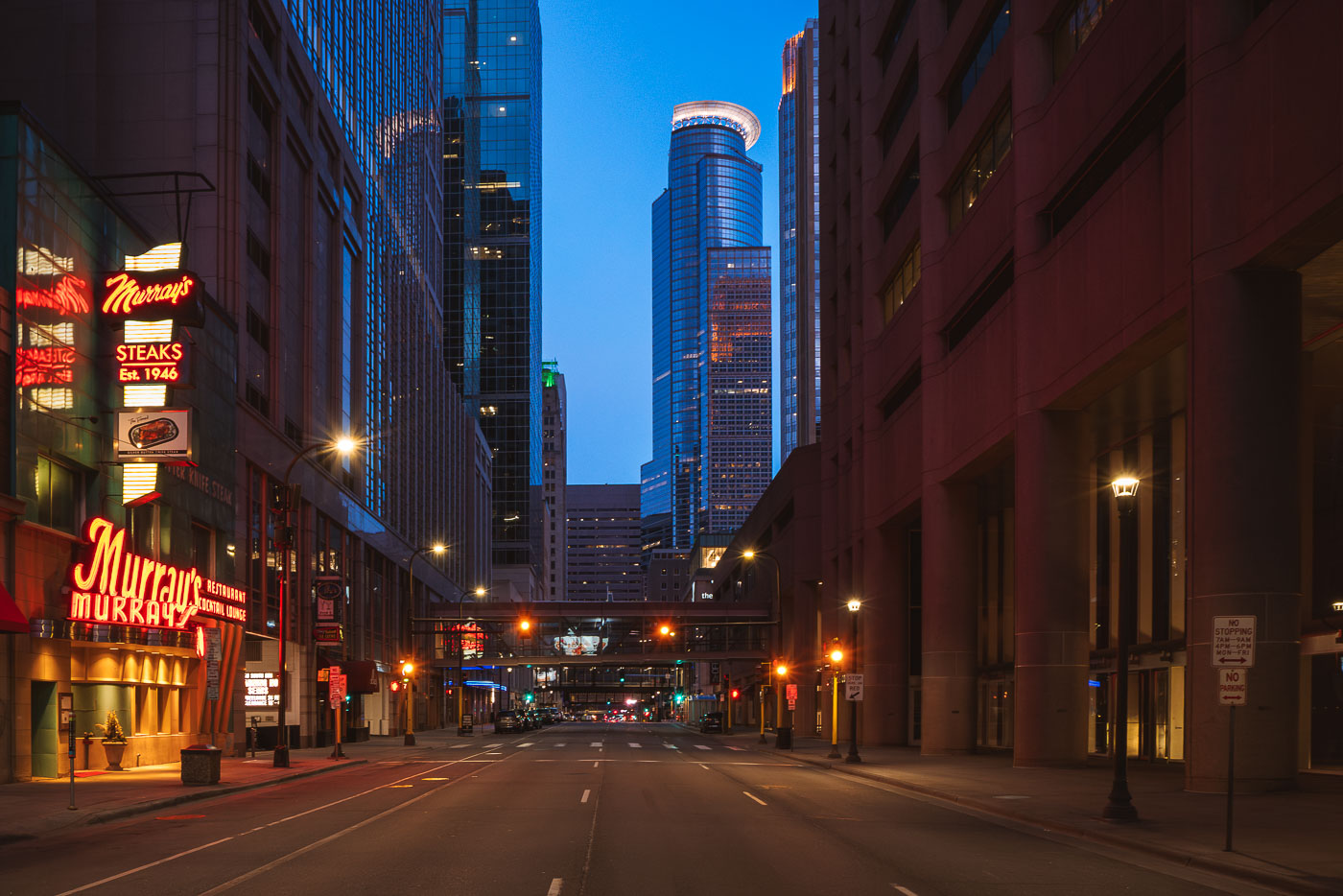
Murray's Steakhouse, Minneapolis Blue Hour
A north–south view through downtown Minneapolis during early evening, with illuminated office towers forming a dense street corridor and minimal traffic on the roadway below. The cylindrical crown of the IDS Center, completed in 1973, anchors the skyline in the distance as the city’s tallest building and a defining element of its modern profile. In the foreground, the neon signage of Murray’s, a Minneapolis institution since 1946, adds a warm counterpoint to the cooler glass-and-steel architecture surrounding Nicollet Mall.

Murray’s Steakhouse, Minneapolis Blue Hour
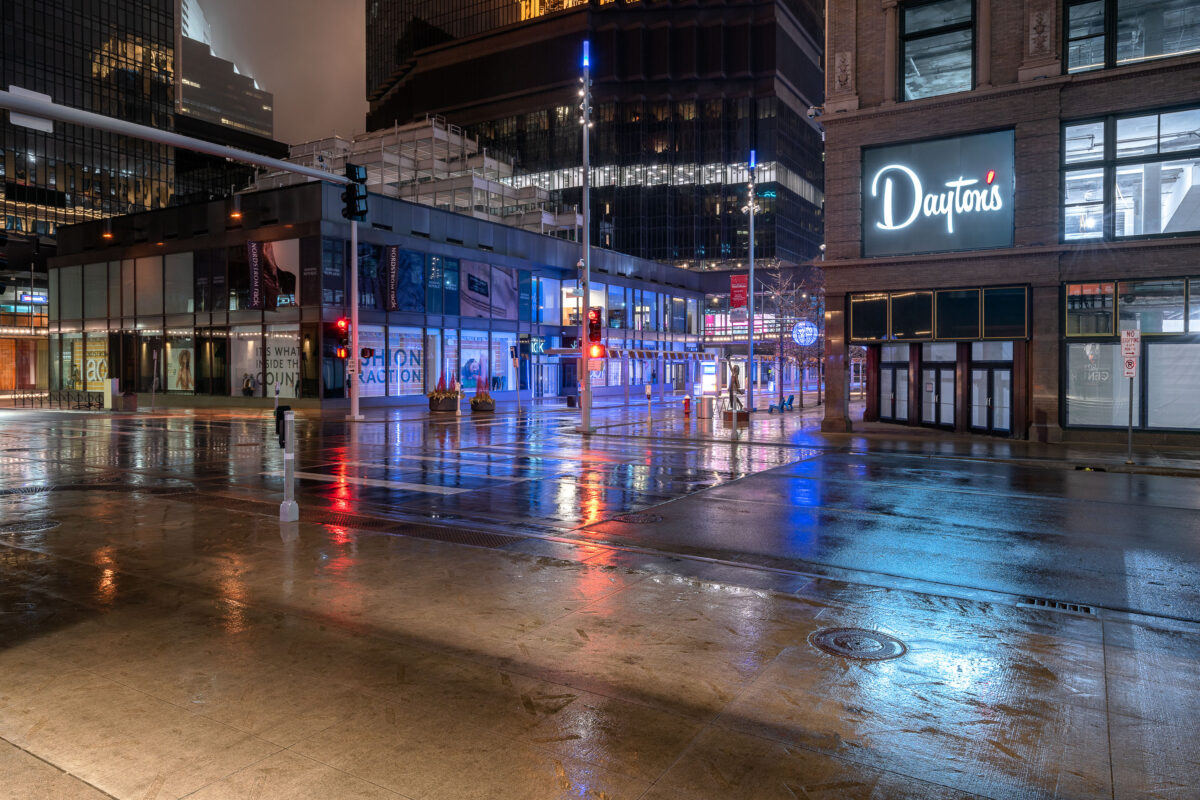
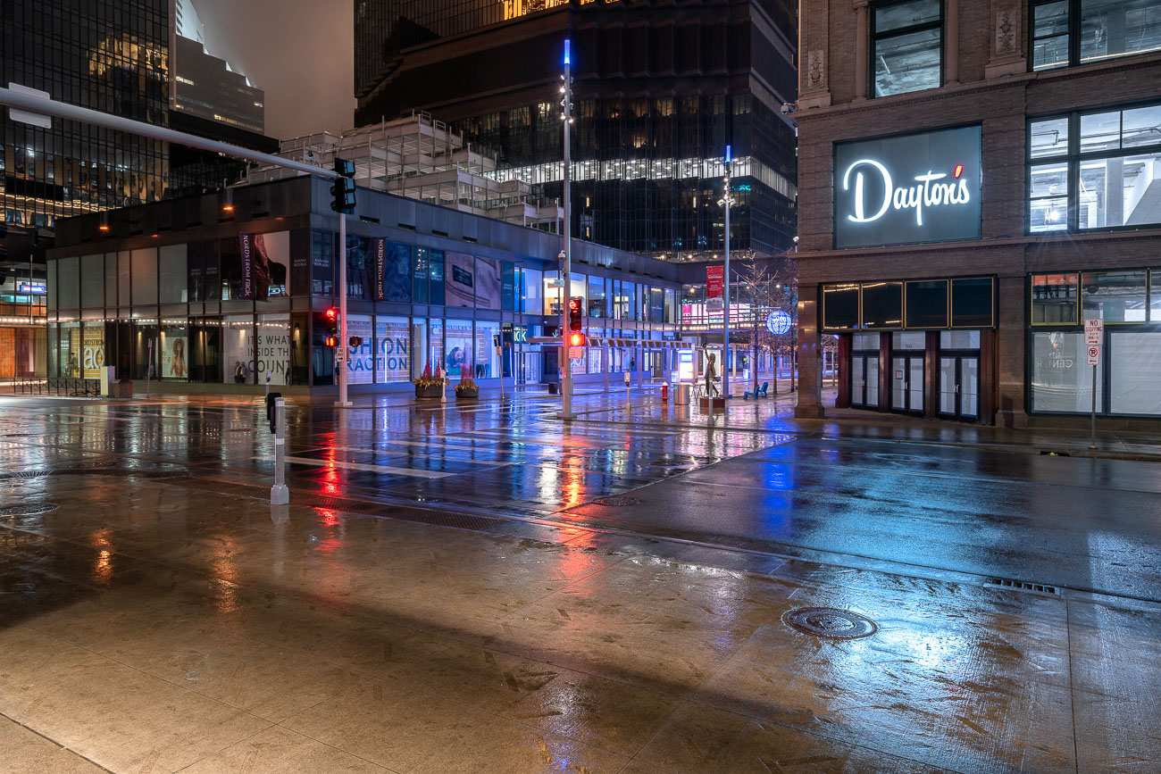
Daytons and IDS Center on Nicollet Mall in the rain
The Dayton's Project and the IDS Center stand on Nicollet Mall in Minneapolis during the early stages of the COVID-19 pandemic. The Dayton's building, a historic landmark in the city's retail landscape, was a prominent fixture on the mall for decades.

Dayton’s and IDS Center, Nicollet Mall, Minneapolis, Early COVID-19
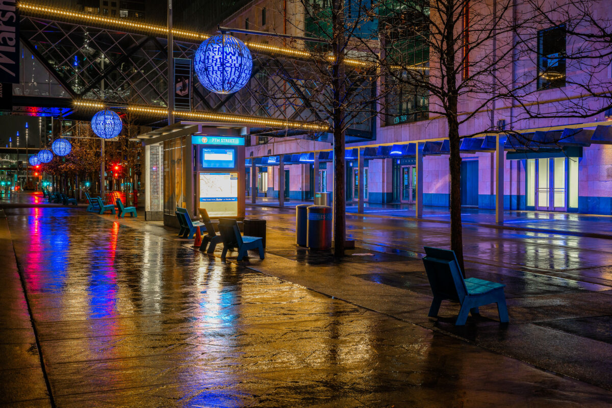
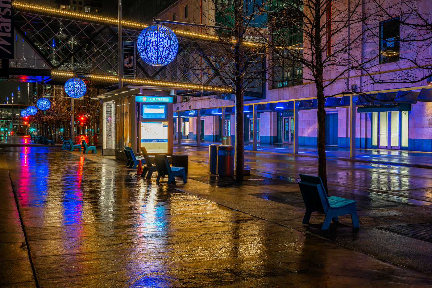
Chairs on Nicollet Mall during a rainy early COVID19 night
Nicollet Mall in Minneapolis is seen on a rainy night during the early stages of the COVID-19 pandemic.

Nicollet Mall, Minneapolis: Rainy Night During COVID-19
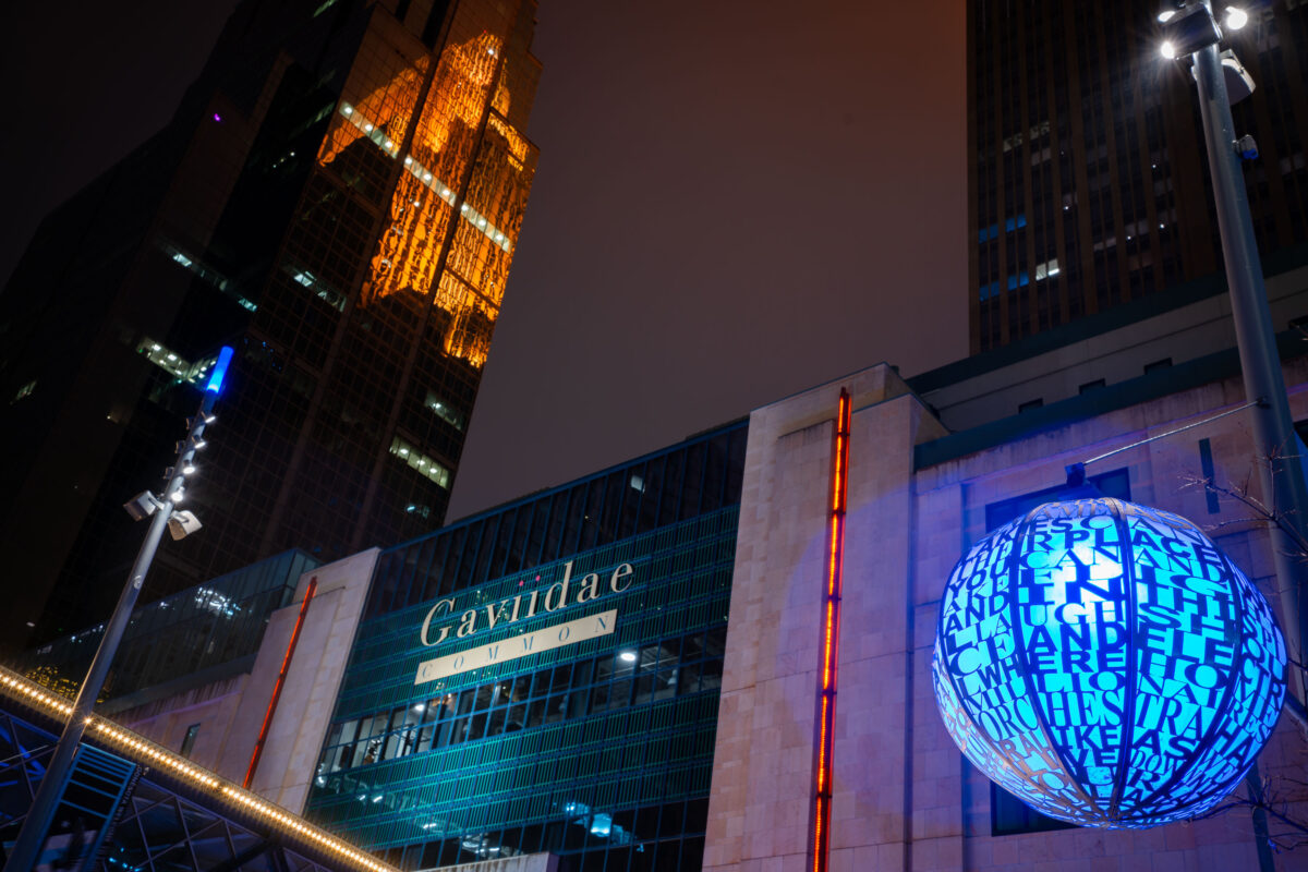
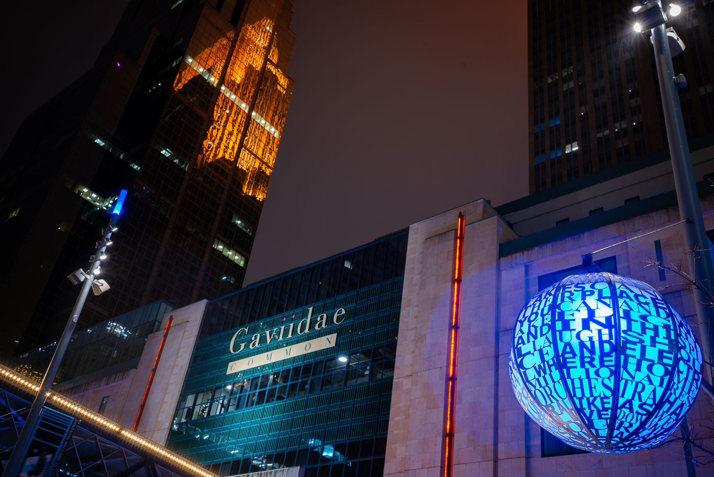
Gaviidae Common and Westin Reflection on Nicollet Mall
Downtown Minneapolis after dark, with the Gaviidae Common retail and office complex illuminated along Nicollet Mall. The metallic blue spherical public art installation in the foreground—inscribed with words referencing music, light, and community—adds a cultural element to the urban corridor. Reflected dramatically in the golden glass façade of the Westin building behind it is the historic Foshay Tower, one of Minneapolis’s earliest skyscrapers dating back to 1929. Today, Nicollet Mall serves as the city’s primary pedestrian and transit thoroughfare, blending modern commercial redevelopment, historic preservation, and public art into a central civic space.

Gaviidae Common and Westin Reflection on Nicollet Mall

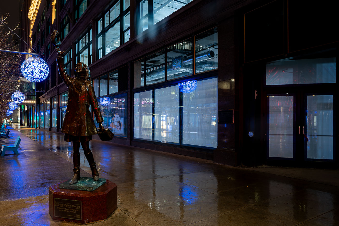
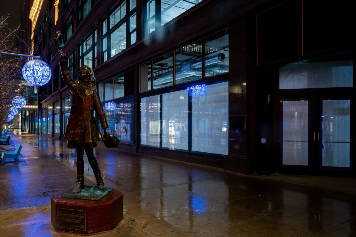
Mary Tyler Moore Statue on an Empty Nicollet Mall
The iconic bronze statue of Mary Tyler Moore along Nicollet Mall in downtown Minneapolis, depicting the memorable hat-tossing moment from the opening of The Mary Tyler Moore Show, which first aired in 1970 and helped cement Minneapolis in television history. Installed in 2002, the statue symbolizes the city’s cultural association with the show’s themes of independence and optimism. At the time of this photograph, Nicollet Mall—normally a busy pedestrian and transit corridor—appears unusually empty, reflecting the early days of COVID-19 shutdowns that drastically reduced public presence in city centers. Blue public art lanterns, added during street improvements completed in 2017, line the renovated streetscape, emphasizing Nicollet Mall’s evolution as both a commercial and cultural landmark.

Mary Tyler Moore Statue on an Empty Nicollet Mall

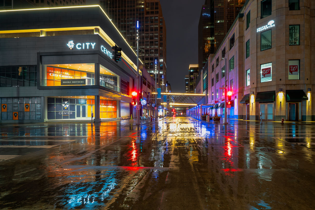
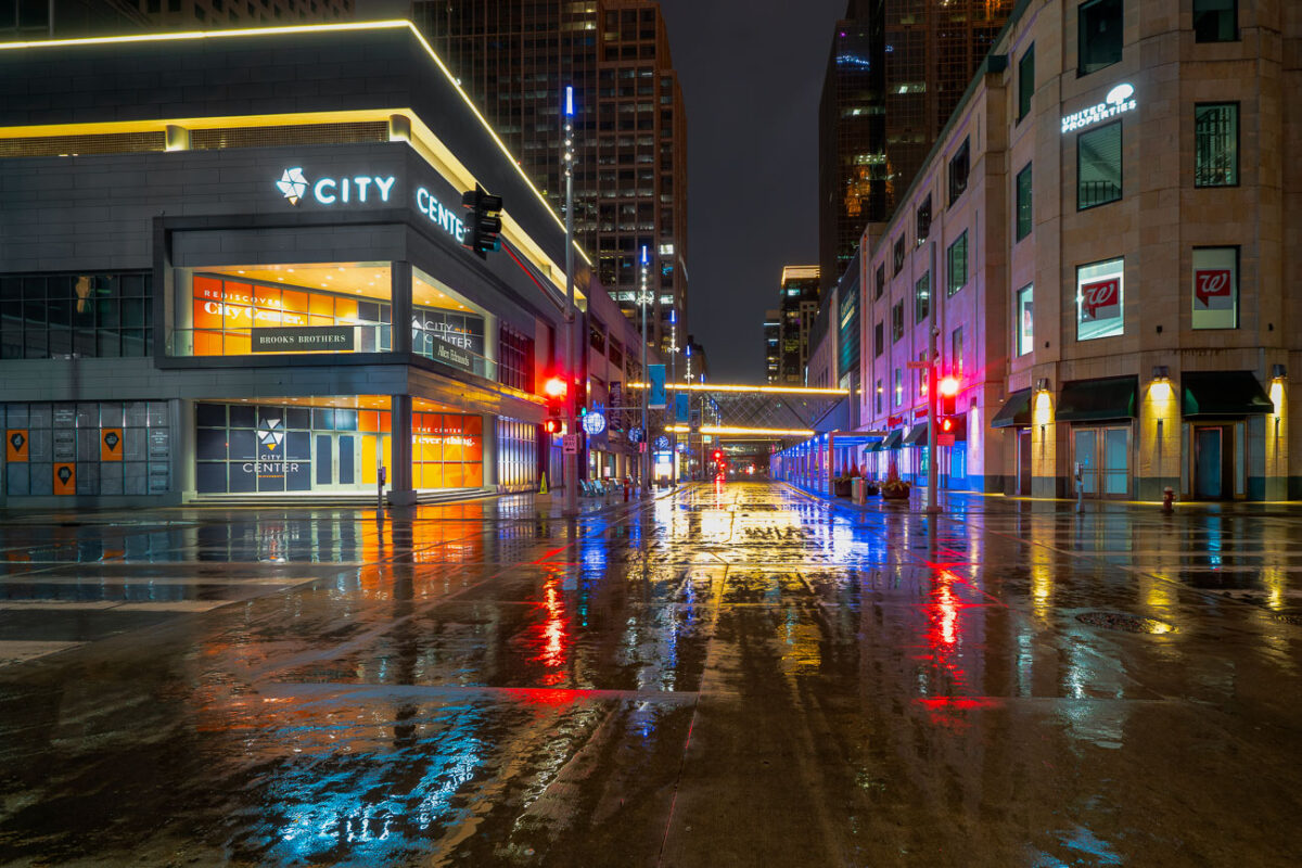
Rainy night outside CIty Center on Nicolelt Mall in Minneapolis.
Nicollet Mall in Downtown Minneapolis is reflected in the wet pavement on a rainy night in early 2020, during the initial phase of the COVID-19 pandemic.

Rainy Night on Nicollet Mall, Downtown Minneapolis, Early COVID-19
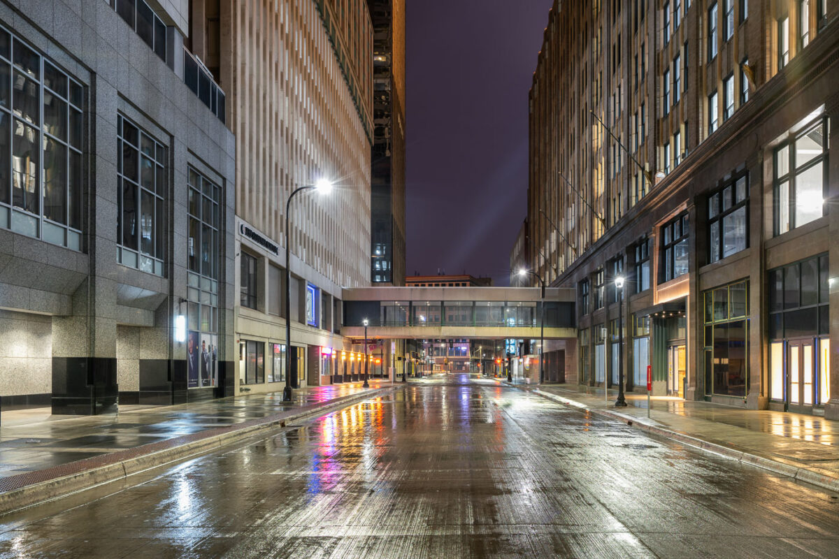
Looking down S 8th Street during COVID19 on rainy night
South 8th Street in downtown Minneapolis is seen on March 22, 2020, during the early stages of the COVID-19 pandemic. The street, typically bustling with activity, are empty.

Downtown Minneapolis S 8th St During COVID-19 Pandemic
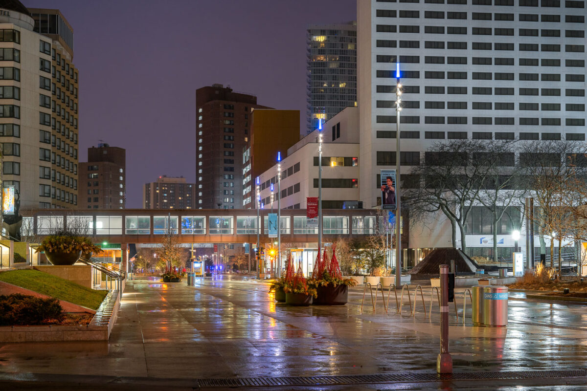
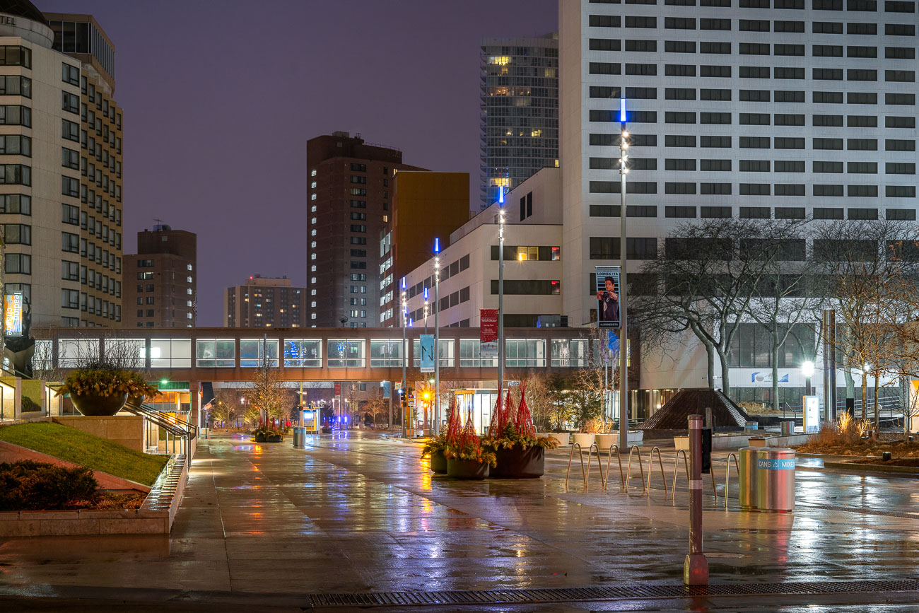
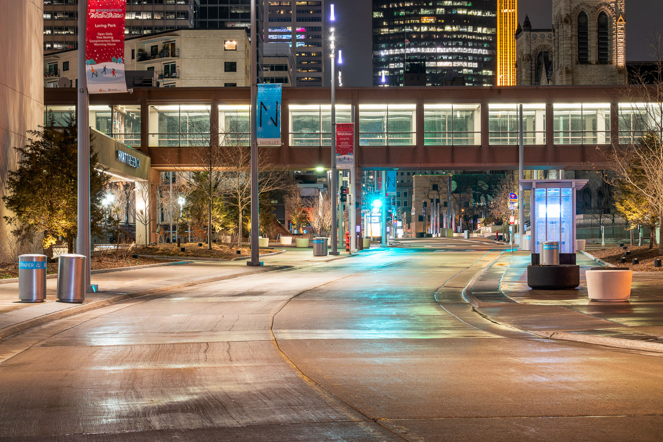
Wet Nicollet Mall pedestrian plaza in downtown Minneapolis at dusk with high-rise buildings and sparse foot traffic.
Nicollet Mall is downtown Minneapolis's main pedestrian and transit corridor, running roughly twelve blocks between Washington Avenue and Grant Street. The city closed it to general traffic in 1967, and a $50 million redesign led by James Corner Field Operations reopened it in 2017 with wider sidewalks, new lighting, and dedicated space for buses and cyclists. The Hyatt Regency Minneapolis has anchored the corridor since 1973, standing near the skyway network that links downtown's office towers and hotels. In March 2020, the mall's usual foot traffic all but disappeared as Minnesota's stay-at-home order took hold during the early weeks of the COVID-19 pandemic.

Nicollet Mall Deserted on a Rainy Night During COVID-19
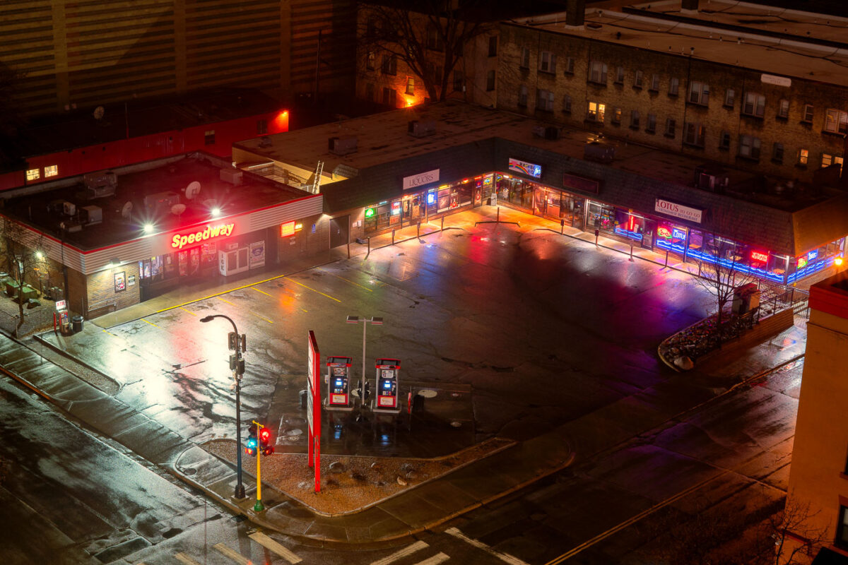
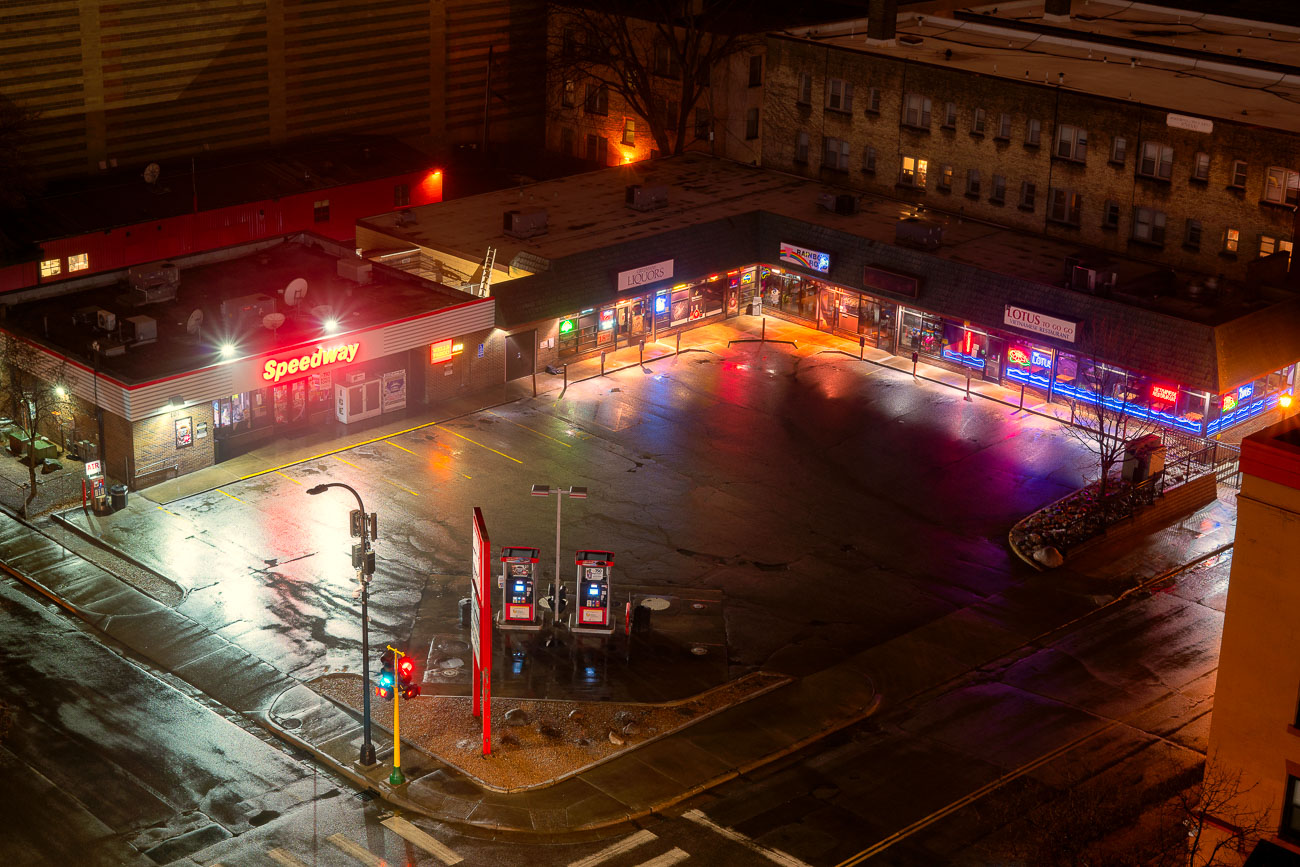
Speedway gas station and strip mall in Loring Park, Minneapolis, empty at night during COVID-19 pandemic.
Speedway operates this gas station and convenience store at the edge of Loring Park, one of downtown Minneapolis's oldest residential neighborhoods, platted around a park dating to 1883. The photo was taken March 23, 2020, days before Minnesota's statewide stay-at-home order took effect as the first wave of pandemic restrictions spread through the city. Loring Park sits just west of downtown, bordered by Interstate 94 and long connected to the commercial strip along Hennepin Avenue. The adjoining strip mall houses a liquor store and several small retailers typical of that stretch of the neighborhood.

Speedway Station in Loring Park During the COVID-19 Shutdown
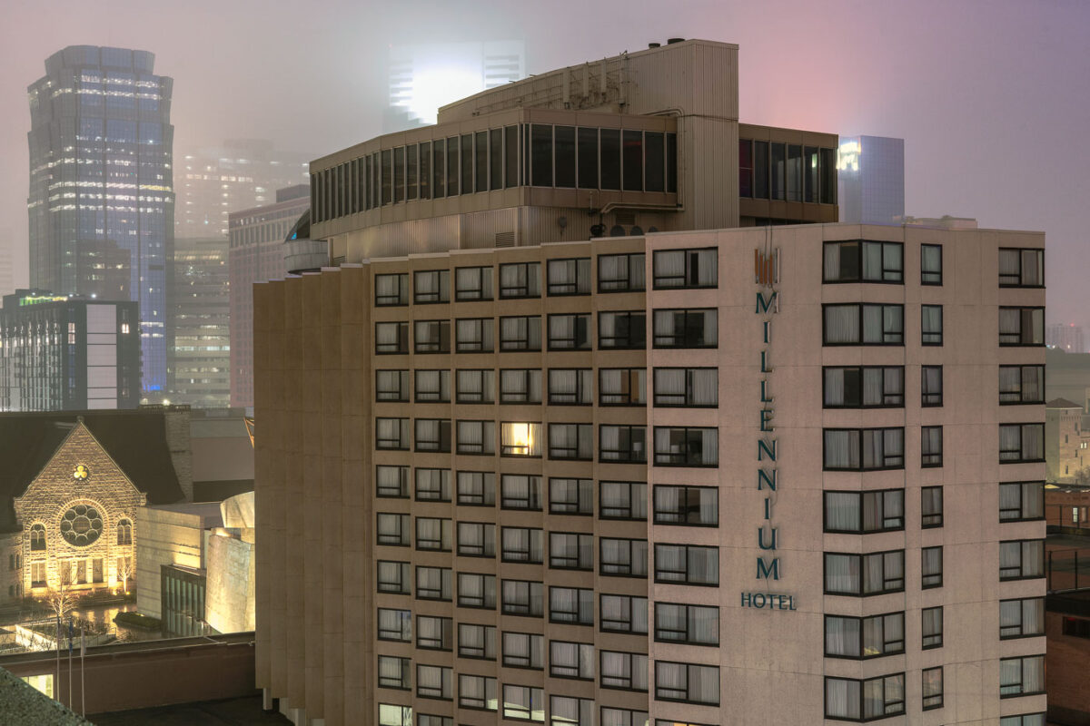
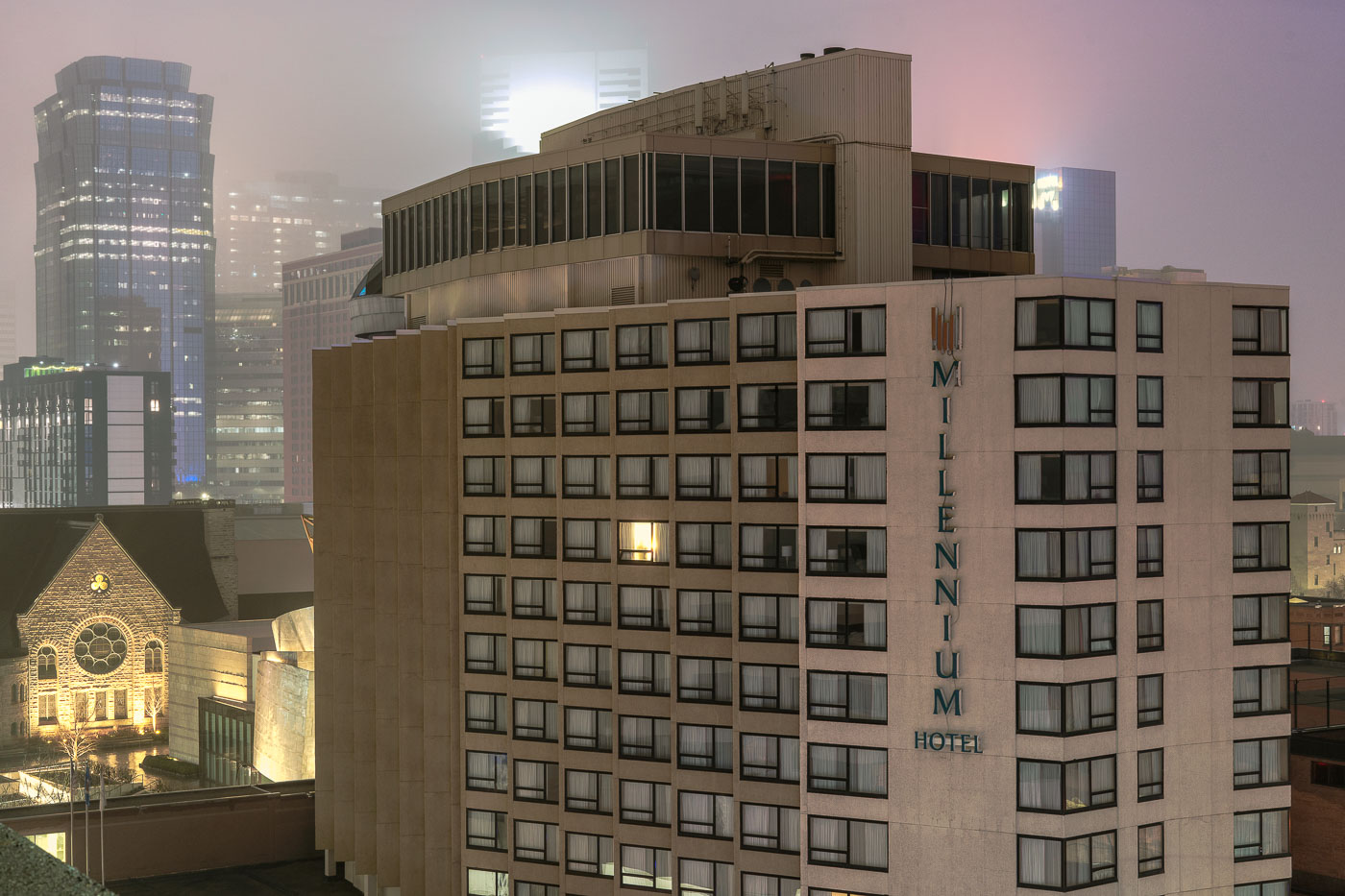
Millennium Hotel on Nicollet Mall in downtown Minneapolis with one lit window among darkened guest rooms during COVID-19 lockdown.
The Millennium Hotel stands at 1313 Nicollet Mall in downtown Minneapolis, a 14-story tower near the Minneapolis Convention Center. Nicollet Mall, the street it fronts, opened in 1967 as downtown Minneapolis's main pedestrian and transit street. Only one window lit up during COVID-19 lockdown.

Only One Light on at Millennium Hotel on Nicollet Mall
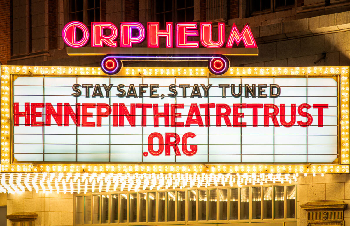
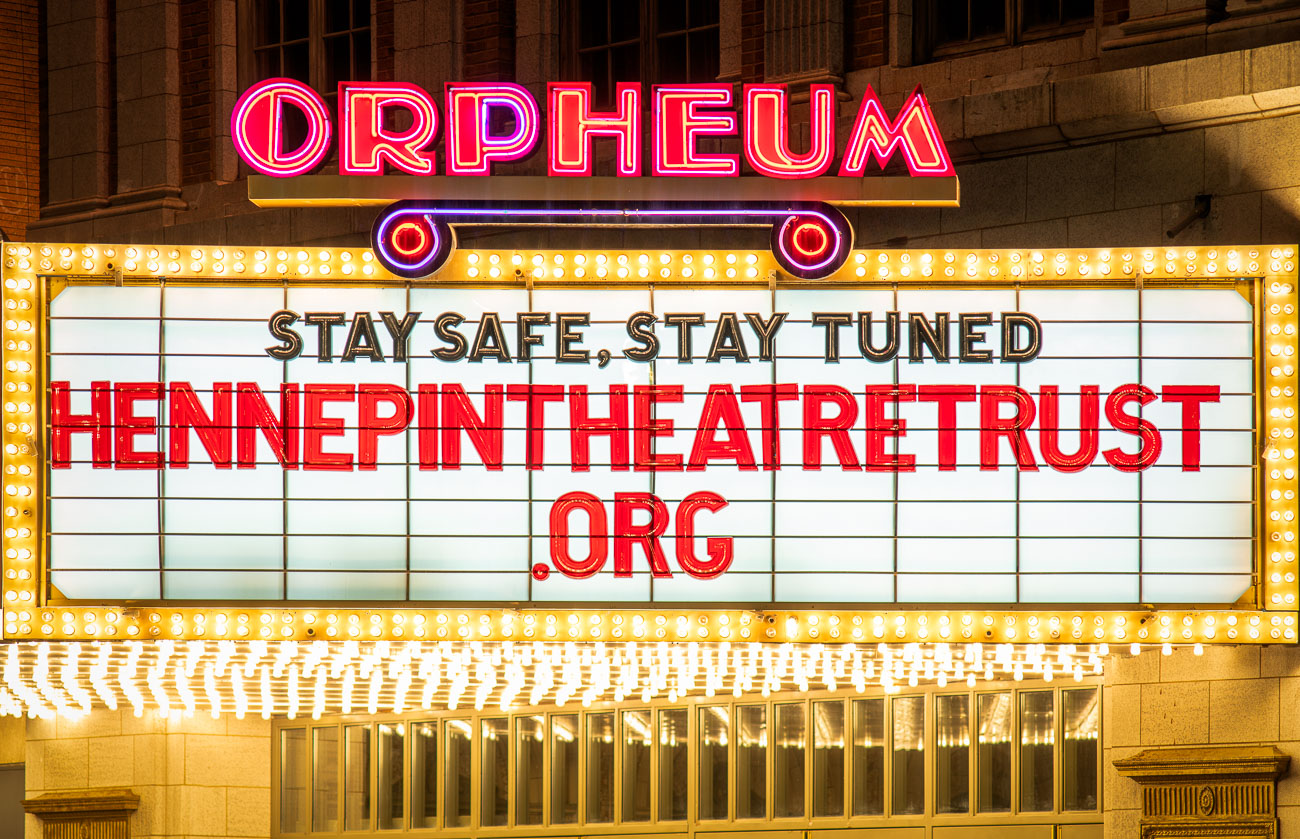
Orpheum Theatre marquee displays "Stay Safe, Stay Tuned" message on Hennepin Avenue during COVID-19 closure.
The Orpheum Theatre, at 910 Hennepin Avenue, opened in 1921 as the Hennepin Theatre and later operated as a vaudeville and movie house before its 1980s conversion to a live performance venue. It's now owned and operated by Hennepin Theatre Trust, part of the city's Hennepin Avenue theater district alongside the State and Pantages theaters. The marquee's message, directing passersby to HennepinTheatreTrust.org, went up during the closures ordered under Minnesota's COVID-19 stay-at-home order in the spring of 2020, when the Orpheum and other performance venues went dark to the public.

“Stay Safe, Stay Tuned” on the Orpheum Theatre Marquee
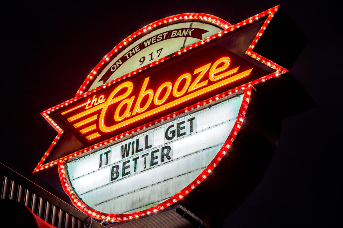
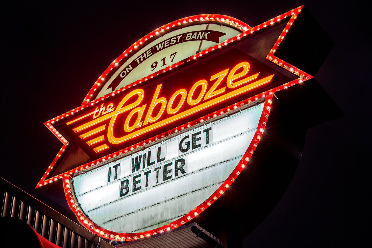
The Cabooze music venue marquee on Cedar Avenue displays "IT WILL GET BETTER" during COVID-19 closure.
The Cabooze sits at 917 Cedar Avenue South in Minneapolis's West Bank neighborhood, a live music club operating in that location since 1970. The venue has hosted blues, rock, and jam bands for decades and remains one of the longest-running music clubs in the Twin Cities. In late March 2020, its marquee read "IT WILL GET BETTER," posted after Minnesota's stay-at-home order forced the club to shut its doors along with other music venues statewide.

“It Will Get Better”: The Cabooze Marquee on the West Bank
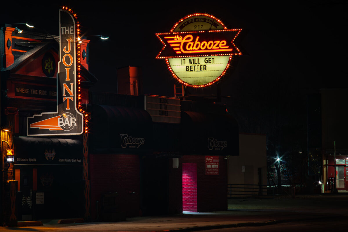
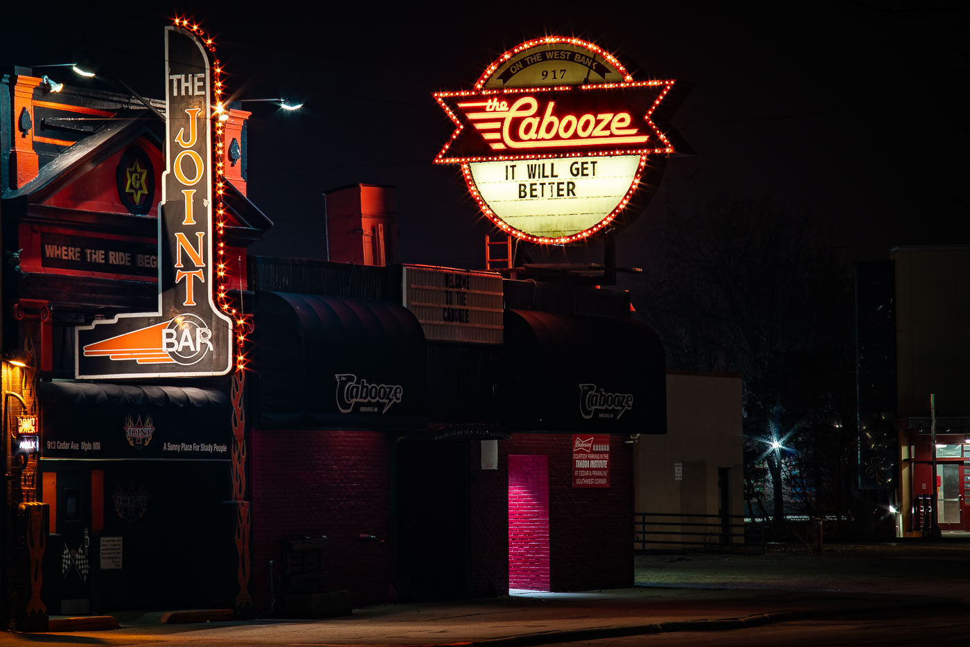
The Joint Bar and Cabooze music venues on Cedar Avenue in Minneapolis display neon signs at night during COVID-19 shutdowns in
The Cabooze sits at 917 Cedar Avenue South in the Cedar-Riverside neighborhood, part of Minneapolis's West Bank entertainment district. Opened in the early 1970s, it's one of the city's longest-running live music venues, having hosted acts ranging from local punk and blues bands to national touring artists. The Joint Bar operates next door in the same stretch of Cedar Avenue, part of the same cluster of nightlife businesses that has defined the West Bank for decades. In March 2020, both venues went dark under Minnesota's COVID-19 shutdown orders, and The Cabooze's marquee was changed to read "IT WILL GET BETTER."

The Cabooze and The Joint on Cedar Avenue, Minneapolis
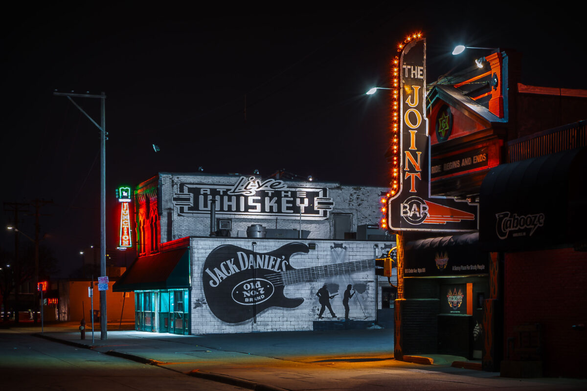
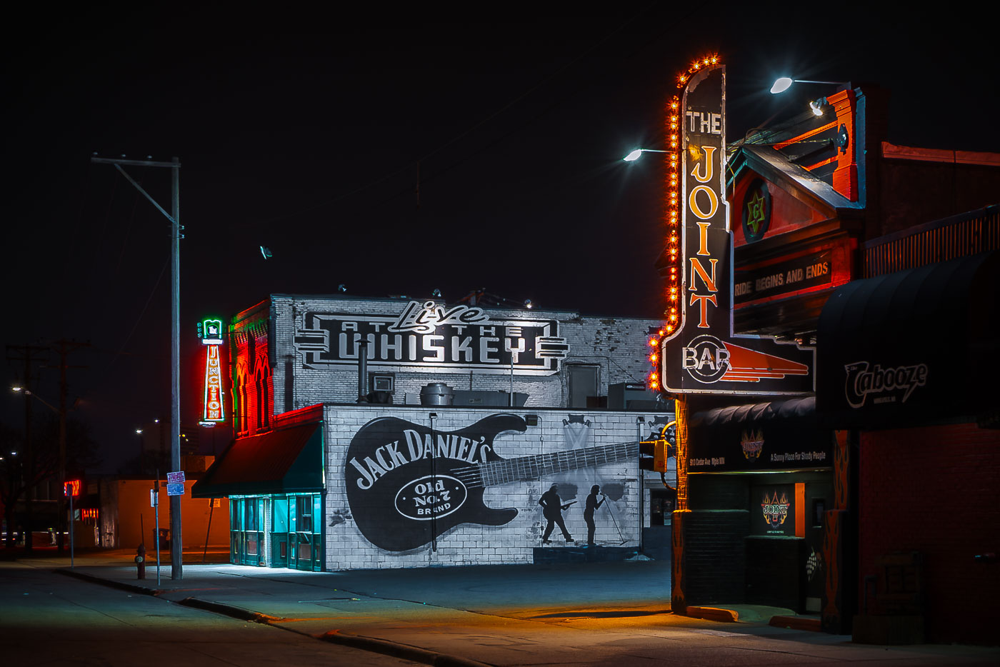
Jack Daniels guitar mural and neon signs illuminate Whiskey Junction nightclub on Cedar Avenue in Minneapolis.
Whiskey Junction sits on Cedar Avenue in the Cedar-Riverside neighborhood, a stretch long associated with live music venues near the University of Minnesota's West Bank. The building's side wall carries a large hand-painted mural advertising Jack Daniel's Old No. 7, styled around an electric guitar, alongside signage for "Live at the Whiskey." Next door, The Joint Bar and The Cabooze occupy the same block, part of a cluster of music clubs that has defined this stretch of Cedar Avenue for decades.

Whiskey Junction’s Jack Daniel’s Mural on Cedar Avenue
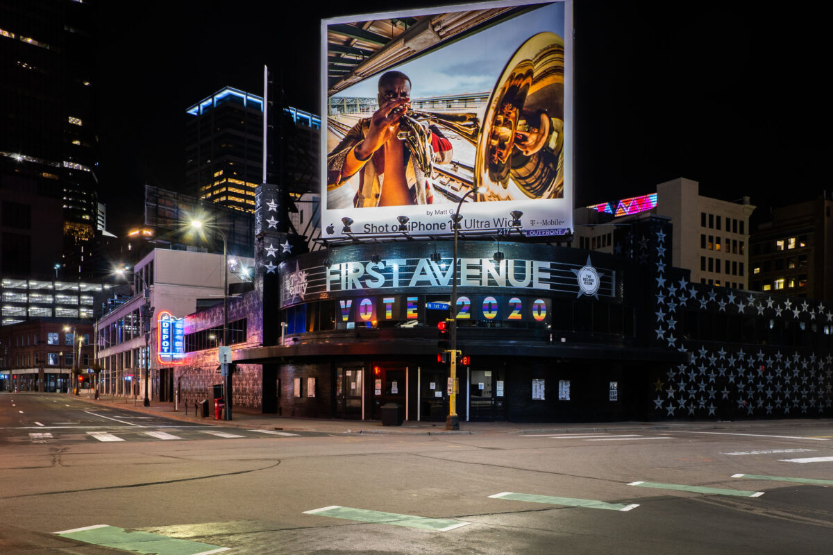
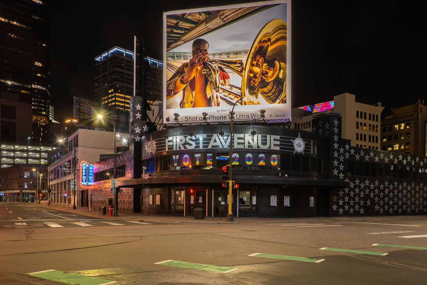
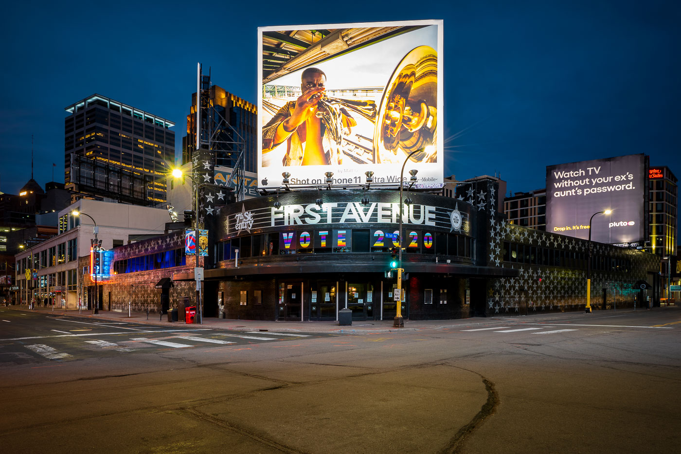
First Avenue concert venue displays large VOTE 2020 sign across its illuminated storefront in downtown Minneapolis.
First Avenue occupies a former Greyhound bus depot at 701 First Avenue North, built in 1937. The club opened in its current form in 1970 and has operated continuously except for a brief bankruptcy closure in 2004. Its exterior is covered in silver stars, each bearing the name of a musician who has performed there, a tradition that began in the 1980s. The venue gained international attention after Prince filmed key s of "Purple Rain" there in 1983, cementing its reputation as one of the country's best-known independent music clubs.

First Avenue’s “VOTE 2020” Marquee in Downtown Minneapolis
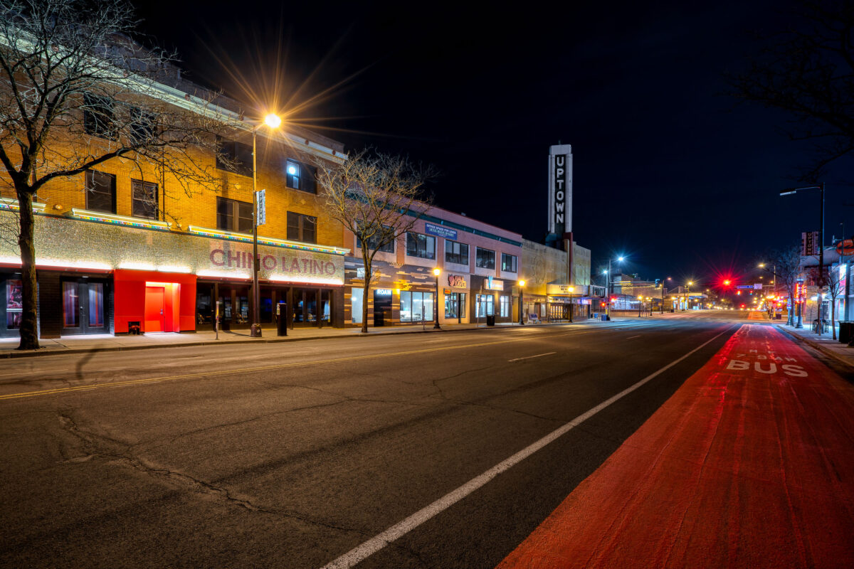
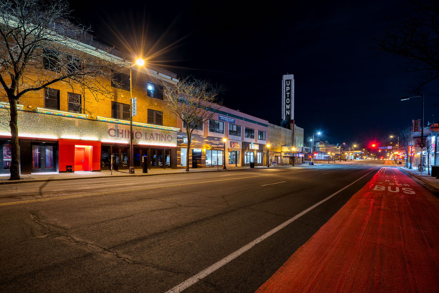
Hennepin Avenue in Uptown Minneapolis at night with Chino Latino restaurant and Uptown Theater sign visible during COVID-19
Hennepin Avenue runs through the heart of Uptown Minneapolis, linking downtown to the Chain of Lakes. The Uptown Theatre opened in 1939, designed by the Minneapolis architectural firm Liebenberg & Kaplan, known for a string of Art Deco movie houses built across the city in the 1930s and '40s. It later operated as a second-run and independent cinema before closing in 2020. Chino Latino, a pan-Asian and Latin fusion restaurant from Parasole Restaurant Holdings, opened along this stretch in 1998 and became a fixture of Uptown's nightlife before shutting down for good that same year amid the pandemic's early closures.

Chino Latino and the Uptown Theatre on Hennepin Avenue
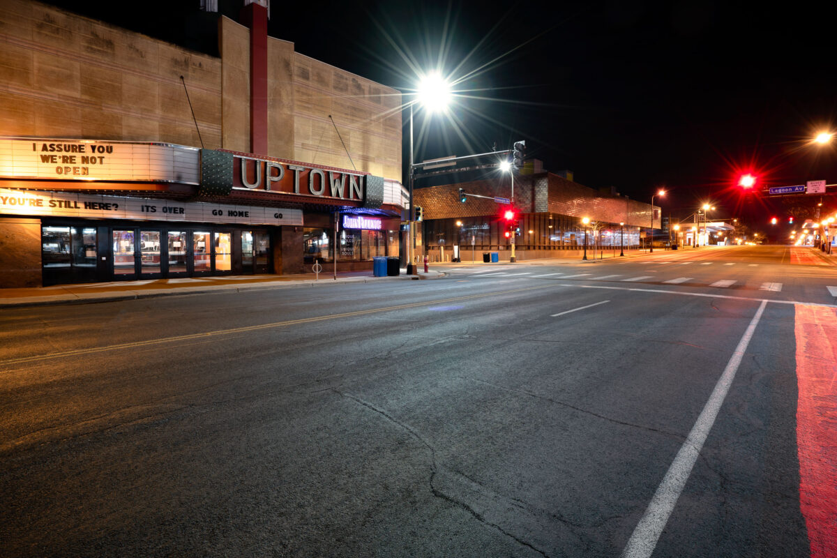
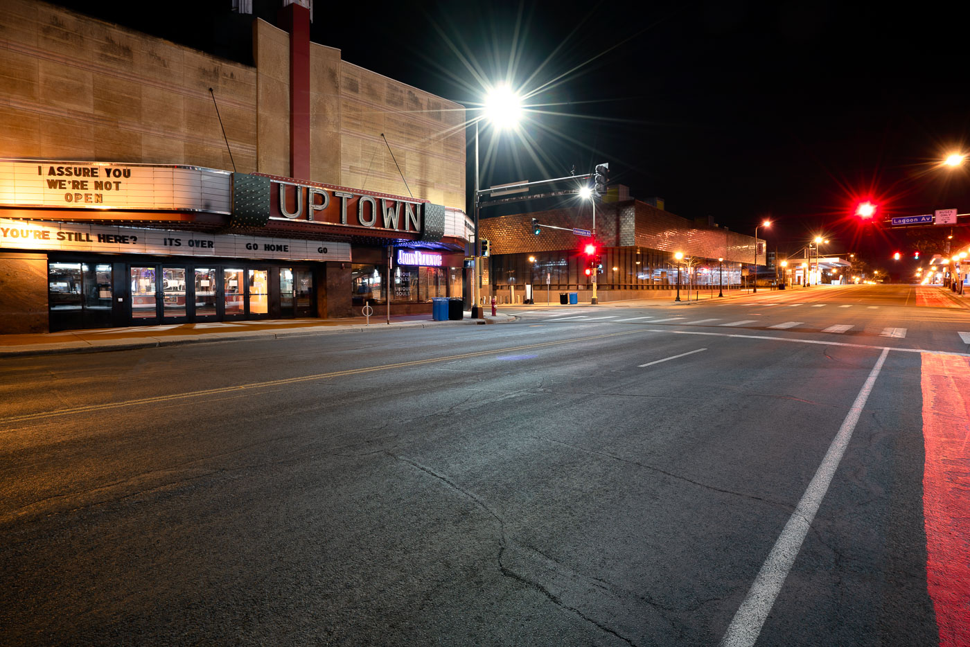
Uptown Theatre on Hennepin Avenue in Minneapolis displays closure messages on its marquee during the COVID-19 pandemic shutdown
The Uptown Theatre sits at Hennepin and Lagoon Avenues in the Uptown neighborhood of Minneapolis. It opened in 1916 and was rebuilt in 1939 with an Art Deco facade designed by Liebenberg and Kaplan, architects known for a string of Twin Cities movie houses. The marquee's message was a response to Minnesota's stay-at-home order, issued in late March 2020, which forced theaters and other entertainment venues statewide to close temporarily.

“I Assure You We’re Not Open” at the Uptown Theatre
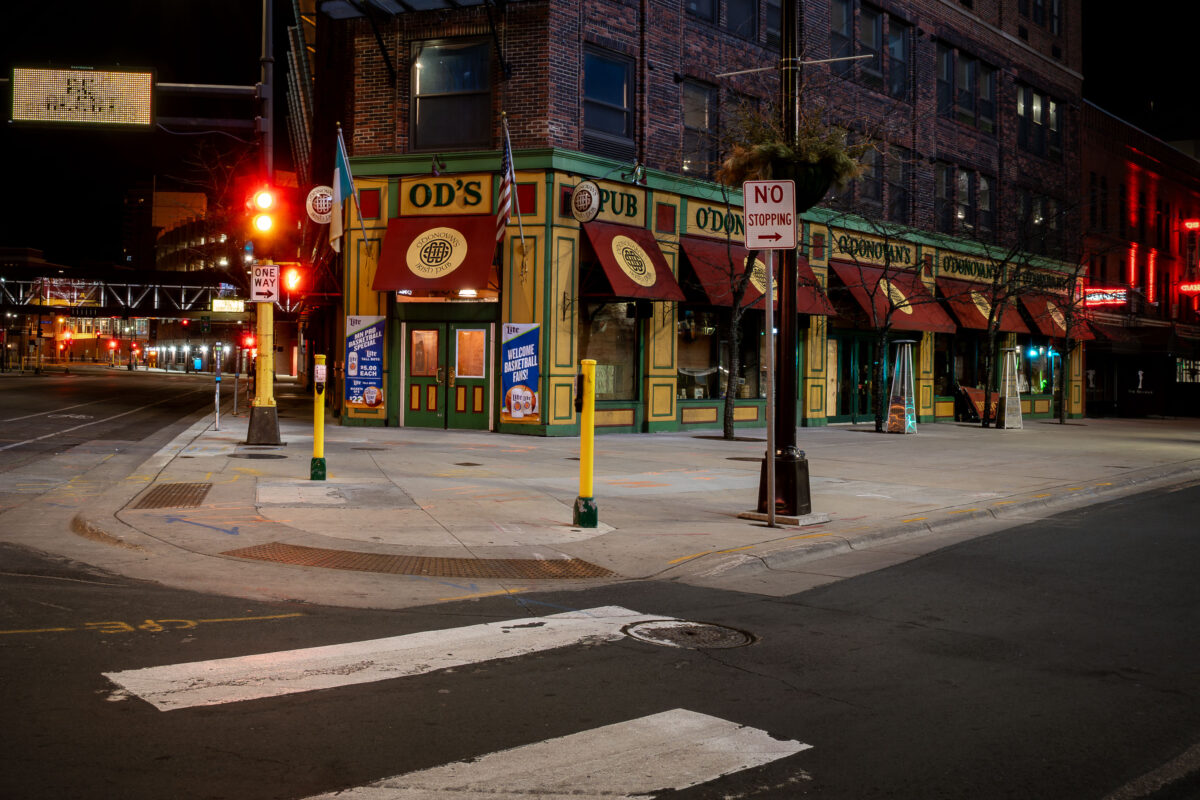
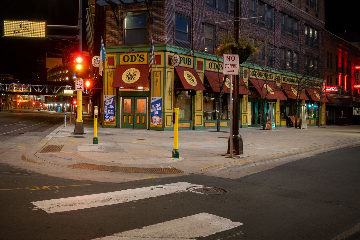
O'Donovan's Irish Pub, a yellow and green corner establishment in downtown Minneapolis, illuminated at night.
O'Donovan's Irish Pub occupies a corner storefront on First Avenue North in downtown Minneapolis, a few blocks from the First Avenue nightclub and the Warehouse District entertainment strip. The pub opened in 2004, and much of its interior — including the bar itself — was built in Ireland, then shipped and reassembled on site. It's part of a small local chain that also includes O'Donovan's locations elsewhere in the Twin Cities, though this Washington Avenue-area spot is the original.

O’Donovan’s Irish Pub on an Empty Downtown Minneapolis Corner

Hennepin Avenue at West Lake Street in Uptown Minneapolis at night, with the Uptown Theatre's vertical sign visible on the left.
Hennepin Avenue and West Lake Street mark the commercial center of Uptown Minneapolis. The Uptown Theatre, opened in 1939 with its Art Deco vertical sign, anchors the block and remains one of the few single-screen movie houses still operating in the Twin Cities.

Empty Streets at Hennepin Avenue and West Lake Street at Night

Lake and Hennepin in Uptown Minneapolis
Juut Hair Salon at the corner of Hennepin Avenue and Lake Street in Uptown Minneapolis. As seen in March 2020. The salon would close for good in June 2021.

JUUT Aveda Salon at Lake Street and Hennepin Avenue
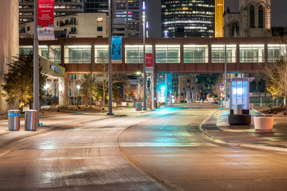
Nicollet Mall in Minneapolis during Stay At Home Orders
Nicollet Mall in downtown Minneapolis is seen during Minnesota's COVID-19 stay-at-home orders.

Nicollet Mall, Downtown Minneapolis During COVID-19 Stay-at-Home
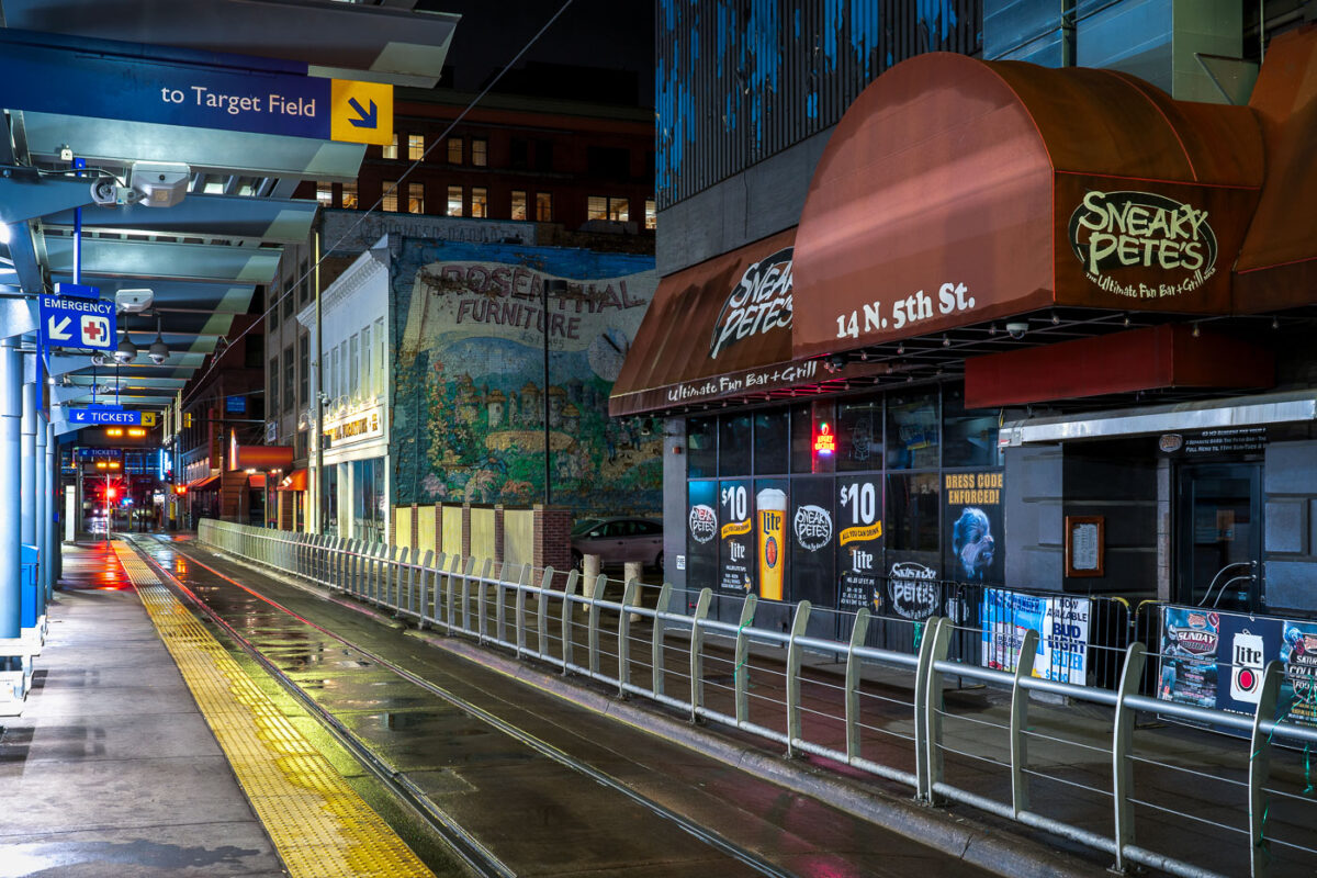
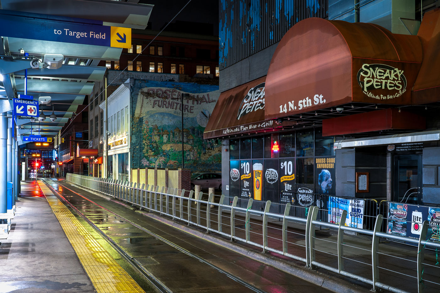
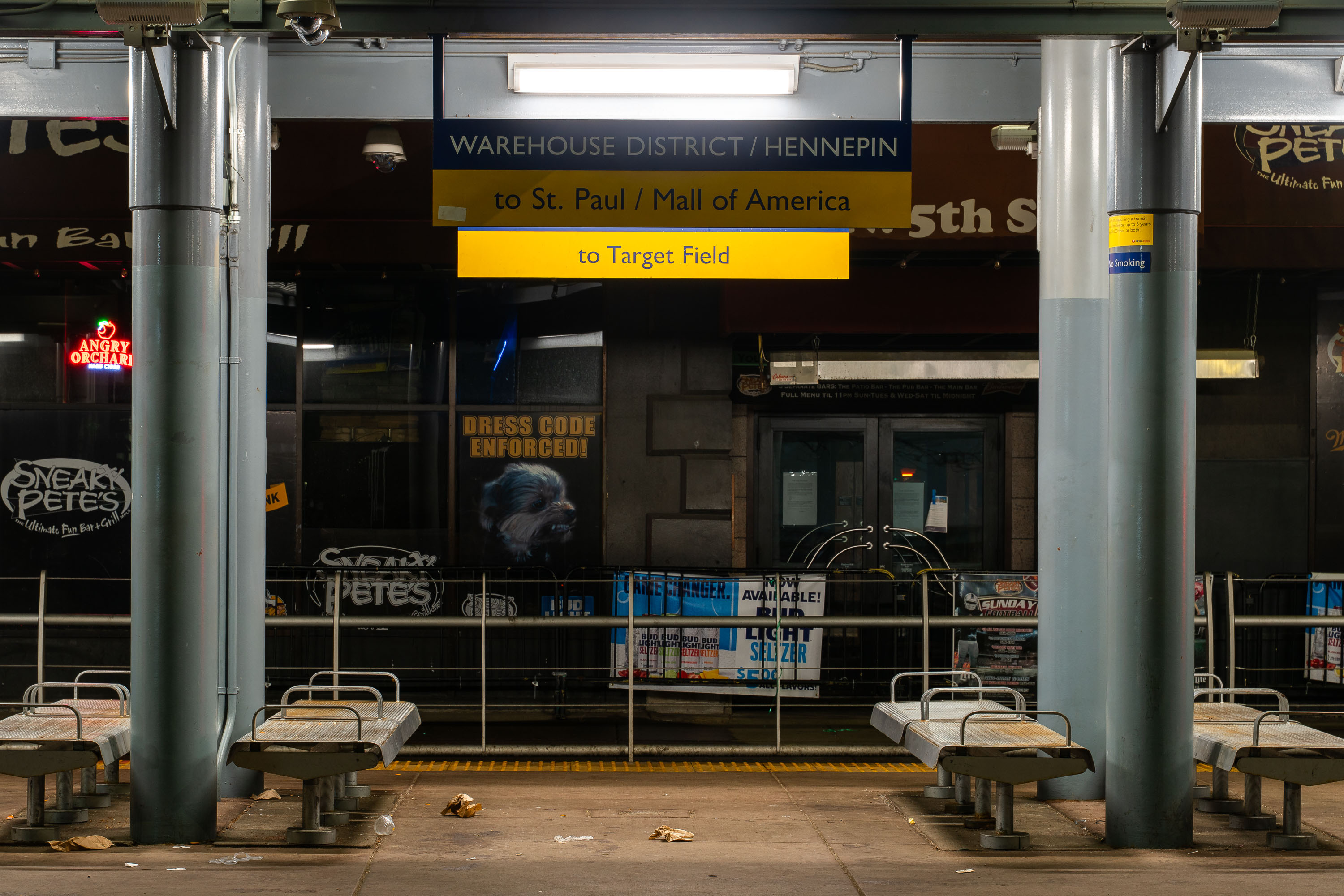
Sneaky Petes during covid19 stay at home orders
Sneaky Pete’s Bar at 14 N. 5th St. in downtown Minneapolis stands dark beside a METRO light rail platform on March 28, 2020, the first night of Minnesota’s COVID-19 stay-at-home order.

Sneaky Pete’s Bar, 14 N. 5th St., Minneapolis, COVID-19 Stay at Home Order
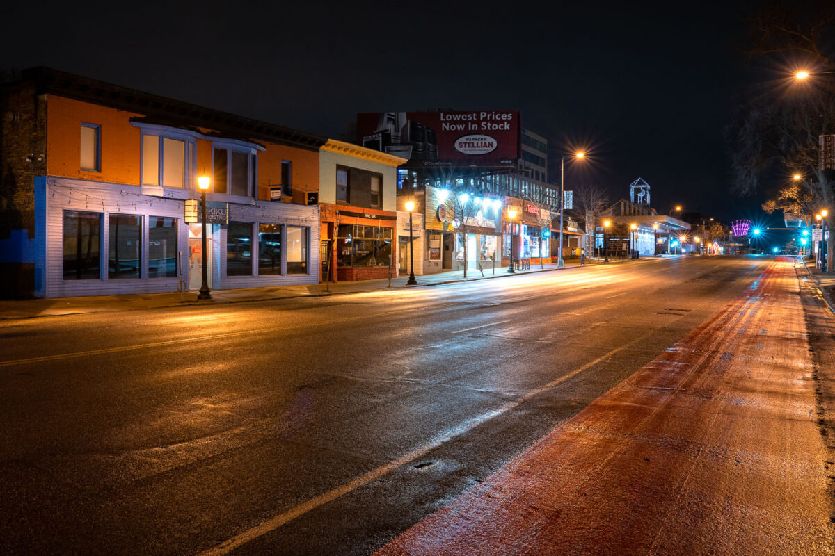
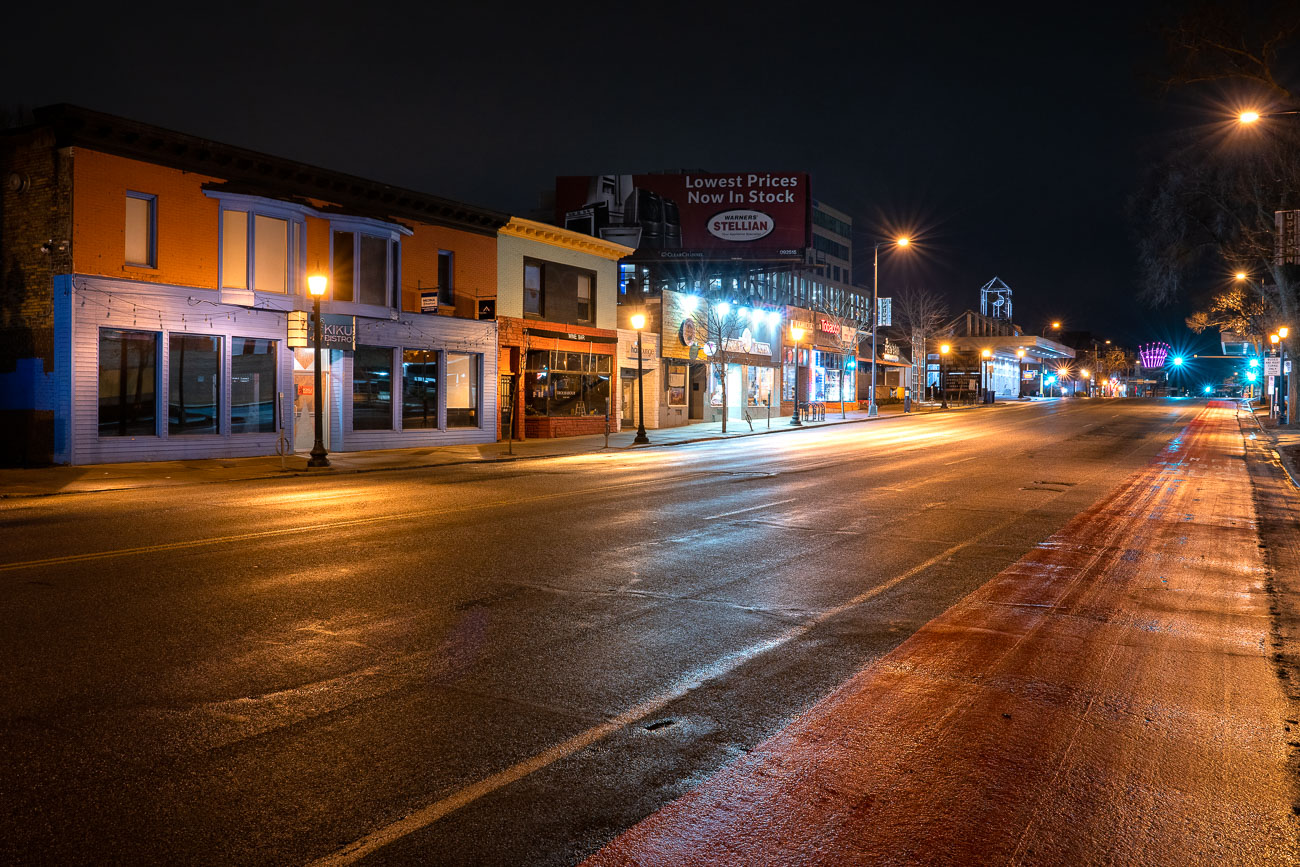
Empty Hennepin Avenue in Uptown Minneapolis at night during the stay-at-home order.
Hennepin Avenue in Uptown Minneapolis on the first night of Minnesota's stay-at-home order. The street, typically bustling with activity, is deserted as businesses close and residents are advised to remain indoors due to the COVID-19 pandemic.

Hennepin Ave, Uptown Minneapolis: First Night of Stay-at-Home Order
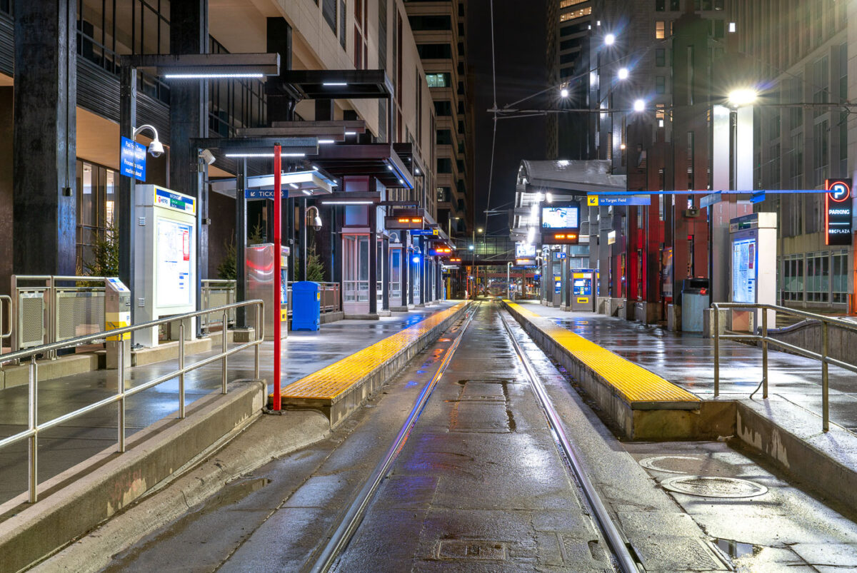
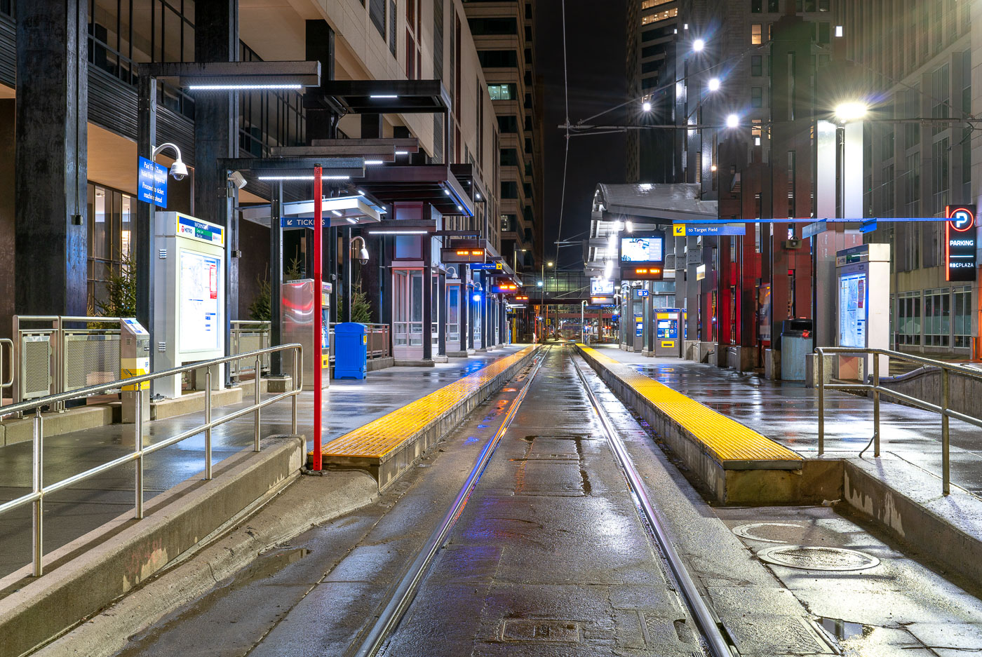
Nicollet Mall light rail station platform stretches empty at night during early COVID-19 pandemic closures in downtown
Nicollet Mall Station serves Metro Transit's Blue and Green Line trains along the transit mall in downtown Minneapolis. The Blue Line opened in 2004 as the region's first light rail line, running between downtown and the Mall of America; the Green Line, connecting downtown Minneapolis to downtown St. Paul, began service in 2014. The station sits along Nicollet Mall, a pedestrian and transit corridor that has restricted private vehicle traffic since the 1960s. Overhead signage points riders toward Target Field, home of the Minnesota Twins, a short walk to the north. This dates to late March 2020, during the early weeks of Minnesota's COVID-19 stay-at-home order, when ridership on the system dropped sharply from pre-pandemic levels.

A Rainy Night at Minneapolis’s Nicollet Mall Station
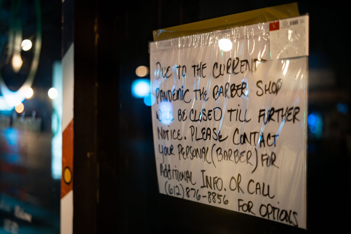
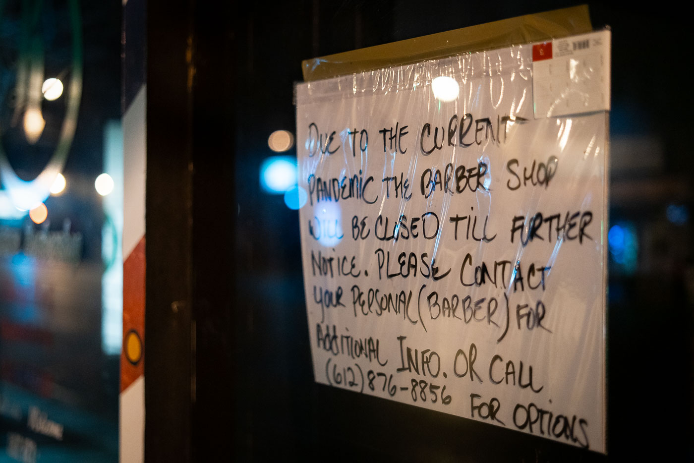
Handwritten closure notice taped to a barber shop door in Minneapolis during the March 2020 COVID-19 pandemic shutdown.
The handwritten sign cites "the current pandemic" as the reason the barber shop closed "till further notice," asking customers to contact their personal barber or call a listed number for options. Minneapolis barbershops and salons were ordered closed under Minnesota's statewide stay-at-home order, issued March 25, 2020, which classified personal grooming services as non-essential. Many small shops, without the staff or systems for remote booking, relied on notes like this one to keep clients informed while the order remained in effect.

A Barber Shop’s Handwritten Closure Notice in Minneapolis
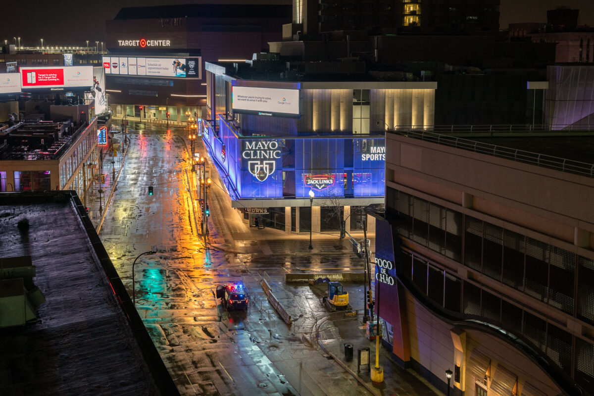
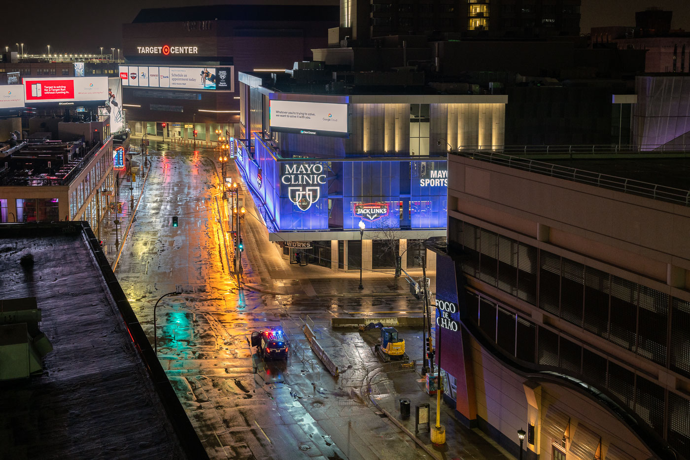
Police vehicle and excavator on wet Hennepin Avenue in downtown Minneapolis at night during COVID-19 shutdown.
Hennepin Avenue runs through downtown Minneapolis past Target Center, home of the Minnesota Timberwolves and Lynx, and Mayo Clinic Square, a mixed-use building housing retail space and the Minnesota Timberwolves' practice facility. The corridor sits at the center of the city's entertainment and sports district, connecting to First Avenue and the Warehouse District a few blocks south. In late March 2020, Minnesota's stay-at-home order emptied this stretch of its usual foot traffic, leaving only intermittent police and maintenance activity on the street.

Hennepin Avenue Near Target Center During Minneapolis’s COVID-19 Shutdown
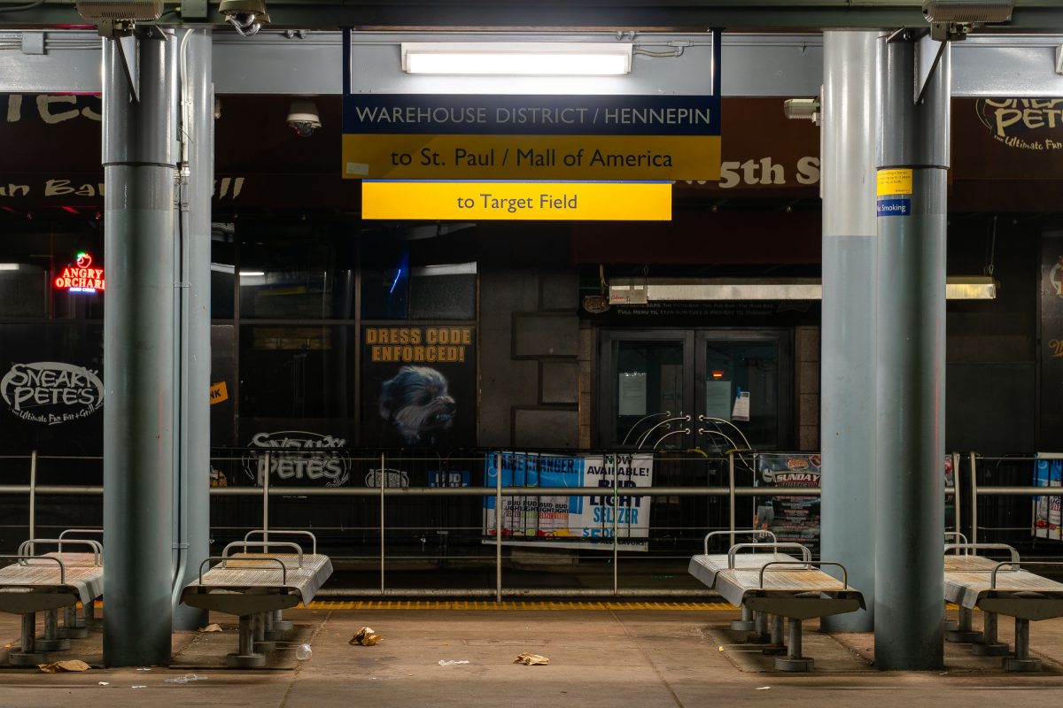
Warehouse District/Hennepin Avenue light rail station platform in downtown Minneapolis with directional signs to St. Paul.
The Warehouse District/Hennepin Avenue Station serves the METRO Blue and Green Lines in downtown Minneapolis, connecting riders to Target Field, St. Paul, and the Mall of America. Located near the Warehouse District entertainment area on 5th Street, the station provides transit access to nearby bars, clubs, and Target Field Station.

Empty Platform at Warehouse District/Hennepin Station, Minneapolis
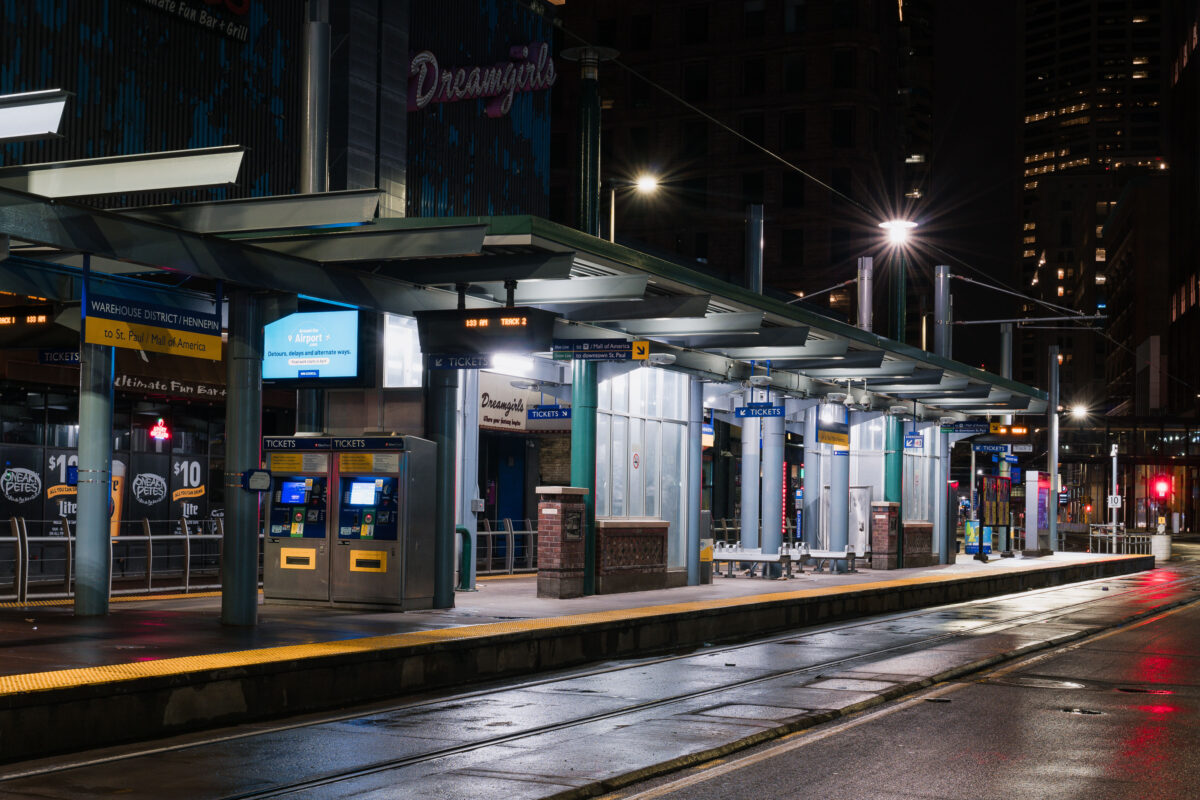
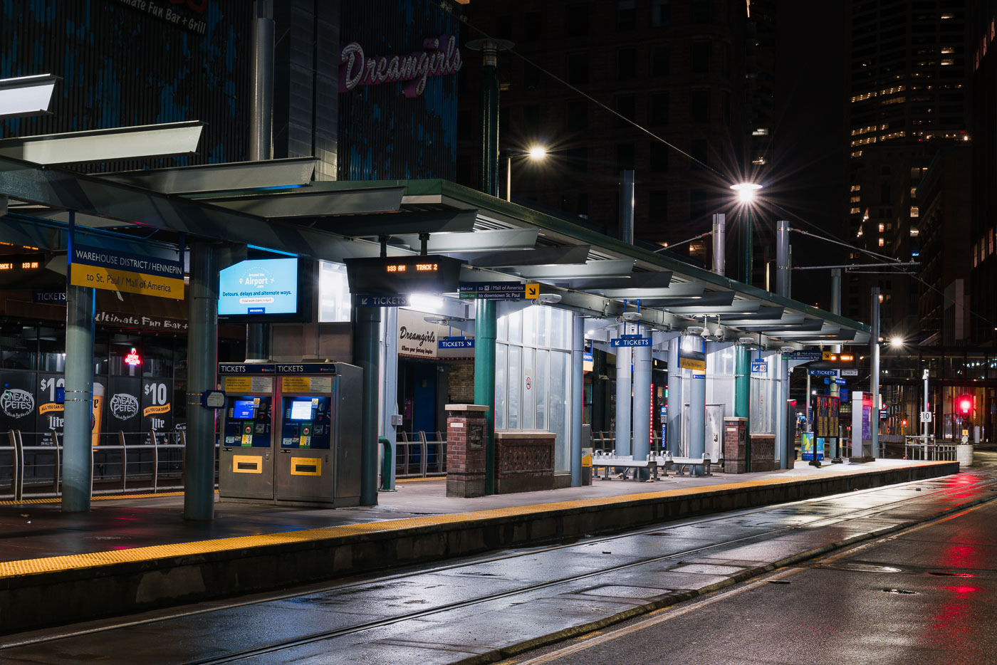
Warehouse District/Hennepin light rail station on North 5th Street in downtown Minneapolis, empty during early morning hours.
Warehouse District/Hennepin Station sits on North 5th Street in downtown Minneapolis, one of the stops serving Metro Transit's METRO Blue and Green Line trains. The station connects riders to downtown St. Paul and the Mall of America along one route, and to the Warehouse District's bars, theaters, and entertainment venues at street level. Metro Transit operates the regional light rail system, which opened its first line in 2004. This platform recorded far lower ridership in late March 2020, after Minnesota's statewide stay-at-home order took effect during the early weeks of the COVID-19 pandemic.

Warehouse District/Hennepin Station at Night, Minneapolis

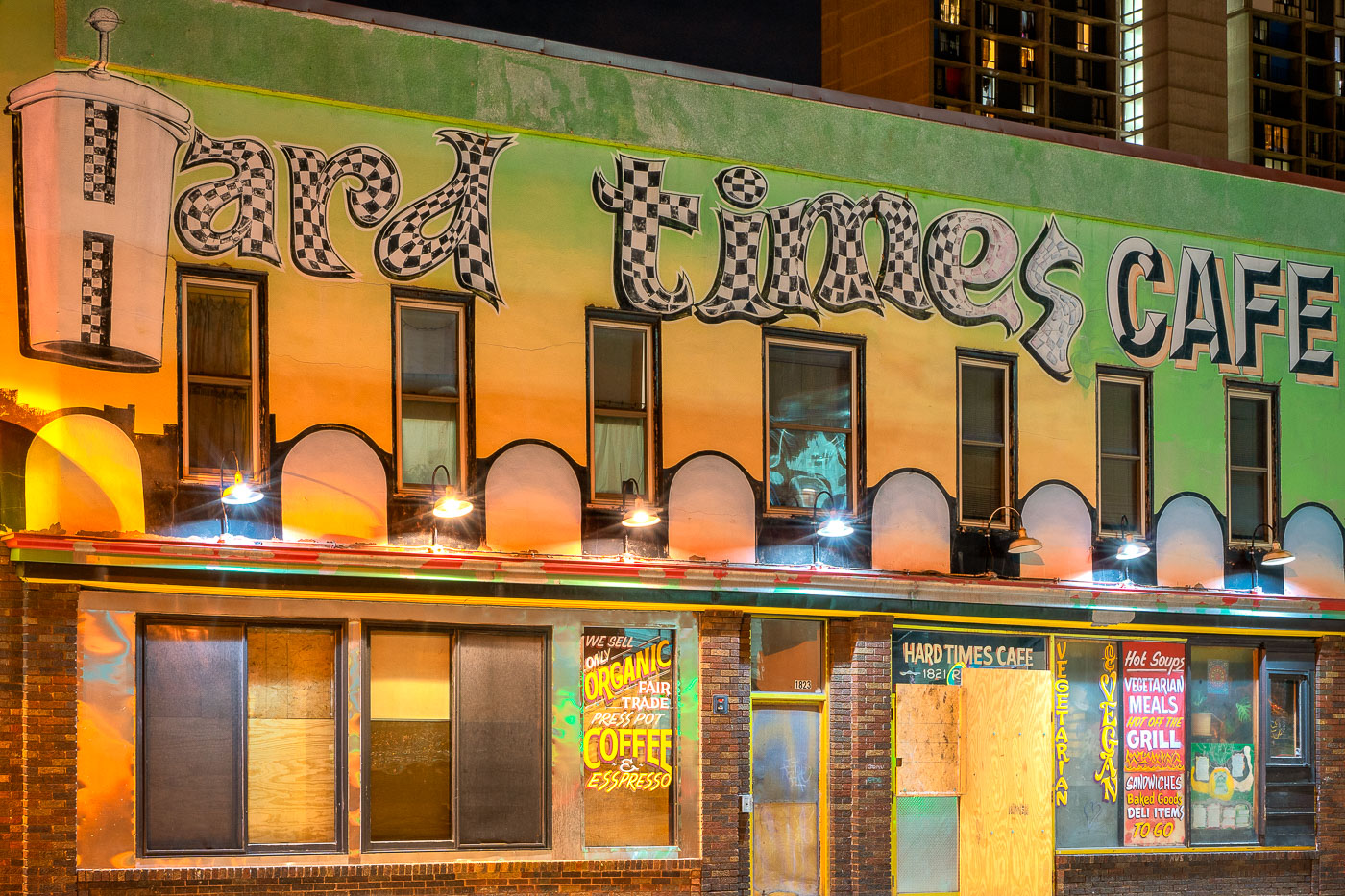
Lucky Dragon Restaurant and Hard Times Cafe storefronts illuminated at night in Minneapolis.
Lucky Dragon Restaurant serves Vietnamese and Chinese cuisine from a storefront on Minneapolis's West Bank, in the Cedar-Riverside neighborhood near the University of Minnesota. Next door, Hard Times Cafe has operated as a 24-hour coffeehouse since the early 1990s, drawing a mix of students, night-shift workers, and the neighborhood's longtime punk and counterculture crowd. Cedar-Riverside took shape as a dense immigrant enclave in the late 19th century and later became a center of Minneapolis's Somali and East African community, giving the area its wide range of restaurants and small businesses.

Lucky Dragon Restaurant and Hard Times Cafe on the West Bank
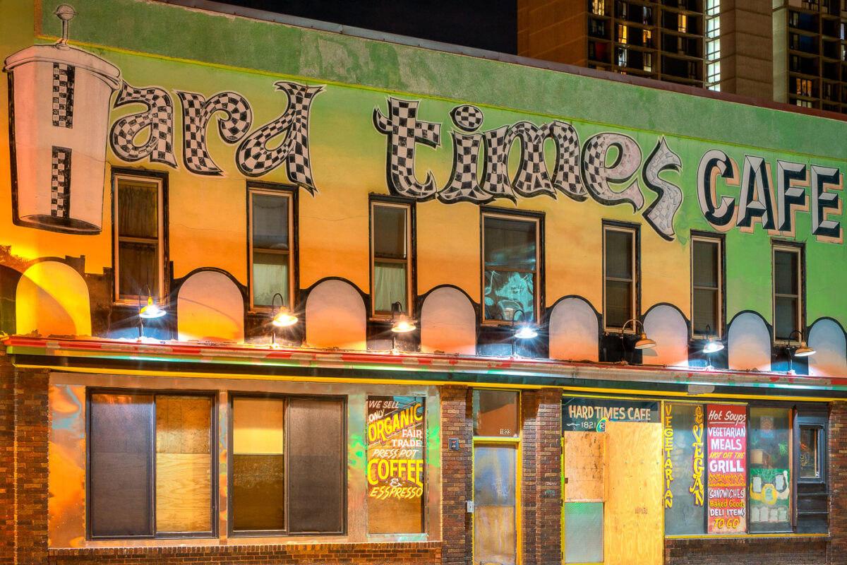
Hard Times Cafe with boards on door during covid closures
The Hard Times Cafe, located at 1823 Riverside Drive in Minneapolis's Cedar Riverside neighborhood, was boarded up during the COVID-19 pandemic closures.

Hard Times Cafe, Minneapolis: Boarded Up During COVID-19
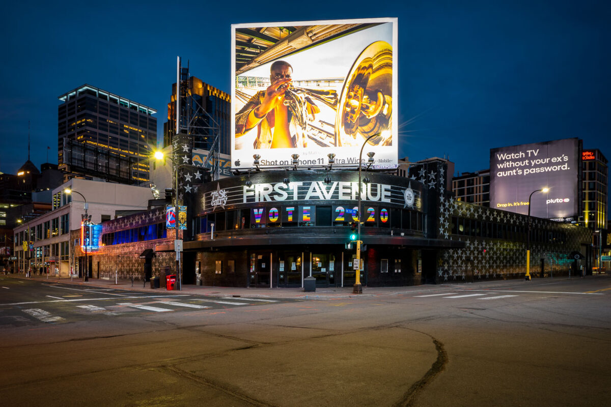
First Avenue music venue in downtown Minneapolis displays "VOTE 2020" on its marquee during COVID-19 shutdowns on April 2, 2020.
First Avenue, the nightclub at 701 First Avenue North, occupies a building that opened in 1937 as a Greyhound bus depot before its conversion to a music venue in 1970. Its Mainroom has hosted acts from Prince—who filmed key s of "Purple Rain" here—to touring bands across nearly every genre. The 7th Street Entry, the smaller adjoining room, opened in 1980 as a launching pad for punk and indie acts. The building's exterior stars, added over the years, each mark a musician who has performed there. On this night the marquee read "VOTE 2020" instead of a show listing, a message posted while the venue sat closed under Minnesota's statewide shutdown orders.

“VOTE 2020” Marquee at First Avenue During Empty Streets
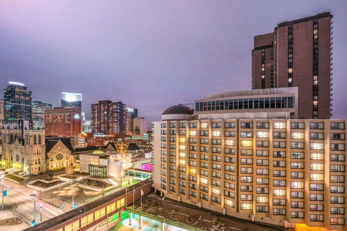
Millennium Hotel in downtown Minneapolis illuminated at twilight with lit windows forming a heart pattern during early COVID-19
The Millennium Hotel Minneapolis sits at 1313 Nicollet Mall, a high-rise a few blocks from the Minneapolis Convention Center. The tower opened in the 1970s under an earlier flag before joining the Millennium Hotels and Resorts chain, and its upper floors face north over downtown toward the Mississippi River. During the early weeks of the 2020 coronavirus shutdown, hotel occupancy across downtown Minneapolis fell sharply as conventions, sporting events, and business travel came to a halt.

Millennium Hotel Overlooking Downtown Minneapolis During COVID-19
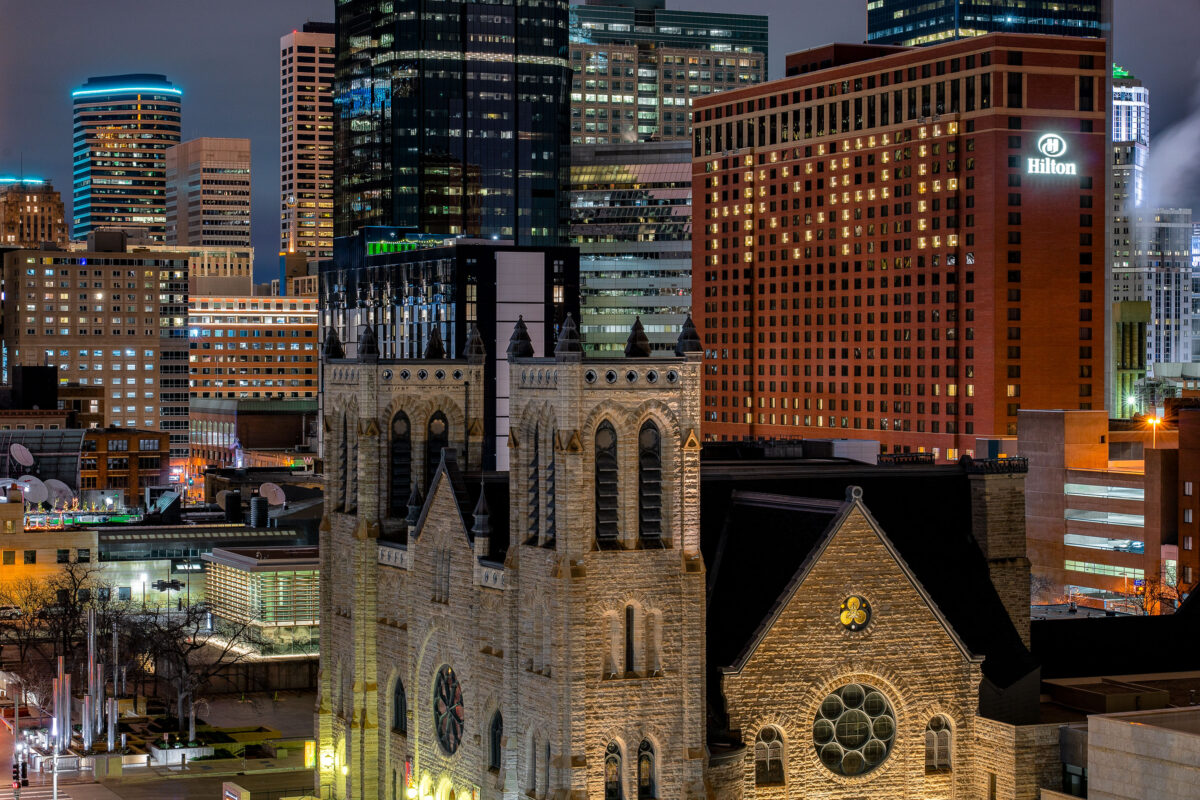
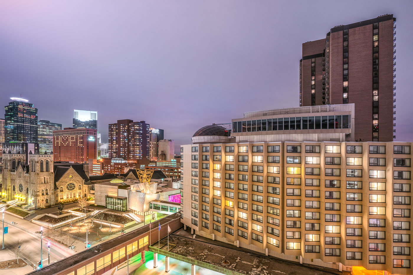
Hilton Minneapolis hotel displays "HOPE" message in illuminated windows during COVID-19 pandemic.
The Hilton Minneapolis, a 32-story tower at 1001 Marquette Avenue, spelled out the word "HOPE" and a heart in its guest-room windows on April 3, 2020, during the early weeks of Minnesota's COVID-19 stay-at-home order. The 821-room hotel opened in 1992 and remains one of the largest in the state. Just north of the hotel stands Westminster Presbyterian Church, a Gothic Revival building completed in 1897 for a congregation founded in 1857, making it one of downtown Minneapolis's oldest continuously operating churches.

Hilton Minneapolis Windows Spell “HOPE” During COVID-19

Empty parking level at Ramp A garage in downtown Minneapolis with yellow bollards and directional markings.
Ramp A is one of several municipal parking ramps the City of Minneapolis operates in the downtown core, serving nearby government offices, hotels, and retail. The ramp typically fills with commuters and visitors on weekdays but stood empty in early April 2020, during the citywide shutdown ordered in response to the COVID-19 pandemic.

Ramp A’s Upper Levels Sit Empty in Downtown Minneapolis
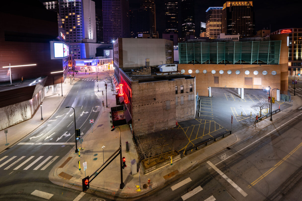
The Seville Club nightclub with red neon sign on 1st Avenue North in downtown Minneapolis during April 2020 COVID-19 shutdowns.
The Seville Club sits at 1st Avenue North and 9th Street in downtown Minneapolis, near the Target Center. Its red neon sign has long marked the block along a stretch of downtown known for nightlife and entertainment venues. In April 2020, statewide stay-at-home orders halted nightclub operations and left the surrounding streets and parking areas largely empty, a temporary condition rather than a permanent closure.

Seville Club on 1st Avenue North During Empty Downtown Streets
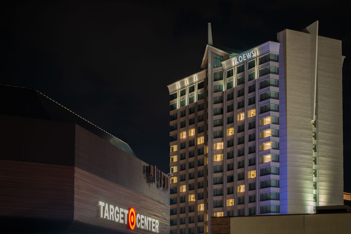
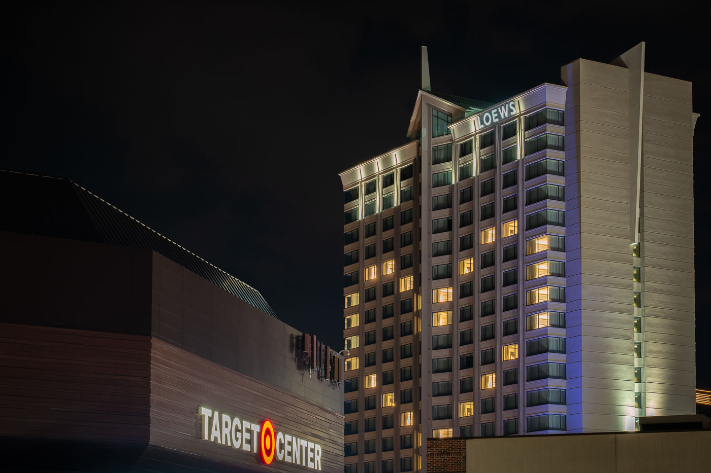
Loews Hotel and Target Center illuminated at night in downtown Minneapolis.
The Loews Minneapolis Hotel sits along First Avenue North next to the Target Center arena in downtown Minneapolis. Target Center opened in 1990 and has served as the home arena for the Minnesota Timberwolves and, since 1999, the Minnesota Lynx. The arena holds roughly 18,798 fans for basketball and has hosted concerts and other events since its debut. The Loews hotel occupies a tower built in 2000 as part of the same downtown block, giving visitors direct access to the arena's entertainment district.

Loews Minneapolis Hotel Beside Target Center at Night
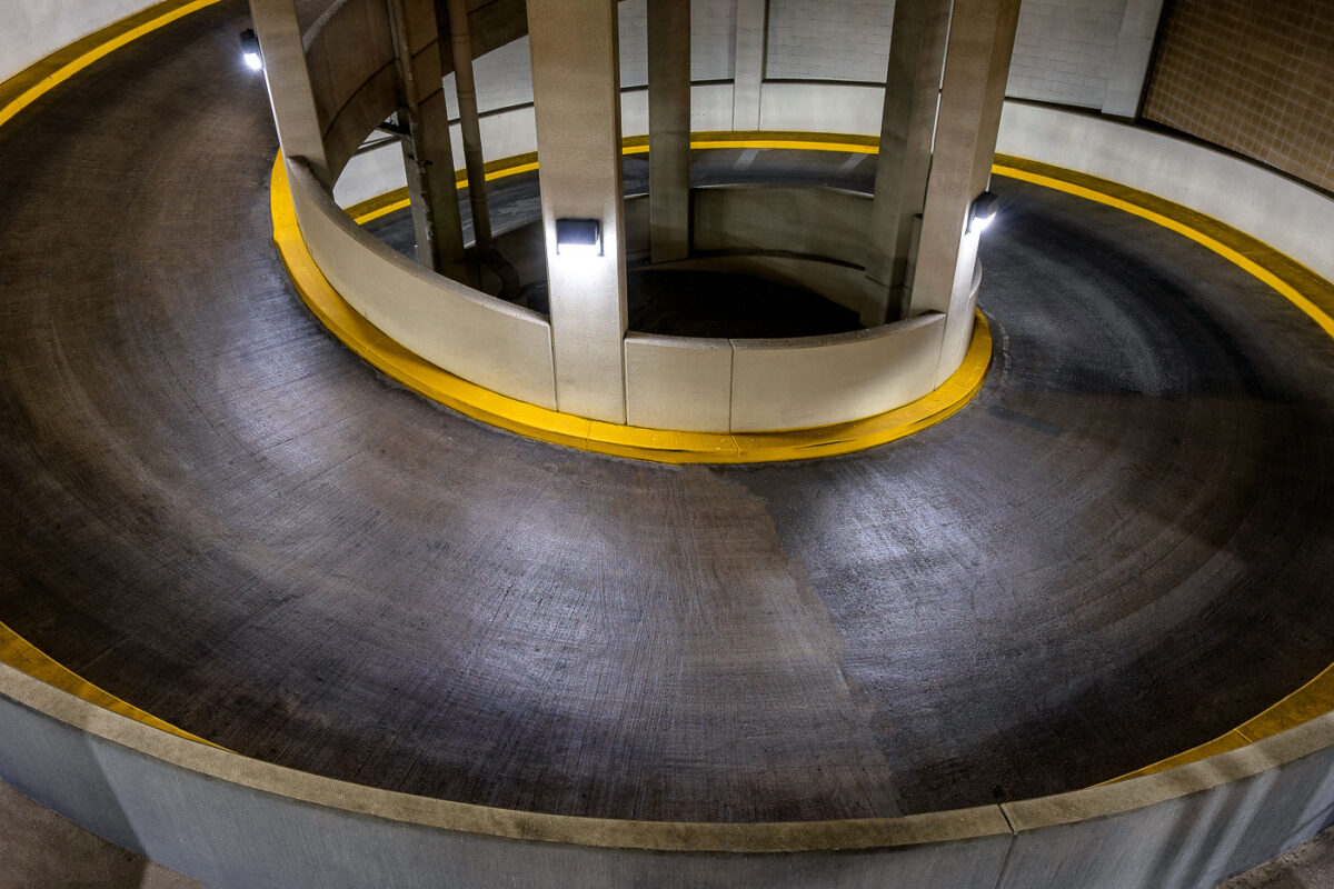
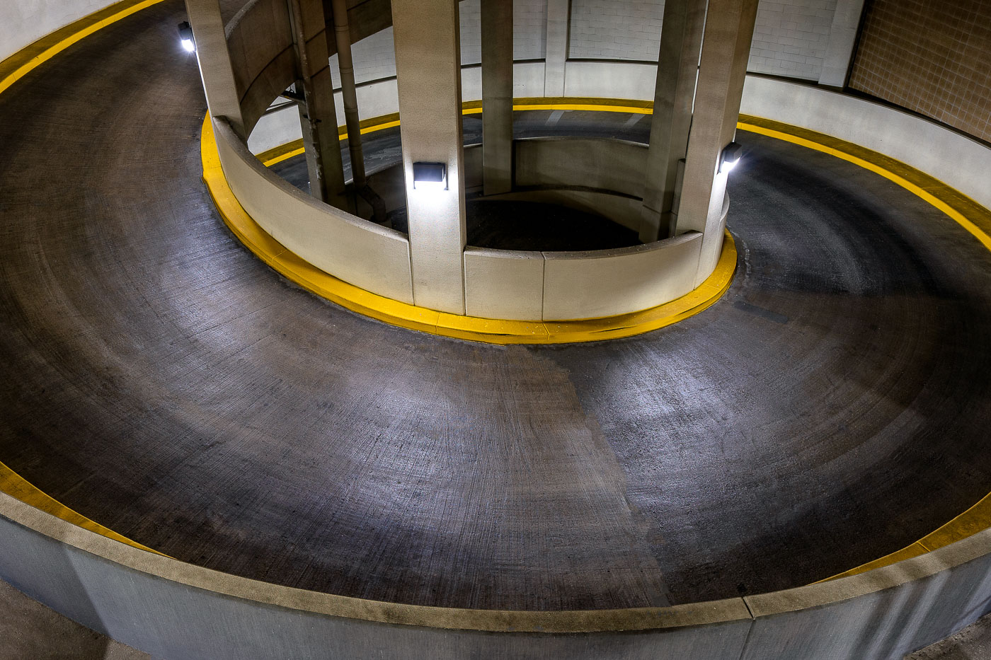
Spiral parking ramp with yellow-painted curbs and concrete support columns in downtown Minneapolis.
Ramp C is a municipal parking garage in downtown Minneapolis, operated by the city as part of its downtown parking system. The structure's central spiral connects its parking levels with a continuous curved roadway rather than straight ramps between floors, a common design solution for maximizing vehicle capacity on a compact urban site. Yellow curb markings delineate the traffic lane around the concrete support core. Facilities like Ramp C serve commuters, downtown employees, and visitors to nearby offices and entertainment venues in the central business district.

Spiral Ramp Inside Ramp C Parking Garage, Downtown Minneapolis
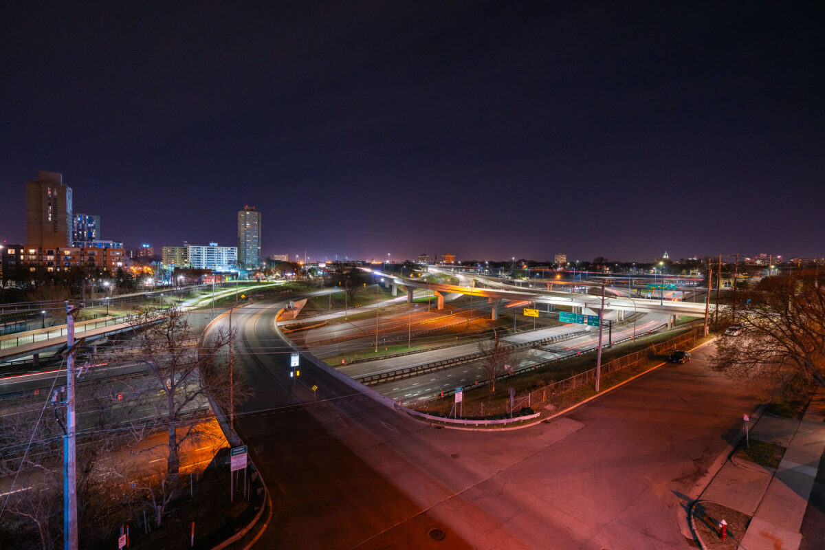
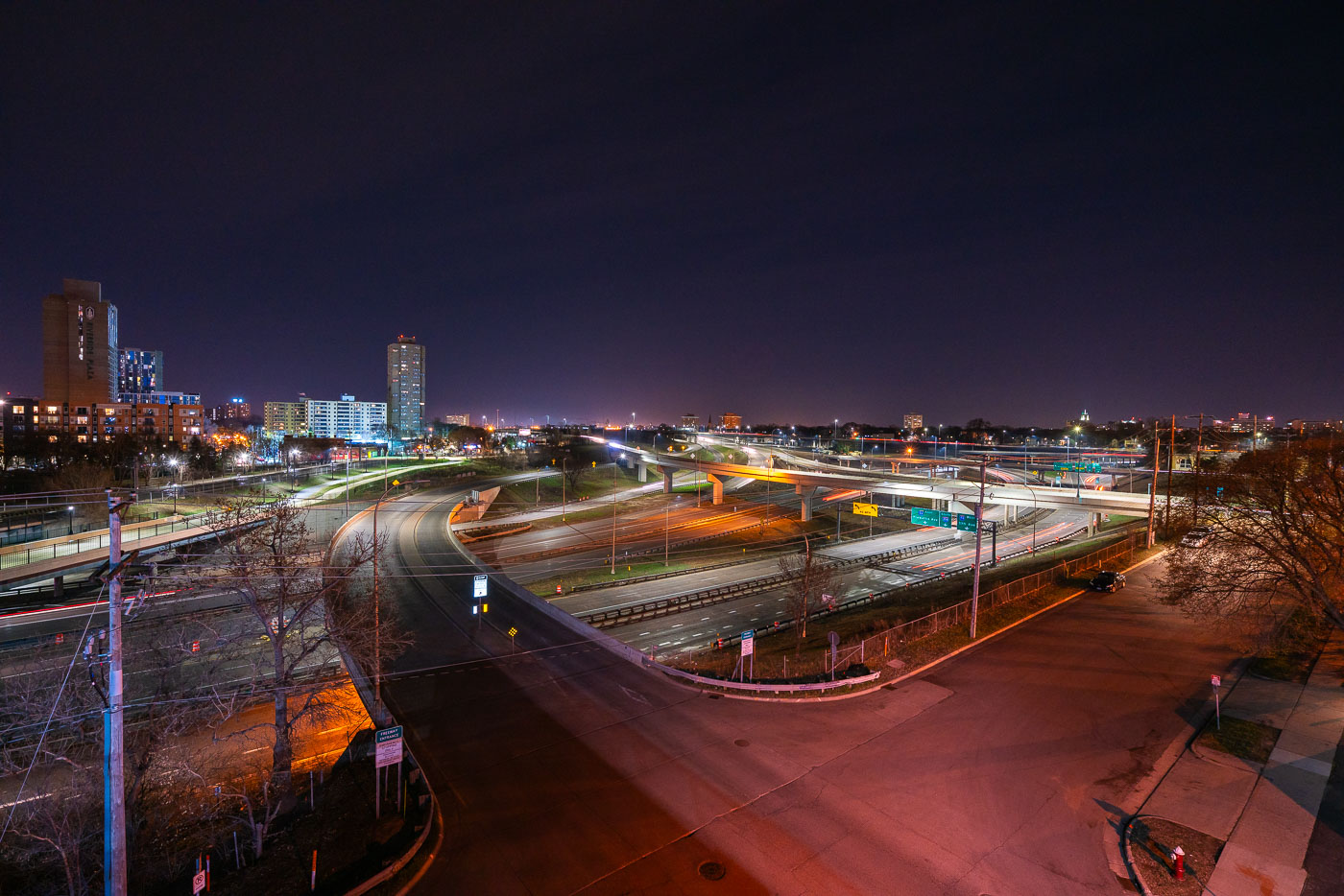
Interstate 35W and connecting ramps at night in Minneapolis with Cedar-Riverside neighborhood visible in background.
Interstate 35W cuts through the Cedar-Riverside neighborhood just south of downtown Minneapolis, carrying traffic between the city center and southern suburbs along the Twin Cities' busiest north-south corridor. The high-rise towers of Riverside Plaza, built in 1973 as public housing and now home to a large East African immigrant community, stand along the freeway's western edge. The interchange visible here connects 35W with Washington Avenue and the University of Minnesota's West Bank campus, one of several ramps rebuilt after the 2007 collapse of the 35W bridge over the Mississippi River prompted a broader reconstruction of the corridor.

Interstate 35W Interchange Near Cedar-Riverside at Night

Metro Transit buses parked in a North Minneapolis storage lot at night.
Metro Transit operates the bulk of bus and rail service across Minneapolis, St. Paul, and the surrounding Twin Cities metro area. Its fleet includes standard 40-foot coaches like the ones numbered here, typically pulled from routes for storage, repair, or reassignment between garages. During the early months of the COVID-19 pandemic, the agency cut scheduled service significantly as ridership dropped, leaving more buses parked than usual. Metro Transit is run by the Metropolitan Council, the regional planning body that also oversees transit for the seven-county Twin Cities area.

Metro Transit Buses Parked at a North Minneapolis Storage Lot

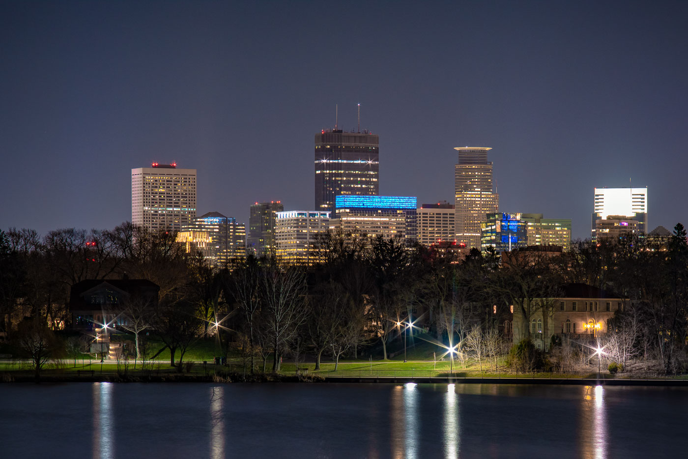
Minneapolis downtown skyline at night viewed across Lake of the Isles with illuminated office towers and foreground park.
Lake of the Isles sits at the western edge of Minneapolis's Chain of Lakes, linked by man-made channels to Bde Maka Ska to the south and Cedar Lake to the north.

Minneapolis Skyline at Night from Lake of the Isles

Hennepin Healthcare Paramedic ambulances parked in a vehicle bay in downtown Minneapolis.
Hennepin EMS operates as the ambulance service of Hennepin Healthcare, formerly known as Hennepin County Medical Center, which serves as Minnesota's only adult Level I trauma center and one of two in the state for pediatric trauma. The service covers Minneapolis and much of Hennepin County, responding to roughly 100,000 calls a year and transporting patients to HCMC's downtown campus on Chicago Avenue. Its paramedics also staff a community paramedic program that follows up with high-need patients outside the emergency room. HCMC has held its Level I trauma designation since the American College of Surgeons verification program began rating hospitals in the 1980s.

Hennepin EMS Ambulances Lined Up in a Minneapolis Parking Bay
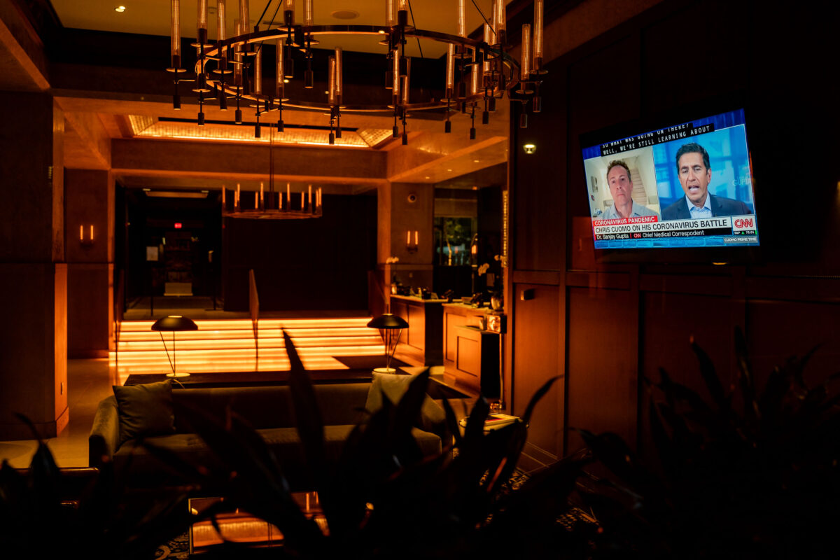
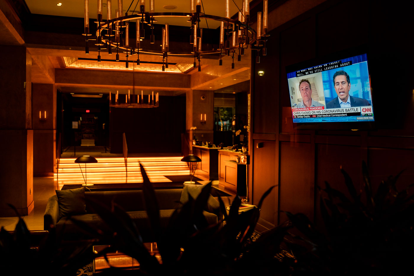
CNN broadcast with Chris Cuomo and Dr. Sanjay Gupta plays on television in the Marquette Hotel lobby, Minneapolis, April 2020.
Chris Cuomo discussed his own coronavirus diagnosis with CNN's chief medical correspondent, Dr. Sanjay Gupta, in an April 2020 segment that aired on the network amid the early weeks of the pandemic. The broadcast appeared on a lobby television at the Marquette Hotel in downtown Minneapolis, part of the Hilton-affiliated property on South Seventh Street near the IDS Center. Cuomo, then a primetime anchor for CNN, quarantined at home after testing positive and returned to reporting on air during his recovery.

Empty Marquette Hotel Lobby During Chris Cuomo’s CNN Interview
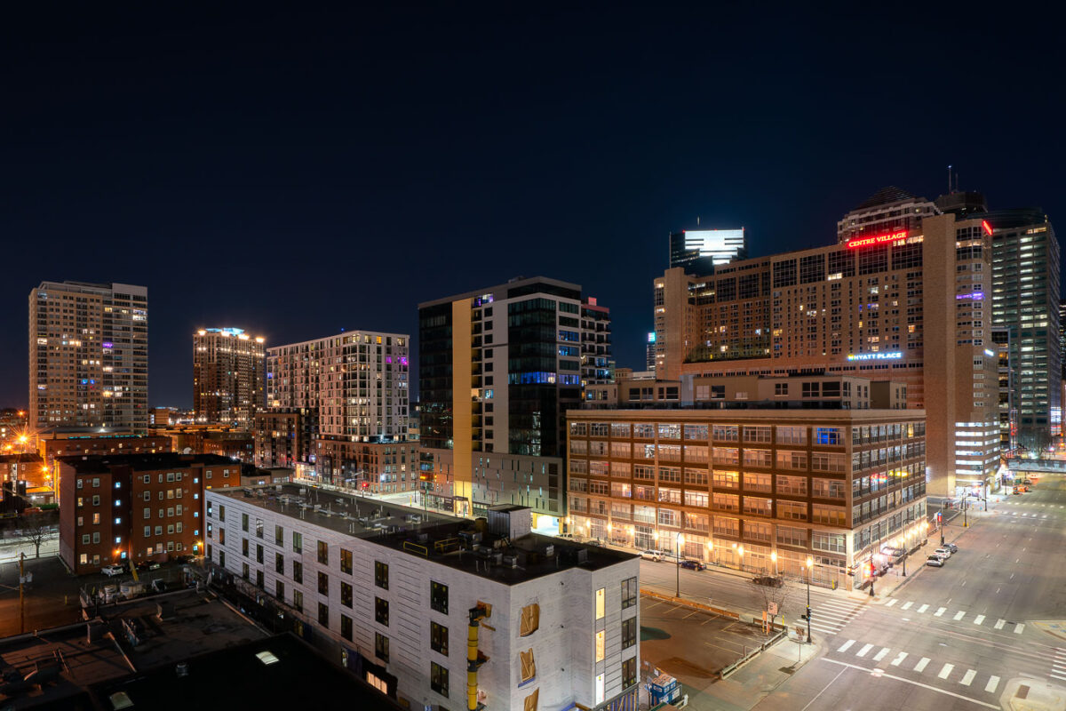
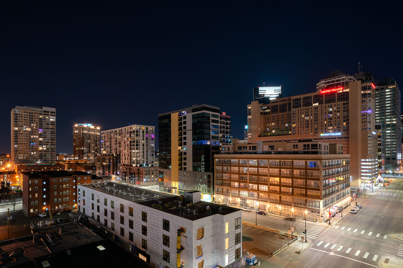
Downtown Minneapolis skyline at night showing Centre Village and Hyatt Place hotel buildings, April 2020.
Centre Village rises over downtown Minneapolis at Second Avenue South, a mixed-use high-rise completed in 1984 that combines residential units with commercial space. The Hyatt Place hotel occupies part of the same complex, serving business travelers and visitors to the city center. Both buildings sit within blocks of the Mississippi riverfront and the Central Business District, an area built up largely in the 1980s as downtown Minneapolis added residential towers alongside its office core.

Centre Village and Hyatt Place Above Downtown Minneapolis at Night
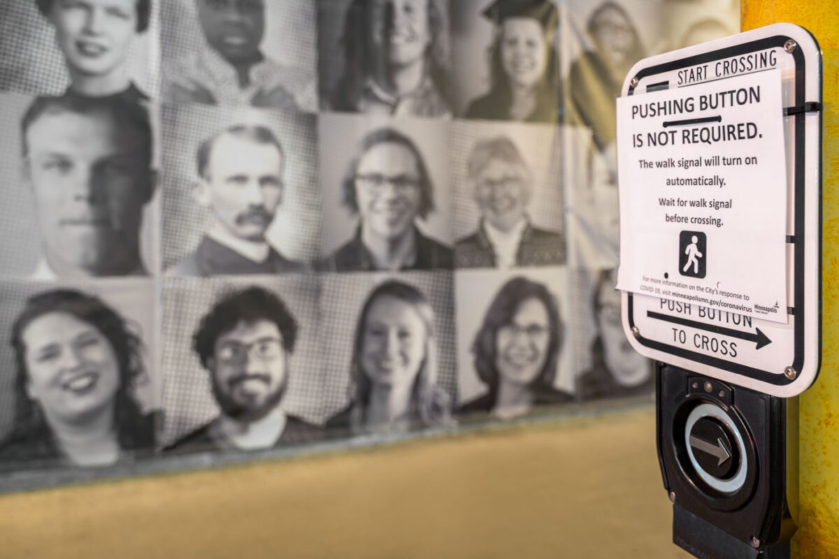
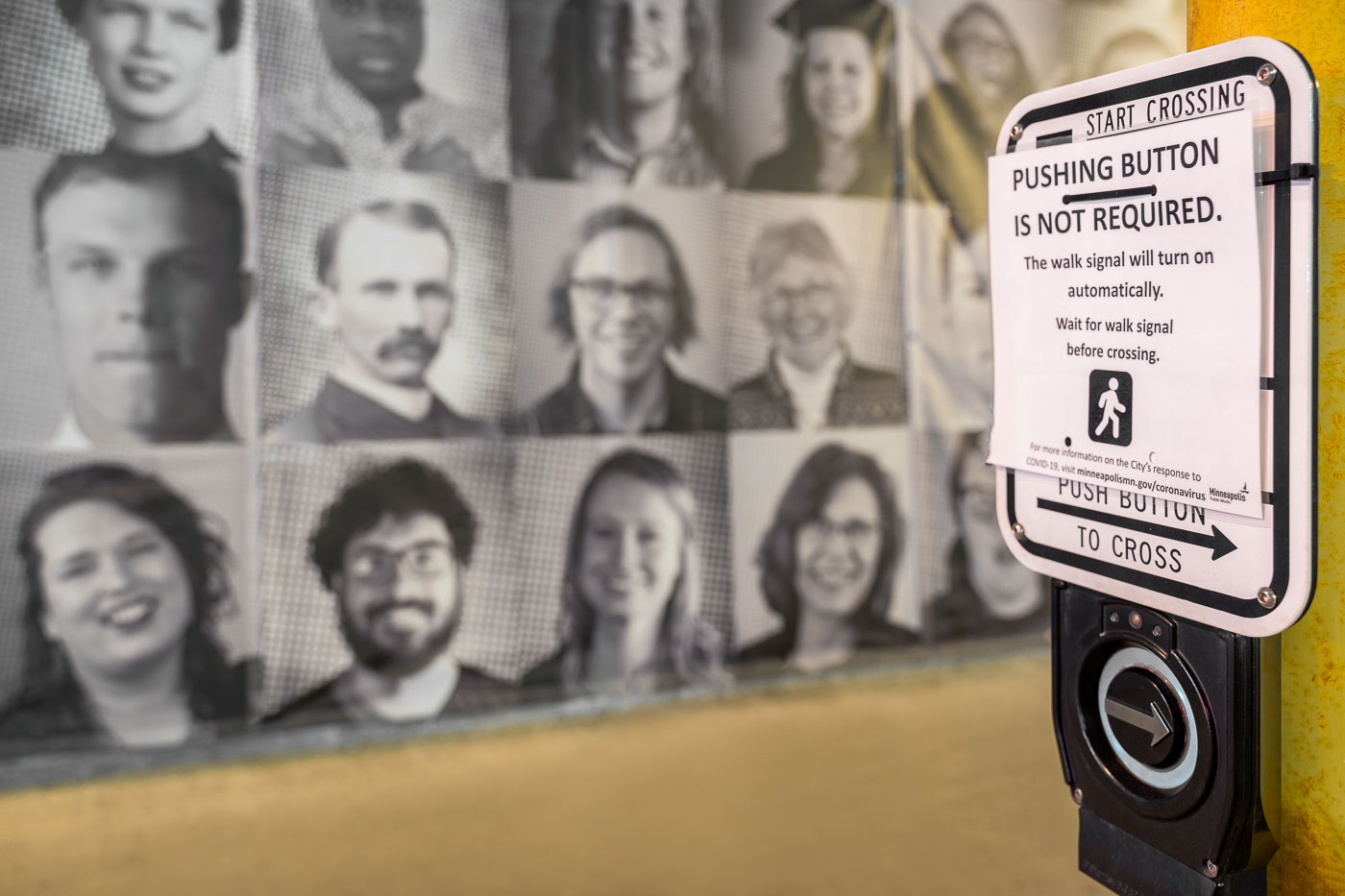
Pedestrian crosswalk button in Minneapolis with COVID-19 notice stating pushing is not required and walk signal activates
Minneapolis disabled the push-to-activate function on hundreds of pedestrian crossing buttons in spring 2020, switching signals to run on automatic timers instead. The city cited concerns about shared surfaces during the COVID-19 pandemic, part of a broader public health response that also touched transit, parks, and other city infrastructure. Signs like this one were taped over the manual buttons at intersections across the city, directing pedestrians to wait for the walk signal rather than press the crossing button.

Automatic Walk Signal Notice on a Minneapolis Crosswalk Button
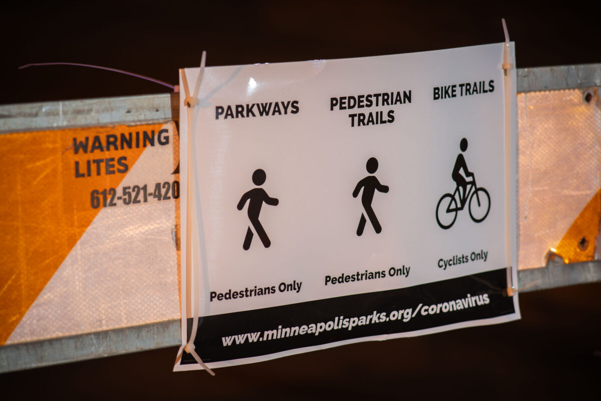
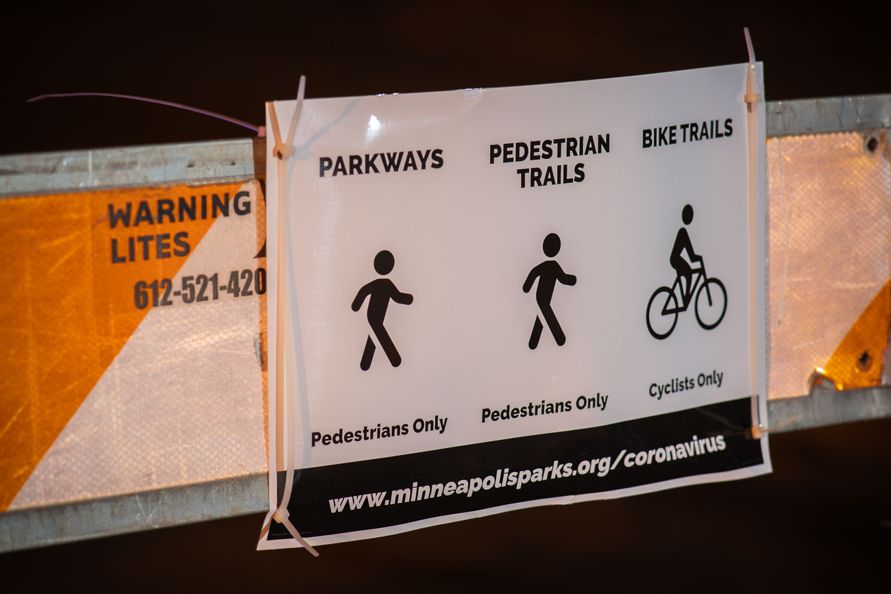
Minneapolis parks coronavirus signage
During the COVID-19 pandemic, Minneapolis Parks implemented temporary measures to manage public access to its parkways and trails. This signage, affixed to a barrier, directs pedestrians and cyclists to designated paths, indicating that parkways were closed to vehicular traffic and reserved for non-motorized use. The directive aimed to provide safe outdoor spaces for recreation while adhering to public health guidelines.

Minneapolis Parks COVID-19 Signage for Parkways and Trails
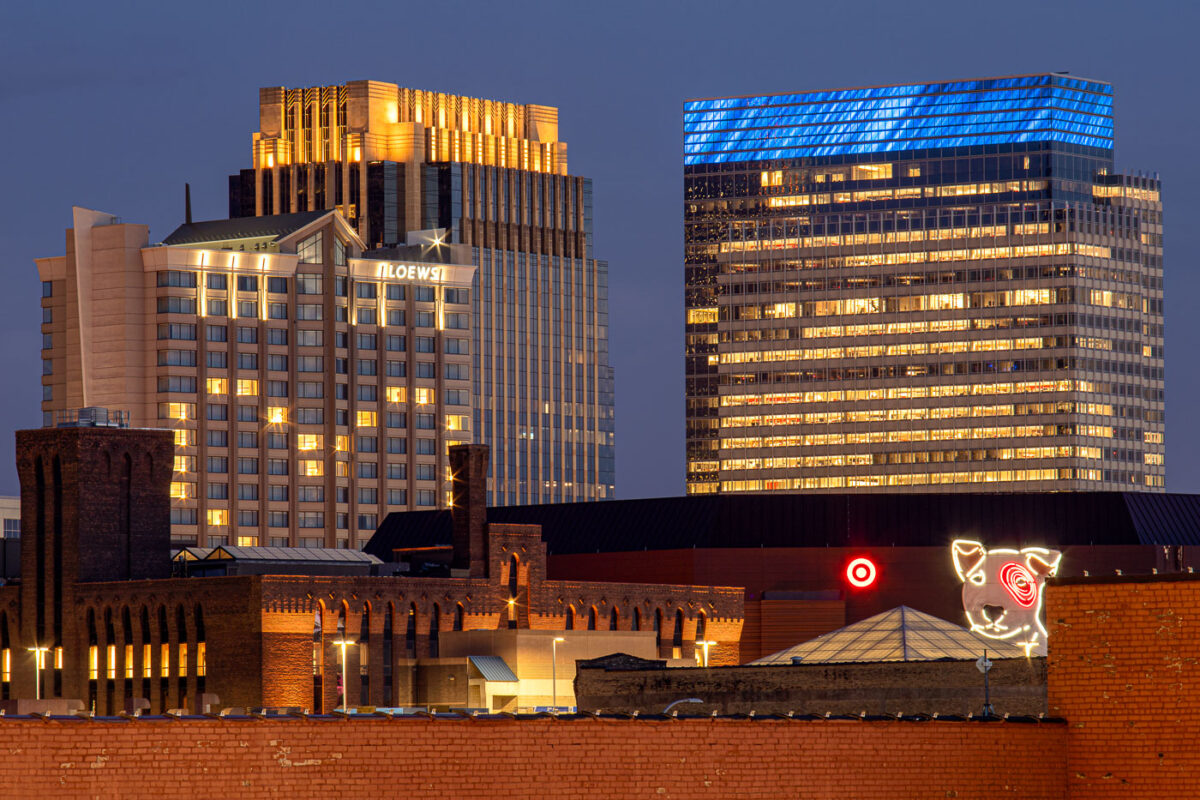
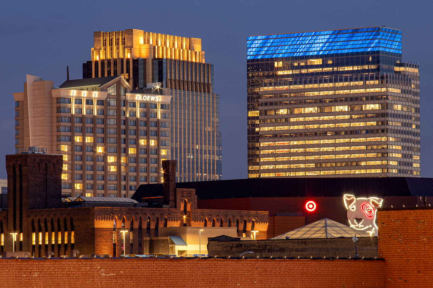
Loews Hotel and Target headquarters illuminated at night in downtown Minneapolis with Target Dog neon sign in foreground.
Target's corporate headquarters tower rises at 1000 Nicollet Mall, its glass exterior wrapped in a blue-lit crown near the top floors. The company has been based in downtown Minneapolis since its founding as a Dayton's discount offshoot in 1962, and its headquarters campus remains one of the largest employers in the city's core. The neon Bullseye dog sign near the building's base is a longstanding piece of Target's branding, drawn from the company's mascot, Bullseye. To the left, the Loews Minneapolis Hotel occupies part of the LaSalle Plaza complex, a mixed-use development completed in 1991 that also includes office space and street-level retail along Nicollet Mall.

Target’s Bullseye Dog Sign Beneath Its Minneapolis Headquarters
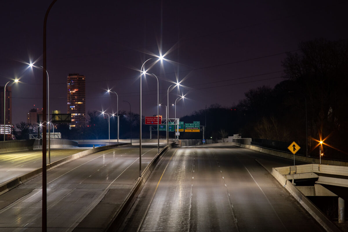
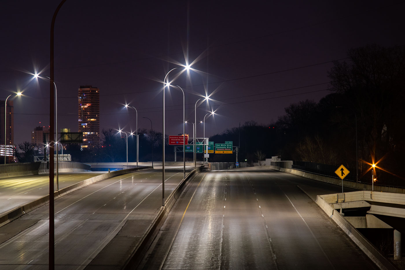
Interstate 394 in Minneapolis nearly empty at night during COVID-19 lockdown in April 2020.
Interstate 394 connects downtown Minneapolis to the western suburbs, running past the Cedar-Riverside neighborhood and merging with Interstate 94 near the Lowry Hill Tunnel. The freeway opened in stages during the late 1980s and early 1990s, replacing what had long been planned as an inner-city extension of Highway 12. Minnesota's stay-at-home order, in effect from late March through mid-May 2020, cut traffic across the Twin Cities metro to a fraction of normal volumes. Overnight counts on routes like I-394 dropped by more than half compared to pre-pandemic averages during that period.

Interstate 394 Empty During Minneapolis COVID-19 Shutdown
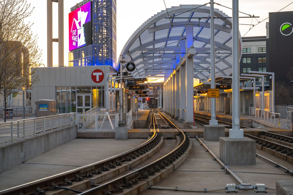
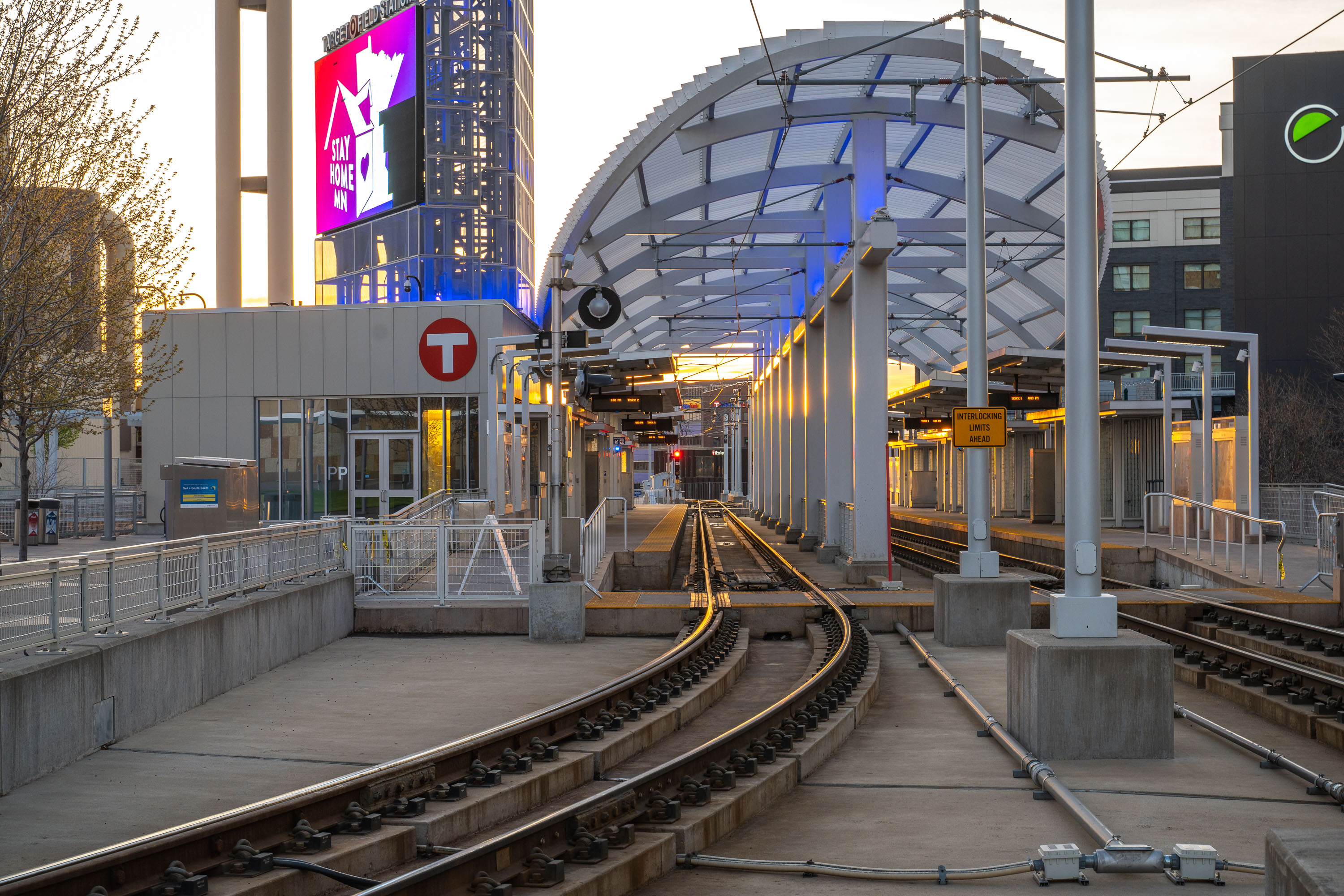
Empty platform at Target Field Station, a Minneapolis METRO light rail stop in the North Loop neighborhood.
Target Field Station sits in the North Loop neighborhood of downtown Minneapolis, serving as a stop on the METRO Blue and Green light rail lines. The station connects riders to Target Field, home of the Minnesota Twins, and links the North Loop to downtown Minneapolis and the broader METRO system.

“Stay Home MN” Sign Above Target Field Station at Dusk
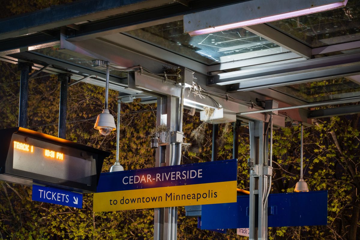
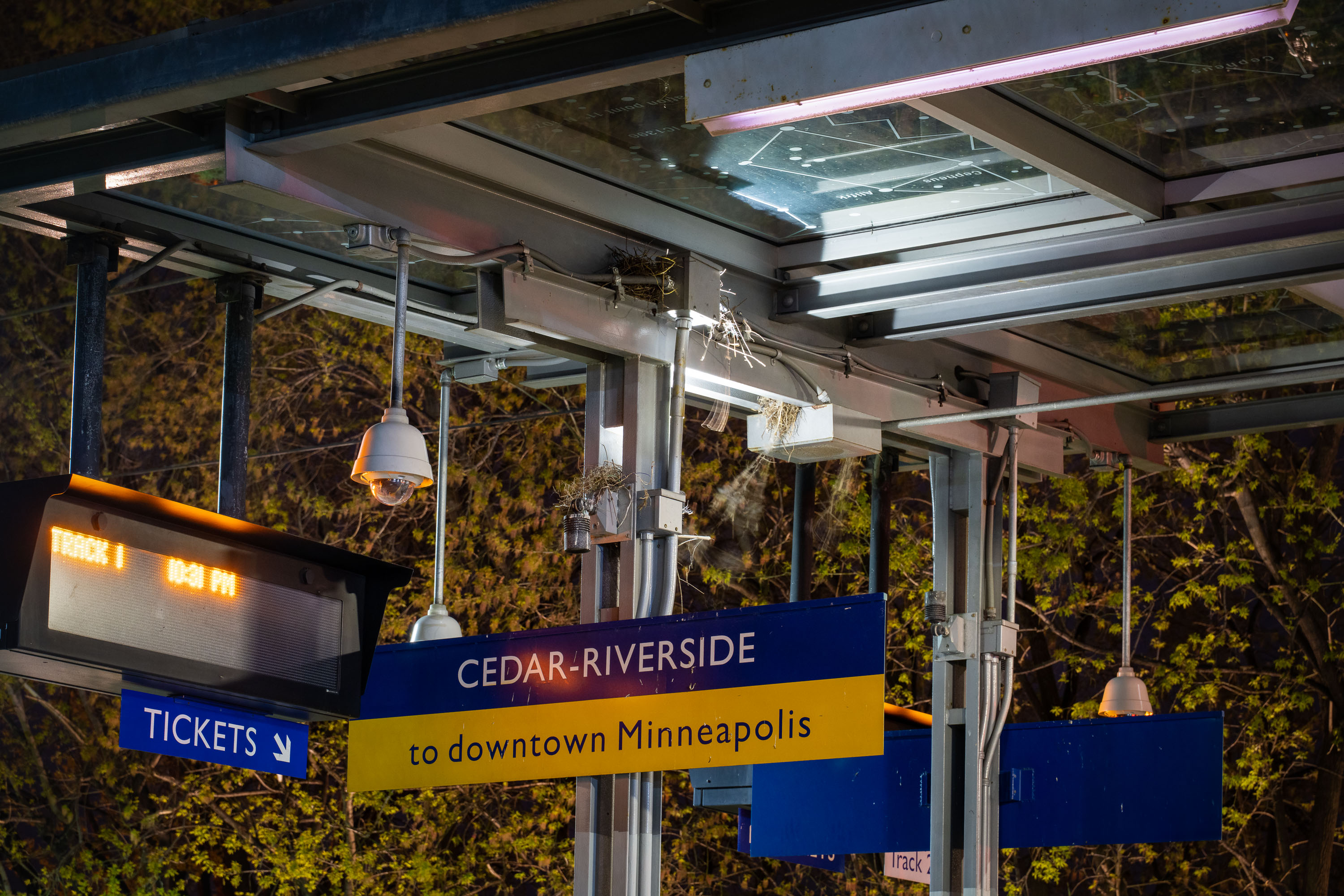
Cedar-Riverside light rail station platform sign in Minneapolis directing passengers to downtown via the Blue Line.
Cedar-Riverside Station serves the METRO Blue and Green Lines in Minneapolis, adjacent to the West Bank neighborhood and University of Minnesota. Opened in 2004 as part of the original Hiawatha Line, it sits near Augsburg University and the Cedar-Riverside residential towers, an area historically home to a large East African immigrant community.

Track 1 Signage at Cedar-Riverside Station, Minneapolis
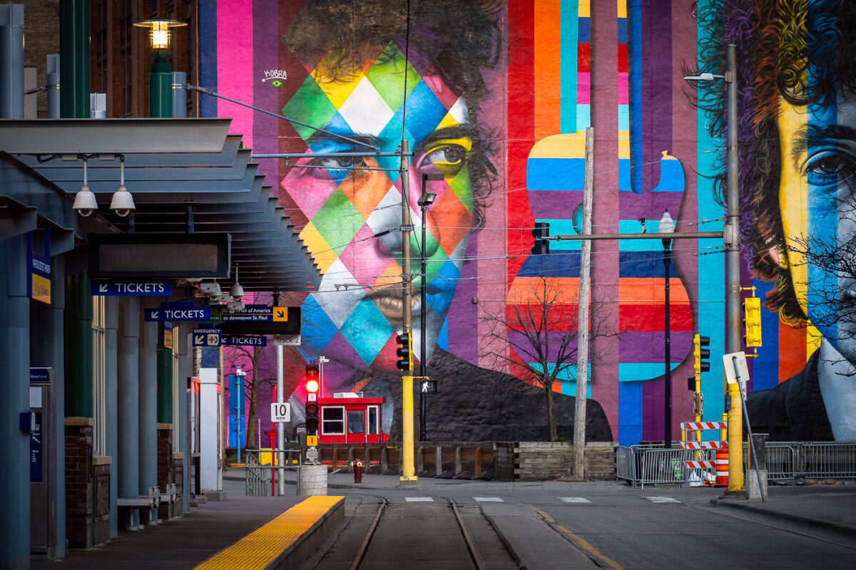
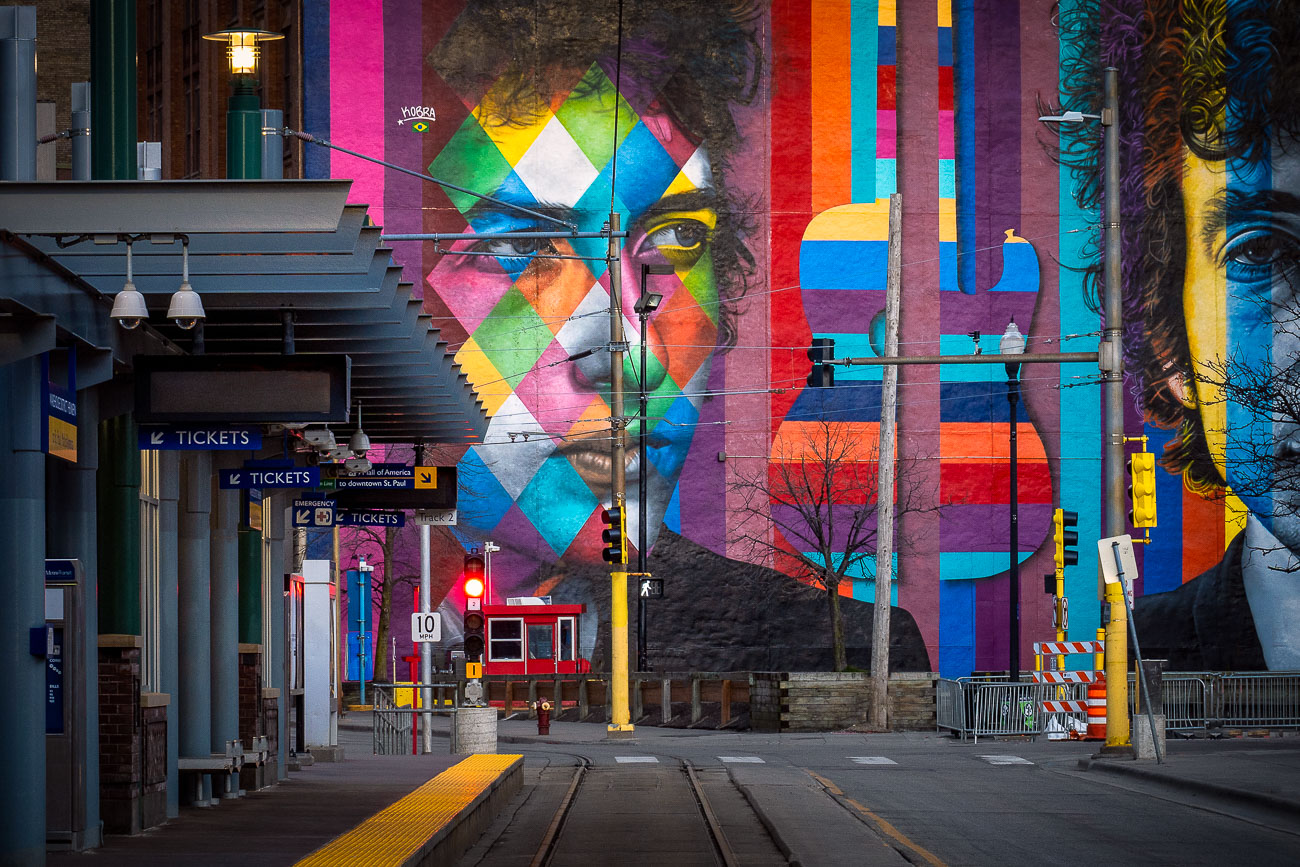
Eduardo Kobra's colorful Bob Dylan mural at Nicollet Mall station in downtown Minneapolis.
Eduardo Kobra painted this mural of Bob Dylan, titled "Face of Music," in 2015 for the Downtown Improvement District's Betsy-Ann Kane public art initiative. Brazilian street artist Kobra is known for his geometric, kaleidoscope-patterned portraits, which he has installed in cities worldwide. The mural covers roughly 90 feet of wall along the light rail corridor near Nicollet Mall Station, close to Hennepin Avenue in downtown Minneapolis. Dylan grew up in Hibbing, Minnesota, and began his music career in Dinkytown near the University of Minnesota before moving to New York in 1961.

Eduardo Kobra’s “Face of Music” Mural on Hennepin Avenue
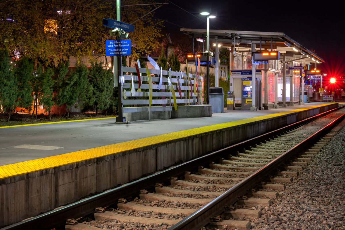
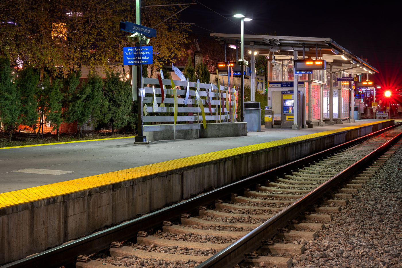
Cedar-Riverside Blue Line station platform at night in Minneapolis with yellow safety edge and rail tracks.
Cedar-Riverside Station sits along Metro Transit's Blue Line, formerly the Hiawatha Line, which opened in 2004 as the region's first light-rail route. The station serves the Cedar-Riverside and West Bank neighborhoods, just south of downtown Minneapolis and adjacent to the University of Minnesota's West Bank campus. The Blue Line runs roughly 12 miles between downtown Minneapolis, Minneapolis-Saint Paul International Airport, and the Mall of America in Bloomington. Metro Transit operates the line with trains arriving every 7 to 10 minutes during peak service hours.

Nighttime Platform at Cedar-Riverside Station
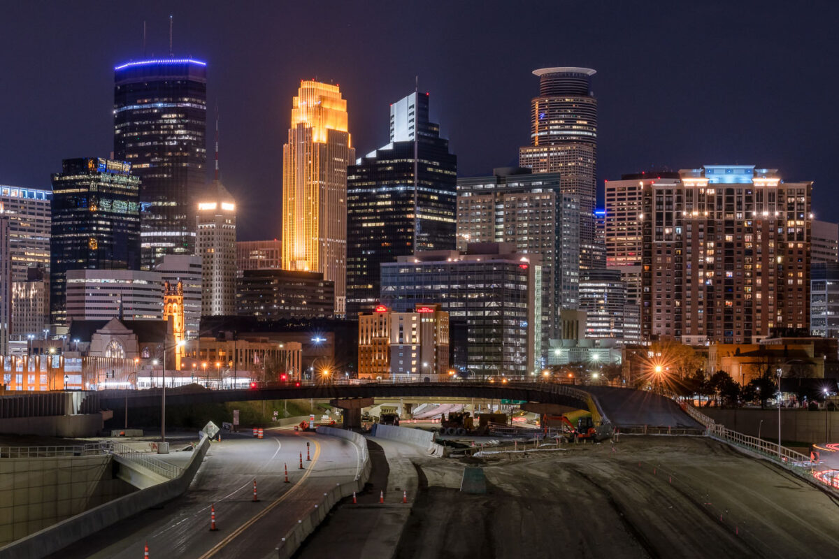
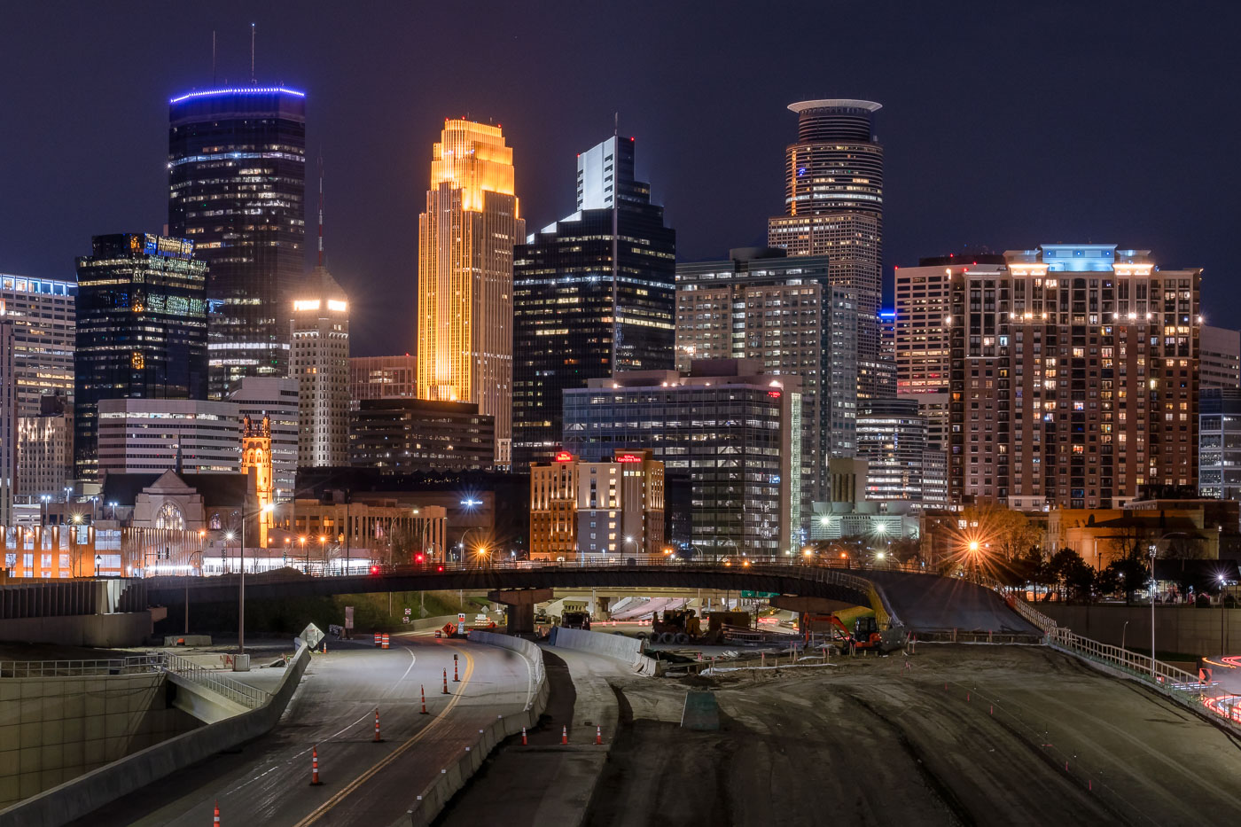
Interstate 35W construction site at night with downtown Minneapolis skyline and illuminated office towers beyond.
Interstate 35W cuts through downtown Minneapolis on its way between the northern and southern suburbs, carrying more than 100,000 vehicles a day under normal conditions. The tallest building on the skyline, the IDS Center, rises 792 feet and has held the title of Minnesota's tallest structure since its completion in 1972, designed by architect Philip Johnson. Capella Tower, completed in 1992 as the Norwest Center, stands 776 feet tall and is topped by a lattice crown that's lit gold for much of the year. This stretch of freeway saw major nighttime lane closures and repaving work in spring 2020, part of ongoing maintenance on one of the Twin Cities' primary north-south corridors.

I-35W Overnight Construction Beneath the Minneapolis Skyline
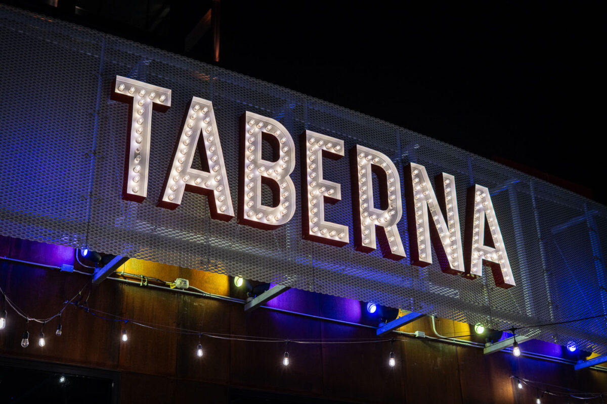
Illuminated Taberna restaurant sign at night in south Minneapolis.
Taberna is a restaurant in south Minneapolis near Bde Maka Ska. The establishment operates as a taco restaurant in the neighborhood.

Taberna Restaurant Sign, South Minneapolis
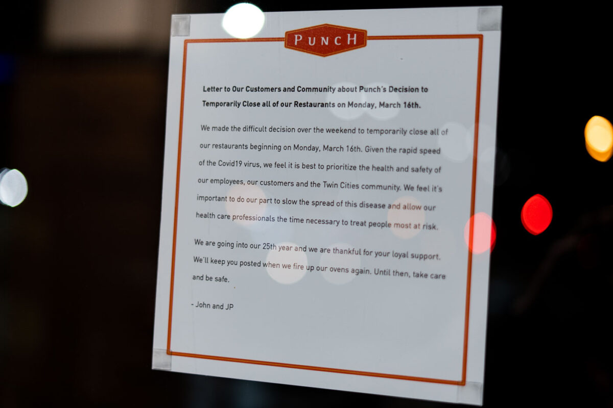
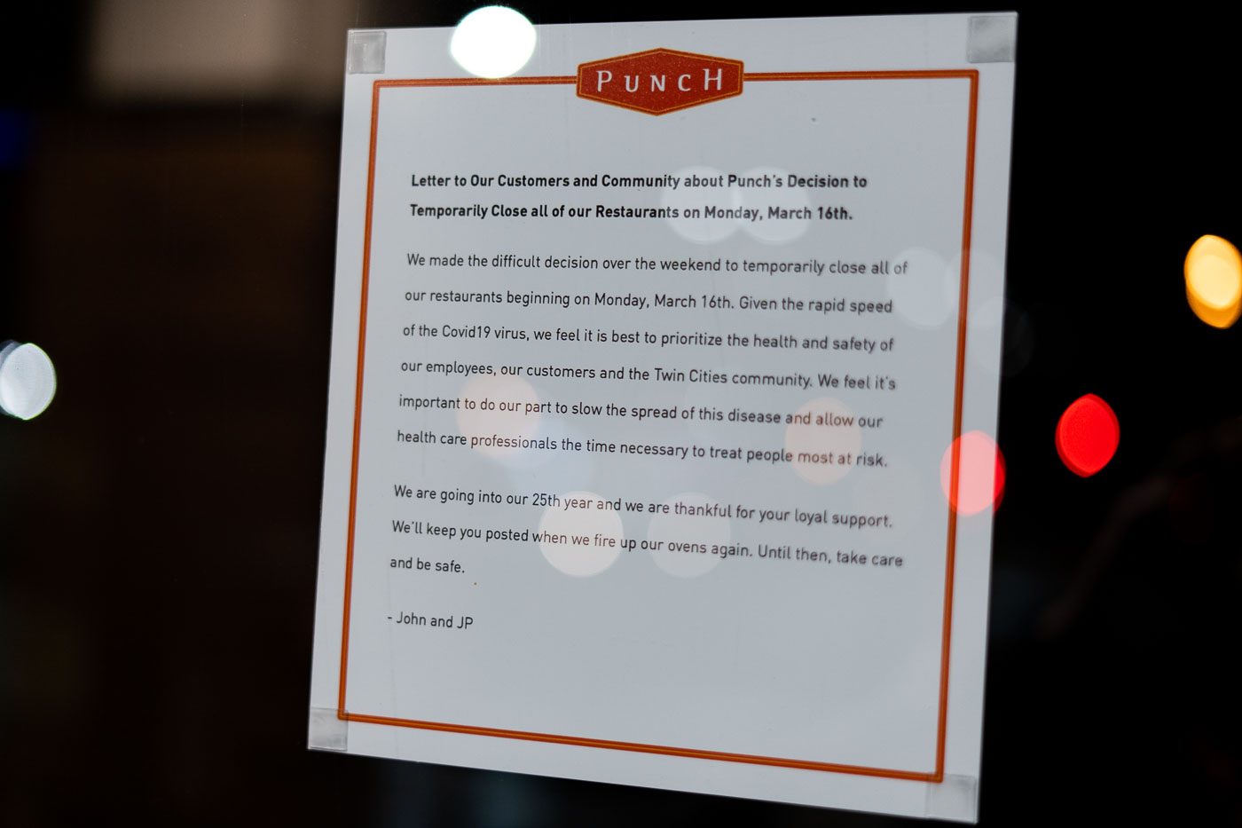
Punch Pizza closure notice posted in window announcing temporary restaurant shutdown on March 16, 2020, due to COVID-19.
Punch Pizza posted this letter to customers announcing the temporary closure of all its restaurants beginning Monday, March 16, 2020. Signed by co-founders John Soranno and JP Audette, the notice cites the need to protect employees, customers, and the Twin Cities community from the spread of Covid-19. The letter notes the company was entering its 25th year in business at the time of the shutdown.

Punch Pizza Announces Temporary Closure of All Locations
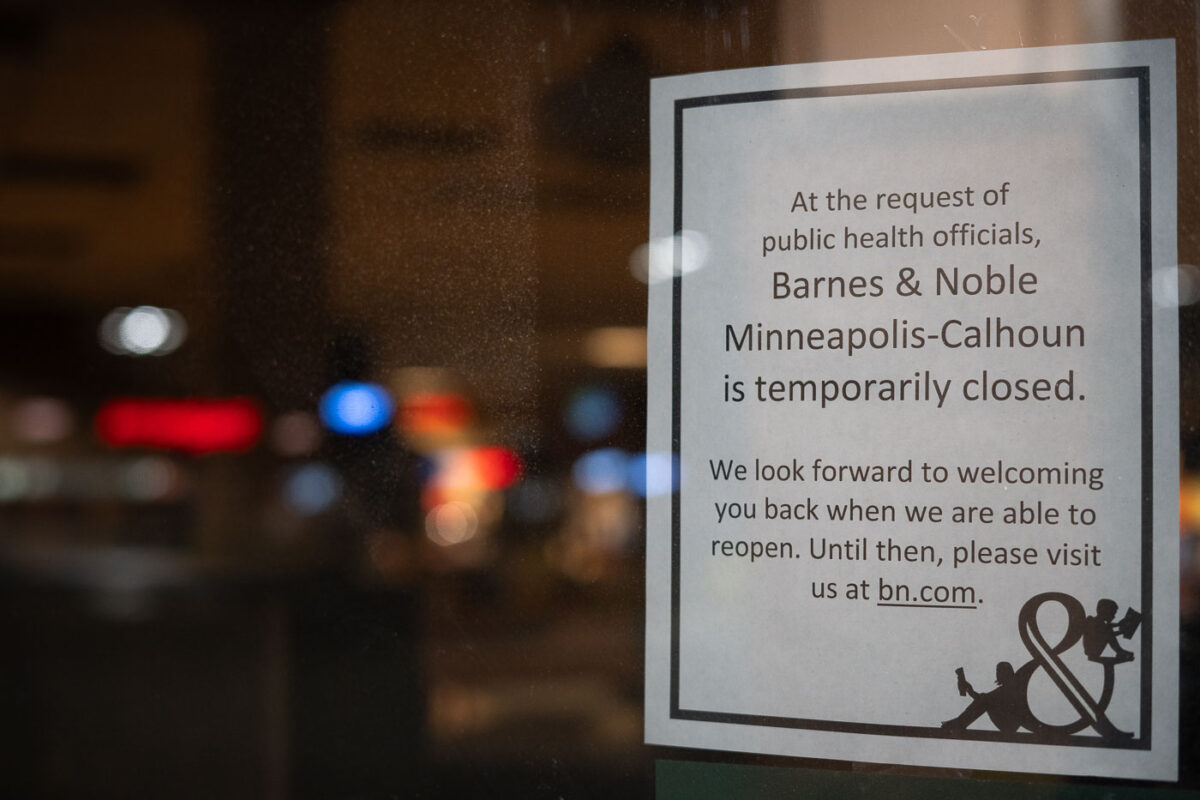
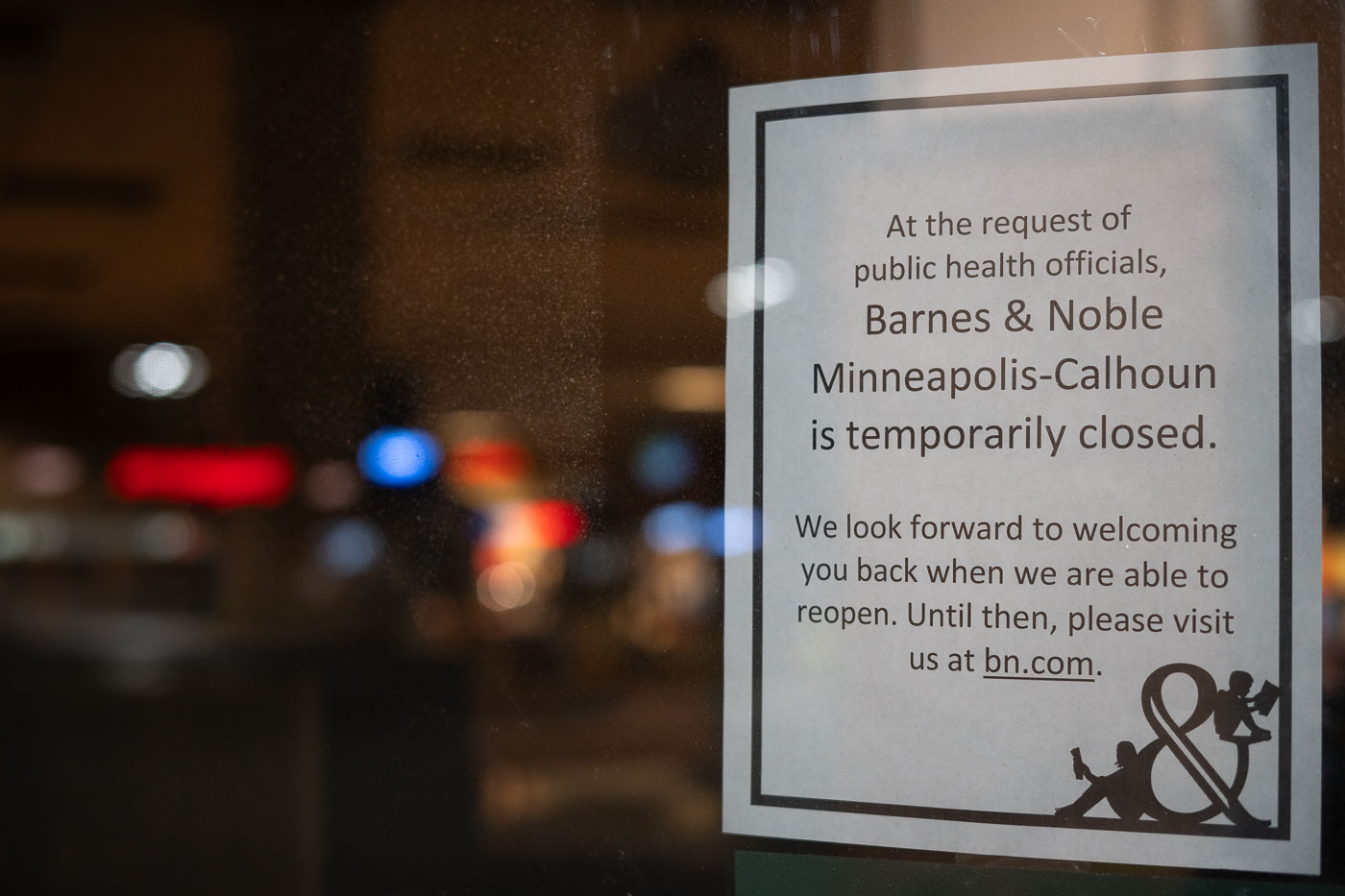
Barnes and Noble covid19 closure sign
A sign posted on the window of the Barnes & Noble Minneapolis-Calhoun store announces its temporary closure due to the COVID-19 pandemic. The notice, issued at the request of public health officials, reflects a widespread public health measure that impacted retail operations globally in 2020 and 2021.

Minneapolis Barnes & Noble Temporarily Closed Due to COVID-19
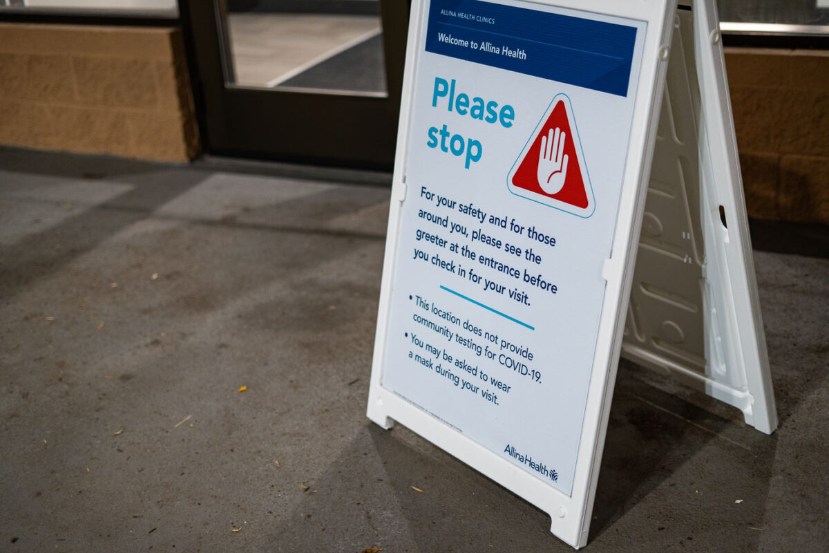
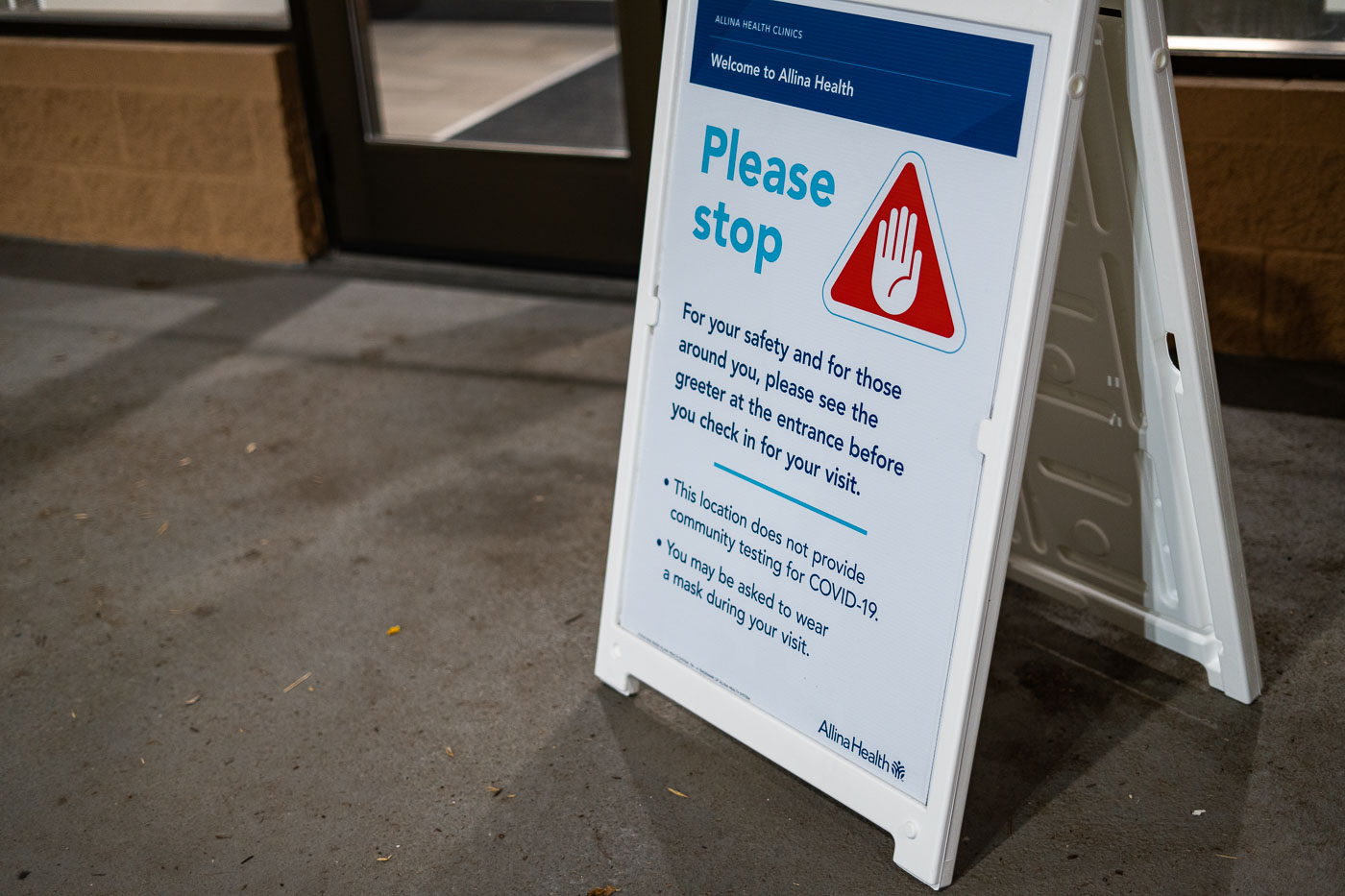
COVID19 Safety Sign at Clinic Entrance
At the entrance of an Allina Health clinic, a temporary sign reminds visitors of heightened safety measures during the COVID-19 pandemic. The notice instructs patients to stop and first meet with a greeter before checking in, emphasizing that the location does not provide community COVID-19 testing and that masks may be required during the visit. These portable A-frame signs became common across medical facilities in 2020–2021, helping manage visitor flow, screen for symptoms, and reinforce evolving public health protocols at clinics and hospitals throughout Minnesota.

COVID-19 Safety Sign at Clinic Entrance

Powderhorn Park in South Minneapolis features a curved path and large tree at sunset with the recreation center visible beyond.
Powderhorn Park anchors a residential section of South Minneapolis, its 66 acres laid out around Powderhorn Lake since the park's founding in 1889. The Minneapolis Park and Recreation Board maintains the grounds, which include the lake itself, open lawns, and a recreation center built in the 1970s. The neighborhood surrounding the park takes its name from the same source, and the park remains one of the larger green spaces on the city's south side.

Sunset Through a Bare Tree at Powderhorn Park
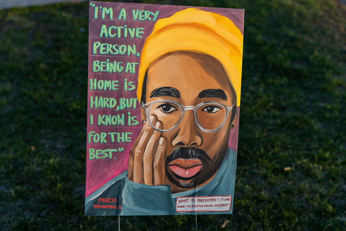
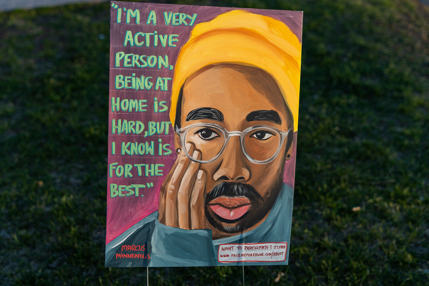
Painted sign at Powderhorn Park in South Minneapolis features portrait and text about staying active during pandemic lockdowns.
The sign at Powderhorn Park pairs a painted portrait with a quoted statement: "I'm a very active person, being at home is hard, but I know is for the best." It's signed "Marcus Minneapolis" and includes a web address inviting others to participate, suggesting the piece was part of a broader community art project rather than a single standalone work. Powderhorn Park, on the city's South Side, became a gathering point for public art and expression during the spring 2020 pandemic shutdowns.

Painted Portrait Sign by Marcus, Powderhorn Park
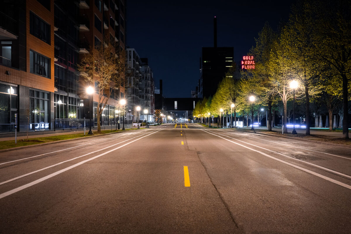
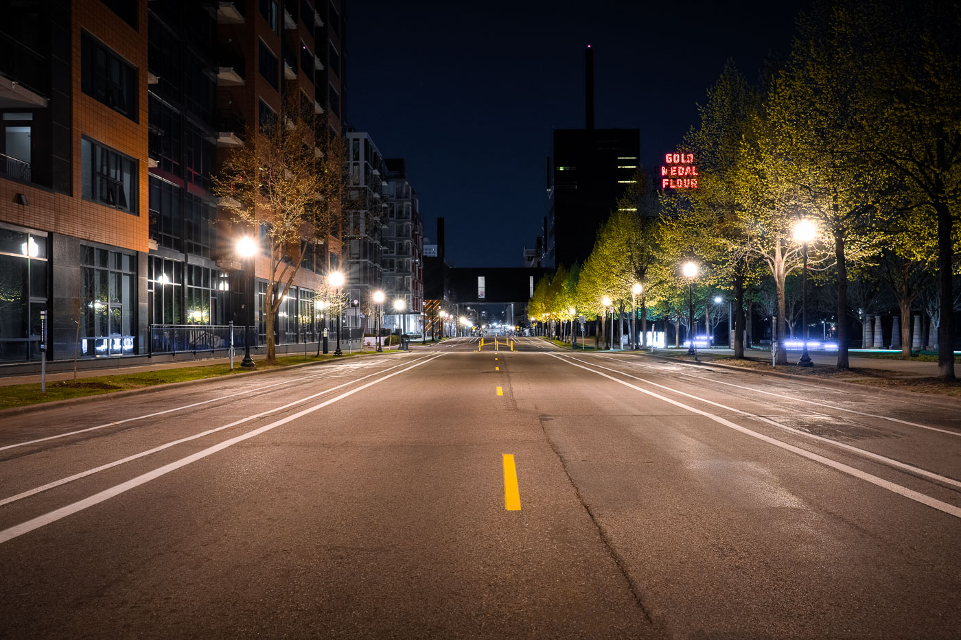
Gold Medal Flour neon sign as seen from 2nd st
South Second Street in downtown Minneapolis during the coronavirus (COVID-19) shutdown.

South Second Street in Downtown Minneapolis
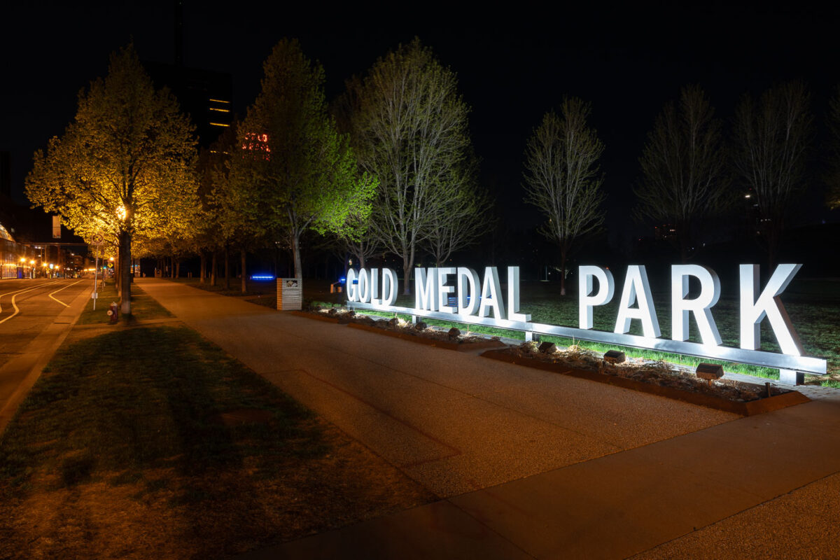
Gold Medal Park sign in Downtown Minneapolis park
Gold Medal Park sits along the Mississippi River near the Mill District in downtown Minneapolis, named in honor of the city’s flour-milling heritage and the iconic Gold Medal Flour brand. Designed by landscape architect Tom Oslund, the park opened in 2007 as part of the Guthrie Theater redevelopment and features a distinctive spiral mound at its center offering views of the river and city skyline. The illuminated park sign and tree-lined paths create a serene nighttime atmosphere against the industrial and cultural backdrop of the historic mill area.

Gold Medal Park at Night, Minneapolis Riverfront
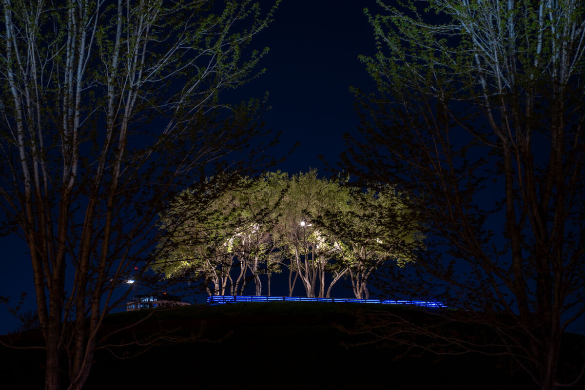
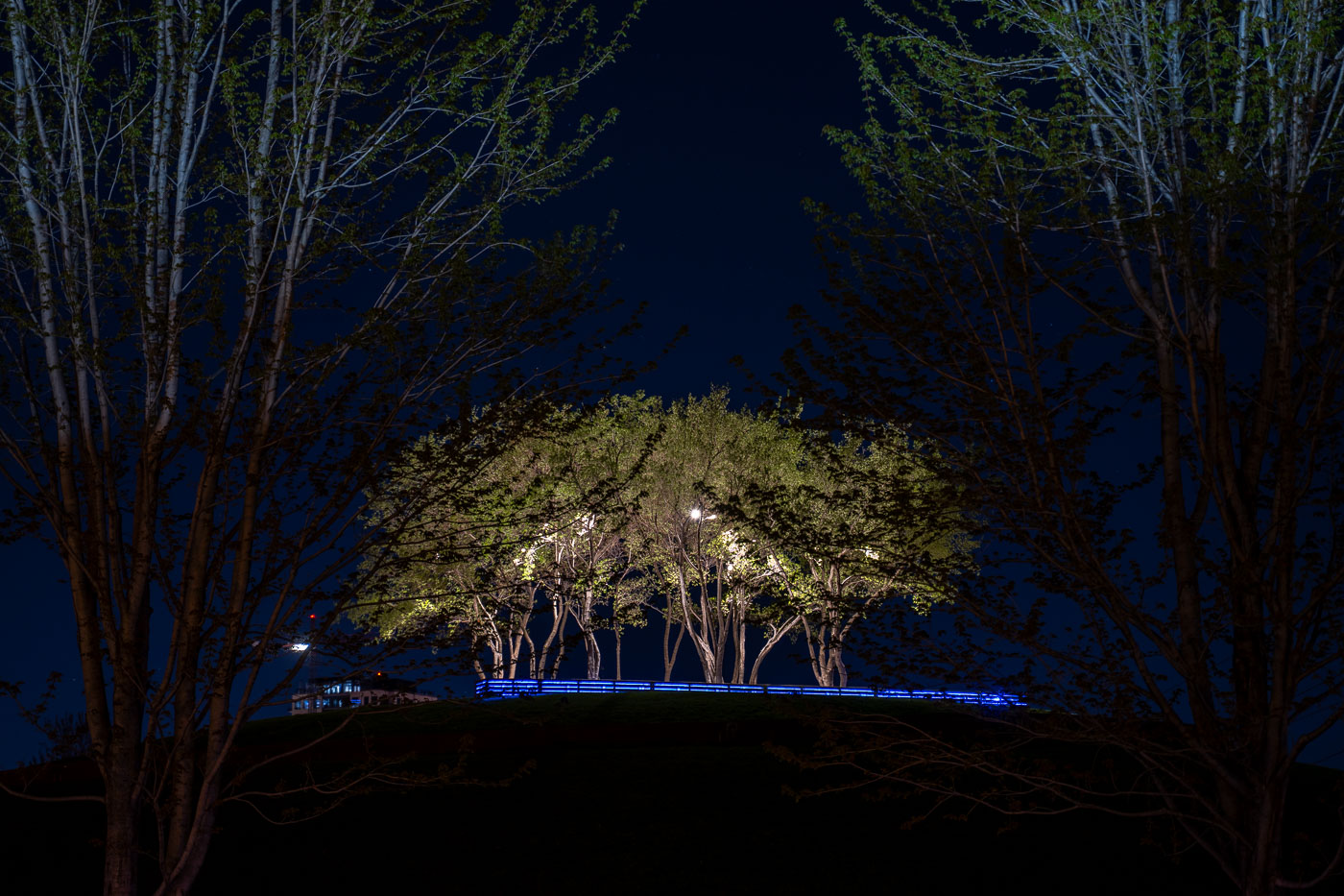
Trees in the middle of Gold Medal Park
Gold Medal Park in Minneapolis with the 40+ story "Eleven" rising in the background.

Trees in the middle of Gold Medal Park
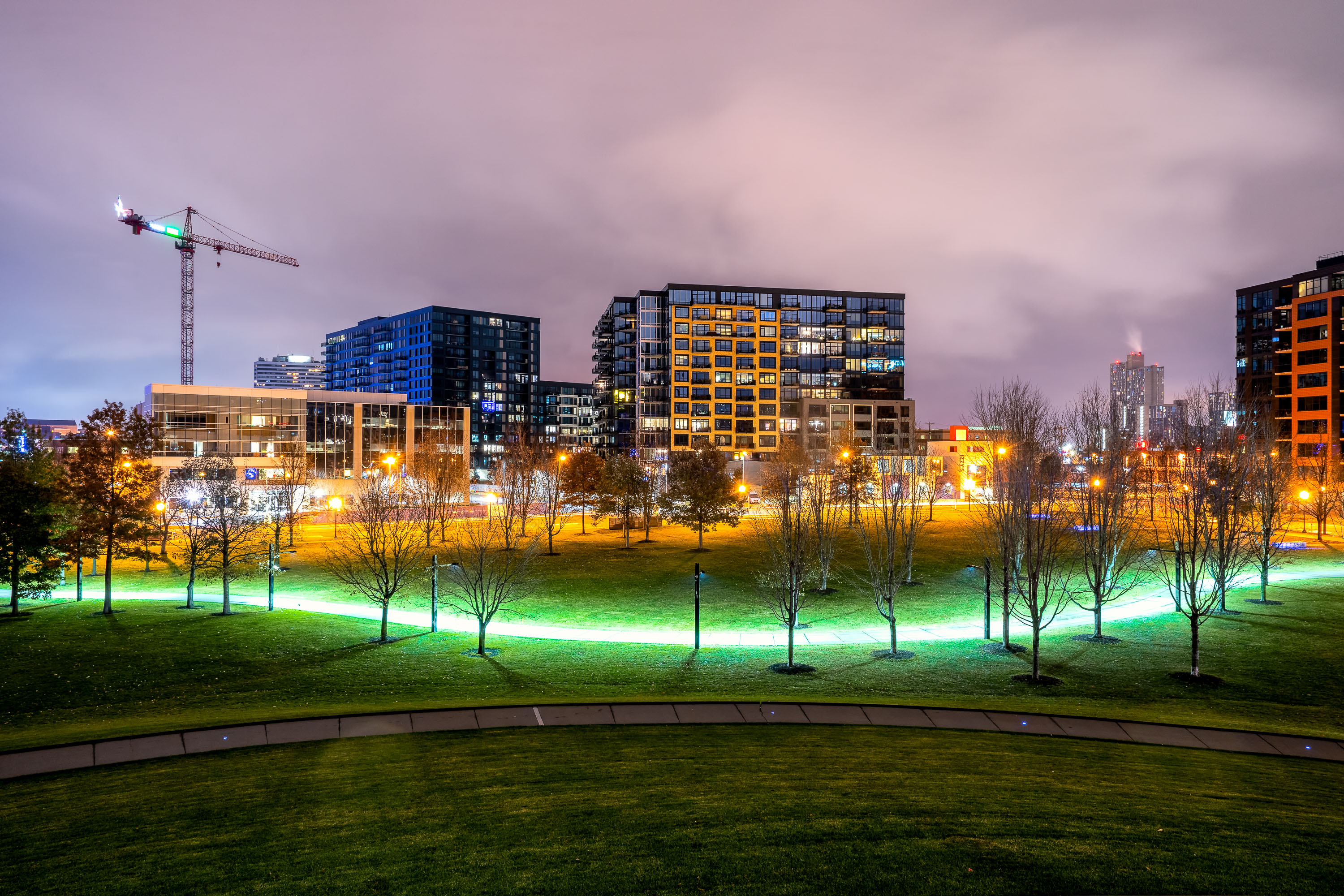
Calhoun Building in Minneapolis lit at night
The Calhoun Building on Lake Street in Uptown Minneapolis shown on May 3, 2020.

Calhoun Building in Minneapolis at night

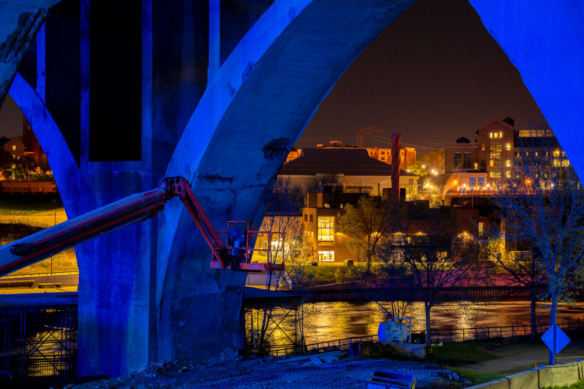
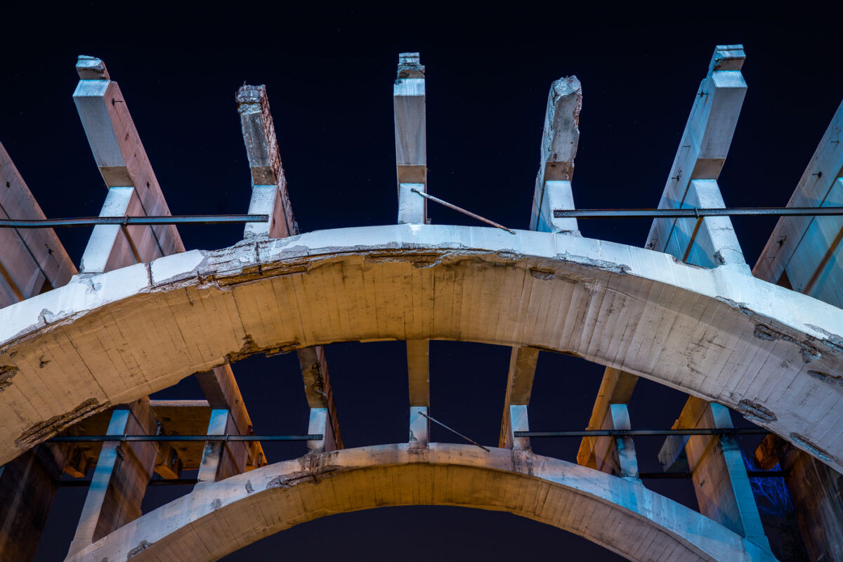
Blue steel framework of the 10th Avenue Bridge under reconstruction over the Mississippi River in Minneapolis.
Blue-lit steel arches and concrete piers of the 10th Avenue Bridge frame a nighttime view of the Mississippi River and the Northeast Minneapolis riverbank during the 2020 reconstruction project. A boom lift positioned against one of the bridge's massive piers suggests active structural work underway, while city lights reflect off the river below.

10th Avenue Bridge reconstruction, Minneapolis 2020

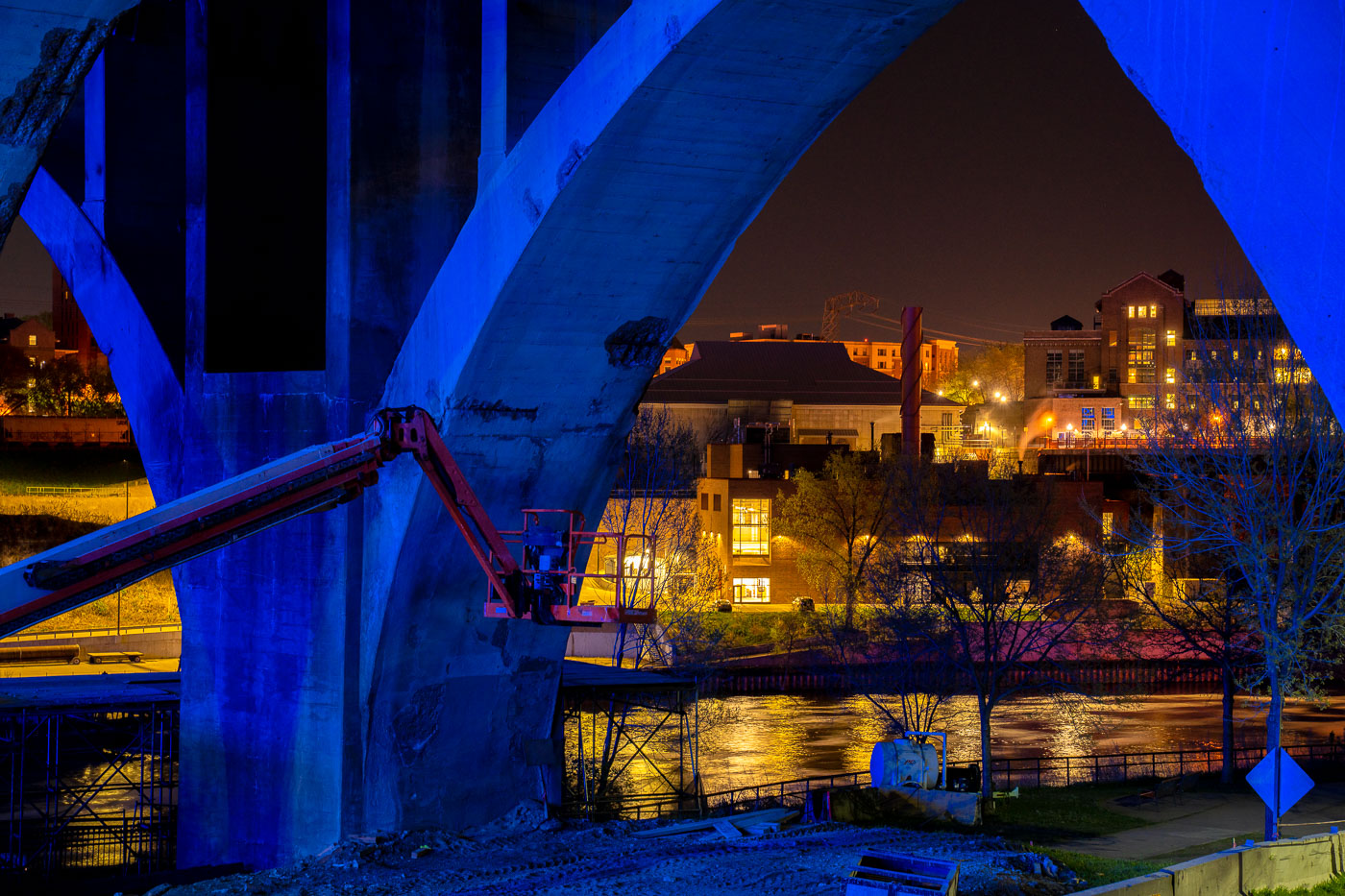
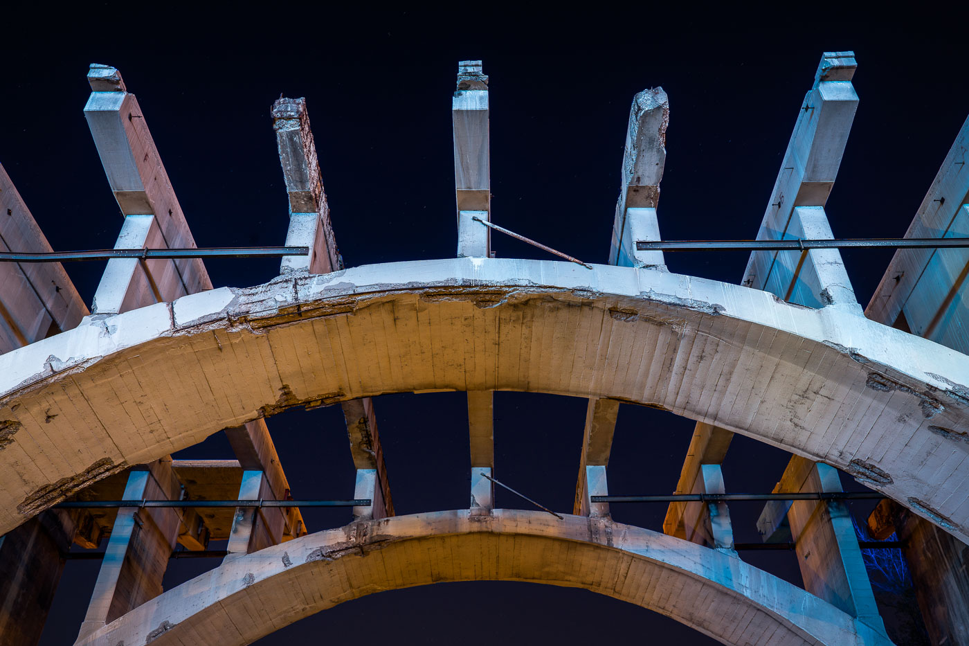
Concrete arches and steel lift spans of the 10th Avenue Bridge in Minneapolis during renovation.
The 10th Avenue Bridge in Minneapolis features vertical lift spans that raise to allow barge traffic on the Minnesota River below. The bridge's concrete arches and steel support structures were undergoing renovation in 2020. Lift bridges like this one are essential infrastructure for connecting the city while accommodating river commerce and navigation.

10th Avenue Bridge lift spans, Minneapolis

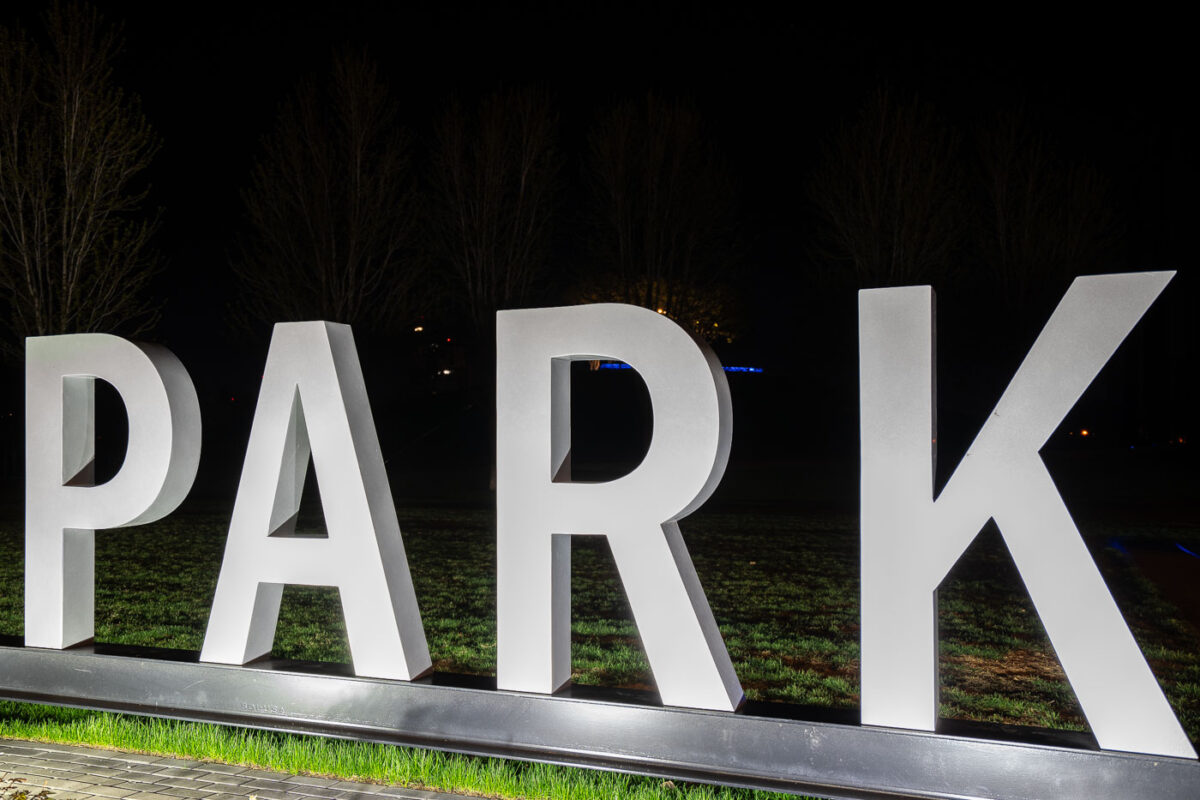
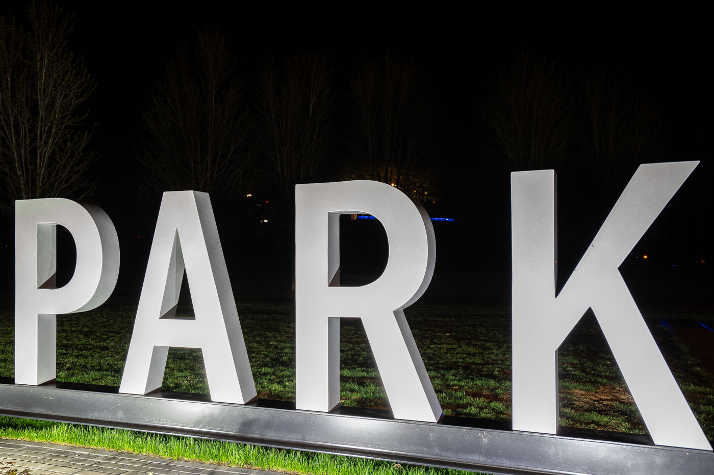
Illuminated "PARK" letters at Gold Medal Park near downtown Minneapolis.
Large illuminated letters spelling "PARK" stand at Gold Medal Park along the Mississippi River near downtown Minneapolis. The park occupies the site of the former Gold Medal Flour Mills, a major industrial landmark in the city's milling history. The signage serves as wayfinding and identification for the public green space.
Gold Medal Park Signage, Minneapolis
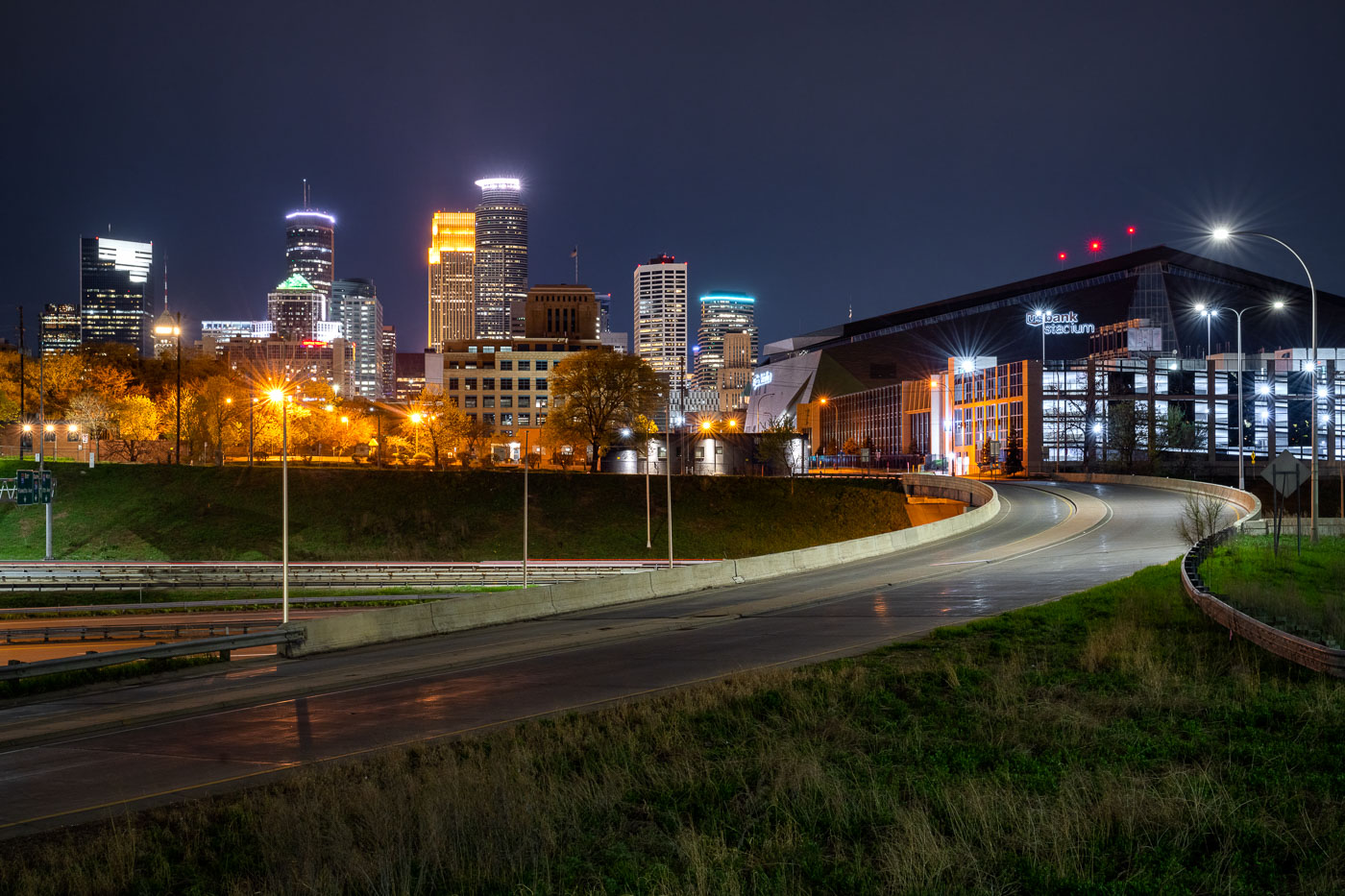
US Bank Stadium and the downtown Minneapolis skyline
US Bank Stadium, a multi-purpose venue in downtown Minneapolis, is illuminated at night. Opened in 2016, the stadium was built on the former site of the Metrodome and serves as the home for the Minnesota Vikings of the National Football League. Its distinctive architecture features a transparent ETFE roof and a faceted glass exterior, designed to reflect the city's sky and surrounding environment. The stadium hosts a variety of events, including professional football games, concerts, and other large-scale public gatherings.
US Bank Stadium and Minneapolis Skyline at Night
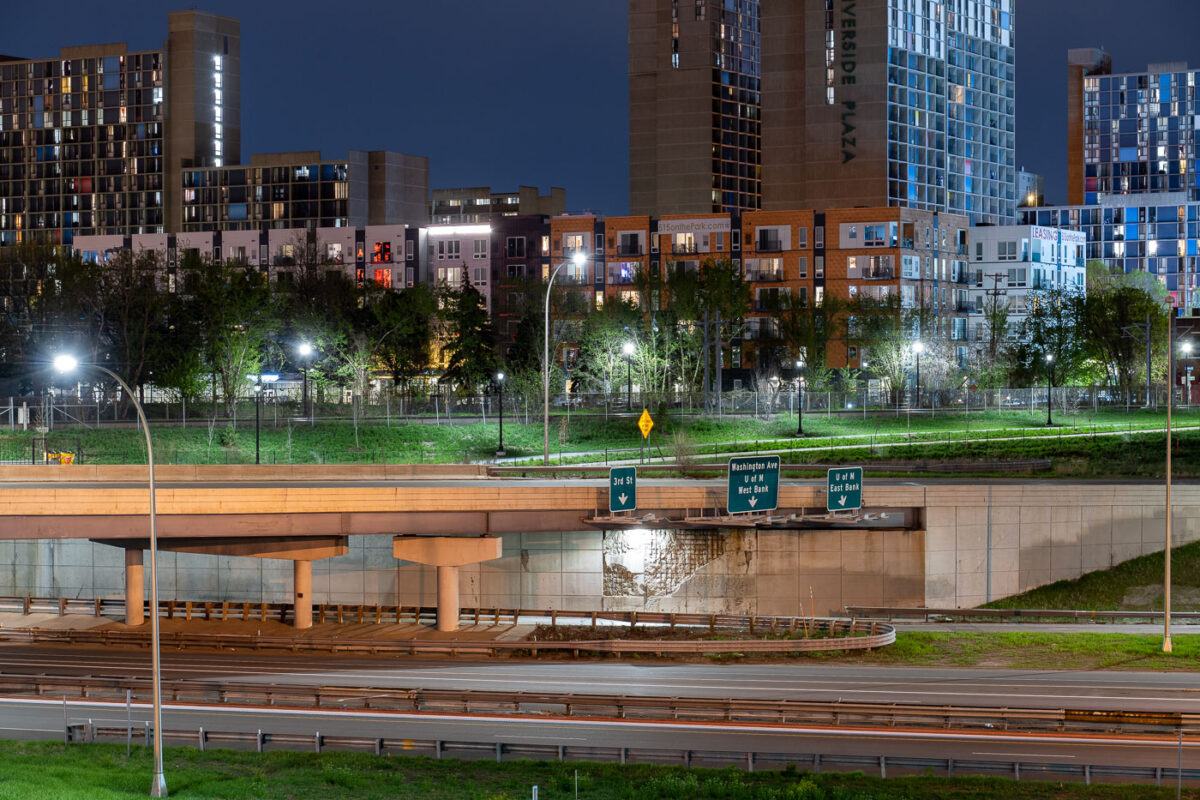
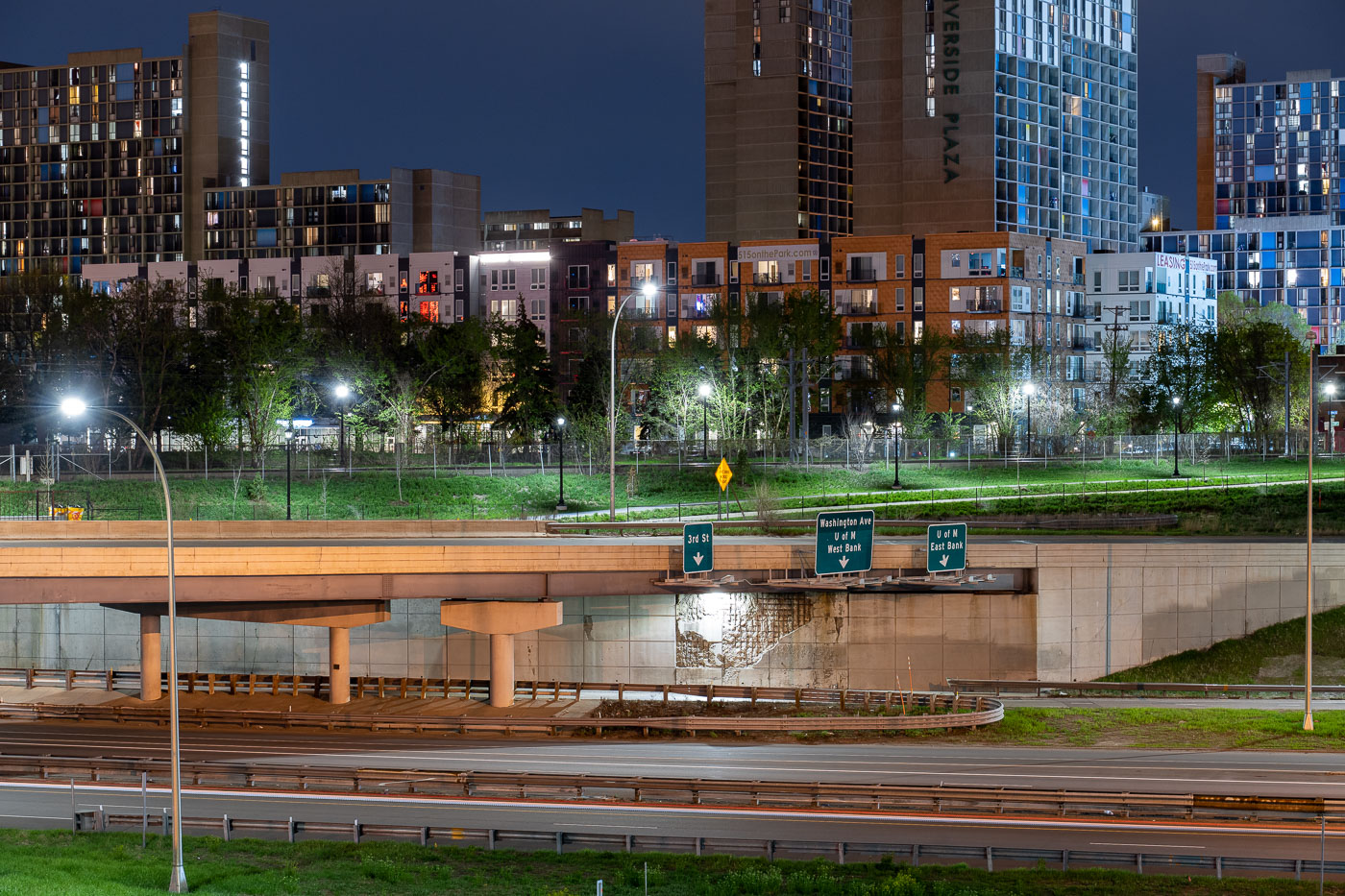
Interstate 35W underpass with Riverside Plaza towers in Cedar-Riverside, Minneapolis.
Interstate 35W passes beneath an overpass at the Cedar-Riverside neighborhood in Minneapolis. Riverside Plaza residential towers rise beyond the freeway corridor, which connects the Twin Cities metropolitan area north and south through downtown Minneapolis.

Interstate 35W at Cedar-Riverside, Minneapolis